Trounced by Trumbull and Sidling to the Sea

Jack’s and Isaac’s Bays

I was quite grateful for the air cooled bedrooms in our Judith Fancy villa but, as I emerged from it the second morning, I was so much more appreciative of the balmy breeze, salt tinged air, the wide blue sky and the blazing island sun. But no tarrying on our only other full day in St. Croix. We had decided the day’s adventure would be hiking the Trumbull Trail to the Annaly Bay tide pools and needed to get on the road if we hoped to reach the pools at low tide.

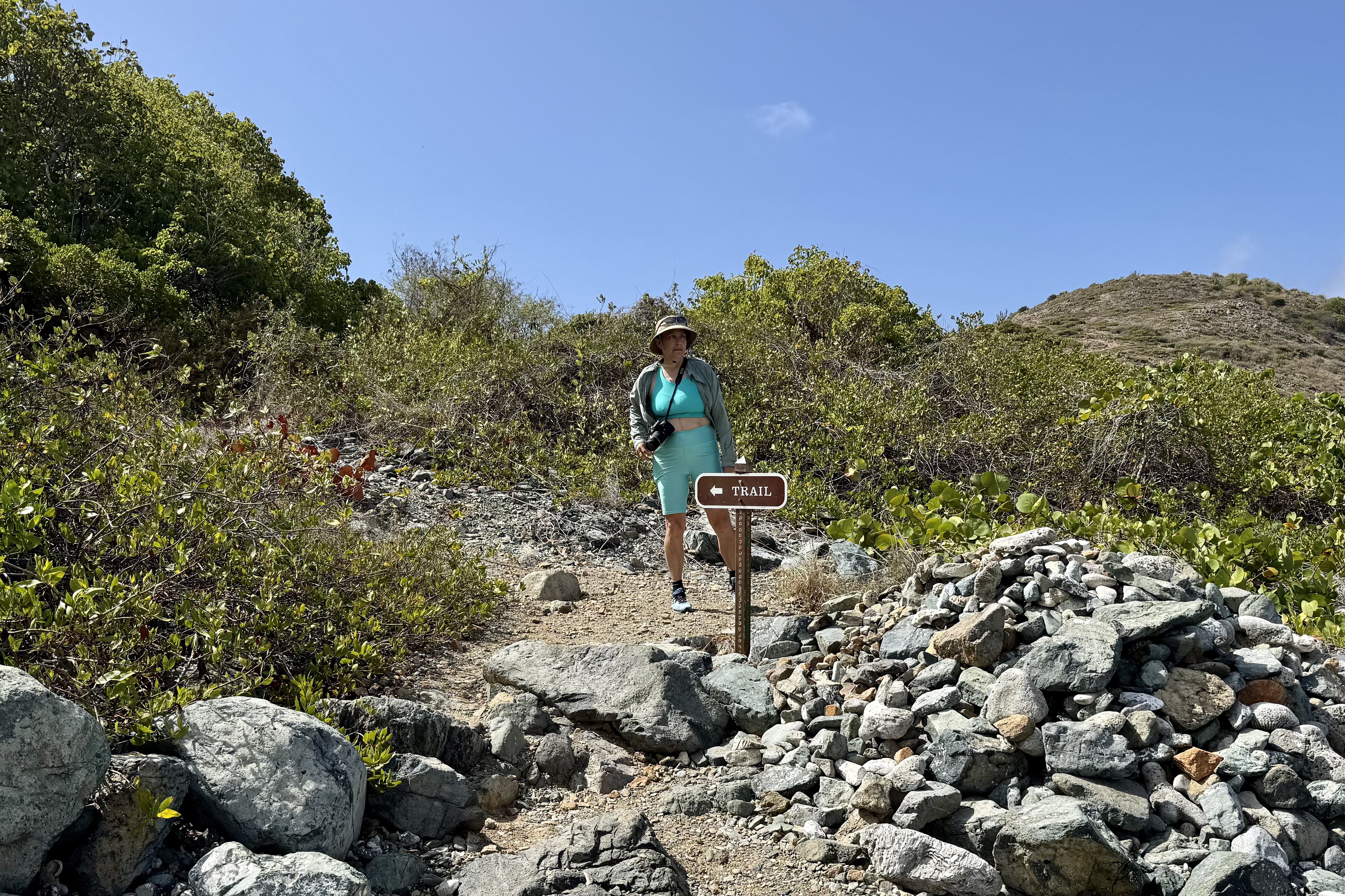
The difficulty rating of the the Trumbull Trail is a relative thing and despite reviews of it being easy ( rated a stroll in the park that young strong legs make it out to be) or moderate (rated by most middle of the pack hikers)but for an 81 year old 4’11” female it was an adventure that left me so acutely aware of the withering of my formally very strong Ironman legs despite the fact that I regularly do weights for leg strengthening. But with walking stick in hand, I was oft times sandwiched between Nick and Tasia to hopefully catch any forward or backward stumbling, skidding on loose gravel, missteps, trips or other lost footings. I have never been the most coordinated person nor been known for my graceful movements. For me it was a rough, somewhat punishing experience of a trail being outfitted with tripping roots and skidding rocks, lots of short steep up and down on a very narrow ribbon of gravel, rock and roots. I also have to admit that I did not have the wisdom to wear my hiking boots. The sign at the trailhead speaks a lot about the trail upkeep .

 My walking stick worked overtime. I crept  along like a  determined little arthritic mountain goat and I lost track of how many times I nearly stumbled.  But,  Nick and Tasia were always there to provide emergency arm assists.  Luke was my temporary hiking sherpa though I am sure he would have much preferred to be daypack free. I gratefully accepted any helping hand  which was offered  knowing I was not as spry and agile as I envisioned myself to be i.e.  that  vision is of a gazelle over the terrain. Thankfully the thick tree coverage shaded much of the trail but it also blocks almost any breeze. The sweat factor might be described as a full body drip exacerbated by my wearing SFP gear with long sleeves and long pants.

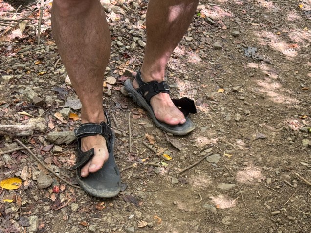
Many reviews of this hike suggested good footwear but heartbreakingly,  mid-hike one of Nick’s old Merrill  sandal straps snapped ( definitely not an ideal situation on a trail that would not be considered well groomed) .  So he began joking about it, only to have a strap on the other sandal give out on the return trip.  He the coined them as his “fop-flips. I am wondering if the next time I see him hiking with sandals if it will be the old Merrill’s  “repaired” with string, twist ties and silver tape. 

Flop-Flips
Flop-Flips

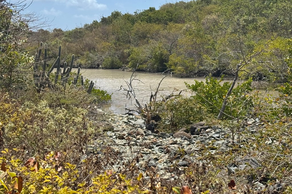
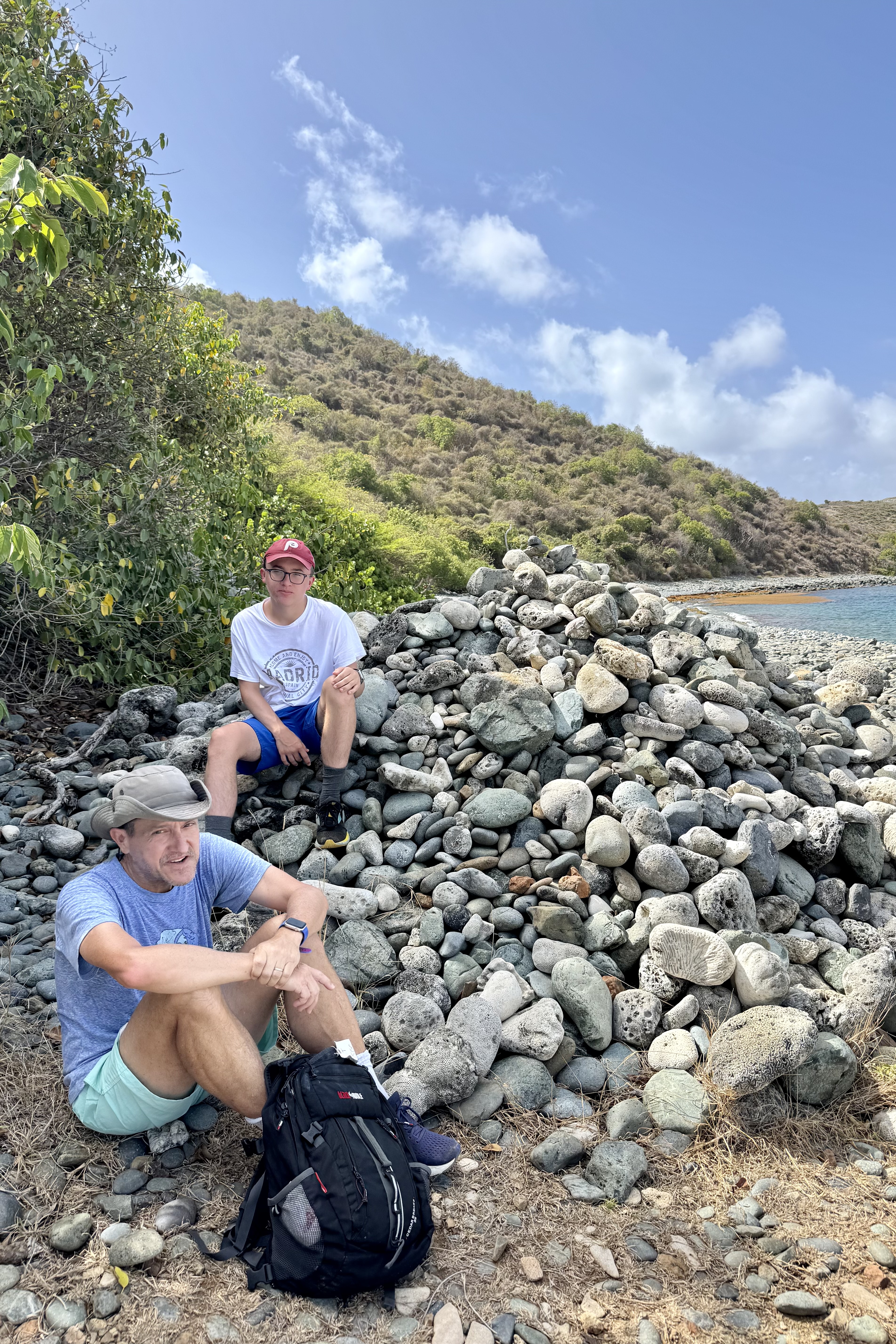
In short and succinctly put – rocks, roots, humidity, sweat . . . perfection! It was a great hike of 1 hr 30 minutes to the stony beach which would eventually lead to the tide pools. The round trip was a 4.25 mile workout.

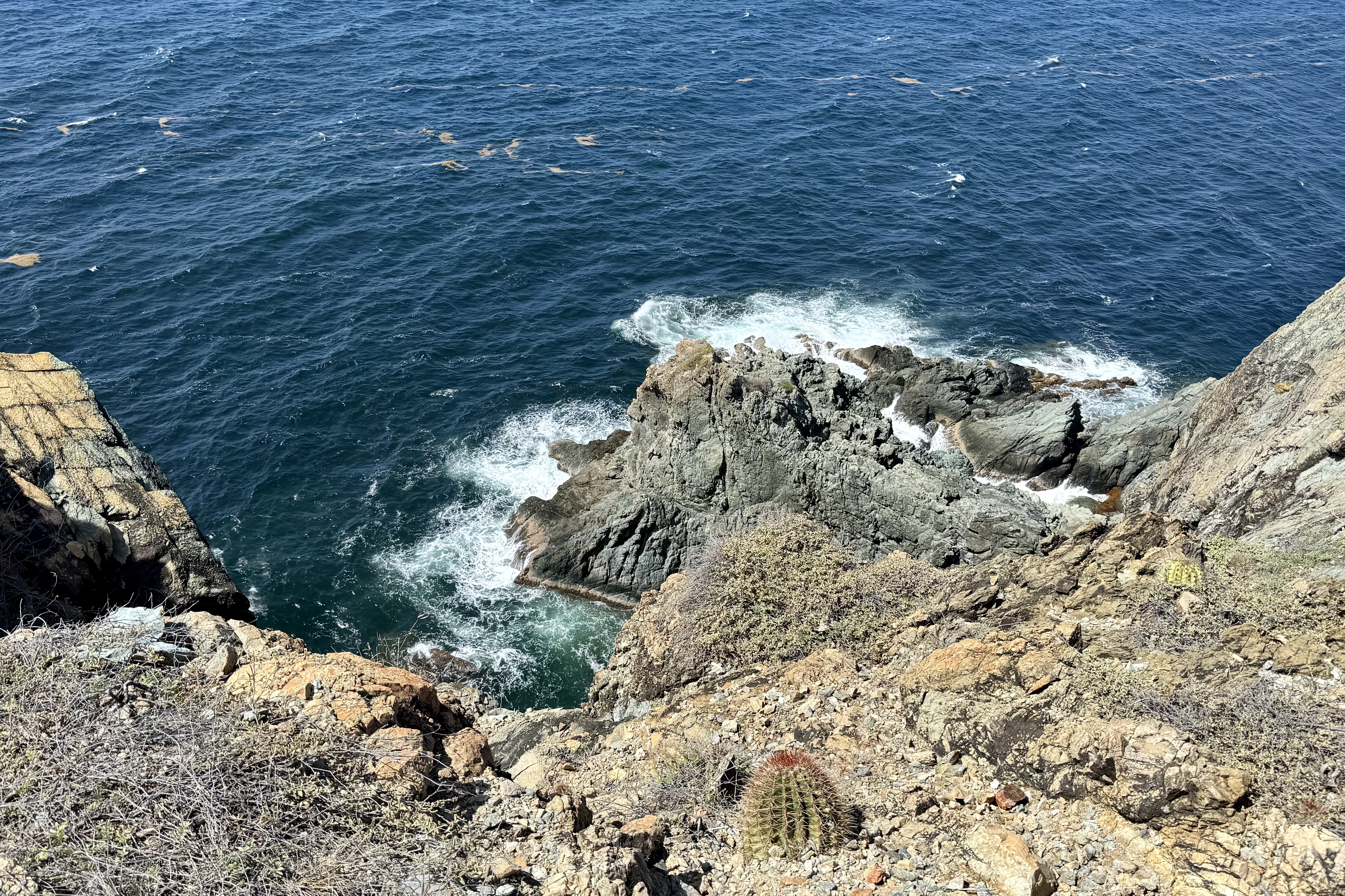
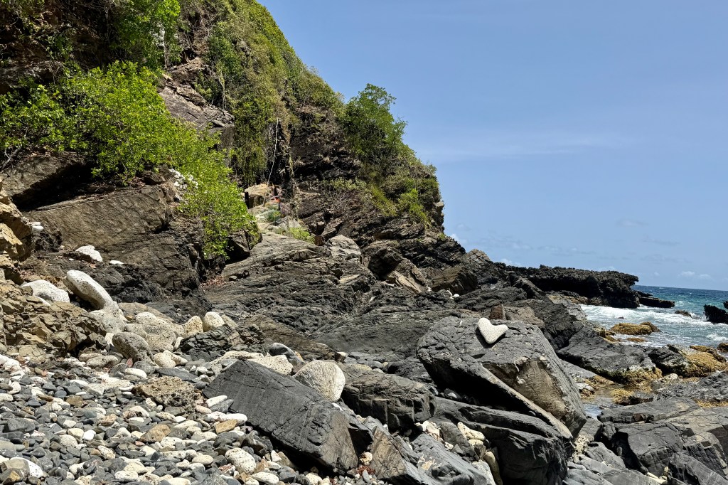
I had to think twice about making the scramble over the lava rocks to the tide pools as I could see some very jagged rock and ledges which I would need to climb up and over to access the pool. This was flirting with danger such as a twisted ankle, a lacerating trip on the jagged lava rock, the choose-your-own adventure nature of the scramble, or a fracture of my osteoporotic bones… It would be a tough sweaty brutal carry out of my damaged body as there is no cell service and no easy rescue.

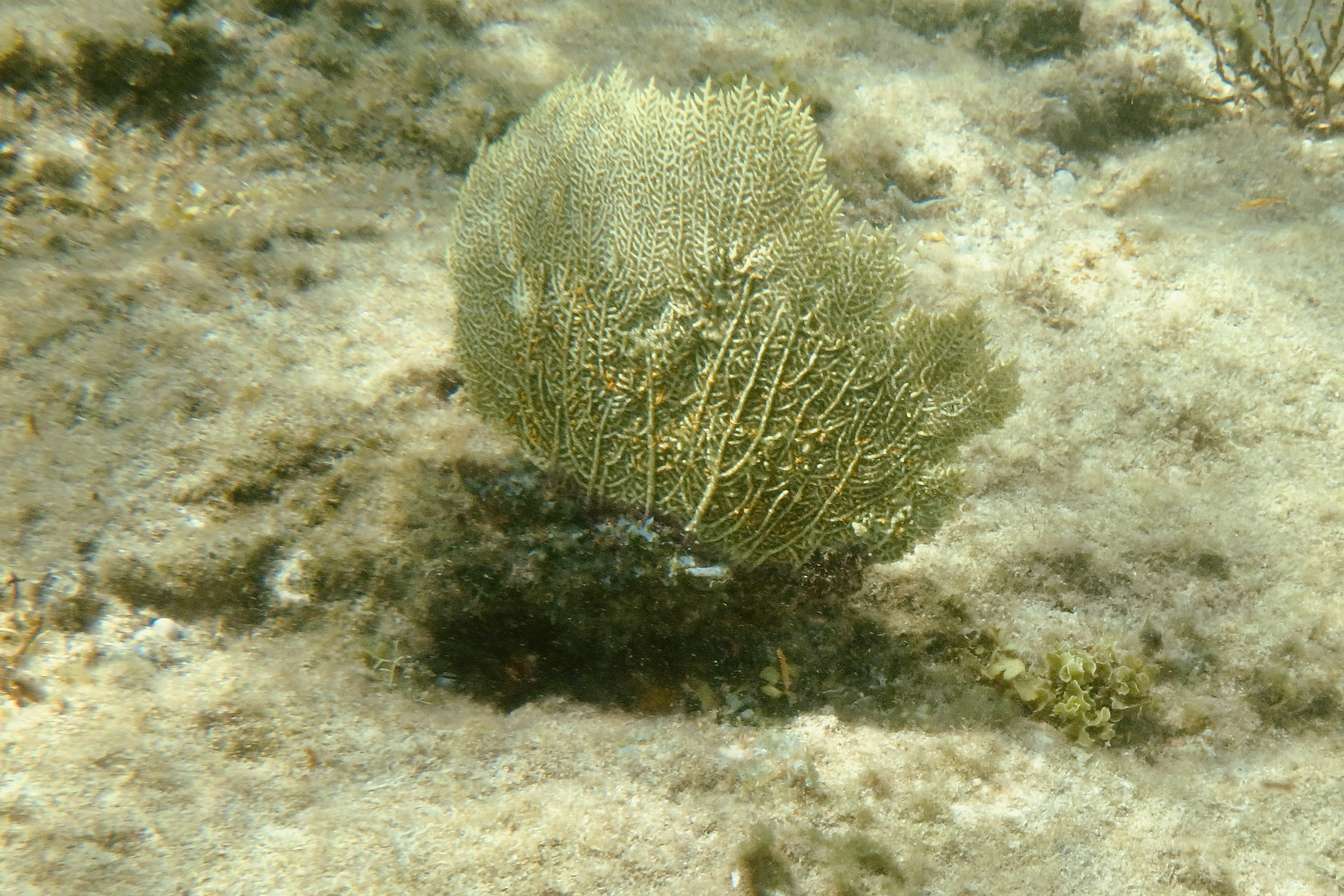
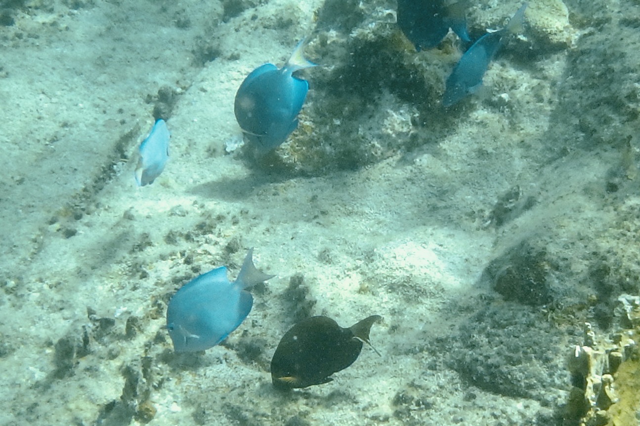
So I let my imagination run wild and decided that this could be just one bad step away from catastrophe (and for those who know me well, I tend to err on the side of reckless decisions) and opted to stay on the beach and piddle around in the sea gardens there. I also reminded myself that there was a repeat of the previous hiking adventure in reverse awaiting. Though disappointed in not getting to see the grand finale of this hike, I recalled that I had been to magnificent tide pools in Cannon Beach Oregon just last year.

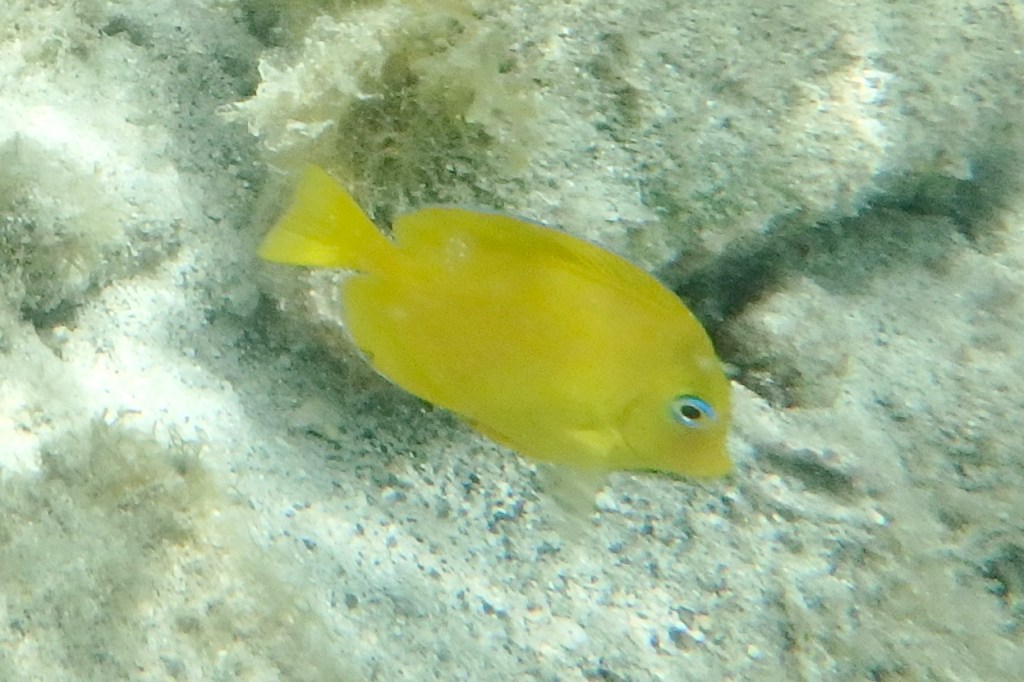
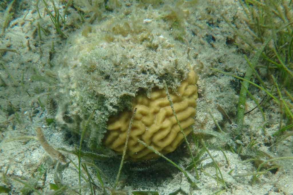
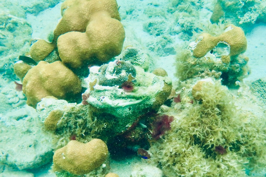
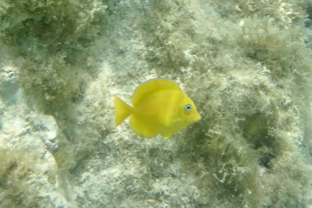
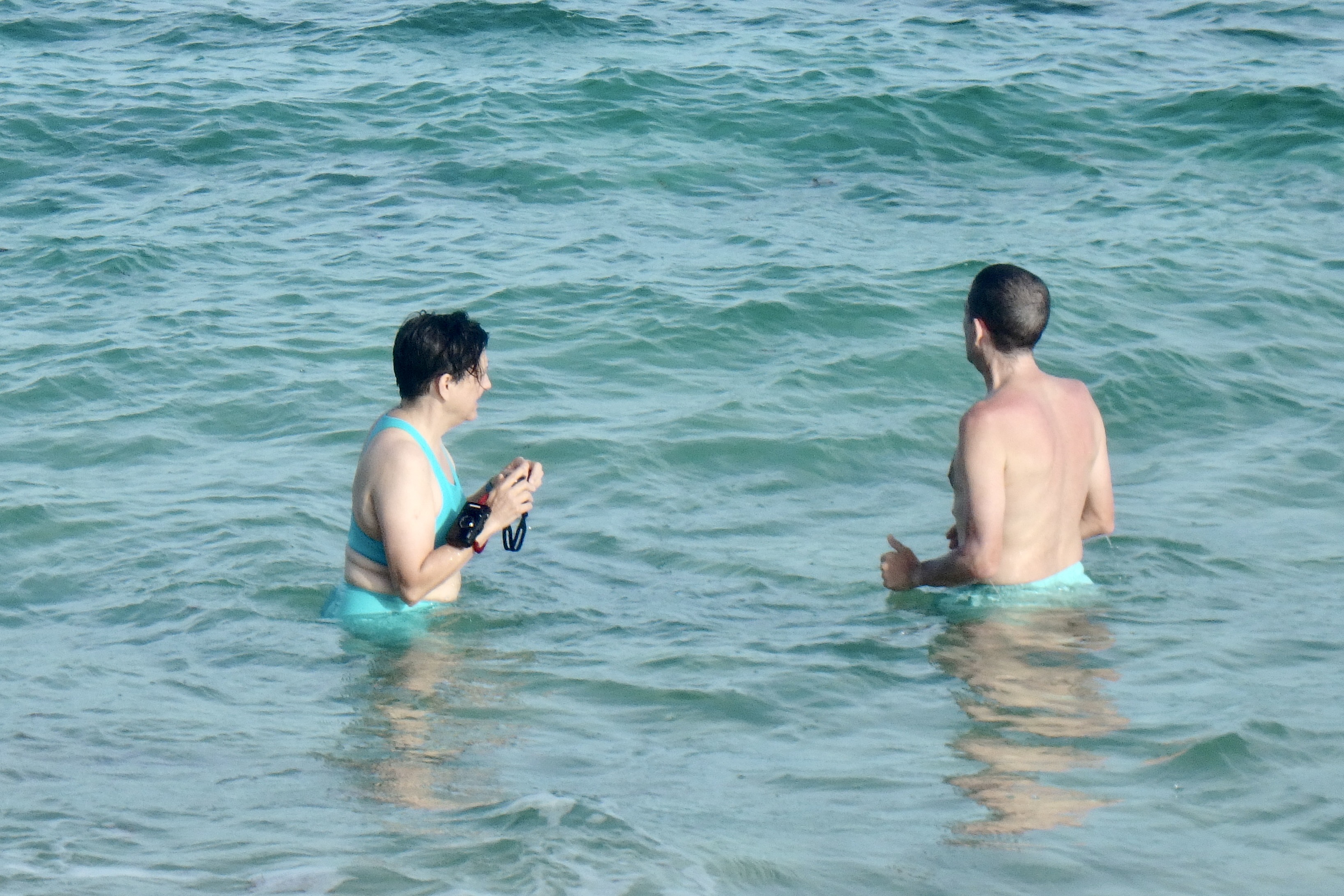
The sun was intense and the marine gardens at the edge sea were intriguing.  I plopped myself in the water with a rock as my backrest and sat mesmerized by the miniature pools of  flickering water surrounding me.  They were teeming with a variety of marine algae both glimmering pink-hued and brown algae looking like ruffled paper, shells, corals , black snails…

The family reappeared about and hour and a quarter later having had an exhilarating experience, though Nick did loose a bit of his dignity in an encounter with the lava obstacle course and was bemoaning the jarring his body took and the decorative lacerations on his appendages. Can we blame it on the “flop-flip? On the hike out from the beach we were all to glad to bail on the final section out to the official trail head, bypassing some of the jungle slog, and take the unofficial backdoor out to the car. The landscape changed from rocky sandy slopes to a “spa brochure “ walk through the Carambola Beach Resort.

With still a few hours remaining for adventure, Nick , Tasia, and I opted for a drive to the farthest eastern point on the island and the eastern most point of the US. The sole purpose was for me to say I had been to eastern most point in the US. It is a popular sunrise adventure but I did not feel compelled to be at the eastern most part of the US at sunrise. Luke and Miriam were of the mindset that a vacation is for resting and opted out. However it was much more than a bag another first experience. The vast ocean surrounded in every direction.

Point Udall was named in honor of the politician Stewart Udall in 1968. Topping this spot it is a geometric stone structure of spike-like pillars, the Millennium Monument. It is a modern looking stone compass built for the millennium to commemorate the dawn of a new century. It was the place to be on 01/01/2000 as the compass marked the azimuth of the first U.S. sunrise of that year.

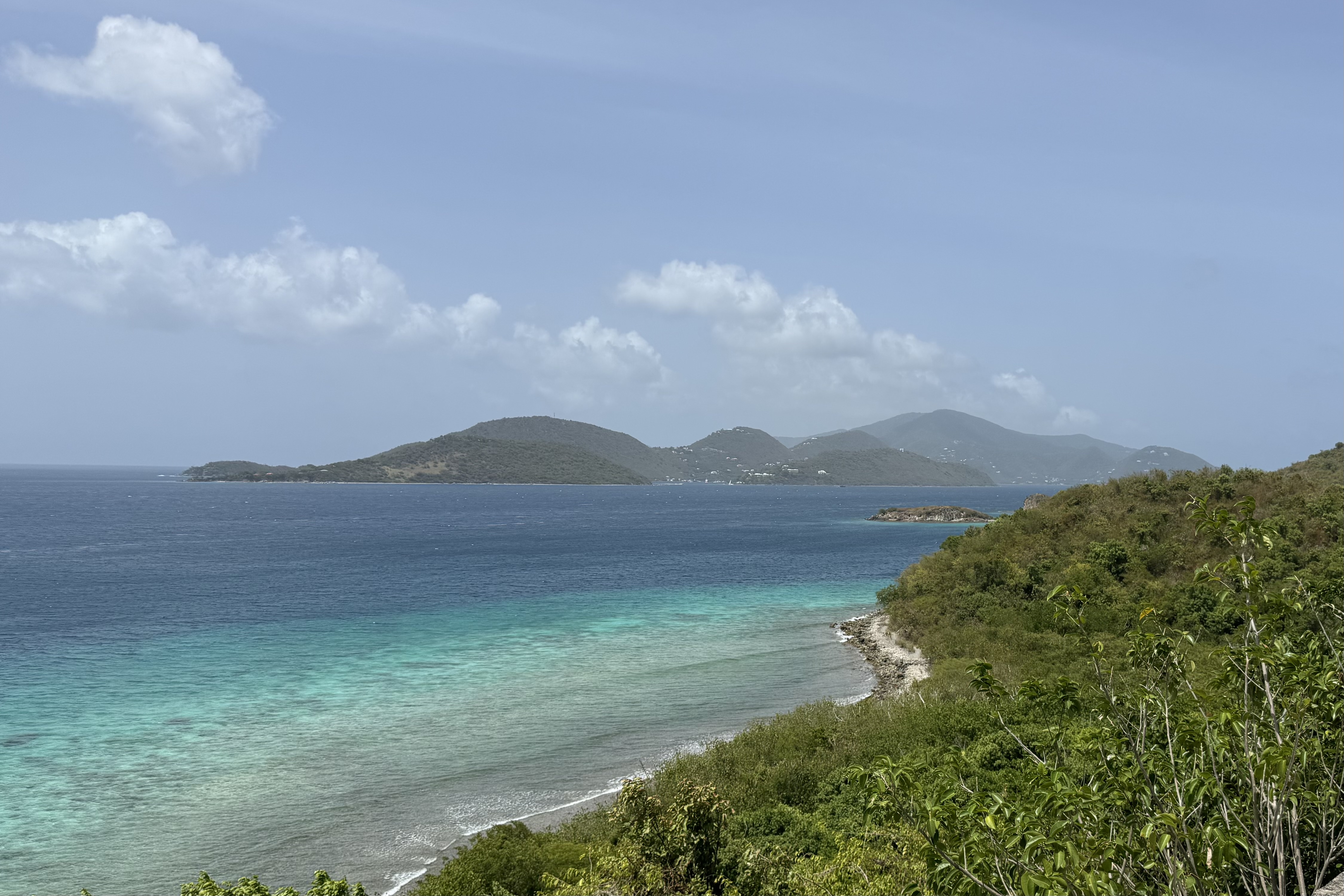
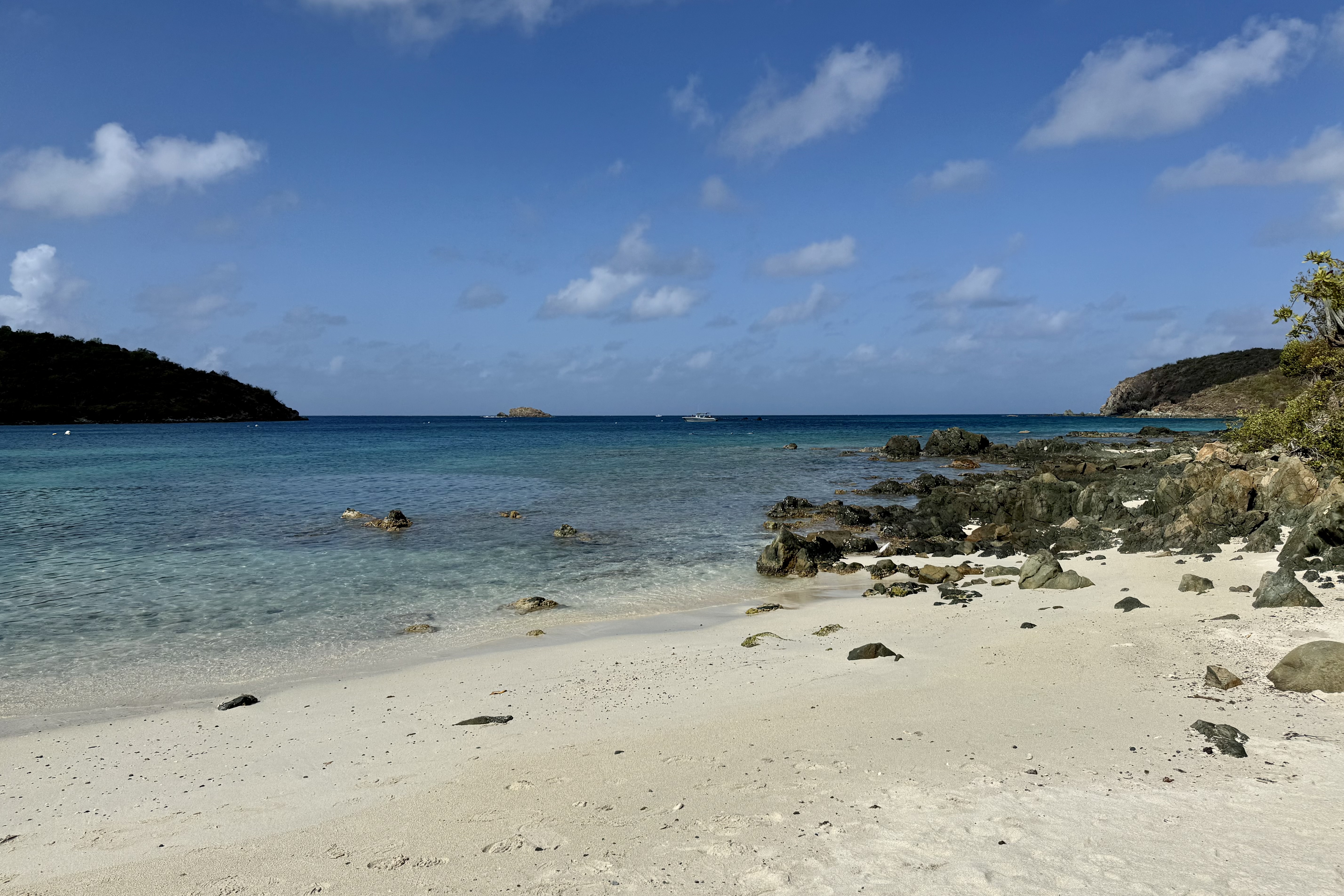
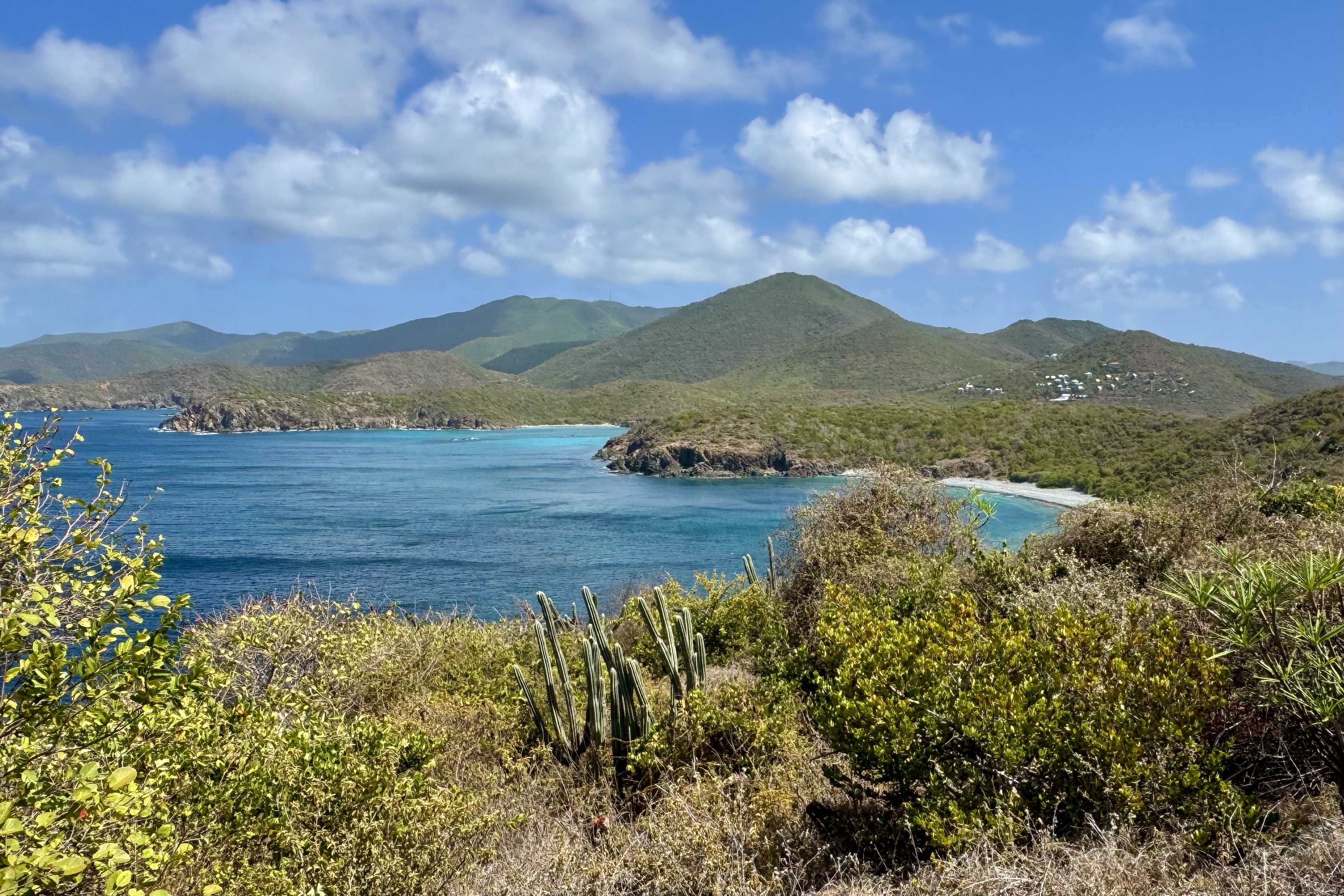
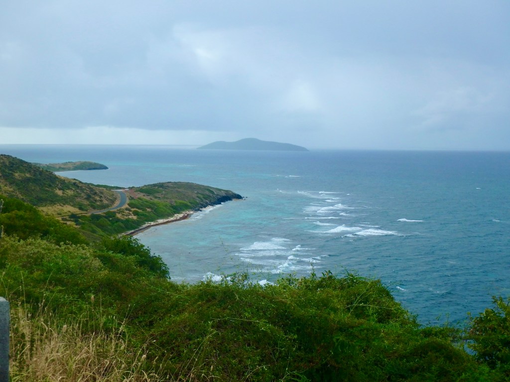
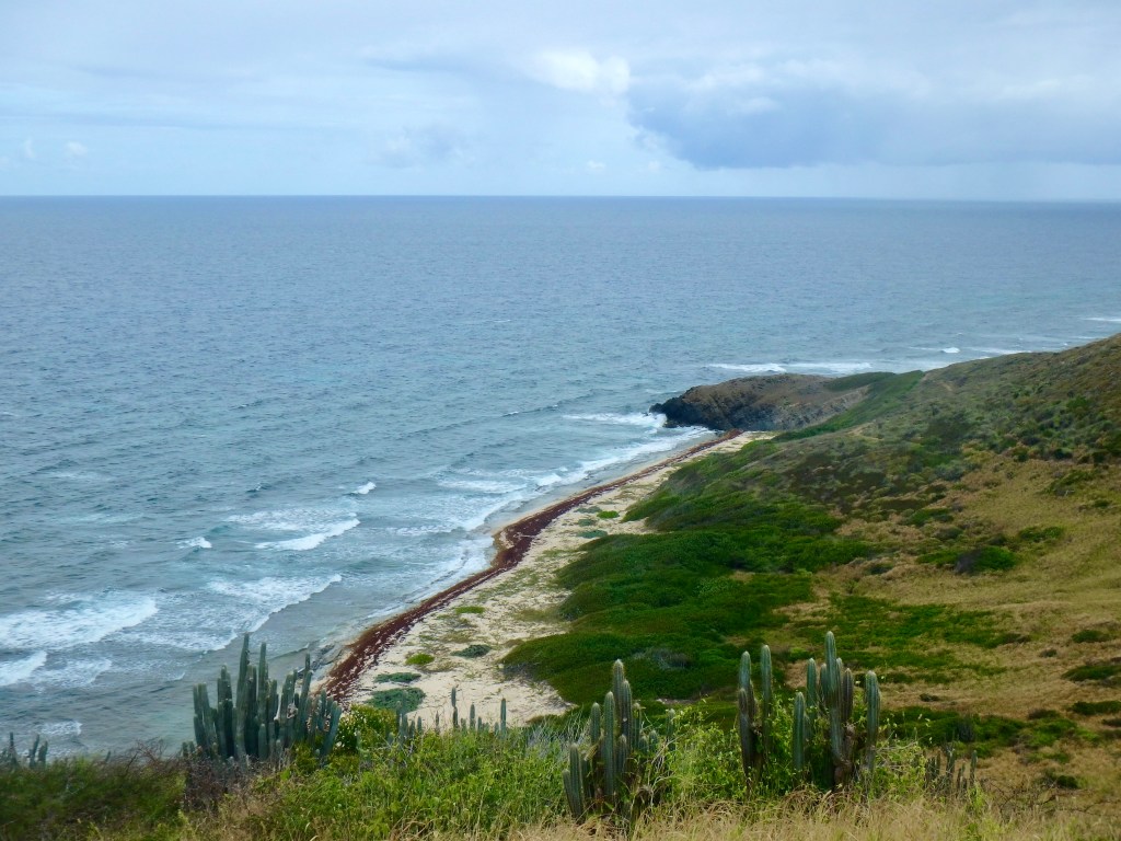
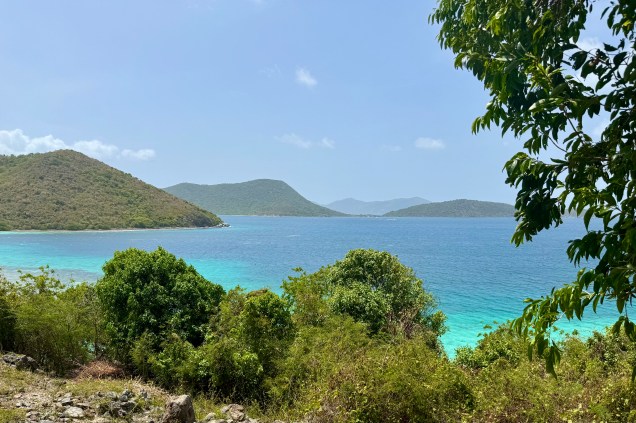
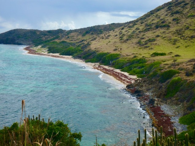
After milling about for a bit, we saw the trailhead for the Jack & Isaac Trail. Needing to stretch my limits further with another hike, I was hoping my body would forget that I had already hiked today. The trail cut downward on a well worn relatively obstacle free path through windswept terrain similar to the tropical desert on Buck Island. As I trudged along what lay before me was stunning. The landscape of Issac and Jack’s Bays was a ribbon of white sand between the brilliant turquoise of water and the verdant greens of the hills. At the second egress for Isaac’s bay we doffed anything we did not want to get wet and plunged into this cool salty blue sea. Afterwards we hiked back partially on the beach. I was so grateful to have the energy to be able to experience the immersion into this postcard perfect scene.

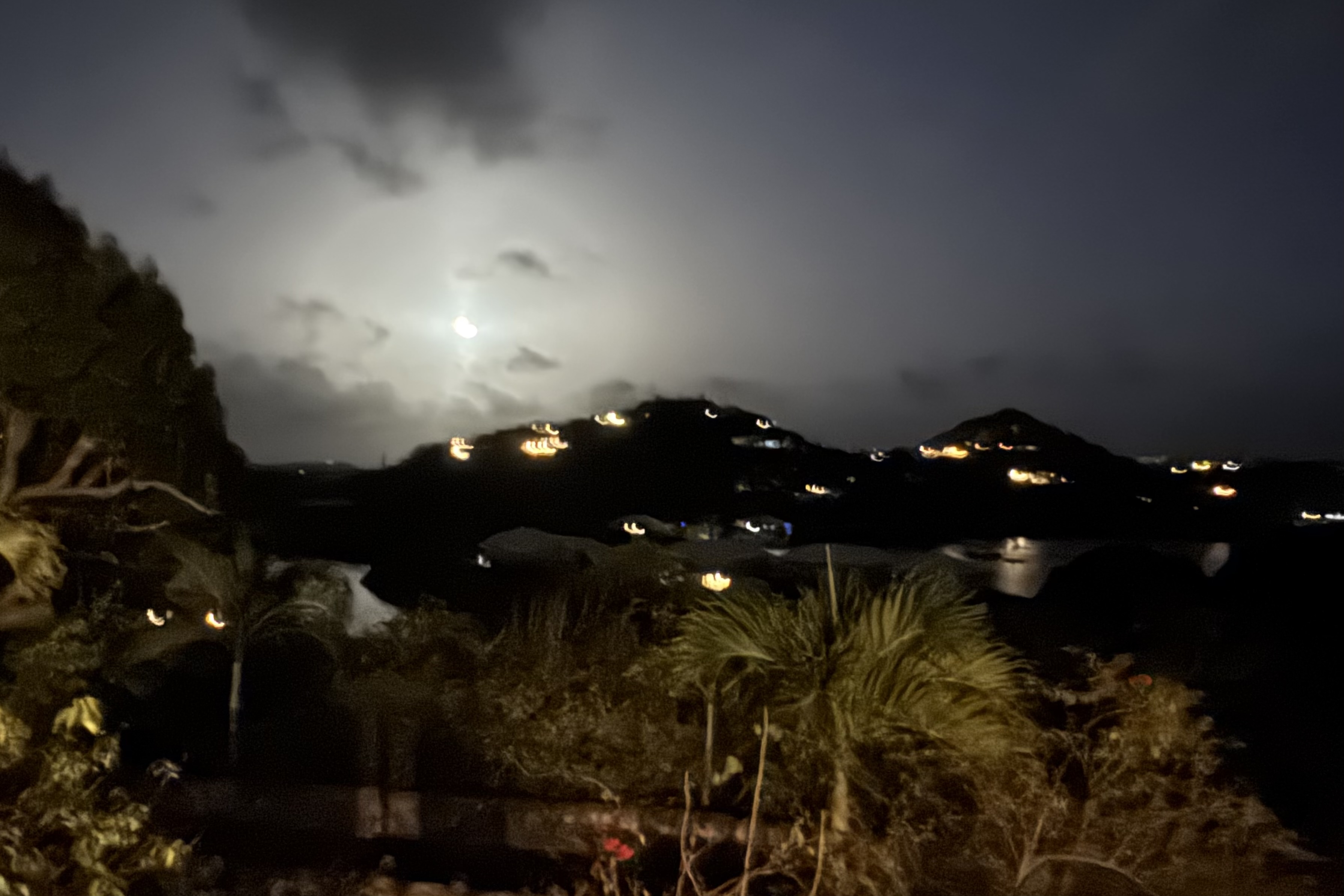
There was one last adventure to be had which basically turned out to be a real dud. A walk to “Bio Bay” from our Judith Fancy VRBO was undertaken to hopefully experience the Salt River Bay glow. When the water is agitated the bioluminescent organisms (fireworms, jellies, and marine planktons) light up.I had seen this in the Florida Everglades and was anticipatory of a similar experience. I at first thought I saw the water light up but upon a closer look it was only the moonlight reflecting on the ripples. So Nick was glad to oblige us by wading in and agitating the water. Nothing. Throwing rocks, nothing. More agitation, nothing, So we eventually called it a day and meandered on back to our lodging.

Where the Streets are “Paved” with Roosters and Jewelry Stores

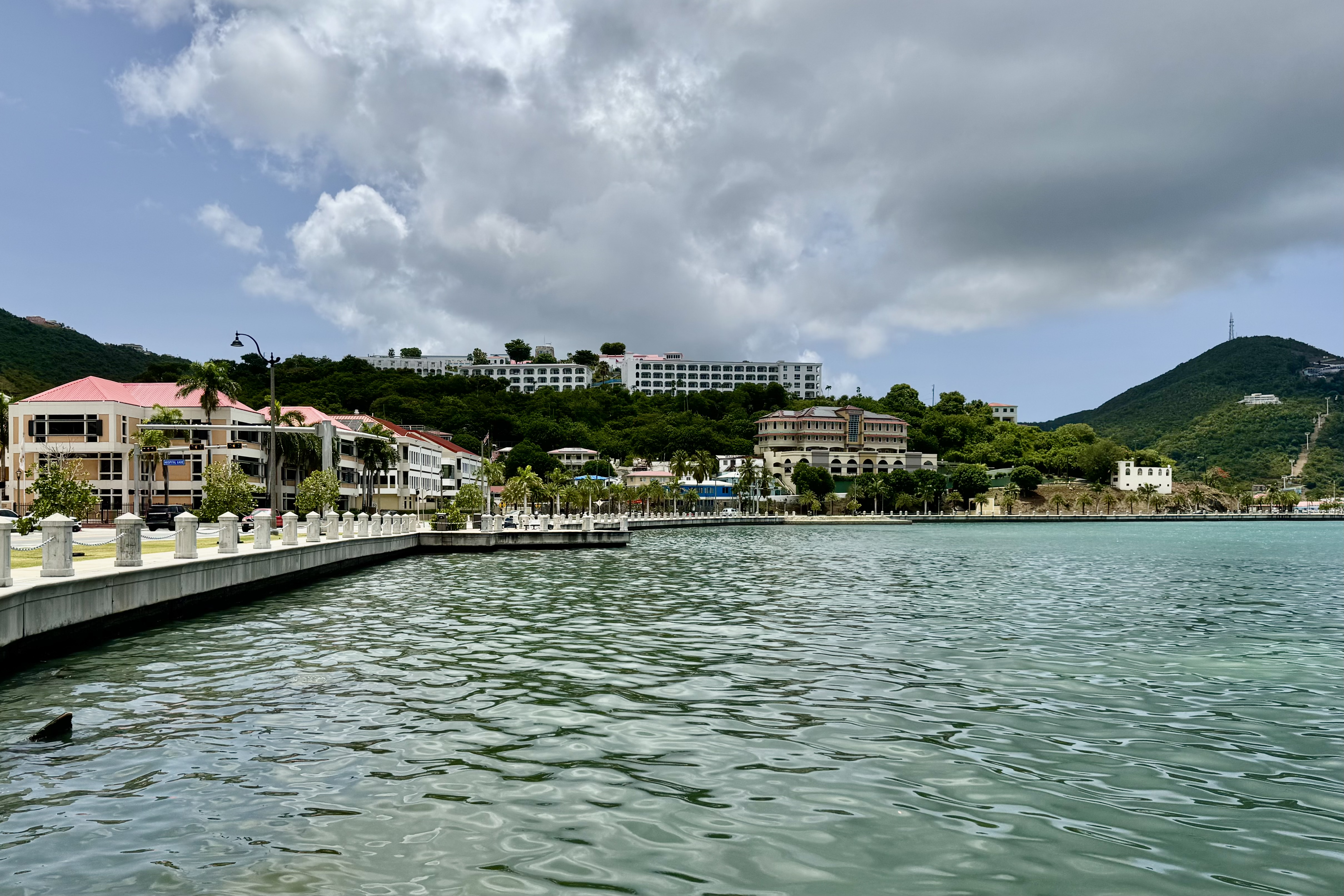
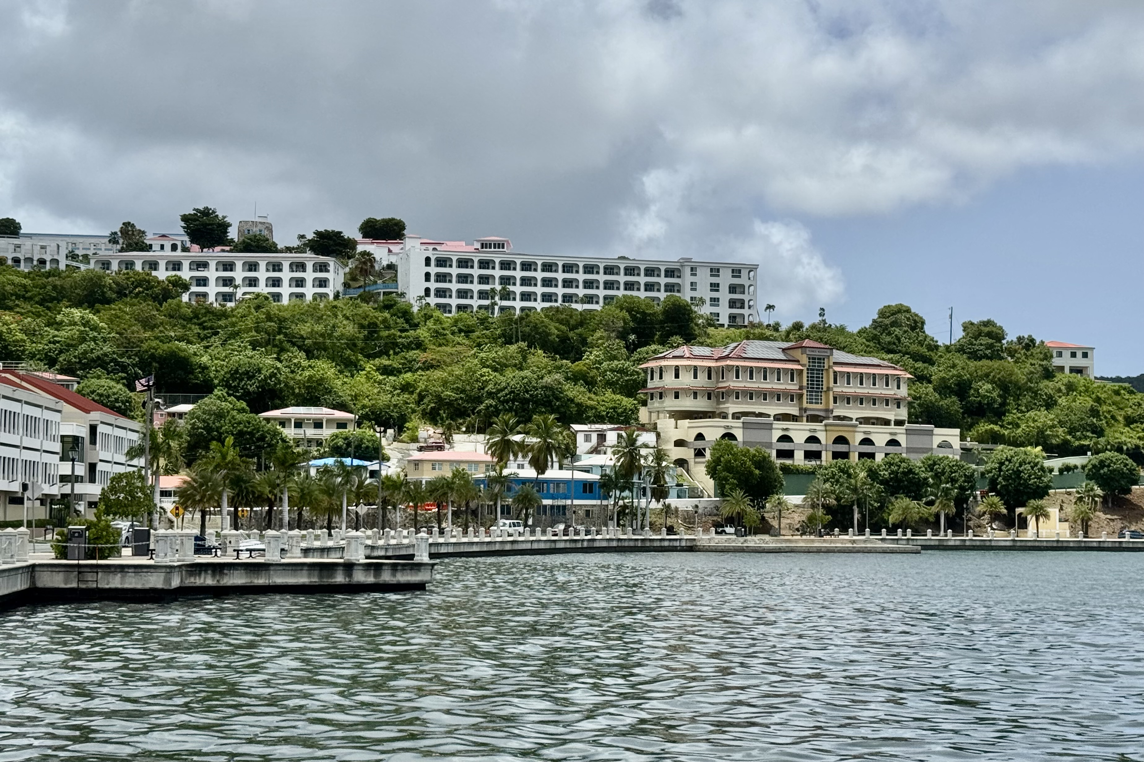
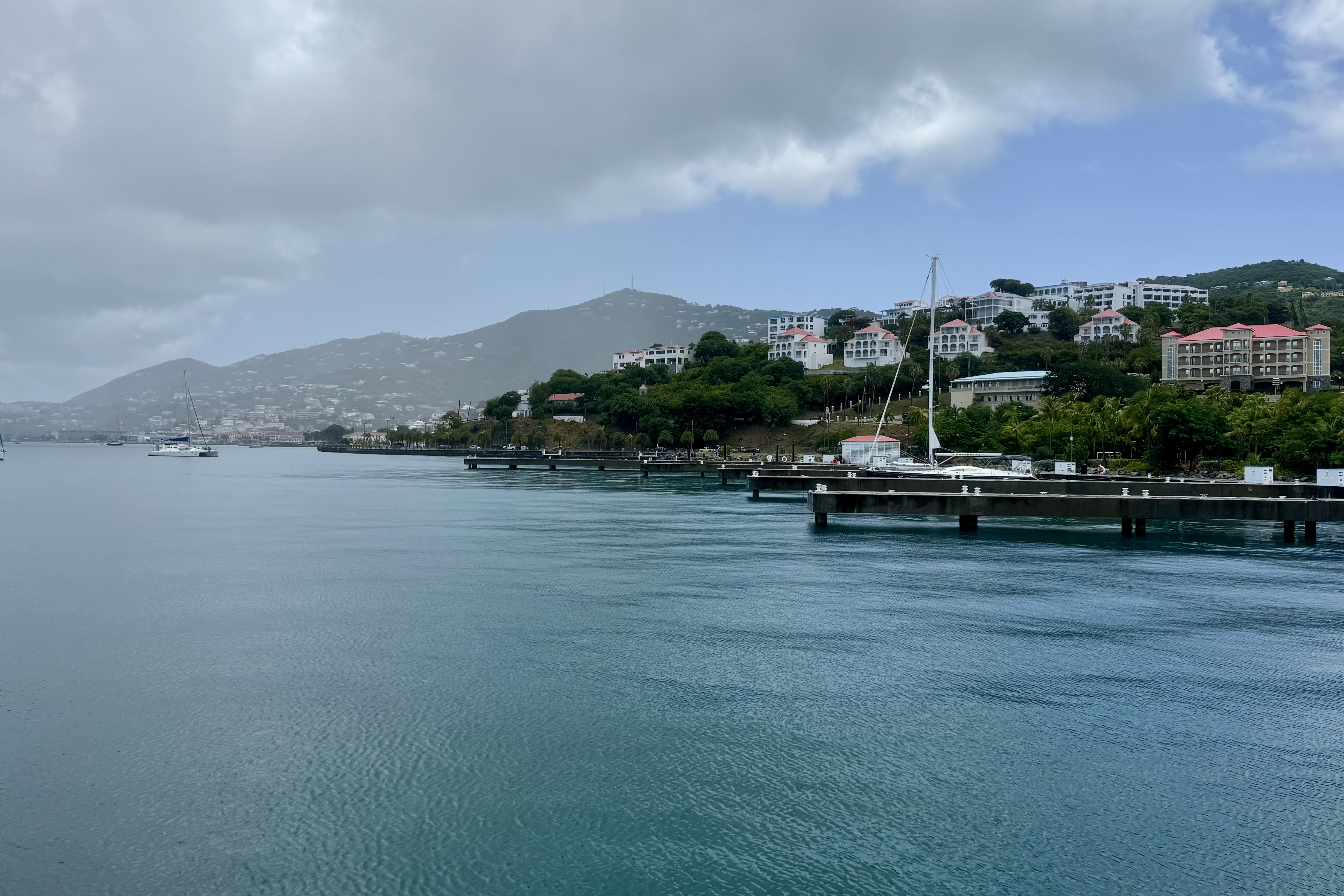
Upon stepping off the plane at the Cyril E. King Airport in St. Thomas, I soon realized I was stepping into a different world marked by  warm salt-scented Caribbean air, a definitive culture,  and the  bustle of the port of Charlotte Amalie. With luggage collected, we took a ride share taxi from the airport to our hotel, the Windward Passage.   The ride  itself was the real beginning of the adventure as the driver quickly merged onto Waterfront  Drive staying to the left lanes since vehicles drive on the left of on the narrow roads of St. Thomas (remnants of the British Colonial past). Though a short drive,  we were  served up views of the Charlotte Amalie harbor, palm trees, colorful buildings that climb the hillsides, old colonial buildings, warehouses, narrow streets, and a harrowing closeness to other vehicles.

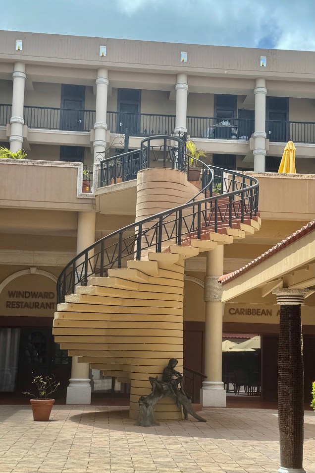
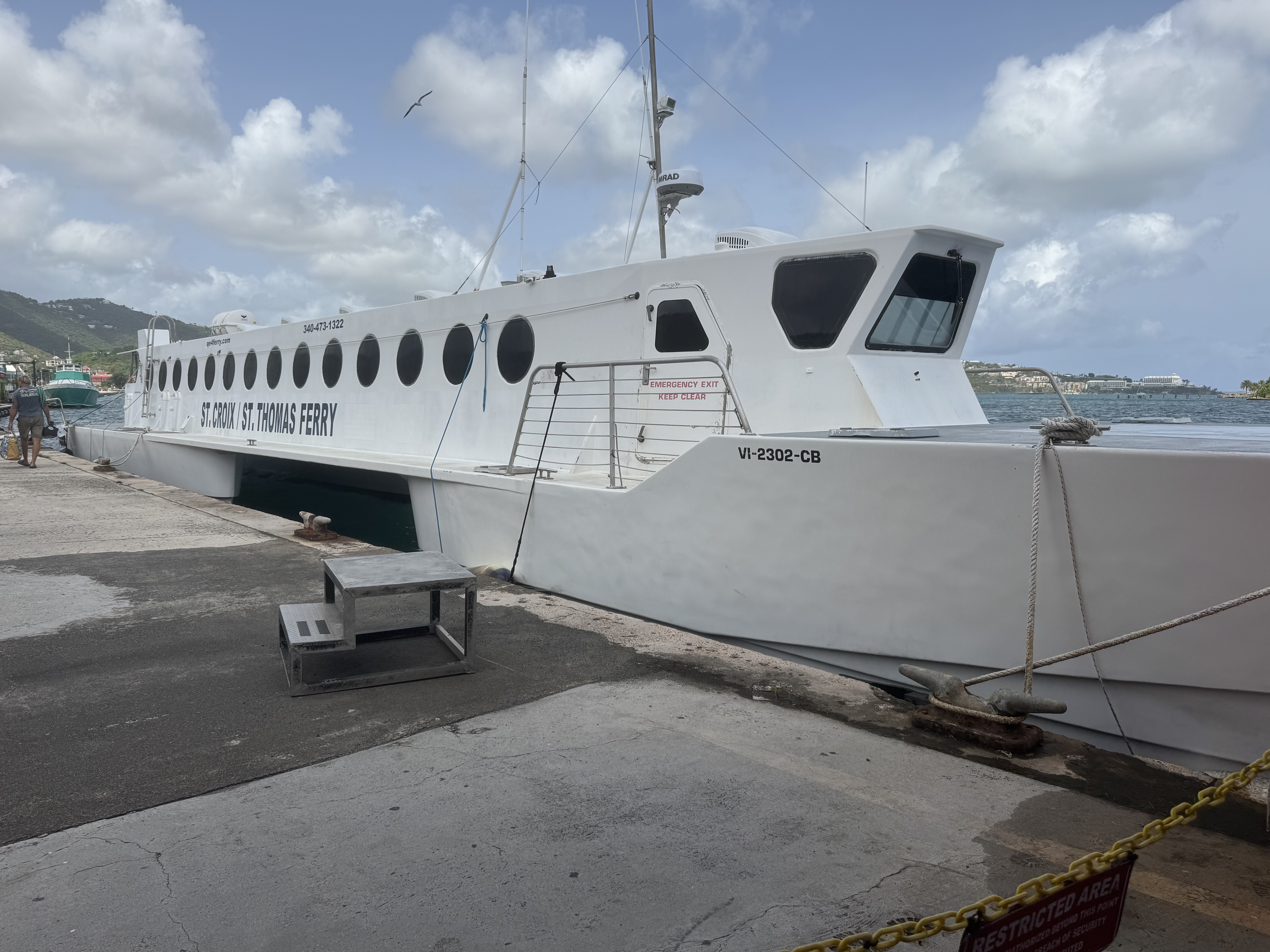
Our hotel for the one night here was the Windward Passage, an aging relic that has seen better days, situated along the harbor front just a short distance from the downtown area of shops and almost directly across from the Blyden Ferry terminal which we would be departing from on the morrow for St. Croix. The convenience is hard to beat as we could walk the short distance the next day hauling our suitcases to this terminal. No ride share of rental vehicle. So it proved to be adequate lodging and did not devour the whole checking account balance at $225.00 a nightly vs The Westin @ $612.00 or The Ritz-Carlton St. Thomas @ $1011.00. It has definitely seen many better days and would not have been a good choice had I anticipated a luxury Caribbean escape. NOT the case.

Convenience and expediency though is not of concern to my grandson Luke. Luke will devour the reviews for just about any property or activity we might encounter and of course focus mostly on the 0 or 1 star entries. From son Nick’s blog, as he recounted Lukes take: “But DAD! This one says that there were obvious prostitutes in the alley behind the hotel!” To make matters worse, according to Nick, their room was, as Luke quickly informed him, overlooking “Prostitute Alley. ” Of course the hotel was “dodgy” (one of his favorite words.).

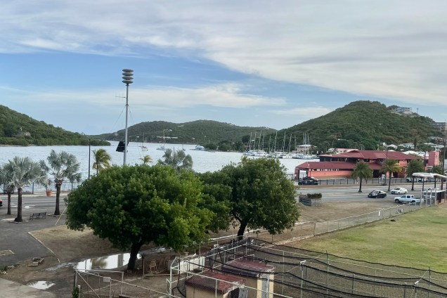
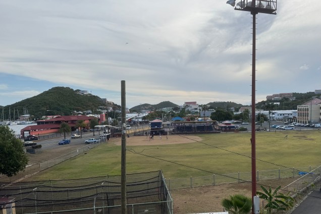
Upon my arrival, the hoped for tranquil atmosphere was pre-empted by a bone jarring rhythmic thumping of calypso music spewed from a speaker in the rear alley. Once in my room it was of minimal consequence. I peered through the salt-encrusted sliding glass door at a baseball filed below and could have a slim view of the harbor if I stepped out on the not very useful narrow balcony which was not wide enough for a chair. But we settled comfortably in our room with its outdated decor, well worn furnishings, and worn carpets. Nick, Luke and Miriam were on the alley side and definitely decided to have their room moved mostly because of the music since it could have been quite interesting evening sideshow to observe the goings on in “Prostitute Alley” later.

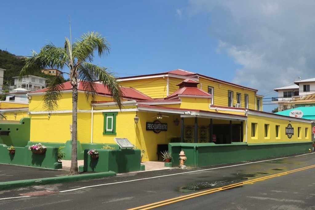
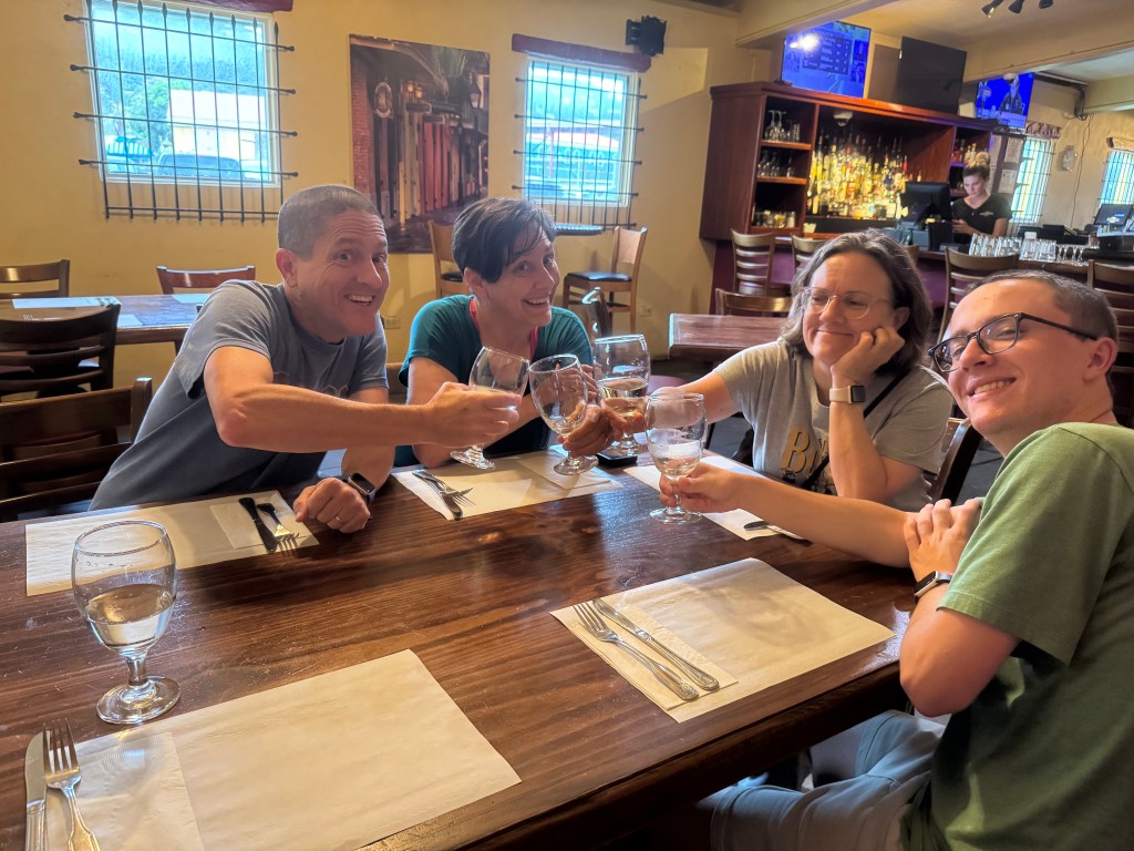
We opted to go to “The French Quarter” for dinner and ate at the French Quarter Bistro serving a fusion of French, American , Caribbean and Creole dishes. Being in the French Quarter, I, by necessity, had to order French Onion Soup. I especially enjoyed the walk to and from this destination as it was partially along the waterfront area, a mixture of small shops and cafe’s, and an architectural shift to pastel home with wrought iron balconies. Of particular interest to Luke was the McDonald’s we passed in this area which did not look at all like any mainland McDonald’s . Perhaps an imposter????

We all (but Nick) headed back to the hotel. Nick headed out to explore the area which in my younger days would also have been something I would be doing as well but thought better of trying to keep up with my oldest “child” this evening who definitely follows in his mother’s footsteps.

The next morning Tasia and I headed out in search of a market to buy some makings for a healthy breakfast.  Much to my dismay the strong stomach which I boasted of in years gone by has been replace by someone else’s sensitive digestion system which now demands a healthy breakfast of oatmeal, banana, milk etc. unless I want to spend the day in search of public bathrooms. So we found a market a couple blocks away and headed back to the motel  to eat in our not so elegant room. Afterwards we met up with the Honimills (a nick name for Nick’s family) and we commenced our walking tour of the Charlotte Amalie tourist district. 

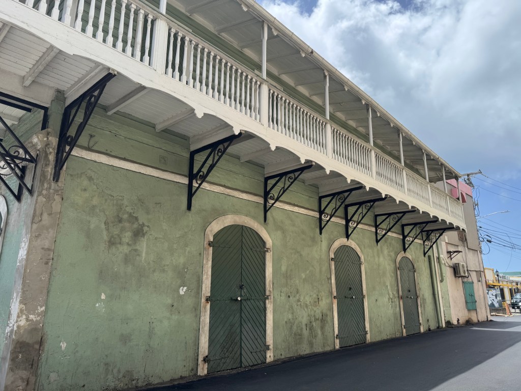
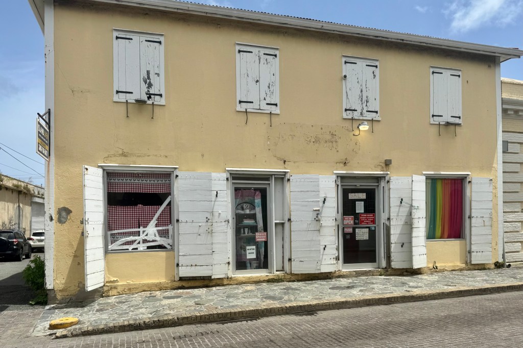
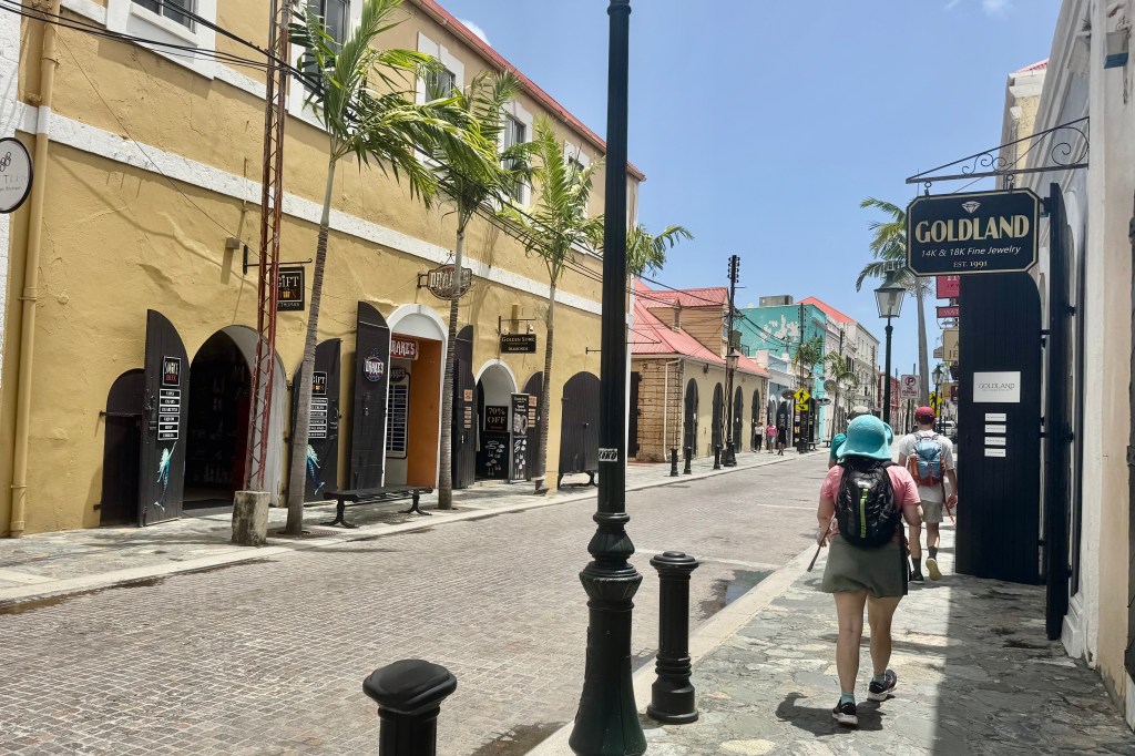
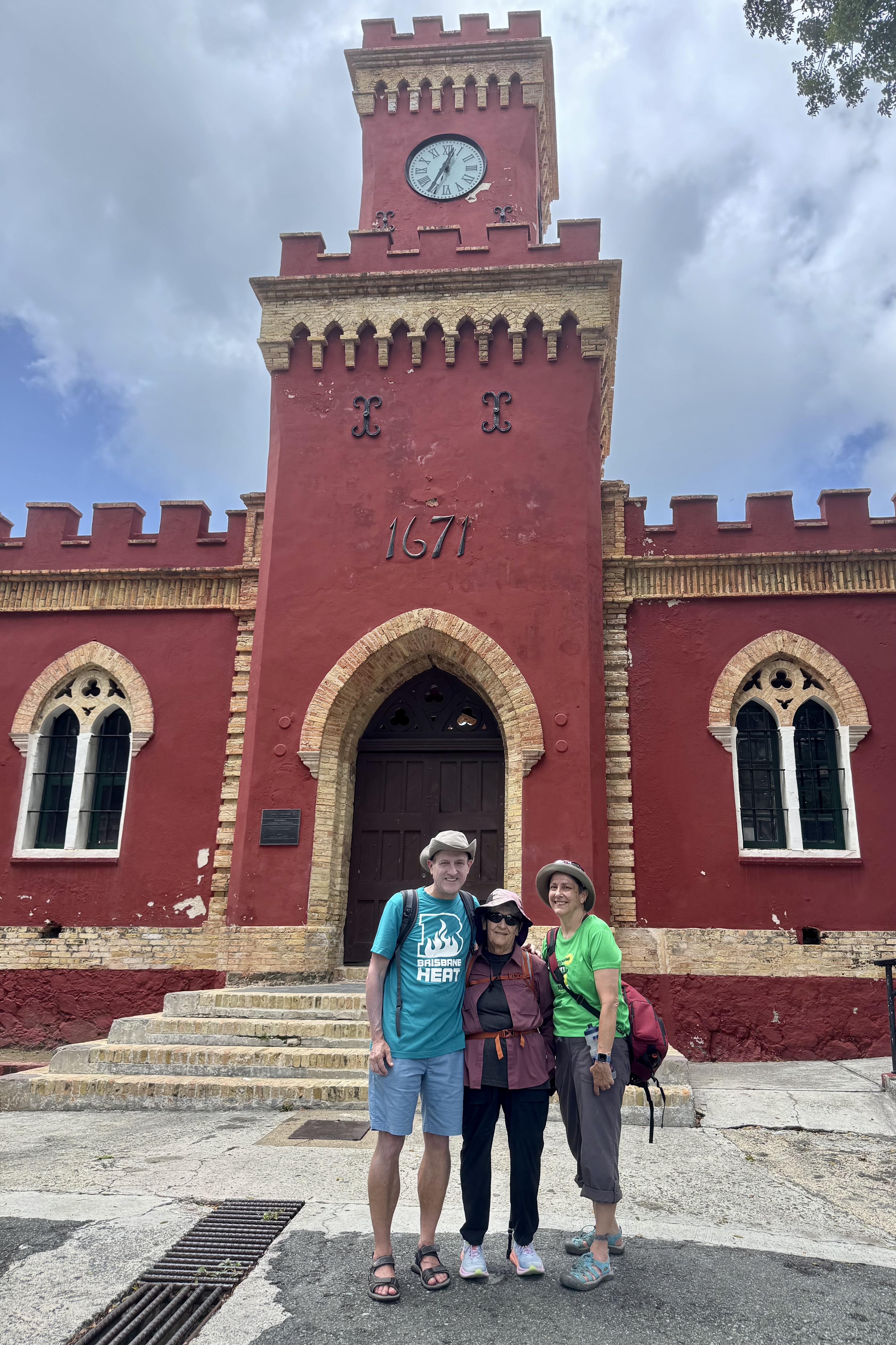
Of great fascination to me was the vibrant colors of the islands architecture with the red tiled roofs, pastel painted walls, arched doorways and the Danish shutters (wooden louvered window covers painted  in bold colors). . Historic Fort Christian, with its very distinctive red brick walls, is no longer needed to guard against pirates and raids by foreigners and thus has been repurposed as a museum. It is designated as a US National Historic Landmark and thus the requisite picture in front of it. Additionally, should I ever return to Charlotte Amalie, I learned that had I wanted a really old room instead of an aging worn out modern room, I might have stayed at the Hotel 1829 with its “real” vintage furnishings and decor.

Though there are many remarkable things to note about Charlotte Amalie, such as the historic Fort Christian, the scenic harbor, the Danish architecture, the most memorable for me is the “Jewelry Jungle. ” The downtown area was no salmagundi of one-of-a-kind specialty stores , where you can find unique creations and local products but a glittering gauntlet of jewelry stores with their diamonds rings , gold chains, gemstones, luxury watches … all nestled within their cases in air conditioned shops while their proprietors stand in the doorway beckoning one to step inside. I really only needed sunscreen or to invest in some cheap trinket emblazoned with St. Thomas on its exterior (the exact same trinket I bought on my last trip with the St. Louis Arch emblazoned on it). The man in the white guayabera shirt promised me the best price on diamonds in the Caribbean and his store had been voted #1 on the Island! I managed to escape his clutches and those of the 40 + jewelry hawkers on Main Street with pocketbook unscathed only to find myself tripping over the chickens and rooster which roam freely through the streets.

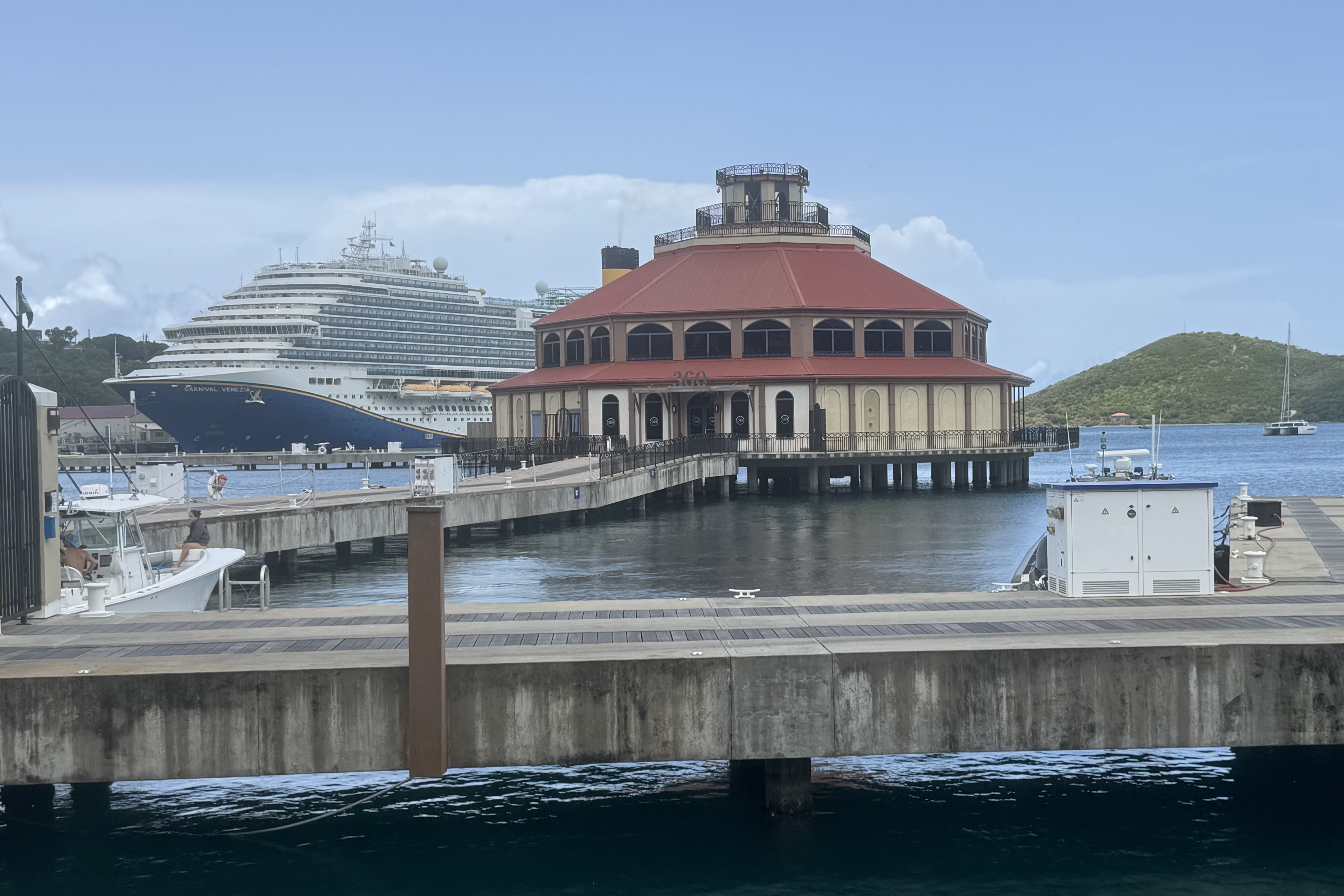
Having successfully escaped the bauble hustlers, I thoroughly enjoyed traversing the stone and concrete promenade that hugs the harbor and thus was protected by a four lane heavily trafficked thoroughfare.from the Charlotte Amalie sales force on the other side. There was but one floating city, the Carnival Venezia, with a 4000 passengers capacity . It seemed to me that the cruise goers were totally immersed in their pretend Piazza San Marco experience that there were a scant few on the streets .

We headed back into the cobble streets of the town for a thirst quencher and before long it was time to trudge back to the hotel, retrieve our luggage (from that dodgy hotel) and catch the 3:00 pm ferry to St. Croix. With about an hour before we needed to go to the ferry terminal,  we decided to take up residence in the hotel lobby.  Whether the multi-purposed porter, concierge, parking lot attendant did not want us loitering  in the lobby or perhaps he was grateful for the nice tip he received for storing our luggage, he bade us follow him to across the courtyard to the business center which had baskets of snacks (which we descended upon like vultures)  and chilled water.  Best of all were the electrical outlets so we could charge up our devices in case we got marooned at sea on the way to St. Croix during that “lengthy”  2 hour ride. 


To Tent or not to Tent, a Conga Line Hike and a Non-Creek

It is now July 13th and I left Ashland Oregon on June 28th on a mega journey to the coast of Maine and back.. But first a stop on my way to the  Columbia River Gorge in Salem OR to visit with my daughter and my grandkids, Kira and Connor.  After 2 fun filled days of pool swimming, good eats, grand dog walking and  an afternoon at the World Beat Celebration in the Riverfront Park in Salem, I bade good-bye to family at around 1:00 pm on Sunday the 30th.  I was headed off on  the “real” beginning of  an ambitious journey to visit the last six of the continental USA National Parks I had not yet been to. I would be out 63 days  with 36 of them tent camping  and of course no RV-ing for this former Girl Scout, Outward Bound graduate, and backpacker. I am hoping I don’t regret this stalwart attitude.  Given that I am staying in both USA and Canadian National Parks with no access to wi-fi and minimal if any cell coverage, posting blogs will be quite intermittent.

Since I would be traveling along the Columbia River Gorge, I wanted to visit Multnomah Falls, a very popular site along this corridor.  I was forewarned that there was quite  limited parking available.  So I secured a time entry permit that gives a specific hour you can enter the parking lot (though space availability was not guaranteed).   Driving the narrow highway heading east to reach the  falls,  I began to see cars parked along the road at all kinds of jaunty angles and pedestrians risking their life by walking along this squished road. I began to worry about parking. Just opposite the  entrance to the falls was a sign for parking and I didn’t know if this was the place I had reserved but when the  attendant said there was space and the parking fee was 20 dollars (this was a private lot). I figured  for $20.00 and a whole lot of convenience,  I would pony up the fee.

Being mid-summer and the week-end before July 4th,  I think half the population of Oregon decided to visit this falls and many taking the hike to the top of the falls. A very diverse cadre of people were all vying for a spot on the railing for a perfect photo op. I would join the mob but I knew realistically it was impossible to get the full height of the falls in a photo so even though I asked an individual to take a photo of me, it was awful but decided it was not necessary to prove that I indeed had been there.   There were hiking options and the hike up to the bridge was . 2 mile and then to the top 1 mile.  I was game…not really anticipating that not only people but signs often lie ( a national pastime at this point in history) and my rational brain did not engage enough to consider that perhaps hiking to the top of the falls was not the sanest of plans.

But not to be daunted, I trudged on up and up and up around the 11 switchbacks at the hottest part of the day with numerous hikers inquiring how old I was and was I really planning to hike to the top! It still didn’t register that perhaps I was probably taxing my body to its limits. Glad this wasn’t a 5K race as this 5K hike took 2 hours 17 minutes and a pace of 44’28” per mile The finish line would have been removed and the venue deserted.Once back at the trail head, i was exultant that I had the made a very wise decision of parking close. My legs were aching and spent.

 I headed down the historic Columbia River highway, made  a quick stop at Horsetail Falls, and on to The Dalles and a night in the Columbia River Hotel. I was patting myself on the back for cancelling my camping reservation along the gorge since the site description warned of the high noise volume there from the highway next door. The loud highway rumble was the background music  hiking to the top of the gorge. So I was glad for a comfy and nice quiet hotel room until I discovered the air conditioner did not work. Since I did not want to pack up and move to another room I decided to tough it out since I needed to “practice” dealing with the hot and cold temperature options I would encounter in my tent. Besides I was not sure I could walk one more step. The next morning I eased into the day by walking the grounds, observing  the Dalles and marveling at the clarity of the 11,217 feet Mt. Hood in the distance before I headed out to  travel  along this canyon that “houses” the Columbia River. 

The western gorge eco system of lush green forests gave way to a semi arid eco system — a mosaic of mostly treeless hills\ peppered with sagebrush, sporting an array of tans, golds, browns and rusts. There was a certain beauty to this National Scenic Area if you can reconcile the hydroelectric power plants serviced by the 4 dams (Bonnevile, The Dalles, John Day , McNary ) of this section of the gorge with the concomitant high voltage transmission lines. Additionally in the last few years the proliferation of wind power as a source electricity has resulted in this area of the grassy savannah of the Columbia Plateau being dotted with windmills. I often lament the price our planet pays for our relentless need not only to survive but to increase and multiply and grow the domestic product index the huge need to consume, consume, consume ad nauseam.

The destination on July 1st was Beauty Creek Campground in Coeur d’ Aline. So far the drive on this trip has been nerve racking. For expediency it was necessary to take the Interstates which were abuzz with every assortment of cars, regular semi-trucks, semi’s with two or three trailers, wide-loads, self contained RV’s, RV’s pulling boats, 4 wheelers and an array of other conveyance. All were very much in a hurry to get some where or to start their vacation now. I, who promised myself to follow the speed limit on this trip, was the “little old lady” driving the Model-T surpassed by almost all but a very few other Model-T drivers. When I hit Kennewick heading up into Washington I was forever grateful that I did not have a Model T but an SUV with a screen upon which my iPhone displays the iMap route I selected and Siri tells me step by step the distance and which lane to be in…I have no idea how I would have negotiated the lanes and interchange that i would encounter to head up to Spokane. I have no desire to drive through the maze of horribly designed interchanges in Kennewick WA. ever again. I recall the AAA Triptiks of days of yore but one really needs a navigator who can understand maps and has a good sense of direction…but i guess back then there were less travelers and less complicate interchanges – mostly stop and go lights!!!! Once I neared Spokane the traffic was less frenetic and I was entering mountainous terrain and gaining a bit in elevation and arrived at Coeur d’Aline Beauty Creek Campground around 5:45.
I was pleasantly surprise to find #19 at the end of the line, with plenty of distance between campsites and nature’s “privacy screens” of thick vegetation and trees.  Reserving a campsite online is a crapshoot.  What you hope you are getting and what you actually get are often two different things.   I won at craps this time since many of the sites were in an open field. Though I reserved a creekside site, Beauty Creek was no beauty and no creek but a dry bed of stones and decaying logs,   This was to be my first go at setting up my campsite – new tent, new cot etc. and I was racing against an ominous looking sky ready to dump. I fumbled about but eventually managed while encountering only a few spatters of rain.  My weary body said enough.  Tonight is not the night to cook a hot meal.  So began the challenge of how to organize all of my necessary and not so necessary stuff in the tent and what stuff would rest better in the car. It began by tossing everything in all direction all over the car  which I had so meticulously organized prior to departures. The upside was I was able to select only the necessary items for this one night stand and not have to drown inside the tent in my piles of stuff. I’d like to report that I slept well in my new digs with my traveling Squishmallow., Banks the Badger. Banks loves to camp.

A Whale’s Tail/Tale and Just Another Coastal Rock

Feeling thoroughly diminutive admidst the Redwood behemoths (of course at 4’11” it is hard not to feel minuscule most places), I was ready to head up the coast of Oregon to hopefully reclaim a feeling of altitude. I have always found the Oregon Coast a spectacular place to experience. The massive sea cliffs overlooking the ocean waters are both picturesque and impressive but this image becomes significantly enhanced by the large, unique sea stacks, those insane rock formations that are jutting out from the sea. The sheer size and shape of them is quite impressive to witness. In fact, I yet again felt pretty small and insignificant with this array of “rocky beasts” sitting in front of me. Sea stacks are amazing vertical rock formations standing in the sea that were formed entirely by wind and water. The sea creates cracks in the headland, which later collapse, and thus forms free-standing stacks.
There were many scenic viewpoints overlooking Oregon’s free public coastline and my first pullout was at Harris Beach State Park just north of Brookings, a mere 27 miles up the coast. from Crescent City. Harris Beach offered a splendid seascape of a sea stacked coast and a driftwood dotted expansive beach. After soaking in the “serenescape” with the lapping of the waves on this beachy shore, I began to realize that if I stopped at each vista it would be way past nightfall before we made it up to the next stop of Depoe Bay OR (187 miles total).

So I drove gently (well maybe not so gently)  up the coast until our lunch stop 3.5 hours later at Gardiner and its overlook of the Oregon Dunes National Recreation Area. This is  a 40-mile-long playground for sand-boarders, dune buggies and off-highway vehicles so if you are into climbing up sliding sands or roaring about in a noise emitting buggy this is the place for you. .  Not being a fan of noise-enhanced recreation,  unless it is a product of the earth’s natural forces, I made note to not put this area on the top of my bucket list of things to do in Oregon.  To each his own!

Yet again,  its hard for Lady Spitfire (my car’s name) to not just veer off into a random scenic pullout so I found myself at the Tokatee Klootchman State Natural Site on a bend that is dangerous to pull into when  traveling northbound between Florence and  Yachats. .  The  big vista  from this  elevated wayside is pleasing but not flashing dramatically plunging cliffs nor vast dunes. I viewed  cobbled pockets of beach between dark bedrock formations and thought it perhaps would be a good whale watching vantage point but the steep overgrown trail down to the beach  did not call out to me. Soon we were safely back on the road and finally arrived  at  the Lincoln Beach/Depoe Bay area, and our bed-siting-room  for the next two nights. Our hotel,  definitely weathered beaten by the offshore winds and perching perilously  close to the eroded bluff, was a great spot to  for a land lubber to scan the horizon for whales. Though weather worn on the outside we were in lovely refurbished room overlooking the ocean. 

Why Depoe Bay?  A seawall  protected town,  Depoe  Bay’s  harbor is noteworthy for being the smallest natural active navigable harbor in the WORLD.    But that can’t surely be the reason for choosing Depot Bay you might surmise as I have never been on a tear to search out  navigable harbors (US National Parks for sure but not harbors). 

Voila! Depoe Bay is also known as the “whale watching capital of the Oregon Coast”. The ocean currents near Depoe Bay seem to draw whales to its horizon and the town, anticipating whale migrations, has a Whale Watch Center (which was closed the day I was there), shore observation decks, and charter boats for up-close viewing. Since 20,000 whales migrate south and then back north yearly, I anticipated catching the end of the northward migration which occurs between March and end of first week of June. Since it was the last week of May I was eager but also resigned to settle for observing a few of the stragglers carving their way north.


So the next morning we made our way down to Depoe Bay and hopped aboard a zodiac RHIB (Ridged Hull Inflatable Boats) for what I hoped would be a thrilling whale watching tour. First some caveats. I was not exactly thrilled when the skies let loose with a downpour as we were readying to board our inflatable. I was even more rattled and less than thrilled as I had to negotiate the hypotenuse of a right triangled gangway ramp to reach this “rubber duck”. At this point I had a flashback to the last time I was in a rubber boat …a white water rafting adventure where everyone ended in the drink, so I didn’t exactly try to hop aboard this dinghy. So it was even a less thrilling challenge getting from the dock into this rubber dinghy which meant getting my body onto and over the flexible tubing to the bench seat in the aft of the raft. But with assistance of our “Salty Dog Sailor “ who would be piloting our craft, I deftly plopped myself onto the bench seat in the stern, ready for our “Whale’s Tails” excursion as we navigated through the world’s smallest navigable harbor. Wow! Well, to be honest, I wasn’t exactly wowed by the harbor!

The brochures advertising this excursion touted these boats as low-to-the-water, comfortable, quiet, speedy, maneuverable, and stable allowing one to spend more time around the whales and have an up closer and more personal perspective of whales and other marine life. Of course this premise assumes that there is going to lovely weather and there will be whales with whom we can have this very personal relationship. I am sure theses massive aquatic mammals were gliding gracefully through the deep blue blending into the underwater world, disappearing into the depths of the vast ocean, but on this day they did not have the courtesy to indulge me by dramatically emerging from the depths, surging upward, and majestically leaping skyward and descending with a thunderous smash… or to even spout a gentle mist from a blowhole. I am surmising that their echolocation capability sensed the somewhat tumultuous waters above generated by the wind and rain and wisely had no desire to emerge from the calmer seas below. Approximately 200 gray whales are “residents” and hang out between from June to October in the area but chose not to grace our whale watch expedition.

This was definitely an adventure but not of the kind I anticipated. I do not even have to tell a tall tale about having a thoroughly immersive encounter with the elements of nature, experiencing the untamed energy of a steely gray ocean, the hiss of the raindrops on the water, and my cold rain drenched attire. Oh, and lest I forget, the pleasure of being choked by the bulky orange “buoyancy aids. ” Our total wildlife sightings: one flock of birds feeding on a school of fish, 4 harbor seals on a channel marker, and 5 harbor seals on the harbor embankment. My gratitude list: I was not seated in the bow with the wind and rain pushing against me and I was somewhat protected from a total direct hit of the piercing drops by the pilot’s console and windshield.

After stripping off the drenched outerwear it was time to do the other touristy thing. Depoe Bay is clearly a tourists’ town, evidence by the large number of tourist tchotchke shops and eating establishments advertising clam chowder. So, who am I to try and swim upstream, so I had a nice hot bowl of clam chowder at the Chowder Bowl of Depoe Bay. Afterwards I decided to have a bit of a personal chat with Sasquatch as it seemed every tourist shop, retail clothing store, sock shop etc. had a picture of this large, hairy, humanlike creature emblazoned upon just about anything. I was hoping to get a bit of insight into this phenom but he/she was quite mute. A visit to the whale watching center was thwarted due to the fact it was closed.

The day naturally turned sunny late afternoon and I was motivated to walk the beach of Fogerty Creek State Recreation area near our hotel.  The erosion is significant but it is definitely a fascinating peek into the geology of some of the coastal area.

One of the best night-caps ever was a brilliant sunset at the end of a wonderful day of adventure.

The following day was a travel day and I was headed up to the Kalaloch Lodge in Olympic National Park WA. Enroute, my intent was to stop in Cannon Beach, renown for its sea stacks and the iconic Haystack Rock. Cannon Beach appeared quite trendy and a stop at the Driftwood Restaurant was a wise choice before venturing towards the beach and stacks. Parking was limited so wanting to get up close to the rock required parking on a side street and walking about 1/3 mile to the staircase which was the ingress to the beach.

This 235 foot monolith(3rd in the world in size)  is impressive and the “marine garden” surrounding it is vibrant.  The tide pools are teeming with green sea anemones, sea stars , barnacles, and rocks elegantly draped in brilliant lacy mats of green algae. A poor rating of one star on Trip Advisor stated” it is just a rock…we didn’t bother getting out of the car.”  They have no idea what they truly were missing out on. 

I could have stayed longer, mesmerized by the tide pools and this seaside sanctuary but I still had minimally a three and one-half hour drive to the Kalaloch Lodge so I bade farewell to this breathtaking seaside landmark. We were no longer hugging the coast but the drive to Kalaloch was low traffic winding rural road and we arrived at the Lodge by the dinner hour.