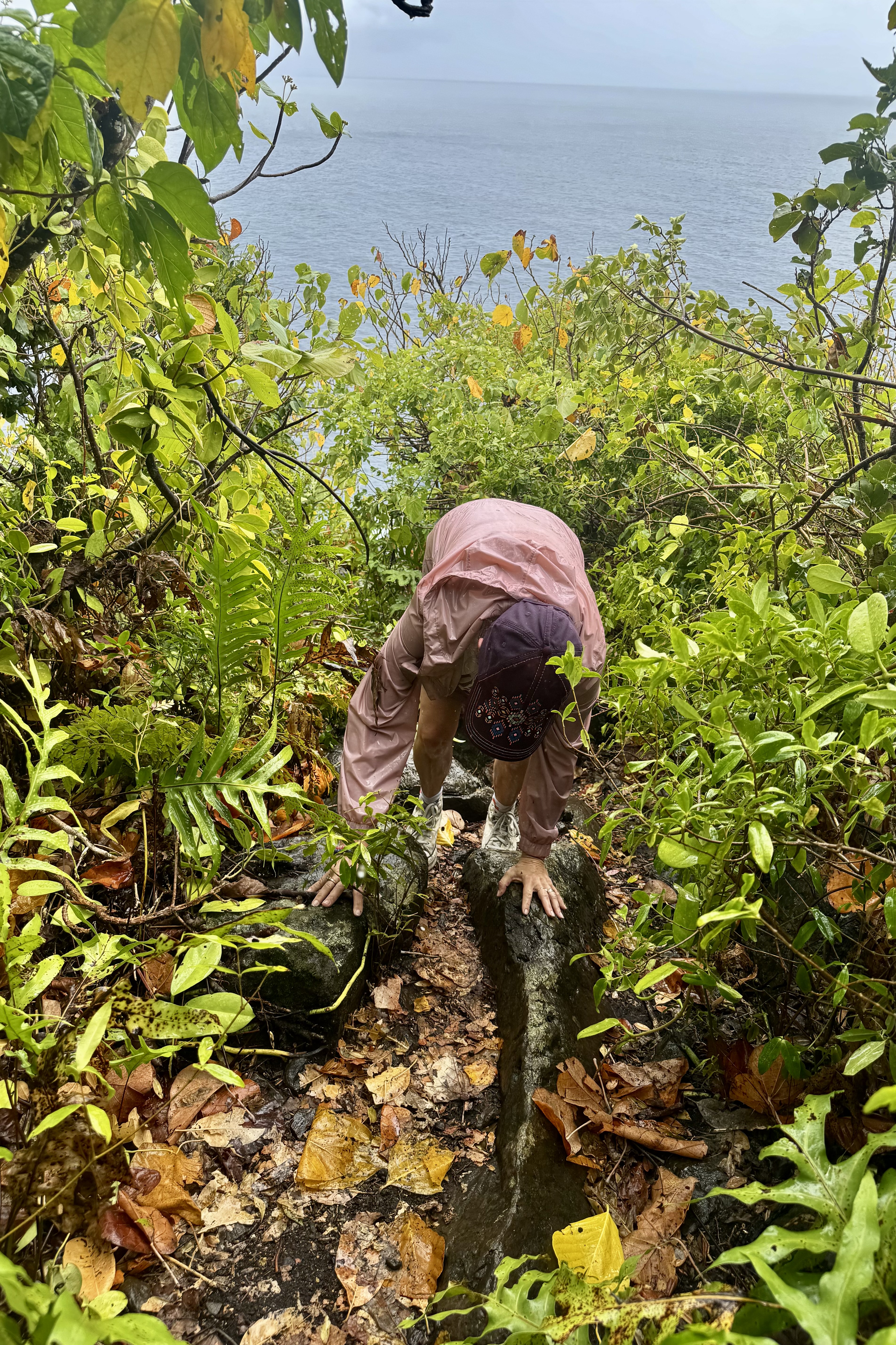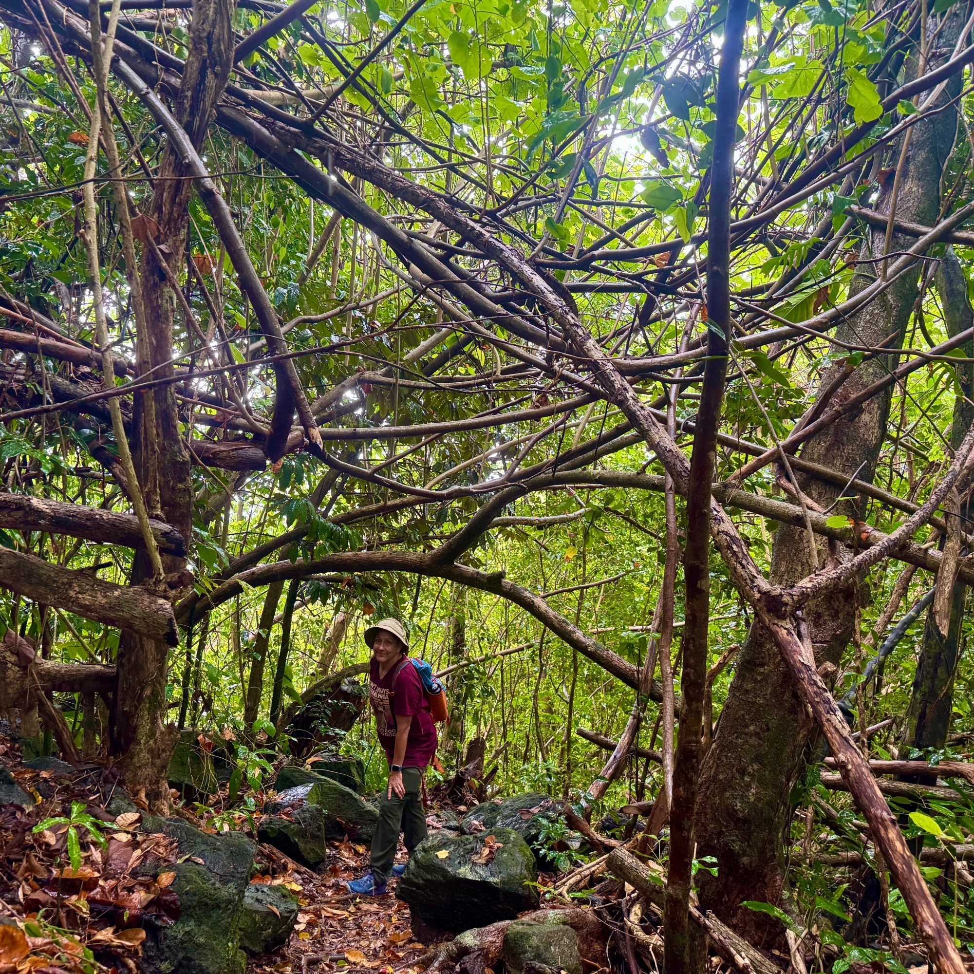
Misery Ridge: What Could Possibly Go Wrong?

The morning of the fourth day meant breaking camp and heading north towards the  Mt. Hood area where I would be spending the next three night at Still Creek, a Forest Service campground about 7  mile south of Mt. Hood.  It was only going to be a three-hour-and forty-five-minute drive, so naturally I found a way to turn it into an adventure (or perhaps a misadventure). 

I had read about a beautiful Oregon State Park called Smith Rock famous for its dramatic cliffs and rock climbing. Even better, it was just a few miles off the highway I would be traveling and about halfway to my destination. What better way to break up a drive then to stop for lunch and perhaps a short hike as there was no rush to get to the campground.  I had no agenda beyond setting up camp and enjoy a relaxing evening.

Armed with what I considered my excellent research skills, I had decided I might tackle the Misery Loop Trail – perhaps in reverse as it was described as a bit less difficult. You can be assured I skipped over the description of the “easiest” trail and gone directly to the more difficult ones. What caught my attention, of course, were the words “Misery Ridge Trail” and the “Chute, ” both listed among the park’s most difficult trails.

The original plan was called the reverse Misery Ridge Loop, a 3.7 mile route. I would not ascend the Misery Ridge Trail which was described a crowded and quite difficult with trail surface basically loose scree and uneven terrain. But the reward would be spectacular views of the rivers, mountains and surrounding canyons. Once I got to the park, I reconsidered the almost 4 mile hike. The park was not the least bit crowded eliminating the main reason for not doing Misery Ridge. So naturally I revised my thinking: I would climb this difficult section, go slowly and plod my way up, enjoy the views, and carefully pick my way down the easier route.

My confidence began to evaporate quite quickly. The trail was every bit as advertised: gravel, loose scree, sand, switchbacks, and uneven wooden steps holding the trail together. It was also getting hot but since this trail was only .68 of a mile – it would be a more sensible choice versus something longer.

O course I was wrong. I very slowly huffed and puffed my way up this unstable terrain stopping frequently to catch my breath and sip water. I cursed, sweated and actually began to question my judgement. But I was not going to give up. After a little more than an hour and a half I reached the summit.

There was some shade. This immediately became my favorite feature of the summit. I settled down, ate my lunch, drank water and then took in the spectacular views. Briefly the suffering felt justified but soon I decided to head down the backside. And that was, yet again, when my lack of navigational skills went into full relapse. I followed the signs for the Misery Ridge Loop until I reached a junction where I had no idea if I was supposed to go right or left. The signage was confusing and although I had anticipated other hikers, there was hardly another human being around to ask. I encountered only two small groups of hikers during the entire hike. I looked back up at “Monkey Face” the famous 350-foot tall volcanic tuff spire in front of me. It’s premier destination for advanced rock climbers but no rock climbers today to consult. .

So there I stood at the junction, faced with two choices: forge ahead and hope I was going the right way or turn around and return by the route I knew. Given my notoriously compromised sense of direction and complete absence of anyone to consult, I turned back and started walking the half mile back up hill. Forty five minutes later I was back at the summit.

I began the descent down the same route I had climbed, carefully picking my way back acroos the unstable surface.  Going downhill was not as easy as I hoped it would be and in some ways harder since it would be so easy to skid out on the gravel and sand. But eventually I reached the river, crossed the bridge and headed toward “The Chute.” 

By now I was feeling that the entire excursion had become a fiasco. I had misjudged the distance, misjudged the difficulty, misjudged the route, then turned myself around and added another 45 minutes to the adventure. And now I still had to climb “The Chute, ” the last steep 500 feet of climbing. So much for a “short hike.”

I have to admit I recovered remarkably quickly after an icy cold Diet Pepsi, climbed back in the car and headed toward Mount Hood and my next campground. 

When I pulled into Still Creek, it felt as if I was driving down into a forest dungeon. Towering old growth trees surrounded the campground creating a dark canopy that was a dramatic contrast to the open sun-drenched landscape  I had just left behind.

As I searched for my campsite, I discovered there was only one other camping party in the entire 25 site campground.  There was a water spigot near my campsite but the smelly loo was the equivalent of a city block away.  

I was a little discouraged.  I was surrounded by a dense forest that initially felt gloomy. But I reminded myself that this was going to be a different kind of experience.  Different scenery.  Different hiking.  Different expectations.
I set up camp and everything wet smoothly.  With the campground quiet and remote there wasn’t much going on – which was probably what I needed. I had time to ponder the day’s adventure and couldn’t help but wonder once again about my sanity.  What is it that makes me constantly choose the difficult path.  Why do I need to consistently push myself to the limit?
A few days later once home I came across an article in the newspaper with the rather ominous title ”The Five Deadly Places in Oregon that Tourists Shouldn’t Travel Alone.” You can probable guess what came next. One of the places on the list was Smith Rock with the article sighting many of the very things I had encountered: summer heat, steep switchbacks, limited shade, exposure and loose rock. Everything I had spent four and a half hours negotiating wandering around largely by myself.

Had I read this article before making my choices at Smith Rock, would I have done things differently? I would like to think so. But knowing myself, I’m not entirely convinced. Perhaps I need to find a part of me that suggests a little more caution. But then that might be asking a lot from a woman who sees a trailhead labeled “Misery Ridge” and thinks “I wonder if I can?” and then forges ahead.
But for now I am simple grateful that my many questionable decision had ended with nothing worse than sore feet, some choice words to self, a lot of sweat , and feeding my addiction to icy cold Diet Pepsi.

Repeat: Poor Trail Selection

Not to be discouraged by the challenges of the previous day of hiking, I headed out for the Three Sisters —Lava Camp Trailhead. My poor planning skills had once again come through for me.  I had secured a permit to hike in the Central Cascades once again, but somehow failed to notice that the trailhead was 75-miles north  — about an hour and forty five minute drive. A minor detail I had chosen to overlook. Most of the route was on highways I had driven routinely on previous visits so a bit disappointing. But then heading out of Three Sisters towards McKenzie Pass, things got considerably more interesting.  

I would be driving Oregon Route 242, the famously scenic and historic McKenzie Highway —a narrow winding two-lane road that climbs dramatically through the Cascades.  There were elevation changes, switchbacks, and plenty of opportunities to test whether my driving skills were as questionable as my trail-planning skills.

My inner reckless-driver persona was immediately on high alert.  At one  point,  I found myself at the tail end of a conga line of cars, all slow-poking there way along the highway. After watching a couple of good passing opportunities ignored by the other drivers, another nice strait stretch finally appeared.  Apparently my inner race-car driver could take it no longer.  I took my opportunity and sailed  on past the entire procession of nine car with plenty of room to pull back in and continued on my way with no further dawdling drivers.   Fortunately traffic was light. 

The road was spectacular and twisted through lush living forest   and then without much warning, into what I dubbed tree skeleton graveyards — vast stands of burned trees stripped of everything but their trunks and branches. In spots young tree were reclaiming the landscape and beyond that the dark lava fields. It was quite eerie, like driving from one forest to another where the trees had died but forgot to lie down.

I did pause for a brief moment, reconsidering several of my more recent questionable choices. But, of course , I had come all this way, and a little denial kicked in— “It can’t be that bad!” What could possibly go wrong? As an 82 year old woman with osteoporosis , I was perhaps not the most obvious candidate for a hike involving loose uneven volcanic rock. One wrong step, a twisted ankle, or an unexpected tumble could turn this anticipated hike into a disaster. But I had my walking stick, good footwear, an most importantly an impressive ability to convince myself that things would work out. So I parked the car, grabbed my walking stick and headed southeast out on the PCT. Even though the lava looked dangerous. I decided to hike it anyway.

The lava did not disappoint. Every step was precarious, and nearly every rock I considered stepping on seemed determine to shift. For about an hour and 30 minutes I carefully picked my way across the lava, concentrating on every foot placement. Was I having fun yet? Eventually I parked myself on an uncomfortable rock with a tiny bit of shade and ate some lunch. Then it was back across the lava for another hour and 30 minutes. It would be a stretch to claim I covered three miles and that I was having an awesome experience. 


When I finally made it back to the car, a volunteer was there at the trailhead with an assortment of snacks and cold drinks.  This would be one of   the “trail angels” I have heard about who do this to support the PCT thru hikers, but made their bounty available to all.  So I eagerly grabbed a Diet Coke, a welcomed reward for negotiating 3 hours of unstable lava.

Right up the road was another famous attraction: the Dee Wright Observatory a stone structure with no other purpose than to offer panoramic views of the surrounding Cascades. I drove the quarter mile up to it, and then in a moment of profound irony, I tripped on the stairs heading up to the observatory and ripped open my right knee, having successfully negotiated 3 mile of wildly unstable lava without falling, only to injure myself by making a brief misjudgment of the height of a step.I did continue up and into the observatory and then it was time to head back to camp.

BUT, since it was still mid-afternoon and not wanting to miss out on anything notable in this area, I decided to drive to the Lava Lands Visitors Center at Newberry National Volcanic Monument. I can’t say that I was yearning to see more lava. Though I don’t intend to visit all of the national monuments as I have the national parks, if I find myself in the area of one I make a point to visit it, and I definitely was not going to miss out on another trail or two. Perhaps the first sane decision I made was to voluntarily take the bus up to Lava Butte. I hiked the Lava Butte Rim Trail which was a 20 minute 1/2 mile loop and then rode back down. The other option would have been to hike the red cinder Lava Butte Road for a 3.5 mile round trip and  I thought I deserved kudos for that current sanity. I was going to head towards the car but I saw a sign for the Trail of the Molten Lava ( a one-mile paved path in full sun on a 90 degree afternoon leading into a lava field ) and I  thought “Well why not?” So I “proudly” added another 1.5 miles to my am mileage which was 3.38 miles.


Why might you ask would someone who had almost wrecked her body negotiating the lava fields of McKenzie Pass decided to walk another trail into a field of lava simply because it was paved? Actually it probably was the only field of lava trail I should have considered hiked in the first place.

Does any of this sound like someone who has a PhD in mental health counseling? Apparently, possessing a PhD in understanding human behavior does not necessarily mean that one understands their own!

Finally at 4:45 I admitted defeat – or perhaps recognized that even I had my limits – and headed back to camp.

No “Jumbies” at Haulover and the Unfeeling Autonomous Wheelchairs

Friday the 11th was to be our last full day here. I had encouraged Nick and Tasia to head off and do a more strenuous hike if they chose, without having to worry about the caretaking of mom they did on earlier hikes i.e. ensuring that this mom did not fall and break her skeleton in several place. So they took off and Luke, Miriam and I enjoyed the morning at the villa and its surrounds and also worked on planning what the last hurrah would be in the afternoon.

I soon decided on a walkabout and headed first down to the beach below which  was  basically commandeer by  the Westin Resort and littered with a large array of sea toys including lounge chairs, umbrellas, kayaks, sea fun adventure boats, SUPs, and water bikes. Though this beach and all beaches in the  U.S Virgin Islands are public, their chairs and other amenities were not and it didn’t really seem too “public” to me with its attendant and all the paraphernalia.   Since I was decidedly on a “walk about” I opted not to do a “swim about” at the beach especially since I did not have a towel and was not in my swim gear. Thus, I meandered back up towards the villa and about the  roads beyond, hoping to find a path down to the next bay over. But it was not to be.  Upon returning to the villa I was warmly greeted by a large Green Iguana, Iggy, and I was hoping that we would develop a relationship as it turned its head toward me. It looked at me like it owned the place as it was pausing in the sun and I was the interloper. Then like a flash it made an abrupt about face and charged off to summit the stone wall where it dallied a while and dared me to get closer. And then like a shot something else grabbed its attention and it was off.

Movie of Iggy the Iguana
It is Iggy Again

Nick and Tasia arrived back from a more arduous hike but were ready for an afternoon  of adventure. We decided that lunch at Shambles (a very colorful Caribbean themed restaurant which we had passed on other island excursions ) was a good choice and then on to Haulover Bay for a final snorkeling adventure. This would be our last chance to have a close encounter with any of the mythical sea serpents, not very Disney-ish mermaids and sirens,  sea demons and devil fish,  or a“jumbie” (a mythological spirit or demon) that inhabit these  waters (in the folklore of the Caribbean.

Food first!  Shambles was named after the state of the proprietor’s lives following the 2017 hurricane season.  If one’s preference is muted pastel shade,  Shambles would be an assault to one’s  senses. Stepping out of the Jeep Wrangler,  I could feel the casual relaxed vibe and was totally energized by the vibrancy of the colors and  relaxed, casual atmosphere. It’s not fancy but has lots of character with local art work, walls and ceilings floating with flags, old license plates  and tons of memorabilia. Sitting at high tables, enjoying the breeze and just soaking ion the Caribbean vibe was perfect.

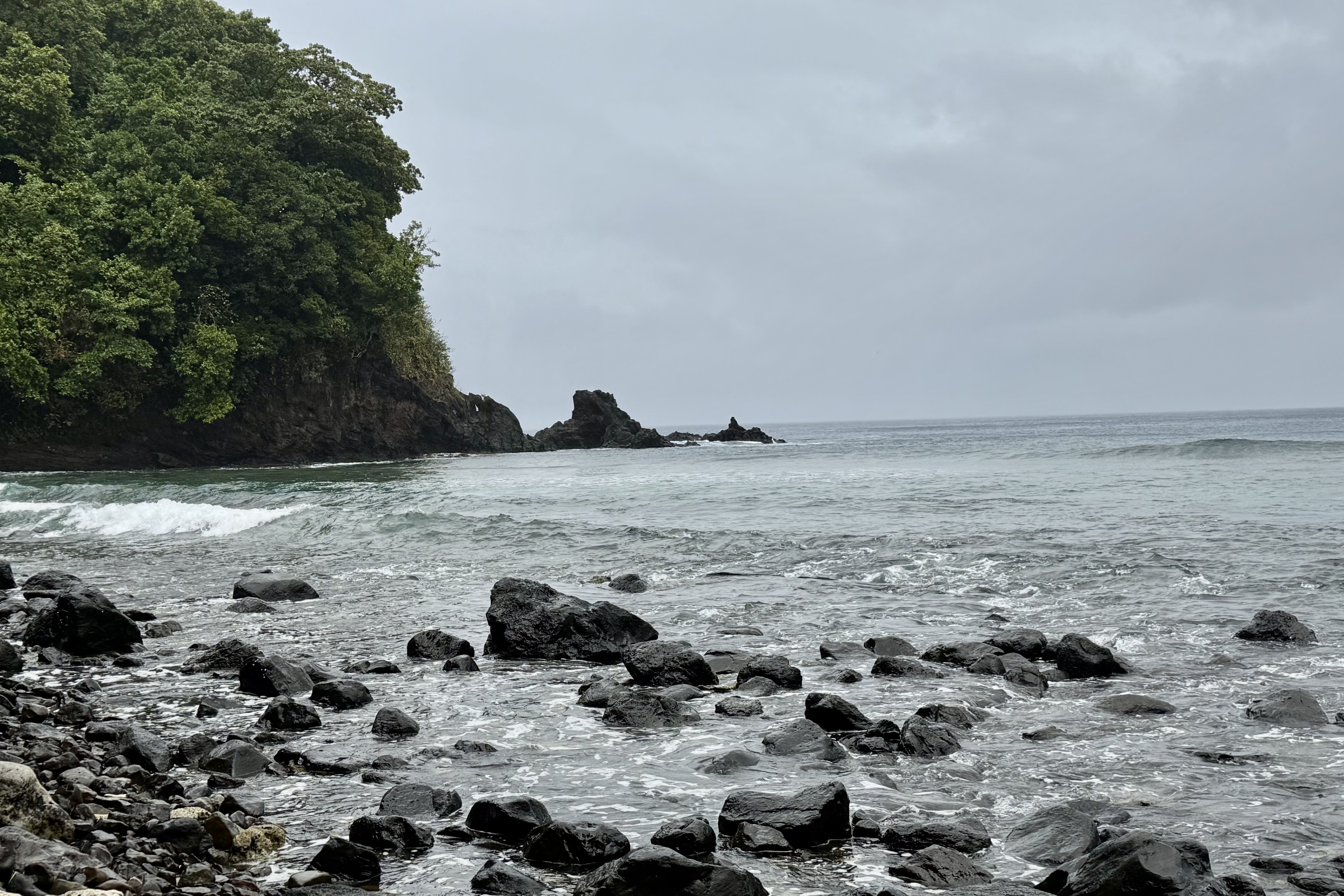
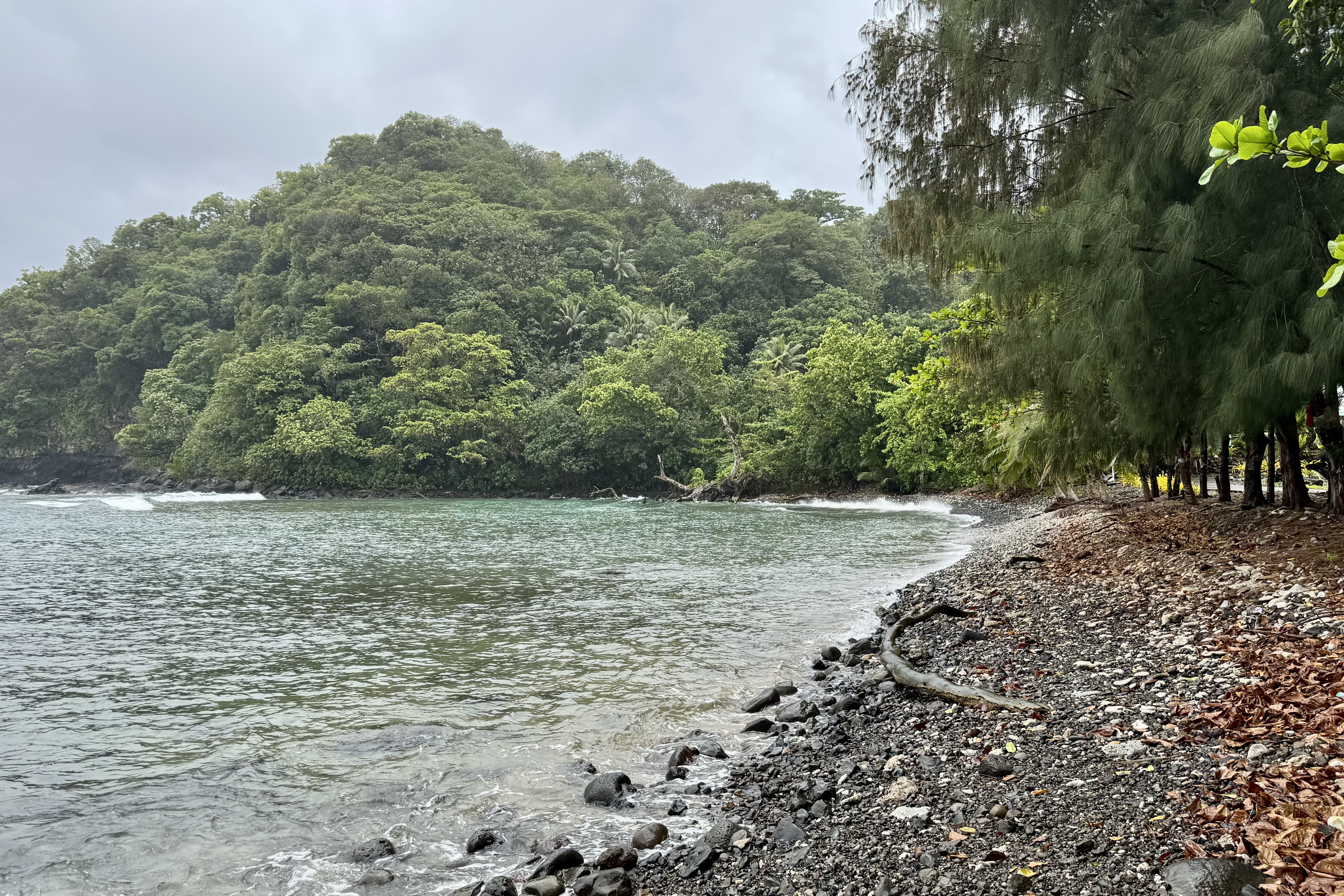
Afterward, we traveled out the East End Road with its potholed roller coaster surface to Haulover Beach. The beach is easily accessible…no long hot sweaty hikes to reach it. It was pebbly and coral strewn and more rugged than other beaches thus not so gentle on the feet when entering the water. But the water was clear, there were few people, and the photo ops abounded. It was a perfect natural aquarium to close out our St. John’s fish safari and coral quest.

It was now time to return the snorkeling gear in Cruz Bay. As we wandered the dive shop area, we encountered a peacock with its iridescent blue coloring of the upper body and many shades of green in the long tail feathers. Right above it was a playful “Mosaic Fish” with tiles shimmering in similar shades of deep blue and emerald green… all part of the charm of St. John..

The next hours  of the evening and morning were spent preparing to exit the villa and  packing up our stuff.  For a change I did not accumulate any souvenirs and other stuff and junk to bring home, thus saving myself from any additional dusting chores. So it was:  eat the leftovers for dinner, stuff the suitcases, consolidate the garbage, prepare sandwiches for the journey, take more pictures to add to the 565 + pictures I had already taken, take garbage to dump, return the Jeep Wrangler (totally unscathed miraculously), and make our way to the ferry dock.

The departure from St. John’s to Red Hook went according to plan. Arriving at ferry dock, luggage in tow, about 45 minutes ahead of time. We settled ourselves in this dockside pavilion and purchased tickets online for ourselves and our bags! As departure neared, the open air “safari taxis” disgorged a crowd of people that began amassing for the 10:00am ferry departure. Nothing was sterile about the atmosphere here. with many colorful locals, travelers from the upscale resorts each toting four of five pieces of luggage, squealing children, and even a few suited business persons. The crew began manhandling and stacking the luggage, all piled in the rear of the ferry with no “ticket” to prove that I had indeed entrusted my luggage to them.

We glided across the turquoise water, a short 20 minute trip to the Red Hook terminal where the communal taxi’s awaited. Once the luggage was retrieved , we joined the ground transportation queue to Cyril E. King Airport for our return trip to Philadelphia. The route was one last seat gripping harrowing experience of hairpin turns and winding mountain roads. The airport is not large or imposing yet funnels thousands through daily and we parked ourselves in the waiting area preparing for our re-entry into “real life”. We mused that in about 7 hours we would be back in Philadelphia. WRONG!

Then the real adventure began. Over the intercom came the announcement that our flight to Miami would be departing a little later than scheduled. With this delay we were fearful of missing our connecting flight in Miami, especially due to a short connection time of 50 minutes. By the time we left however, we had already heard that there would be a delay in the departure time for or Miami Philadelphia flight. I could stop sweating. The flight was uneventful and when we arrived in Miami little did we realize we would have 18+ hours to spare in to make our Philly flight.

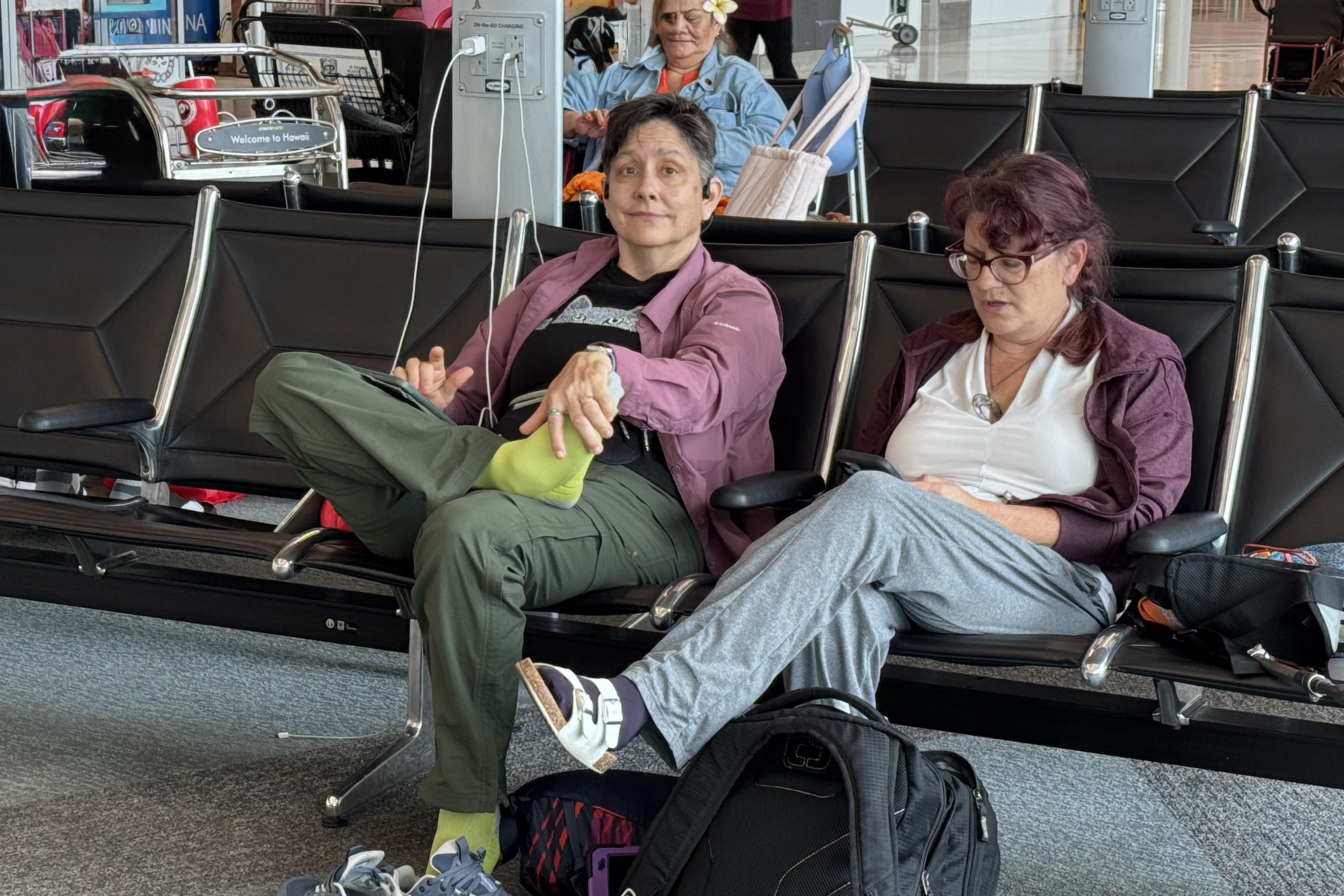
Initially the flight delay was about 2 hours so we settled in and made no effort to reschedule the flight. However the departure time kept getting pushed back though the flight was NEVER cancelled and we were subjected to an inordinate amount of boarding time changes. The changes kept coming in with little explanation and we were left totally unsure of whether we should try to rebook, wait at the airport, or get lodging in the area. Miriam attempted the customer service line at the airport but it was 40 people deep . Miriam managed to get us on a stand-by wait list but we already knew finding five open seat was a non-starter. When Nick called AA the telephone queue was lengthy so he left his number as suggested to receive a return call. No return call ever came through. Eventually with the departure time getting later and later and all the attendants had left the gate area, we began to realize we were on our own for the night in Terminal D. . Talk about a stressful, exhausting, discombobulating and baffling experience.

Airports are noisy with their cavernous ceilings and the bustle of travelers shuffling through the corridors, the clatter off the luggage rolling and the chattering voices. But here in Miami there was a new sound, a high pitched beeping of the autonomous wheelchairs roaming about the concourse, a special feature in Terminal D the American Airline’s domain. Modern technology can be a wonder but also a huge annoyance when it beeps, pings, chirps, dings and these wheelchairs cruised about with their nagging beep-beep-beep. Thankfully at some point they were put to bed at their charging station.

Since we soon realized that all of the shops would be saying goodnight to those stranded, we made our last foray along the corridor to procure the libations we deemed we would need to weather the nighttime in the airport , right there in the eerie “Blue Corridor.” Miami has a color-coded system so the North (D) concourse has a special identity as “Blue.” Yes, dramatic bright blue lighting was bathing terminal D, meant to be aesthetic as well as way finding in this mile long concourse . So unless you are color blind , just follow the lighting you are matched too. . Perhaps they will soon have boarding passes that match the color of your corridor.

Miriam and Luke wandered elsewhere hoping to find a quieter more comfortable place to hopefully sleep rather than on the hard terrazzo airport floor bathed in blue light. Tasia and I appropriated the charging station in our waiting area ensuring limitless iPad power to watch movies in a blue haze. . Could I sleep? The design of the seating precludes comfort.. There is no place to stretch out on the rows of rigid chairs with their immovable dividers and thus precluding any attempt to create a makeshift bed. The only option became the industrial grade floor covering in the waiting area with its dust, dirt, stains allergens and blueness. NOT for me. I figured I would sit the night out watching movies.

About 1:30 in the morning (sleepless in Miami) Nick decided to do a long run of about 4-5 miles. I need not have worried that he would get lost in this cavernous airport because he would be able to find his way back, after running the red and yellow corridors, to the blue corridor.

At some point a text came through that the gate was changed and we then would need to make our way down the concourse to our new gate towards the far end . Thank god for the blue corridor of light or we might have gotten totally lost on this very strait direct passageway to our new blue lighted gate. When an announcement came through that our flight now had a confirmed departure time, a rousing cheer sprung forth from the remaining 50 or so passengers who had not made any other alternative arrangements as they preferred to bask in blue light .

Salty Watermelon and Rum Fueled Ruins

We awoke on the tenth to another beautiful Virgin day and after easing into the day via coffee poolside our adventure was to Watermelon Cay. Parking was by the Annaberg Plantation and to reach the Cay Beach there was an an .8 mile coastal walk on the Leinster Bay Trail- a more leisurely walk compared to the our more strenuous hikes. It was bordered with sea grape trees and mangroves instead of cacti and scrub vegetation.  

Watermelon Cay is a rocky islet offshore and it is ringed by rock ledges and coral reef. From the beach it looked like a small green dome. I decided I was still a strong enough swimmer to access it and trotted off to the end of the beach trail in order to enter the water at the closet point for the swim to the Cay. It was rocky and wasn’t exactly the easiest entry but setting out felt almost surreal as I was” coasting “ across open slightly choppy turquoise waters. My goal was to swim around the cay and headed counter-clockwise negotiating the seaward side first.

This is the colder deeper and choppier side. The reward was exponential, feeling otherworldly, with layers of fish darting about (including yellow snapper and blue tangs), massive coral heads, and translucent moon jellies pulsing about. Fortunately when I cruised through the swarms of moon jellies, I didn’t get stung. Moon jellies I guess mean no harm and are the “goldfish” of the jellyfish world. This was by far the best snorkeling yet and I was quite disappointed that I had seemed to forget my underwater camera though upon rounding the other side, I discovered I had tucked it inside my swim bra under my sun shirt. Well, I thought, I probably would have taken another batch of bad photographs. Circling back around the reef to the front side felt less dynamic and colorful than the outer reef side though there was still quite an array of corals and tropical fish.

I decided to drift back toward the beach of Leister Bay over the sea grass beds looking for stingrays and turtles. While scanning for movement in the sandy sea gras beds, I spotted a Hawksbill Sea Turtle. It didn’t seem to mind my presence there and went about chomping on sea grass. I swam about with it, all the while bobbing around clumsily trying not to startle it. Shortly, I was able to flag Tasia down as she had the camera. Pretty good photo-ops for a couple of minutes but then with a few strong strokes it slipped away into the gras beds and I swam toward the beach .

Movie of Hawksbill Sea Turtle Swimming and Chomping

Having had an extremely satisfying snorkel, it was time to retrace our step back to the car and tour the Annaberg Sugar Plantation (Anna’s Hill in Danish). This decayed ruin of a once thriving producer of sugar, molasses, and RUM relied on slave labor to grow cane, crush the stalks, boil and export sugar. With the leftover molasses, fermentation, (probably know since Adam and Eve ate that fermented apple) magically turned the molasses into rum and thus these plantation became large Caribbean cocktail factories and the planters got rich, the slaves got exhausted and many a sailor got drunk. Annaberg thrived until the mid-1800’s until hurricanes, droughts, depleted soil, emancipation of slaves and competition resulted. By the end of the 19th century Annaberg was just ruins, the ruins we see today over looking Leinster Bay.

The centerpiece of the ruins is a cylindrical windmill tower (these towers can be seen dotting the island) and I kept trying to imagine what it would be like with the wind turning gears going full blast. I imagine a mini torture chamber that is cramped hot dizzying, sweaty, noisy. Moving onward to the boiling house ruins, which housed rivers of concentrated sugar and molasses running through it channels. My former drinking self would have been delighted to know that this would have been the area where the rum was distilled. Of equal fascination was the decaying walls made mostly of coral stone with stones varying significantly in size. Now vines and creepers crawl over the walls and grass, flowering plants and ferns sprout in the cracks and crevices., moss and lichen fuzzy up some portions.

After one of our express meals Nick and I opted to discover Trunk Bay, one of the closer reefs to Cruz Bay, popular with tourists, and and well developed beaches with food stalls, restrooms, showers, and an entrance fee. It is often ranked among the world’s most beautiful beaches etc. This evening, without a swarm of sunbathers, cruise ship crowds,  snorkelers and any other variety of tourists,  it was indeed beautiful.  I had not intended to snorkel and just went along for the ride to keep Nick company but I did transport my gear down to the beach.  And even though it was not on my agenda, it took only minutes to respond to the alluring vibrations of the turquoise water and decide to don the gear and the enter the calm bluish-green shallows and follow the underwater snorkeling trail. After a few minutes I determine this trail was designed for brand-newbies  and most likely a more gimmick than a “real”  snorkeling experience. It  was underwhelming and  in no way comparable to the one on St. Croix.  So I ditched the trail and headed over towards the rocky outcropping just east of the trail, Trunk Cay. The upside of being here was the sun was beginning to set illuminating the sky to a pale yellow,  the bay was calm, we were on a gorgeous beach and there were very few people.  We enjoyed a leisurely snorkel admiring the giant boulders of brain coral along with the regular population of blue tangs, parrot fish, damselfish, angelfish, sea fans and corals.

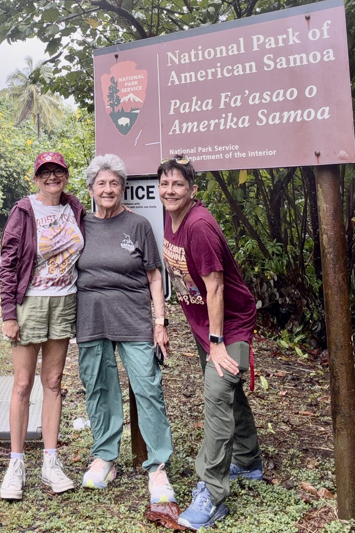
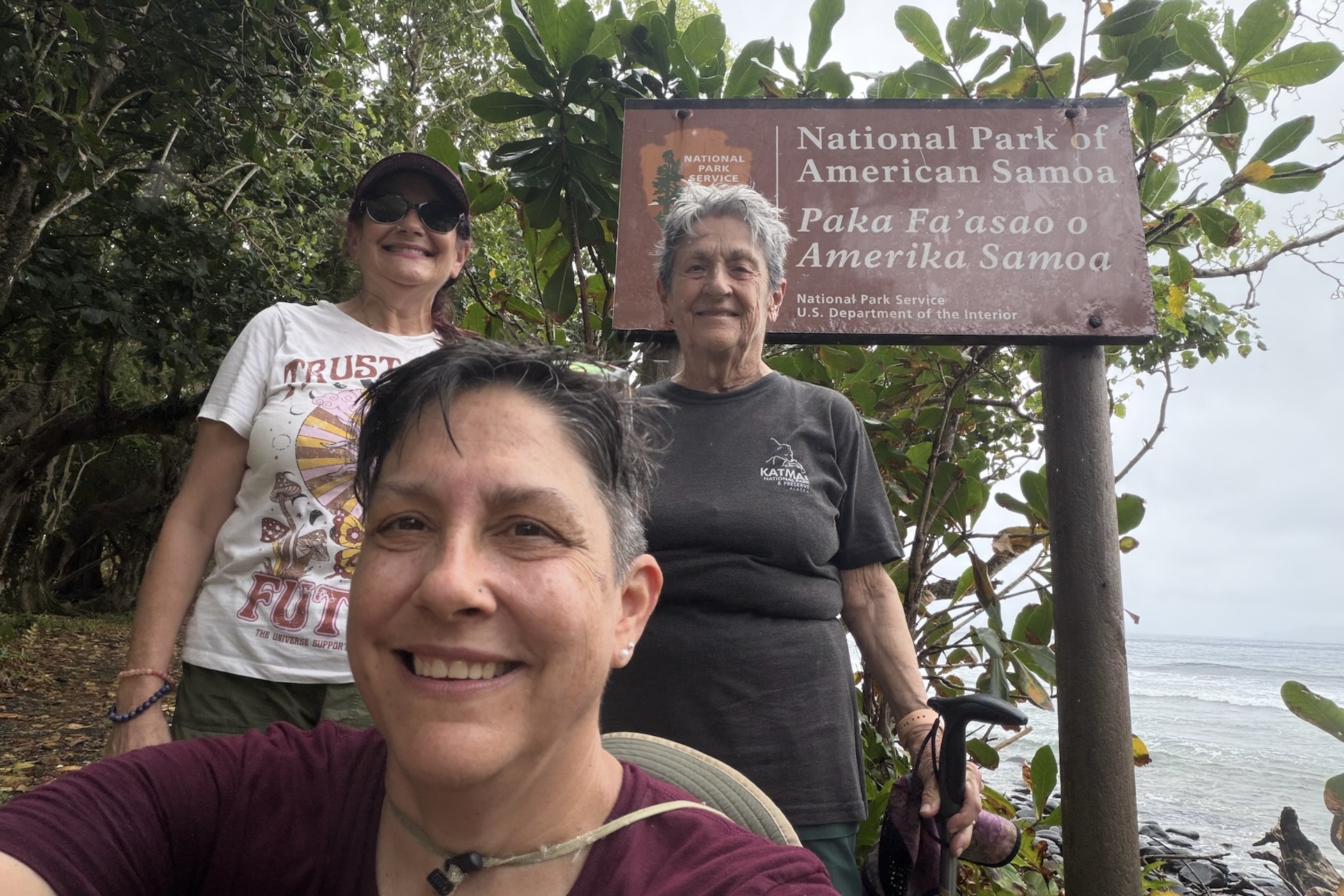
Enroute back to our villa, Nick and I stopped at the National Park Sign at the entrance and snapped my obligatory sign photo, the tradition since my first park visit when I was in 6th graded at the Great Smokey Mountain National Park. This is the 62nd installment of many awkward photos next to the National Park’s  brown wooden signs. Yes, everyone takes them but  if I didn’t how else could I prove I actually went. Soon we were back at the villa and we  enjoyed the pool, the  starry night and twinkling lights of Chocolate Hole in the distance.