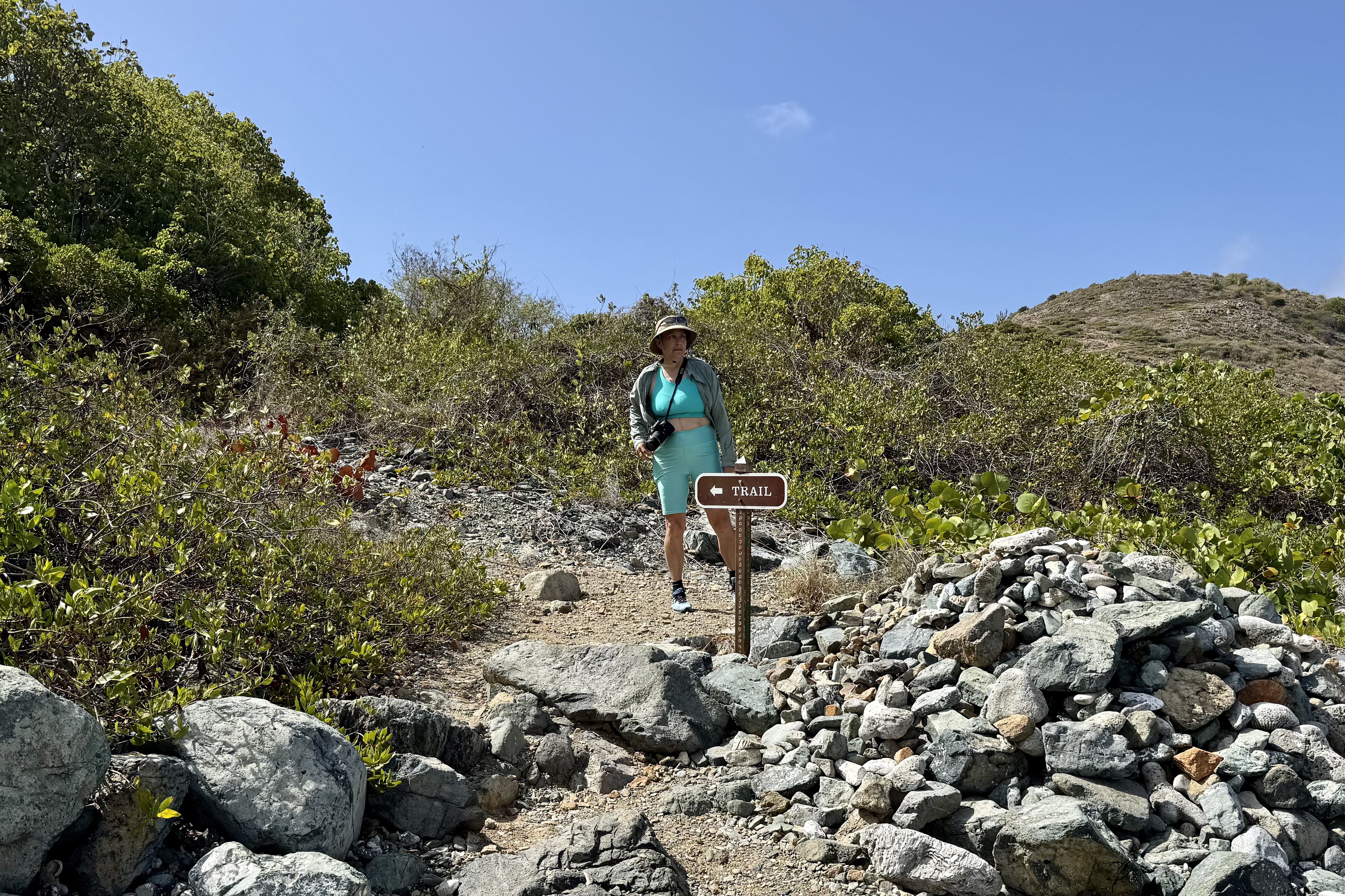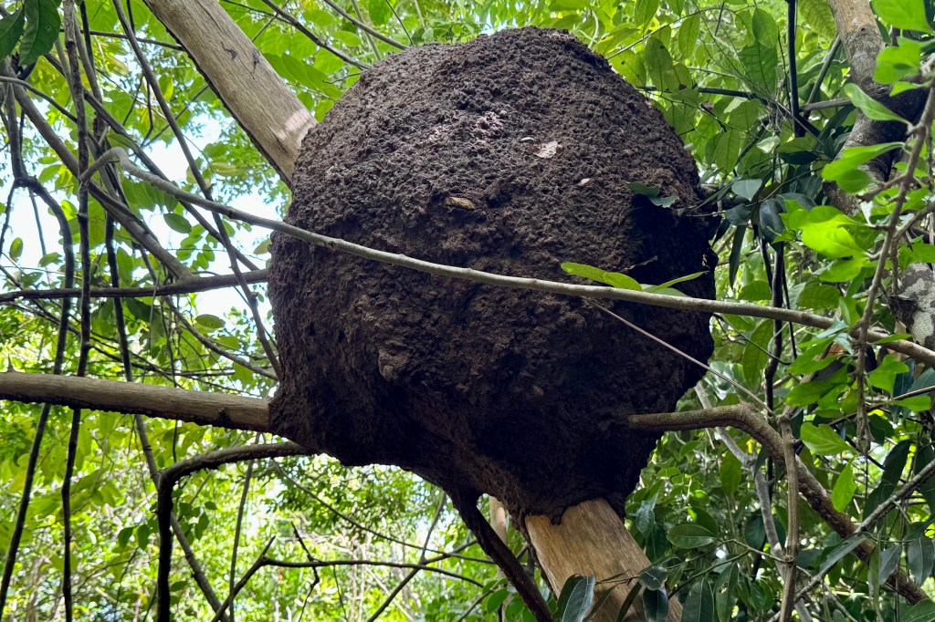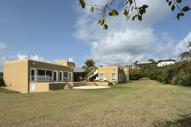
Friday the 11th was to be our last full day here. I had encouraged Nick and Tasia to head off and do a more strenuous hike if they chose, without having to worry about the caretaking of mom they did on earlier hikes i.e. ensuring that this mom did not fall and break her skeleton in several place. So they took off and Luke, Miriam and I enjoyed the morning at the villa and its surrounds and also worked on planning what the last hurrah would be in the afternoon.


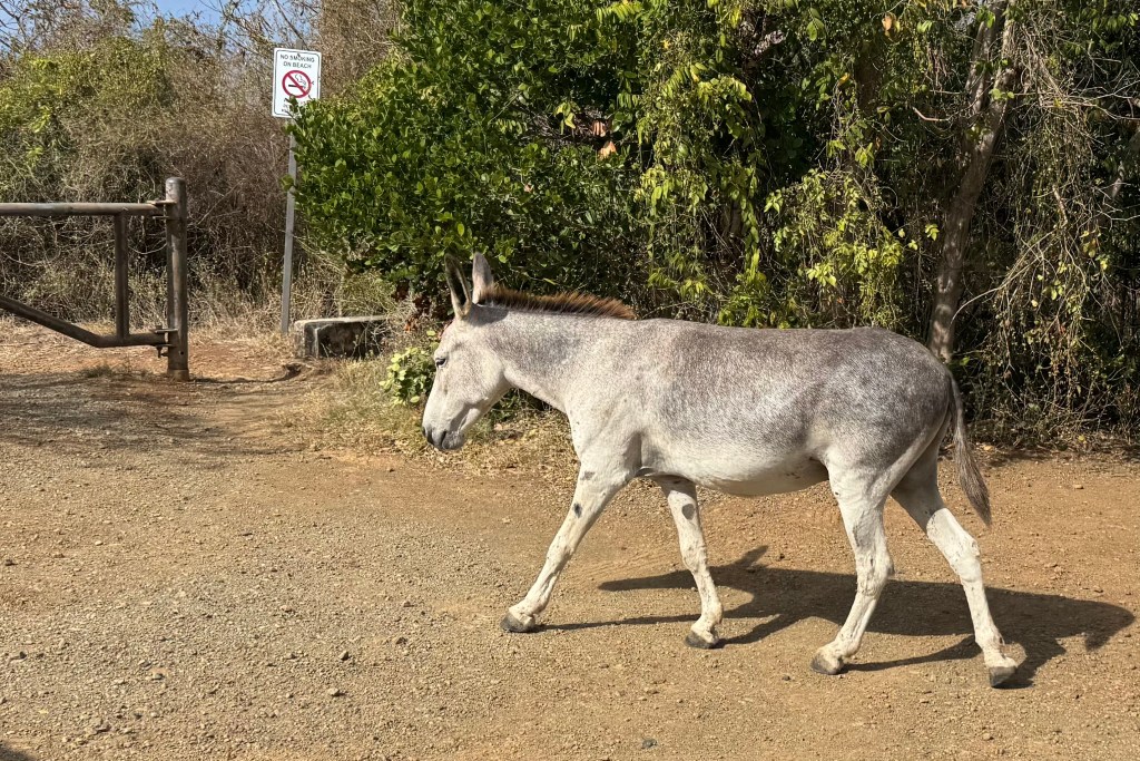
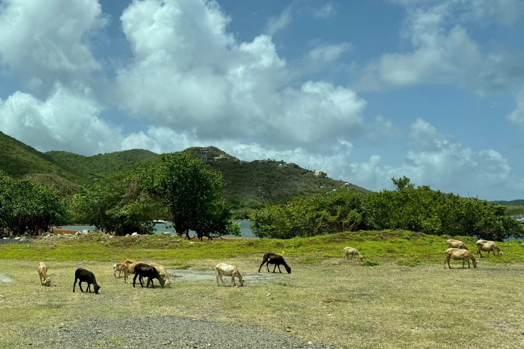
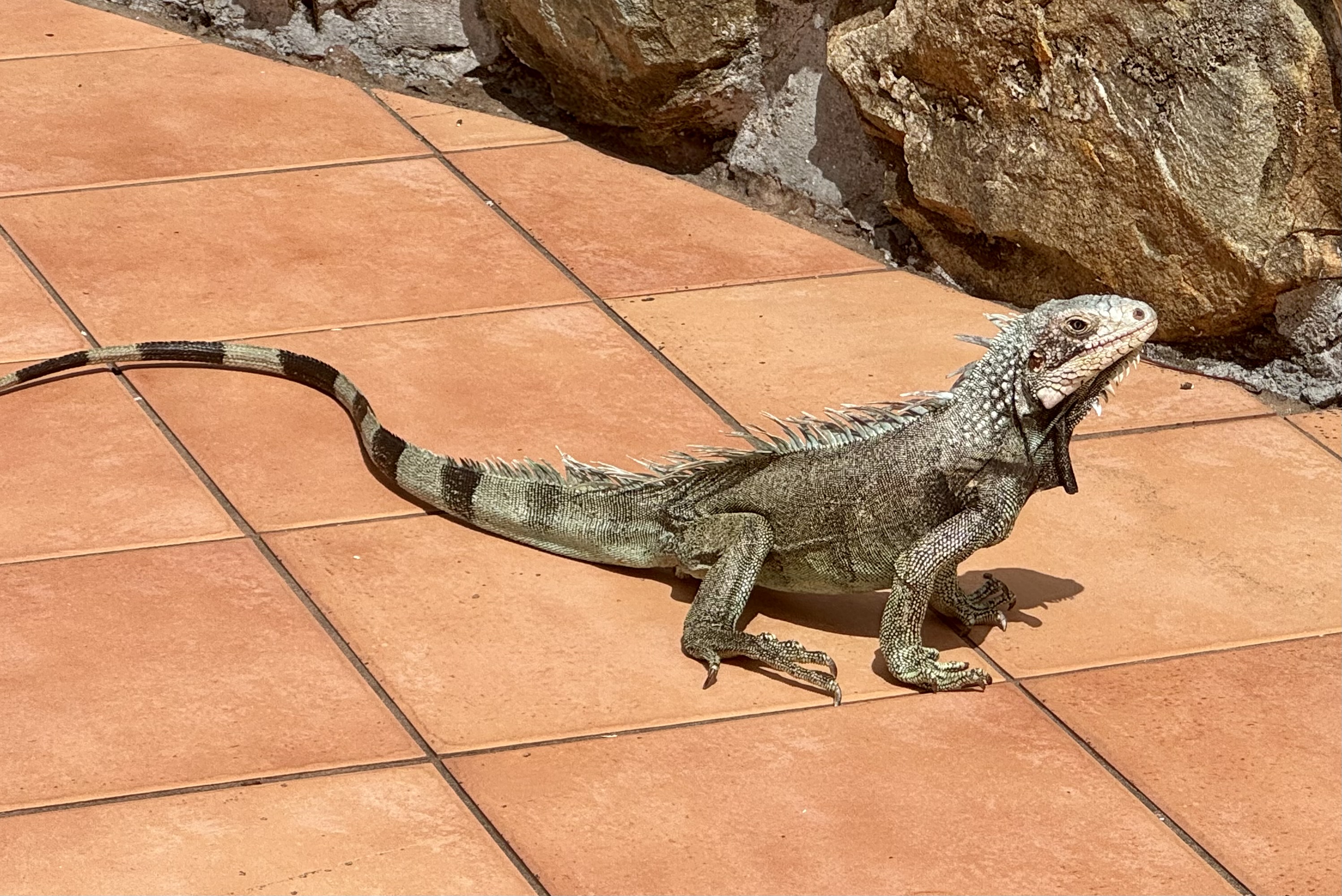
I soon decided on a walkabout and headed first down to the beach below which was basically commandeer by the Westin Resort and littered with a large array of sea toys including lounge chairs, umbrellas, kayaks, sea fun adventure boats, SUPs, and water bikes. Though this beach and all beaches in the U.S Virgin Islands are public, their chairs and other amenities were not and it didn’t really seem too “public” to me with its attendant and all the paraphernalia. Since I was decidedly on a “walk about” I opted not to do a “swim about” at the beach especially since I did not have a towel and was not in my swim gear. Thus, I meandered back up towards the villa and about the roads beyond, hoping to find a path down to the next bay over. But it was not to be. Upon returning to the villa I was warmly greeted by a large Green Iguana, Iggy, and I was hoping that we would develop a relationship as it turned its head toward me. It looked at me like it owned the place as it was pausing in the sun and I was the interloper. Then like a flash it made an abrupt about face and charged off to summit the stone wall where it dallied a while and dared me to get closer. And then like a shot something else grabbed its attention and it was off.

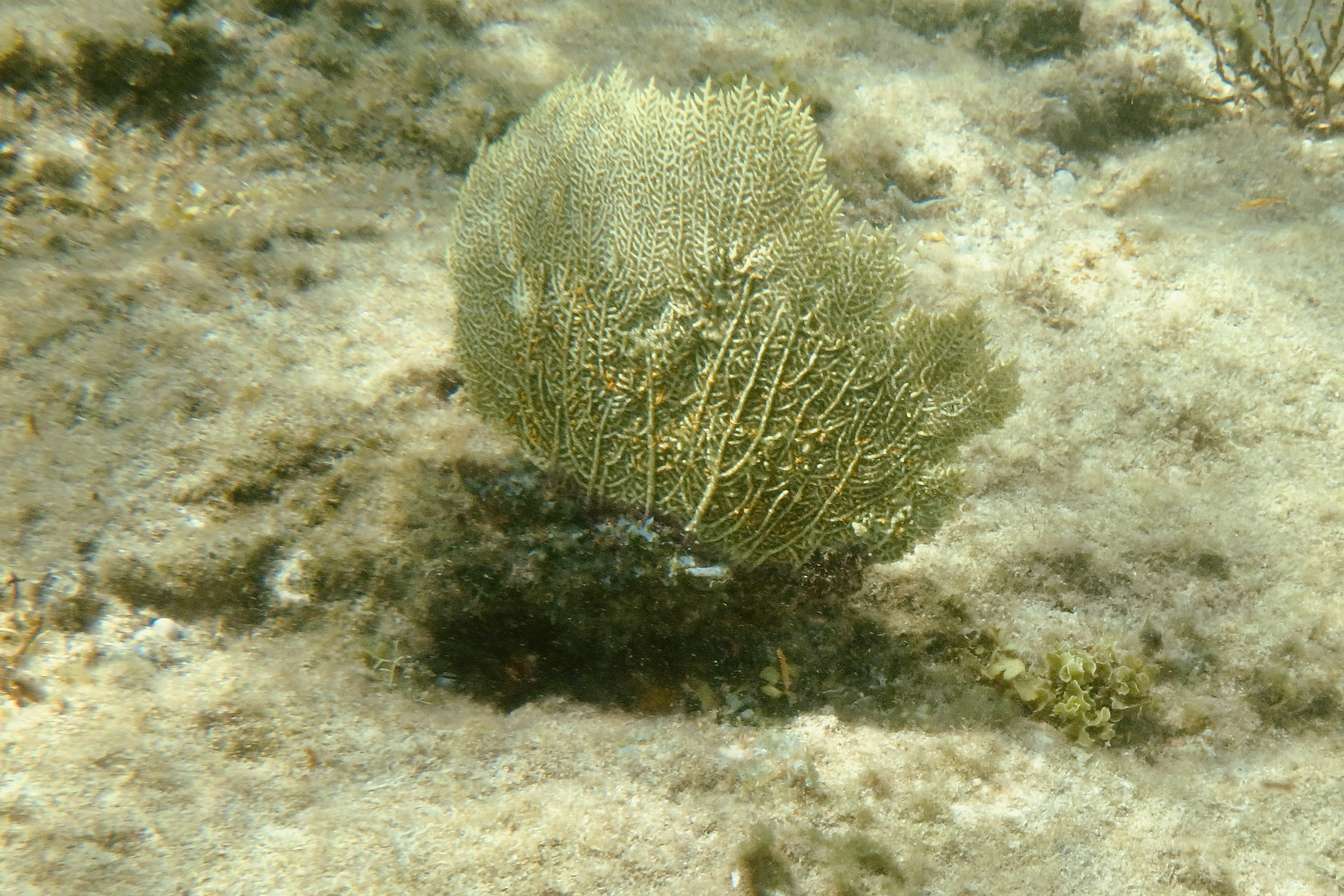
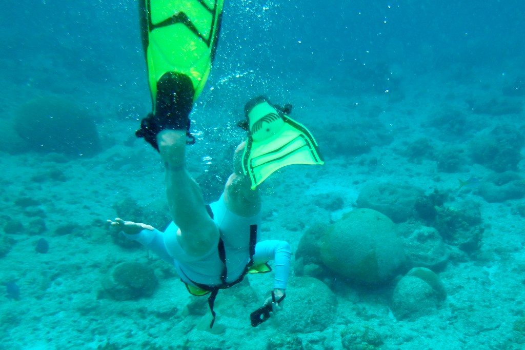
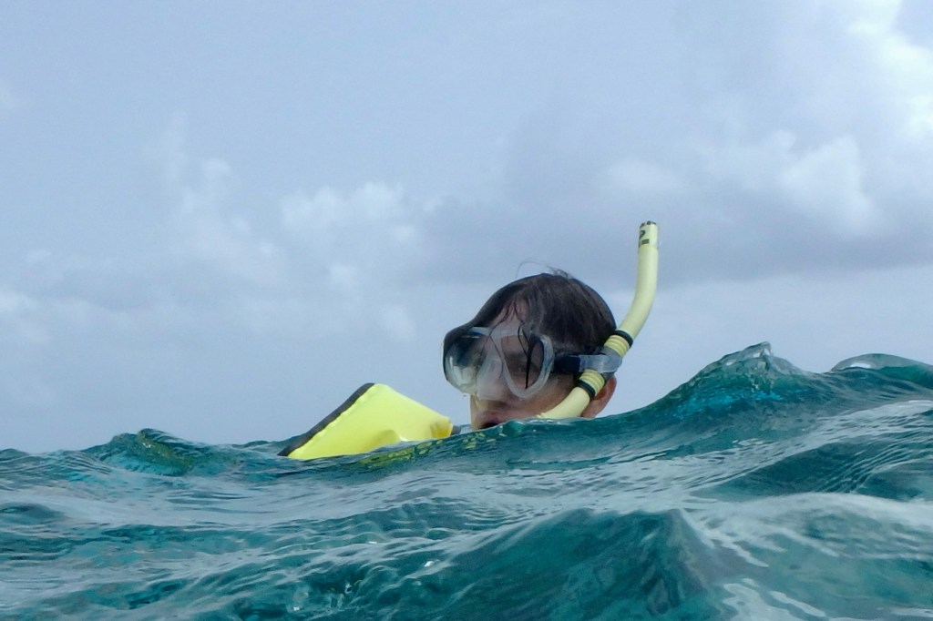
Nick and Tasia arrived back from a more arduous hike but were ready for an afternoon of adventure. We decided that lunch at Shambles (a very colorful Caribbean themed restaurant which we had passed on other island excursions ) was a good choice and then on to Haulover Bay for a final snorkeling adventure. This would be our last chance to have a close encounter with any of the mythical sea serpents, not very Disney-ish mermaids and sirens, sea demons and devil fish, or a“jumbie” (a mythological spirit or demon) that inhabit these waters (in the folklore of the Caribbean.


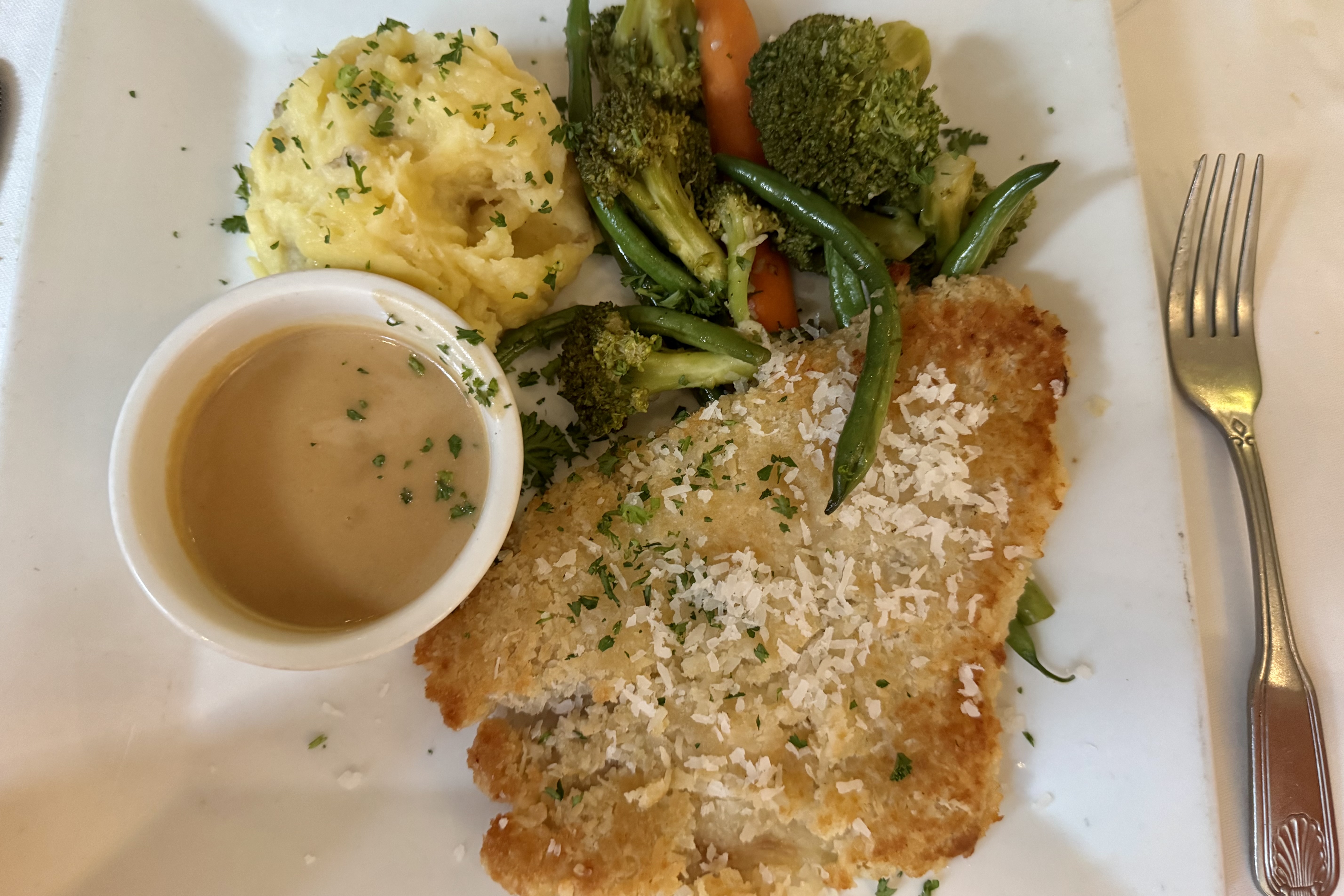
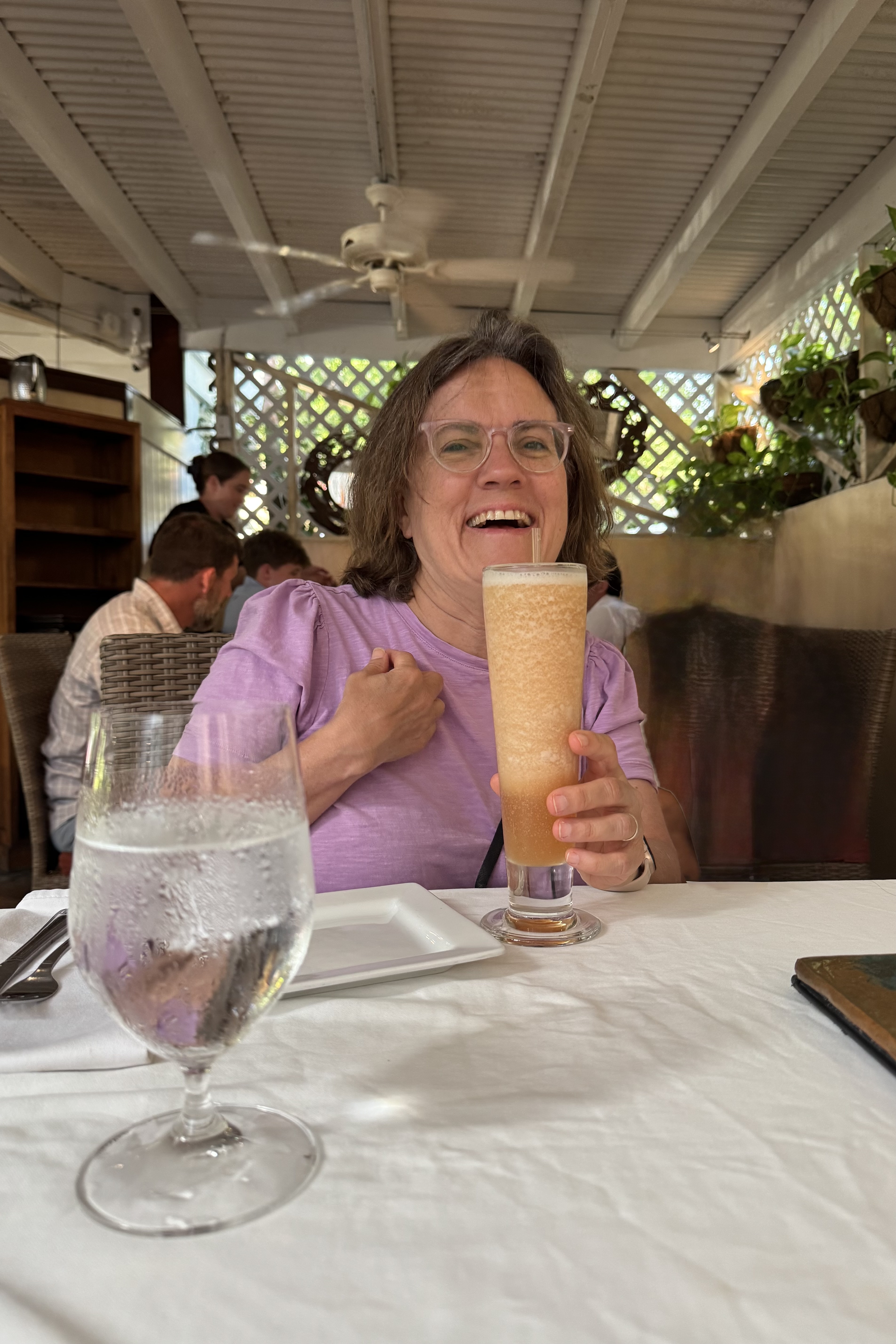
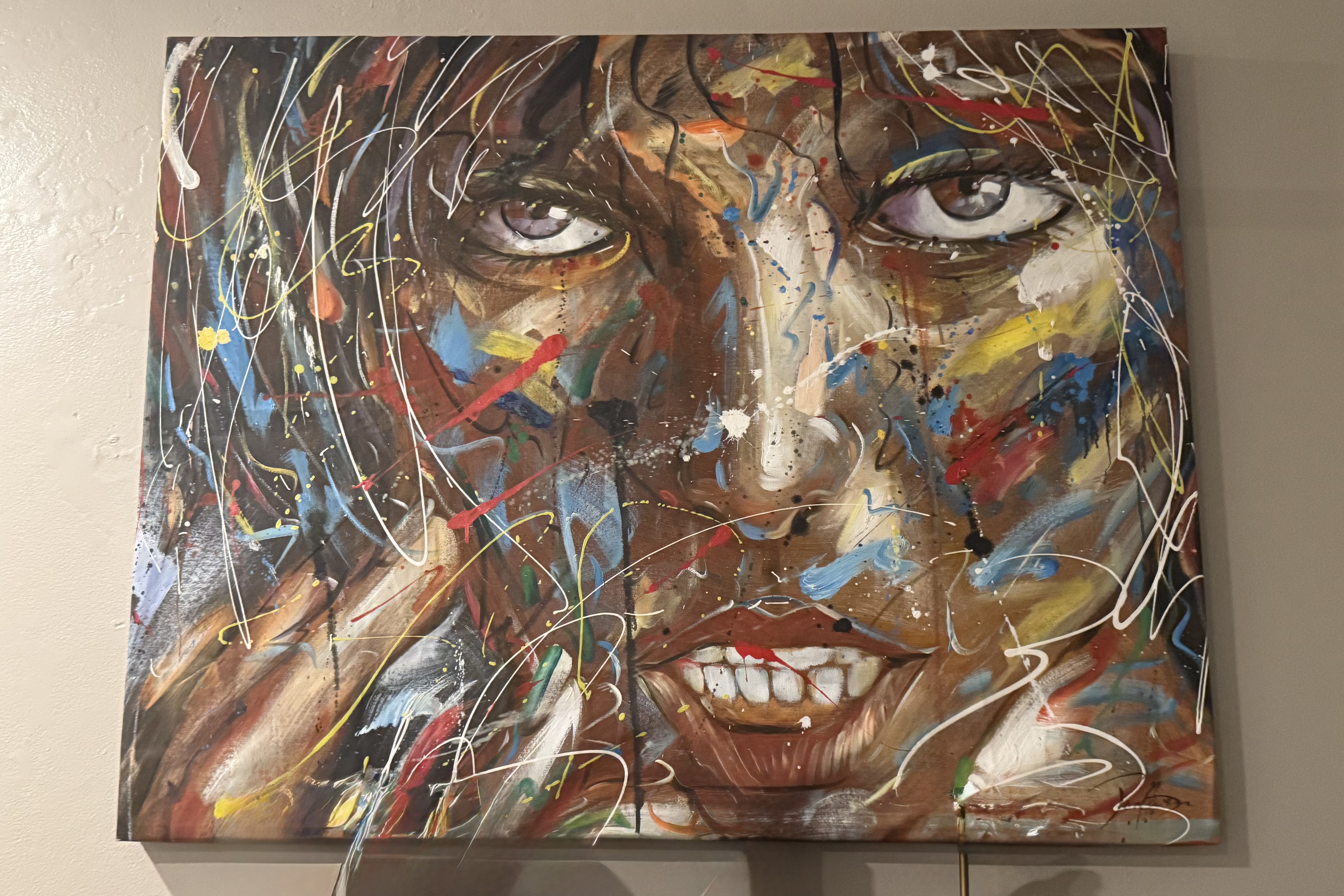
Food first! Shambles was named after the state of the proprietor’s lives following the 2017 hurricane season. If one’s preference is muted pastel shade, Shambles would be an assault to one’s senses. Stepping out of the Jeep Wrangler, I could feel the casual relaxed vibe and was totally energized by the vibrancy of the colors and relaxed, casual atmosphere. It’s not fancy but has lots of character with local art work, walls and ceilings floating with flags, old license plates and tons of memorabilia. Sitting at high tables, enjoying the breeze and just soaking ion the Caribbean vibe was perfect.

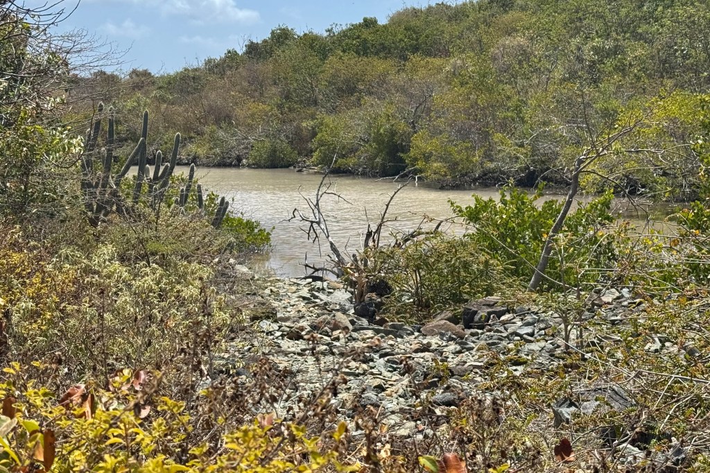
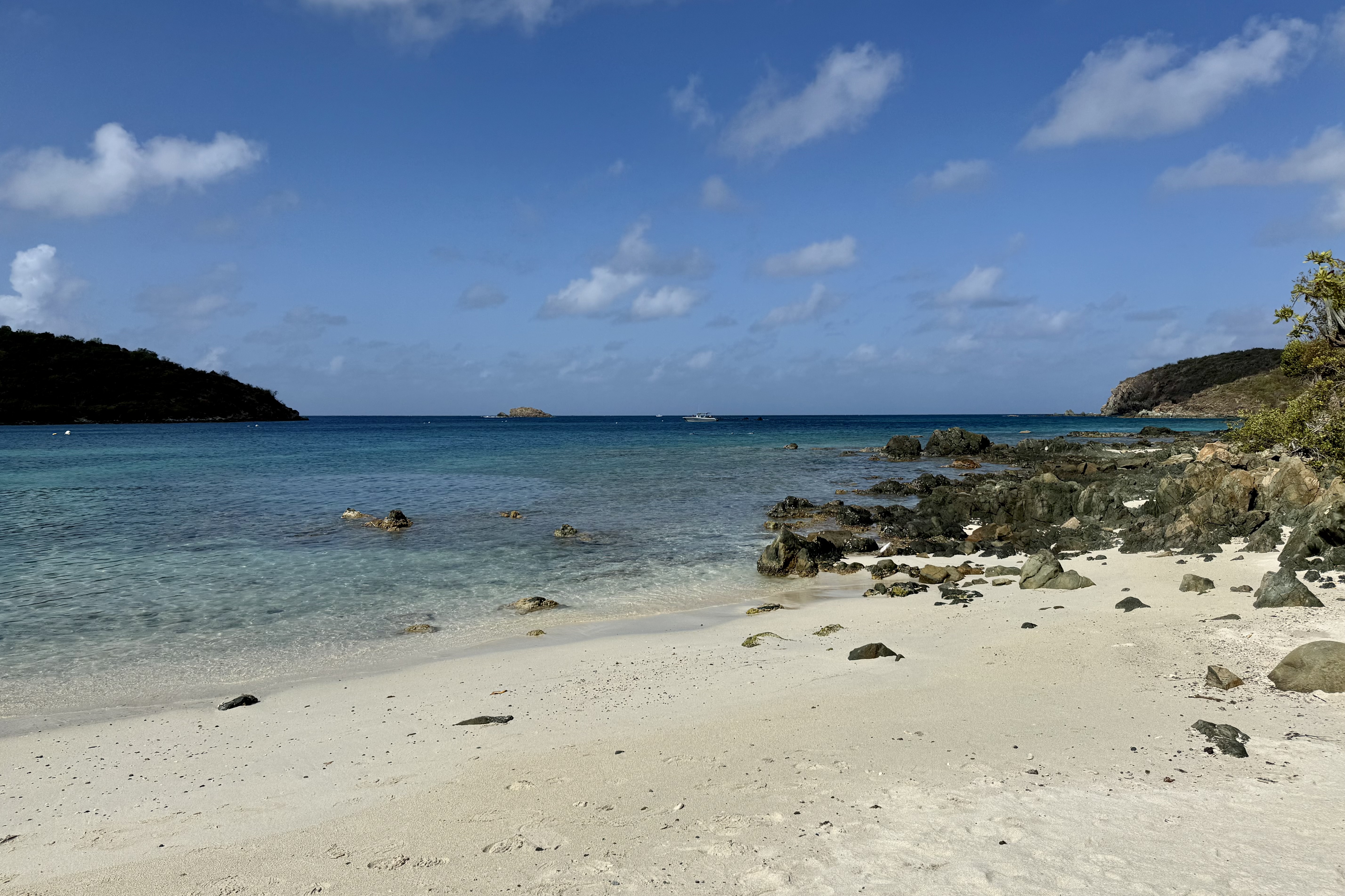
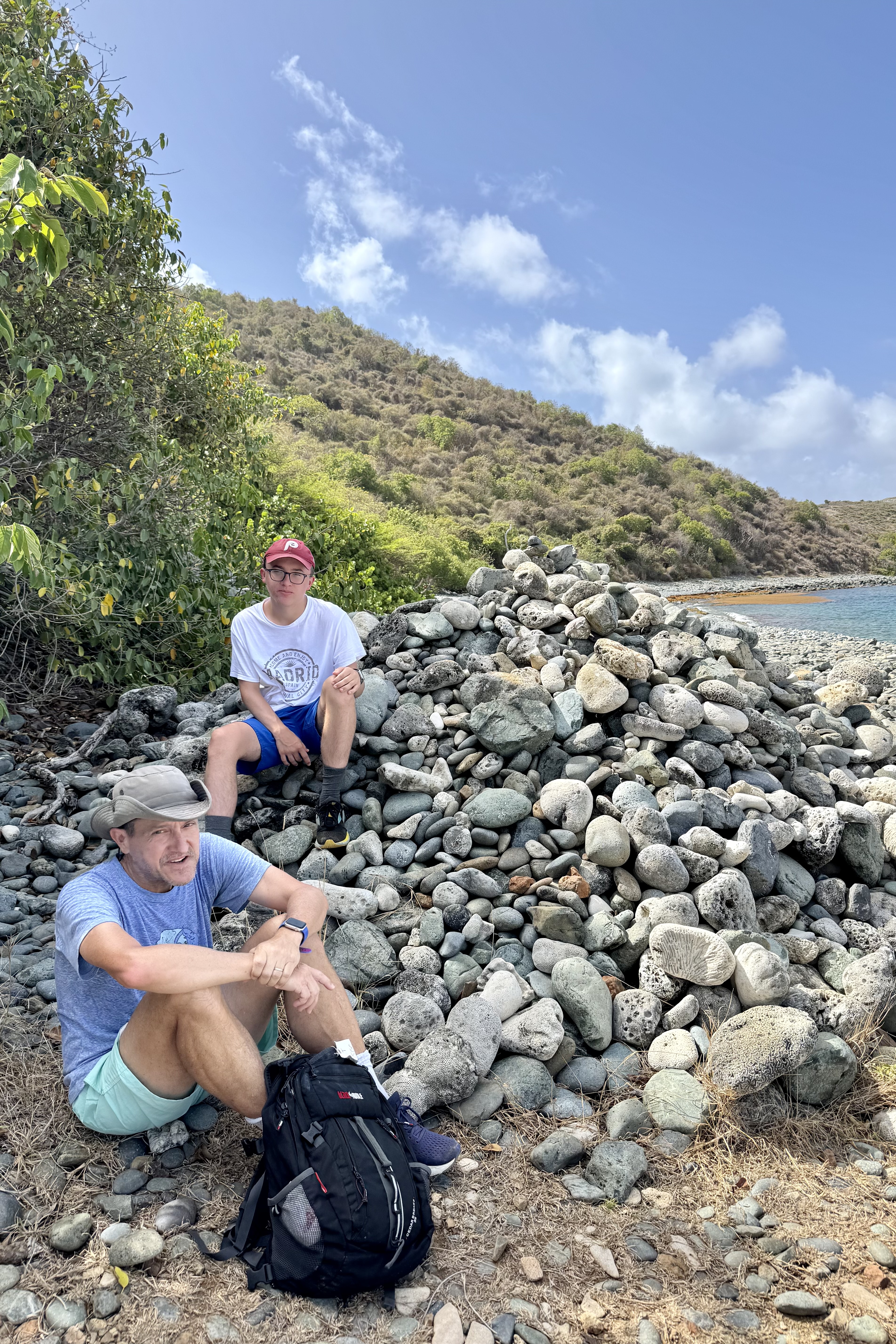
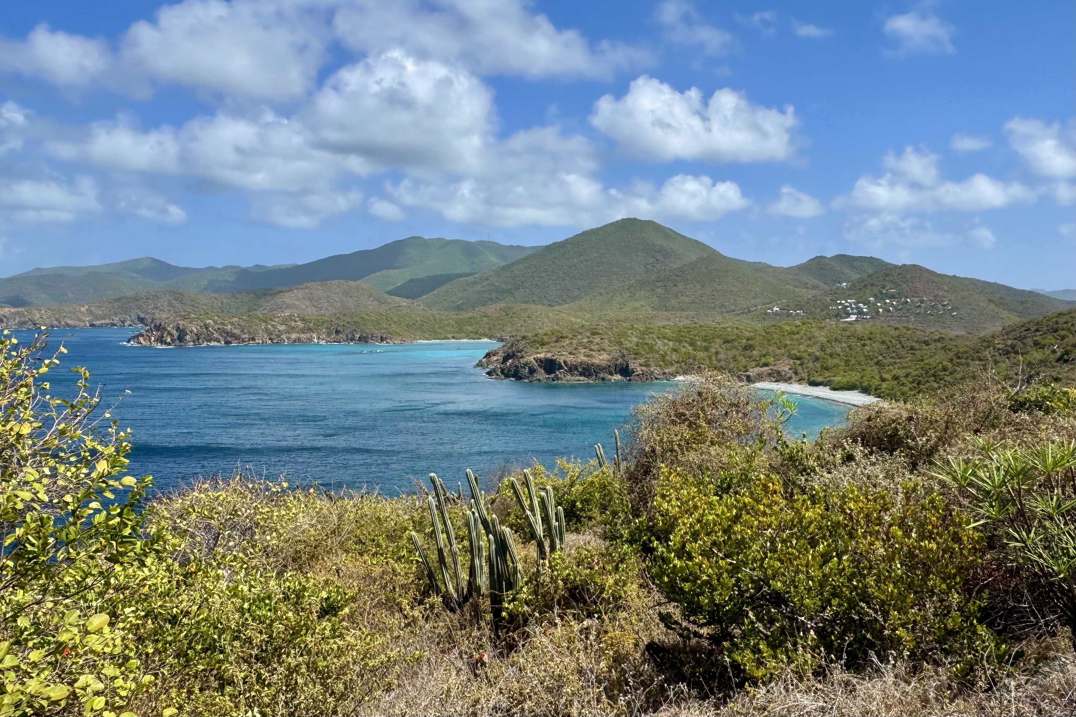
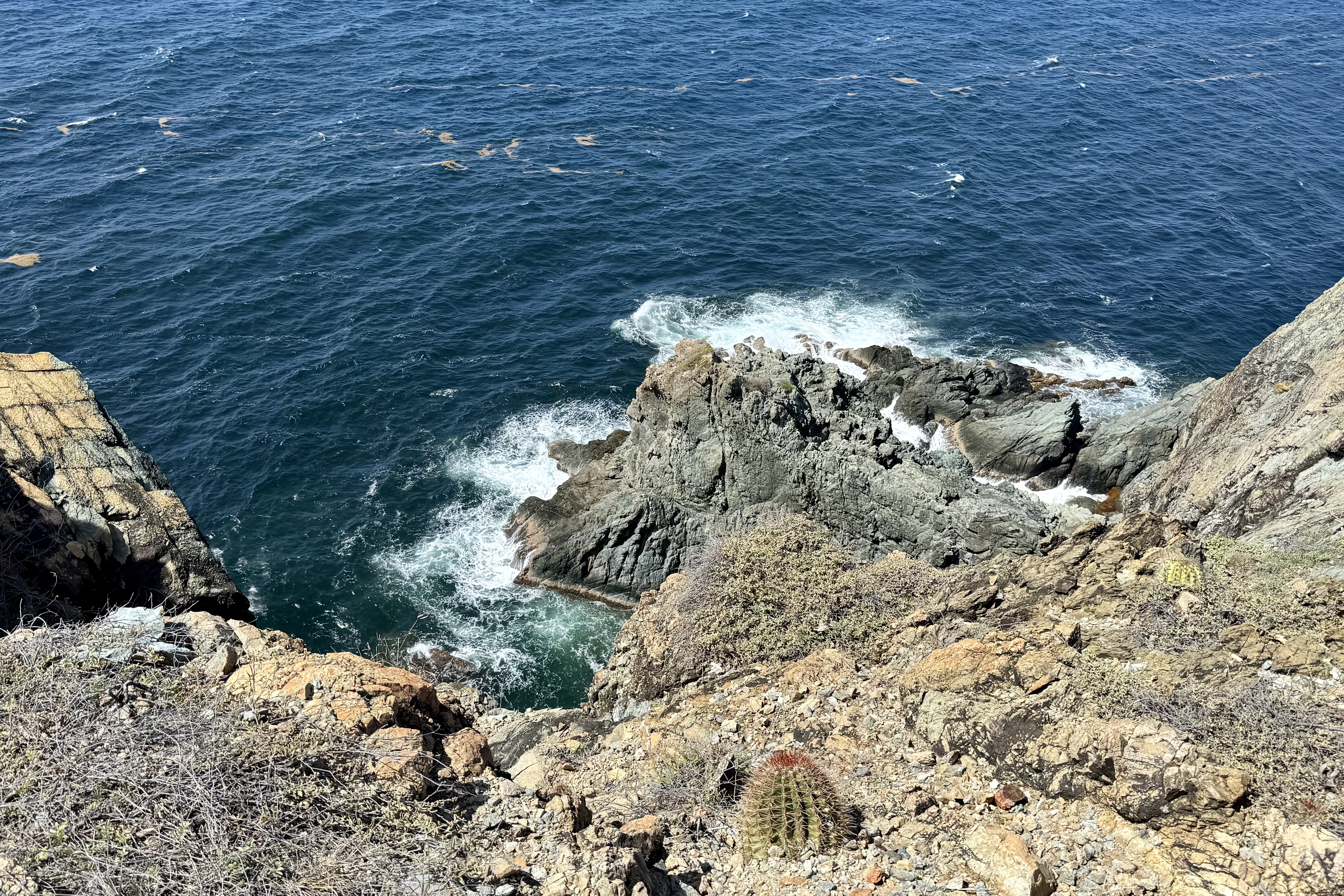
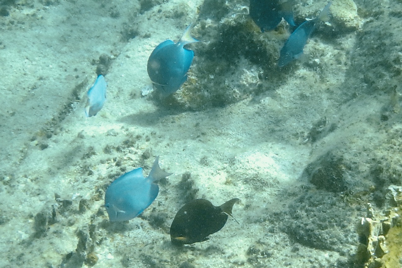
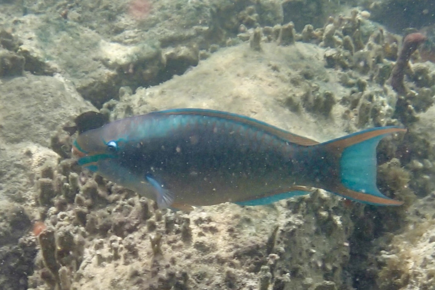
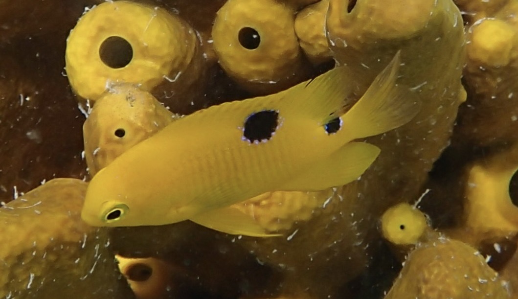
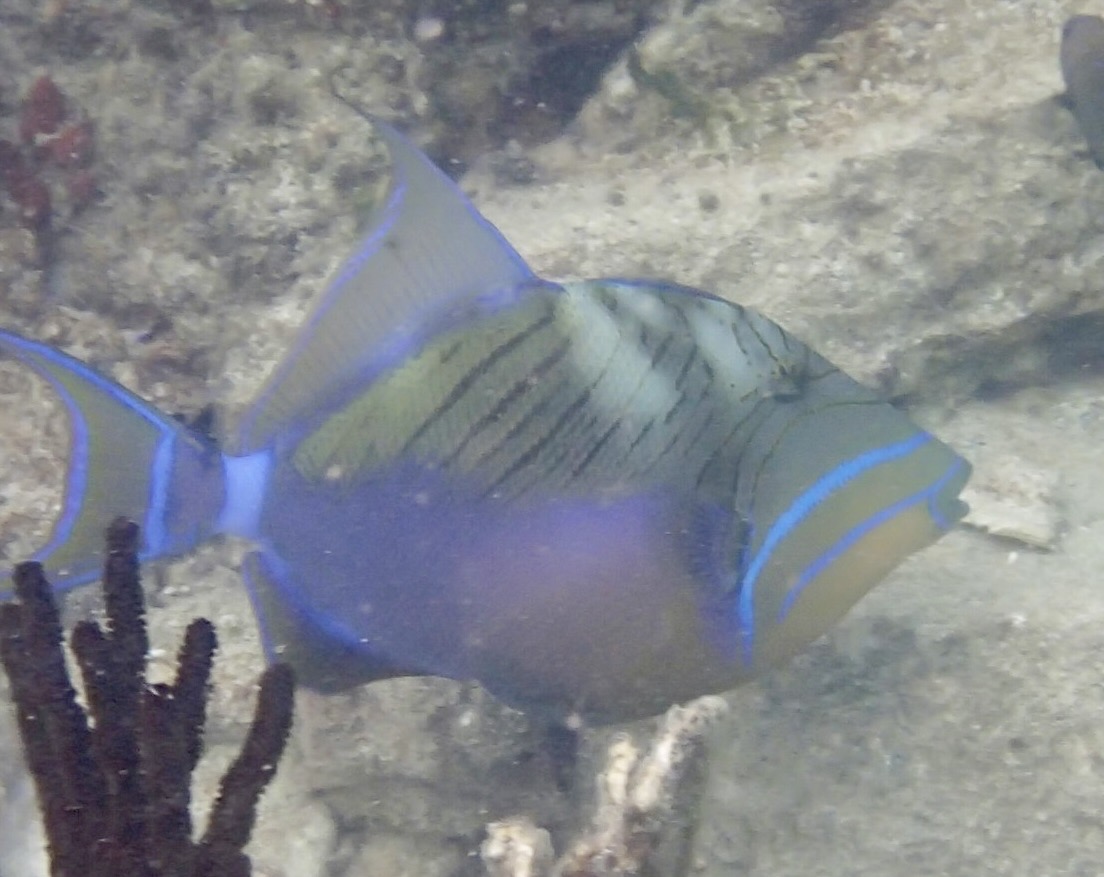
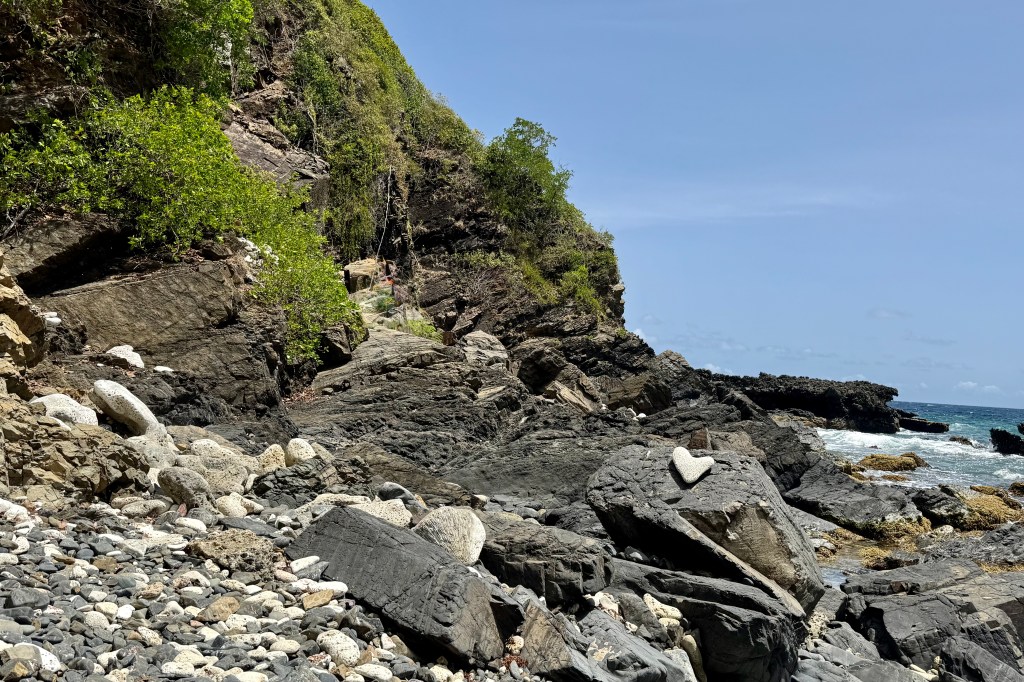
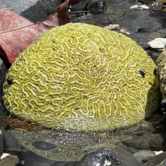
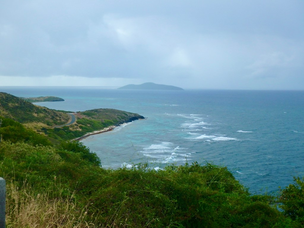
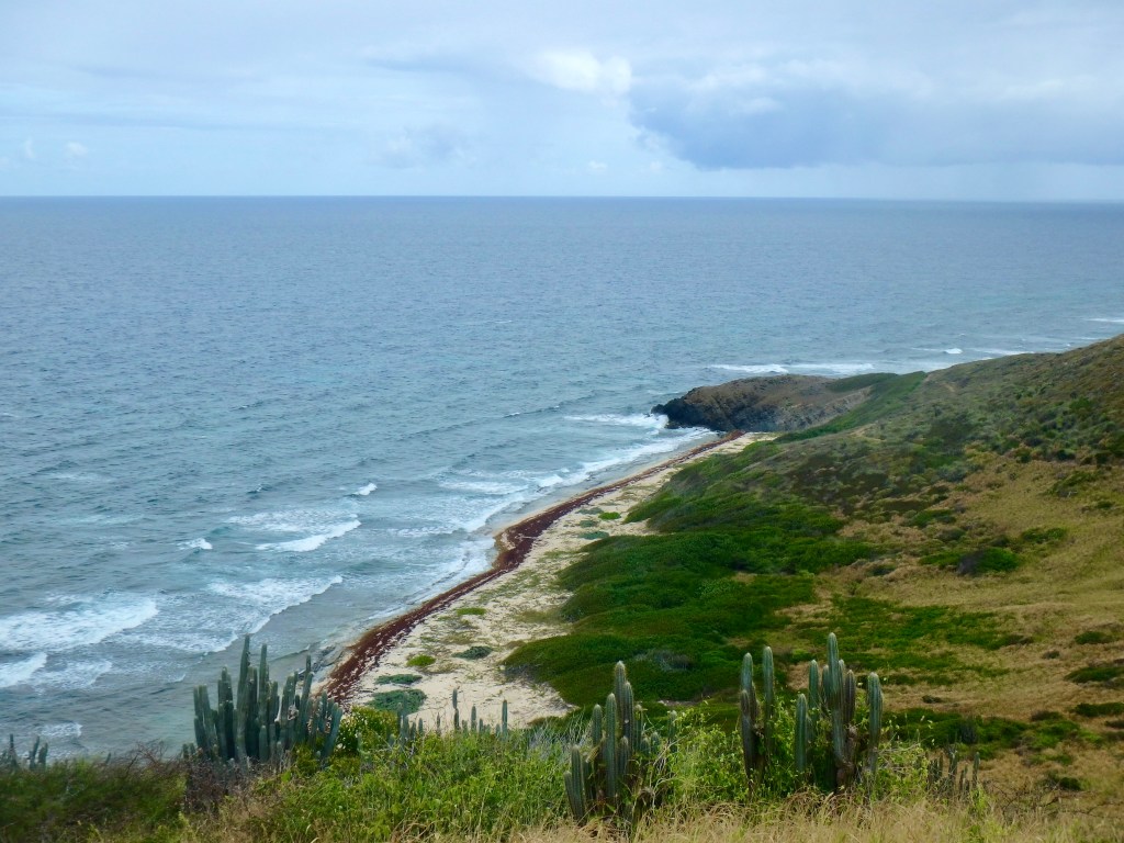
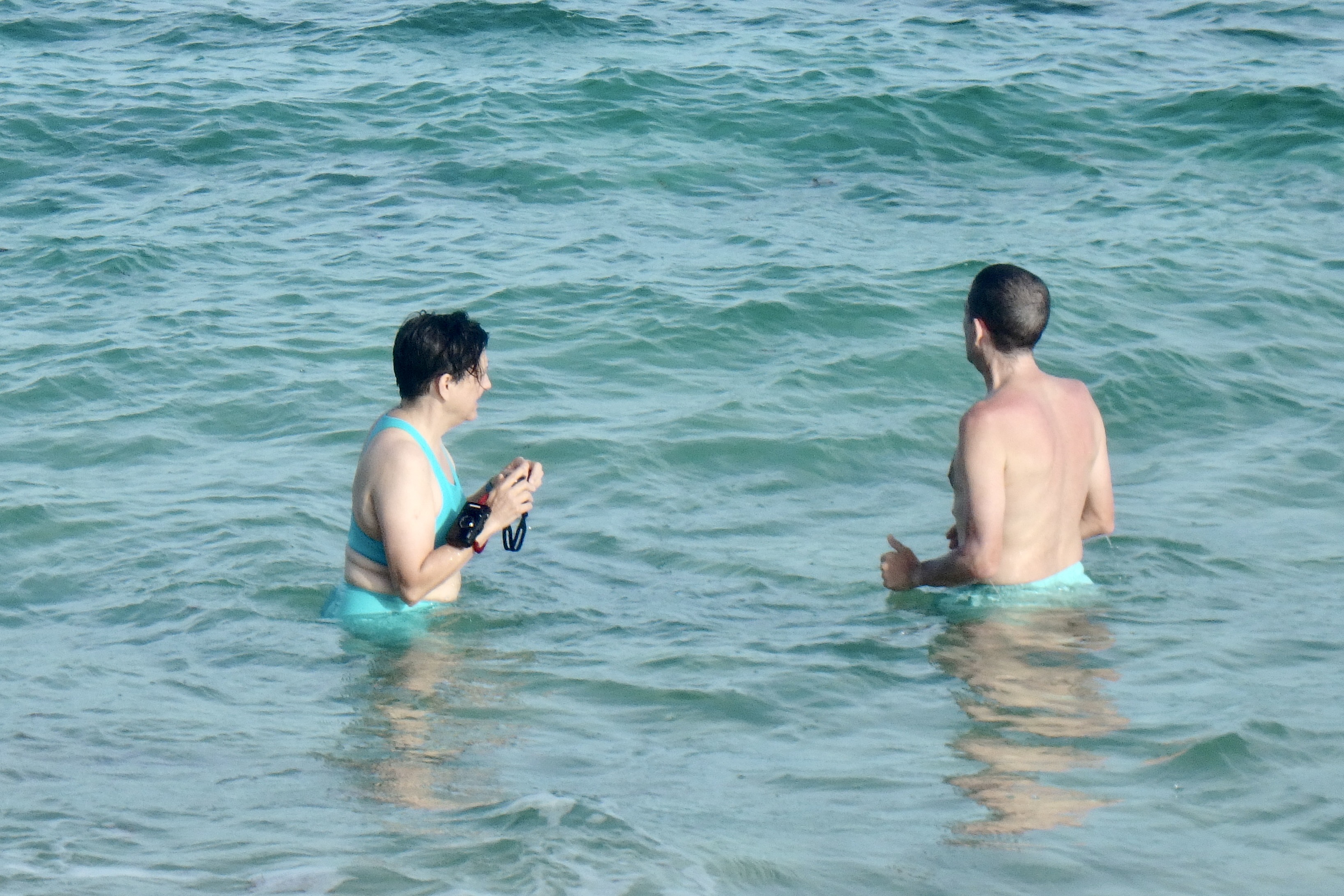
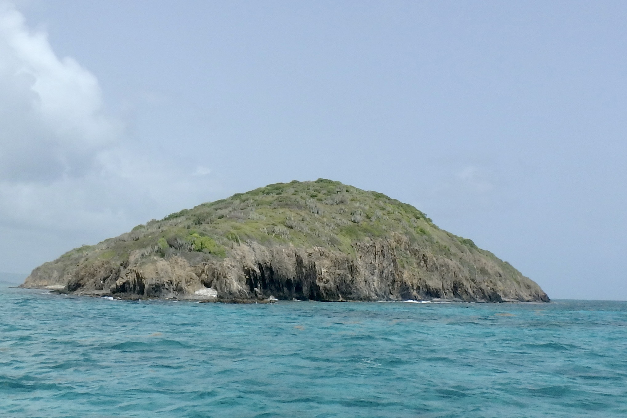
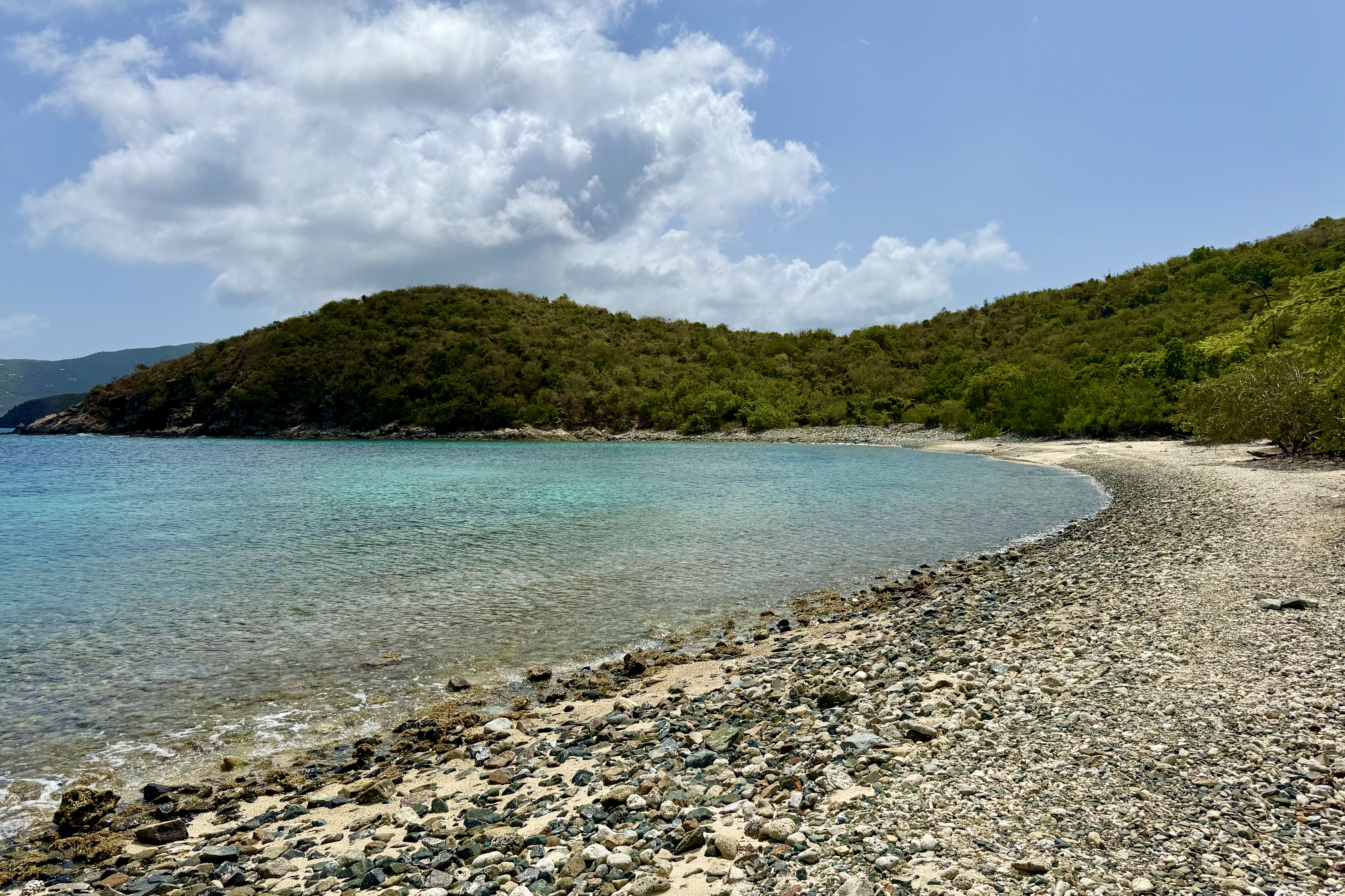
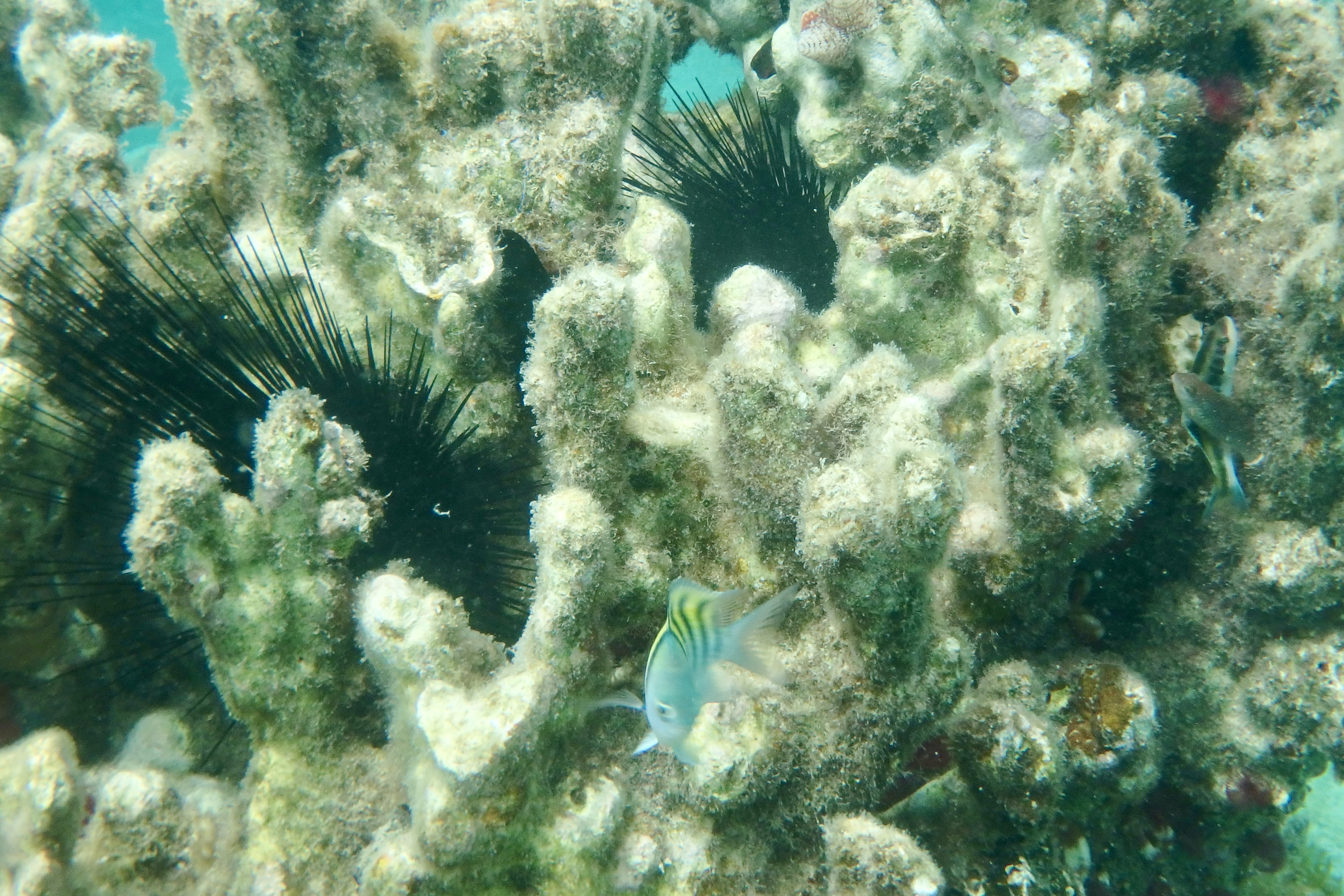
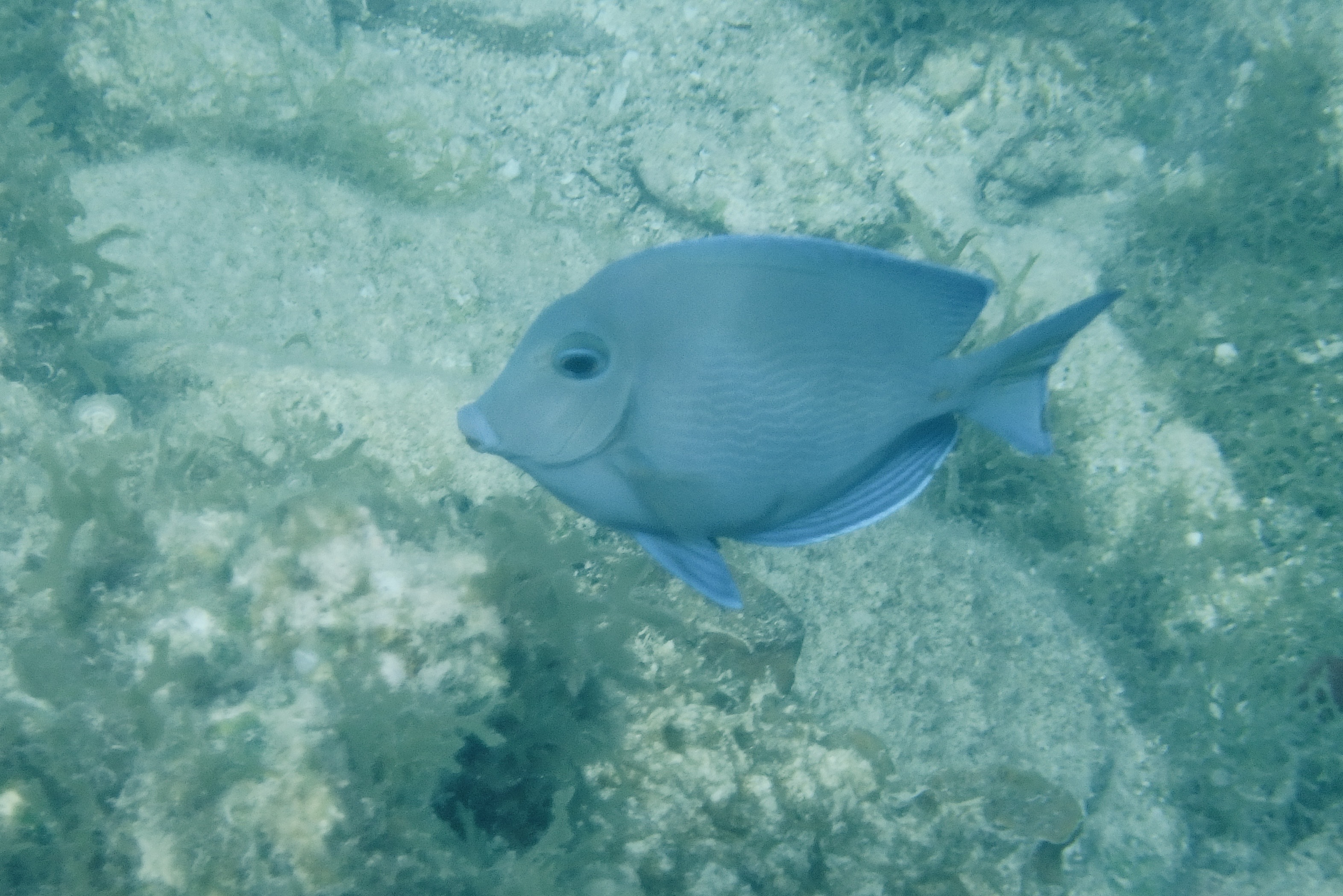
Afterward, we traveled out the East End Road with its potholed roller coaster surface to Haulover Beach. The beach is easily accessible…no long hot sweaty hikes to reach it. It was pebbly and coral strewn and more rugged than other beaches thus not so gentle on the feet when entering the water. But the water was clear, there were few people, and the photo ops abounded. It was a perfect natural aquarium to close out our St. John’s fish safari and coral quest.


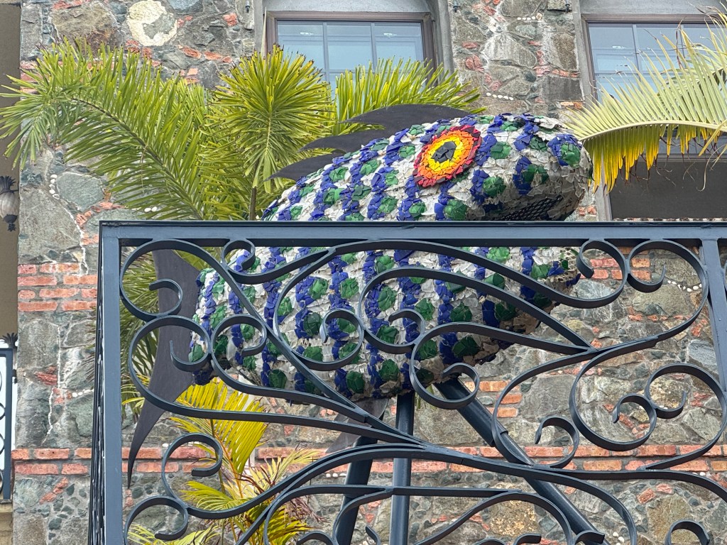
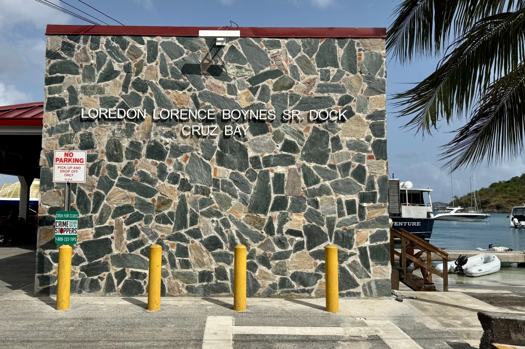
It was now time to return the snorkeling gear in Cruz Bay. As we wandered the dive shop area, we encountered a peacock with its iridescent blue coloring of the upper body and many shades of green in the long tail feathers. Right above it was a playful “Mosaic Fish” with tiles shimmering in similar shades of deep blue and emerald green… all part of the charm of St. John..

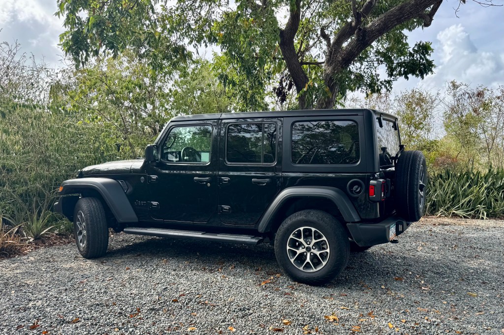
The next hours of the evening and morning were spent preparing to exit the villa and packing up our stuff. For a change I did not accumulate any souvenirs and other stuff and junk to bring home, thus saving myself from any additional dusting chores. So it was: eat the leftovers for dinner, stuff the suitcases, consolidate the garbage, prepare sandwiches for the journey, take more pictures to add to the 565 + pictures I had already taken, take garbage to dump, return the Jeep Wrangler (totally unscathed miraculously), and make our way to the ferry dock.


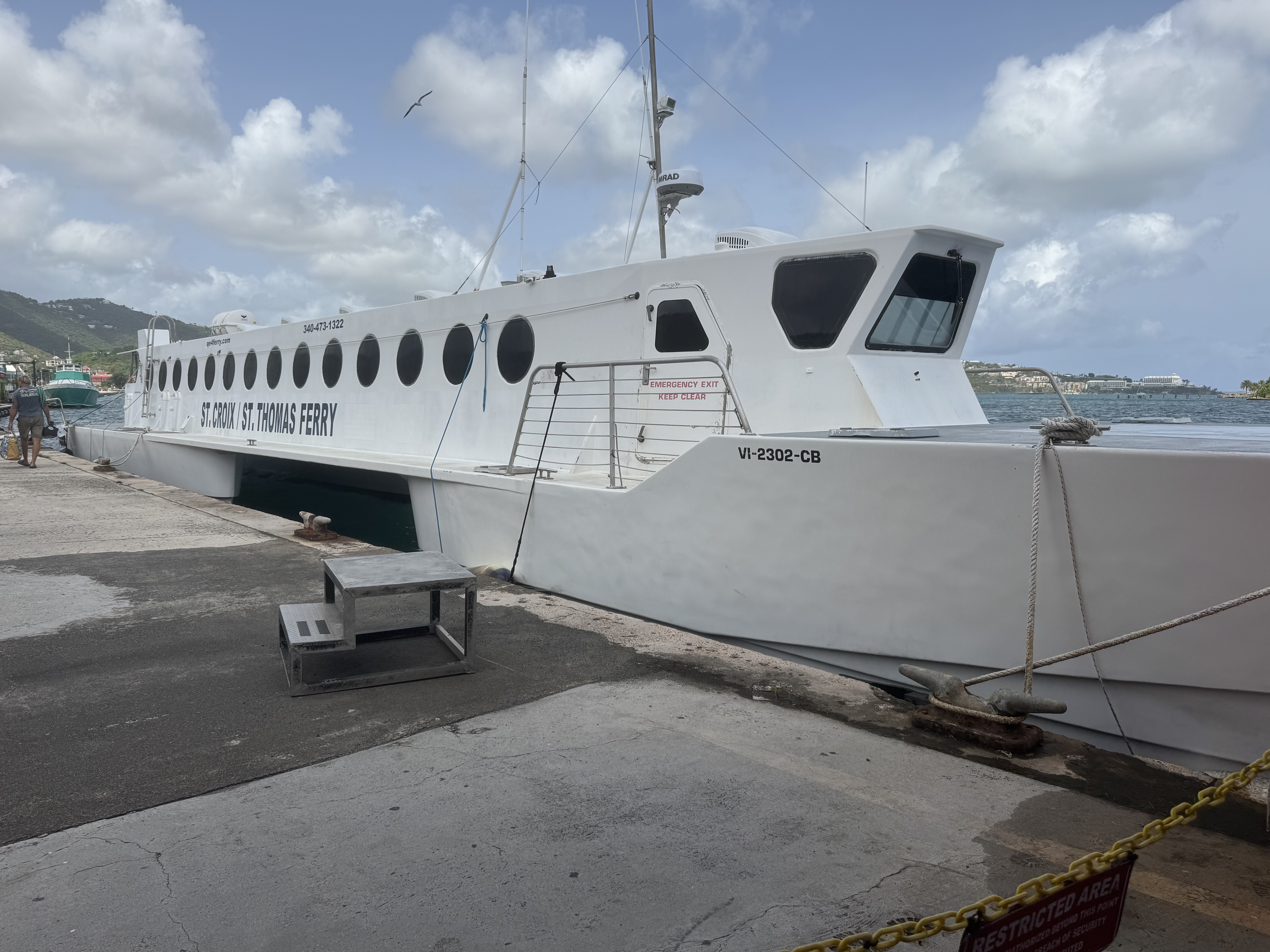
The departure from St. John’s to Red Hook went according to plan. Arriving at ferry dock, luggage in tow, about 45 minutes ahead of time. We settled ourselves in this dockside pavilion and purchased tickets online for ourselves and our bags! As departure neared, the open air “safari taxis” disgorged a crowd of people that began amassing for the 10:00am ferry departure. Nothing was sterile about the atmosphere here. with many colorful locals, travelers from the upscale resorts each toting four of five pieces of luggage, squealing children, and even a few suited business persons. The crew began manhandling and stacking the luggage, all piled in the rear of the ferry with no “ticket” to prove that I had indeed entrusted my luggage to them.


We glided across the turquoise water, a short 20 minute trip to the Red Hook terminal where the communal taxi’s awaited. Once the luggage was retrieved , we joined the ground transportation queue to Cyril E. King Airport for our return trip to Philadelphia. The route was one last seat gripping harrowing experience of hairpin turns and winding mountain roads. The airport is not large or imposing yet funnels thousands through daily and we parked ourselves in the waiting area preparing for our re-entry into “real life”. We mused that in about 7 hours we would be back in Philadelphia. WRONG!
Then the real adventure began. Over the intercom came the announcement that our flight to Miami would be departing a little later than scheduled. With this delay we were fearful of missing our connecting flight in Miami, especially due to a short connection time of 50 minutes. By the time we left however, we had already heard that there would be a delay in the departure time for or Miami Philadelphia flight. I could stop sweating. The flight was uneventful and when we arrived in Miami little did we realize we would have 18+ hours to spare in to make our Philly flight.
Initially the flight delay was about 2 hours so we settled in and made no effort to reschedule the flight. However the departure time kept getting pushed back though the flight was NEVER cancelled and we were subjected to an inordinate amount of boarding time changes. The changes kept coming in with little explanation and we were left totally unsure of whether we should try to rebook, wait at the airport, or get lodging in the area. Miriam attempted the customer service line at the airport but it was 40 people deep . Miriam managed to get us on a stand-by wait list but we already knew finding five open seat was a non-starter. When Nick called AA the telephone queue was lengthy so he left his number as suggested to receive a return call. No return call ever came through. Eventually with the departure time getting later and later and all the attendants had left the gate area, we began to realize we were on our own for the night in Terminal D. . Talk about a stressful, exhausting, discombobulating and baffling experience.
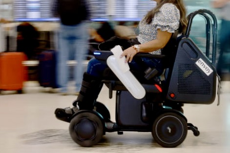
Airports are noisy with their cavernous ceilings and the bustle of travelers shuffling through the corridors, the clatter off the luggage rolling and the chattering voices. But here in Miami there was a new sound, a high pitched beeping of the autonomous wheelchairs roaming about the concourse, a special feature in Terminal D the American Airline’s domain. Modern technology can be a wonder but also a huge annoyance when it beeps, pings, chirps, dings and these wheelchairs cruised about with their nagging beep-beep-beep. Thankfully at some point they were put to bed at their charging station.


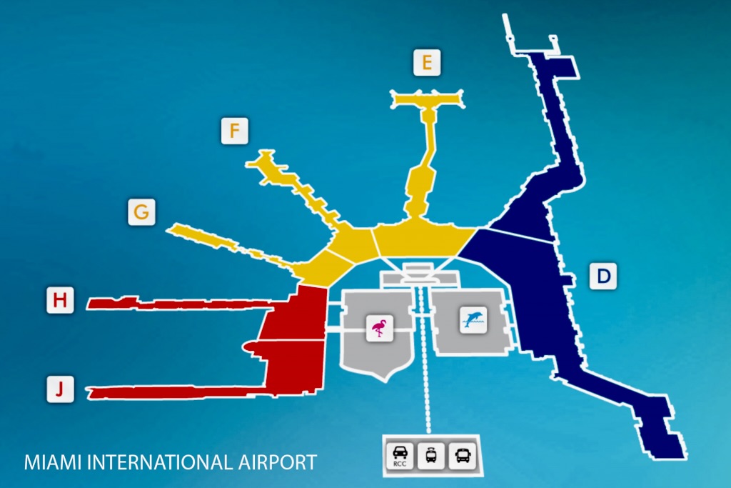
Since we soon realized that all of the shops would be saying goodnight to those stranded, we made our last foray along the corridor to procure the libations we deemed we would need to weather the nighttime in the airport , right there in the eerie “Blue Corridor.” Miami has a color-coded system so the North (D) concourse has a special identity as “Blue.” Yes, dramatic bright blue lighting was bathing terminal D, meant to be aesthetic as well as way finding in this mile long concourse . So unless you are color blind , just follow the lighting you are matched too. . Perhaps they will soon have boarding passes that match the color of your corridor.

Miriam and Luke wandered elsewhere hoping to find a quieter more comfortable place to hopefully sleep rather than on the hard terrazzo airport floor bathed in blue light. Tasia and I appropriated the charging station in our waiting area ensuring limitless iPad power to watch movies in a blue haze. . Could I sleep? The design of the seating precludes comfort.. There is no place to stretch out on the rows of rigid chairs with their immovable dividers and thus precluding any attempt to create a makeshift bed. The only option became the industrial grade floor covering in the waiting area with its dust, dirt, stains allergens and blueness. NOT for me. I figured I would sit the night out watching movies.


About 1:30 in the morning (sleepless in Miami) Nick decided to do a long run of about 4-5 miles. I need not have worried that he would get lost in this cavernous airport because he would be able to find his way back, after running the red and yellow corridors, to the blue corridor.
At some point a text came through that the gate was changed and we then would need to make our way down the concourse to our new gate towards the far end . Thank god for the blue corridor of light or we might have gotten totally lost on this very strait direct passageway to our new blue lighted gate. When an announcement came through that our flight now had a confirmed departure time, a rousing cheer sprung forth from the remaining 50 or so passengers who had not made any other alternative arrangements as they preferred to bask in blue light .