Repeat: Poor Trail Selection

Not to be discouraged by the challenges of the previous day of hiking, I headed out for the Three Sisters —Lava Camp Trailhead. My poor planning skills had once again come through for me.  I had secured a permit to hike in the Central Cascades once again, but somehow failed to notice that the trailhead was 75-miles north  — about an hour and forty five minute drive. A minor detail I had chosen to overlook. Most of the route was on highways I had driven routinely on previous visits so a bit disappointing. But then heading out of Three Sisters towards McKenzie Pass, things got considerably more interesting.  

I would be driving Oregon Route 242, the famously scenic and historic McKenzie Highway —a narrow winding two-lane road that climbs dramatically through the Cascades.  There were elevation changes, switchbacks, and plenty of opportunities to test whether my driving skills were as questionable as my trail-planning skills.

My inner reckless-driver persona was immediately on high alert.  At one  point,  I found myself at the tail end of a conga line of cars, all slow-poking there way along the highway. After watching a couple of good passing opportunities ignored by the other drivers, another nice strait stretch finally appeared.  Apparently my inner race-car driver could take it no longer.  I took my opportunity and sailed  on past the entire procession of nine car with plenty of room to pull back in and continued on my way with no further dawdling drivers.   Fortunately traffic was light. 

The road was spectacular and twisted through lush living forest   and then without much warning, into what I dubbed tree skeleton graveyards — vast stands of burned trees stripped of everything but their trunks and branches. In spots young tree were reclaiming the landscape and beyond that the dark lava fields. It was quite eerie, like driving from one forest to another where the trees had died but forgot to lie down.

I did pause for a brief moment, reconsidering several of my more recent questionable choices. But, of course , I had come all this way, and a little denial kicked in— “It can’t be that bad!” What could possibly go wrong? As an 82 year old woman with osteoporosis , I was perhaps not the most obvious candidate for a hike involving loose uneven volcanic rock. One wrong step, a twisted ankle, or an unexpected tumble could turn this anticipated hike into a disaster. But I had my walking stick, good footwear, an most importantly an impressive ability to convince myself that things would work out. So I parked the car, grabbed my walking stick and headed southeast out on the PCT. Even though the lava looked dangerous. I decided to hike it anyway.

The lava did not disappoint. Every step was precarious, and nearly every rock I considered stepping on seemed determine to shift. For about an hour and 30 minutes I carefully picked my way across the lava, concentrating on every foot placement. Was I having fun yet? Eventually I parked myself on an uncomfortable rock with a tiny bit of shade and ate some lunch. Then it was back across the lava for another hour and 30 minutes. It would be a stretch to claim I covered three miles and that I was having an awesome experience. 


When I finally made it back to the car, a volunteer was there at the trailhead with an assortment of snacks and cold drinks.  This would be one of   the “trail angels” I have heard about who do this to support the PCT thru hikers, but made their bounty available to all.  So I eagerly grabbed a Diet Coke, a welcomed reward for negotiating 3 hours of unstable lava.

Right up the road was another famous attraction: the Dee Wright Observatory a stone structure with no other purpose than to offer panoramic views of the surrounding Cascades. I drove the quarter mile up to it, and then in a moment of profound irony, I tripped on the stairs heading up to the observatory and ripped open my right knee, having successfully negotiated 3 mile of wildly unstable lava without falling, only to injure myself by making a brief misjudgment of the height of a step.I did continue up and into the observatory and then it was time to head back to camp.

BUT, since it was still mid-afternoon and not wanting to miss out on anything notable in this area, I decided to drive to the Lava Lands Visitors Center at Newberry National Volcanic Monument. I can’t say that I was yearning to see more lava. Though I don’t intend to visit all of the national monuments as I have the national parks, if I find myself in the area of one I make a point to visit it, and I definitely was not going to miss out on another trail or two. Perhaps the first sane decision I made was to voluntarily take the bus up to Lava Butte. I hiked the Lava Butte Rim Trail which was a 20 minute 1/2 mile loop and then rode back down. The other option would have been to hike the red cinder Lava Butte Road for a 3.5 mile round trip and  I thought I deserved kudos for that current sanity. I was going to head towards the car but I saw a sign for the Trail of the Molten Lava ( a one-mile paved path in full sun on a 90 degree afternoon leading into a lava field ) and I  thought “Well why not?” So I “proudly” added another 1.5 miles to my am mileage which was 3.38 miles.


Why might you ask would someone who had almost wrecked her body negotiating the lava fields of McKenzie Pass decided to walk another trail into a field of lava simply because it was paved? Actually it probably was the only field of lava trail I should have considered hiked in the first place.

Does any of this sound like someone who has a PhD in mental health counseling? Apparently, possessing a PhD in understanding human behavior does not necessarily mean that one understands their own!

Finally at 4:45 I admitted defeat – or perhaps recognized that even I had my limits – and headed back to camp.
No Fish on This Reef, Escalante Needs an Escalator, and Hoodoos Shooting Skyward

I got on the road late morning from Gunnison CO and selected a longer but designated scenic highway to Arches National Park. With minimal traffic, I at times felt like I was the sole individual who preferred to drive scenic highways. There can be such joy in the journey and this day was joyful.

The route put me on Interstate 70 for about 40 miles and per usual I was grateful to get on a beautiful secondary road, one of those roads on my AAA maps marked with ………… designating it as awesome scenery. It would take me through Capitol Reef National Park and Grand Staircase Escalante National Monument. I had visited Capitol Reef in 2016 so opted for a cruise through its magnificence on the way to Bryce via Utah scenic byway 12, aka “Wild Roads.” Escalante was new territory.

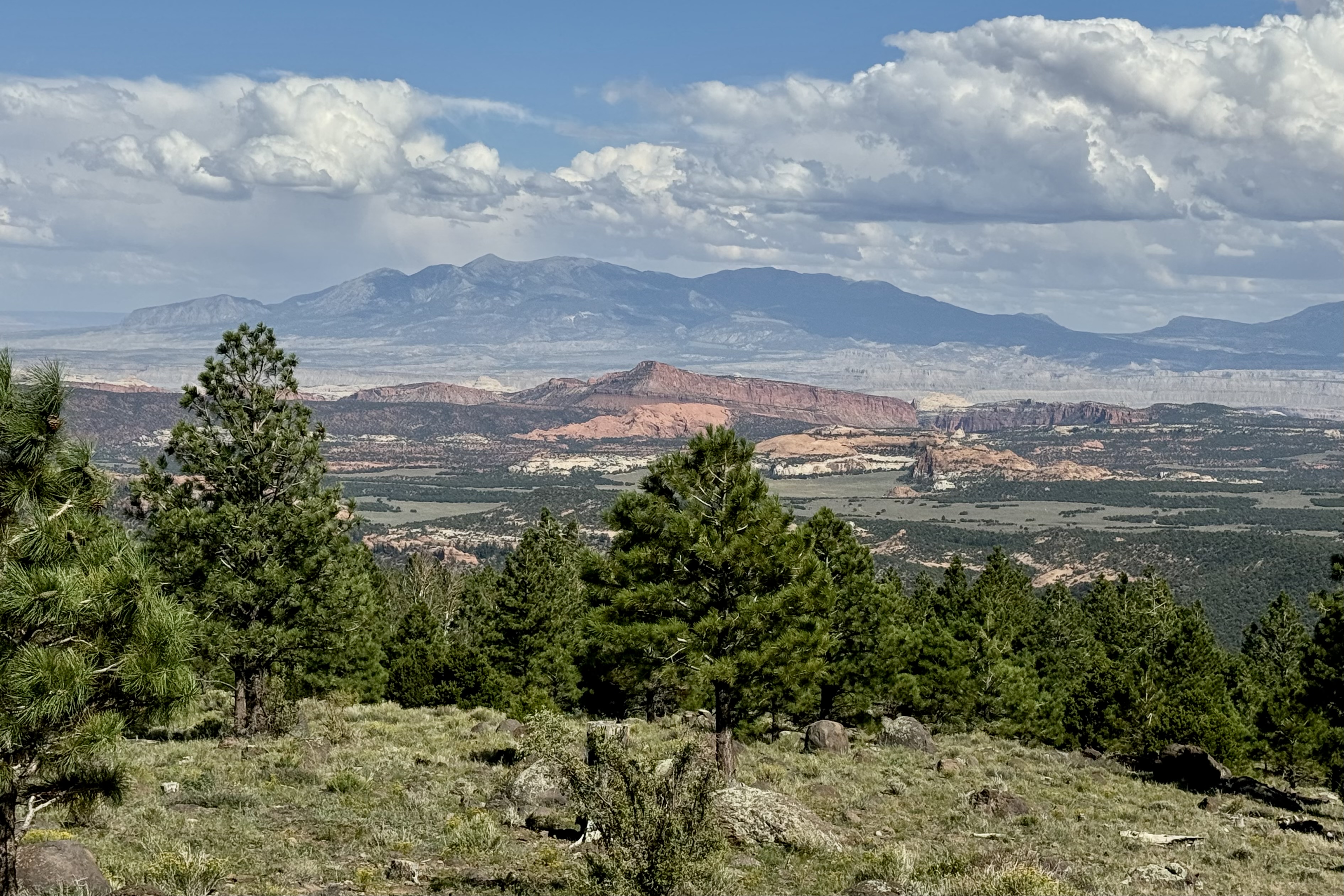
Scenic Byway UT-24 (also named Capitol Reef Country Scenic Byway) is more than just a sneak preview to the equally scenic and incredible UT-12. From Hanksville to Torrey on the far side of Capitol Reef National Park, the panoramas and the artists’ palette that painted this area was splendorous. It seemed we had gone mostly from the red “hot” spectrum of colors to a “cold” array of the grey and chocolate hues of our nature world.

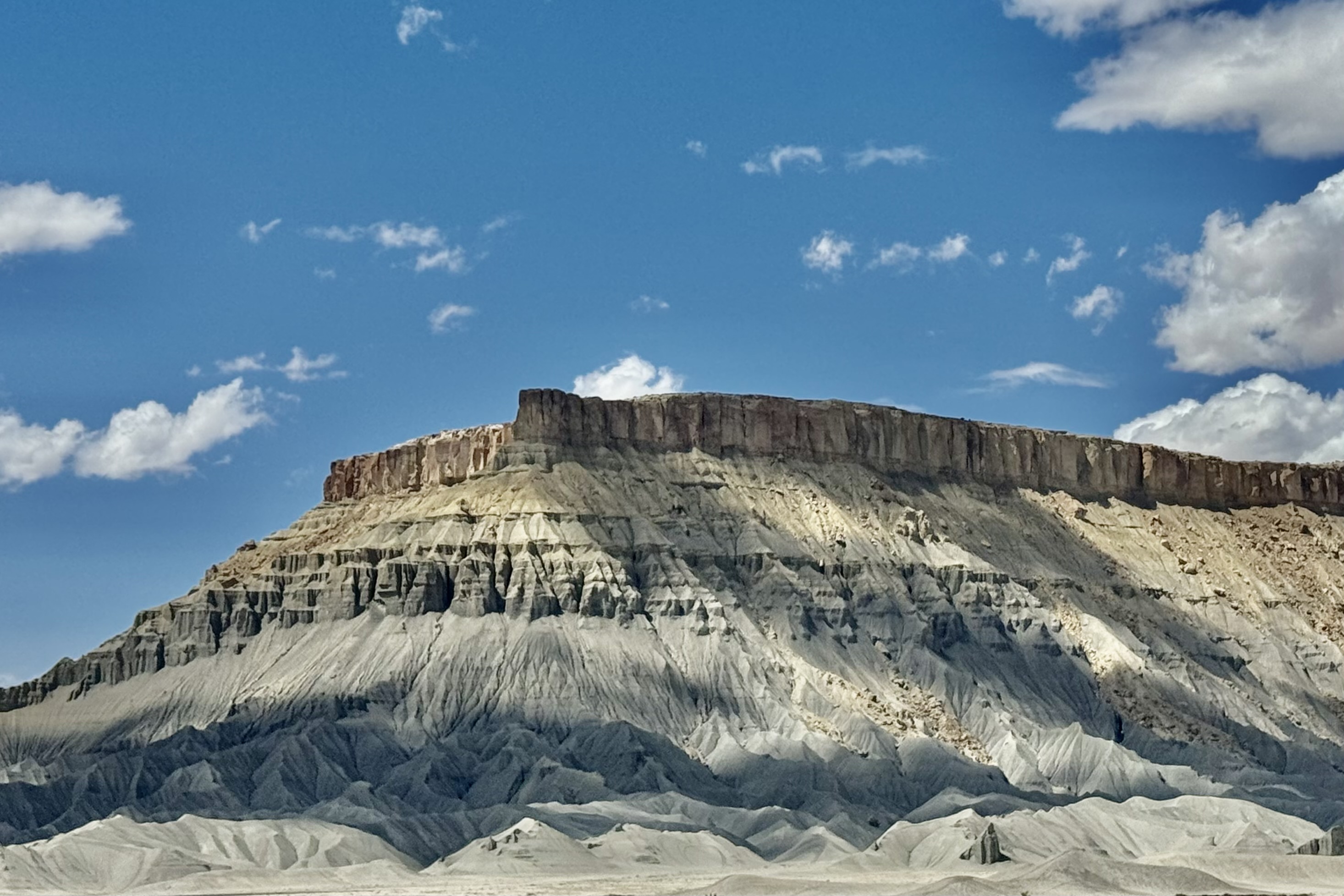
The scenery really been to pop around Hanksville, along the Route UT-24 . Factory Butte was grand and was a kaleidoscope of what might be termed as cold colors . Here there is a little something for everybody. Swing Arm City, near Caineville is an OVH recreational area which is intended for off-road vehicles (such 4×4, dune buggies, motocross bikes) but is open to all vehicles. I only drove in a few hundred feet ( there is no road marked) but it felt surreal and a bit like a lunar landscape, with the Factory Butte and the North Caineville Mesa on the horizon.

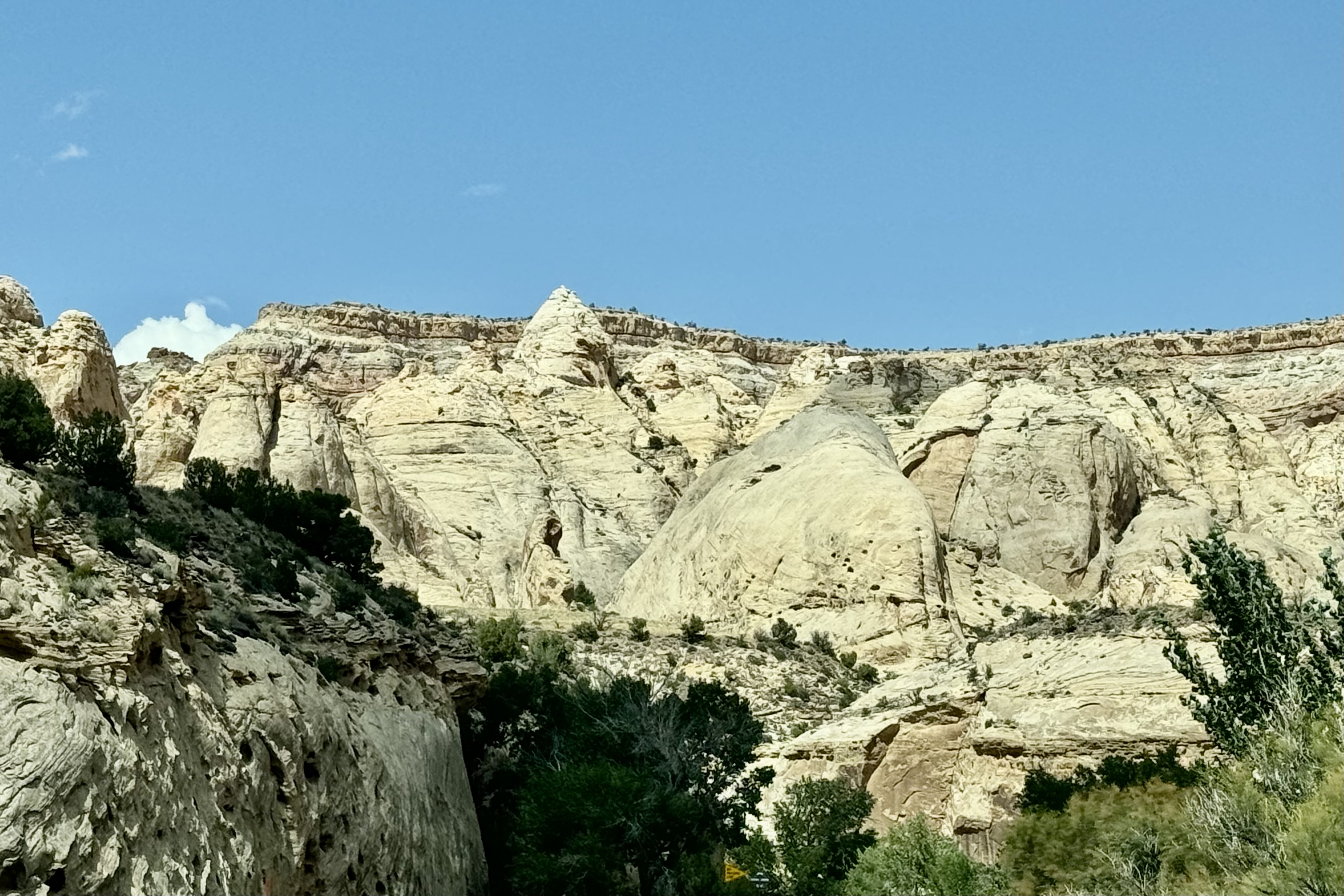
Heading into Capitol Reef, via the eastern entrance , the light blue, greenish-gray, and off-white tones of the sedimentary rocks was quite remarkable but I also found the solution cavities in these roc k surfaces ( known as honeycomb weathering) notable. These surface holes are caused by the weathering effects of wind, water, and ice but they are only surface.

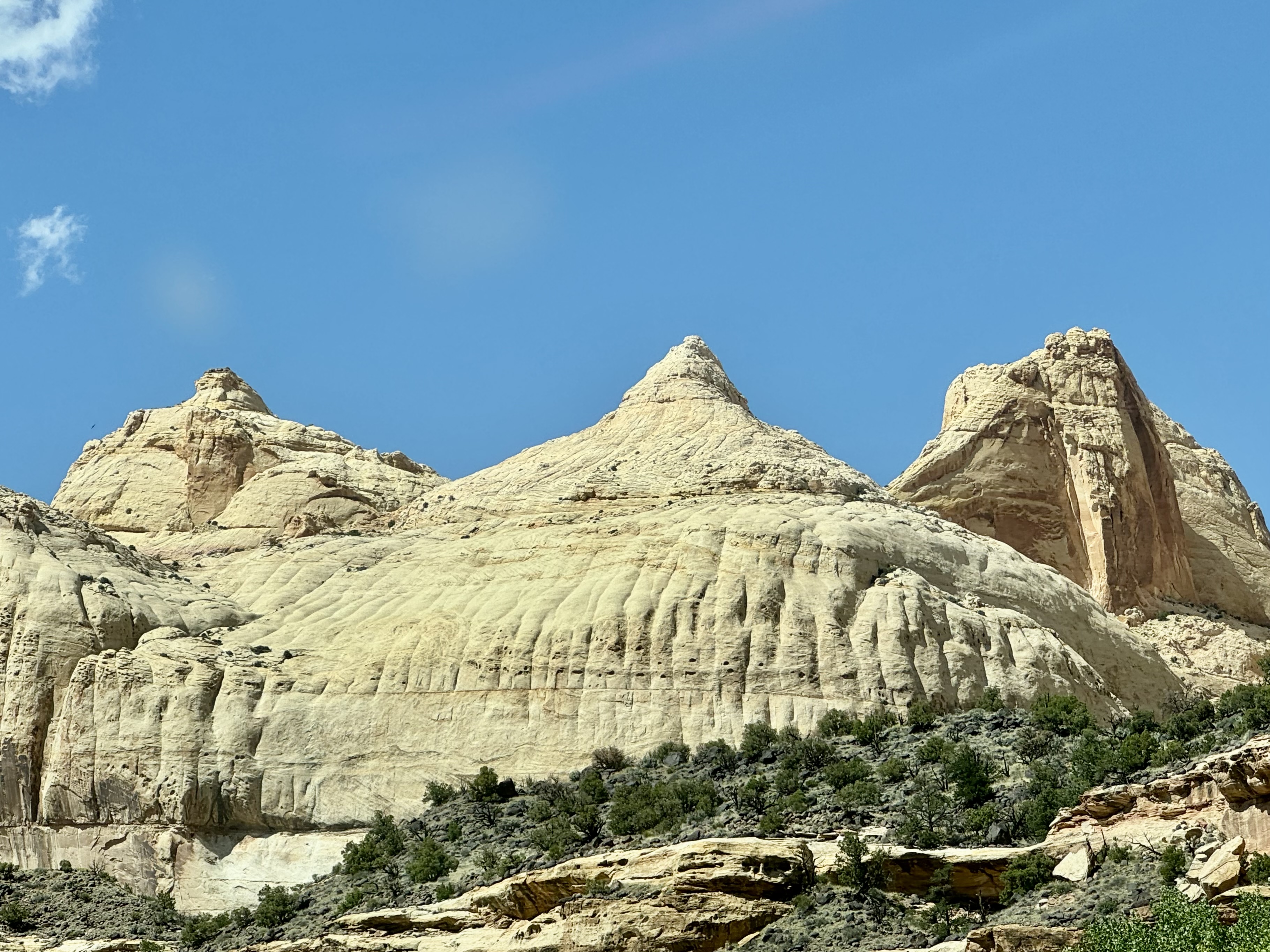
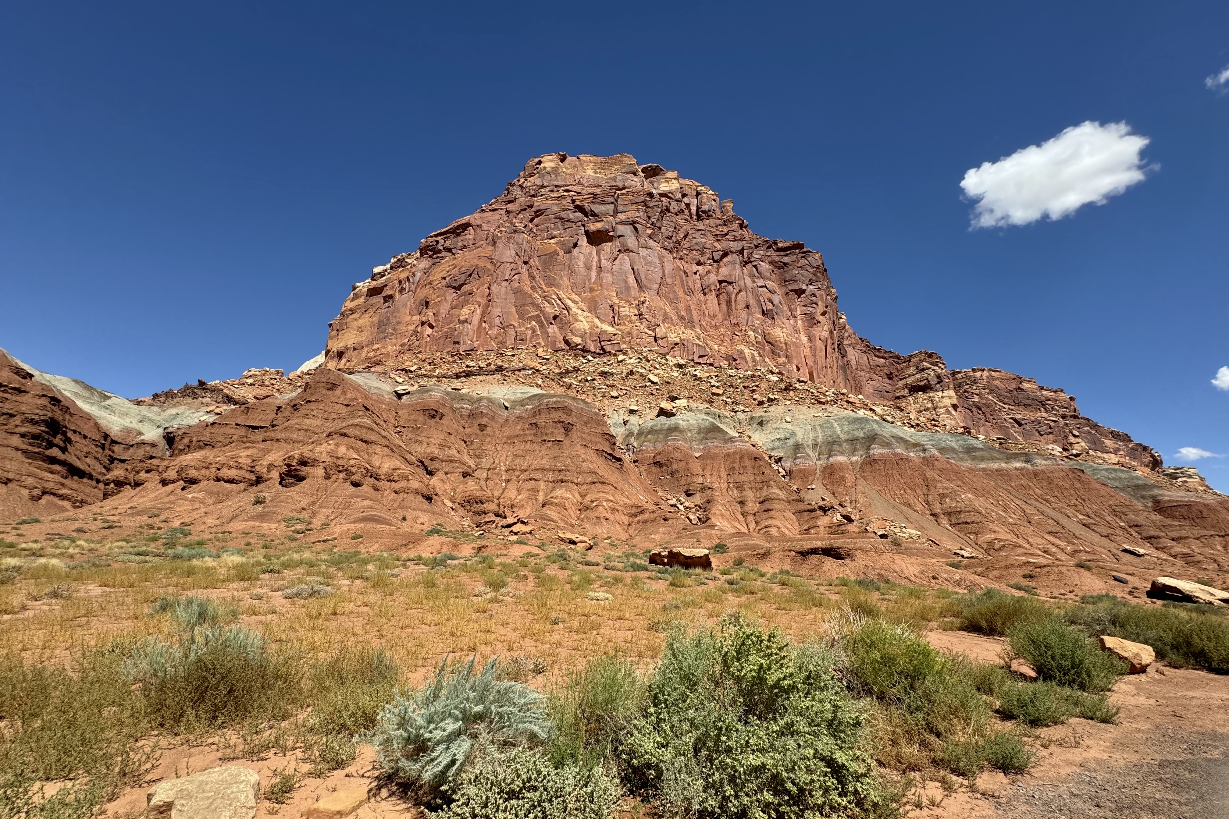
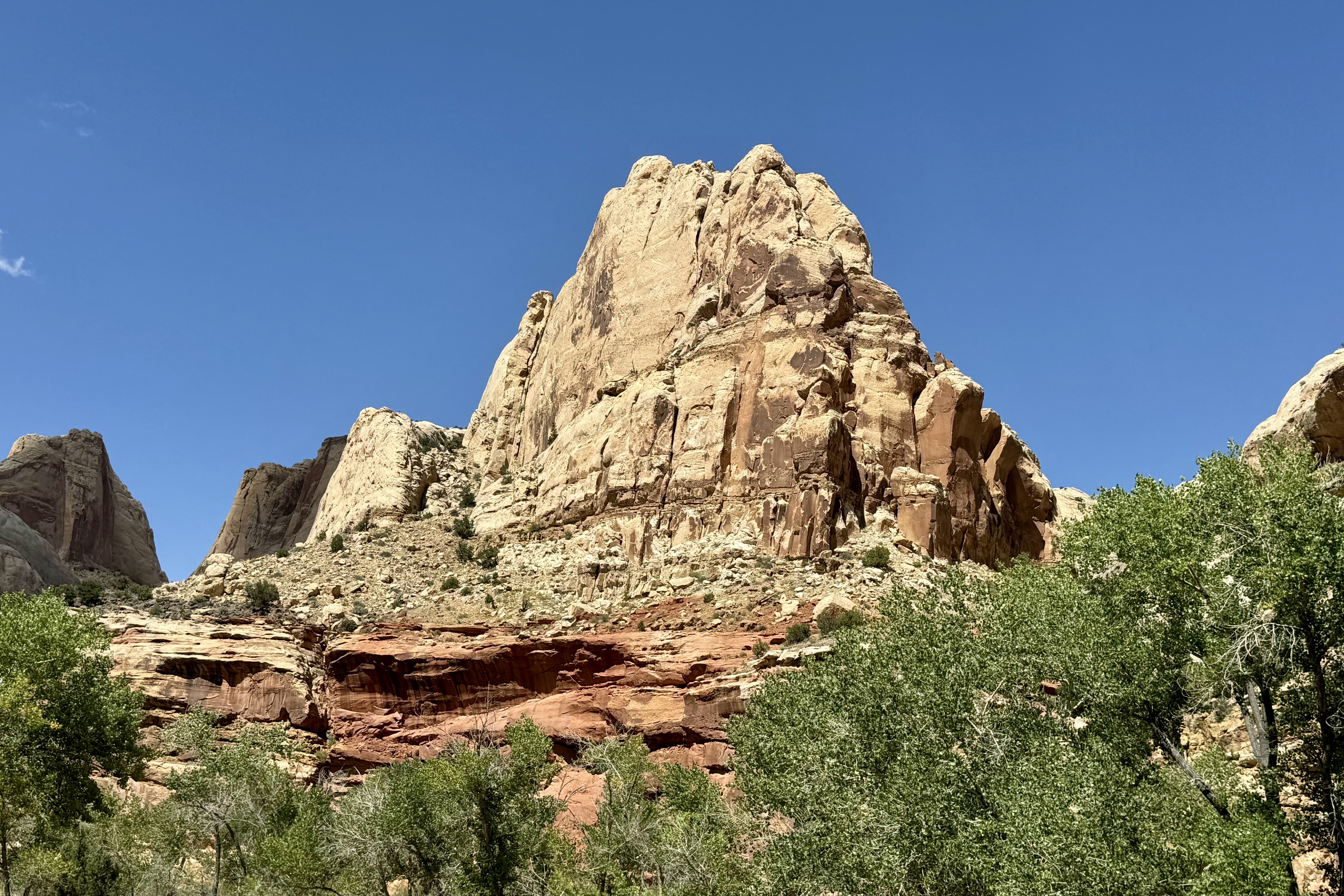
But it wasn’t long before the vermillion, white, red and pink sandstone formations that are so prominent in most of the southwestern parks began appearing in grand style – one after another, like models on the runway strutting their stuff. Disappointedly , the scenic drive within the park was closed for road work but clearly there was still plenty of scenery..

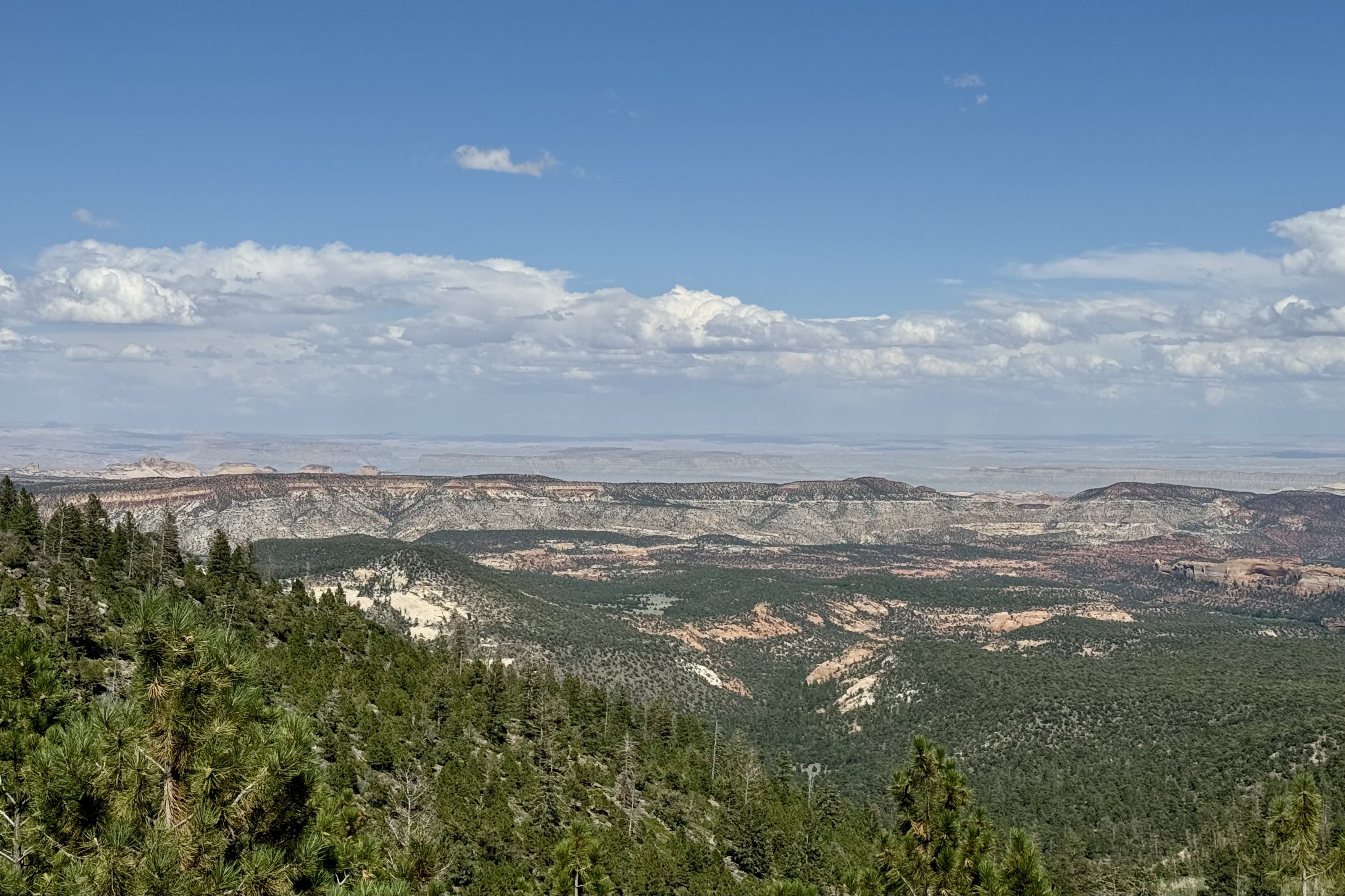
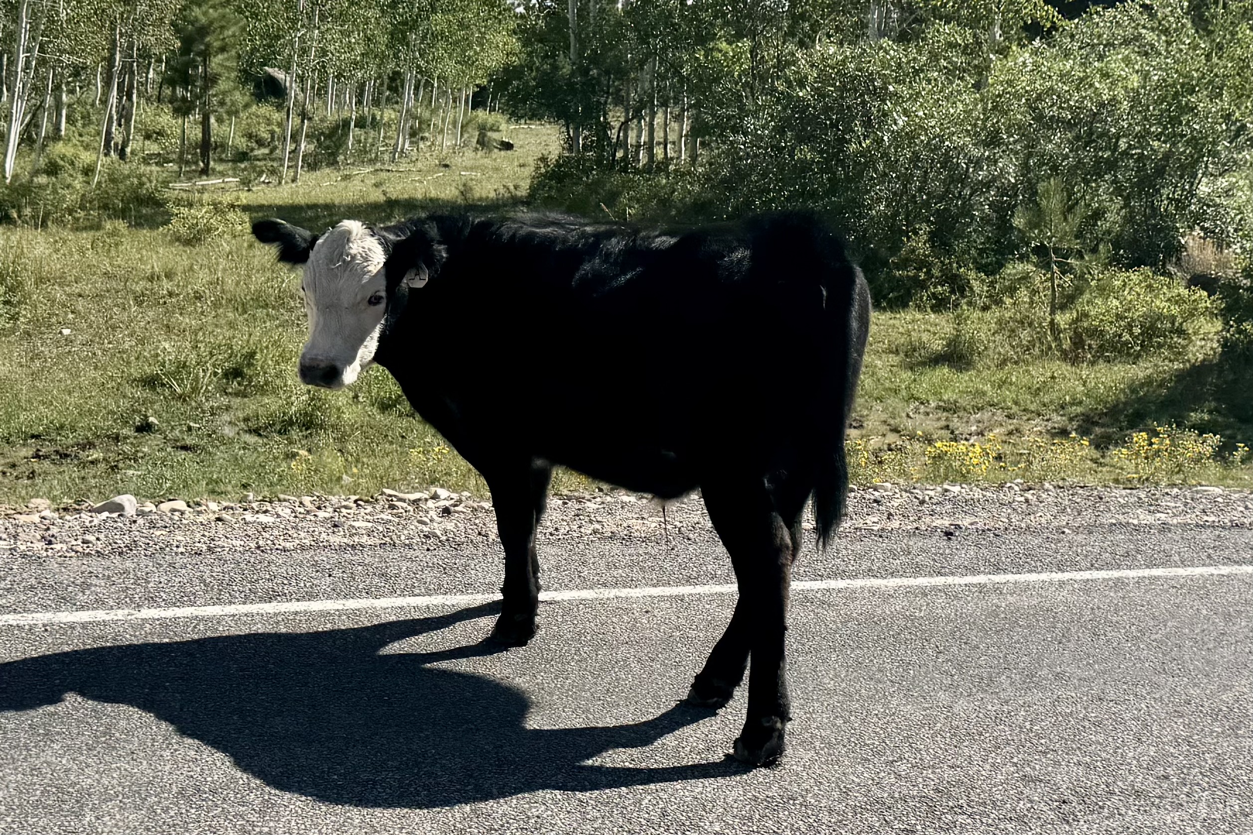
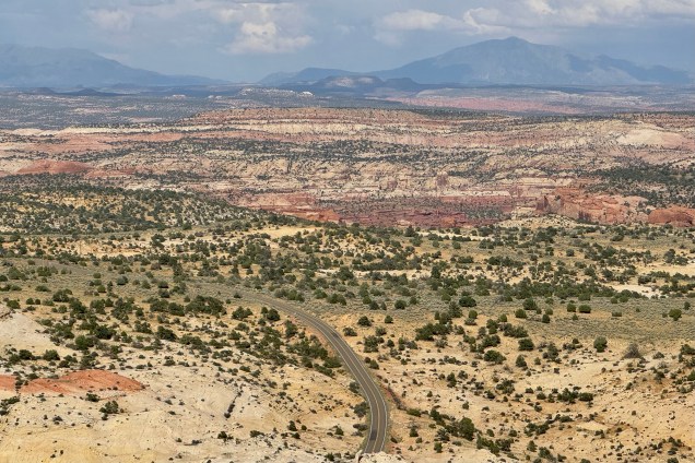
Heading south from Torrey to Boulder Utah , it was a delight traveling on UT12, as the road ascended through the Dixie National Forest with numerous vista points along the route and to add a bit of fun, it was open range in which cattle are permitted to roamed. .. and that they did. It was 124 miles of scenic exhilaration. .

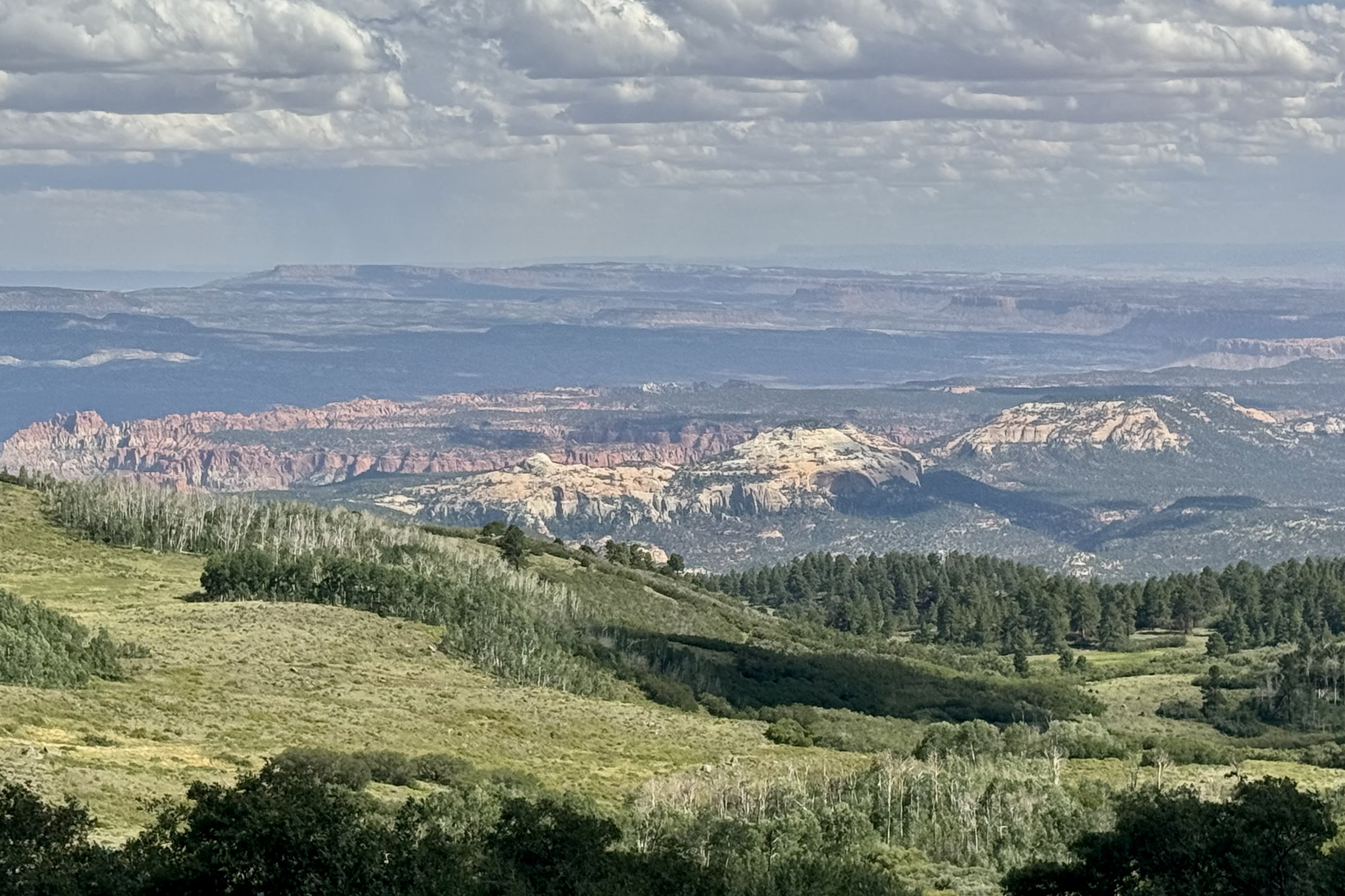
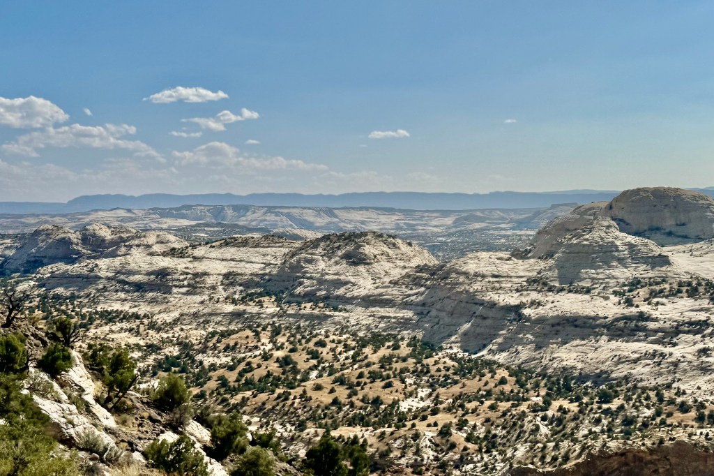
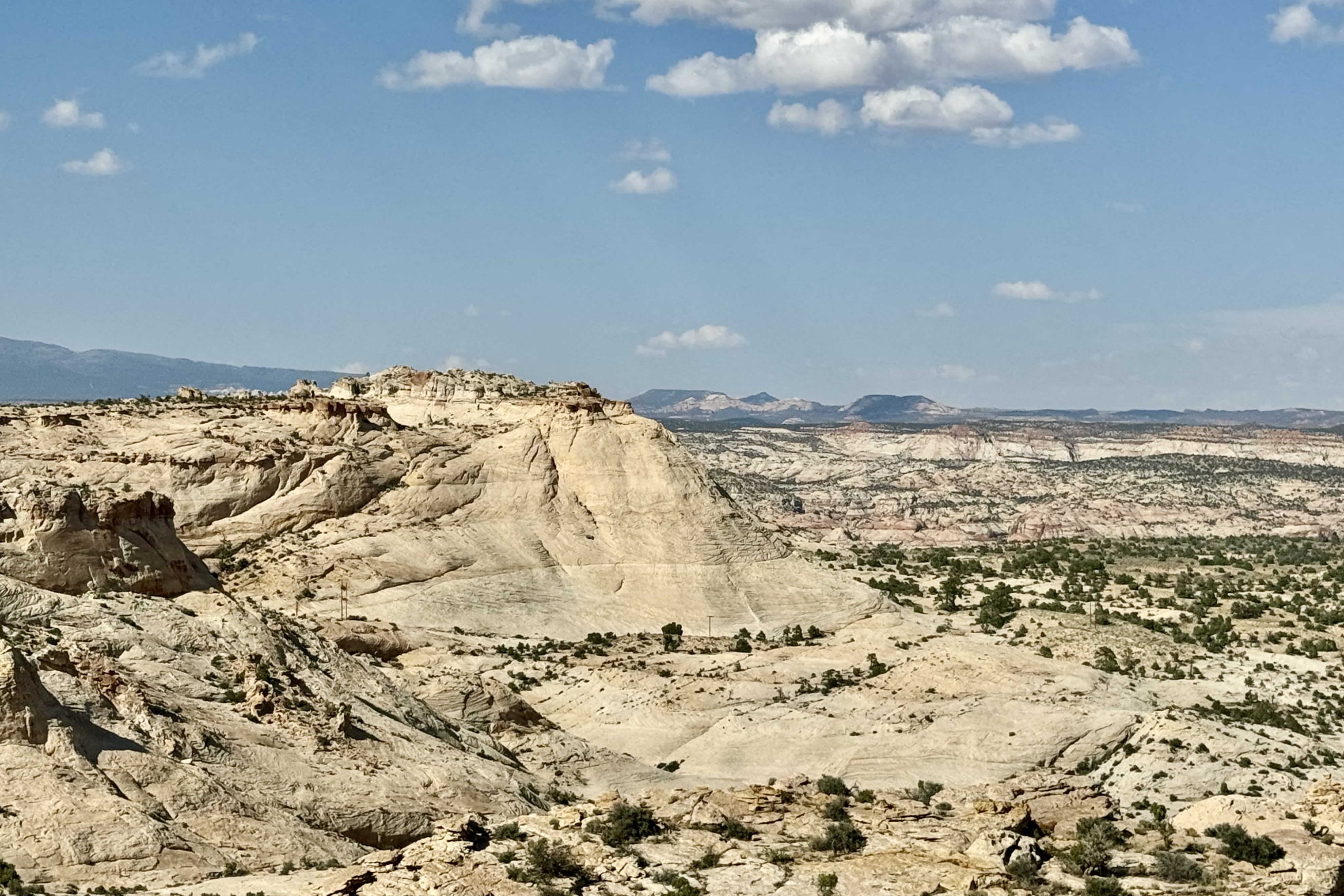
Once south of Boulder , the diversity of landscape again was evident as I began driving through Grand Staircase Escalante National Monument. This remote section of Utah is a vast and austere landscape with extensive expanses of grey-green photo-hungry rock-forms. I gladly obliged its photo thirst.

If you have followed my travels, you will certainly comprehend why this was “the magic kingdom” experience to satisfy my driving bliss which occurs when traveling twisting , curving roads with switchbacks and hairpin turns. The breathtaking overlooks, sweeping views, and steep inclines pushed my adrenaline into overdrive.

A stop at the Head of the Rocks Overlook was a must. The big sky views over the Grand Staircase Escalante National Monuments showcased this slick rock terrain in its fashionable shades of white, pink, vermillion, tan, chocolate , and grey.

I was in no rush to get to Bryce as I was staying in The Lodge at Bryce Canyon, on a mesa near the canyon rim, and hence no camp set-up or meal prep. I was DONE camping for this trip. Finally I pulled in around 6:30 feeling totally sated by the Capitol Reef and Grand Staircase smorgasbord. After the desk clerk arranged for a ground floor room (since I had been assigned 2nd floor with no elevator), I received all the necessary instructions including the time to go to Sunset Point for sunrise and Sunrise point for sunset. Figure that one out? After checking into my room, I decided on a brief walk along the canyon rim as the sun was beginning its downward slide.

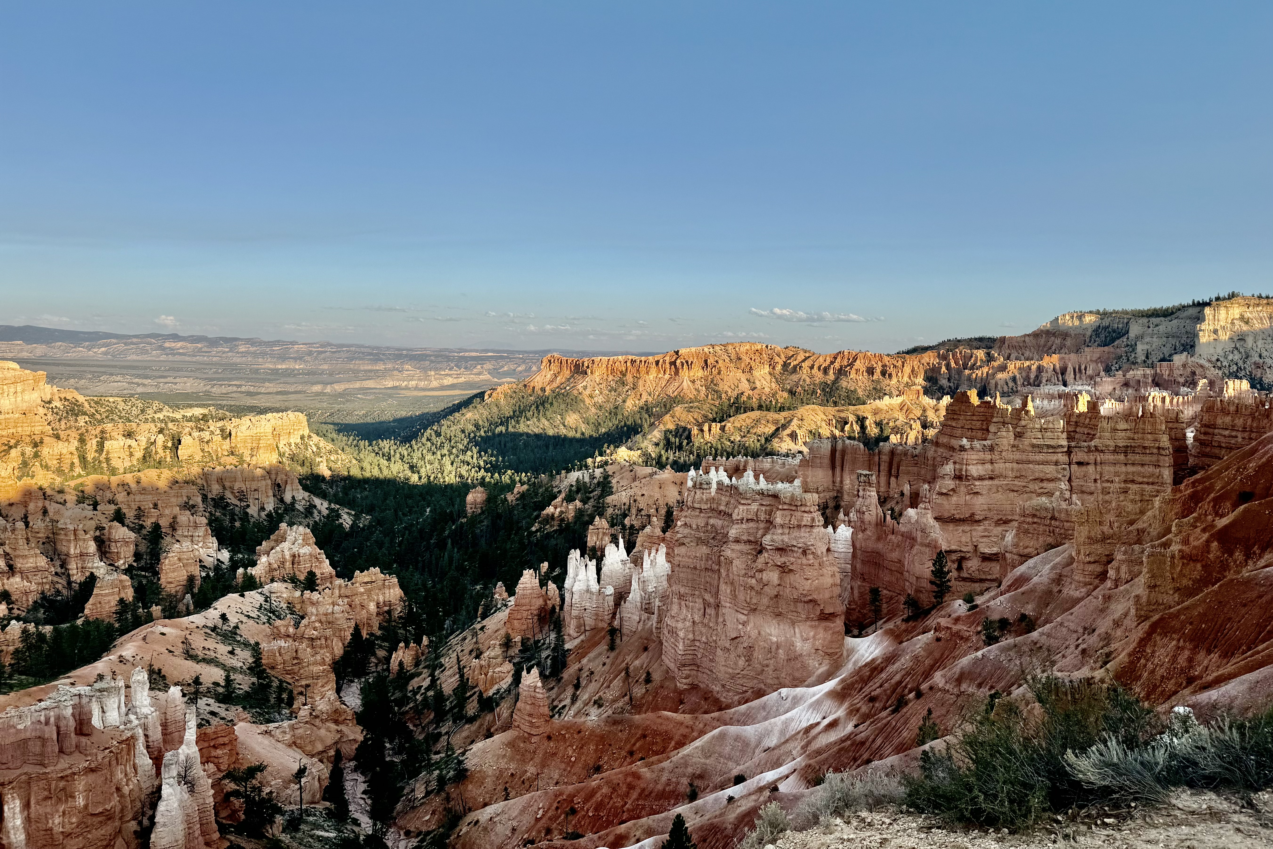
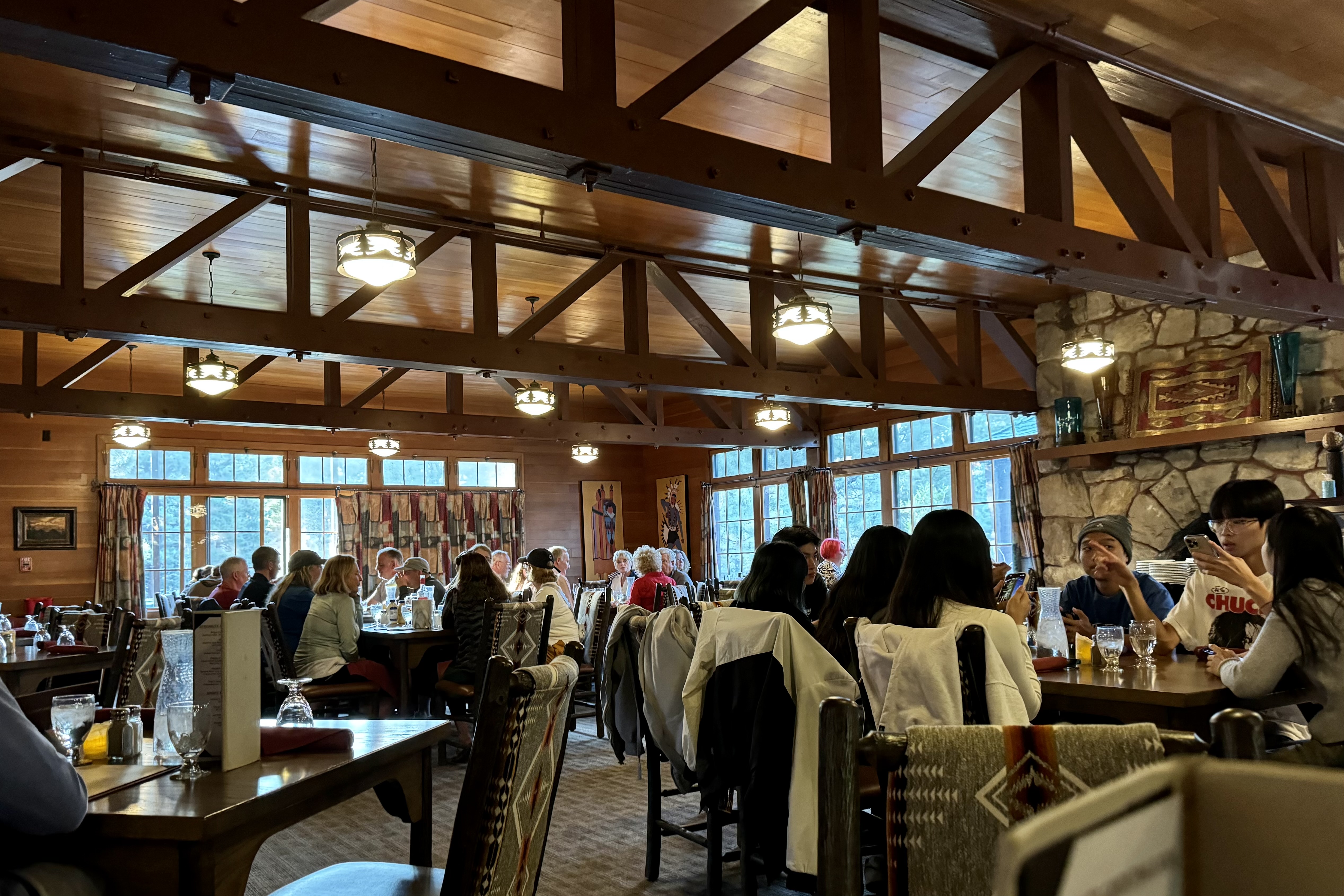
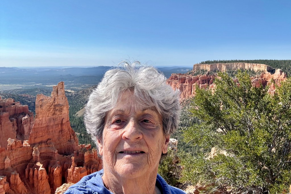
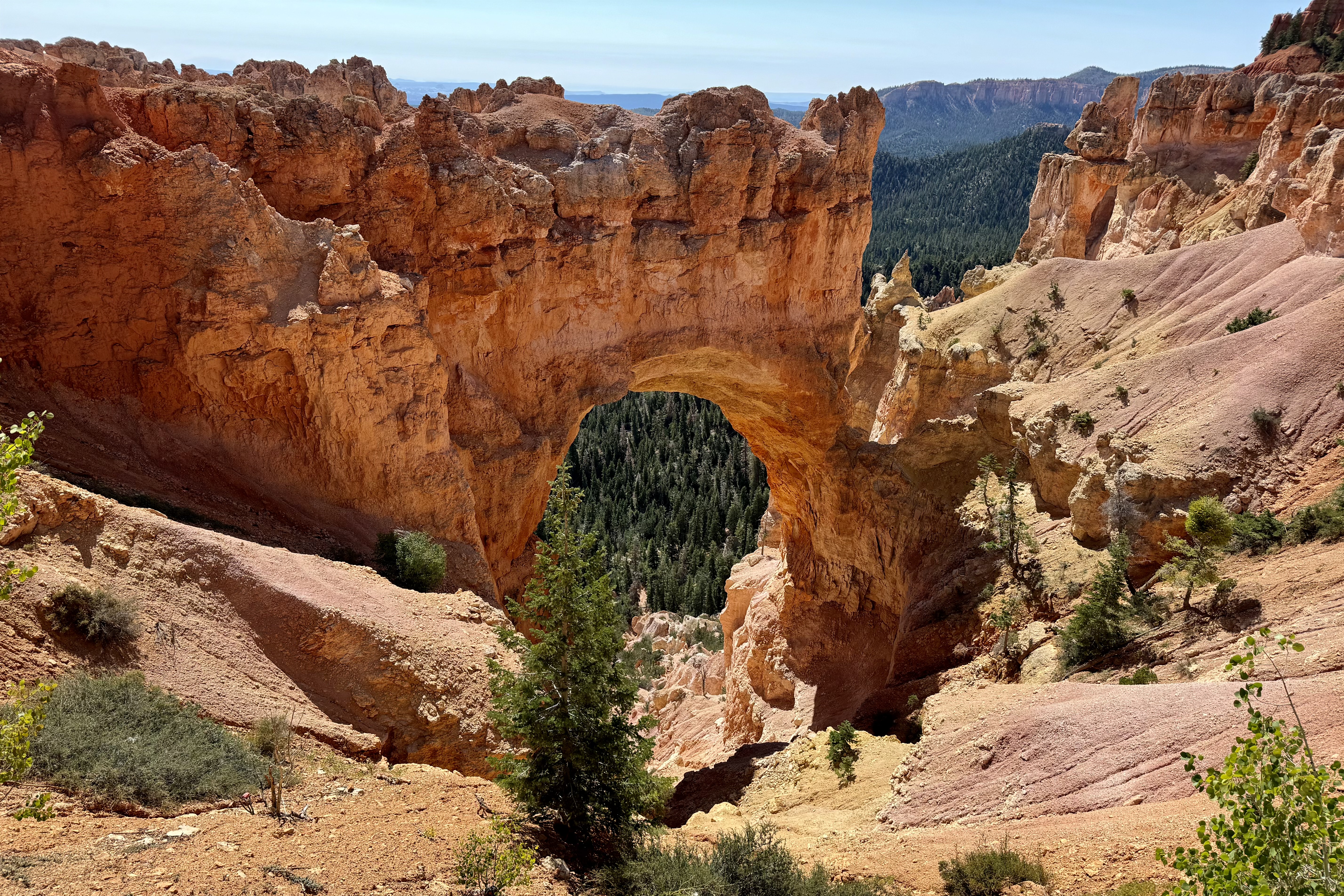
Though I have visited and hiked in Bryce before, my first look was of enchantment and awe. I proceeded to dinner in the Lodge dining room (mediocre) and then a rest up for a fairyland adventure on the ‘morrow.

This rustic lodge like many of the other historic park lodges is constructed of milled timbers, steeply pitched roofs, and extensive stonework. There is the large lobby for socializing, stone fireplaces, and a large dining room. Unlike many NP Hotels, there was internet service but true to form no televisions in the room or cable service…all intended to promote socializing and experiencing the natural world..

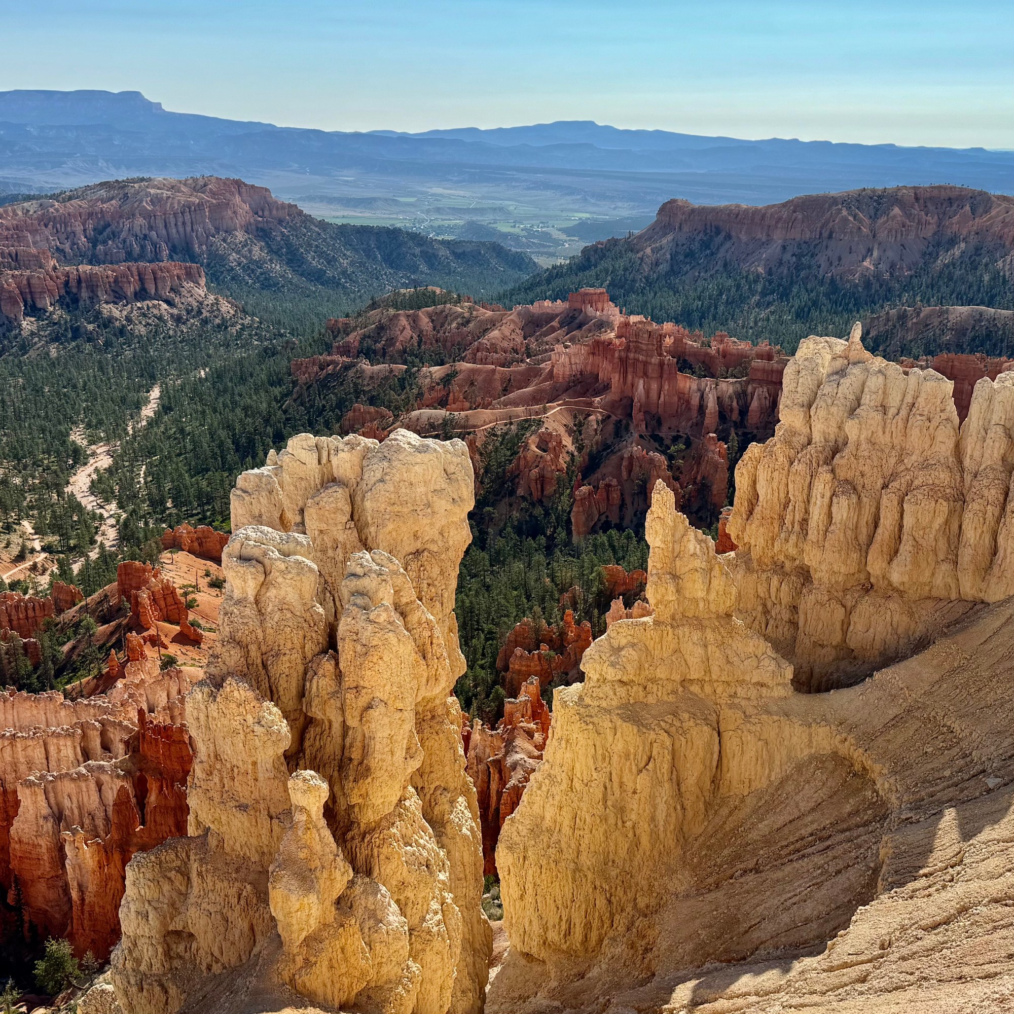
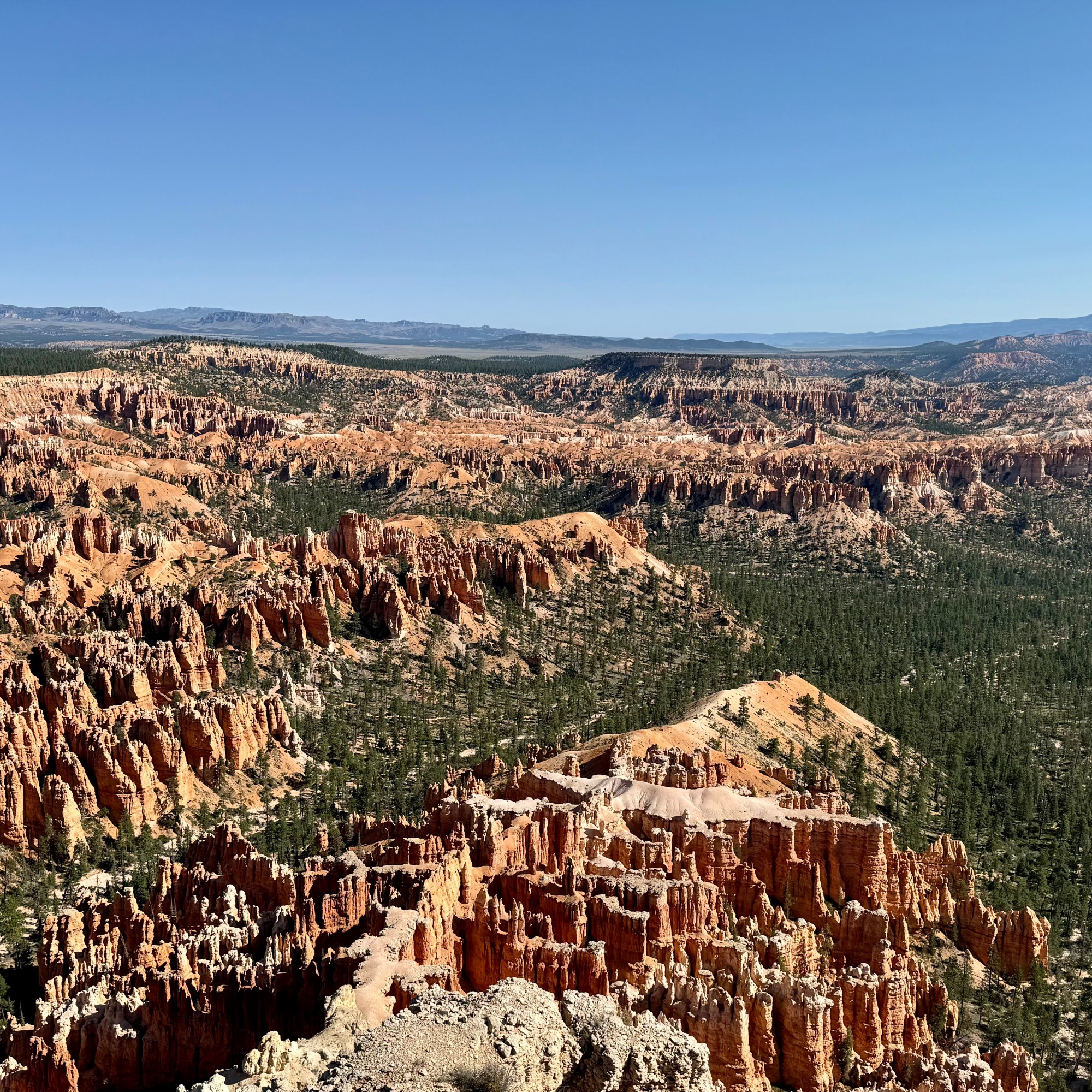
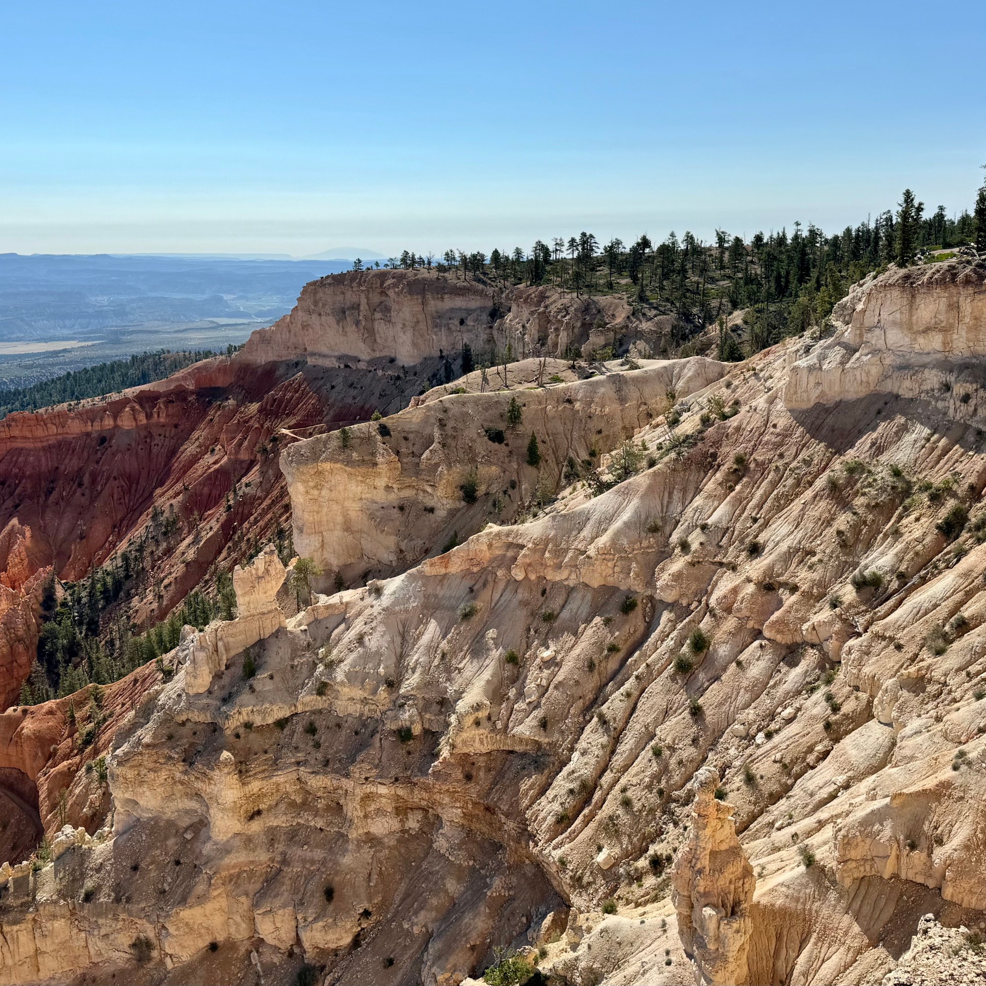
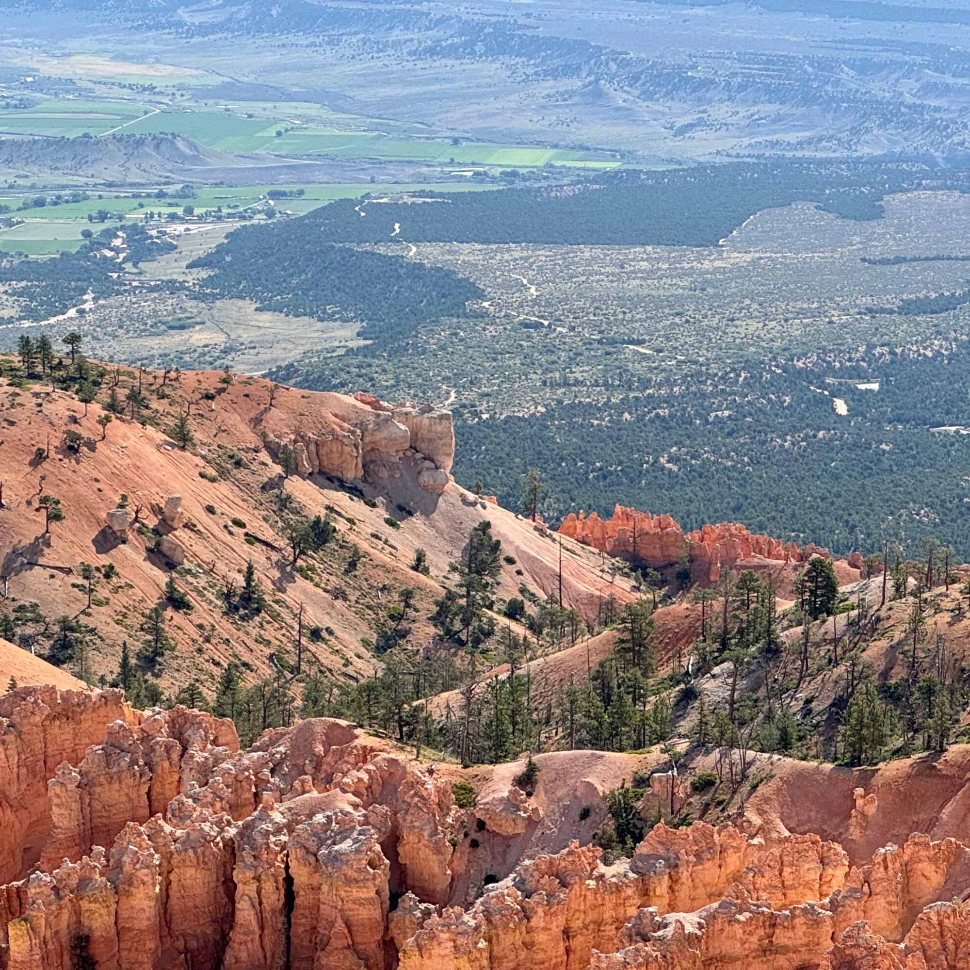
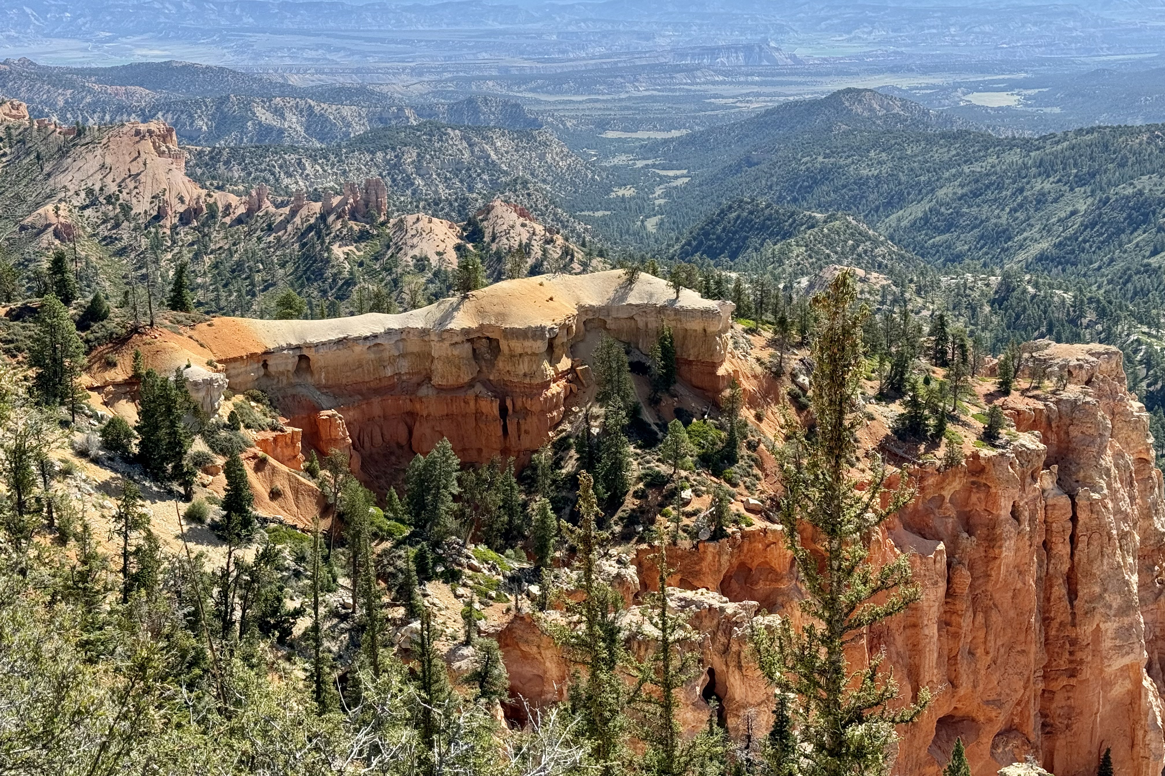
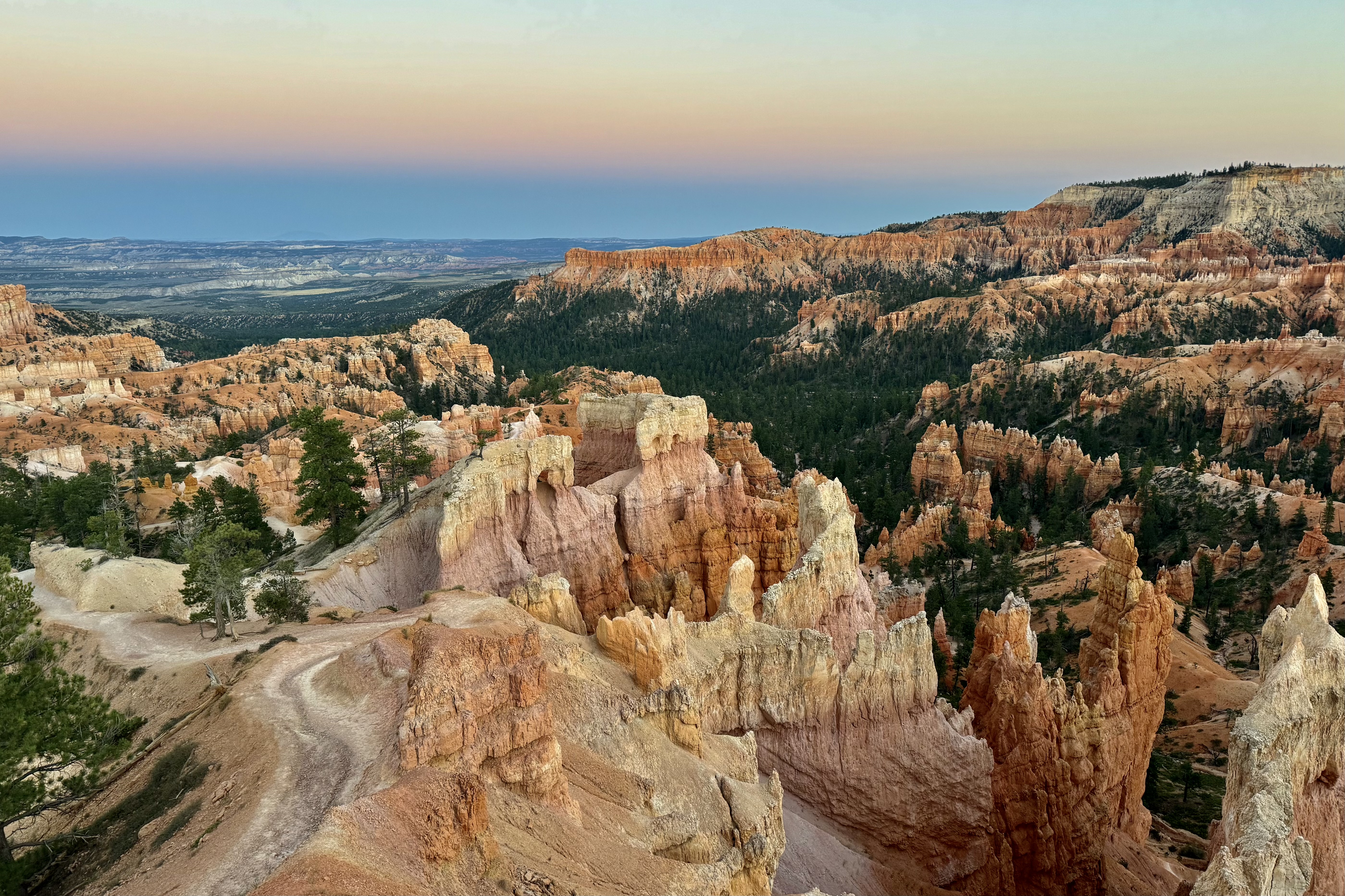
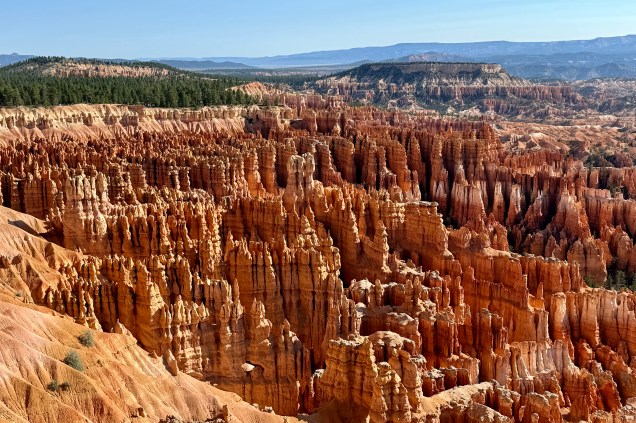
If you can imagine rocks as a lyrical poem or dance between weathering and erosion, you might be imagining the process that creates these unique shafts of rock that grow skyward from the bottom of the basin in Bryce to the tip of the hoodoos. Hoodoo means to bewitch! These shafts are so enchanting that they evoked in me a steady stream of wonder and amazement at the deep reds, soft pinks, oranges and creams of these sentinels.

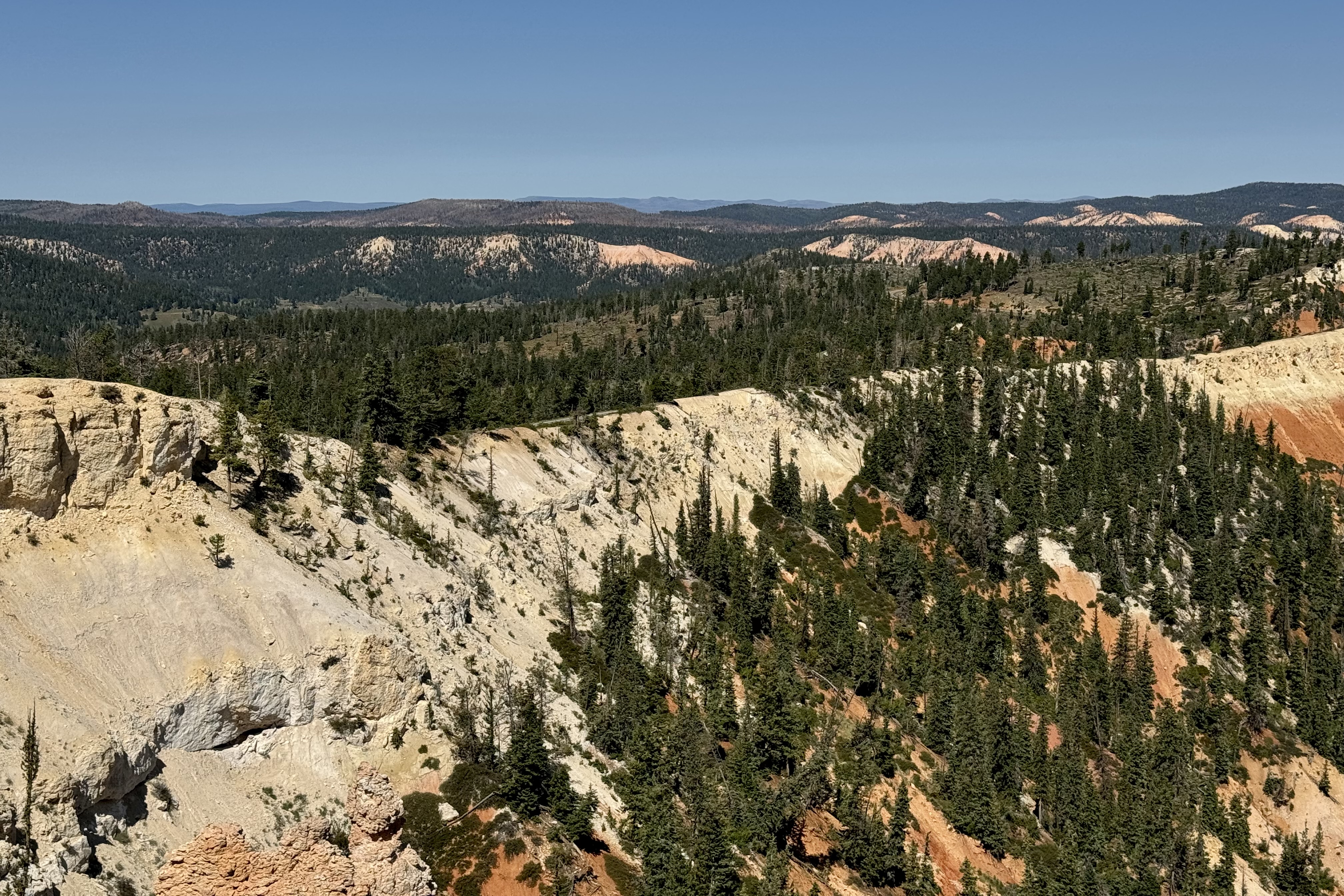
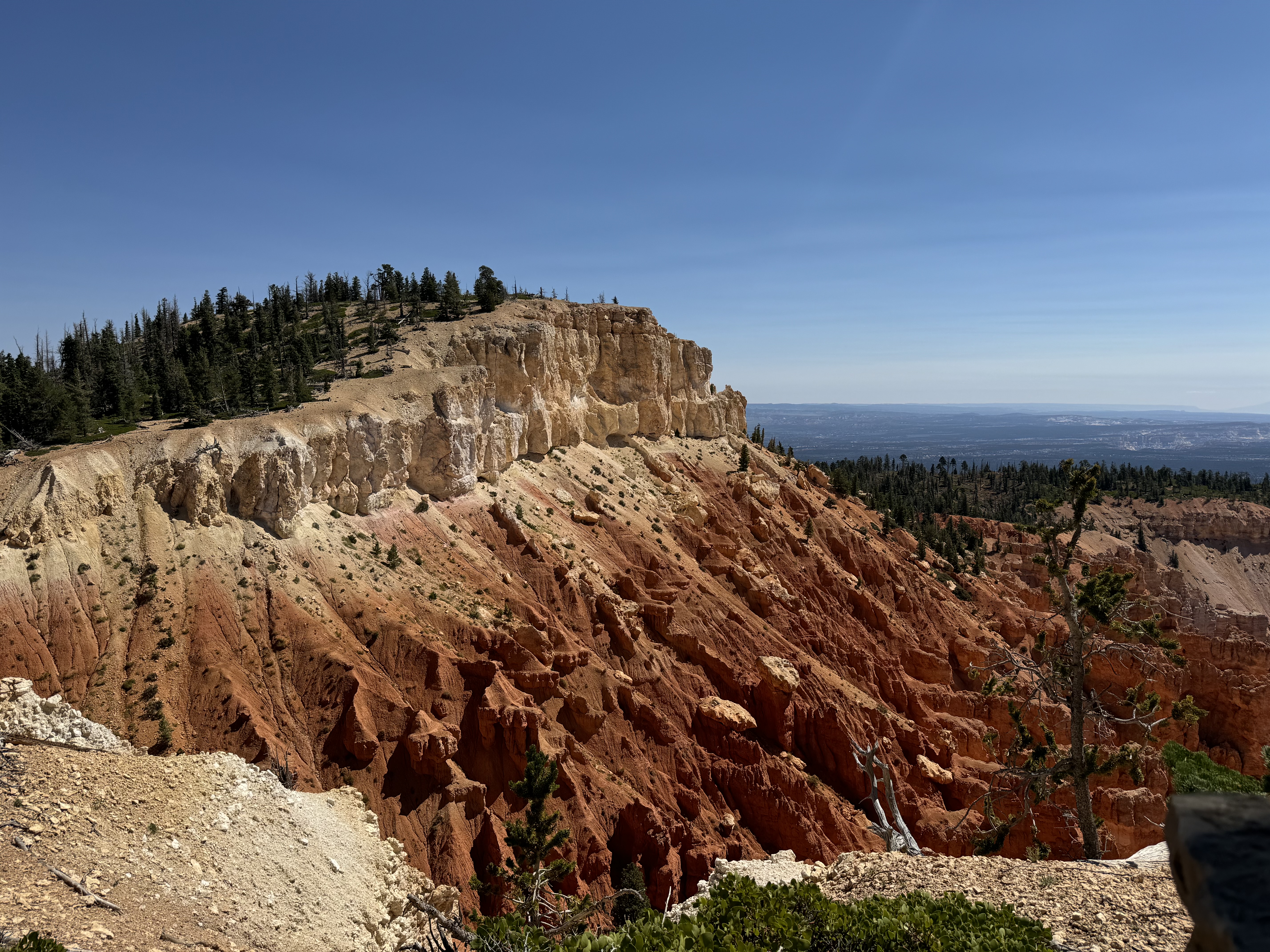
I had already decided I was not going to do a hike down into Bryce Canyon as at the altitude of 8000 feet the thin air was leaving me quite short of breath upon exertion. Brochures kept reiterating you will usually get down in 1/3 the time it takes you to climb up and out. I had hiked down many years ago and it was as magical then as it was today. At some point I would take an easy hike on the rim and focus on the views of “the amphitheater” later but first complete the scenic drive from the hotel out to Rainbow Point before it got too crowded. In retrospect, that was not a worry because there were relatively few cars on this day at any of the view points.

Sunset Point Elevation 8100 feet

Inspiration Point 8100

Bryce Point Elevation 8300 feet

Paria View Elevation 8175 feet

Fairview Point Elevation 8819 Natural Bridge 8627 Elevation

I was nearing the end of this scenic trek via motor car and feeling grateful for this halcyon day and the grandeur of this small but very unique section of our country. The final “push” was views from Ponderosa Point( elevation 8904); Rainbow Point (elevation 9115) ; Yovimpa Point; and a short 1.3 mile hike of the Bristlecone Loop at Rainbow Point.

On the drive back to the Lodge, I was also extremely thankful that so many presidents and congress have had the foresight to make conserving land a priority and thus bringing so much joy to like minded Americans who revel in immersing themselves into so much unspoiled wilderness. I hope I can pass on some of this awe and love to my grandchildren (my adult children already embrace the natural world. )

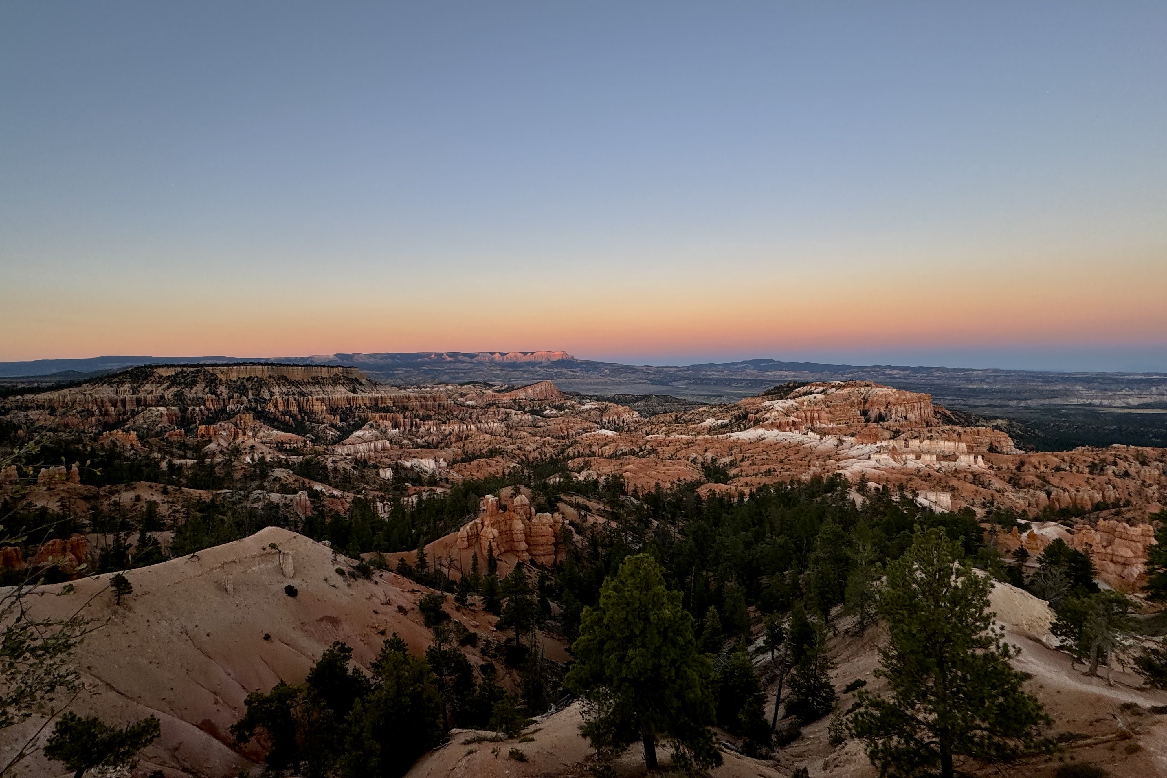
By far the most iconic section of the park, the Bryce Amphitheater ( so called as it is a bowl shaped area formed by the drainage of seasonal rains and melting snow) is home to the greatest concentration of the irregular rock spires called “hoodoos” and I had explored almost all of the viewpoints along the first 3 miles of the main road except for Sunrise Point. I headed towards the mercantile and visitors center before retreating to the Lodge until sunset and then I walked to the last viewpoint I would be visiting : Sunrise Point. This was another spiritual experience as the sun sank below the horizon behind us but lit up the sky before me.

The only glitch in this otherwise perfect adventure was getting lost in finding my way back to the Lodge’s Sunset Hotel where my room was located. I had stayed on the rim until almost dark and had meandered all the way to Sunset Point which I soon realized was a ways beyond my lodging. I somehow did not recognize the path leading to the lodging and was quite disoriented at first. It was quite dark by now. Once I took the time and got my bearings, checked the map (I always take a picture of it so it is stored on my phone, ), turned on my iPhone flashlight, and hopped on the bike path, I knew I would get “home.” iPhone saves the day! I have done remarkably well on this trip for being quite directionally challenged.

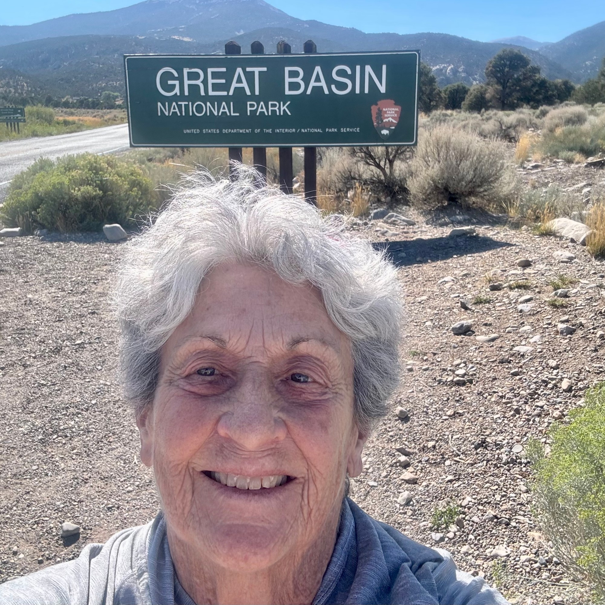
The next morning, it was time to head west and make a beeline for my Oregon home….with one more stop to briefly re-visit Great Basin National Park but not stay and camp as I had originally intended. That “beeline” would take three days. Route 12 took me through Red Canyon but even I balked at taking one more striking picture or red rocks. So I continued on through the Escalante Desert with the several low rise mountain ranges breaking up the vast expanse of relatively featureless desert.

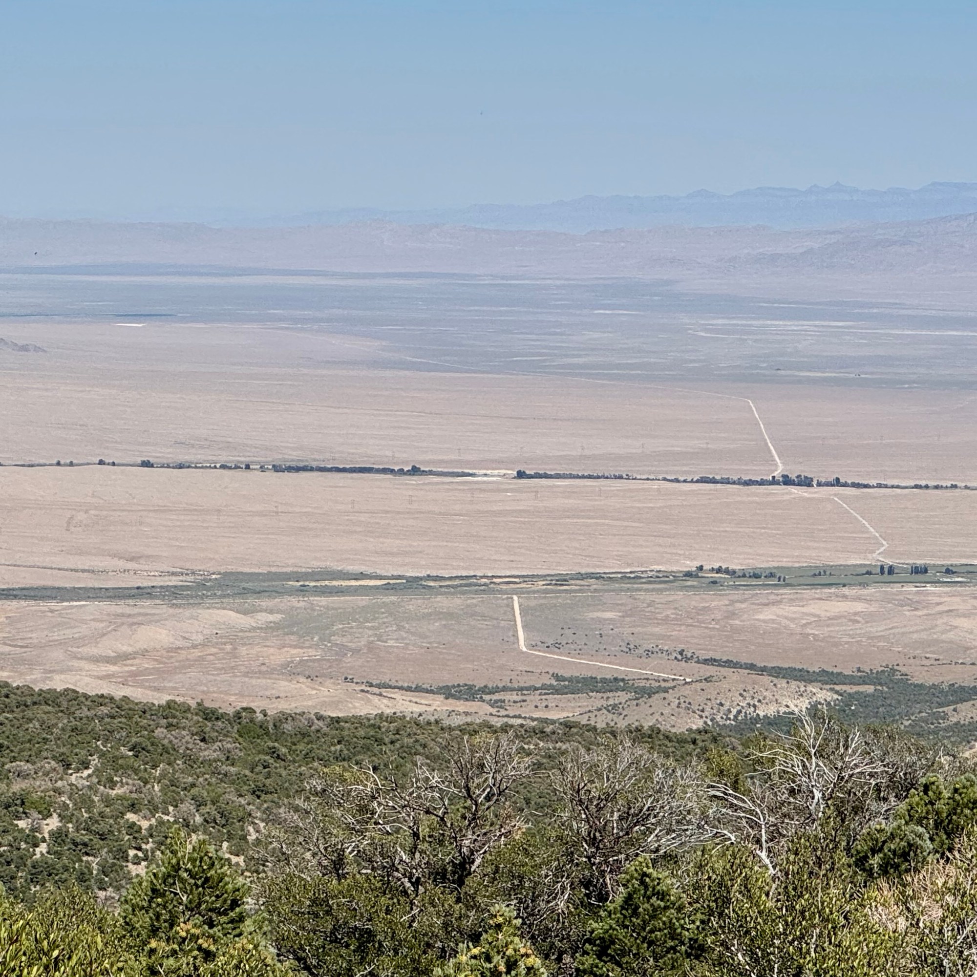
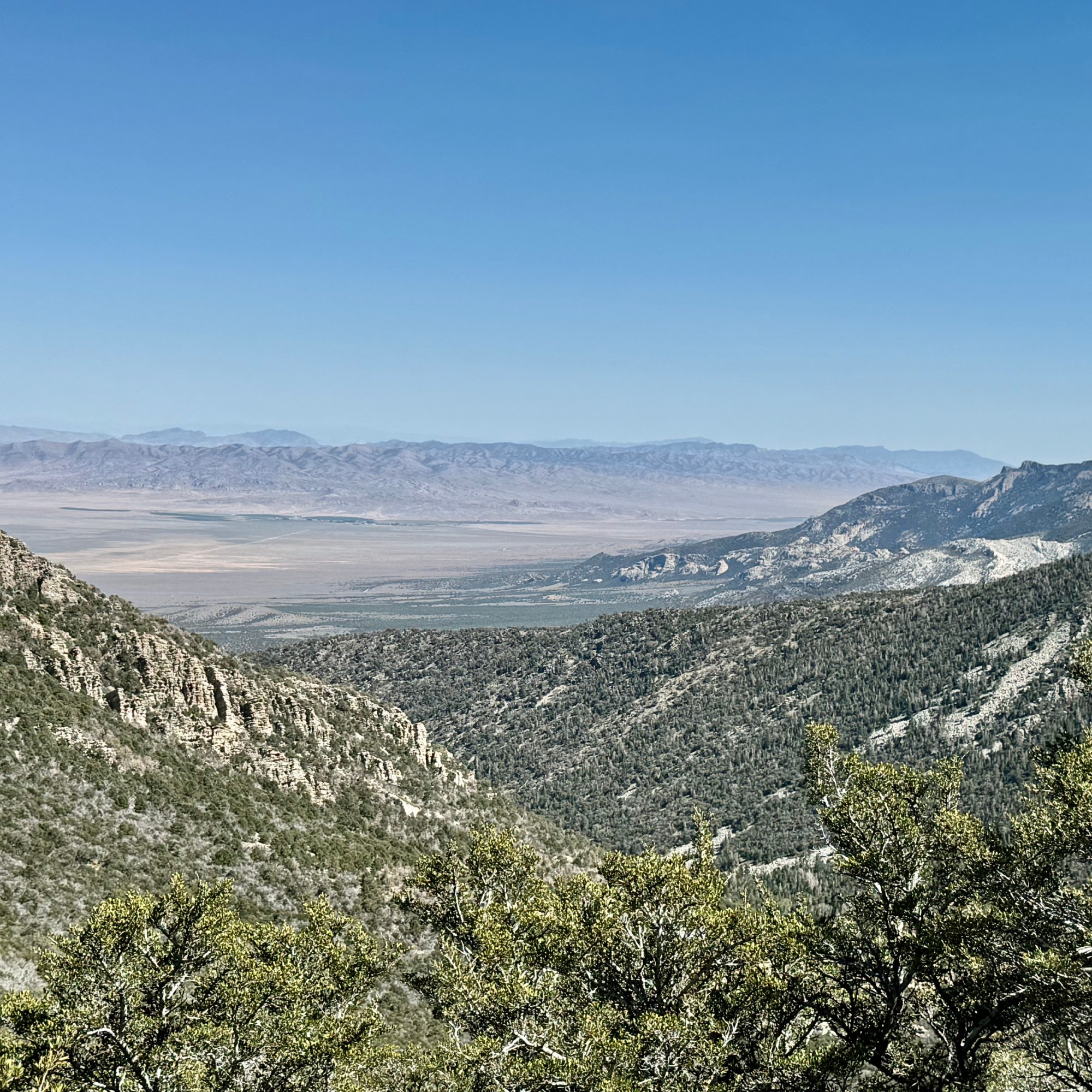
Around three pm I reached the town of Baker in Nevada which was the entrance point to Great Basin National Park. It was early enough to take the drive up to Wheeler Peak which transitions from a massive expanse of the desert of sagebrush I just drove through to the treeless rocky peaks of the South Snake Range. As in several other parks, the drive to the final viewpoint of Wheeler Peak was closed for resurfacing.

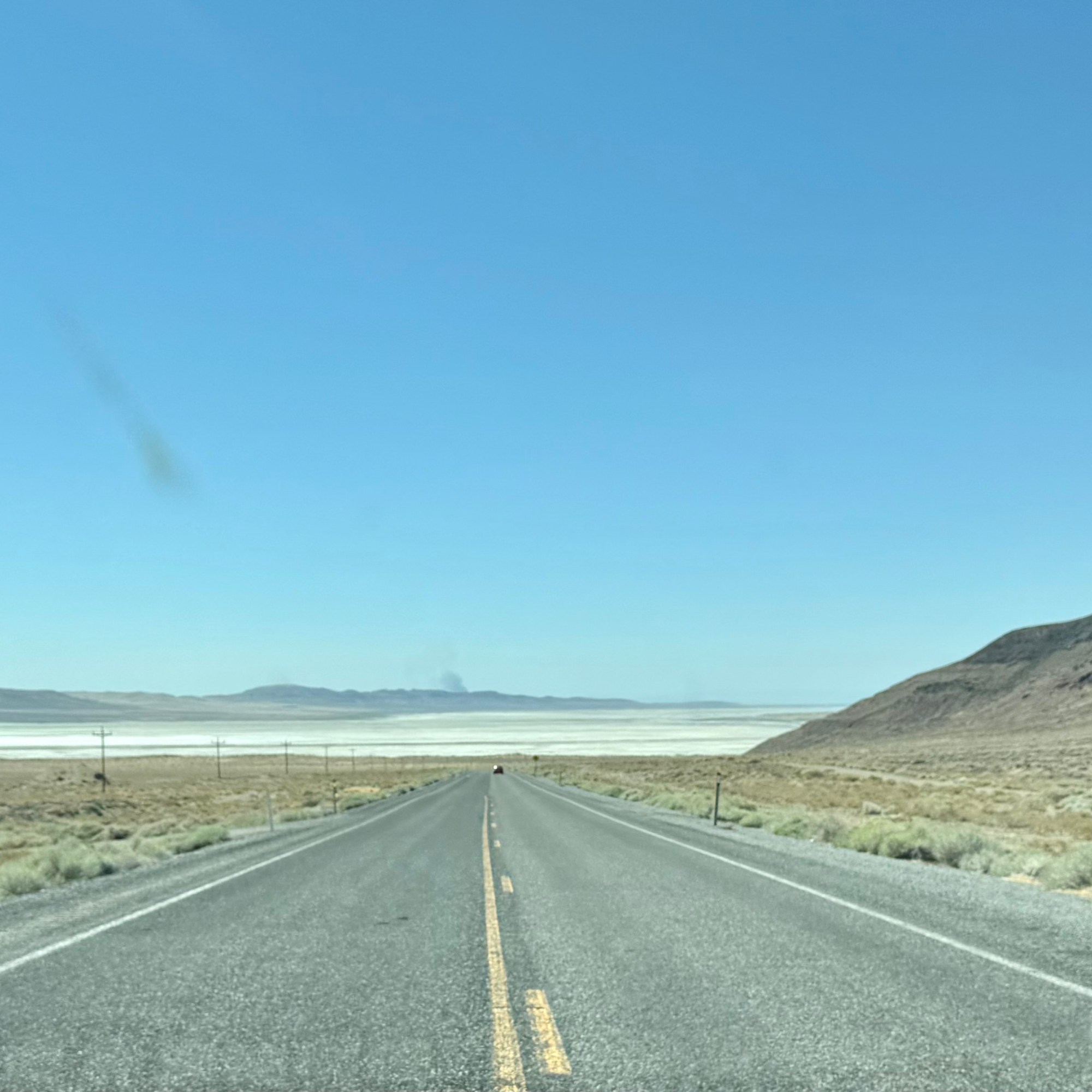
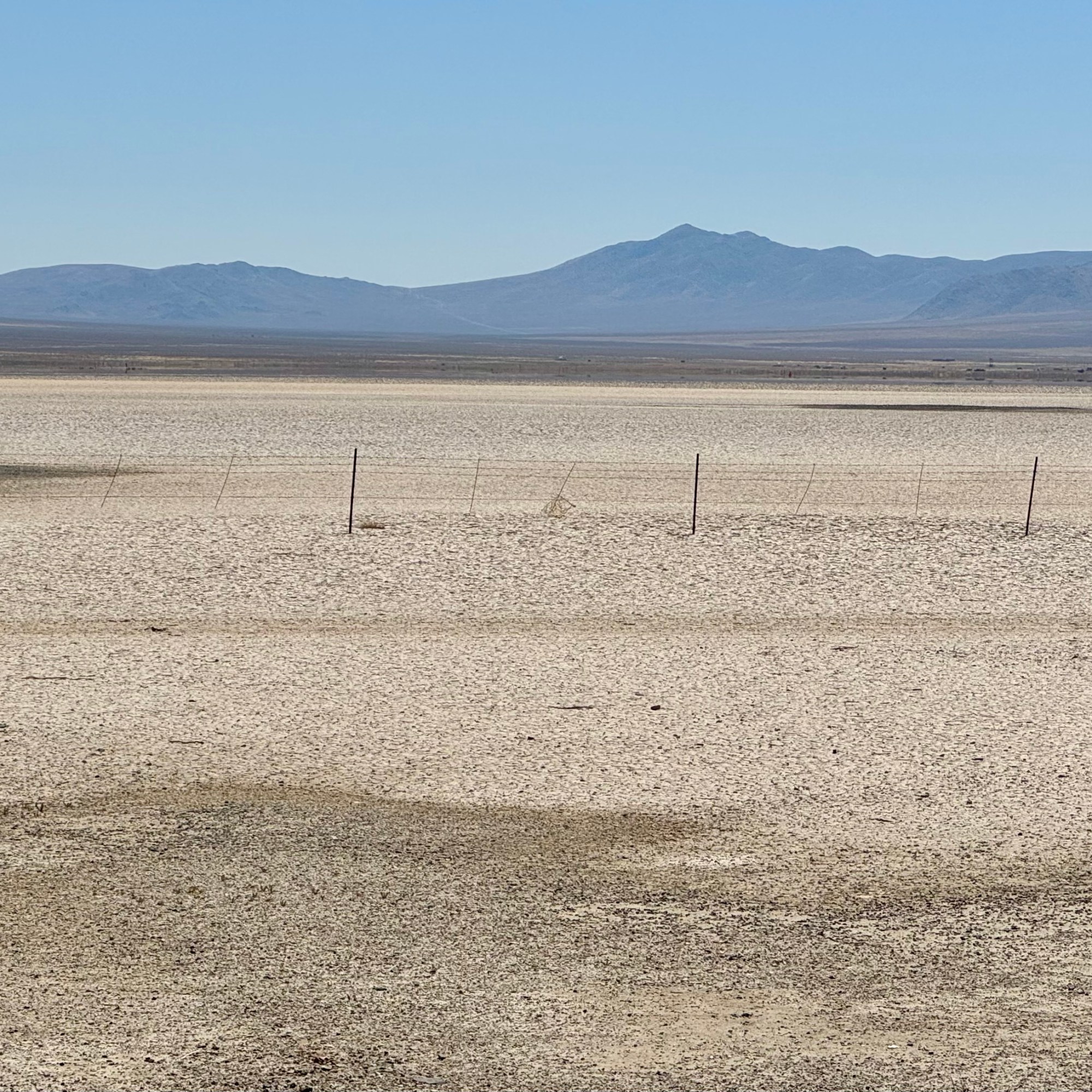
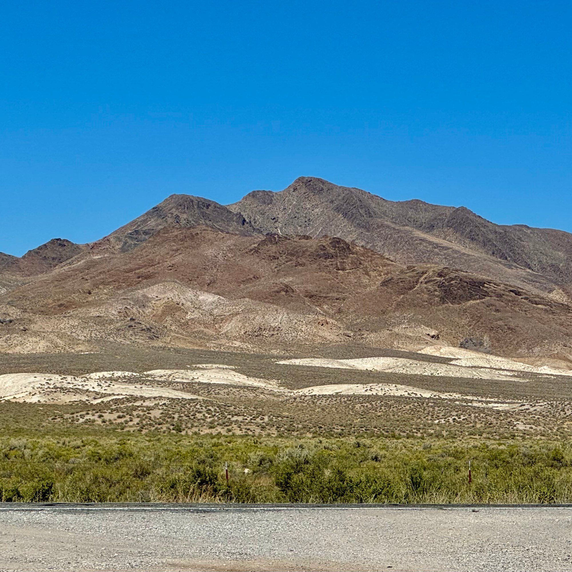
With both towns and motels few and far between, I stopped in the town of Ely. Ely is known for the Great Basin National Park, the Lehman Caves… but the websites does not want us to forget that “one of the reasons why people travel to Ely…the gaming.” To game or not to game was the question I posed to myself in this town where I had my first opportunity to partake in Nevada’s gambling-free-for-all everywhere. Clearly gambling is not one of my addictions as my heart did not beat wildly at the thought of this opportunity. So I curled up in my motel, slept well, and headed towards Oregon on U.S. Highway 50 the next morning. Traveling westward from the Nevada border to Fallon (about 60 miles from Reno), US 50 passes through only two towns and one small city (Ely) between Fallon and the Utah state line, over 400 miles distant. It is thus known as The Loneliest Road in America. Rarely was the desert landscape was broken up, except by the Bonneville Salt Flats, a recreation area which is used for land speed racing.

The final day took me through the congestion of Reno and some massive road construction projects, and on into California on secondary roads through Susanville and to Mt. Shasta and the final stretch home on I-5.

I travelled 9642 miles solo through 24 states and 5 Canadian Provinces in 63 days: camped 29 nights though I had planned on more but incredibly awful weather change some of that; motels 21 nights ; and stays with family and friends 13 nights. I visited 9 national parks and completed my quest to finish visiting all 61 of the 63 National Parks in the contiguous states and Alaska. Get ready American Samoa and The Virgin Island for I will be there in 2025.