Bats, Foggy Heights, and a Soaking Wet Finale

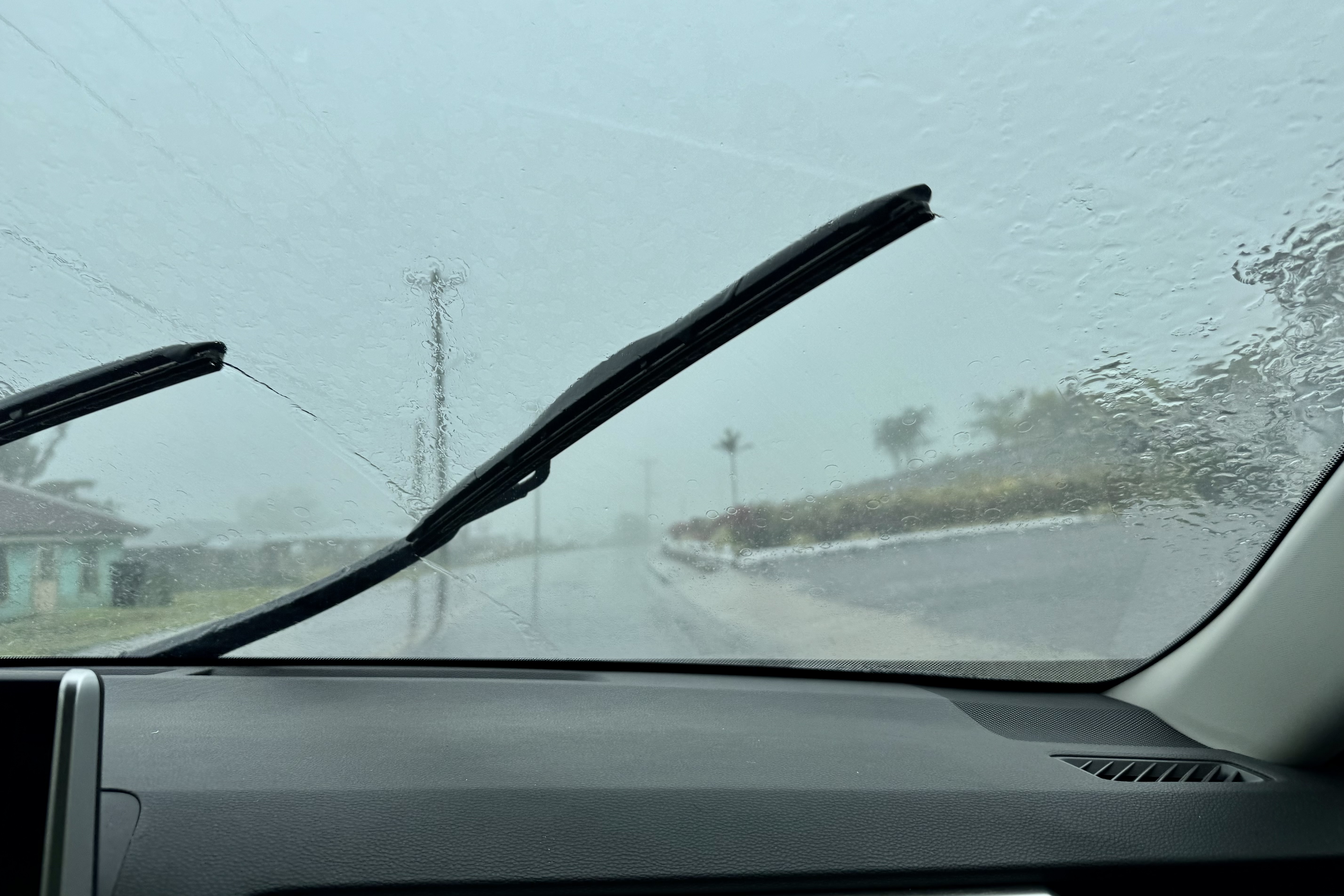
Monday, September 14, greeted us with, yet again, drenching rain and it never let up for most of the day. So much for snorkeling, beach combing, or any other activity that we might have an expectation of staying dry. What to do? We decided to make the best of it and drive around the southern and western parts of Tutuila, venturing out of the car when the weather – and our enthusiasm – permitted.

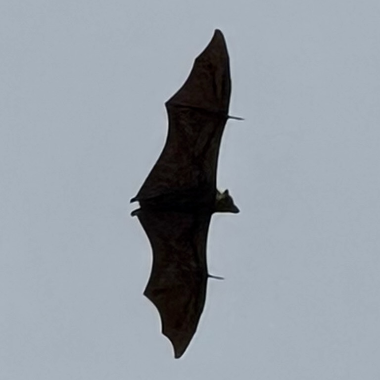
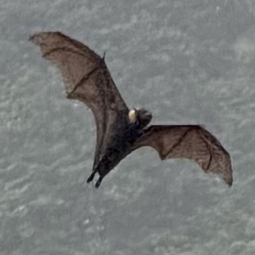
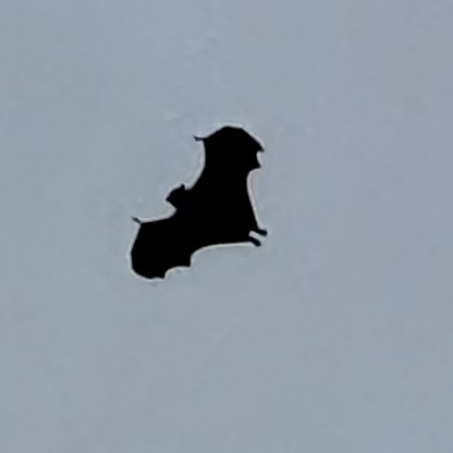
What better way to start this journey than visiting BATS! So we stopped in Nu’uuli at a roosting site for the white-nape fruit bat, sometimes called the flying fox. They are among the largest bats in the world and seeing them gathered at their daytime roost was a different way to begin our soggy excursion. The bats seemed perfectly content with the weather. I on the other hand was a bit skeptical.
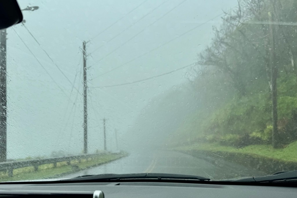
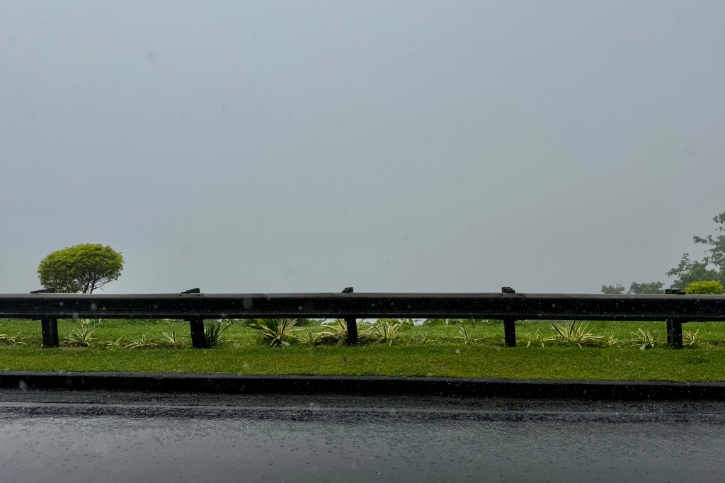
I was not sure what possessed us to continue uphill to the villages of Pava’ia’i and Aoloua. but upward we went. Aoloau, nicknamed “Fog Village” is the highest village on Tutuila and on a clear day, its elevation offers sweeping views across the island. It definitely, on this day earned, its nickname and we decidedly had front row seats to the islands shroud of fog. There we were practically on top of Tutuila, with nary a view and hence no photo to show for it.
Driving the island this day left me focusing on impressions of this US territory which are quite different from the mainland United States.

Churches, Chickens and Other American Samoan Observations

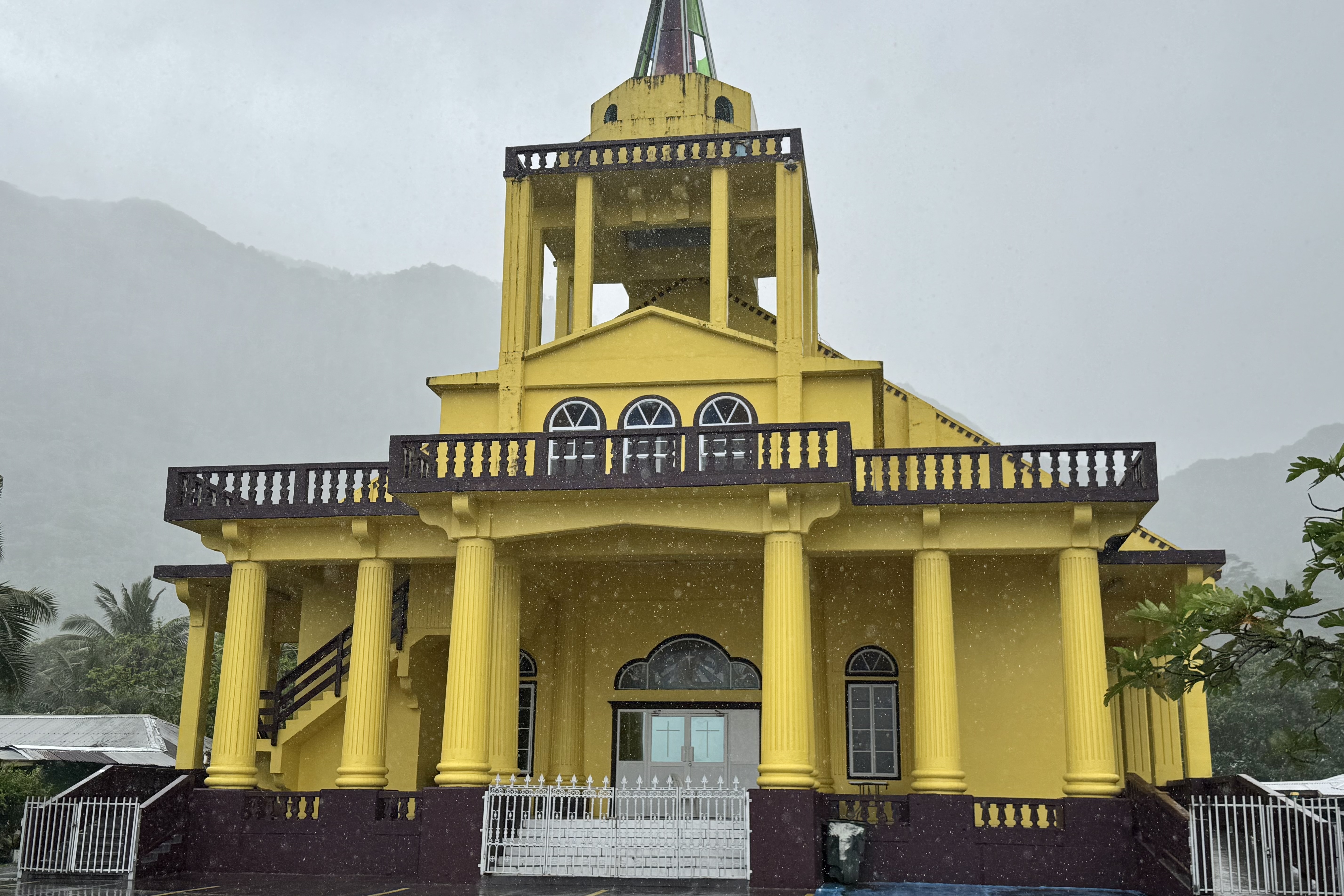
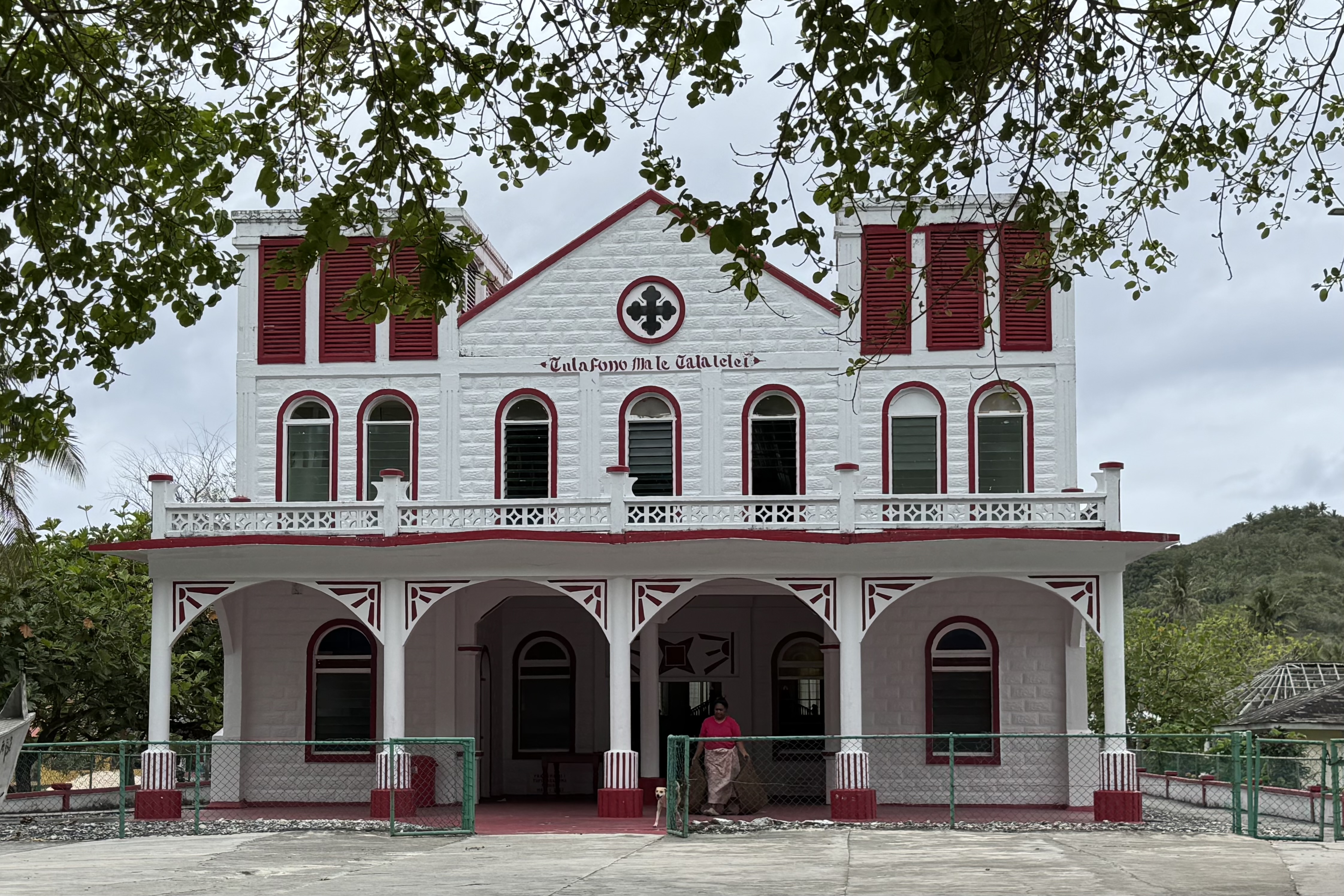
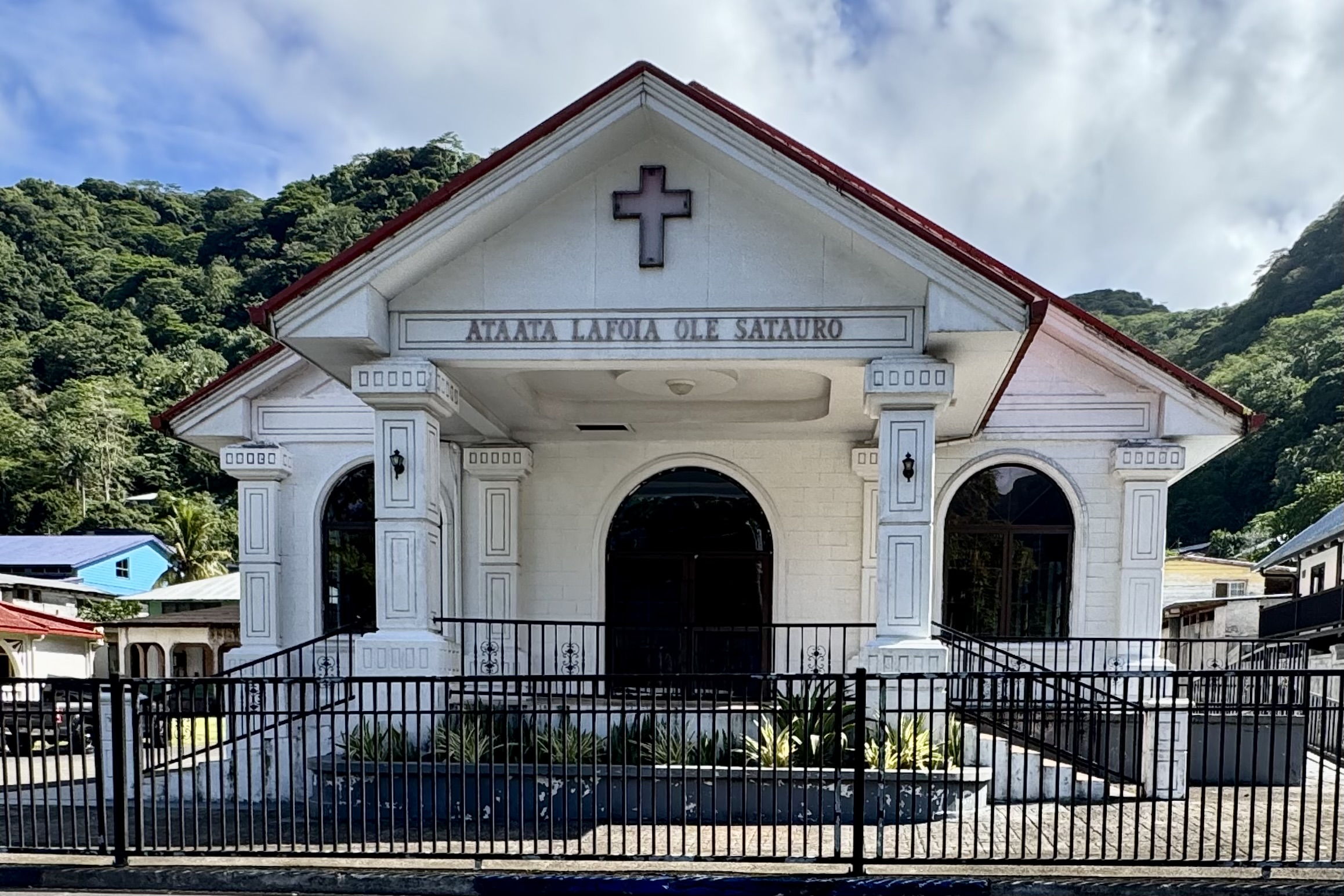
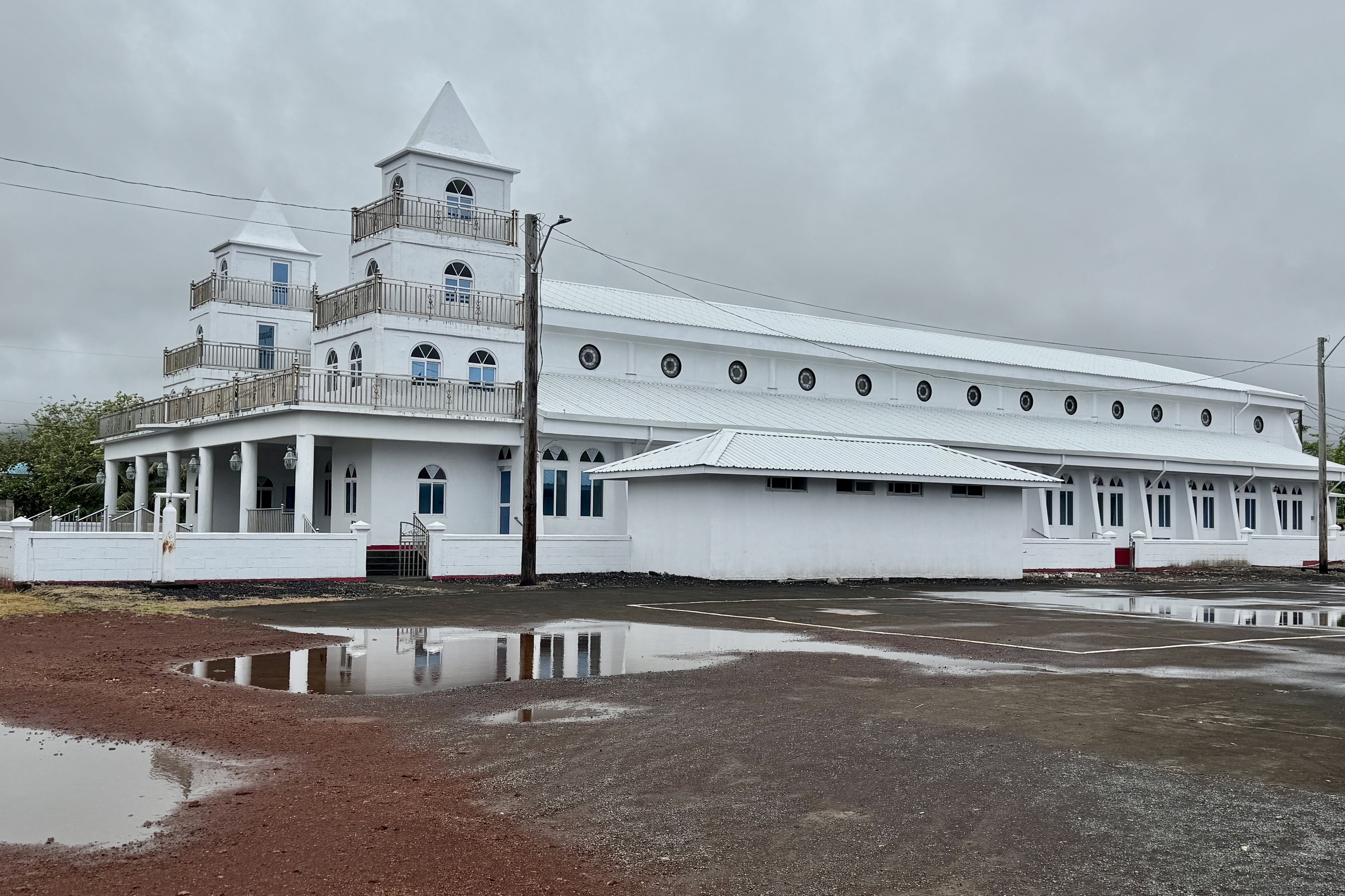
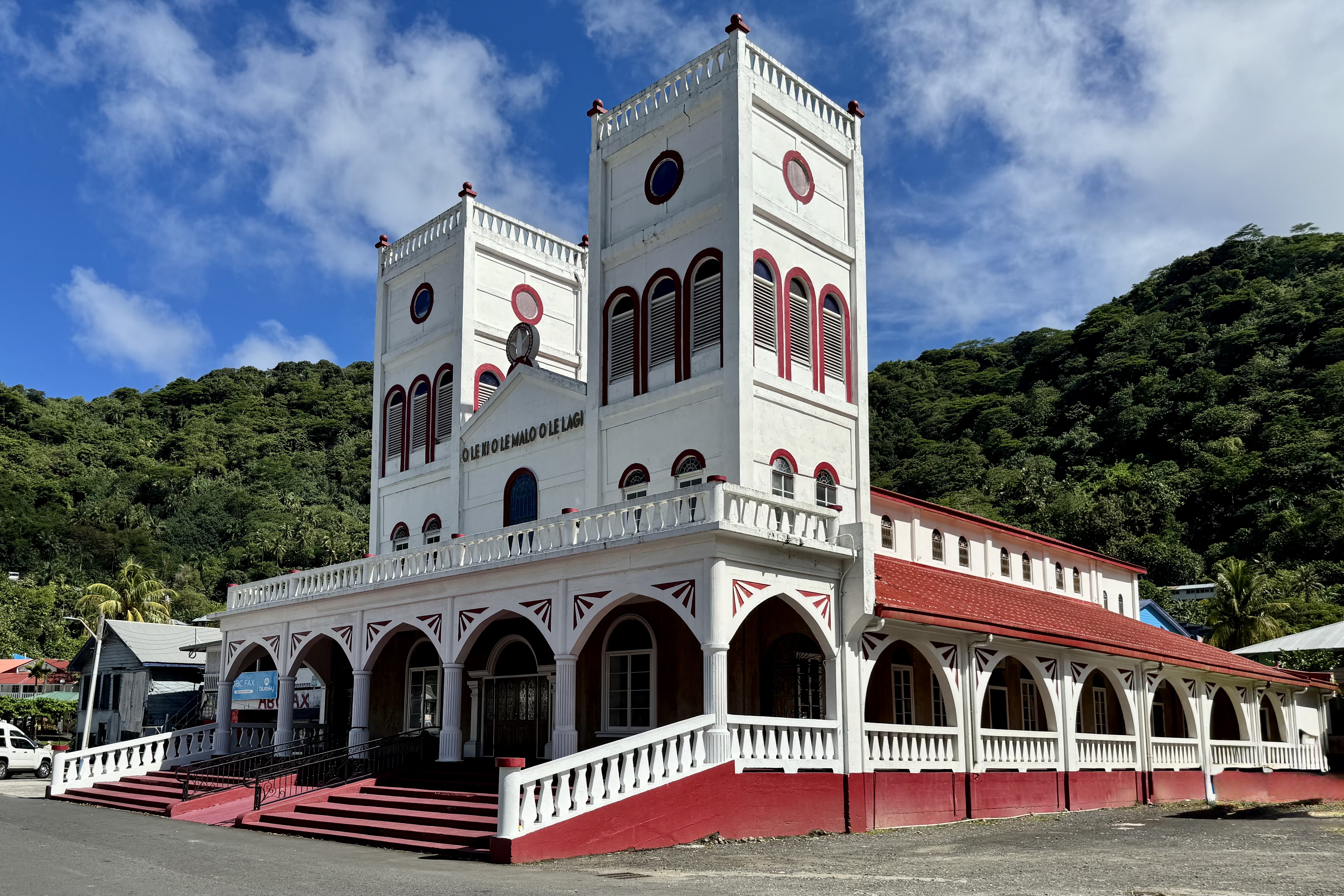
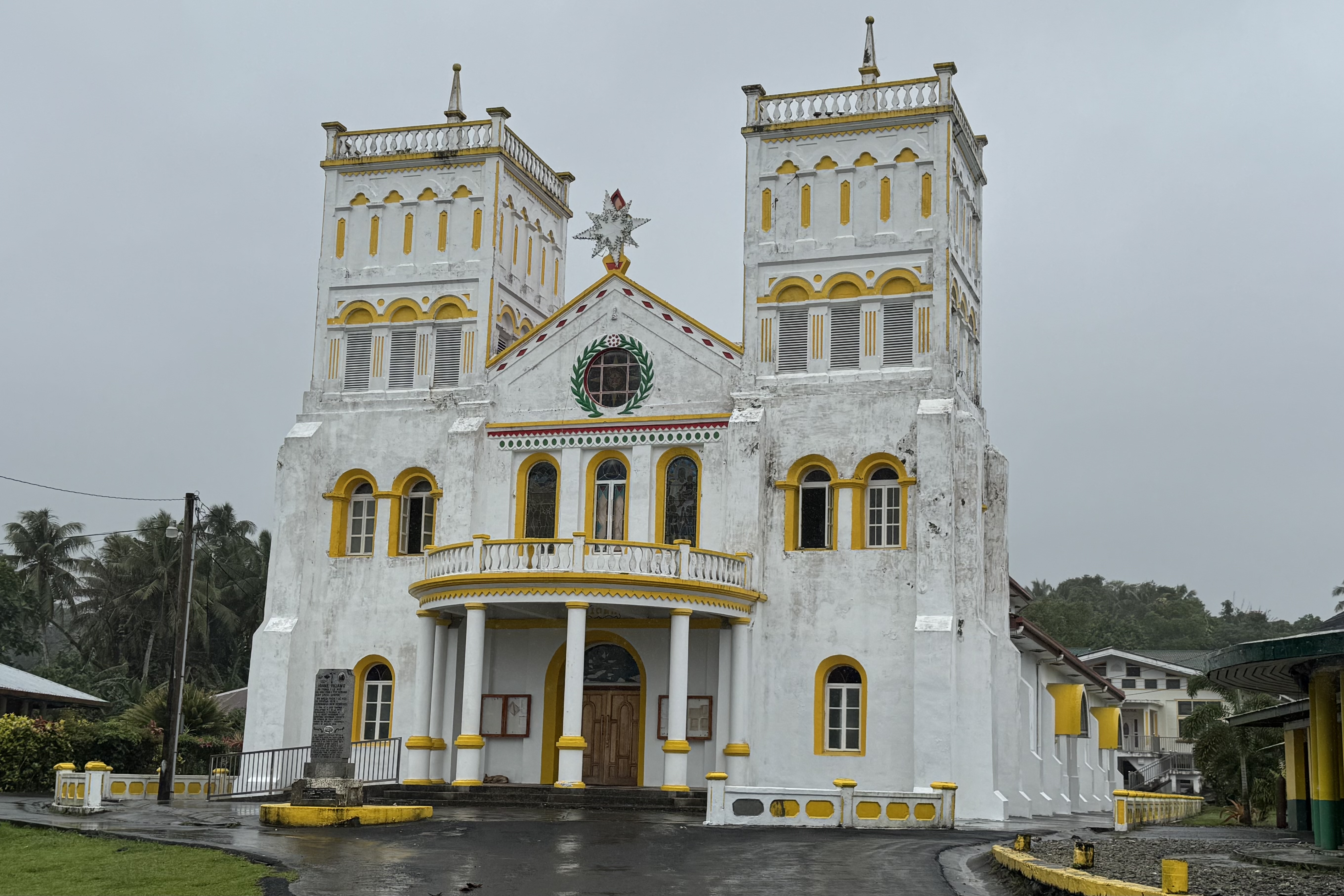
One thing that is impossible to miss while driving through American Samoa is the prominence of churches. Nearly every village has at least one , and many have several large whitewashed and pastel or bright colored buildings, often topped with tall steeples. They definitely stand out amongst the modest home and often seemed outsized in comparison to their surroundings, including one we irreverently joked about looking like a cruise ship.
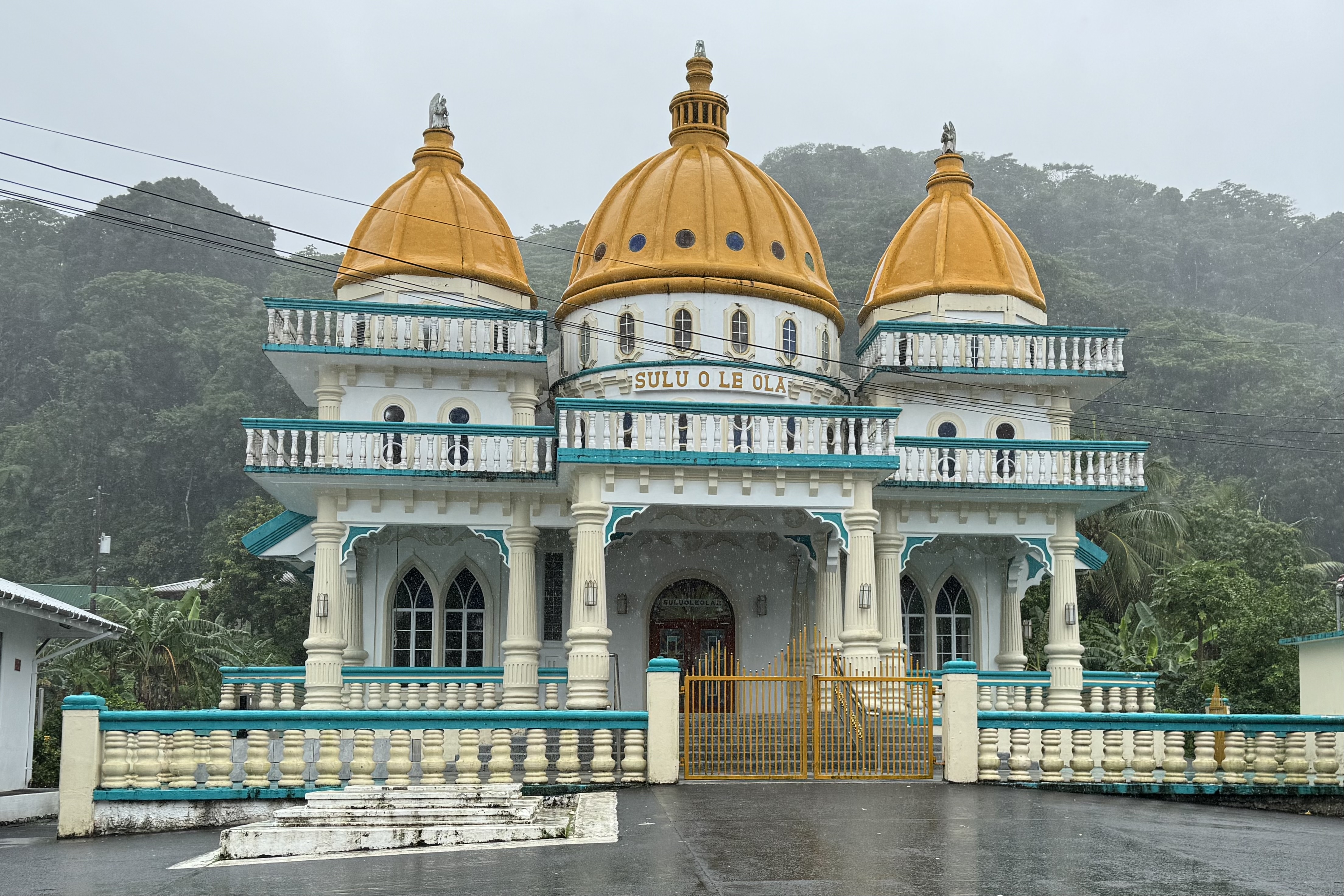
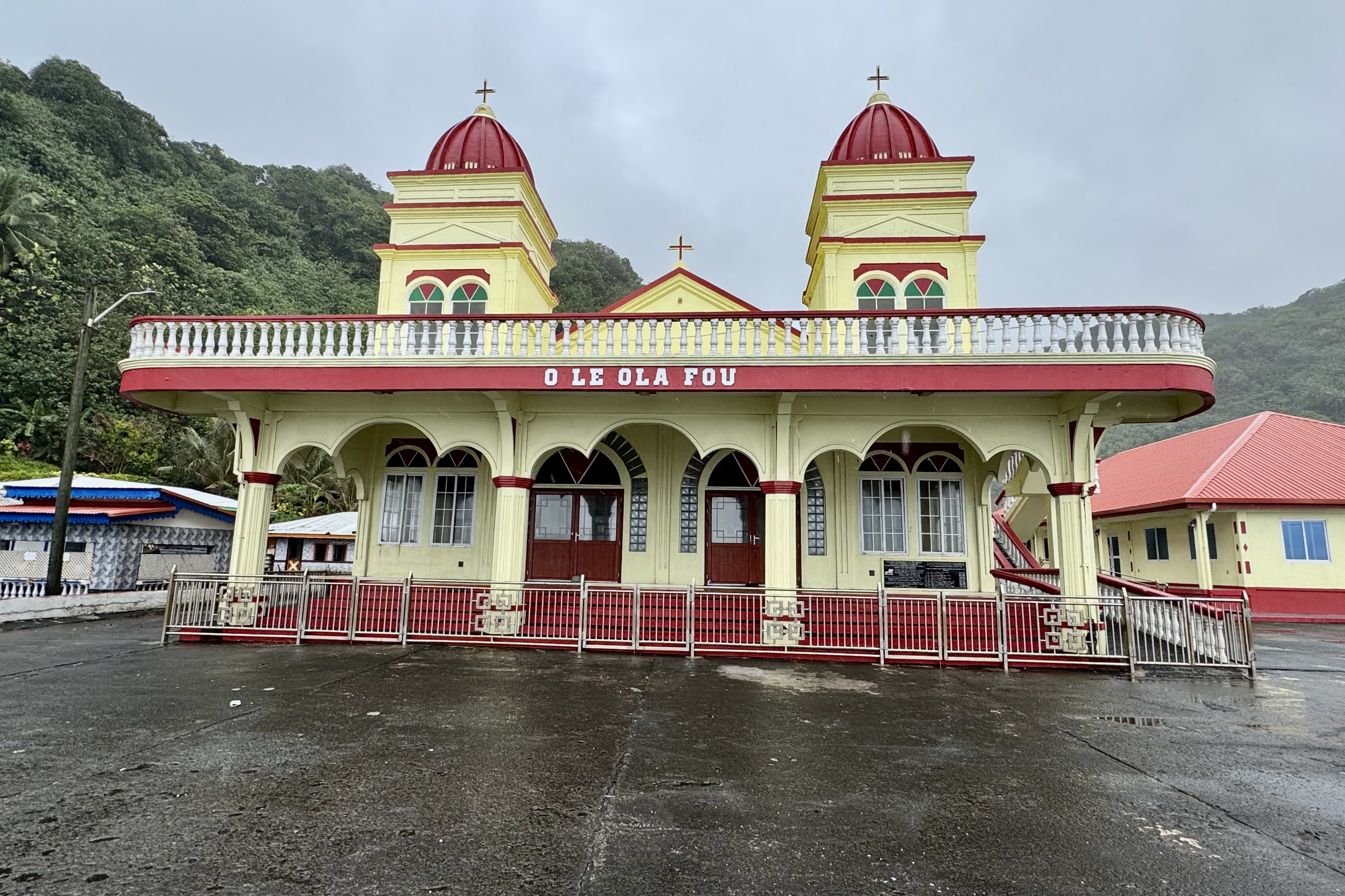
Their prominence reflects the central role of Christianity in fa’a Samoa, the Samoan way of life. Churches are more than a place to worship on Sunday mornings, but important centers for community life, identity and gathering. They are every bit as much of the landscape as the mountains and the sea. On the Sunday morning we traversed the island , there was a striking observation: men and women dressed all in white making their way to church. Wearing one’s Sunday best is taken seriously and this tradition definitely added a sense of occasion and dignity on a day devoted to faith, family, and community.

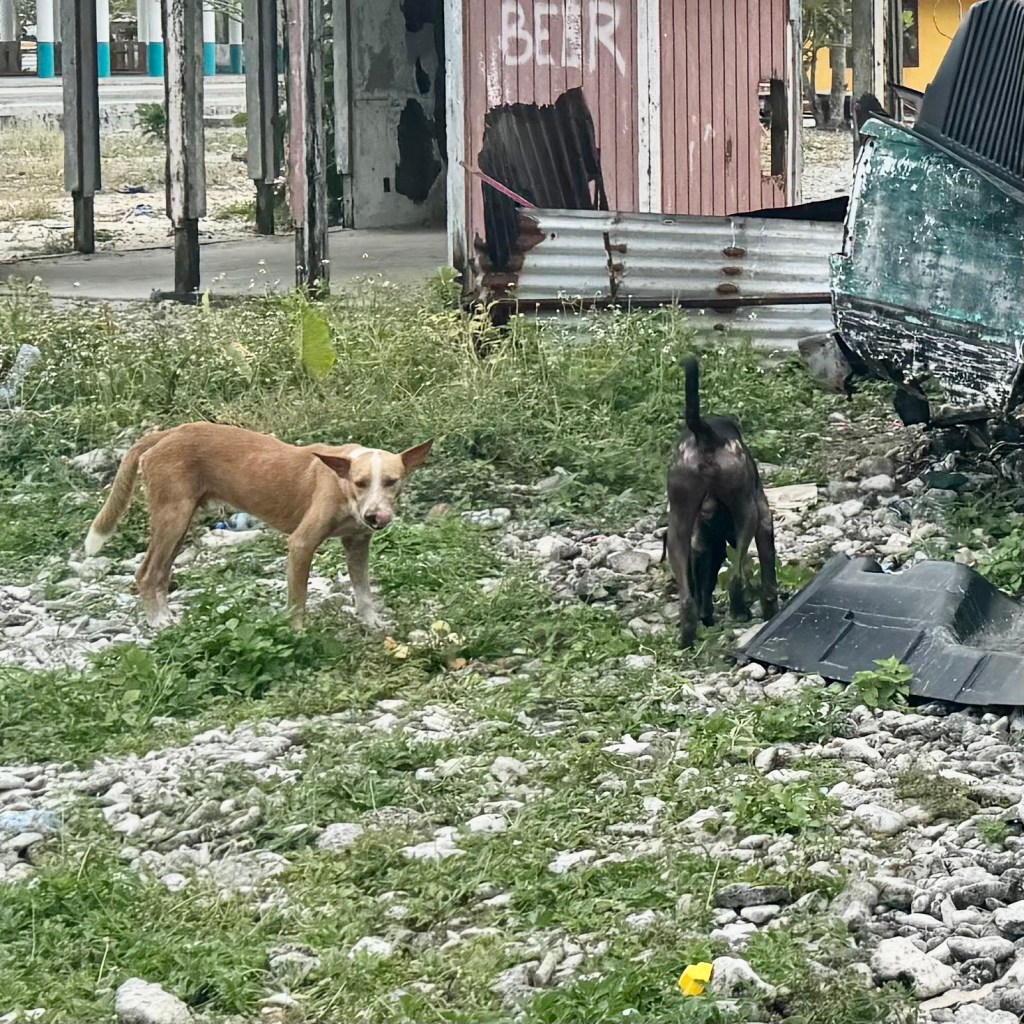
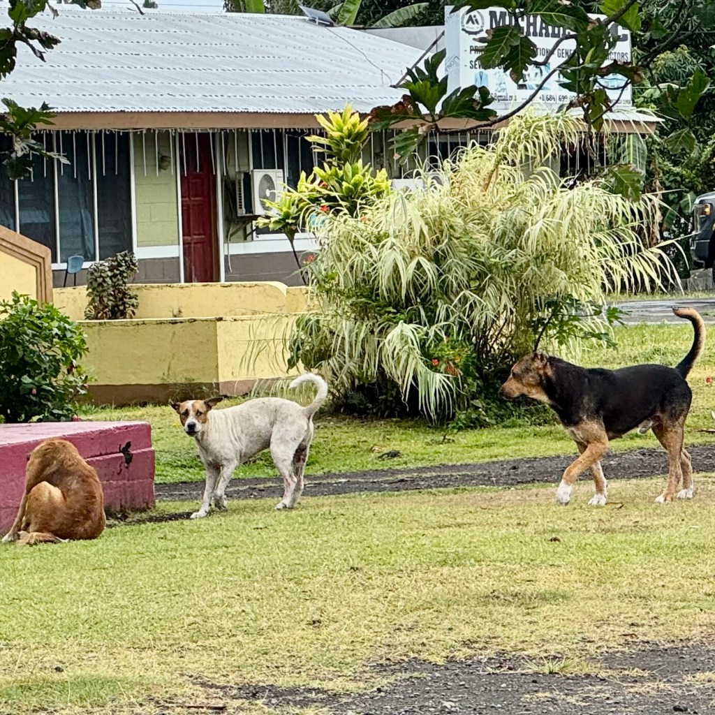
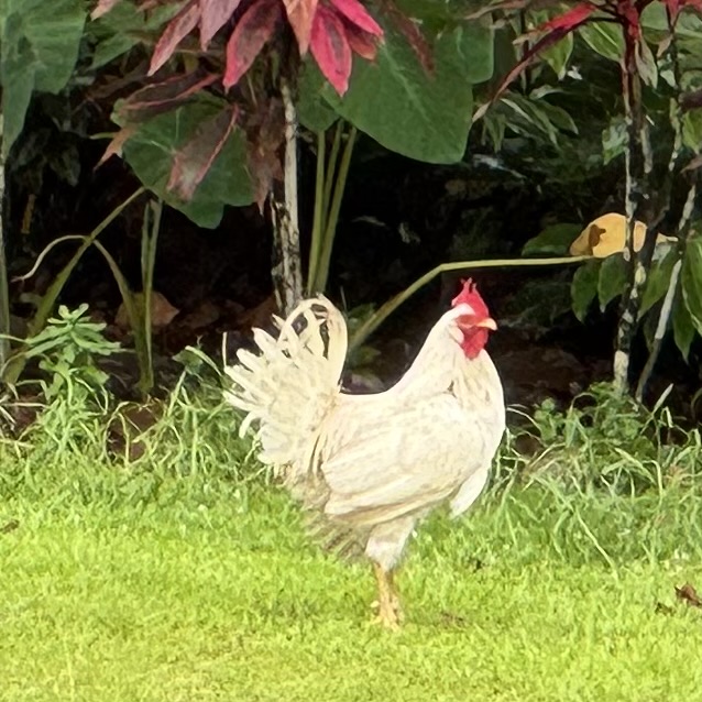
Another feature of village life, which I had mentioned in an earlier entry, was the astonishing number of chickens. Hens, roosters, and fluffy little chicks wander freely along roadsides, through yards and wherever their chicken instincts lead them (as do the dogs). They pay no mind to traffic laws. We would call them free-ranging chickens and in American Samoa they are a familiar part of life. Families keep them for eggs and meat, while the fowl forage for much of their own food. Why build elaborate chick coops when the birds are quite capable of finding their own dinner. I would imagine our back-yard cooped up chickens would be quite envious.
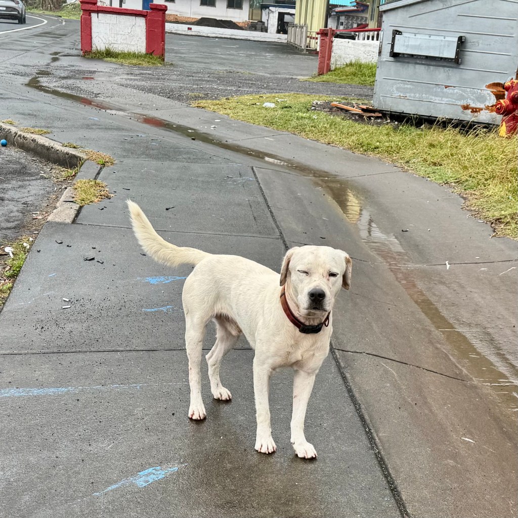
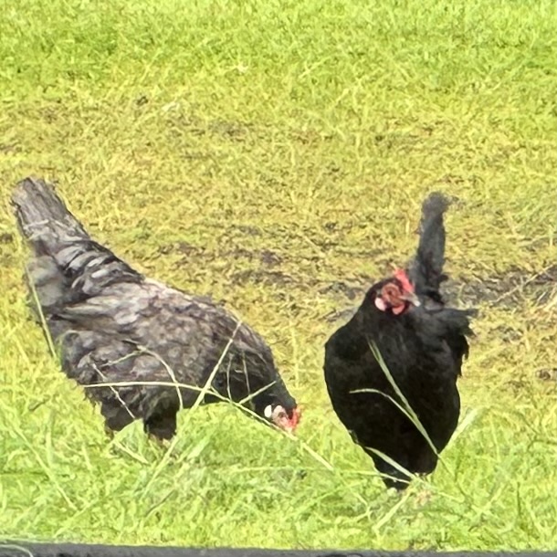
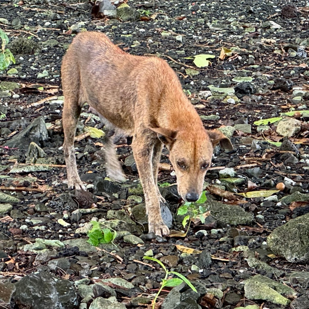
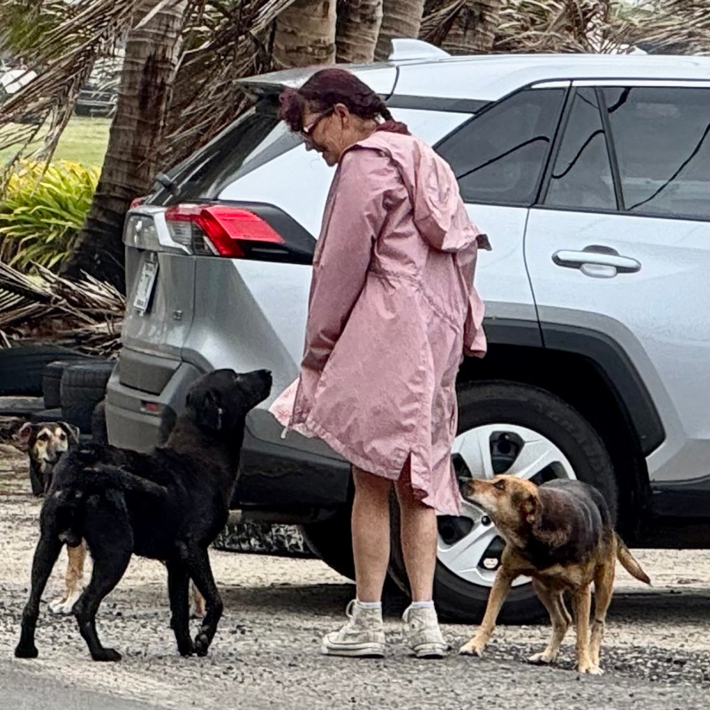
As I mentioned previously dogs enjoy this same freedom — either belonging to a household or available for adoption by a passing tourist. My Bernadette is so soft of heart and was prone to providing a few with their next meal.

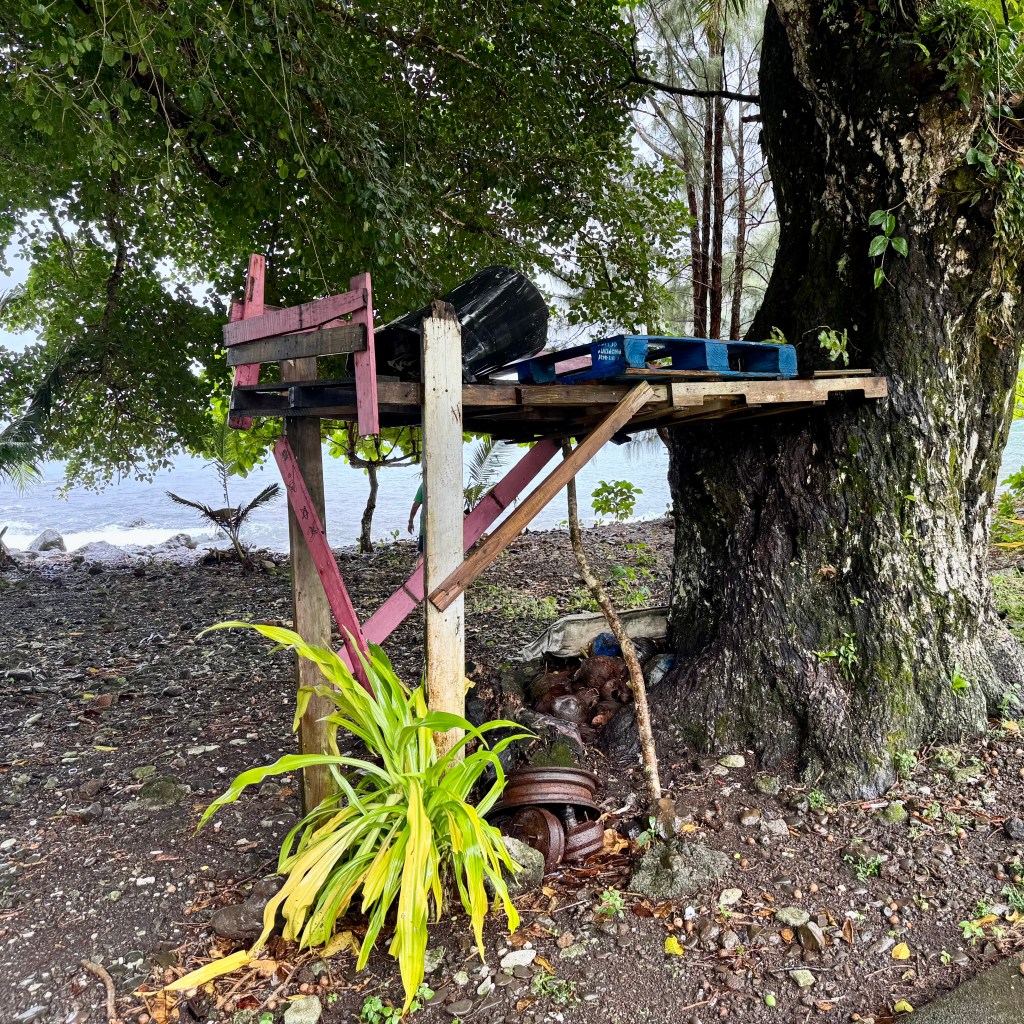
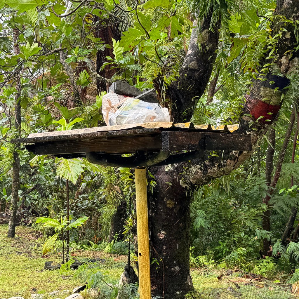
So with dogs and chickens wandering about I began to notice another adaptation. Large platforms, often five feet off the ground , where household garbage was stored until collection. Elevated garbage made sense when the local four legged and feather scavengers are free to investigate whatever they pleased. It also struck me that this arrangement would probably not pass muster in most of the deed restricted neighborhoods whereI have lived. My homeowners association would have required a committee meeting before approving the backyard chicken coupe, never mind the garbage platform.

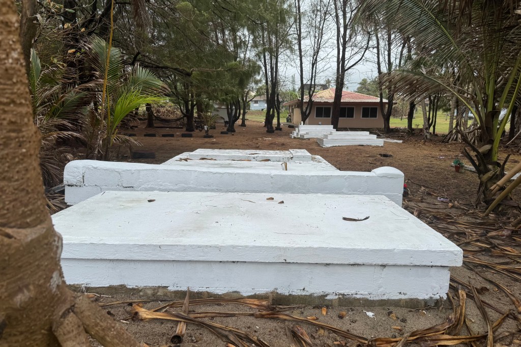
Then there were the tombs.
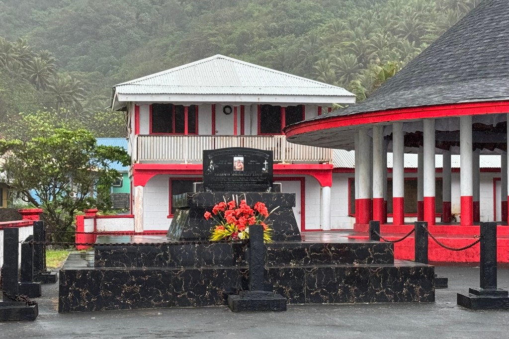
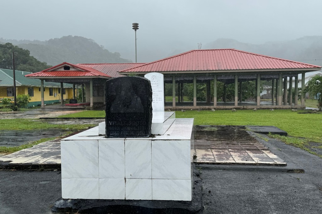
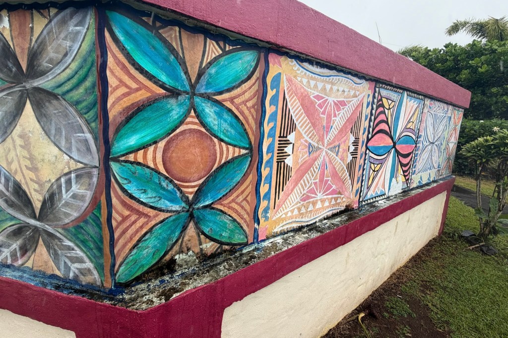
At first I was puzzled by the concrete burial structures sitting right in front yards, sometimes just steps from the front porch. Some were simple slabs , others were tiled, perhaps topped with little roofs, or decorated with crosses. Some were so elaborate they rivaled the grandeur of the churches. I learned that family burials on ancestral land are a long standing Samoan tradition with land closely tied to extended family. Burying loved ones at home keeps them close to the generations that follow. These tombs are not treated as places to hide away and avoid.

It is such a striking difference from the way Americans in the USA approach to death, separating cemeteries from places we live. I found the custom both touching and fascinating. I also decided for the time being, I wasn’t ready to campaign for a similar arrangement. But perhaps since Tasia was with me to witness this practice she might be open to placing my tomb in the front yard since I live with her (or at least a big memorial with my ashes.)

Following the Coast to the End of the Road.
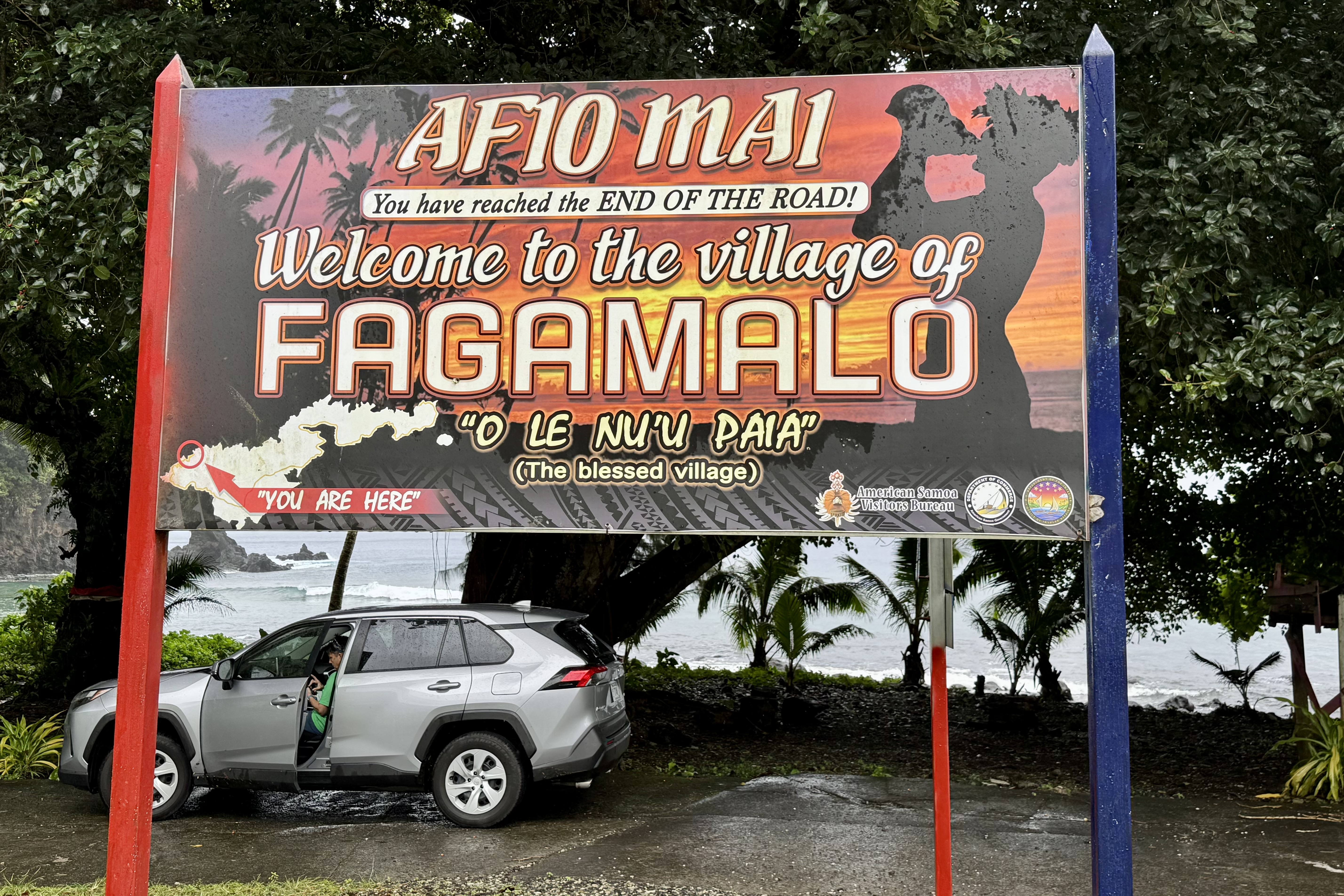
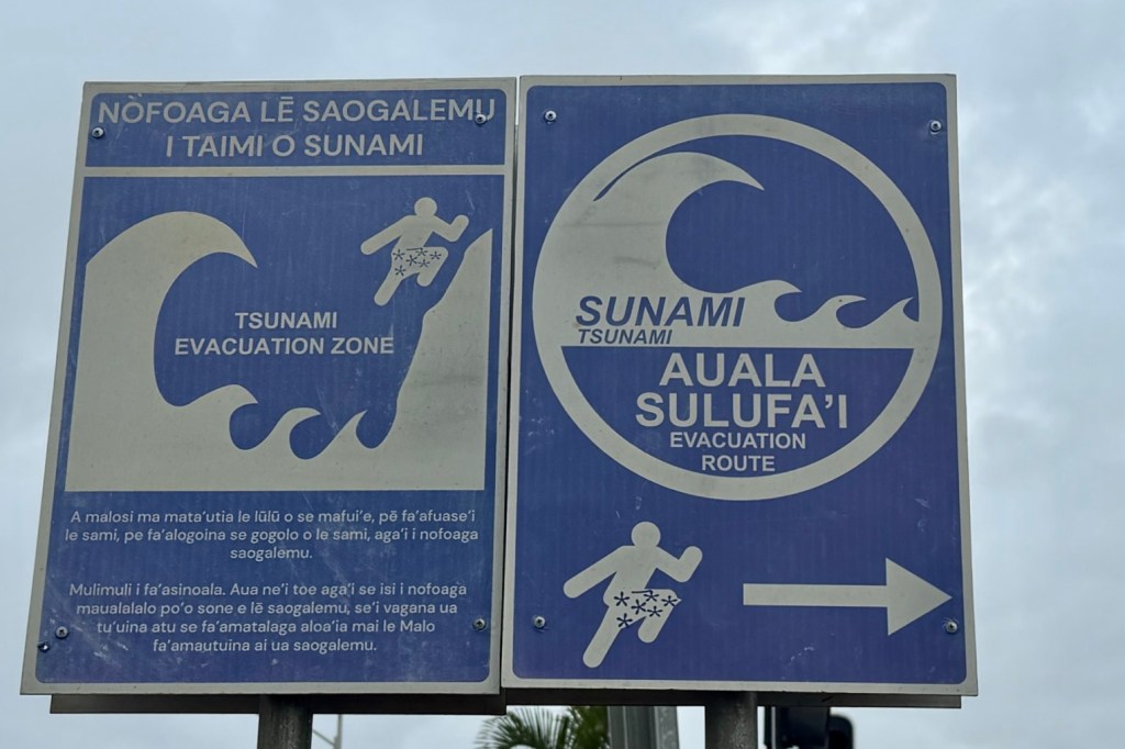
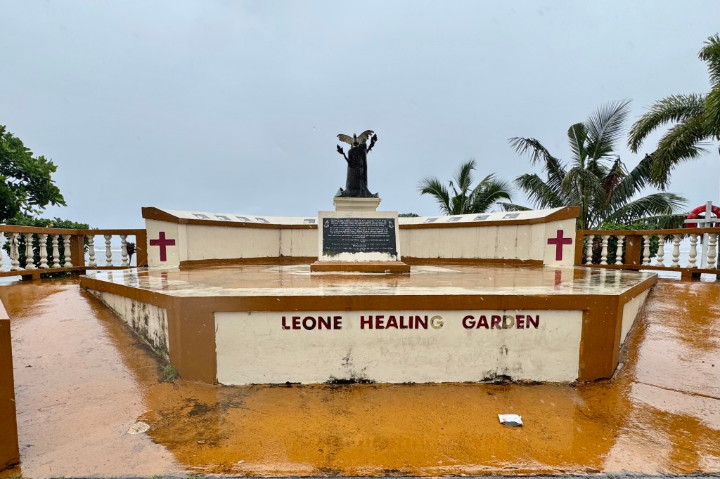
Eventually we returned to the coastal highway and continued northward to Fagamalo, at the end of the road. Along the way we drove through Leone, one of Tutuila’s larger communities and visited the Leone Healing Garden memorial which was built to honor the victims of the devastating September 29, 2009 Samoa earthquake and tsunami. Signs along most roads marking tsunami hazard zone were a recurring reminder that this beautiful coastline is also extremely vulnerable to the power of the Pacific ocean.
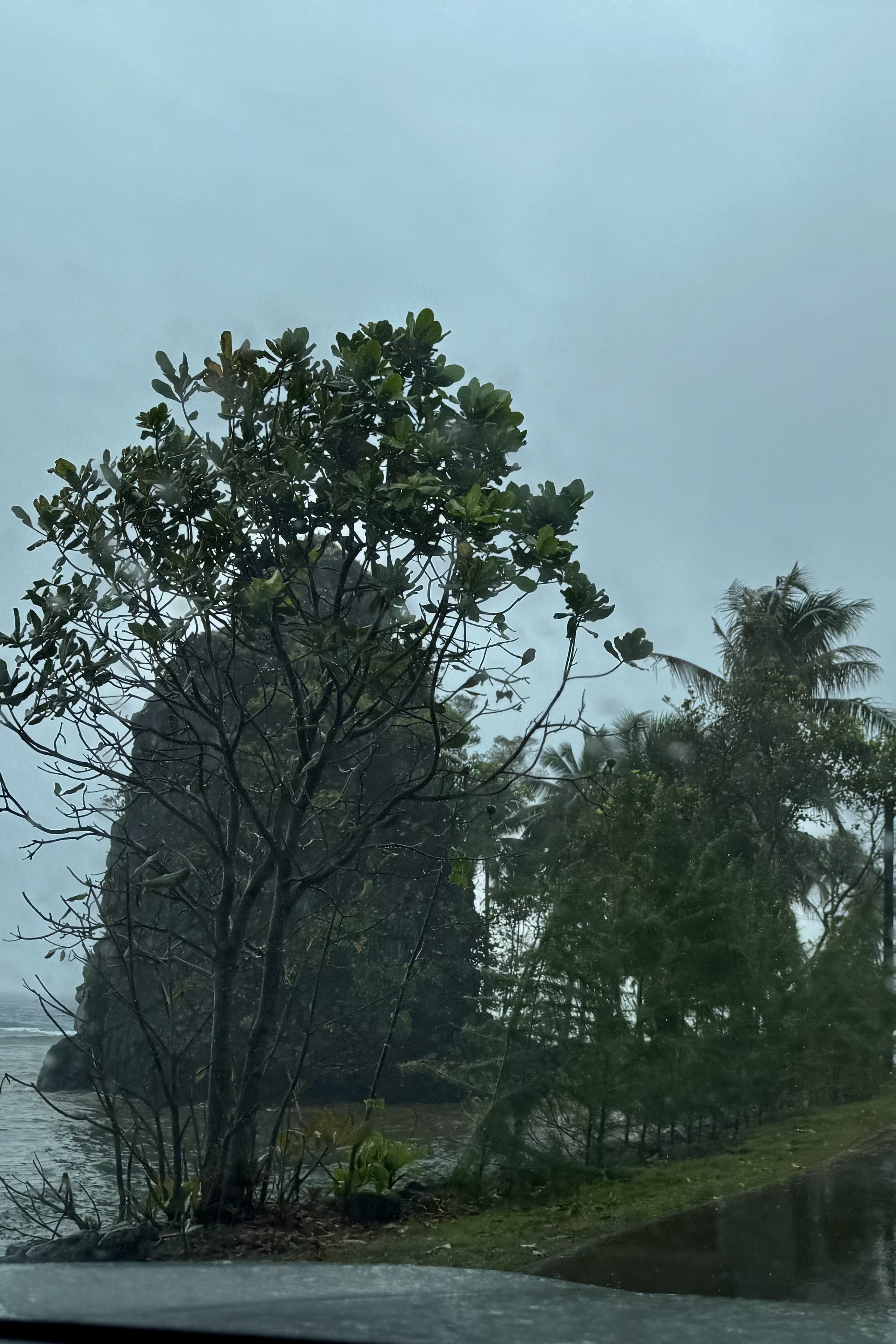
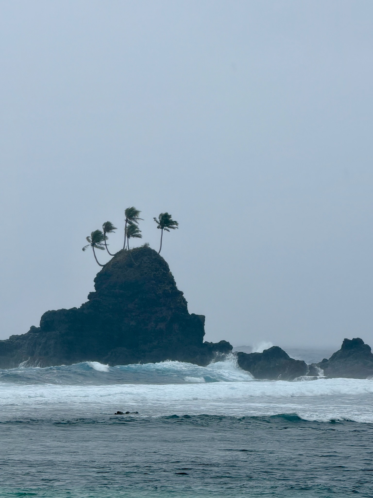
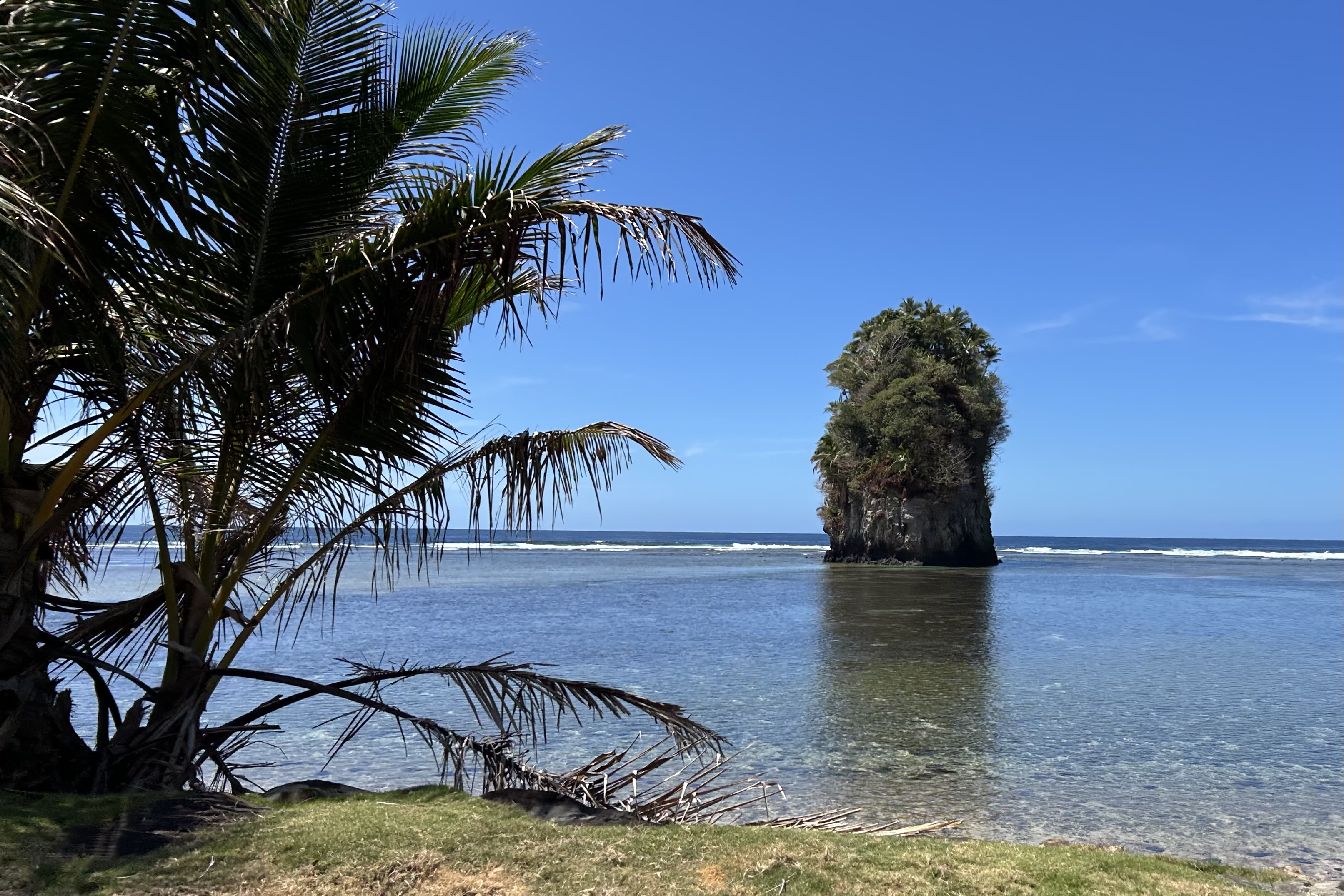
We had a classic photo opportunity when passing Cape Taputapu, where a small, palm-topped sea stack caught my eye and is a signature land-mark of the area. I think Tasia was hooked by the look.
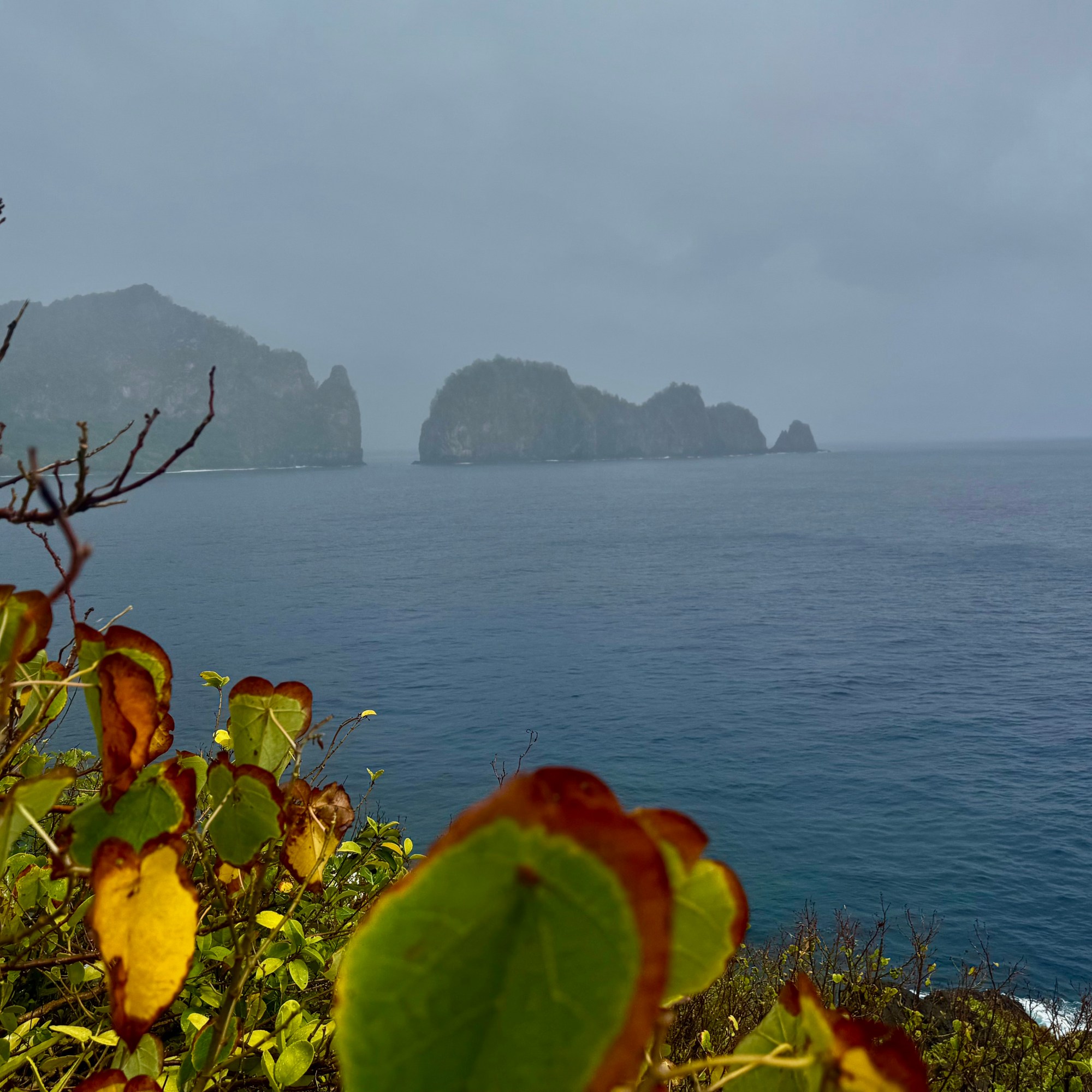
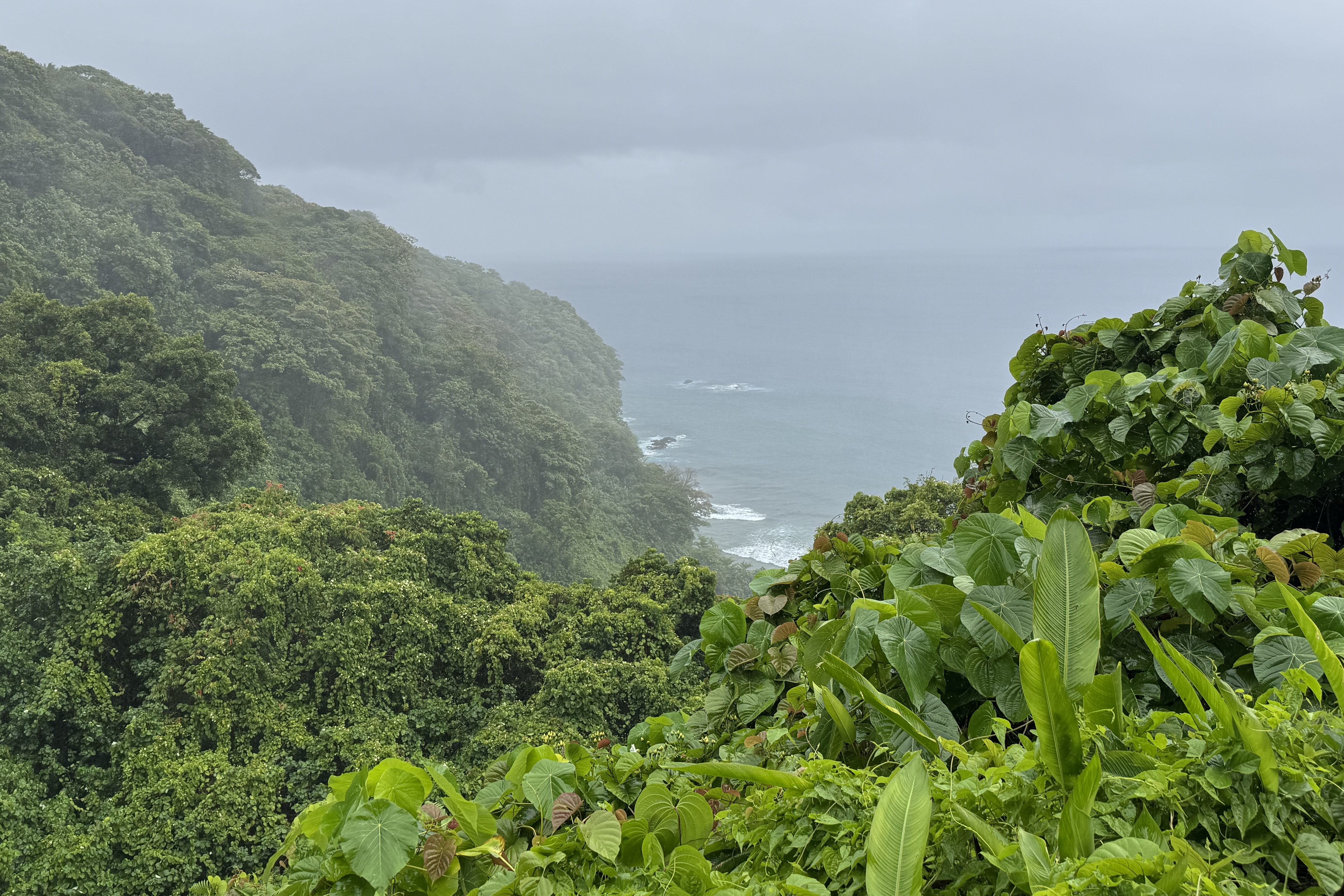
We stopped to admire Amanave, a village nestled along the coast. Even with fog trying its best to conceal the scenery, it was enchanting to see. The road wound along the shoreline, dipping into small bays, climbed across a ridge to Poloa and from there it rose steeply and twisted sharply to the roads end. The scenery was spectacular even in the rain and yet again Tasia’s driving skills were tested to the max.
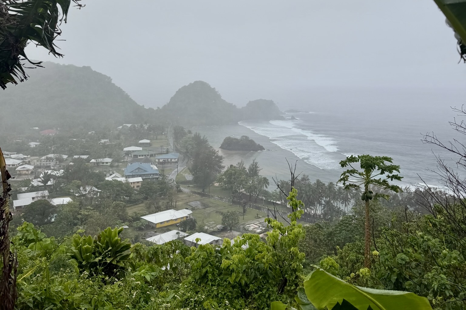
At Fagamalo we explored the beach and as has happened on other outings, we were soon adopted by a local dog. Our adopt-a-dog-by-the-hour definitely was hoping that his companionship, supervision and guidance would be rewarded with some scraps from our lunch. Bernadette tipped him well.
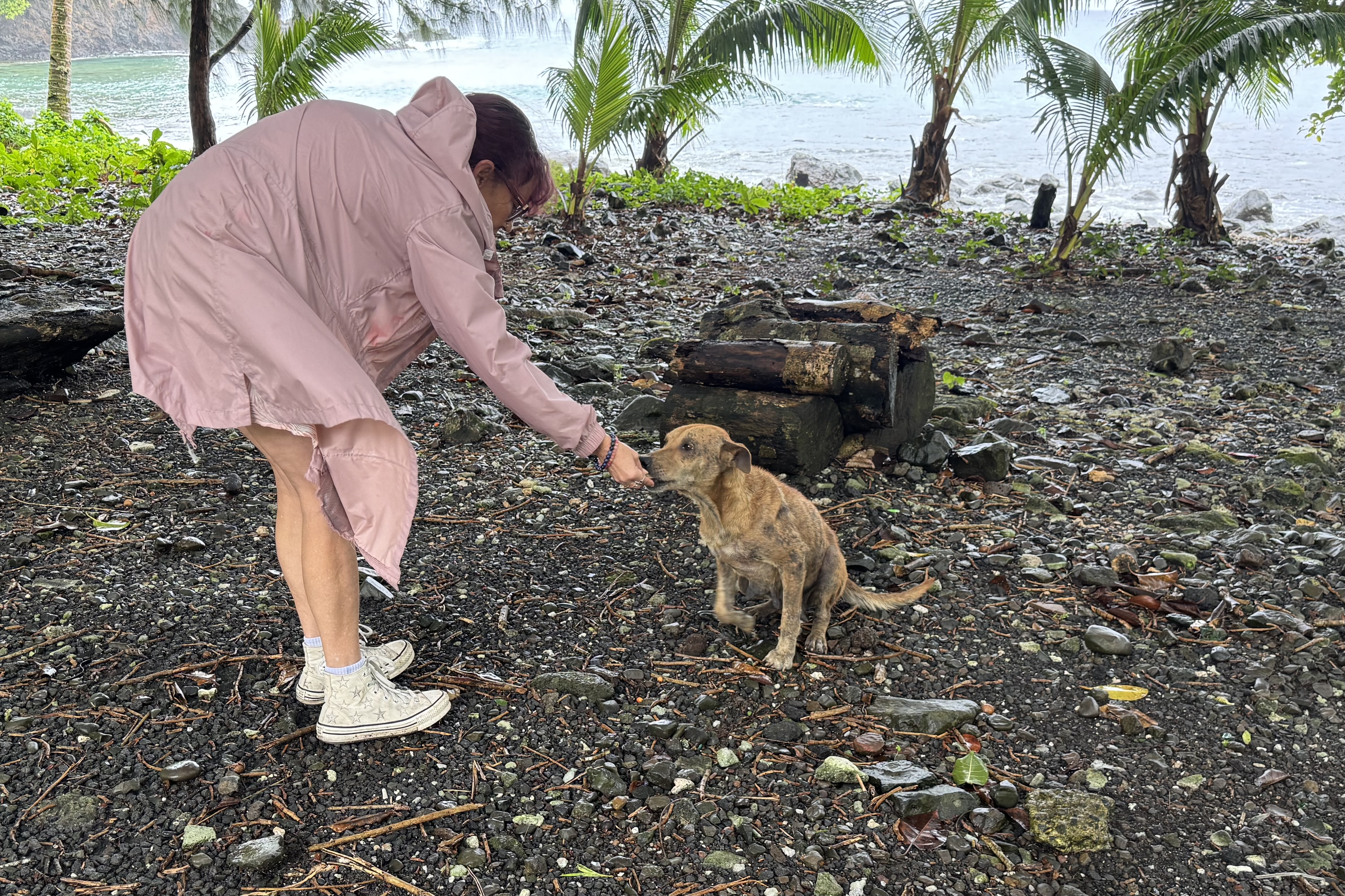
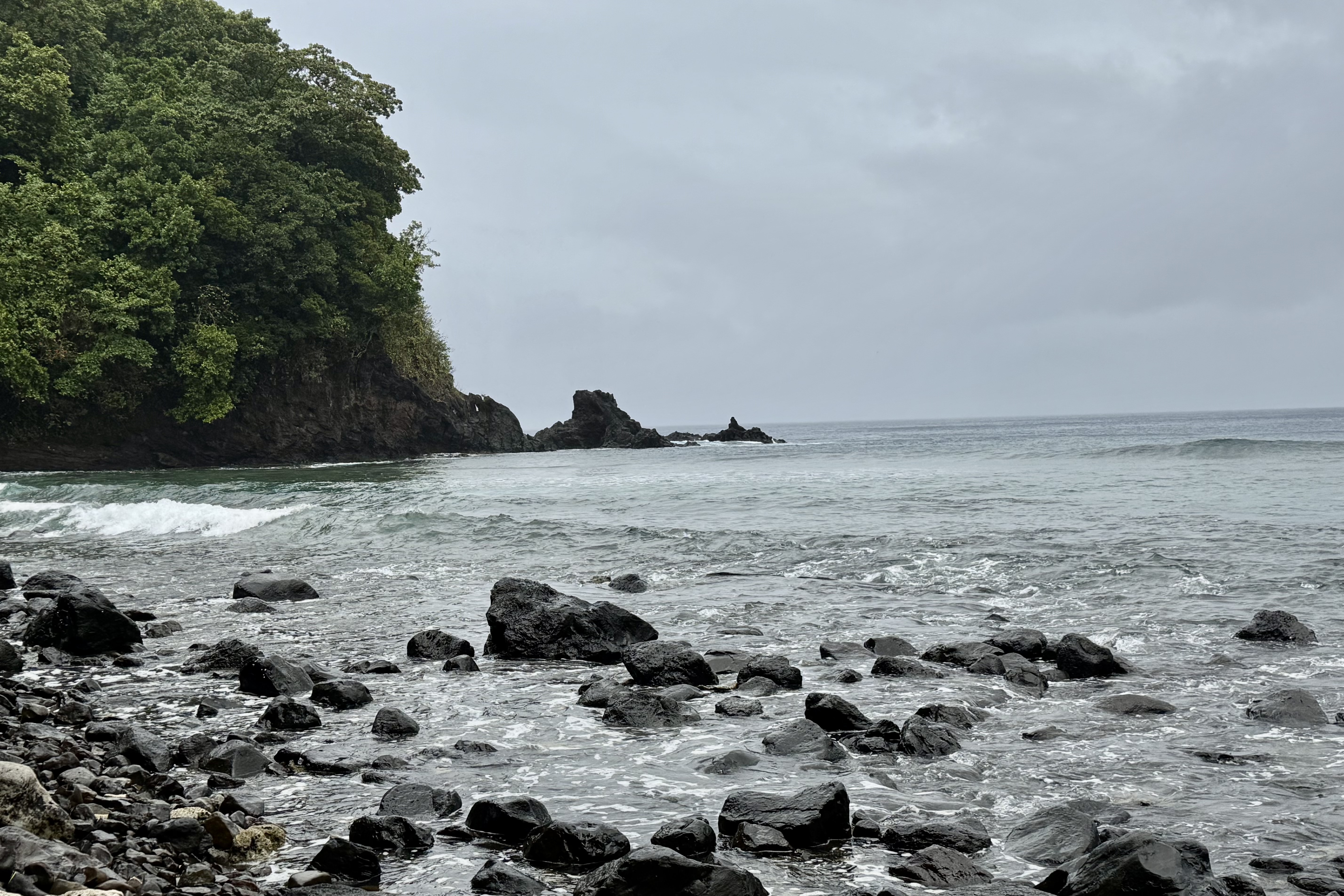
A Legend, a Wild Sea, and a Wave Delivered Shower

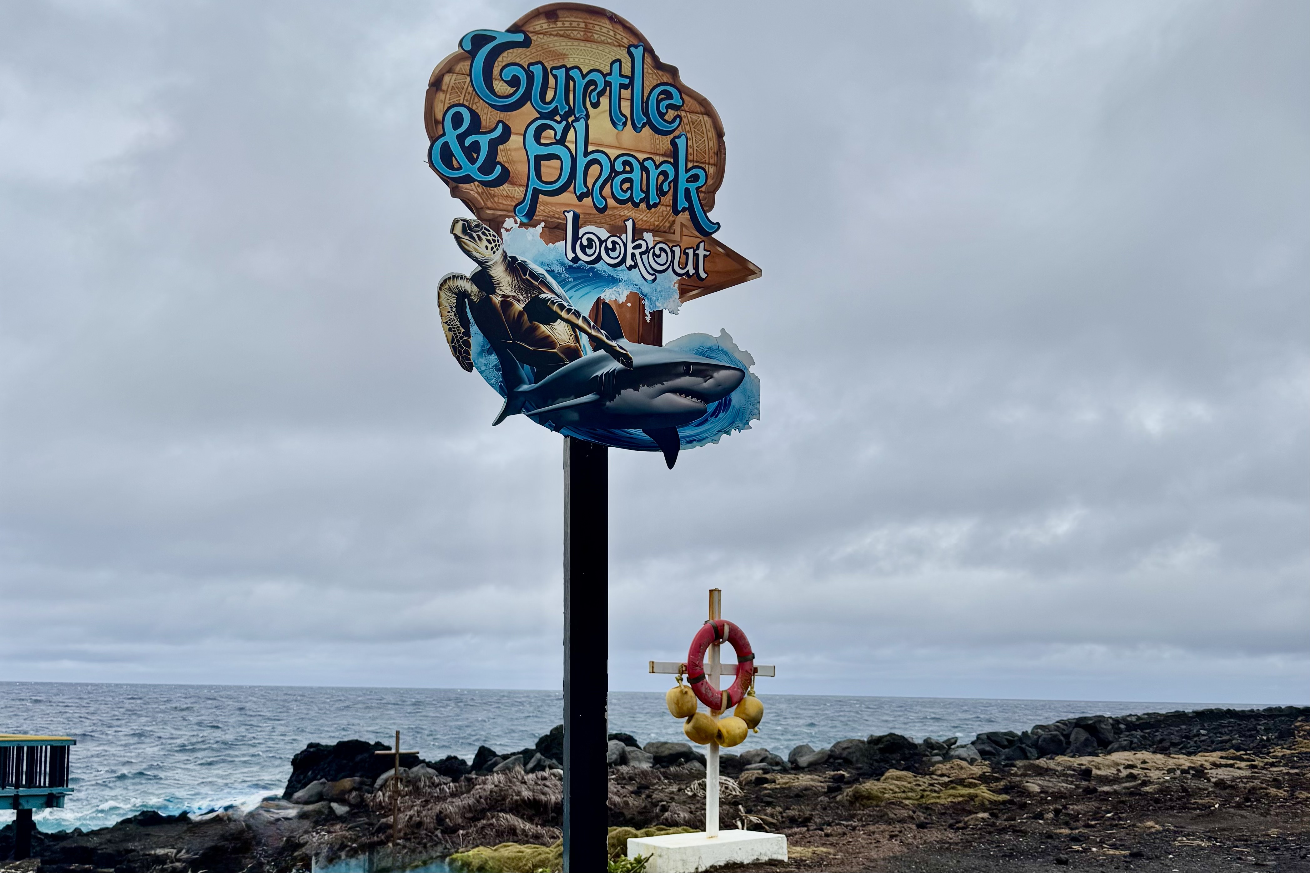
After retracing our route towards Pago Pago, we stopped at Vaitogi to visit the site associated with the Samoan Legend of the turtle and the shark. The story tells of a mother and daughter fleeing famine, that leapt into the sea and were transformed into a turtle and a shark. According to local tradition. villages sing to call the pair, and this site preserves the story.

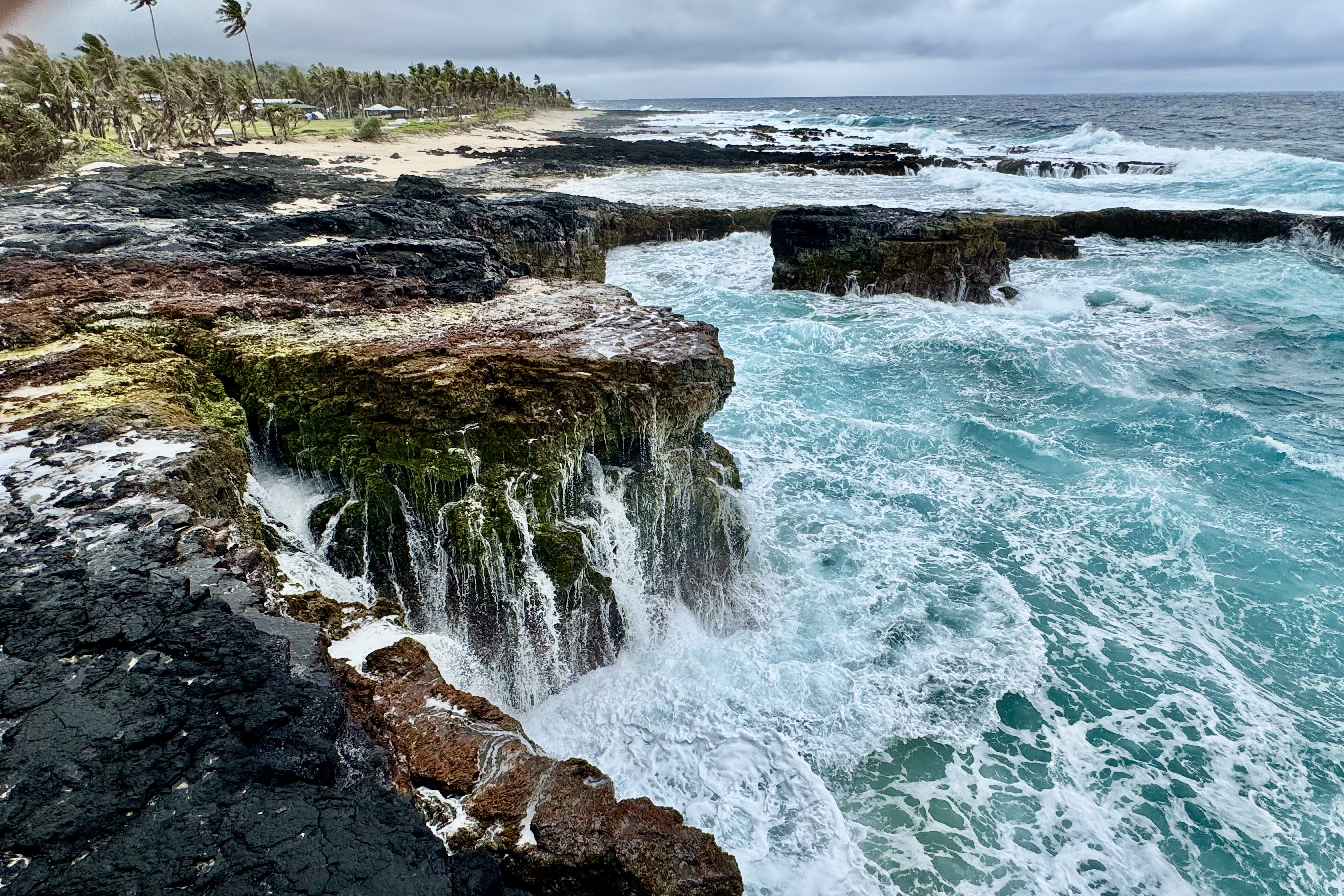
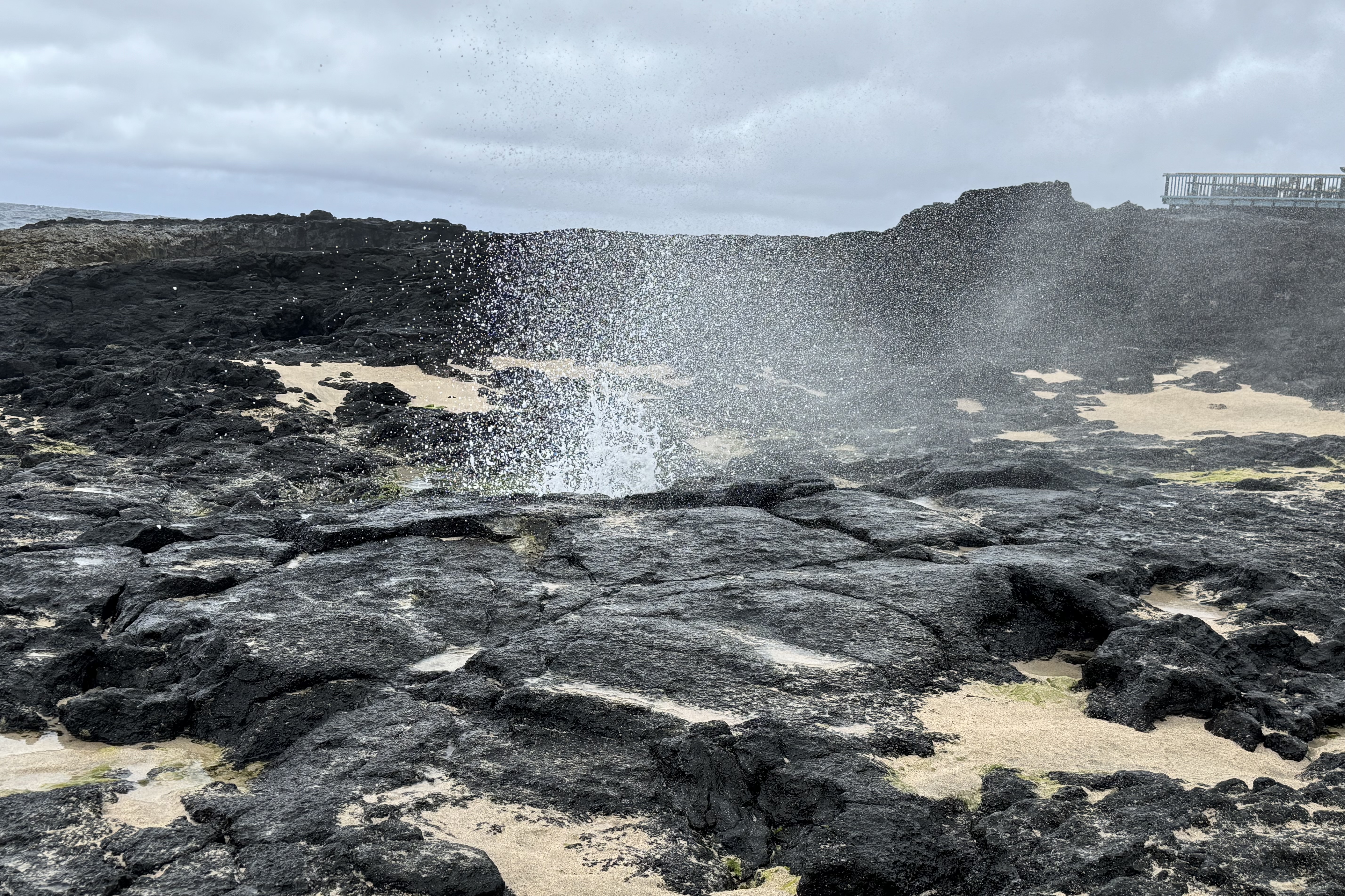
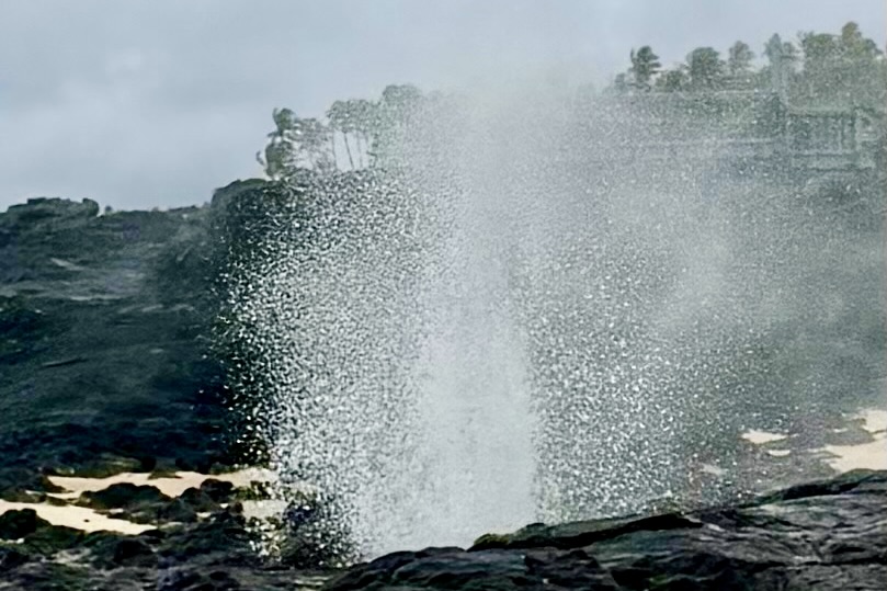
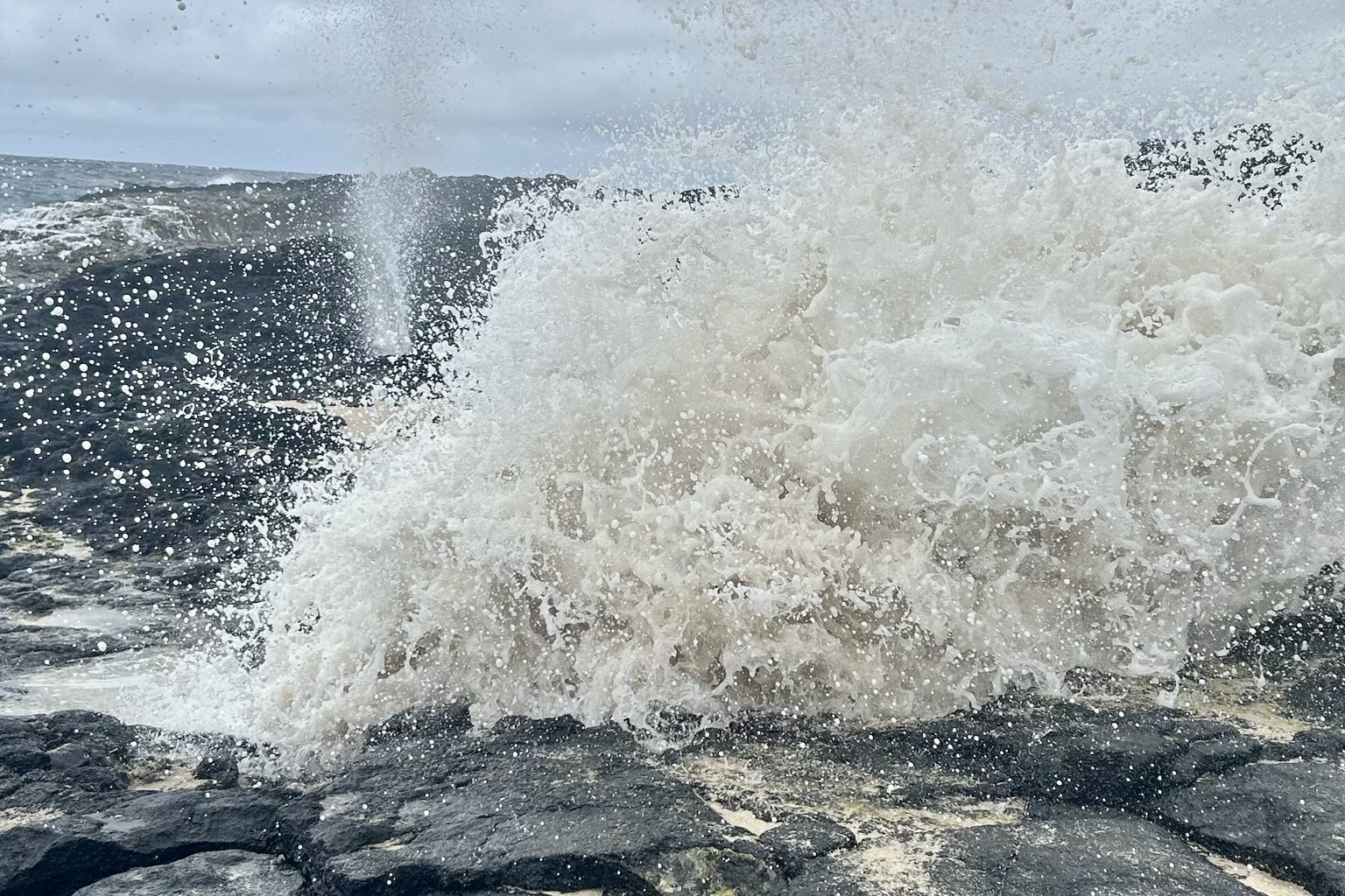
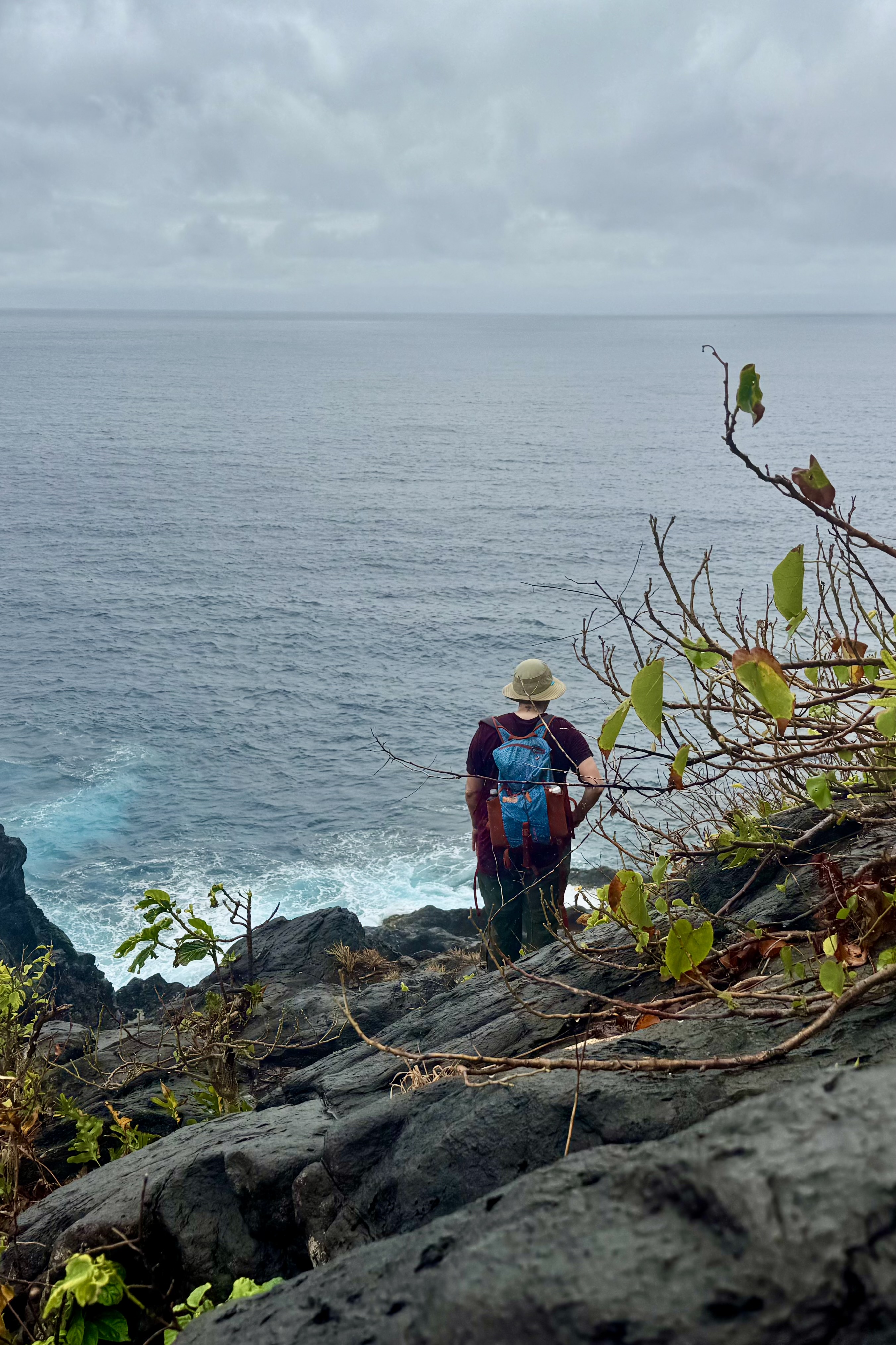
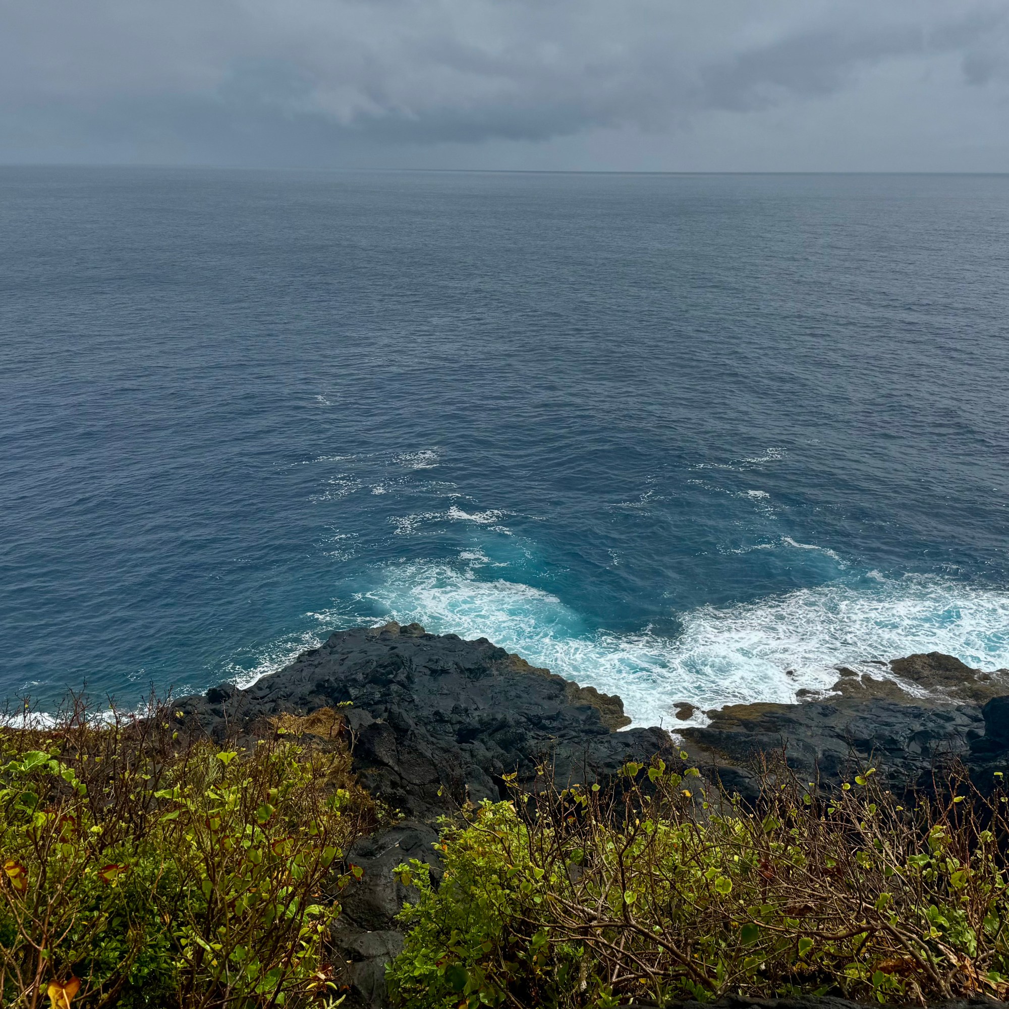
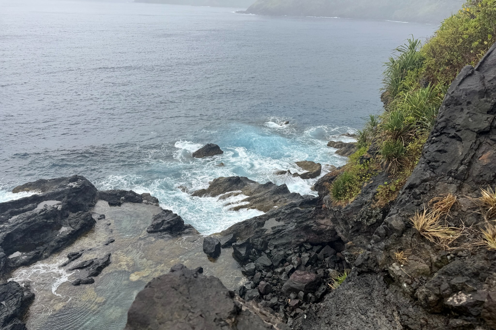
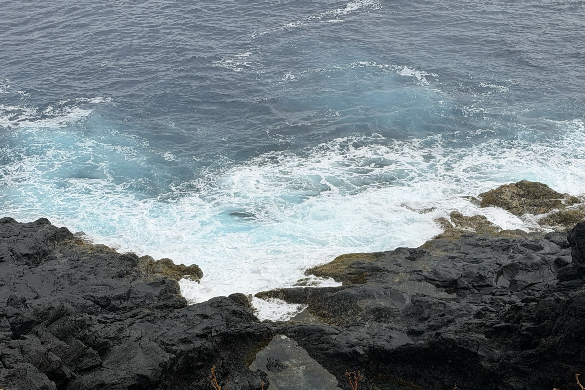
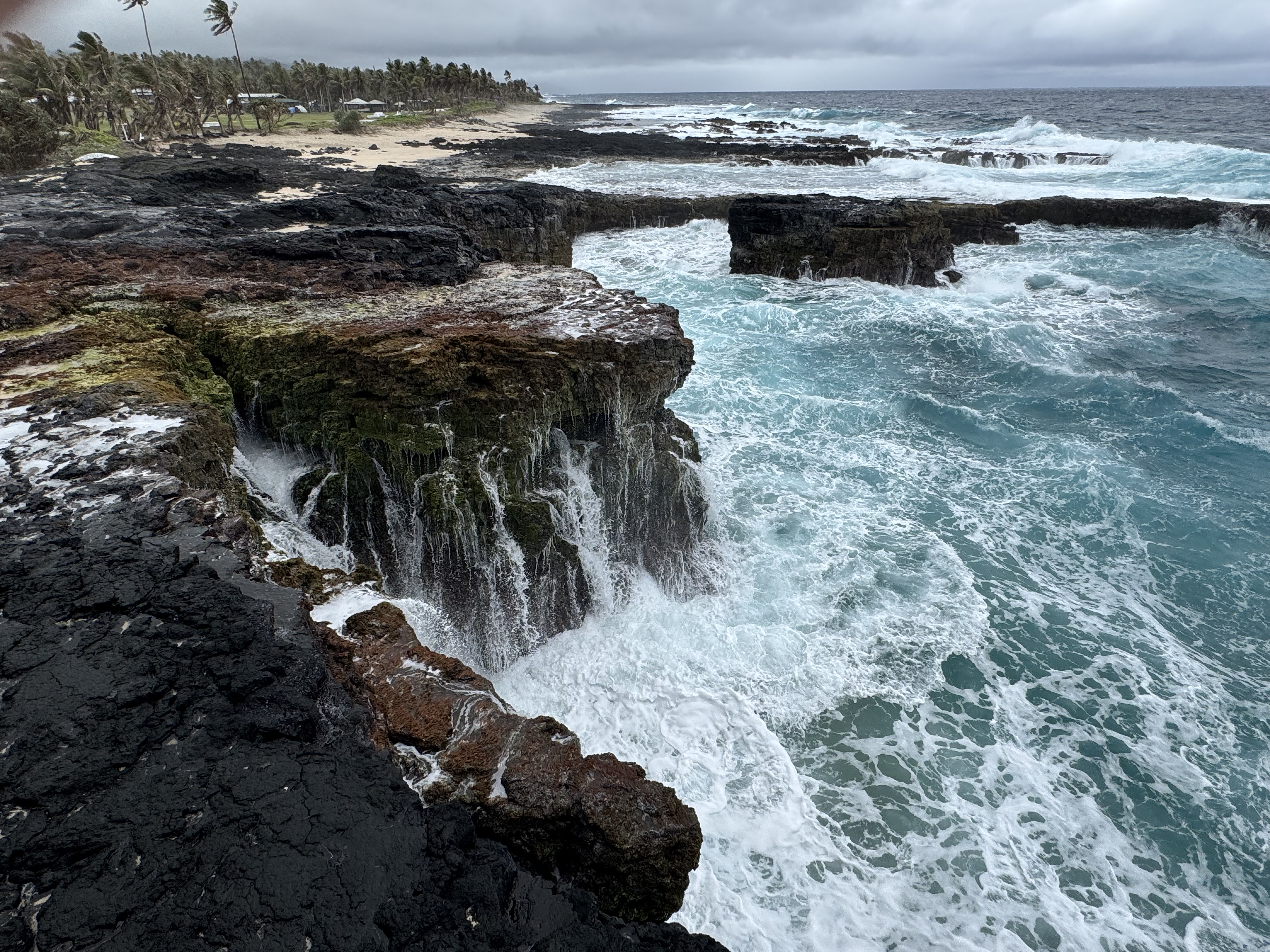
Whatever one makes of the story, the setting certainly seemed suited to one. The sea was wild and dramatic. Waves rushes in from the open ocean and slammed against the black volcanic shelf, exploding into white spray, before cascading back over the rocks. Jagged lava formations with slick green algae, framed the churning turquoise waters beautifully. The contrast between the dark volcanic rock, the vivid sea, and the white foam was mesmerizing.
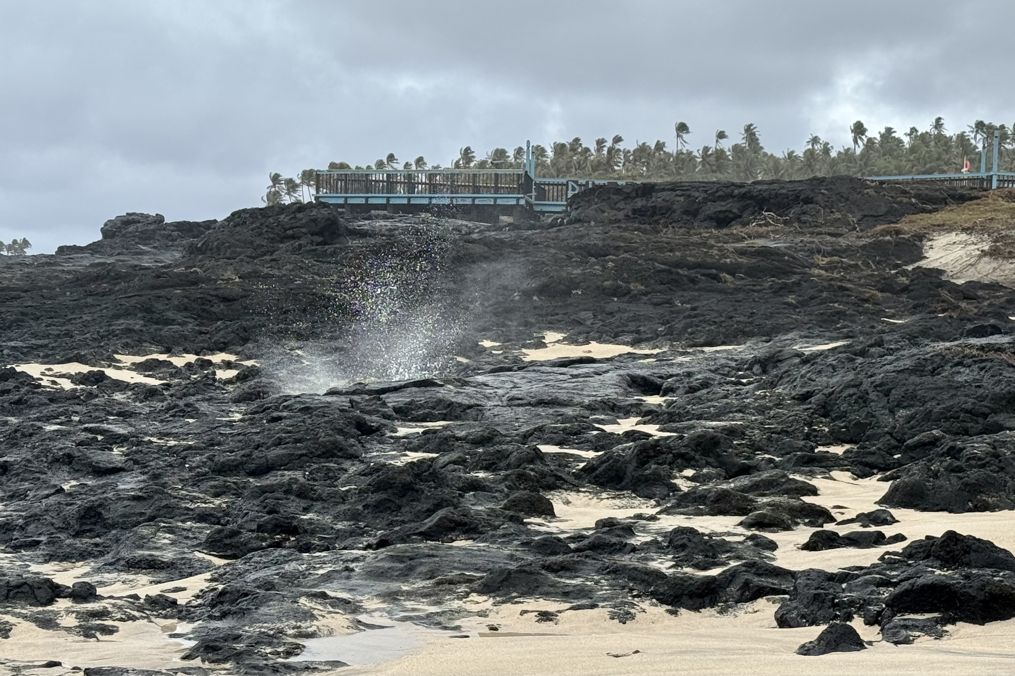
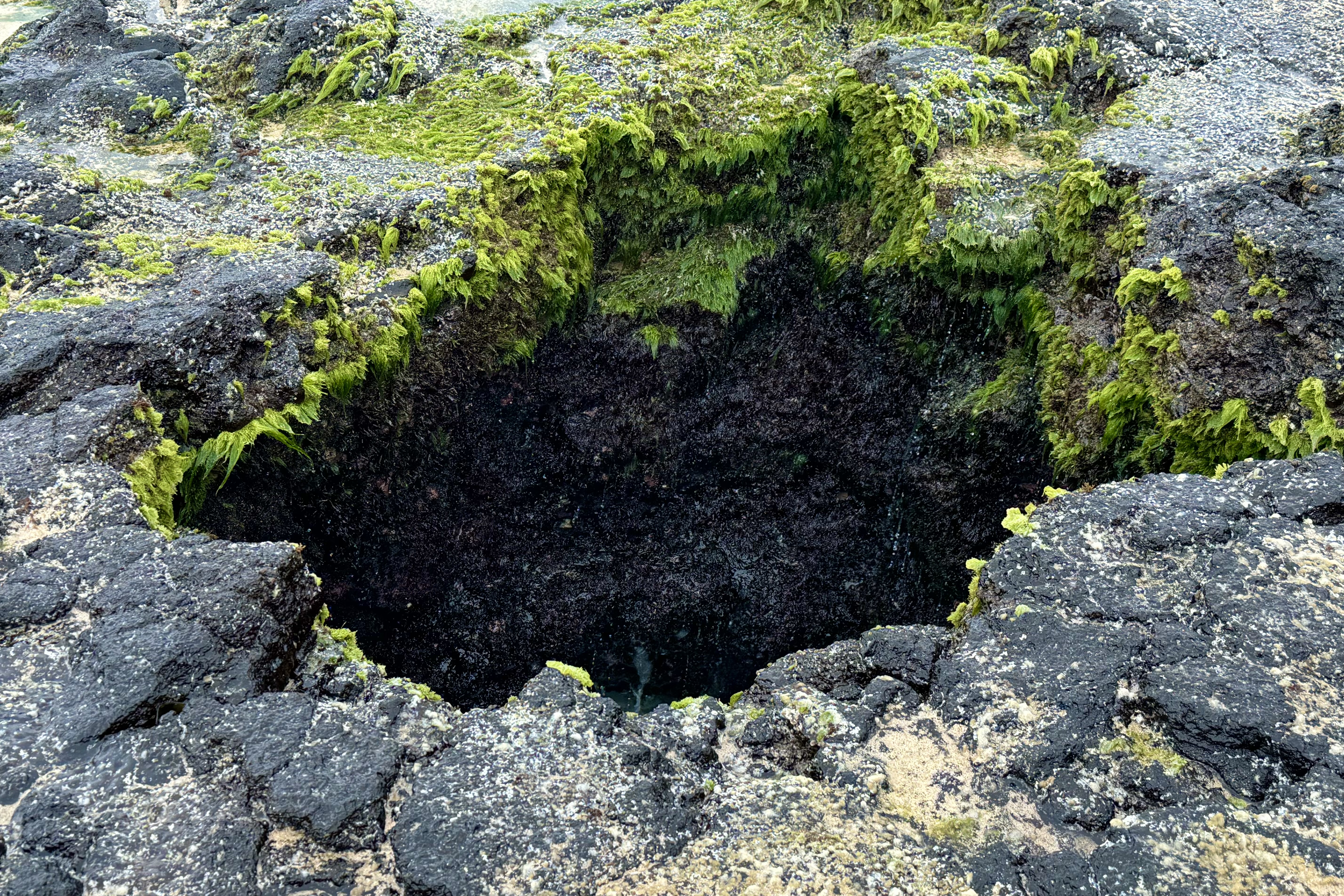
We stood at the viewing deck built over the rocky shoreline, watching the waves gather strength and crash against the coast . The force of the water was impressive and it’s occasional well-times splash reminded me that the ocean was not solely a spectator sport. Then one wave sent a wall of spray over the rocks and straight onto me. Yet again, I got a complimentary wave-delivered shower.
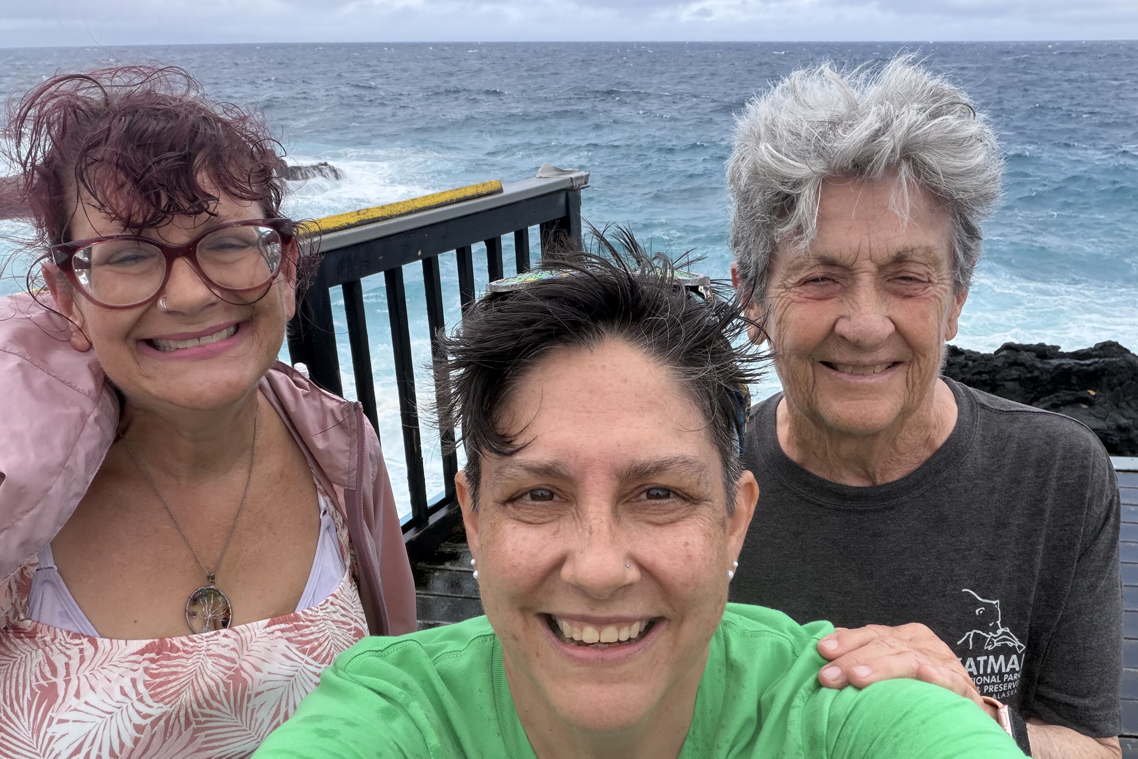
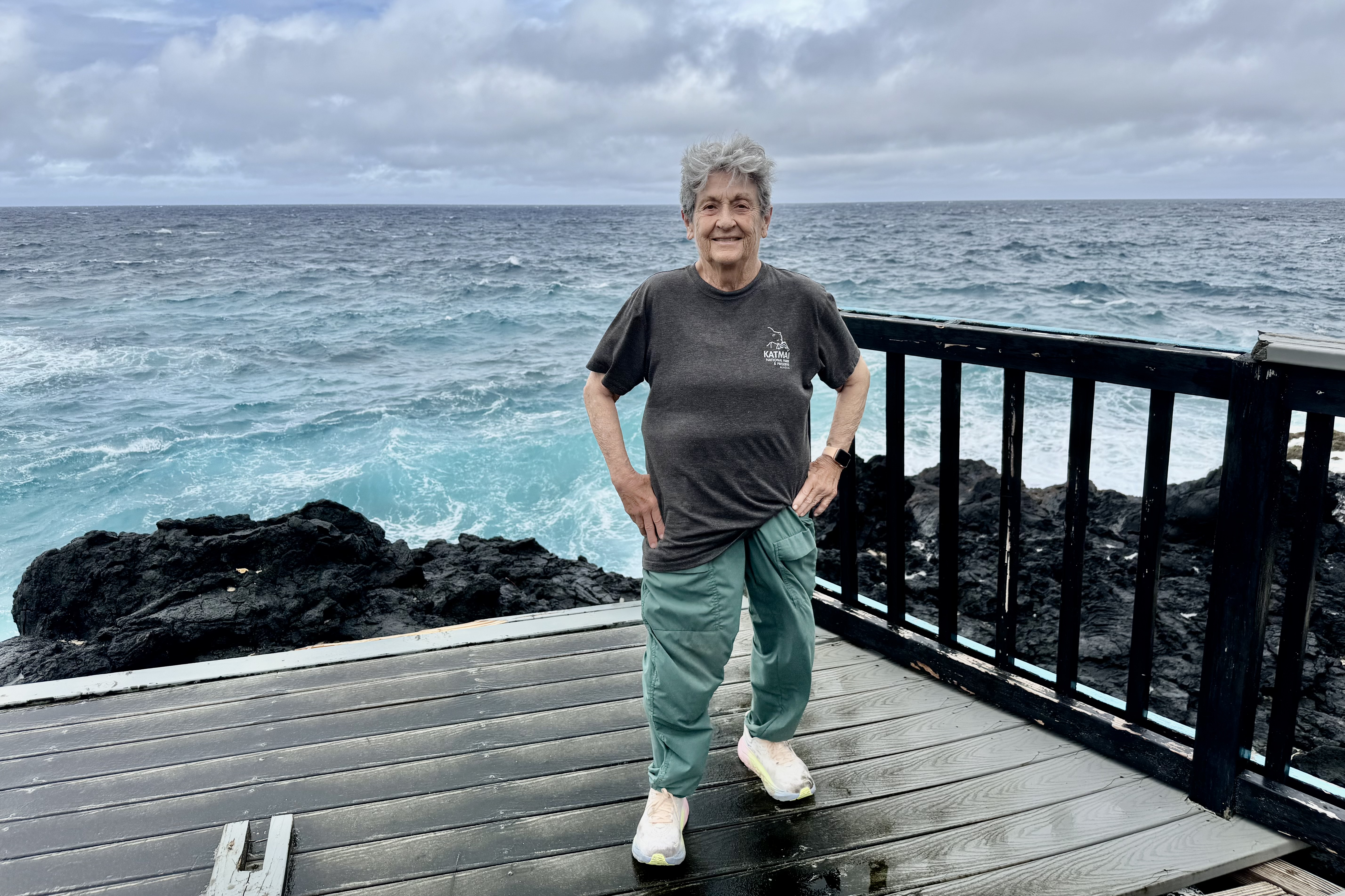
After a couple of stops for gas and snacks, we landed back at Sadie’s. It was mid-afternoon and Tasia and Bernadette headed out to the beach and pool for a swim. I went down and to take on the role of bystander. That was however a short lived adventure and you can probably guess what derailed the plans. After a day of seemingly endless rain, swimming in the rain had no appeal. They abandoned the pool in search of something dry which , as it turned was becoming quite an elusive commodity.

The Final Drip

By the time we returned to our room, we were ready to call it a day. Unfortunately our accommodations had developed an additional water feature. We discovered that the rain was now dripping through the ceiling onto one of the beds. Fortunately the ice-bucket was available for a new and currently a more practical purpose: catching the drips. It was our final night at Sadie’s and we had little inclination to pack everything up and move rooms. Tasia simply relocated to the other bed while the ice bucket stood sentry, content with its new job. After a day of relentless rain, foggy mountaintops, and ocean spray, we had apparently not yet met our daily water quota. The hotel was definitely helping us meet it.
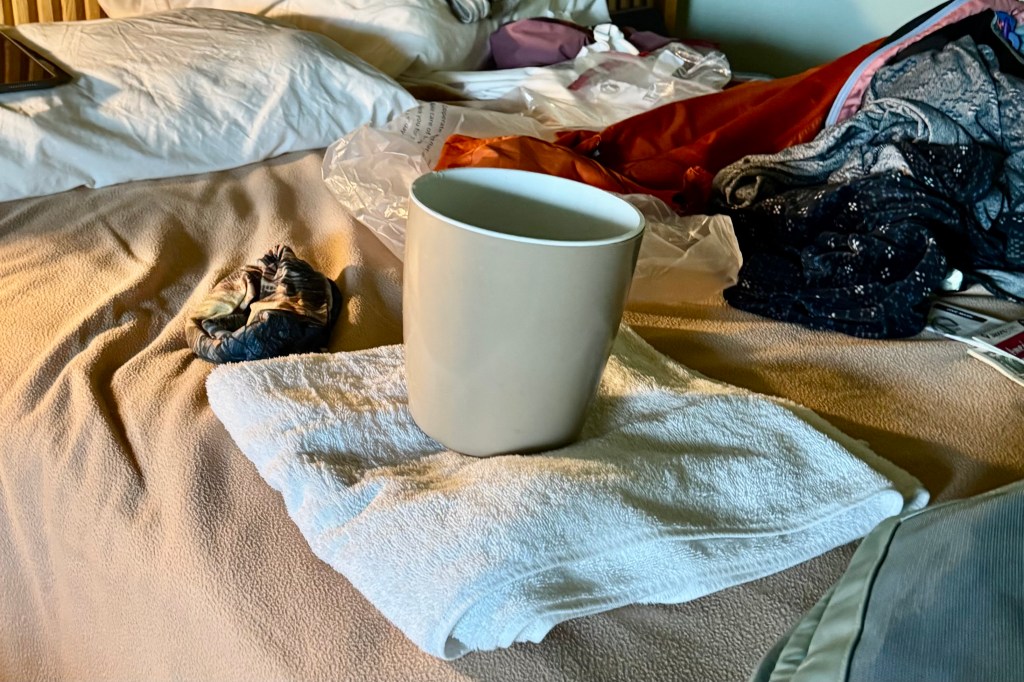
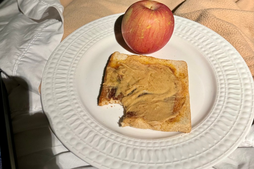
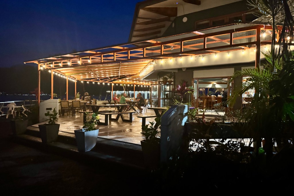
There was gear to organize, laundry to be done, bags to repack. Feeling weary, we decided to skip dinner at the Goat Island Cafe and use up the remaining lunch supplies instead . This meal in a room with a leaky ceiling was not a remarkable culinary experience but I had food, a dry half- of-a-bed, and an ice bucket that I trusted would continue to earn its keep. The next day we would be leaving American Samoa and head to the independent nation of Samoa. Our time on Tutuila was drawing to a close. We were ready for a change of islands, and perhaps a ceiling that kept the rain where it belonged.
Rainforest, Rusty Ladder, and a Tuna Named Charlie

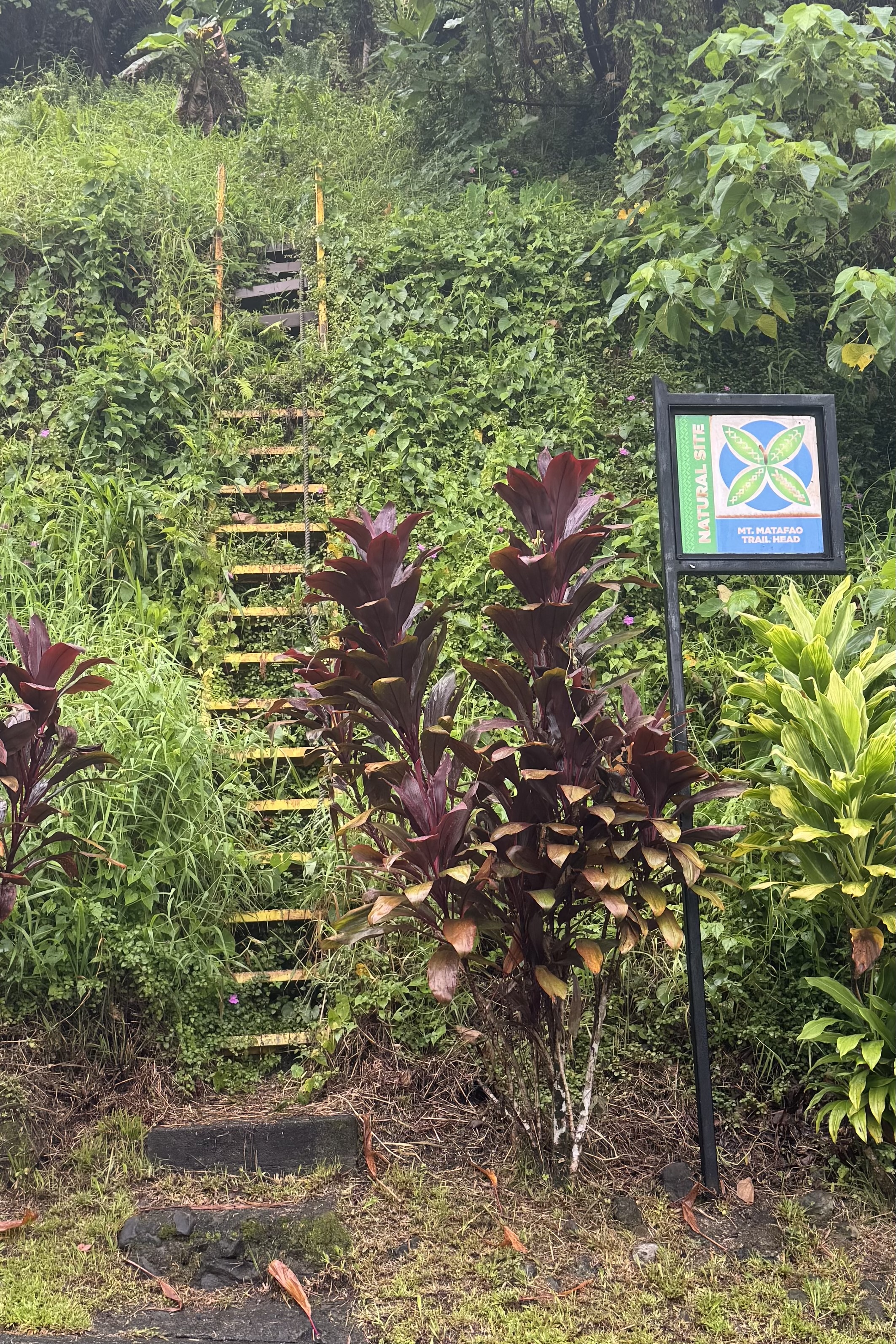
On Sunday, September 13, we set out to explore the National Park of American Samoa and headed south on Route 5 out of Pago Pago toward Fagasa Bay. Along the way, we passed the trailhead for Mount Montafeo. One look was all it took and I knew this was not to be our hike for the day. An old rusty ladder served as the trailhead starting point. On this rainy foggy day, that trail was definitely not calling my name. All I could think was that you (and anybody else) are not supposed go up here! I am adventurous to be sure but ignoring the obvious sign of a decaying and rusting ladder is quite another.

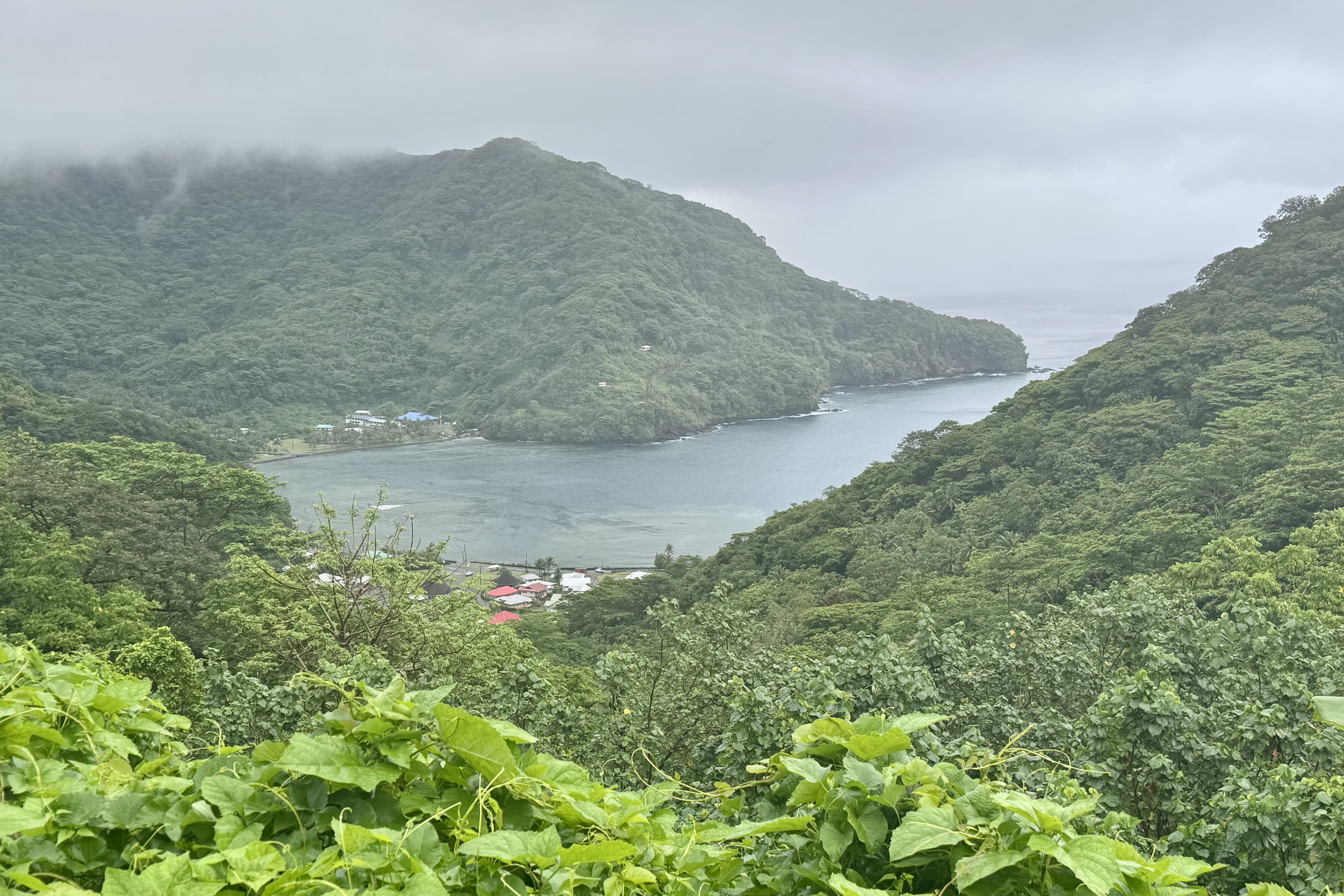
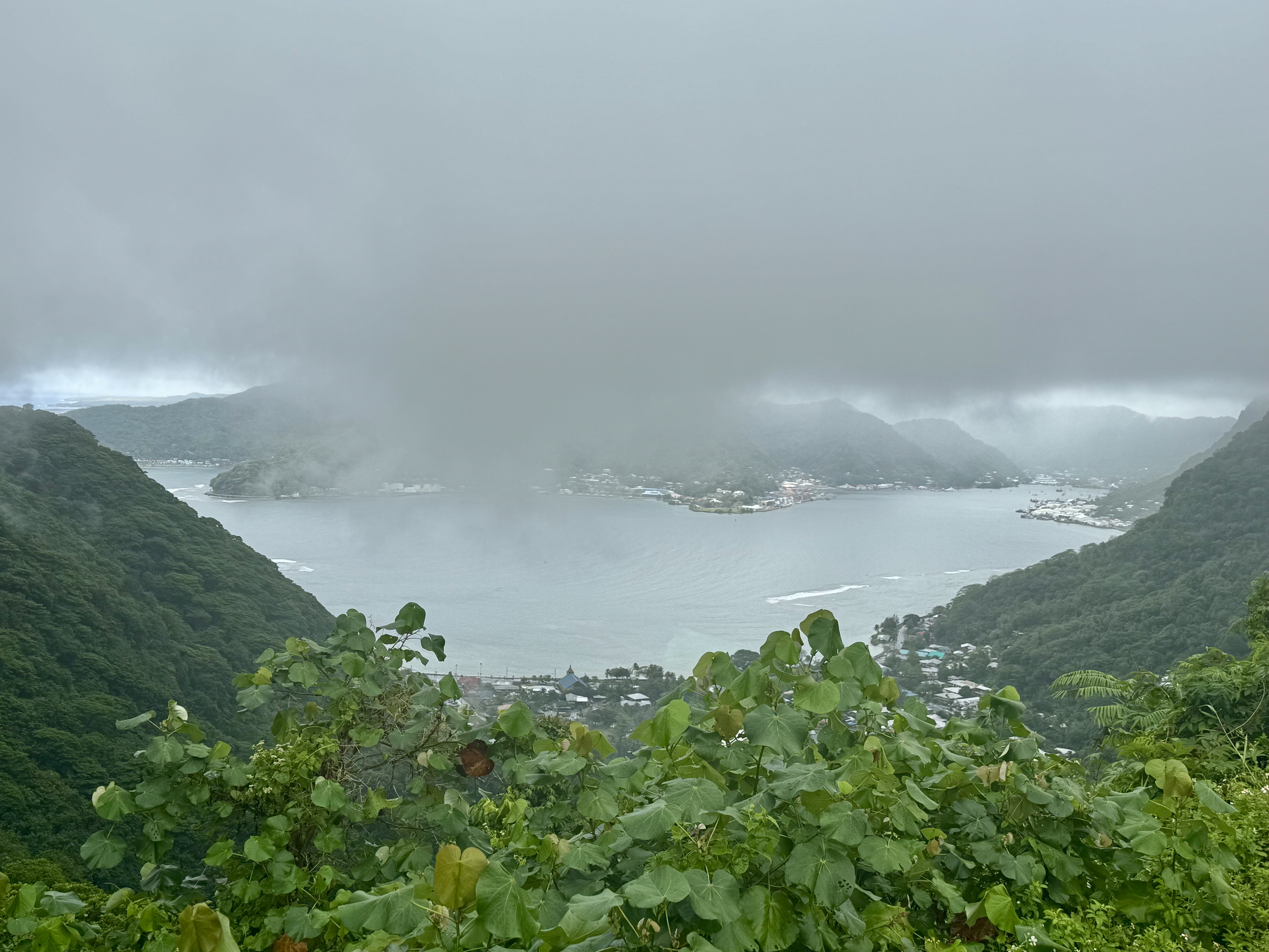
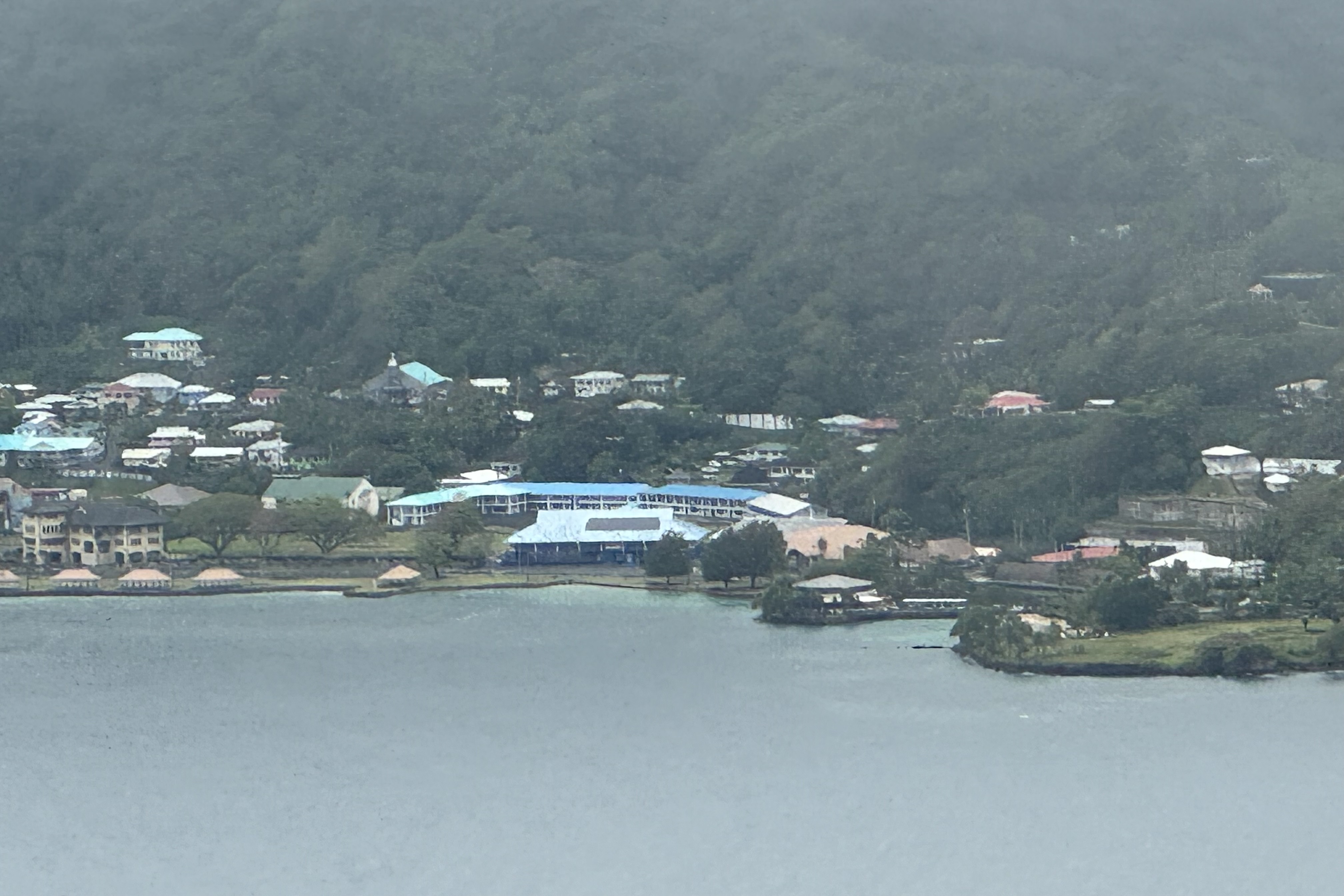
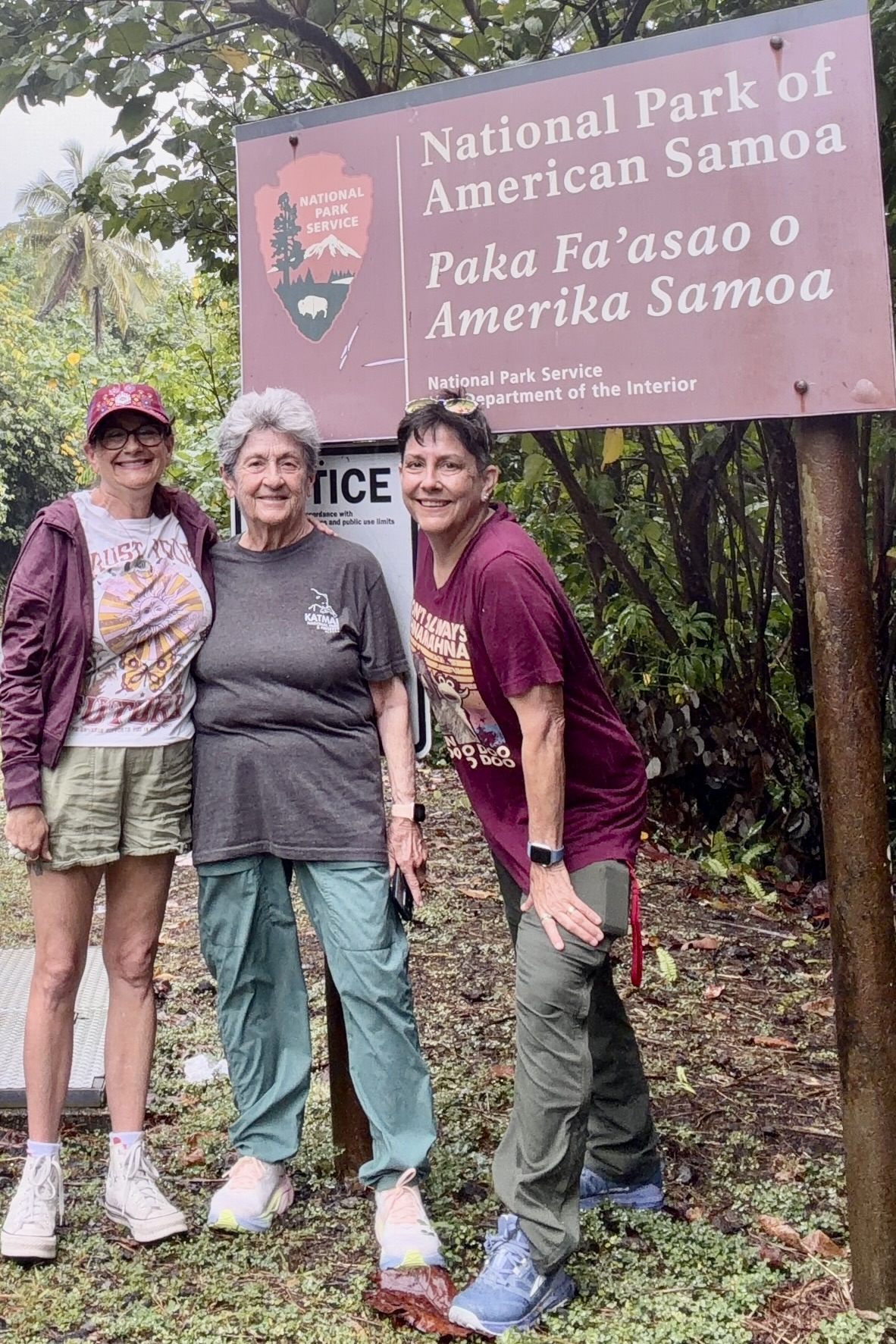
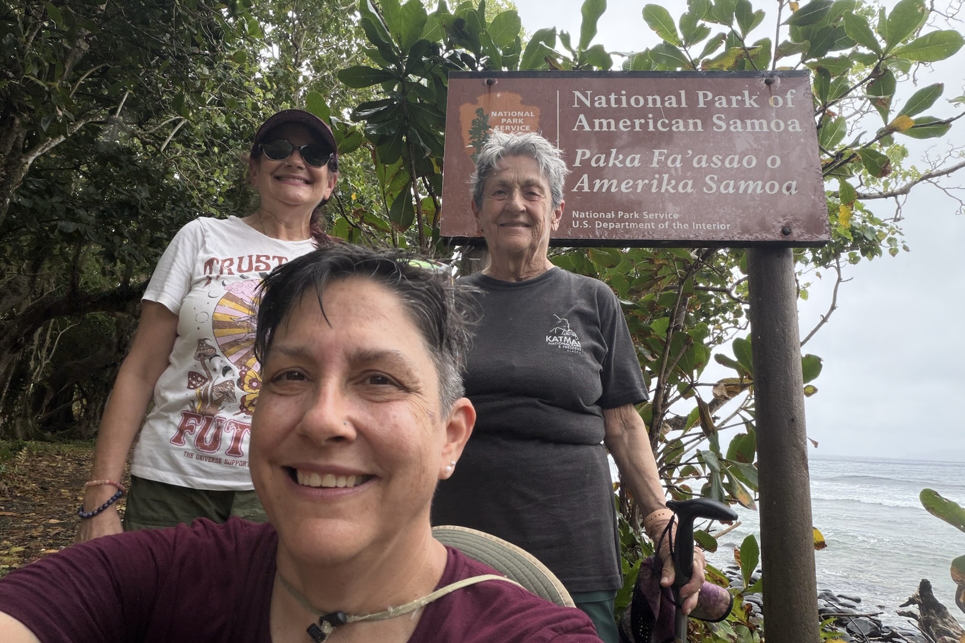
We continued toward Fagasa Bay, known as “the Forbidden Bay.” Although fog partly obscured the view, I was struck by the bays half-moon shape, framed by steep forested cliffs that plunge dramatically towards the water. Heading back toward Pago Pago, we stopped to admire the harbor surrounded by volcanic peaks, draped in fog and dense foliage. We even spotted the bay that Sadie’s by the Sea is on. There was also the obligatory stop at an official entrance sign for the National Park of Samoa. No park visit is complete without the photographic proof that we were actually there.

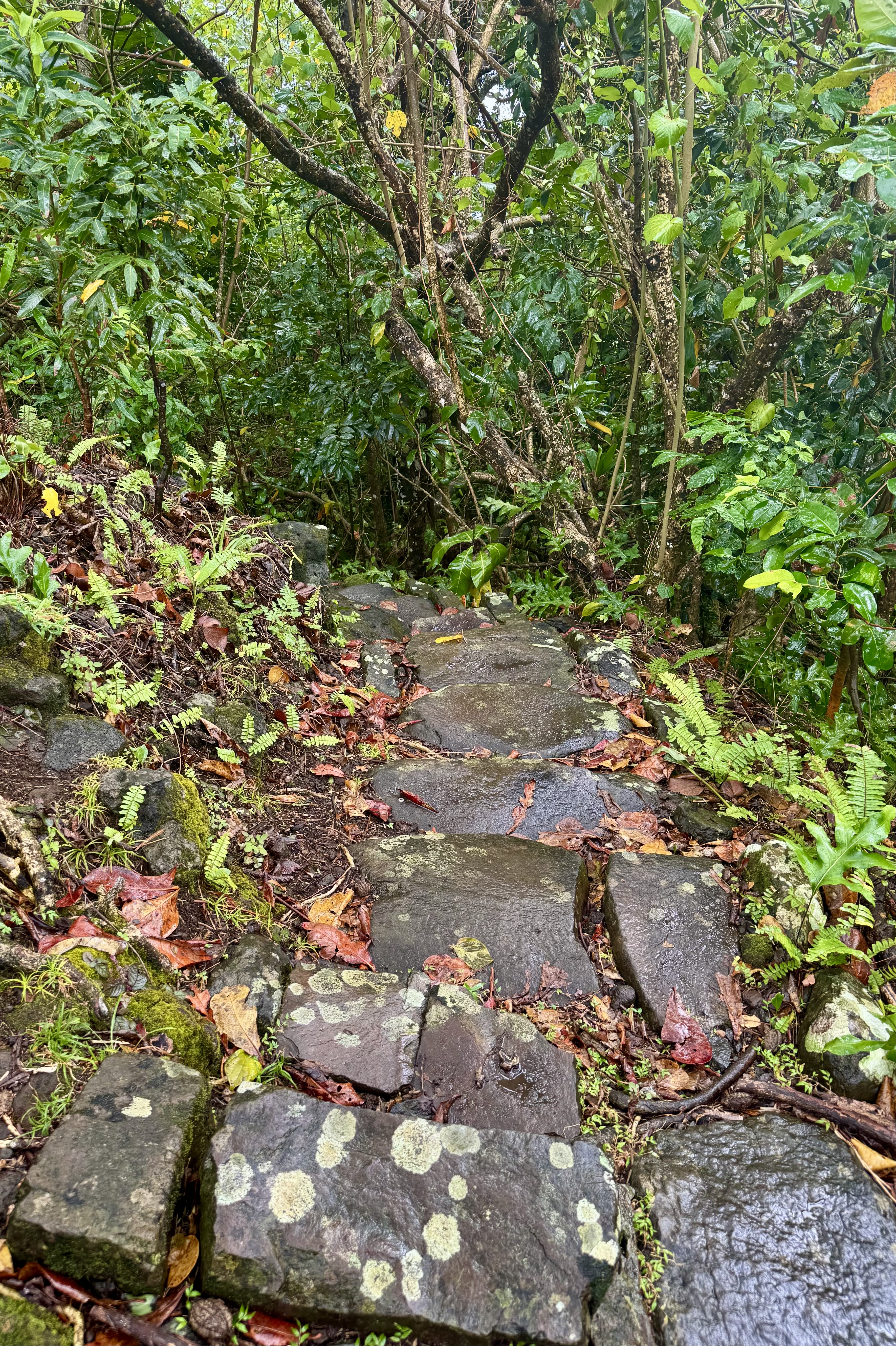
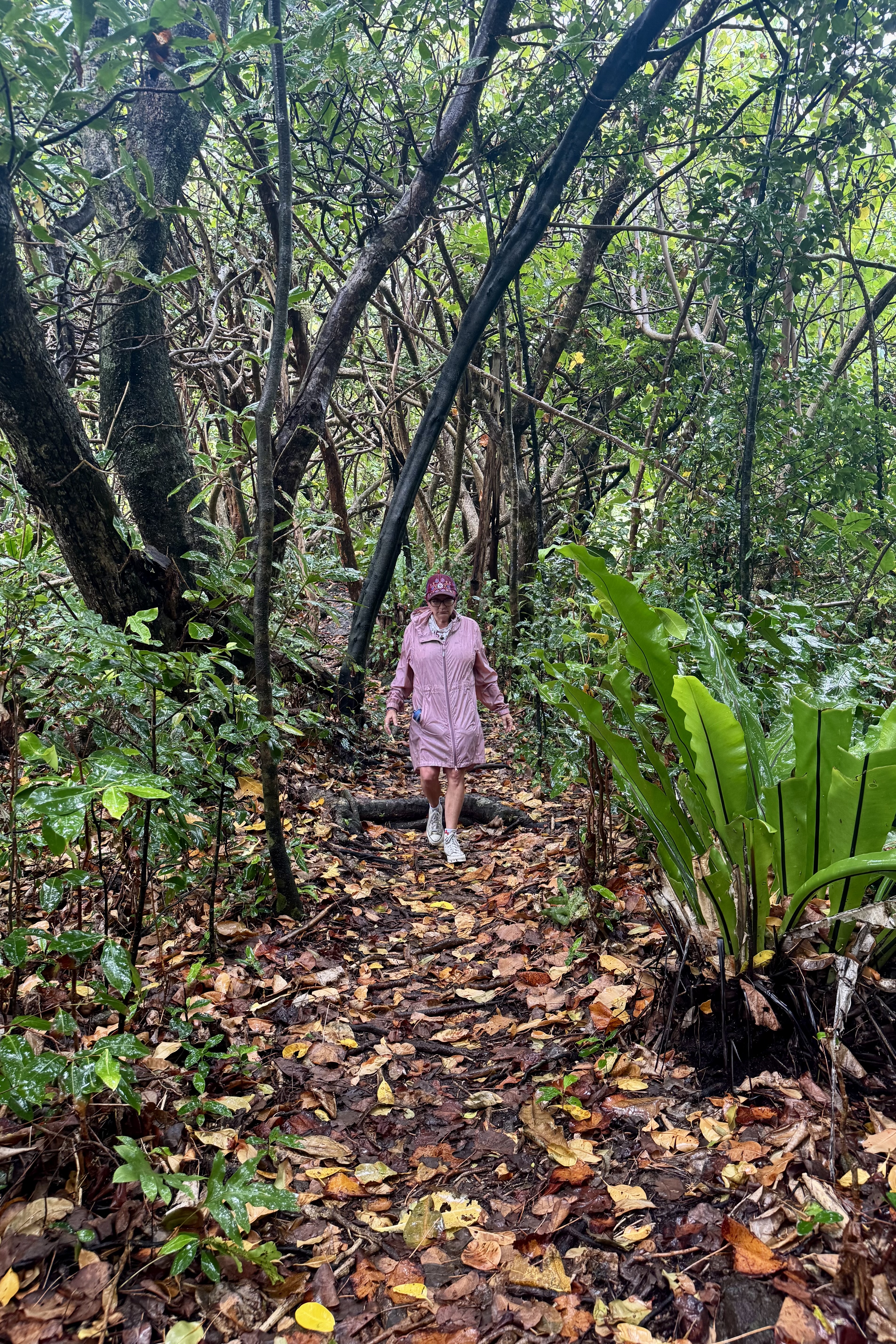
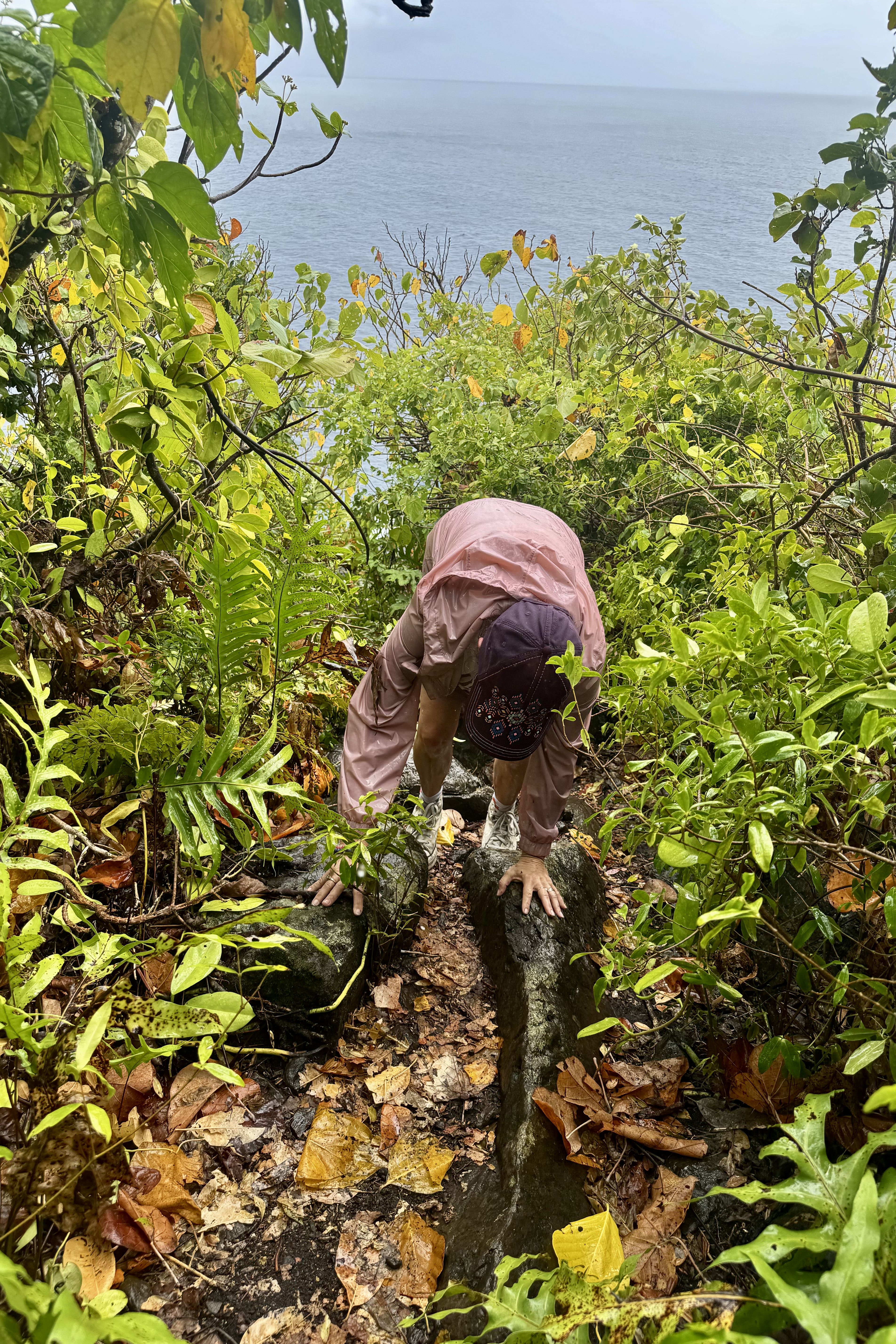
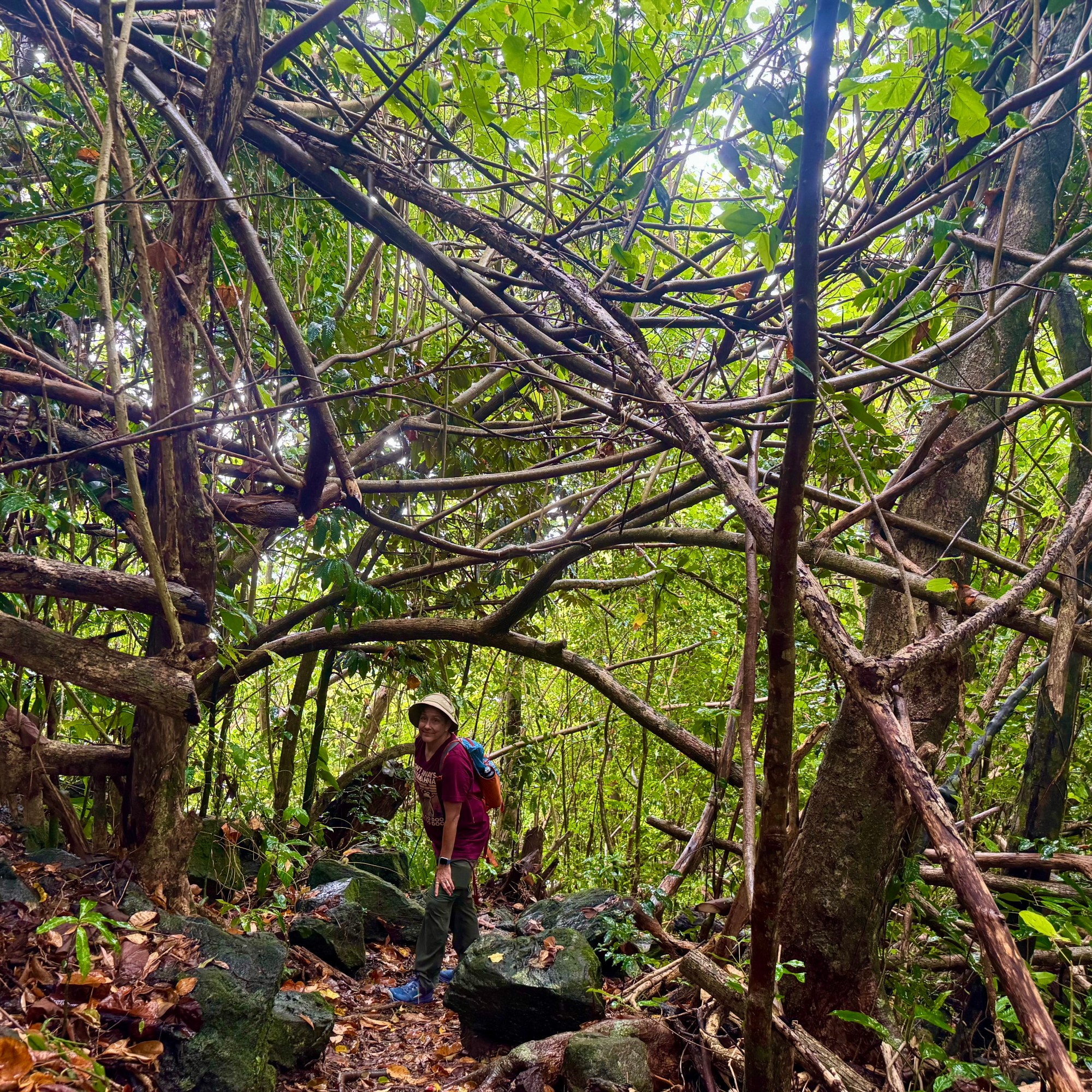
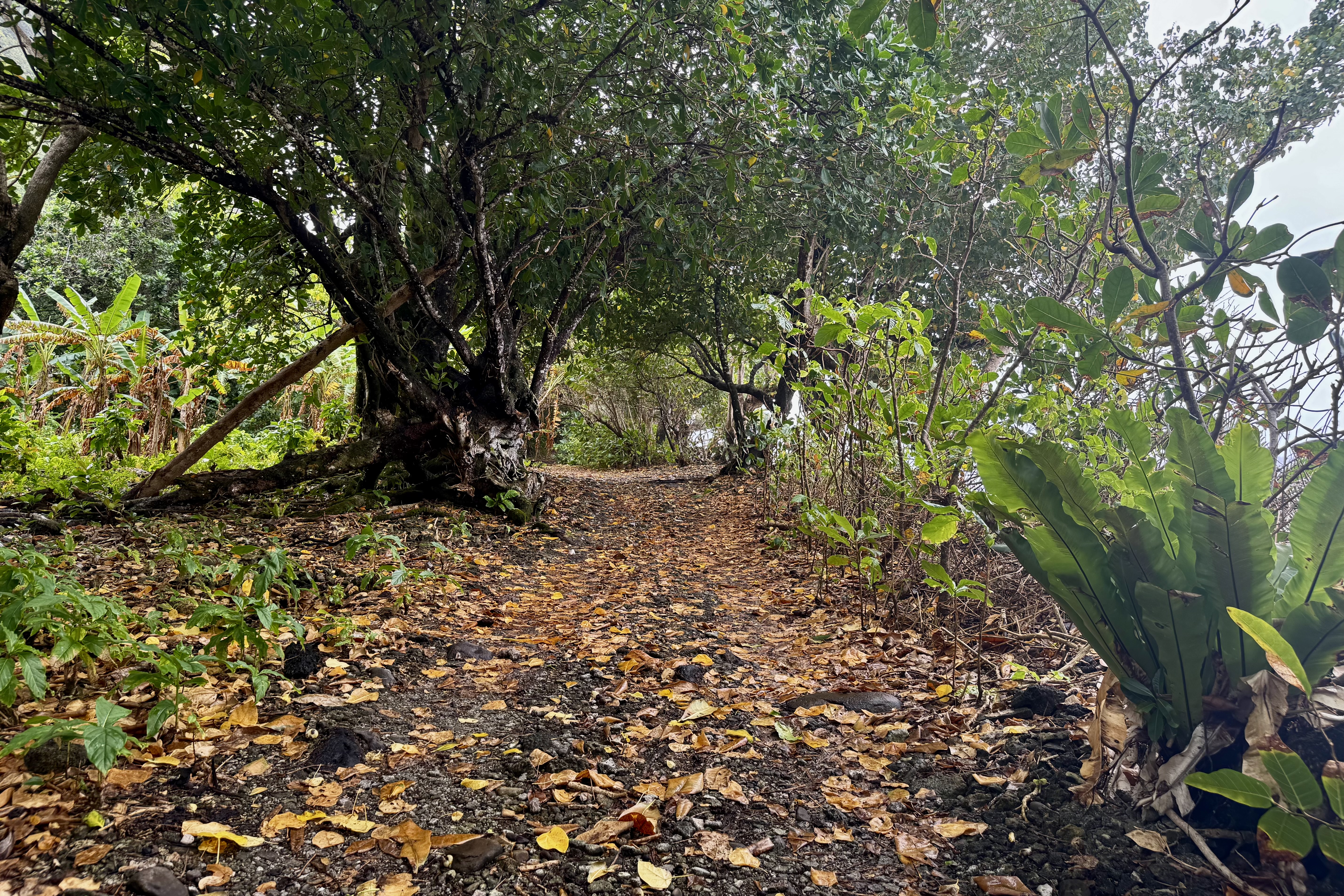
Next up was the Lower Sauma Trail which “plunged” us into dense rain forest. The trail was wet, muddy, and slippery beneath a carpet of rain soaked leaves. Mother Nature, with what I suspect was some assistance from the trail builders, had provided an obstacle course of flat slick stones, some decorated with patches of moss to make them even more treacherous. Hidden between the stone steps were plenty of exposed roots, just waiting to catch my wary foot. Tasia was sure-footed, with Bernadette and I not so confident that we’d arrived unscathed. Every step presented an opportunity for a face plant or a butt plant. She and I proceeded cautiously doing our best to remain upright. The return climb was steep and by the time we were finished we were thoroughly drenched. Still, perhaps, would it have been a disappointment to visit a tropical rainforest and not get rained on? In that department we were getting our money’s worth.

The question was whether the lovely views were worth the risk of navigating such a slippery trail. In the end I decided they were, sort of that is. It was a worthwhile adventure but on this foggy rainy day, they were not post card perfect. The real reward of this hike wasn’t the scenery as the challenge itself. The scenery was nice but finishing the hike without landing on my face or with a bruised backside was the achievement I celebrated the most. I think Bernadette would agree heartily with me.

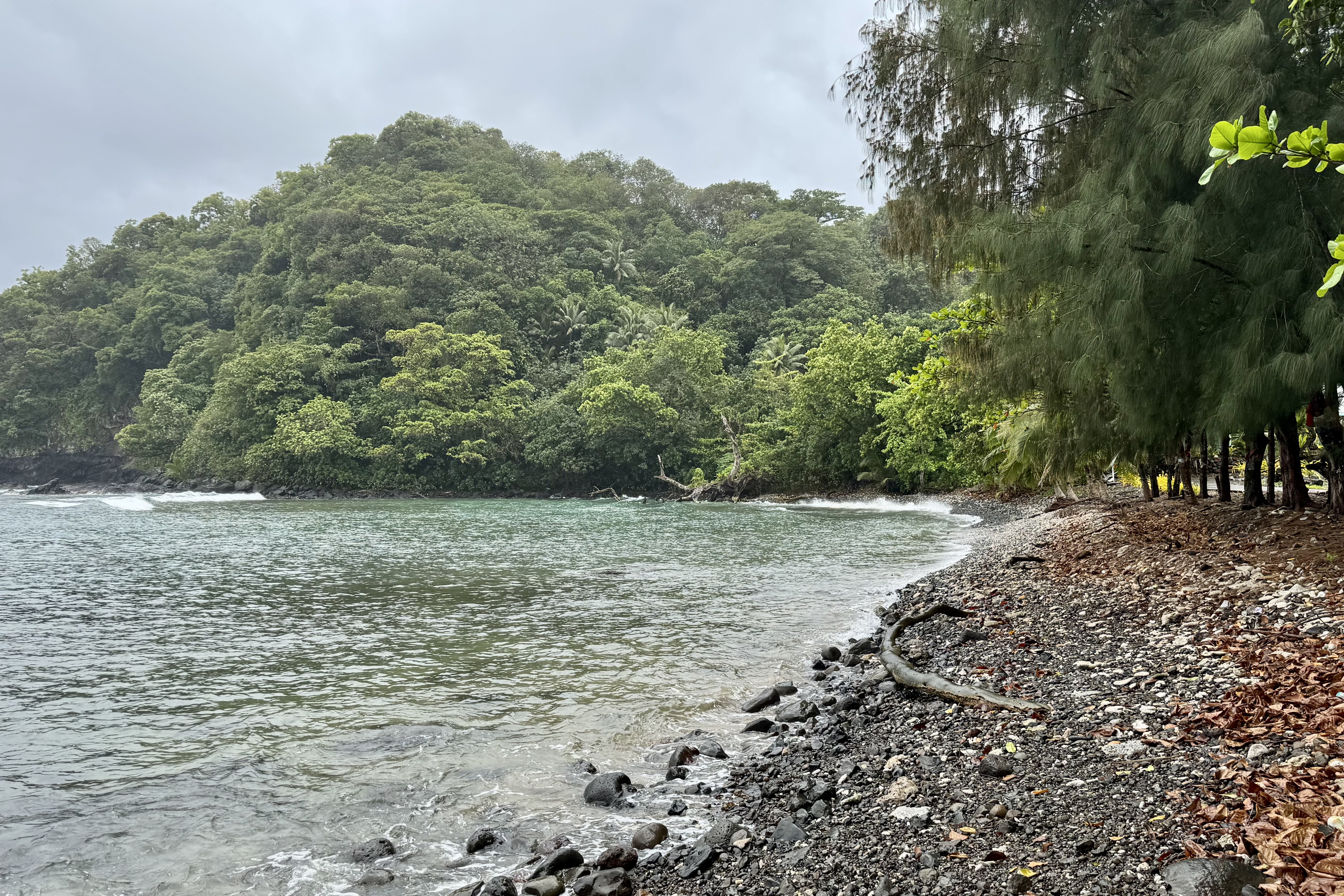
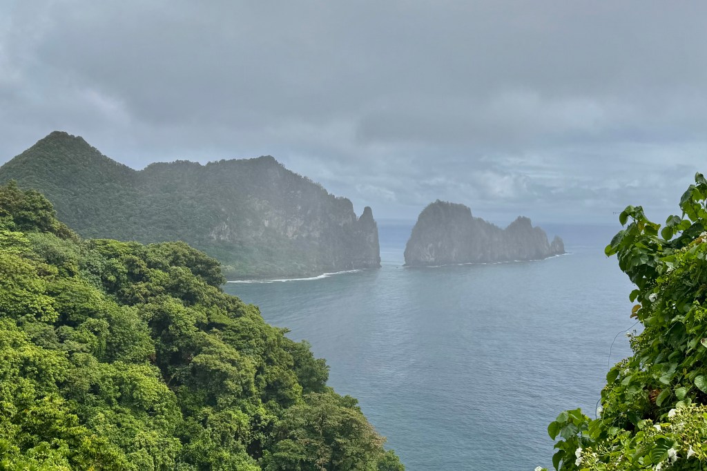
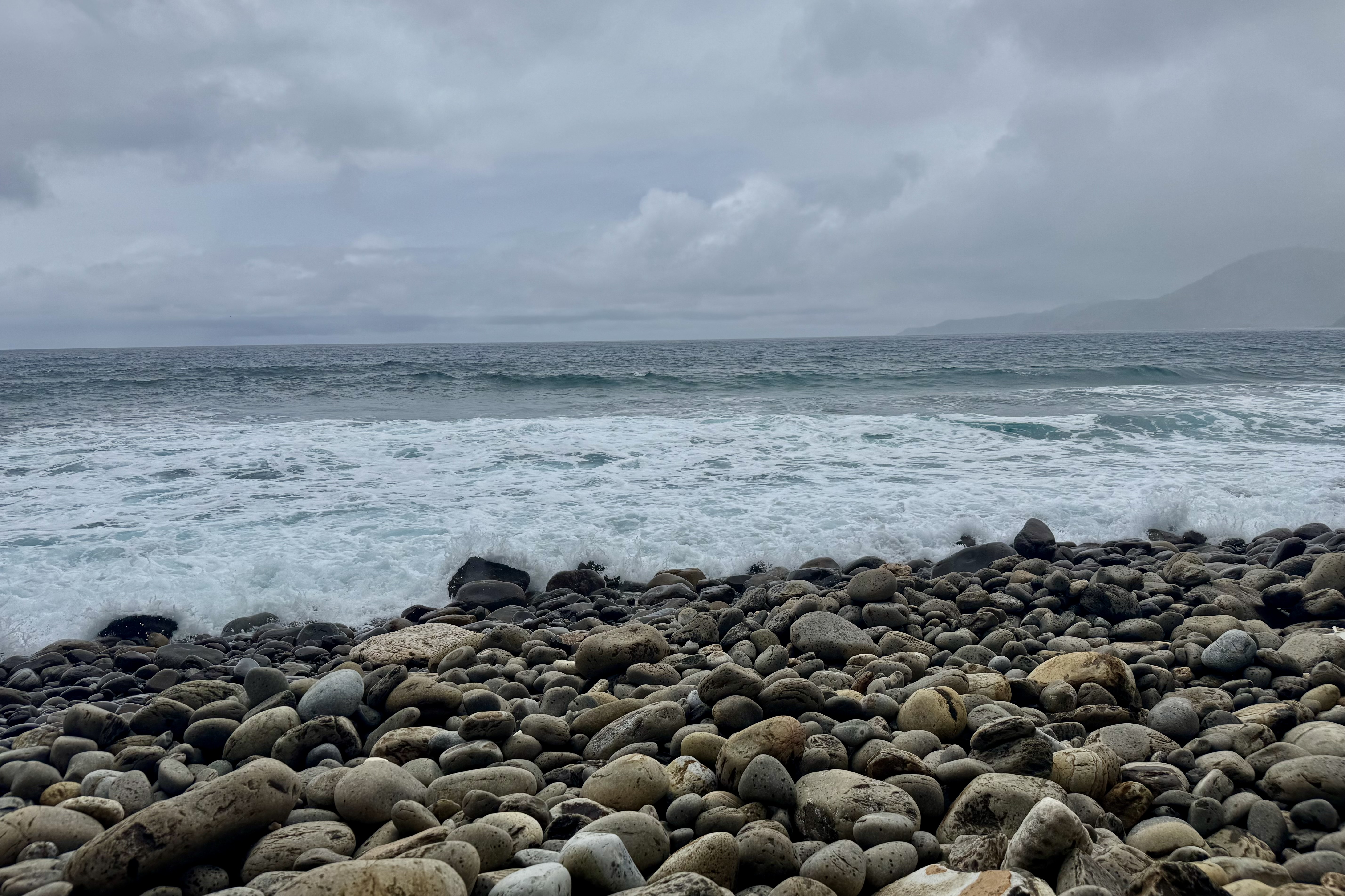
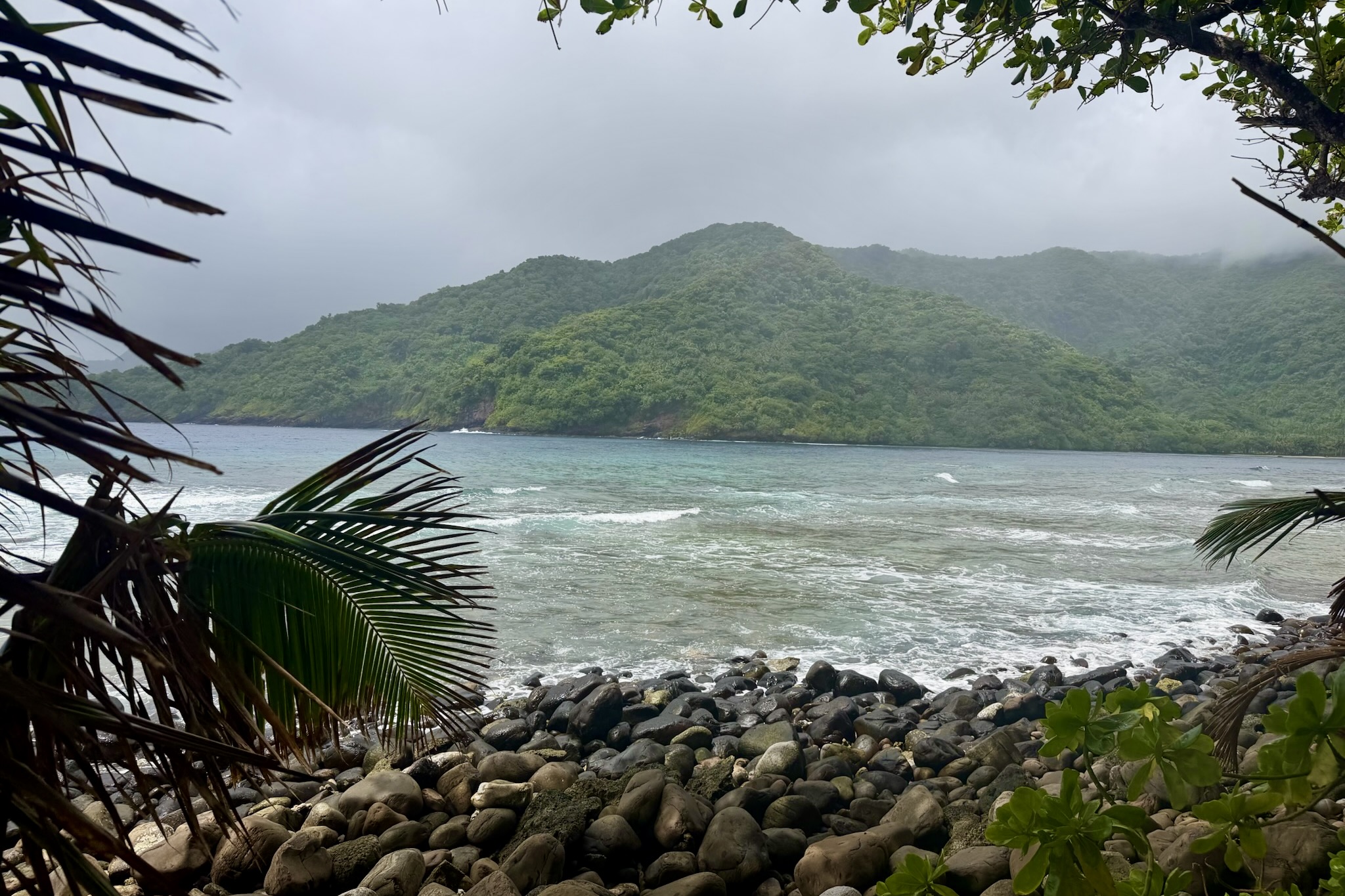
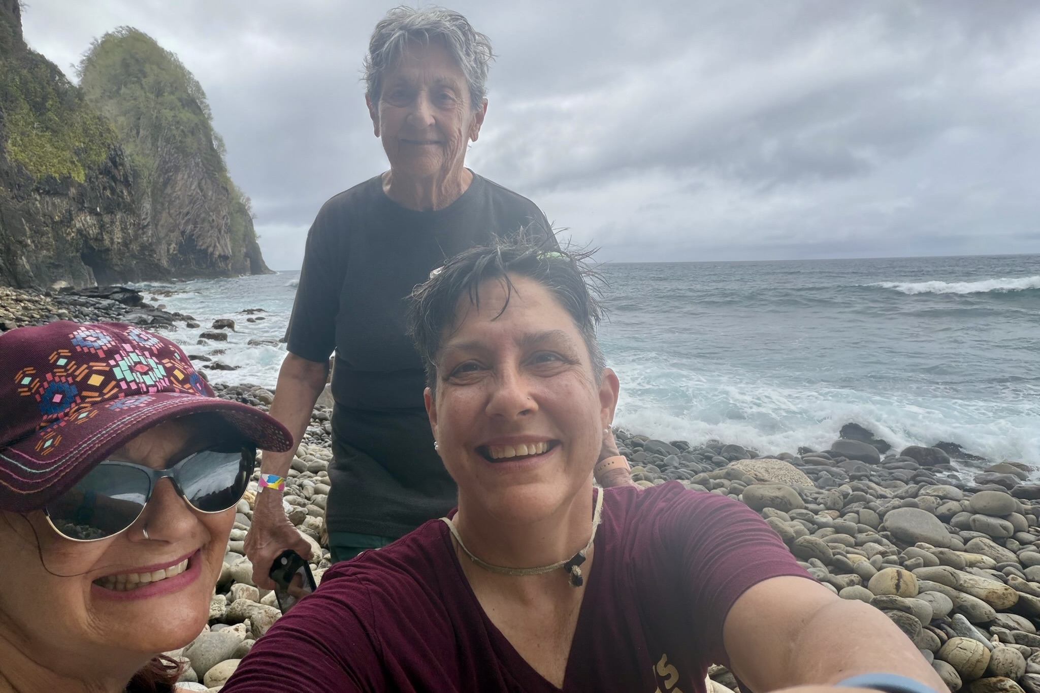
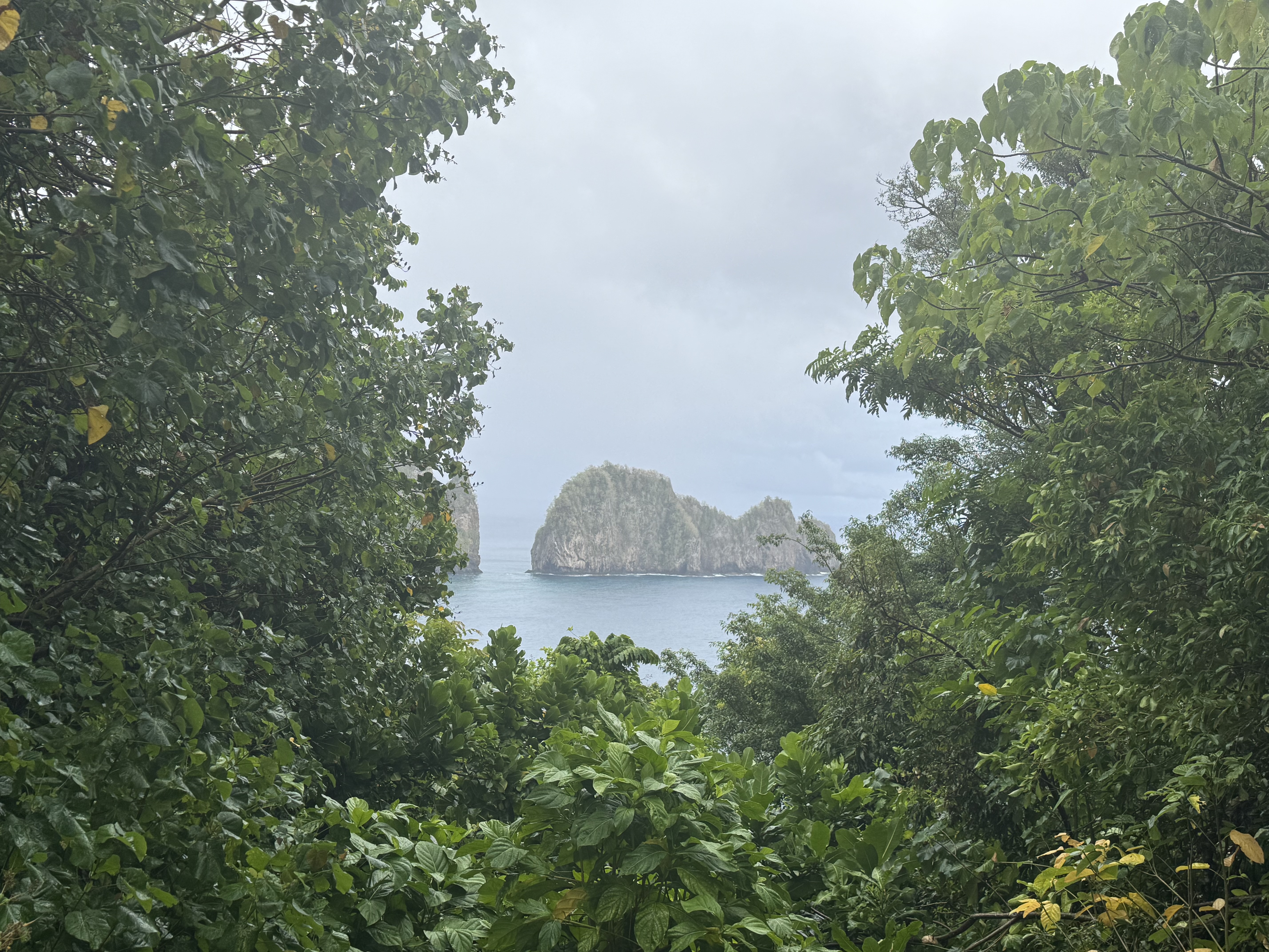
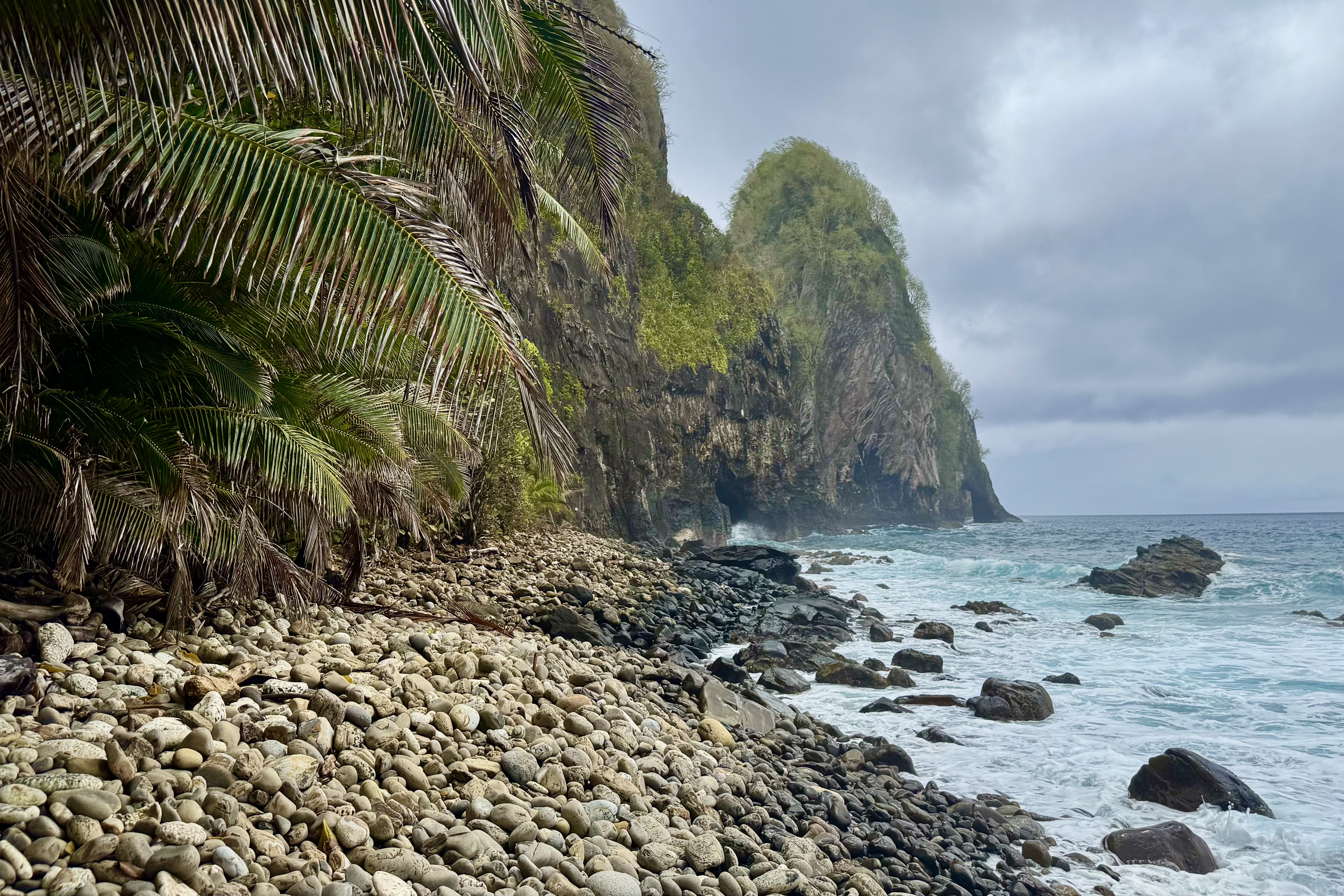
We then continued east to the Pola Island Trail at the end of the road in Vatia Village. Happily this trail was wide, flat, and mercifully easy, leading us to a rugged, rocky beach. What a payoff this time for so little effort. Rising dramatically from the surf was a massive jungle topped sea stack, a striking feature of the island’s volcanic coastline. The beach was covered with rounded cobblestones, backed by large palm fronds. The whole scene felt gloriously wild and untamed. There was no soft sand beach made for a leisurely stroll or casual beach combing. Collecting shells, or even walking comfortably, was not in the cards.

I settle for a lumpy unforgiving seat on the rocky shore and took in the view. The best way to appreciate this wild place was to stop moving before it gave me another opportunity to fall down.

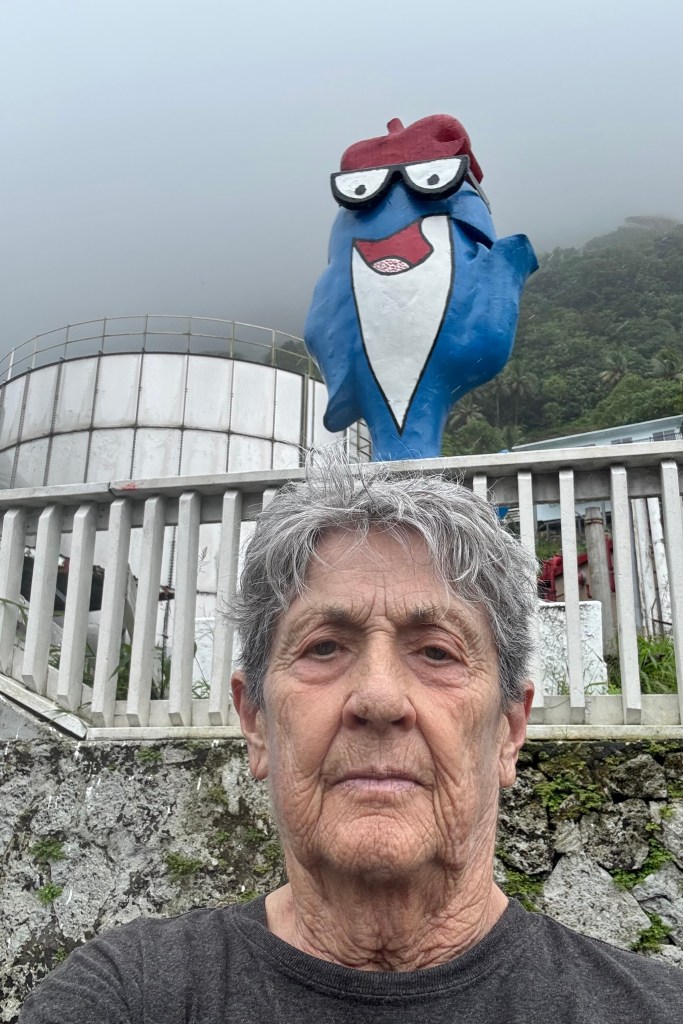
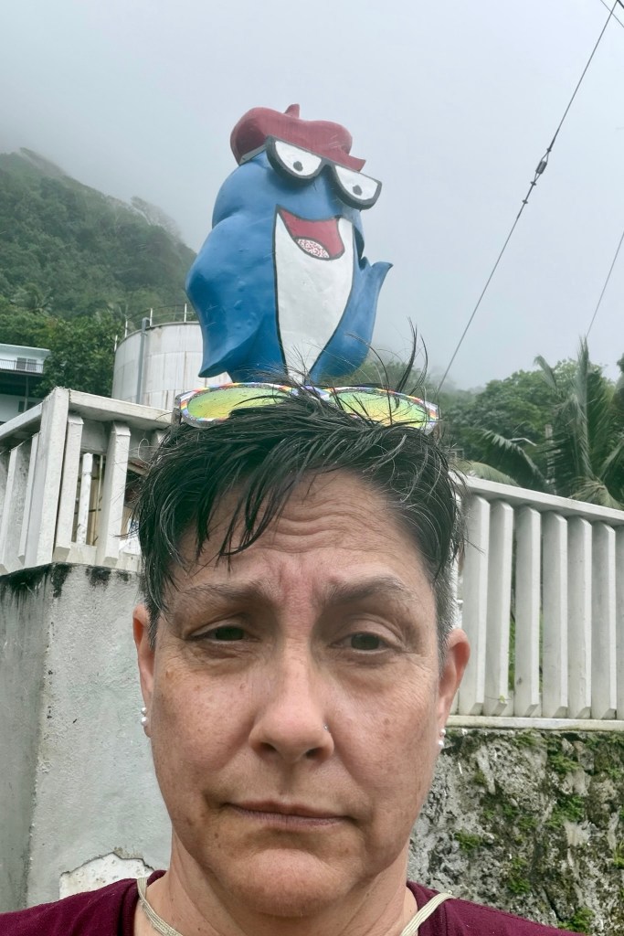
Feeling quite satisfied with our exploration of the park, we headed back to Pago Pago. But first we had to make one final tourist stop to pose with Charlie the Tuna, the familiar mascot who statue stands outside the StarKist Tuna Cannery in the village of Atu’u on the north shore of Pago Pago Harbor. The tuna industry makes a significant contribution to American Samoa’s economy so Charlie represents more than a convenient photo opportunity. Finally we returned to Sadie’s for a quiet afternoon.

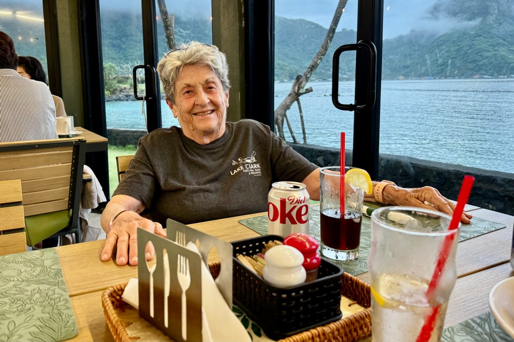
The relentless rain showed no signs of letting up and the prospect of venturing out yet again to get soaked held little appeal. Even trying my first adventure snorkeling held no interest for me. It was a laid back afternoon and we opted for another meal at the Goat Island Cafe. Fish tacos! After all we had spent the day dodging slippery stones, lurking roots, and the many hazards of the rainforest and beaches in the rain. We had earned a little rest and a dry seat.

Repeat: Poor Trail Selection

Not to be discouraged by the challenges of the previous day of hiking, I headed out for the Three Sisters —Lava Camp Trailhead. My poor planning skills had once again come through for me.  I had secured a permit to hike in the Central Cascades once again, but somehow failed to notice that the trailhead was 75-miles north  — about an hour and forty five minute drive. A minor detail I had chosen to overlook. Most of the route was on highways I had driven routinely on previous visits so a bit disappointing. But then heading out of Three Sisters towards McKenzie Pass, things got considerably more interesting.  

I would be driving Oregon Route 242, the famously scenic and historic McKenzie Highway —a narrow winding two-lane road that climbs dramatically through the Cascades.  There were elevation changes, switchbacks, and plenty of opportunities to test whether my driving skills were as questionable as my trail-planning skills.

My inner reckless-driver persona was immediately on high alert.  At one  point,  I found myself at the tail end of a conga line of cars, all slow-poking there way along the highway. After watching a couple of good passing opportunities ignored by the other drivers, another nice strait stretch finally appeared.  Apparently my inner race-car driver could take it no longer.  I took my opportunity and sailed  on past the entire procession of nine car with plenty of room to pull back in and continued on my way with no further dawdling drivers.   Fortunately traffic was light. 

The road was spectacular and twisted through lush living forest   and then without much warning, into what I dubbed tree skeleton graveyards — vast stands of burned trees stripped of everything but their trunks and branches. In spots young tree were reclaiming the landscape and beyond that the dark lava fields. It was quite eerie, like driving from one forest to another where the trees had died but forgot to lie down.

I did pause for a brief moment, reconsidering several of my more recent questionable choices. But, of course , I had come all this way, and a little denial kicked in— “It can’t be that bad!” What could possibly go wrong? As an 82 year old woman with osteoporosis , I was perhaps not the most obvious candidate for a hike involving loose uneven volcanic rock. One wrong step, a twisted ankle, or an unexpected tumble could turn this anticipated hike into a disaster. But I had my walking stick, good footwear, an most importantly an impressive ability to convince myself that things would work out. So I parked the car, grabbed my walking stick and headed southeast out on the PCT. Even though the lava looked dangerous. I decided to hike it anyway.

The lava did not disappoint. Every step was precarious, and nearly every rock I considered stepping on seemed determine to shift. For about an hour and 30 minutes I carefully picked my way across the lava, concentrating on every foot placement. Was I having fun yet? Eventually I parked myself on an uncomfortable rock with a tiny bit of shade and ate some lunch. Then it was back across the lava for another hour and 30 minutes. It would be a stretch to claim I covered three miles and that I was having an awesome experience. 


When I finally made it back to the car, a volunteer was there at the trailhead with an assortment of snacks and cold drinks.  This would be one of   the “trail angels” I have heard about who do this to support the PCT thru hikers, but made their bounty available to all.  So I eagerly grabbed a Diet Coke, a welcomed reward for negotiating 3 hours of unstable lava.

Right up the road was another famous attraction: the Dee Wright Observatory a stone structure with no other purpose than to offer panoramic views of the surrounding Cascades. I drove the quarter mile up to it, and then in a moment of profound irony, I tripped on the stairs heading up to the observatory and ripped open my right knee, having successfully negotiated 3 mile of wildly unstable lava without falling, only to injure myself by making a brief misjudgment of the height of a step.I did continue up and into the observatory and then it was time to head back to camp.

BUT, since it was still mid-afternoon and not wanting to miss out on anything notable in this area, I decided to drive to the Lava Lands Visitors Center at Newberry National Volcanic Monument. I can’t say that I was yearning to see more lava. Though I don’t intend to visit all of the national monuments as I have the national parks, if I find myself in the area of one I make a point to visit it, and I definitely was not going to miss out on another trail or two. Perhaps the first sane decision I made was to voluntarily take the bus up to Lava Butte. I hiked the Lava Butte Rim Trail which was a 20 minute 1/2 mile loop and then rode back down. The other option would have been to hike the red cinder Lava Butte Road for a 3.5 mile round trip and  I thought I deserved kudos for that current sanity. I was going to head towards the car but I saw a sign for the Trail of the Molten Lava ( a one-mile paved path in full sun on a 90 degree afternoon leading into a lava field ) and I  thought “Well why not?” So I “proudly” added another 1.5 miles to my am mileage which was 3.38 miles.


Why might you ask would someone who had almost wrecked her body negotiating the lava fields of McKenzie Pass decided to walk another trail into a field of lava simply because it was paved? Actually it probably was the only field of lava trail I should have considered hiked in the first place.

Does any of this sound like someone who has a PhD in mental health counseling? Apparently, possessing a PhD in understanding human behavior does not necessarily mean that one understands their own!

Finally at 4:45 I admitted defeat – or perhaps recognized that even I had my limits – and headed back to camp.

To Tent or not to Tent, a Conga Line Hike and a Non-Creek

It is now July 13th and I left Ashland Oregon on June 28th on a mega journey to the coast of Maine and back.. But first a stop on my way to the  Columbia River Gorge in Salem OR to visit with my daughter and my grandkids, Kira and Connor.  After 2 fun filled days of pool swimming, good eats, grand dog walking and  an afternoon at the World Beat Celebration in the Riverfront Park in Salem, I bade good-bye to family at around 1:00 pm on Sunday the 30th.  I was headed off on  the “real” beginning of  an ambitious journey to visit the last six of the continental USA National Parks I had not yet been to. I would be out 63 days  with 36 of them tent camping  and of course no RV-ing for this former Girl Scout, Outward Bound graduate, and backpacker. I am hoping I don’t regret this stalwart attitude.  Given that I am staying in both USA and Canadian National Parks with no access to wi-fi and minimal if any cell coverage, posting blogs will be quite intermittent.

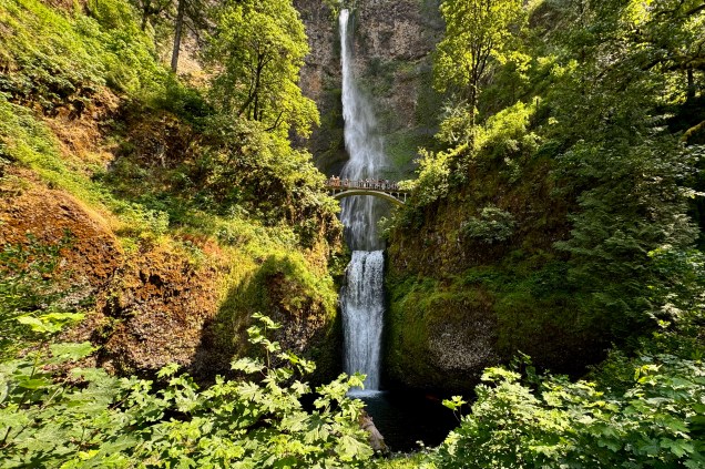
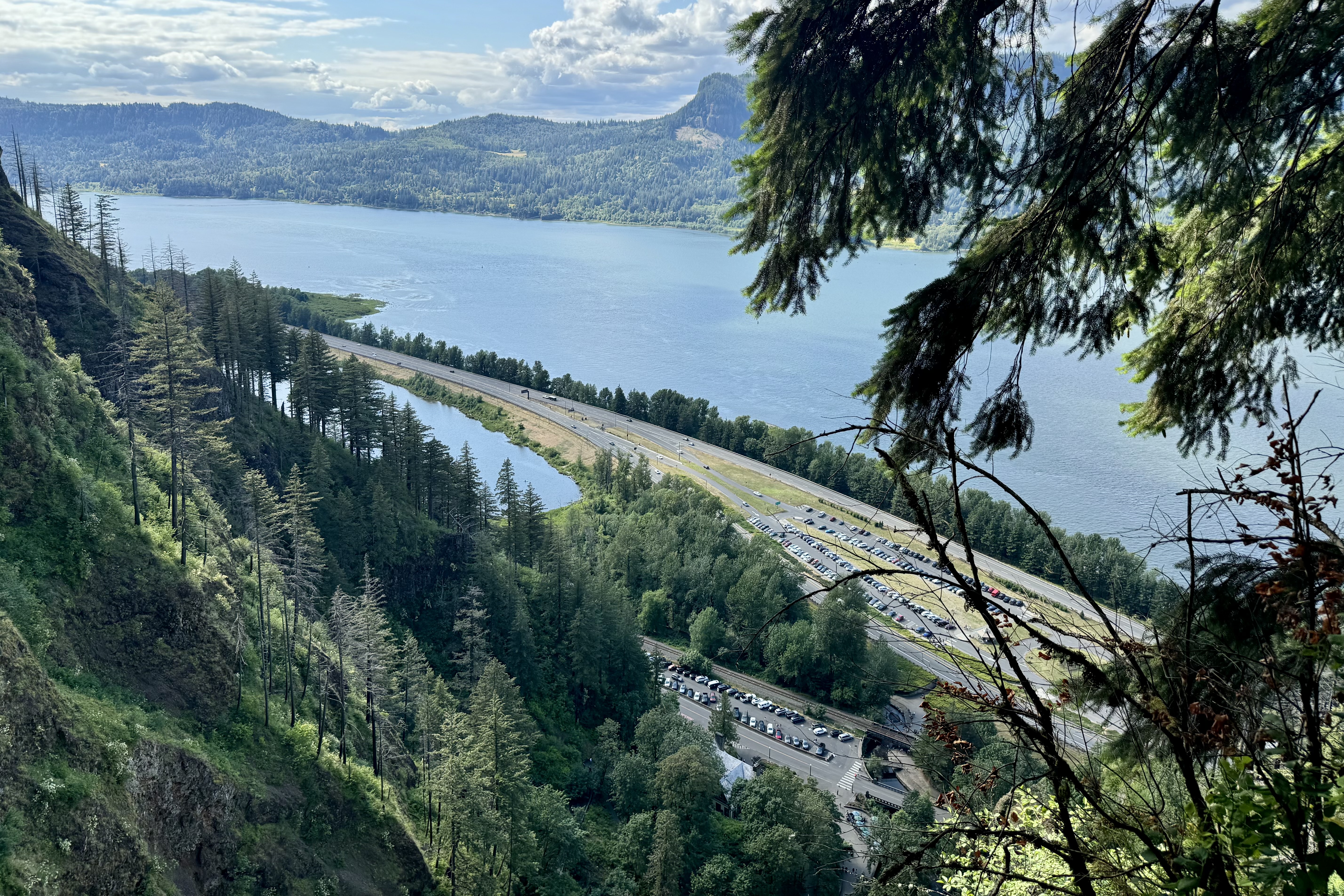
Since I would be traveling along the Columbia River Gorge, I wanted to visit Multnomah Falls, a very popular site along this corridor.  I was forewarned that there was quite  limited parking available.  So I secured a time entry permit that gives a specific hour you can enter the parking lot (though space availability was not guaranteed).   Driving the narrow highway heading east to reach the  falls,  I began to see cars parked along the road at all kinds of jaunty angles and pedestrians risking their life by walking along this squished road. I began to worry about parking. Just opposite the  entrance to the falls was a sign for parking and I didn’t know if this was the place I had reserved but when the  attendant said there was space and the parking fee was 20 dollars (this was a private lot). I figured  for $20.00 and a whole lot of convenience,  I would pony up the fee.

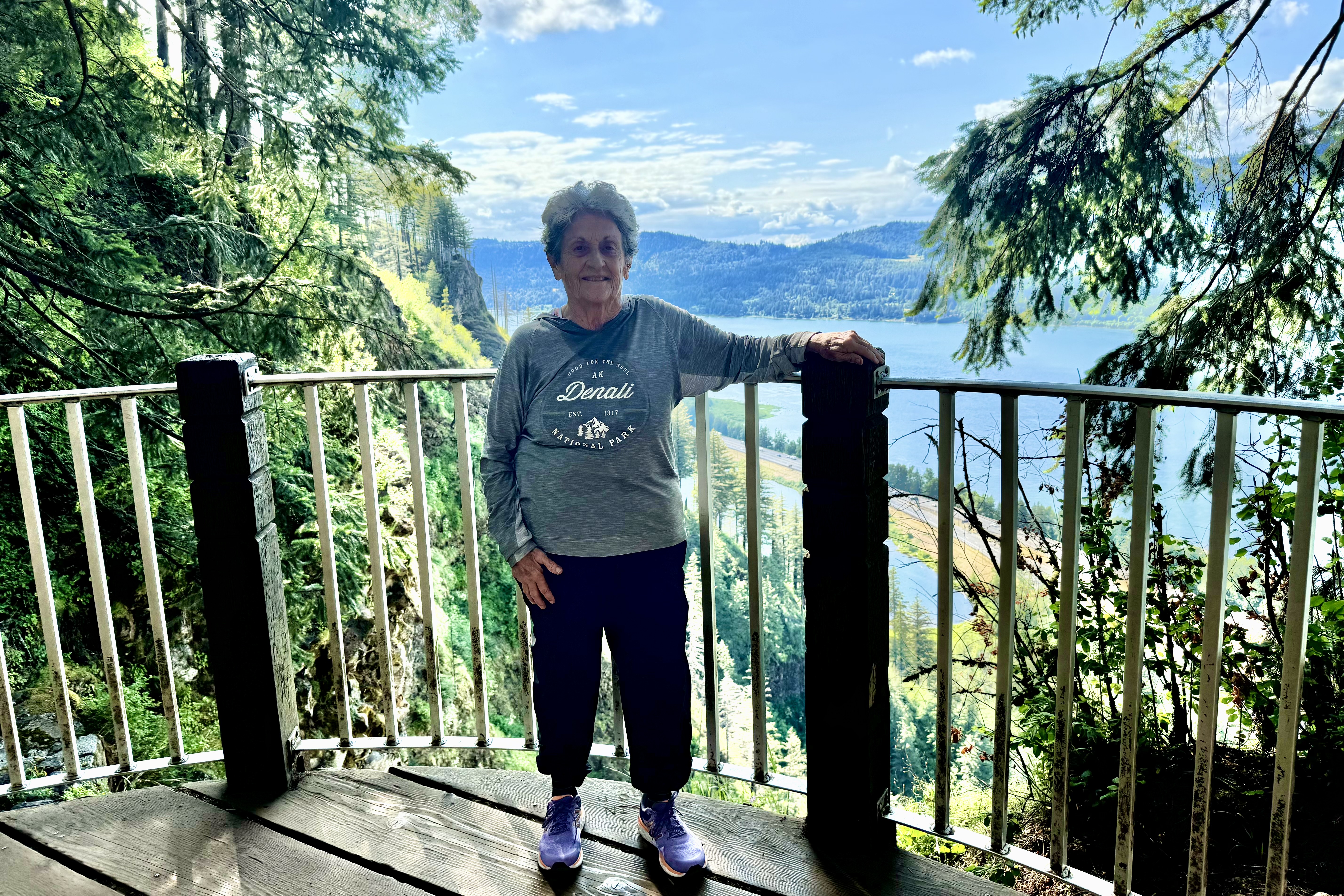
Being mid-summer and the week-end before July 4th,  I think half the population of Oregon decided to visit this falls and many taking the hike to the top of the falls. A very diverse cadre of people were all vying for a spot on the railing for a perfect photo op. I would join the mob but I knew realistically it was impossible to get the full height of the falls in a photo so even though I asked an individual to take a photo of me, it was awful but decided it was not necessary to prove that I indeed had been there.   There were hiking options and the hike up to the bridge was . 2 mile and then to the top 1 mile.  I was game…not really anticipating that not only people but signs often lie ( a national pastime at this point in history) and my rational brain did not engage enough to consider that perhaps hiking to the top of the falls was not the sanest of plans.

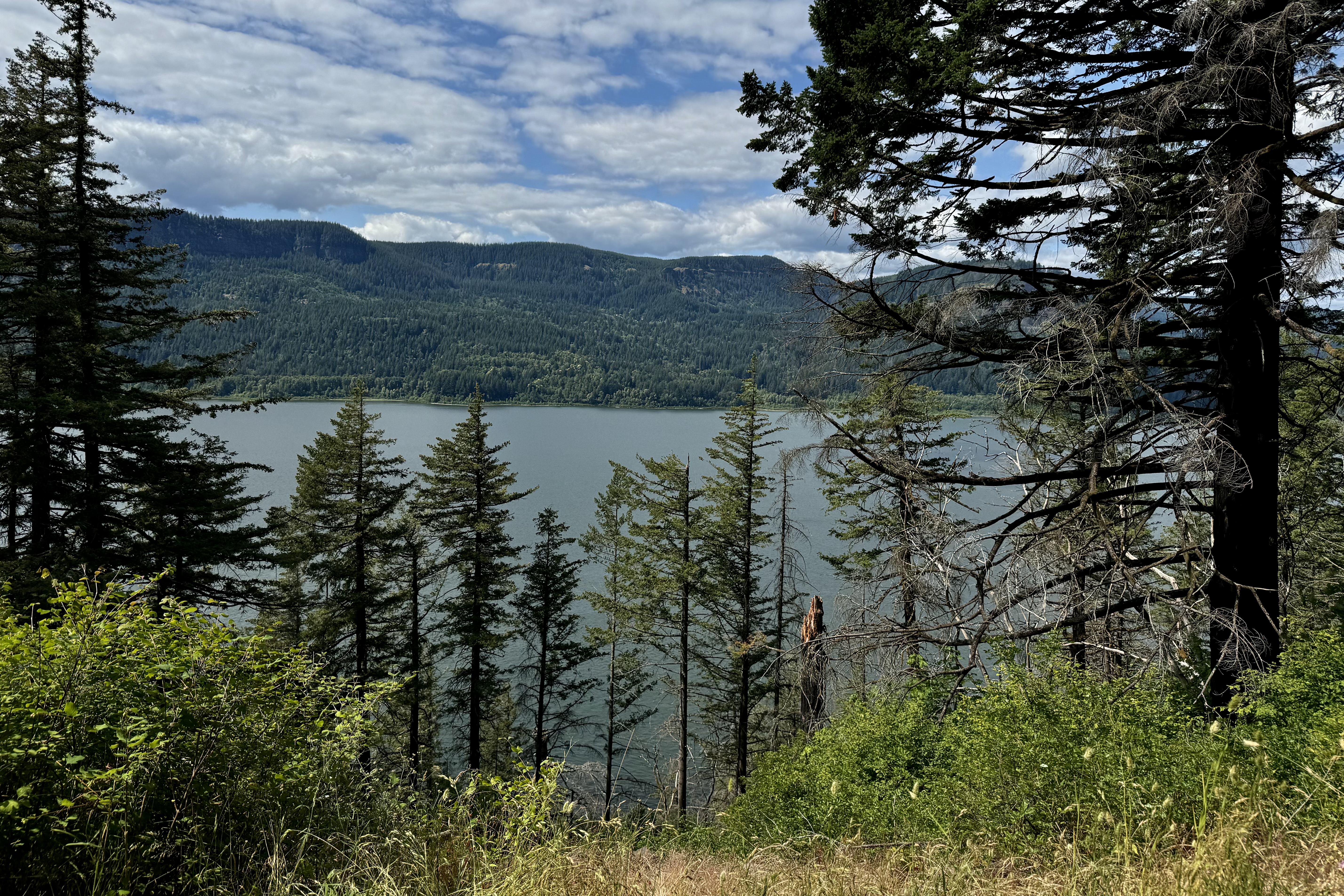
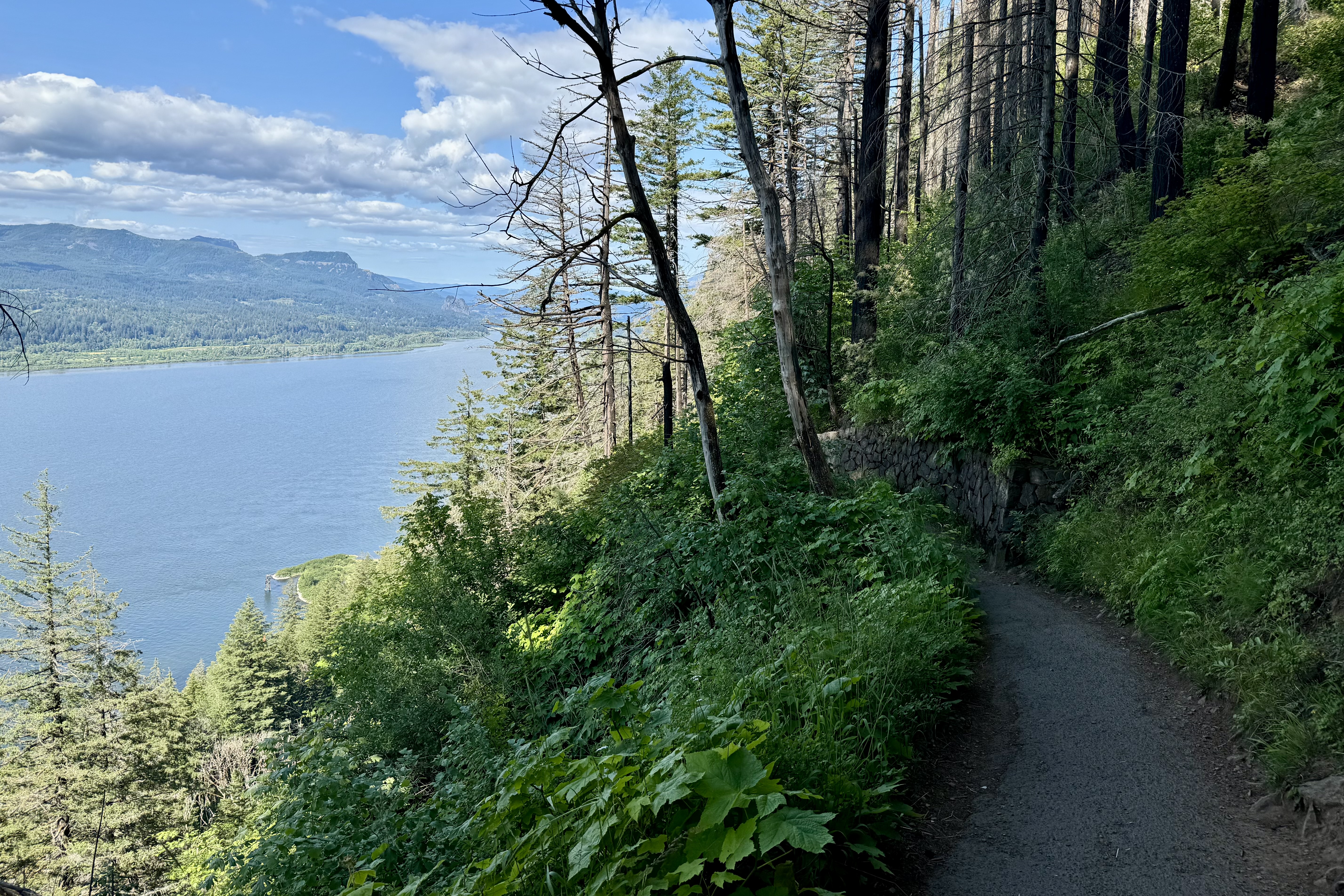
But not to be daunted, I trudged on up and up and up around the 11 switchbacks at the hottest part of the day with numerous hikers inquiring how old I was and was I really planning to hike to the top! It still didn’t register that perhaps I was probably taxing my body to its limits. Glad this wasn’t a 5K race as this 5K hike took 2 hours 17 minutes and a pace of 44’28” per mile The finish line would have been removed and the venue deserted.Once back at the trail head, i was exultant that I had the made a very wise decision of parking close. My legs were aching and spent.

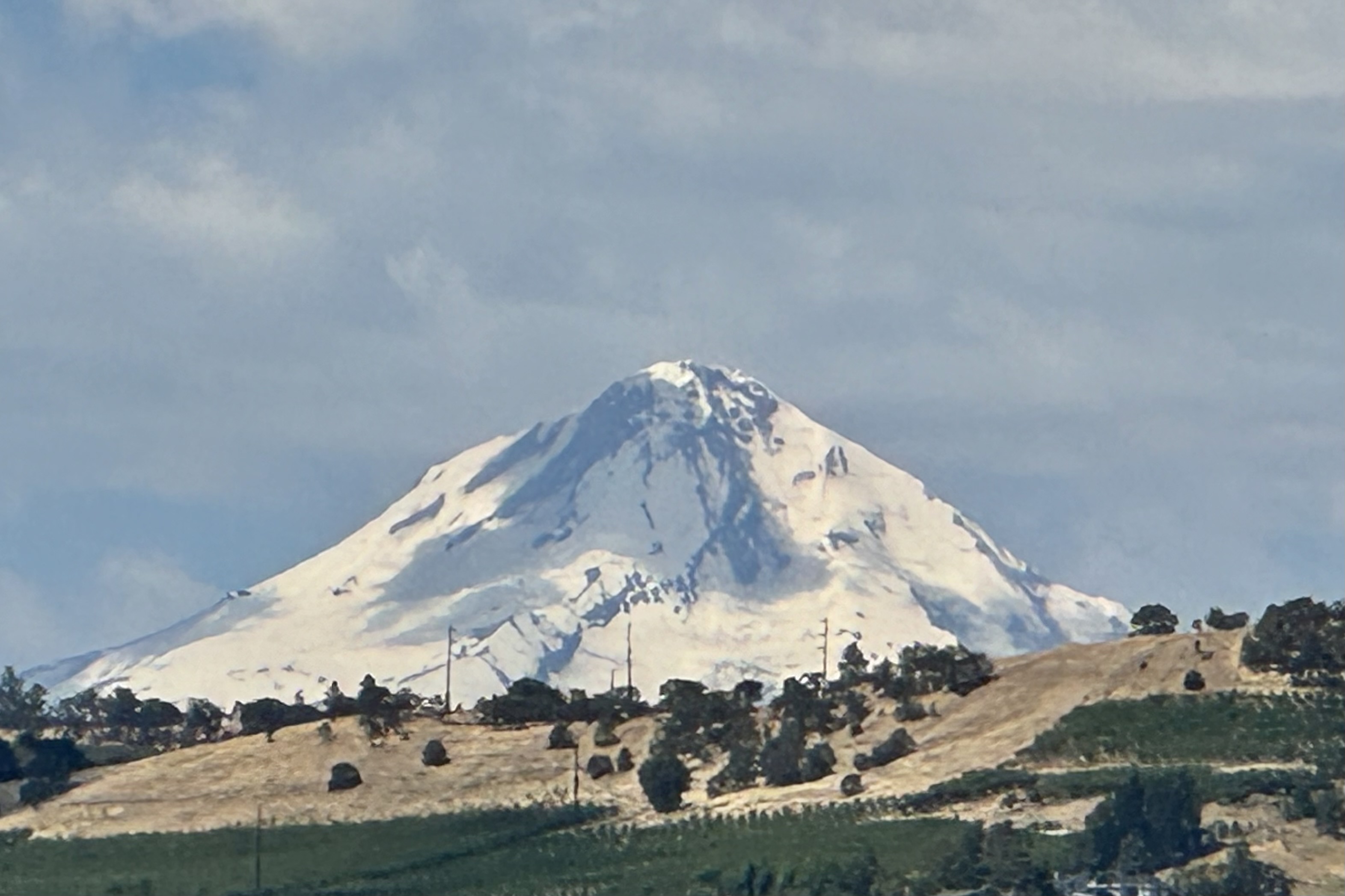
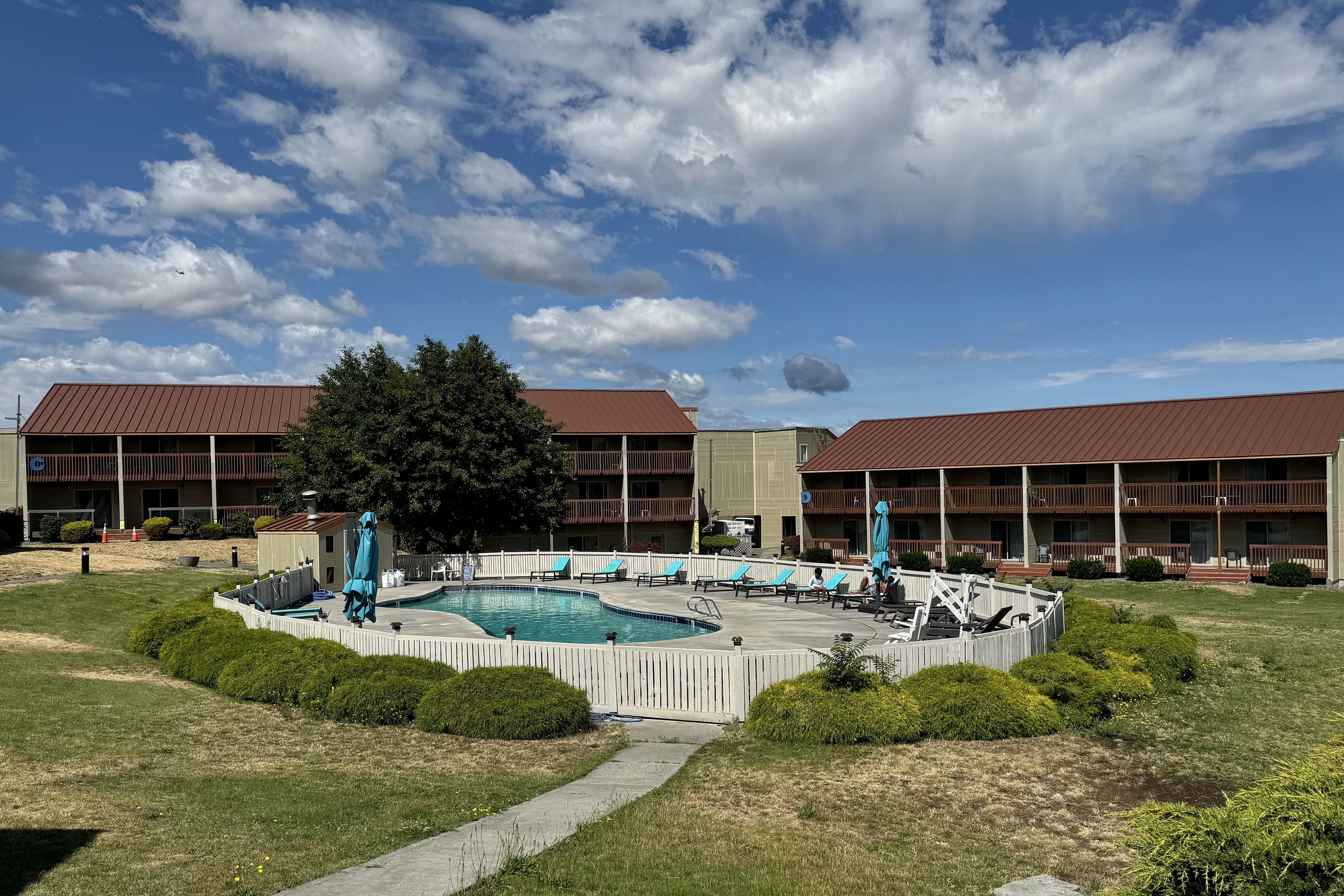
 I headed down the historic Columbia River highway, made  a quick stop at Horsetail Falls, and on to The Dalles and a night in the Columbia River Hotel. I was patting myself on the back for cancelling my camping reservation along the gorge since the site description warned of the high noise volume there from the highway next door. The loud highway rumble was the background music  hiking to the top of the gorge. So I was glad for a comfy and nice quiet hotel room until I discovered the air conditioner did not work. Since I did not want to pack up and move to another room I decided to tough it out since I needed to “practice” dealing with the hot and cold temperature options I would encounter in my tent. Besides I was not sure I could walk one more step. The next morning I eased into the day by walking the grounds, observing  the Dalles and marveling at the clarity of the 11,217 feet Mt. Hood in the distance before I headed out to  travel  along this canyon that “houses” the Columbia River. 

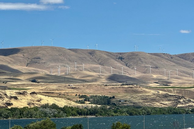
The western gorge eco system of lush green forests gave way to a semi arid eco system — a mosaic of mostly treeless hills\ peppered with sagebrush, sporting an array of tans, golds, browns and rusts. There was a certain beauty to this National Scenic Area if you can reconcile the hydroelectric power plants serviced by the 4 dams (Bonnevile, The Dalles, John Day , McNary ) of this section of the gorge with the concomitant high voltage transmission lines. Additionally in the last few years the proliferation of wind power as a source electricity has resulted in this area of the grassy savannah of the Columbia Plateau being dotted with windmills. I often lament the price our planet pays for our relentless need not only to survive but to increase and multiply and grow the domestic product index the huge need to consume, consume, consume ad nauseam.

The destination on July 1st was Beauty Creek Campground in Coeur d’ Aline. So far the drive on this trip has been nerve racking. For expediency it was necessary to take the Interstates which were abuzz with every assortment of cars, regular semi-trucks, semi’s with two or three trailers, wide-loads, self contained RV’s, RV’s pulling boats, 4 wheelers and an array of other conveyance. All were very much in a hurry to get some where or to start their vacation now. I, who promised myself to follow the speed limit on this trip, was the “little old lady” driving the Model-T surpassed by almost all but a very few other Model-T drivers. When I hit Kennewick heading up into Washington I was forever grateful that I did not have a Model T but an SUV with a screen upon which my iPhone displays the iMap route I selected and Siri tells me step by step the distance and which lane to be in…I have no idea how I would have negotiated the lanes and interchange that i would encounter to head up to Spokane. I have no desire to drive through the maze of horribly designed interchanges in Kennewick WA. ever again. I recall the AAA Triptiks of days of yore but one really needs a navigator who can understand maps and has a good sense of direction…but i guess back then there were less travelers and less complicate interchanges – mostly stop and go lights!!!! Once I neared Spokane the traffic was less frenetic and I was entering mountainous terrain and gaining a bit in elevation and arrived at Coeur d’Aline Beauty Creek Campground around 5:45.

I was pleasantly surprise to find #19 at the end of the line, with plenty of distance between campsites and nature’s “privacy screens” of thick vegetation and trees.  Reserving a campsite online is a crapshoot.  What you hope you are getting and what you actually get are often two different things.   I won at craps this time since many of the sites were in an open field. Though I reserved a creekside site, Beauty Creek was no beauty and no creek but a dry bed of stones and decaying logs,   This was to be my first go at setting up my campsite – new tent, new cot etc. and I was racing against an ominous looking sky ready to dump. I fumbled about but eventually managed while encountering only a few spatters of rain.  My weary body said enough.  Tonight is not the night to cook a hot meal.  So began the challenge of how to organize all of my necessary and not so necessary stuff in the tent and what stuff would rest better in the car. It began by tossing everything in all direction all over the car  which I had so meticulously organized prior to departures. The upside was I was able to select only the necessary items for this one night stand and not have to drown inside the tent in my piles of stuff. I’d like to report that I slept well in my new digs with my traveling Squishmallow., Banks the Badger. Banks loves to camp.