Repeat: Poor Trail Selection

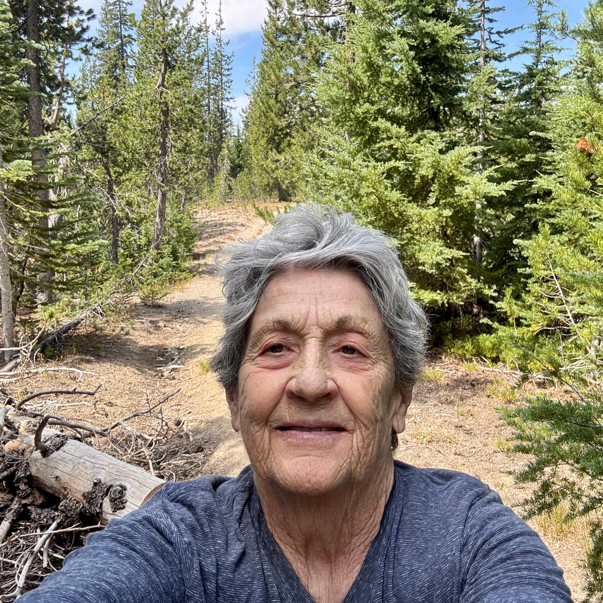
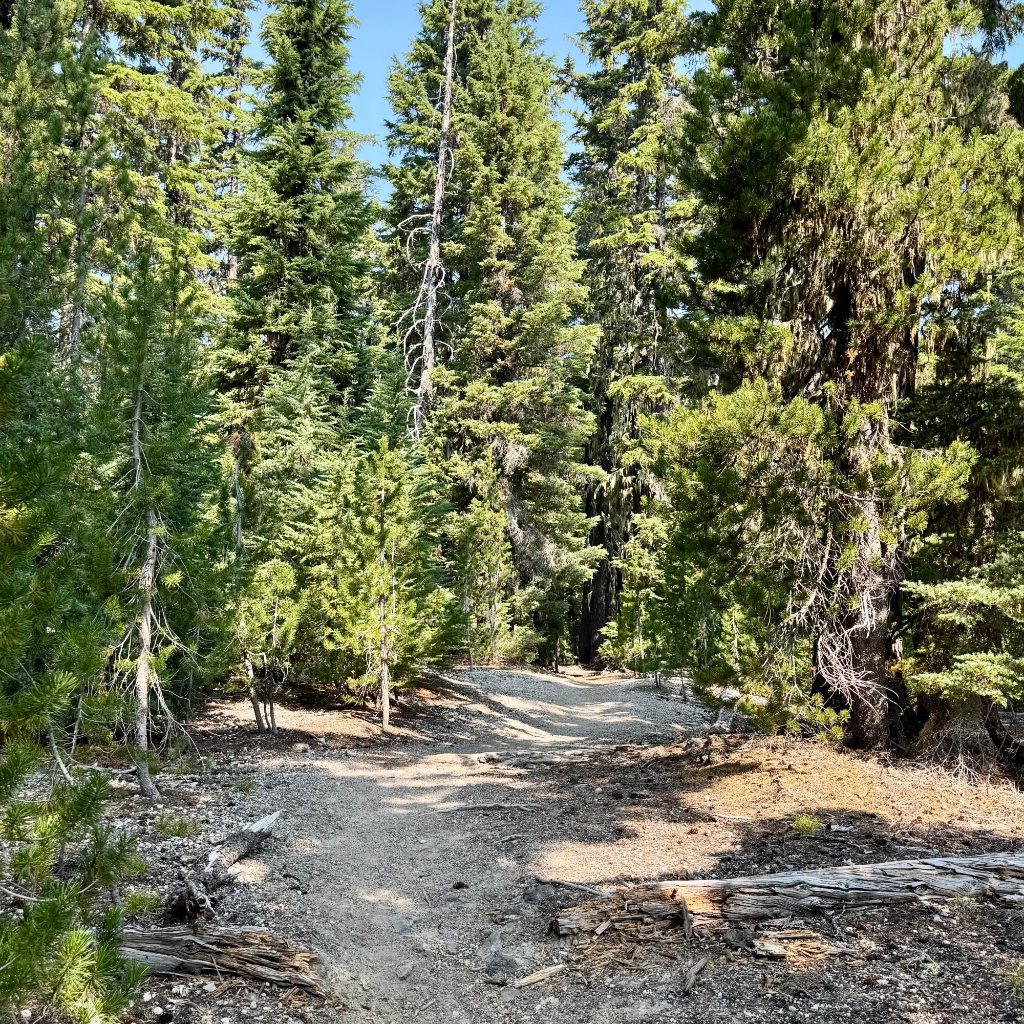
Not to be discouraged by the challenges of the previous day of hiking, I headed out for the Three Sisters —Lava Camp Trailhead. My poor planning skills had once again come through for me.  I had secured a permit to hike in the Central Cascades once again, but somehow failed to notice that the trailhead was 75-miles north  — about an hour and forty five minute drive. A minor detail I had chosen to overlook. Most of the route was on highways I had driven routinely on previous visits so a bit disappointing. But then heading out of Three Sisters towards McKenzie Pass, things got considerably more interesting.  

I would be driving Oregon Route 242, the famously scenic and historic McKenzie Highway —a narrow winding two-lane road that climbs dramatically through the Cascades.  There were elevation changes, switchbacks, and plenty of opportunities to test whether my driving skills were as questionable as my trail-planning skills.

My inner reckless-driver persona was immediately on high alert.  At one  point,  I found myself at the tail end of a conga line of cars, all slow-poking there way along the highway. After watching a couple of good passing opportunities ignored by the other drivers, another nice strait stretch finally appeared.  Apparently my inner race-car driver could take it no longer.  I took my opportunity and sailed  on past the entire procession of nine car with plenty of room to pull back in and continued on my way with no further dawdling drivers.   Fortunately traffic was light. 

The road was spectacular and twisted through lush living forest   and then without much warning, into what I dubbed tree skeleton graveyards — vast stands of burned trees stripped of everything but their trunks and branches. In spots young tree were reclaiming the landscape and beyond that the dark lava fields. It was quite eerie, like driving from one forest to another where the trees had died but forgot to lie down.

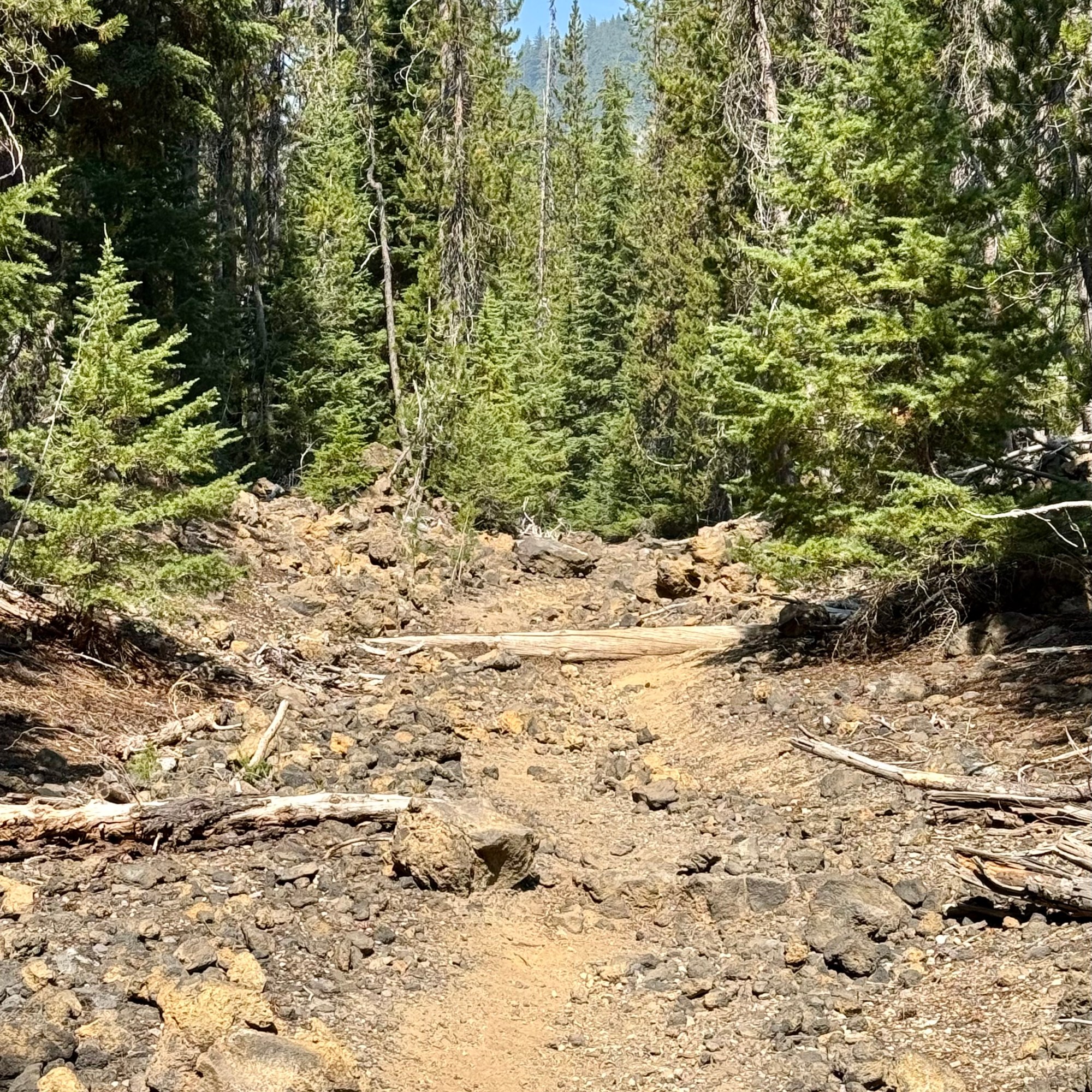
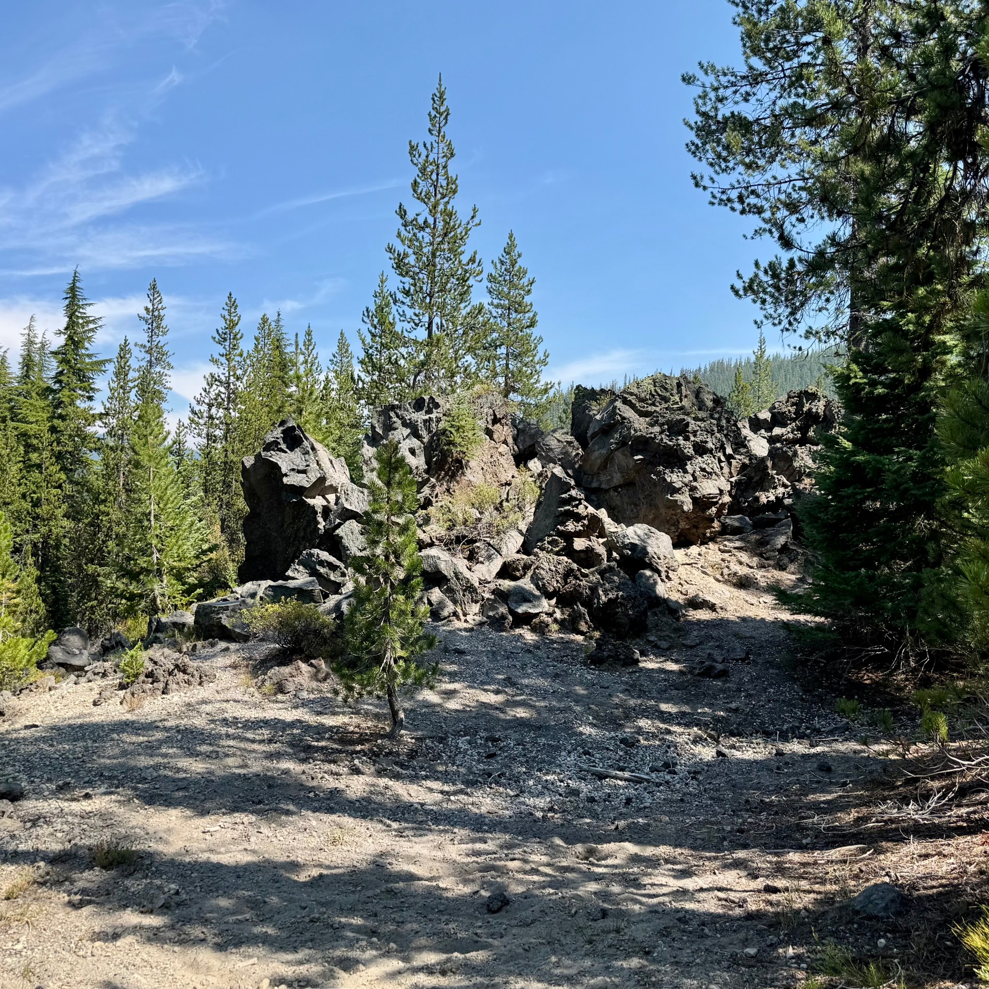
I did pause for a brief moment, reconsidering several of my more recent questionable choices. But, of course , I had come all this way, and a little denial kicked in— “It can’t be that bad!” What could possibly go wrong? As an 82 year old woman with osteoporosis , I was perhaps not the most obvious candidate for a hike involving loose uneven volcanic rock. One wrong step, a twisted ankle, or an unexpected tumble could turn this anticipated hike into a disaster. But I had my walking stick, good footwear, an most importantly an impressive ability to convince myself that things would work out. So I parked the car, grabbed my walking stick and headed southeast out on the PCT. Even though the lava looked dangerous. I decided to hike it anyway.

The lava did not disappoint. Every step was precarious, and nearly every rock I considered stepping on seemed determine to shift. For about an hour and 30 minutes I carefully picked my way across the lava, concentrating on every foot placement. Was I having fun yet? Eventually I parked myself on an uncomfortable rock with a tiny bit of shade and ate some lunch. Then it was back across the lava for another hour and 30 minutes. It would be a stretch to claim I covered three miles and that I was having an awesome experience. 


When I finally made it back to the car, a volunteer was there at the trailhead with an assortment of snacks and cold drinks.  This would be one of   the “trail angels” I have heard about who do this to support the PCT thru hikers, but made their bounty available to all.  So I eagerly grabbed a Diet Coke, a welcomed reward for negotiating 3 hours of unstable lava.

Right up the road was another famous attraction: the Dee Wright Observatory a stone structure with no other purpose than to offer panoramic views of the surrounding Cascades. I drove the quarter mile up to it, and then in a moment of profound irony, I tripped on the stairs heading up to the observatory and ripped open my right knee, having successfully negotiated 3 mile of wildly unstable lava without falling, only to injure myself by making a brief misjudgment of the height of a step.I did continue up and into the observatory and then it was time to head back to camp.

BUT, since it was still mid-afternoon and not wanting to miss out on anything notable in this area, I decided to drive to the Lava Lands Visitors Center at Newberry National Volcanic Monument. I can’t say that I was yearning to see more lava. Though I don’t intend to visit all of the national monuments as I have the national parks, if I find myself in the area of one I make a point to visit it, and I definitely was not going to miss out on another trail or two. Perhaps the first sane decision I made was to voluntarily take the bus up to Lava Butte. I hiked the Lava Butte Rim Trail which was a 20 minute 1/2 mile loop and then rode back down. The other option would have been to hike the red cinder Lava Butte Road for a 3.5 mile round trip and  I thought I deserved kudos for that current sanity. I was going to head towards the car but I saw a sign for the Trail of the Molten Lava ( a one-mile paved path in full sun on a 90 degree afternoon leading into a lava field ) and I  thought “Well why not?” So I “proudly” added another 1.5 miles to my am mileage which was 3.38 miles.


Why might you ask would someone who had almost wrecked her body negotiating the lava fields of McKenzie Pass decided to walk another trail into a field of lava simply because it was paved? Actually it probably was the only field of lava trail I should have considered hiked in the first place.

Does any of this sound like someone who has a PhD in mental health counseling? Apparently, possessing a PhD in understanding human behavior does not necessarily mean that one understands their own!

Finally at 4:45 I admitted defeat – or perhaps recognized that even I had my limits – and headed back to camp.
My Excellent Planning Skills

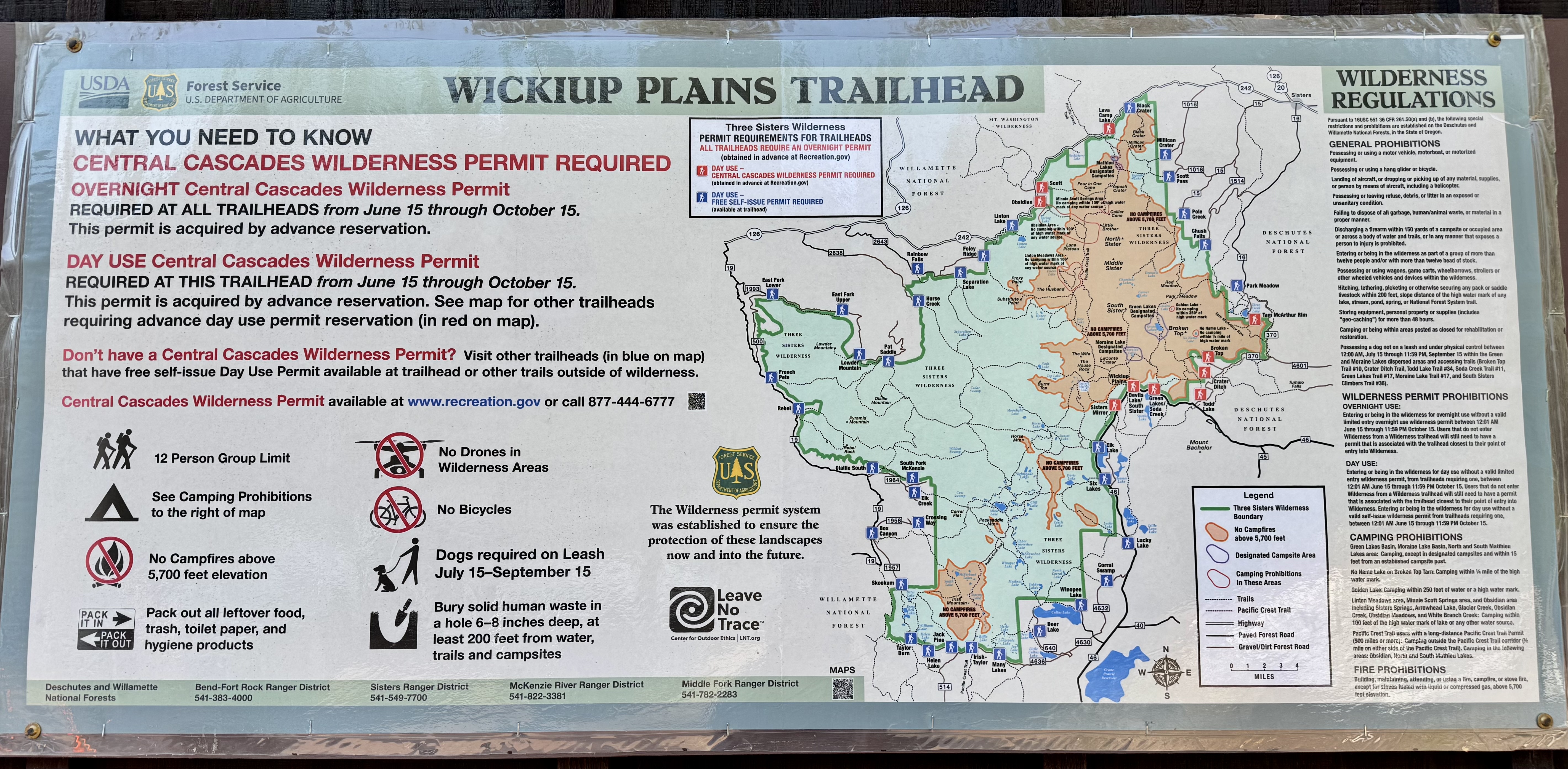
The next couple of days in the Three Sister Area (I hear there is a “Little Brother” , a “Wife” and a “Husband” somewhere near-by), I planned to hike two sections of the Pacific Crest Trail. I retrospect, my “excellent planning skills” were questionable. My first hike would start at Devil’s Lake, where I’d pick up the Wickiup Trail which would connect to the PCT in about 2 miles. The second would begin at the Lava Camp Trailhead. I had assumed these trailhead were close to Lava Lake. They were not. Devil’s Lake 15 miles and Lava Camp 75 miles and a 1 hour and 45 minute drive. I felt quite smug though because I learned that hiking in the Central Cascades Wilderness required a permit which went on sale at 7:00 am 2 days prior to hiking date. So I was online at 7:00 am and got my permit and within a couple hours the 90 permit were gone. Clearly I would not be hiking in solitude and I expected crowded trails and plenty of company.

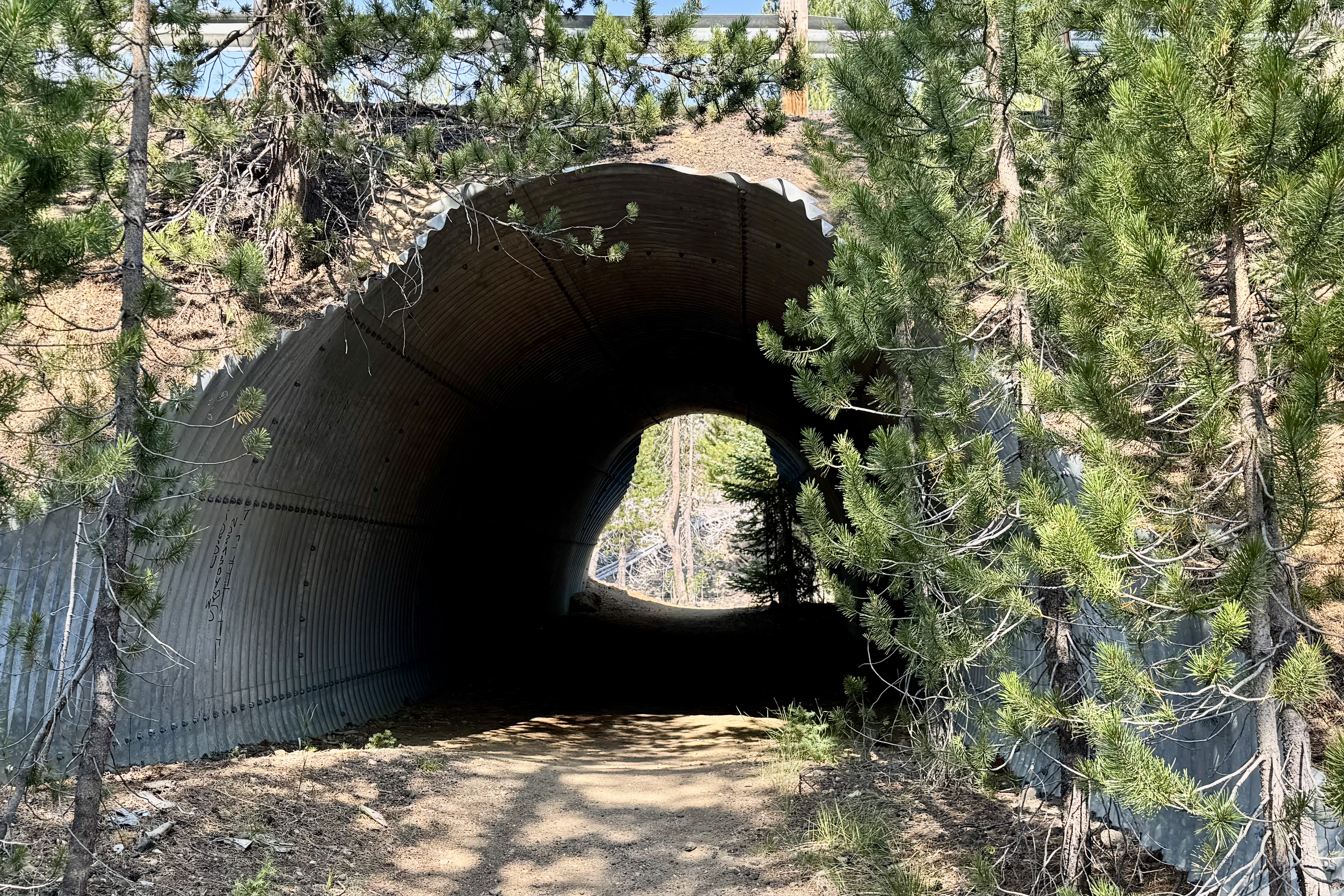
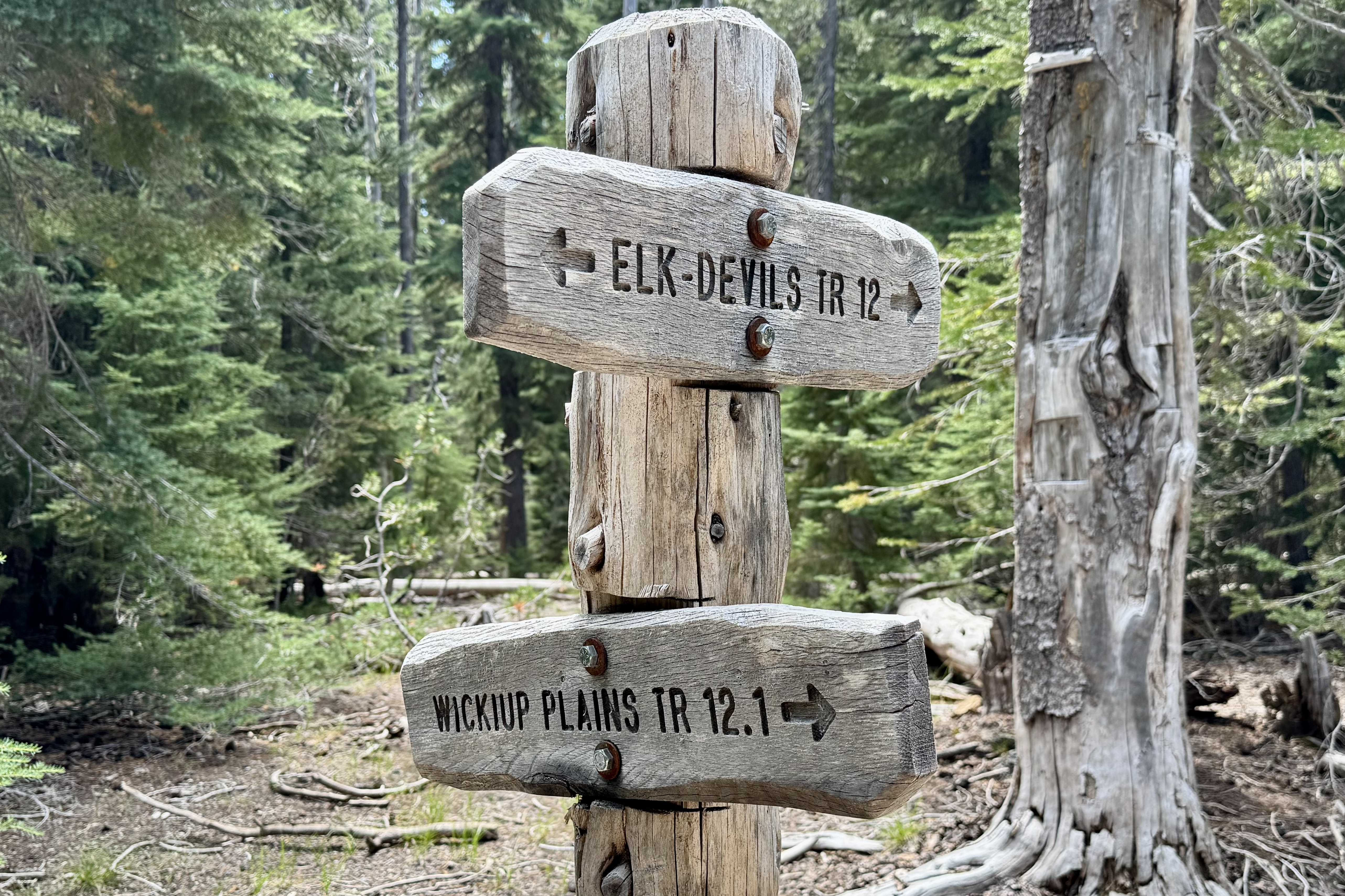
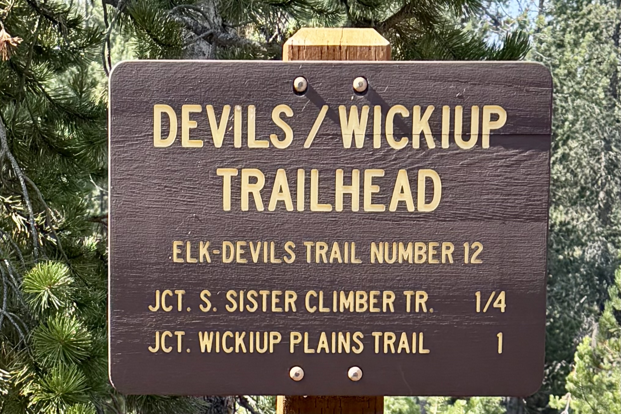
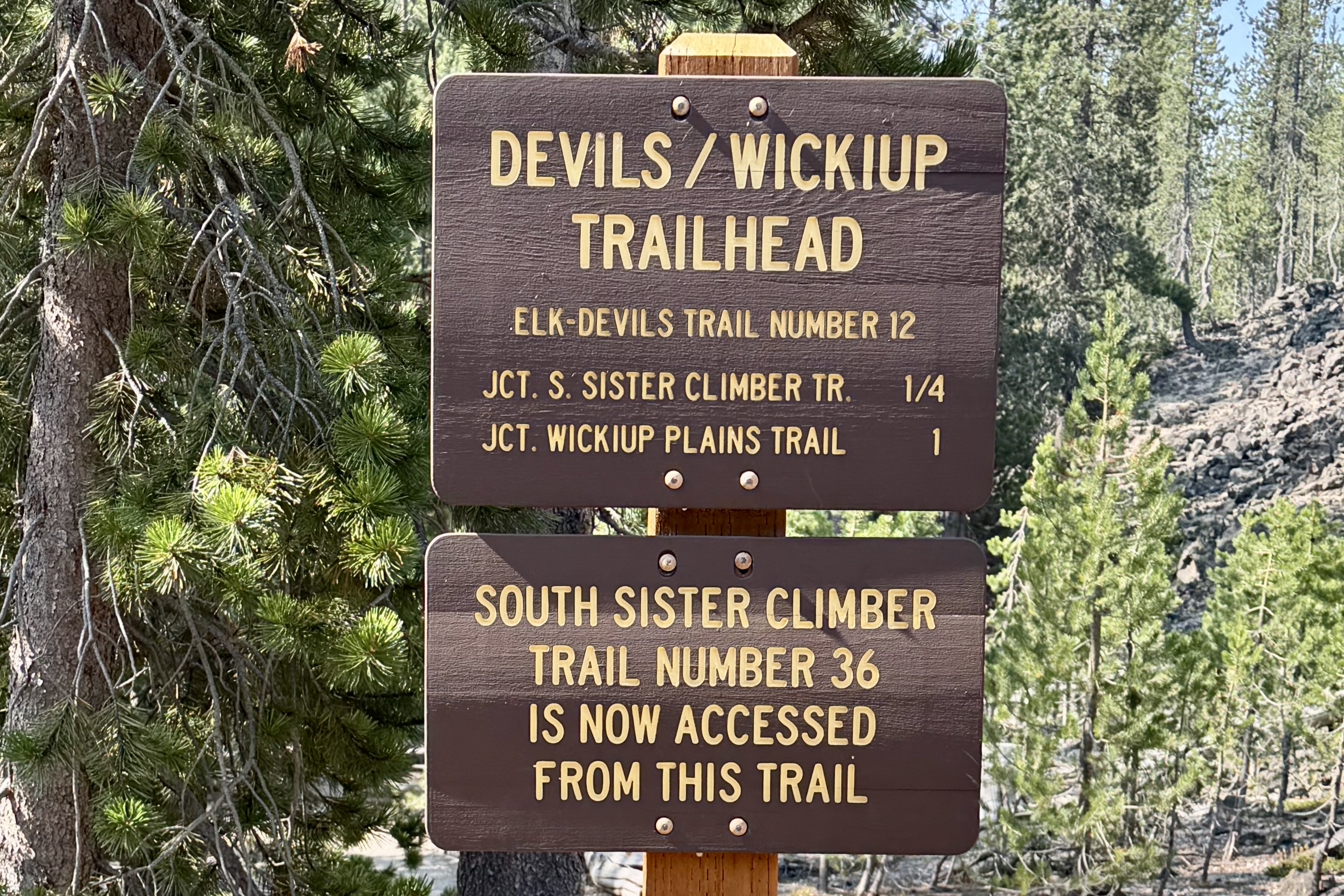
When I arrived at Devil’s Lake parking lot, the lot was packed. Confirmation of my expectation. I set out toward the Wickiup Trailhead expecting a couple mile walk to the PCT (per AI). The hike itself turned out to be as challenging as my questionable planning. From Devil’s Lake Trailhead I used a highway underpass on the Elk-Devil’s Trail to reach Wickiup and hopefully eventually reach the PCT. This is an important fact to remember this as I complain later about distances!!!!

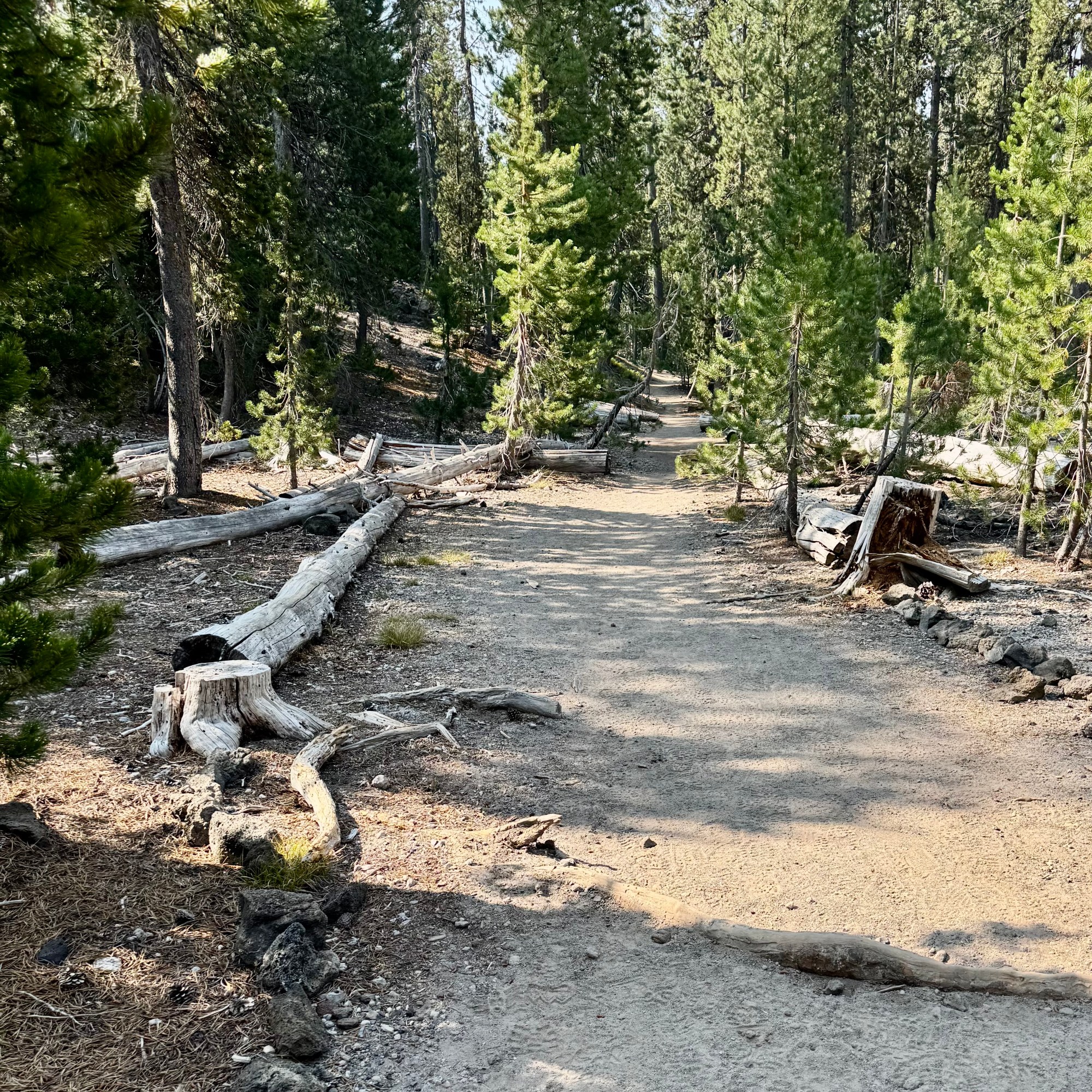
Starting at an elevation of 5460’ the trail climbed gradually, gaining elevation through a Douglas fur and hemlock forest over a surface that alternated between dirt, rocks, roots and occasional stretches of loose sandy pumice soil. At 82, with osteoporosis and asthma along for the adventure, I had to negotiate the trail somewhat differently than I might have in my younger years. No plodding straight up one foot in front of the other but frequent pauses to catch my breath and thus telling myself I am stopping to admire the scenery. This was not a trail however with views to admire, hence few photos, I kept having this conversation between my legs, my lungs and my brain about what I was doing —- with my brain suggesting that perhaps I had made a serious error in judgement. I kept checking the distance traveled: 2 miles, 2.25 miles, 2.5 miles, and finally at 2.75 I finally realized there had been a serious miscalculation and that the estimate was seriously wrong. And the trail was changing its personality! Less forest, more exposure, serious sand, and dust with the sun operating at full capacity. At this point I made the highly strategic position to turn around. I found a shady log sat down, ate my lunch and ruminated over the turn of events.

The return trip was easier in theory since it was mostly downhill but it was still long and  hot.  Eventually I reached the junction of the Wickiup Trail  and the Elk-Devil’s Lake Trail and with supreme confidence turned right and felt elated that I was on the final downhill mile to the parking lot. About a mile later I wondered why I had not yet reached the parking lot. It slowly uncomfortably dawned on me that I had just hiked a downhill mile and would be climbing it back up to the junction that demanded a left turn. I was increasingly clear that navigation was not one of my core competencies.  I would have preferred to make  this discovery earlier.  


By now my “quick five-mile hike” was something closer to 7.5 and never having reached my destination. But I was relieved to be on the correct path. I later came to discover that both Claude and Chat GPT were relying on outdated information when estimating the mileage. After confronting Claude about this error, it researched a bit deeper and found that the path to the trailhead had been rerouted to a new underpass shared with the Elk-Devils Trail replacing the original highway crossing thus adding meaningful distance before intersecting the original 2 mile Wickiup Plains Trail. Claude was not apologetic. Also, as I looked more closely at the Trail head sign at Devil’s Lake today, it indicated that the distance to the Wickiup Trail was one mile!

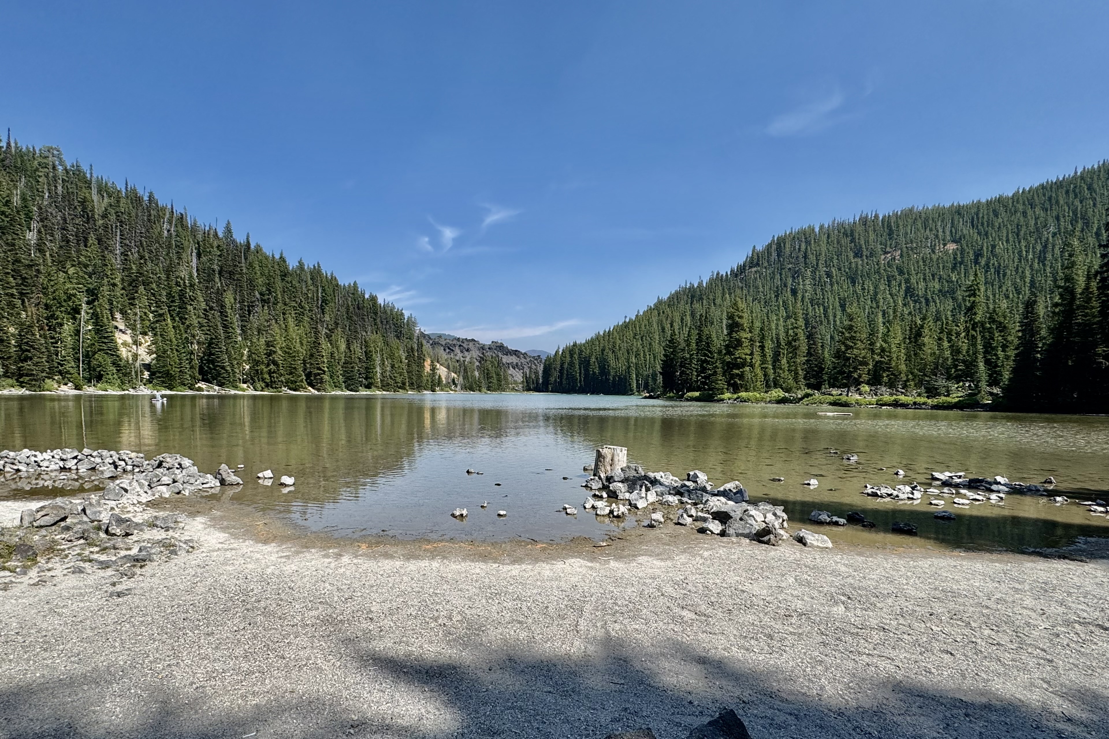
The first thing I did when I reached my car was open my cooler, retrieve a caffeine-free Diet Pepsi –  my most dependable vice— pour it over ice and drink it far too quickly.  Also, by now I also realized my assumption about the crowds was confidently wrong. I saw only four people the entire time and later realized that most visitors were there for the lake, paddle boarding and swimming. Though hot and tired I was curious about this lake, took a brief stroll to it and discovered all those recreational enthusiasts. Perhaps they had the better idea!

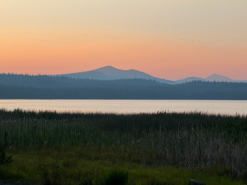
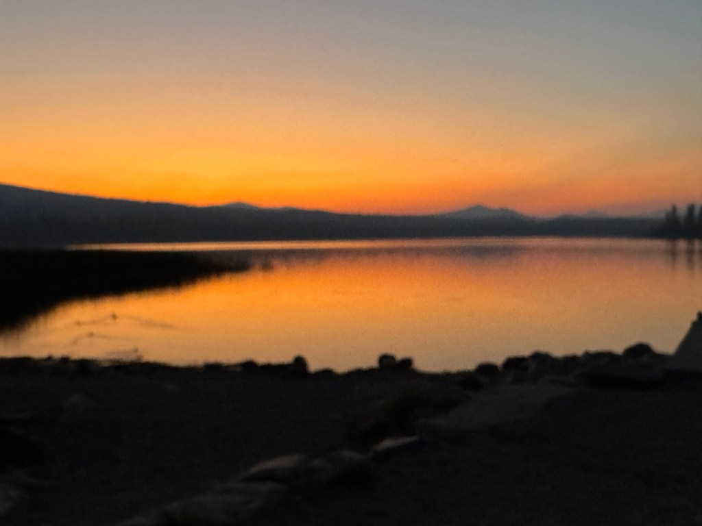
Hot, tired and thoroughly humbled by both distance and directional challenges, I still felt satisfied . I had managed a 7.5 mile hike in the Three Sister and returned without incident, injury, or any further directional challenges. After driving by the Newberry National Monument to scout out some challenges for the following day, it was back to camp for dinner, another magnificent sunset, and a rock solid nights sleep in my cozy little base camp tent with such amenities as a cot, a camp chair, and a jug of water.

To Tent or not to Tent, a Conga Line Hike and a Non-Creek

It is now July 13th and I left Ashland Oregon on June 28th on a mega journey to the coast of Maine and back.. But first a stop on my way to the  Columbia River Gorge in Salem OR to visit with my daughter and my grandkids, Kira and Connor.  After 2 fun filled days of pool swimming, good eats, grand dog walking and  an afternoon at the World Beat Celebration in the Riverfront Park in Salem, I bade good-bye to family at around 1:00 pm on Sunday the 30th.  I was headed off on  the “real” beginning of  an ambitious journey to visit the last six of the continental USA National Parks I had not yet been to. I would be out 63 days  with 36 of them tent camping  and of course no RV-ing for this former Girl Scout, Outward Bound graduate, and backpacker. I am hoping I don’t regret this stalwart attitude.  Given that I am staying in both USA and Canadian National Parks with no access to wi-fi and minimal if any cell coverage, posting blogs will be quite intermittent.

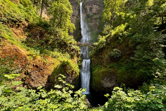
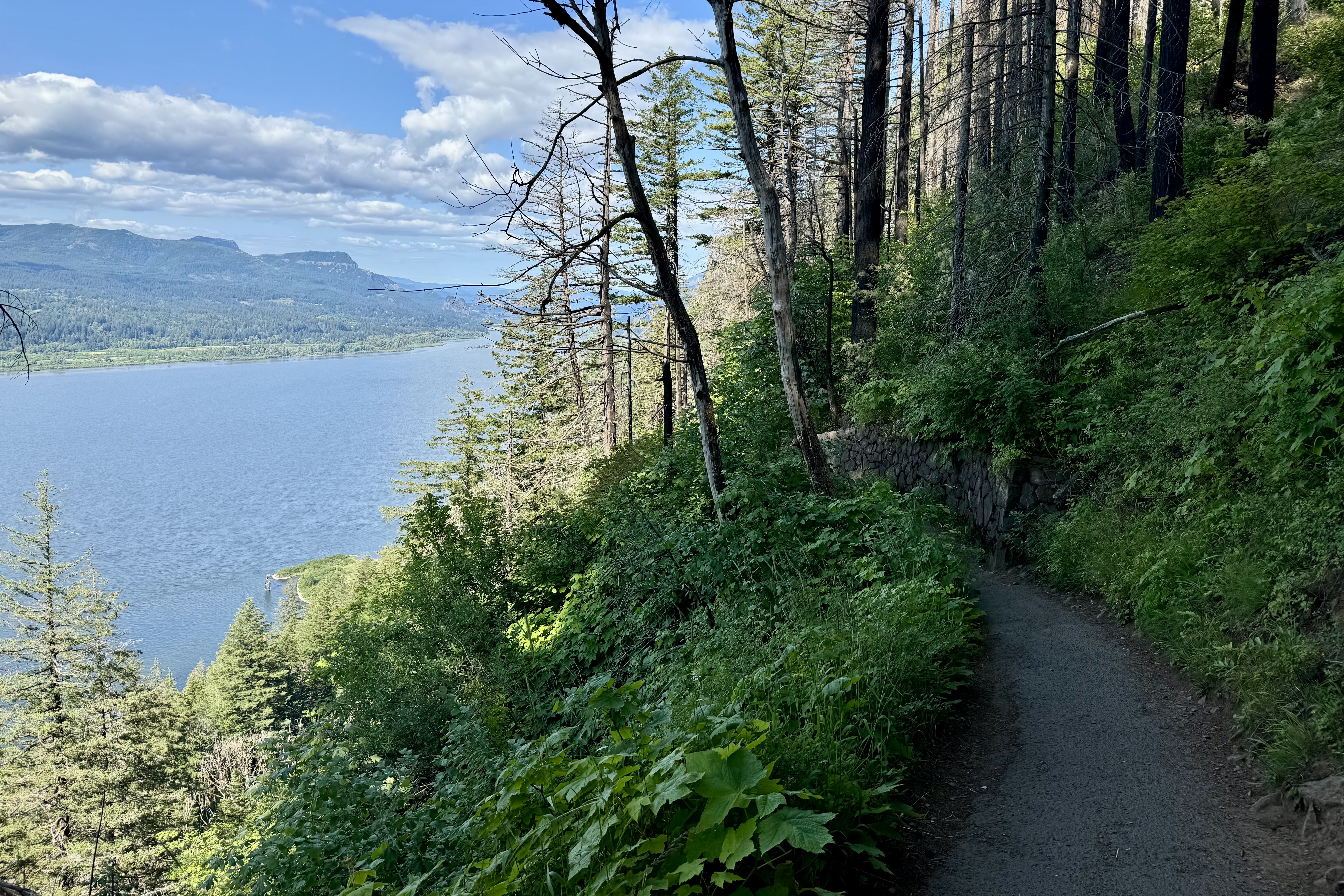
Since I would be traveling along the Columbia River Gorge, I wanted to visit Multnomah Falls, a very popular site along this corridor.  I was forewarned that there was quite  limited parking available.  So I secured a time entry permit that gives a specific hour you can enter the parking lot (though space availability was not guaranteed).   Driving the narrow highway heading east to reach the  falls,  I began to see cars parked along the road at all kinds of jaunty angles and pedestrians risking their life by walking along this squished road. I began to worry about parking. Just opposite the  entrance to the falls was a sign for parking and I didn’t know if this was the place I had reserved but when the  attendant said there was space and the parking fee was 20 dollars (this was a private lot). I figured  for $20.00 and a whole lot of convenience,  I would pony up the fee.

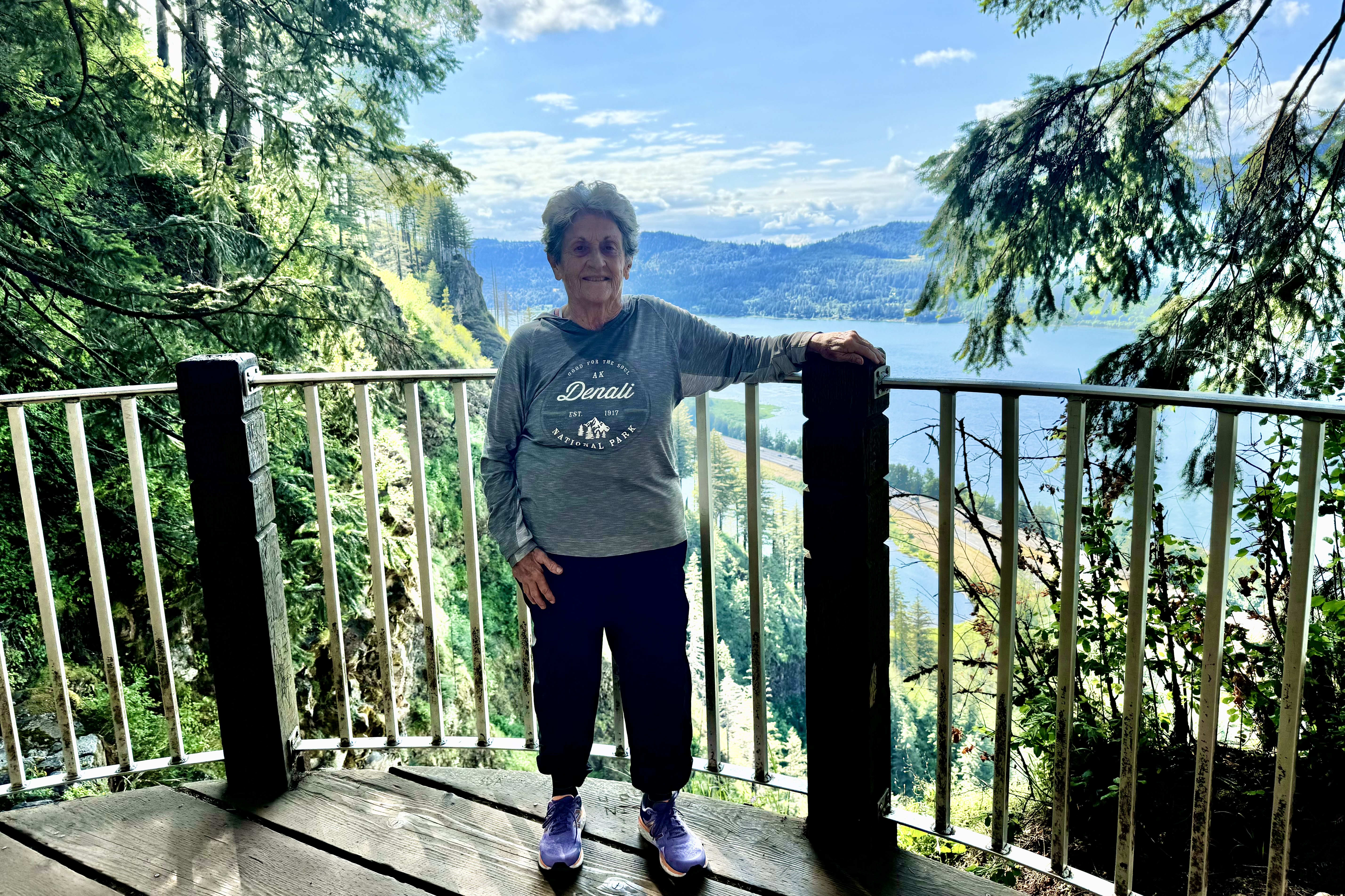
Being mid-summer and the week-end before July 4th,  I think half the population of Oregon decided to visit this falls and many taking the hike to the top of the falls. A very diverse cadre of people were all vying for a spot on the railing for a perfect photo op. I would join the mob but I knew realistically it was impossible to get the full height of the falls in a photo so even though I asked an individual to take a photo of me, it was awful but decided it was not necessary to prove that I indeed had been there.   There were hiking options and the hike up to the bridge was . 2 mile and then to the top 1 mile.  I was game…not really anticipating that not only people but signs often lie ( a national pastime at this point in history) and my rational brain did not engage enough to consider that perhaps hiking to the top of the falls was not the sanest of plans.

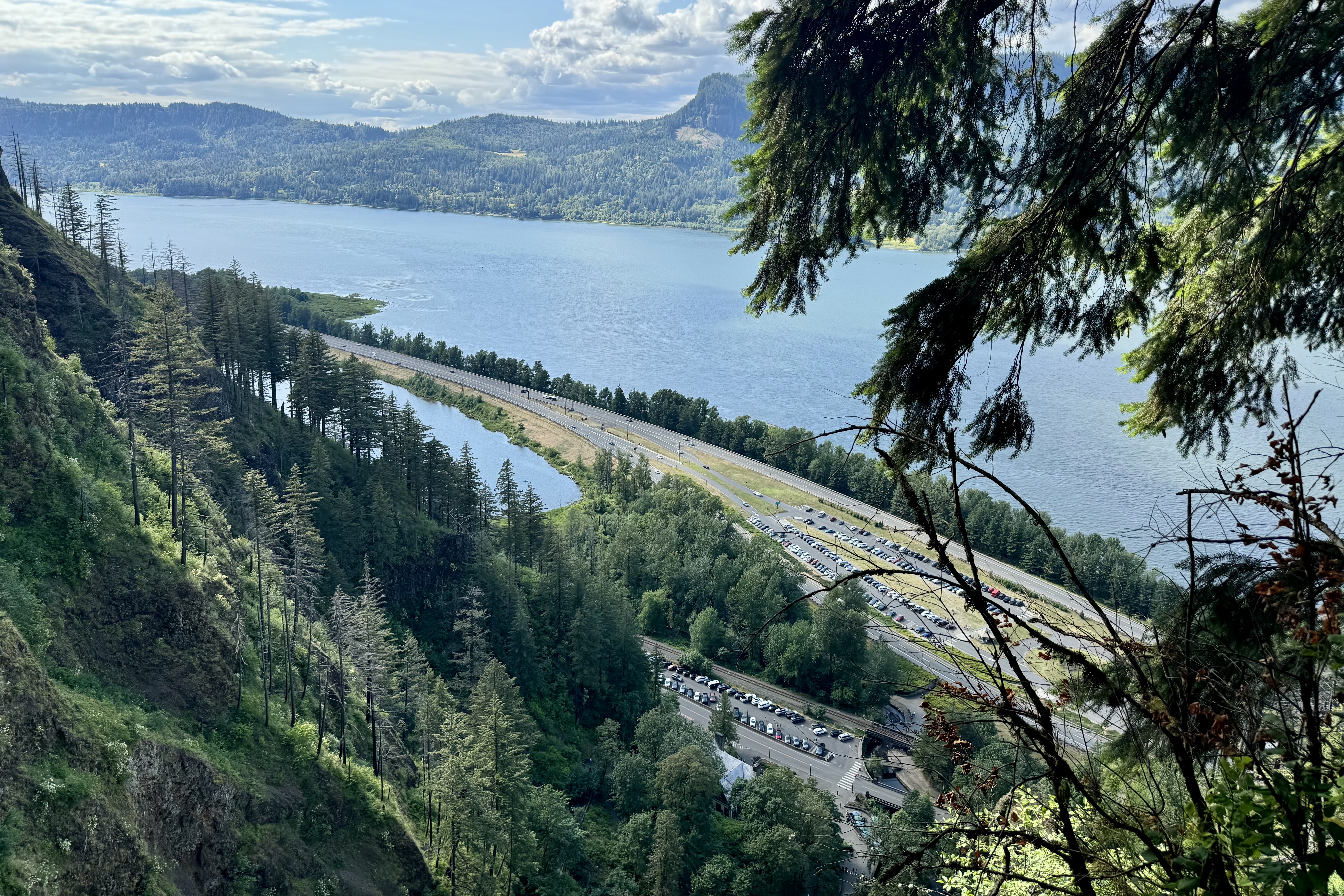
But not to be daunted, I trudged on up and up and up around the 11 switchbacks at the hottest part of the day with numerous hikers inquiring how old I was and was I really planning to hike to the top! It still didn’t register that perhaps I was probably taxing my body to its limits. Glad this wasn’t a 5K race as this 5K hike took 2 hours 17 minutes and a pace of 44’28” per mile The finish line would have been removed and the venue deserted.Once back at the trail head, i was exultant that I had the made a very wise decision of parking close. My legs were aching and spent.

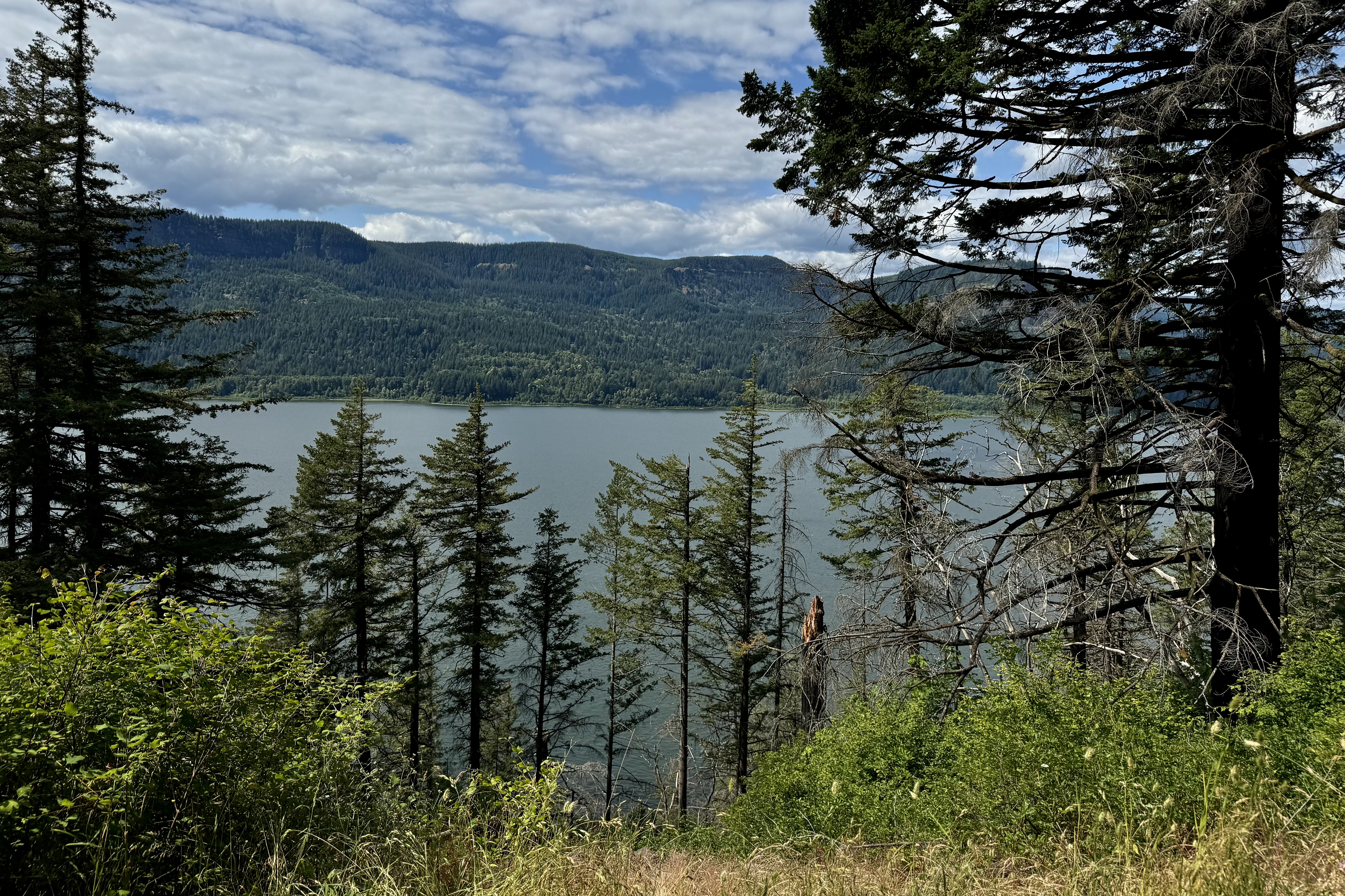
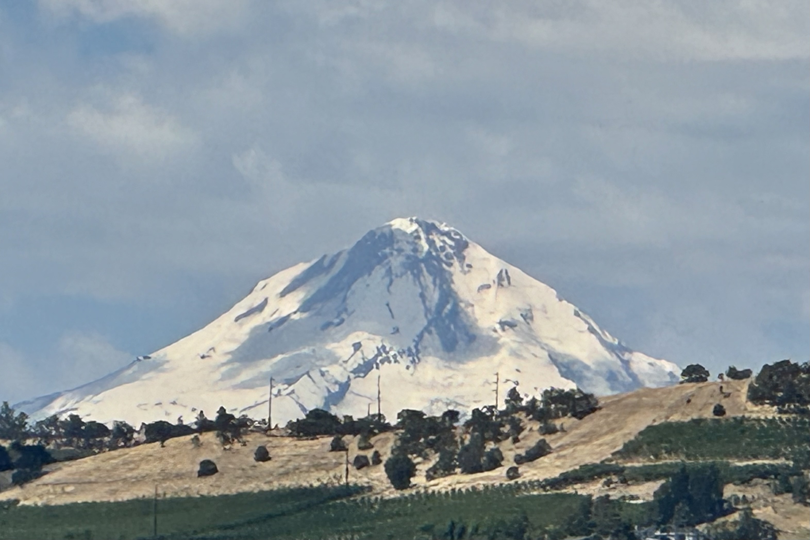
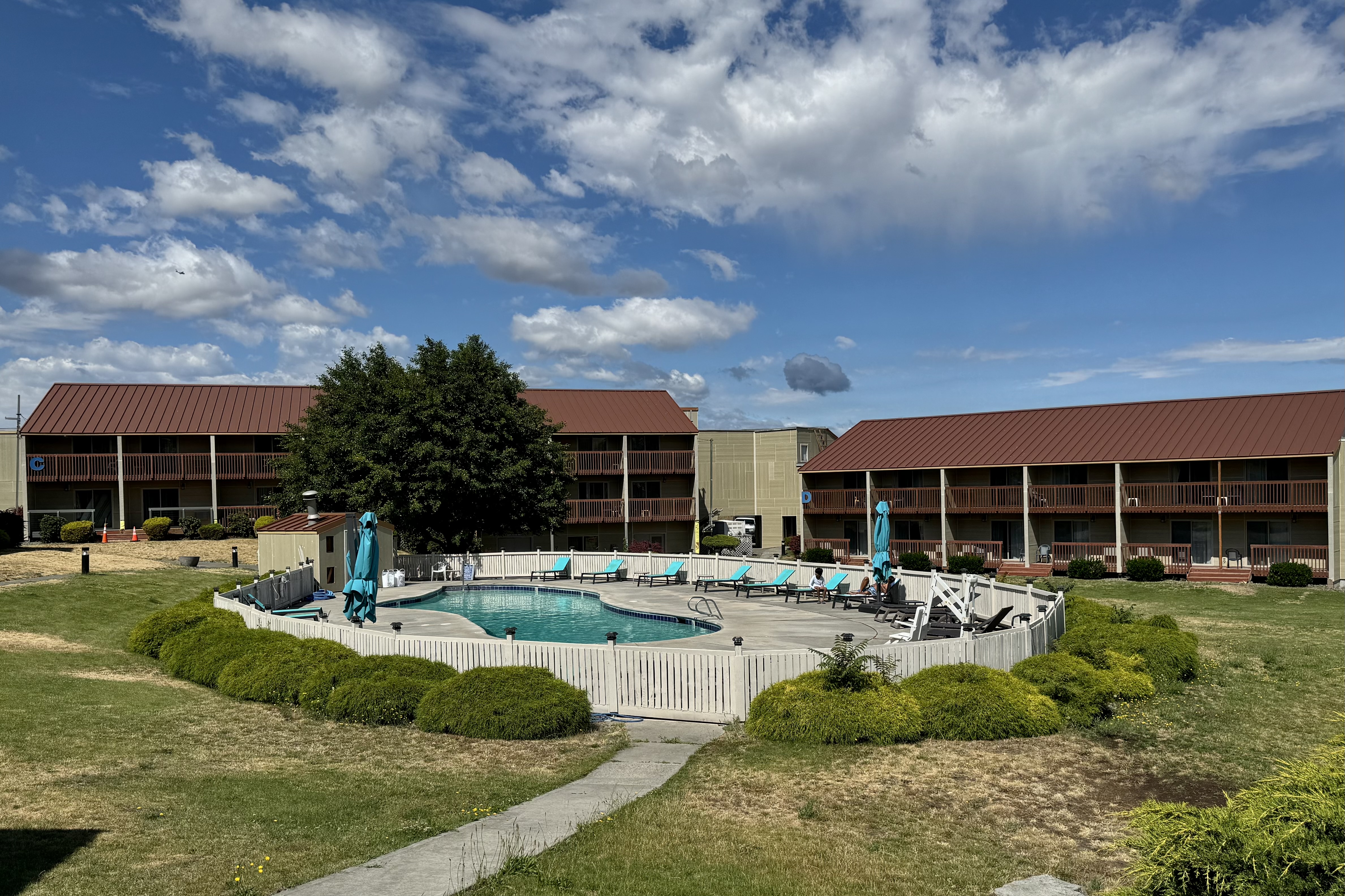
 I headed down the historic Columbia River highway, made  a quick stop at Horsetail Falls, and on to The Dalles and a night in the Columbia River Hotel. I was patting myself on the back for cancelling my camping reservation along the gorge since the site description warned of the high noise volume there from the highway next door. The loud highway rumble was the background music  hiking to the top of the gorge. So I was glad for a comfy and nice quiet hotel room until I discovered the air conditioner did not work. Since I did not want to pack up and move to another room I decided to tough it out since I needed to “practice” dealing with the hot and cold temperature options I would encounter in my tent. Besides I was not sure I could walk one more step. The next morning I eased into the day by walking the grounds, observing  the Dalles and marveling at the clarity of the 11,217 feet Mt. Hood in the distance before I headed out to  travel  along this canyon that “houses” the Columbia River. 

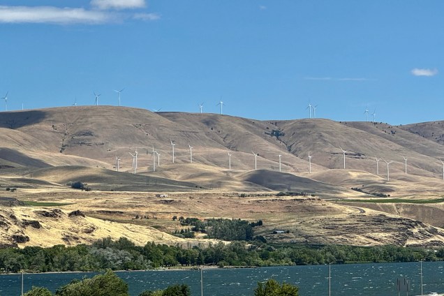
The western gorge eco system of lush green forests gave way to a semi arid eco system — a mosaic of mostly treeless hills\ peppered with sagebrush, sporting an array of tans, golds, browns and rusts. There was a certain beauty to this National Scenic Area if you can reconcile the hydroelectric power plants serviced by the 4 dams (Bonnevile, The Dalles, John Day , McNary ) of this section of the gorge with the concomitant high voltage transmission lines. Additionally in the last few years the proliferation of wind power as a source electricity has resulted in this area of the grassy savannah of the Columbia Plateau being dotted with windmills. I often lament the price our planet pays for our relentless need not only to survive but to increase and multiply and grow the domestic product index the huge need to consume, consume, consume ad nauseam.

The destination on July 1st was Beauty Creek Campground in Coeur d’ Aline. So far the drive on this trip has been nerve racking. For expediency it was necessary to take the Interstates which were abuzz with every assortment of cars, regular semi-trucks, semi’s with two or three trailers, wide-loads, self contained RV’s, RV’s pulling boats, 4 wheelers and an array of other conveyance. All were very much in a hurry to get some where or to start their vacation now. I, who promised myself to follow the speed limit on this trip, was the “little old lady” driving the Model-T surpassed by almost all but a very few other Model-T drivers. When I hit Kennewick heading up into Washington I was forever grateful that I did not have a Model T but an SUV with a screen upon which my iPhone displays the iMap route I selected and Siri tells me step by step the distance and which lane to be in…I have no idea how I would have negotiated the lanes and interchange that i would encounter to head up to Spokane. I have no desire to drive through the maze of horribly designed interchanges in Kennewick WA. ever again. I recall the AAA Triptiks of days of yore but one really needs a navigator who can understand maps and has a good sense of direction…but i guess back then there were less travelers and less complicate interchanges – mostly stop and go lights!!!! Once I neared Spokane the traffic was less frenetic and I was entering mountainous terrain and gaining a bit in elevation and arrived at Coeur d’Aline Beauty Creek Campground around 5:45.

I was pleasantly surprise to find #19 at the end of the line, with plenty of distance between campsites and nature’s “privacy screens” of thick vegetation and trees.  Reserving a campsite online is a crapshoot.  What you hope you are getting and what you actually get are often two different things.   I won at craps this time since many of the sites were in an open field. Though I reserved a creekside site, Beauty Creek was no beauty and no creek but a dry bed of stones and decaying logs,   This was to be my first go at setting up my campsite – new tent, new cot etc. and I was racing against an ominous looking sky ready to dump. I fumbled about but eventually managed while encountering only a few spatters of rain.  My weary body said enough.  Tonight is not the night to cook a hot meal.  So began the challenge of how to organize all of my necessary and not so necessary stuff in the tent and what stuff would rest better in the car. It began by tossing everything in all direction all over the car  which I had so meticulously organized prior to departures. The upside was I was able to select only the necessary items for this one night stand and not have to drown inside the tent in my piles of stuff. I’d like to report that I slept well in my new digs with my traveling Squishmallow., Banks the Badger. Banks loves to camp.

Hoh (not Ho, Ho-Ho or Hi-Ho) Rainforest and Olympic Park Hurricanes

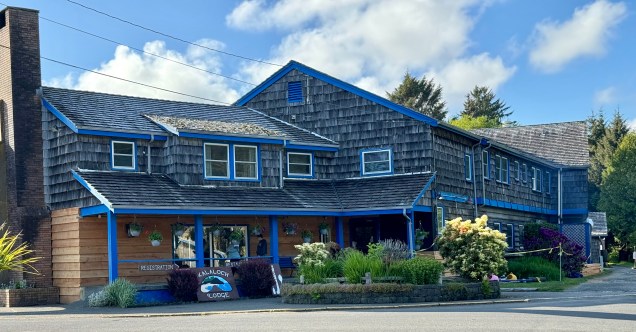
When contemplating a trip to a national park in days gone bye, the major decision was which campground or backpacking trail was the destination and thus reserve accordingly. I would not want to venture that those option are completely off my radar, but my current bent is more towards a stay in one of the iconic National Park Lodges. My mission is to spend any inheritance that has the potential to be forthcoming to my heirs when I go misssing… hopefully several years down the road. So with an anticipated stay in Olympic National Park and a desire to focus on the western coastal area and the Hot Rain Forest, a given for me was to make a reservation at the Kalaloch Lodge, an historical building with minimal amenities at a 2024 inflationary price tag.
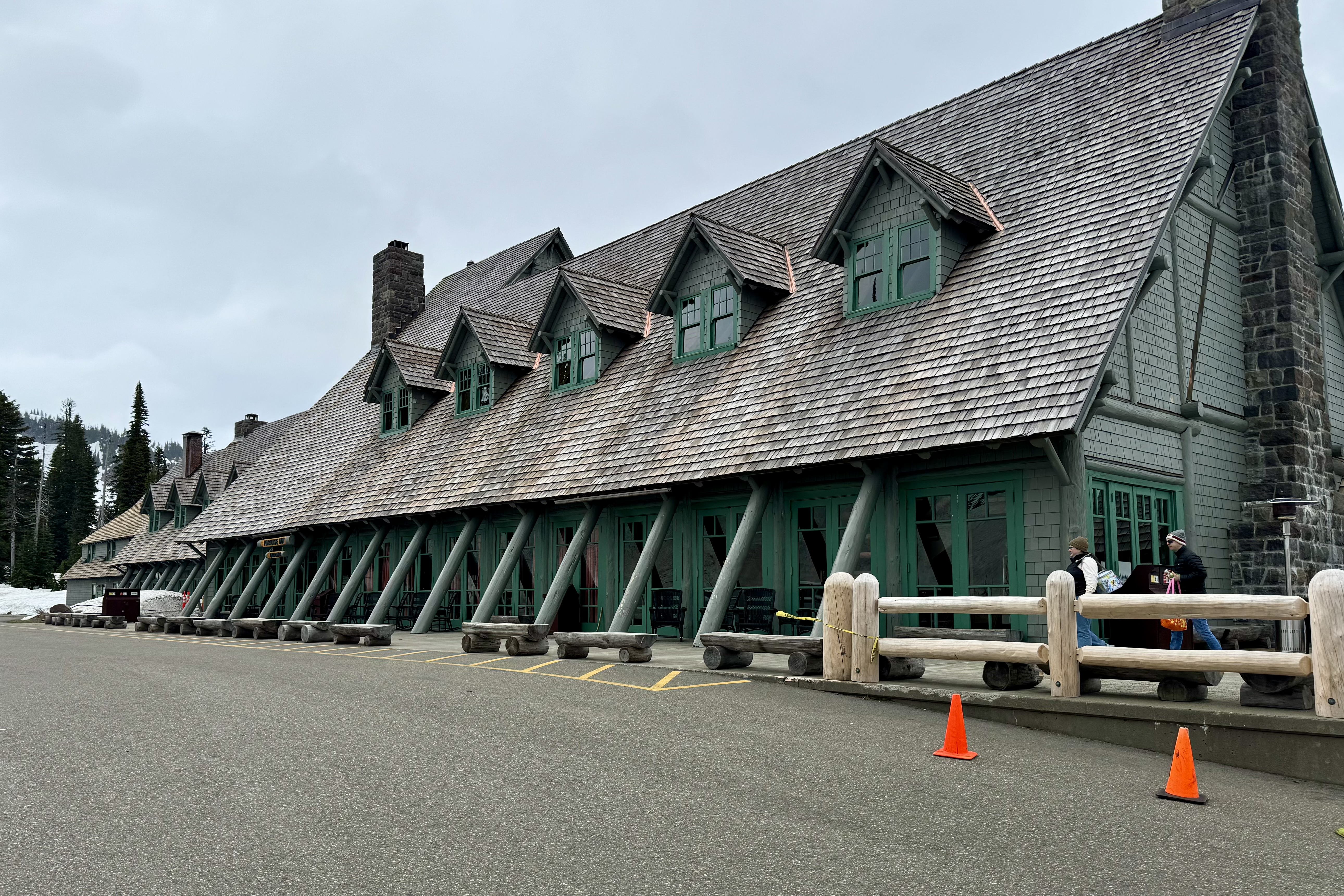
A note about park hotels and lodges: In order to preserve wildlife and wilderness, I think the best idea back in 1872 was setting the Yellowstone region aside as a national park thus beginning the creating of a network of parks. The next best idea might well have been the creation of the National Park Lodges. These structures were built with a vision of blending in with the environment via architecture that now has been coined as “Parkitecture. ” This is the rustic architecture that harmonizes with nature, – building something that fit right into place and not detracting from nature’s beauty. It features wood and stone from the area, has massive overhangs, wide logs, timber columns and very large common areas… magnificence without the glass and metals in favor today by most and another way we become totally disconnected from the natural world.

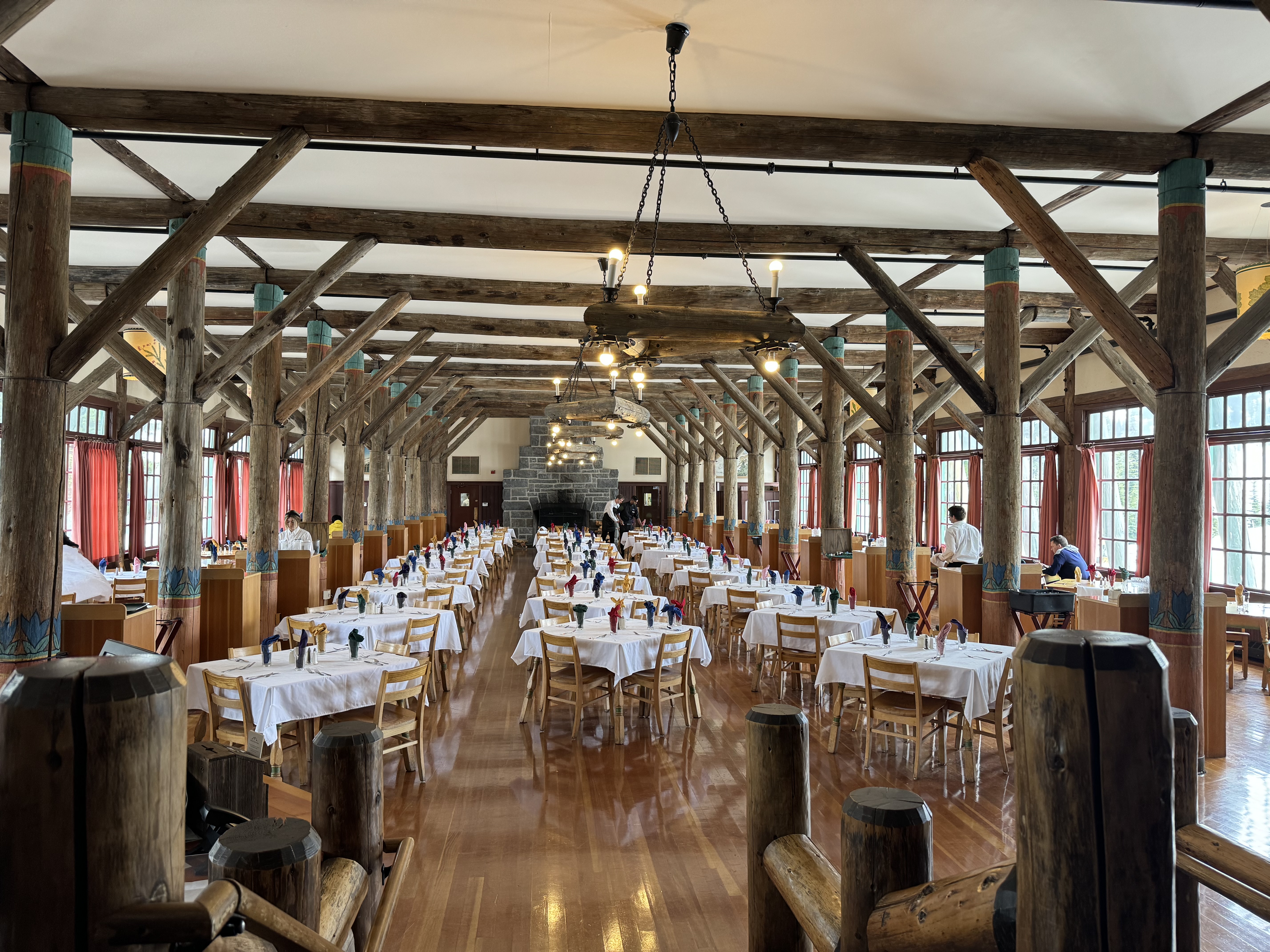
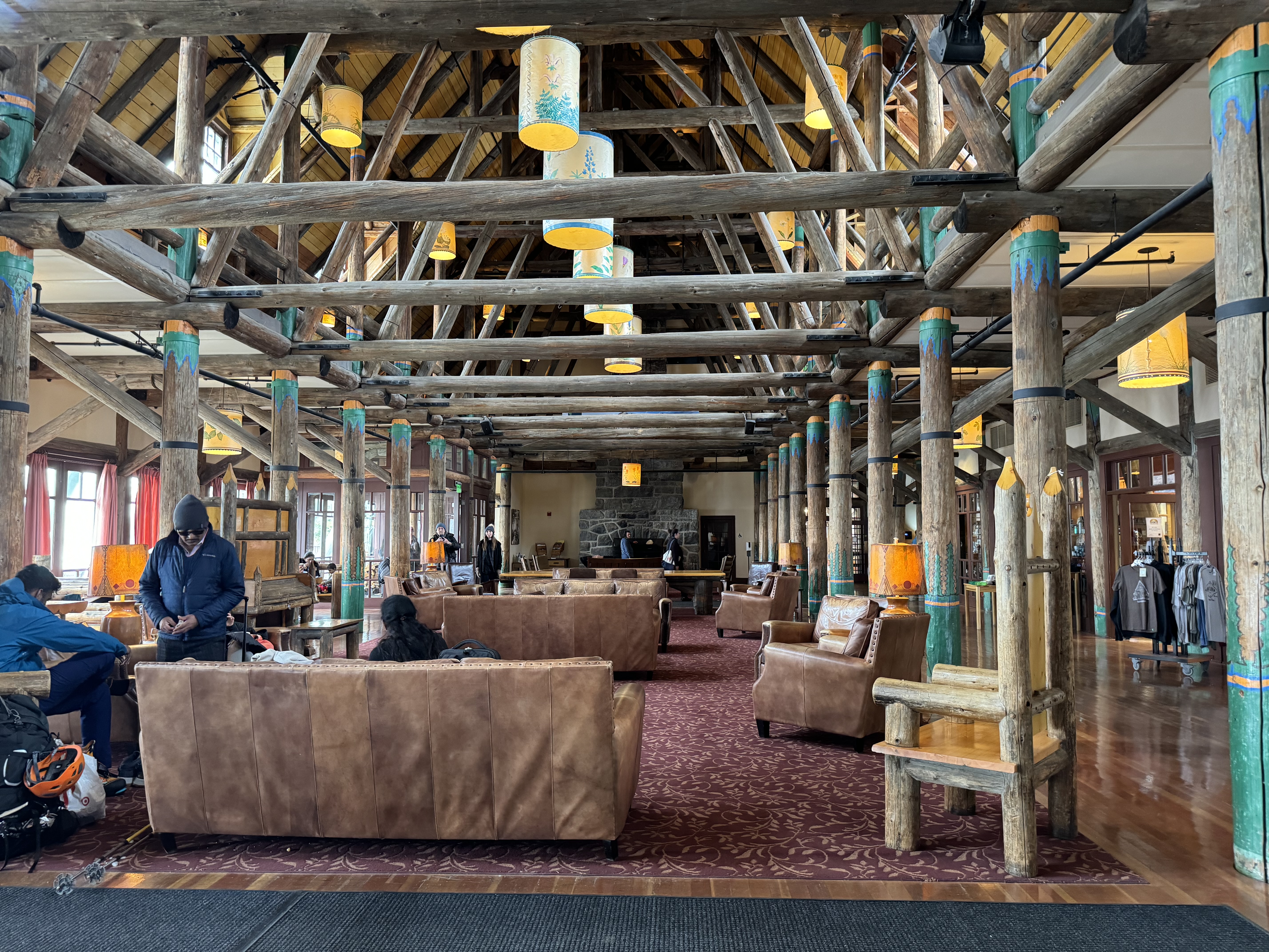
National Park lodges are not like today’s typical hotel rooms.  If you need  multiple USB plug-ins, a color flatscreen TV with cable, a gym, High-speed WIFI, complimentary continental breakfast, and a swimming pool,  be forewarned, this is not the place for you. Many of the National Park Lodges were constructed in the early 1900s an  era  when leisure travel was a social event.  This  meant getting dolled up for dinner and actually socializing with other guests. Many lobbies had  large fireplaces, many seating areas, usually a  gift shop, and a piano. Many of the hotel rooms themselves were small and did not have a private bath or shower, saving the extra space for the  larger communal areas such as a large dining rooms and lobby.

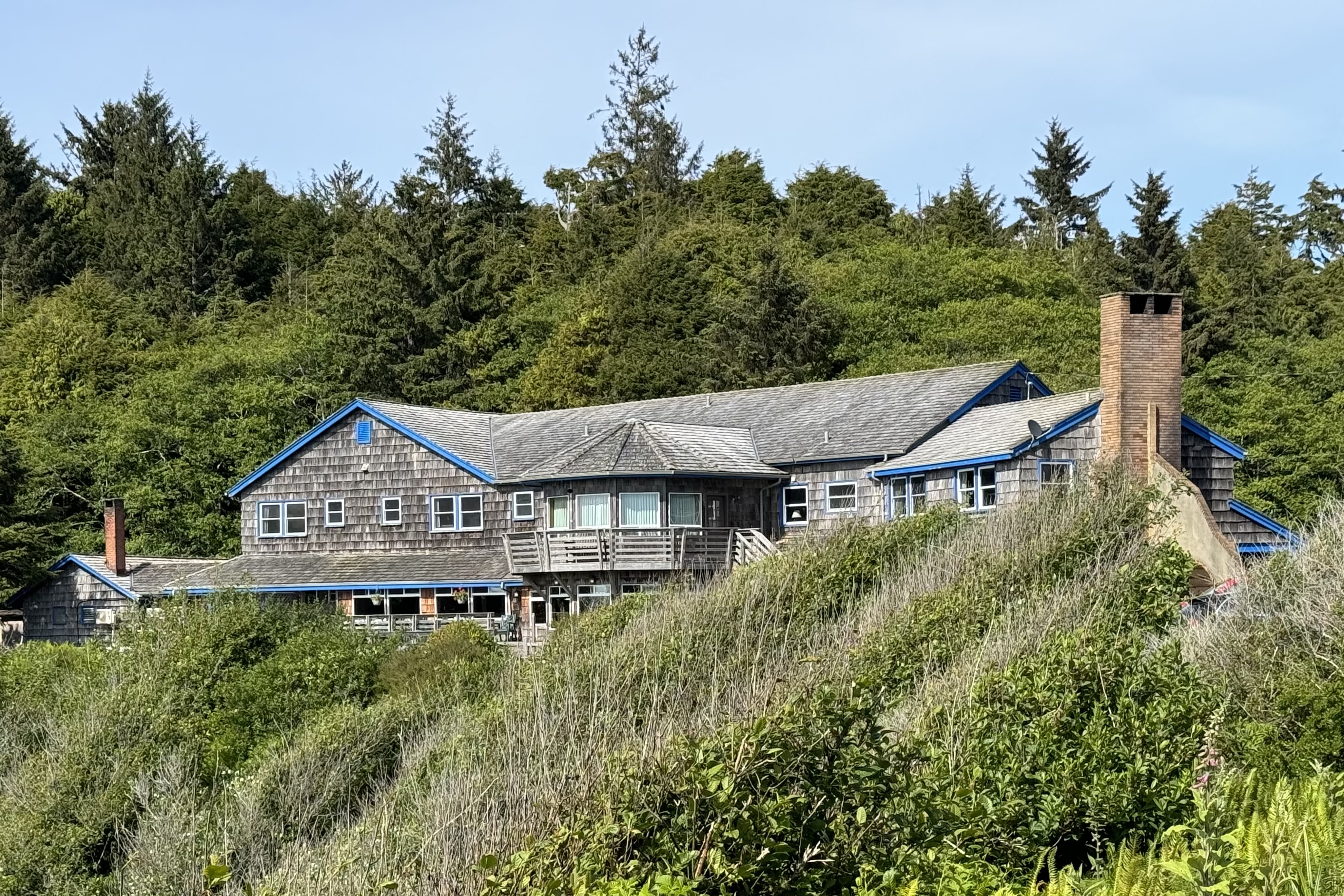
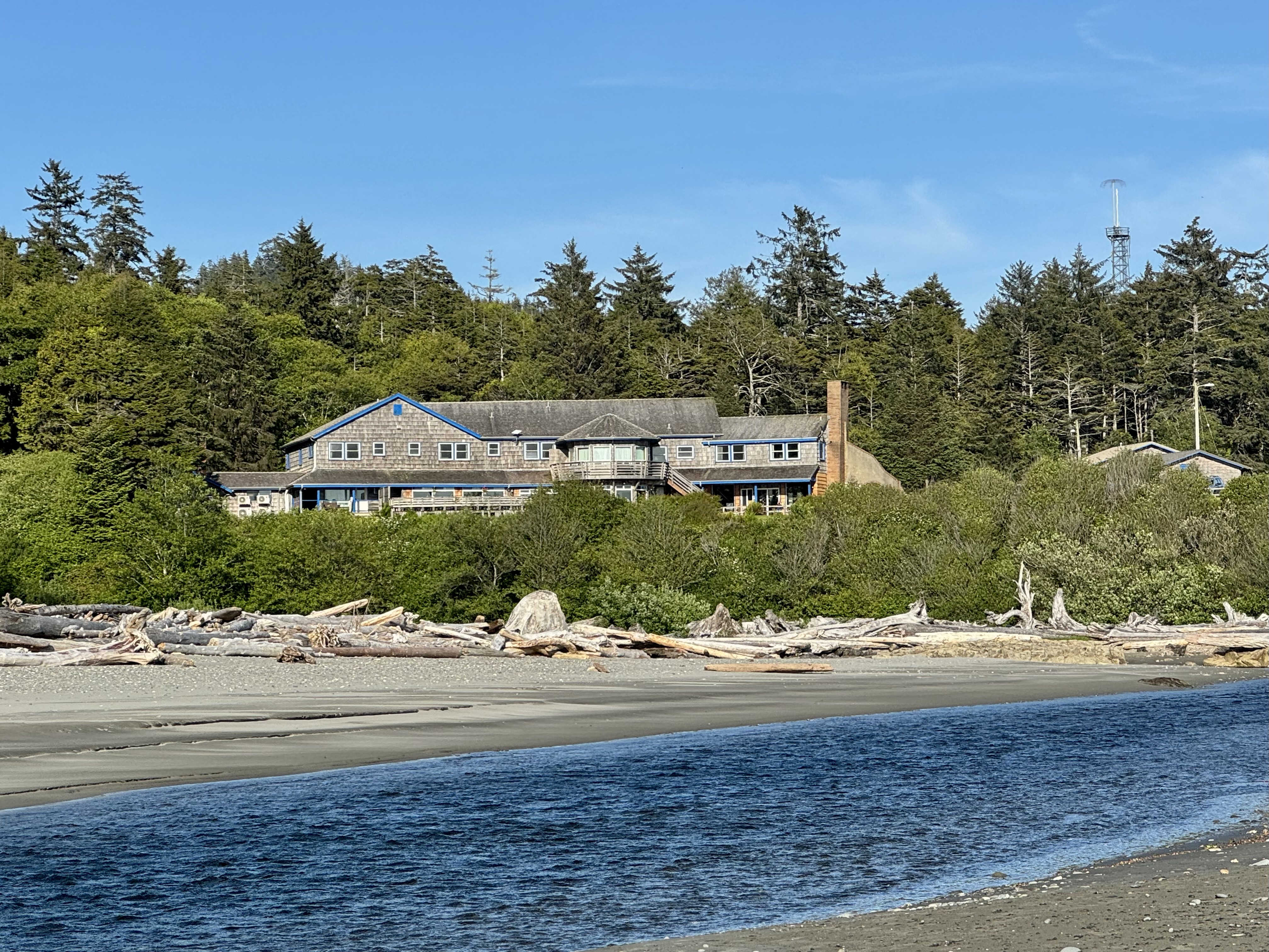
Kalaloch Lodge, built in 1925, is one of those relics of a past era with limited facilities (such as wi-fi in the lobby only, no TV, no swimming pool, no cell service in area) but I gladly spent $ 359.00 a night (least expensive room) to stay in the Seacrest house at this historic property . It’s a beautiful location on a bluff with access to a wildly sumptuous beach.

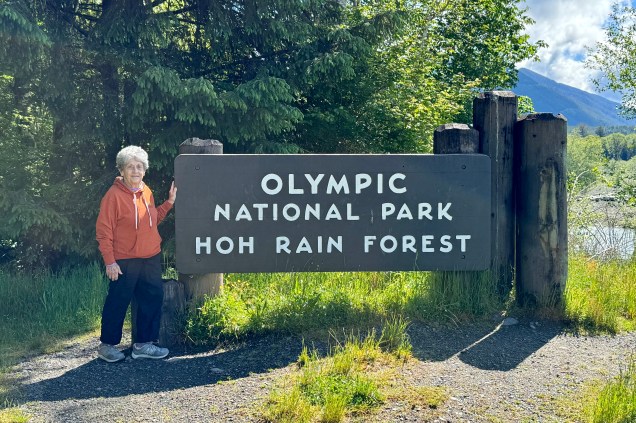
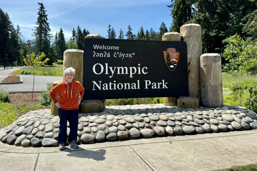
Olympic is one of the mid-sized national parks of about a million acres but when I reserved the room at the Kalaloch Lodge I anticipated a short drive to the Hoh Visitors Center and hiking trailheads. I was surprised to discover it was at least 40 miles and an hours drive along a rural winding road. At that point I began to realize the shear size of this park. It is not just a small outpost on the Olympic Peninsula in Washington, but three ecosystems: snow-capped mountains, temperate rain forests, and 70 miles of stunning coastal beaches. This is the perfect destination in our society of over-choice and FOMO (fear of missing out.). That’s me! I was intent on experiencing the diversity of all of them. Not having three full days and with my friend’s affinity for hugging trees, the biggest focus would be the Hoh Rain Forest. So the next morning we were heading there on a beautiful sunny day but this was not on a day that would be adding to the 140 inches of the annual precipitation which feeds its lush canopy and dense undergrowth. We would not be able to experience Hoh in all its dripping glory as it is directly benefits from buckets of fluid leaking from the heavens.

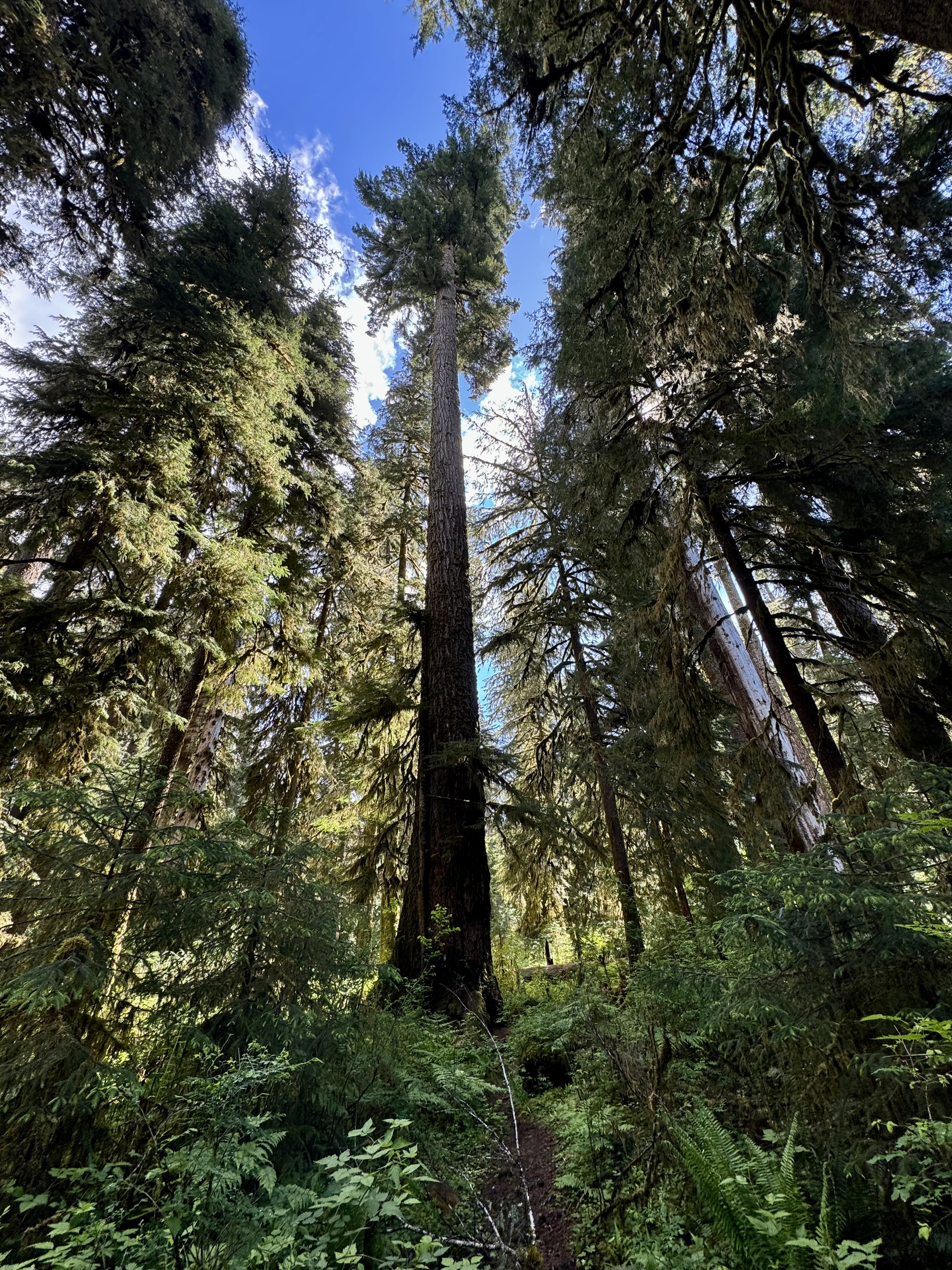
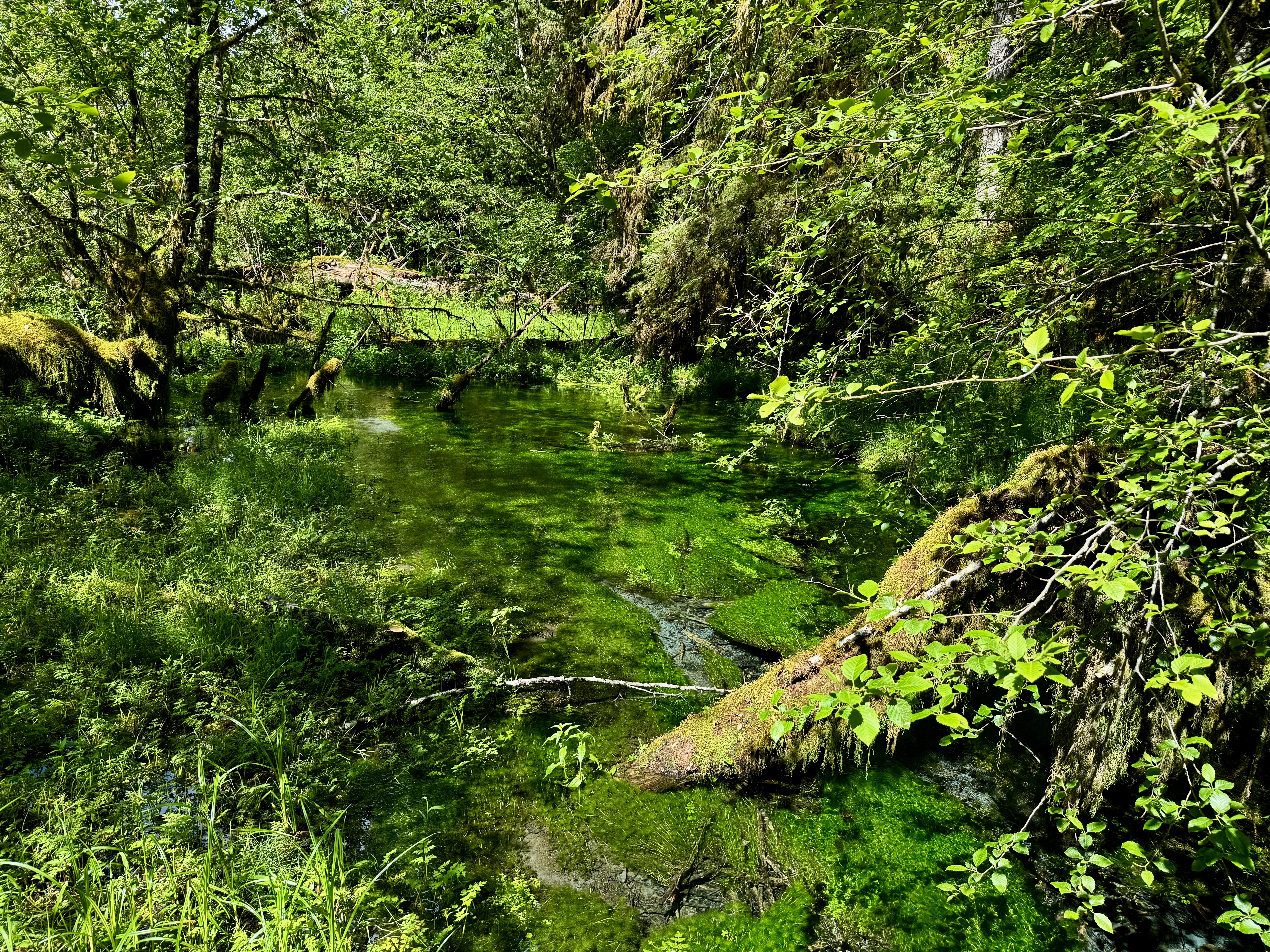
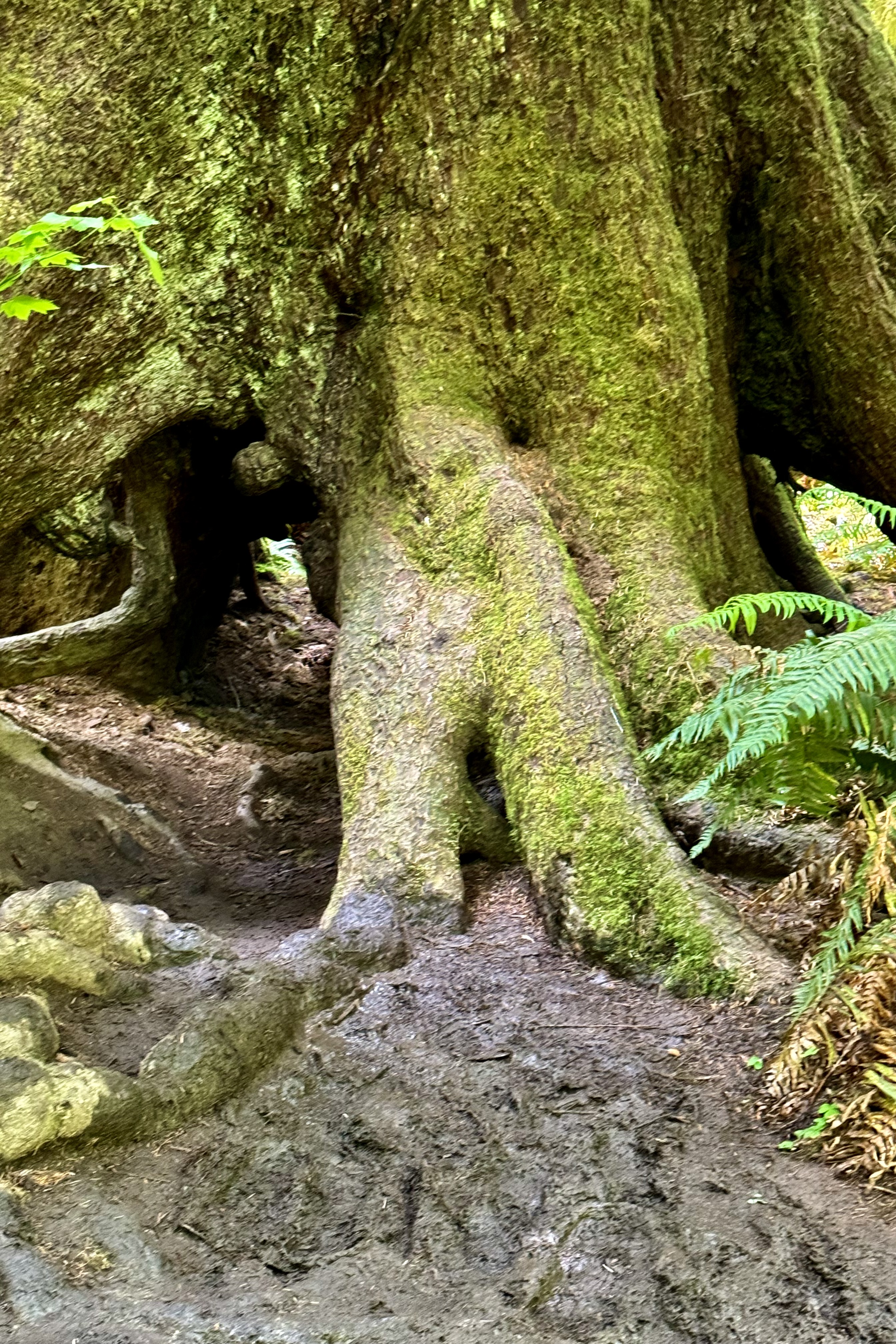
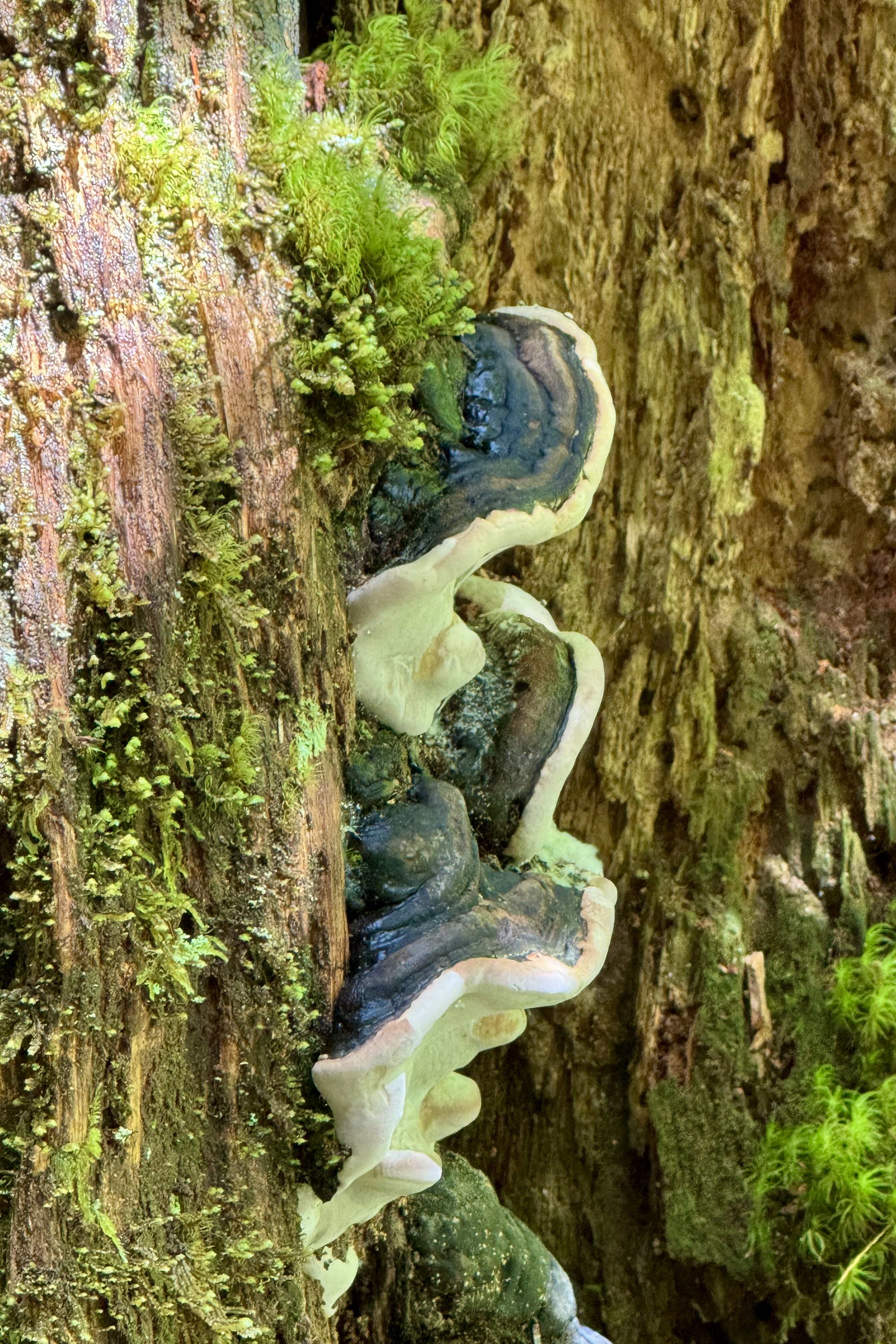
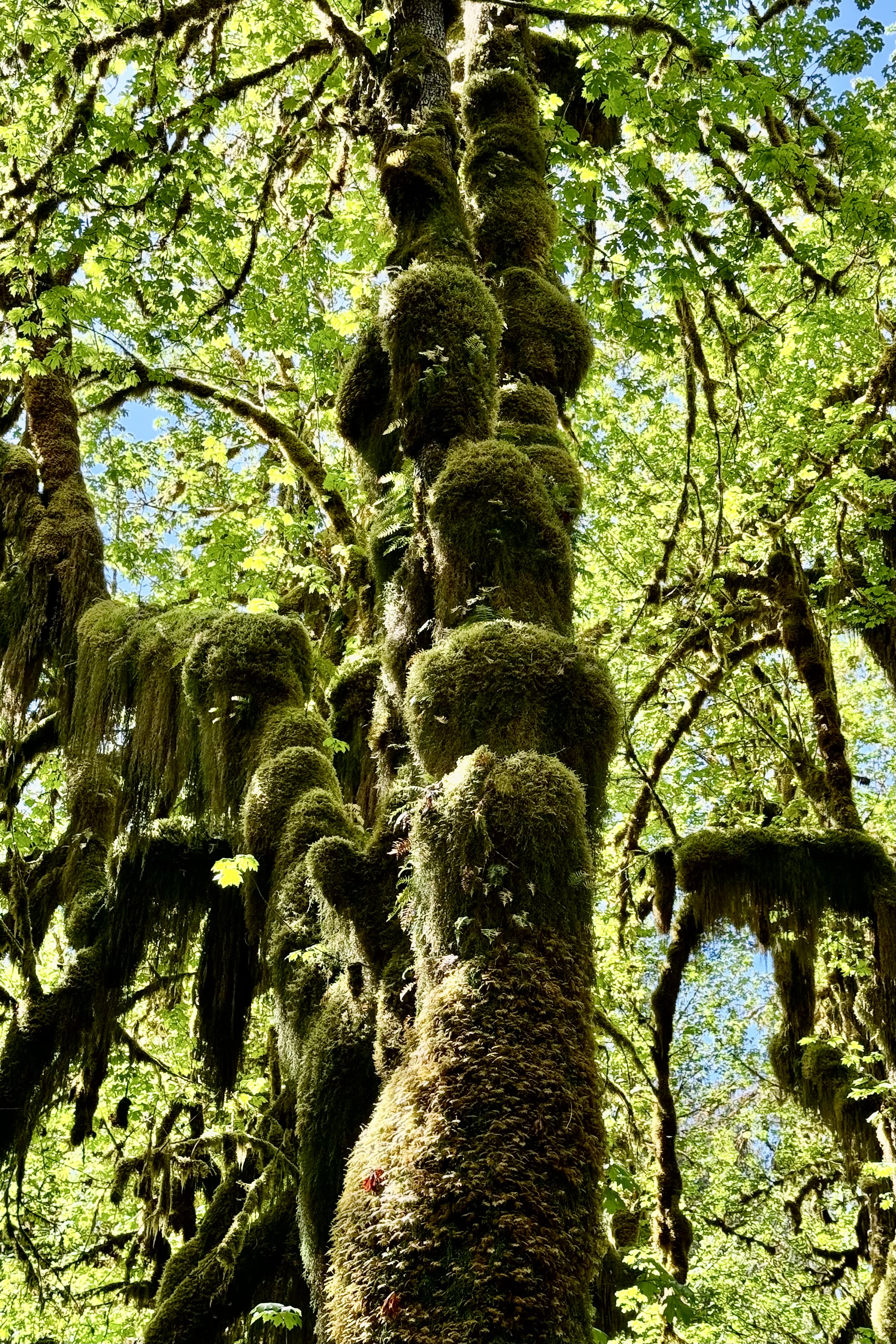
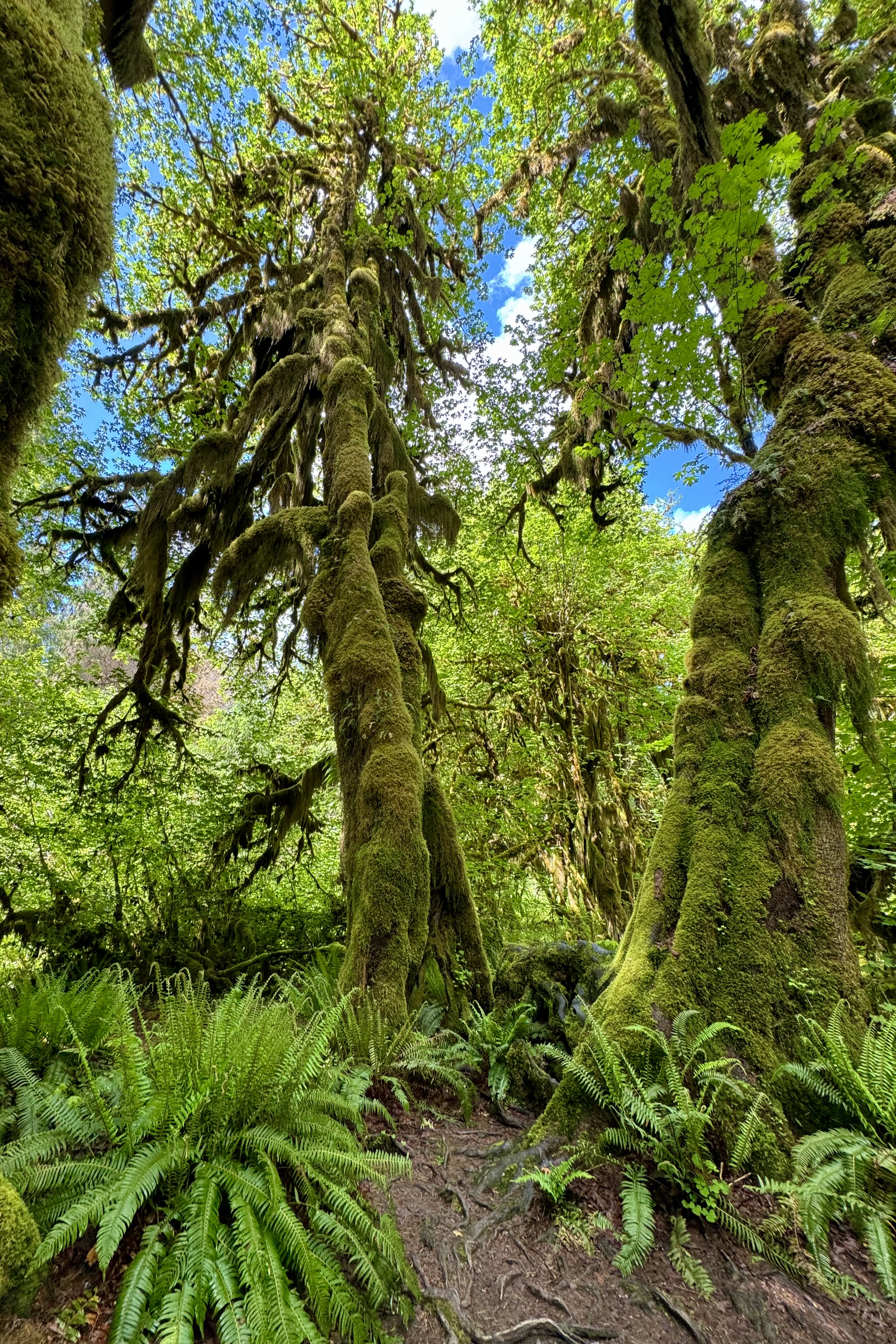
It was a totally immersive experience as I took a deep dive into the Hoh woodland. While hiking the 1.25-mile Hall of Mosses trail, I was “swimming “ in a sea of geriatric moss-covered Sitka Spruce with buttressed moss covered roots, Western Hemlock, Western Redcedar and the mighty Douglas firs. Many of these trees are over 700 years old in this oldest of rain forests in North America. This forest is thick, wet, furry, and dense with many vibrant shades of green ranging from a brilliant emerald to a dusky sage. It is a “Tolkien-esqe” jungle of spongy moss draped giant trees and their understory that is filled with fallen trees, saplings, and ferns. I was again feeling insubstantial and humbled as I hiked in this garden of plants and trees dripping moss and tried to imagine the history that has unfolded during the lifetime of the oldest of the giants. My imagination ran a bit wild envisioning dinosaurs roaming this jurassic jungle. The 1.2 mile Spruce Nature Trail, much less crowded, was now must as I was not yet sated by the trees and the army of epiphytes that surround them. It also served up views of the wild Hoh river.

I was again feeling insubstantial and humbled as I hiked in this garden of plants and trees dripping moss and tried to imagine the history that has unfolded during the lifetime of the oldest of the giants. My imagination ran a bit wild envisioning dinosaurs roaming this jurassic jungle. The 1.2 mile Spruce Nature Trail, much less crowded, was now must as I was not yet sated by the trees and the army of epiphytes that surround them. It also served up views of the wild Hoh river.

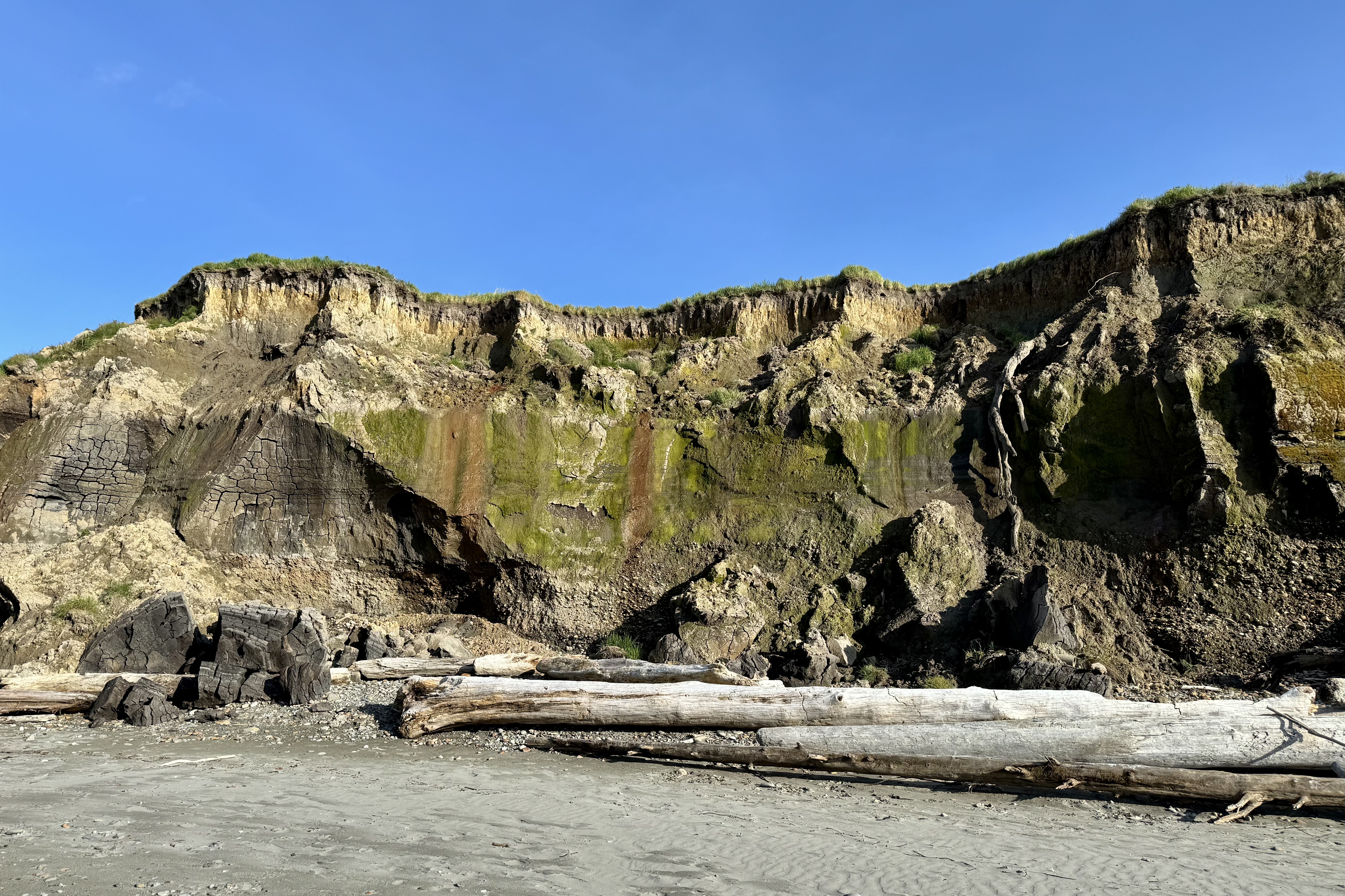
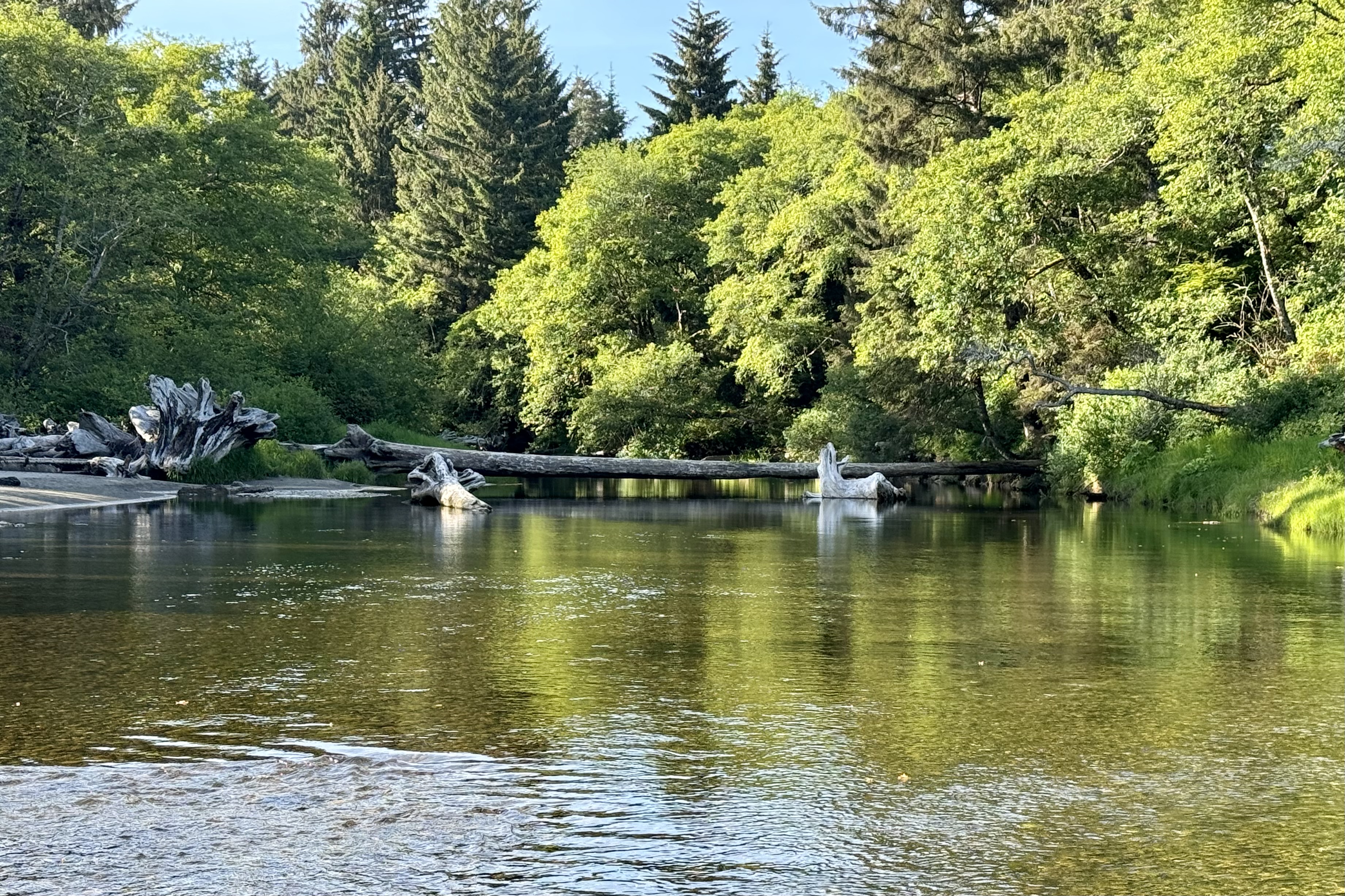
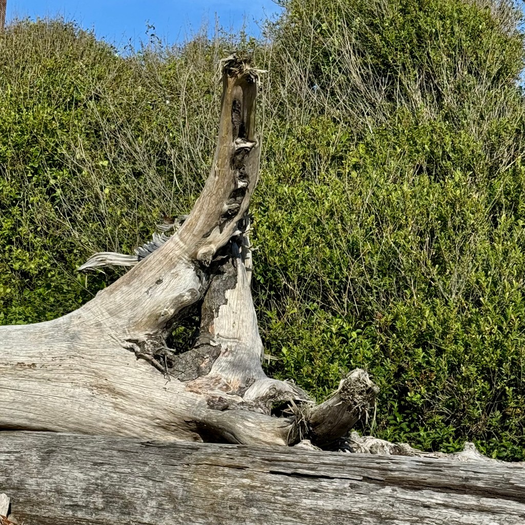
After a harrowing drive back … mind you it was not harrowing for me as the driver but for my passenger who has very little experience being a passenger with a driver who is quite assertive in how she approaches the task of getting somewhere on these narrow curvaceous hilly roads. I vowed to do better next time. Once safely back at the Lodge I determined it was time to explore the beach with its wind-sheared trees, museum of driftwood sculptures, wind swept sands, and eroded sea cliffs. The sky was a clear expanse of blue, the sun shining bright, the wind strong and relentless. Though invigorating, the sandpapering of my legs , all the while pushing against me, did not promote the kind of connection with nature I was seeking. So I meandered up by the egress of Kalaloch Creek, exploring the massive driftwood “carvings” and meandering along this wind-swept beach.

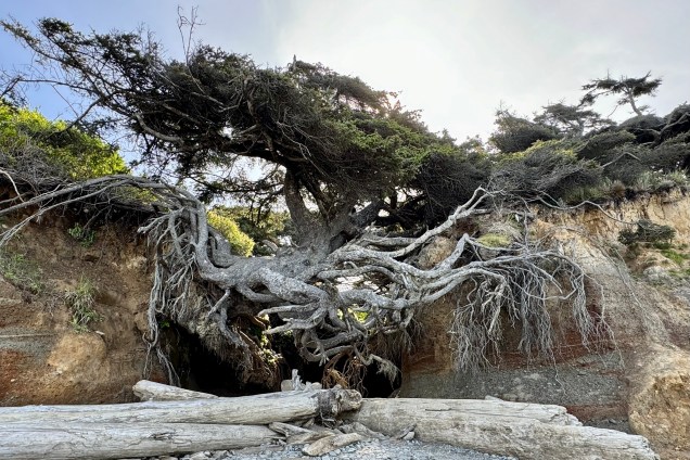
I awoke to a bright and beautiful day for traveling the perimeter of Olympic National Park and then onward to Mt. Rainier. But first I opted to stop just north of the Lodge at “The Tree of Life.” Which Tree of Life do you think I discovered here at Kalaloch? Do you recognize the others?

The Olympic Tree of Life, a Sitka Spruce is quite unique, located on the edge of a sandy bluff- and straddling two cliffs. Erosion from a stream flowing behind the tree weathered away the ground underneath it. A few coiling stems cling to each side of the cliff support the tree’s weight, which by any rational standard should not be able to support its massive size, especially with the rugged wind and storms on the coast.

There definitely is no direct way to cross the park to experience the northern region. The park is encircled by a well-maintained very scenic perimeter road of 329 miles. (Hwy 101) with a few more short paved roads penetrating the interior and dead ending. So if I intended to visit Crescent Lake and Hurricane Ridge I would need to head north and east on the narrow loop road and today adopt a gentler but firm approach to negotiating the twist and turns, the sharp bends and arcs with less focus on the thrill of the drive and an adrenaline rush, especially if I want to maintain my friendship and finish the trip and not have my friend demand an immediate transport to the Seattle Airport. I will save those exhilarating drives of being one with the road when traveling solo.

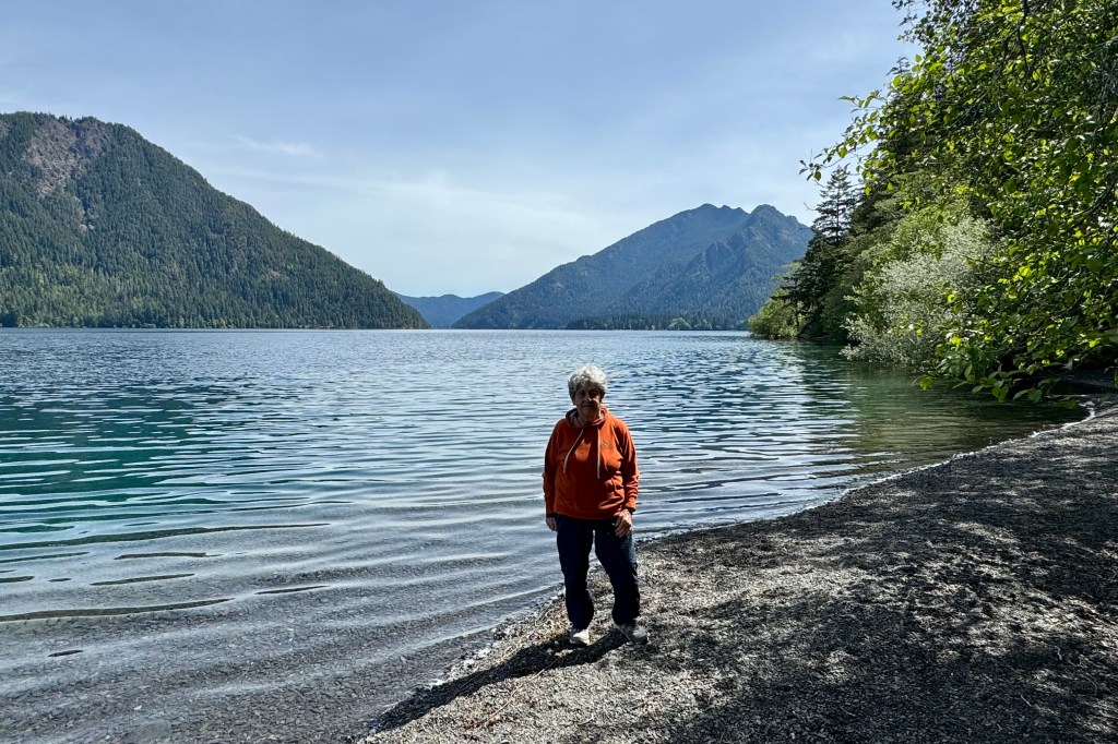
Two hours later we were skirting Lake Crescent and remarking on its crystal-clear deep blue waters viewing it against the backdrop of the Olympic Mountains and the lush temperate rainforests. It was tempting to stay and drink in the tranquility of this lake but Hurricane Ridge beckoned.

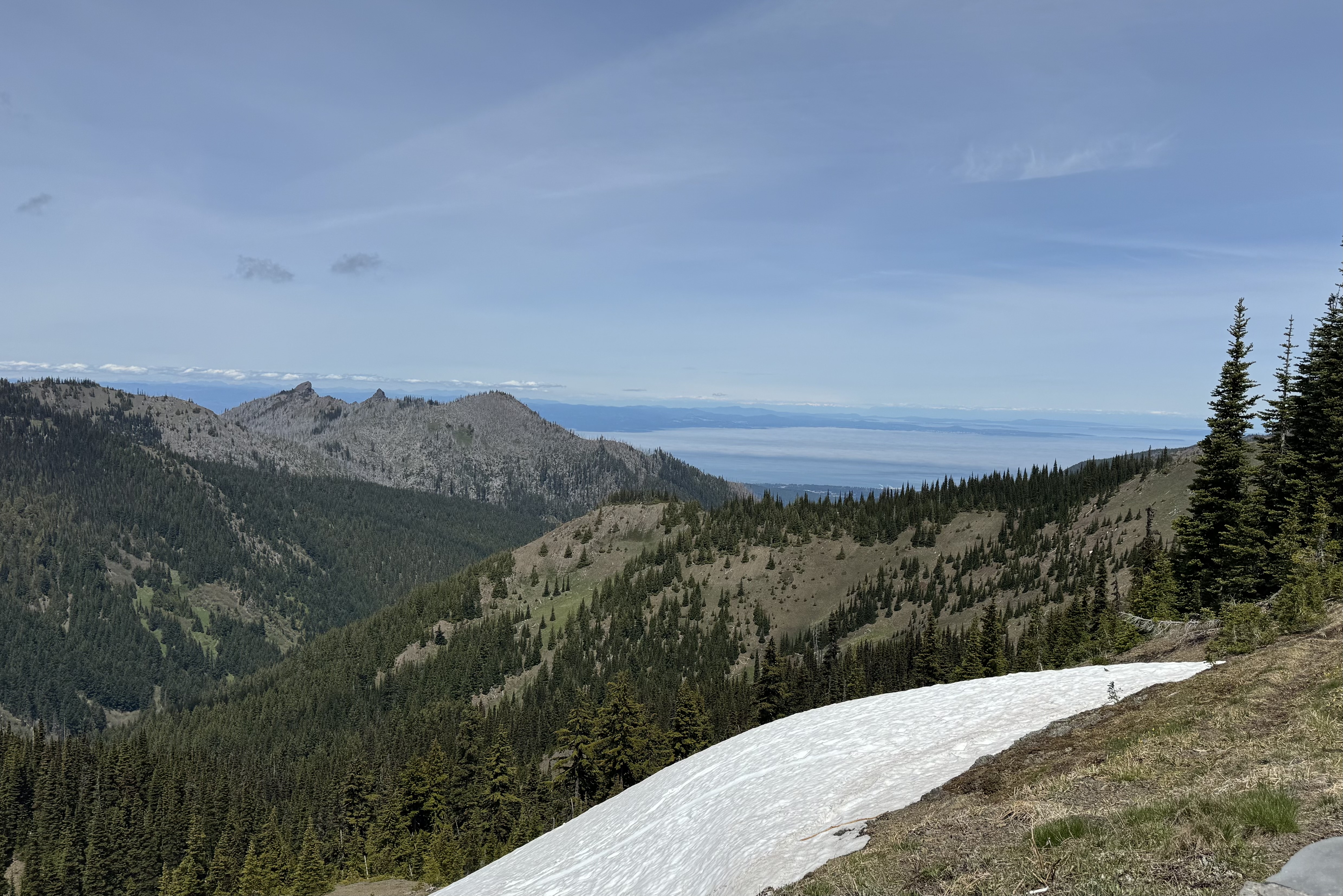
At Port Angeles so began the 18 mile ascent from the coastline at sea level up to 5200 feet. The traverse is initially through dense forest but opening up to vistas of distant peaks, including the 10,778 ft Mt. Baker, and eventually transitioning into subalpine and alpine topography.

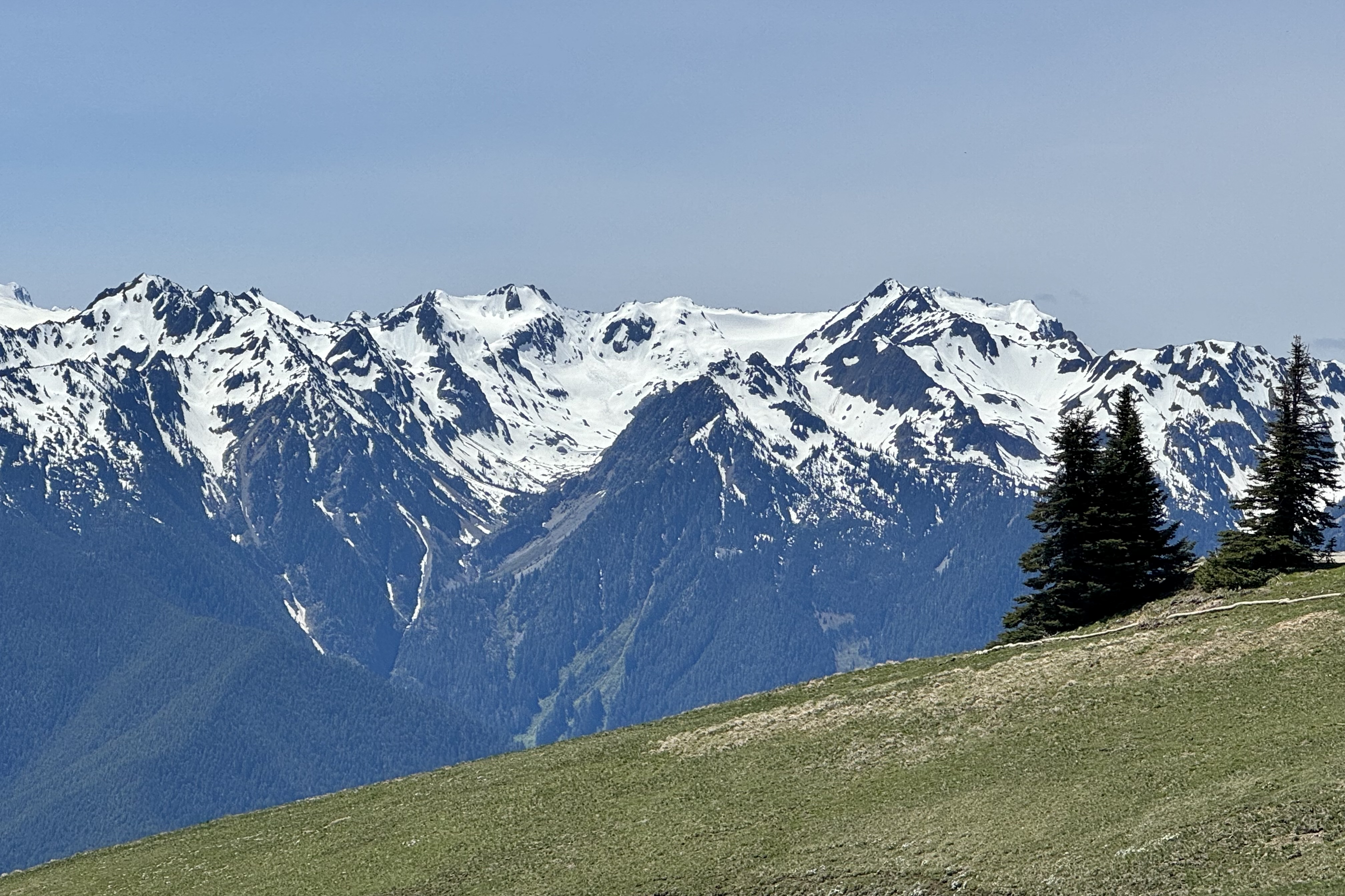
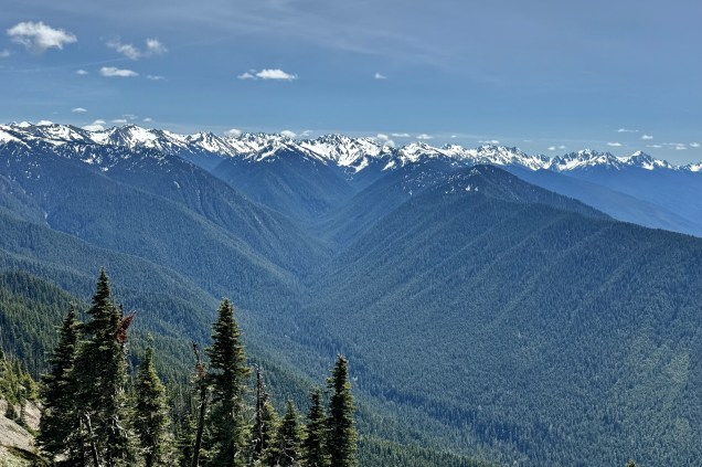
The journey itself, along the road’s twists and turns (yes I found it exhilarating even at a rational pace) ) was as much a part of this adventure as the hike up the High Ridge Trail. The road dead ends and from there we simply enjoyed the panoramic views of the Olympic Mountain Range with its snowcapped mountains , evergreen forests and Mt. Olympus..

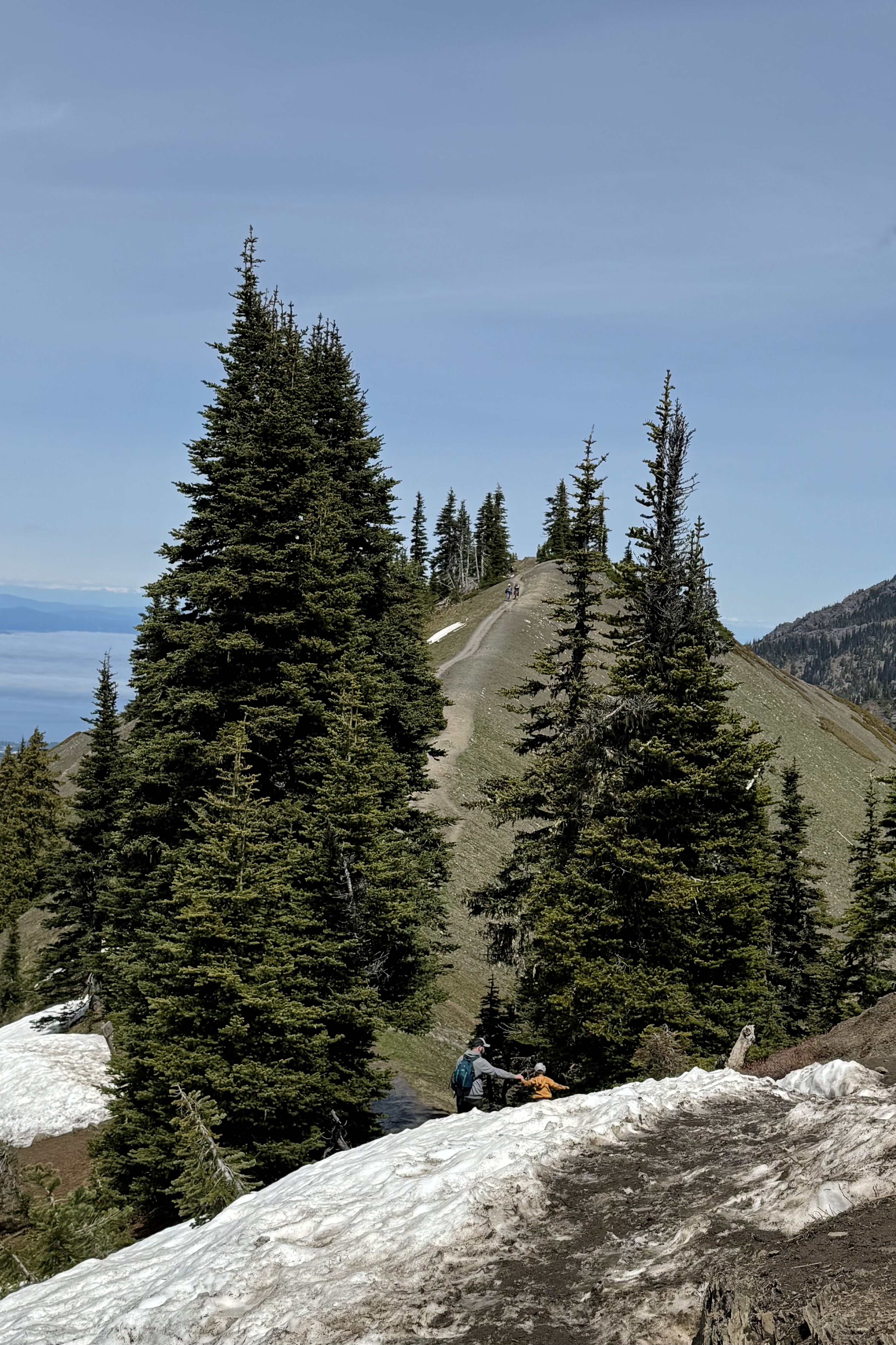
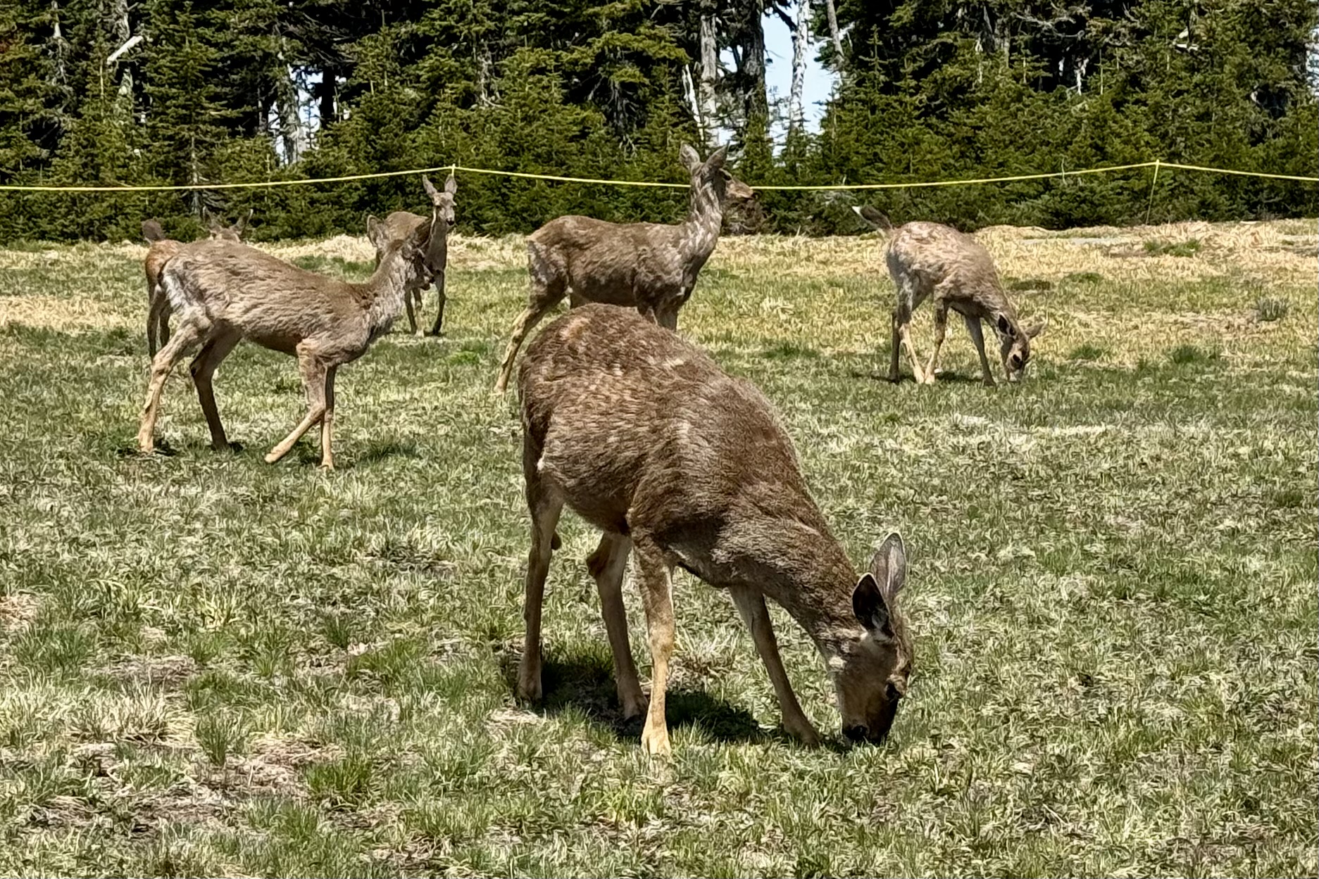
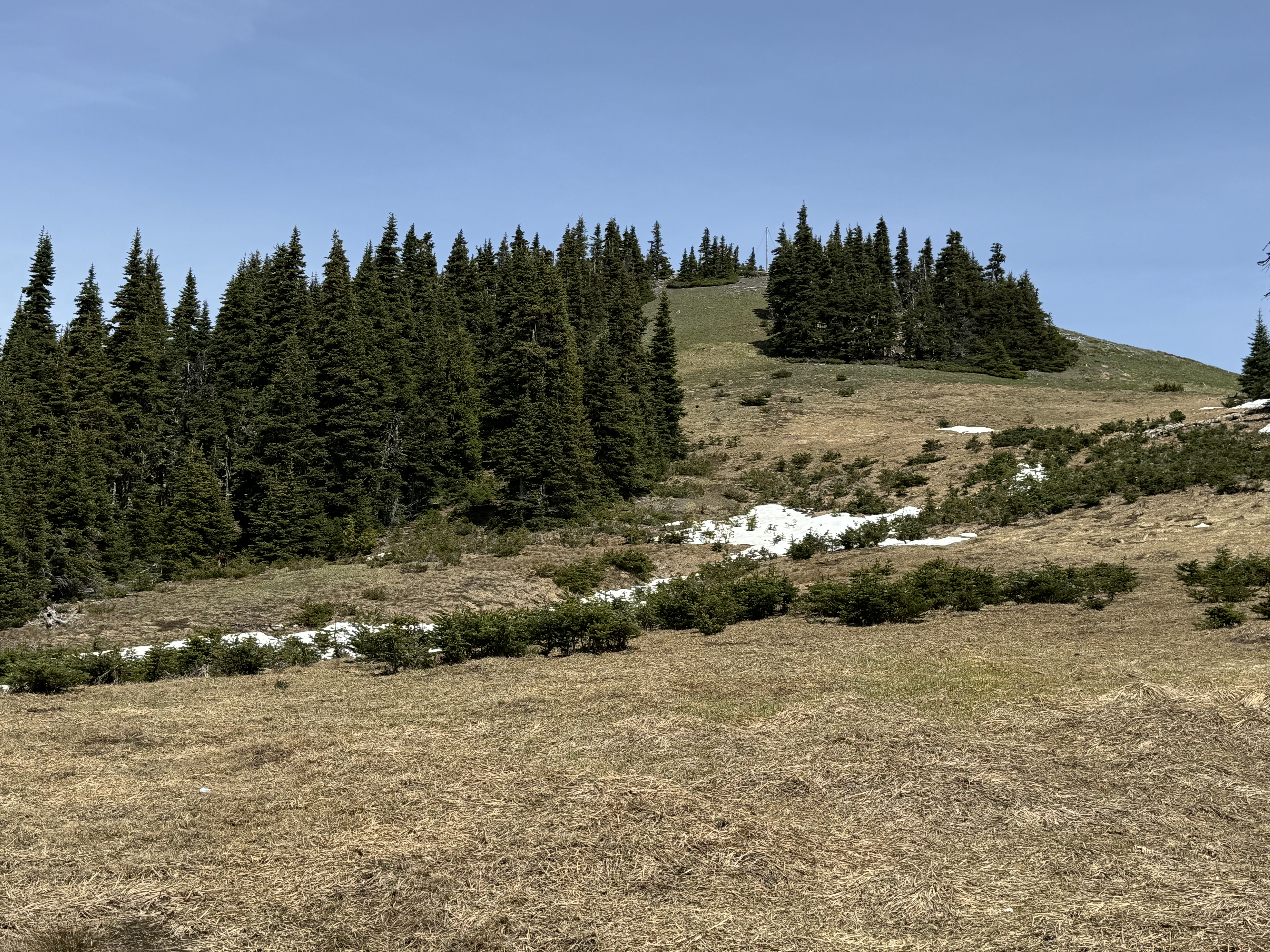
But, I was yearning for a hike, so decided to hike at least part of the High Ridge Trail. A popular and easily accessible trail, there was no paucity of other trekkers. Black-tailed deer were grazing at the trailhead and seemed totally undisturbed by the bevy of humans trespassing on their meadow. We made an elevation gain of about 250 feet and a 2/3rds of a mile ascent and though this seems like an almost nothing hike compared to “what-could-have-been “ we would opt to not go further given minimally a 5-6 hour rive to our nights destination . The views may have gotten even better but I would not be appreciating them on the very curvy, switchback twisting road to Paradise Inn in Mount Rainier National park after dark .