Rainforest, Rusty Ladder, and a Tuna Named Charlie

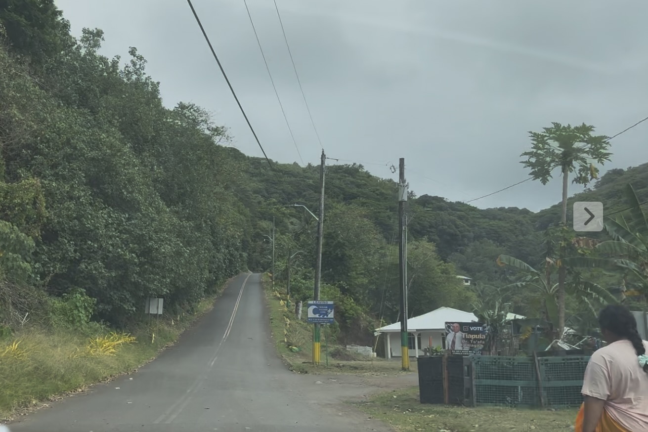
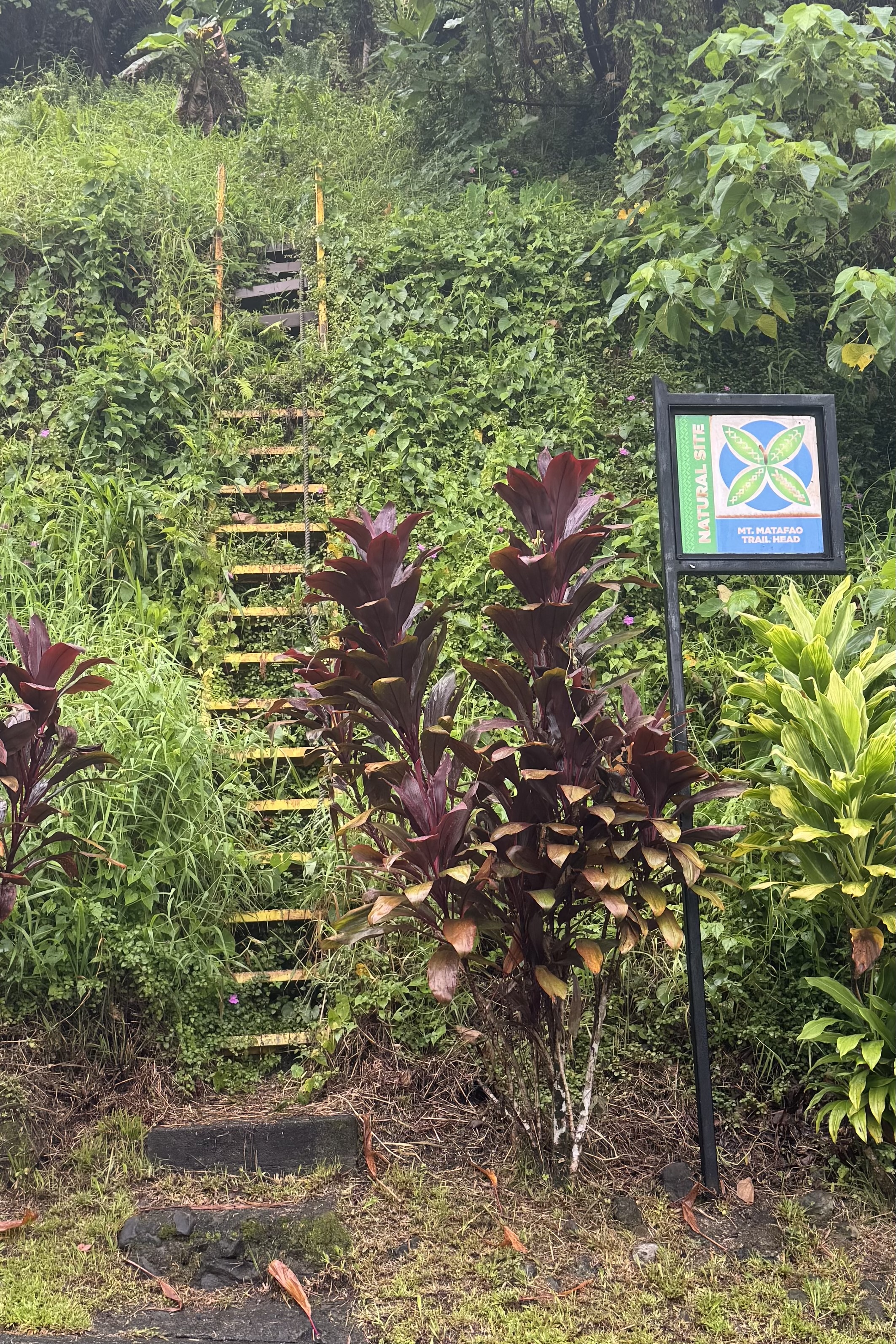
On Sunday, September 13, we set out to explore the National Park of American Samoa and headed south on Route 5 out of Pago Pago toward Fagasa Bay. Along the way, we passed the trailhead for Mount Montafeo. One look was all it took and I knew this was not to be our hike for the day. An old rusty ladder served as the trailhead starting point. On this rainy foggy day, that trail was definitely not calling my name. All I could think was that you (and anybody else) are not supposed go up here! I am adventurous to be sure but ignoring the obvious sign of a decaying and rusting ladder is quite another.
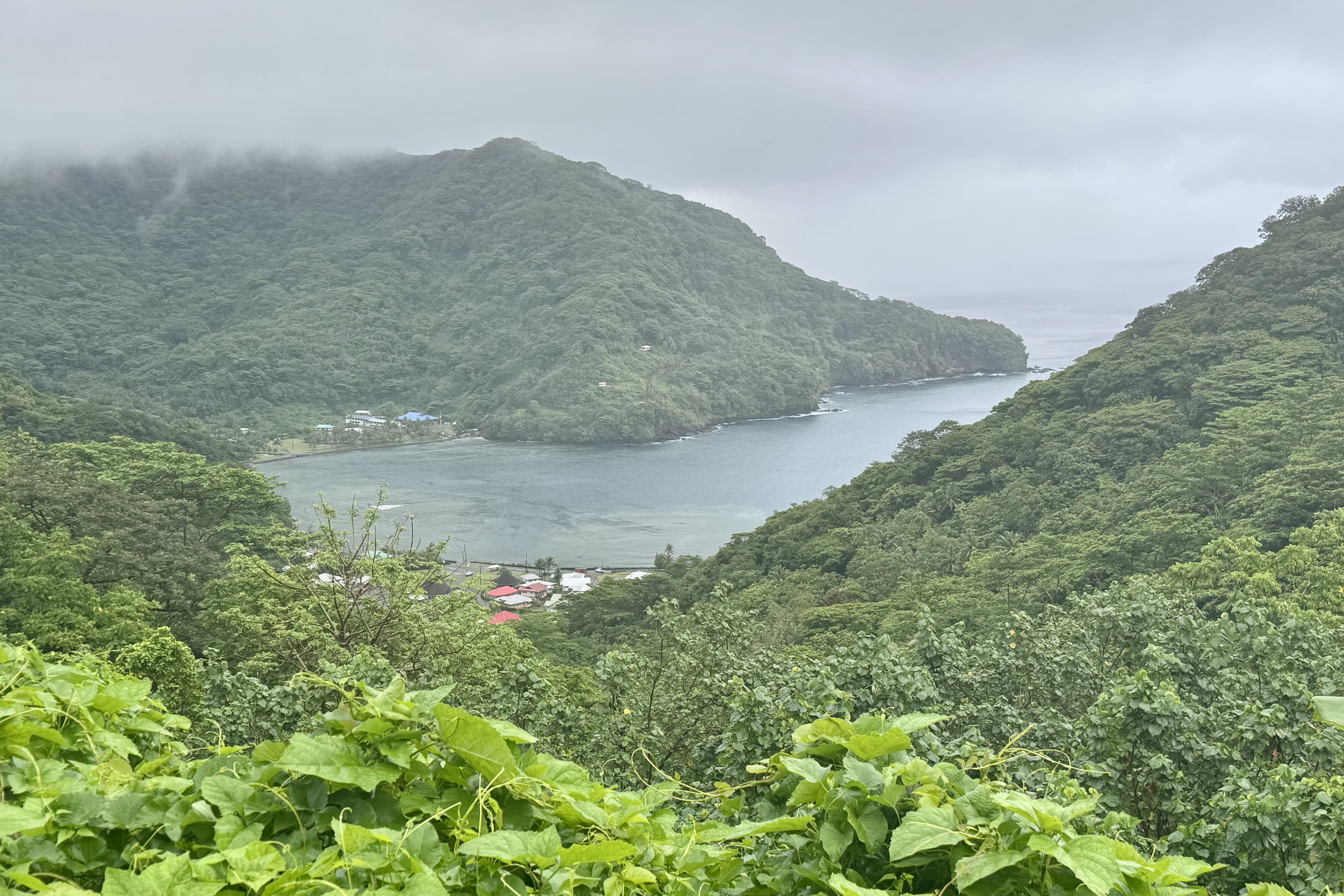
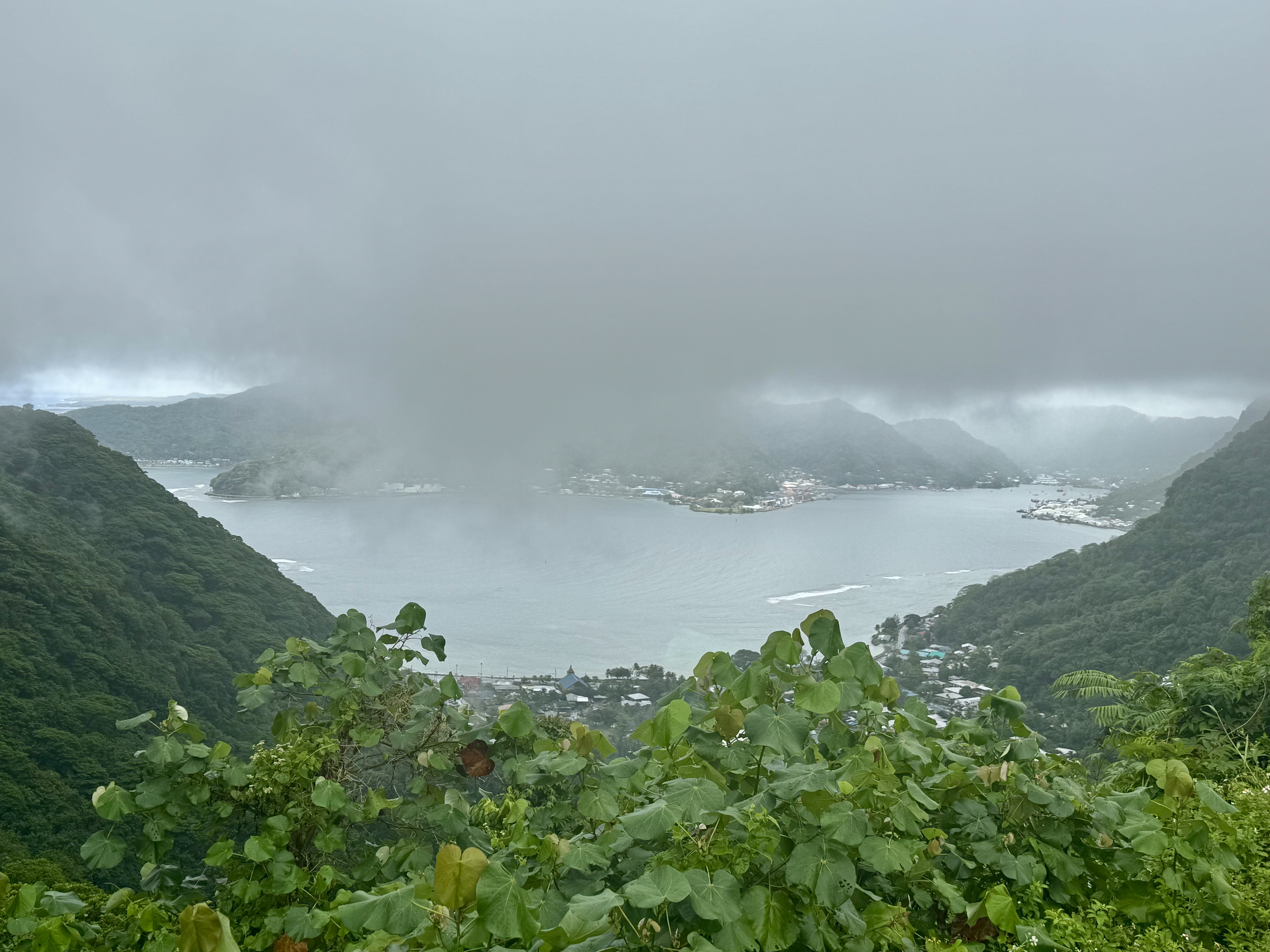
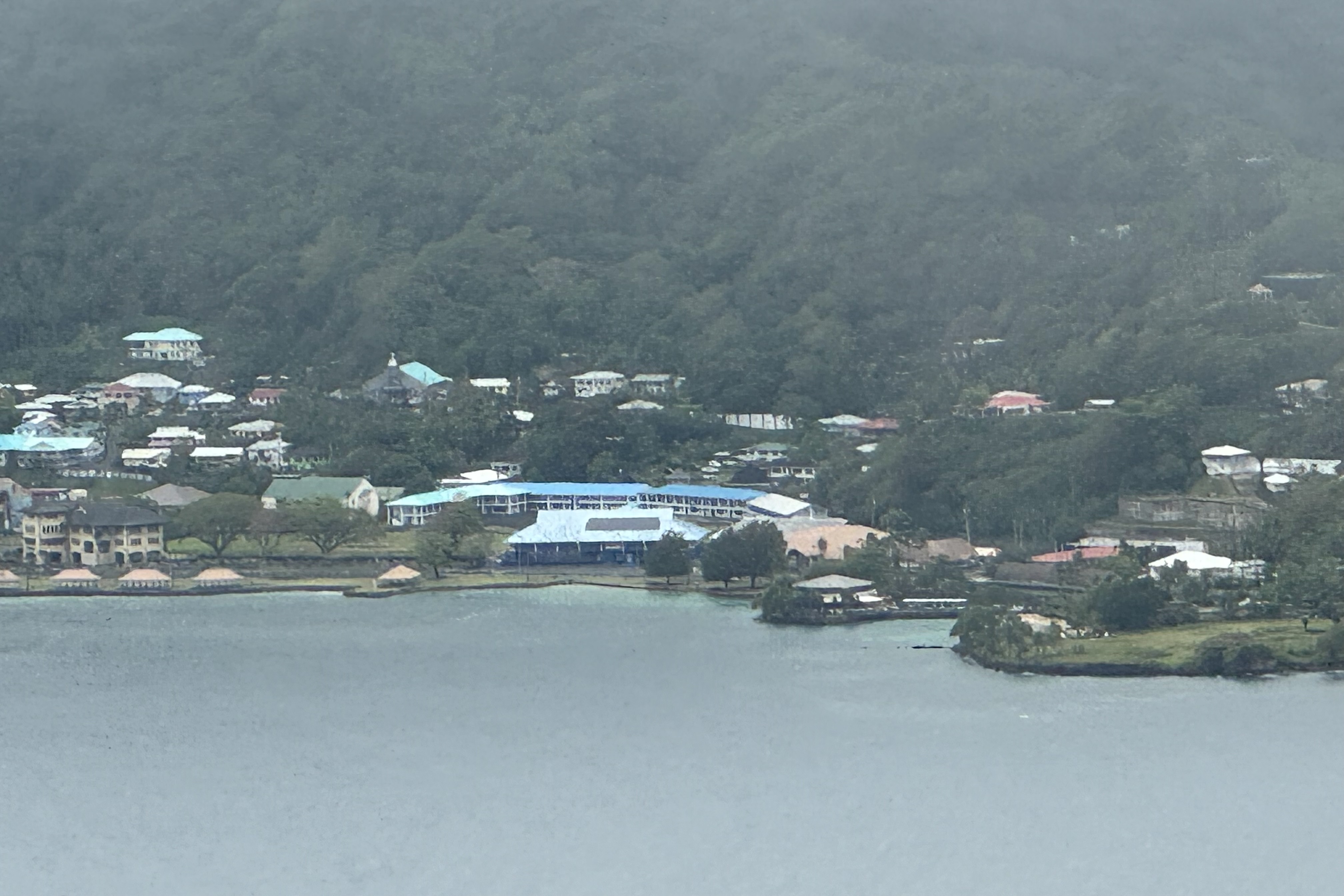
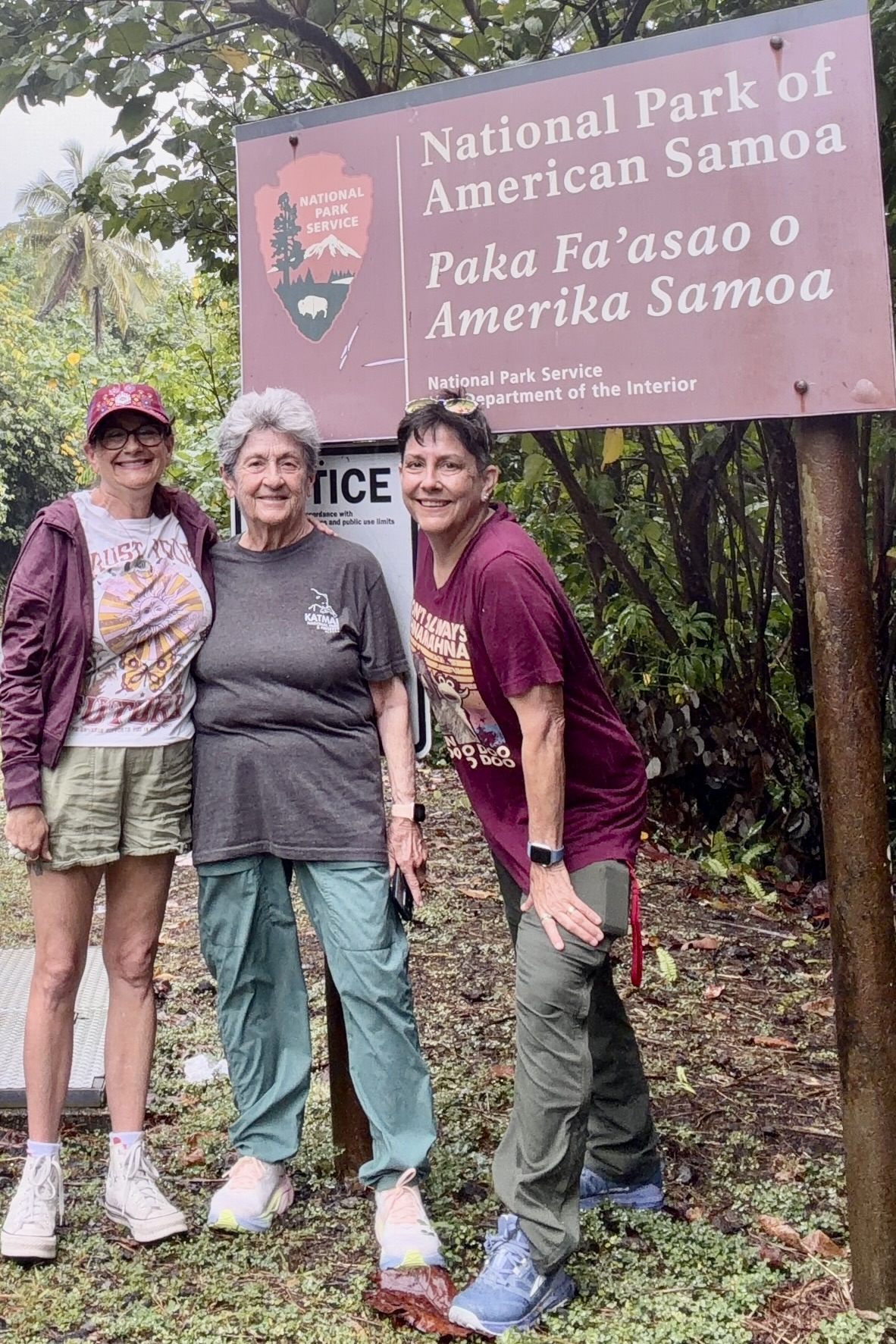
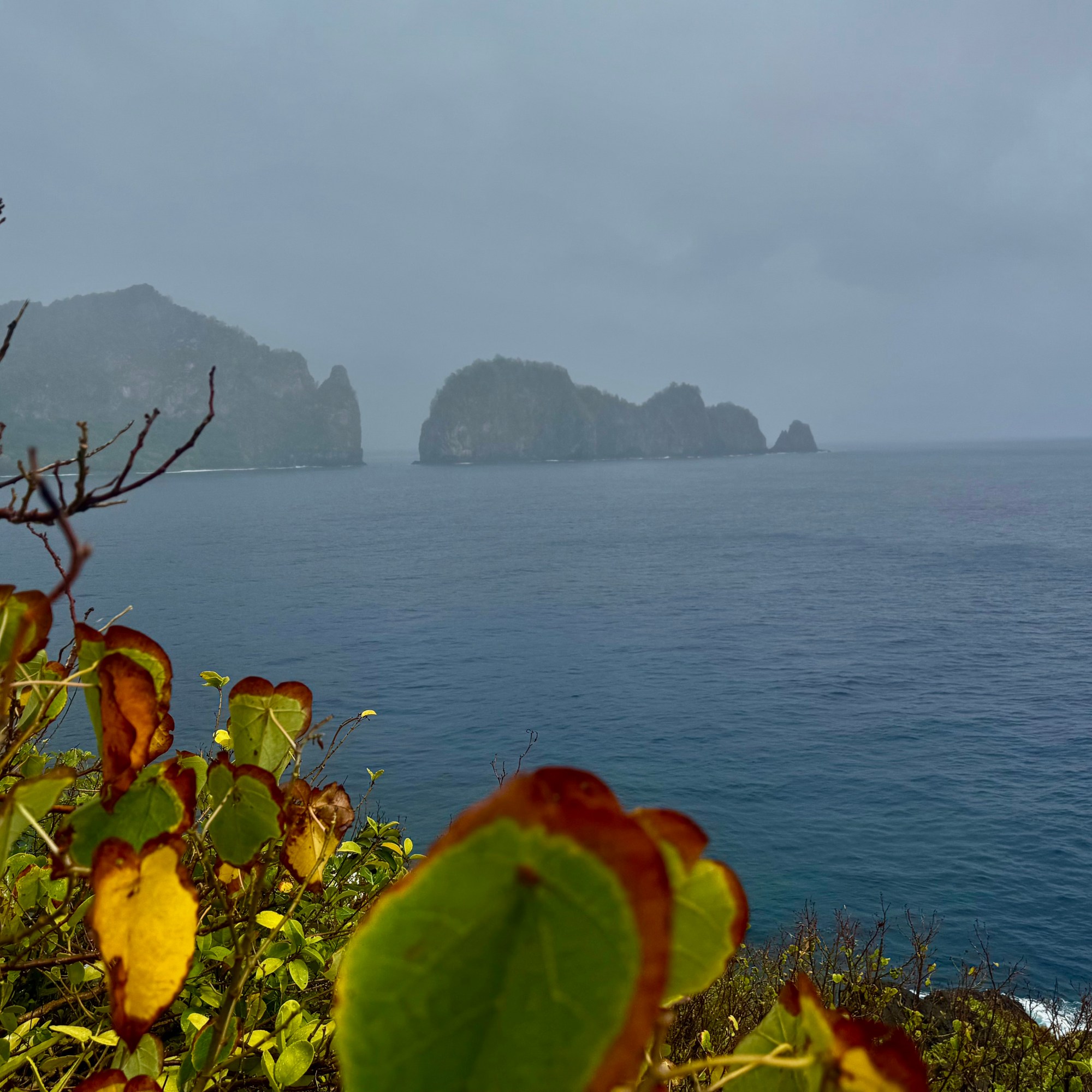
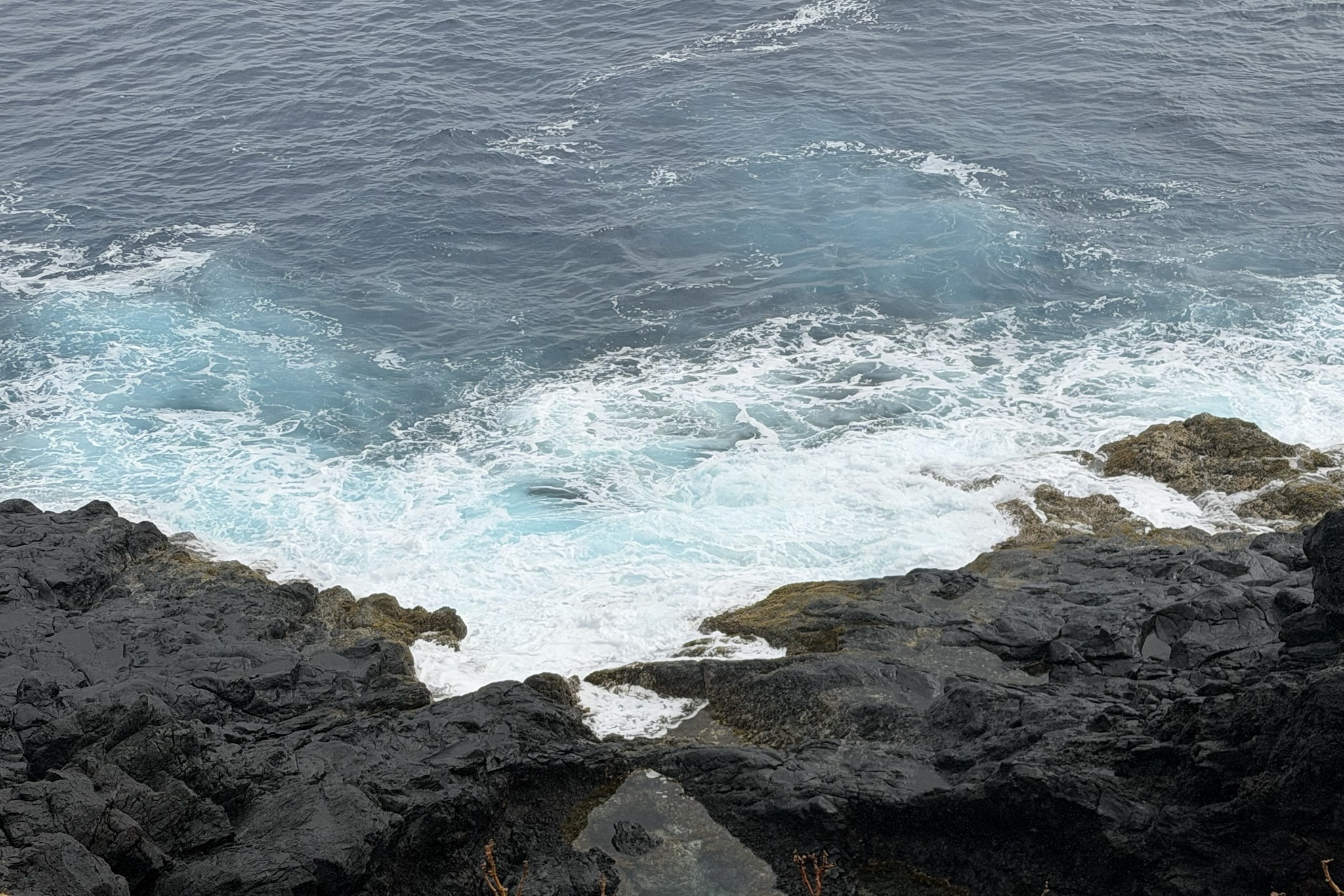
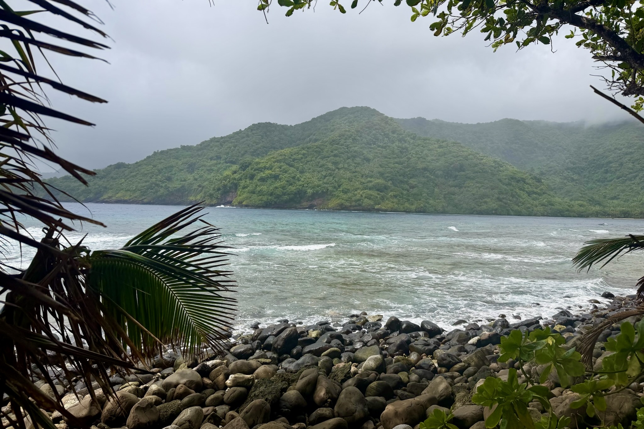
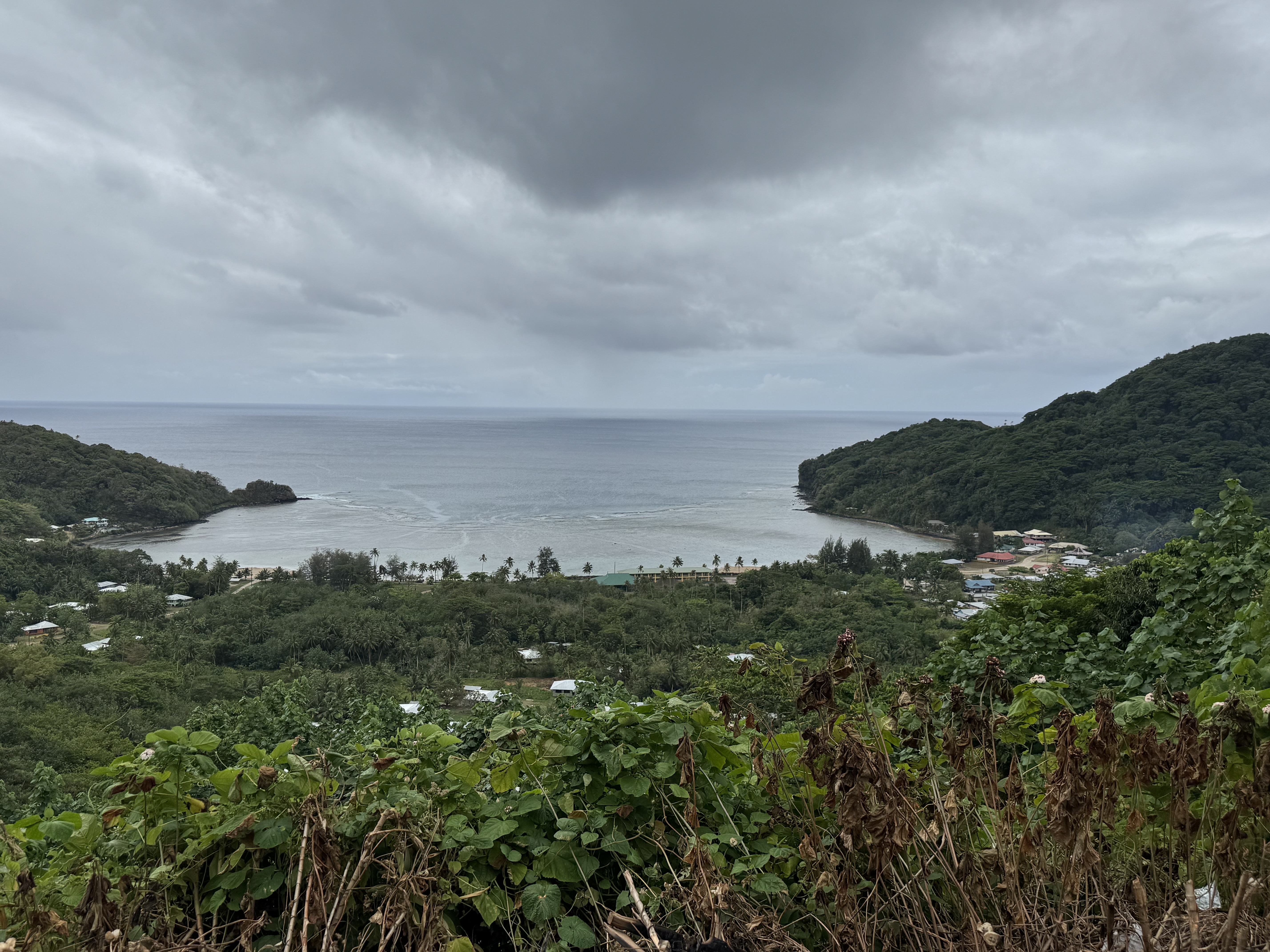
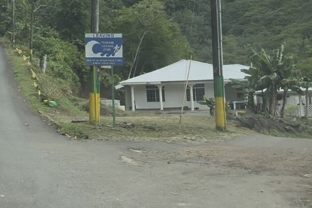
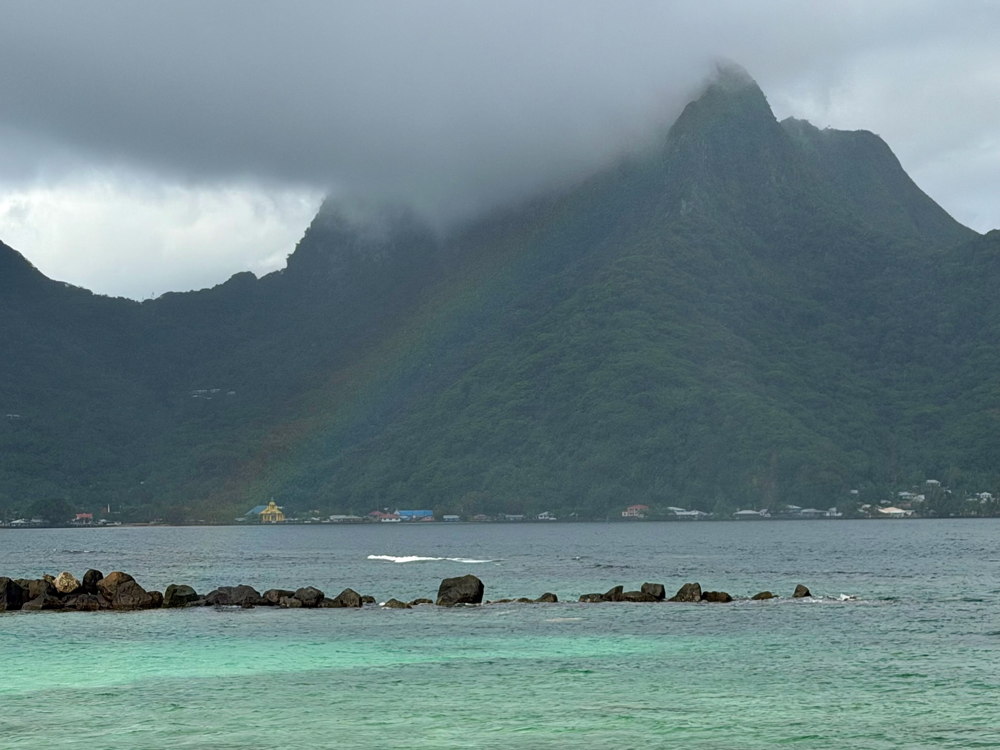
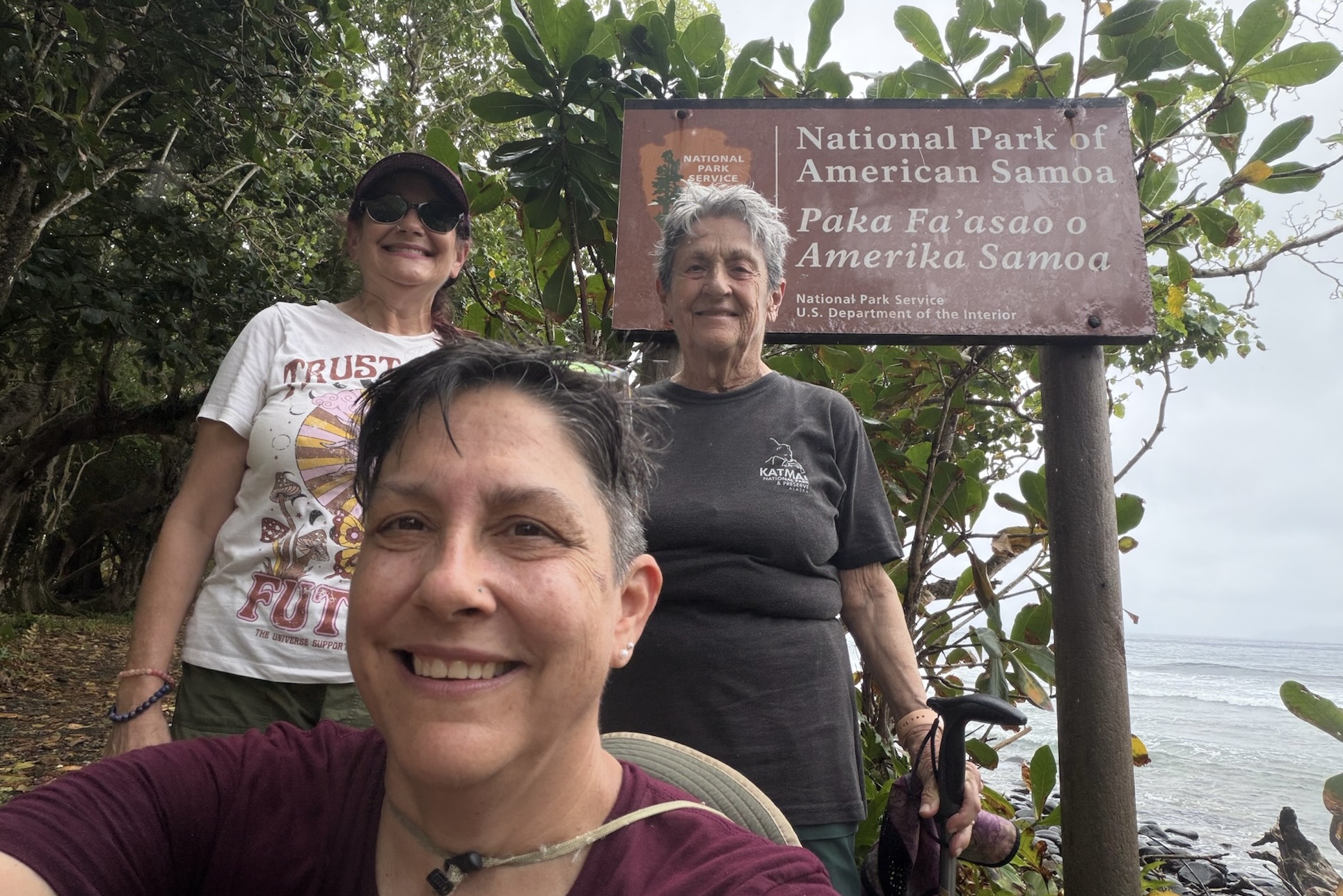
We continued toward Fagasa Bay, known as “the Forbidden Bay.” Although fog partly obscured the view, I was struck by the bays half-moon shape, framed by steep forested cliffs that plunge dramatically towards the water. Heading back toward Pago Pago, we stopped to admire the harbor surrounded by volcanic peaks, draped in fog and dense foliage. We even spotted the bay that Sadie’s by the Sea is on. There was also the obligatory stop at an official entrance sign for the National Park of Samoa. No park visit is complete without the photographic proof that we were actually there.
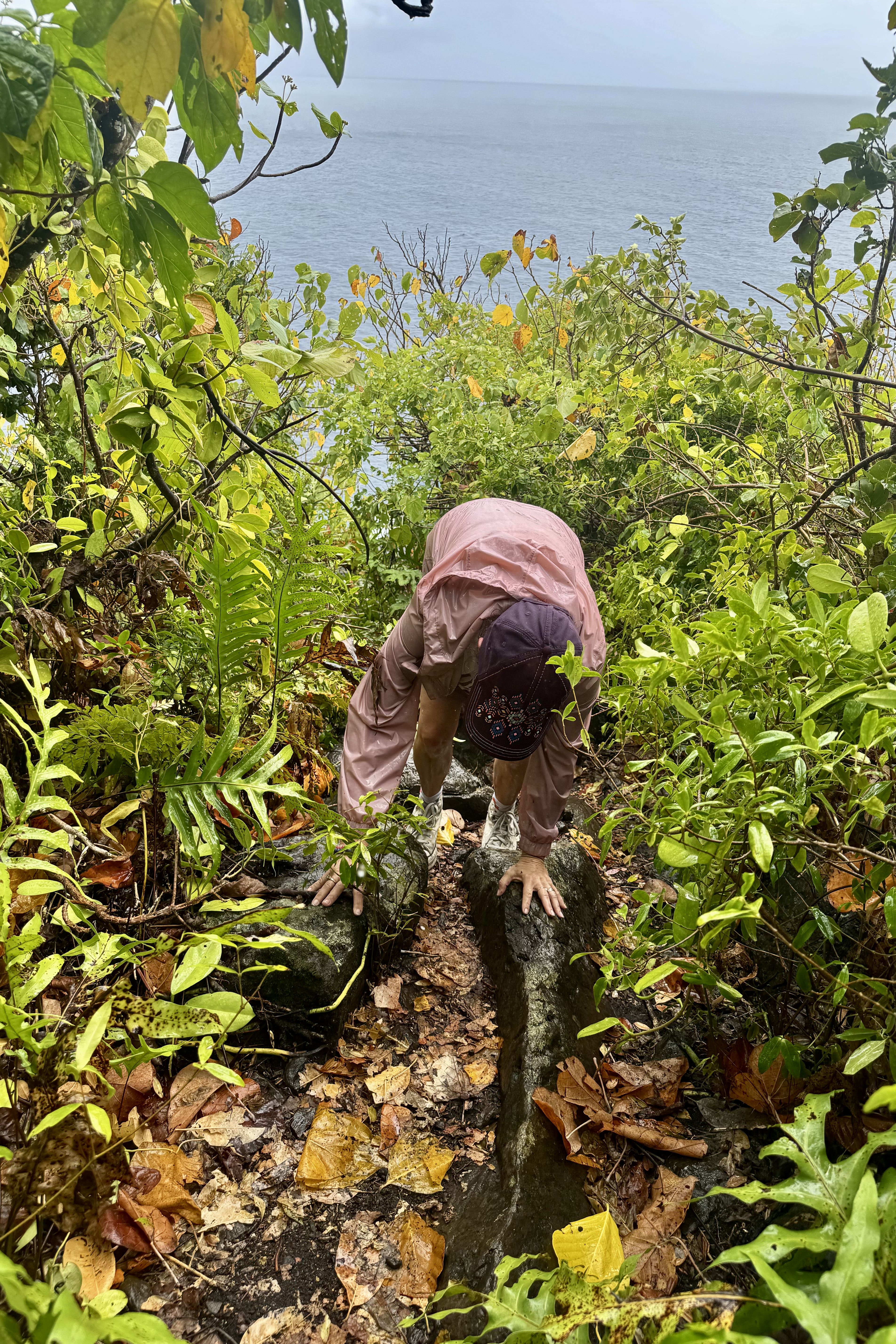
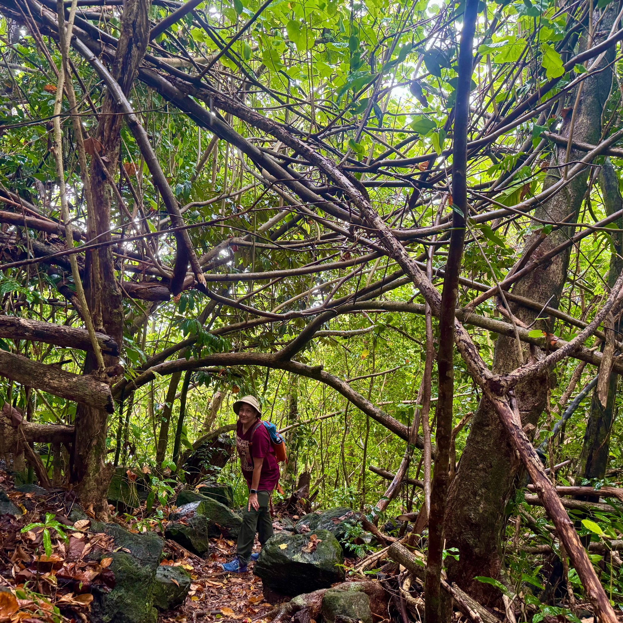
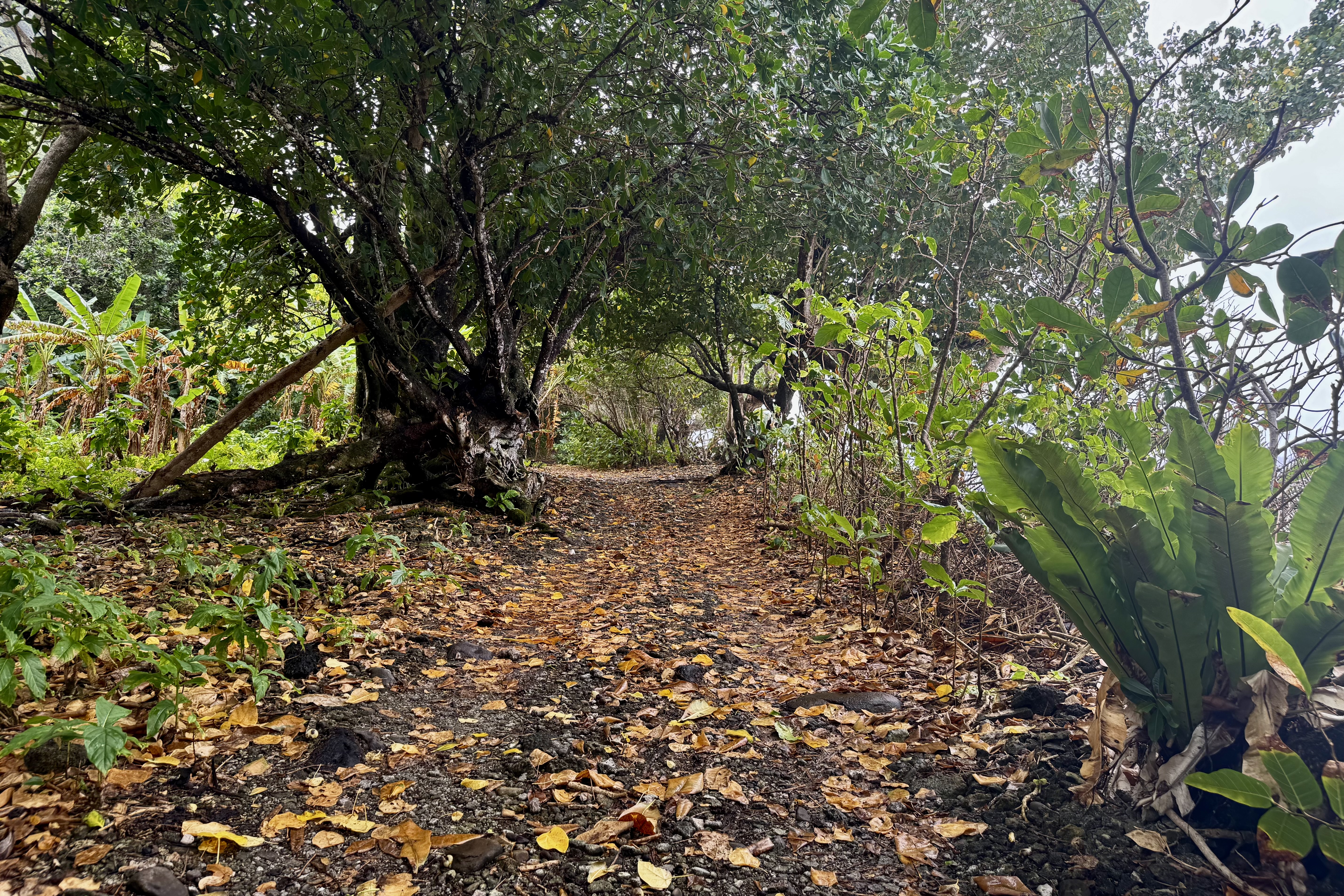
Next up was the Lower Sauma Trail which “plunged” us into dense rain forest. The trail was wet, muddy, and slippery beneath a carpet of rain soaked leaves. Mother Nature, with what I suspect was some assistance from the trail builders, had provided an obstacle course of flat slick stones, some decorated with patches of moss to make them even more treacherous. Hidden between the stone steps were plenty of exposed roots, just waiting to catch my wary foot. Tasia was sure-footed, with Bernadette and I not so confident that we’d arrived unscathed. Every step presented an opportunity for a face plant or a butt plant. She and I proceeded cautiously doing our best to remain upright. The return climb was steep and by the time we were finished we were thoroughly drenched. Still, perhaps, would it have been a disappointment to visit a tropical rainforest and not get rained on? In that department we were getting our money’s worth.
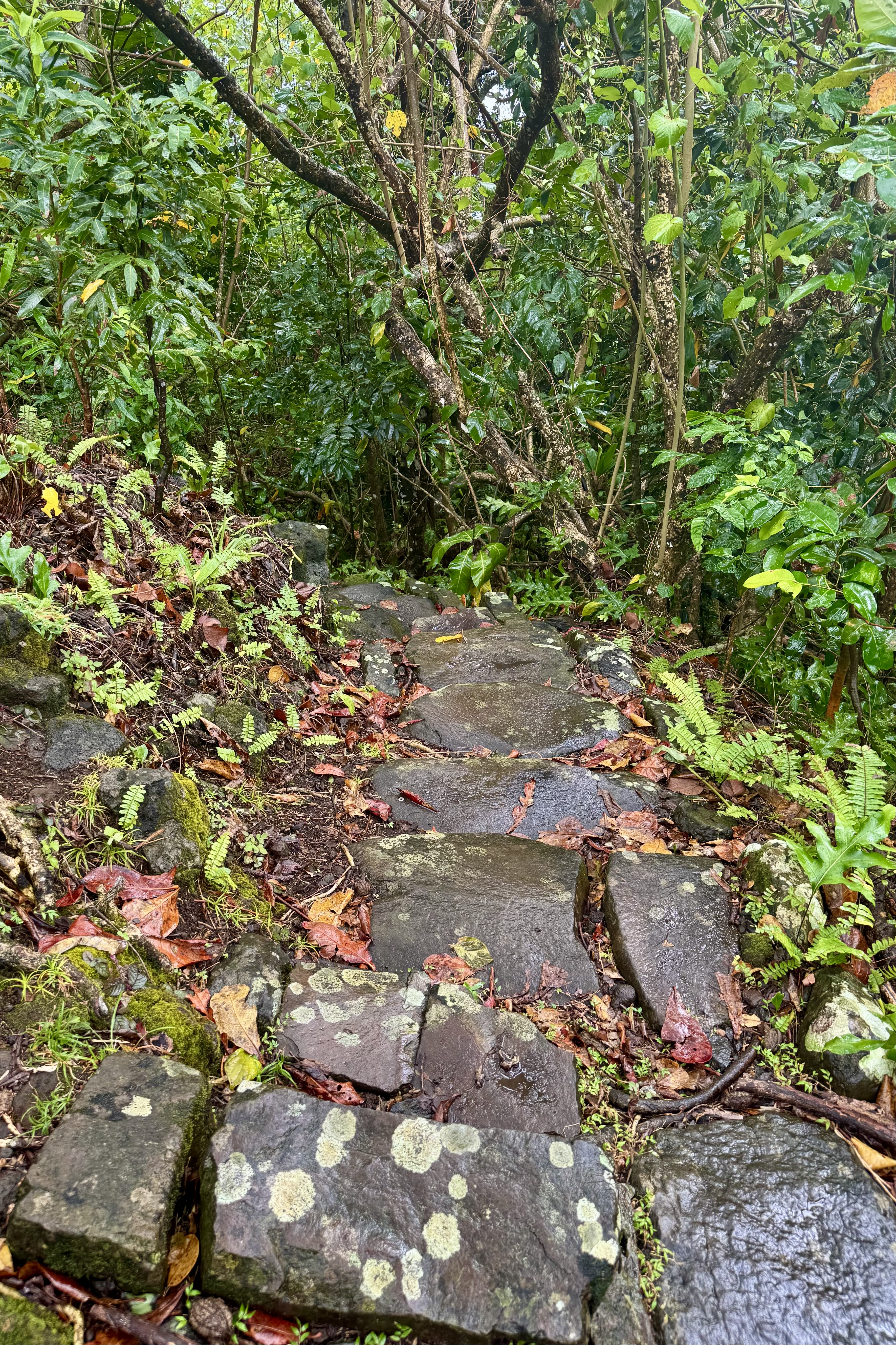
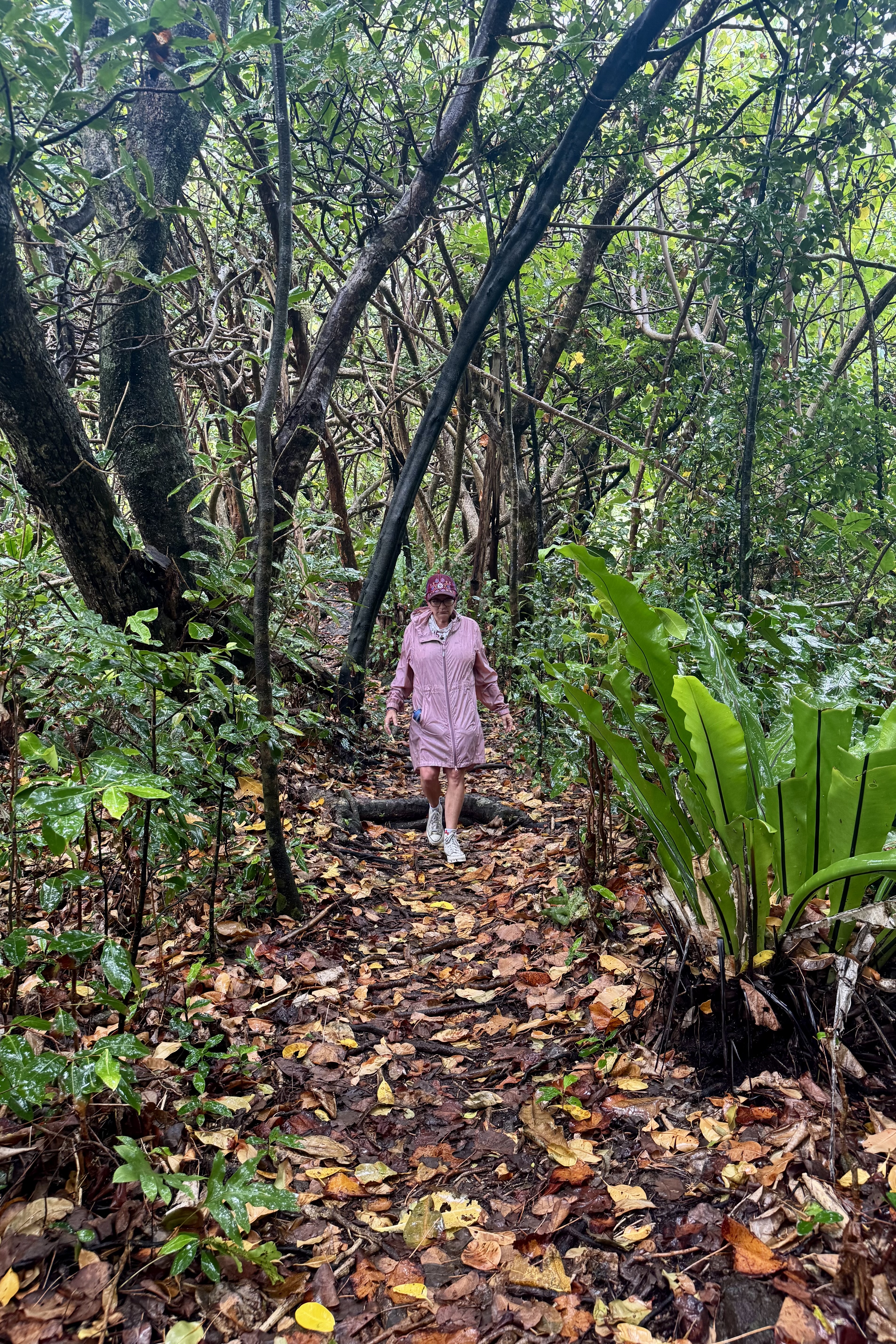
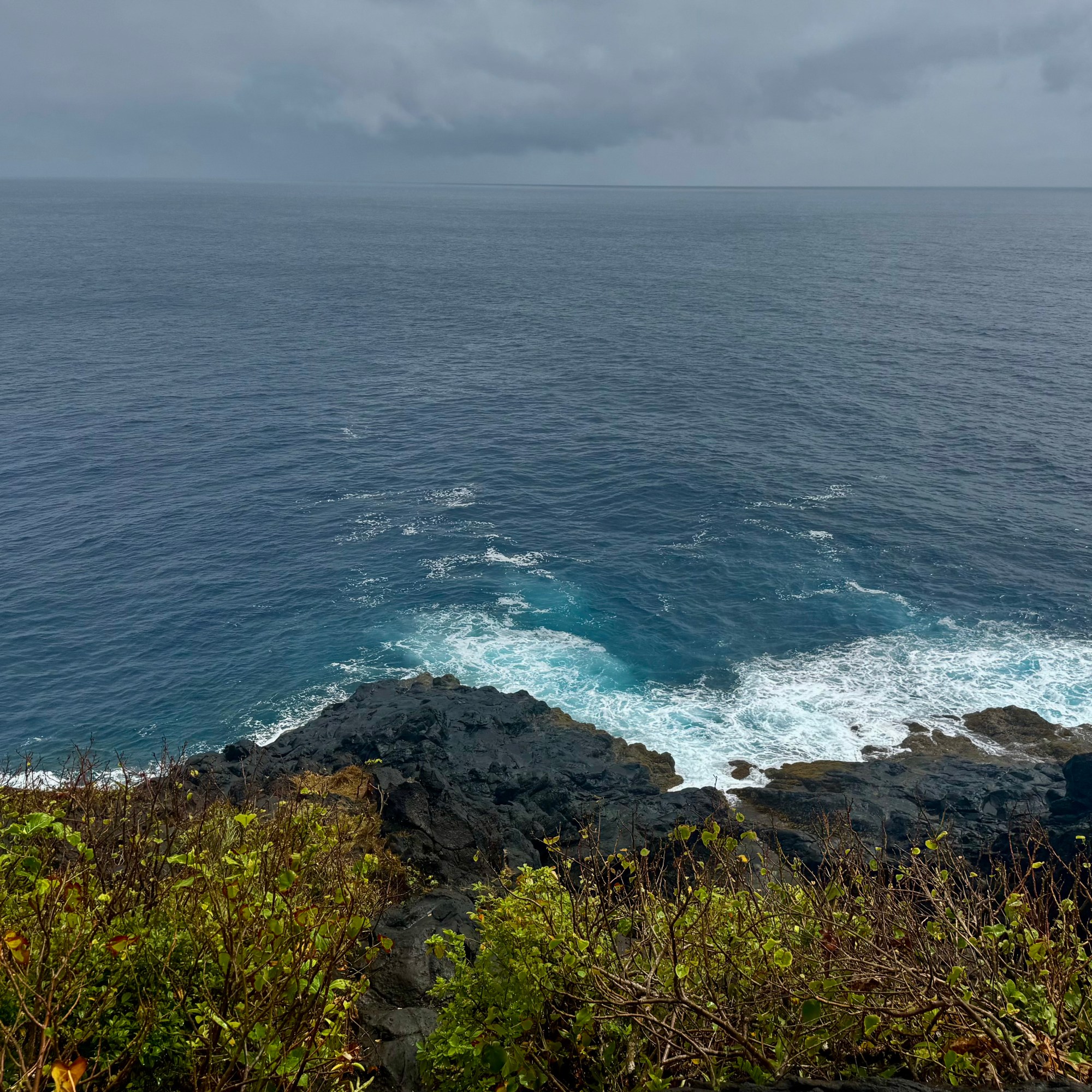
The question was whether the lovely views were worth the risk of navigating such a slippery trail. In the end I decided they were, sort of that is. It was a worthwhile adventure but on this foggy rainy day, they were not post card perfect. The real reward of this hike wasn’t the scenery as the challenge itself. The scenery was nice but finishing the hike without landing on my face or with a bruised backside was the achievement I celebrated the most. I think Bernadette would agree heartily with me.
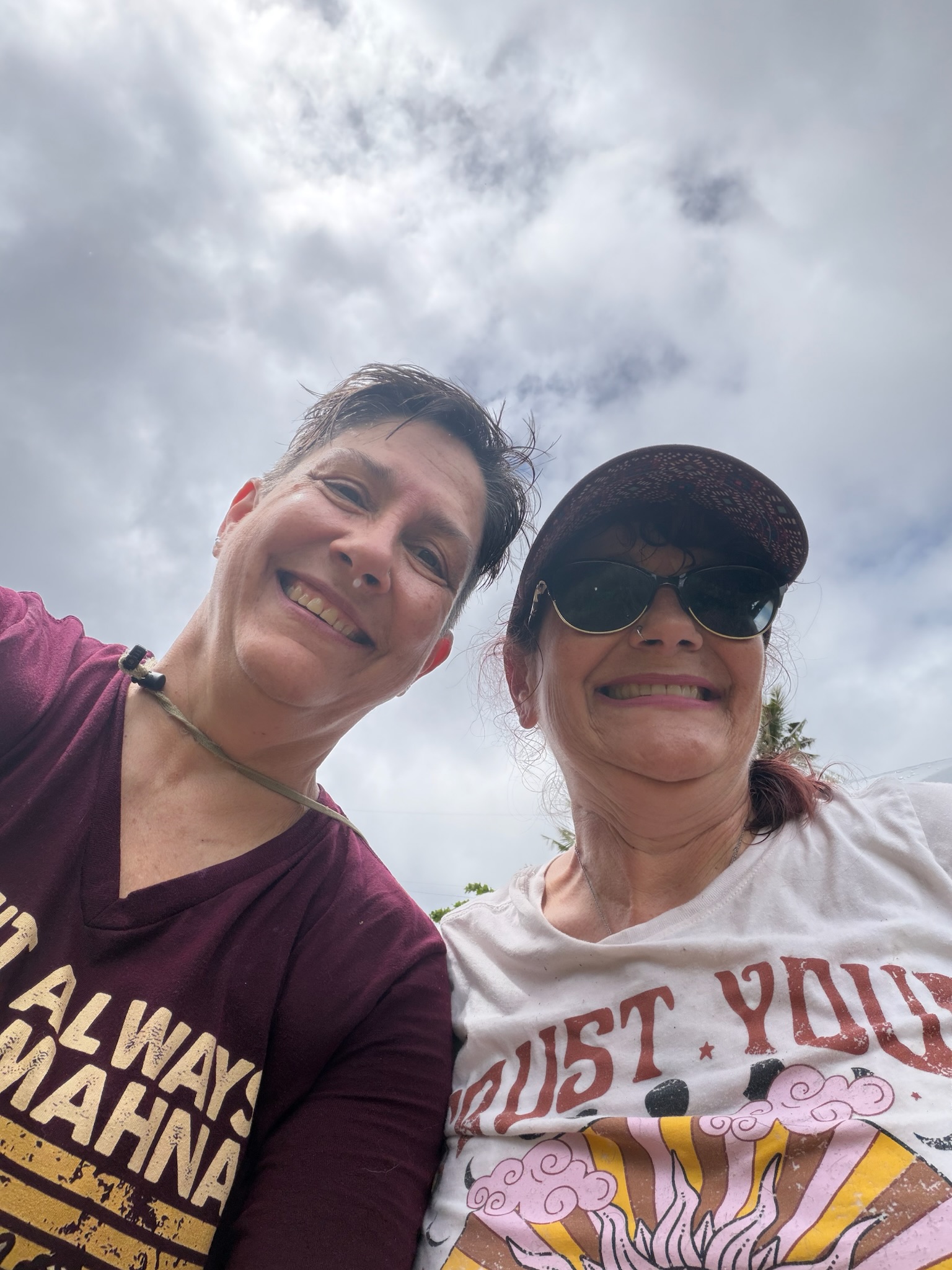
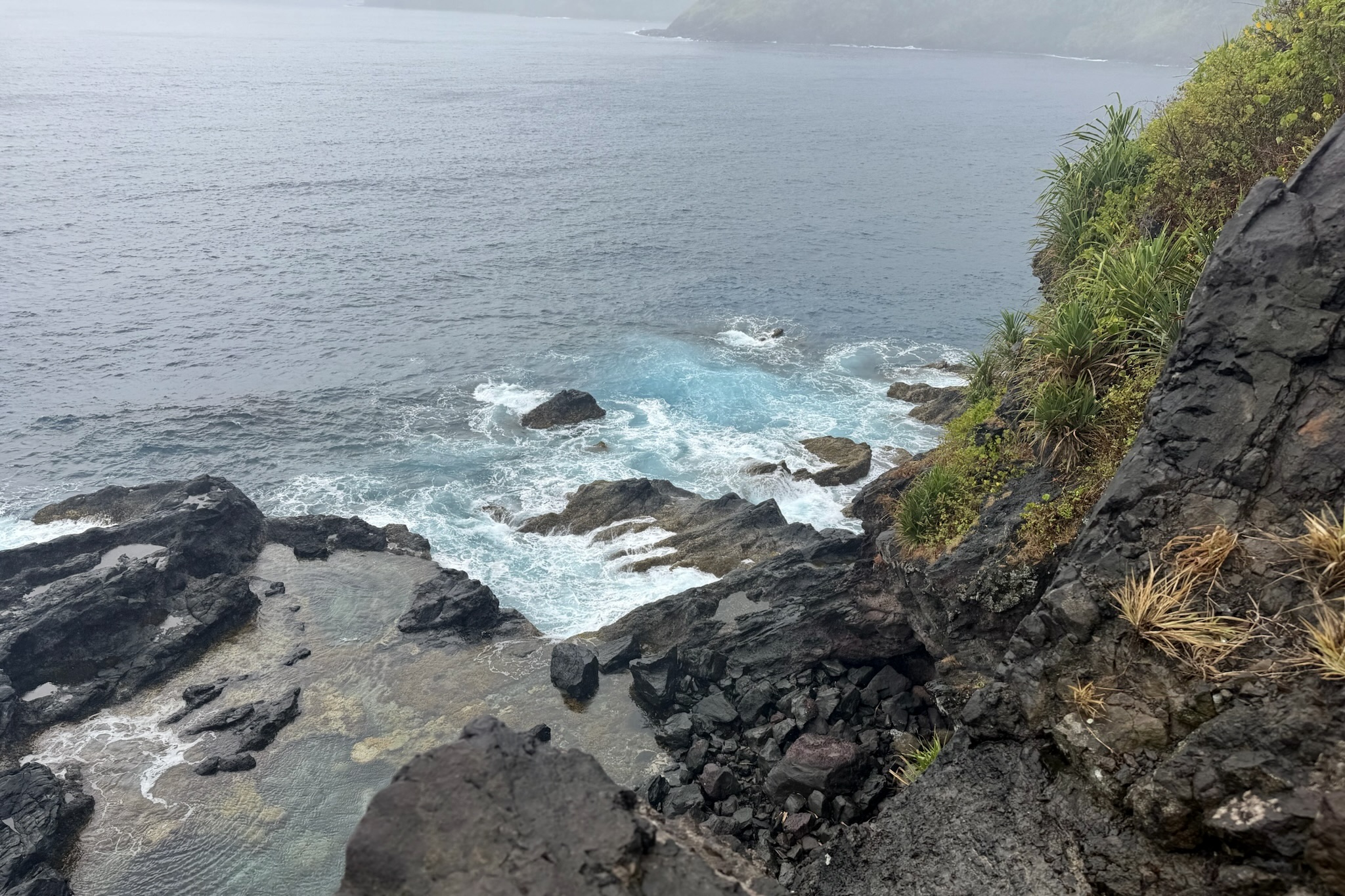
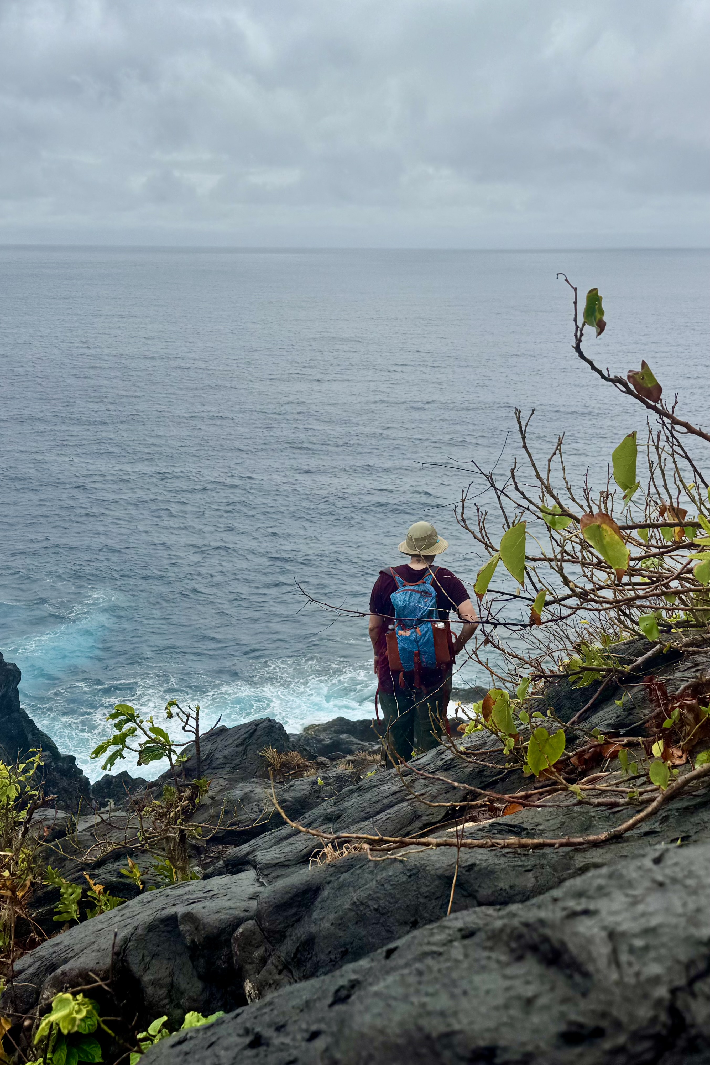
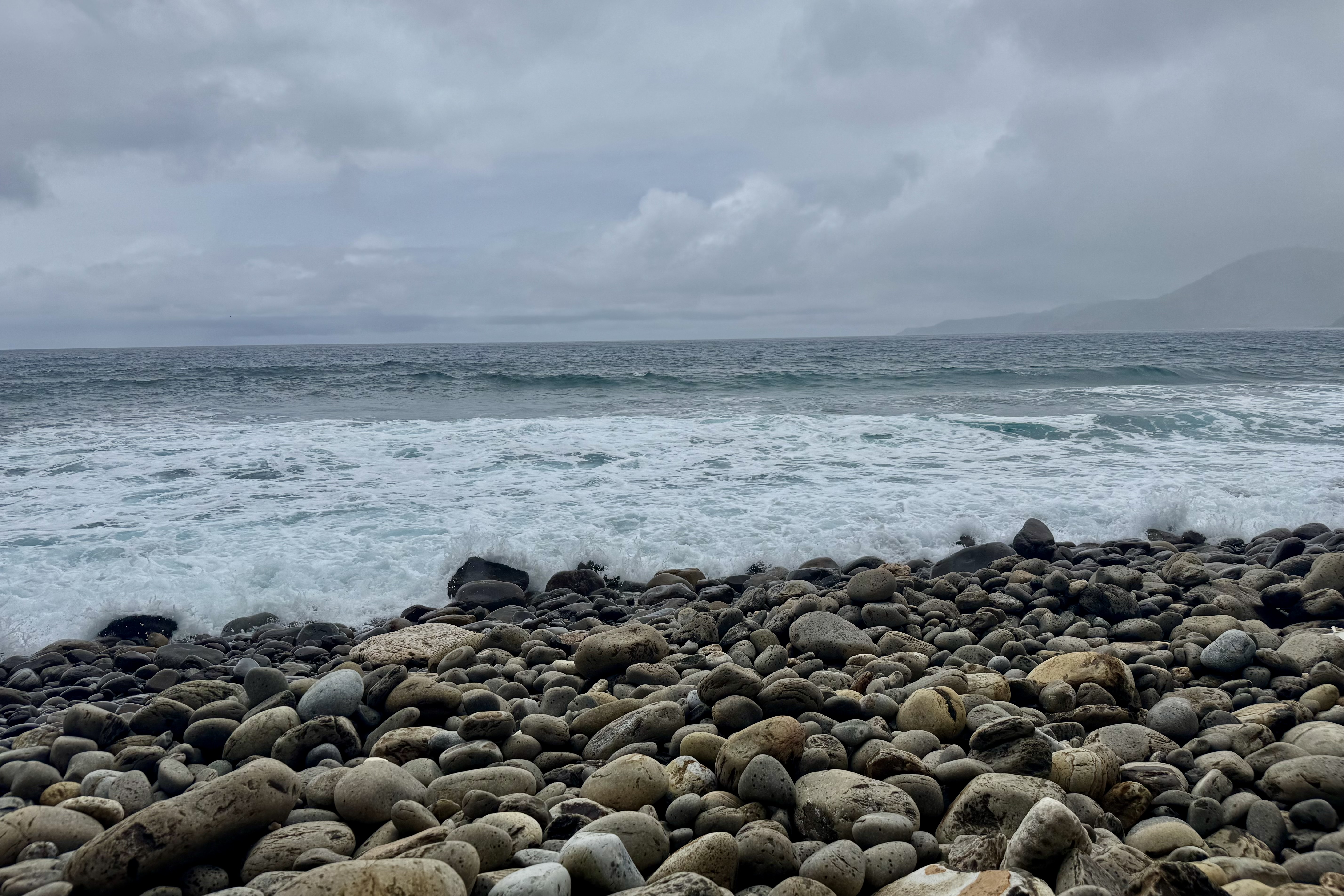
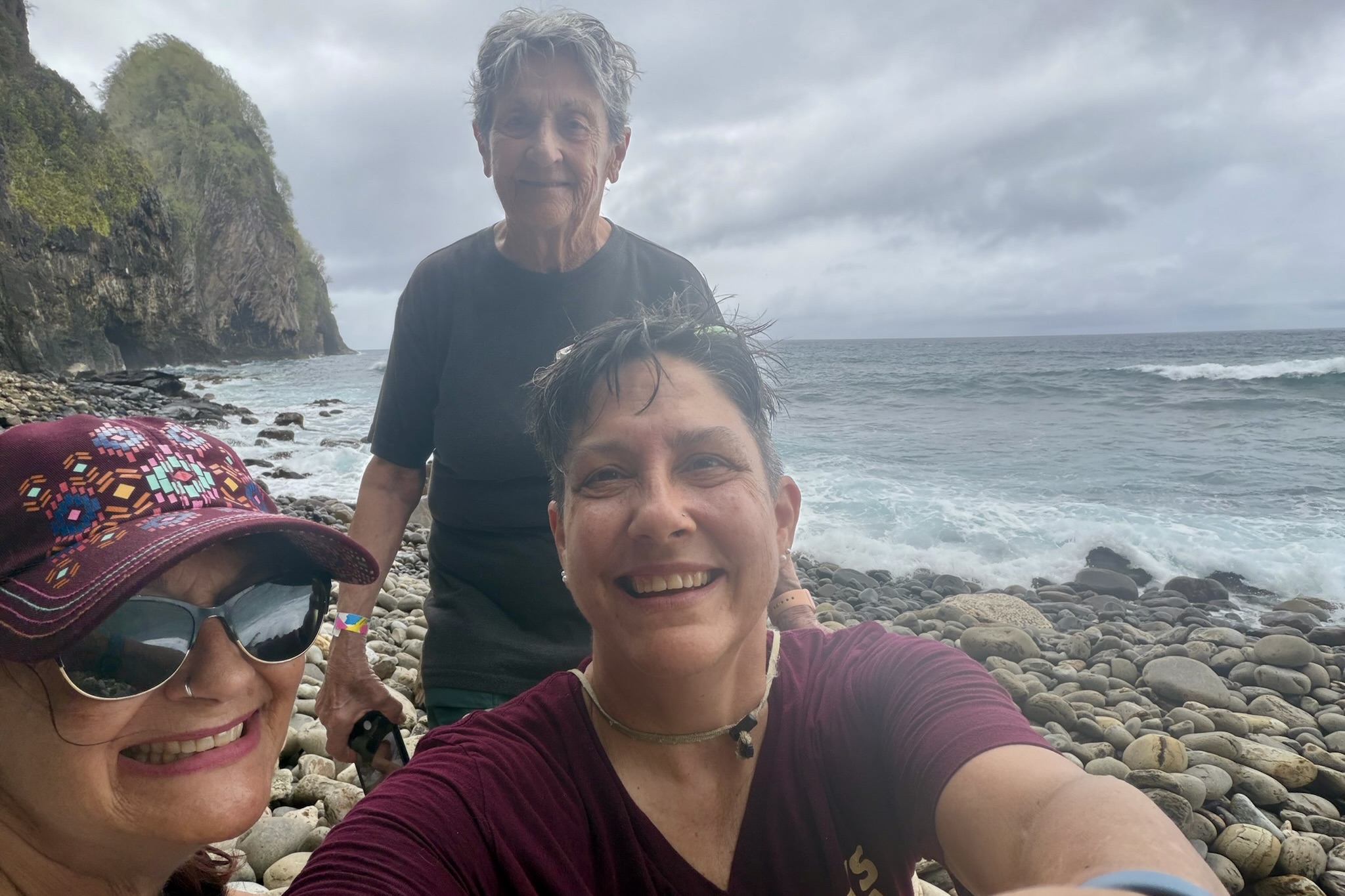
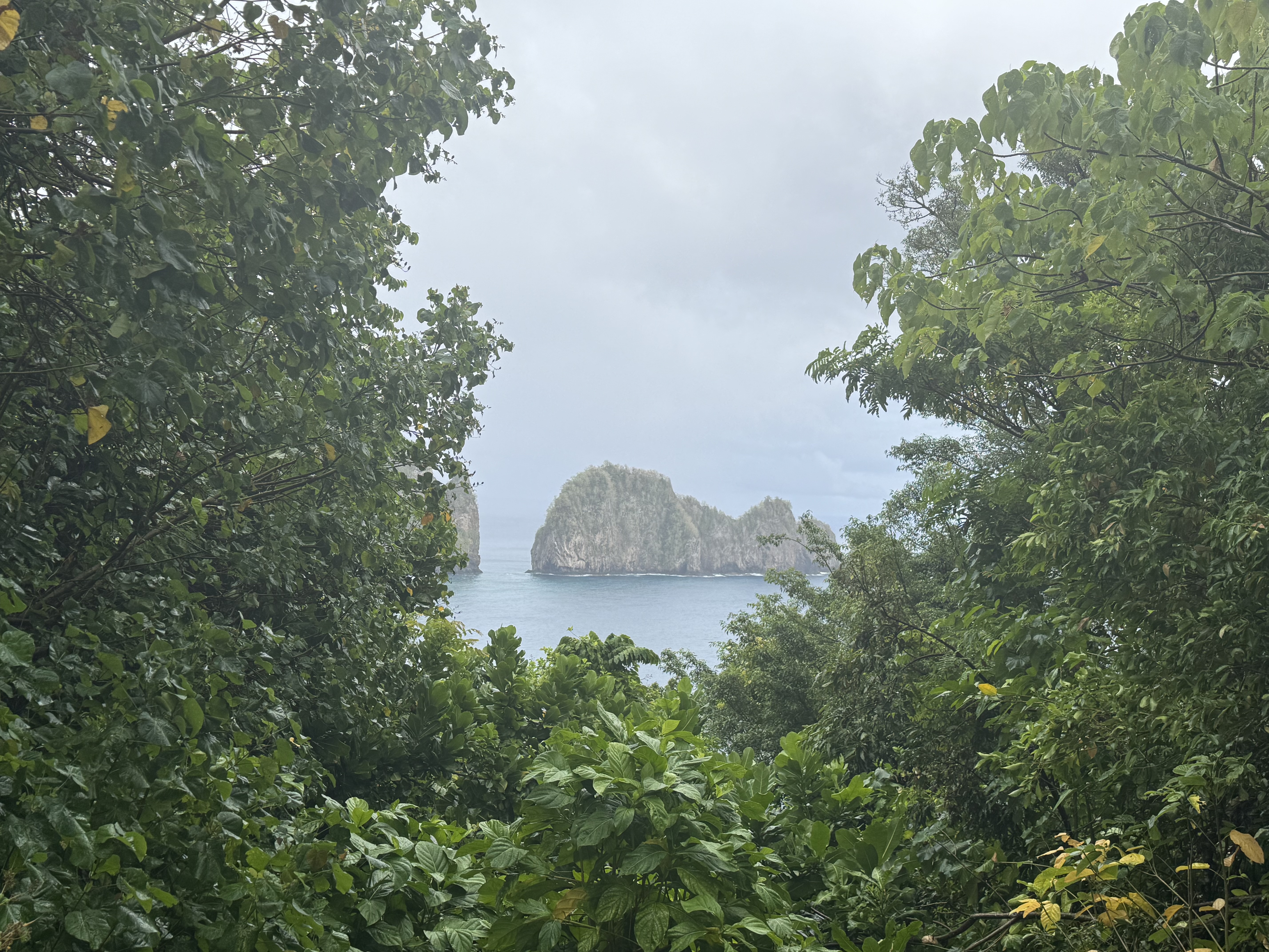
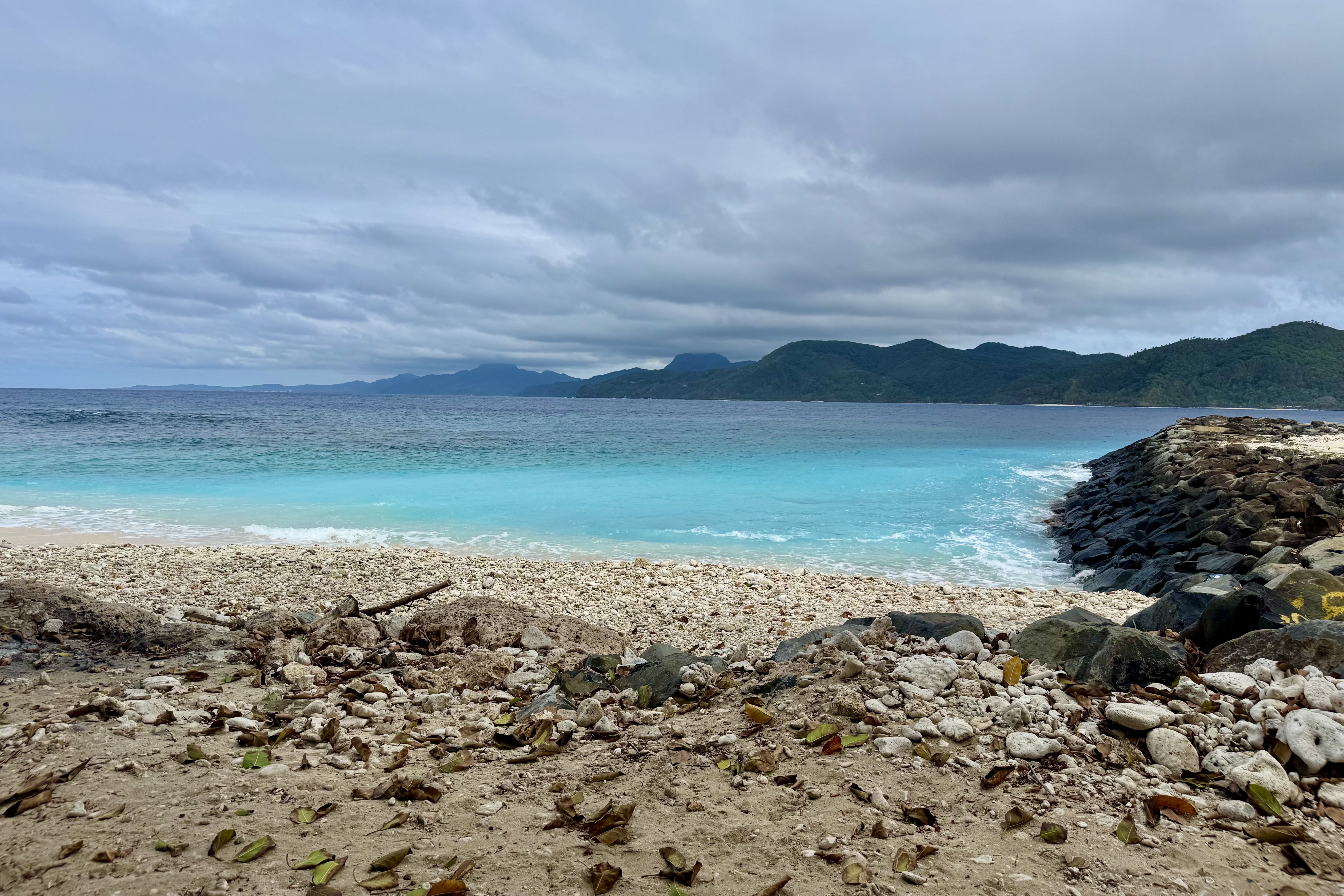
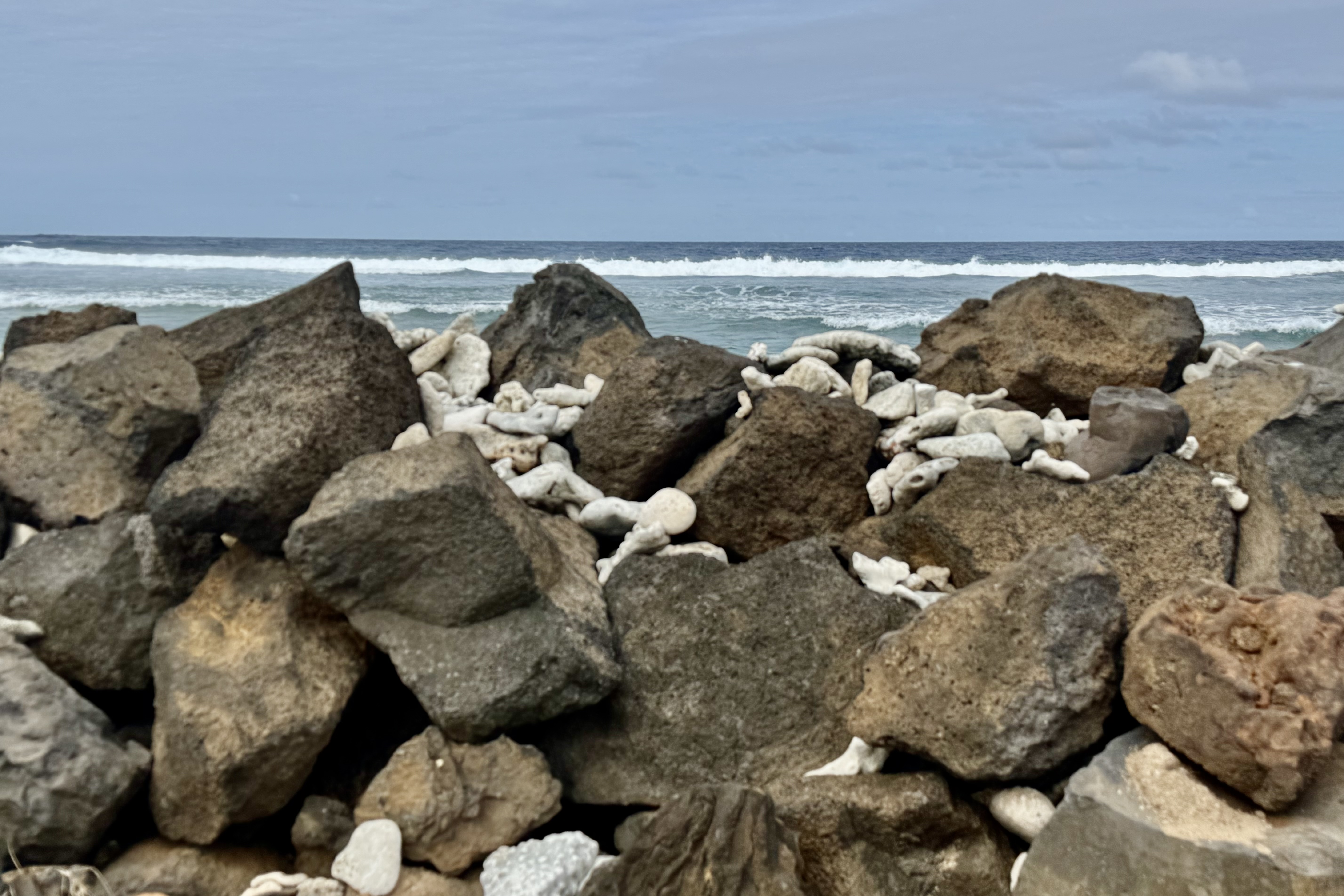
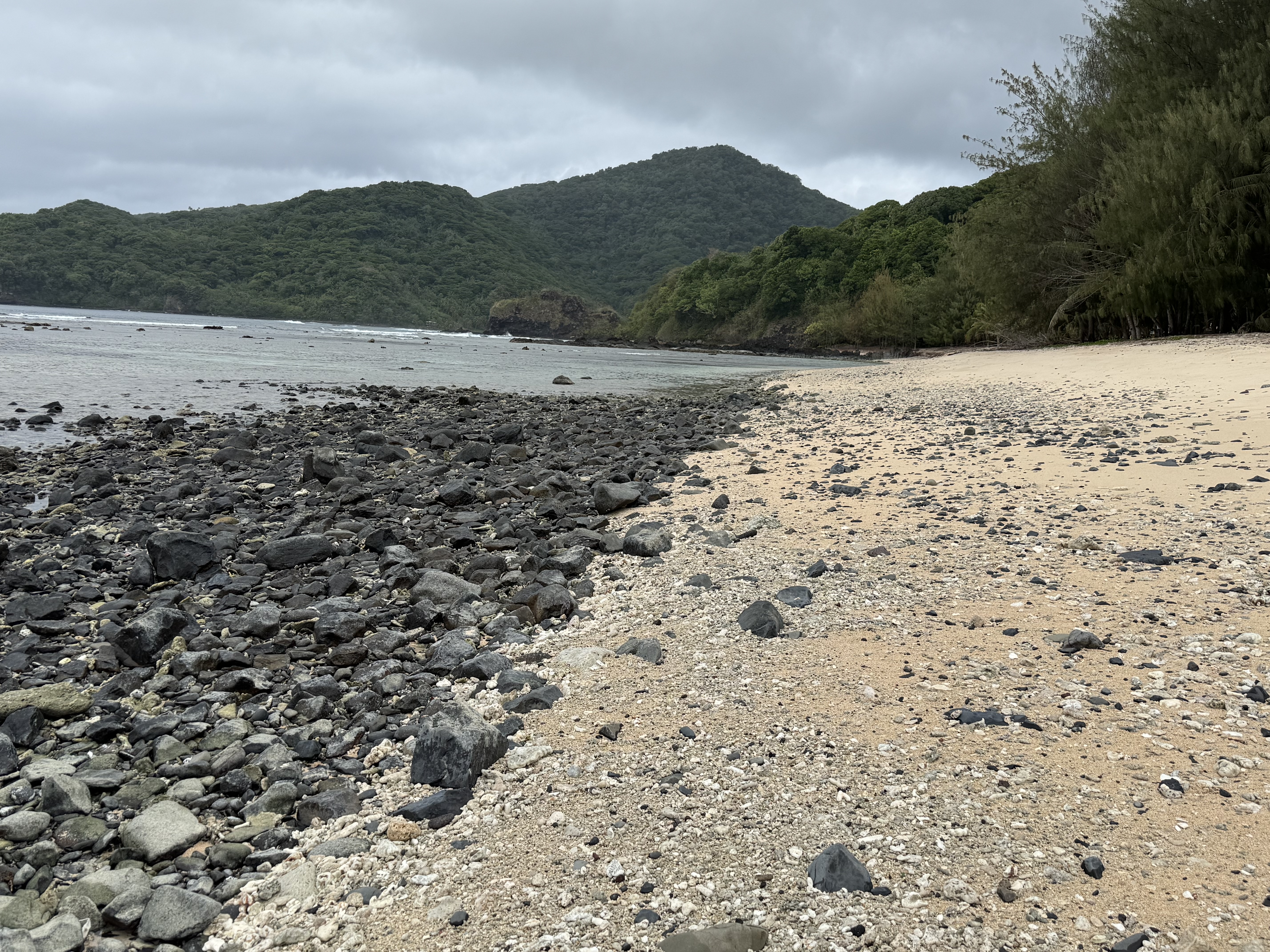
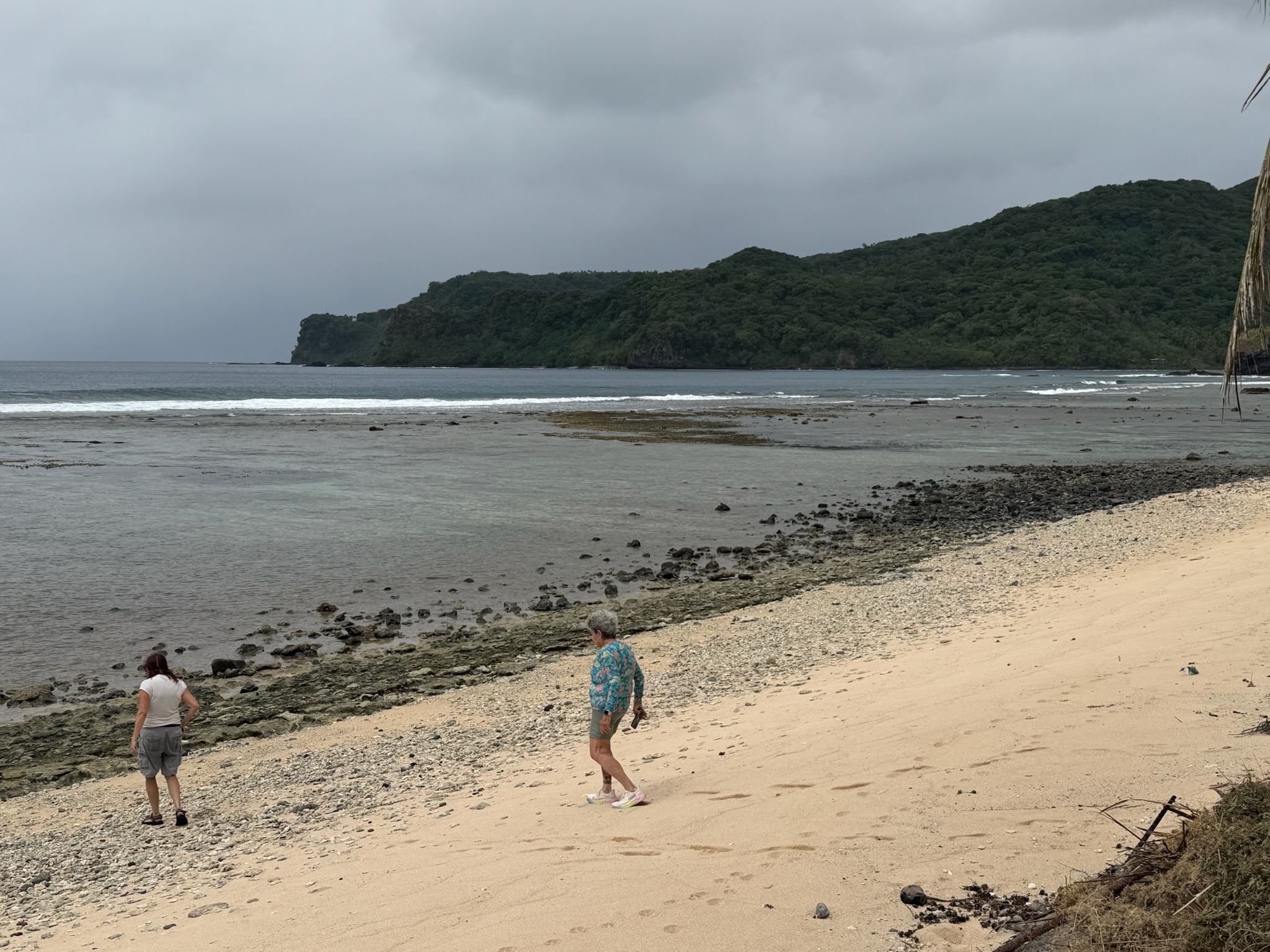
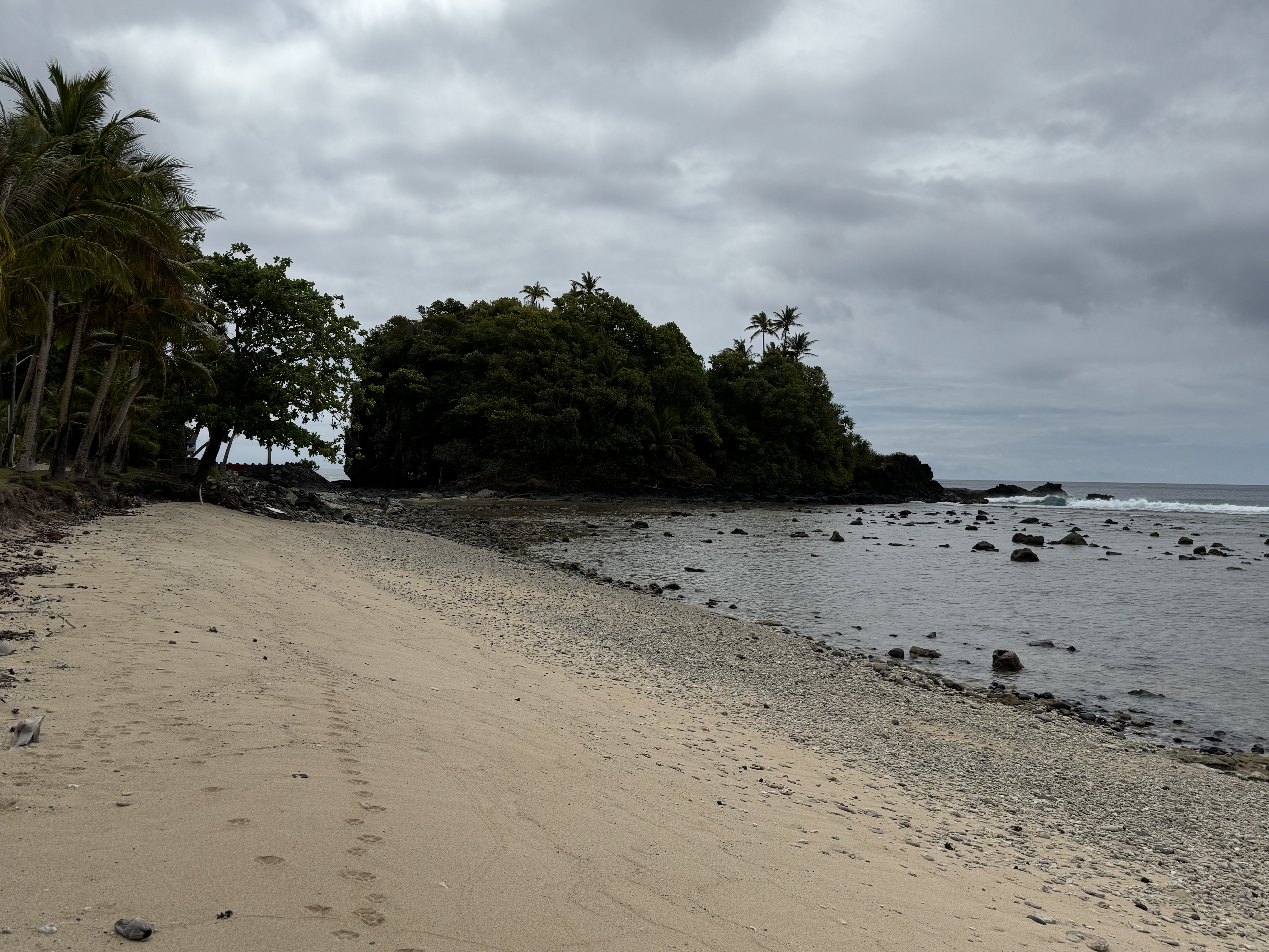
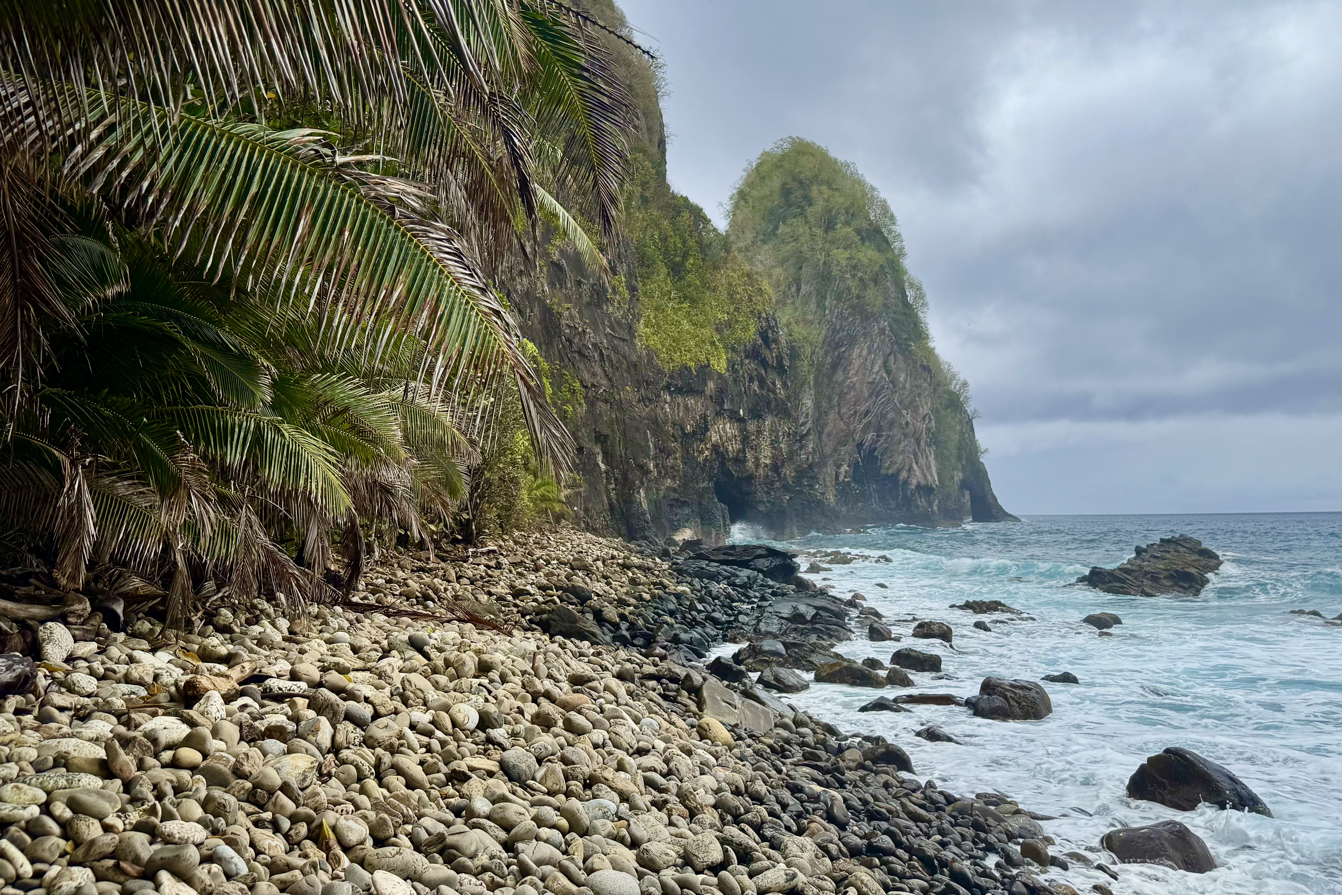
We then continued east to the Pola Island Trail at the end of the road in Vatia Village. Happily this trail was wide, flat, and mercifully easy, leading us to a rugged, rocky beach. What a payoff this time for so little effort. Rising dramatically from the surf was a massive jungle topped sea stack, a striking feature of the island’s volcanic coastline. The beach was covered with rounded cobblestones, backed by large palm fronds. The whole scene felt gloriously wild and untamed. There was no soft sand beach made for a leisurely stroll or casual beach combing. Collecting shells, or even walking comfortably, was not in the cards.
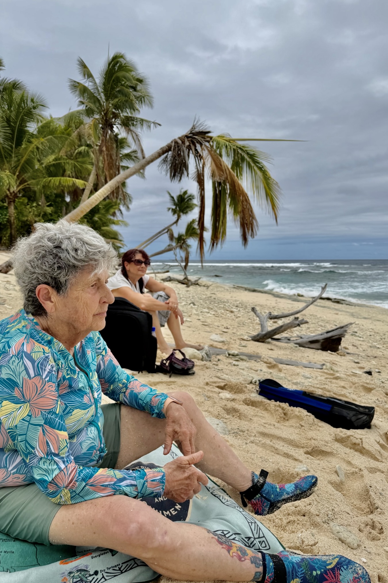
I settle for a lumpy unforgiving seat on the rocky shore and took in the view. The best way to appreciate this wild place was to stop moving before it gave me another opportunity to fall down.

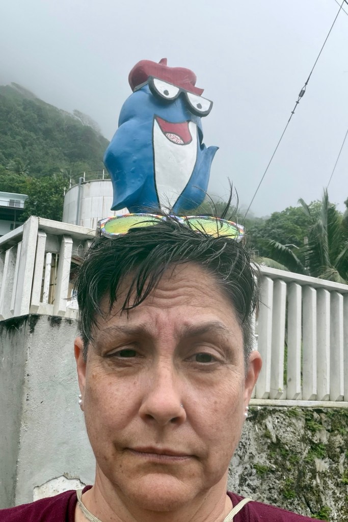
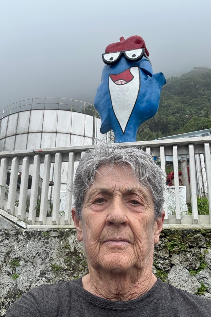
Feeling quite satisfied with our exploration of the park, we headed back to Pago Pago. But first we had to make one final tourist stop to pose with Charlie the Tuna, the familiar mascot who statue stands outside the StarKist Tuna Cannery in the village of Atu’u on the north shore of Pago Pago Harbor. The tuna industry makes a significant contribution to American Samoa’s economy so Charlie represents more than a convenient photo opportunity. Finally we returned to Sadie’s for a quiet afternoon.
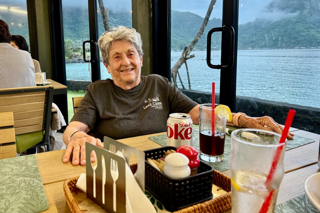
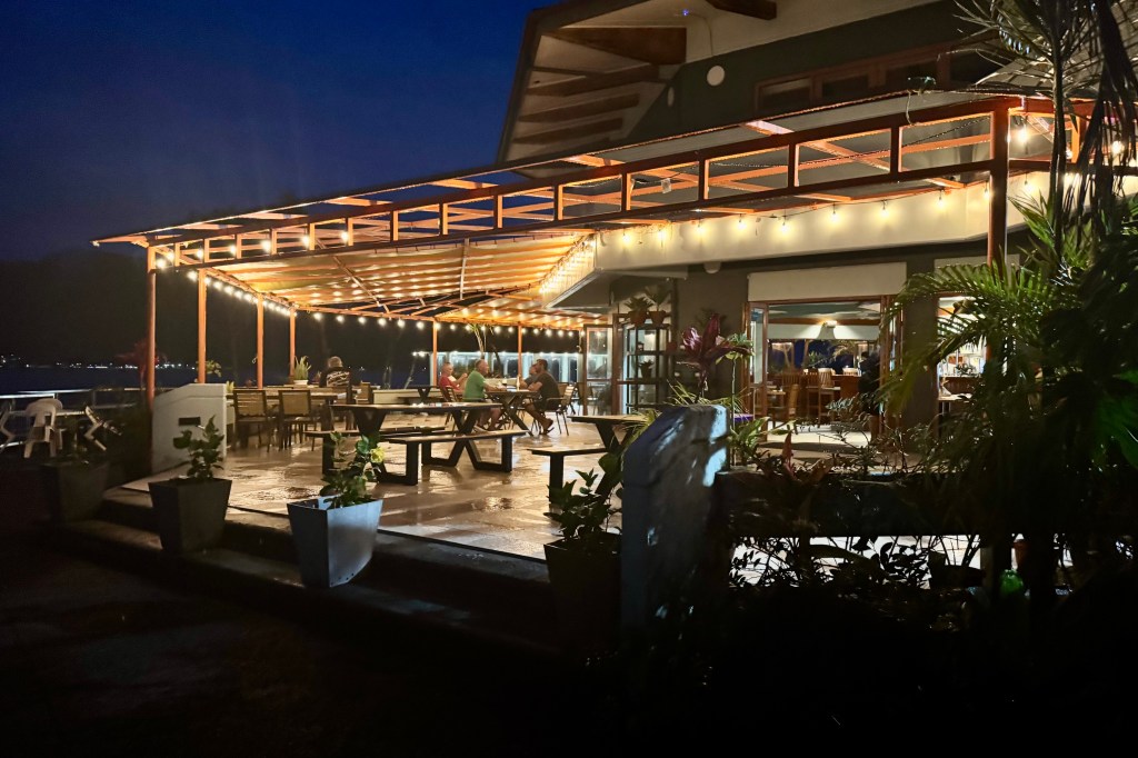
The relentless rain showed no signs of letting up and the prospect of venturing out yet again to get soaked held little appeal. Even trying my first adventure snorkeling held no interest for me. It was a laid back afternoon and we opted for another meal at the Goat Island Cafe. Fish tacos! After all we had spent the day dodging slippery stones, lurking roots, and the many hazards of the rainforest and beaches in the rain. We had earned a little rest and a dry seat.
Sand Everywhere, Dogs Everywhere, Chickens Everywhere

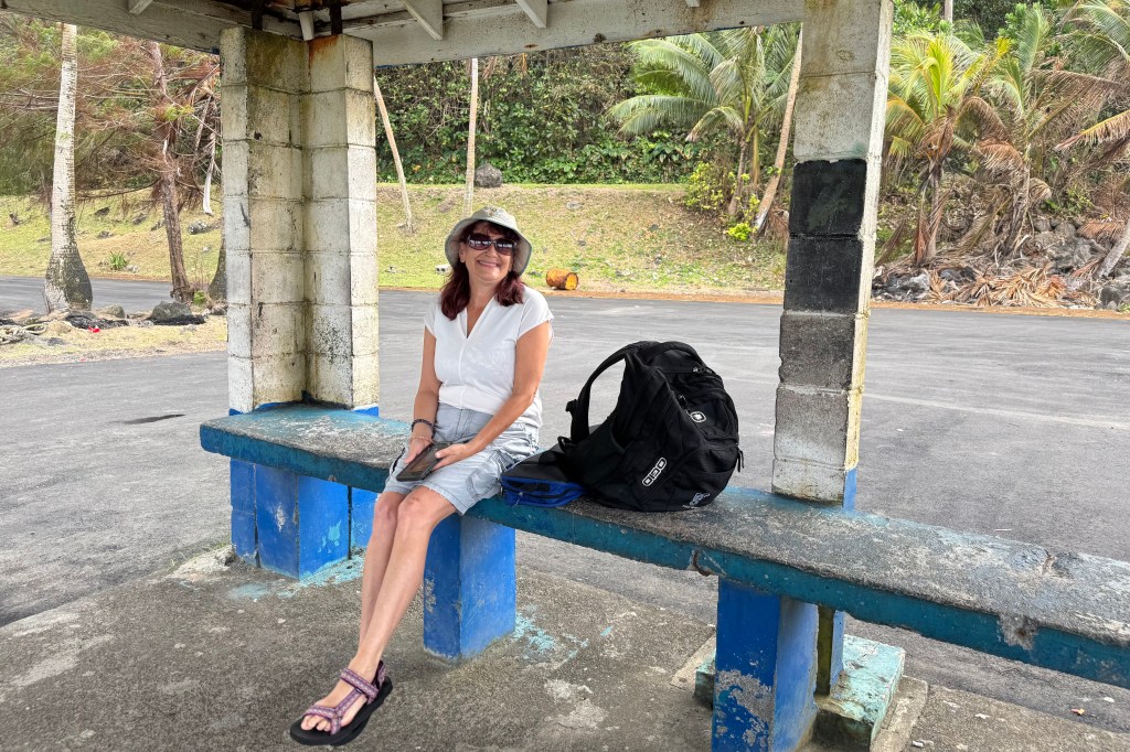
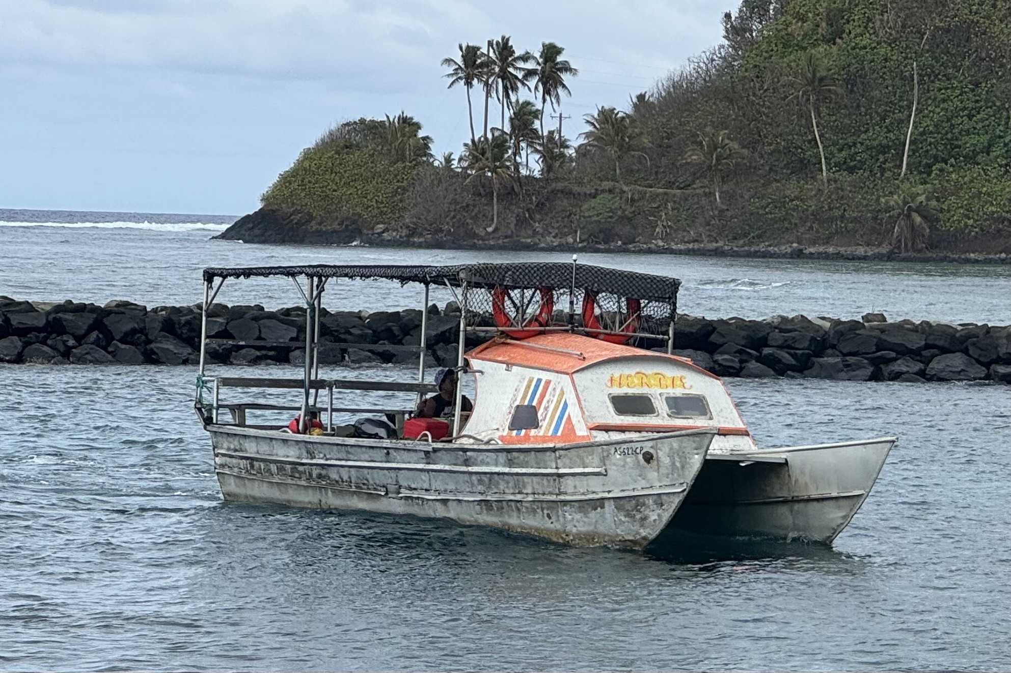
Saturday, September 12th (Day 3) dawned dark and cloudy, but that was not going to stop us as we had decided we would take the ferry to Aunu’u Island. We drove to Au’asi on the east end of Tutuila in search of the ferry dock. Our understanding was that the ferry ran back and forth throughout the day and would come more or less on demand. The “ferry terminal” was certainly not very imposing — in fact rundown would probably be the more accurate description. No airport could match this kind of “pre-boarding” lounge with its blue painted bench. But we waited patiently until a rather rickety-looking little boat finally appeared. She was a dented aluminum veteran well worn by the salt and sun and sporting yellow blue and orange racing stripes. We paid our fare, climbed precariously aboard, and soon were bouncing across the choppy waters.

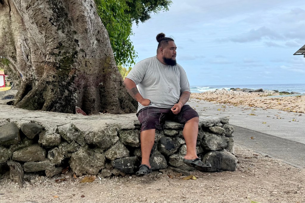
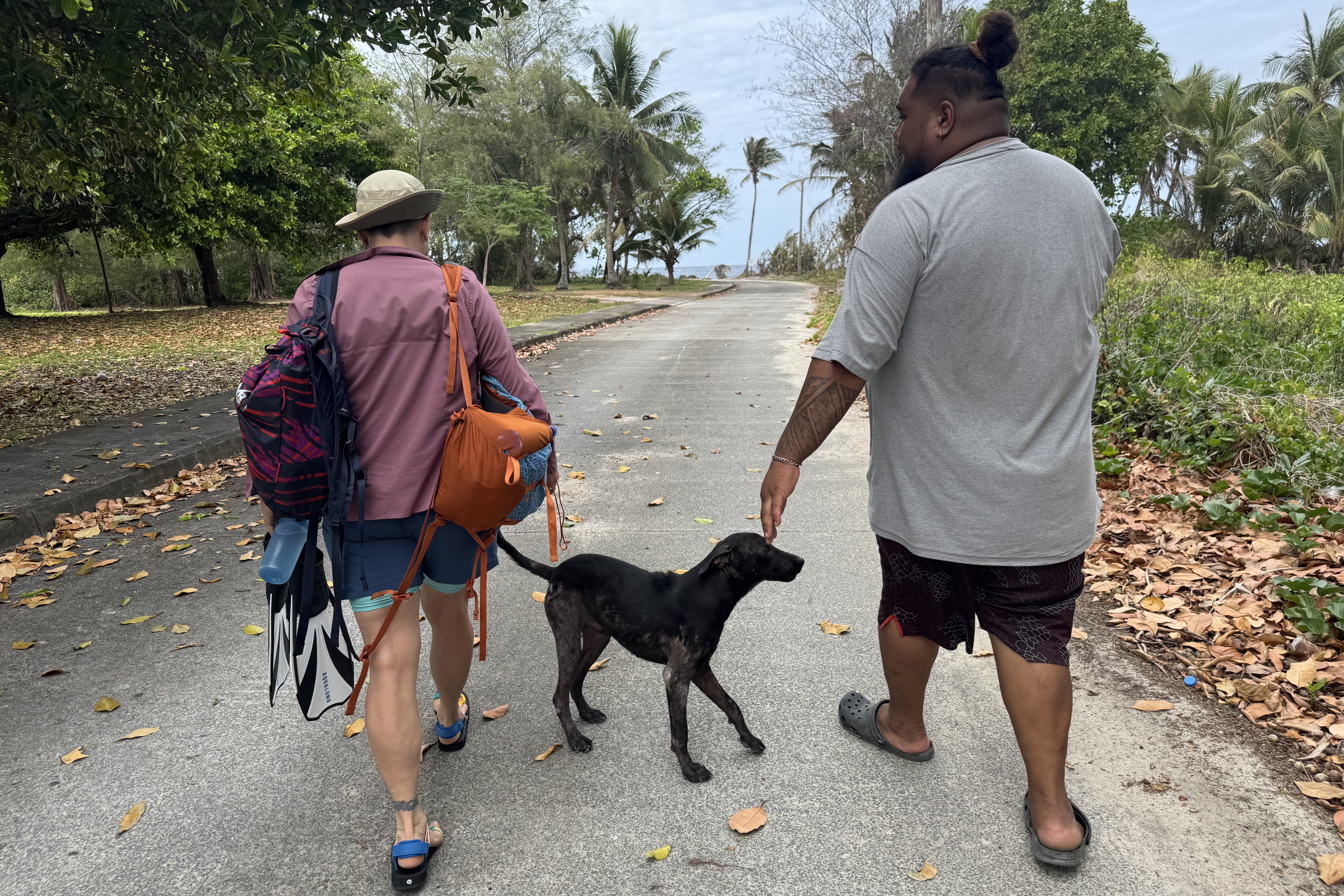
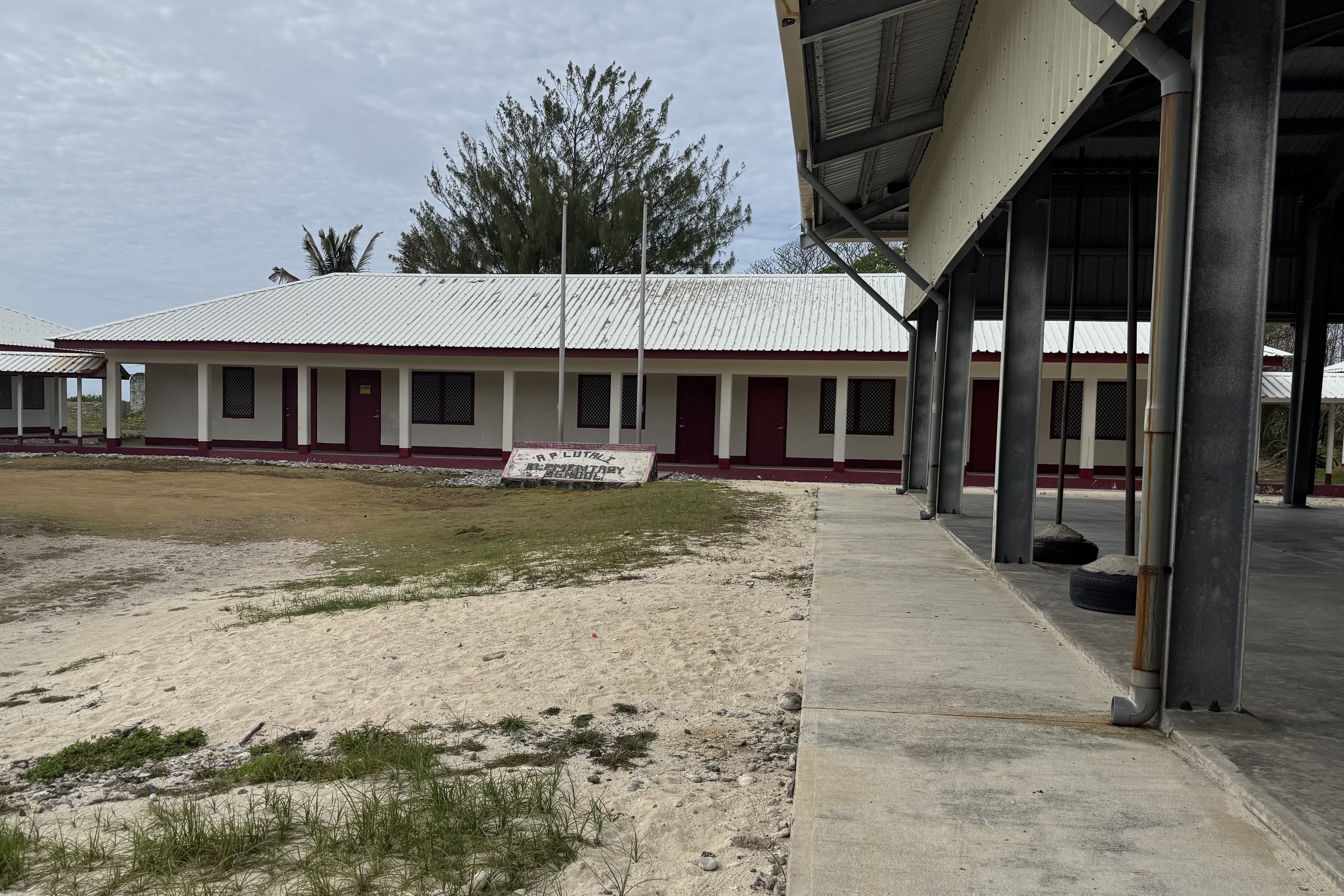
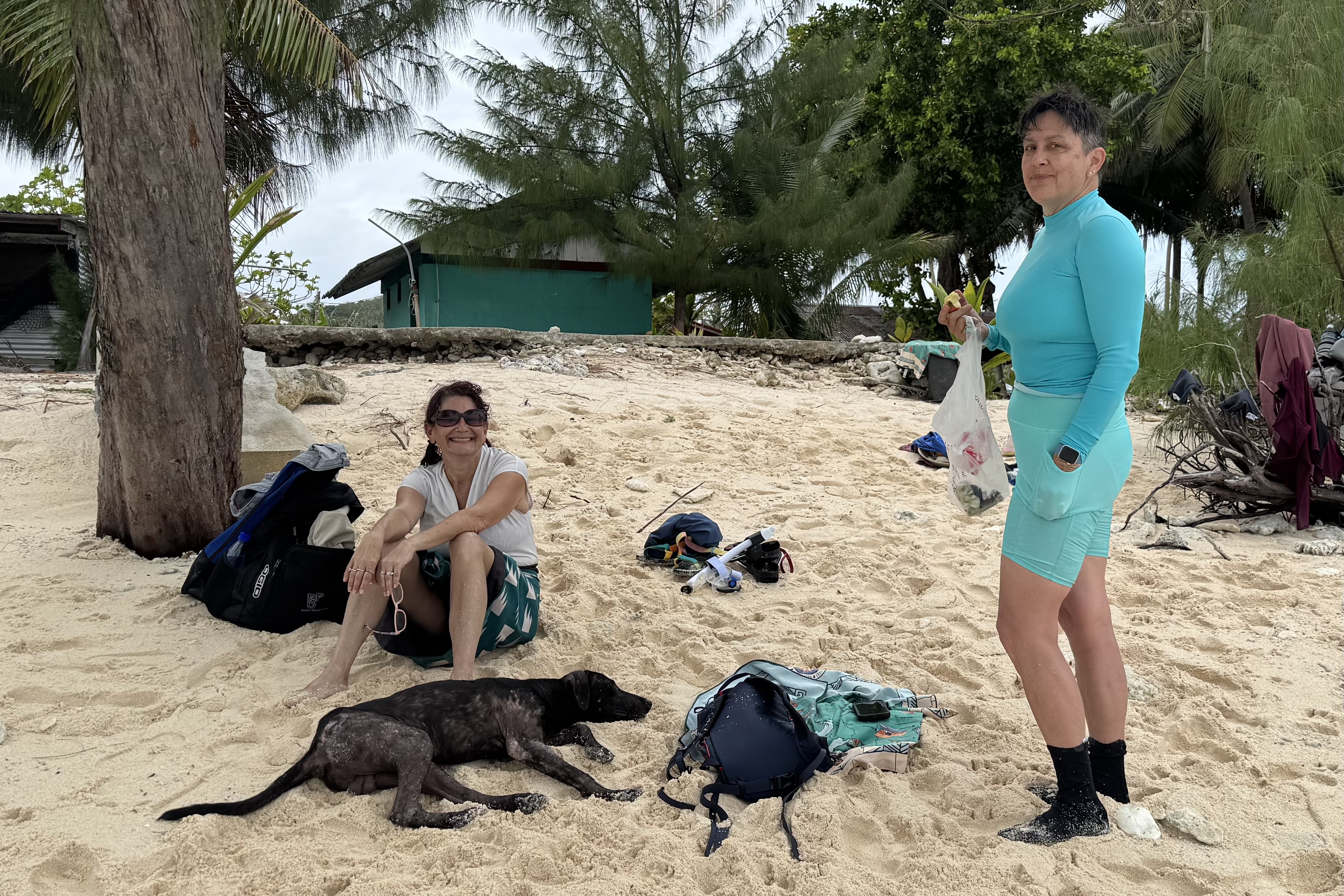
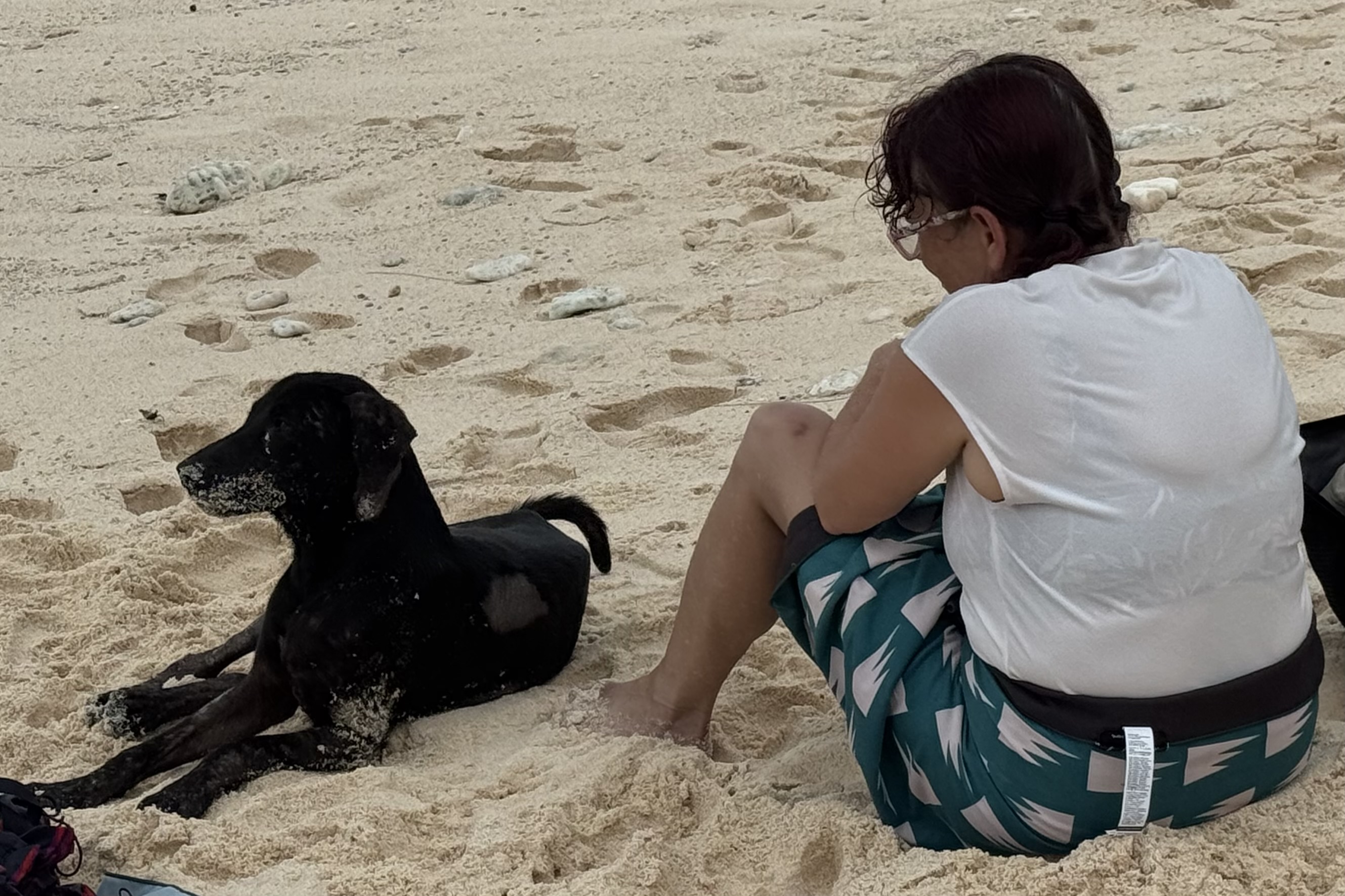
As we stepped off our jalopy of a ferry, we were greeted by Joe, who immediately inquired of our plans and began subtly suggesting that perhaps we would like to see the island school. I’m always a believer in supporting the locals, and besides having somebody who actually knew where he was going seemed like a pretty good idea. So Joe and a stray dog became our guides. It already was quite apparent that one of the things the people of Aunu’u were particularly proud of was their school as he asked again if we wanted to see the school. Then he asked again! After, our dog-for-the-day joined us on the tour, he followed us around the island, and stayed with us throughout our beach explorations. He definitely was content with his temporary assignment as our official Aunu’u escort.
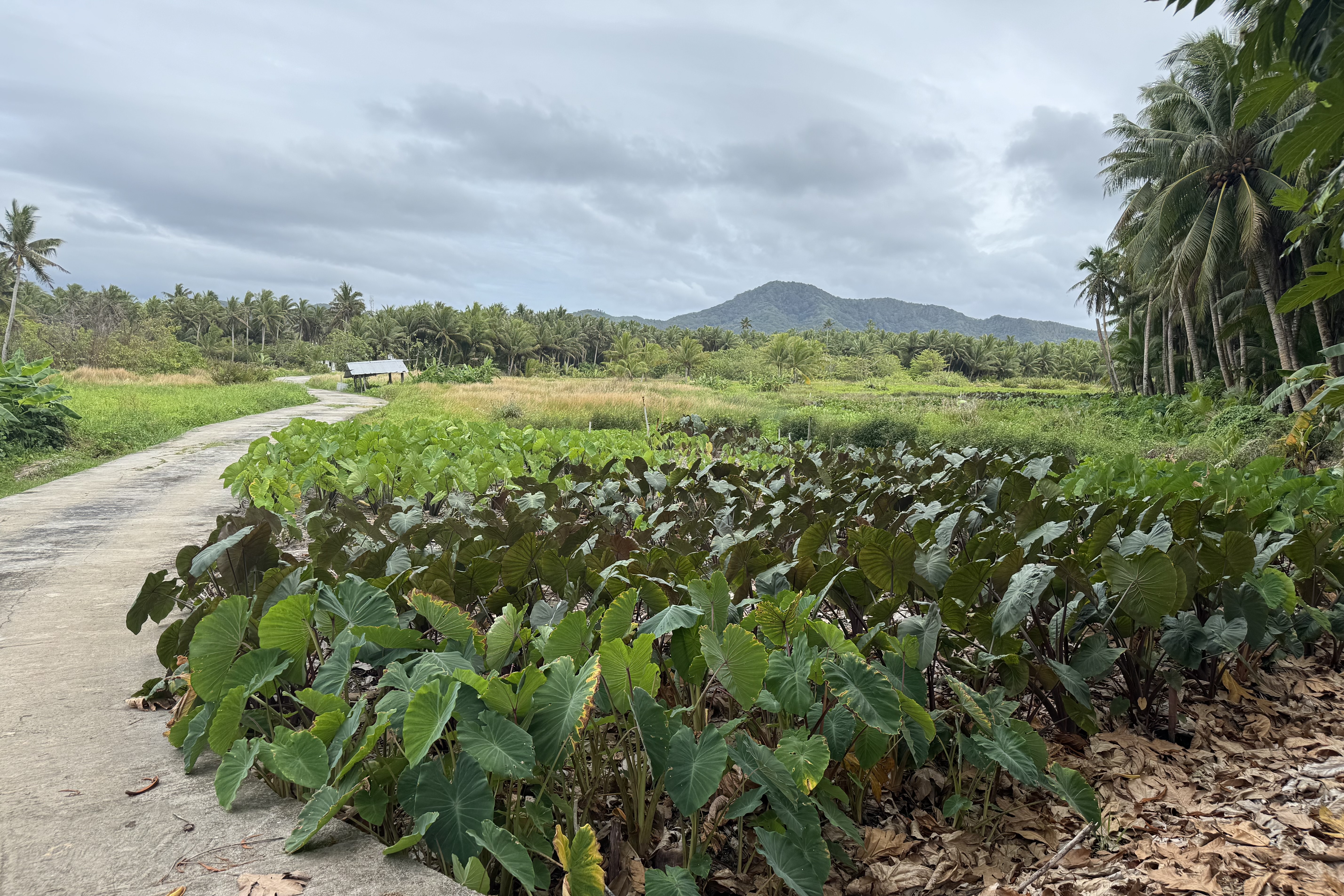
Aunu’u is a car free (though work vehicles exist), slow-paced island small island with about 400 people. in a close-knit Samoan community where traditional life remains important. It is an island of quicksand, swamps, taro plantations, and quiet village paths and wandering about here on this island was a very different experience from the developed parts of Tutuila we have been exploring.
We had come with snorkeling in mind, having read there were good reefs around the island. We walked farther along the beach guided by our dog-for-the-day, found a spot that looked promising, and began donning our gear. As usual, Tasia is the first “out of the gate” and thus first one in the water. She was also the first one back out. The current seemed just too strong to make snorkeling enjoyable or particularly sensible. She headed off in another direction to see if she could find calmer water. Bernadette and I decided we might at least try swimming, but the moment we got in the water it became clear that the current had other plans for us. we were battered by the waves and inundated with sand. So, swimming was not a good option either.

So plan B: beachcombing

We spent a good amount of time wandering the beach and searching for interesting pieces of coral and shells. Tasia was fascinated and spent considerable time filming little hermit crabs carting their houses around. Eventually we stopped for lunch and were joined by our-dog-for-the day companion who was quite eager to share our picnic. Around 1:00PM we decided to head back.

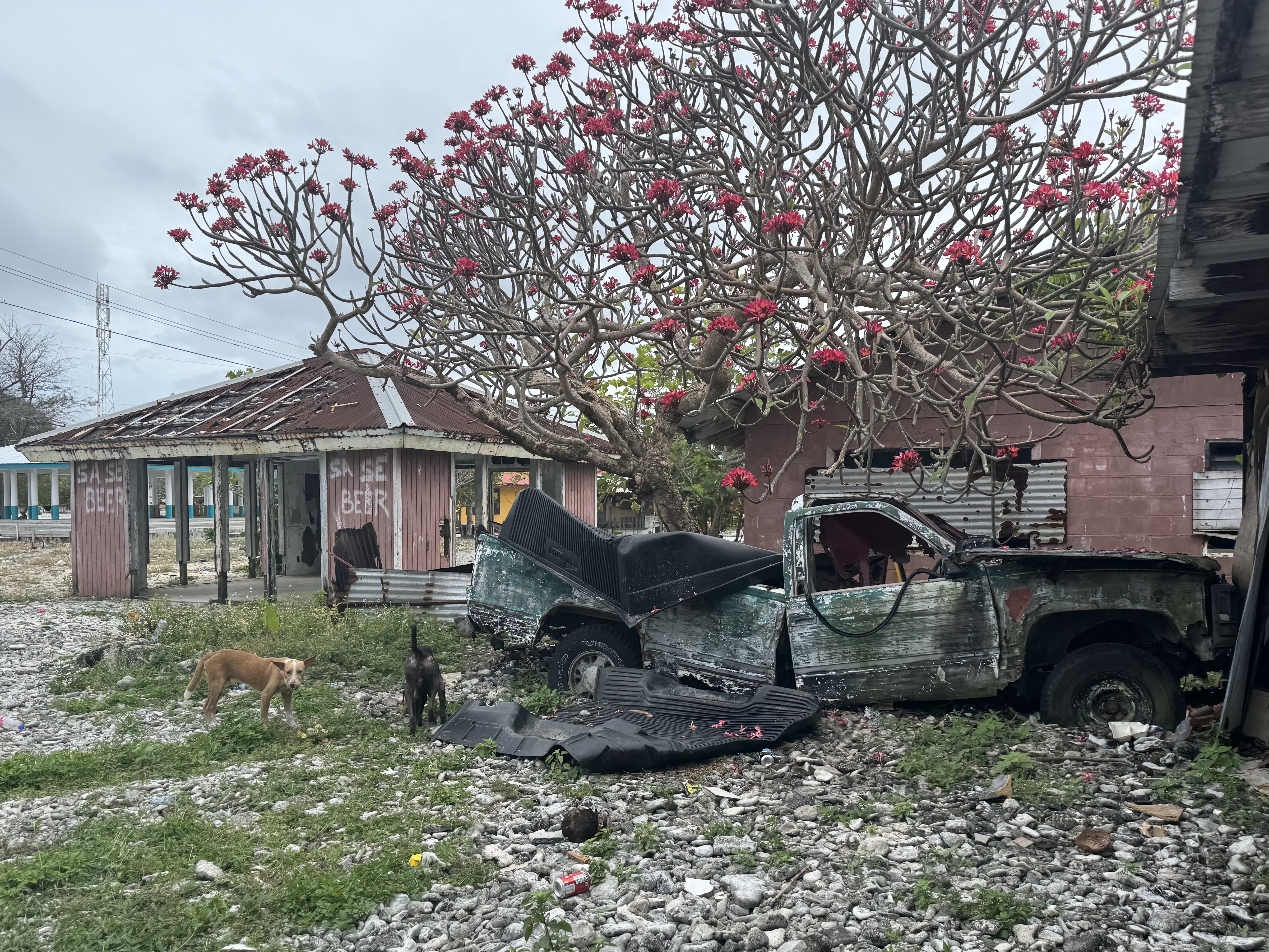
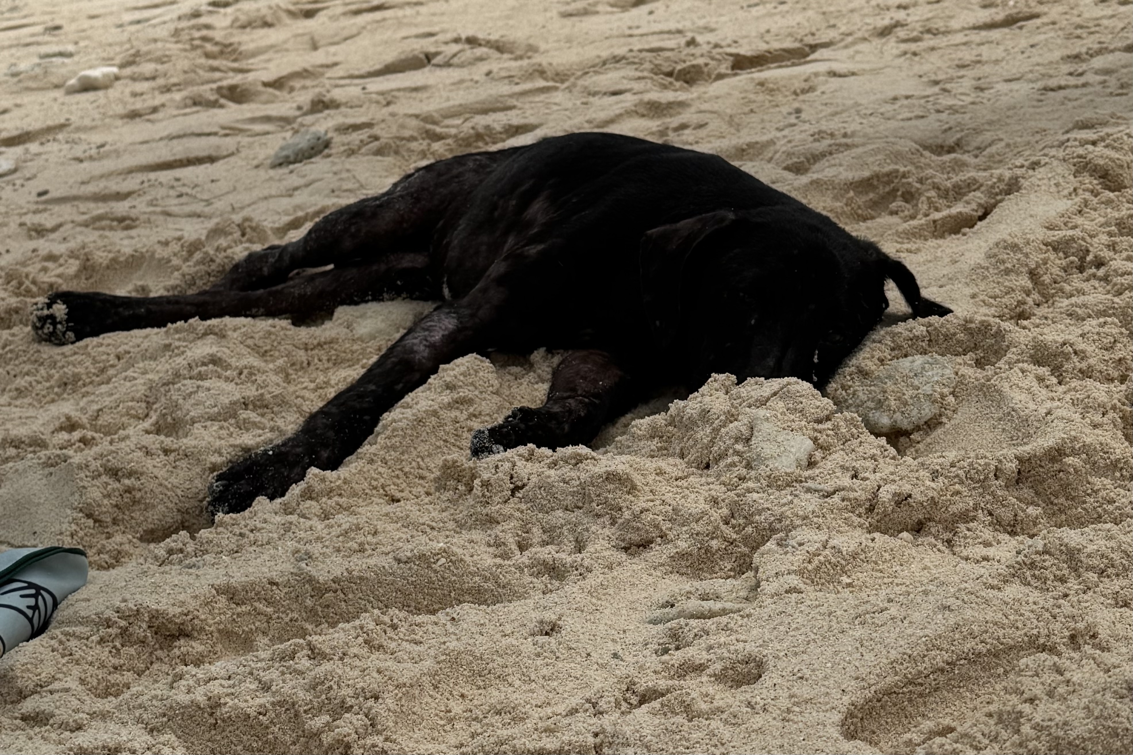
More about our dog-for-the-day. One thing we noticed everywhere in American Samoa was the abundance of dogs. Estimates have put the number of free-roaming dogs on Tutuila as more than 10,000. However I also heard that many aren’t truly stray but have owners but simply allowed to roam. Limited spraying and neutering, lax and inconsistent licensing, and limited veterinary care have all contributed to the problem. Dogs seem to be part of the landscape, wandering the roads, beaches, and villages often joining visitors as if they had no where else to be. Our Aunu’u companion certainly seemed to have perfected that last part and seemed quite content .

Another thing we couldn’t help noticing here and everywhere in American Samoa was the chickens that are everywhere. Baby chickens everywhere. Roosters strutting around as if they owned the place. At times it seems like we were moving through one enormous free-range farmyard.

One strong impression from this day and this part of the island was that there was sand everywhere. And I mean everywhere. It found its way into our feet, into our shoes, onto our clothes, and into places I’m fairly certain sand was never intended to go.

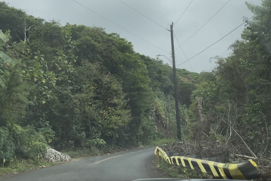
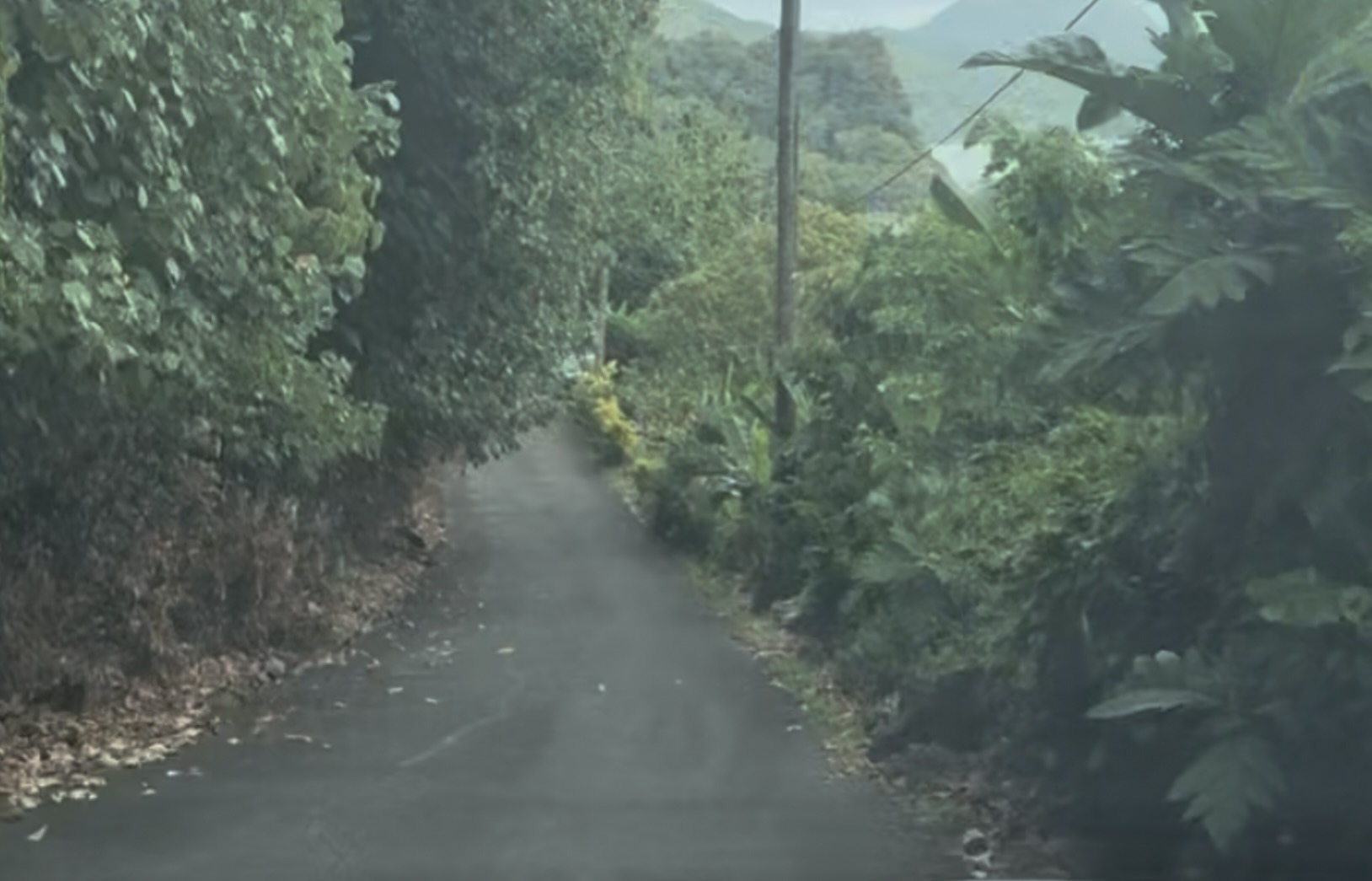
Back on Tutuila, since we were at the eastern end of the island we decided to explore a little more. First we drove through the post-card pretty villages of Tula, at the easternmost cape and then on to Onenoa, the northeastern most village. The road is paved but narrow, winding and unstriped. and it climbed steeply over a mountain ridge before ending at Onenoa, the last stop on Tutuila. After retracing our path we traveled north to Sailele on another steep curvy road.It was a real test of Tasia’s driving skills. What was a great relief it was for her that the speed limit on the island was 25 miles per hour everywhere.

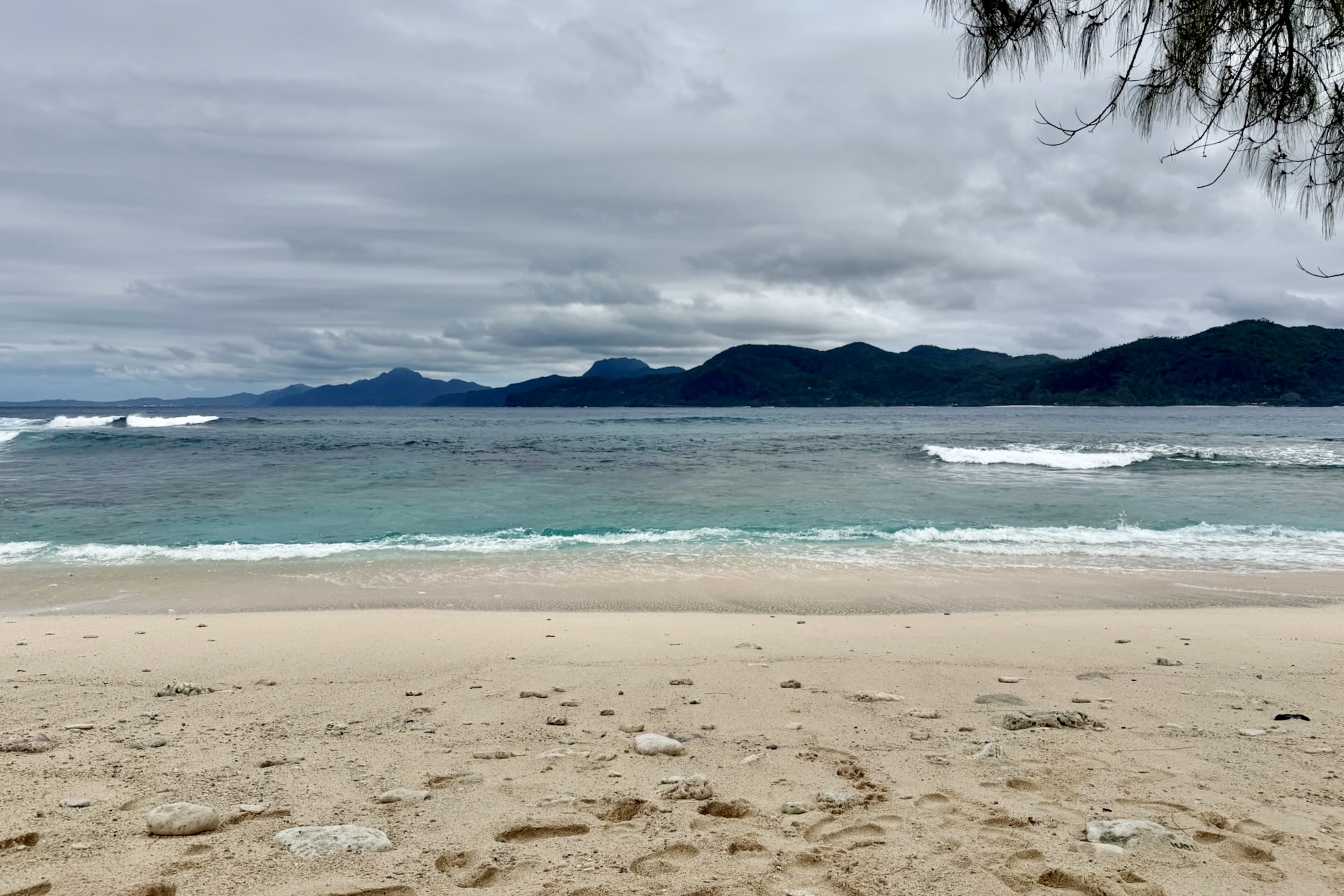
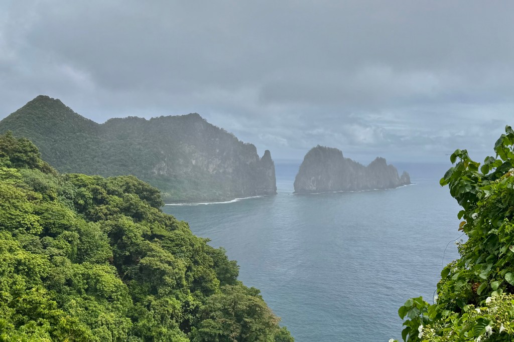
Some of the things that stood out on this adventure were the prominent, lushly vegetated islets rising directly from the water– small offshore island called sea stacks. The beaches seemed to be a mix of volcanic rock, coarse coral sand, and pebbles.

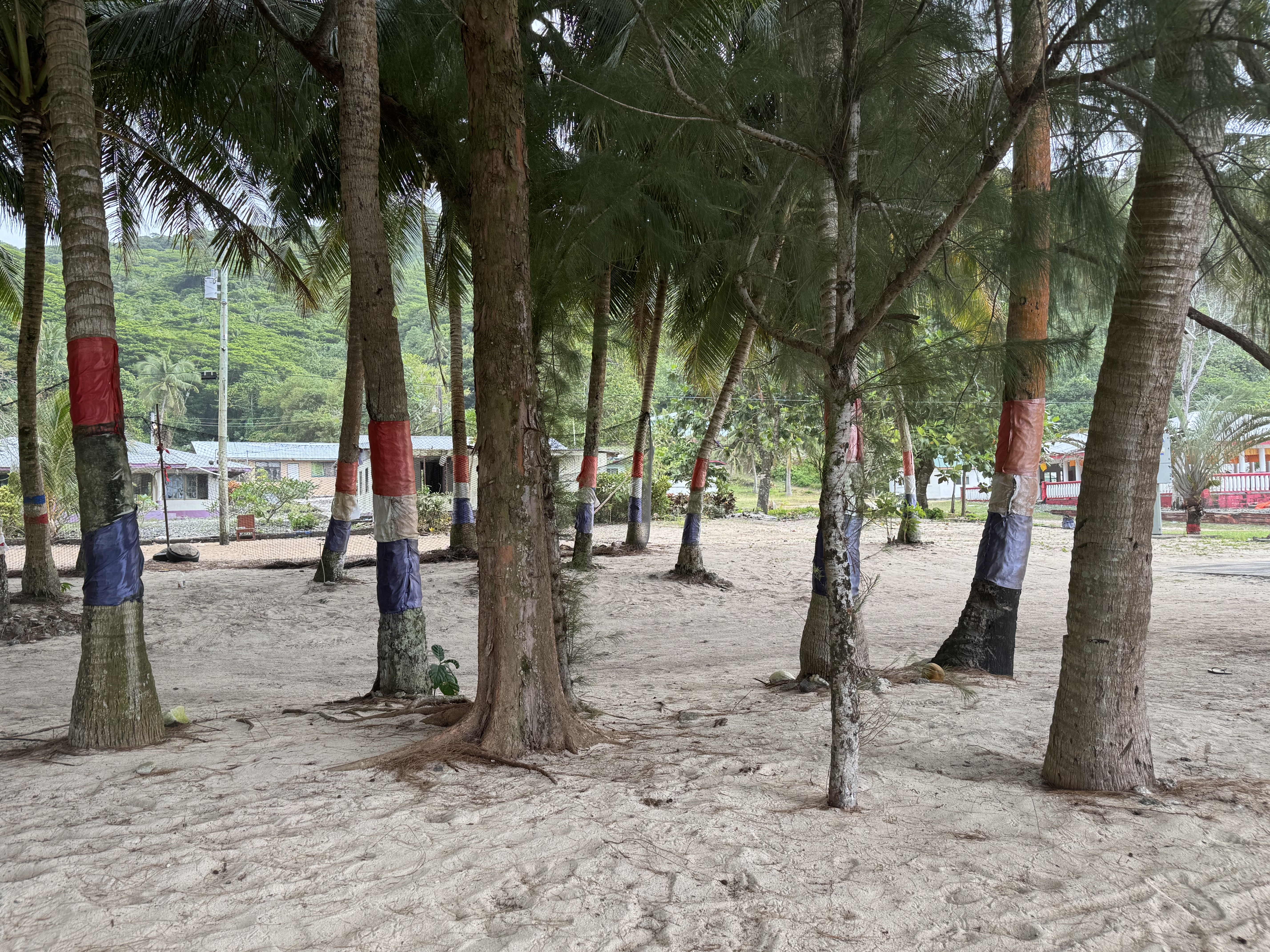
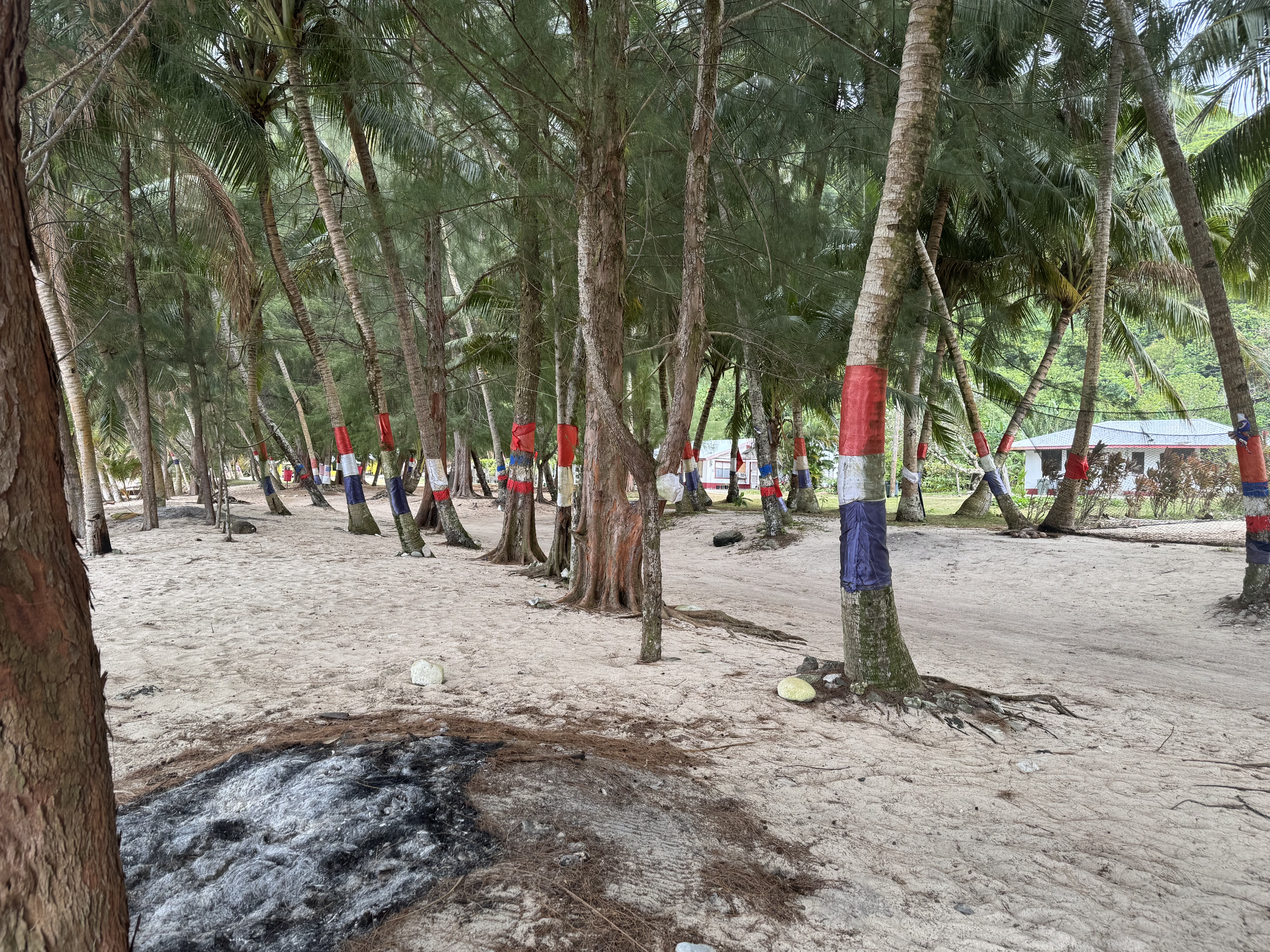
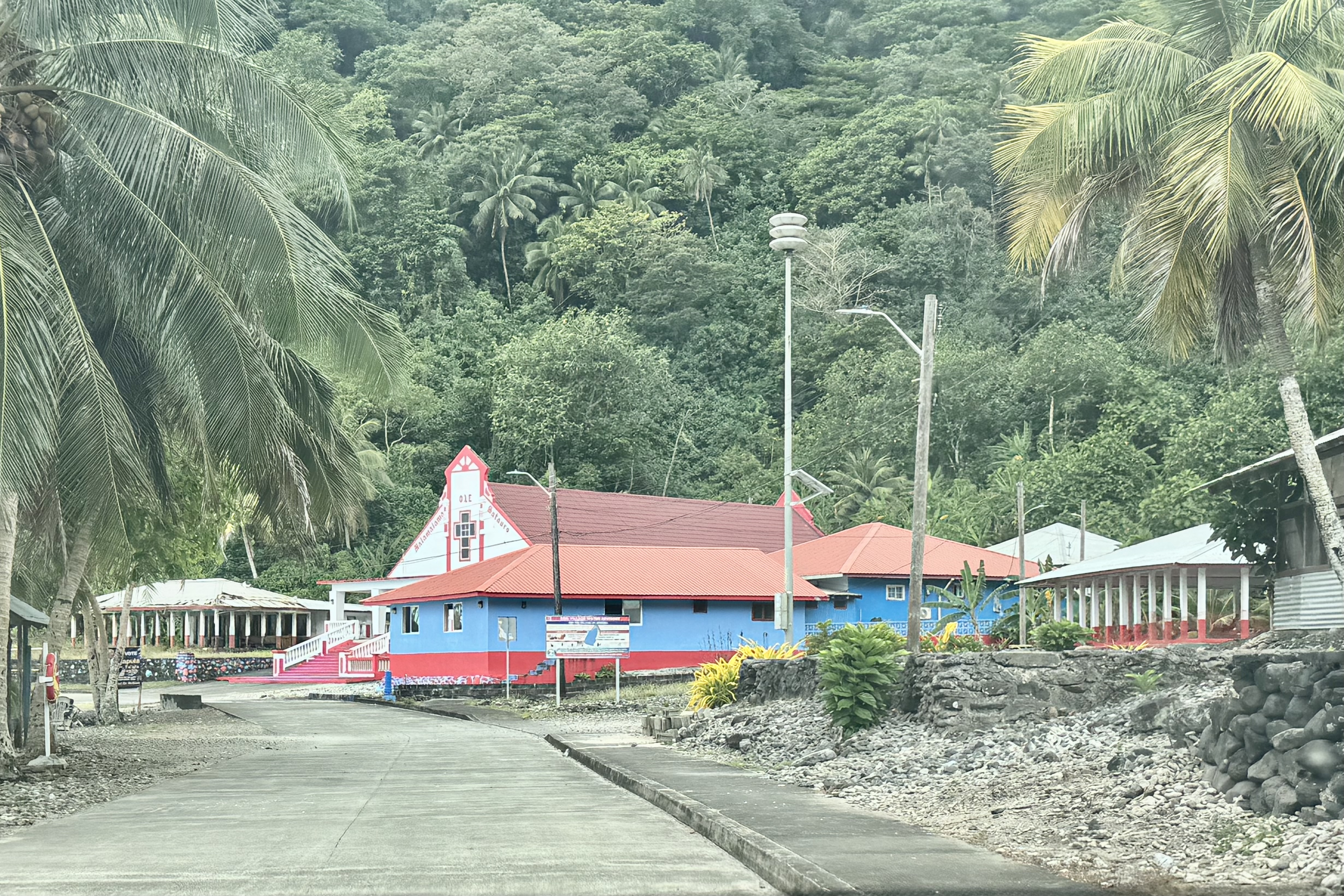
In most towns the tree trunks are painted — and in many there are bands of red, white, and blue (occasionally another combination of colors). This decoration I learned serves multiple cultural, celebratory, and practical functions including patriotic display, a showcase of civic pride and honor of local heritage; demarcation of village boundaries; beautification; a welcoming visual indicator of community care; and, environmental protection as painting of the lower trunks of trees reflects intense tropical sunlight to prevent bark splitting and acts as a minor deterrent against crawling insects like ants.

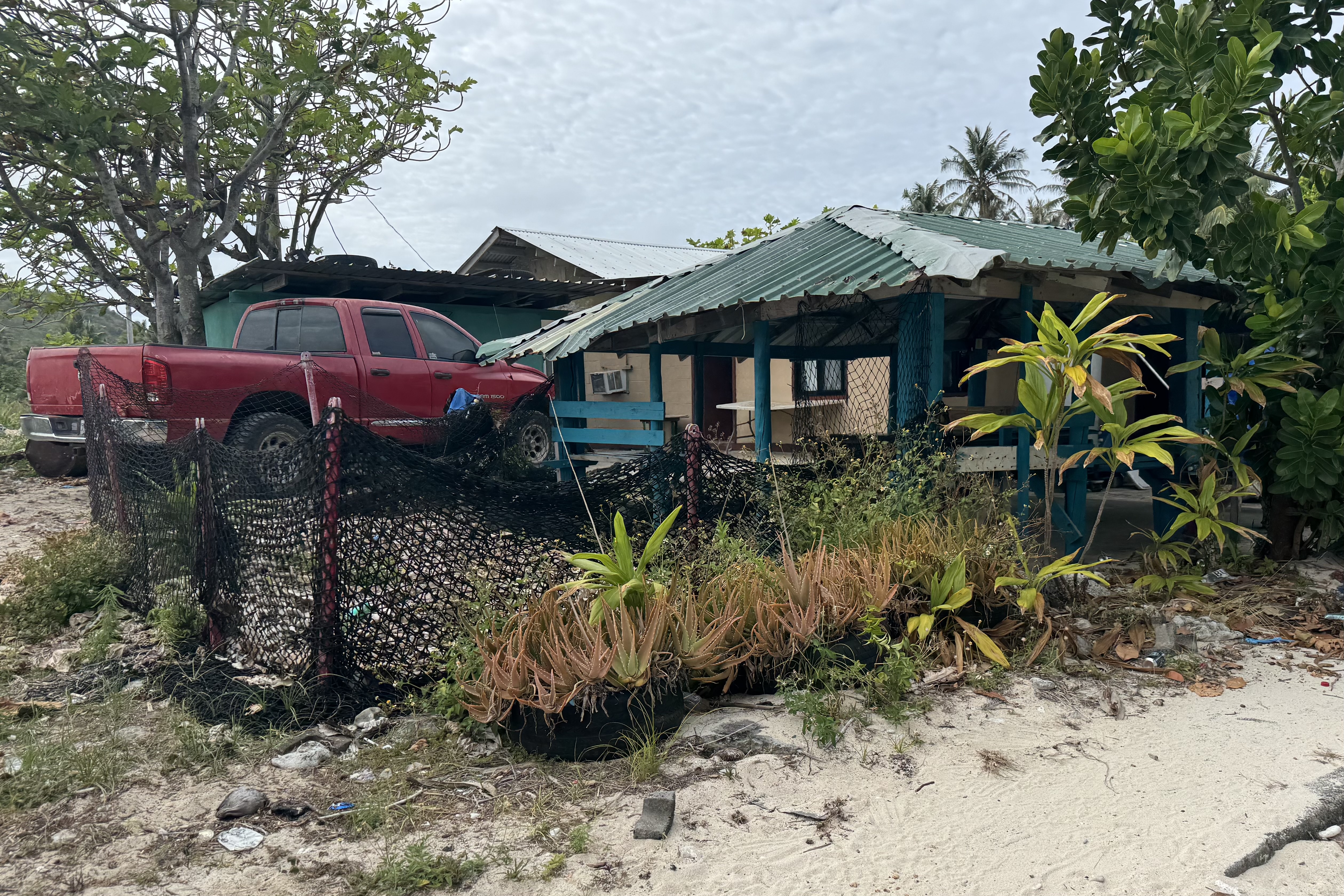
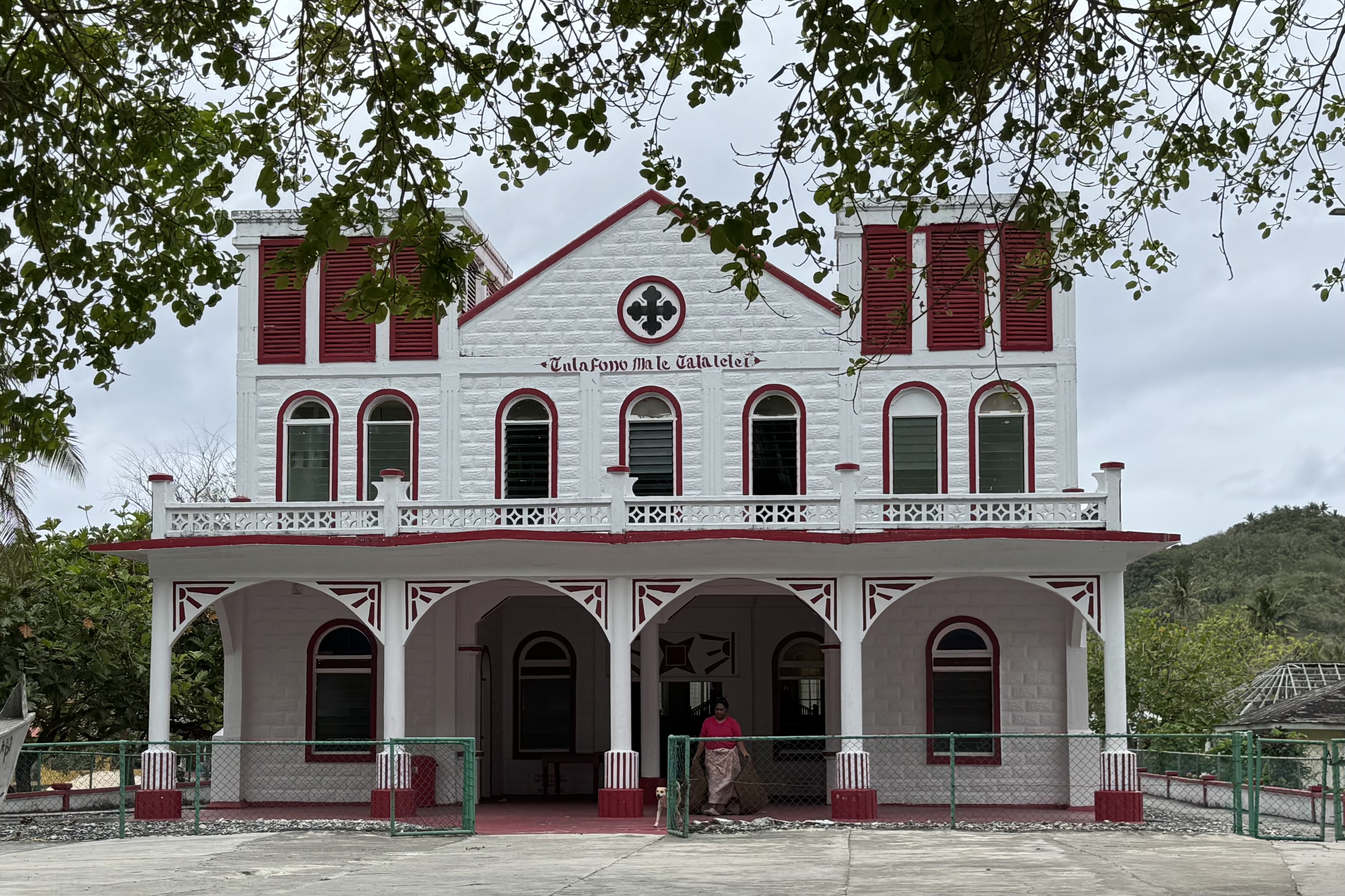
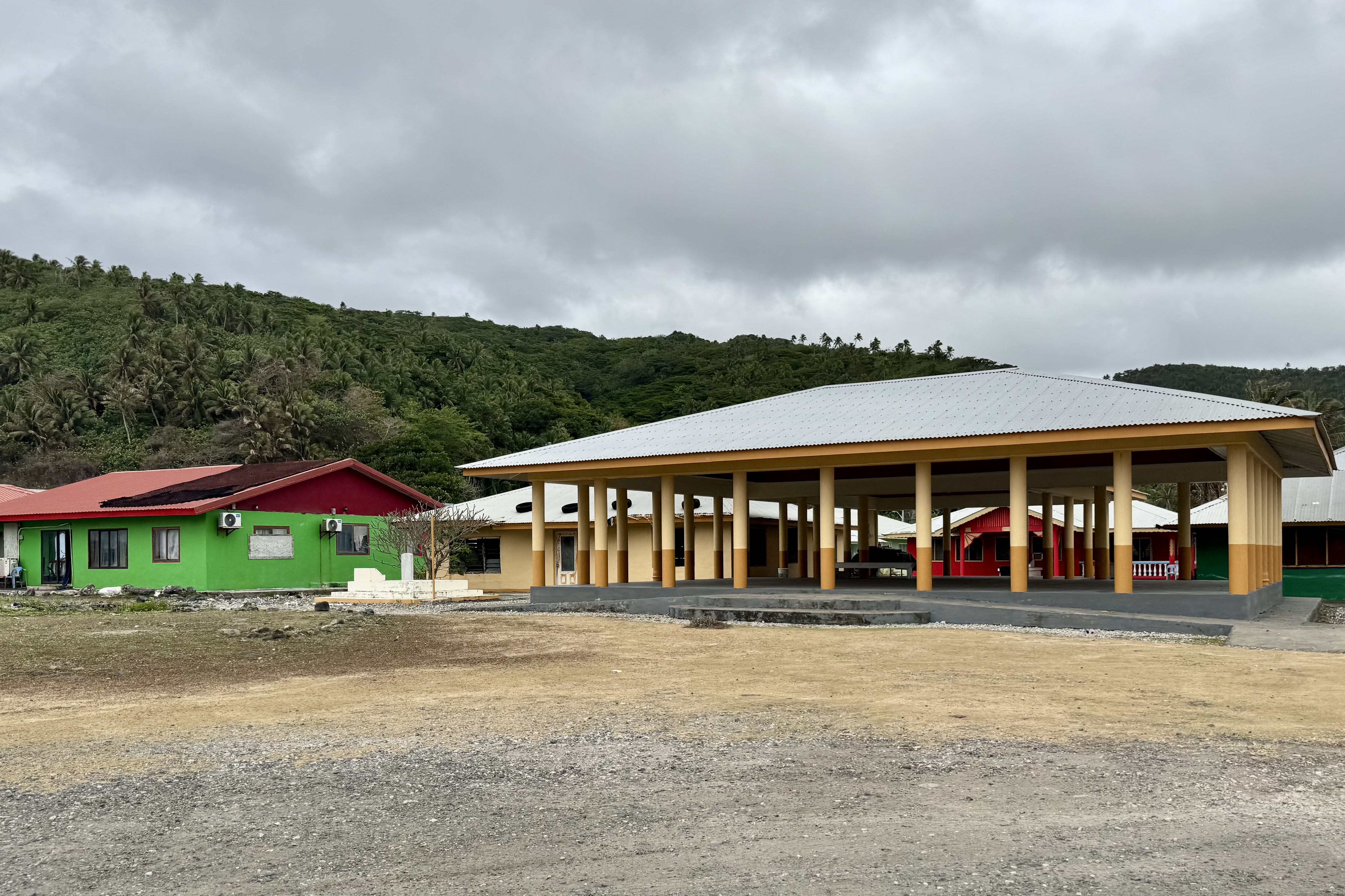
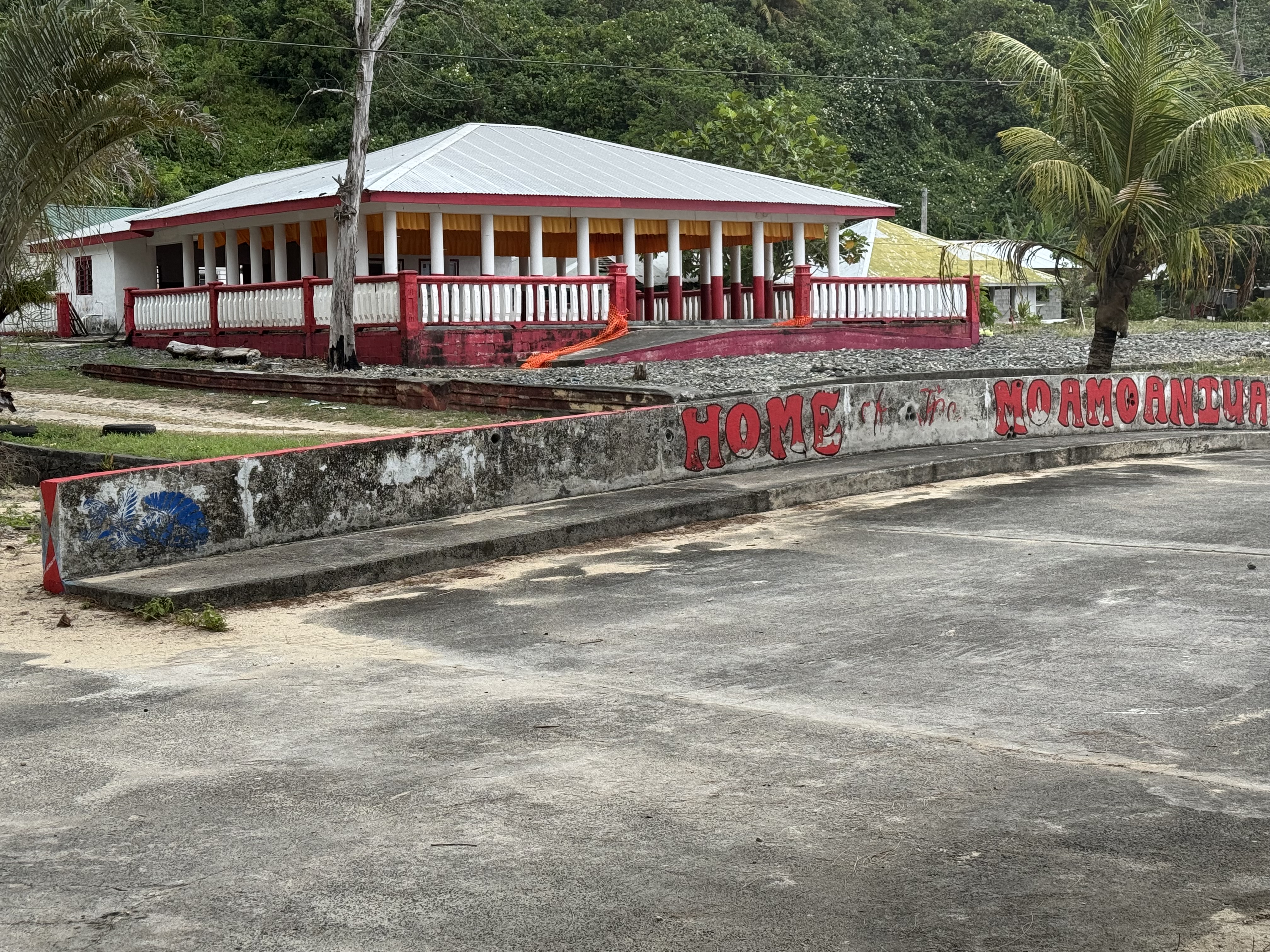
One of the most distinctive features of every village we drove through was the abundance of the traditional open-sided Samoan fales used for family gatherings and important occasions. The buildings themselves are built elevated on a platform with a pillared perimeter designed to allow cool ocean breezes to pass through while serving as a central hub for gatherings and cultural events. We saw them in village after village — sometimes several in one place — reminders that the traditional Samoan way of life values family, community, community responsibility, service to others, and respect for elders.

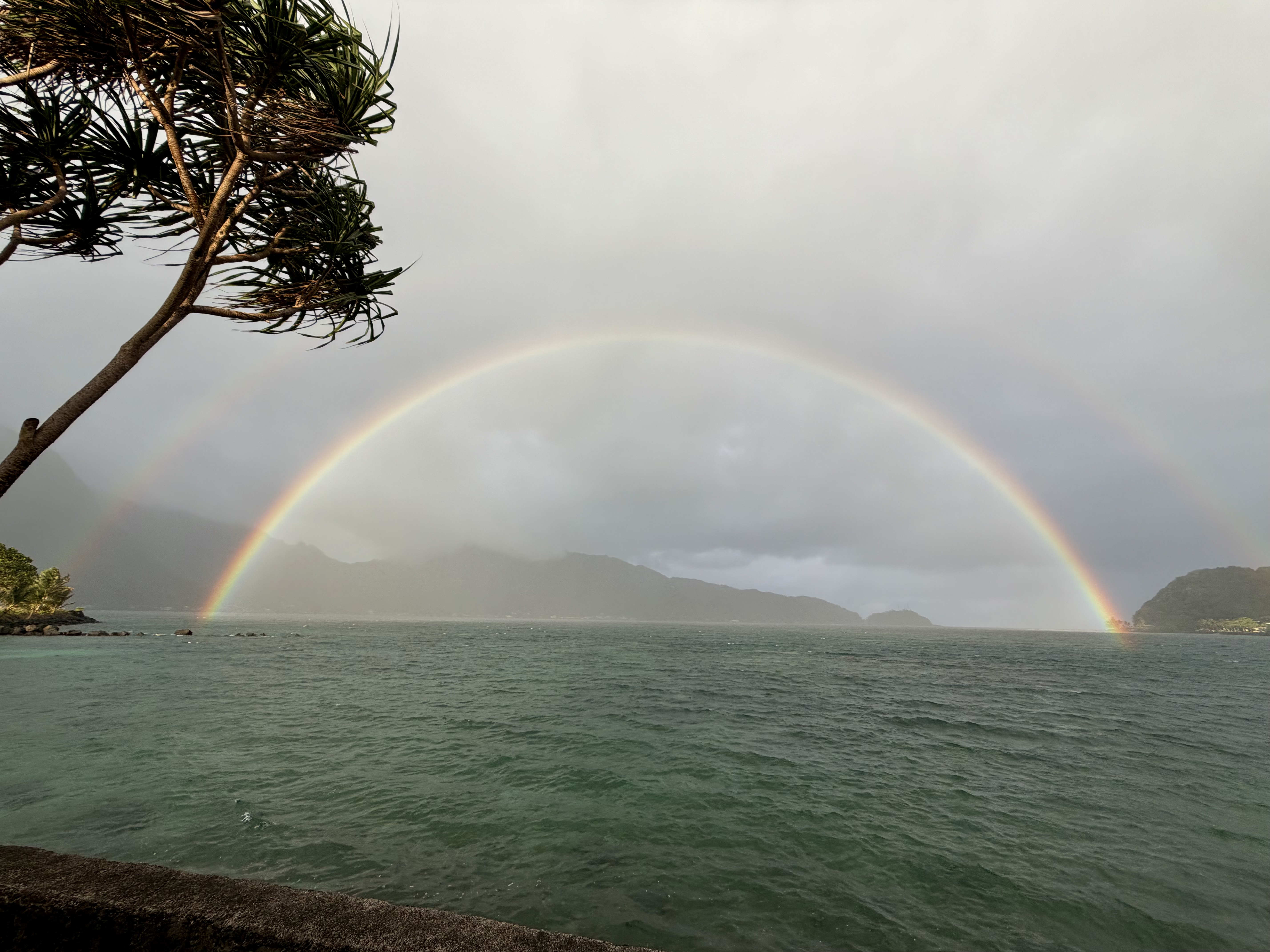
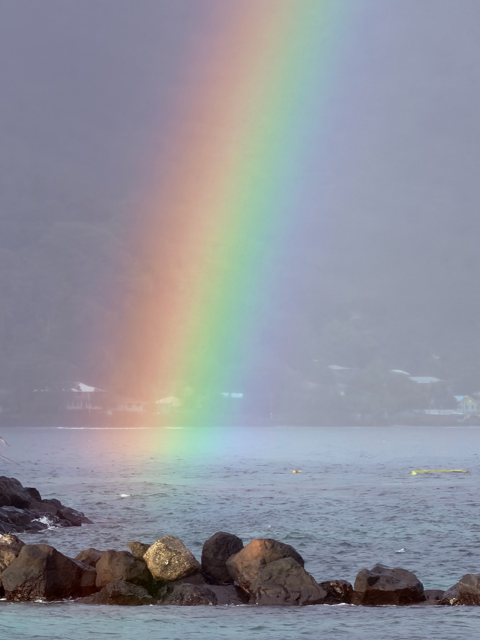
By the time we finally returned to Sadie’s a refreshing dip in the pool seemed absolutely necessary — not just for cooling and relaxation but as a serious attempt to remove the sand from every part of our bodies. Once dressed and not wanting to get back into the car, we decided to eat dinner again at the Goat Island Cafe. As we ate , storms were moving through the area, and the sky rewarded us with the most beautiful rainbow – a full brilliant arc stretching across the sky. After a day that included a questionable ferry ride, a failed snorkeling expedition, enough sand to fill a sand box, and stray dogs and chickens, sitting there with a good meal of a wahoo burger gazing at a full rainbow seemed like a perfect ending to this day.

Arrived Exhausted, Woke Up in Paradise

This trip had a special significance for me: visiting the National Park of American Samoa would complete my goal of visiting all 63 U.S. national parks. That milestone was the underlying reason for the journey and reaching this final park would not simply add another destination to the list. It would complete a long running quest that has taken me across the country and into so many truly remarkable places.

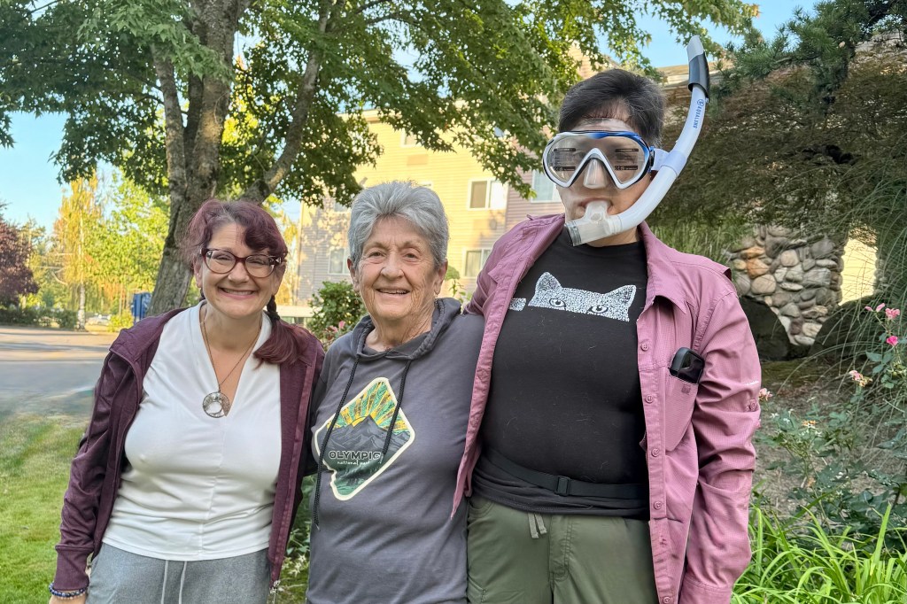
Our adventure began in Portland where we spent the night at the Radisson near the airport rather than risk an early morning drive to the airport from Salem ( where we would be picking up my youngest daughter Bernadette) for our 10:00 a.m. flight to American Samoa, with a plane change in Hawaii. Before we could even leave Portland, a before photo was clearly necessary. True to form my oldest daughter Tasia was already full of adventure and had no intention of waiting until we reached an actual beach to get in character. So for the photo, she donned her snorkel and mask. So , with Tasia ready for the South Pacific before we even left Oregon, our trip officially began.

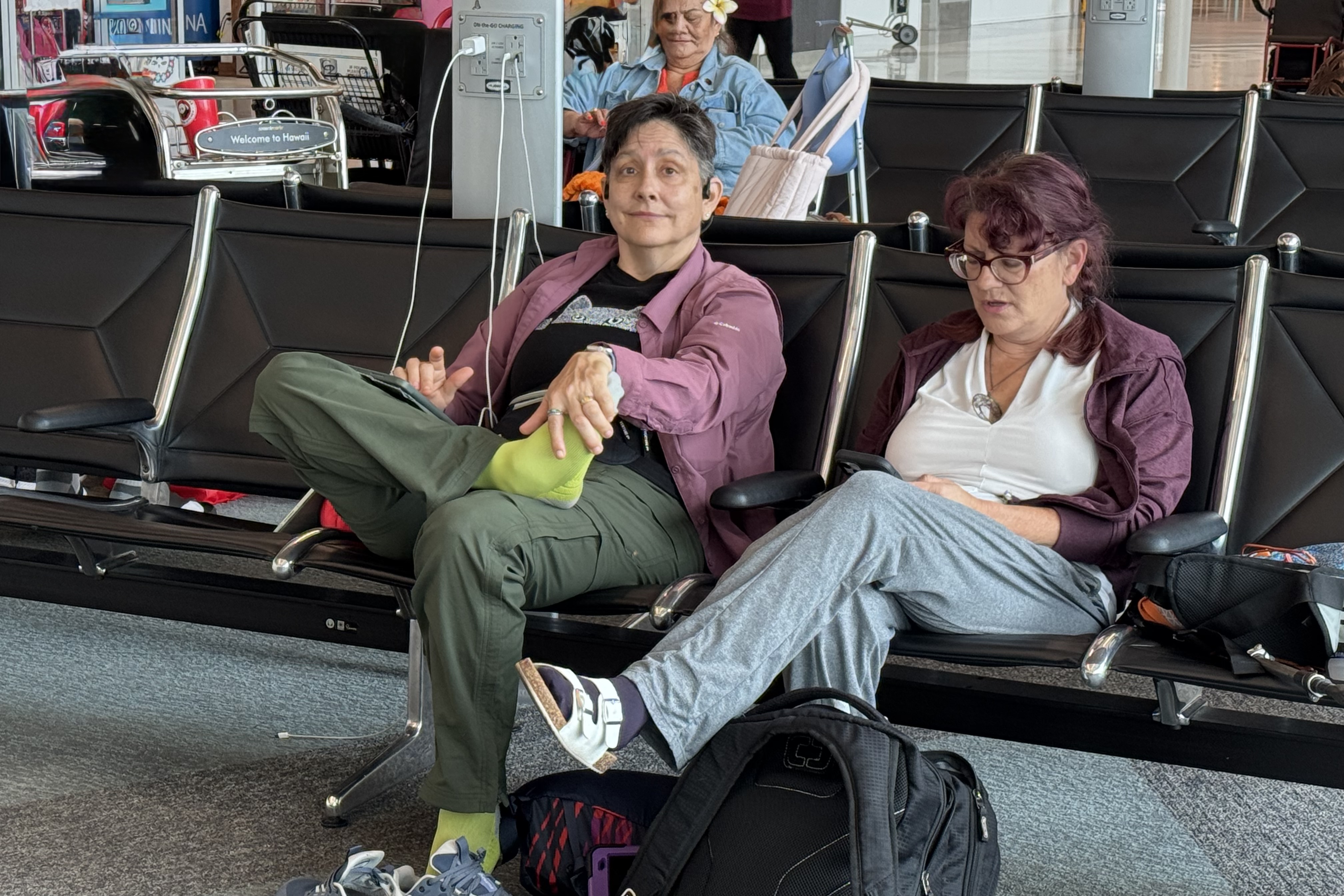
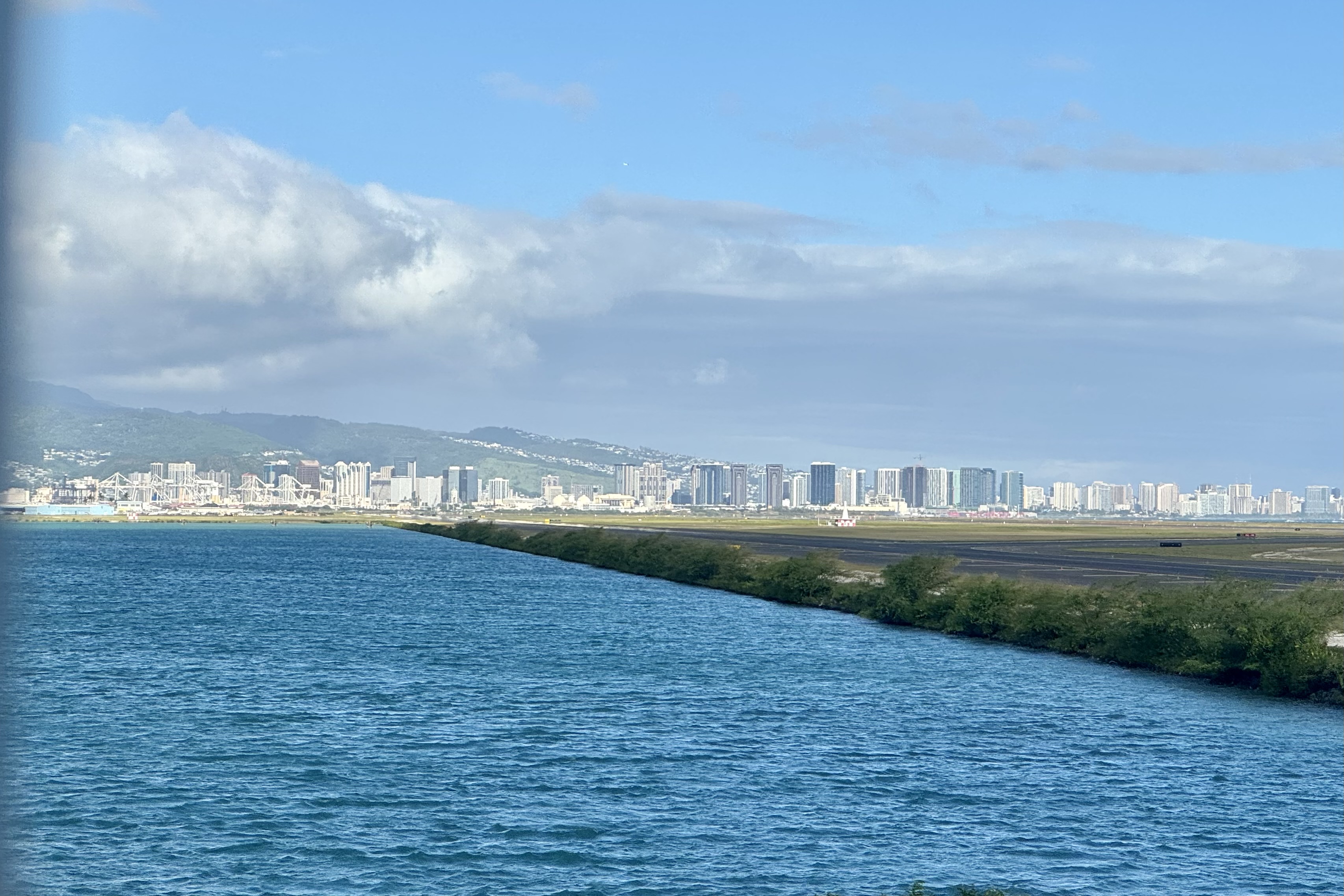
The flights to American Samoa were surprisingly uneventful. We whiled away the nearly 12 hours of flight time with movies, reading, and eating very poor quality airplane food. One of the biggest challenges in this tech savvy family was keeping all of our watches, iPads, and iPhones charged. The three hour layover in Honolulu went quickly and soon we were on the final leg of the trip to American Samoa.

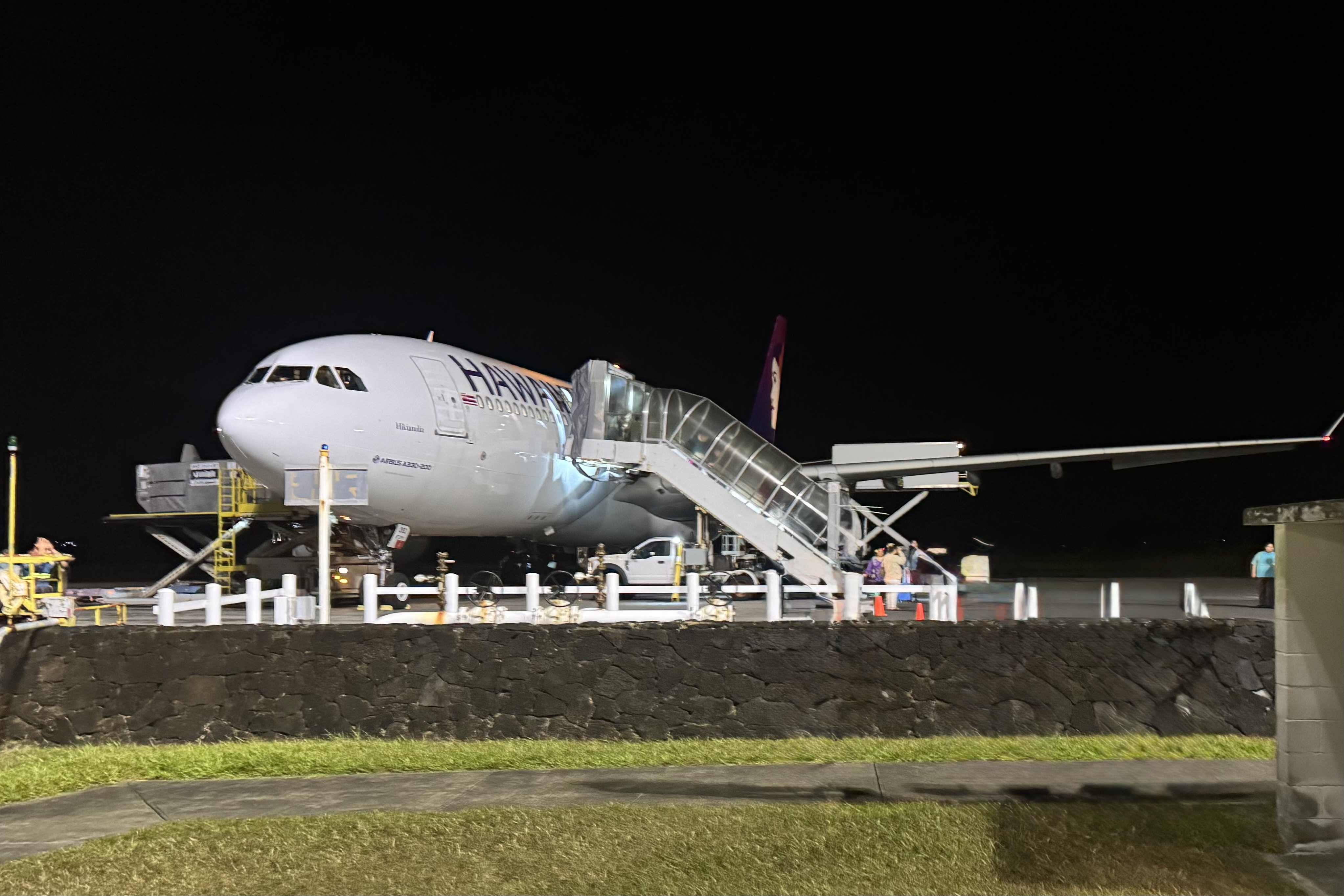
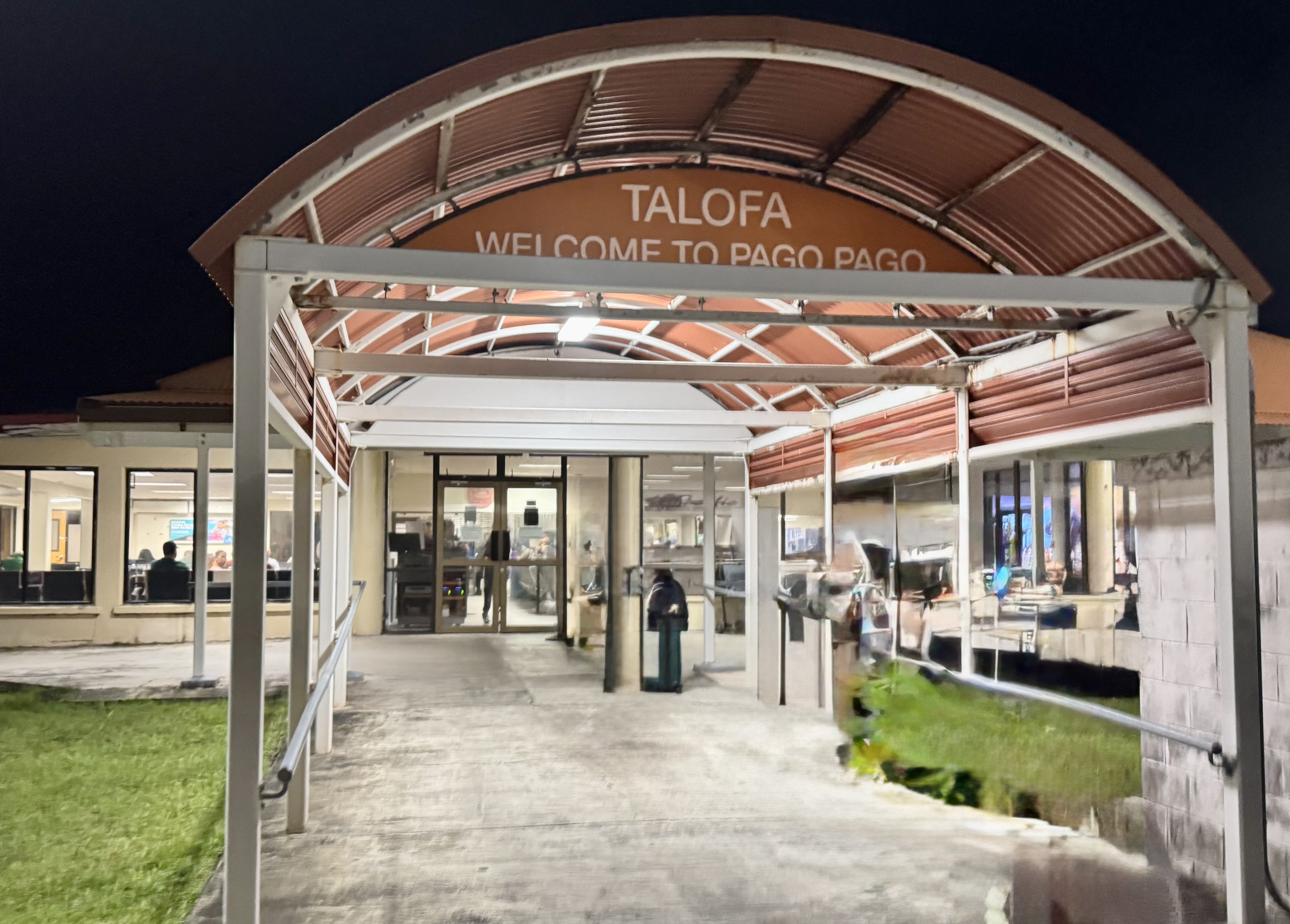
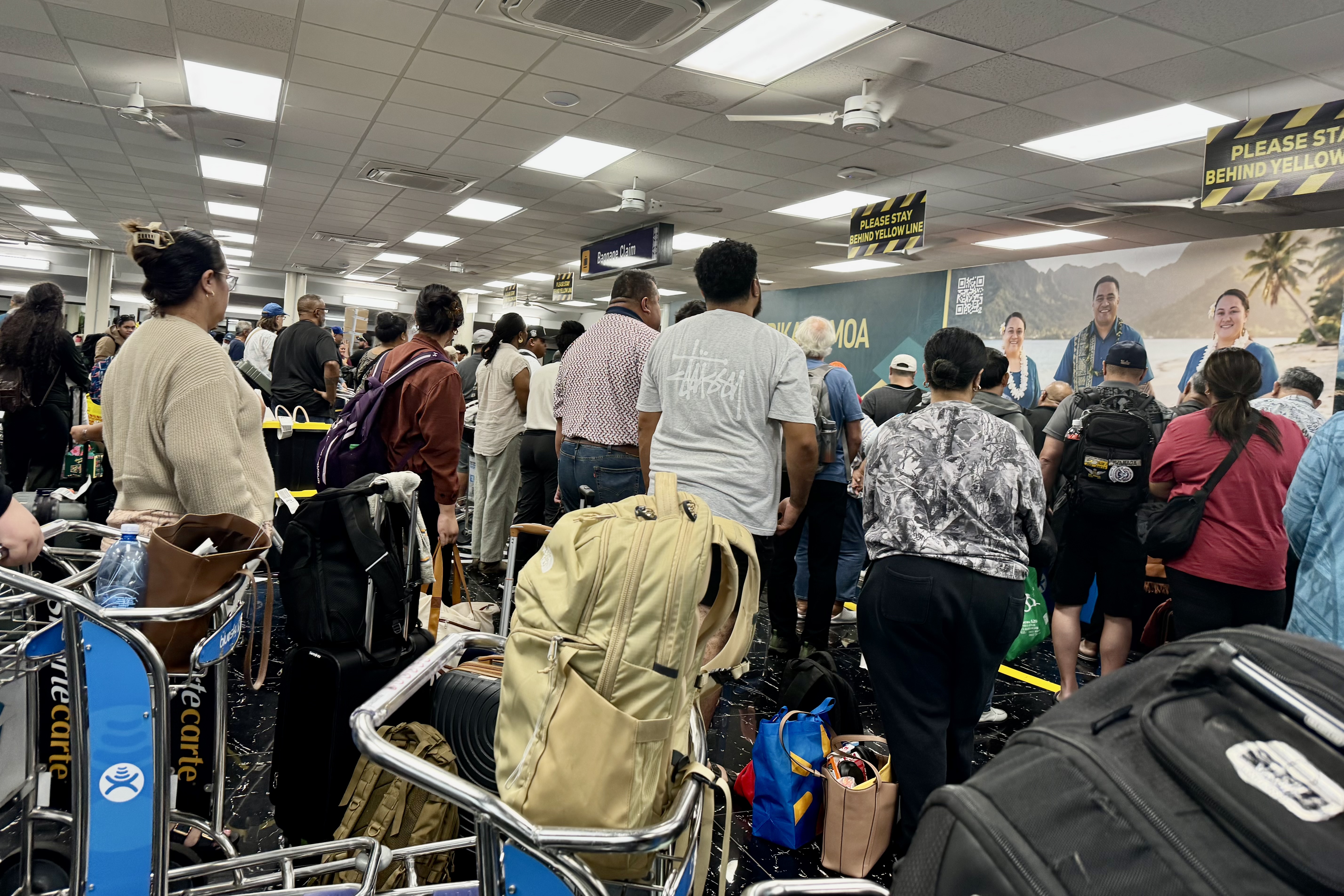
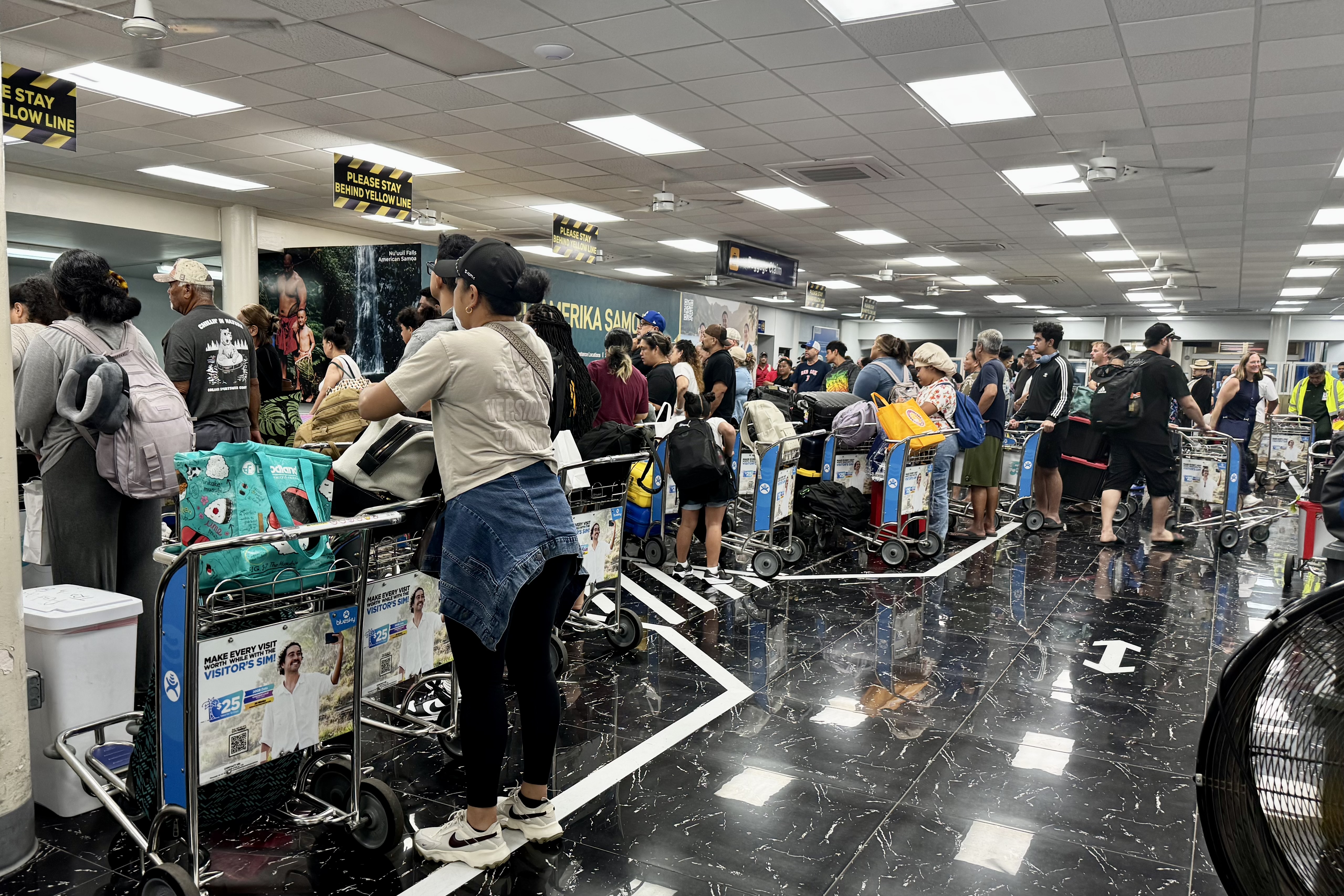
We arrived in American Samoa around 9:00PM. and that is when the real adventure began. Retrieving our luggage turned out to be a chaotic and surprisingly challenging affair. It was a madhouse. Many of the passengers arriving from Honolulu were native Samoans, and it appeared that a trip to Honolulu involved stocking up on products either for their own use or to sell back home. Everyone seemed to be waiting for multiple items such as enormous tubs (the favorite was a black tub with a yellow lid) , assorted packages and boxes. The luggage carts multiplied, the waiting area became completely jam-packed, and the bags emerged from the conveyor at what seemed to be a snails pace. We stood in the rear watching the mountain of luggage slowly make its way into the terminal wondering when our bags would finally appear. At last our meager little duffles emerged from the chaos. Compared with some of the enormous tubs and multiple suitcases, our luggage looked almost embarrassingly modest.

Of course, before we headed off to our hotels we still had to make it through immigration. Since unlike most of the others at the conveyor belt we were only waiting for one item each and managed to be amongst the first to go through the entry process, which went quickly and smoothly. Once on the other side we were met by the driver from Sadie’s by the Sea Hotel who loaded us into the hotel’s transportation van. We settled ourselves in and waited…and waited…and waited for the other passengers to arrive.

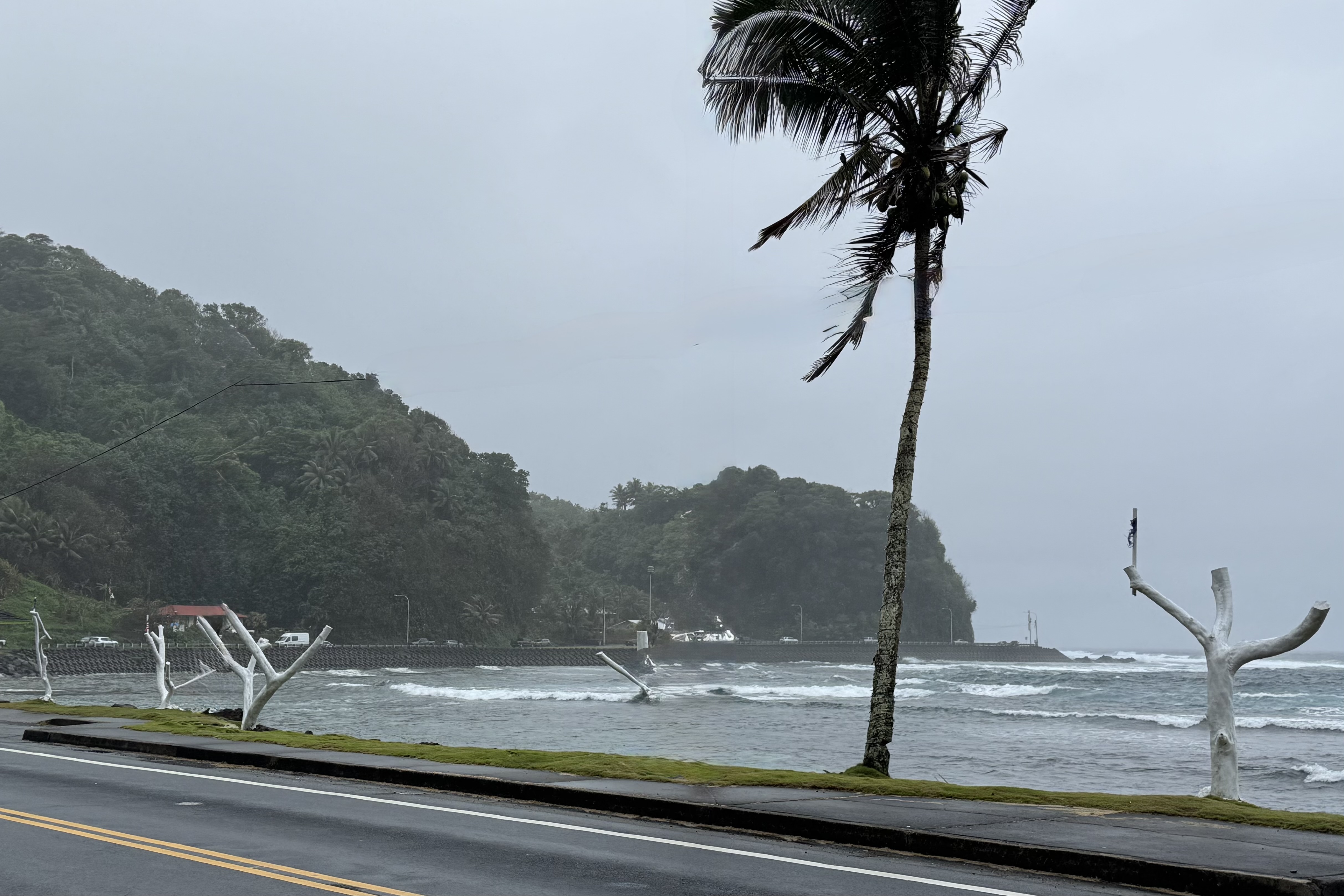
The drive from the airport didn’t initially give me much of an impression of what this tropical island would be like. The first part felt surprisingly industrial and somewhat run down , not at all like the lush pacific setting I had been expecting! Eventually however we reached the bay, and the scenery began to change. I was particularly puzzled by a row of dead tree trunks painted white stretching along the bay, each bearing a tattered small American flag. I have not been able to discern what that was about and have filed it away as one of the mysteries of American Samoa.

By the time we pulled into Sadie’s it was 11:30 PM. In searching for lodgings I found few lodging options as tourism is a very small part of the economy because of federal cabotage laws and the strong emphasis on Samoan cultures and the preference for slow, community centered development over resort style growth. This was a big part of the appeal for us and if we wanted to be located on the water there were scant options.

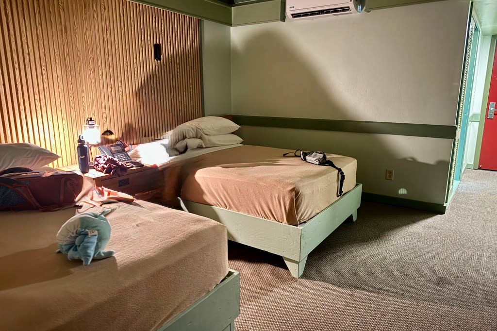
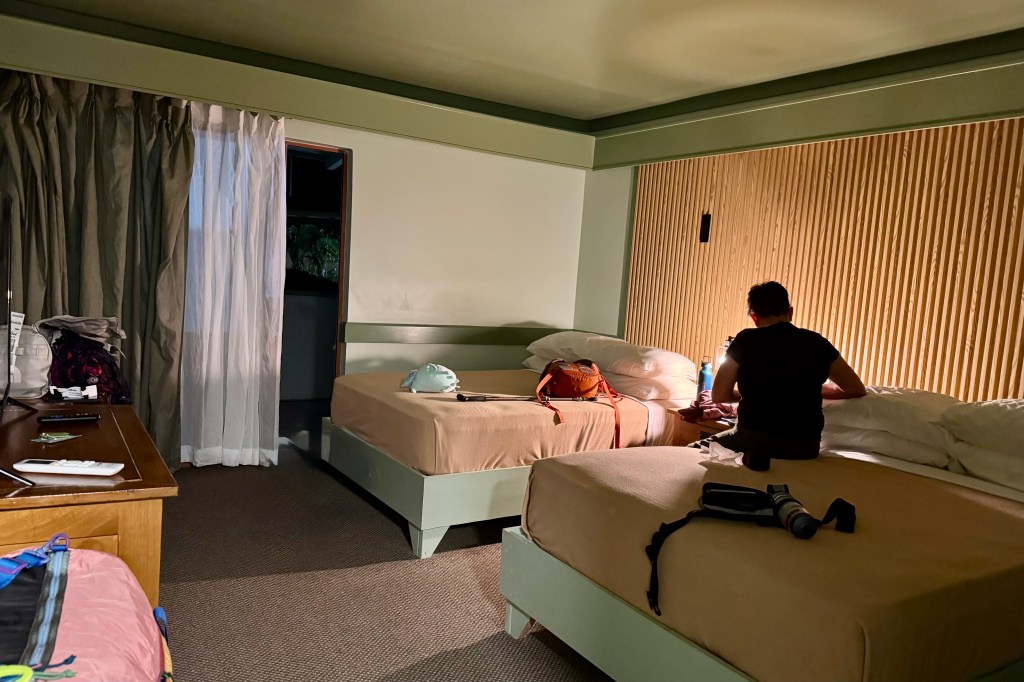
Our best choice for lodging was Sadie’s by the Sea. I knew Sadie’s was a quaint old motel from the online photos but it appeared to have been given a make over. The decor reminded me of the mid-century tropical motels on US 41 in Florida, with retro touches, sage green accents, creamy walls, wood-fluted panels and well worn carpet. It was surprisingly cozy. However no amount of decorating could completely disguise the fact that Sadie’s had been around for a while. It was definitely lived-in and well worn but somehow that became part of its charm. If I had to describe it, I’d use word like quirky, comfortable, tropical, and full of character and personality though it certainly wasn’t luxury and pretentious was definitely not going to be one of its problems. By the time I crawled into bed and turned out the light it was 2:00am.

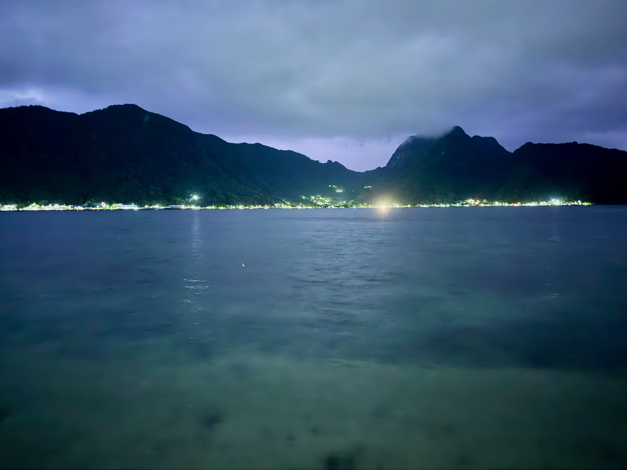
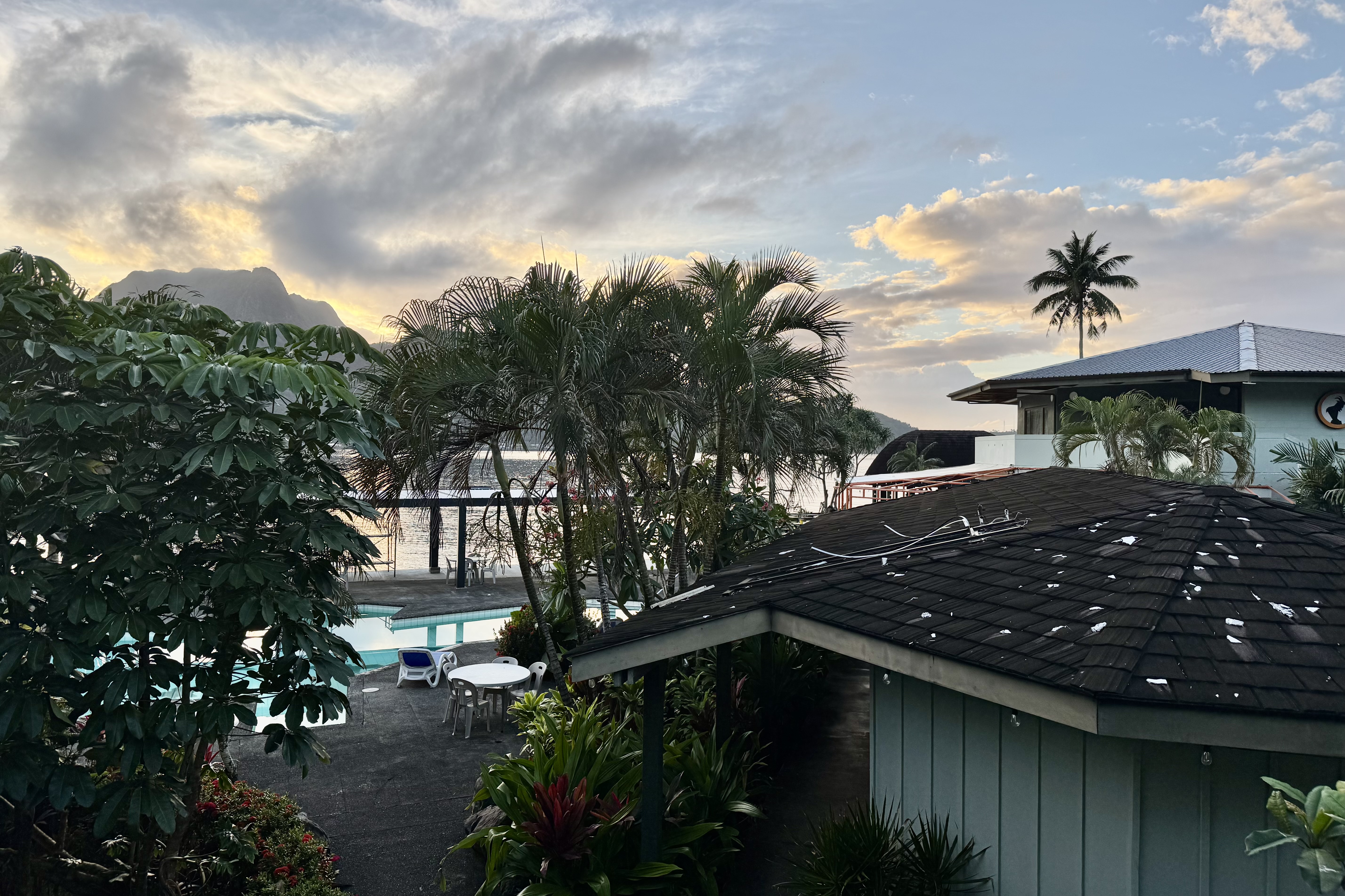
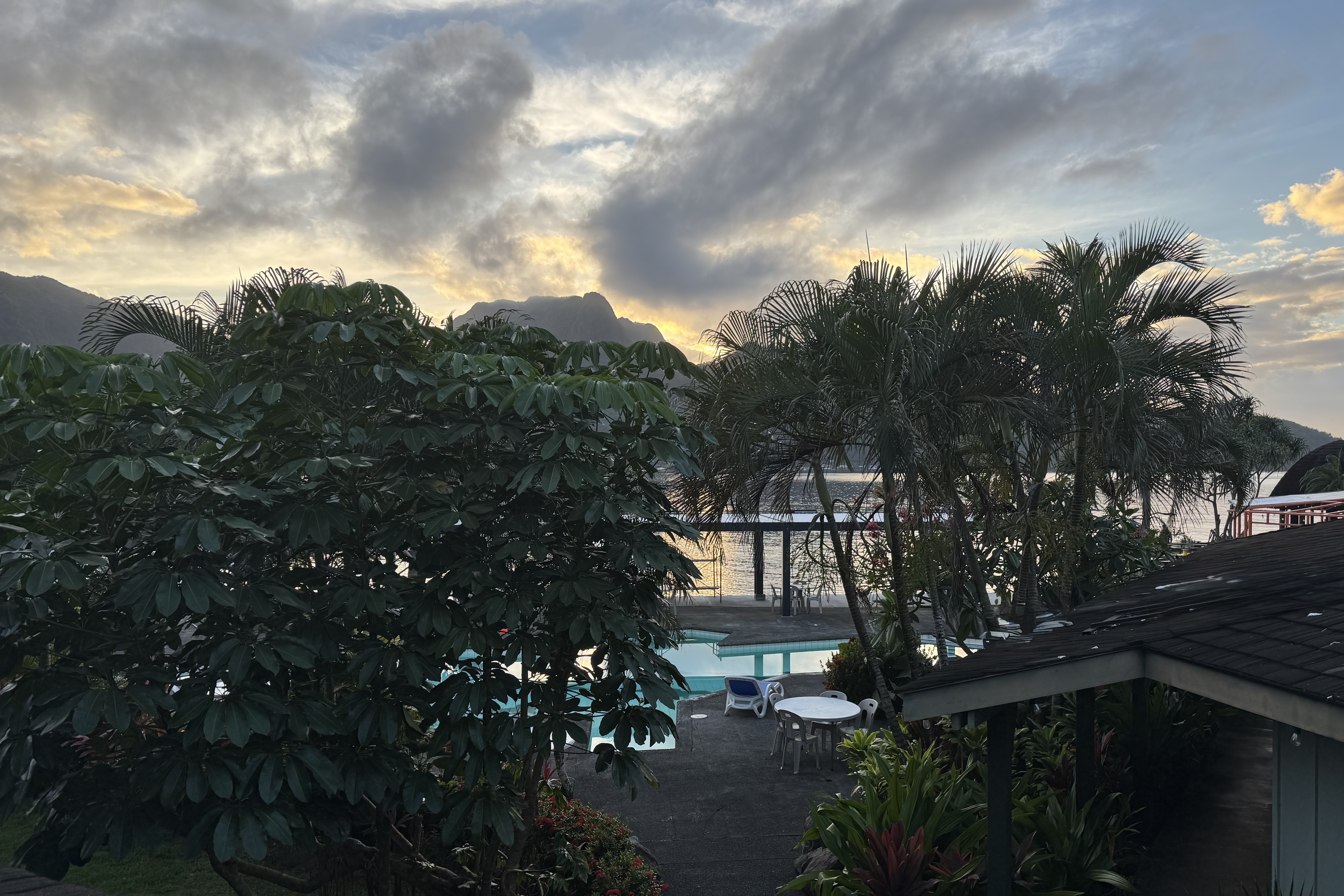
I woke up about 6:00am the following morning — our first on Tutuila and stepped out onto the balcony. From the balcony, I experienced the soft early light of morning. Above the harbor clouds in shades of blue, gray and gold drifted across the sky. Beyond was a row of rugged peaks which appeared to be rising dramatically from the water. Palm trees were swaying around the pool. The bay shimmered with the first hint of sunrise. This was a pretty spectacular welcome.

After all the planning, packing and long journey from Medford OR I was feeling wonderfully happy. We actually had finally made it. Though still travel weary I stood there knowing that many adventures of hiking and snorkeling awaited and the trip was finally beginning

Misery Ridge: What Could Possibly Go Wrong?

The morning of the fourth day meant breaking camp and heading north towards the  Mt. Hood area where I would be spending the next three night at Still Creek, a Forest Service campground about 7  mile south of Mt. Hood.  It was only going to be a three-hour-and forty-five-minute drive, so naturally I found a way to turn it into an adventure (or perhaps a misadventure). 

I had read about a beautiful Oregon State Park called Smith Rock famous for its dramatic cliffs and rock climbing. Even better, it was just a few miles off the highway I would be traveling and about halfway to my destination. What better way to break up a drive then to stop for lunch and perhaps a short hike as there was no rush to get to the campground.  I had no agenda beyond setting up camp and enjoy a relaxing evening.

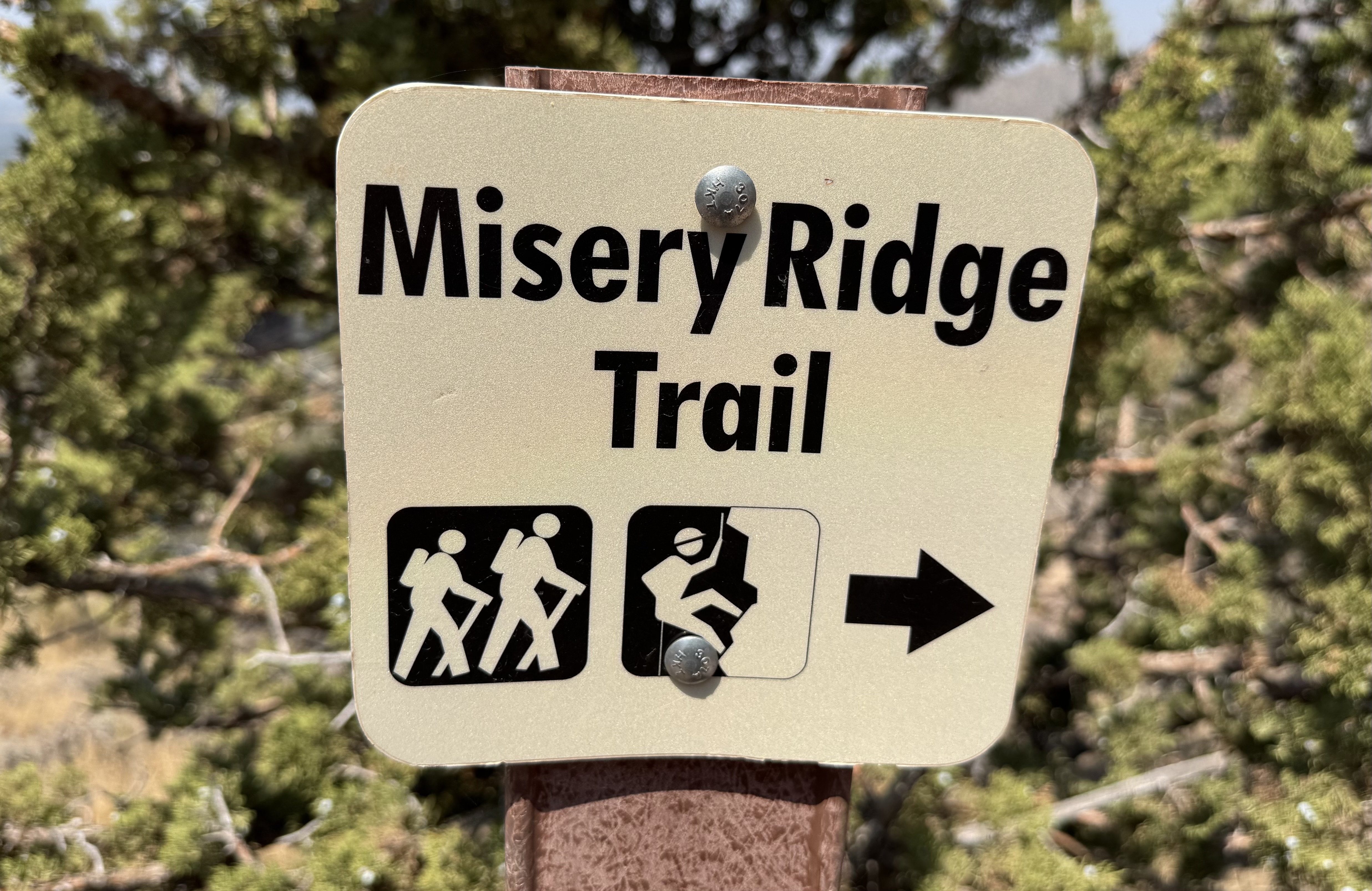
Armed with what I considered my excellent research skills, I had decided I might tackle the Misery Loop Trail – perhaps in reverse as it was described as a bit less difficult. You can be assured I skipped over the description of the “easiest” trail and gone directly to the more difficult ones. What caught my attention, of course, were the words “Misery Ridge Trail” and the “Chute, ” both listed among the park’s most difficult trails.

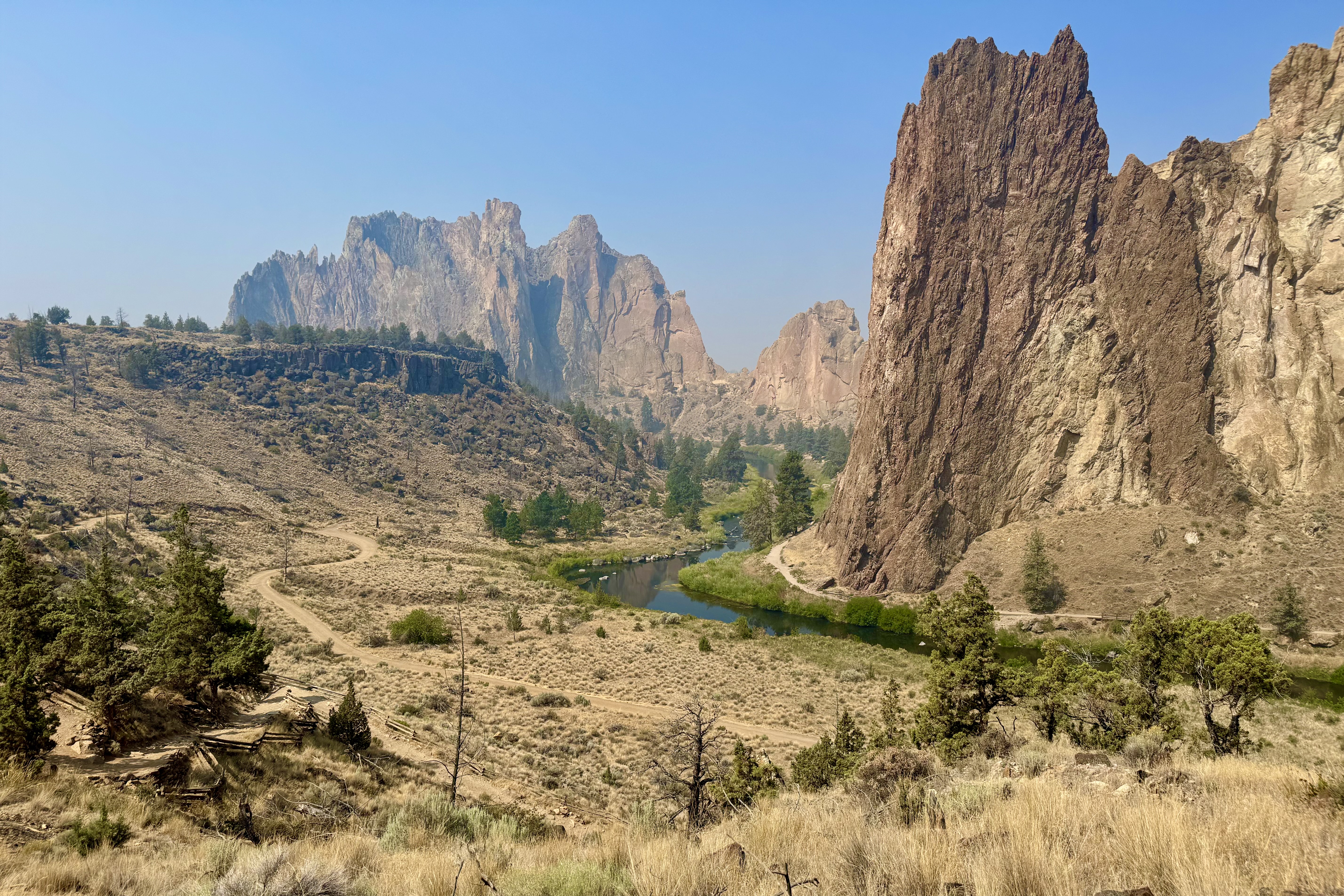
The original plan was called the reverse Misery Ridge Loop, a 3.7 mile route. I would not ascend the Misery Ridge Trail which was described a crowded and quite difficult with trail surface basically loose scree and uneven terrain. But the reward would be spectacular views of the rivers, mountains and surrounding canyons. Once I got to the park, I reconsidered the almost 4 mile hike. The park was not the least bit crowded eliminating the main reason for not doing Misery Ridge. So naturally I revised my thinking: I would climb this difficult section, go slowly and plod my way up, enjoy the views, and carefully pick my way down the easier route.

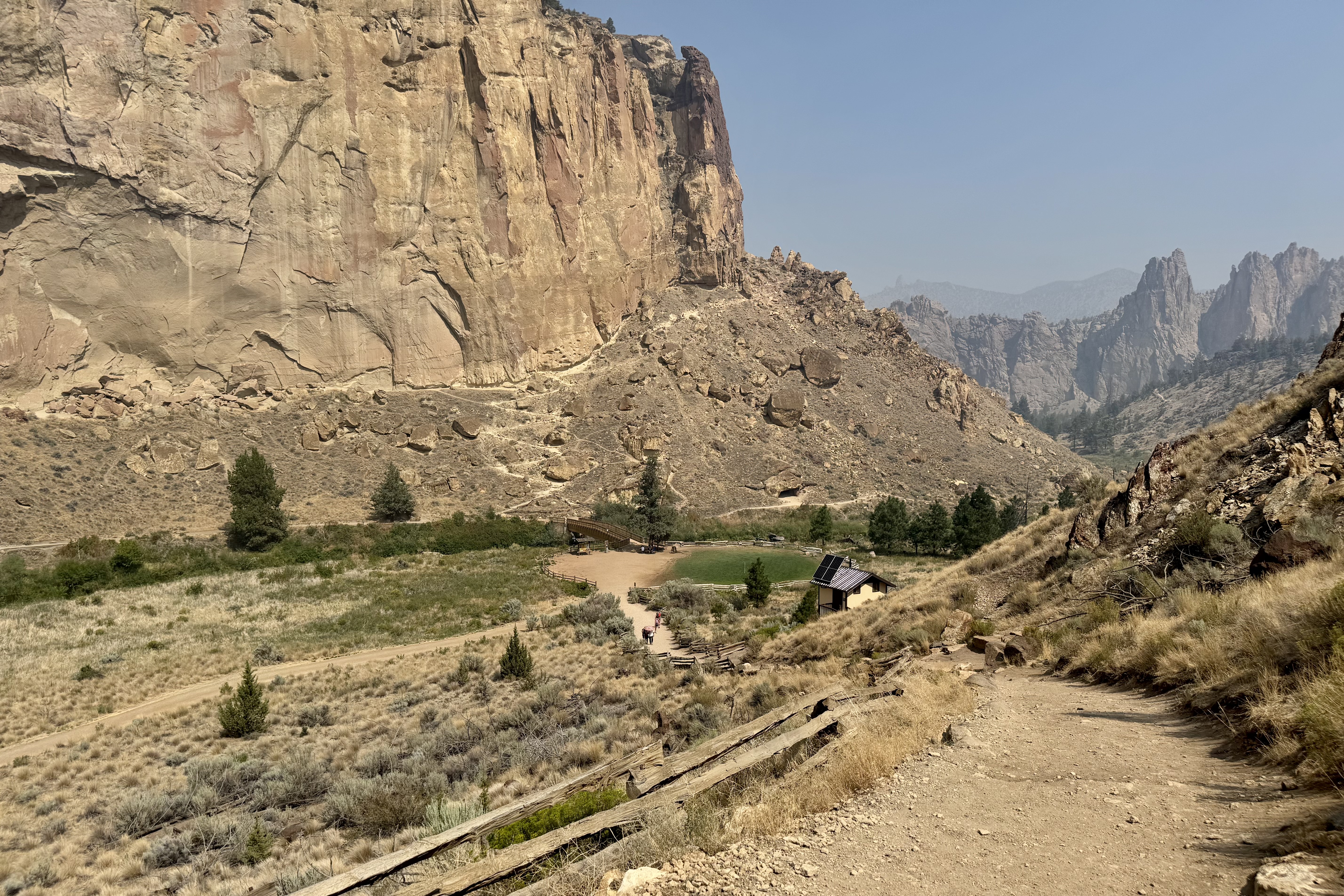
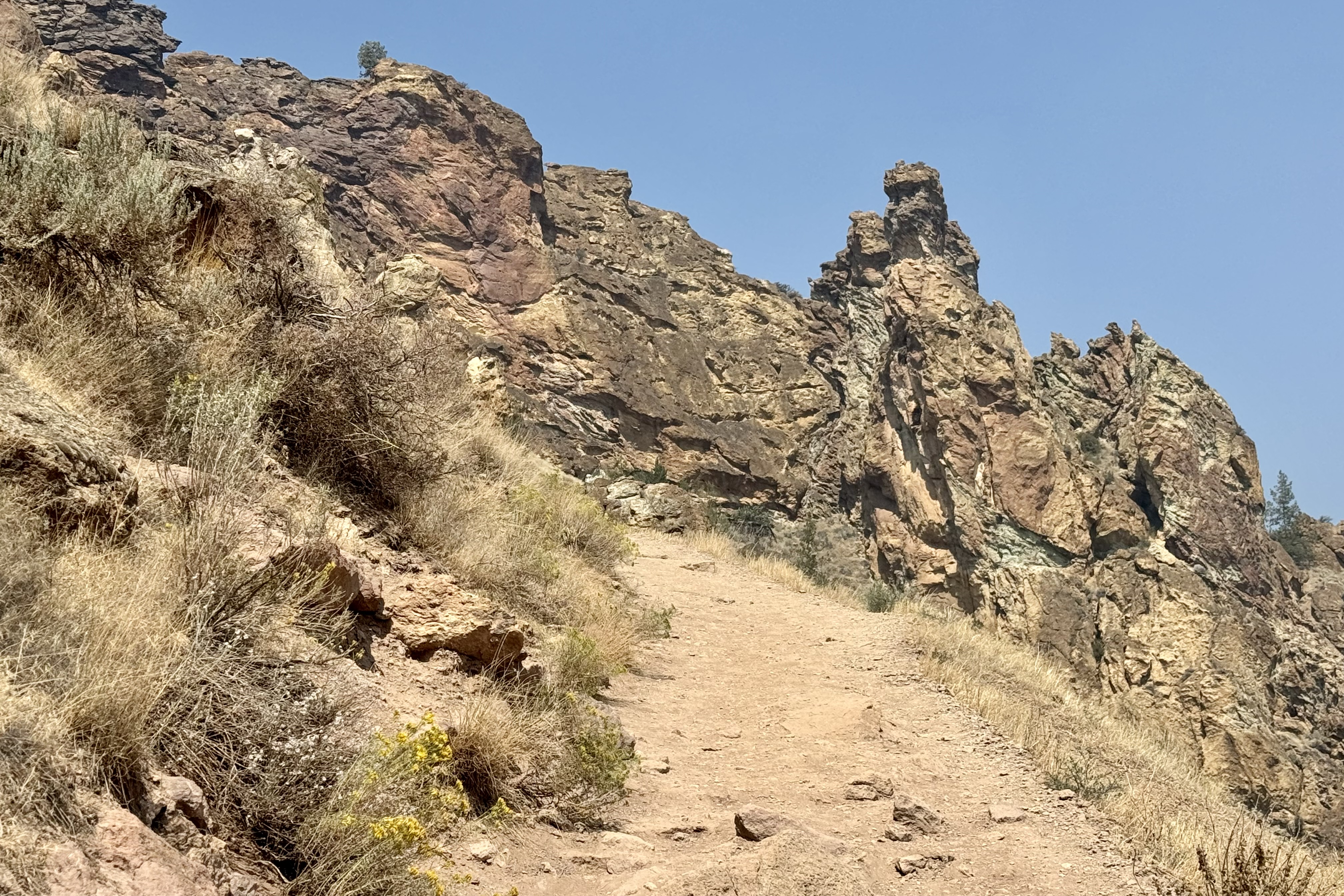
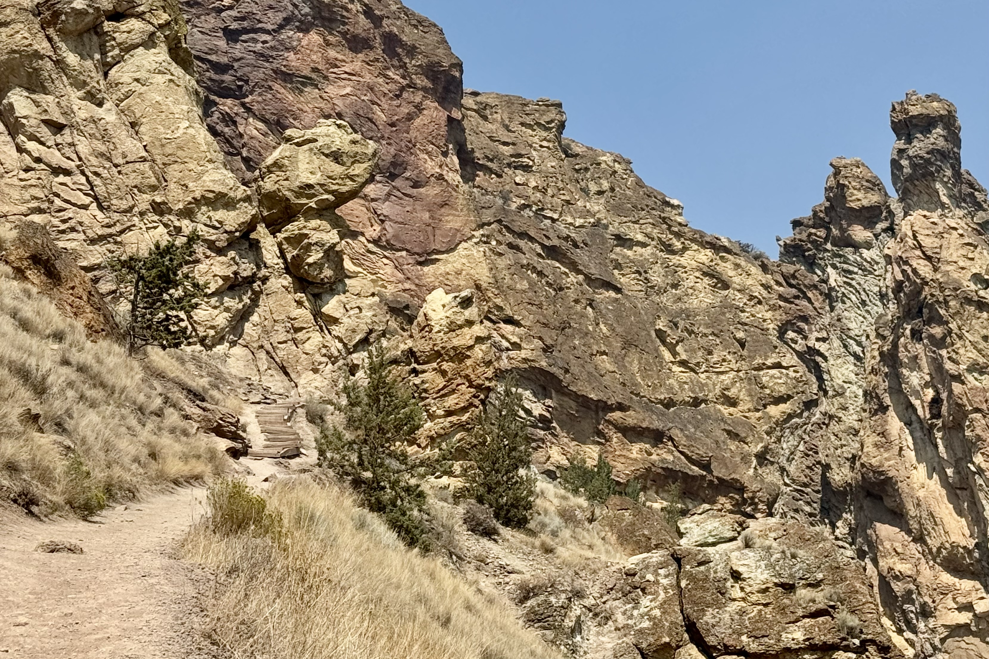
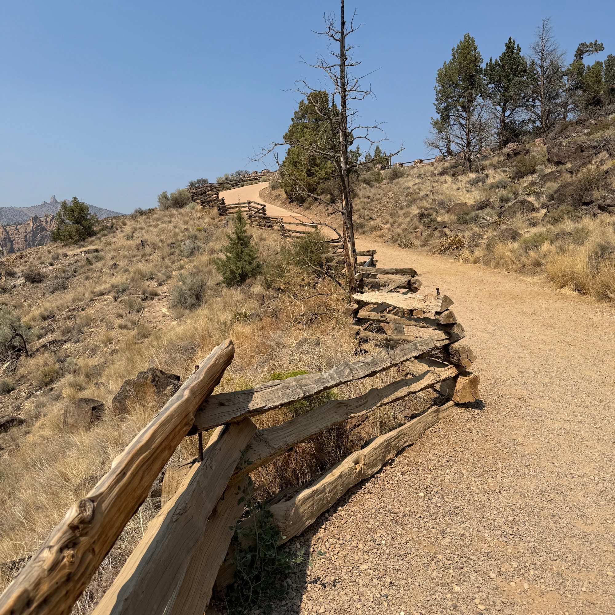
My confidence began to evaporate quite quickly. The trail was every bit as advertised: gravel, loose scree, sand, switchbacks, and uneven wooden steps holding the trail together. It was also getting hot but since this trail was only .68 of a mile – it would be a more sensible choice versus something longer.

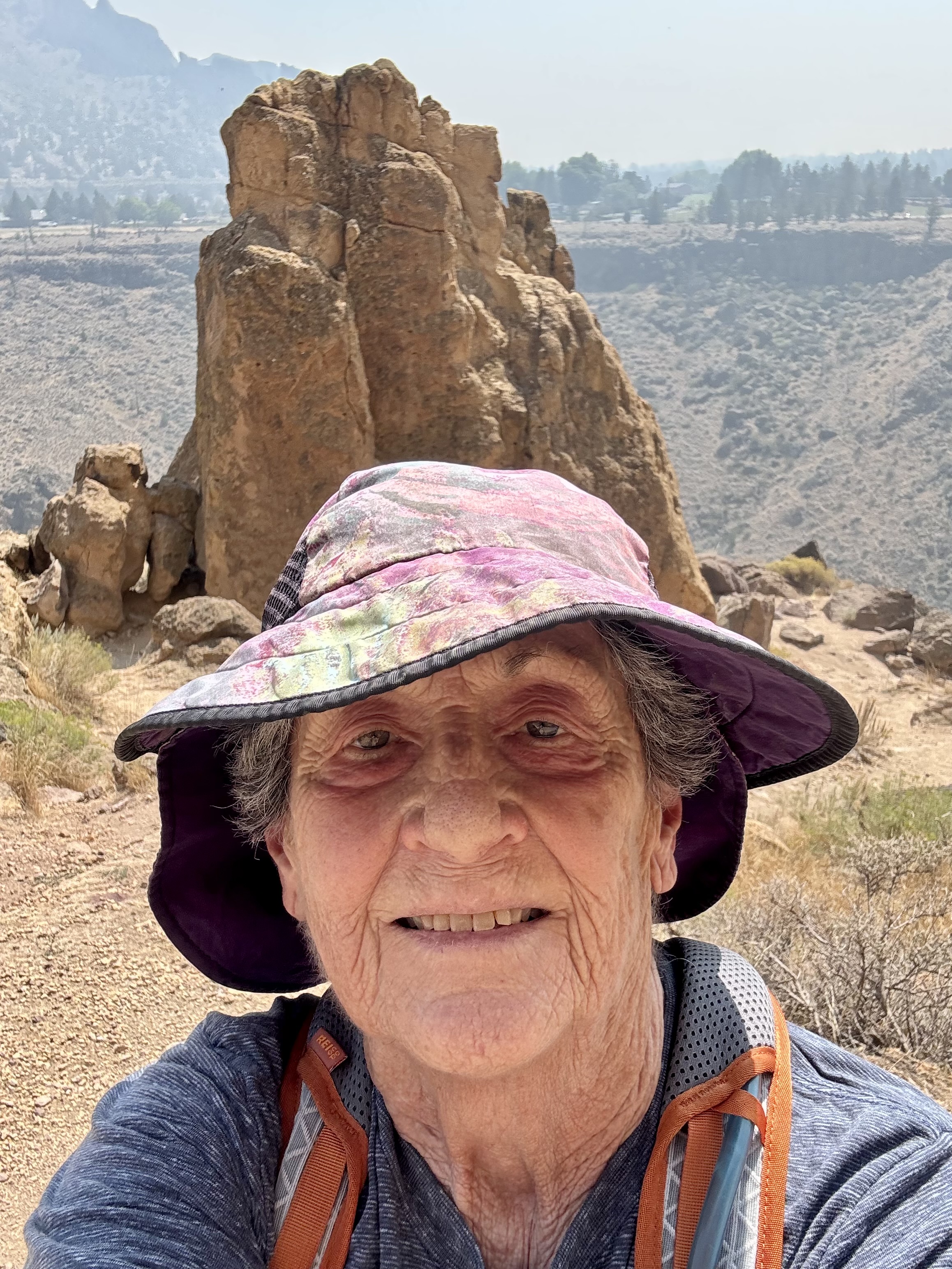
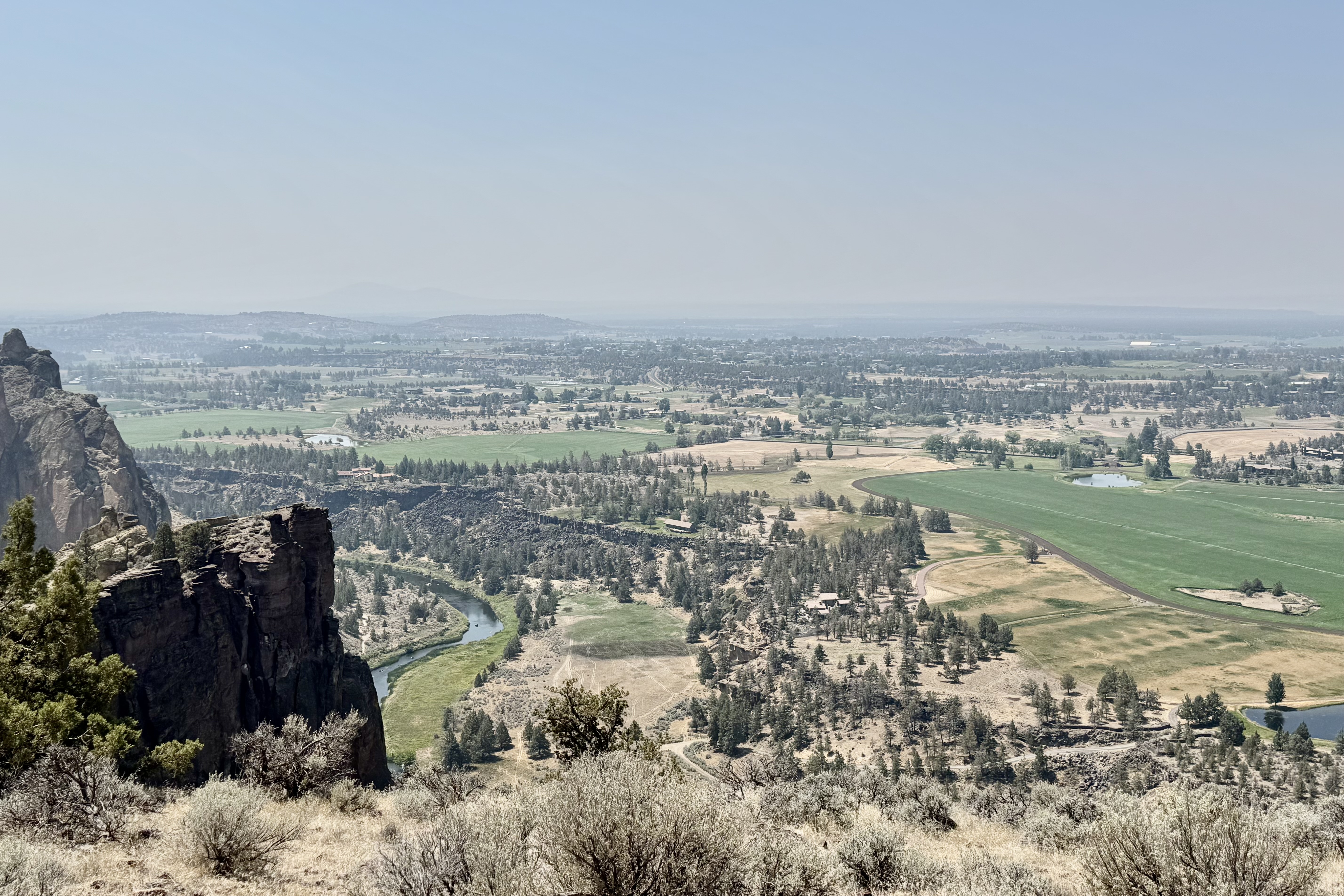
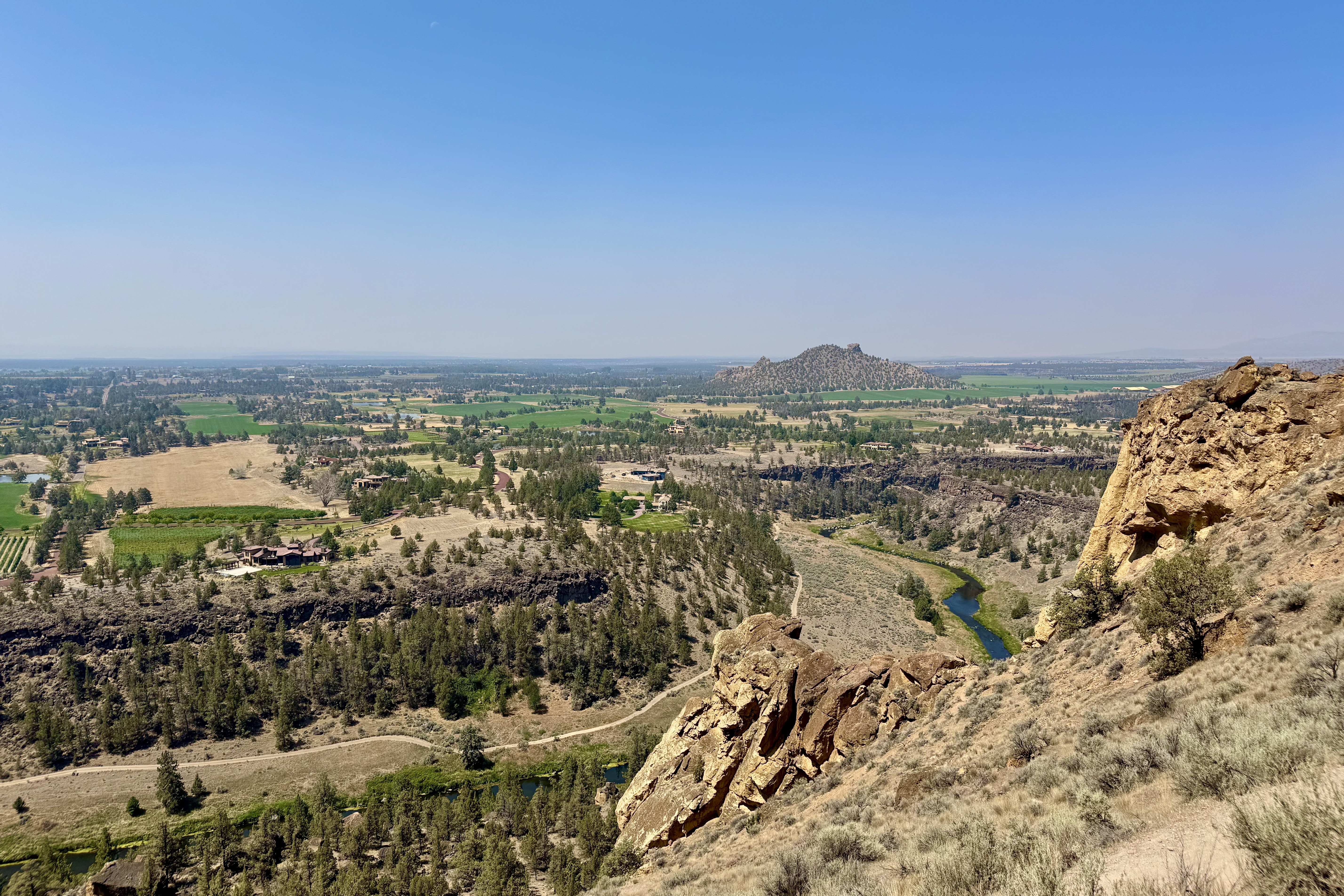
O course I was wrong. I very slowly huffed and puffed my way up this unstable terrain stopping frequently to catch my breath and sip water. I cursed, sweated and actually began to question my judgement. But I was not going to give up. After a little more than an hour and a half I reached the summit.

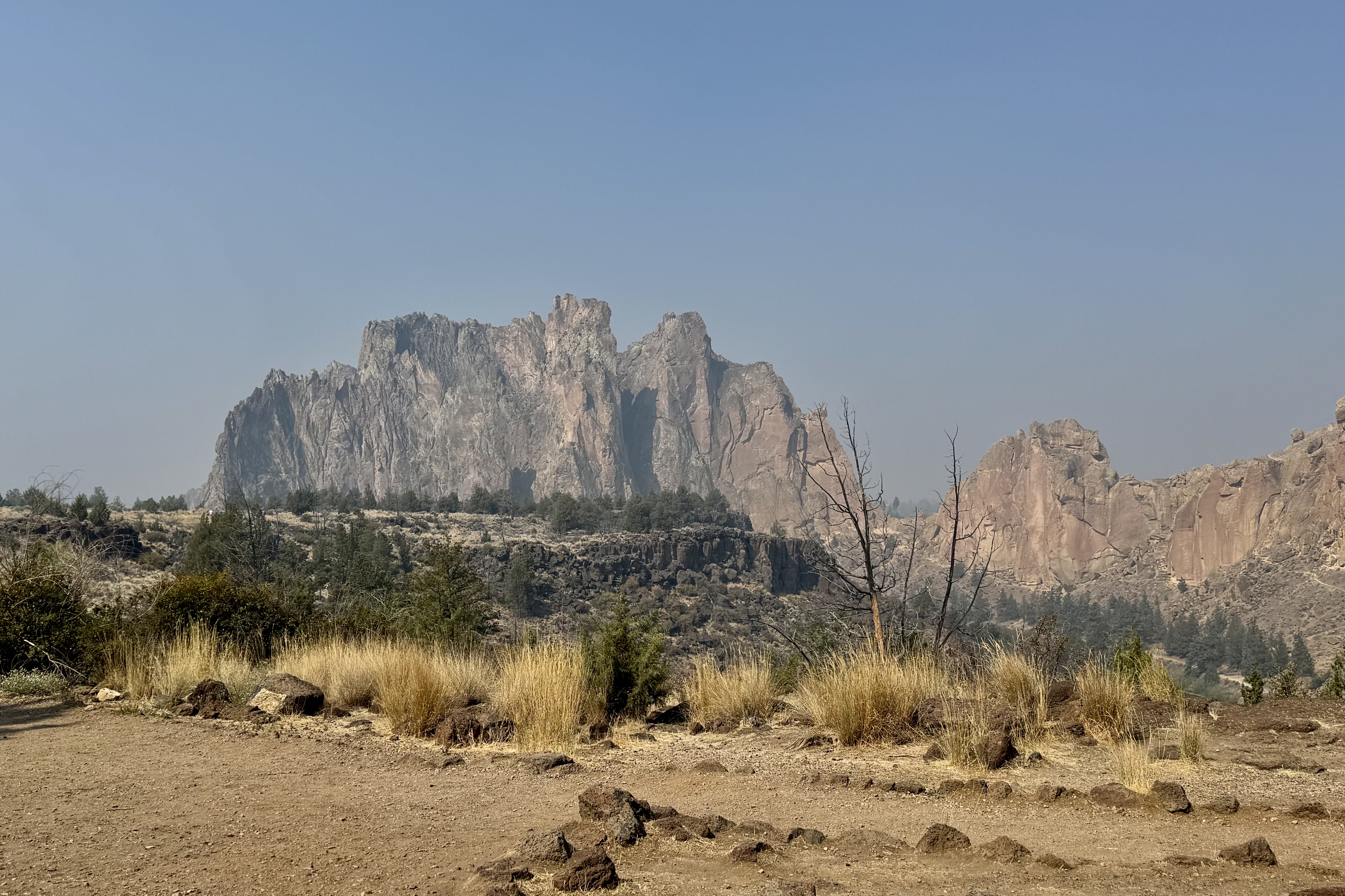
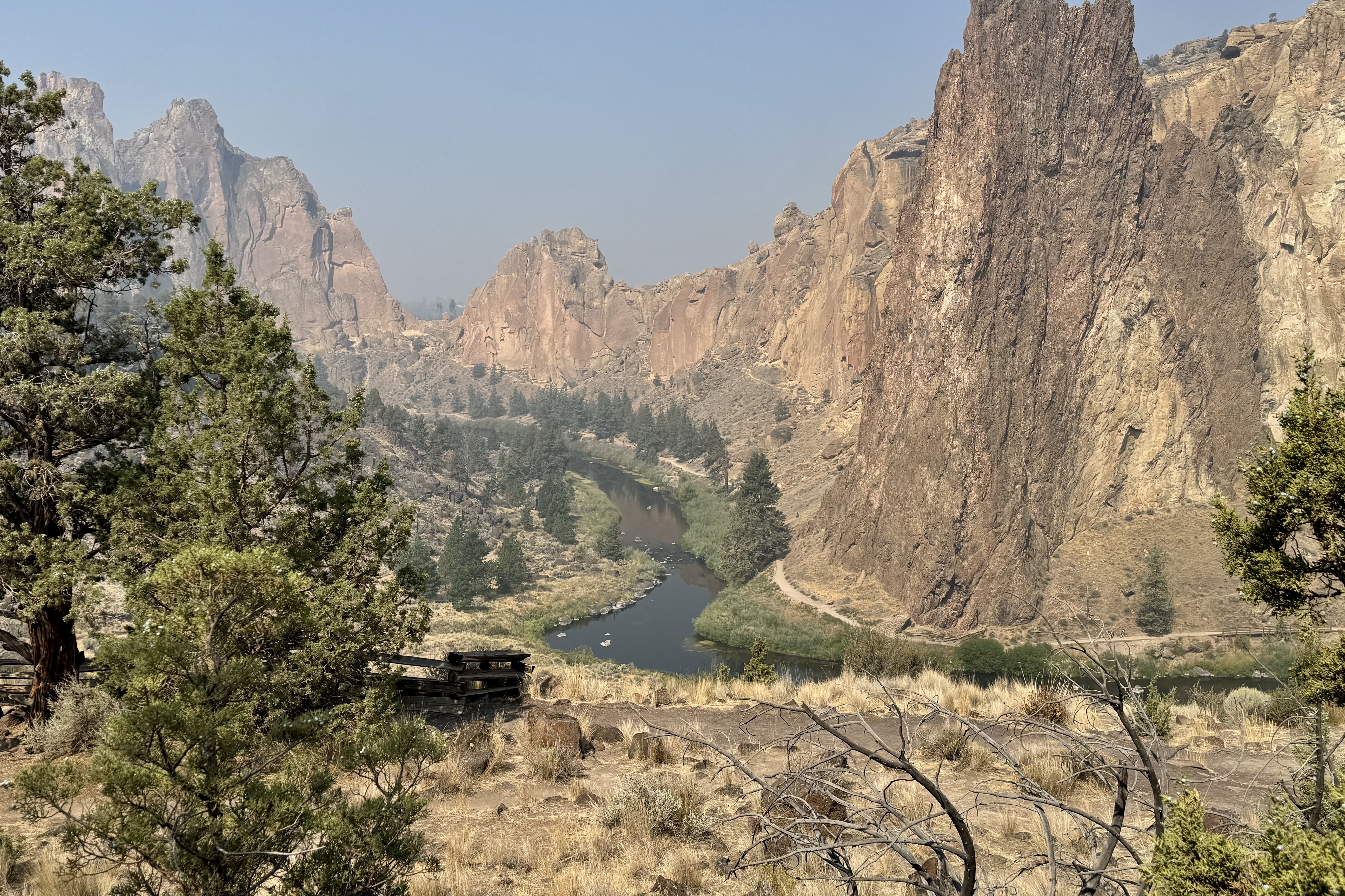
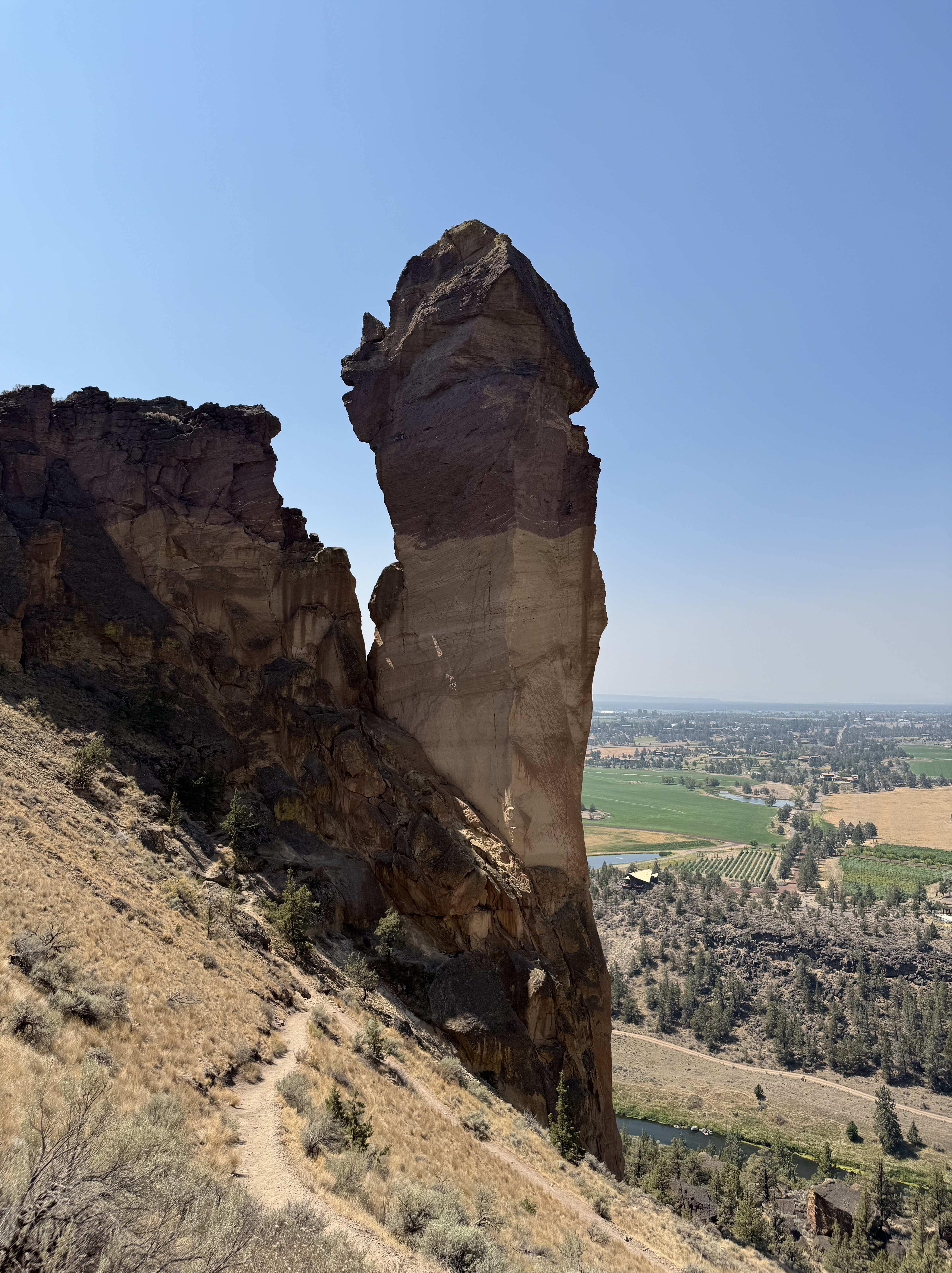
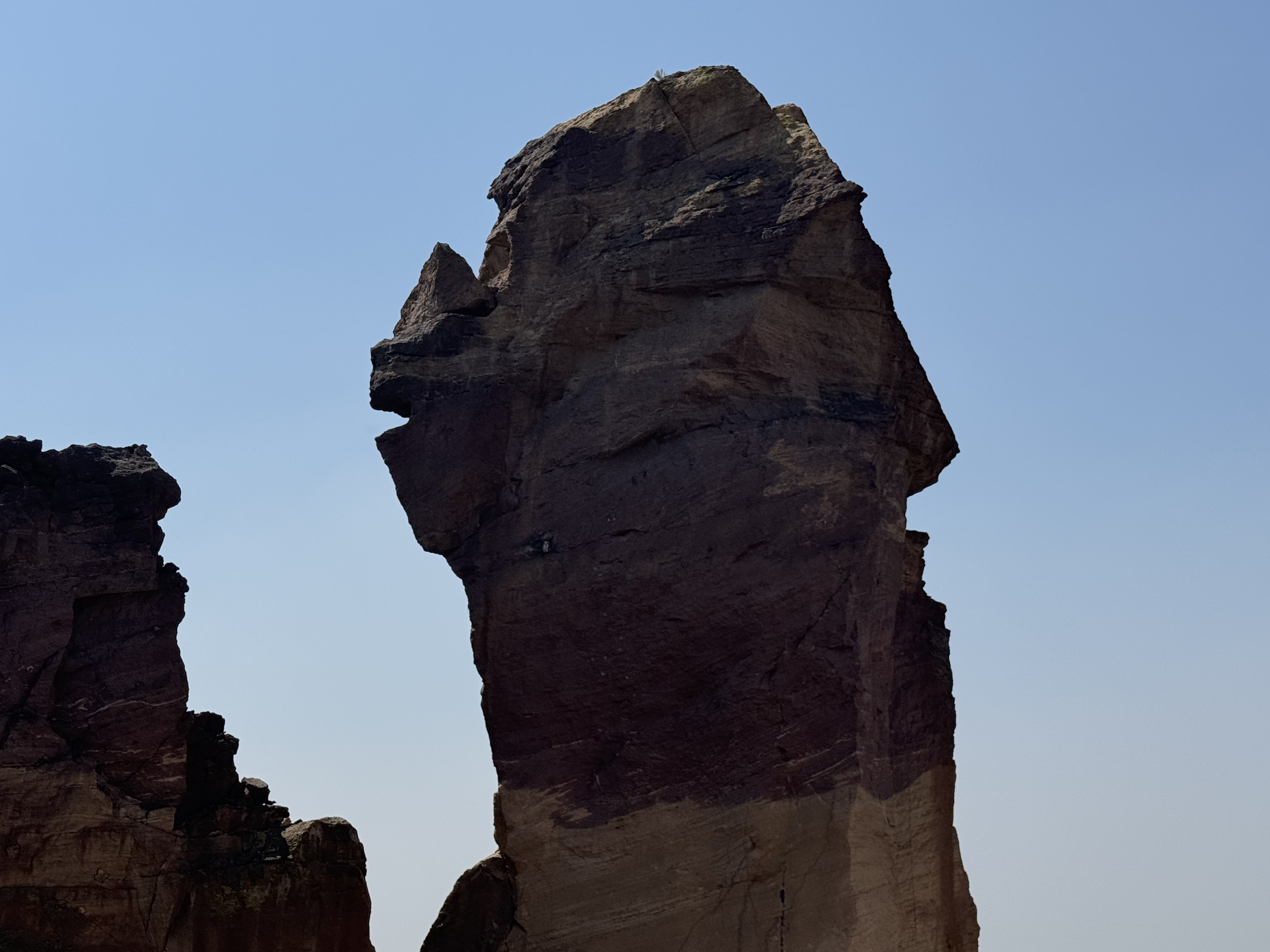
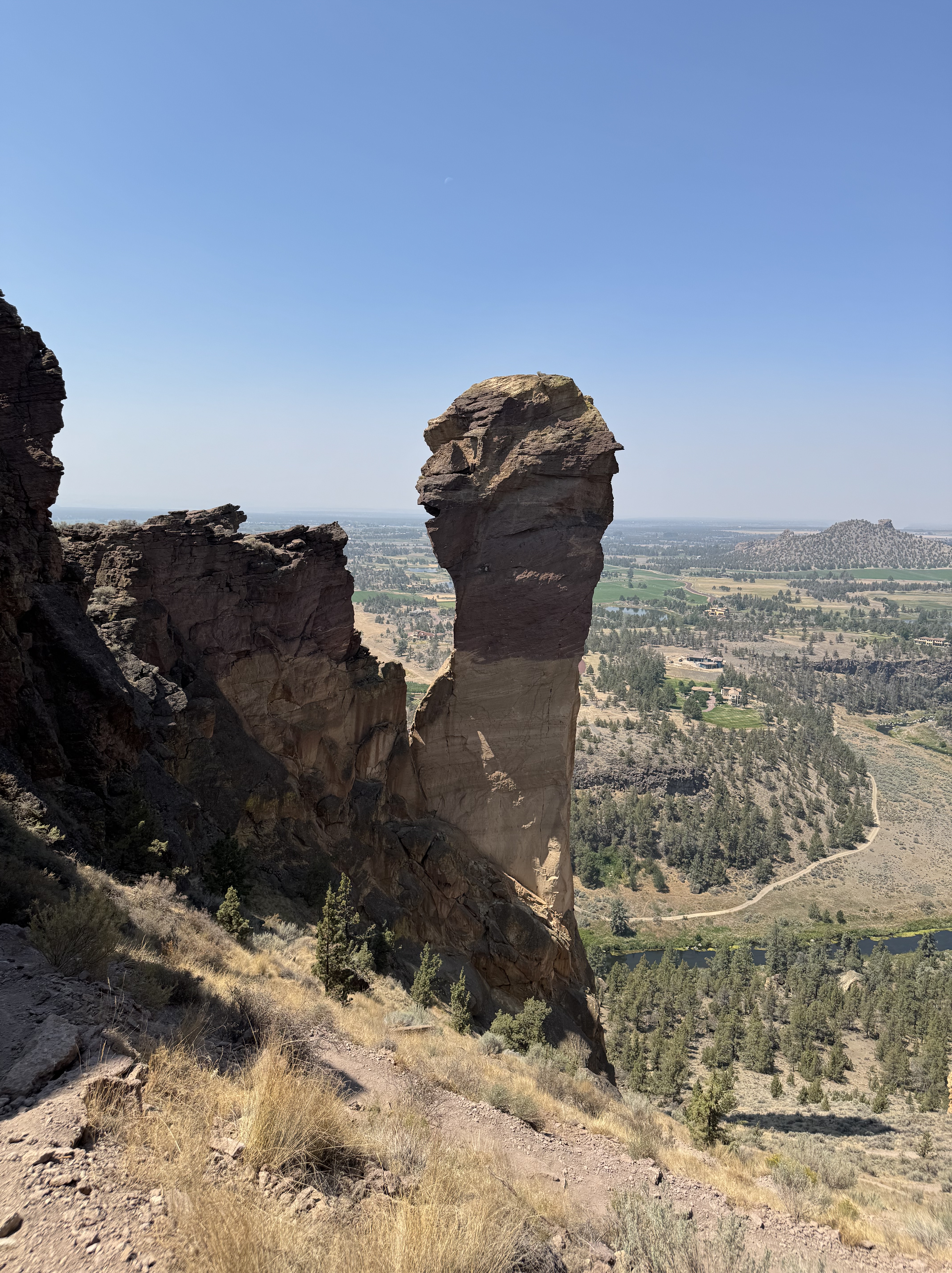
There was some shade. This immediately became my favorite feature of the summit. I settled down, ate my lunch, drank water and then took in the spectacular views. Briefly the suffering felt justified but soon I decided to head down the backside. And that was, yet again, when my lack of navigational skills went into full relapse. I followed the signs for the Misery Ridge Loop until I reached a junction where I had no idea if I was supposed to go right or left. The signage was confusing and although I had anticipated other hikers, there was hardly another human being around to ask. I encountered only two small groups of hikers during the entire hike. I looked back up at “Monkey Face” the famous 350-foot tall volcanic tuff spire in front of me. It’s premier destination for advanced rock climbers but no rock climbers today to consult. .

So there I stood at the junction, faced with two choices: forge ahead and hope I was going the right way or turn around and return by the route I knew. Given my notoriously compromised sense of direction and complete absence of anyone to consult, I turned back and started walking the half mile back up hill. Forty five minutes later I was back at the summit.

I began the descent down the same route I had climbed, carefully picking my way back acroos the unstable surface.  Going downhill was not as easy as I hoped it would be and in some ways harder since it would be so easy to skid out on the gravel and sand. But eventually I reached the river, crossed the bridge and headed toward “The Chute.” 

By now I was feeling that the entire excursion had become a fiasco. I had misjudged the distance, misjudged the difficulty, misjudged the route, then turned myself around and added another 45 minutes to the adventure. And now I still had to climb “The Chute, ” the last steep 500 feet of climbing. So much for a “short hike.”

I have to admit I recovered remarkably quickly after an icy cold Diet Pepsi, climbed back in the car and headed toward Mount Hood and my next campground. 

When I pulled into Still Creek, it felt as if I was driving down into a forest dungeon. Towering old growth trees surrounded the campground creating a dark canopy that was a dramatic contrast to the open sun-drenched landscape  I had just left behind.

As I searched for my campsite, I discovered there was only one other camping party in the entire 25 site campground.  There was a water spigot near my campsite but the smelly loo was the equivalent of a city block away.  

I was a little discouraged.  I was surrounded by a dense forest that initially felt gloomy. But I reminded myself that this was going to be a different kind of experience.  Different scenery.  Different hiking.  Different expectations.

I set up camp and everything wet smoothly.  With the campground quiet and remote there wasn’t much going on – which was probably what I needed. I had time to ponder the day’s adventure and couldn’t help but wonder once again about my sanity.  What is it that makes me constantly choose the difficult path.  Why do I need to consistently push myself to the limit?

A few days later once home I came across an article in the newspaper with the rather ominous title ”The Five Deadly Places in Oregon that Tourists Shouldn’t Travel Alone.” You can probable guess what came next. One of the places on the list was Smith Rock with the article sighting many of the very things I had encountered: summer heat, steep switchbacks, limited shade, exposure and loose rock. Everything I had spent four and a half hours negotiating wandering around largely by myself.

Had I read this article before making my choices at Smith Rock, would I have done things differently? I would like to think so. But knowing myself, I’m not entirely convinced. Perhaps I need to find a part of me that suggests a little more caution. But then that might be asking a lot from a woman who sees a trailhead labeled “Misery Ridge” and thinks “I wonder if I can?” and then forges ahead.

But for now I am simple grateful that my many questionable decision had ended with nothing worse than sore feet, some choice words to self, a lot of sweat , and feeding my addiction to icy cold Diet Pepsi.