The morning of the fourth day meant breaking camp and heading north towards the Mt. Hood area where I would be spending the next three night at Still Creek, a Forest Service campground about 7 mile south of Mt. Hood. It was only going to be a three-hour-and forty-five-minute drive, so naturally I found a way to turn it into an adventure (or perhaps a misadventure).
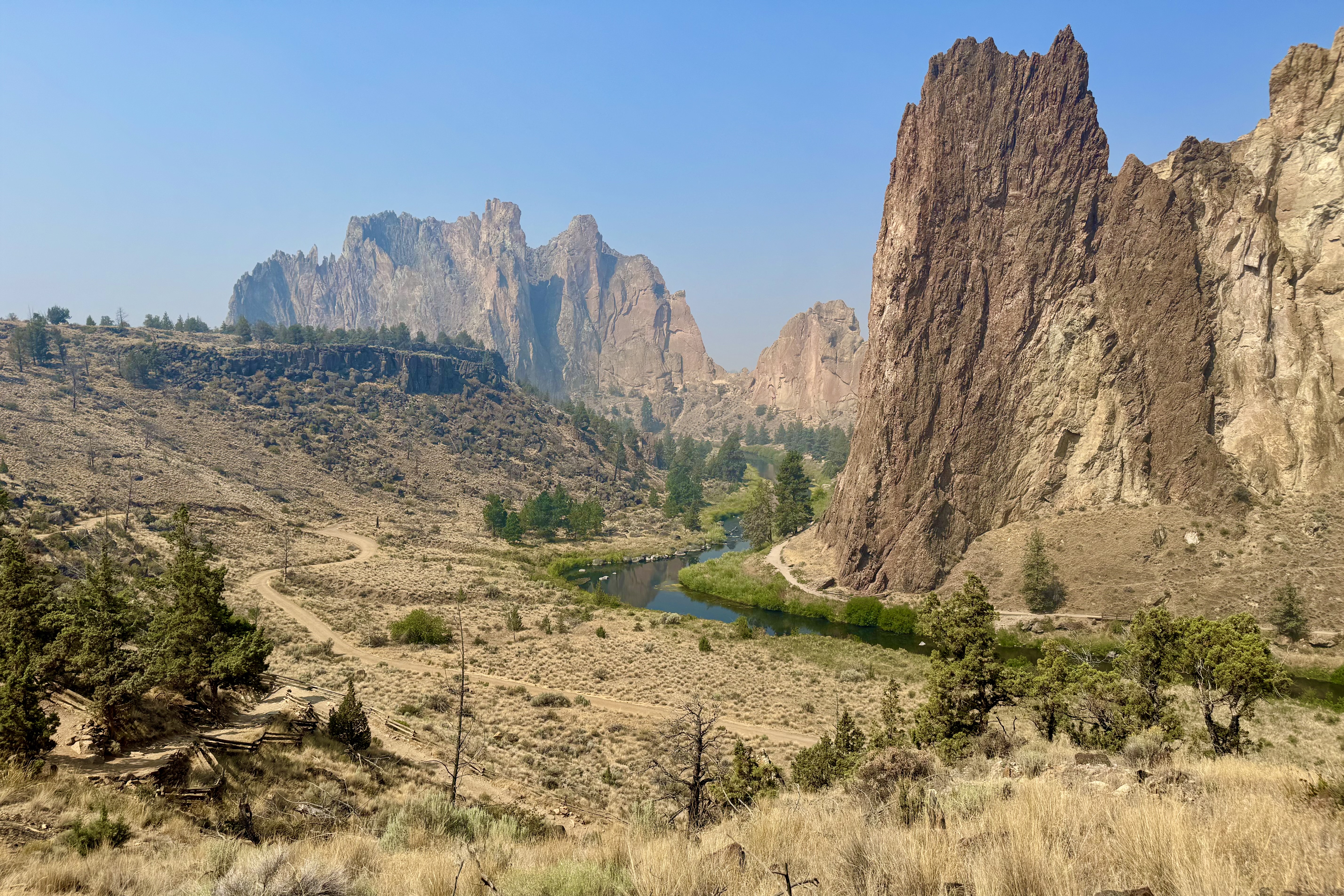
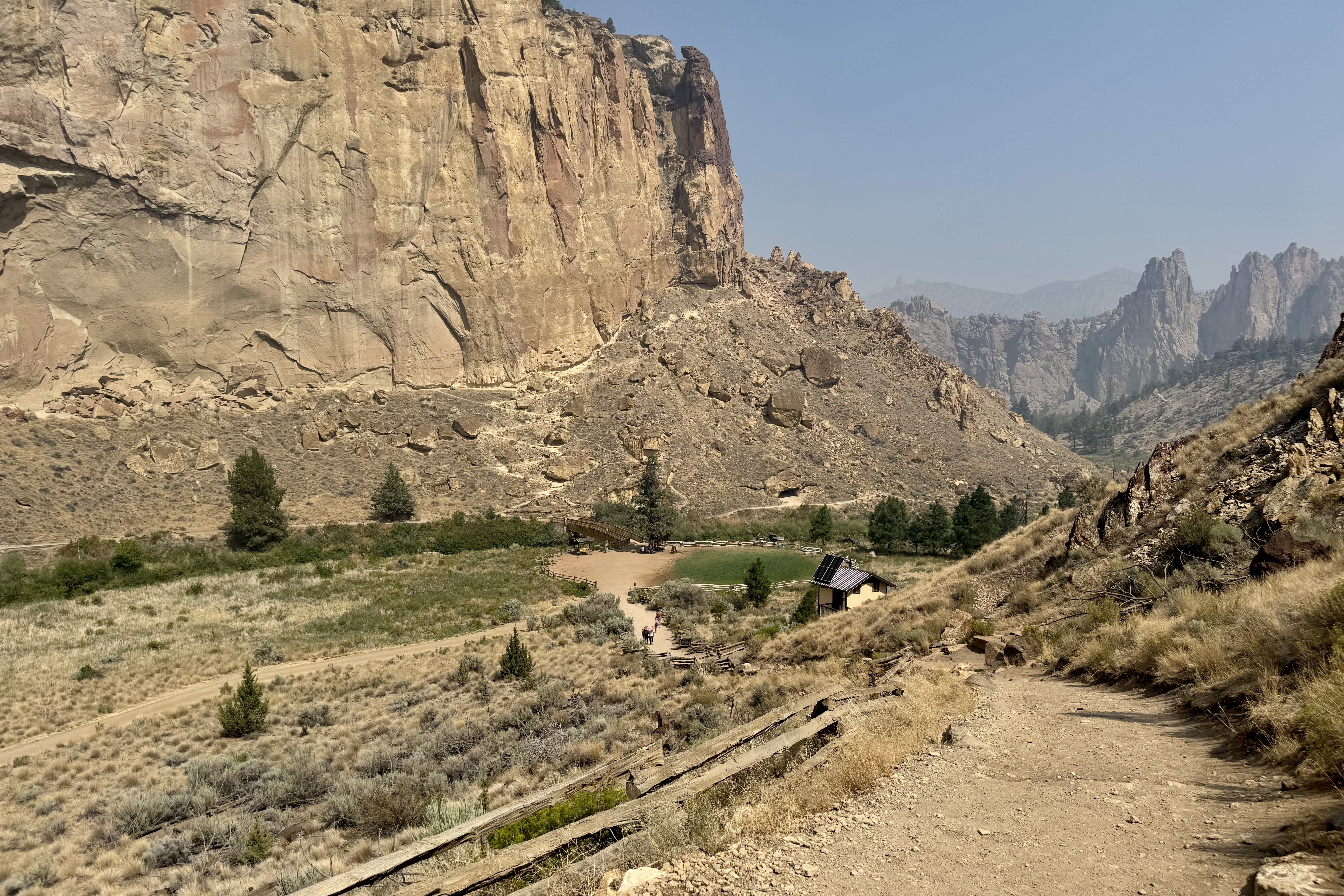
I had read about a beautiful Oregon State Park called Smith Rock famous for its dramatic cliffs and rock climbing. Even better, it was just a few miles off the highway I would be traveling and about halfway to my destination. What better way to break up a drive then to stop for lunch and perhaps a short hike as there was no rush to get to the campground. I had no agenda beyond setting up camp and enjoy a relaxing evening.
Armed with what I considered my excellent research skills, I had decided I might tackle the Misery Loop Trail – perhaps in reverse as it was described as a bit less difficult. You can be assured I skipped over the description of the “easiest” trail and gone directly to the more difficult ones. What caught my attention, of course, were the words “Misery Ridge Trail” and the “Chute, ” both listed among the park’s most difficult trails.
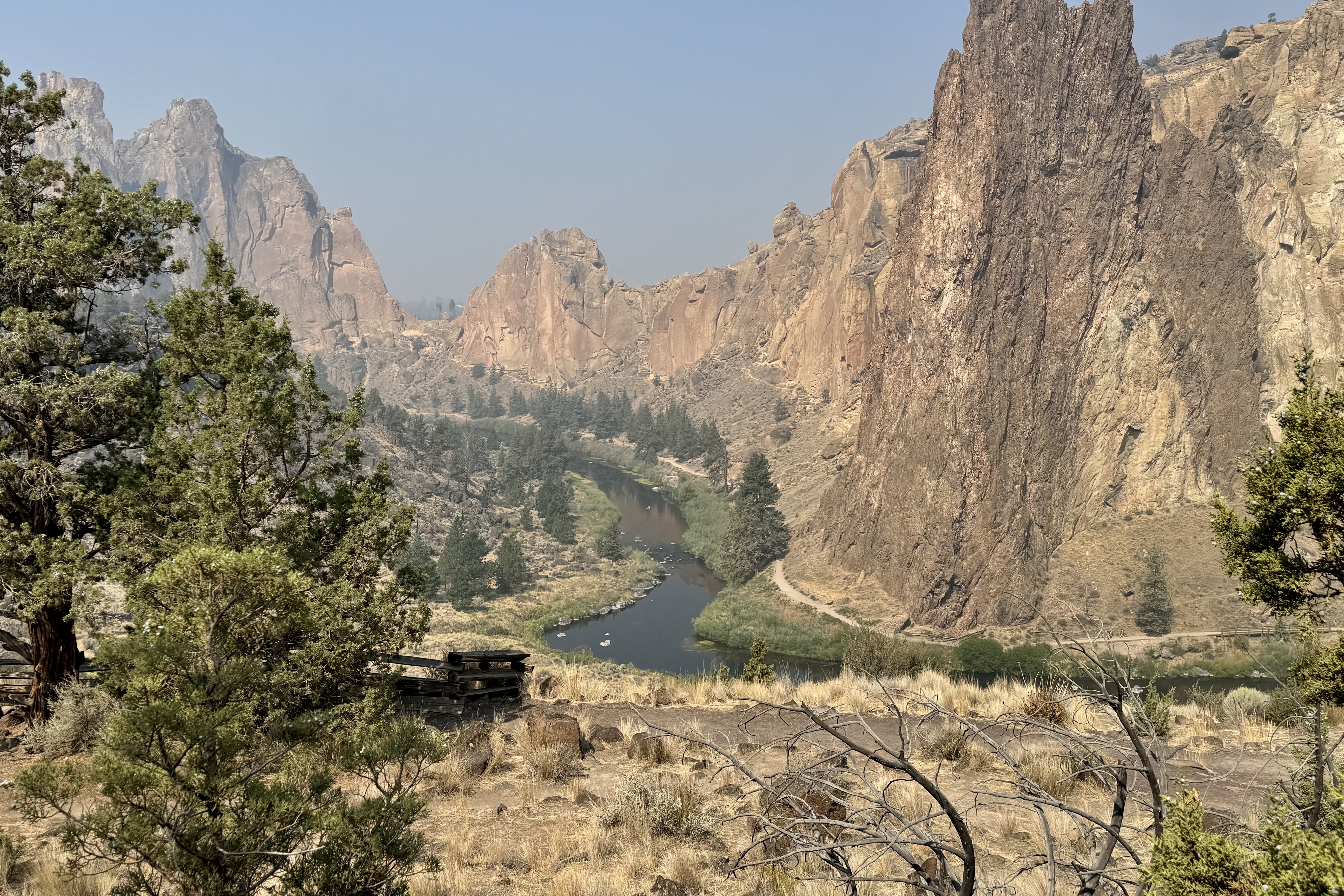
The original plan was called the reverse Misery Ridge Loop, a 3.7 mile route. I would not ascend the Misery Ridge Trail which was described a crowded and quite difficult with trail surface basically loose scree and uneven terrain. But the reward would be spectacular views of the rivers, mountains and surrounding canyons. Once I got to the park, I reconsidered the almost 4 mile hike. The park was not the least bit crowded eliminating the main reason for not doing Misery Ridge. So naturally I revised my thinking: I would climb this difficult section, go slowly and plod my way up, enjoy the views, and carefully pick my way down the easier route.

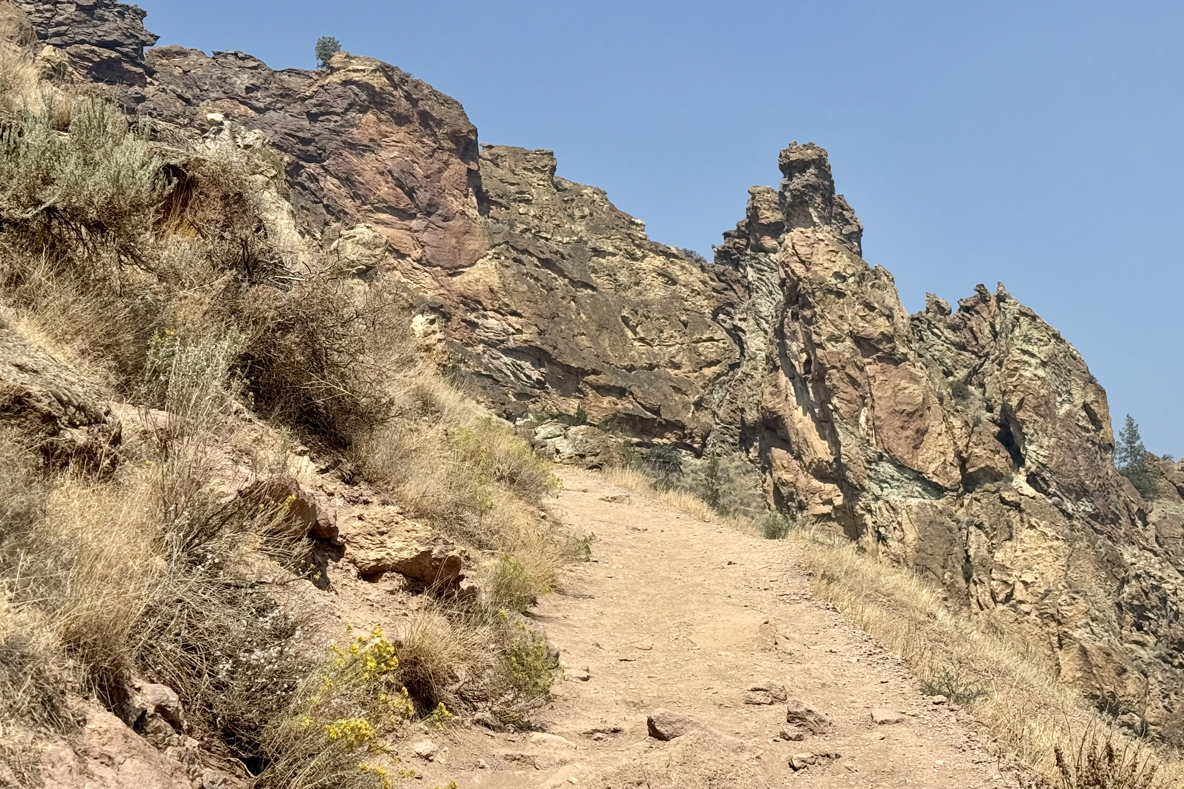
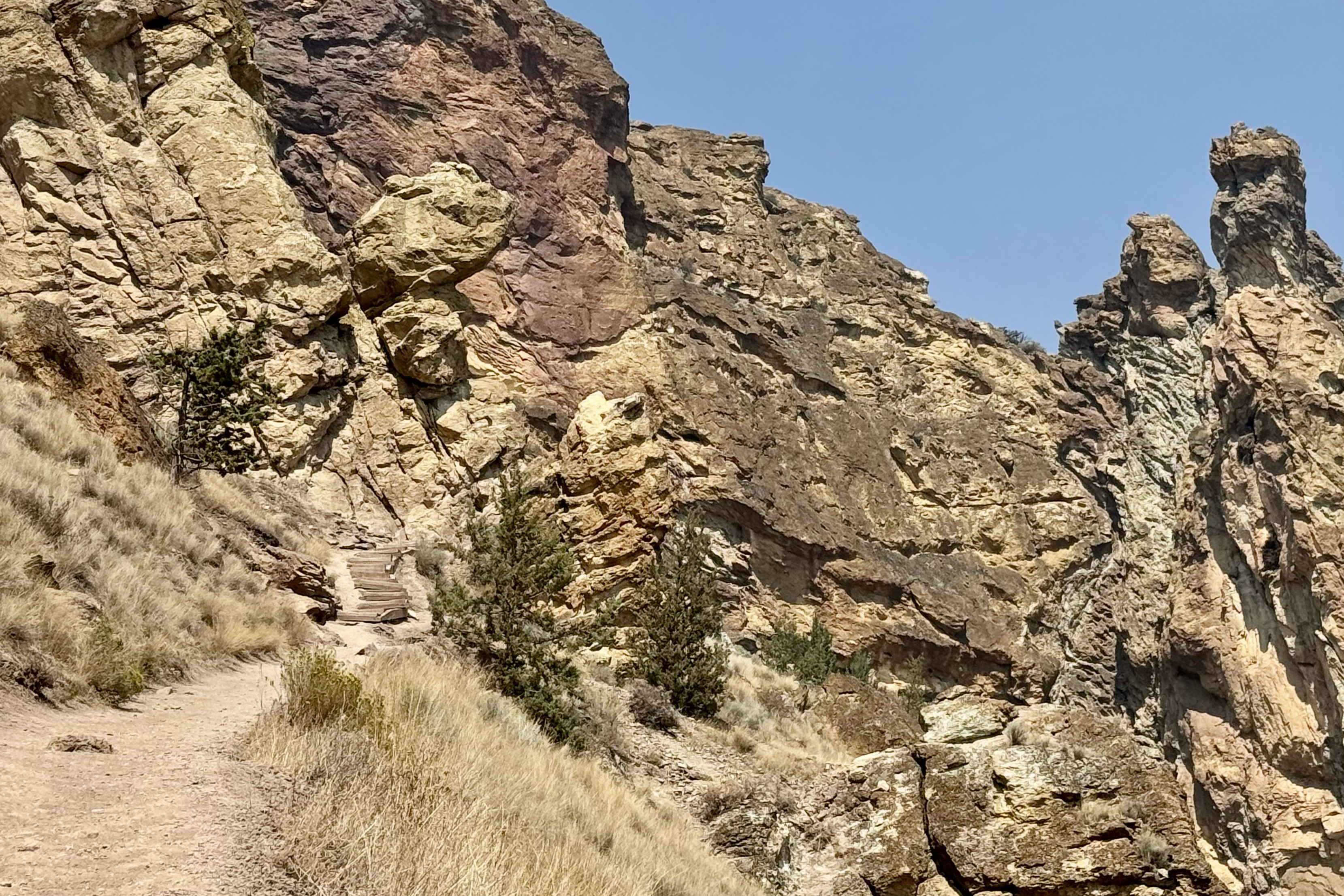

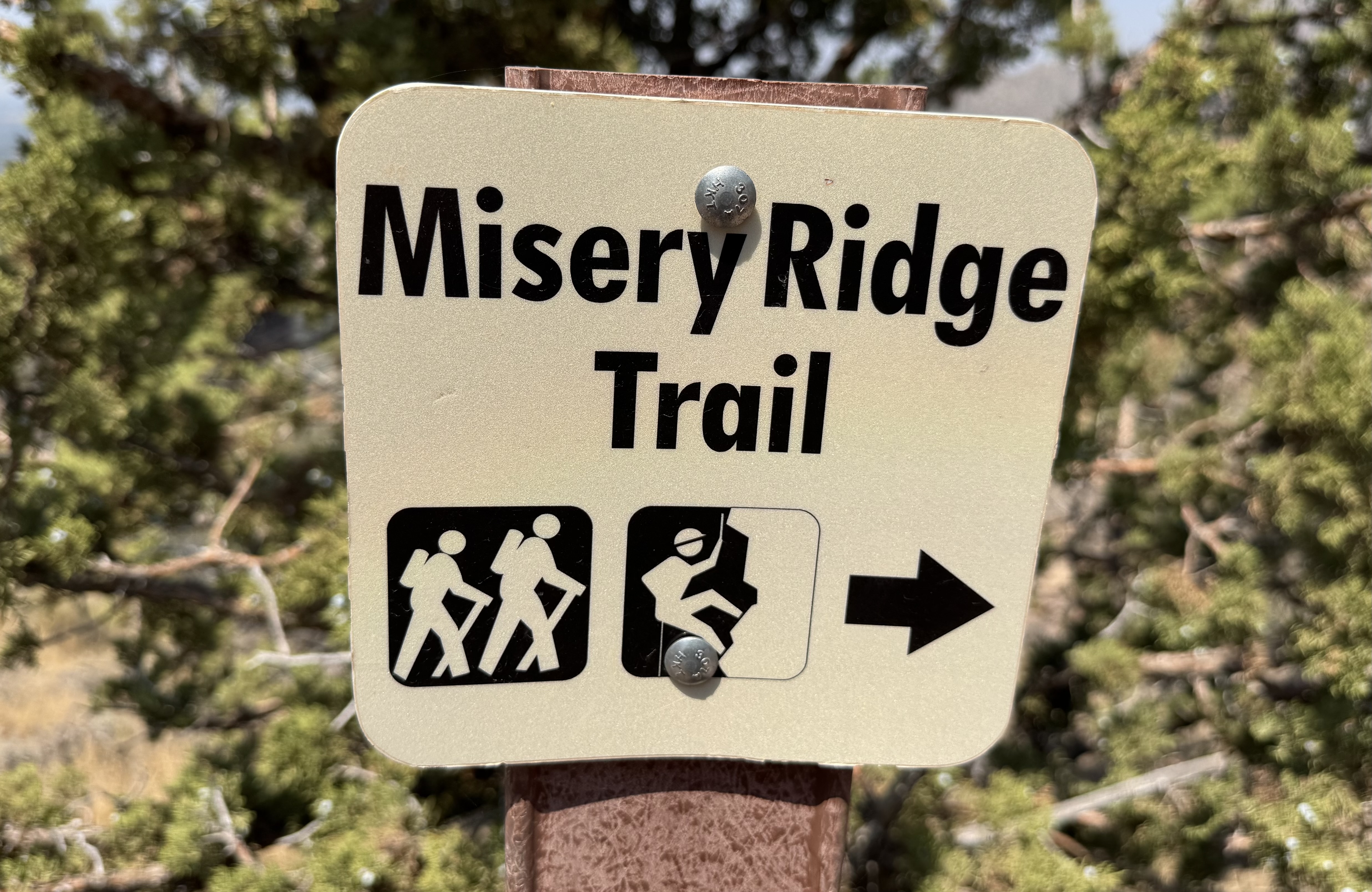

My confidence began to evaporate quite quickly. The trail was every bit as advertised: gravel, loose scree, sand, switchbacks, and uneven wooden steps holding the trail together. It was also getting hot but since this trail was only .68 of a mile – it would be a more sensible choice versus something longer.
O course I was wrong. I very slowly huffed and puffed my way up this unstable terrain stopping frequently to catch my breath and sip water. I cursed, sweated and actually began to question my judgement. But I was not going to give up. After a little more than an hour and a half I reached the summit.


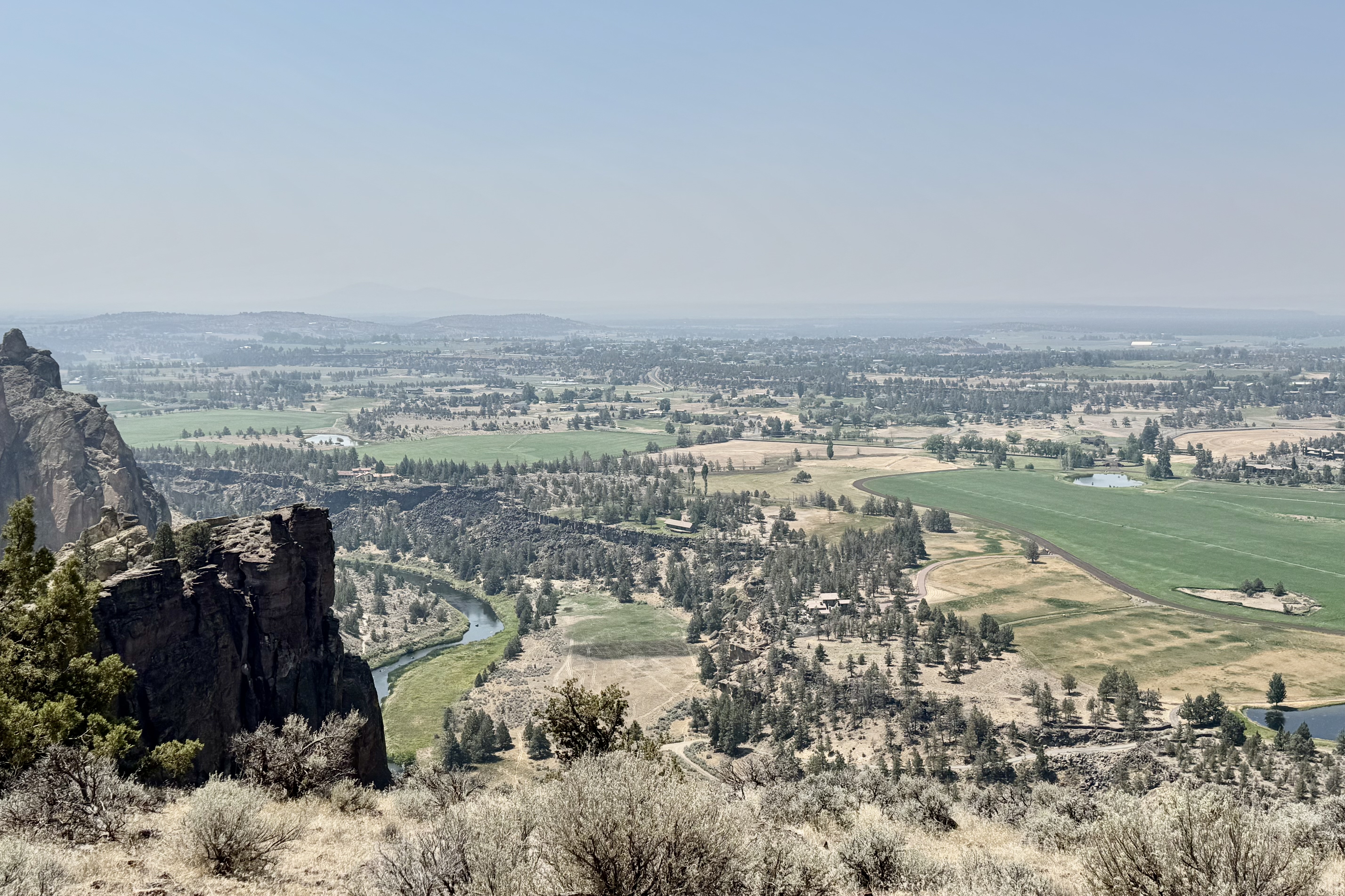
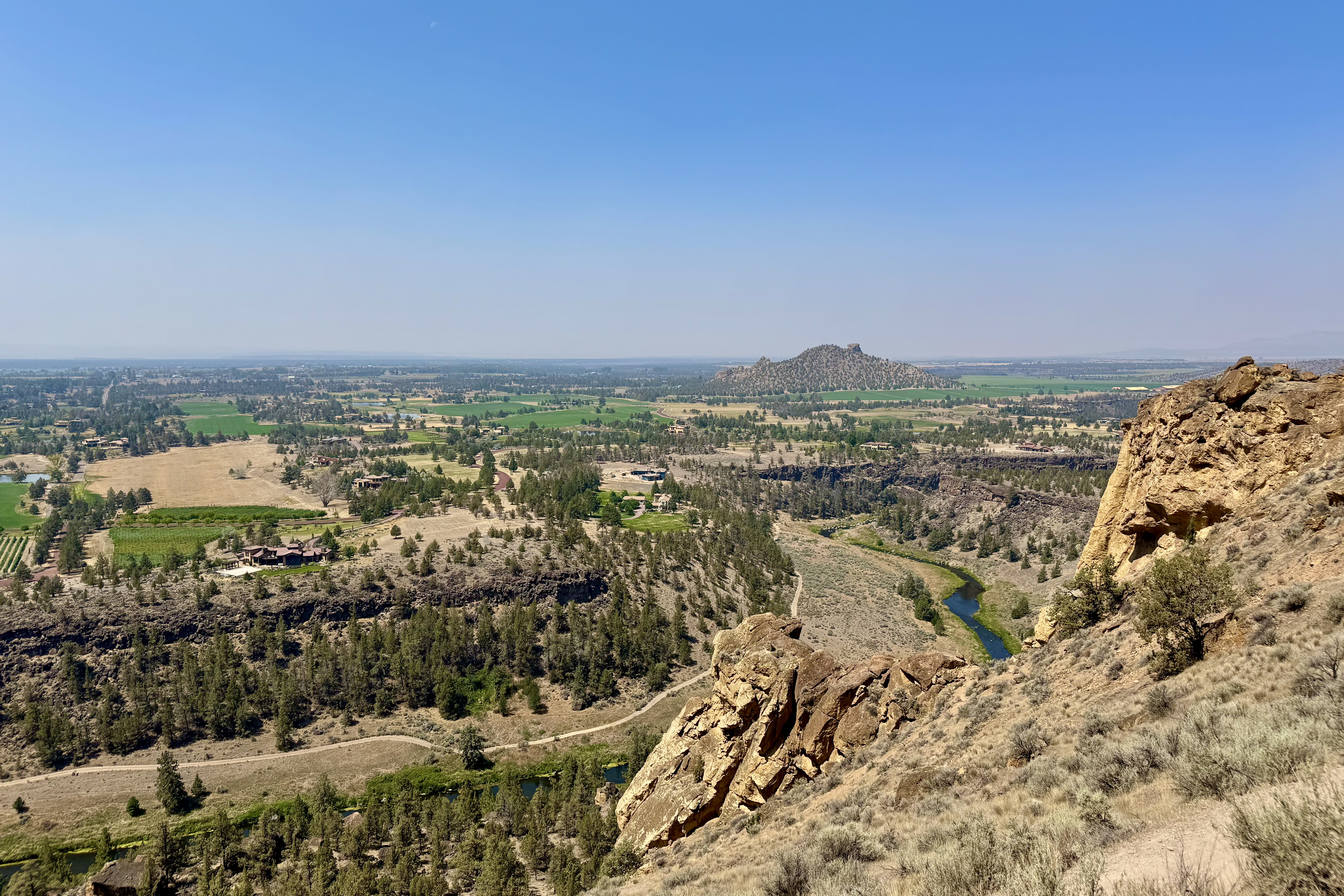
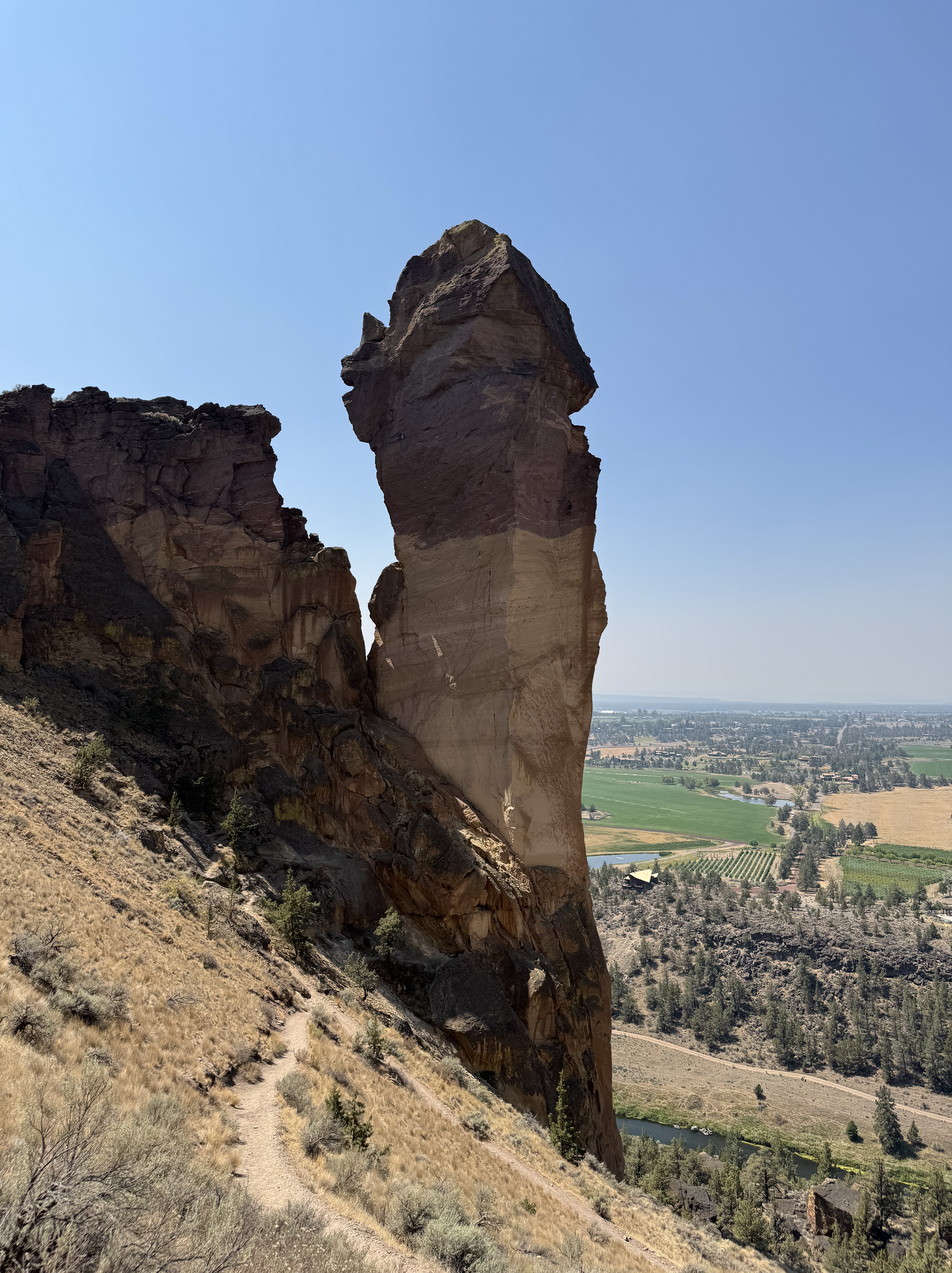
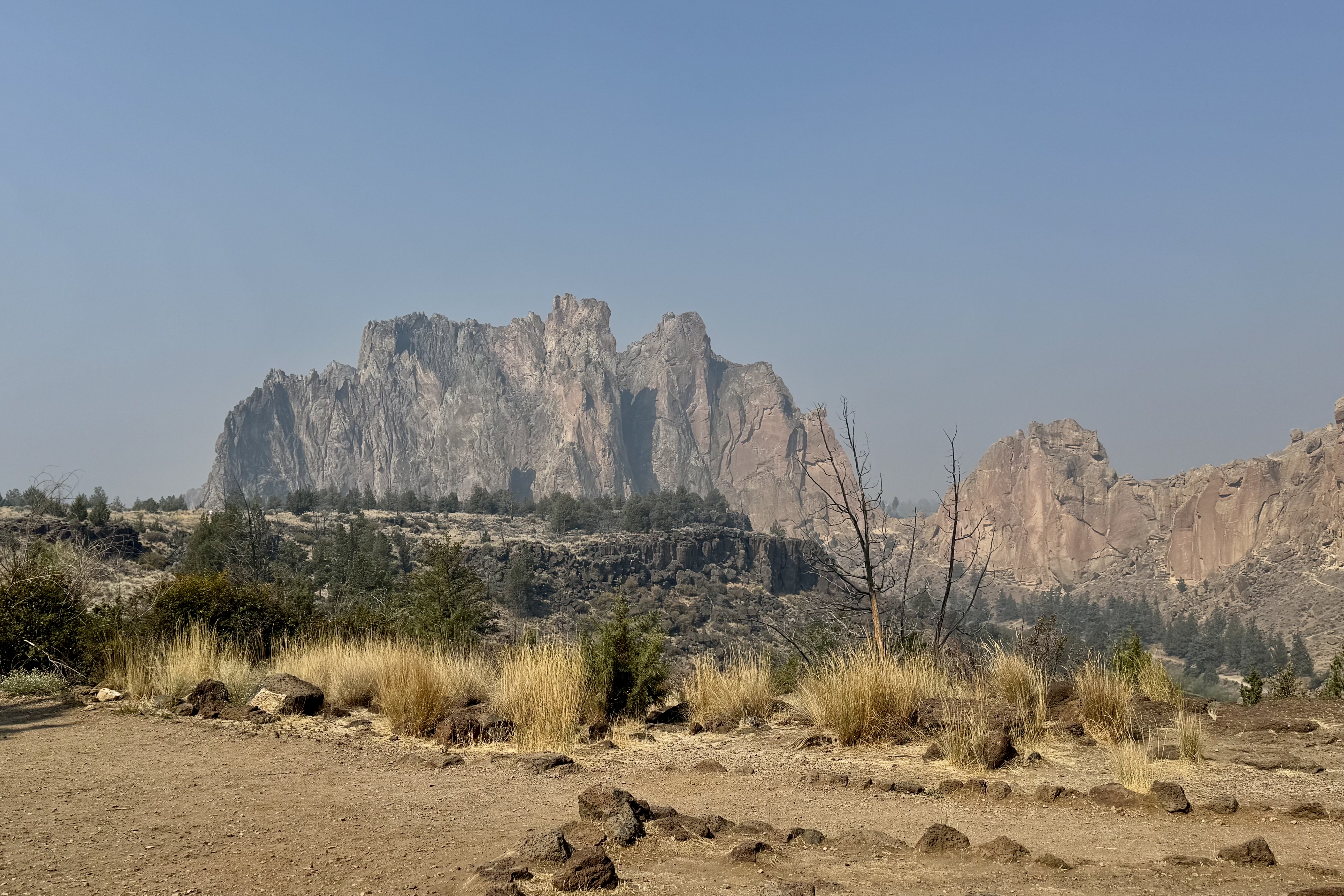
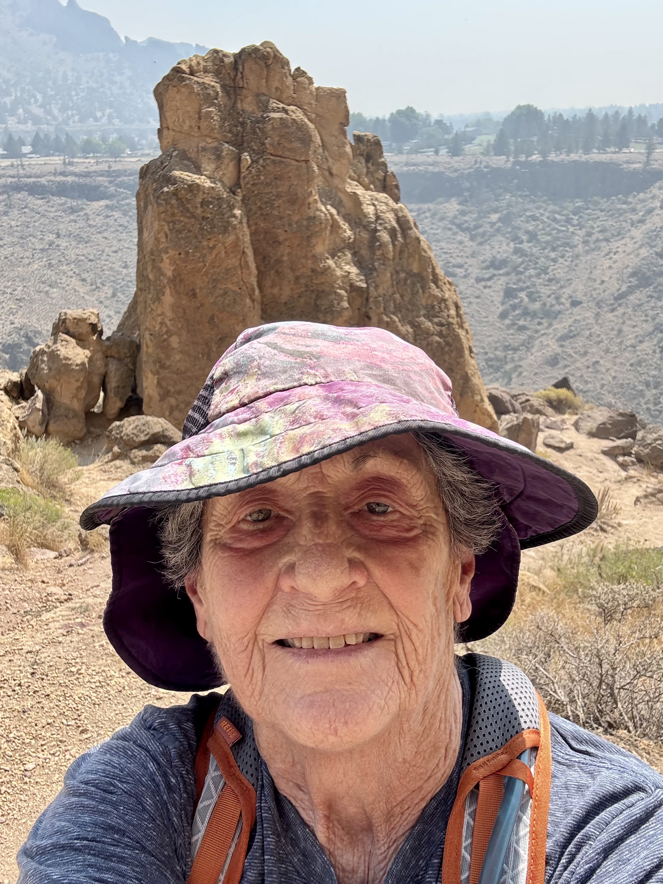
There was some shade. This immediately became my favorite feature of the summit. I settled down, ate my lunch, drank water and then took in the spectacular views. Briefly the suffering felt justified but soon I decided to head down the backside. And that was, yet again, when my lack of navigational skills went into full relapse. I followed the signs for the Misery Ridge Loop until I reached a junction where I had no idea if I was supposed to go right or left. The signage was confusing and although I had anticipated other hikers, there was hardly another human being around to ask. I encountered only two small groups of hikers during the entire hike. I looked back up at “Monkey Face” the famous 350-foot tall volcanic tuff spire in front of me. It’s premier destination for advanced rock climbers but no rock climbers today to consult. .
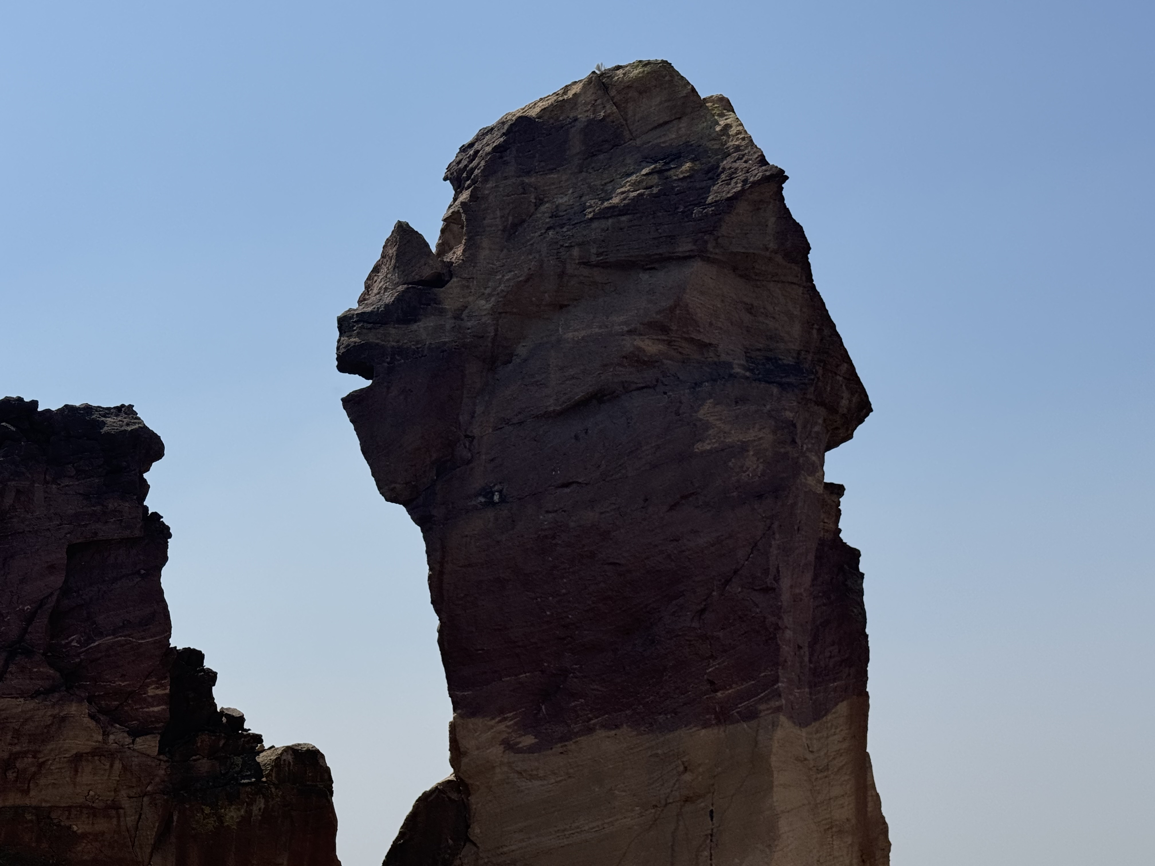
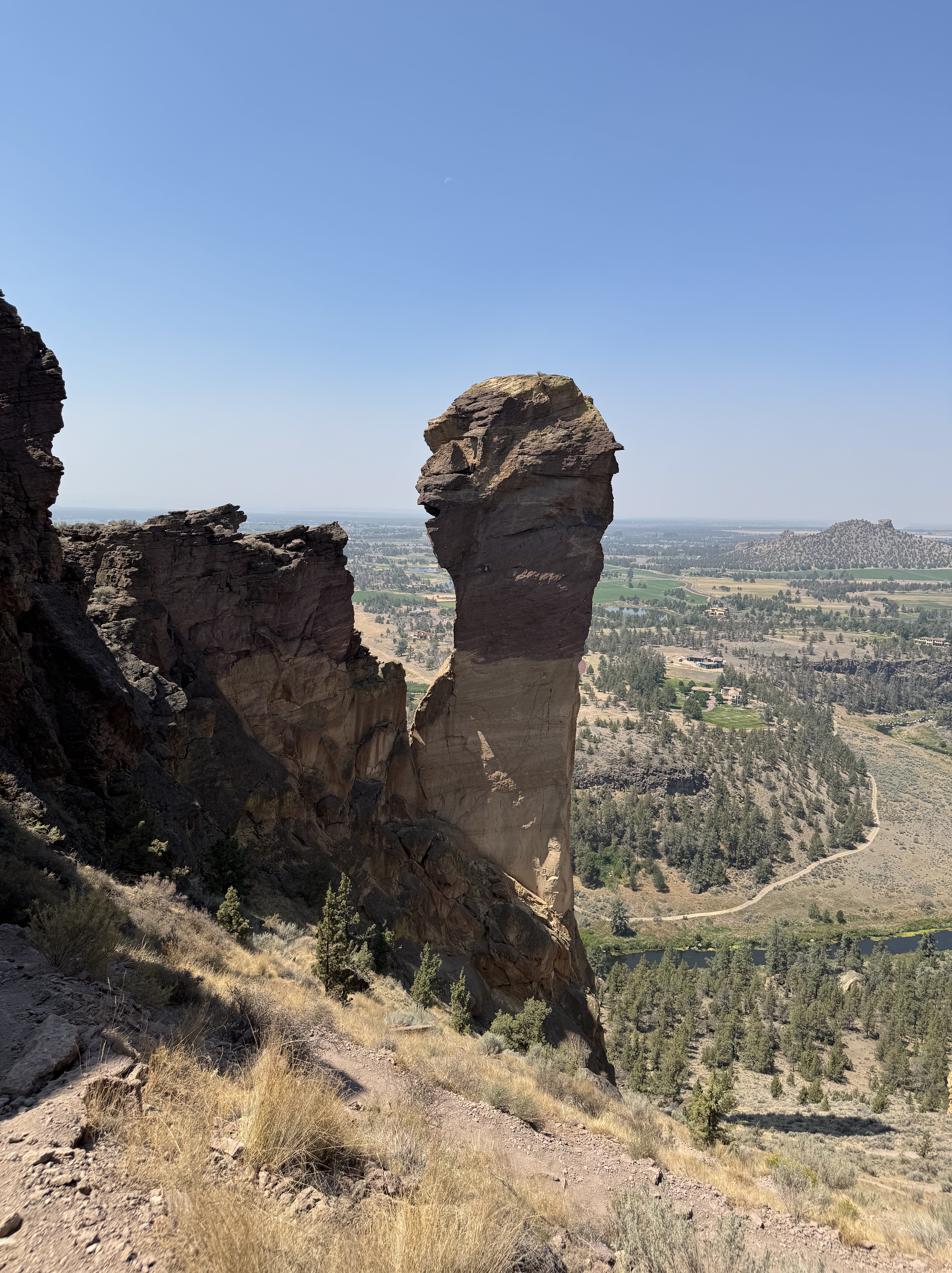
So there I stood at the junction, faced with two choices: forge ahead and hope I was going the right way or turn around and return by the route I knew. Given my notoriously compromised sense of direction and complete absence of anyone to consult, I turned back and started walking the half mile back up hill. Forty five minutes later I was back at the summit.
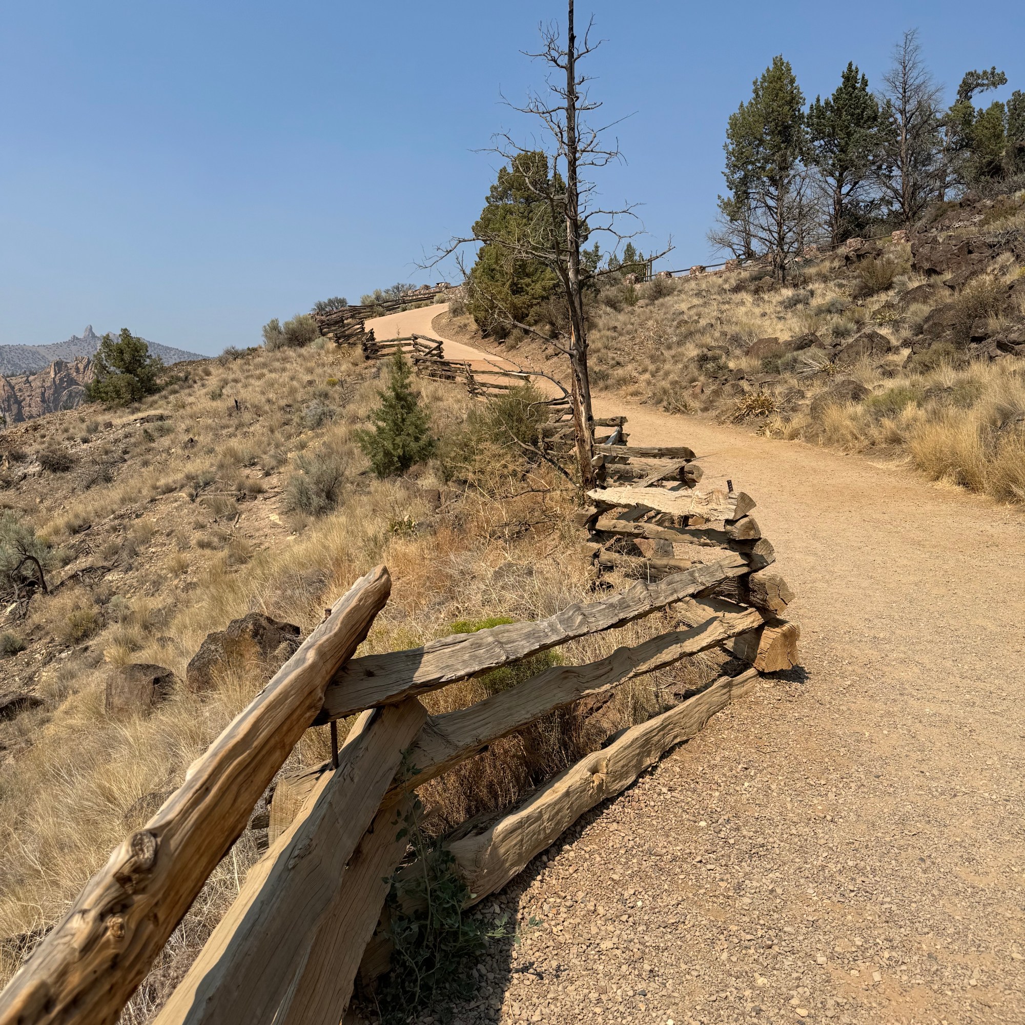
I began the descent down the same route I had climbed, carefully picking my way back acroos the unstable surface. Going downhill was not as easy as I hoped it would be and in some ways harder since it would be so easy to skid out on the gravel and sand. But eventually I reached the river, crossed the bridge and headed toward “The Chute.”
By now I was feeling that the entire excursion had become a fiasco. I had misjudged the distance, misjudged the difficulty, misjudged the route, then turned myself around and added another 45 minutes to the adventure. And now I still had to climb “The Chute, ” the last steep 500 feet of climbing. So much for a “short hike.”

I have to admit I recovered remarkably quickly after an icy cold Diet Pepsi, climbed back in the car and headed toward Mount Hood and my next campground.
When I pulled into Still Creek, it felt as if I was driving down into a forest dungeon. Towering old growth trees surrounded the campground creating a dark canopy that was a dramatic contrast to the open sun-drenched landscape I had just left behind.
As I searched for my campsite, I discovered there was only one other camping party in the entire 25 site campground. There was a water spigot near my campsite but the smelly loo was the equivalent of a city block away.
I was a little discouraged. I was surrounded by a dense forest that initially felt gloomy. But I reminded myself that this was going to be a different kind of experience. Different scenery. Different hiking. Different expectations.

I set up camp and everything wet smoothly. With the campground quiet and remote there wasn’t much going on – which was probably what I needed. I had time to ponder the day’s adventure and couldn’t help but wonder once again about my sanity. What is it that makes me constantly choose the difficult path. Why do I need to consistently push myself to the limit?
A few days later once home I came across an article in the newspaper with the rather ominous title ”The Five Deadly Places in Oregon that Tourists Shouldn’t Travel Alone.” You can probable guess what came next. One of the places on the list was Smith Rock with the article sighting many of the very things I had encountered: summer heat, steep switchbacks, limited shade, exposure and loose rock. Everything I had spent four and a half hours negotiating wandering around largely by myself.
Had I read this article before making my choices at Smith Rock, would I have done things differently? I would like to think so. But knowing myself, I’m not entirely convinced. Perhaps I need to find a part of me that suggests a little more caution. But then that might be asking a lot from a woman who sees a trailhead labeled “Misery Ridge” and thinks “I wonder if I can?” and then forges ahead.
But for now I am simple grateful that my many questionable decision had ended with nothing worse than sore feet, some choice words to self, a lot of sweat , and feeding my addiction to icy cold Diet Pepsi.