Repeat: Poor Trail Selection

Not to be discouraged by the challenges of the previous day of hiking, I headed out for the Three Sisters —Lava Camp Trailhead. My poor planning skills had once again come through for me.  I had secured a permit to hike in the Central Cascades once again, but somehow failed to notice that the trailhead was 75-miles north  — about an hour and forty five minute drive. A minor detail I had chosen to overlook. Most of the route was on highways I had driven routinely on previous visits so a bit disappointing. But then heading out of Three Sisters towards McKenzie Pass, things got considerably more interesting.  

I would be driving Oregon Route 242, the famously scenic and historic McKenzie Highway —a narrow winding two-lane road that climbs dramatically through the Cascades.  There were elevation changes, switchbacks, and plenty of opportunities to test whether my driving skills were as questionable as my trail-planning skills.

My inner reckless-driver persona was immediately on high alert.  At one  point,  I found myself at the tail end of a conga line of cars, all slow-poking there way along the highway. After watching a couple of good passing opportunities ignored by the other drivers, another nice strait stretch finally appeared.  Apparently my inner race-car driver could take it no longer.  I took my opportunity and sailed  on past the entire procession of nine car with plenty of room to pull back in and continued on my way with no further dawdling drivers.   Fortunately traffic was light. 

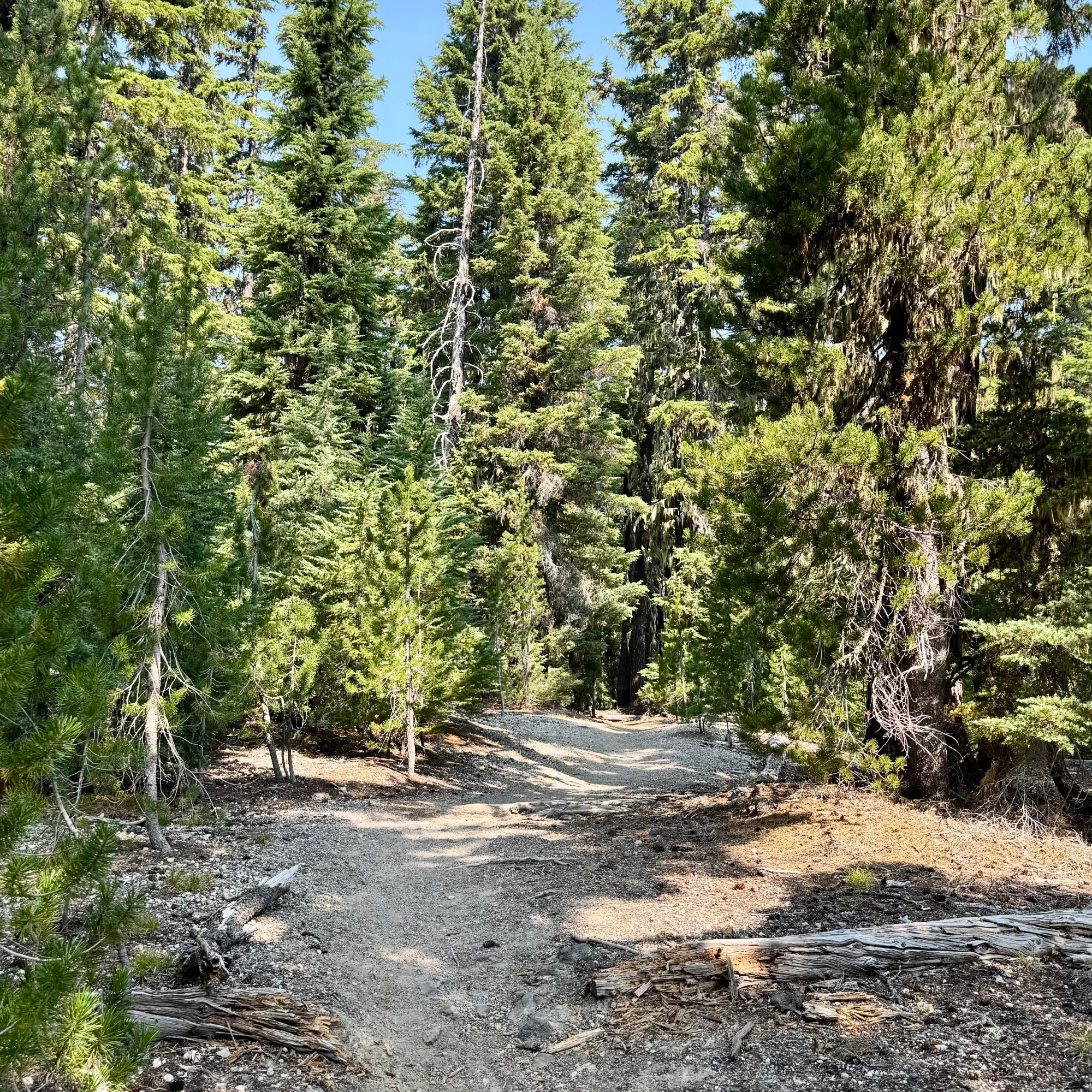
The road was spectacular and twisted through lush living forest   and then without much warning, into what I dubbed tree skeleton graveyards — vast stands of burned trees stripped of everything but their trunks and branches. In spots young tree were reclaiming the landscape and beyond that the dark lava fields. It was quite eerie, like driving from one forest to another where the trees had died but forgot to lie down.

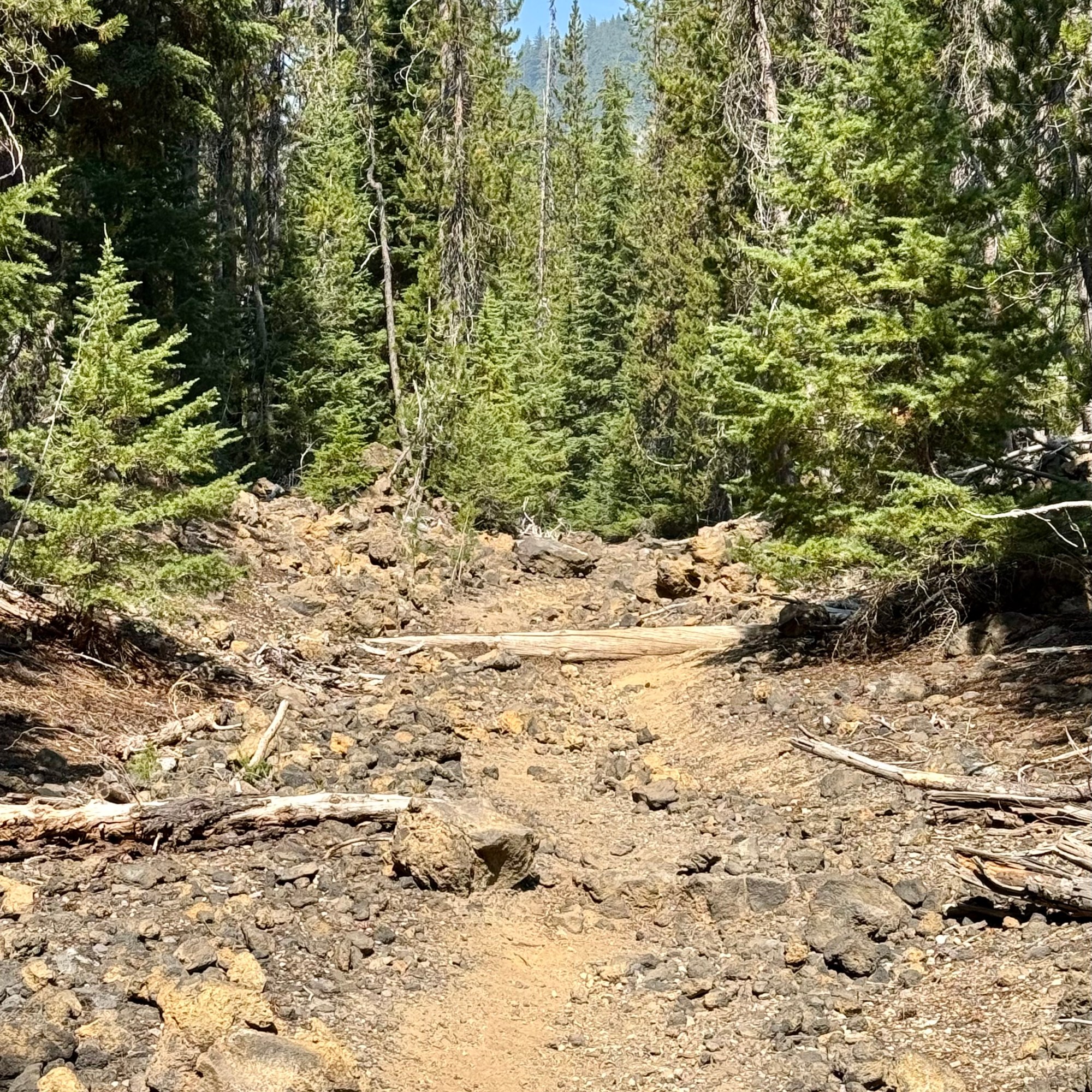
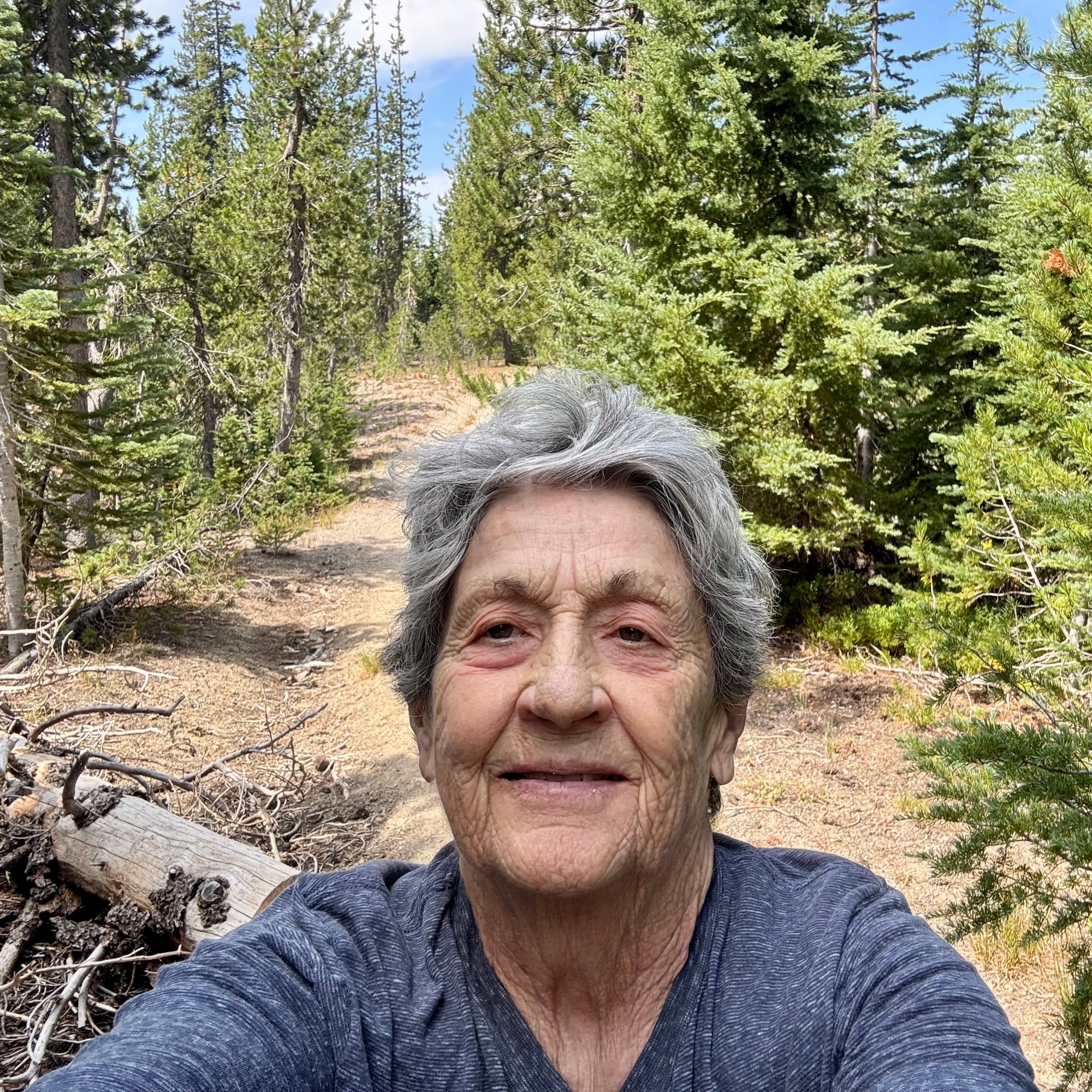
I did pause for a brief moment, reconsidering several of my more recent questionable choices. But, of course , I had come all this way, and a little denial kicked in— “It can’t be that bad!” What could possibly go wrong? As an 82 year old woman with osteoporosis , I was perhaps not the most obvious candidate for a hike involving loose uneven volcanic rock. One wrong step, a twisted ankle, or an unexpected tumble could turn this anticipated hike into a disaster. But I had my walking stick, good footwear, an most importantly an impressive ability to convince myself that things would work out. So I parked the car, grabbed my walking stick and headed southeast out on the PCT. Even though the lava looked dangerous. I decided to hike it anyway.

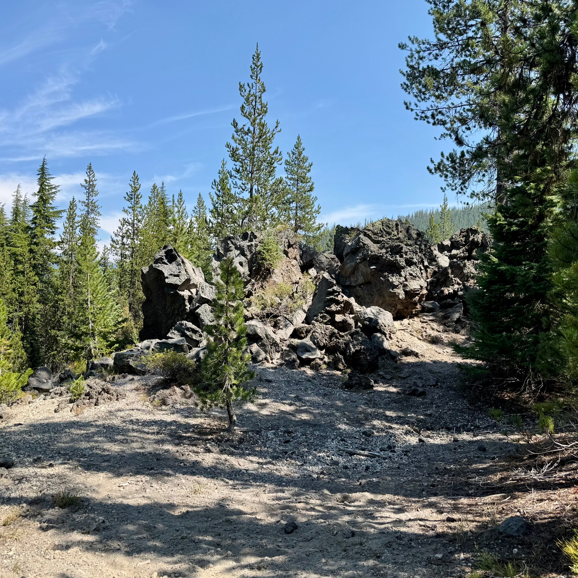
The lava did not disappoint. Every step was precarious, and nearly every rock I considered stepping on seemed determine to shift. For about an hour and 30 minutes I carefully picked my way across the lava, concentrating on every foot placement. Was I having fun yet? Eventually I parked myself on an uncomfortable rock with a tiny bit of shade and ate some lunch. Then it was back across the lava for another hour and 30 minutes. It would be a stretch to claim I covered three miles and that I was having an awesome experience. 


When I finally made it back to the car, a volunteer was there at the trailhead with an assortment of snacks and cold drinks.  This would be one of   the “trail angels” I have heard about who do this to support the PCT thru hikers, but made their bounty available to all.  So I eagerly grabbed a Diet Coke, a welcomed reward for negotiating 3 hours of unstable lava.

Right up the road was another famous attraction: the Dee Wright Observatory a stone structure with no other purpose than to offer panoramic views of the surrounding Cascades. I drove the quarter mile up to it, and then in a moment of profound irony, I tripped on the stairs heading up to the observatory and ripped open my right knee, having successfully negotiated 3 mile of wildly unstable lava without falling, only to injure myself by making a brief misjudgment of the height of a step.I did continue up and into the observatory and then it was time to head back to camp.

BUT, since it was still mid-afternoon and not wanting to miss out on anything notable in this area, I decided to drive to the Lava Lands Visitors Center at Newberry National Volcanic Monument. I can’t say that I was yearning to see more lava. Though I don’t intend to visit all of the national monuments as I have the national parks, if I find myself in the area of one I make a point to visit it, and I definitely was not going to miss out on another trail or two. Perhaps the first sane decision I made was to voluntarily take the bus up to Lava Butte. I hiked the Lava Butte Rim Trail which was a 20 minute 1/2 mile loop and then rode back down. The other option would have been to hike the red cinder Lava Butte Road for a 3.5 mile round trip and  I thought I deserved kudos for that current sanity. I was going to head towards the car but I saw a sign for the Trail of the Molten Lava ( a one-mile paved path in full sun on a 90 degree afternoon leading into a lava field ) and I  thought “Well why not?” So I “proudly” added another 1.5 miles to my am mileage which was 3.38 miles.


Why might you ask would someone who had almost wrecked her body negotiating the lava fields of McKenzie Pass decided to walk another trail into a field of lava simply because it was paved? Actually it probably was the only field of lava trail I should have considered hiked in the first place.

Does any of this sound like someone who has a PhD in mental health counseling? Apparently, possessing a PhD in understanding human behavior does not necessarily mean that one understands their own!

Finally at 4:45 I admitted defeat – or perhaps recognized that even I had my limits – and headed back to camp.
My Excellent Planning Skills

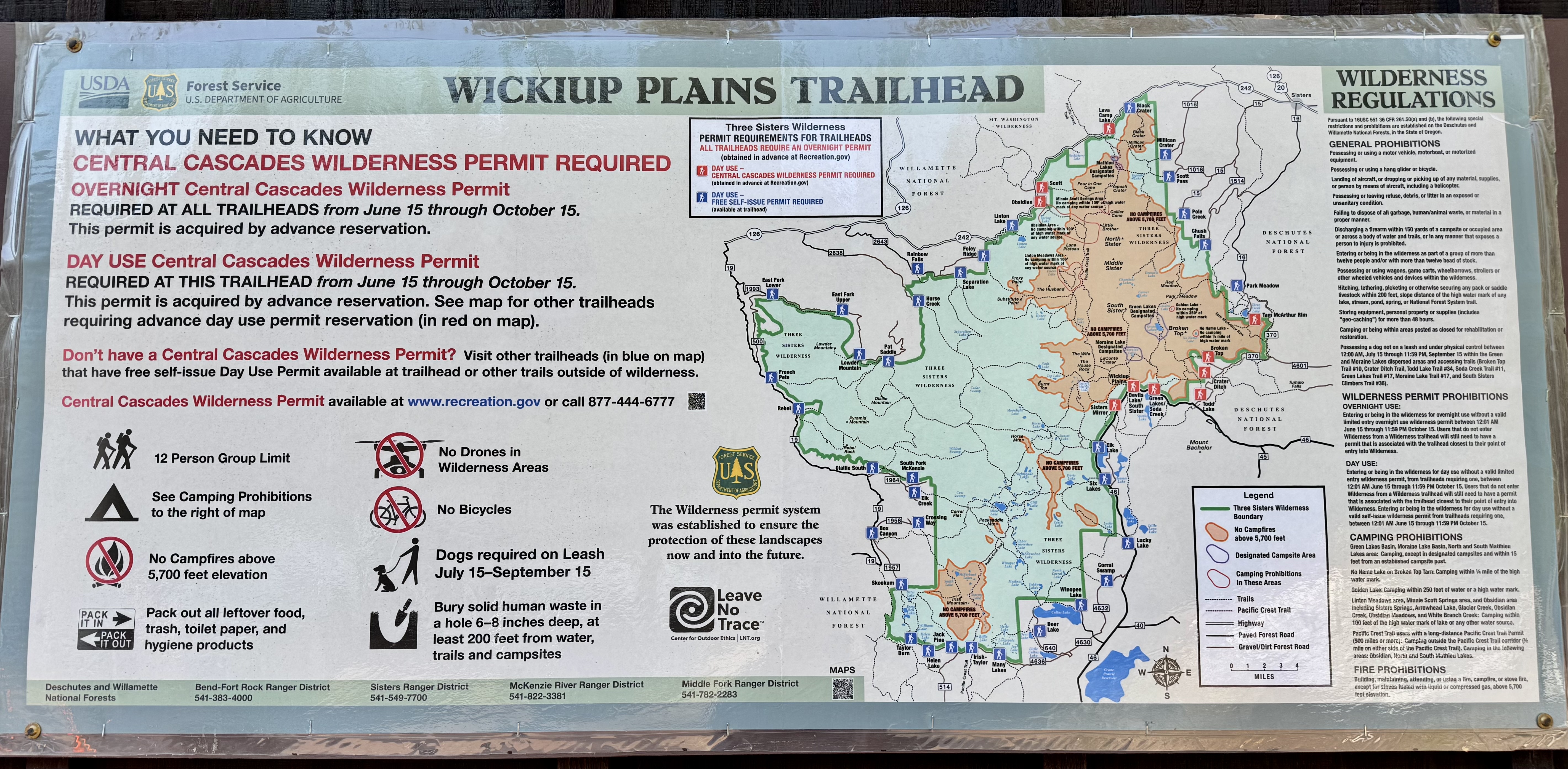
The next couple of days in the Three Sister Area (I hear there is a “Little Brother” , a “Wife” and a “Husband” somewhere near-by), I planned to hike two sections of the Pacific Crest Trail. I retrospect, my “excellent planning skills” were questionable. My first hike would start at Devil’s Lake, where I’d pick up the Wickiup Trail which would connect to the PCT in about 2 miles. The second would begin at the Lava Camp Trailhead. I had assumed these trailhead were close to Lava Lake. They were not. Devil’s Lake 15 miles and Lava Camp 75 miles and a 1 hour and 45 minute drive. I felt quite smug though because I learned that hiking in the Central Cascades Wilderness required a permit which went on sale at 7:00 am 2 days prior to hiking date. So I was online at 7:00 am and got my permit and within a couple hours the 90 permit were gone. Clearly I would not be hiking in solitude and I expected crowded trails and plenty of company.

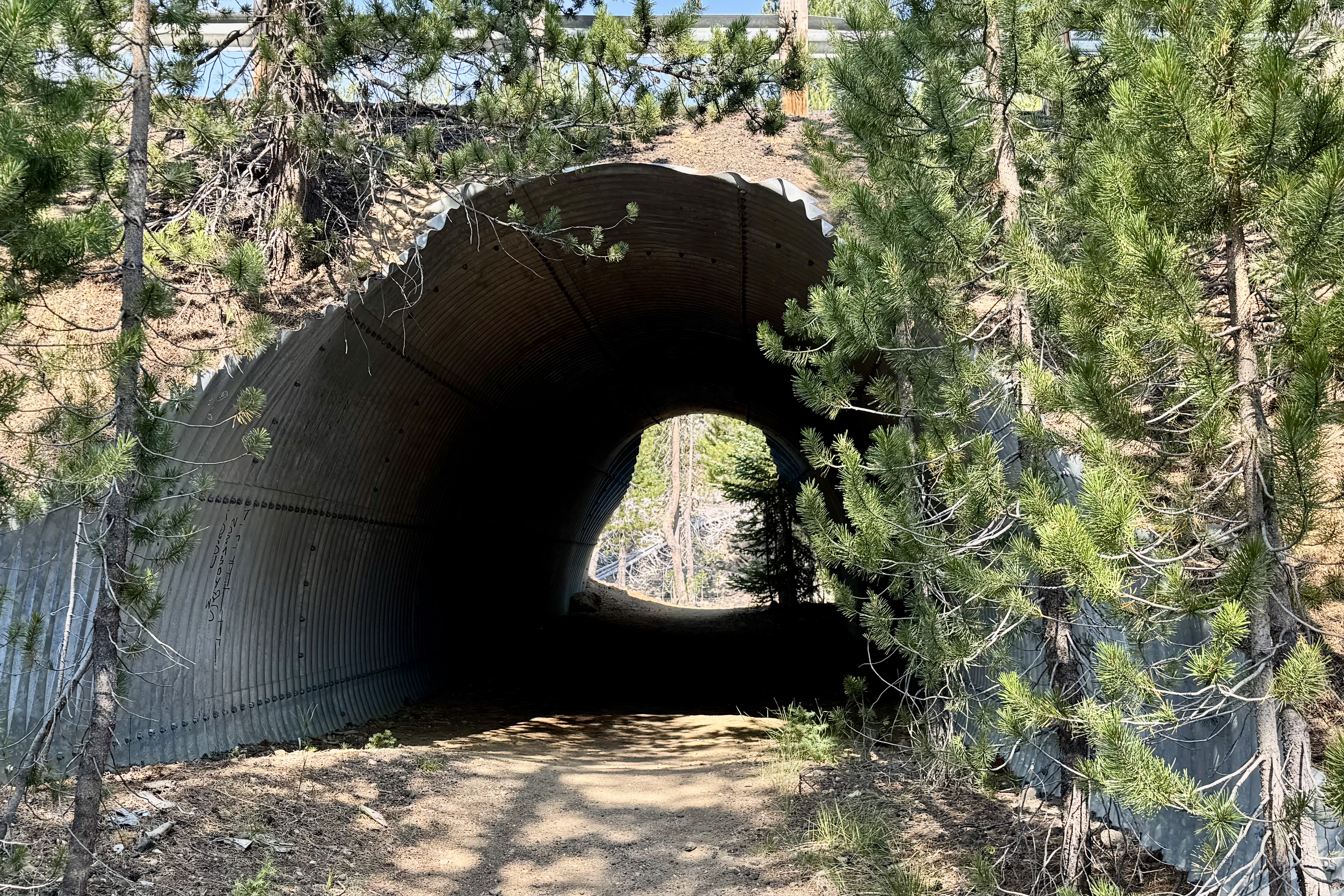
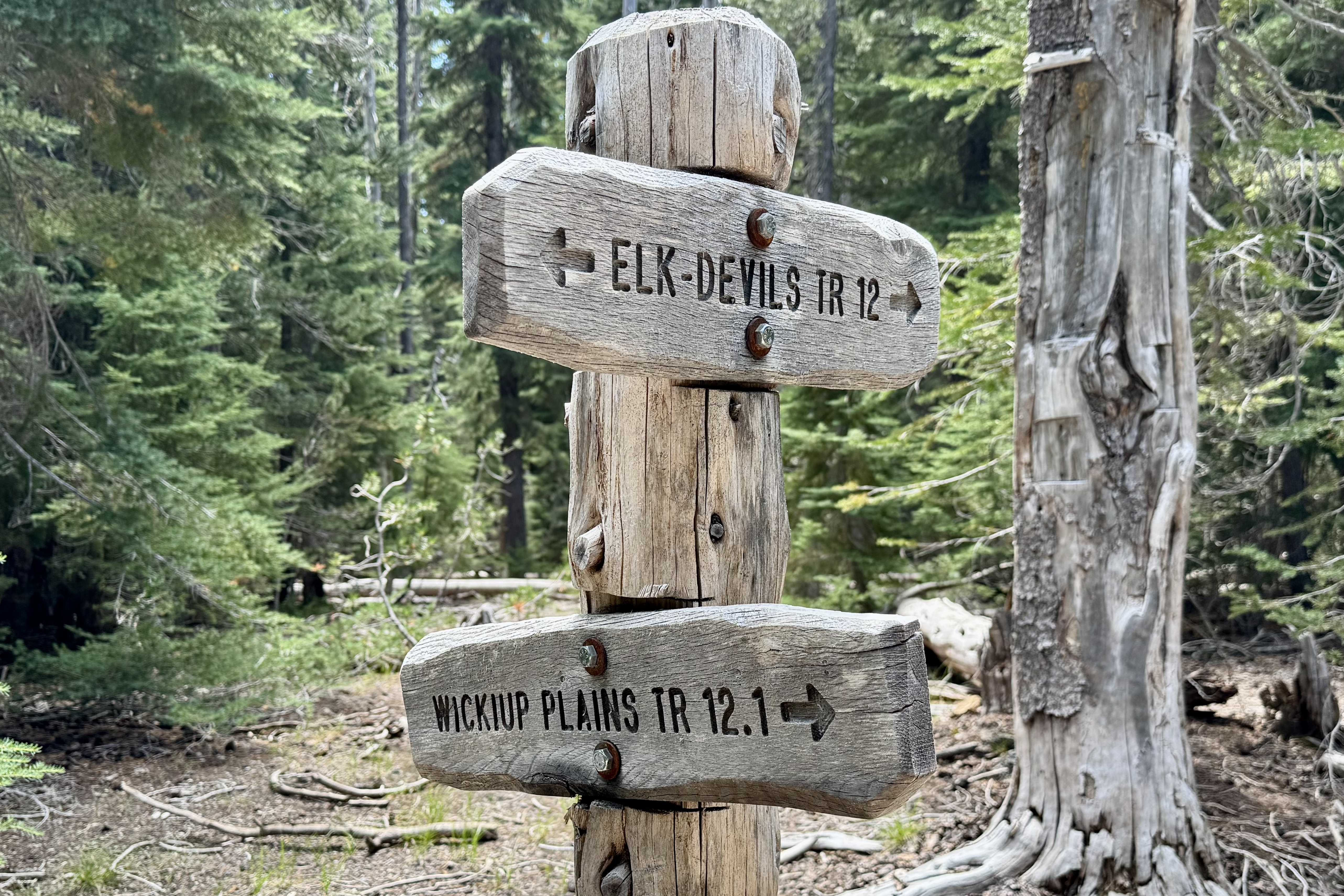
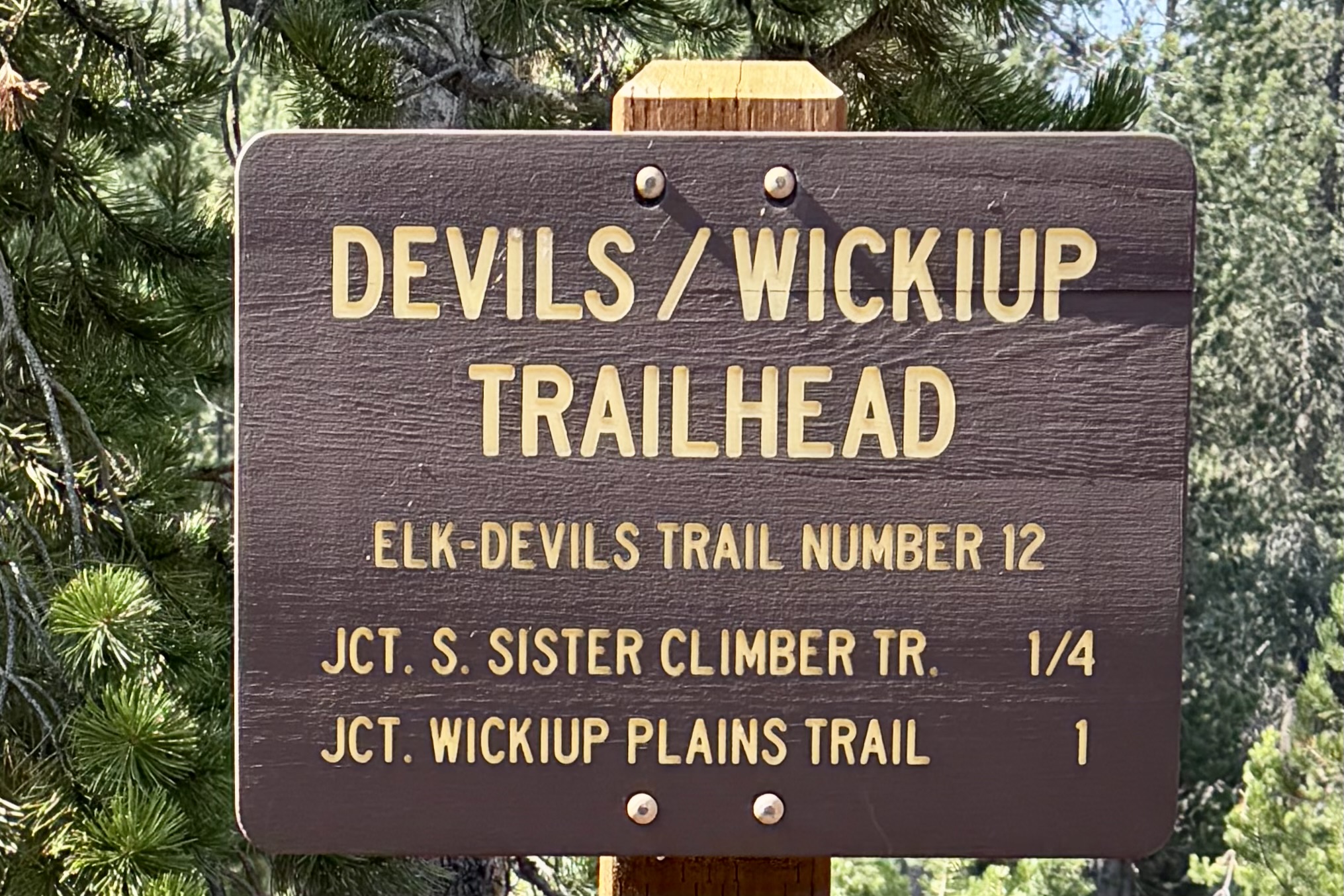
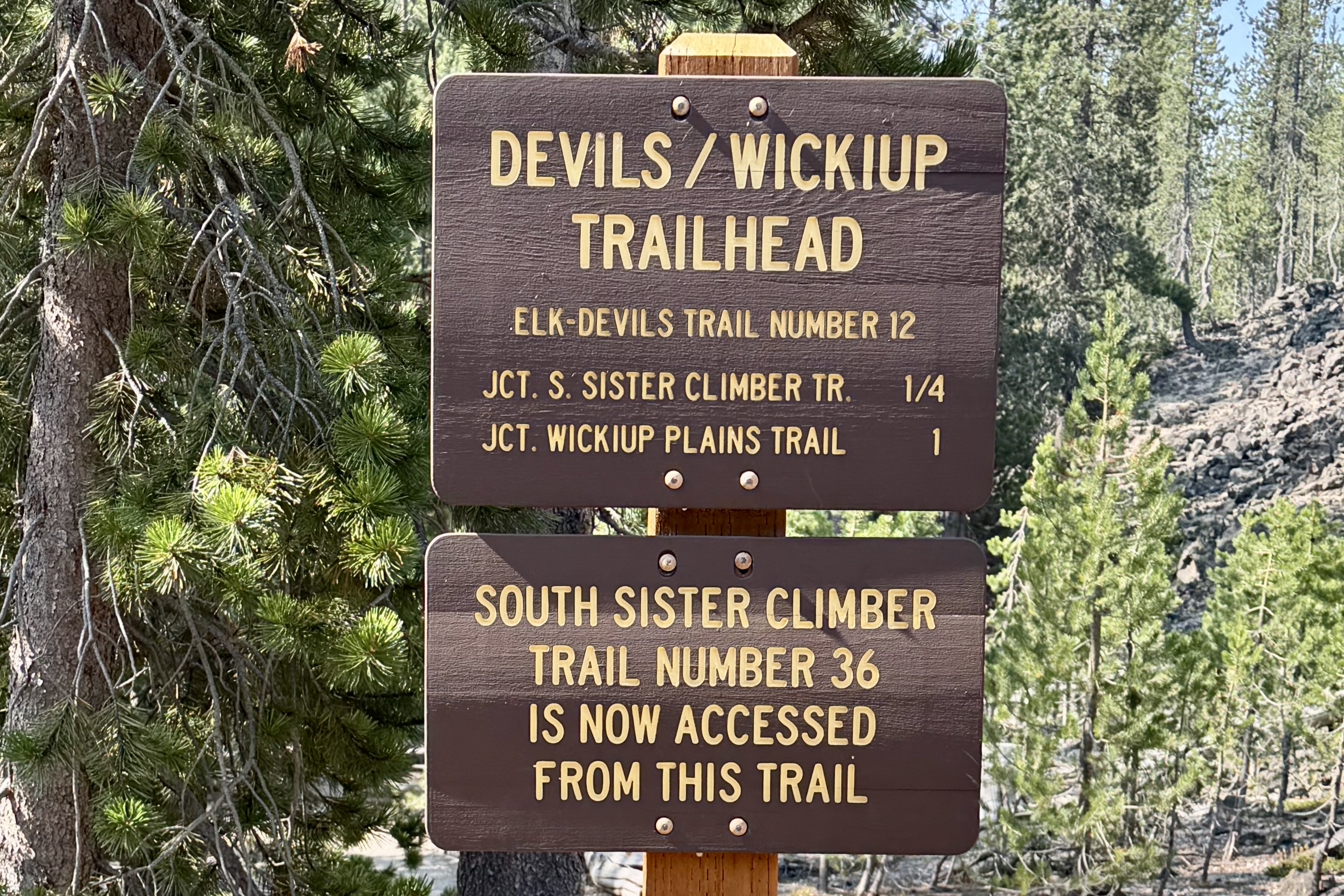
When I arrived at Devil’s Lake parking lot, the lot was packed. Confirmation of my expectation. I set out toward the Wickiup Trailhead expecting a couple mile walk to the PCT (per AI). The hike itself turned out to be as challenging as my questionable planning. From Devil’s Lake Trailhead I used a highway underpass on the Elk-Devil’s Trail to reach Wickiup and hopefully eventually reach the PCT. This is an important fact to remember this as I complain later about distances!!!!

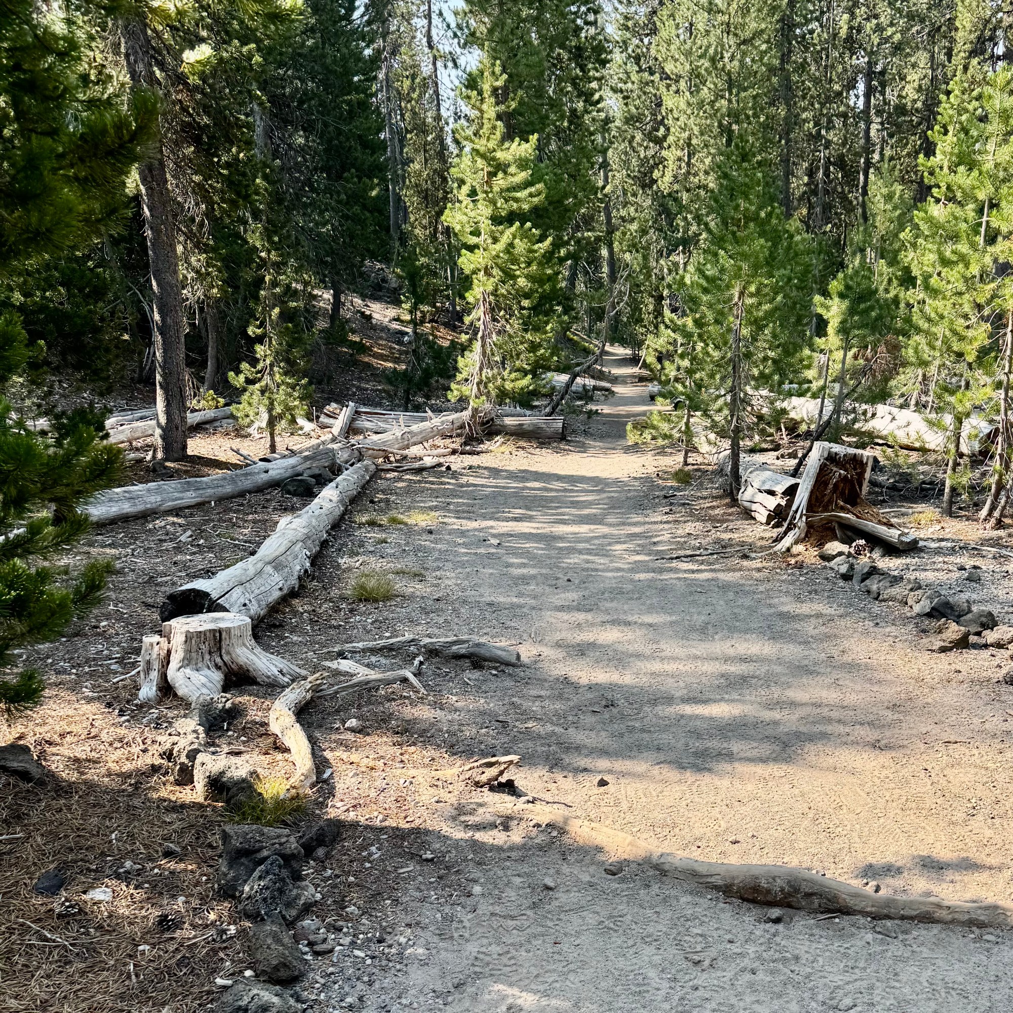
Starting at an elevation of 5460’ the trail climbed gradually, gaining elevation through a Douglas fur and hemlock forest over a surface that alternated between dirt, rocks, roots and occasional stretches of loose sandy pumice soil. At 82, with osteoporosis and asthma along for the adventure, I had to negotiate the trail somewhat differently than I might have in my younger years. No plodding straight up one foot in front of the other but frequent pauses to catch my breath and thus telling myself I am stopping to admire the scenery. This was not a trail however with views to admire, hence few photos, I kept having this conversation between my legs, my lungs and my brain about what I was doing —- with my brain suggesting that perhaps I had made a serious error in judgement. I kept checking the distance traveled: 2 miles, 2.25 miles, 2.5 miles, and finally at 2.75 I finally realized there had been a serious miscalculation and that the estimate was seriously wrong. And the trail was changing its personality! Less forest, more exposure, serious sand, and dust with the sun operating at full capacity. At this point I made the highly strategic position to turn around. I found a shady log sat down, ate my lunch and ruminated over the turn of events.

The return trip was easier in theory since it was mostly downhill but it was still long and  hot.  Eventually I reached the junction of the Wickiup Trail  and the Elk-Devil’s Lake Trail and with supreme confidence turned right and felt elated that I was on the final downhill mile to the parking lot. About a mile later I wondered why I had not yet reached the parking lot. It slowly uncomfortably dawned on me that I had just hiked a downhill mile and would be climbing it back up to the junction that demanded a left turn. I was increasingly clear that navigation was not one of my core competencies.  I would have preferred to make  this discovery earlier.  


By now my “quick five-mile hike” was something closer to 7.5 and never having reached my destination. But I was relieved to be on the correct path. I later came to discover that both Claude and Chat GPT were relying on outdated information when estimating the mileage. After confronting Claude about this error, it researched a bit deeper and found that the path to the trailhead had been rerouted to a new underpass shared with the Elk-Devils Trail replacing the original highway crossing thus adding meaningful distance before intersecting the original 2 mile Wickiup Plains Trail. Claude was not apologetic. Also, as I looked more closely at the Trail head sign at Devil’s Lake today, it indicated that the distance to the Wickiup Trail was one mile!

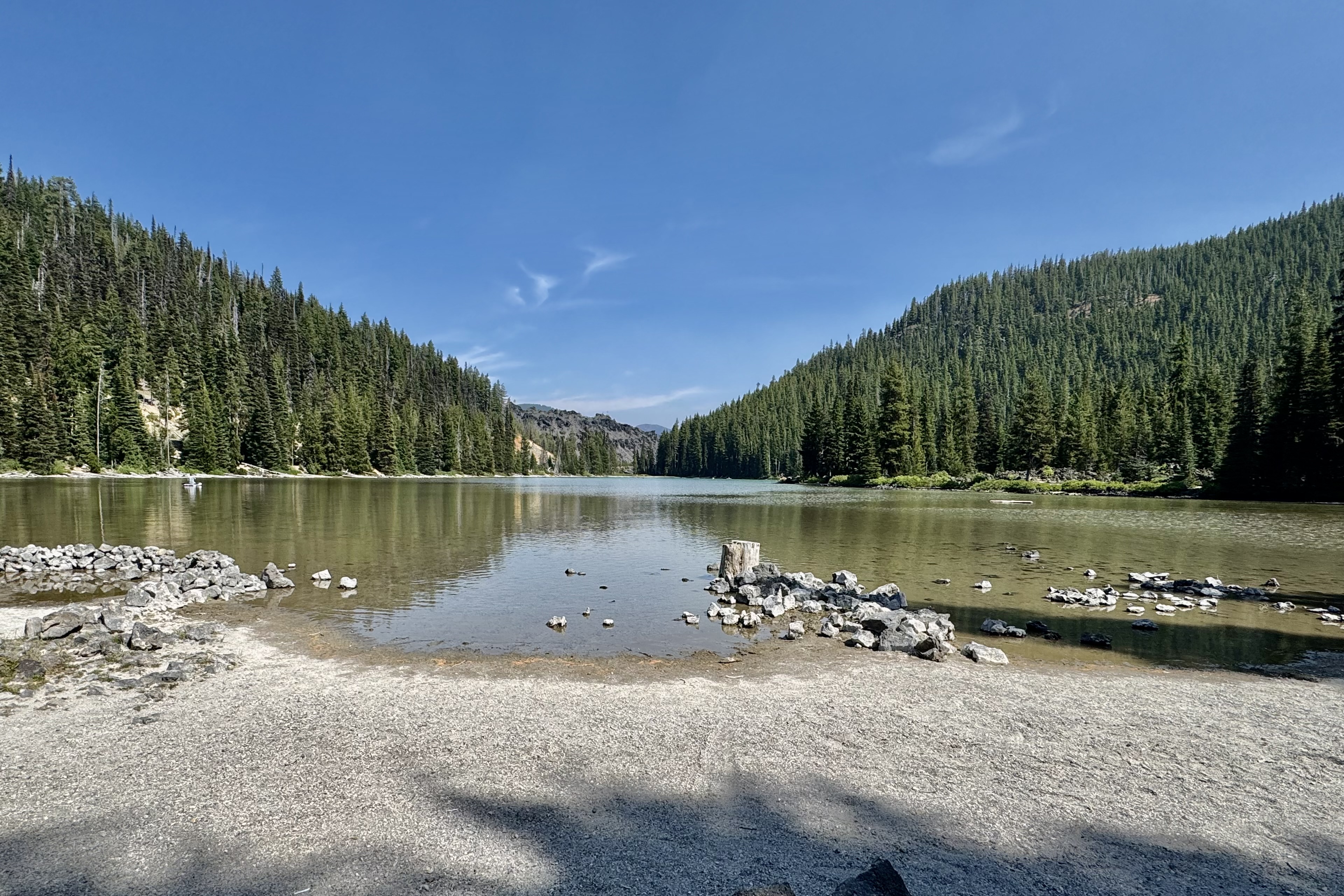
The first thing I did when I reached my car was open my cooler, retrieve a caffeine-free Diet Pepsi –  my most dependable vice— pour it over ice and drink it far too quickly.  Also, by now I also realized my assumption about the crowds was confidently wrong. I saw only four people the entire time and later realized that most visitors were there for the lake, paddle boarding and swimming. Though hot and tired I was curious about this lake, took a brief stroll to it and discovered all those recreational enthusiasts. Perhaps they had the better idea!

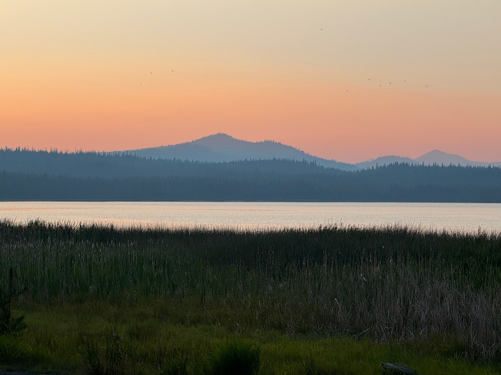
Hot, tired and thoroughly humbled by both distance and directional challenges, I still felt satisfied . I had managed a 7.5 mile hike in the Three Sister and returned without incident, injury, or any further directional challenges. After driving by the Newberry National Monument to scout out some challenges for the following day, it was back to camp for dinner, another magnificent sunset, and a rock solid nights sleep in my cozy little base camp tent with such amenities as a cot, a camp chair, and a jug of water.

A Jutting Ram and Domesticated Equines

We had three more full days to explore St. John’s and the Virgin Islands National Park  and I definitely wanted to fill them primarily with snorkeling and hiking. Our choice for Day #6 was the Salt Pond Bay Coral Reefs and the Rams Head hike, accessed from the beach on Salt Pond Bay. We had hoped for a more “private” snorkeling adventure  and opted to head east and south to the Salt Pond Reef in the south west part of St. John’s betting that the the driving distance and the 1/2 mile hike in would deter any crowds.

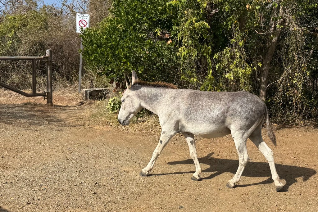
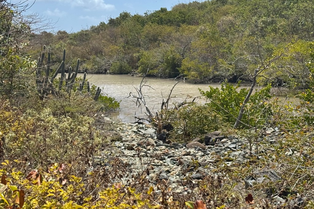
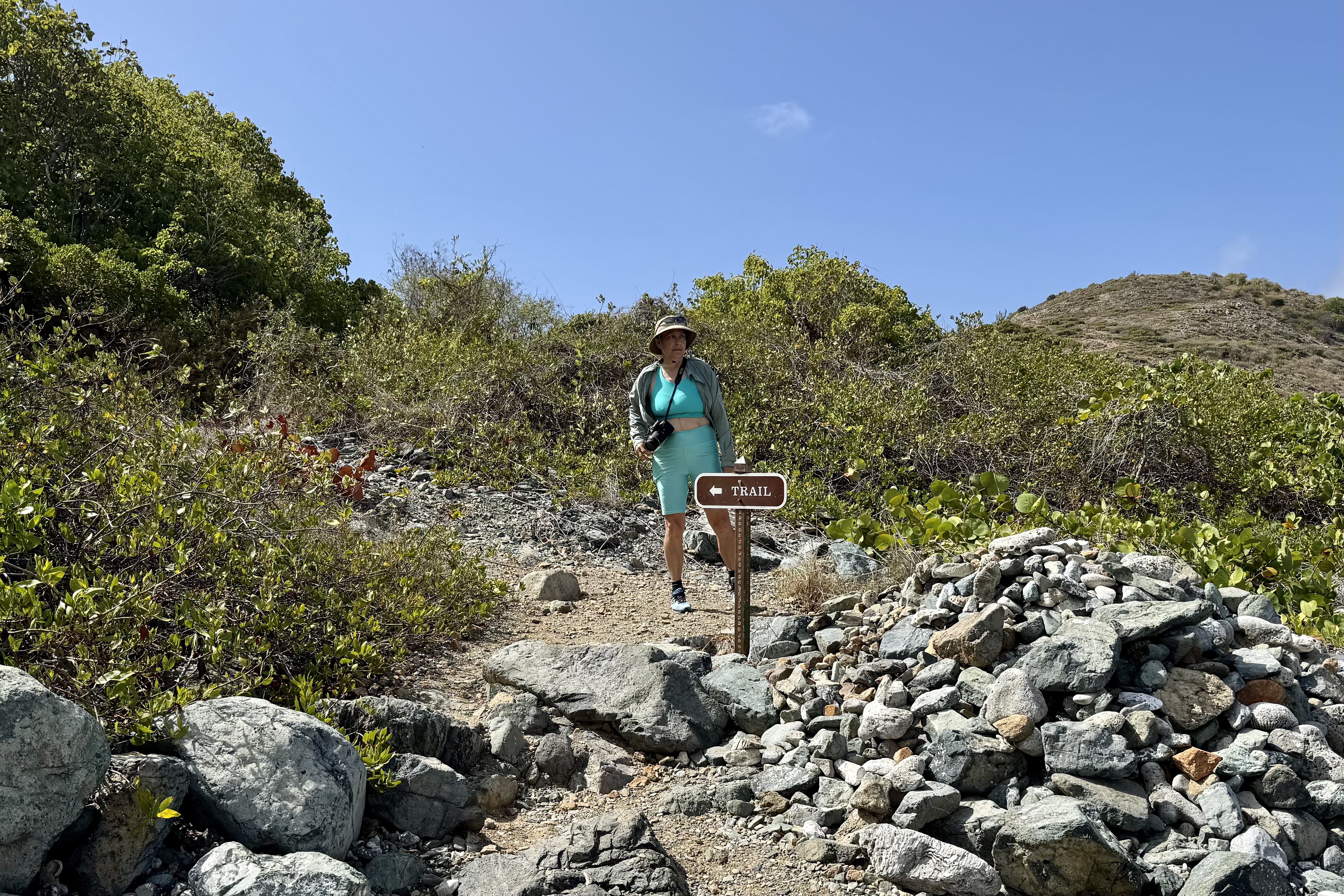
We were greeted at the trail head by a couple of the permanent  wild residents of St. John’s. –  a couple of stubborn and unpredictable domesticated equines (aka burros and donkeys) sauntering down the trail to Salt Pond Bay. Eventually they veered off into the scrub along the trail but I kept my eye out unsure of where they might pop up again. We made our way down the full sun, rocky, dusty half mile trail to Salt Pond Beach.  We came upon Salt Pond just before we approached the shoreline with a sandy strip separating the salt pond from the bay itself. Historically residents would harvest salt from ponds like this .

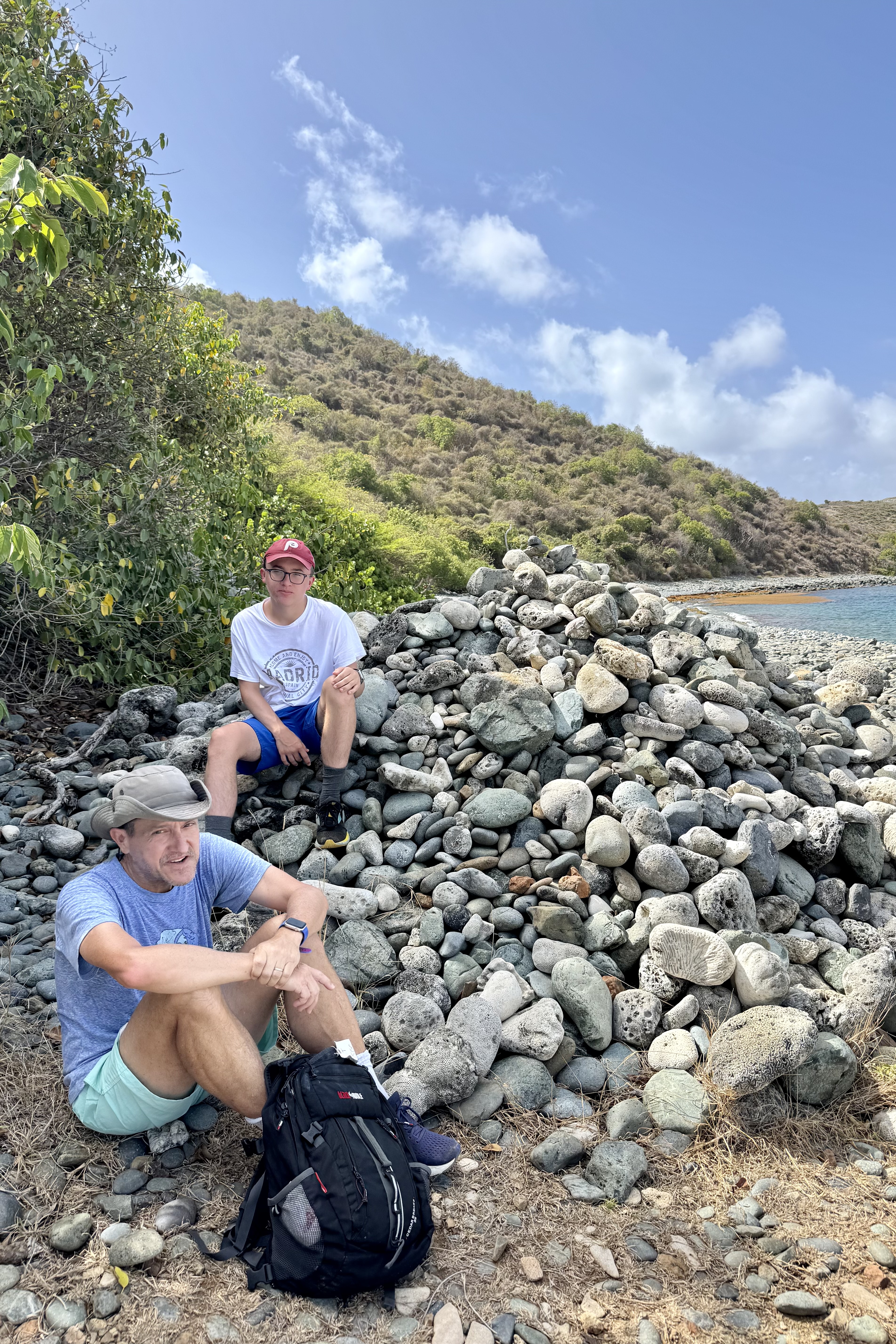
In  that the day was heating up and it was already 9:15am, we opted to make our way east and across Salt Pond Bay and the sand beach.  This section was easy until I reached “blue cobblestone beach, ” the nickname for the shoreline here of volcanic stones that have  a bluish-gray tint. Now it was slow careful steps so as not to roll an ankle on these rolling shifting stones with each  step a bit of a wobble and a clatter. But once back on firmer ground the trail began to climb up,  mostly in full sun, through dry coastal scrub, a plethora of the very  phallic Turk’s Cap Barrel Cacti, and views of the Caribbean’s turquoise waters.

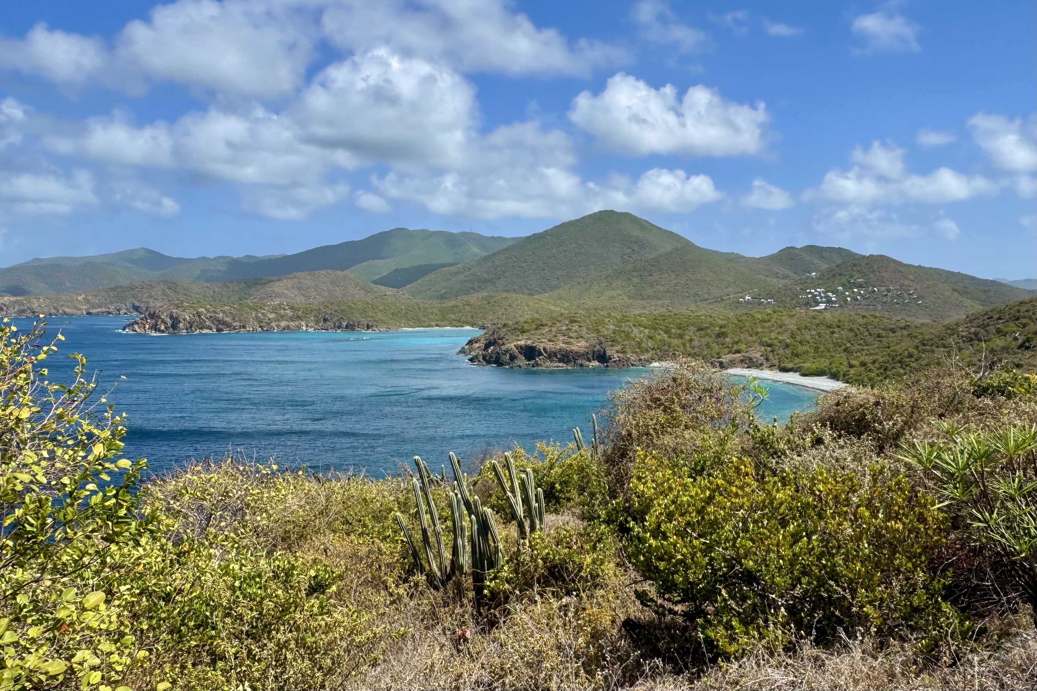
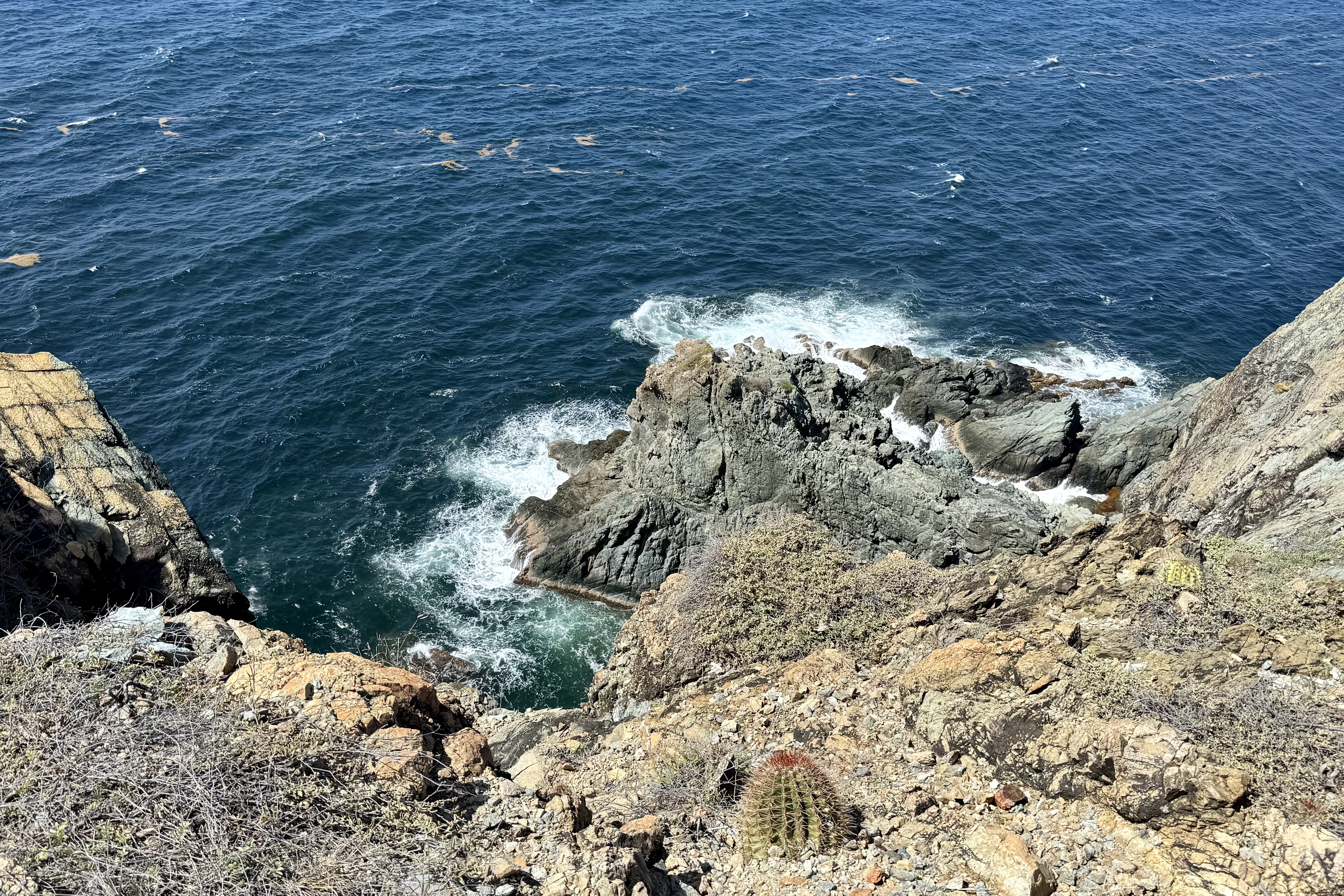
This is windswept terrain was at its best and the wind sweeping across the trail at times tried its best to blow me over.  Ram Head can best be described as a dramatic headland jutting into the sea and the reward  for this  close to one mile hike is a 360-degree view of the surrounding waters.  Salt Pond Bay was sparkling with sapphire and ultramarine hues and the Atlantic sported a shimmering deeper blue color.  It was an exhilarating experience  standing atop the “ Ram”  with the wind sweeping across the “Head” and the ways crashing below.

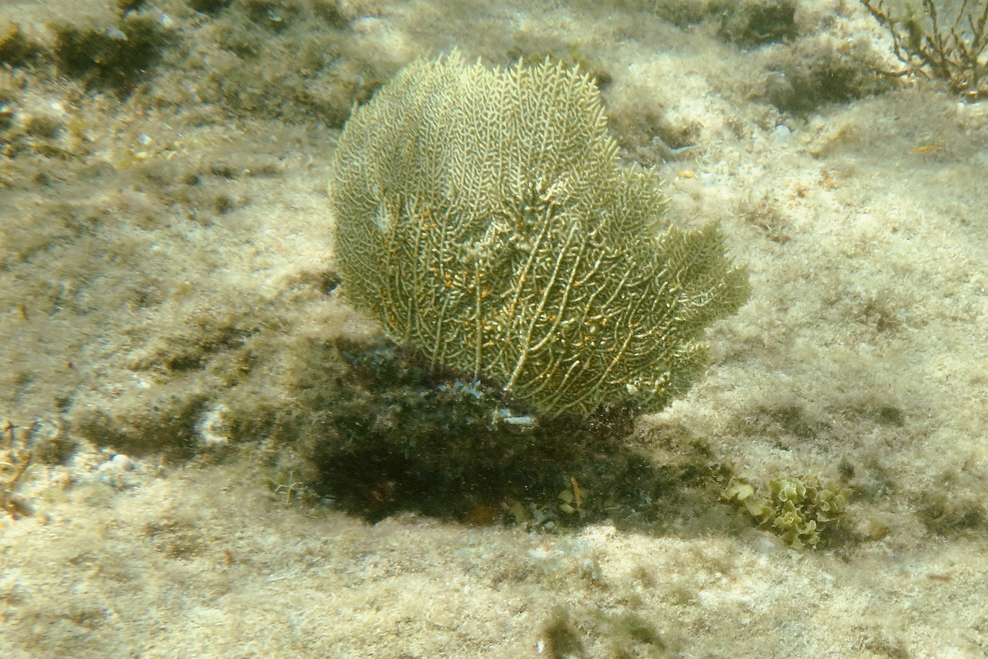
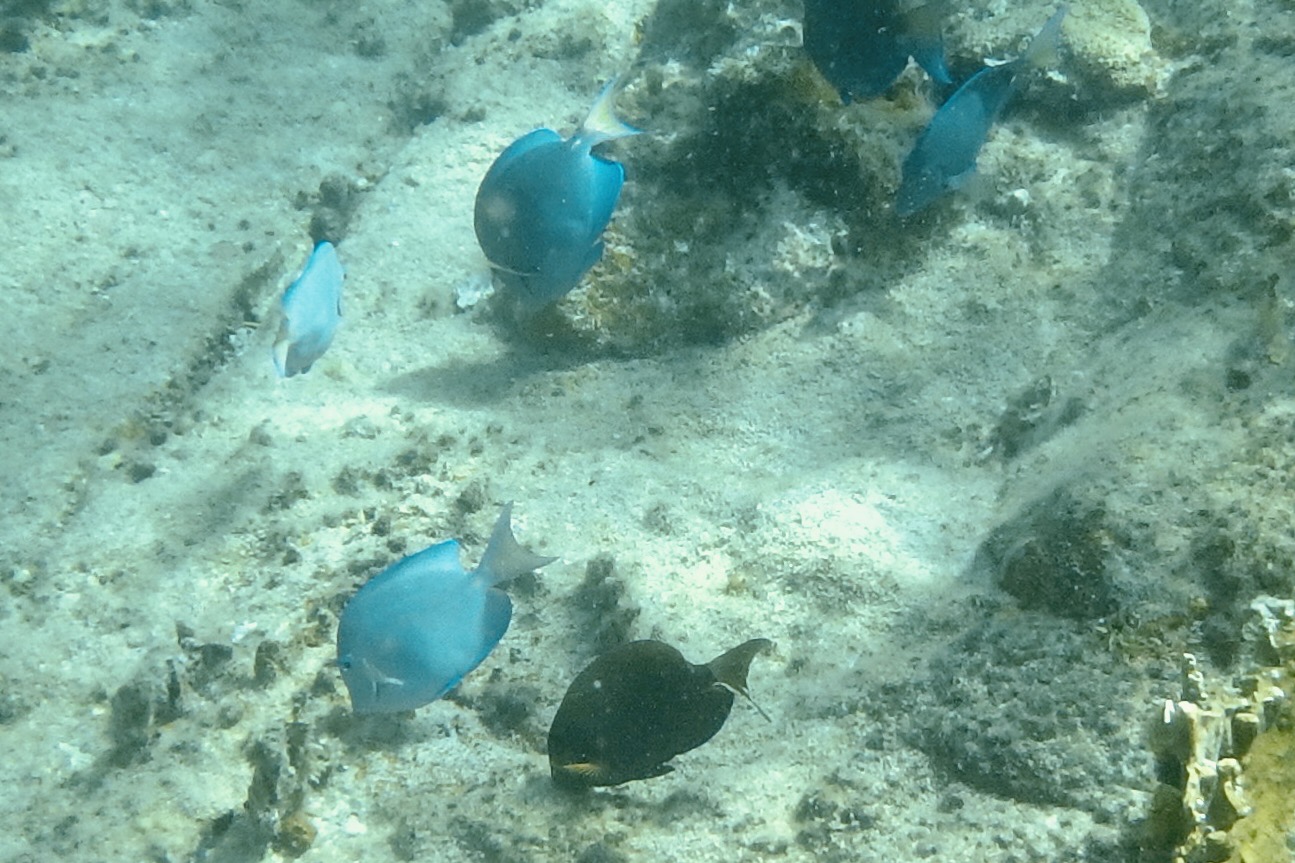
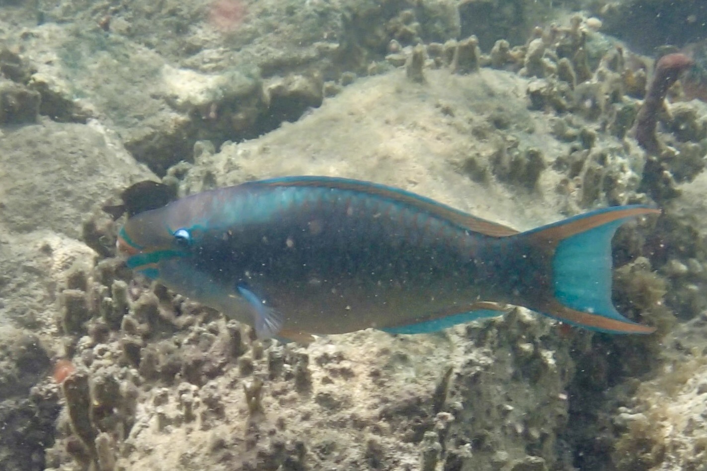
Our hunch was right and we were fortunate that we didn’t have to share this  bay with an overdose of other snorkelers.  It was now time for snorkeling and time to face the awkward task of entry into this underwater world. It  should  be easy from this  sandy beach but donning the gear was not without its comedic side. Do I sit on the beach and don the fins?  But I recollect that when walking in them previously, I waddled like a penguin. So I waded out into shallow water at the beach midpoint and plunked myself down. It seemed to be going well as I  struggled to put on penguin shoe #1 until a small  wave arrived and not only moved me around but swept the other one towards shore. I somehow eventually managed to secure both flippers on to my feet,  secure the mask to my face, and get the snorkel into my mouth.  I  quite ungracefully tried a dolphin dive into the water resulting in getting a snorkel full of water and a mask that became an indoor pool for my face. Seems I forgot to push up the forehead hairs thus breaking the seal. But eventually success!  I was cruising along toward the rocky ledges of shoreline and its  coral gardens and reef fish. Parrot fish and blue tang abounded  and I was enjoying the metronome of sea fans. It was exhilarating.  

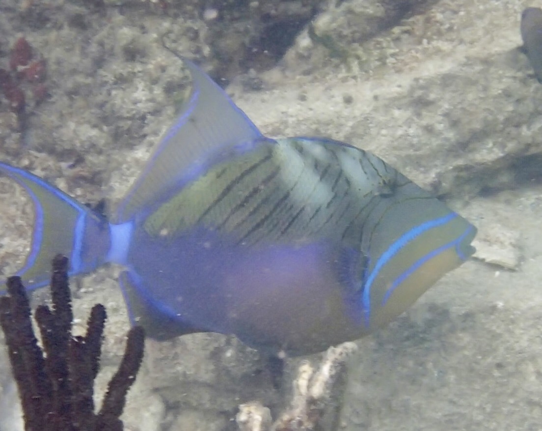
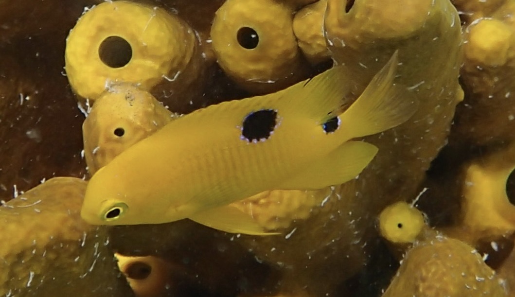
Exiting in the middle with its grassy beds, I was quite content with my adventure until I compared notes and my lame photos with Tasia’s and my few blue tang and blue parrot paled compared to her exquisitely captured images of a Longspine Squirelfish, a Threespot Damselfish, a Gray Angelfish, a Parrotfish, an Ocean Surgeonfish with an Foureye Butterflyfish, a school of Dwarf Round Herring, a Moon Jellyfish and a Hawksbill Sea Turtle. Clearly she is the expert photographer and I definitely qualify as the inexpert…though I am quite good at using Google Images to identify the fish she captured!

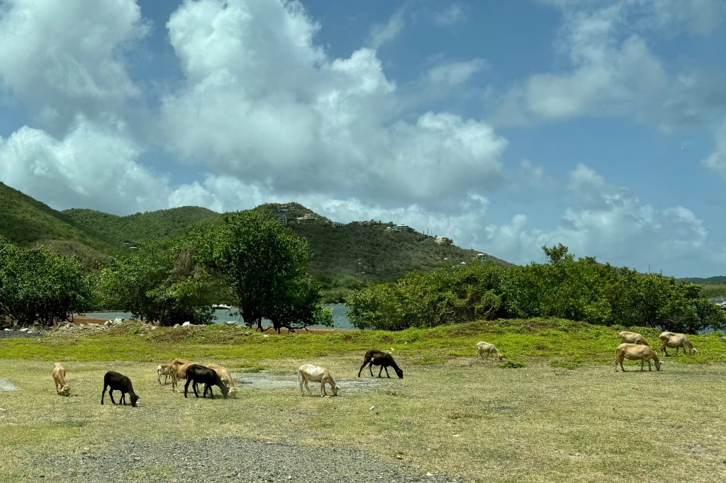
Following a very satisfying hiking and snorkeling adventure it was time to cruise on to Cruz Bay heading up route 107 to Coral Bay. I kept trying to film us traversing the road to hopefully capture a video and pictures of the road as it rises and falls along dry scrubby hillside replete with its uneven pavement, potholes and washed out edges as well as the occasional donkey or goats along the roadside. Not too captivating footage resulted. Passing through Coral Bay, a quiet village, we continued on route 10 twisting and climbing and dipping up and down the mountainside until we arrived in Cruz Bay and headed up to our villa for a chill afternoon and preparation for dining out.

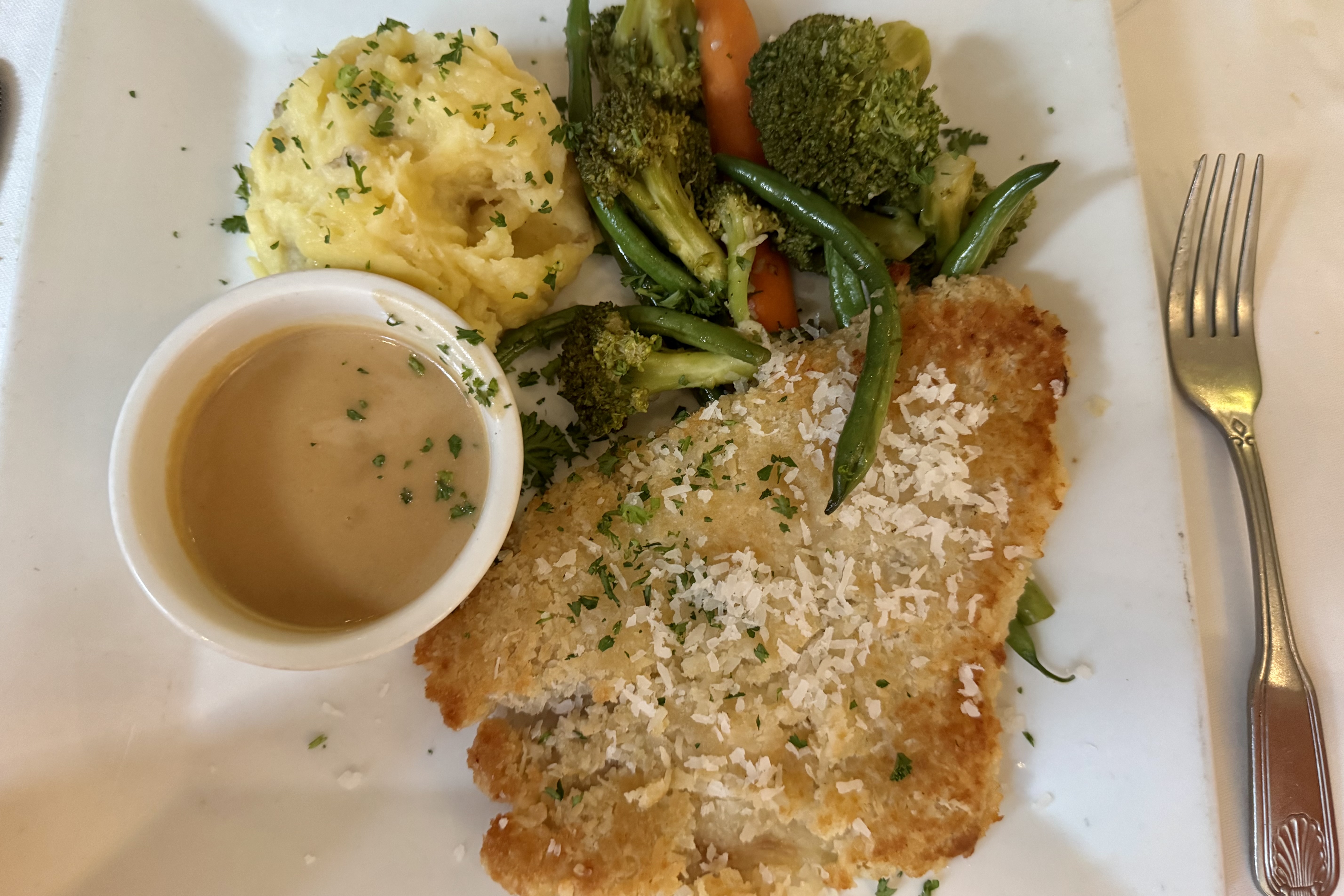
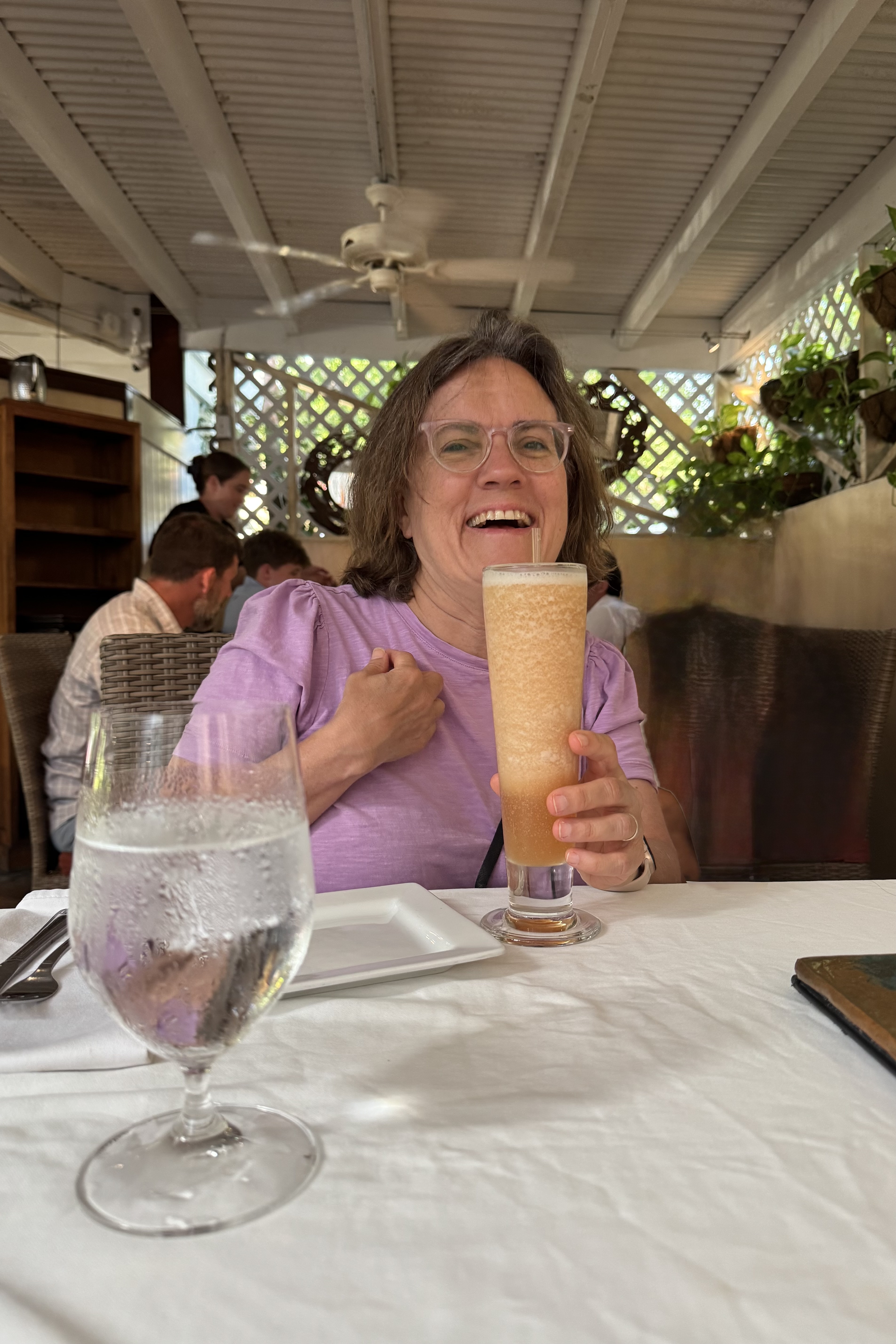
Our dining choice was Morgan’s Mango Restaurant which features a Caribbean vibe as well as Caribbean food. They claim a bit of a mix of Creole, Bahamian, Cuban, Jamaican, Haitian, Puerto Rican and Mayan. I am not sure which cuisine inspired my “coconut panko encrusted fresh grouper sautéed in organic cold-pressed coconut oil until crisp on the outside & moist within— served with a white wine, coconut, lemongrass reduction a unique Caribbean blend of a potato/yuca mash & fresh seasonal vegetables.” Whichever island was the inspiration for our dishes , they were exceptional…and when sated it was then onward to the villa for a swim and relaxing poolside beneath a sky blanketed with stars.

Trounced by Trumbull and Sidling to the Sea

Jack’s and Isaac’s Bays

I was quite grateful for the air cooled bedrooms in our Judith Fancy villa but, as I emerged from it the second morning, I was so much more appreciative of the balmy breeze, salt tinged air, the wide blue sky and the blazing island sun. But no tarrying on our only other full day in St. Croix. We had decided the day’s adventure would be hiking the Trumbull Trail to the Annaly Bay tide pools and needed to get on the road if we hoped to reach the pools at low tide.

The difficulty rating of the the Trumbull Trail is a relative thing and despite reviews of it being easy ( rated a stroll in the park that young strong legs make it out to be) or moderate (rated by most middle of the pack hikers)but for an 81 year old 4’11” female it was an adventure that left me so acutely aware of the withering of my formally very strong Ironman legs despite the fact that I regularly do weights for leg strengthening. But with walking stick in hand, I was oft times sandwiched between Nick and Tasia to hopefully catch any forward or backward stumbling, skidding on loose gravel, missteps, trips or other lost footings. I have never been the most coordinated person nor been known for my graceful movements. For me it was a rough, somewhat punishing experience of a trail being outfitted with tripping roots and skidding rocks, lots of short steep up and down on a very narrow ribbon of gravel, rock and roots. I also have to admit that I did not have the wisdom to wear my hiking boots. The sign at the trailhead speaks a lot about the trail upkeep .

 My walking stick worked overtime. I crept  along like a  determined little arthritic mountain goat and I lost track of how many times I nearly stumbled.  But,  Nick and Tasia were always there to provide emergency arm assists.  Luke was my temporary hiking sherpa though I am sure he would have much preferred to be daypack free. I gratefully accepted any helping hand  which was offered  knowing I was not as spry and agile as I envisioned myself to be i.e.  that  vision is of a gazelle over the terrain. Thankfully the thick tree coverage shaded much of the trail but it also blocks almost any breeze. The sweat factor might be described as a full body drip exacerbated by my wearing SFP gear with long sleeves and long pants.

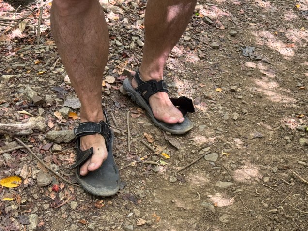
Many reviews of this hike suggested good footwear but heartbreakingly,  mid-hike one of Nick’s old Merrill  sandal straps snapped ( definitely not an ideal situation on a trail that would not be considered well groomed) .  So he began joking about it, only to have a strap on the other sandal give out on the return trip.  He the coined them as his “fop-flips. I am wondering if the next time I see him hiking with sandals if it will be the old Merrill’s  “repaired” with string, twist ties and silver tape. 
Flop-Flips
Flop-Flips

In short and succinctly put – rocks, roots, humidity, sweat . . . perfection! It was a great hike of 1 hr 30 minutes to the stony beach which would eventually lead to the tide pools. The round trip was a 4.25 mile workout.

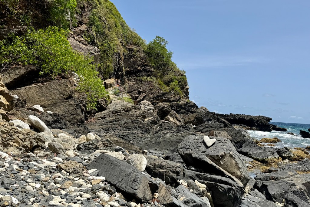
I had to think twice about making the scramble over the lava rocks to the tide pools as I could see some very jagged rock and ledges which I would need to climb up and over to access the pool. This was flirting with danger such as a twisted ankle, a lacerating trip on the jagged lava rock, the choose-your-own adventure nature of the scramble, or a fracture of my osteoporotic bones… It would be a tough sweaty brutal carry out of my damaged body as there is no cell service and no easy rescue.

So I let my imagination run wild and decided that this could be just one bad step away from catastrophe (and for those who know me well, I tend to err on the side of reckless decisions) and opted to stay on the beach and piddle around in the sea gardens there. I also reminded myself that there was a repeat of the previous hiking adventure in reverse awaiting. Though disappointed in not getting to see the grand finale of this hike, I recalled that I had been to magnificent tide pools in Cannon Beach Oregon just last year.

The sun was intense and the marine gardens at the edge sea were intriguing.  I plopped myself in the water with a rock as my backrest and sat mesmerized by the miniature pools of  flickering water surrounding me.  They were teeming with a variety of marine algae both glimmering pink-hued and brown algae looking like ruffled paper, shells, corals , black snails…

The family reappeared about and hour and a quarter later having had an exhilarating experience, though Nick did loose a bit of his dignity in an encounter with the lava obstacle course and was bemoaning the jarring his body took and the decorative lacerations on his appendages. Can we blame it on the “flop-flip? On the hike out from the beach we were all to glad to bail on the final section out to the official trail head, bypassing some of the jungle slog, and take the unofficial backdoor out to the car. The landscape changed from rocky sandy slopes to a “spa brochure “ walk through the Carambola Beach Resort.

With still a few hours remaining for adventure, Nick , Tasia, and I opted for a drive to the farthest eastern point on the island and the eastern most point of the US. The sole purpose was for me to say I had been to eastern most point in the US. It is a popular sunrise adventure but I did not feel compelled to be at the eastern most part of the US at sunrise. Luke and Miriam were of the mindset that a vacation is for resting and opted out. However it was much more than a bag another first experience. The vast ocean surrounded in every direction.

Point Udall was named in honor of the politician Stewart Udall in 1968. Topping this spot it is a geometric stone structure of spike-like pillars, the Millennium Monument. It is a modern looking stone compass built for the millennium to commemorate the dawn of a new century. It was the place to be on 01/01/2000 as the compass marked the azimuth of the first U.S. sunrise of that year.

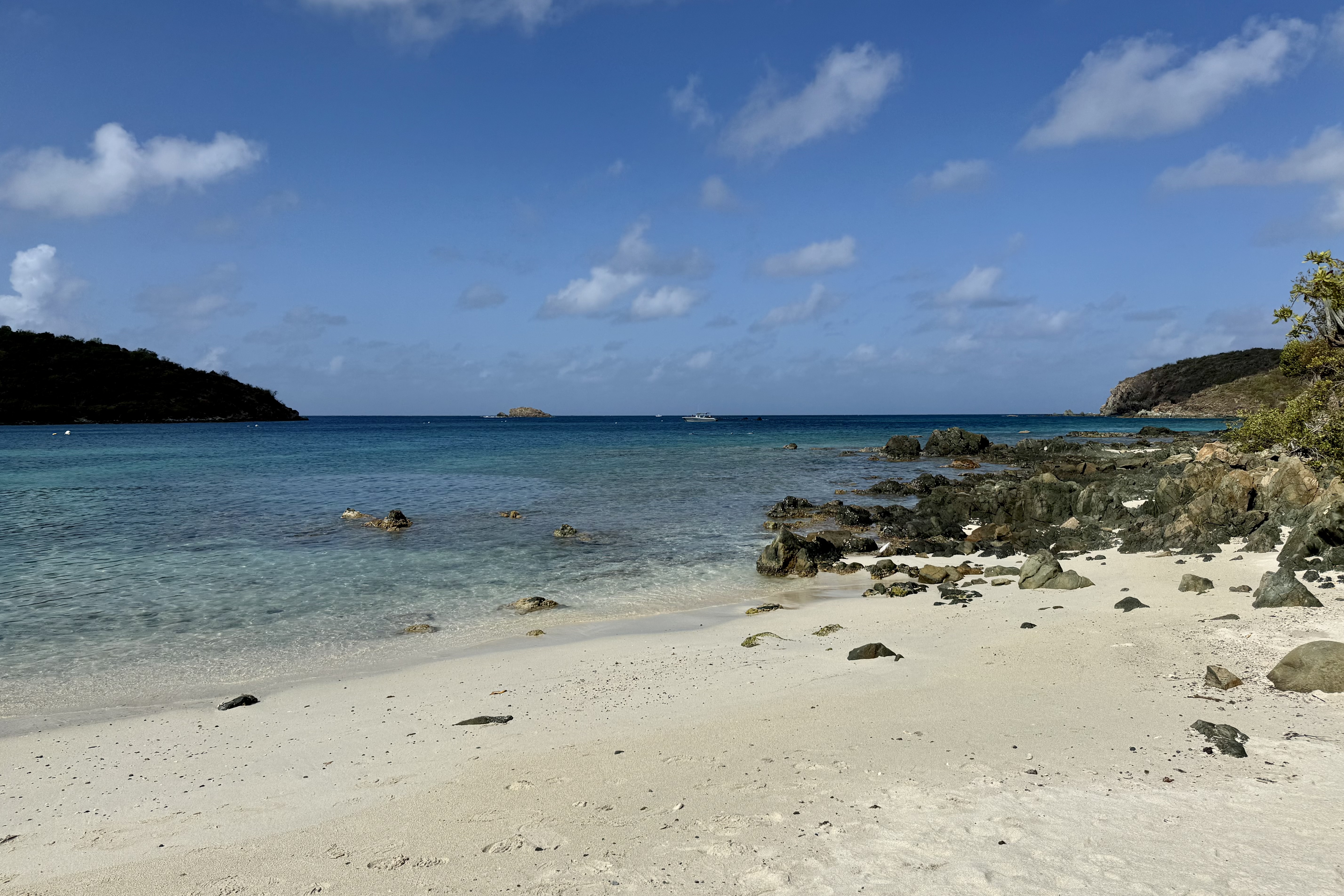
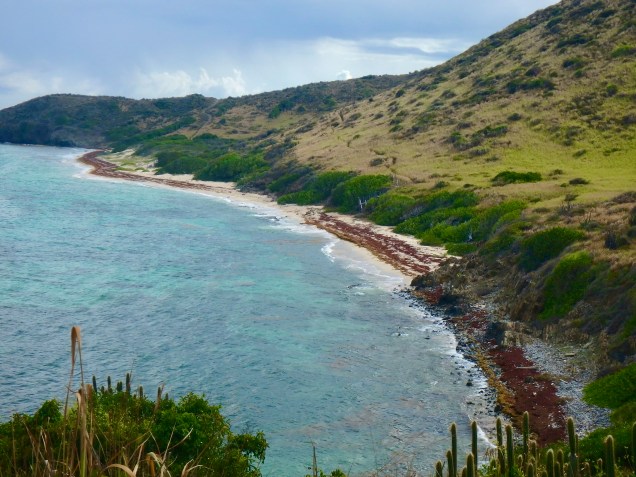
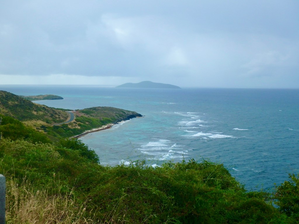
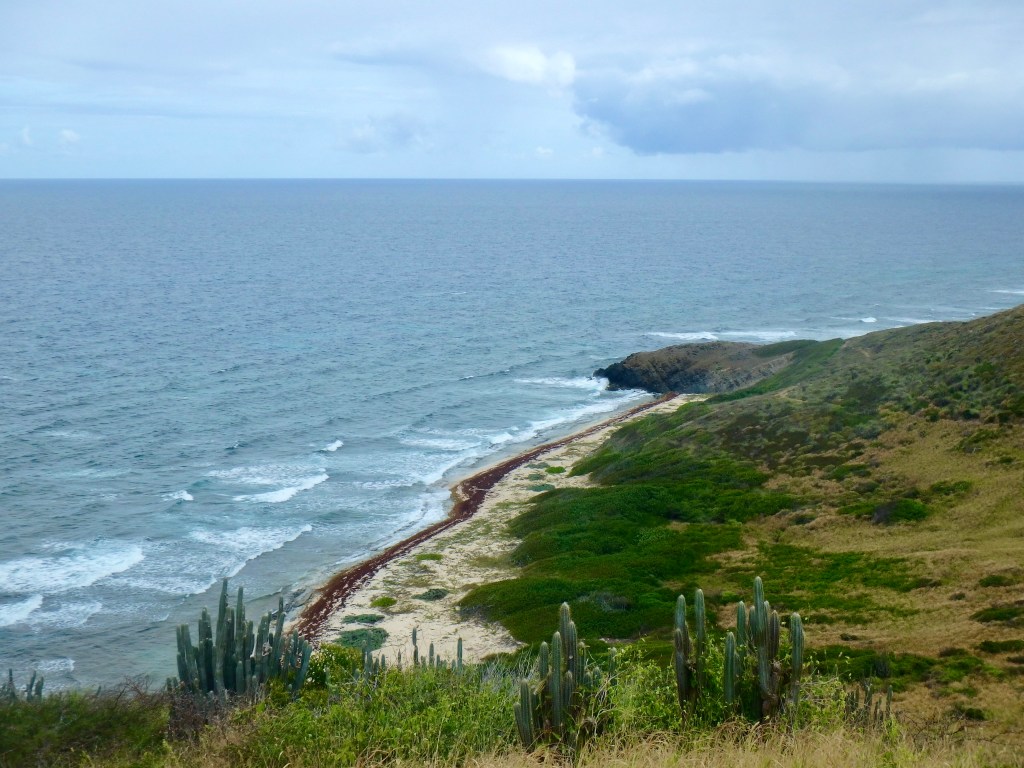
After milling about for a bit, we saw the trailhead for the Jack & Isaac Trail. Needing to stretch my limits further with another hike, I was hoping my body would forget that I had already hiked today. The trail cut downward on a well worn relatively obstacle free path through windswept terrain similar to the tropical desert on Buck Island. As I trudged along what lay before me was stunning. The landscape of Issac and Jack’s Bays was a ribbon of white sand between the brilliant turquoise of water and the verdant greens of the hills. At the second egress for Isaac’s bay we doffed anything we did not want to get wet and plunged into this cool salty blue sea. Afterwards we hiked back partially on the beach. I was so grateful to have the energy to be able to experience the immersion into this postcard perfect scene.

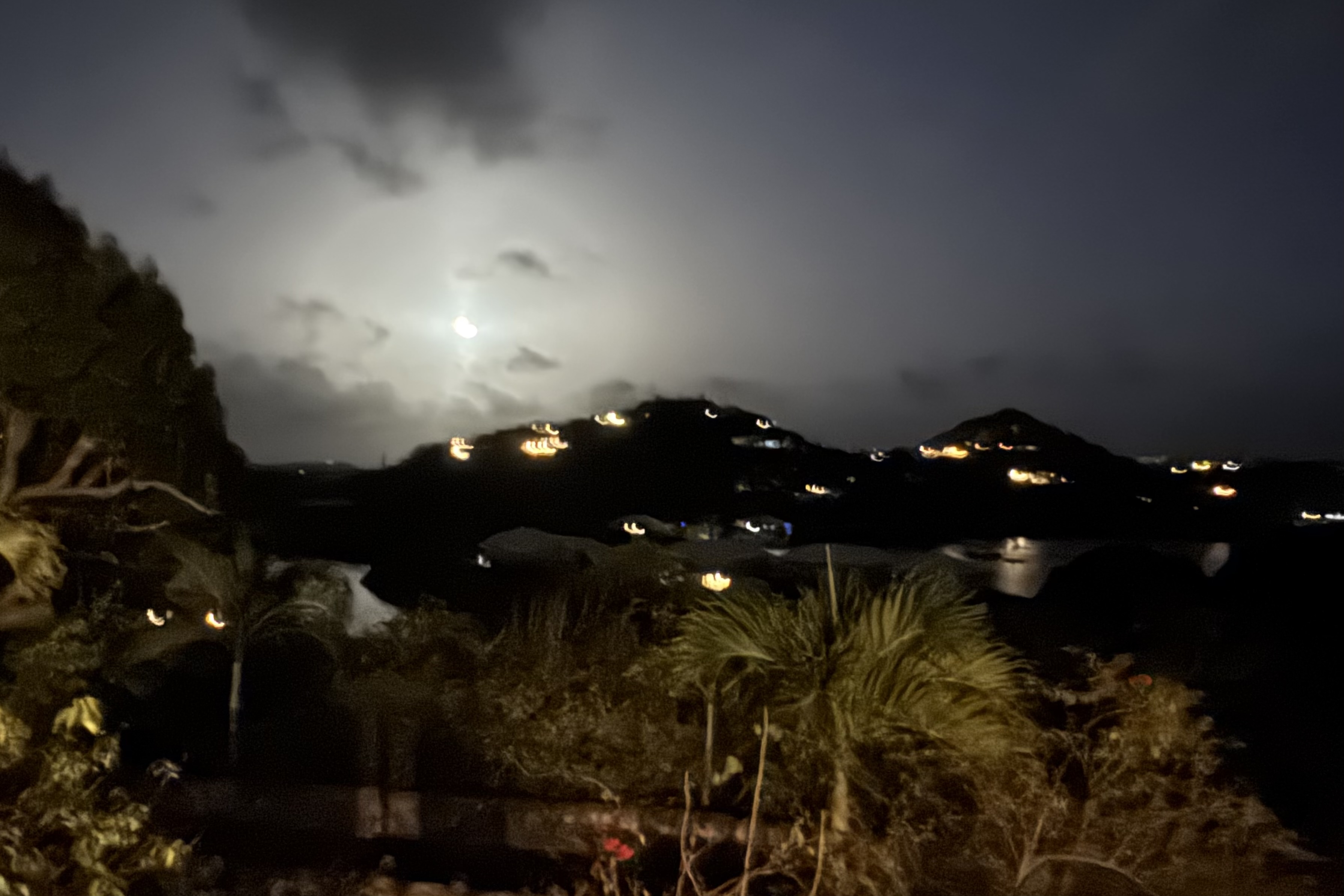
There was one last adventure to be had which basically turned out to be a real dud. A walk to “Bio Bay” from our Judith Fancy VRBO was undertaken to hopefully experience the Salt River Bay glow. When the water is agitated the bioluminescent organisms (fireworms, jellies, and marine planktons) light up.I had seen this in the Florida Everglades and was anticipatory of a similar experience. I at first thought I saw the water light up but upon a closer look it was only the moonlight reflecting on the ripples. So Nick was glad to oblige us by wading in and agitating the water. Nothing. Throwing rocks, nothing. More agitation, nothing, So we eventually called it a day and meandered on back to our lodging.