Sucking Sea Water and Sun Sodden Schlepping

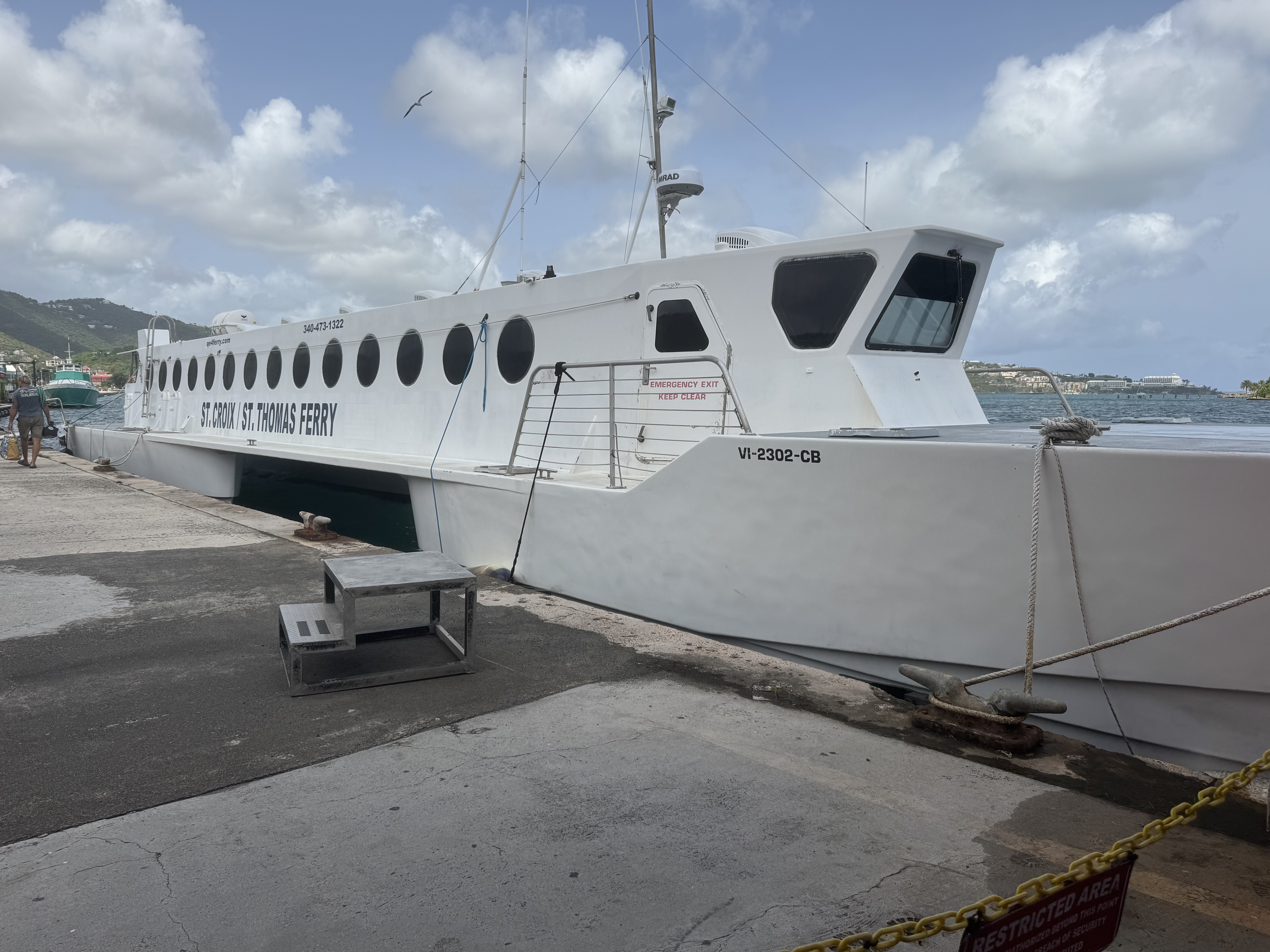
We were departing for Gallows Bay, St. Croix from the Blyden Ferry terminal in St. Thomas ( a 40 mile trip) and arrived there with a fair amount of time to spare before our three pm departure. The terminal  is definitely NOT fancy and decidedly HOT.  We parked ourselves on the uncomfortable wooden benches and I could not help thinking this is more akin to a greyhound bus station in the wrong part of town rather than what  my conception of a Caribbean  cruise terminal would be like.

The QE IV is a high speed catamaran and as it plowed the Caribbean Sea on this relatively calm journey (per the captain, the swells were mild), I was grateful for this relative mildness. The slap of the water on the windows was very enlivening and definitely not of the sea sickness level.  The vibrant  soundtrack on this voyage was a mixture of the hum of the engines, the occasional creak, and the thump, splat,  slap of a sheet of water  as it flings itself against the window.  WHAP and then it dribbles down the glass. Repeat for two hours.

Docking was at  the Gallows Bay terminal in Christiansted ! By the time we collected our luggage and made our way roadside, there was not a livery service vehicle to be seen.  We needed to pick up a rental car at the airport and had decided that since taxis charge per person, it was best that only Nick and I make our way there.  Having had minimal luck ordering a taxi, the ferry captain arranged  for an open-air taxi, aka “safaris” to  come.  Before long a regular taxi showed up and being opportunistic we hopped in it as there was no guarantee when  the hypothetical safari vehicle  would arrive.

I have had a Caribbean dreamscape over the years about  it being a paradise  in which I would be immersed in the salt-air, my skin kissed by  the trade winds, and floating  in turquoise waters above  technicolor reef just offshore…  a true tropical paradise.  But upon arrival,  the sun was intense and I was immersed in steam bath humidity.  On the drive to the airport there were abandoned building, shuttered storefronts, crumbing facades, pot holed roads winding through scrubby vegetation… the scene definitely was not of the picture perfect postcard  or the polished resort variety.  The driver took us through the industrial area further dashing any preconceived notion I had about this being a carefree tropical island of unsurpassed beauty. In the area of Limetree Bay was  the remaining skeleton of the original Hess oil massive refinery which went “dead” in 2021 because of toxic emissions, health concerns, foul odors, EPA violation resulting in  devastating losses of jobs and an economic catastrophe .

Picking up the rental car, a 4-door Jeep Wrangler was seamless and Nick soon was behind the  drivers wheel and  getting used to the driving on the left-hand side of the pot-holed roads.  I thought getting a jeep was basically a lark but in actuality a necessity given the roads. I had hope his long term memory of driving on the left in Australia was an asset and would kick in but since,  unlike in the English tradition,  with the steering column on the right , the steering column was in the normal American style on the left side adding another challenge on these narrow, rough and unpredictable roads. 
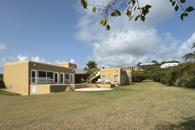
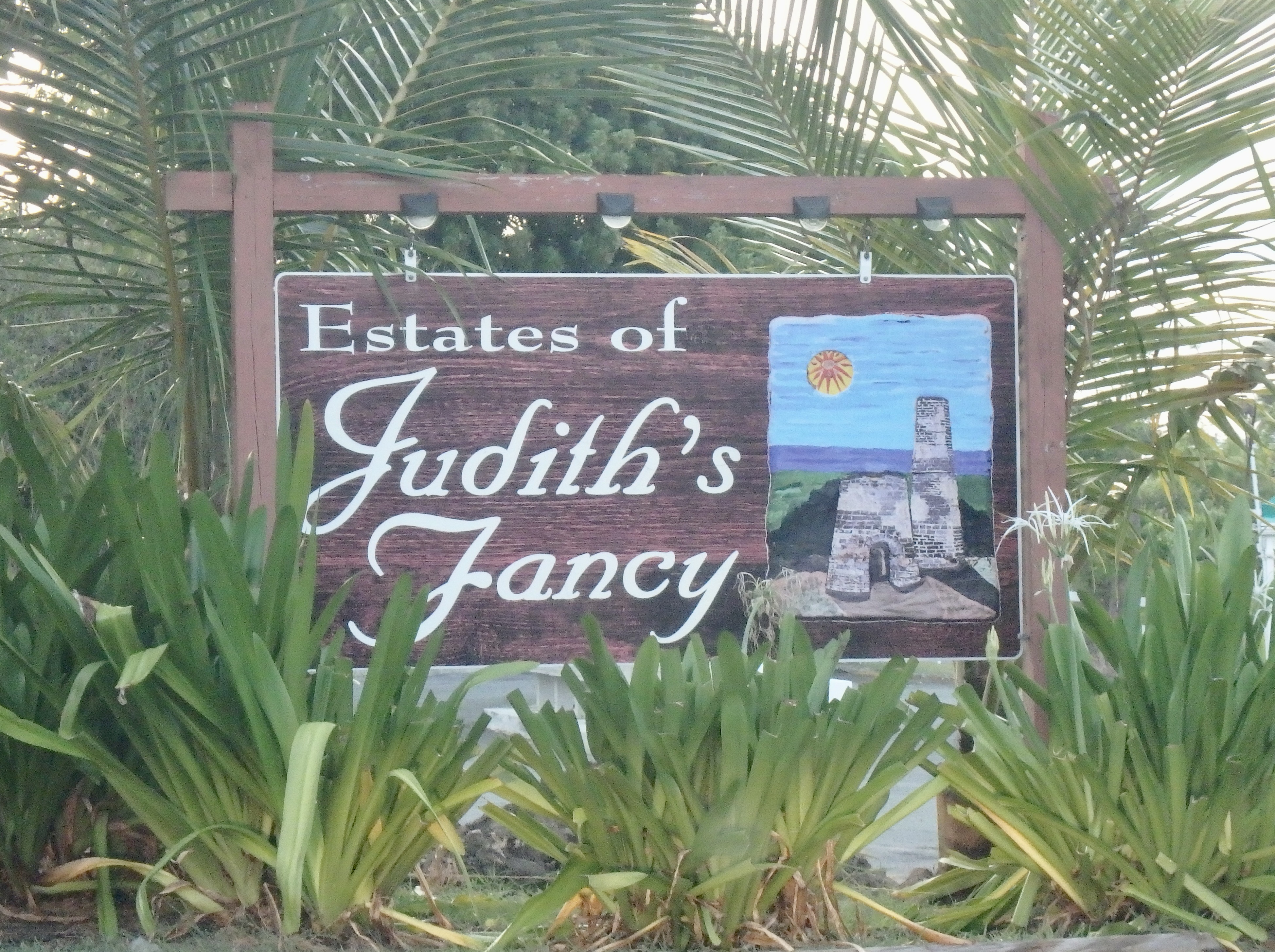
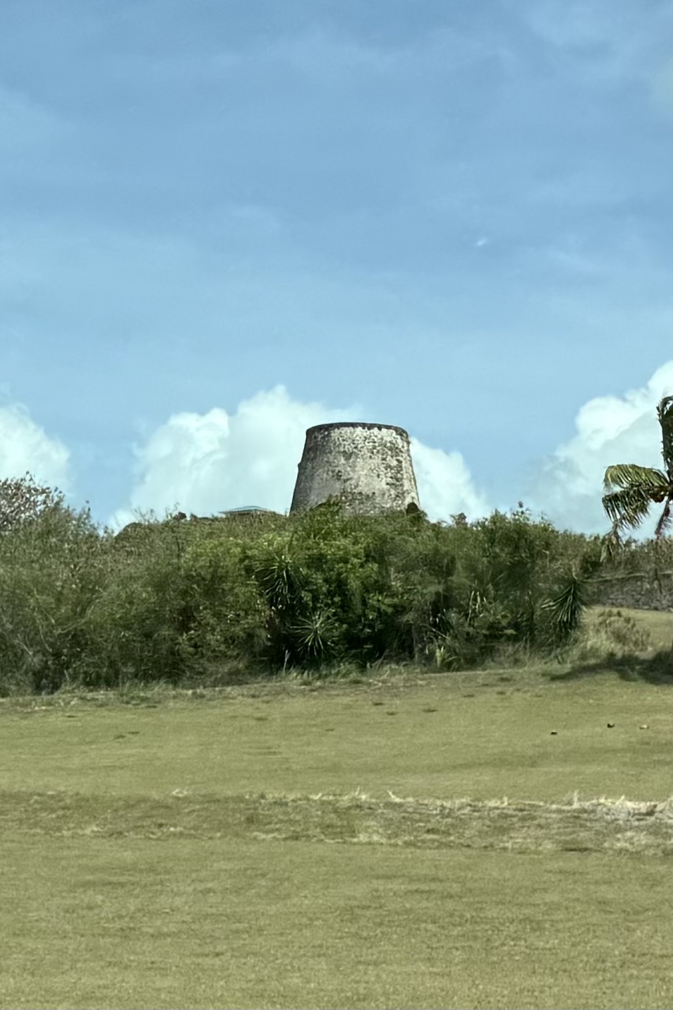
Finally, gathering up the family at the ferry terminal, we made out way to our VRBO  coined an “Island Vibe Retreat” in  “Judith Fancy, ” a gated residential community built on the 18th century Judith Fancy Sugar Plantation. It was named after Judith, a free woman of color, and considered a prized and “stylish” manor i.e fancy .  Ruins of the old sugar mill remain and were visible from the courtyard of the house. Similar ruins of many of the old rum and sugar plantations exist throughout the island. 

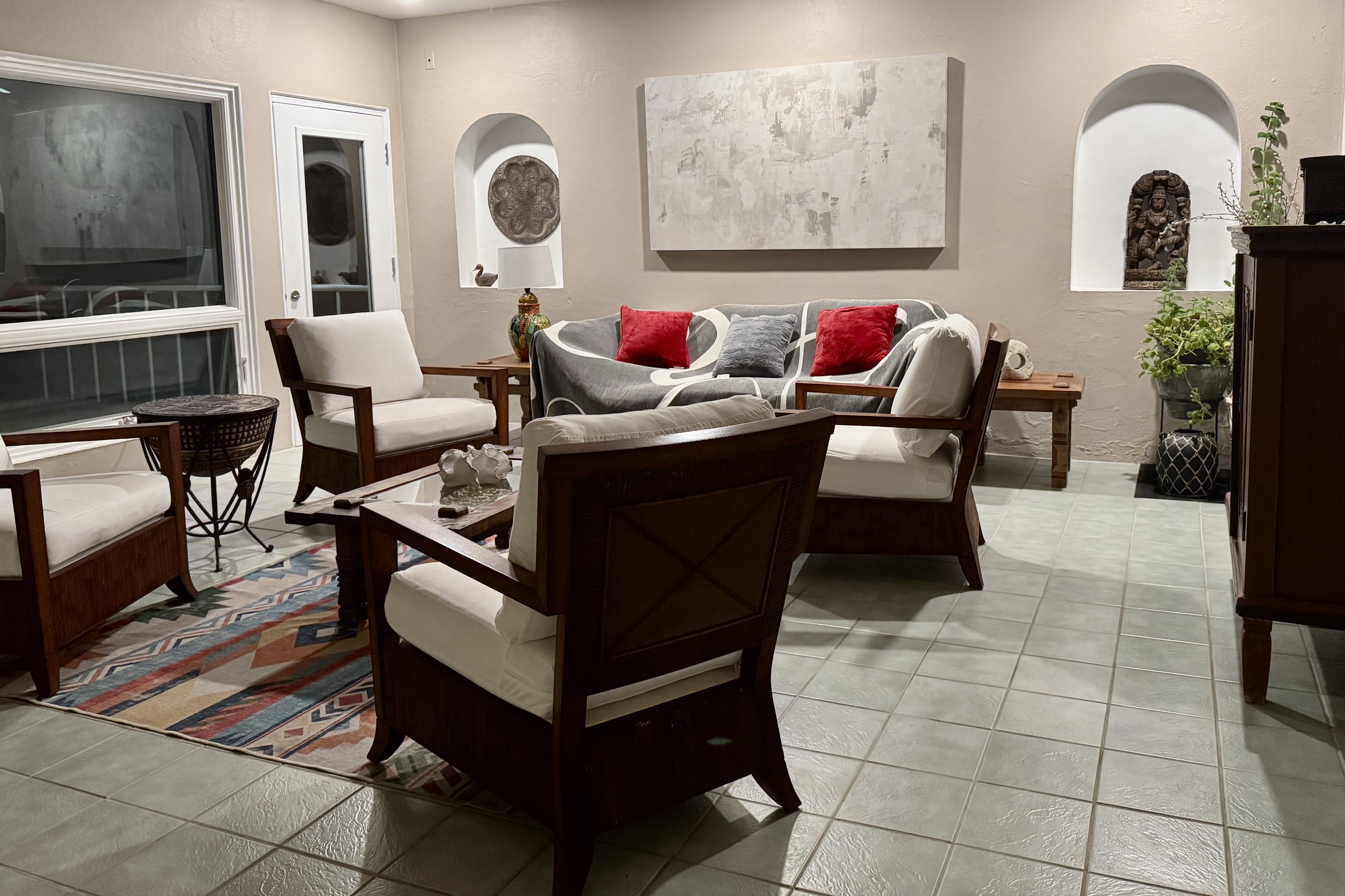
This was a true Caribbean style indoor/outdoor living space with  a large courtyard for dining .  Off of  this open-air central courtyard were  3 bedrooms with en-suites, (the only air conditioned rooms)  a  living room, dining room, kitchen. and laundry room all with their own separate locks and  keys.  From the front it would seem that this was a secure fortress but in reality one could access all of the rooms by going around the side or back. Hence, Luke became the keeper of the keys and had the sacred responsibility of opening and locking every single room every time we went out. Given that Luke can be highly anxious and extra cautious this job suited him well. A favorite spot was a rooftop patio, with its gentle breezes in the evening after the sweltering sun vanished below the horizon.  

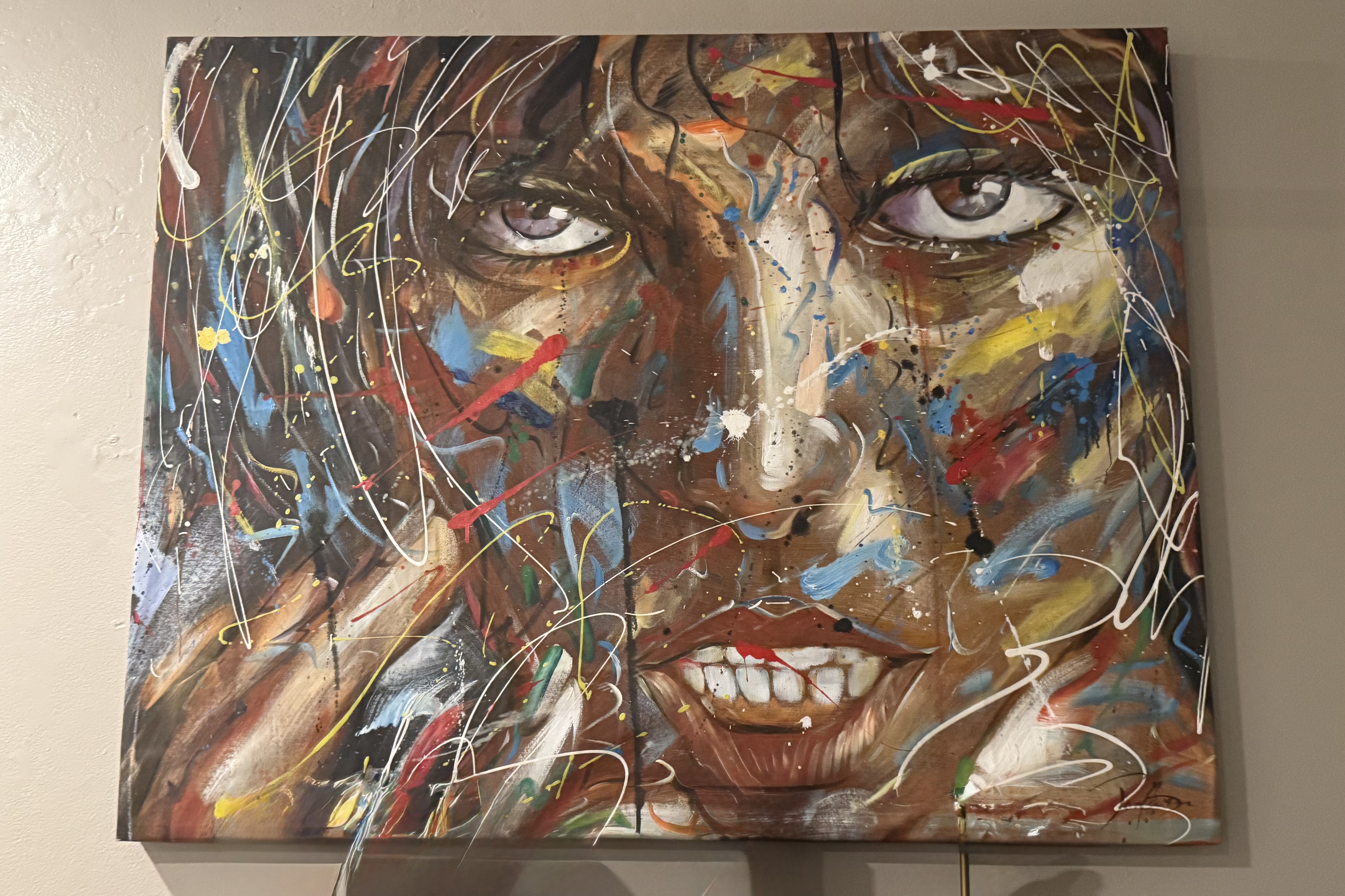
However, the main rooms did not scream calypso or reggae vibes and definitely were not of the Caribbean vibe. A striking painting that graced the living room definitely burst with color and emotion but in my mind did definitely not “fit” the Caribbean setting and I found it slightly unsettling and unnerving with its splattered streaked paint. It would best suited for a Miami art museum. I was relieved to spend all of my stay in the outdoor parts of the house as viewing it once was enough.

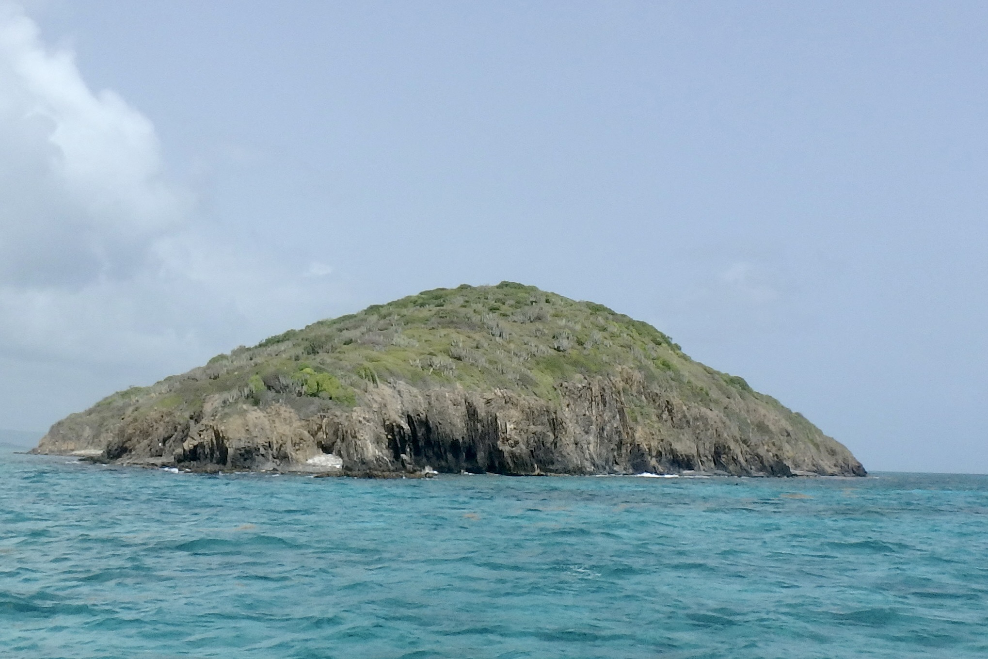
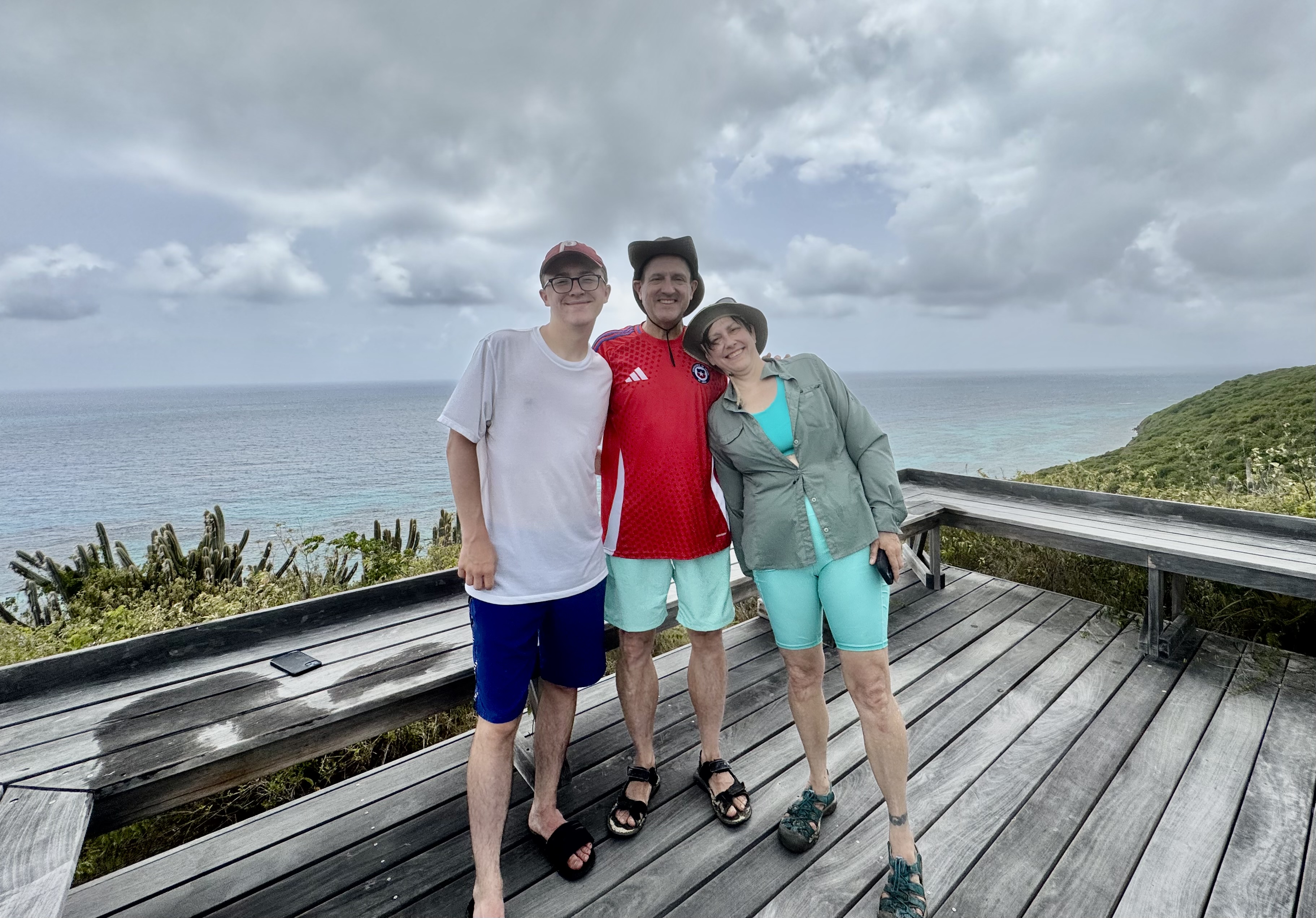
The premier event that I planned on St. Croix was a sailing and snorkeling excursion to Buck Island, described as a “marine garden” established by John F. Kennedy in 1961 and is designated a National Monument . It is a no-take marine protected area in the Caribbean Sea. Buck Island itself is physically protected by a flourishing elkhorn reef formed by elkhorn coral (branches fan out like the antlers of an elk and are brown in color.) With Captain Carl was at the helm, weathered by years of sailing under the Caribbean sun, and after an engine assisted sail out of the harbor on this 42-foot Trimaran (Teroro II), we sped towards our destination under sail power only. I note this because all the other companies going to Buck Island tend to use motorized vessels and I opted for the less polluting choice.

The sail was invigorating as Captain Carl pointed homes along a rocky headland, Pull Point,  including one home frequently visited by  Joe Biden that was owned by a longtime fiend of his  and another where the physicist Robert Oppenheimer often stayed with friends …plus other interesting trivia.  I would have been much more interested in learning about elkhorn coral and parrot fish than the vacation spots off famous people! The sea was various shades of blue and upon approaching Buck Island it took on that stunning turquoise color. Seems the recipe for this color palette is sunlight, water clarity, depth, and a white sandy floor! Anchoring on the western side of the Island, we would commence our first snorkeling adventure.

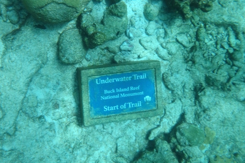
Our first stop was proximate to the underwater trail. Provided with snorkleing gear and with Captain Carl as our guide, we entered a shallow lagoon and followed a series of submerged plaques identifying surrounding marine life and coral formations. Sounds lovely and serene and it might well have been for the others. BUT, since I was not a skilled snorkeler, I was about to embark on a not so gentle glide through the water and definitely not an effortless and graceful adventure. My primary take away from this experience was definitely a lot of sputtering and choking on sea water.

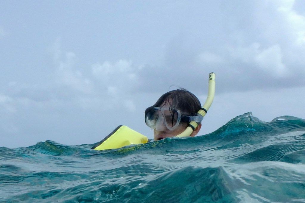
Feeling quite fashionable in my mask and snorkel in my new swim togs, I finally managed to get the flippers on while bobbing around in the water and then, somehow miraculously, I was able to get the mask on my face and relatively water tight, thus avoiding bathing my eyes in sea water. I followed our group and guide towards the trail and naturally I was trailing the group and trying to keep up, see what was below, and keep an eye out for the red and white life ring being dragged forward by Captain Carl. Every time I saw an underwater marker I had this unconscious need to peer at it closer and plunged my face deeper and of course sucked in vast amounts of sea water. Not once, lesson learned, but several time over the course of the course!. I was desperately trying to enjoy this journey through coral gardens, grottoes and a reef teaming with marine life but secretly was glad that I did not get lost in a coral cavern and made it back to the boat.

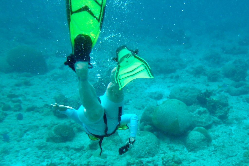
I had resurrected my trusty Olympus waterproof and shockproof camera so I would capture dazzling the underwater world of tropical fish and coral. Seems I was better a capturing butts and flippers than fish. As for the fish, they remained a a speck in the distance.

Subsequently, we then sailed over to Buck Island’s Turtle Beach and had about 1.5 hours to spend there. Not one for lying on the beach and not wanting a repeat that snorkel experience again this day, I opted for hiking the trail on Buck Island with Tasia, Nick, and Luke. Forewarned about a massive bees nest at the trailhead which we thankfully avoided. and after picking our way across slimy rocks, the hike was short (1.28 miles) but also challenging as it winds up a dry rocky hillside through native vegetation including cacti, sea grapes and turpentine trees. I was surprised by the feeling that I was hiking in a wild, Caribbean desert and dry forest, something I did not associate with tropical islands. And as with desert hiking, by the time I reached the overlook it looked like I had opted for the bathing on the beach option. The path was narrow and a bit rugged for my tendency to find every “trippin” rock and root”but I did stay upright. . It was replete with buzzing insects and hermit crabs toting around there borrowed shells. Turk’s Cap Cactus were of special interest named for its red “cap” that resembles a Turkish fez and the crown sporting small tubular pink flowers.

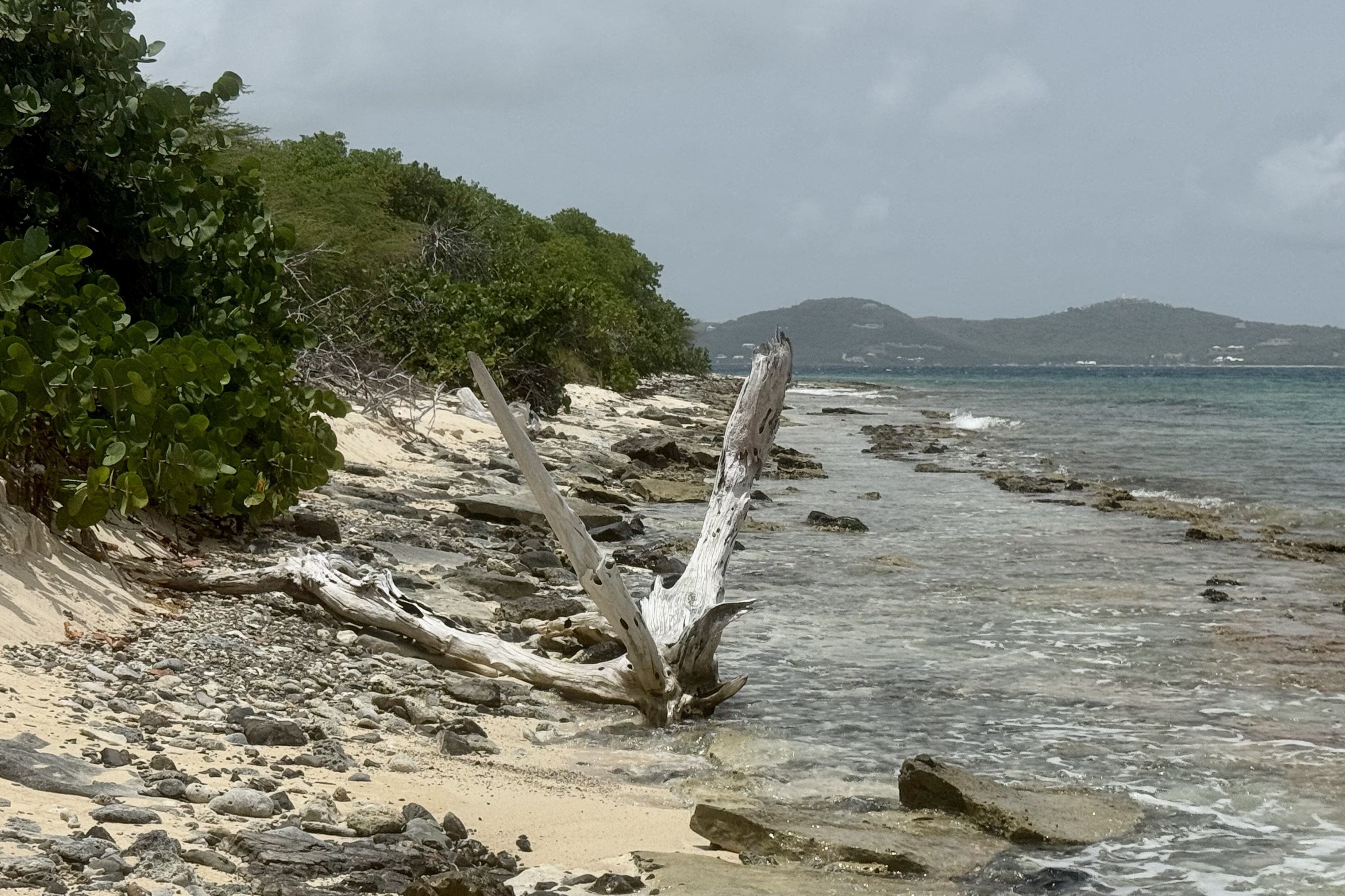
Atop, the reward was stunning views of the reef, resembling a necklace surrounding the Island, rolling hills and the distant shoreline of St. Croix.. What a contrast this day was with both hiking over this cactus studded Island and swimming in coral garden teaming with marine life.

It ended at the beach with a short walk back to Captain Carl’s salt-sprayed sailing craft and a breezy ride “home” to relax, enjoy a simple dinner in the outdoor dining area , and then a short walk to a beach access near our VRBO. I had hope to dip my toes in the water as I imagined a tropical sandy beach but found it was rocky, coral strew and draped with a thick mat of seaweed (sargassum) to wade through. Not tonight. The view by night though from the beach of St. Croix glowing across the water however was quite a lovely site.

Should I Treat This Arch Delicately, a Sunless Black Canyon, and Wrathful Storms

Having now spent three cushy nights in motels, it was time to quit babying myself and prepare to be back in the tent and camping.  Actually I am preferring my cozy sleeping bag and cot in the tent to a motel room and their pillow top beds — except when the rainfly leaks and I get rained on in the middle of the night. A stop at a grocery store on the way out was in order to have enough food for the next four nights of camping in national parks. After a resupply in Colorado Springs, I made my way out of town. and by now I was driving in Garden of the God’s territory  meaning towering red sandstone formations and landscape that became incrementally more beautiful the further southwest I traveled.

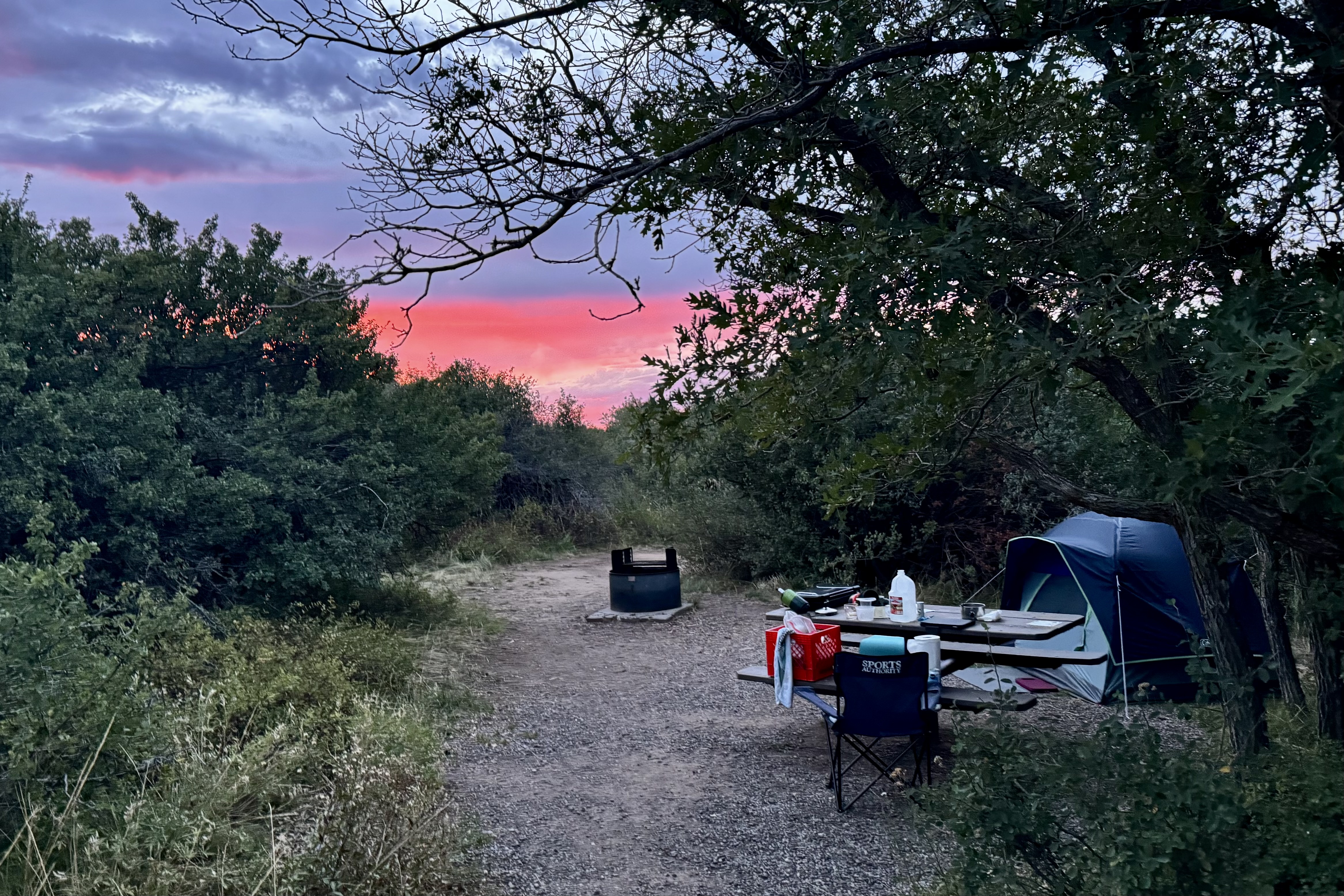
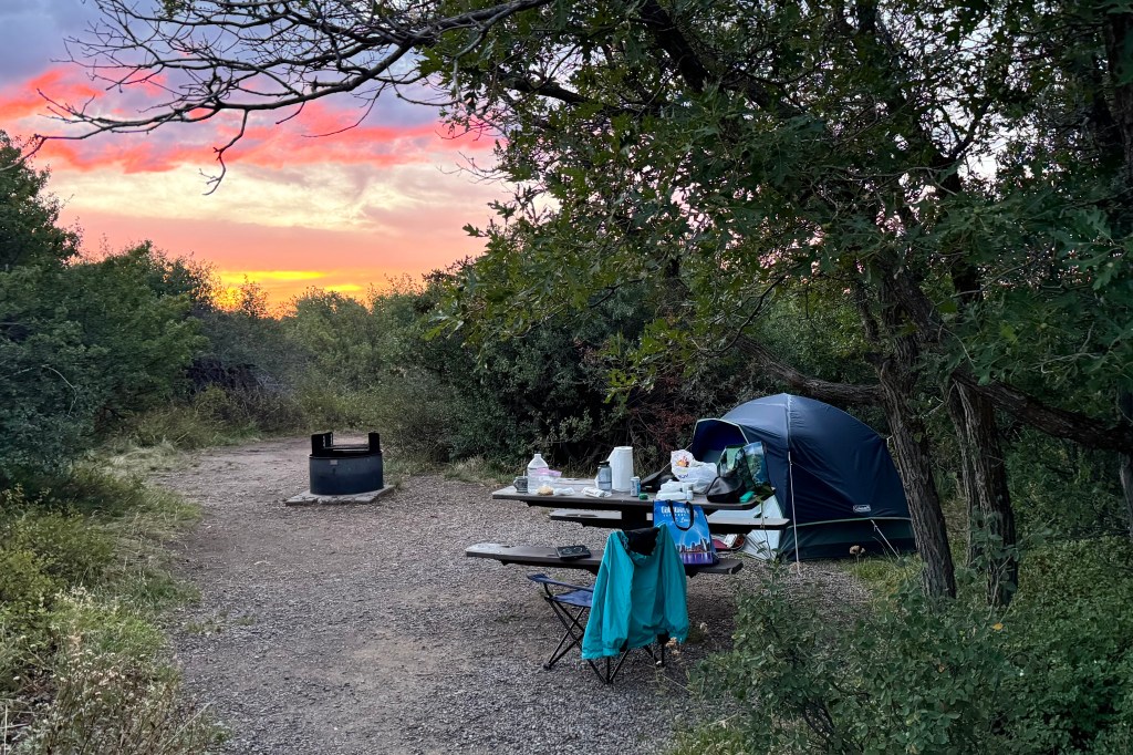
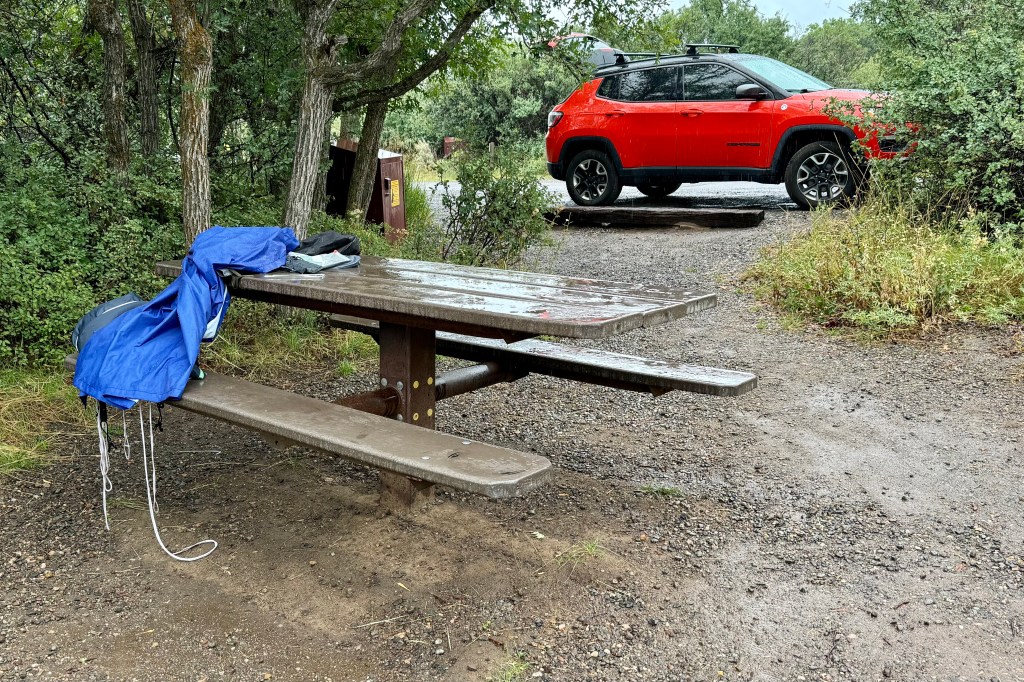
One of the downsides of traveling to the national parks now (or most areas as well) is that it is the “high tourist season” as well as the “high road construction season”. Quite often the two clash! Whether it is the turnpikes, interstates, or the secondary roads, there were not many stretches that I traveled where major road work wasn’t a huge barrier to maximizing quality time outside of my vehicle. I was in Colorado headed to the south rim of Black Canyon on the Gunnison National Park via Route 50  and had to wait almost an hour for a pilot car to lead a line of cars through the area being “refurbished.”  This of course was the time when the major road through Gunnison was also getting a shiny thick new layer of black asphalt and this provided a great olfactory experience of the aroma of fresh asphalt which had just been laid on the road about 100 feet from the campground. Most campsites were pretty squeezed but the one I had selected was quite roomy though I opted out of putting my tent on the area designated for a tent pad on the back of the site (more privacy) as it was clay and definitely would be a slick mess to slip and slide around on should it rain.

With many open site, up pulled a “loud family in training” right across from me, meaning there have been worse on this trip but they were practicing to compete for first place. In an amble about the campground I did not hear any other clearly audible conversation. It wasn’t even the ongoing noise that annoyed me (one comes to expect it) but soon the dad strung up several strings of lights running off a portable power pack (no electricity in this campground) . It wasn’t quite as bright as the Vegas Strip , but Black Canyon of the Gunnison National Park has been certified as an International Dark Sky Park due to its exceptional skies and lighting practices. This guy was putting so much wattage into the air , that it definitely compromised the quality of star gazing that evening.

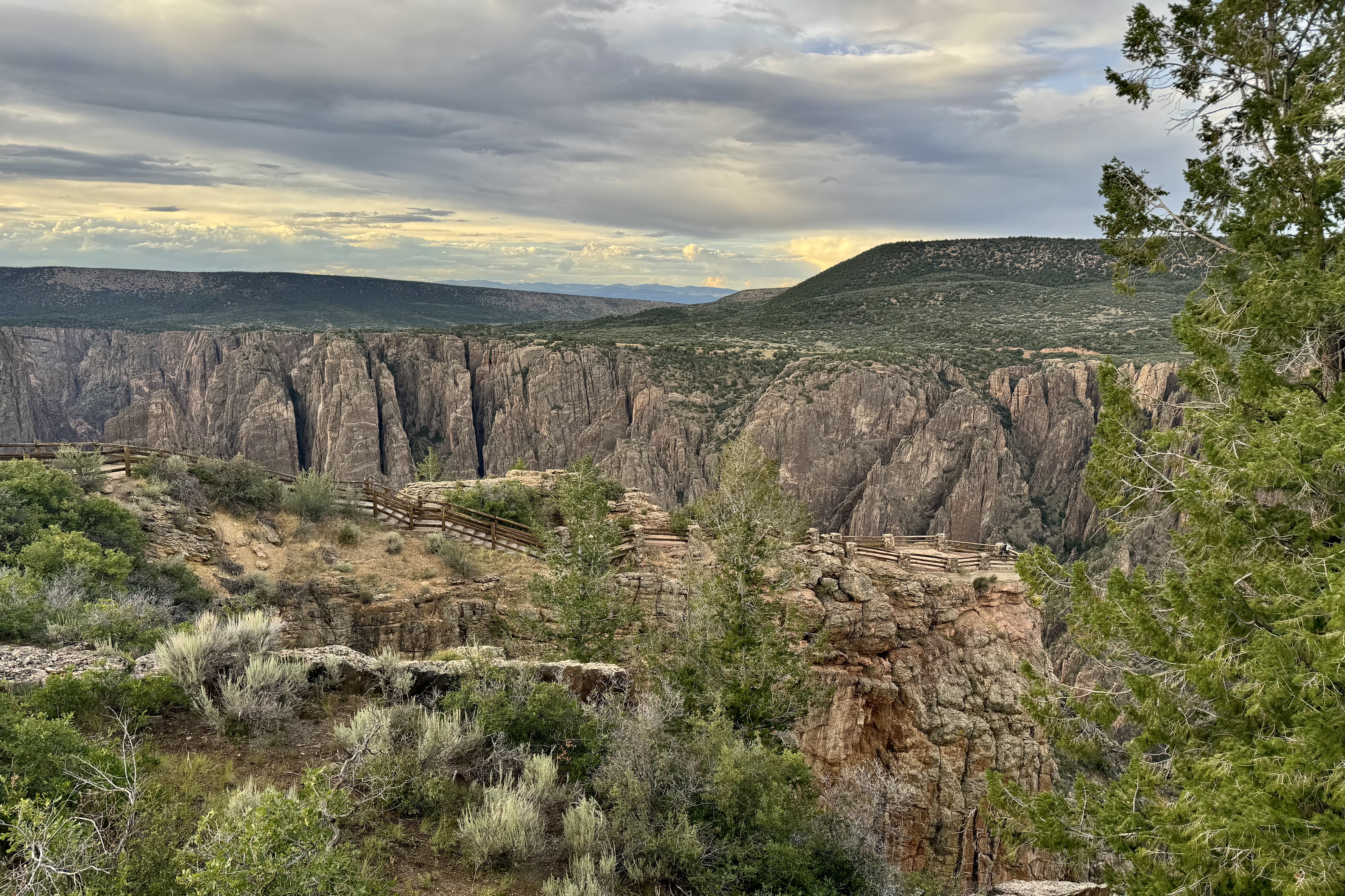
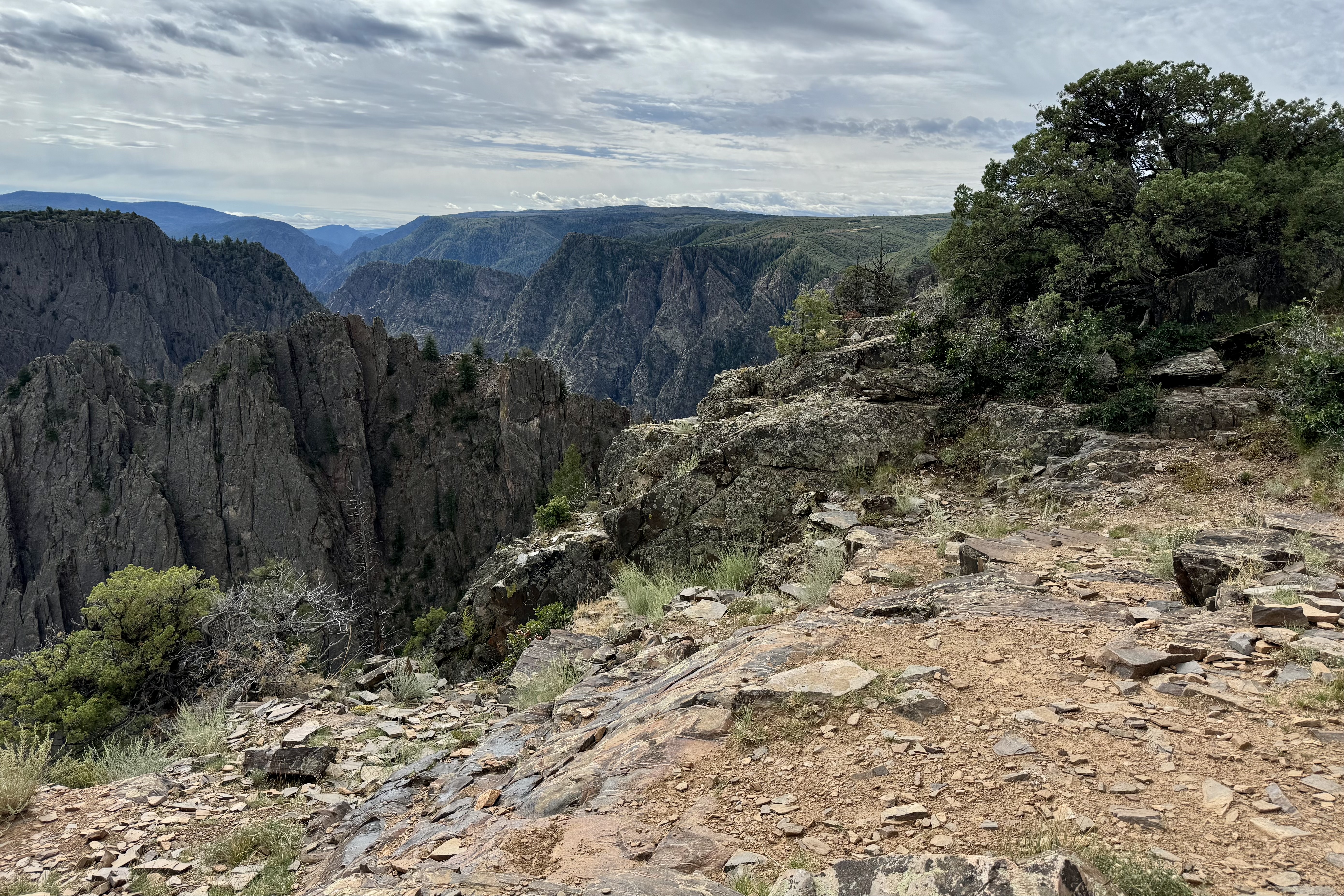
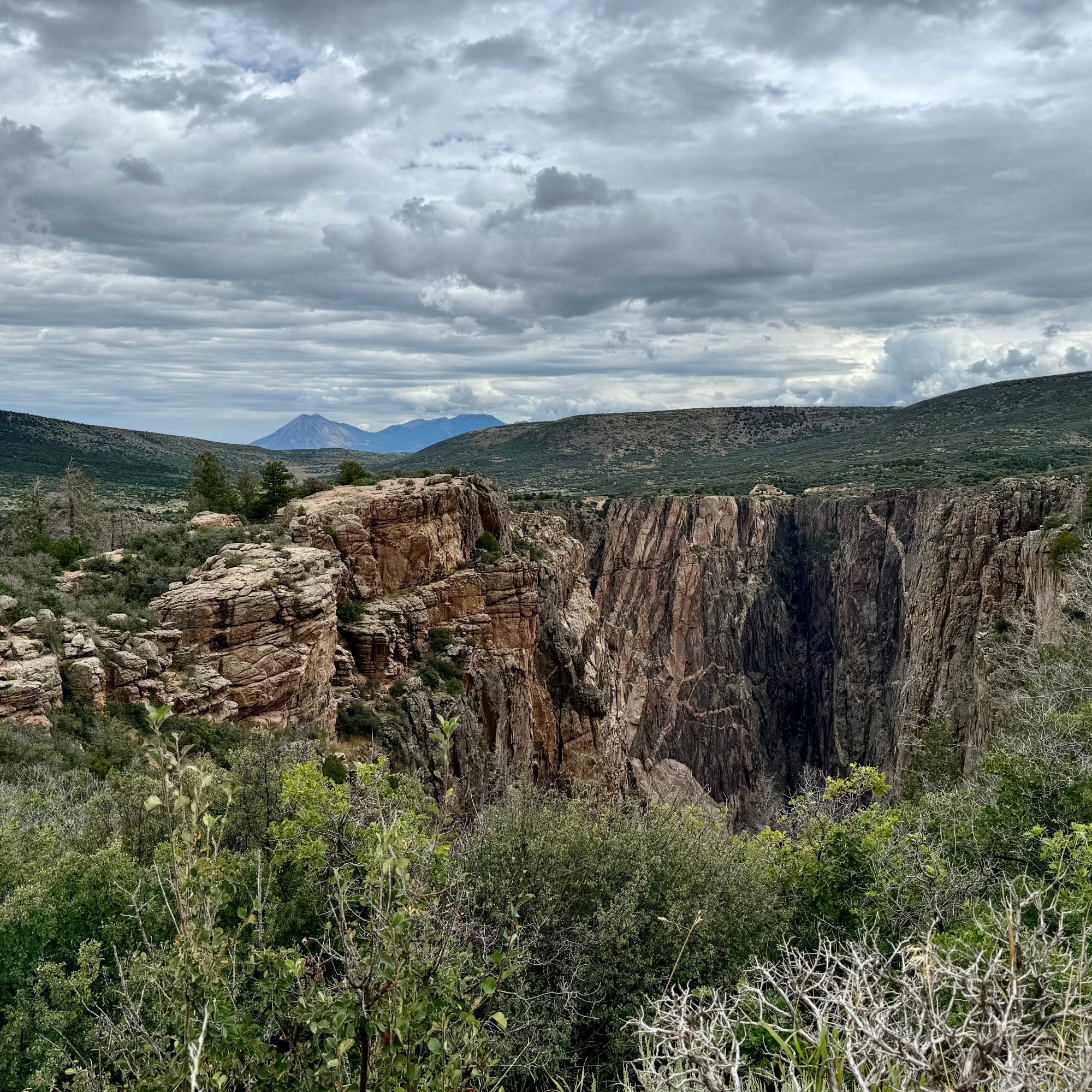
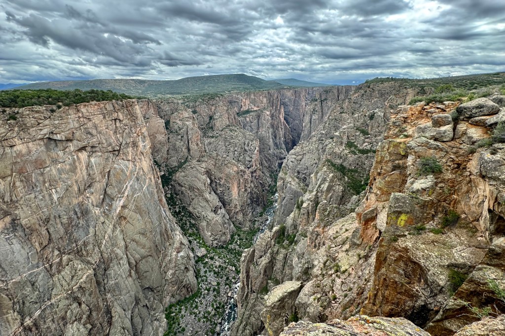
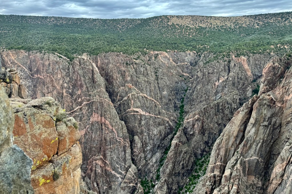
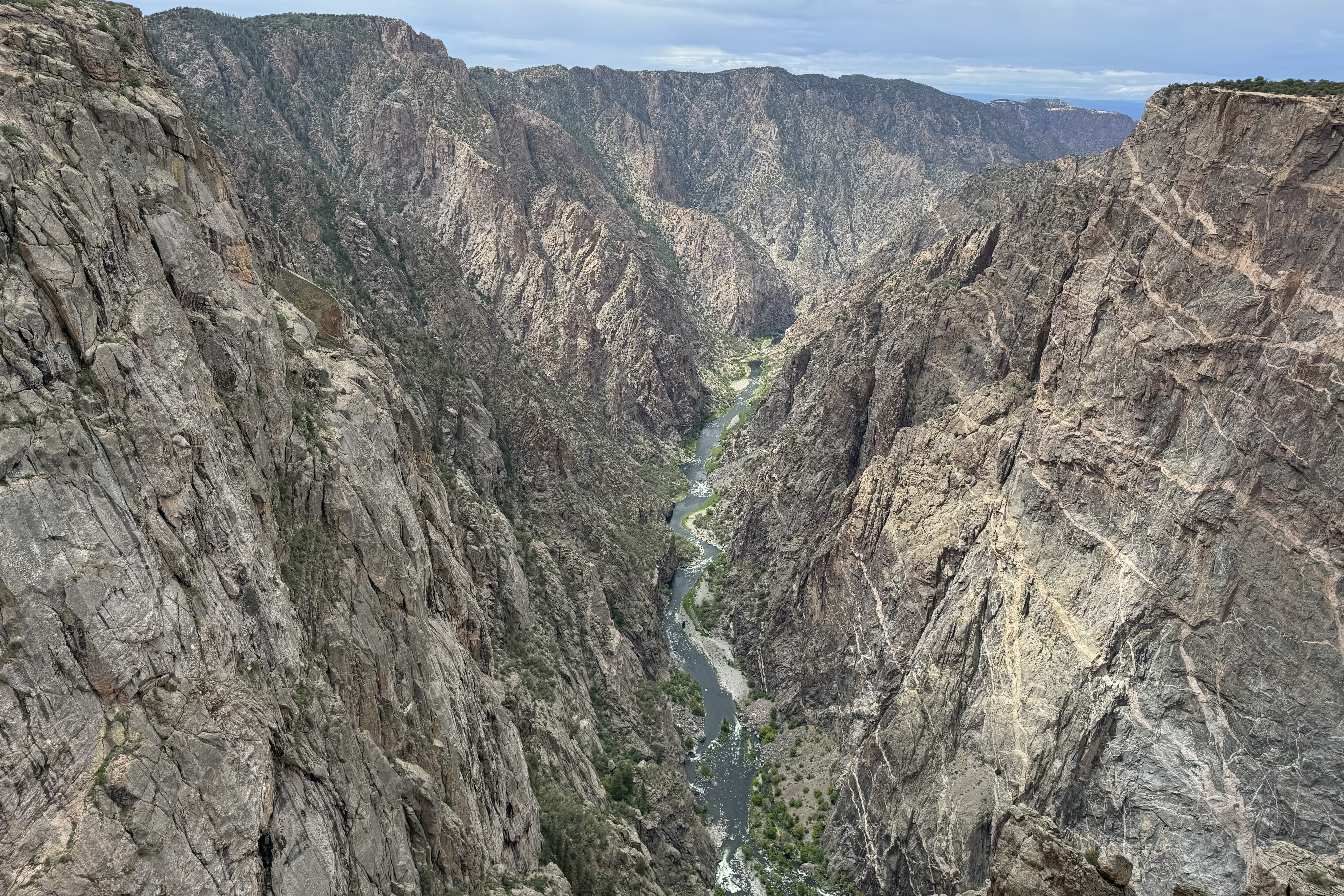
Is it all in the name? It’s moniker ” Black Canyon” is not derived from the color of it’s rocks but because the canyon is so narrow and so deep, reaching a depth of 2,722 feet, that sunlight barely reaches parts of the gorge each day (33 minutes), thus giving off an almost-spooky aura. With such an ominous designation, you might guess it is one of the least known and one of the lesser-visited national parks in the country. It ranks 47 out of 63 overall in annual visits. The Great Smokey Mountains has 13.3 million annual visits whereas Gunnison has 357,00

The next morning, I awoke to the patter of rain on tent but, but fortunately it stopped relatively soon so I did not have to figure out Plan B.   I was able to quickly get breakfast and get on the road.  I arrived at the already crowded visitor’s  center and made a plan to drive the 7 mile south rim road and explore most of its different views. But first I wanted to hiked a portion of the Rim Rock Trail before I wore myself out oohing-and-ahhing at the magnificence of this canyon, 7000 ft above sea level.

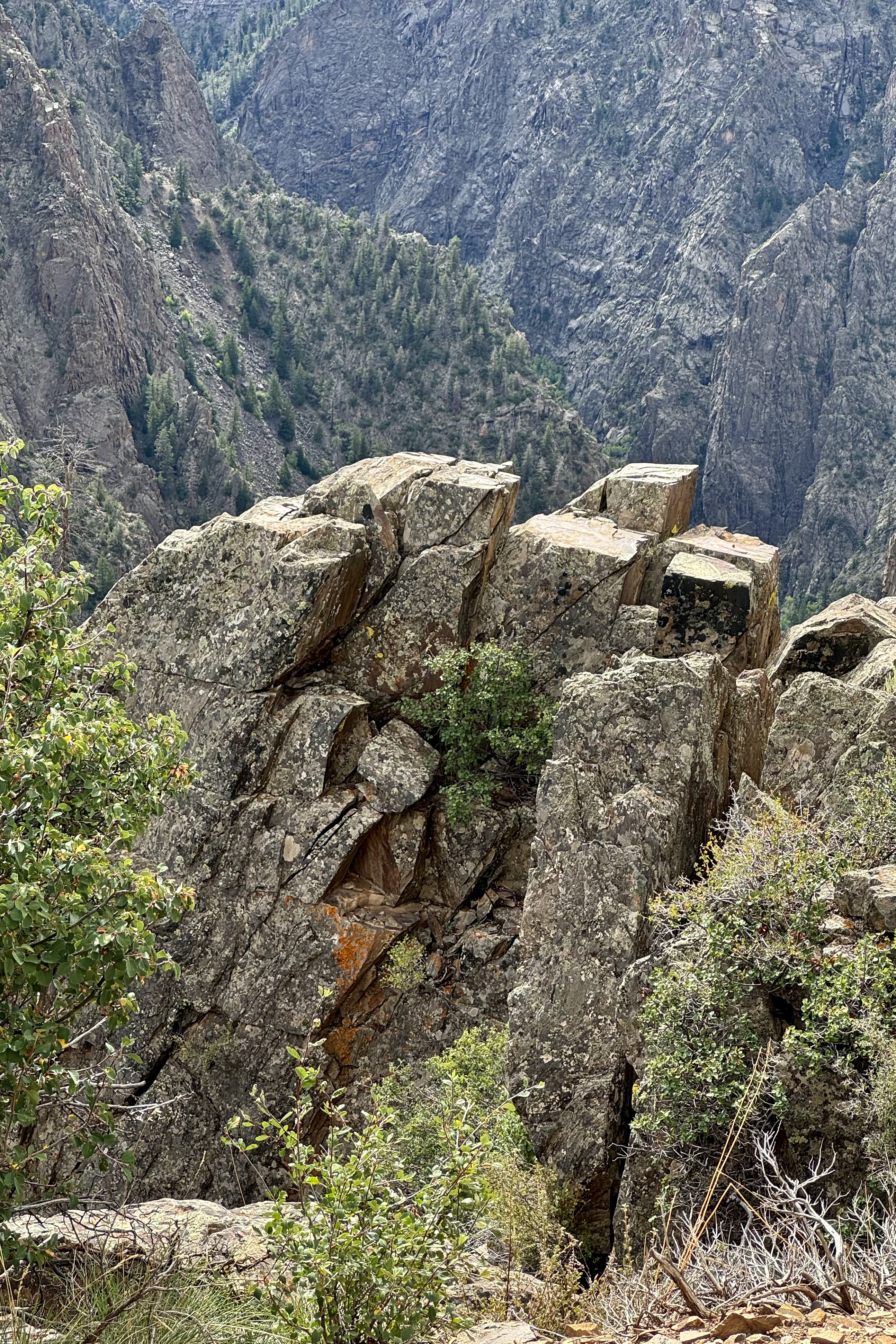
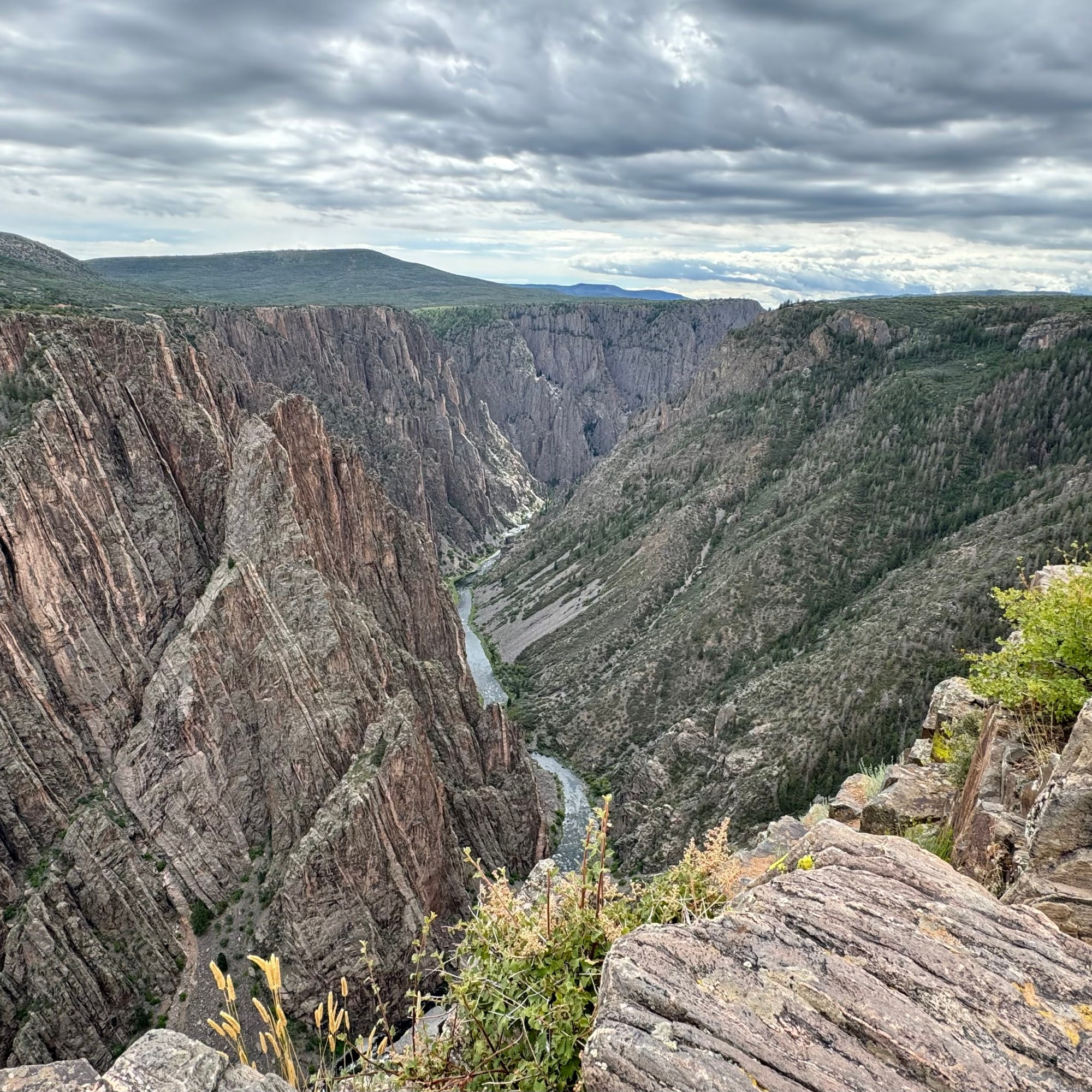
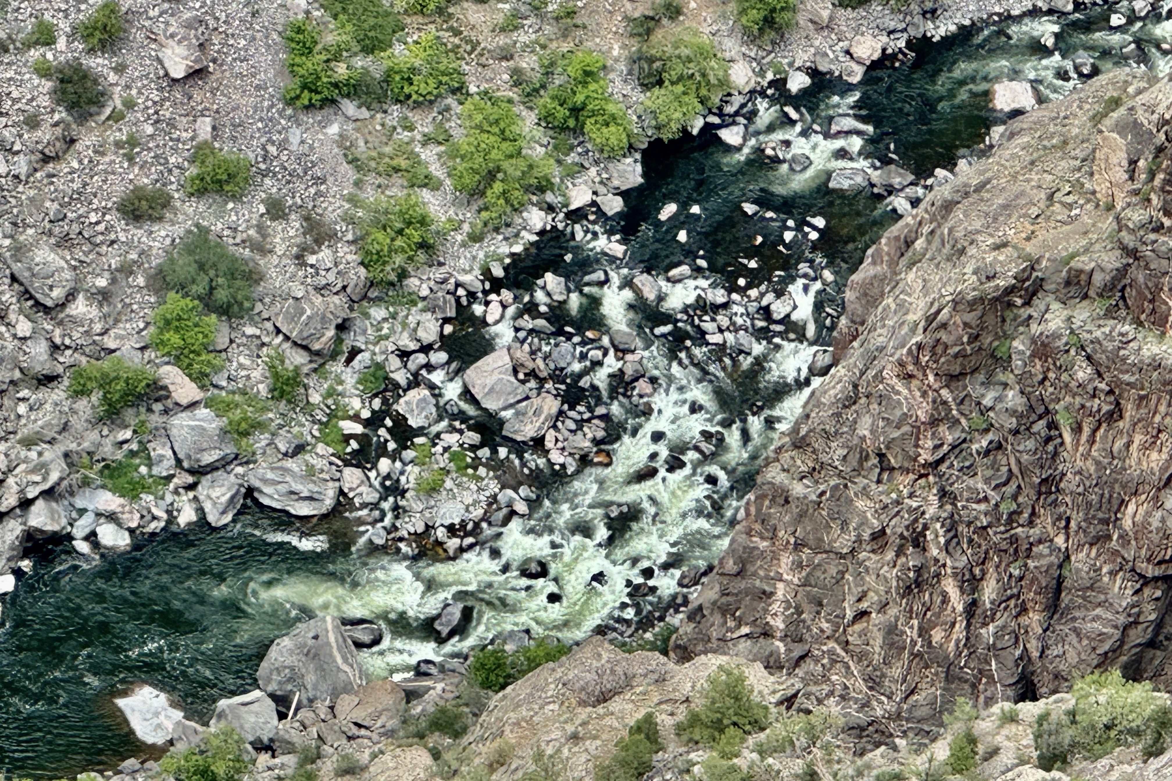
Hiking the rim from the visitors center to Tomichi Point was but a half mile and though it is described as relatively flat with some stairs and uneven ground, I found it a bit unnerving given the closeness to the “endless” drop of the canyon, so proceeded with great caution. I was stunned by the sheer depth of the canyon walls and narrowness of these canyon walls, the glimpses of the Gunnison River, the canyon ridges and rock spires that jut into Black Canyon, and panoramic vistas of the West Elk Mountains.

Not want to be miss out on any demarcated views , I motored on and began the routine of stoping at each pullout to and hiking each short trail to the viewing platforms. I began to develop a cadre of acquaintances   as I kept running into the same gazers at each pullout.  starting with Pulpit Rock.

Pulpit Rock .

Cross Fissures Overlook

Rock Point

Chasm View

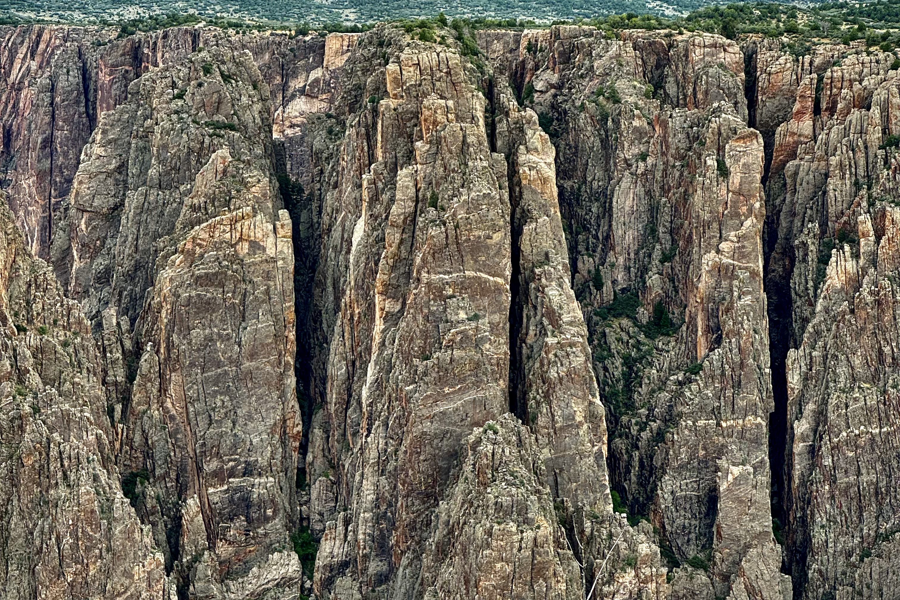
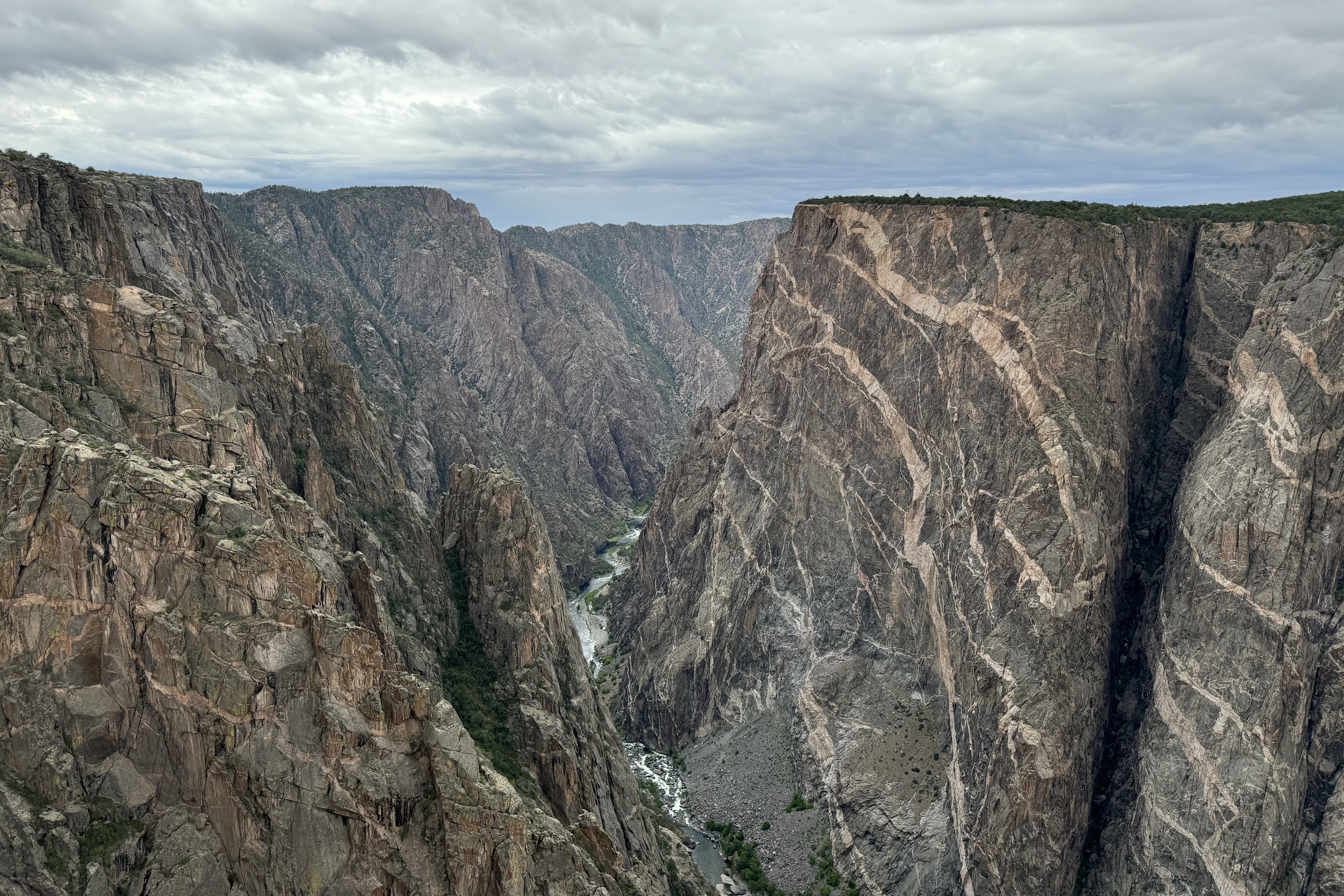
Painted Wall

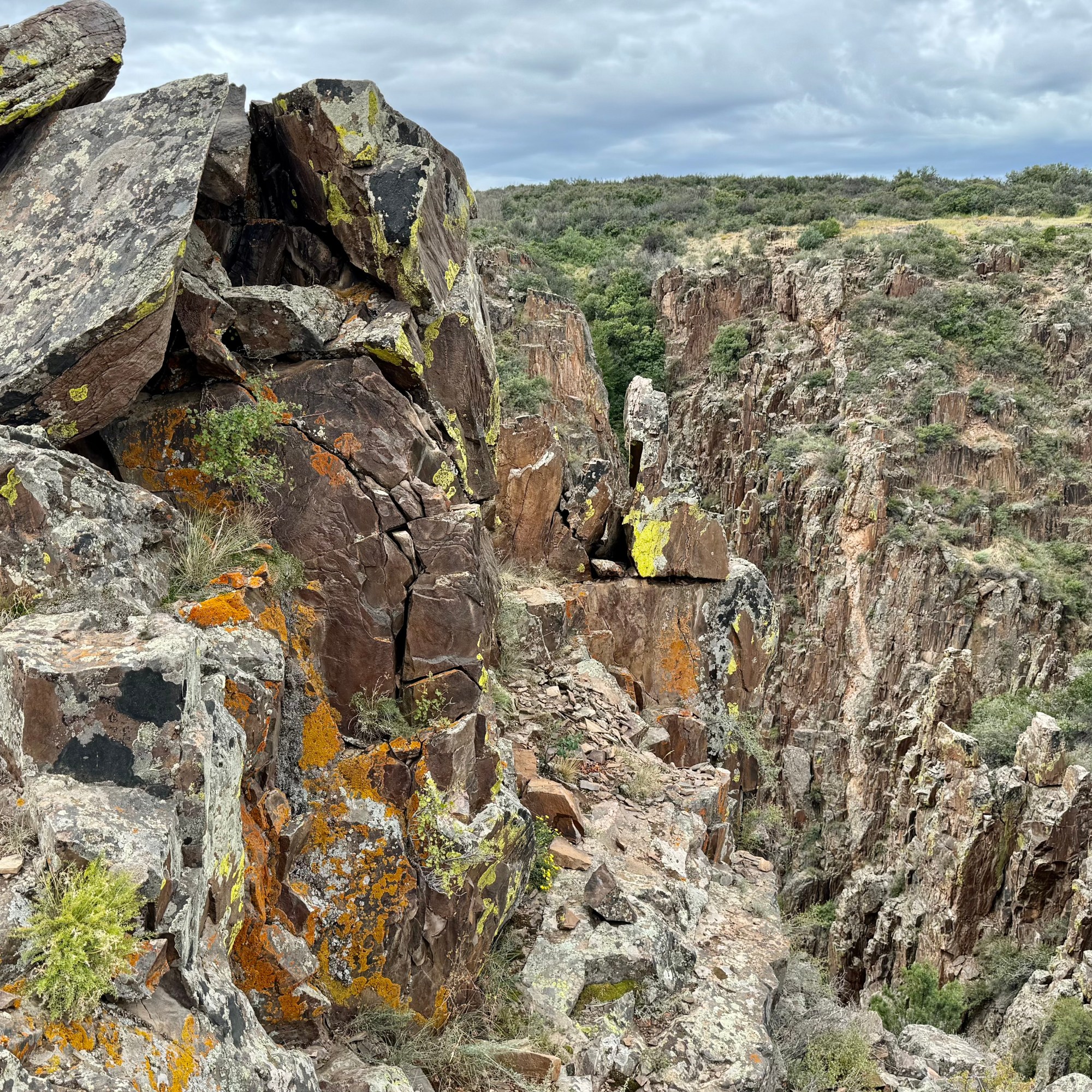
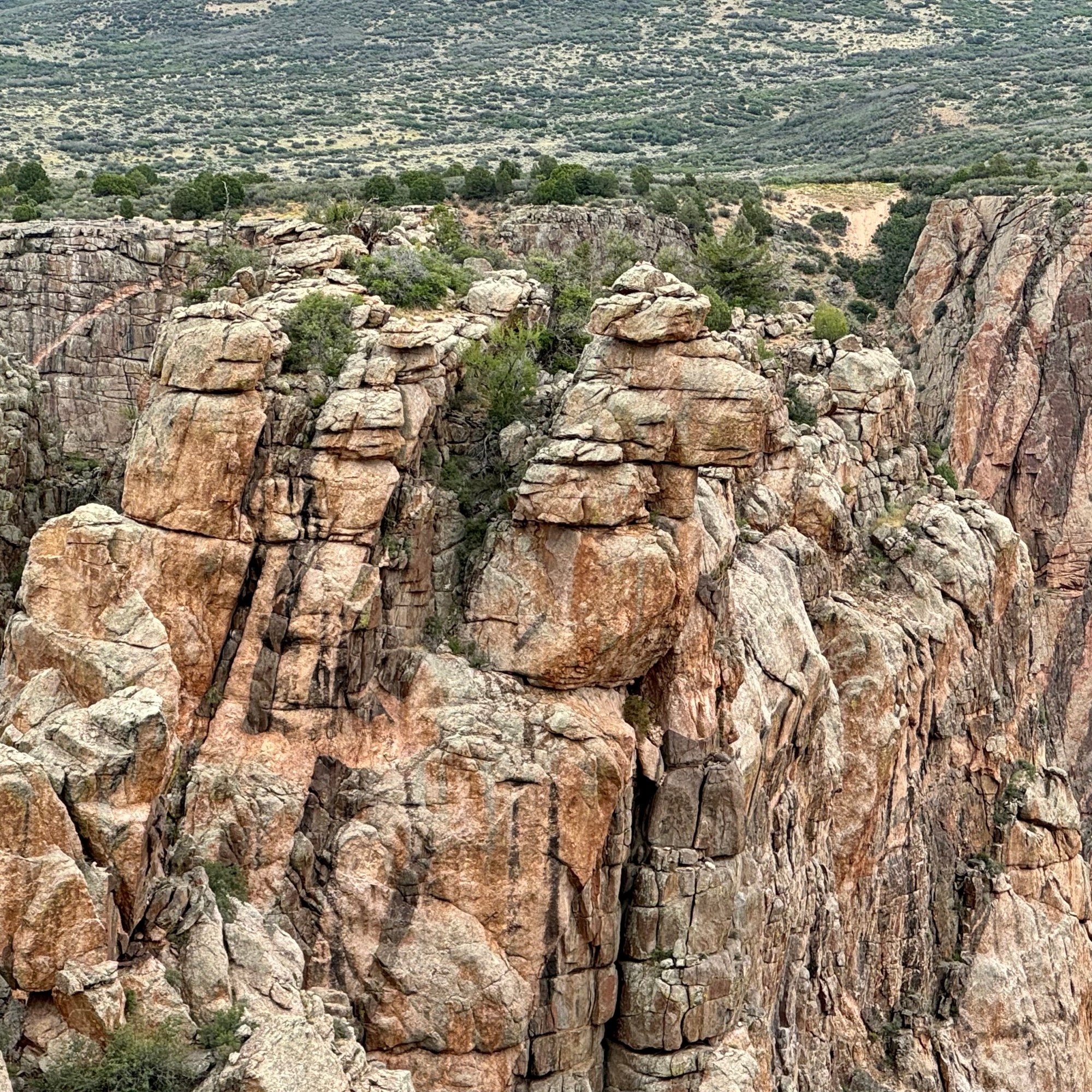
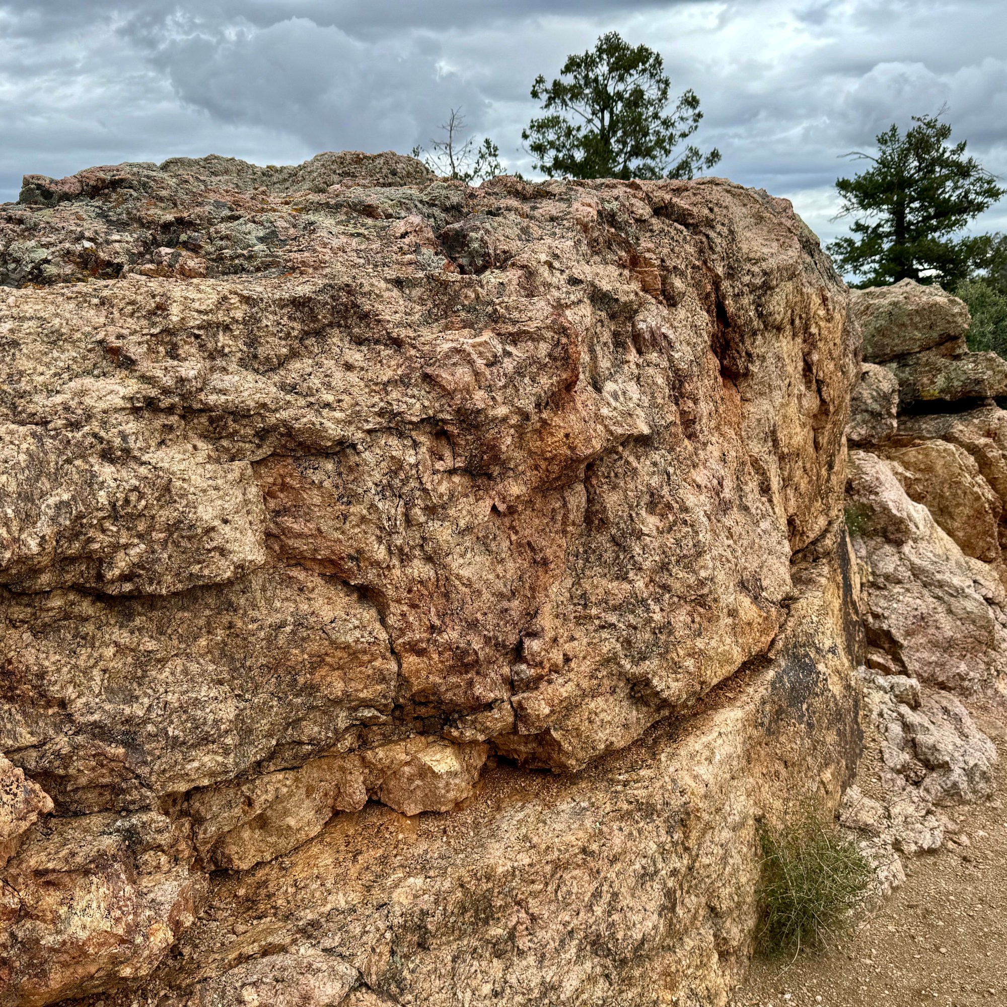
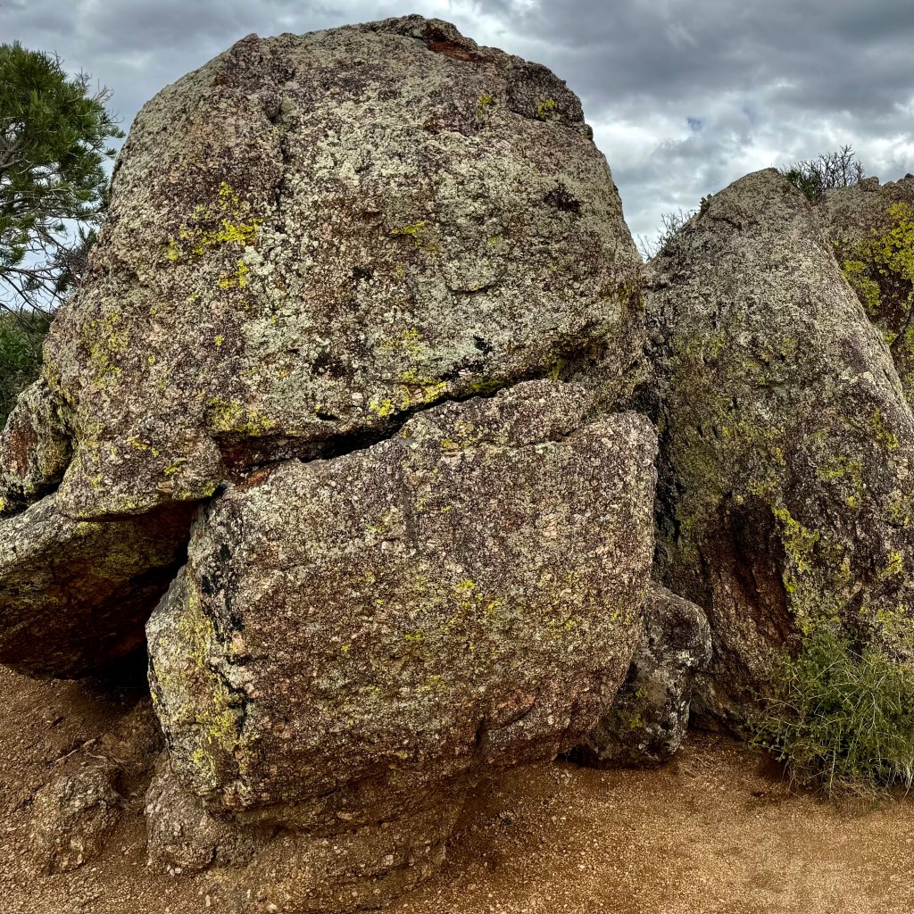
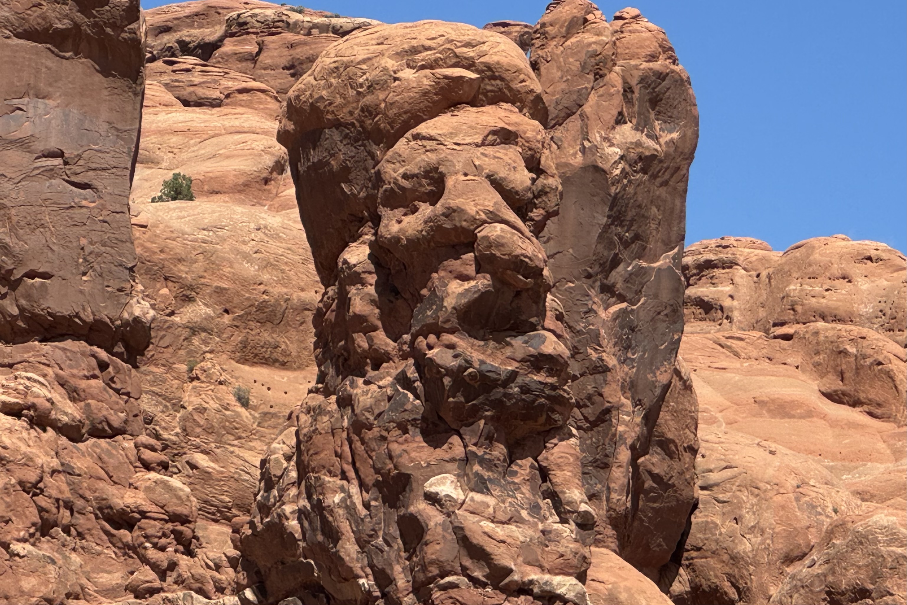
Standing 2,250 feet tall from the river to rim, Black Canyon’s Painted Wall is the tallest cliff in Colorado and it has been compared to the Washington Monument standing 555 feet and the Empire State Building at just 1,250 feet. Only Burj Khalifa in Dubai which is the world’s tallest building at 2,717 ft. has beat this massive cliff out.. Jackson Polluck and the many other abstract artist definitely were centuries behind the artistry of the natural forces of nature. My imagination went into high gear when coming upon some of the rocks lining the trail out to the painted wall and I started anthropomorphizing many of rocks and seeing cuddly rock creatures. Can you?

Cedar Point Nature Trail

Sunset View and High Point

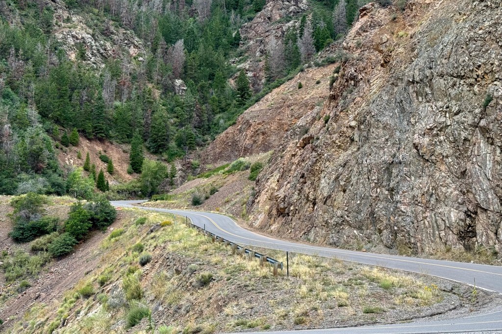
At the end of the rim road and with plenty of time for additional adventure, I opted to drive the East Portal Road to Gunnison Dam. The road is paved and two-way but windy and steep, narrow and twisty, and tight curves with a 16 % grade in few places. If you have read previous blogs you know this is my favorite kind of driving. My heart beat rapidly with the sheer excitement of this challenging drive. I managed to avoid burning out my brakes. It ended in the Curecanti National Recreation Area. I had intended to dip my toes in the Gunnison but some how was not motivated at that point to do so.

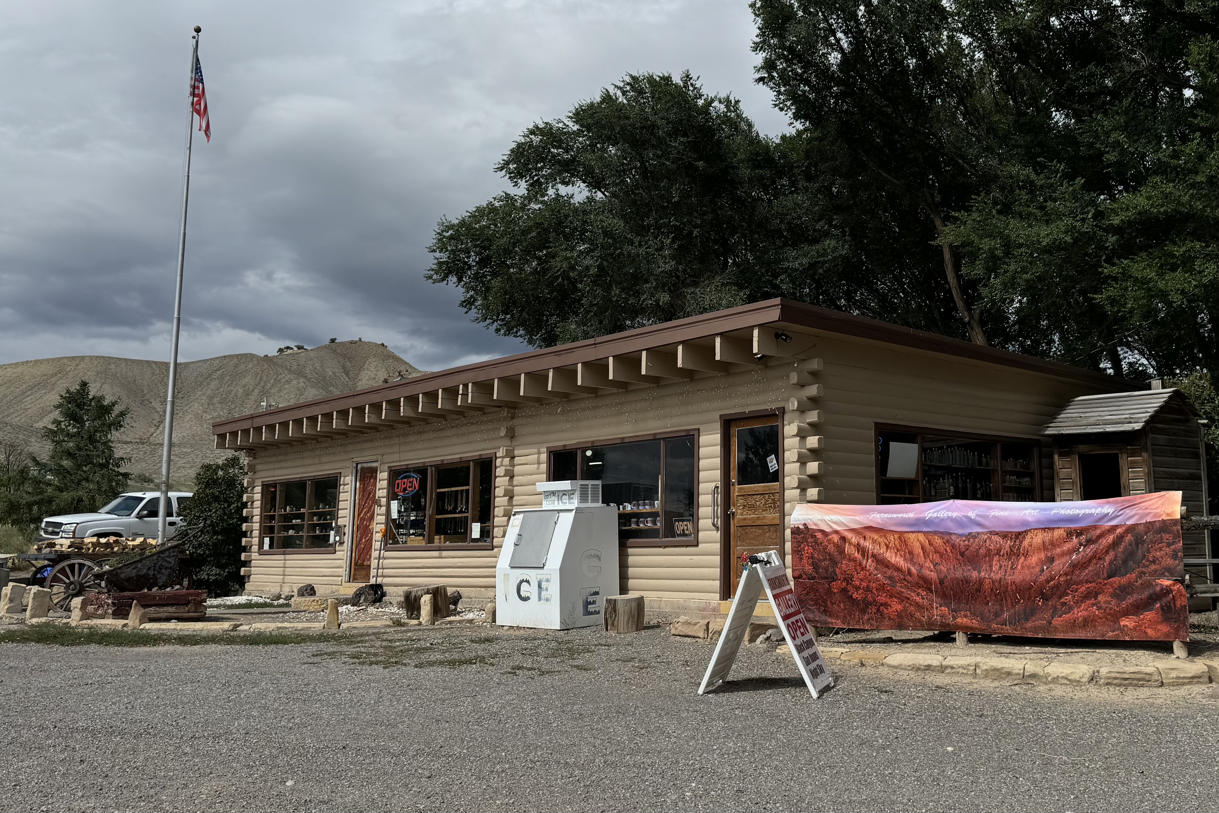
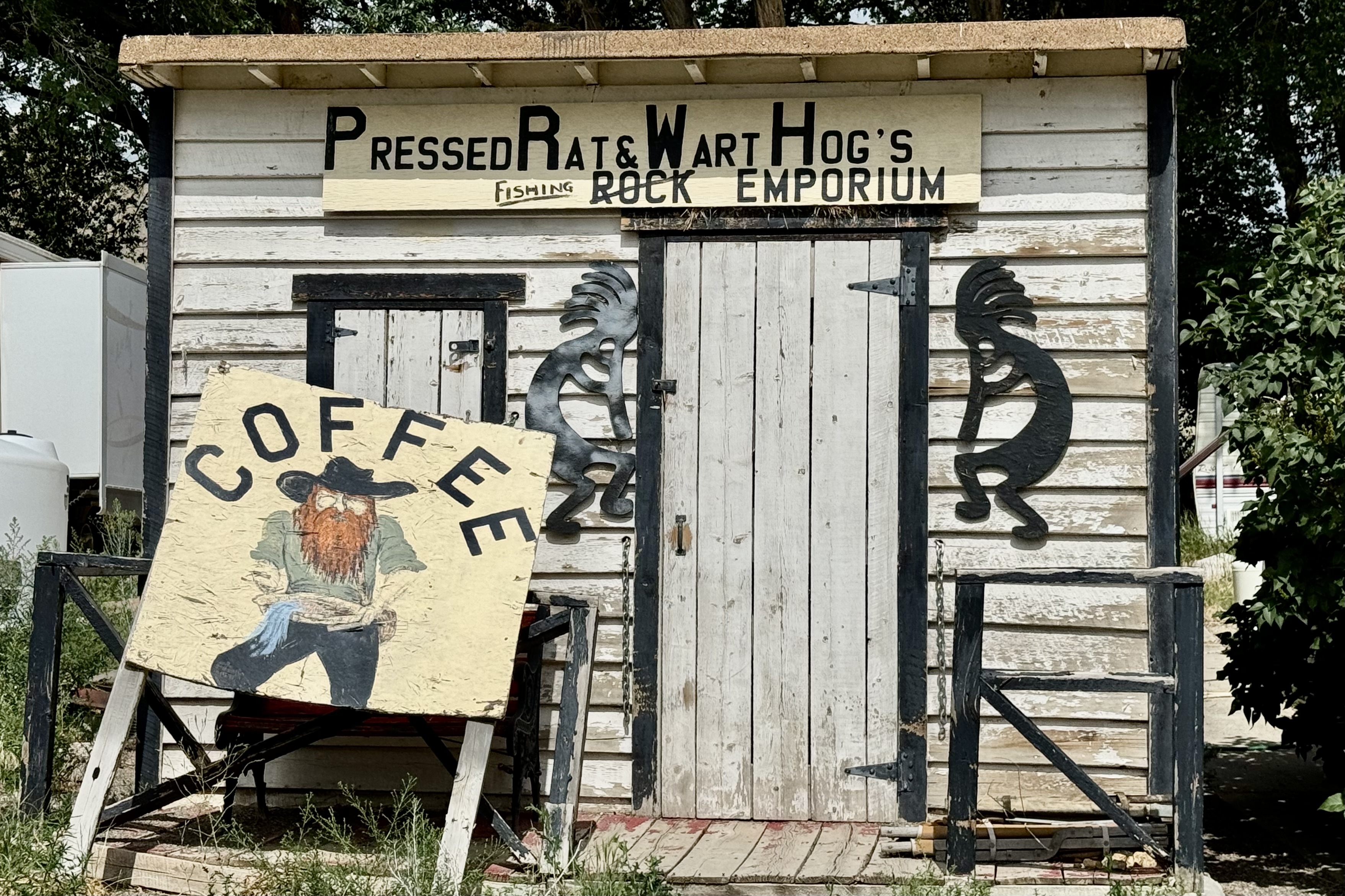
Since I clearly had not had enough of driving twisty mountain roads, I drove down about 5 miles to route 50 to get ice so my groceries would not spoil. The store definitely had character. . 

It had been an excellent day with so much strong and bold scenery. It was time to head back up to settle into camp. Cook. Write. Organize  and enjoy the sunset all the while again inhaling the wafting fragrance of hot tar.

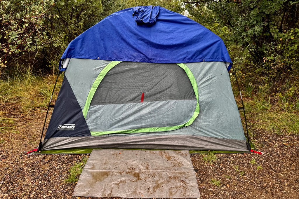
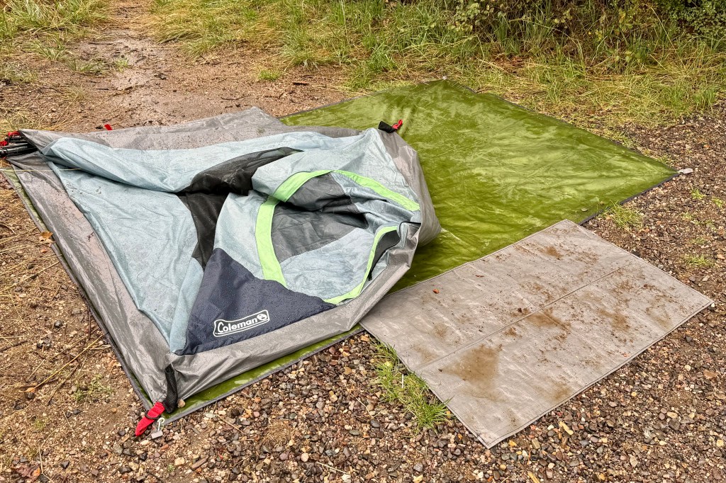
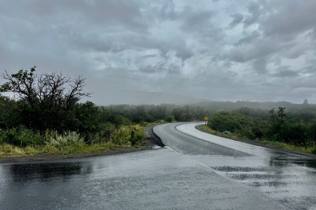
Friday, August 23 I woke another drenching rain.  The tents raincoat (a poncho I had in the car) which I draped over the netting and under the oozing rainfly had kept the inside of the tent mostly dry and me mostly dry.  The rain finally let up and I was able to get breakfast and coffee but figured there was no time for lingering as I wanted to try and break down camp before the rain started again.  It wasn’t to be.  A constant drizzle began so I was resigned to breaking everything down and wrapping it up, mud and rainwater as well.  The tent must have weighed an extra 5 pounds.  I was so very wet and bedraggled and I finally got loaded up and was off by 10:15.  

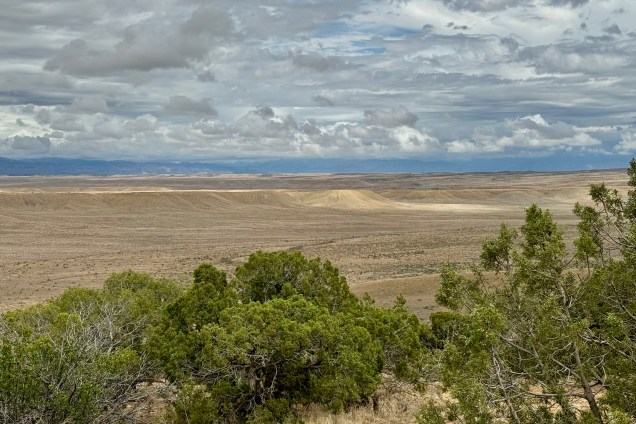
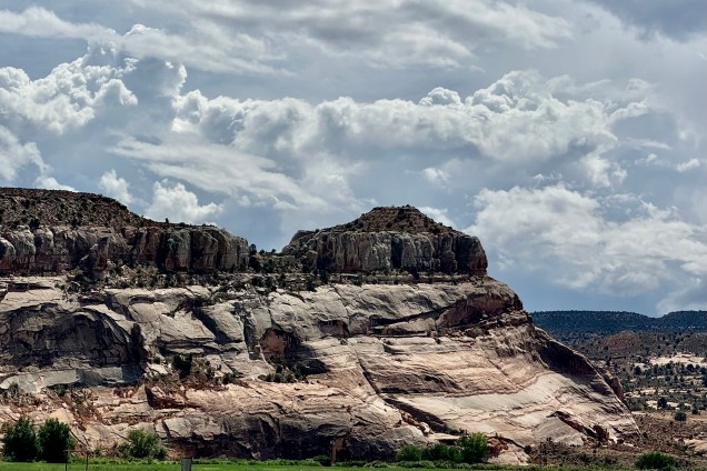
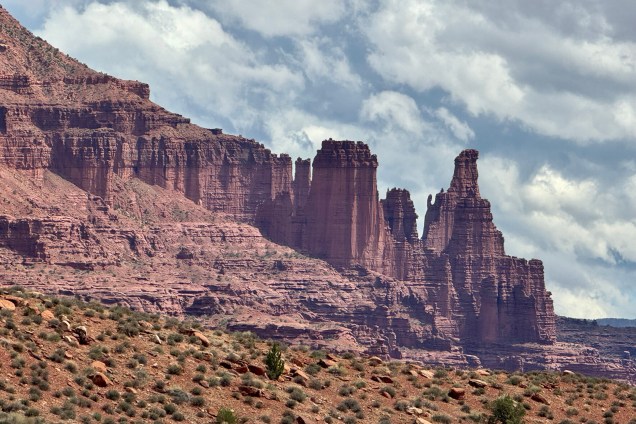
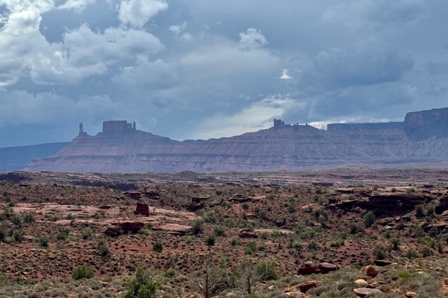
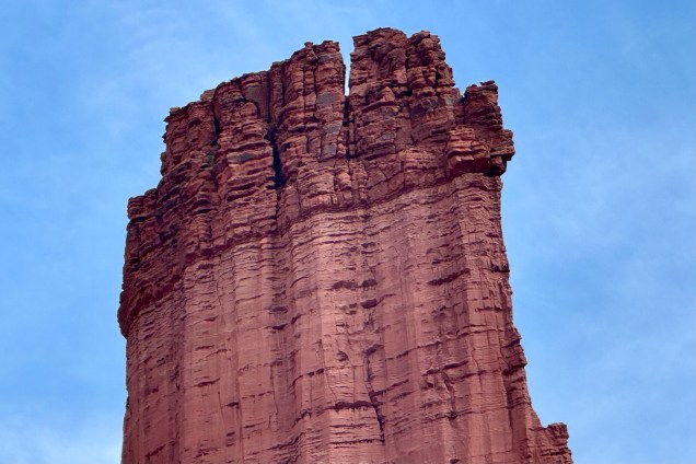
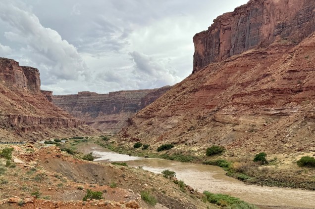
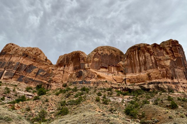
I did not have a terribly long drive so I decided to take what I hoped was a more scenic route to Arches National Park in Utah.  As I traveled further west the landscape became more desert like and was colored mostly in tans, yellows, and browns etc. My route took me down #143 and   before long I was in canyon lands with massive rock formations of all sizes and shapes and colors. It ran along the Colorado River and curve after curve got more colorful, fanciful and gorgeous.  

I arrived at Arches Visitors Center Friday 23rd around 4:00pm and learned the campground was 19 miles up the scenic road and would slow going and take about 45 minutes.  I was getting somewhat concerned as I saw some rather ominous looking clouds on the horizon and hoped I could beat any impending storm. 

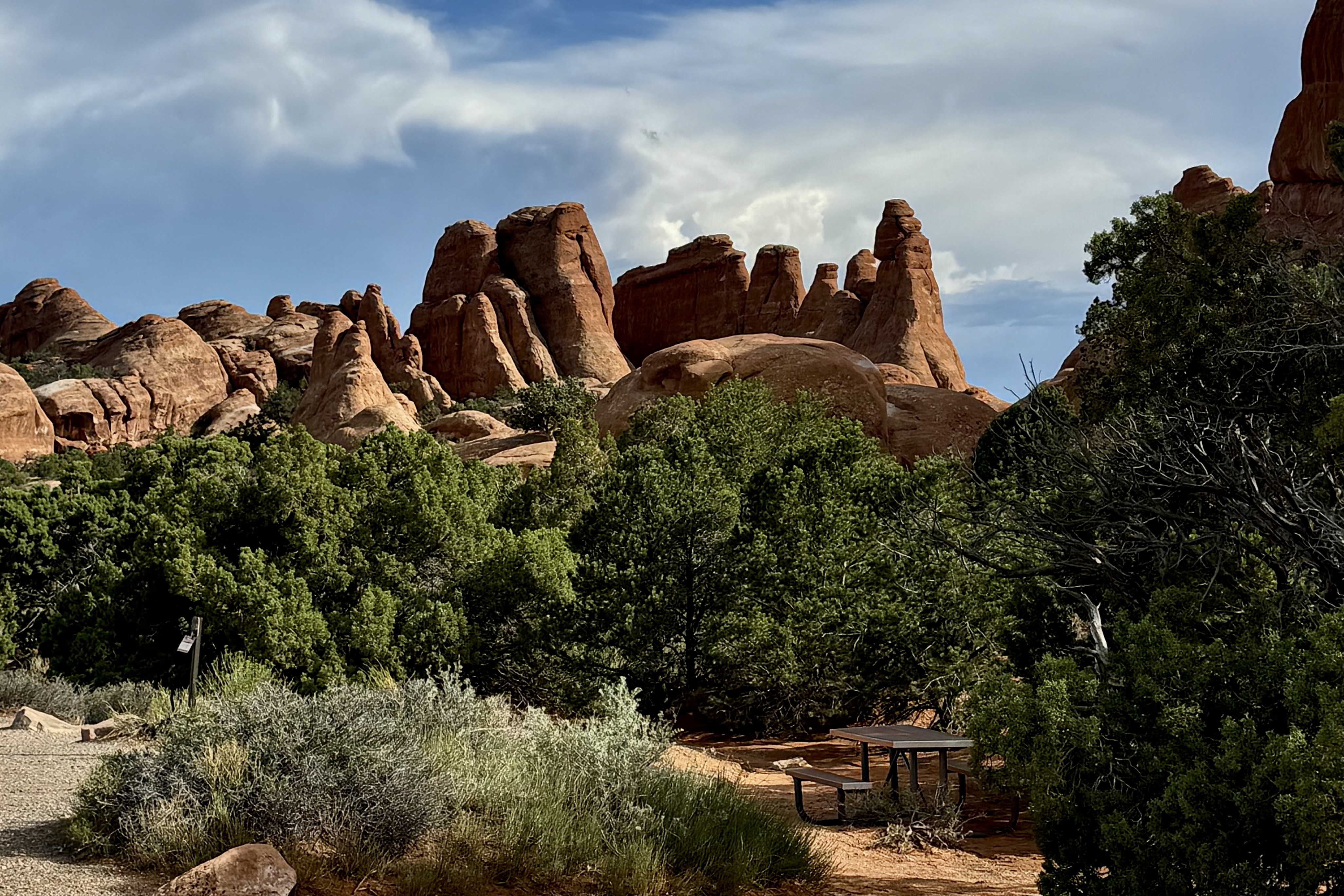
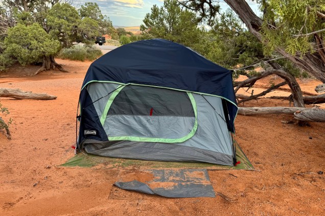
Fortunately, it was still sunny upon arrival at the campground and I set about trying to dry out the tent, fly, ground cover, tent rain coat and any other sodden item. Though sunny I could hear the rumbling of thunderstorms much closer.  So I shifted into fast forward and basically just dumped everything into the tent that I would want for the evening.

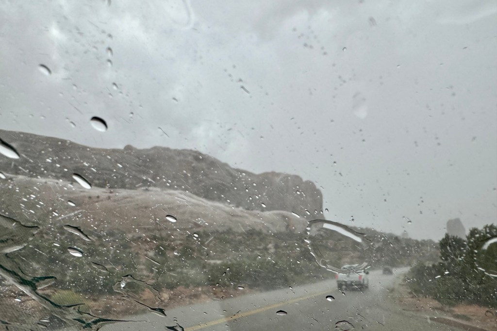
Then, first a strong wind gust and then the rain blasted in so quickly that I ducked into the tent  but was wondering if perhaps I should have rode it out in the car.  But there I was in this flimsy nylon cloth shelter with its compromised polyurethane coating, feeling scared (I don’t scare easily) and fearful, since it felt so close I was sure that the lightening and its companion thunder were about to both fry me and deafen me. I was certain a tree would come crashing down on my not so safe place and the tent would sail away with me in it to OZ. Of course, if it had not been laden with me and all my stuff, it would have blown away. This massive storm raged on for at least a half hour or more and the thunder was so loud and so close as was the lightening, all of that time.   Talk about powerlessness. I could not do anything but just sit there and be frightened.  

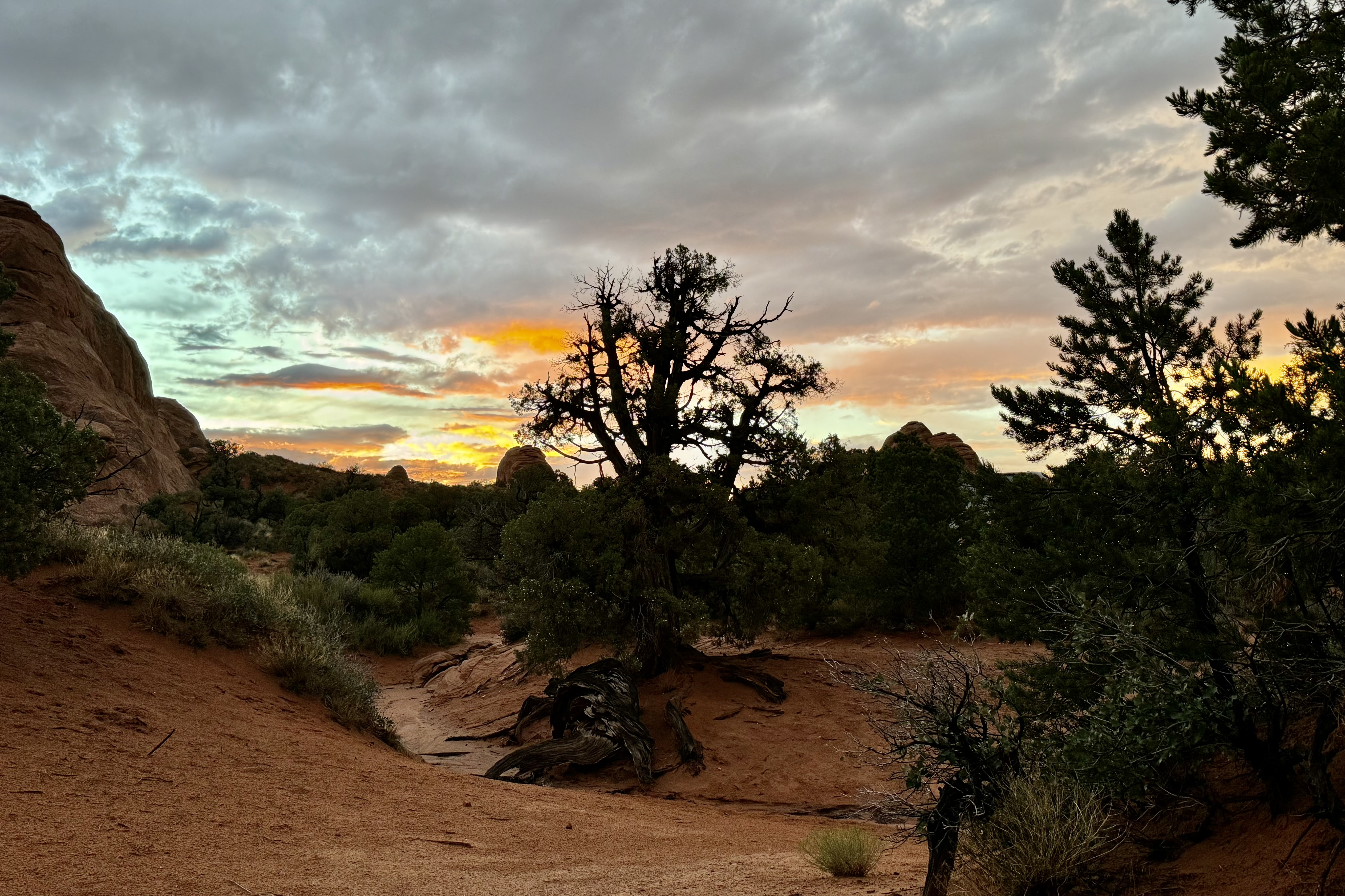
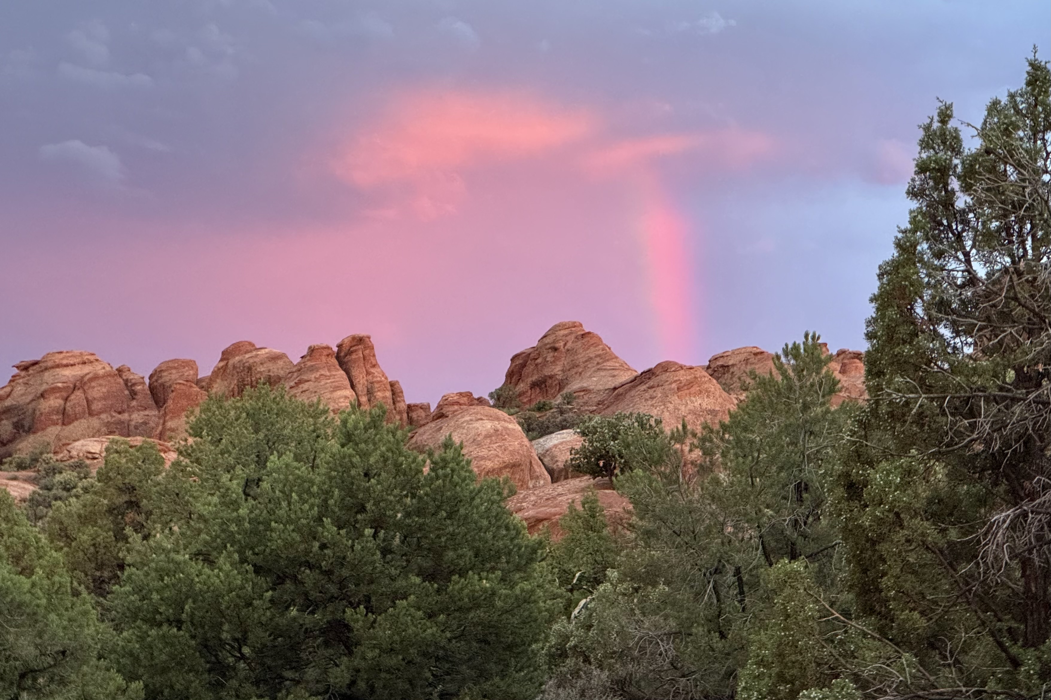
The stormed moved on over the distance plateau and valley. Mother/Father Nature subsequently pretended it did not just have a out-of-control rage in the last hour but subsequently served up a beautiful sunset as a peace offering.

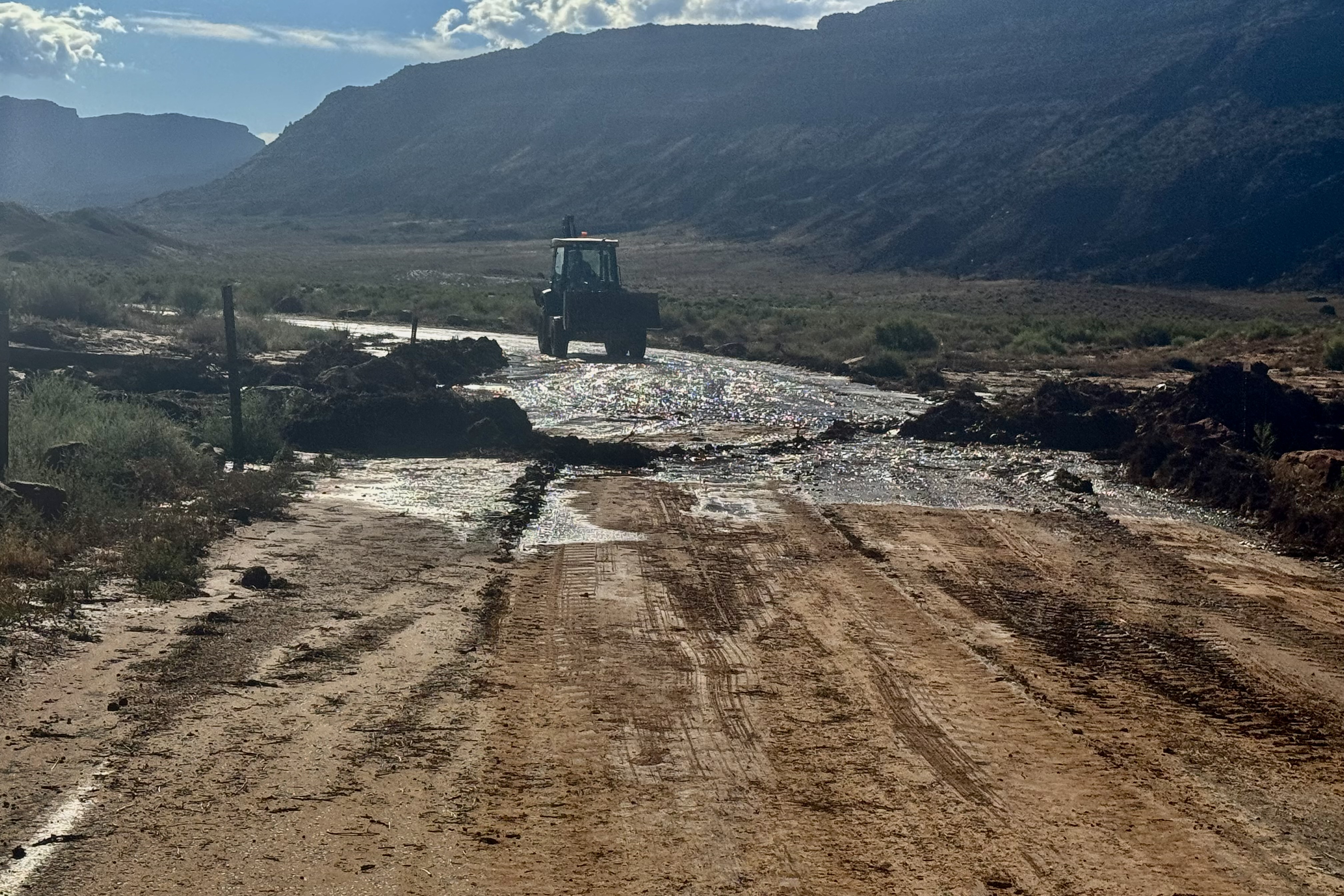
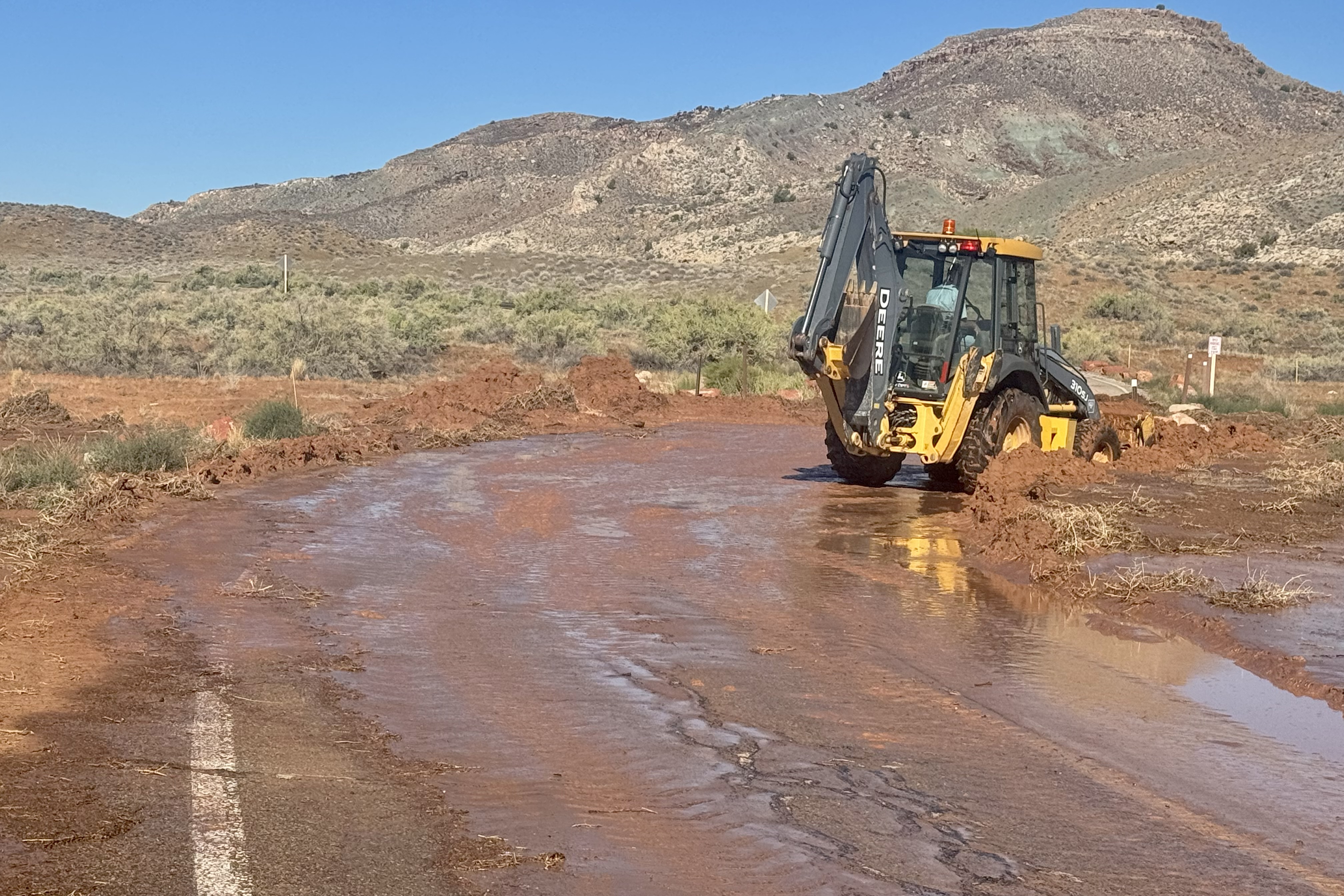
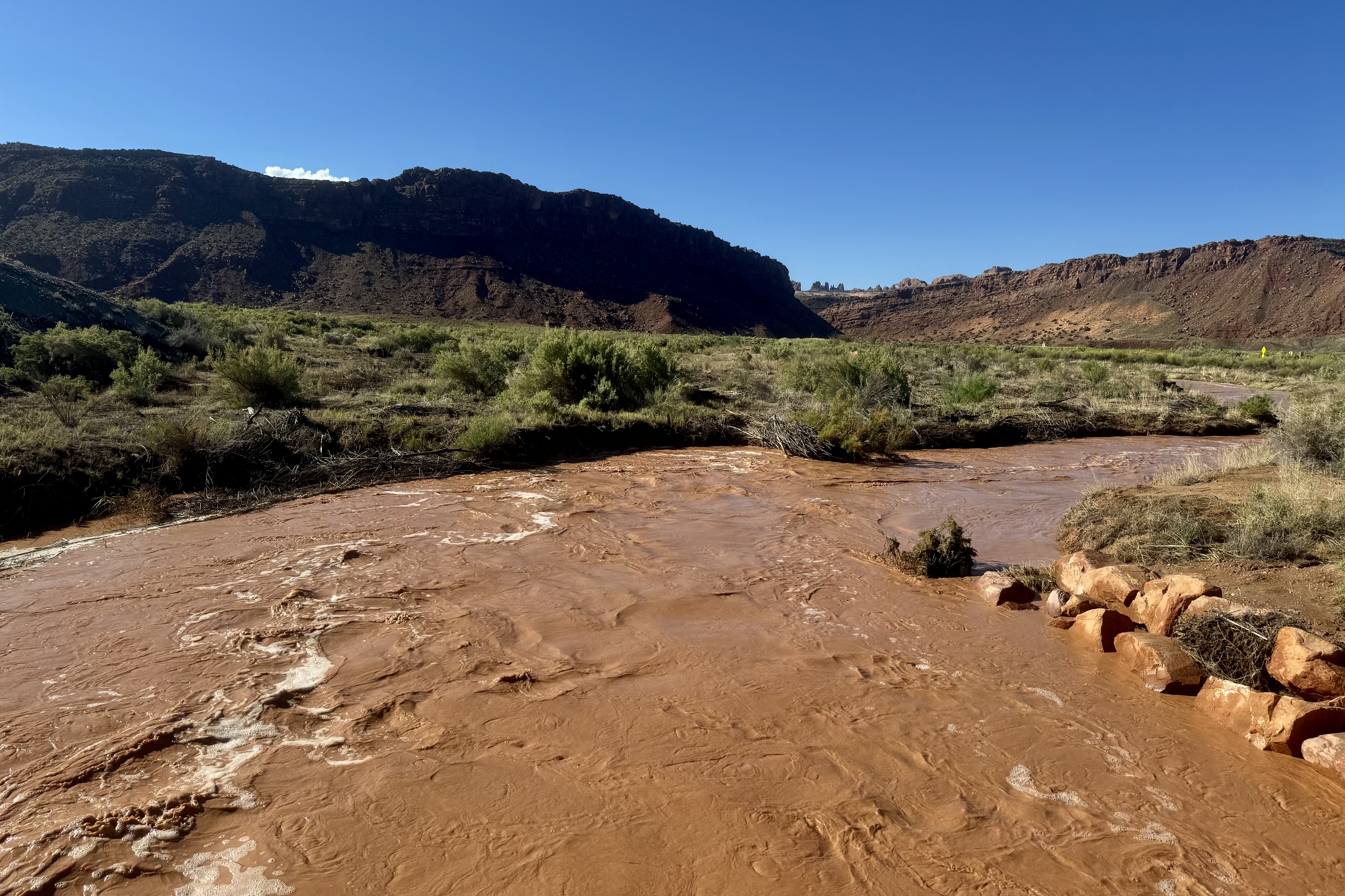
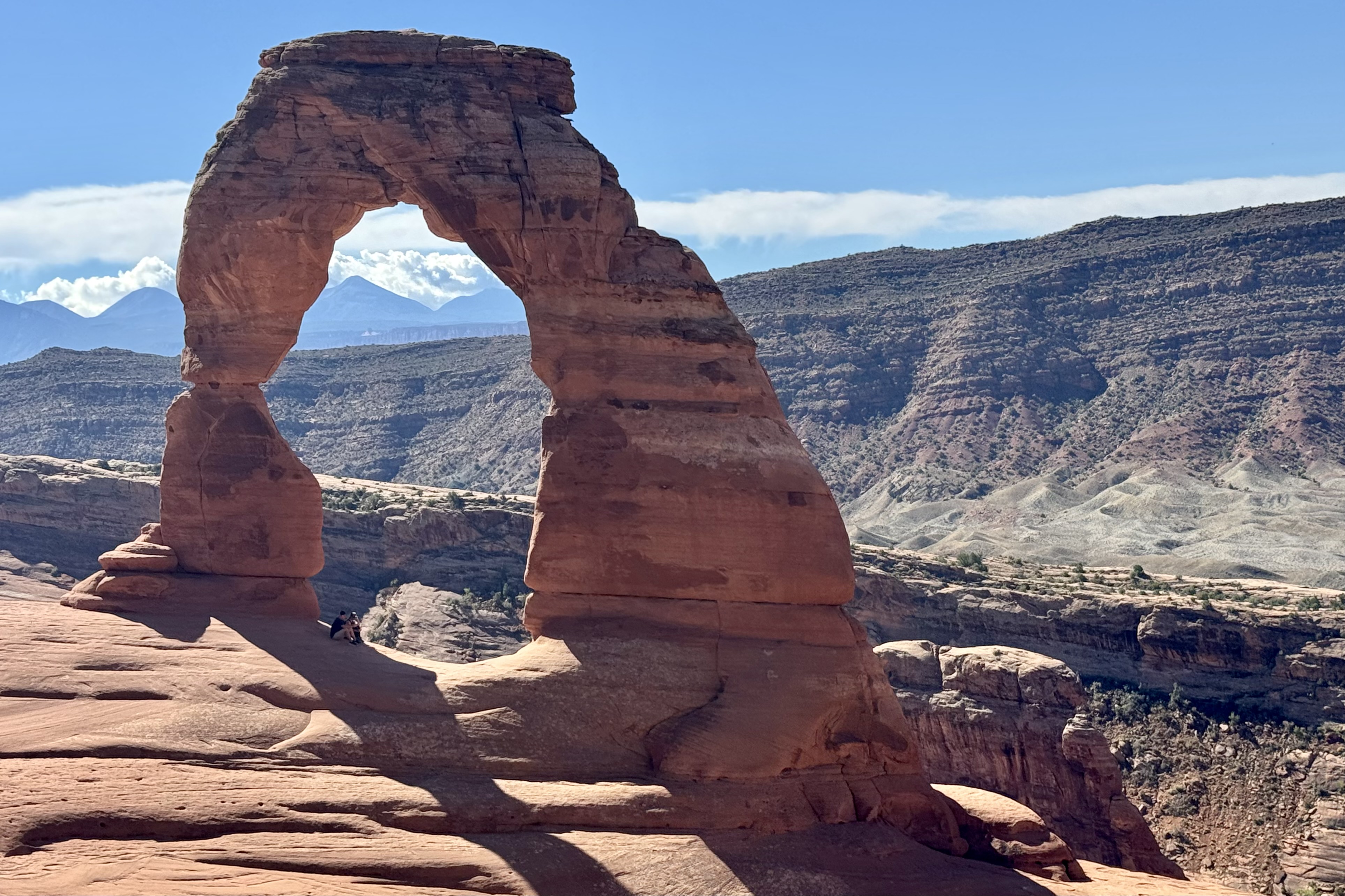
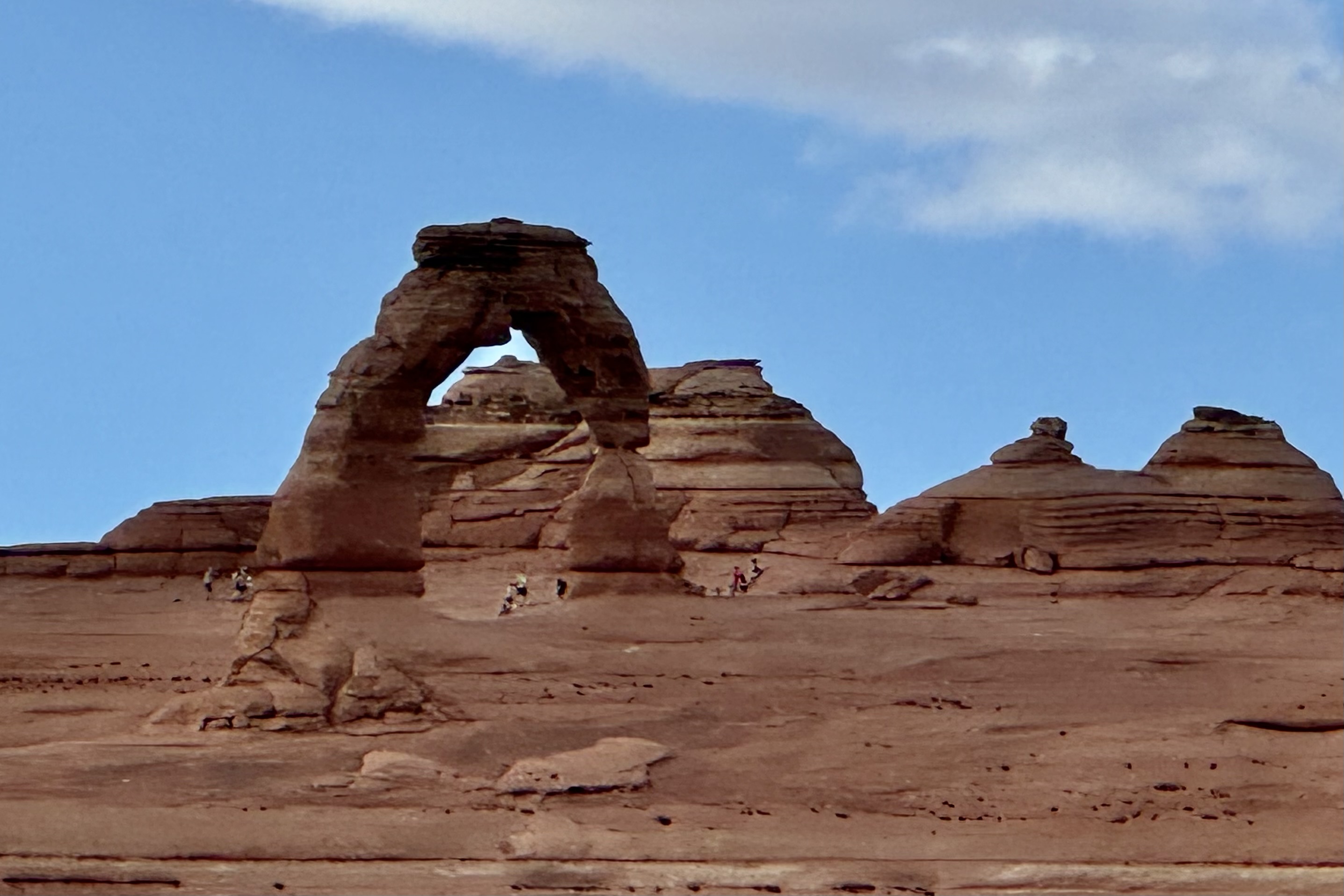
On Saturday 24th I was up and out early to hopefully get ahead of the crowds hiking the iconic Delicate Arch Trail. It was a halcyon day and I was psyched to commence the most prized hike of the entire trip. Delicate Arch is the largest free-standing arch in the park and so named because it is “the most delicately chiseled arch in the entire area.” But as I made my left turn to head down the 1.25 mile down to the trail head, I was met at the entrance of the access road with a Road Closed sign. A hiker who had walked the road down and was returning said that there was several feet of red dirt/clay across the road from the deluge of the previous evening and it would be 2-3 hours or more before the road would be opened. If I waited until then (it was already 9:00 am) it would be unbearably hot before I finished since I am the tortoise in the tortoise and the hare race.

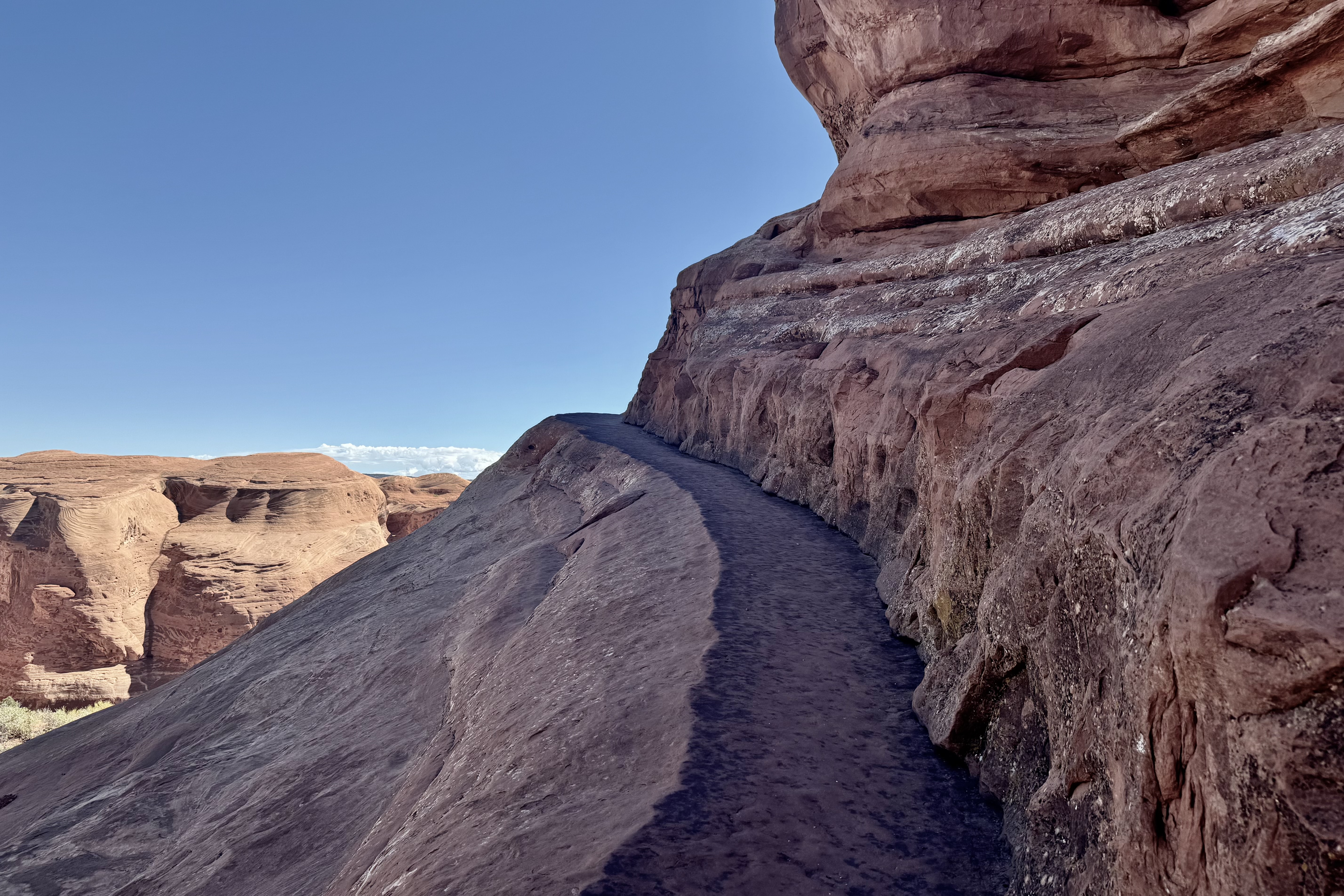
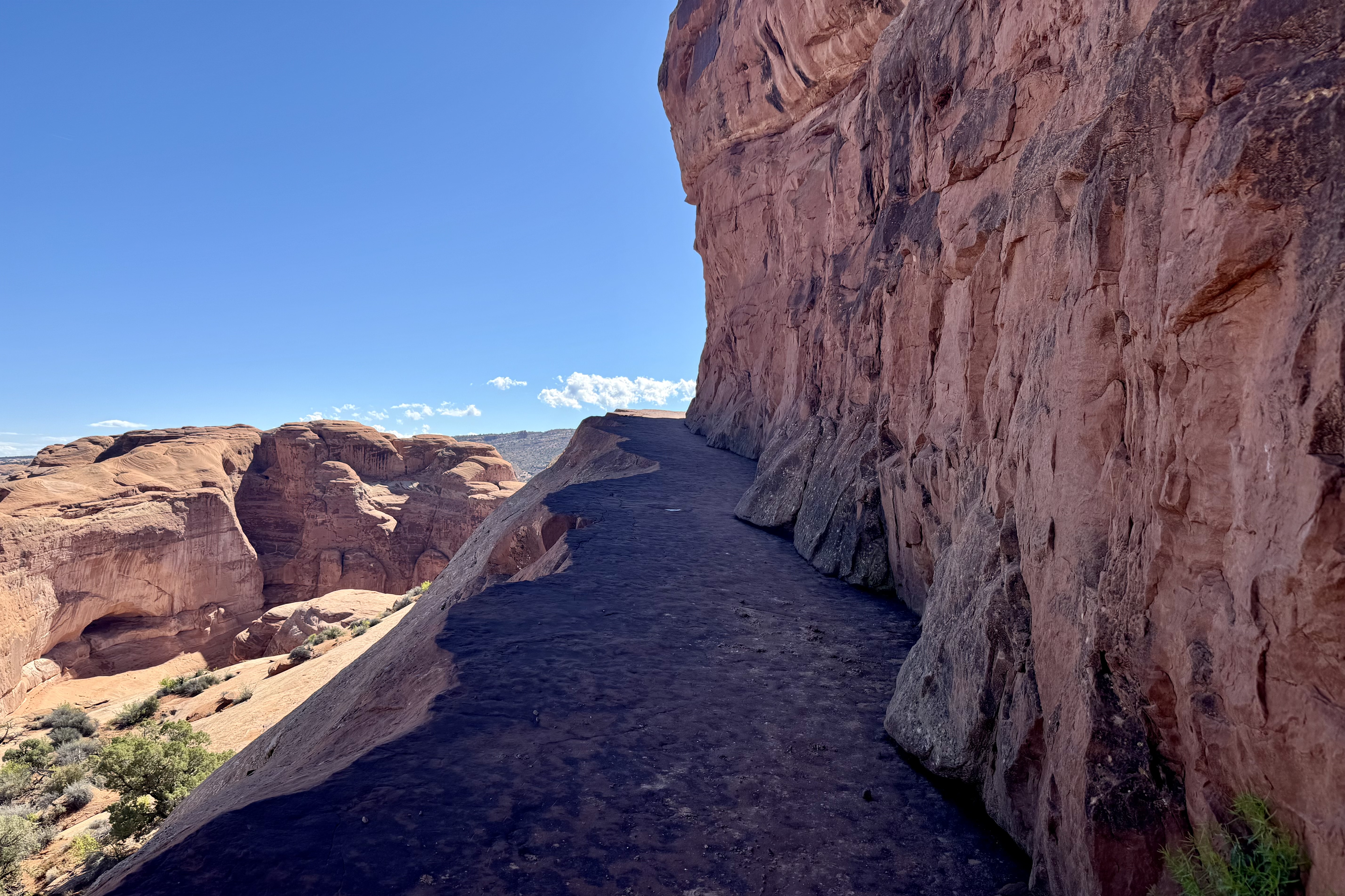
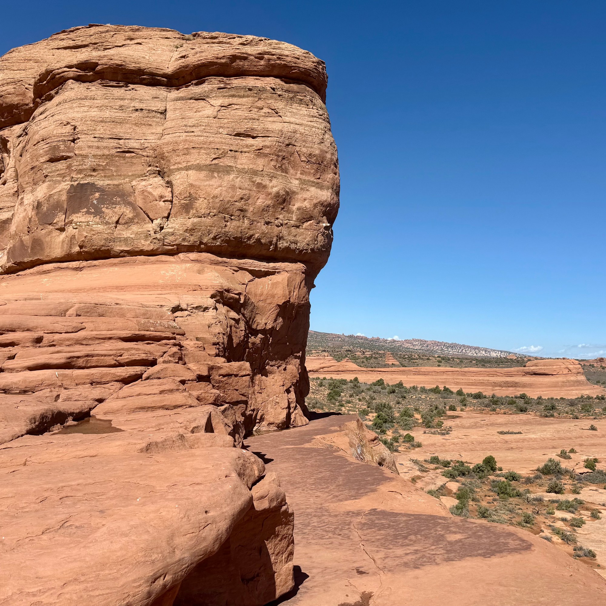
So my natural choice was to walk 1.25 miles down the road to the trail head, 1/2 gallon of water in hand. I would worry about the 1.25 mile uphill climb after the strenuous hike i.e could hopefully hitchhike back up. Around 30 minutes later I was ready for the 3.2 mile hike on what is rated as a strenuous trail. The beauty of this choice is that there was hardly anyone hiking yet (no crowds like the normal disneyesque size queue hiking here today) so I encountered only a few more adventurous duos passing me by . This was an exposed trail with no shade. As it began it was quite a well defined trail and soon crossed a bridge over Salt Wash. But soon thereafter I encountered steep grades, rock steps, red rock slabs, areas of open slope of steep slick rock with exposure to heights, and for the final hurrah a ledge with steep drop-off.

The final trek down to the Delicate Arch itself was along open relatively steep slickrock and even I would admit it felt quite dangerous especially with a brisk wind. I had gotten this far so I was not about to waiver now . Most of the other hikers were much younger than myself and when I finally made it out to under the arch and turned around, I received a rousing cheer from my hiker fan base and assists.

Hiking out was quite enjoyable, until about a half hour and over half way down, when I could see that the road was open. It would not be long before the  large volume of hikers would be scrambling up the trail. Shortly, a couple of young women who I had been interacting with “up top” came upon me and asked if my car was down at the trailhead or up top on the road. Since their car was up there too, they offered to hike up and get their car and come down and pick me up. I heartily agreed and it wasn’t long before they were back. They did the hitchhiking up so I soon retrieved my car to begin my “Arch Walk” (kind of like an art walk) via auto of other areas of the park.

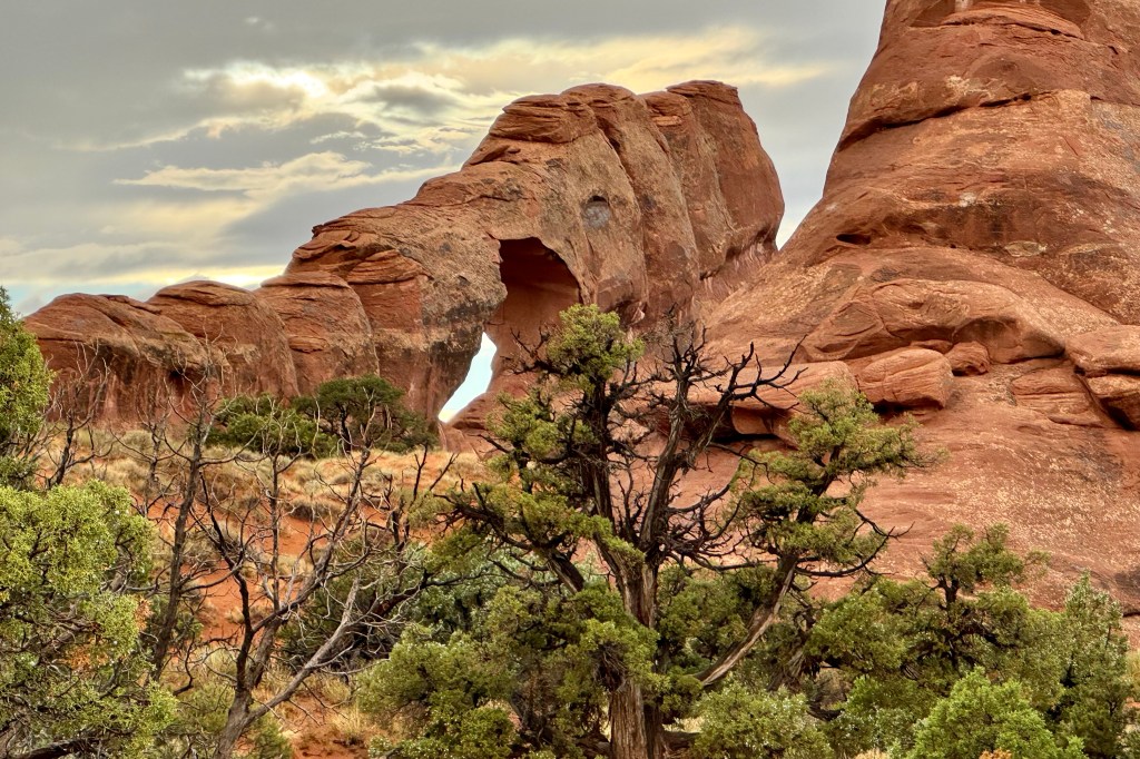
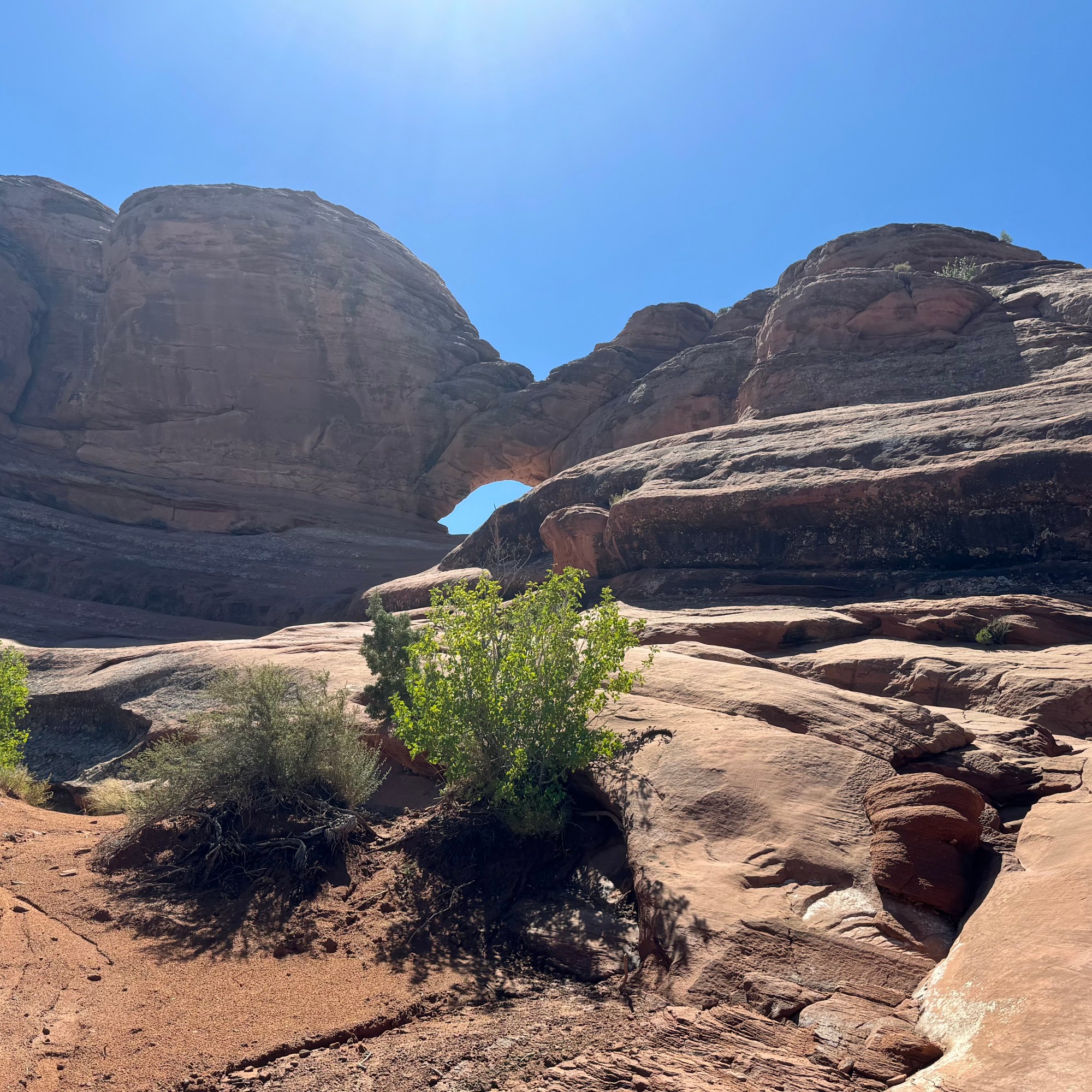
Much like in Gunnison, I traveled the length of the park road to view many of the acclaimed arches and do what walking my legs would still accommodate, after my so very inspiring Delicate Arch hike, starting with Panorama Point and North and South Windows Trails. Can you see or imagine what the rock formation namers saw in their names of the formations?

Panorama Point

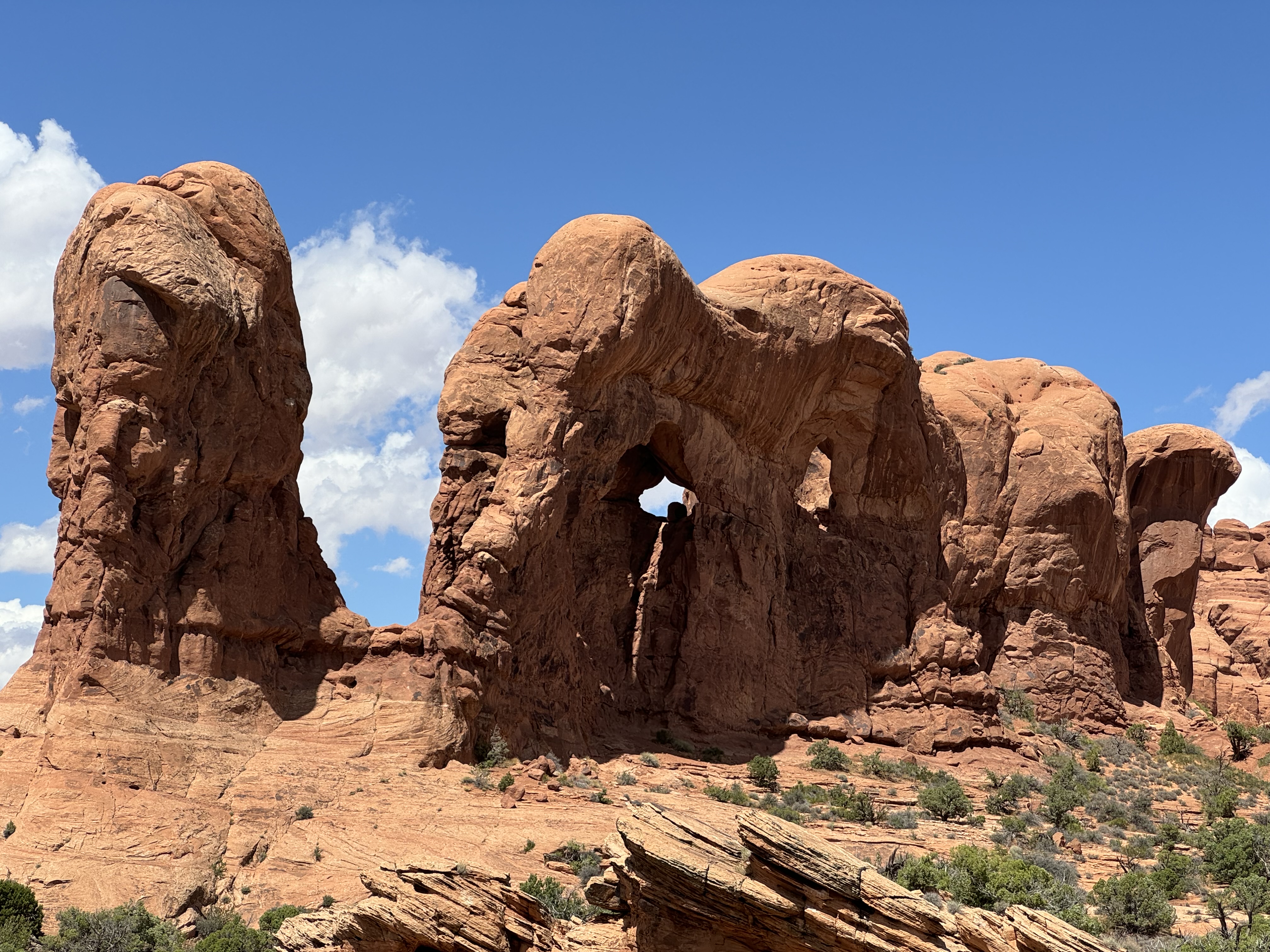
Elephant Butte, the Buccaneer, and the Double Arch on Windows Road

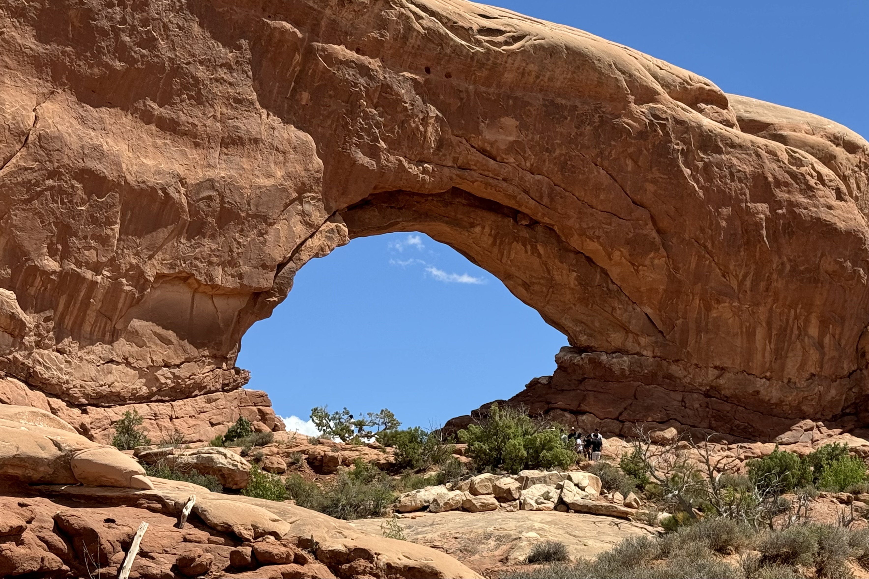
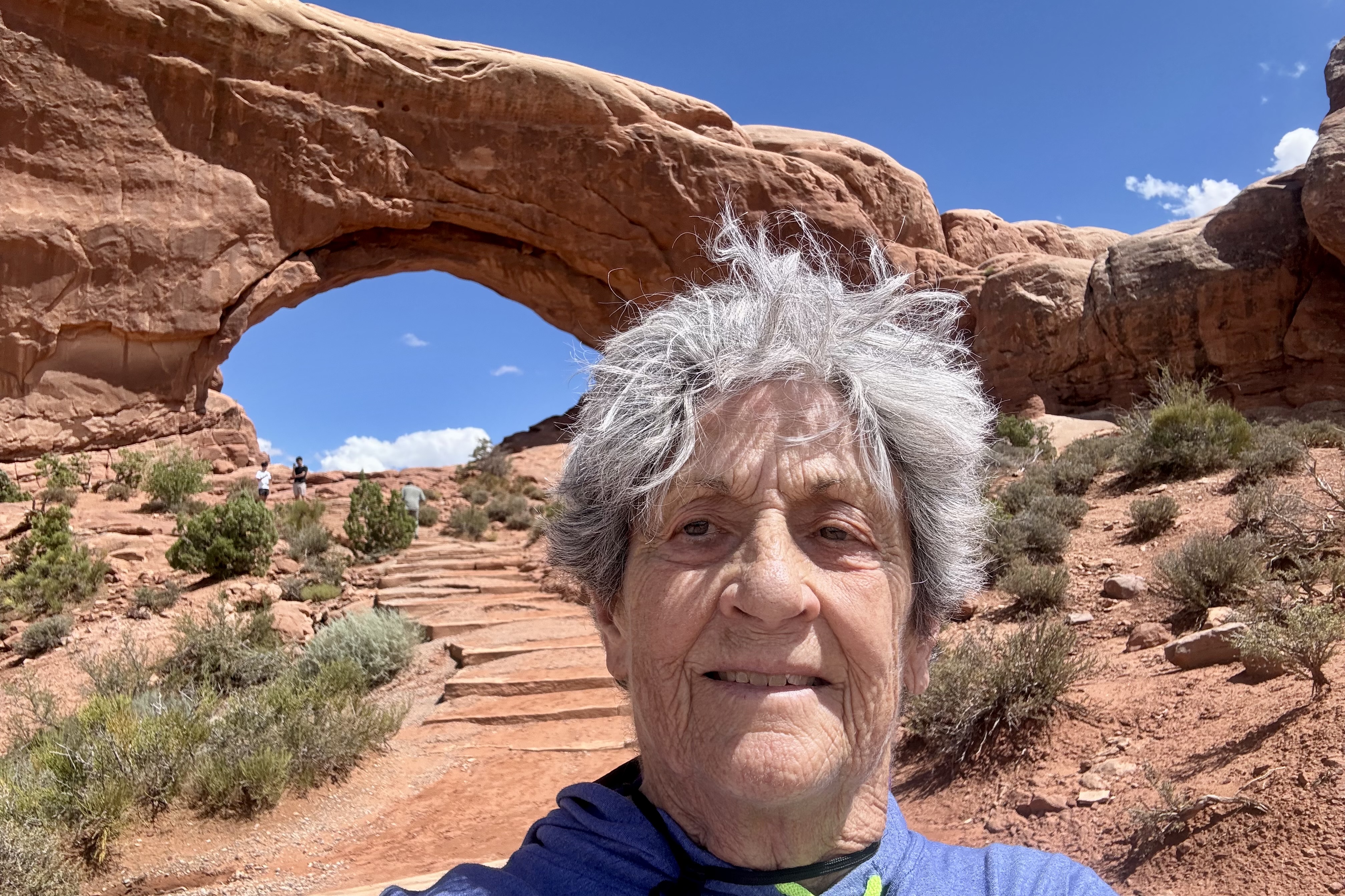
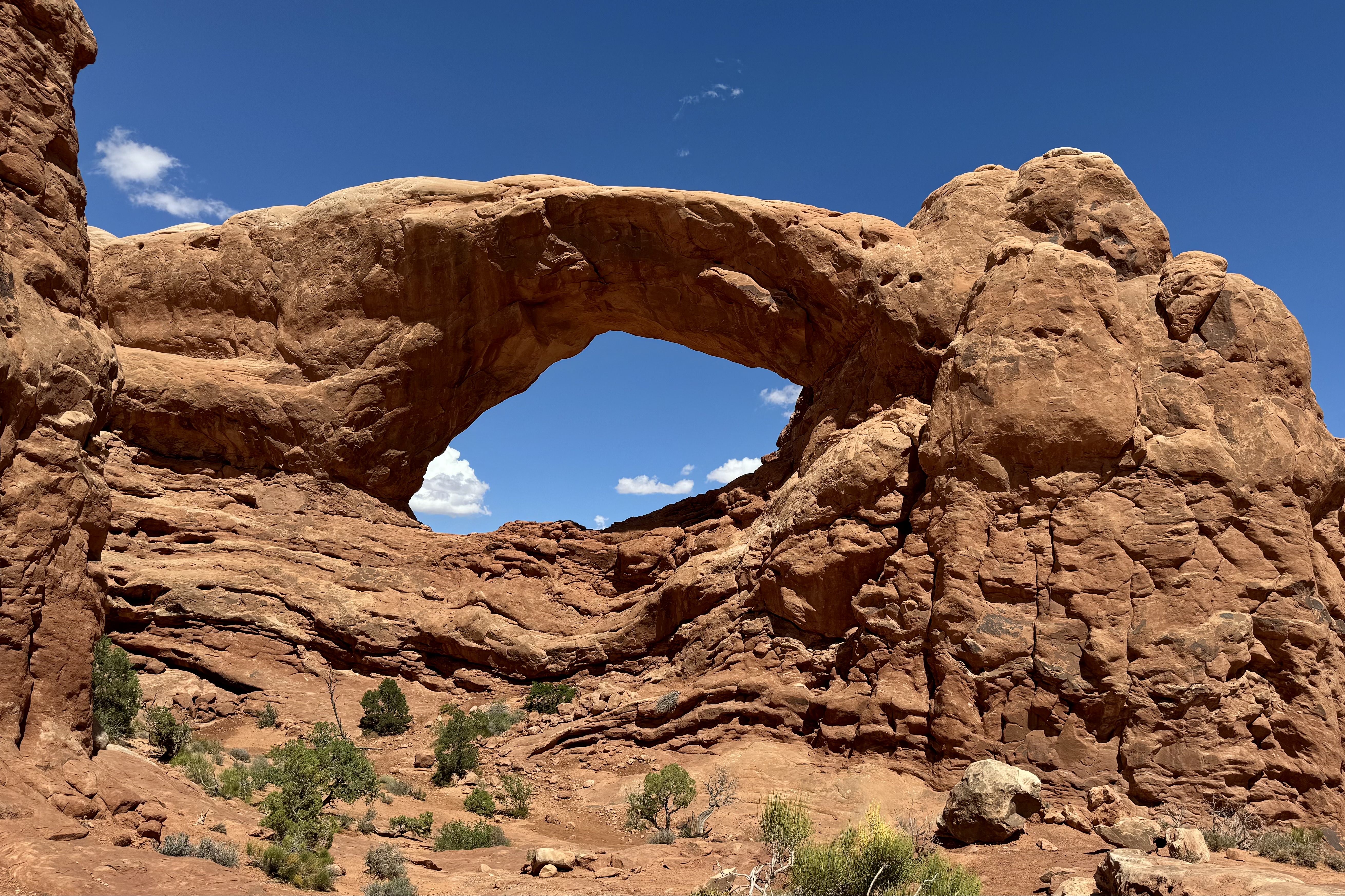
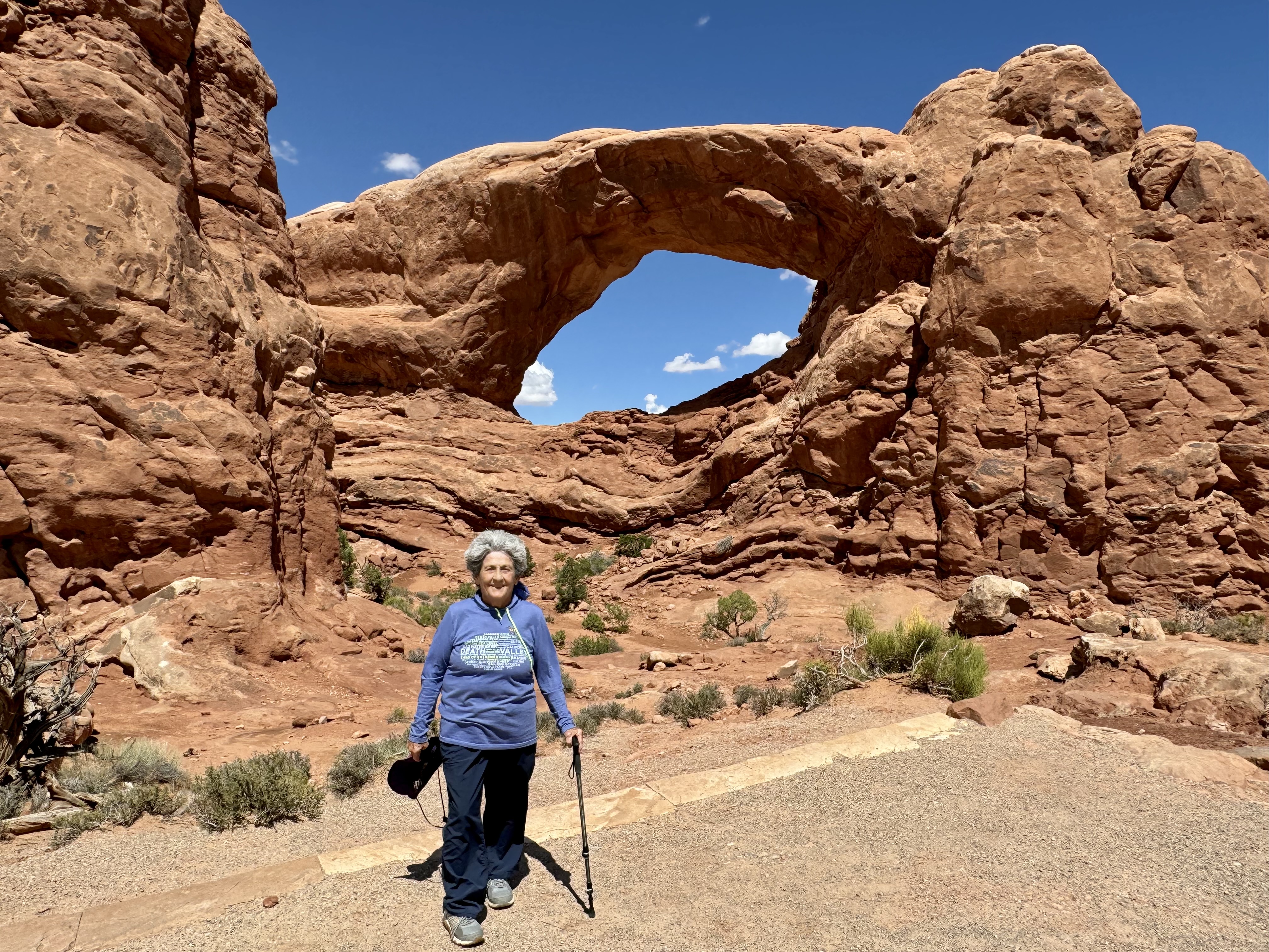
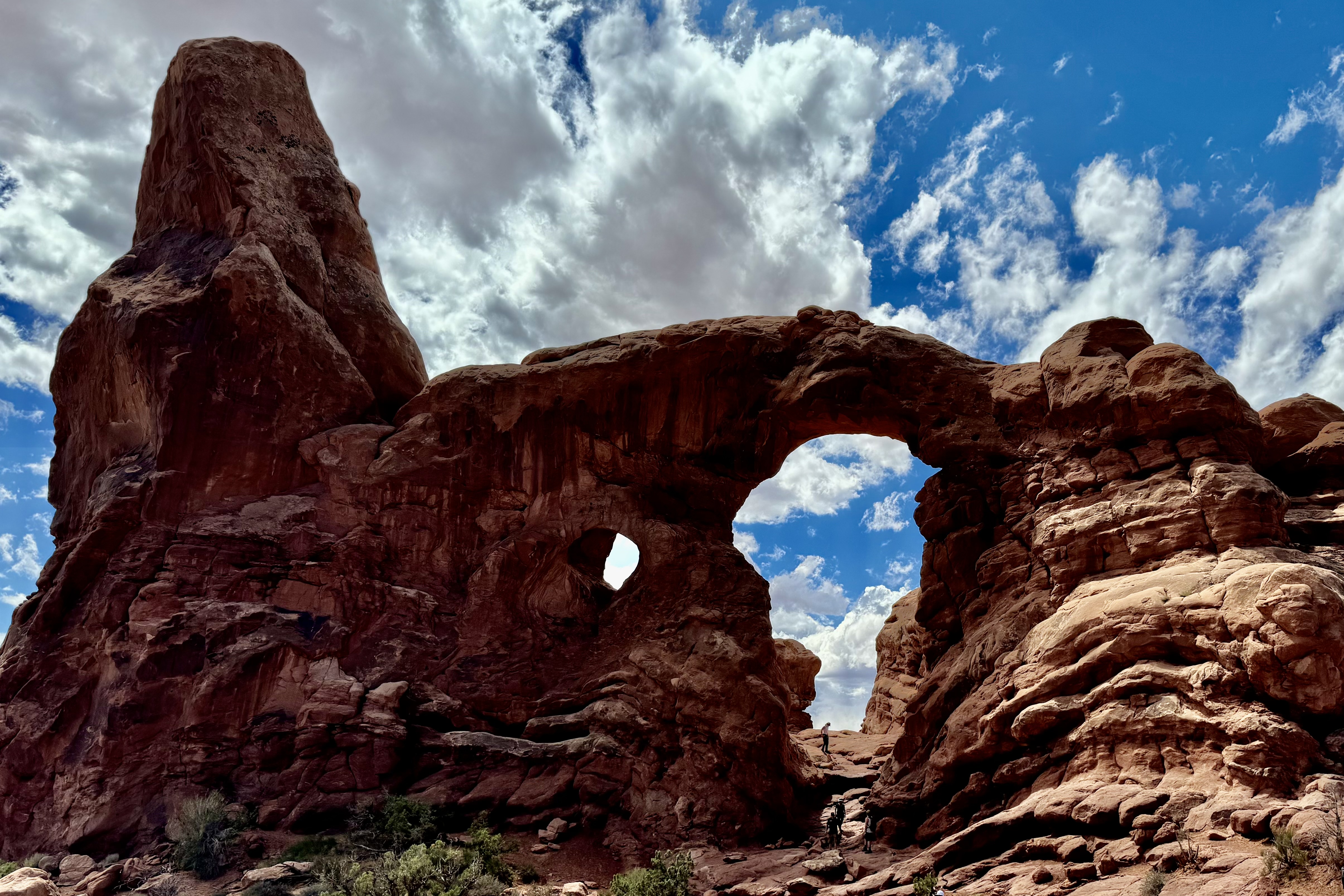
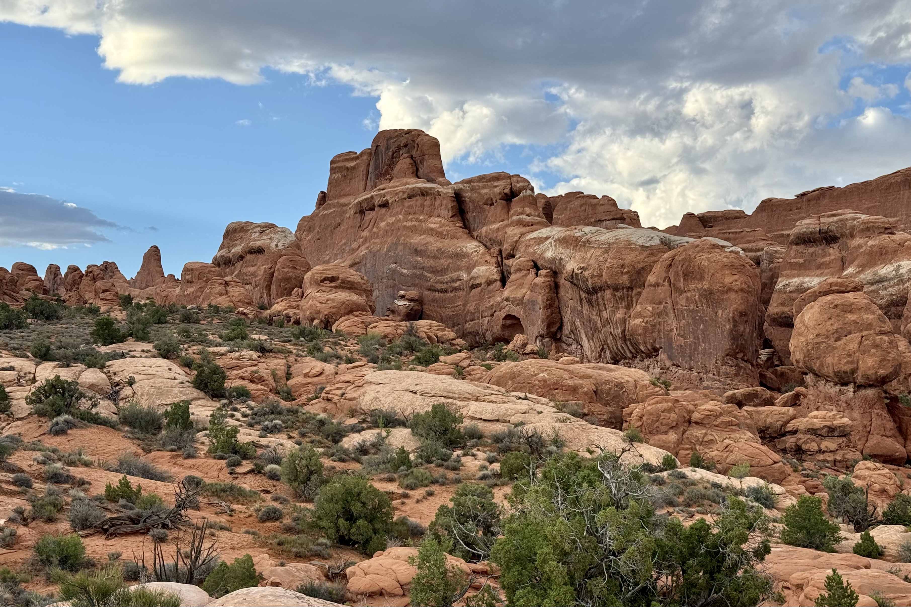
I loved the Windows section of Arches. Many consider it to be the heart of Arches. There is a significant concentration of arches and I found it to be quite a beautiful location in the park to hike about. South window, North Window, and Turret Arch, Elephant Butte, Cove of Caves, and Adam and Eve in the Garden of Eden are just a few of the -inspiring arch formation I found on the Windows Trail and Road.

South Window, North Window, Turret Arch, Elephant Butte, Cove of Caves, and Adam and Eve in the Garden of Eden

I knew it was about time to drive into Moab Drove to shop for ice, grocery supplies and gas. Having made that decision I was quite pleased that the storms for the day hit when I was enroute through the park.

Upon my return I continued on my mission to visit the vita as many pullouts as possible … how tragic it would be if I missed something truly remarkable.

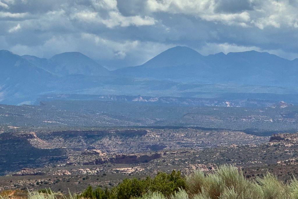
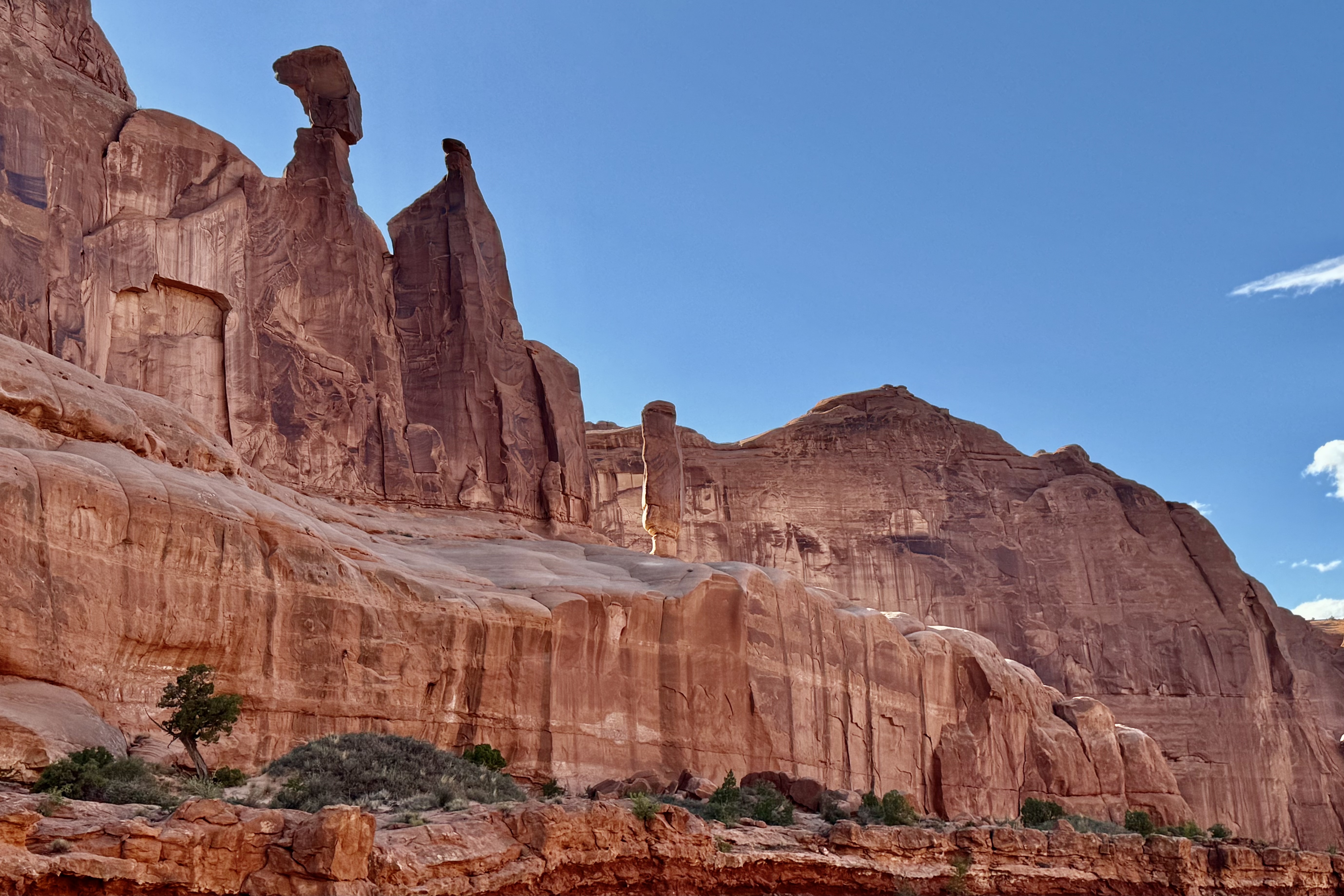
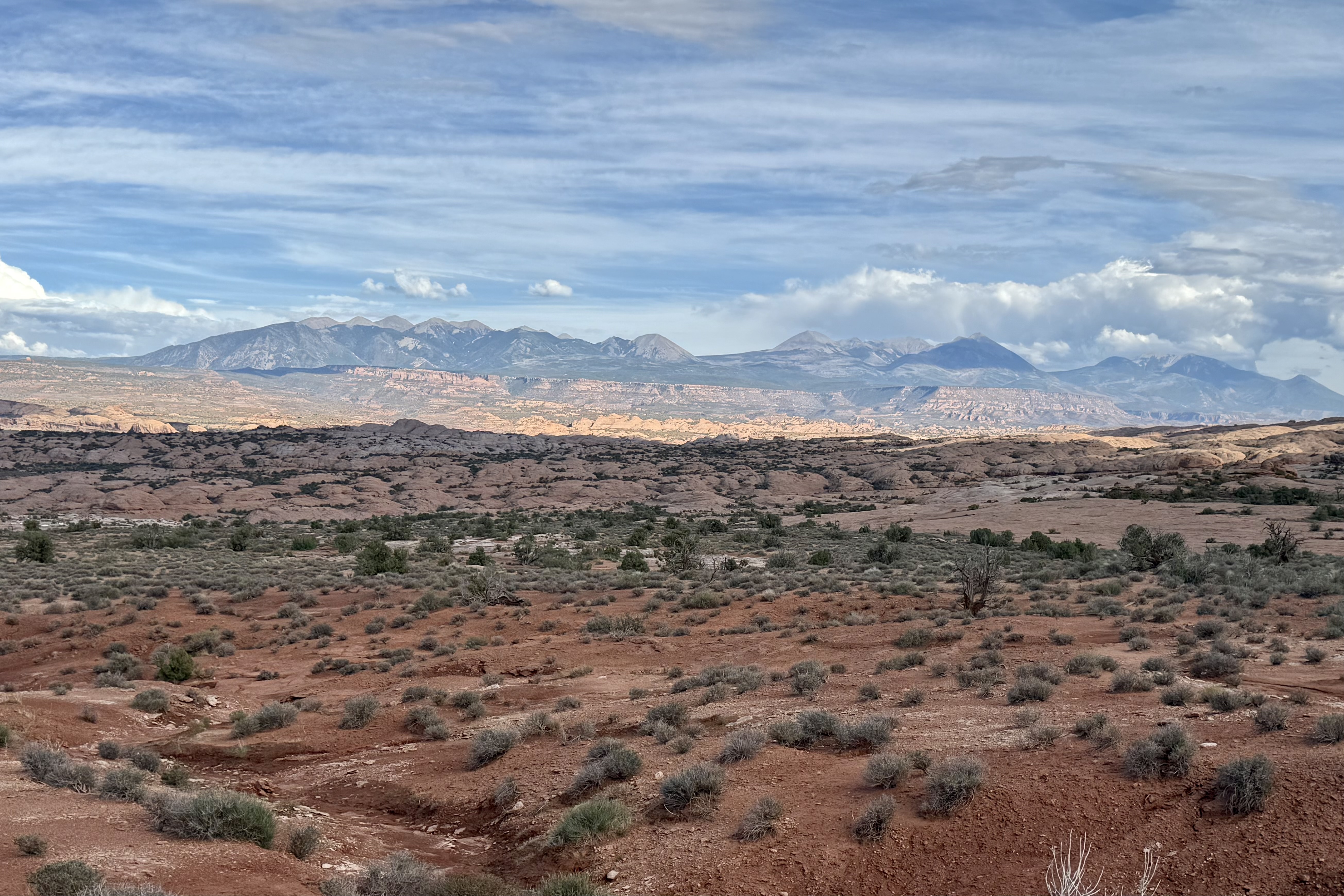
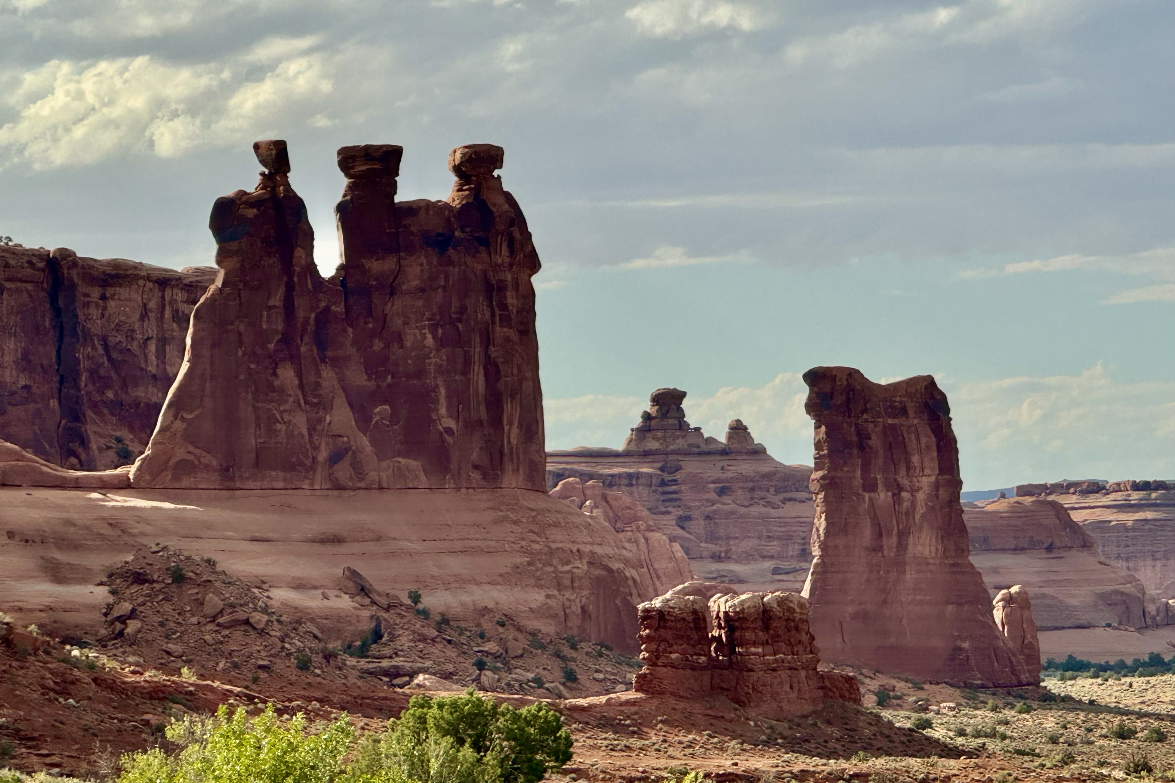
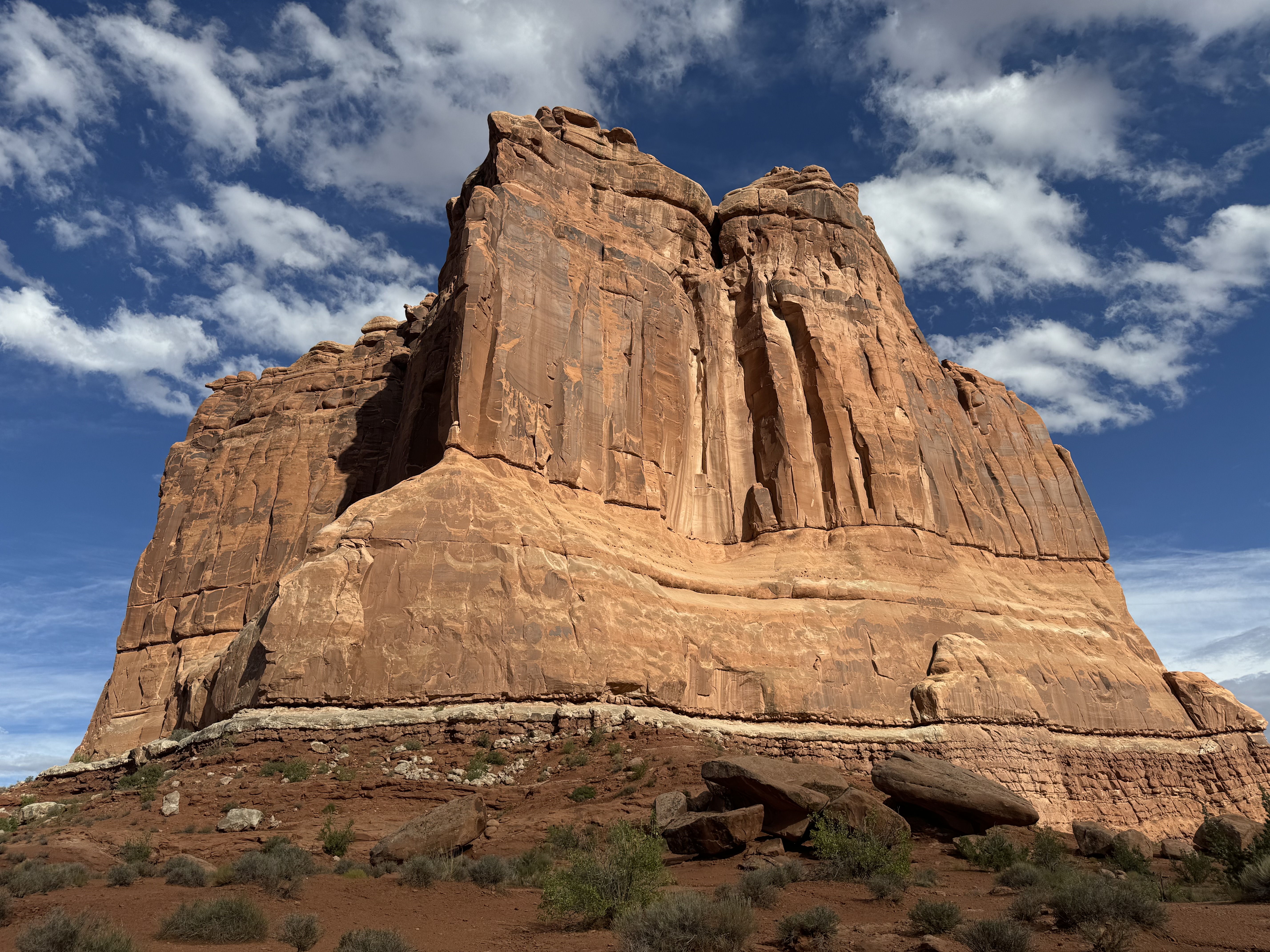
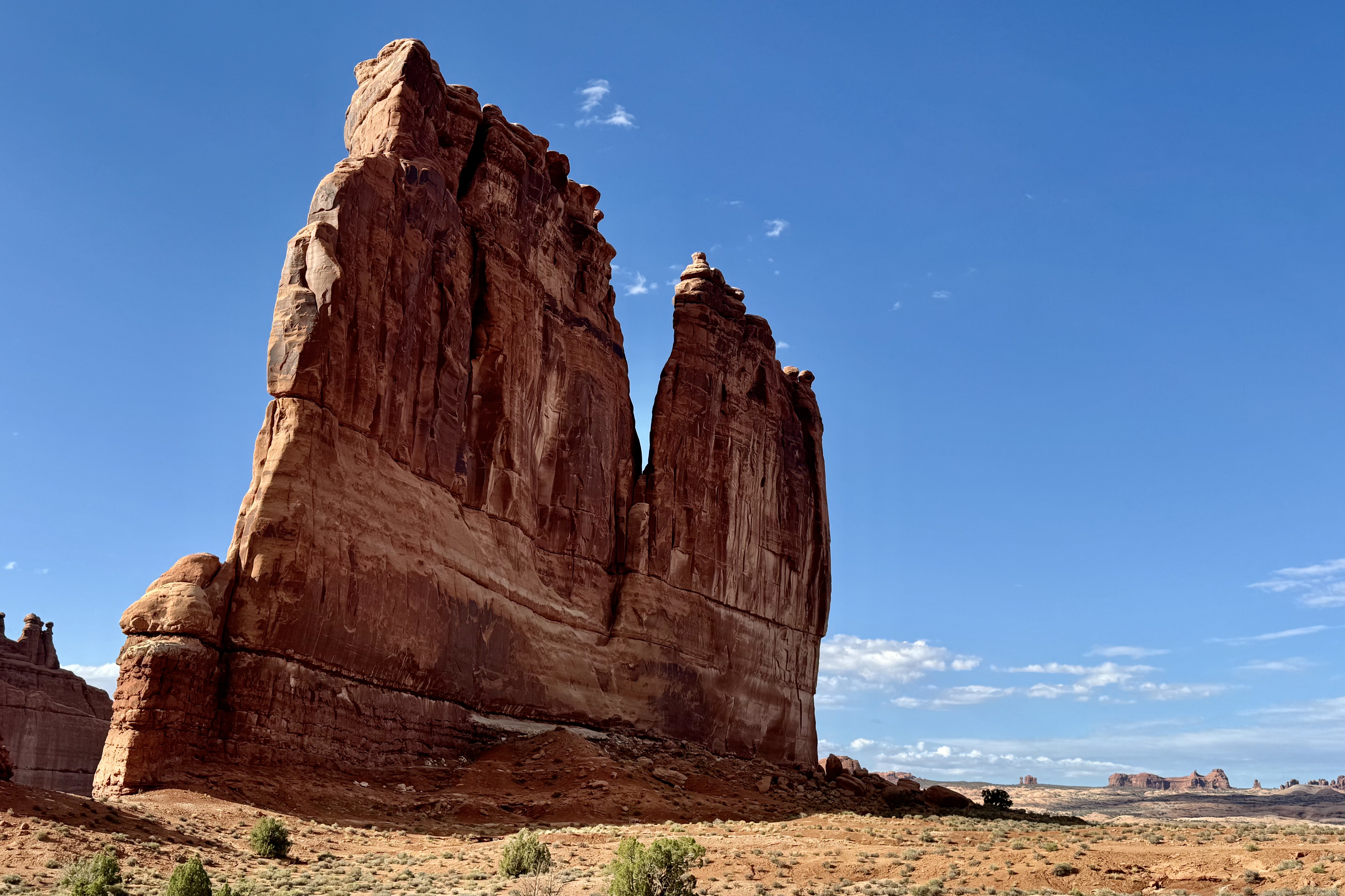
Park Avenue, Queen Nefertiti, LaSalle Mountains , Three Gossips, Courthouse Towers and Tower of Babel.

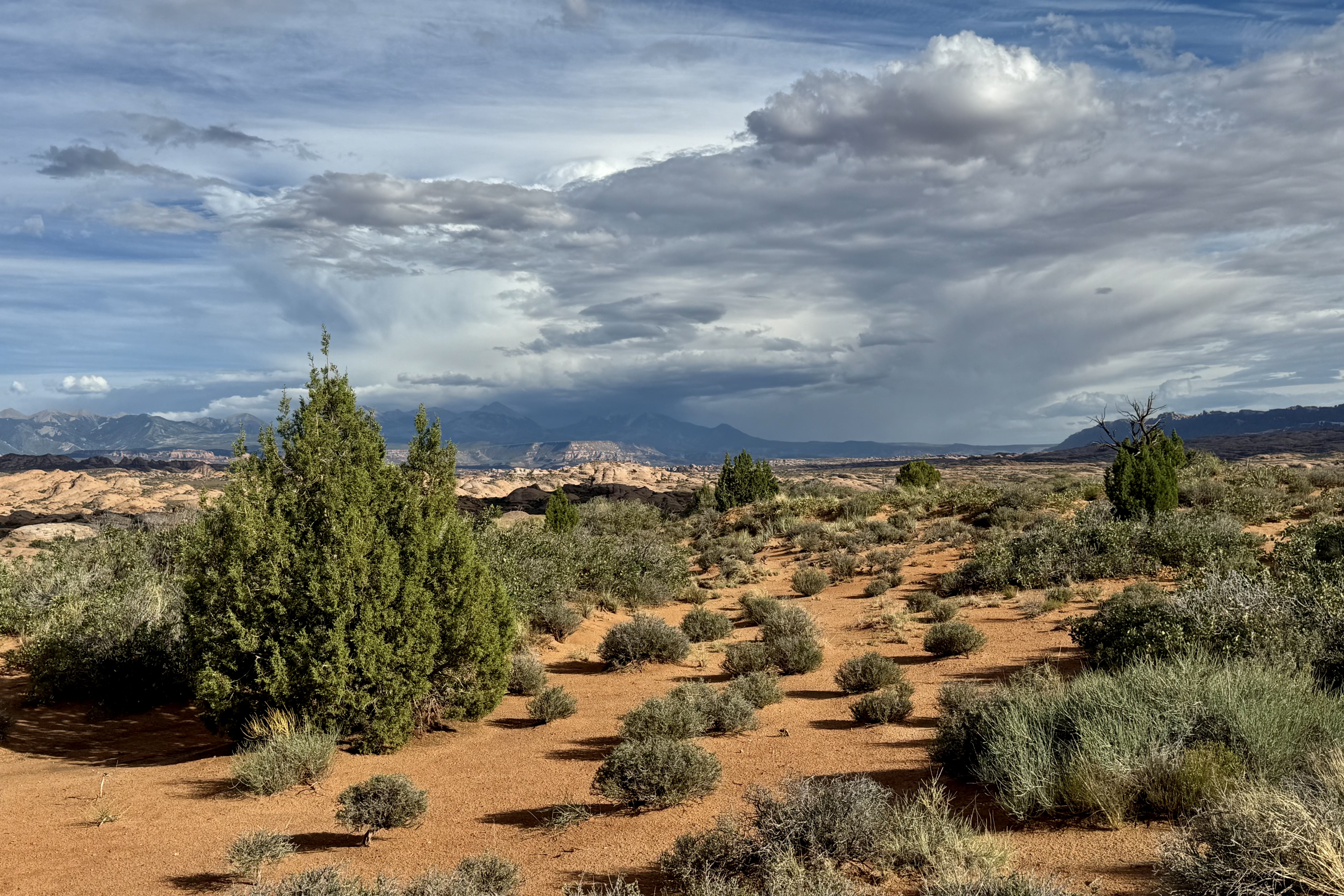
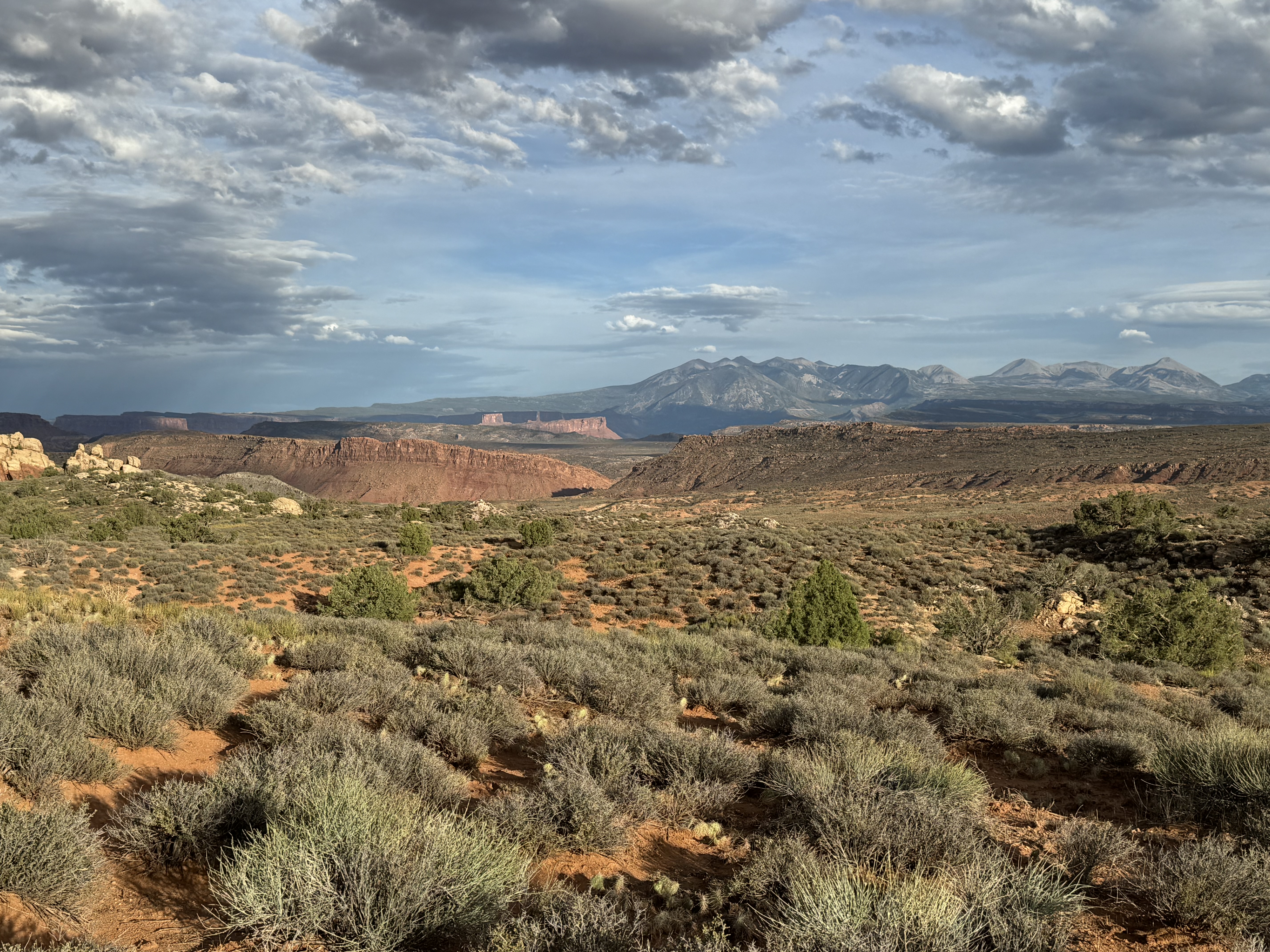
Further on down the road and in spite of the ever present threatening weather, I continued my pursuit of additional vistas including the Petrified Dunes, Fiery Furnace, and for some masochistic reason I drove up to the viewpoints for Delicate Arch to get a view of it from the opposite side . I hiked the one mile round trip slightly strenuous steep climb up to the Upper Viewpoint. Most of the other hikers were quite disappointed about the distance to the arch and that it’ is’s separated by a canyon and not accessible to walk to. This day was a 24,000 step and 9 mile day of splendor!

Petrified Dunes, Delicate Arch Backside, Fiery Furnace

By the time I got back to the campsite it was 7:30.   I thought my site had been vandalized but soon realized that it had been vandalizes indeed — by the wind.  Fortunately that was the culprit. It was getting dark out and I still needed to prepare dinner so I opted for the cold variety. Once I piled everything into the car for the night (total disarray),  I retreated to my tent and to then had clean off most everything in tent from a dusting of red sand.  I finally went to sleep with constant gusts of the wind battering the tent.   I must have been totally exhausted to manage to have slept through an extremely gusty night.

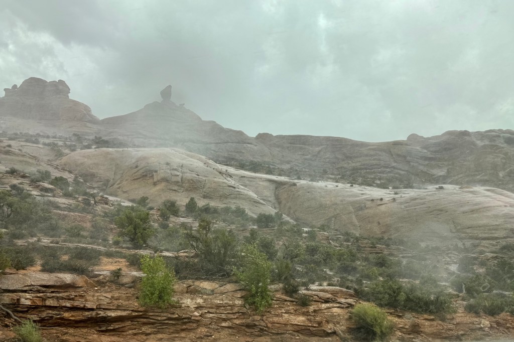
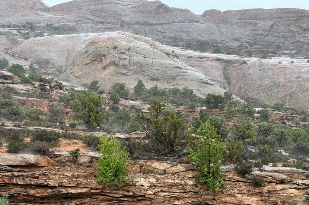
Peeking out of my wind blown tent, I could see thunder and storm clouds in all directions.  So I bounded out of the tent and it was clear that the wind had tried to break camp for me. Hoping to avoid the  red mud slicks that would occur and to escape having a tent wet and stained red if it rained (the wind at least had dried everything with its powerful swirls), I had better move quickly .    As the rumbles kept happening and getting closer, I rushed about just flinging everything into car which was already a jumble.  When done I settled down with my first cup of coffee and observed that I had escaped the storms that were all around. They had headed elsewhere to flood some other unsuspecting area. Before I headed on to Bryce Canyon, I thought I would take a “last stand” and hike Devil’s Garden Trail. I was dragging along and I actually acknowledged that I was “burned out” from yesterday’s mega adventure and I best do an about face and get back on the road.

Glamping at Cuyahoga, Singing Sands, That’s Not a Gate, and Unmowed Grass

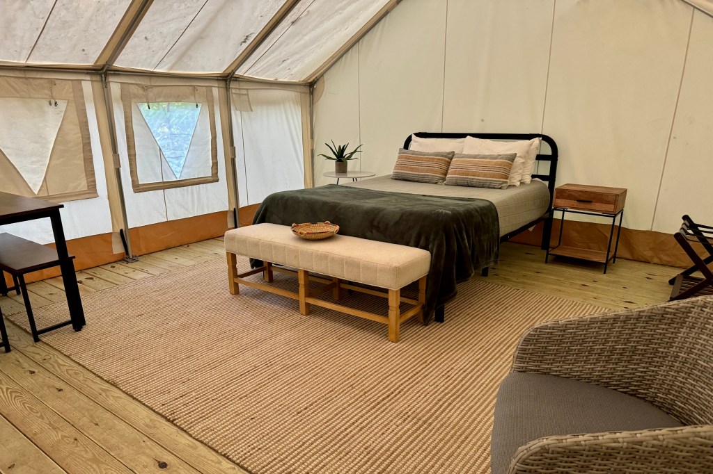
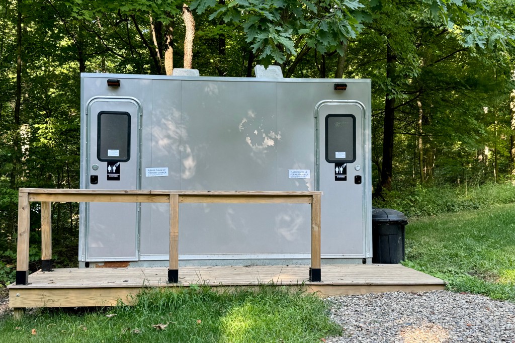
It is always hard to leave family especially sinceI  I have fallen in love with the family dog.  Carmel is a black labrador retriever and two years old.  She loves people and I was her person the whole 10 days I was there. She slept with me and followed me everywhere. Needless to say I am in Carmel withdrawal.  But alas, I also dearly miss my son Nick and daughter-in-law Miriam. But I loaded up my piles of gear into Lady Spitfire. Leaving one’s  car parked on a Philadelphia street loaded with STUFF invites a break in so we wisely unloaded everything for the duration of the stay.  I was off by 9:30 and ,as luck would have it for the sake of efficiency, I ended up driving out on the Schuylkill Expressway – the road I have always desperately wanted to avoid due to  its 24/7, 7 day a week traffic jam. But I didn’t have a meltdown and before too long I was on the Pennsylvania Turnpike, watching the ching-ching chang of the Pikes cash register add up the miles and thus the dollars for me to traverse this massive construction project and truck conveyor belt all the way to Ohio.  Of course Ohio has the same idea about commandeering my wallet and letting  the turnpike authority help itself to the contents. All of this wallet opening happened so I could get from A-Z in a bit more timely fashion than taking the secondary roads.   I grit my teeth and grasp the steering tightly but I am not sure how either one of these response helps me navigate this parade of semi-trucks barreling down the highway at 70 mph all the while squeezing me up close to the unyielding cement barriers on my left and their middle line on hugging  right. I try and weave my way from behind to, around to, ahead of these massive vehicles carrying all that “made-in-China”  merchandise we just can’t live without. But I finally made it to Cuyahoga State Park and my lodging for the next two nights was at Valley Overlook.  I am not sure exactly how one defines glamping but this is the closest I haver come to it since I was on a safari in Africa years ago. This extra large canvas tent was a great way to ease back into “camping” after the hiatus of family and friend visits.  It was an almost real bedroom  except for the fact the walls were canvas, there was no electricity, water  or attached bathroom. The bath/shower unit was up a short steep hill and after trudging up the first time and barely “making it, ” I did something I would never in my wildest dreams imagine me doing. I drove up. An added bonus, I could avoid a massive wasps nest needing to be passed a short distance away.

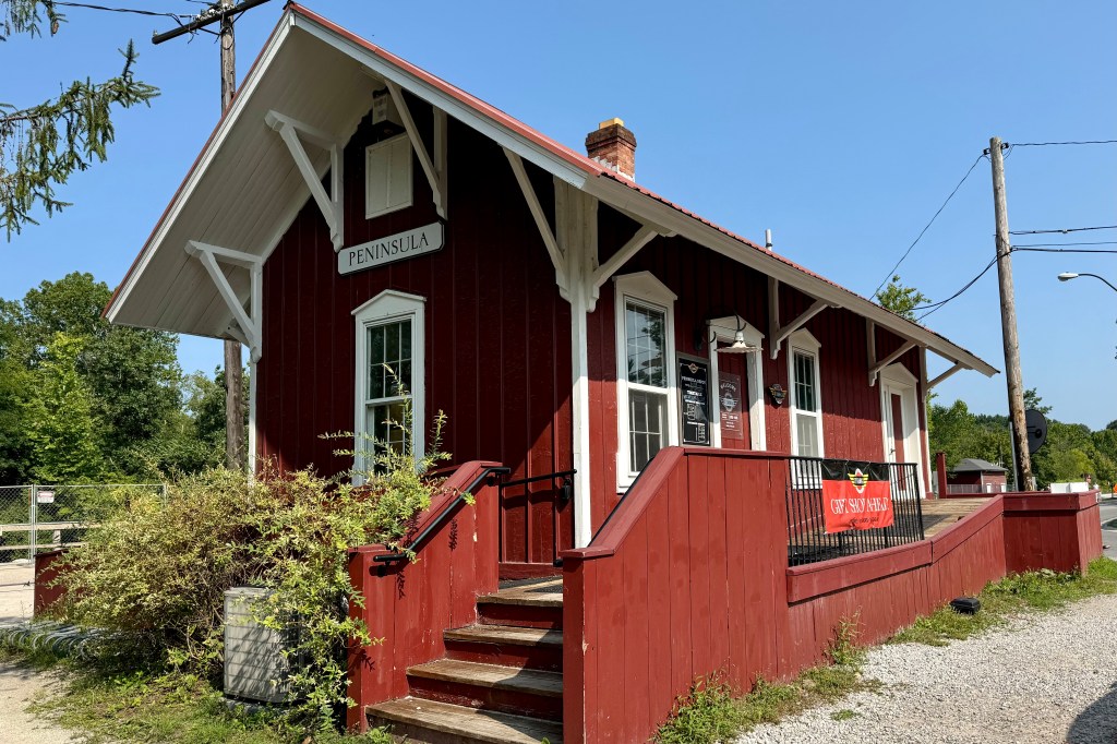
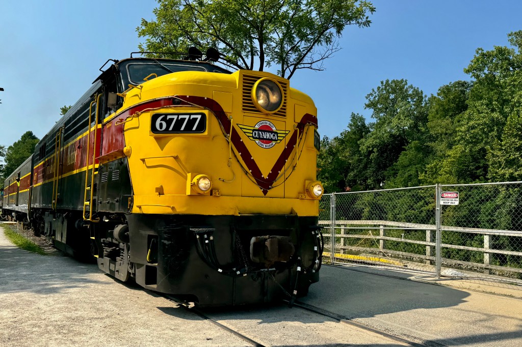
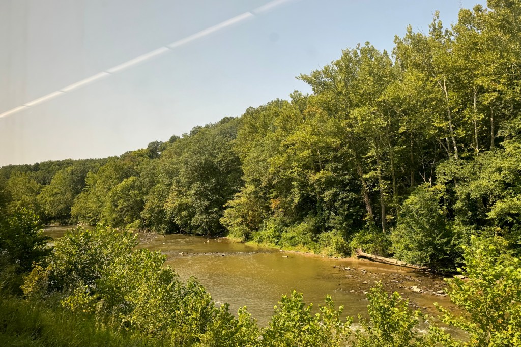
August 14th was a full day to explore and I had not known how best to approach maximizing my experience of Cuyahoga NP. It is a patchwork of many smaller areas including not only parkland designated to protect the Cuyahoga river but interspersed with villages and farms. I had not done any prior reading about the park and its options. Miriam told me about a train ride through the park so I investigated that and booked a ticket on the Cuyahoga Scenic Railroad for late morning. This two hour train ride out from Peninsula Depot to North Akron and back was pleasant enough and the park volunteer shared a fair amount interesting history but perhaps the route is scenic for Ohio but at no point was I wowed by the surrounds. The scene was of pleasant villages and a countryside of mostly forests, rivers and meadows. The upside was it gave me a good idea of some things I might explore further or NOT. The trip back was a bit “sad.” The train tour guide gave almost no additional commentary. I made my way though our train car and I saw most people focused on their phones, others having loudish conversations drowning out anything the narrator might want to add, some sleeping in their seat, and in general not paying much attention to anything out there. Granted we had “been there” but I often find I can glean a lot more on the “second time round.”

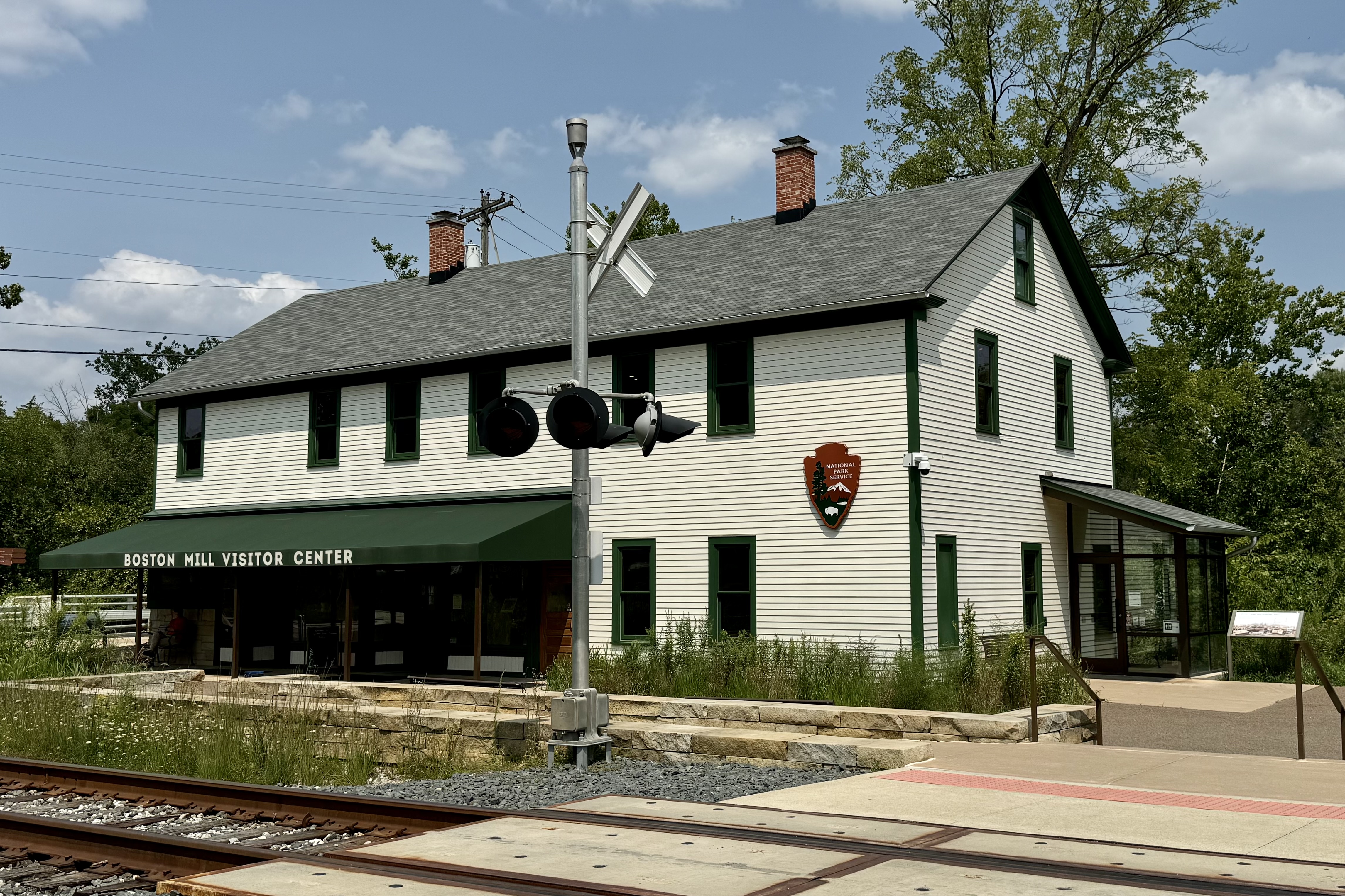
After finding a convenience store to get gas and restock the ice in my cooler, I stopped at the Boston Mill Visitors Center to get more information on trails. It was also an opportunity to get close to the winding Cuyahoga River.

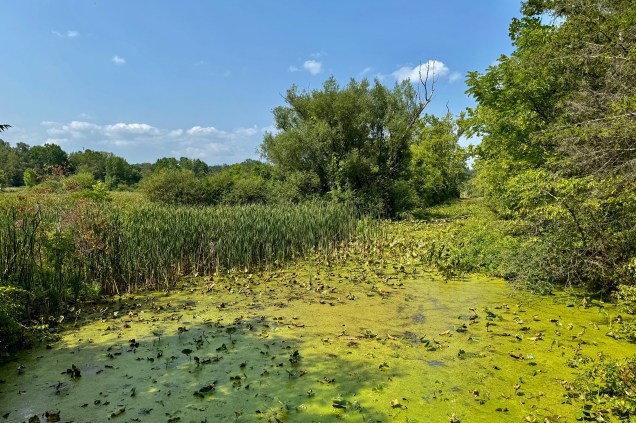
I was eager to get out on a hike with the first hiking choice was the Beaver Marsh Boardwalk . I have been told it is definitely an active area for beaver lodges but either my eyesight is totally myopic or on this day, as often happens, they were doing their interior housekeeping in their hidden lodges. But it did give me a short hike on the Erie Canal Path and a lovely mostly shaded walk in  the woods.

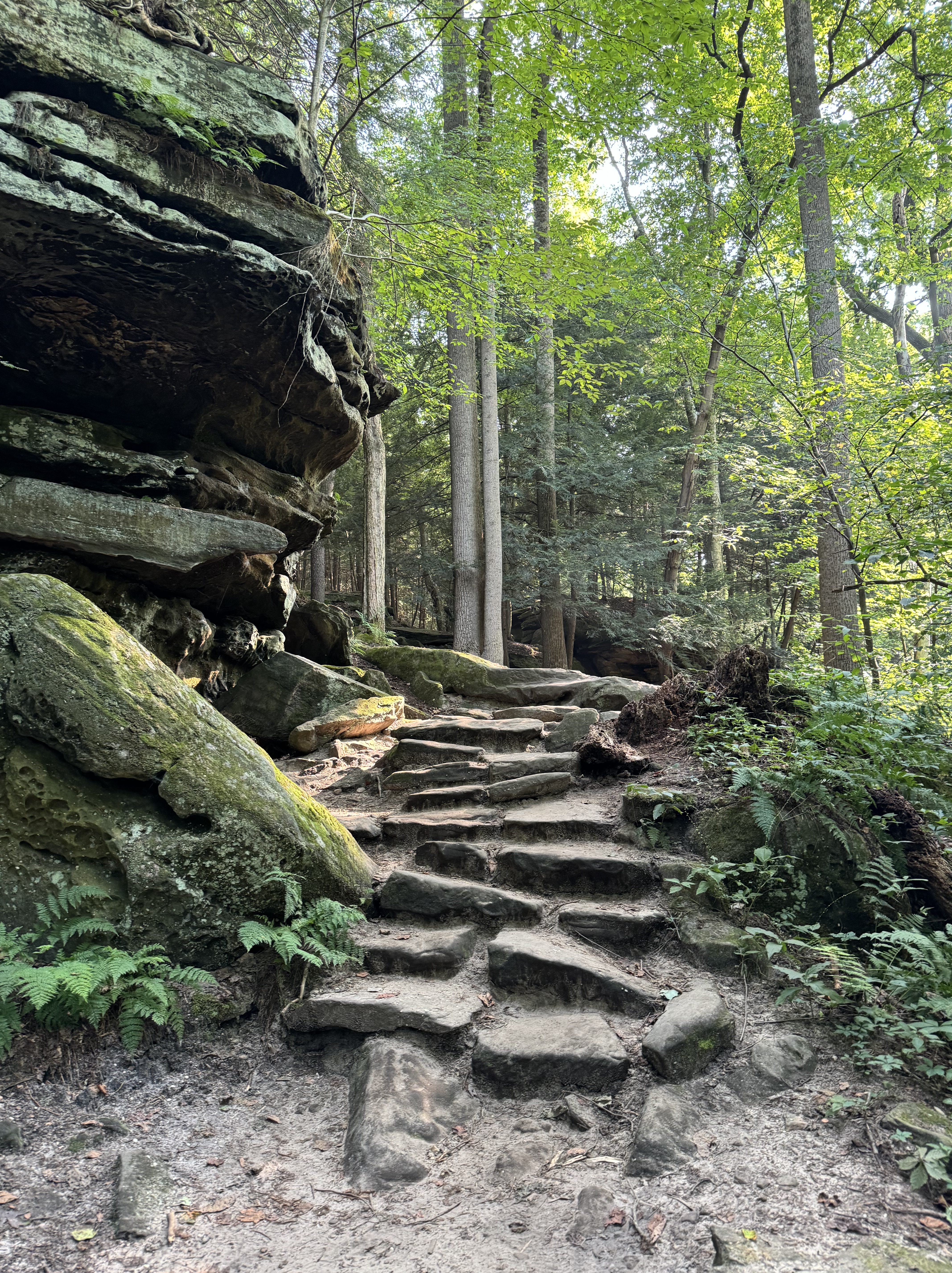
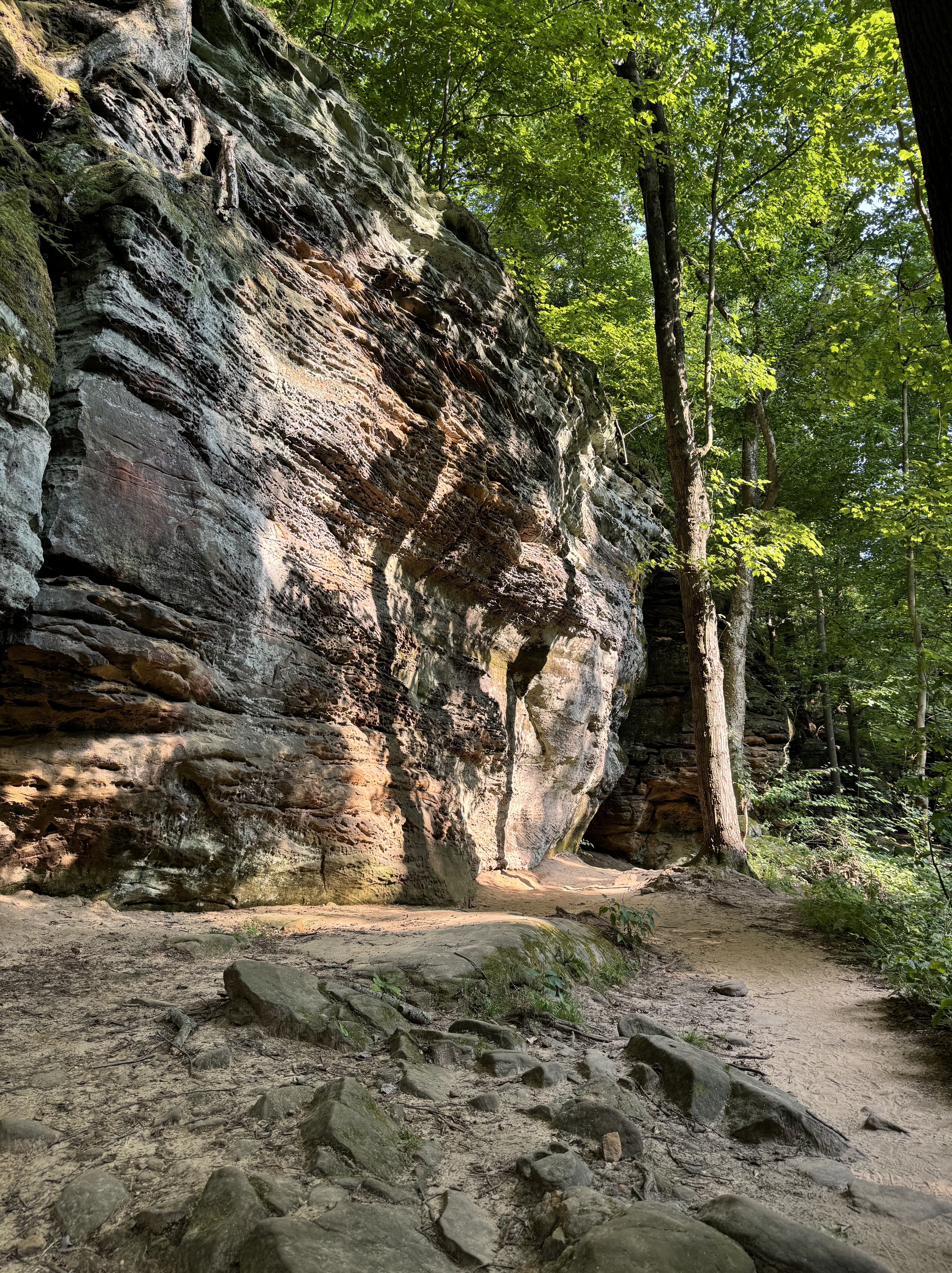
Determined to find something more challenging, I decided on hiking at least part of The Ledges Trail.  The Ledges Overlook is touted for its vista of the Cuyahoga Valley and a hike of moderate difficulty. A coin toss (not really) landed me hiking the route clockwise which was probably the wrong choice but from the starting point I saw several couples headed that way.  The distance to the most notable spot was significant longer than if I had chose the opposite direction  of the loop. This is of course in hindsight. I was quite fascinated by the geology of the area and immediately there was an array of sandstone ledges forming sheer cliffs, narrow and deep crevices , moss and lichen covered rocks, rocky and boulder strewn sections  in between sections of gravel path.

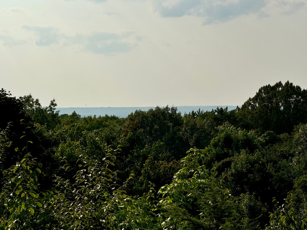
I am glad I had the experience of hiking the trail because, yet again in this park, I was totally unimpressed by the vista.  One would need to be a very very tall person to be able see much of the valley over the tree tops.  The biggest rub was when I turned around at the top to find the continuation of the trail, there was a large grassy field and on the opposite side was the parking lot where I left Lady Spitfire. I definitely did not have to work so hard for  this very mediocre view but I can take pride in accomplishing a challenging hike and experiencing the geological formations of this area. 

By now it was well into the dinner hour so it was back to Valley Overlook (which doesn’t really overlook the valley) for the evening repast and a glamperous night. 

August 15th was a travel day, heading to Indiana Dunes National Park. I dreaded getting back on the Ohio Turnpike and its overabundance of big rigs or eighteen wheelers tearing west (or east): flatbeds, tankers, heavy equipment trailers, trailers with removable sides and tarp covers… the list goes on. This is the first trip I have encountered triple trailers as well of course many double trailers. When not long on the road, I got an alert on my phone that due to accidents it was advisable to seek an alternate route rather than the Ohio Turnpike. I had not a clue what that route would be nor had Siri advised me to go a different route so I decided I would just sit in a back-up if that be the case. Fortunately westbound lanes had been mostly cleared and I could proceed on through. However, it was totally gruesome to see the aftermath of three separate deadly crashes leaving four people dead, all involving at least one tractor trailer, a spill of sulphuric acid, and many mangled vehicles. I remained quite anxious and on high alert for the rest of the day. The only upside was that much of the traffic heading west had exited the turnpike so it was mostly truck and traffic free until a couple exits past the exit advisory zone. Prior to today I had been quite grateful that I had encountered only one minor accident in the almost 7000 miles I had traveled. Gradually the traffic built up again to a “frenzy” and it began to rain. I arrived mid-afternoon at the Indiana Dunes Visitors Center, got myself oriented, talked to a ranger about hikes, got my stamp and headed out to Dunescape Campground

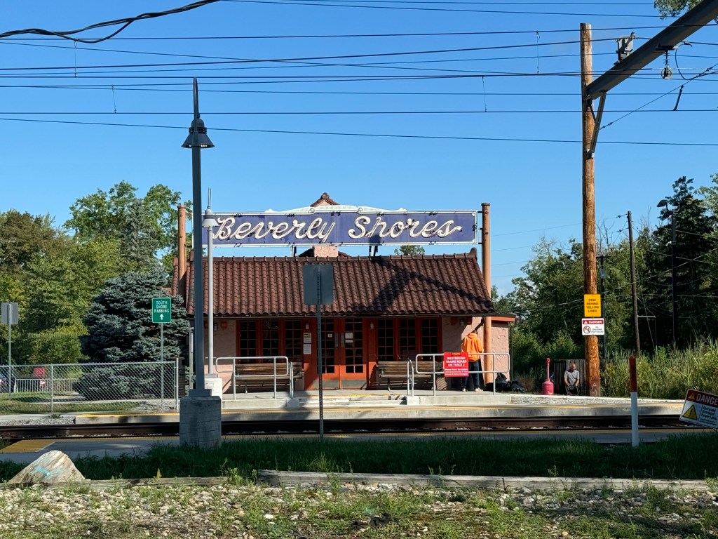
What a horrible night. Camping in areas that are scrunched between cities is less than ideal. The South Shore Line, the train that runs from South Bend to Millennium Stadium in Chicago, is but a couple blocks from the campground and quite impolitely announces its arrival at the Beverly Shores Station numerous times a day (about every 20-30 minutes) almost around the clock. It was not music to my ears as I was trying to fall asleep. But that was finally accomplished only to be awakened in the middle of the night by the flashes of lightening and its notorious  companion thunder! I thought I might have repaired my tent leaks with seam sealer but guess either I did a terrible job or the leak is actually not in the seams.  But at least the drip drip was more of a light spatter instead of a ping! So after the ugly drive and the ugly night I was feeling pretty ugly. 

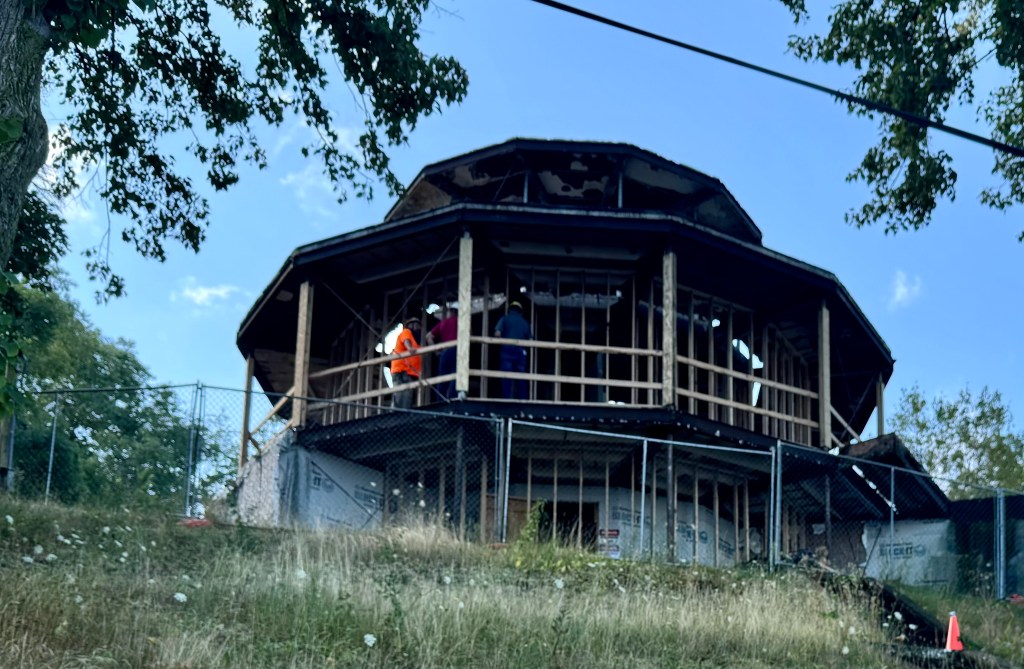
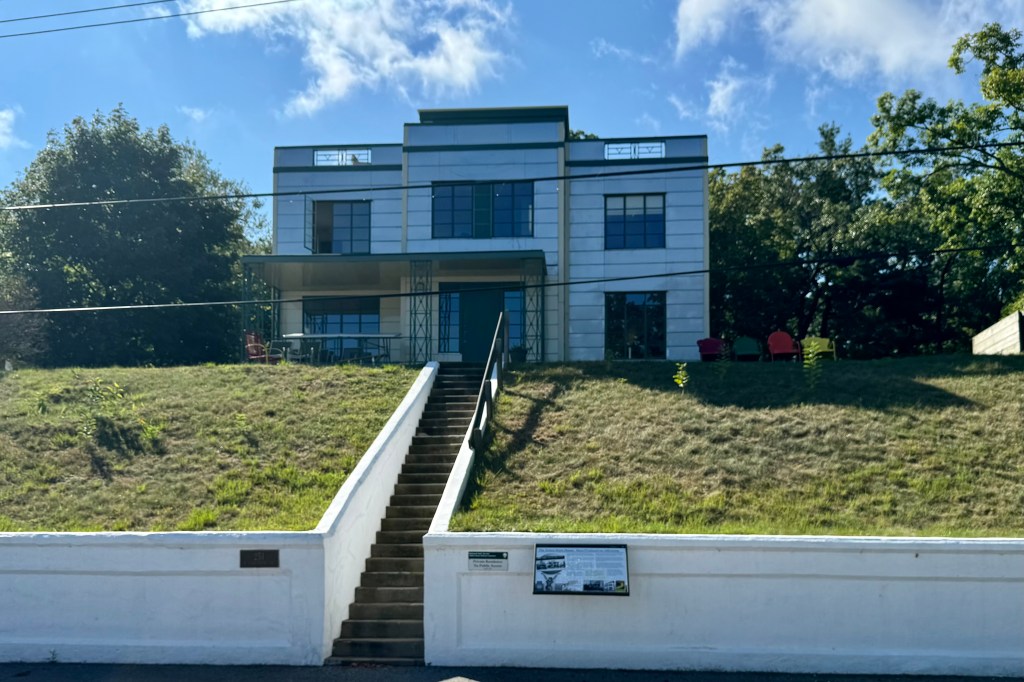
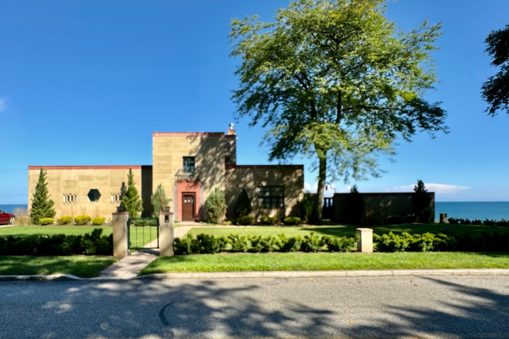
At least the coffee smoothed over some of the rough edges and I decide to get on the road and explore the park. This campground is at the northern end of the park so I settled on a visit to Lake View Beach.  It was still early in the day so there actually were available parking spaces and proximate to the historic homes from the Chicago World Fair.  With relatively few people on the beach it seemed like the perfect time to view the Century of Progress Homes constructed for the 1933 Chicago World’s Fair to show the future of housing and then brought to the Indiana shoreline afterwards. Were these models an accurate depiction of what housing looked like in the future? An aside. They featured the new amenities of garage door openers and dishwasher. When I think about it a whole lot of homes to this day don’t have those.

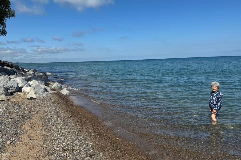
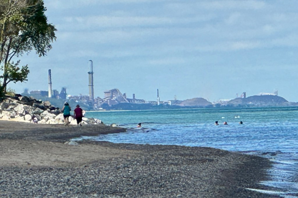
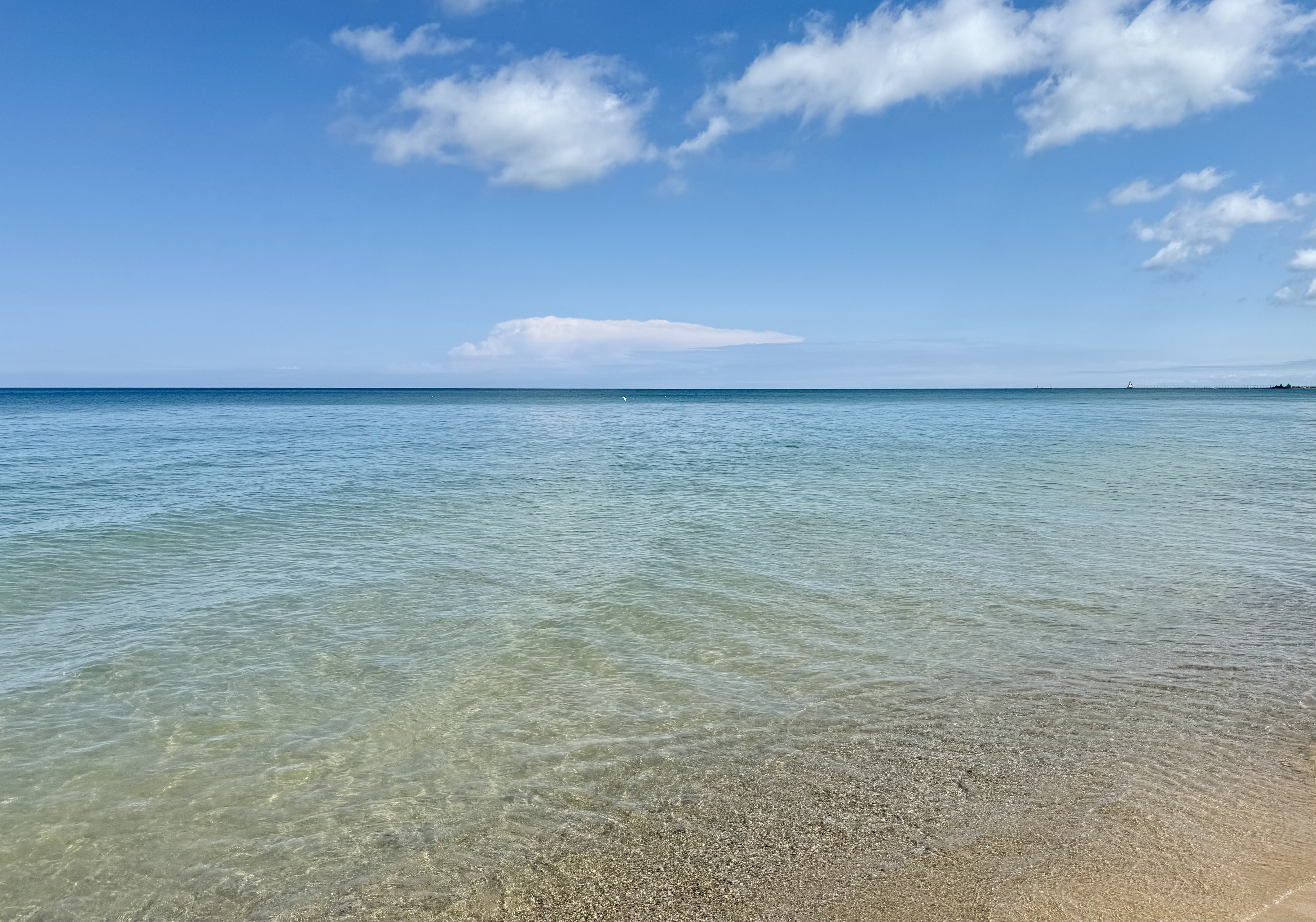
With temperatures already in the 70’s, sunny skies, and calm waters, I braced my self for very chilly temps of Lake Michigan but the water was actually quite refreshing and not chilling. I decided on a short walk and it definitely seemed a bit incongruous to be in a National Park and see industrial complexes in both directions with Gary Indiana to the west and power plant in Michigan City to the east..For many years I had a preconceived notion that all National Parks were basically in the hinterlands and not easily accessible to city dwellers. Though most are, there are now a cadre of parks that are much more citified (i.e. Cuyahoga, Gateway Arch, Hot Springs) .

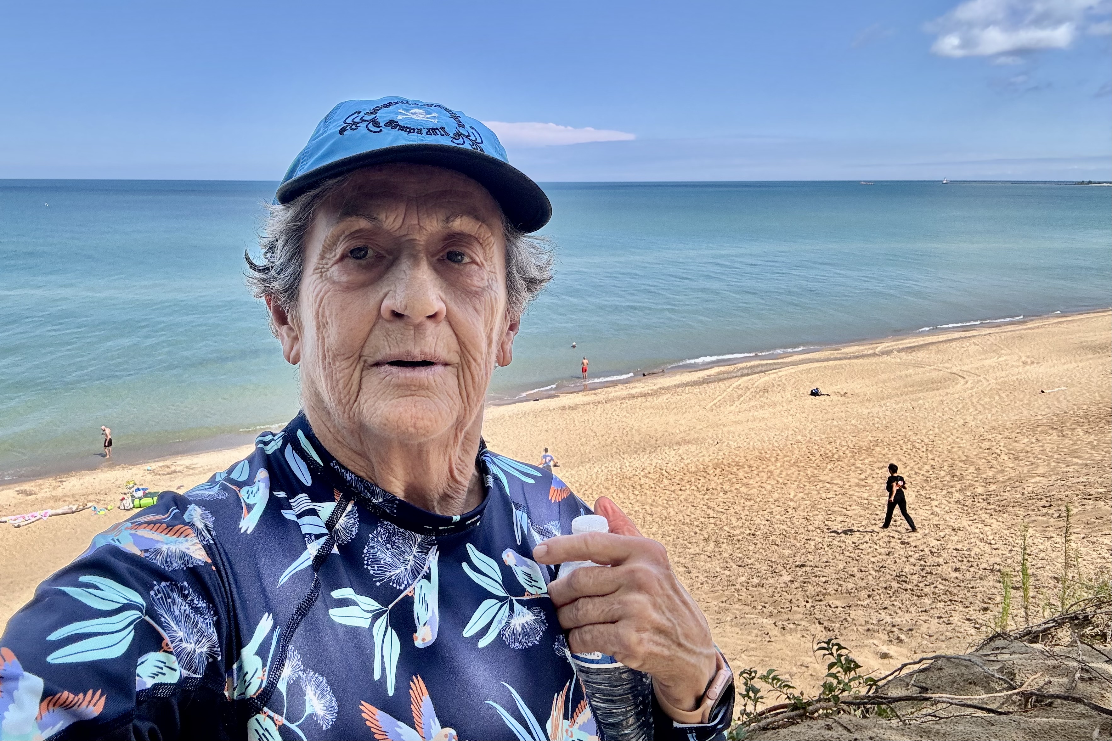
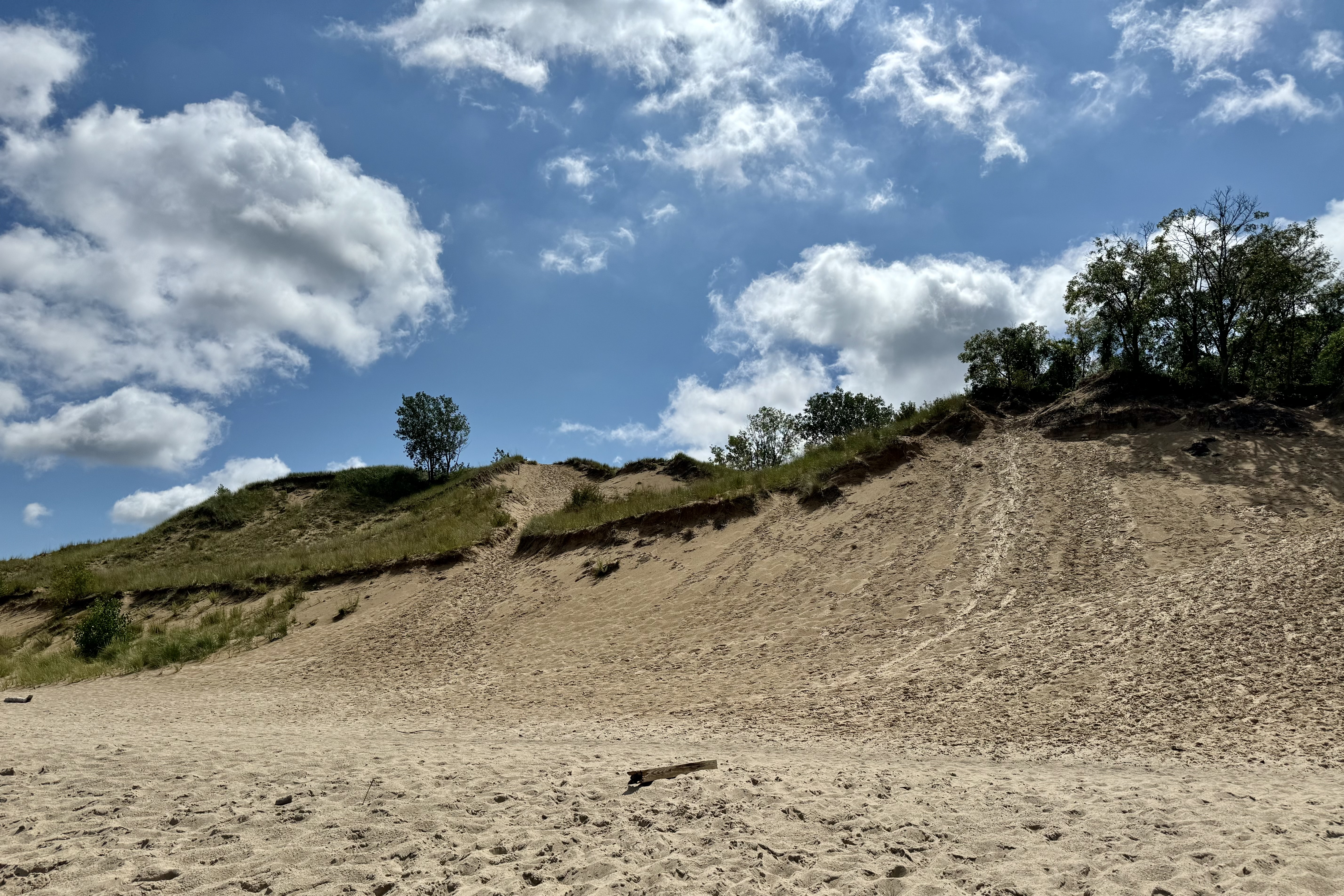
The one hike I wanted to do was the Mount Baldy Dune Trail which was the northern most and tallest dune in the park. So I was determined to test it out. I was a bit tenuous as there were cautions all around about the ease of going down the dune but be aware that the hike back up would be a lung buster on the shifting sands. It was a half mile path to the dune apex and when cresting it, the vista was gorgeous and I naturally made my way down the dune face to the waters edge. A short walk east gave a much closer view of the Michigan City Power Generating Station which many mistake for a nuclear power plant instead of a hyperboloid cooling tower. I looked this up min case you thought I was an expert on electrical towers.) Since I am older and wiser than when my youthful endeavors at climbing dunes and mountains were a “timed event, ” I know I do not have to prove anything to anybody anymore so I inched my way a small step at a time and did not have to pant and gasp for air.

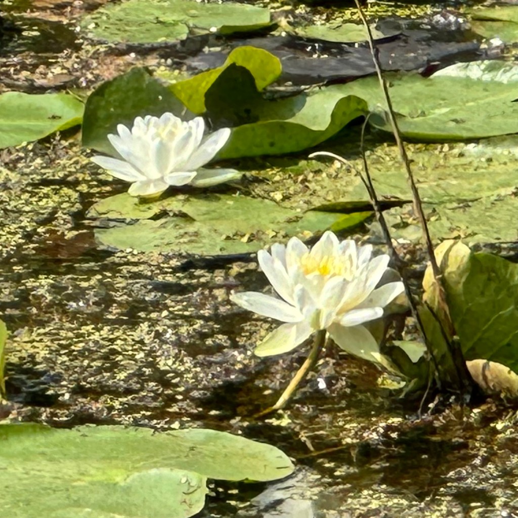
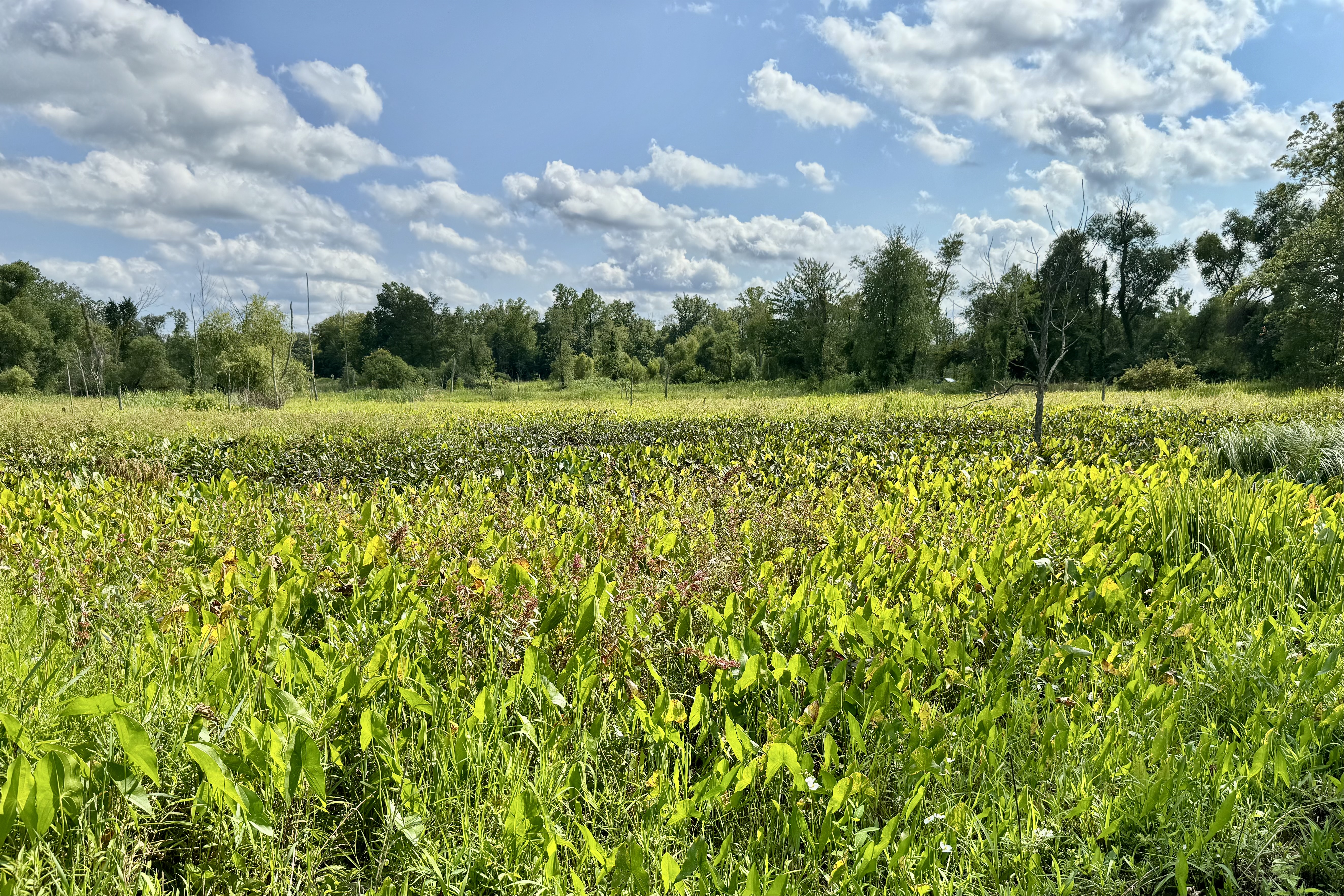
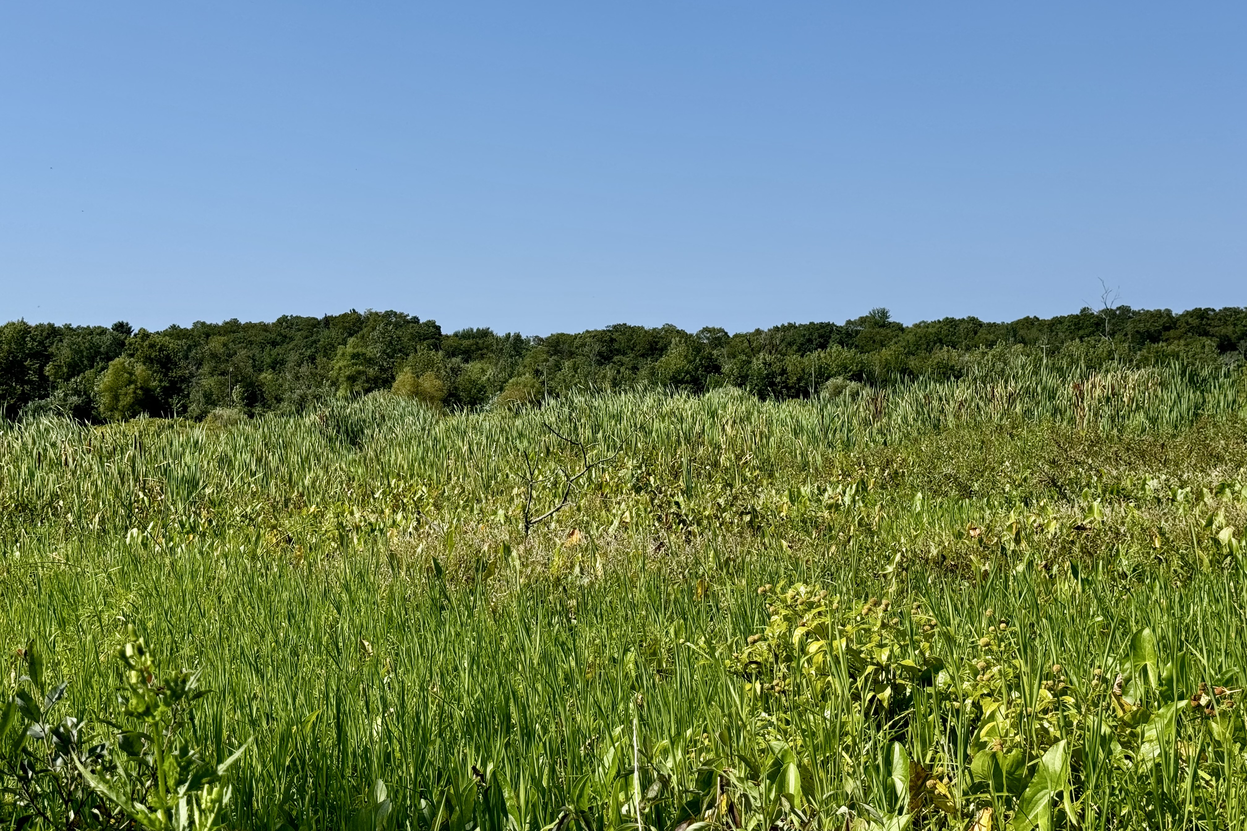
Never satisfied until I am bone weary, next up was The Great Marsh Trail. Seems marsh trails have become a theme of my adventures and this one was a sweaty, bug swatting lovely adventure. This was much more proximate to the marsh water as it was basically a built up dirt path through the wetland area often with marsh water on both sides.

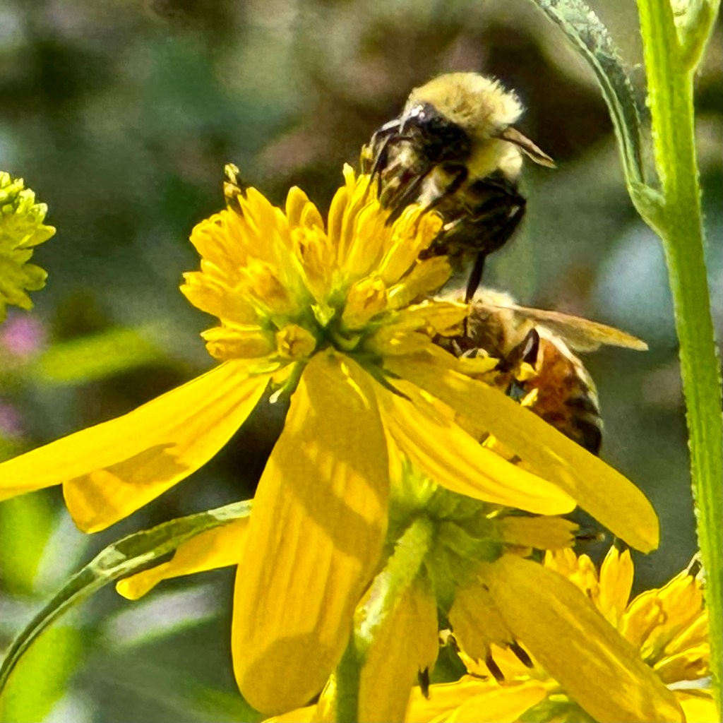
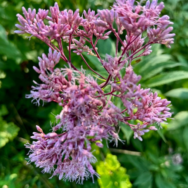
The wildflowers were an absolute delight and it showed yet another facet of marsh vegetation.


After dinner at the campsite, it was a relaxing evening and I settled in bed read. But before too long I could hear a rumbling in the distance and what I had not foreseen was yet another thunderstorm heading over to pound my rainfly with a drenching rain and prove once again my rainfly was incapable of doing the job it was designed to do. . Water was pouring down into the tent from numerous spots – which is only possible because the whole upper portions of the tent is net – the better to stargaze through while cozy in one’s sleeping bag. I had never intended to stargaze and had not given the design much thought I will never again get a tent with a net/mesh top.

August 17th  was a driving day…. and once past Chicago, traffic eased up. I   was heading to Carlisle Lake Recreation Area. Thankfully driving wasn’t absolute chaos with fewer truckers, weavers, speeders, pokers,  and tailgaters. I was not in a particularly positive mood after the thunderstorms and the resultant tent debacle of the previous nights. I had already researched motels near that area anticipating another dismal experience because of all my wet and dirt caked gear. But the weather outlook was good and the site I had selected was an A+ selection and just about perfect (except for the barking dog across the way).   It was a large grassy shaded site right on the lake. I spread everything out  and it all dried quite readily and before long I had a camp set up on  this lovely  lakefront spot.

This evening at Carlisle Lake was filled with a  light cooling breeze, the gentle lapping of the waves on the rocky shore, fireflies twinkling about, a  pastel sunset and the moon waxing gibbous and about 98%full and brilliant. It reminded me of my summers as a child at our lakefront home where lakeside evenings were always magical. The only thing missing here was the whistle of a train across the lake. in Topinabee.   But since I had on over-abundance of those train whistle at the dunes, the paucity was a blessing. Now that I am veering farther south, the evenings are not cooling off as much as they had been the rest of this trip so it was time to haul out lighter weight sleepwear and not sliding  down into the depths of my sleeping bag. 

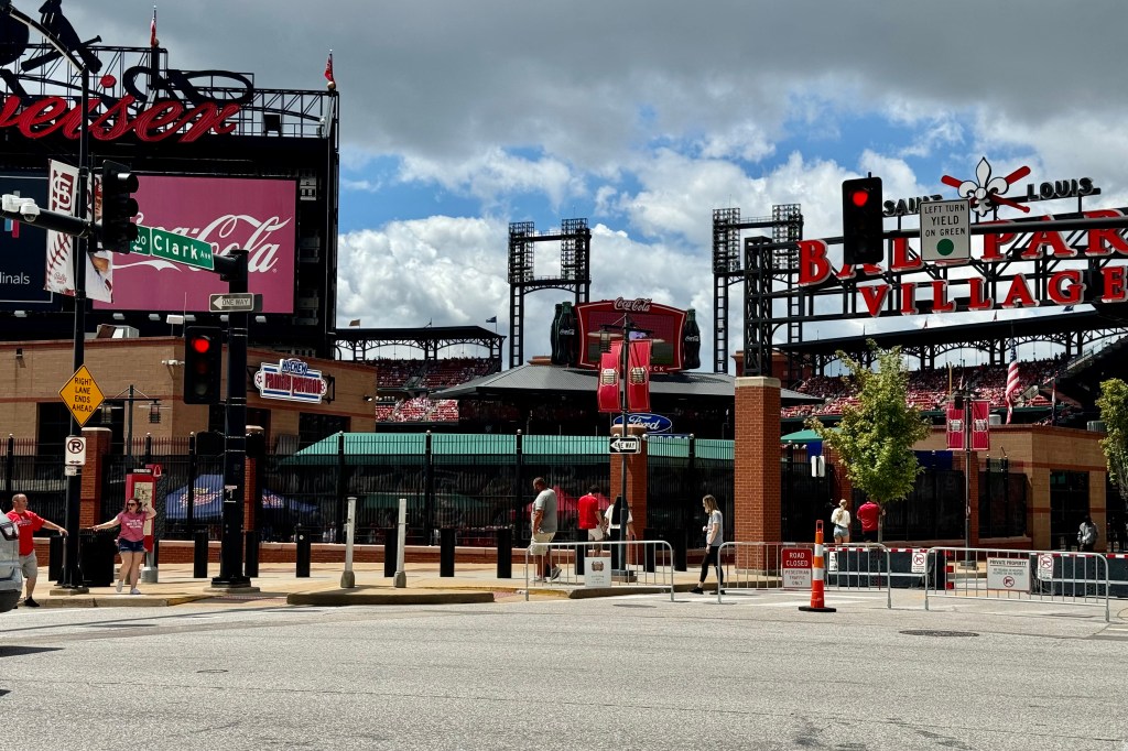
On August 18th I awoke to the shrill barks of the dog across the way – who after putting out the rallying cry, was responded to by several of the fellow canines in the area. I think everyone camping here has a dog as evidence by the chorus of not so sonorous barks. Though wanting to be annoyed, it wasn’t worth the effort and I wanted to be packed up and on the roas by 9:30am( which I accomplished.) I was heading into The Gateway Arch National Park in St. Louis. I discovered that night that the St. Louis Cardinals had an afternoon home game and I was headed to the Gateway Arch which is a very very close neighbor to Busch Stadium. I wanted to get into the city before it got crazy with fans all arriving for the ballgame. I was so grateful I pre-paid for Arch parking the evening before. It was $10:00 . When I got to garage the parking fee was $40.00 for the game.

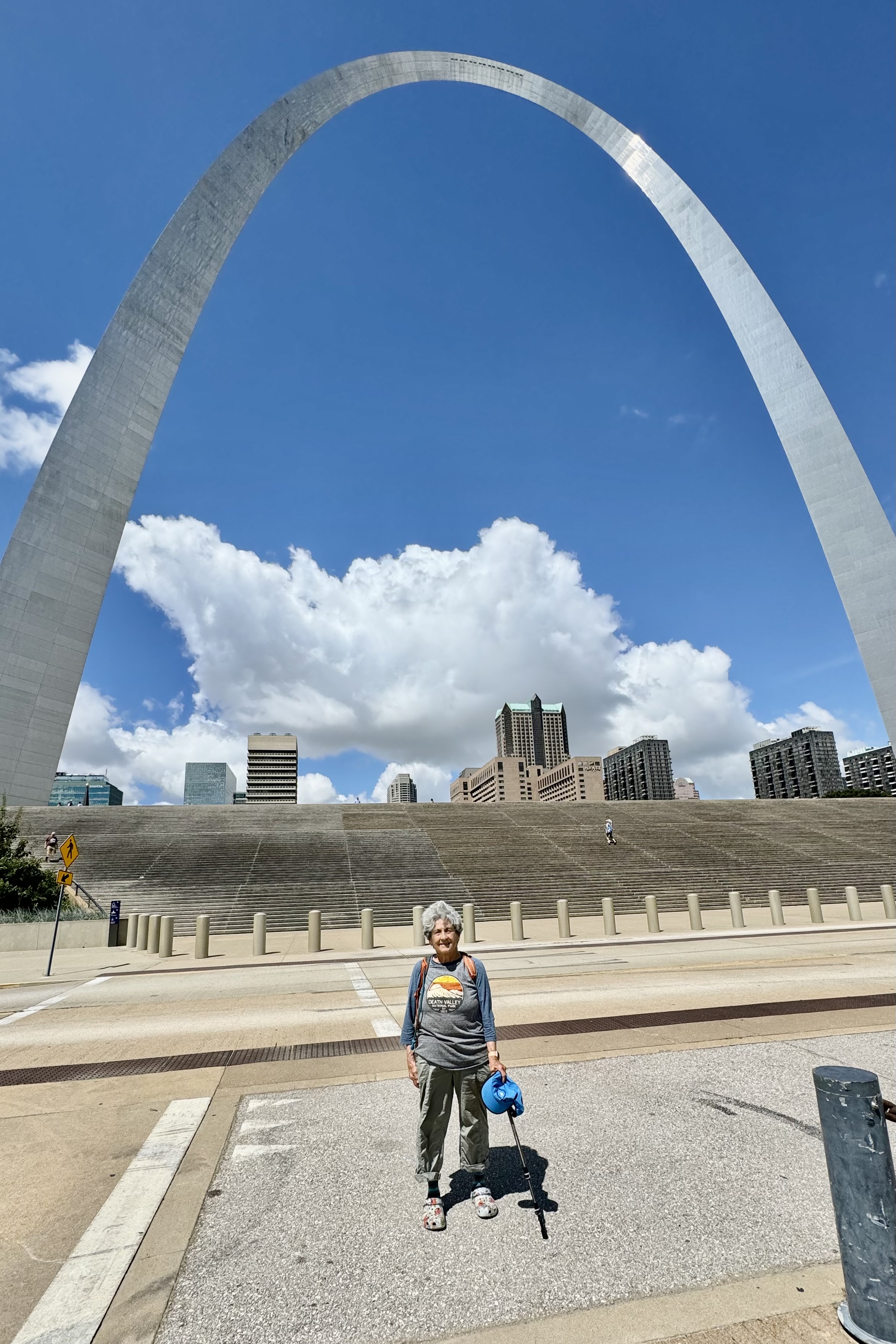
The Arch is quite an impressive architectural structure. The complex is quite extensive and though I had not intended to take the tram up into the arch, I would not have been able to as it was sold out. I had done the tram many years ago and I disliked it tremendously because of both the claustrophobic cars and the very noticeable sway of the arch I felt at the top.

It was a lovely day and being that this park is right along the river it was quite the enjoyable time meandering along it and taking a gazillion photos of the arch from every angle. My goal was to get on the road and head west once the traffic heading into the area for the Cardinals game cleared. Since the parking garage was right next to the stadium it was kind of fun milling about that area amidst the fans.

When I surmised the worst of the traffic mess was over, I headed out of the garage (which was no easy feat since most exits were blocked off. After taking out a couple of trafic cones trying to wind my way out, I finally came upon the one place one could exit and get on a road out of town. The end point was Columbia MO and since I always feel frazzled by the challenge of executing the complexity of city expressways, I was happy that I had pre-planned a night at a hotel in Columbia MO. Since I had been dining on camp rations, I saw a T. G. Friday’s right next door and though I have not eaten at one in a long time (my recollection was of a menu featuring mostly high fat, high cholesterol, breaded, and fried heart attack inducing foods. I did not want to get back in the car again. So Friday’s it was.

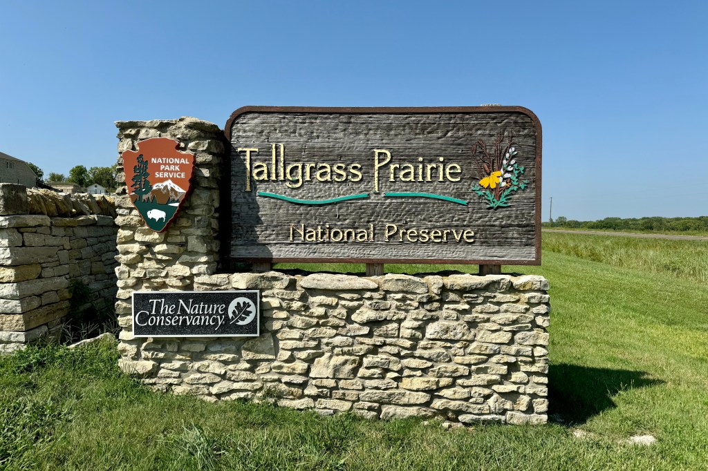
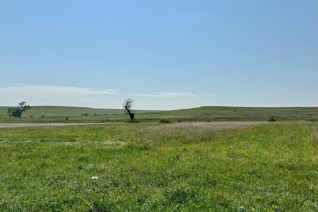
For The next couple of days I was headed into the relatively flatland and featureless areas of the mid-west. Western Missouri and Eastern Kansas had a slight bit of definition to them i.e some mildly rolling hills and trees mixed in with the cornfields. Western section of Kansas did not. It was a bit saddening to be traveling through this area which clearly has suffered from drought and observing mile upon mile of corn fields clearly devastated by it. Stalks were all browned and yellowed except for a very few fields which had the capacity to be irrigated. The one highlight of my traverse through Kanas was a stop at Tallgrass Prairie National Preserve.

Tallgrass Prairie is one of the very few areas that remains today ( less than 4% of the 70 millions of acres) remains intact, mostly in this area, the Kansas Flint Hills. According to the NP brochure “ the preserve protects a nationally significant remnant of the once vast tallgrass prairie ecosystem. Here the tallgrass makes its last stand.” But most noteworthy and exciting for me was to discover there is a resident bison herd and I was again fortunate to be able to observe it off in a distant field. Now these enormously large bovines with their unpredictable temperament were proximate to an identified hiking trail in the preserve and I discovered I could access that trail via an unlocked gate. I wandered in a short distance and I was quite tempted to get a bit closer to these massive elegant beasts but the rational side of my brain won out and I settled on a few snapshots and was on my way.

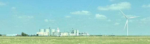
I had been planning to camp in Marion KS west of the Topeka Kansas area but was not one iota motivated to roughing it. Instead of the campground, I just continued heading westerly and stayed at Comfort Suites in Salina KS. The next night I had a motel reservation in western Kansas but decided to push farther west with the goal being Colorado Springs on August 20th.   In trying to think about what might have been remarkable about today’s drive, terrain wise it was mostly flat until just sort of Colorado Springs.  Lots of dead corn, lots of silos, and lots of windmills.  I know there is a lot of controversy around windmills dotting the landsscape, but there is something I find calming and peaceful about watching them, the blades slowly turning agaist the backdrop of a vast sky. The time sped on along with my car speeding on and soon I was in the eastern part of Colorado Springs negotiating rush hour traffic getting lost, never being in the correct lane, getting  thoroughly turned around, missing exits, and spending about one-half-hour + finding my motel which was originally less than 1 mile away.  Once there and checked in was not going anywhere. 

Voyagers Voyageur, Lighthouse Graffiti, Selfies, and Statues Obscura

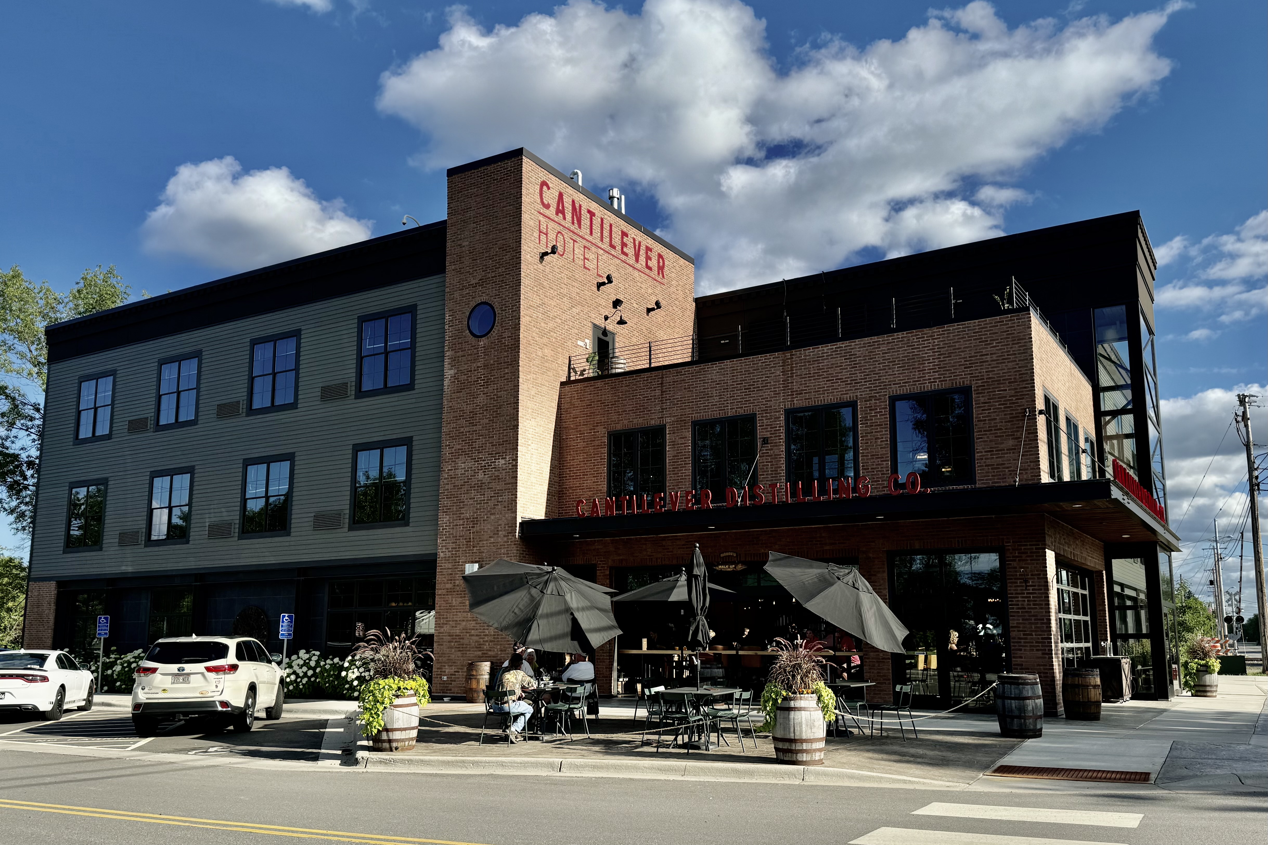
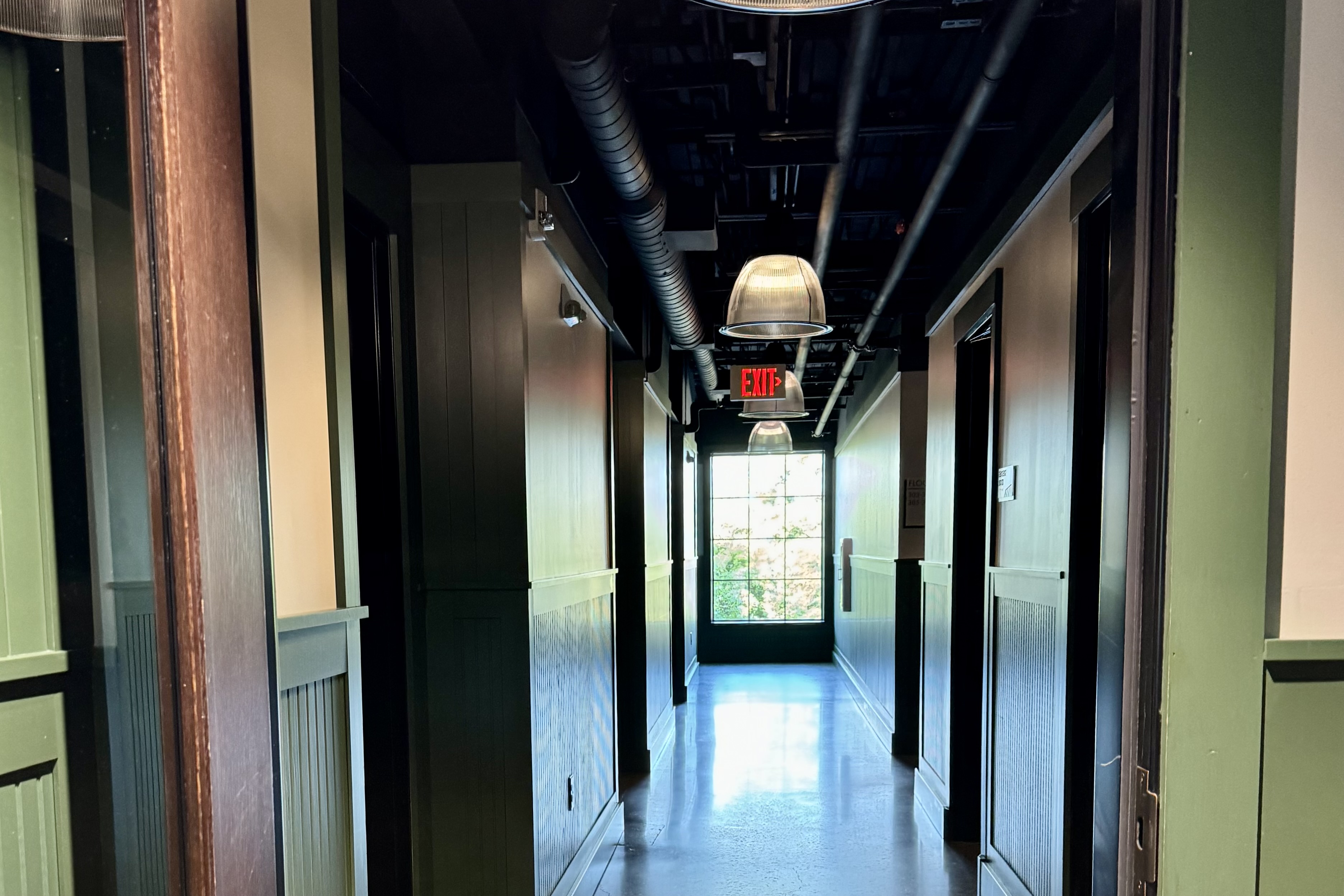
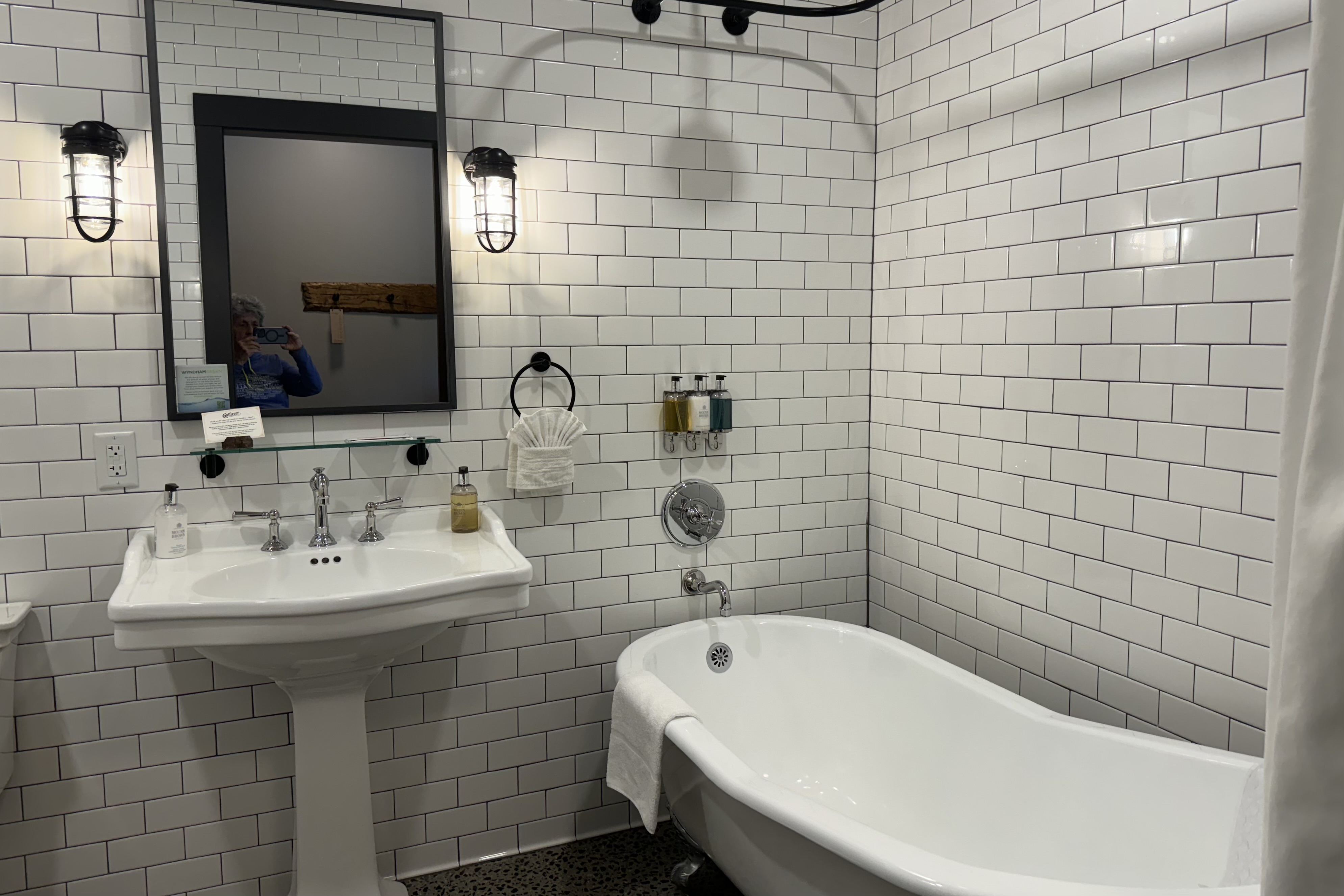
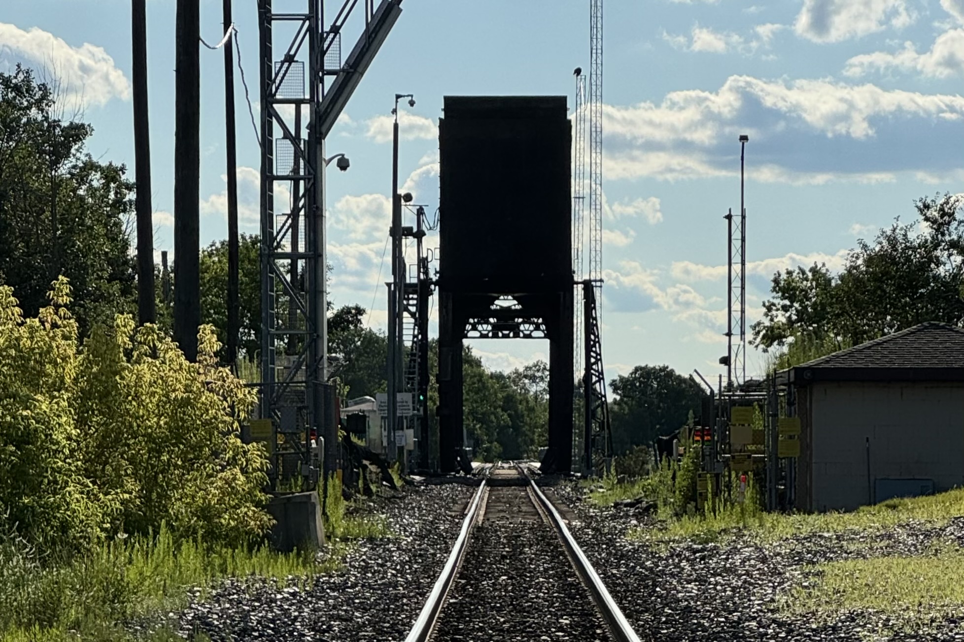
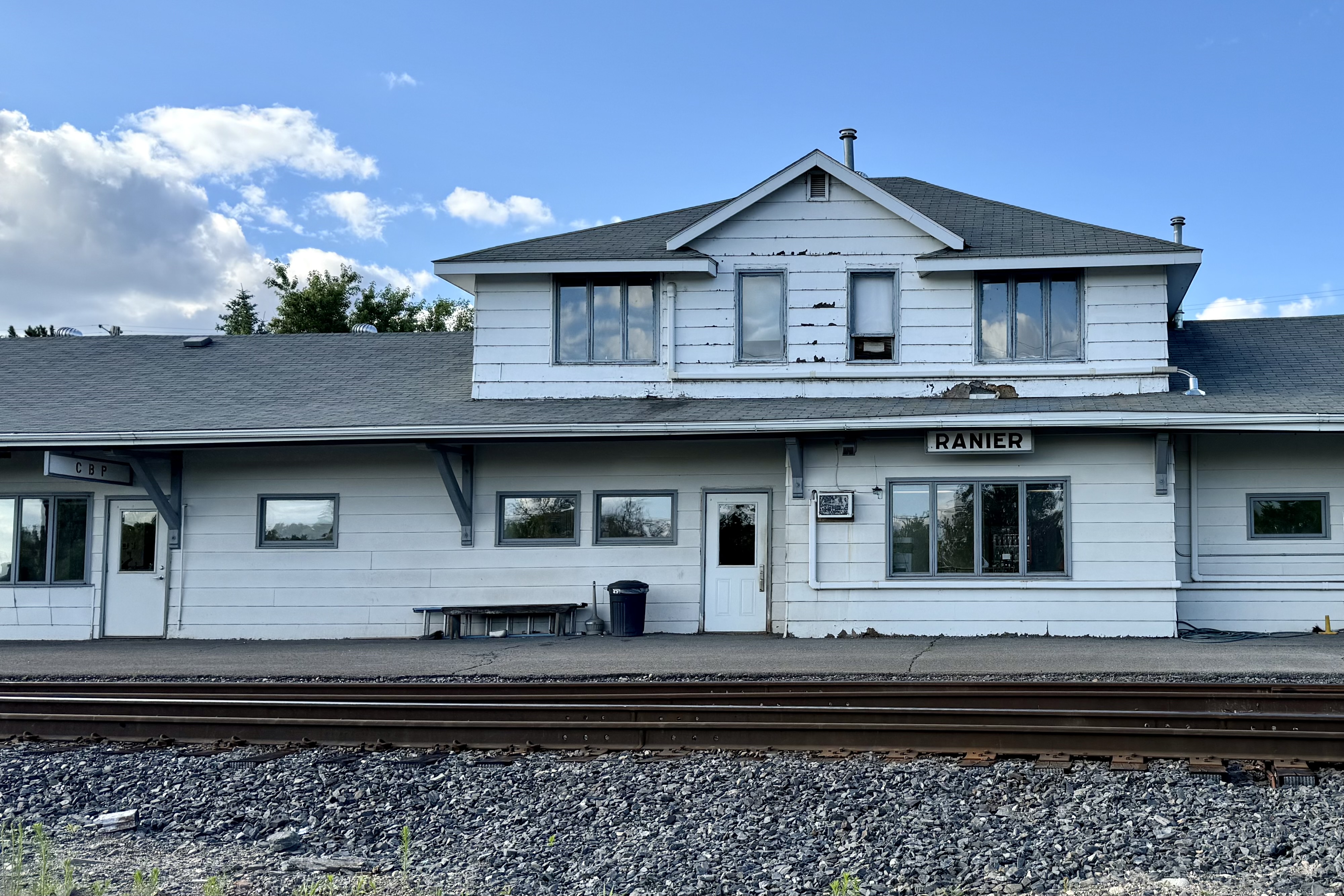
There was no dawdling after our Isle Royale Seaplane landed as we had over a 400 mile drive to reach Ranier MN for our Voyagers National Park visit. This would be the 56th park I have visited. After working our way through the expressway construction in Duluth, the drive was mostly easy and uneventful with Jamie and I sharing the driving.   To relieve the feeling of road weariness setting in, we stopped for lunch at  Culver’s (BUT skipped the ice cream) and arrived in Ranier MN , our destination by late afternoon. We were staying at the Cantilever Hotel and Distillery off Rainy Lake and close to the gateway of Voyageurs National Park. This boutique hotel to me was quite an anomaly in this town with a population of 569, with it being quite cosmopolitan in a town with an historically gnarly reputation and basically a spot to watch the trains cross the international border on the Ranier Lift Bridge. It was proximate to Rainy Lake and right next to a very very very busy train track which had a cantilever bridge, the oldest cantilevered bridge in North America. I rarely remark on hotel rooms but its hotel rooms are supposed to bring back an experience of this bygone era with tall ceilings, industrial elements, bathrooms with claw foot tubs. I found it quite an inviting experience but clearly it is new “old” not old “new”. No ancient rust stains in the claw foot tubs. The fun part of this room was to watch the high volume of train rumbling past the hotel —- they even provide ear plugs for patrons. For sleeping purposes, I found them easy to ignore and not nearly as plentiful during the night. There would have been a day when it would have been “the cat’s meow” to have a distillery out my hotel room door.
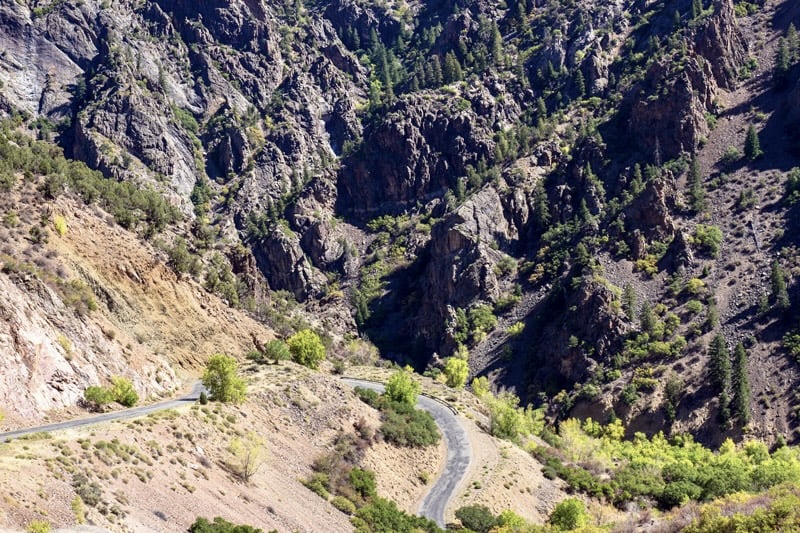
Bridges are becoming the obsession since encountering the two vertical lift bridges in Duluth MN and Hancock MI.  Bear with this obsession if you will. The Ranier Lift Bridge is a Rolling Lift Bridge, and was the epicenter for importing contraband liquid libations during the Prohibition (hence the gnarly reputation) . The single-track lift bridge crosses Rainy River between Ranier, Minnesota, and Fort Frances, Ontario, and is one of the busiest ports of entry for international rail freight in the United States. This very small town is very very busy train wise! . Traffic over the Ranier Bridge is more than twenty trains a day with most pulling between 100 and 200 cars. Theycan be 1.5 miles long and a very long wait (20 + minutes) at many intersection you might want to cross. Hopefully residents have a schedule of trains so as not to be 20 minutes late for work. Our post “sitting in the car all day hike” was an attempt to get a good vantage point to see this bridge.  The one access would be up a prohibited road and we definitely did not want an already ticked off station master who was already hollering at a cyclist chasing us down.

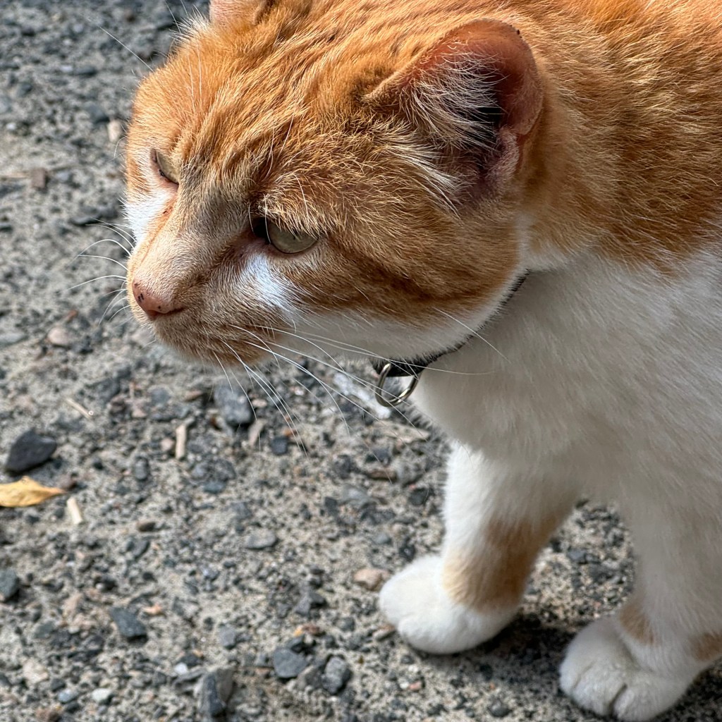
So we gave up the search and decided to have dinner at the hotel restaurant. It was a nice 70 degree evening and that demanded sitting at a table outside.  It definitely was not a “come back another time experience “.  The waitress was quite surly and totally inefficient and inattentive. It took forever to get our drinks and getting our meals took even longer than forever so not the most generous of tips was given. The best part of the dinner was watching this big orange tabby cat trying to sneak into the bar and a neighborhood dog cruising the tables looking for handouts ( evidenced by his girth he appears to have received quite a number of handouts) . Ranier is a dog friendly city and allows its resident dog owners the privilege of letting their dogs roam unleashed.

We awoke on July 18th early enough to get on the road to the Ash River Visitors Center in Voyageurs National Park for a scheduled boat excursion to Kettle Falls at 10:00 am. Voyageurs is a water-based park with no drive-to sites in the park. Campsites and house-boat sites are all boat-in, hence one of the reasons we did not stay in the park. I did not haul my boat across country. Actually I would have had to buy a boat to haul it cross-country.

Thus, the natural choice was to book a water-based event and travel a water-based highway to experience the water based park. But before we departed , we filled the hotel traveler cups with a truly awful brown water which they served up as coffee and charged as much as a fancy late’ at Starbuck’s. This has been quite an issue of late as it seems every time we ordered coffee in Michigan and Minnesota it is truly tasteless and this is probably the first time ever that I can recall never being able to finish my first cup of coffee. I guess not many people around here favor robust dark roasted beans and the nice rich strong taste of coffee they produce. My comments are not meant to offend those who enjoy brown water! But we all managed to be awake enough to get to the Ash River Center.

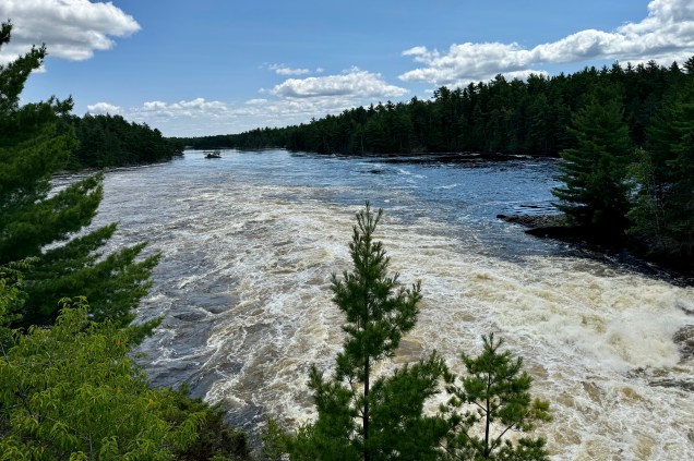
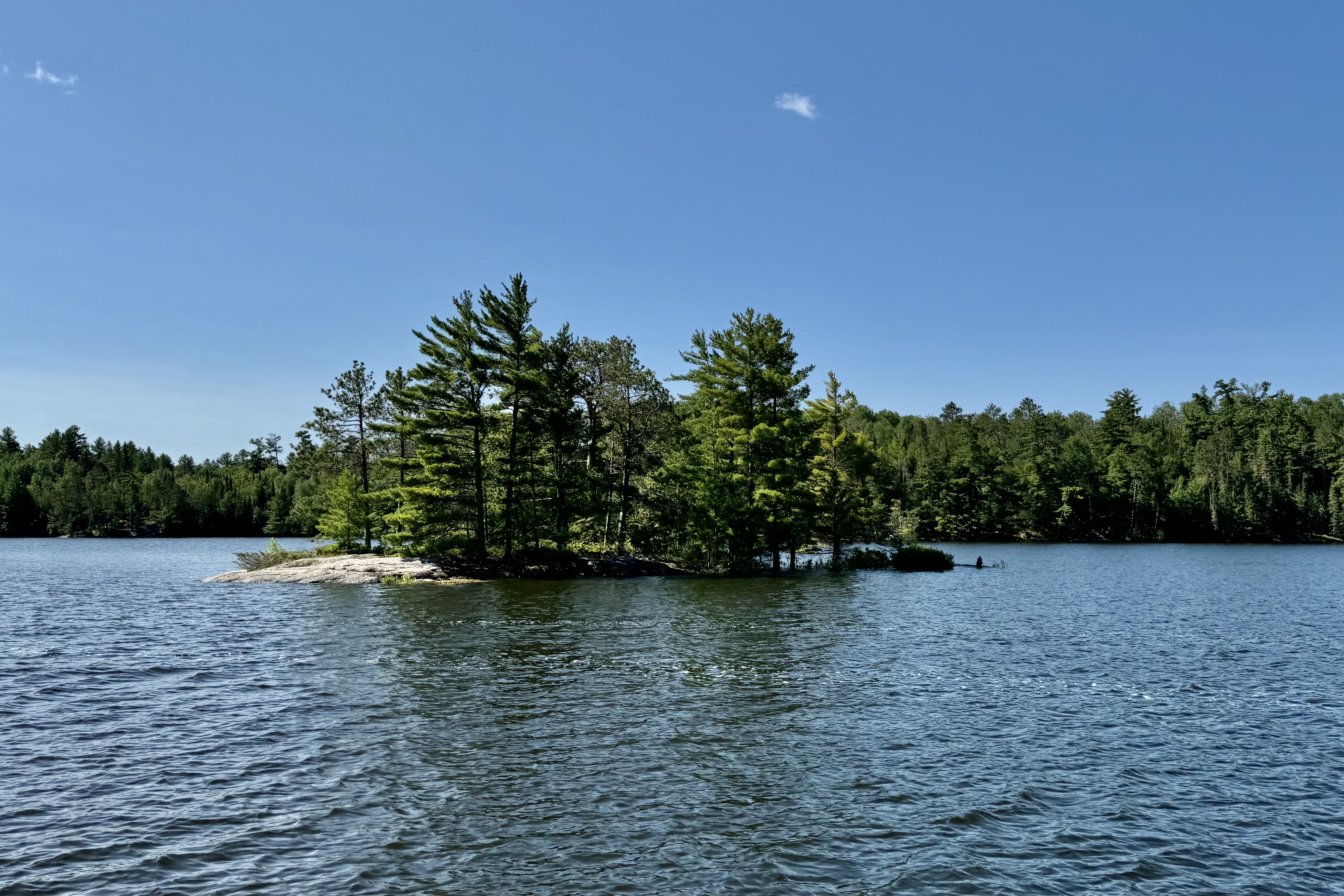
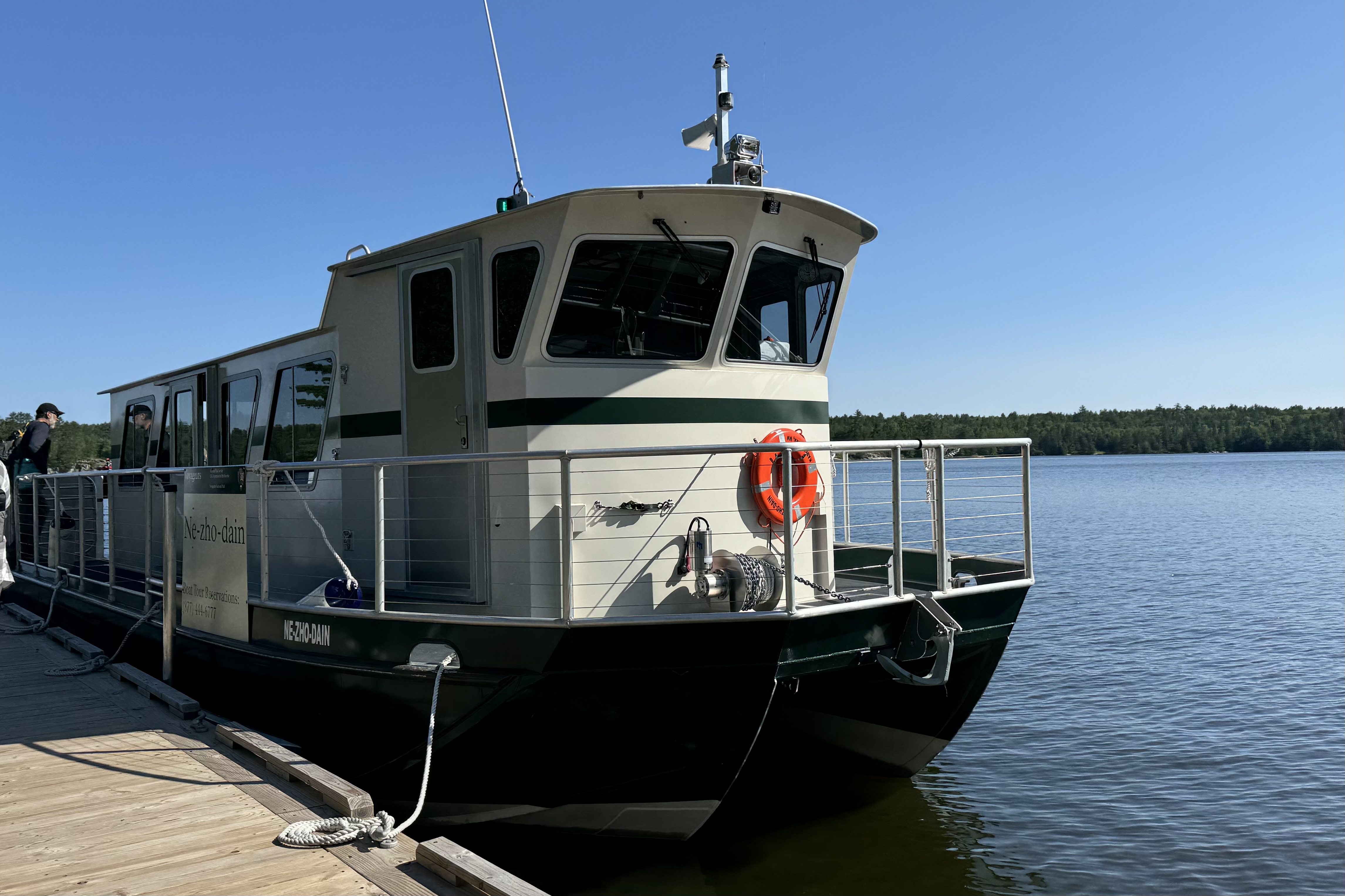
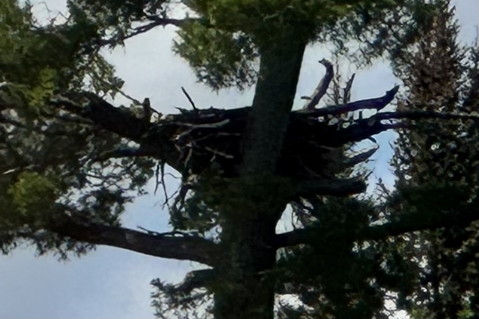
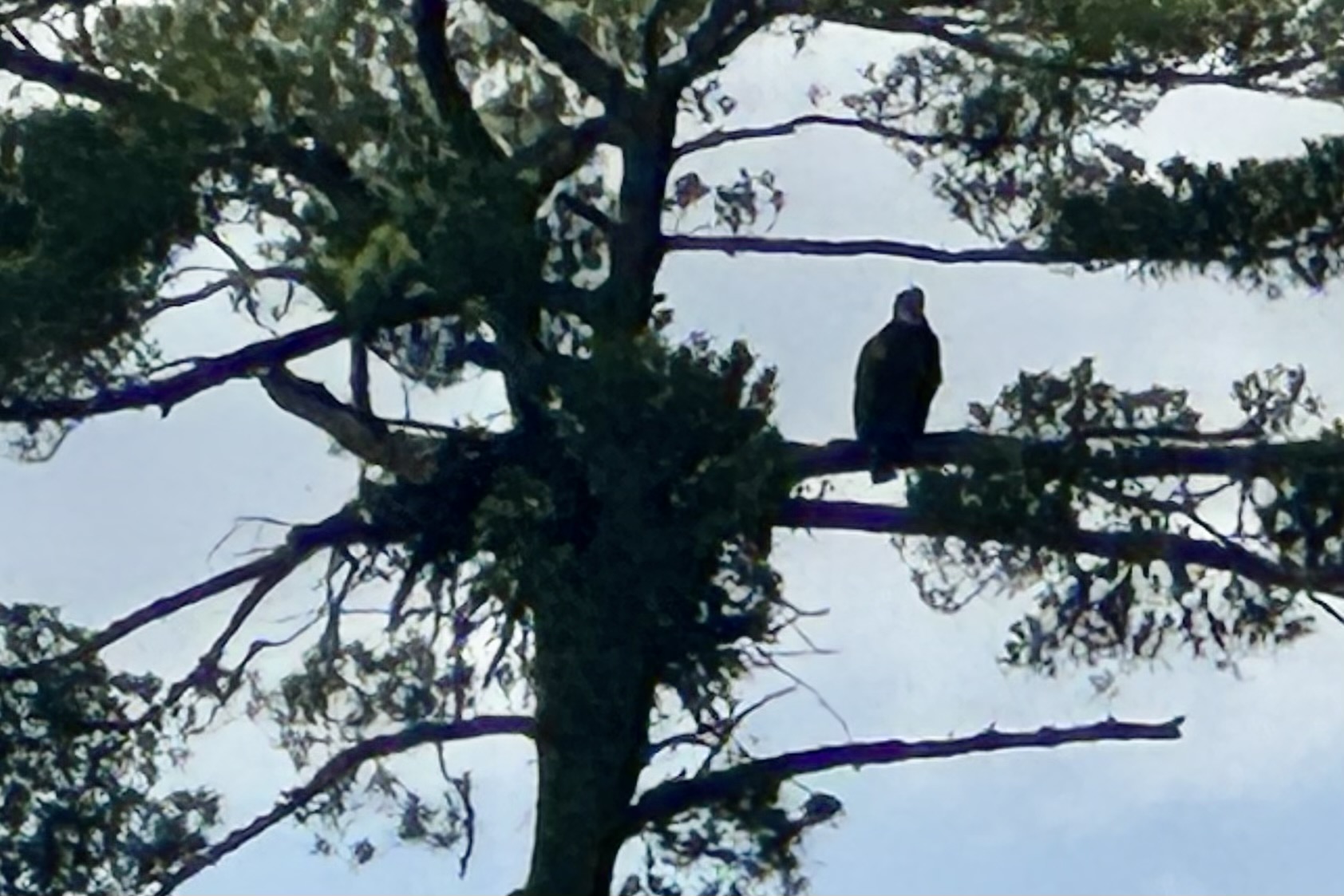
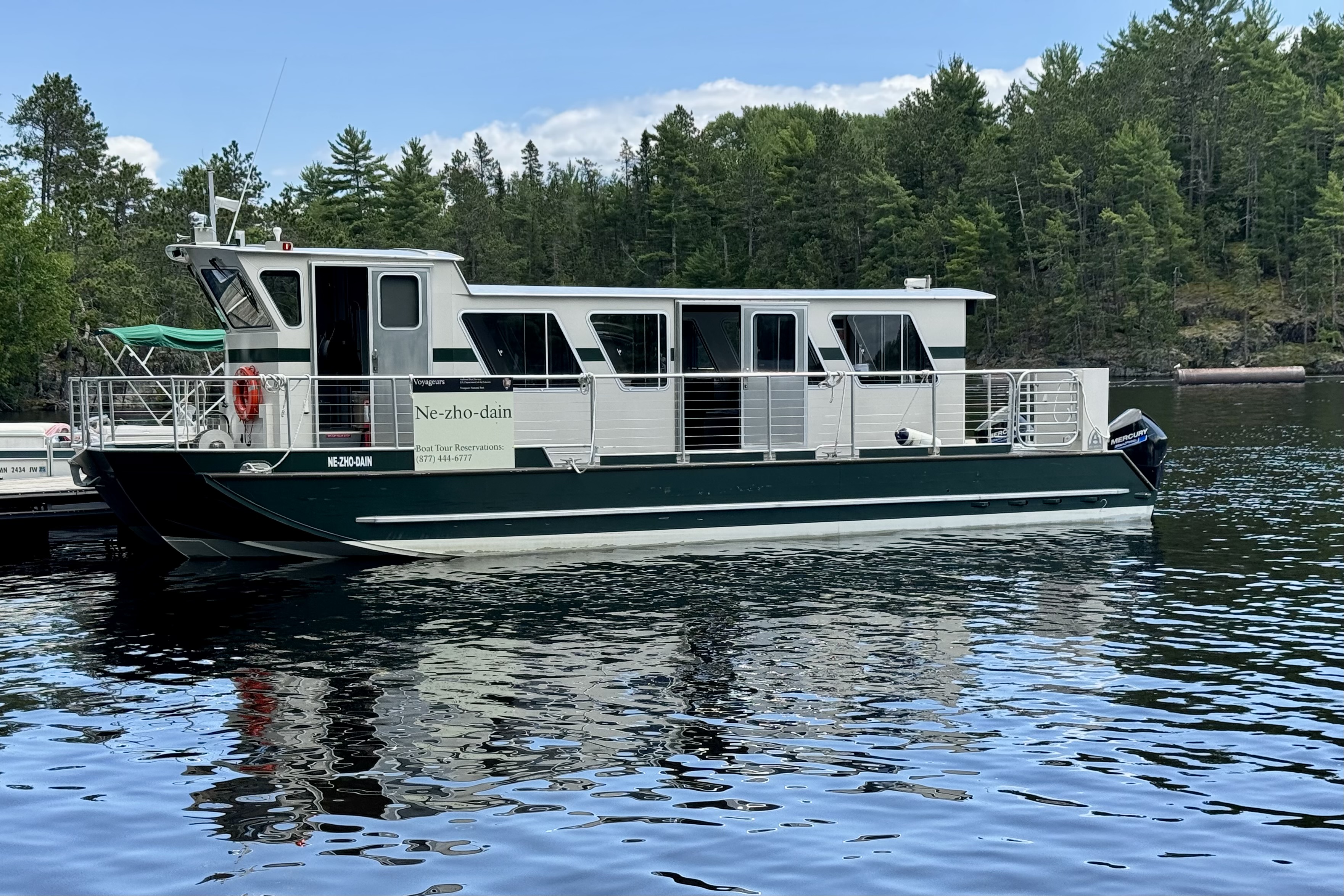
The Ne-zho-dain tour boat a 42-foot-long Catamaran style flat bottom “chug along ” had about 30 people and as per usual 26 were there and ready to board and of course 4 showed up about 1 minute past the appointed hour to leave. We were actually told to report at 9:30, a half hour ahead of time. Then of course we had to wait for their bathroom excursion (no potty on board) and once aboard for the woman, who thought she left her phone in the aromatic pit toilet building, to retrieve it where, all the while , it was in her husbands pocket who was on board! The voyage to the historic Kettle Falls Hotel took about two hours aboard the Ne-zho-dain tour boat and what a great feeling of immersion into this pristine area of shimmering waters, forested islands, and towering pines – several of which were home to massive bald eagles nests.

Bald eagles build massive nests and they are usually built high in trees.  On this day, the eagles who owned these nest were out and about and preferring not stay home for our arrival. However we were able to spy on at least four inhabitants of this wilderness area when they weren’t aware of our need to capture their image . o these photos are not posed.

As we cruised the interconnected water ways, I mused about kayaking to one of the campsites and pitching my tent for a few days but would definitely want a site that is not on one of the main watery highways with the many boats zipping and roaring about. I mused again about how it’s not exactly true wilderness when humans can get about an area with scads of motorized vehicles rather than being confined to using two feet to walk or two arms to paddle. Eye-strain as we might, we could not sight any wolves or moose on shore and had to be content with eyeing the loons and eagles.

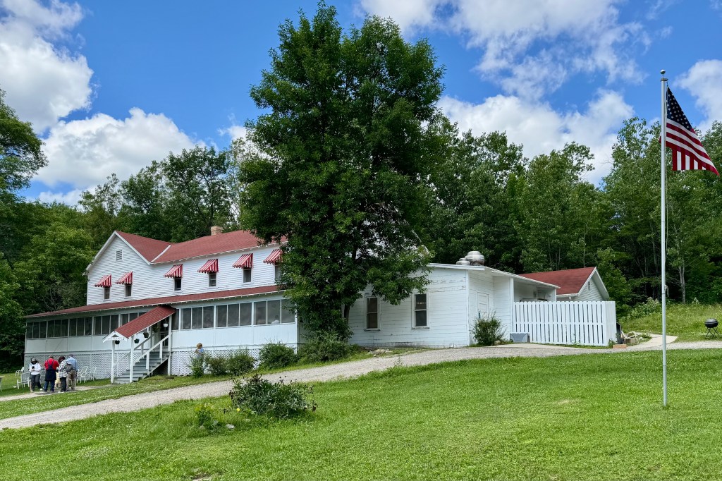
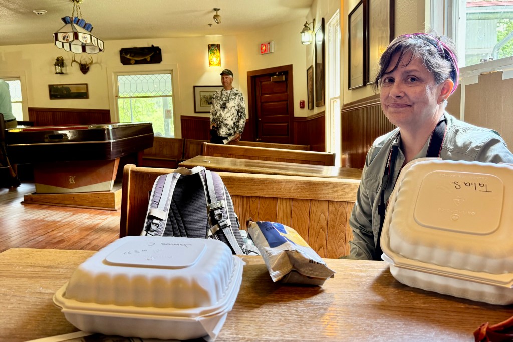
Upon arriving at the Kettle Falls Hotel, opened in 1913 , we were allowed two hours to spend on land for dining hiking, and touring the hotel and nearby dam. First we picked up the overpriced box lunch we order before departing. The upside was it was ready when we arrived but the downside was that it consisted of bread with the texture and shape of Wonder Bread (though I ordered it in brown ) and one slice of meat, and one slice of cheese (Tasia got two slices of cheese for the vegetarian option) and a small bag of chips, all for the whopping price of $17.25. Drinks extra. Glad we hadn’t expected fine dining or gourmet vittles. The hotel maintains much of its old time character with the best part being eating Wonder Bread in the Lumberjack Saloon (aka Tiltin’ Hilton) with its sloping floor (to the extreme). The floor was preserved when a renovation fixed the clay foundation (which became mushy over time and the whole bottom level sported sloping floors) .

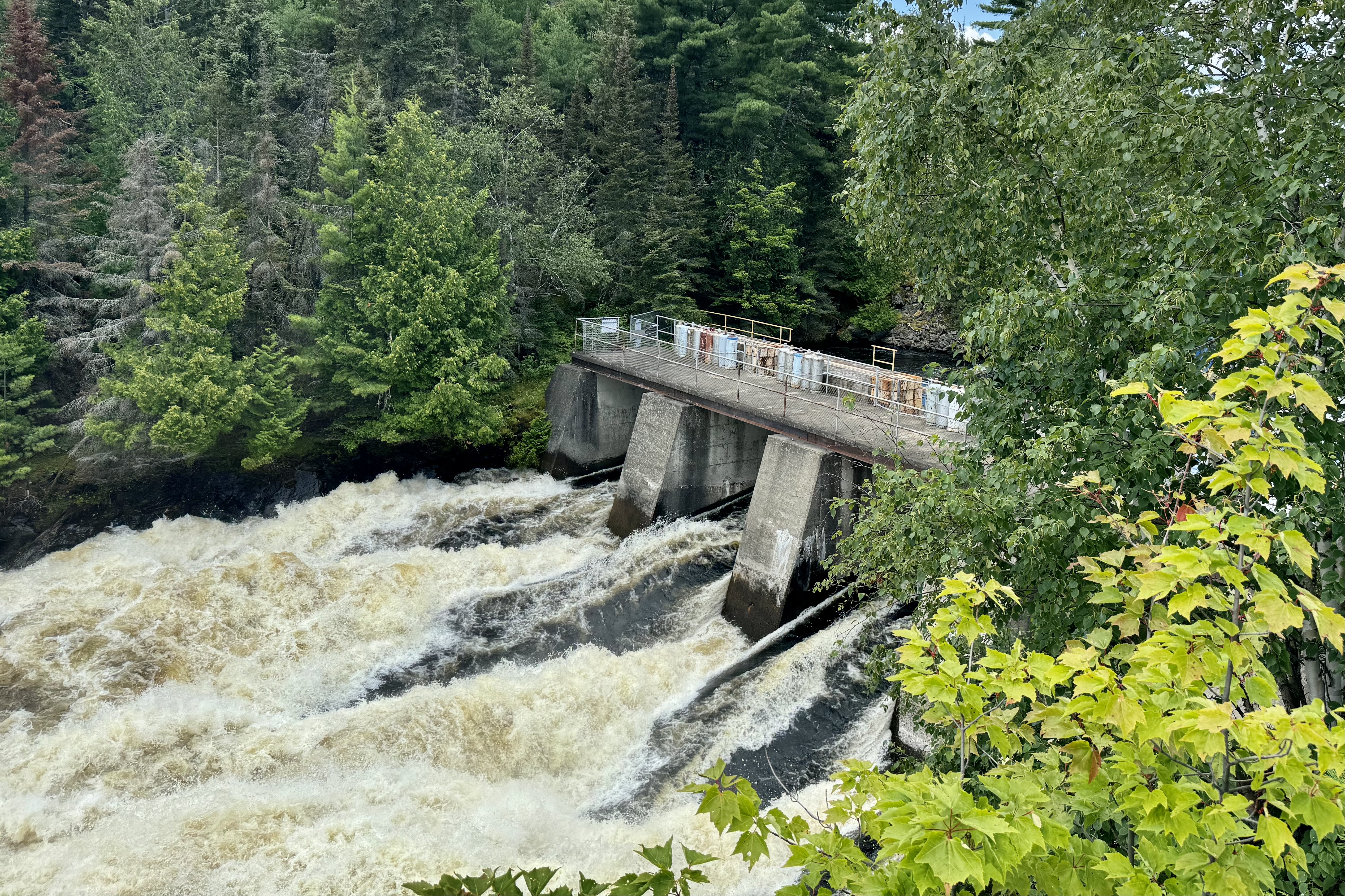
It was time to explore the surrounds and we set out to hike the area around the hotel and view the dam. Kettle Falls is a result of water from Namakan Lake descending into Rainy Lake. We can no longer view the original falls as today a large dam is in its place. But the roiling water rushing down the sluice ways was a visual treat and not to be missed once there.

The return trip through this maze of interconnected waterways and islands was an equally pleasing scenic excursion. I was curious about navigating the area as the waterway we voyaged was proximate to the international boundary between the US and Canada. Seems the boundary was established by the customary water channel used by the American fur traders. Would that such international boundaries be so readily established today. My issue with international boundaries concerns how this invisible boundary line will be enough to stop AT&T from charging me $12.00 for a International Day Pass should the Captain creep over the dotted line we see on the map. When I was in Port Angeles Washington, proximate to the Canadian Border’s invisible very watery boundary line, I got dinged even though I never left the States.

After disembarking, a brief hike on the Beaver Pond Overlook Trail was in order but nary a beaver or beaver’s lodge to behold. Then a trip to International Falls Minnesota was the consensus destination. This is another destination I had pictured as a somewhat cosmopolitan tourist enclave. NOT.

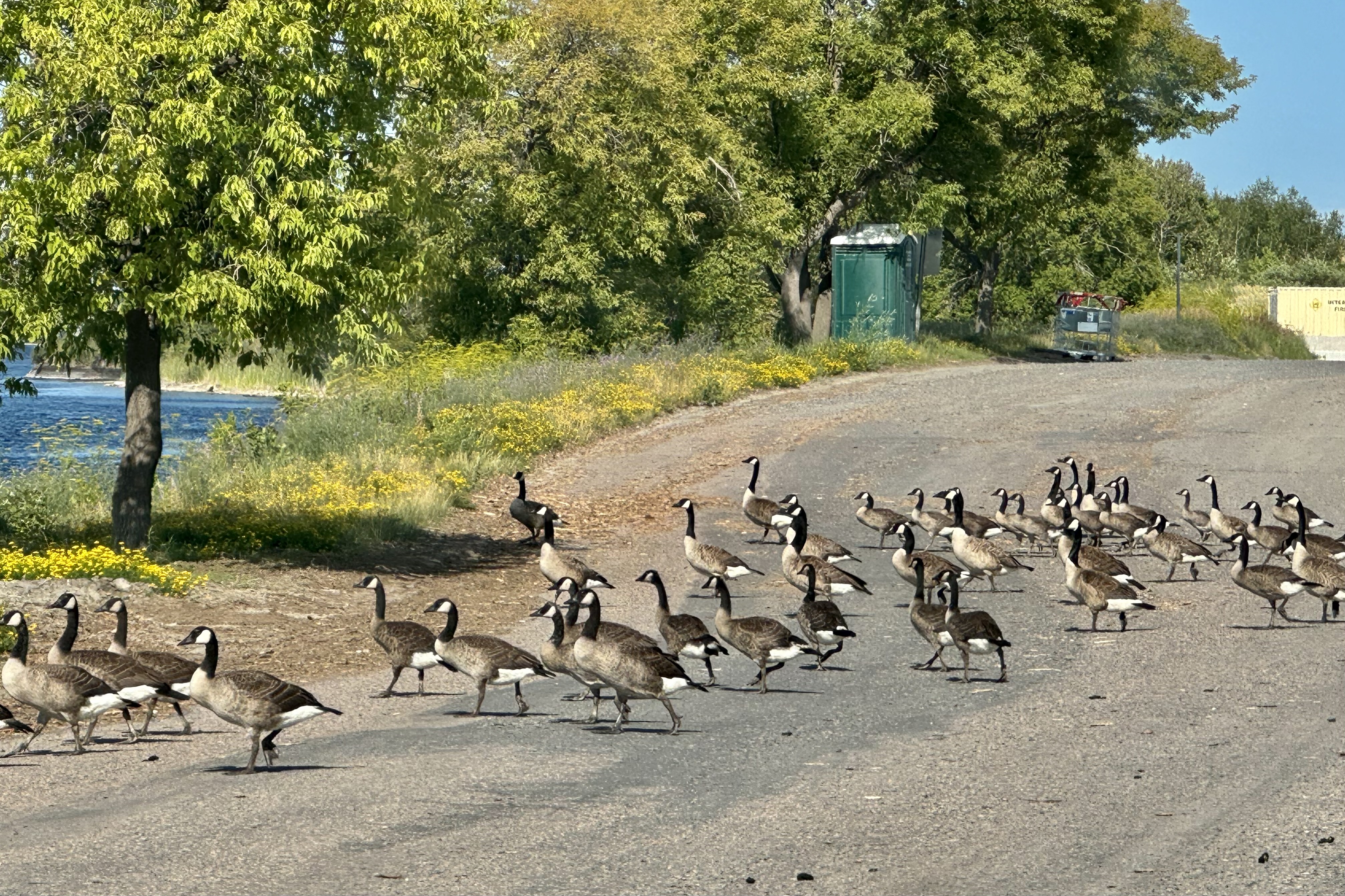
First there was no falls. Next, a giant Smokey Bear Statue stood quite tall (26′ only to be beat out by a 30′ Smokey in South Dakota) in the middle of a downtown city park. Not very cultivated but definitely relating to the logging industry. The piles of sawdust and paper mills there give the air a heavy smell of rotting wood. Thirdly, other than its claim to fame as the “Icebox of the Nation” being one of the coldest places in the lower 48, it seems that you can find here such things as the “famous” last port-a potty before Canada, the last flock of geese before crossing over, the last paper mill on this side of the border before getting to Canada (whose factories along the Rainy River here spew nonstop bad odors as well), and concluding from our search for a place to eat dinner, the last not-so-good-place-to-eat before Canada.

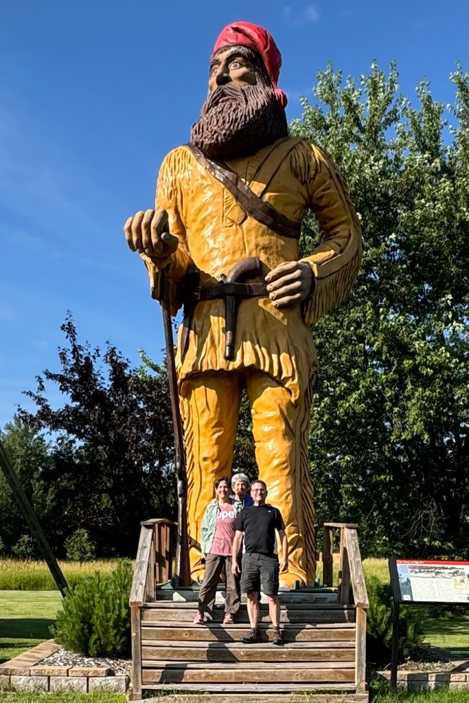
Heading back to Ranier, with our new found passion for BIG statues, we stopped to investigate “Vic”, a 25-foot-tall statue of a voyageur that was built as a protest (by Vic Davis) to a property dispute against the U.S. government using eminent domain to seize private land for the creation of Voyageurs National Park . Now towards days end , we opted out of what we deemed as somewhat dodgy restaurant in Ranier , Louie’s, and ate yet again at the hotel distillery restaurant which we swore we would never again patronize. .What a difference a day makes. Good food, decent service, good waitress followed by a good night.

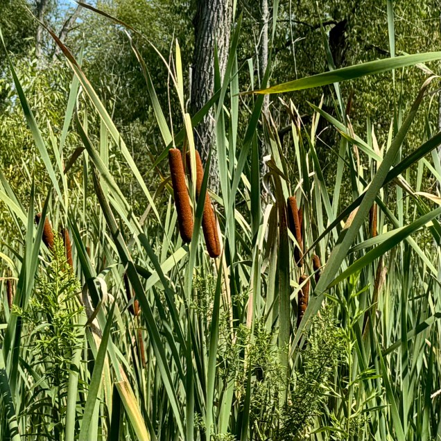
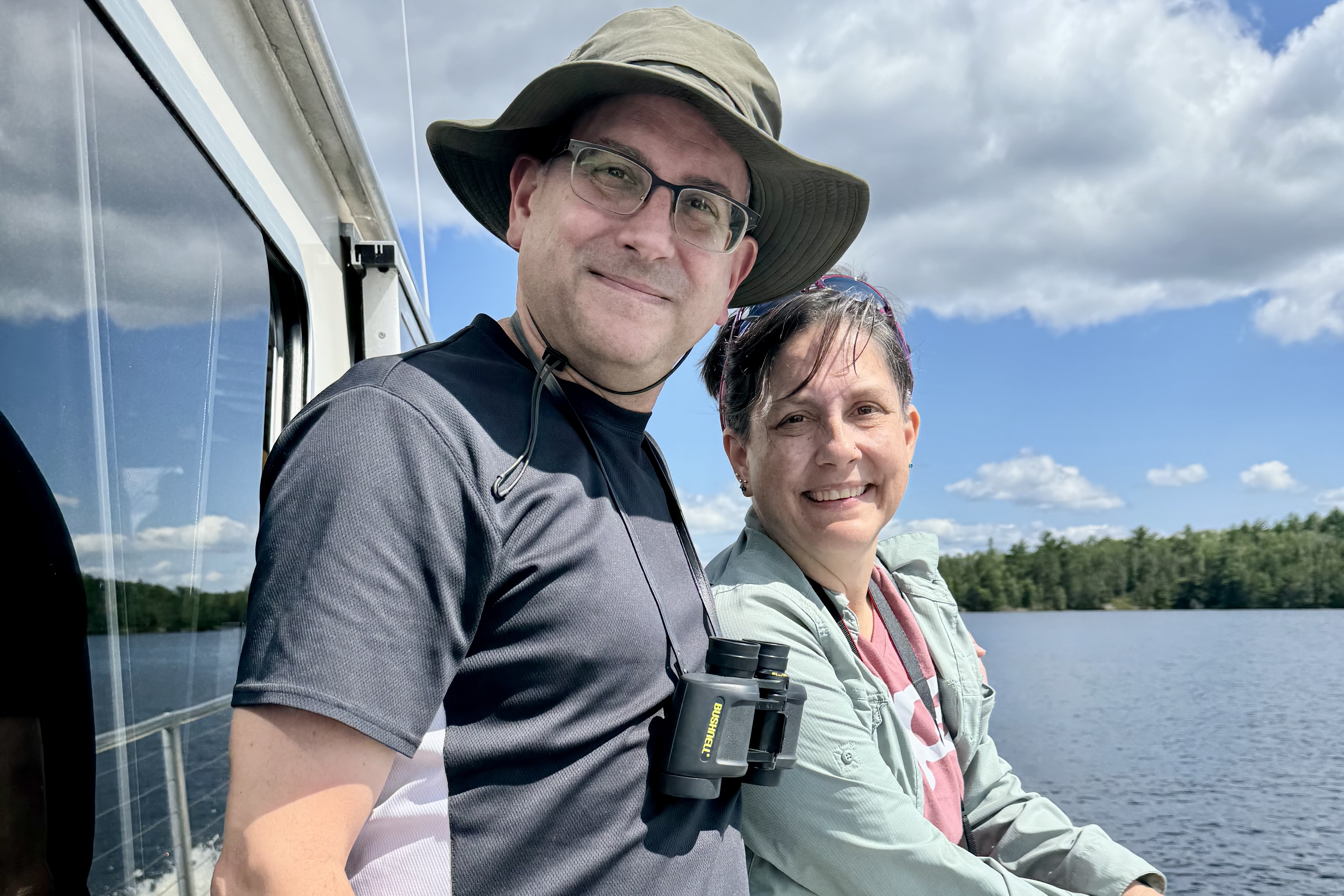
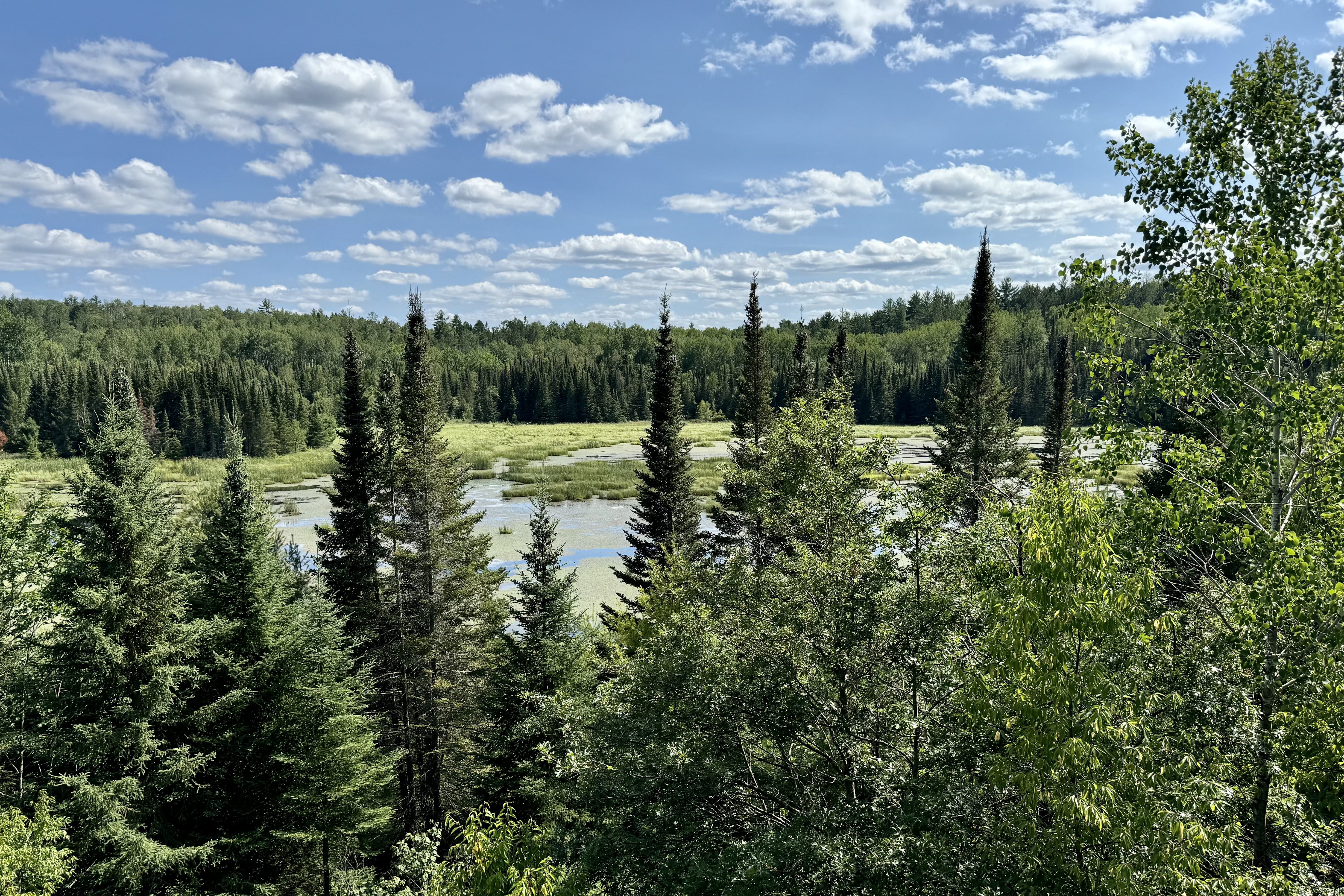
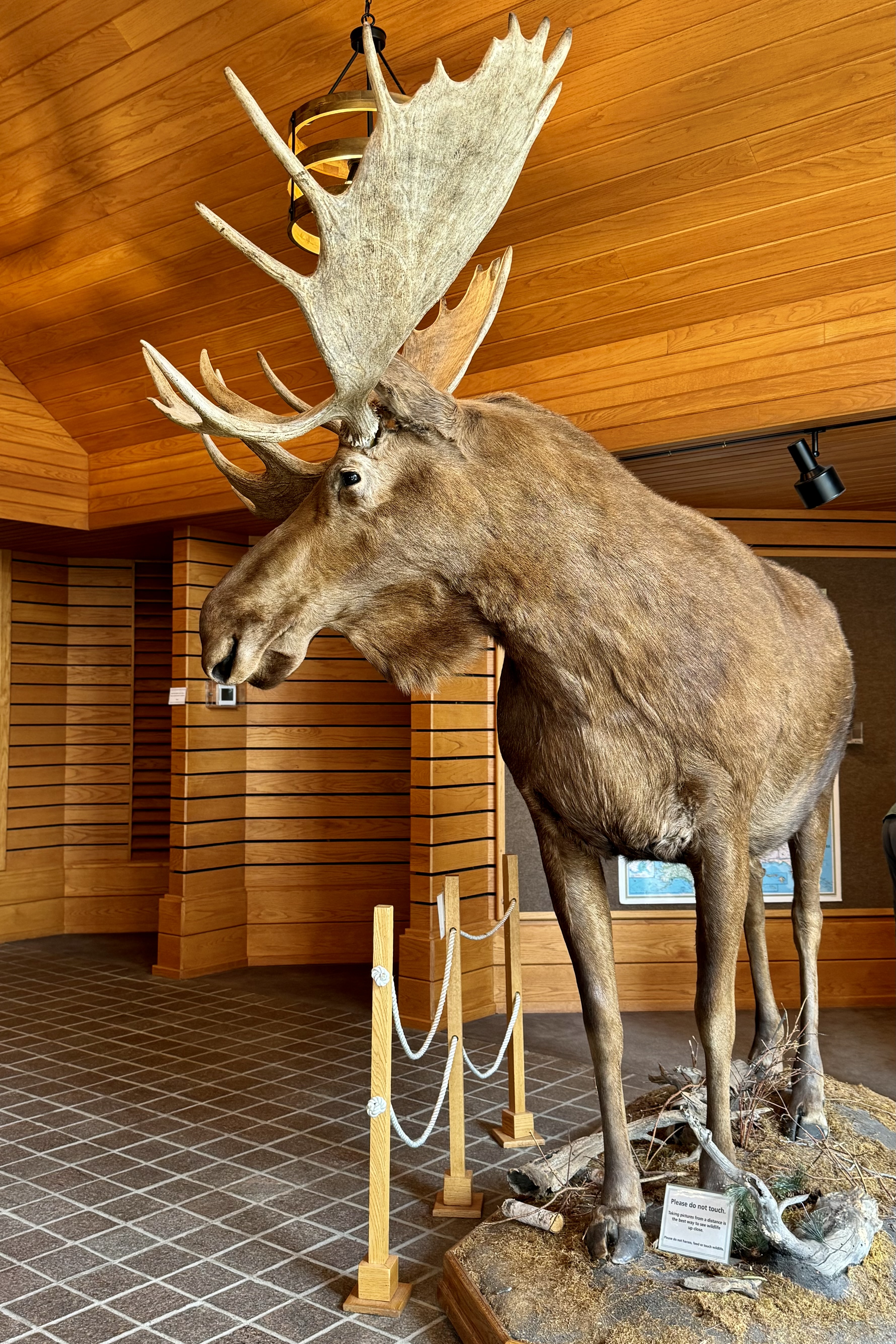
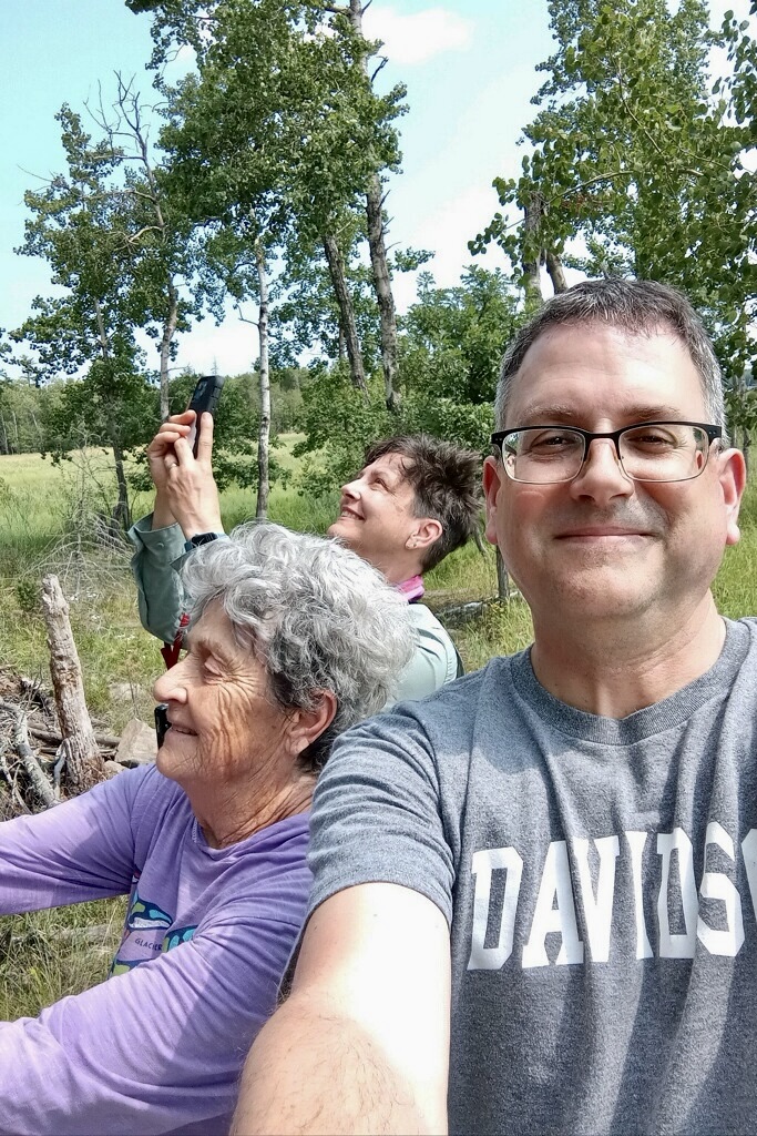
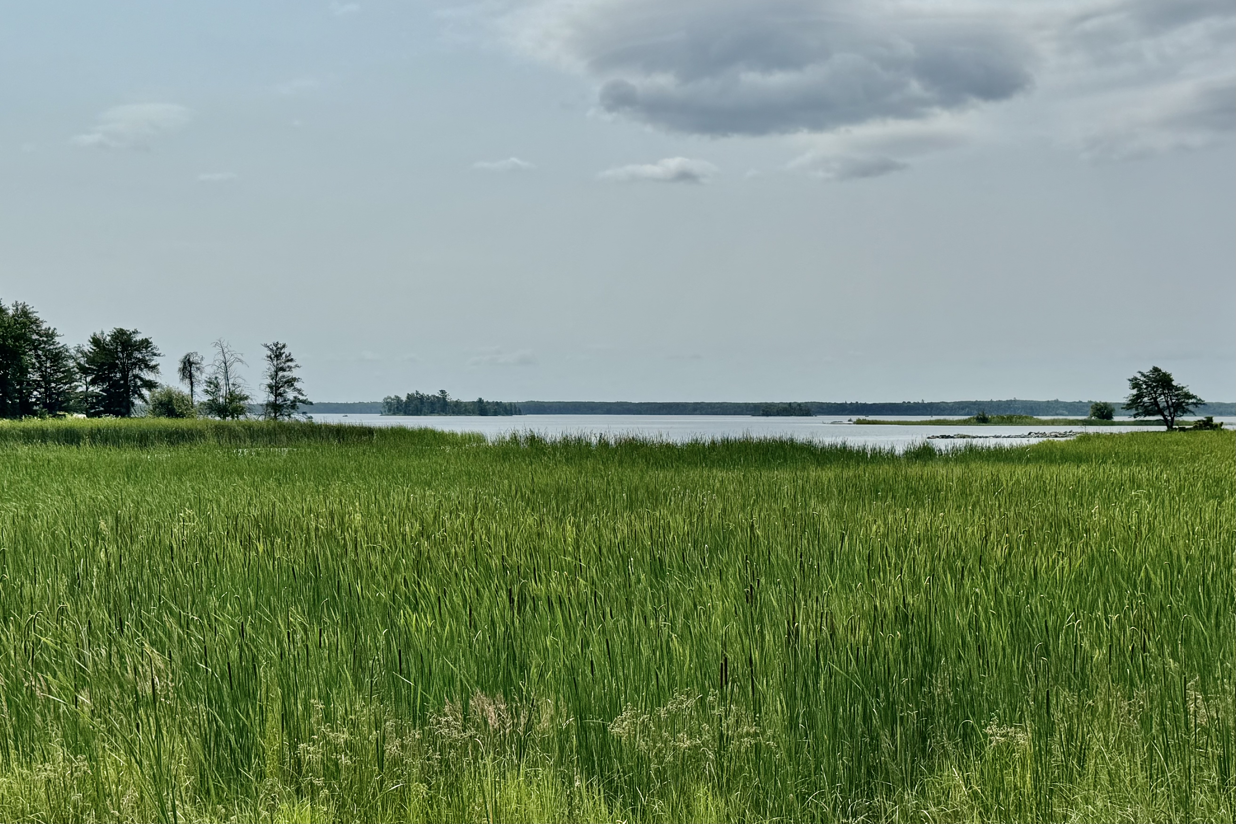
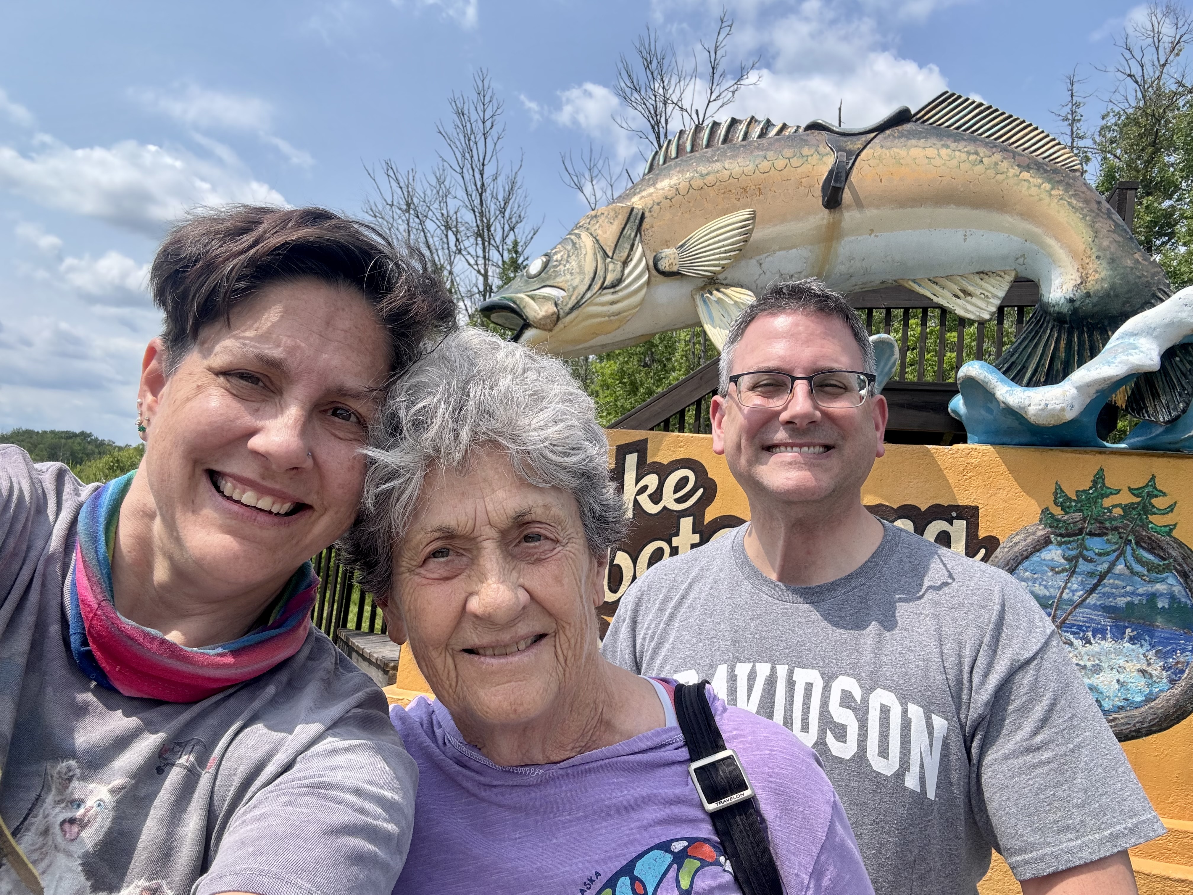
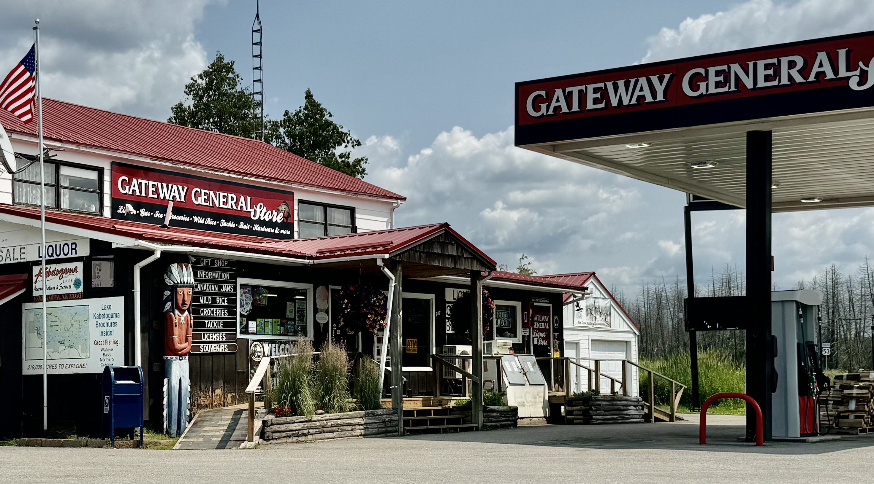
Before getting on the road to Duluth we headed over to the Rainy Lake visitors center to spend money on NPS “stuff and such!” and have a close encounter with some no so alive wildlife. Since the mileage to Duluth was not crazy long, a hike before a long sit in the car was in order. The Oberholtzer Trail proximate to the visitors center, two mile relatively easy hike was the logical choice . We wandered through deciduous and conifer forest as the trail twisted around the edge of a cattail filled wetland and enjoyed two different overlooks with marsh and lake views. Have you ever gotten so used to taking selfies that you might totally “just do it” even when there are others right there with you to snap that handsomely beautiful face in that handsomely beautiful spot (which more often than not is obscured by your handsomely beautiful prominent face blocking almost everything out. Note: above photo was not posed. But first a stop in Kabetogama for gas and a bit of Walleye fishing.

This was the last evening we would be together, so the dinner restaurant choice for our “farewell” was in Downtown Duluth at the Zeitgeist Restaurant, part of a nonprofit theatre arts complex. Other than major parking issues (as with just about every downtown) it was a great choice.

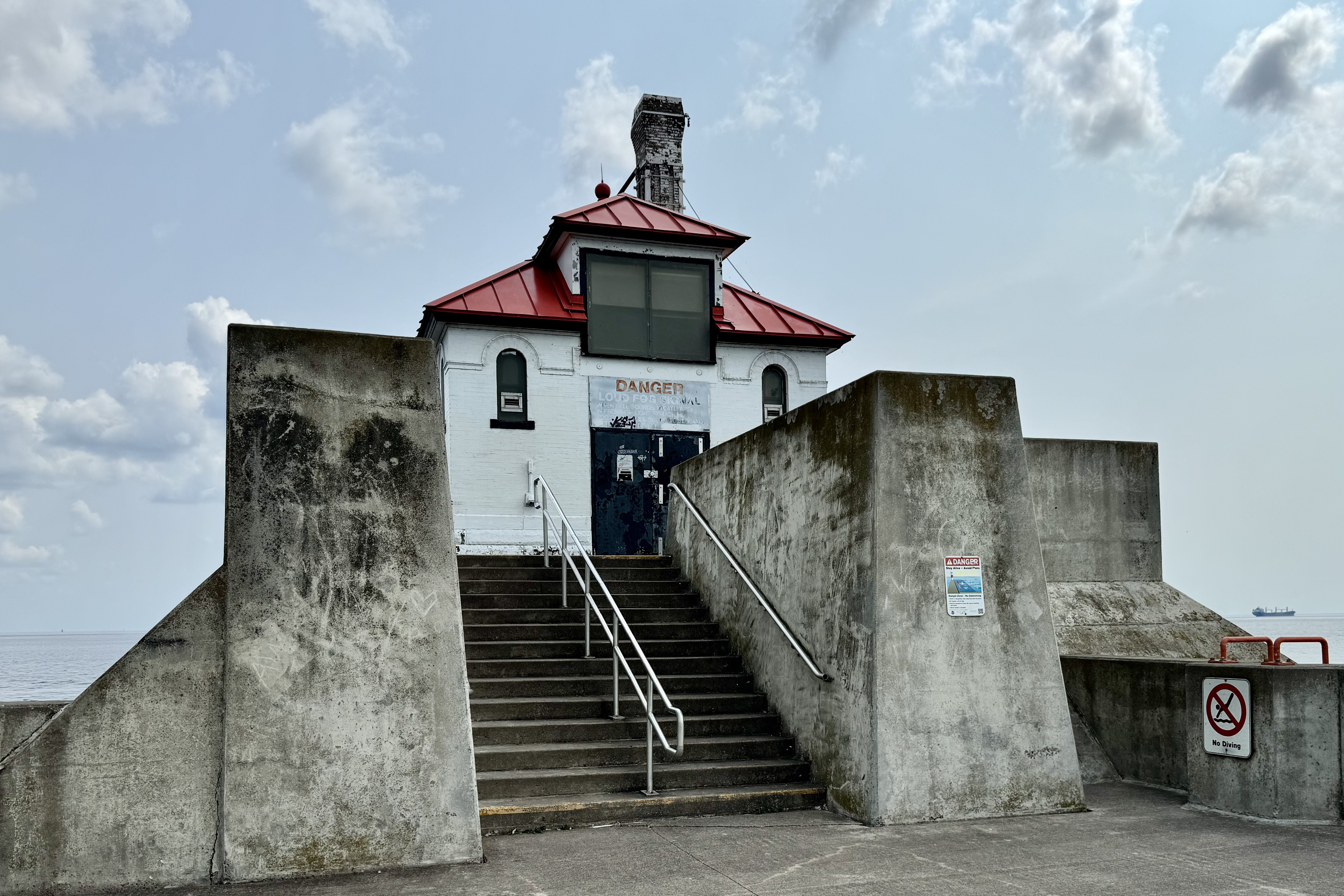
July 20th was a travel day but not the leasts bit boring . Since Tasia and Jamies departure time was not until mid-afternoon, a morning down at Canal Park was in order after an exploration of the neighborhood where my father’s family lived in the early 1900’s. Feeding our keen fascination with bridge structure (here I go again) and definitely wanting Jamie to experience the Aerial Lift Bridge in Duluth, we headed to Canal Park. Our hope was that there would also be a cargo ship coming into port. We were to be in luck. After exploring the US Army Core of Engineers Maritime Museum, we decided to walk across the Aerial Lift Bridge. Once on the other side we could access the lighthouse on the southern breakwater pier and get an up close read of the graffiti. Few surfaces are safe from graffiti artists. We decided they must paint over it every couple of years since some of the art was dated and the oldest date was only a couple years past. The Duluth Harbor North Pier Lighthouse located on north breakwater appeared less available to the artists and thus not bedecked (or painted more often).

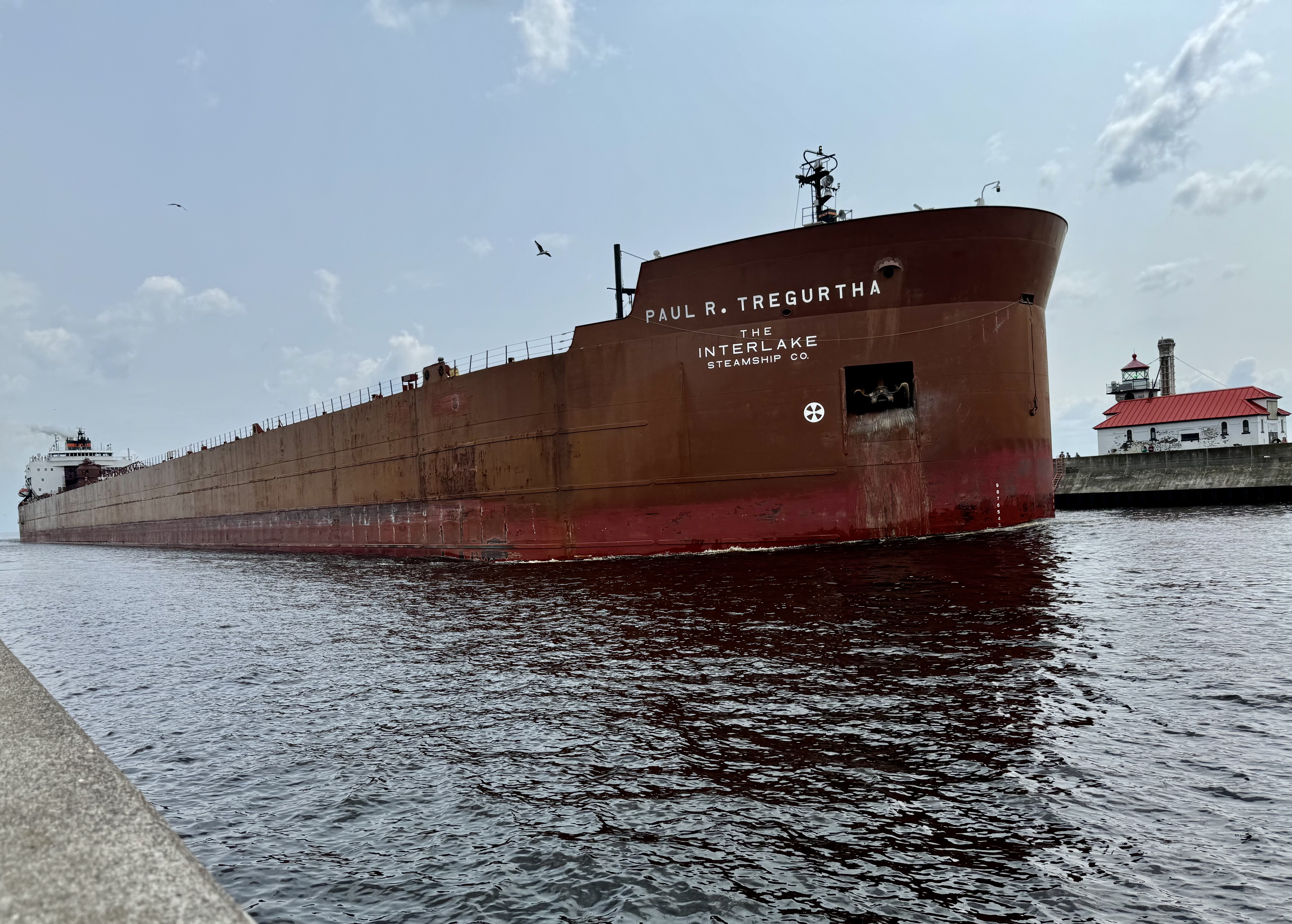
It was fascinating and remarkable experience traversing the bridge and there was plenty of time to welcome the Paul R. Tregurth, “Queen of the Lakes, ” a 1003 ft long x 150 wide cargo ship and the longest vessel on the Great Lakes come into port and of course the Aerial Lift Bridge put on its show, The size is so massive that it makes what happened to the Frances Scott Key Bridge even more imaginable.

Subsequently, I dropped Tasia and Jamie around 1:30 PM and after doing a very minor re-organization of the car to find the things I needed to get to my first campsite of phase three of this trip, I was on the road headed to Munising, Michigan and a forest service campground in the Hiawatha National Forest. Having started out late and need to take several “stretch the legs and bathroom” stops, I was pushing it to reach my destination to arrive with adequate light top set up my tent etc. The “highlight” of the trip was the text chain that began when Tasia noted that her flight had been delayed… and Jamie’s as well since they were on the same flight. They would miss their connections in Minneapolis. The real rub was that Tasia had the same occurrence on the way into Duluth and got stuck in Minneapolis . Of course there was nothing I could do and even though they are my kids, they are grown adults who can figure it out themselves. Turns out this was all part of the Delta debacle as a result of the CrowdStrike snafu. They slept one night on the Minneapolis airport floor and two in a hotel before they finally airlifted out on Tuesday. I was headed to Michigan for my own campsite challenge.