Trounced by Trumbull and Sidling to the Sea

Jack’s and Isaac’s Bays

I was quite grateful for the air cooled bedrooms in our Judith Fancy villa but, as I emerged from it the second morning, I was so much more appreciative of the balmy breeze, salt tinged air, the wide blue sky and the blazing island sun. But no tarrying on our only other full day in St. Croix. We had decided the day’s adventure would be hiking the Trumbull Trail to the Annaly Bay tide pools and needed to get on the road if we hoped to reach the pools at low tide.

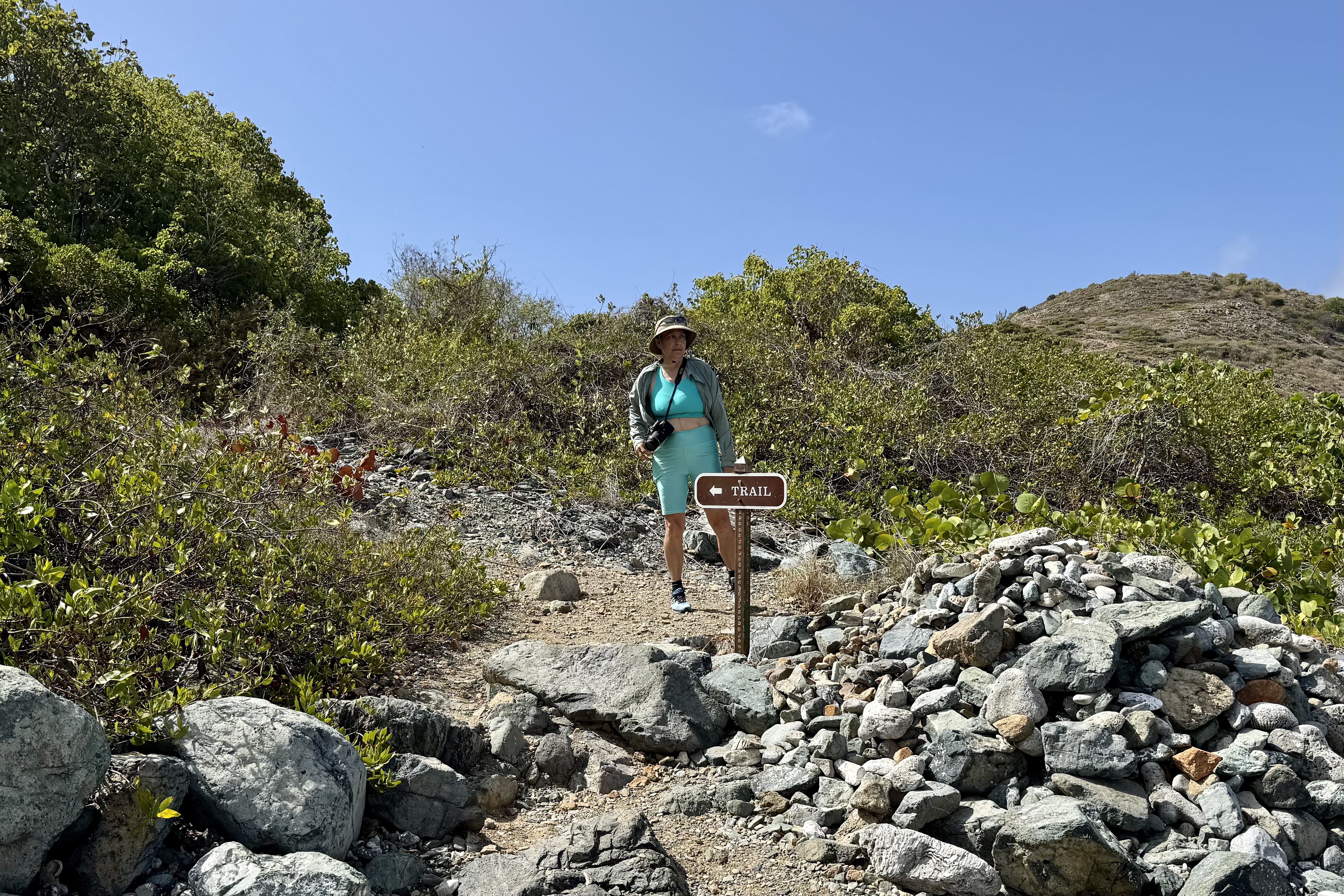
The difficulty rating of the the Trumbull Trail is a relative thing and despite reviews of it being easy ( rated a stroll in the park that young strong legs make it out to be) or moderate (rated by most middle of the pack hikers)but for an 81 year old 4’11” female it was an adventure that left me so acutely aware of the withering of my formally very strong Ironman legs despite the fact that I regularly do weights for leg strengthening. But with walking stick in hand, I was oft times sandwiched between Nick and Tasia to hopefully catch any forward or backward stumbling, skidding on loose gravel, missteps, trips or other lost footings. I have never been the most coordinated person nor been known for my graceful movements. For me it was a rough, somewhat punishing experience of a trail being outfitted with tripping roots and skidding rocks, lots of short steep up and down on a very narrow ribbon of gravel, rock and roots. I also have to admit that I did not have the wisdom to wear my hiking boots. The sign at the trailhead speaks a lot about the trail upkeep .

 My walking stick worked overtime. I crept  along like a  determined little arthritic mountain goat and I lost track of how many times I nearly stumbled.  But,  Nick and Tasia were always there to provide emergency arm assists.  Luke was my temporary hiking sherpa though I am sure he would have much preferred to be daypack free. I gratefully accepted any helping hand  which was offered  knowing I was not as spry and agile as I envisioned myself to be i.e.  that  vision is of a gazelle over the terrain. Thankfully the thick tree coverage shaded much of the trail but it also blocks almost any breeze. The sweat factor might be described as a full body drip exacerbated by my wearing SFP gear with long sleeves and long pants.

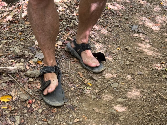
Many reviews of this hike suggested good footwear but heartbreakingly,  mid-hike one of Nick’s old Merrill  sandal straps snapped ( definitely not an ideal situation on a trail that would not be considered well groomed) .  So he began joking about it, only to have a strap on the other sandal give out on the return trip.  He the coined them as his “fop-flips. I am wondering if the next time I see him hiking with sandals if it will be the old Merrill’s  “repaired” with string, twist ties and silver tape. 

Flop-Flips
Flop-Flips

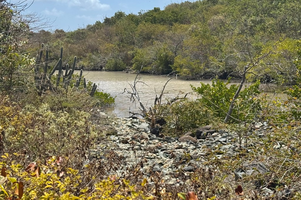
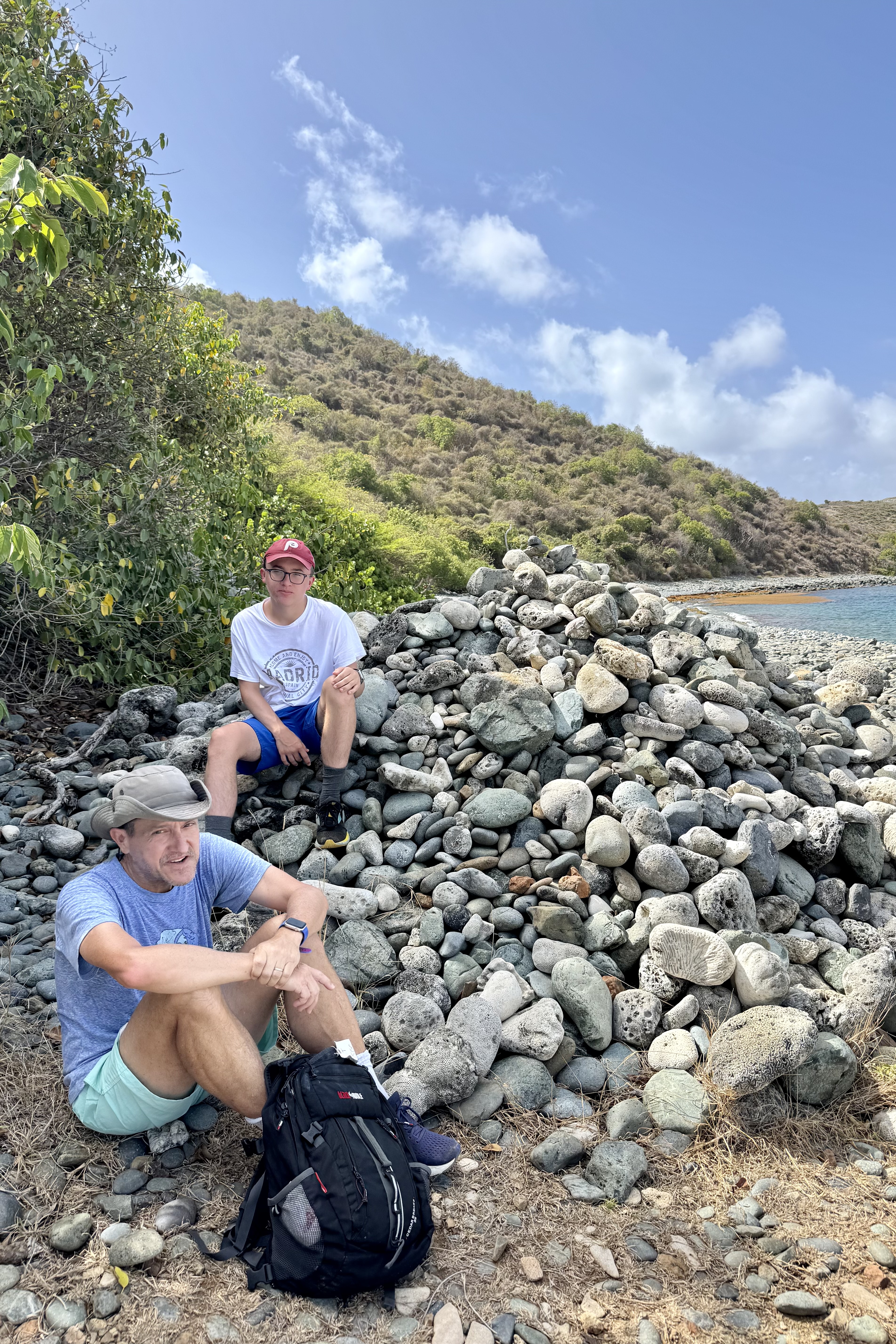
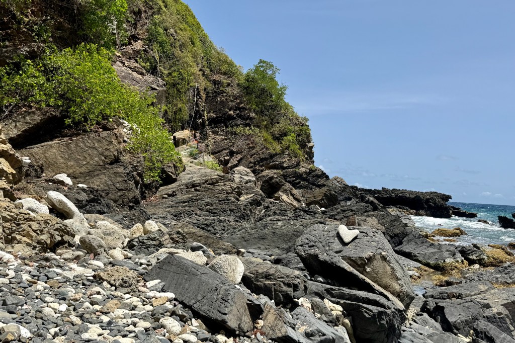
In short and succinctly put – rocks, roots, humidity, sweat . . . perfection! It was a great hike of 1 hr 30 minutes to the stony beach which would eventually lead to the tide pools. The round trip was a 4.25 mile workout.

I had to think twice about making the scramble over the lava rocks to the tide pools as I could see some very jagged rock and ledges which I would need to climb up and over to access the pool. This was flirting with danger such as a twisted ankle, a lacerating trip on the jagged lava rock, the choose-your-own adventure nature of the scramble, or a fracture of my osteoporotic bones… It would be a tough sweaty brutal carry out of my damaged body as there is no cell service and no easy rescue.

So I let my imagination run wild and decided that this could be just one bad step away from catastrophe (and for those who know me well, I tend to err on the side of reckless decisions) and opted to stay on the beach and piddle around in the sea gardens there. I also reminded myself that there was a repeat of the previous hiking adventure in reverse awaiting. Though disappointed in not getting to see the grand finale of this hike, I recalled that I had been to magnificent tide pools in Cannon Beach Oregon just last year.

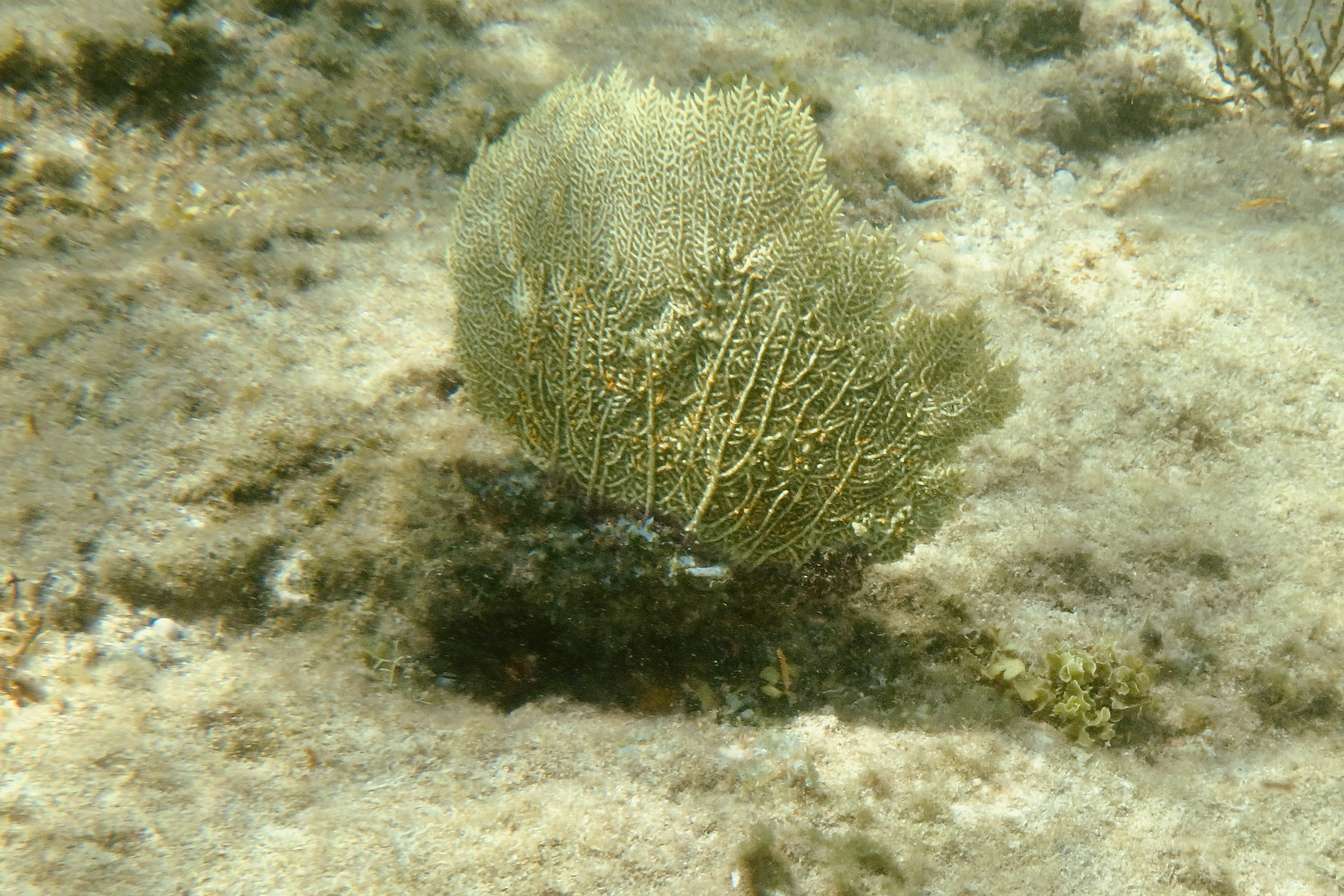
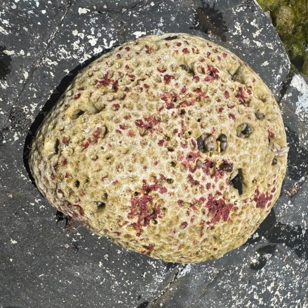
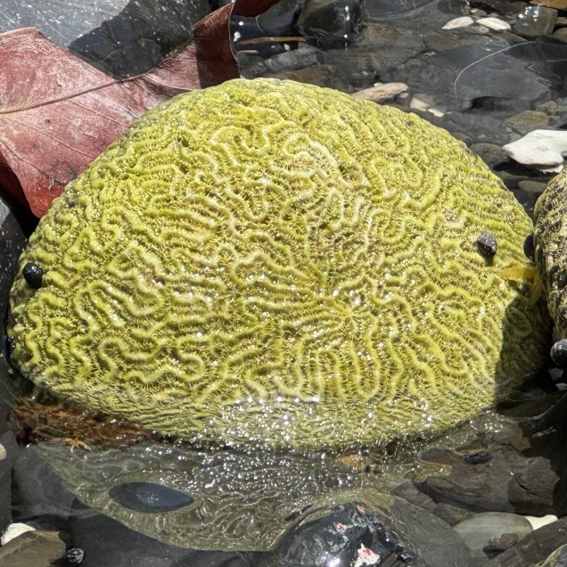
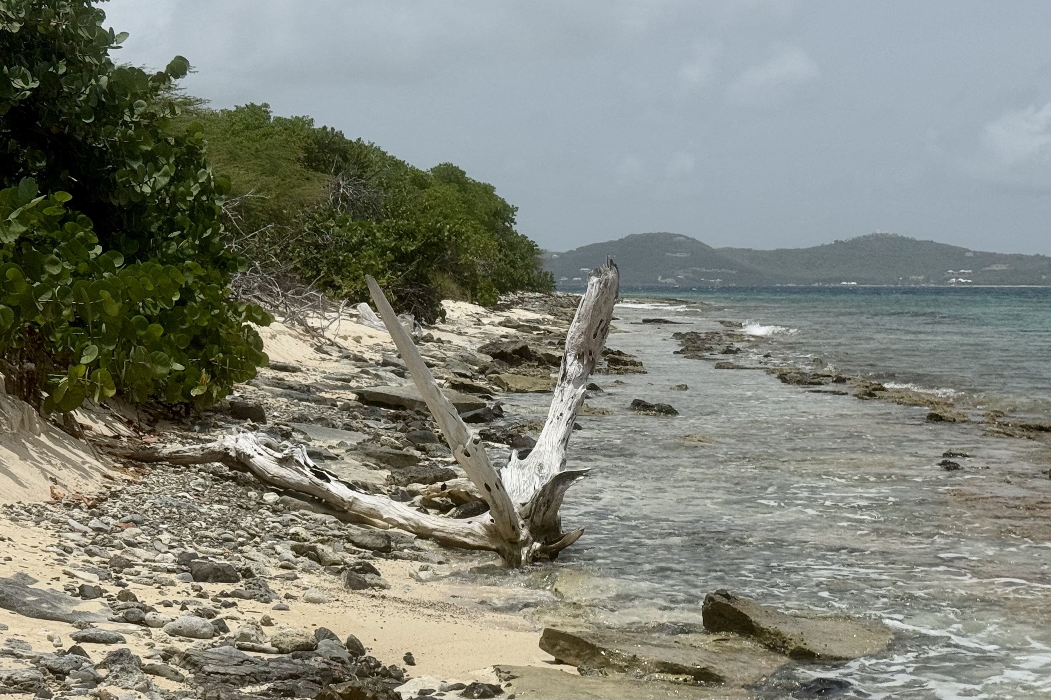
The sun was intense and the marine gardens at the edge sea were intriguing.  I plopped myself in the water with a rock as my backrest and sat mesmerized by the miniature pools of  flickering water surrounding me.  They were teeming with a variety of marine algae both glimmering pink-hued and brown algae looking like ruffled paper, shells, corals , black snails…

The family reappeared about and hour and a quarter later having had an exhilarating experience, though Nick did loose a bit of his dignity in an encounter with the lava obstacle course and was bemoaning the jarring his body took and the decorative lacerations on his appendages. Can we blame it on the “flop-flip? On the hike out from the beach we were all to glad to bail on the final section out to the official trail head, bypassing some of the jungle slog, and take the unofficial backdoor out to the car. The landscape changed from rocky sandy slopes to a “spa brochure “ walk through the Carambola Beach Resort.

With still a few hours remaining for adventure, Nick , Tasia, and I opted for a drive to the farthest eastern point on the island and the eastern most point of the US. The sole purpose was for me to say I had been to eastern most point in the US. It is a popular sunrise adventure but I did not feel compelled to be at the eastern most part of the US at sunrise. Luke and Miriam were of the mindset that a vacation is for resting and opted out. However it was much more than a bag another first experience. The vast ocean surrounded in every direction.

Point Udall was named in honor of the politician Stewart Udall in 1968. Topping this spot it is a geometric stone structure of spike-like pillars, the Millennium Monument. It is a modern looking stone compass built for the millennium to commemorate the dawn of a new century. It was the place to be on 01/01/2000 as the compass marked the azimuth of the first U.S. sunrise of that year.

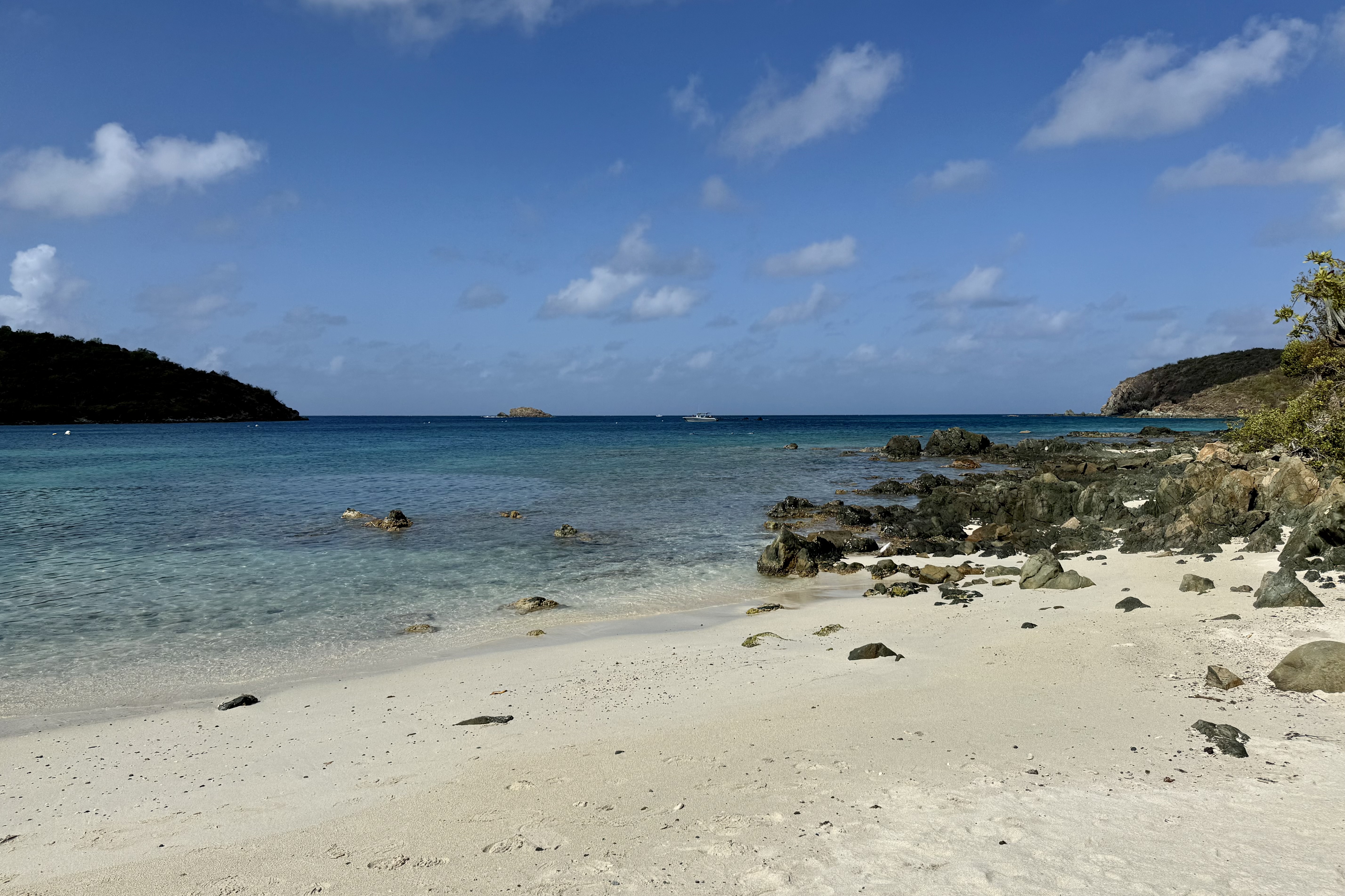
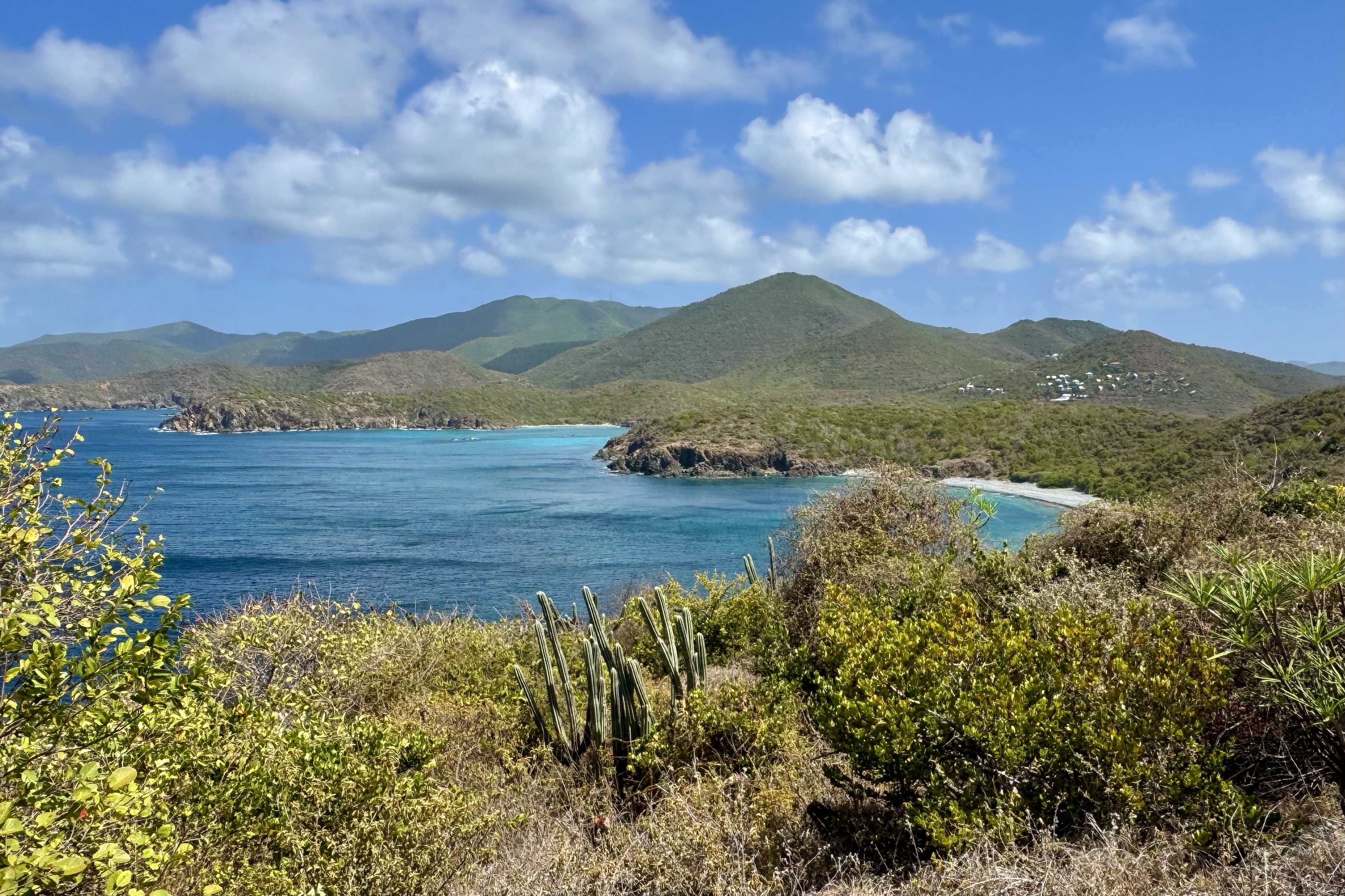
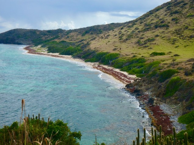
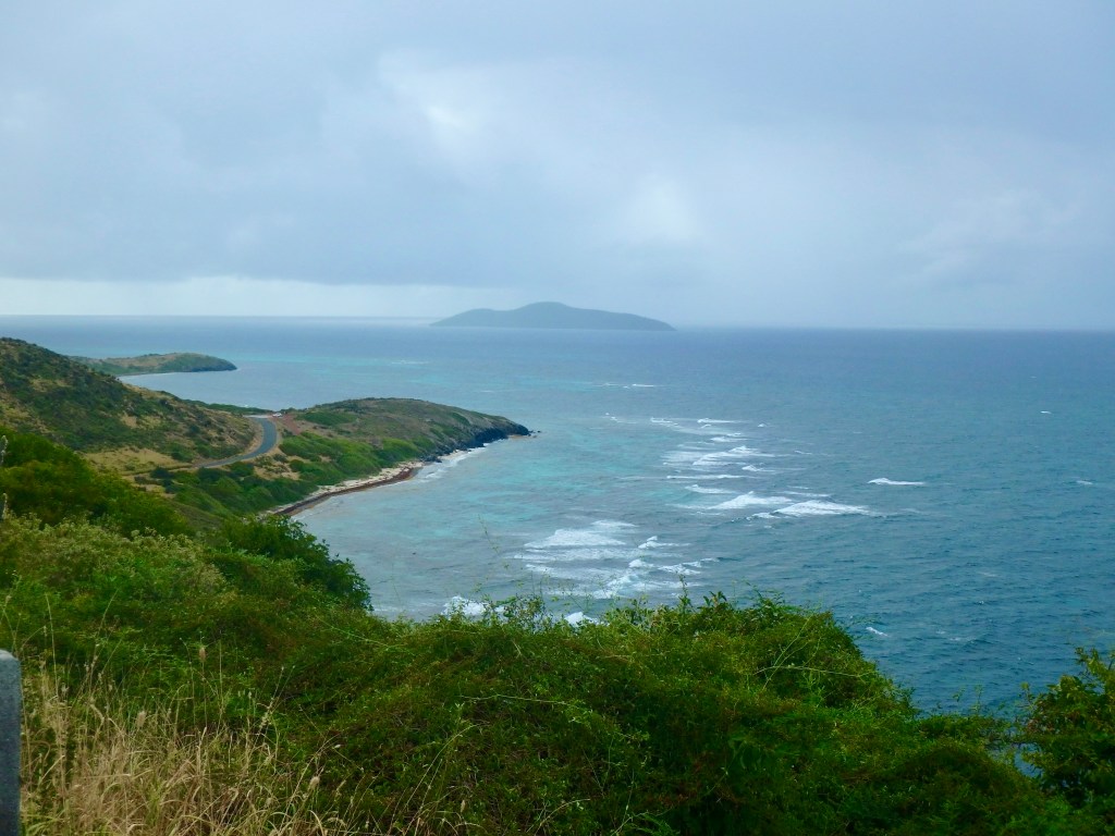
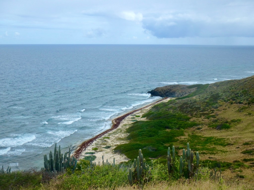
After milling about for a bit, we saw the trailhead for the Jack & Isaac Trail. Needing to stretch my limits further with another hike, I was hoping my body would forget that I had already hiked today. The trail cut downward on a well worn relatively obstacle free path through windswept terrain similar to the tropical desert on Buck Island. As I trudged along what lay before me was stunning. The landscape of Issac and Jack’s Bays was a ribbon of white sand between the brilliant turquoise of water and the verdant greens of the hills. At the second egress for Isaac’s bay we doffed anything we did not want to get wet and plunged into this cool salty blue sea. Afterwards we hiked back partially on the beach. I was so grateful to have the energy to be able to experience the immersion into this postcard perfect scene.

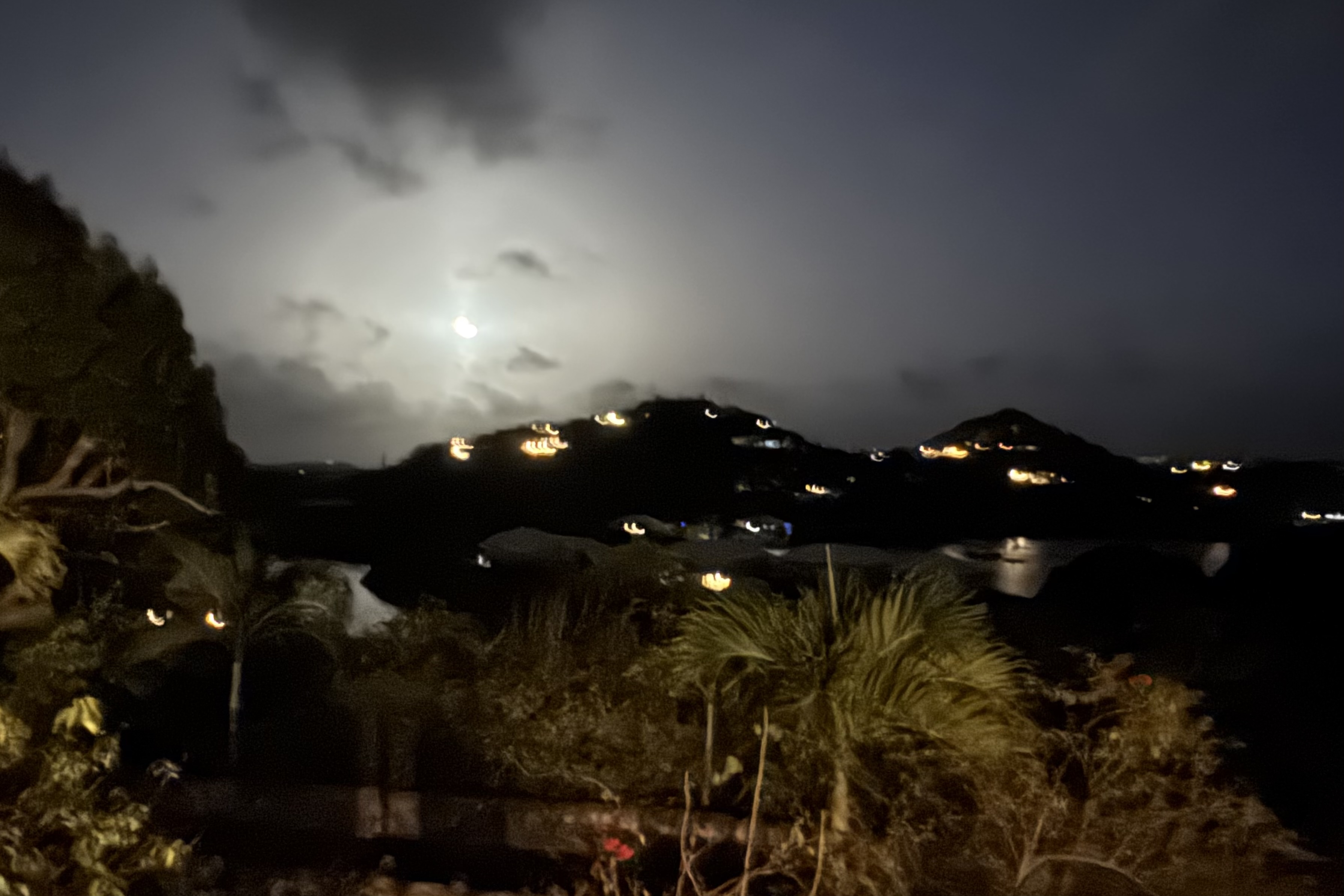
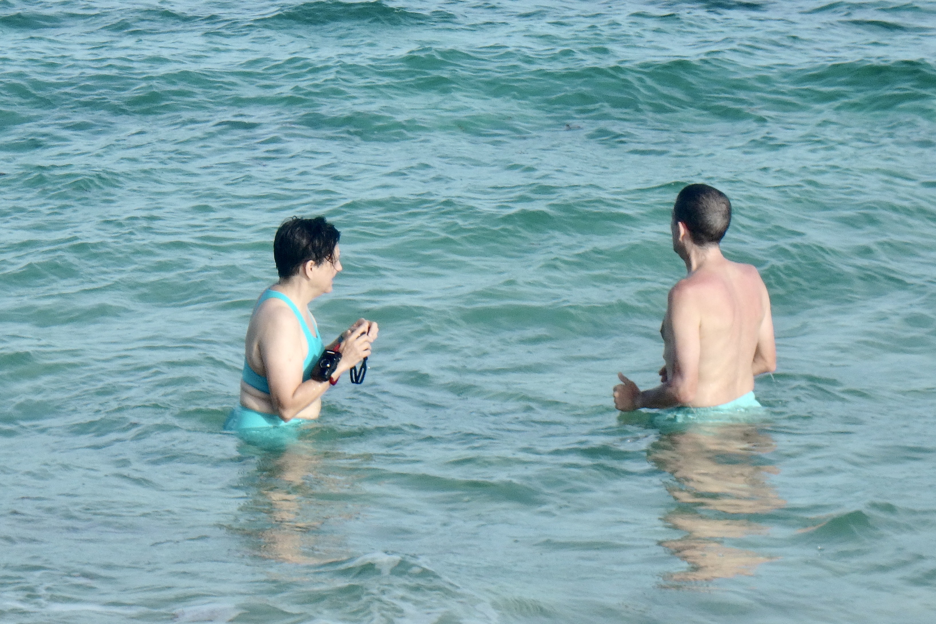
There was one last adventure to be had which basically turned out to be a real dud. A walk to “Bio Bay” from our Judith Fancy VRBO was undertaken to hopefully experience the Salt River Bay glow. When the water is agitated the bioluminescent organisms (fireworms, jellies, and marine planktons) light up.I had seen this in the Florida Everglades and was anticipatory of a similar experience. I at first thought I saw the water light up but upon a closer look it was only the moonlight reflecting on the ripples. So Nick was glad to oblige us by wading in and agitating the water. Nothing. Throwing rocks, nothing. More agitation, nothing, So we eventually called it a day and meandered on back to our lodging.

Sucking Sea Water and Sun Sodden Schlepping

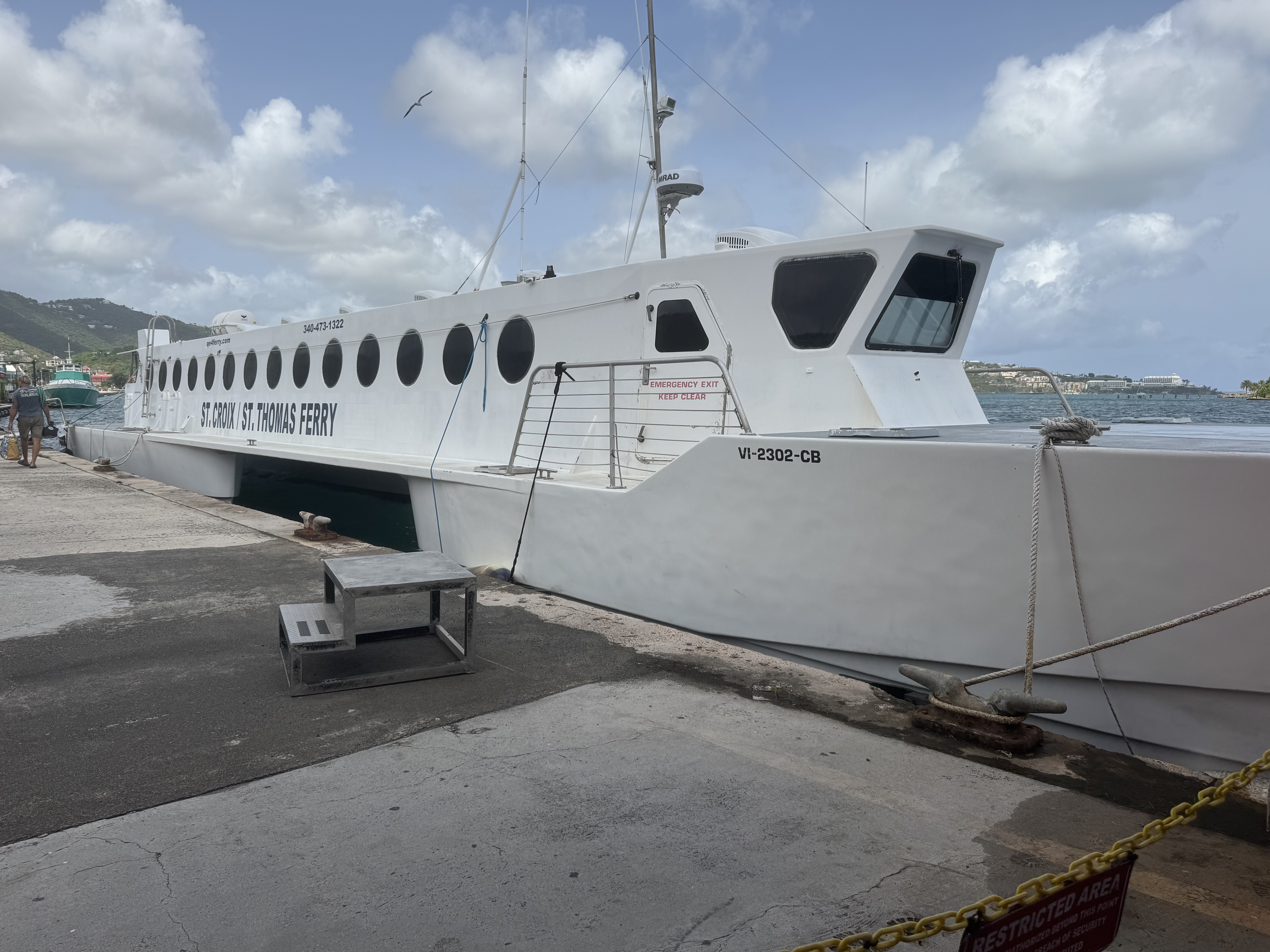
We were departing for Gallows Bay, St. Croix from the Blyden Ferry terminal in St. Thomas ( a 40 mile trip) and arrived there with a fair amount of time to spare before our three pm departure. The terminal  is definitely NOT fancy and decidedly HOT.  We parked ourselves on the uncomfortable wooden benches and I could not help thinking this is more akin to a greyhound bus station in the wrong part of town rather than what  my conception of a Caribbean  cruise terminal would be like.

The QE IV is a high speed catamaran and as it plowed the Caribbean Sea on this relatively calm journey (per the captain, the swells were mild), I was grateful for this relative mildness. The slap of the water on the windows was very enlivening and definitely not of the sea sickness level.  The vibrant  soundtrack on this voyage was a mixture of the hum of the engines, the occasional creak, and the thump, splat,  slap of a sheet of water  as it flings itself against the window.  WHAP and then it dribbles down the glass. Repeat for two hours.

Docking was at  the Gallows Bay terminal in Christiansted ! By the time we collected our luggage and made our way roadside, there was not a livery service vehicle to be seen.  We needed to pick up a rental car at the airport and had decided that since taxis charge per person, it was best that only Nick and I make our way there.  Having had minimal luck ordering a taxi, the ferry captain arranged  for an open-air taxi, aka “safaris” to  come.  Before long a regular taxi showed up and being opportunistic we hopped in it as there was no guarantee when  the hypothetical safari vehicle  would arrive.

I have had a Caribbean dreamscape over the years about  it being a paradise  in which I would be immersed in the salt-air, my skin kissed by  the trade winds, and floating  in turquoise waters above  technicolor reef just offshore…  a true tropical paradise.  But upon arrival,  the sun was intense and I was immersed in steam bath humidity.  On the drive to the airport there were abandoned building, shuttered storefronts, crumbing facades, pot holed roads winding through scrubby vegetation… the scene definitely was not of the picture perfect postcard  or the polished resort variety.  The driver took us through the industrial area further dashing any preconceived notion I had about this being a carefree tropical island of unsurpassed beauty. In the area of Limetree Bay was  the remaining skeleton of the original Hess oil massive refinery which went “dead” in 2021 because of toxic emissions, health concerns, foul odors, EPA violation resulting in  devastating losses of jobs and an economic catastrophe .

Picking up the rental car, a 4-door Jeep Wrangler was seamless and Nick soon was behind the  drivers wheel and  getting used to the driving on the left-hand side of the pot-holed roads.  I thought getting a jeep was basically a lark but in actuality a necessity given the roads. I had hope his long term memory of driving on the left in Australia was an asset and would kick in but since,  unlike in the English tradition,  with the steering column on the right , the steering column was in the normal American style on the left side adding another challenge on these narrow, rough and unpredictable roads. 
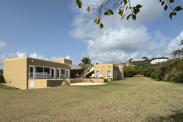
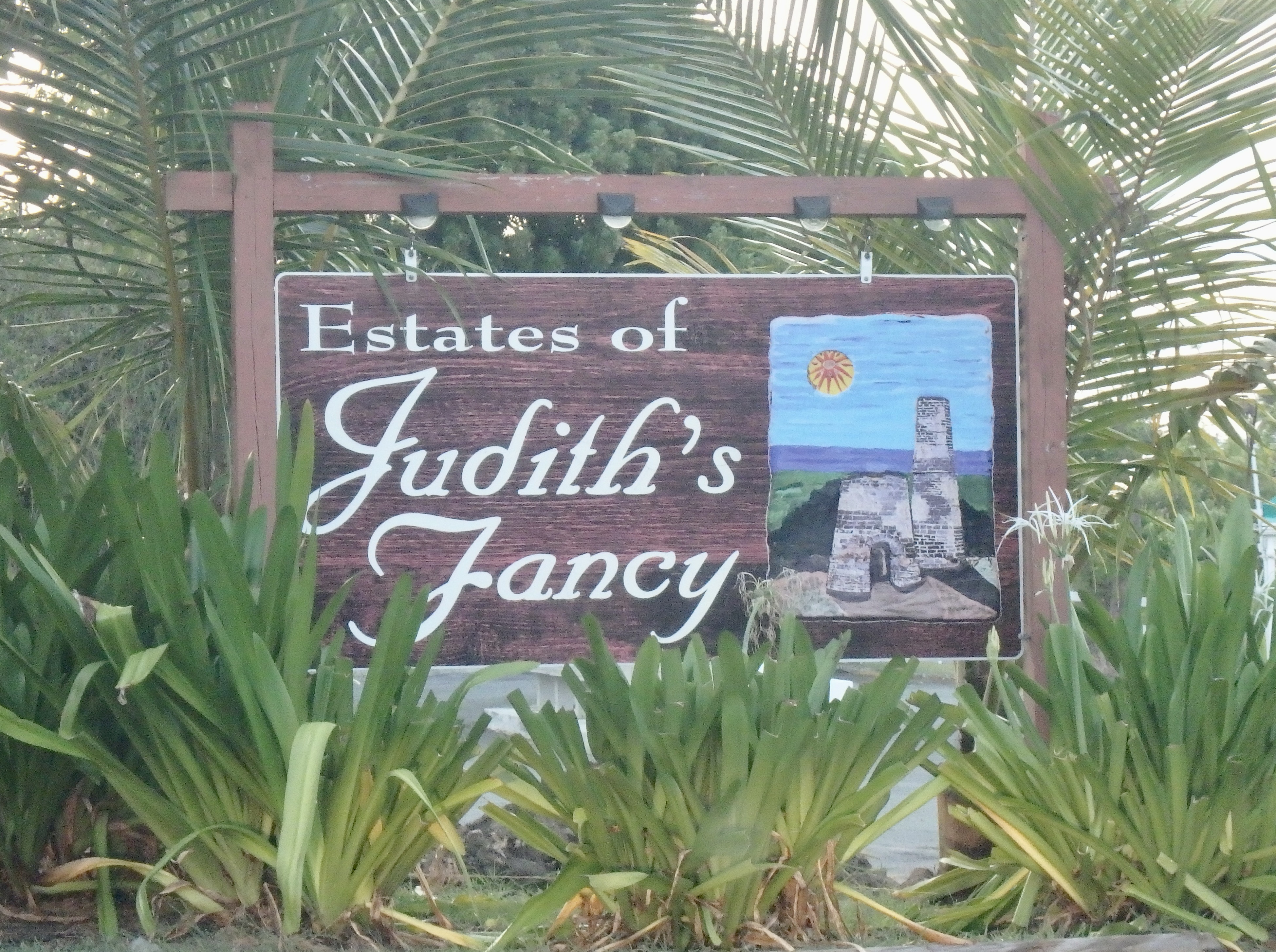
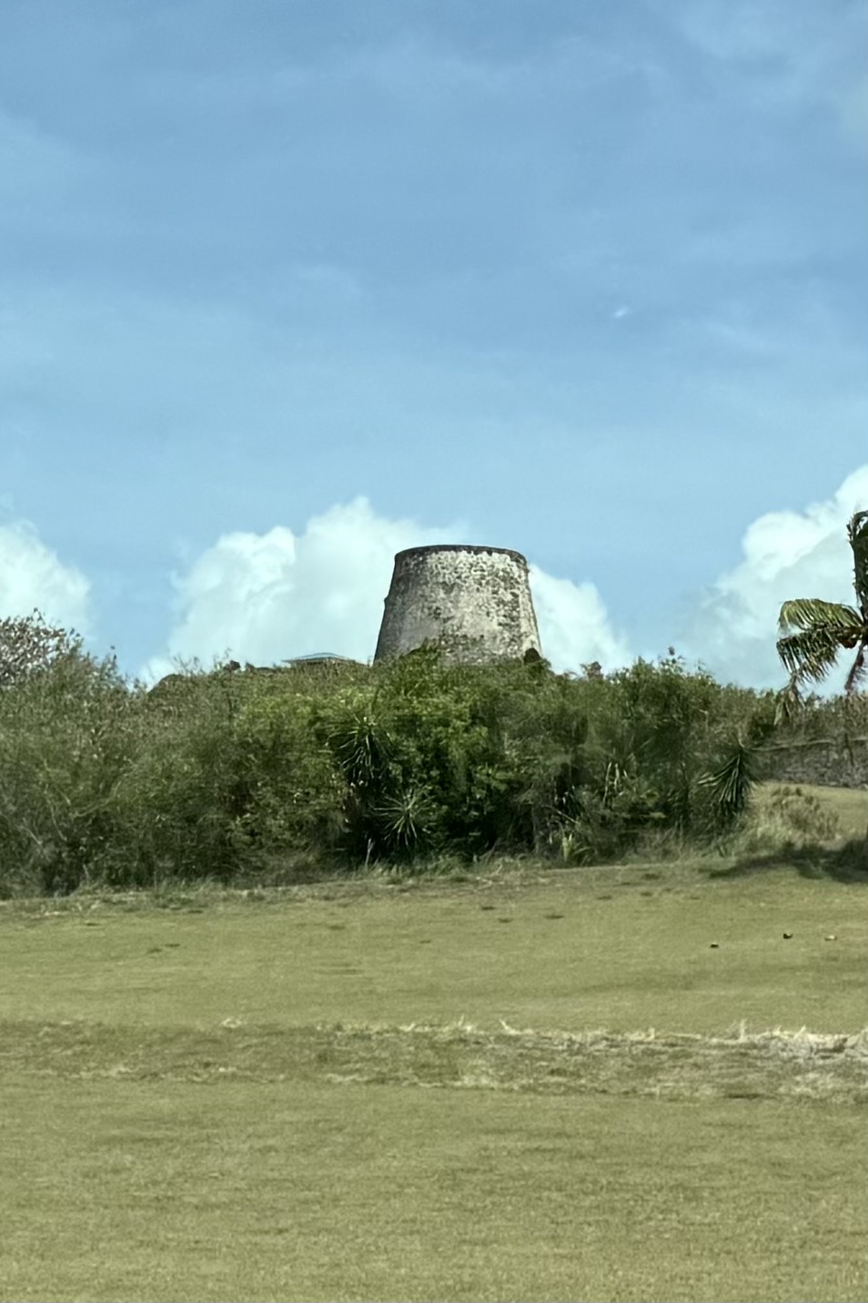
Finally, gathering up the family at the ferry terminal, we made out way to our VRBO  coined an “Island Vibe Retreat” in  “Judith Fancy, ” a gated residential community built on the 18th century Judith Fancy Sugar Plantation. It was named after Judith, a free woman of color, and considered a prized and “stylish” manor i.e fancy .  Ruins of the old sugar mill remain and were visible from the courtyard of the house. Similar ruins of many of the old rum and sugar plantations exist throughout the island. 

This was a true Caribbean style indoor/outdoor living space with  a large courtyard for dining .  Off of  this open-air central courtyard were  3 bedrooms with en-suites, (the only air conditioned rooms)  a  living room, dining room, kitchen. and laundry room all with their own separate locks and  keys.  From the front it would seem that this was a secure fortress but in reality one could access all of the rooms by going around the side or back. Hence, Luke became the keeper of the keys and had the sacred responsibility of opening and locking every single room every time we went out. Given that Luke can be highly anxious and extra cautious this job suited him well. A favorite spot was a rooftop patio, with its gentle breezes in the evening after the sweltering sun vanished below the horizon.  

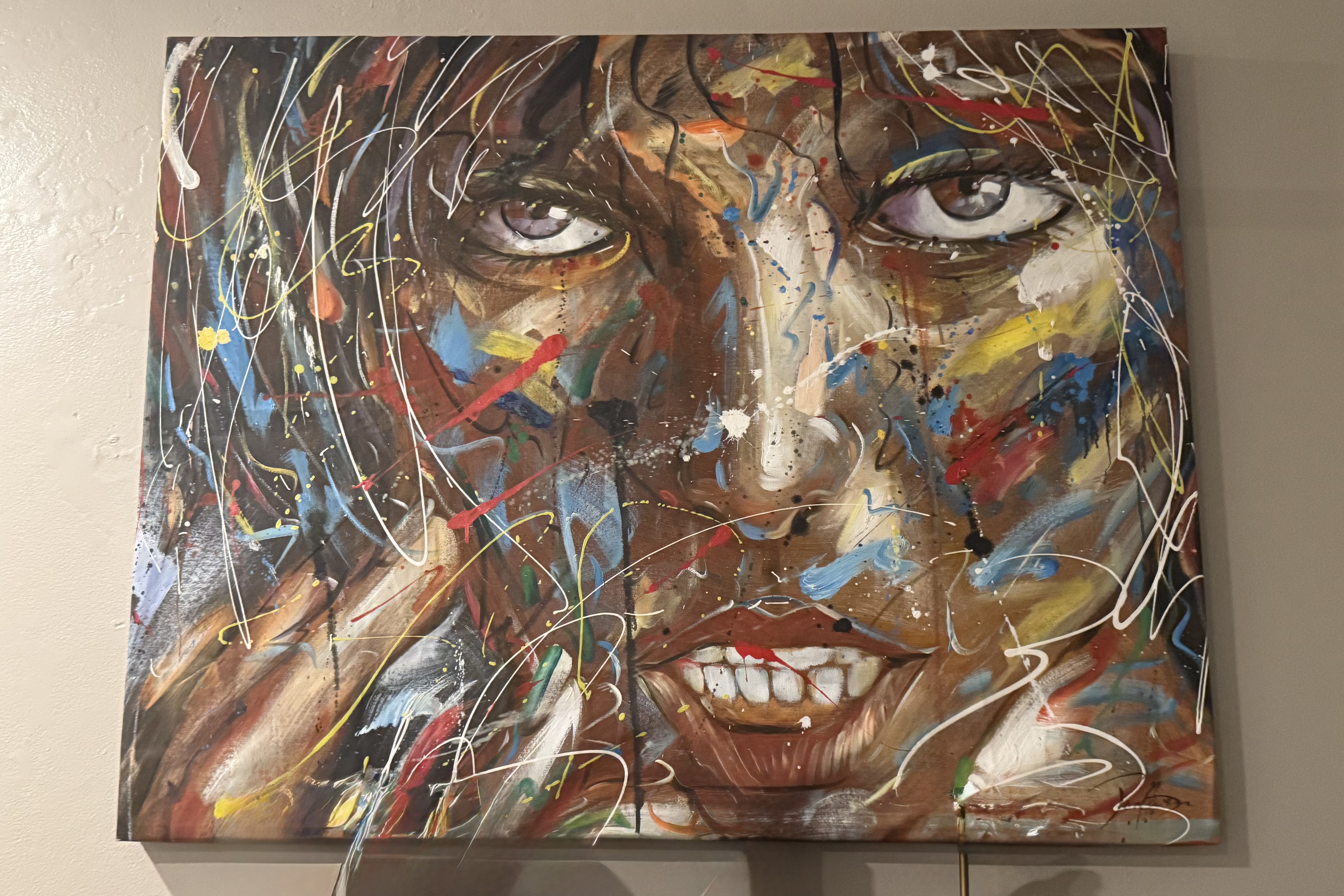
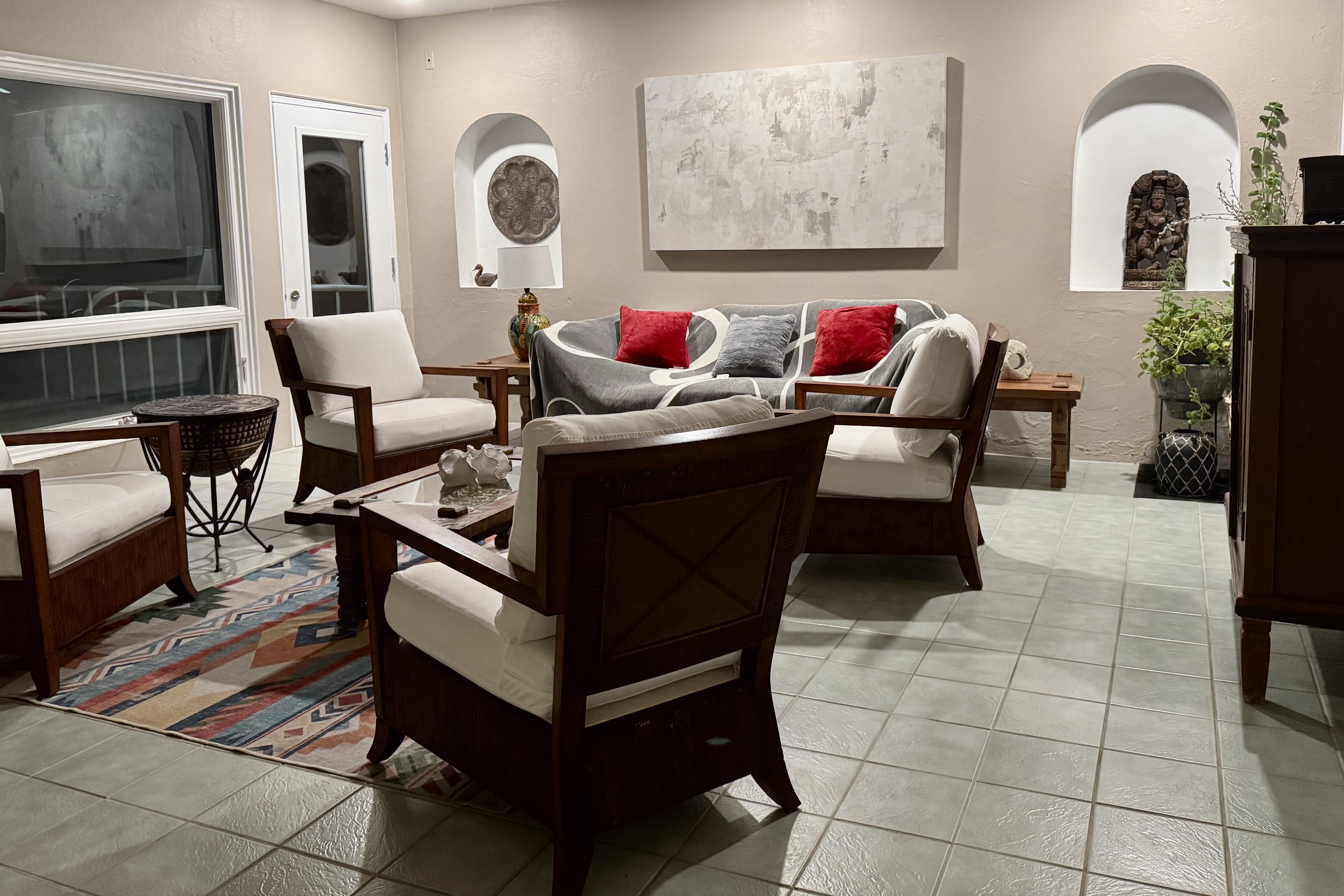
However, the main rooms did not scream calypso or reggae vibes and definitely were not of the Caribbean vibe. A striking painting that graced the living room definitely burst with color and emotion but in my mind did definitely not “fit” the Caribbean setting and I found it slightly unsettling and unnerving with its splattered streaked paint. It would best suited for a Miami art museum. I was relieved to spend all of my stay in the outdoor parts of the house as viewing it once was enough.

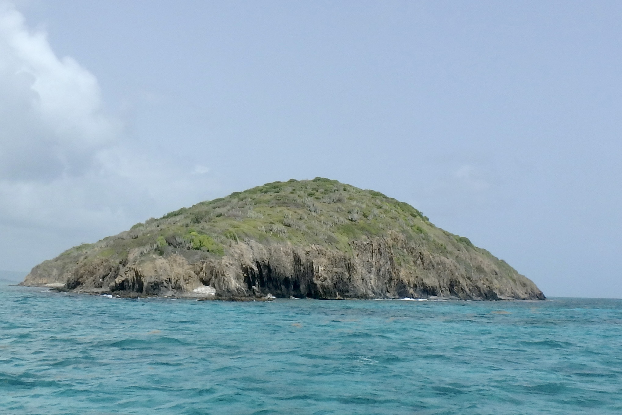
The premier event that I planned on St. Croix was a sailing and snorkeling excursion to Buck Island, described as a “marine garden” established by John F. Kennedy in 1961 and is designated a National Monument . It is a no-take marine protected area in the Caribbean Sea. Buck Island itself is physically protected by a flourishing elkhorn reef formed by elkhorn coral (branches fan out like the antlers of an elk and are brown in color.) With Captain Carl was at the helm, weathered by years of sailing under the Caribbean sun, and after an engine assisted sail out of the harbor on this 42-foot Trimaran (Teroro II), we sped towards our destination under sail power only. I note this because all the other companies going to Buck Island tend to use motorized vessels and I opted for the less polluting choice.

The sail was invigorating as Captain Carl pointed homes along a rocky headland, Pull Point,  including one home frequently visited by  Joe Biden that was owned by a longtime fiend of his  and another where the physicist Robert Oppenheimer often stayed with friends …plus other interesting trivia.  I would have been much more interested in learning about elkhorn coral and parrot fish than the vacation spots off famous people! The sea was various shades of blue and upon approaching Buck Island it took on that stunning turquoise color. Seems the recipe for this color palette is sunlight, water clarity, depth, and a white sandy floor! Anchoring on the western side of the Island, we would commence our first snorkeling adventure.

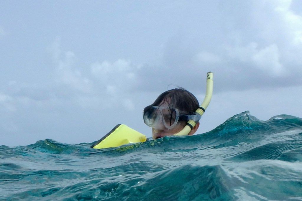
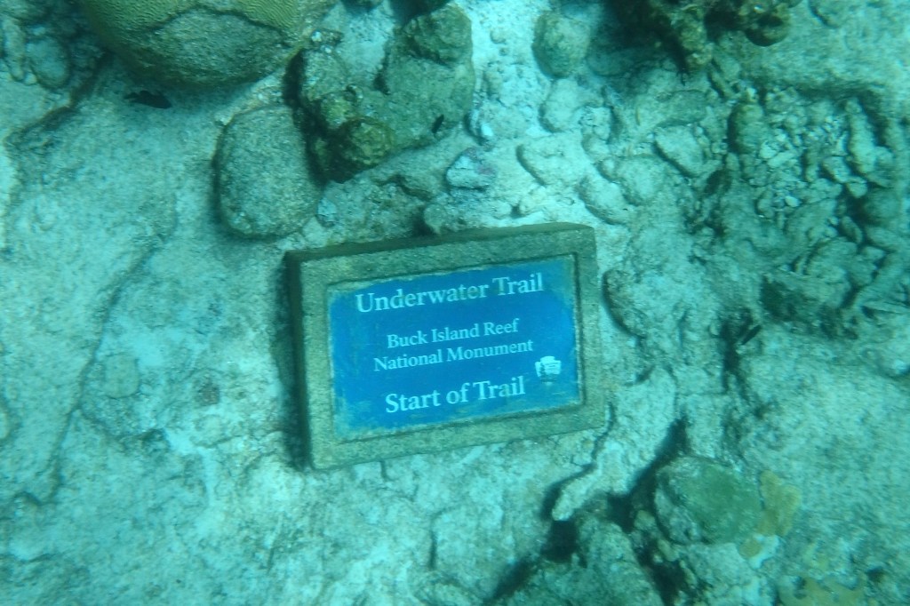
Our first stop was proximate to the underwater trail. Provided with snorkleing gear and with Captain Carl as our guide, we entered a shallow lagoon and followed a series of submerged plaques identifying surrounding marine life and coral formations. Sounds lovely and serene and it might well have been for the others. BUT, since I was not a skilled snorkeler, I was about to embark on a not so gentle glide through the water and definitely not an effortless and graceful adventure. My primary take away from this experience was definitely a lot of sputtering and choking on sea water.

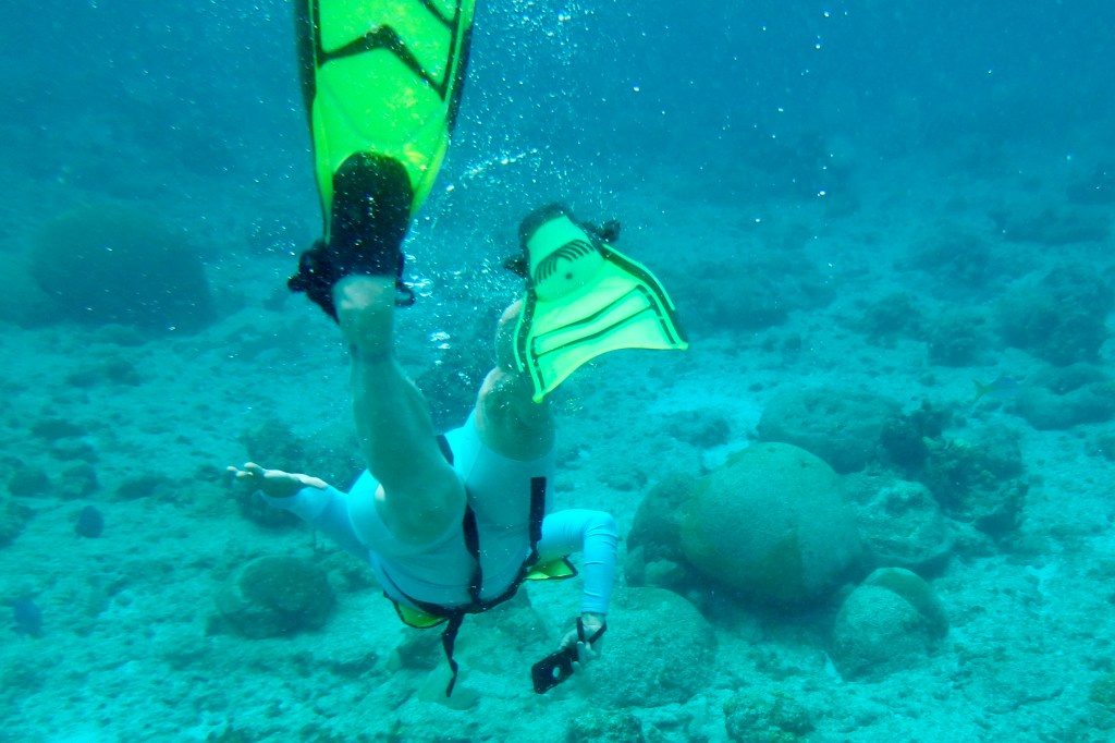
Feeling quite fashionable in my mask and snorkel in my new swim togs, I finally managed to get the flippers on while bobbing around in the water and then, somehow miraculously, I was able to get the mask on my face and relatively water tight, thus avoiding bathing my eyes in sea water. I followed our group and guide towards the trail and naturally I was trailing the group and trying to keep up, see what was below, and keep an eye out for the red and white life ring being dragged forward by Captain Carl. Every time I saw an underwater marker I had this unconscious need to peer at it closer and plunged my face deeper and of course sucked in vast amounts of sea water. Not once, lesson learned, but several time over the course of the course!. I was desperately trying to enjoy this journey through coral gardens, grottoes and a reef teaming with marine life but secretly was glad that I did not get lost in a coral cavern and made it back to the boat.

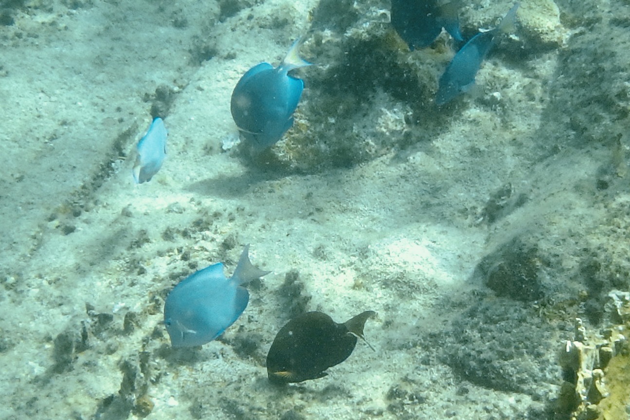
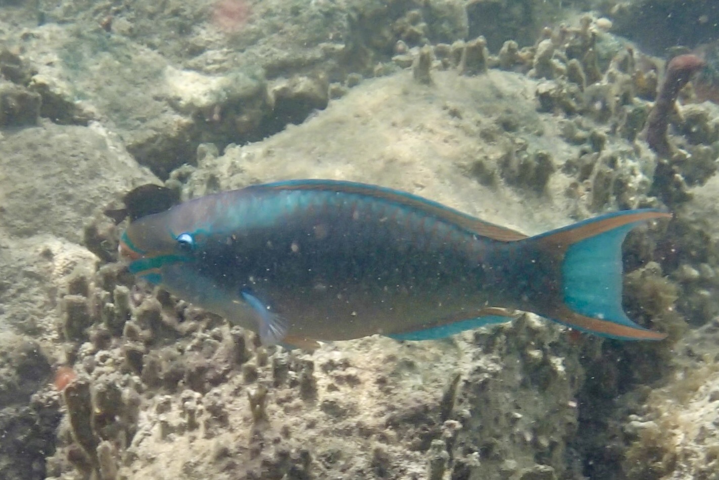
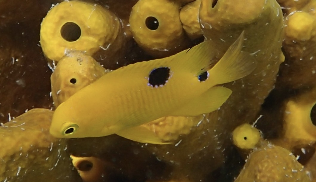
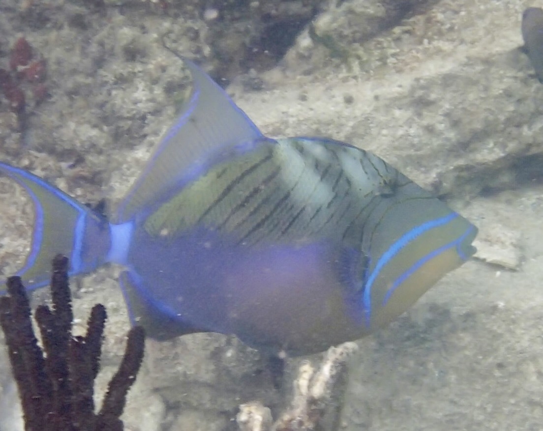
I had resurrected my trusty Olympus waterproof and shockproof camera so I would capture dazzling the underwater world of tropical fish and coral. Seems I was better a capturing butts and flippers than fish. As for the fish, they remained a a speck in the distance.

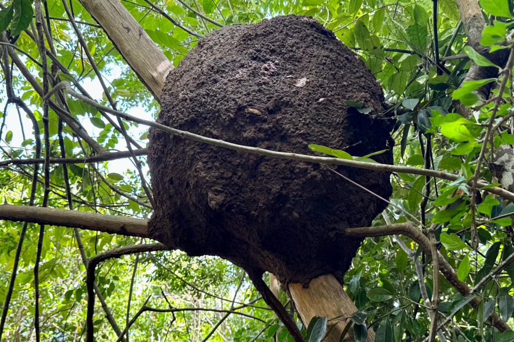
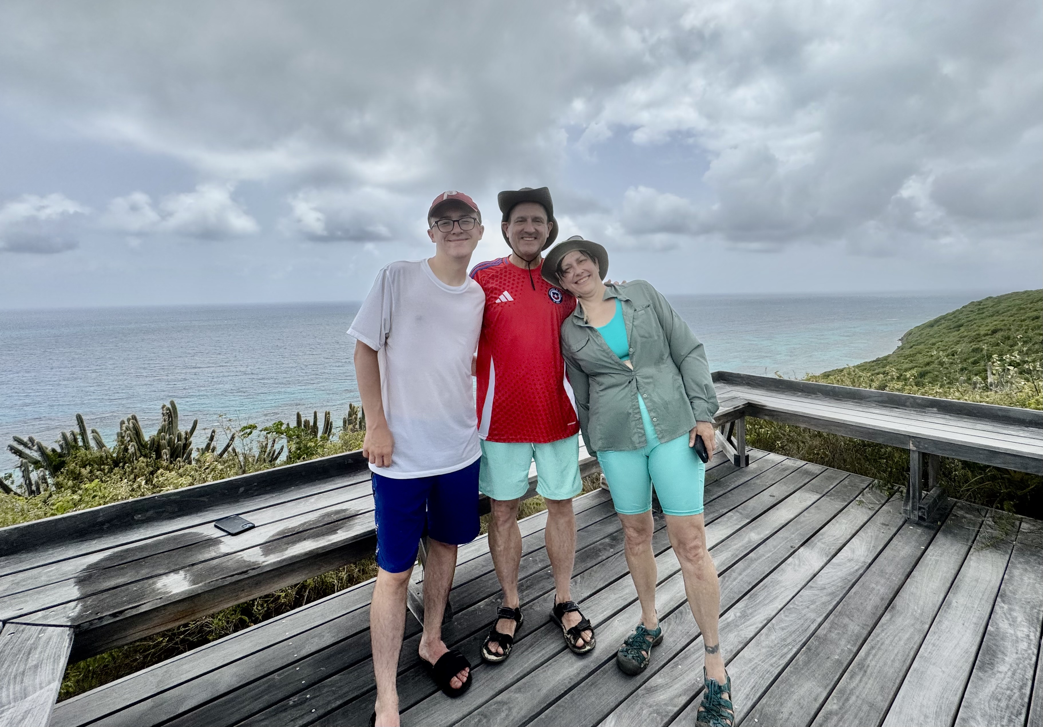
Subsequently, we then sailed over to Buck Island’s Turtle Beach and had about 1.5 hours to spend there. Not one for lying on the beach and not wanting a repeat that snorkel experience again this day, I opted for hiking the trail on Buck Island with Tasia, Nick, and Luke. Forewarned about a massive bees nest at the trailhead which we thankfully avoided. and after picking our way across slimy rocks, the hike was short (1.28 miles) but also challenging as it winds up a dry rocky hillside through native vegetation including cacti, sea grapes and turpentine trees. I was surprised by the feeling that I was hiking in a wild, Caribbean desert and dry forest, something I did not associate with tropical islands. And as with desert hiking, by the time I reached the overlook it looked like I had opted for the bathing on the beach option. The path was narrow and a bit rugged for my tendency to find every “trippin” rock and root”but I did stay upright. . It was replete with buzzing insects and hermit crabs toting around there borrowed shells. Turk’s Cap Cactus were of special interest named for its red “cap” that resembles a Turkish fez and the crown sporting small tubular pink flowers.

Atop, the reward was stunning views of the reef, resembling a necklace surrounding the Island, rolling hills and the distant shoreline of St. Croix.. What a contrast this day was with both hiking over this cactus studded Island and swimming in coral garden teaming with marine life.

It ended at the beach with a short walk back to Captain Carl’s salt-sprayed sailing craft and a breezy ride “home” to relax, enjoy a simple dinner in the outdoor dining area , and then a short walk to a beach access near our VRBO. I had hope to dip my toes in the water as I imagined a tropical sandy beach but found it was rocky, coral strew and draped with a thick mat of seaweed (sargassum) to wade through. Not tonight. The view by night though from the beach of St. Croix glowing across the water however was quite a lovely site.

Where the Streets are “Paved” with Roosters and Jewelry Stores

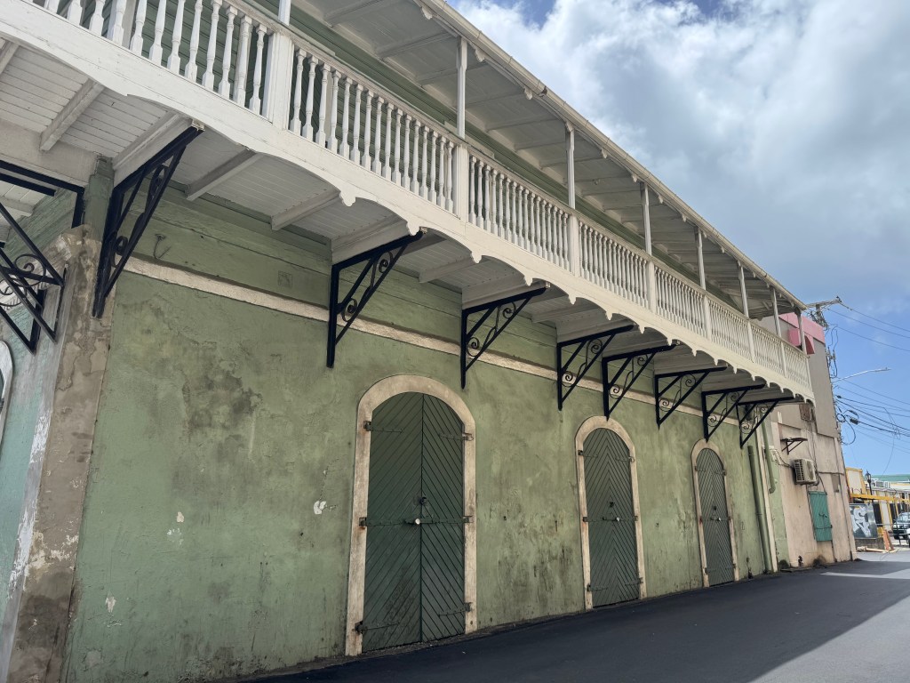
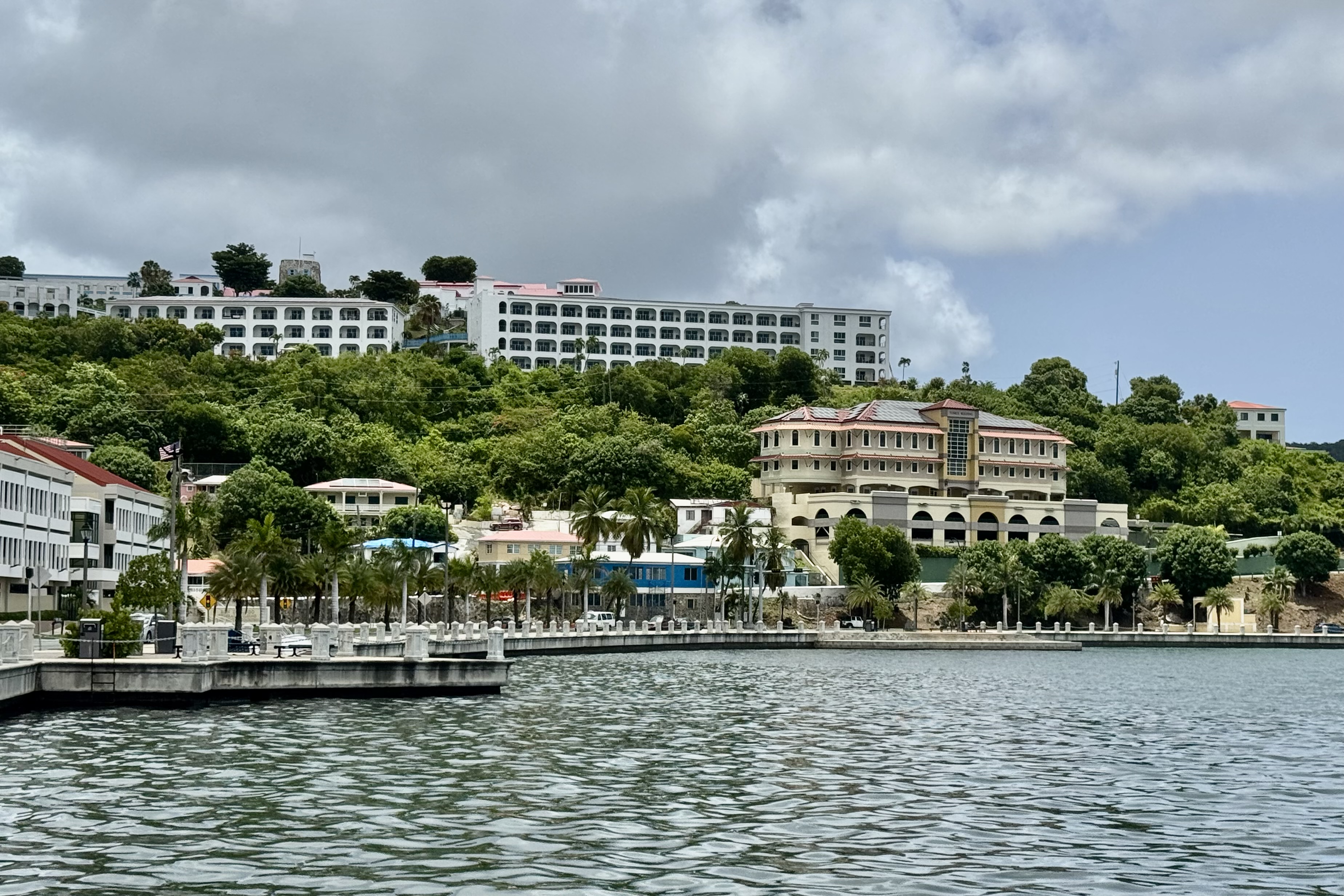
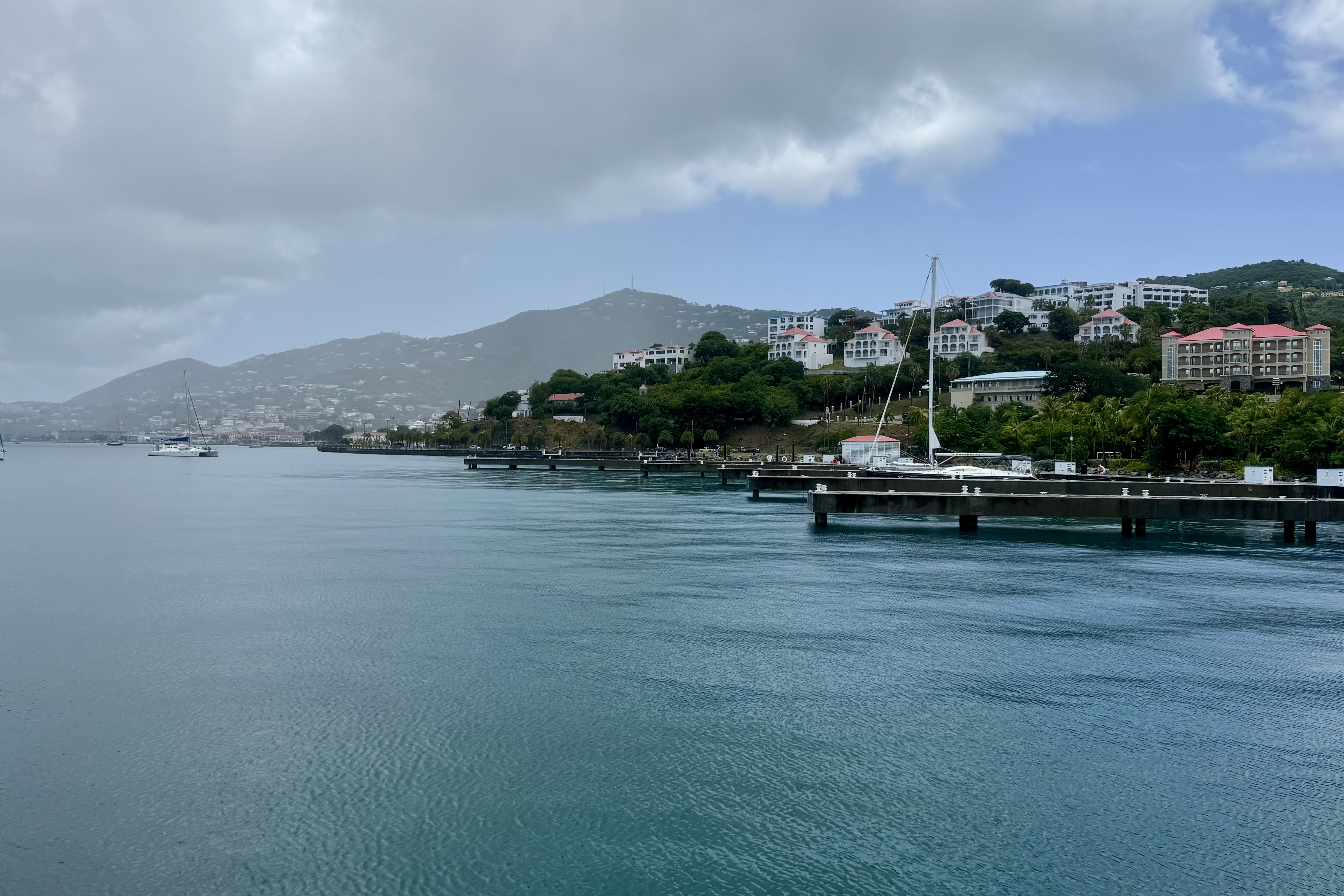
Upon stepping off the plane at the Cyril E. King Airport in St. Thomas, I soon realized I was stepping into a different world marked by  warm salt-scented Caribbean air, a definitive culture,  and the  bustle of the port of Charlotte Amalie. With luggage collected, we took a ride share taxi from the airport to our hotel, the Windward Passage.   The ride  itself was the real beginning of the adventure as the driver quickly merged onto Waterfront  Drive staying to the left lanes since vehicles drive on the left of on the narrow roads of St. Thomas (remnants of the British Colonial past). Though a short drive,  we were  served up views of the Charlotte Amalie harbor, palm trees, colorful buildings that climb the hillsides, old colonial buildings, warehouses, narrow streets, and a harrowing closeness to other vehicles.

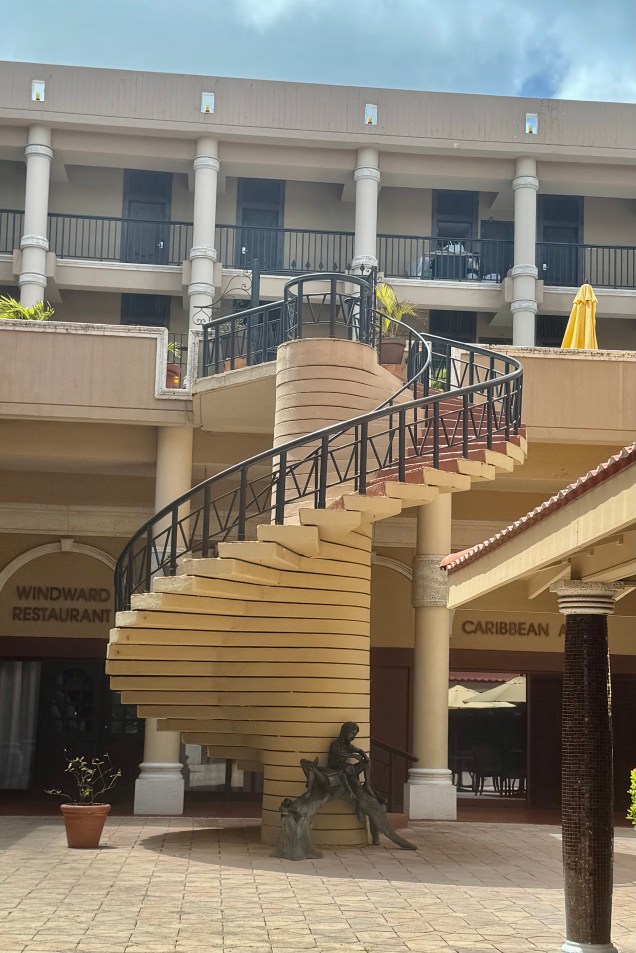
Our hotel for the one night here was the Windward Passage, an aging relic that has seen better days, situated along the harbor front just a short distance from the downtown area of shops and almost directly across from the Blyden Ferry terminal which we would be departing from on the morrow for St. Croix. The convenience is hard to beat as we could walk the short distance the next day hauling our suitcases to this terminal. No ride share of rental vehicle. So it proved to be adequate lodging and did not devour the whole checking account balance at $225.00 a nightly vs The Westin @ $612.00 or The Ritz-Carlton St. Thomas @ $1011.00. It has definitely seen many better days and would not have been a good choice had I anticipated a luxury Caribbean escape. NOT the case.

Convenience and expediency though is not of concern to my grandson Luke. Luke will devour the reviews for just about any property or activity we might encounter and of course focus mostly on the 0 or 1 star entries. From son Nick’s blog, as he recounted Lukes take: “But DAD! This one says that there were obvious prostitutes in the alley behind the hotel!” To make matters worse, according to Nick, their room was, as Luke quickly informed him, overlooking “Prostitute Alley. ” Of course the hotel was “dodgy” (one of his favorite words.).

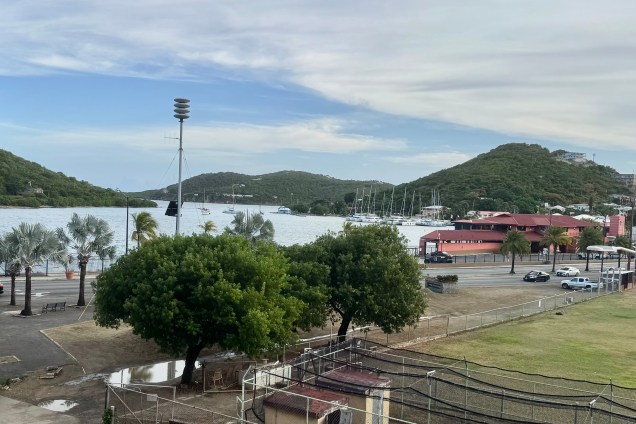
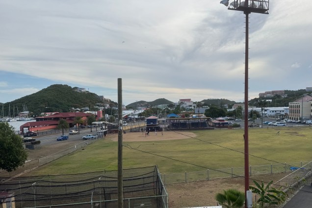
Upon my arrival, the hoped for tranquil atmosphere was pre-empted by a bone jarring rhythmic thumping of calypso music spewed from a speaker in the rear alley. Once in my room it was of minimal consequence. I peered through the salt-encrusted sliding glass door at a baseball filed below and could have a slim view of the harbor if I stepped out on the not very useful narrow balcony which was not wide enough for a chair. But we settled comfortably in our room with its outdated decor, well worn furnishings, and worn carpets. Nick, Luke and Miriam were on the alley side and definitely decided to have their room moved mostly because of the music since it could have been quite interesting evening sideshow to observe the goings on in “Prostitute Alley” later.

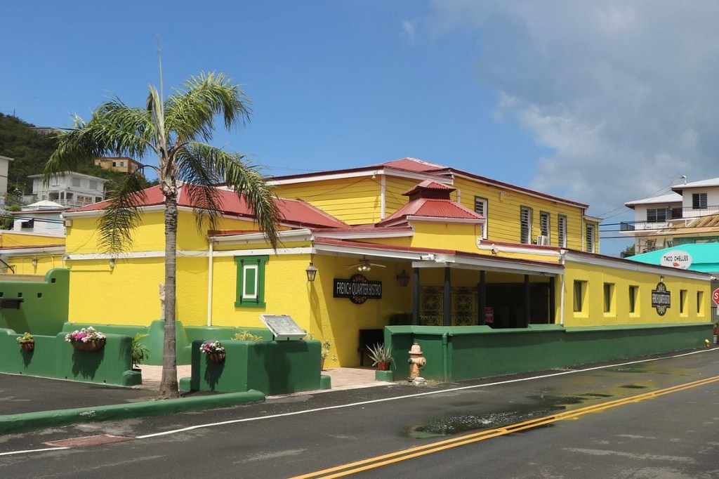
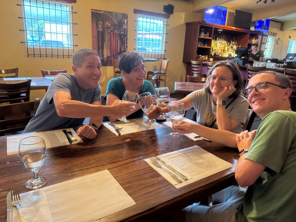
We opted to go to “The French Quarter” for dinner and ate at the French Quarter Bistro serving a fusion of French, American , Caribbean and Creole dishes. Being in the French Quarter, I, by necessity, had to order French Onion Soup. I especially enjoyed the walk to and from this destination as it was partially along the waterfront area, a mixture of small shops and cafe’s, and an architectural shift to pastel home with wrought iron balconies. Of particular interest to Luke was the McDonald’s we passed in this area which did not look at all like any mainland McDonald’s . Perhaps an imposter????

We all (but Nick) headed back to the hotel. Nick headed out to explore the area which in my younger days would also have been something I would be doing as well but thought better of trying to keep up with my oldest “child” this evening who definitely follows in his mother’s footsteps.

The next morning Tasia and I headed out in search of a market to buy some makings for a healthy breakfast.  Much to my dismay the strong stomach which I boasted of in years gone by has been replace by someone else’s sensitive digestion system which now demands a healthy breakfast of oatmeal, banana, milk etc. unless I want to spend the day in search of public bathrooms. So we found a market a couple blocks away and headed back to the motel  to eat in our not so elegant room. Afterwards we met up with the Honimills (a nick name for Nick’s family) and we commenced our walking tour of the Charlotte Amalie tourist district. 

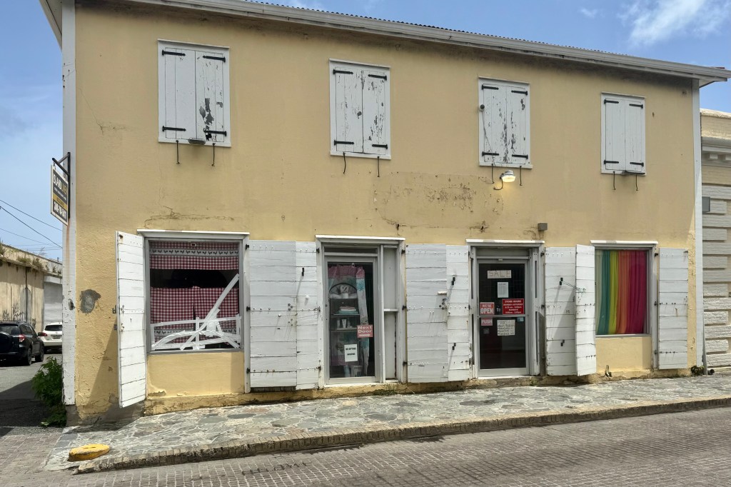
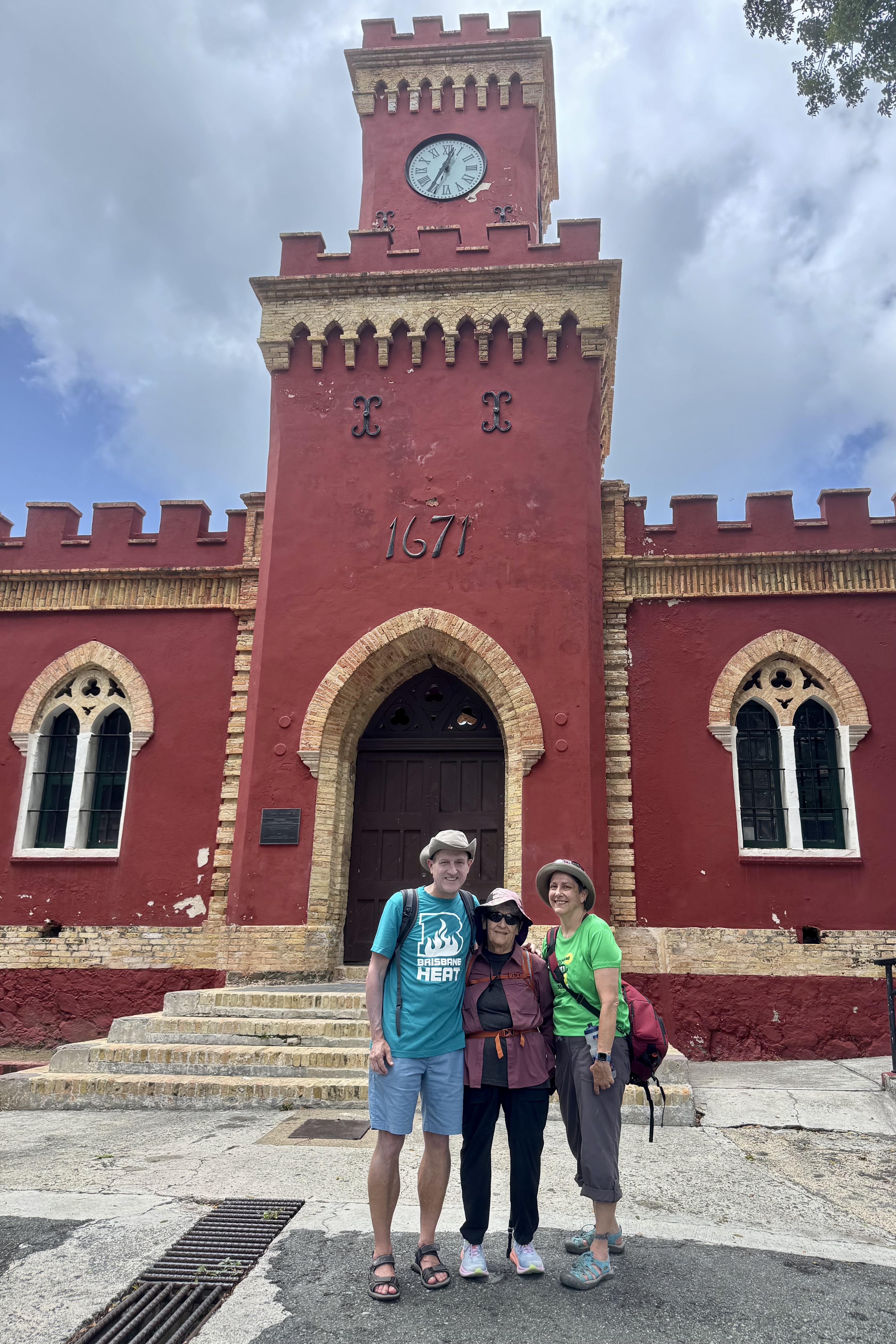
Of great fascination to me was the vibrant colors of the islands architecture with the red tiled roofs, pastel painted walls, arched doorways and the Danish shutters (wooden louvered window covers painted  in bold colors). . Historic Fort Christian, with its very distinctive red brick walls, is no longer needed to guard against pirates and raids by foreigners and thus has been repurposed as a museum. It is designated as a US National Historic Landmark and thus the requisite picture in front of it. Additionally, should I ever return to Charlotte Amalie, I learned that had I wanted a really old room instead of an aging worn out modern room, I might have stayed at the Hotel 1829 with its “real” vintage furnishings and decor.

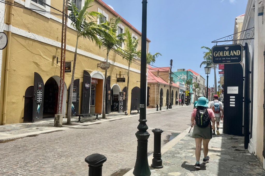
Though there are many remarkable things to note about Charlotte Amalie, such as the historic Fort Christian, the scenic harbor, the Danish architecture, the most memorable for me is the “Jewelry Jungle. ” The downtown area was no salmagundi of one-of-a-kind specialty stores , where you can find unique creations and local products but a glittering gauntlet of jewelry stores with their diamonds rings , gold chains, gemstones, luxury watches … all nestled within their cases in air conditioned shops while their proprietors stand in the doorway beckoning one to step inside. I really only needed sunscreen or to invest in some cheap trinket emblazoned with St. Thomas on its exterior (the exact same trinket I bought on my last trip with the St. Louis Arch emblazoned on it). The man in the white guayabera shirt promised me the best price on diamonds in the Caribbean and his store had been voted #1 on the Island! I managed to escape his clutches and those of the 40 + jewelry hawkers on Main Street with pocketbook unscathed only to find myself tripping over the chickens and rooster which roam freely through the streets.

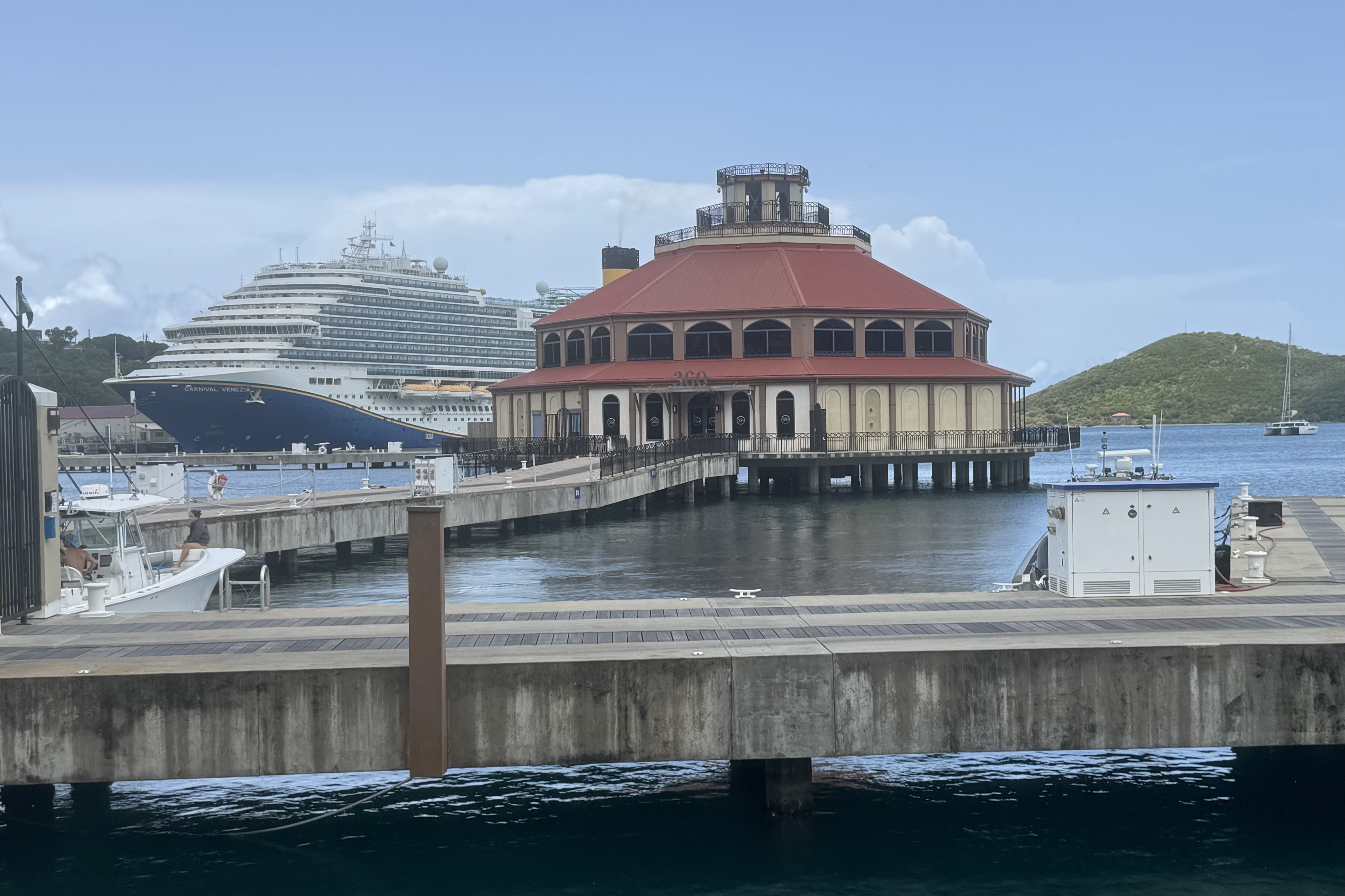
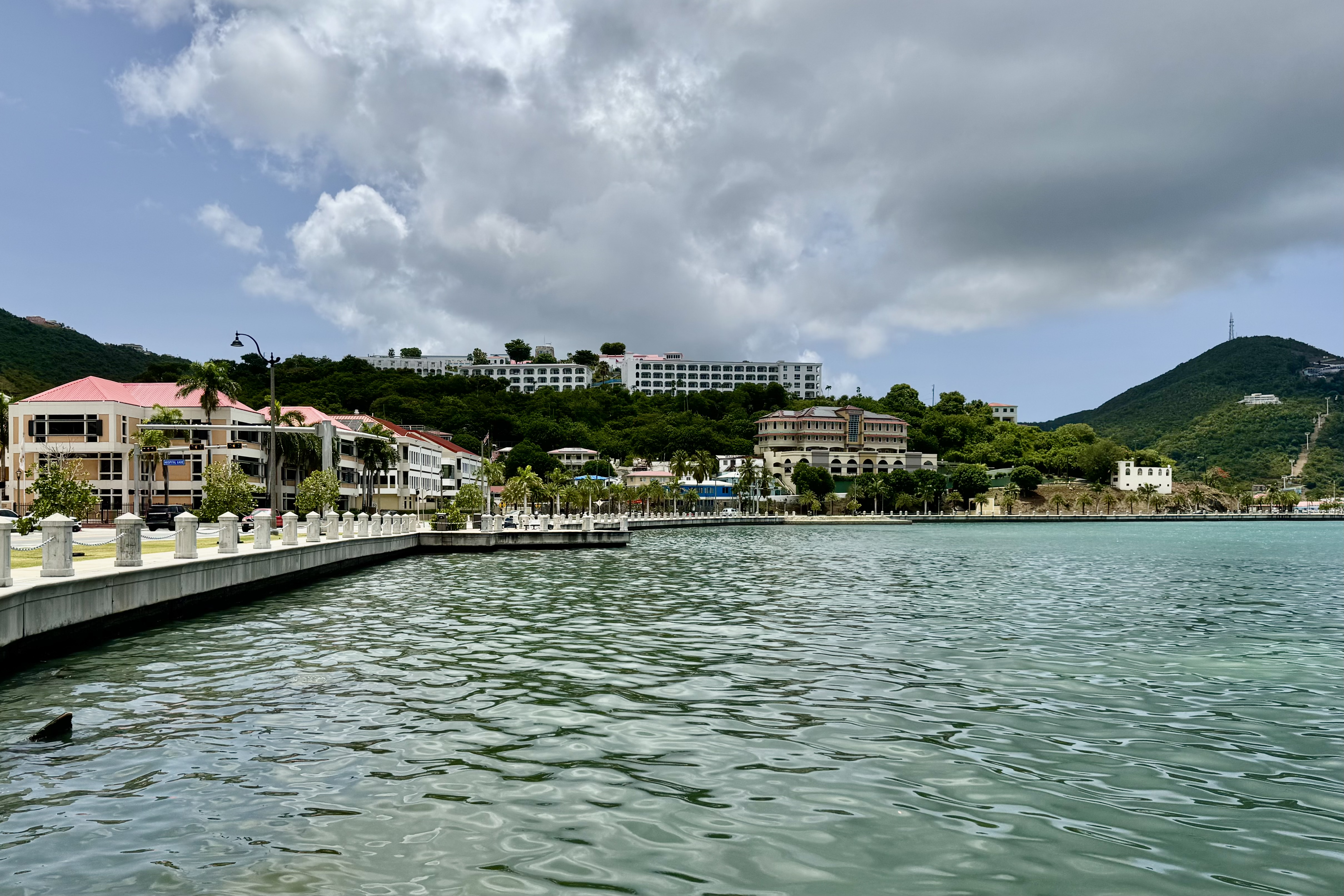
Having successfully escaped the bauble hustlers, I thoroughly enjoyed traversing the stone and concrete promenade that hugs the harbor and thus was protected by a four lane heavily trafficked thoroughfare.from the Charlotte Amalie sales force on the other side. There was but one floating city, the Carnival Venezia, with a 4000 passengers capacity . It seemed to me that the cruise goers were totally immersed in their pretend Piazza San Marco experience that there were a scant few on the streets .

We headed back into the cobble streets of the town for a thirst quencher and before long it was time to trudge back to the hotel, retrieve our luggage (from that dodgy hotel) and catch the 3:00 pm ferry to St. Croix. With about an hour before we needed to go to the ferry terminal,  we decided to take up residence in the hotel lobby.  Whether the multi-purposed porter, concierge, parking lot attendant did not want us loitering  in the lobby or perhaps he was grateful for the nice tip he received for storing our luggage, he bade us follow him to across the courtyard to the business center which had baskets of snacks (which we descended upon like vultures)  and chilled water.  Best of all were the electrical outlets so we could charge up our devices in case we got marooned at sea on the way to St. Croix during that “lengthy”  2 hour ride. 


No Fish on This Reef, Escalante Needs an Escalator, and Hoodoos Shooting Skyward

I got on the road late morning from Gunnison CO and selected a longer but designated scenic highway to Arches National Park. With minimal traffic, I at times felt like I was the sole individual who preferred to drive scenic highways. There can be such joy in the journey and this day was joyful.

The route put me on Interstate 70 for about 40 miles and per usual I was grateful to get on a beautiful secondary road, one of those roads on my AAA maps marked with ………… designating it as awesome scenery. It would take me through Capitol Reef National Park and Grand Staircase Escalante National Monument. I had visited Capitol Reef in 2016 so opted for a cruise through its magnificence on the way to Bryce via Utah scenic byway 12, aka “Wild Roads.” Escalante was new territory.

Scenic Byway UT-24 (also named Capitol Reef Country Scenic Byway) is more than just a sneak preview to the equally scenic and incredible UT-12. From Hanksville to Torrey on the far side of Capitol Reef National Park, the panoramas and the artists’ palette that painted this area was splendorous. It seemed we had gone mostly from the red “hot” spectrum of colors to a “cold” array of the grey and chocolate hues of our nature world.

The scenery really been to pop around Hanksville, along the Route UT-24 . Factory Butte was grand and was a kaleidoscope of what might be termed as cold colors . Here there is a little something for everybody. Swing Arm City, near Caineville is an OVH recreational area which is intended for off-road vehicles (such 4×4, dune buggies, motocross bikes) but is open to all vehicles. I only drove in a few hundred feet ( there is no road marked) but it felt surreal and a bit like a lunar landscape, with the Factory Butte and the North Caineville Mesa on the horizon.

Heading into Capitol Reef, via the eastern entrance , the light blue, greenish-gray, and off-white tones of the sedimentary rocks was quite remarkable but I also found the solution cavities in these roc k surfaces ( known as honeycomb weathering) notable. These surface holes are caused by the weathering effects of wind, water, and ice but they are only surface.

But it wasn’t long before the vermillion, white, red and pink sandstone formations that are so prominent in most of the southwestern parks began appearing in grand style – one after another, like models on the runway strutting their stuff. Disappointedly , the scenic drive within the park was closed for road work but clearly there was still plenty of scenery..

Heading south from Torrey to Boulder Utah , it was a delight traveling on UT12, as the road ascended through the Dixie National Forest with numerous vista points along the route and to add a bit of fun, it was open range in which cattle are permitted to roamed. .. and that they did. It was 124 miles of scenic exhilaration. .

Once south of Boulder , the diversity of landscape again was evident as I began driving through Grand Staircase Escalante National Monument. This remote section of Utah is a vast and austere landscape with extensive expanses of grey-green photo-hungry rock-forms. I gladly obliged its photo thirst.

If you have followed my travels, you will certainly comprehend why this was “the magic kingdom” experience to satisfy my driving bliss which occurs when traveling twisting , curving roads with switchbacks and hairpin turns. The breathtaking overlooks, sweeping views, and steep inclines pushed my adrenaline into overdrive.

A stop at the Head of the Rocks Overlook was a must. The big sky views over the Grand Staircase Escalante National Monuments showcased this slick rock terrain in its fashionable shades of white, pink, vermillion, tan, chocolate , and grey.

I was in no rush to get to Bryce as I was staying in The Lodge at Bryce Canyon, on a mesa near the canyon rim, and hence no camp set-up or meal prep. I was DONE camping for this trip. Finally I pulled in around 6:30 feeling totally sated by the Capitol Reef and Grand Staircase smorgasbord. After the desk clerk arranged for a ground floor room (since I had been assigned 2nd floor with no elevator), I received all the necessary instructions including the time to go to Sunset Point for sunrise and Sunrise point for sunset. Figure that one out? After checking into my room, I decided on a brief walk along the canyon rim as the sun was beginning its downward slide.

Though I have visited and hiked in Bryce before, my first look was of enchantment and awe. I proceeded to dinner in the Lodge dining room (mediocre) and then a rest up for a fairyland adventure on the ‘morrow.

This rustic lodge like many of the other historic park lodges is constructed of milled timbers, steeply pitched roofs, and extensive stonework. There is the large lobby for socializing, stone fireplaces, and a large dining room. Unlike many NP Hotels, there was internet service but true to form no televisions in the room or cable service…all intended to promote socializing and experiencing the natural world..

If you can imagine rocks as a lyrical poem or dance between weathering and erosion, you might be imagining the process that creates these unique shafts of rock that grow skyward from the bottom of the basin in Bryce to the tip of the hoodoos. Hoodoo means to bewitch! These shafts are so enchanting that they evoked in me a steady stream of wonder and amazement at the deep reds, soft pinks, oranges and creams of these sentinels.

I had already decided I was not going to do a hike down into Bryce Canyon as at the altitude of 8000 feet the thin air was leaving me quite short of breath upon exertion. Brochures kept reiterating you will usually get down in 1/3 the time it takes you to climb up and out. I had hiked down many years ago and it was as magical then as it was today. At some point I would take an easy hike on the rim and focus on the views of “the amphitheater” later but first complete the scenic drive from the hotel out to Rainbow Point before it got too crowded. In retrospect, that was not a worry because there were relatively few cars on this day at any of the view points.

Sunset Point Elevation 8100 feet

Inspiration Point 8100

Bryce Point Elevation 8300 feet

Paria View Elevation 8175 feet

Fairview Point Elevation 8819 Natural Bridge 8627 Elevation

I was nearing the end of this scenic trek via motor car and feeling grateful for this halcyon day and the grandeur of this small but very unique section of our country. The final “push” was views from Ponderosa Point( elevation 8904); Rainbow Point (elevation 9115) ; Yovimpa Point; and a short 1.3 mile hike of the Bristlecone Loop at Rainbow Point.

On the drive back to the Lodge, I was also extremely thankful that so many presidents and congress have had the foresight to make conserving land a priority and thus bringing so much joy to like minded Americans who revel in immersing themselves into so much unspoiled wilderness. I hope I can pass on some of this awe and love to my grandchildren (my adult children already embrace the natural world. )

By far the most iconic section of the park, the Bryce Amphitheater ( so called as it is a bowl shaped area formed by the drainage of seasonal rains and melting snow) is home to the greatest concentration of the irregular rock spires called “hoodoos” and I had explored almost all of the viewpoints along the first 3 miles of the main road except for Sunrise Point. I headed towards the mercantile and visitors center before retreating to the Lodge until sunset and then I walked to the last viewpoint I would be visiting : Sunrise Point. This was another spiritual experience as the sun sank below the horizon behind us but lit up the sky before me.

The only glitch in this otherwise perfect adventure was getting lost in finding my way back to the Lodge’s Sunset Hotel where my room was located. I had stayed on the rim until almost dark and had meandered all the way to Sunset Point which I soon realized was a ways beyond my lodging. I somehow did not recognize the path leading to the lodging and was quite disoriented at first. It was quite dark by now. Once I took the time and got my bearings, checked the map (I always take a picture of it so it is stored on my phone, ), turned on my iPhone flashlight, and hopped on the bike path, I knew I would get “home.” iPhone saves the day! I have done remarkably well on this trip for being quite directionally challenged.

The next morning, it was time to head west and make a beeline for my Oregon home….with one more stop to briefly re-visit Great Basin National Park but not stay and camp as I had originally intended. That “beeline” would take three days. Route 12 took me through Red Canyon but even I balked at taking one more striking picture or red rocks. So I continued on through the Escalante Desert with the several low rise mountain ranges breaking up the vast expanse of relatively featureless desert.

Around three pm I reached the town of Baker in Nevada which was the entrance point to Great Basin National Park. It was early enough to take the drive up to Wheeler Peak which transitions from a massive expanse of the desert of sagebrush I just drove through to the treeless rocky peaks of the South Snake Range. As in several other parks, the drive to the final viewpoint of Wheeler Peak was closed for resurfacing.

With both towns and motels few and far between, I stopped in the town of Ely. Ely is known for the Great Basin National Park, the Lehman Caves… but the websites does not want us to forget that “one of the reasons why people travel to Ely…the gaming.” To game or not to game was the question I posed to myself in this town where I had my first opportunity to partake in Nevada’s gambling-free-for-all everywhere. Clearly gambling is not one of my addictions as my heart did not beat wildly at the thought of this opportunity. So I curled up in my motel, slept well, and headed towards Oregon on U.S. Highway 50 the next morning. Traveling westward from the Nevada border to Fallon (about 60 miles from Reno), US 50 passes through only two towns and one small city (Ely) between Fallon and the Utah state line, over 400 miles distant. It is thus known as The Loneliest Road in America. Rarely was the desert landscape was broken up, except by the Bonneville Salt Flats, a recreation area which is used for land speed racing.

The final day took me through the congestion of Reno and some massive road construction projects, and on into California on secondary roads through Susanville and to Mt. Shasta and the final stretch home on I-5.

I travelled 9642 miles solo through 24 states and 5 Canadian Provinces in 63 days: camped 29 nights though I had planned on more but incredibly awful weather change some of that; motels 21 nights ; and stays with family and friends 13 nights. I visited 9 national parks and completed my quest to finish visiting all 61 of the 63 National Parks in the contiguous states and Alaska. Get ready American Samoa and The Virgin Island for I will be there in 2025.