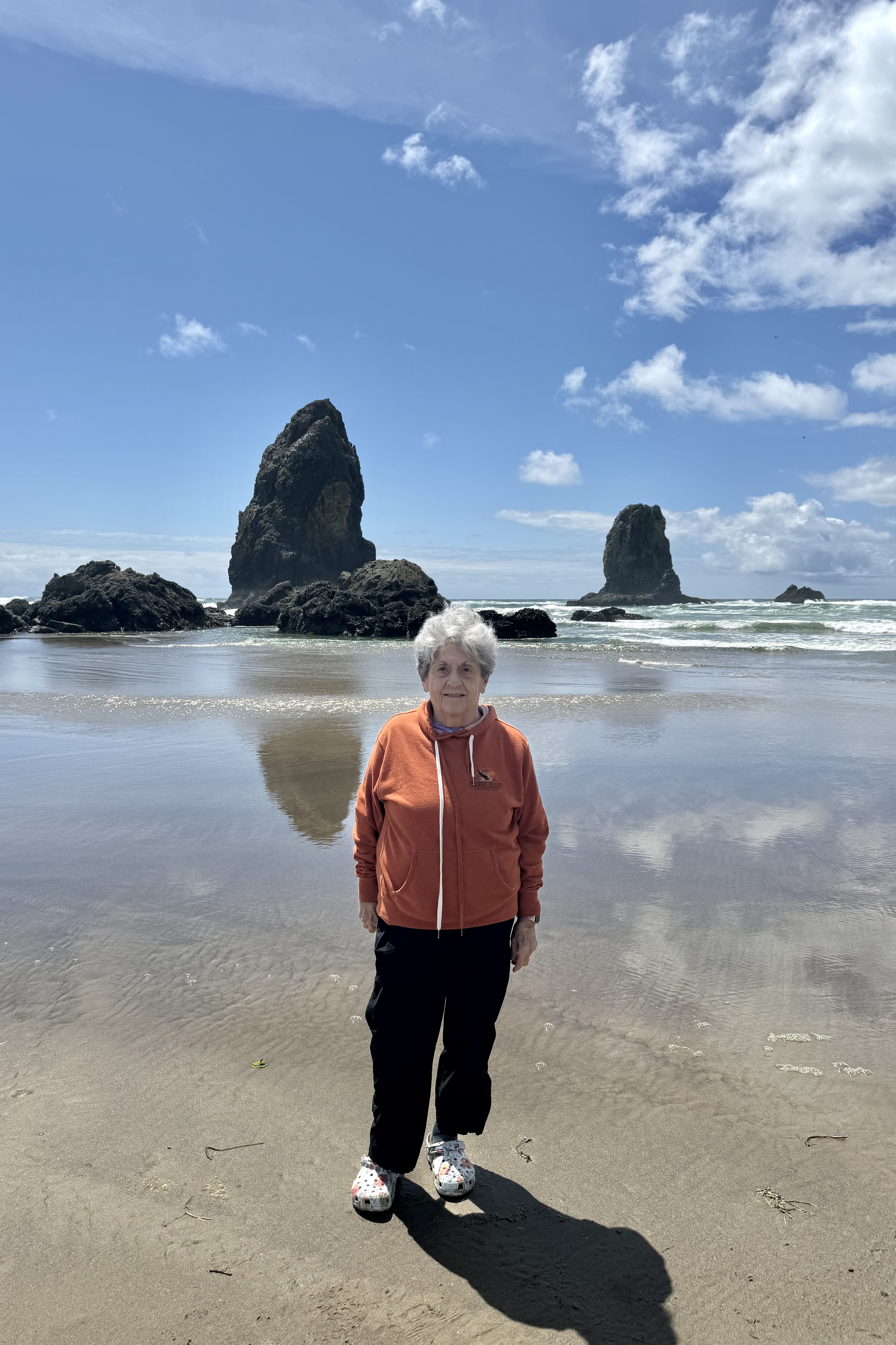
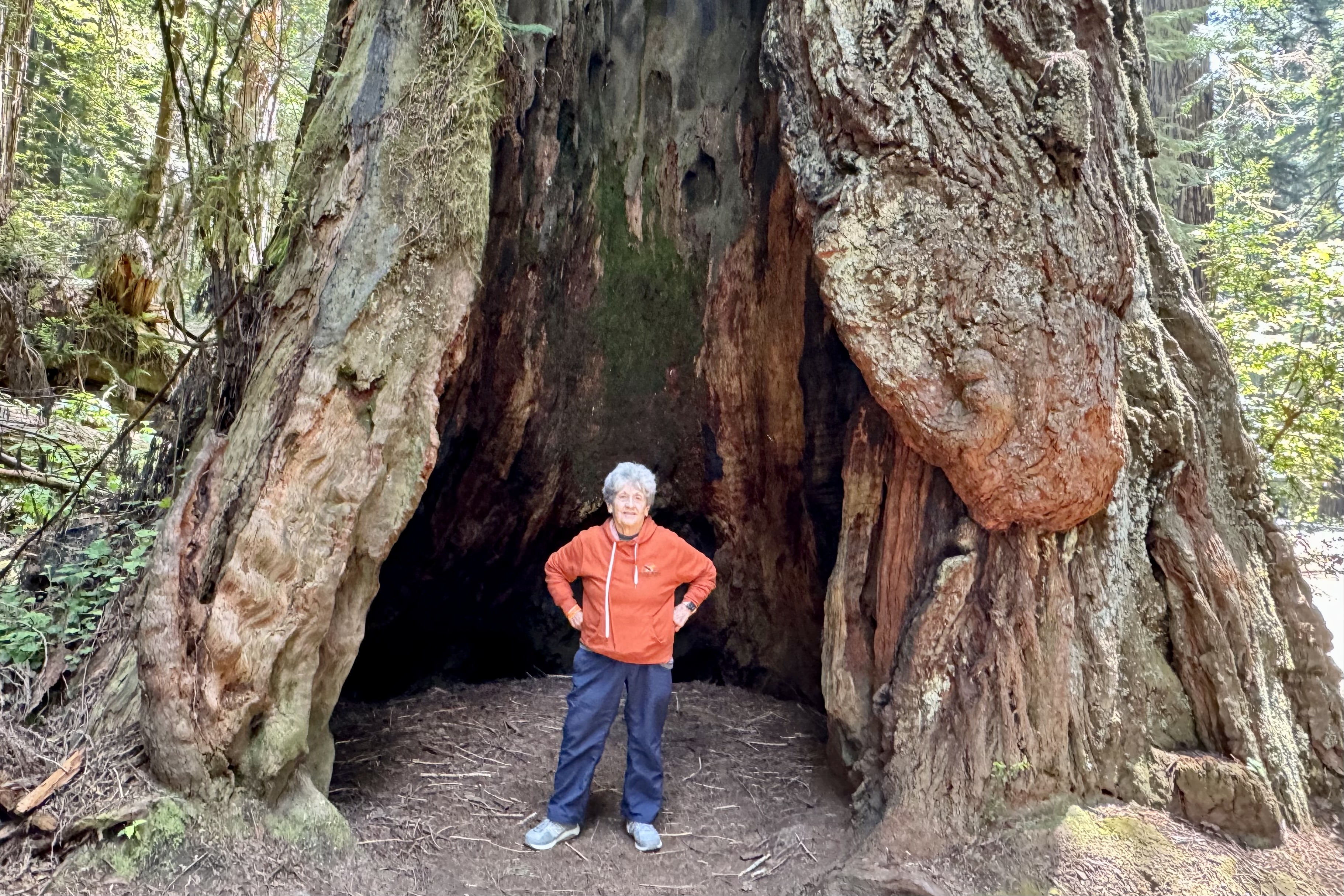
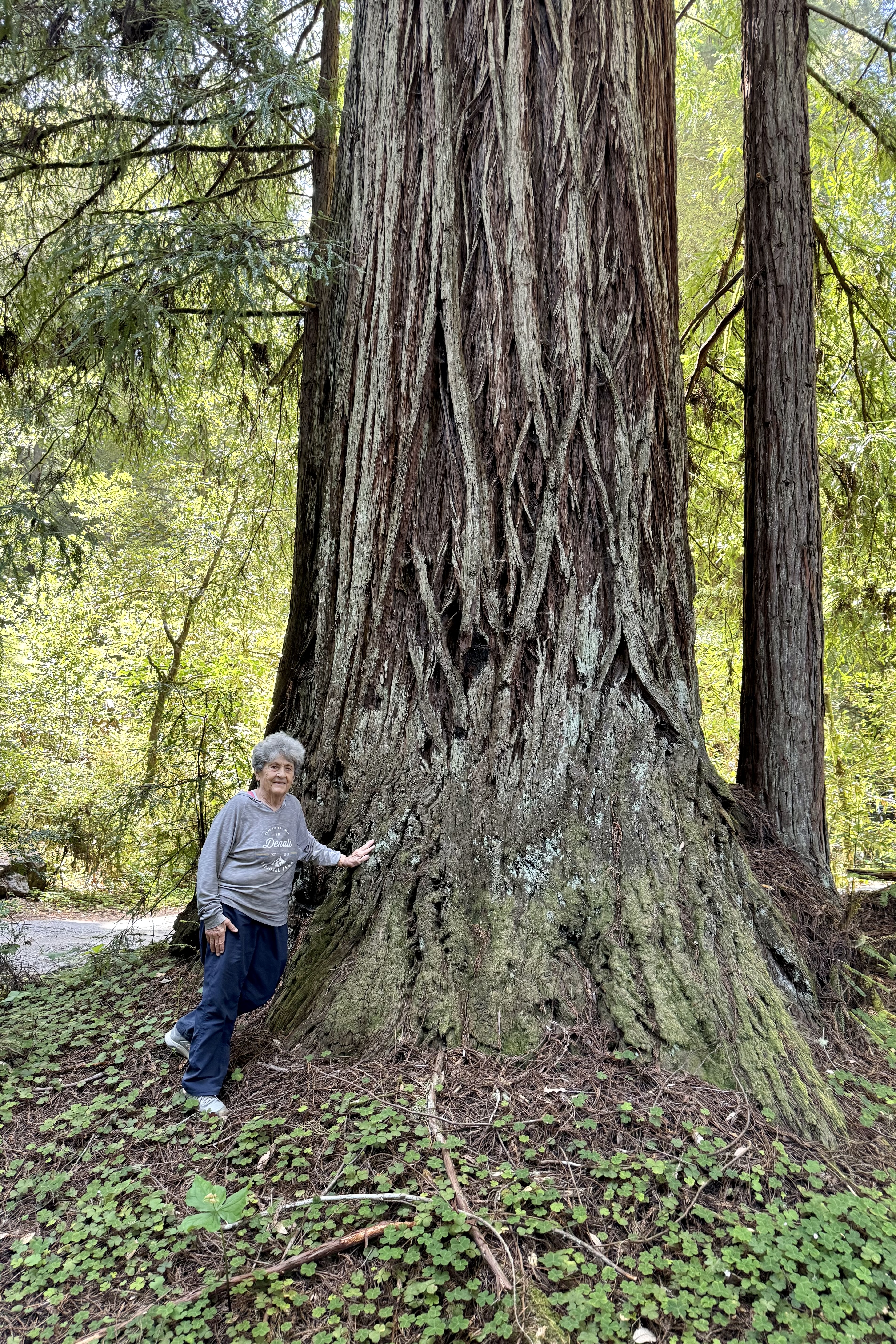
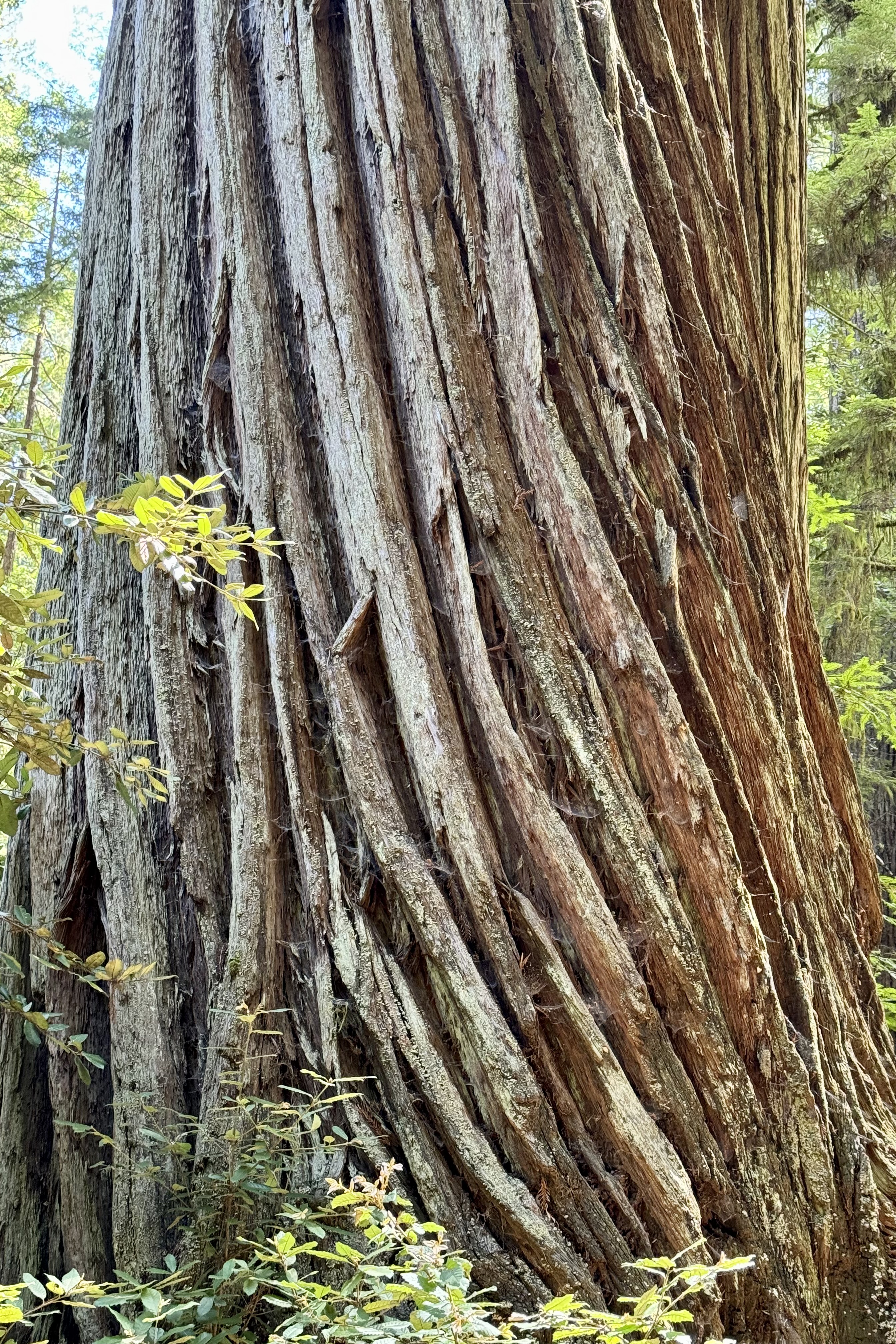
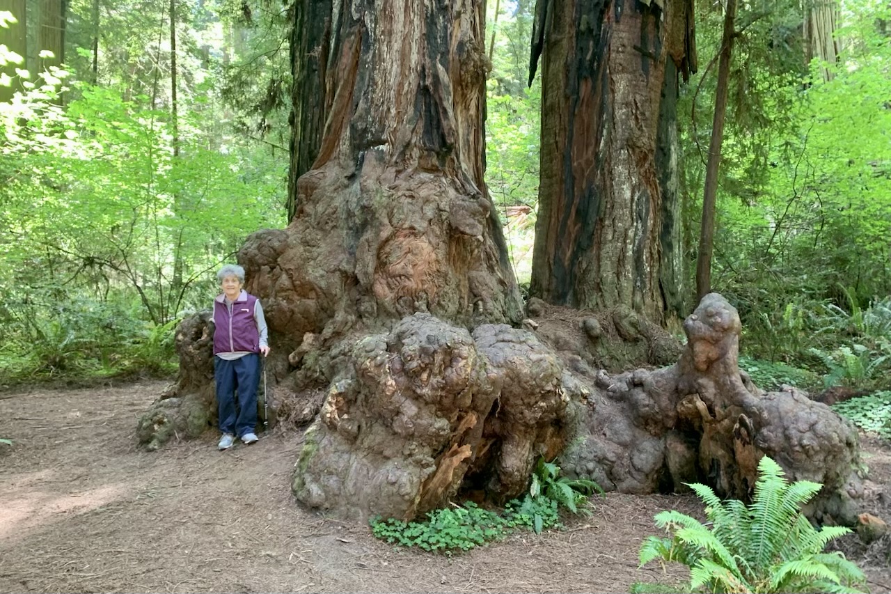
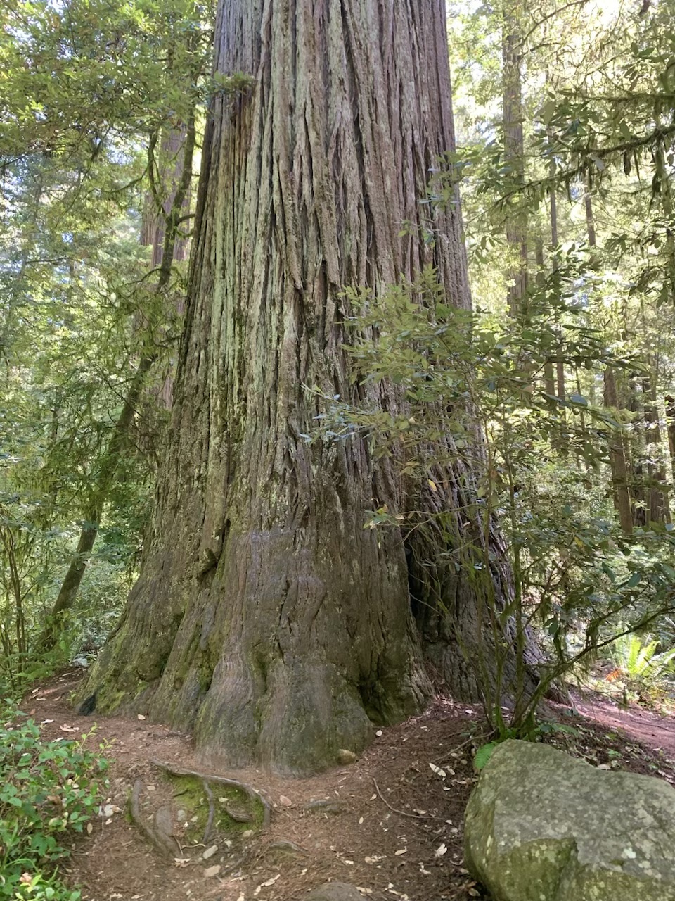
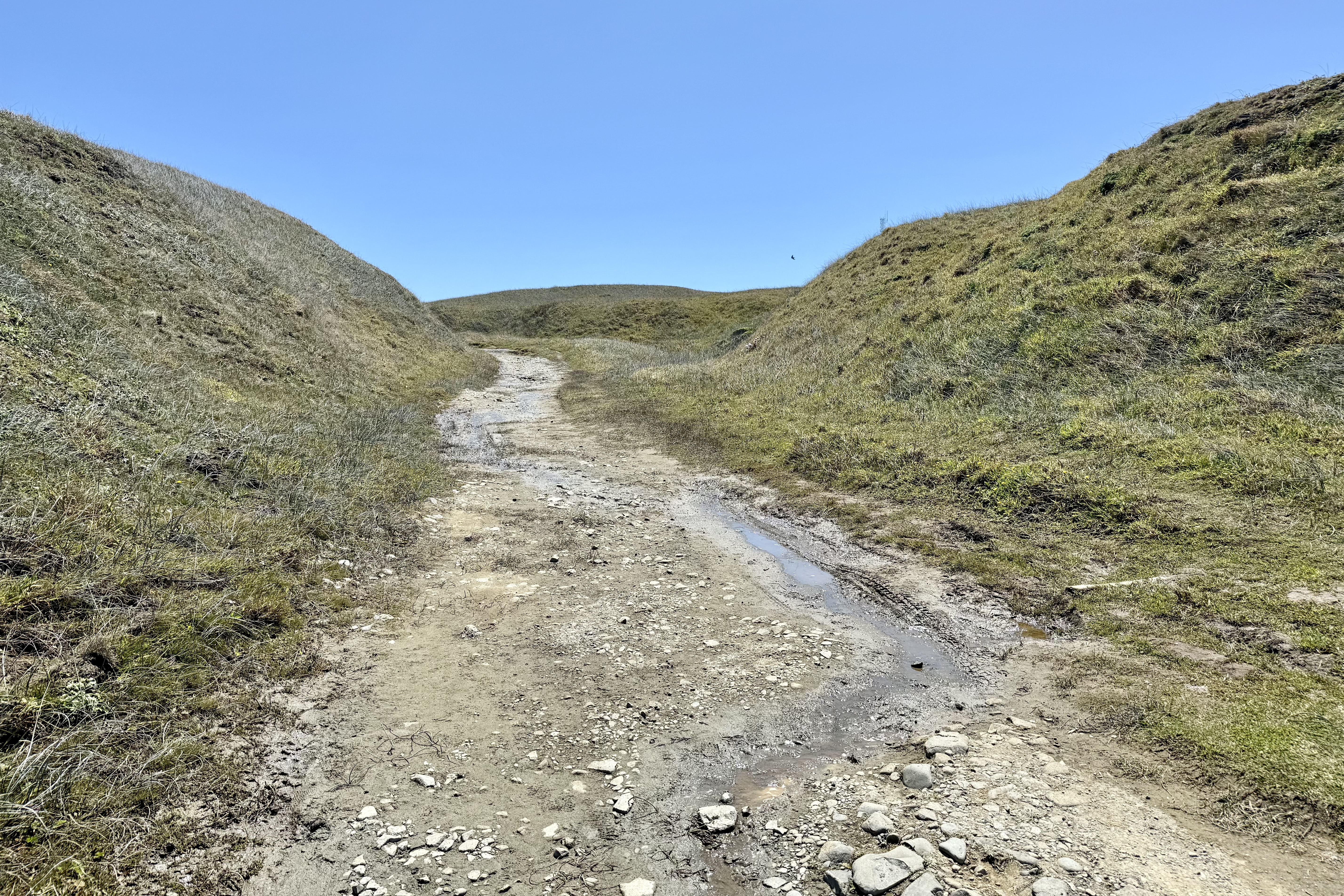
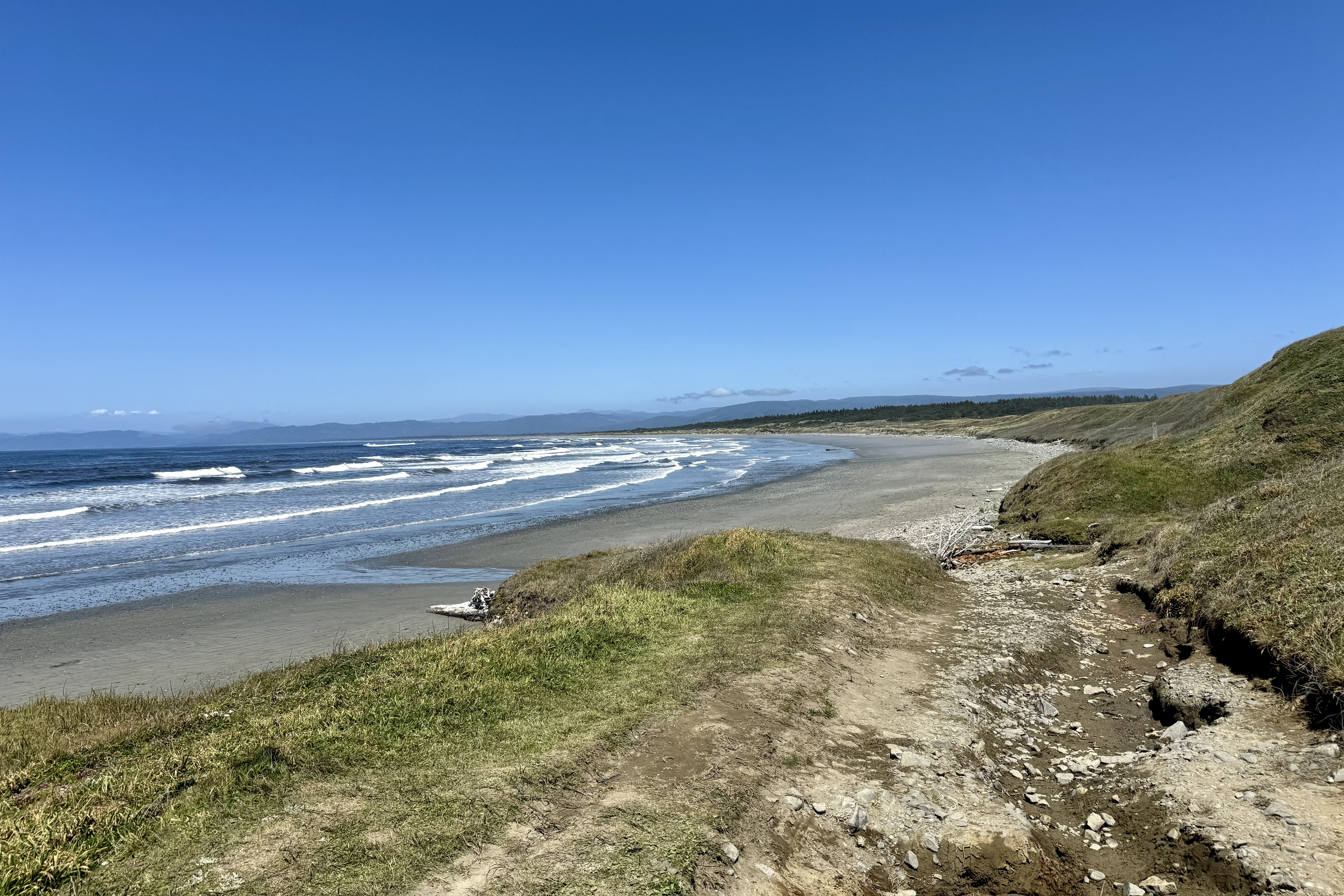
Feeling thoroughly diminutive admidst the Redwood behemoths (of course at 4’11” it is hard not to feel minuscule most places), I was ready to head up the coast of Oregon to hopefully reclaim a feeling of altitude. I have always found the Oregon Coast a spectacular place to experience. The massive sea cliffs overlooking the ocean waters are both picturesque and impressive but this image becomes significantly enhanced by the large, unique sea stacks, those insane rock formations that are jutting out from the sea. The sheer size and shape of them is quite impressive to witness. In fact, I yet again felt pretty small and insignificant with this array of “rocky beasts” sitting in front of me. Sea stacks are amazing vertical rock formations standing in the sea that were formed entirely by wind and water. The sea creates cracks in the headland, which later collapse, and thus forms free-standing stacks.
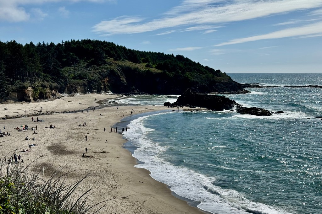
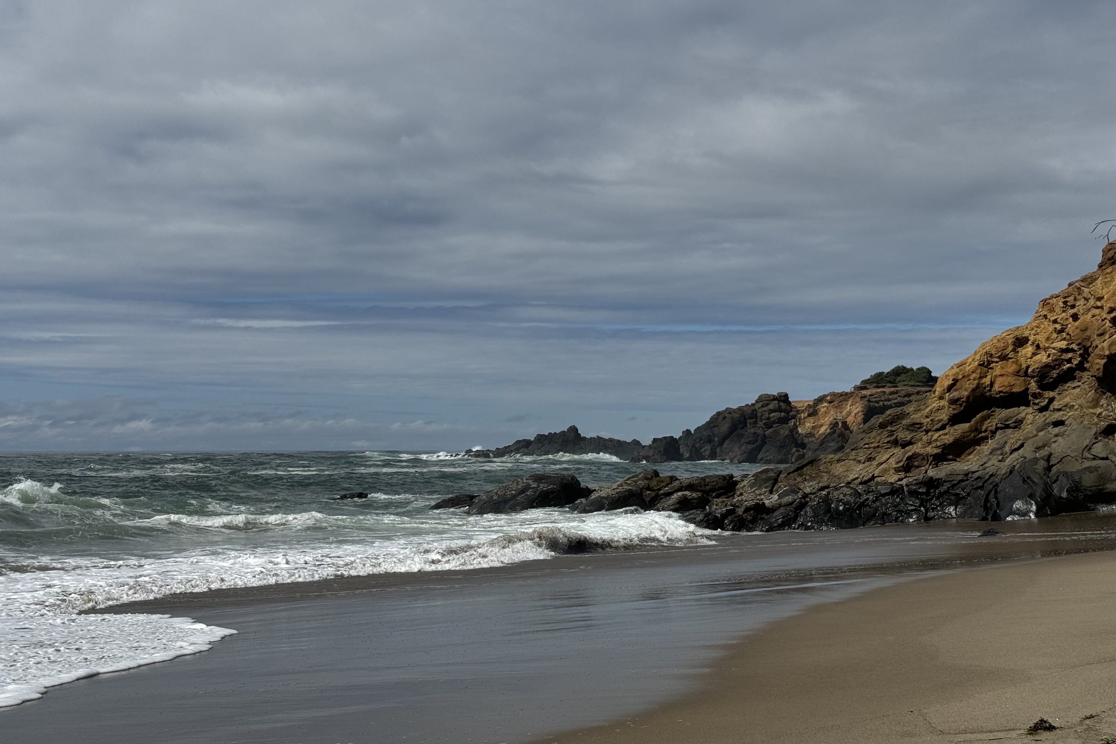
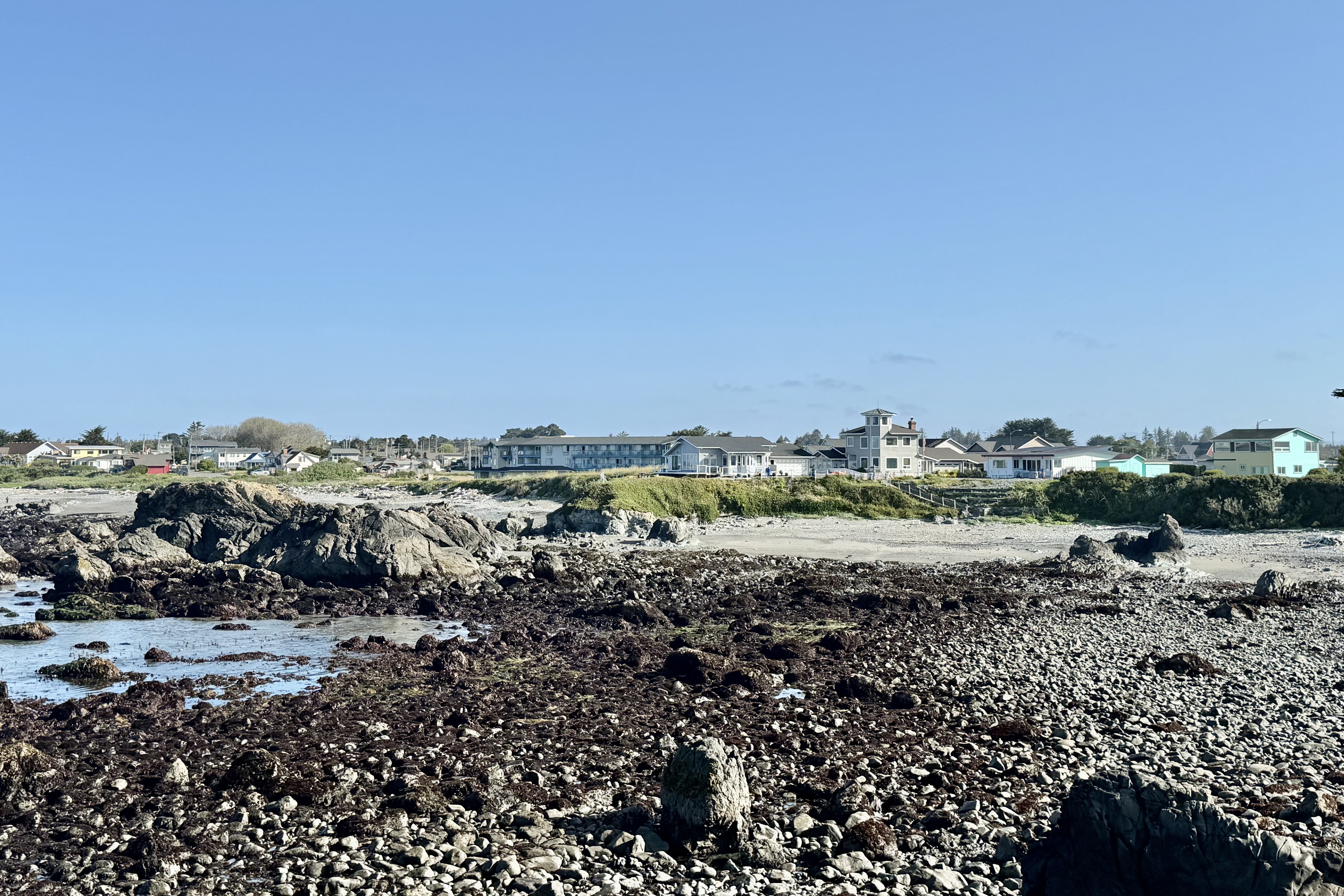
There were many scenic viewpoints overlooking Oregon’s free public coastline and my first pullout was at Harris Beach State Park just north of Brookings, a mere 27 miles up the coast. from Crescent City. Harris Beach offered a splendid seascape of a sea stacked coast and a driftwood dotted expansive beach. After soaking in the “serenescape” with the lapping of the waves on this beachy shore, I began to realize that if I stopped at each vista it would be way past nightfall before we made it up to the next stop of Depoe Bay OR (187 miles total).
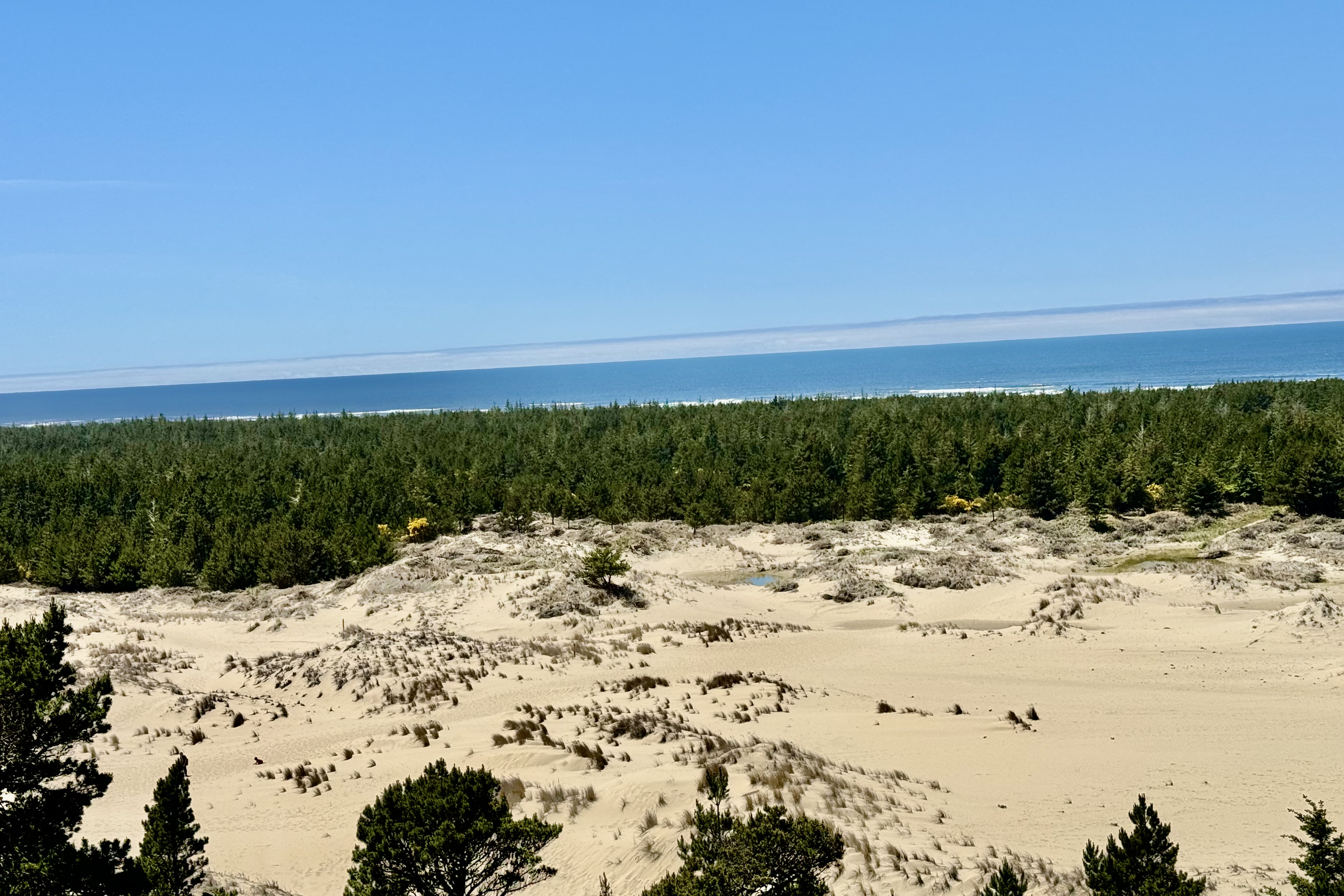
So I drove gently (well maybe not so gently) up the coast until our lunch stop 3.5 hours later at Gardiner and its overlook of the Oregon Dunes National Recreation Area. This is a 40-mile-long playground for sand-boarders, dune buggies and off-highway vehicles so if you are into climbing up sliding sands or roaring about in a noise emitting buggy this is the place for you. . Not being a fan of noise-enhanced recreation, unless it is a product of the earth’s natural forces, I made note to not put this area on the top of my bucket list of things to do in Oregon. To each his own!
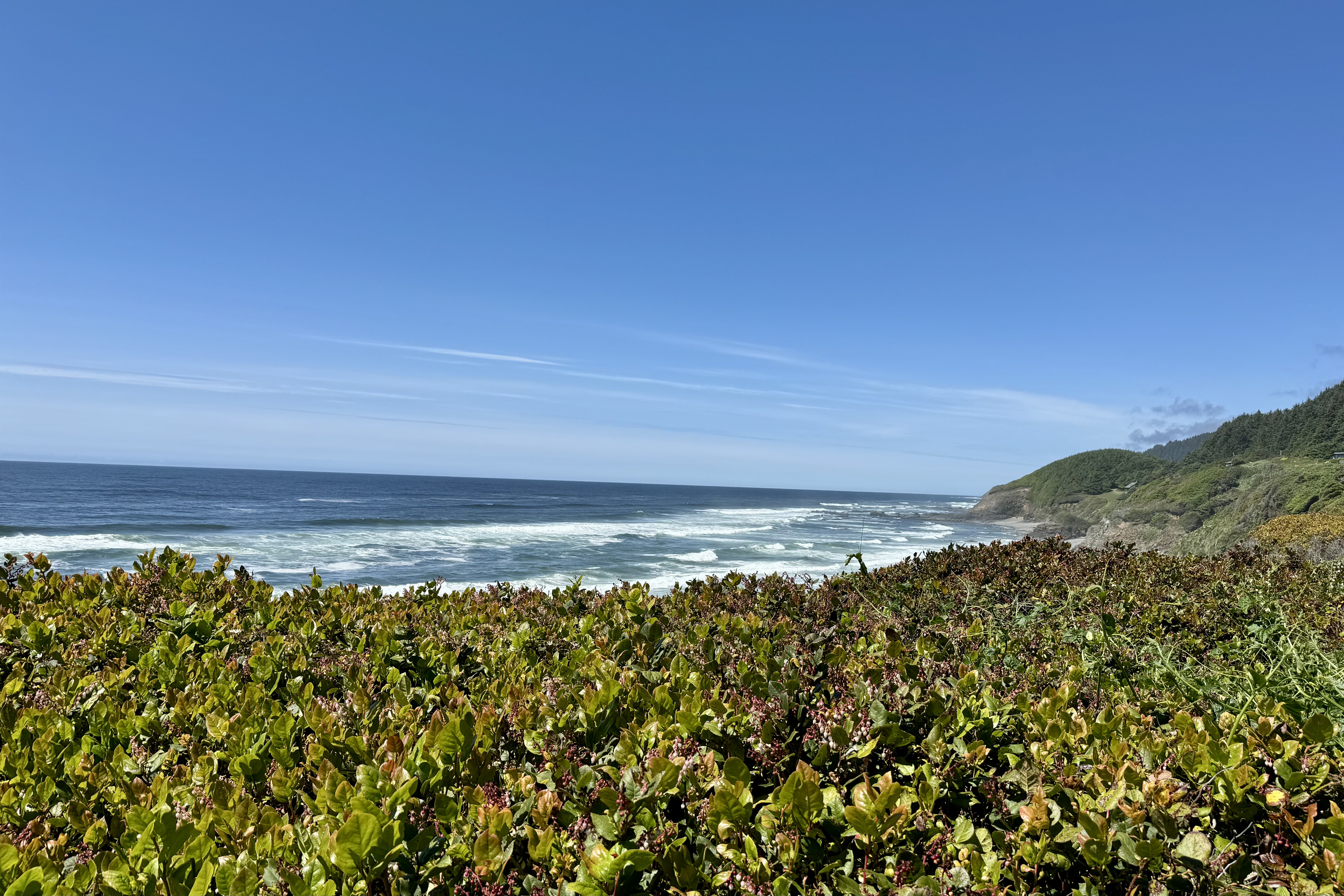
Yet again, its hard for Lady Spitfire (my car’s name) to not just veer off into a random scenic pullout so I found myself at the Tokatee Klootchman State Natural Site on a bend that is dangerous to pull into when traveling northbound between Florence and Yachats. . The big vista from this elevated wayside is pleasing but not flashing dramatically plunging cliffs nor vast dunes. I viewed cobbled pockets of beach between dark bedrock formations and thought it perhaps would be a good whale watching vantage point but the steep overgrown trail down to the beach did not call out to me. Soon we were safely back on the road and finally arrived at the Lincoln Beach/Depoe Bay area, and our bed-siting-room for the next two nights. Our hotel, definitely weathered beaten by the offshore winds and perching perilously close to the eroded bluff, was a great spot to for a land lubber to scan the horizon for whales. Though weather worn on the outside we were in lovely refurbished room overlooking the ocean.
Why Depoe Bay? A seawall protected town, Depoe Bay’s harbor is noteworthy for being the smallest natural active navigable harbor in the WORLD. But that can’t surely be the reason for choosing Depot Bay you might surmise as I have never been on a tear to search out navigable harbors (US National Parks for sure but not harbors).
Voila! Depoe Bay is also known as the “whale watching capital of the Oregon Coast”. The ocean currents near Depoe Bay seem to draw whales to its horizon and the town, anticipating whale migrations, has a Whale Watch Center (which was closed the day I was there), shore observation decks, and charter boats for up-close viewing. Since 20,000 whales migrate south and then back north yearly, I anticipated catching the end of the northward migration which occurs between March and end of first week of June. Since it was the last week of May I was eager but also resigned to settle for observing a few of the stragglers carving their way north.
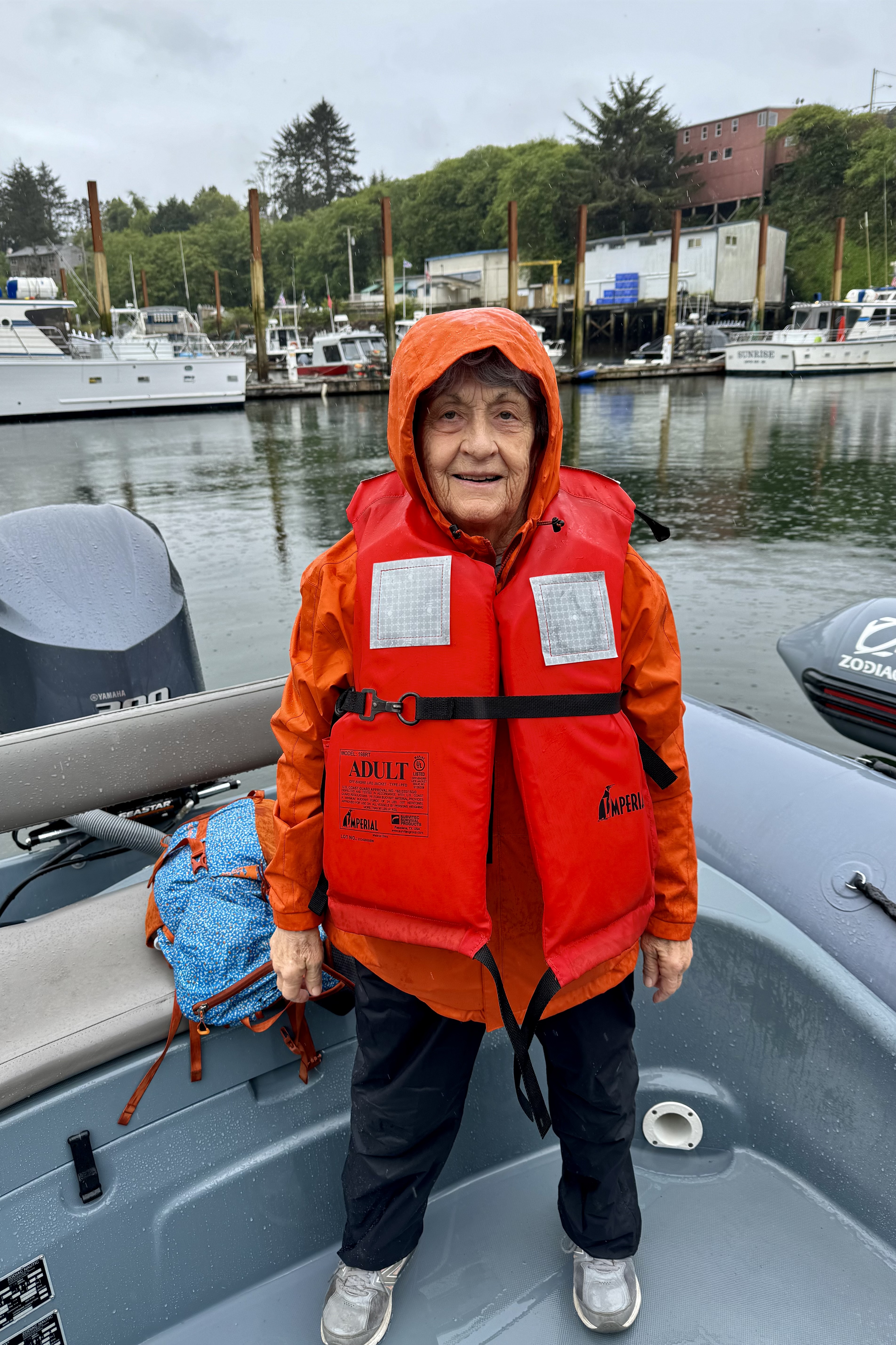
So the next morning we made our way down to Depoe Bay and hopped aboard a zodiac RHIB (Ridged Hull Inflatable Boats) for what I hoped would be a thrilling whale watching tour. First some caveats. I was not exactly thrilled when the skies let loose with a downpour as we were readying to board our inflatable. I was even more rattled and less than thrilled as I had to negotiate the hypotenuse of a right triangled gangway ramp to reach this “rubber duck”. At this point I had a flashback to the last time I was in a rubber boat …a white water rafting adventure where everyone ended in the drink, so I didn’t exactly try to hop aboard this dinghy. So it was even a less thrilling challenge getting from the dock into this rubber dinghy which meant getting my body onto and over the flexible tubing to the bench seat in the aft of the raft. But with assistance of our “Salty Dog Sailor “ who would be piloting our craft, I deftly plopped myself onto the bench seat in the stern, ready for our “Whale’s Tails” excursion as we navigated through the world’s smallest navigable harbor. Wow! Well, to be honest, I wasn’t exactly wowed by the harbor!
The brochures advertising this excursion touted these boats as low-to-the-water, comfortable, quiet, speedy, maneuverable, and stable allowing one to spend more time around the whales and have an up closer and more personal perspective of whales and other marine life. Of course this premise assumes that there is going to lovely weather and there will be whales with whom we can have this very personal relationship. I am sure theses massive aquatic mammals were gliding gracefully through the deep blue blending into the underwater world, disappearing into the depths of the vast ocean, but on this day they did not have the courtesy to indulge me by dramatically emerging from the depths, surging upward, and majestically leaping skyward and descending with a thunderous smash… or to even spout a gentle mist from a blowhole. I am surmising that their echolocation capability sensed the somewhat tumultuous waters above generated by the wind and rain and wisely had no desire to emerge from the calmer seas below. Approximately 200 gray whales are “residents” and hang out between from June to October in the area but chose not to grace our whale watch expedition.
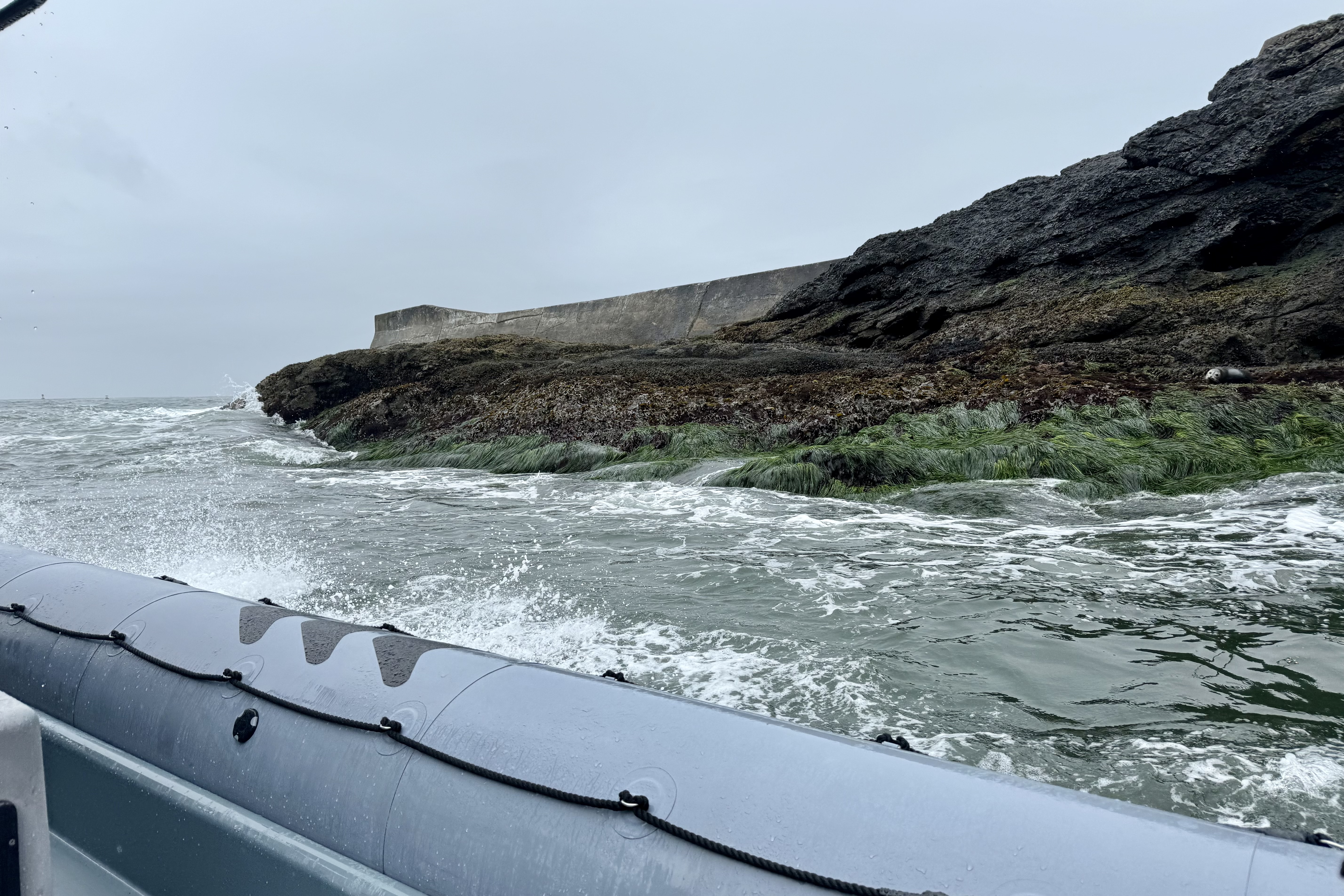
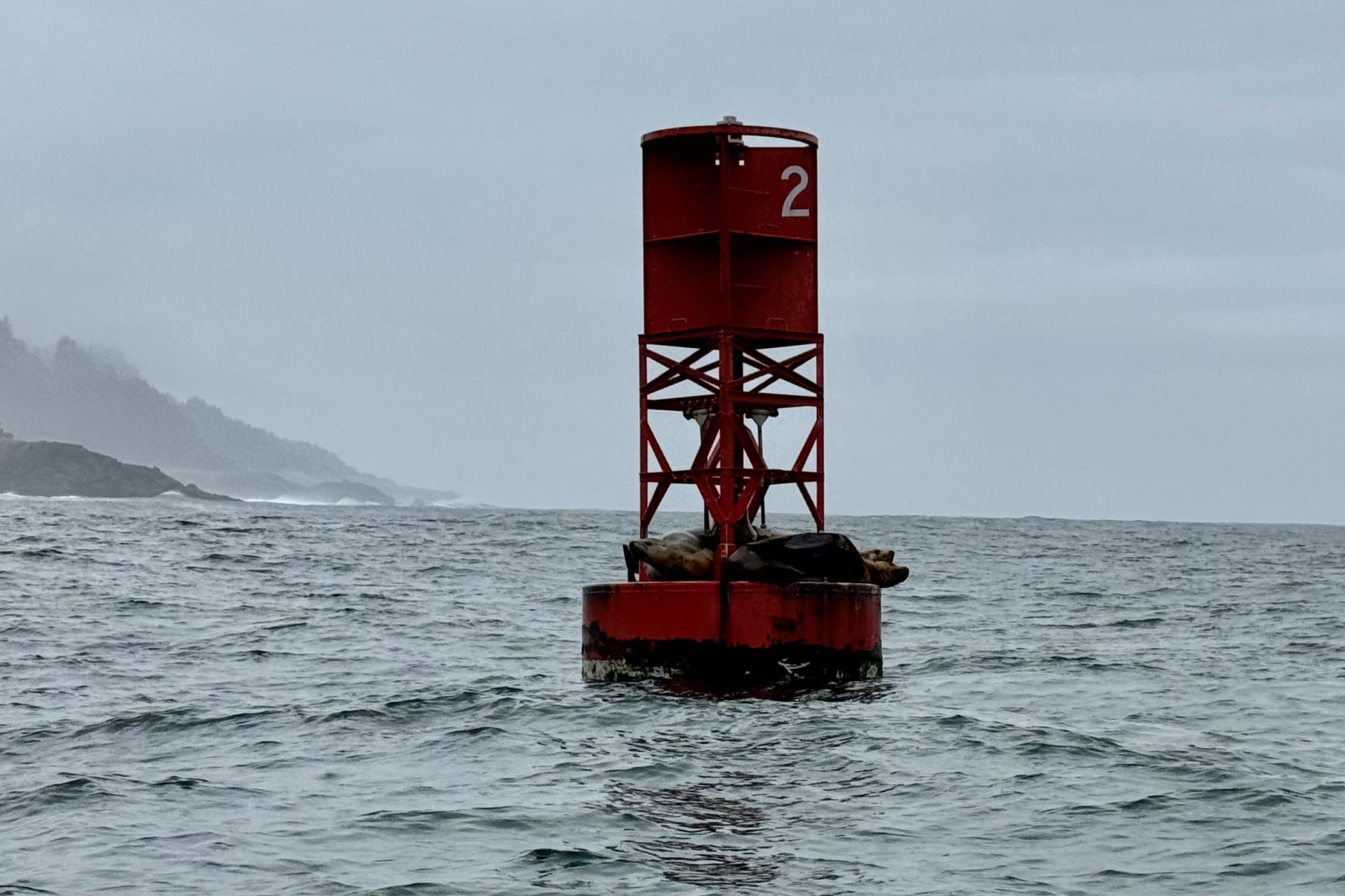
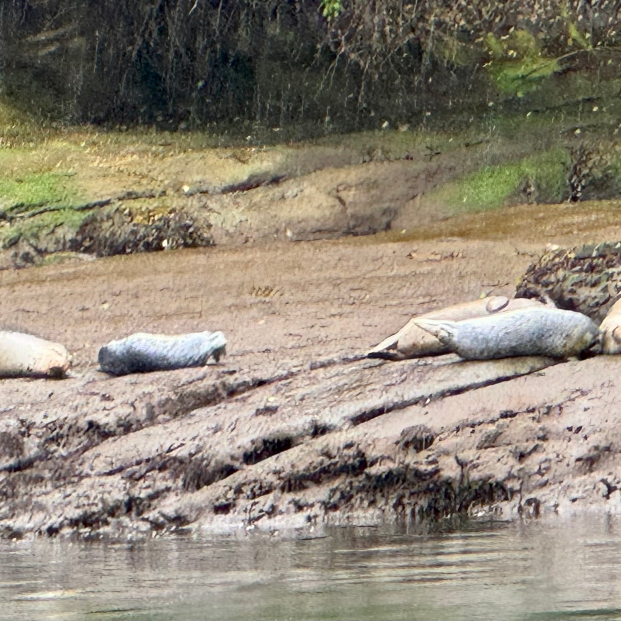
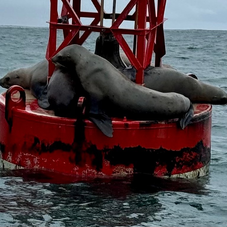
This was definitely an adventure but not of the kind I anticipated. I do not even have to tell a tall tale about having a thoroughly immersive encounter with the elements of nature, experiencing the untamed energy of a steely gray ocean, the hiss of the raindrops on the water, and my cold rain drenched attire. Oh, and lest I forget, the pleasure of being choked by the bulky orange “buoyancy aids. ” Our total wildlife sightings: one flock of birds feeding on a school of fish, 4 harbor seals on a channel marker, and 5 harbor seals on the harbor embankment. My gratitude list: I was not seated in the bow with the wind and rain pushing against me and I was somewhat protected from a total direct hit of the piercing drops by the pilot’s console and windshield.
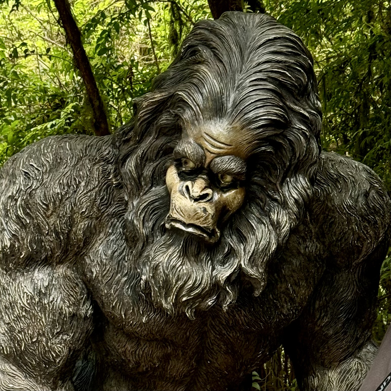
After stripping off the drenched outerwear it was time to do the other touristy thing. Depoe Bay is clearly a tourists’ town, evidence by the large number of tourist tchotchke shops and eating establishments advertising clam chowder. So, who am I to try and swim upstream, so I had a nice hot bowl of clam chowder at the Chowder Bowl of Depoe Bay. Afterwards I decided to have a bit of a personal chat with Sasquatch as it seemed every tourist shop, retail clothing store, sock shop etc. had a picture of this large, hairy, humanlike creature emblazoned upon just about anything. I was hoping to get a bit of insight into this phenom but he/she was quite mute. A visit to the whale watching center was thwarted due to the fact it was closed.
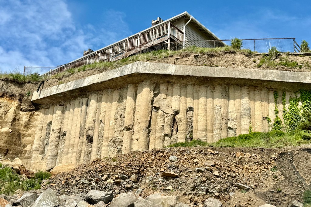
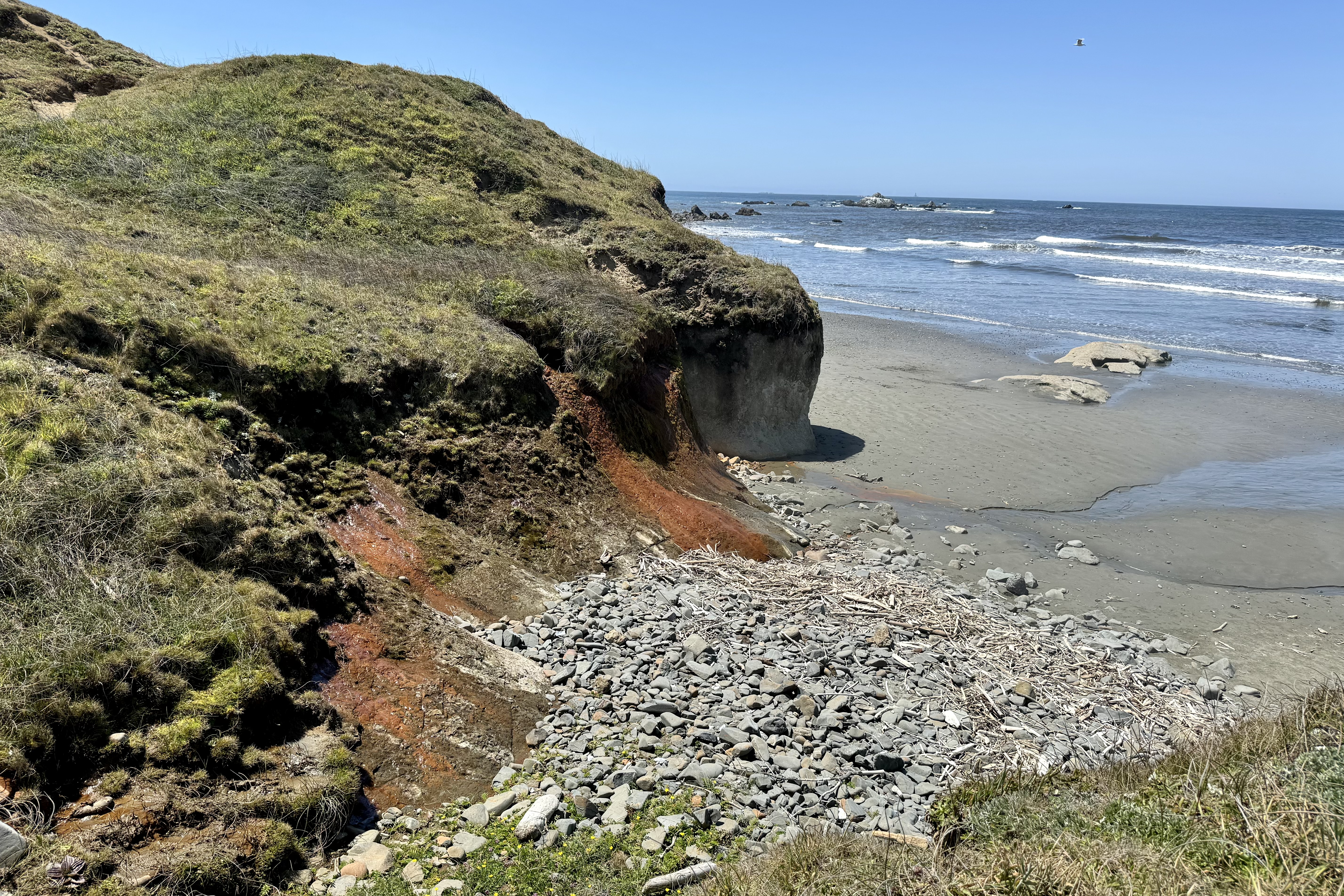
The day naturally turned sunny late afternoon and I was motivated to walk the beach of Fogerty Creek State Recreation area near our hotel. The erosion is significant but it is definitely a fascinating peek into the geology of some of the coastal area.
One of the best night-caps ever was a brilliant sunset at the end of a wonderful day of adventure.
The following day was a travel day and I was headed up to the Kalaloch Lodge in Olympic National Park WA. Enroute, my intent was to stop in Cannon Beach, renown for its sea stacks and the iconic Haystack Rock. Cannon Beach appeared quite trendy and a stop at the Driftwood Restaurant was a wise choice before venturing towards the beach and stacks. Parking was limited so wanting to get up close to the rock required parking on a side street and walking about 1/3 mile to the staircase which was the ingress to the beach.
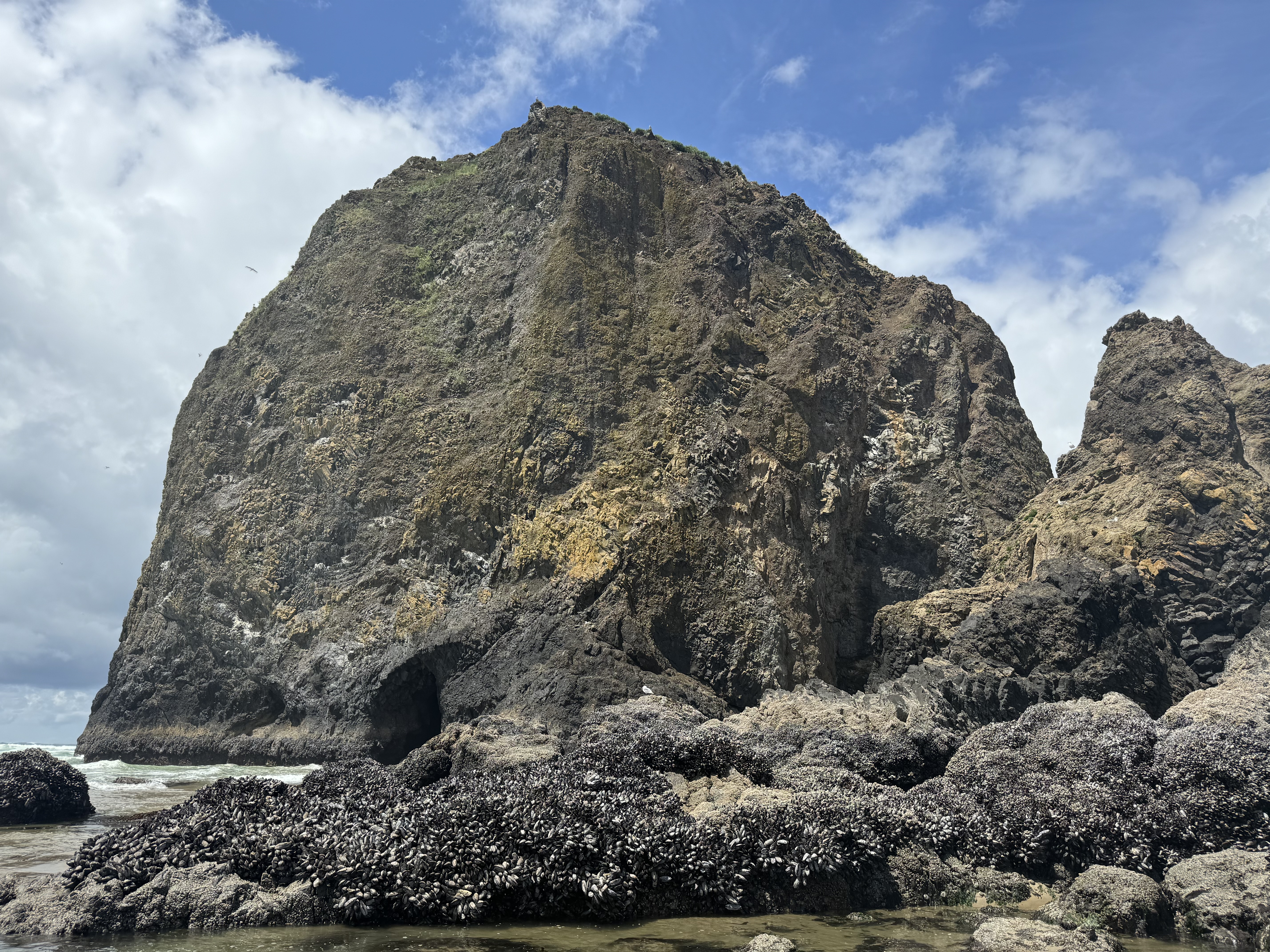
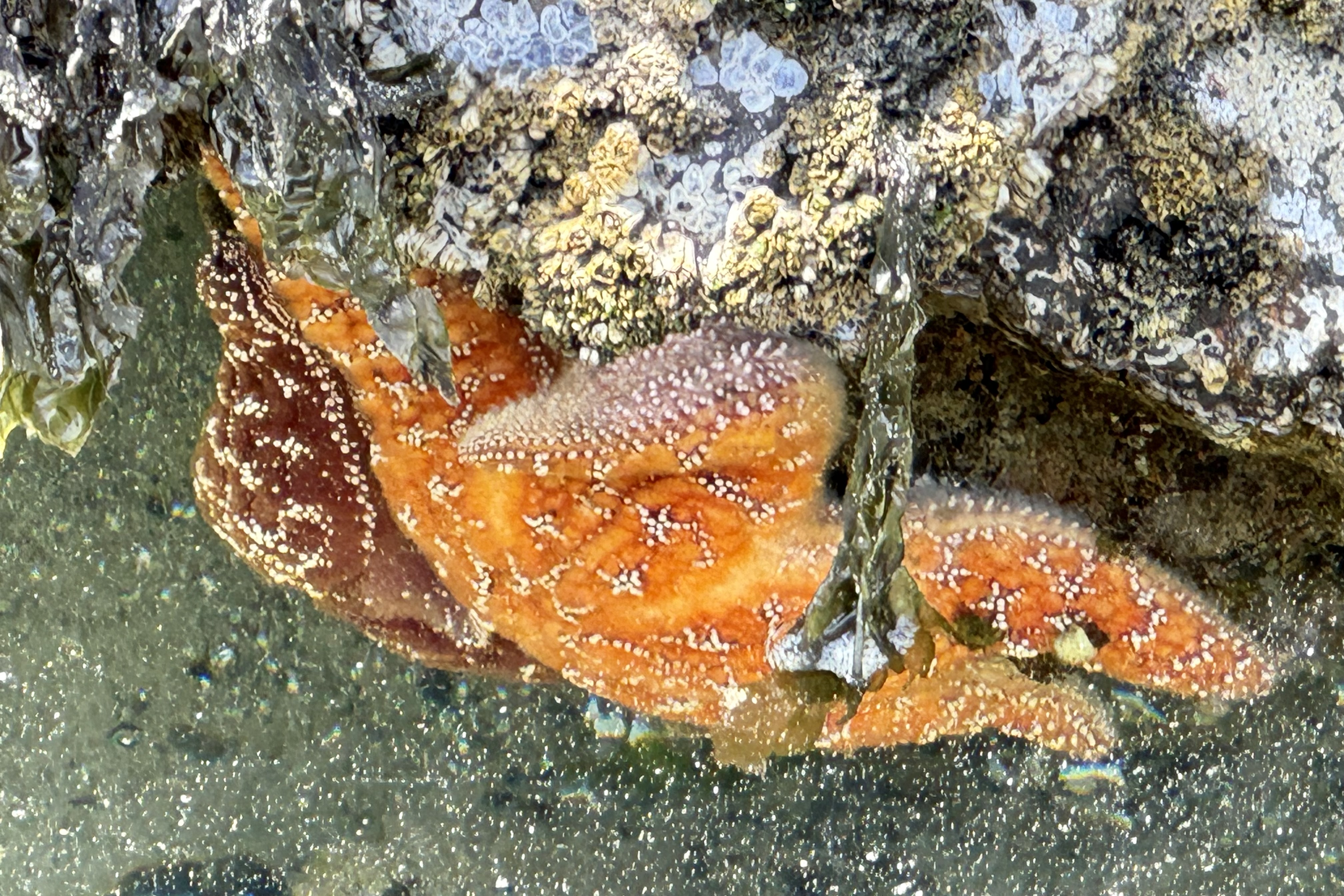
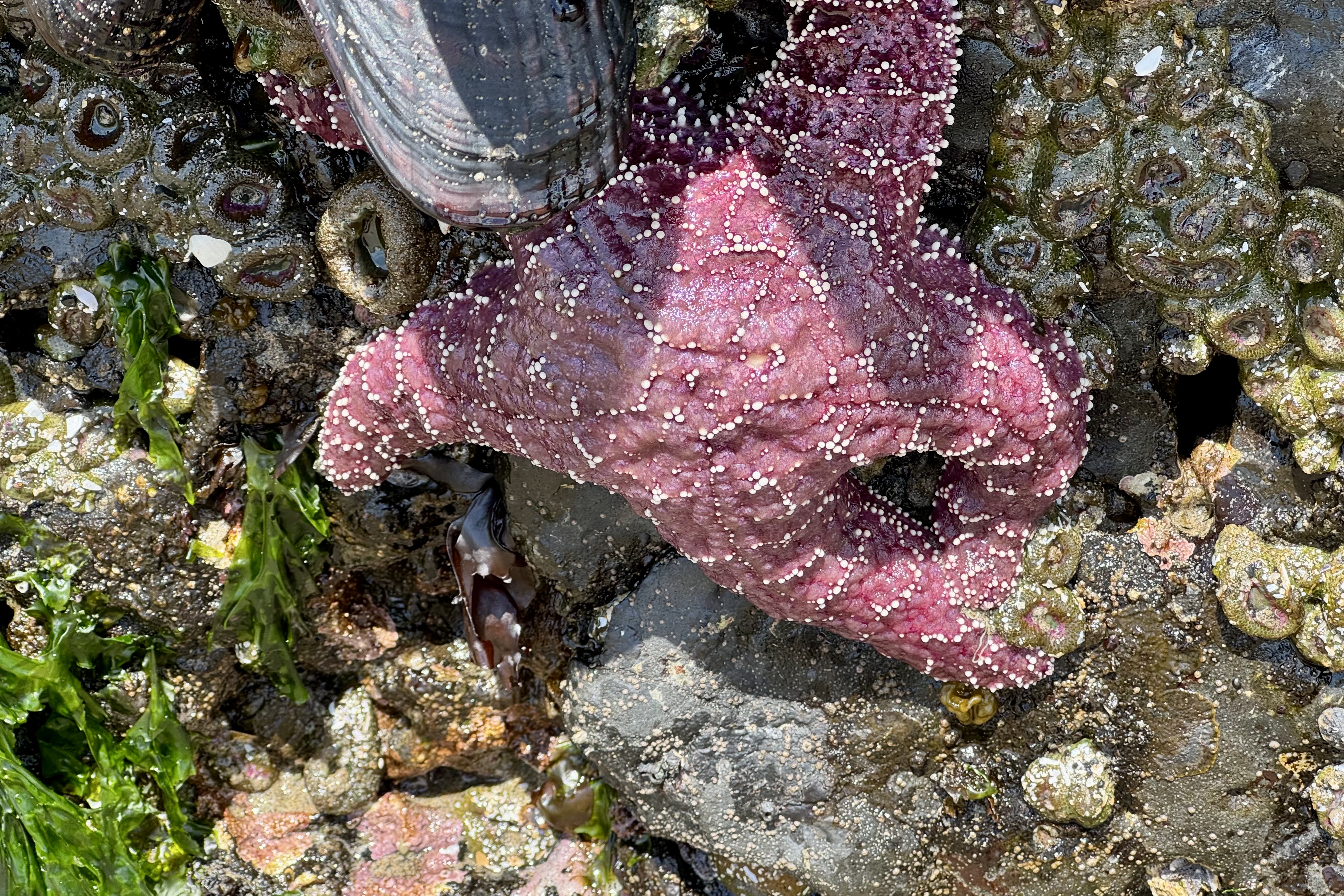
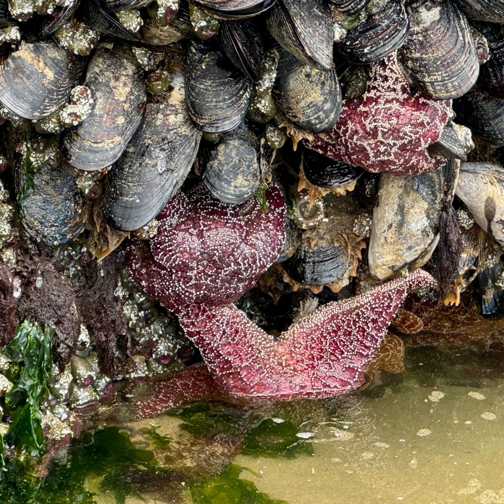
This 235 foot monolith(3rd in the world in size) is impressive and the “marine garden” surrounding it is vibrant. The tide pools are teeming with green sea anemones, sea stars , barnacles, and rocks elegantly draped in brilliant lacy mats of green algae. A poor rating of one star on Trip Advisor stated” it is just a rock…we didn’t bother getting out of the car.” They have no idea what they truly were missing out on.
I could have stayed longer, mesmerized by the tide pools and this seaside sanctuary but I still had minimally a three and one-half hour drive to the Kalaloch Lodge so I bade farewell to this breathtaking seaside landmark. We were no longer hugging the coast but the drive to Kalaloch was low traffic winding rural road and we arrived at the Lodge by the dinner hour.
Hugging big trees was the expressed wish of a Floridian friend, when we discussed a potential joint vacation. The palms of Florida aren’t exactly known for their massive trunks or the swath of shade they generate. Since I live in the Pacific Northwest, I immediately envisioned a trip to Redwoods National Park and perhaps other western national parks which are definitely beautifully draped out in extremely old and very large trees and extensive forests. Though I had no keen yearning to hug a big tree myself (especially those with slimy moss or sticky sap) , I mused that I could probably find a itinerary that would accommodate that wish and my desire to revisit some of the other national parks of the Pacific Northwest Region including Redwoods, Olympic National Park, Mt. Rainier, and Crater Lake, completing a big circle back to our starting point of Medford OR.
So after retrieving my friend and her luggage (which surprisingly arrived intact) at the Jackson County OR Airport, my mission at the moment was to head on down to Crescent City CA and the Oceanfront Lodge , our accommodation for three nights. My preference when traveling is to drive secondary roads ( isn’t there an old saying that the “the joy is in the journey” ) rather than what I find boring – the tedious frenetic interstate highways. This did not disappoint as, of note, enroute was the appearance of “Weed Man” offering free “weed” at the Oregon/California border. This was not about weed control (the kind you use on you lawn) nor a chance to buy legal weed since recreational marijuana is legal in both states, but a ploy to get travelers out of their automobiles to browse their flee market tables full of goods other people no longer wanted or needed. That ploy worked as my friend craved having her photo taken with the “Weed Dude” but definitely not to consume the weed itself. We definitely opted out of a shopping excursion.
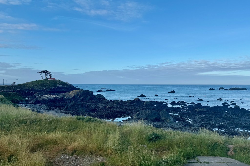
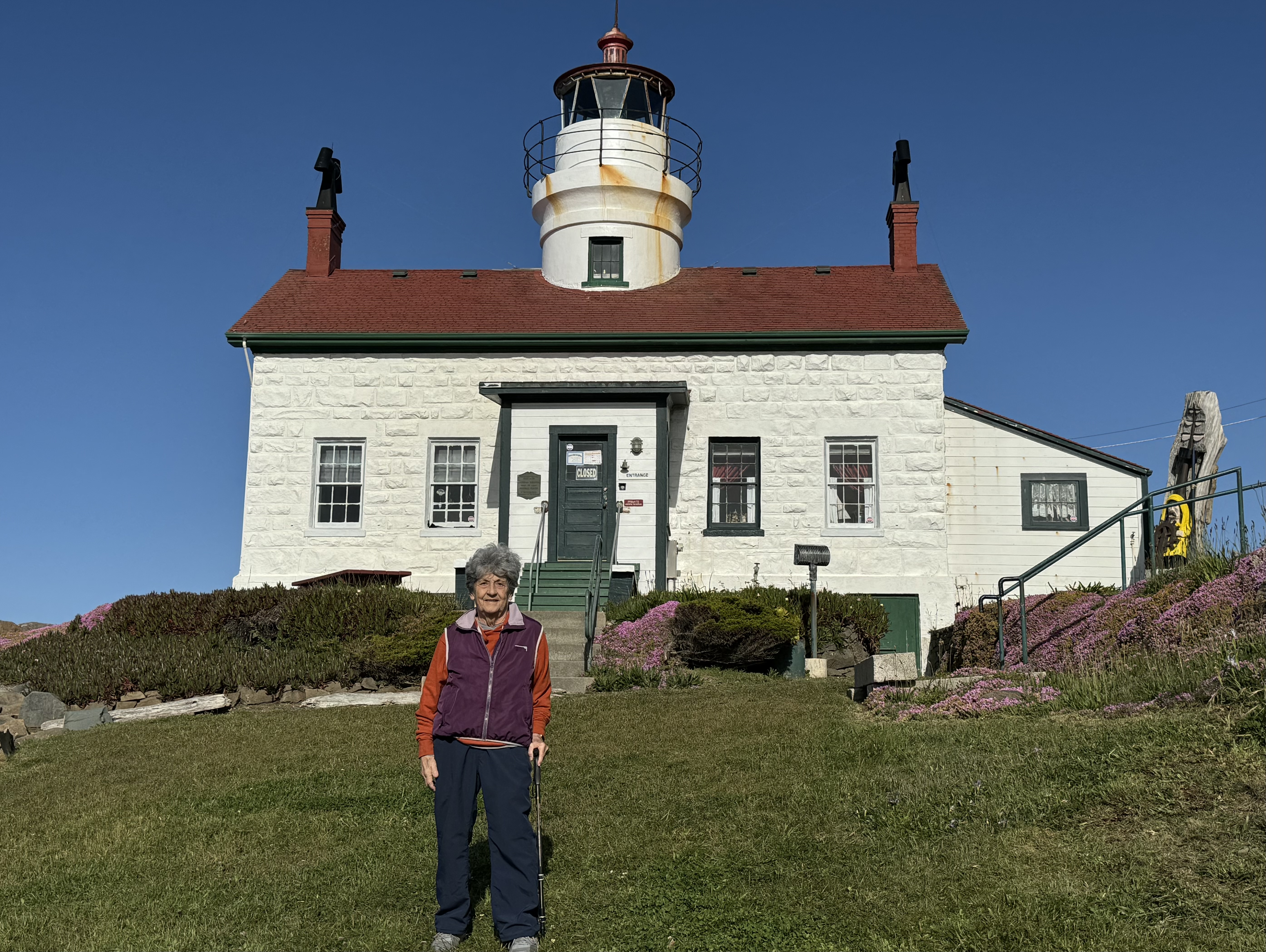
As is quite often the case, coastal cities in the Pacific Northwest get fogged in and true to form we were greeted with a temperature of 54 degrees and a shroud of fog at the oceanfront location of the Crescent City Lodge, the home base for three nights. The best part of this hotel was its seaside location and the awesome views, especially when the fog was no longer a gauzy blanket over the Pacific. The Battery Lighthouse was a picturesque part of the view and was within walking distance. My first order of “business” was to head down to the beach. Seeing no unencumbered path, I laboriously inched my way down through the vegetation, driftwood, and stones to scattered patches of sand. A rough rocky shore, previously not a challenge, was definitely a safety hazard for my osteoporotic bones and my need to use a hiking stick to hopefully avoid any tripping rocks and catastrophic falls on my barely healed gluteus medius and gluteus minimus muscles. With it being chilly and foggy, I was becoming more interested in filling my belly than beach combing on this unstable surface.
So it was back to the somewhat “tired” and dated room, which faced the ocean and sported a very weathered balcony and rather uncomfortable chairs. But just the magical sound and breeze of the ocean made up for a lot that the accommodation lacked. Sleeping with the sliding glass door open to hear the waves was so calming. Dinner was in the small understaffed restaurant downstairs with passable, though clearly not of the gourmet variety food. But the flavor was definitely enhanced by the expanse of the Pacific, viewed through the spacious windows of the dining room.
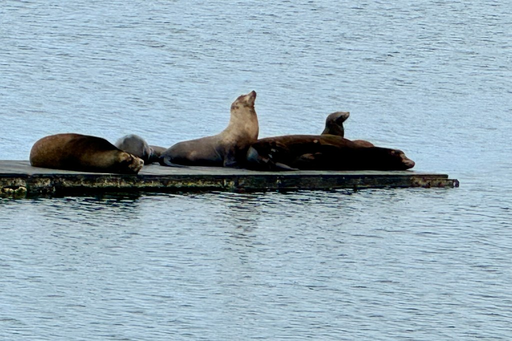
We awoke to a brilliant blue sky and were eager to be out and about. The first stop was at the Crescent City harbor to hopefully catch a glimpse of the resident harbor seals before they were out and about foraging for the days banquet. I guess by seal standards we missed the “boat” as there were but four of five hanging out in the harbor. So shortly we were on to the National Park Office to map out a plan for the two days in Redwoods.
An expressed desire of my friend was to visit Trees of Mystery and according to their brochure is “California’s premier attraction on the North Coast.” This seemed a bit of an exaggeration and though I was skeptical, I was game to give it a chance. This is not the type of tourist attraction I typically frequent having been programmed very early by my mother to NOT visit any “tourist traps.” We kids were deprived of experiencing the Michigan wonders of the Mystery Spot, the Underground Forest, and Sea Shell City so gaudily and frequently advertised along the highways.
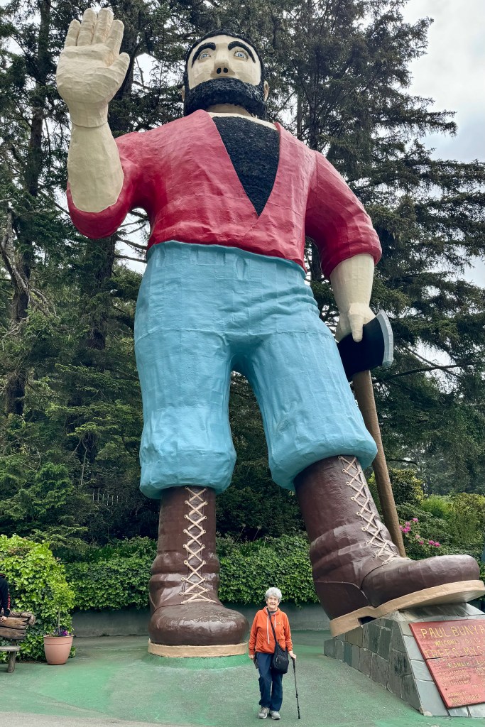
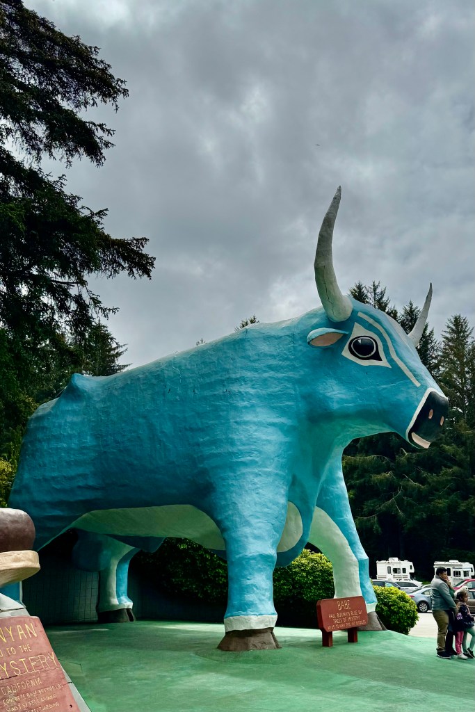
Upon driving up and being greeted by a massive talking Paul Bunyan and Babe the Blue Ox statues, I was even more skeptical as it looked mostly like a stop for kids and a bad attempt to copy a Disneyesque experience. But I was game as it advertised a canopy walk and gondola ride. Nevertheless, before we began, I felt compelled to have my picture take with Paul..
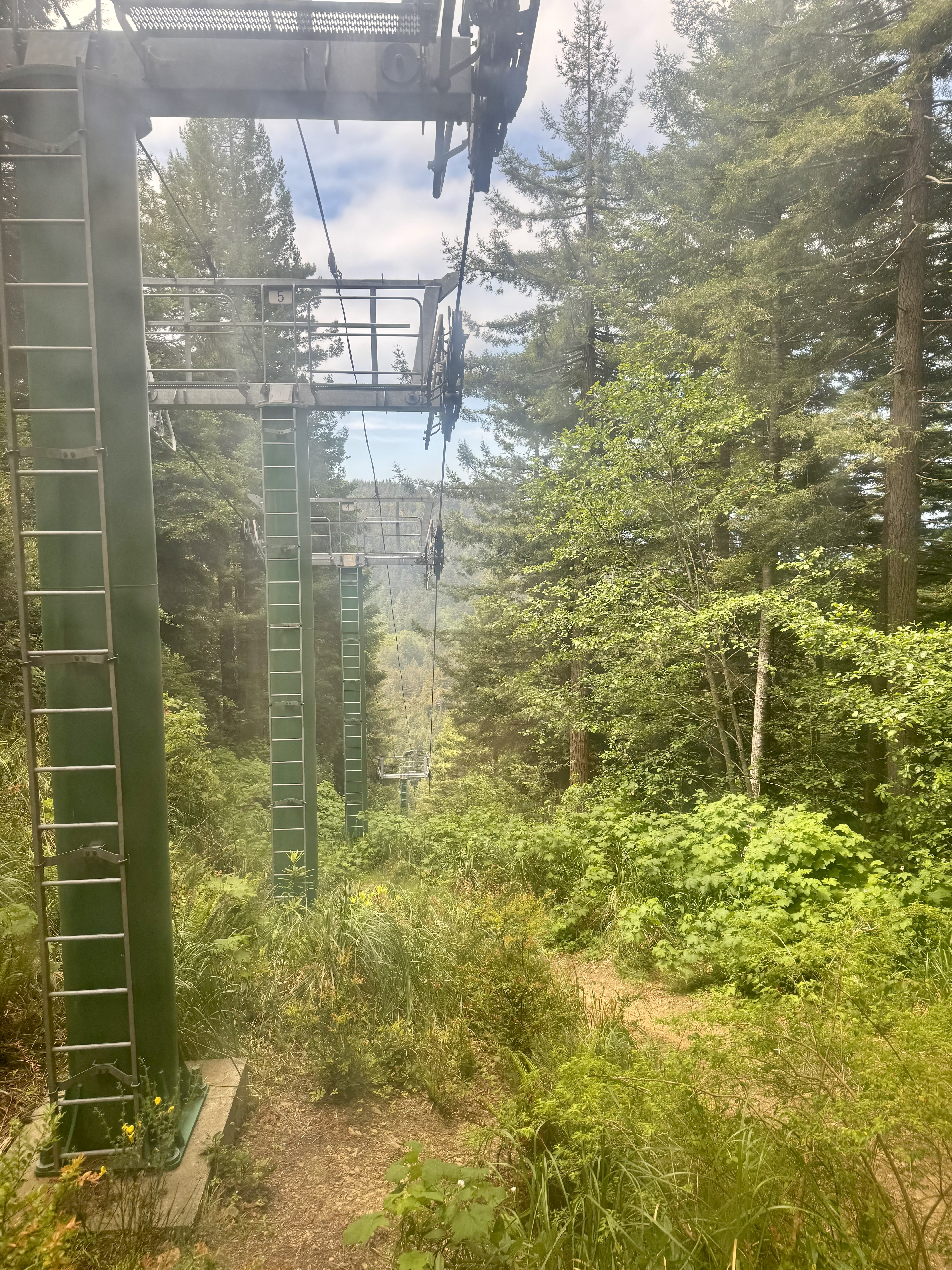
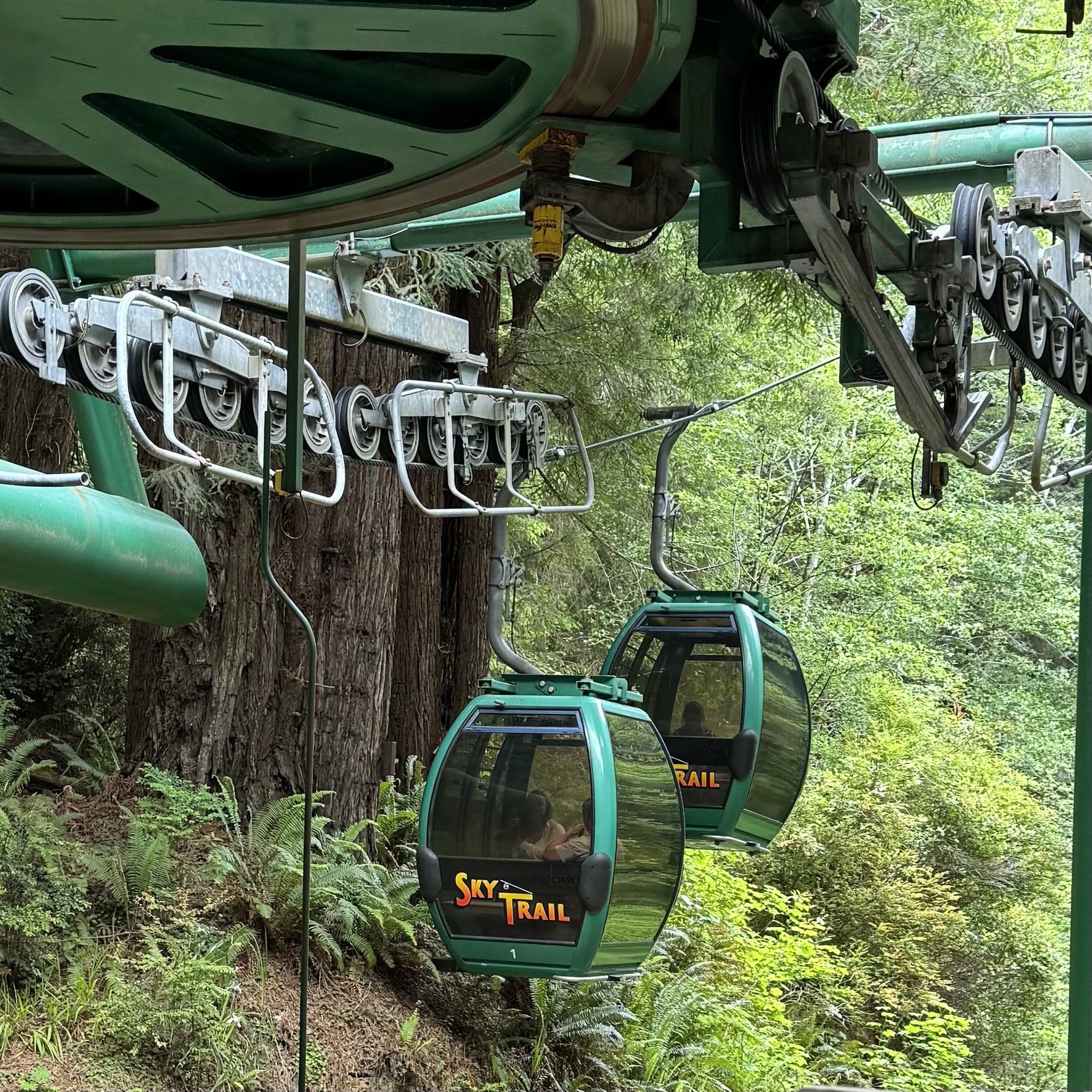
The first stop was the SkyTrail Gondola, a trip 1,570 feet up to the top of the mountain into the forest for an elevated view of the redwoods from the Ted’s Ridge Observation Deck as well as far-away views ( mostly obscured by overgrowth) of the Klamath Valley to the East and of the Pacific Ocean to the west. While I enjoyed the views, there were many spectacular scenic overlooks in Redwoods National Park along high 101 that are equally or more stunning, less crowded, and FREE. I found the gondola ride disappointing as it is not a glimpse of the canopy of giant redwoods, but rises through a hillside that appears to have been logged of redwoods years ago and overtaken by deciduous flora.
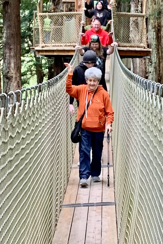
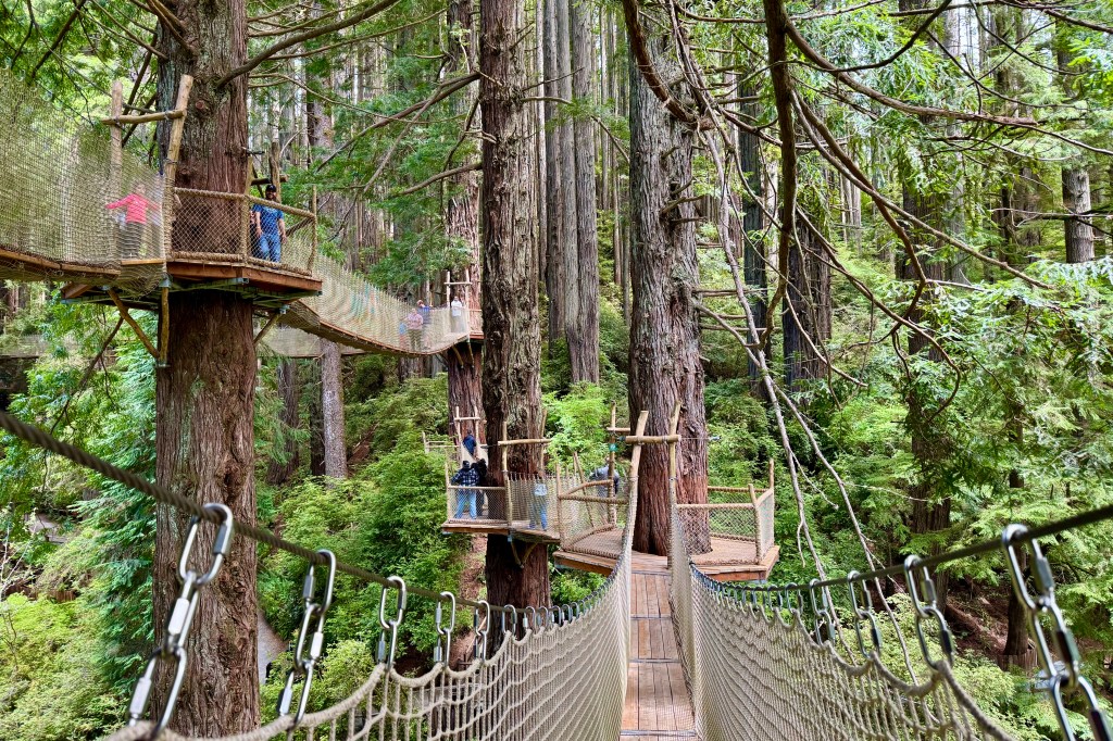
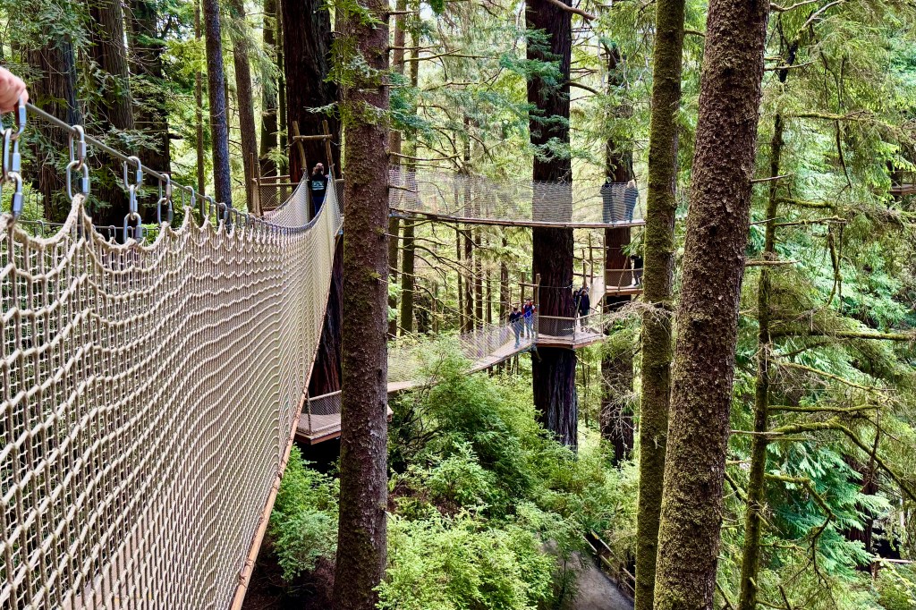
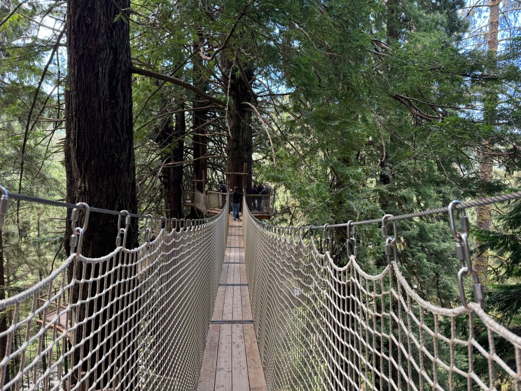
The biggest plus for me was to be the canopy walk which took us high into the redwoods through eight suspension bridges and ten platforms. To take in the sights, sounds and smells of NorCal’s world-famous redwoods would have been a noteworthy experience … except for the queue of people on my heals tromping across each bridge with nary a moment to take the surrounds in. These aerial netted suspension bridges perhaps 100 feet above the ground sway gently and BUT NOT so gently with the stomping and clomping of the rushers behind me who clearly were not in this to experience the grandeur of being high with nature doing what it does best – be awe inspiring – but perhaps to get a bit of an adrenaline rush with the swaying and rocking of the bridge structures. I was quite relieved not to be bowled over as I made my way across, teetering and tottering, by the swinging generated by the “trompers”. Nevertheless it was a fun experience.
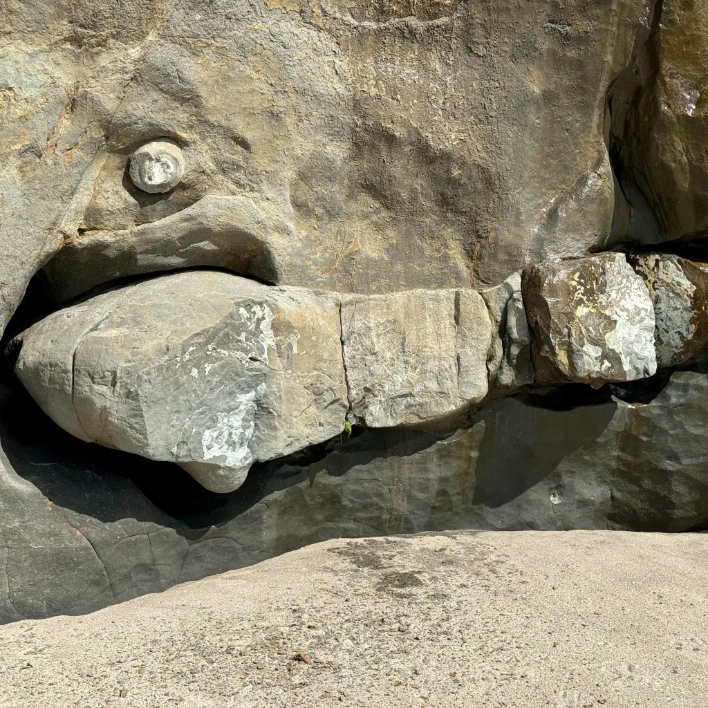
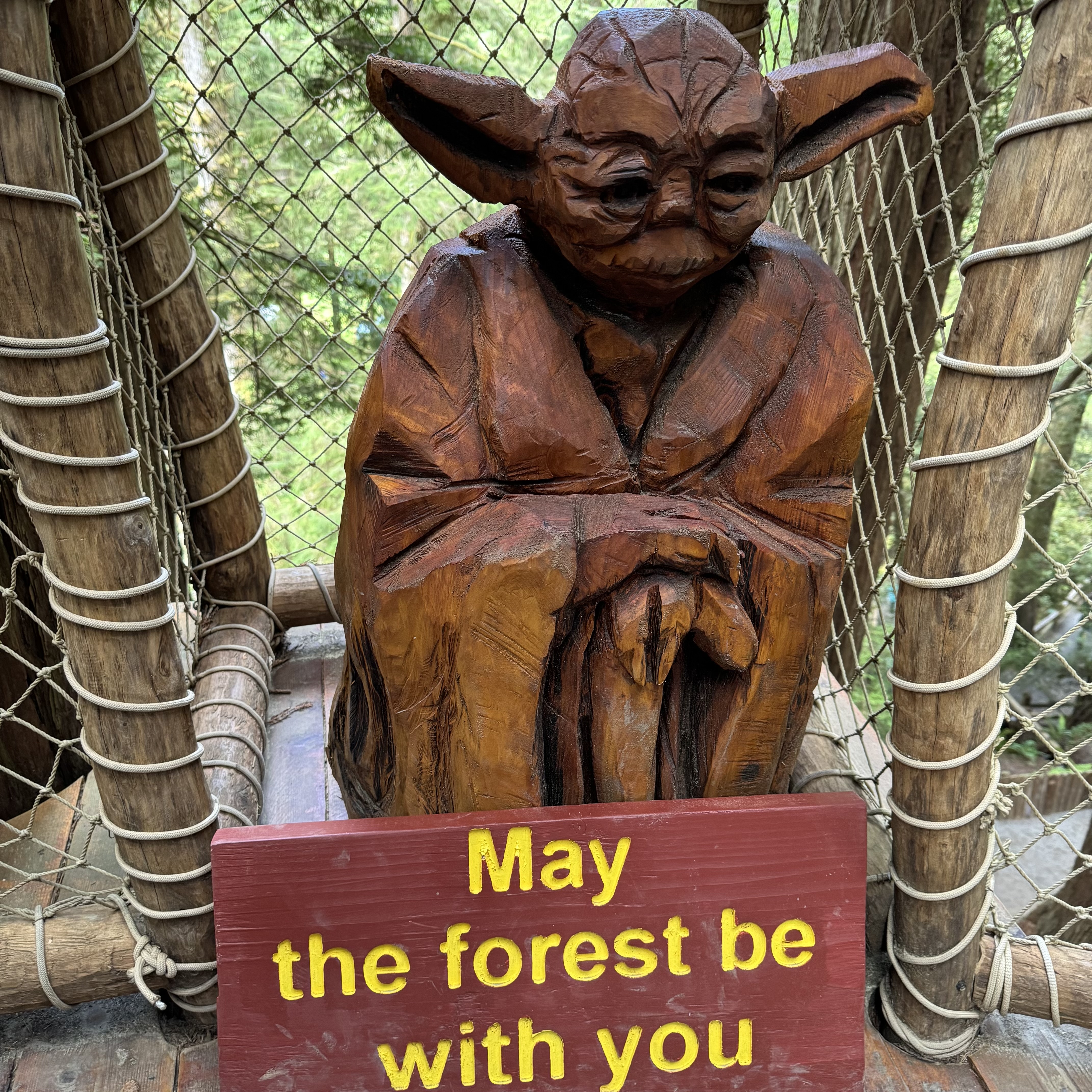
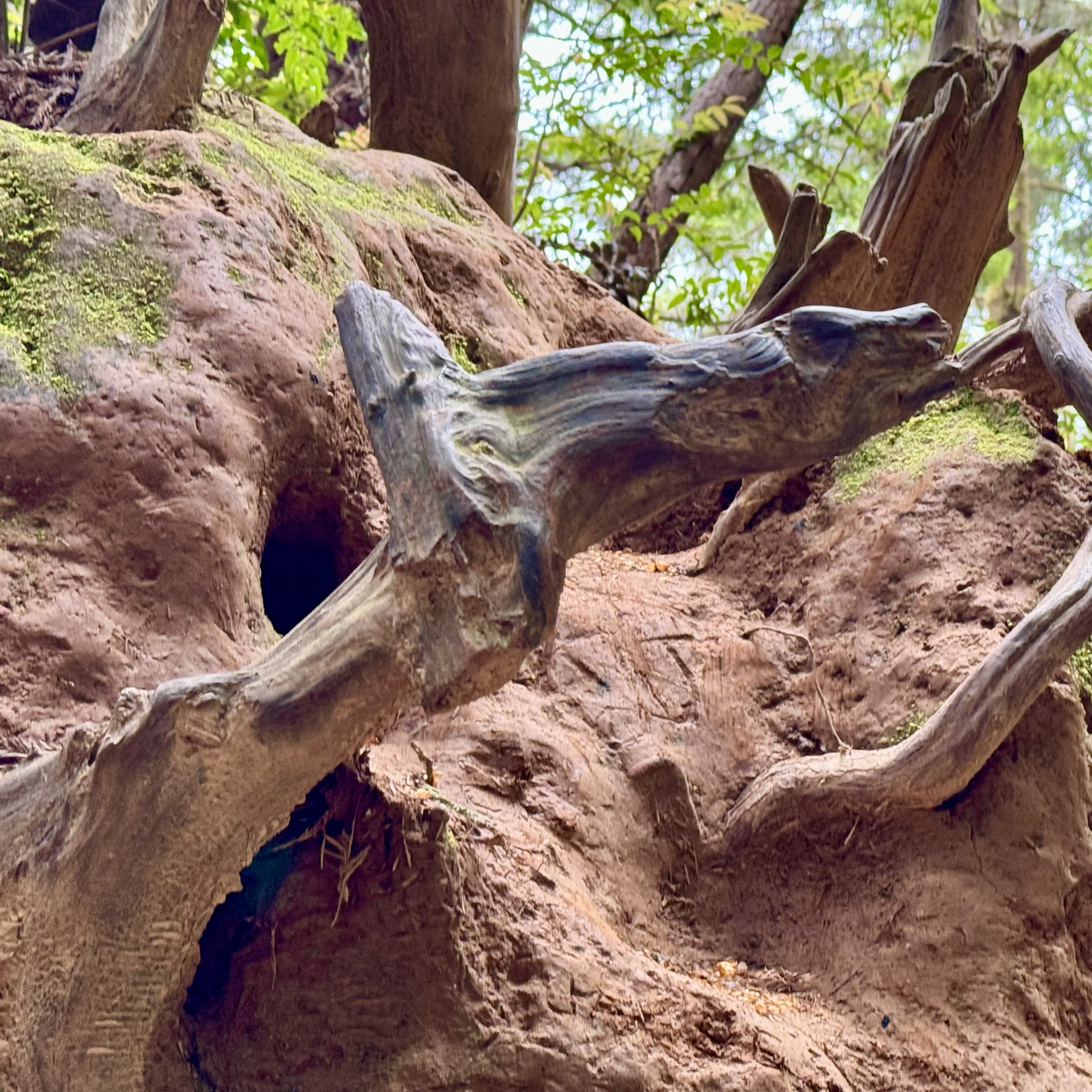
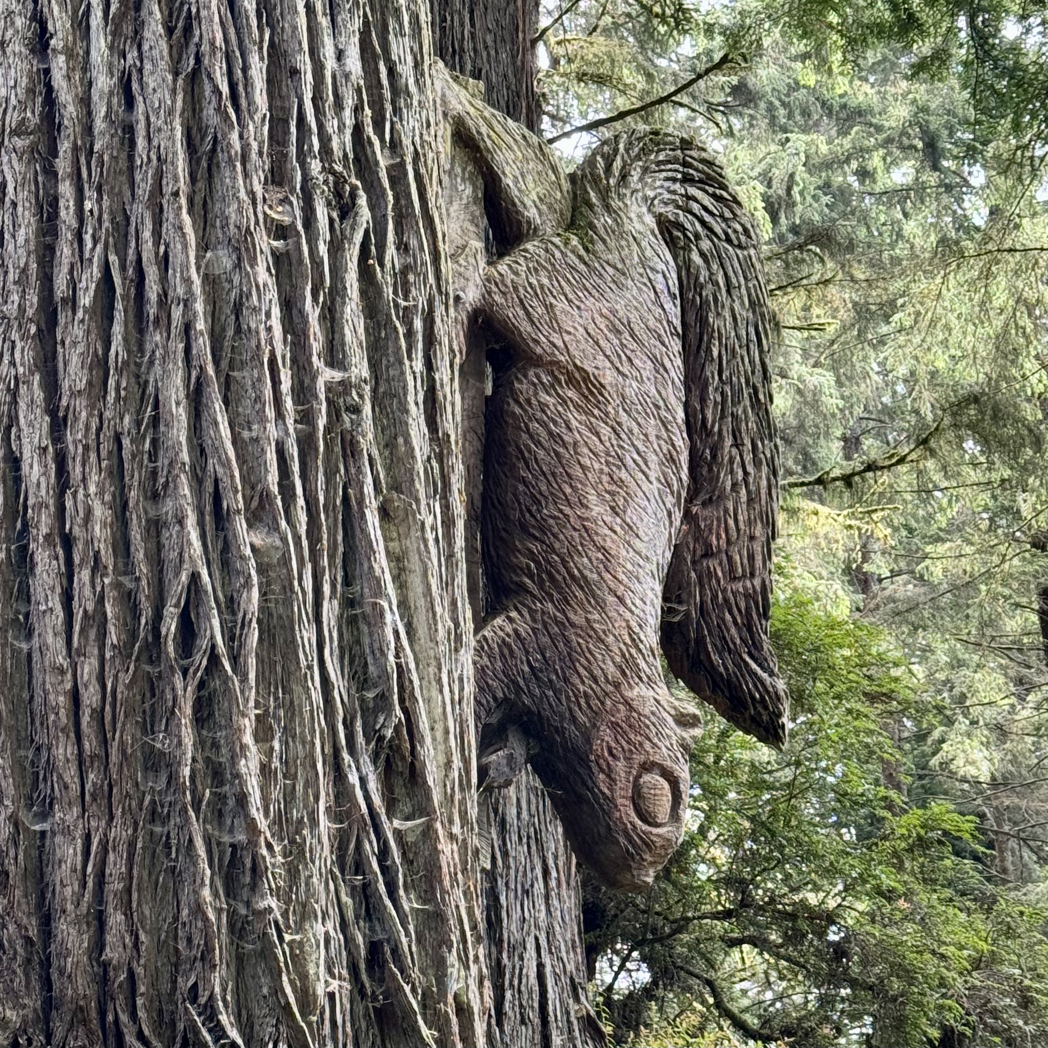
I never quite figured out what the “Trees of Mystery” were. But I let my imagination run wild , searching for some wildlife. Good fortune was with me for I spotted numerous wild “creatures” sculpted by the forces of nature or perhaps by the axe of Paul Bunyans but definitely not of the living variety. Can you spot the giraffe, alligator, Paul”s girlfriend…..
Not to be a total “Debbie Downer,” I enjoyed my visit but after about 1.5 hours I had had my fill and we were off to what was for me a real experience of redwood old growth trees on part of the Brown Creek Trail in the redwood forest of Prairie Creek State park, arriving via a pleasant drive down the Newton B. Drury scenic Parkway. I had no desire or need for human entertainment extras.
Choosing not to patronize the hotel restaurant and preferring to soak in the sea breezes from our balcony, a stop at Safeway for our own “room service” offerings was in order. After a delightful day, I spent a quiet evening of breathing the salty air, listening to the melody of the waves, mesmerized by the ebb and flow of the water and captivated by reflections of the sun on the panorama before me.
A visit to the Battery Point Island Lighthouse, a historical landmark, the next day required being tuned into the tide charts as it was only at low tide when one could traverse the isthmus to the Lighthouse without wading through shifting sands, rocks and the chilly chilly water. So we were out and about around 7;30 am to catch the first low tide of the day. The harbor at Crescent City was booming during the mid-1800s due to massive redwood trees being harvested and loaded onto ships to build San Francisco and the US Government built a series of lighthouses along the coast.
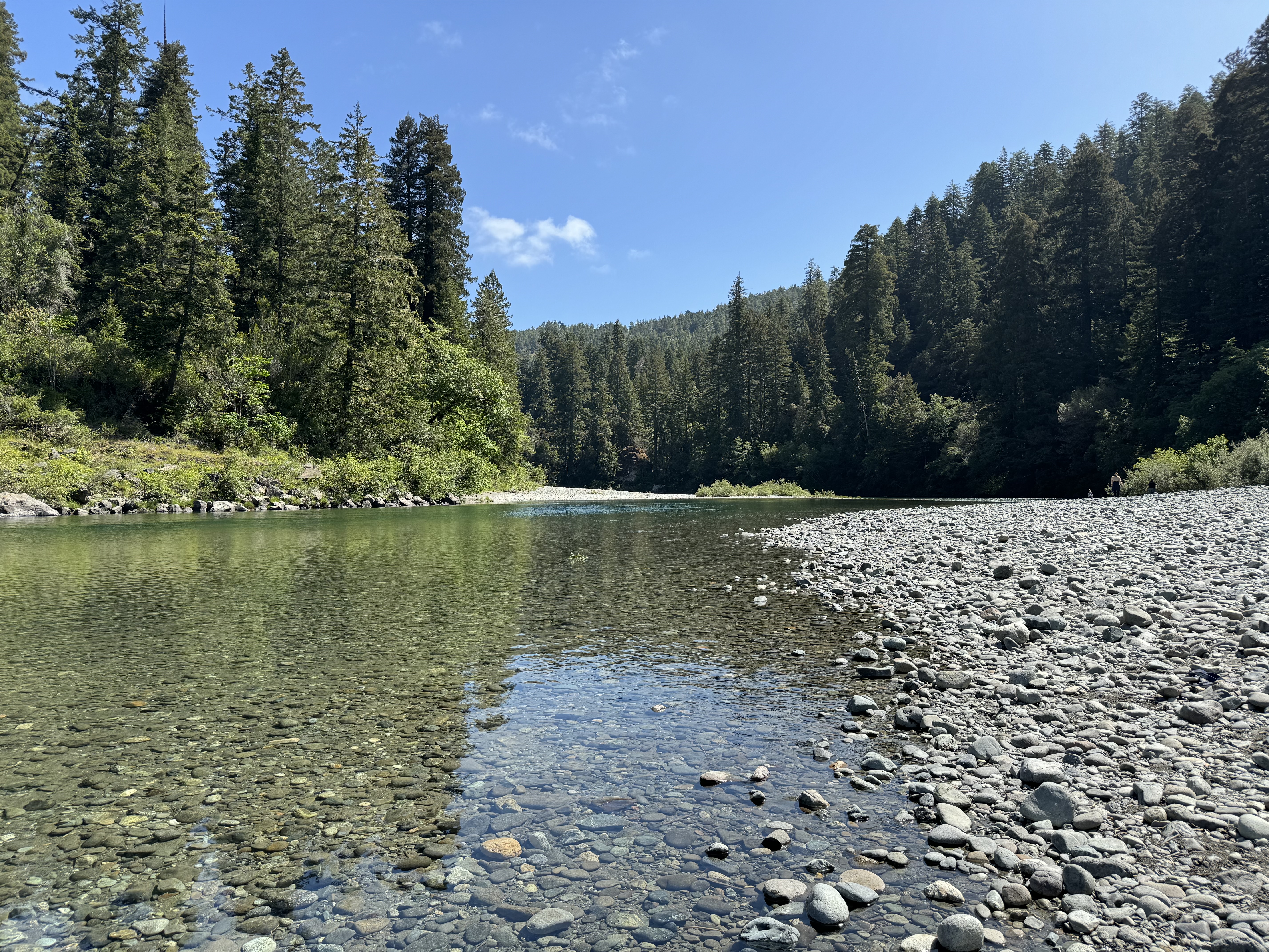
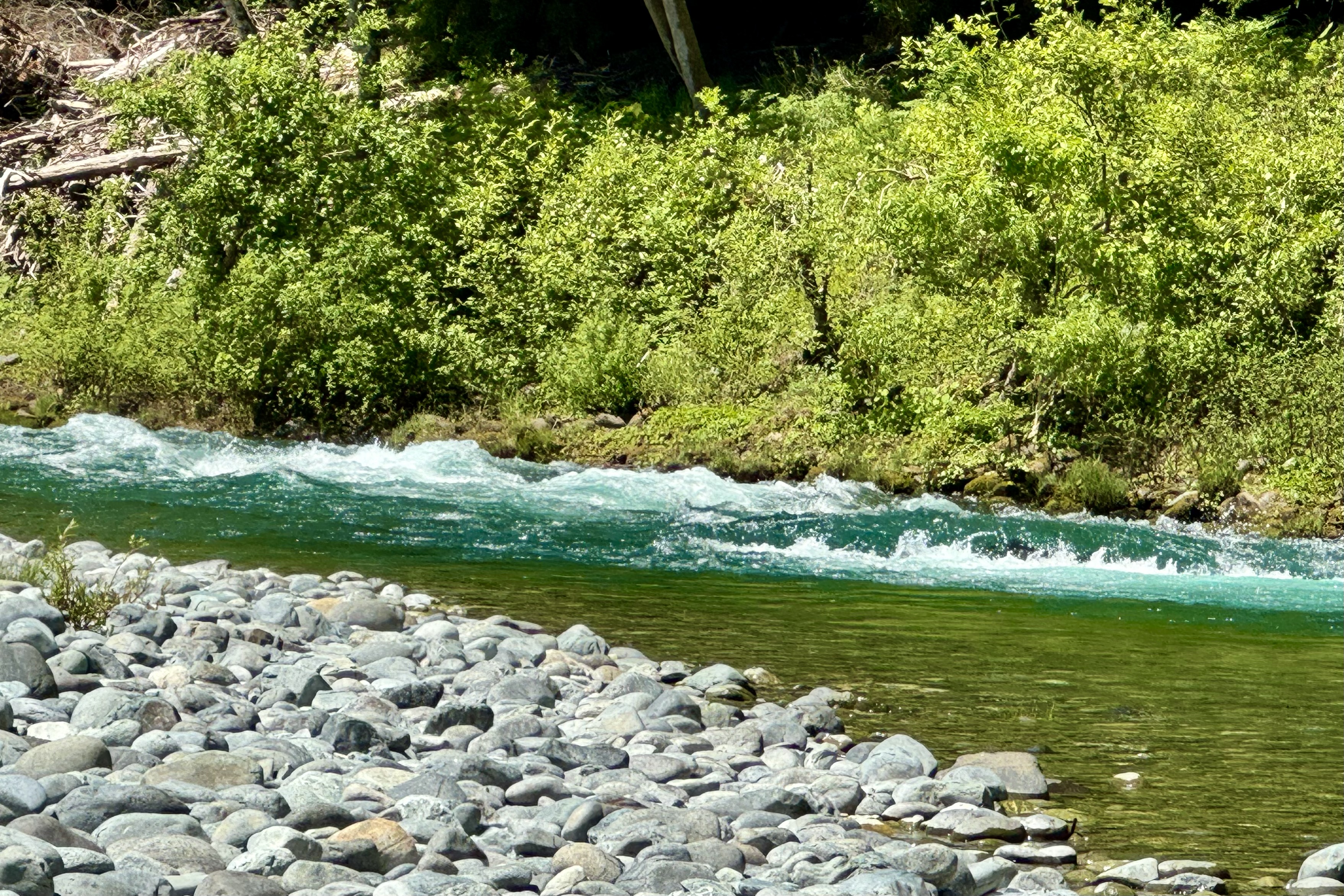
Though I would have liked to tour this historic facility, after enjoying the quiet of the early morning seascape, I was eager to be on the road. to the Jedediah Smith Redwoods State Park and explore the Stout Memorial Grove and other notoriously massive trees. Being rather clueless about how to get where I was going, the first stop ended up at the South Fork of the Smith River and the Jededhia Smith State Park Nature Trail, which definitely was a good destination to be lost in. From there we headed over and about and around the forks of the Smith river to reach the famous and infamous, loved and hated Howland Hill Road. Howland Hill Road was a filming location for “Star Wars: Return of the Jedi” and is considered one of the most scenic drives in the Redwood National and State Parks.
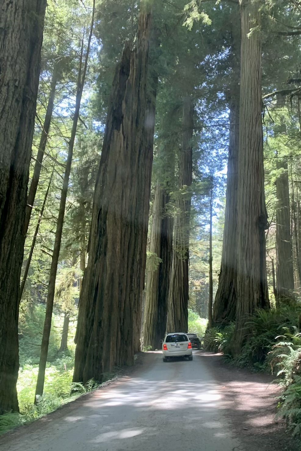
If you can’t tolerate dust and squeezing your shiny unblemished car between massive tree trucks, this is not the road for you. Part of this 10-mile road was once a stage coach road and my take on it is it hasn’t seen many upgrades since that era. Most of Howland Hill Road is NARROW. It is a non-tarred surface, single lane thus accommodating one car, but naturally this is a two way road so one is required to make liberal use of the many pull-outs. It is about as intimate as one can get with a redwood without getting out and hugging it and it is akin to walking a path through the redwoods except in a car. Since this was a Sunday and Memorial Day week-end with halcyon weather, a myriad of folks also had their brilliant idea of driving the path of an old stage coach road so we pulled over and out again , over and out again and again. The road is not recommended for RV’s but there are always those individuals who believe they are the exception. It was as if they were driving a Conestoga Wagon on a path meant for a horse and buggy. After a wonderful hike of the Stout Memorial Grave, I opted out of stopping at any more trail heads to visit massive trees as the string of cars parked on the road near every trailhead was extremely long. Walking the distance to the trail head would be akin to assisted suicide by the driver gawking at these very tall tree and oblivious to me on this road shrouded in a cloud of dust . P.S. I absolutely loved the experience of driving this road.
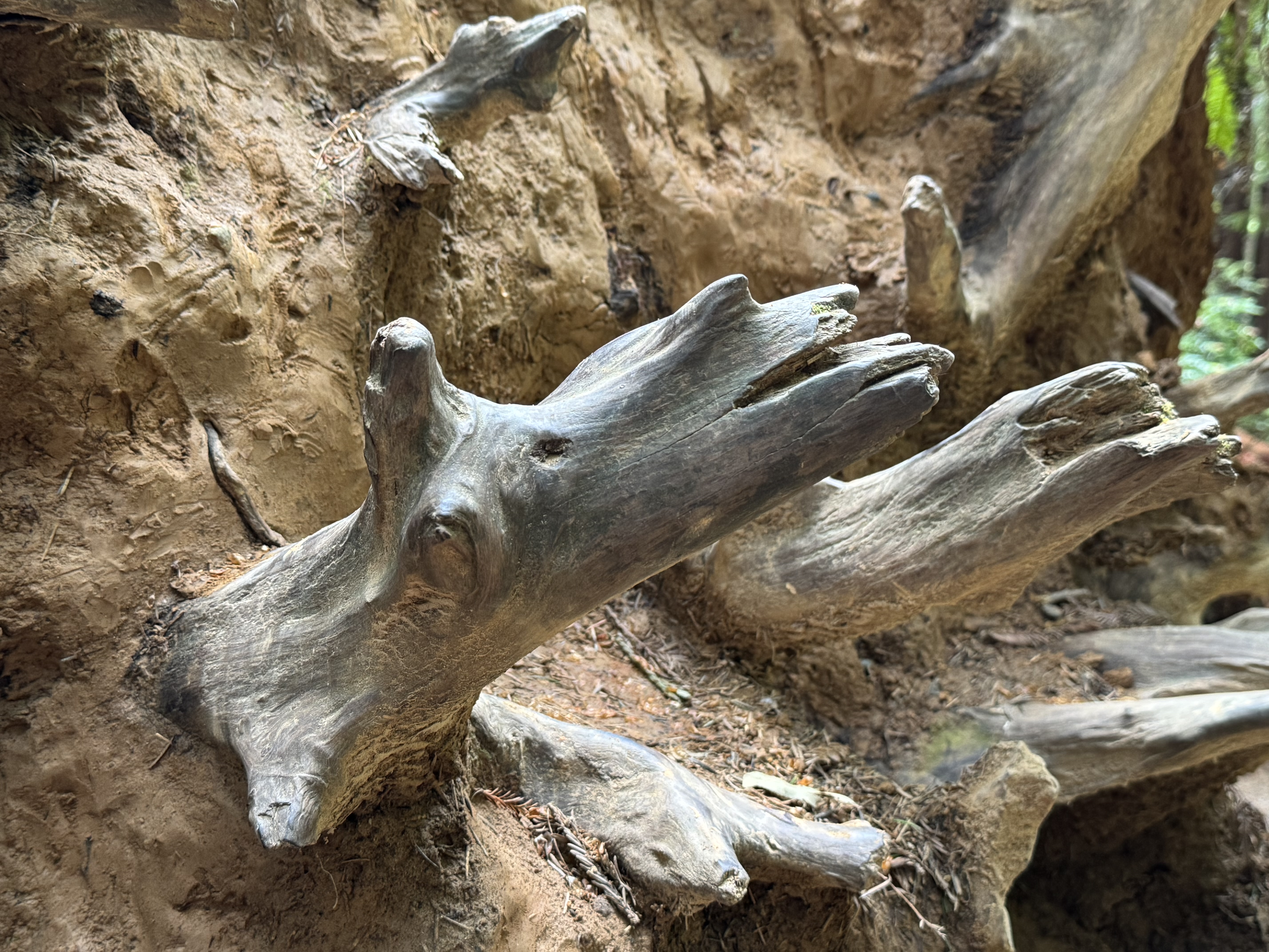
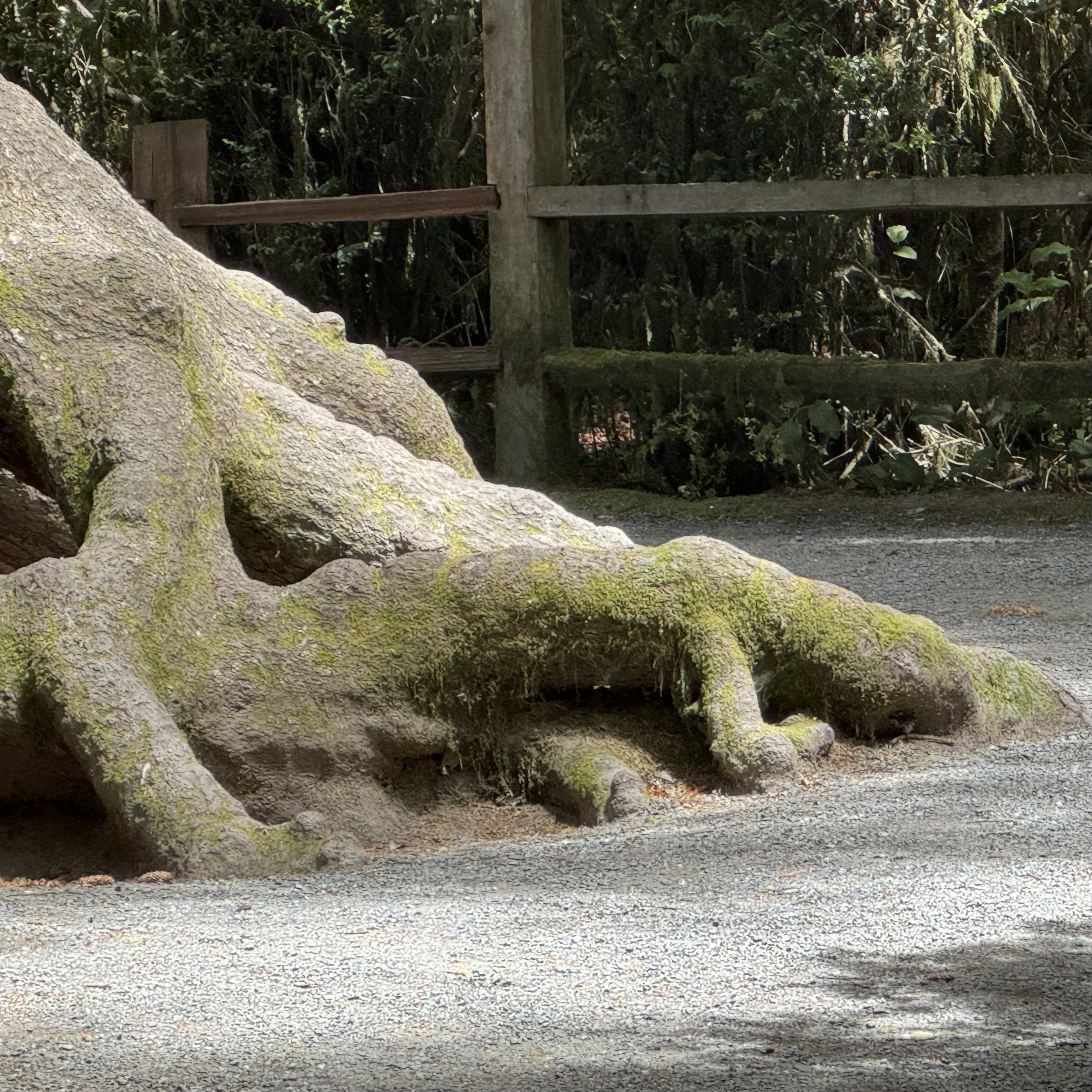
One thing of particular interest to me was the number of fallen trees. I subsequently read that between 2010 and 2020, a lot of big trees fell along the northern edge of the grove, where it borders the Smith River. Now the trail passes a nearly continuous string of fallen giants and the exposed roots of these uprooted Redwoods , which in many instances remain intact. One can observe the intertwining web of redwood tree roots. These roots create a mesmerizing network that supports the towering giants and fosters a unique form of cooperation among the trees allowing these trees to withstand powerful winds and storms. We humans could learn a few lessons from this tree colony.
Having emerged from the Howland Hill extreme adventure drive, I swung north to Tolowa Dunes State Park and Point St. George which is located on the land of the Tolowa Dee-ni’. This is another area with a very tragic history–because these are the ancestral lands of the Tolowa people, whose villages were attacked by settlers in the 1850s. The Dee-ni’ Holocaust began in California in 1851 with the goal of a war of extermination to continue to be waged between the two races until the Indian race became extinct. There was an appropriation of one-million-four-hundred-thousand (1,400,000) dollars to pay vigilantes to destroy them under the slogan that rang across the land: “The only good Indian is a dead one”. A few hundred survived and were driven to concentration camps. Gazing across these ancestral lands yet again fills my heart with rage at the atrocities rendered upon native Americans in the white European settlers imperialistic expansion of the West under the tenets of “Manifest Destiny “ – seeing their expansion as a divinely ordained, moralistic assertion of American exceptionalism.
I drove until the road dead ended into a parking area and walked a path over dunes to the water and a relatively secluded beach bordered with driftwood. It was a nice contrast to the experience of the Redwood Parks to the south. Feeling sated by water and wood it was time to return to the hotel and enjoy the sights and sounds of the sea as it lapped the shore before me. A simple dinner of a Caesar Salad and clam chowder in the restaurant was a perfect end to a spectacular show produced by Mother Nature and Farther Time!.
Needing to get my beloved Lady Spitfire Jeep Compass from Soldotna AK to my now year-round home in Ashland Oregon, as I was permanently leaving Alaska, I had to decided what would be the best way for me to do so, traveling solo. In moving up to Soldotna 5 years ago I drove the entire 3000 miles solo accompanied by my “a dog is a man’s (though I am not a man) best friend(s) ” Kili and SImba. This relatively unpopulated route suited me well as I had planned on camping the entire trip. But since my buddies have passed on, I did not see this drive as an appealing solution and camping alone in late September was not even a remotely plausible lodging solution.
This Vessel Not This Vessel
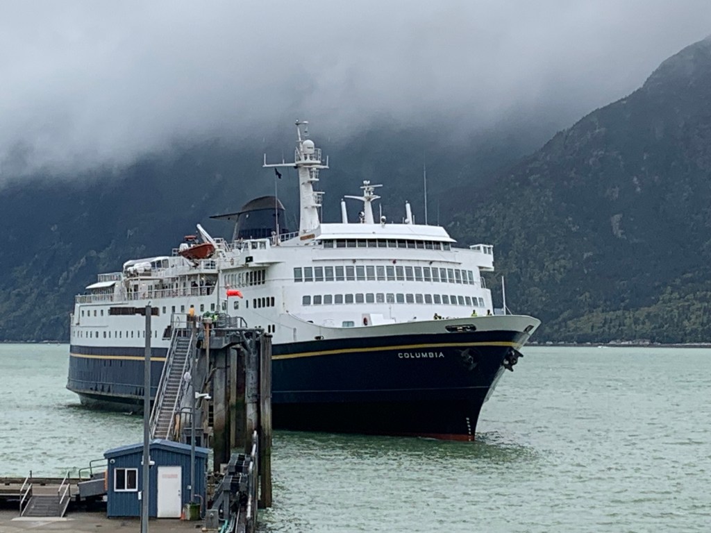
Opting to drive to Skagway from Anchorage was feasible and I then decided to booked myself and Lady Spitfire space on the Columbia, a 50 year old passenger and car ferry that plies the Alaska Maritime Highway.
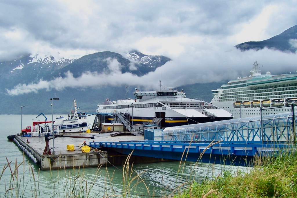
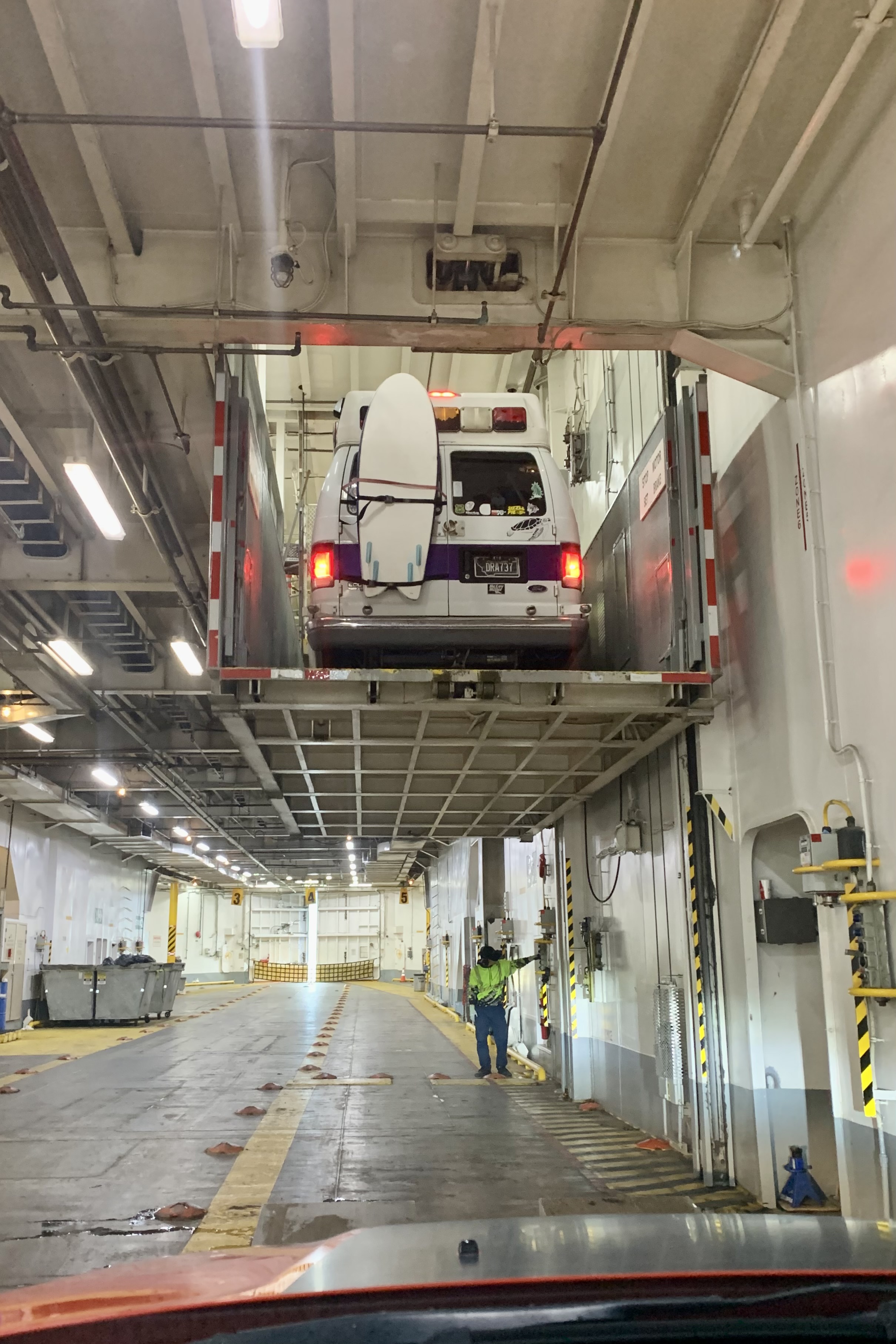
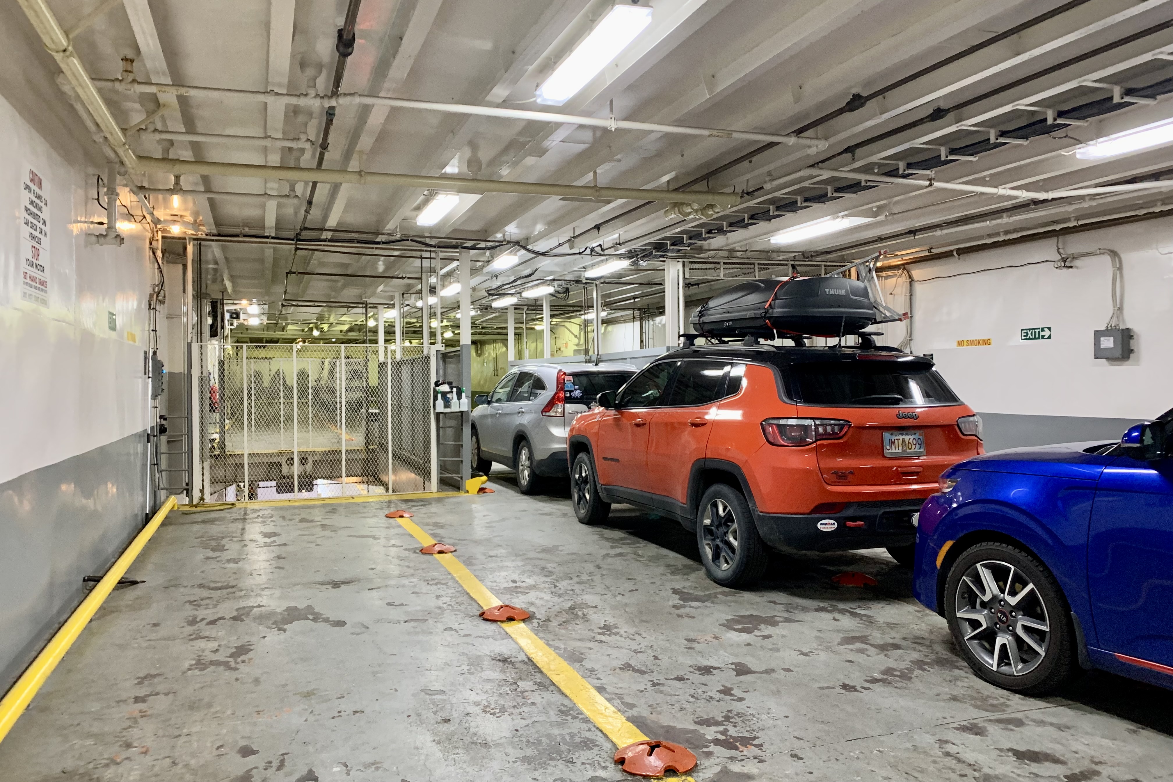
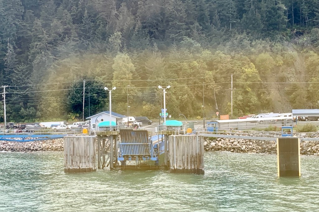
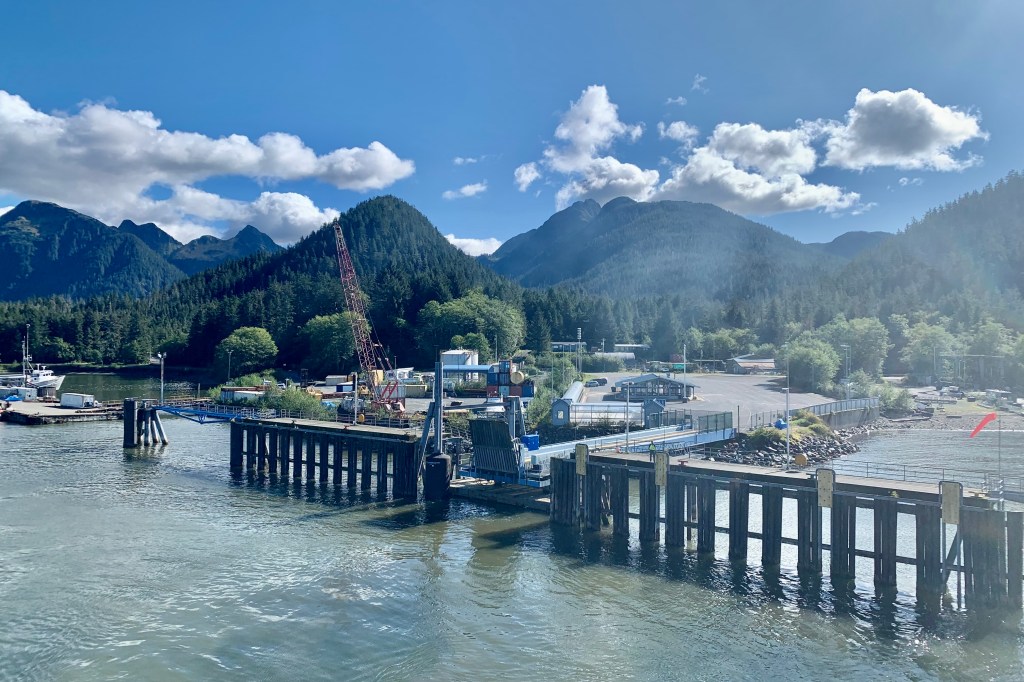
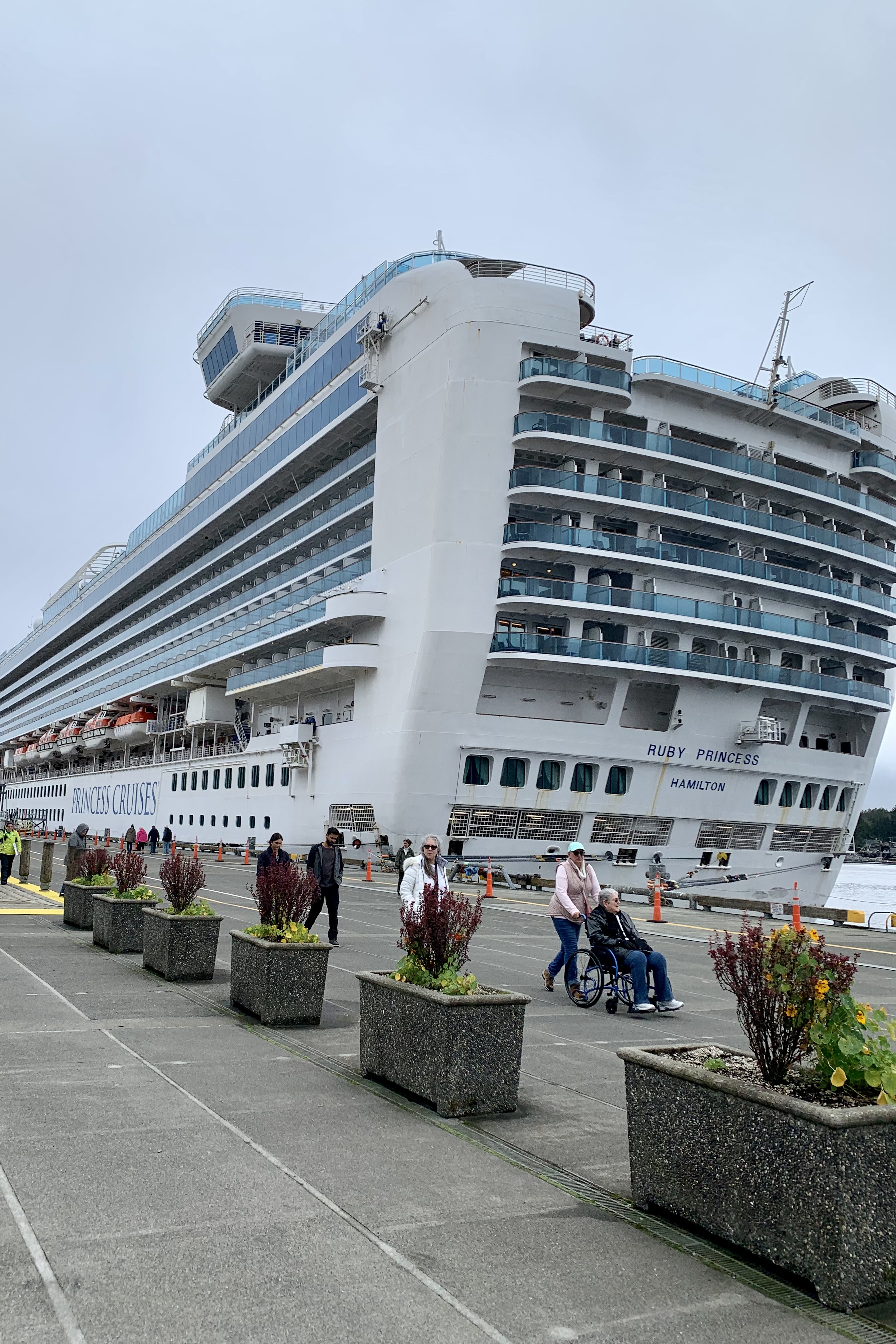
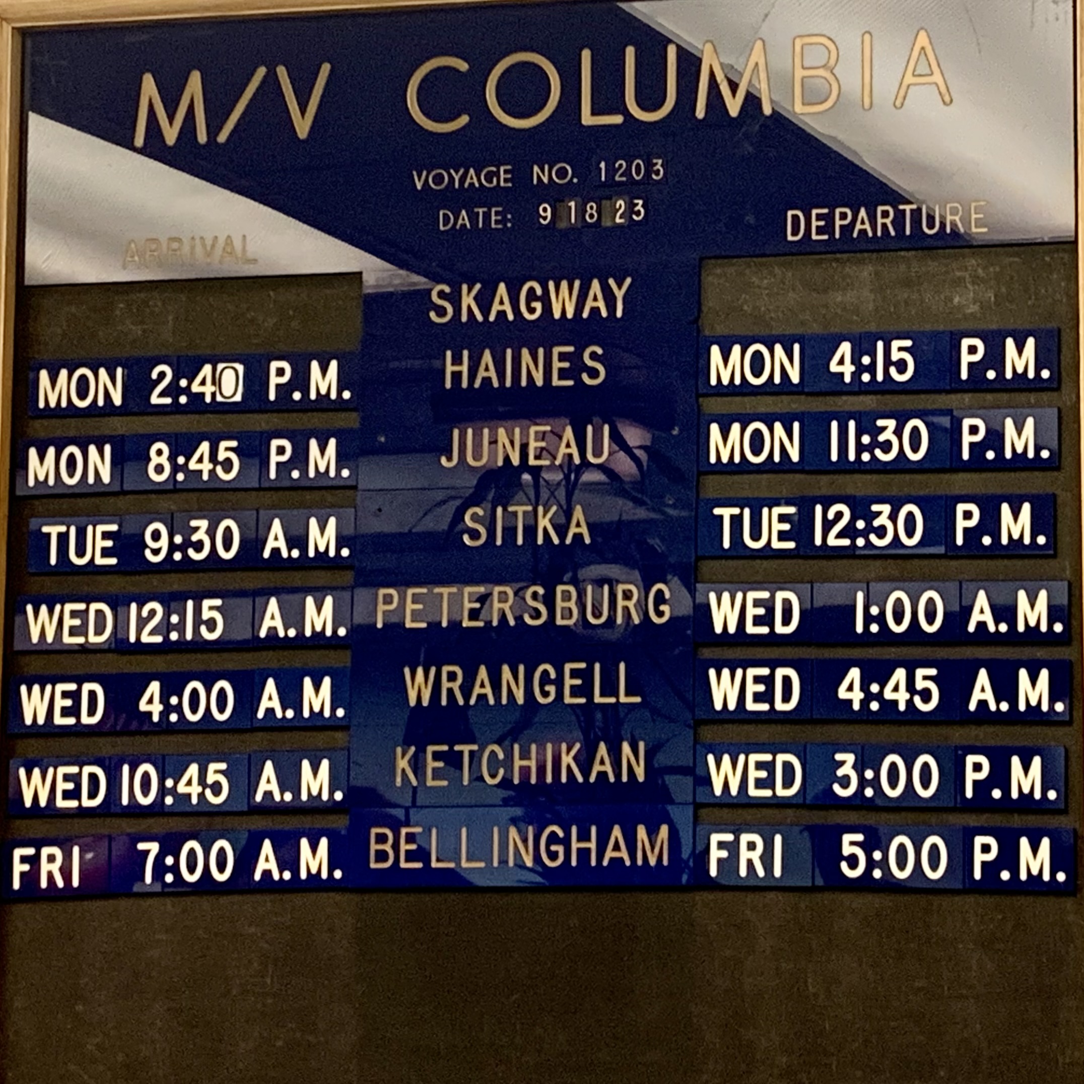
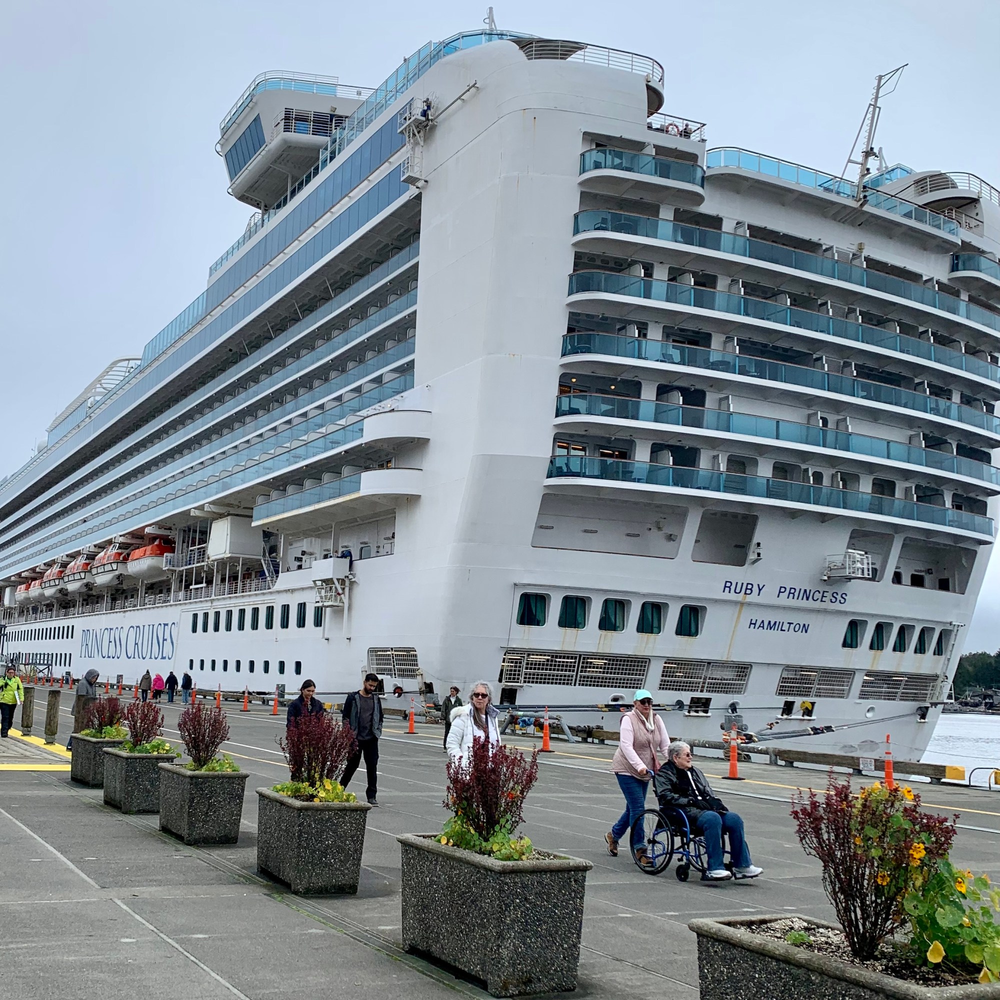
The Columbia was definitely dwarfed by the Ruby Princess as they were moored adjacent to each other in Skagway. The cruise ships follow the ferry route or is it that the ferry route follows the cruise ships. There are eight ports of call including Skagway where I embarked, Haines, Juneau, Sitka, Petersburg. Wrangell, Ketchikan and finally Bellingham. At every port there is the laborious time consuming process of off-loading and then on-loading of vehicles. When I loaded, 2nd in line as I arrived early, I drove onto an elevator and was lifted to the cabin deck and had to back trough a narrow passage way between the car elevators to my assigned spot- which I assume would facilitate the exit process. I will add right now it did NOT…I had to go back through that narrow passage and back onto the elevator. Since I was the 2nd car to be loaded in Skagway I naturally was the 2nd to last off, waiting an hour to be sprung free . I definitely had a lot of time to ponder the windshield and steering wheel in Lady Spitfire as we had to remain in our car.
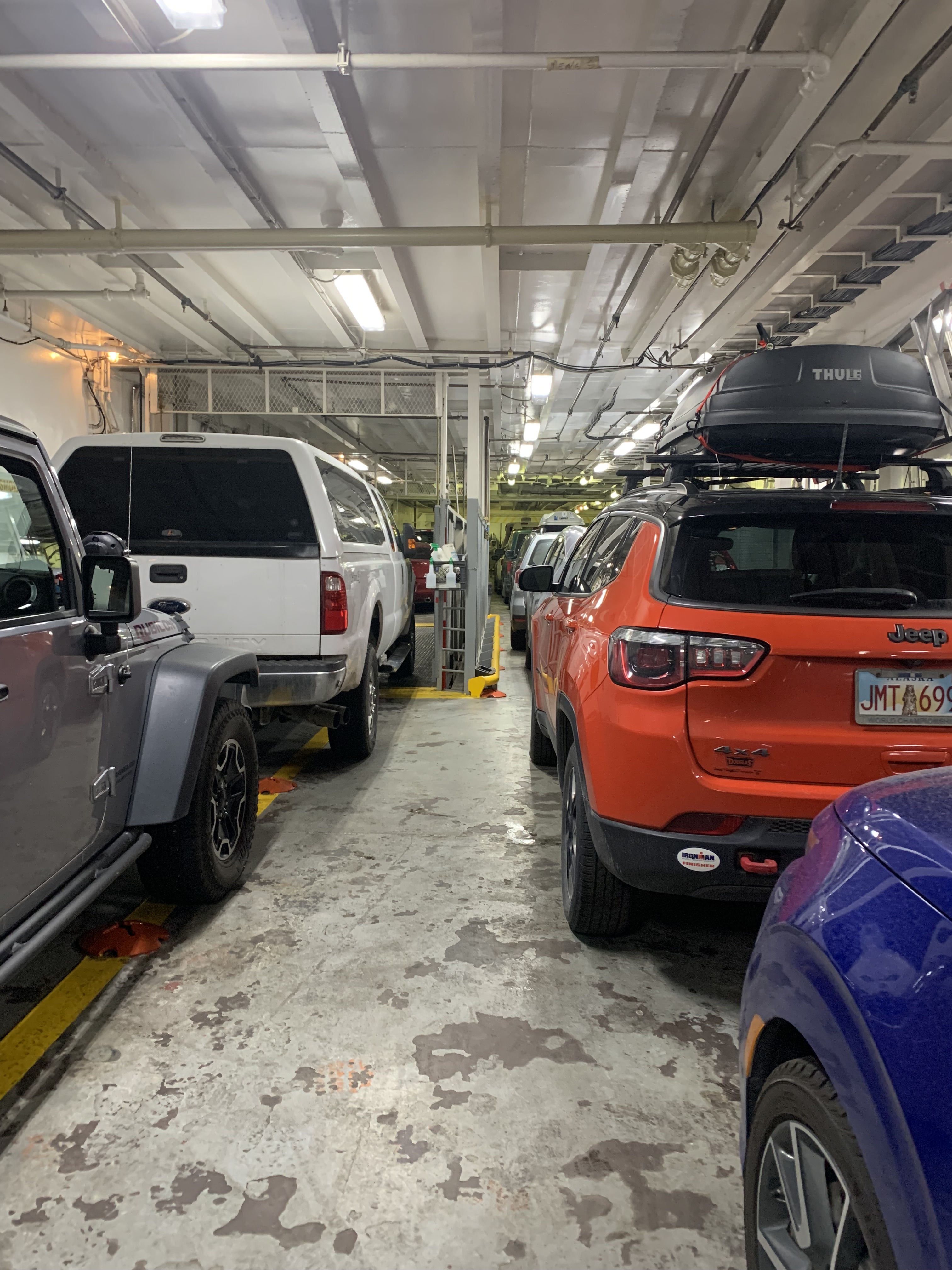
My “Lady” had a “berth” on the Upper Deck as did I. However my quarters were a very spare sort of “stateroom” and hers was a tight space in vehicle stowage. I am not familiar with the terminology of decks on a ship. But the upper deck was far from the being the upper deck and actually was the lowest passenger deck. I was assigned cabin #119 which was quite close to the pursers desk, the elevator, but most importantly Lady Spitfires assigned spot. Why is this important? It may seem like I have personified this car, but actually it was quite easy to unload the luggage initially and then access the car (at appointed times or when in port) if there was something in there that I desired to move to my “stateroom.” The contents of said vehicle was a jumble of anything leftover from the move that didn’t get into the U-box, miscellaneous food items, clean and dirty clothes, maps, and a tall ladder.
Skagway AKHaines AKSitka AKKetchikan AKBellingham WA
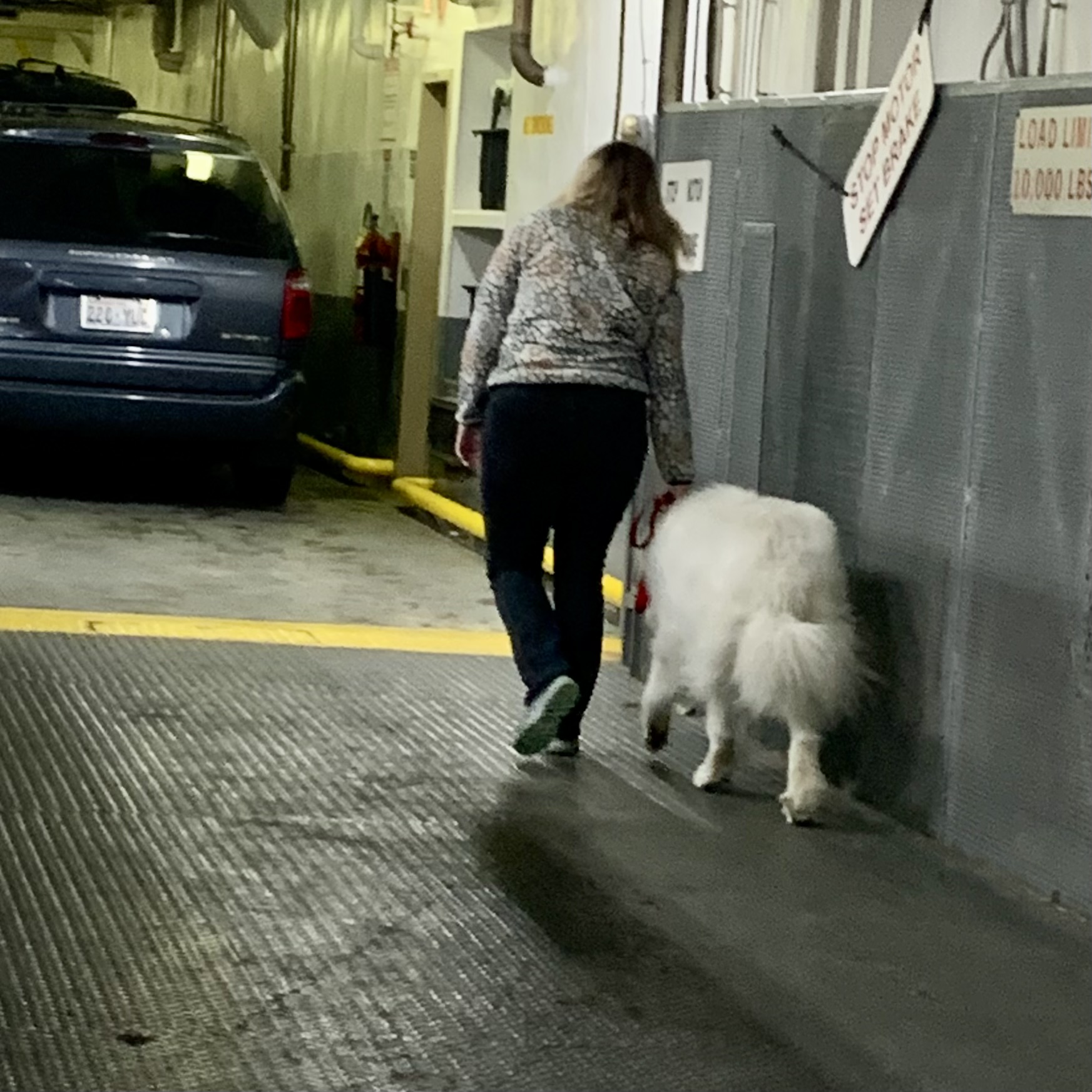
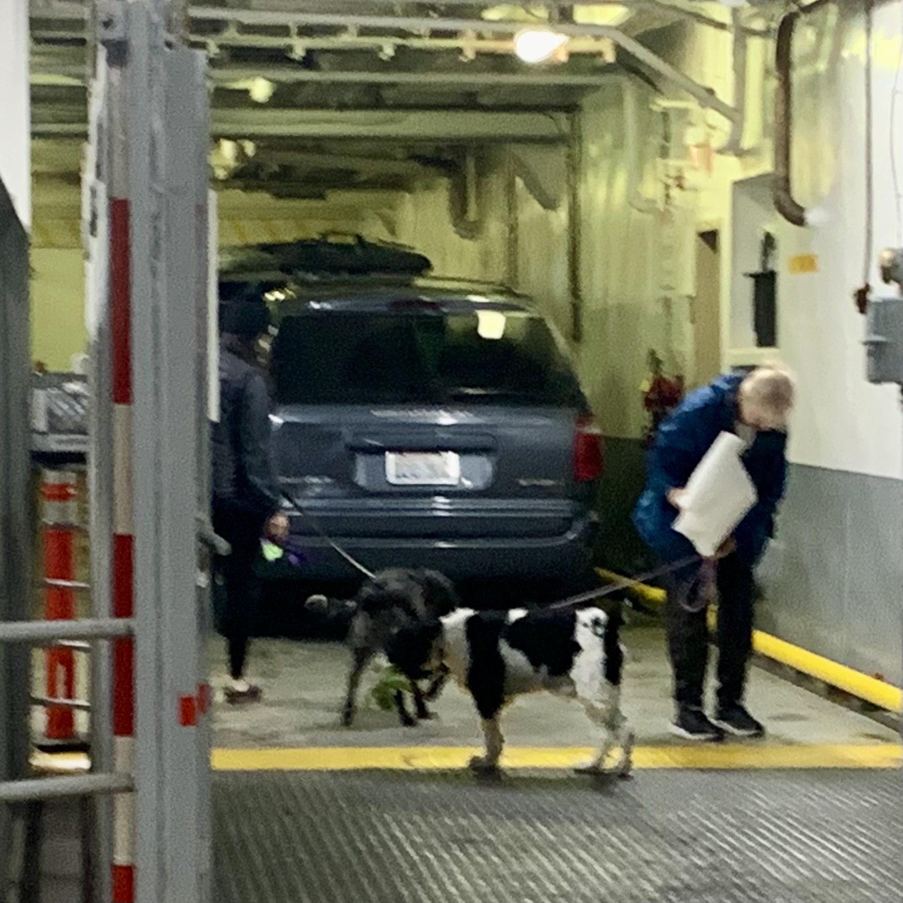
At most ports there is barely adequate time to visit the town which for the most part are designed to accommodate the many cruise ships belching out their passenger, fulfilling the need to spend money on the local “artifacts” crafts, and t-shirts (which are often made in China). Every port had minimally one and usually two or three of these massively huge floating cities (and 4 in the high season). Princess and Carnival Cruisers are definitely in competition for how massive of a cruise ship they can build. The Ruby Princess showed her ponderous self when I was in Glacier Bay in August, in Skagway now and in Ketchikan at the end of it’s cruise adventure. There was rarely a center of town berthing for our diminutive ferry so we often docked in an industrial area outside of town. Thus it was usually quite a distance into town with a need of sturdy walking shoes or use of public transportation. In Skagway “Ruby” was harbored adjacent to the center of downtown. BUT in the “Ruby” vs the Columbia match-up, the Princess does not allow you to bring your animal nor your car on board so for the many folks who can’t travel without their dogs, cats, birds etc. , (or cars) it is an opportunity to tend to the food and bodily function needs of the furry friends. Some caveats however- pets are not allowed on passenger decks or cabins and must be secured in vehicles or carriers. During “pet calls” you can hear the barking and howling of some very excited or distraught animals.
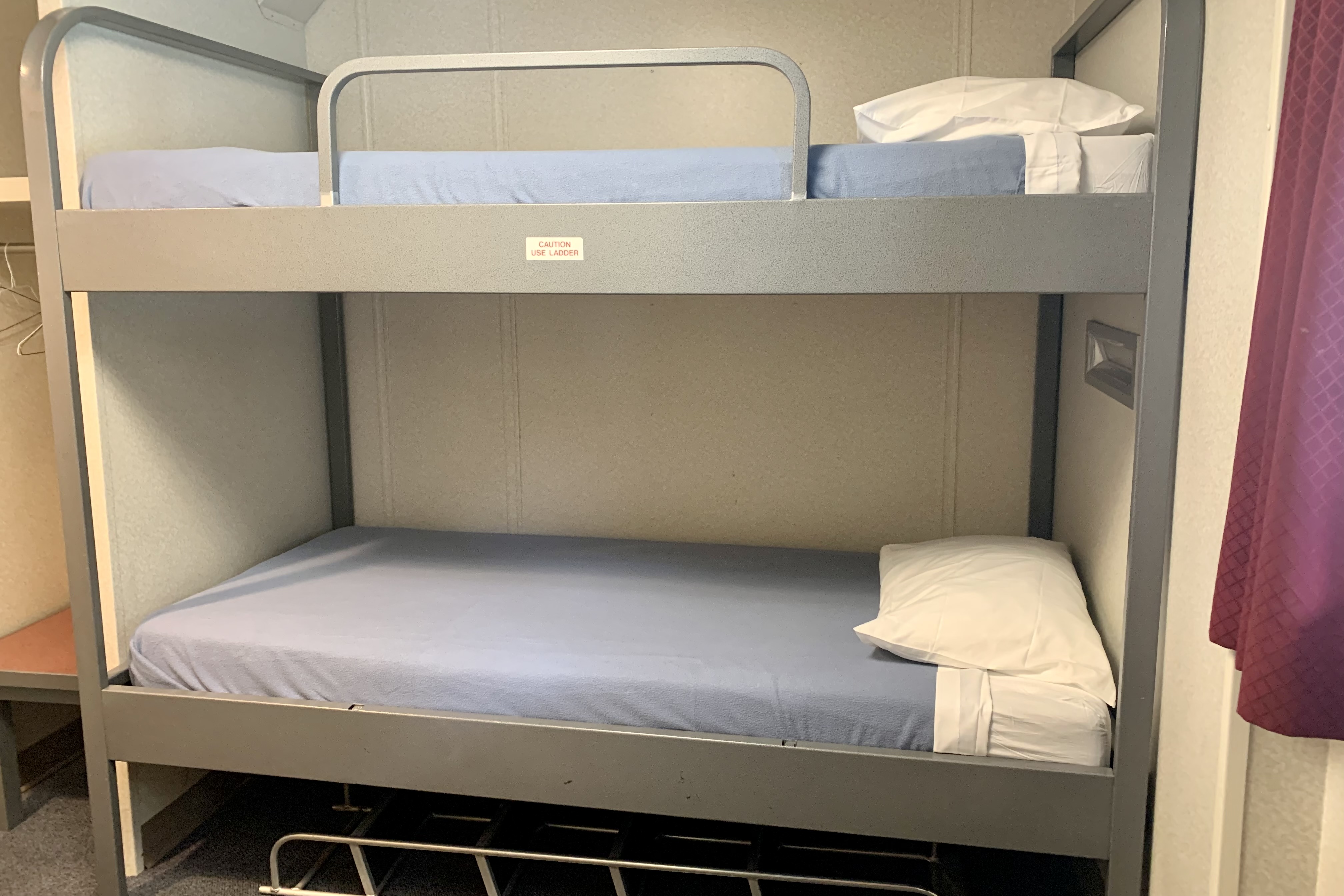
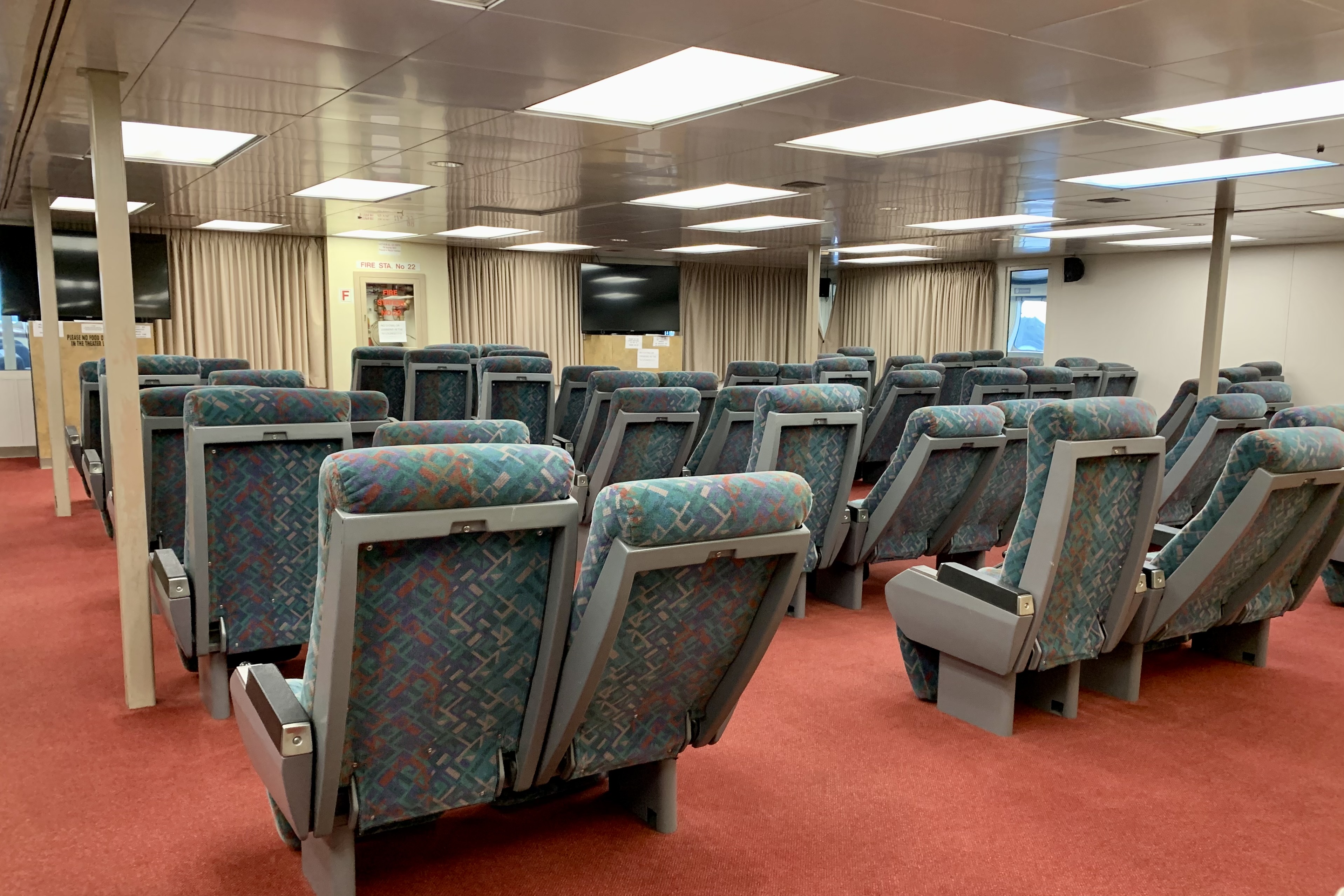
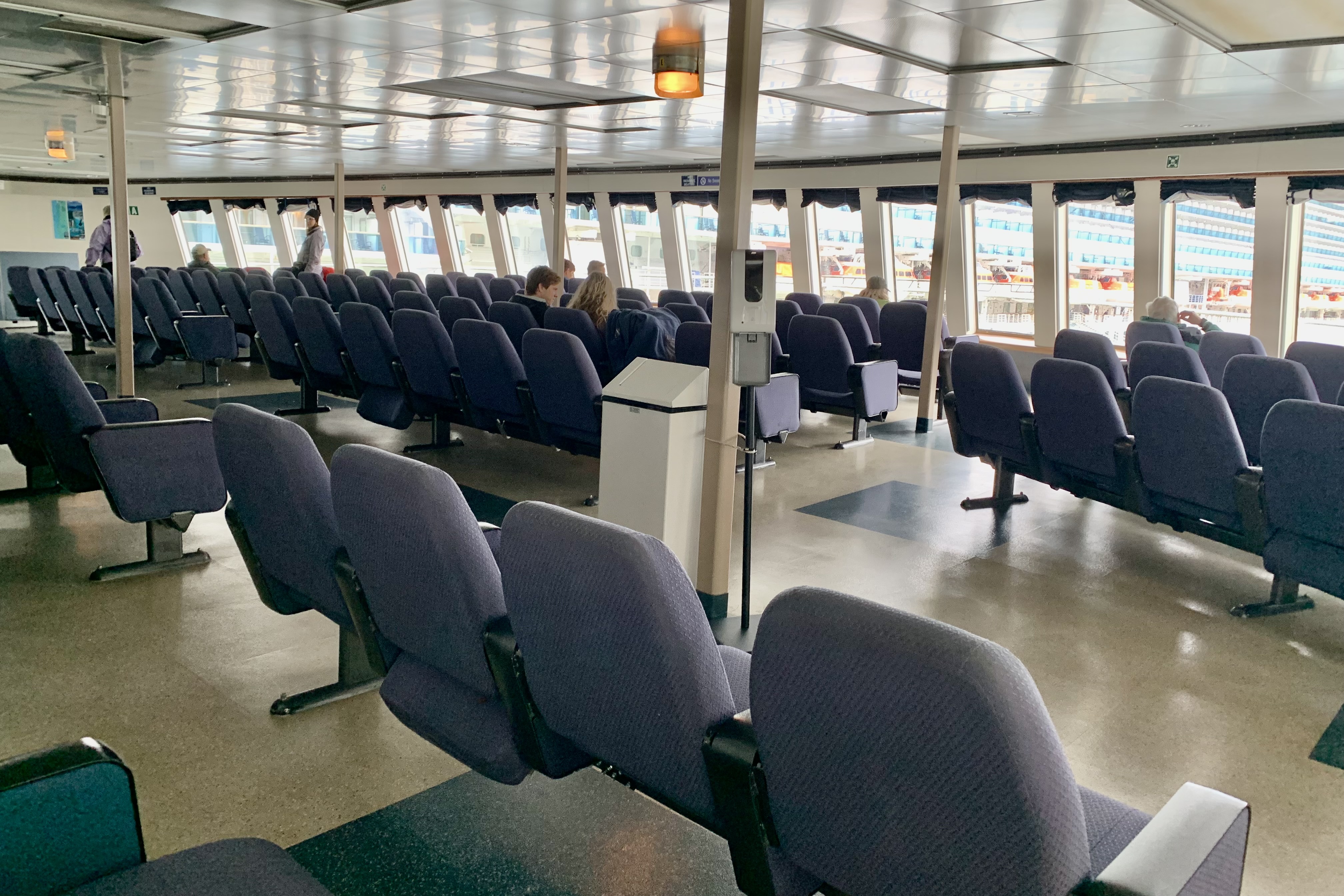
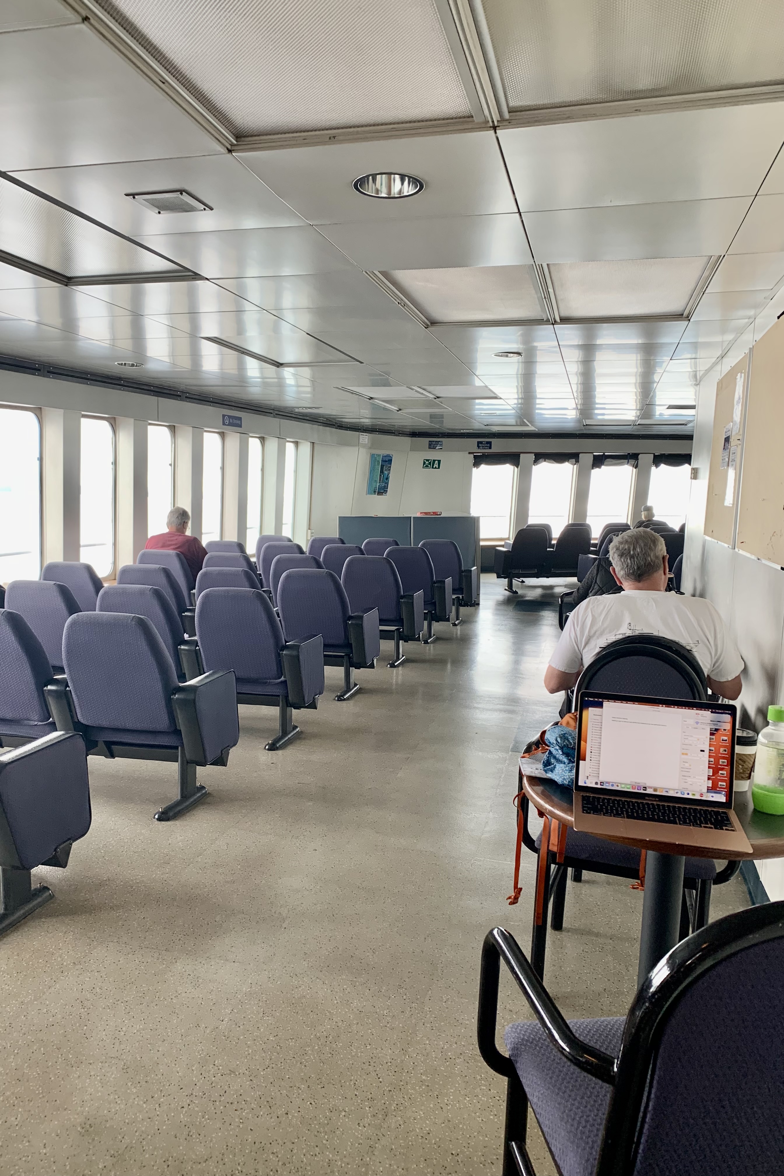
The ferry cabins are quite spare having minimal amenities. A real upside of the ferry is that one need not book a room but can opt to sleep most everywhere — in the observation lounges, on deck chairs in the covered heated solarium, in a pitched tent on the solarium deck, the movie lounge (which actually has only a large screen broken television). For the “un-cabined” there are lockers and showers available to use.
The ferry population thus is comprised of many young and/or older adults, hardy backpackers, tenters, adults on the go who could not otherwise afford a cabin, lots of retired baby boomer travelers in cabins, budget conscious travelers, the well-dressed to the scruffy, or just plain folks traveling with their recreation vehicles, kayakers, four-wheelers etc. and don’t want to make the long drive down to Washington.
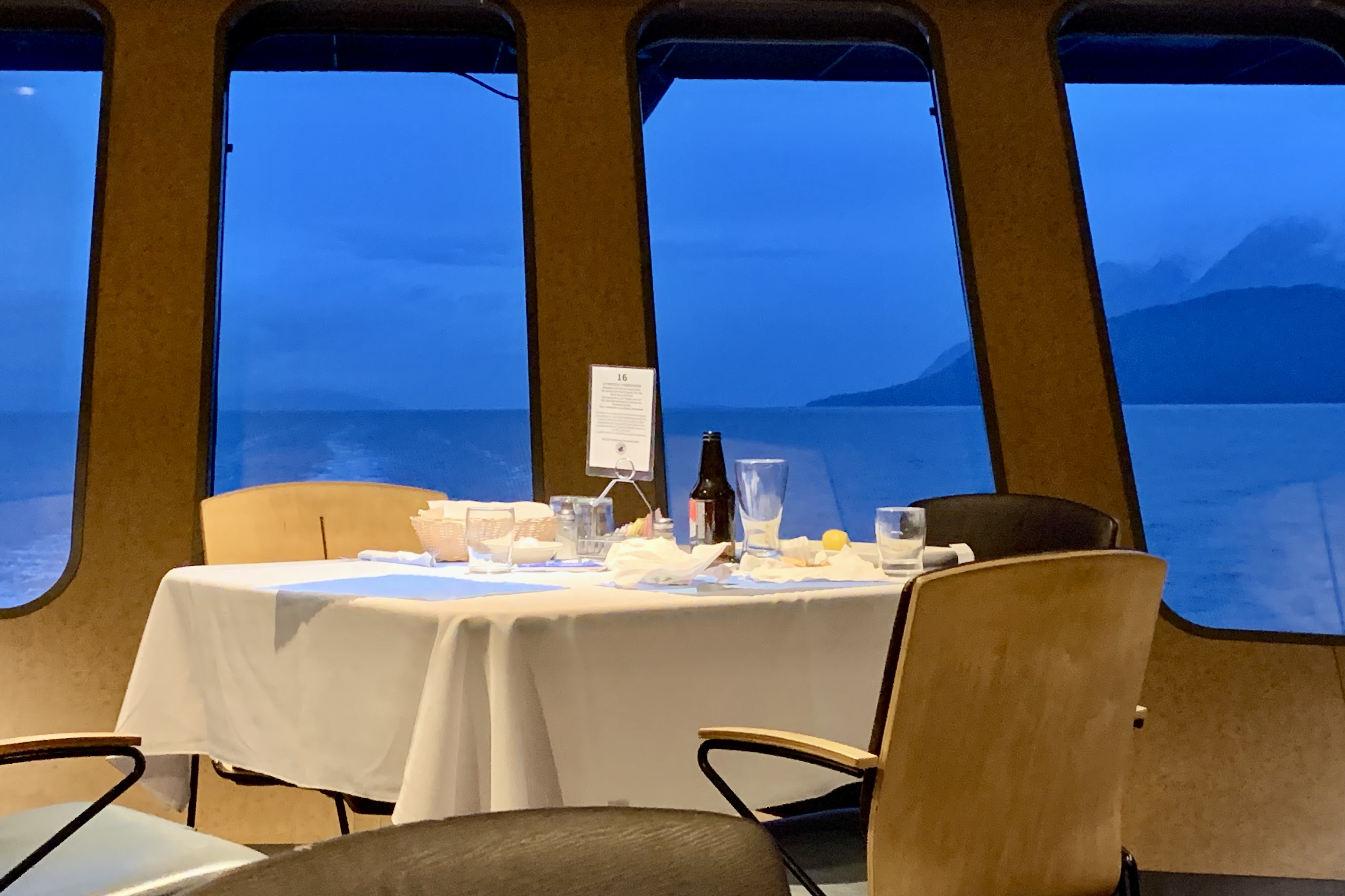
I planned on eating my dinners in the dining room. I have observed in some other restaurants and definitely the first night here that there is a proclivity to seat single individuals at less favorable tables. The first night in the dining room, the couple in front of me was taken to a window table up front. The host offered me a booth towards the back. I decline this and was then hesitantly offered a table nearer the front windows which I accepted. I then noticed that he seated the two men behind me at a window table. This definitely annoyed me but I wanted to enjoy what turned out to be a very mediocre dinner of grilled halibut, a microwaved baked potato and cauliflower that was thickly draped in some kind of spicy seasoning. So the second night when it was my turn to be seated I asked for a window table. The look on the mans face and the hemming and hawing was blatant. He took me to the front and then offered me a booth behind the tables by the window. I said I wanted one of the tables right up front. He very begrudgingly after looking all around finally gave me what I had asked for. To me it is a form of discrimination that couples or foursomes trump a single in table selection, especially here as the personnel are all state employees and no tipping is allowed. Money doesn’t talk and I would not go to the dining room again.
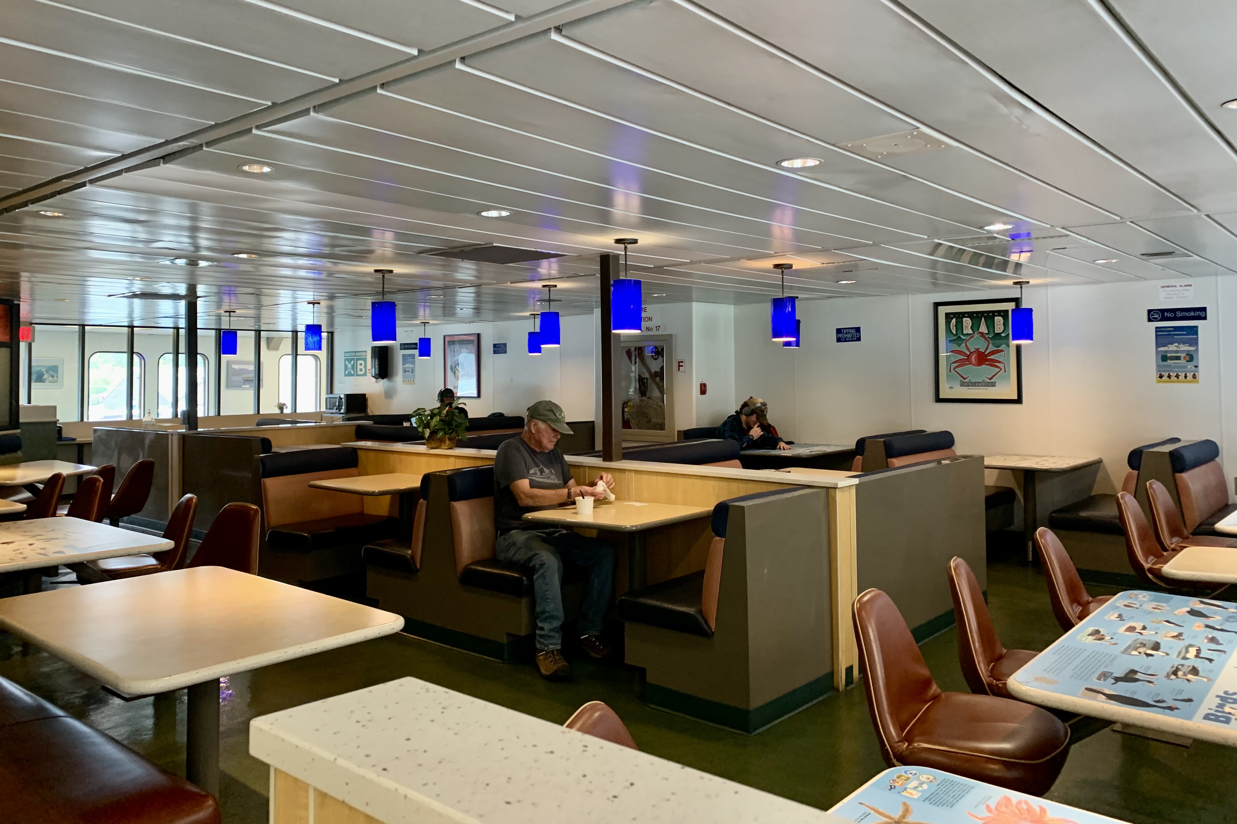
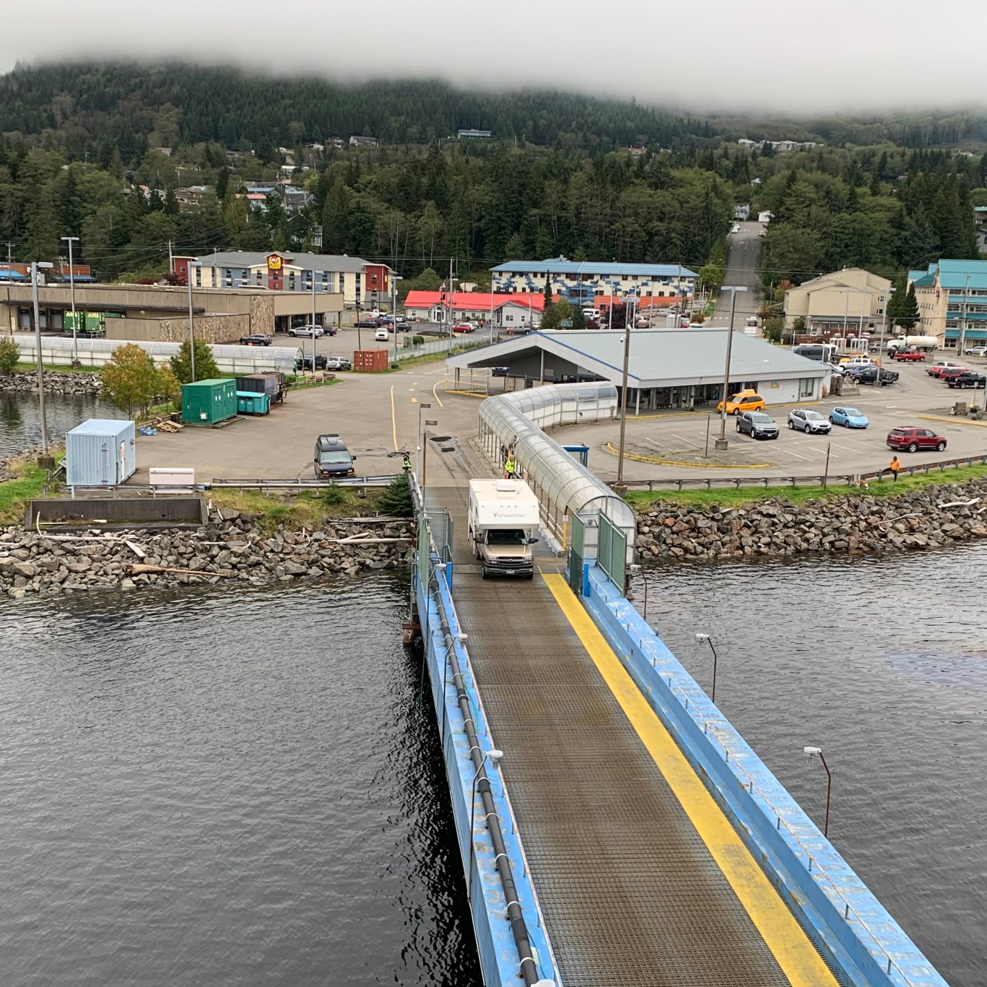
The ferry has both a snack bar/cafeteria and a dining room. The snack bar has the normal fare of lots of sandwiches, fried food and burgers. Having observed other people’s trays I didn’t see anything appealing and knowing from the trip to Kodiak on an Alaska Maritime Ferry there would be a microwave etc. I had brought a few food items for breakfast and lunch. I figured I would have my dinner meal in the dining room but after 2 nights I was by now pretty turned off by the dining room food and staff. I stopped in at the A&P across from the ferry dock in Ketchikan to replenish my food stores and purchase items I could heat in the micro-wave for dinners for the rest of the journey down to Bellingham.
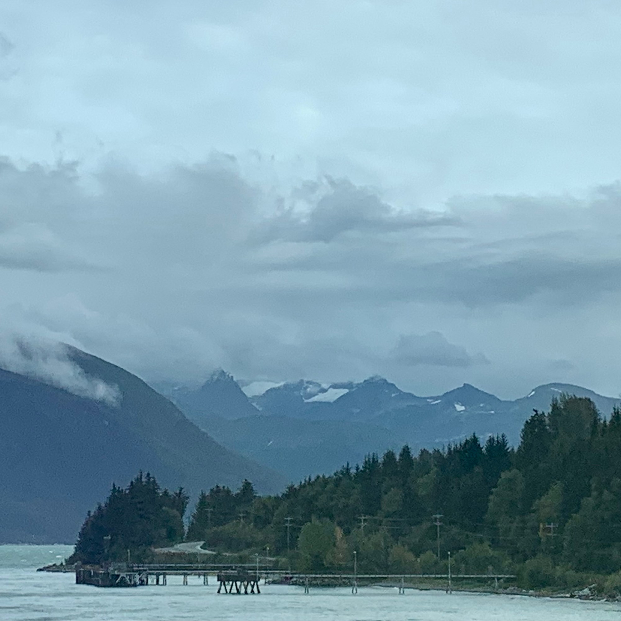
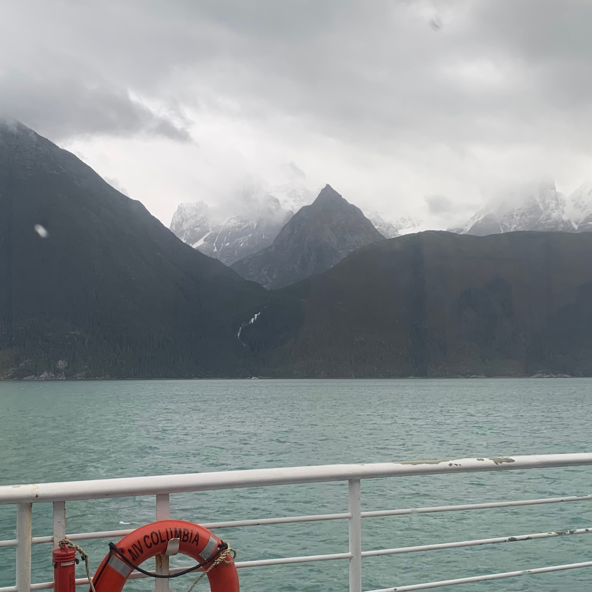
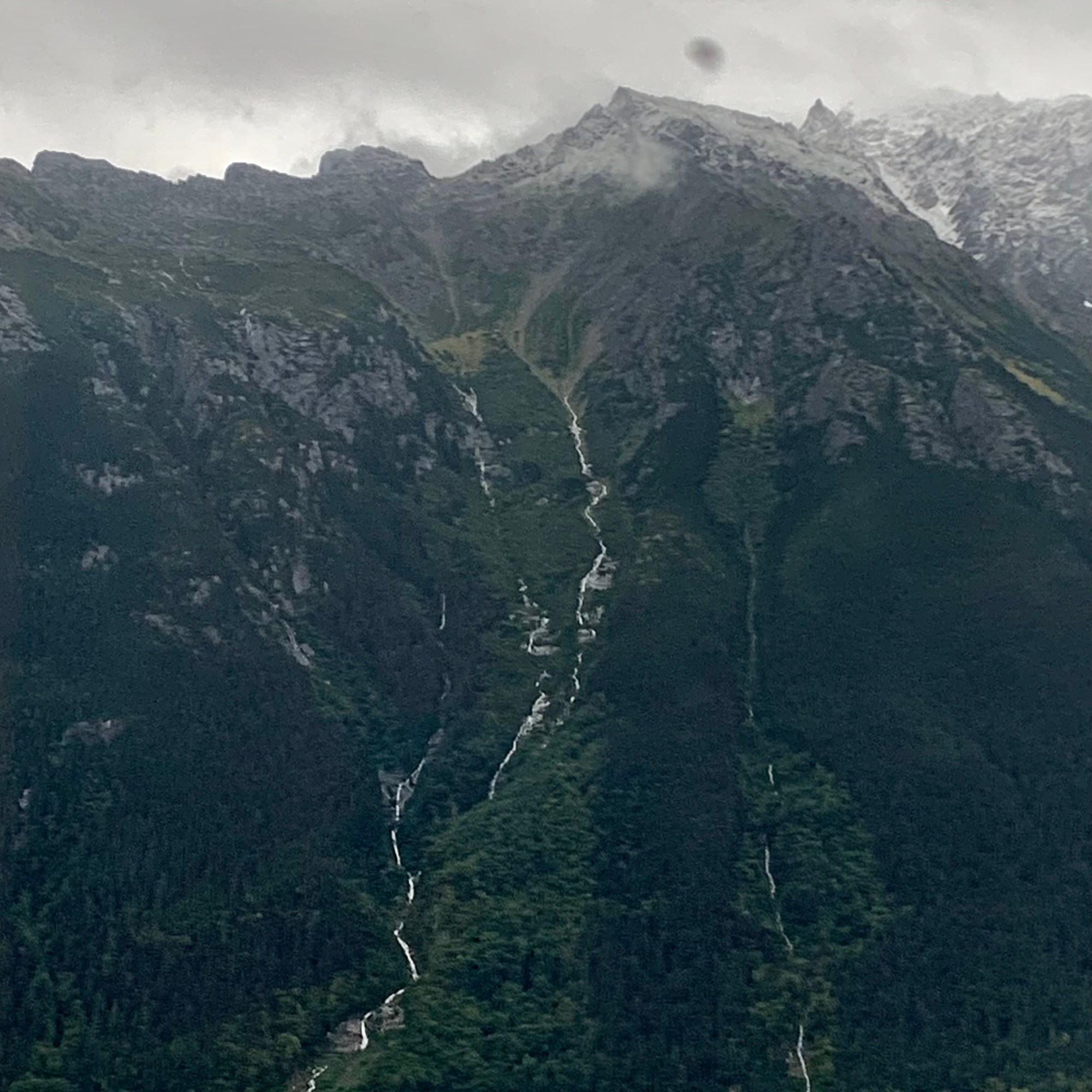
As I have often discovered, the “textbook” descriptions of places I am visiting is quite the mismatch from what I am actually experiencing. Description of the Inside Passage include such things as thundering cataracts, silvery mists, rocky promontories, dense foliage, and “the paved highway” to adventure . The first hour of our journey took us from Skagway over to the first port of Haines. Having left Skagway around 1:30 and heading toward an ominously dark sky, I was not too hopeful of getting that picture perfect photo of the mountainous terrain and glacial valleys purportedly lining the waterway. The jagged peaks and the hanging glaciers ranging down the mountainside were mostly shrouded in fog and though there was a diaphanous quality about the panorama it was difficult to experience the grandeur so often described by the poets and naturalists.
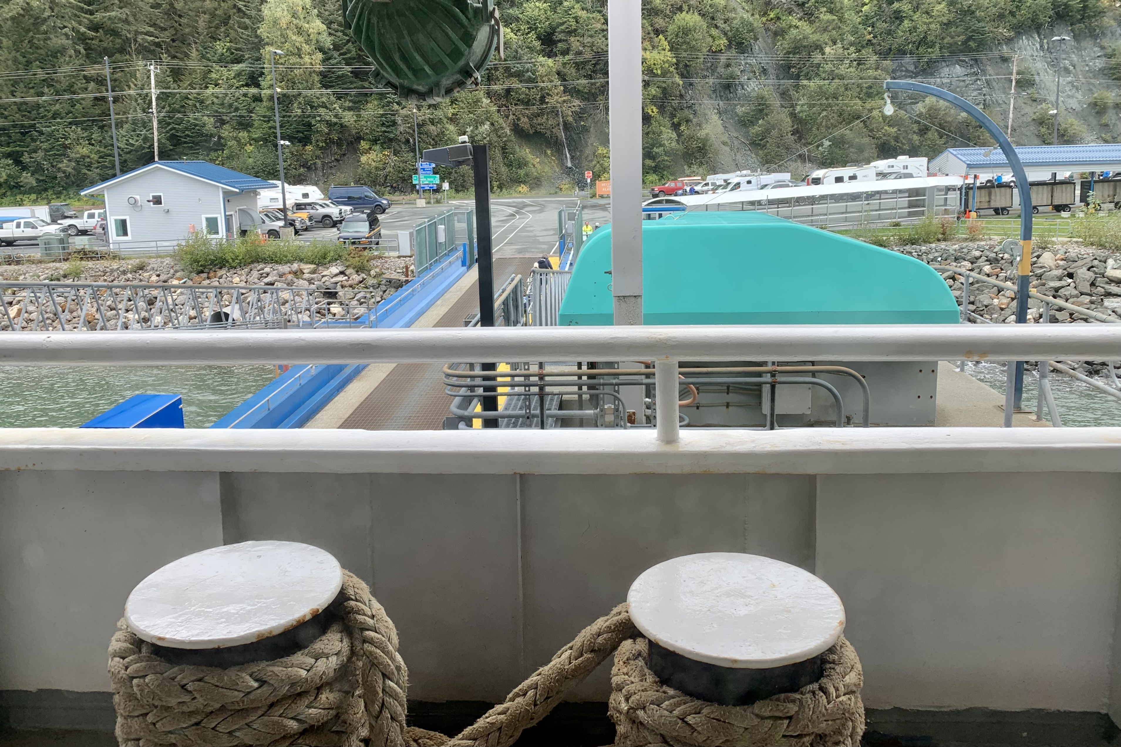
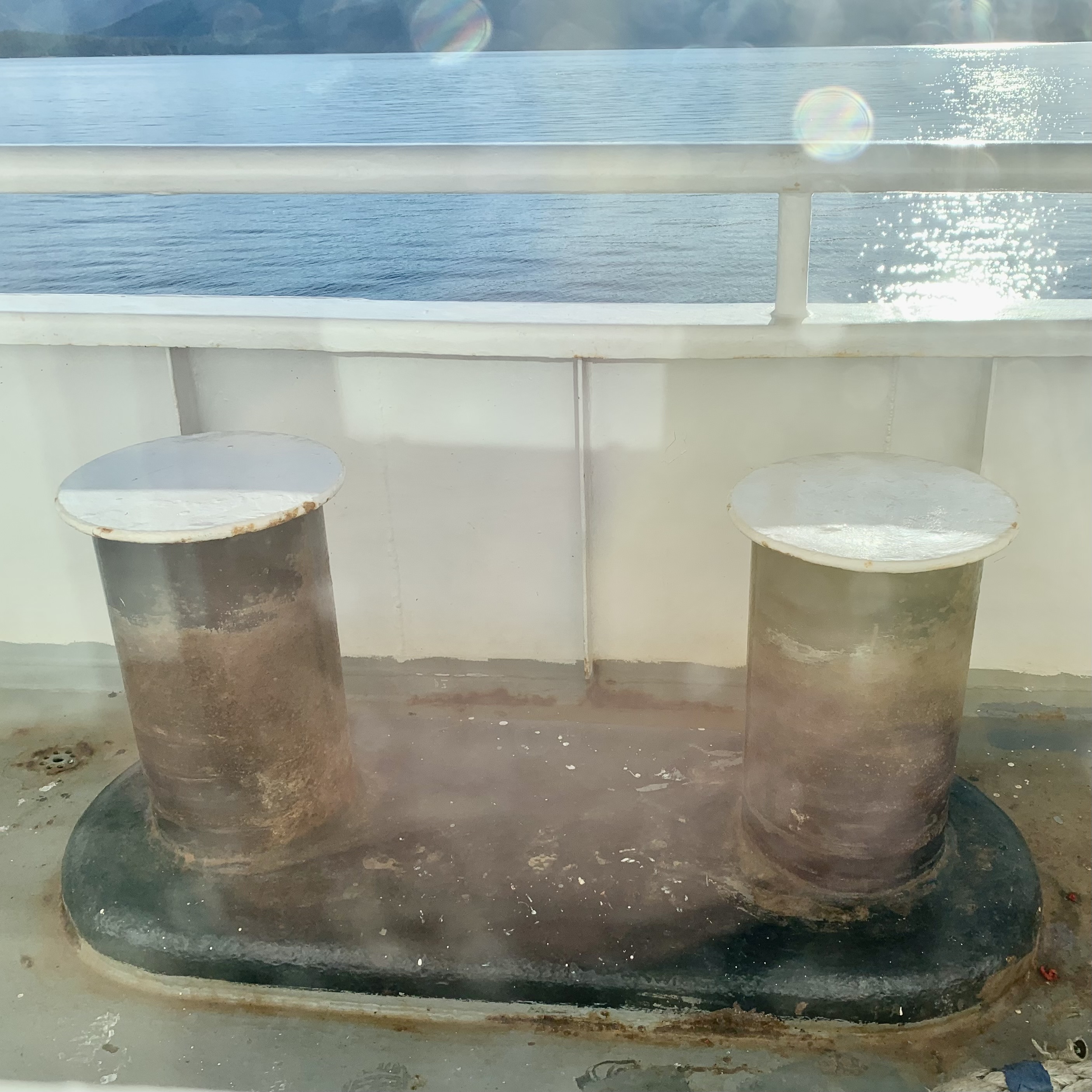
After the time consuming process of unloading and loading the vehicles and cargo we plowed onward to Juneau with a scheduled arrival of around 9:00 pm. By now I was ready to tuck in and was delighted when I awoke the next morning to blue sky and sunshine. I had totally missed the port-of-call of Juneau and now we were only a couple hours out of Sitka. I had been obsessing about the docking and vehicle loading process as my room was right over the cargo entrance door on the main deck below and the capstans were right below my window on the starboard side of the deck. At the previous port, the deploying and securing of the mooring lines, then 2-3 hours later the process of releasing and rewinding of the massive ropes, and the clattering the vehicles rolling on the metal ramp was quite a clangorous process. I doubt it was a quiet process so I must have been dead to the world soothed by the gentle vibrations and hum of the engines.
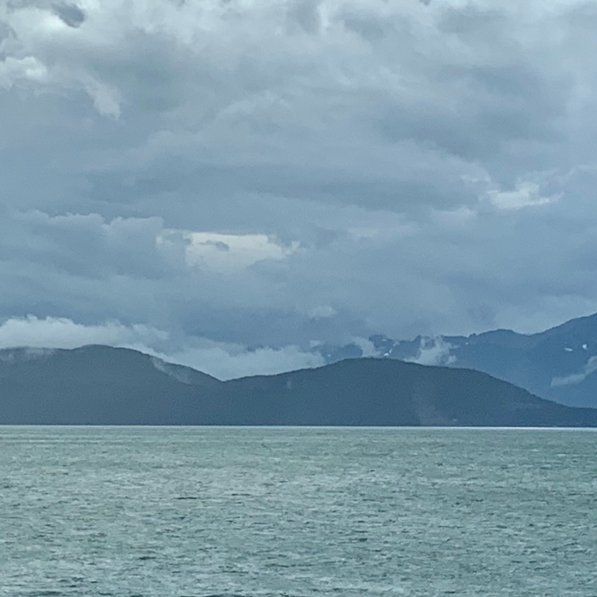
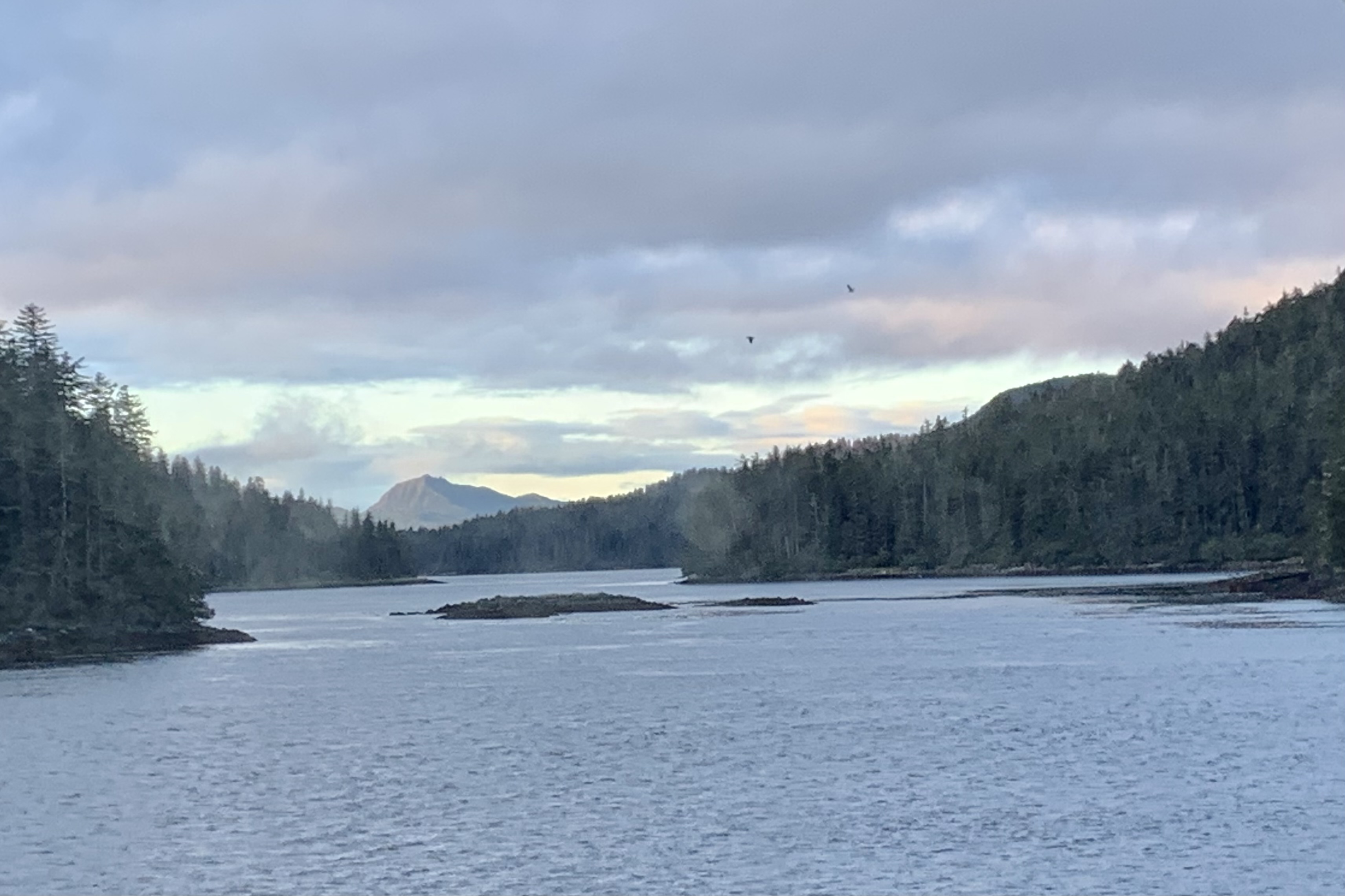
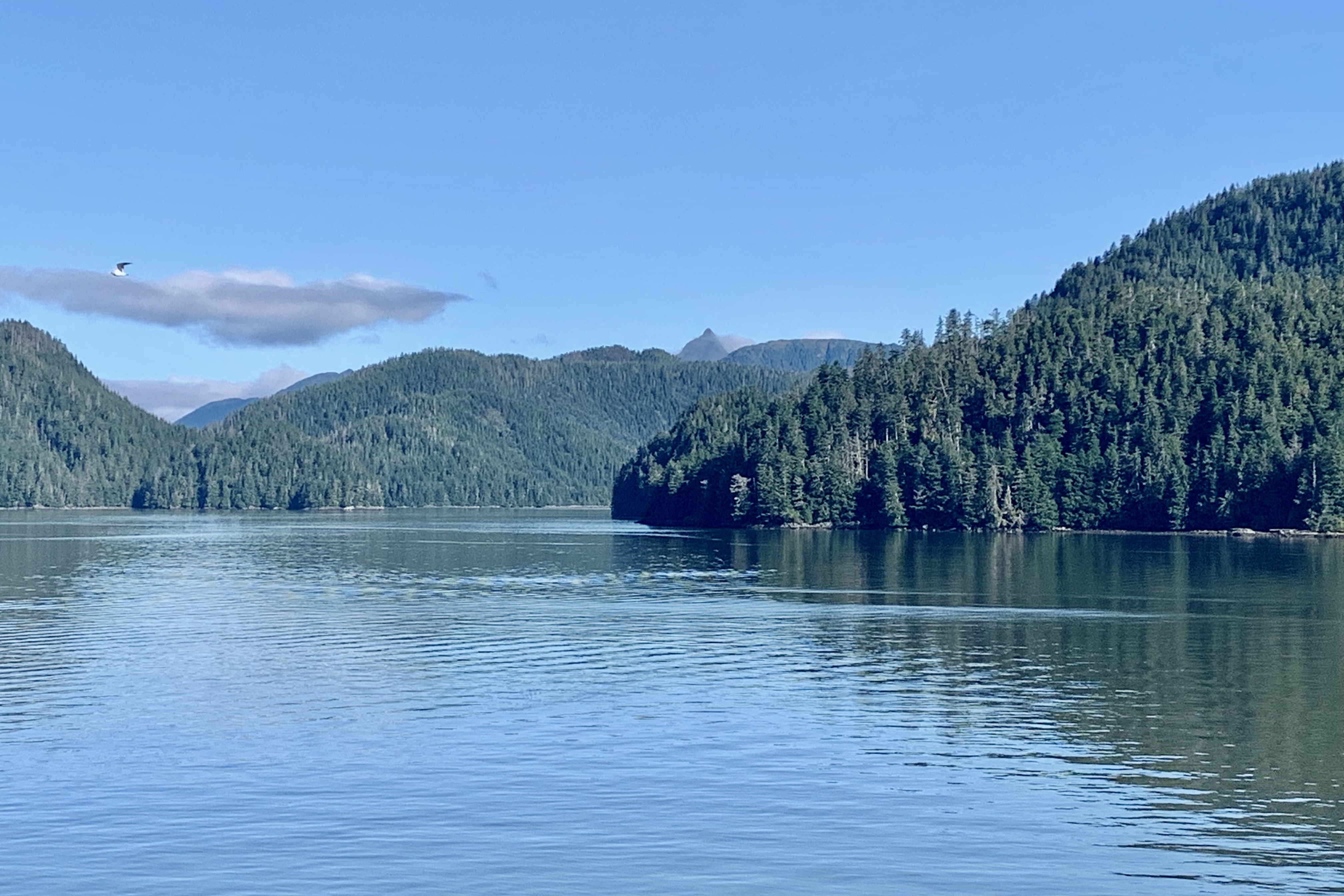
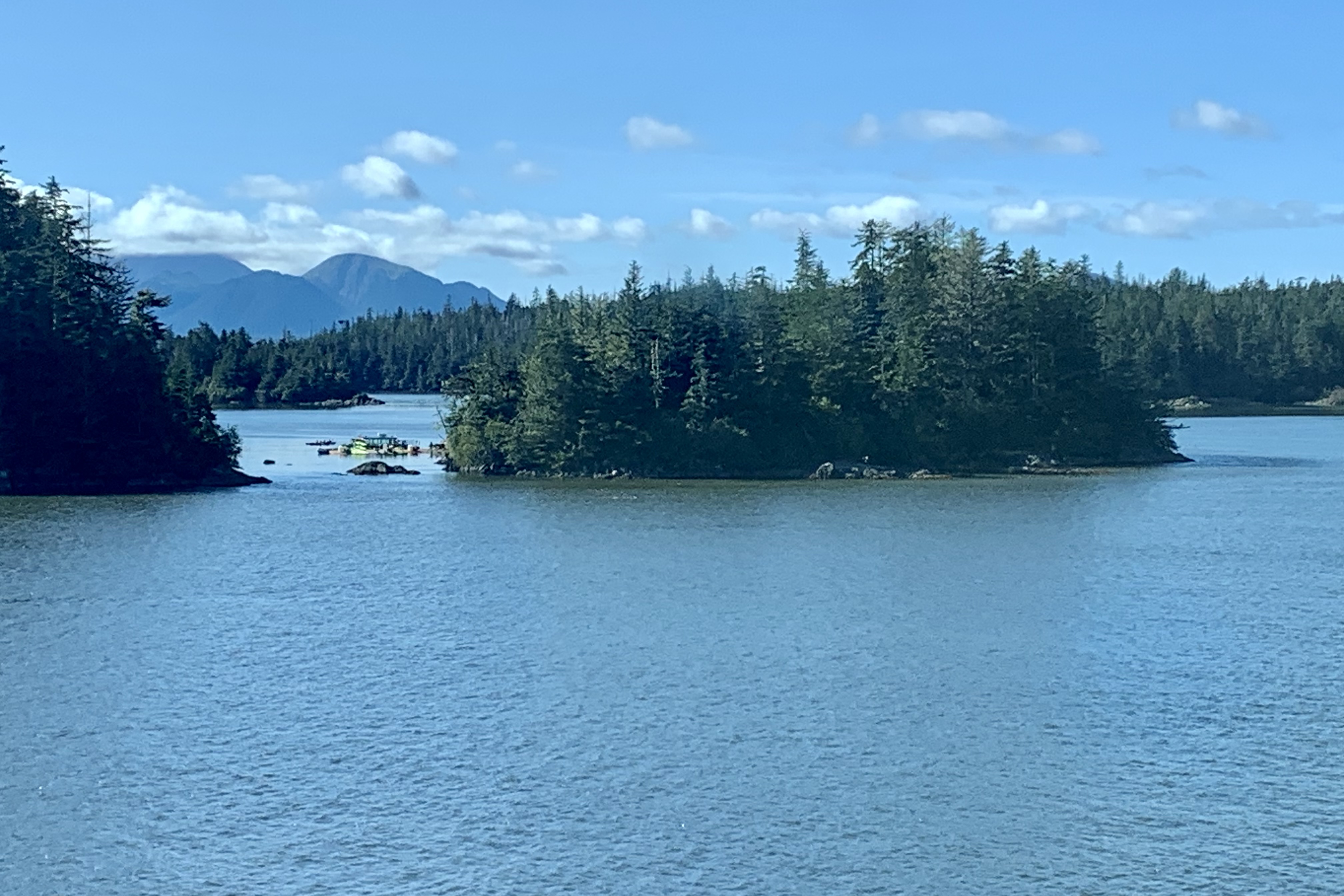
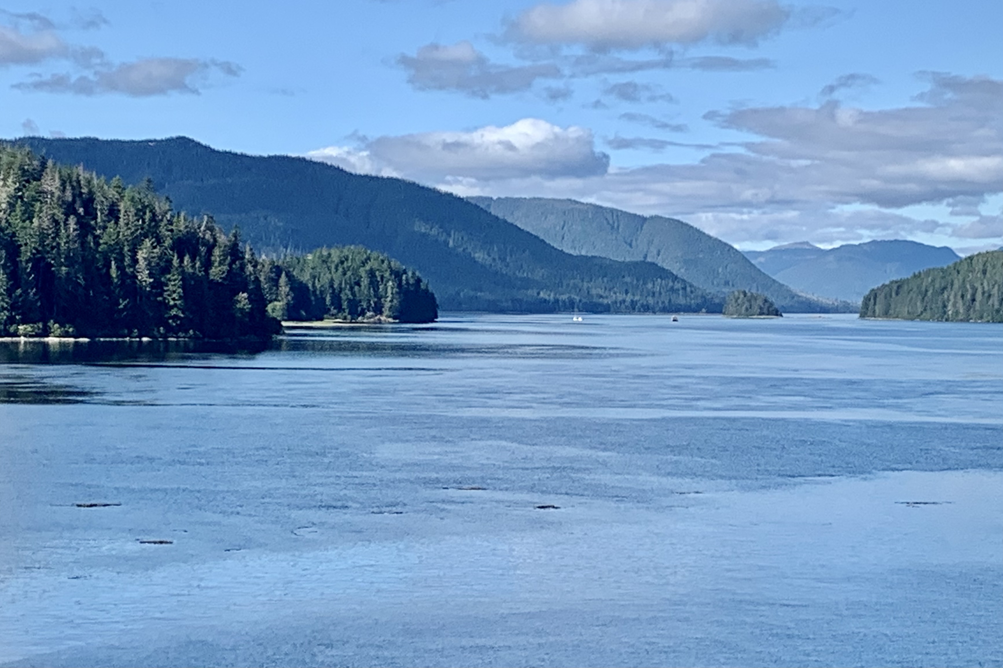
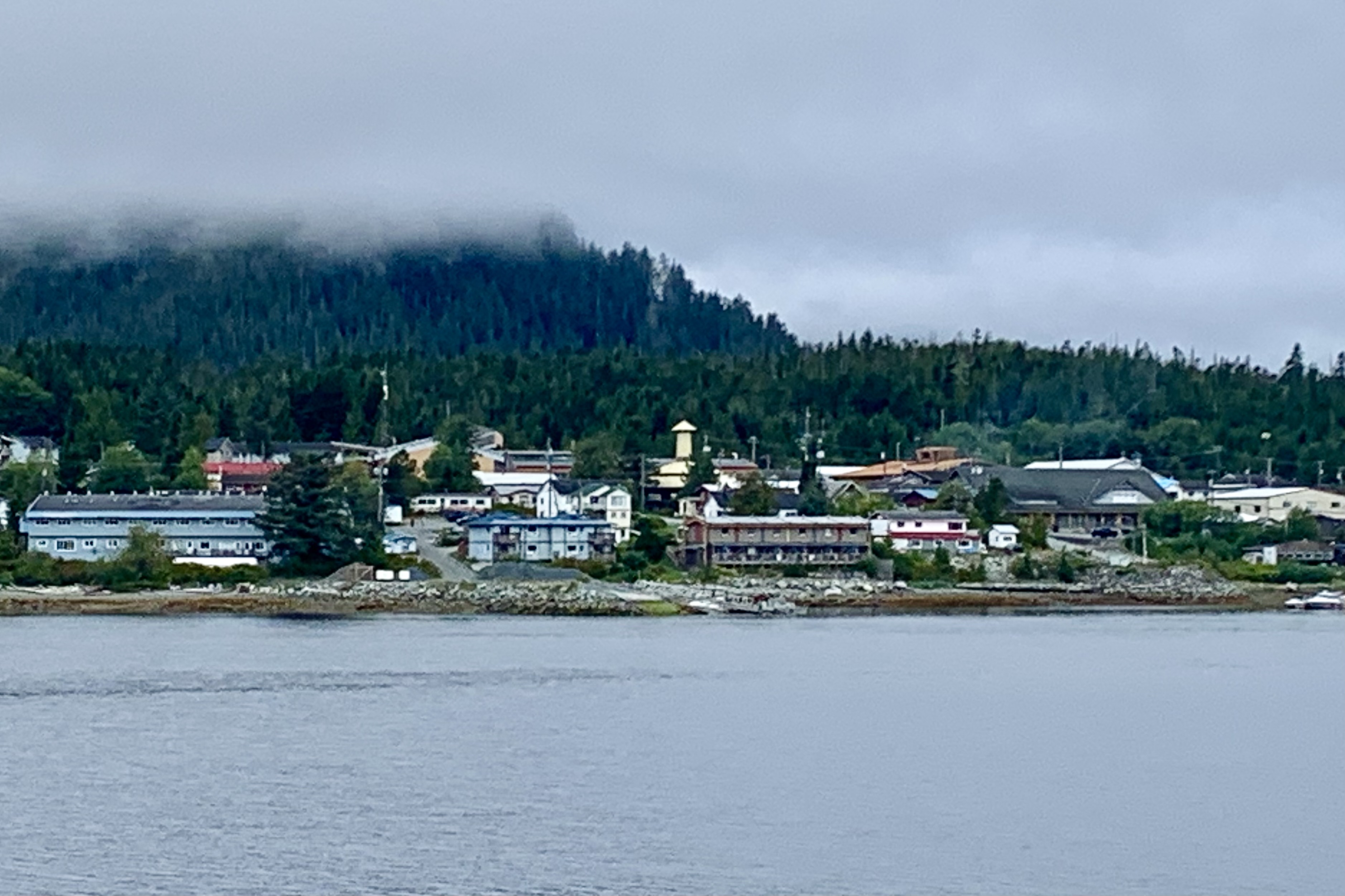
After arising and a K- cup of coffee, I found the early morning splendor of lush foliage, serene waters, a blushing sky and veils of mist over the islands was truly mesmerizing. Though we were now south of the higher jagged peaks and most of the mountains now lacked the ragged edges and snowy crowns of their northern sisters, I found them nonetheless captivating and elegant with the softer undulating shapes, the verdancy of forest-clad mountains, the rugged coastal reaches of Tongass National Forest,
As we approached the port of Sitka, I made an executive decision to forgo a venture into town as our time in port was to be 3 hours and I definitely had my fill of the carbon copy tourist focused establishments while in Skagway. A Sitka adventure necessitated getting a public bus or taxi and ’twas not my idea of an inspiring exploration when I could sit on deck port side and drink in the beauty of Baranof Island and watch the Celebrity Eclipse glide through the channel on its way south .
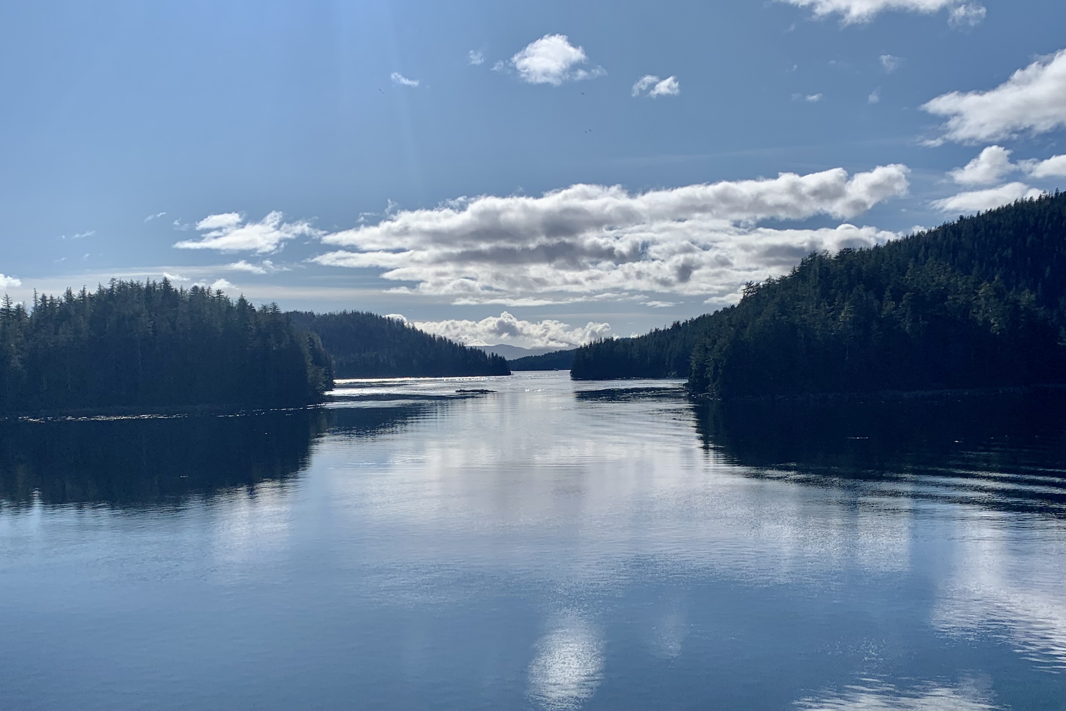
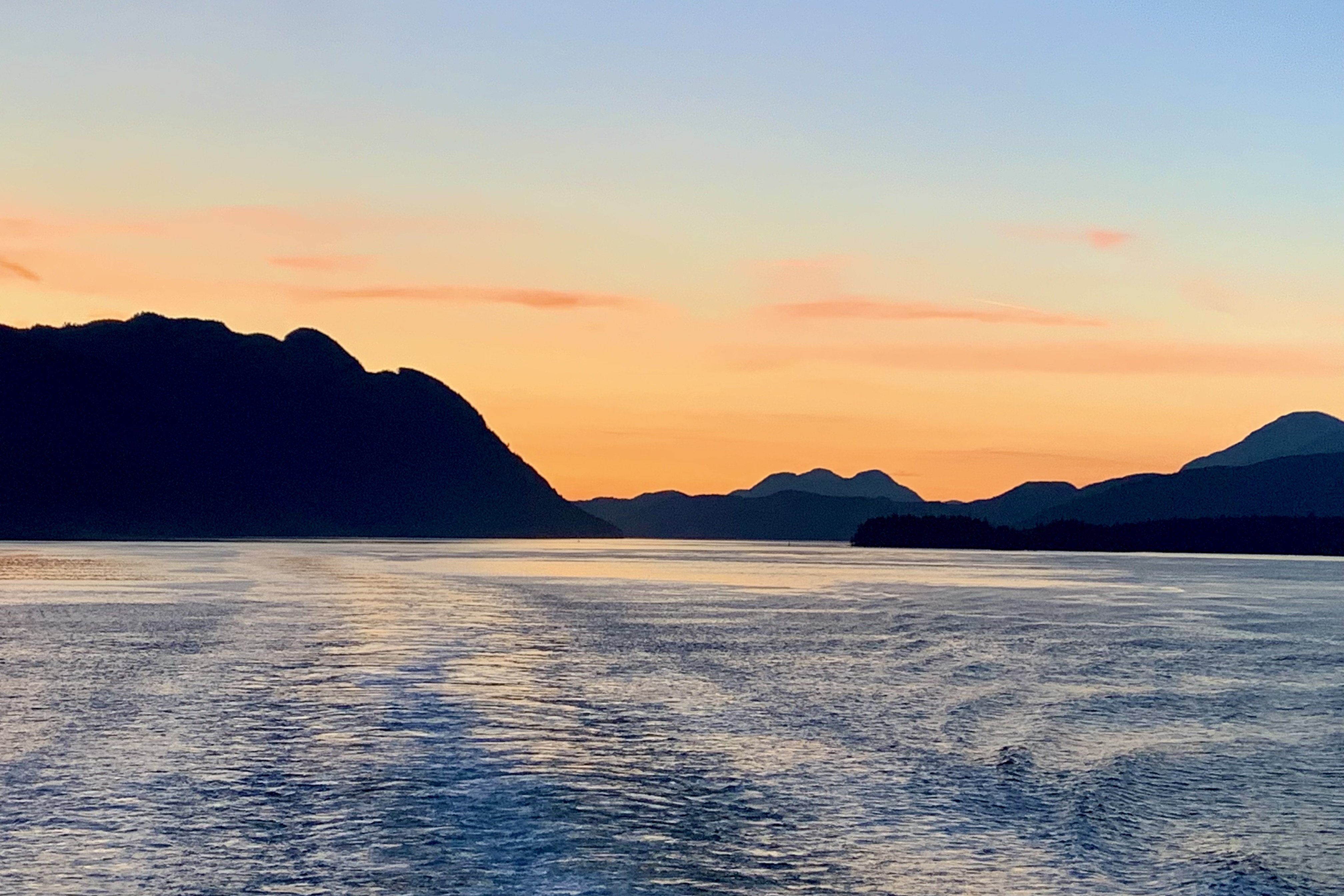
Upon motoring out of Sitka around one pm, the waters remain tranquil for the rest of the day and the seaside views were an ongoing visual treat of a rolling landscape adorned with conifer forest , and clouds casting their mirrors image on the water. Towards days end while sitting at my window table in the restaurant, the sky became a pallet of orange and gold though it felt a bit ominous that the dense dark cloud banks did not take on any of the hues of the setting sun. I rested well having had a joyous day filled with eye candy.
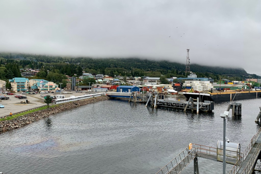
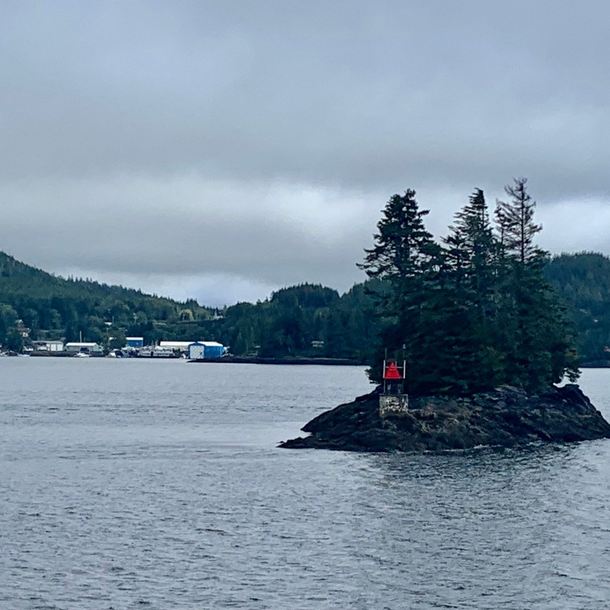
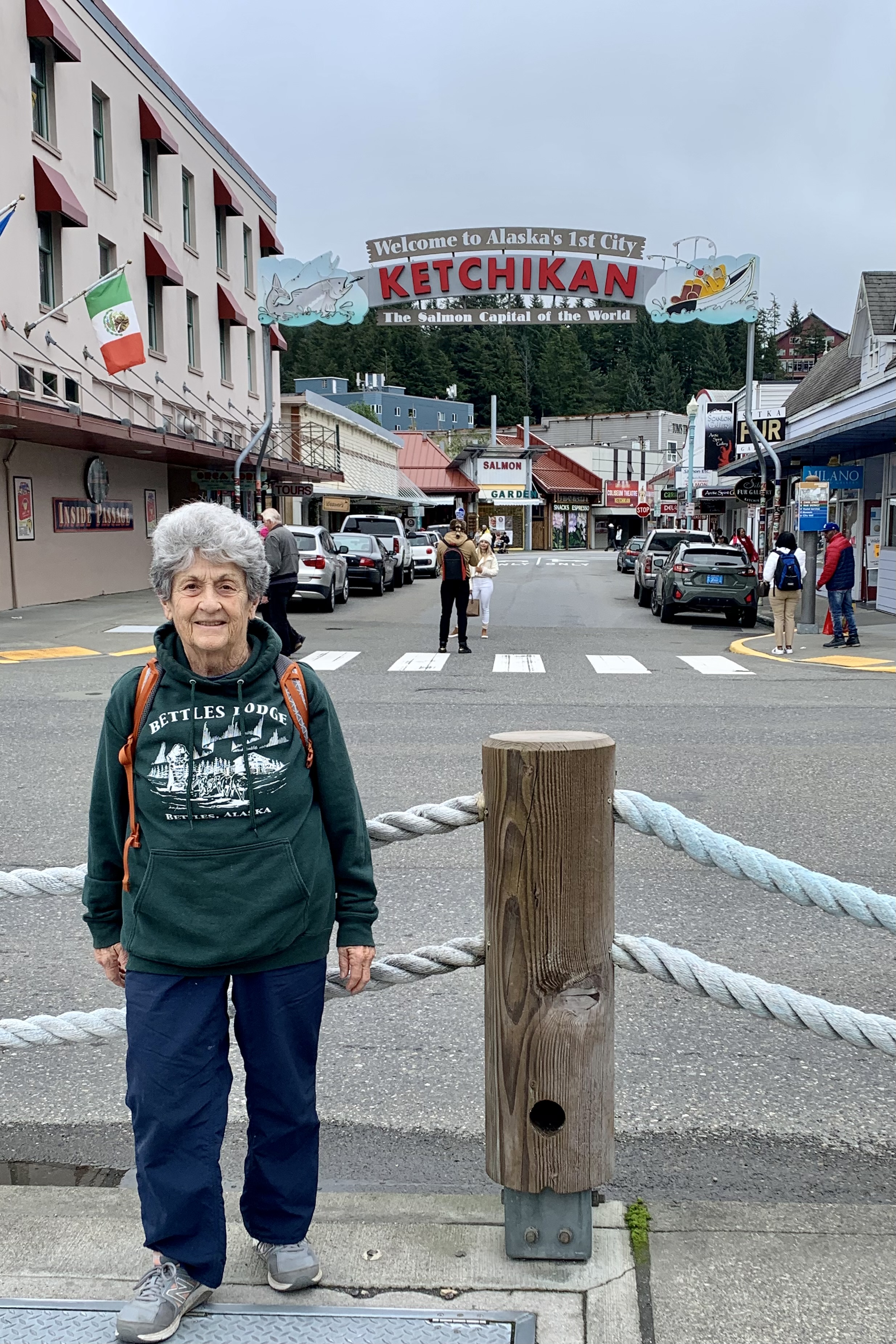
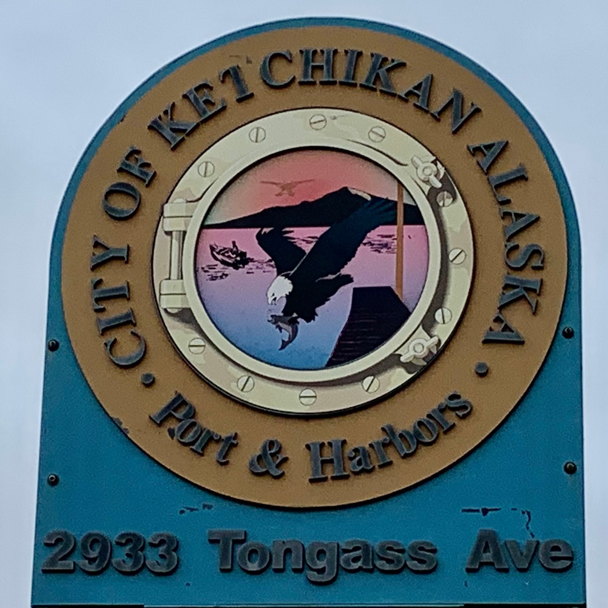
I sleeping soundly and never awakened to the rumbling sounds of the activity at the two nighttime ports-of-call : Petersburg and Wrangell. We were enveloped in a dense fog and I guess it had been too much to hope for to have more than 0ne sunny day. This was the only port, Ketchikan, that I was opting to visit other than Skagway where I boarded. I was enthused as I had visited this town about fifteen tears ago and found it charming. I hopped on a city bus to get downtown as it was about 3 miles from the ferry dock. I was glad for the circuitous route of the bus as it travelled through many part of the town.
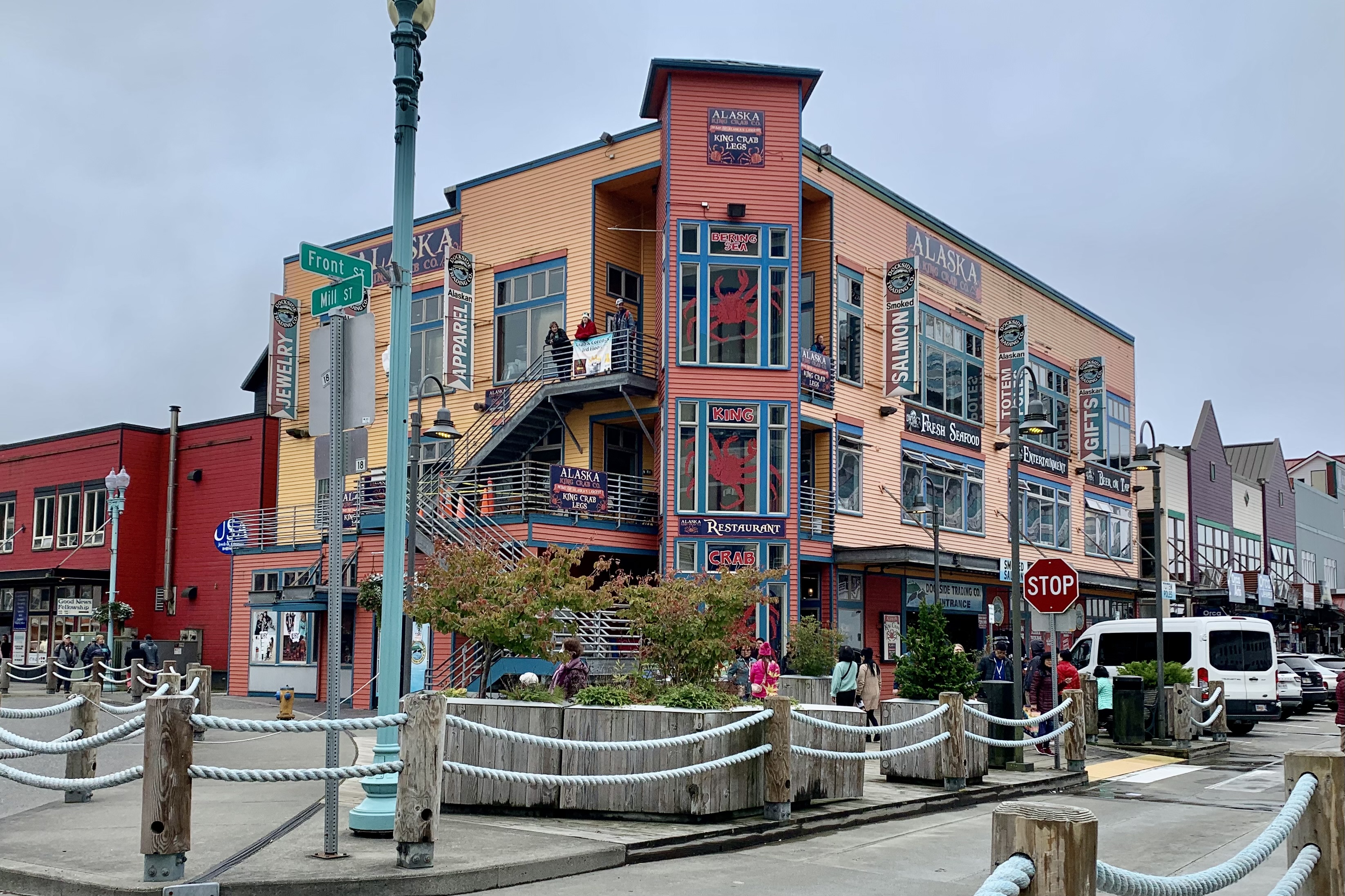
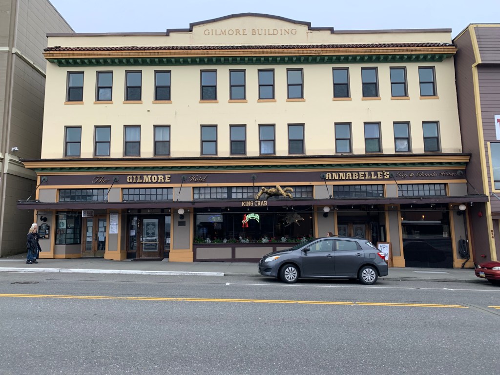
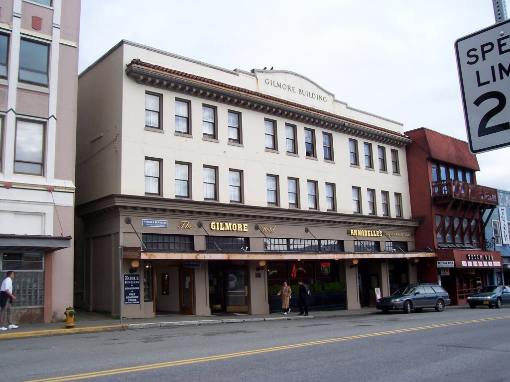
It didn’t take long once downtown before the jostling masses, thus needing to weave my way through the sheer numbers of shoppers, got the best of me and after taking a couple of photos of sights I remembered, the Gilmore Hotel which I stayed in 2007 and Eagle Park (not much had changed in 16 years), I was ready to skip town.
Gilmore Hotel 2023Gilmore Hotel 2007Eagle Park 2023Eagle Park 2007
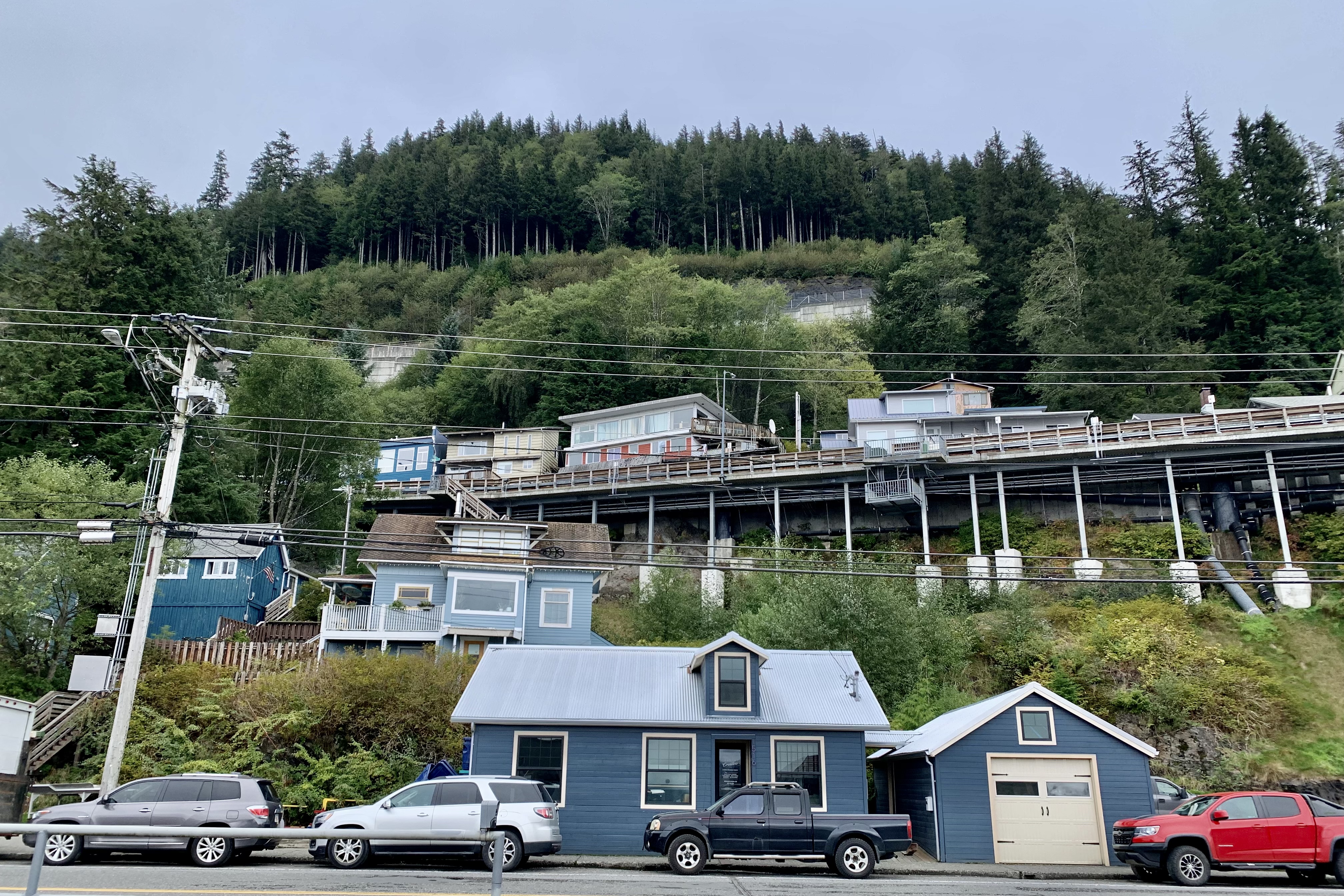
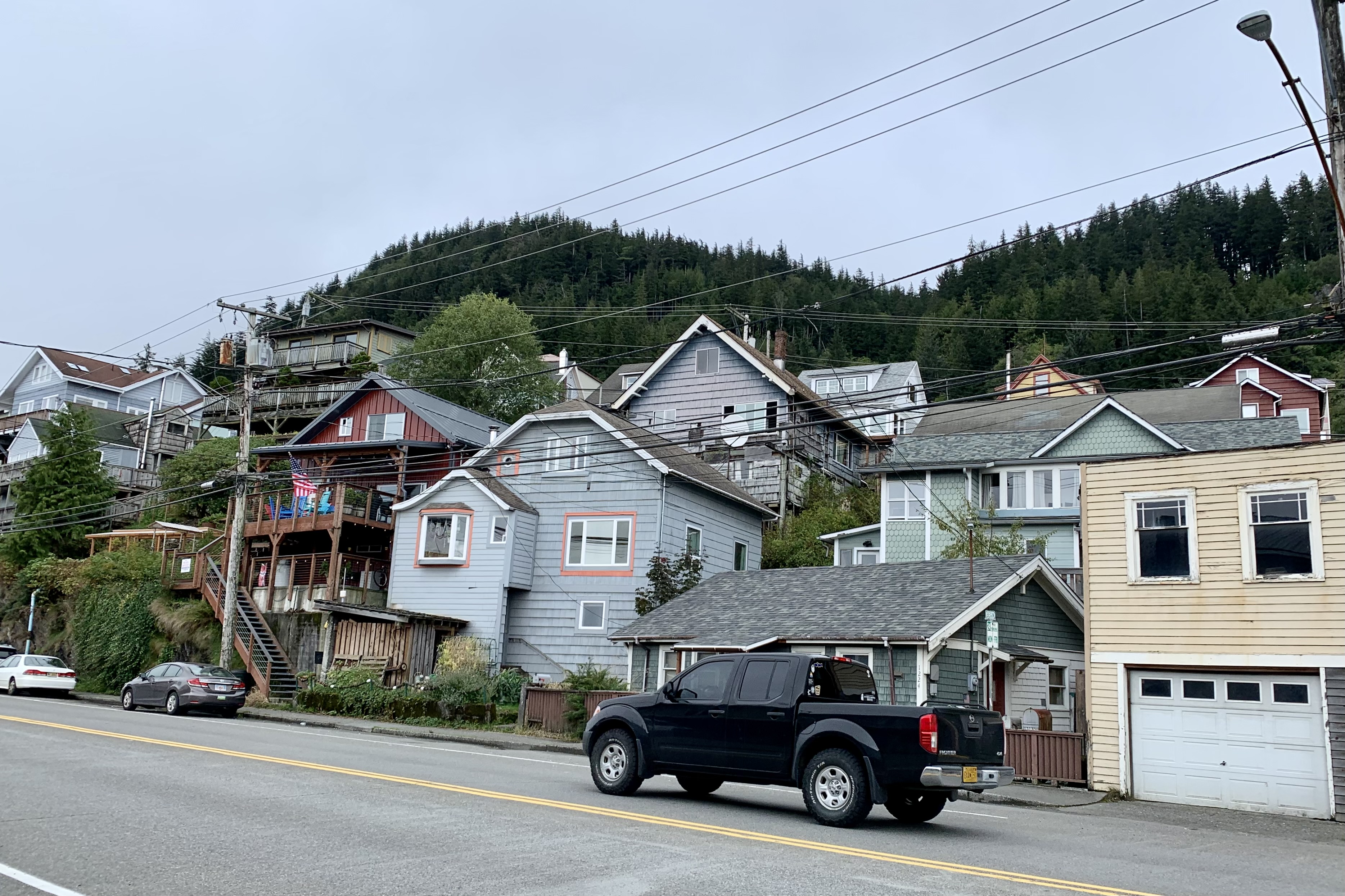
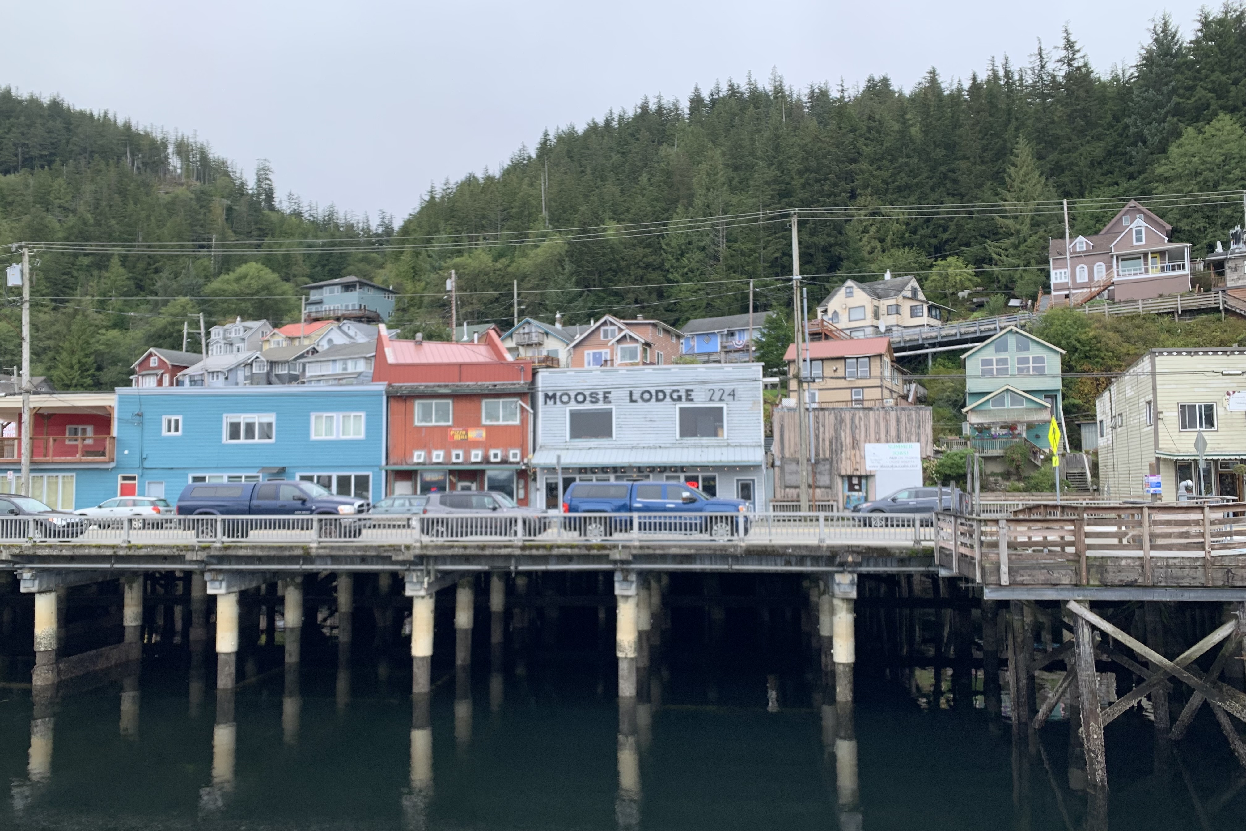
I had decided a nice brisk walk back to the ferry was in order. The boardwalk meandered past many tourist shops, boutiques, and eating establishments initially and eventually turned broken sidewalk and passed local business and the boat harbors and dockyards. There was a certain charm to the city with so many of it dwelling perched high on the rock coast but I was saddened by the huge similarity between all of the centers of these port cities with the plethora of jewelry store, souvenir shops, and eateries.
The “best” part of the walk was laboriously trudging many flights of stairs to Water Street for an elevated perspective of the harbor area. It was not the expansive view I was hoping for but nonetheless it was the best quad workout I have had in a while.
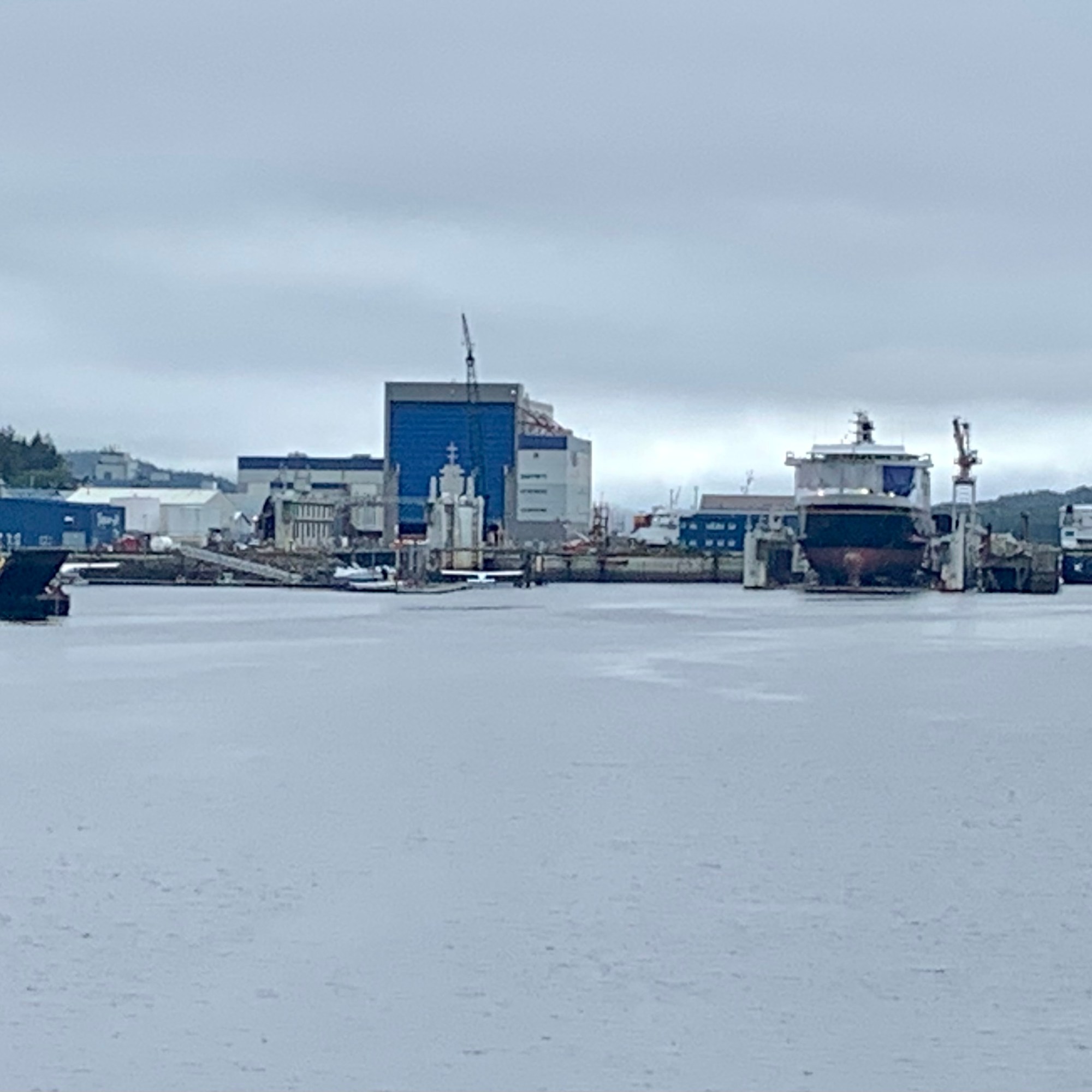
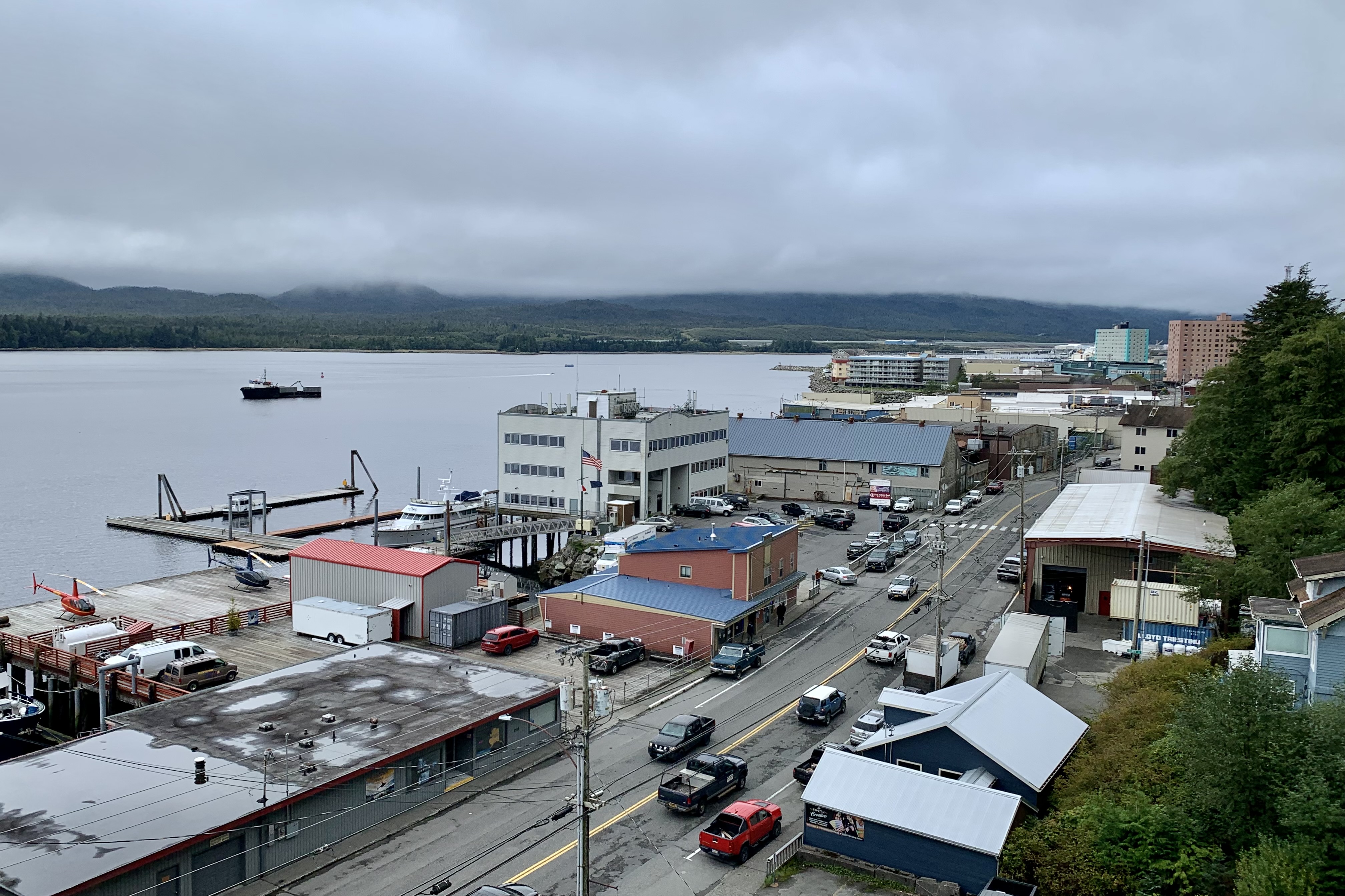
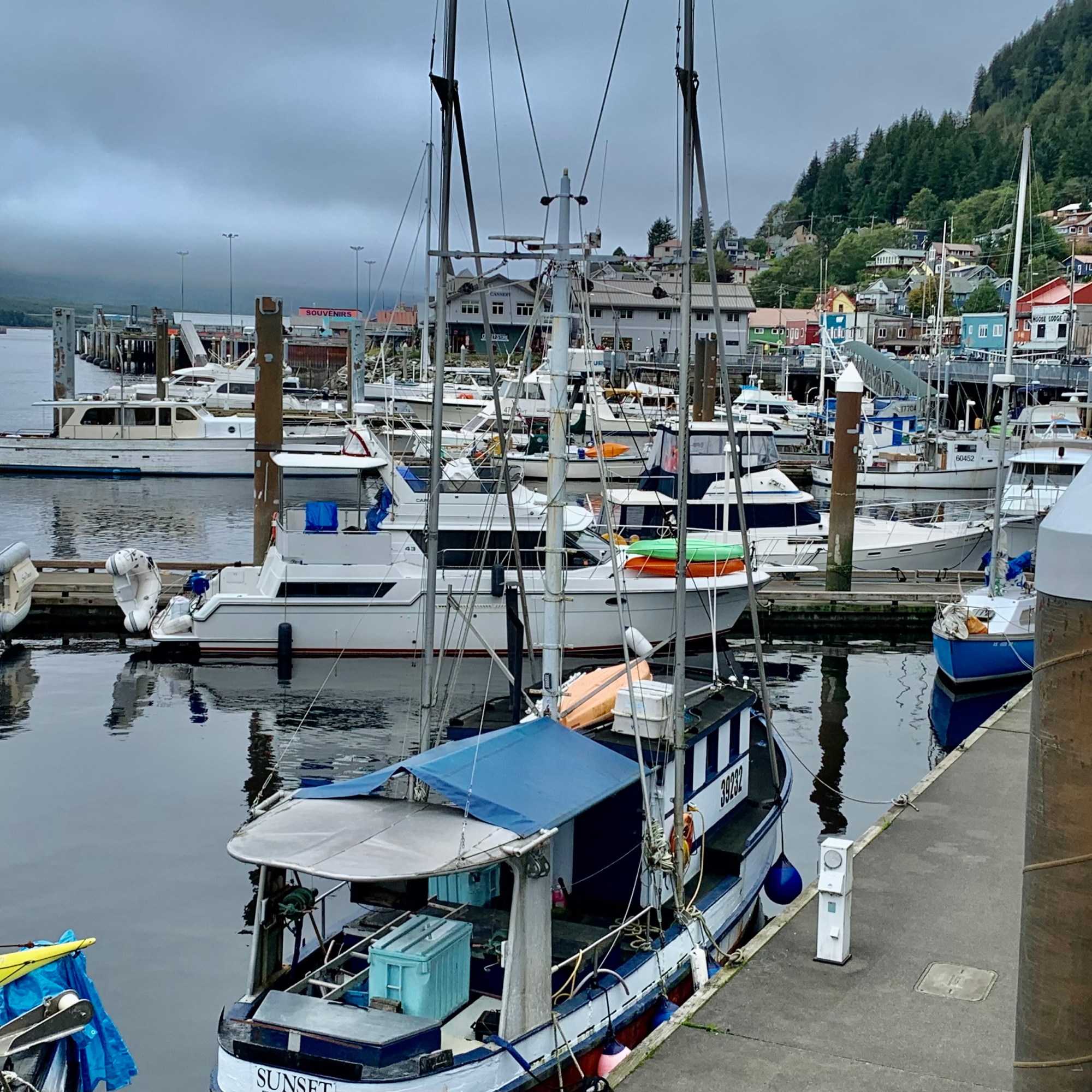
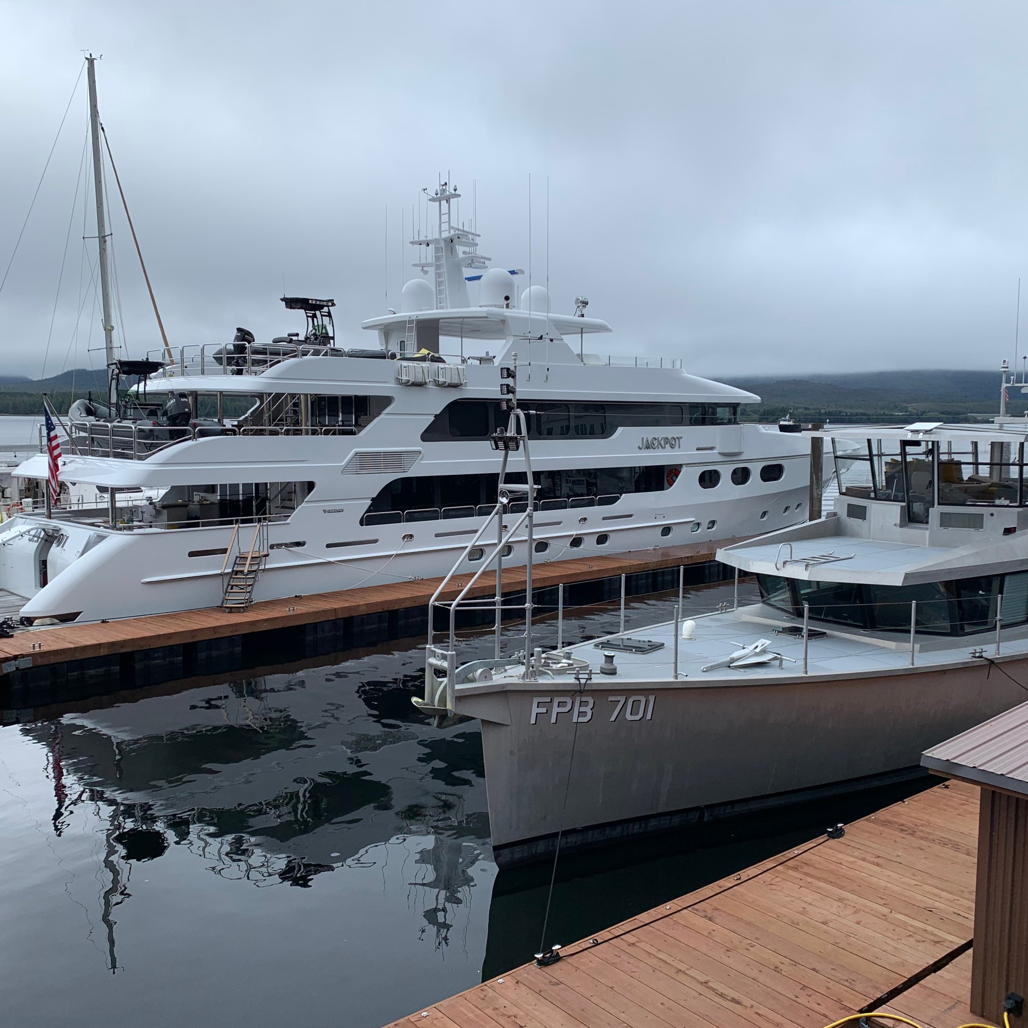
During the meander back to the Columbia, I wanted to experience the heartbeat of the other industries in addition to tourism frenzy contributing to the economy of Ketchikan as I viewed docked along the harbor colorful fishing boats, cruise ships, yachts, ship yards , cargo container storage lots, and local businesses.
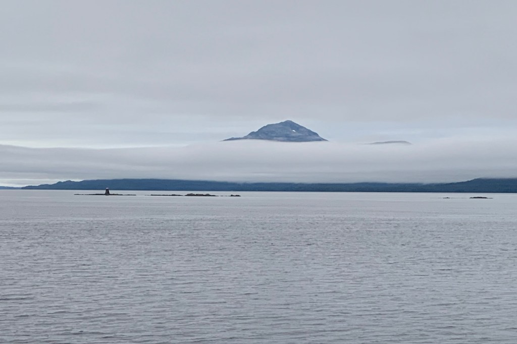
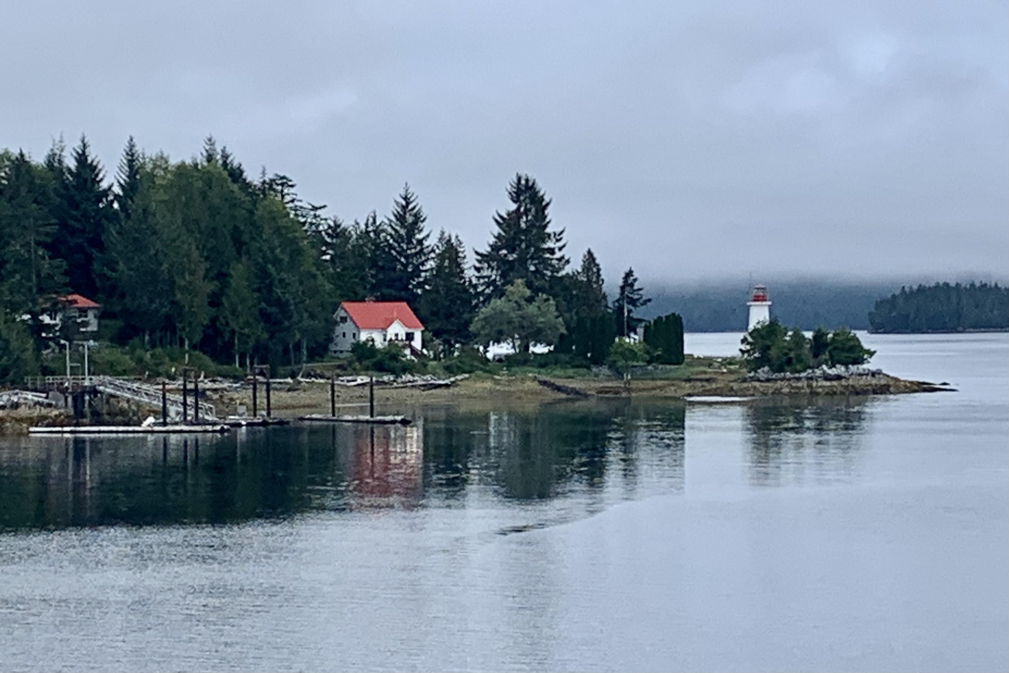
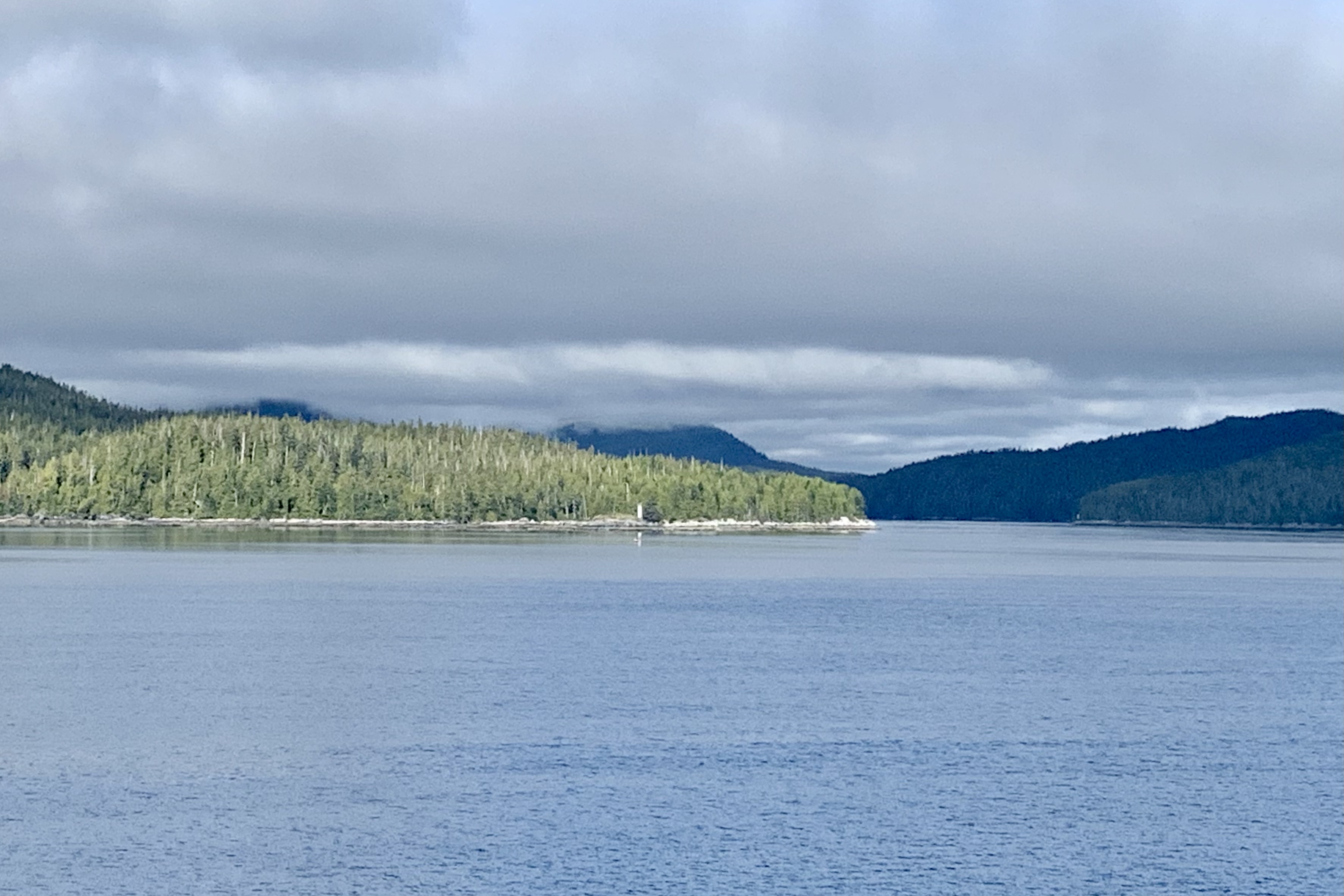
Departing Ketchikan around 5:00 pm, we would be “at sea” for the next 40hours as there were no additional docking until the final destination of Bellingham Washington. The scene out of Ketchikan was similar to the entry with the coastline shrouded in clouds and fog.
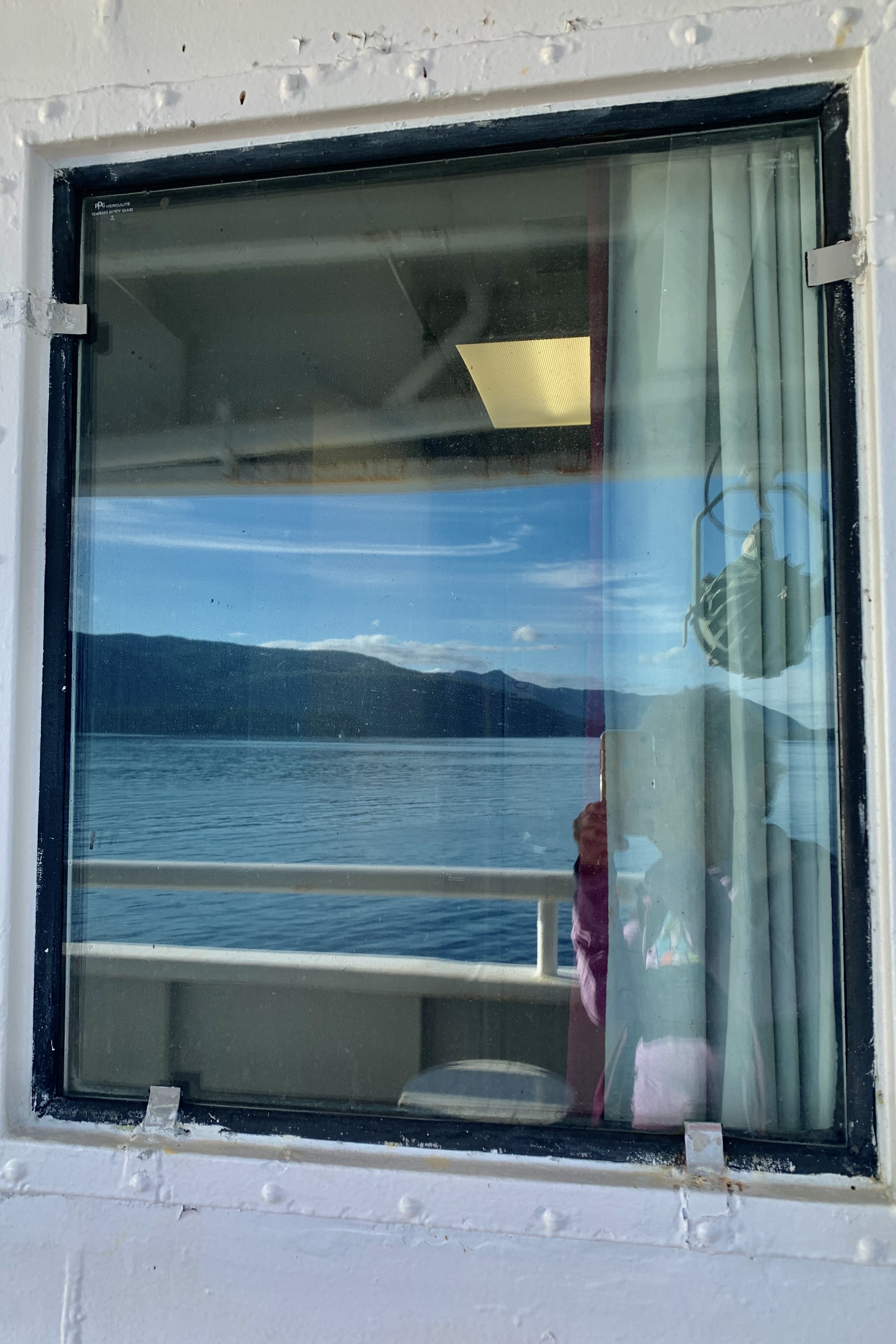
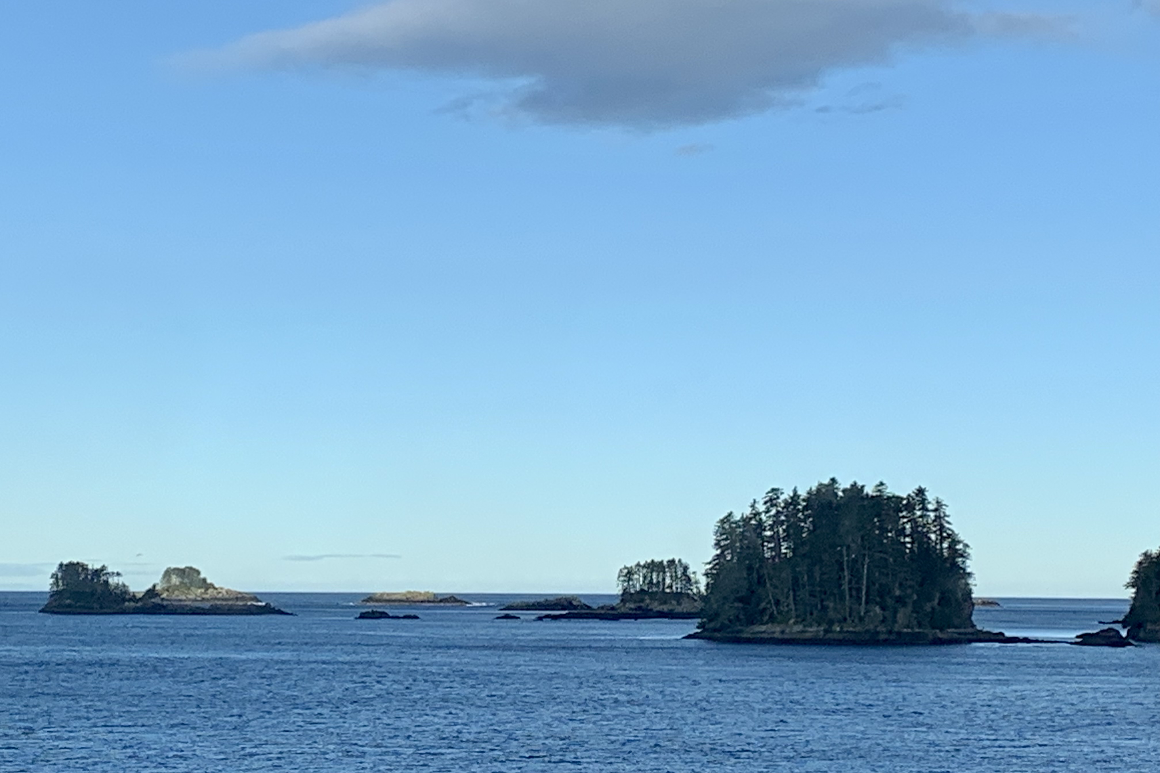
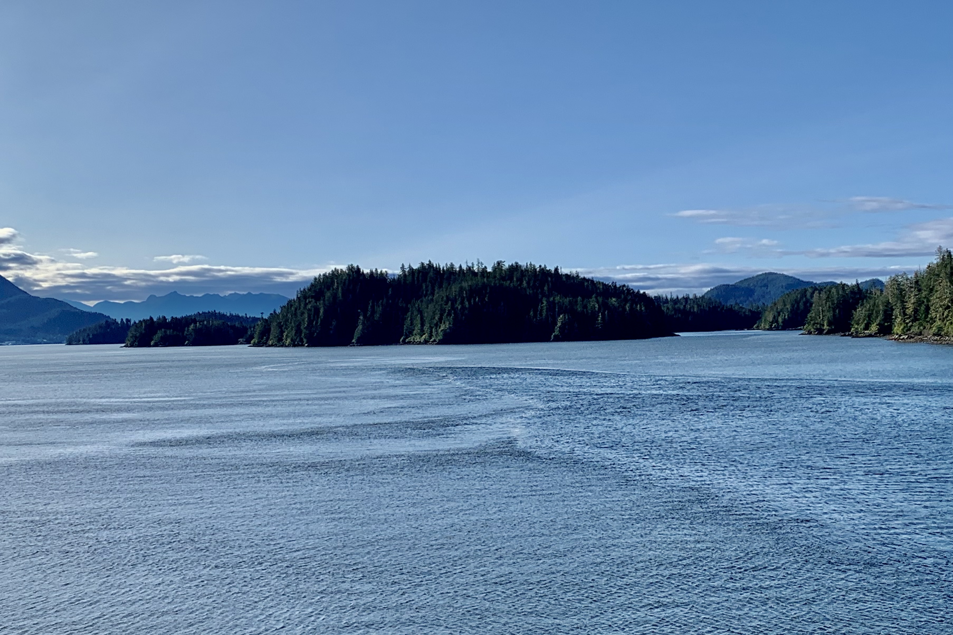
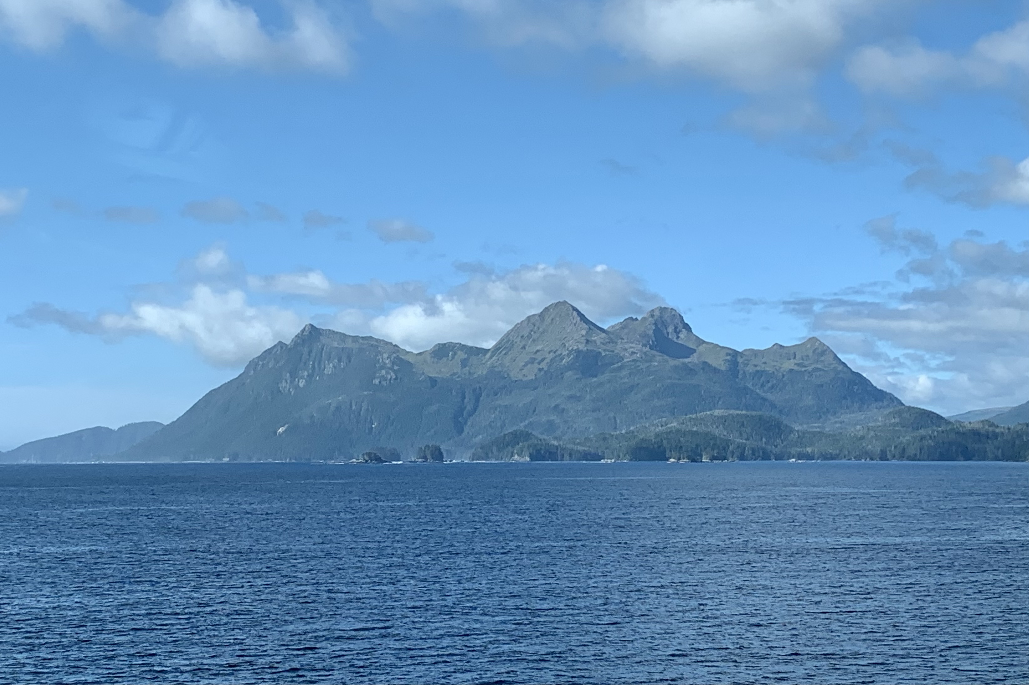
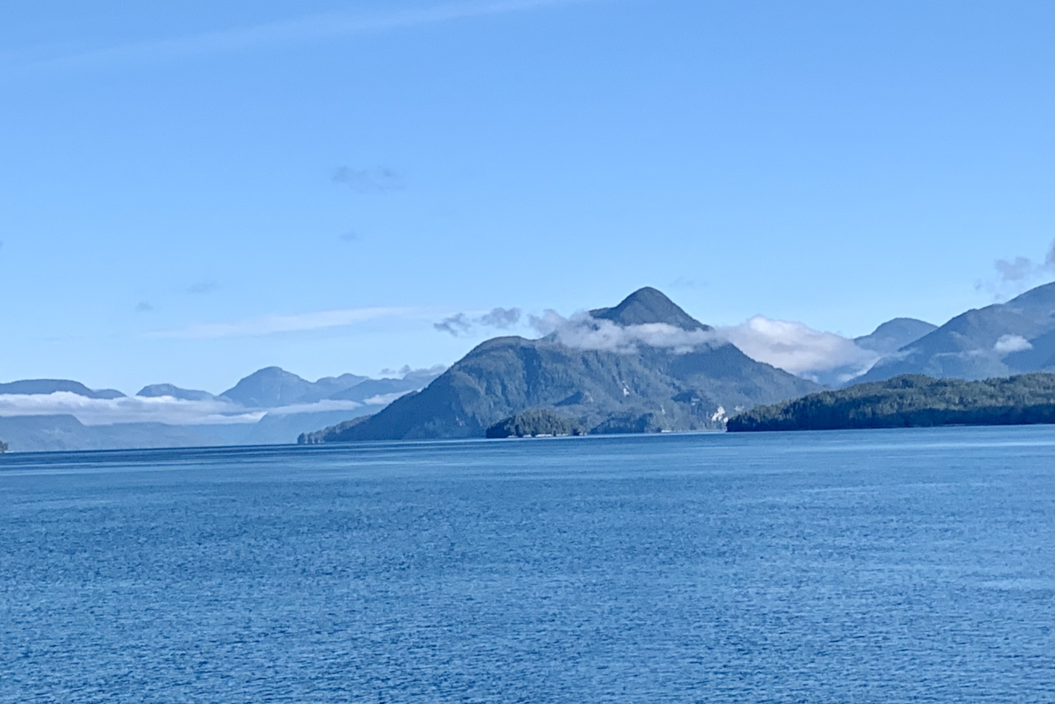
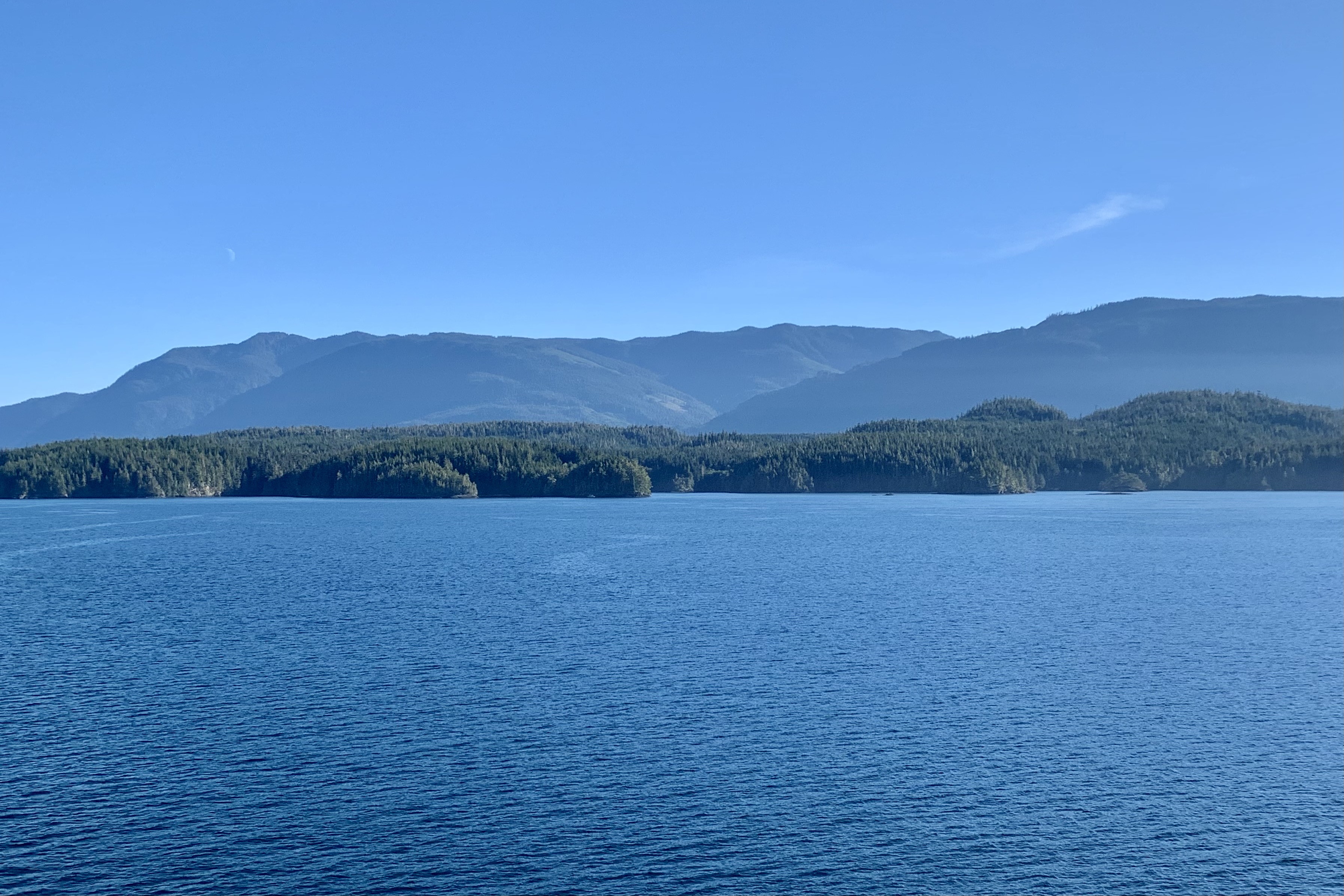
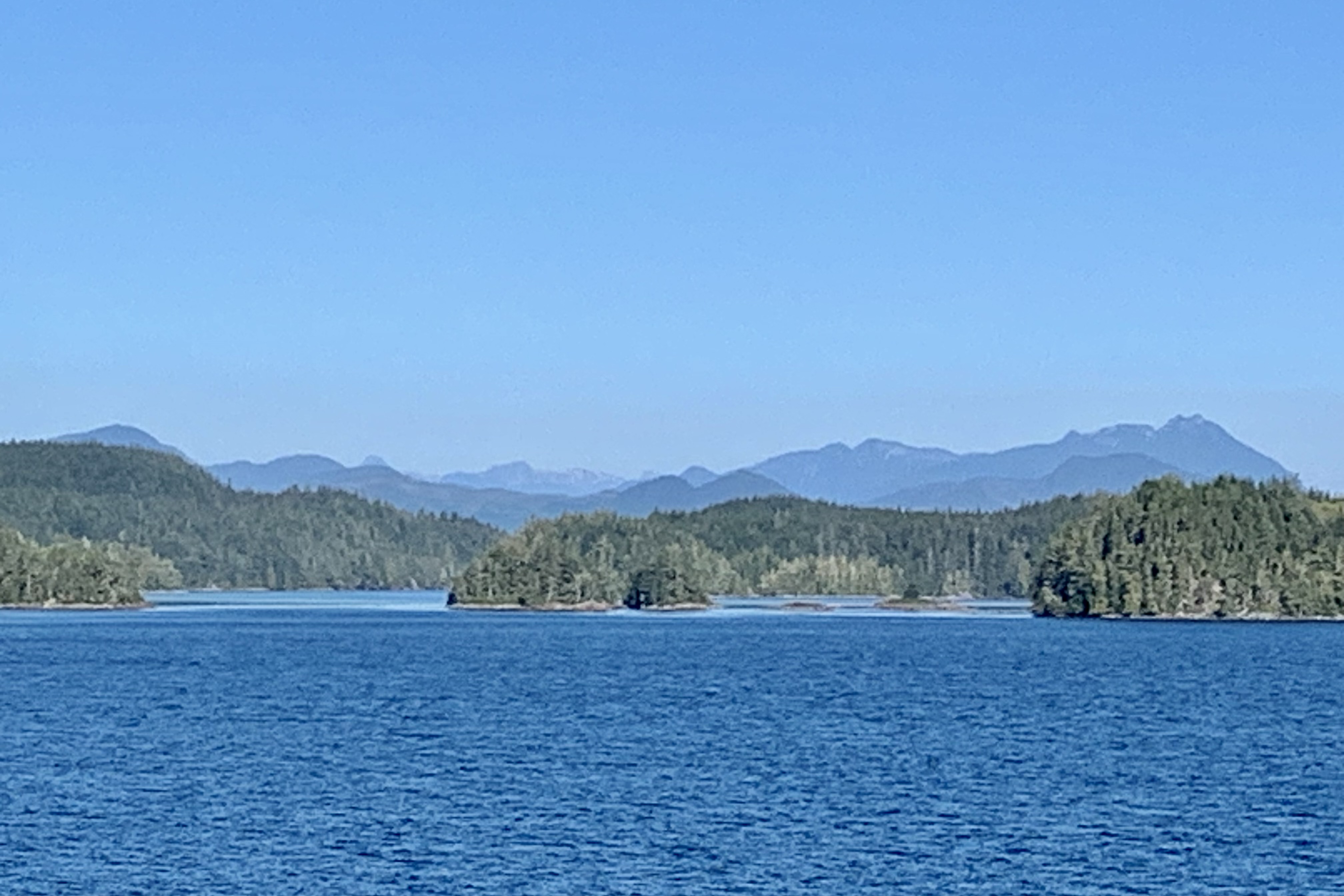
With fewer distractions, the following day was time to catch up on some reading and writing. Since there was no wi-fi available on the Alaska Maritime Ferries and very few spots with cell phone reception, it was a time for reflection, relaxing on deck as the day eventually turned out beautiful blue skies and scenery of forested islands and undulating mountain with rounded contours, an occasional jagged peak punched in between and shimmering ripples on the water. Overall the day’s journey was one of serene beauty and had calming hypnotic effect.
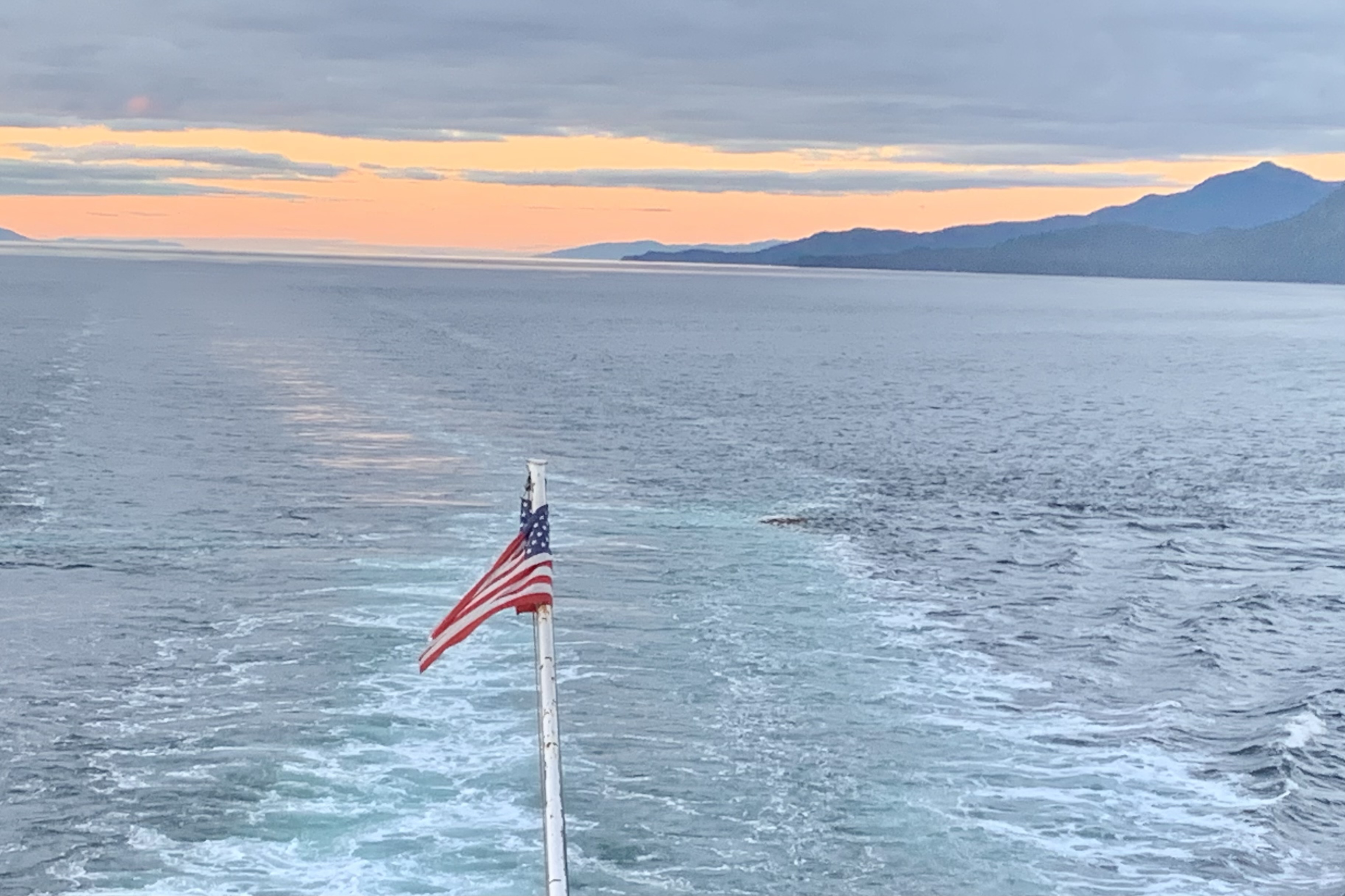
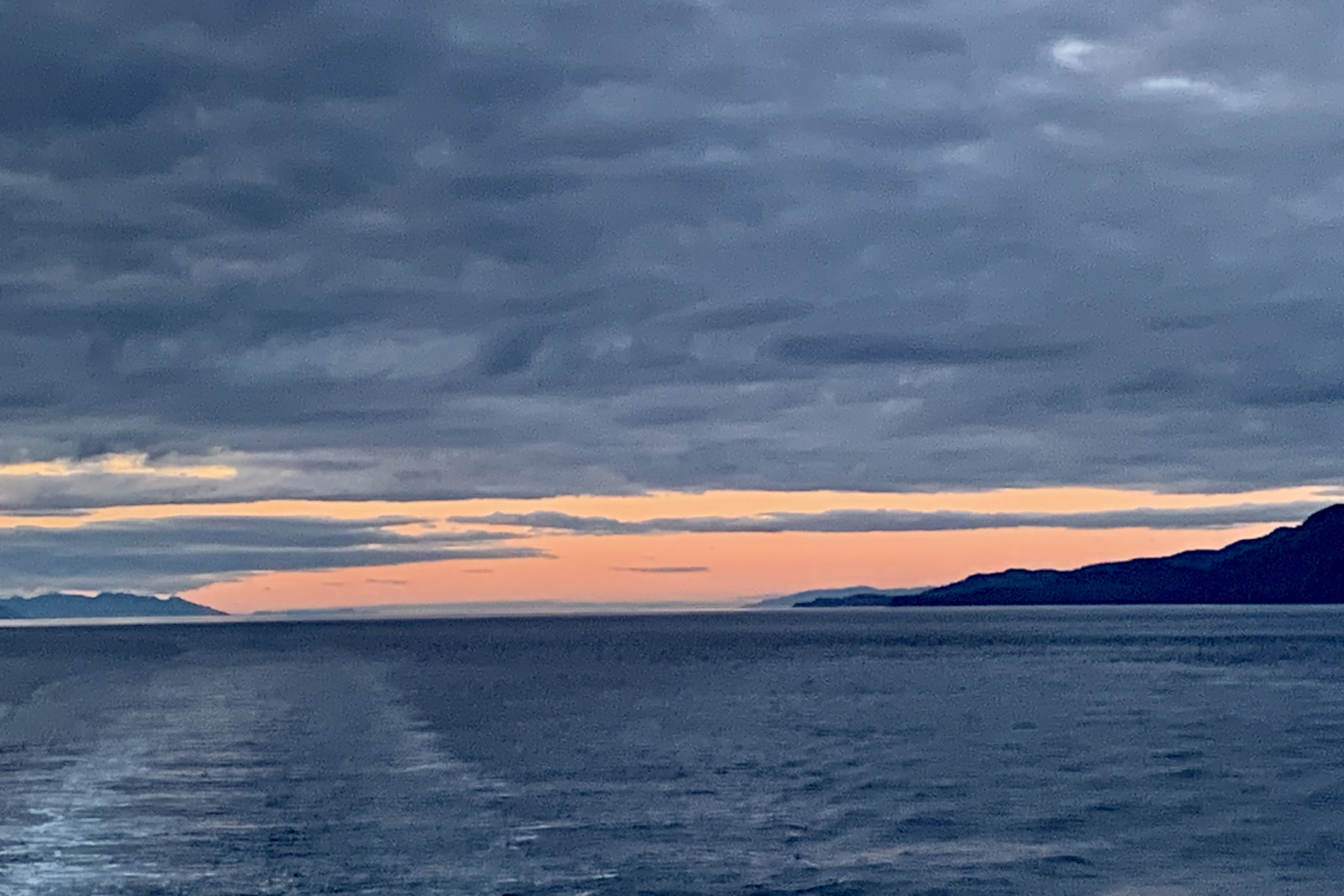
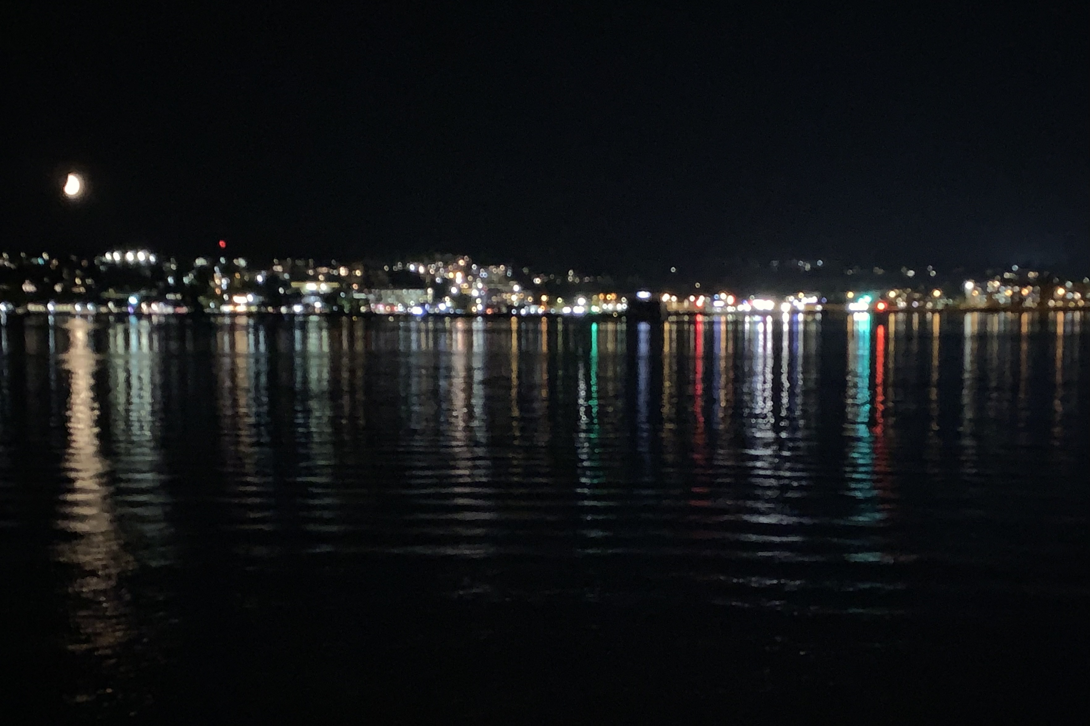
The tranquility of the evening was enhanced by a sky artistically painted with hues of tangerine, gold and orange, the moon’s reflection on the water , and the lights of the cities dancing along the shore. But it was time to get down to the business of preparing for the off-loading the following morning. The evening car deck call was an opportunity to start transferring all of the not essential items that had mysteriously accumulated in the cabin, so as to facilitate the exit of the myriad of motorized vehicles the following morning. Being quite near Miss Priss’ maritime domicile was a huge advantage as lines of people were traipsing down the stairs or waiting for the elevator with there massive suitcases, coolers, backpacks, and made in China treasures from the ports …
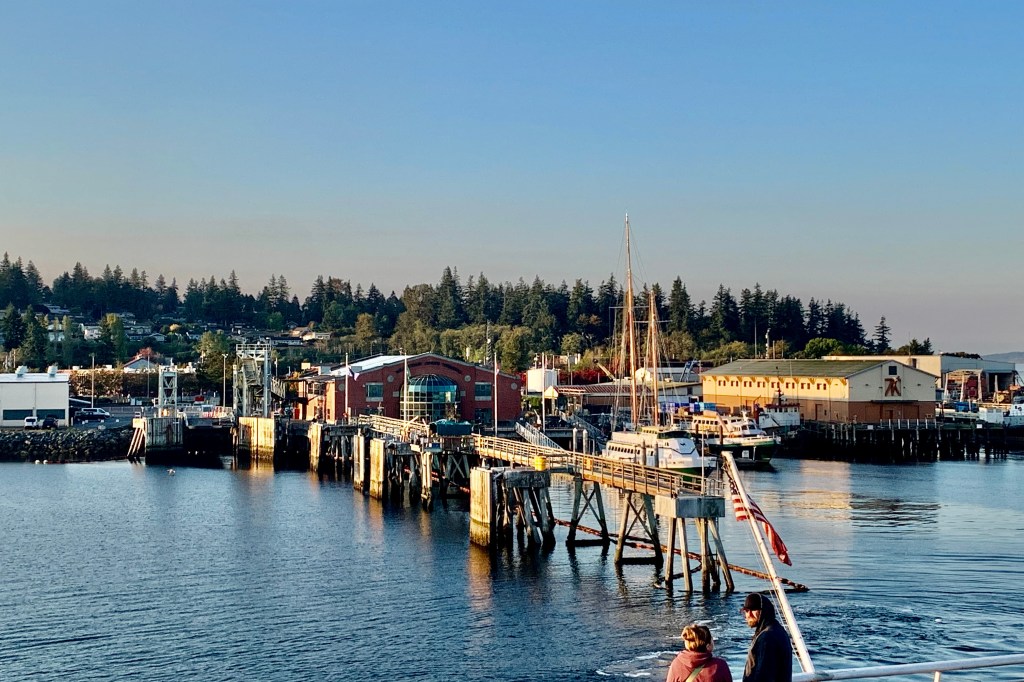
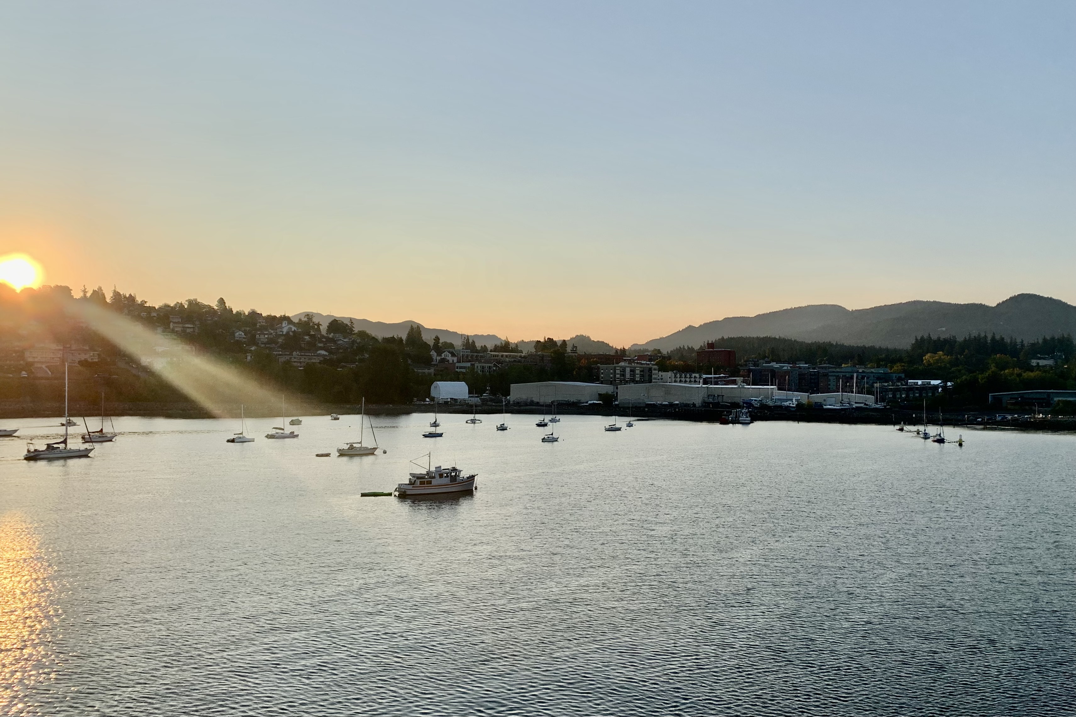
The very loud speaker broadcasting through the ship greeted us around 5:30 am and forceful banging on the door to hopefully awaken any stragglers who might be malingering and not ready to hop into their vehicles and tear out of the belly of the ferry upon docking, assured me that I would shortly arrive in Bellingham. Heeding the first summons to get ready, I was able to buy a cup of coffee and experience the a golden sunrise as we approached the Bellingham-Fairhaven Harbor.
I would soon be on the road to Salem Oregon to spend the week-end with my daughter and grandchildren, but savored the final moments of this nautical adventure. There was no Ruby Princess in Bellingham nor would I have traded my adventure on the Alaska maritime ferry Columbia for a berth on the Ruby Princess. Despite all the amenities a large cruise ship could provided, the fewer distractions of a simpler vessel like the ferries was a fitting way to end my journey of living in “The Last Frontier”, so named because of its remoteness from the “lower 48″states, as well as its rough environment and climate,
After the incredible expedition in Lake Clark and Katmai National Parks, I had a week to fill with adventure before I would board the Alaska Maritime Ferry “Columbia” in Skagway for the trip to Bellingham Washington. The reckless adventurer in me toyed with the idea of driving the Dalton Highway, a 414-mile stretch of gravel and dirt that runs from north of Fairbanks up to Prudhoe Bay. Remote it is. There are only three very small towns along the way from the midpoint Coldfoot to the end and there are no gas stations, restaurants, rest stops, or hotels the entire 240-mile stretch. It is stated that The Dalton Highway is brutal on ALL vehicles. So somehow the sane self realized that this undertaking would be sheer folly for an older adult female traveling solo in her Jeep Compass since I would have to camp, get extra tires, buy all the supplies, emergency equipment and food, so I started romanticizing a different Alaskan style adventure with a stay at an Old Roadhouse, a soak in the lauded Chena Hot Springs, a warm cozy night at Caribou Cabin in Tok, and a return visit to the beautiful Hidden Valley B & B in Whitehorse , Yukon Territory before arriving in Skagway.
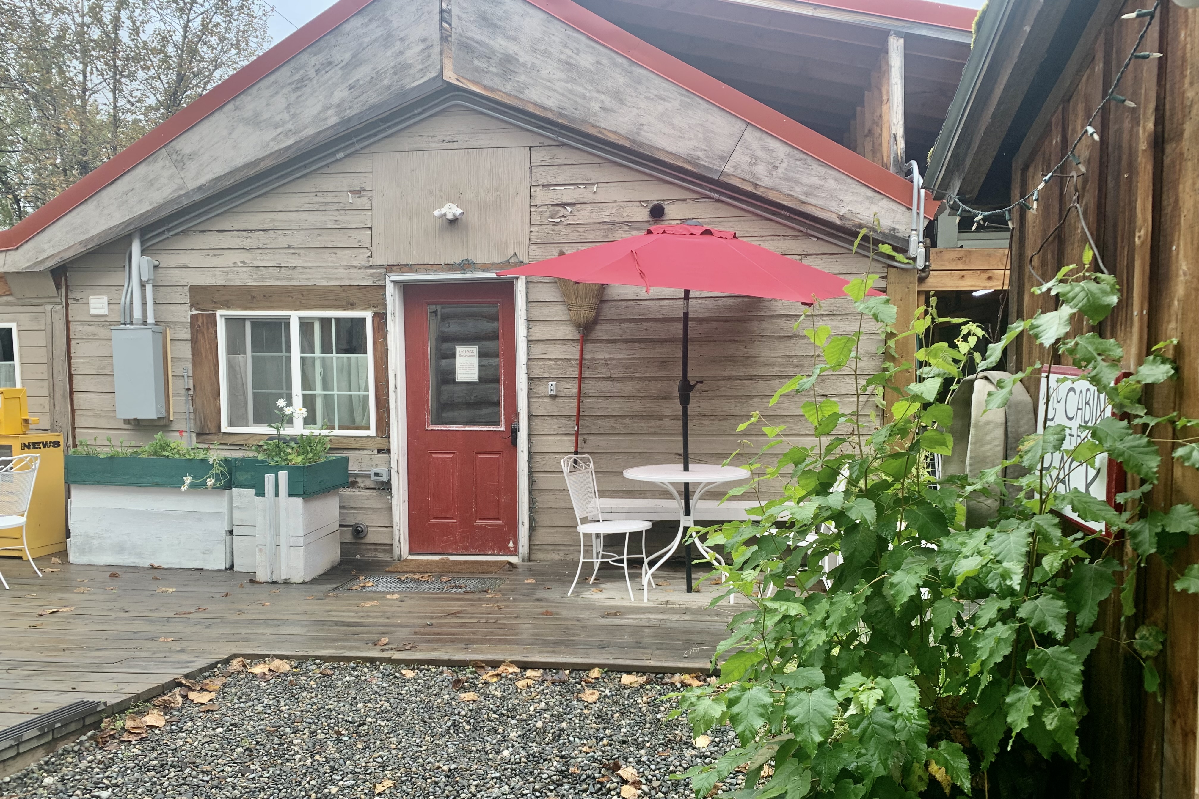
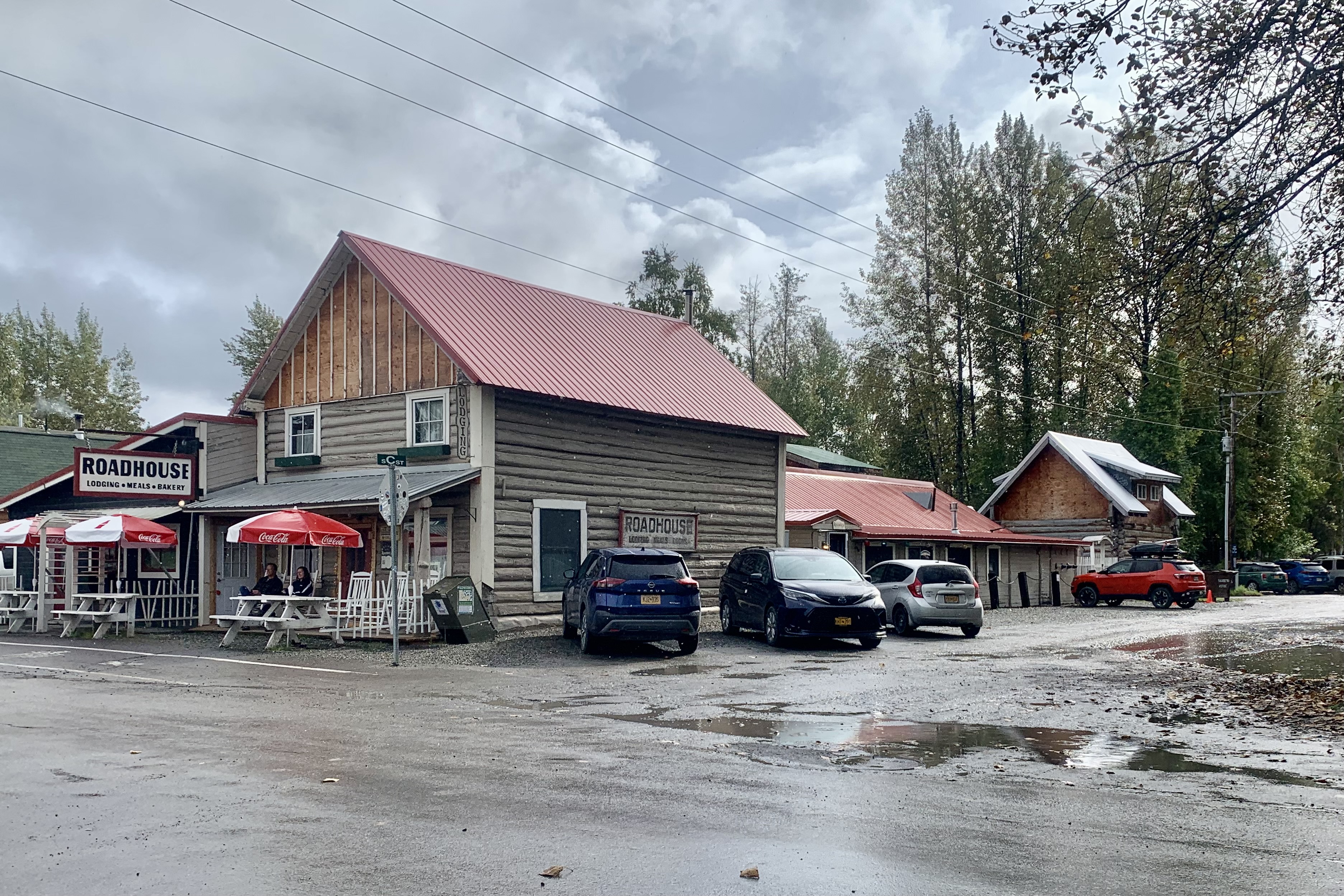
I had no interest in going back to Soldotna so I booked my first two nights at the Talkeetna Roadhouse Inn. I had spent a few hours there in August of 2019 and had a meal at the roadhouse. It was a very lively bustling place known for its hearty meals, served family style at big tables, and lodging which had a tremendous amount of historical charm. It’s bakery was famous for its cinnamon rolls, pies, cookies and breads. So I was eagerly anticipating a repeat experience when I booked the ‘Lil Cabin in the Back for two nights. Much to my disappointment and dismay the place was as quiet as a tomb, unpopulated, and not a soul around. The bakery had very limited fare and only on weekends.
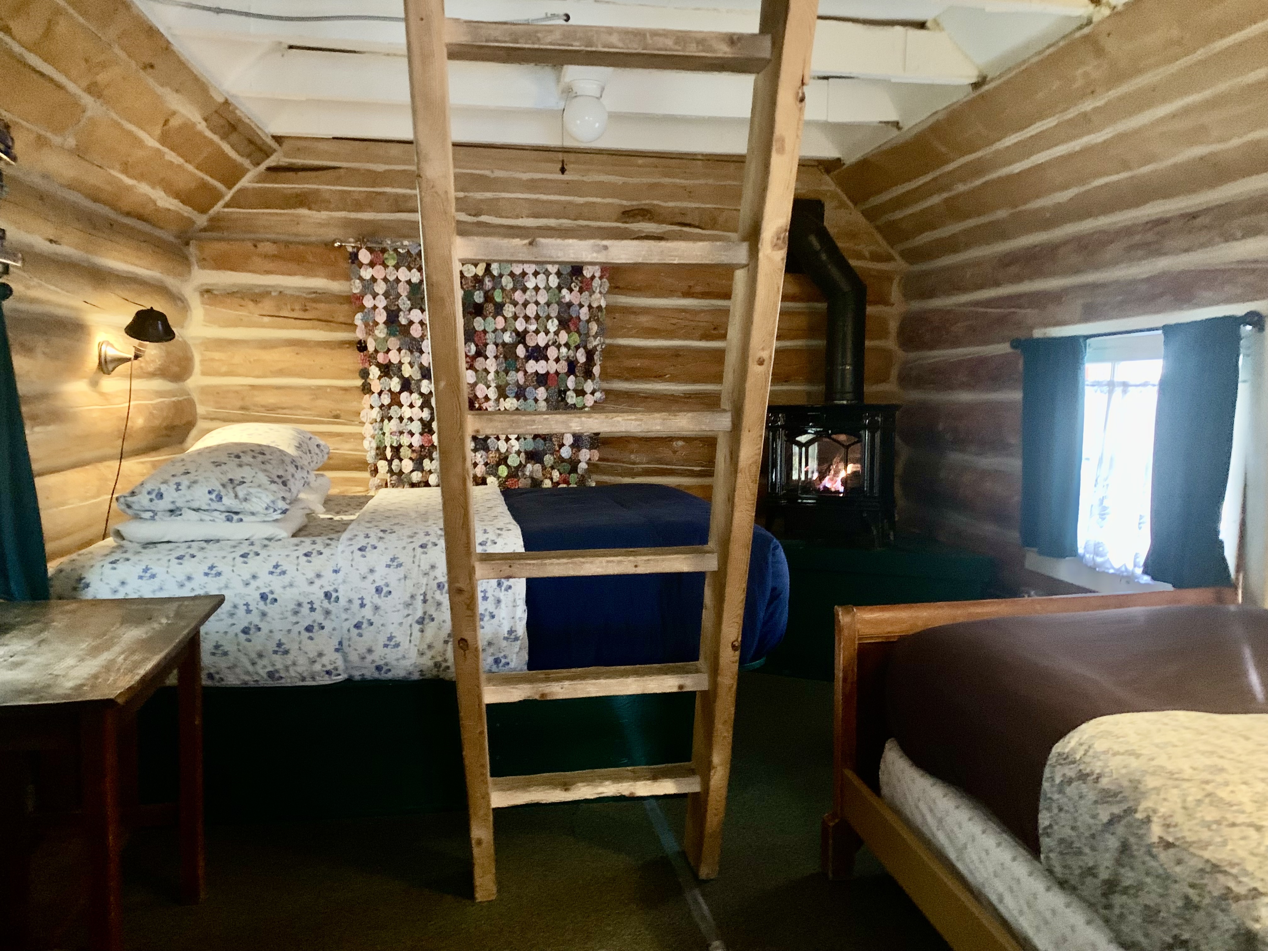
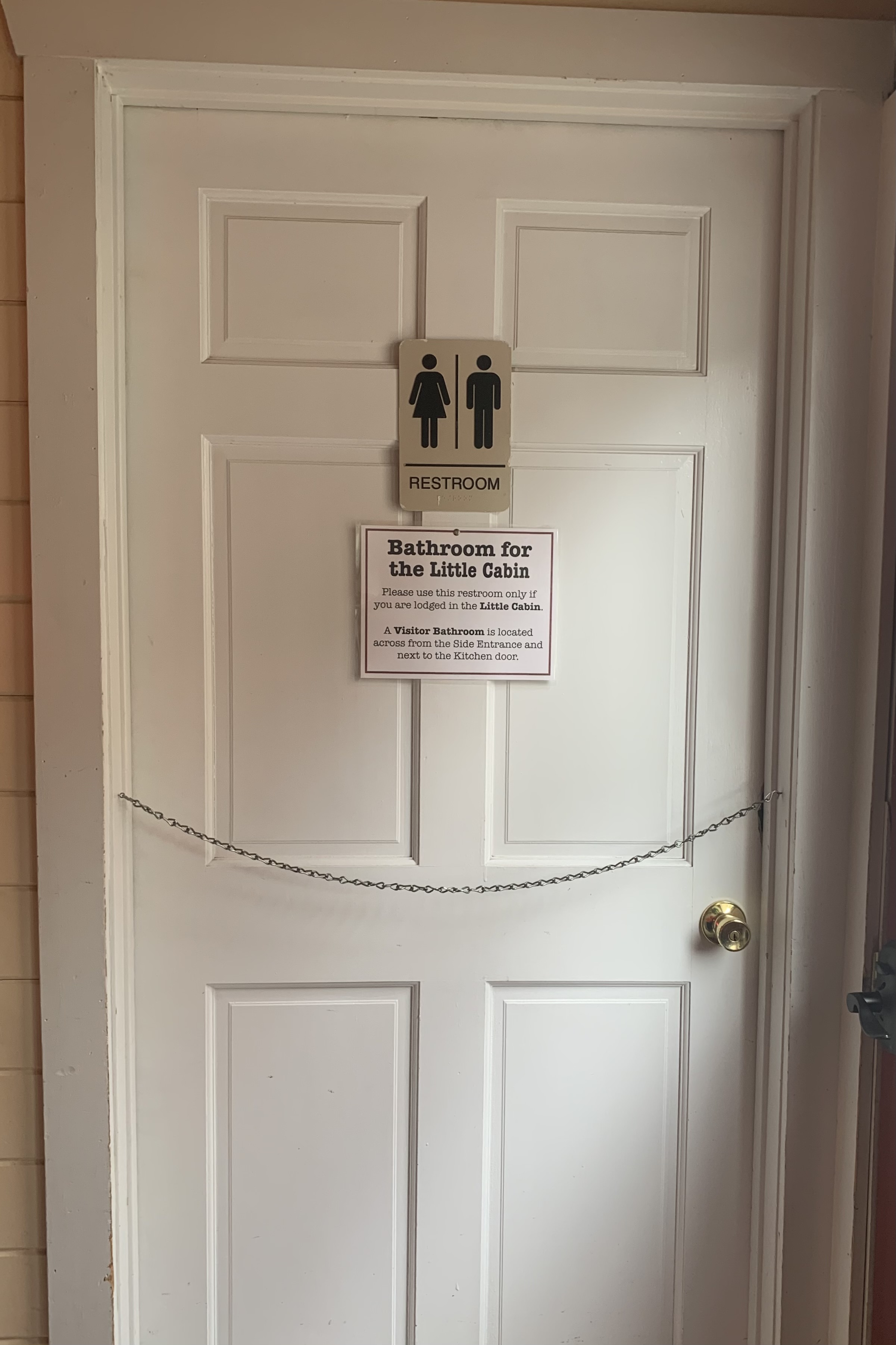
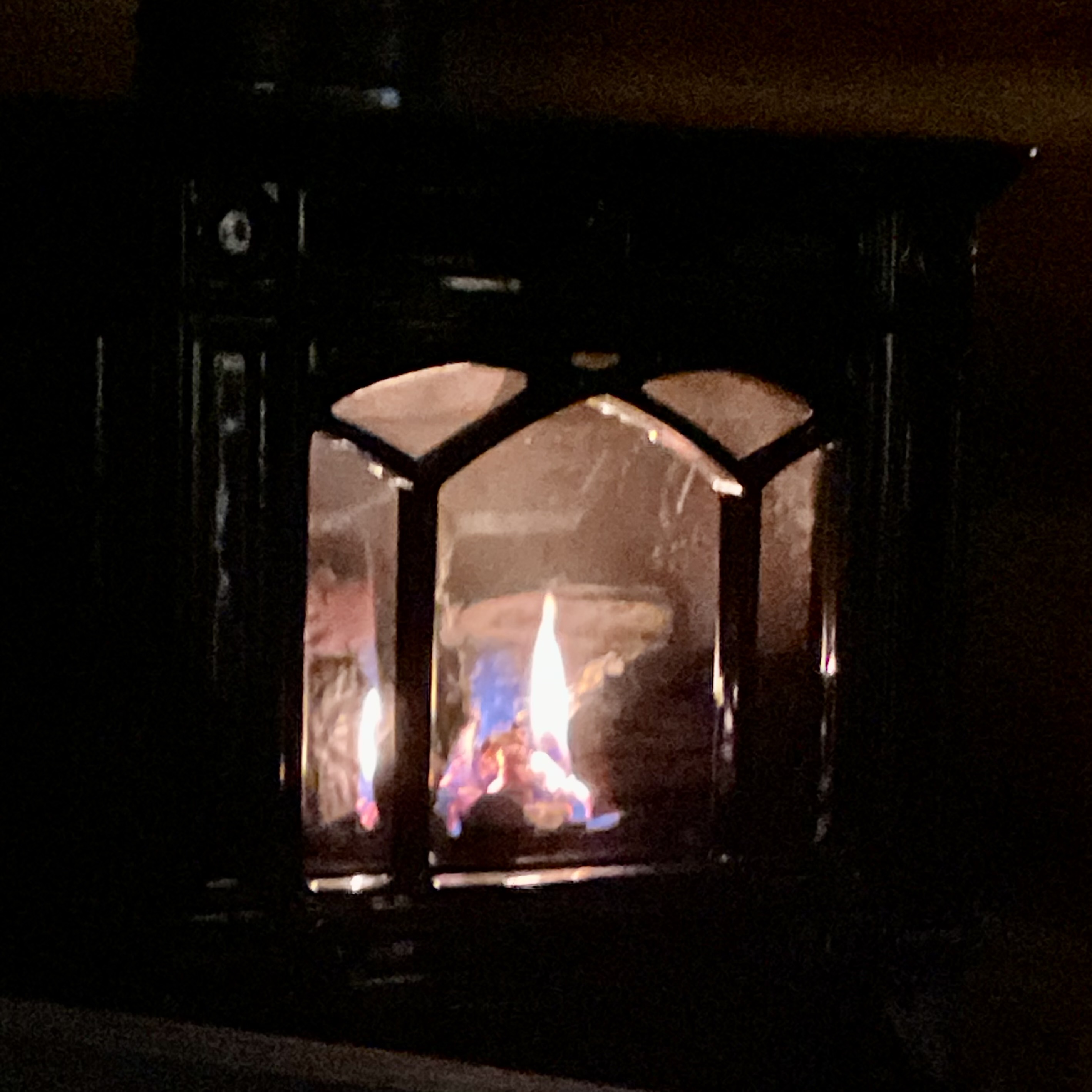
Seems the Roadhouse is focused on lodging only and the bakery and restaurants are the victim of COVID. A big point made in the booking information was that guest no longer had to share bathroom facilities as bathroom are now assigned. My ‘Lil Cabin in the Back was assigned a bathroom in the main building as it did not have its own water supply. It’s what is termed a “dry cabin” and this incidentally gave me a modified camping experience of trotting out of my shelter in the drizzle for a middle of the night peeing adventure. BUT aside from that, the dry Cabin was delightful with big comfy queen bed with a view of the gas fireplace, a micro-wave and small refrigerator, a french press coffee pot, wi-fi…
According to alaska.org : “Capture the feeling of bustling small-town Alaska in a stroll down Talkeetna’s Main Street, a 2-block journey through historic buildings, art shops, restaurants, coffee shops, ice cream stops and a micro-brewery.”
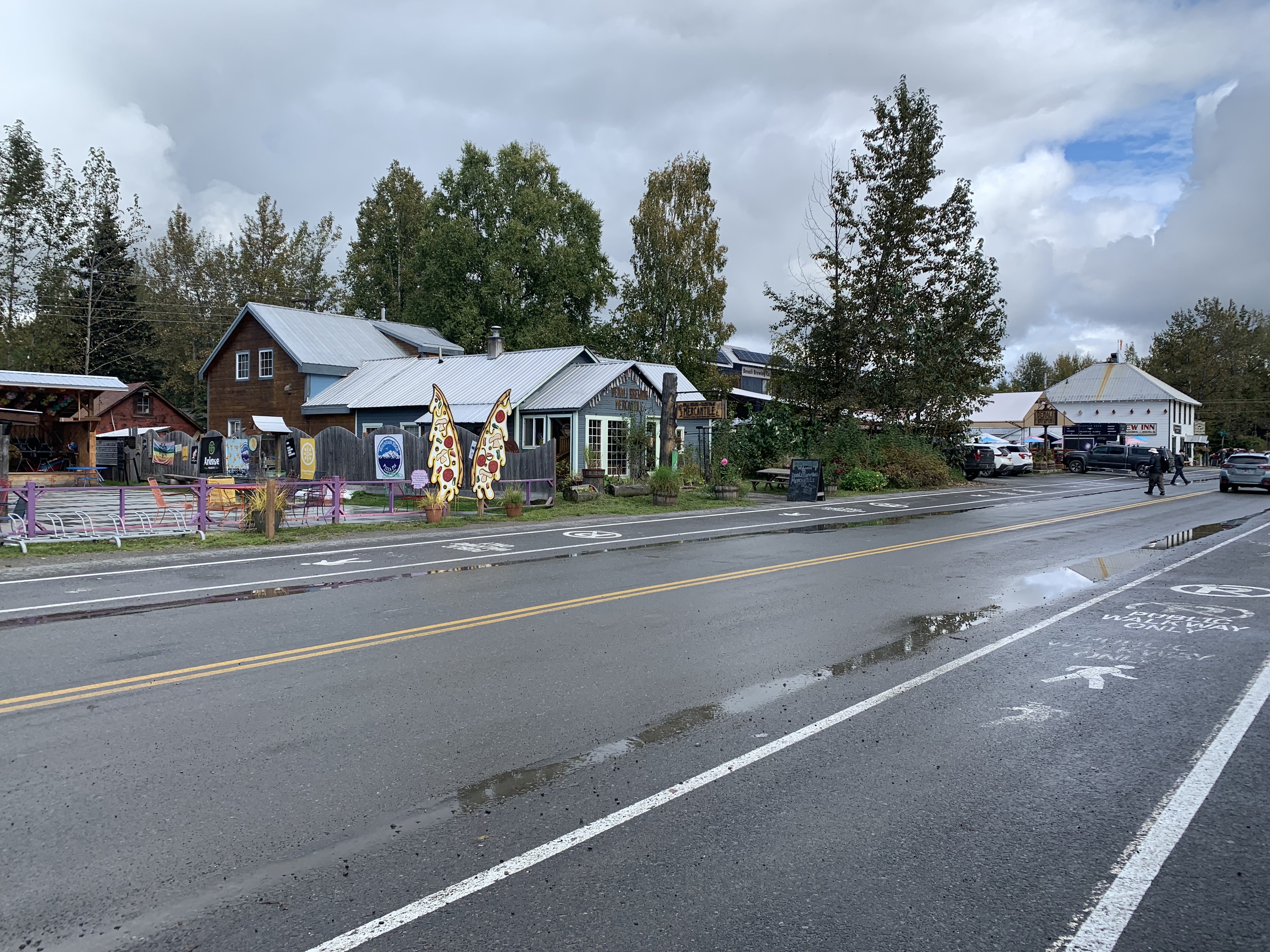
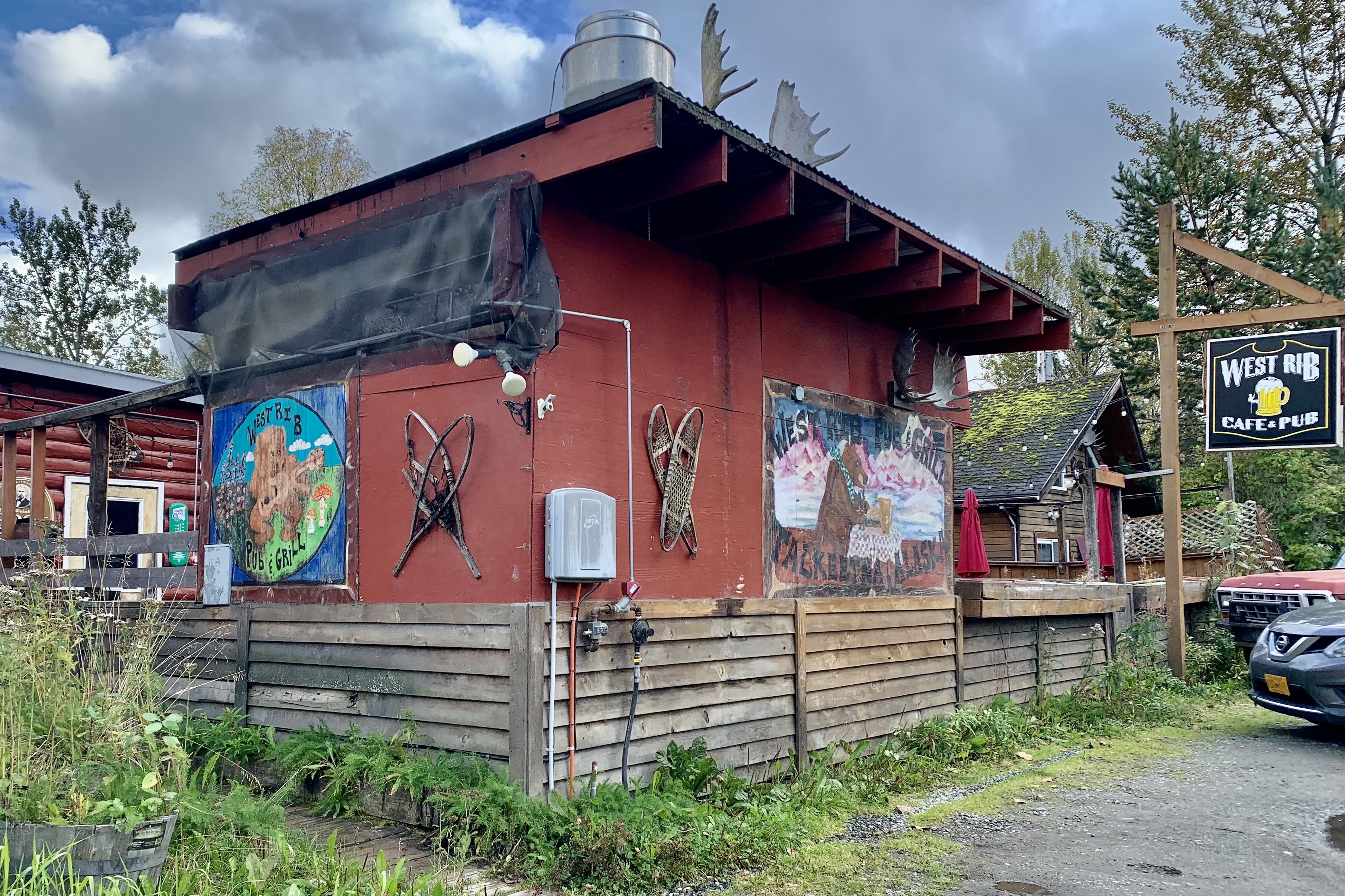
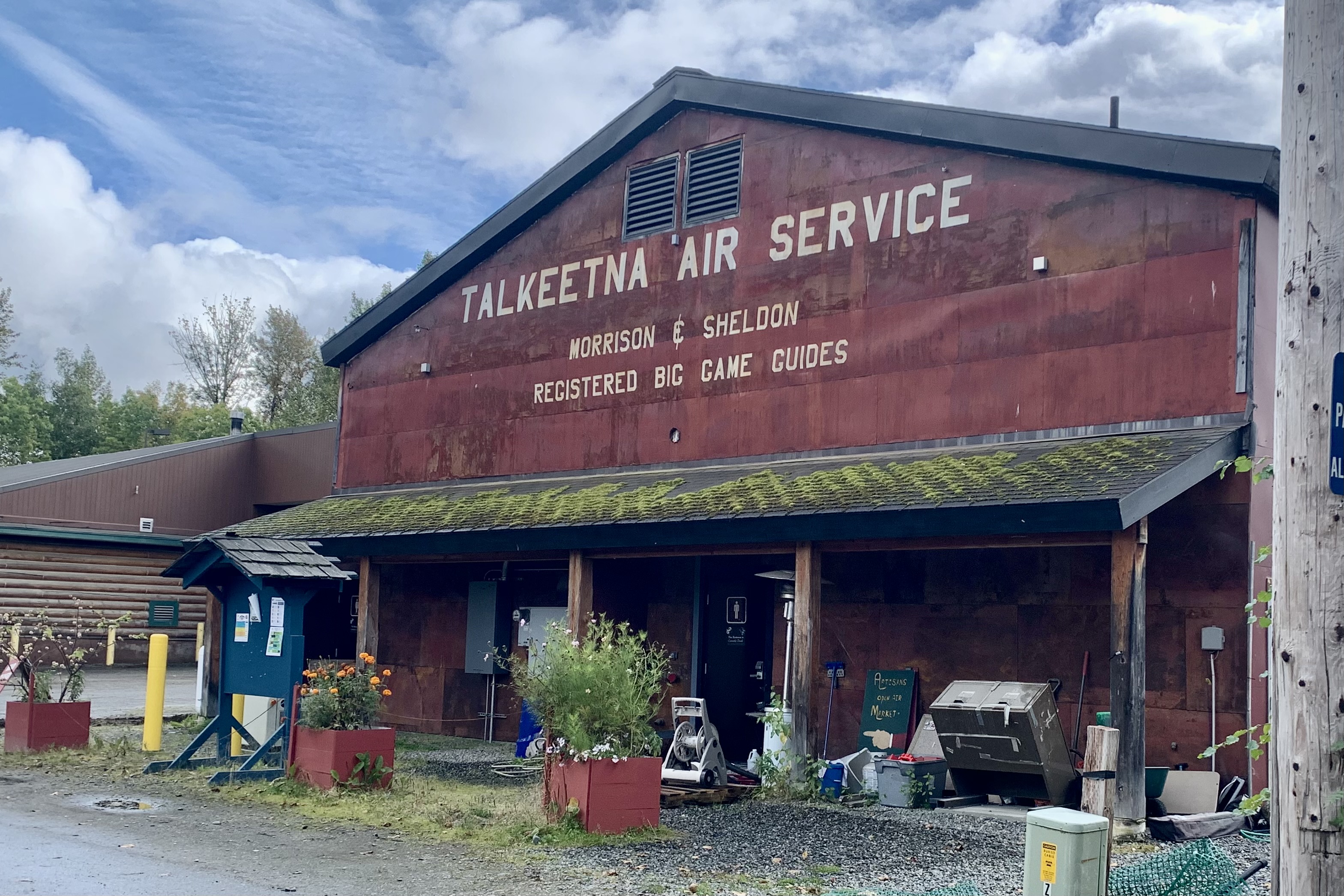
True, the bustling small town is there except it would be more accurate to describe my stroll as an adventure in jockeying around the several hundred passengers off-loaded from the Princess Cruise Line buses, passing on very over-priced ice cream and coffee drinks, perusing the carbon copy souvenir shops that can be found in almost every tourist city in the world (except Talkeetna Alaska is emblazoned on them), passing the acclaimed Talkeetna Roadhouse and mourning the demise of their famous food and people extravaganza, and walking through the mud puddles at Talkeetna River Park at the confluence of three wild rivers (East, West, and main stem of the Sustina River)… all the while staring into the distant horizon searching for a glimpse of Denali which of course was obscured by the massive cloud banks and rain.
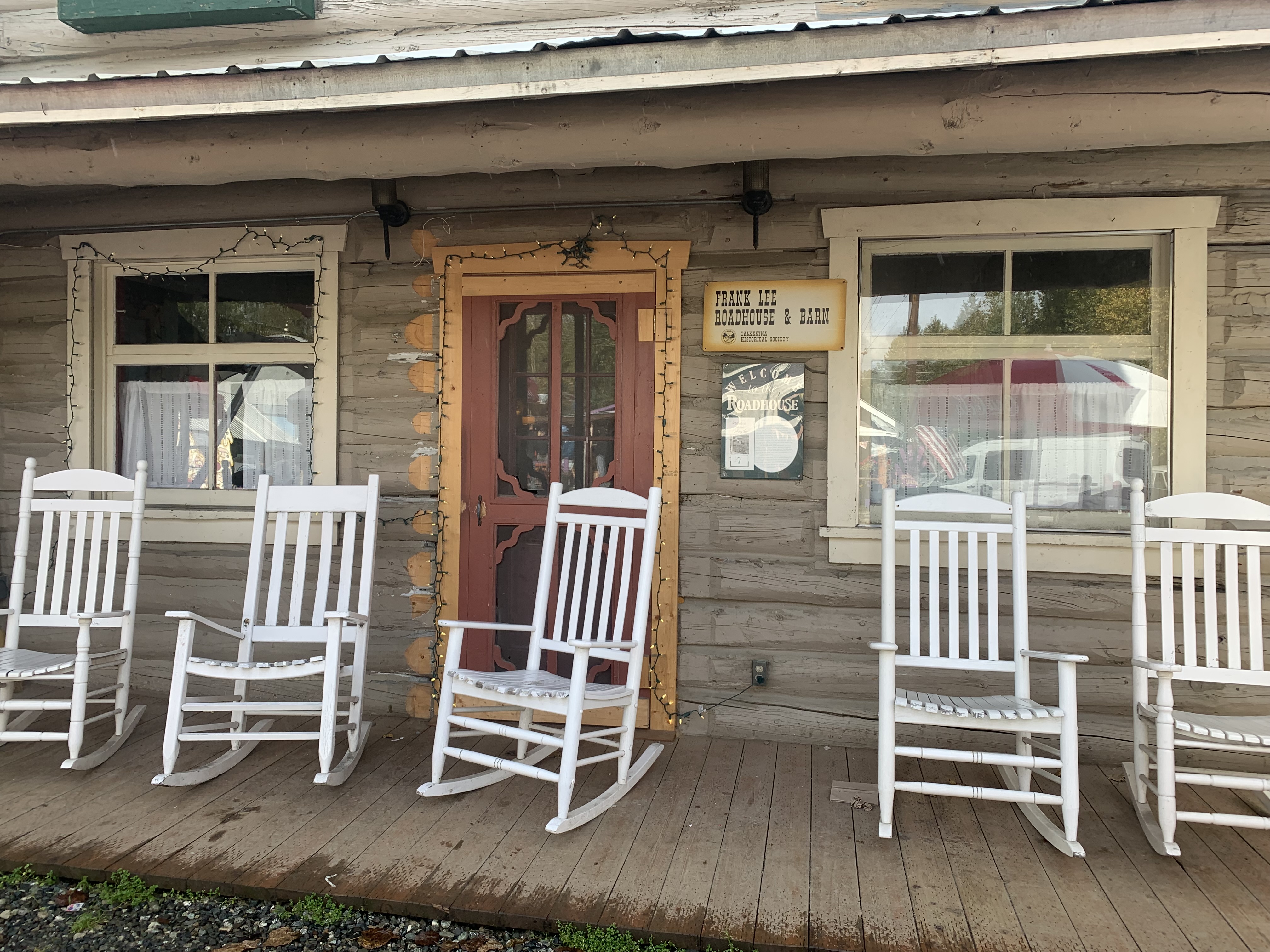
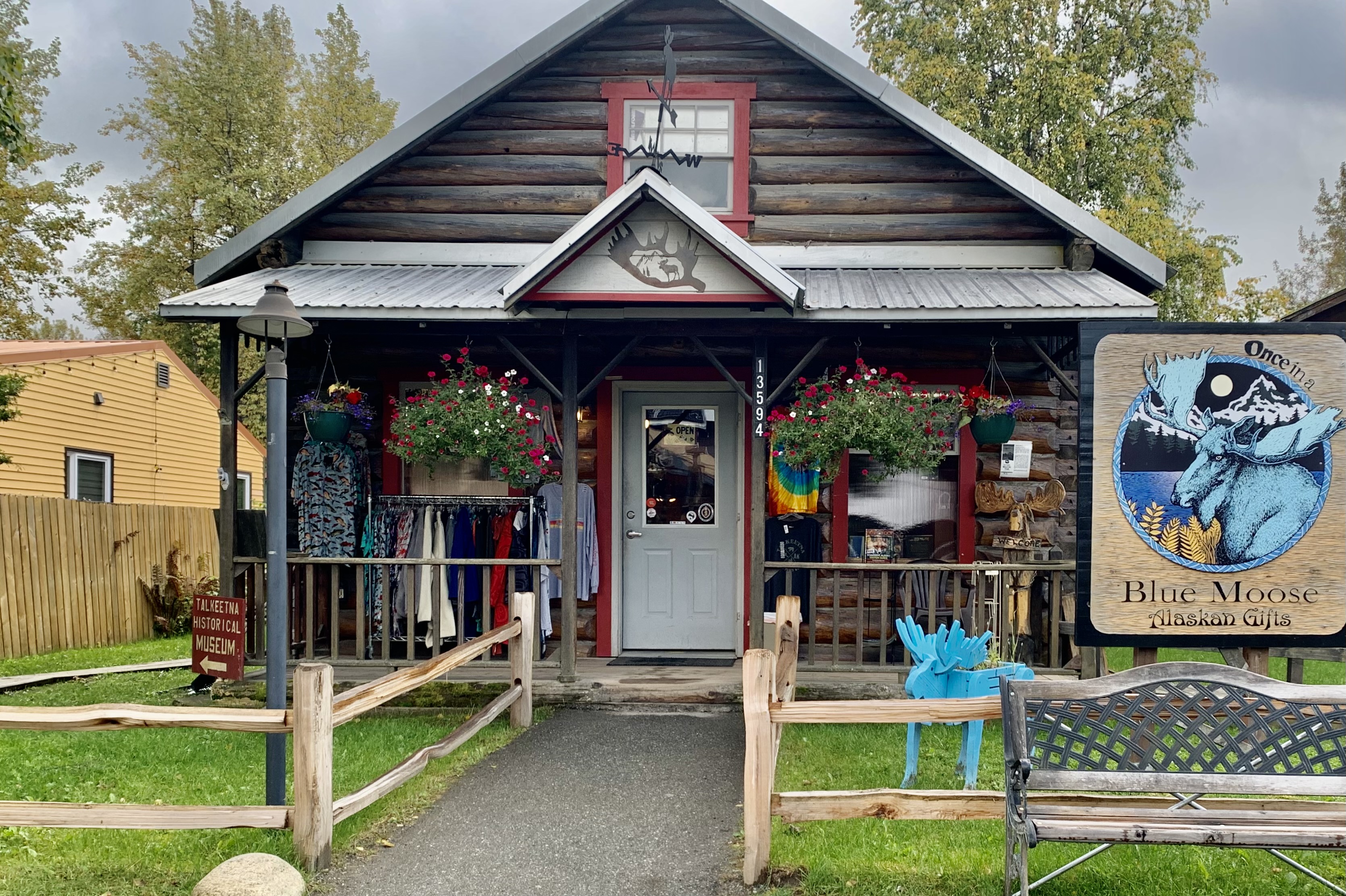
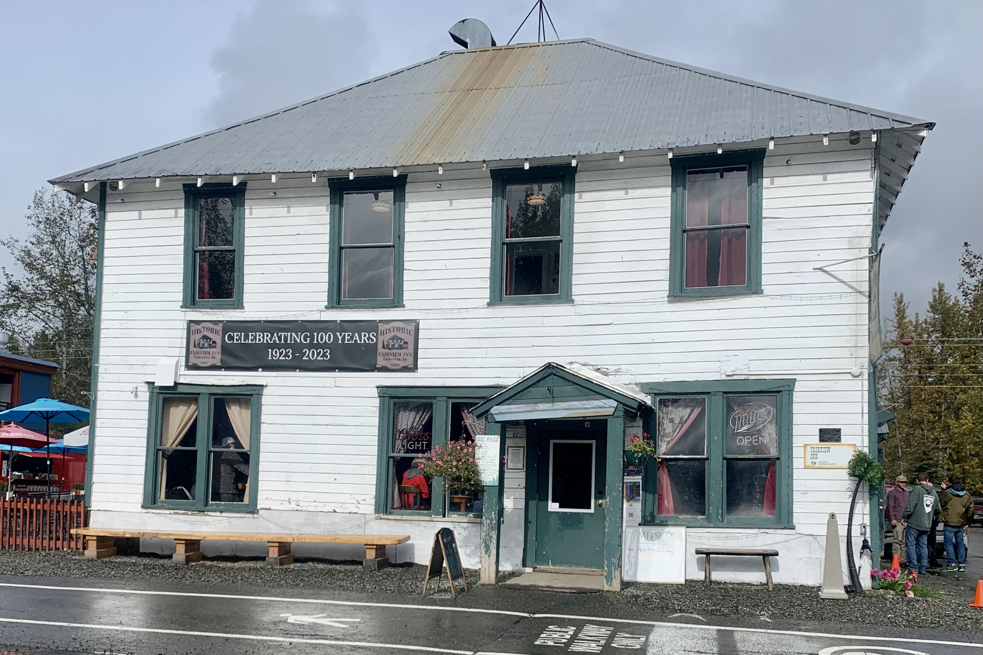
To be fair there was much that I did enjoy. There were some shops filled with local art, Alaskana, and colorful characters. A walking tour of downtown area (Talkeetna Historic District) which is on the register of National Historic Places, with buildings dating from the early 1900s was quite interesting. Nagley’s General Store, the Fairview Inn and the Talkeetna Roadhouse all are still in operation. But the true highlight for the two nights there was staying in this very cozy warm cabins, propped up in bed, reading and experiencing the dancing flames in the firepalce.
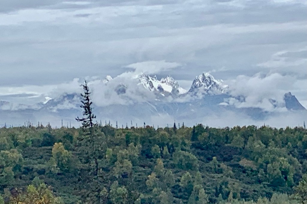
After two nights in “Lil Cabin in the Back” I was off to Chena Hot Springs Resort. I was excited as it was not a total “washout” of a day with non-relenting drizzle. I thus was finally able to get a partial view of Denali from a roadside pullout
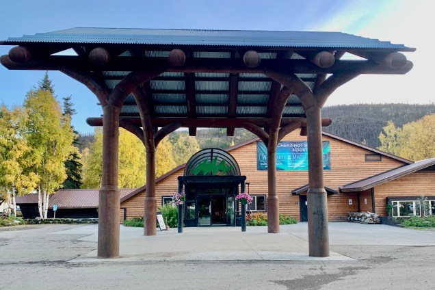
The Chena Hot Springs “resort” was not at all what I had expected. My first impression upon entering the property was positive. The main building appeared well maintained and resort-ish! Chena was described in their reservation confirmation as a “Rustic Alaskan-style resort found in the Interior, 60 miles away from Fairbanks featuring a hotel, multiple types of tours and activities, and hot springs.. Relax in the hot springs, view the Aurora, and experience Alaska as Chena Hot Springs knows it.”
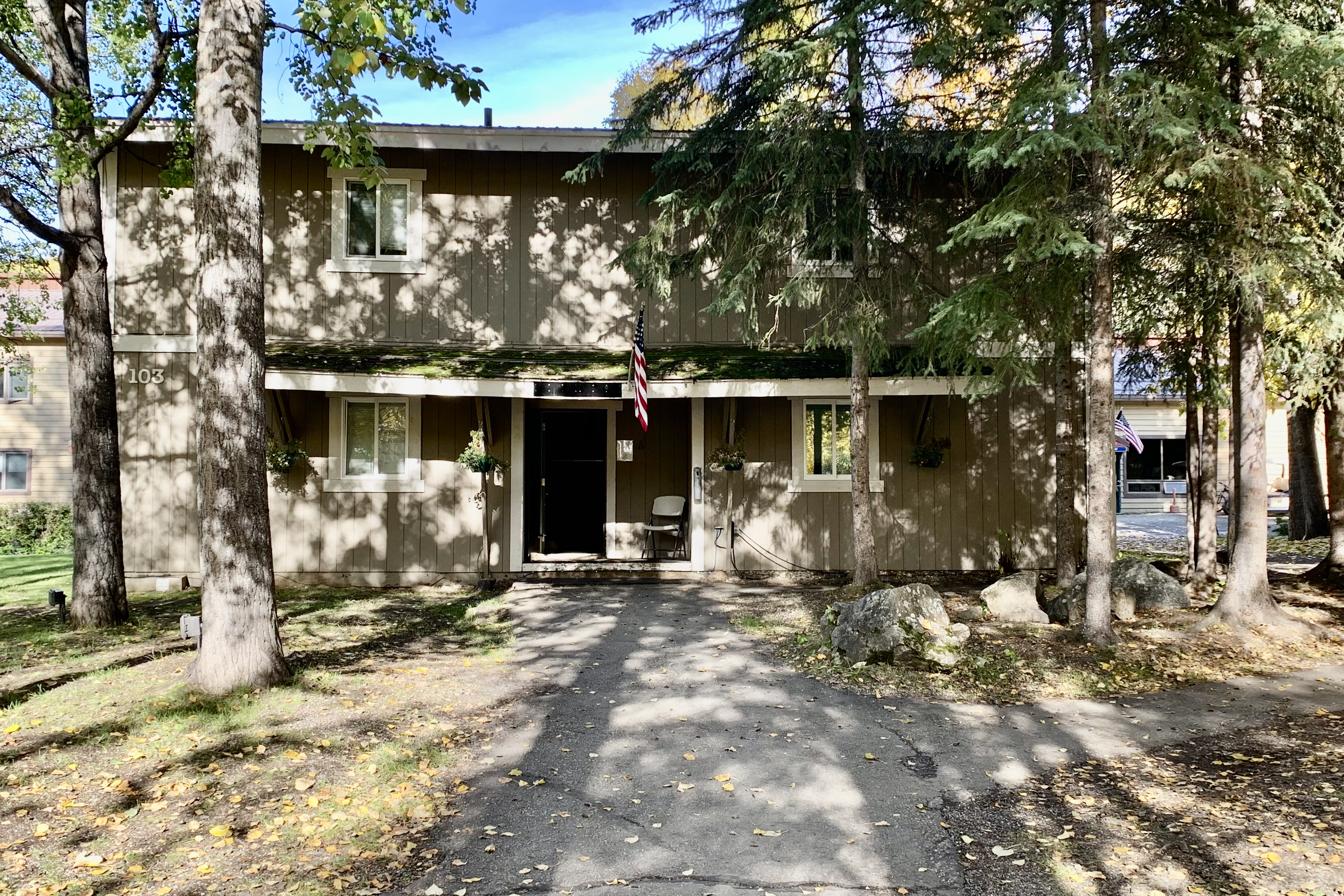
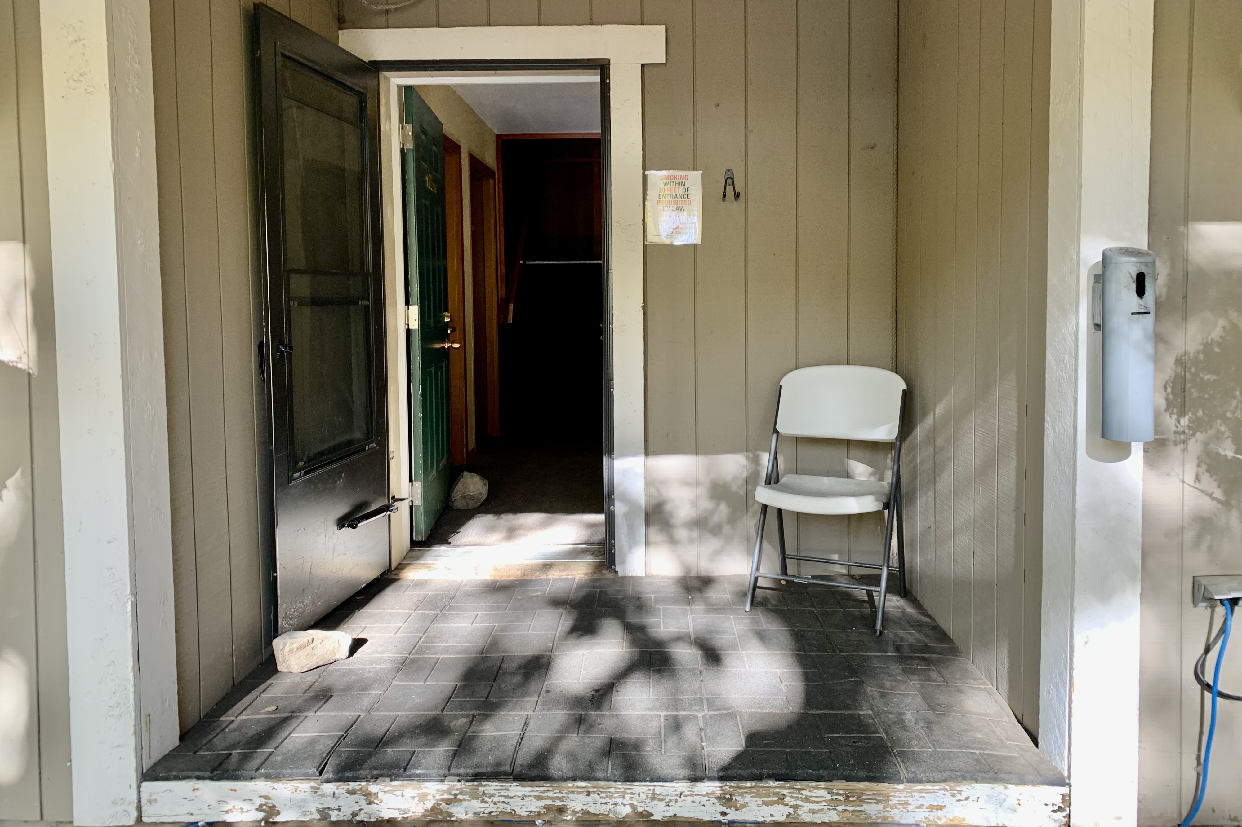
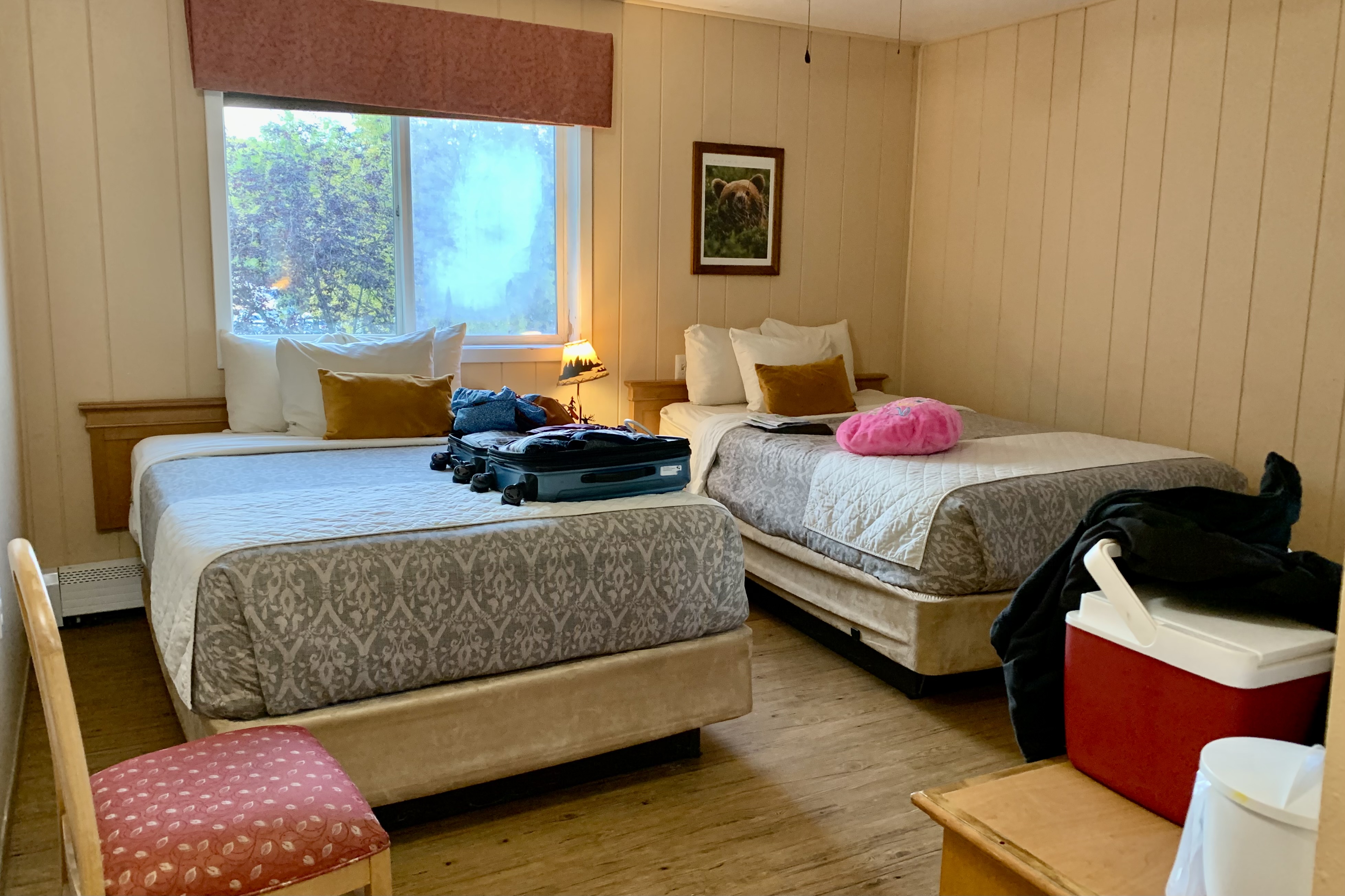
But there it ended. Rustic it was …but not even in a cute backwoodsy sense but shabby Motel 6 kind of way. I had anticipated a classier accommodation for an off-season price of $162.00 per night for a Fox room. Basically this rundown Fox accommodation was a quadplex building of 8 rooms in each, 4 downstairs and 4 upstairs. Naturally my assigned room was on the second flour which I reached by negotiating the grungy entrance and dark dumpy stairwell laboriously hauling my suitcase on up. The Fox Rooms, were touted to have a unique Alaska decor. My decor was a picture of a bear on the wall. But in our inflationary economy I guess that is the going rate for shabby.
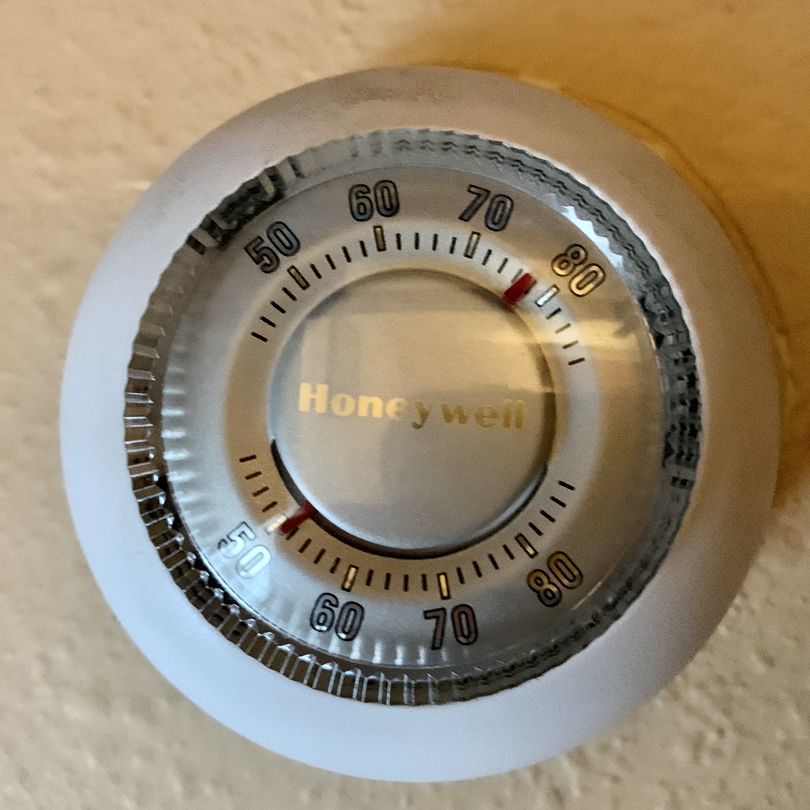
Again this was not a resort. I did not mind the small room but the cheep wood paneling on the wall was definitely not what I would consider worthy of the resort designation. There is no microwave or refrigerator so one is captive and thus needing to use their restaurant. The room was very cold and had a no functioning thermostat ( which created the illusion guest actually had power over the temperature in their room). I went to the front desk to ask if something could be done, the staff was rather rude and abrupt but said they would send someone up. Two hours later there still was no resolution or maintenance person and I tried many times calling the desk but they never answered the phone. I finally put on extra sleepwear and went to bed. I went to the desk in the morning to again complain about the cold room and phone attempts to reach front desk. I was rudely told that they are so busy they just don’t answer the calls. The positive ending to the no heat saga was that I hijacked the individual cleaning the rooms on my floor and inquired about the heat. He immediately went to their closet and produced a space heater which served nicely to provided me with a toasty sleeping experience the second night.
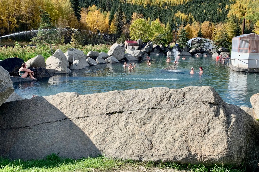
The mineral spring water rises from the earth at about 150 degrees. Thank goodness it is cooled down to about 106 degrees when feeding the boulder lined outdoor “lake pool”with it’s sandy bottom. Soak I did each morning before the crowds descended, all the while strolling around as there was no place to sit in the lake. Unfortunately I did not feel healed by the healing waters. What I had enchantingly pictured for a hot springs experience was a whole lot more raw nature (as pictured in my backpacker magazines out there in the wilderness) than a man-made lake. Though there was a real hot spring, it was cordoned off by a falling down fence around the hot spring that could not be used. There was also an outdoor hot tub and indoor hot tub and large pool, but I was turned off by the smell of chlorine permeating the air and thus opted out of a relaxing swim. I carefully negotiated the gym like locker room, feeding quarters to the hungry lockers, and changed out in what was akin to the locker room in an ancient gymnasium.
I was less than impressed with the restaurant. Upon entering, I asked to be seated and stated I was alone. First thing out of the hostesses’ mouth was “would you like to sit at the bar!” Seems like if I wanted to sit at the bar I would have asked to sit at the bar. . Clearly it is not quite as lucrative to have a table which could seat four occupied by this lone woman. Since there are no other food/dining options nearby, eating there was my only option. In general I found the food mediocre and overpriced BUT the one thing that was excellent was the salads. Chena is a greenhouse to table restaurant so greenhouse grown lettuce, tomatoes, peppers, cucumbers, and herbs were on the menu. The second night I was seated in the adjacent banquet area…I figured they were opening this for additional guests but seems I was the only additional guest! Hmm! I see a pattern emerging since there were open tables in the main part of the restaurant. and there don’t take reservations. I did enjoy the fresh salad and chowder but was a tad taken aback when served a hot roll, which clearly had the temperature and texture of a bread that had been microwaved. Fortunately, in preparation for the upcoming ferry ride I had nonperishable breakfast and lunch items in my car which saved me from having to depend on the restaurant for 3 squares and since it was cold at night what perishables I did have in the cooler stayed chilled!
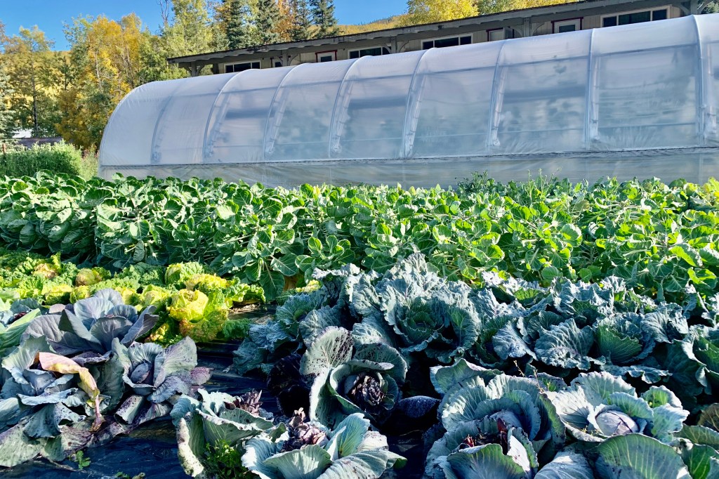
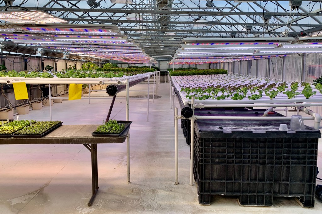
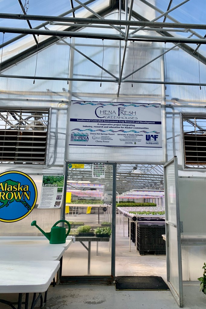
On the positive side, I toured the greenhouses where they grow much of their fruit, vegetables, and herbs and this left me in awe of the sustainability aspect of the property. They definitely are doing certain things right. Following that there was a geothermal energy tour of the property which was very interesting. The geothermal powering of everything in Chena, by harnessing the power of the hot springs, is incredulous. I felt like I was in a time warp though as ambling over to the geothermal plower plant I found my self in a “graveyard” of all manner of rusted out trucks, cars, machinery . I came away with the impression that anything that arrives in Chena over the years stays in Chena ad infinitum.
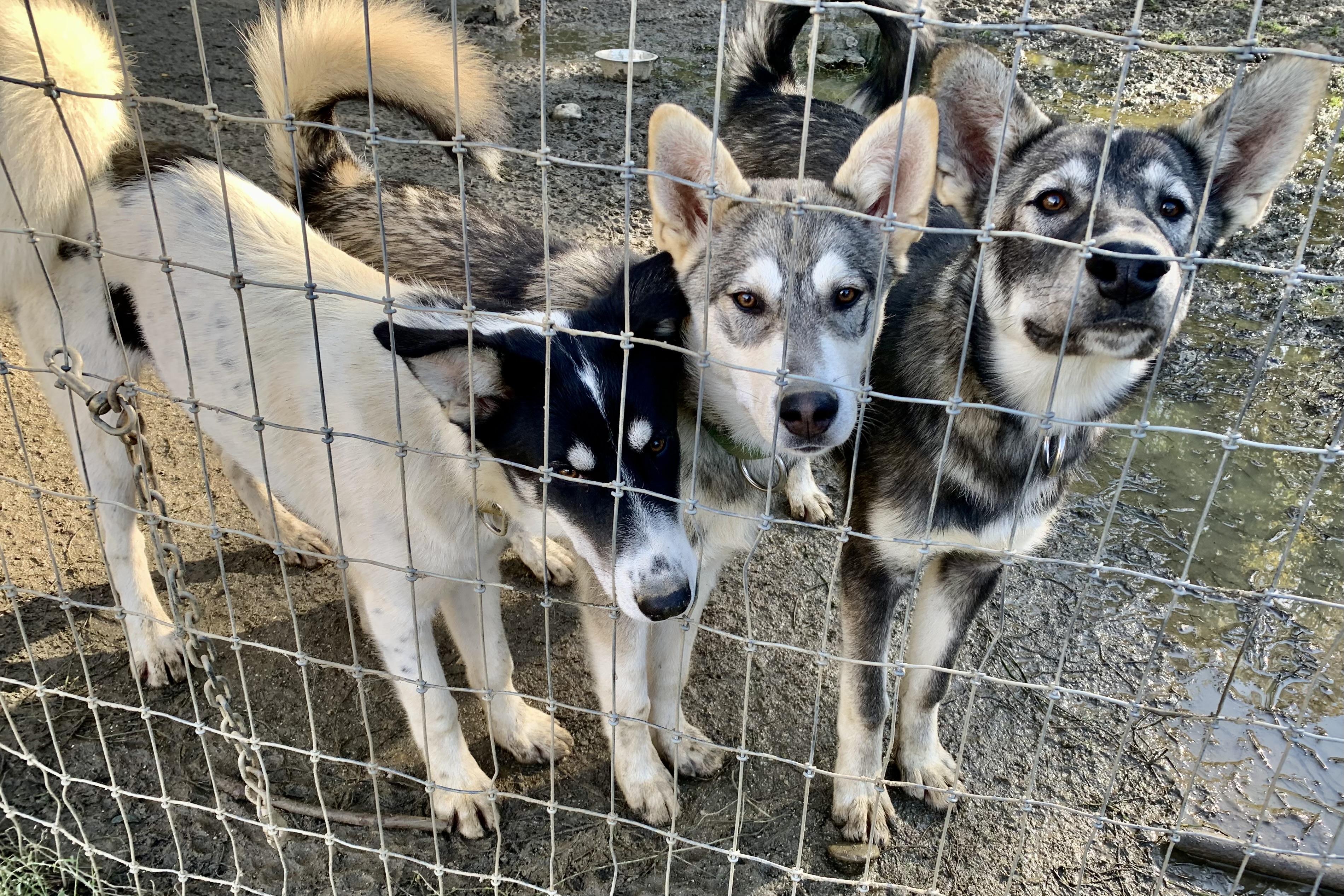
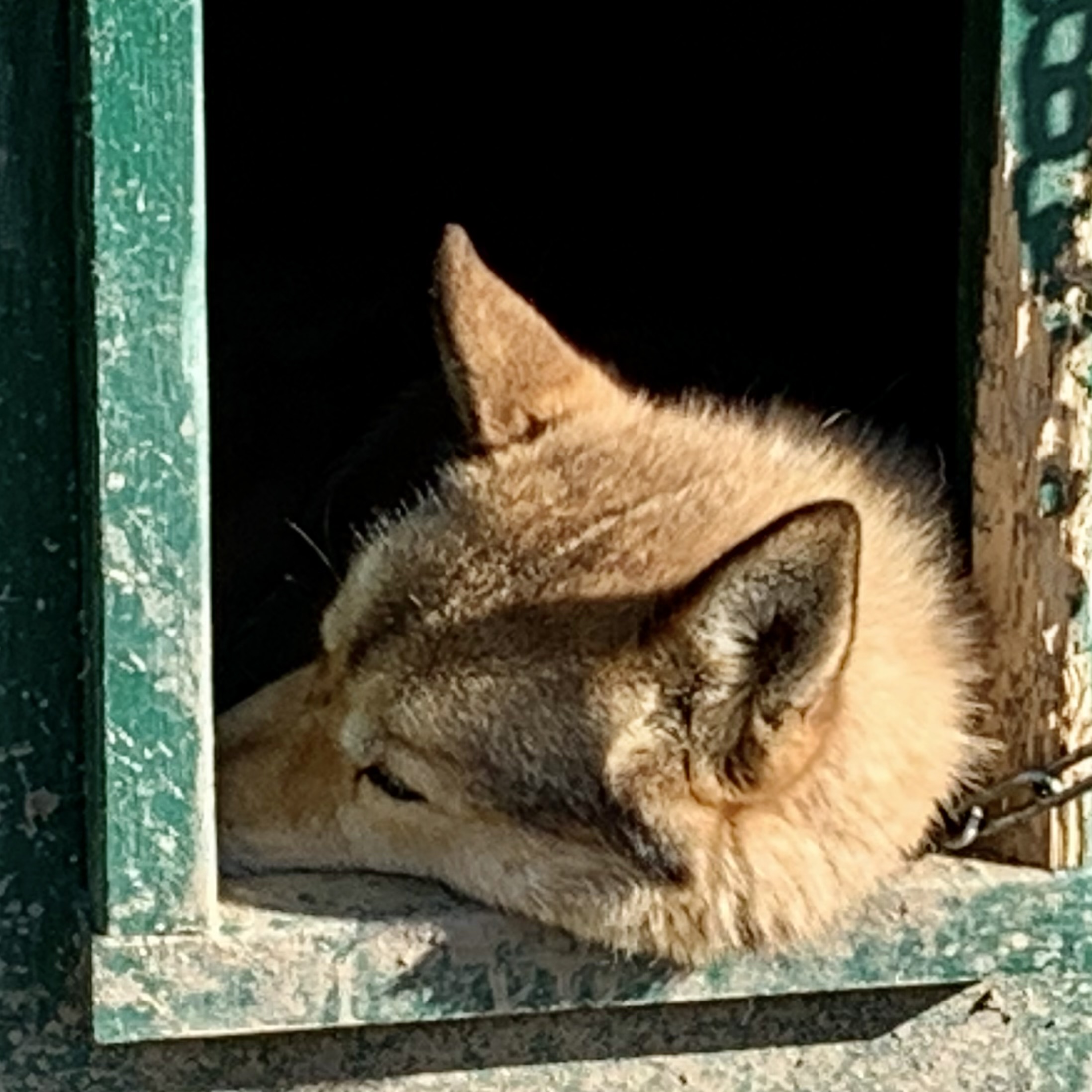
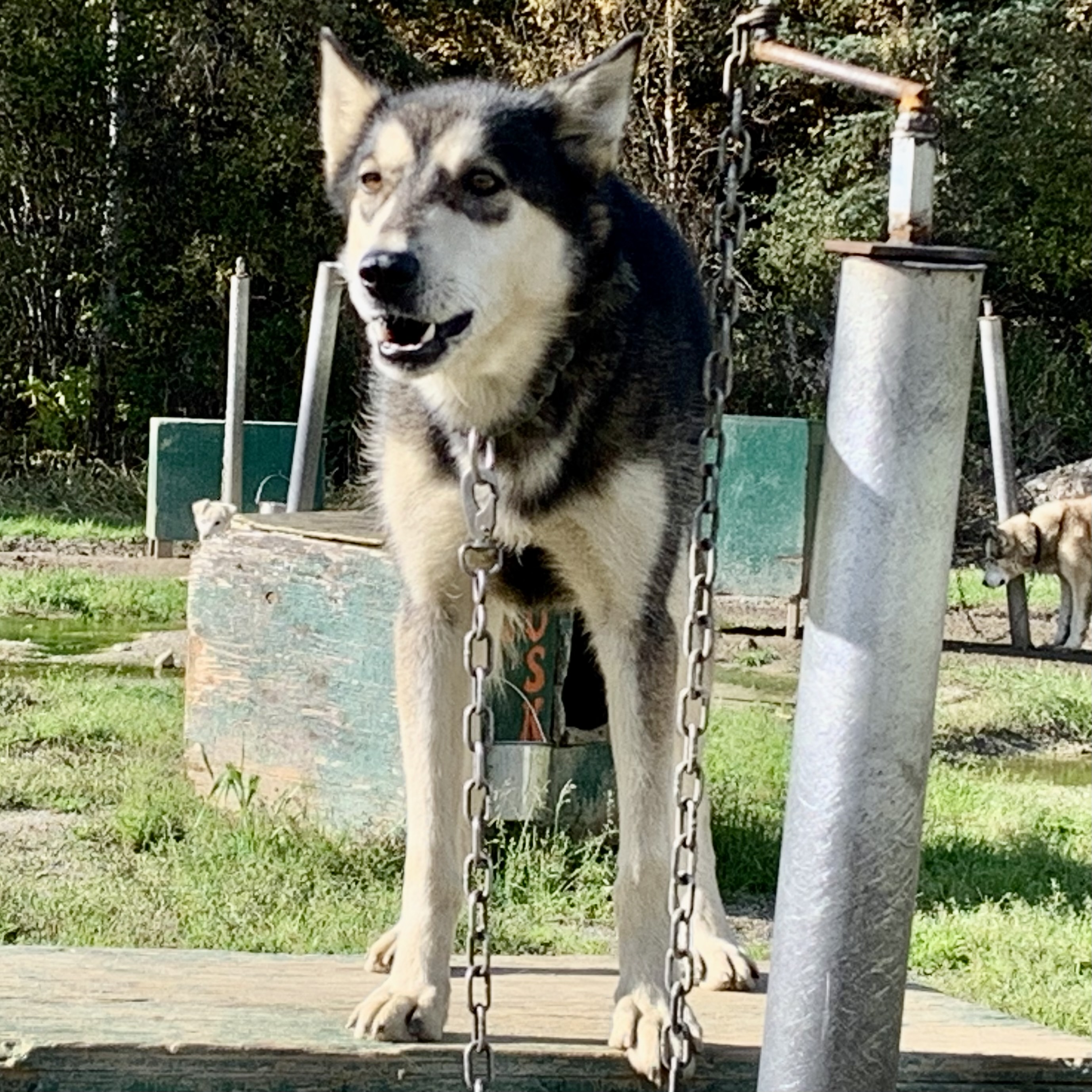
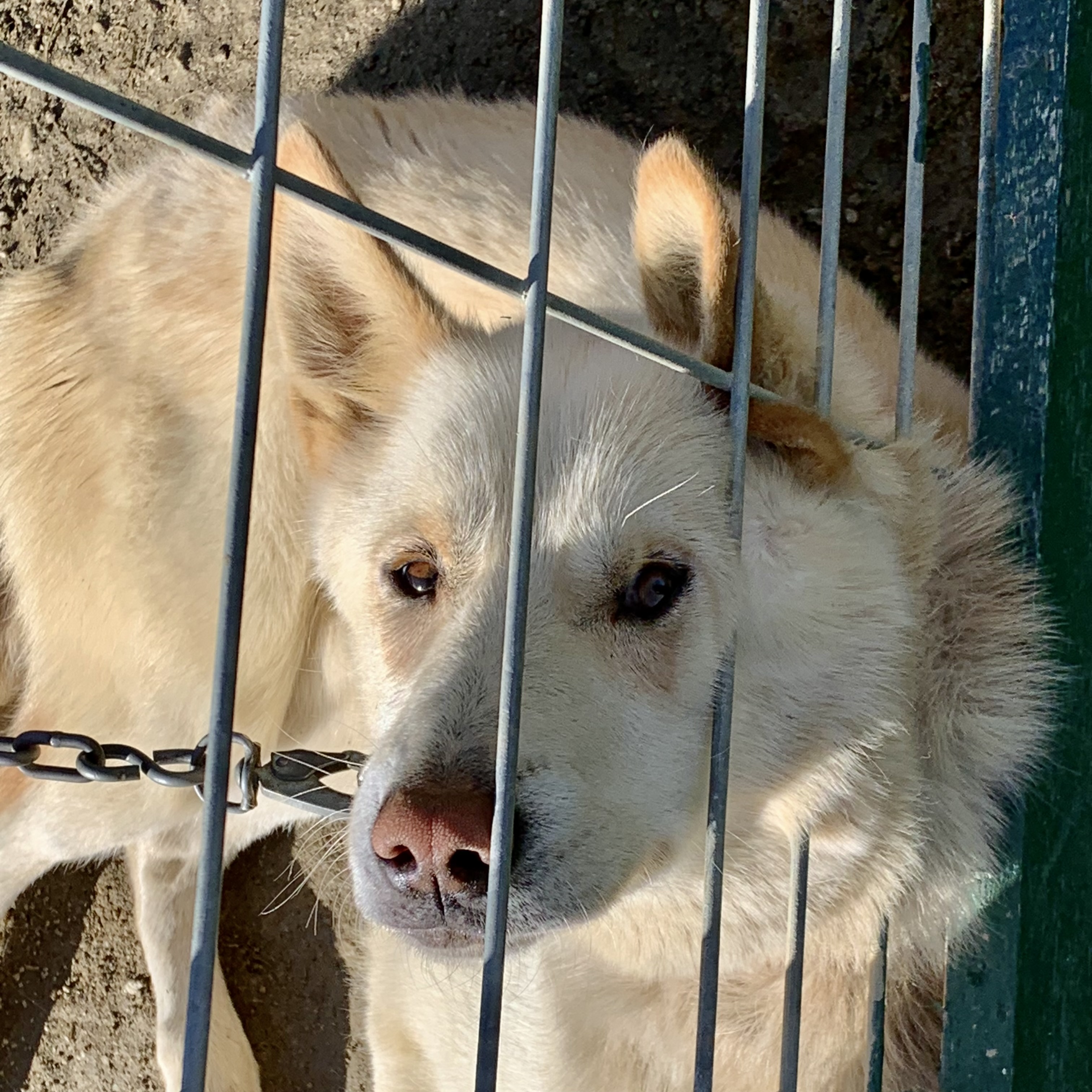
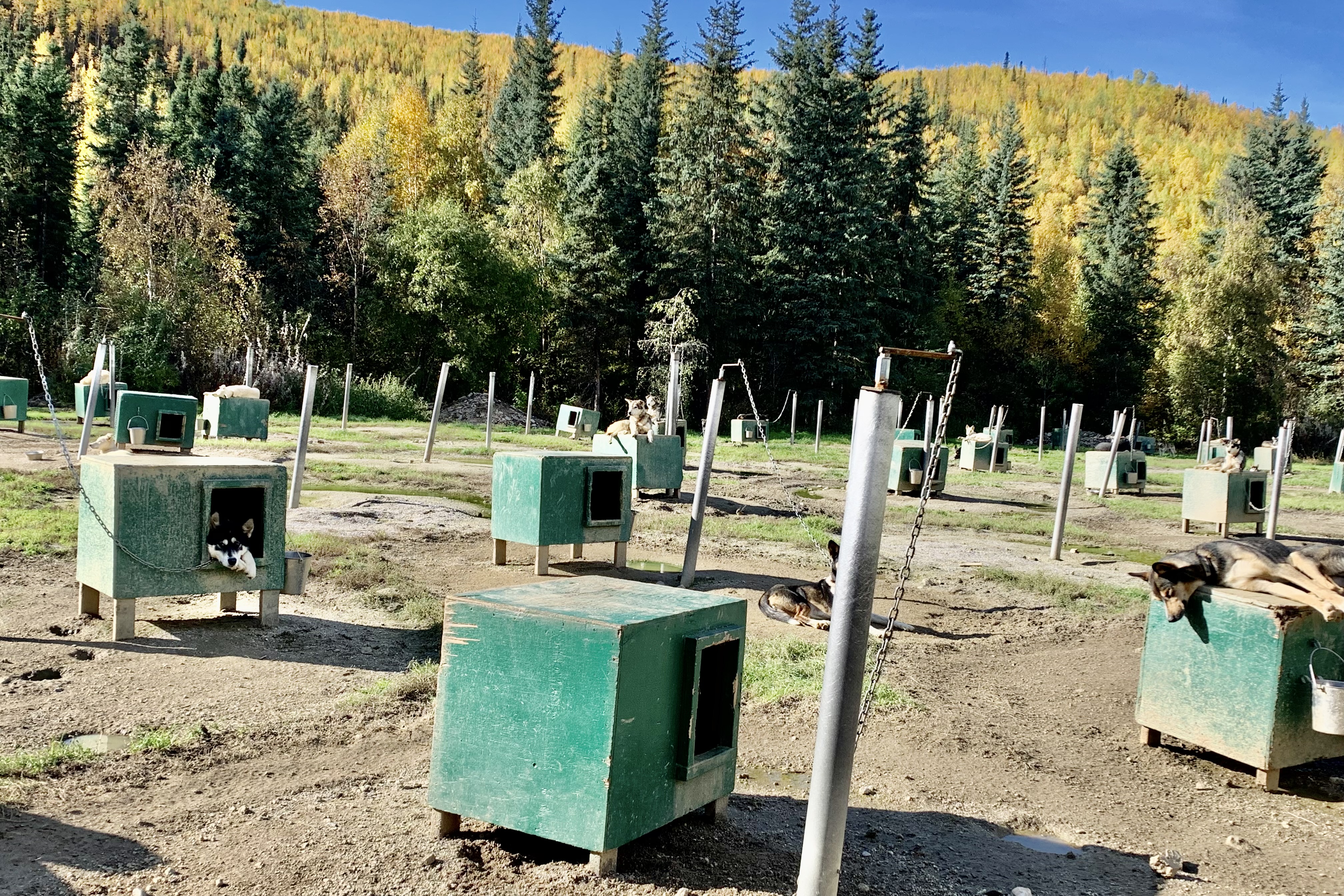
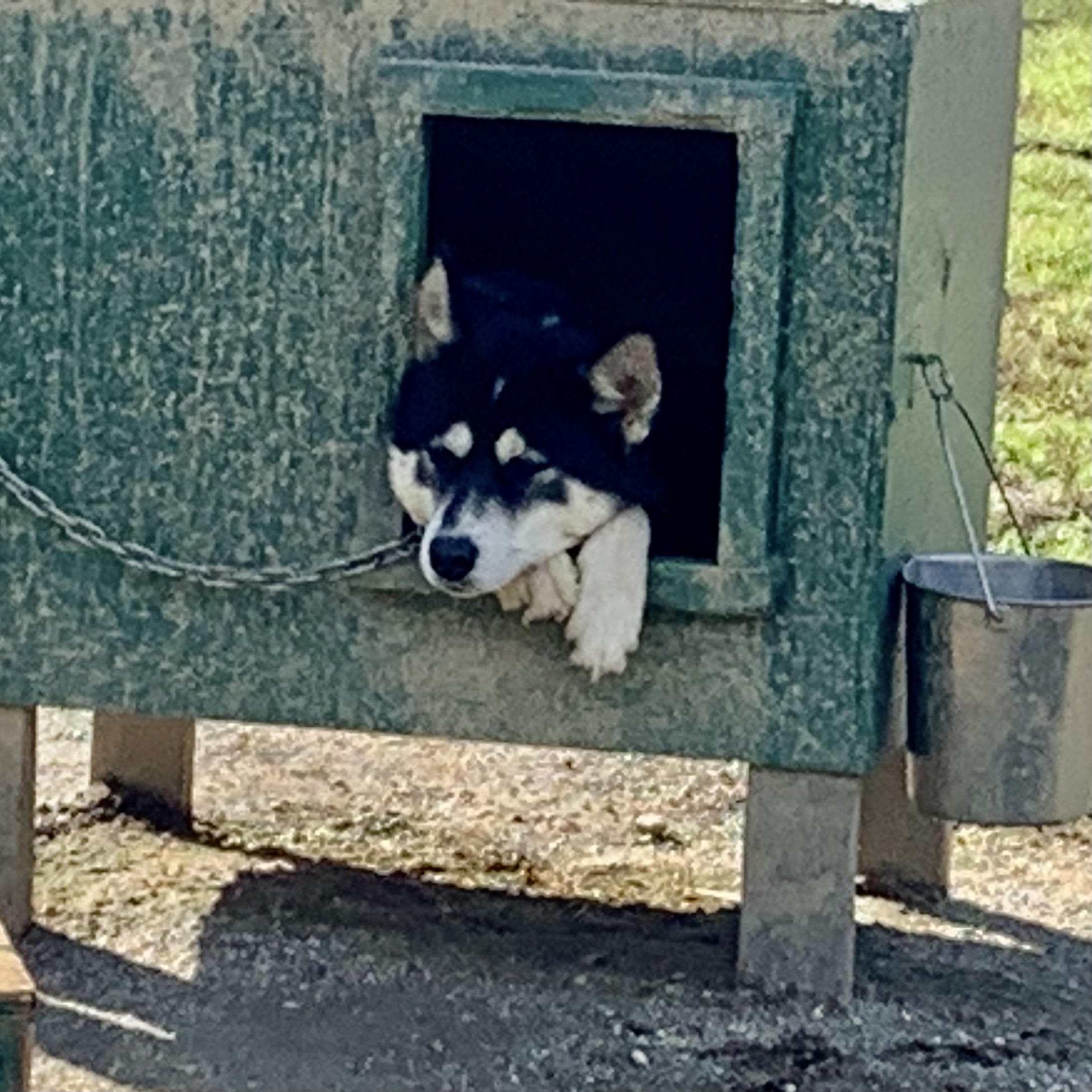
There was a sled dog kennel tour available but it was pricey and I discovered it was okay to wander over to the kenneling area and visit with the dogs. Exceptionally nice was the opportunity to go into the adoption yard area where the dogs who are aging and no longer able to pull the sled are available for adoption. They were all so eager to be petted. Oh, how I wished I could have taken several of them home.
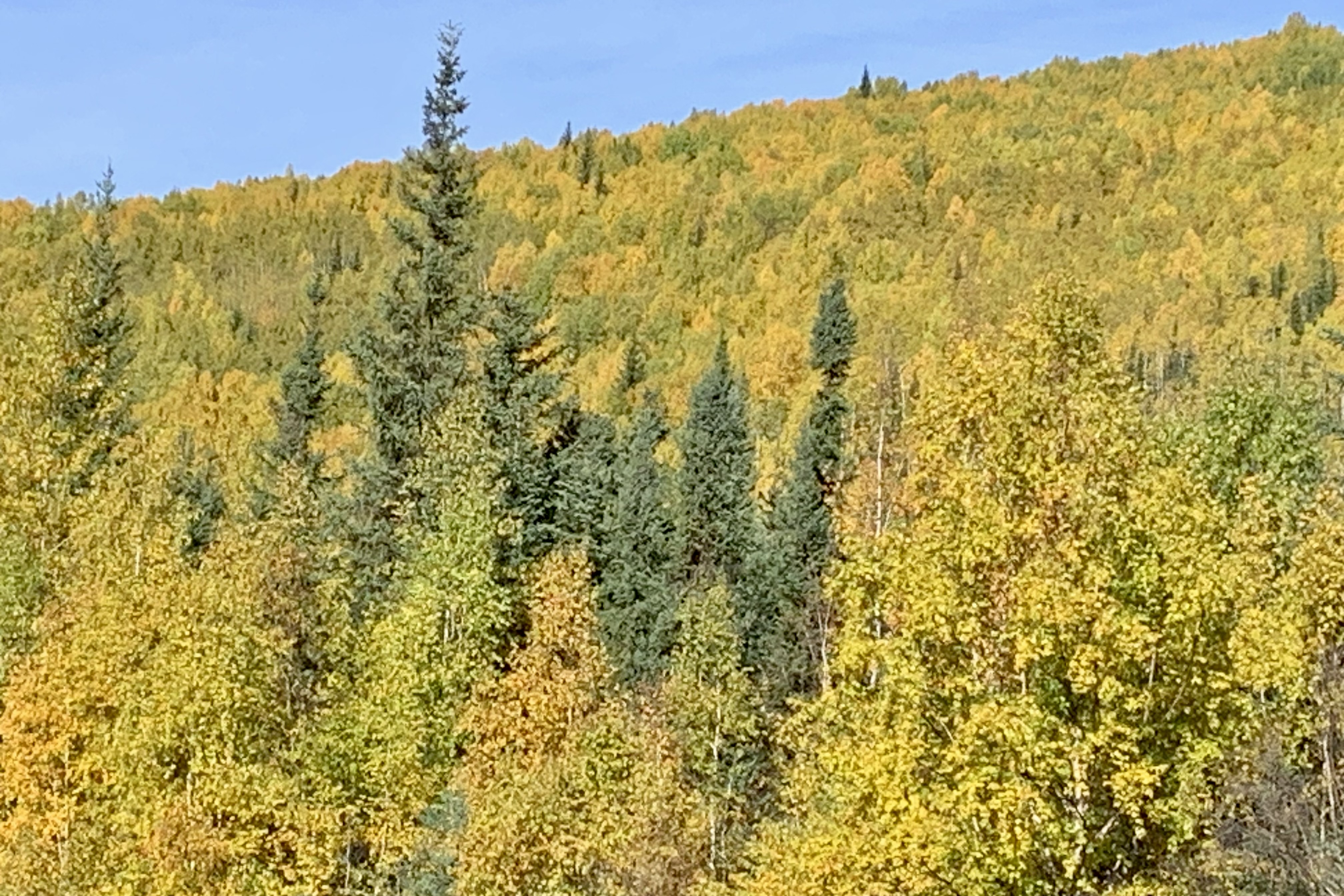
The surrounding area had beautiful views of mountains. It was September and the mountains were all dressed out in their golden finery. Several hiking trail option were available but I decide to keep it simple and follow the designated nature trail around the beaver pond. But in the maize of trails around and a very unclear hiking map and trail signage, I never did discover the beaver pond. But it was a beautiful day exploring the surrounding woods and property.,
As with most resorts (I use the term loosely) the main attraction seems to be never enough and all kinds of side gigs (for a price) are available for extra bucks and a way to “soak” customers if the hot springs isn’t enough of a soak. I did not opt for a visit to the Aurora Ice Museum, a sled dog cart ride, 4 wheel drive adventure, ATV Wheeler drive….or the Apple Martini from the ice bar where you drink out of ice glasses and then smash them.
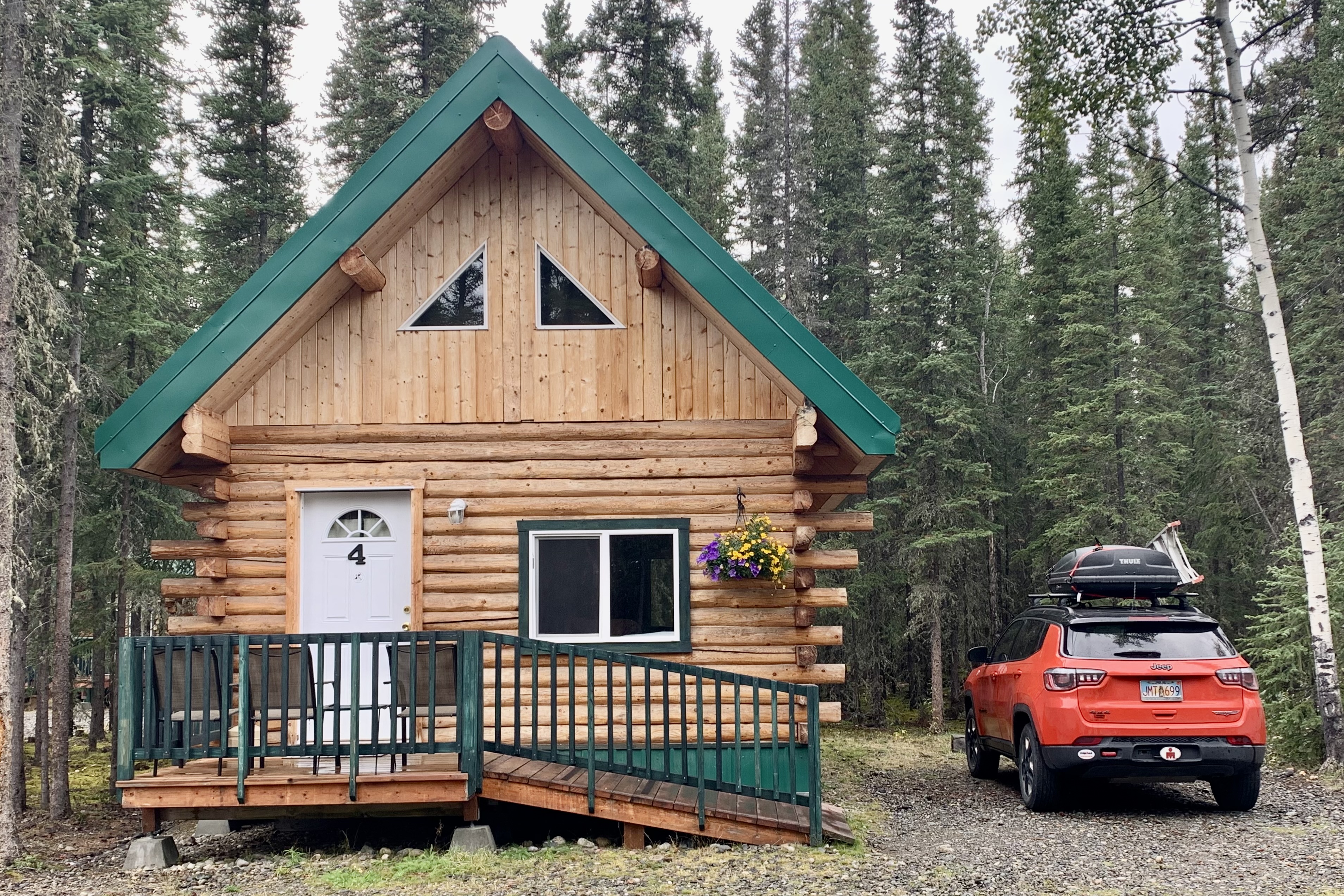
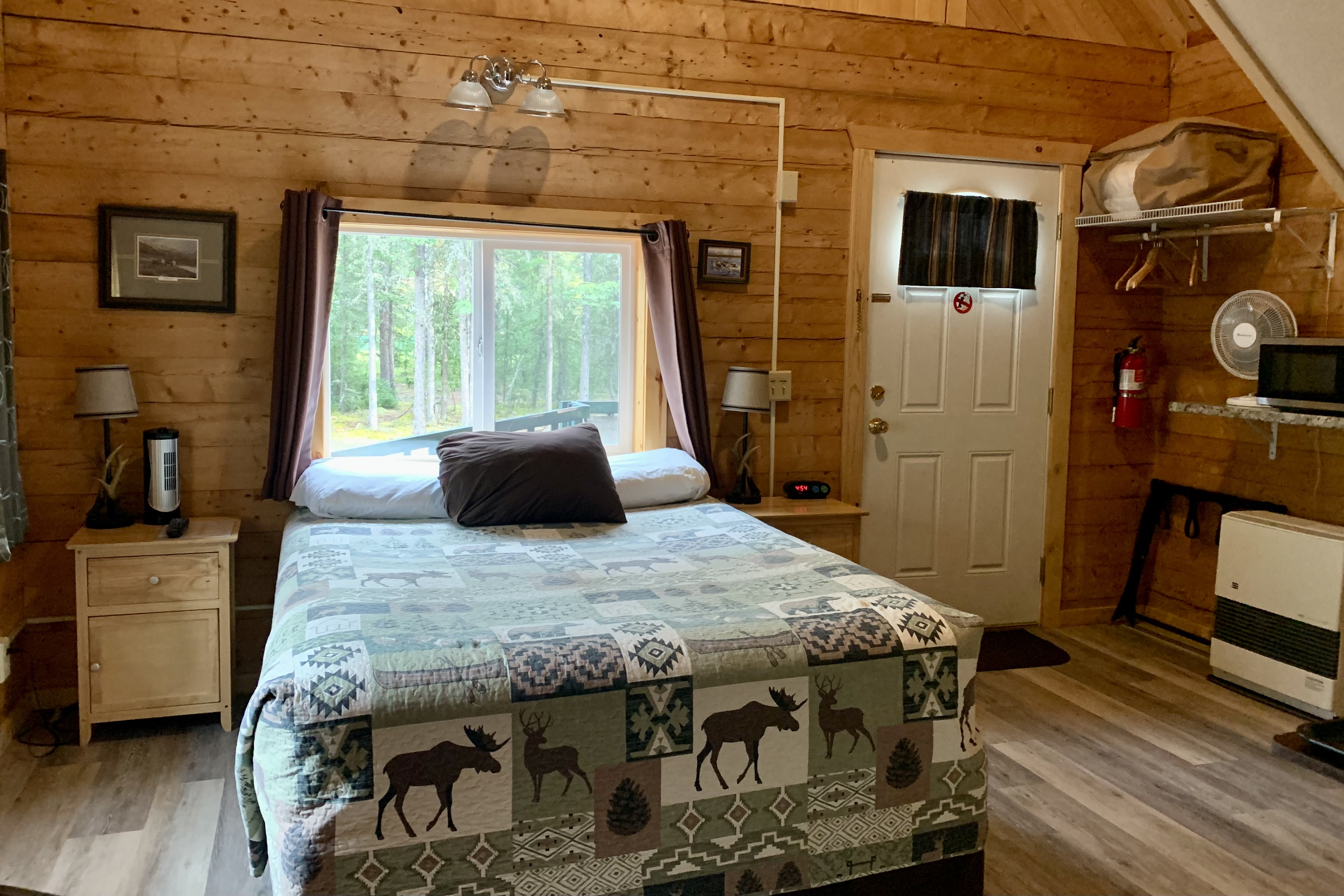
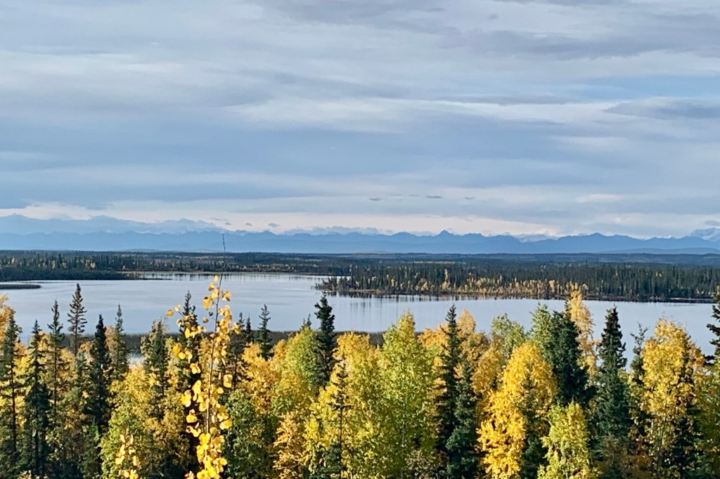
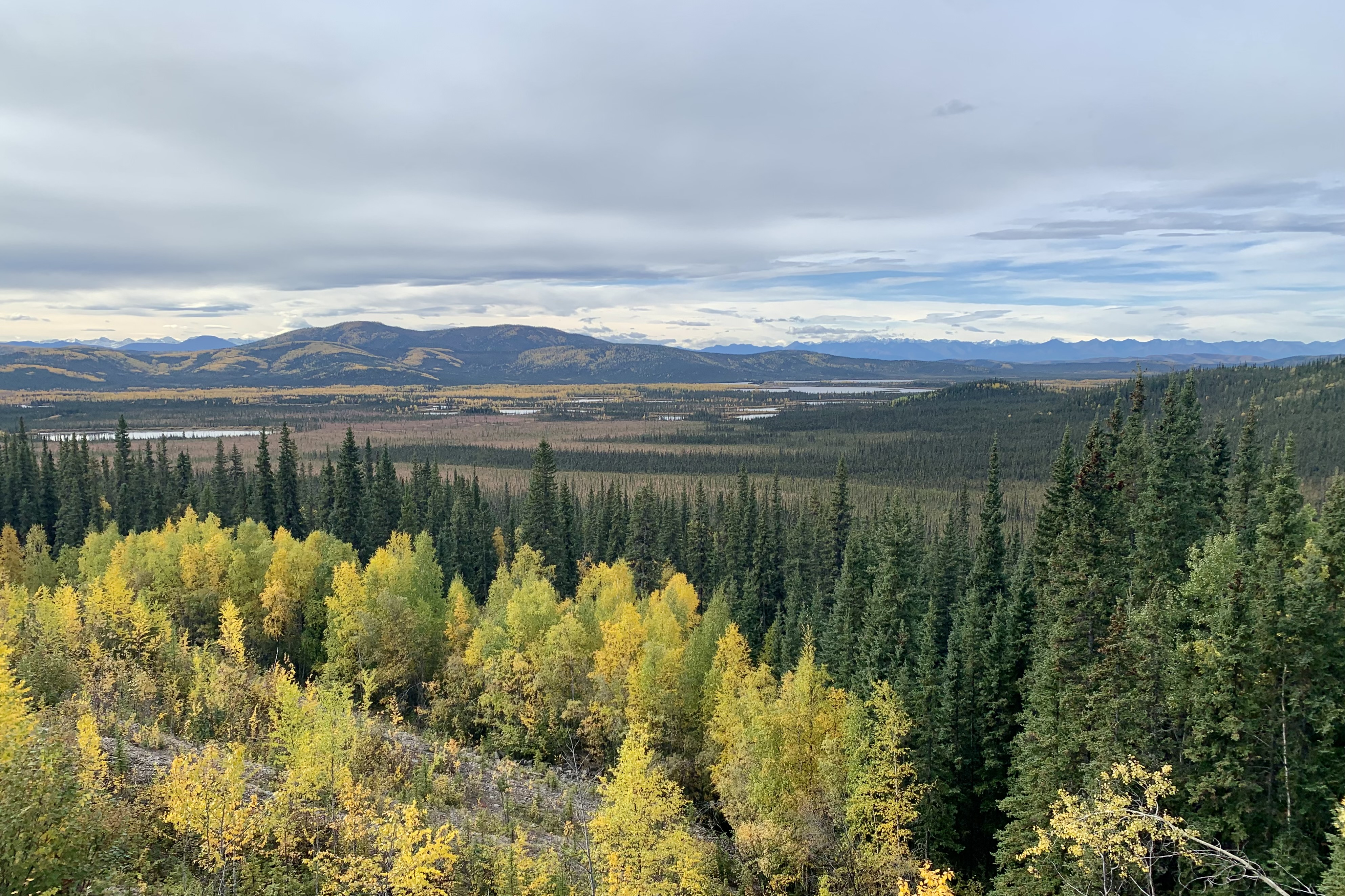
After a less than illustrious experience at Chena, I headed over to TOK, about a 250 mile drive and situated at the crossroads of the Alaska Highway (AK 2) and the Glen Highway (AK1). Much of the landscape out of Chena and, after negotiating the the urban sprawl through Fairbanks is boreal forest. It then heads east along the meandering Tanana River with the landscape opening up into a wider valley of tundra and impressive view of the Alaska Range to southwest and eventually the distant rugged peaks of the Wrangell and Mentasta Mountains. There was definitely minimal traffic (and services) on this Alaskan road through the wilderness. My traveling buddy Siri did a very poor job of directing me to my nights lodging at Caribou Cabins but after a bit of backtracking and finding accurate directions on the reservation sheet, I made it to this very quiet, wooded setting. What a great cabin, beautifully constructed and spotless, spacious, bright and very comfortable. I’d give it a five star if I were to rate it, especially because it had a great assortment of K-cup pods for the Kuerig coffee maker.
The name Caribou Cabins indicates what the favorite pets are. There are two reindeer(caribou) in a fenced in area behind the main building. Though it was quite fun seeing these large antlered hoofed ruminants, I felt sad seeing them so confined and not able romped around the lovely forests with the other 750,000 wild caribou in Alaska.
Motoring on over to Yukon territory was a re-run as I had travel this section of the Alcan Highway when I had motored up to Alaska in 2018. The route traversed skirts the Tetlin Wildlife Refuge and cuts through the valleys adjacent to the Wragell and St Elias Mountain Ranges.
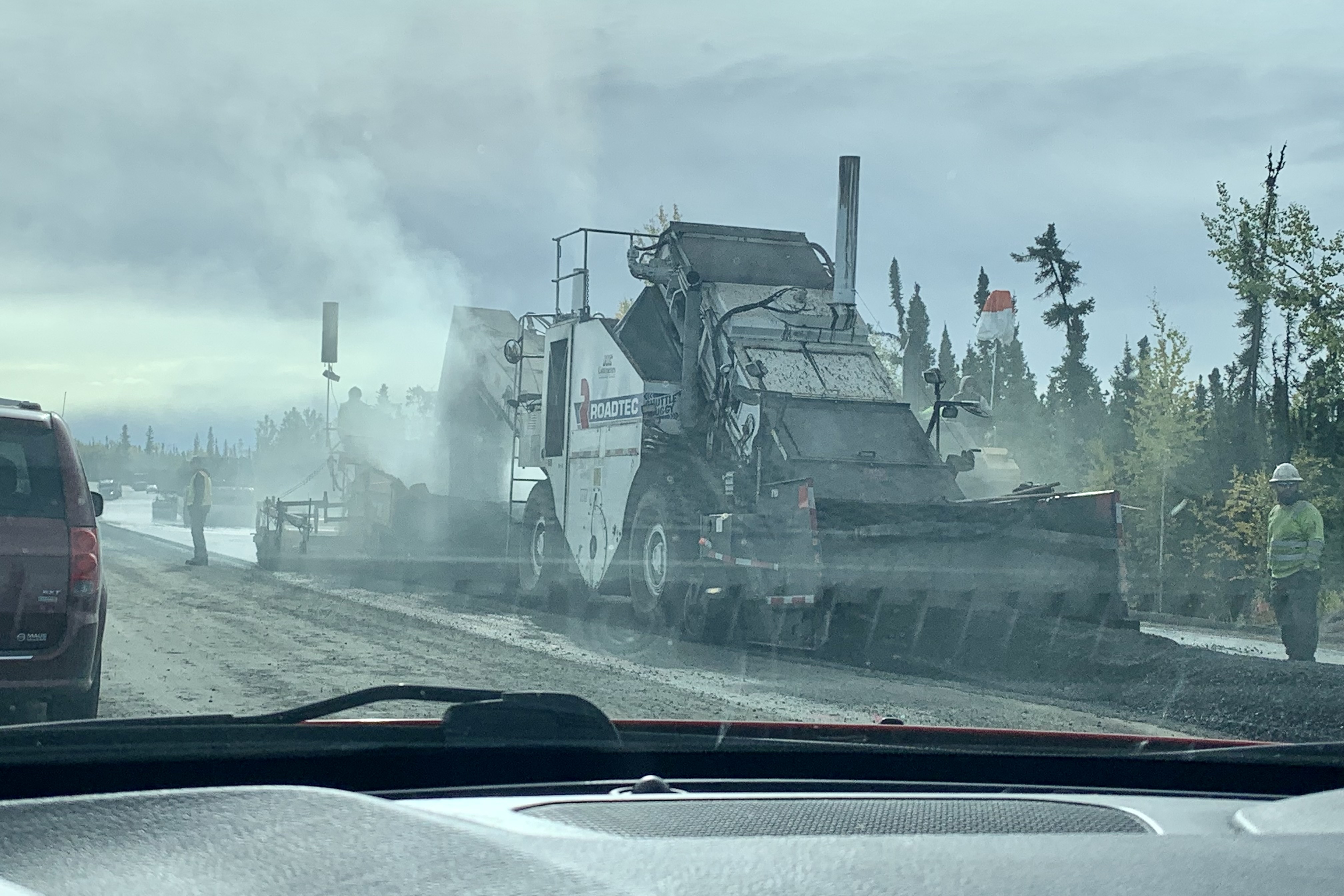
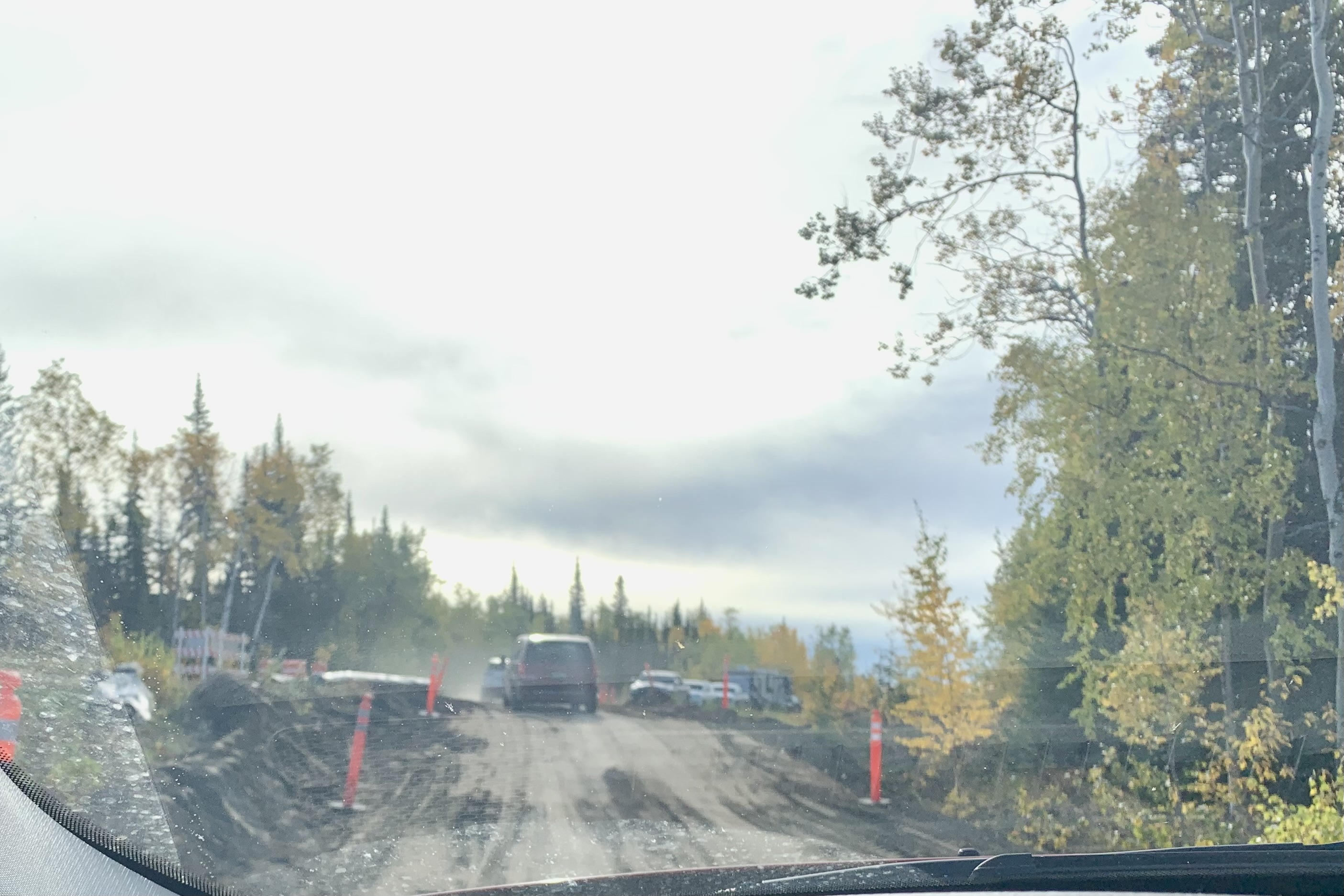
It was not exactly smooth sailing as there was a significant amount of road work which appeared to be repaving but mostly a repair of the road heaves from the previous winter. I was in need of a pee stop but got stuck in construction zone just a few miles short short of the Tetlin Wildlife Refuge Visitors Center. As the minutes piled up and I was feeling more desperate, I began eyeing the port-a-potty on the roadside up ahead… of course that would be sheer desperation but I was actually considering pulling my car out of the line and braving a rather awkward encounter with the construction crew and probably a completely grungy potty. I have never wished to be a guy, but right then I would loved to have been able to step out of the car and just whip it out for instant relief. I sat there practicing the Kegalls and taking calming breaths when after 25 minutes the line of cars began to slowly move forward. Thank goodness about 15 minutes later I was at the refuge visitors center and their hygienic bathrooms.
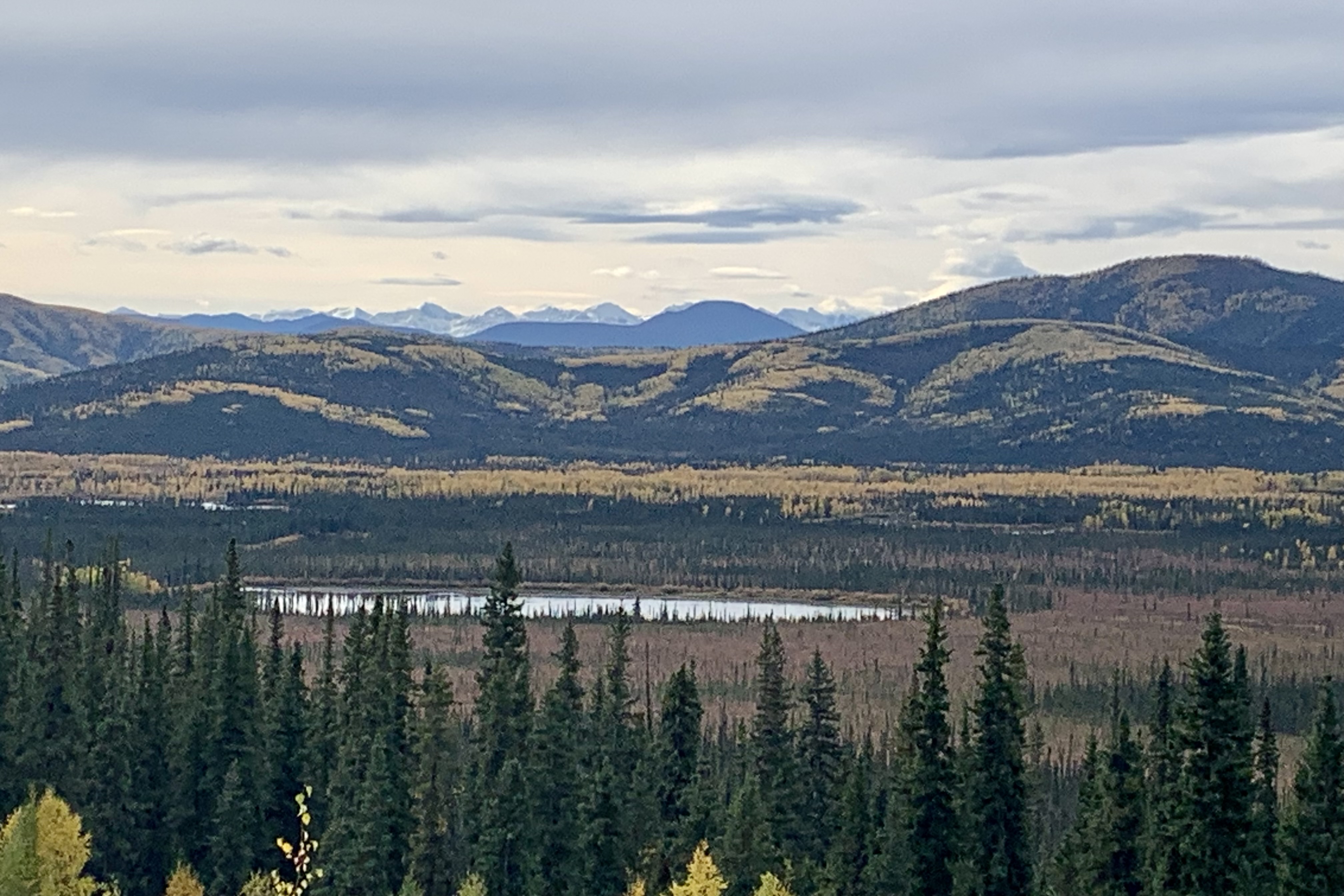
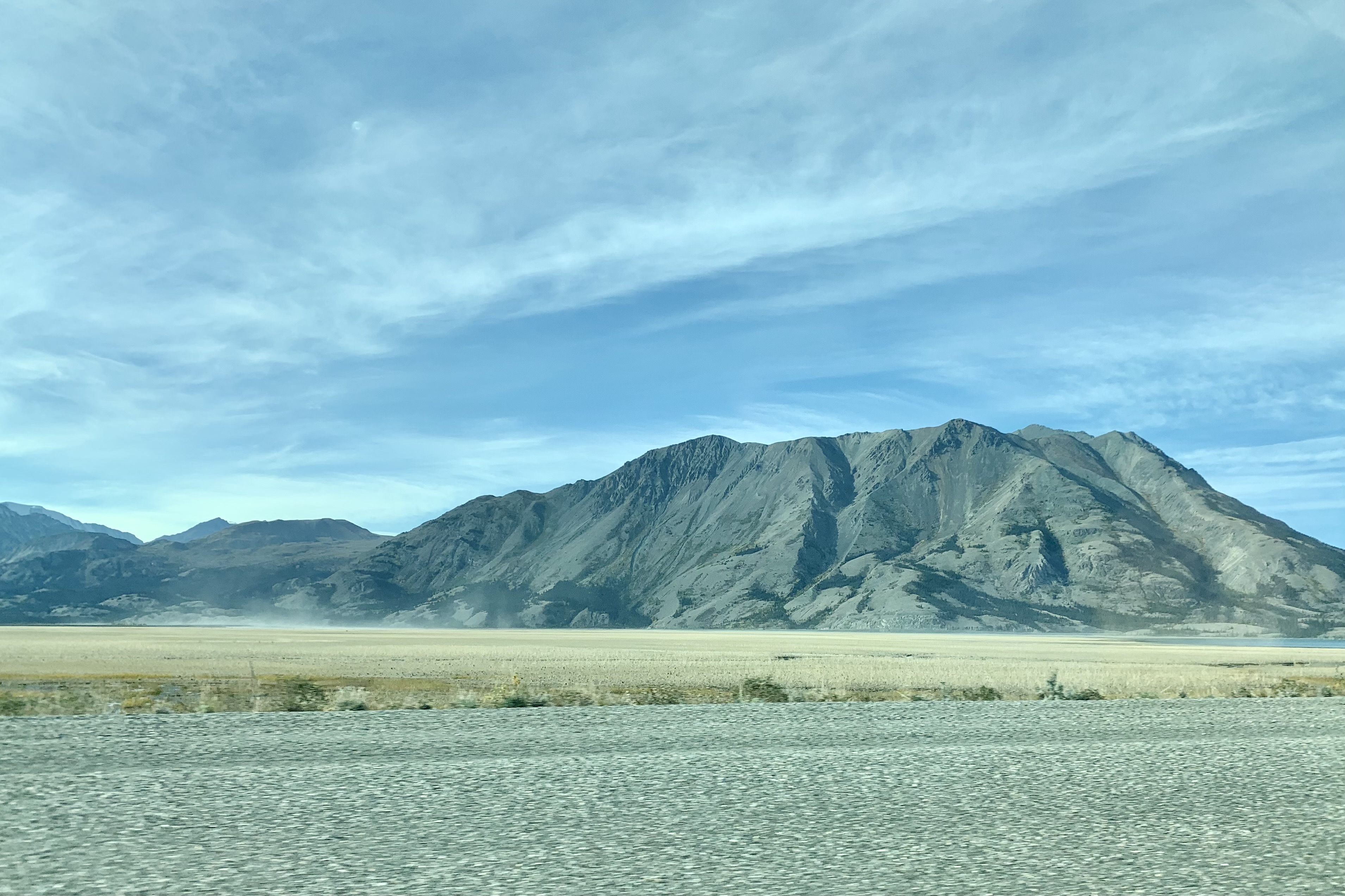
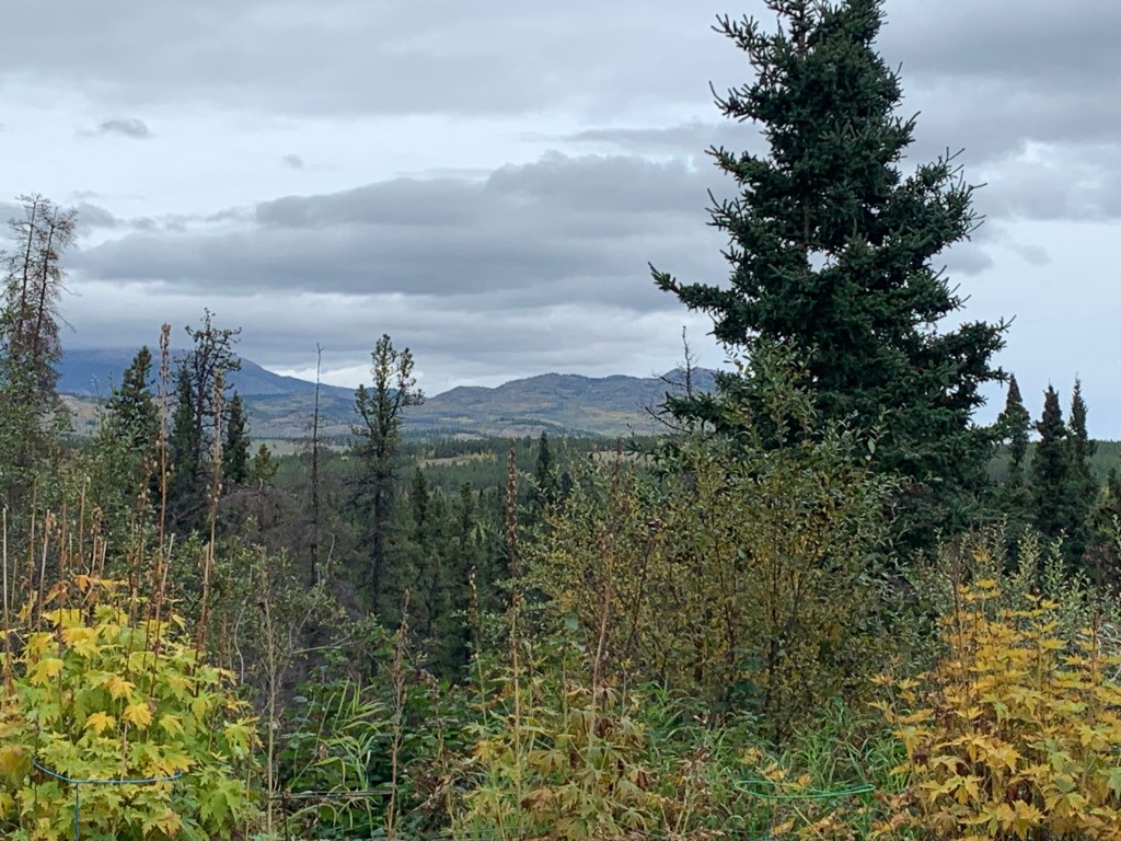
This was to be a 400 + mile driving day so I was soon back on the road and crossing into Canada, This wilderness area is not heavily trafficked so it was quite a relaxing drive all the while being thoroughly awed by the surrounds and drinking in the scenic Kluane Mountains to the southwest and Lake Kluane to the northeast. Being mid-September the fall foliage was perking up and there was a panoply of golden hues roadside.
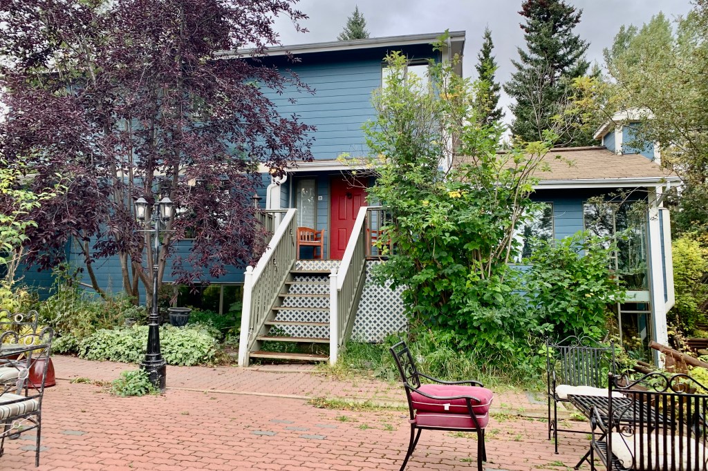
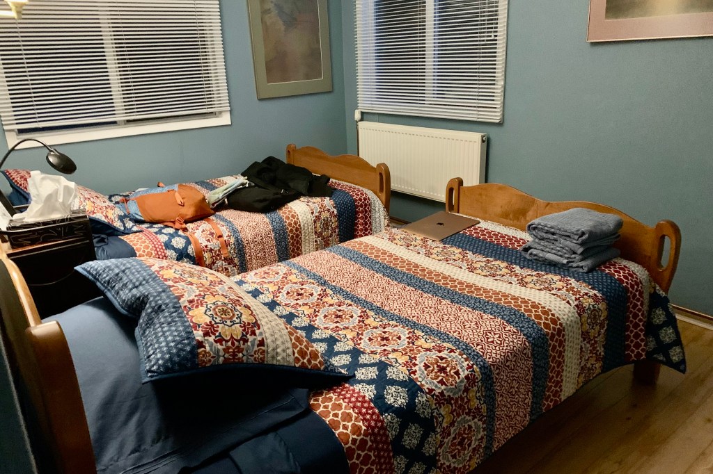
I arrived at Hidden Valley Bed and Breakfast around 6:00 pm. As I experienced in Talkeetna , things are not quite the same since COVID. No repeat performances here either. Being a different season (fall versus mid summer) , the grounds were void of the magniifcant flower gardens and outdoor seating areas surround by beautiful pots of flowers. It looked quite dreary arrayed in dead plants. I found a note on the door to let myself in and headed up the stairs per direction to the Blue Room. Fortunately it did not turn out to be the tomb like atmosphere of Talkeetna, but it was obvious the woman who owned the B & B had aged considerably and was not the same peppy purveyor of 5 years ago. I did ask her for a restaurant recommendation and ended up going to the recommended Whiskey Jacks’s Pub and Grill. Being around 7:30 on a Friday evening and desperately hungry, I ended up sitting at the bar (not my preference for sure as discussed in Chena Hot Springs ) so as not to have to wait an hour or more for a table. I was actually quite entertained throughout my meal by the bartender whipping up and out with a flourish hundreds of alcoholic drinks. The Blue Room slept well!
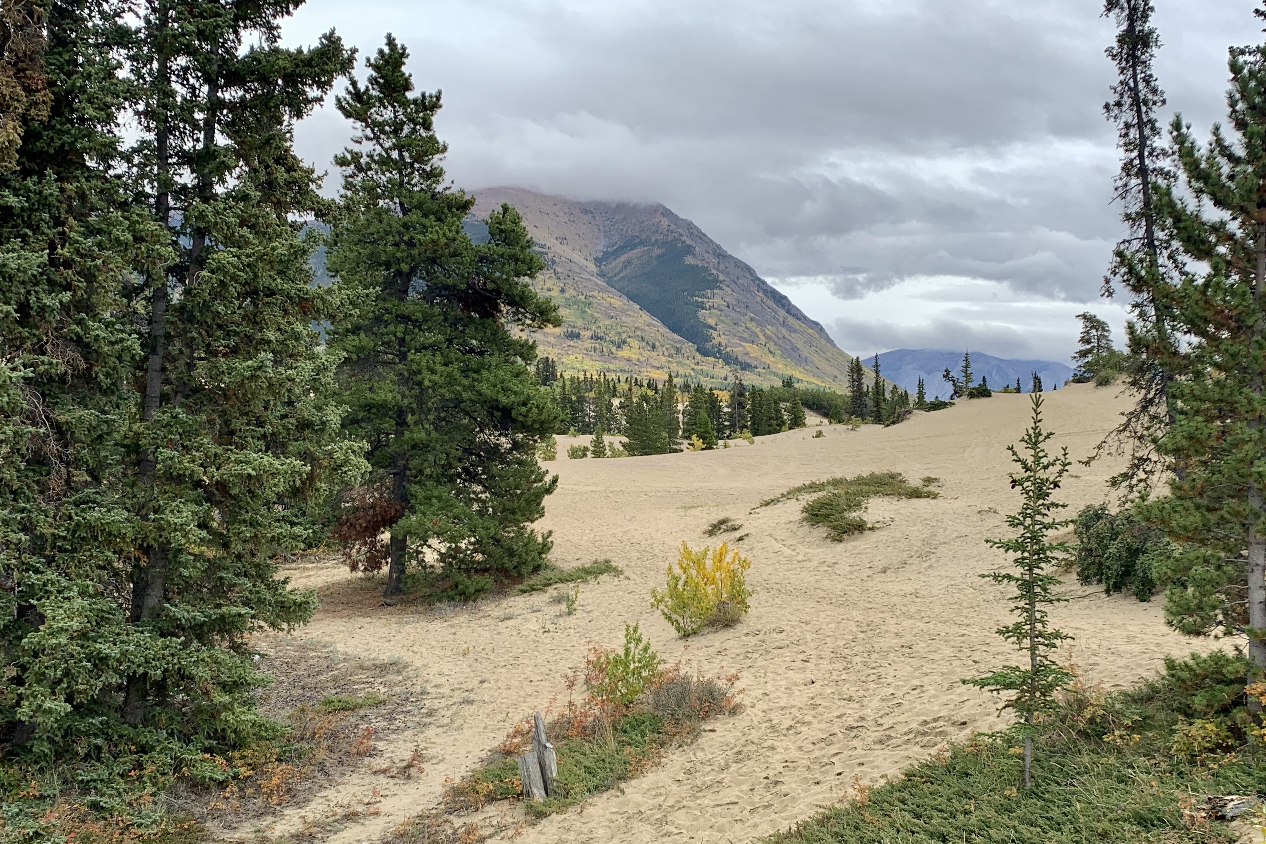
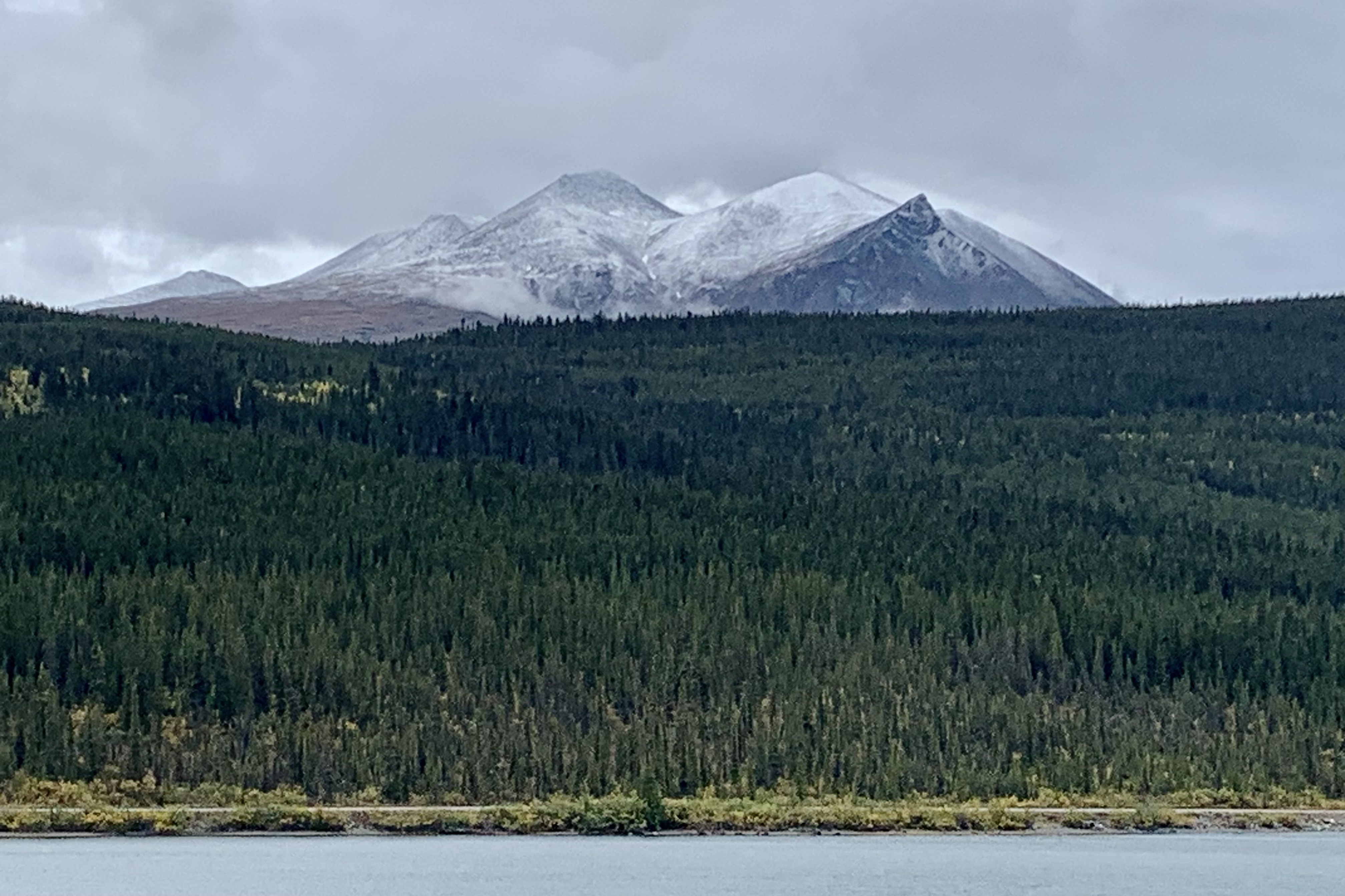
After a not very appetizing breakfast of a rubbery poached egg on toast, I head out for the final driving excursion to Skagway Alaska on a very cool, foggy rainy day. Since the distance would only be a bit over 120 miles, I could have a leisurely drive through a very picturesque and historic area. After a sort 40 minute drive just short of Carcross (Tagish First Nation) Emerald Lake came in to view…though on this day it would not be touted as a fin ‘gem’ since it was not shimmering with a brilliant emerald green hue that promotional literature states captivates so many visitors. It was lovely none-the-less with the fall foliage adding a bit of colorful contrast. Back on the road again, I was intrigued when I came upon a small dunescape , the Carcross Desert, which clearly seemed out of place in this area of snow capped mountains, lakes, and forests. It is touted as the World’s Smallest Desert.
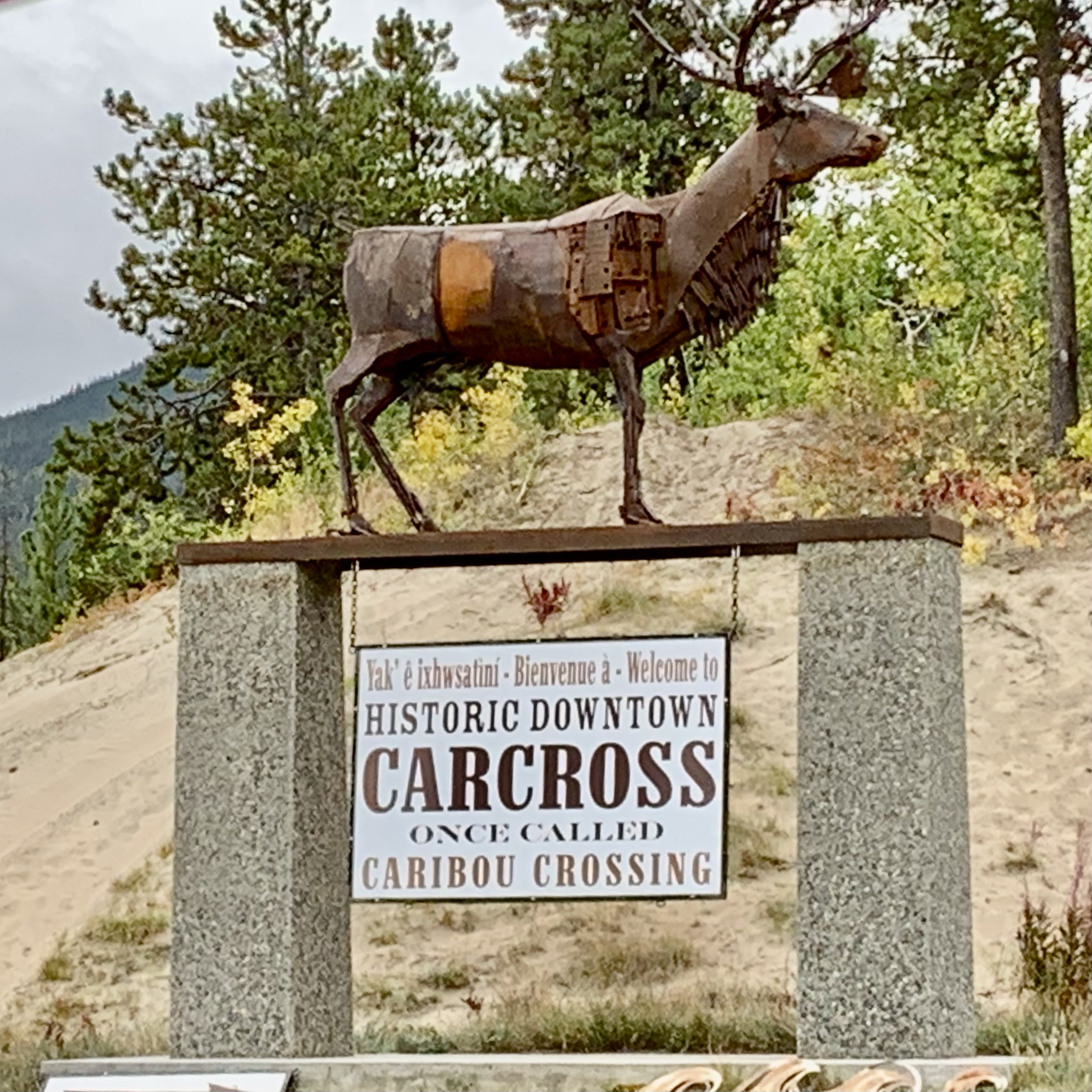
Carcross, (previously know as Caribou Crossing), at the north end of Bennet Lake , was an encampment on the way up to Dawson City for the Klondike. I wondered why they change the name. I fantasized it was because the local caribou made a decision to avoid the gold rushers and disappeared north and the town needed to be renamed because the motorcar was doing most of the crossing in the territory. My thought process was very dense as I failed to deduce that it was a truncation of the original name to simplify postal service…a very utilitarian reason but having nothing to do with the motor car.
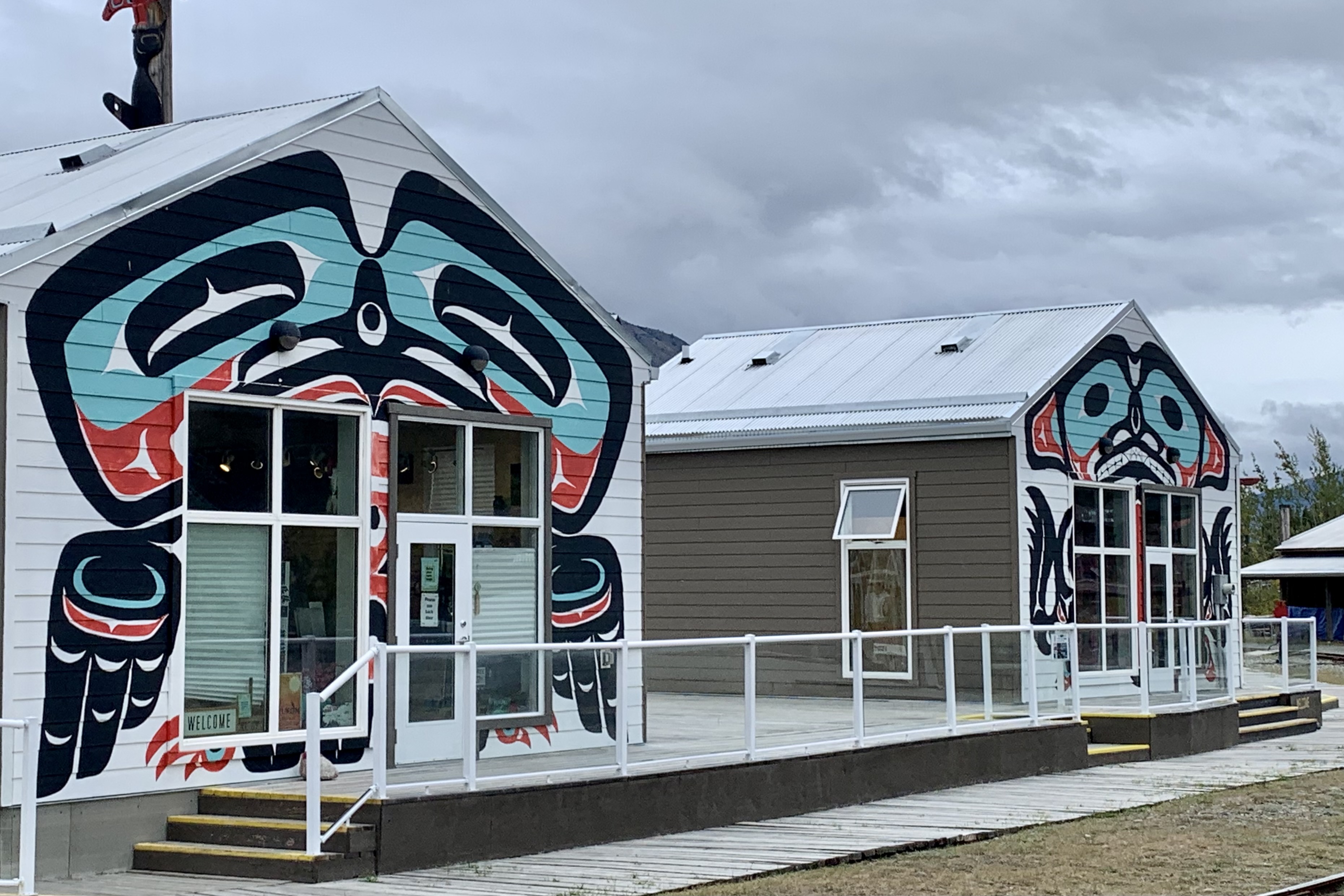
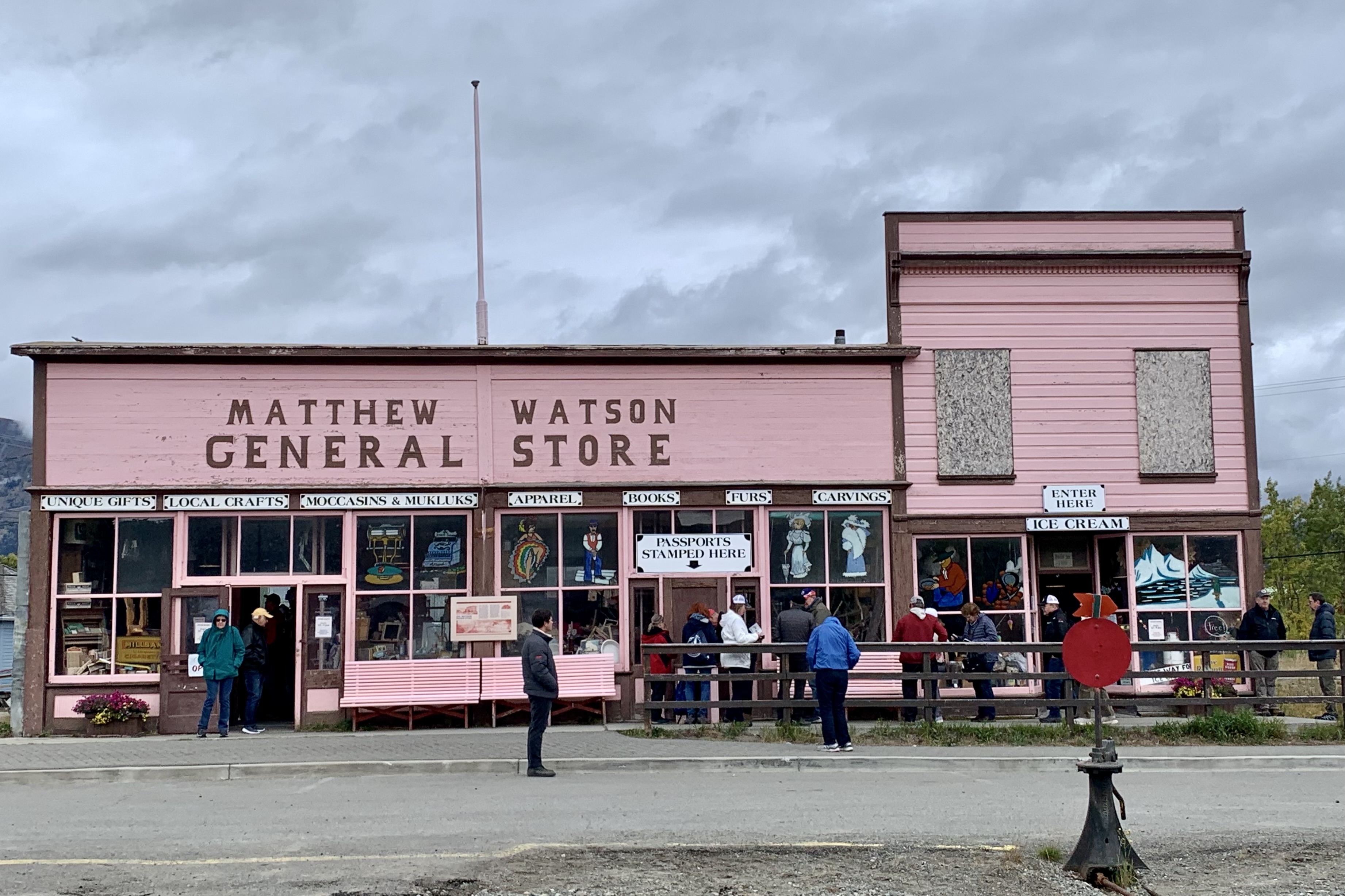
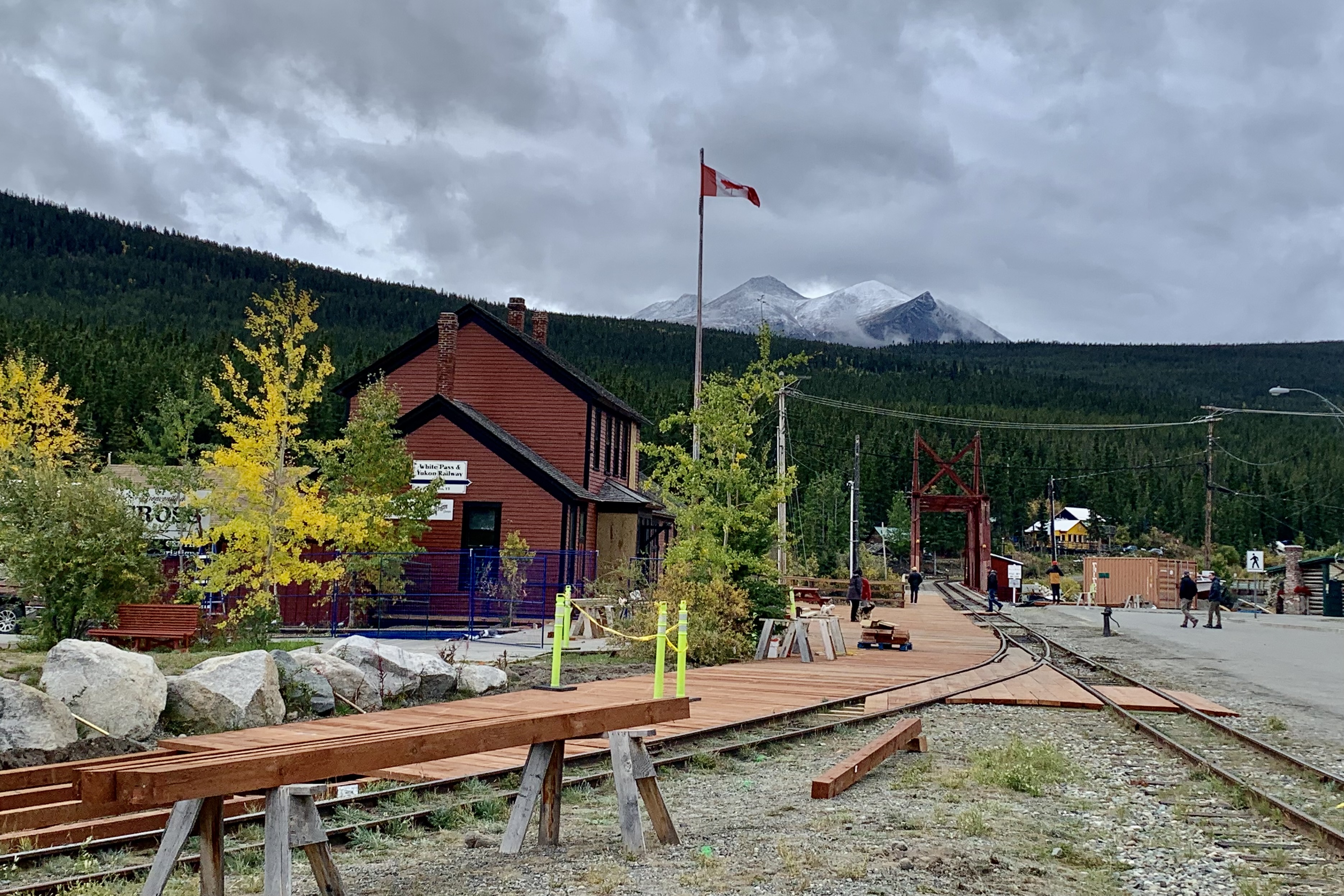
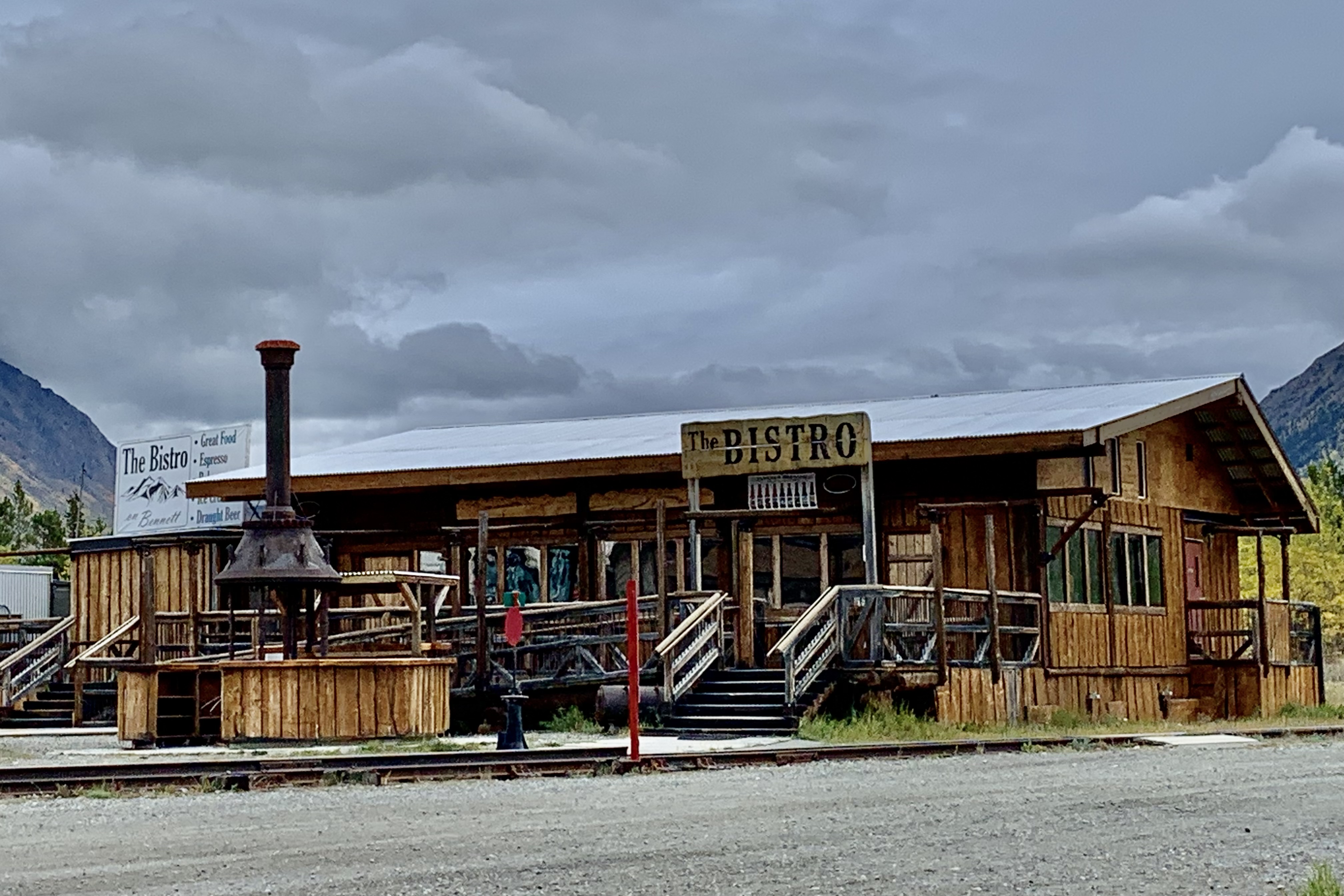
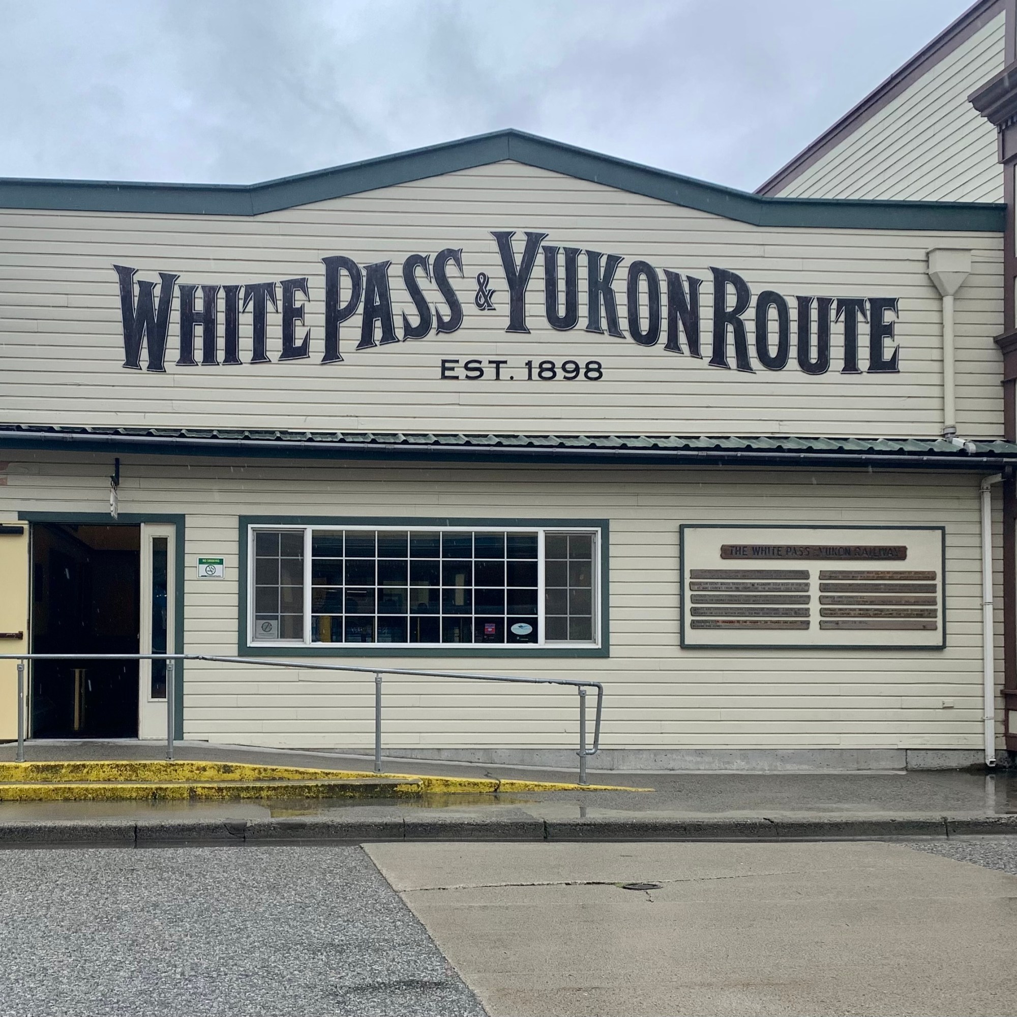
Carcross has a significant indigenous heritage and a whole lot of historical charm with several historical buildings lining the street. Its a mixture of artisan shops, galleries, cafes, many newer but also old decaying buildings, It also was over run on this day with Holland American Cruise Line Buses which disgorged many many passengers.. I weaved through the streets of Carcoross, visited the White Pass and Yukon Railway Station, walked a bit on the beach of Bennet lake, explored the restoration site of the S.S. Tutshi BUT avoided the packed shops and galleries. .
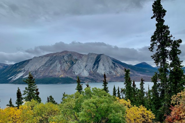
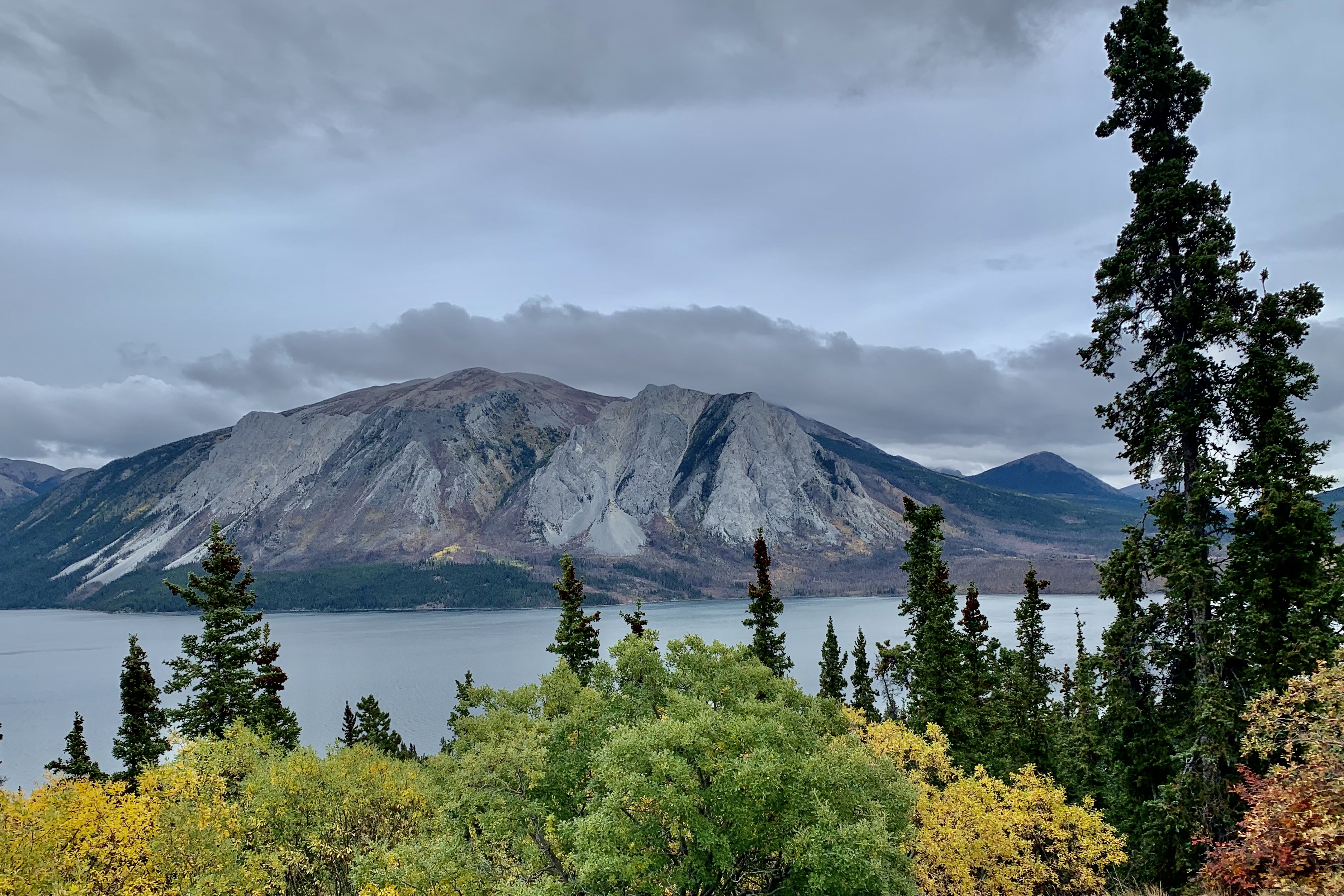
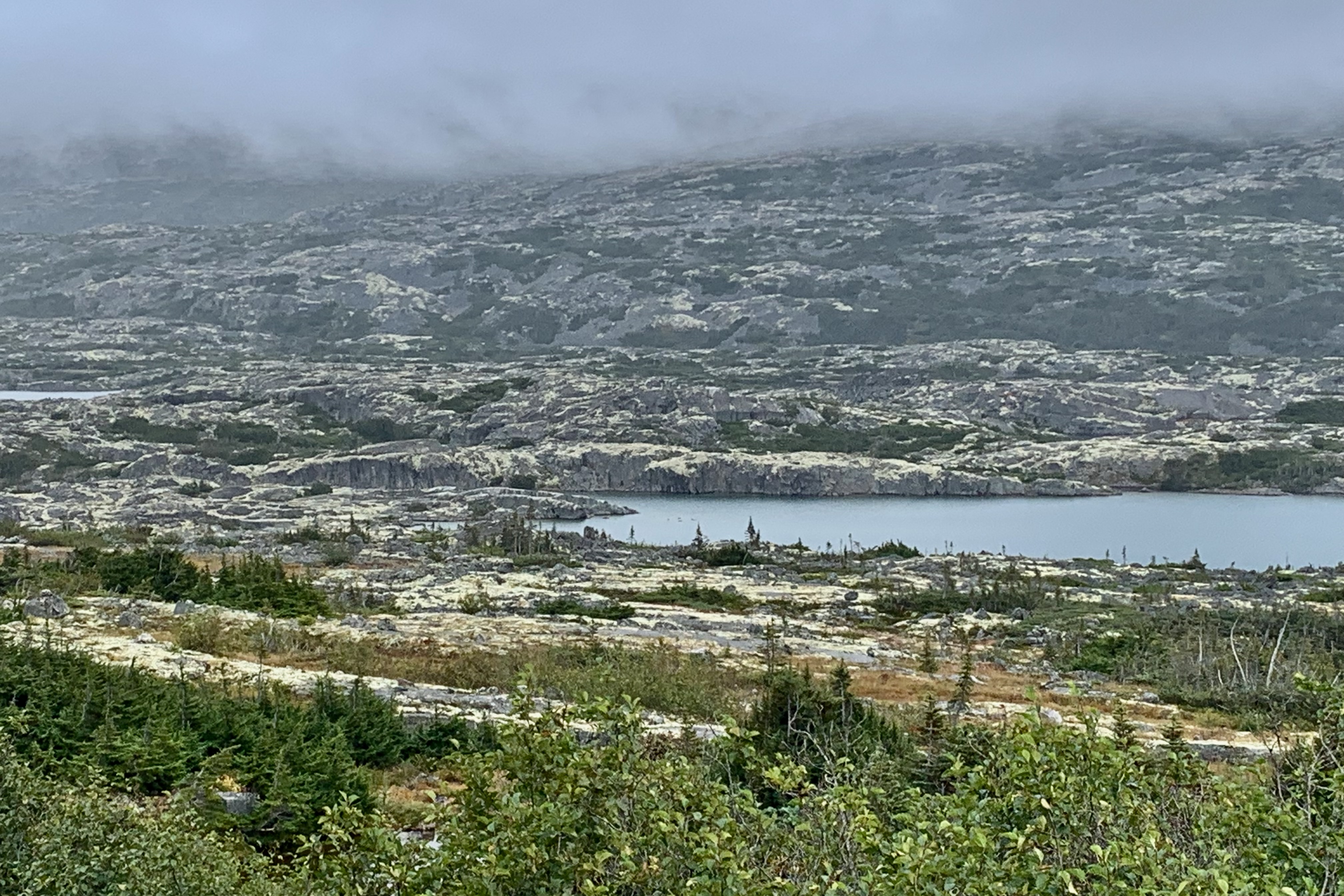
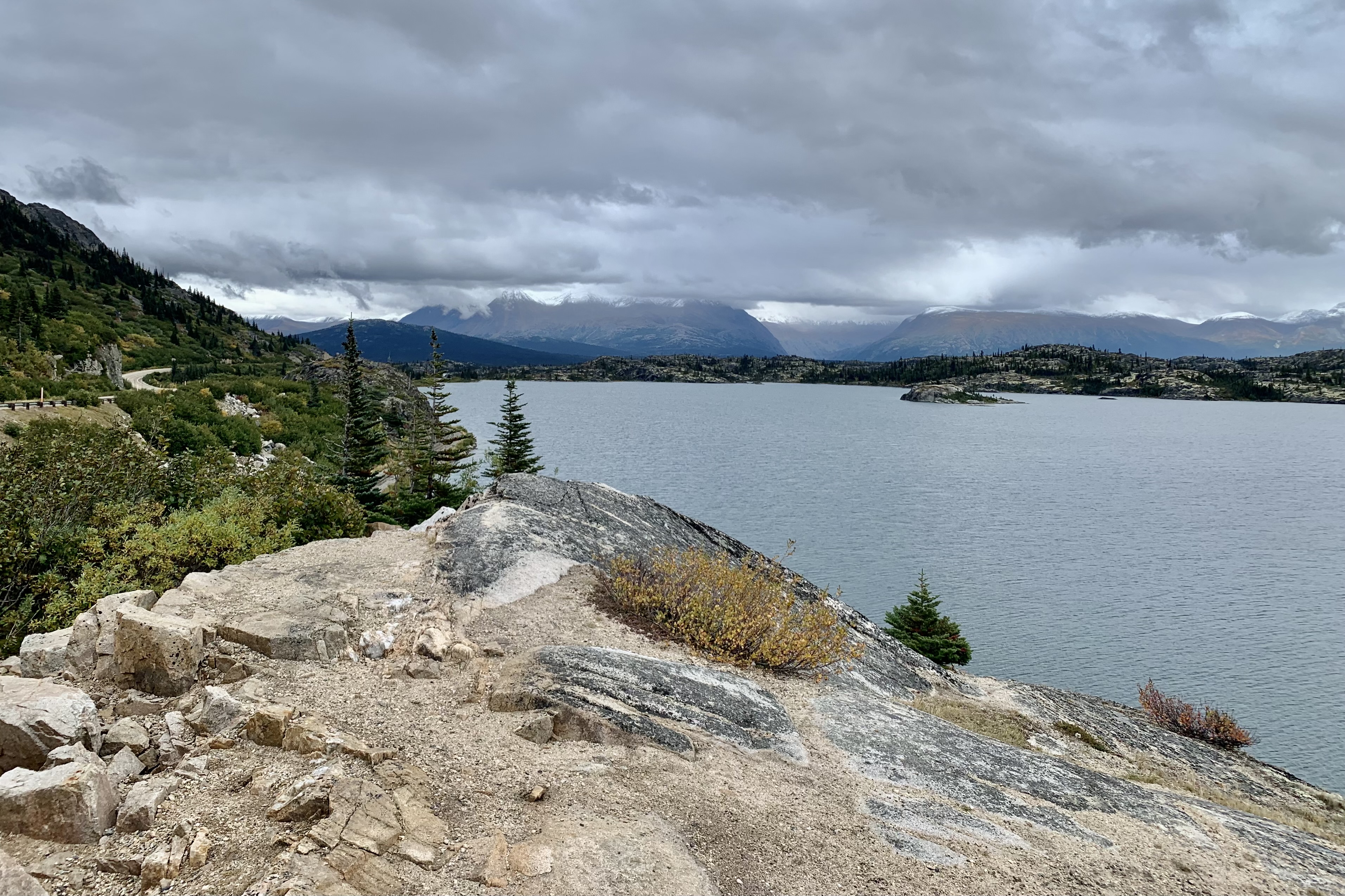
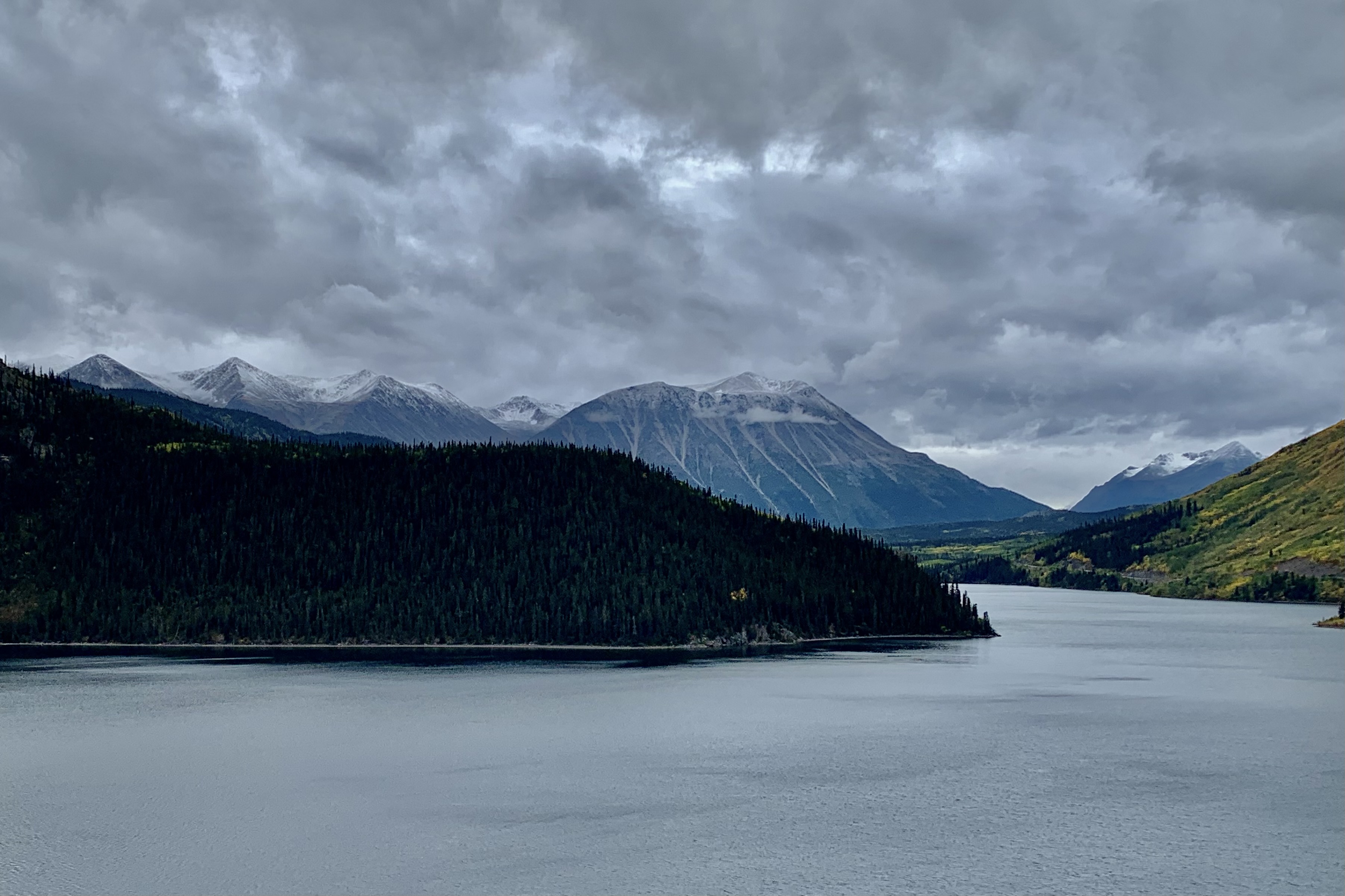
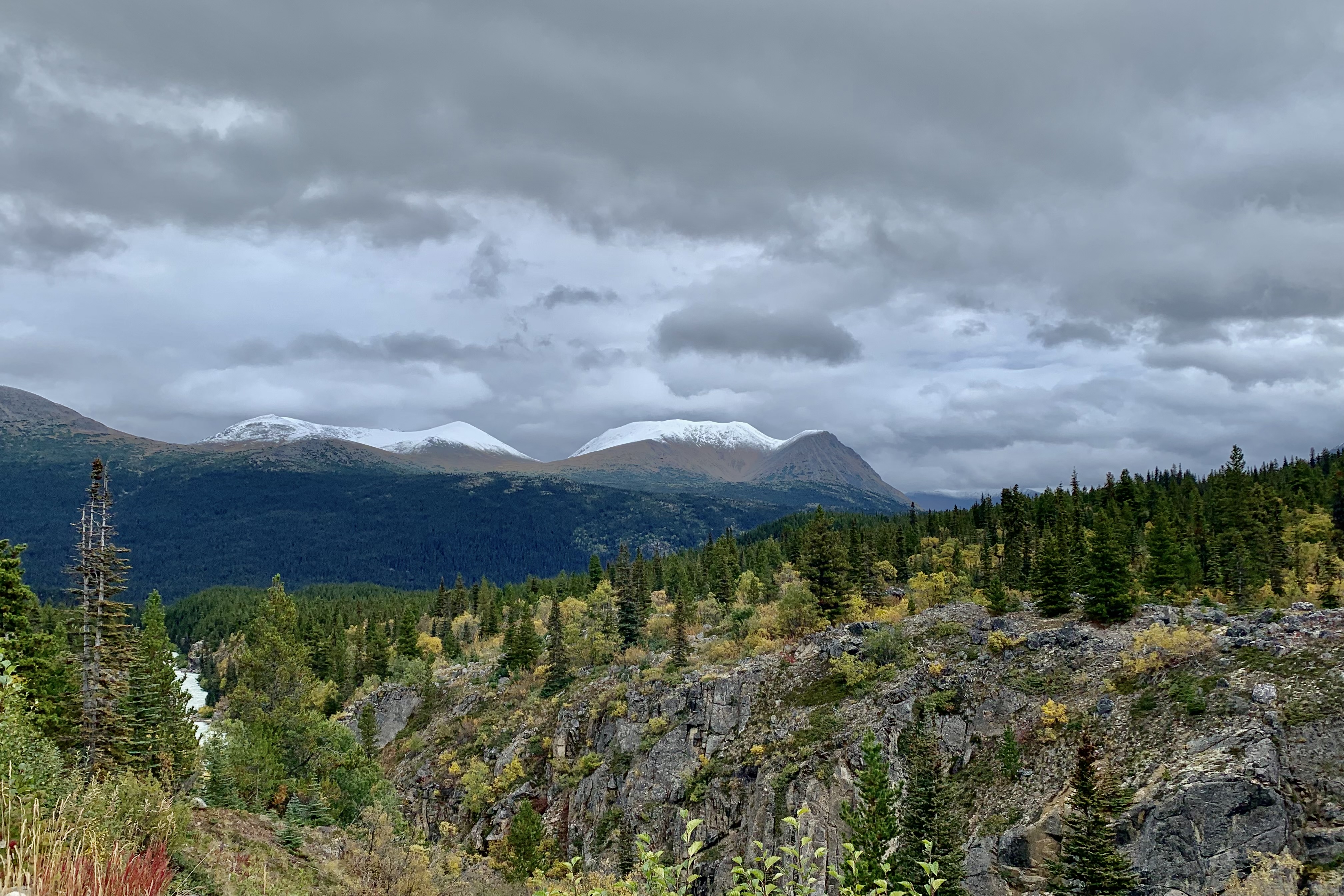
The territory covered, traveling beyond Carcross/Tagish First Nation on the south Klondike highway, was dressed out with snow capped rugged mountains bordering a wide wilderness valley hosting Bennett and Tutshi Lakes, rugged lichen encrusted rocks, rushing rivers, picturesque waterfalls, ascending up to White Pass and the Alaska Border. The road was steeper with many curves and a bit more of a navigation challenge that I had encounttered so far under most circumstance but more so with a steady drizzle and fog at the higher elevations. I however did find the area quite striking until I ended up with no scenery at all given the density of the fog at there top of White Pass. I had been looking forward to the panoramic vista from the White Pass summit at 3292 feet but twas not to be.
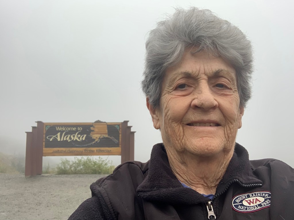
For prosperity’s sake I had to do a photo of five years later with the Welcome to Alaska sign as I did on the day I entered Alaska when I was moving to Soldotna in 2018.
July 2018September 2023
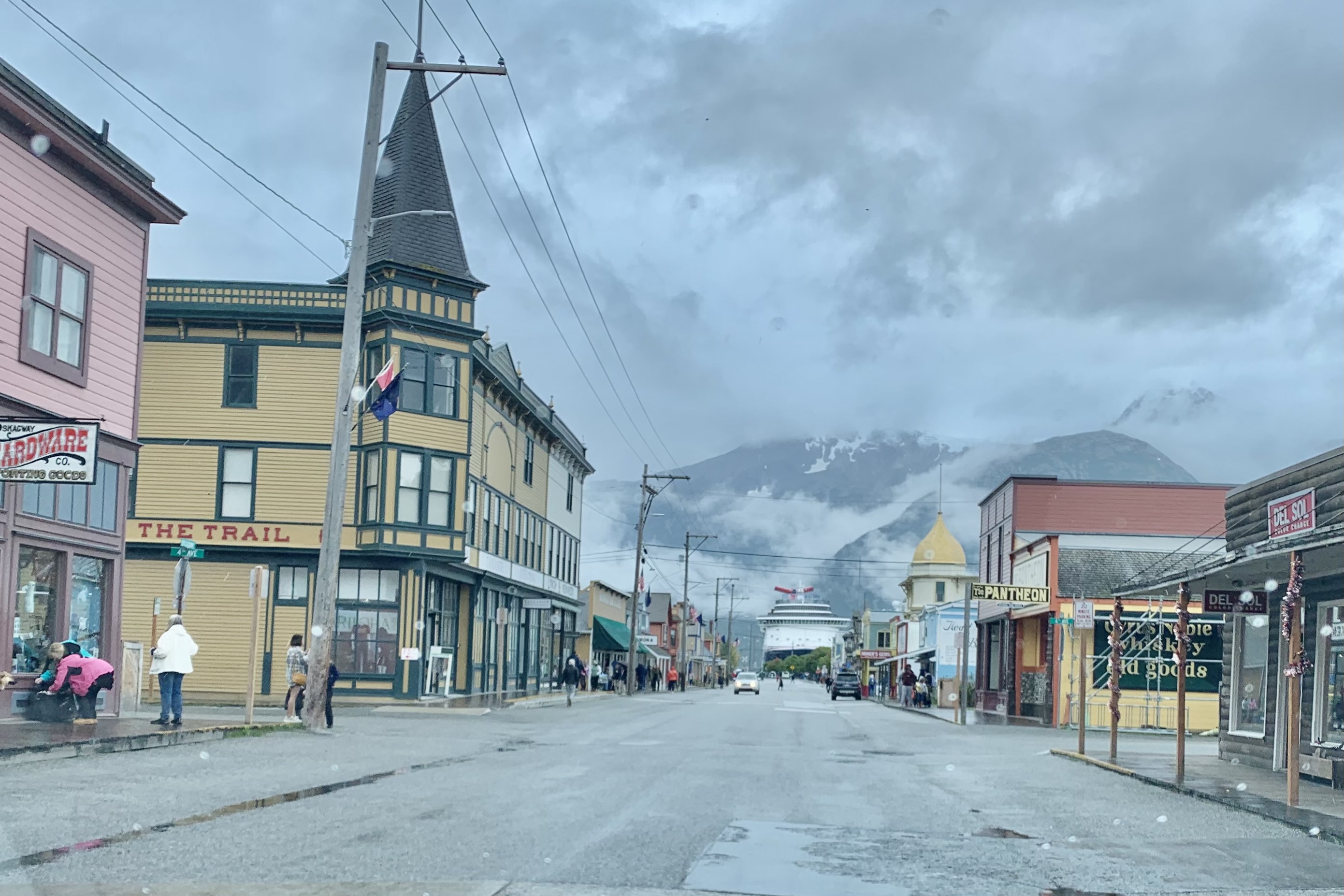
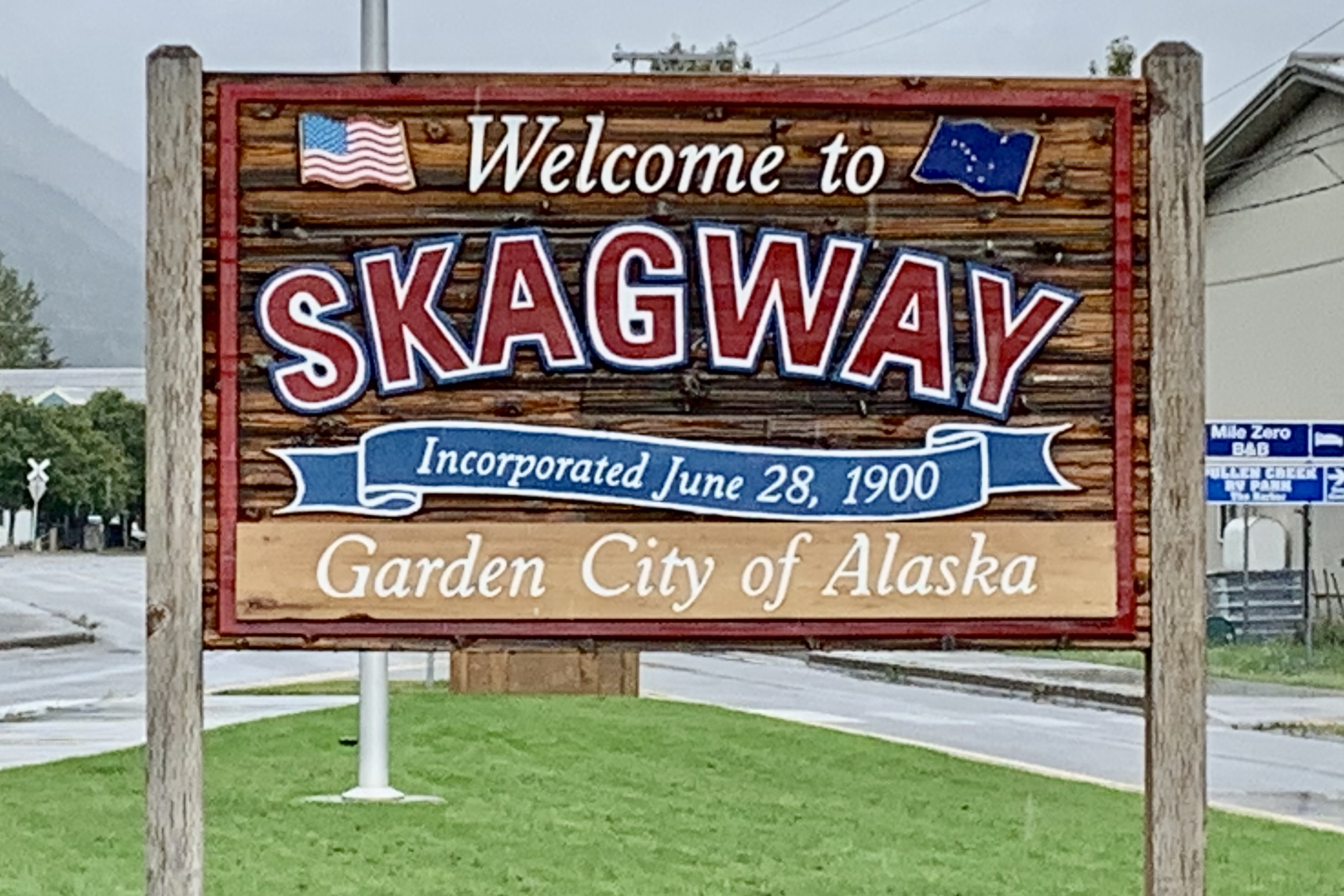
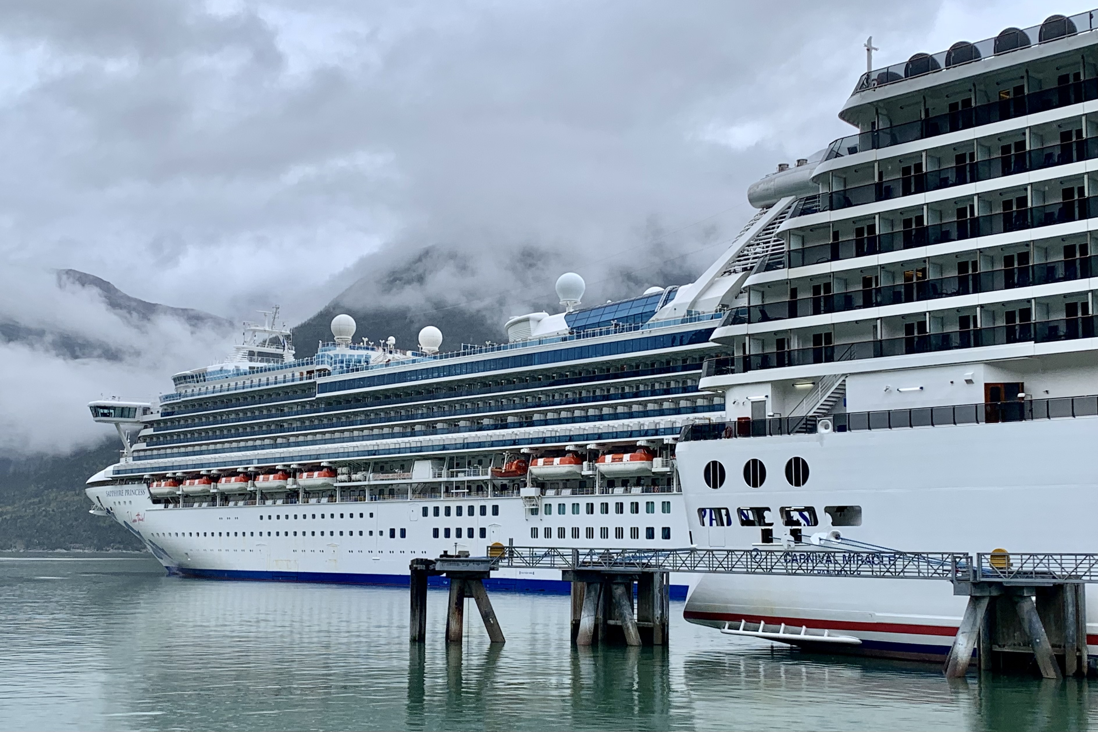
I arrived in Skagway, a quaint Klondike Boom Town of 1000, which is steeped in gold rush history and situated between towering peaks and the coast line of the Inside Passage. The primary commercial street, Broadway, is lined with all manner of tourist oriented shops and restaurants and has tried hard to replicate the look of the buildings of 100 years ago. My first weave down Broadway in my car was a cautionary challenge avoiding the packs of off loaded cruisers rushing about to find end of season bargains and other tourist tchotchke emblazoned with Skagway. Smack dab at the end of the road was the cruise ship the Carnival Miracle , a Spirit Class ship accommodating 2000 + with the Sapphire Princess, a Grande Class cruiser with 2600 spots docked next to it. These two of the three massive cruising vessels in harbor this day had the potential to disgorge thousands as their capacities run fro 2000-3000 passengers each. Skagway host approximately one million visitors each summer, meaning thousands per day patrol the streets in the 4 month long season.
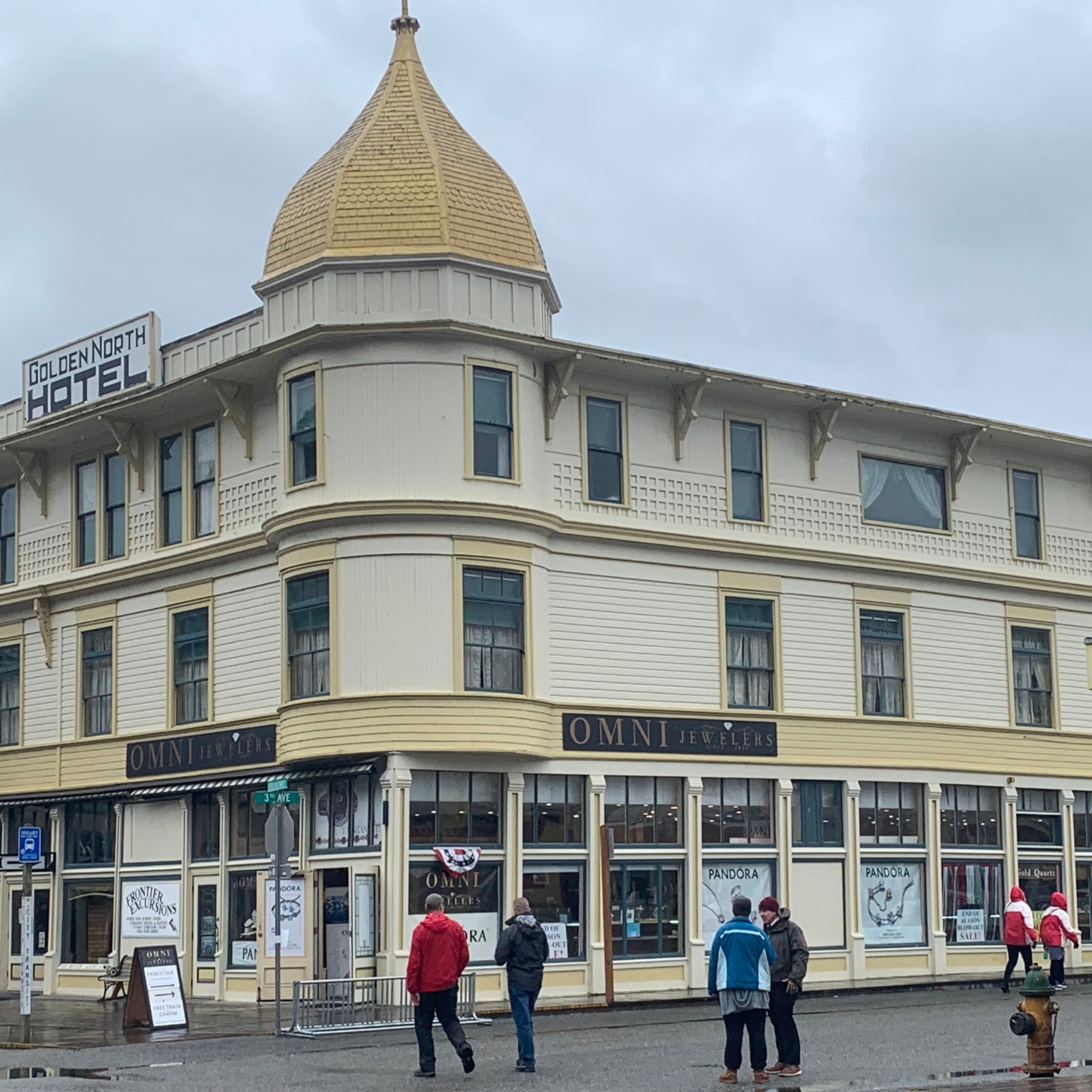
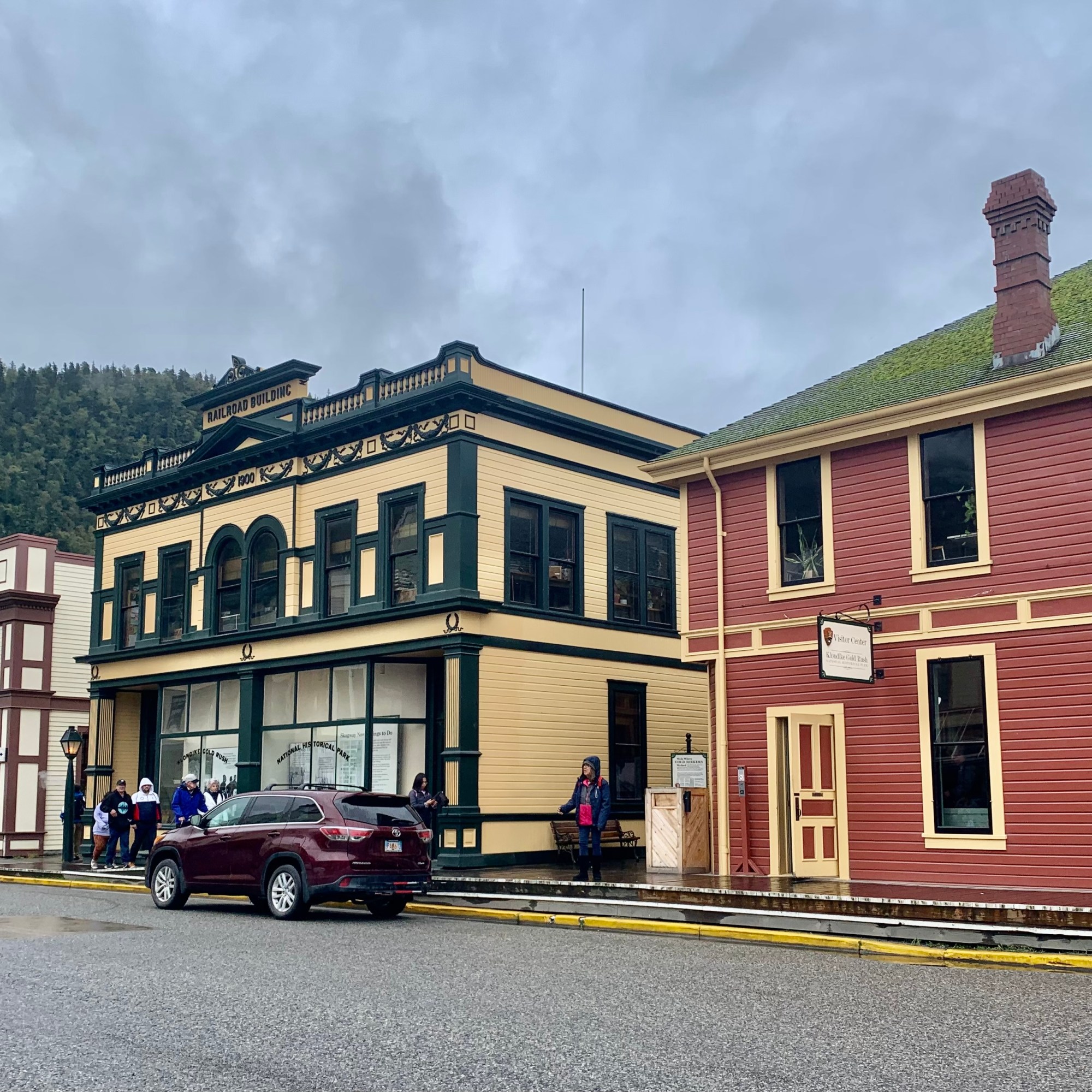
The good news was that most ships require passengers to be back on board by 5:00 pm so that left the streets relatively calm and unpopulated and no line for dinner at the Skagway Brewing Company either night. I normally would not revisit a restaurant except that this was the only one open on Sunday evening. The town had pretty much shut down for the season. I am sure, by now you have guessed, I don’t care to mingle amidst massive crowds. Late Saturday afternoon and on Sunday , with only one ship in port, the crowds were sparse and the streets were relatively empty. It was quite enjoyable, despite intermittent showers. The town is steeped in Klondike Gold Rush history so perusing the historic buildings was warranted.
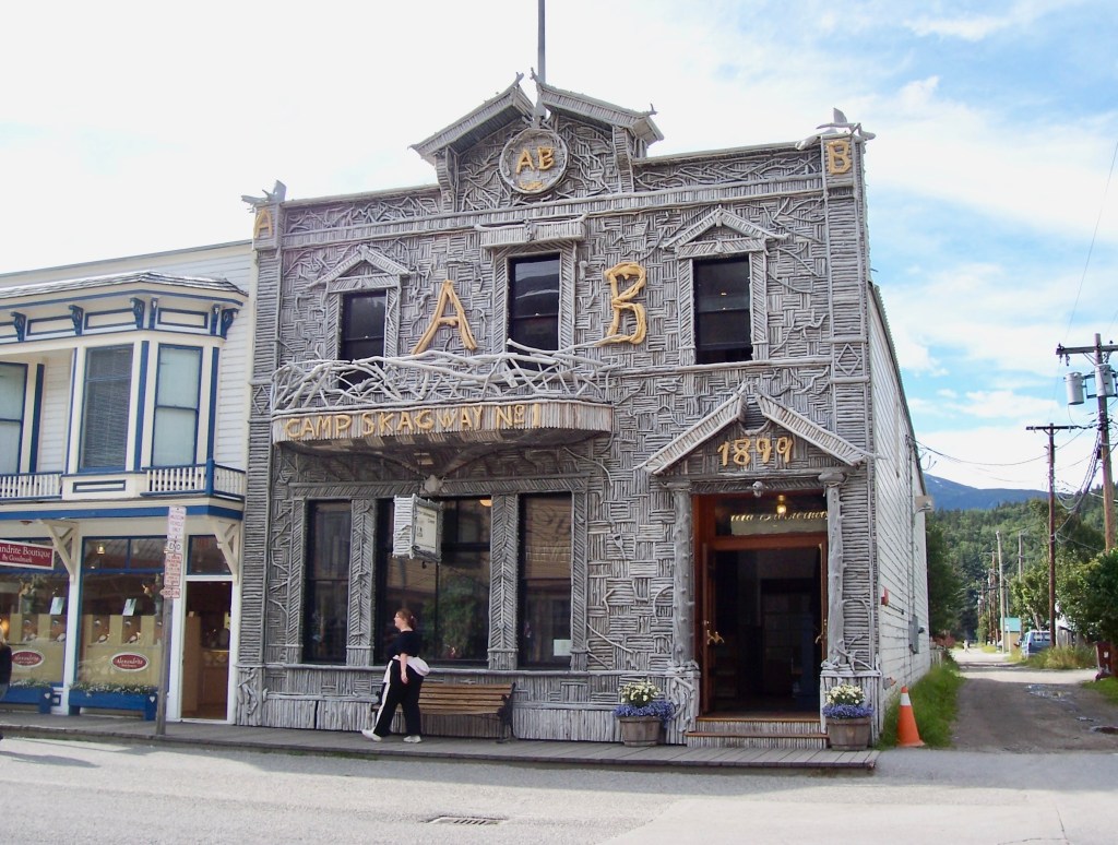
My main goal became enjoying my spacious bright room, perusing the town after the crowds thinned, acquiring food for the ferry trip, and finding the docks and procedures for the boarding on Monday. I had visited Skagway about 15 years ago and not much had really changed visually. Below are a few photos from 2007 including the Arctic Brotherhood Hall, the Golden North Hotel and the Alaska Maritime Ferry and a large cruise ship in the harbor.
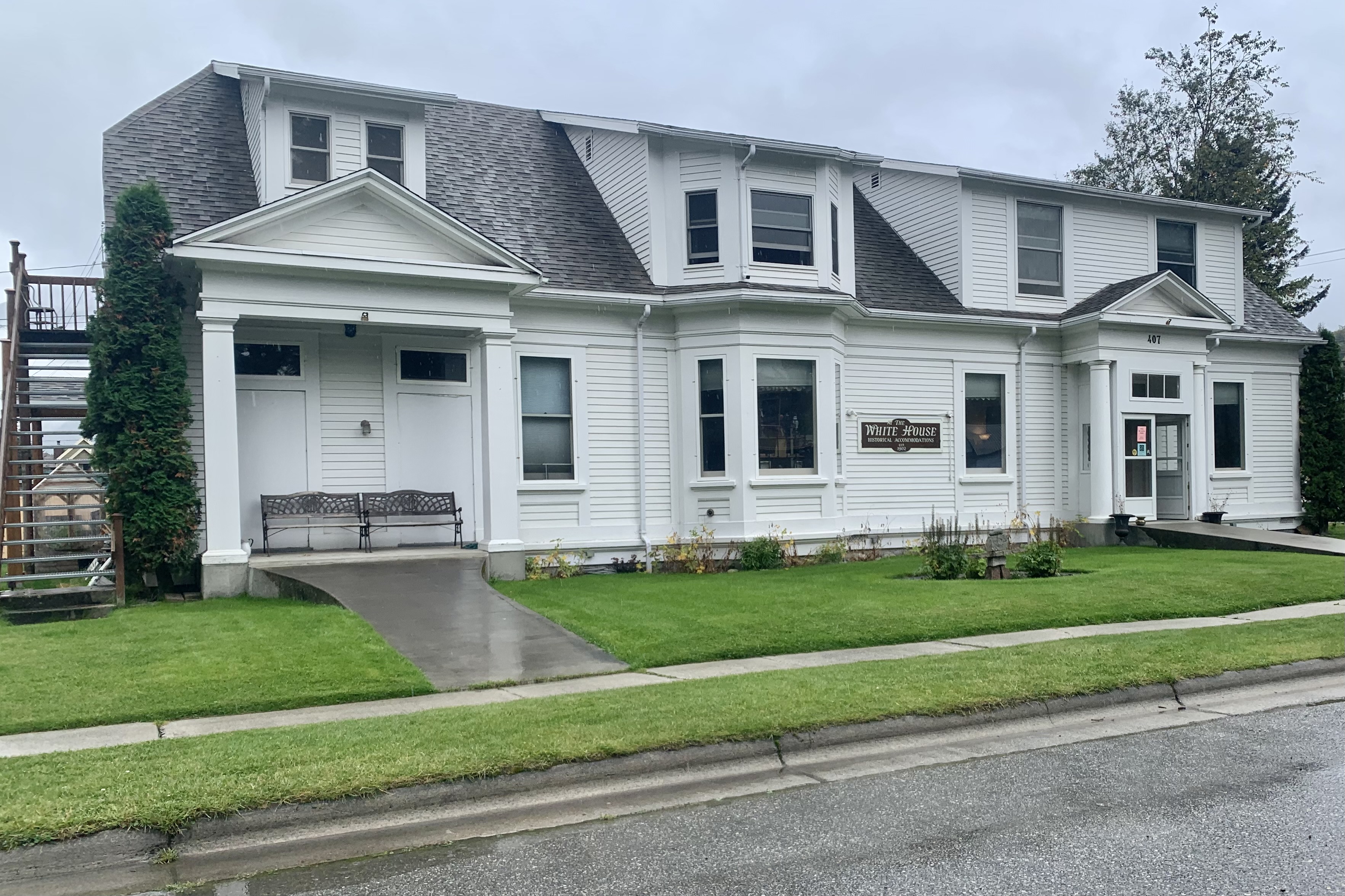
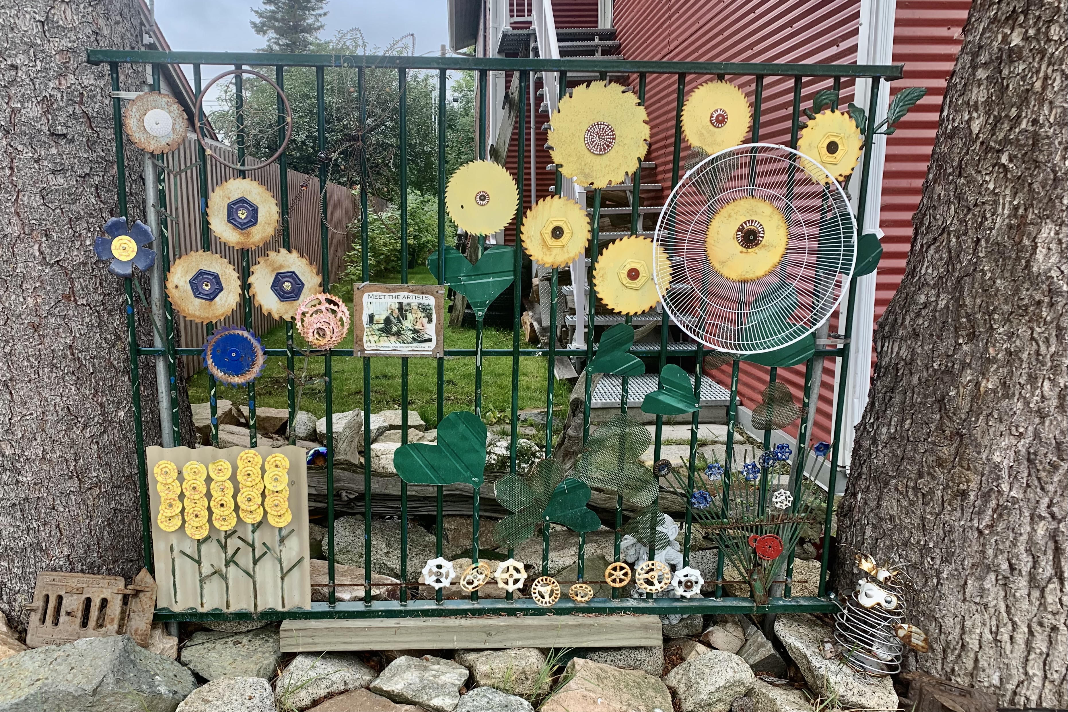
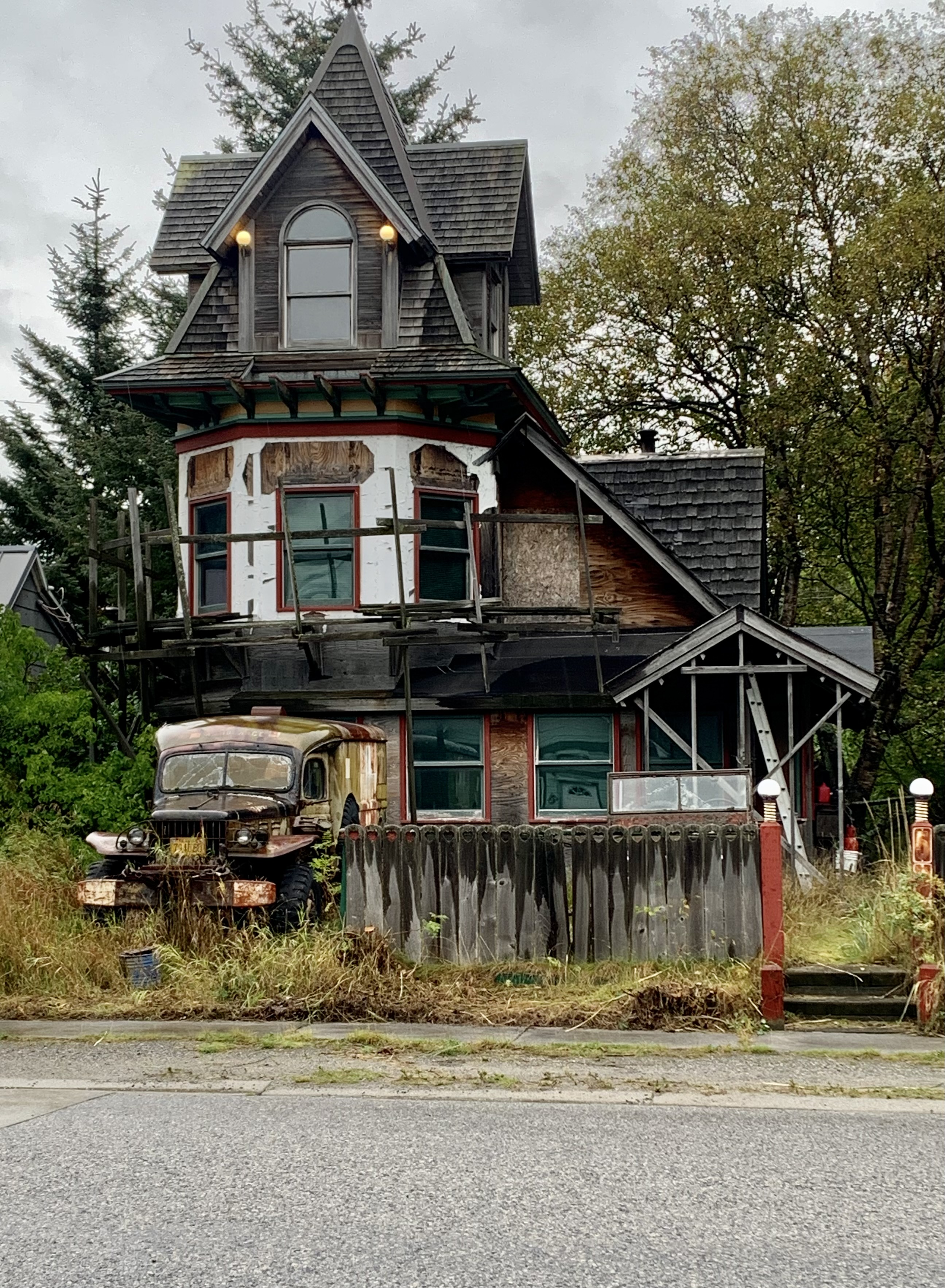
I had two days in Skagway and had booked a room at the White House Inn, a 9 room 1902 house operating as a bed and breakfast (without the breakfast now-a-days) and on the National Historic Register. Some original woodwork and the 100+ year old staircase, along with many antiques dressed the foyer. It was cozy and comfortable with all the amenities of most hotels and especially appealing was that it was in a quiet residential neighborhood just a couple of blocks from the bustling and jostling Historic District. It also had some fun and creative neighbors.
I would be boarding the Columbia the next morning. My last week in Alaska had been an excellent adventure despite it not being at all like the picture perfect descriptions presented in promotional literature.