Woody Hobgoblins and Mossy Carpets

The next day’s dawn was a miniscule brighter than the previous days and the forecast was for cloud cover but NOT rain.  Without a car (thank goodness), I wanted to stay “local’ or hire a taxi. I was eager for a walk-about day after two days of extended time on the derriere. After I downed the not so sumptuous standard hotel breakfast bar food, I decided to  walk over to Near Island (which actually wasn’t that far) and hike both the North End and the South End Trails. 

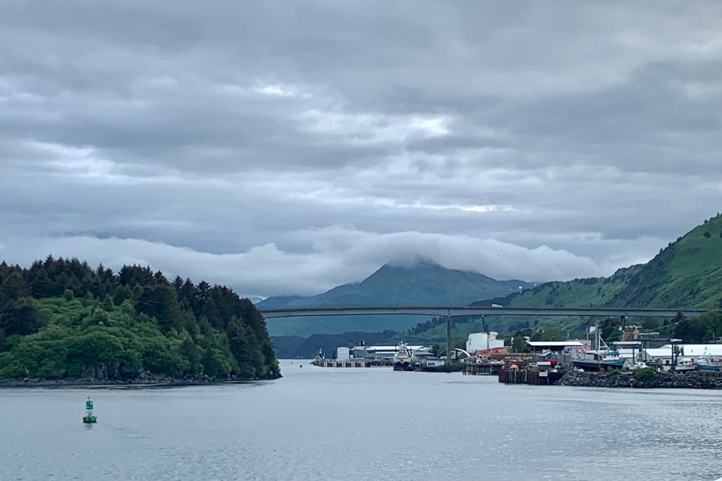
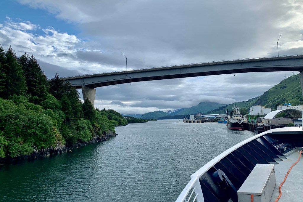
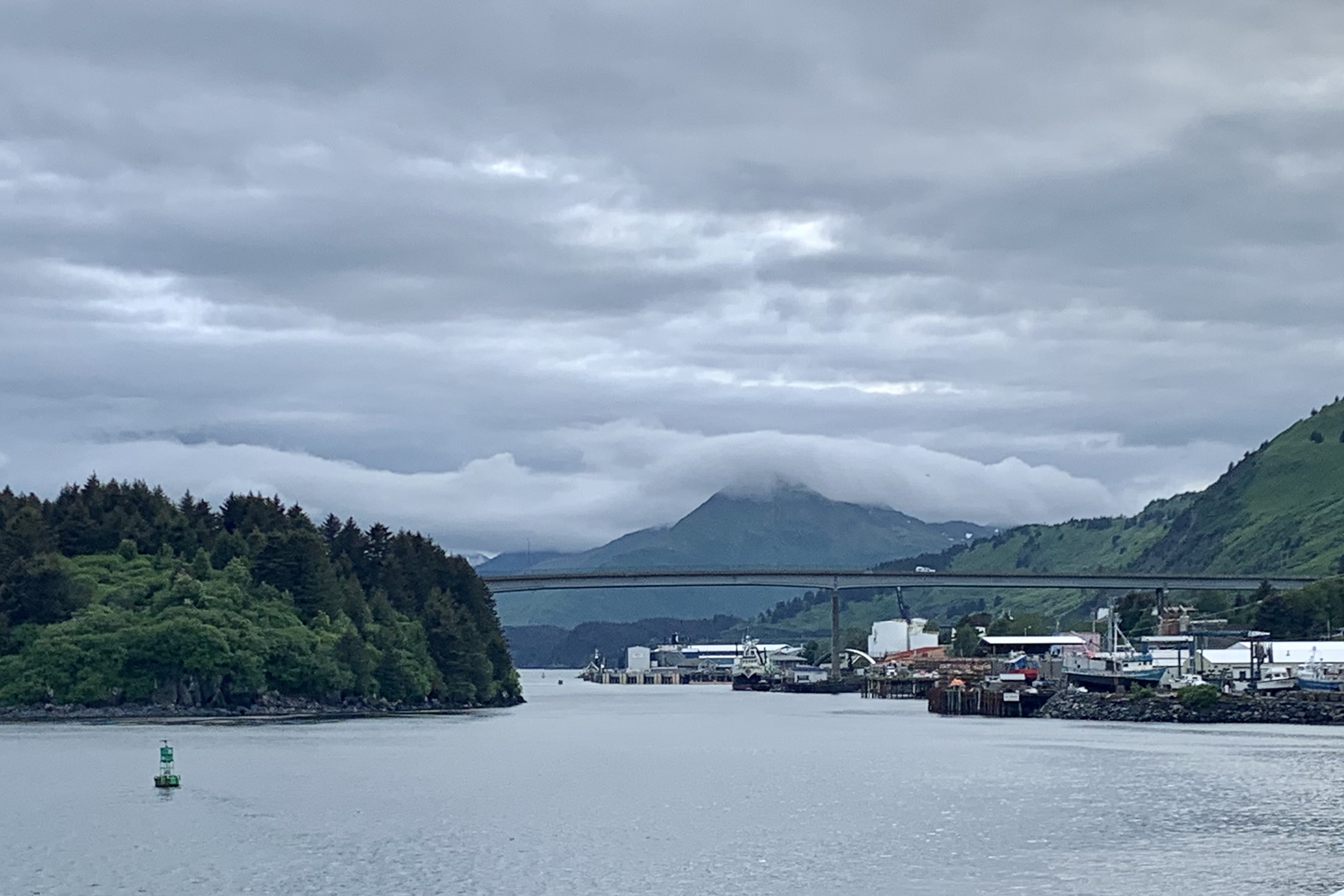
As I peered at the bridge to Near Island upon approaching Kodiak via ferry, I found it a we bit imposing (given the size and remoteness of this island), spanning the entrance to St. Paul Harbor in Chenega Bay and the city of Kodiak . The Fred Zharoff Bridge arched from the mainland, just across the channel from downtown Kodiak to Near Island. I began to create in my mind a small area developed with shops, restaurants, parks and the two lauded hiking trails that I had read about when planning this trip. I had seen a blip about Near Island Coffee on restaurantguru.com : “a cozy coffee and tea shop located there…is well known for its great service and friendly staff that is always ready to help you. ” The Kodiak Fisheries Research Center and Laboratory with a 3500 gallon Aquarium and Touch Tank is located there as well. Beginning the journey I was able to appreciated the vantage point of downtown Kodiak from mid-bridge.

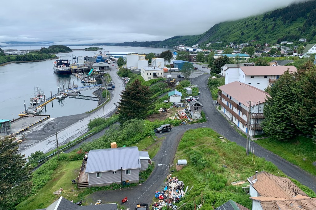
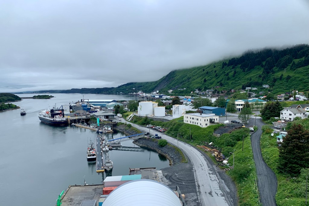
Was I ever in a lala land… there was no thriving touristy retail center. Near Island was primarily commercial-industrial area with fishing trawlers and other boat moorings and a sea plane base.   Near Island Coffee was basically a drive up kiosk. Now, I really am the outdoors type and not all that touristy, so I even surprised myself with my expectations. Since I was primarily there for the hiking though, the North End Trail head presented right at the  bridge egress. 

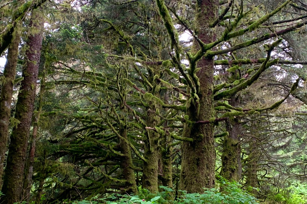
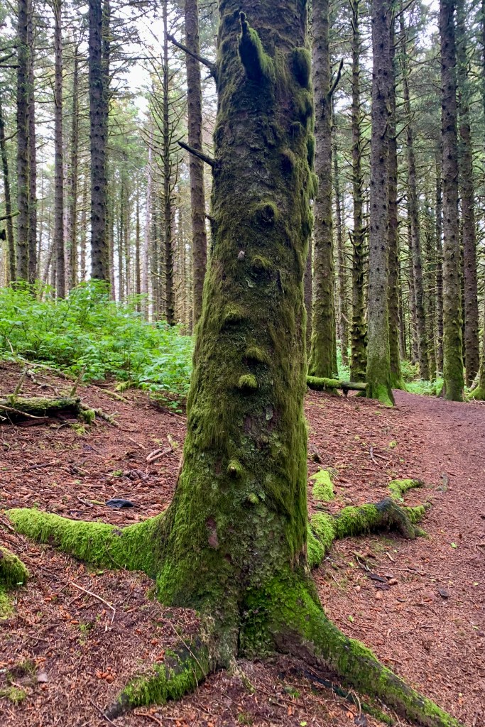
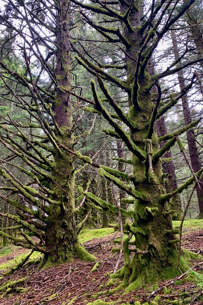
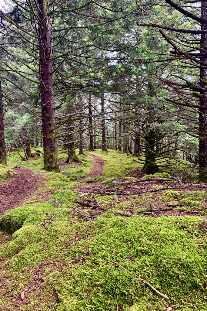
It felt at times as if I was being transported into a world of super-sized hobgoblins. Sitka spruce trees shaded most of this trail and they have done a stellar job of mossing up. I have dubbed it the  Hall of Mosses. A variety of greens that dominates the scenery of this temperate rainforest thrills the eye. I found it enchanting and primeval with the array of mosses (the word that comes to mind is lush) and lichens under the canopy of these old-growth trees.  

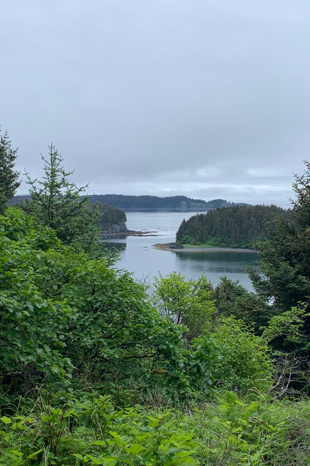
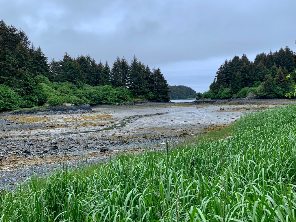
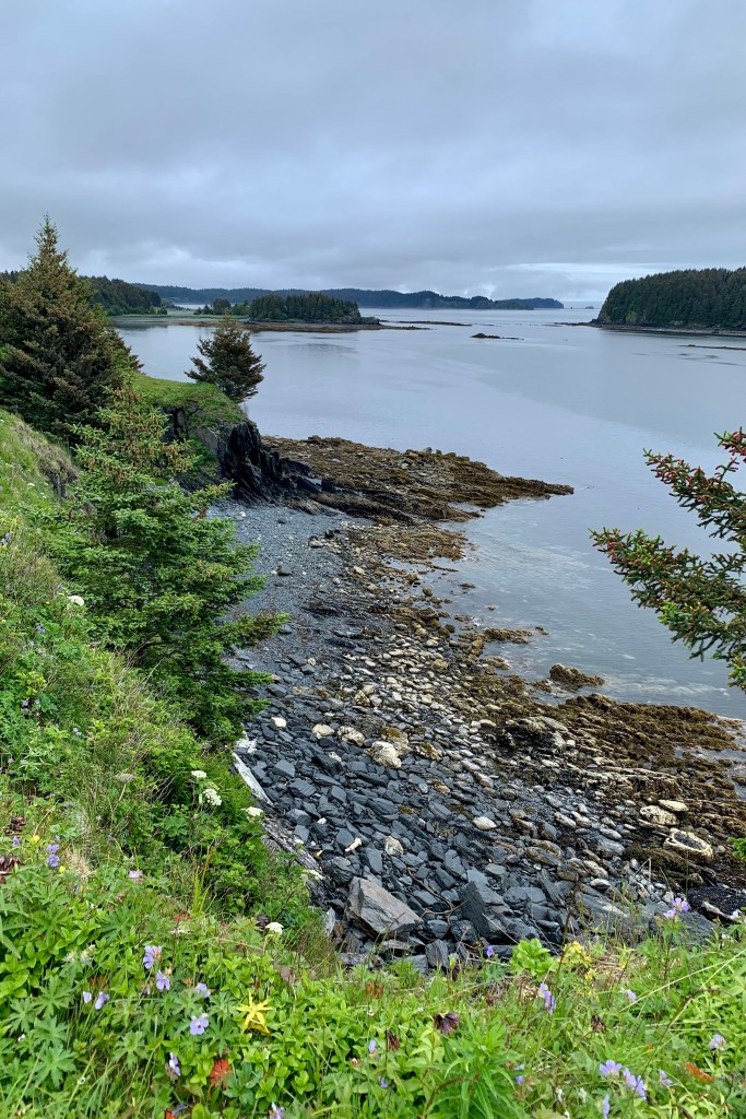
 The trail is mostly well marked but since I have always been directionally challenged, there were a couple of points where I found  myself walking in circles…  lost in gnome land .. but not really very lost. Additionally, I enjoyed the excellent views from an observation deck, a couple small beaches to visit,  and the fine views of  Kodiak and Chineak Bay . 

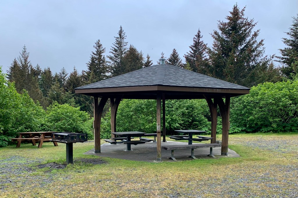
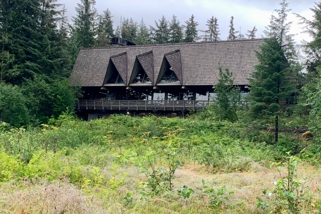
The South End Trail was yonder down the road towards Trident Basin Seaplane Base. I had trekked the road to the Kodiak Fisheries Research Center and Laboratory and came upon a trail sign indicating an intermediate trail connecting to the Rotary Gazebo and the South End Trail. Given my concept of “gazebo,” I couldn’t quite envision one in a forest draped with moss and lichen. But alas, a clearing and what I would call a picnic shelter turned out to be the Rotary Gazebo and Park. ’Twas a convenient spot for lunch!

This trail was a bit rougher, squishier, with roots popping up in hopes of tripping up this unsuspecting hiker. It was slow going but probably less than a mile and I came upon the gravel road and what might have been the beginning or end of the South End Trail.

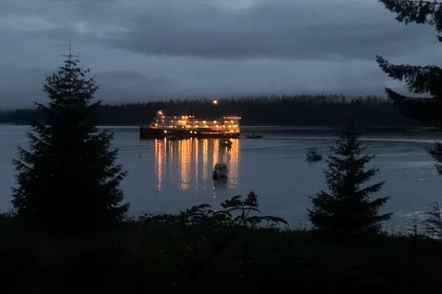
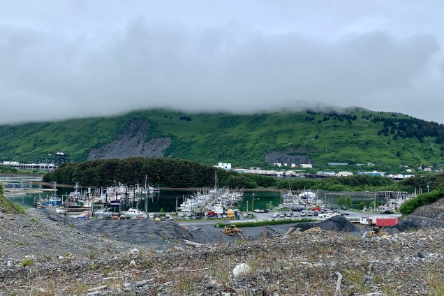
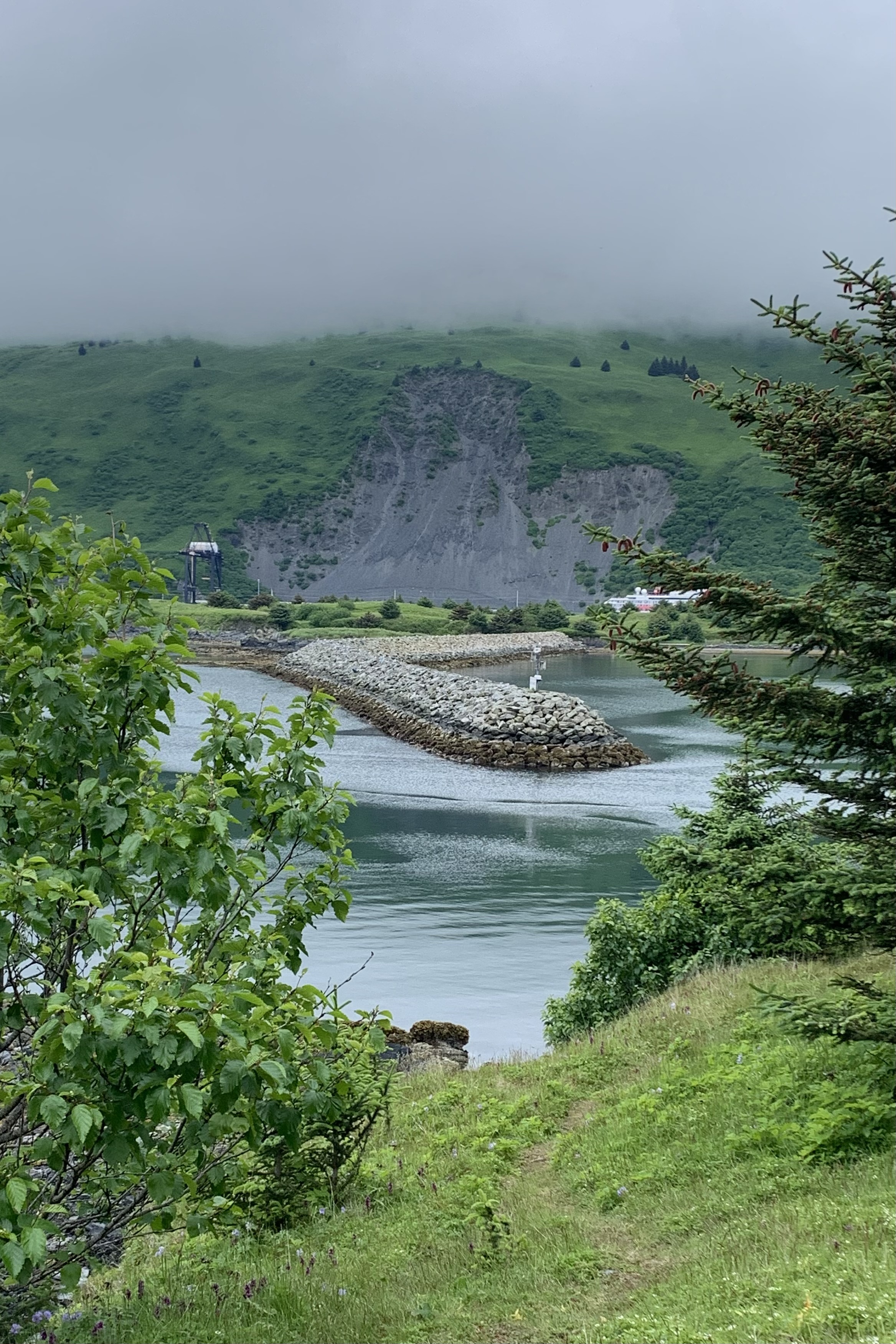
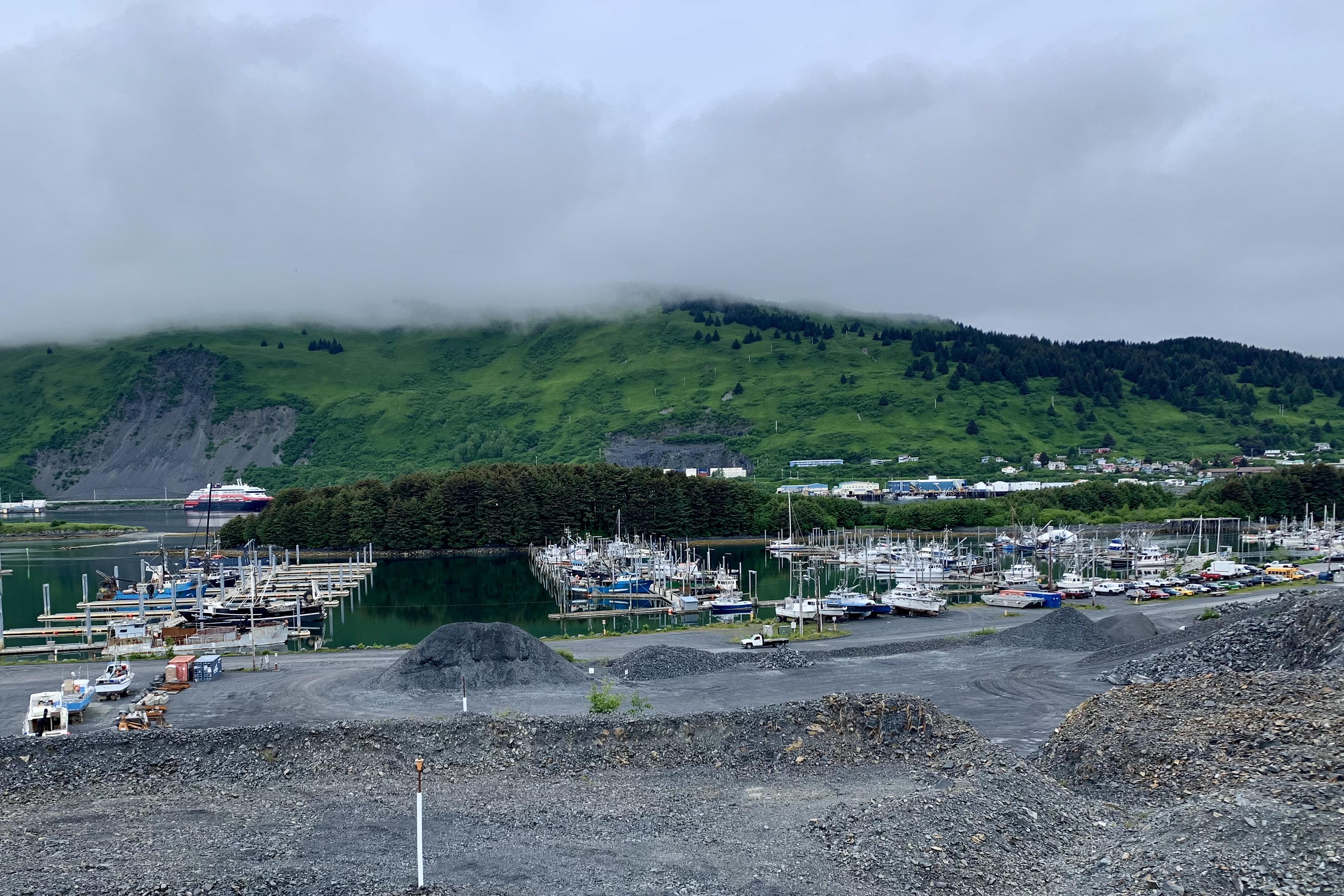
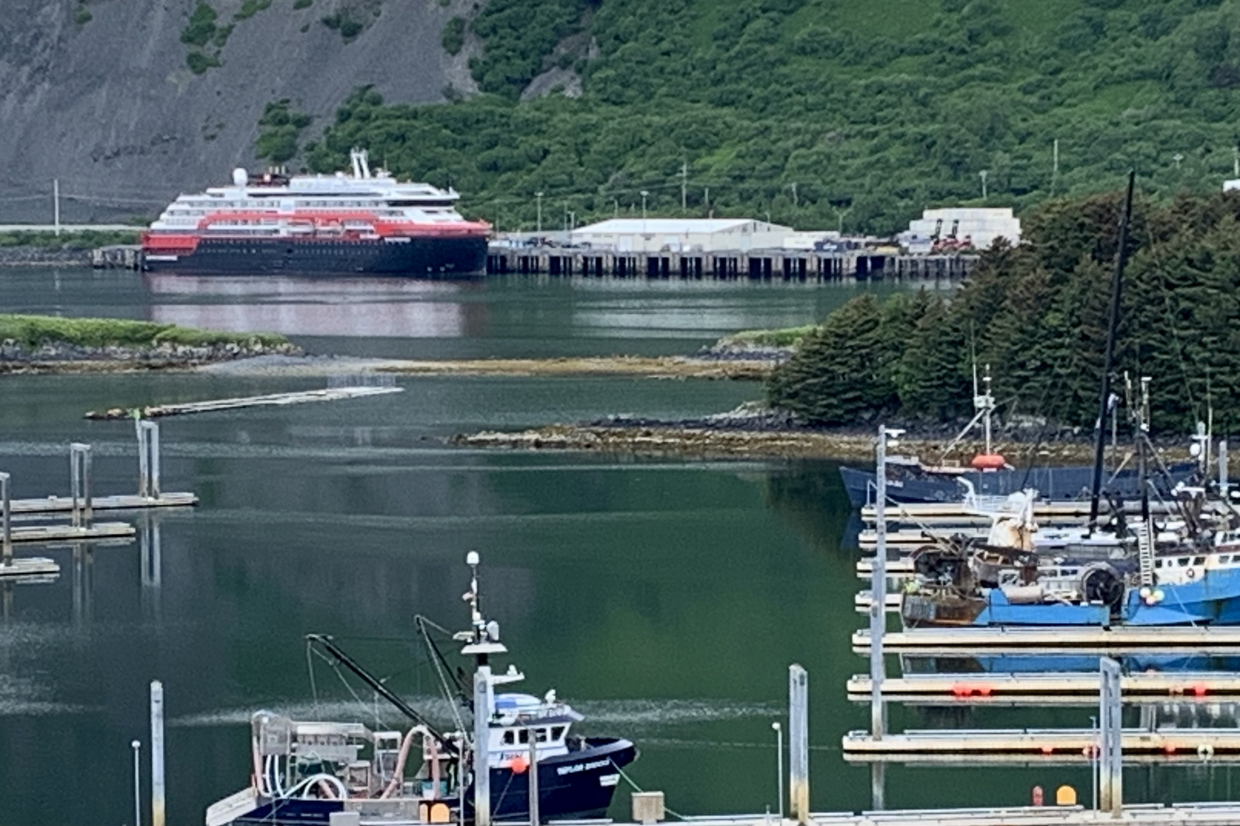
I gambled that this was my destination trail and proceed to hike up what I later heard was the Harbor View Trail which connects to South End Trail…literally at the south tip of this island. The rocky terrain I was trekking followed a chain link fence, clearly erected to prevent any foolish hikers from loping on down to the gravel excavation site. Believe it or not, given some of my previous endeavors, I was not tempted. I was setting my eyes upon some lovely and not so lovely sights: the gravel excavations, the breakwater to Kodiak Harbor and St. Herman Harbor (aka Dog Bay on Dog Salmon Bay Road) where the biggest commercial fishing vessels tie up; the Stellar Sea Lions, who are purported to be hanging out near the breakwater in absentia; City Dock Two on the mainland where the MS Roald Amundsen Cruise Ship was docked; and hundreds of additional moorings for commercial fishing boats. Trivia: Kodiak is the third largest commercial fishing port in the United States.

The  coastal trail soon entered coastal rain forest of sitka spruce at times but it wasn’t quite as thrilling as  the lush enchanted forest of North End Trail. The path  mostly hugged the coast and though  semi-improved, it was replete with the mud, rocks and roots that like to challenge a hikers forward momentum. Thank goodness for a few short  boardwalks at some of the muddiest locations. At the southernmost termination I opted to enjoy the marvelous  views of Chiniak Bay, perching on the edge of one of the  wooden benches  which still retained the leavings of yesterdays rains.

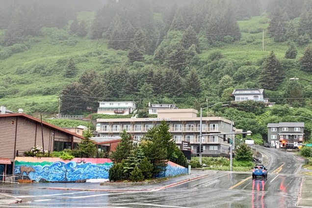
I plodded back via the gravel road to the much anticipated reward for a day well spent: a venti non-fat latte from the oh so famous Near Island Coffee Kiosk. I perched again on a wet park bench waiting for the caffeine to kick in to power my legs back across the bridge to my Kodiak abode. Having clocked about six miles of hiking, my legs were spent, even though my money was not. I again opted to not trudge down the hill and ate remnants of my lunch, and the fruit and baby carrots I had in the room. Not totally yummy but it was food and I saved myself the climb back up the very steep drive to the Compass Suites.

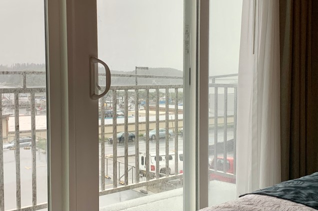
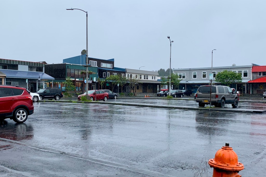
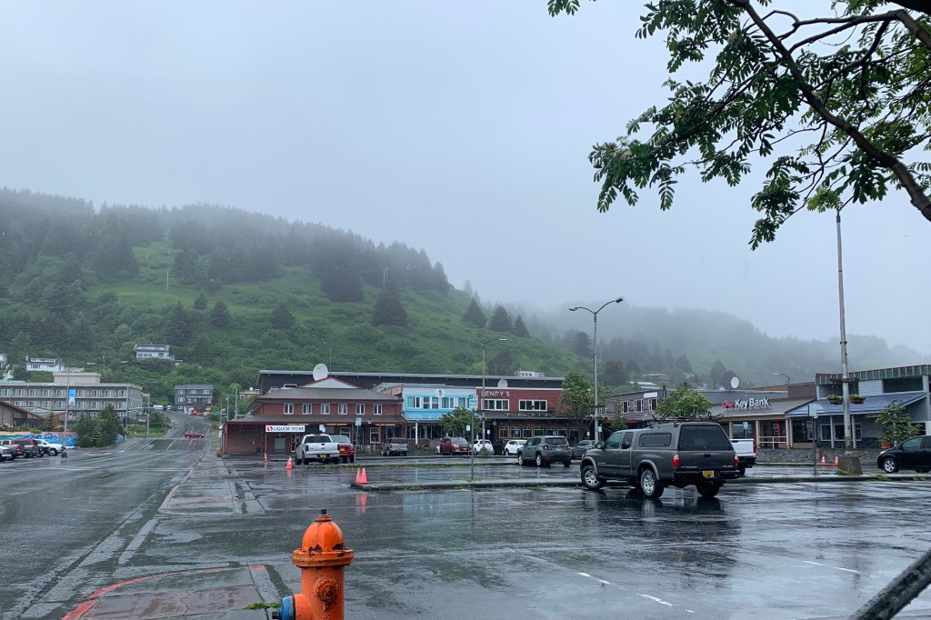
Being eternally hopeful ( or should I say hope springs eternal) for a turn in the weather, my hopes were yet again dashed as I peered out the doors to the balcony and it was even grayer and large drops of rain were falling with a relentless force. Since the plan was to stay local and explore the city of Kodiak, I was definitely not in a frenzy to get out there and explore every nook and cranny of this very Alaskan berg. I did venture on out about 9:00 am, encased in a bright pink rain jacket much too large now for my shrinking frame, green rain pants, my trail shoes,  but sans umbrella. My mindset was to trot merrily in the rain  around town, perhaps have a nice lunch, and do a bit of shopping. By the time I negotiated the short distance down the street to the town center, I did not much feel like prancing in the rain but trudged around the area in hopes of feeling inspired by a shop, church, museum, or just about anything to distract me from the rain that was now seeping in through a slit in my rain jacket. I found the town to be quite utilitarian and bordering on a classic strip mall with a large carpark to support it.

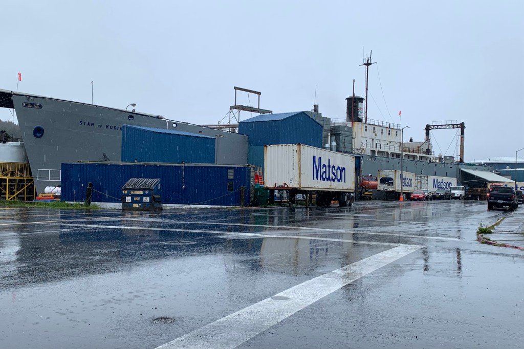
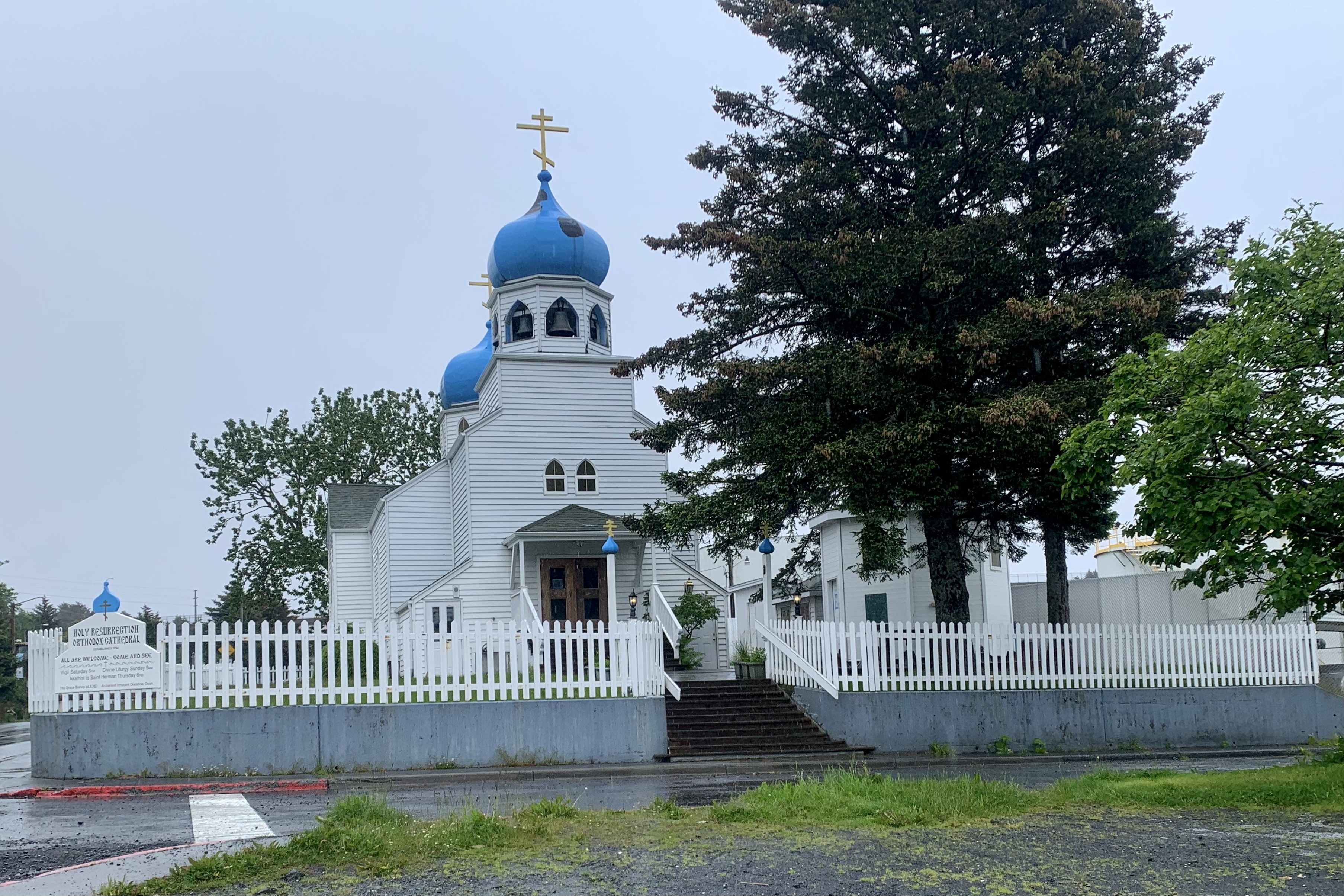
But being bull headed and determine to experience this town, I went to visit the Kodiak National Wildlife Refuge Center. CLOSED! A stop in at the visitors center didn’t yield a whole lot of new information or ideas. So  I wandered though the port and industrial dock area and then headed further down the street to visit the Holy Assumption of the Virgin Mary Russian Orthodox Church and Saint Herman Theological Seminary. I was quite satisfied to view the exterior and opted out of taking my rain soaked dripping self inside. Same rationale was used regarding visiting the Alutiiq Museum and Kodiak History Museum. I love reading history, love historical novels, but have never been a big fan of visiting museums, especially in wet gear. 

I slogged back to the town center for the anticipated shopping for souvenirs — though why would I even want a souvenir as a hallmark of this trip. Much to my relief the two stores that might even have something memorable to purchase were closed so that solved that dilemma. No browsing, no money spent. As it was a bit early for lunch I opted to return to the hotel, dry out, pack up and then decide what to do with the 2.5 hours before I got the shuttle to the airport.

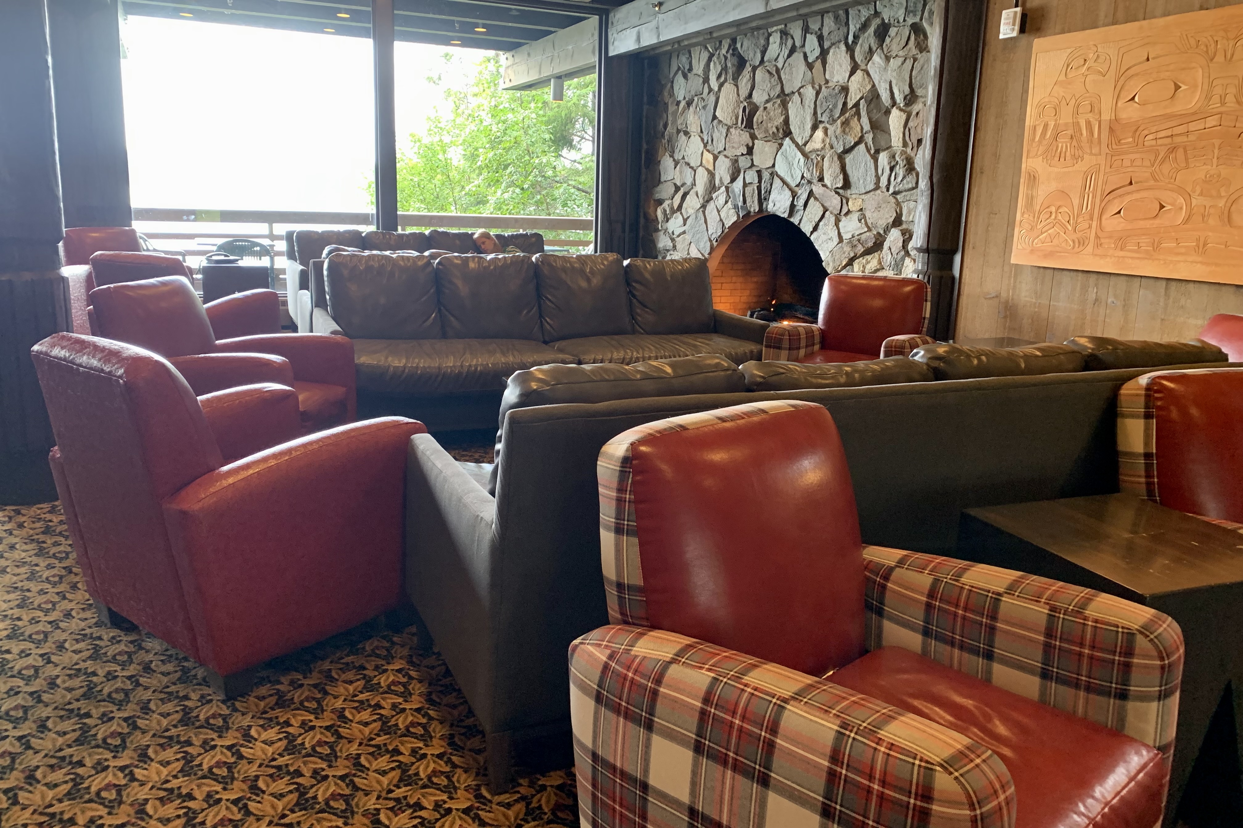
This is not a touristy town center and I wonder if the patrons off the cruise ships that dock here are as surprised as I have been by the blandness of this town. It just did not feel like there was any hum or buzz to it. Now,  I am sure that my perspective is definitely tinged by my age, my style of eating, being a non-drinker, definitely preferring outdoors adventures, and of course the overlay of inclement weather. Since this was not a day for sitting out with a coffee,  reading and people watching until it was time to go to the airport,  upon checking out by the appointed time, I enjoyed the lovely hotel lobby and caught up on a lot of reading.

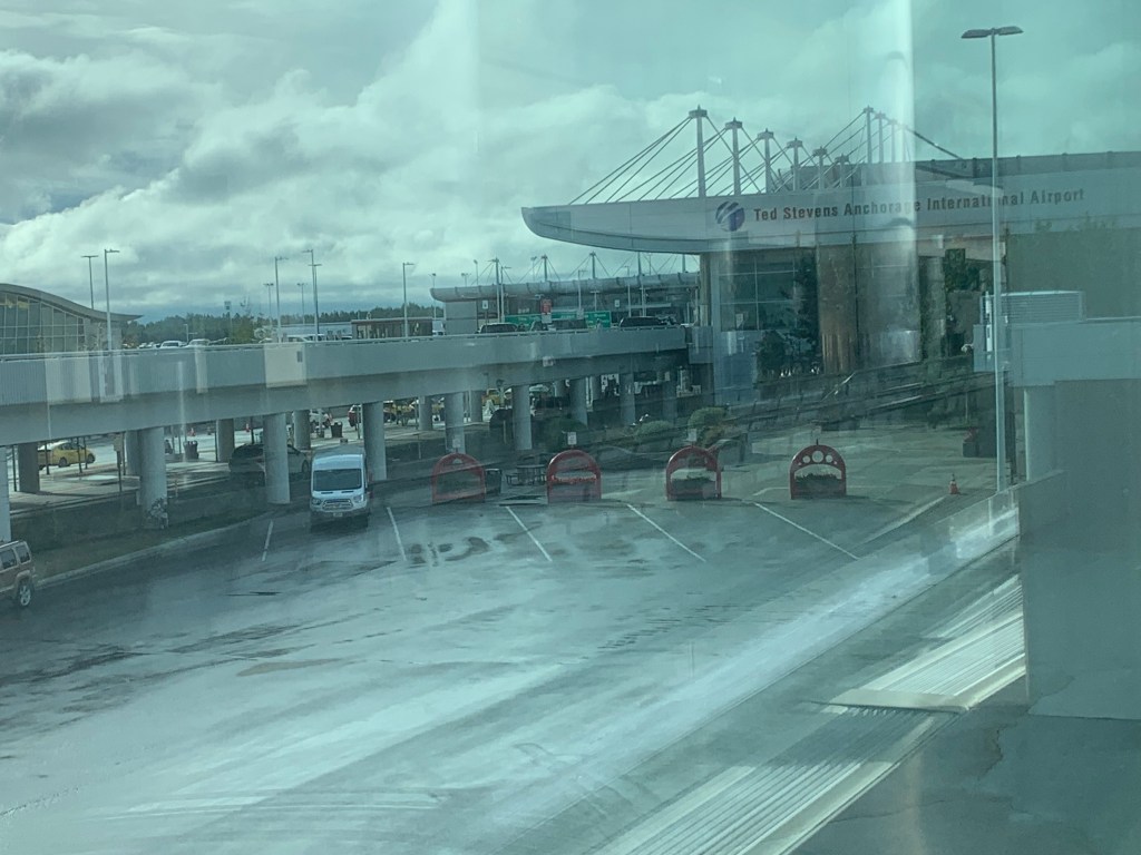
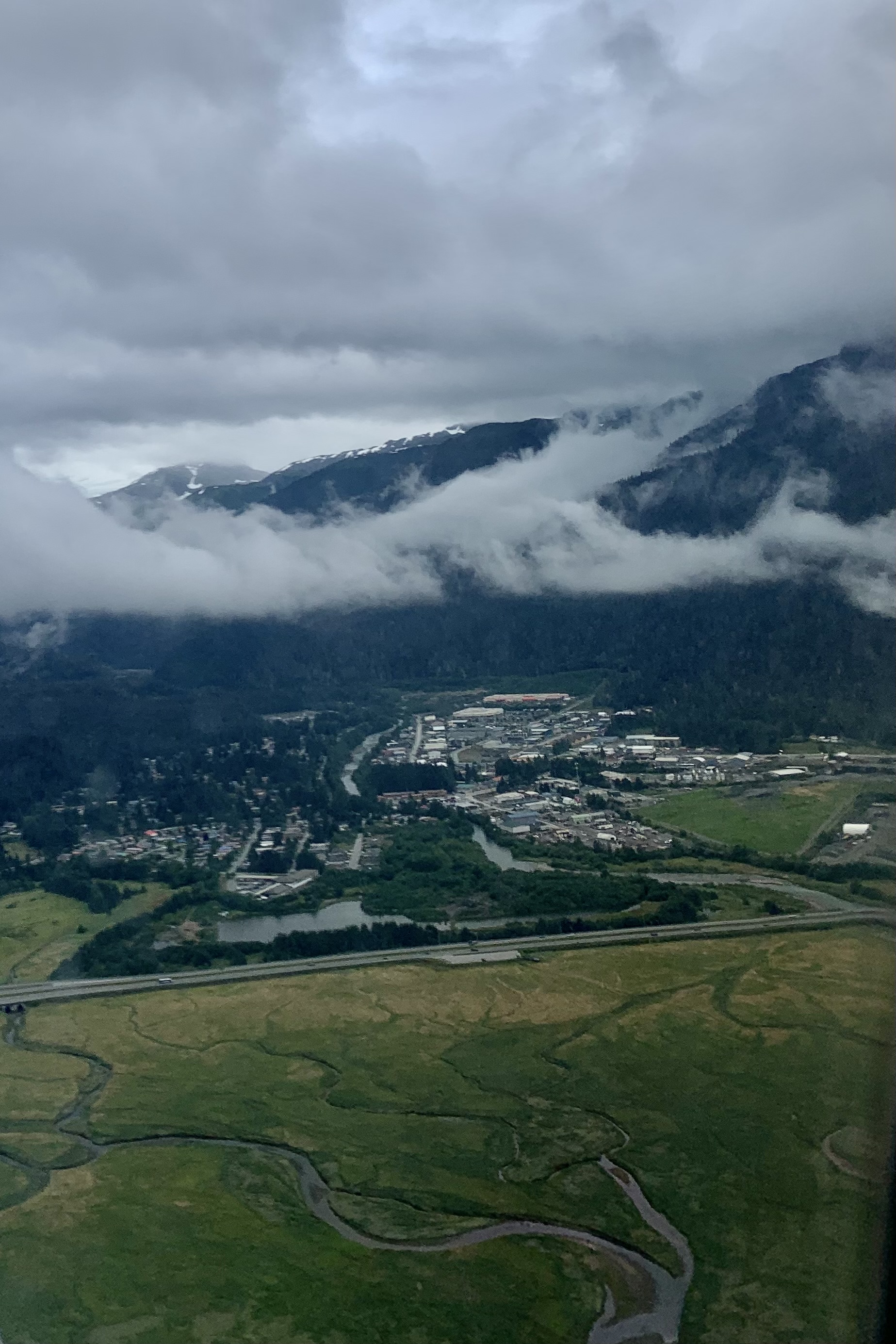
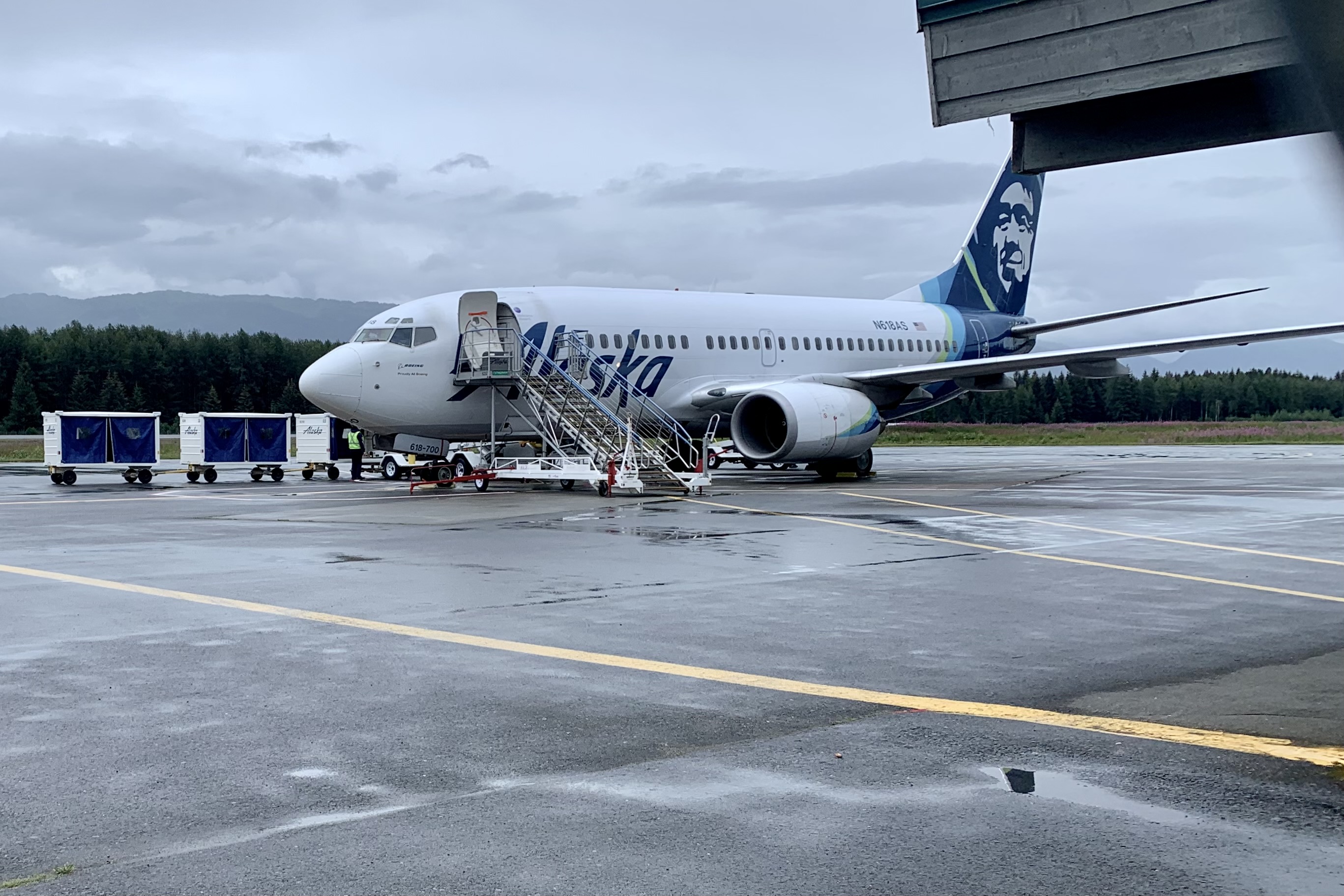
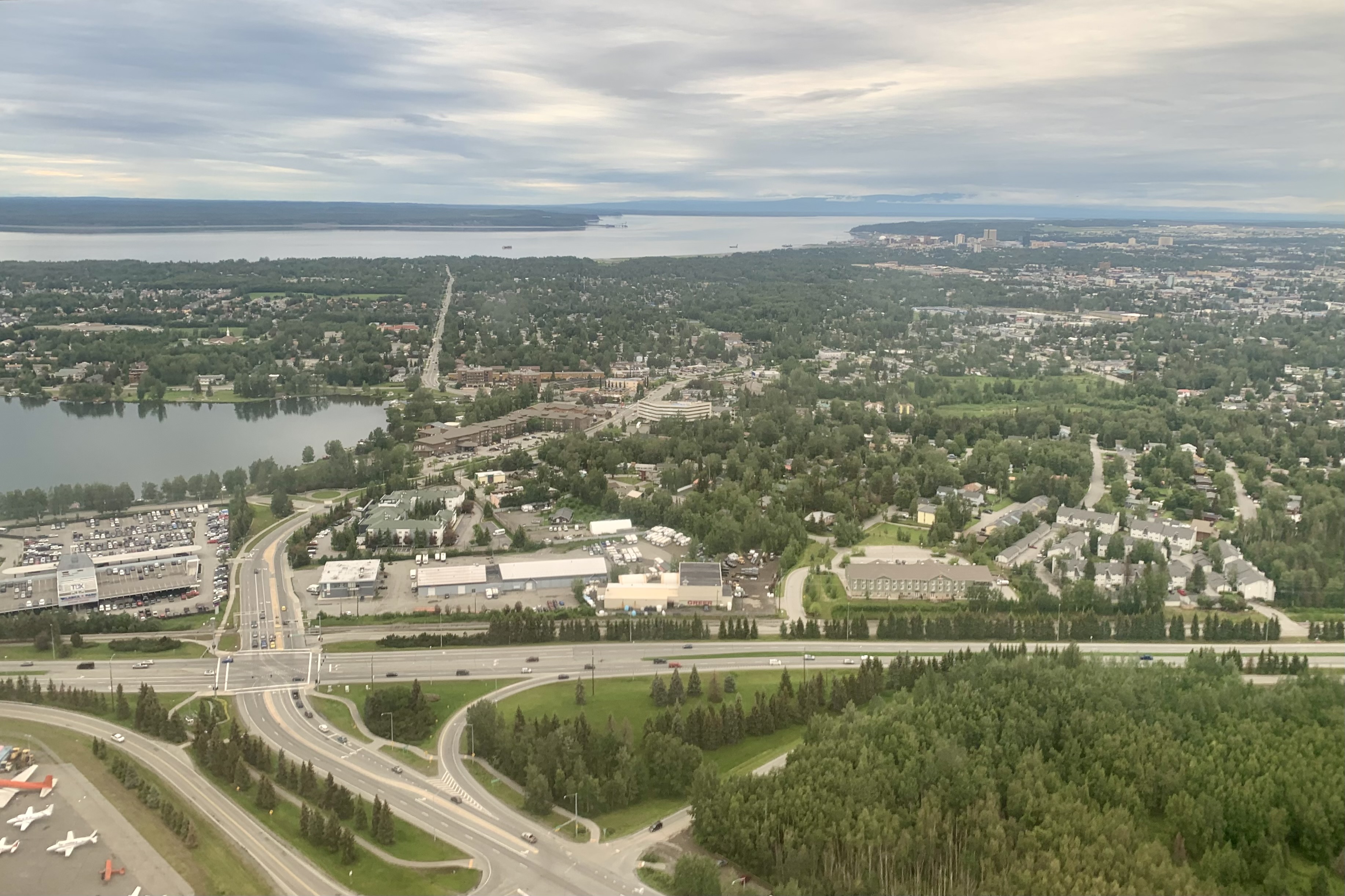
Another shock was the air service by Alaska Air in-out of Kodiak, a town of approximately 6000. It has a huge runway and it flies a Boeing 737 in and out. The airport gate area definitely was not designed to hold the large number of passengers that the jet aircraft can hold. Packed into the waiting area like sardines,  I was not particularily appreciating the ripeness of some of the outdoors adventures or the high level of humidity in this enclosed area from the plethora of  wet outwear.  Since I had started in Homer I had to fly back there by the very circuitous route of a 1 hour flight  to Anchorage , a 3 hour layover and a 45 minute RAVN AK flight to Homer– a 5 hour journey to go what would have been 132 air mile across the Gulf of Alaska had I been able to fly direct. It was no surprise to deplane in the rain and then drive an hour and one half back to Soldotna in this same low pressure weather system that has locked in over the peninsula.

Was I disappointed . Yes and no! Since I was mostly confined to the road system and town, I did not see any kodiak bears but I had not expected to see any of Kodiak’s large population of bears. Other than that it was a great experience just going with the flow, dancing in the rain (well not quite dancing) and embracing whatever Mother Nature spewed forth. even if I have groused about it a bit!

Watery Highways, Absentee Wildlife, and Spare Cruising

I am not sure how Kodiak Island made it onto my bucket list of things to see in Alaska this summer . Since this will be my last summer living in Soldotna AK I wanted to maximize my experience . In researching it, it seemed like would be a good fit for my venturesome self. The Discover Kodiak Visitor Guide states 

“It is filled with giant bears, spouting whales, extraordinary birds, and brightly colored salmon jumping from the rivers. The lush green summer months earn Kodiak Island the nickname, “The Emerald Isle”. Prepare yourself to realize that a place this incredible actually exists.” 

Additionally I could use the Alaska Marine Highway to get there, giving me a mini-preview of what the voyage from Skagway AK to Bellingham Washington would be like this fall.  So I created a magical itinerary for my three full days of adventure, enjoying what I imagined would be a quaint town with coffee shops, stores and restaurants; a drive out to Fossil Beach for some beach combing and then on to Cape Chiniak to explore; a hike up Pillar Mountain; a visit to  White Sands Beach and Fort Abercrombie State Park and time permitting a hike there; and an exploration of  both the North End and the Sound Trails on  Near Island. I wondered if it was a bit ambitious but was anticipating this getaway with much eagerness. 

The part of the brochure that I totally ignored in my imaginings was:

“Part of the charm of Kodiak is the unpredictable weather. The weather allows Kodiak to bloom into “The Emerald Isle”. It allows all of the things you come to see – the bears, whales, puffin, and salmon to thrive here. Summers can be perfection, but they can also be rainy, windy, and foggy with a side of overcast. Don’t worry though, you are visiting one of the world’s most exotic islands and your memories will not be about the weather.”

Now I am wise enough to have packed good rain gear, extra hiking shoes, and clothing after last summers incessant rain for two months on the Kenai Peninsula. But I was quite disappointed and disgruntled that all Kodiak did serve up was rain, wind, and fog, mist, and overcast with a temperature range of 45-49 degrees. It definitely dampened my spirits and my body. Sadly , the weather became the overarching memory of this excursion.

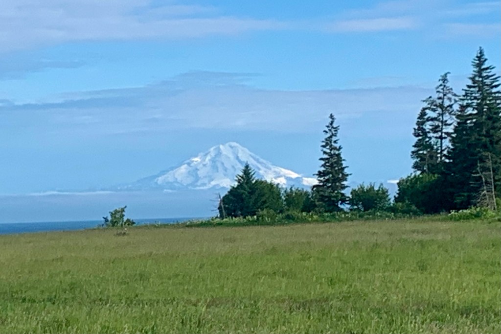
The journey began with a 90 minute drive from Soldotna to Homer. The weather was favorable, a cerulean sky, and I marveled at the view of the mountain across the Cook Inlet, visible with an early morning glow.

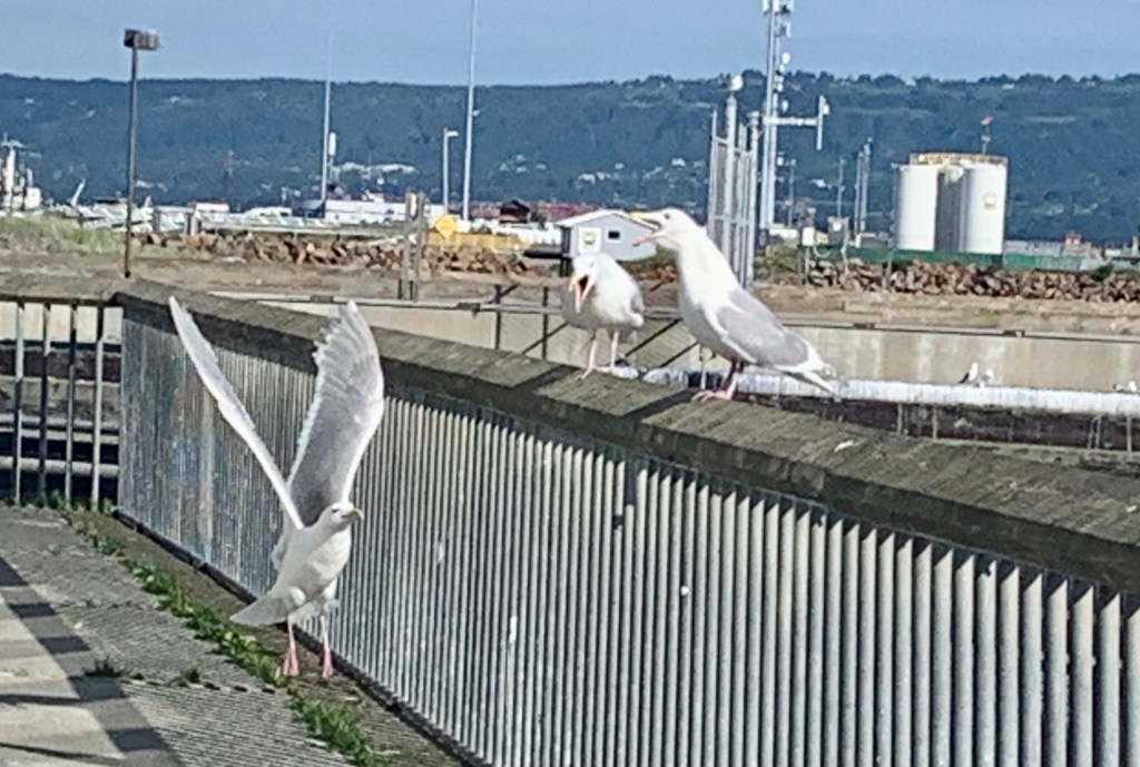
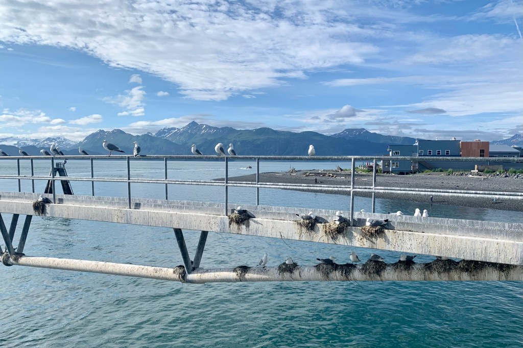
I had decided to park at the Homer airport, as I was winging it back, and take a taxi to the Alaska Maritime Highway Ferry Terminal at the end of the Homer Spit. I was astonished at how this 2 mile stretch of road, Homer Spit Road, became a massive parking lot for hundreds of cars, all manner of recreational vehicles, boat trailers, with “parking lot campsites”, ” and a few seafood restaurants and souvenir shops squeezed in. But, it all went seamlessly and I boarded the Tustumena with much ado made by the massive flock of seagulls wafting about. The covered gangway to board the ship definitely spares passengers from the chance bombardment of either the gulls or their excrement.

The Alaska Marine Highway

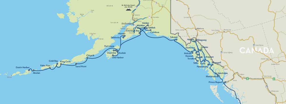
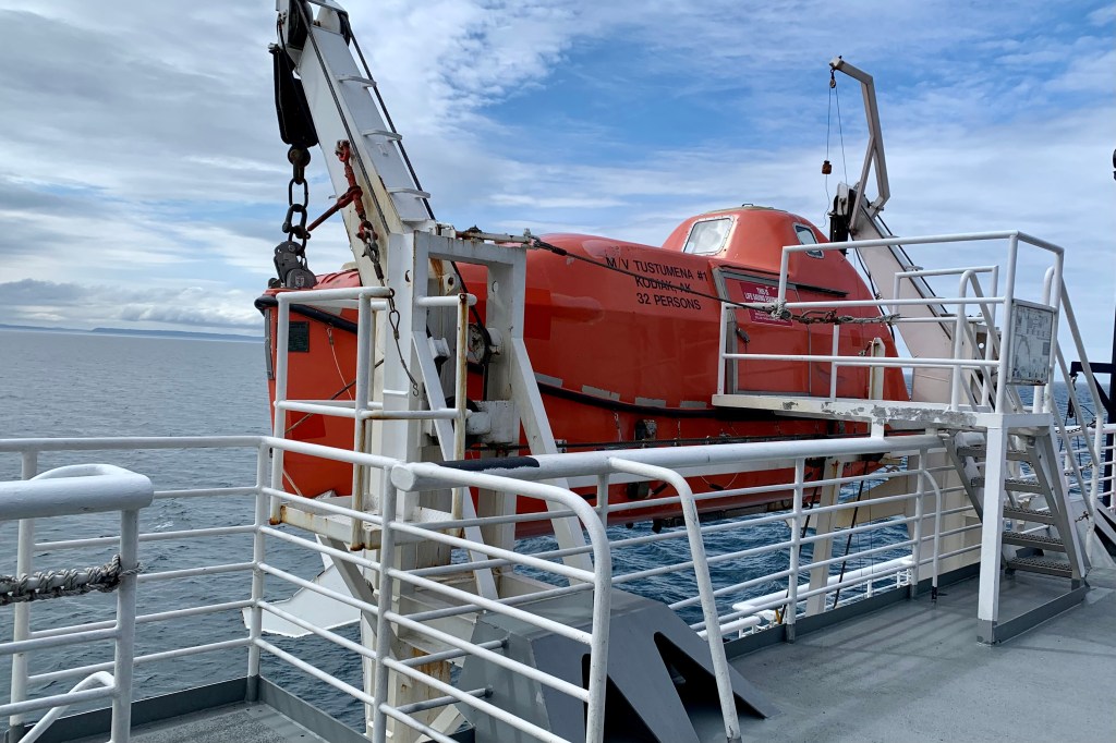
Highway: Merriam-Webster defines highway as “a public way especially a main direct road.” It commonly used for one connecting major towns or cities. I typically envision an interstate, freeway, main artery etc. usually paved and maintained. The visit to Kodiak require that I expand my vision of what a highway is! I had opted to take the Alaska Marine Highway from Homer to Kodiak – a 126.1 mile 9.5 hour “cruise” on the Tustumena, churning through the Gulf of Alaska at 11.27 knots miles per hour… definitely not an expressway at sea. This being a working car ferry, it brought back fond memories of the car ferry and ride we took across the Staits of Mackinac from Mackinaw City to St. Ignace before the Mackinac bridge was built…a journey that was spare, quite windy but short.

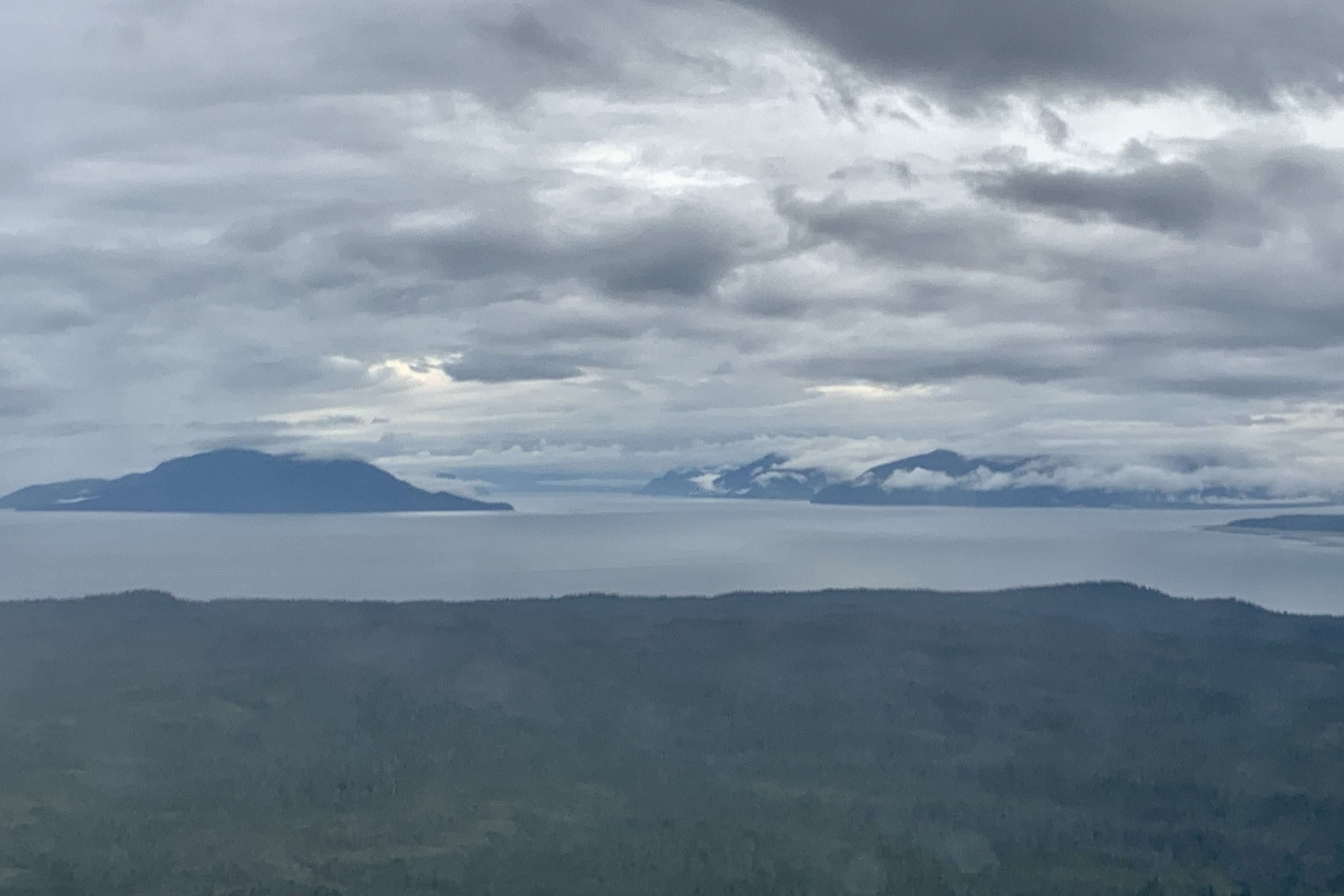
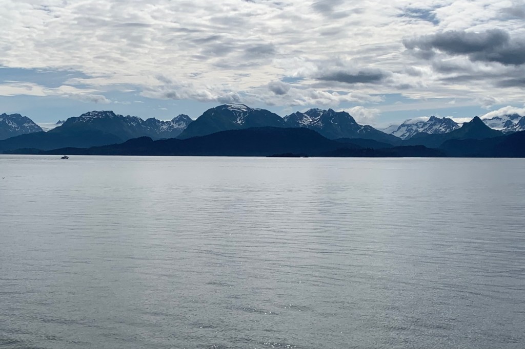
Since ”cruise” means a journey over water in a vessel, that this was thought NOT luxurious and NOT for you if you want a deluxe experience with entertainment and casinos, buffets, and a pool. It might be describe as “spare” accommodations but perfectly adequate to get from port to port on a limited budget. Since much of Alaska is boggy and remote, there are no highways connecting vast areas, so it is a boon for those who can’t afford the luxury of bush planes or float planes to more distant remote areas. So I joined the hikers, backpackers, families and fisherman for the day. I actually enjoy this as much or more than the fancy-dancy cruises I have been on being a backpacker and camper at the core for many years.. The partly sunny skies of Homer very soon gave way to the cloudy and misty skies in the Gulf and a stiff wind, so my vision of sitting out on deck, enjoying the open water teaming with wildlife and the scenery – mostly an occasional craggy glacier carved islands – was quelled.

The upside was that there were many options on the interior of the Tustumena to settle down in and while away the hours. I opted for a booth as home base with room to spread out, store my suitcase under the table, be proximate to a bathroom and the Coke machine, the common microwave, and the ice machine available for all. The many people who can sleep anywhere and at anytime could be found asleep in the lounges, on couches and chairs, the floor, in the deck in sleeping bags etc, . There were even public showers available but definitely not on my dance card that day. A dining room offered 3 meals but I opted to only have dinner as I brought lunch and snacks fearing the prices of food would be astronomical. But the prices were reasonable and food in the dining room was acceptable, though not exactly gourmet.

Overall this is a good opportunity to “unplug” as no wi-fi and minimal cell service is available. So the 9 hours actually passed quite quickly with reading, snacking, playing games on my iPad, dining, and often cruising the outside deck buffeted by the wind hoping to spot the acclaimed proliferation of wildlife to be seen. Here is my list of sightings: 0

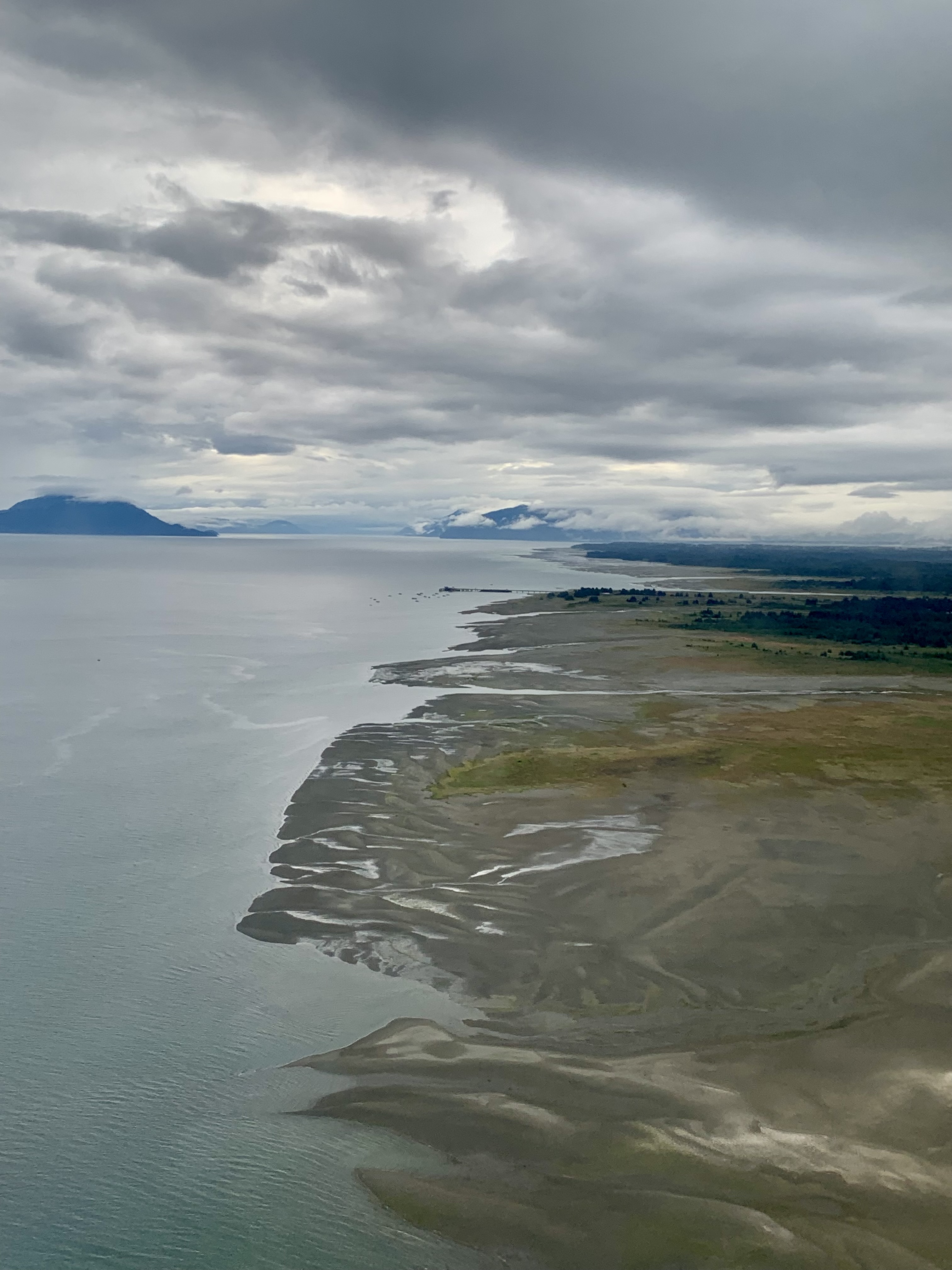
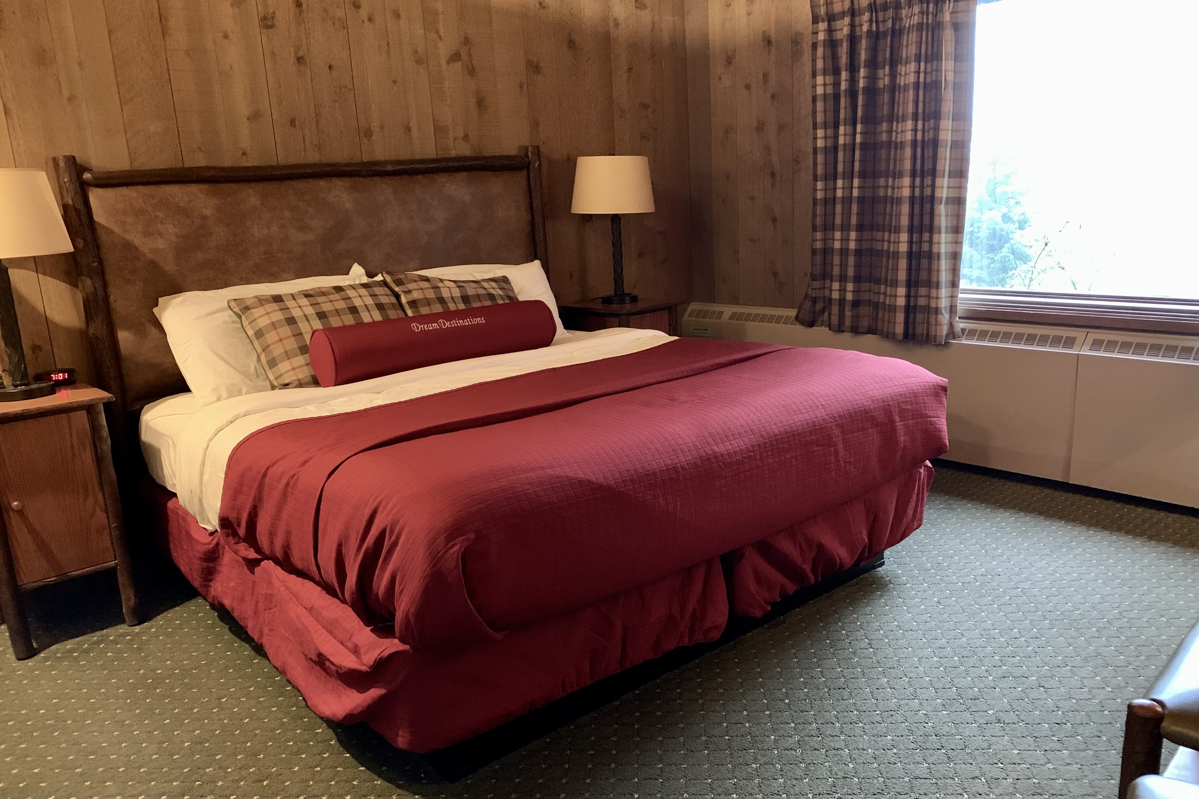
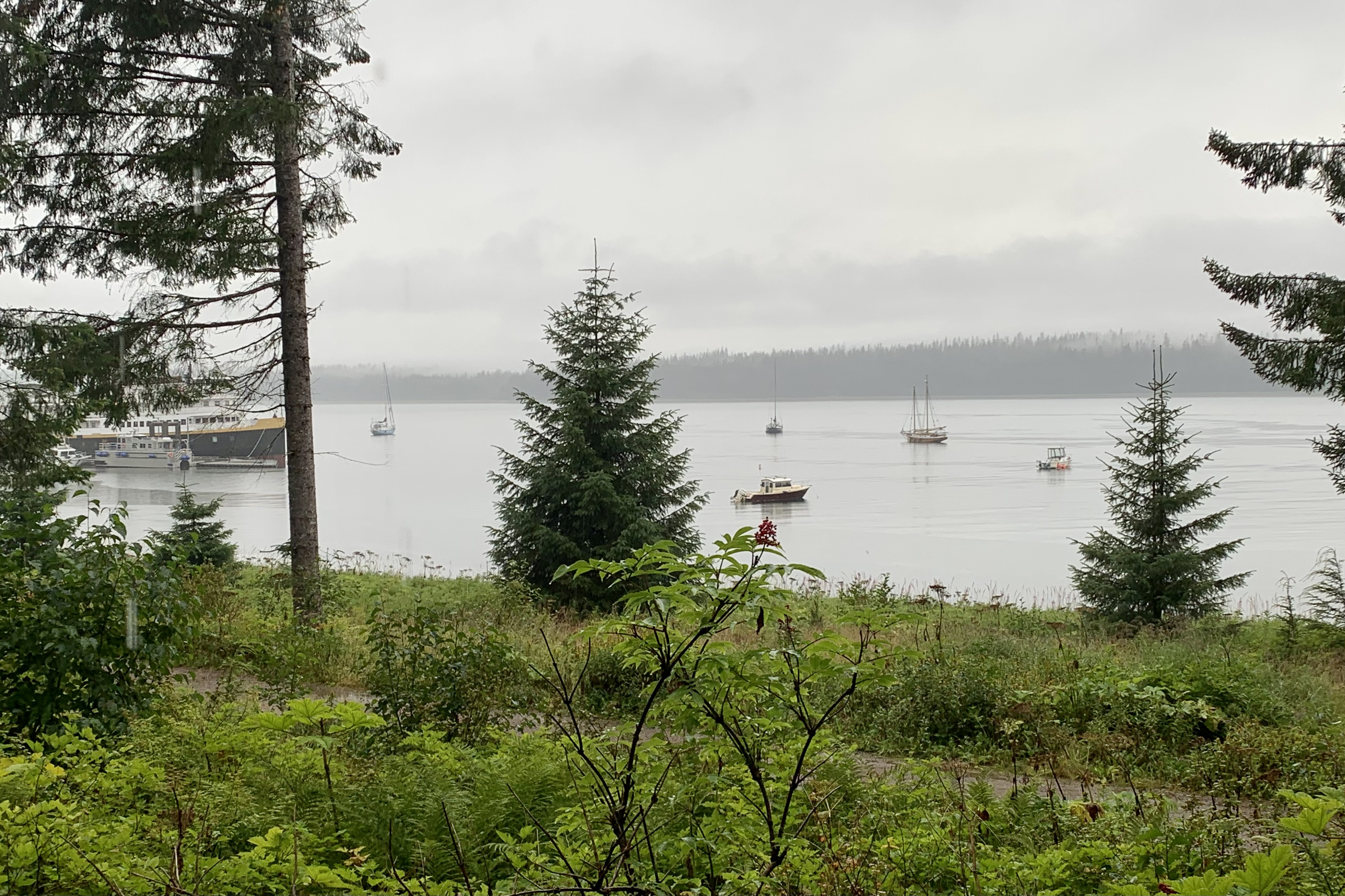
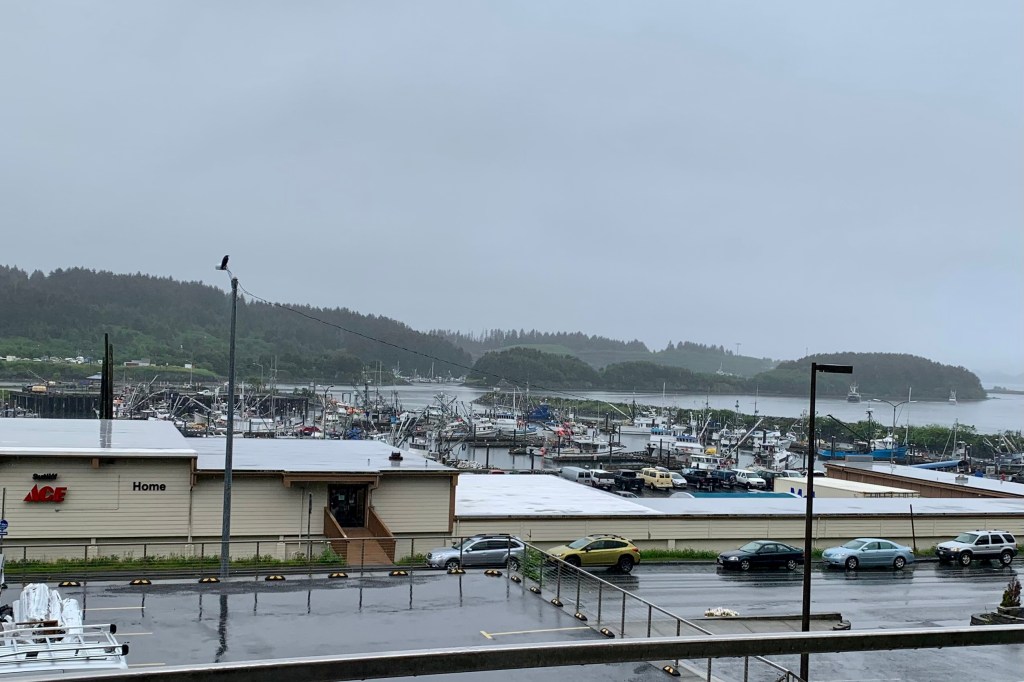
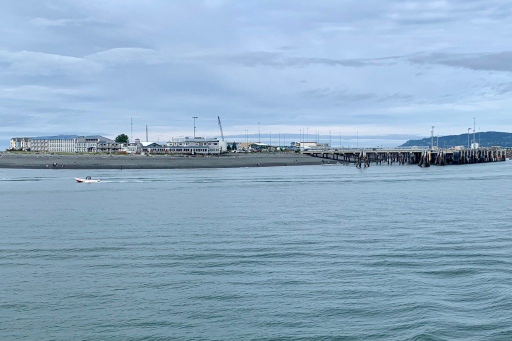
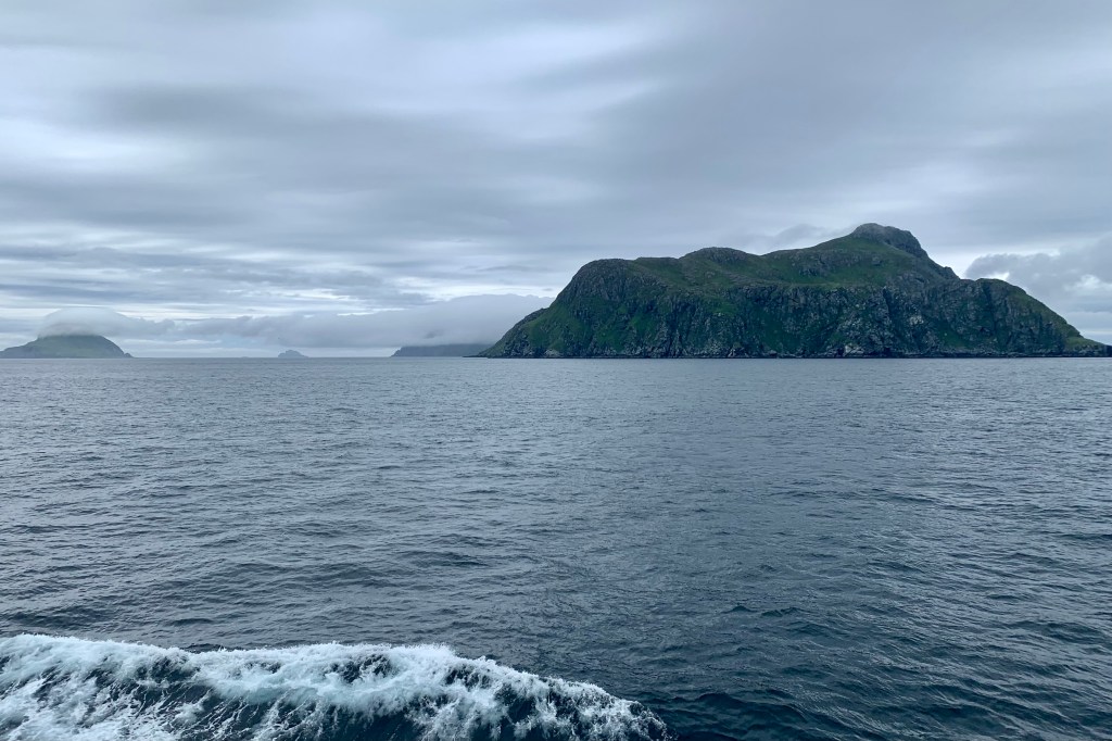
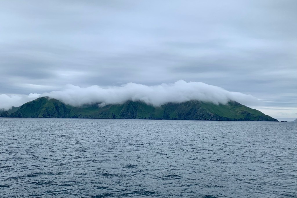
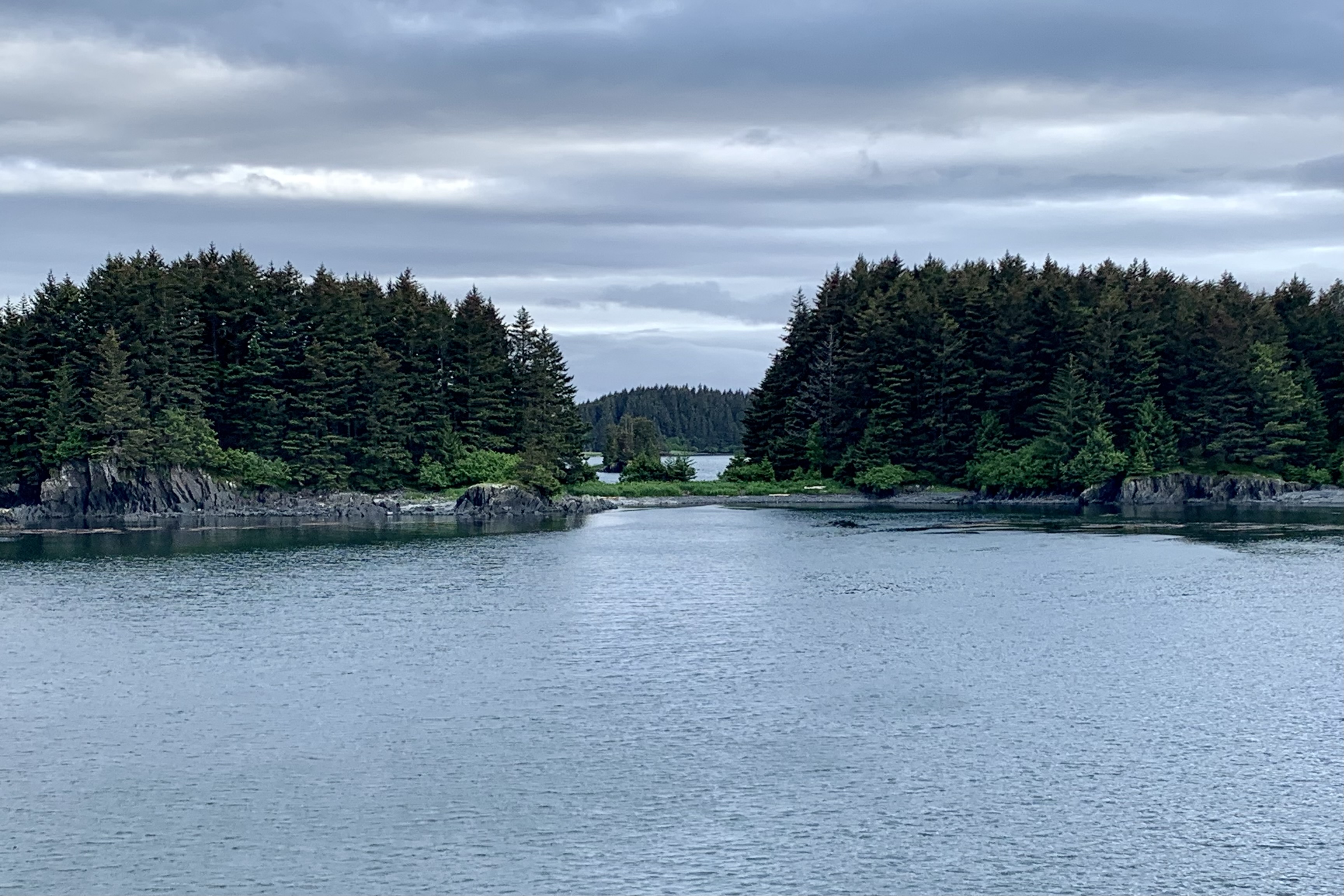
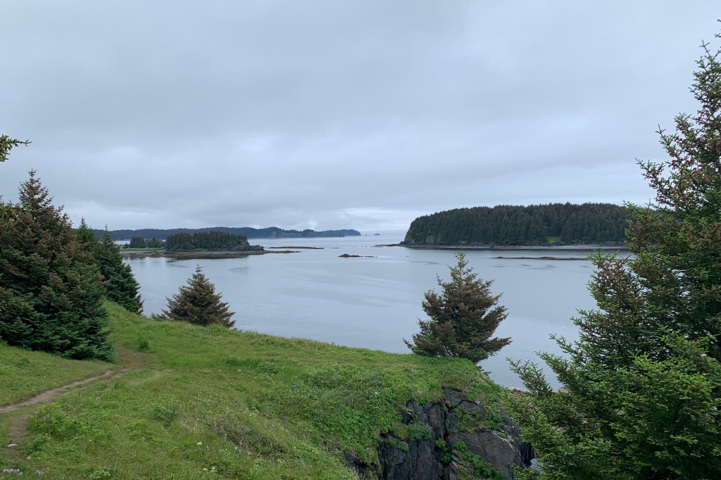
I found cruising into the Kodiak Harbor was probably the most picturesque part of the days journey, given the narrow channel and lush  greenery on numerous rocky islets alongside; the bridge to Near Island spanning the channel; the fishing boats, boat yards and marine gear and services for all the commercial fisherman, cargo ships, cruise ships and passenger vessels, and recreational boats. The highly touted plethora of bald eagles, sea otters, and Steller sea lions, which are frequent visitors to the harbor,  chose this point in time to not be part of the non-existent welcoming committee. The town itself is a compact area next to the harbor dockage, spread out for about 4-5  blocks, and I could see the Compass Suites Hotel, which I had booked, on the hillside. With no welcoming committee or anyone to get guidance from, no taxis in the area, and an unsuccessful quest for a map in the Ferry office ( no detailed map exist  so I assume it is a given that everyone has google maps on there cell phone and that a paper map is an anachronism). I decided to hoof it, dragging my suitcase the few blocks and was very grateful to arrive at the hotel around 9:00 PM, settle into a very pleasant  room overlooking the harbor.
Wrangell-St. Elias, a Loo with a View, and Onward to the Kenai Peninsula

IMG_6361Tuesday July 31, 2018

I had hoped to spend another night in the Wrangell-St. Elias  area, but I wasn’t about to spend a 2nd night overlooking the cable spools, cell tower and the yellow and brown port-o-let by my tent-site. Any other tent camping prospects were dismal due the contraindication because of bears in the area,, I broke camp with the intent of spending a half day in Wrangell St. Elias NP and then push the last 350 miles to Soldotna. It was a sunny clear morning and I headed out with great anticipation of another day of drop dead scenery and rugged glaciated land. The drive from Copper Center to Chitina – the gateway to the route to McCarthy/Kennicot was miles of feasting on the lofty summits, glacier sweeps, forests, lakes, and the braided Copper River east of the highway.

The town of Chitina is a classic AK town that has mostly gone bust with the closing of mines and demise of the railroads as the primary movers of freight. It is the gateway to Wrangell-St. Elias, marked by a very narrow rock cut entrance.

I anticipated another challenging 61 mile, minimally 2 hour upwards of 3 hour drive from Chitina to the Kenicott River just west of McCarthy Historic footbridge. I was not in the least disappointed. The area is so vast and with its remoteness, and there were very few other cars. So I merrily bumped along the gravel road, with my heart and soul singing. Numerous bridges cross the rivers and the old  Kuskulana River Railroad bridge build in 1910 is still is being traversed. 

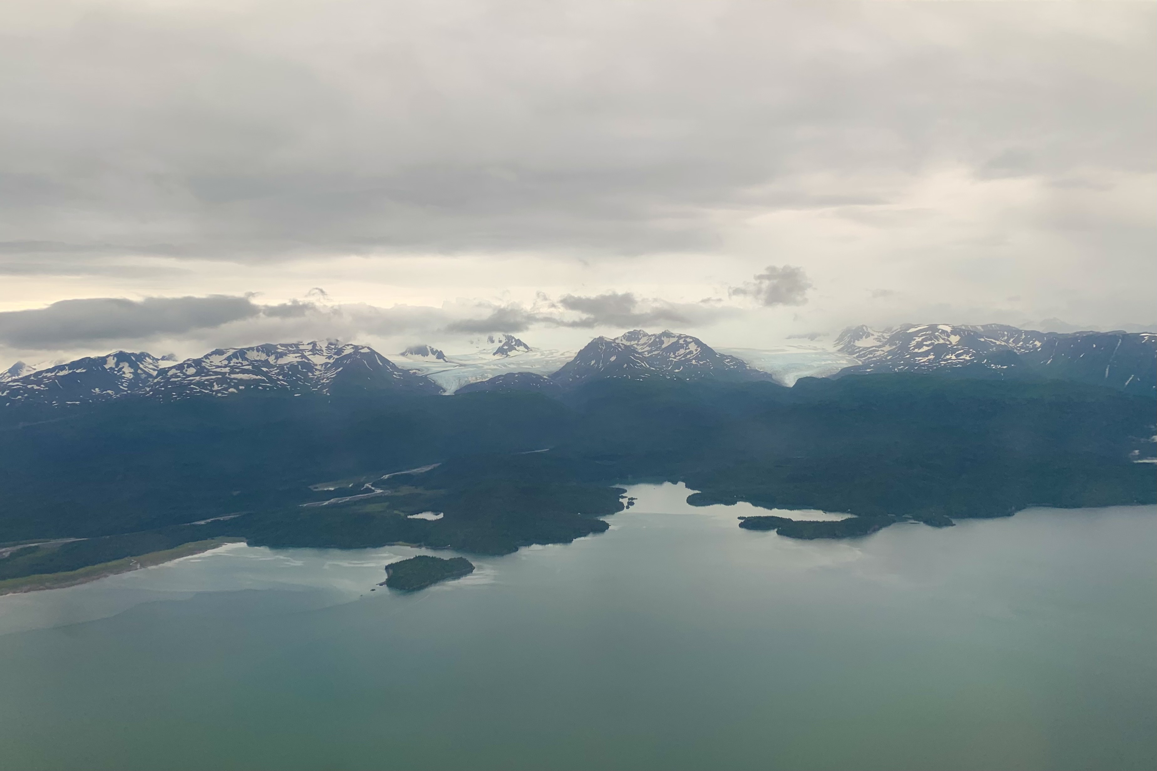
With the road rapidly elevating, I was soon above the clouds, thus obscuring the meandering rivers in valley below but glimpses of the mountains looming above previewed the grandeur of these glaciated mountains.

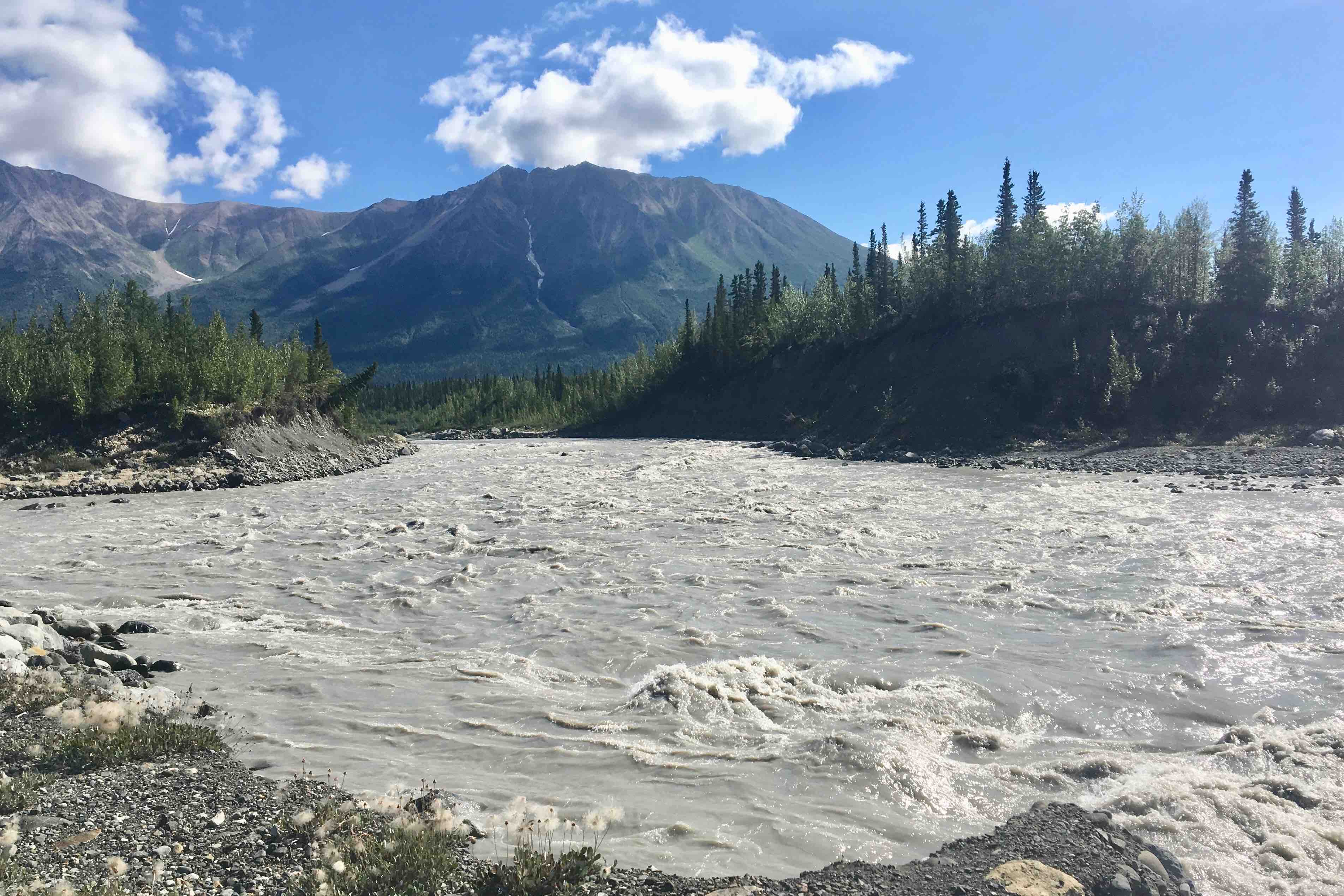
The road abruptly ends at the Kennicot River –  icy cold silt laden water rushing powerfully off the fingers of the Kennicot and Root Glaciers. Before venturing across, we made our way towards the edge of the glacier with a brief stop at my #1 rated pit toilet on this trip. It was definitely a loo with a view.

The only public access to McCarthy was an open-grate footbridge which crossed the river to the old mining town of McCarthy. The campground I had briefly considered was definitely not conducive to tents or privacy. 

 I started to  meander over to McCarthy and though the grated bridge is quite safe, there was something unnerving about seeing the icy swirling water rushing below. Once my wobbly legs made it across the grating, Kili and Simba had their first ATV ride from a local worker who offered us a transport across a shallow tributary so we didn’t have to wade through the icy ankle deep water to get to McCarthy.

This was a quaint old mining town to explore, but knowing I still had many hours of driving left, I only stayed for an hour and then began the 61mile torturously slow, rocky, winding gravel road down back to Copper Falls.

The upside of the slow-mobile was better viewing of wildlife, the best of which was a bear running across the road  and further on down two moose grazing in an open meadow and adjacent slough.  The clouds had lifted so there we’re good views of the Copper River and its network of sandbars, islands and channels. 

My intent was to gas up in the town of Copper Center. For some irrational reason I expected this to be a cute quaint little town but was sorely disappointed in its offerings and was a tad nervous about fueling up at the rusted old gas pump.  I was in need of a restroom and asked the proprietor of this sparsely stocked store if there was one.  There was, but he very ungraciously gave me permission to use it.  Didn’t like the fact that so many visitors, upwards of 300 daily,  could be compromising his septic system and he would prefer if I used the port-a -john across the street. I opted for his restroom since I felt I was entitled to stress his septic system after filling up my gas tank for $45.00. Back on the road around 3:00 pm, 
I headed back through Glennallen and the straight out the Glenn Highway, Route #1, to Palmer. Once I hit Palmer, a sizable town, I felt I had left the remoteness and wilderness behind and was soon on a limited access highway to Anchorage. The scenery out of Anchorage  to the Kenai Peninsula continues to be stunning, but driving  along the Turnagain Arm of the Cook inlet and then on through Girdwood and Portage became tedious due to the high volume of traffic. It was still the height of the tourist and sport fishing season so traffic abounded. Before long, perhaps 2.5 hours, my little 650 square foot house with its Tyvek covering and my wonderful daughter were a welcome sight when arriving around 10:00 pm and having clocked 3370 miles of the most rugged and remote, yet exhilarating , driving I had ever done. 

Smoke, Glaciers, Pit Toilets and the Raw Beauty (and Roads) of Wrangell-St. Elias

IMG_6302Monday July 30 , 2018

Last night was the first time I was up and out in the middle of the night for this entire trip!!! The special treat was a bright beautiful moon shining on the lake. And we awoke to warmer am than we had anticipated at 57 degree.  The sky was a cerulean blue, the sun bright (yes at 5:30 in the morning). I anticipated a wonderful day.  I was packed and ready to go around nine after a conversation with the next door campers.  They mentioned that there was a large forest fire in Wrangell – St. Elias National Park and Preserve.   Within five mile, heading toward that National Park,  I began to see smoke shrouding the mountains in the distance.  I had such a sad feeling that more and more acreage of wilderness was going up in flames even tough I know it is the cycle of nature – not to mention impact of climate change.

Before I knew it I saw the signs for the US/Canadian border approaching and it was quite an exciting moment to think not only that I had come this far ( probably 6500 miles from Florida) but I was now entering what would now be my new home state. Of course it was monumental to take the obligatory picture at both the sign and in front of the demarkation line.

The next stop was  to find out more about the Tetlin National Wildlife Refuge, a landscape made up of forests, wetlands, tundra, lakes, mountains and glacial rivers against the backdrop of the  snowy peaks of the Alaska Range. My main interest was in the nesting trumpeter swans.   Prior to getting to Snag Junction yesterday, I had seen a pair nesting in a lake, thought about stoping for a picture but opted not to. Since I never saw another pair there, I wished I had stopped, but the reminded myself, I may well have disturbed them.


I decided to take the one road through the refuge to Northway, a small town within the refuge. It was a pretty decent gravel road and the first part it was mostly bordered by rivers, swamp, ponds etc.  When I reached Northway I was quite taken aback  to see such a very poor community. Folks in gated communities with deed restrictions would be horrified.  It seems that anything that ever came in via that road never left and the town was strewn with rusting out cars, machinery, broken furniture , houses cobbled together with what wood was available etc.  I was quite surprised to see a good sized school and perhaps even if the community does appear broken in the level of maintain a clean environment, they make up for it in friendship and helping others.

I headed back out and was on the road again and had a couple hundred miles ahead of me.  Gradually the sky became bluer and the smoke disappeared.  The road in general was good but there were many rough, gravel, and heaved sections.  So we heaved, and dipped and bumped along. I find it quite a lot of fun to drive as there is no risk of getting bored nor a glazed feeling from miles and miles of flat smooth surface. I am glad that I wasn’t planning to drive mega miles because it is not possible to maintain a steady speed and even the speed limit at time. Most of the other people I talk to in the campgrounds put in 7-8 hours of driving each day, making the grand circle.  That does not seem particularly enticing to me. 

I was now headed to Wrangell-St. Elias NP, designated as a Work Heritage site because of the natural owner of the largest aggregation of glaciers and mountain peaks  above 16,000 feet. Imopted to take the Nebesna road down to the town of Nabesna in Wrangell-St. Elias NP. .  This trip into the preserve and refuge would be 40 miles each way on varied surfaced road.  The first part was chip sealed and then relatively smooth gravel. But as the miles wore on and I had to drive slower and slower as it became rockier and narrower. 

At a couple of points there were stream crossing the road to drive through.  Lady Spitfire was so excited.  It was the first time she went into 4 well drive and she was ready . Poor deceased Pretty Priss Prius, my faithful work horse of a car that managed four coast to coast trips,  would have loved to attempt this, but had she had any miles left in her by now it would definitely done her in.  But Lady Spitfire was up to the challenge.

As we got further in, the snow and glacier decked mountains were getting in closer range.  The scenery during every hour  of the drive today just got more and more breathtaking. The road deadened at the town of Nebesna. Several of the homes/buildings had planes parked in the front yard with a grass take-off and landing tip along the road. This clearly is by far the best option to get anywhere given the 40 mile arduous drive in.   

After the drive out and a stop at the ranger station I headed back down Alaska 1 and continued to ooh and ahh every inch of the way.

The stop for the night was at Glenallen and I had made a reservation for a tent site at Norther Lights Campground and RV Park.  Well the fears that I had about the previous park had been unfounded and the campsites were lovely, BUT in this case they were well founded. The sites are not all in a row in a parking lot because  the have a very few skinny trees between them, but there is not much privacy.  My tent site overlooks the cell phone tower storage lot with its many cable spools and other equipment.  All the picnic tables are yellow and things all a round are painted “cutesy.”

One can hear the traffic whizzing by quite clearly. Since I was not sure about wilderness camping in the area I did not want to go into a park where there is active bear activity etc. especially with my two dogs. The one  campground in Wrangell-St. Ellai does not allow tent in the summer months so I thought I would play it safe and stay near town.  Bad choice.  However I got through the whole routine of camp setup though opted not to use the squeaky sagging plywood tent platform. But the six previous campgrounds were great so I guess, I won’t dwell too long on this one. I however do think I will steer clear of these private RV parks in the future. All of the pit toilets elsewhere are far better the chemical toiled across from my site  (and yes it is painted yellow also!)  Now for my photo gallery of the pit toilets along the way.  that had a more tolerable aromas and dean features. The worst was this night.  

OLYMPUS DIGITAL CAMERA

The best was at McCarthy, Wrangell- St. Alias.

The rest of the cast!