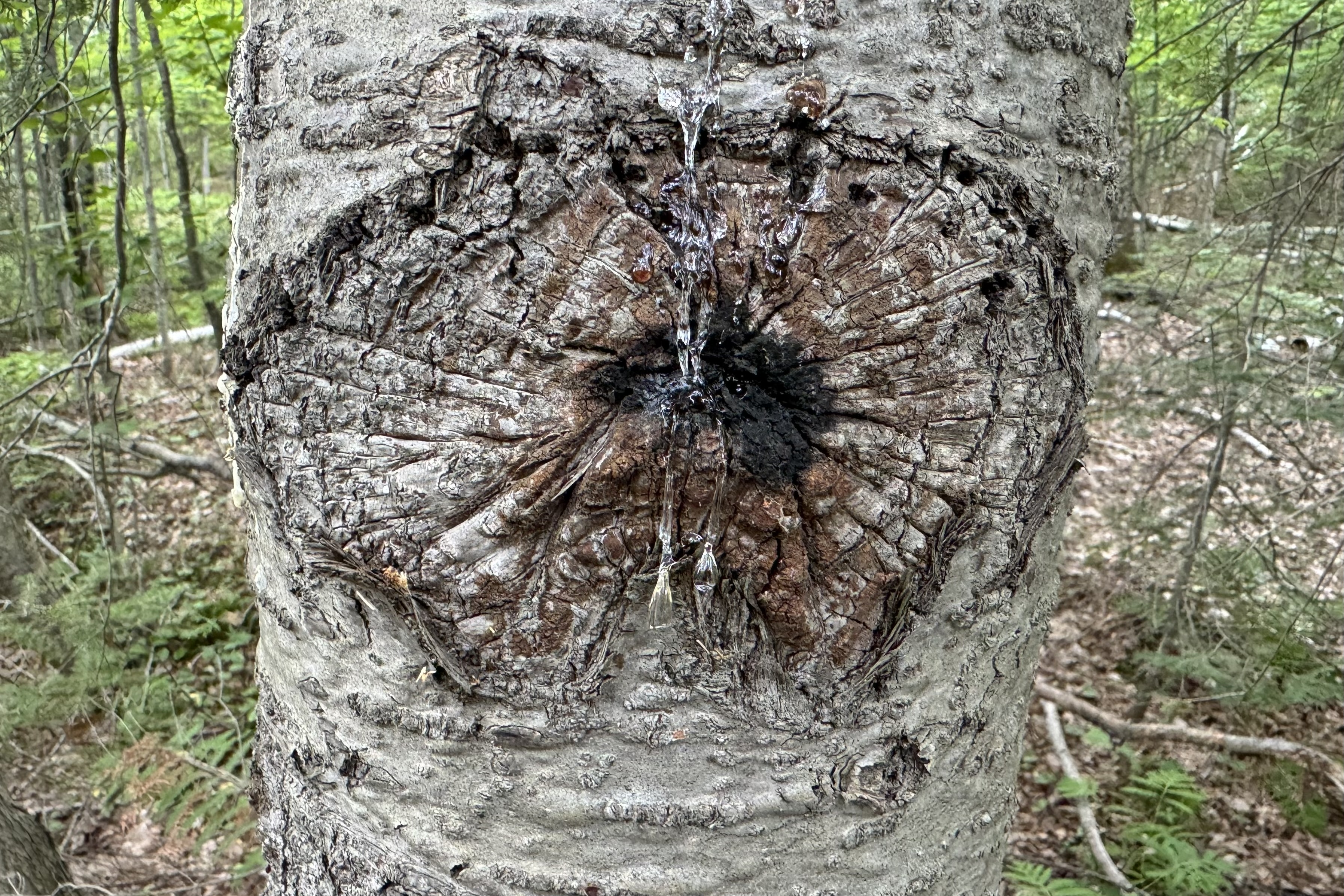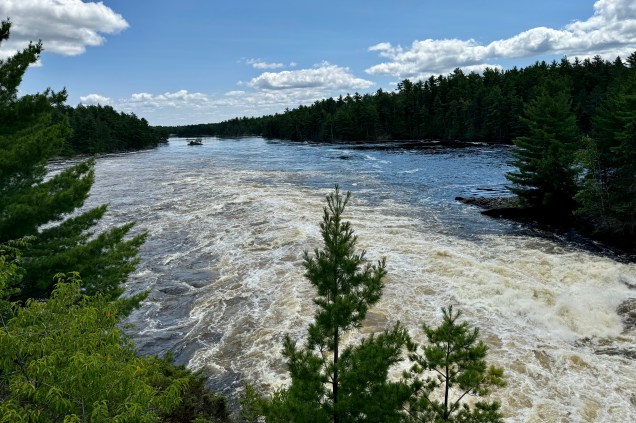
How Did I End Up in England, Parle Vous Francais, and White Knuckling It…

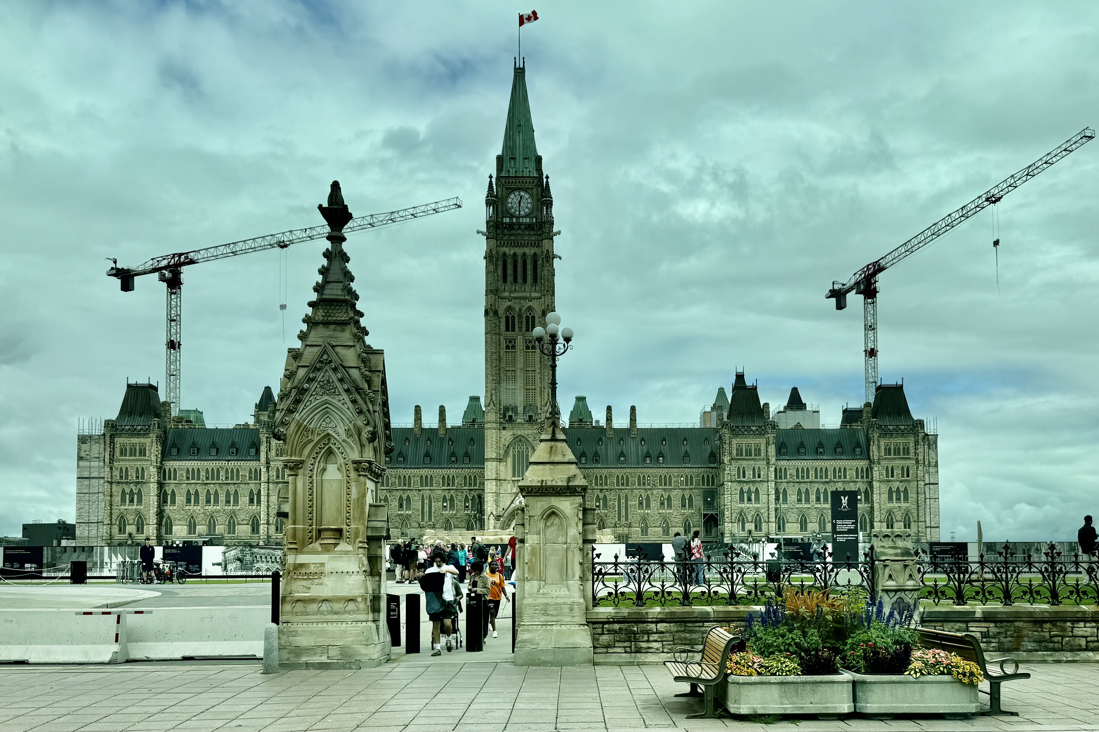
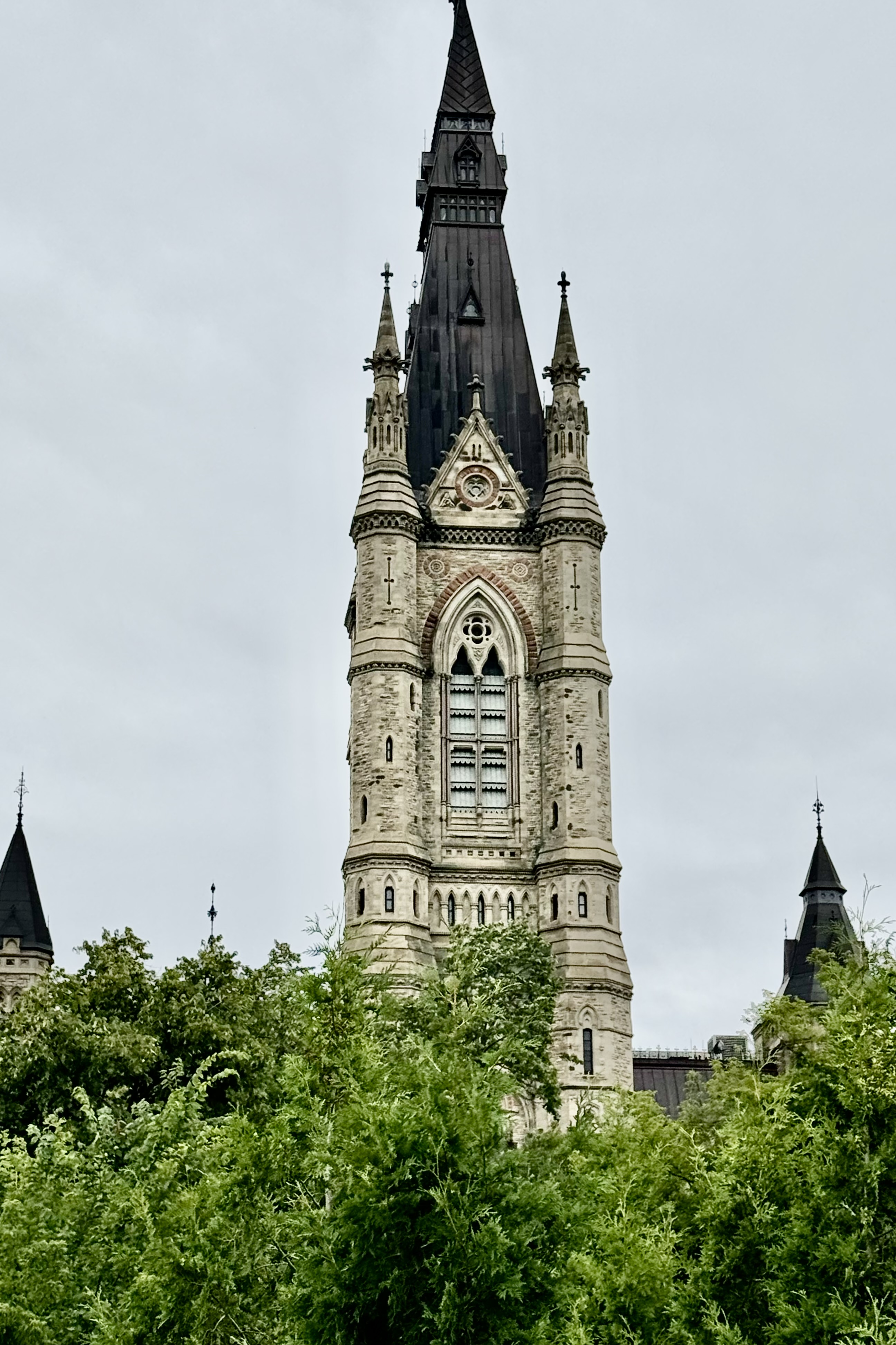
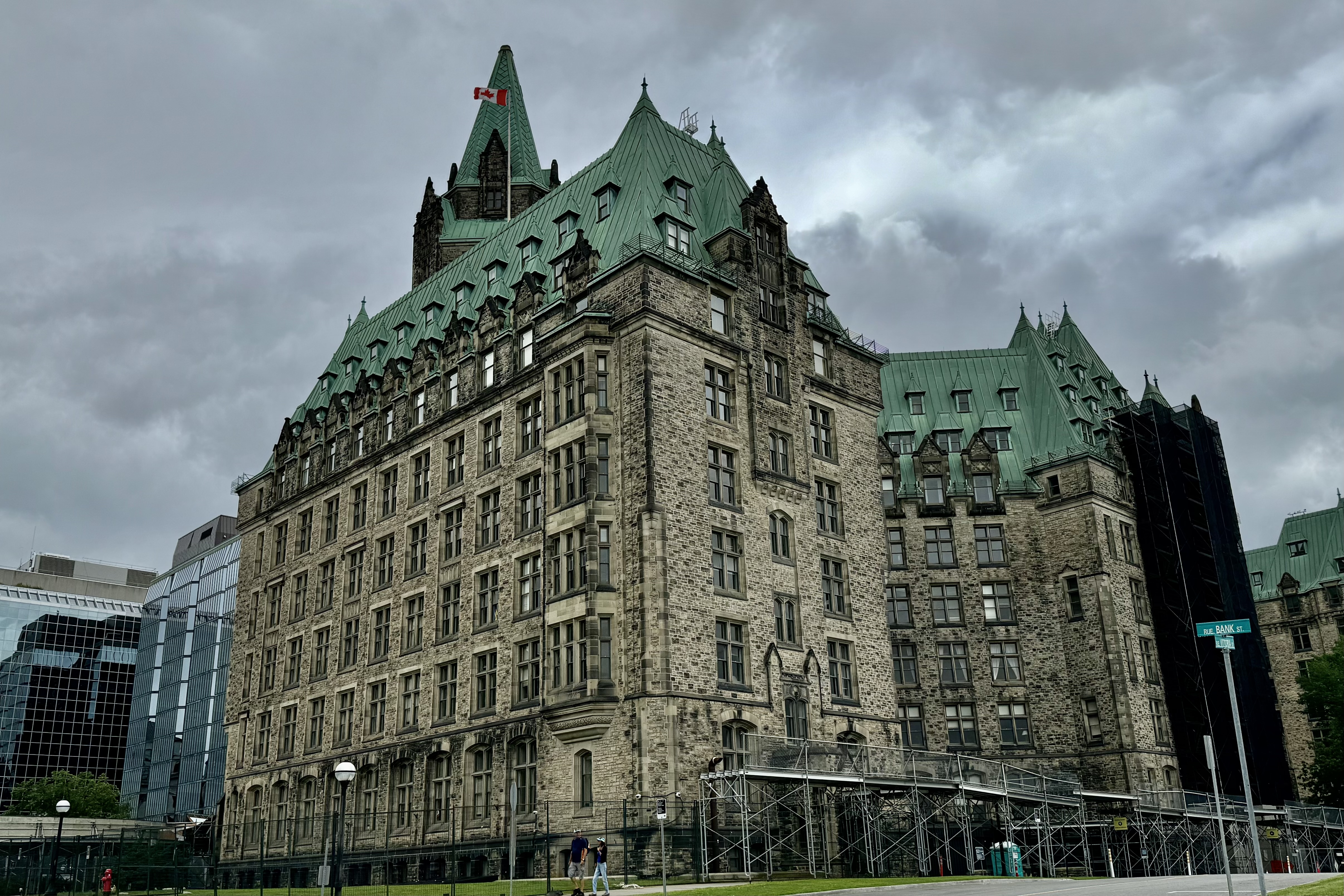
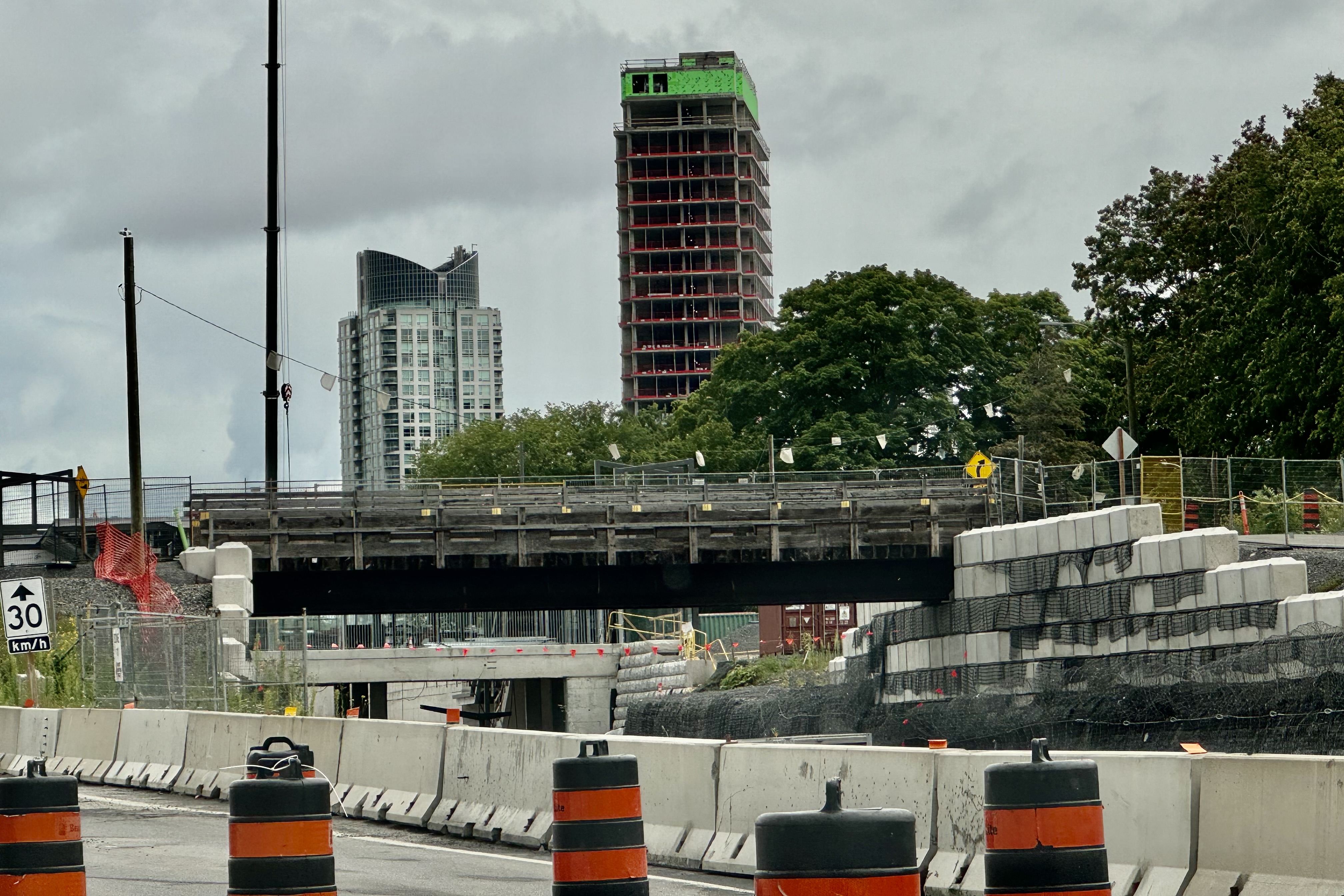
A new itinerary for a new day was to have Lady Spitfire with myself as guide tour Ottawa’s Parliament Hill and then head to Montreal. I have not encountered many opportunities to negotiate big city driving anymore, so I wan’t sure if this was the wisest plan but wise or not I was determined to see a bit of Canada’s capitol city. The first challenge was negotiating the plethora of construction areas on the Canadian cloverleafs to reach Parliament Hill, the prime (not Amazon) tourist destination. Getting there with my trusted navigator Siri was quite easy but where to park was the dilemma. Siri led me to a lot for government employees only. Since there was a plenitude of open spaces, I thought I would risk leaving the car there and take a short walk, snap a few pictures and then be on my way out of the city if I could not locate suitable parking afterwards. It worked well since I did not get ticketed or hauled off to an Ottowanian (I made this up) brig. I headed on through the very congested streets and marveled at the plethora of government building in the area. It was akin to the huge swath of buildings of our government in Washington DC but these all had a distinctive British Parliament and Buckingham Palace look . I wanted to wave to the King Charles but alas I guess he is quite far off across the ocean in London. With no available parking closer to leave Lady Spitfire while I ambled about Parliament Hill, I opted to head out of town.
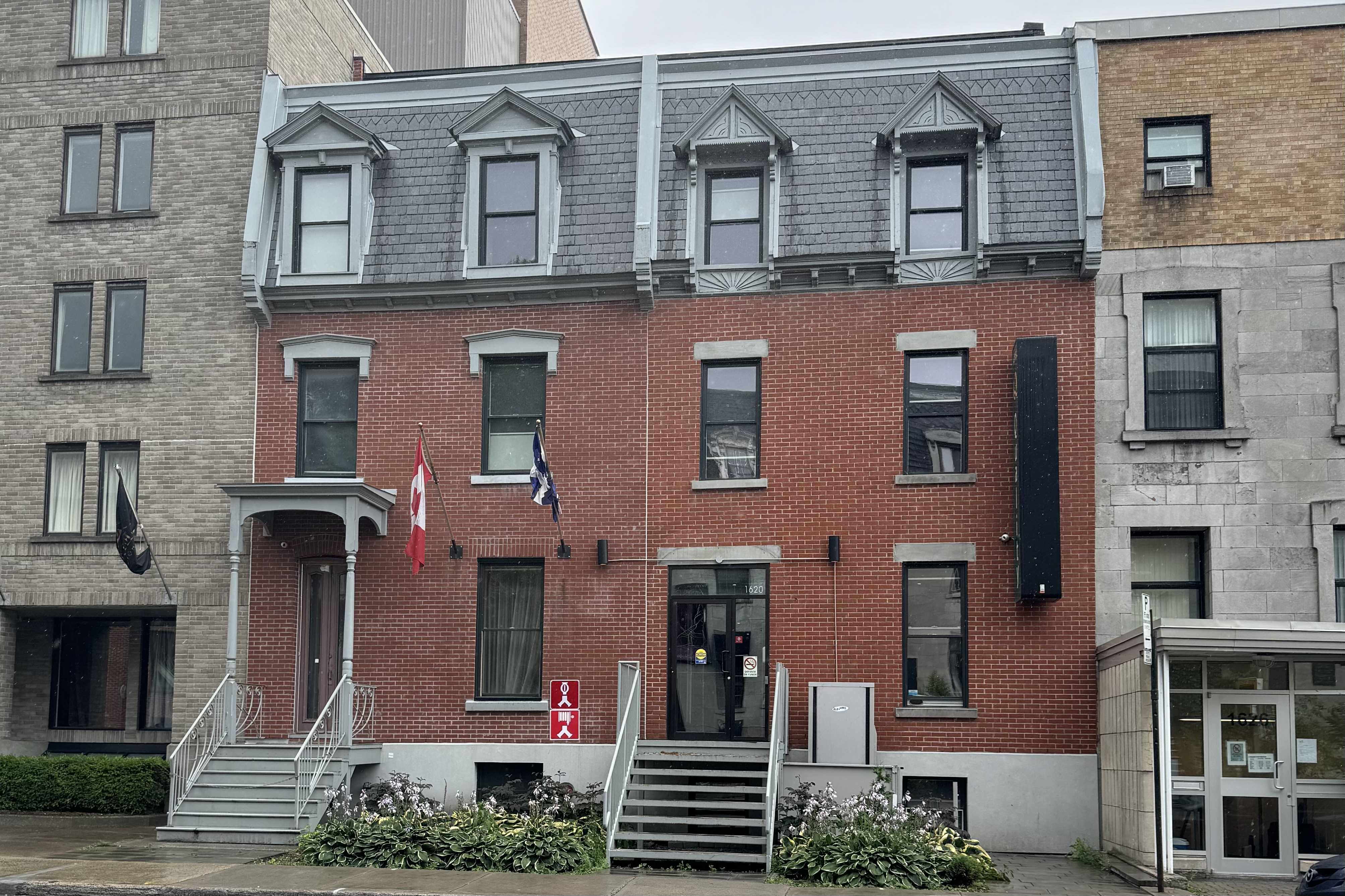
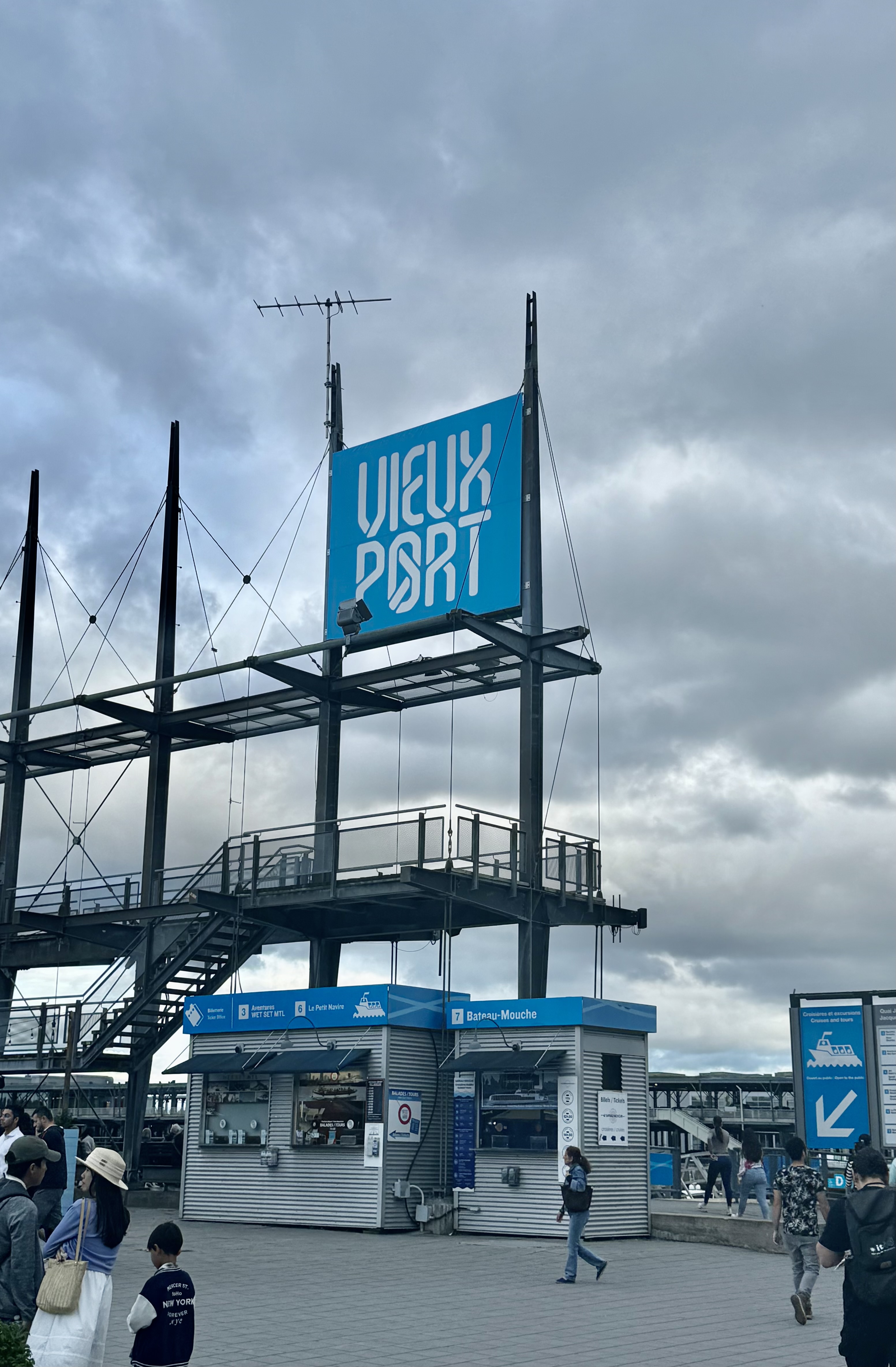
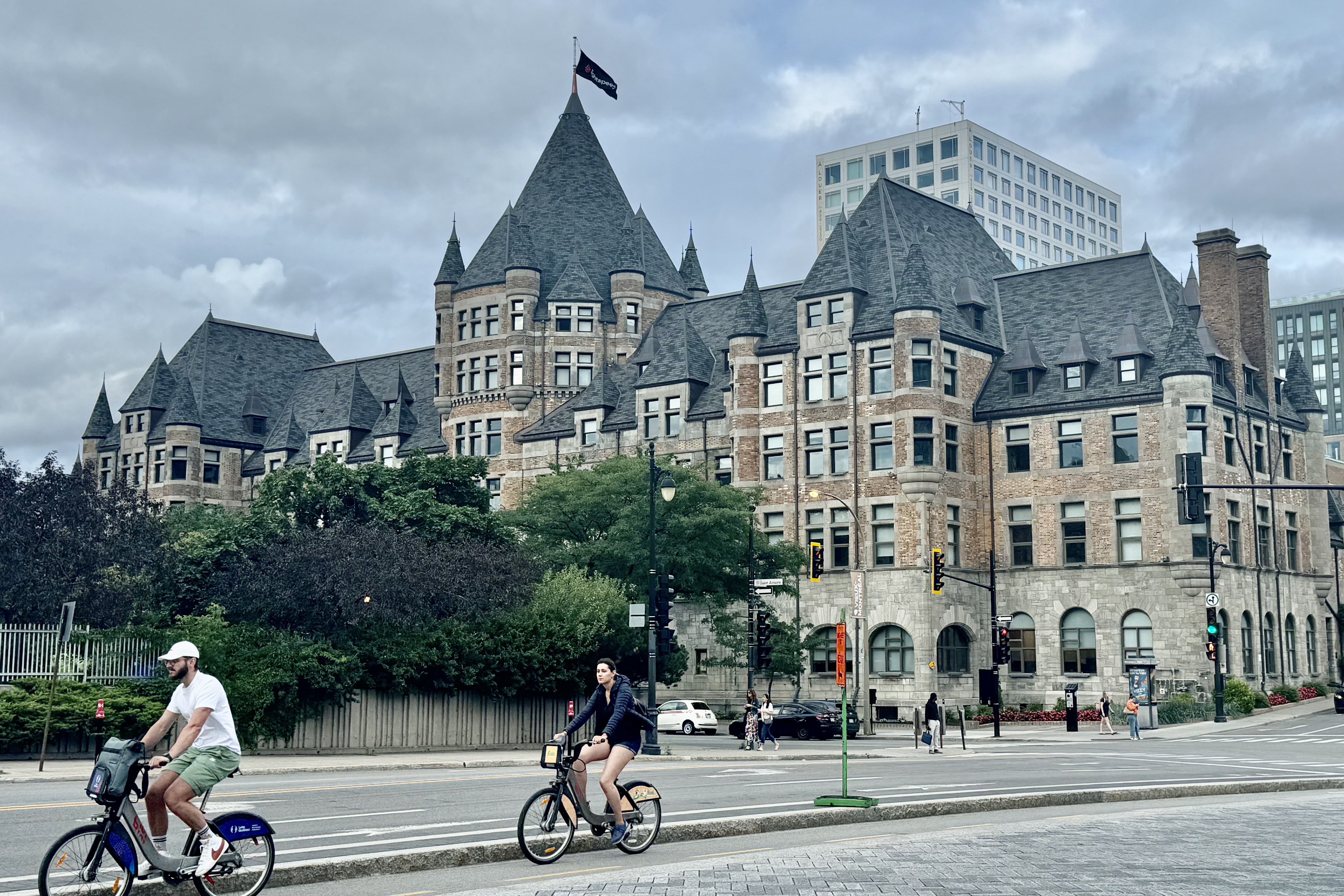
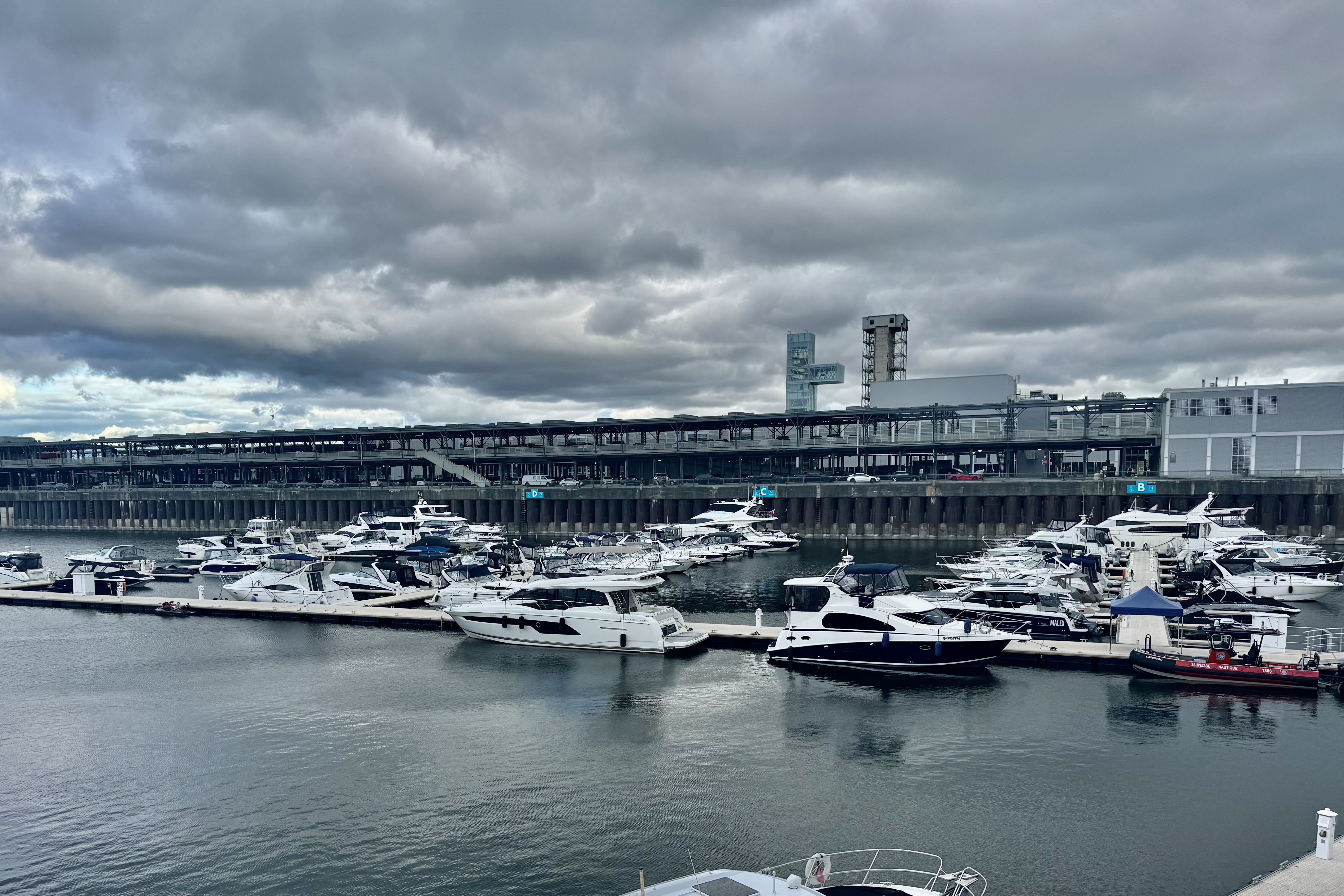
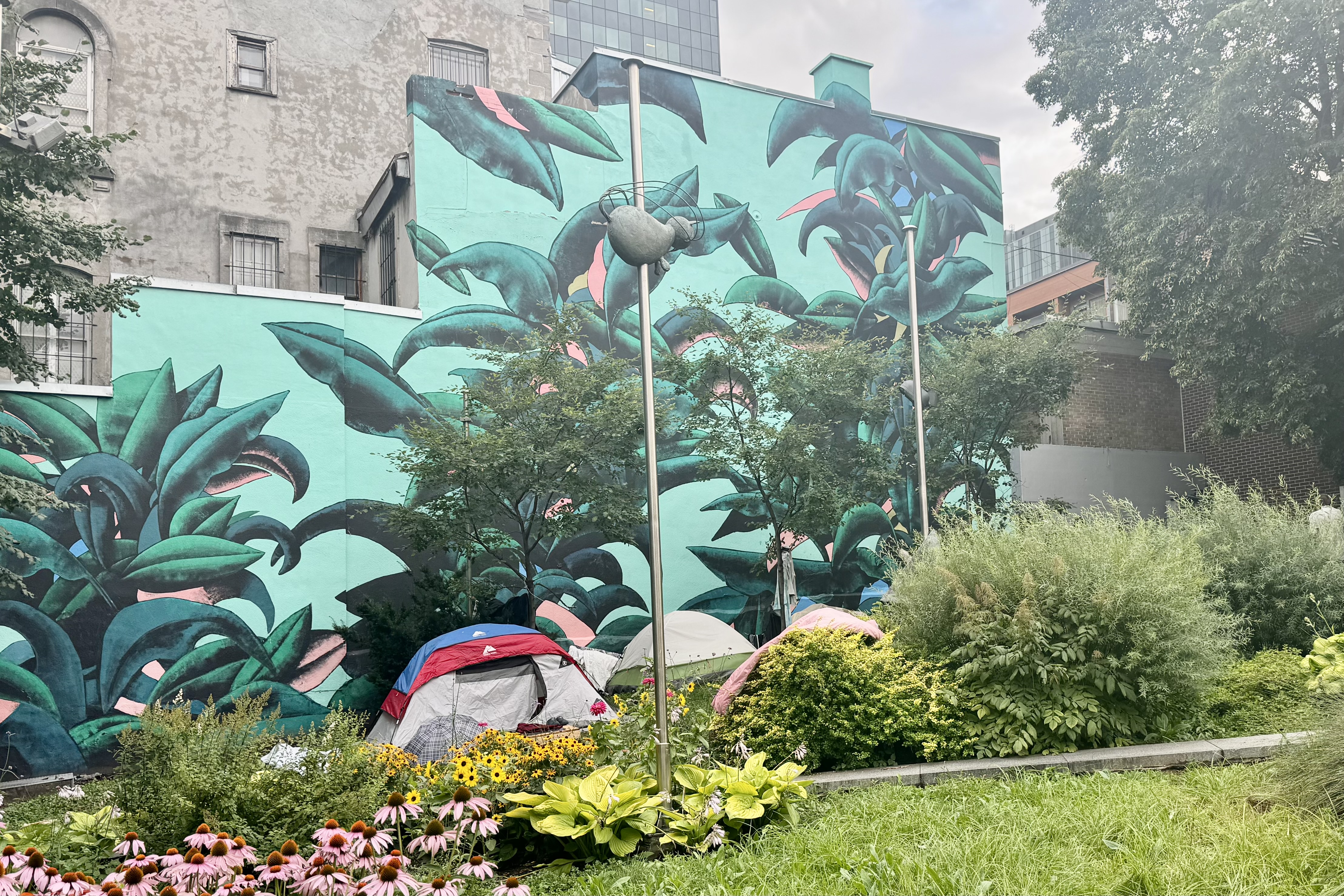
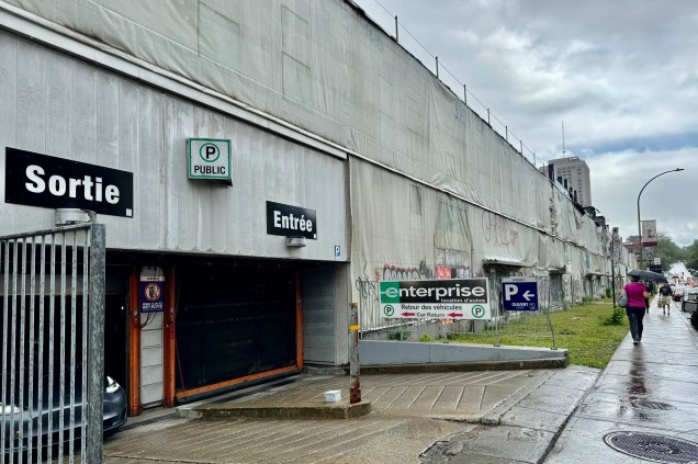
It was only a 2-3 hour drive to Montreal where I had reserved a boutique hotel room in Centre de Ville and within walking distance of the Port Vieux. Upon crossing the border into Quebec, I felt like I was entering a very different world. All I could think of was French snobbery. Whereas in all the other provinces I had traveled through, all signs were in both English and French. They are primarily English speaking but a subset of the population speaks French. Here the language is French and almost all of the signage everywhere had only French. I found that annoying though I recollected enough of the French I studied for two years in college to read a good portion of them. Though I am feeling a bit softer about France since the Olympics, but having lived a summer in France during college, the elitism and attitudes of the locals was that of cultural superiority and exclusivity. This to me was reflected in almost all of the signage in the city. The roads into the city were mostly limited access but were in horrible condition and huge parts were under construction.. The drivers were not particularily yielding to mergers and of course they also loved to speed. But I managed to find my way to my hotel with my nerves frayed just a bit. I really liked this pension and the desk clerk was about the only pleasant and solicitous person I encountered during my stay. I unloaded my belongings and as there was no onsite parking I had to take Lady Spitfire to her “parkingtel” down the street.

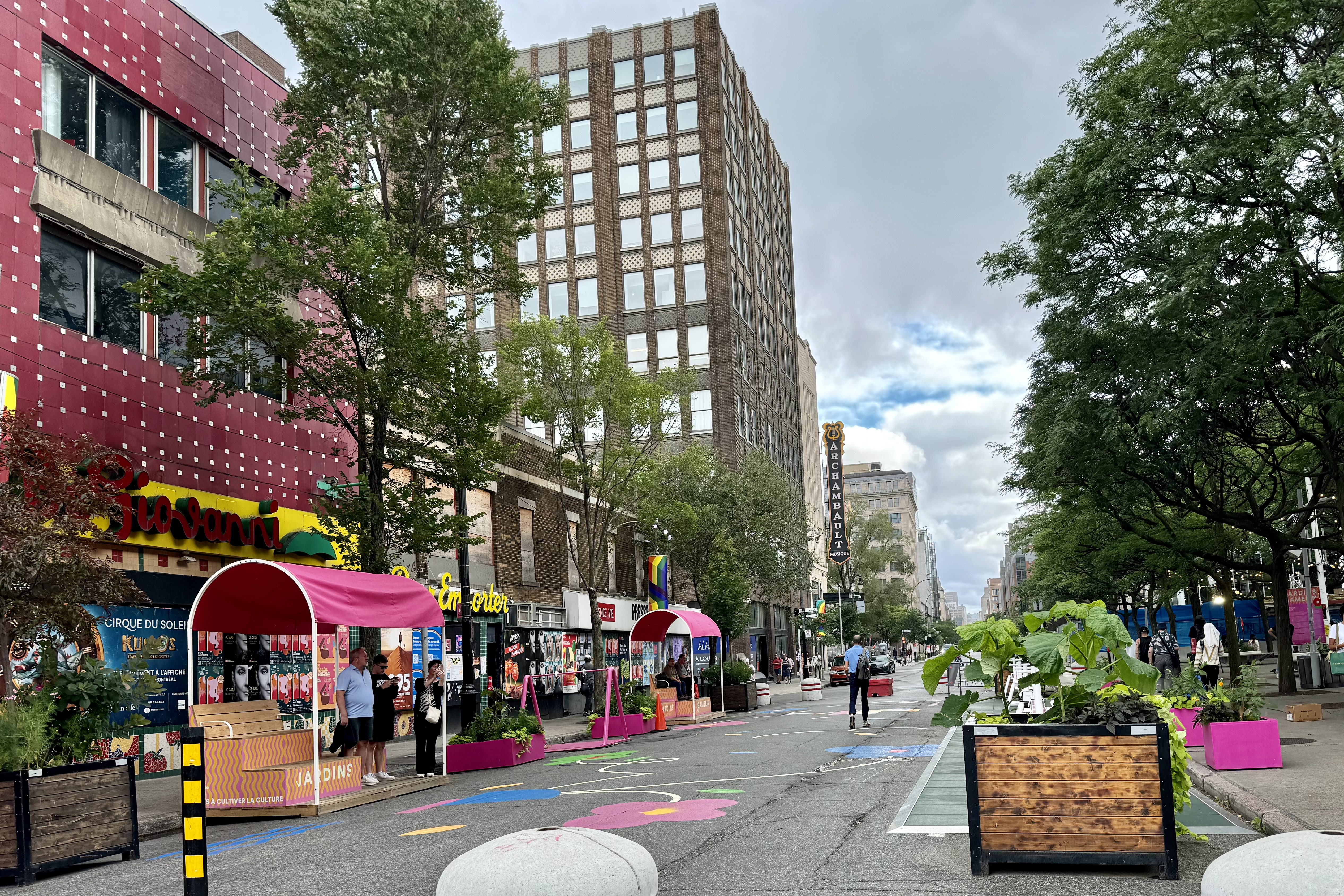
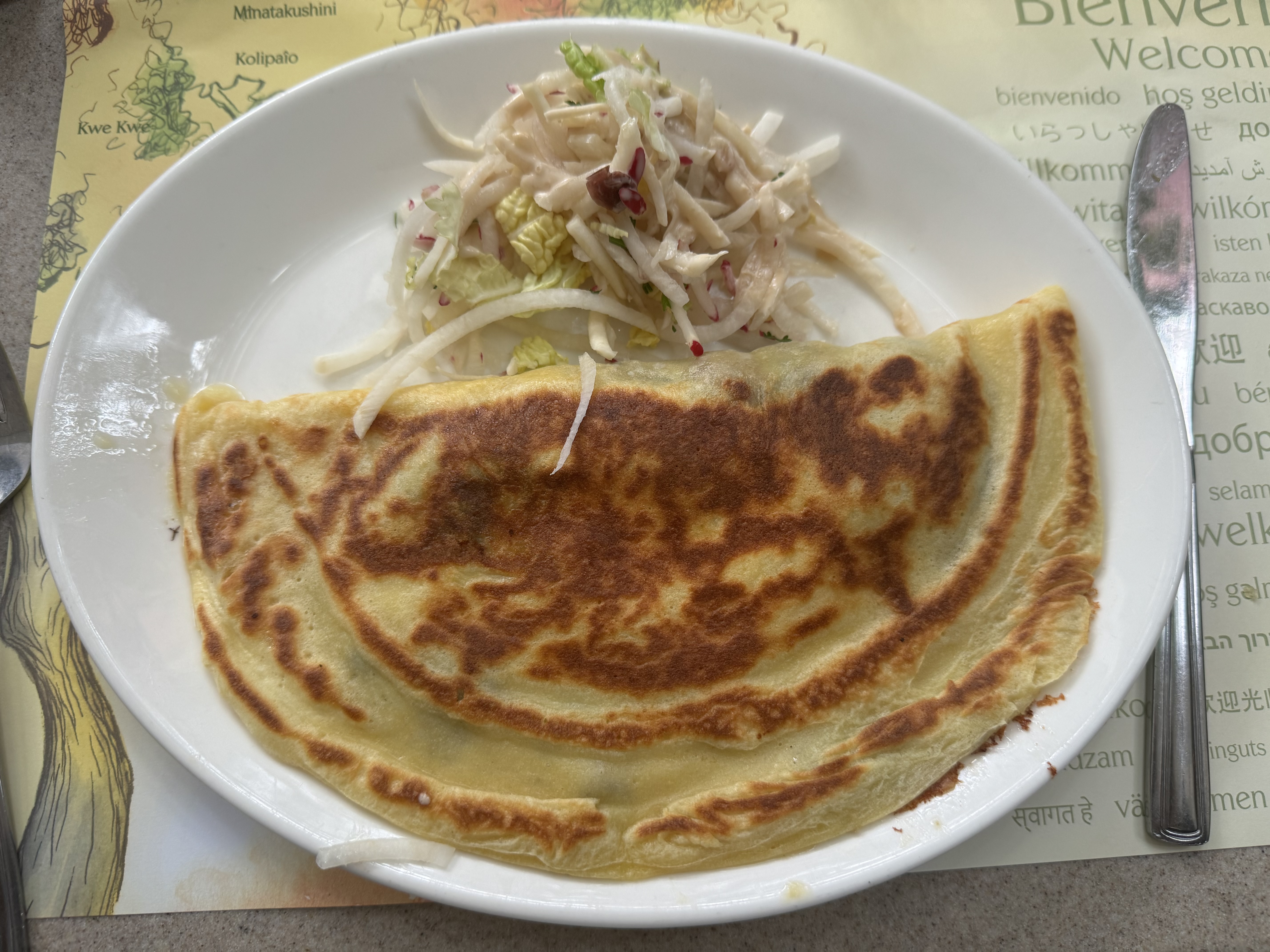
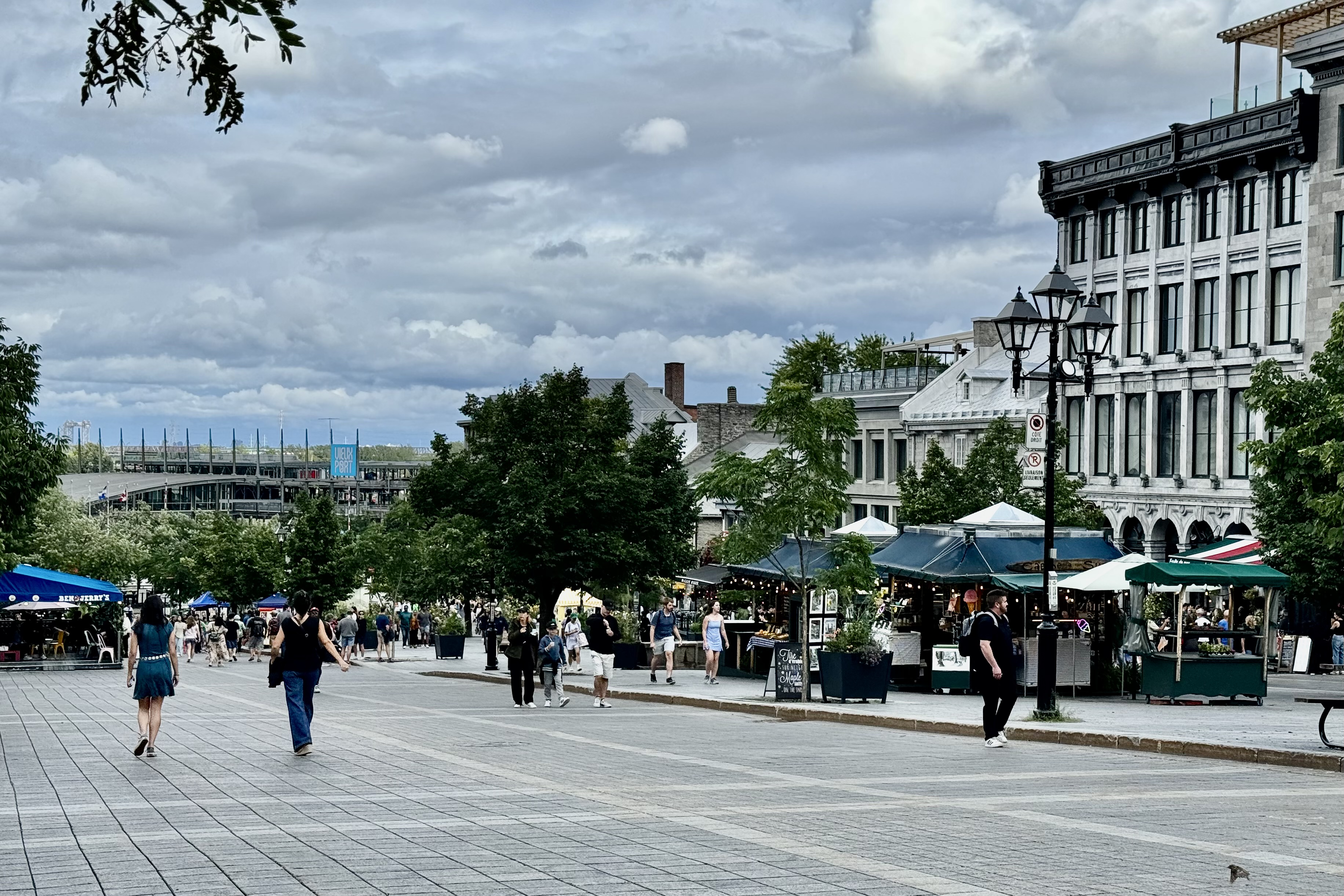
After settling my stuff in my room it was time to commence my walking adventure of Old Montreal. My mission was to find a restaurant where I might get some out-of-this-world French onion soup.. According to the hotel operand, that traditional soup is quite out of favor here in French Quebec and the darling is poutine (it’s a mish-mash of french fries, cheese curds and brown gravy.) Poutine did not sound the least bit appetizing and since I had first been introduced to French onion soup in Montreal almost 60 years ago when I was on my honeymoon, I wanted to recreate a happy memory. He suggested Jardin Nelson down in the port district, about a one mile walk. So I was off to experience this historic portion of this city. Wisely, I selected a route with the least steep hills (so noted in iMaps). The weather was predicted to be clear but 5 minutes out there began several small spatters of rain. I finally arrived at my destination and only slightly damp. I was ecstatic to find French onion soup on the menu and order that followed by a hearty crepe. I definitely don’t have any clue of how it compared to the original but it was quite satisfying and I accomplished my mission.

The crowds in the area were plentiful, the feeling quite festive, and after a brief cruise around the old port I headed on back “uphill” to the hotel to enjoy a second night of comfort sleeping.

The next day when I was checking out at the desk, the clerk asked if I had my parking garage ticket and of course I did not as I always leave it under the visor in the car. So she instructed me on how to get into this very secure parking garage. Since the ticket is the way to unlock the door, I would need to head down the car entrance ramp to the garage and position myself under the sensor and flail my arms to activate it. I also took a brochure to add height to my short arms and body. Unfortunately I was not able to apply this technique because just as I approached a car was exiting the garage and I could just walk down the ramp. So much for a secure facility.

I was off around noon and was tightly gripping the steering wheel and gritting my teeth as I had to make my way through the city with its rude hurried drivers hell bent on not ever giving anyone a break. But I made it out with nary a dent and for the first 50 or so miles I thought I was on I-75 or I-95 during spring break when there is a solid stream of rushing cars heading out of town to a Florida beach party and then back home again at top speed. As I finally reached the point where I headed south toward Vermont, the traffic magically disappeared. Guess these Quebecans were all traveling east to destination that was beckoning their holiday spirit and trying to maximize the time at their destination. The rest of the drive to Dolly Copp campground, located at the base of Mt. Washington in the White Mountains of New Hampshire was smooth and a non- event.

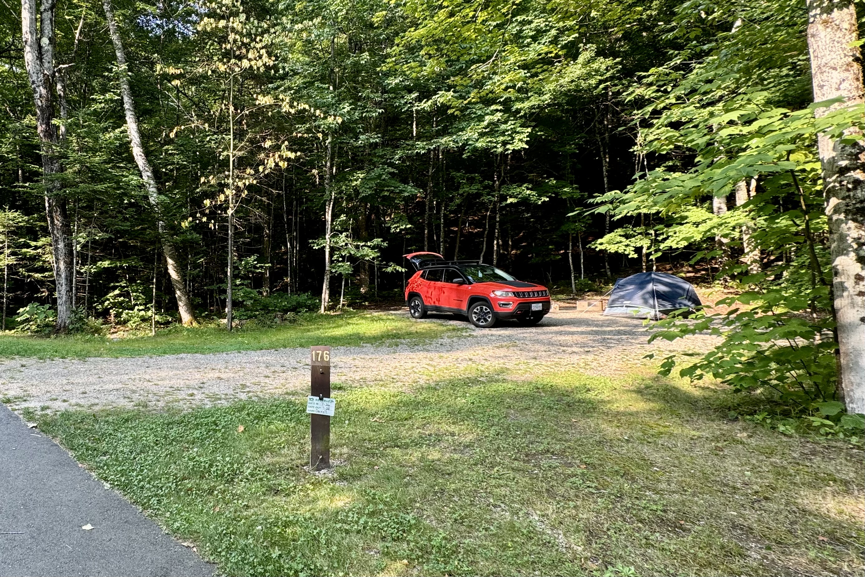
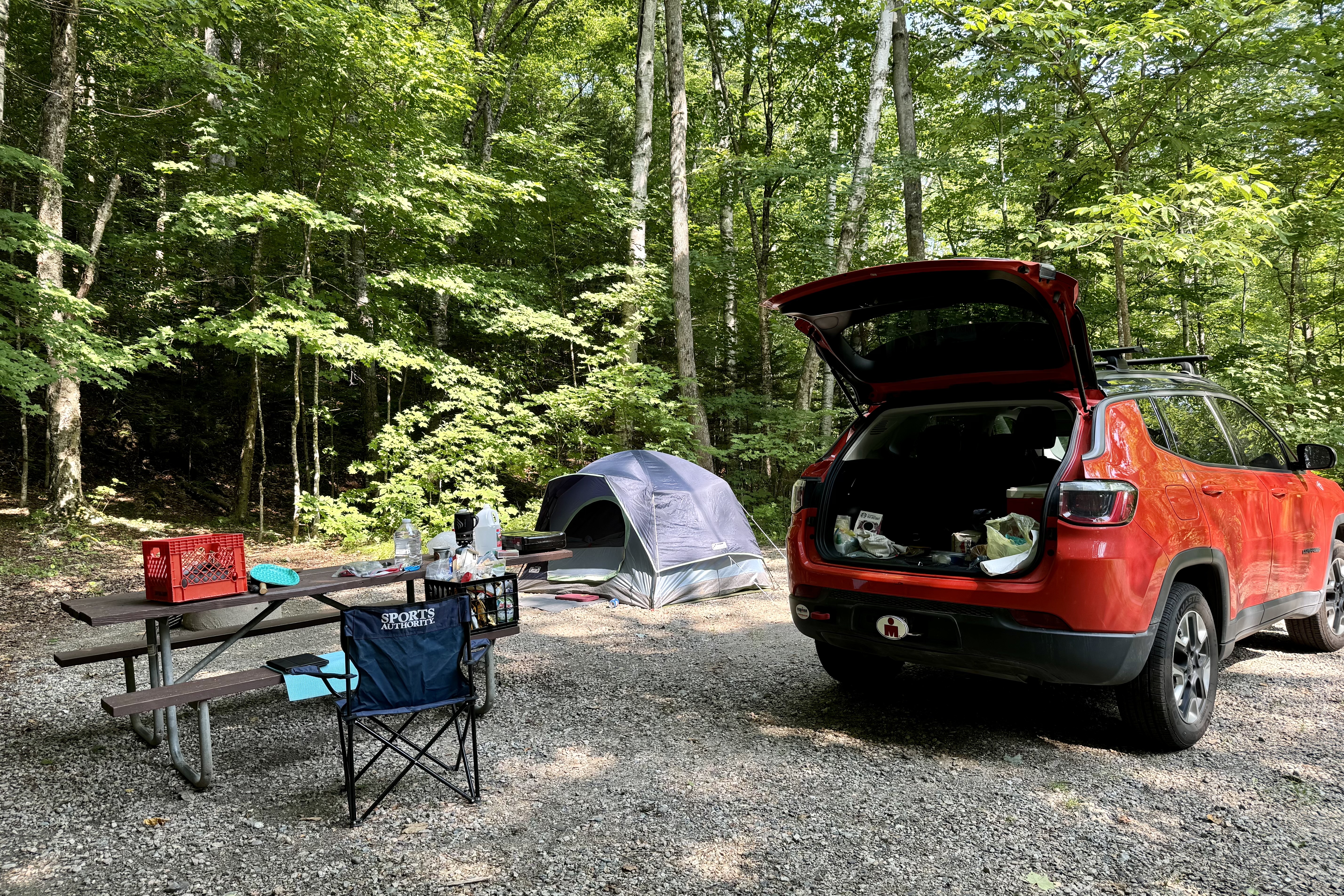
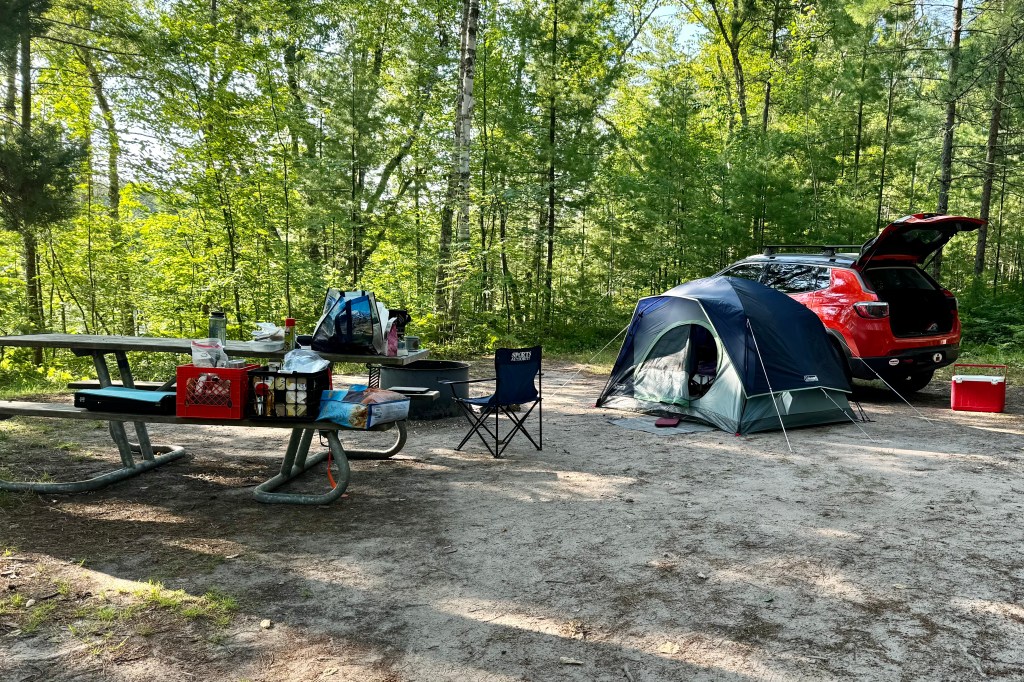
Once there and with no one camped out on my reserved site, I began the chore of drying everything out from the drenching storms at the last camp a couple days ago. I was even more certain that my choice to bail on Fitzroy of Canada was right, as even though the rain had diminished to a light drizzle and, given the real mess of mud and debris on the tent and the infamous leaking rain fly needing repair and still oozing water, I would probably have sat down in one of puddles in the campsite and cried. At least here it was dry, sunny and about 72 degrees with very few airborne pest at the campsite. The main insect to watch out for was tiny buzzing bees but they were mostly attract to my food and not me. Guess no sweetness oozing out of me. But the hot hood of the car did wonders on the rainfly and with the muddy underside the tent laid up over the picnic table I accomplished my household chores in no time.

I have come to the realization that every campground has to have a loud family. So tonight I have the good fortune to be on a site next to “the loud family” that is having their yearly reunion of all the sibs and cousins. They are having a marvelous time and sharing their celebratory mood with a large swath of the camp ground around them. But I recall a day when we might have been dubbed the loud family by some others when our family and/or friends gathered, so I just smile and comment on how wonderful it is to be able to be together. I was in my tent reading and wondering when the raucousness would end but at almost exactly 10:00 it went silent. I wasn’t aware until the morrow that the quiet hours bean at 10:00 pm.
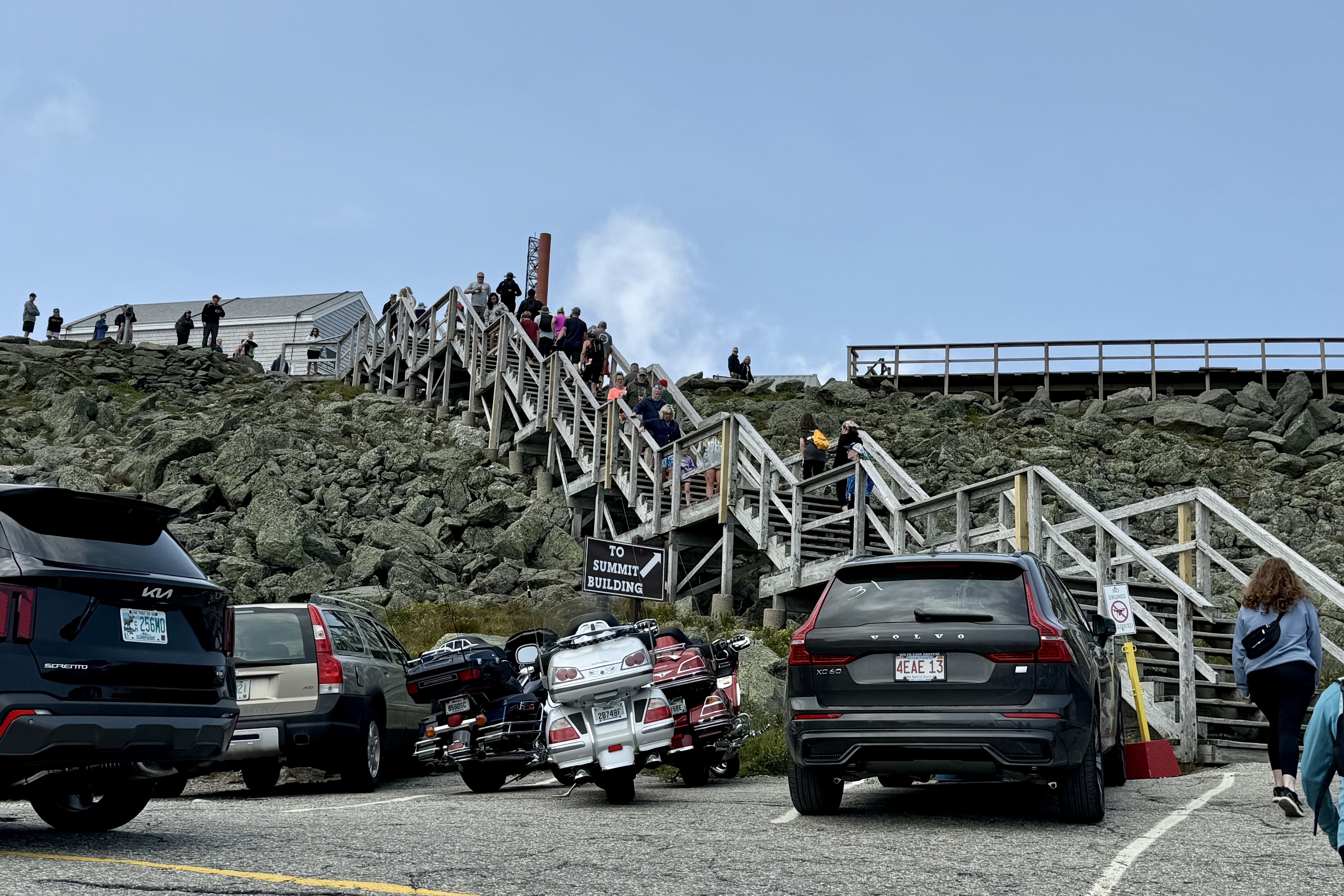
After a good nights sleep, coffee and breakfast I planned to head down to drive the Mt. Washington Summit Road.  Mt. Washington is New Englands’s highest peak (6,288ft) and is famous and infamous for its  weather patterns that can change drastically.  Unprepared hikers have suffered horrible fates for not being prepared . The Mt. Washington Auto Road is steep and narrow with precipitous drop offs, NO guard rails and one could smoke their brakes on the decent. I have always enjoyed driving curvy mountainous roads but this one is in a class by itself.  The first chapter of this driving drama was the price tag.  I actually paid $45.00 to  terrify myself but having read so many gruesome tales about Mt. Washington, I was willing to fork it over. With the hundreds who drove this road today, you would think they could afford a guard rail or two… but then it would definitely temper the utter terror of driving it and the “war story” to tell afterwards. The price tag did give me pause to think about whether I wanted to and I am sure it keeps the number of vehicles at more manageable levels. Did  I really want to do this. Of course. 

To add to the drama of driving it, even at 11:00 am there was a steady stream of cars descending and though most drivers do have a sense of the width and position of their cars on the road, there are those terrified few who prefer to err on the side of caution, hugging the middle of the road to avoid the ditch on the inside edge but inadvertently forcing you to almost tilt off the steep precipice on the valley side. So I tensely did the 7 mile drive and at points certainly asked myself why I thought this was a good idea? But once at the top I immediately pulled into the first spot in lower parking lot and dried my sweaty palms.

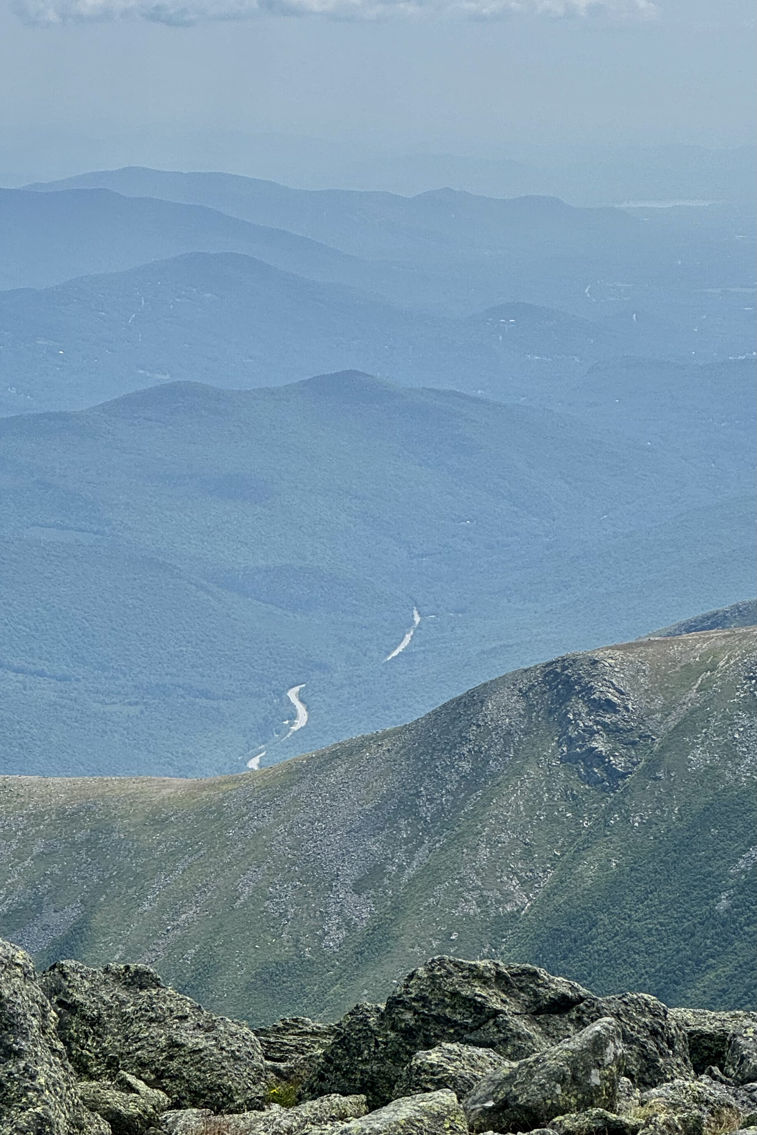
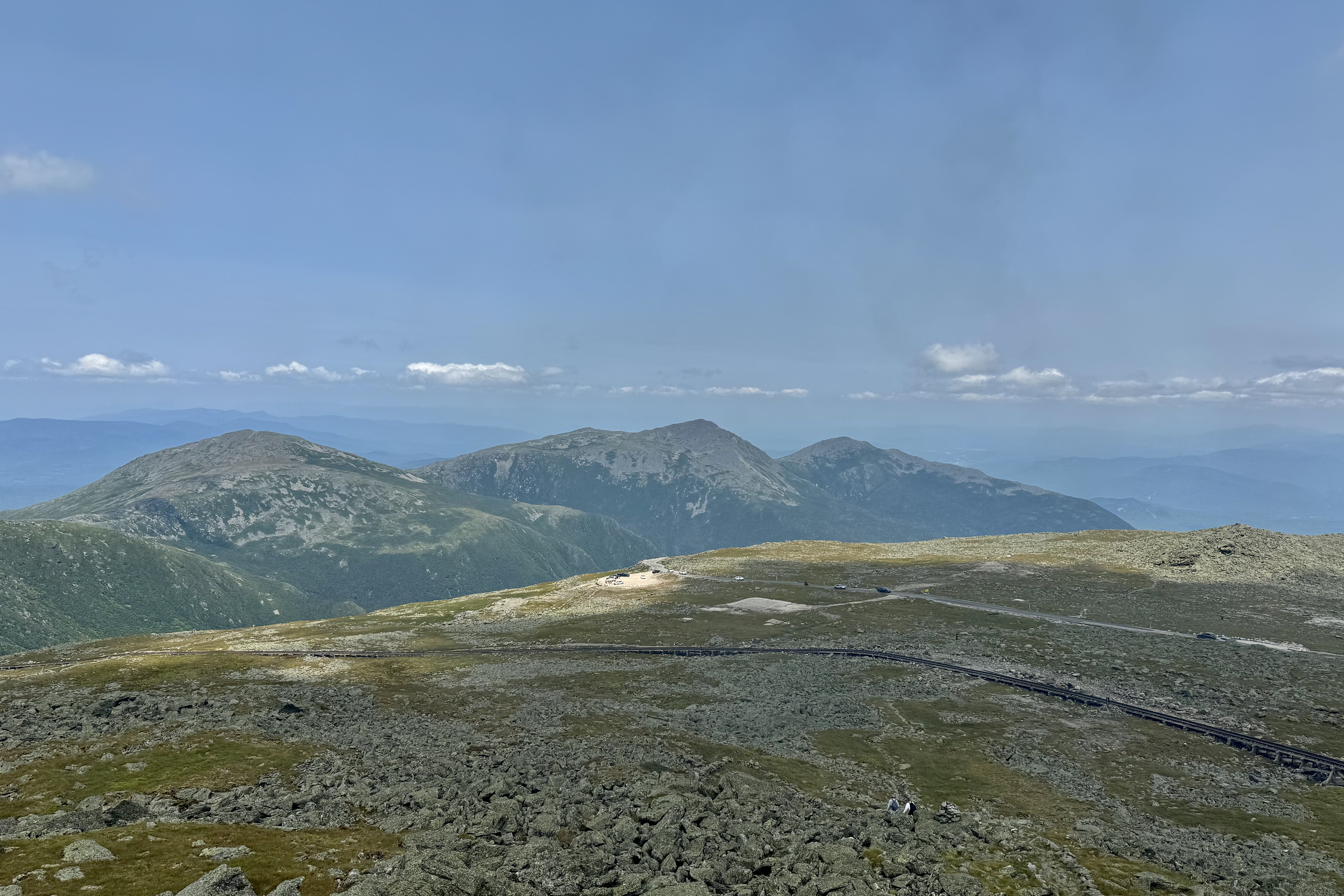
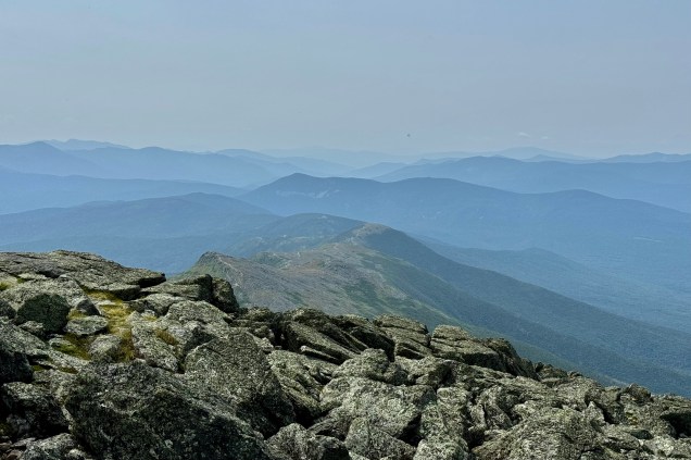
I was determined to spend a fair amount of time up there (to get my moneys worth???). No quick in, snap a picture, and then out. The top of Mt. Washington held not only several weather related installations but it is also a bit of a tourist mecca with tourist information facilities, a large viewing platform, a couple of souvenir shops, a food “emporium” . I found it cluttered, utilitarian and industrial in appearance. Particularly interesting was seeing the buildings “tied” down. As with many mountain valleys, especially in the summer, the high humidity levels result in a foggy or hazy effect and thus reduced visibility of the valleys. This is no natural and untouched mountaintop.

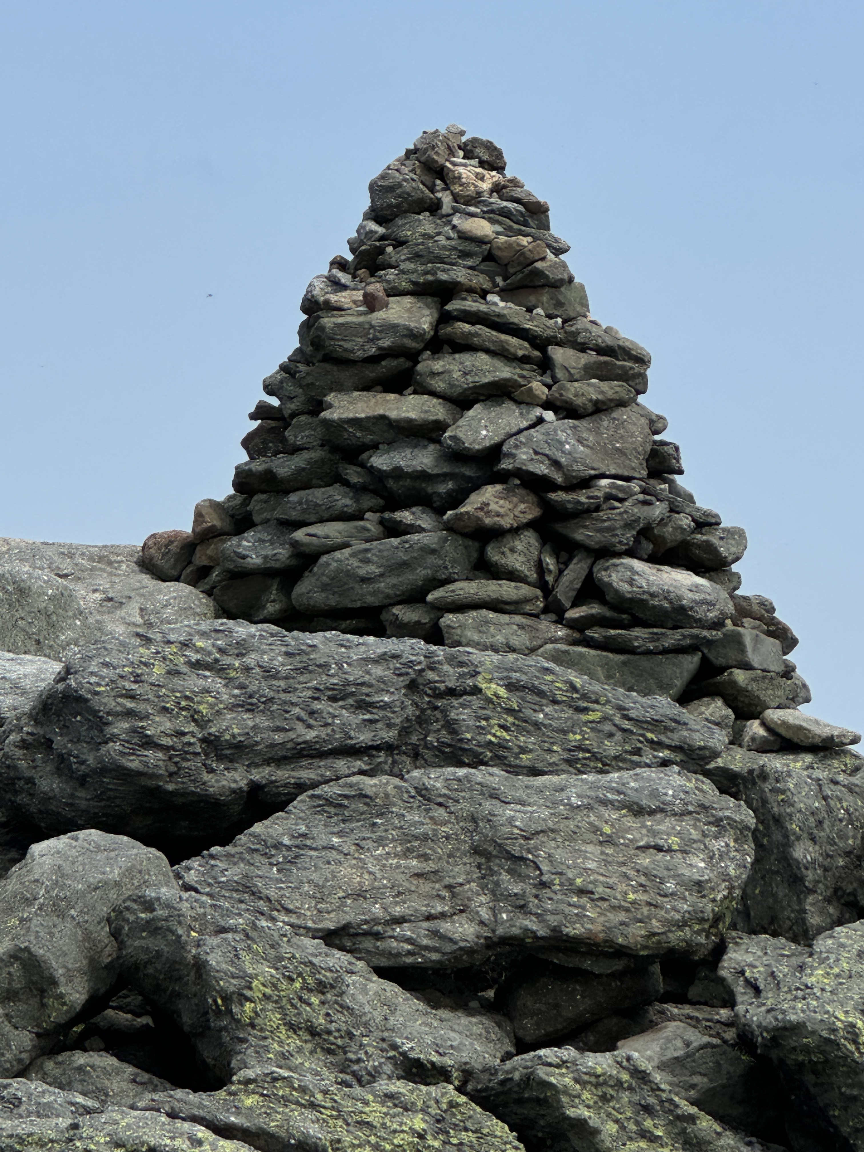
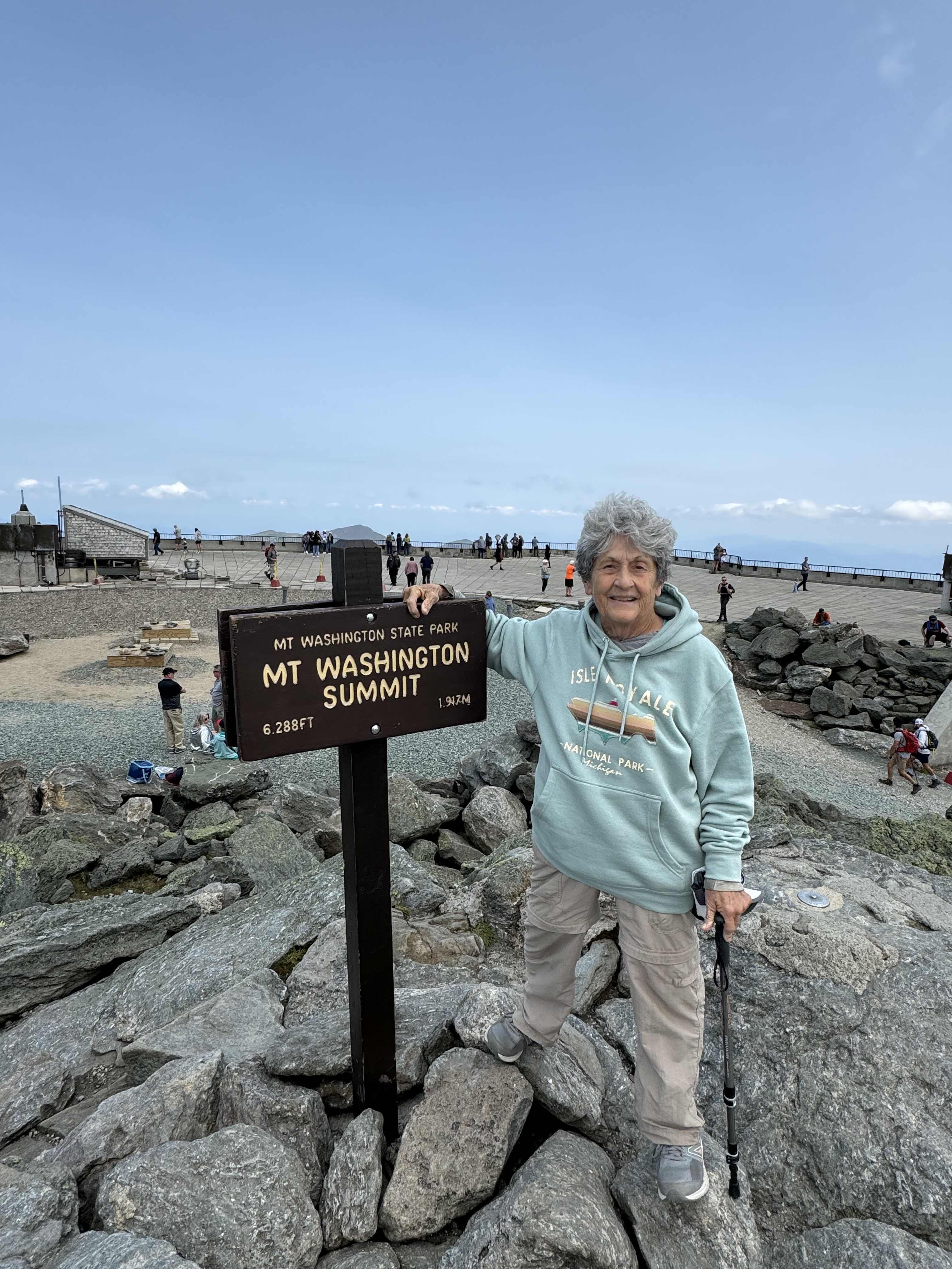
Of course, I had to wait in line to get the “obligatory” picture of me at the Mt. Washington summit sign. Again, to keep the crowds down it was a rocky spot to negotiate and keep it a “real” summit it was definitely not an improved trail to get the last 50 feet. But it was fun watching people, talking to some other adventurers, and deciding I did not need to but any kind of decal or t-shirt to mark the occasion.

I could also forgo the cafeteria like food line. It was after 1:00 by now and often I will fix my lunch and eat it while driving. NOT TODAY. Though I could see people were waiting for parking spots, I calmly sat there and ate, congratulating myself for getting out early before the even larger throngs ascended. I steeled myself for the drive down and actually found it much “easier” that traveling up. I knew enough not to ride my brakes and leave a smoke trail to follow and could not forget it since all the way down there were signs at frequent interval to pull over and let ones brake cool. Since I mostly pumped them and used some engine braking I left no trail of smoke or breadcrumbs.

Before heading back to visit Dolly I drove a bit farther south to visit the town of Jackson. It is home to “Wentworth” and that whole area was what I picture classically New England. But tired of driving, I headed back to the campground. I wanted time to sit back and relax, have dinner, read etc. and do a bit of organization to head to Maine tomorrow. It was a very quiet afternoon amnd evening next door. The “Loud Family” was nowhere to be seen or heard and yet their cars and equipment were still there. Needless to say it was a very tranquil evening.

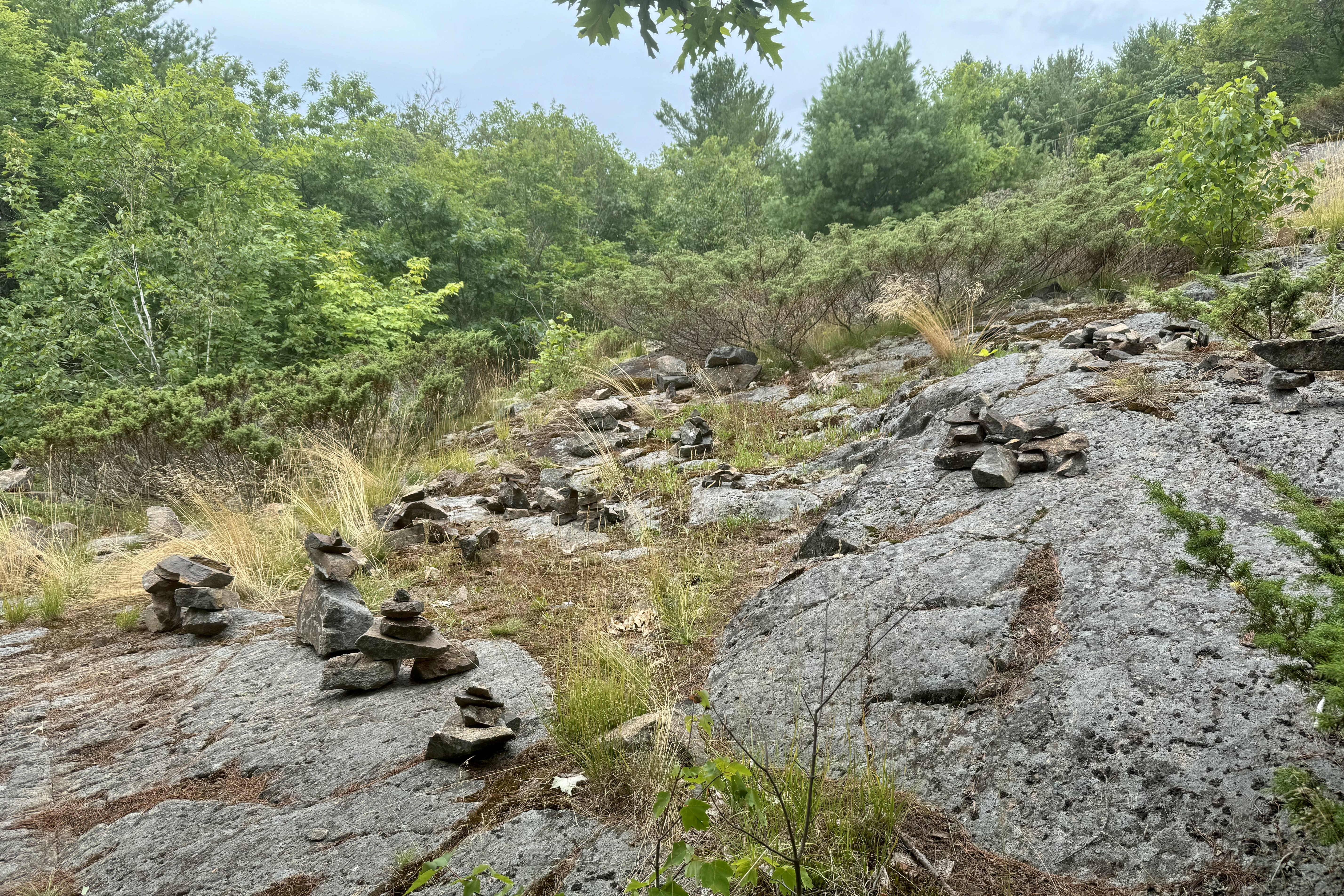
Who Painted the Rocks, ding-ping-ring-zing… drip drip drip, and a Fairbanks not in Alaska!

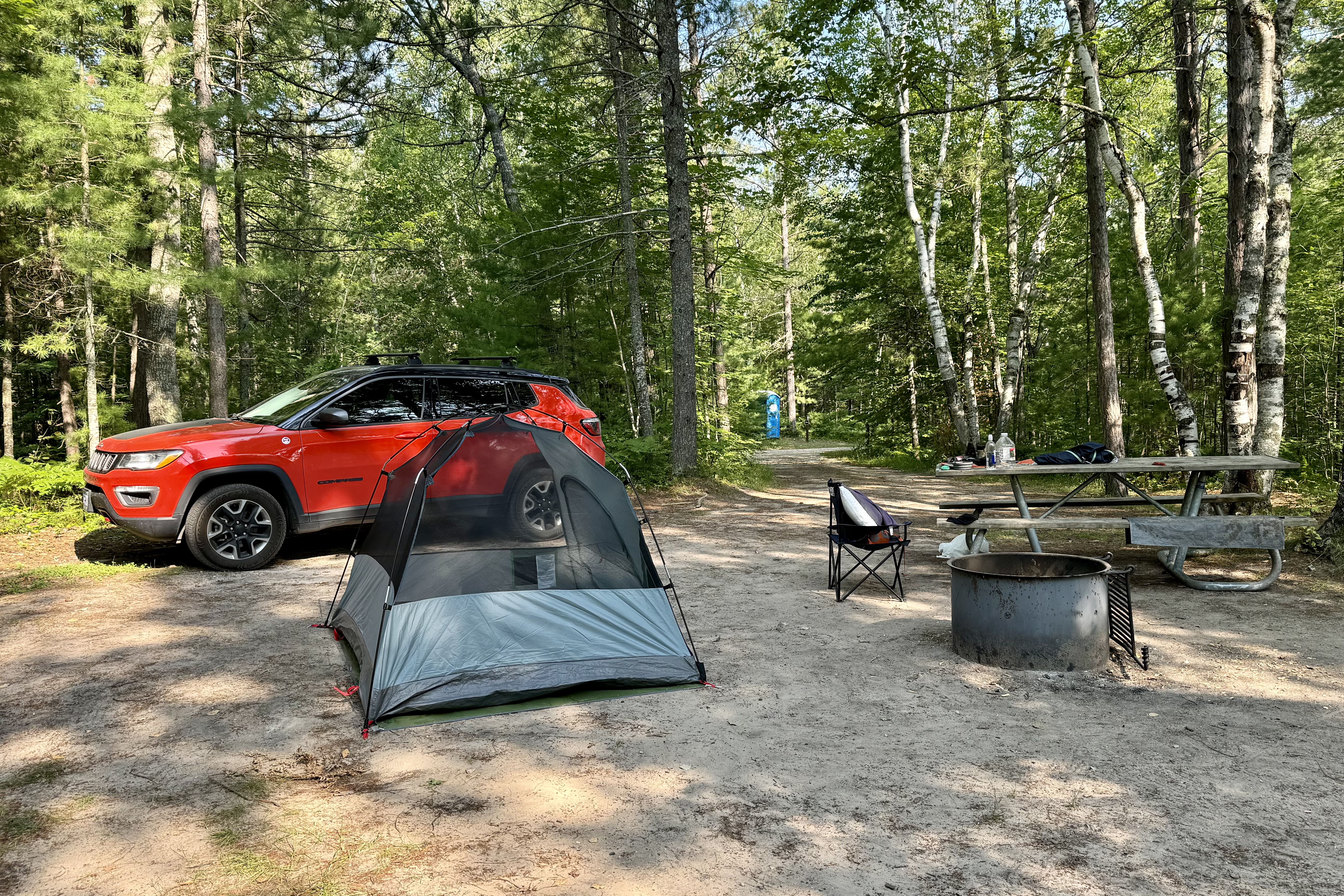
I continued east from Duluth after a great week with two of my offspring rand arrived at my campground, Island Lake in the Hiawatha Forest National around 9:15 which gave me about 45 minutes of light. BUT as I pulled into my campsite there were “squatters” occupying it (as there were no other available sites in the campground). These two young men saw an empty site in the early evening and probably anticipated a “no-show” at this reservation only campsite. They were sitting there by a fire eating their s’mores and I am sure it really sucked that they had to up and leave, take down their tent, pack up there gear and leave their perfect for s’mores campfire. I naturally asked them to leave and fortunately they were decent about it. I for a brief moment felt a tad bad about it. They said there had been no sign marking the site as reserved – a slip up by the forest ranger perhaps – but none-the-less I had paid for the site months ago. So by the time they vacated the campsite it was 9:45 and the sun was setting. I was able to get the basic done (tent / bed) before it was too dark and had a pretty good “flood” flashlight to accomplish the rest. It was not long however before I was in bed.

The following day was a layover day and I wanted to explore the Pictured Rocks National Lakeshore. After a very normal morning camp routine with my biggest challenge being finding my Starbuck’s Via coffee in the chaos of the inside of my car,   I was off – or at least I thought I was off – until I could not figure out the directions to get to the Pictured Rocks National Lakeshore. Perhaps too much like Hansel and Gretel who dropped breadcrumbs to be able to find their way, my breadcrumbs was my iMaps program which led right to the campsite . I did not have to pay any attention to the route road names, identifying features, direction heading etc. and only had to follow that line on the iMap and Siri’s coaching.  Well Siri must have taken the day off and I was without guidance given the lack of a cell tower here in the Hiawatha National Forrest. So I set out  not knowing that I would be setting a personal record of the most U-turns in one day.  I was not in danger of being eaten by a wolf thank goodness. I still have no idea of how I found my way but I finally did arrive at the Munising Falls Visitors center, picked up the NP map, got the park stamp,  and decided to take the hike up to the top of the falls via a trail up the cool, shaded sandstone canyon along Munising Creek to view the 50-foot waterfall. I not sure if I have ever visited it before (I’m a Michigan native and spent many summers in the northern Lower and Upper Peninsulas) but though it was lovely I was tad underwhelmed by it. 

Now had I seen it was a kid on one of our trips to the upper peninsula it might have been a bit more impressive. But perhaps my judgement is warped by our fast paced culture that believes bigger is better , and louder is the best. None-the-less it was a nice little hike and a good beginning of a day of a lot more driving than I anticipated (150 MILES round trip including u-turns.) My plan was to drive the distance of lakeshore and travel most side roads to identified points of interest.  The Pictured Rocks stretches 48 miles along Lake Superior and was the first National Lakeshore. To really appreciate the lake vistas, rock formations, sand dunes, and beaches I would need to take a kayak or boat tour. Since I did not bring my kayak (I sold it 6 years ago because I could no longer heave-ho on top of my car ) and did not have the foresight to arrange a boat tour (I will blame this on no wi-fi or cell service this am and not my lack of planning). I had to be content with a drive-along the main artery (not even close to the lakeshore) and then drive in and back out again on the “local” the access roads …. a not very environmentally friendly method. But I guess it would be less environmentally friendly to engineer a road right along the lakeshore and thus increase the volume, noise and auto pollutants and mix them into the forests and lakes of this mostly unspoiled wilderness and replicate the contaminated environment in a city .

If I had been of a mind to swim I would have chosen Sand Beach, a white sand beach with clear waters on Lake Superior. It was my first stop. According to NPS its clear shallow water has less waves and usually slightly warmer water than other NP park beaches (the average surface water temperature of Lake Superior in July ranges from 55°F to 65°F – what I would consider wet suit necessary and its was not on my list of packables for this trip (aside for the fact I don’t own one anymore. )

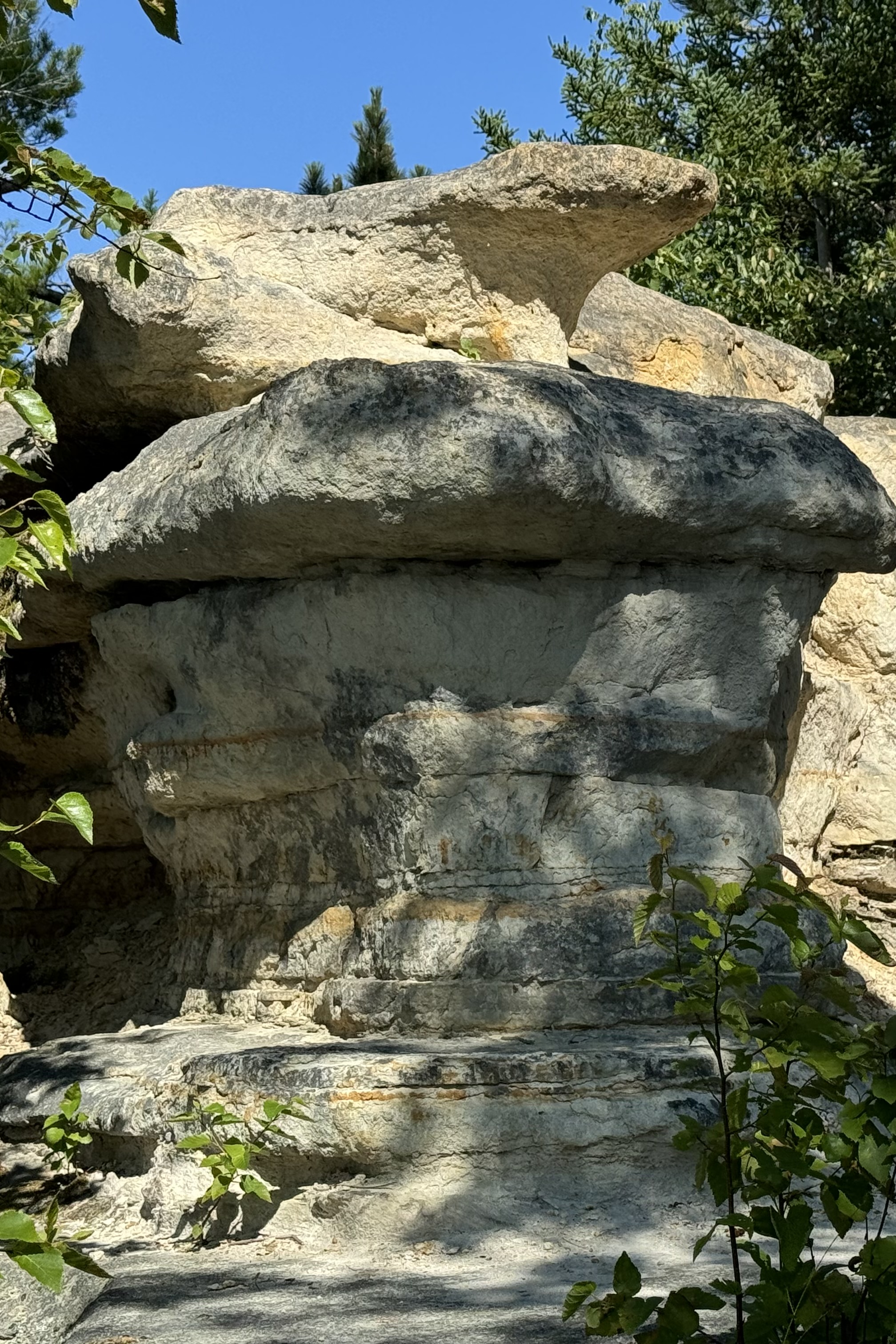
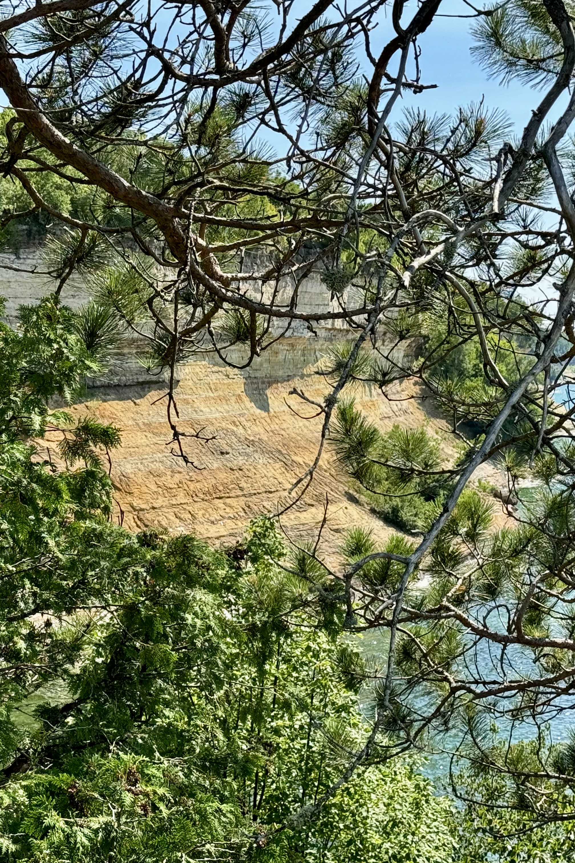
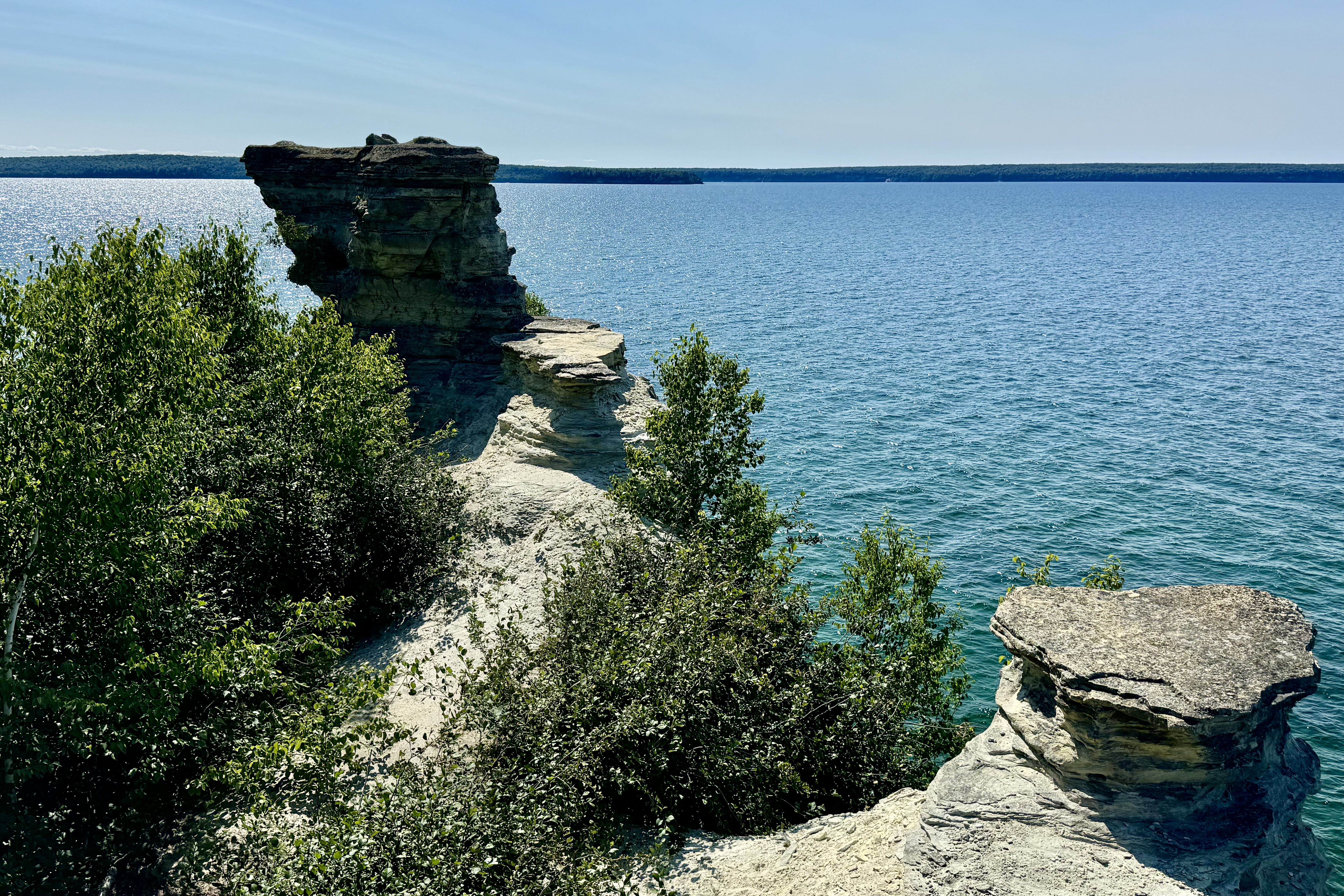
I was quite disappointed that very little of the Pictured Rocks part of the coastline was not accessible for the motorist. The Miners Castle, one of the most famous landmarks along the Pictured Rocks shoreline, was the only cliff area in the park reachable from the park road. I traversed both the upper overlook of Lake Superior and Grand Island and took a steeper trail leading to the lower overlook adjacent to Miners Castle. I recollect doing a kayak voyage of the coastline several years ago and the recall being quite taken with the beauty of the rocky multi colored sandstone cliffs. Not much of the vibrant hues of red, orange, yellow and green and the arches and caves were in evidence from this overlook.

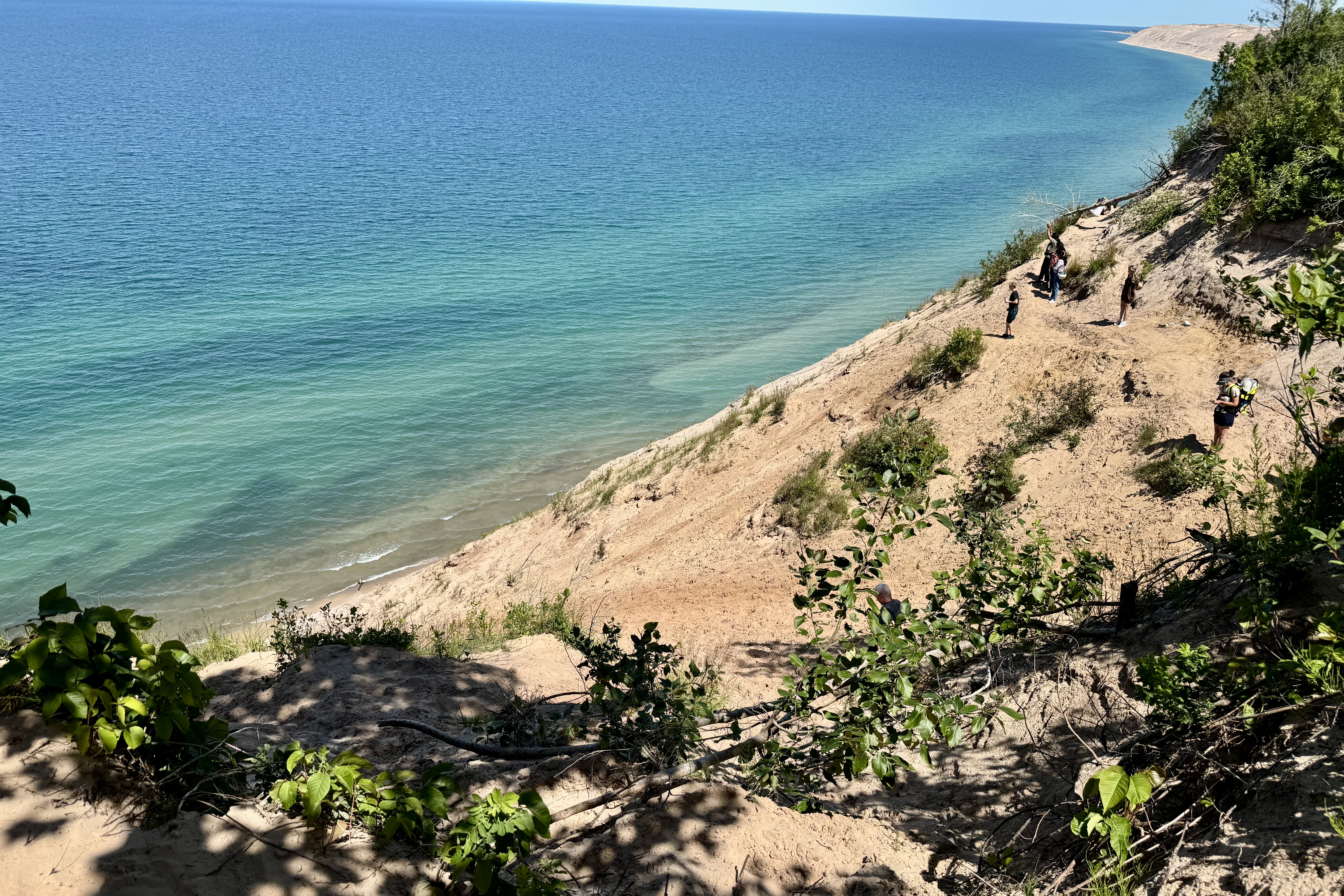
So I motored on to check out the 12-mile beach, and nary a mile of it did I trek (nor did I descend the long flight of stairs down from the bluff). Pretty to look at but not for me today to sink my toes into the soft white sand and huff and puff along. The “log slide” area was intriguing. The site was used by lumberjacks in days gone by to propel logs down to the waters edge. I saw many a tourist slipping and sliding down this steep dune (500 feet) in a few minutes only to be faced with the daunting challenge of ascending the slippery sand with each step the sand giving way and a sliding back with each step. Caution! Caution! Caution! says the sign at the top. For a change I paid attention and that meant staying up top and not pretending I was a log heading down a chute . But most appreciated was the expansive view of the Grand Sable Banks and Dunes to the east.. The dunes themselves are just the top layer of a large pile of rock rubble and debris left by ancient glaciers.

Sated with nature’s beauty, I needed to stop in Munising to pick up a few grocery items but I could not find a store. I picked up some things at the pricey Quickmart and naturally on spur road out to highway, I went past a big grocery store. I kind of rattled around the campsite unfocused but finely manage to build a campfire. This was the first – though I’m not too keen on all that work to not have the ingredients to roast marshmallows and make the old Girl Scout Camp favorite of s’mores.

Awakening to the cawing crows, and after the usual camp oatmeal concoction and coffee, it was time to break camp and head east. Normally I am not totally directionally challenged but some how either I have aged out of that skill set or my cars U-Connect Navigation Guidance system software was impacted by the Crowdstrike security update meltdown. This was definitely not the time to rely on anything other than one’s own brain and intuition as foggy as it might be. I knew I need to basically head north. The throaty female directional guide on U-Connect (since no cell service) had me going the wrong way for starters and, after actually only two u-turns, I was basically headed out of the Hiawatha National Forest. I left Throaty’s guidance on just to see if she had any brains at all and sadly this was not the case. Whenever there was a “road” (term used loosely as she considered ever forest service gravel road, every single sandy lane with a grass centerpiece, and even some that appeared to be no wider than a hiking trails roads) I was told to turn right. I think she was stuck in auto replay mode . But I ended up on M28 by my own shot in the dark guidance and found the grocery store in Munising.

After stocking up on some healthy food such as vegetables and fruit and chicken, I headed across the Michigan Upper Peninsula toward my nights lodging at Lac Fairbank (I like the sound of the French name vs Lake Fairbanks). The names of the parks in Ottawa are boring compared to those in Western Canada (such as Buffalo Pound and Sleeping Giant). There wasn’t much remarkable about this journey though there was a lot of commercial traffic (evidence by the large number of trucks), and tourist traffic ( evidence by the volume of RV’s, campers, pickup trucks loaded down with bikes and kayaks etc). Construction stops were several but not of significant duration. All of the roads were two lane though fortunately there appeared to be passing lanes often enough so I did not have to take too many chances swinging out into the opposite lane, drive 90 miles an hour to get past a slow moving vehicle that always seems to speed up when tryin to pass it, and then scare the bejesus out of the oncoming car as I swing back in. I think these drivers are in a fog and all of a sudden have an awareness of the fact that they are crawling down the road and thus frustrating the 20 cars behind, and voila they are off to get up to speed while you try to pass. Or they are just mean spirited.

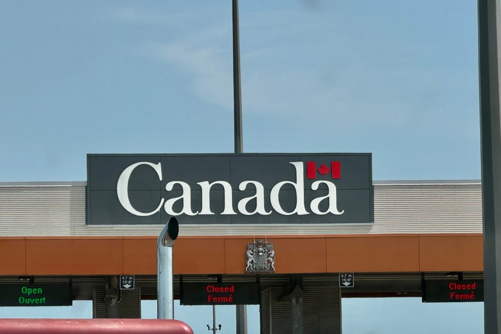
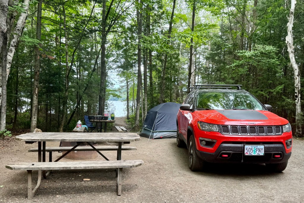
The most interesting point on this trip was crossing the international bridge to Canada. I gazed to my left at the first span and I saw rusted steel vertical lift railroad bridge. Since this type of bridge had entered our awareness with a bang during this trip, I could make it my obsession to visit as many as I could in the USA. NOT going to happen as I am not that obsessed. Due to construction on the bridge there was about a 25 minute back-up to get off and down to the Canadian Border Crossing Point. Because they were releasing a significant number of cars at once there was a wait there as well. I think all border crossing agents are cut from the same mold and one very similar to the interactional style of policeman – very curt and terse with their routine questions that I feel like I’m either doing something wrong or going to do something wrong. When this dude asked if I planned to leave anything in Canada, I so wanted to say “Oh, just some pee and poop!” but thought better of it. But soon I was on my way with still a 200 or so to go and along the way I did find several places to leave my pee. After the last 12 miles of dusty, rattly gravel road, I arrived at Fairbanks Provincial Park, and contrary to the last adventure of finding my campsite occupied, mine was just sitting there waiting for me and was one of those winners. It was large site, with a short path down to the fresh water swimmable lake and good vegetation buffers for privacy. Now these vegetation buffers might be good for visual privacy but do very little to soundproof the site from the many gleeful children all around. But it goes with the territory unless I want to exclusively go only to 55 and older park and I don’t plan to find out.

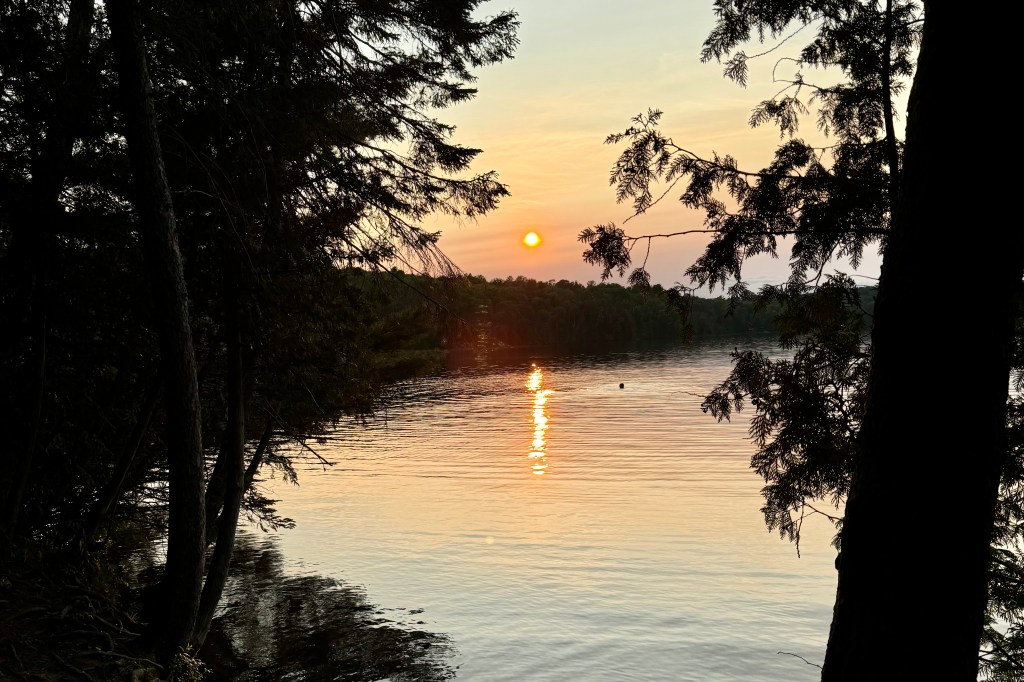
Camp set up is much easier in the light and went smoothly as did cooking a dinner and sitting peacefully and enjoying the lake view (narrow as it was). Since this is a minimal, if any, cell service area I am totally clueless about world events for a couple days and right now that is just fine with me. I can sometimes squeak out a plain text. After a few texts back and forth with my offspring, fellow travelers for last week’s adventure, and catching up on their saga of plane cancellations and delays, it was tent time.

Today’s awakening was to the shrill barks of a very yappy dog in the next tent site … clearly somebody’s spoiled “child.” But it was already 7:45 as I sleep sound and cozy in my little tent. So I laid around here for a while pondering the spider crawling on the netting of my tent but when it failed to find any lucrative location for a web traveled on. So I crawled out of the cozy confines of my lodging and coffeed up and chowed oatmeal and then tried to figure the plan for the day off traveling. It was pretty gray out and on the cooler side (lower 50’s) and the sky was hanging onto the possibility of dumping a bit of rain on we tenters. But not having any clue what the forecast is – recall I have been involuntarily unplugged from our information society due to the propensity of parks to not have cell coverage and having wi-fi would be anathema (by the way I heartily agree with this but it doesn’t mean that I am not in withdrawal.)

So I set out to walk the park roads to the one hiking trail in the park, the WA-SHAI-GA-MOG Trail (Ojibway for “clear water” ). Marked as an easy 1//2 K trail, it was none-the-less slightly challenging for one who would prefer not to break any bones by leaping down the bedrock outcrops and sliding on some steeper clay sections (though thankfully not oozingly slick right now .) It did provided views of the gray waters of Fairbank Lake (the brochure says “beautiful blue waters” but that definitely requires sun). An aside: I am not complaining about lack of sun because I have yet to get any measurable rain while I have been camping.

But between the hike and traverse of the park I managed to get 2 miles in and was back in time for lunch. This is not particularly a very large or well funded park (per conversation with a local) , hence minimal infrastructure — and thus I am saddled with using a stinky loo (though not as bad as the worst of the worst at our campsite loop at Rushing River.) I am wondering if I should start a website rating Canadian and US National and Provincial Parks for their toilet facilities. I don’t see that on trip advisor. I had planned on swimming in this clear lake with a sandy bottom at my campsite entrance but the gray, cool, mildly windy conditions and my rational brain convinced me that if I went in I would be picking leaches of my body and my teeth would be chattering all afternoon. I preferred not to waste my salt nor sit in my car for the afternoon with the heater blasting.

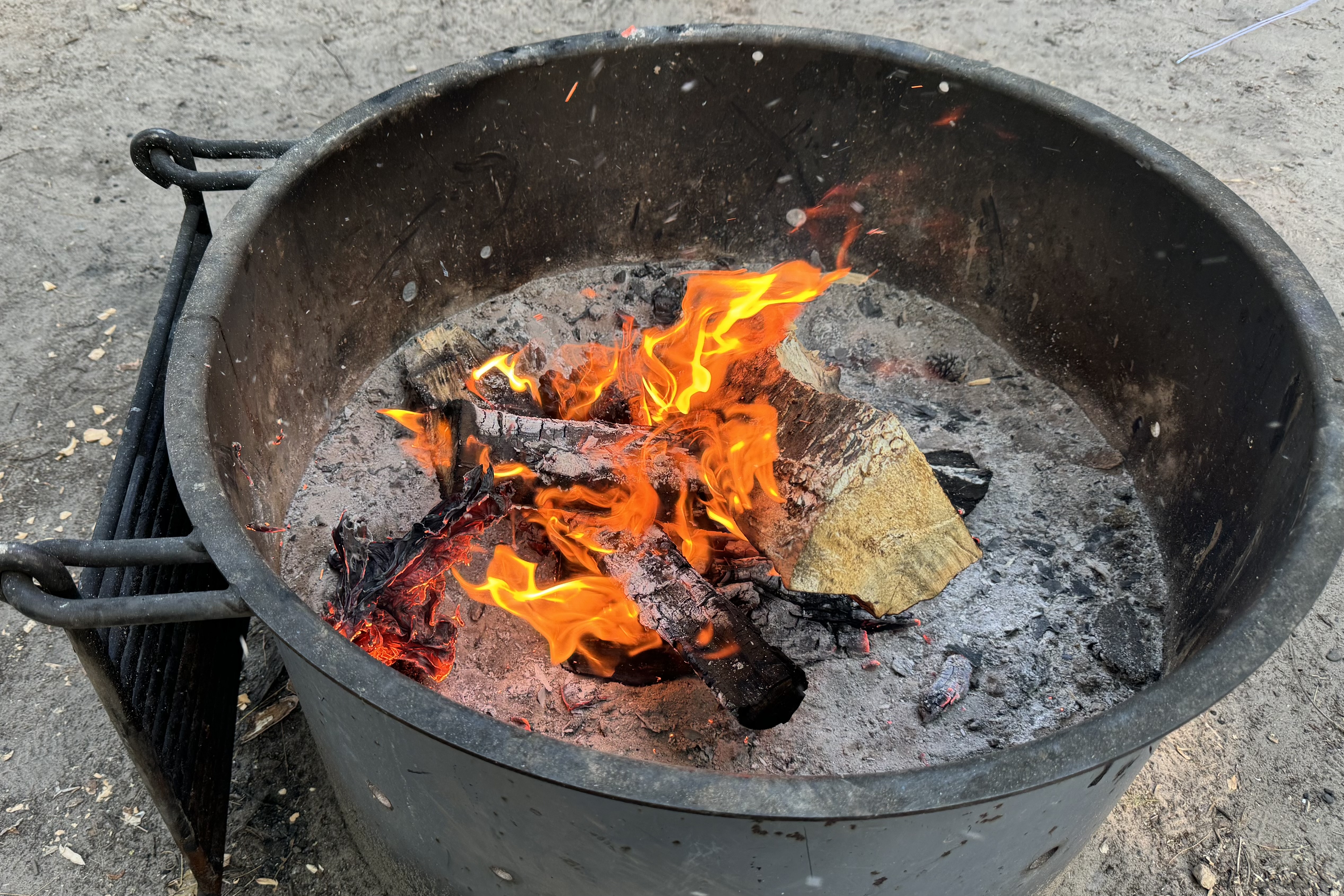
So, I decided I was being a lazy camper and not having the full experience and I really should go buy some wood to build a campfire despite the fact that there would be no s’mores. I could use a bag of ice as well. So I plopped in my car and drove to the office where ice and wood were sold. I got a small ice and one bag of wood. I was expecting ice cubes but ended up with an unbreakable block of ice which took up half the cooler and a very large bag of un-burnable wood (which of course I would not realize until later.) I didn’t inquire if they had a “return policy” but a big bag of wet wood and a big block of wet ice was not what I thought I was purchasing. I totally understand now that the wood has char marks on it from my fire starters that they might consider it having been used and hence no refund. Same as to the melting ice would be considered used. So I prepared my dinner next to some smoldering wood, managed to get all my clothing smelling like smoke, and have not had the benefit of a roaring fire. What if I really was planning on s’mores?

So there I sat post dinner writing away and getting ready to retreat to the warmer confines of my tent with the cacophony of shrill little voices, buzzing mosquitos (though they aren’t actually very bad here), barky dogs, and campfire songs in the background. It’s a sweat life and the moment I would not change a thing (except perhaps dry wood and ice cubes).

Well I wrote last night I would not change a thing. I am now of the mindset that there is one major thing I would change about this area as well as camping in general. Please hold off the rain. Just as I was beginning to drift off to sleep I began to hear the ping of rain on my tent rain fly which is supposed to protect me from getting wet in the event of a rain occurrence. However despite the ding-ping-ring-sing-ting and zing of the rain I drifted off to sleep only to be awaked a couple hours late by a drip-drip-dripping of rain onto my shoulders and face. I did not quite have my whits about me in my semi -coma of sleep so just pulled a blanket up higher and drifted back into slumber land. When I awakened again to the dribble and drop of the wet stuff, I could not think clearly enough to move my cot over but just slid deeper in to my sleeping bag and hoped it would not soak through. My tent is brand new so I certainly could not have forecast a leaking rain fly (the tent itself is mostly netting so one can enjoy the cool breezes and feel of sleeping under the stars.) I awoke around 7:00 to the rattle or rain and began obsessing about how I would make breakfast and pack up my gear without getting bone chilling cold. Then it suddenly STOPPED. So I went about trying to get coffee and breakfast and break camp as quickly as possible while also trying to minimize the amount of sand, gravel, dirt and rain I would deposit in my car. I wasn’t particularly successful but did manage to lay out my sodden blanket and sleeping bag on top of all the other equipment to hopefully dry out. I managed to be on the road without any more rain episodes and was heading toward Fitzroy Provincial Park all the while brooding about what to do about my leaking tent as I traversed the country-side all the way to Fitzroy Provincial Park in drenching rain and amidst thunder storms.

Upon arriving at the provincial park I had already made a decision that I would go into Ottawa and get a motel. But first I wanted to check out the campsite in case I wanted to return the following day for my other reserved night. The site was totally remarkable in that it was very wet, mosquito infested and there was nothing appealing about it. I would not return on the morrow. I chose not to be a slave to my original plan and headed to the Comfort Inn in Suburban Ottawa. I thoroughly congratualted myself on a good decision. Since it did not appear that there was any imminent rain and this motel was old style with an exit sliding glass door to the parked car, I laid out a few thing to rain dry enough so I could shake the gravel, sand and clumps of mud off. I had some leftover food from the previous nights dinner in my cooler and thus had a microwaved meal, prefering not to have to get back into the car to go out to a restaurant as there was nothing within walking distance. So after reorganizing the drier equipment and the rest of the paraphernalia I thoroughly enjoyed a comfy rainproof structure, a motel room, for the night.

Voyagers Voyageur, Lighthouse Graffiti, Selfies, and Statues Obscura

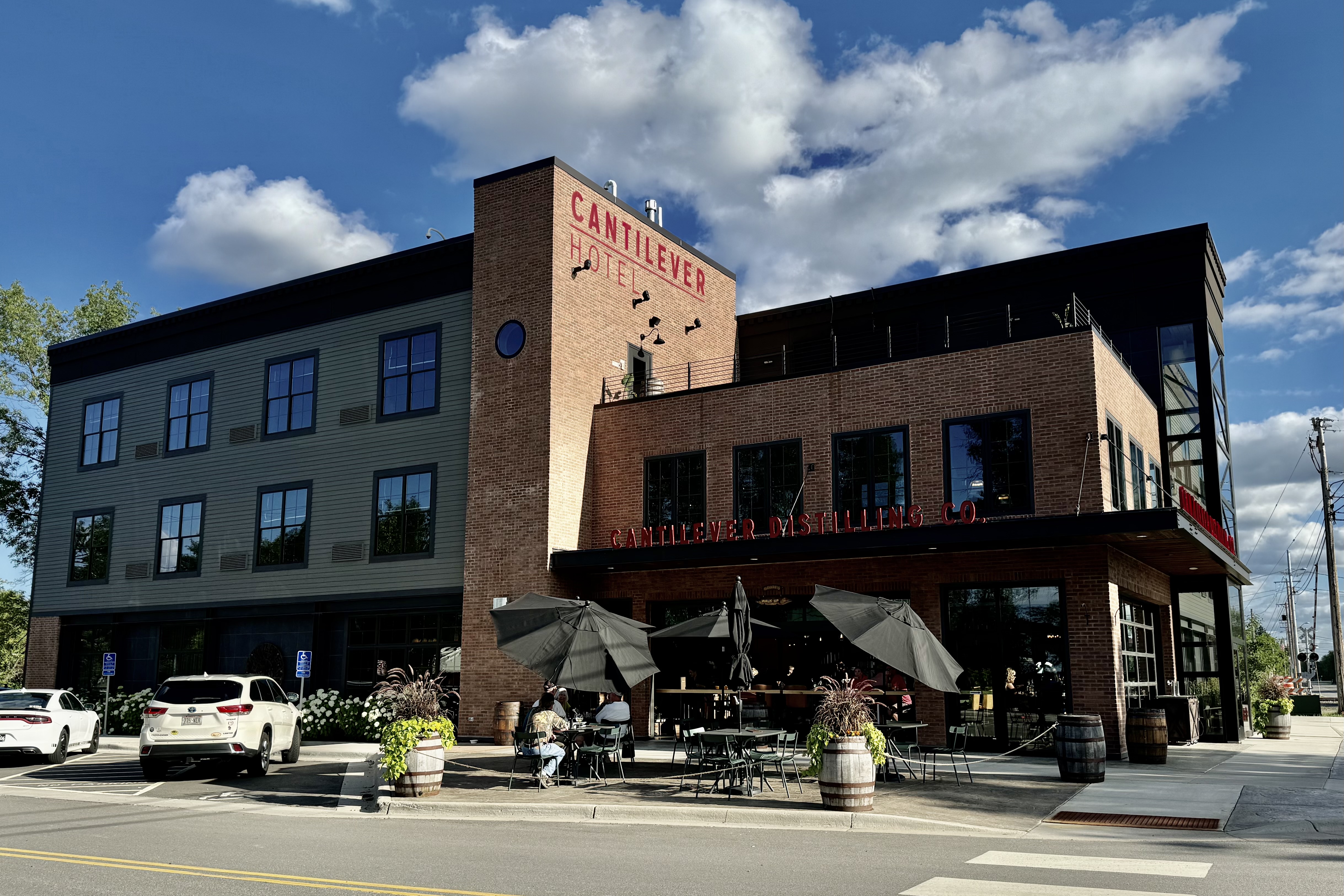
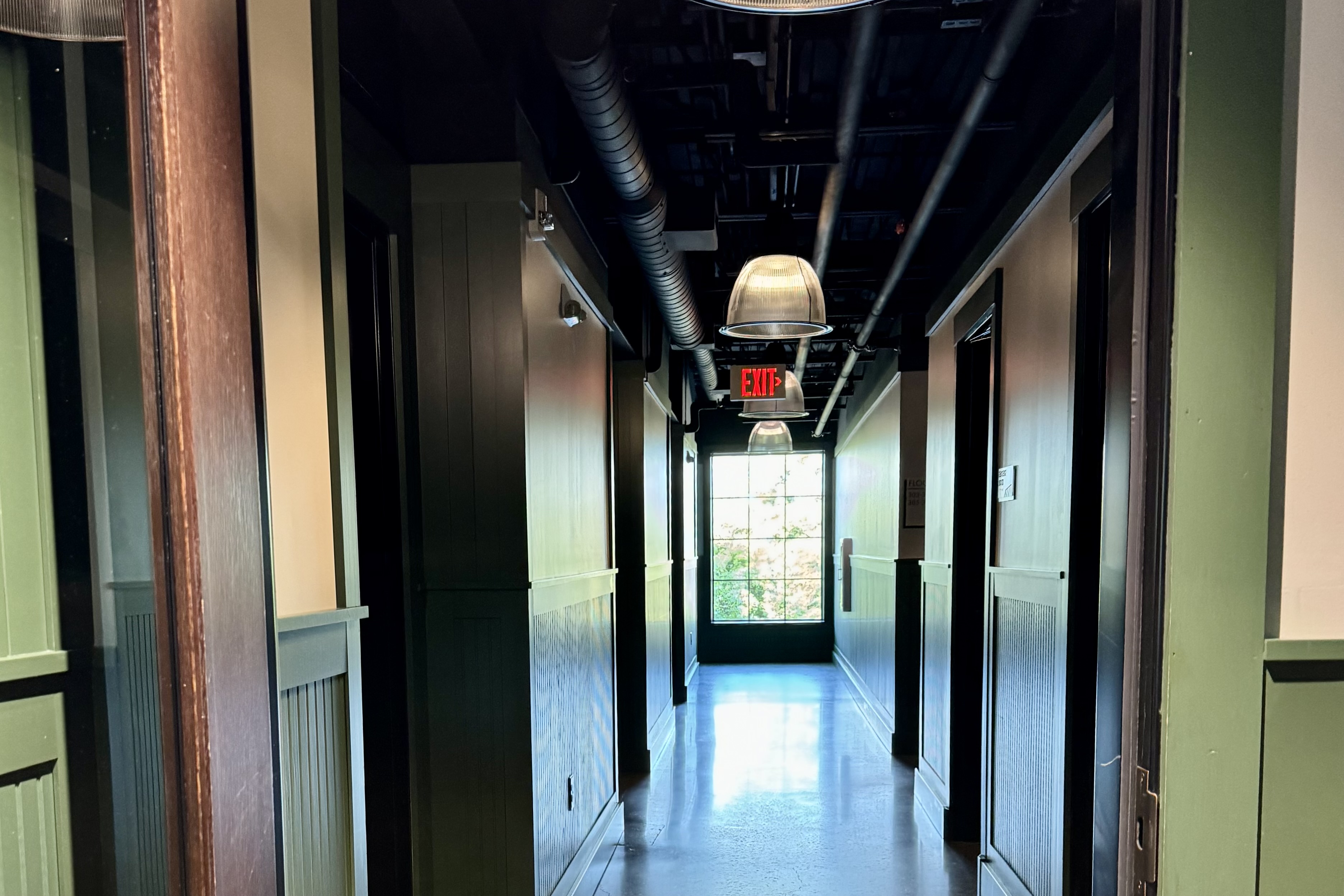
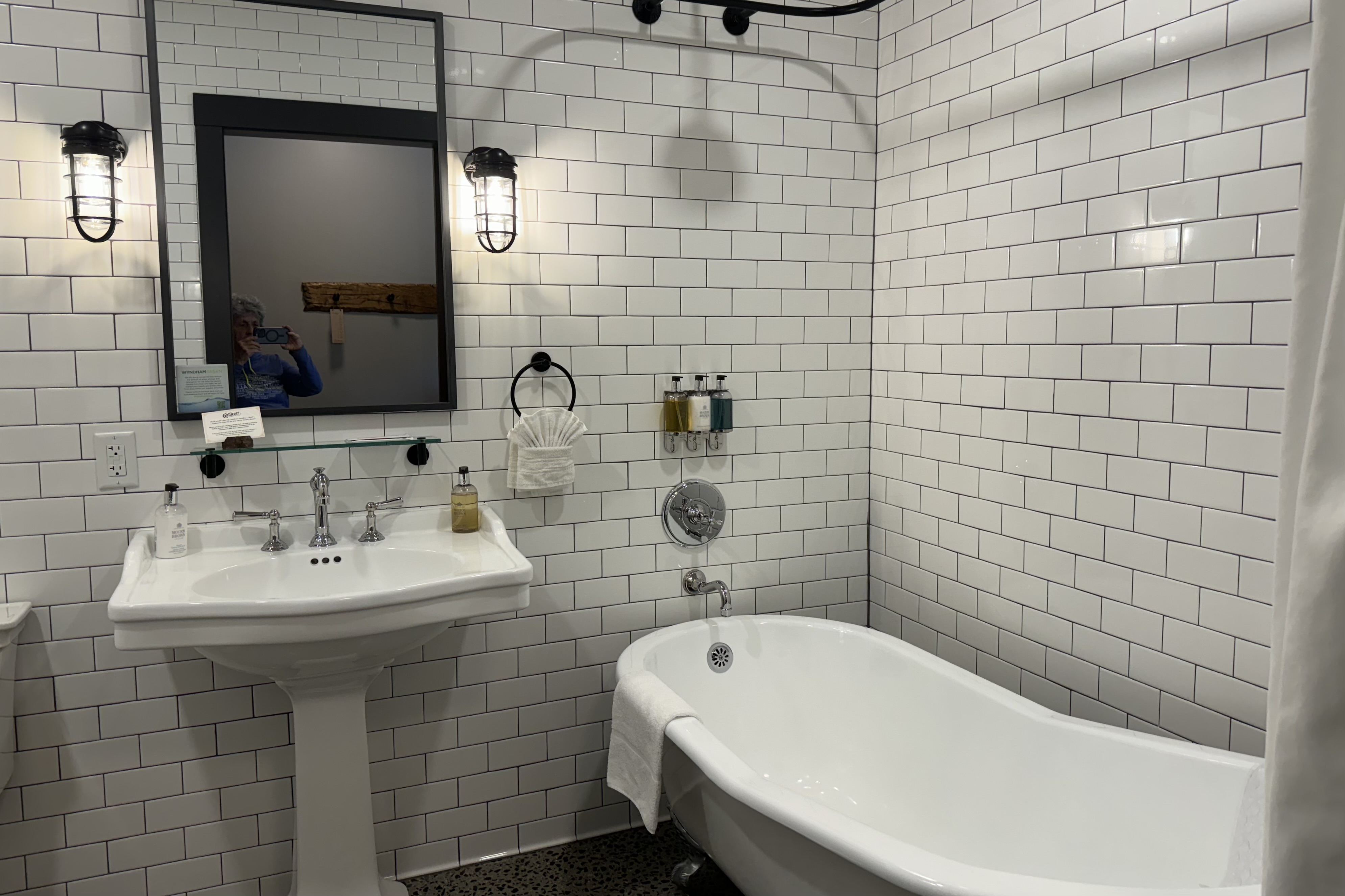
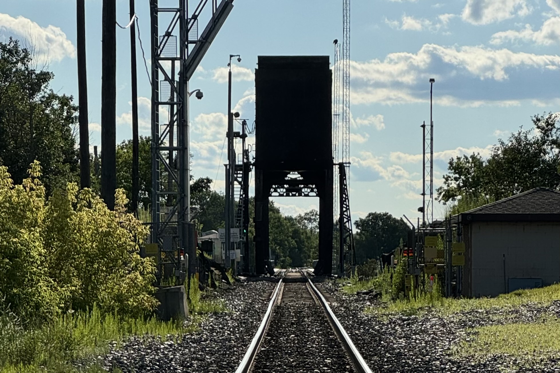
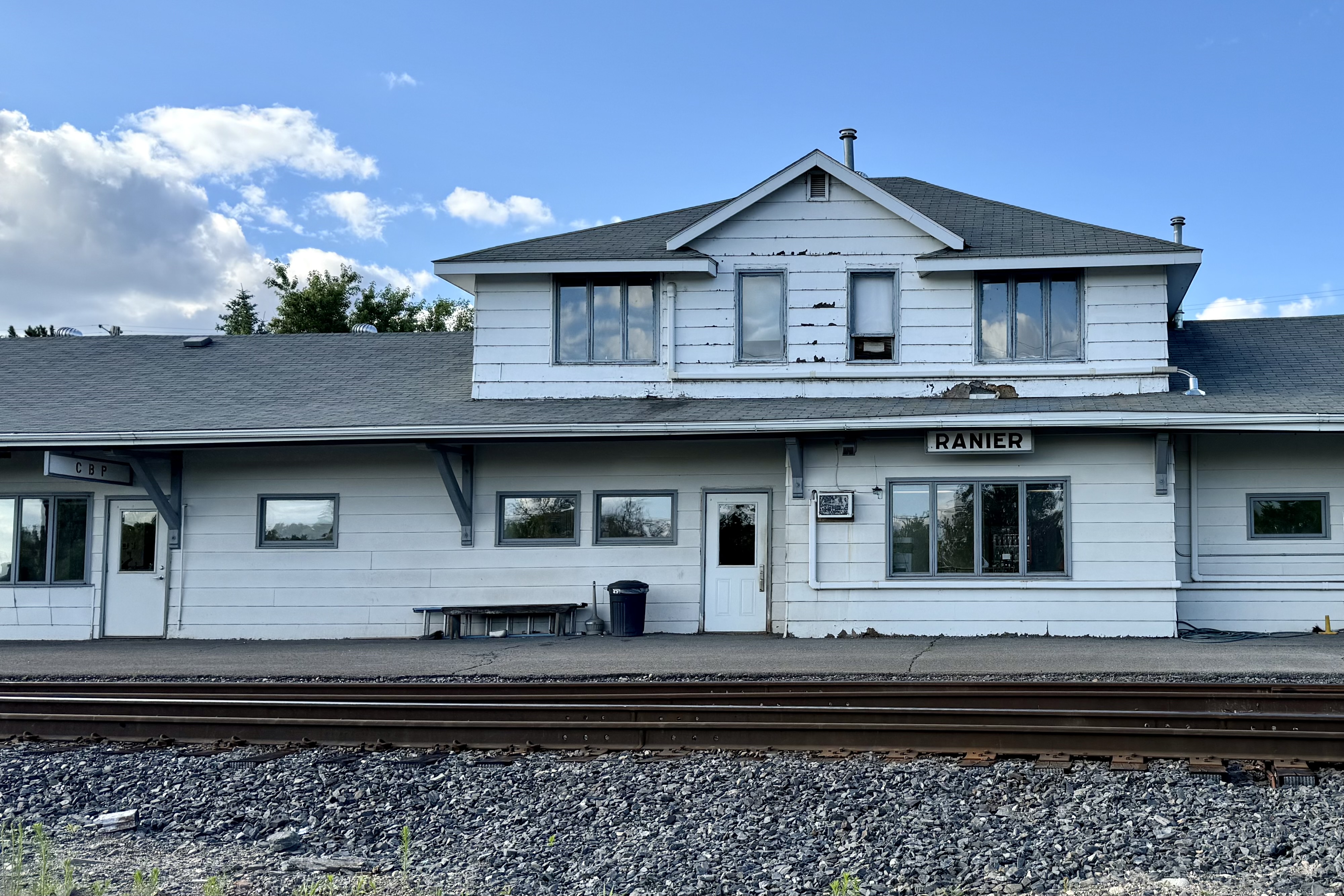
There was no dawdling after our Isle Royale Seaplane landed as we had over a 400 mile drive to reach Ranier MN for our Voyagers National Park visit. This would be the 56th park I have visited. After working our way through the expressway construction in Duluth, the drive was mostly easy and uneventful with Jamie and I sharing the driving.   To relieve the feeling of road weariness setting in, we stopped for lunch at  Culver’s (BUT skipped the ice cream) and arrived in Ranier MN , our destination by late afternoon. We were staying at the Cantilever Hotel and Distillery off Rainy Lake and close to the gateway of Voyageurs National Park. This boutique hotel to me was quite an anomaly in this town with a population of 569, with it being quite cosmopolitan in a town with an historically gnarly reputation and basically a spot to watch the trains cross the international border on the Ranier Lift Bridge. It was proximate to Rainy Lake and right next to a very very very busy train track which had a cantilever bridge, the oldest cantilevered bridge in North America. I rarely remark on hotel rooms but its hotel rooms are supposed to bring back an experience of this bygone era with tall ceilings, industrial elements, bathrooms with claw foot tubs. I found it quite an inviting experience but clearly it is new “old” not old “new”. No ancient rust stains in the claw foot tubs. The fun part of this room was to watch the high volume of train rumbling past the hotel —- they even provide ear plugs for patrons. For sleeping purposes, I found them easy to ignore and not nearly as plentiful during the night. There would have been a day when it would have been “the cat’s meow” to have a distillery out my hotel room door.

Bridges are becoming the obsession since encountering the two vertical lift bridges in Duluth MN and Hancock MI.  Bear with this obsession if you will. The Ranier Lift Bridge is a Rolling Lift Bridge, and was the epicenter for importing contraband liquid libations during the Prohibition (hence the gnarly reputation) . The single-track lift bridge crosses Rainy River between Ranier, Minnesota, and Fort Frances, Ontario, and is one of the busiest ports of entry for international rail freight in the United States. This very small town is very very busy train wise! . Traffic over the Ranier Bridge is more than twenty trains a day with most pulling between 100 and 200 cars. Theycan be 1.5 miles long and a very long wait (20 + minutes) at many intersection you might want to cross. Hopefully residents have a schedule of trains so as not to be 20 minutes late for work. Our post “sitting in the car all day hike” was an attempt to get a good vantage point to see this bridge.  The one access would be up a prohibited road and we definitely did not want an already ticked off station master who was already hollering at a cyclist chasing us down.

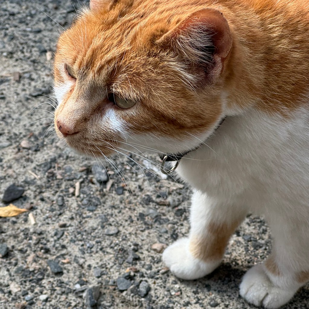
So we gave up the search and decided to have dinner at the hotel restaurant. It was a nice 70 degree evening and that demanded sitting at a table outside.  It definitely was not a “come back another time experience “.  The waitress was quite surly and totally inefficient and inattentive. It took forever to get our drinks and getting our meals took even longer than forever so not the most generous of tips was given. The best part of the dinner was watching this big orange tabby cat trying to sneak into the bar and a neighborhood dog cruising the tables looking for handouts ( evidenced by his girth he appears to have received quite a number of handouts) . Ranier is a dog friendly city and allows its resident dog owners the privilege of letting their dogs roam unleashed.

We awoke on July 18th early enough to get on the road to the Ash River Visitors Center in Voyageurs National Park for a scheduled boat excursion to Kettle Falls at 10:00 am. Voyageurs is a water-based park with no drive-to sites in the park. Campsites and house-boat sites are all boat-in, hence one of the reasons we did not stay in the park. I did not haul my boat across country. Actually I would have had to buy a boat to haul it cross-country.

Thus, the natural choice was to book a water-based event and travel a water-based highway to experience the water based park. But before we departed , we filled the hotel traveler cups with a truly awful brown water which they served up as coffee and charged as much as a fancy late’ at Starbuck’s. This has been quite an issue of late as it seems every time we ordered coffee in Michigan and Minnesota it is truly tasteless and this is probably the first time ever that I can recall never being able to finish my first cup of coffee. I guess not many people around here favor robust dark roasted beans and the nice rich strong taste of coffee they produce. My comments are not meant to offend those who enjoy brown water! But we all managed to be awake enough to get to the Ash River Center.

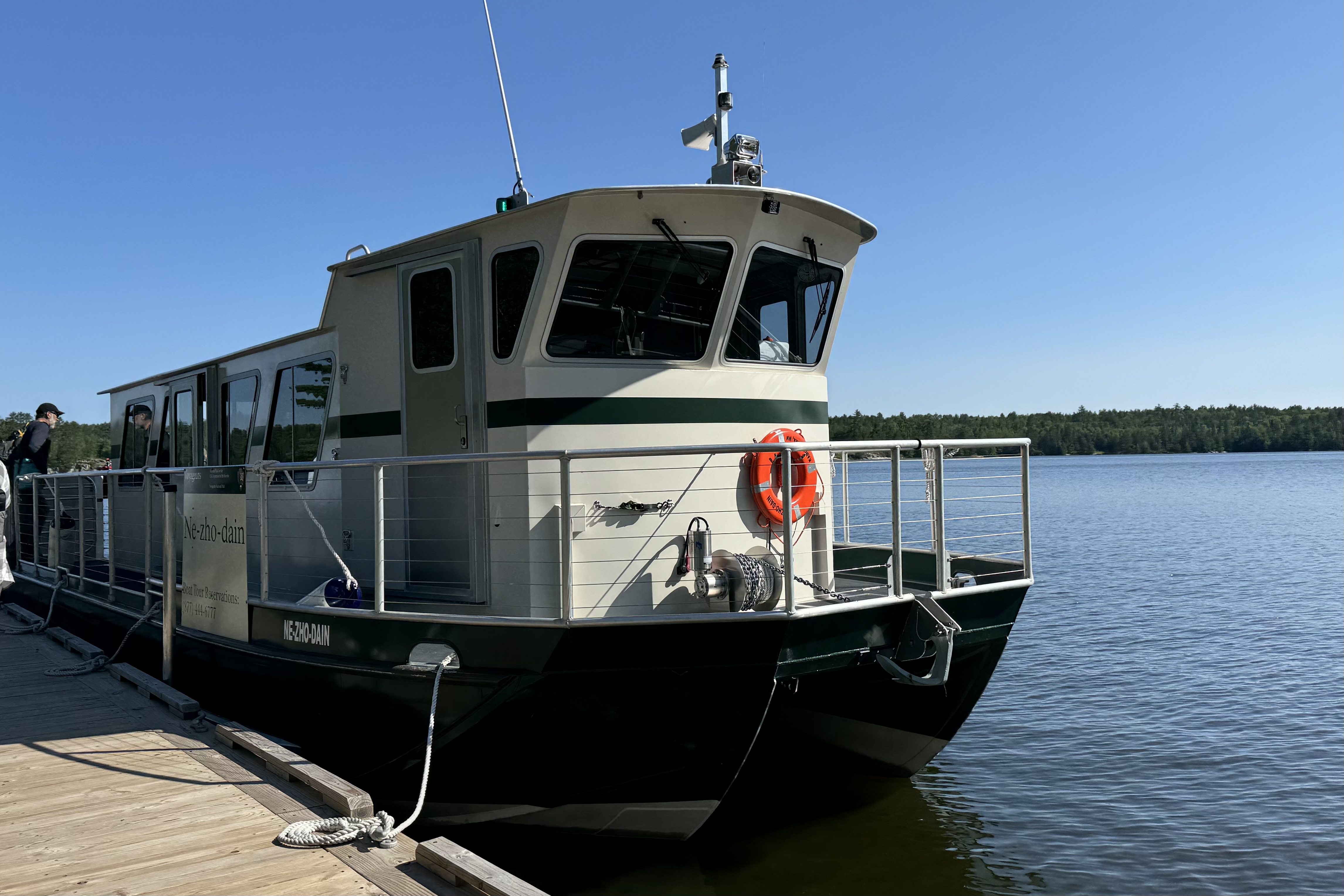
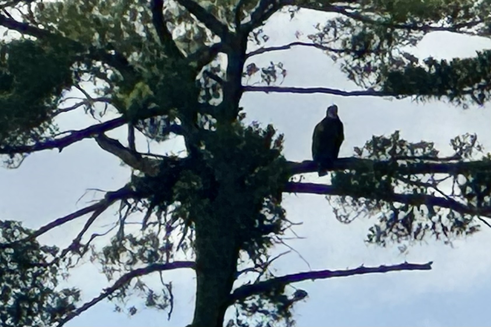
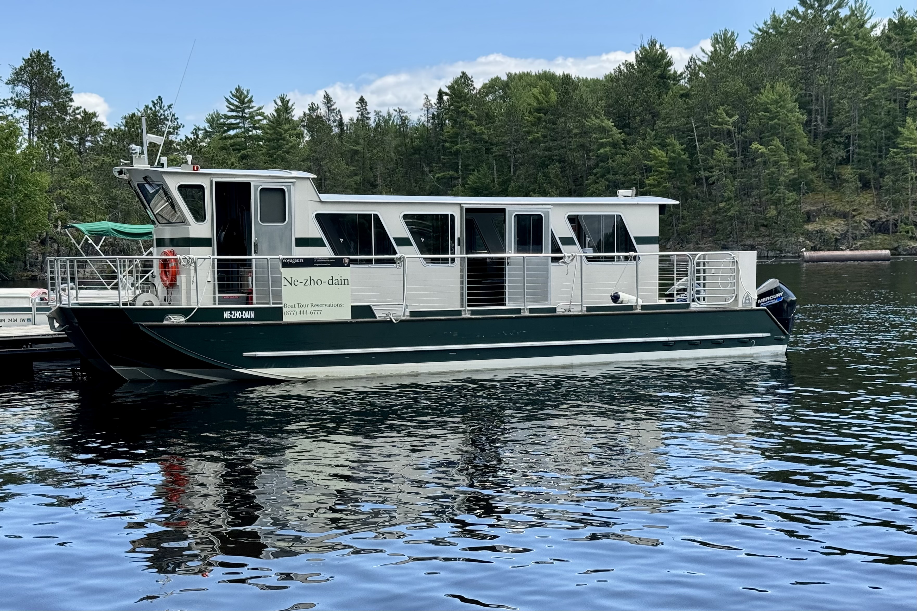
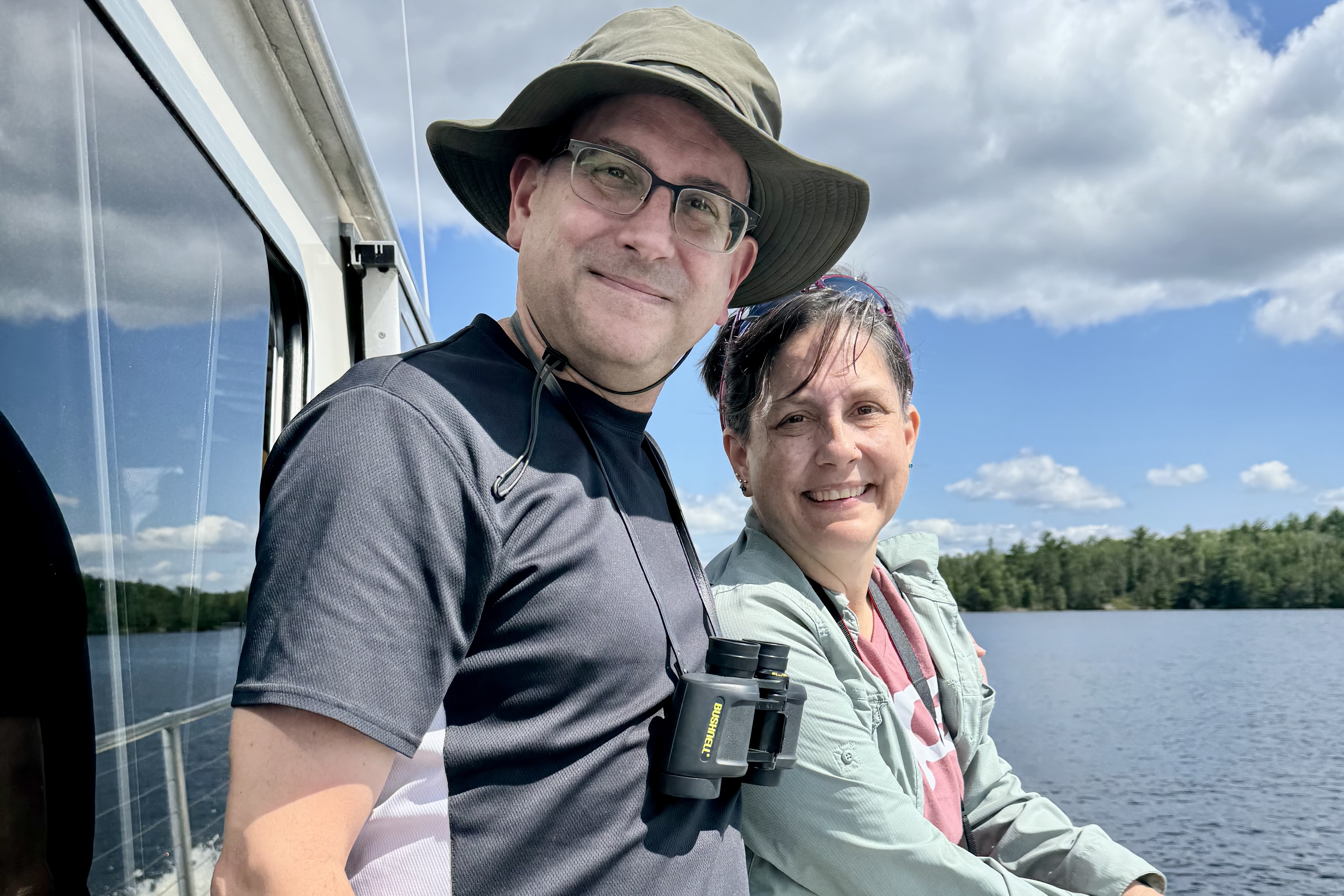
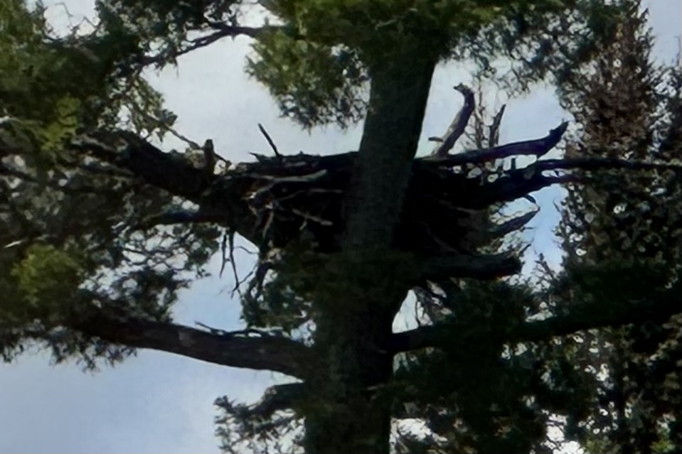
The Ne-zho-dain tour boat a 42-foot-long Catamaran style flat bottom “chug along ” had about 30 people and as per usual 26 were there and ready to board and of course 4 showed up about 1 minute past the appointed hour to leave. We were actually told to report at 9:30, a half hour ahead of time. Then of course we had to wait for their bathroom excursion (no potty on board) and once aboard for the woman, who thought she left her phone in the aromatic pit toilet building, to retrieve it where, all the while , it was in her husbands pocket who was on board! The voyage to the historic Kettle Falls Hotel took about two hours aboard the Ne-zho-dain tour boat and what a great feeling of immersion into this pristine area of shimmering waters, forested islands, and towering pines – several of which were home to massive bald eagles nests.

Bald eagles build massive nests and they are usually built high in trees.  On this day, the eagles who owned these nest were out and about and preferring not stay home for our arrival. However we were able to spy on at least four inhabitants of this wilderness area when they weren’t aware of our need to capture their image . o these photos are not posed.

As we cruised the interconnected water ways, I mused about kayaking to one of the campsites and pitching my tent for a few days but would definitely want a site that is not on one of the main watery highways with the many boats zipping and roaring about. I mused again about how it’s not exactly true wilderness when humans can get about an area with scads of motorized vehicles rather than being confined to using two feet to walk or two arms to paddle. Eye-strain as we might, we could not sight any wolves or moose on shore and had to be content with eyeing the loons and eagles.

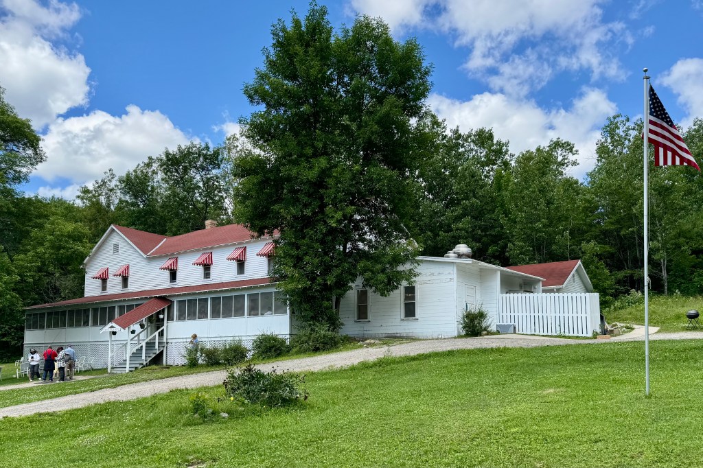
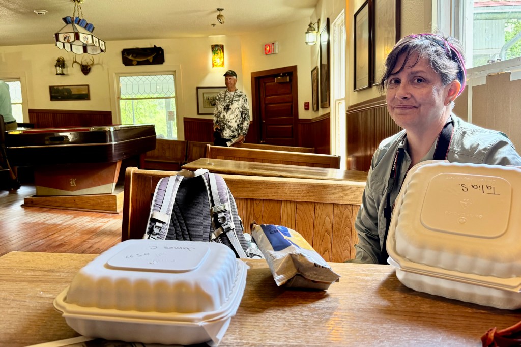
Upon arriving at the Kettle Falls Hotel, opened in 1913 , we were allowed two hours to spend on land for dining hiking, and touring the hotel and nearby dam. First we picked up the overpriced box lunch we order before departing. The upside was it was ready when we arrived but the downside was that it consisted of bread with the texture and shape of Wonder Bread (though I ordered it in brown ) and one slice of meat, and one slice of cheese (Tasia got two slices of cheese for the vegetarian option) and a small bag of chips, all for the whopping price of $17.25. Drinks extra. Glad we hadn’t expected fine dining or gourmet vittles. The hotel maintains much of its old time character with the best part being eating Wonder Bread in the Lumberjack Saloon (aka Tiltin’ Hilton) with its sloping floor (to the extreme). The floor was preserved when a renovation fixed the clay foundation (which became mushy over time and the whole bottom level sported sloping floors) .

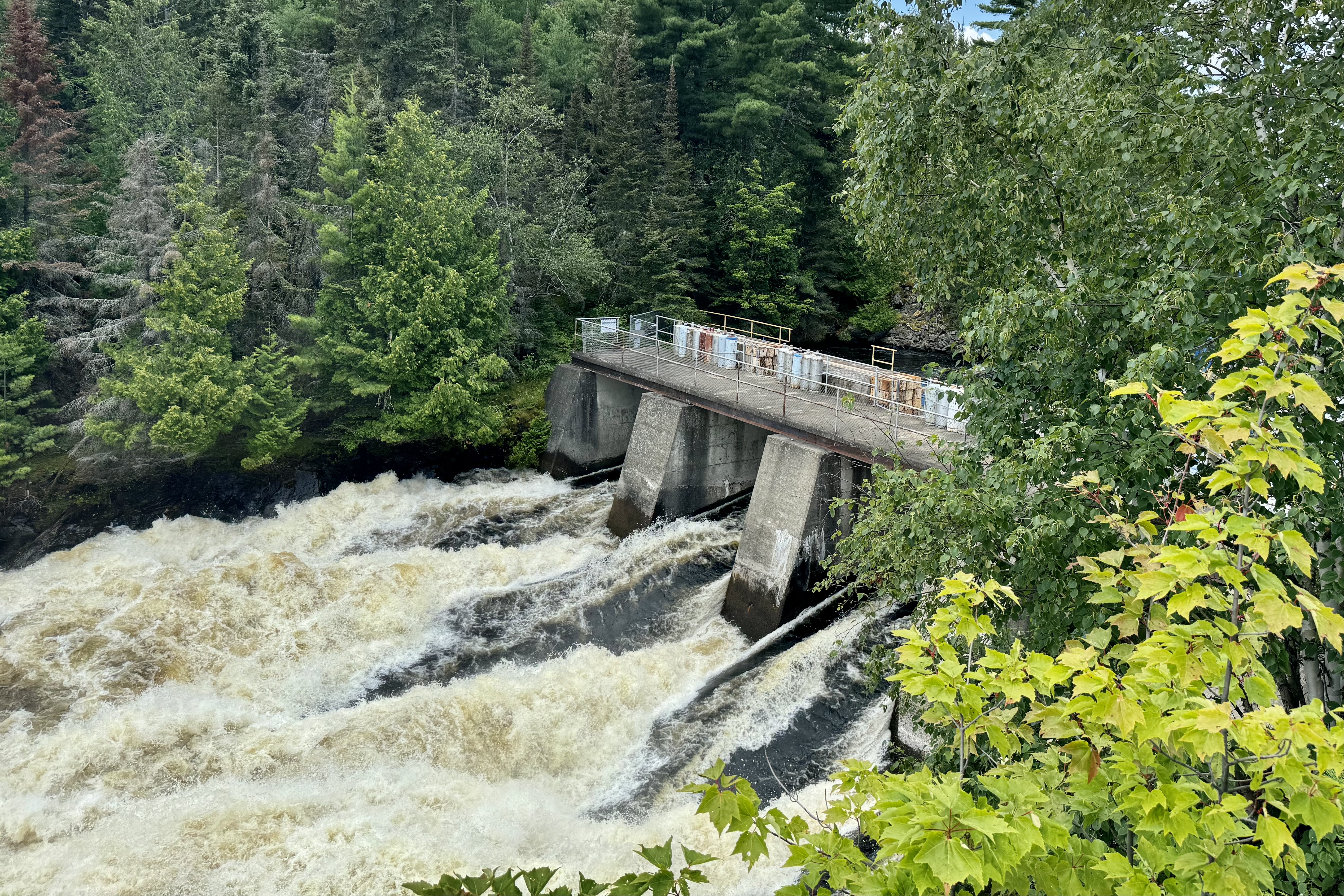
It was time to explore the surrounds and we set out to hike the area around the hotel and view the dam. Kettle Falls is a result of water from Namakan Lake descending into Rainy Lake. We can no longer view the original falls as today a large dam is in its place. But the roiling water rushing down the sluice ways was a visual treat and not to be missed once there.

The return trip through this maze of interconnected waterways and islands was an equally pleasing scenic excursion. I was curious about navigating the area as the waterway we voyaged was proximate to the international boundary between the US and Canada. Seems the boundary was established by the customary water channel used by the American fur traders. Would that such international boundaries be so readily established today. My issue with international boundaries concerns how this invisible boundary line will be enough to stop AT&T from charging me $12.00 for a International Day Pass should the Captain creep over the dotted line we see on the map. When I was in Port Angeles Washington, proximate to the Canadian Border’s invisible very watery boundary line, I got dinged even though I never left the States.

After disembarking, a brief hike on the Beaver Pond Overlook Trail was in order but nary a beaver or beaver’s lodge to behold. Then a trip to International Falls Minnesota was the consensus destination. This is another destination I had pictured as a somewhat cosmopolitan tourist enclave. NOT.

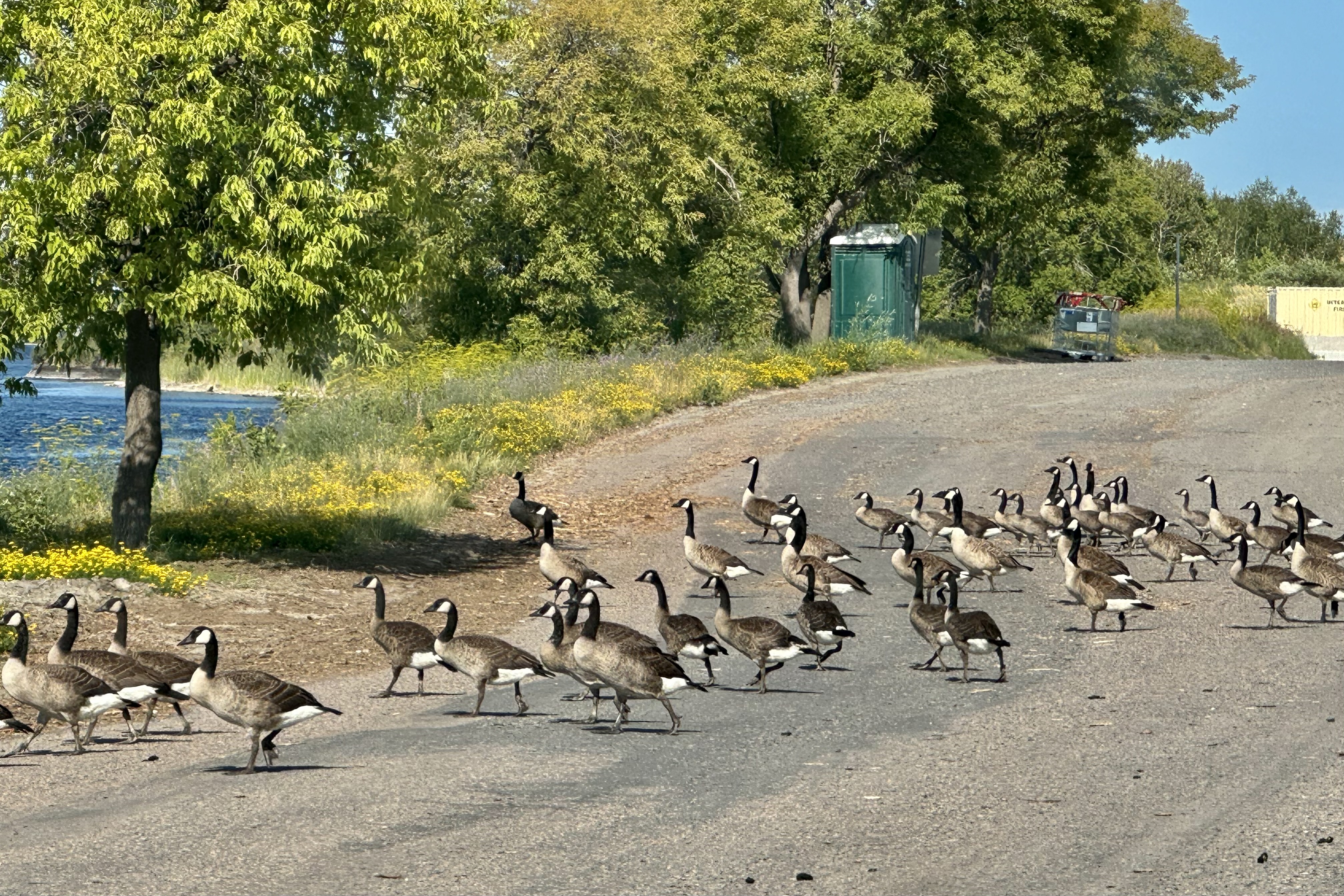
First there was no falls. Next, a giant Smokey Bear Statue stood quite tall (26′ only to be beat out by a 30′ Smokey in South Dakota) in the middle of a downtown city park. Not very cultivated but definitely relating to the logging industry. The piles of sawdust and paper mills there give the air a heavy smell of rotting wood. Thirdly, other than its claim to fame as the “Icebox of the Nation” being one of the coldest places in the lower 48, it seems that you can find here such things as the “famous” last port-a potty before Canada, the last flock of geese before crossing over, the last paper mill on this side of the border before getting to Canada (whose factories along the Rainy River here spew nonstop bad odors as well), and concluding from our search for a place to eat dinner, the last not-so-good-place-to-eat before Canada.

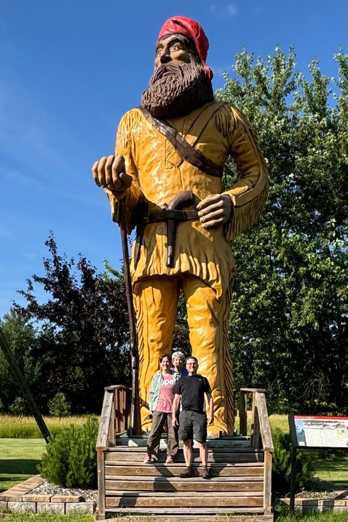
Heading back to Ranier, with our new found passion for BIG statues, we stopped to investigate “Vic”, a 25-foot-tall statue of a voyageur that was built as a protest (by Vic Davis) to a property dispute against the U.S. government using eminent domain to seize private land for the creation of Voyageurs National Park . Now towards days end , we opted out of what we deemed as somewhat dodgy restaurant in Ranier , Louie’s, and ate yet again at the hotel distillery restaurant which we swore we would never again patronize. .What a difference a day makes. Good food, decent service, good waitress followed by a good night.

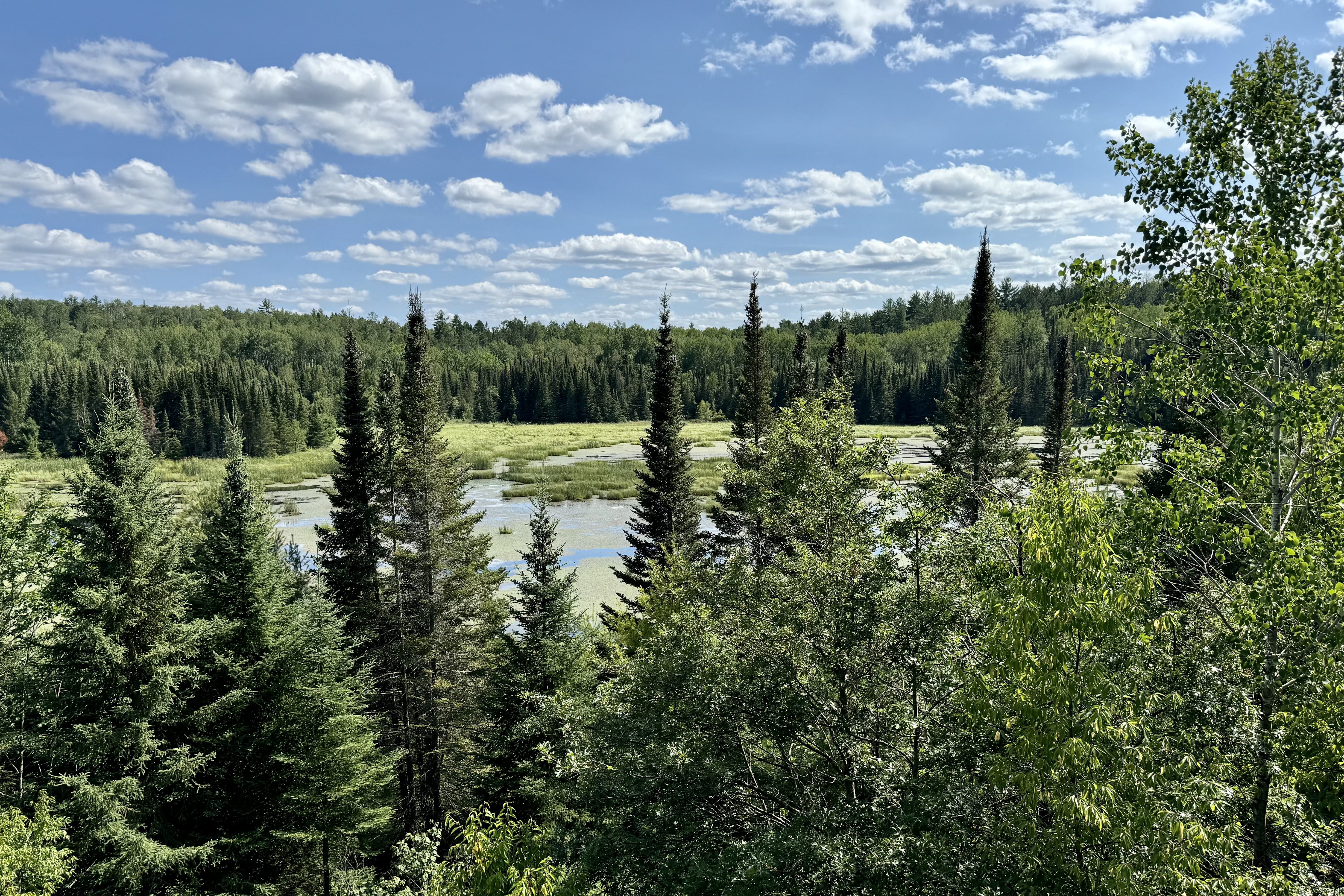
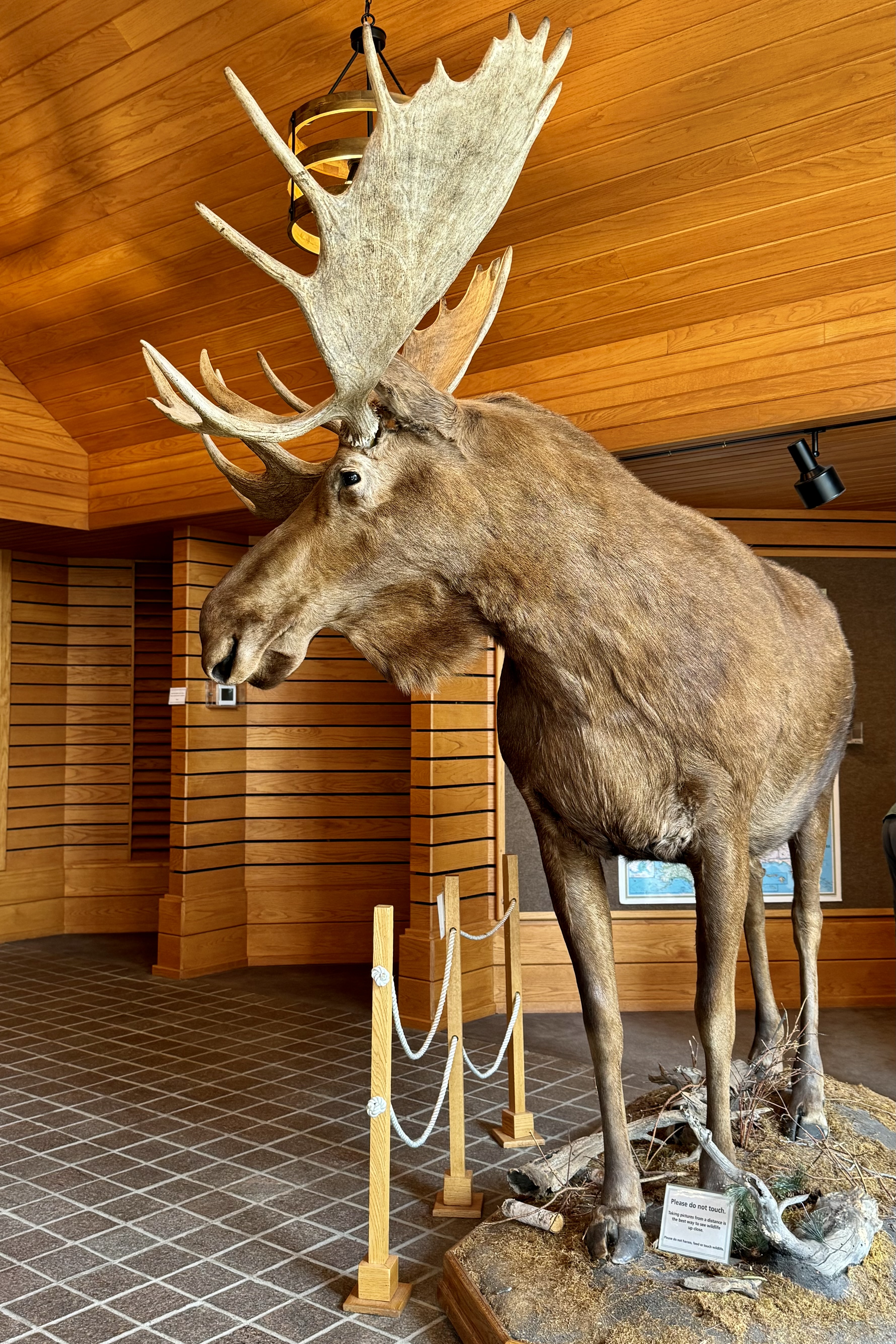
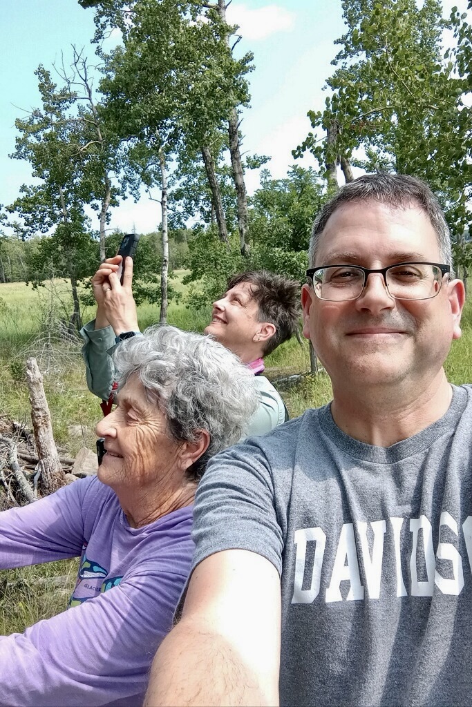
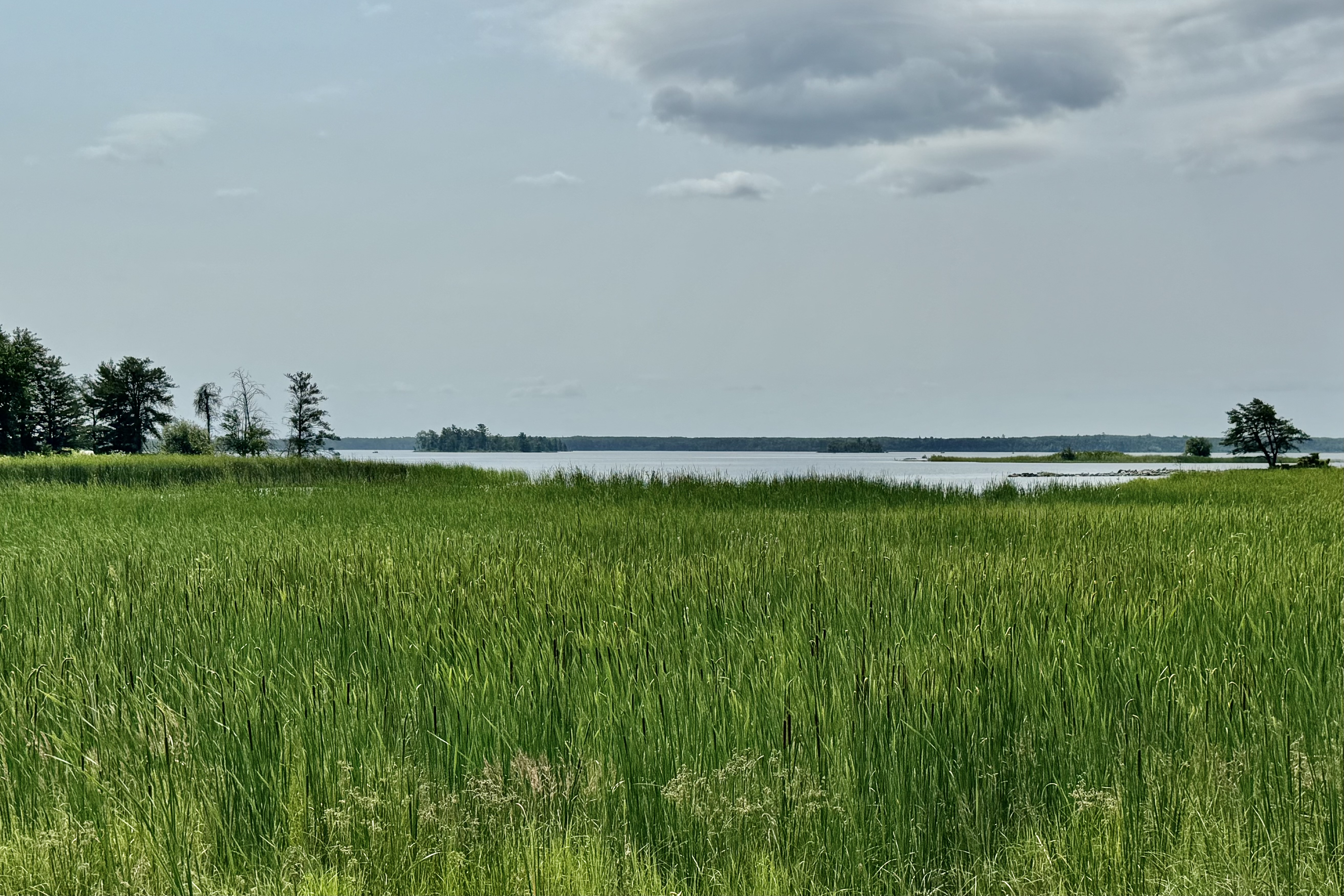
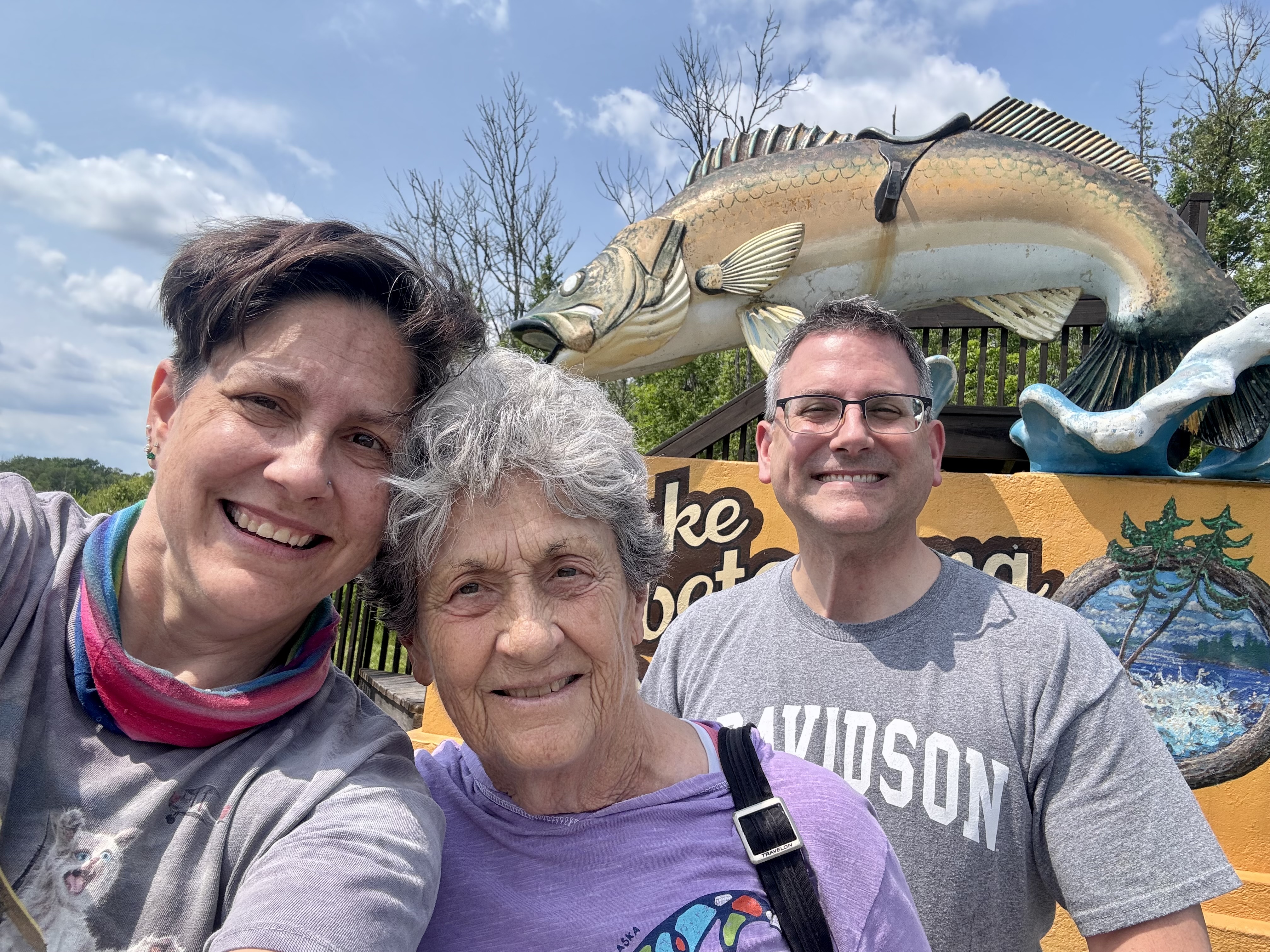
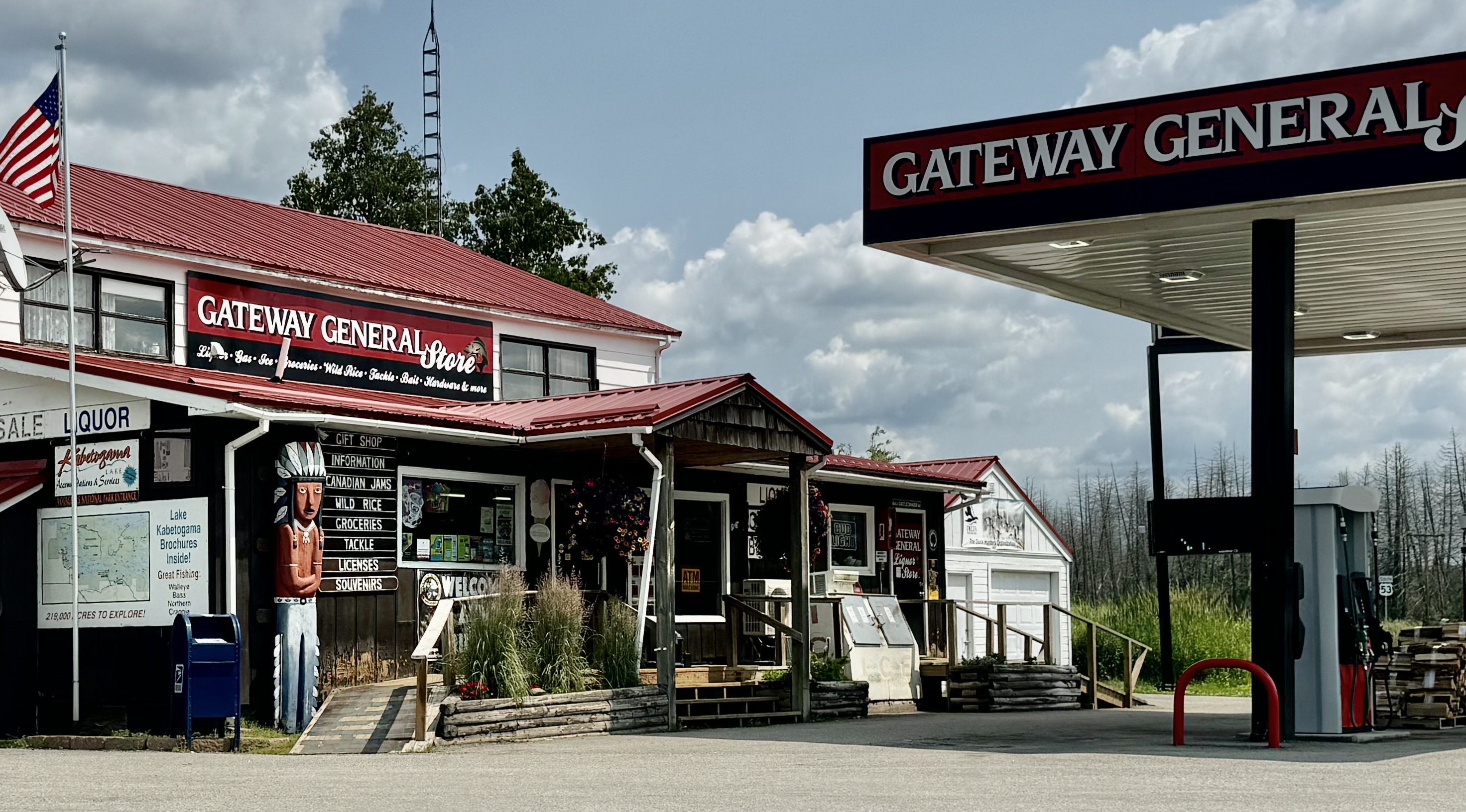
Before getting on the road to Duluth we headed over to the Rainy Lake visitors center to spend money on NPS “stuff and such!” and have a close encounter with some no so alive wildlife. Since the mileage to Duluth was not crazy long, a hike before a long sit in the car was in order. The Oberholtzer Trail proximate to the visitors center, two mile relatively easy hike was the logical choice . We wandered through deciduous and conifer forest as the trail twisted around the edge of a cattail filled wetland and enjoyed two different overlooks with marsh and lake views. Have you ever gotten so used to taking selfies that you might totally “just do it” even when there are others right there with you to snap that handsomely beautiful face in that handsomely beautiful spot (which more often than not is obscured by your handsomely beautiful prominent face blocking almost everything out. Note: above photo was not posed. But first a stop in Kabetogama for gas and a bit of Walleye fishing.

This was the last evening we would be together, so the dinner restaurant choice for our “farewell” was in Downtown Duluth at the Zeitgeist Restaurant, part of a nonprofit theatre arts complex. Other than major parking issues (as with just about every downtown) it was a great choice.

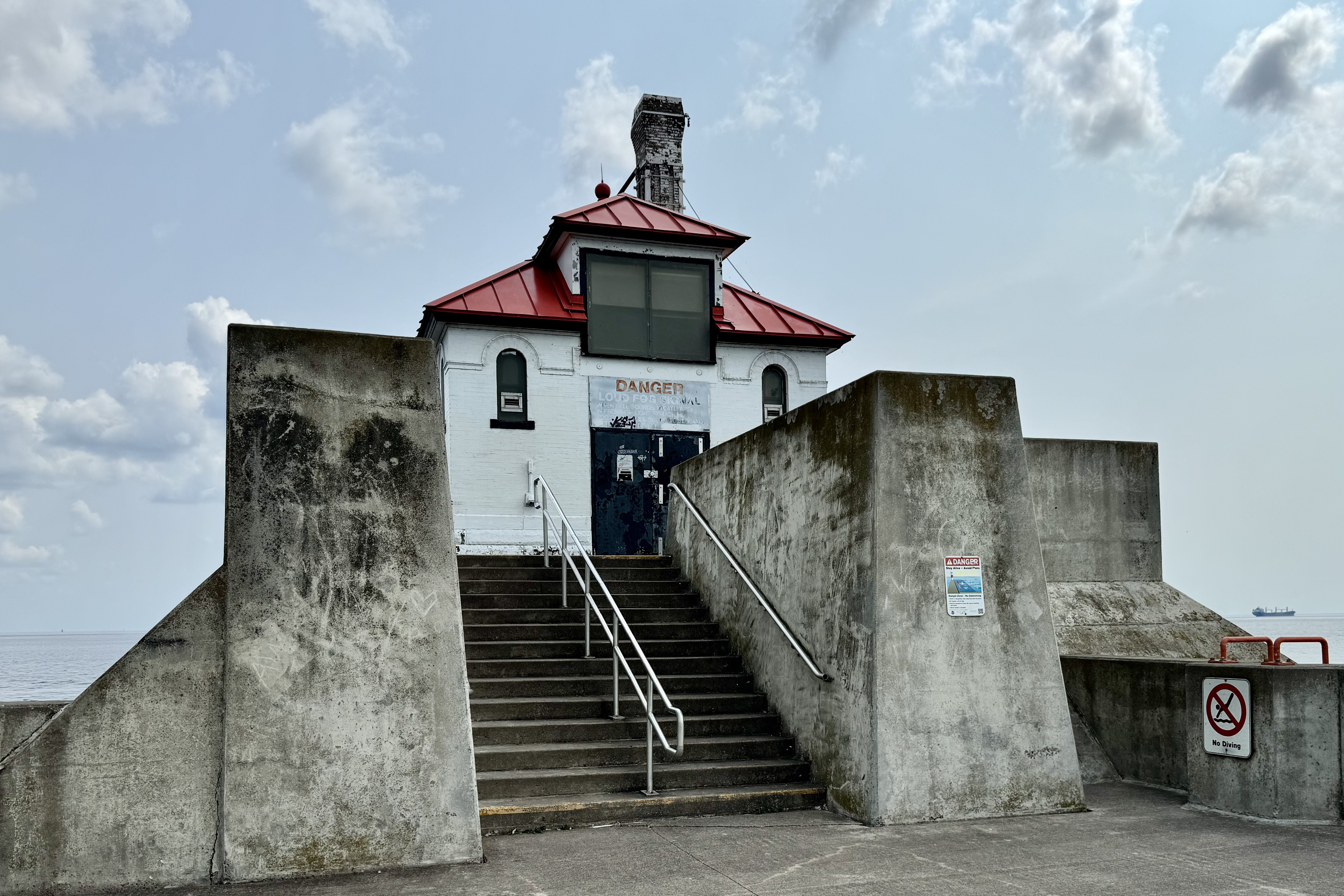
July 20th was a travel day but not the leasts bit boring . Since Tasia and Jamies departure time was not until mid-afternoon, a morning down at Canal Park was in order after an exploration of the neighborhood where my father’s family lived in the early 1900’s. Feeding our keen fascination with bridge structure (here I go again) and definitely wanting Jamie to experience the Aerial Lift Bridge in Duluth, we headed to Canal Park. Our hope was that there would also be a cargo ship coming into port. We were to be in luck. After exploring the US Army Core of Engineers Maritime Museum, we decided to walk across the Aerial Lift Bridge. Once on the other side we could access the lighthouse on the southern breakwater pier and get an up close read of the graffiti. Few surfaces are safe from graffiti artists. We decided they must paint over it every couple of years since some of the art was dated and the oldest date was only a couple years past. The Duluth Harbor North Pier Lighthouse located on north breakwater appeared less available to the artists and thus not bedecked (or painted more often).

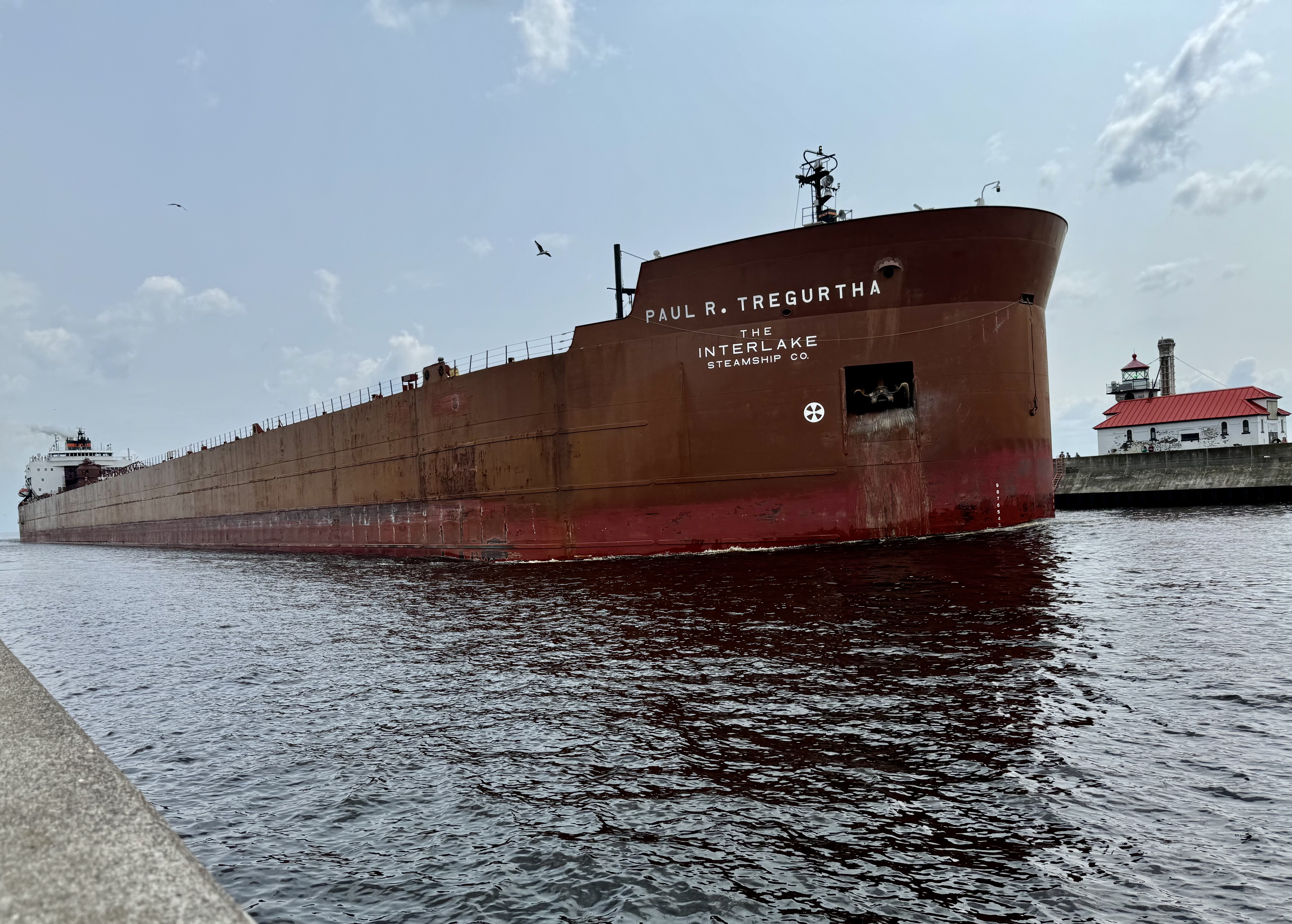
It was fascinating and remarkable experience traversing the bridge and there was plenty of time to welcome the Paul R. Tregurth, “Queen of the Lakes, ” a 1003 ft long x 150 wide cargo ship and the longest vessel on the Great Lakes come into port and of course the Aerial Lift Bridge put on its show, The size is so massive that it makes what happened to the Frances Scott Key Bridge even more imaginable.

Subsequently, I dropped Tasia and Jamie around 1:30 PM and after doing a very minor re-organization of the car to find the things I needed to get to my first campsite of phase three of this trip, I was on the road headed to Munising, Michigan and a forest service campground in the Hiawatha National Forest. Having started out late and need to take several “stretch the legs and bathroom” stops, I was pushing it to reach my destination to arrive with adequate light top set up my tent etc. The “highlight” of the trip was the text chain that began when Tasia noted that her flight had been delayed… and Jamie’s as well since they were on the same flight. They would miss their connections in Minneapolis. The real rub was that Tasia had the same occurrence on the way into Duluth and got stuck in Minneapolis . Of course there was nothing I could do and even though they are my kids, they are grown adults who can figure it out themselves. Turns out this was all part of the Delta debacle as a result of the CrowdStrike snafu. They slept one night on the Minneapolis airport floor and two in a hotel before they finally airlifted out on Tuesday. I was headed to Michigan for my own campsite challenge.


A Regal Island, Unforeseen Carnivores, and an Infestation of Bloodsuckers

The next day was a travel day from Thunder Bay to Duluth MN for the beginning of a highly anticipated week with two of my adult children who were flying into Duluth and the subsequent visit to Isle Royale and Voyageurs National Park with me.  It was a beauteous day with great panoramas of Lake Superior as the road hugged the shoreline. However, as on most two lane roads, the fast surges forward and the great feeling of “alas I am finally making good time”  and then stomping on the  brakes to a slow crawl  in the touristy small town traffic was the pattern.   I am not sure most of the time why I am in a hurry but old habits and cultural norms of living frenetically seem to control my inner driving guide. 

I had been so disappointed when planning this trip that I was unable to get a flight out of Grand Marais to Isle Royale. As I crawled through this very popular destination for tourists, that disappointment dissipated quickly as it was overflowing with tourists looking for their tchotchke with Grand Marais imprinted on whatever or anything else their inner consumer desired at the moment and nary a spot to park. Continuing south I cruised by what was a bizarre looking yard and decided I definitly need to do a U-turn to get a better look and a couple pictures of it. I could not quite decide if this fell into the in the realm of quirky art or collection of pure junk and a poor attempt meant to create art.

Along the way was a beautiful waterfall tumbling into Lake Superior at Cross River. I took a break to experience its beauty and energy. When en route my daughter Tasia, who was meeting me that evening in Duluth, called to say her plane was delayed in Salt Lake City and she would miss the Minneapolis flight. So began the saga of whether she would arrive tonight or tomorrow. I arrived at the Comfort Inn in Duluth negotiating a maze of highway construction, weaving many a loop successfully thanks to Siri. What a stark difference this Comfort Inn was from the one in Thunder Bay, with friendly staff and an elegant feel. I was desperate to do laundry and “twas a good way to pass the time while I waited for updates from Tasia about her arrival. Finally about 1:00 am I went to sleep knowing that she would either get a flight in or I would drive Minneapolis to get her.

I had set my alarm to make sure I was up and had all options open to retrieve Tasia  and learned she would be arriving  in Duluth at around 10:15 (12 hours beyond the original arrival).  So I breakfasted, packed up, and headed to the airport and eagerly heard the story of her  bad travel karma. The choice point for her was sleep in the Minneapolis airport or get a motel room with the airline  voucher.  Had she known where she was going to end up ( a dodgy Super 8 in a smoking room for 4 hours), I think the better choice might have  been to sleep on the airport floor.  With four hours to fill  before retrieving Jamie we headed over to Canal Park, the #1 choice on the  “What to do in Duluth” lists.  It turned out to be a bonanza of a choice.

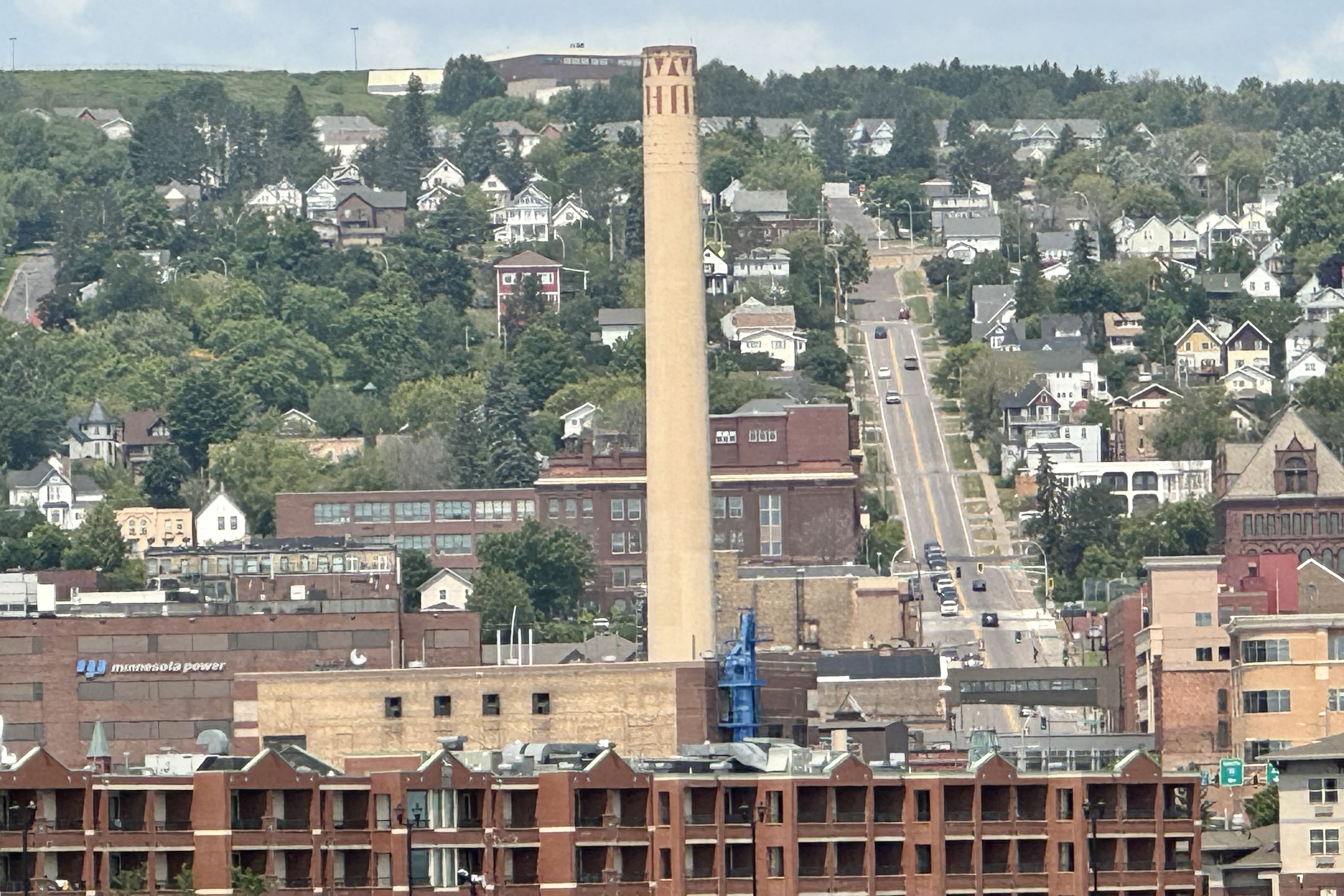
Duluth has a great Lake Superior Waterfront and since it wasn’t yet too blistering hot we walked the multi-use path along the inland sea to enjoying the breezes off of the lake and discovering some of the industrial history as we observed stacks, the historic Finger’s Brewery Complex, Enger Tower in the distance and the landmark Aerial Lift Bridge. Once back we went to Gramma’s for lunch – the first good meal I had had since leaving home and also to cool down and rehydrated after a hot walk.

Exiting the restaurant near the Canal Business District we observed a significant number of people gathered along the canal … quite puzzling… surmised it was such a pleasant Sunday that folks turned out to enjoy the lake shore. It turns out they were waiting for the Aerial Lift Bridge to slowly ascend, allowing the sailboats and other craft to enter and exit the harbor. But most interesting was the arrival of the ship Burns Harbor, a massive lake freighter carrying coal or iron ore into port. Its sheer length (1000 feet long and 105 feet wide) was astounding to see. A football field is 360 feet. A bit of research showed that it was close to the same length as the Dali (984 feet long and 158 feet wide) , the container ship that took out the Frances Scott Keyes Bridge in Baltimore last year. Determined to become knowledgeable of vertical lift bridges since we found its operation fascinating, I discovered there was one in Portland which I had traversed but not knowing that it was this type

After walking the length of the breakwater/pier it was time pick up Jamie at the Duluth Airports and set out for the 4 hour drive to Houghton /Hancock Michigan for our departure to Isle Royal the following day?

It was a relatively easy drive on two lane roads with low volume traffic. Lots of banter and laughs were so welcome after being by myself traveling for two weeks.

We arrived at the Ramada Inn in Hancock around 7:30ish and were quite astounded to see that right there by the motel was yet another Vertical Lift Bridge. I was pleased with our hotel room overlooking the Keweenaw Waterway, a partly natural, partly artificial waterway connecting at both ends to Lake Superior despite the room being on the second floor with no elevator… not to worry… I had my two “sherpas” with me to haul my stuff. Needing dinner and discovering few restaurants were open past 8:00 on Sunday pm, we selected a pizza restaurant across the Keweenaw River. Since it was only about 1/2 mile away (on the other side of the river), I decided that a walk across the Vertical Lift Bridges was the best mode of transportation. Easier said than done as we had to climb over a highway guardrail, cross highways etc. since the side we planned to travese was blocked off. But I made it over with a bit of help from my longer legged and stronger adult kids. After an excellent meal we headed on back and enjoyed the views of the vertical lift bridge (our new found obsession) lit up.

Our flight the following day was not until 2:00 pm so we opted for a hike to the Hungarian Falls in Hancock MI proximate to the Sea Plane Base.  It was a pleasant hike with some even terrain and other part of the path full of tripping roots and rocks.  It was a lovely way to spend the time with nature but nothing  particularly spectacular about the falls. 

We grabbed some lunch at the Grub Drive Thru and headed over to check in at Isle Royale Sea Planes for our flight.  Checking in was quite painless- as they only weighed our luggage and NOT us as well. On some small plane excursions in Alaska we had to be weighed as well.  The 45 minute flight was quite uneventful and for the most part was over Sea Superior. Superior could technically be considered a sea due to its incredible size and its weather patterns. Like the ocean, the weather on Superior can change quickly. Since it holds such a striking resemblance to the ocean, some believe Superior should be classified as an inland sea. It was a cloudy rainy day over the Isle and it was almost impossible to see where the water ended and the sky began – as completely blended into each other. We glided into Rock Harbor and were shortly about to began the Isle Royale National Park adventure.

This would be the 55th park visited . After checking into our hotel room Tasia and Jamie suggested we take a short hike around the Lodge area.

I should learn not to follow Tasia without a clearer knowledge of what I might be getting into. Her definition of short is not even close to my definition of short. We were on the Stoll Trail towards Scoville Point and opted for a portion of it figure eight configuration . The trail wound back and forth between the forest and the shoreline, with marshland and exposed rocky outcrops on the Rock Harbor side and primarily forest on the Tobin Harbor side. About 2-3 minutes into the hike it began to spatter and then drizzle rain which was definitely a whole lot less annoying than the legion of mosquitos which had been dispersed in thick swarms throughout this boggy area by Beelzebub and who were trying relentlessly to do their life’s work of sucking blood from human hosts. Though I am not too fond of hiking in the rain (though in the last couple of years this seems about the most frequently experienced weather systems I have encountered) nor fond of flailing my arms and hat to avoid being eaten alive, even through the thick fog of Deet generously applied, it was an exhilarating time. There were many stellar views of both the shore of Lake Superior and the Harbor shore and there is something enlivening about putting aside that which is unpleasant and appreciating the flow of the natural word with its beauty and curses. Though the hike felt like a 10K to my legs it was a bit less than three miles and set me up with a good appetite for dinner at the Rock Harbor Lighthouse Restaurant and for the challenge of drying out three sets of very wet clothing.

Tasia spied a fan in the closet area and set everything on hangers in the bath room area with the fan sitting on top of the toilet blowing air – an indoor clothes line in the wind. We headed to dinner and all ordered fish and chips and water! They don’t believe in club soda or sparkilng water here. After unsuccessfully attempting to sign into the wi-fi here to no avail it was back to our lovely lakeside room to enjoy the rest of the evening.

I can’t say that I am addicted to cell phones and the internet but I arrived here assuming there would be no cell or wi-fi. Definitely no cell but the park service had internet available for a few hours a day and the Lodge had it for 12 hours a day for guests. So I thought I could connect to family but internet availability doesn’t necessarily mean it is available. I say this because I was feeling annoyed that they promised me something, raised my expectations, and then reneged. I was totally unable to log in but being okay with that and being annoyed by it can co-exist.

I awoke the next morning to a blue sky and calm seas. It was so peaceful to sip coffee, hearing the lapping of the waves outside our lakefront room. Once the coffee jolted us awake we headed to the grill to get some mighty big breakfast burritos and consumed them lakeside. It looked like a beautiful day for a hike so we suited up (i.e. anointing ourselves with a substantial layer of Deet) and headed out for an out and back hike to Susie’s cave along the Tobin Harbor Trail.

It seemed like almost a miracle had happened overnight and the swarms of mosquitoes had migrated elsewhere. It was pleasantly cool, a shaded and moderately difficult trail, and though not bug free, much more pleasant than the mega-swatting hike yesterday… at least, that is until the mosquitos finally woke up around 11:00 and were ready for their bloody breakfast. But we cruised along thoroughly enjoying the harbor views, the array of wildflowers, the bird song and the occasion wildlife which was primarily red squirrels and a jackrabbit. The moose wanted no part of our visit and the grey wolves clearly visited earlier as evidence by their scat. The hike ended up being 4.75 miles of wilderness connection.

Back at the Lodge area, we grabbed a quick bite to eat and afterwards it was time to spend some money at the park store and secure the park stamp for my NPS Passport book, and rest the legs for an evening hike and sunset boat cruise.

Within 5 minutes of when we sat down, to dinner at an outdoor table harbor-side, it started to sprinkle. My immediate inclination was to stay put but everyone tore into the grill dining area and it was a good thing we followed suit as a heavy drencher followed …which was followed by a burst of sun and then a rainbow. It cleared nicely for our scheduled sunset boat ride to Raspberry Island for a 1 mile hike about the island and then a cruise out to see the sunset over Sea Superior. A one mile hike around Raspberry Island more than met our expectations. We yearned for a bog as we itched for an encounter with the pitcher plant (a carnivorous plant). Luck was on our side. After making our way through the boreal forest, we came upon a bog with paths and planked bridges leading past many of the insect-eating pitcher plants that thrive in this acidic bog environment and supplement the available nutrients and minerals needed with a constituent of insects that have the misfortune of taking a moment to pollinate this vicious flower .

The cirque was actually only .61 miles but upon our return the boat was mostly boarded and we were on our way for a cruise out to the Superior Sea to watch the sunset.

Our travel karma turned positive and we were treated to a magnificent array of golds, pinks, purples, reds, oranges and a slow setting sun at this latitude. We returned to the dock about 10:30 and gazed at the moon with its shaft of light arrayed on the water. Returning to the room it was time to pack up shower and get ready to depart by seaplane at 9:00 am the morrow.

It was up a seven to be set to depart from  Isle Royale by 9:00 am. Bags were to be retrieved at eight so after packing up we headed over to the Greenstone Grill for coffee and a breakfast of yogurt, fruit and granola.  It was time to meander down to the seaplane dock area for the flight back to Hancock.  This overcast day with thunderstorms visible in the distance did not pose any flight delays. Jamie was assigned the copilot seat while   Tasia myself and another young girl were very tightly squeezed into the rear seat .  Even with the impending weather the 45 minute flight was smooth and uneventful.