Stout Trees, Bunyan Sized Rocks, and Swinging in the Tree Tops

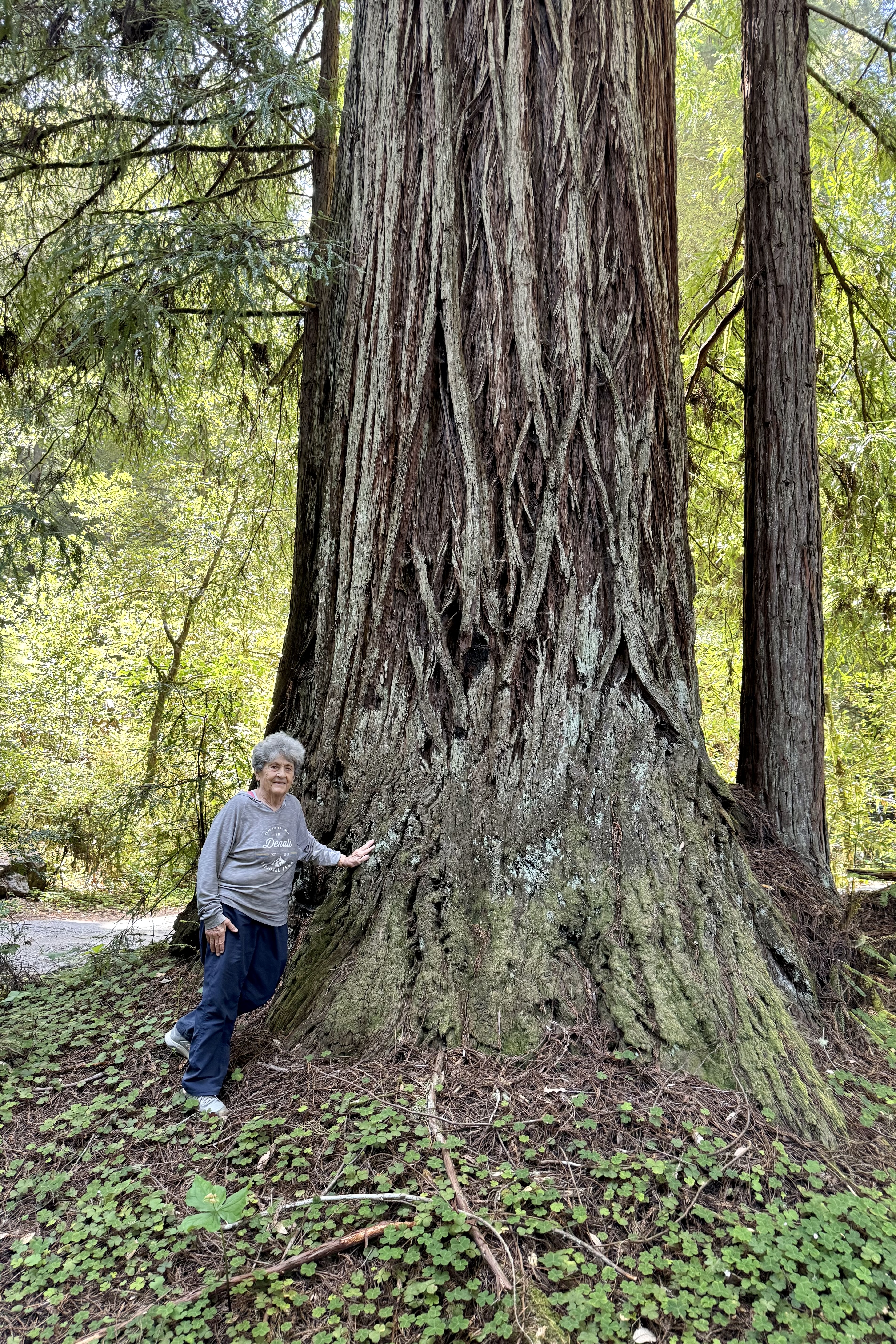
Hugging big trees was the expressed wish of a Floridian friend, when we discussed a potential joint vacation. The palms of Florida aren’t exactly known for their massive trunks or the swath of shade they generate. Since I live in the Pacific Northwest, I immediately envisioned a trip to Redwoods National Park and perhaps other western national parks which are definitely beautifully draped out in extremely old and very large trees and extensive forests. Though I had no keen yearning to hug a big tree myself (especially those with slimy moss or sticky sap) , I mused that I could probably find a itinerary that would accommodate that wish and my desire to revisit some of the other national parks of the Pacific Northwest Region including Redwoods, Olympic National Park, Mt. Rainier, and Crater Lake, completing a big circle back to our starting point of Medford OR.

So after retrieving my friend and her luggage (which surprisingly arrived intact) at the Jackson County OR Airport, my mission at the moment was to head on down to Crescent City CA and the Oceanfront Lodge , our accommodation for three nights. My preference when traveling is to drive secondary roads ( isn’t there an old saying that the “the joy is in the journey” ) rather than what I find boring – the tedious frenetic interstate highways. This did not disappoint as, of note, enroute was the appearance of “Weed Man” offering free “weed” at the Oregon/California border. This was not about weed control (the kind you use on you lawn) nor a chance to buy legal weed since recreational marijuana is legal in both states, but a ploy to get travelers out of their automobiles to browse their flee market tables full of goods other people no longer wanted or needed. That ploy worked as my friend craved having her photo taken with the “Weed Dude” but definitely not to consume the weed itself. We definitely opted out of a shopping excursion.

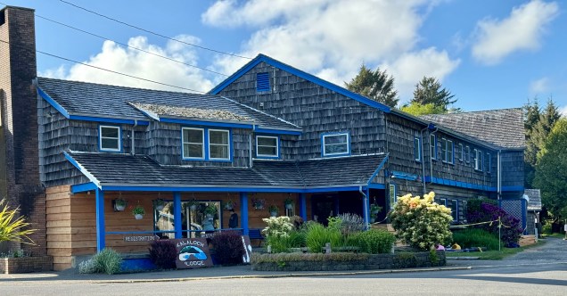
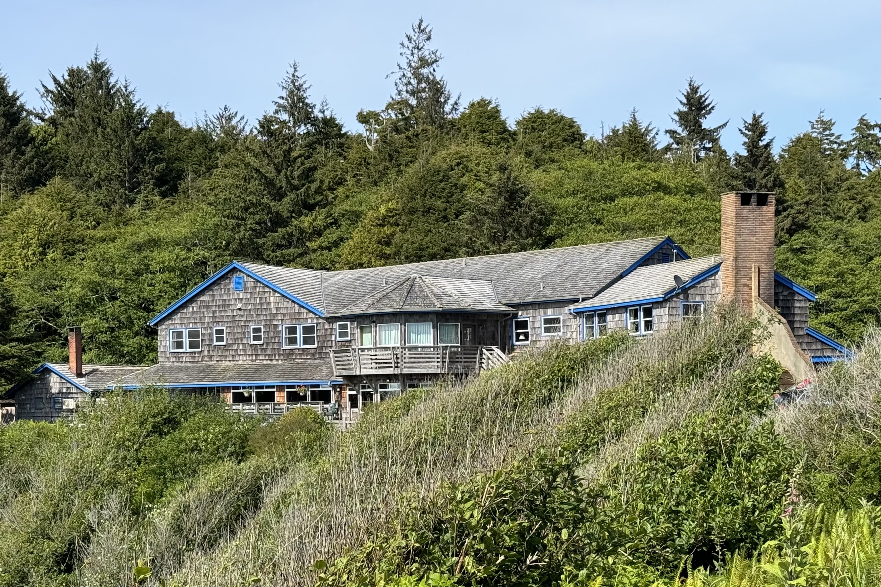
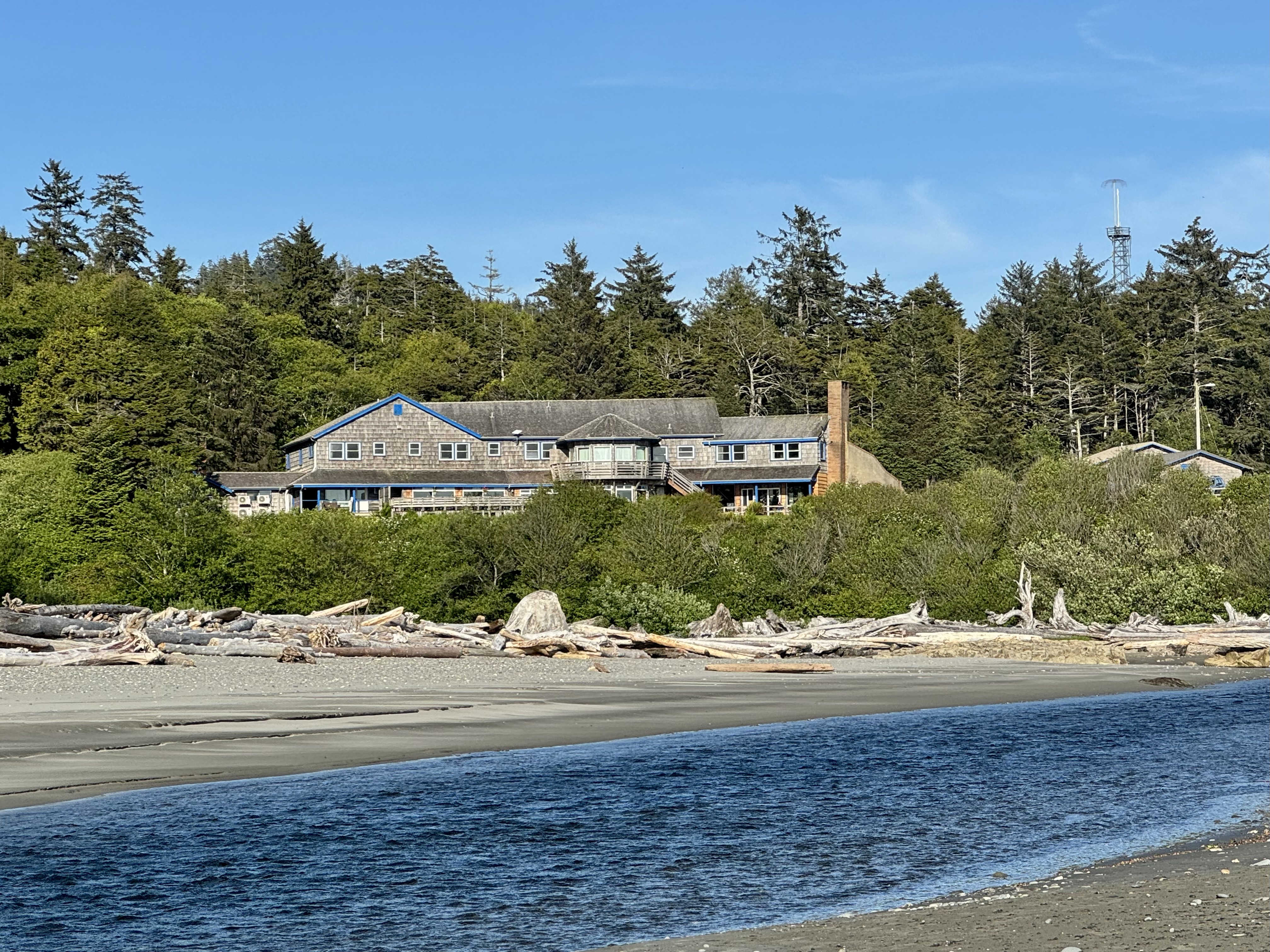
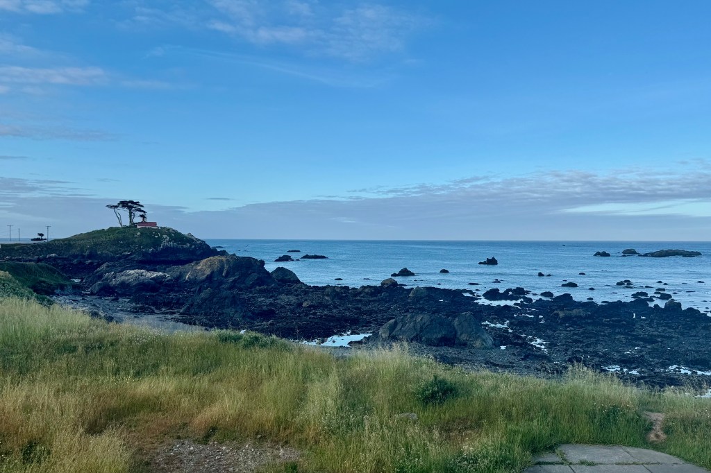
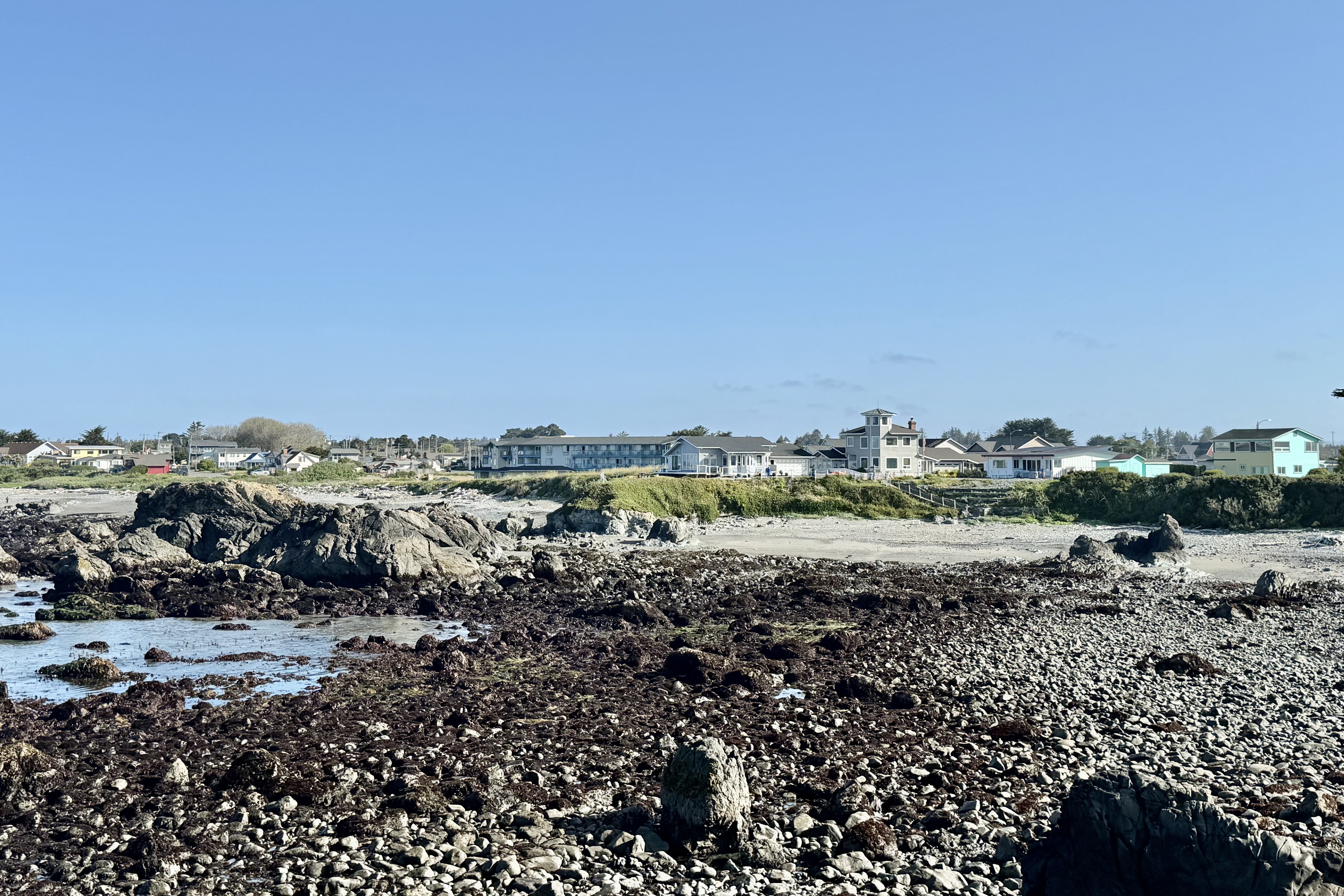
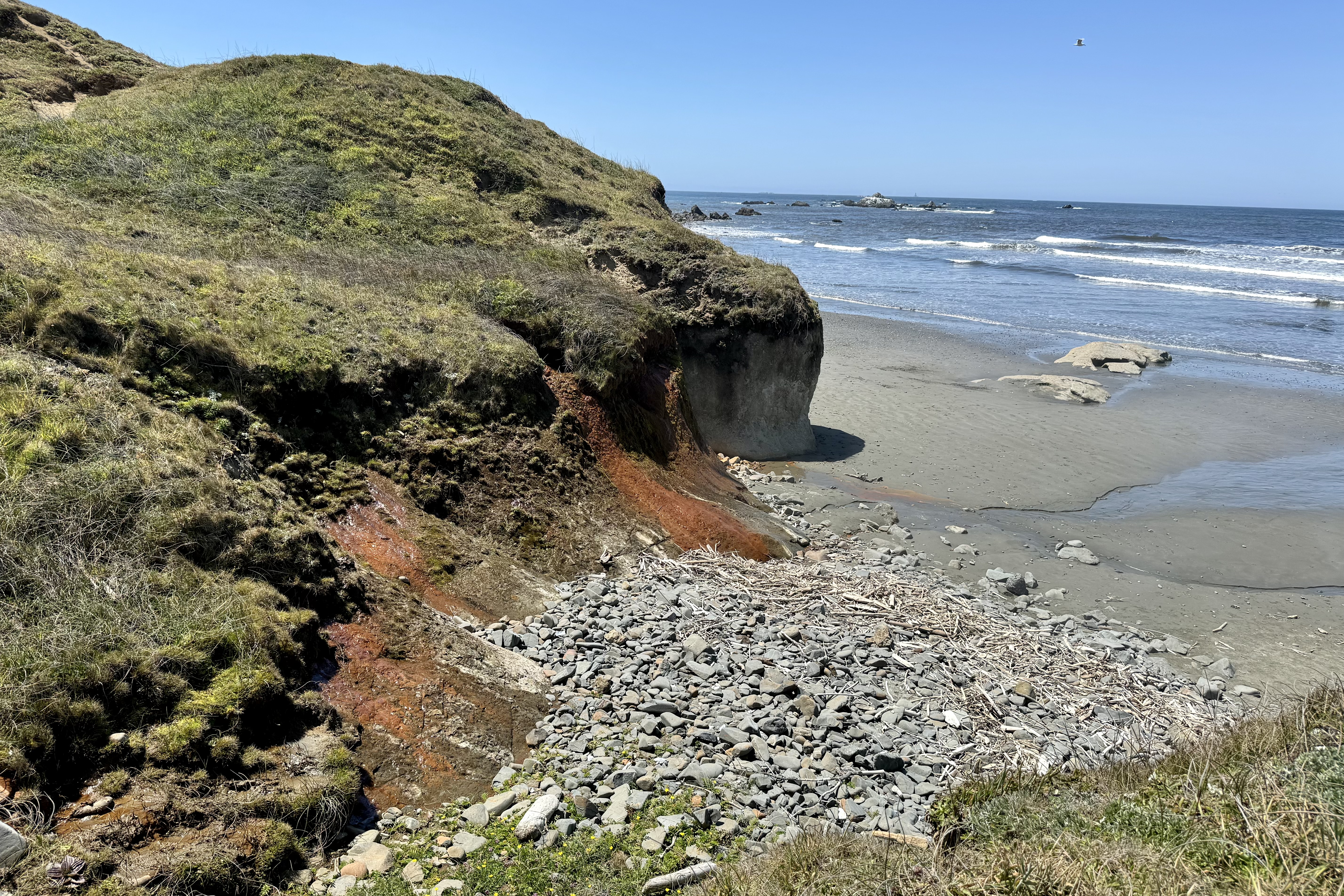
As is quite often the case, coastal cities in the Pacific Northwest get fogged in and true to form we were greeted with a temperature of 54 degrees and a shroud of fog at the oceanfront location of the Crescent City Lodge, the home base for three nights.  The best part of this hotel was its seaside location and the awesome views, especially  when the fog was no longer a gauzy blanket over the Pacific. The  Battery Lighthouse was a  picturesque  part of the view and was within walking distance. My first order of “business” was to head down to the beach. Seeing no unencumbered path,  I laboriously inched my way down through the vegetation, driftwood,  and stones to scattered patches of sand. A rough rocky shore, previously  not a challenge, was definitely a safety hazard for my osteoporotic bones and my need to use a hiking stick to hopefully avoid any tripping rocks and catastrophic falls on my barely healed gluteus medius and gluteus  minimus muscles. With it being chilly and foggy, I was becoming more interested in filling my belly than beach combing on this unstable surface. 

So it was back to the somewhat “tired” and dated room, which  faced the ocean and sported a very weathered balcony and rather uncomfortable chairs.  But just the magical sound and breeze of the ocean made up for a lot that the accommodation lacked. Sleeping with the sliding glass door open to hear the waves was so calming.  Dinner was in the  small understaffed restaurant downstairs with passable, though clearly not of the gourmet variety food.  But the flavor was definitely enhanced by the expanse  of the  Pacific, viewed through the spacious windows of the dining room. 

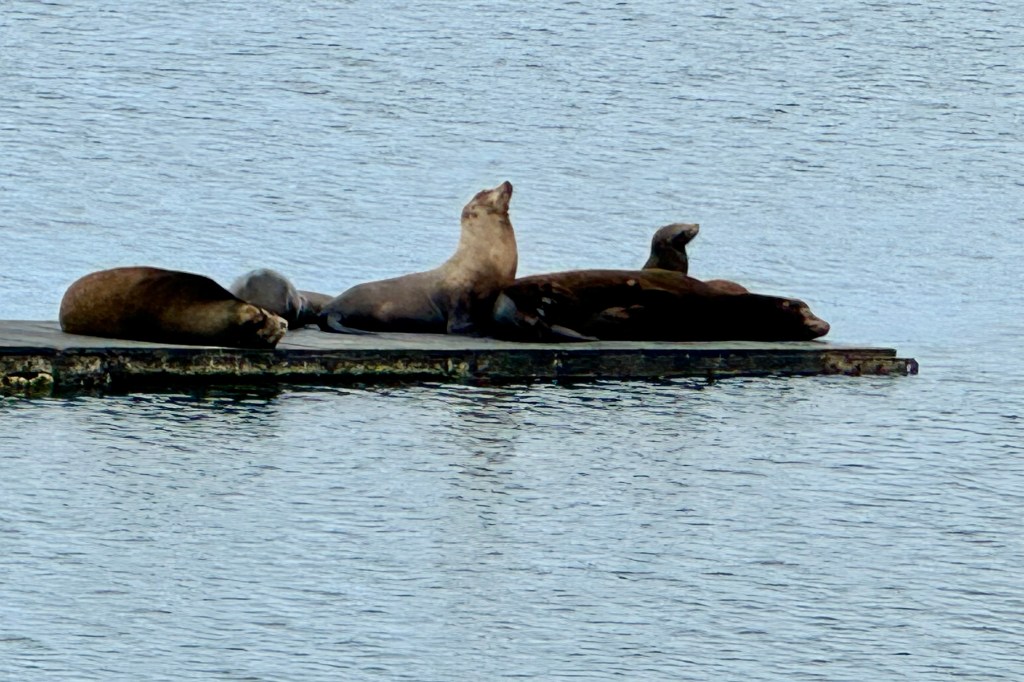
We awoke to a brilliant blue sky and were eager to be out and about. The first stop was at the Crescent City harbor to hopefully catch a glimpse of the resident harbor seals before they were out and about foraging for the days banquet. I guess by seal standards we missed the “boat” as there were but four of five hanging out in the harbor. So shortly we were on to the National Park Office to map out a plan for the two days in Redwoods.

An expressed desire of my friend was to visit Trees of Mystery and according to their brochure is “California’s premier attraction on the North Coast.” This seemed a bit of an exaggeration and though I was skeptical, I was game to give it a chance. This is not the type of tourist attraction I typically frequent having been programmed very early by my mother to NOT visit any “tourist traps.” We kids were deprived of experiencing the Michigan wonders of the Mystery Spot, the Underground Forest, and Sea Shell City so gaudily and frequently advertised along the highways.

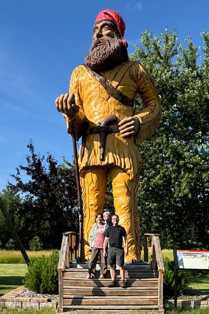
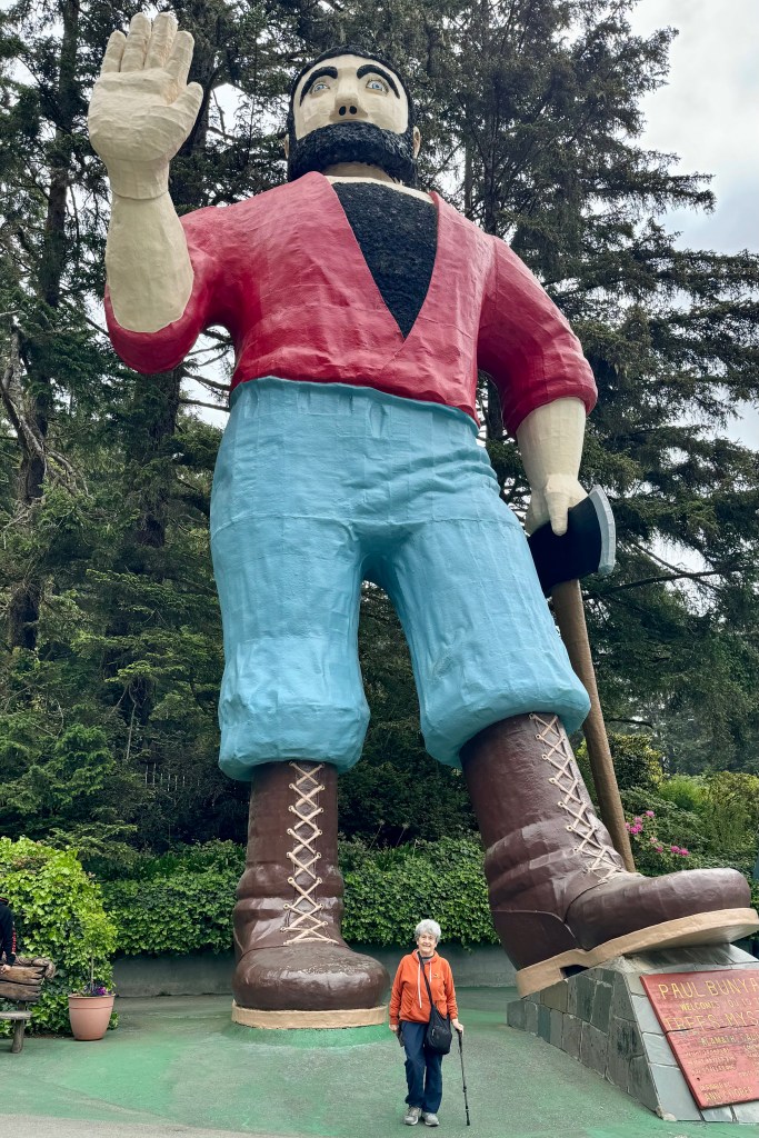
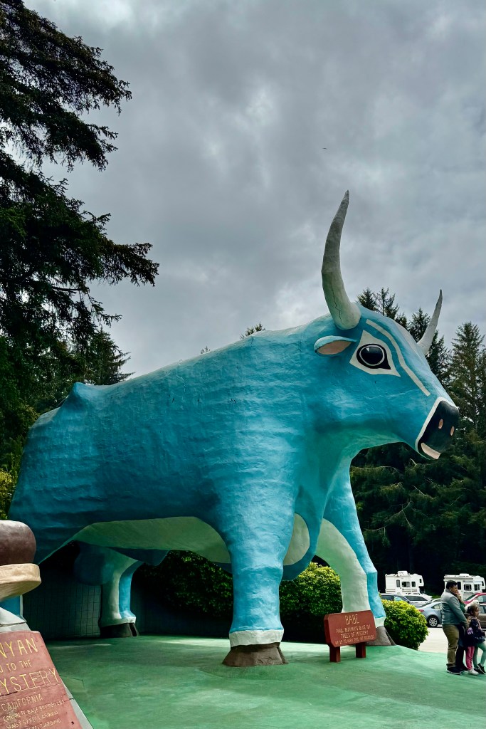
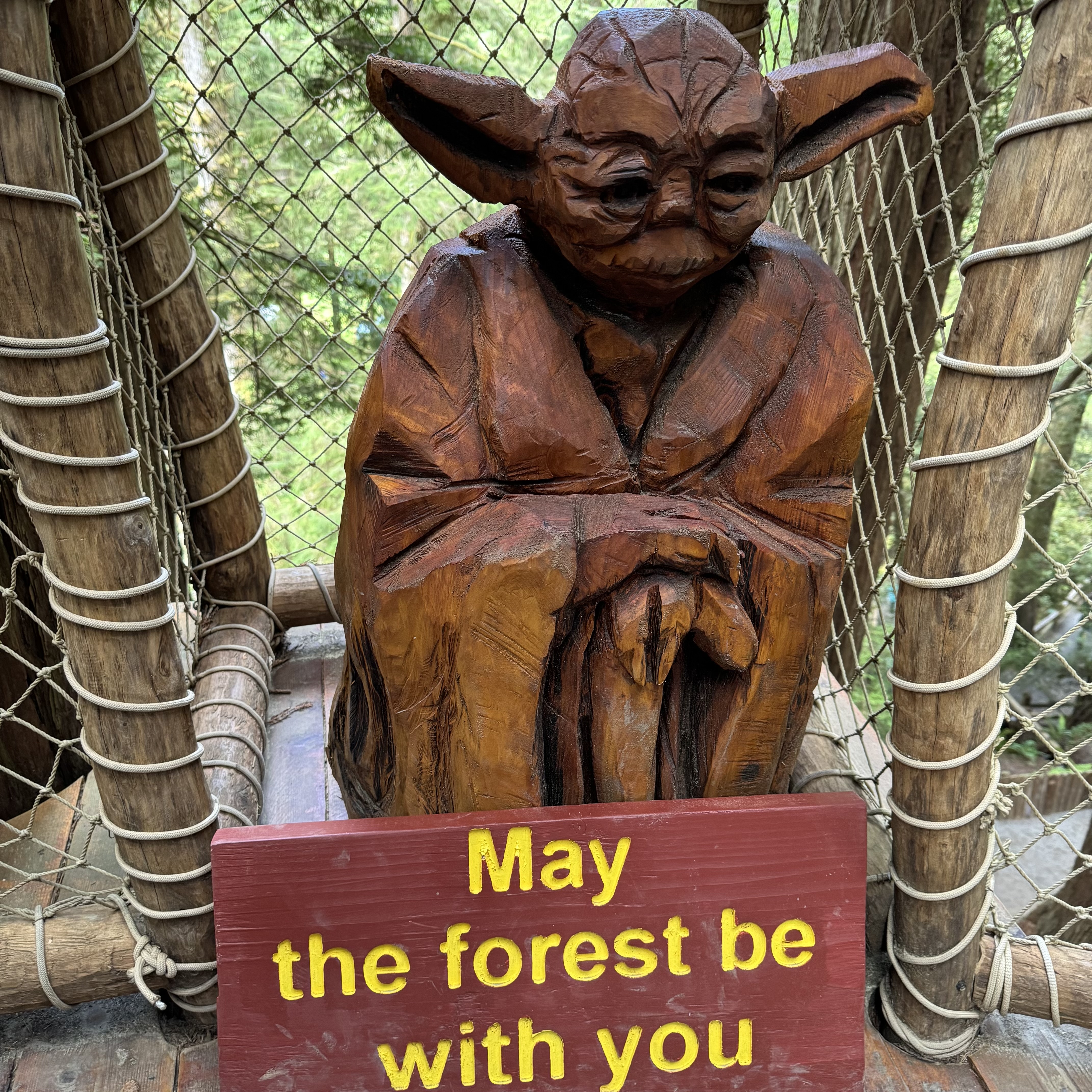
Upon driving up and being greeted by a massive talking Paul Bunyan and Babe the Blue Ox statues, I was even more skeptical as it looked mostly like a stop for kids and a bad attempt to copy a Disneyesque experience. But I was game as it advertised a canopy walk and gondola ride. Nevertheless, before we began, I felt compelled to have my picture take with Paul..

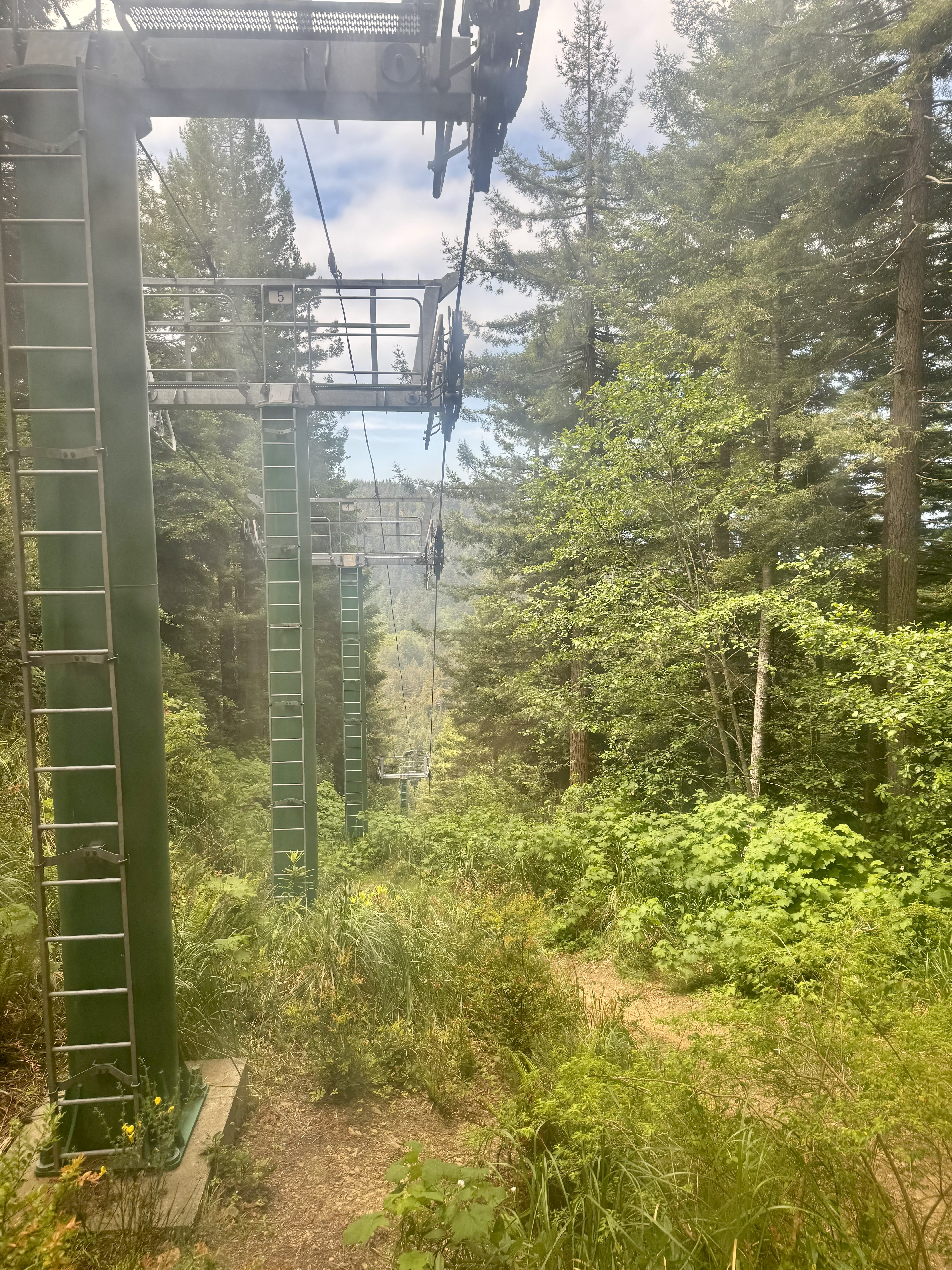
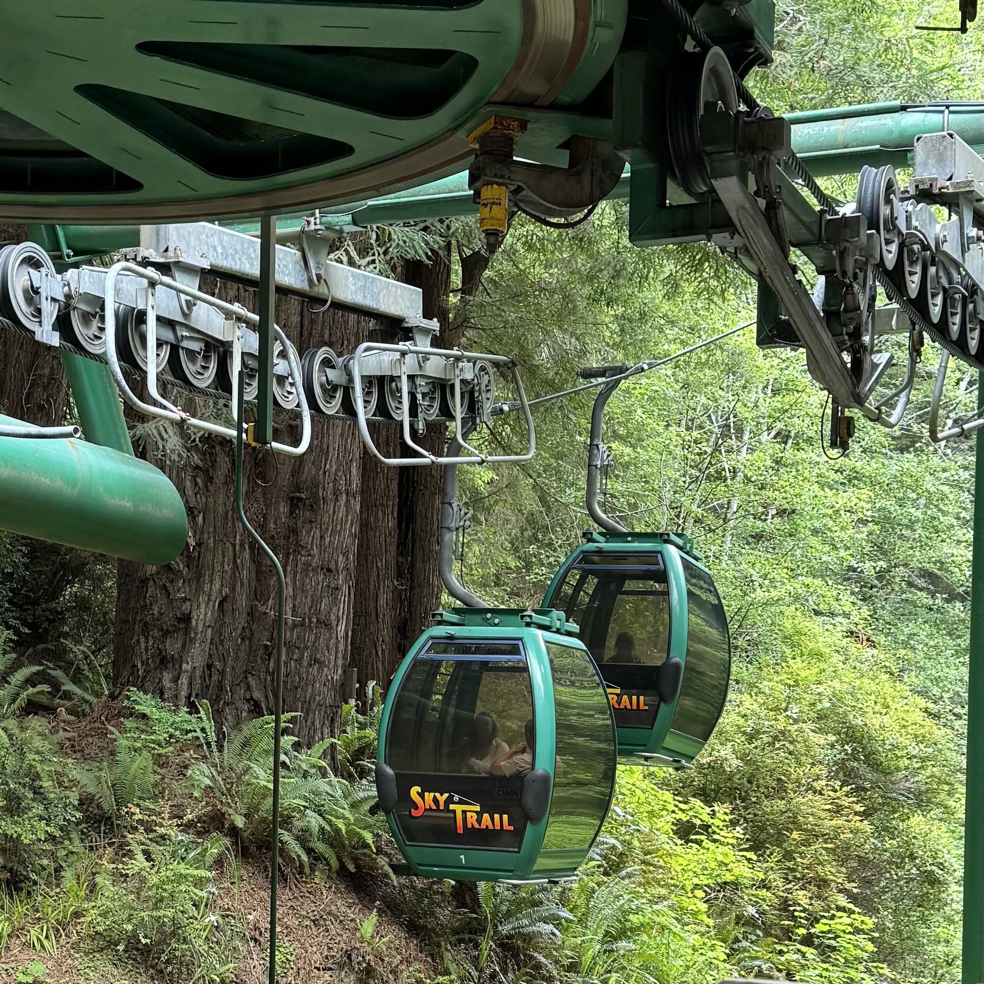
The first stop was the SkyTrail Gondola, a trip 1,570 feet up to the top of the mountain into the forest for an elevated view of the redwoods from the Ted’s Ridge Observation Deck as well as far-away views ( mostly obscured by overgrowth) of the Klamath Valley to the East and of the Pacific Ocean to the west. While I enjoyed the views, there were many spectacular scenic overlooks in Redwoods National Park along high 101 that are equally or more stunning, less crowded, and FREE. I found the gondola ride disappointing as it is not a glimpse of the canopy of giant redwoods, but rises through a hillside that appears to have been logged of redwoods years ago and overtaken by deciduous flora.

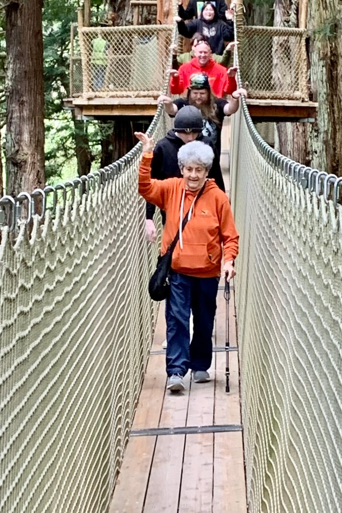
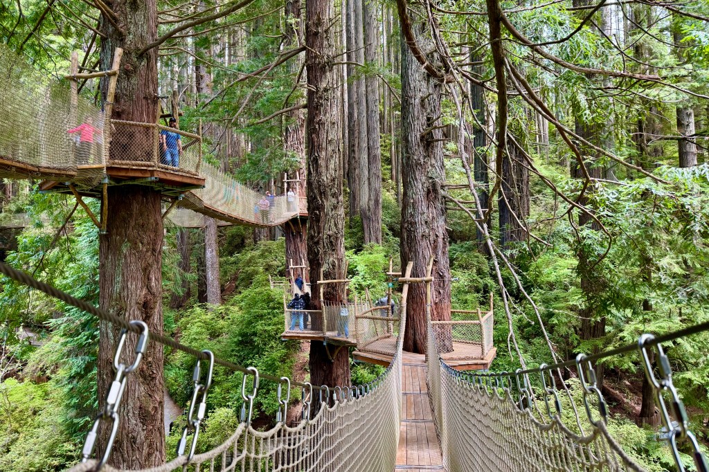
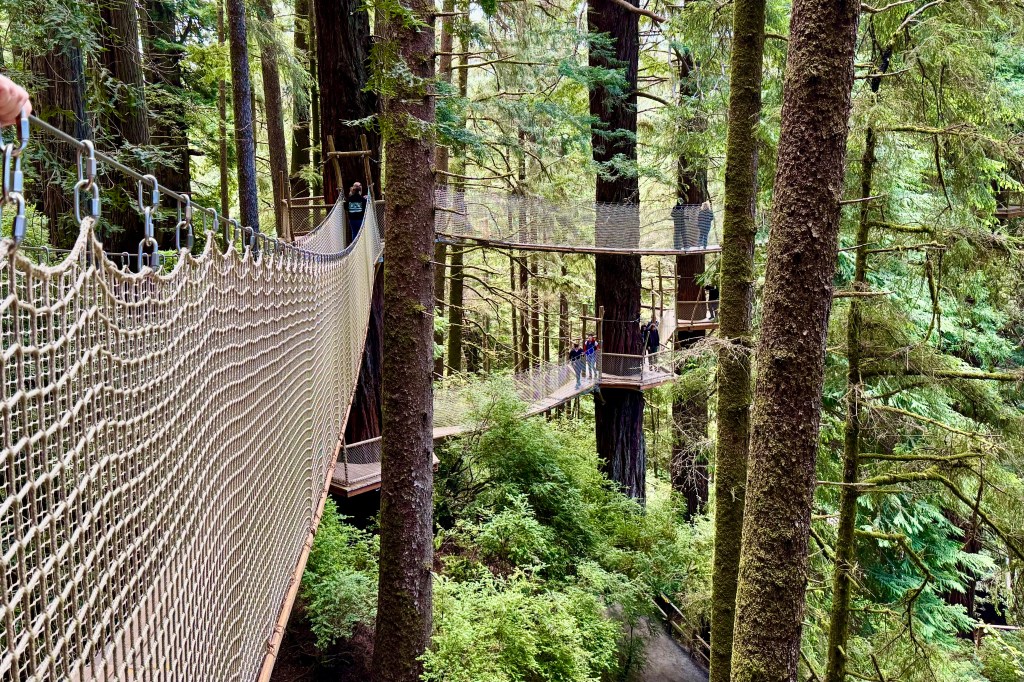
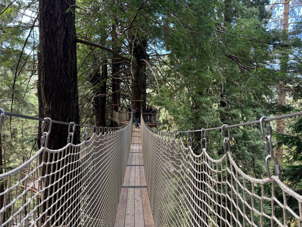
The biggest plus for me was to be the canopy walk which took us high into the redwoods through eight suspension bridges and ten platforms. To take in the sights, sounds and smells of NorCal’s world-famous redwoods would have been a noteworthy experience … except for the queue of people on my heals tromping across each bridge with nary a moment to take the surrounds in. These aerial netted suspension bridges perhaps 100 feet above the ground sway gently and BUT NOT so gently with the stomping and clomping of the rushers behind me who clearly were not in this to experience the grandeur of being high with nature doing what it does best – be awe inspiring – but perhaps to get a bit of an adrenaline rush with the swaying and rocking of the bridge structures. I was quite relieved not to be bowled over as I made my way across, teetering and tottering, by the swinging generated by the “trompers”. Nevertheless it was a fun experience.

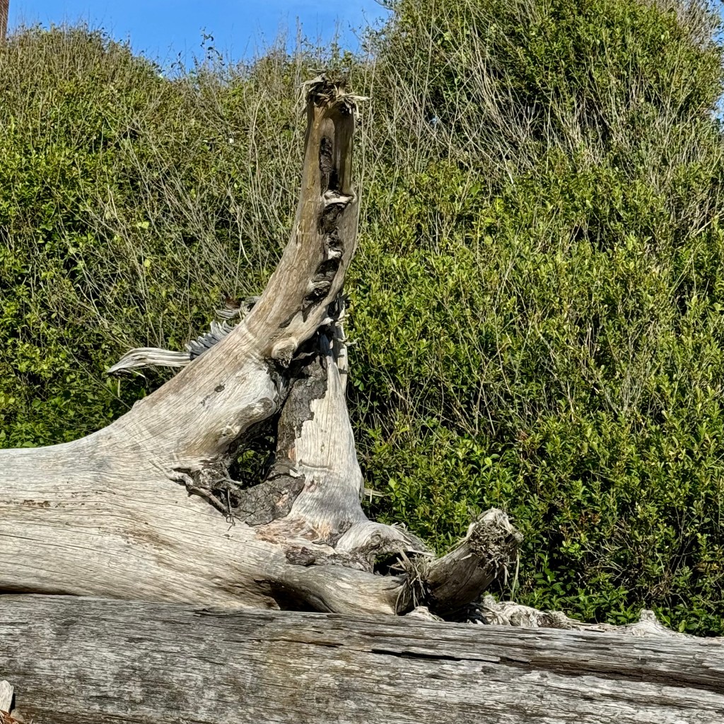
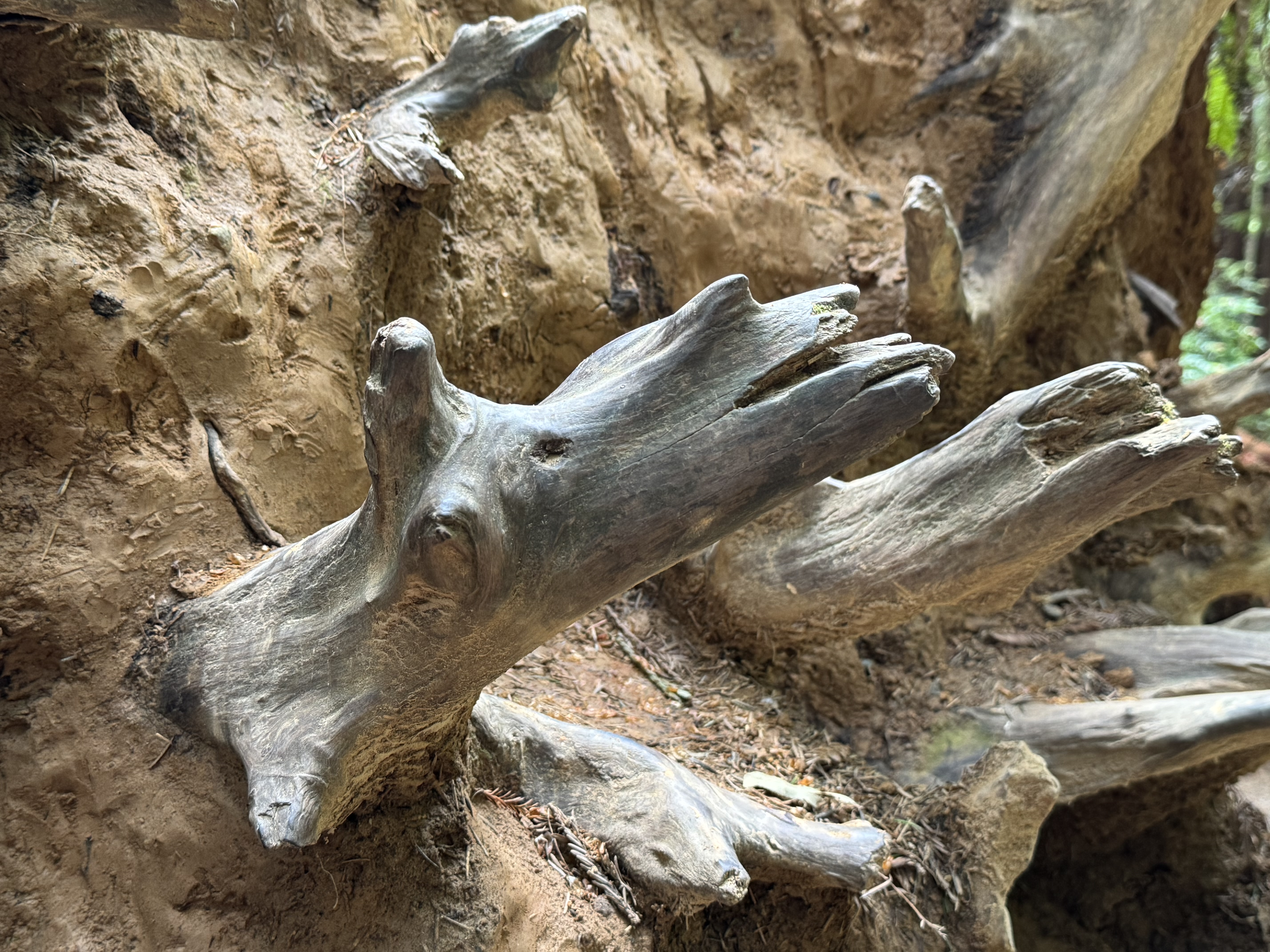
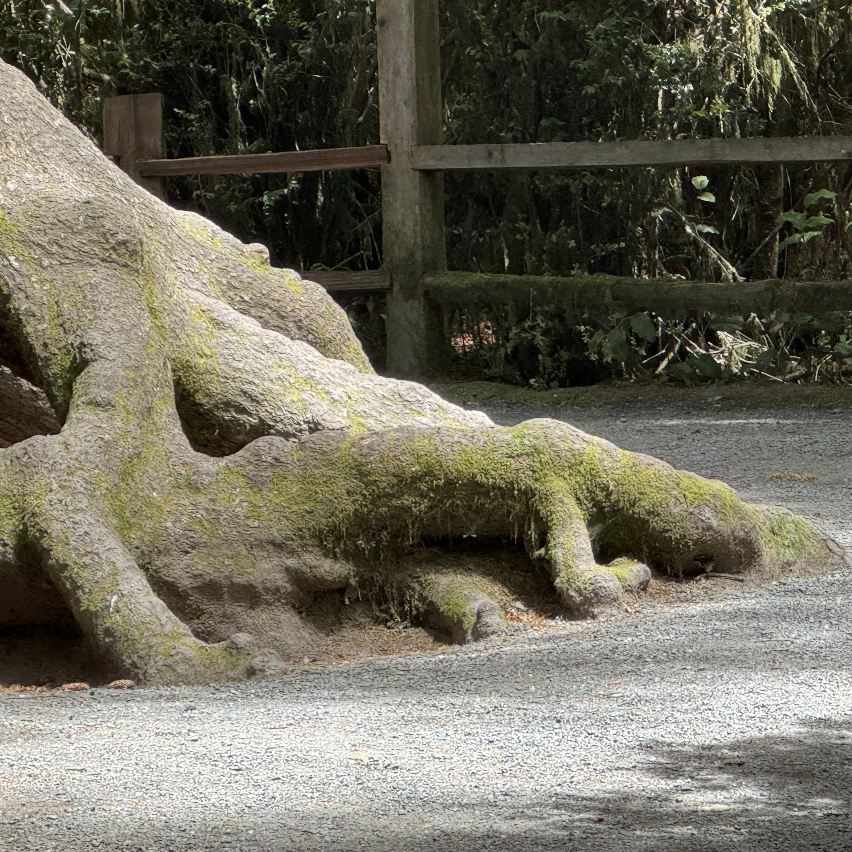
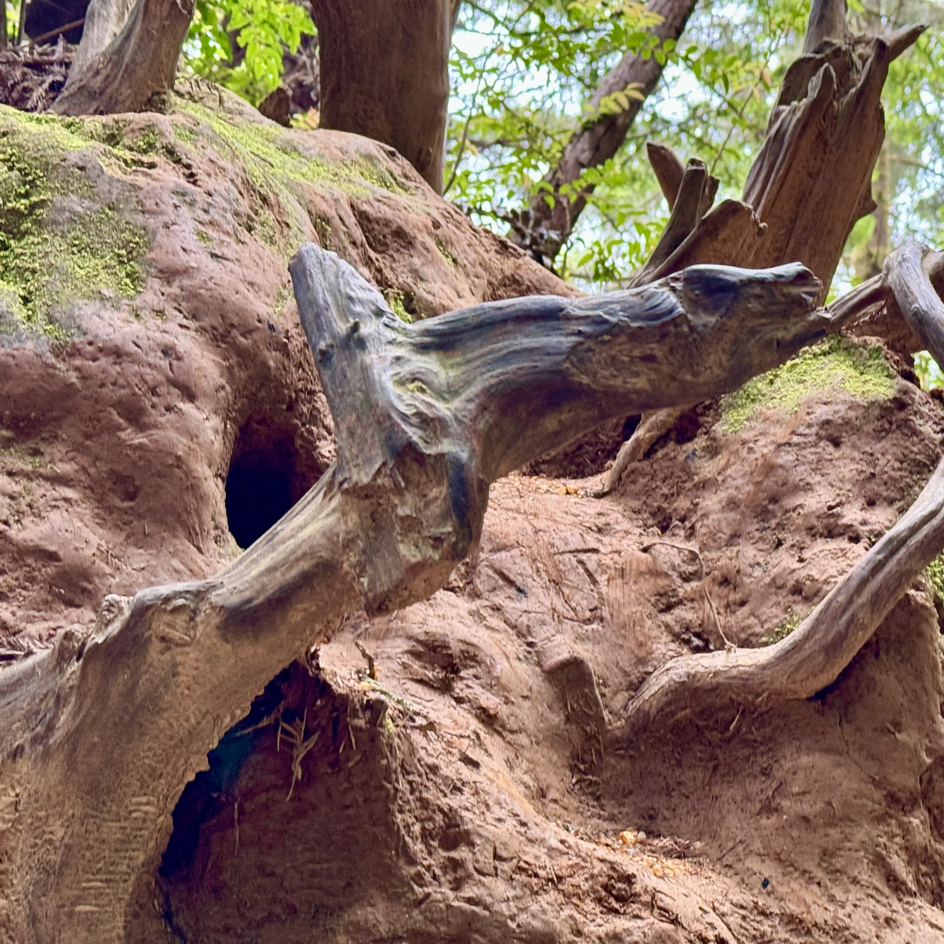
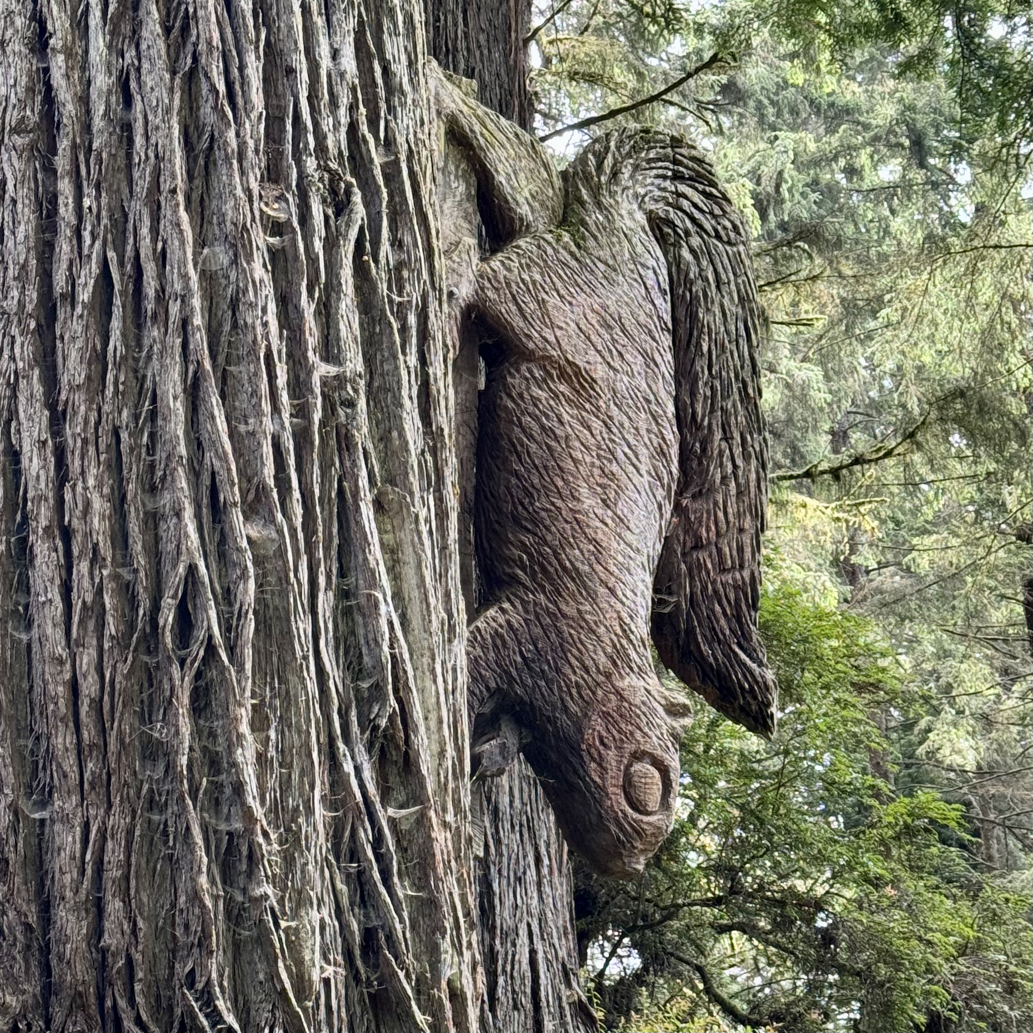
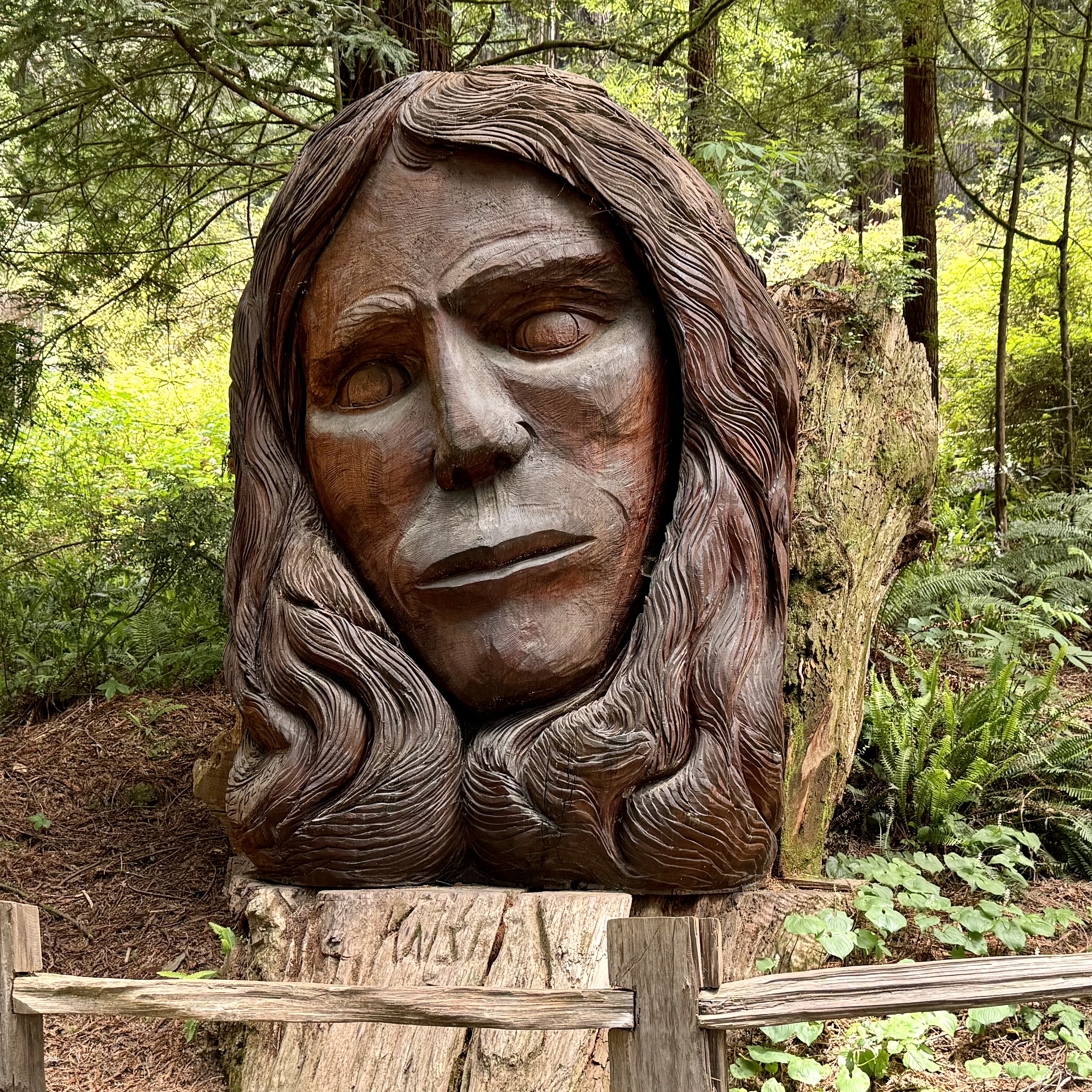
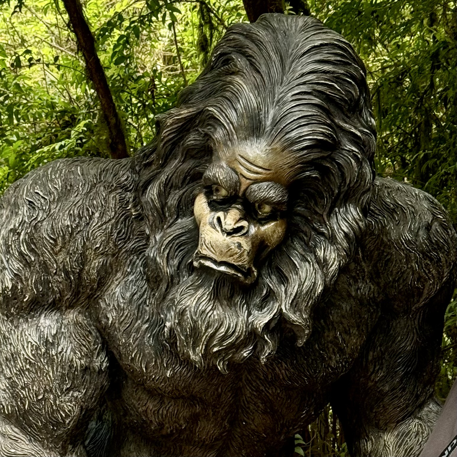
I never quite figured out what the “Trees of Mystery” were. But I let my imagination run wild , searching for some wildlife. Good fortune was with me for I spotted numerous wild “creatures” sculpted by the forces of nature or perhaps by the axe of Paul Bunyans but definitely not of the living variety. Can you spot the giraffe, alligator, Paul”s girlfriend…..

Not to be a total “Debbie Downer,” I enjoyed my visit  but after about 1.5 hours I had had my fill and we were off to what was for me a real experience of redwood old growth trees on part of the Brown Creek Trail in the redwood forest of  Prairie Creek State park, arriving via a pleasant drive down the Newton B. Drury scenic Parkway. I had no desire or need for human entertainment extras.  

Choosing not to patronize the hotel restaurant and preferring to soak in the sea breezes from our balcony,  a stop at Safeway for our own “room service” offerings was in order. After a delightful day, I spent a quiet evening of  breathing the salty air, listening to the melody of the waves, mesmerized by the ebb and flow of the water  and captivated by reflections of the sun on the panorama before me. 

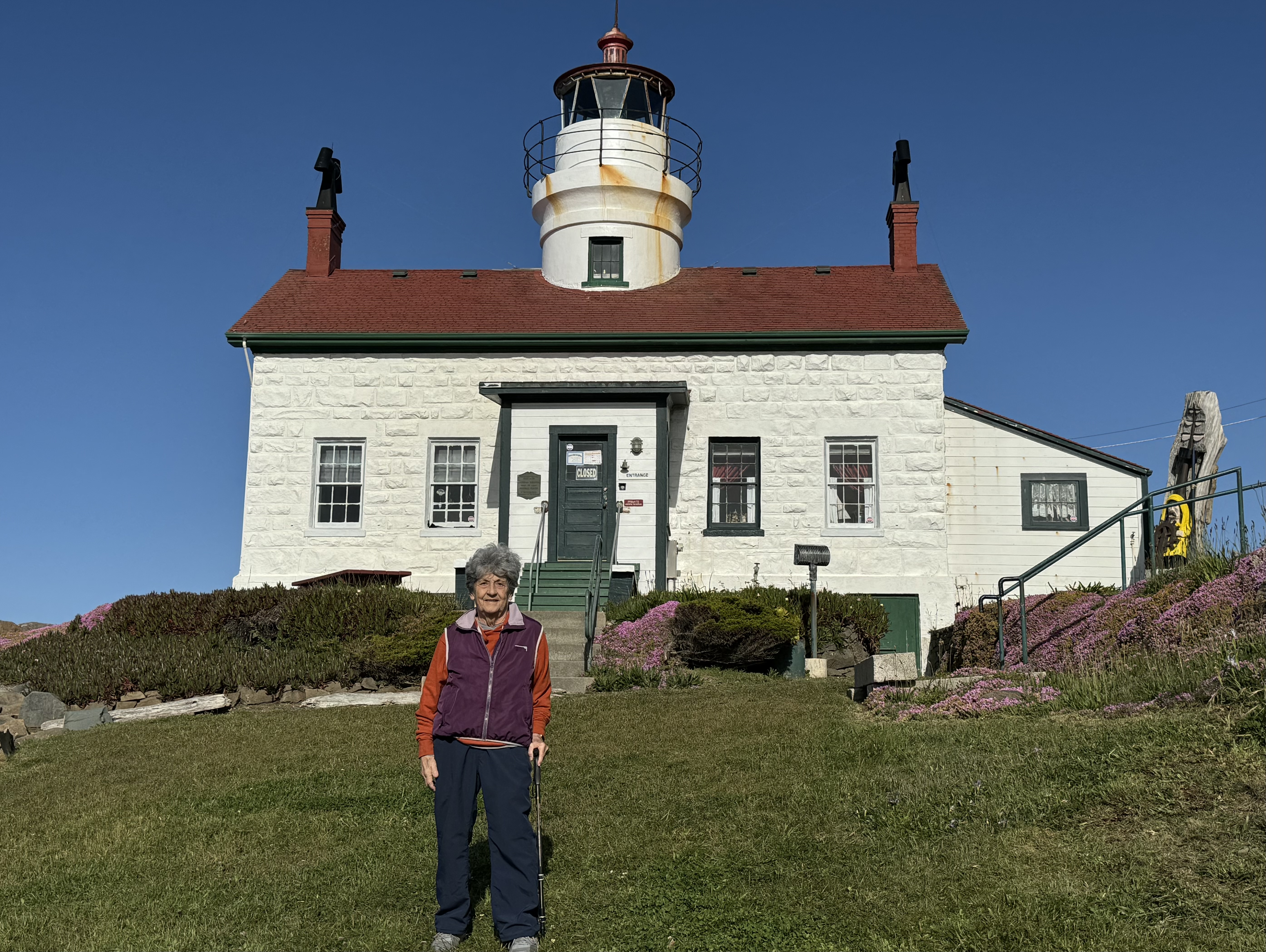
A visit to the Battery Point Island Lighthouse, a historical landmark,  the next day required being tuned into the tide charts as it was only at low tide when one could traverse the isthmus to the Lighthouse without wading through shifting sands, rocks  and the chilly chilly water. So we were out and about  around 7;30 am to catch the first low tide of the day. The harbor at Crescent City was booming during the mid-1800s due to massive redwood trees being harvested and loaded onto ships to build San Francisco and the US Government built a series of lighthouses along the coast.

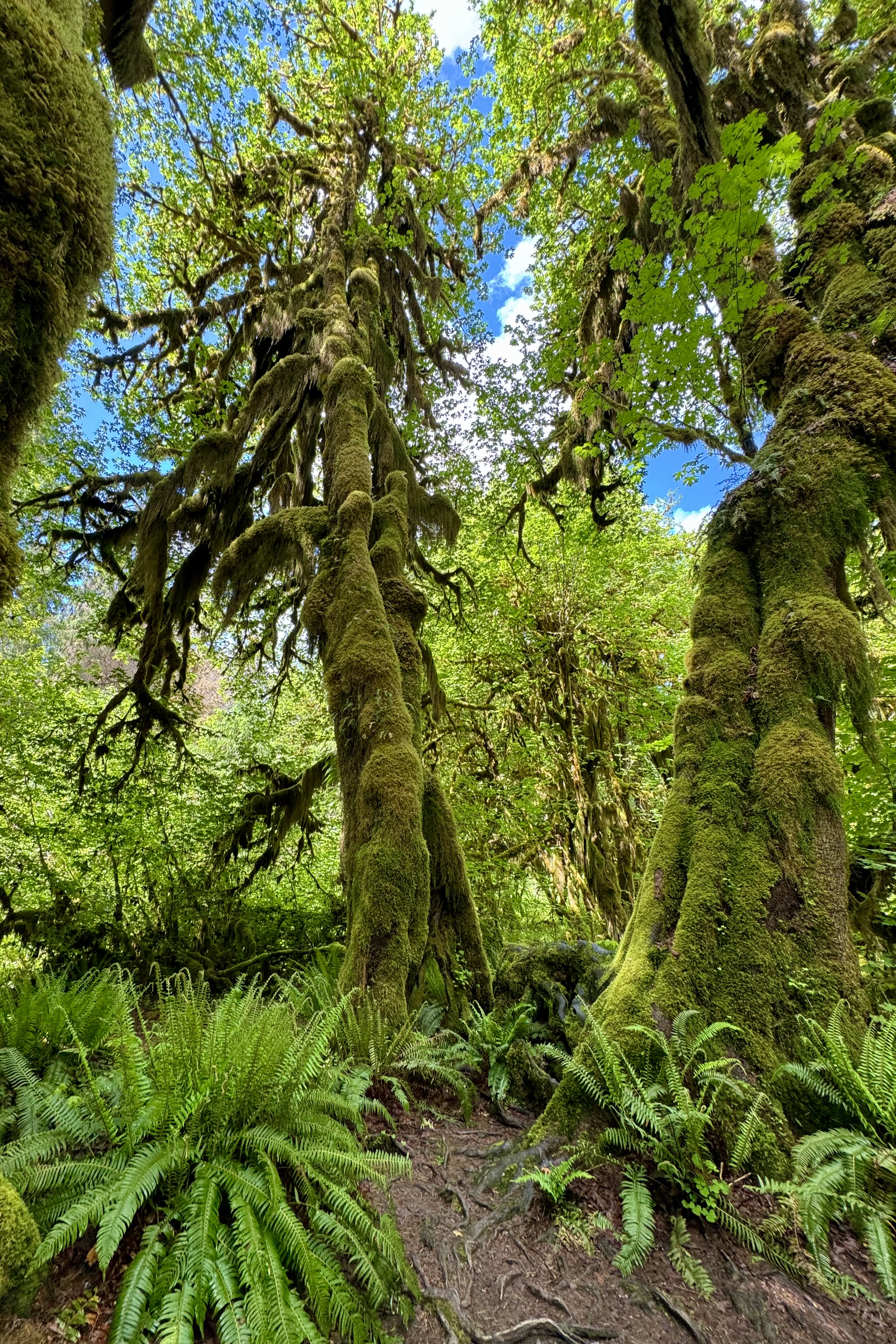
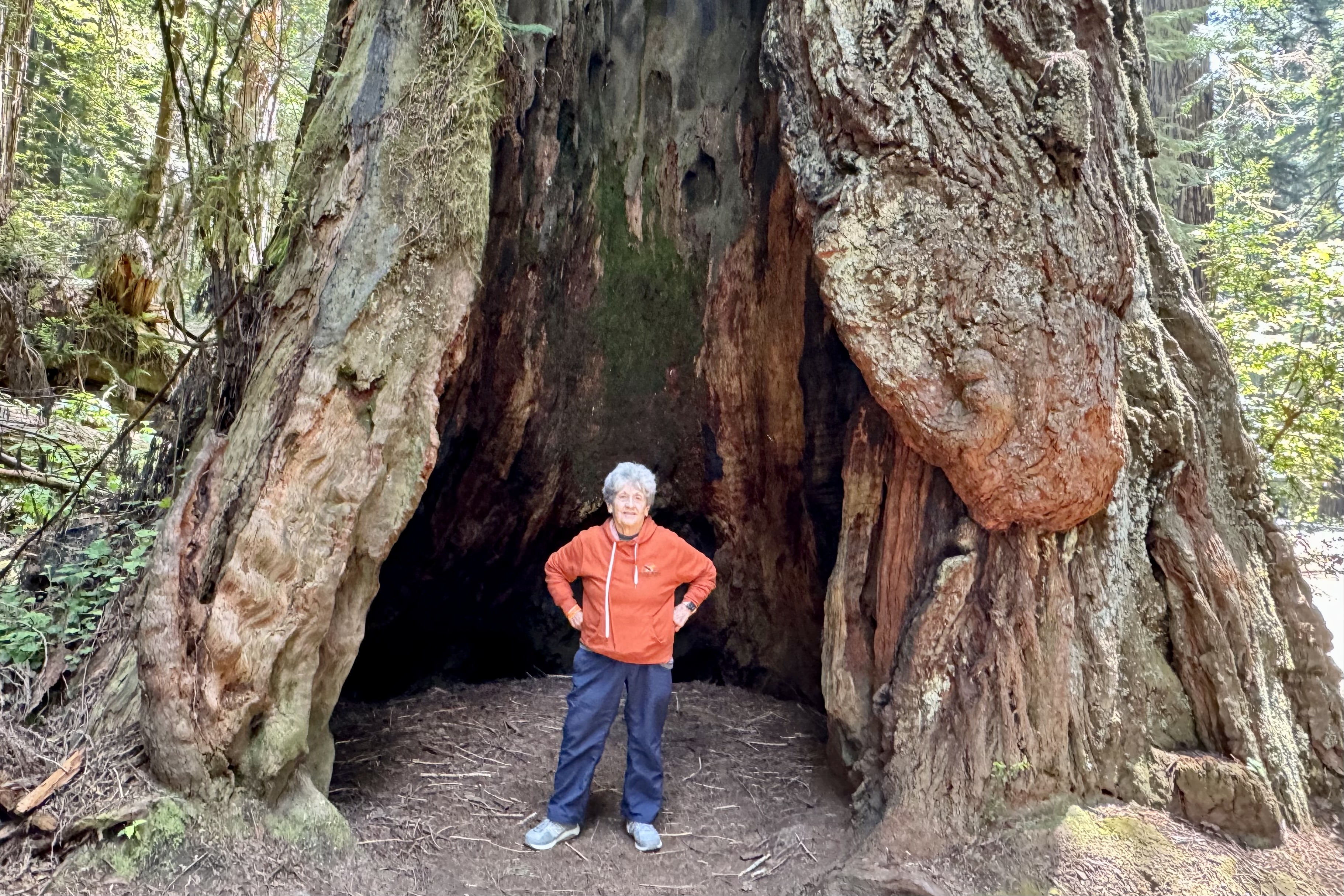
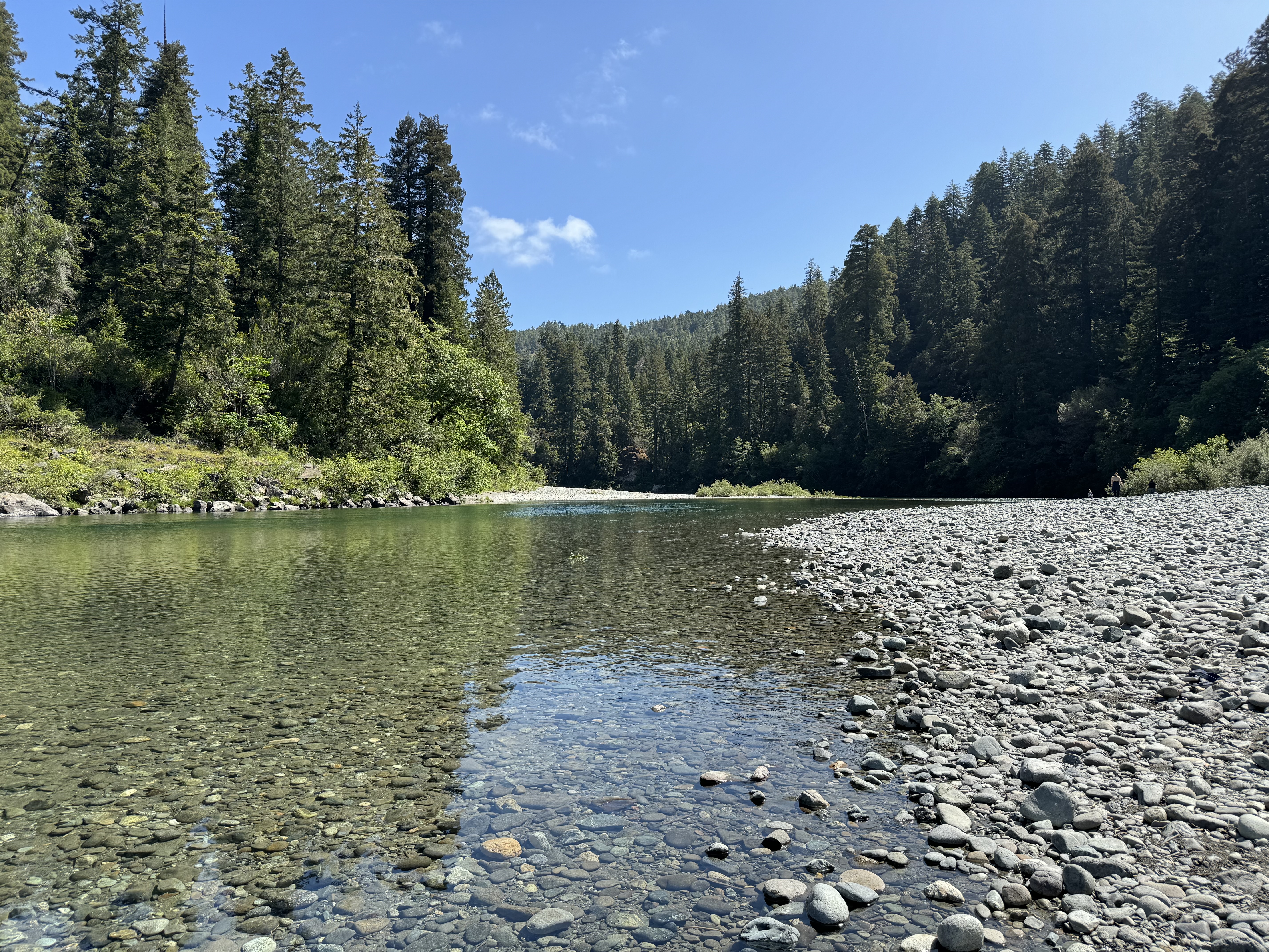
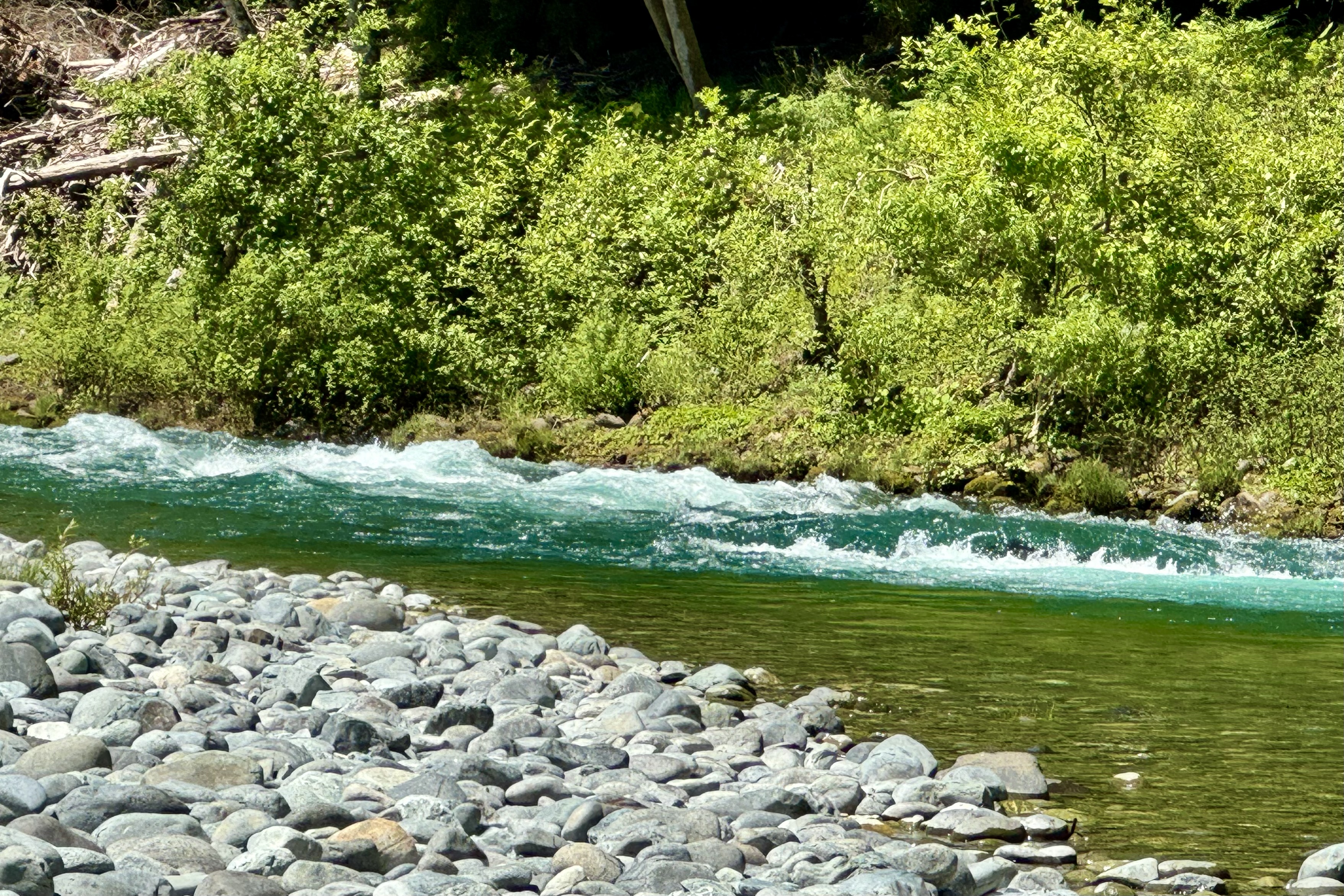
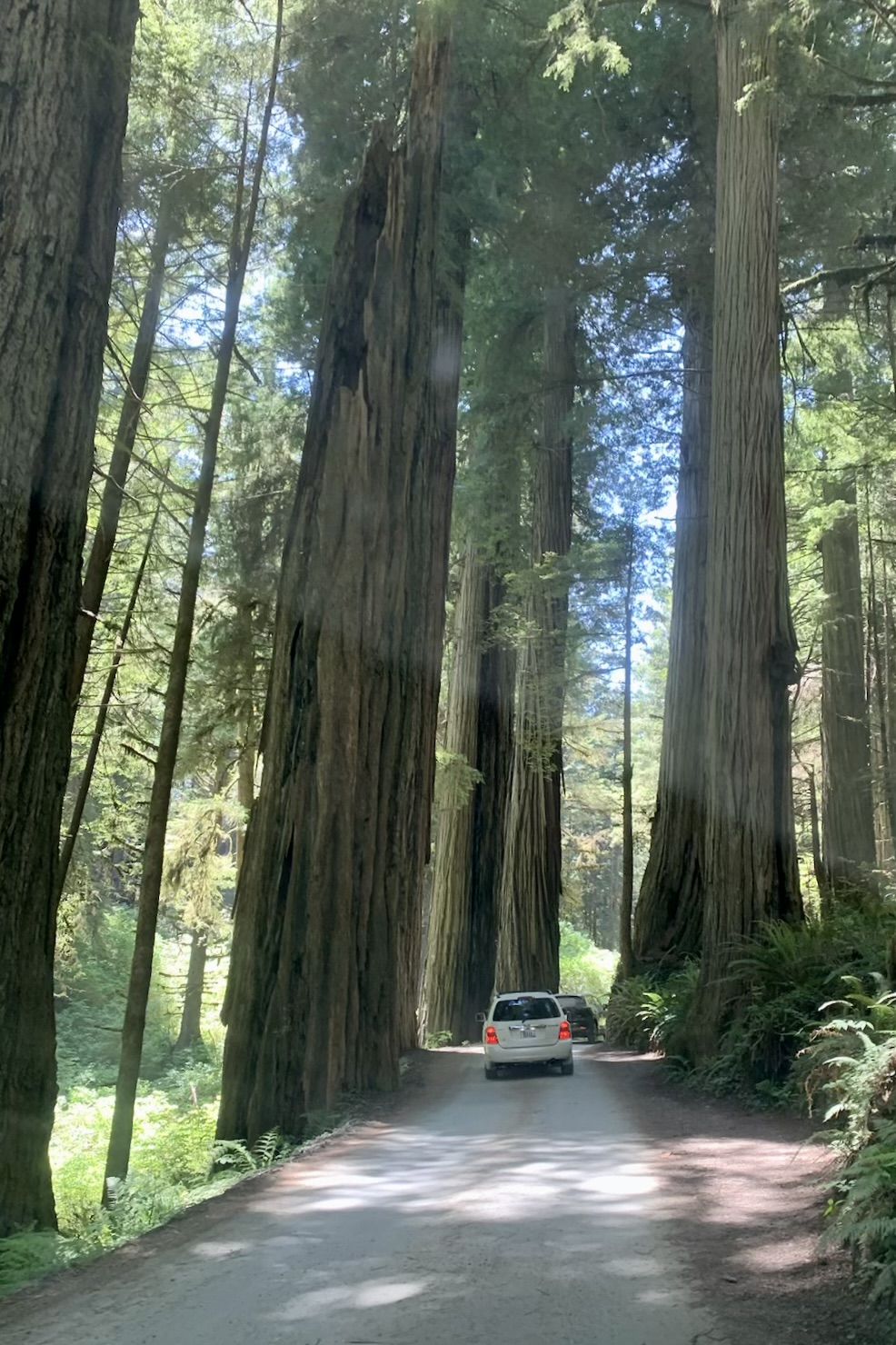
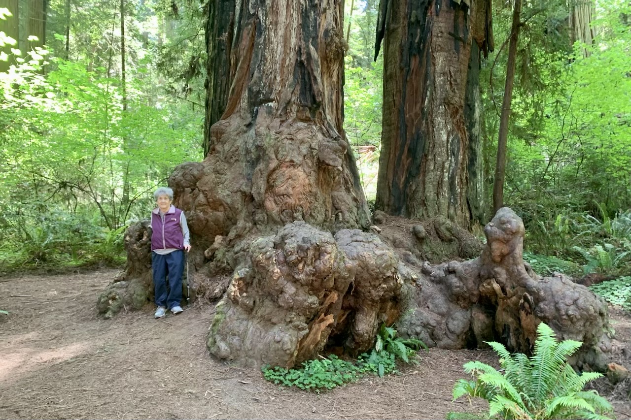
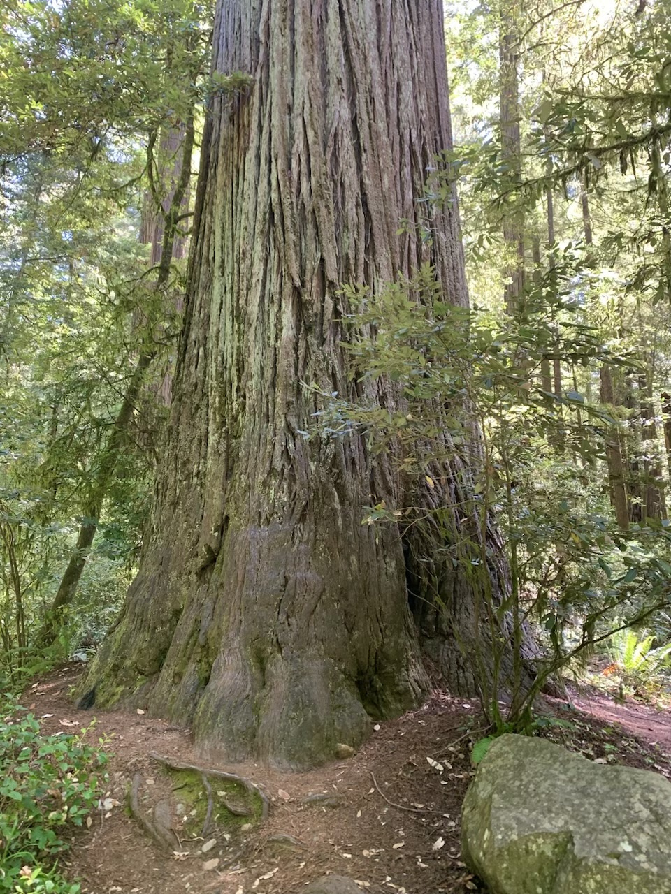
Though I would have liked to tour this historic facility, after enjoying the quiet  of the early morning seascape, I was eager to be on the road. to the Jedediah Smith Redwoods State Park and explore the Stout  Memorial Grove and other notoriously  massive trees. Being rather clueless about how to get where I was going, the first stop ended up at the South Fork of the Smith River and the Jededhia Smith State Park Nature Trail, which definitely was a good destination to be lost in. From there we headed over and about and around the forks of the Smith river to reach the famous and infamous, loved and hated Howland Hill Road. Howland Hill Road was a filming location for “Star Wars: Return of the Jedi” and is considered one of the most scenic drives in the Redwood National and State Parks.

 If you can’t tolerate dust and  squeezing your shiny unblemished car between massive tree trucks, this is not the road for you. Part of this 10-mile road was once a stage coach road and my take on it is it hasn’t seen many  upgrades since that era. Most of Howland Hill Road is NARROW. It is a  non-tarred surface, single lane thus accommodating one car,  but naturally this is a two way road so one is required to make liberal use of the many pull-outs. It is about as intimate as one can get with a redwood without getting out and hugging it and it is akin to walking a path through the redwoods except in a car. Since this was a Sunday and Memorial Day week-end with halcyon weather, a myriad of folks also had their brilliant idea of driving the path of an old stage coach road so we pulled over and out again , over and out again and again. The road is not recommended for RV’s but there are always those individuals who believe they are the exception. It was as if they were driving a Conestoga Wagon on a path meant for a horse and buggy. After a wonderful hike of the Stout Memorial Grave, I opted out of stopping at any more trail heads to visit massive trees as the string  of cars parked on  the road near  every trailhead was extremely long. Walking the distance to the trail head would be akin to assisted suicide by the driver gawking at these very tall tree and oblivious to me on this road shrouded in a cloud of dust . P.S.  I absolutely loved the experience of driving this road. 

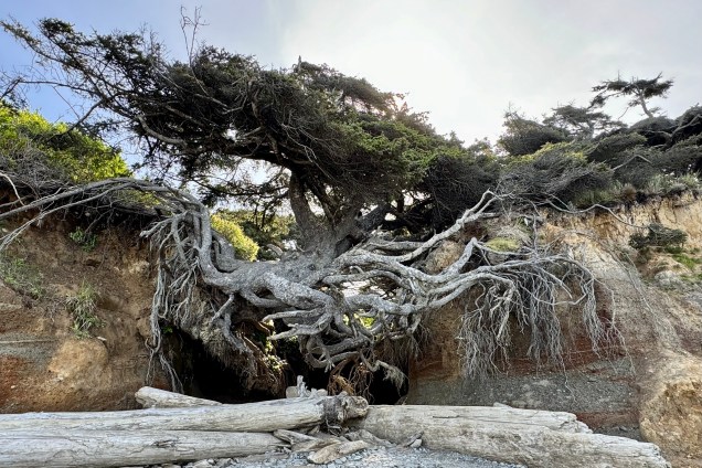
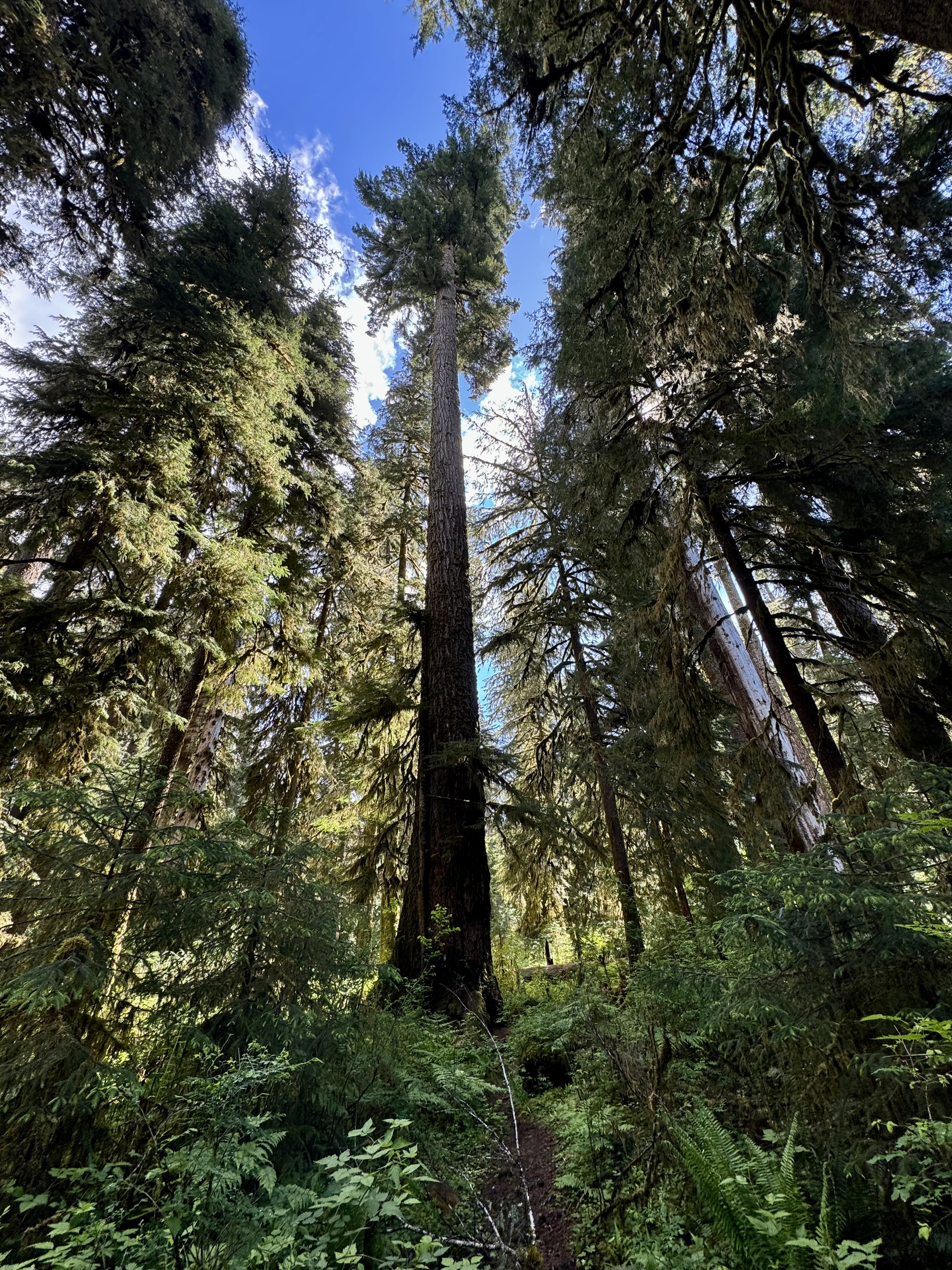
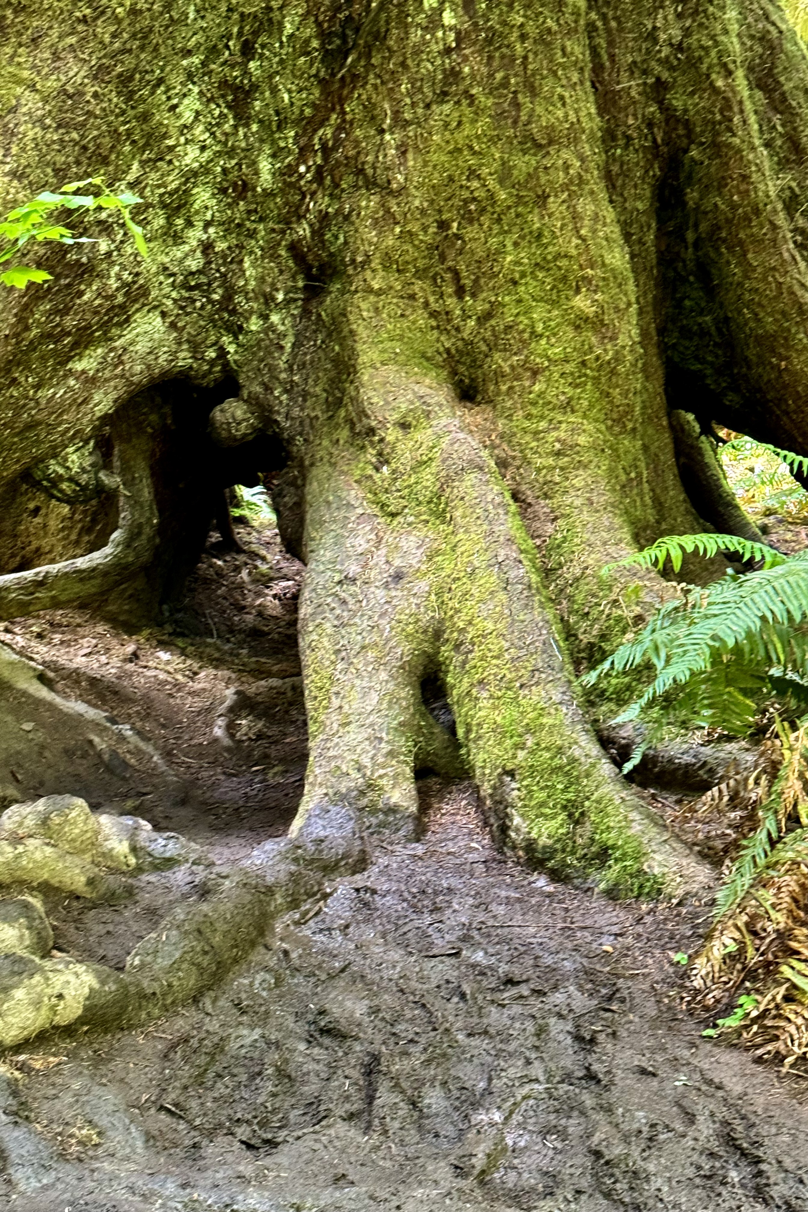
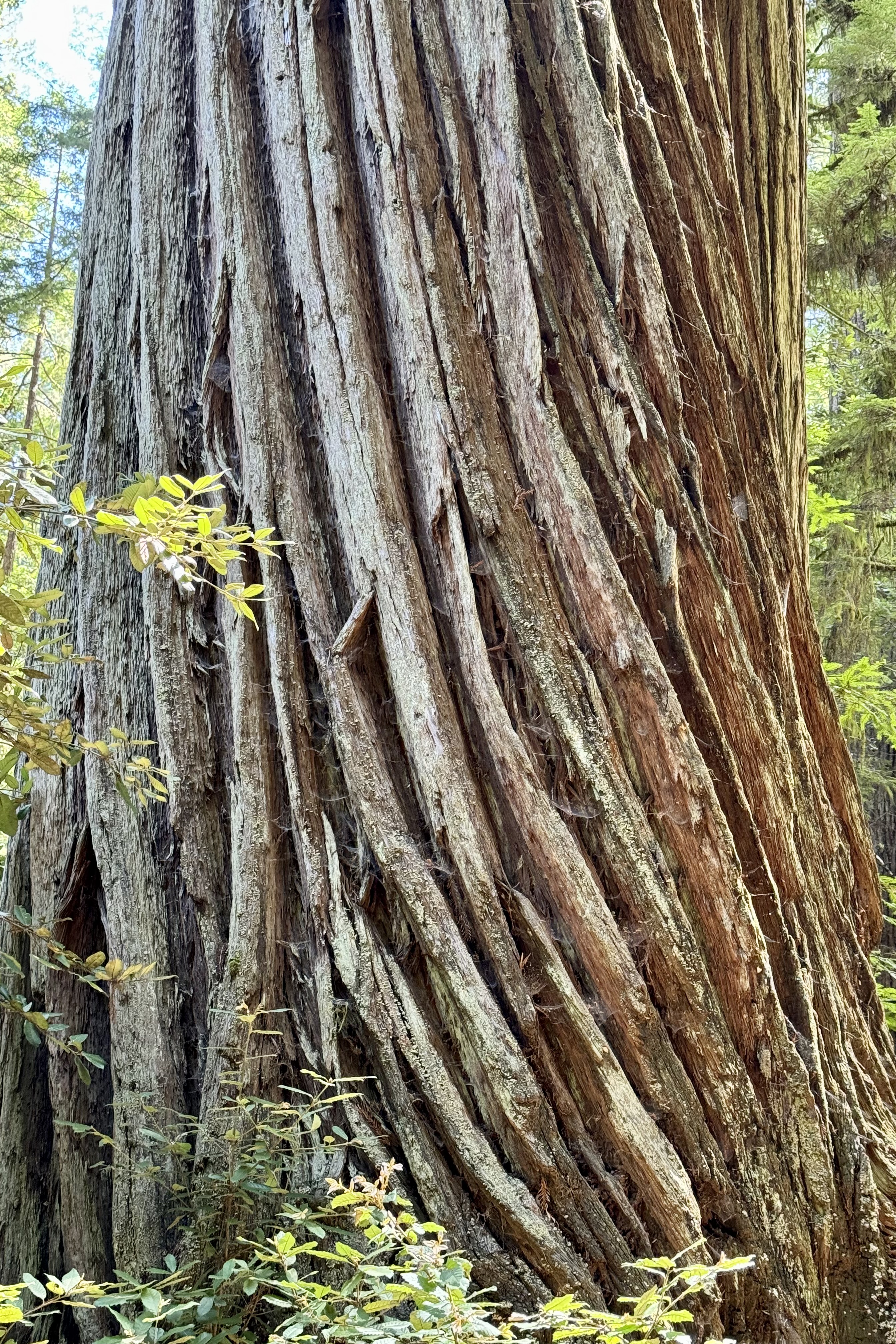
One thing of particular interest to me was the number of fallen trees. I subsequently read that between 2010 and 2020, a lot of big trees fell along the northern edge of the grove, where it borders the Smith River. Now the trail passes a nearly continuous string of fallen giants and the exposed roots of these uprooted Redwoods , which  in many instances remain intact.  One can observe  the intertwining web of redwood tree roots. These roots create a mesmerizing network that supports the towering giants and fosters a unique form of cooperation among the trees allowing these trees to withstand powerful winds and storms. We humans could learn a few lessons from this tree colony.

Having emerged from the Howland Hill  extreme adventure drive,  I swung north to Tolowa Dunes State Park and  Point St. George which is  located on the land of the Tolowa Dee-ni’. This is another area  with a very tragic history–because these are the ancestral lands of the Tolowa people, whose villages were attacked by settlers in the 1850s. The Dee-ni’ Holocaust began in California in 1851 with the goal of a war of extermination to continue to be waged between the two races until the Indian race became extinct. There was an  appropriation of one-million-four-hundred-thousand (1,400,000) dollars to pay vigilantes to destroy them under the slogan that rang across the land: “The only good Indian is a dead one”. A few hundred survived and were driven to concentration camps. Gazing across these ancestral lands yet again fills my heart with rage at the atrocities rendered upon native Americans in the white European settlers imperialistic   expansion of the West under the tenets of “Manifest Destiny “ – seeing their expansion  as a divinely ordained, moralistic assertion of American exceptionalism.

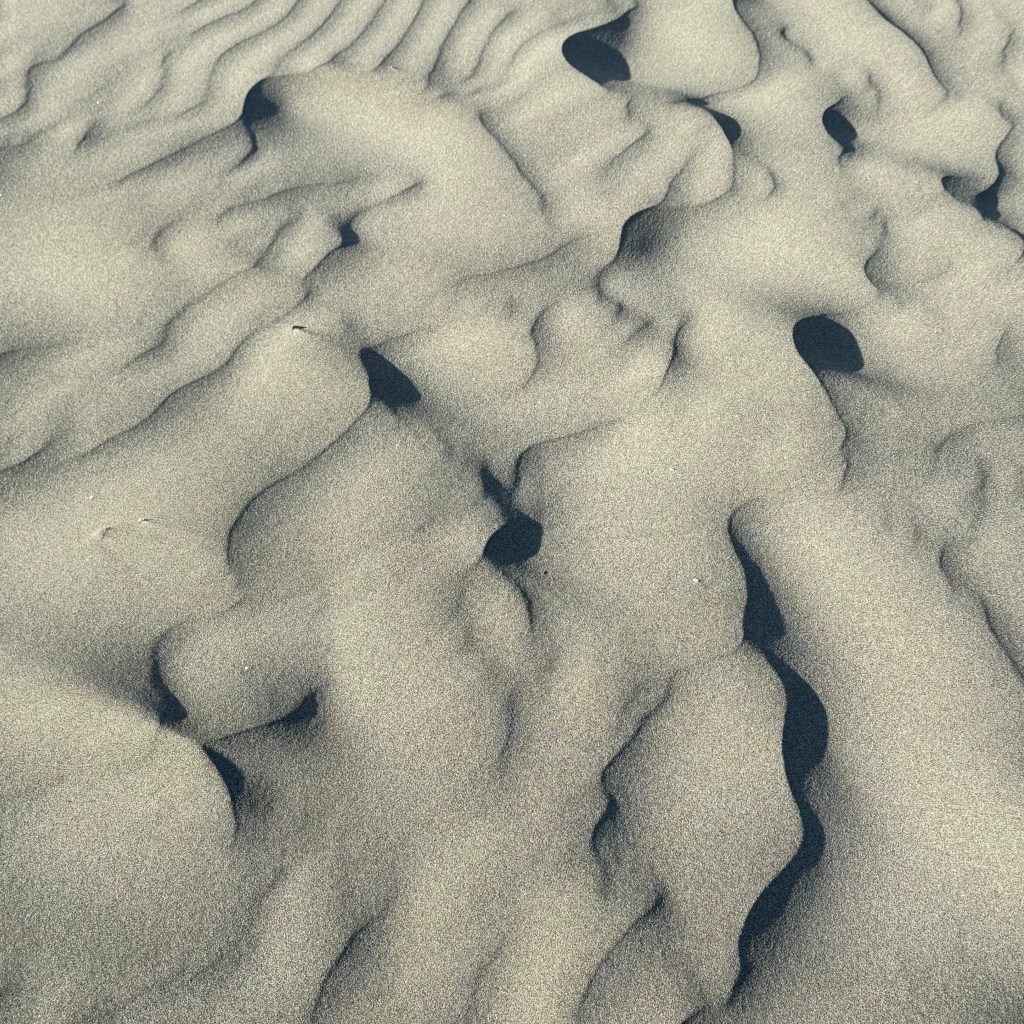
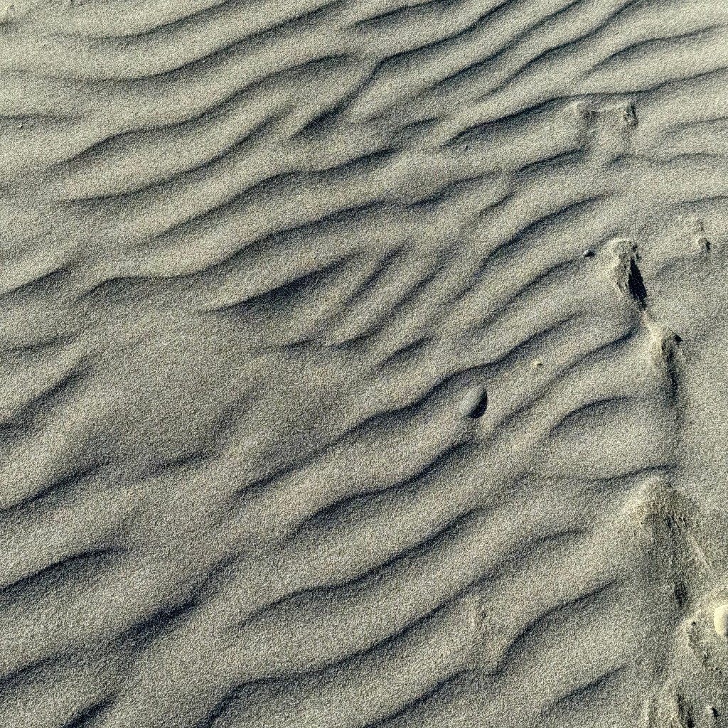
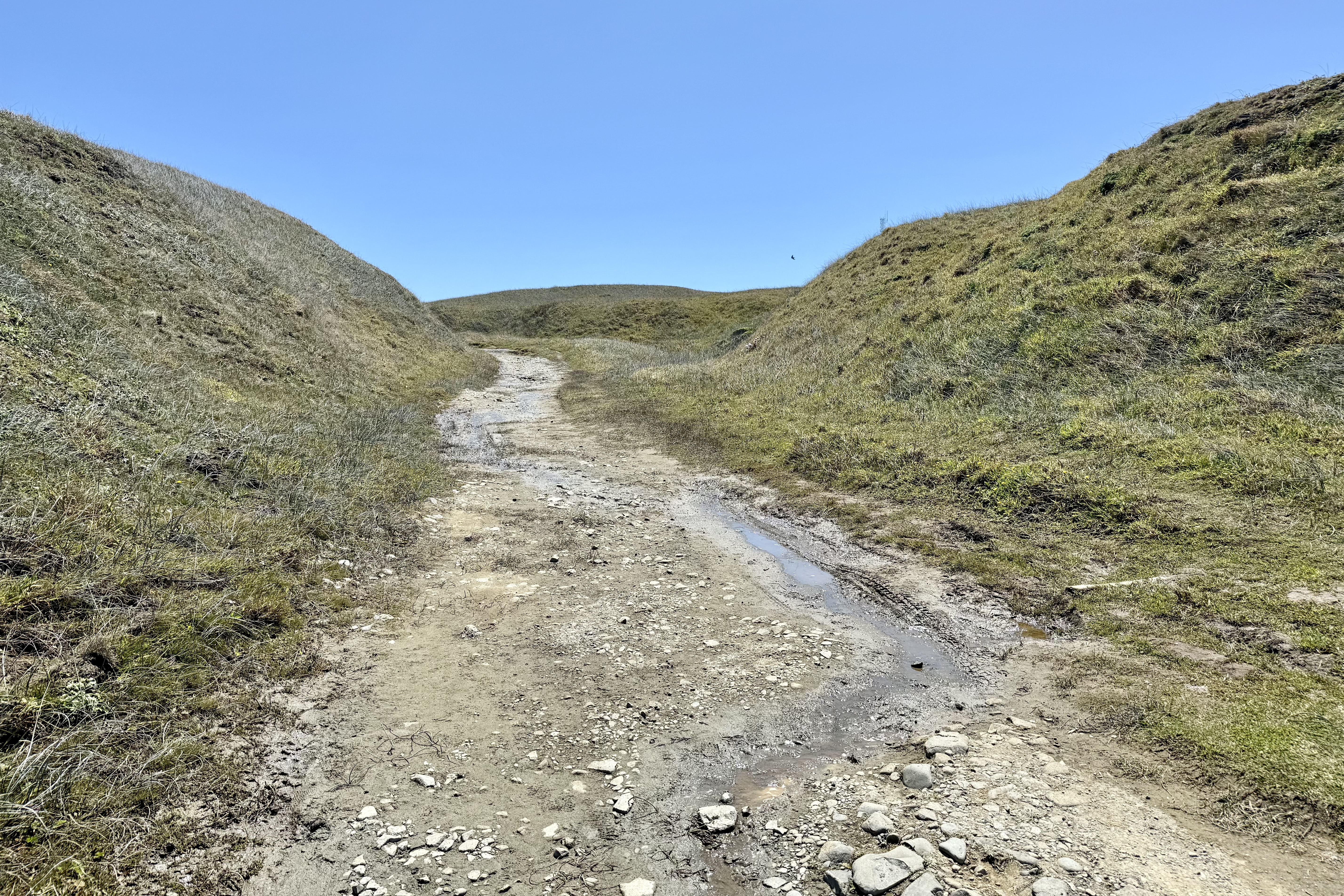
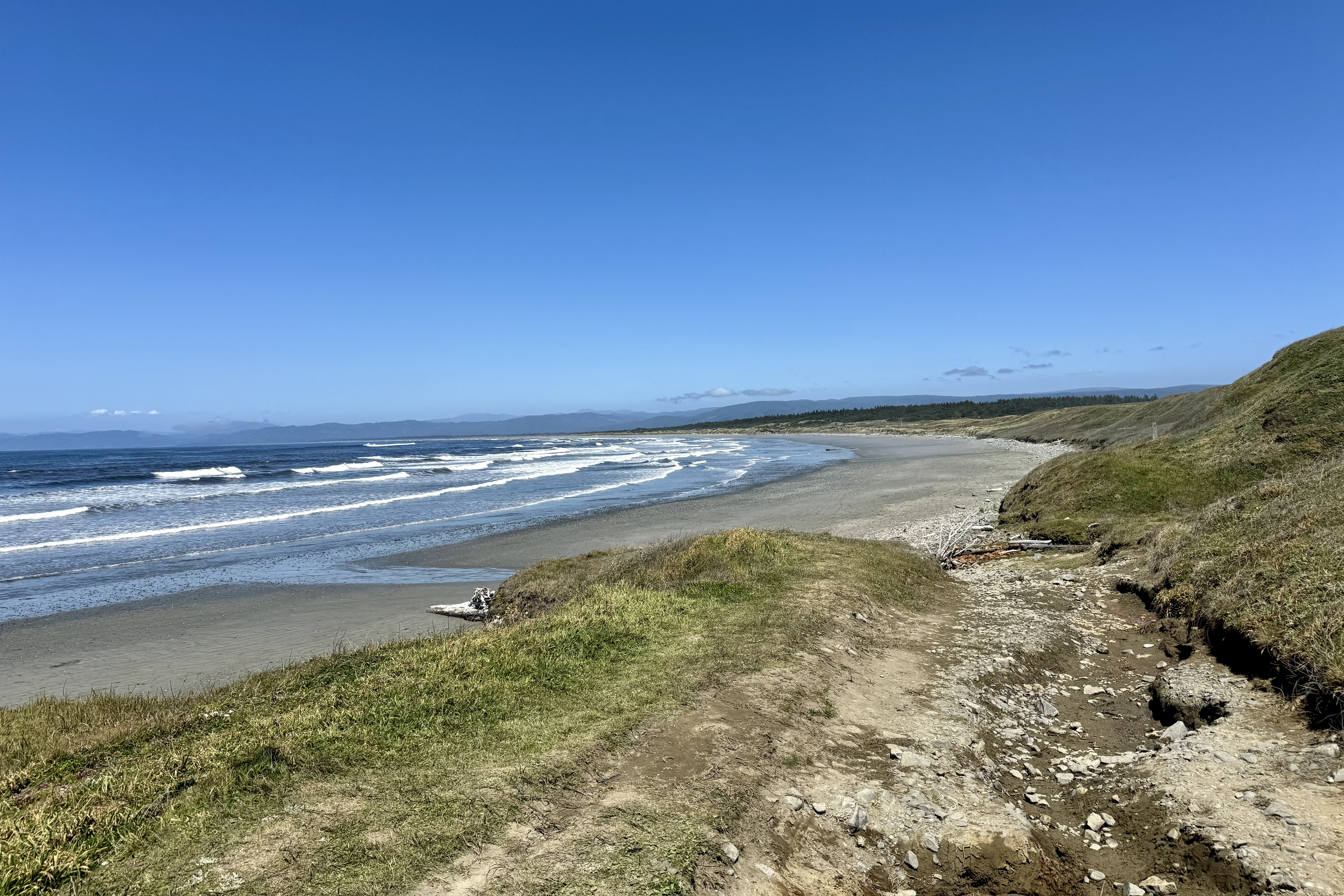
I drove until the road dead ended into a parking area and walked a path over dunes to the water and a relatively secluded beach bordered with driftwood. It was a nice contrast to the experience of the Redwood Parks to the south. Feeling sated by water and wood it was time to return to the hotel and enjoy the sights and sounds of the sea as it lapped the shore before me. A simple dinner of a Caesar Salad and clam chowder in the restaurant was a perfect end to a spectacular show produced by Mother Nature and Farther Time!.

A Backcountry Shack, a False Start, and a Roaring Cataract

A guided day trip to Twin Lakes was on the schedule for this day. We were advised to be ready for our outing  to Twin Lakes around 10:30 am, somewhat later than our normal 9;00 am plane.  No sleeping in though because breakfast is served at 7:30. The plan was to   drop us with our  guide at Upper Twin Lakes where we would be  exploring the Hope Creek area where Richard Proenneke, aka” Dick”, the embodiment of  wilderness values, self-subsistence, and resourcefulness, lived. From the age of about 51 he lived alone for nearly thirty years (1968–1998) in the mountains of Alaska in a log cabin that he constructed by hand near the shore of Twin Lakes. He definitely is my kind of hero. Dick’s cabin is a National Historic Site and managed by the National Park Service.. We were encouraged to read  a book titled One Man’s Wilderness for some background of the areas, Hope Creek, and Teetering Rock. I had download it the night before and had read about half…at least enough to have a good idea of the challenges he faced in building his home and living off the land.

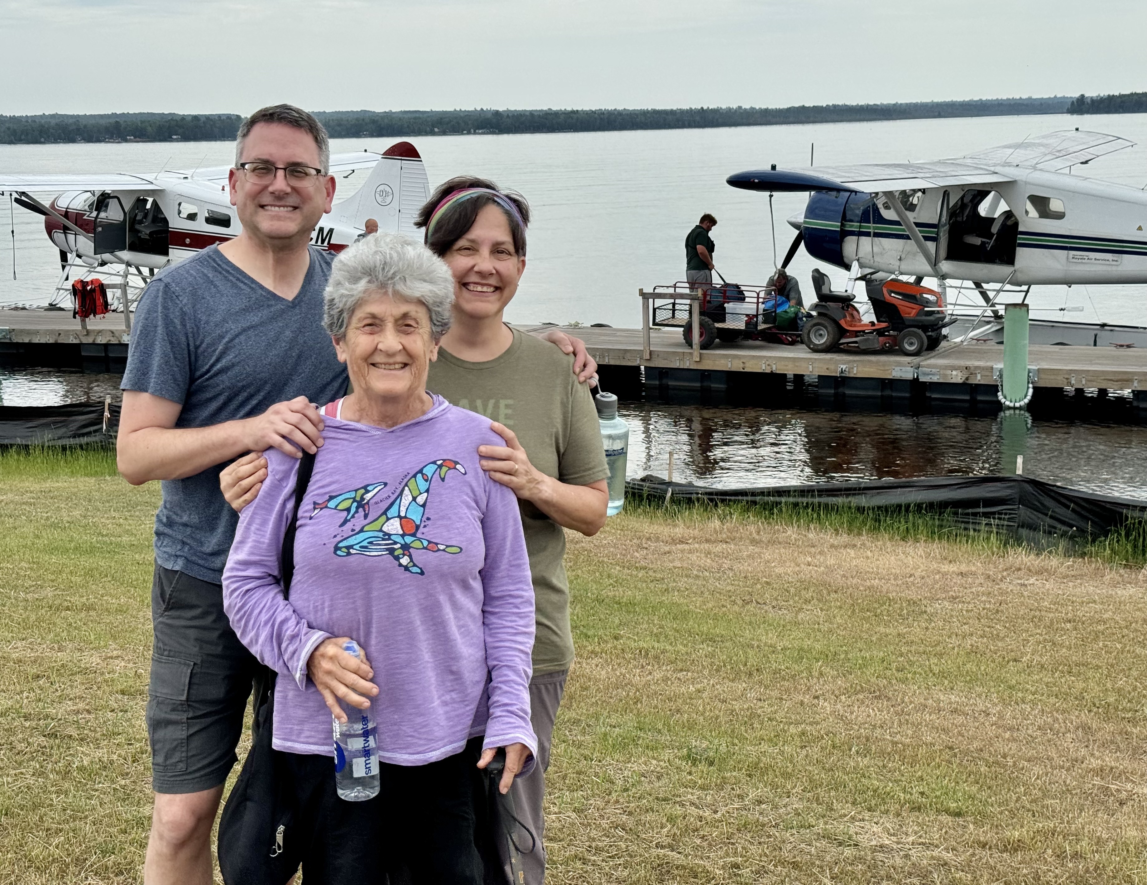
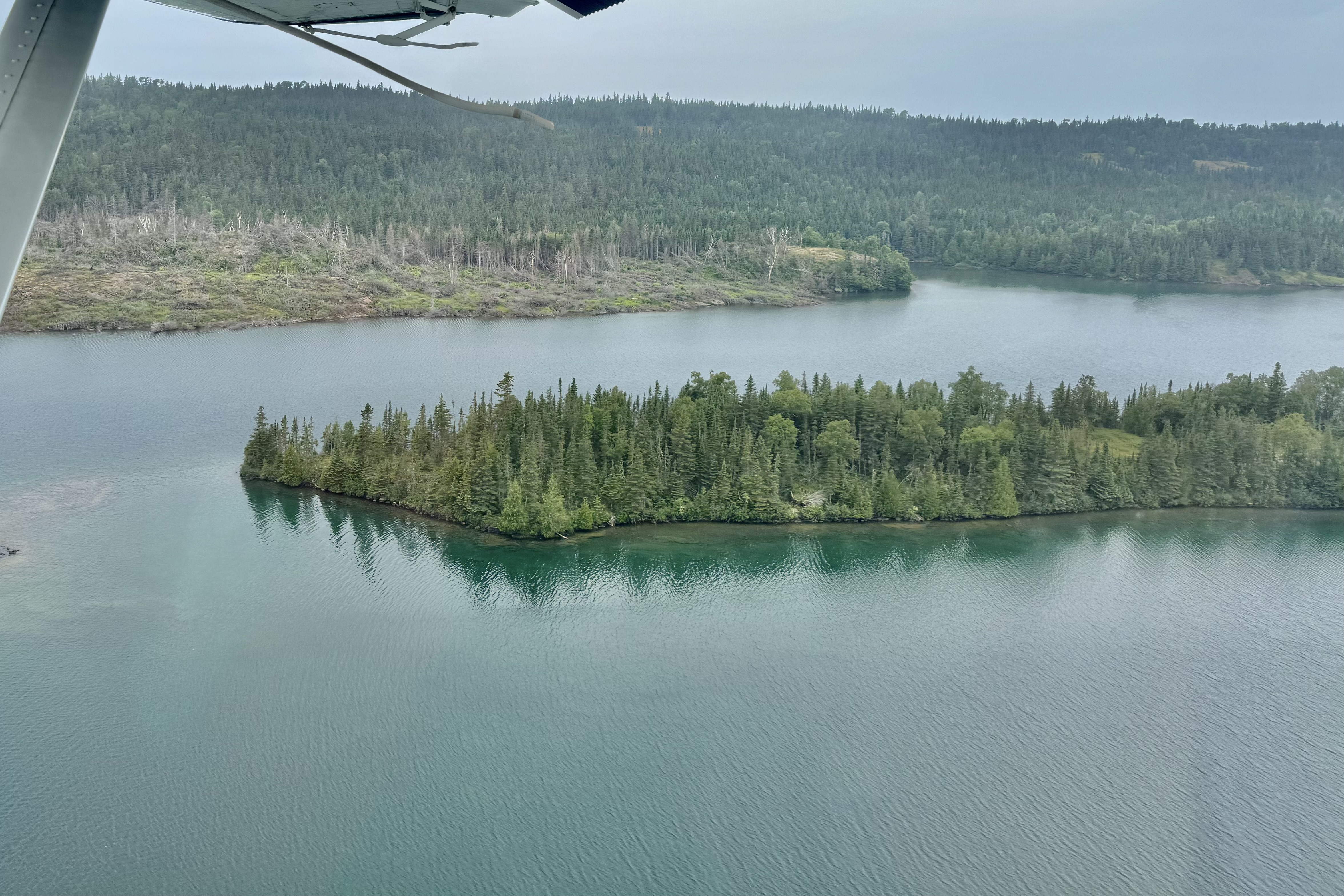
As always, our  float plane adventure took us over other stunning scenery of this vast Alaska Wilderness area. Initially the mountains were of a lower elevation and yet to be dressed out in snow.  The verdant colors never cease to amaze me but before long we were back over the jagged snow covered peaks. 

At times the cloud banks were more like ethereal cloaks and misty veils and other times a sea of  cottony pillows. Sometimes it seemed as if we were floating on thick layers  of the cumulus clouds .  Our pilot charted a course up the western side of Lake Clark over fish Trap Lake and the western area of Twin Lakes. Of course I was wildly taking pictures and I am sure if my camera didn’t date them, at times mark there location, and keep them ordered I might assume they were from a previous jaunt… but it never ceases to inspire awe.

It is always interesting to be privy to the pilot talk between planes as they share the conditions all over the area they are experiencing. It began to sound like our adventure on Twin Lakes was a possible “no go” when listening to the floatplane to floatplane chatter. The micro weather systems in the different valleys can be quite disparate and the gist of it was that Twin Lakes was fogged in and landing there was contraindicated. The pilot also had to take into consideration the forecast for later in the afternoon when we were to be picked up and made the determination to take us back to the Lodge and possibly try again after lunch. Within the hour however we were told we would try again tomorrow. Seems that most of the valleys were in layers of fog and the conditions later in the day would deteriorate further. Guess he didn’t want to drop us and not be able to safely retrieve us especially since there were no public sleeping accommodations at the cabin site. Of course I definitely thought it would be a great adventure roughing it out there like “Hero Dick.”

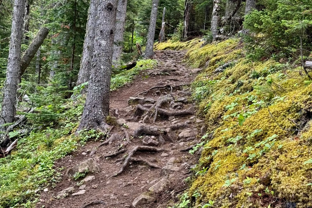
Tasia and I put into action our Plan B which was a visit to the National Park Headquarters and the loop hike to to Tanalian Falls. Naturally though I thought what an adventure it would be to hike the Tanalian Mountain Trail which is described as steep, strenuous and with wonderful views of the area. Fortunately it dawned on me that I have already had many times over the most wonderful views of the area from the floatplane and there was no need to batter my body with a challenging and possibly dangerous hike. So Tasia and I headed out the Beaver Pond Loop Trail on this beautiful sunny afternoon. As I have discovered, most forest trails I have encountered when hiking in Alaska this summer, are staircases of tripping roots, wet muddy bogs, and abounding with a rich variety of flora and fauna, and berries (good grizzly lunchables). It was a delightful to meander upward towards the falls but sadly there were no beaver or beaver dam sightings on this Beaver Loop Trail.

After about two miles of a mostly uphill trek we were finally able to hear the roar of the gushing water and see the mist in the air from the sheer force of the water tumbling down the escarpment. We followed the trail to the top of the falls and it was breathtaking to just stand there and experience the grandeur and power of this cascade of water.

After soaking up the wonderful energy at “top-o-the-falls” we followed the trail back and headed to the bottom of the falls to experience this unbridled power as the water roared into the Tanalian River before we headed back to the forest tail.

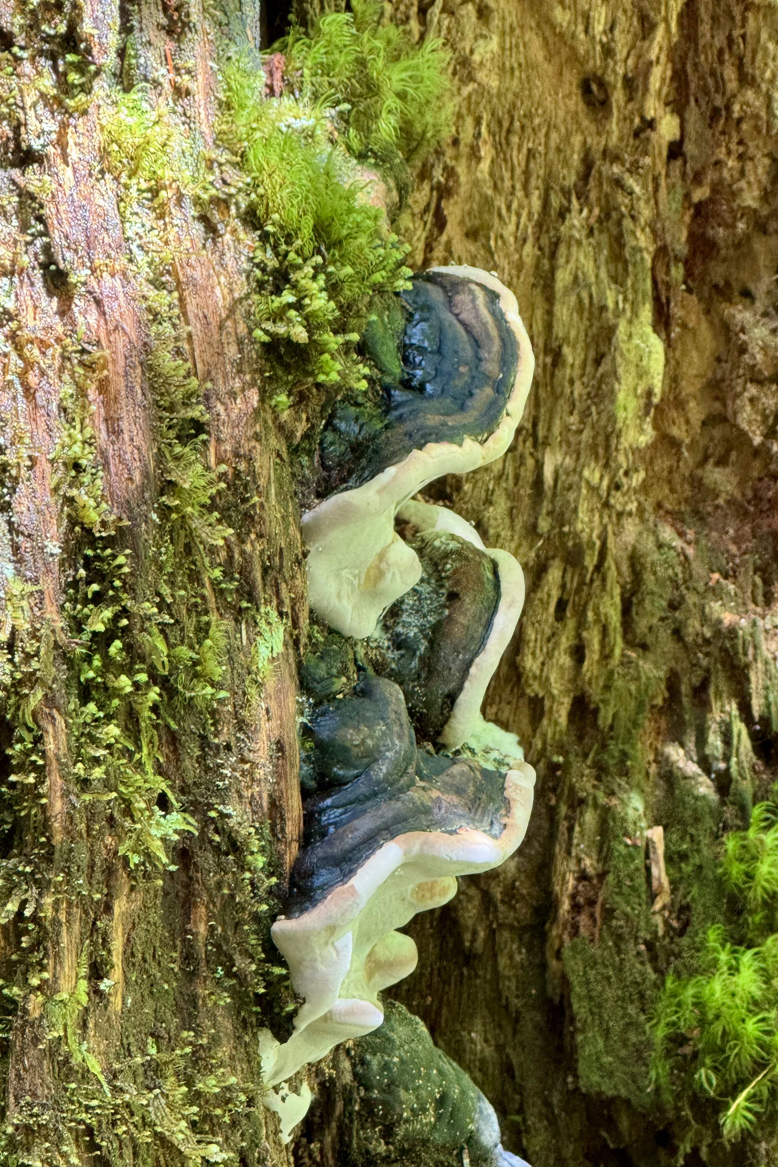
The return trail wandered through this forest thick with a diverse array of fungi which were just begging Tasia to cast her artist’s eye to memorialize them in our travel blog.

This trail, the Falls and Lake Trail, offered a more diverse landscape with views of the Tanalian River, tranquil ponds, Tanalian Mountain, and a panoramic view of our lodge in the distance.

Once back at Lake Clark Farm Lodge, I decided a tour through the “farm” area was in order as I hadn’t yet taken the time to explore this “working farm” with it’s vegetable garden. From a distance it appeared quite impressive. We had been enjoying wonderful salads and fresh vegetable at every dinner from the garden . The vegetables in the garden were a la Alaska style. Alaska typically has a very short summer growing season, only 105 days, on average. Despite this short summer growing season, Alaska farmers have the advantage of the midnight sun enjoying as much as 20 hours a day of sunlight during the summer months. The vegetables love it but without blackout curtains sleeping in the midnight sun for a human can be challenging. The extra hours of sunlight allows Alaskan crops to just bask in the sun and keep growing and growing because of a longer photosynthesis window each day, resulting in bigger sweeter produce. There were hardier crops such as potatoes, cabbage, kale and cauliflower in large plots outside and the less hardy in in the green houses. Every evening I watched the gardeners covering rows and rows of some of the plants but not all. I came to find out that, what I assumed was an attempt to protect them from the colder night air or possibly insects, was to actually keep the moose from having an evening feast or big old garden party. Additionally there were fresh egg options at breakfast from the resident chickens in the hen dominated coop though there was one strutting rooster maintaining order and establishing the pecking order .
Soon it was time for our evening meal. Home cooked meals at the Farm Lodge were served in the main lodge family style at a an appointed time daily and were excellent.. The family cooks prepared exceptional breakfasts and dinners and very tasty sack lunches to go. I thought the food was truly gourmet and I marveled at how they could have a 5 star dinner in such a remote area! Portions were huge and our dinner meals included fresh baked breads, farm-to-table fresh vegetables, homemade deserts along with the overly generous entrees. We order our breakfast and lunches from a multiple option menu at dinner. When I first learned that seating would be family style at large tables of 8 and we should look for our place cards, I was a bit off-put. I really prefer not to be “told” who I have to socialize with. But I soon mellowed to the process at is did allow for interesting conversations with other guests. And there was a lot of commonality amongst this group that would opt for this type of trip.

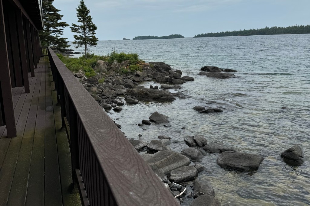
The accommodations were relatively modern for Alaska Our guest cabins was heated (definitely a necessity at this time of year), had a private bathrooms with running water. (yes this is important to note when booking a cabin in Alaska), a covered porche for relaxing, AND was on the waterfront.

For our final full day we hopped back into our float plane to try again a landing at the Upper Twin Lakes and the opportunity to visit Richard Proenneke’s wilderness cabin. There had been a dusting of snow on the mountains we flew over that were not snowcapped the day before, reminding me that winter was fast approaching in Alaska. I was pleased to have finished reading One Man’s Wilderness the previous evening and was so grateful to have read it as it really gave me a glimpse of this arduous enterprise that he had undertaken and what was involved in building this very rustic home. The entire structure was built purely with materials on hand: gravel retrieved from the lake bed, felled and hand worked timbers, and stones dug from around the site for use in his chimney and hearth.

Visits are guided through the cabin and grounds by two National Park Service summer volunteers who live on the property. What I hadn’t thought about then was how tough these two women had to be to live in this remote wilderness area, out there with the bears, with few trips back to the civilization of Port Ellsworth during their stint. Now if I were ever to consider volunteering at a National Park this would be one of my first choices. I have no interest in living in a campground in a park in a monster RV with its satellite dish and every convenience of home. Here the volunteers are provided with NPS accommodations as they could not stay in Dick’s “luxurious accommodation” but in cabins nearby, one of which was the homes of his associate and friend Spike Carrithers. Any of my readers game for staying in this “woodsy forest retreat” as a volunteer next season??

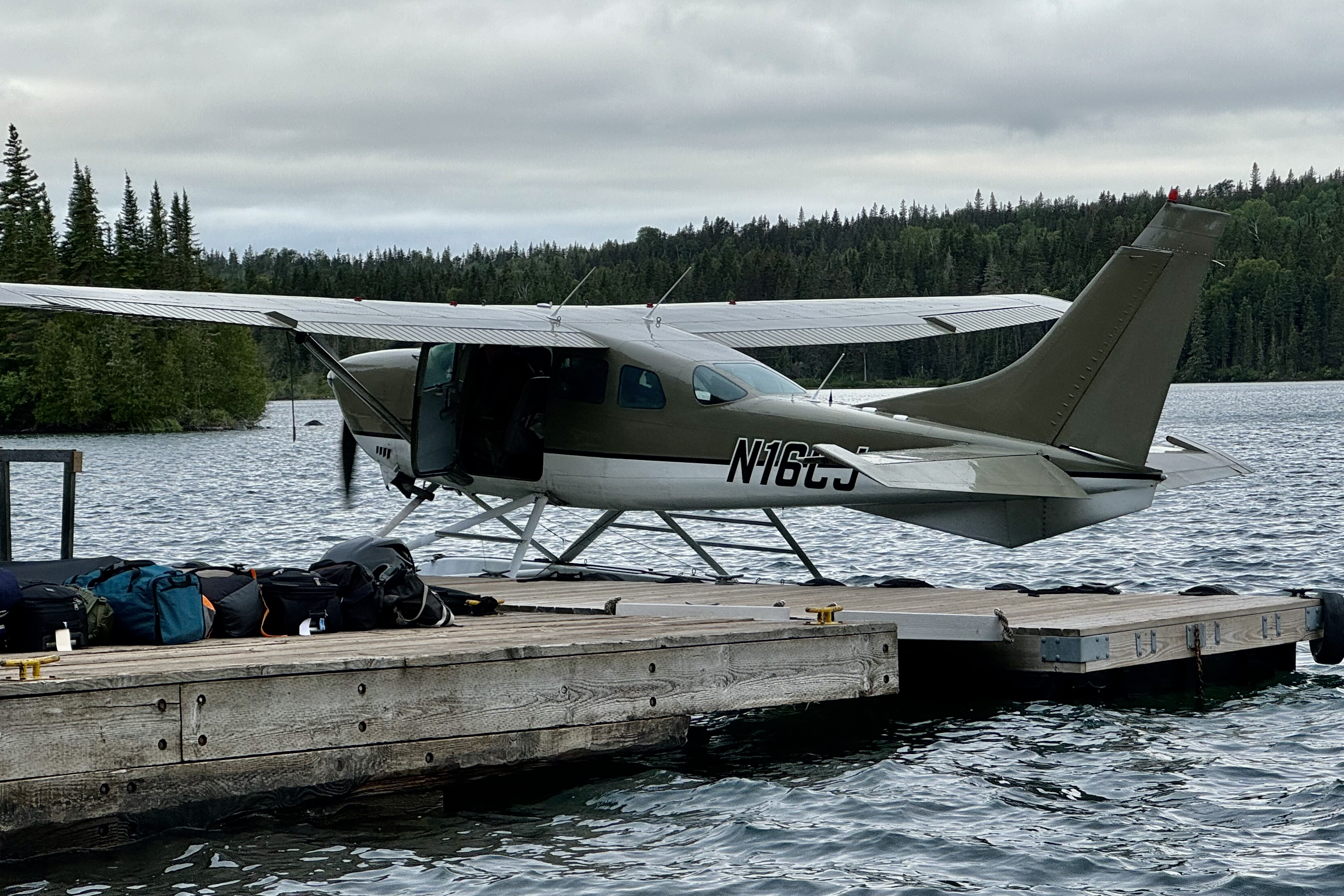
The following morning after our last made-to-order sumptuous breakfast, we boarded a Piper PA-31-350 Chieftain, with wheels not floats! This plane is no spring chicken since this model was built from 1973-1984 thus probably between 40-and 50 years old. I know nothing about aging planes but I trusted they have a good long life-span and someone has taken care of their health. The flight took us back through the Lake Clark Pass with one final spectacular view of the Chigmit Mountains and the Cook Inlet. After retrieving my car I dropped Tasia at the Ted Stevens International Airport and was on my way up to Talkeetna AK for Phase II of probably my last great Alaskan adventure.

A Bonanza of Ice but Where’s the Fire

Our days adventure was branded as the Fire and Ice Tour.  The geography of Lake Clark National Park was the focus of it and we  were soon winging our way in a Cessna 206 (dubbed the sports utility vehicle of the air) over some of Lake Clark National Park and Preserve’s extremely rugged and breathtaking landscapes. The Aleutian Range of mountains is within what is known as the “Pacific Ring of Fire”  which is a horseshoe shape belt of high tectonic activity (volcanic eruptions and earthquakes) that extends 25,00  miles around many of the landmasses bordering the Pacific Ocean. Mt. Redoubt and Mt. Iliamna are active stratovolcanos within Lake Clark NP .

Ascending above the clouds, what a splendorous sight it was to see the jagged mountain peaks punching  through the billowing clouds. It evoked such a  wonder and amazement.  What a sharp contrast between these jagged, sharp, angular unyielding  summits and the wispy, pillowy and cumulous clouds about. 

Not too long into this flight our pilot pointed out Mt. Redoubt,  an active stratovolcano which has erupted many times in recent history, the most recent in 2009 and the highest peak in the Aleutian Range at 10,197 feet . Mt. Redoubt is an ubiquitous sight as it can be seen from the Kenai peninsula where I have a home.  It boldly presents itself in the distance on a sunny clear day as it majestically stands in the distance .  At times when I  have travelled the  Sterling Highway south towards  Homer  or north towards Captain Cook State Park,  despite being 50 miles across the Cook Inlet, Mt. Redoubt’s massiveness makes it appear to be just a jot across the inlet.

Circling around Mount Redoubt was the goal, but unfortunately the clouds were accumulating on its summit and far side, enveloping the mountain, so our pilot bailed on that plan. Redoubt from this aerial standpoint speaks magnificence and grandness and it is an altogether different experience than from the ground. Our next destination was Mt. Iliamna but its affinity to the cumulous clouded us out as well.

Soon we were headed for Portage Lake and, though I did not ask the question, I wanted to ask where the Fire was on this Fire and Ice excursion. Now a reckless part of me would have loved to see some action from those volcanoes (maybe a small fire) but the sensible brain knows that wishing for a spewing of lava is pure insanity as an eruption from this type of volcano is not runny and oozy like those in Hawaii but like popcorn popping though, not so light and fluffy with the size ranging from boulders to ash.

Mt Redoubt

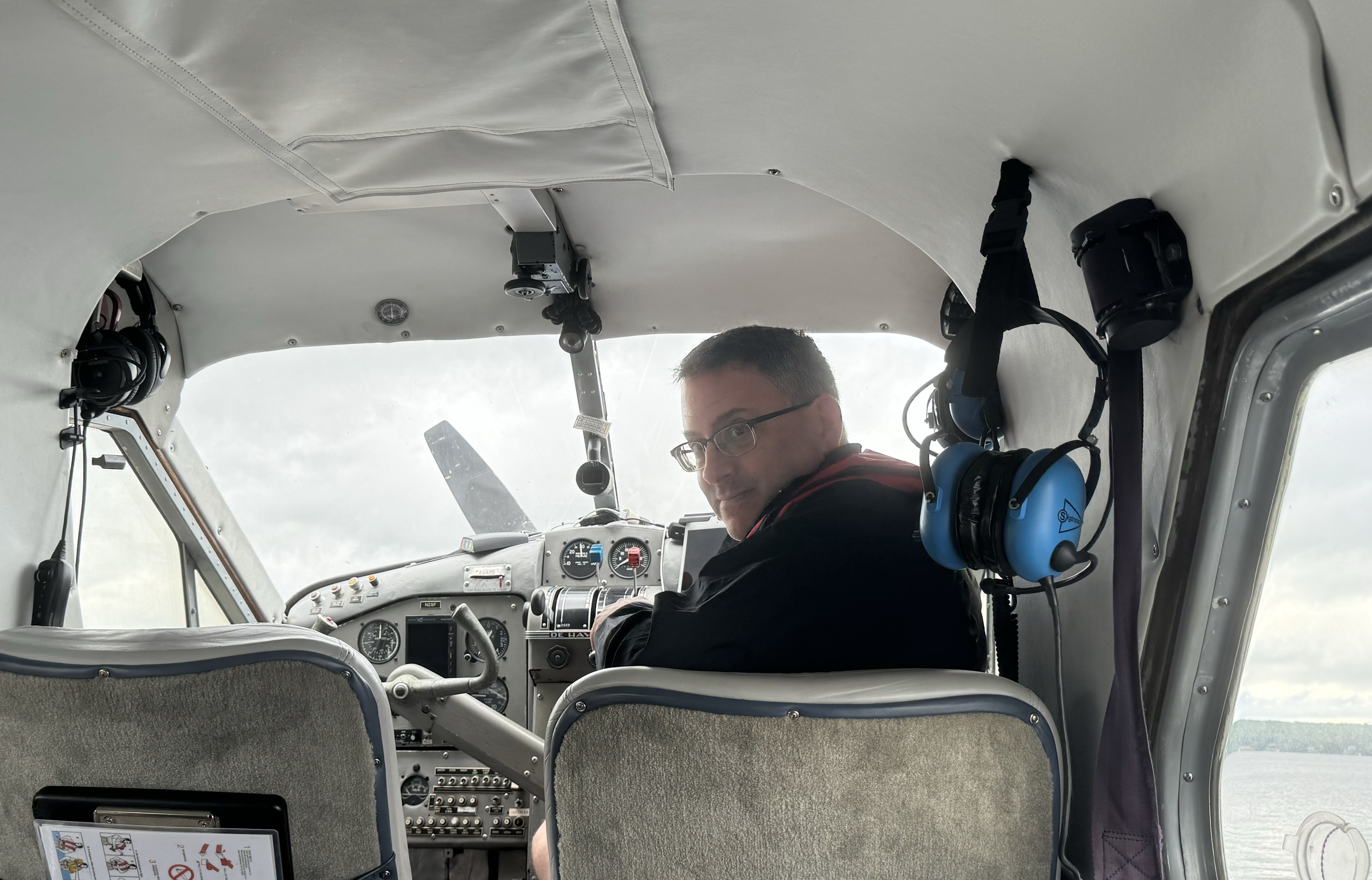
On this trip I was sitting in the co-pilot seat and though it became somewhat of a joke at first it was also a necessity.  I needed a booster seat so I could see over the instrument panel. They came up with a flotation cushion which was definitely a help but after the first flightseeing go round I chose to abandon that decision. It was still a reach to get a good view over the instrument panel and I wasn’t able to  really take in the landscape as I wanted . So after our Portage Lake exploration and a visit to the bushatory, I opted for the second  and only other row seat. Exploration at Portage was limited due to high water levels and minimal beach

Once airborne we were headed towards the north end of the Lake Clark Pass to the glaciated area around Summit Lake and the Tlikakila River, a national wild river, and its tributaries in the Chigmit Mountains. The massive Tanaina Glacier, a valley glacier that extends many miles, feeds the Tlikakil River, a major source of water flowing into Lake Clark . There is definitely a tendency on my part to romanticize glaciers, the blue-white ice that is jagged and etched with crevasses, ice caves, and seracs. Visually “superimposed” on the rugged mountainous backdrop this is a very dramatic mass of ice that is a mosaic of colors , textures, shapes but treacherous to walk on.

Many of these  frozen rivers (valley glaciers) we saw snaking through the valleys and  many of  the ones we were viewing contain a fair amount  amount of rock and debris that it devours as it slowly scours the surrounding terrain when moving down the valley. Additionally a lot of pollutants, dirt and dust is picked up from the surrounding terrain and becomes embedded  causing the dirty streaks of various colors. I was thinking they definitely could use a dust up of fresh snow.  Appearing static from above, it is difficult to imagine that they are a grinding machine, ever so slowly marching down the valley (though actually there are some glaciers that go down galloping).

This was a day of criss-crossing the Chigmit Mountains and eventually we headed west towards Kijik Lake, re- crossing Lake Clark, which is always a treat with views of it’s aquamarine blue waters.

We were soon “water skiing” on the surface of Kijik lake and our lunch destination. Our guide must have sensed my unasked question “Where’s the fire?” on this Fire and Ice Tour.” As we were settling into our chairs to enjoy our sack lunches, he appeared with a bunch of kindling and proceeded to build a “boy scout” teepee fire” with very wet twig. Well it wasn’t exactly a roaring success but it did keep away any of the pesky flying insects that had an invested interest in visiting us. Though I probably would have jokingly whined about the lack of fire, it removed any possibility that I could successfully do so.

After a not so rousing fire experience, we headed north upon the Kijik River Valley over the beautiful watershed area of Twin Lakes, Turquoise Lake, and Telaquana Lake.  Our landing destination was Turquoise Lake which is guarded by 8,000 foot high snowy peaks and Telaquana Mountain to the east and primarily tundra to the west. However  on this day it was not quite the famous turquoise that is used in describing it’s allure as the brilliance depends on the absorption and scattering of sun light as it is reflected off “glacial flour” suspended in the water.  There was an absence of sun for this visitation! Since the lake is at relatively high elevation, the vegetation was sparse and it was quite chilly out. This was our first lake where we could actually do a walk about and we made our way up through the channels of glacier runoff. These meltwater streams cut many shallow channel through this stony “beach” feeding into Turquoise Lake. 

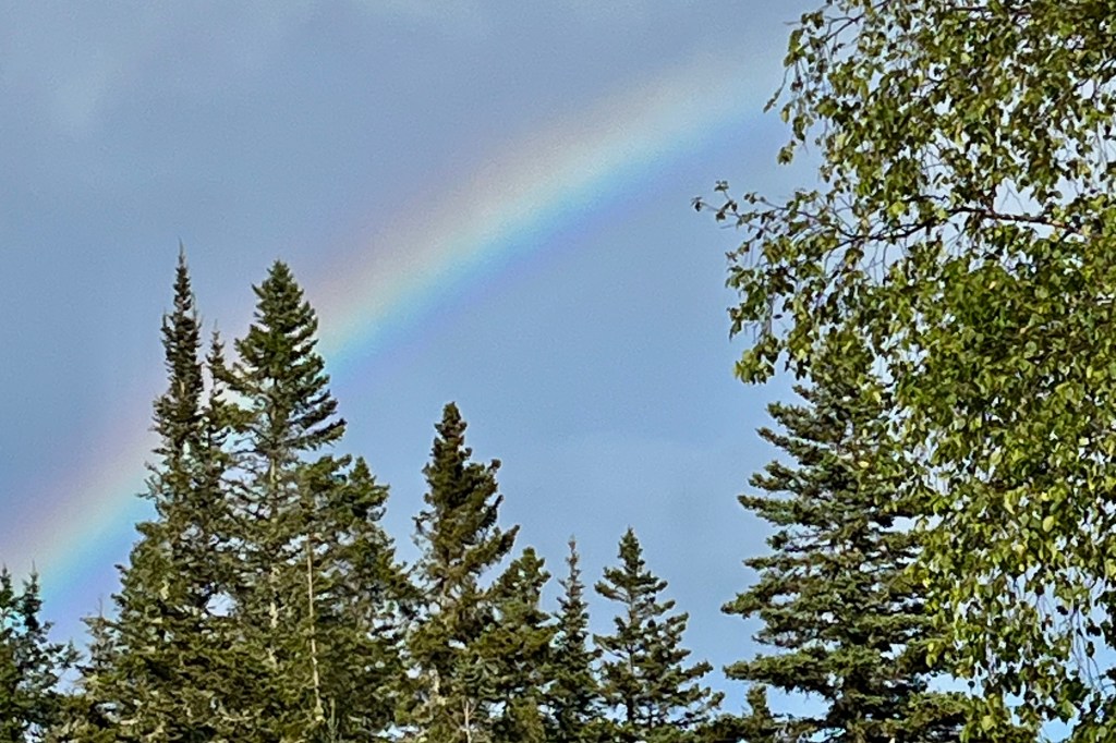
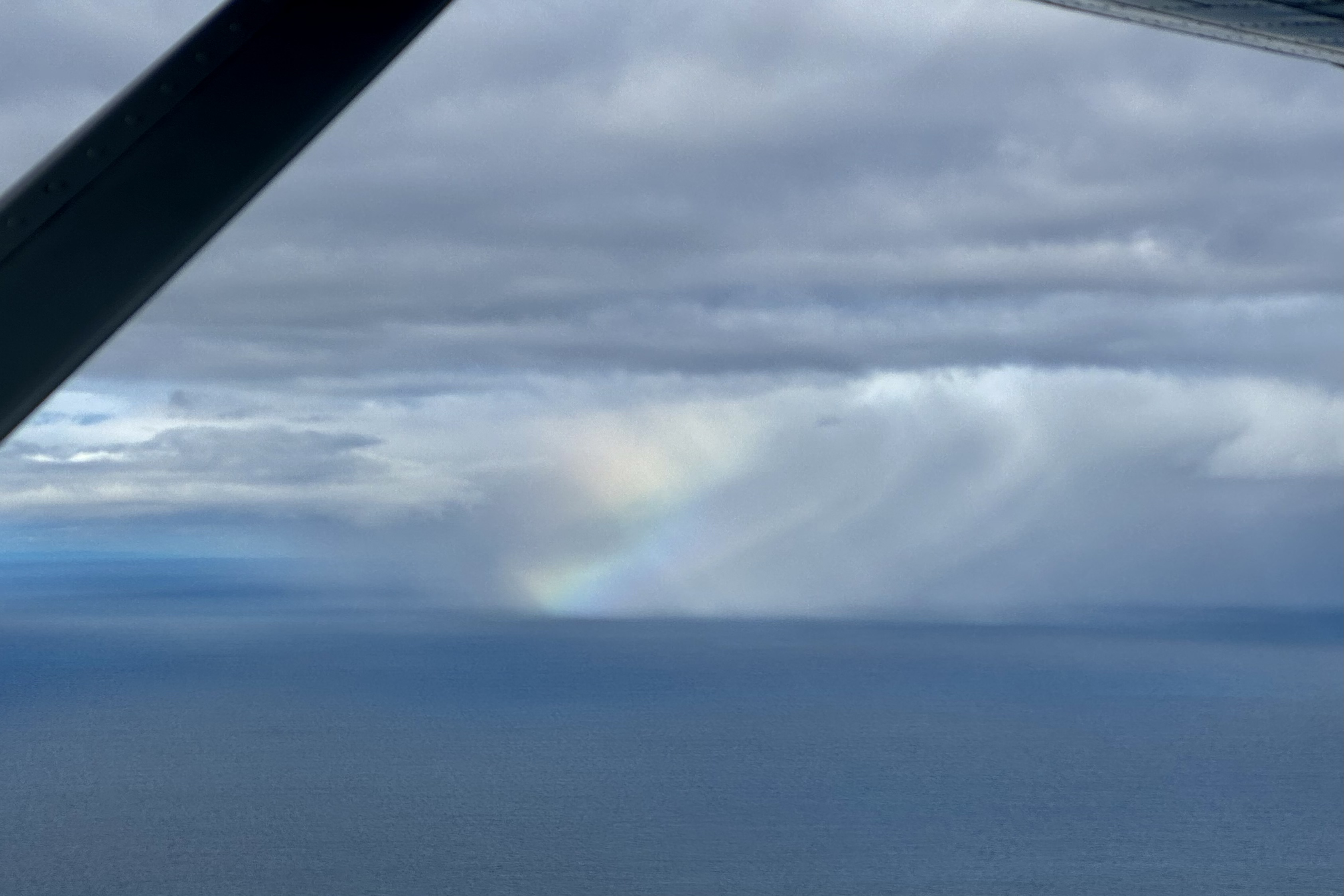
I would have loved to wander that area and head up towards the glaciers but time and weather dictated our return to the Lake Clark area. Nearing Port Alsworth we spotted a moose in a small lake below. Our pilot circled lower and as we returned back over this lake for our photograph of the moose it not so obligingly dove under the water leaving the mud trail pictured below. “Home ” for the evening at our accommodations, Lake Clark Farm Lodge, was always a peaceful and serene experience enhanced by the stunning reflections on the Lake and a rainbow over the far mountains,.

Ten Thousand Smokes, Sapphire Tarns, and Crystal Lakes  

Valley of Ten Thousand Smokes

Our second day of flightseeing was filled with exhilarating  explorations of forest rimmed crystal lakes, vast areas of tundra, and a volcanic-ash covered valley. On day 3 we were heading back to Katmai Park and Preserve  to explore some of its remote mountain lakes. The first order of business of course is “dressing out.” The less then delightful Alaska weather that I experienced over the summer was cool and rainy and all of our pilots and guides corroborated that this was indeed the case as well at Clark and Katmai. This weather pattern was continuing to shroud Alaska with rain, fog, mist, and the area remained cloaked in clouds.  The end result of this is the lake water levels are elevated  and in most cases have lipped the available beach. Thus, not having any feline genes to rely on , I found getting out and off of a float plane is not particularly a graceful activity as I no longer can claim to be lithe and spry. Stepping off the floats onto unstable beaches can be quite hazardous if one cares about having dry feet.  So this was the day we were to don the hip waders for our lake outings. Though they felt quite clunky, now I  could just plunk my feet down  into the water and prance up onto the stony shore. 

Since I hate to be cold and wet I definitely chose to over-pack including an extra raincoat, extra  socks, a warm hat, and gloves, shoes and of course water. I skipped the sun screen. Bet you can figure out why! I was already wearing long underwear, hiking pants and shirt, a hoodie,  and rain pants and rain jacket. I was well insulated and cocooned for whatever the weather gods might hurl, toss, heave, or sling our way and imagined I could be mistaken for a teletubby .

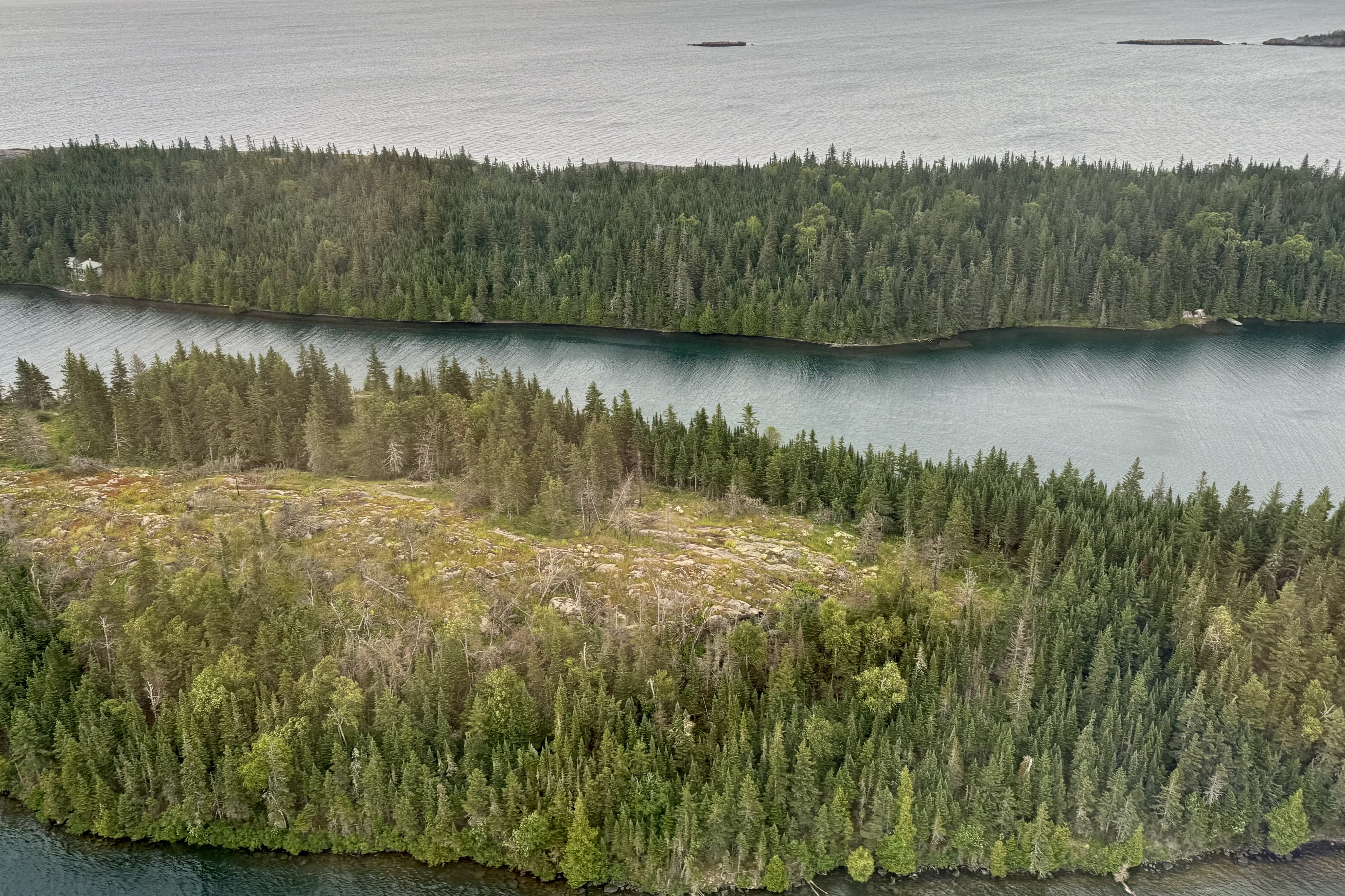
Once airborne, and with Tasia as “copilot, ” the aerial view of the landscape below was of breathtaking diverse wilderness. An extensive agglomeration of crystal clear lake accessible by float plane. We wove our way south from Lake Clark buzzing over Lower Tazimina Lake, Lake Iliamna , Moraine Creek, Battle Lake, Nonvianuk Lake, and Coville Lake to our fist landing at on Grosvenor Lake. This lake is fed by glacier meltwater as it was carved out in the Ice Age by glaciers on the run and is surrounded by spruce and birch forrest. On a sunny day it would be an azure blue but this day it had a chilling steel gray hue and I definitely was not enticed to take a swim.

The beach of this lipping full lake consisted  of a deep loose layer of mostly pebbles and small stones which when walking shifted beneath my feet. It seemed a bit precarious as I walked on the stones or waded at waters edge and gingerly negotiated this unstable terrain proximate to the icy water in the clunky waders. As I approached a fellow adventurer, he asked me if I had noticed the bear tracks. My mind then had this vivid picture of experiencing an accidental dunk only to right my dripping self and come face to face with a bear. It’s easy to forget that these lakes are also bear territory and we are the interlopers and I image definitely not welcome unless the bear is particularly hungry.

In exploring the beach, I tend to view things  from a macrovision perspective of the surrounds and my daughter Tasia, avid explorer, photographer and artist has a keen eye for seeing things from a distance and envisioning their amazing beauty, which others might well regard as beach detritus. Her photographs below reveal an incredible beauty of the vibrant life, death and colors of the beach including a salmon jaw, fungi, stones, flora, cones…

After exploring this classic stony freshwater lake beach, we were winging our way south towards and over the Bay of Islands which is a labyrinth of rocky islets, rugged cliffs, dense forests and interior lakes. This is yet another area of pristine wilderness mostly untouched by humans due to its remoteness and lack of accessibility except by boat or seaplane and of course bear territory.

As we traveled farther south, the landscape began to change dramatically from the lush verdant greens and the blues and grays of the clear lakes to a stark and eerily beautiful other worldly landscape of volcanic ash and magma. The Valley of Ten Thousand Smokes was created by a fast moving current of hot gasses and volcanic matter in 1912. It was the largest eruption of the 20th century and 30 times the volume of magma from the Mt St. Helen eruption that many of us recall as so devastating. Its name stems from the steam and gases emitted over time by the hot volcanic ash and has nothing to do with the Alaskan native’s smoking habits. This is a vast expanse of ash-covered terrain in a palette of many hues from very light tans , varying shades of gray, brown, rust, desert sand, buff, taupe… The area is threaded with ash covered plains, steam vents, fumaroles, and hot springs and somewhat resembles a lunar landscape. The meltwater channels, springs, streams and creeks have cut deep gorges into the deep lava ash. These streams and channels in the Valley, however, carry very high loads of glacial flour, silt, sand, and pumice giving the water often a milky hue and if I were hiking down there , it would not be potable source to refill my water bottle. Delightfully we also evidenced the capacity for our earth to regenerate as plants and wildlife are returning to this very inhospitable environment. As a hiker, gazing down at this otherworldly terrain, I had a yearning to be able to perhaps experience the Valley first-hand though I imagine it would be quite a demanding experience to hike this terrain. If I find mud, protruding roots and tripping rocks challenging in the forest, I can imagine that walking on volcanic ash would be like walking on sand dunes or a loose sandy beach. As I pictured myself sinking in to this unstable surface, kicking up poofs of dust and fine particles with each footfall , I quickly told my asthmatic lungs and my hip joints that I would not when back at the lodge hire a guide to lead me on a hike.

How fortunate I felt to be able to experience the phenomenal variety and beauty of this raw wilderness area and it being just a small array of the magnificence of our earth. No need for psilocybin or magic mushrooms to feel the euphoria of breathing in the awesome beauty around. We headed back north over a varied terrain including the Savoneski River area and landed on an island that was in the middle of “no name lake” (our guide did not know it’s name, my camera did not recognize it, and the park maps did think it important enough to put a name on its map, and thus clearly I do not know its name). What was unique here was the evidence of volcanic rock ledges. The rocks display a distinct layered structure, resembling stacks of ragged edged pancakes. These ledges are composed primarily after the volcano erupts and and lets loose from it’s vents or fissures many layers of lava, pumice, and ash. Volcanic rocks form when the hot oozy sticky molten lava starts charging and slithering down the slope and gets chilly as it is no longer hanging out in its very hot pressure cooker . Voila we have igneous rocks (I remember this from my geology badge in Girl Scouts).

Drifting north back over Lake Grosvenor we were viewing the cold treeless tundra with its low-lying vegetation and the extensive network of lakes, large and small, that were excavated by glaciers on the run eons ago. Purportedly they are teaming with wildlife (otters, seals, bears and moose) but on this day none were seen out there fishing, swimming or sunbathing on the shores. Many of the lakes can be recreational and a fisherman’s paradise IF one can afford to get to them. This thankfully helps keep this wilderness relatively pristine. Additionally, I was beginning to notice that fall was starting to creep into the areas of the tundra, with some browning and yellowing visible.

The final descent for our float plane today was a smooth touchdown on a choppy Lake Kulik. I was beginning to notice the lakes beaches we were visiting were of very similar composition until on this beach I began to notice the exquisite array of conglomerates rocks. I imagine that the glaciation in the Ice Age transported pebbles and rocks which eventually became compacted and cemented over times.

Soon it was time to get airborne. Every take off and landing gives me an adrenaline charge. I can’t say that I am fearful but there is a bit of edginess as I am sitting right behind the pilot and watching how far we have yet to get airborne before the end of the lake. Same for the landing as the pilots definitely don’t want to land too far distant from their selected landing spot. Taxiing an aircraft around like a car on the water is definitely not the preferred mode of getting from touchdown to the beach. The path heading back to Port Alsworth cruised over more stunning vistas. Though there was not on todays journey the heightened energy of being ten feet away from a grizzly bear, the excursion was thoroughly enjoyable and satisfying.