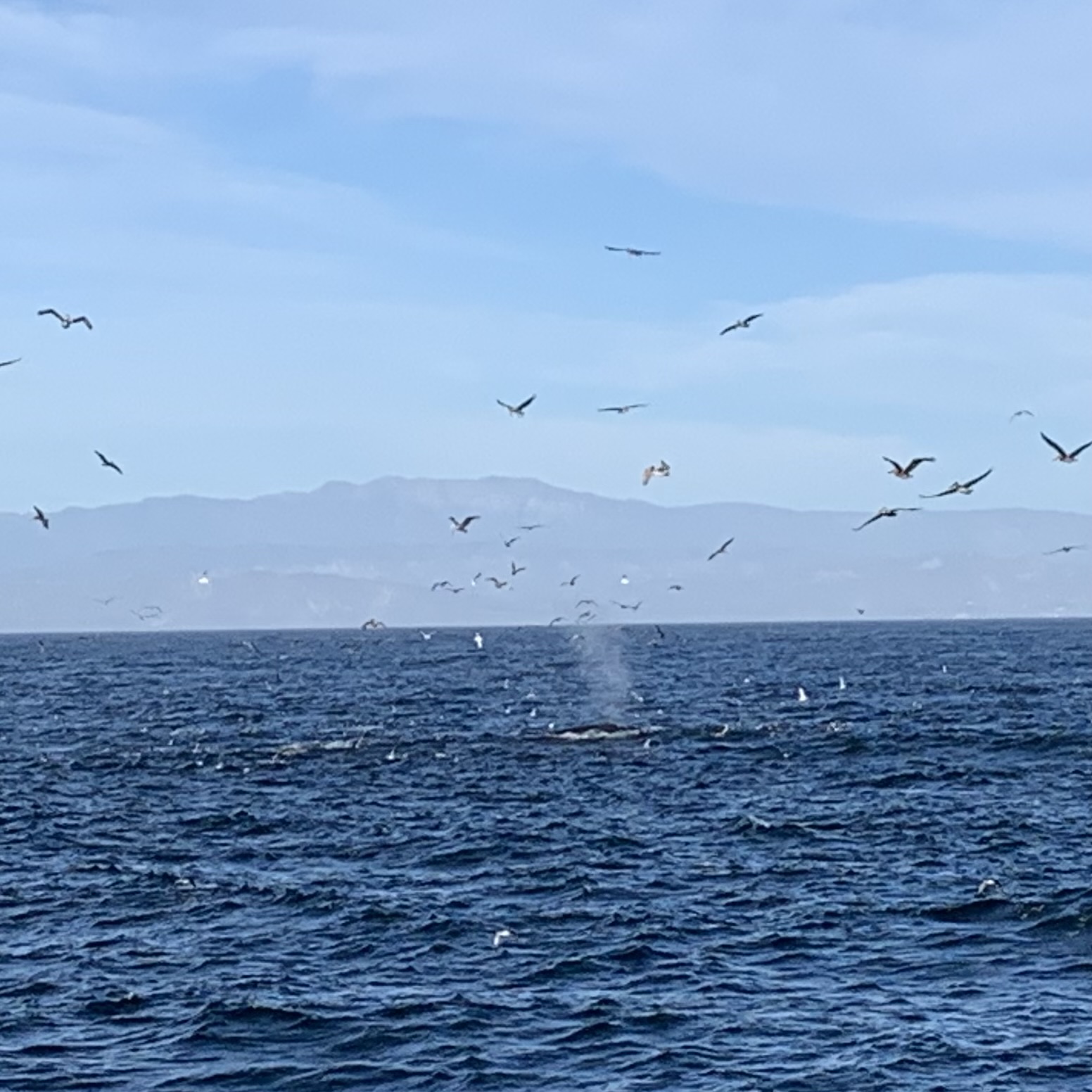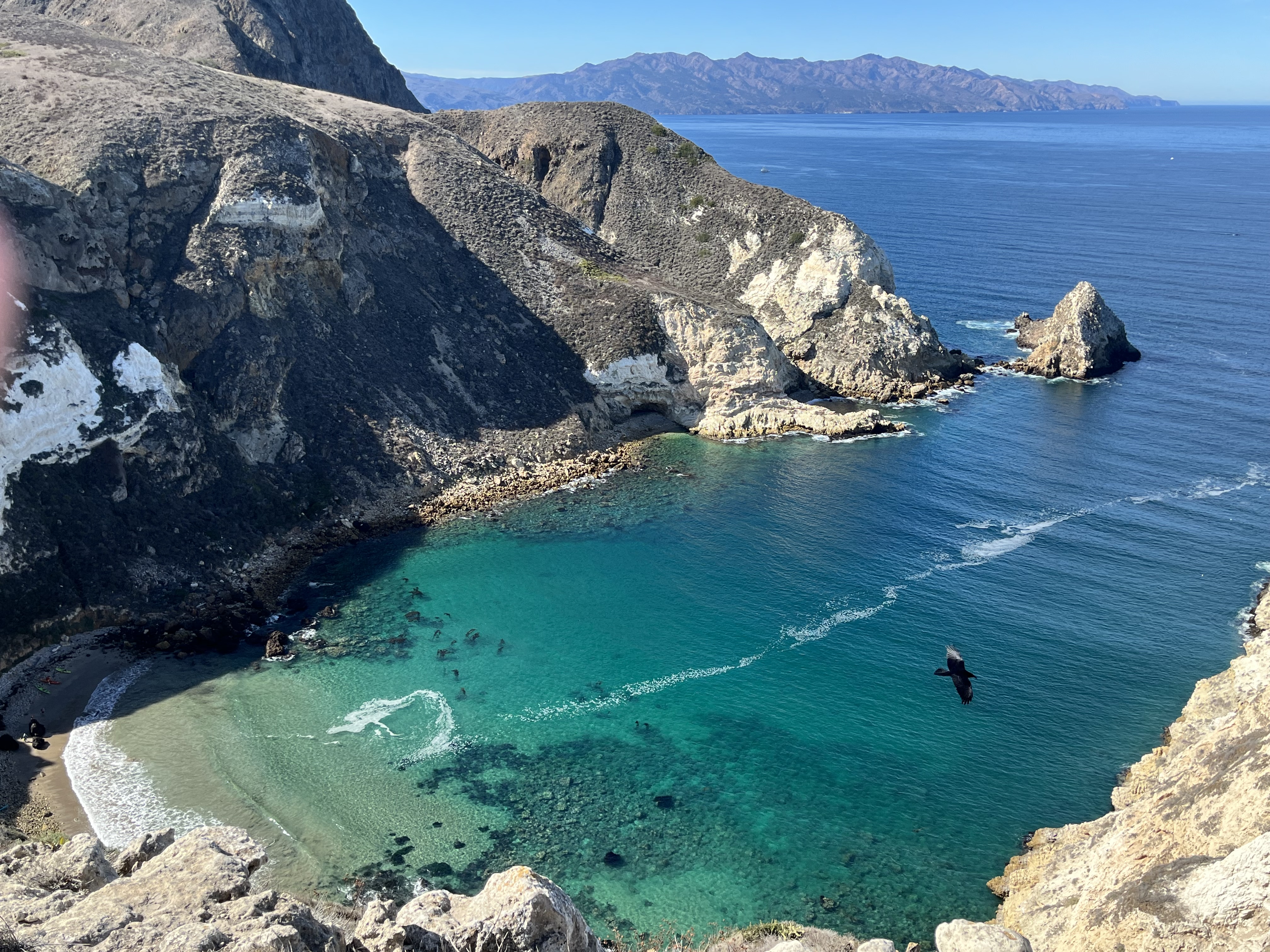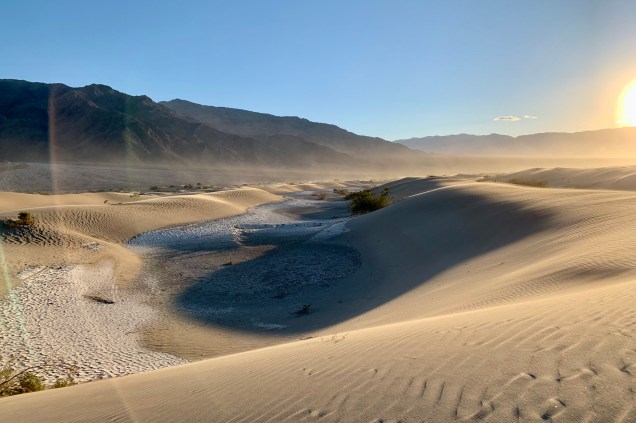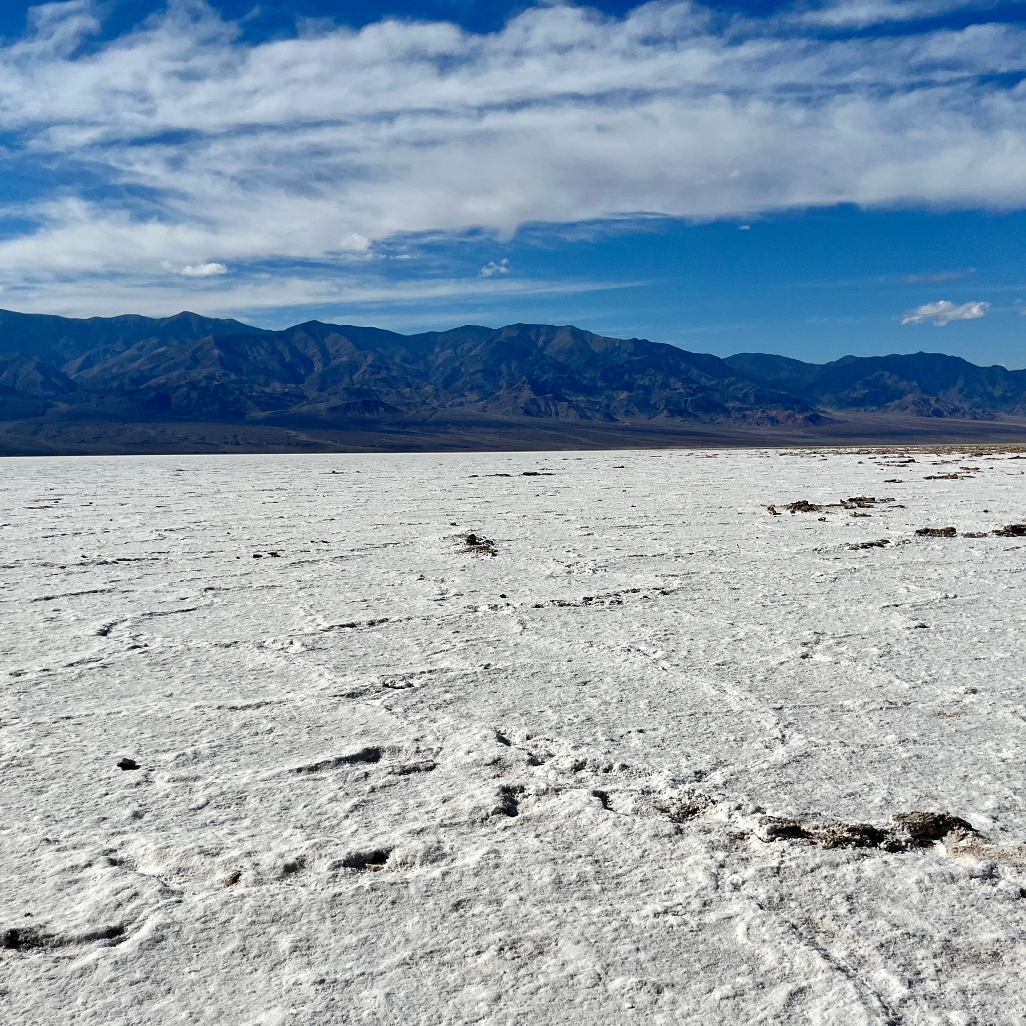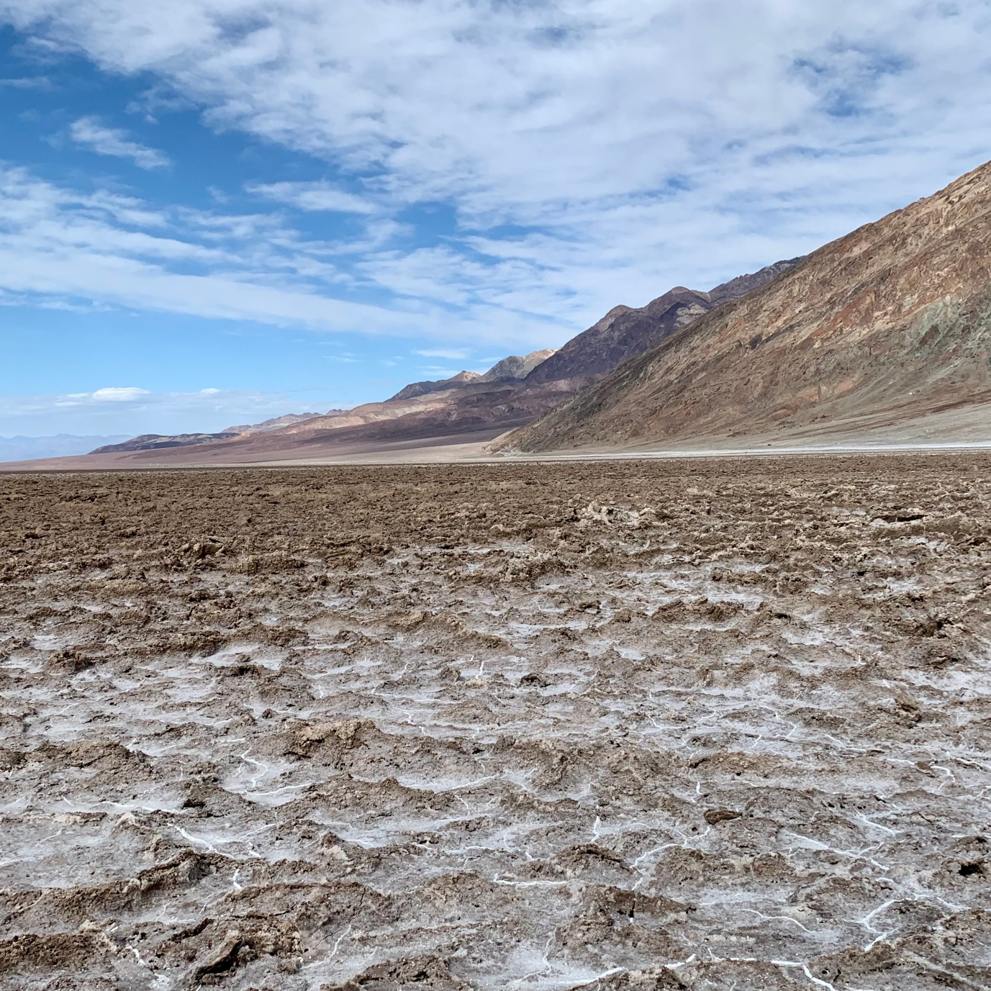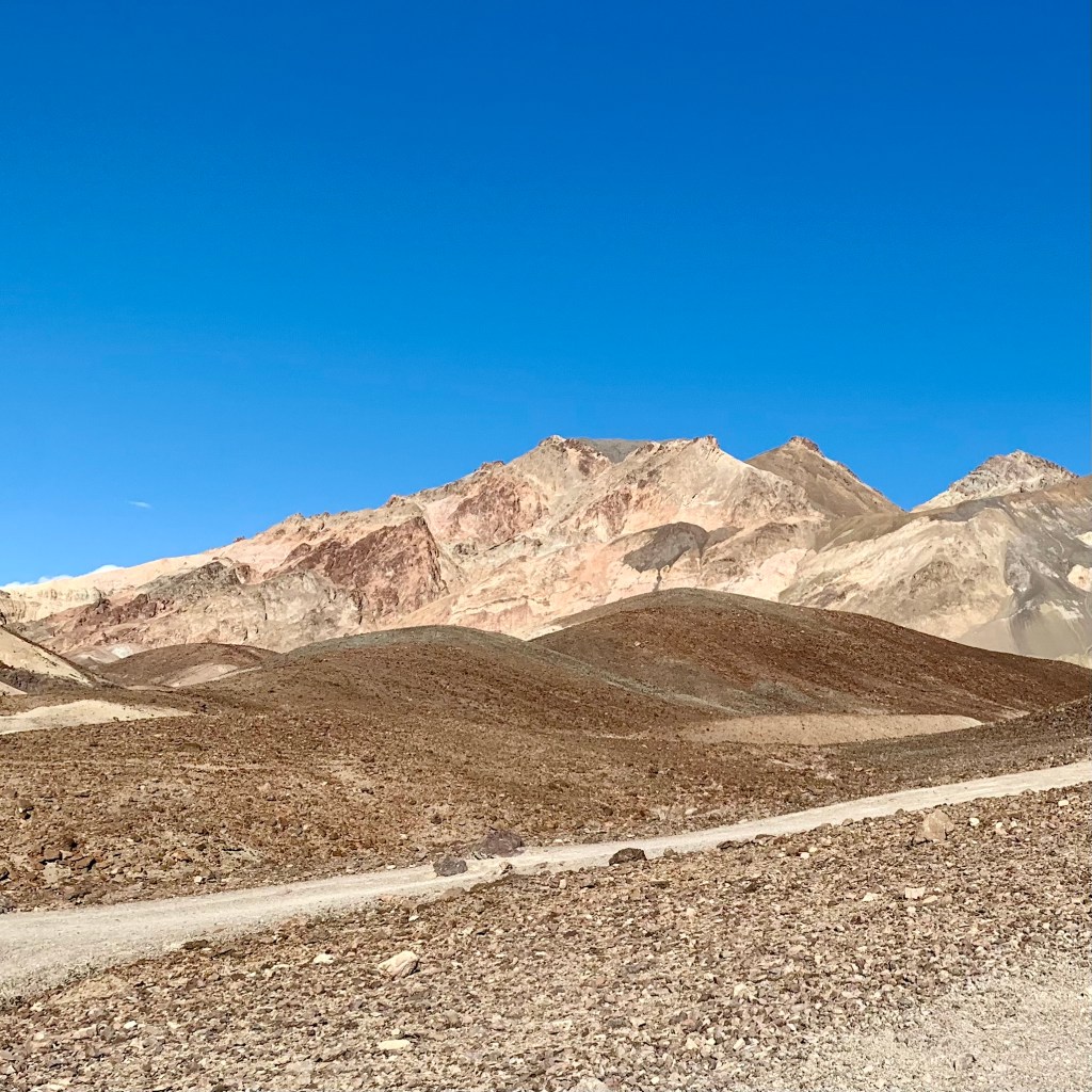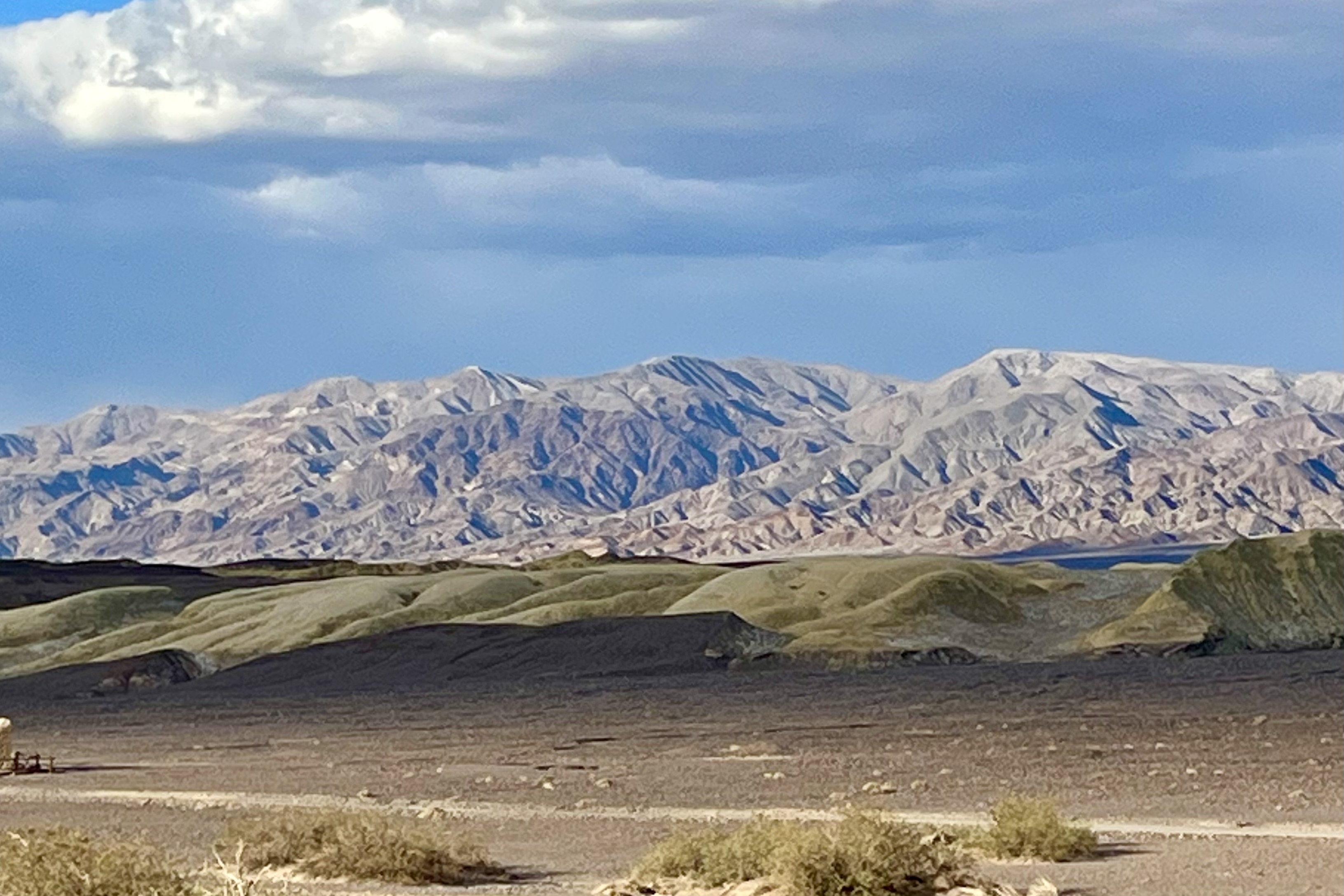
Getting to Glacier Bay National Park
With my goal of visiting every National Park, the logistics of getting there at times can be challenging and expensive. Glacier Bay roads are definitely not on a road map grid of either the USA or Canada. It is part of a huge corridor of wilderness that is the largest contiguous roadless area left on earth which includes Glacier Bay National Park and Preserve and Wrangle-St. Elias in Alaska and Kulane in British Columbia. It is access able only air or sea.The park itself has only 9 miles of paved road leading from Gustavus airport to Glacier Bay Lodge ( air being one access point to Glacier Bay NP. ) The other access is via private boat or ferry. Since Glacier Bay is served intermittently by the Alaska Maritime Highway Ferry system, you technically could bring your car or RV there but there is no place to drive to other than to the Lodge with very limited parking and locally in Gustavus. The 30 site campground at Glacier is quite primitive with pit toilets and food caches and blessedly NO RV camping facilities to accommodate noisy generators, polluting motors, electrical needs, and waste dumping.
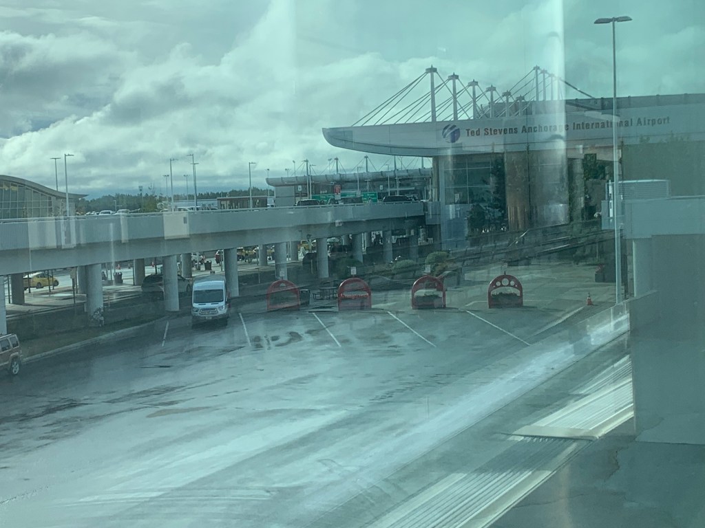

Of course the first challenging part was driving the 125 miles from Soldotna AK to Anchorage through road construction, many delays, and then negotiating the massive mess of full parking lots (because of construction, now at 50% capacity in the high tourist season!) at Ted Stevens International Airport, in the rain. I am not one to have to have to find the closest parking spot to my destination, but I really did not relish walking a considerable distance lugging my suitcase. I drove around all the aisles for A through O in long term parking and several beyond that with no signage to the second from last aisle before I found an empty spot…which was only open because I had to squeeze Lady Spitfire between a wide bodied muddy high-rise pick-up and a rather old rusty and dented Suburban parked right on the line. I managed to squeeze out of my car and offered a prayer to the patron saint of automobiles, St. Frances of Rome, to protect my cherished jeep from any harm that might be inflicted upon it by the rather careless parker or the dude with the donk. That was all good training for dealing with the rain and with the flight delays out of Anchorage and then out of Juneau. No need to elaborate here on the delays as I assume all readers have had the experience of and the challenges and tedium that plane delays present.

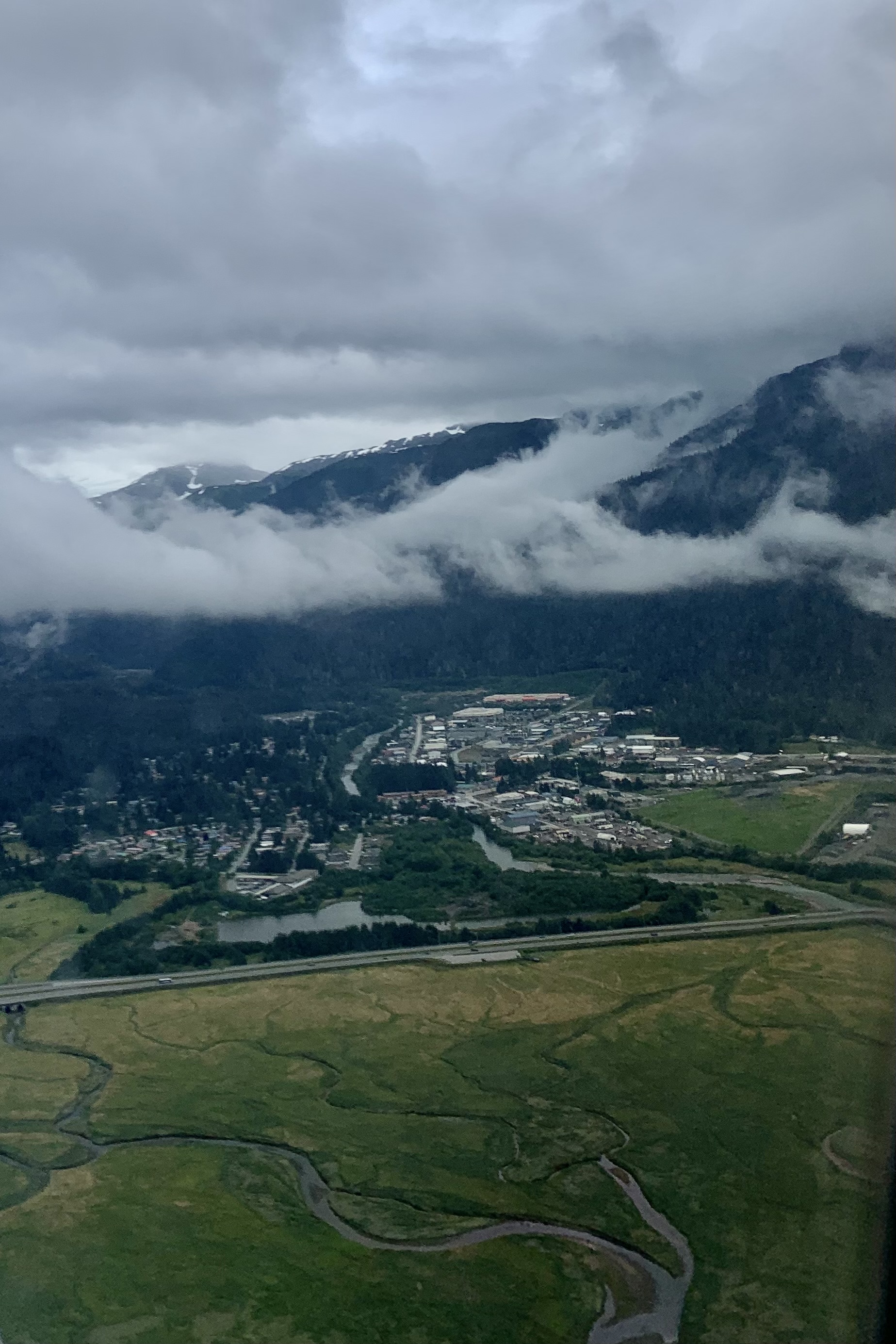
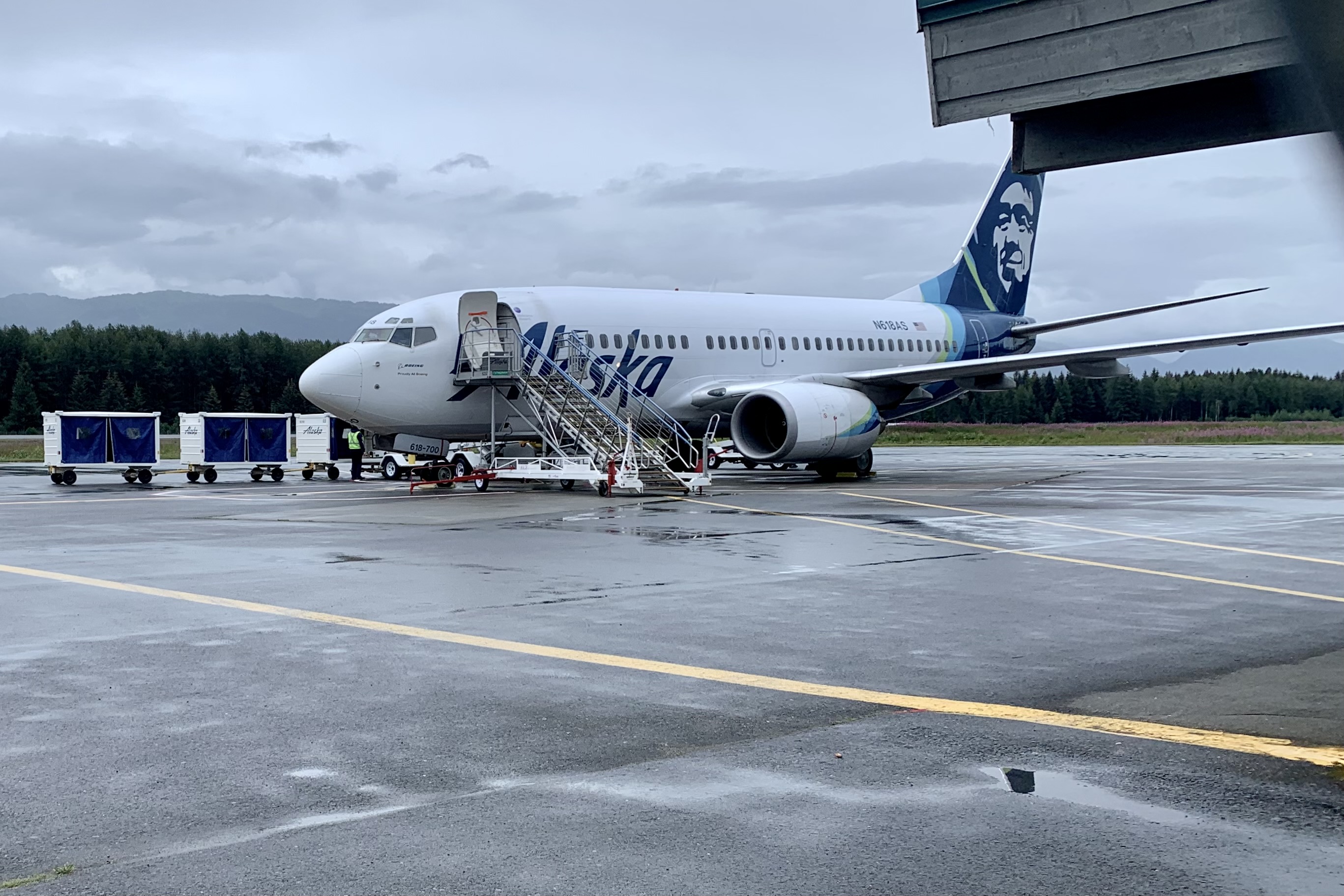

Since I cannot literally spread my wings and fly nor do I think my swim from Alcatraz Island to Marina Green in SF years back would have been adequate validation of my ability to swim the Icy Strait to Glacier Bay, I opted to fly into Gustavus from Juneau, a very short hop of 41 mile in 36 minutes. It would seem unremarkable except Alaska Airlines flies a 737-700 jet into this postage stamp airport with one runway. The flight reminded me of going up the St. Louis Arch with its steep arc up and then right back down. I am not sure I have been on a flight before where the pilot did a sharp U-turn in the runway and taxied right over to the terminal.
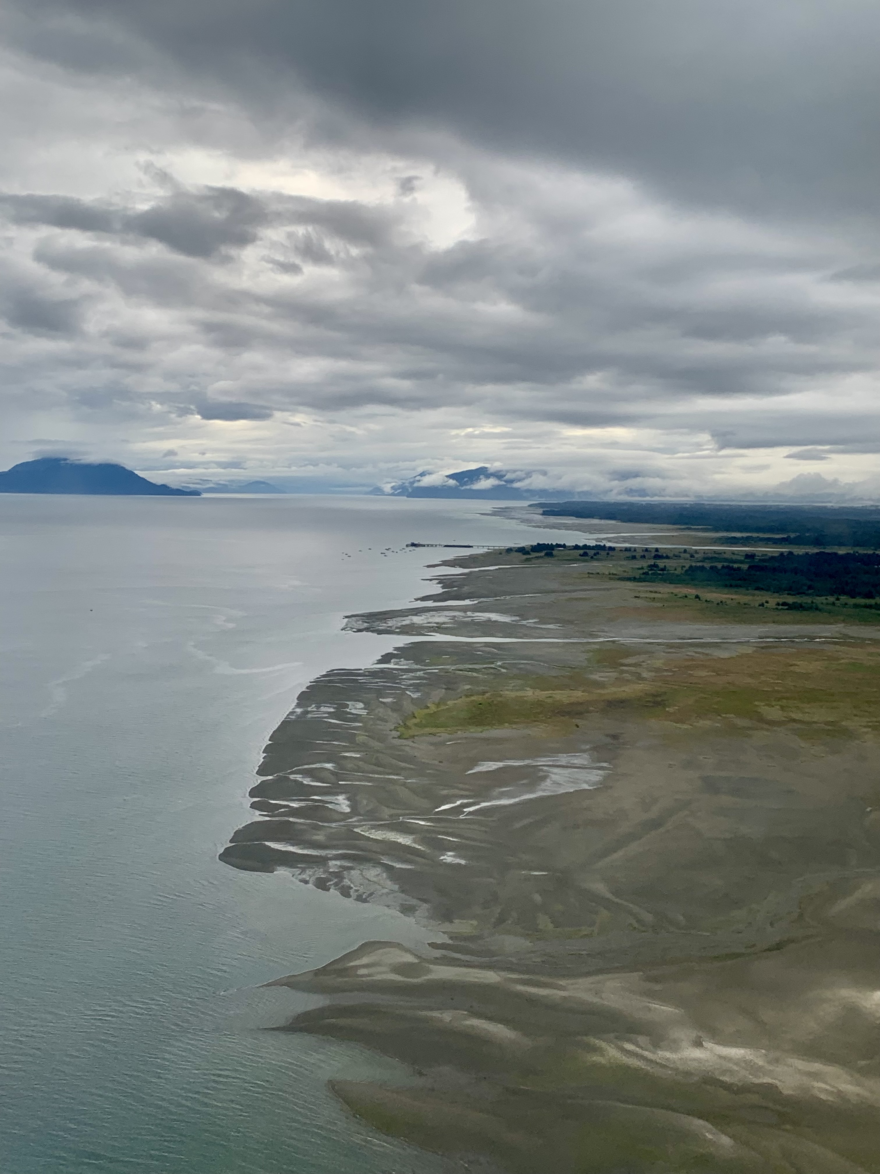
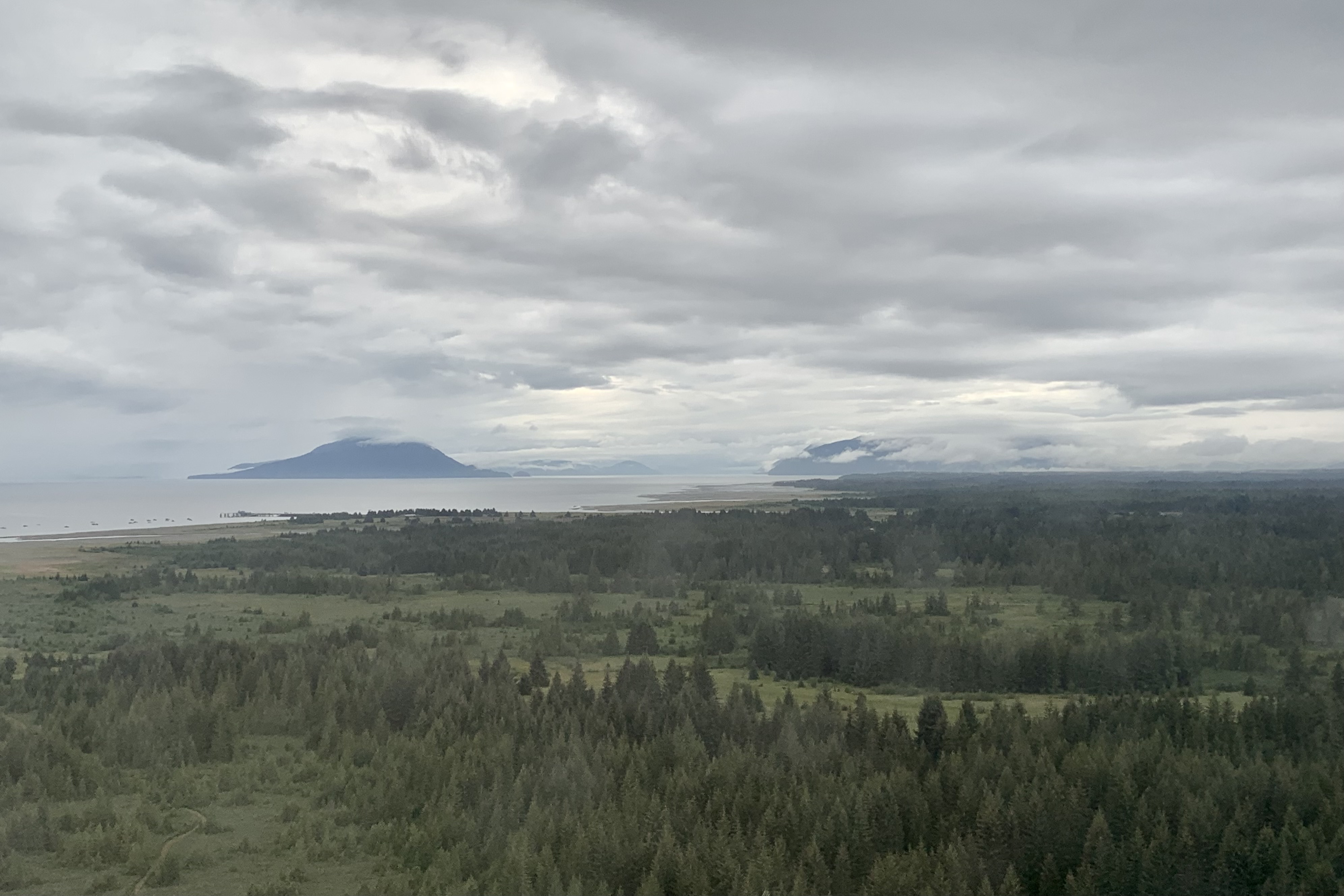
We were met by a National Park Ranger in Gustavus. In pre-trip reading about Gustavus, it entices would be visitors with “you will see that we are surrounded with breathtaking mountains, pristine inland waters, glorious sandy beaches…and wild strawberry fields”. This might be true if one arrives in this temperate rain forest area on a sunny day but not so glorious when arriving surrounded by massive cloud banks in all directions, fog and a spattering of rain. Gustavus, home to 655 residents, did not appear to me to be a thriving community even with its claim to fame of being the “Gateway to Glacier Bay Park.” I would imagine most touristy types (like myself) merely pass on through on the park shuttle bus which was the best photo op of the day.
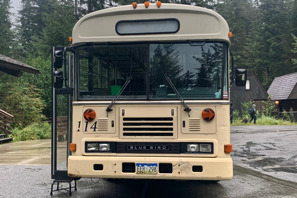


After an extend wait for our checked luggage, we rattled along the entire Gustavus road system (9 miles total of paved road) to to Bartlett Cove (where Glacier Bay Lodge is located) in a well used and rather sketchy looking bus. I must say this is the perfect vehicle for this setting … no need for glitzy mini-vans in my minds eye. Of course upon our arrival the heavier rains set in and by the time I got my room key amongst the last of the 15+ couples and families who flew in on the same plane, my poor forlorn suitcase was sitting out there getting a nice cold shower waiting to be claimed.
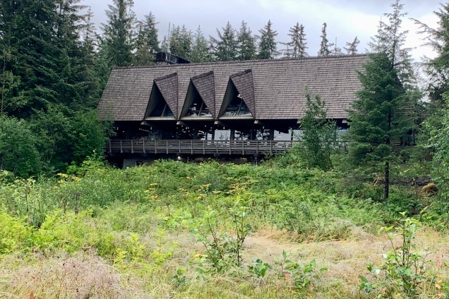
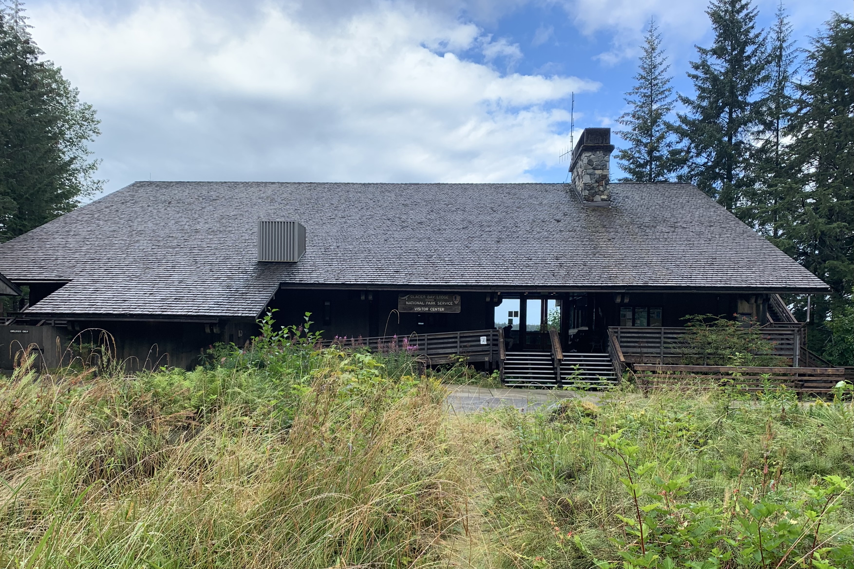
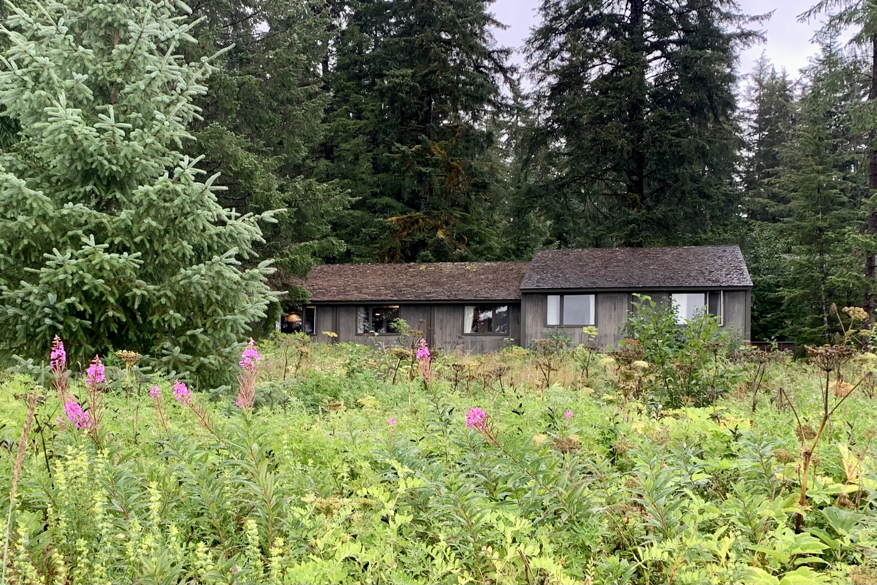
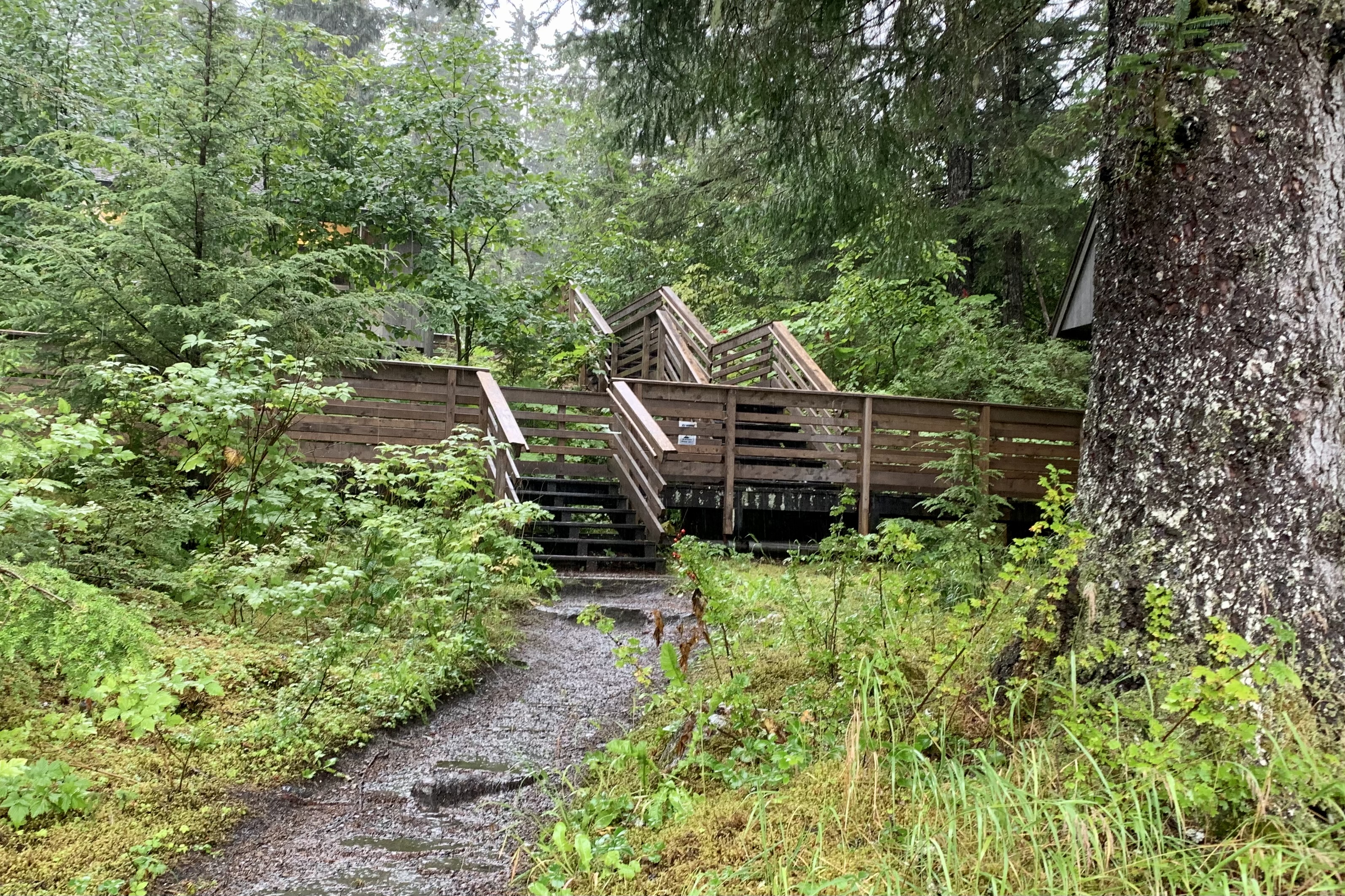
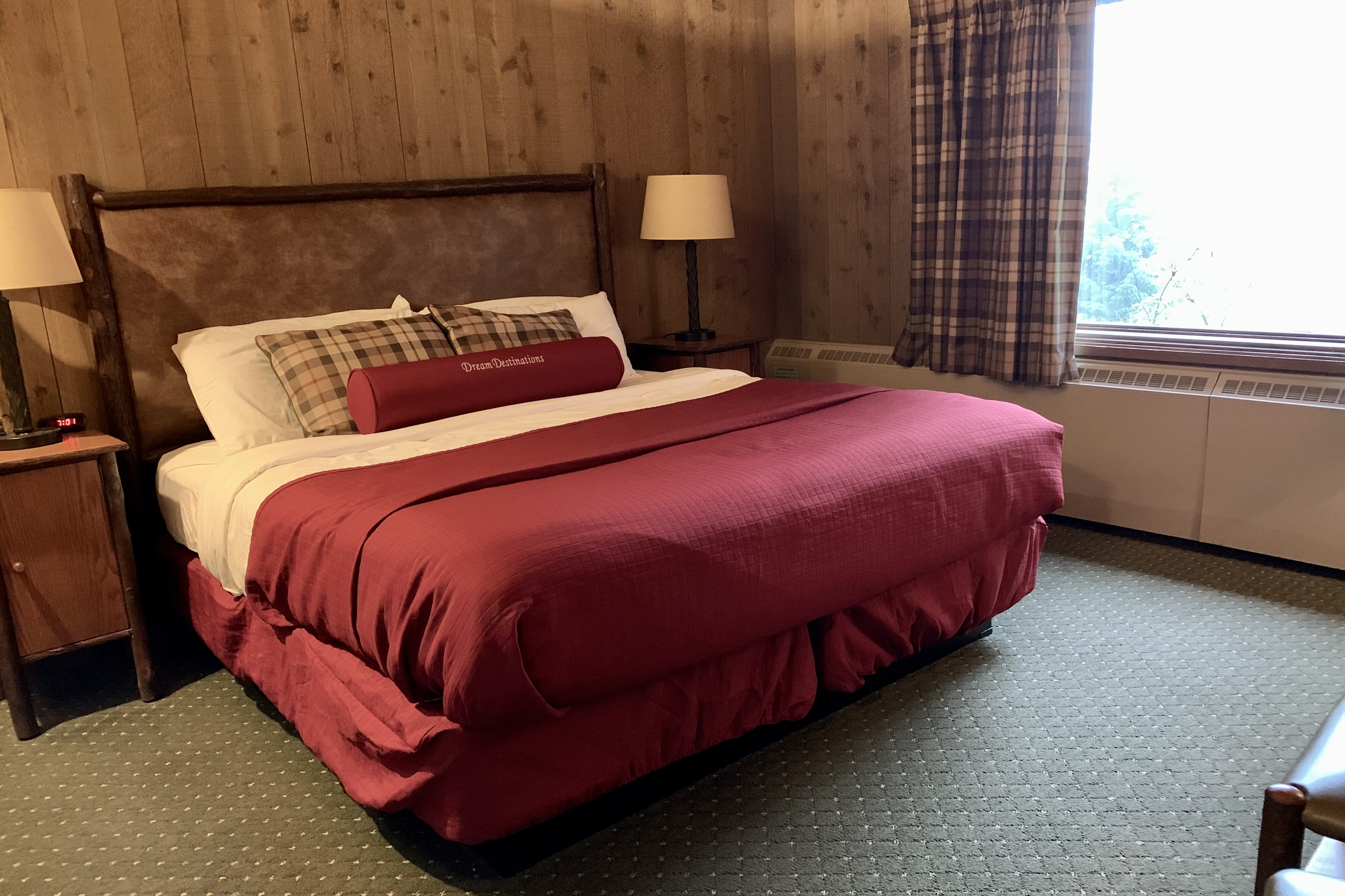
What an absolute delight to be staying in a lodge that fits beautifully into the landscape and to be ensconced in a room that befits this rain forest and is tucked into the hillside and forest surrounded by aging sitka spruce, fiddle ferns, cow parsnip, beach strawberry….. How grateful I was that I booked “a room with a view” (i.e premium room) fronting the picturesque Bartlett Cove. The only downside is the number of stairs, ramps, and walkways to get UP to the Lodge…though it makes for a nice body-weight workout. My room itself was a basic aging national park room and not even trying to be an imposter 4 star hotel. I would not even want that in a wilderness setting. The rooms are rustic but clean and comfortable . Perfect! Nor are there amenities such as the mini fridge, microwave, and TV in the room (or lobby). Great! But I must admit I was quite relived to see one of those typical hotel coffee pots as I certainly did not have a keen yearning to get a morning stair stepper workout up to the Lodge to buy expensive coffee.


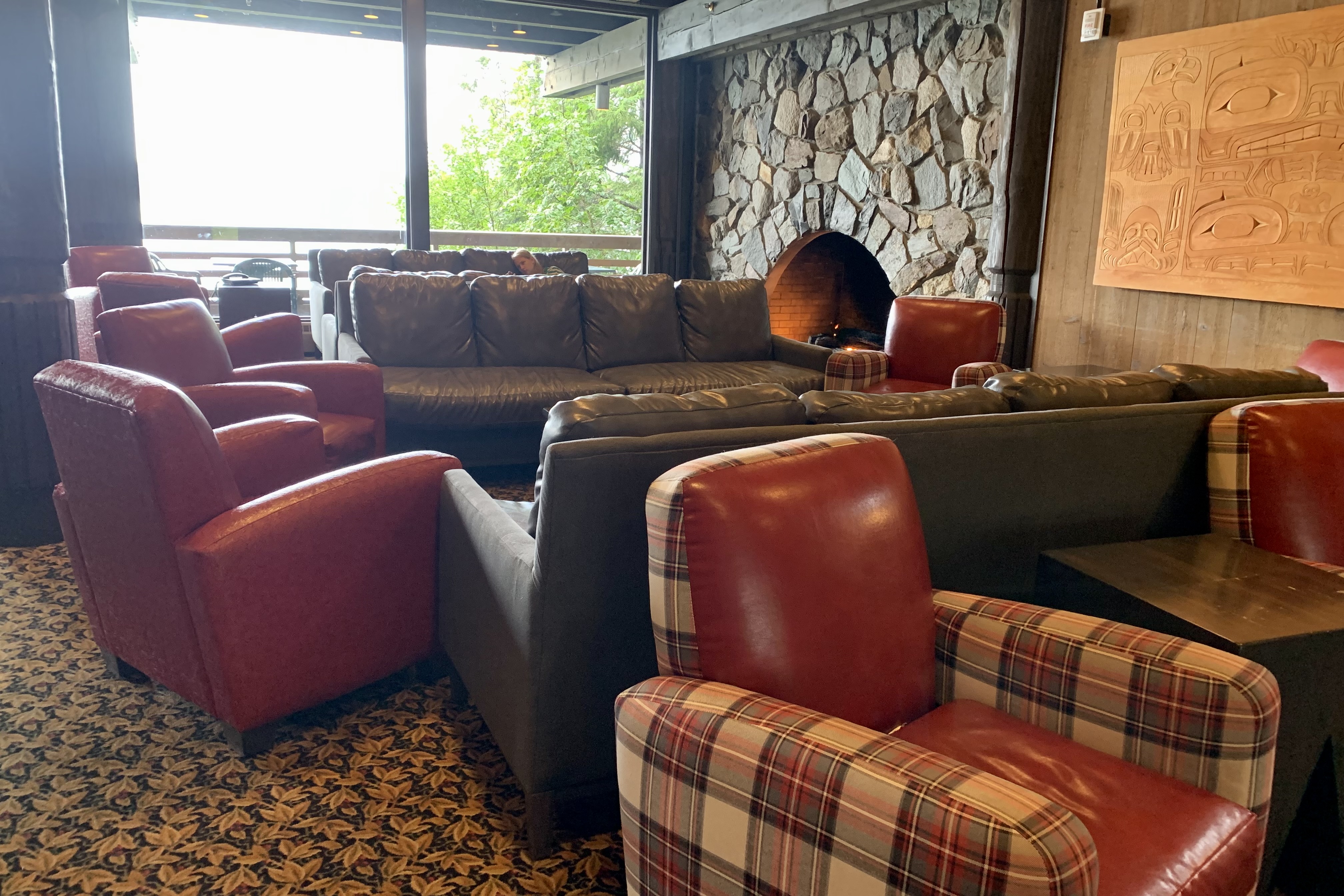
As anticipated, like most National Parks, there is no cell service and limited wi-fi…what a blessing … but the withdrawal can be challenging! There was wi-fi in the main lodge and lobby area so the “living room” was packed with internet surfers and anyone, myself included , hoping to connect with the family left behind as I waited for a table. I vowed not to read any news during the stay. The upside of no room wi-fi is it can it definitely promote more social interaction (for me it did quite a lot) as well as interaction with the environment. The down side being a vey crowded lobby at times with most individuals fixated on their screens.


Once my room was “organized” I headed up to get dinner as it now was 7:30. Seems like all the patrons had a jump on me so the wait would be about an hour. Given that one is a captive in this wilderness and not being a hunter and gatherer myself, I got on the waiting list and searched out the offerings in the gift and sundries shop off the lobby. Unlike some parks that provided a much larger variety of options, I decided that what appeared to be day old sandwiches, caramel cookies, a variety of energy drinks, and an good assortment of single serving bags of junk food and candy was not on my preferred menu. So I waited.
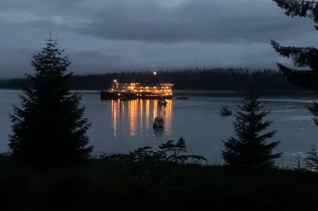
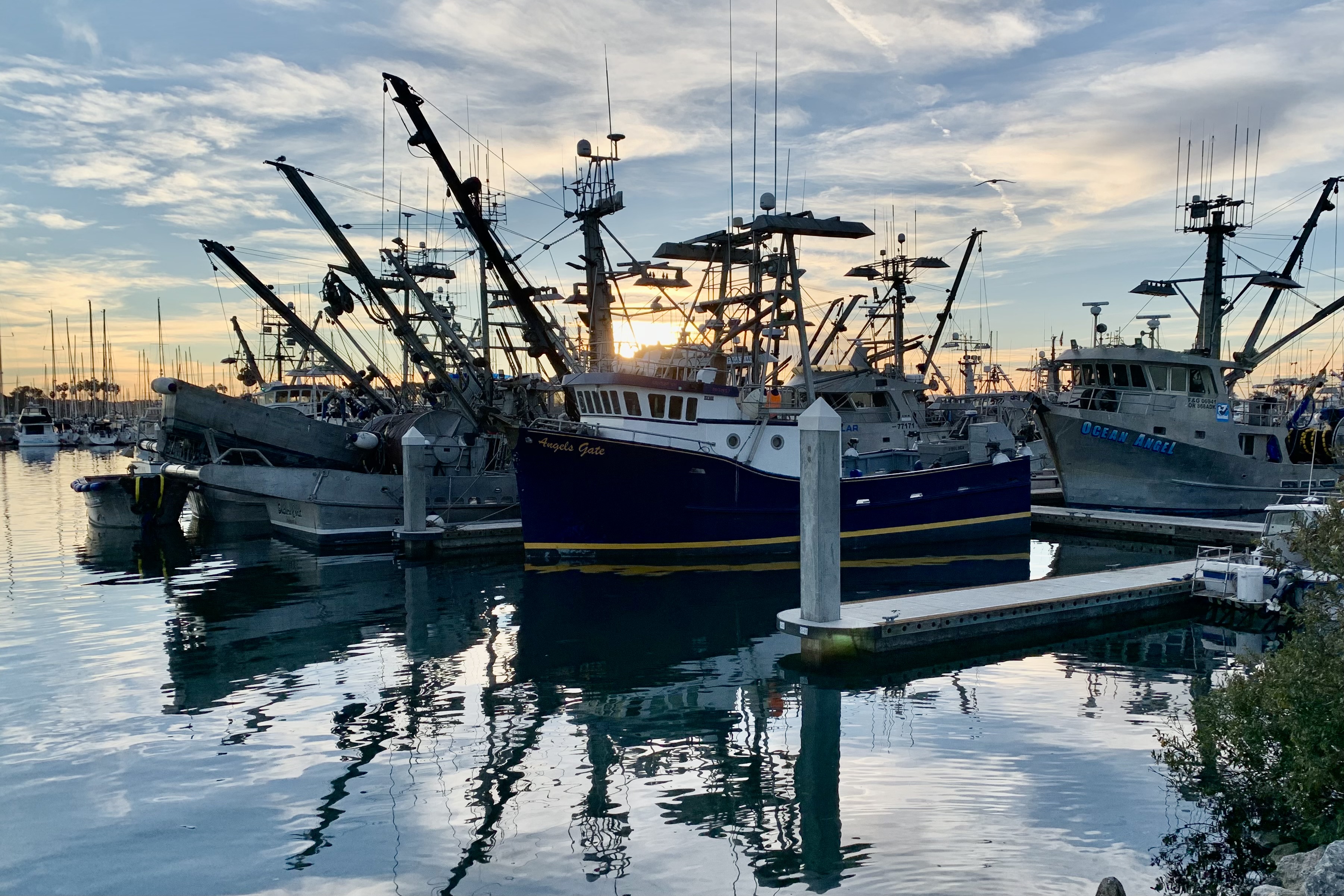
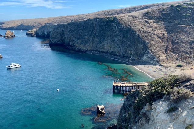
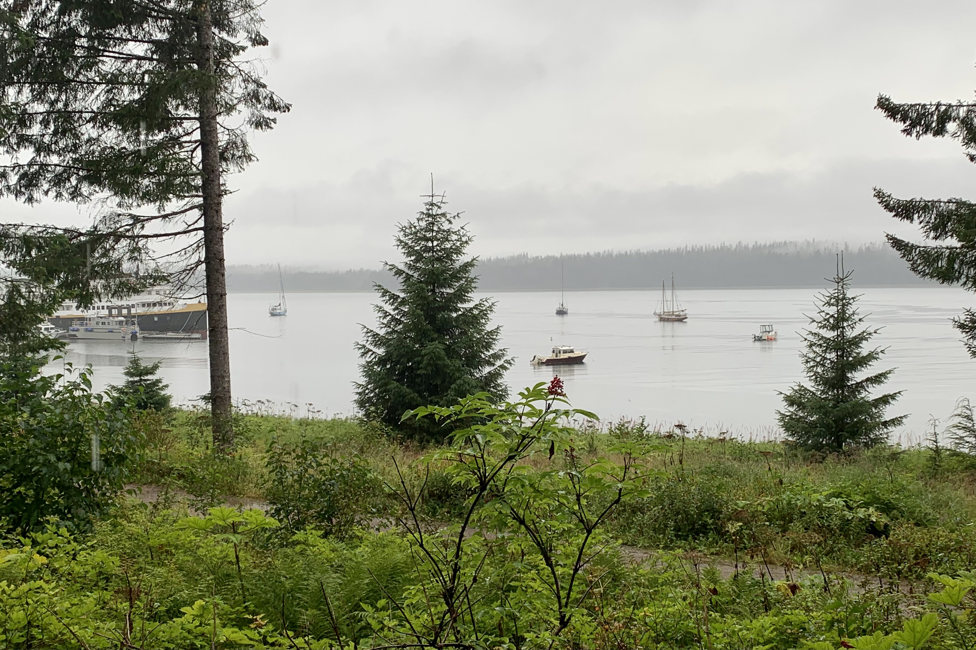
The menu at the restaurant was varied and I already knew that what I would anticipate as a reasonable price in the “lower 48” would be at least 30-40 % higher in Alaska, and of course jacked up again given the short season during which to turn a profit. My $19.00 hamburger however was quite good and I figured quite a bargain given our remote location… I kept reminding myself that everything has to come in by ship or air. Quite sated and delighted with everything , it was time to turn in as I needed to report at the dock at 6:50 for the glacier cruise scheduled for tomorrow. I wound down my day, sitting on the bed and looking out the window and watching the boats in the harbor.