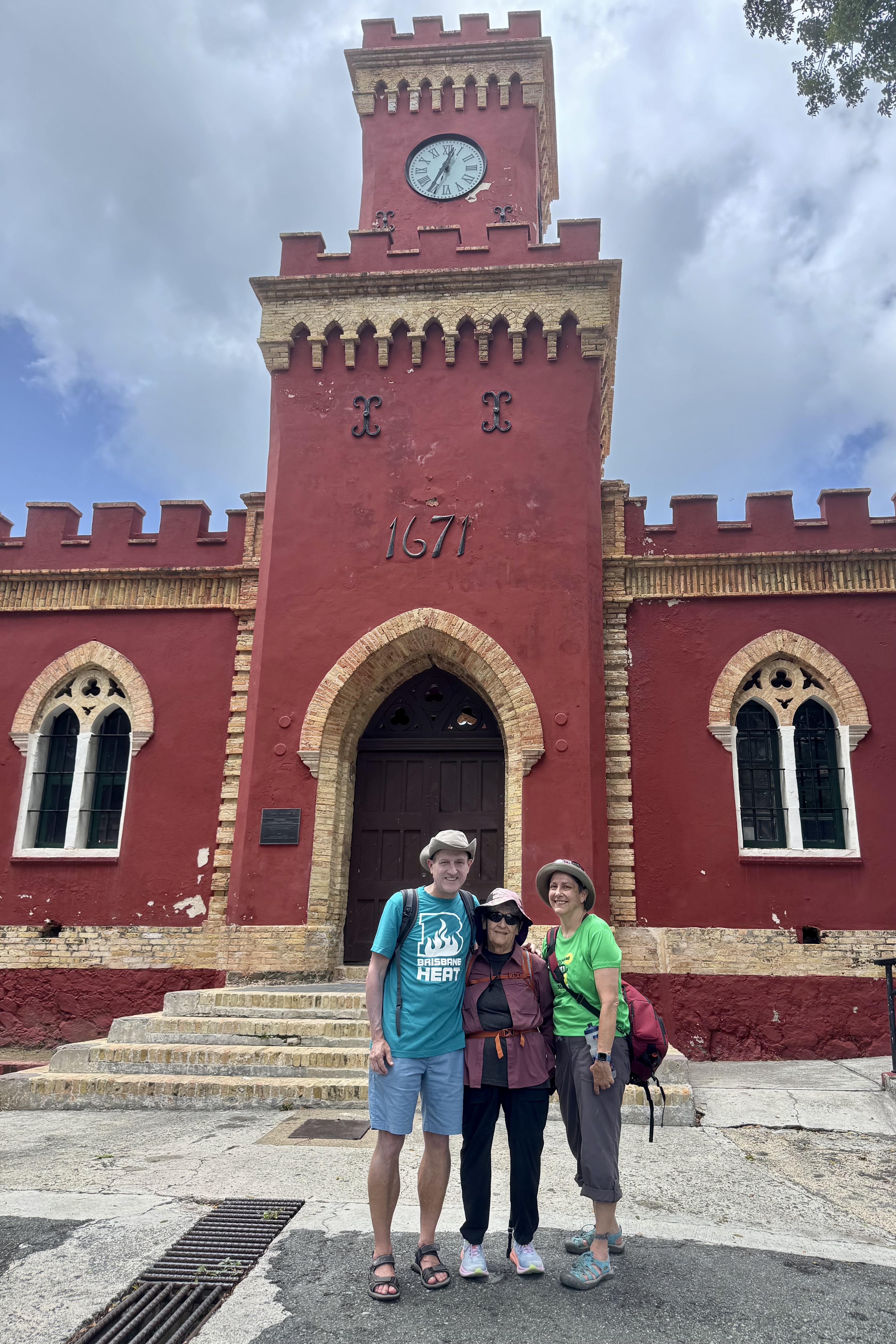
It was travel day to St. John’s so we dutifully followed the VRBO checkout instruction…reminds me how glad I am that one doesn’t have to have to strip beds before checking out of a motel. But such is the case here. So we tidied up best we could, though not too much of a challenge as it would have been with all the detritus of our harder living younger day’s. Feedback from the owner rated us as 5 Star guest. Is this akin to our even younger selves always reaching for that elusive “A” in our school days?
The smoothest part of the trip was getting to the airport. We were flying on Cape Air back to St. Thomas from the Cyril E King airport. My grandson Luke is nuts about planes and flying so this was special because Luke had no idea we were flying back and thought we would have to get to the ferry dock for another 2 hour experience of the slapping of the waves and the curtains of saltwater spraying the windows. In the midst of figuring out the mechanics of getting from “here-to-there, ” he would ask questions about getting from “here-to-there” and everyone rudely ignored him or pretended they did not hear. So he was quite astonished when we preceded to the check in at the Cape Air counter instead of proceeding to the taxi stand to get to the ferry terminal. It was my “birthday party” for the family for Luke’s upcoming 18th birthday. That elation was short-lived though and it turned into panic when he realized he had left his passport and money in the rental car. Nick high-tailed it back there and fortunately was able to quickly retrieve it but so began the self-recriminations. Now was the time for Nick and myself to rise to the occasion and tell stories of his dad’s misplacing tickets, lost wallets, lost watches …. a pretty extensive history.
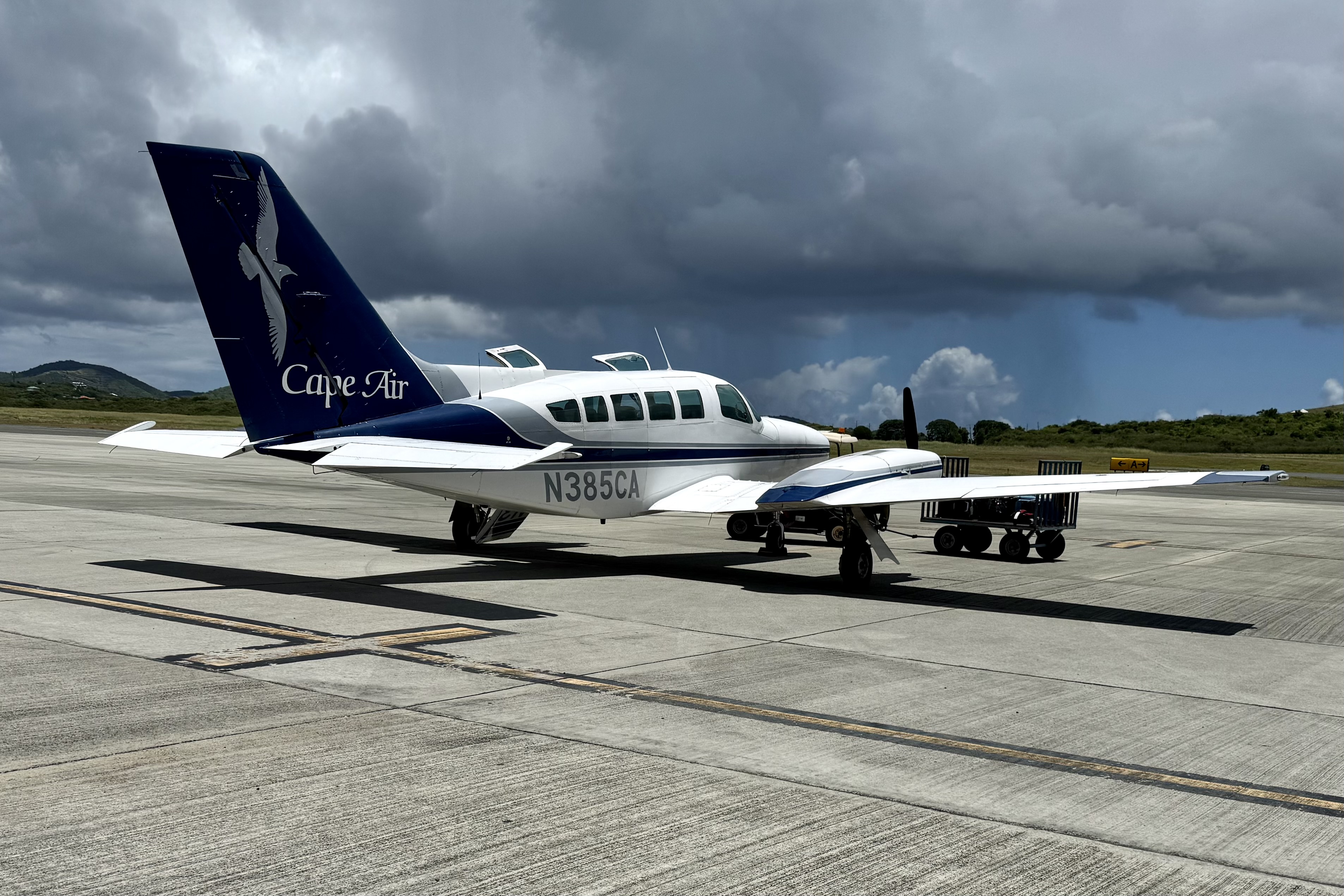

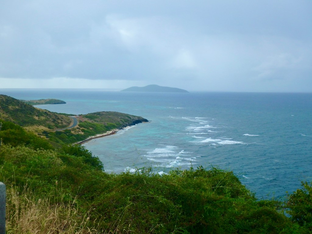
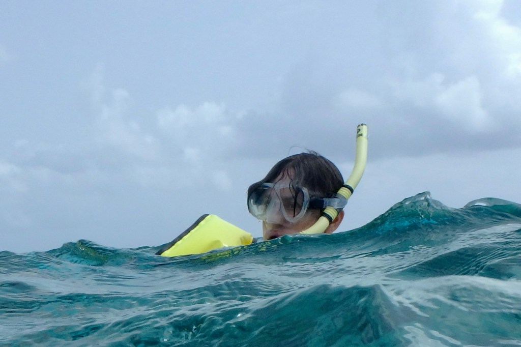
The plane for our flight was the Cessna 402, known as an workhorse aircraft and a favorite of regional aircraft for island hopping. Compared to all those jumbo jets it looked like a toy airplane. Luke was not assigned the copilot seat as it seemed they were assigning seats by body weight and he and I were the ‘light weights” assigned to the two rear seats. But it really didn’t matter since I was sitting next to this young man who couldn’t stop beaming. This was pure joy for both of us. The plane ride was but a brief 20 minute skip as we skimmed low above the Caribbean and gazed at the postcard picturesque scenes. Stretching below was a quilt of green and the deep blue depths of the open water. Though we took off in the brilliant sun we landed during a typical daily rain squall.


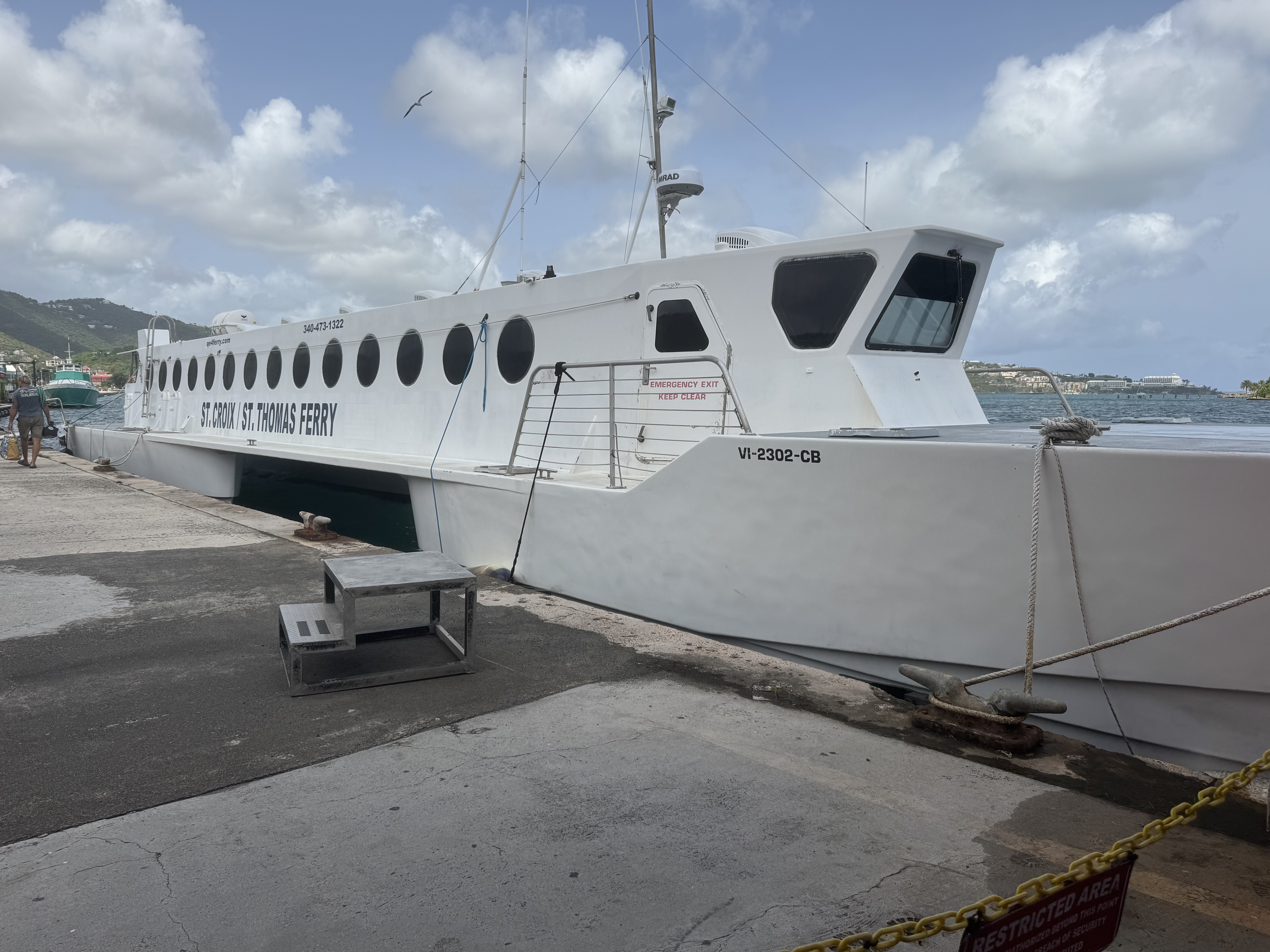
After snagging our suitcases, we headed out to a chaotic scene of taxi service hawkers. I grabbed one of these would be transporters and inquired about service out to Redhook. For $25.00 per person we were treated to a “locals” description of his life, his seven babies (he said he kept quite busy) and discussion of his fishing excursions and the fish he liked to cook and how he prepared it etc. The roads were steep, narrow with hairpin turns (beginning to get used to these) and we arrived at the Redhook terminal for the 2:00 PM ferry. After purchasing tickets for both ourselves and our suitcases from a rather abrupt ticket agent (I guess suitcases have personhood as they cost the same as a person), we parked ourselves in this shabby bustling tropical waiting room with its mismatched benches and open air architecture but enjoying the bustling with a mix of humanity of sunburned tourists, day trippers, locals, business folks… This 20 minute excursion to St. John’s was unremarkable.
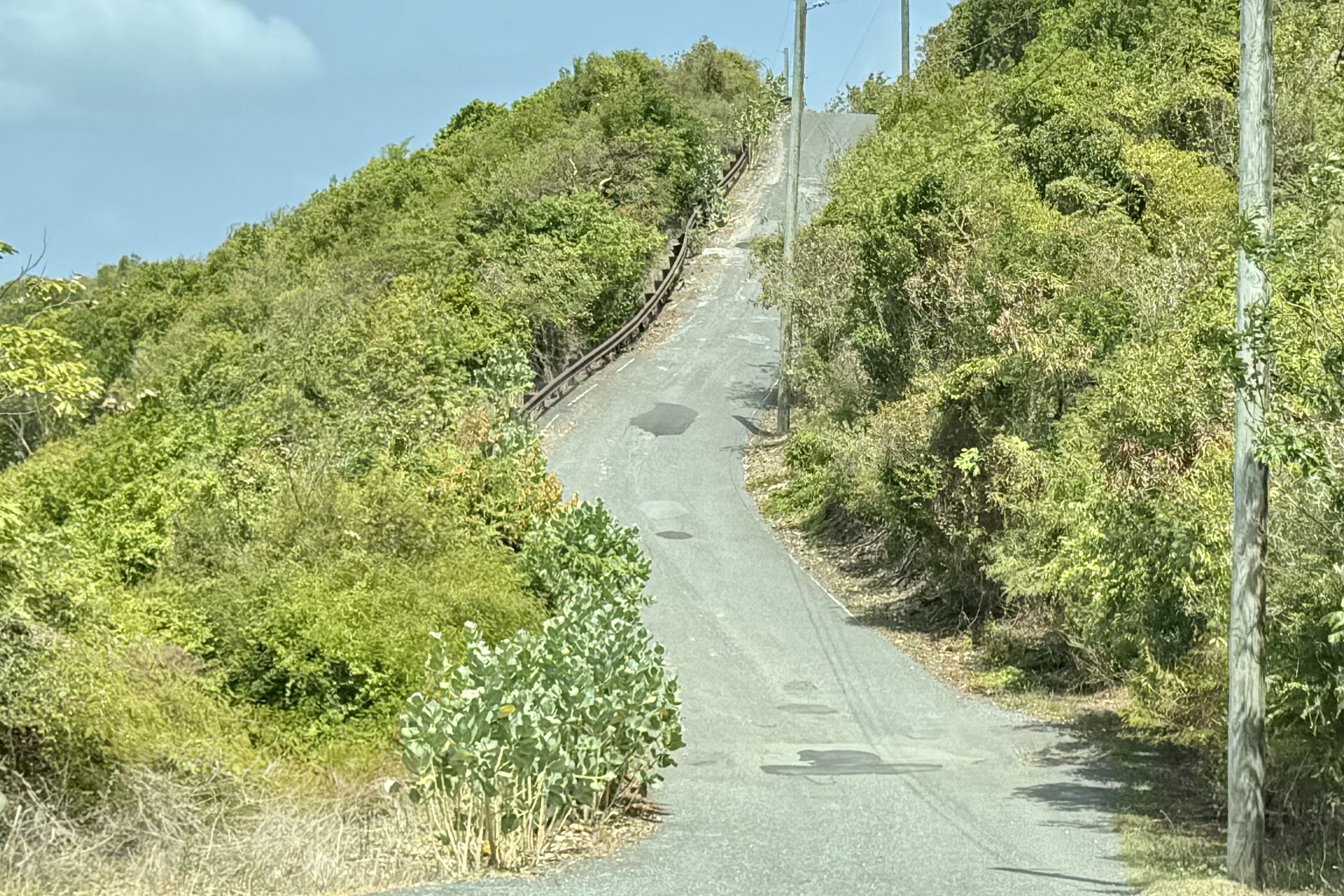
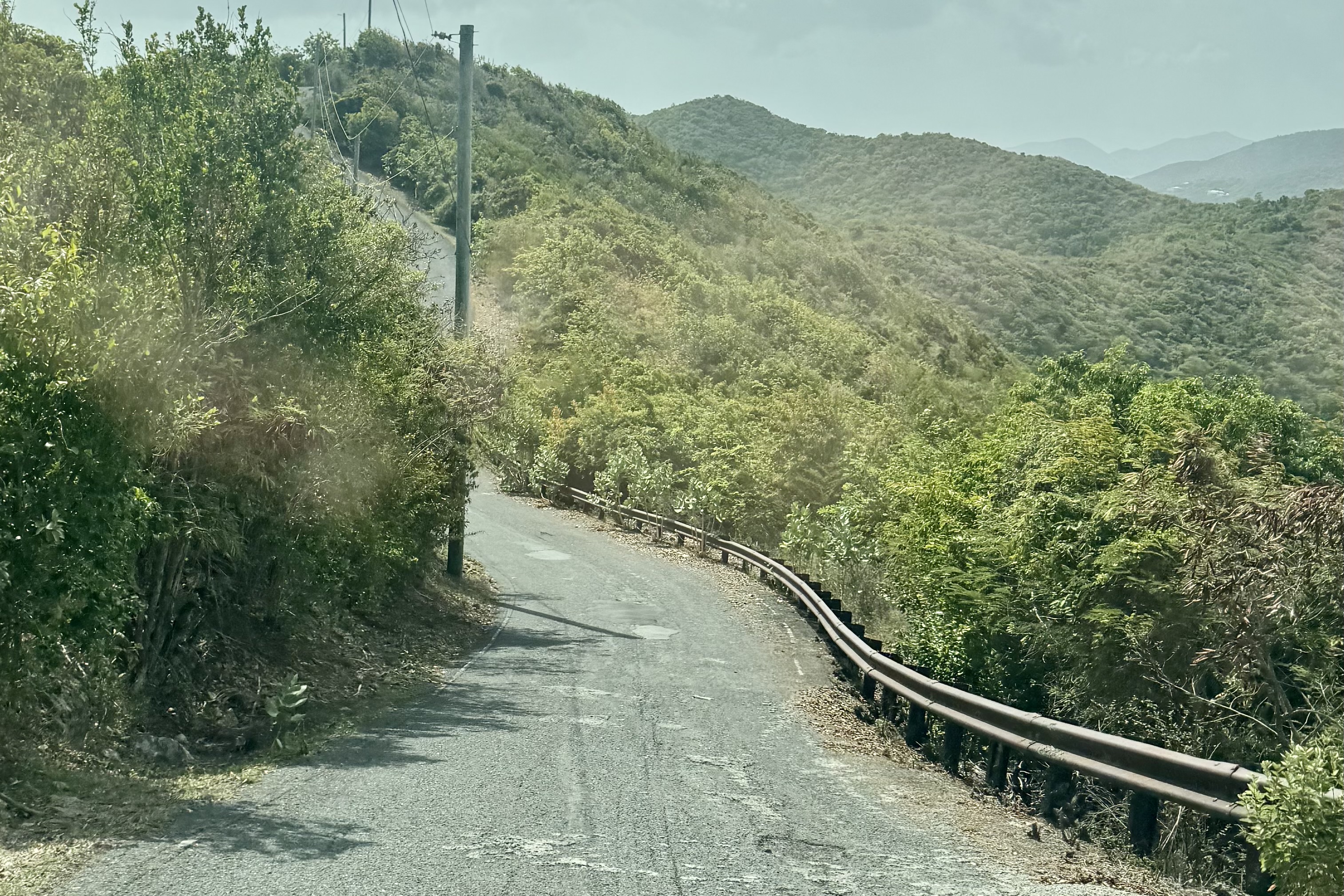
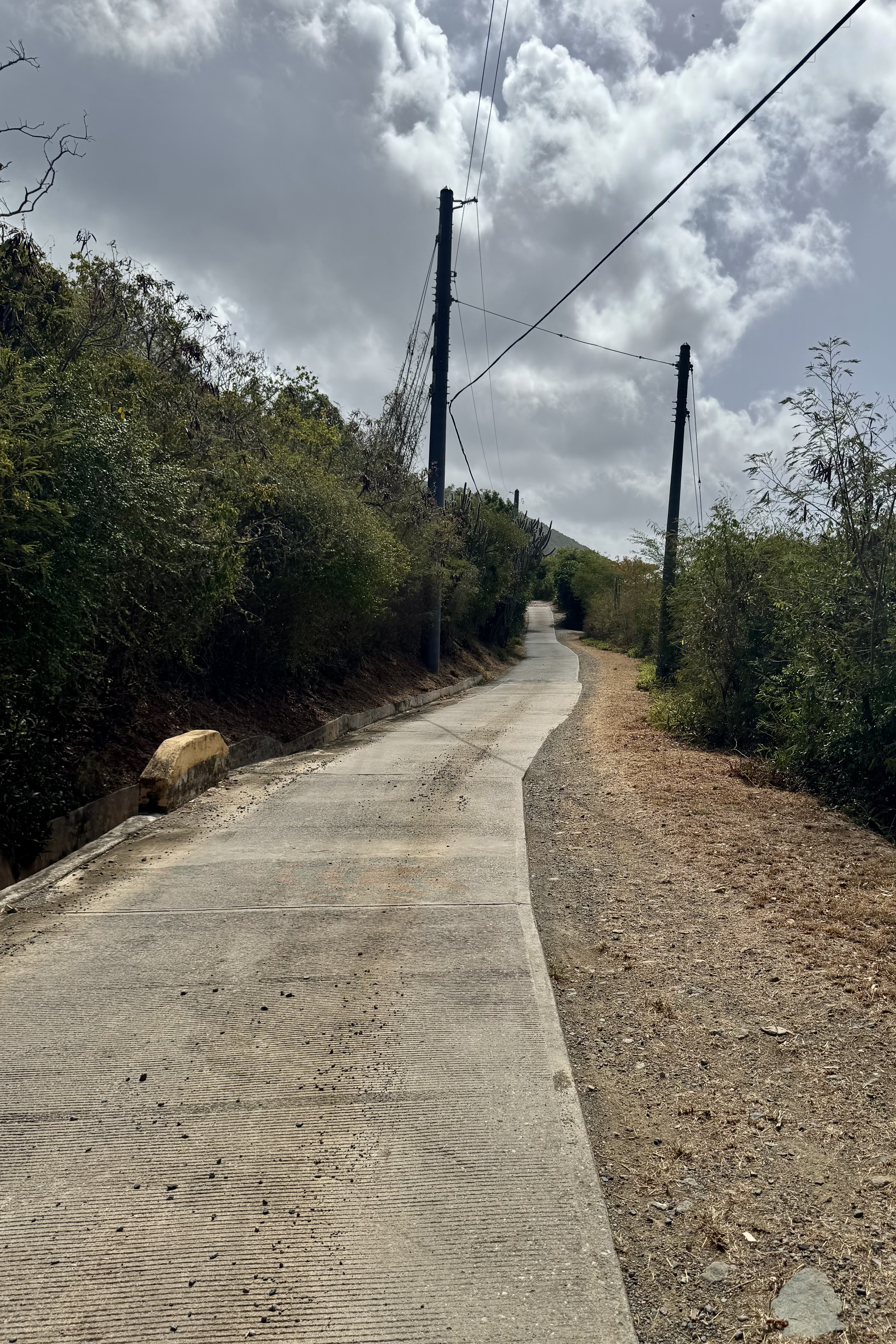
Finally, after collecting our checked luggage we made our way through the crowded waterfront up to L & L Jeep rental to get our rental car for the week. I thought I was signing my life away with all the waivers, inspection of the body, and instructions per return. Finally loading up, Nick began an even more challenging driving odyssey. In a crazy roundabout, we definitely emerged onto the wrong street and ended up taking a circuitous route toward the VRBO. Driving St. Croix was a breeze compared to the bumpy, steep, curvy, corkscrew roads which were primarily in disrepair on St. John’s . After numerous sharp curves and steep ascents we were headed in the right direction. I was grateful to not be the driver but wished that Nick did not have to tackle all of the white-knuckled roller-coaster roads on this trip.


At the same time as we were trying to arrive at our destination alive, I kept getting text from the VRBO manager. He had a broken Murphy bed in the third bedroom (I guess the previous guests were pretty rowdy) and wanted us to make the decision about the replacement mattress we would desire. Did we want a blow up mattress or a futon.” JP” was supposed to meet us at the ferry but clearly was immersed in his bed crisis… We finally said we would find our way there and decide then.
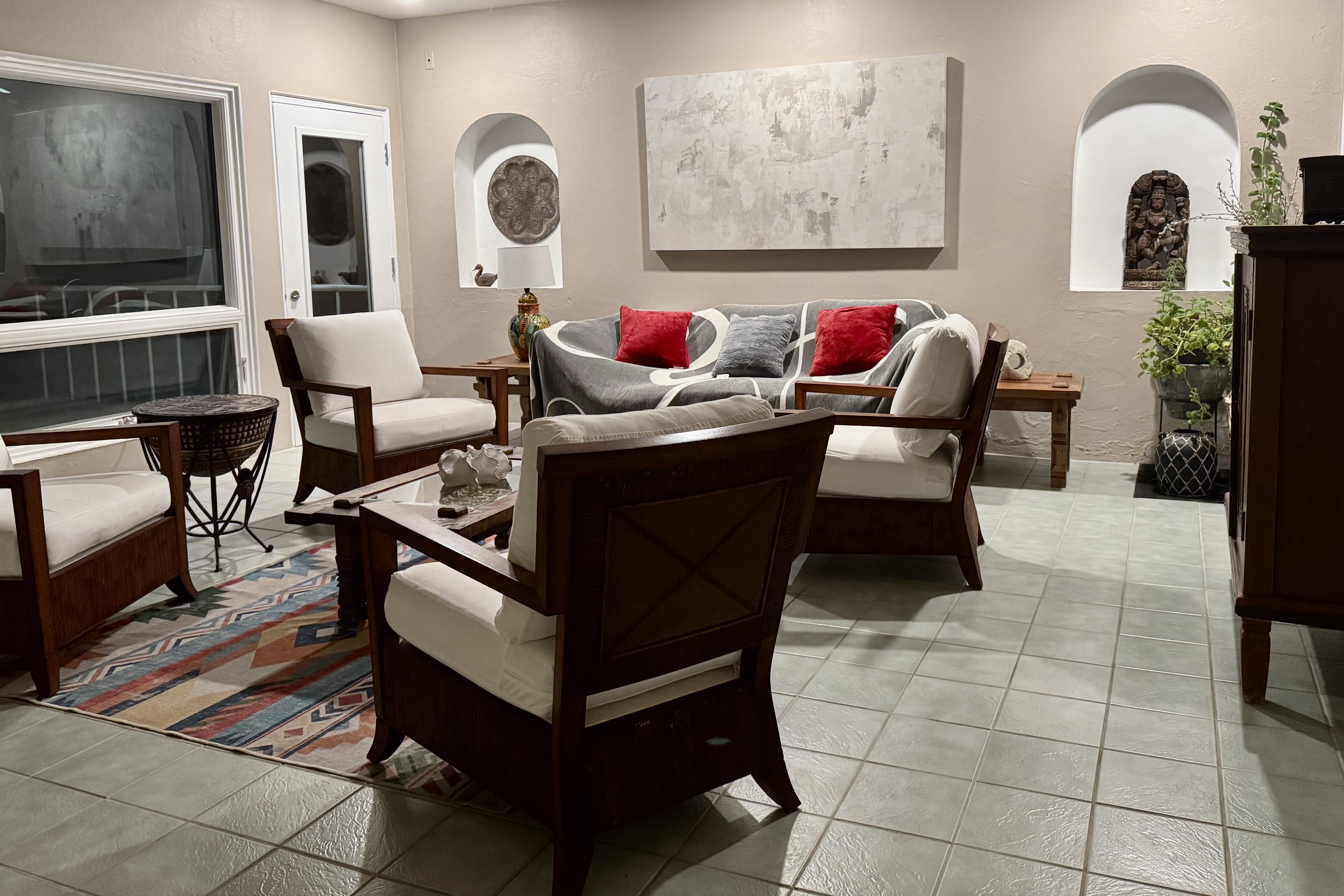
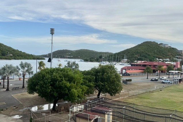
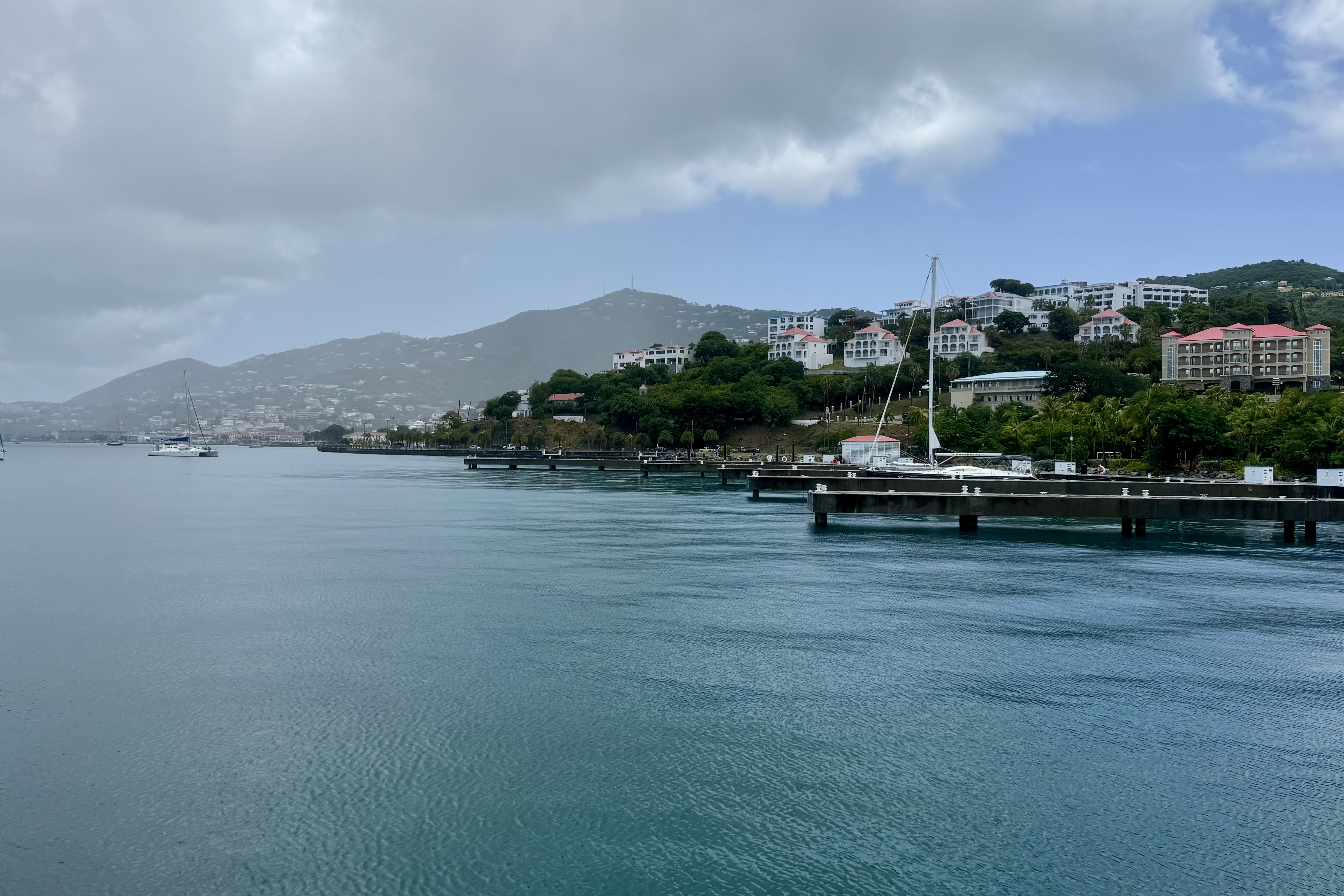
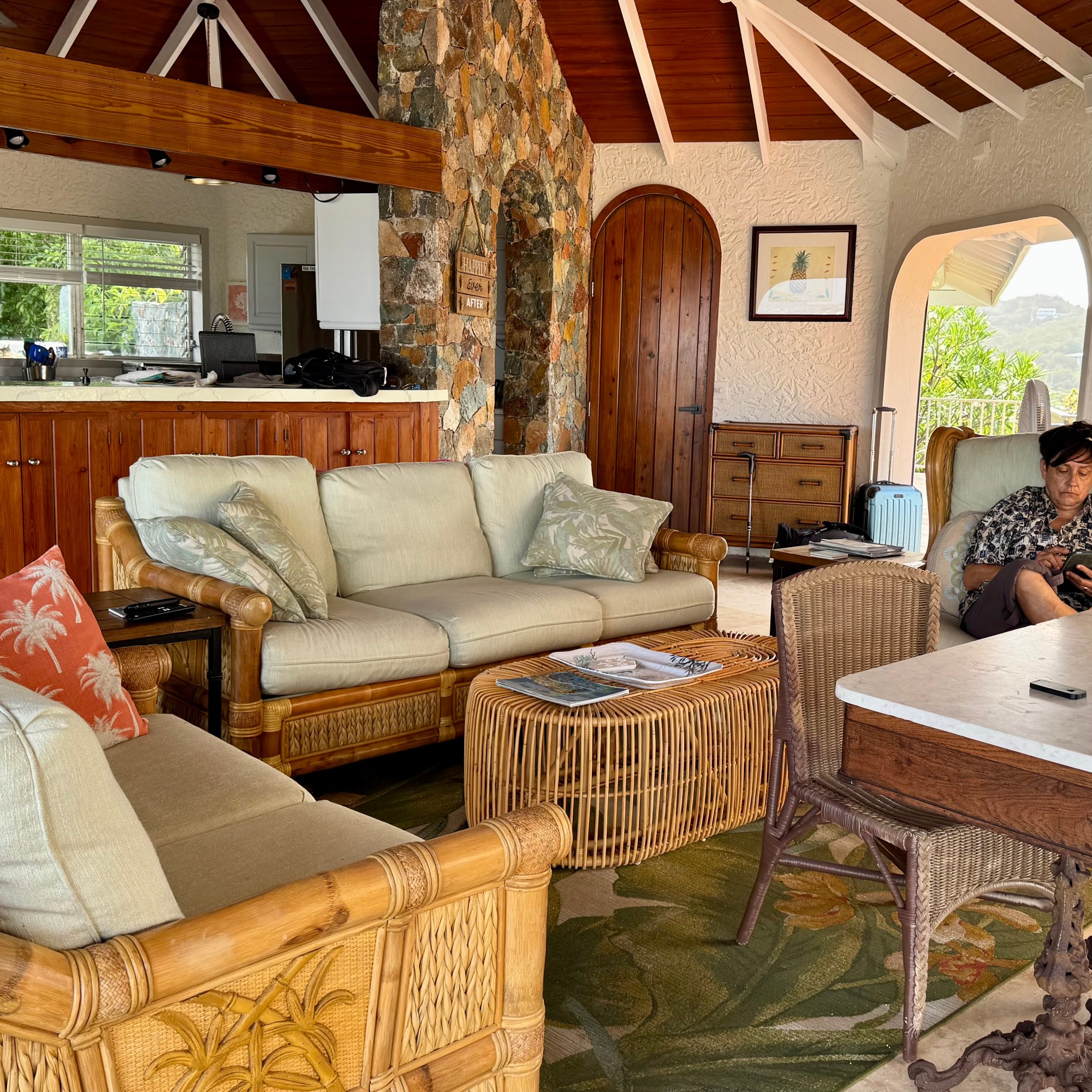
I was getting pretty annoyed by the whole scenario but once on the property any semblance of annoyance vanished as we gazed upon the view of Chocolate Hole and Great Cruz Bay. Upon our arrival, he was sincerely apologetic and very chatty though in my mind he was somewhat of a scattered ADHD adult. He proudly showed us about this renovated property (much of his work) and called our attention to the bottles of rum which we might enjoy partaking of. The Westin below us with their mini-bar can’t compete with this establishment! I wasn’t about to disappoint him and tell hime we were not big alcohol consumers. JP played the role of a helpful concierge by suggesting many places we might be interested in patronizing. He finally took leave to hopefully solve the bed crisis as we had requested the futon.
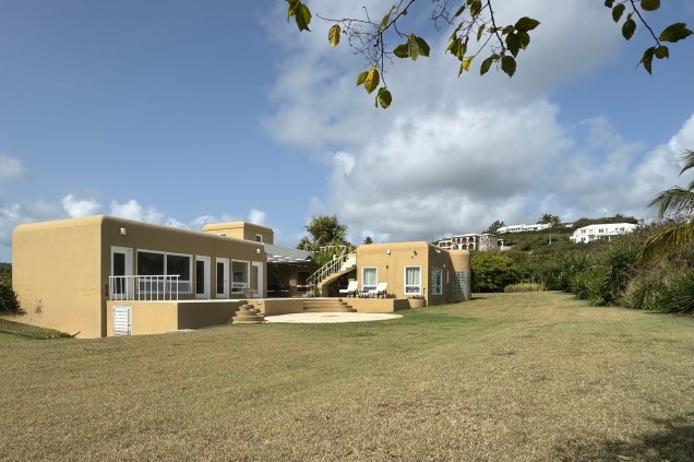
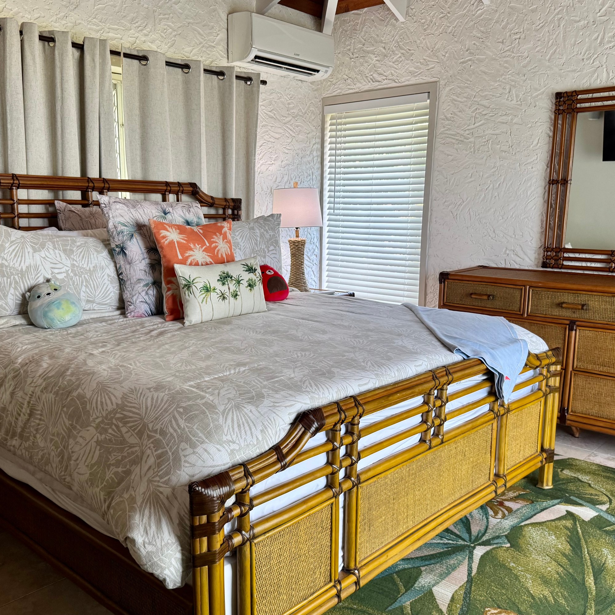
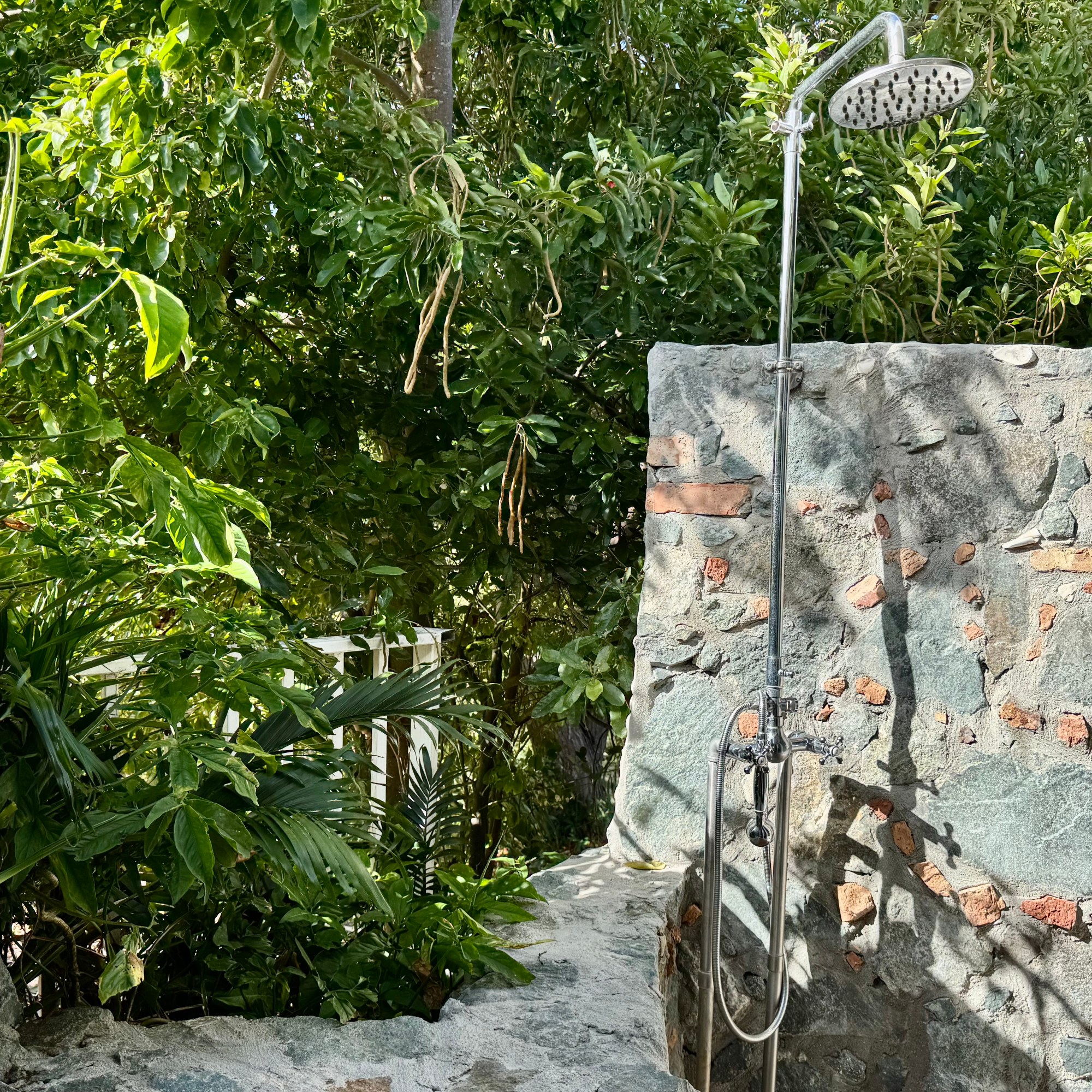
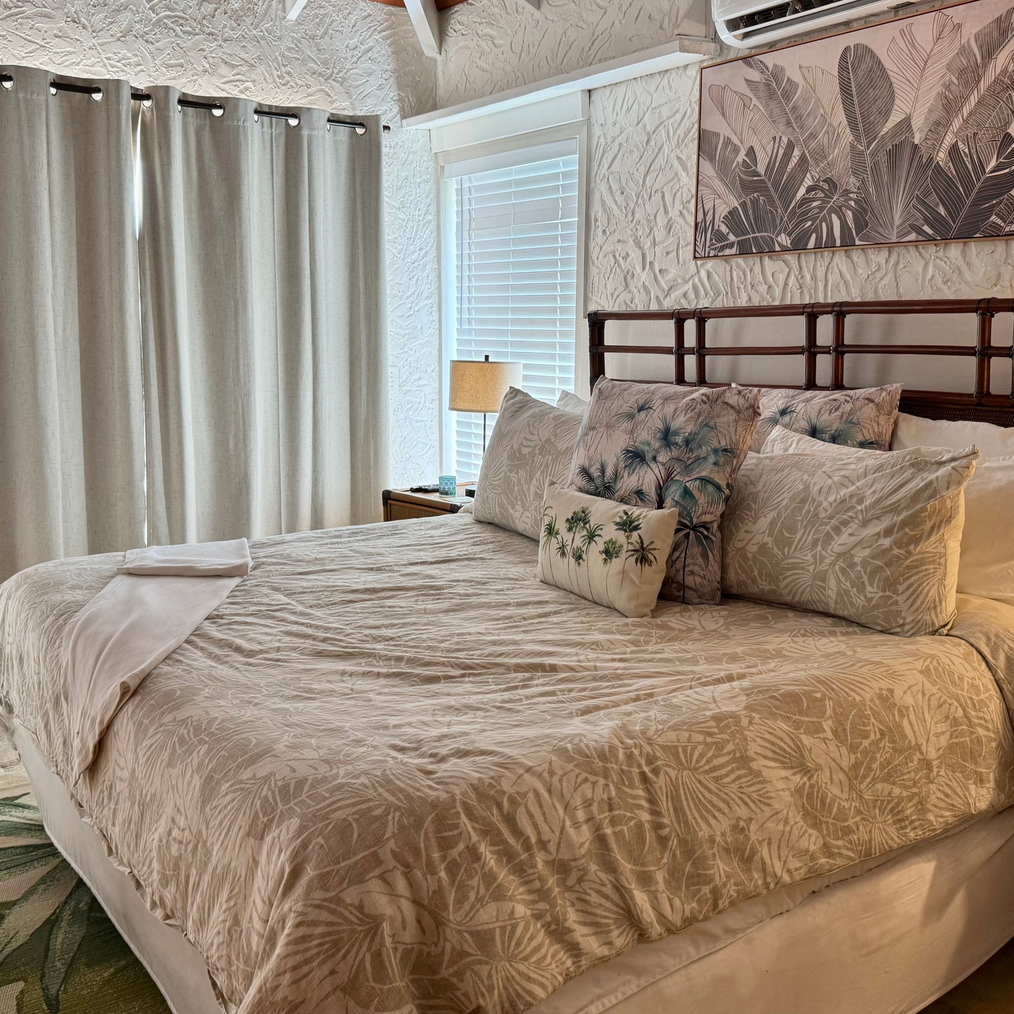
This luxury villa had two bedrooms with king beds, and what they called a third bedroom (this is a questionable assignation) which was supposed to have a full-size pull-down bed. I found it more akin to an office area to be walked through to get to the other bedroom. Delightfully, both bedrooms had al fresco showers. As in St. Croix the open-air living room and kitchen and al fresco dining area blended the indoor and outdoor spaces thus allowing the topical breezes or the brisker trade winds to blow through.


Invitingly cool and refreshing looking, we discovered this sun heated pool was not particularly cool. Nevertheless it still was always a refreshing dip.

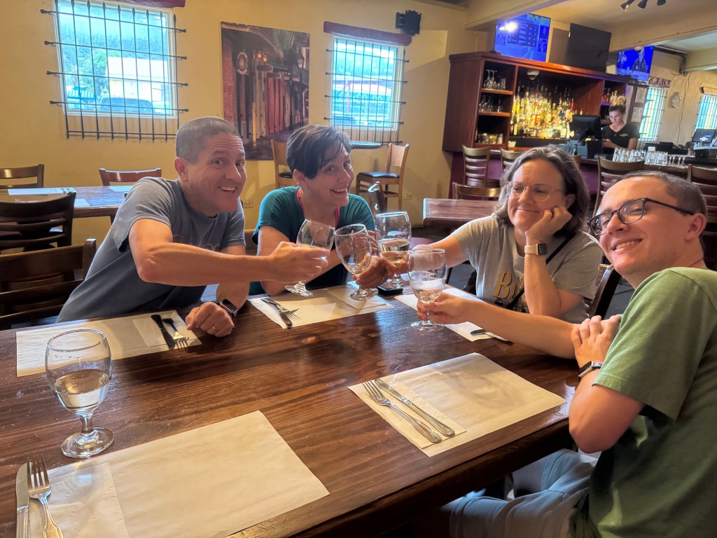
Eventually we picked up a few groceries for simple meals and sat back and enjoyed the surrounds, a swim in the pool, the lights on the harbor, the gentle breezes. Lounging in the WARM WATER, with the breathtaking views of Chocolate Hole Bay, lights of the harbor, and the gentle breezes was much more than we had hoped for. But where was JP as we were winding down for the night? The new bed, a futon, finally arrived around 9:00 pm so Luke finally had a “bedroom.”
The following is my son Nick’s take on the same day of the adventure: