“Bush Plane” or “Air Taxi” Accessing Gates of the Arctic National Park…

No Uber or Lift drivers or taxi cabs there. Not even a water taxi. An article I read stated one would need to hire an air taxi to get to both Gates of the Arctic and Kobuk Valley National Parks. Now, when I hear the word taxi, I conjure up pictures of a gaudy Yellow Cab, the driver laying on the horn, idling in a massive traffic gridlock on New York City Streets (or Chicago Streets etc.…). Hiring an “air taxi” in Alaska is not exactly like hailing a cab on a busy street corner. Perhaps that writer was misled by the term “Gates of the Arctic,” picturing something more akin to Gateway Arch National Park or the Golden Gate Bridge. As an aside, be it known up front (in case you are anticipating an awesome photo), that there are no actual gates in Gates of the Arctic National Park.

In deciding how to visit these parks, I knew I would most likely have to come in by plane, our rather multiple planes and thus quite expensive. Actually, it is possible to access the park by hiking in from the rugged Dalton Highway – the closest road to the Gates of the Arctic boundary, but a hike in this remote and challenging landscape could not be taken lightly and definitely not for either the feint of heart or novice hiker. Probably a fair amount of bushwhacking, several cans of bear repellent, and orienteering skills would be in order as well. Once in, there would be no roads or trails, campsites, visitor centers, public facilities or lights.

Another way to explore Gates of the Arctic, would be by floating one of its six wild rivers: John River, Noatak River, Kobuk River, Alatna River, Tinyaguk River, and Koyukuk River. Of course this would also require being flown in with ones inflatable raft or canoe. In years gone by, I might have considered one of those options, chance taker and reckless adventurer that I have been, but at some point my rational sobersided self took over and I opted for the definitely more sedate approach to my latest park chaser adventure.

An other consideration when traveling in this remote area…is to look at Air Miles vs. Road  Miles vs. River Miles.  In the early days of pioneering Alaska, about the only mode of travel would have been by river. As I gazed down at the rivers snaking and slithering  about the tundra, it would have been a very long and roundabout journey. Once the Dalton was built it was almost a “strait” shot north but getting anywhere else wouldn’t involve “off-roading.” So with the advent of  bush planes and float planes this wilderness became much more accessible.and the shortest route for point A to Point B.

Northwest Artic Boroughthe Challenge of River Miles

Back to my issue: So why not use the classic tried  and true, good old fashioned term BUSH PLANE, for that is its destination: the BUSH (defined as a large uncleared or sparsely settled area such as in Arctic tundra,  usually scrub-covered or forested). A bush airplane is used to provide passenger and flight services to remote, undeveloped areas, such as the Alaskan tundra, the African bush or savanna, Amazon rainforest or the Australian Outback. So I took a  BUSH PLANE, getting to this dramatic landscape, with its endless space, wetlands, rivers,  and serrated peaks, it’s remoteness and isolation. This has been described as nature at its wildest.

Gates of the Artic National Park Area

The morning of our planned park hopping expedition out of Bettles by bush plane to both Kobuk Valley National Park and Gates of the Arctic National Park was fraught with anxiety. The weather did not look promising as there was significant cloud cover in the area of Bettles. Though I am usually that pollyanna-ish sort of person, it had been an extremely wet summer with record rainfall in many areas of Alaska, so I was beginning to feel despondent. I was astonished when our pilot gave us the thumbs up and our flight seeing adventure was a “GO.” Seems the weather up farther north in the Brooks Range was considerably better so it wasn’t long before Kris, Rob, Teresa and I were climbing aboard our floatplane a DeHavilIand DHC-2 (which in this case, I maintain is my bush plane atop two pontoons under the fuselage). Now, I learned that this was an aircraft that was preferred by bush pilots but also it was a relatively old aircraft. The manufacturing of this craft ceased in 1967 so even if ours was the latest model it would be 55 years old. Now I definitely would not drive a 55 year old car. And since I was not about to give up this flight, I transposed my chronological body age at 55 years onto this aircraft’s age at 55 and determined that it would be an awesome safe ride since I was well tuned and healthy and did my first triathlon at 55 and my last Ironman at 69. Age isn’t everything. It still had lots of life and miles to fly. I only doubted this analogy once when the engine stalled out ( my adrenaline went into overdrive), though the pilot had it rectified long before I finished my Hail Mary. Our very accomplished pilot kept us flying as low as safety permitted, given the air currents and clouds. What an incredible montage the land gifted us with as we floated over its profuse wetlands, serpentine rivers, deep valleys, mosaic of trees, shrubs and low tundra vegetation, and rugged mountains.

We flew over Gates of the Arctic NP on the way to our first landing at Kobuk Valley NP. Gates of the Arctic NP is oft described as a true pristine wilderness, the final frontier of modern civilization. In this  vast landscape (8 million acres), there’re no roads  running through it (yet) or trails other than those blazed by caribou migrations. Thus it is no surprise to learn that it is both the northernmost and the least visited of the 63 national parks with 7362 visits in 2021 (ironically, the second fewest visitors is the southernmost America Samoa National Park in a remote part of the South Pacific, 14.3 degrees south of equator with  8,495 recreation visits).

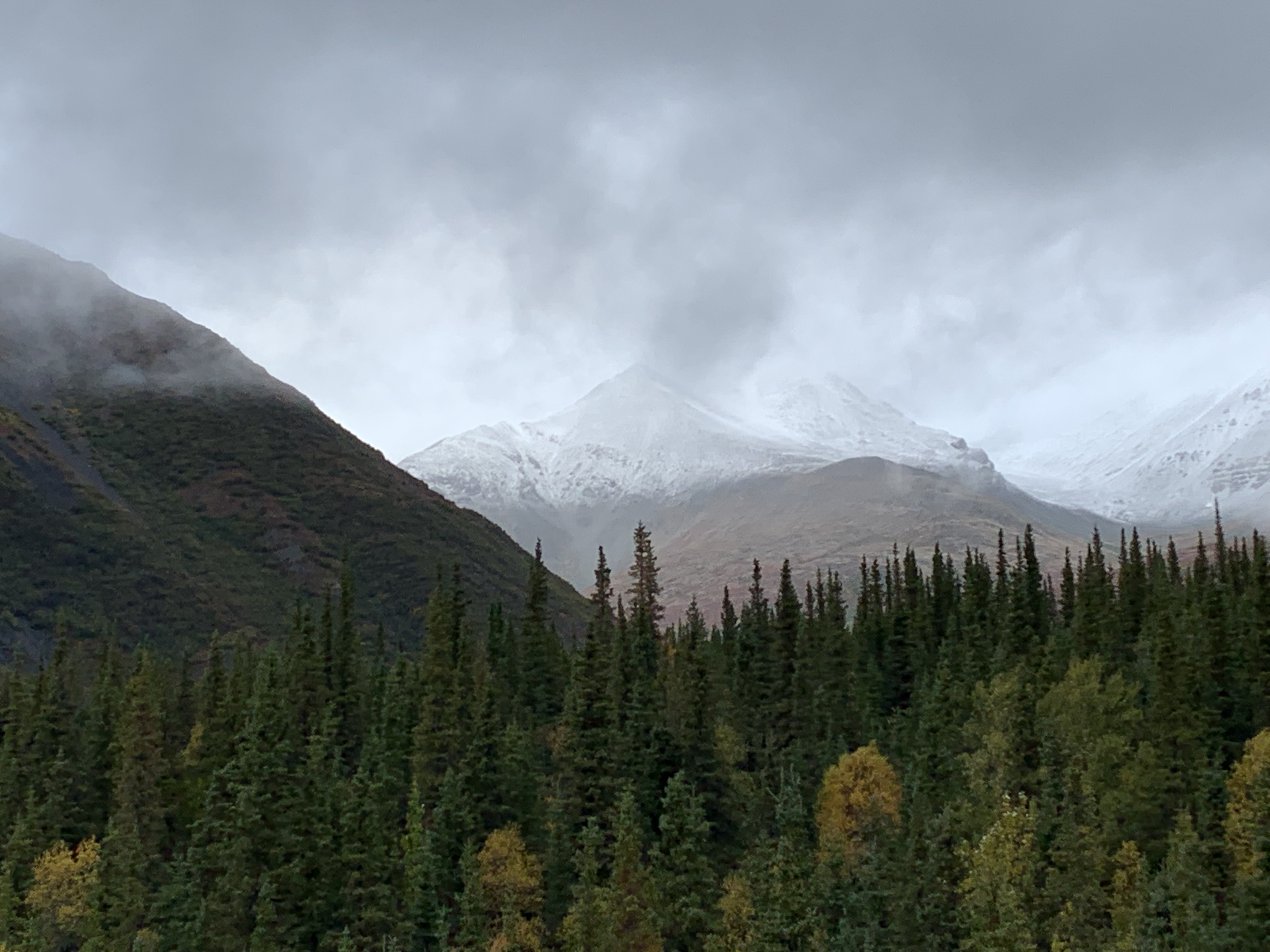
This true wonderland (nothing akin to Fantasyland or Tomorrowland “a la Disney”) is almost the farthest north you can go in the U.S. and I almost  made  the mistake of thinking this is unhabitable and thus uninhabited.  Not so,  as we saw several isolated villages and their gravel airstrips and learned that this land has been occupied by the Inuit people through the ages. Several tribes continue living within it. They  survive by living in this  land as indigenous people have done for thousands of years, sharing the landscape with the caribou, wolves, grizzly bears and  those big shaggy musk oxen (and bush plane cargo deliveries). So I sat back and feasted my eyes on the the jagged peaks, gentle valleys, wild rivers, numerous lakes seen below:

Kobuk River Landing

Kobuk Valley National Park has slightly more visitor (#3 @11,540 recreation visits in 2021).  Here also, there are no roads, campgrounds or entrance gates for this 1.75 million-acre expanse. The meandering Kobuk River creates beautifully curved patterns visible from the air. It would have been most exciting to have seen some of  the half a million caribou which migrate through this park crossing, 2x a year,  the Kobuk River and  and the  Great Kobuk Sand Dunes in the middle of the Artic… I was hopeful because they migrate late August to October but the they don’t migrate when the director calls “roll it!” on command Disneyesque style. I thought I had visited all of the national parks that featured sand dunes (White Sands NP, Great Sand Dunes NP, Indiana Dunes NP). So it was amazing to see the Great Kobuk Sand Dunes, formed from retreating glacier deposits and winds  sweeping sand from the sandbars of the Kobuk River.  Three sets of dunes cover more than 20,000 acres, with drifts upwards of 100 feet high. I had not anticipated a wind swept desert in middle of these wetlands but this is the largest active, high-latitude, dune field on earth. A significant swath of this area has now  been stabilized by vegetation and comprises the  southern portion of Kobuk Valley.

The flight seeing adventure continued as we wove our way back to a lake landing on Walker Lake in Gates of the Artic NP. As I continued to gaze at what is basically a pristine wilderness pictured below , the topic of the Ambler Road Project was brought up by our pilot as he was pointing out mines in the area.

Gates of the Artic Northwest Artic Borough

For example, the Alatna River was identified during our flight and is a federally designated wild and scenic river partially contained within the boundaries of Gates of the Arctic National Park, Alaska. It has been described as a mellow river, a gorgeously beautiful river, a wildly meandering river, with the scenery ranging from mountain peaks to hilly boreal forest. Lake Anirak, is a Native Alaskan language means “place to go out”  and is located in the Ambler Lowland of Northwest Artic Borough amongst the abundance of other villages, lakes, and rivers. I mention these because I wonder if there will be the same (positive or negative) outcomes with the building and completion of the Ambler Road Project in the southern Brooks Range.

Gates of the Arctic National Park and Preserve was to be managed “to maintain the wild and undeveloped character of the area… to provide continued opportunities, including reasonable access, for mountain climbing, mountaineering, and other wilderness recreational activities.”  How is this road compatible with maintaining its wildness whether it is within the park boundaries or in the vicinity? But the rational side to myself also can understand our current dilemma with supply chain issues and that the political instability and distortionary trade practices in the world today pose an increasing threat to disrupt America’s critical minerals supply chain—with domestic development as the solution. For those not interested in the environmental politics of Alaska and this project skip ahead as more details on this project follow.

This proposal is for the construction and operation of an approximately 200-mile long all-season controlled-access industrial road connecting the Ambler Mining District with the Dalton Highway and across a portion of Gates of the Arctic NP. I was immediately horrified envisioning the potential environmental, social and economic impacts upon wildlife, fish, and their habitat, and rural and traditional lifestyles including subsistence activities. I researched it a bit and a 50-year Right-of-Way permit for the full length of the Ambler Road was signed by NPS, BLM, and AIDEA in January of 2021 under the Trump administration. But in May 2022 the U.S. District Court for Alaska remanded the project approval to the BLM to conduct additional analysis stating the Trump administration’s review did not properly consult with tribal governments or consider subsistence and cultural concerns.

I considering the impact that production like this will have, I can clearly picture the material sites, massive amounts of equipment, construction camps for outside workers, frequent overflights and long-term maintenance camps, airstrips, drilling,  fiber optic and radio communications lines, guard stations etc. which would all be needed to maintain this project’s restricted-access toll road with public access prohibited and irrevocably harming this remarkable landscape. We have all seen and oft experienced what similar operations like this (i.e. in AK the Red Dog Mine, phosphates in Florida, logging in Oregon, mining in West Virginia…) have wrecked on our land  with toxic levels of waste,  coal and metallurgical dust, erosion and wastewater discharge. 

My understand is the road is to be built to enable commercial development of mines that would produce copper and other metals and transport them more cheaply. A prospectus  anticipated this Arctic operation to reach 10,000 tons/day of material, with annual yields of Copper at 125 million pounds, zinc at 152 million pounds, lead at 24 million pounds, gold at 29,000 ounces, and silver at 2.5 million ounces. It is touted for its prospective copper-zinc mineral belt with deposits of cobalt, germanium, gallium, arsenic, palladium, lead, gold, silver, and platinum. These elements are essential for our nation’s tech-focused economy and military effectiveness from smart phones and solar panels to electric vehicles and airplanes. But it also opens up the area for future projects and roads to access other minerals and metals. Right now, this project appears to align with current federal policy to identify new sources of critical minerals, increasing activity at all levels of the supply chain (exploration, mining, concentration, and separation) and streamline the leasing and permitting processes to expedite the exploration and production of critical minerals. My internal “jury ” is out so in the meantime I refocused …

Walker Lake – Gates of the Artic National Park

Since this was an issue which would have no resolution in the near future, I continued to gaze on the land below and to be awestruck by the geography of this area. Soon we were approaching Walker Lake for our picnic In Gates of the Arctic NP. It’s almost too much to take in, that there I was in this rugged, wet, and wild part of Alaska above the Arctic Circle, sitting on a rocky beach eating a turkey and cheese wrap and drinking a diet coke. The majestic and the ordinary entwined.

After exploring the shore for a while (making note of the bear tracks) it was time for our flight back to Bettles, flying quite low with hopes of spotting bear or moose. I must admit I was quite unnerved when it appeared to me that we were going to skim the tree tops. I kept reiterating to myself that this is an experienced pilot and he knows the size and whereabouts of his pontoons as I know the whereabouts of my fenders when I drive a car. Disappointingly, the local bear and moose residents did not show up for the “directors” on stage call. Later, after dinner, to top off an almost perfect day, there was a bonfire on the banks of the Koyukuk River and a brilliant sunset to meditatively end this extraordinary experience.

Dancing Lights in the Sky, Swirling Billowing Curtains … over Bettels AK Population 23

There was no brass band or buntings strung to welcome us to Bettles but a significant portion of the population was there to greet us 4 adventurers as we arrived on the non-tarmac Bettles Airstrip. You probably were unaware, until now, that you were eager to learn so much about the town of Bettels. Upon landing, nine “Bettelians” were there for the gala arrival. Calling up my math wizardry ,  I figure that was forty percent of the population of 23 residents (2020 census). One of Bettles’ claims to fame is being the smallest incorporated city in Alaska AND 2nd smallest city in the USA  only beaten out by the 9 McMullanians in McMullen Alabama or perhaps Marineland Florida with 11 (not sure  if they counted the porpoises).   Now the Gibertians in Gilbert Arkansas at 26 would also  like to claim it and the ghosts in Carbonate Colorado (a ghost town) don’t count,  as my tally is thus 0 population.  Of course, all of the above is irrelevant, as I don’t know which ones are cities, incorporated municipalities,  towns, or which official or non-official census data is being used. So I vote Bettels #1 incorporated city in Alaska and the USA. I hope it is better know for most anything else but it’s size. It is 30 miles north of the Artic Circle, with a sub-Artic climate.  This was of critical importance to this adventurer, as this means warm summers. I was banking on this fact for my September holiday.  Soon we were loaded in the van to transport us to the Aurora Lodge, which was somewhat confusing as we thought this was our final destination. After waiting patiently for our driver, we were driven maybe one tenth of a mile around the corner… Perhaps this is standard procedure , but we four, who are rather healthy appearing specimens, were perfectly capable of rolling our roller bags (even on the gravel) this distance.

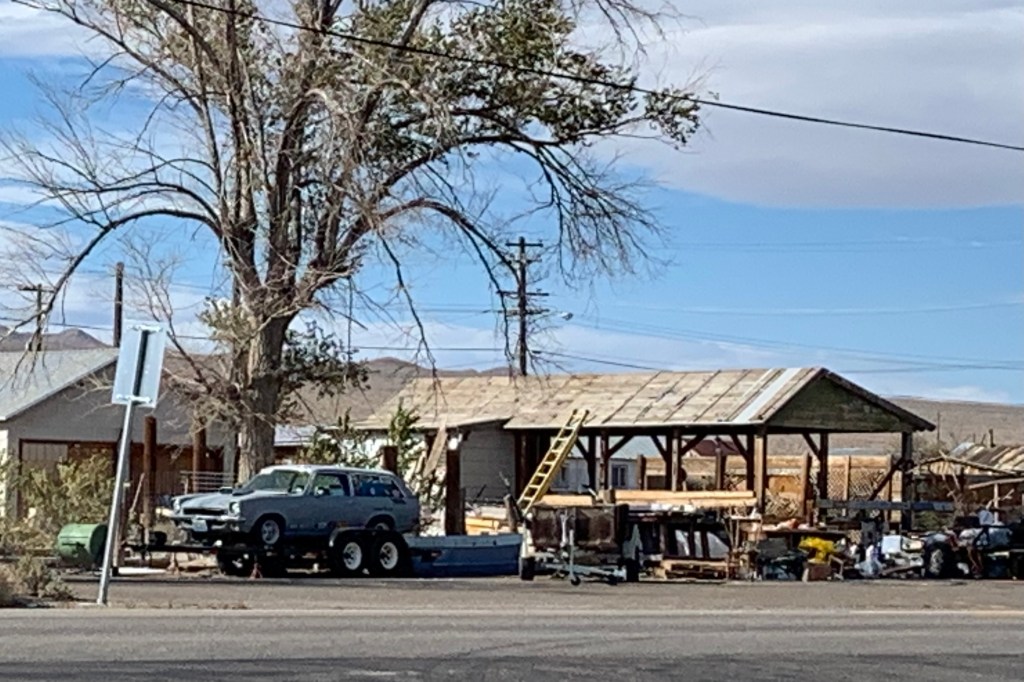
Eric the owner provides a great options for a memorable experience. Additionally, he is  a jack-of-all trades (tour guide, cook, van driver, speed boat operator, mechanic, cook, husband, boss … ). If it needs doing he most likely does it. So naturally he was the “orientouring” guide. Despite the size (back to that again) our arrival orientation and city tour still took 1.5 hours.  This involved a gravel road of washboard quality necessitating a slow crawl about town and out to the floatplane lake and of course all the do’s and don’t’s: a stern warning not to point the bear spray cartridge towards oneself  vs. the bear when discharging it;  an advisory that the aircraft vs. hikers have the right-of-way on the gravel air strip; swimming is not advised in the float plane lake; and if canoeing on the float plane lake, paddle very fast if you see an aircraft approaching. The town area is rustic with buildings quite varied in appearance and a mixture of antiquity; metal hangers, shops and sheds; wooden plank sided house;  and original log cabin construction.  Also of note, there were  piles of  what I would consider objects and mounds of “junk, debris, dross, scrap, dreck” everywhere.  However I soon learned most “leftovers” are considered valuable resources with an eventual use. AND, Eric’s continual refrain was “a dollar a pound”  coming in or going out. Since everything gets transported by plane 10 months of the year for a substantial sum of earned dollars, not that much goes out regularly. In winter, a 20+ mile ice road is constructed out to the Dalton Highway to transport in and out heavy equipment and construction supplies. Can you find the old VW and the phone booth in posted photos?

The aurora is breathtaking, but what about colors?

While I was observing the aurora, or northern lights, on the first night  at Bettles I was awestruck and found it to be a  breathtaking experience. I saw “dancing lights” in the sky, spiking straight up starting off the ground akin to a spotlight. They began to wave a bit and then billow  like the wind in a curtain but stayed in basically confined to the same area. At first they seemed to be kind of a blur and the “spikes” were not very defined. There was occasionally a very slight green hue on the horizon and once or twice a bit of pink color. But I didn’t see any crazy red & magenta colors that so many of the photographs posted online and that I have seen in so many photo galleries. What I saw appeared to be white/grey “shafts and curtains” dancing along the black sky. The Aurora display ebbed and flowed and was constantly changing as it grew  bigger in the sky. BUT I have no photos of that because what I  was seeing was not what my camera recorded. In fact my camera (trusty iPhone) recorded nothing unless I used the Northern Lights App which has camera settings that didn’t have the same limitation as my eyes. So coupled with the long exposure times and high ISO settings it was  evident that the camera sensor has a much higher dynamic range of vision in the dark than I did.  The colors are yellowish and green because they are excited by the amount of oxygen in the atmosphere (more scientifically the excitation of oxygen). My photos below are what my beloved iPhone saw.

The show was totally magnificent in the first few minutes (from 11:49pm to 12:07am) and from that point on the denouement was more of a slow waltz and not a cha-cha, tango, or rock and roll. I was secretly hoping for a grand finale (think fireworks show) but finally called it a night with the fading aurora, chilly and exhausted at 12:49.

So the normally awestruck but deflated kid inside of me had to face facts. The aurora is not always what it is cracked unto be. The teacher in me had to review the rod and cone cell functions in my eye. I wondered: Can my cat, a horny owl, frogs and toads, bats, and some mammals like opossums and skunks see the true green of this aurora. They have great night vision. But the answer is NO. But they can see a whole lot better than we can in black and white at night. My “cones”  are high resolution and detect color in bright light and are used in daytime vision. My rod cells, concentrated in the periphery can, only detect much fainter light at night, and see it in black and white and shades of gray. So the aurora most often only appear to us in shades of gray because the light is too faint to be sensed by our color-detecting cone cells, though sometimes it can be visible in colors depending on latitude, oxygen, and location in the sky.

On subsequent nights the lights were mainly overhead with a fair amount blocked by cloud color, faint and broadly proliferated with no color. The “electric slide” of the first night was the BIG winner!

THINK TUNDRA:  An Artic Biome or Toyota Truck

ABOVE THE ARTIC CIRCLE

In preparation for my  visit to the Artic I decided to brush up on my 5th grade geography and read about the tundra. In this commercial culture thus, I was not so shocked to see that the Yahoo search engine listed several links to the Toyota Tundra Truck before any link to what the classic meaning of the tundra would be. I learned that  starting at minimally $35,950 I could have the toughest, most capable, advanced shining ToyTundra truck outfitted for a wide range of adventures but I doubted  the ToyTundra will get you very far out on the authentic naturally occurring Artic Tundra…Now dirty muddy big trucks are a staple in Alaska.  Just go to any Fred Meyer’s or Wall-Mart parking lot and you will find a massive number of big gas guzzling mud spattered trucks driven by lots of big bearded Alaskan men.

Now for the ToyTundra to tackle the true Alaska tundra, one would have to drive the Dalton Highway,  beginning north of Fairbanks, 414 miles to Deadhorse ( latitude 70 degrees) to Prudhoe Bay.  The Dalton remains about 75 percent gravel, with tire-puncturing rocks, at times a bumpy teeth jarring washboard surface , either dusty or icy,  slippery in wet weather… with services few and far between.This road is mainly used by heavy/huge trucks for oil transportation from the Arctic. NOW  I am quite sure a ToyTundra would relish this adventure winter or summer BUT,  it would be  driving on the graded terrain of the highway,  not the un-groomed tundra. If one thinks summer might provide a tundra drive or even a great hike, I became aware that much of the top layer of seasonally-frozen soil melts away above the Arctic surface allowing for a soggy soil and  the tundra is covered in marshes, lakes, bogs, and streams during these warmer months.

So I decided NOT to buy a ToyTundra to adventure into the Arctic but decided that traversing Alaska with its vast distances would best be negotiated by opting for air travel. So bush planes became the preferred mode of transportation of this self from Point A to Point B.

Besides it was the only choice to get up to Bettles. So after bidding farewell to the not-so-super Super 8,  the rental car was returned to the airport. Wright Aviation (our charter up to Bettles) was right across the Fairbanks main runway – but for obvious reasons we were forbidden to just hoof it over there across this runway…so a cab ride was in order.  So we popped into a very well used cab and I was about to find out that cab travel just might be more expensive than air travel  – as our very short ride rivaled any New York City cab fares. We arrived at Wright Aviation at the appointed hour of 11:00 AM for a 12:30 departure for the 1.5 hour flight.   Now below is a picture of the Wright Terminal and it behooves me to comprehend, given the size of this “terminal, ” the need for 1.5 hours window to departure. Now airlines get a bad rap for their long queues, mishandling of baggage, their no-so-on-time departures but … but really I doubt that would ever be an issue here … So I perched myself on a hard plastic chair, most definitely bemoaning the fact that I was unable to relish an extra hour at the not-so-super Super EightI NOT!

Of course the 12:30 departure hour came and went but I managed to keep myself  amused especially when I discovered a large moose rack peaking out from under a tarpaulin by the baggage loading area. Dared I look, as I certainly was hoping there was no carcass attached to the rack … there was not but just several plastic bags of moose meat and a swarm of flies. I was hoping that this cargo was not in the queue for loading on our flight. So finally about 1:15 we were ready to take off  on our 1 hour and 15 minute flight in our gaudy yellow-gold big bellied 208B Caravan. I then looked at the pilot and he appeared to be about 14 years old .  I began to wonder, since this was a holiday, if all of the seasoned pilots had the day off and this kid drew the short straw! But you can see I lived to tell this tale. Additional evidence of his youthfulness was watching him eat Oreo cookies  for his lunch in flight and not offering to share. No cabin service here! Soon we were tucked into out seats with no worries that our baggage would get lost since it was strapped right into the passenger seat next to us. 
Seems that when flights have cargo space, loads of supplies may get transported up to isolated villages. Supposedly direct, but now our not-so-direct flight went via Allakaket, mainly an Athabascan community on the Koyukuk River. As we approached the runway I realized that I now was going experience another FIRST…landing on a gravel runway. Hopefully it was not the bumpy teeth jarring washboard surface of the Dalton Highway. Fortunately our kid pilot handled it quite adroitly, so no worries for future landings which I anticipated would also be gravel. So after offloading much of the cargo we were again on our way.

I have discovered that the word “arctic” and “tundra” are quite loosely used to refer to the massive marsh and bog sighted below our relatively low bush plane … though actually I am the only one I have heard using it quit loosely. So, I again reviewed the lesson in the geography of the Artic. So skip ahead if you choose not to embrace this learning curve.

By definition the Tundra latitude is 71.2 degrees N and it features include permafrost where the soil is permanently frozen as well as a lack of trees due to the frozen soil. It is a major zone of treeless level or rolling ground. Bare rocks can support lichens and moss and certain varieties of berry. The southern limit of Arctic tundra follows the northern edge of the coniferous forest belt. In North America this line lies above latitude 60° N. The Artic Circle lies at 66 degrees north and our Bettles destination is at about the same latitude. Clearly that very circular/straight line of the map or globe is not an exact science…. YIKES!!!! I really AM BEGINNING TO SOUND LIKE MY 5TH GRADE GEOGRAPHY TEACHER!

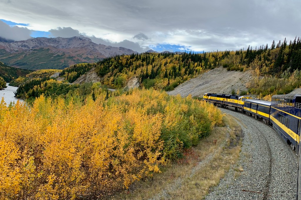
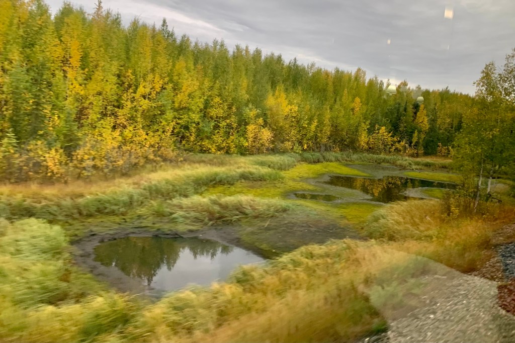
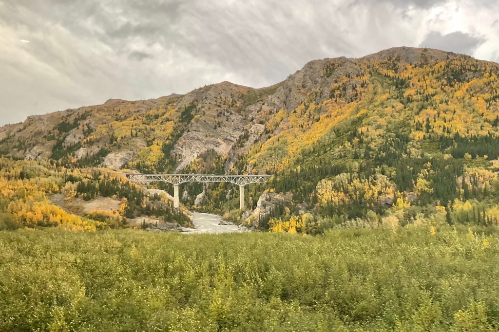
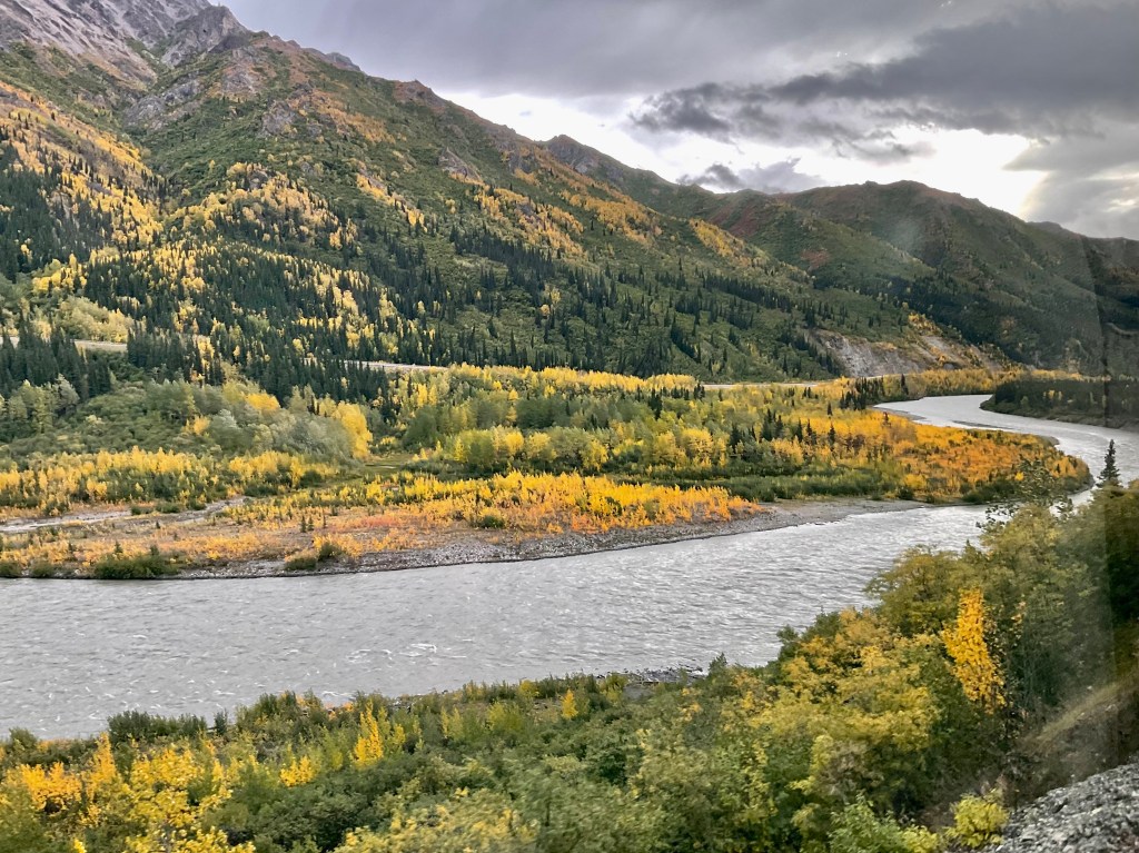
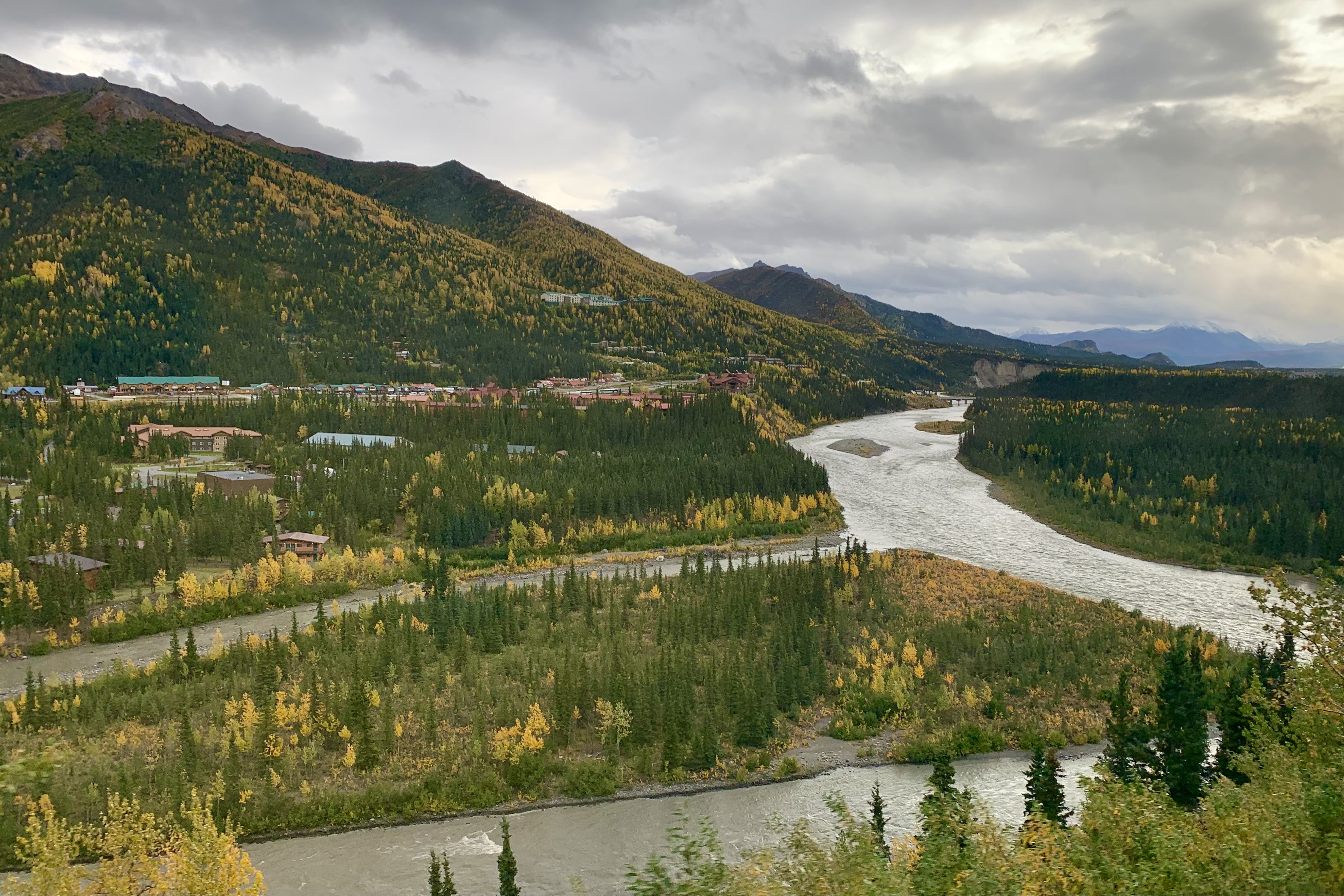
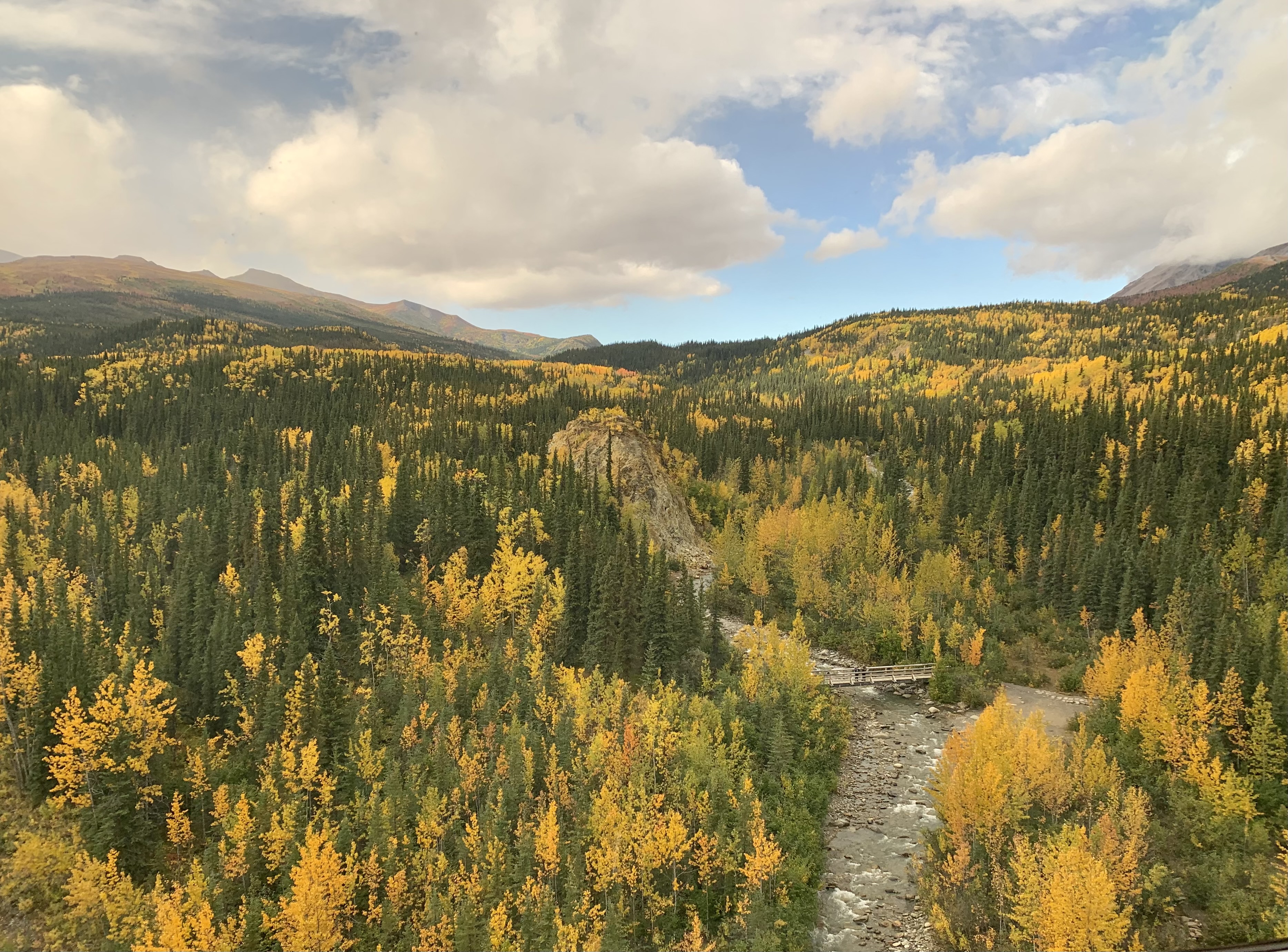
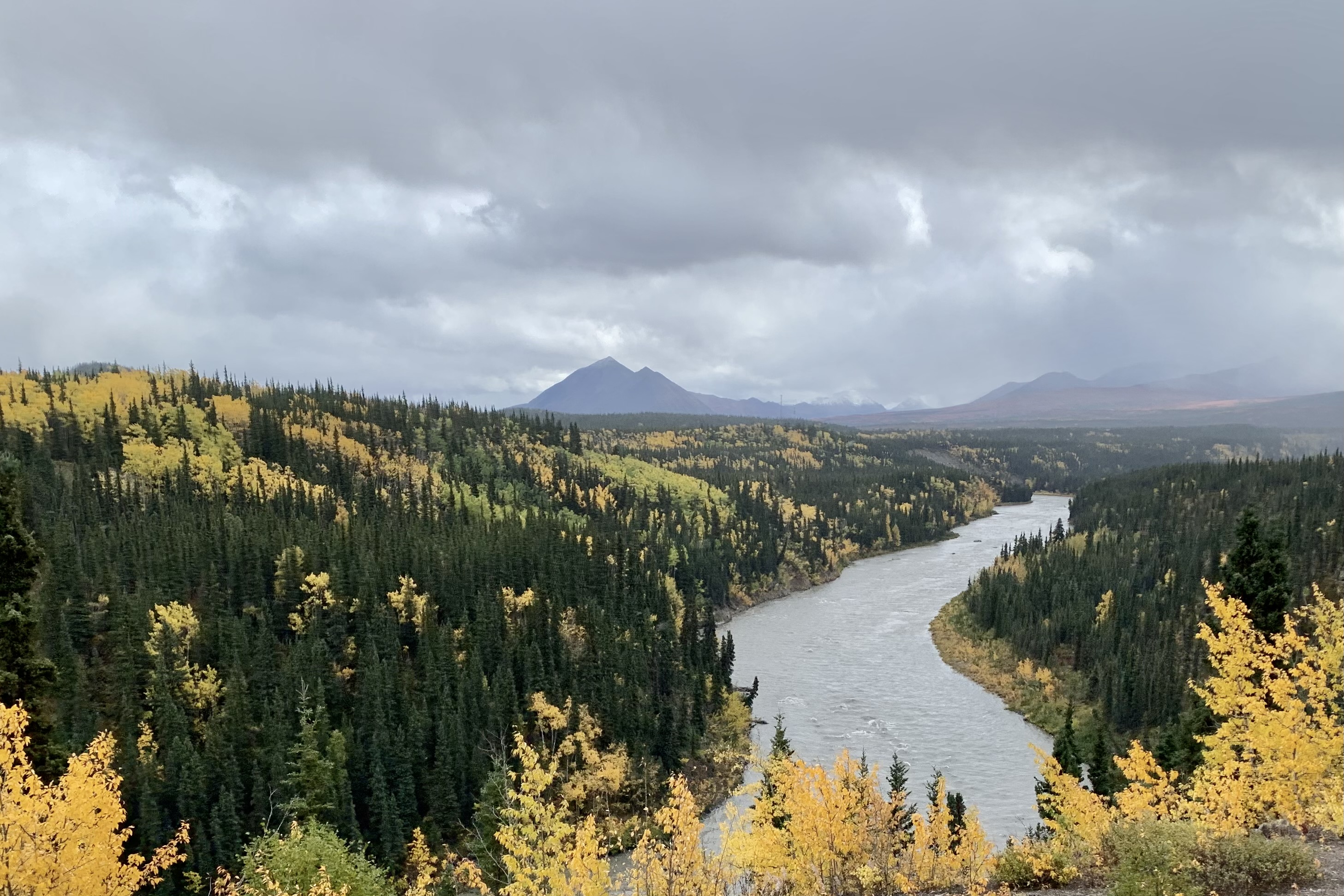
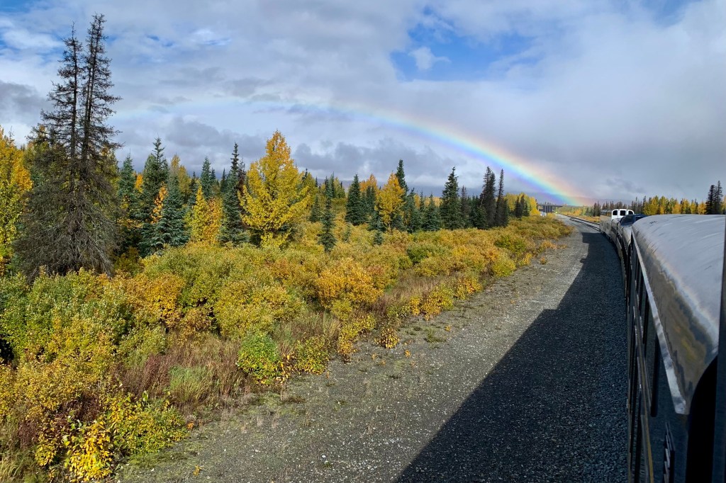
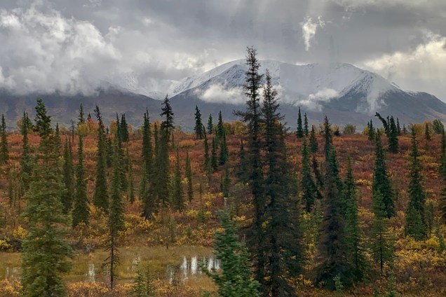
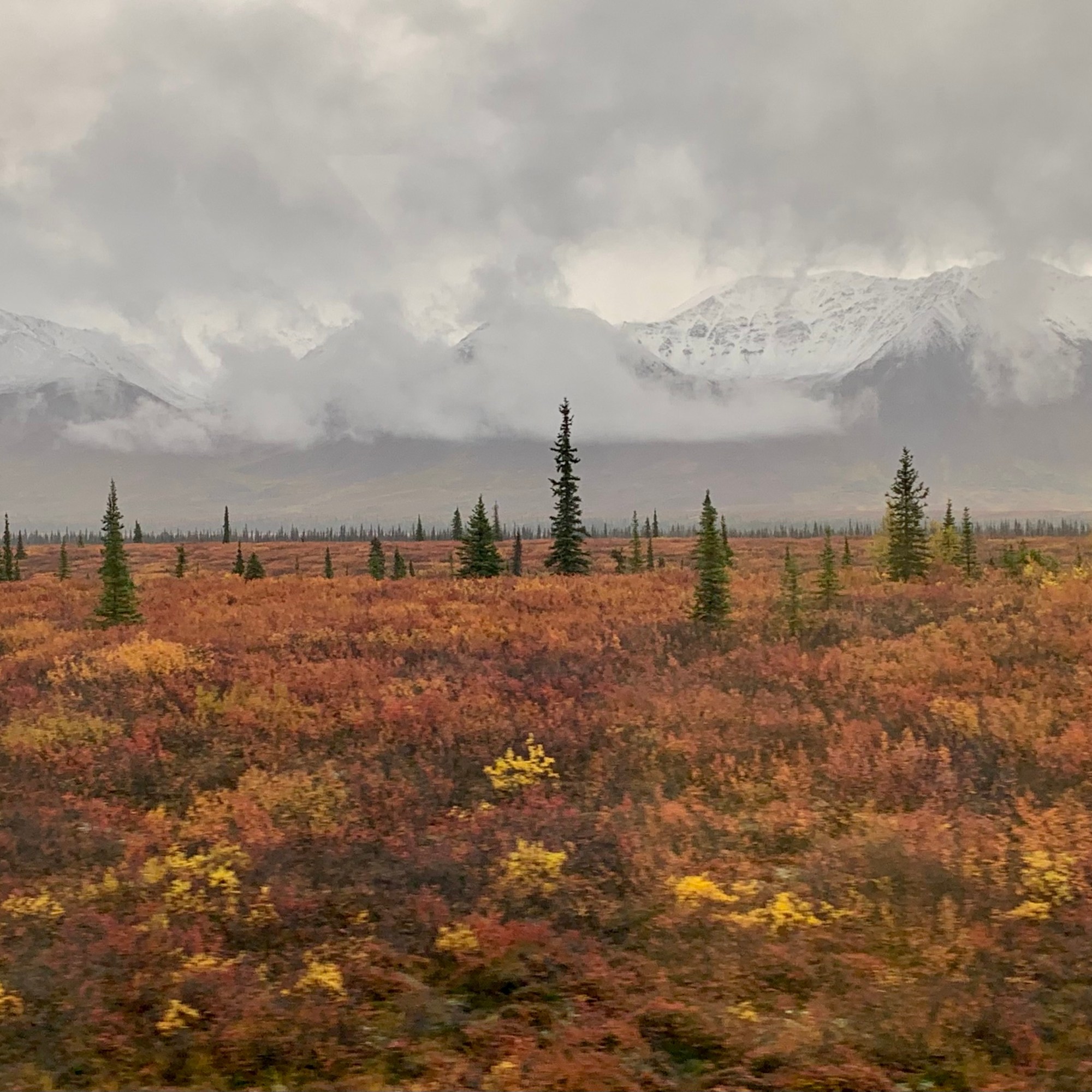
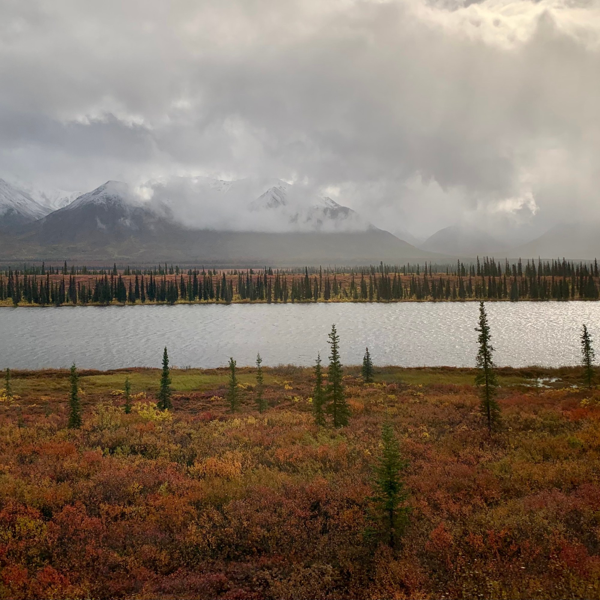
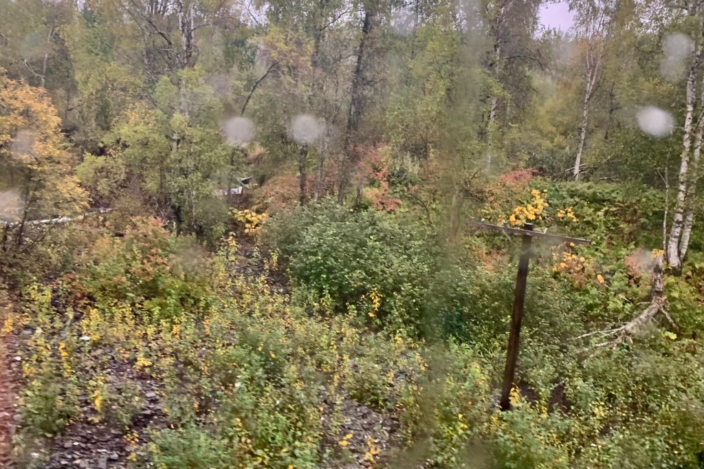
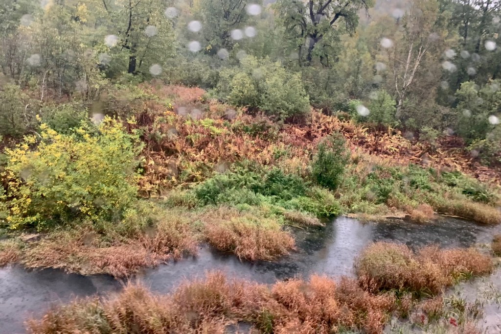
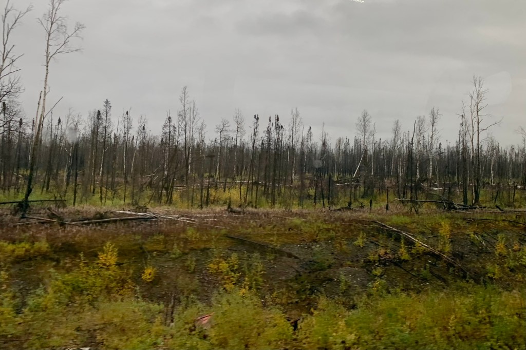
Bear with me. This all leads up to the fact that most of what I was viewing down below (though magnificently beautiful) as well as the pictures below that I am posting was not all tundra but mostly taiga, also called boreal forest, a biome of vegetation composed primarily of cone-bearing needle-leaved evergreen trees, white and black spruce, birch, poplars. Thus, there was a brilliant palettes of fall’s golden colors winding its way progressively southward below us.J oin me on a flight-seeing tour of our path from Fairbanks to Bettles.

Fair-banks, Fairbanks , Not So Fair-Fairbanks

University of Alaska Museum of the North

I certainly can’t pinpoint when the “official” national park quest began … or that I would become a “park chaser” or “park collector,” but in the summer of 2016 several life events punched me in the gut and destined me to drive cross country to  Oregon for my annual visit with daughter Tasia.  In planning a route I decided on a diagonal course from Florida to Oregon and chose a mixture of historical sites and national parks.  So with my two dogs buckled in,  I headed to Hot Springs National Park via Little Rock AK  and then  to the Black Canyon of the Gunnison National Park from Oklahoma City.  The  seed to be a National Park “collector” was planted. Though still employed as a professor at the University of South Florida,  I was fortunate enough to be teaching a class on-line that fall semester, so I had significant latitude as to my departure schedule from Oregon. So on September 13th I set off on a return journey  to Florida with the express intention of visiting and camping in several national parks. Using another somewhat diagonal route,  I “collected” Lassen Volcanic, Great Basin, Mesa Verde, Capitol Reef, Great Sand Dunes, Mammoth Cave, and Great Smokey Mountains National Parks. By now I was 100% INVESTED in visiting as many national parks as possible before an aging body says NO MORE sleeping on a rock strew tent pad, getting chilled to the bone in a tent much too large for myself and the two dogs to heat up, wondering what critter I might encounter on one of a couple of middle of the night adventures to a bathroom, or getting lost on wet, muddy under water hiking trails, being kicked in the butt and  exhausted by yet another 2000 feet of elevating… 

Since I live part time in Alaska it seemed like an economically wise and no brainer decision to focus on the national parks in the vast and amazing wilderness of the State of Alaska.    Given the size of this state and the location of many of the parks,  I quite accurately  anticipated that this would be an expensive undertaking.  At least living within a three hour drive from Anchorage I would not have the expense of a flight to this immense far up north state. So, “Why not start the farthest north, above the arctic circle?” and I opted to visit Gates of the Artic National Park and Kobuk Valley.  Adventures awaited… This above the Artic Circle Adventure began in Fairbanks.

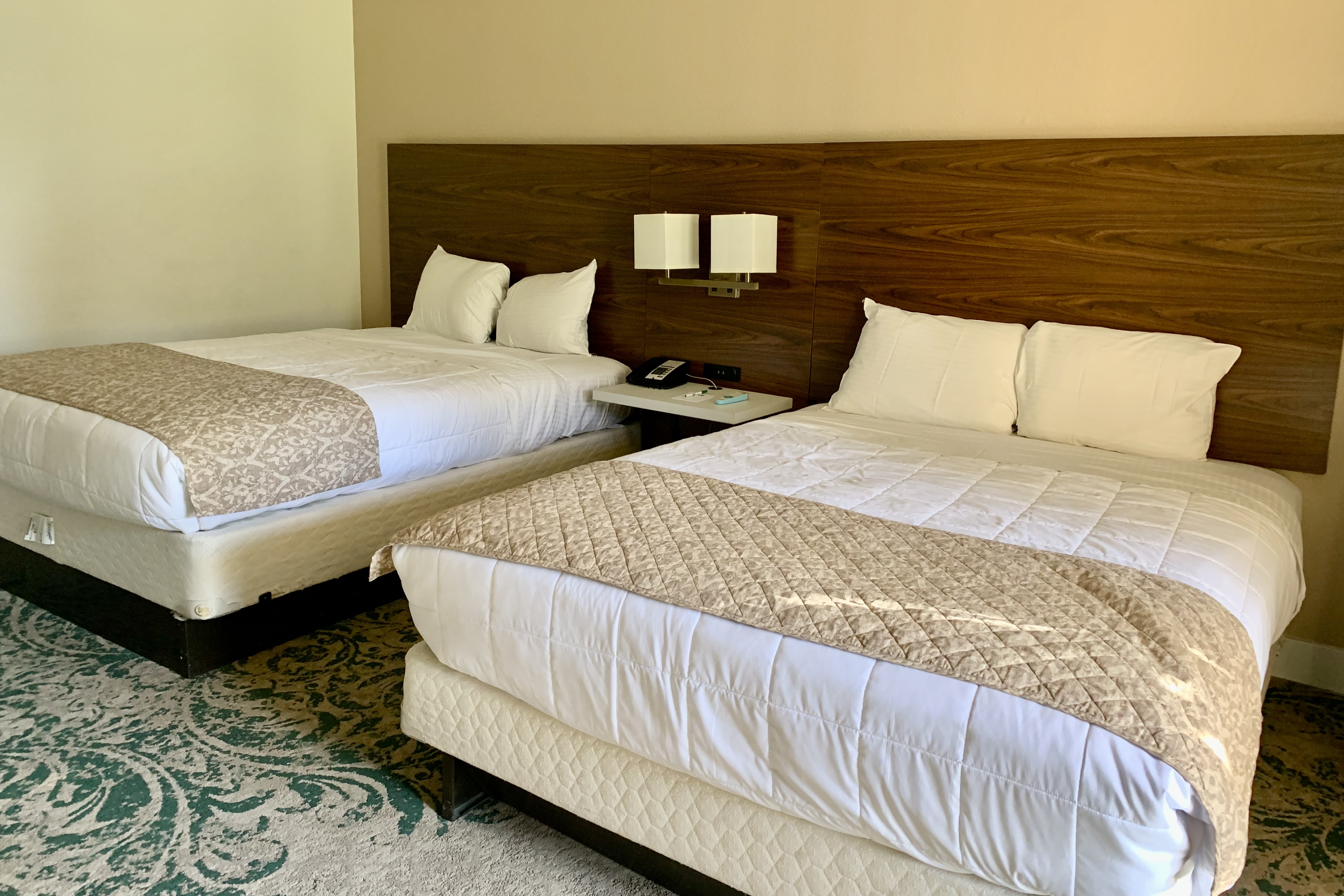
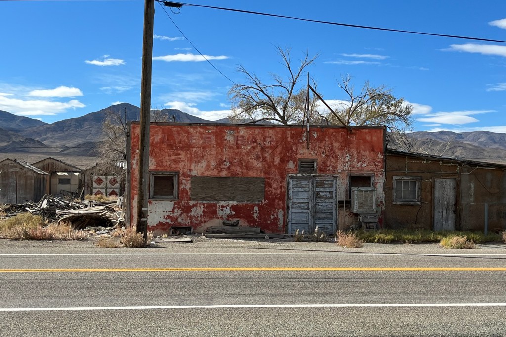
As a kid, we drew igloos in school. Thus,  I was left with the impression that Alaska was all ice and snow year-round. This adult self knew otherwise … I read of the cold and hot extremes of temperatures in Fairbanks. But I somehow anticipated having a more unique experience (i.e.  “rough-and-ready)  in this northern most city. Despite the guidebooks that describe Fairbanks  brimming with shops, restaurants and attractions,  I mostly saw impoverished areas and the fast food establishments (Taco Bell, Wendy’s, Arby’s, McDonalds, Burger King, Subway, Popeye’s , KFC… yes it has them all)  of the lower 48, lots of road construction… it could be almost any town USA in the summer. … The cost of living is very steep making  everything quite pricey. The friend I was traveling with had reserved a “less expensive” room at the Super Eight with a price tag of $204.12 for 1 night and the place was a dump! I am sure this has in someway affected my overall view of this city for this trip. This is what they promised vs below is what we got! The best part was the lamp without a shade and to Super Eight logo in the corner of the pictures above the bed.

Fairbanks, located in the Tanana Valley, straddles the Chena River near its confluence with the Tanana River   The Tanana Valley is crossed by many low streams and rivers that lace the Tanana Flats, an area of marsh and bog that stretches for more than 100 miles (160 km) until it rises into the Alaska Range. It is a marvelous sight  to see these pristine serpentine rivers and rivulets snaking their way across the tundra. Fairbanks is 198 road miles south of the arctic circle and I was shocked to discover Fairbanks rests only 446 ft above sea level. My vision of Alaska being a land of tall mountains (akin to Denali) has been shattered. Fairbanks is best known for viewing the Aurora Borealis or Northern Lights from August to April but I had yet another disappointment, as the Aurora was not visible on either of the nights I was there due to cloud cover in the area.

To be fair I have only experienced a potion of what Fairbanks has to offer.  Though raised in suburbia and living proximate to larger cities, I am not a city girl at heart. I love the wilderness, woods and rivers, forest and wide open spaces so I am not the ideal individual to rate a city experience. We visited Pioneer Park, an historic village that features original buildings moved from downtown Fairbanks, as well as museums and a Gold Rush town street. It had potential but it was the end of the season for the shops and restaurants (some closed)  and the day was chilly so the experience was less than exhilarating. However, the real highlight of the visit to Fairbanks was a visit to the University of Alaska Museum of the North. It is a wonderful modern museum.  It is rich in Alaska Native cultures, Alaskan women settlers and settlement history and showcases the diversity of wildlife , an Arctic dinosaurs,  and a great collection of Alaskan art and crafts.  A visit to Creamer’s Field Migratory Fowl Refuge sighted a gaggle of geese strutting and waddling towards a small lake which I assume is their temporary home since this area is “advertised” for migratory fowl. I opted out of a hike deeper into the refuge due to the muckiness of the ground and the dinner hour approaching… I did not want to miss out on a meal at the local diner (right across the street from the decaying Super 8 with its deluxe prices and right next to a shuttered Denny’s.) One hears about how great diner food is –  at least some diner food- but the diner of choice threw me for a loop when I ordered a medium rare hamburger and was informed they couldn’t do that because the patties were already pre-cooked and well done. So much for a delicious juicy burger… after assuaging my appetite with some very mediocre food it was back to the less-than-super Super 8 and preparation for a flight to Bettles AK the next morning.