Tlingit Tales, Sucking Mud, and Black Water

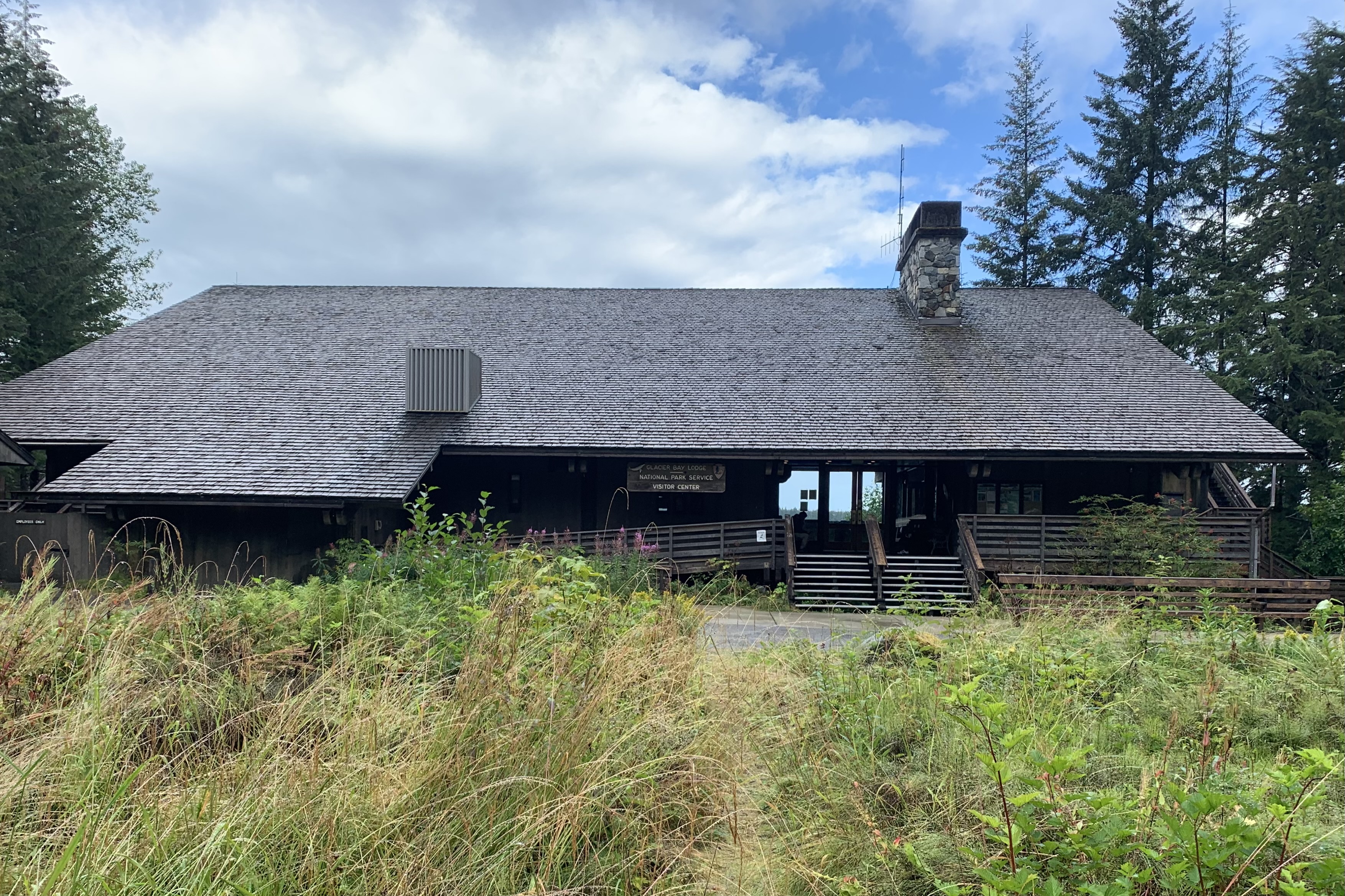
The Glacier Bay Lodge is beautifully sited. Hiking trails lead from the lodge along the bay and into the woods. This was departure day and what a shock it was to awaken, part the curtains, and see a sky, though still mostly cloudy, in which I spotted a couple of blue openings… so I determined I would attempt the remainder of the various hikes near the lodge, which included the Forrest Trail and  Beach Trail.  After the fiasco of the Bartlett River Trail the previous day, I did not want to venture too far off from seeking DRY shelter., even if it was to pop into a strangers tent in the campground. I was totally over getting soaked.

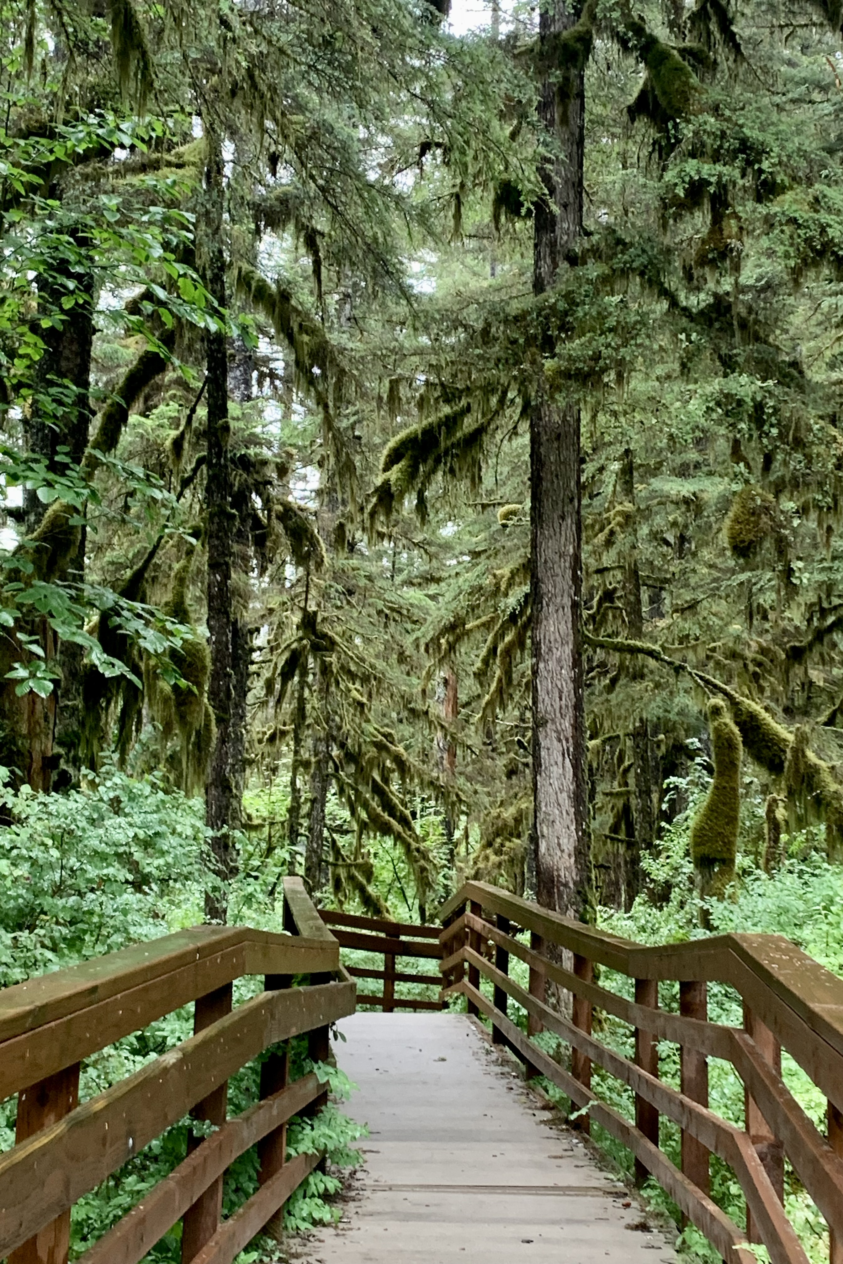
The ritzy Forrest Trail included two viewing decks and a boardwalk part of the way and I hate to admit that it was a quite a  relief this morning to not be drenched nor to have to monitor every single foot footfall into puddles, root crevices, and craggy  rocks, lest I twist an ankle or massacre any other part of my porous skeleton.  This trail was a well “ manicured and sanitized” version of the Bartlett River Trail…beauty abounded with minimal puddles and minus the serrated  rocks and so many snagging roots. Of course my ordinary preference and inclination would be a tougher trail but, after yesterday, I finally came to the conclusion that not every hiking adventure needs to be a Mt. Everest endeavor. Maybe the story isn’t as dramatic but perhaps I am getting to a point in life after 8 decades where everything I do does not have to be high intensity, the toughest, or a crescendo to the top tier of an endeavor. 

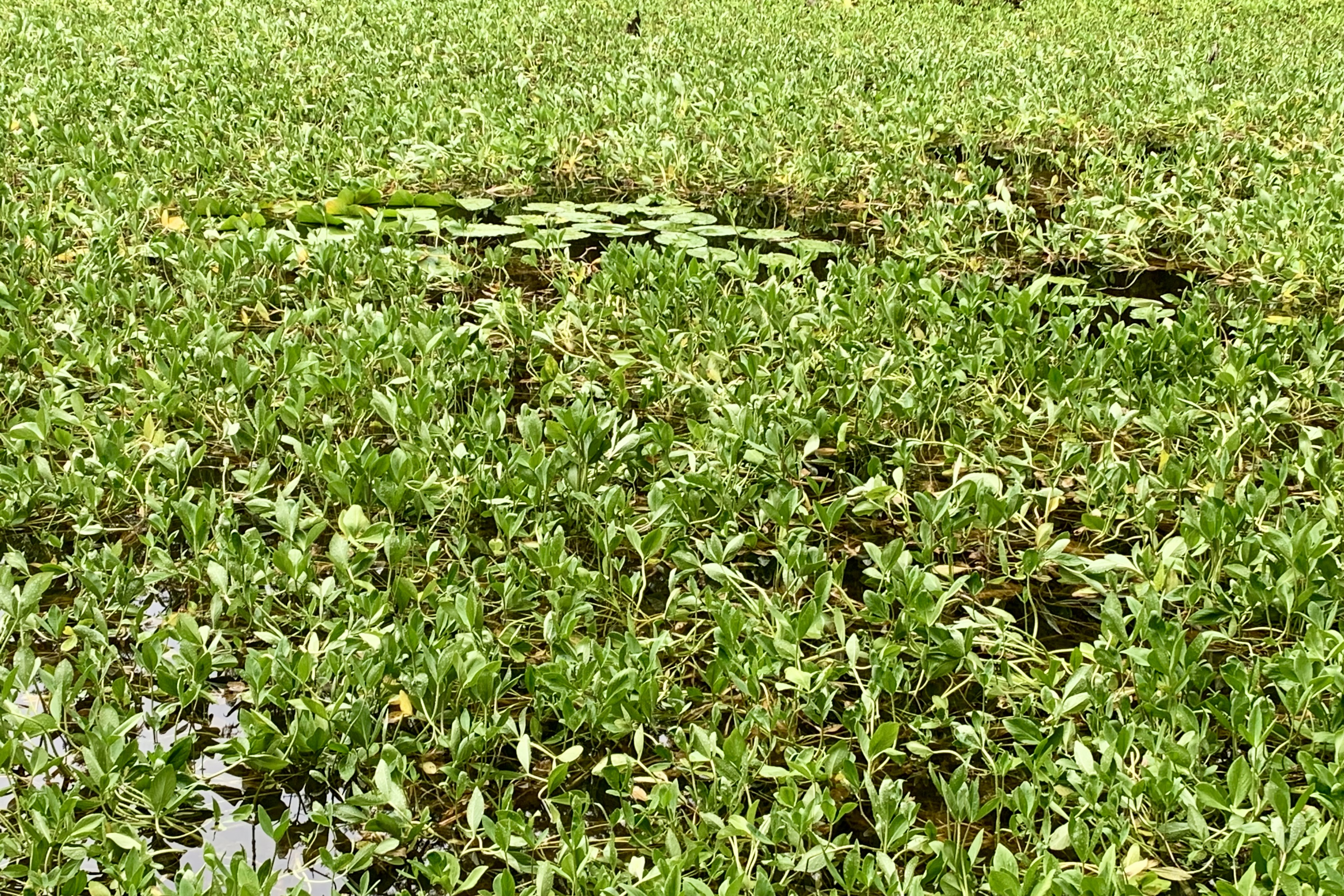
The birdsong was beautiful and the black water ponds a window of life below and a mirror for life above. Their dark colored tea-stained appearance in this mossy glen led me to whimsically imagine the black water as a repository of mossy stories from other eras. The trail ended at the campground so I meandered through that area, scouting future possibilities. I doubt I will ever return to take advantage of these wonderful sites nestle in the between the spruce and alder, lichen, fungi, ferns, and carpets of moss.

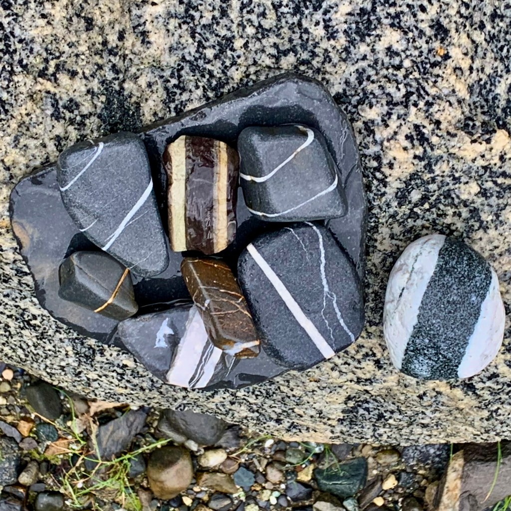
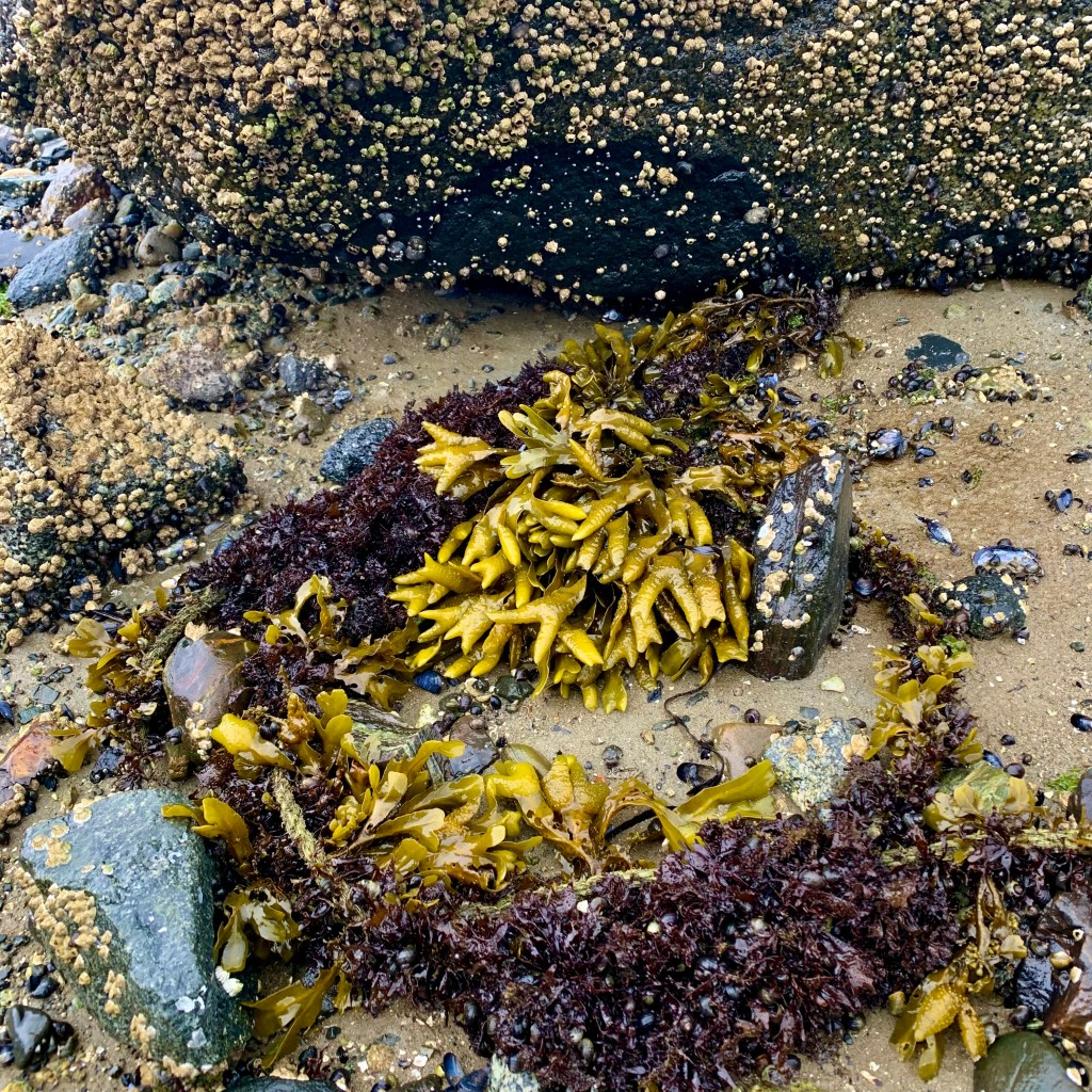
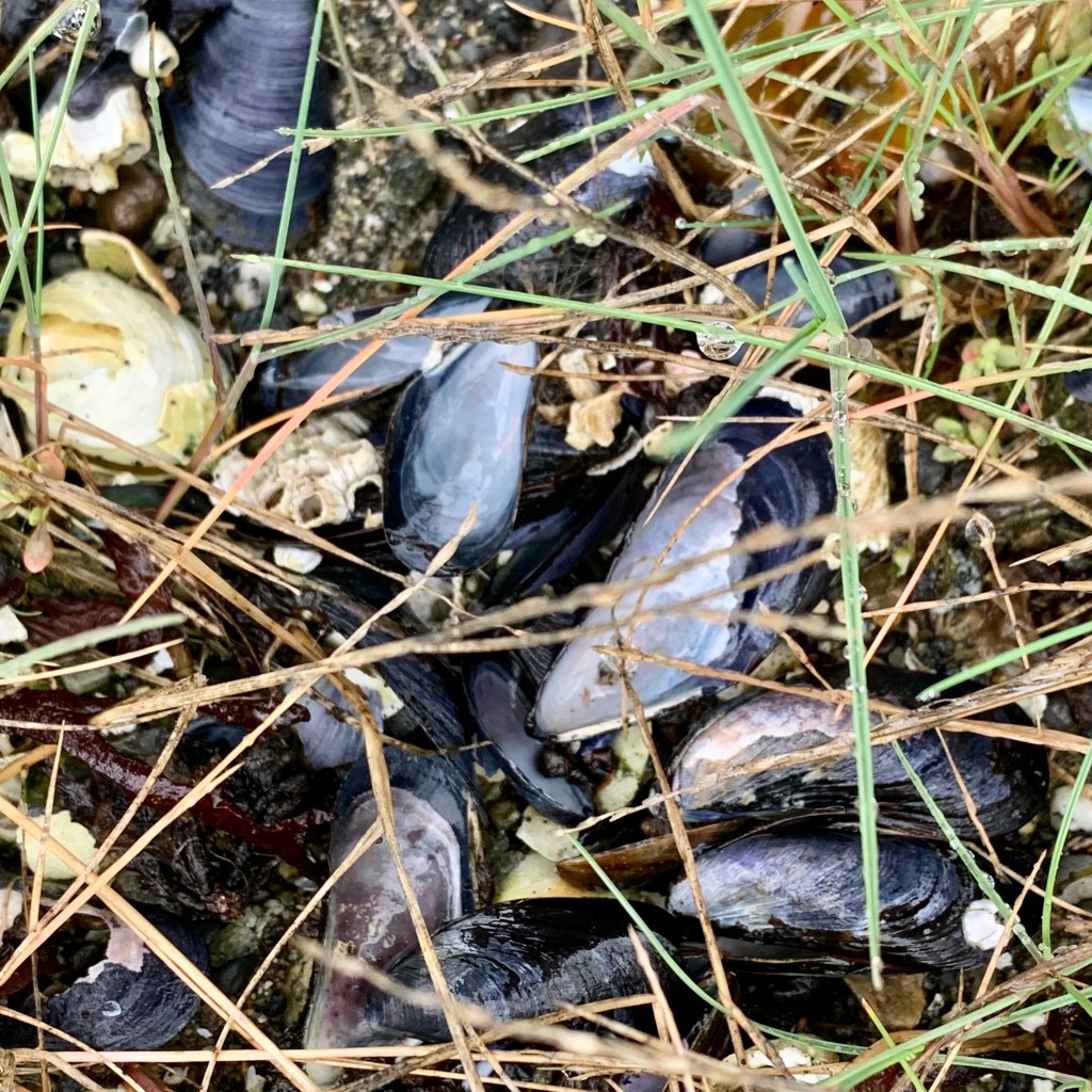
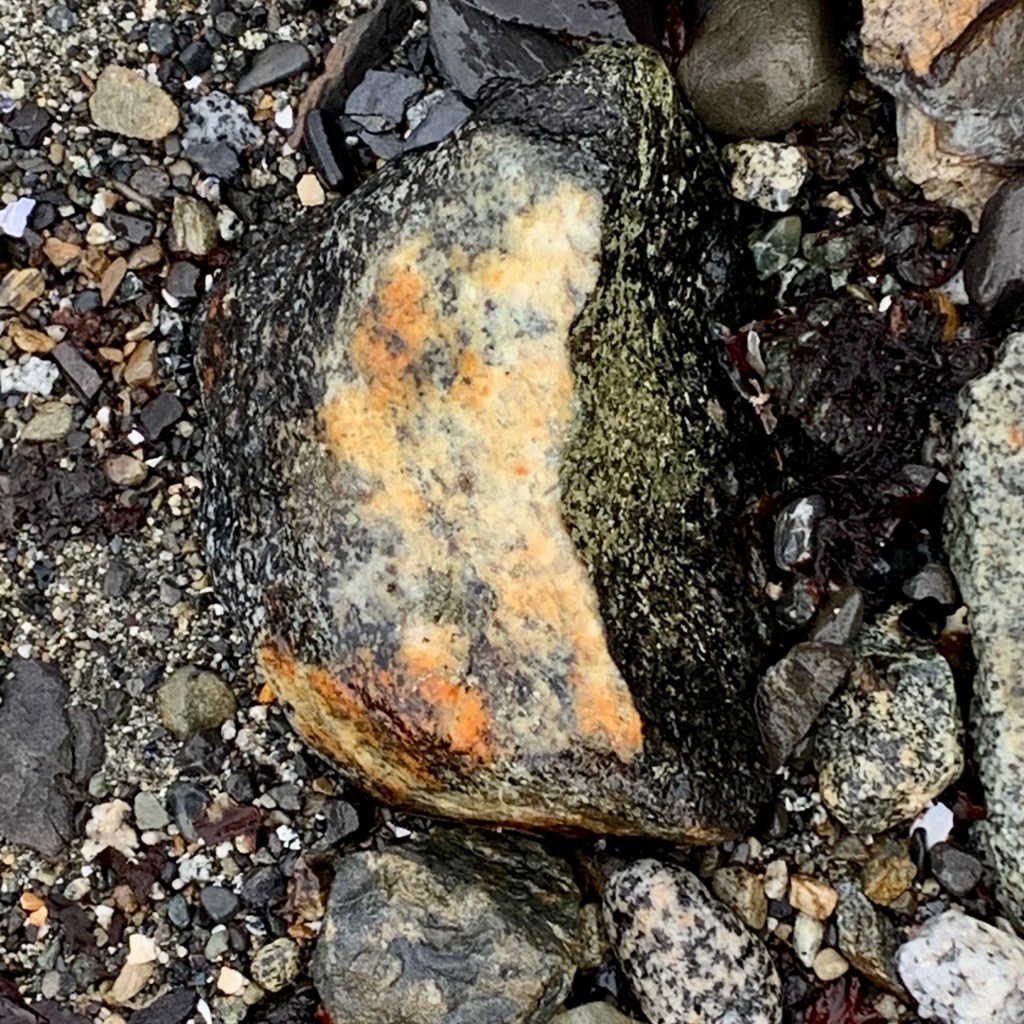
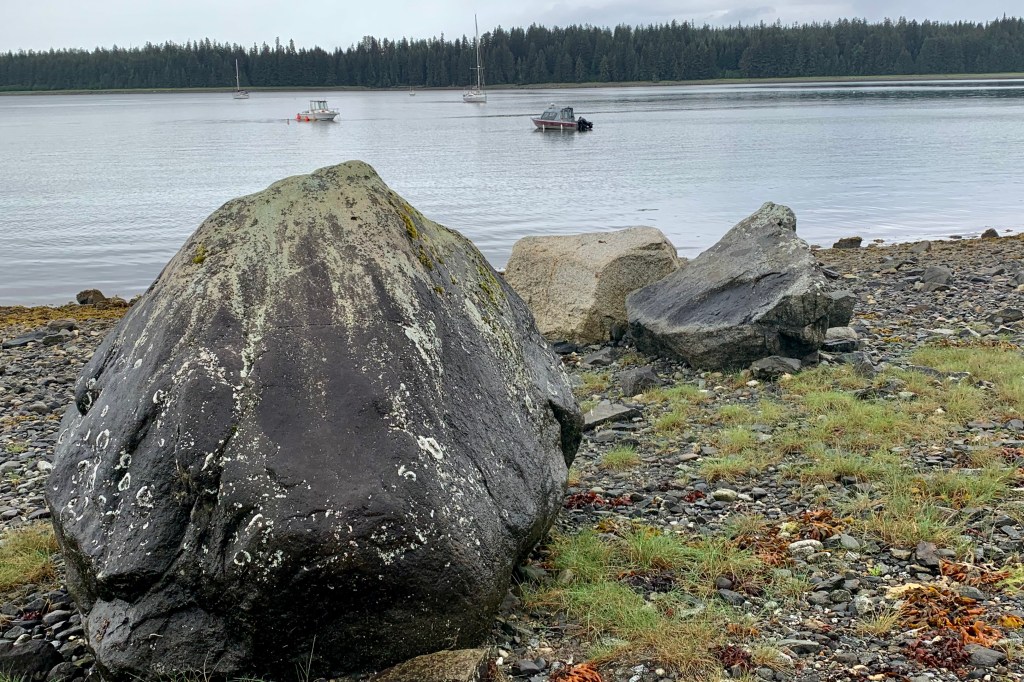
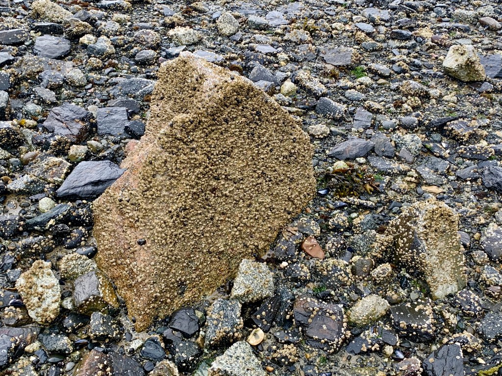
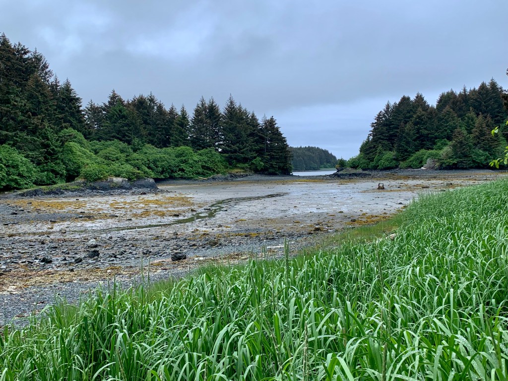
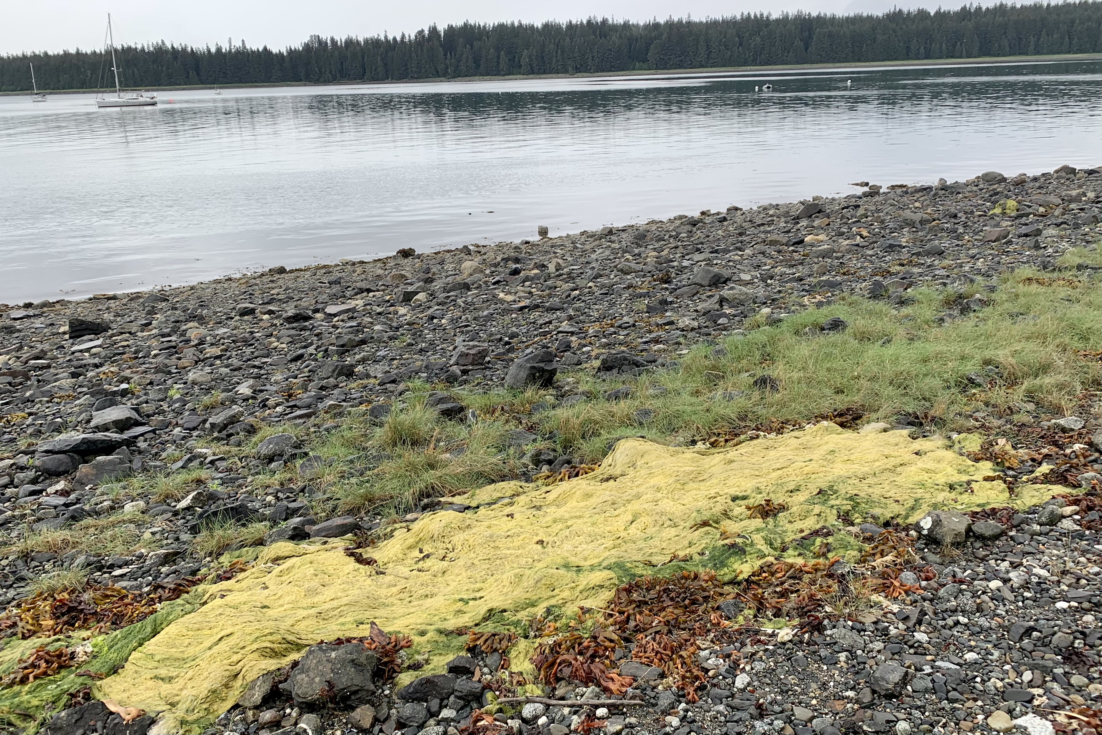
I had intended to return by the identified beach trail but realized that, though you could get views the water and the beach from it, it was NOT on the beach.  So I blazed my own trail through the rocks, seaweed, shells, and sand with a very light mist adding a sparkle  to a delightful morning… with temperatures around 60. Guess that thought about everything didn’t have to be high intensity and thus taking the easier road had already vanished.  This is not a Florida Beach, Long Island or the Jersey Shore type of beach. There were areas of coarse sand but mostly a mixtures of pebbles, gravel, shells, larger rocks and an occasional boulder, a variety of smooth stones of various colors… a beautiful mosaic or countless textures, vibrant colors and a myriad of natures detritus. I love striding barefoot on a beach but had no urge to ditch my shoes and scurry barefoot here. The tide was low so here was a variety of sea weeds washed ashore, wet and glistening, tangled, ribbon-like and splayed out across the shells and rocks adding to the ambience of this coastal edge . I spotted shells included clams, mussels, barnacles, scallops but no conch as these tropical mollusks do not inhabit frigid waters. .
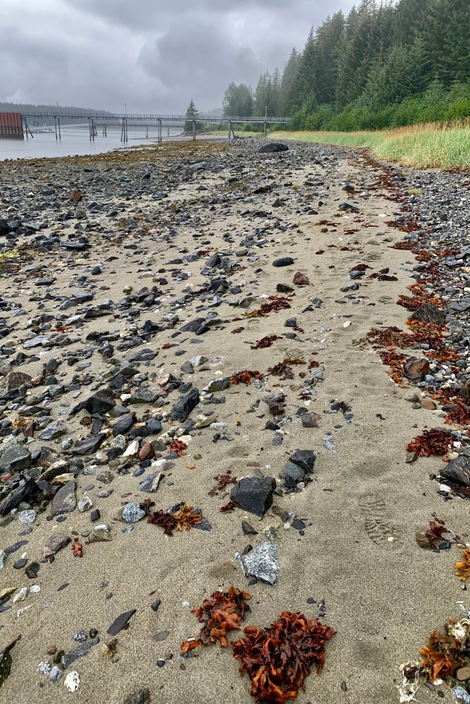
To dip or not to dip my toes into Glacier Bay. Typically the beach’s edge is a mixture of water and sand and when stepped upon one’s foot might sink in a few inches. But at every beach I have visited in Alaska, the shoreline is a quicksand like substance I call “sucking mud” composed of sand, water and clay mixture. It behaves like quicksand and will eagerly gulp and swallow a boot or shoe that is loosely attached to your person. How far it might quaff me down I chose not to test. Soon it would be time to return to my room with the task at hand to pack up and to check out by noon though the only flight out of Gustavus wasn’t until 5:30. 
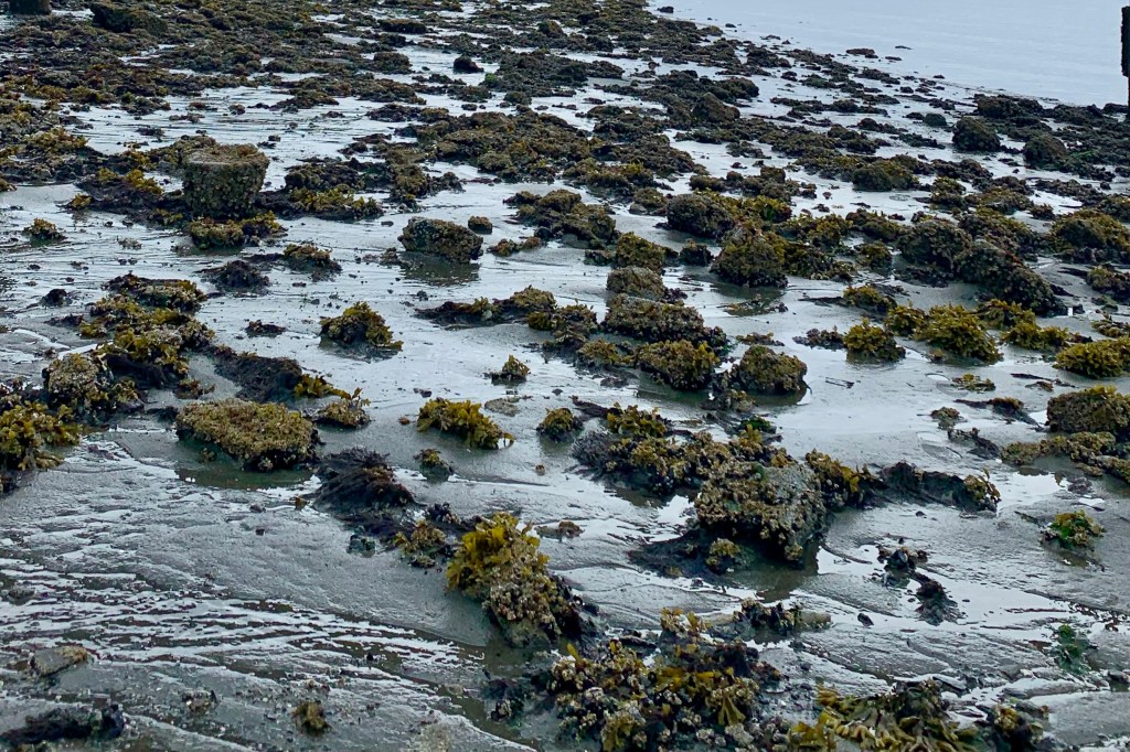
As I tread this fascinating mosaic of the shore, my mind wandered to one of my beloved classics , Anne Morrow Lindberg’s “A Gift from the Sea. ” Like this author, exploring the shore brings me peace, solitude and contentment of my mind and soul. What a fitting way to close out the hiking portion of my visit to Glacier Bay.

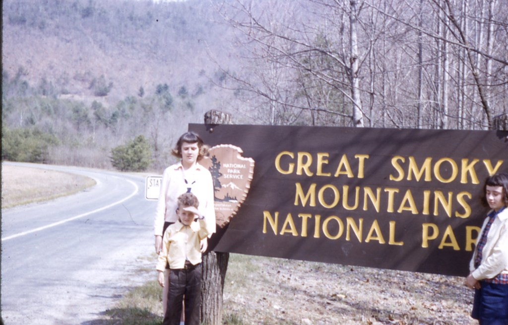
What to do with the three and one half hours before the shuttle to the airport in Gustavus departed. I meandered out to the dock and discovered a Glacier Bay National Park sign and had the good fortune to have a couple a folks meandering there as well and was able to get my traditional photo in front of the park sign which I have been doing since I had my first national park visit to Great Smokey Mountains National Park when I was 11 (guess I was not as important to fully capture as my brother and sister and the road were.)
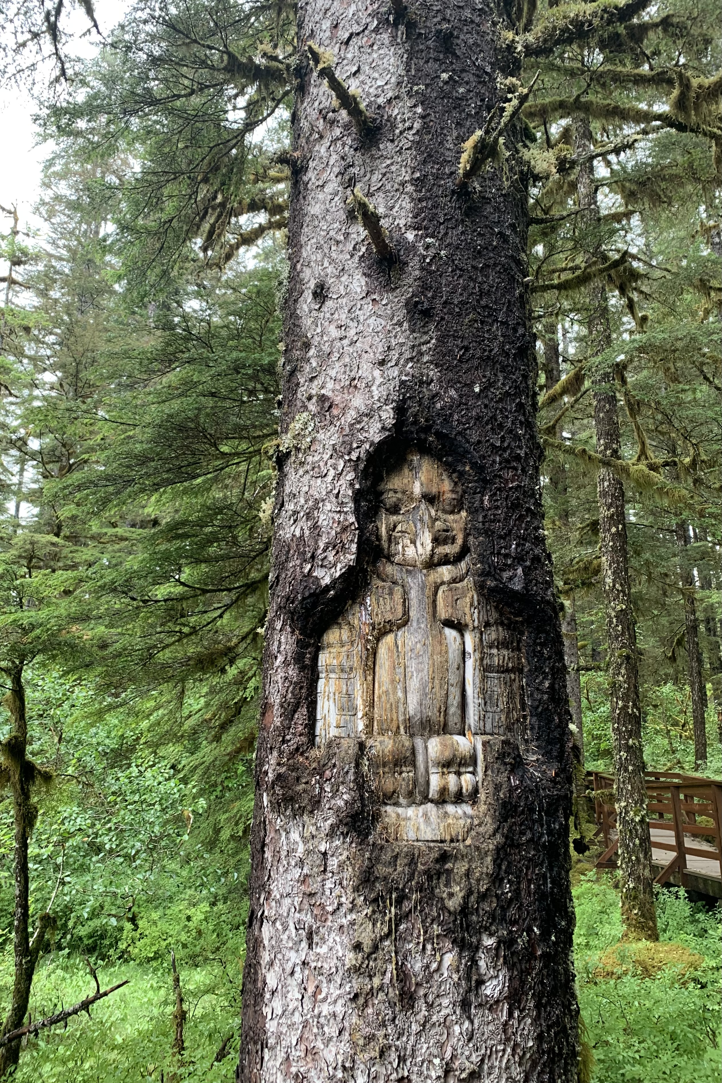
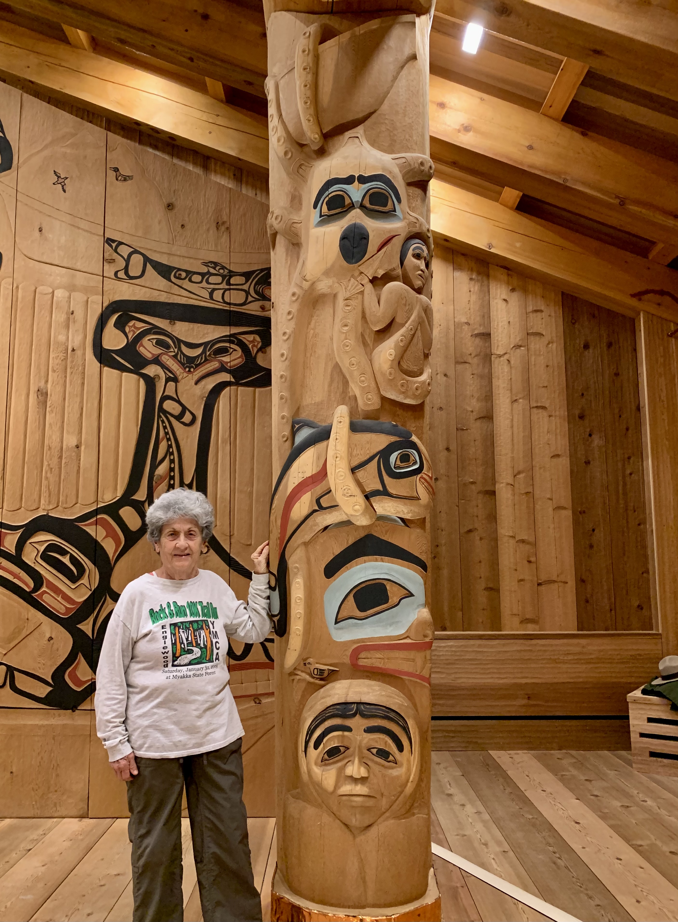
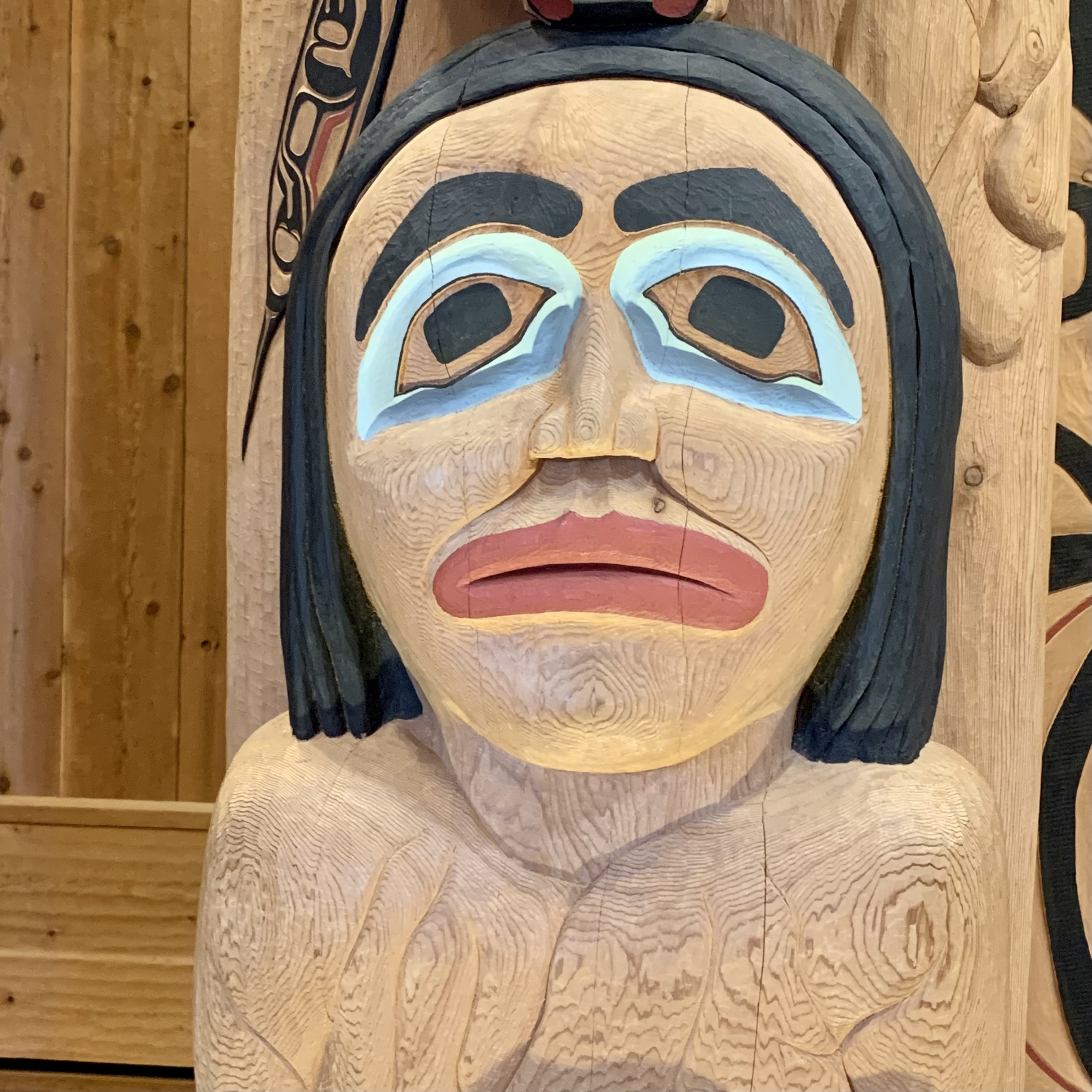
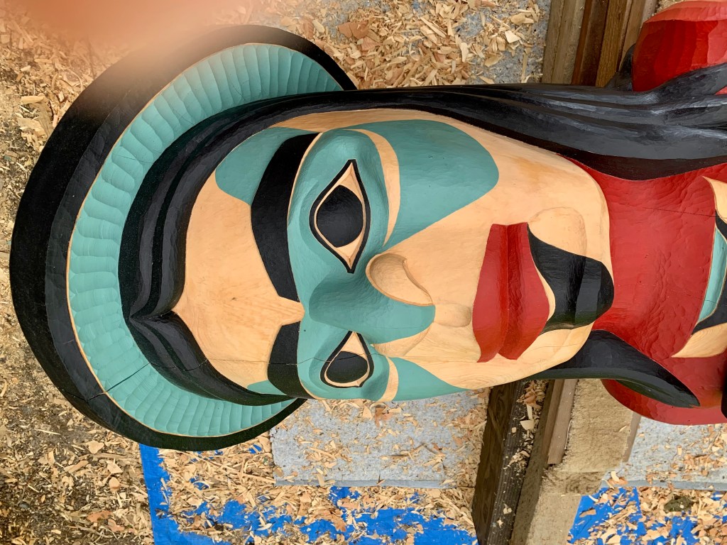
Since I had not had an opportunity to visit the Tribal house of the Huna  (my priority usually is to beat up my body with physical endeavors), when a member of the Huna Clan,  a subgroup of the Tlingit people,  would be present to share their story, I headed there. I was mesmerized  by  the carved totems outside and the carved pillars on the interior. Owen, a craggy old gent, was the Huna representative and had been intricately involved in the carvings in this Ancestral House which opened in 2017. He took the time to share the story of each pillar. I regret that I can not remember accurately so much of the lore he described in the totems and walls of the of Tuna Shuka Hit, the Huna Ancestor’s House.
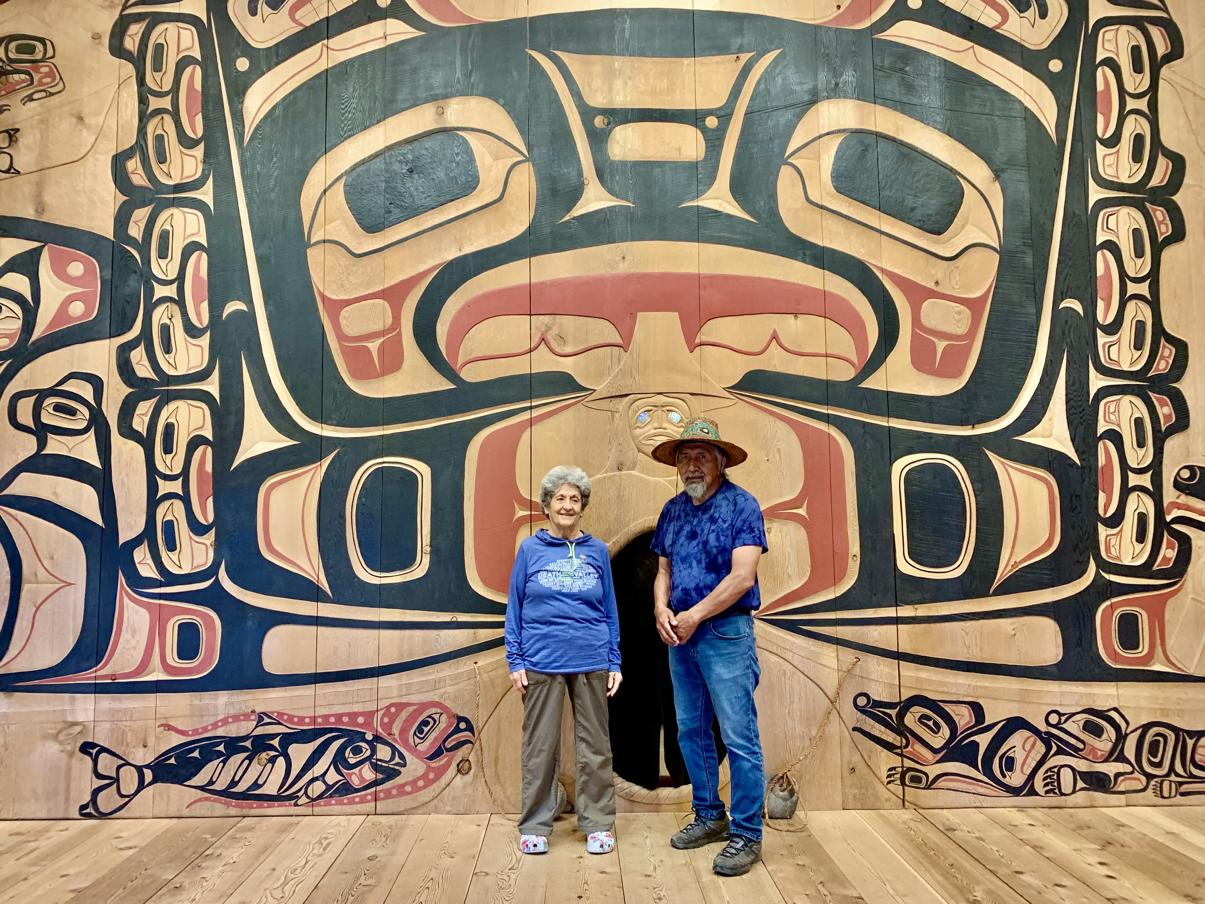
There were  4 totems representing a story of  the 4 clans. The tribal lore is fascinating.  In the tribal tradition, the stories  can only be told by a tribal member. They are not written but passed through the generations via the oral tradition, so I would not be recording his tales nor recounting these tales to you. His concern, as so many members of indigenous groups concur,  is the disaffection of the young people for the traditional in favor of the wider world brought to them through the internet. 
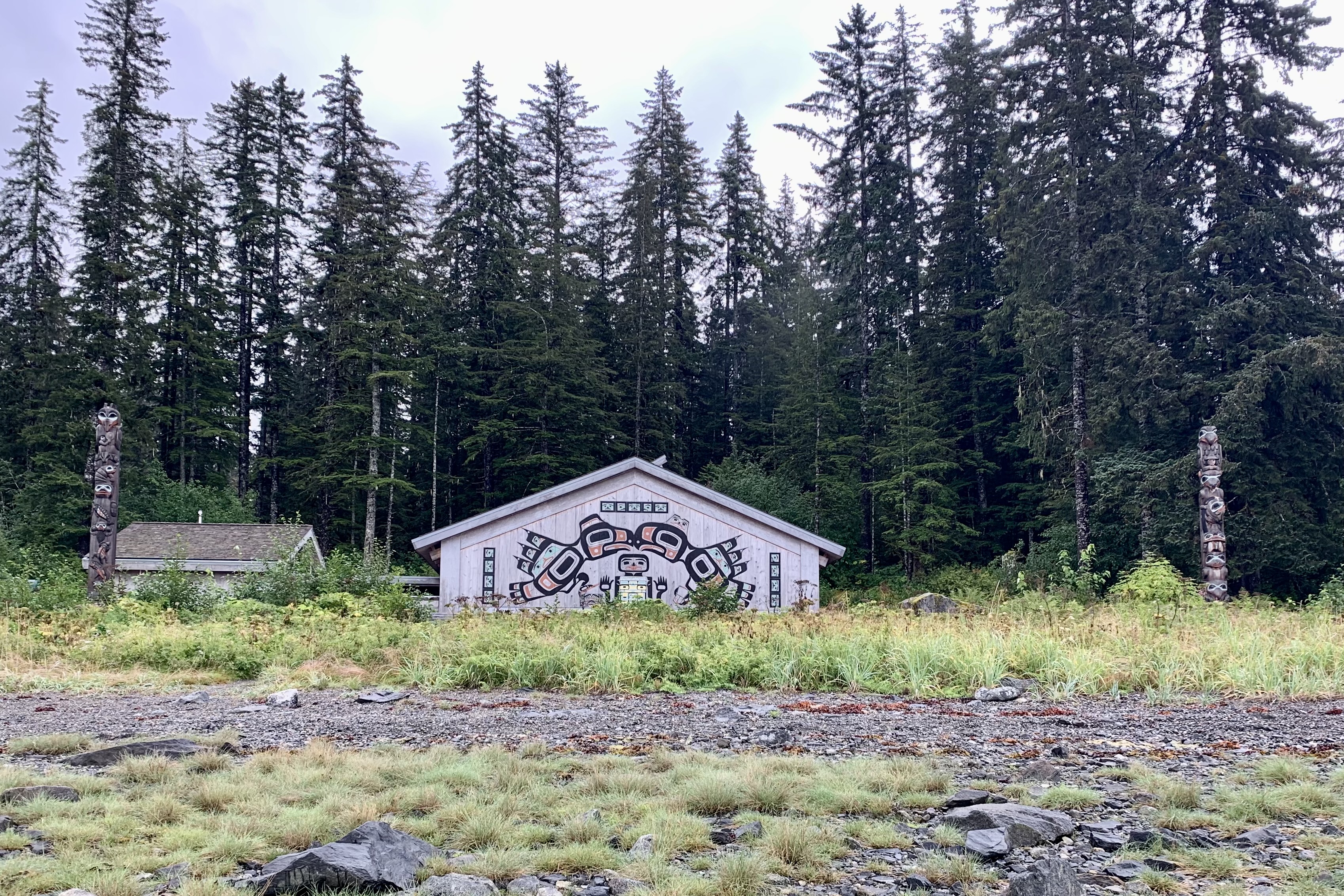
I had a difficult time not being incensed when, earlier in the trip I heard the story of the alienation of the Huna by US government. Typically, for many many decades the US government had no regard for Indigenous Americans and their cultural practices, and in this instance the Alaskan Native Clans. The relationship between the Huna and the National Park Service was fraught with animosity in the early years when the Glacier Bay National Monument was established.  Laws and regulations implement by the government, without collaboration of the Huna,  led to restriction of the Huna land use, regulating what land they could access, what they could harvest and resources they could gather. The tensions have eased and regulations revised and the building of this tribal hut has been one way to foster a much stronger relationship and connection  between the two. After I had left Owen and was on my way home I had wished that I had the thoughtfulness to express my sorrow about the how my government had treated his ancestors. It is a very important gathering place today for reconnection with preserving oral history and other traditions, music, dances, and the sharing their heritage with visitors today.

CHOOKANEIDI (GLACIER BEAR)

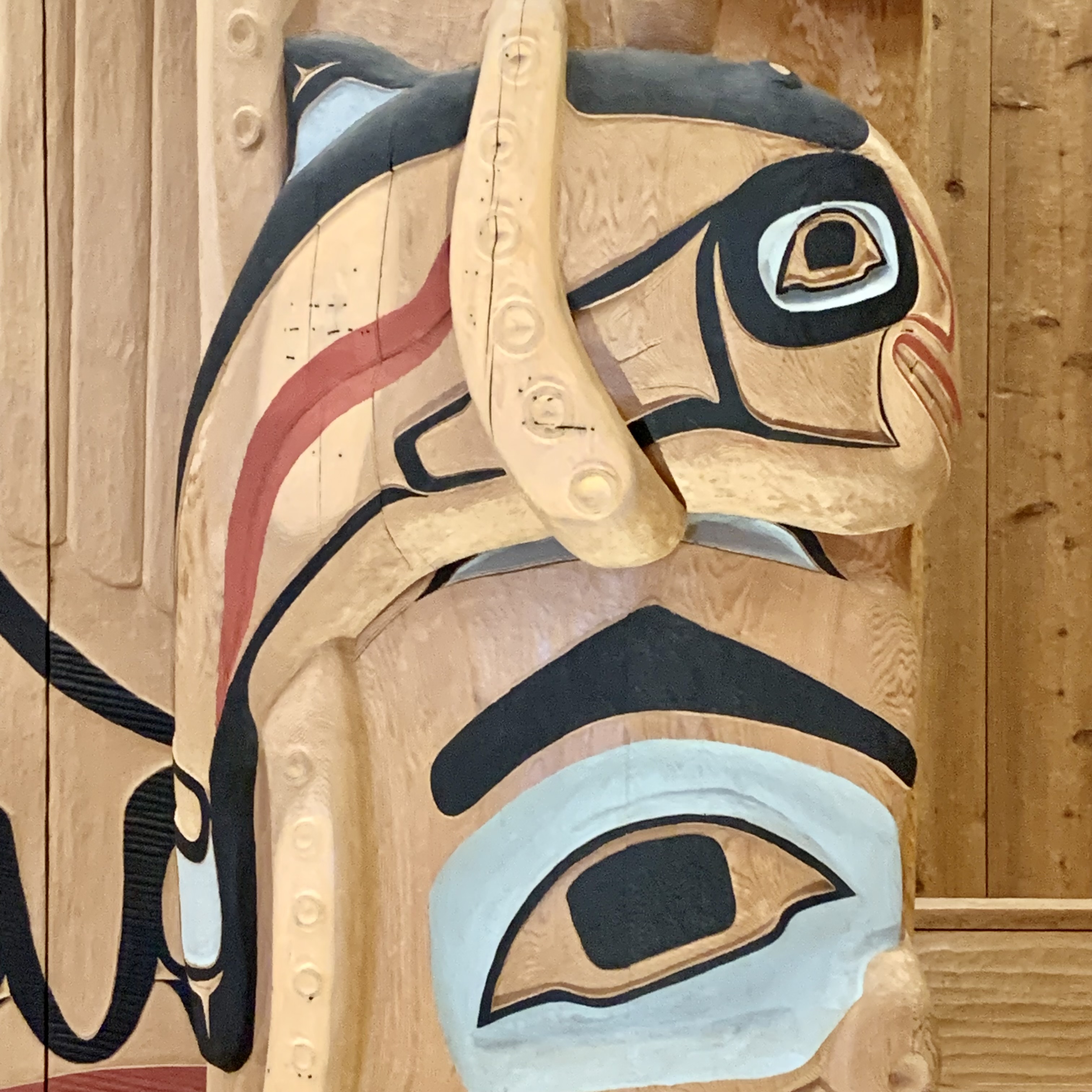
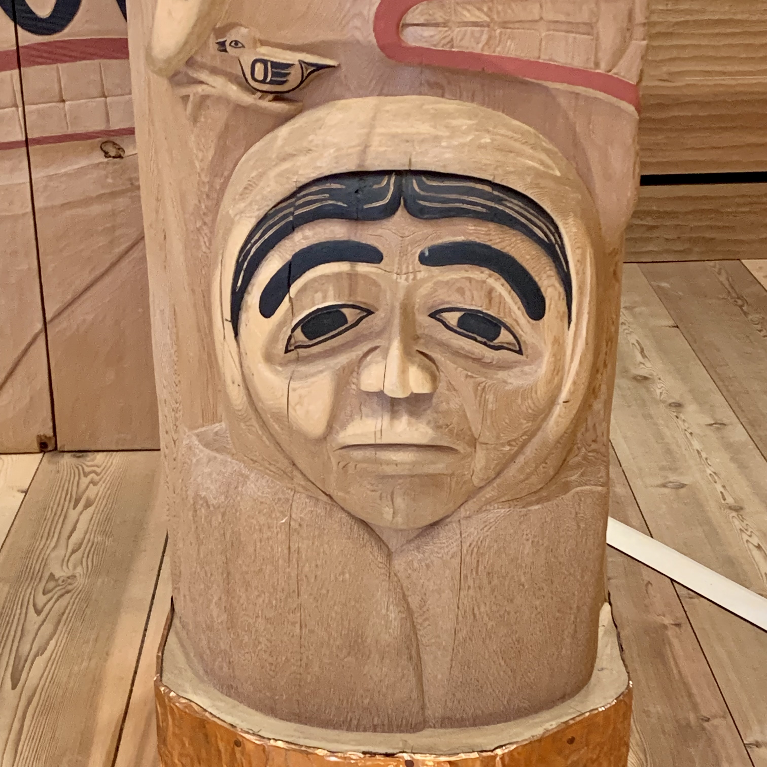
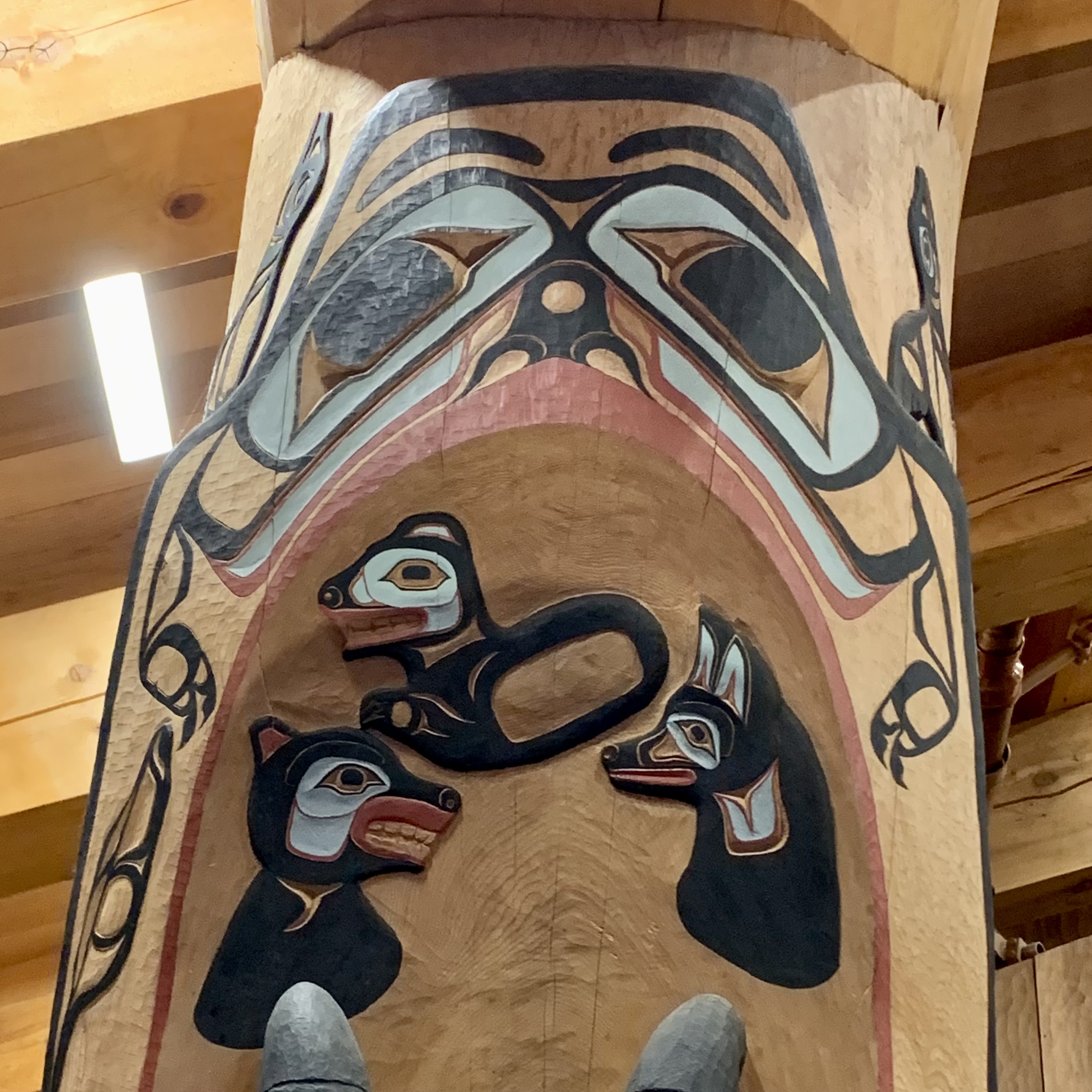
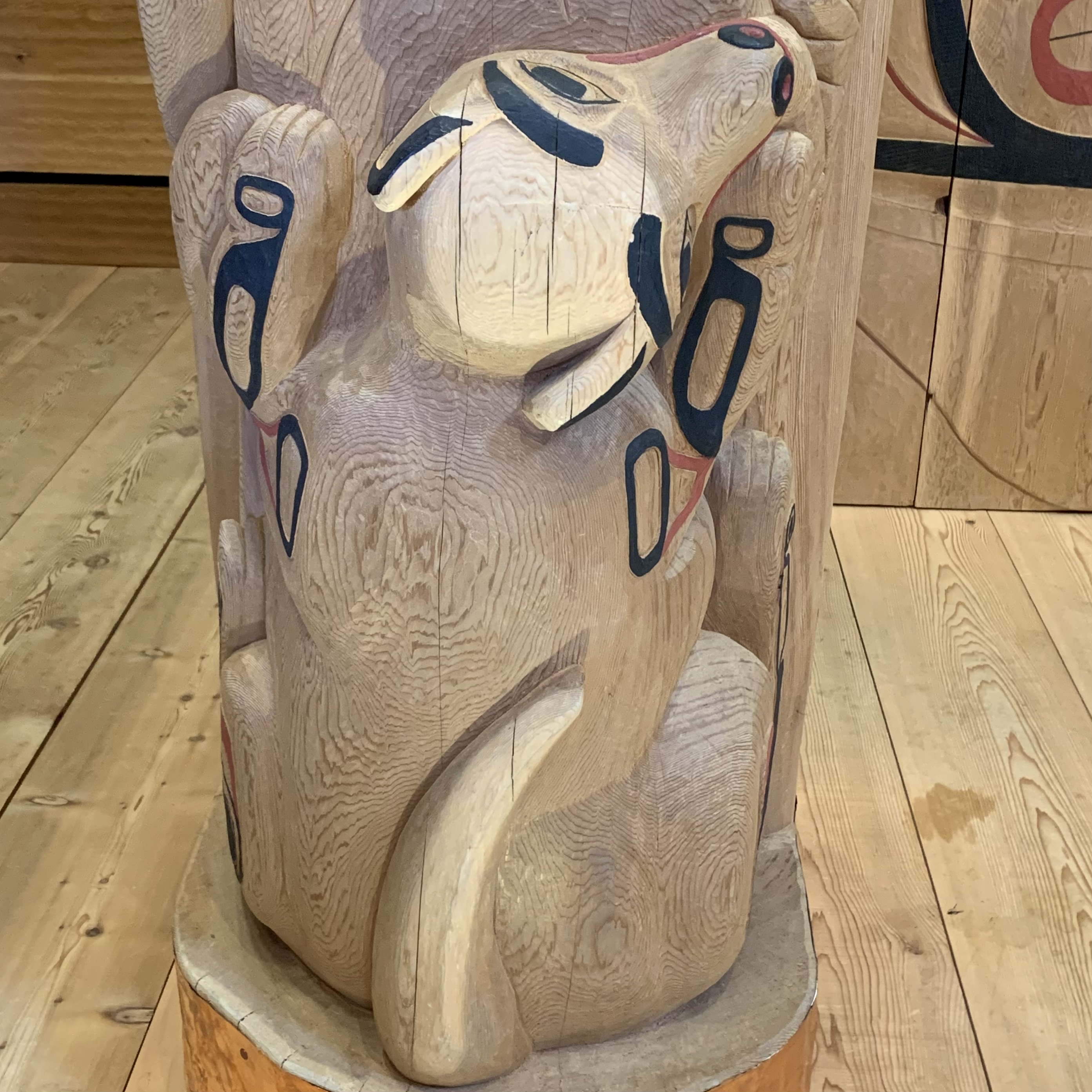
There are four clans That are represented here. The above is the CHOOKANEIDI Clan (Glacier Bear) and part of the eagle/wolf moiety. Also part of the eagle/wolf moiety is the KAAGWAANTAAN Clan (Wolf/Bear). The third totem is WOOSHKEETAN (Whale).The fourth totem is the T’AKDEINTAAN Clan (Raven). Don’t go and update Wikipedia based on my less than educated guess as source material is not consistent across most of what I read.

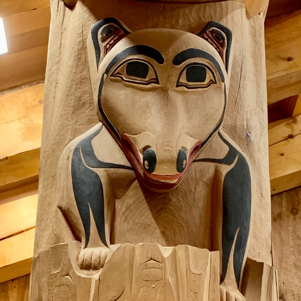
KAAGWAANTAAN (WOLF )

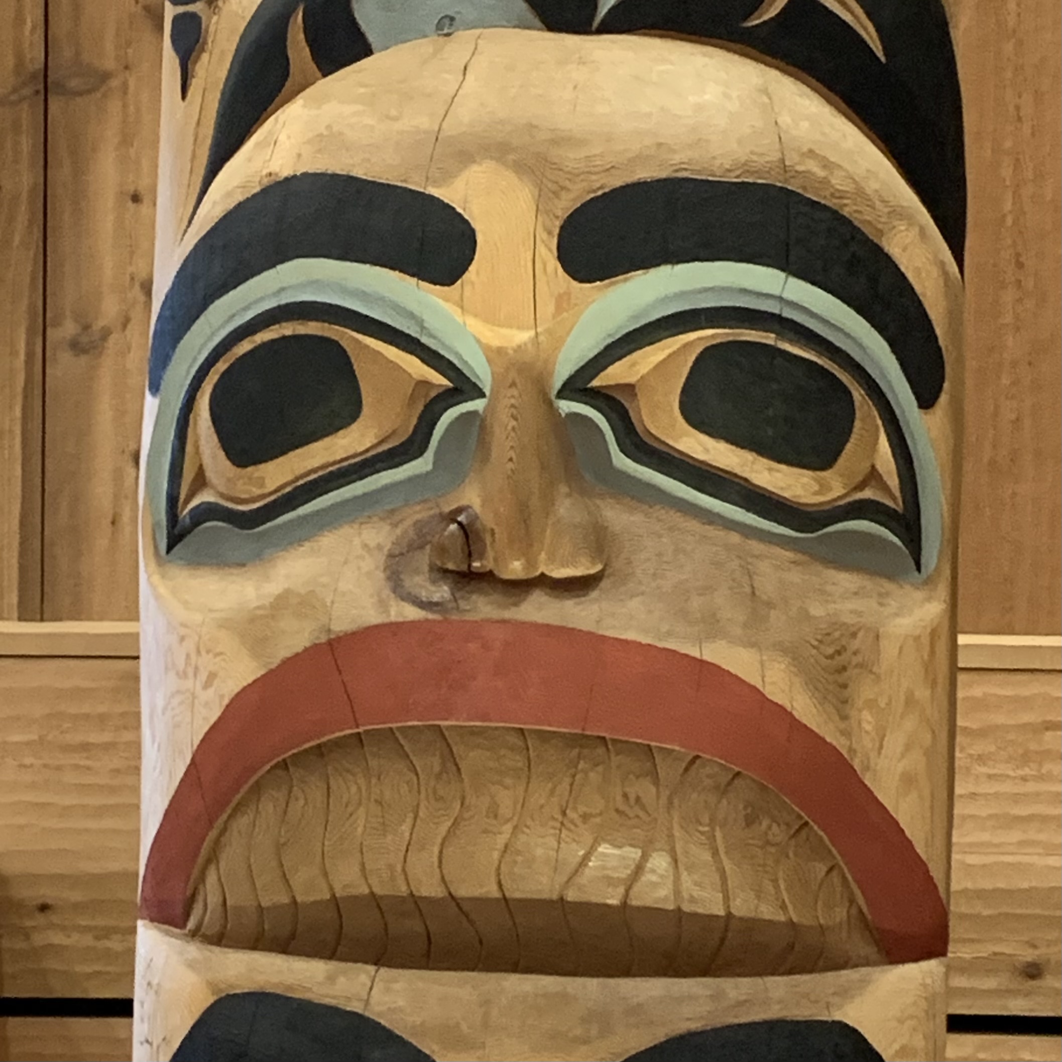
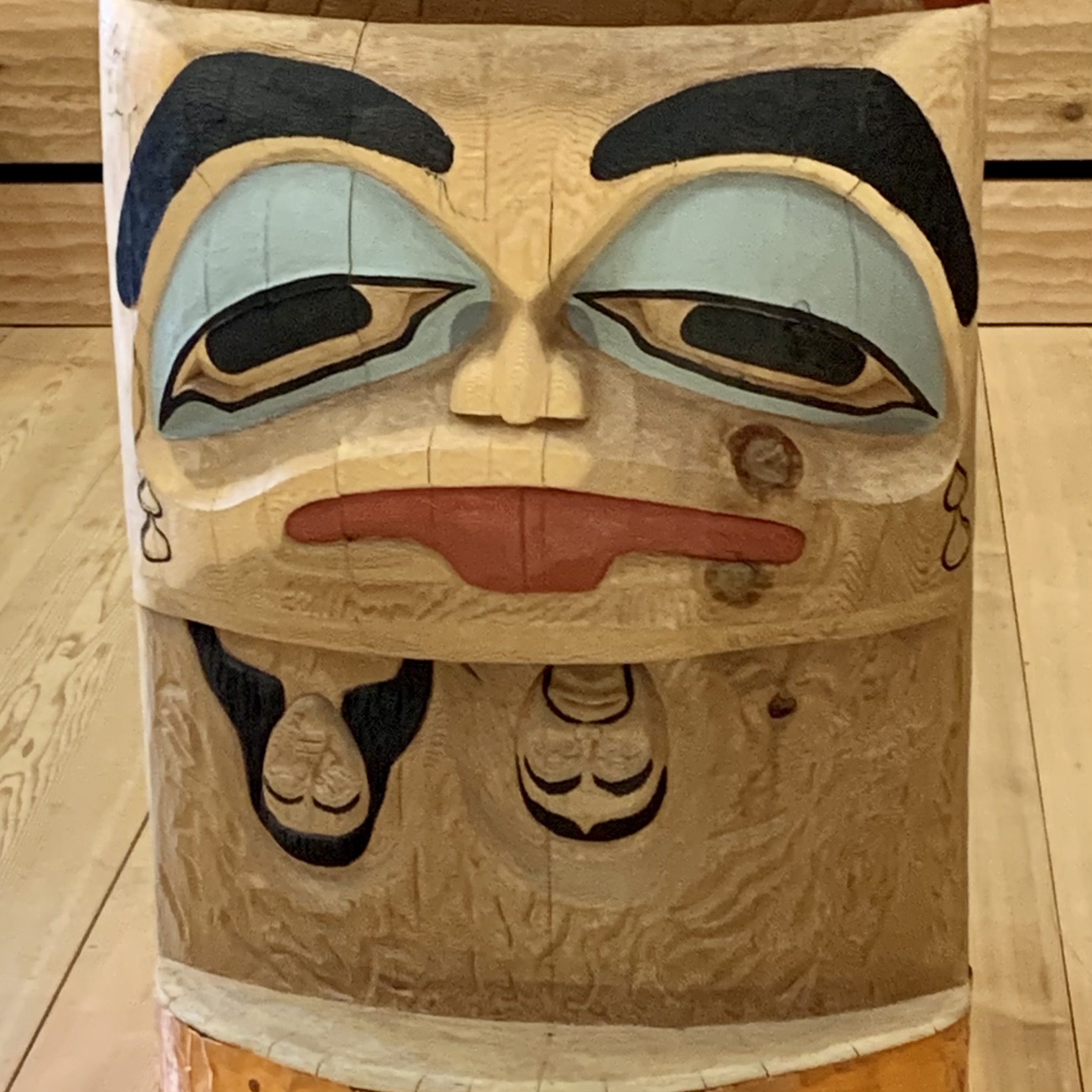
The symbols on the walls and totems  are a beautiful example  of Northwest Coast Indigenous art. I find it a stunning  unique artistic style of  flowing lines and bold colors and containing many ovoid and U-shapes that represent various elements such as eyes, mouths, or spirit beings. The deep connection with nature and the spiritual world you can see  reflected in their symbols that are used in their art.  

T’AKDEINTAAN (RAVEN)

From animals like eagles and bears to intricate geometric patterns, each symbol tells a story and represents aspects of their culture and beliefs. Each totem tells a story of its clan. These  Tlingit symbols differ from symbols used in other Indigenous cultures due to their focus on animals and natural elements, the intricate formline designs, their use in telling the Tlingit story  and clan identification, and their connection to spirituality. These symbols serve as a visual representation of their deep connection to the land and their ancestors.
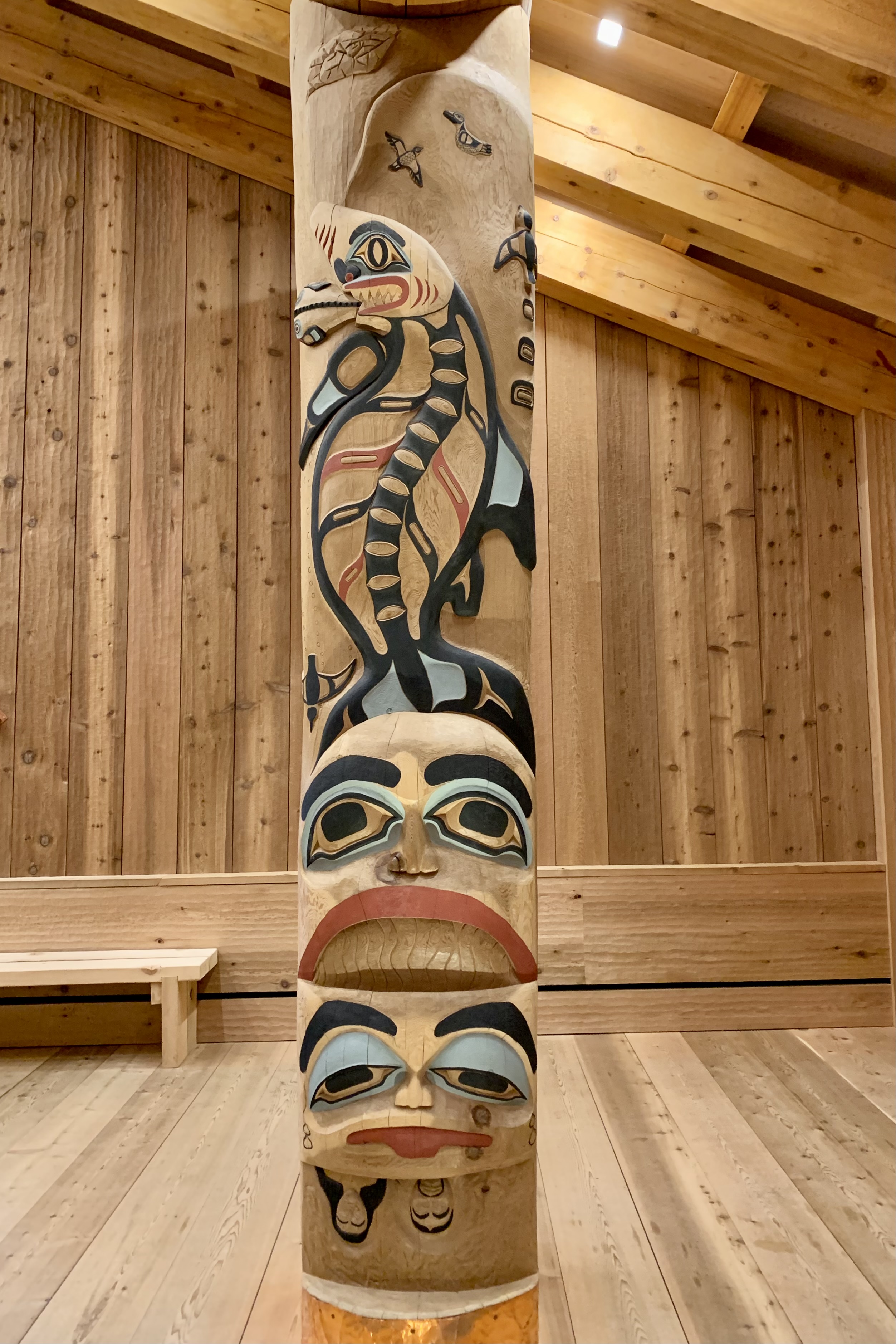
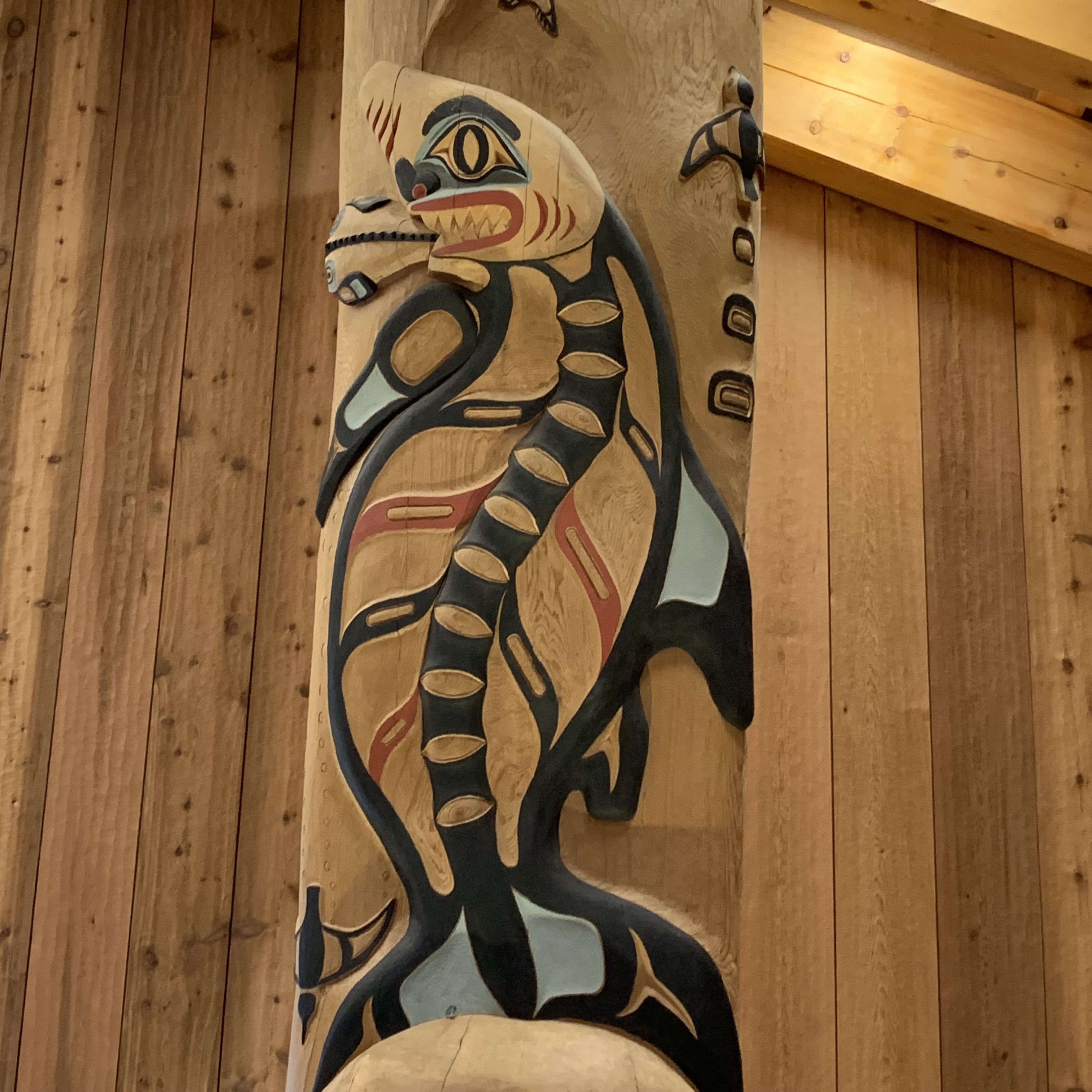
WOOSHKEETAN (WHALE/SHARK)

It was by now time top board the bus to Gustavus Airport and make the trip back to home on the Kenai Peninsula in reverse: a quick leap to Juneau, aviating to Anchorage, a trudge to find my car out in the farthest reaches of long term parkingalone at midnight, and on to the motel so as not to travel half the night back to Soldotna. But there was one last bus stop on the way out at the park entrance for another photo op with the other park sign.

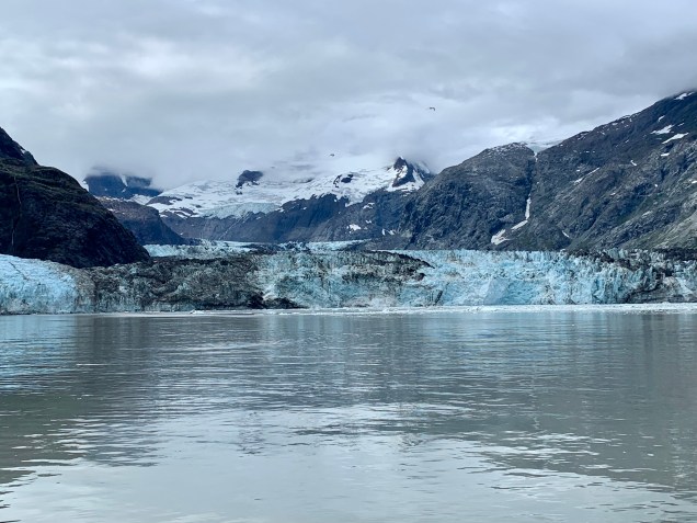
Brume, Lazy Glacier John and an Otter Raft

Standing on the dock, in the early morning brume, I was feeling a tad discouraged about this 8 hour cruise through Glacier Bay up to the John Hopkins Inlet. It was definitely a relief though  when I noticed that the passenger count was far below the capacity that this high speed catamaran, colloquially named  the “Day Boat, ” could accommodate. At  least there would be less of a foray when patrons start jockeying for a berth on the railing. This chaotic scenario always occurs whenever the crew  announces a sighting of wildlife, which always leads to a rush of the madding crowd from one side of the ship to another, from the inside cabin to the outside deck , and up the stairs to the viewing deck from downstairs. Far be it for me to buck the trend and, so that I could lead the rush of the cattle call crowd, I secured my “indoor station” by a window and quite proximate to the exit for the viewing deck.

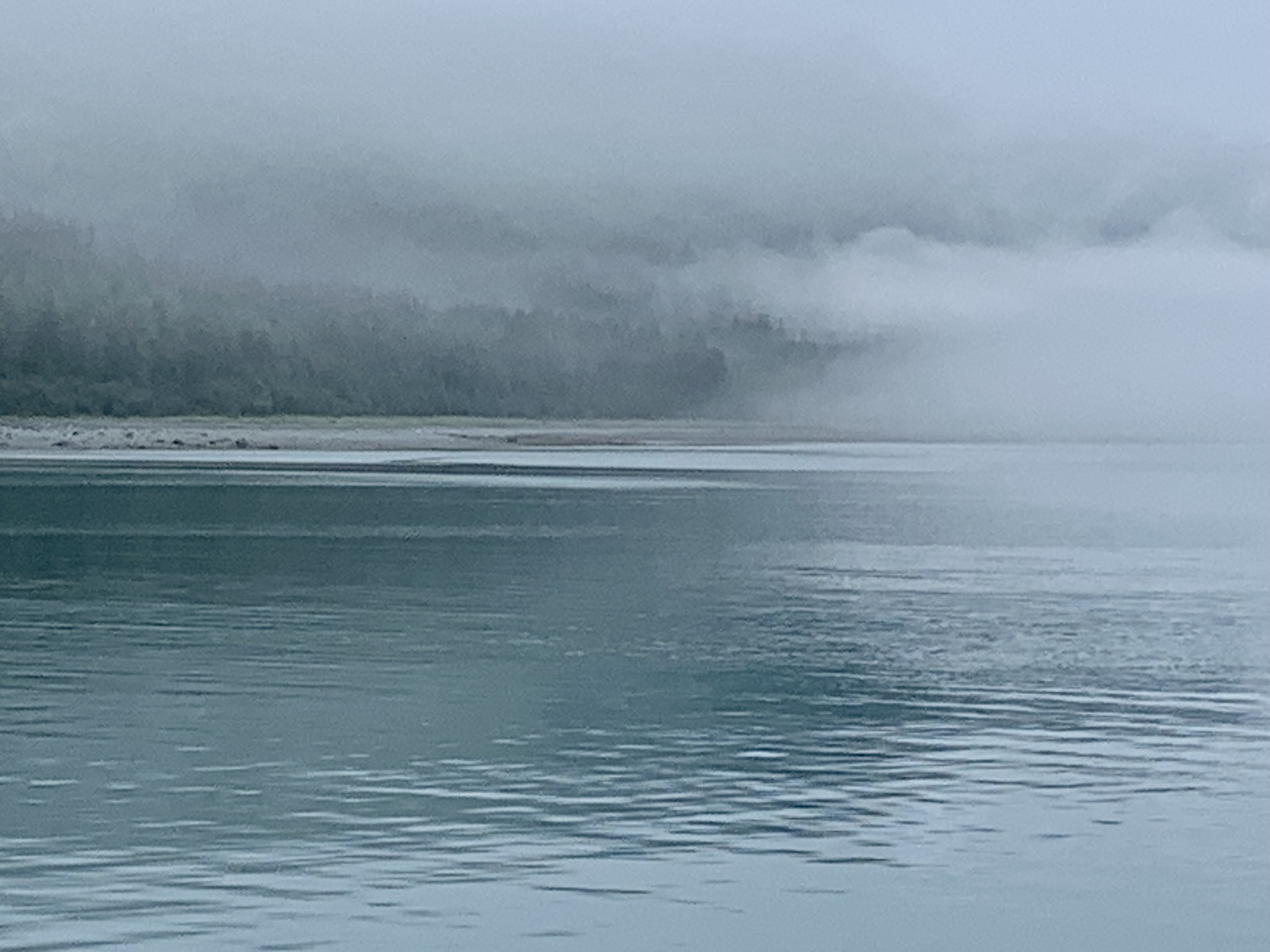
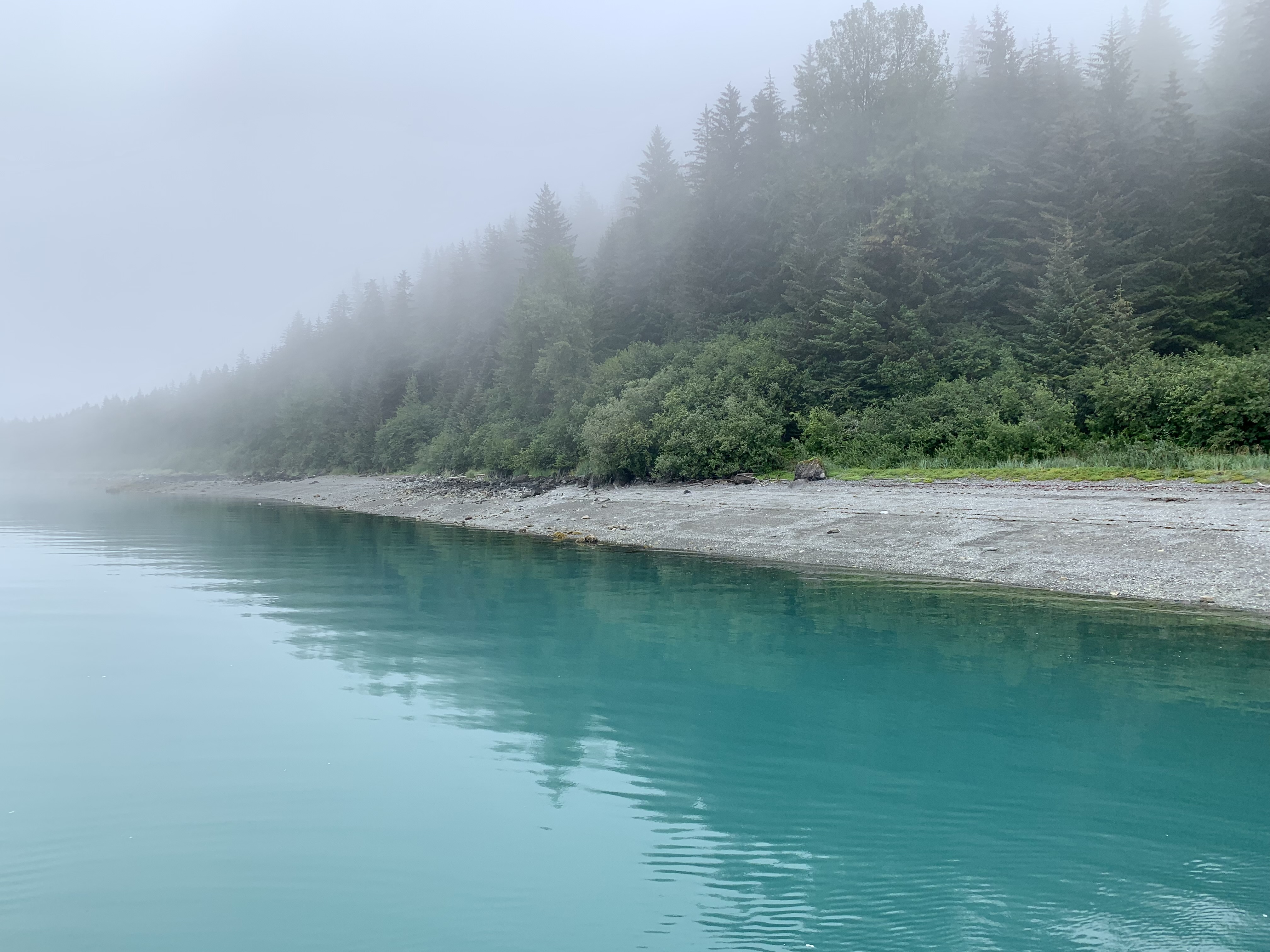
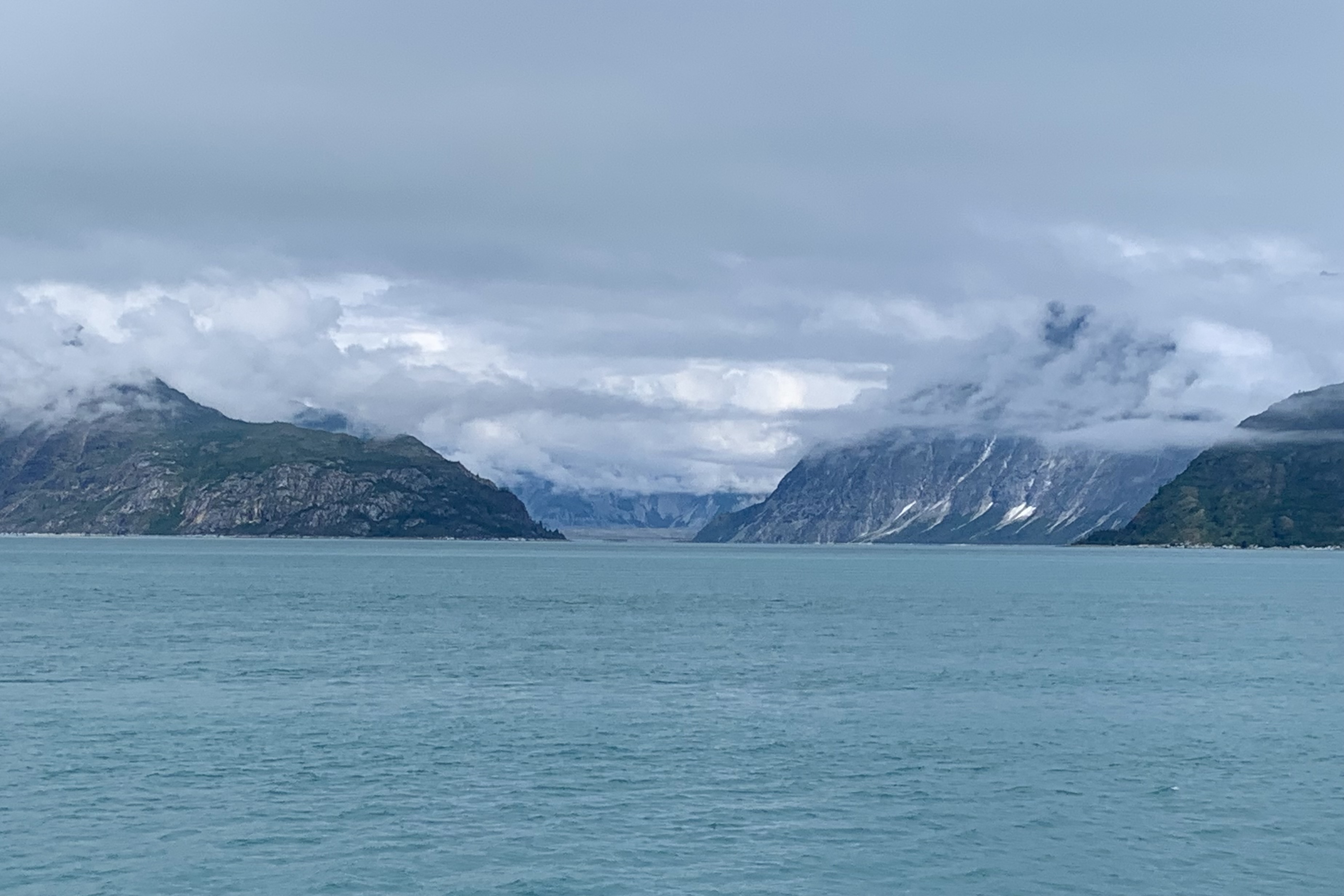
For the first couple of hours there was a myriad of photo ops of this dense fog ahead of us, the fog off to port side, the starboard side fog and the fog we left behind.

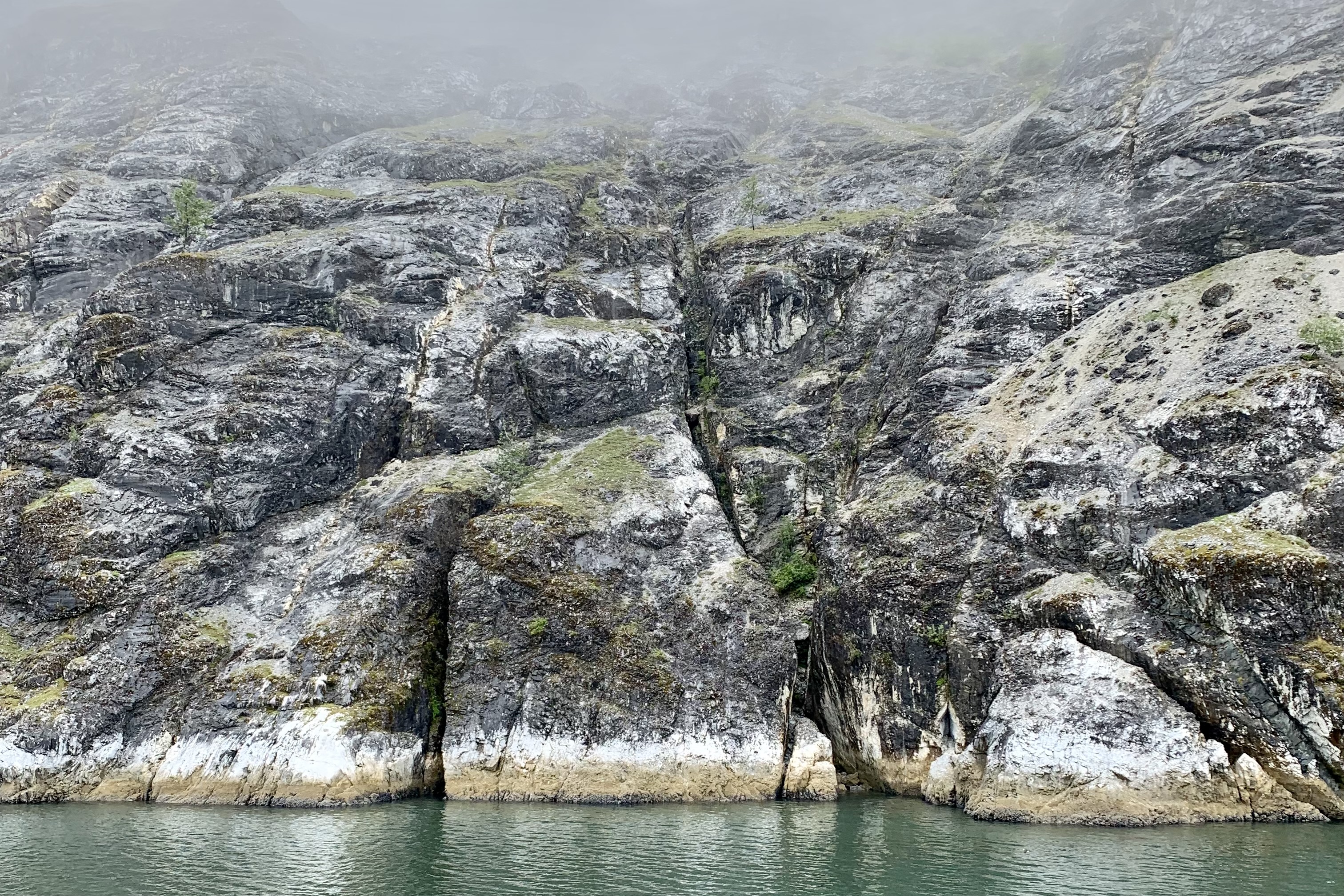
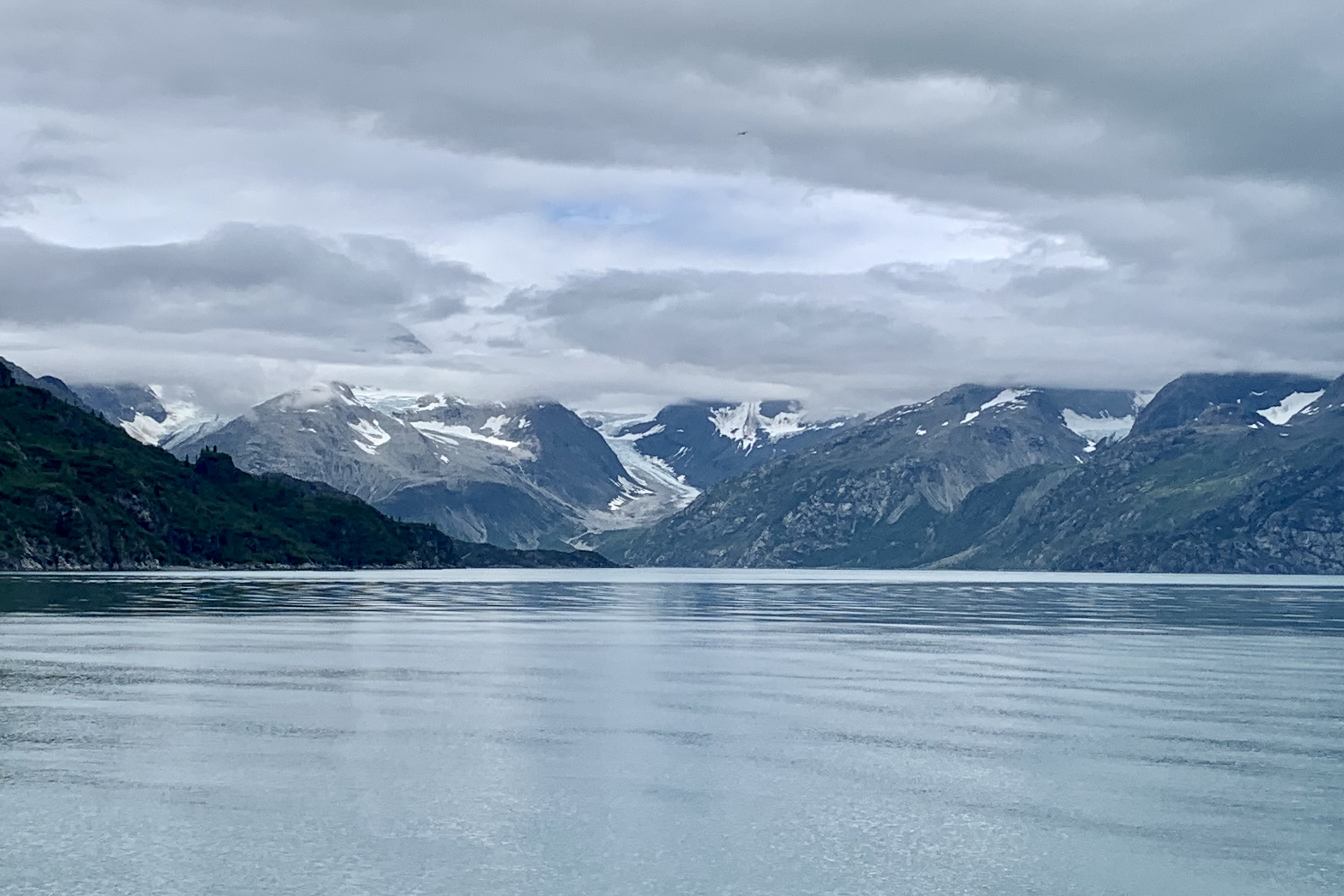
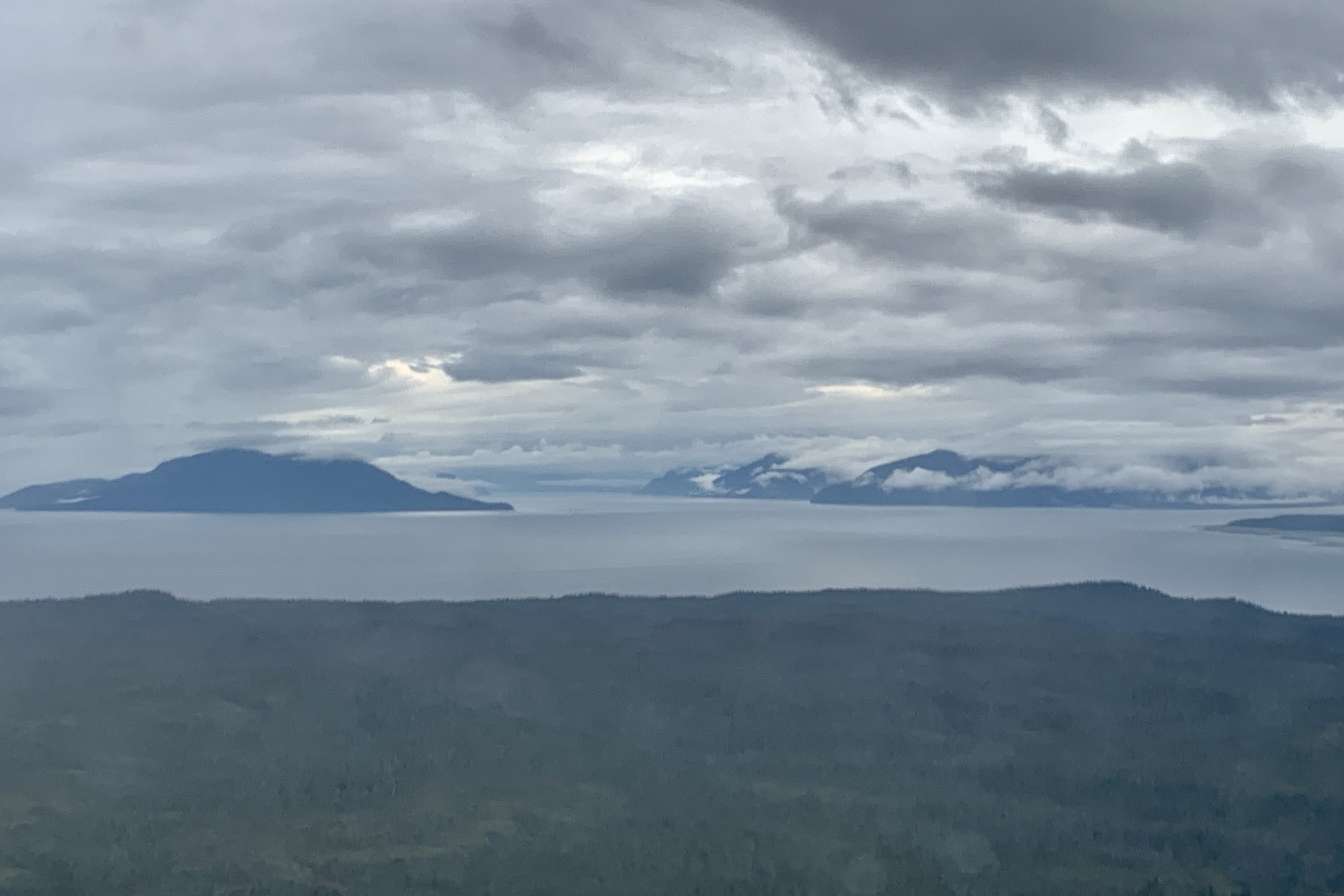
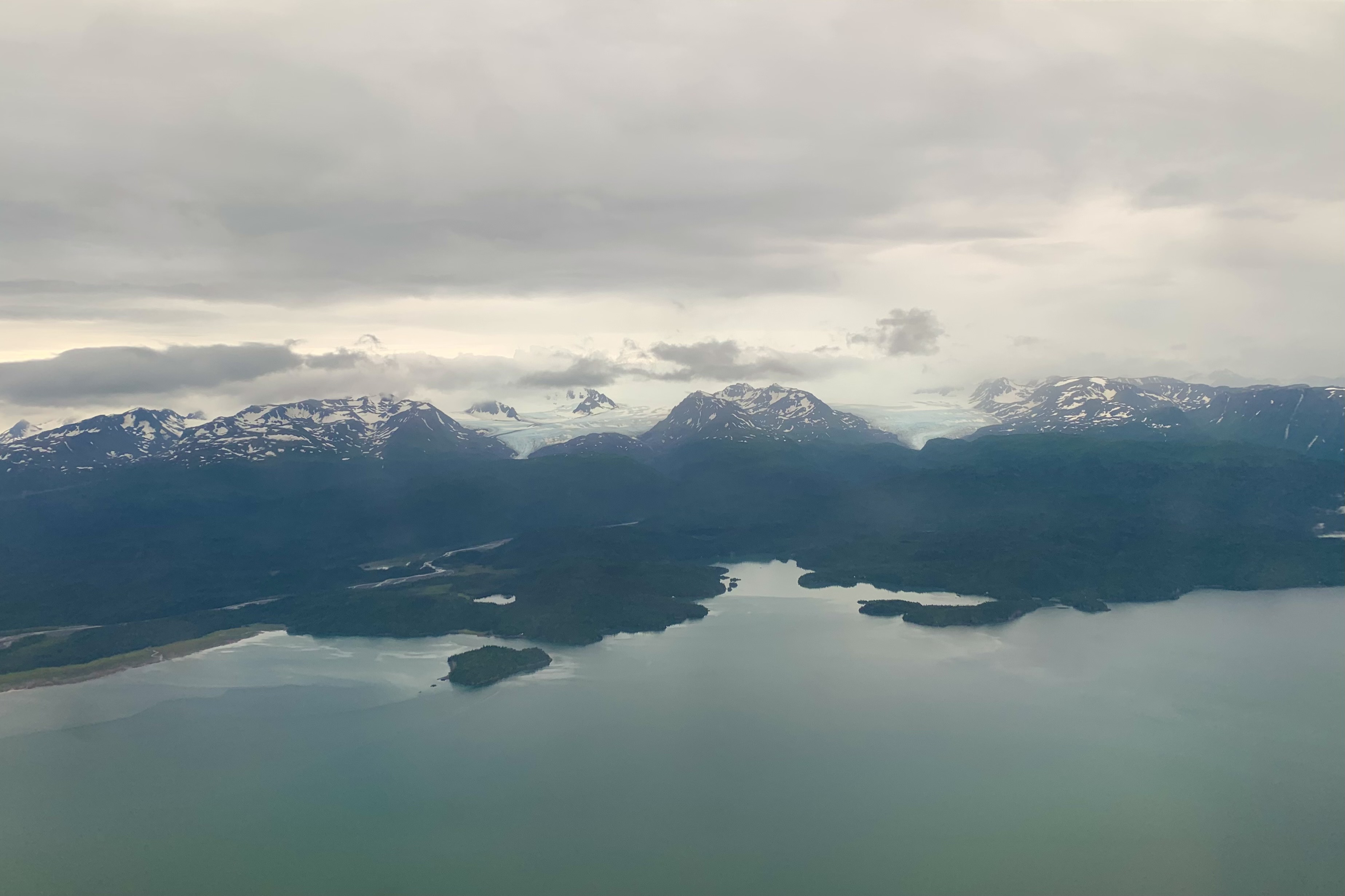
This gauzy scrim  gradually began to lift and ascended upward enough so that we had a better chance of spotting wildlife in the air, on the waters, along the shores and on the rocky slopes of the islands in the bay. Currently the glaciers are now about 65 miles northwest  of Bartlett Cove whereas 250 years ago Glacier Bay and Bartlett Cove were a massive river of ice so its was going to be quite a while before we reached the glacial area. 

It seemed like we were just tugboating along – I surmised it was the heavy fog— but I came to realize that there are definite noise restriction and speed zone areas designated so as to protect all wildlife, but especially to protect the harbor seal and whales. This definitely is not an attractive area for the jet skiers of the world to congregate and hold a convention. I am all in on respecting the wild land, air, and sea creatures that we share this earth with and grateful for the quieter ride that exist because of the myriad of boating restrictions. Think about it. Would you relish a six foot long 250 pound harbor seal undulating like caterpillar through your living room or otters webstroking in your swimming pool. Perhaps we need to think a whole lot more about our roaring motors churning through their living room. This definitely made for a most pleasant three hour journey to get to the first glaciers. A National Park Service Ranger kept us informed about what we would be seeing (or not seeing) along the way as we moved from the rainforest area of Glacier Bay to the guano and lichen-encrusted rocky islands of the bay.
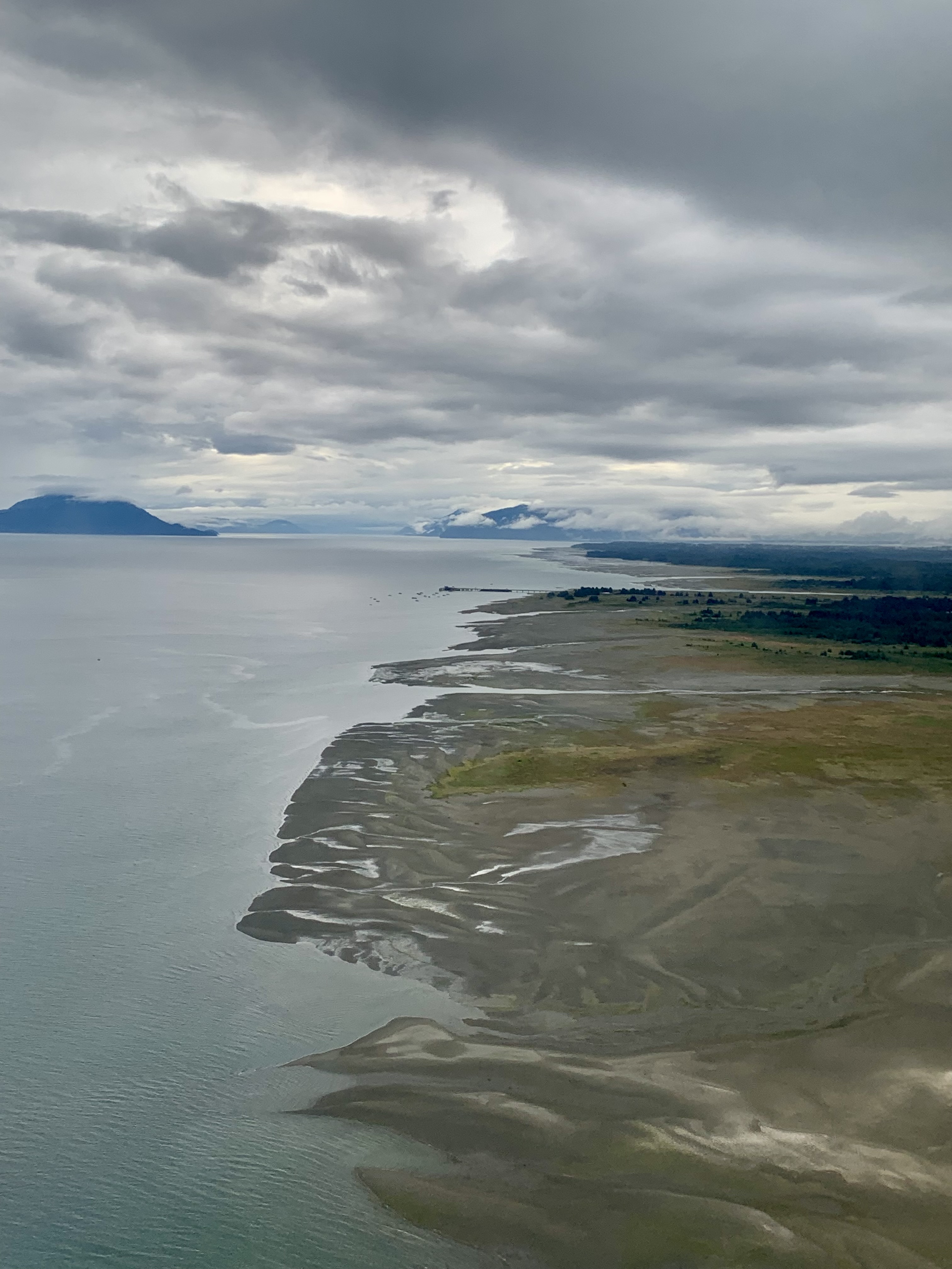
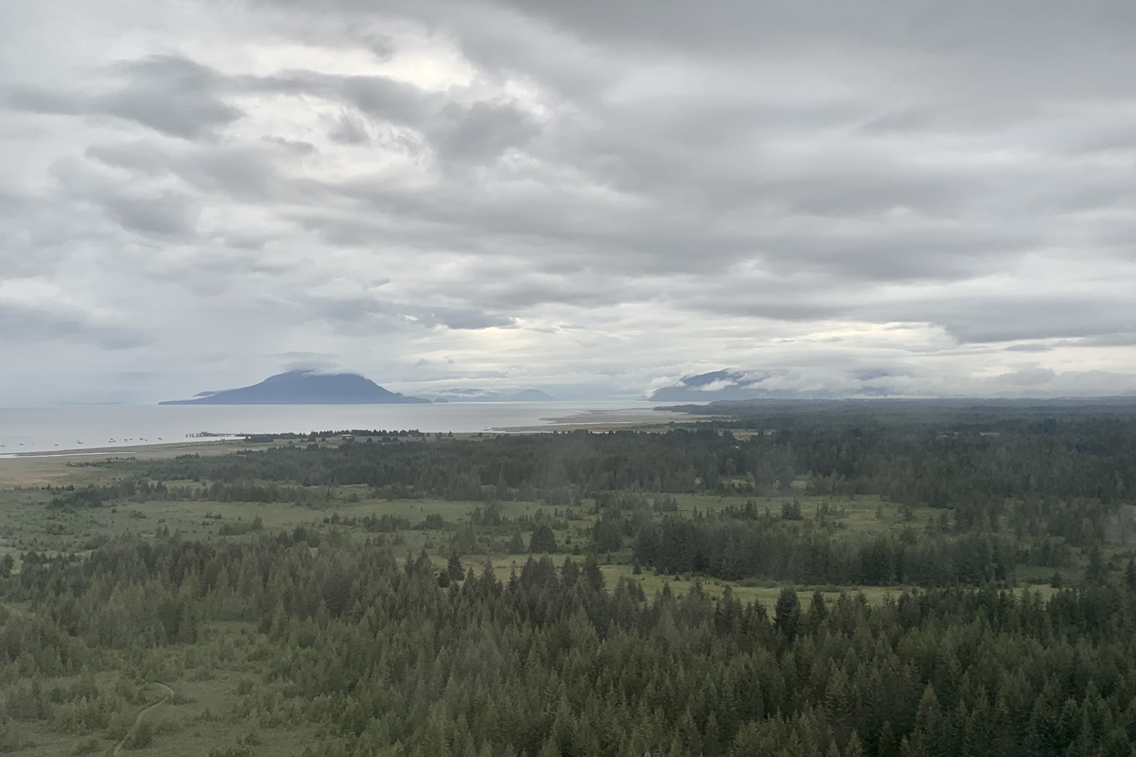
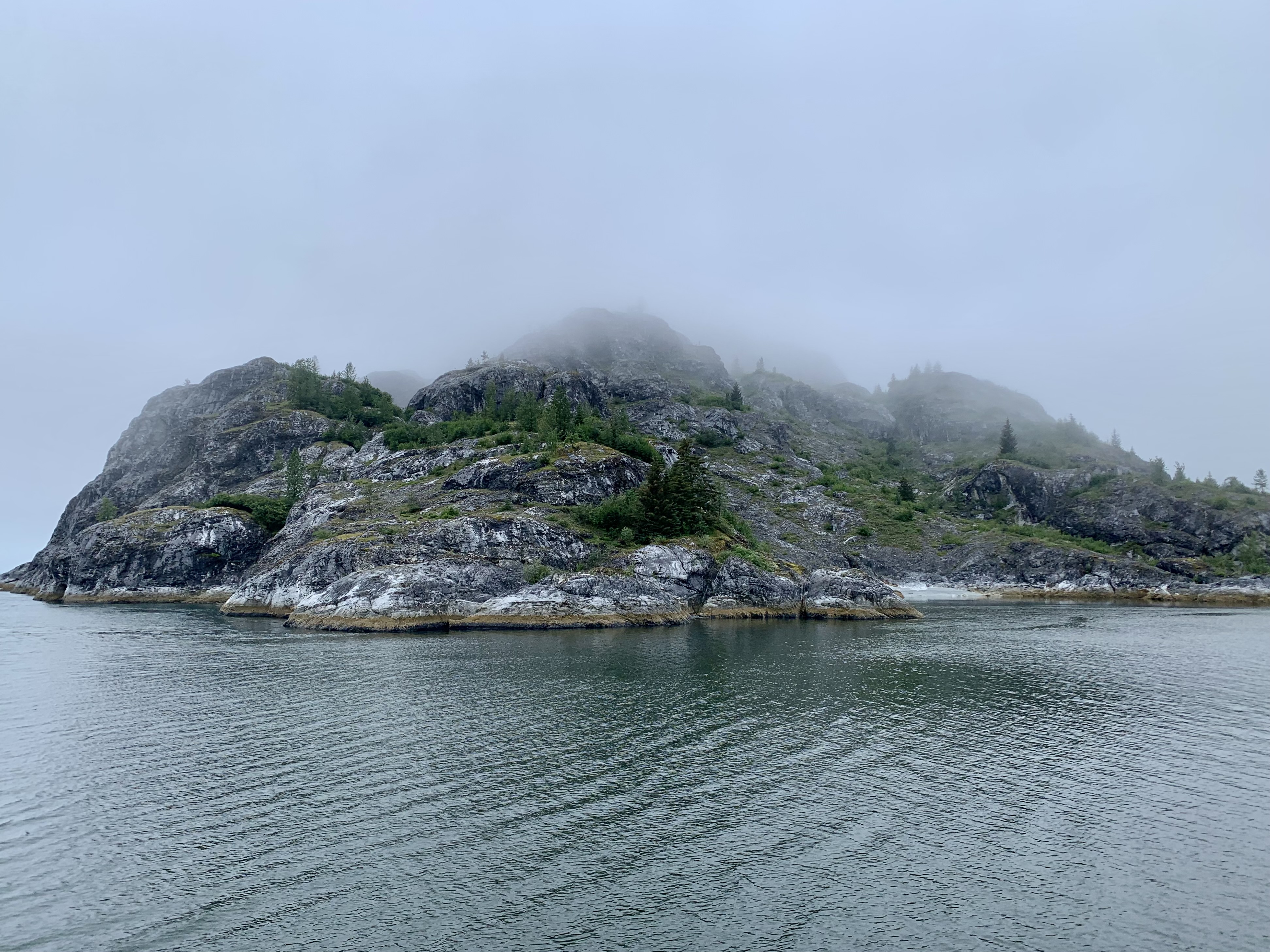
As we ferried along the captain would maneuver close to shores of Strawberry Island, the Marble Islands, and Tlingit Point for better animal sightings. By count birds far outnumber any other wildlife sightings. Thousands of seabirds nest on cliffs and rocky shores within the bay. I don’t have the patience or acuity of vision (or very good binoculars) to be a successful “birder.” but spotting the puffins and the Arctic terns was a treat.  The Arctic tern is my hero and is famous for migration since it flies from its Arctic breeding grounds to the Antarctic and back again each year. They are the ultra ultra marathoners of the avian species. The shortest distance between these areas is 12,000 miles.  I surmised, just like our human snowbirds traveling south in the winter, these terns seek perpetual summer and  lots and lots daylight. The Tufted Puffins, often identified as “parrots of the sea” because of their bright coloring  were not behaving  like the adorable tufted  puffins I’ve seen in the penguin exhibits at aquariums waddling . They were far too busy foraging for their own food, swimming,  and steering them selves around with their web feet preparing for a dive for the fresh catch of the day. . Also spotted were Black-legged Kittiwake, Eagles, a  variety of Gulls, especially Glaucous-winged Gull , which is basically a large white headed gull. They were plentiful on the Marble Islands.  I took almost no photos because I do not possess one of those cameras with massive lenses especial designed for wildlife photography with their auto focus and zoom lenses and look like they weigh a ton. My 5 year old iPhone camera suffices but does’t do the job that these heavy behemoth expensive cameras do. I already have too many photos of unidentifiable minuscule blurred dots in the distance.

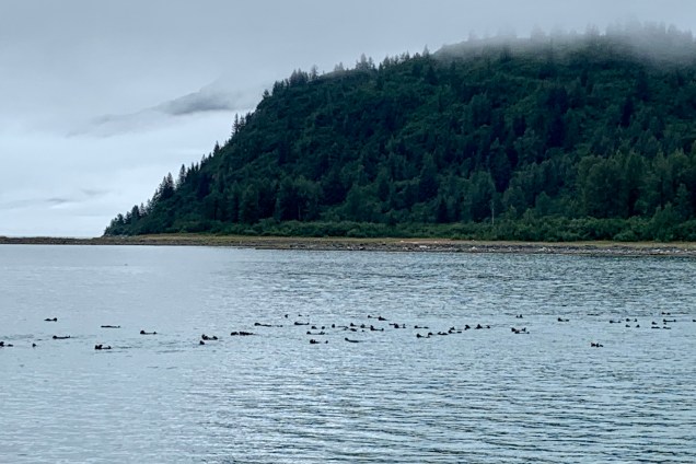
As far as spotting  the large mammalia, a brown bear was seen sauntering around a beach on Tlingit Point, an occasional whale spouting or breaching in the distance, sea lions on the rocks but no proximate heart stopping encounters with the ship. Perhaps these Glacier Bay inhabitants  too,  just like many humans , prefer to hunker down on a foggy rainy day and thus opted out of putting on a show for the tourists encroaching into their habitat.  I was especially enchanted by the “raft” of sea otters, churning through the water. I noticed their preferred swim stroke is by far the backstroke  (mine too) and I spotted them in large numbers hanging tight with each other traveling in tandem. I wonder if it’s like a pace line in cycling where you cycle into the slipstream of another cyclist and let them “pull” you along. This was an “otter version” of  the pace line. 

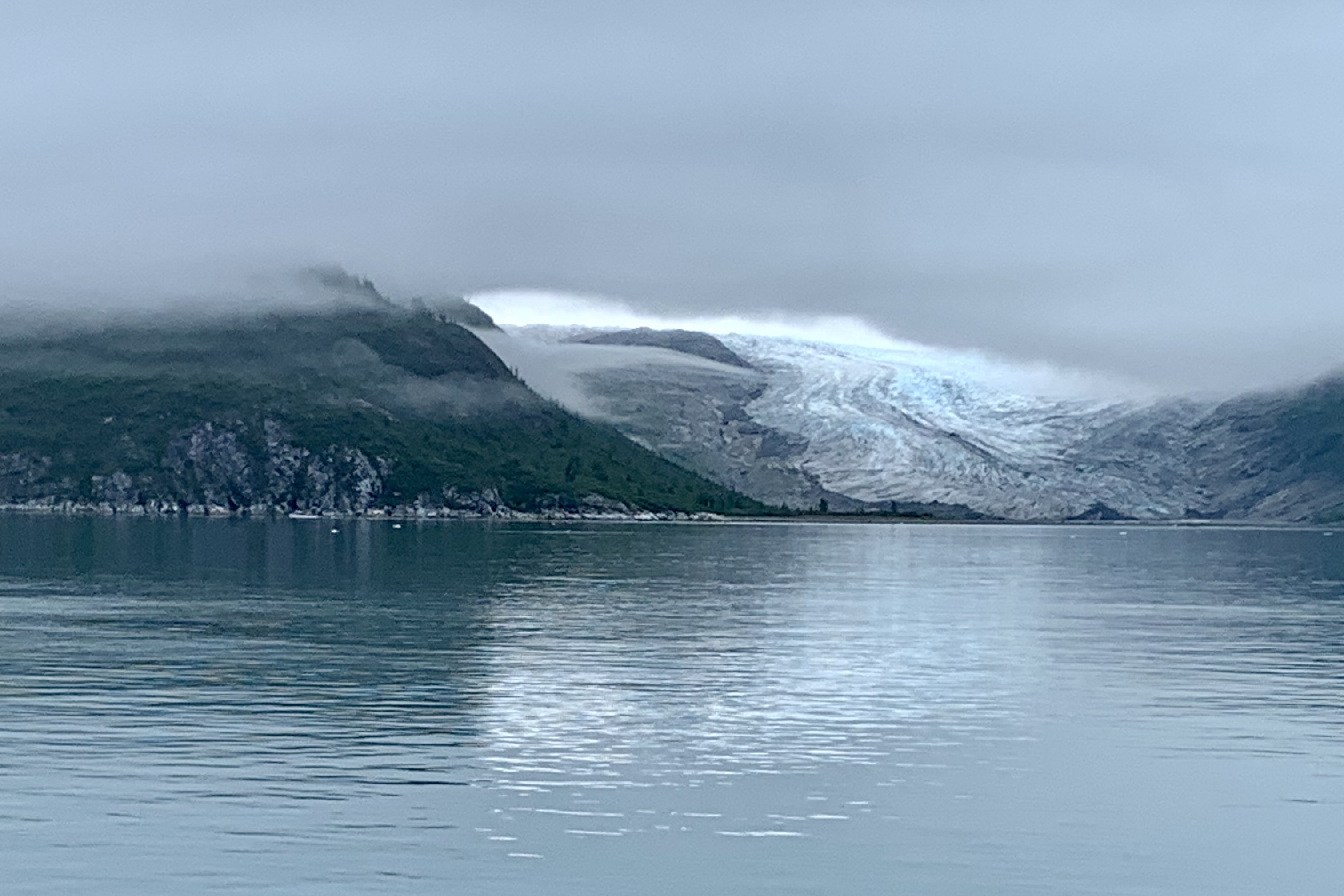
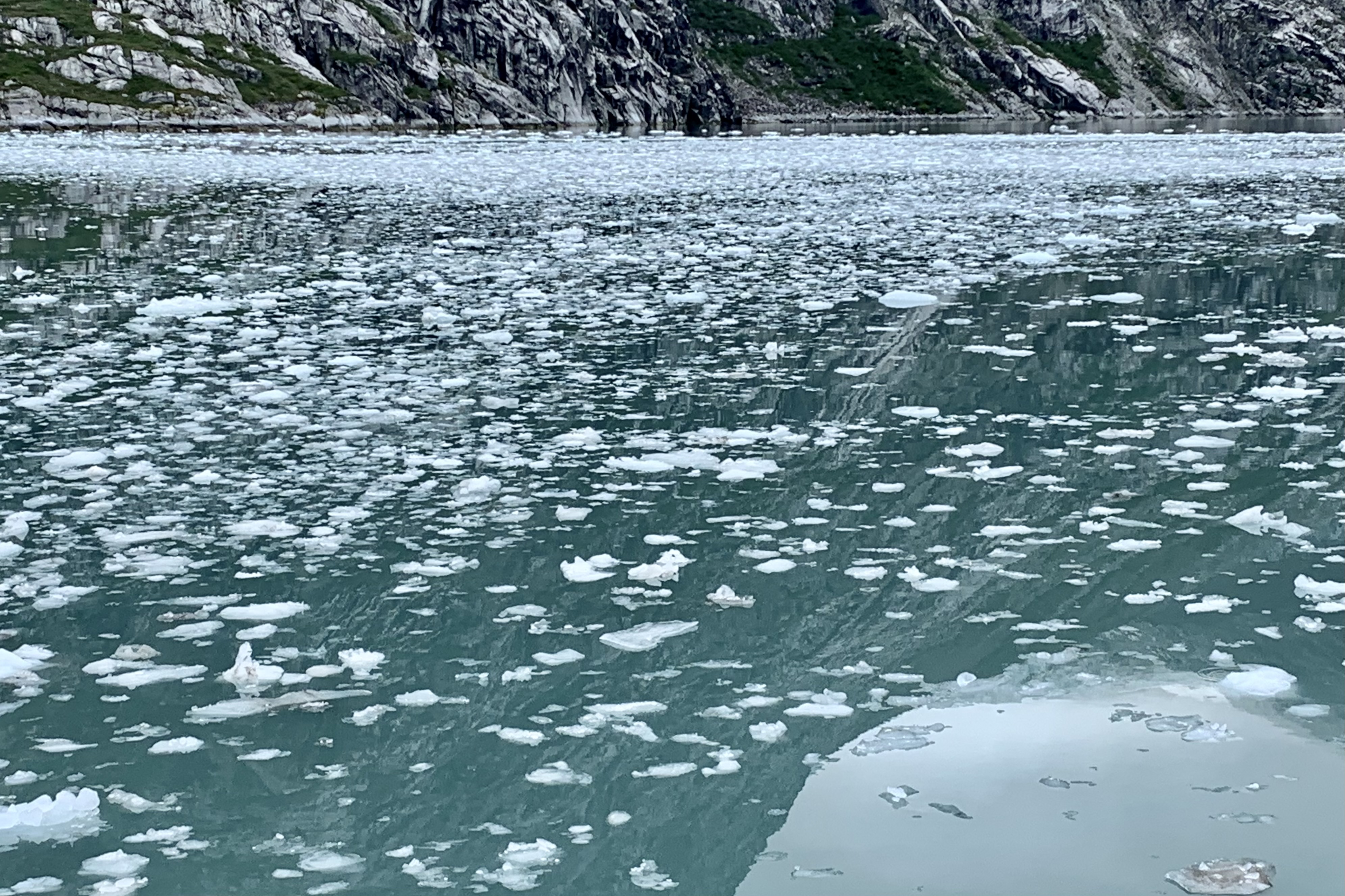
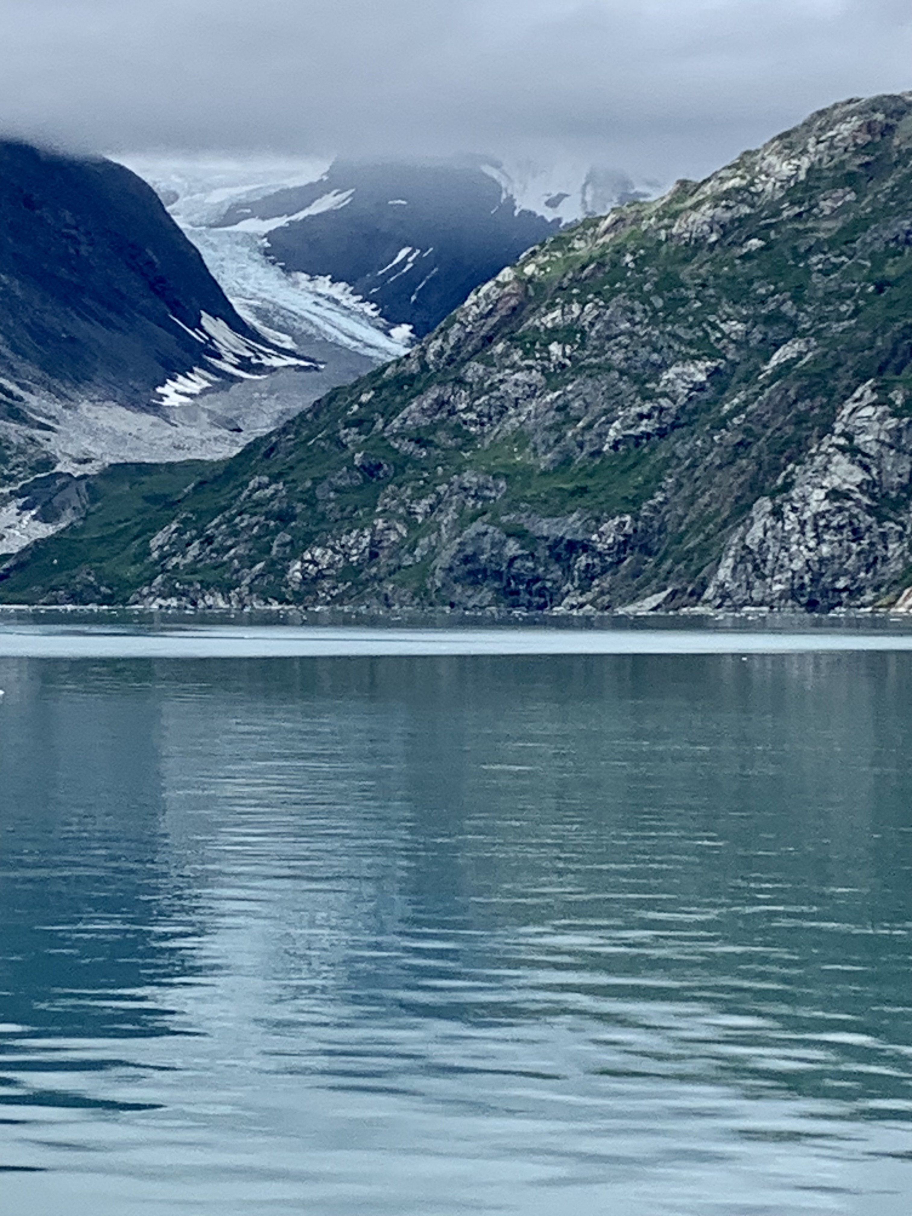
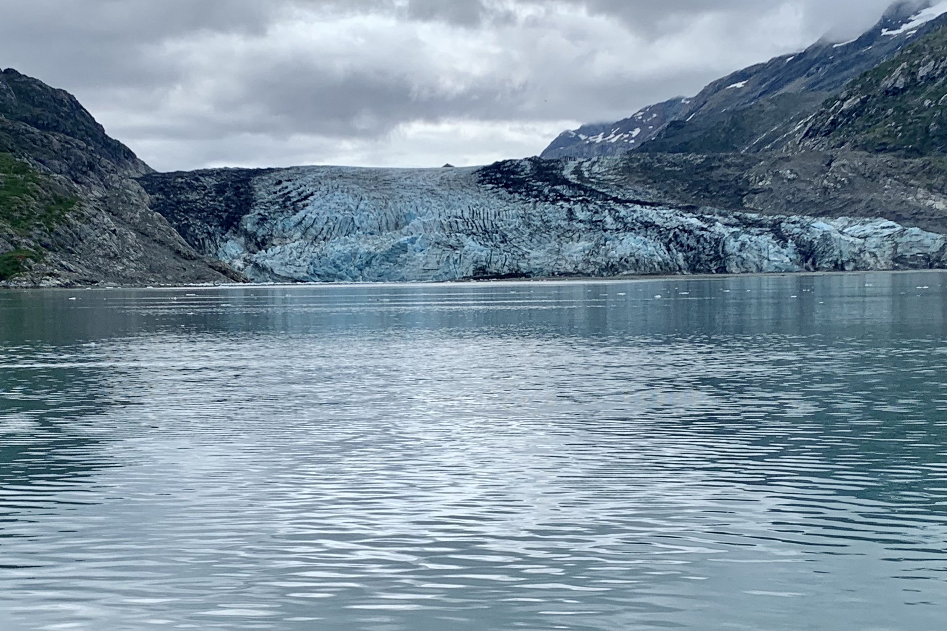
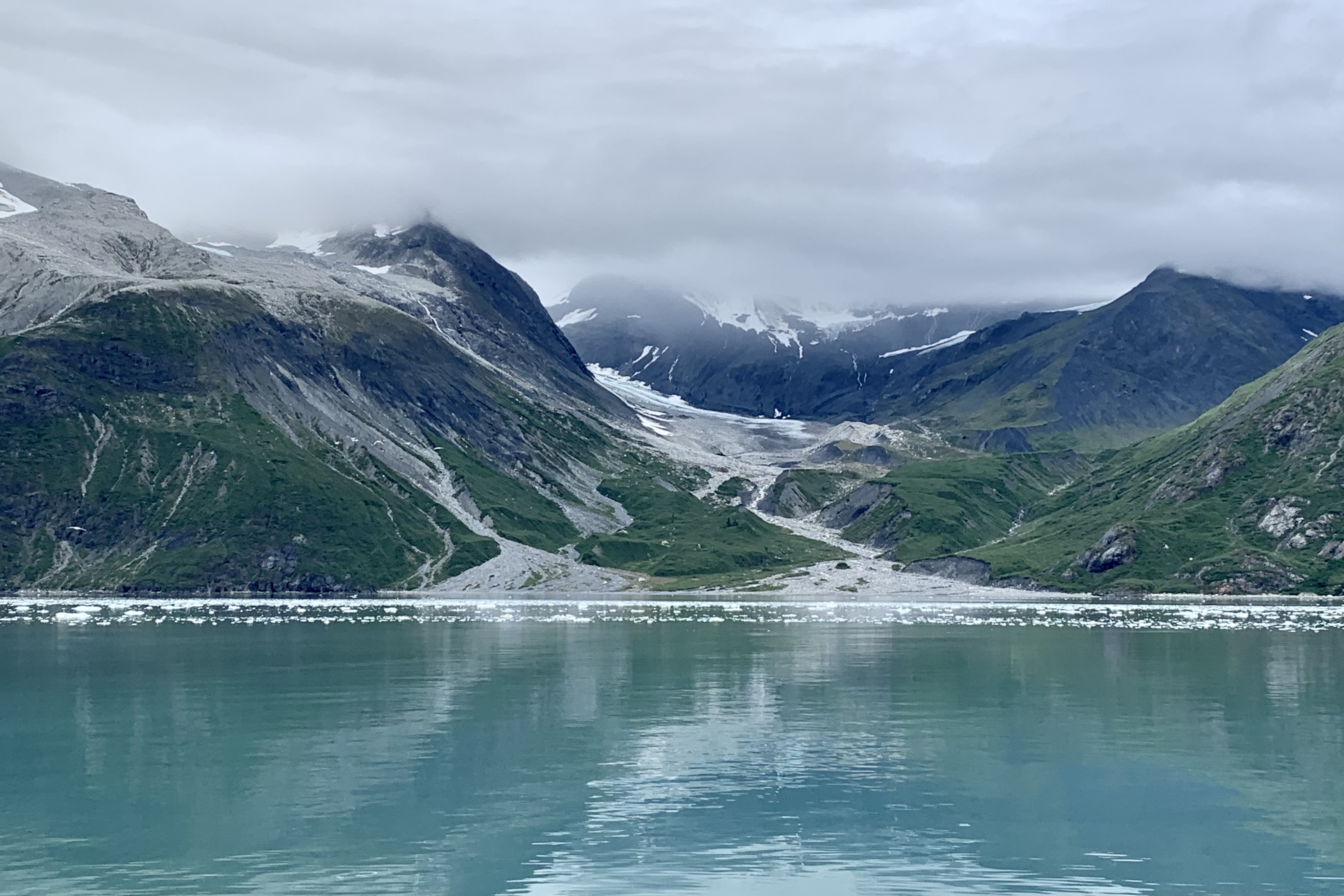
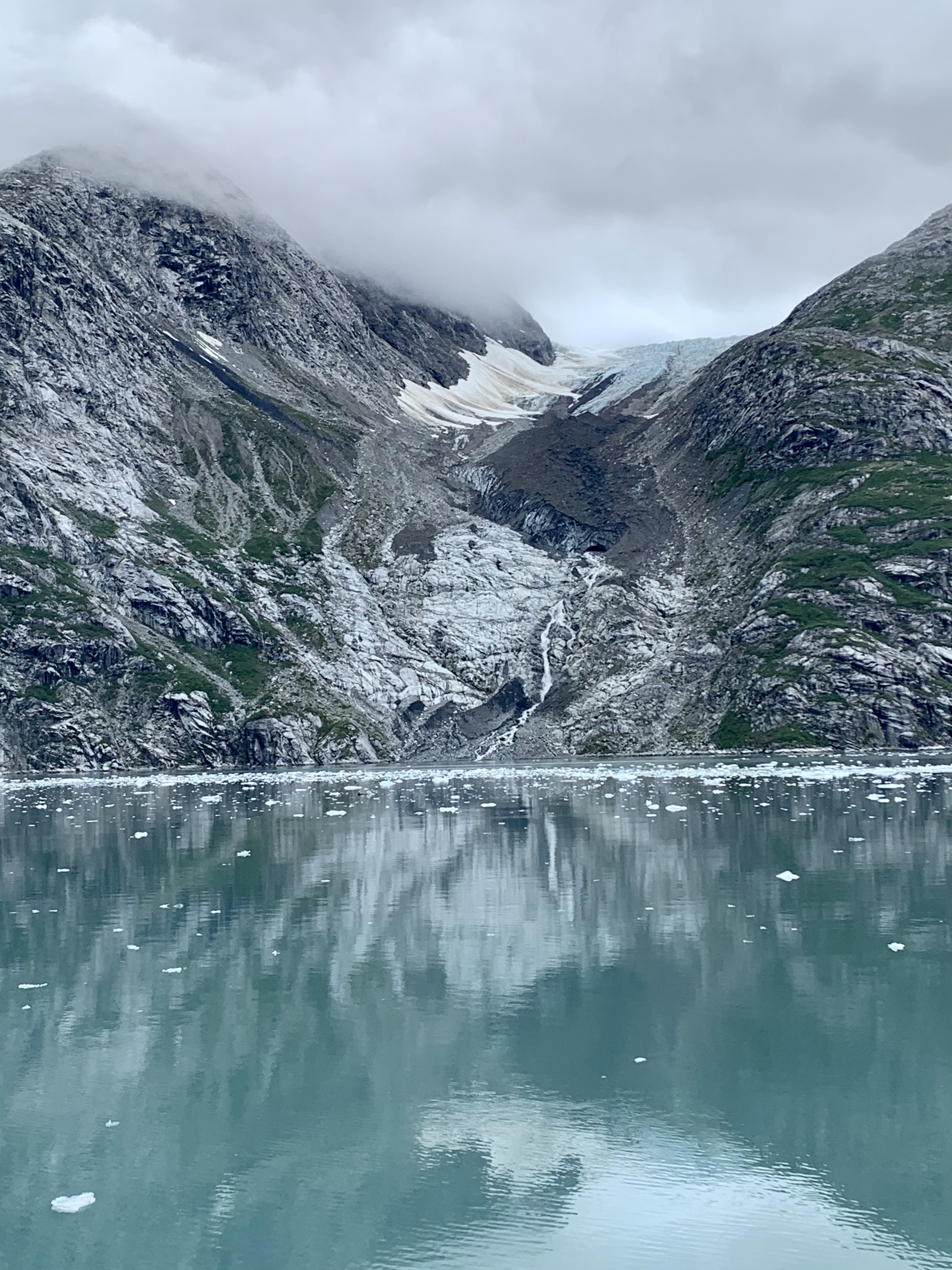
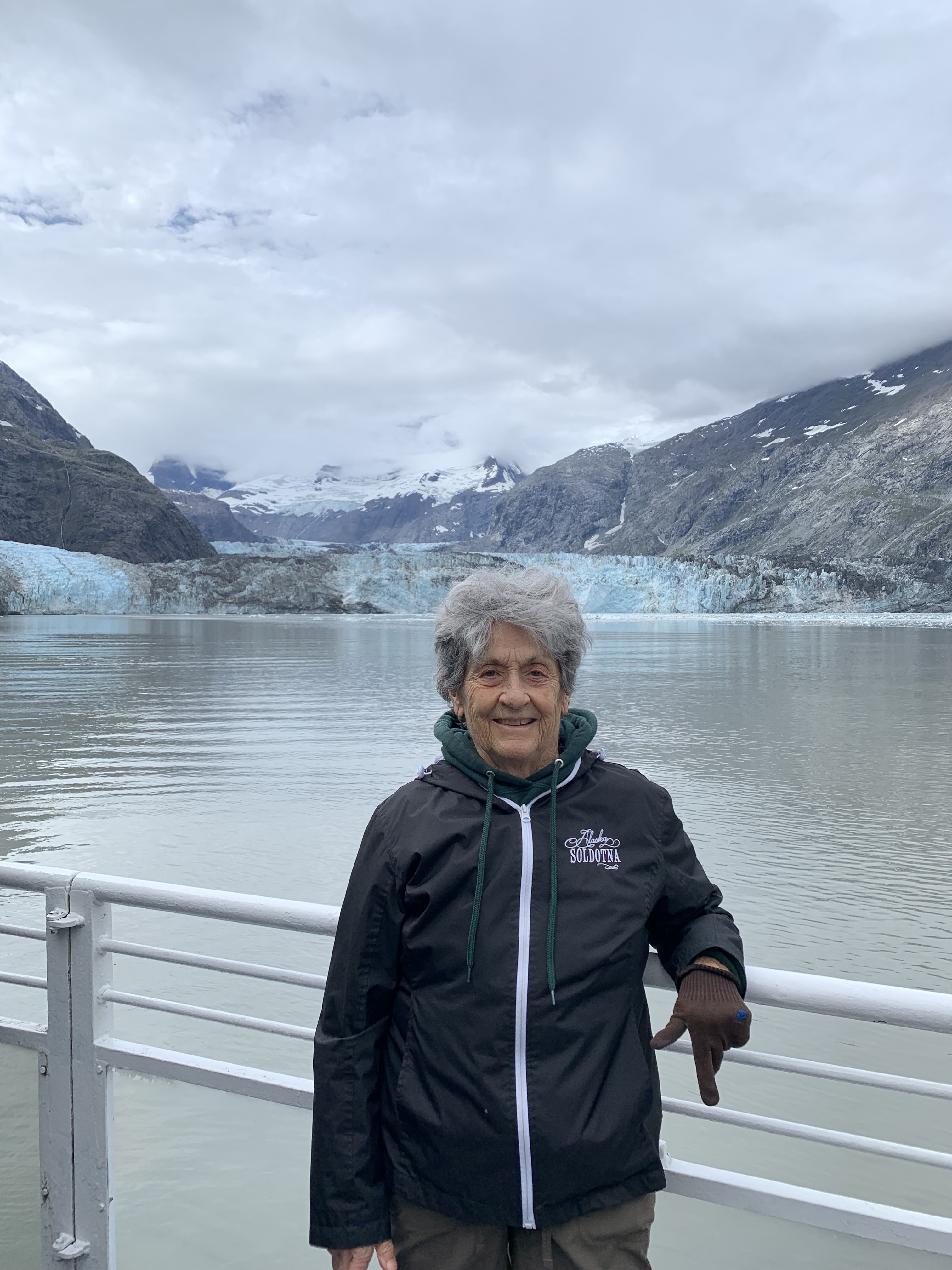
By now the fog had dispersed and though still totally overcast, we were motoring through the bergy bits and growlers (ice flows that aren’t behemoth enough to sink the Titanic) and soon we were seeing many tidewater glaciers crawling down the mountain crevices and ending at the sea, with the grandad being the John Hopkins Glacier at the end of the inlet. Though we were mooring around the John Hopkins Glacier and inlet for around 2.5 hours, at this time Glacier John was taking lunch and a siesta and was not calving.

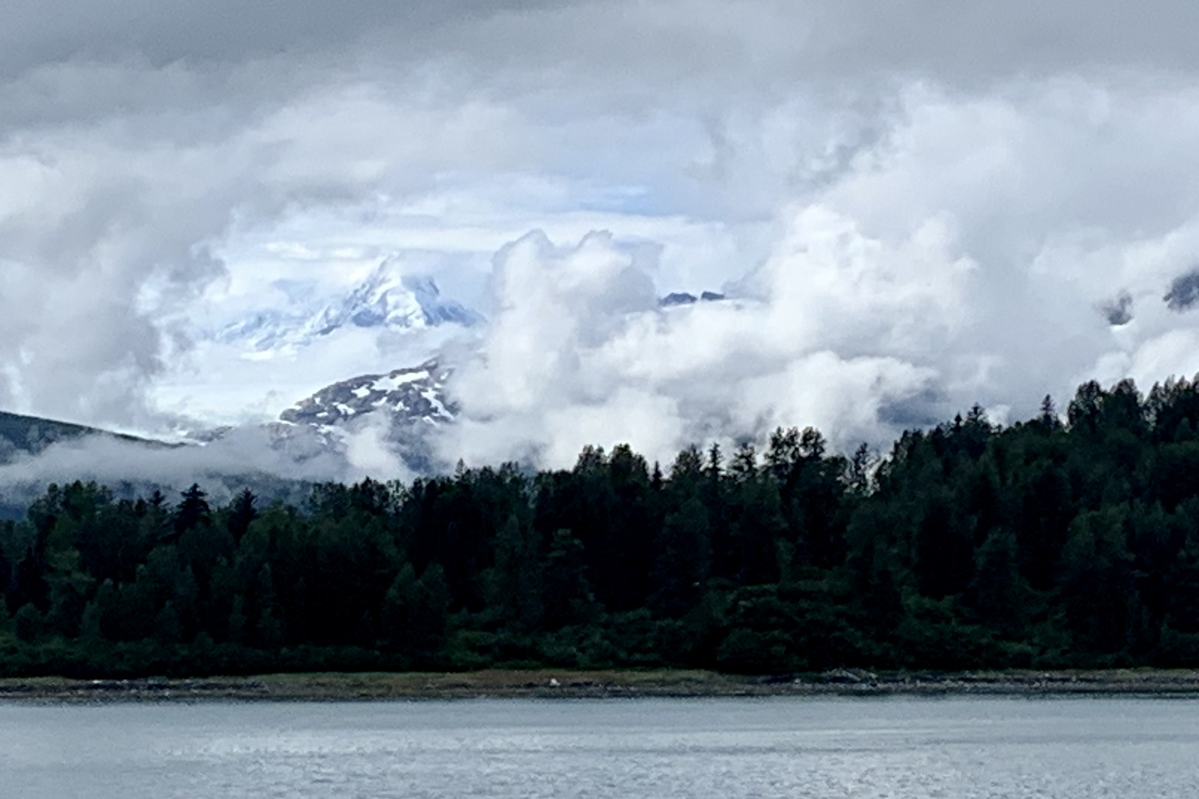
Our  lunch was provided “glacier -side, ” which was a classic school kid bag lunch of a Wonder Bread sandwich, chips, and a candy bar!  Jupiter, the king of gods and the weather god, must have been in a more favorable mood for our return trip. It was under partly cloudy conditions, so the shore lines were more visible. This Sky Deity was in a imaginative space and fluffed up pillowy, sheetlike, fleecy, and diaphanous clouds to hug and drape the islands and thankfully not thunderheads or threatening clouds to churn and spin the waters around our trusty vessel.

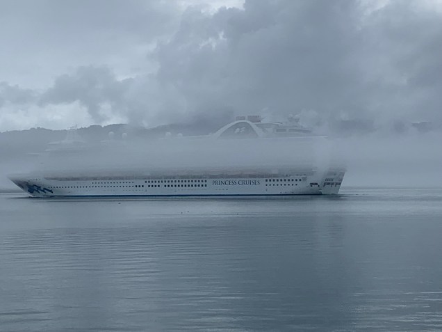
One of the VERY amusing things noted  on our return was the huge Ruby Princess Cruise Ship along side and we all were laughing because those folks who paid for those high deck outside cabins were getting a great view of the fog!

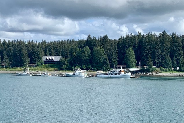
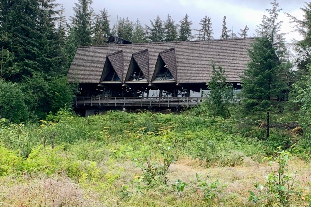
Glacier Bay Lodge

It was quite a satisfying experience , definitely to be had before there are no more glaciers to ooh and awe about. . Additionally , I began to make the acquaintance of a number of couples who are “park baggers” like myself, hoping to visit all 63 National Parks in their lifetime. I am proud to say I have the most under my belt (52) of those I met but it was fun comparing favorites and numbers visited etc. After regrouping, I made my way to the dining room so as not to be the last in line again for a table and after be able to go to the Park Ranger presentation on this park.

A Donk, Icy Strait, Rustic Rooms and a Burger Bargain

Getting to Glacier Bay National Park

With my goal of visiting every National Park, the logistics of getting there at times can be challenging and expensive.  Glacier Bay roads are definitely not on a road map grid of either the USA or Canada.  It is part of a huge corridor of wilderness that is the largest contiguous roadless area left on earth which includes Glacier Bay National Park and Preserve and Wrangle-St. Elias in Alaska and Kulane in British Columbia. It is access able only air or sea.The park itself has only 9 miles of paved road leading from Gustavus airport to Glacier Bay Lodge ( air being one access point to Glacier Bay NP. ) The other access is via private boat or ferry.  Since Glacier Bay is served intermittently  by the Alaska Maritime Highway Ferry system, you technically could bring your car or RV there but there is no place to drive to other than to the Lodge with very limited parking and locally in Gustavus. The 30 site campground at Glacier  is quite primitive with pit toilets and food caches and blessedly NO  RV camping facilities to accommodate noisy generators, polluting motors, electrical needs,  and waste dumping.

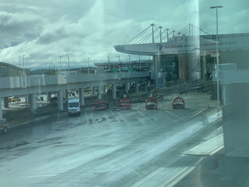
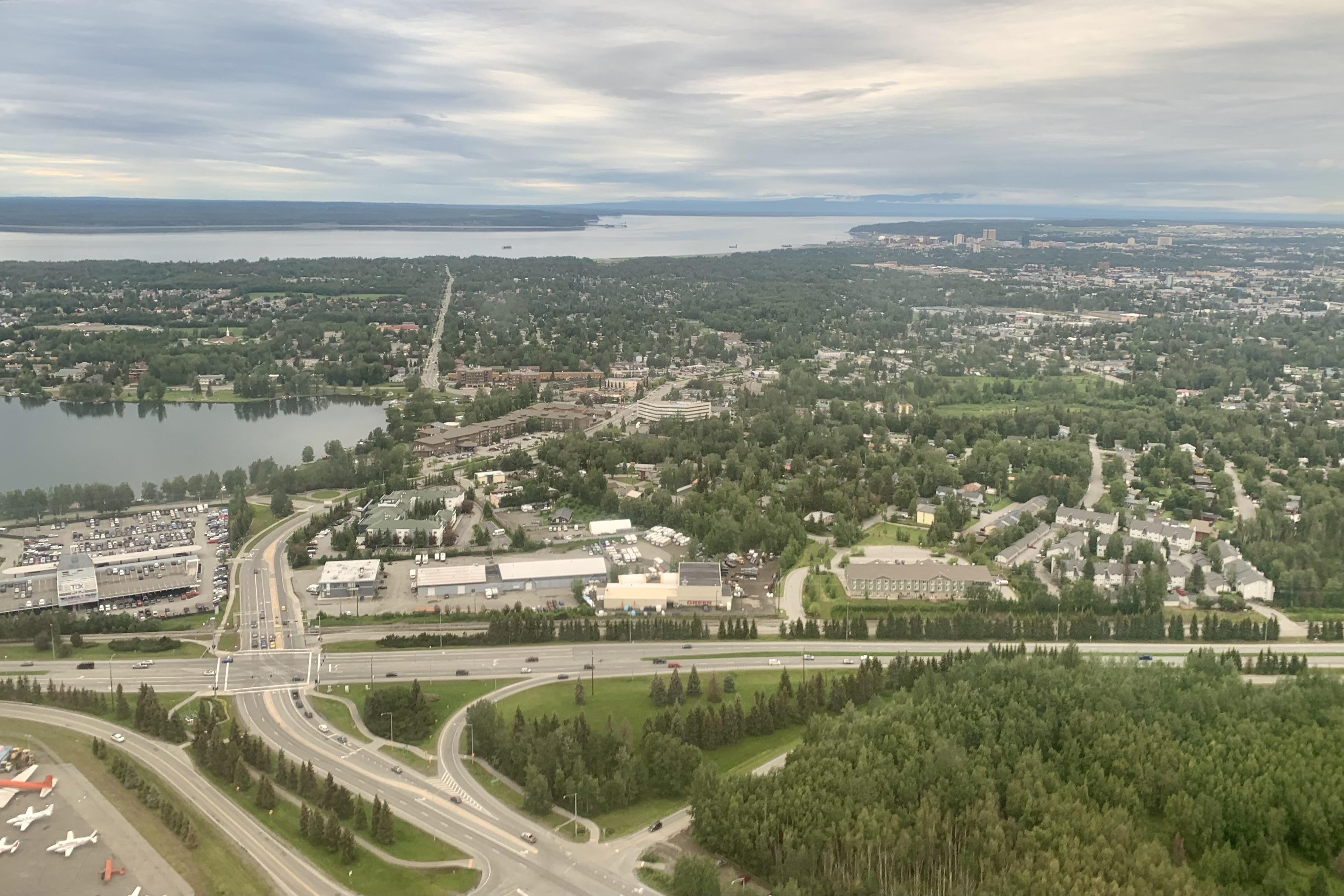
 Of course the first challenging part was driving the 125 miles from Soldotna AK to Anchorage through road construction, many delays, and then negotiating the massive mess of full parking lots (because of construction, now at 50% capacity in the high tourist season!) at Ted Stevens International Airport, in the rain. I am not one to have to have to find the  closest parking spot to my destination,  but I really did not relish walking a considerable distance lugging my suitcase.  I drove around all the aisles for A through O in long term parking and several beyond that with no signage to the second from last aisle before I found an empty spot…which was only open because I had to squeeze Lady Spitfire  between a wide bodied muddy high-rise pick-up and a rather old rusty and dented Suburban parked right on the line. I managed to squeeze out of my car and offered a prayer to the patron saint of automobiles, St. Frances of Rome, to protect my cherished jeep from any harm that might be inflicted upon it by the rather careless parker or the dude with the donk.   That was all good training for dealing with the rain and with the flight delays out of Anchorage and then out of Juneau. No need to elaborate here on the delays as I assume all readers have had the experience of and the challenges and tedium that plane delays present.

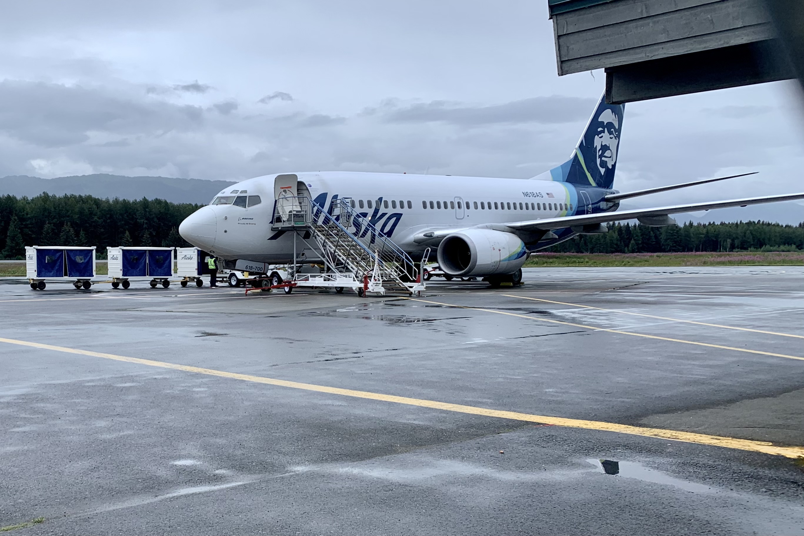
Since I cannot literally spread my wings and fly nor do I think my swim from Alcatraz Island to Marina Green in SF years back would have been adequate validation of my ability to swim the Icy Strait to Glacier Bay, I opted to fly into Gustavus from Juneau, a very short hop of 41 mile in 36 minutes. It would seem unremarkable except Alaska Airlines flies a 737-700 jet into this postage stamp airport with one runway. The flight reminded me of going up the St. Louis Arch with its steep arc up and then right back down. I am not sure I have been on a flight before where the pilot did a sharp U-turn in the runway and taxied right over to the terminal.

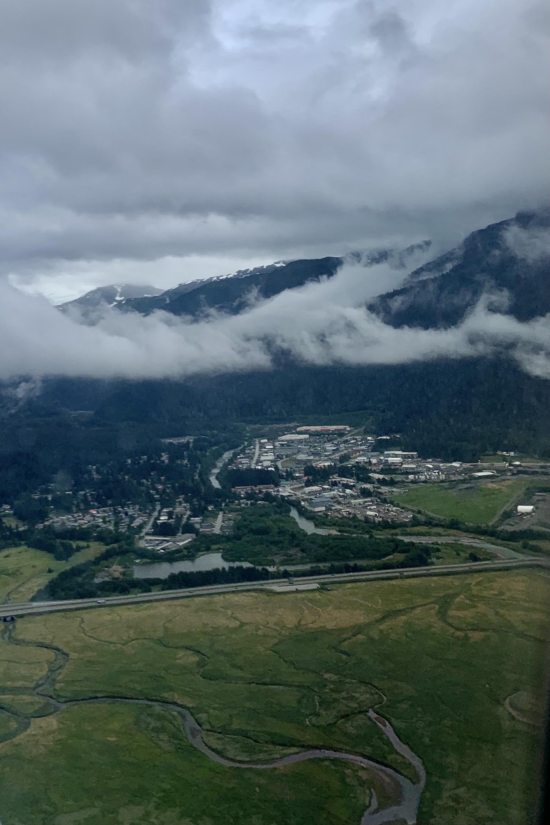
We were met by a National Park Ranger in Gustavus. In pre-trip reading about Gustavus, it entices would be visitors with “you will see that we are surrounded with breathtaking mountains, pristine inland waters, glorious sandy beaches…and wild strawberry fields”. This might be true if one arrives in this temperate rain forest area on a sunny day but not so glorious when arriving surrounded by massive cloud banks in all directions, fog and a spattering of rain. Gustavus, home to 655 residents, did not appear to me to be a thriving community even with its claim to fame of being the “Gateway to Glacier Bay Park.” I would imagine most touristy types (like myself) merely pass on through on the park shuttle bus which was the best photo op of the day.

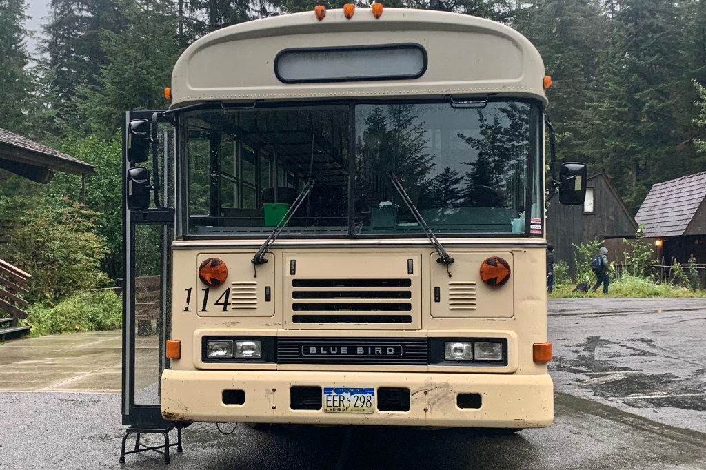
After an extend wait for our checked luggage, we rattled along the entire Gustavus road system (9 miles total of paved road) to to Bartlett Cove (where Glacier Bay Lodge is located) in a well used and rather sketchy looking bus. I must say this is the perfect vehicle for this setting … no need for glitzy mini-vans in my minds eye. Of course upon our arrival the heavier rains set in and by the time I got my room key amongst the last of the 15+ couples and families who flew in on the same plane, my poor forlorn suitcase was sitting out there getting a nice cold shower waiting to be claimed.

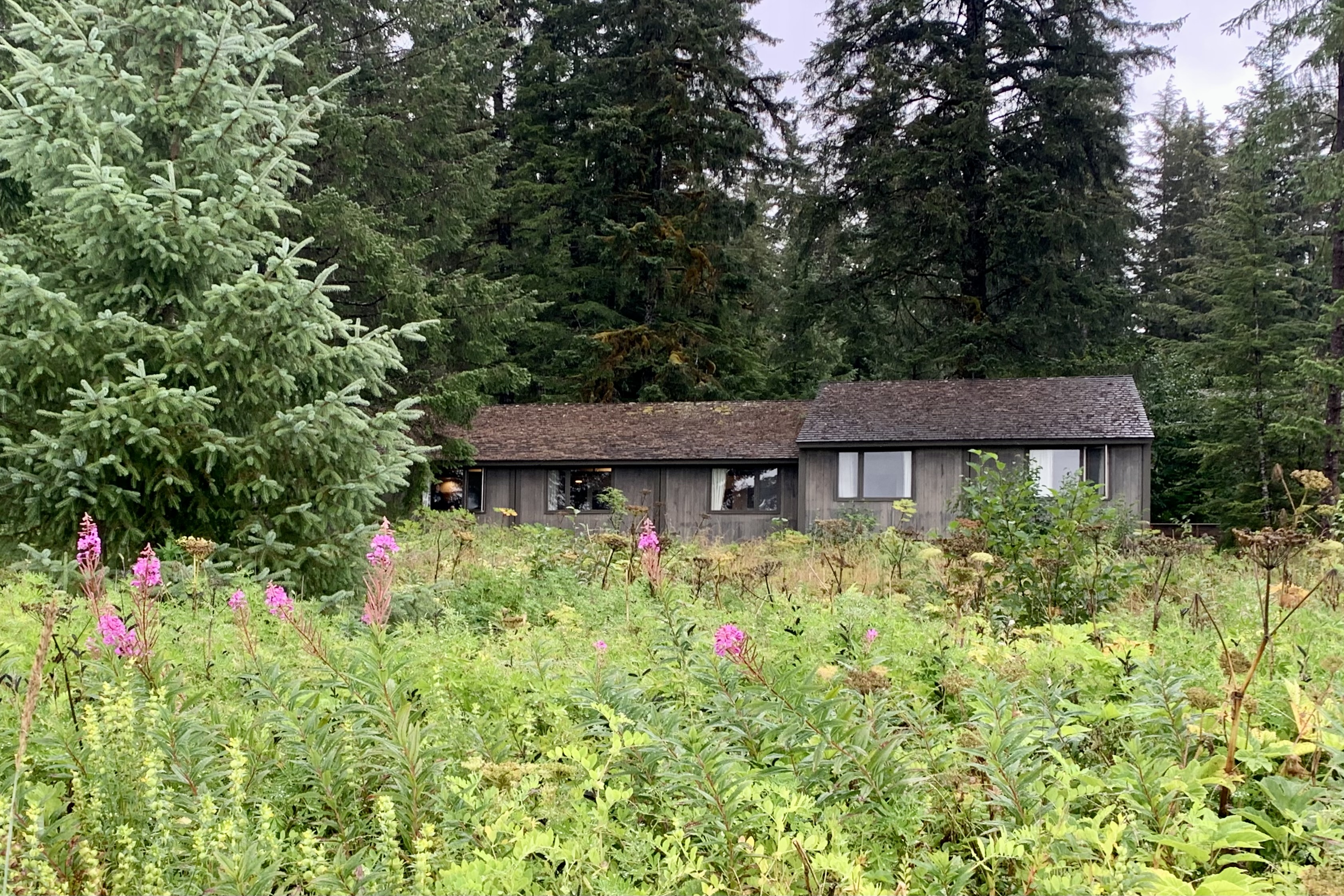
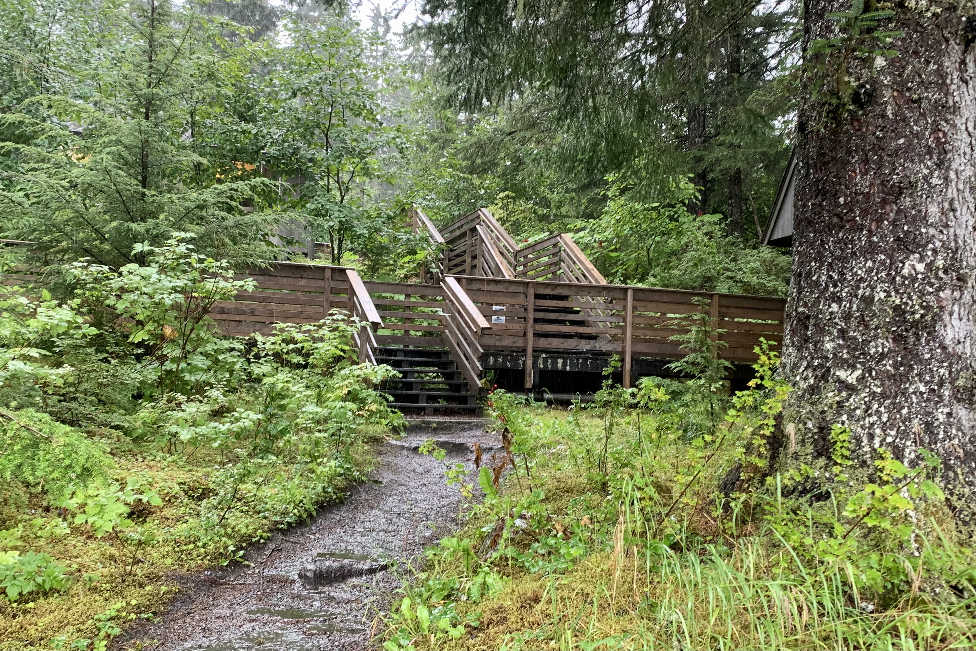
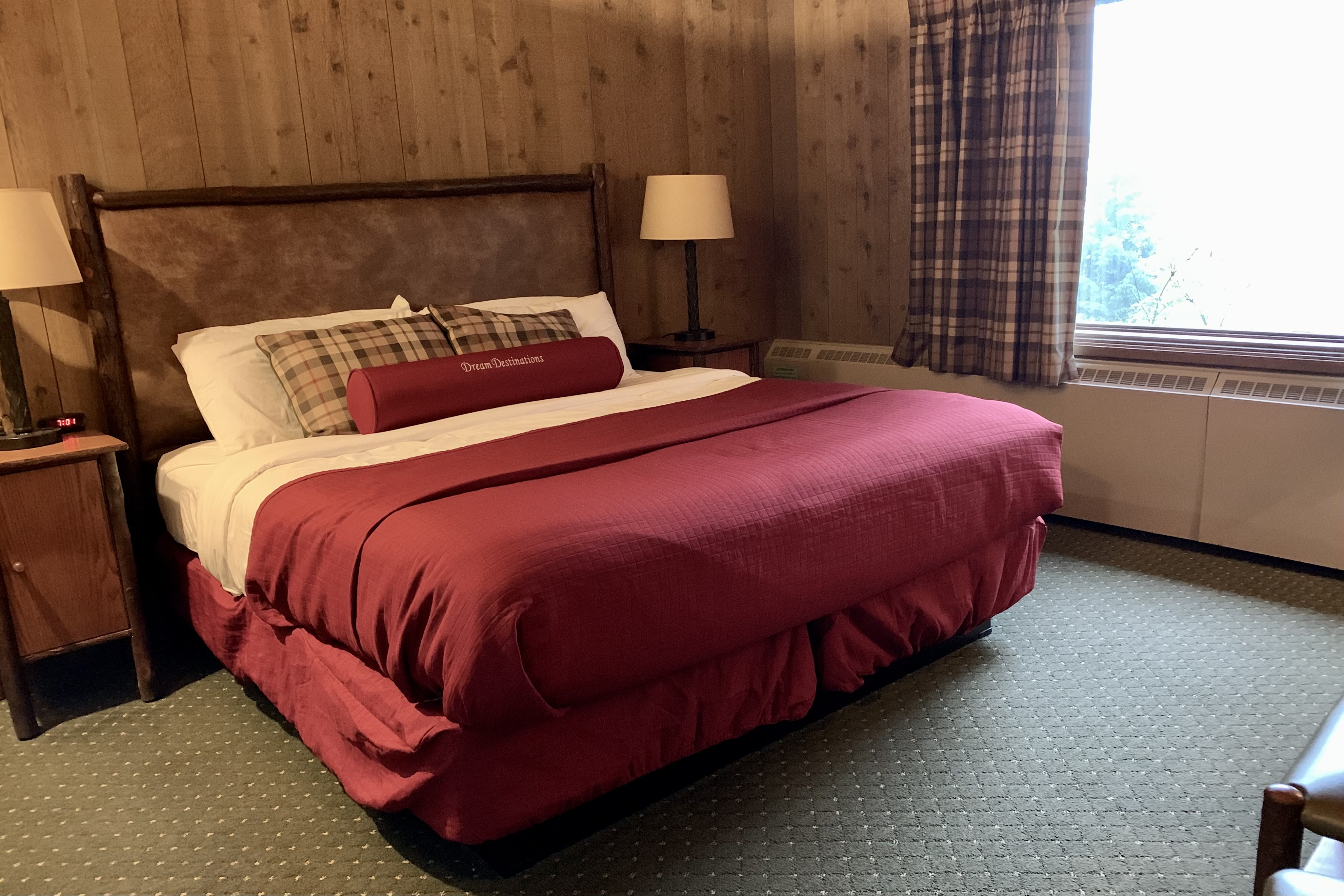
What an absolute delight to be staying in a lodge that fits beautifully into the landscape and to be ensconced in a room that befits this rain forest and is tucked into the hillside and forest surrounded by aging sitka  spruce, fiddle ferns, cow parsnip, beach strawberry….. How grateful I was that I booked “a room with a view” (i.e premium room)  fronting the picturesque Bartlett Cove. The only downside is the number of stairs, ramps, and walkways to get UP to the Lodge…though it makes for a nice body-weight workout. My room itself was a basic aging national park room and not even trying to be an imposter 4 star hotel. I would not even want that in a wilderness setting. The rooms are rustic but clean and comfortable .  Perfect! Nor are there amenities such as the mini fridge, microwave,  and TV  in the room (or lobby). Great! But I must admit I was quite relived to see one of those typical hotel coffee pots as I certainly did not have a keen yearning to get a morning stair stepper workout up to the Lodge  to buy expensive coffee.

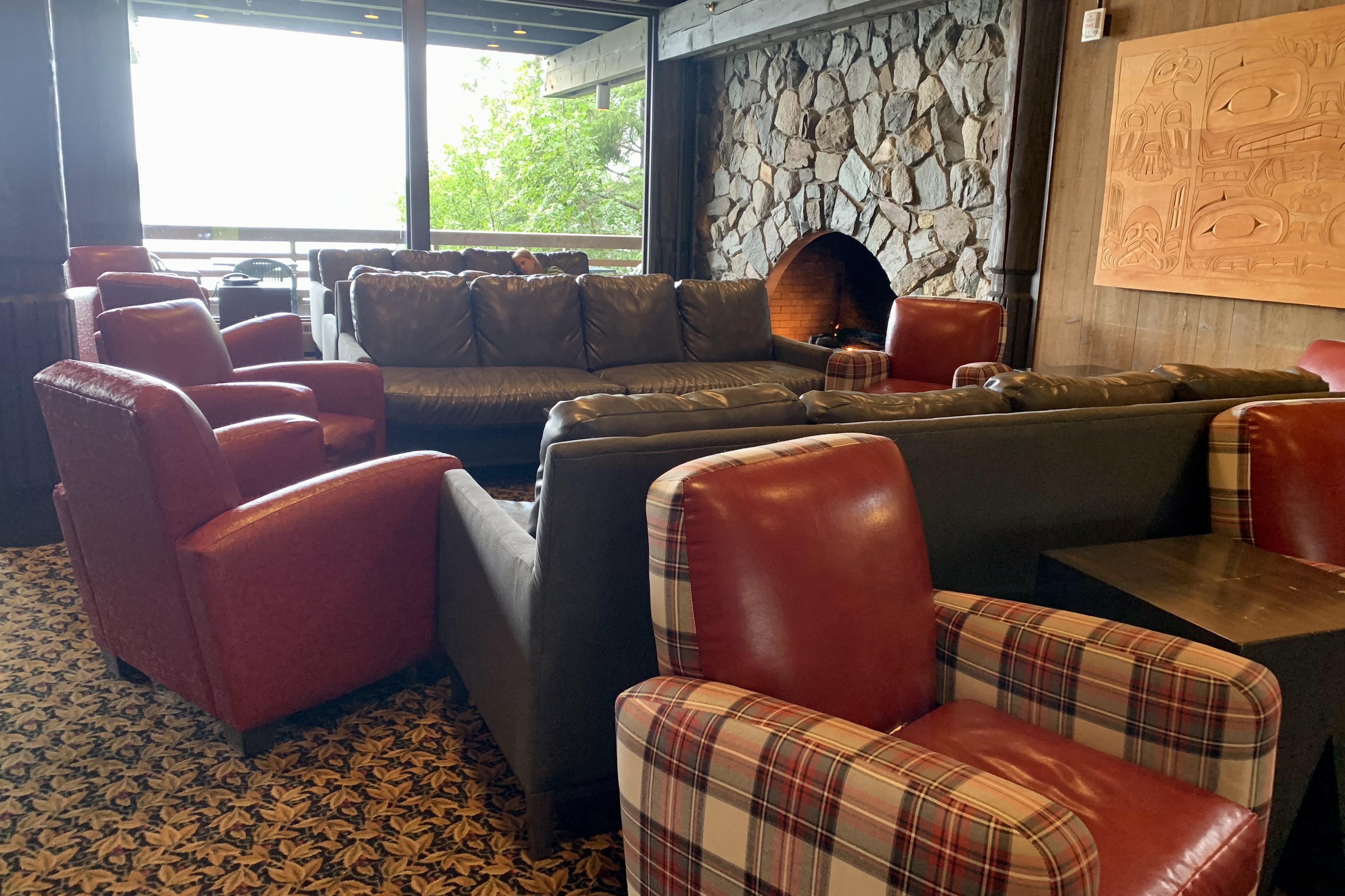
As anticipated, like most National Parks, there is no cell service and limited wi-fi…what a blessing … but the withdrawal can be challenging!  There was wi-fi in the main lodge and lobby area so the “living room” was packed with internet surfers and anyone, myself included , hoping to connect with the family left behind as I waited for a table. I vowed not to read any news during the stay. The upside of no room wi-fi is it can it definitely promote more social interaction (for me it did quite a lot) as well as interaction with the environment.  The down side being a vey crowded lobby at times with most individuals fixated on their screens. 

Once my room was “organized”  I headed up to get dinner as it now was 7:30. Seems like all the patrons had a jump on me so the wait would be about an hour. Given that one is a captive in this  wilderness and not being a hunter and gatherer myself, I got on the waiting list and searched out the offerings in the gift and sundries shop off the lobby. Unlike some parks that provided a much larger variety of options, I decided that what appeared to be day old sandwiches, caramel cookies, a variety of energy drinks, and an good assortment of single serving bags of junk food and candy was not on my preferred menu. So I waited.

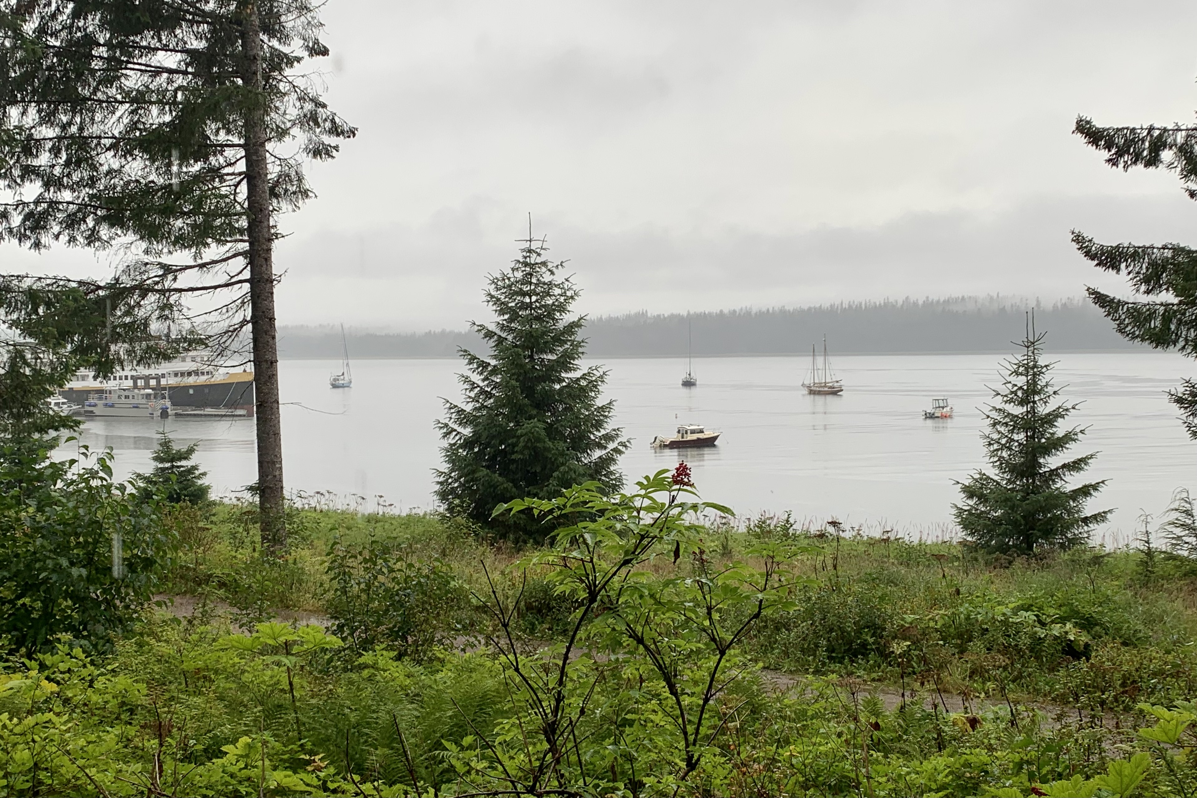
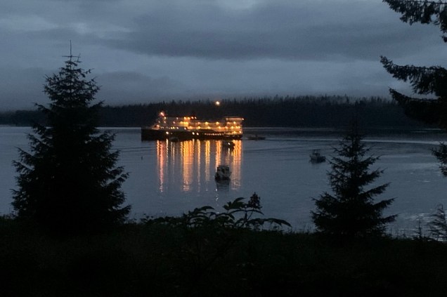
The menu at the restaurant was varied and I already knew that what I would anticipate as a reasonable price in the “lower 48” would be at least 30-40 % higher in Alaska, and of course jacked up again given the short season during which to turn a profit.   My $19.00 hamburger however was quite good and I figured quite  a bargain given our remote location… I kept reminding myself that everything has to come in by ship or air. Quite sated and delighted  with everything , it was time to turn in as I needed to report at the dock at 6:50 for the glacier cruise scheduled for tomorrow.  I wound down my day, sitting on the bed and looking out the window and watching the boats in the harbor.  

Woody Hobgoblins and Mossy Carpets

The next day’s dawn was a miniscule brighter than the previous days and the forecast was for cloud cover but NOT rain.  Without a car (thank goodness), I wanted to stay “local’ or hire a taxi. I was eager for a walk-about day after two days of extended time on the derriere. After I downed the not so sumptuous standard hotel breakfast bar food, I decided to  walk over to Near Island (which actually wasn’t that far) and hike both the North End and the South End Trails. 

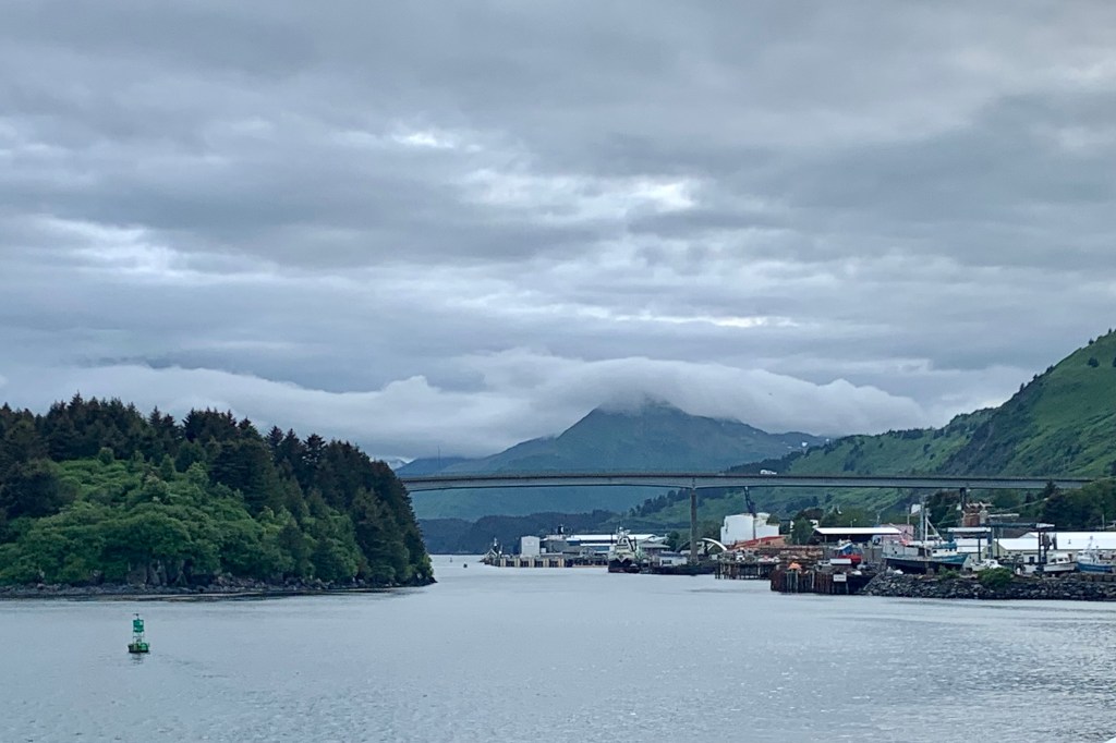
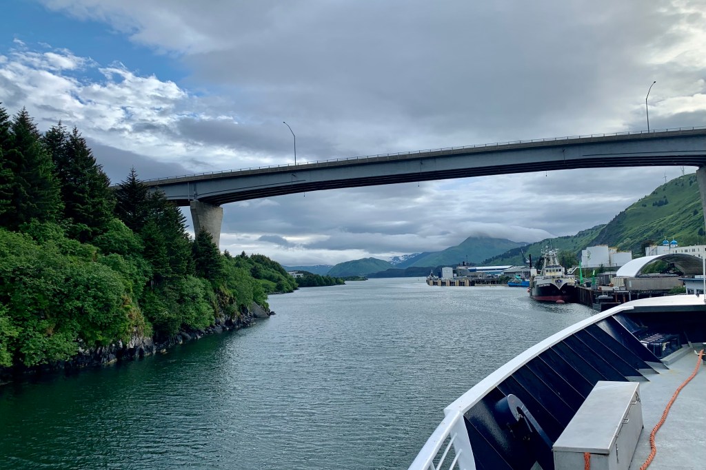
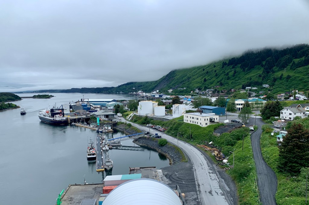
As I peered at the bridge to Near Island upon approaching Kodiak via ferry, I found it a we bit imposing (given the size and remoteness of this island), spanning the entrance to St. Paul Harbor in Chenega Bay and the city of Kodiak . The Fred Zharoff Bridge arched from the mainland, just across the channel from downtown Kodiak to Near Island. I began to create in my mind a small area developed with shops, restaurants, parks and the two lauded hiking trails that I had read about when planning this trip. I had seen a blip about Near Island Coffee on restaurantguru.com : “a cozy coffee and tea shop located there…is well known for its great service and friendly staff that is always ready to help you. ” The Kodiak Fisheries Research Center and Laboratory with a 3500 gallon Aquarium and Touch Tank is located there as well. Beginning the journey I was able to appreciated the vantage point of downtown Kodiak from mid-bridge.

Was I ever in a lala land… there was no thriving touristy retail center. Near Island was primarily commercial-industrial area with fishing trawlers and other boat moorings and a sea plane base.   Near Island Coffee was basically a drive up kiosk. Now, I really am the outdoors type and not all that touristy, so I even surprised myself with my expectations. Since I was primarily there for the hiking though, the North End Trail head presented right at the  bridge egress. 

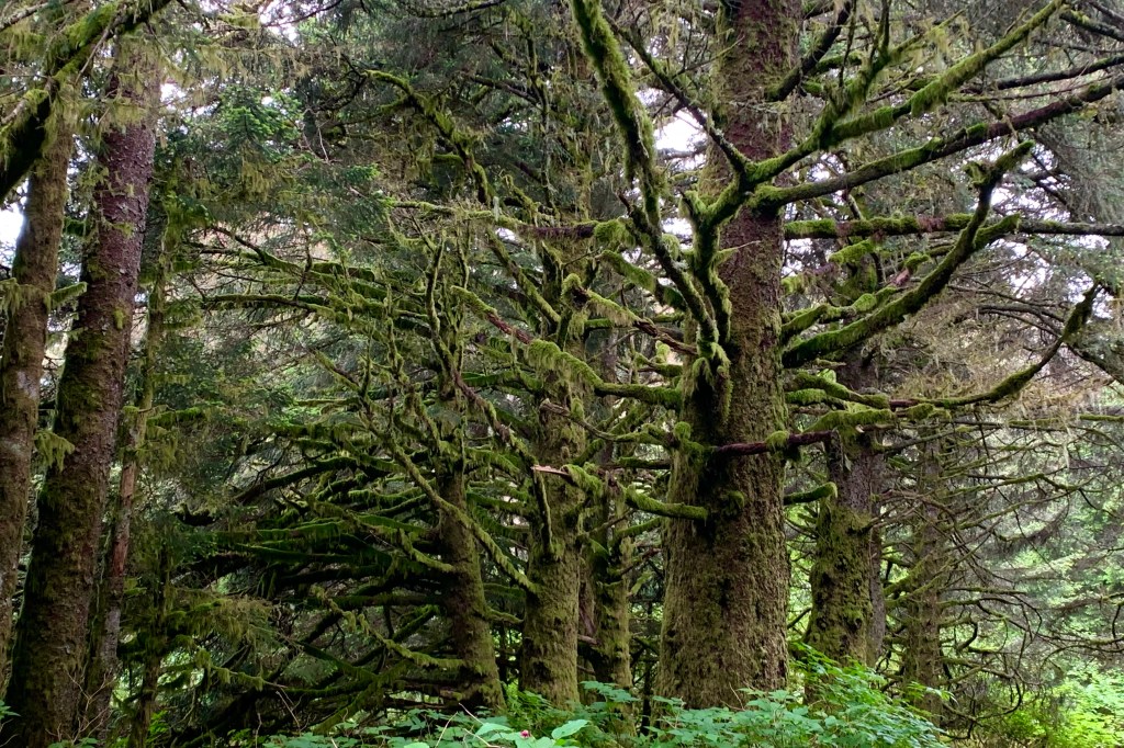
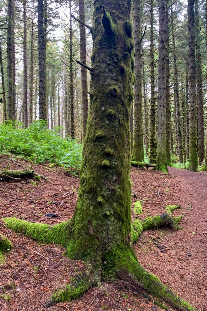
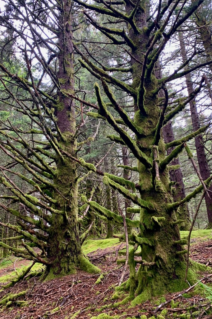
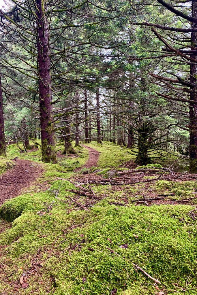
It felt at times as if I was being transported into a world of super-sized hobgoblins. Sitka spruce trees shaded most of this trail and they have done a stellar job of mossing up. I have dubbed it the  Hall of Mosses. A variety of greens that dominates the scenery of this temperate rainforest thrills the eye. I found it enchanting and primeval with the array of mosses (the word that comes to mind is lush) and lichens under the canopy of these old-growth trees.  

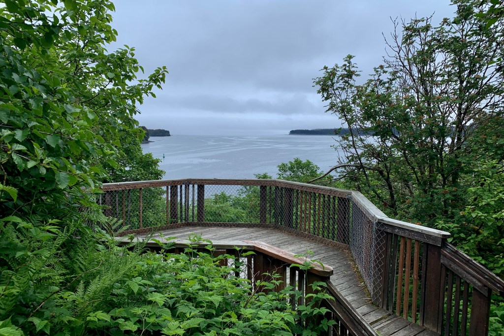
 The trail is mostly well marked but since I have always been directionally challenged, there were a couple of points where I found  myself walking in circles…  lost in gnome land .. but not really very lost. Additionally, I enjoyed the excellent views from an observation deck, a couple small beaches to visit,  and the fine views of  Kodiak and Chineak Bay . 

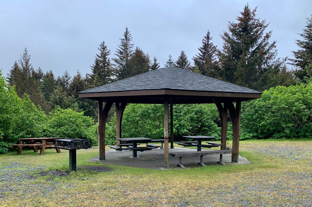
The South End Trail was yonder down the road towards Trident Basin Seaplane Base. I had trekked the road to the Kodiak Fisheries Research Center and Laboratory and came upon a trail sign indicating an intermediate trail connecting to the Rotary Gazebo and the South End Trail. Given my concept of “gazebo,” I couldn’t quite envision one in a forest draped with moss and lichen. But alas, a clearing and what I would call a picnic shelter turned out to be the Rotary Gazebo and Park. ’Twas a convenient spot for lunch!

This trail was a bit rougher, squishier, with roots popping up in hopes of tripping up this unsuspecting hiker. It was slow going but probably less than a mile and I came upon the gravel road and what might have been the beginning or end of the South End Trail.

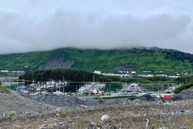
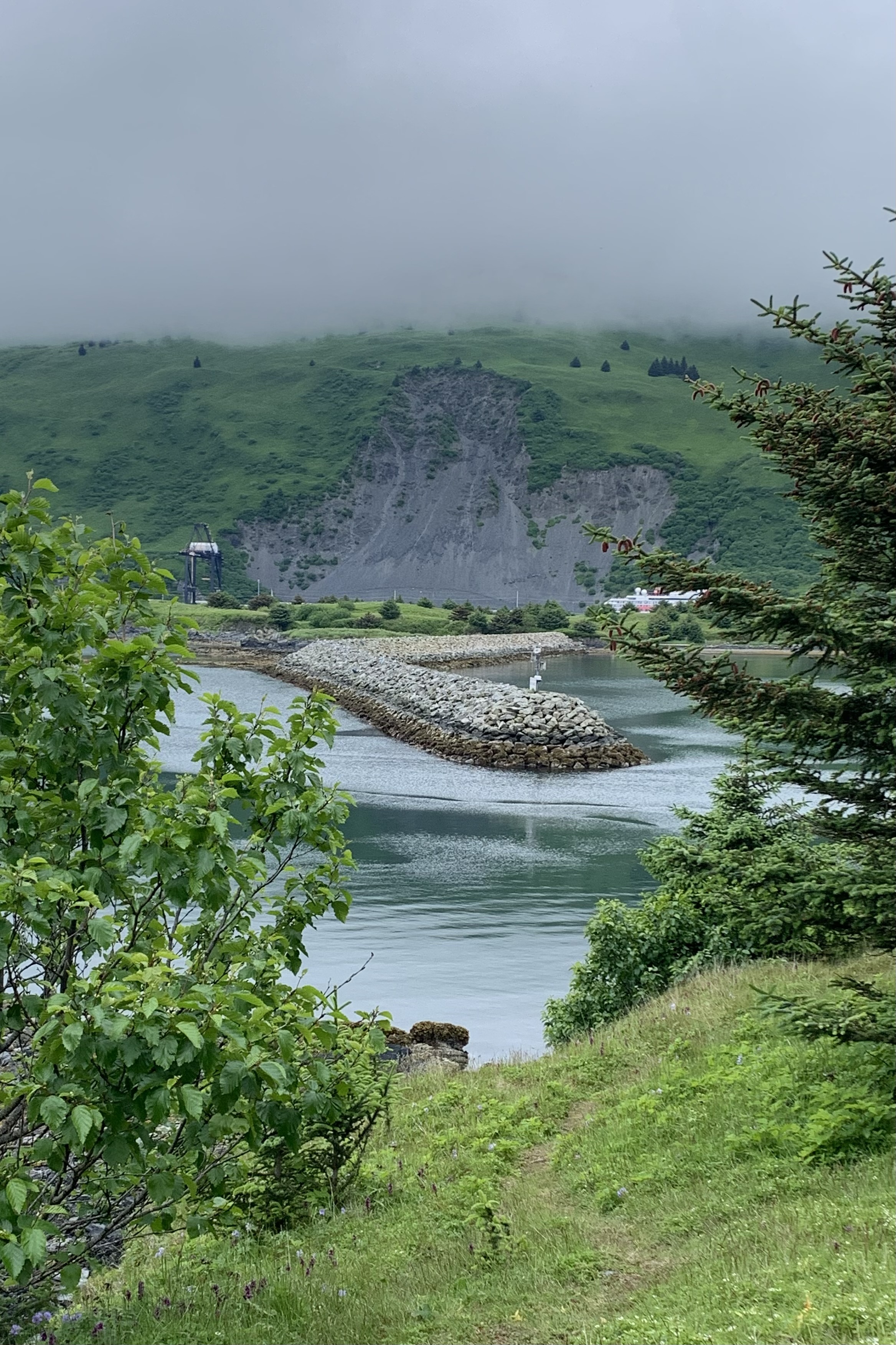
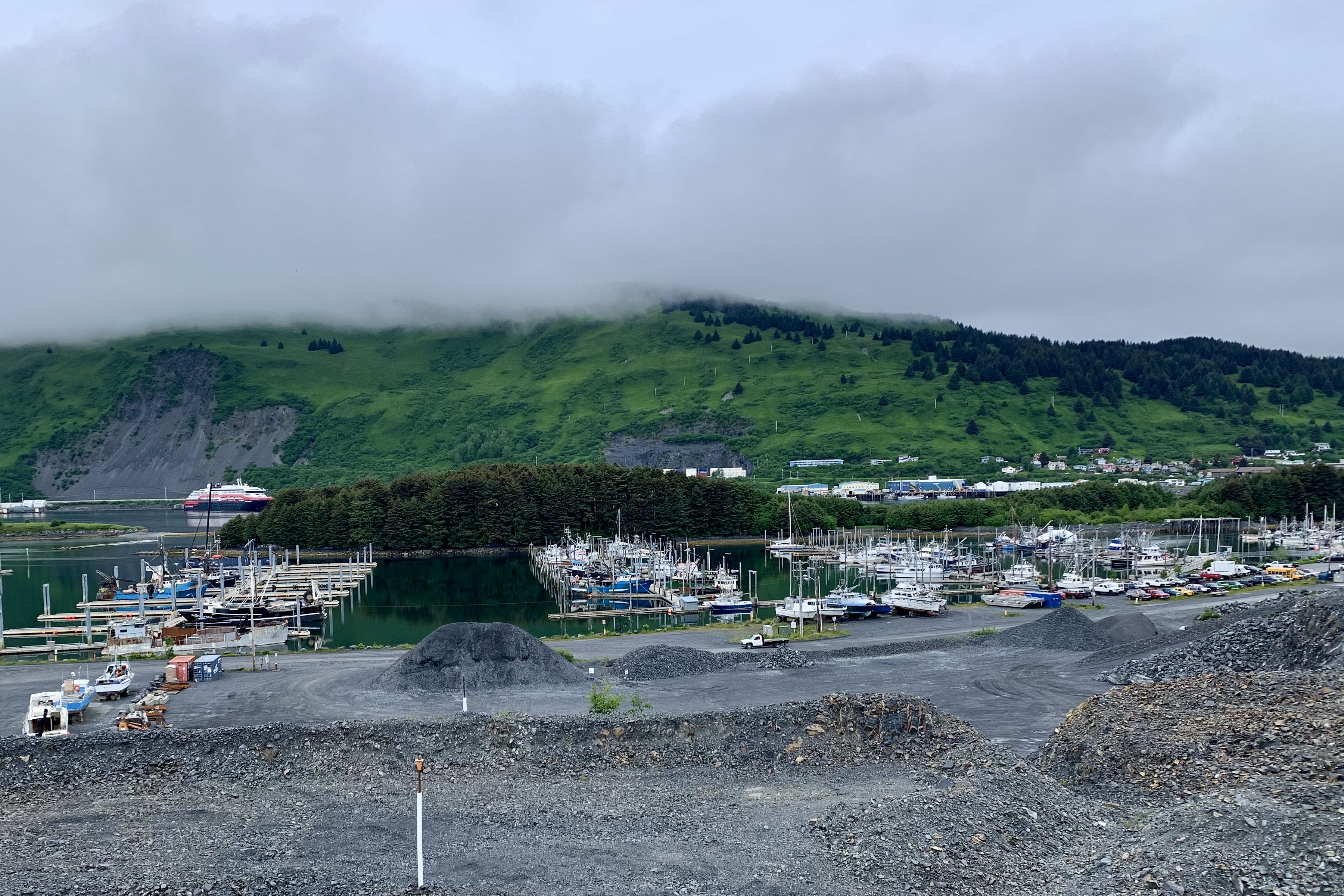
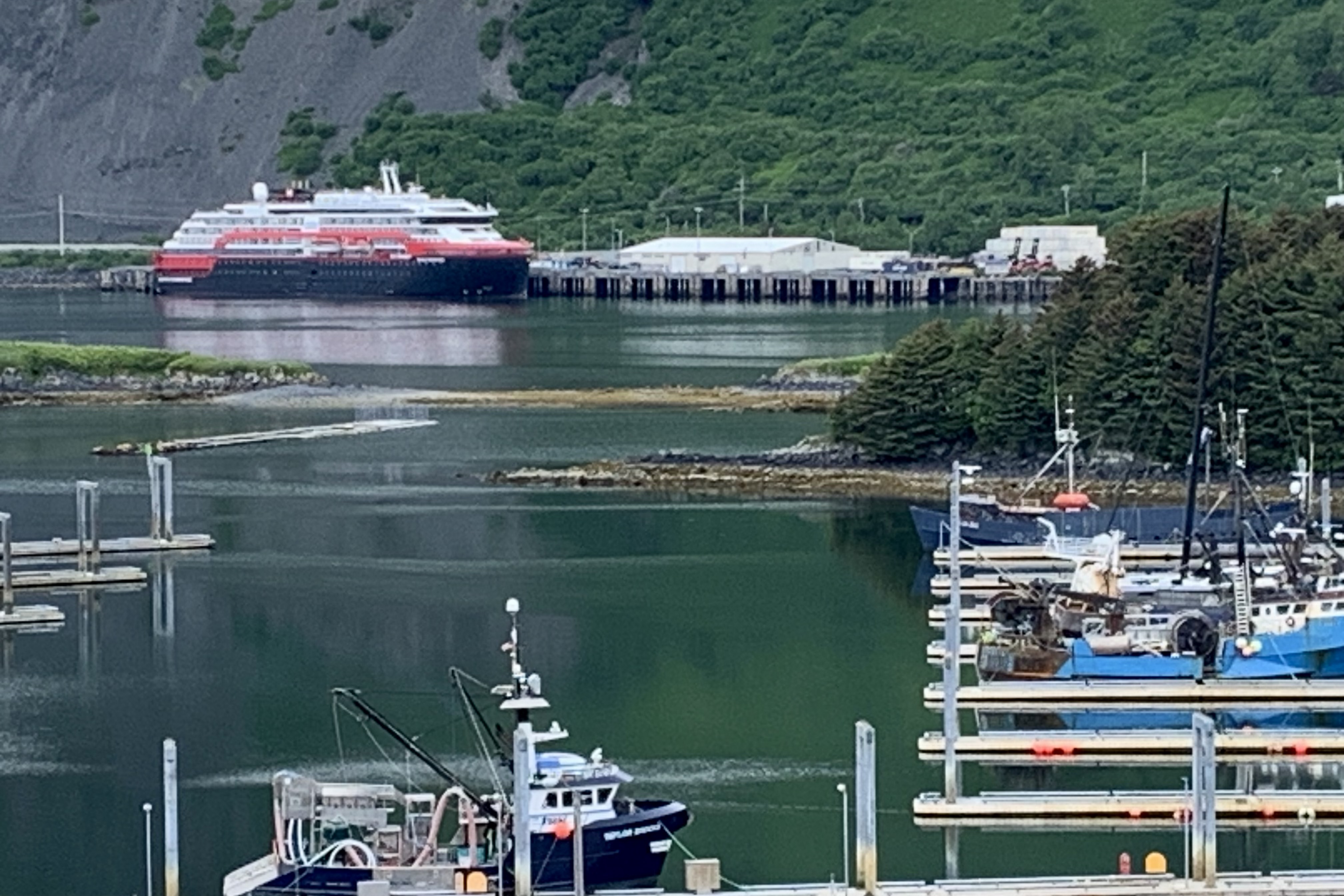
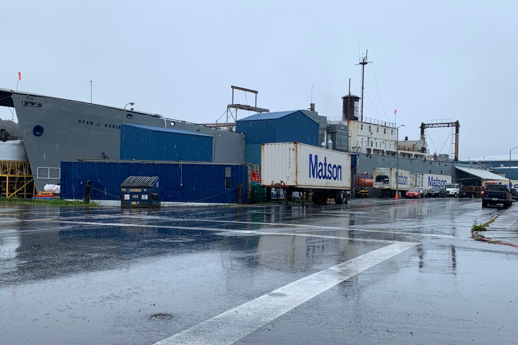
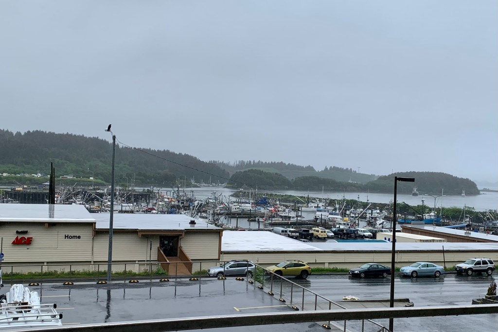
I gambled that this was my destination trail and proceed to hike up what I later heard was the Harbor View Trail which connects to South End Trail…literally at the south tip of this island. The rocky terrain I was trekking followed a chain link fence, clearly erected to prevent any foolish hikers from loping on down to the gravel excavation site. Believe it or not, given some of my previous endeavors, I was not tempted. I was setting my eyes upon some lovely and not so lovely sights: the gravel excavations, the breakwater to Kodiak Harbor and St. Herman Harbor (aka Dog Bay on Dog Salmon Bay Road) where the biggest commercial fishing vessels tie up; the Stellar Sea Lions, who are purported to be hanging out near the breakwater in absentia; City Dock Two on the mainland where the MS Roald Amundsen Cruise Ship was docked; and hundreds of additional moorings for commercial fishing boats. Trivia: Kodiak is the third largest commercial fishing port in the United States.

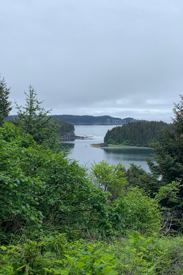
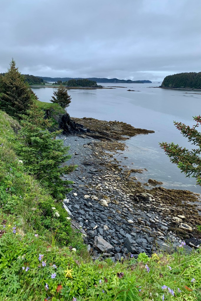
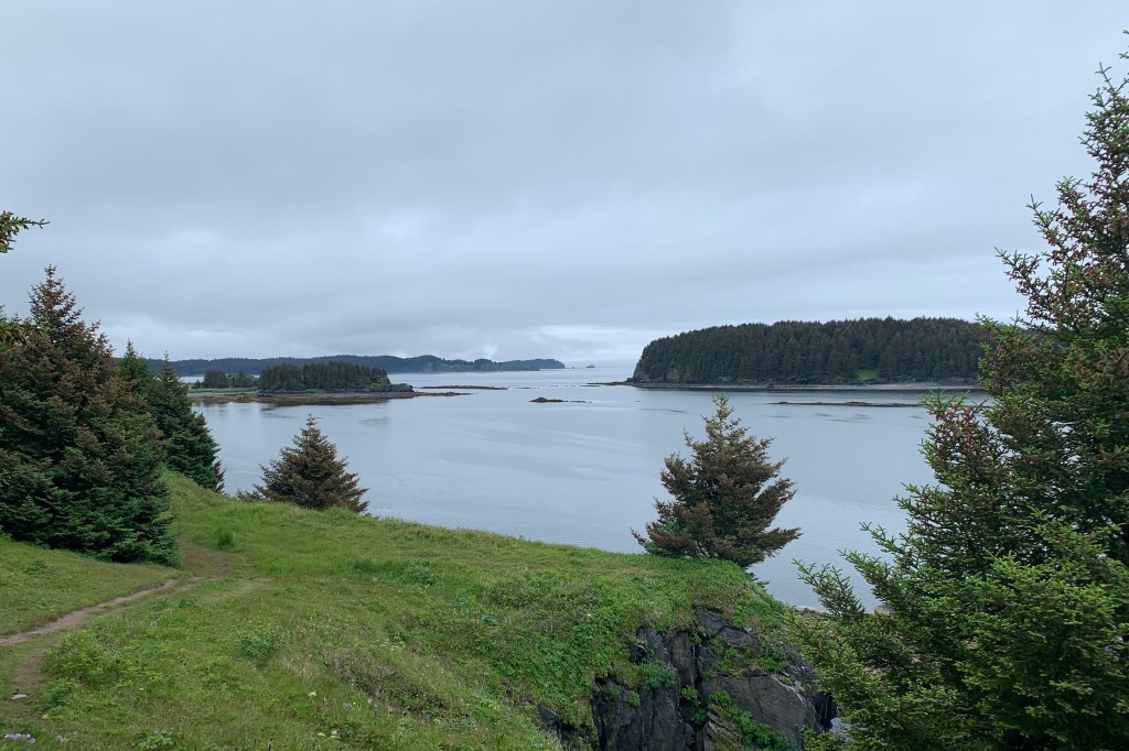
The  coastal trail soon entered coastal rain forest of sitka spruce at times but it wasn’t quite as thrilling as  the lush enchanted forest of North End Trail. The path  mostly hugged the coast and though  semi-improved, it was replete with the mud, rocks and roots that like to challenge a hikers forward momentum. Thank goodness for a few short  boardwalks at some of the muddiest locations. At the southernmost termination I opted to enjoy the marvelous  views of Chiniak Bay, perching on the edge of one of the  wooden benches  which still retained the leavings of yesterdays rains.

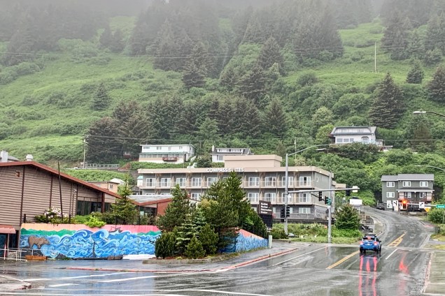
I plodded back via the gravel road to the much anticipated reward for a day well spent: a venti non-fat latte from the oh so famous Near Island Coffee Kiosk. I perched again on a wet park bench waiting for the caffeine to kick in to power my legs back across the bridge to my Kodiak abode. Having clocked about six miles of hiking, my legs were spent, even though my money was not. I again opted to not trudge down the hill and ate remnants of my lunch, and the fruit and baby carrots I had in the room. Not totally yummy but it was food and I saved myself the climb back up the very steep drive to the Compass Suites.

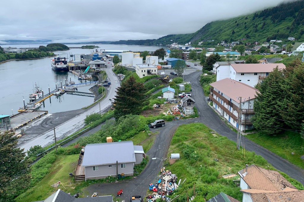
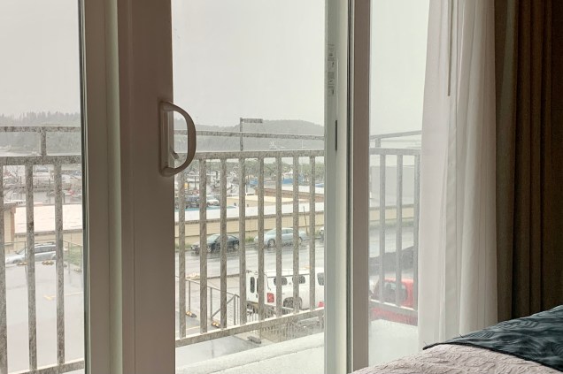
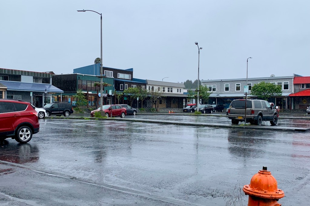
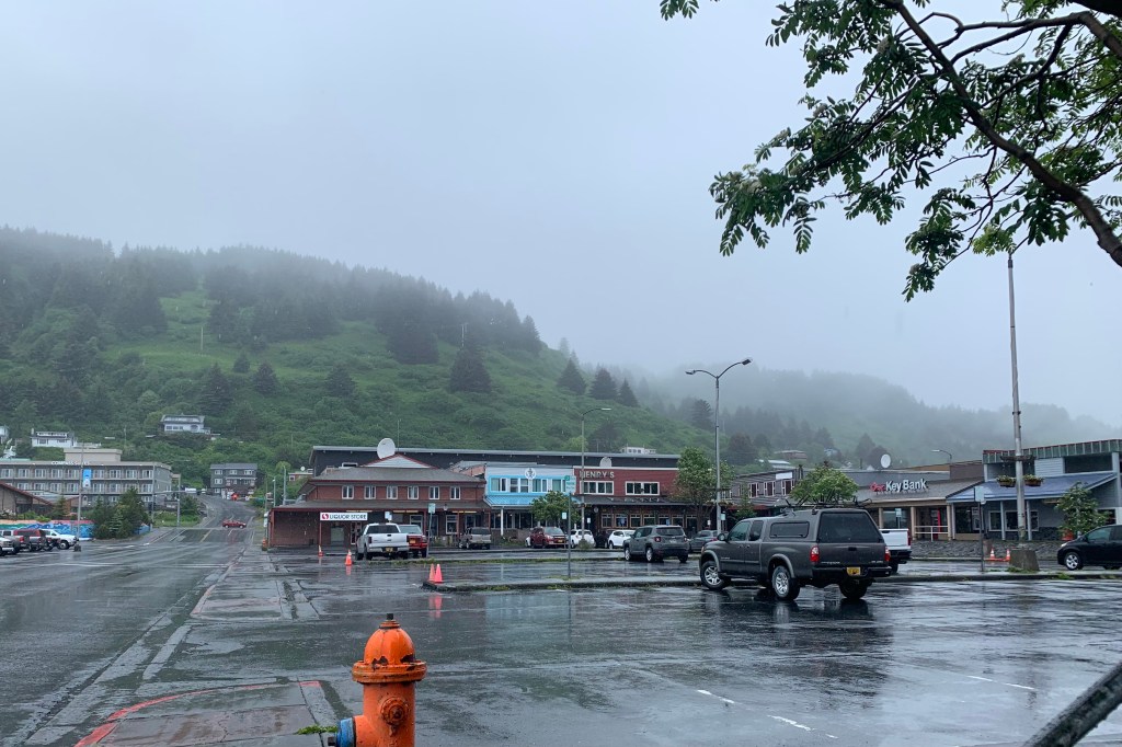
Being eternally hopeful ( or should I say hope springs eternal) for a turn in the weather, my hopes were yet again dashed as I peered out the doors to the balcony and it was even grayer and large drops of rain were falling with a relentless force. Since the plan was to stay local and explore the city of Kodiak, I was definitely not in a frenzy to get out there and explore every nook and cranny of this very Alaskan berg. I did venture on out about 9:00 am, encased in a bright pink rain jacket much too large now for my shrinking frame, green rain pants, my trail shoes,  but sans umbrella. My mindset was to trot merrily in the rain  around town, perhaps have a nice lunch, and do a bit of shopping. By the time I negotiated the short distance down the street to the town center, I did not much feel like prancing in the rain but trudged around the area in hopes of feeling inspired by a shop, church, museum, or just about anything to distract me from the rain that was now seeping in through a slit in my rain jacket. I found the town to be quite utilitarian and bordering on a classic strip mall with a large carpark to support it.

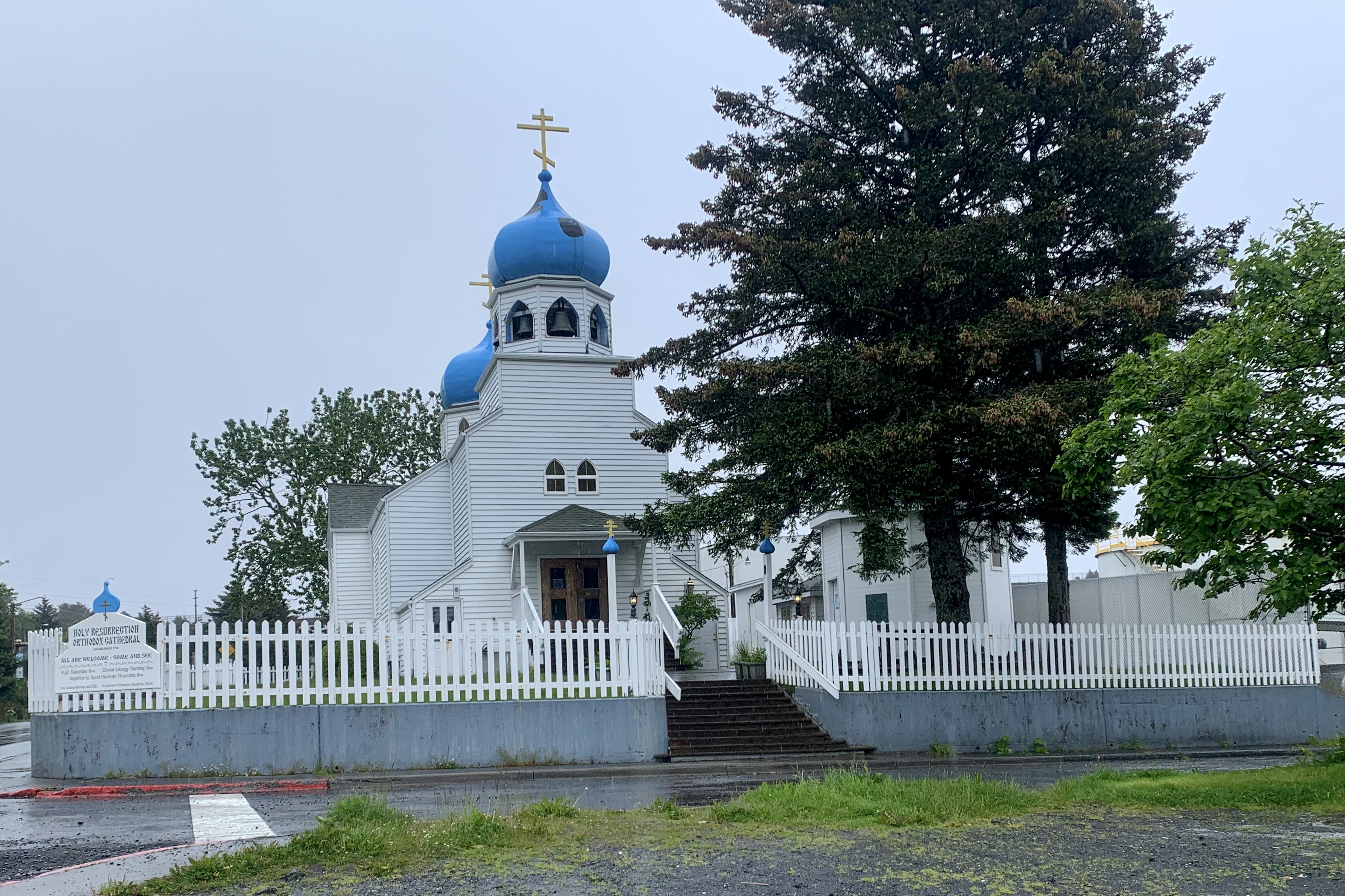
But being bull headed and determine to experience this town, I went to visit the Kodiak National Wildlife Refuge Center. CLOSED! A stop in at the visitors center didn’t yield a whole lot of new information or ideas. So  I wandered though the port and industrial dock area and then headed further down the street to visit the Holy Assumption of the Virgin Mary Russian Orthodox Church and Saint Herman Theological Seminary. I was quite satisfied to view the exterior and opted out of taking my rain soaked dripping self inside. Same rationale was used regarding visiting the Alutiiq Museum and Kodiak History Museum. I love reading history, love historical novels, but have never been a big fan of visiting museums, especially in wet gear. 

I slogged back to the town center for the anticipated shopping for souvenirs — though why would I even want a souvenir as a hallmark of this trip. Much to my relief the two stores that might even have something memorable to purchase were closed so that solved that dilemma. No browsing, no money spent. As it was a bit early for lunch I opted to return to the hotel, dry out, pack up and then decide what to do with the 2.5 hours before I got the shuttle to the airport.

This is not a touristy town center and I wonder if the patrons off the cruise ships that dock here are as surprised as I have been by the blandness of this town. It just did not feel like there was any hum or buzz to it. Now,  I am sure that my perspective is definitely tinged by my age, my style of eating, being a non-drinker, definitely preferring outdoors adventures, and of course the overlay of inclement weather. Since this was not a day for sitting out with a coffee,  reading and people watching until it was time to go to the airport,  upon checking out by the appointed time, I enjoyed the lovely hotel lobby and caught up on a lot of reading.

Another shock was the air service by Alaska Air in-out of Kodiak, a town of approximately 6000. It has a huge runway and it flies a Boeing 737 in and out. The airport gate area definitely was not designed to hold the large number of passengers that the jet aircraft can hold. Packed into the waiting area like sardines,  I was not particularily appreciating the ripeness of some of the outdoors adventures or the high level of humidity in this enclosed area from the plethora of  wet outwear.  Since I had started in Homer I had to fly back there by the very circuitous route of a 1 hour flight  to Anchorage , a 3 hour layover and a 45 minute RAVN AK flight to Homer– a 5 hour journey to go what would have been 132 air mile across the Gulf of Alaska had I been able to fly direct. It was no surprise to deplane in the rain and then drive an hour and one half back to Soldotna in this same low pressure weather system that has locked in over the peninsula.

Was I disappointed . Yes and no! Since I was mostly confined to the road system and town, I did not see any kodiak bears but I had not expected to see any of Kodiak’s large population of bears. Other than that it was a great experience just going with the flow, dancing in the rain (well not quite dancing) and embracing whatever Mother Nature spewed forth. even if I have groused about it a bit!