A Donk, Icy Strait, Rustic Rooms and a Burger Bargain

Getting to Glacier Bay National Park

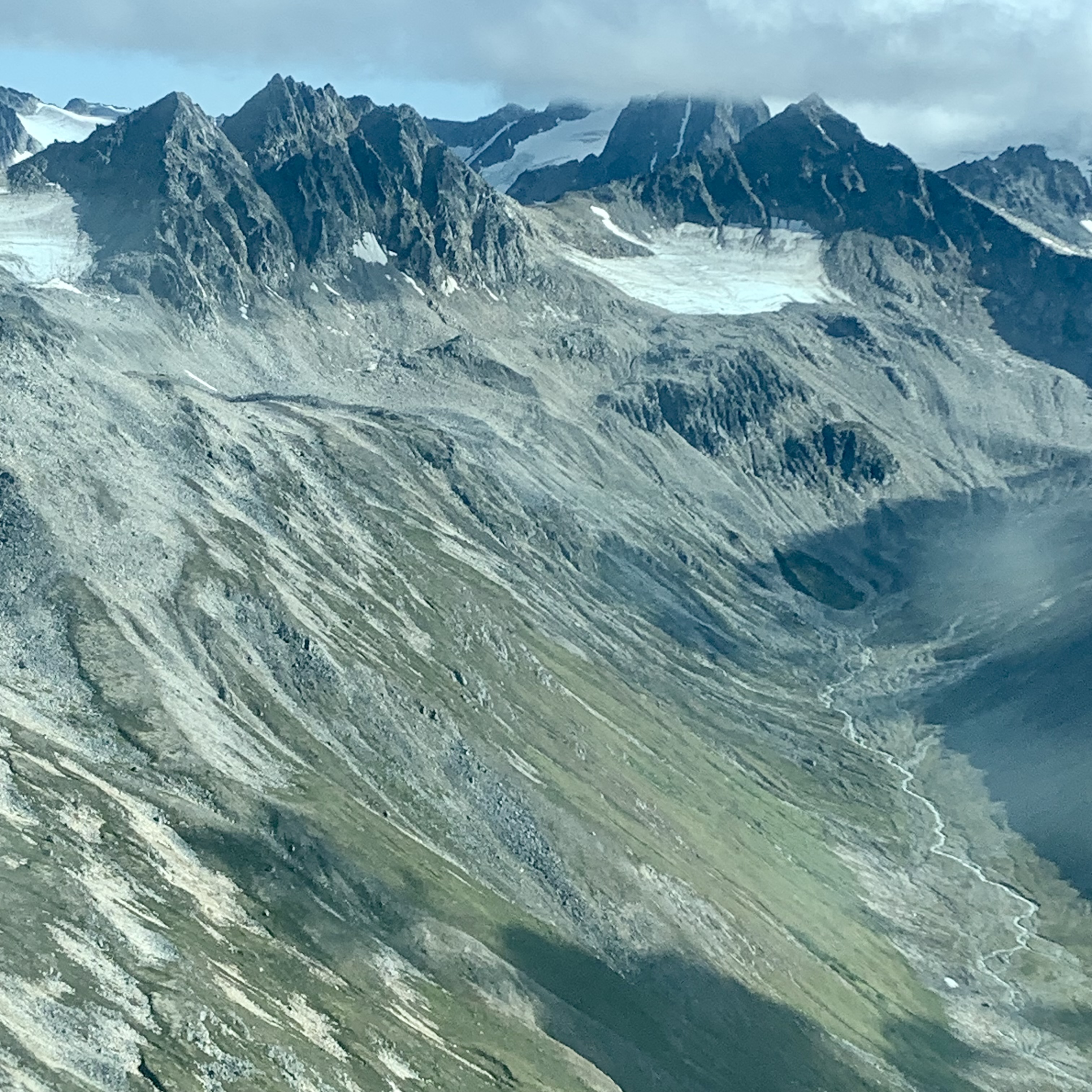
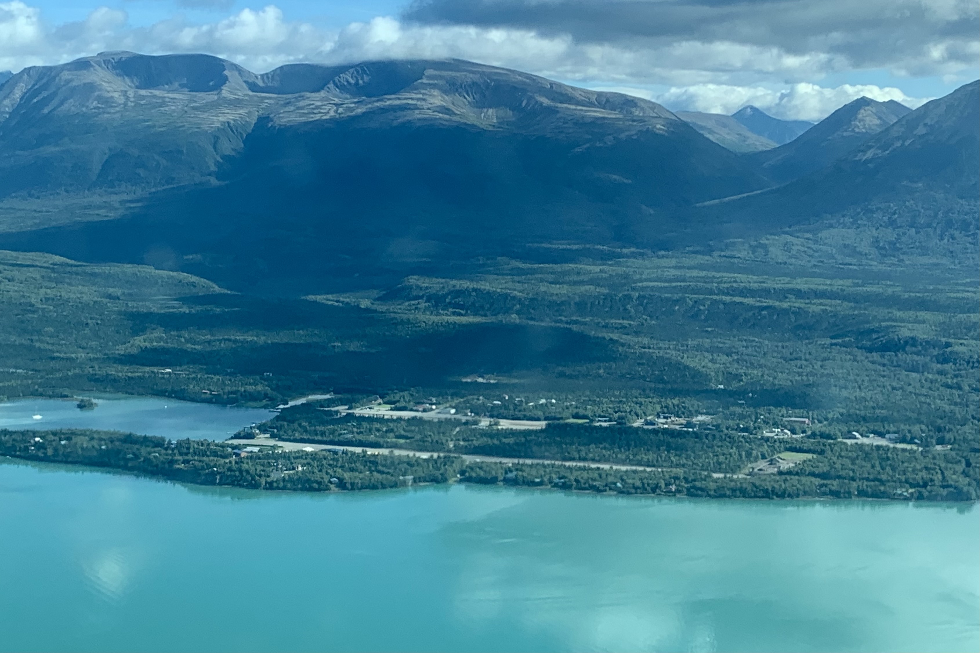
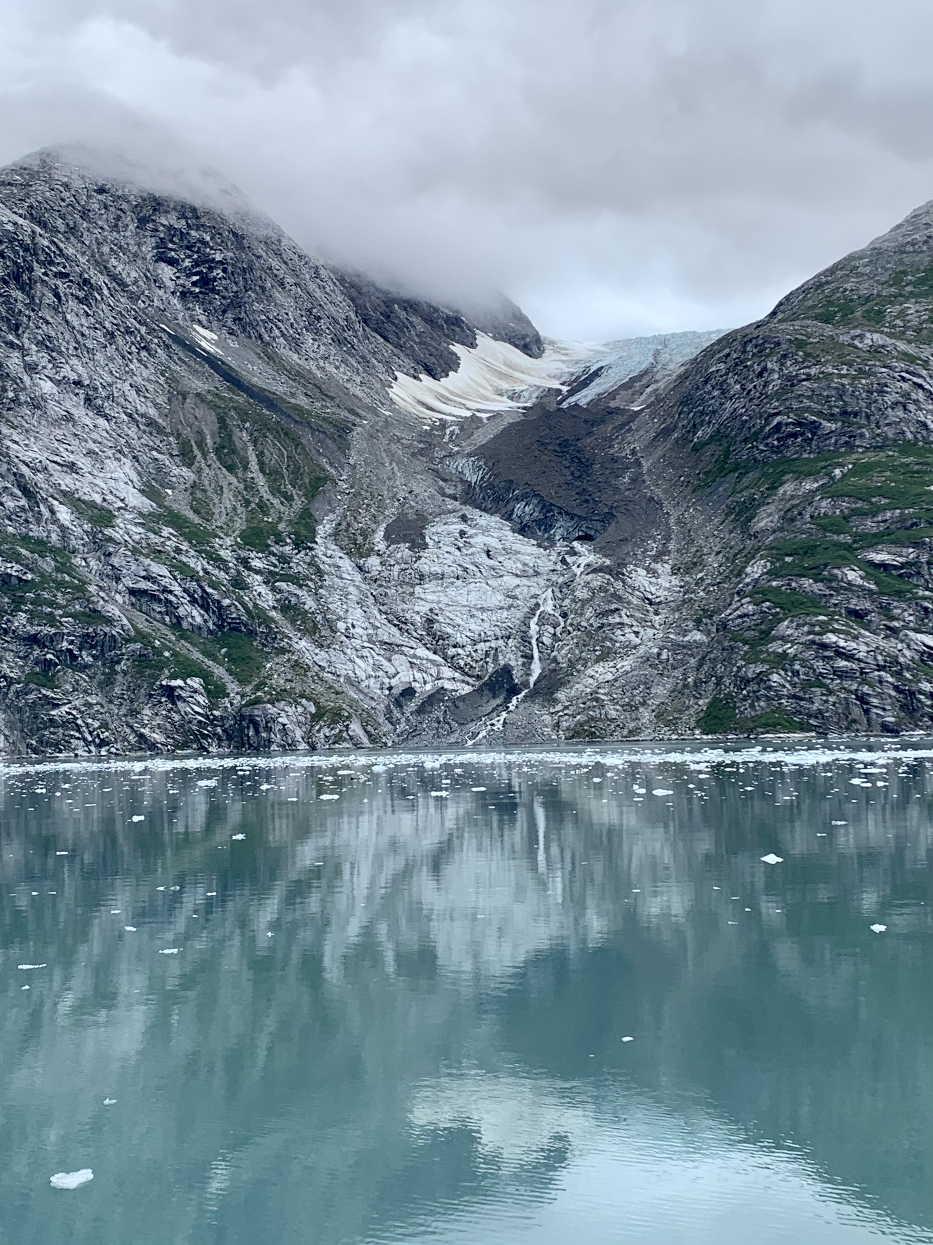
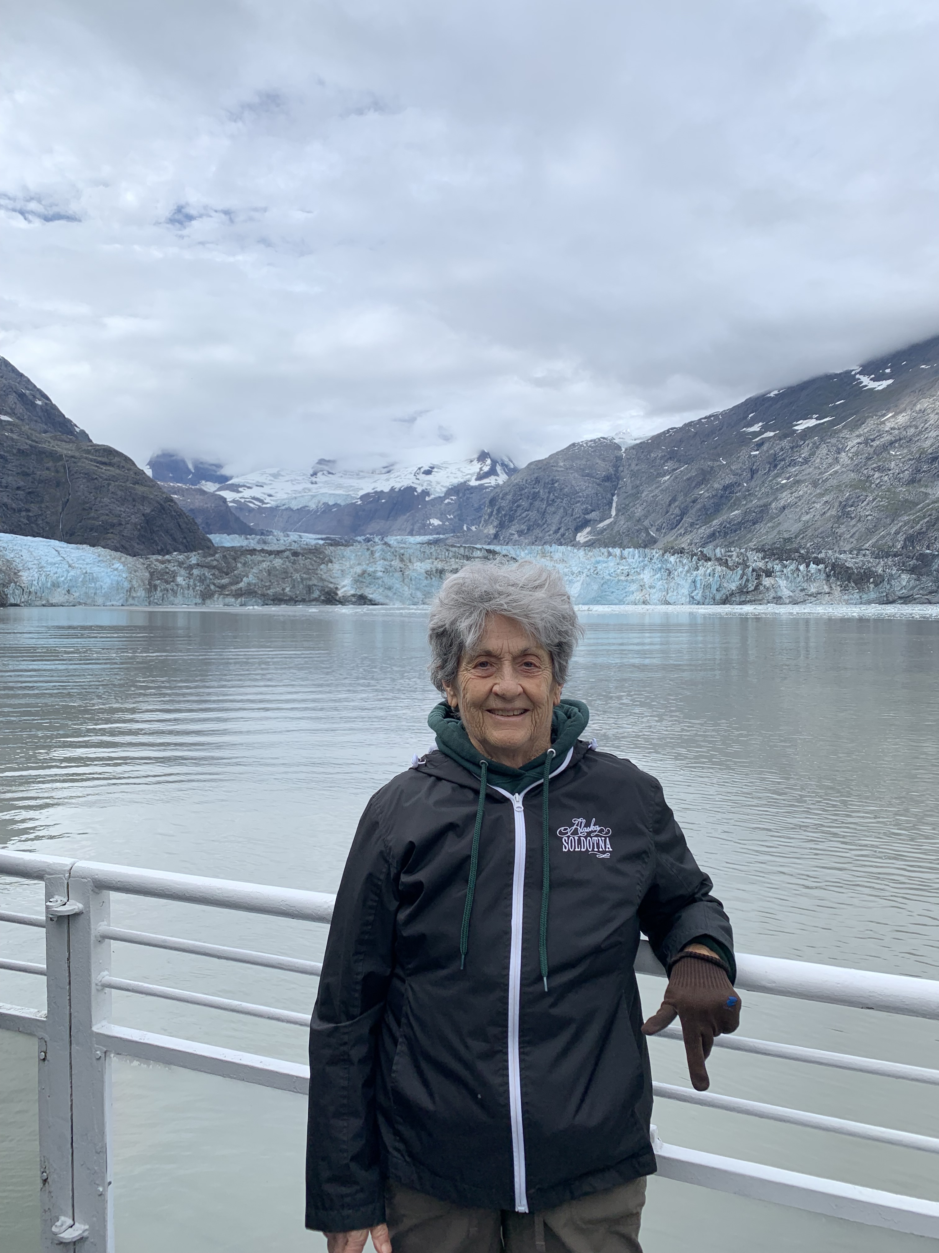
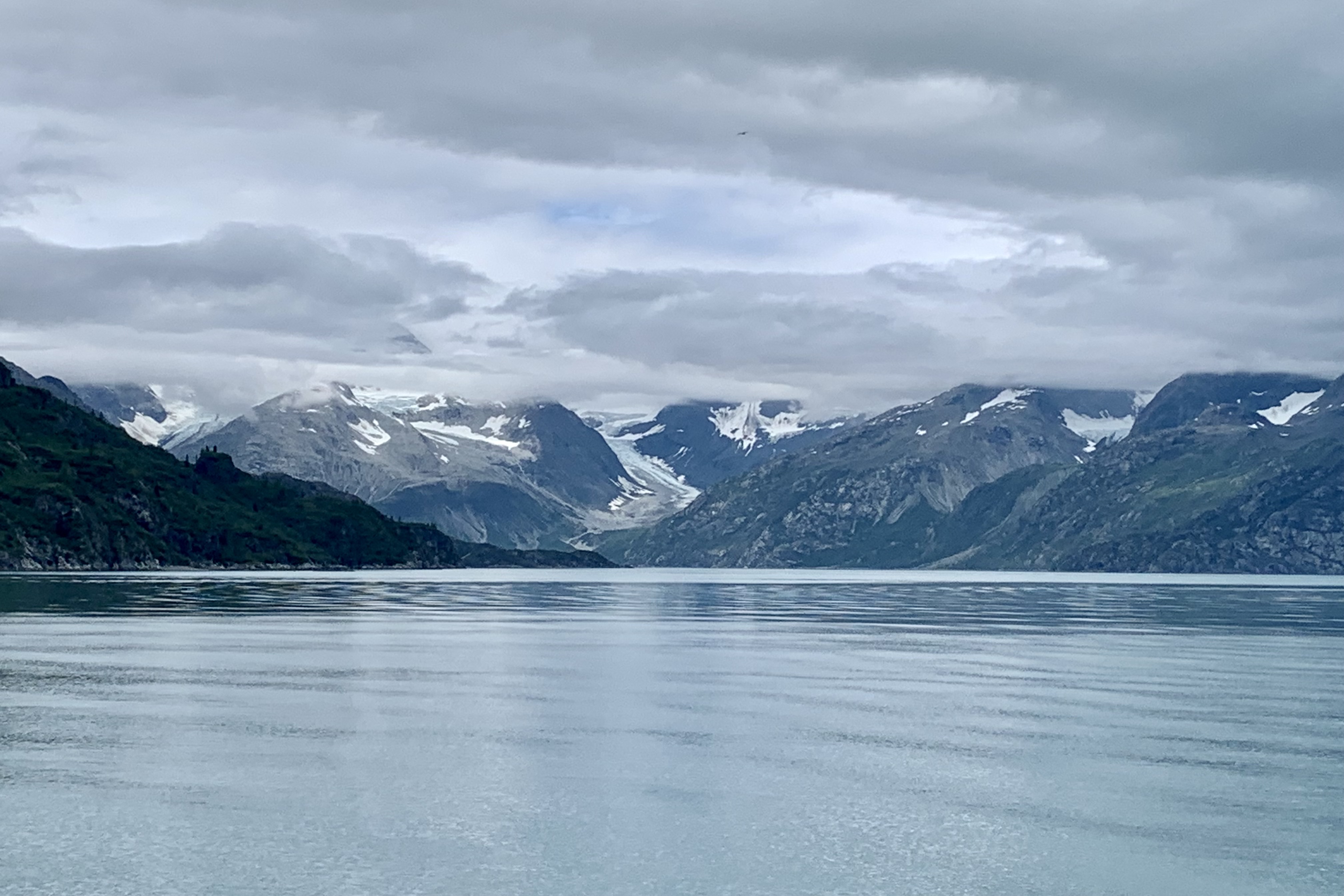
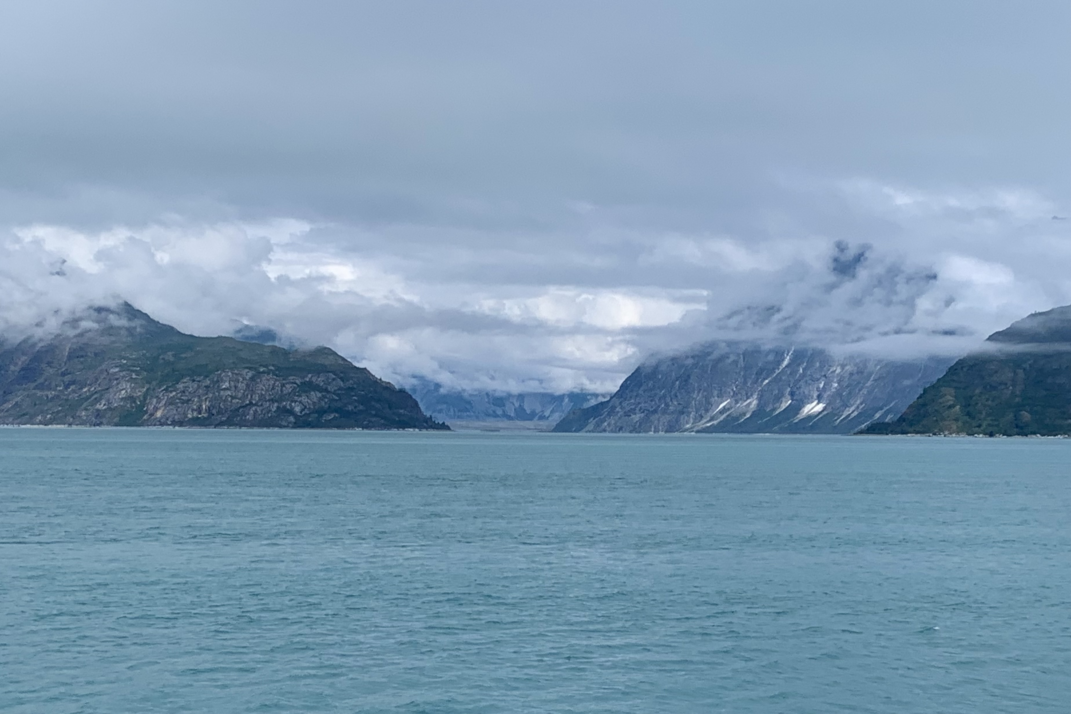
With my goal of visiting every National Park, the logistics of getting there at times can be challenging and expensive.  Glacier Bay roads are definitely not on a road map grid of either the USA or Canada.  It is part of a huge corridor of wilderness that is the largest contiguous roadless area left on earth which includes Glacier Bay National Park and Preserve and Wrangle-St. Elias in Alaska and Kulane in British Columbia. It is access able only air or sea.The park itself has only 9 miles of paved road leading from Gustavus airport to Glacier Bay Lodge ( air being one access point to Glacier Bay NP. ) The other access is via private boat or ferry.  Since Glacier Bay is served intermittently  by the Alaska Maritime Highway Ferry system, you technically could bring your car or RV there but there is no place to drive to other than to the Lodge with very limited parking and locally in Gustavus. The 30 site campground at Glacier  is quite primitive with pit toilets and food caches and blessedly NO  RV camping facilities to accommodate noisy generators, polluting motors, electrical needs,  and waste dumping.

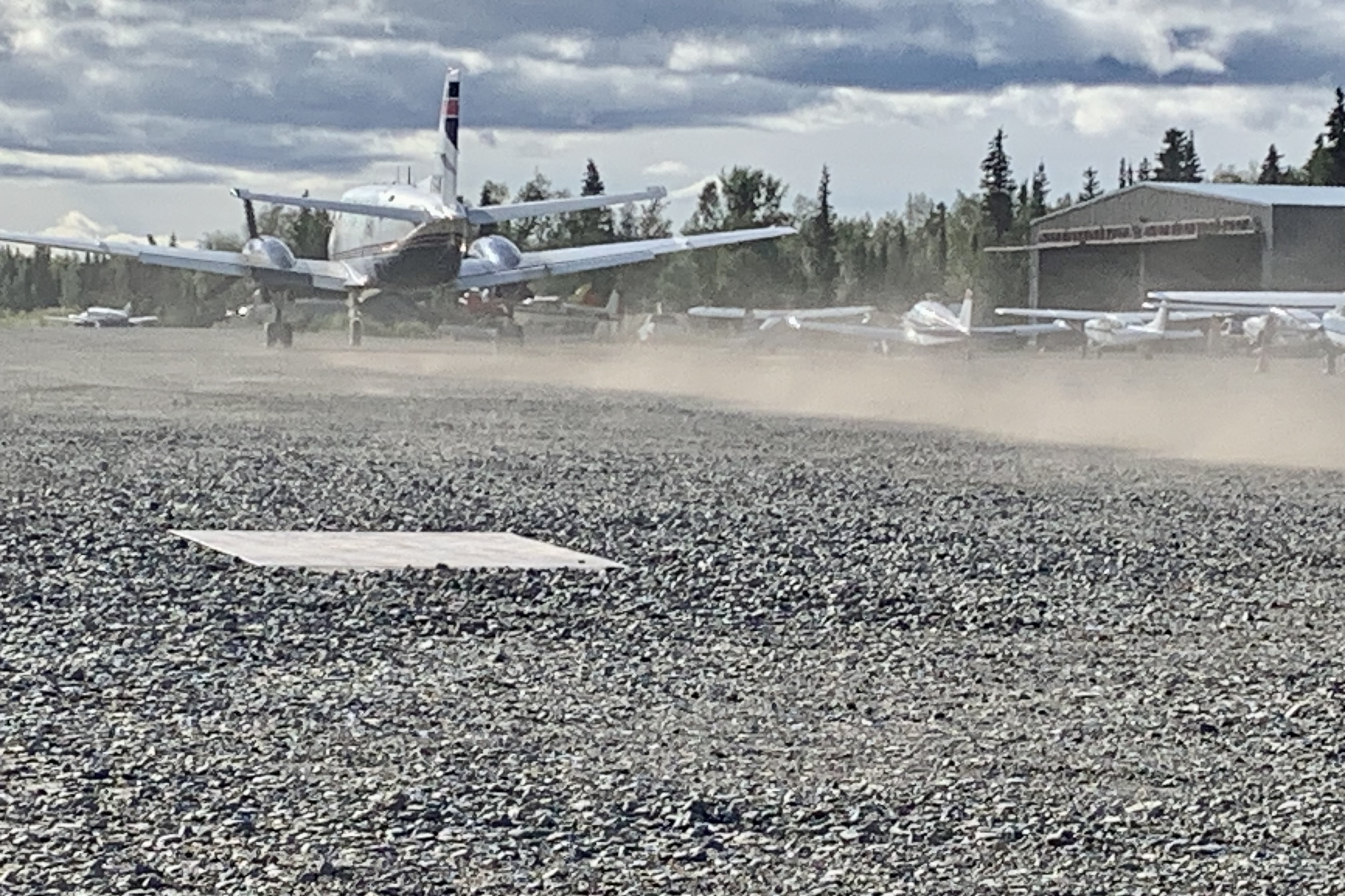
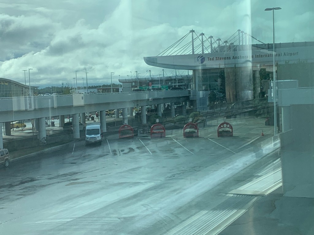
 Of course the first challenging part was driving the 125 miles from Soldotna AK to Anchorage through road construction, many delays, and then negotiating the massive mess of full parking lots (because of construction, now at 50% capacity in the high tourist season!) at Ted Stevens International Airport, in the rain. I am not one to have to have to find the  closest parking spot to my destination,  but I really did not relish walking a considerable distance lugging my suitcase.  I drove around all the aisles for A through O in long term parking and several beyond that with no signage to the second from last aisle before I found an empty spot…which was only open because I had to squeeze Lady Spitfire  between a wide bodied muddy high-rise pick-up and a rather old rusty and dented Suburban parked right on the line. I managed to squeeze out of my car and offered a prayer to the patron saint of automobiles, St. Frances of Rome, to protect my cherished jeep from any harm that might be inflicted upon it by the rather careless parker or the dude with the donk.   That was all good training for dealing with the rain and with the flight delays out of Anchorage and then out of Juneau. No need to elaborate here on the delays as I assume all readers have had the experience of and the challenges and tedium that plane delays present.

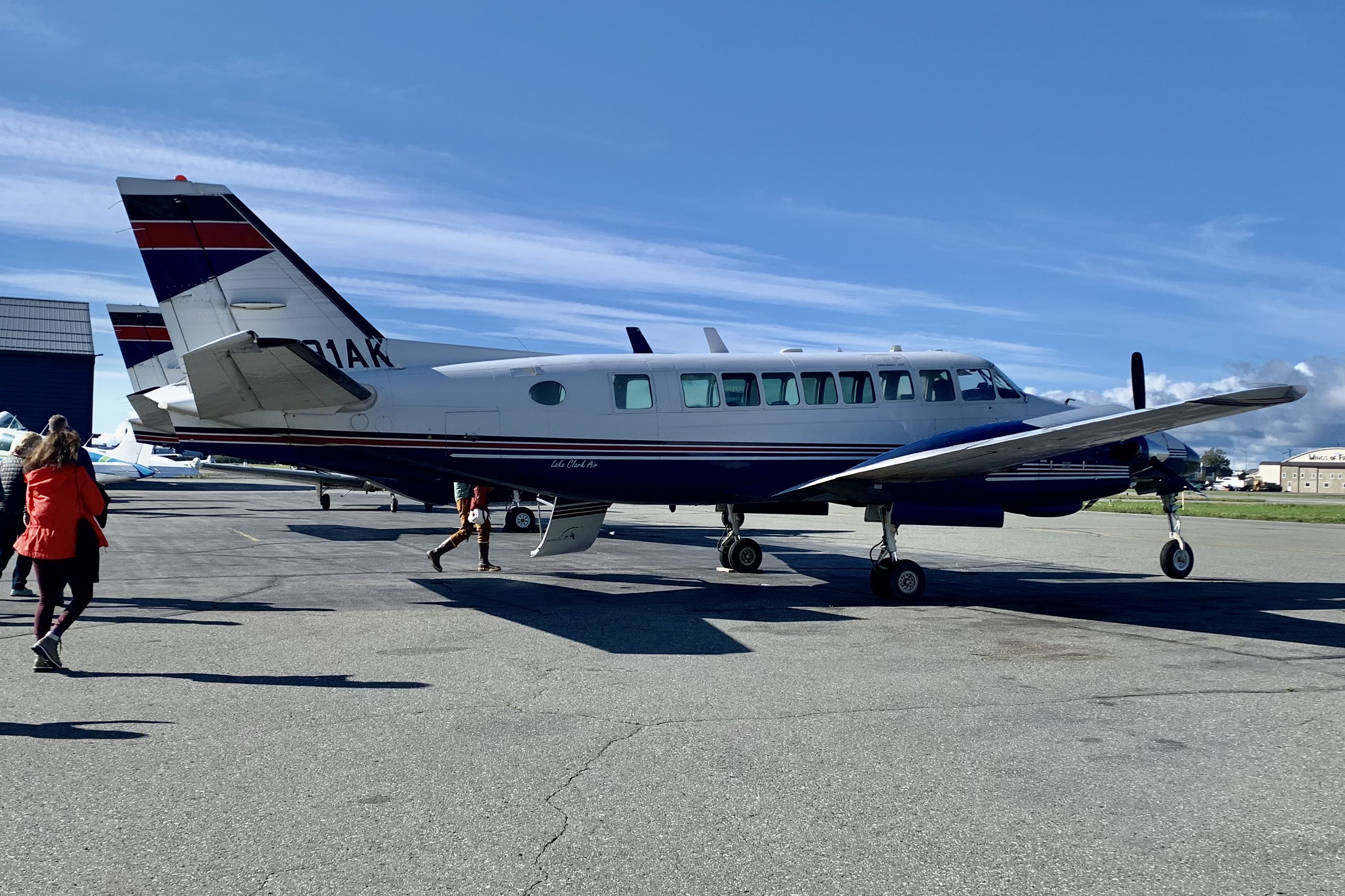
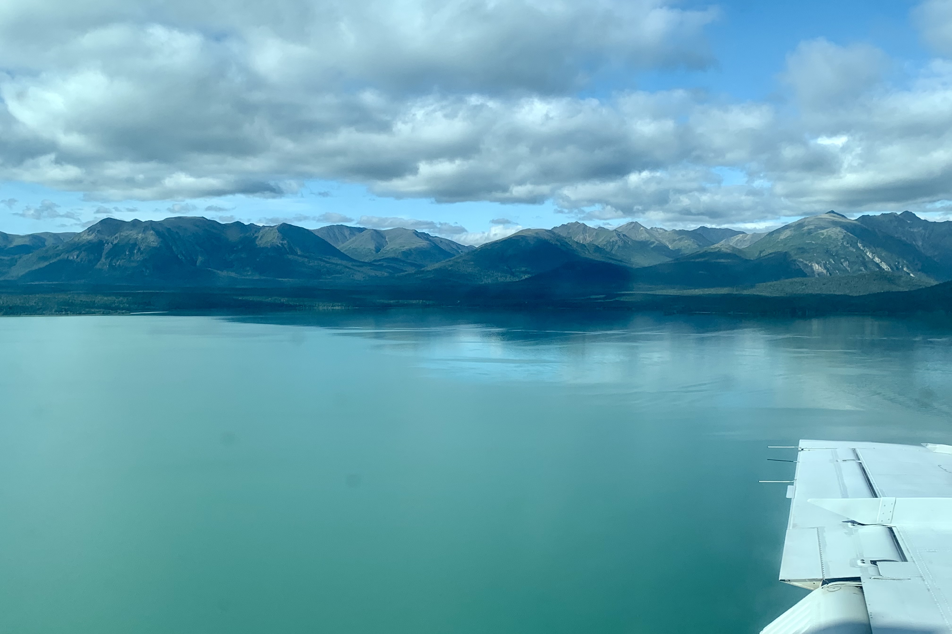
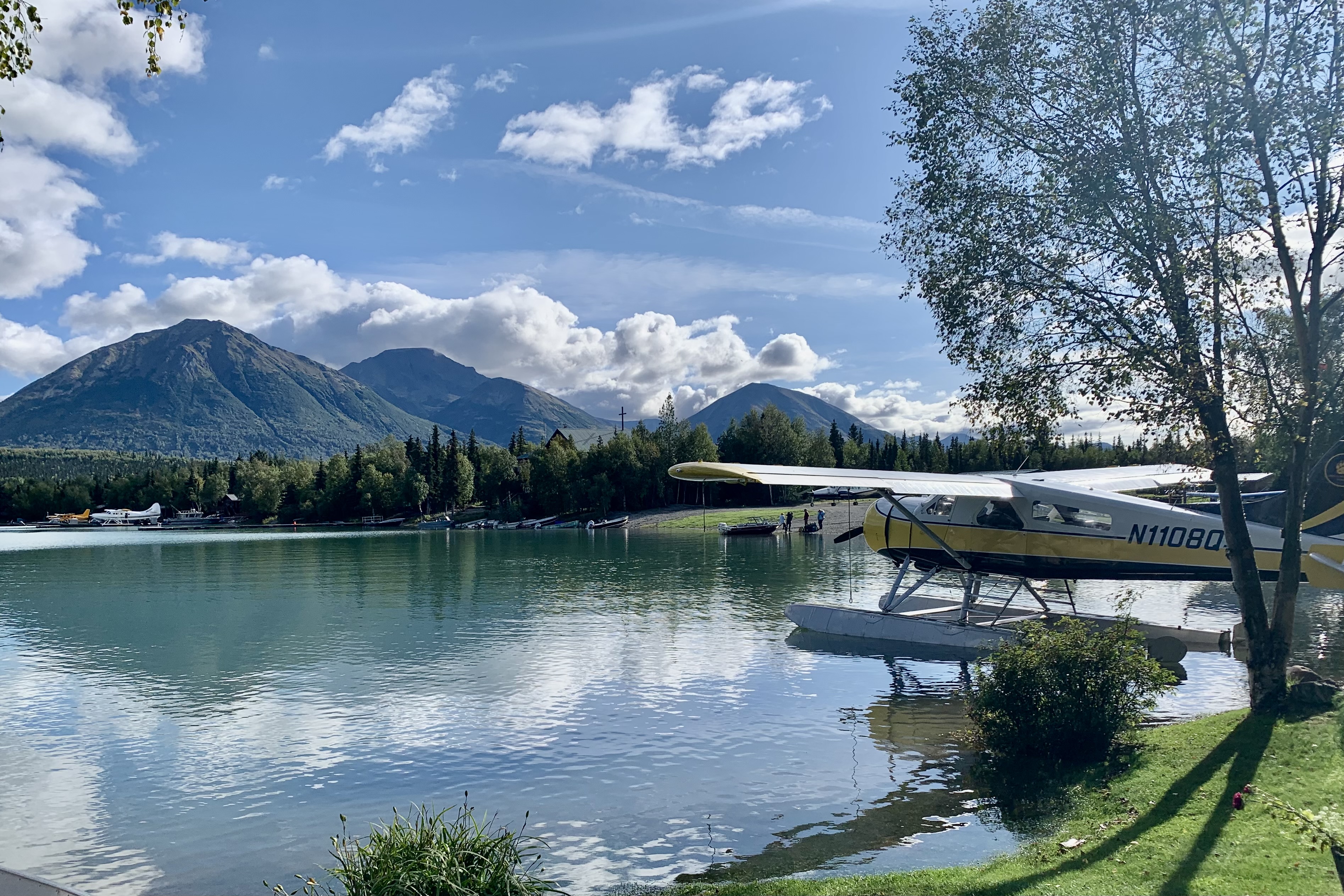
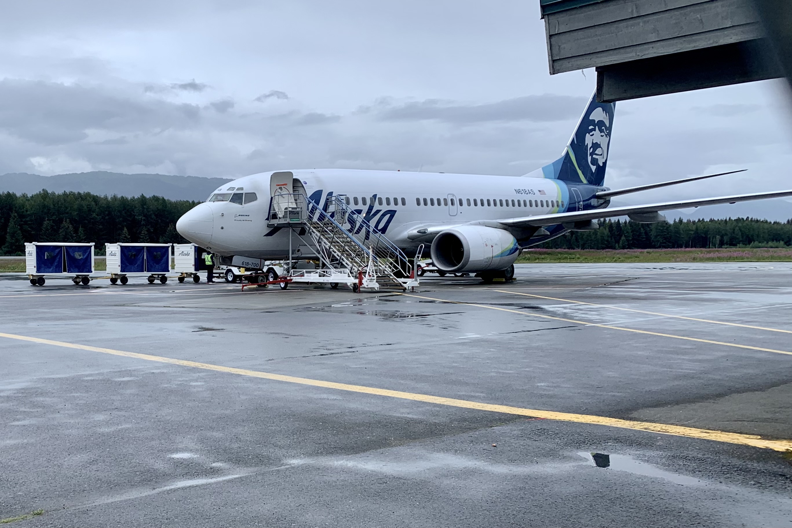
Since I cannot literally spread my wings and fly nor do I think my swim from Alcatraz Island to Marina Green in SF years back would have been adequate validation of my ability to swim the Icy Strait to Glacier Bay, I opted to fly into Gustavus from Juneau, a very short hop of 41 mile in 36 minutes. It would seem unremarkable except Alaska Airlines flies a 737-700 jet into this postage stamp airport with one runway. The flight reminded me of going up the St. Louis Arch with its steep arc up and then right back down. I am not sure I have been on a flight before where the pilot did a sharp U-turn in the runway and taxied right over to the terminal.

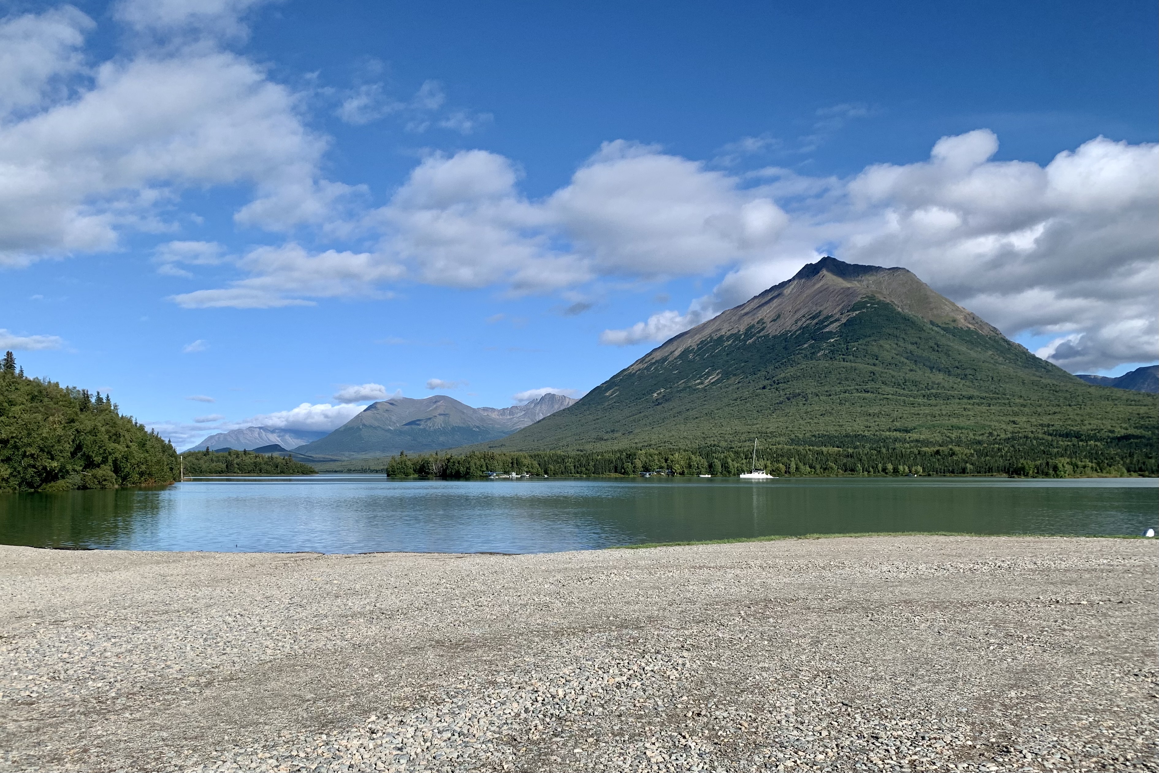
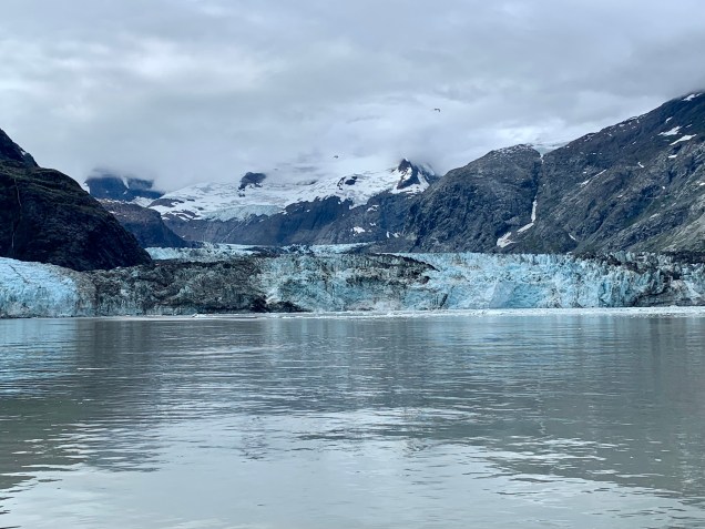
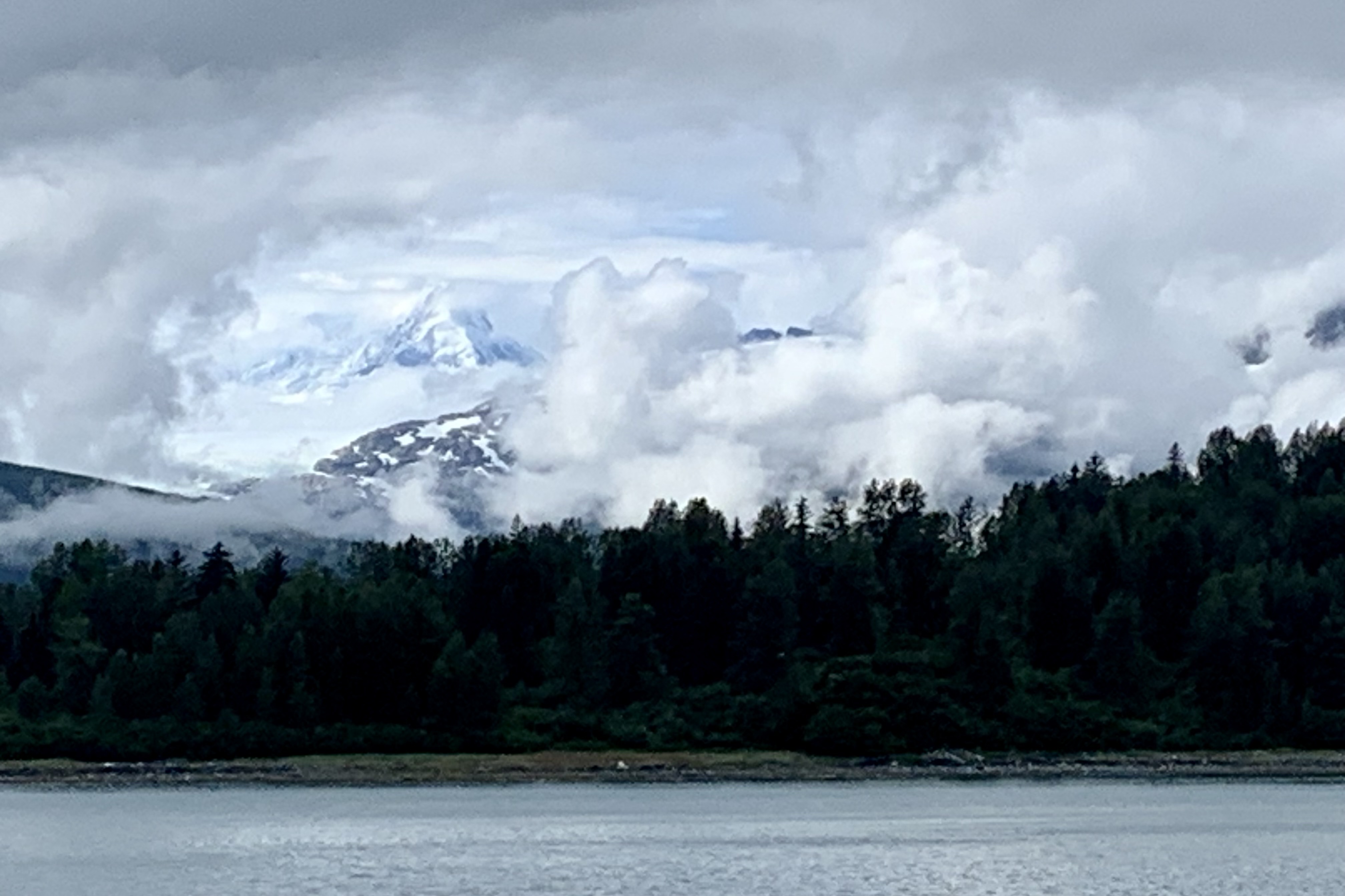
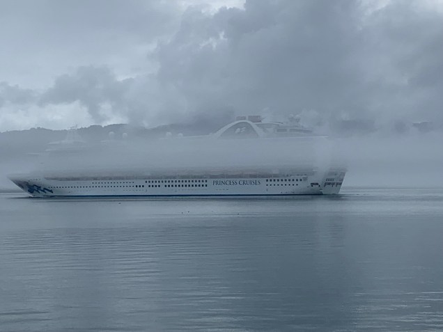
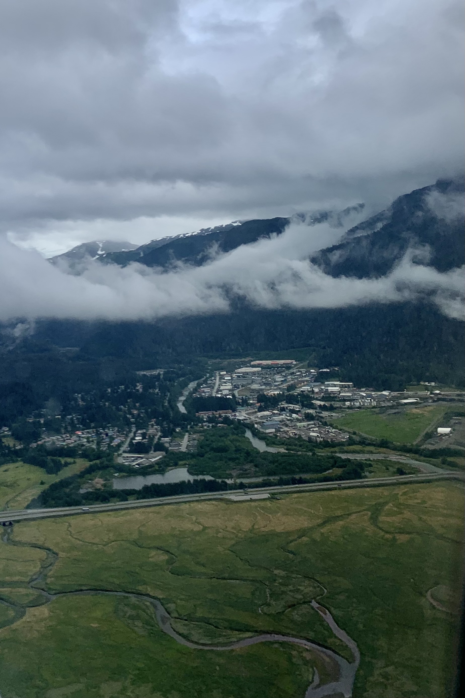
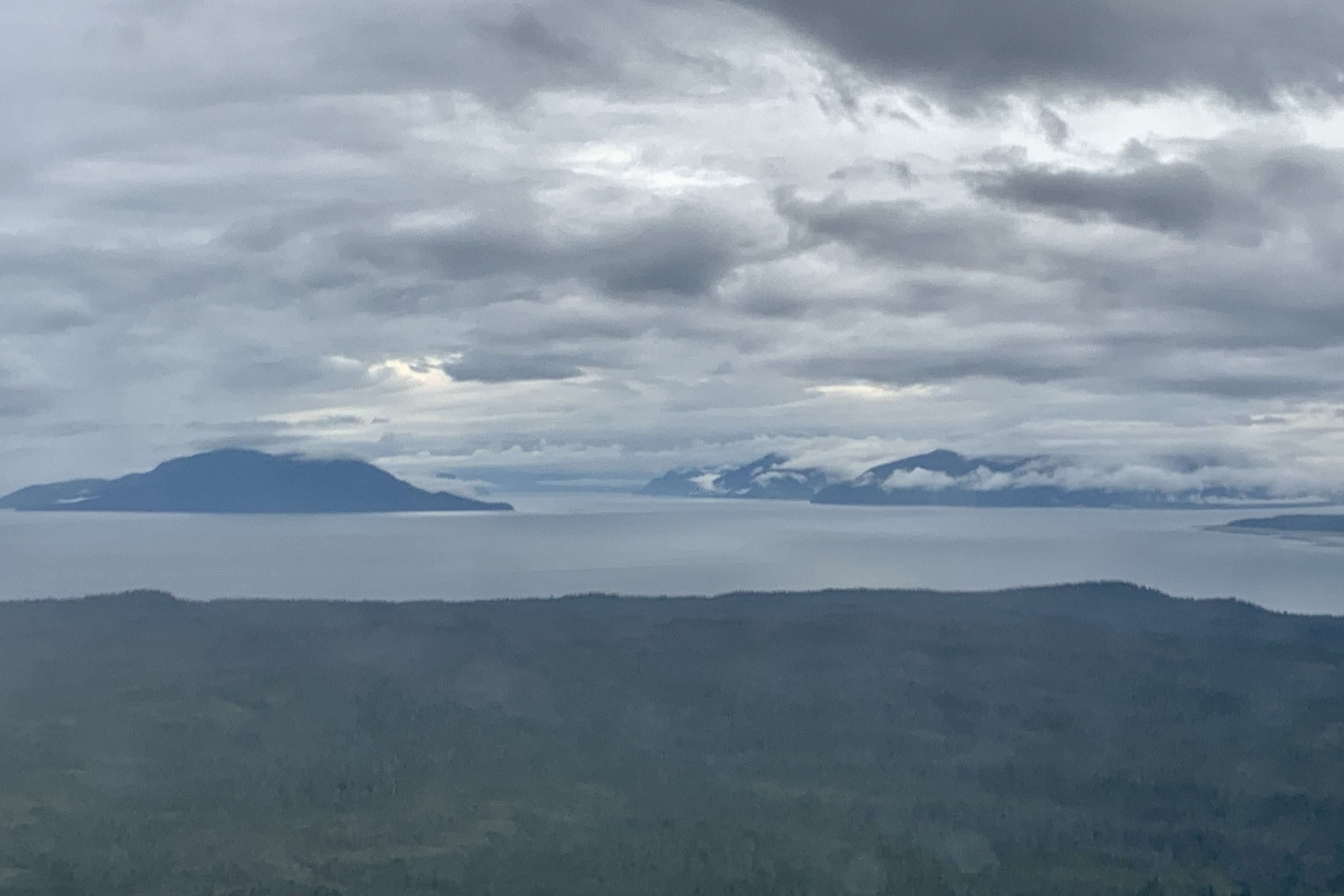
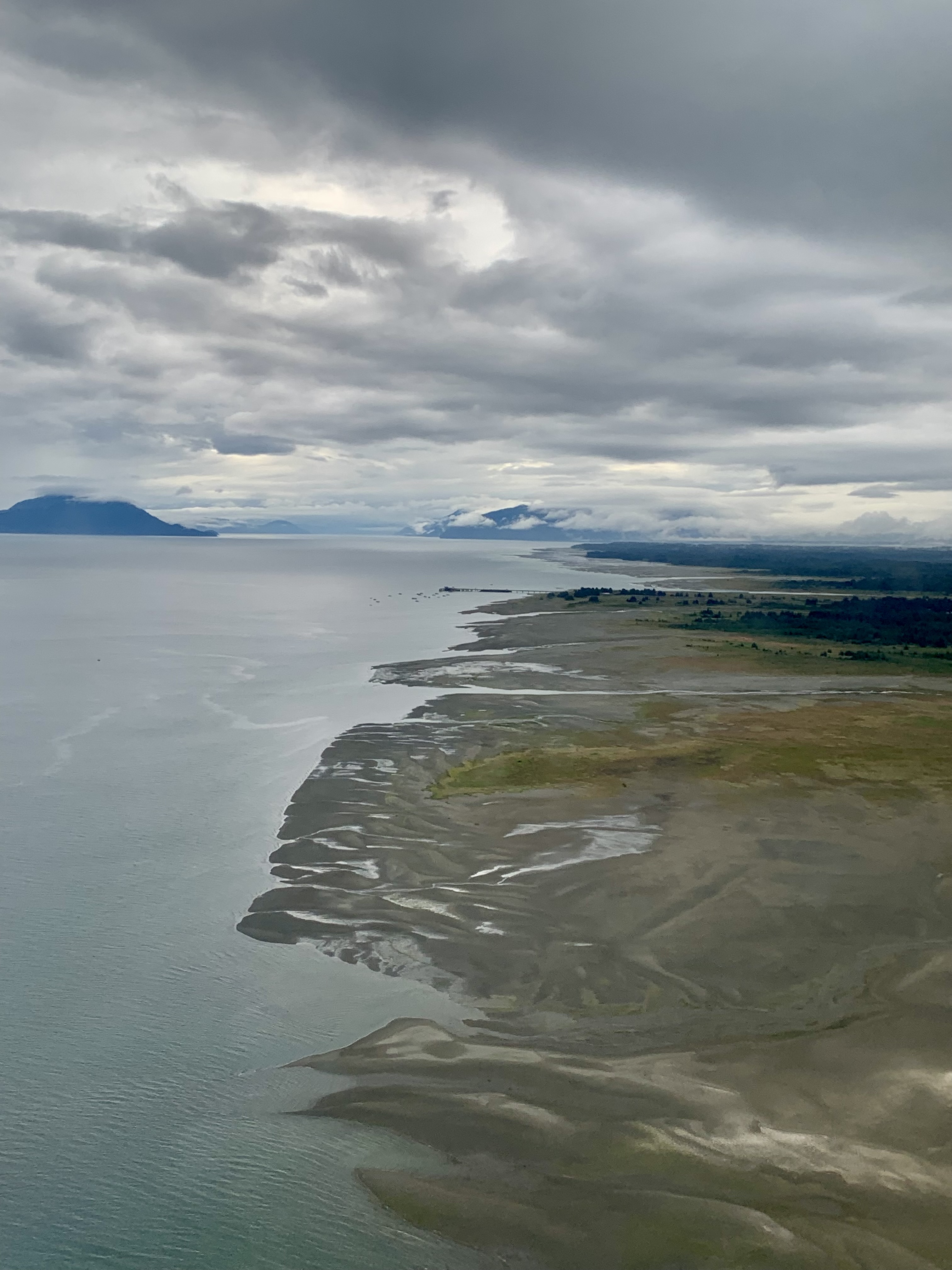
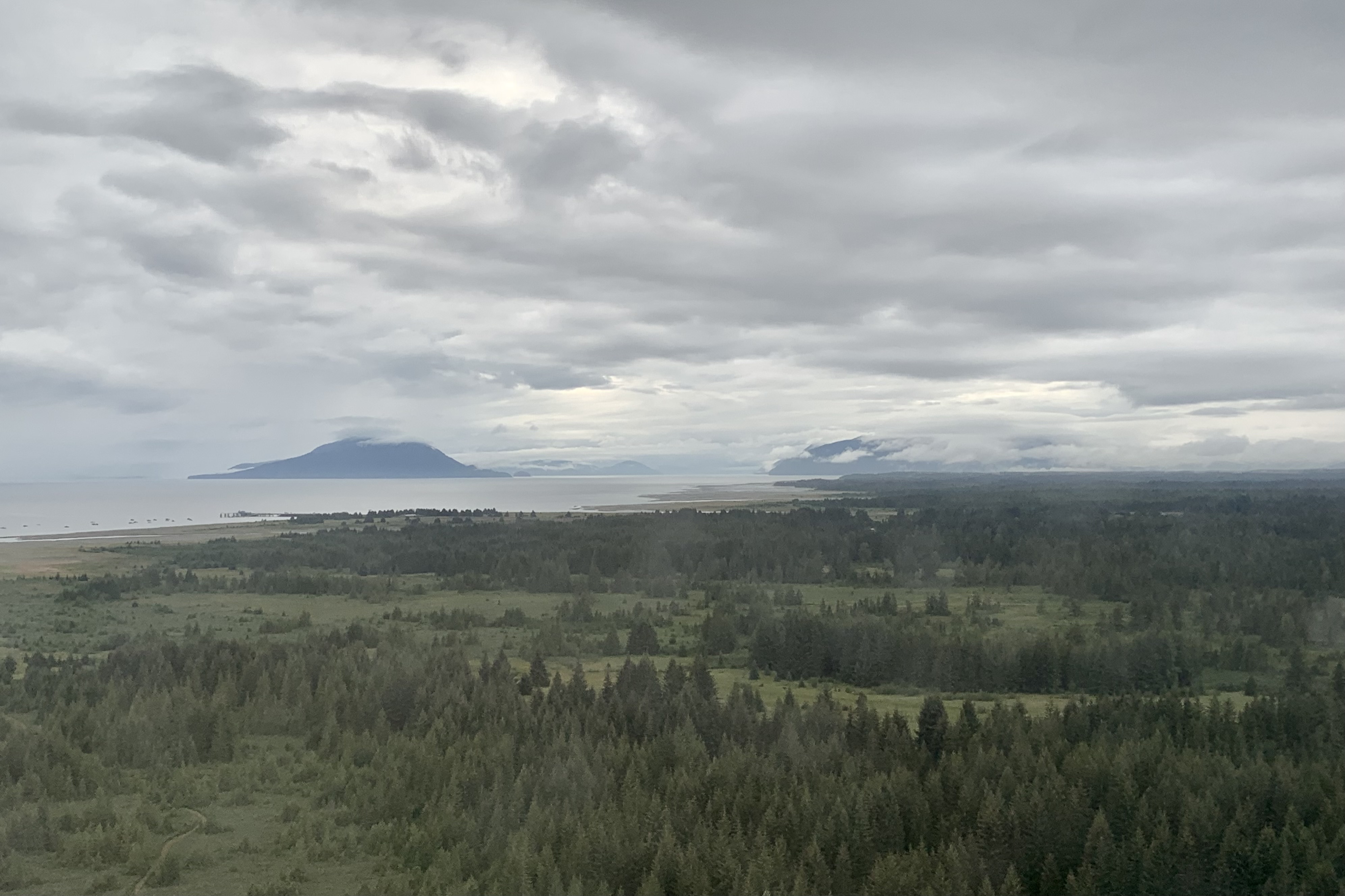
We were met by a National Park Ranger in Gustavus. In pre-trip reading about Gustavus, it entices would be visitors with “you will see that we are surrounded with breathtaking mountains, pristine inland waters, glorious sandy beaches…and wild strawberry fields”. This might be true if one arrives in this temperate rain forest area on a sunny day but not so glorious when arriving surrounded by massive cloud banks in all directions, fog and a spattering of rain. Gustavus, home to 655 residents, did not appear to me to be a thriving community even with its claim to fame of being the “Gateway to Glacier Bay Park.” I would imagine most touristy types (like myself) merely pass on through on the park shuttle bus which was the best photo op of the day.

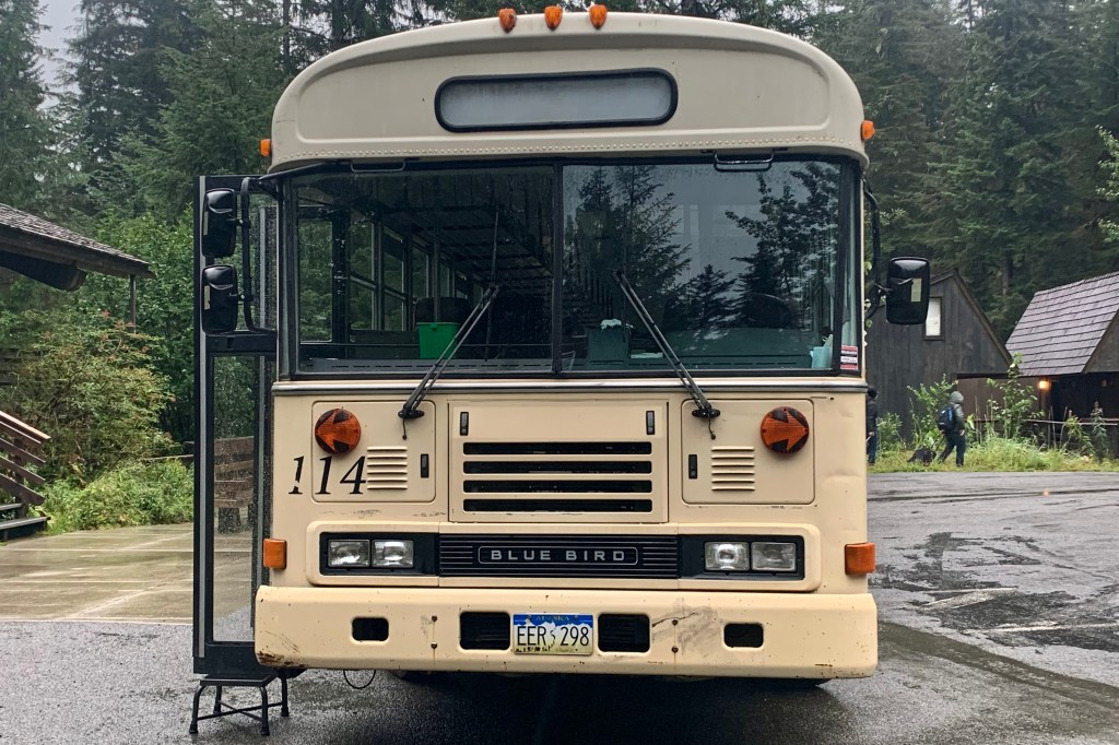
After an extend wait for our checked luggage, we rattled along the entire Gustavus road system (9 miles total of paved road) to to Bartlett Cove (where Glacier Bay Lodge is located) in a well used and rather sketchy looking bus. I must say this is the perfect vehicle for this setting … no need for glitzy mini-vans in my minds eye. Of course upon our arrival the heavier rains set in and by the time I got my room key amongst the last of the 15+ couples and families who flew in on the same plane, my poor forlorn suitcase was sitting out there getting a nice cold shower waiting to be claimed.

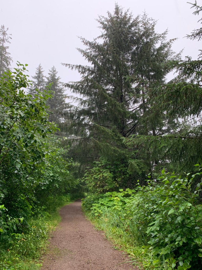
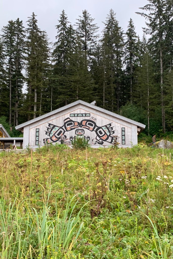
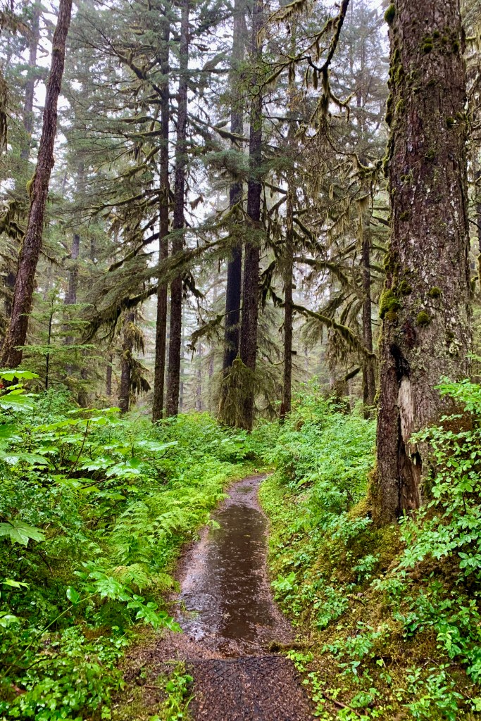
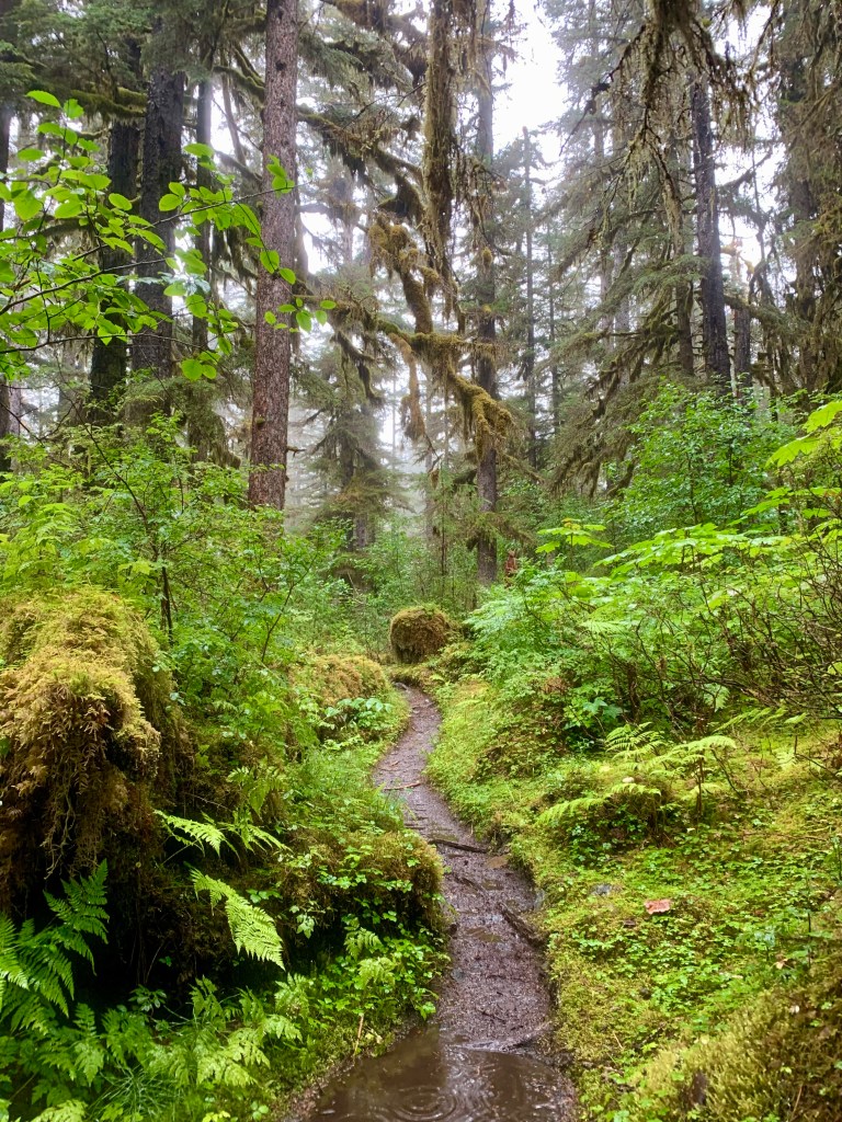
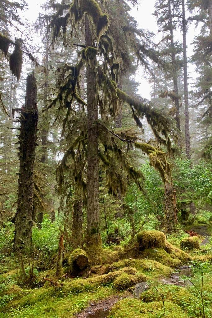
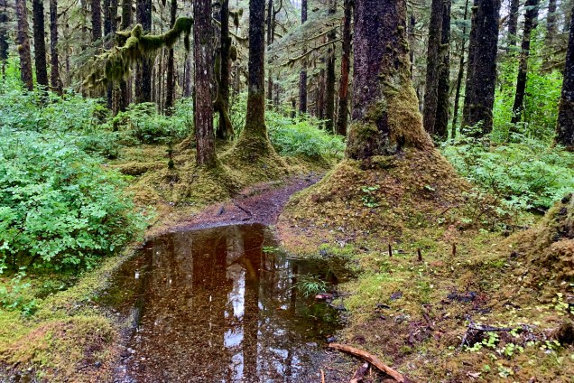
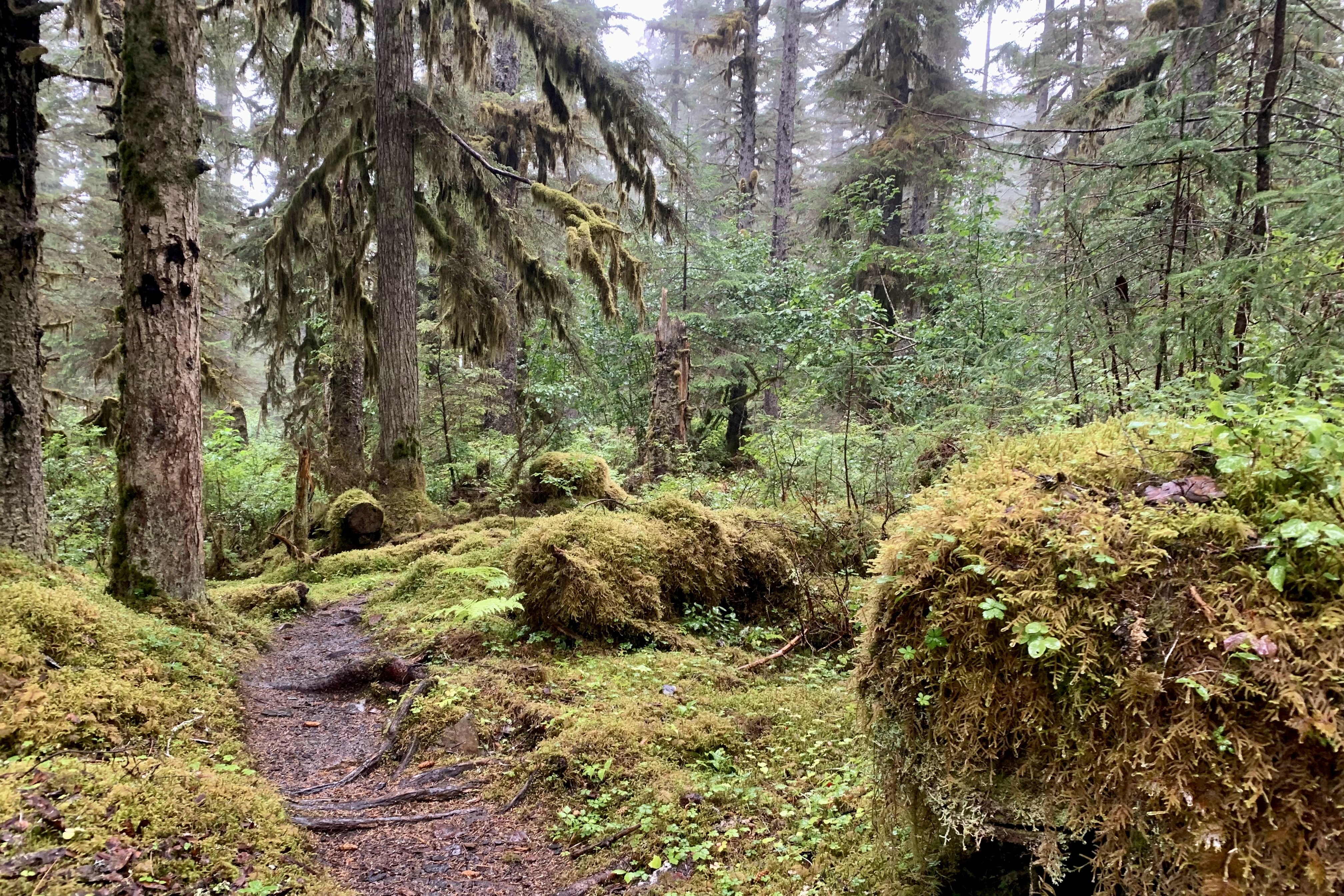
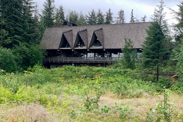
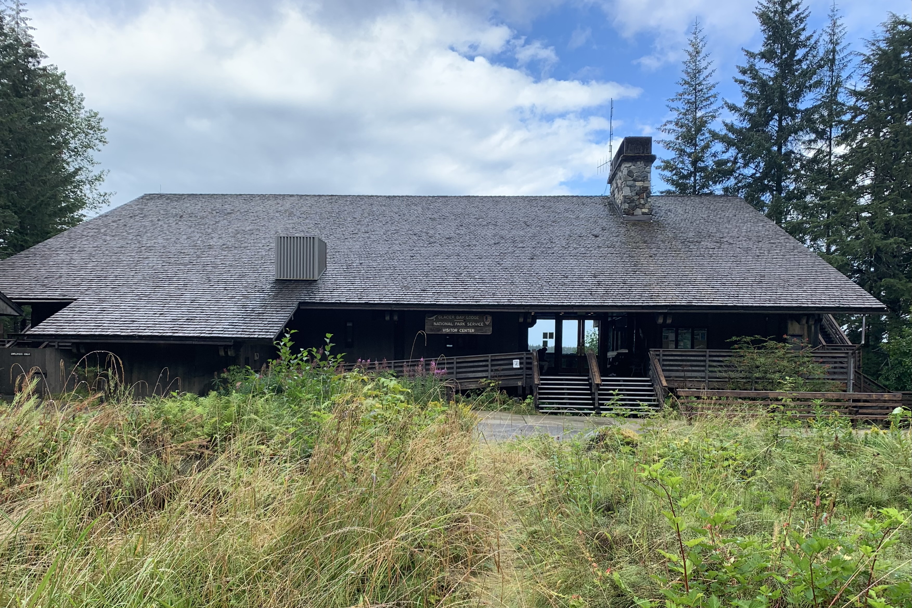
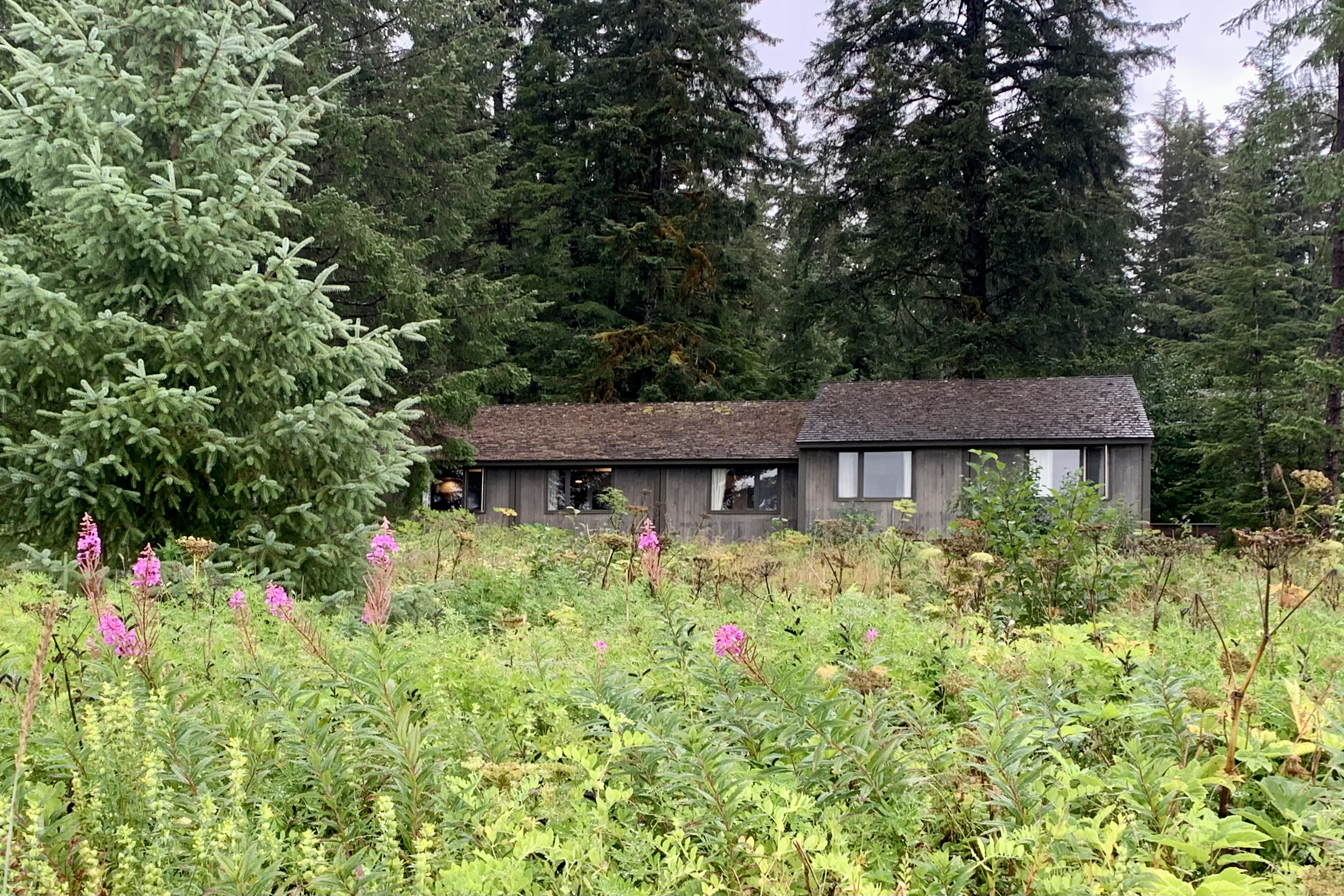
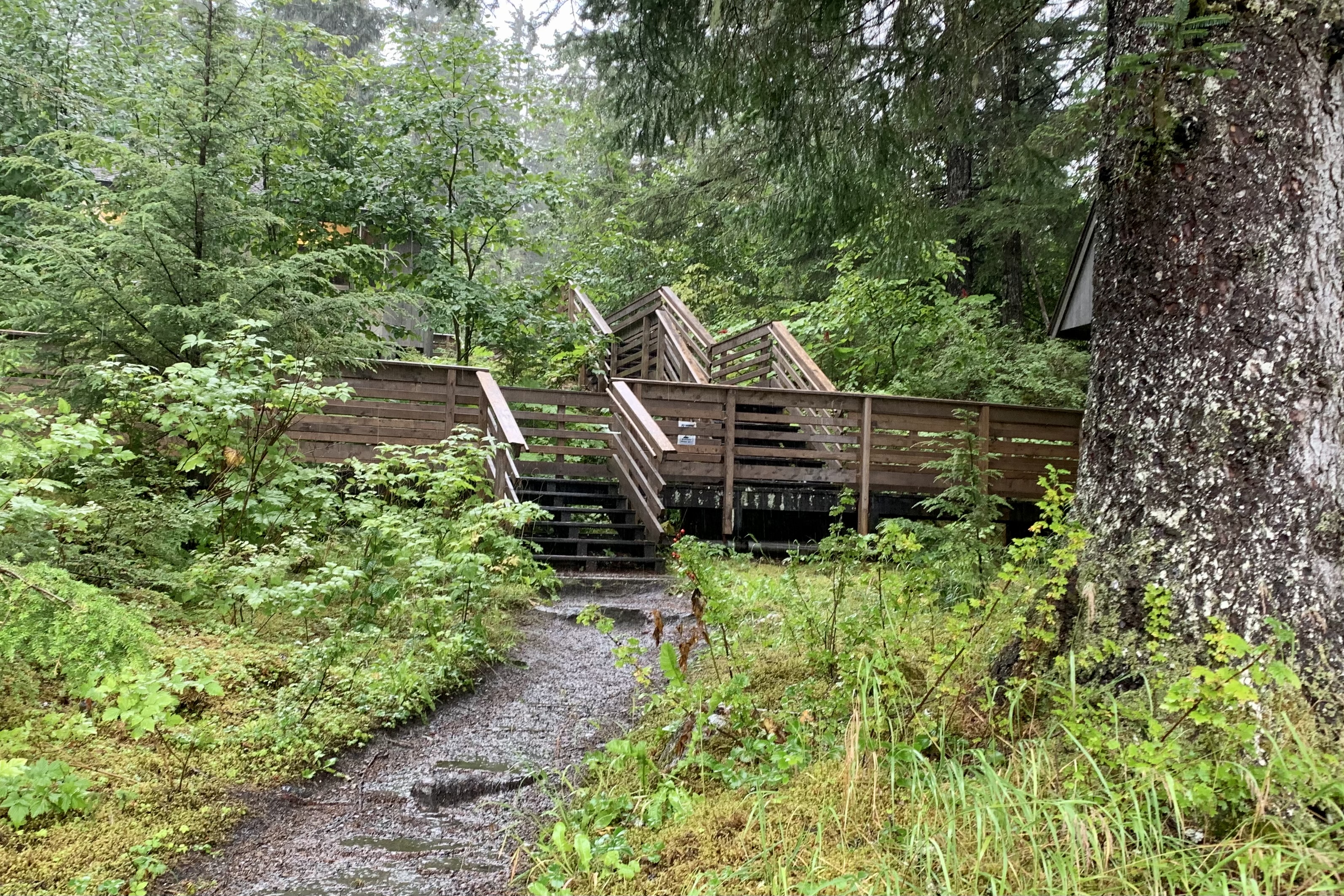
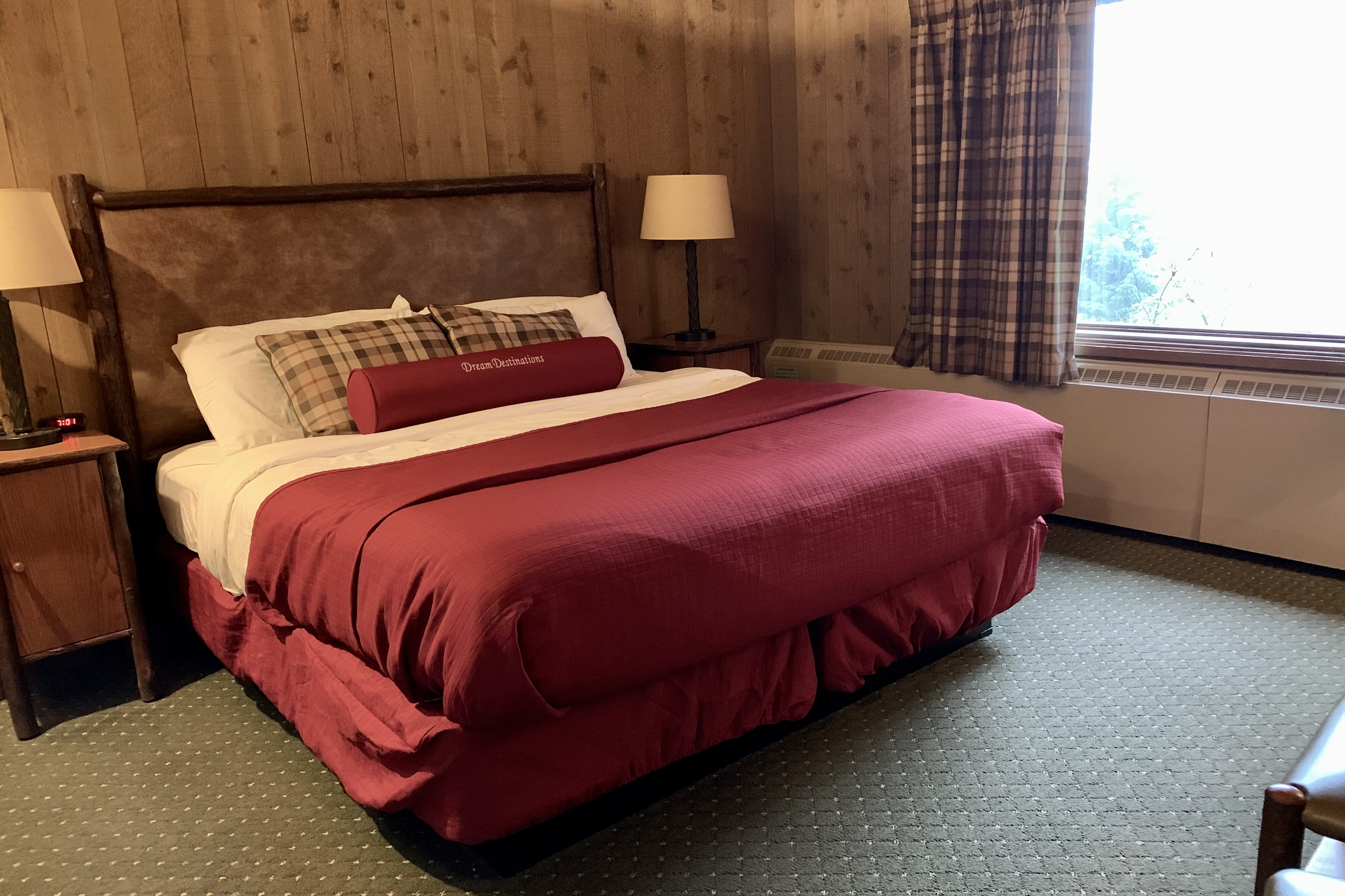
What an absolute delight to be staying in a lodge that fits beautifully into the landscape and to be ensconced in a room that befits this rain forest and is tucked into the hillside and forest surrounded by aging sitka  spruce, fiddle ferns, cow parsnip, beach strawberry….. How grateful I was that I booked “a room with a view” (i.e premium room)  fronting the picturesque Bartlett Cove. The only downside is the number of stairs, ramps, and walkways to get UP to the Lodge…though it makes for a nice body-weight workout. My room itself was a basic aging national park room and not even trying to be an imposter 4 star hotel. I would not even want that in a wilderness setting. The rooms are rustic but clean and comfortable .  Perfect! Nor are there amenities such as the mini fridge, microwave,  and TV  in the room (or lobby). Great! But I must admit I was quite relived to see one of those typical hotel coffee pots as I certainly did not have a keen yearning to get a morning stair stepper workout up to the Lodge  to buy expensive coffee.

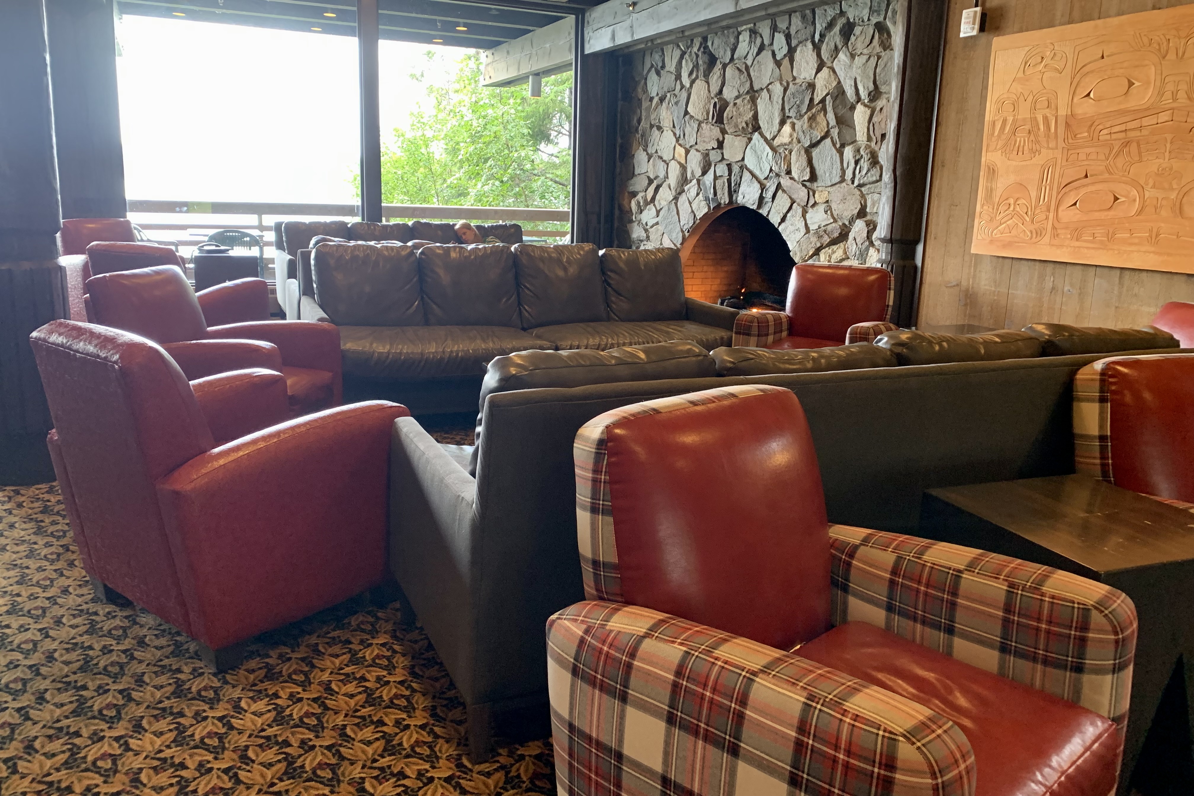
As anticipated, like most National Parks, there is no cell service and limited wi-fi…what a blessing … but the withdrawal can be challenging!  There was wi-fi in the main lodge and lobby area so the “living room” was packed with internet surfers and anyone, myself included , hoping to connect with the family left behind as I waited for a table. I vowed not to read any news during the stay. The upside of no room wi-fi is it can it definitely promote more social interaction (for me it did quite a lot) as well as interaction with the environment.  The down side being a vey crowded lobby at times with most individuals fixated on their screens. 

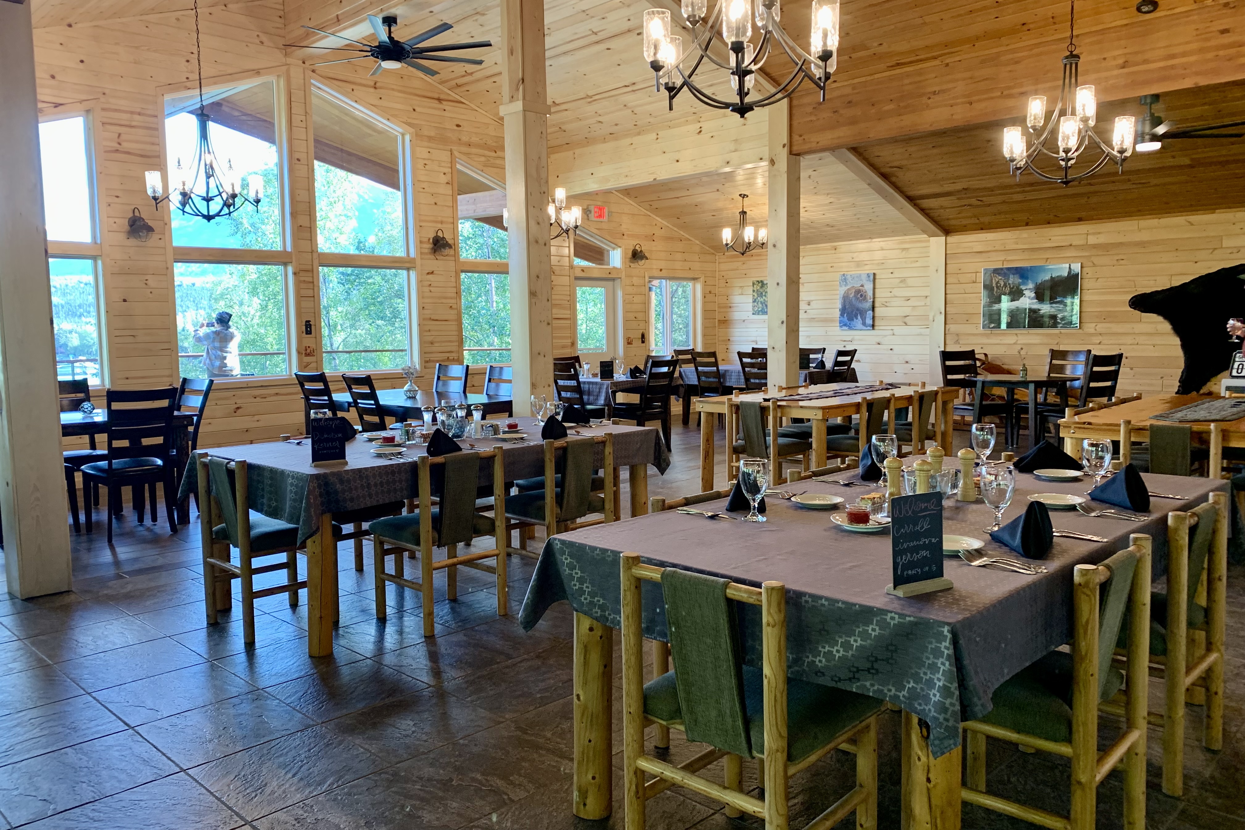
Once my room was “organized”  I headed up to get dinner as it now was 7:30. Seems like all the patrons had a jump on me so the wait would be about an hour. Given that one is a captive in this  wilderness and not being a hunter and gatherer myself, I got on the waiting list and searched out the offerings in the gift and sundries shop off the lobby. Unlike some parks that provided a much larger variety of options, I decided that what appeared to be day old sandwiches, caramel cookies, a variety of energy drinks, and an good assortment of single serving bags of junk food and candy was not on my preferred menu. So I waited.

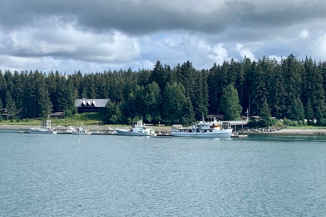
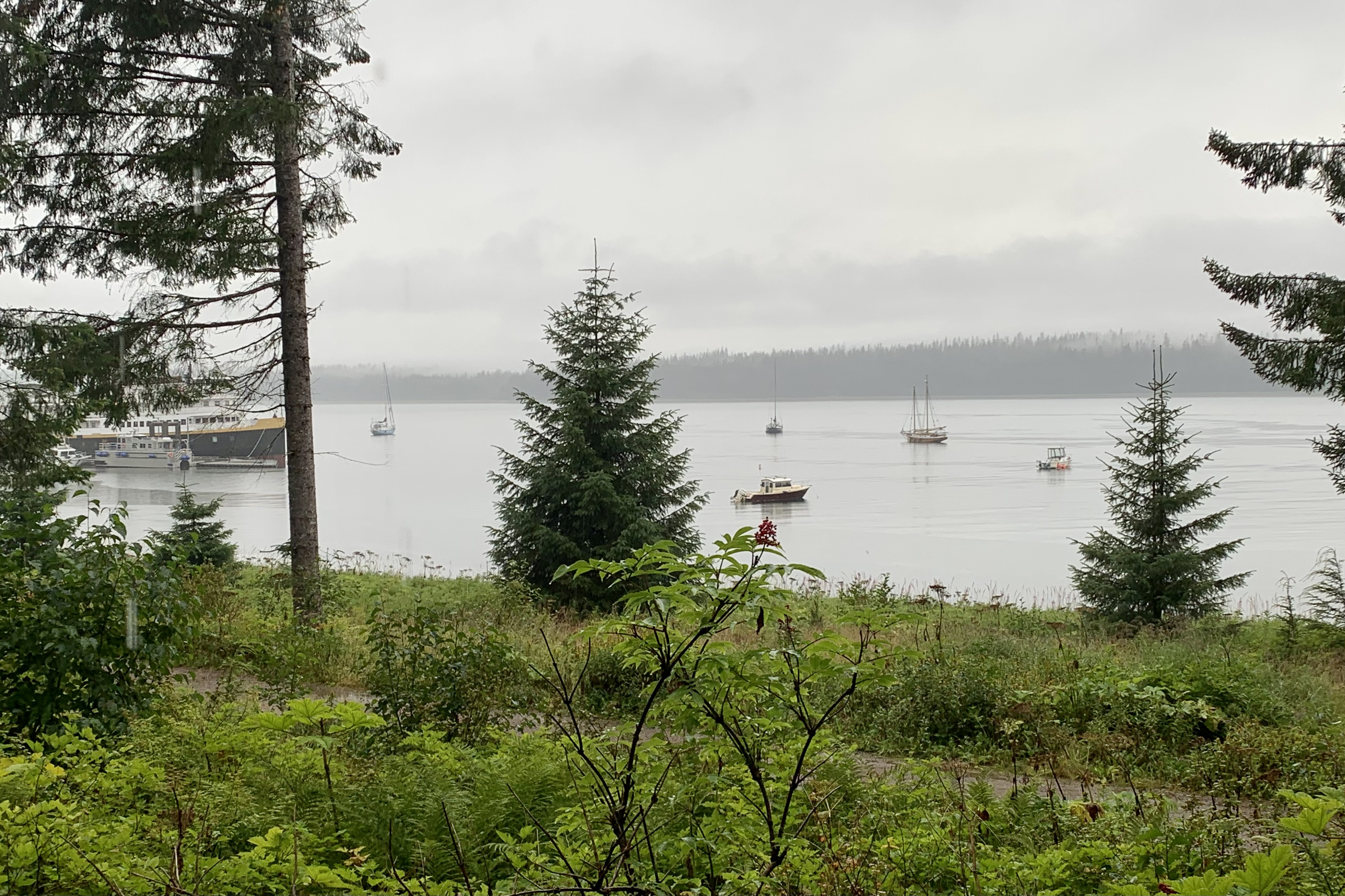
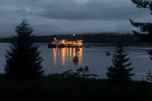
The menu at the restaurant was varied and I already knew that what I would anticipate as a reasonable price in the “lower 48” would be at least 30-40 % higher in Alaska, and of course jacked up again given the short season during which to turn a profit.   My $19.00 hamburger however was quite good and I figured quite  a bargain given our remote location… I kept reminding myself that everything has to come in by ship or air. Quite sated and delighted  with everything , it was time to turn in as I needed to report at the dock at 6:50 for the glacier cruise scheduled for tomorrow.  I wound down my day, sitting on the bed and looking out the window and watching the boats in the harbor.  

Cattish Foxes, Barking Lions, Flipper’s Cousins

Santa Barbara Channel Dolphin Super Pod

I had no idea what to expect when booking with Island Packers for a cruise to the island of Santa Cruz in Channel Islands National Park off the coast of California. My idea of “islands” is based mostly on my experiences in Florida, Hawaii, and the Bahamas with wide sandy beaches and swaying palms, ocean breezes, and balmy temperatures. As a “first-timer” to this park I had an inkling it would not be a typical Florida coastal island. Having been advised that there were no concessions, I packed a lunch, hiking poles, sun hat, a hoodie sweatshirt, and wore hiking boots, Perfect! Tasia and I arrived at Island Packers with plenty of time to spend money on hoodies, patches, and get the NP Passport stamped. Upon checking in at Island Packers, the person handling our reservations confirmed that we were spending 7 nights camping on Santa Cruz. Well that certainly was a surprise to me as my intention was to spend six hours. Seems I mistakingly (or perhaps a computer error since I don’t make mistakes like this) booked the following Saturday for our return. I only choked a little when she commented that she hoped she could be able to get us a seat on one of the retuning vessels that day. It would have been a rather chilly night sleeping under the stars in the campground with whiffs of the invasive blue and red gum trees (eucalyptus) which shade the campground; with a variety of nocturnal visitors including those adorable Island Foxes and other wild creatures such as Townsend’s big-eared bats, an island deer mouse or two (which carry deadly diseases); a spotted skunk, or a variety of lizards, snakes slithering about… My imagination was running wild when she triumphantly said there were seats on the 4:00pm return! I breathed a sigh of relief (though I love camping in my zippered up nylon Tent) and we were off shortly thereafter

Though the Island was the destination and I imagined it would be the highlight, the Island Packers Cruise was the most thrilling. I noticed with interest several oil rigs in Santa Barbara Channel and from some  brief research I found that drilling has ceased and the wells of platforms Grace, Gail and Habitat, which we could, see have been plugged. 

We were headed to Scorpion Anchorage and enjoying the ocean breezes on the upper deck when the captain announces that there was a pod of dolphins swimming alongside. To my astonishment they could be seen in front of, behind, and just about in every direction that I feasted my eyes on. There were hundreds of dolphins in this superpod. The sight of these dolphins speeding through the water was mesmerizing.  The traveling speed of the Islander Explorer is  usually  about 25 miles per hour and dolphins normal cruising speed is 3-6 miles per hour. But these marine mammals were swimming FAST in the wake of the vessel.. If they enjoy their wake surfing as much as I enjoyed wind surfing or water skiing they would be having a spectacular experience.

Swimming with dolphins is a very popular adventure seeking activity but I am quite sure I would have no desire to swim with this speeding herd of dolphin. It became evident that they were either taking performance enhancing drugs or have cleverly figured out that with the wake of the boat they can swim faster and use less energy to the cheers of the adoring crowd and perhaps feast on some hors d’oeuvres of churned up shrimp, herring, squid, or even a jelly-fish or two. Above us was the requisite scavenging of sea gulls. It definitely looked like these cousins of Flipper were having fun as they thrusted, jumped , dove and surfed the waves though that have yet to perfect the tricks of the famous TV star of the 60’s Flipper, i.e. her  trick of tail walking or perhaps launching herself in the air, twisting and halting mid-air… which would have nicely created a better photo op for their fan base of the moment. They were having a whale of a time in the midst of the more allusive humpback whales in the Santa Barbara Channel. Though numerous, the dolphin entertainment team was not as massive on our return trip, there also was an opportunity to see a  humpback whale spouting, breaching, slapping its fins and then deep diving.

Santa Cruz, the largest of the Channel Islands lies from 19-25 miles off the mainland coast between Ventura and Santa Barbara. Today the ferryboat ride was about an hour and a half dock to dock. Since the guesstimate was one hour the power need to pull all of those dolphins in its wake slowed it down!!!! Though it is much more likely that the captain slowed down so we could adore the dolphins. Once docked at Scorpion Ranch (which once was a sheep farm), we planned how we were to spend our limited time there. With only about six hours on the island there was barely time to experience the huge variety of activities available. 

First off we chose not to wait in the very long lines for the pit privies and perused the museum and learned of the history of ranching as the economic mainstay by the late 1800”s…and how the introduction of non-native flora and fauna had a devastating effect on the ecological dynamics. Fortunately the natural biodiversity is being restored with the stewardship of the NPS and Nature Conservancy. Only the eastern  24 percent is owned and managed by the National Park Service with the other 76% owned and managed by the Nature Conservancy.. Since this  is a nature reserve it is not a tourist trap with a plethora of gift shops or restaurants. You bring in your own food and pack out all of your trash. The most elegant of services is the outdoor latrine (though less elegant after the 149 people from the boat used them) and potable water available in the Scorpion Canyon campground. This definitely contributes to keeping the crowds down as well as the fact that there are no trash cans and you have to transport your own garbage. 

To my pleasant surprise Santa Cruz Island contained mountain; a large central valley/fault system; deep canyons with springs and streams; and many miles of craggy coastline cliffs, with sea caves, tidepools, and beaches (though not those wide sandy ones fringed by palms and perfect for building sand castle). It is rugged California at its finest. Though I would have loved to have several days to camp, snorkel in the kelp beds, swim, kayak the coast with its caves and tide-pools, the best choice for our visit was a hike on the craggy cliffs on the north side of the island overlooking the Santa Barbara Channel.  We chose the moderate hike to Potato Harbor. Planning to hike westerly, we first headed up the somewhat steep sandy trail to Cavern Point and encountered the  first of many magnificent vistas.  Once saturated with this raw beauty we  turned onto the North Bluff Trail  which took us all the way to Potato Harbor. 


Since it was only 5 miles round trip, we took our time to enjoy the absolutely breathtaking scenery the whole way, snapping photos and eating our packed in lunch overlooking Potato Harbor. I did not read anything about farming potatoes or wholesale potato importing on this island so after a bit of research I found it gets its name from its oval shape! Since there is no beach access at Potato Harbor, I contented myself with the surrounding beauty, a gentle ocean breeze, listening to the loud barks, growls, and grunts of the sea lions (which I could hear but not see on the rocky outcrops in the distance) and watching for and then spotting a whale blowing, jumping out of the water and slapping the surface with its pectoral fins. I certainly could not discern what species of whale this was as gray, blue, humpback, sperm, and pilot whales all live in these waters. This rocky coast line was gorgeous. We also saw ravens and dolphins. We opted to stay high on the cliffs for our return hike to take in a second round of this gorgeous coast. We hiked clockwise around Cavern Point, glad to be heading down on this steeper decent rather than up, and enjoying a good vista of Scorpion Anchorage below.

Once down to the Scorpion Harbor we had time to prowl around the rocky shore and relax in the picnic grove were we were payed a visit by this unique and adorable “island fox.”  We had been forewarned not to feed them but I get the feeling that they know people sitting at picnic tables consume food and often shed crumbs and it was not long before they showed their foxy faces and bushy tails. I thought at first I could be  seeing a large cat with a bushy tail, or perhaps a strange species of squirrel… but what a delight to see this fox species that is found only on Channel Islands  and nowhere else on earth. Guess they aren’t very good swimmers and able to make it to the mainland to proliferate. With a bit of time left before boarding for our return  trip to Ventura, we sat on the beach watching the swimmer and snorkelers calling it a day and shivering their way up the rocky gravely beach to return their gear and change out of there wet paraphernalia.  

This was basically the end of our National Parks Journey. After witnessing more dolphin dives on the return ride to Ventura, it was time plan the return route back to Oregon, a brief stop for brunch the following day at my nephew Eric’s place in Santa Barbara, a night at a motel north of Sacramento CA, and some dicey traveling through the pass on I-5 around Mt. Shasta

Dolphin Dives

Marble Slides, Mosaics au Natural, and Jackasses

Mosaic Canyon “Breccia” and Marbleized Rock Walls

Keeping with the theme of “art” (as in Artist’s Drive and Artist’s Palette of the day before), we opted to hike  the Mosaic Canyon Trail.  The surrounds on this hike are quite stunning. Mosaic Canyon “Breccia” (the Italian word meaning “fragments”) are rock formations in which tiny broken shards, the jagged offspring of an assortment of parent rocks, have been imbedded in the canyon walls and floor over the eons and this amalgamation has been fused by nature’s superglue. The mosaic conglomerates and smooth marbleized rocks are quite the spectacular duo and yet another example of the geological variability and complexity of Death Valley National Park (DVNP). 

Mosaics can be found through history ranging from todays pixelated computer “mosaic” images and on back to the famous mosaics of the Byzantine Empire and the religious images in elephantine Roman Catholic Cathedrals. They are awe inspiring but, honestly, I gravitate much more towards these modern word mosaics such as those created in the pothole images in midst of urban road decay by Jim Bachor in such cities as Chicago, New York, ND Washington D.C. or the work of Isaiah Zagar who  brings mosaic art  to store fronts and  building walls on the streets of his hometown of Philadelphia.  Like the walls and bed of Mosaic Canyon where the mosaics can be walked on and touched, these modern world mosaics are much more akin to the natural world.  

After driving through a “blinding” dust storm getting to the trailhead, this hike did not disappoint.    This trail should never be about a race to the finish, an out-and-back, but be enjoyed and appreciated for the beauty that surrounds and the geological museum that it is.  First, the artful striations and variegated veins in the rock and  the  variety of geometrics, textures, and multitude of colors are evidence early upon approaching the canyon and will delight an observant wanderer.  Secondly, once you enter the canyon the marble walls of Noonday Dolomite, at points, make for an accordion like passageway, having been expanded and contracted by the force of erosion.  This resulted in a  narrowing and widening of the canyon walls and a slick rock experience for you to enjoy and is another example of Mother natures incredible handiwork.

After entering the canyon via a rocky wash, we are greeted almost immediately by these mosaic conglomerates and smooth marbleized walls and slick chutes in this winding narrows. Mosaic Canyon has been/is the site of frequent flash floods polishing the walls smooth, having been scoured often by debris-laden flood water. I found this section quit stunning.

Next we encounter a slick marble slab residing at an angle that was just steep enough and slick enough to disallow one walking straight up, thus needing to scramble by finding minute hand and food holds to negotiate it.The flip side of this was that upon the return trip one can slide right down it.

Soon the canyon opened into a large wash marking the end of the lower canyon and a very gradual uphill  followed as we wound our way through a massive gravelly wash with a butte rising in the middle of it.   As there was no specific defined trail, we gravitated towards the edges and walls viewing many of the rock formations at close range.  These formations were beauteous…many of deeply rich color, streaked, opalescent, crystalline conglomerates. Eventually the massive wash narrowed again until we reached a boulder jam at approximately 1.3 mi into the canyon. This jam marked the end of the hike for me (and many other trekkers) as hiking further up canyon involved significant scrambling to get beyond the jam.  The return trip was equally enjoyable marveling at the geology of the area, rambling between towering, sun-splashed walls.

Wildrose Charcoal Kilns

We did not anticipate that our next adventure would be quite the change of pace going from the desert canyon warmth to snow on the mountains. Leaving Mosaic Canyon, we stopped in Stovepipe Wells before heading up to the Charcoal Kilns. A delightful discovery was that the General Store there had much better merchandise than at the Furnace Creek General Store. So I decided to be generous with myself and get a hoodie and a T. Now the downside was that this purchase set off a potential fraud alert by my bank and when I tried to purchase gas later the card was refused. Normally this would not be a big deal but we were in an area where there is no cell service so to get it removed and be able to get gas. Same thing happened to Tasia’s card as she was also generous earlier with herself. So we had to find a wi-fi connection. That is one kind of adventure I could do without. The shop keeper did share that it happens quite frequently there!

But that definitely was not the real adventure. We headed west on Highway 190 (33.56 miles from Furnace Creek) to Emigrant Canyon Road adding another 28.2 miles to Wildrose and the Charcoal Kilns. The drive itself was quite exciting, though I am sure some might not consider it so. The road was described as winding “past steep grassy slopes and low rocky cliffs, across the Harrisburg Flats, climbing to a high point of 5,318 feet at the summit.” Once there, the sign stating that this would be a “rough, narrow, winding road and vehicles longer than 25 feet not allowed” should have been a clue about the true personality of this road. It would be more realistic to state that the road is a challenge to drive.  It is a narrow two lane road which has no shoulders.  The higher we got the more the road slithered like a snake, inclined and declined, was rockingly uneven with steep drop-offs, tight turns, very few guardrails, hairpin turns and blind corners. I was quite relieved that at the hair raising spots, we met no traffic. Needless to say I did not get any pictures of this driving adventure. There are also sections where the landscape is much more open with views over wide plains and of the mountains on both sides of this valley.

To add one more element of suspense there were signs warning about burros on the road. It seems that the wild invasive burros frequenting the area are remnants of the burros brought in by early prospectors.  I would like to think perhaps they are the distant cousins of the “20 mule team” burros but the sad part is that they are destructive to the fragile desert ecosystem  and harm native species.

Driving towards Wildrose we could see that there appeared to be snow up on the mountain peaks. As the road climbed to a higher altitude the surrounding landscape became much different. What an anomaly when starting out in the Valley that brags about the hottest temps on record to be heading toward snowy peaks.  Soon we found ourselves in a Pinyon Pine and Juniper forest as we arrived at the kilns.  The  welcoming committee served gusting wind, snow and an ambient temperature of 33 degrees. What was being considered was hiking towards Telescope peak was now NOT being considered.  I was by  no means dressed cozily enough to consider that option as I have on several occasions while hiking flirted with hypothermia and said “no thank you very much.  Not on my dance card today! “
So, it was to be a short tour of the kilns and then head back down . These Charcoal Kilns are ten beehive shaped masonry structures about 25 feet high. I found them strange enough looking that I am surprised that they did not make a guest appearance in a Star Wars Episodes as so many other spots in DVNP have. These kilns produced a source of fuel (charcoal) suitable for use in two smelters near the lead-silver mines 25 miles distant. Charcoal was transported to the smelters by jackass pack-trains. I would like to think that the 20 mule team hauling borax in the Mojave desert had flexible working conditions and garnered the occasional trip up to the cool mountain air to transport charcoal. The kilns were giant airtight ovens pyroltizing pine to charcoal. That charcoal is not the modern briquette used in our “old fashioned barbecue grills” but a much more porous form of carbon prepared by charring wood in a kiln from which air is extruded. In the 19th century and earlier, charcoal was used for a furnace fuel because it burned with the greater heat that was needed for the refining of ores. Guess back then environmental pollution wasn’t an issue. Now rarely is it fuel for either homes or barbecue grills which now often rely on natural gas. No longer is your char-grilled steak charred by charcoal.

Thinking about leaving, I eagerly eyed the  road that would take us up to Mahogany Fat Campground  at 8200 ft. The sign indicated that this dirt road access needed high-clearance vehicles, 4×4 required.  Not wanting to miss what would be most likely great views,  I decided that my all wheel drive Crosstrek would love the challenge. Tasia was a bit skeptical but she knew enough that once my mind is set on a destination, I was unlikely to alter course.  I reassured her that we could always turn round need be. My hunch paid off and though it was a bit rutty, muddy, rocky and snowy we made it up and back down and didn’t bottom out or rip up the undercarriage. We only slithered a bit. And we were rewarded with exceptional views.

On our final morning in DVNP before we bade  farewell, we cruised the Borax Museum.  If you have a keen interest in the Borax Mining Operation in Death Valley in the 1800’s you will be fascinated.  Now I am not a big museum fan but cruised the exhibits and of the  66 items I would put on a menu would be the 20 Mule team Wagon Train, Panamint Valley Stage Coaches, Old Dinah… what is most fascinating is seeing what could be accomplished with  basically iron and wood and methods  we would definitely think of as pre-historic today.

Zabriskie Point

We skipped Zabriskie point at the outset of the trip (saw a very crowed parking lot) but chose it as our farewell stop on our Death valley tour. Probably the most iconic photo shoot spot in Death Valley is from the landing at Zabriskie Point. At 710 feet elevation it provides an elevated vista which affords breathtaking views to gaze, gape, be amazed, wonder, marvel, and be awed by the splendor of the yellow sand brown hills of the badlands below and beyond the salt flats covering the floor of Death Valley. The most prominent feature on this landscape, viewed from Zabriskie Point, is Manly Beacon. This view is so filed with the rich colorful shades of toffee, wheat, honey, caramel , butter, chocolate, almond, baked potato, dijon mustard, baked bread , bitter chocolate, ginger ale, maple syrup, coffee, brown sugar, brownie, cocoa, mocha … Perhaps you think I am in a grocery store as I am describing the vista or even that I am incredibly hungry as I write, so I will spare you any more food images, but hopefully I have aptly described some of the hundreds of shades of rich colors of these eroded hills! They are absolutely gorgeous! The dark, colorful mountains of the Amargosa Range contrast with the hills of the golden badlands below and Manly Beacon; with the cliffs of Red Cathedral; and, with the white mirage-like salt flats beyond.

It seemed to me especially imposing and magnificent (and alien) after hiking the Golden Canyon and Gower Gulch Trail which skirt this massive structure of manly Beacon.  Of keen interest to me, while up there,  was pinpointing the spot at the tip of the Badlands Loop Trail  where we stood peering up at Zabriskie Point (1st picture below) and viewing the land beyond that I had both laboriously and enjoyably hiked.  

Salty Sand, Muddy Fairways, and an Impressionist’s Palette: More Adventures in Death Valley NP

Climbing the Mesquite Flats Sand Dunes was not necessarily a must-do hike on our park itinerary but a visit of some form was a must. I know very little about “dune geography” but one can find crescent, linear and star shaped dunes here which could be readily recognized. Also of interest to me also was the fact that the dunes are named for the mesquite tree which dotted the dunes and that these trees are forced do a “ Twist and Grow” to avoid being buried alive. Perhaps this is the plant world’s slow motion rendition of what might be interpreted as frantic survival gesticulations whenever the “Twist and Shout” rock and roll hit from the early 60’s is played.

Having attempted sand dune hiking in the past, I had a hunch I did NOT want to have to work that hard and after climbing one of the dunes, that hunch was confirmed. I had no great need to be a masochist this afternoon. So after the heavy foot and calve workout needed to climb just one dune, and having spotted the highest dune (which is said to rises about 100 feet above valley floor ) and then when up there, on this adolescent dune, seeing an ostensibly endless sandbox with row upon row of dunes in the distance, I was satisfied. I did not have to do a roller coaster walk up and down the lower layers of shifting sands to reach that big “mother dune.”

Another huge factor was the wind. In this undulating sea of sand, this day’s wind had the capacity to sandblast any exposed part of our bodies and I did not want to look like my face just had a chemical peel. Since there was no specific trail to follow and we could wander wherever our whim, or better stated, the wind took us, there was an area between two ridges of dunes in which the sand had dried and formed hard clay on the desert floor and was cracked in polygon shaped patterns. It was a great surface for a hike, and actually I found that it was a more interesting walk, exploring the multiplicity of shapes and patterns in this clay canvas, the surface pocked and pitted and littered with “shattered pottery shards. ” No hidden cameras were need to track the roaming habits of the area wildlife as many telltale tracks were cast in this sheet of sun baked earth.

Attention Star Wars Fans: Parts of Star Wars: Episode IV – A New Hope were filmed at the Mesquite Flat Sand Dunes. The Mesquite Flat Sand Dunes star as the deserts of Tattooine that R2-D2 and C-3PO crossed in this classic Star Wars film. 

The Badwater Basin’s claim to fame is that of being the lowest point in North America, at a depth of 282 ft below sea level. We naturally had to do it just to say “have been there and done that” but I was not relishing the time of day nor the bevy of people I anticipated partaking in this must-do-hike on the Badwater Salt Flat.

So far the park visitor population has been at this point quit low, seeing very few people on the roads or hikes. This rang true here as well. Though there was considerably more people at this easy to drive up to attraction and quite a few folks traversing these flats, I am sure, by high season standards, the sum would be considered paltry. The salt flats are composed primarily of sodium chloride, i.e. table salt, which I decided not to take any of it with me to sprinkle on my next meal as it appeared to be laced with mud in addition to some calcite, gypsum, and borax. Tasia’s pictures of the crystalline structure of the salt, peppered with calcite, gypsum, and borax made for some beautiful photographs.

Historical lore floats the story that Badwater Basin earned its name when a mule refused to drink the water from the spring-fed pool which we could still see near the present-day boardwalk. I can’t blame that mule because I would not want to be drinking “bad” i.e. salty water. However the water is not truly “bad,” just very salty. Despite the high level of salinity, I was surprised to see organisms and salt tolerant plants thriving near there (though definitely not the oasis that we are told we deserve in the Inn at Death Valley literature.) Formerly a lake, Lake Manly, which evaporated 20,000 years ago, this area is replete with a great variety of intriguing geometric salt encrusted pentagons, hexagons, and octagons which form when groundwater rises up through the salt deposits and evaporates. It was an easy hike out and back on this smooth salt trail but much to my dismay even this surface is not safe from a graffiti generator.

Devils Golf Course, in this vast salt pan of the valley, has been eroded by wind and rain into a sea of jagged salty muddy spires. It stated in a guidebook back in the ’30s that only the devil could play golf on such a surface.” I understand the devil metaphor as it is definitely one of the most hellish, forbidding and demonic “attractions” I have seen in Death Valley. The area is incredibly serrated so that this salt slab is extremely difficult or more likely impossible to walk on since the cones are craggy, barbed, spiked, scabrous and stick straight up. I chose each footfall gingerly, as I imagine lack of caution would result in a fall that would result in shredded skin on whatever body part made contact. Why the concept of “golf course” would emerge from any mind in this landscape behooves me to comprehend. In my wildest imagination, I hypothesized that a ludicrous possibility could be that a golf obsessed land developer actually was casing Death Valley National Park (DVNP) for a potential links there (which of course eventually happened at the Furnace Creek Area) !!!

It is definitely more otherworldly than the salt flats we traversed at Badwater ( with its miniature spires edging the well worn salt flat trail) but both are choice examples of the diversified terrains in Death Valley National Park. From a distance, the crystalline salt clusters look dazzling and delicate, but when touched I discovered that are hard and prickly. It reminded me of the jagged coral on reefs when snorkeling,

I was wondering what made these hardened mud salt encrusted spikes so much larger that those we saw at Badwater Basin. I learned that Badwater, being so low periodically floods, then dries. Devil’s Golf Course is several feet above flood level so there is not the eroding and the smoothing effects of flood waters or but I think it more interesting to think that perhaps Lucifer reigns over it protecting his territory. The pinnacles form when salty water rises up from underlying muds. The spires grow is quite slow (again a similarity to the growth patterns of coral) estimated at perhaps an inch in 35 years. Wind and rain continually sculpt the salty spires into fascinating shapes and they form fantastic, intricately detailed pinnacles. I don’t think many sculptures could replicate these intricate patterns.

Artist’s Palette is a prismatic topography on the west face of the Black Mountains in the Armagosa range. It is famous for the natural color palette, when a very artistic Mother Nature creatively brushed the face of these rocks in pastel hues of mauve, rose, teal cornsilk, vanilla… or perhaps when Monet or one of the other Impressionists took a working vacation in Death Valley. The science however is less romantic. These colors are caused by the oxidation of different metals found in the rock formations with the compounds of iron leaching the reddish, pinks and yellow shades;  the decomposition of mica yielding the greenish tints; and manganese minerals produce a lavender hue. This striking array of color is nestled into the surrounding mountains landscape which is dressed in hues of rose, ochre, and gold.

Artist’s Drive rises above Badwater Basin and then winds its way 9  miles through scenic canyons and hills. On one side, you get sweeping views into the white salt pan valley (which often appeared to me like a mirage of an elongated desert water hole)  and on the other, views of the hills, delicately shaded.  I enjoyed Artist’s Drive not only for it’s signature kaleidoscope array of colors but also I loved driving this narrow winding paved road  through its dips and tight blind curves. This drive is definitely a trump card with its feel of riding a gentle roller coaster of dunks and hairpins. There’s not much vegetation along the drive other than  an occasional  creosote bush but its majesty and out-and-out otherworldly beauty made it yet another otherworldly site for  the Star Wars filming of scenes from A New Hope.

The Harmony Borax operation was big business in Death Valley. That was way back when, by some happenstance, a very clever person figured that a team of 20 mules, hitched to a double wagon, was a very efficient way to haul the mined borax on the long overland route, 165 miles to the town of Mojave. And down the road a very clever marketer floated the romantic image of the “20-mule team” (which persists to this day). I clearly remember the TV advertisements when I was just a kid in the 50’s, that became the symbol of the borax industry in this country. The round trip between Death Valley and Mojave took up to 30 days. I figure that those poor beast of burden plodded on through the desert averaging about 11 miles per day! At the Harmony Borax works, we took the paved loop interpretive trail where you can see adobe ruins and a 20-Mule Team wagon.

Before visiting the Harmony Borax Works we ended up inadvertently on a drive through Mustard Canyon, a dirt road in the middle of Death Valley which runs adjacent to the plain where Borax Crystals were collected. Mustard Canyon Road is lined with low-rise, yellowish, mustard-colored dirt and rock hills,  colored by salt and oxidized minerals. This drive, though beautiful,  was much more intense and anxiety producing than it need have been.  It is very narrow road with many blind curves and since we had no idea it was one-way,  Tasia was imagining that we would meeting a car head and meet our fate on every next blind curve. I offered to re-drive it once we knew it was one-way but she much preferred to live with her anxiety hang-over. 

The 20 Mule Team Borax – Death Valley Days Classic TV Commercial https://www.youtube.com/watch?v=qC0H6mPyfZA