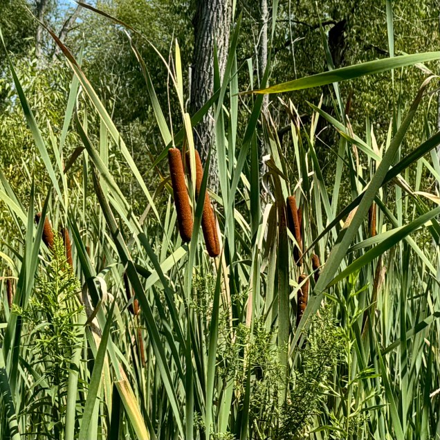
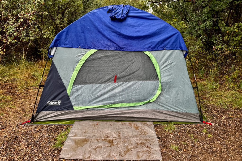
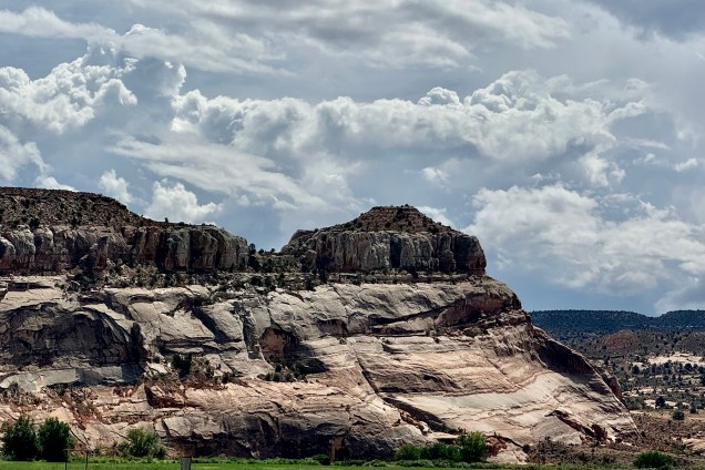
Having now spent three cushy nights in motels, it was time to quit babying myself and prepare to be back in the tent and camping. Actually I am preferring my cozy sleeping bag and cot in the tent to a motel room and their pillow top beds — except when the rainfly leaks and I get rained on in the middle of the night. A stop at a grocery store on the way out was in order to have enough food for the next four nights of camping in national parks. After a resupply in Colorado Springs, I made my way out of town. and by now I was driving in Garden of the God’s territory meaning towering red sandstone formations and landscape that became incrementally more beautiful the further southwest I traveled.
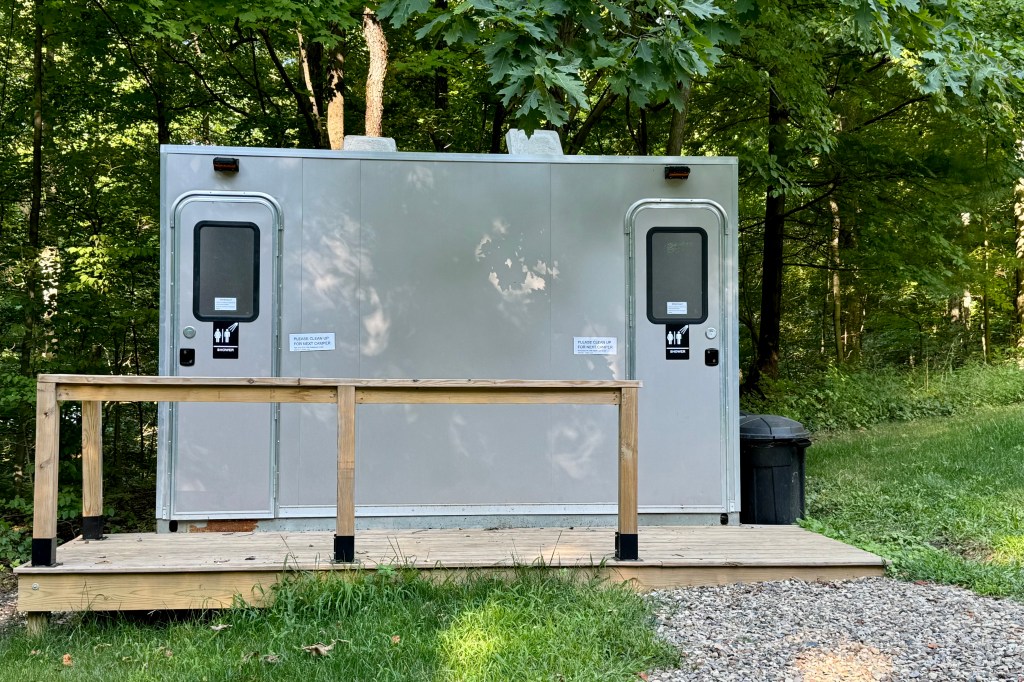
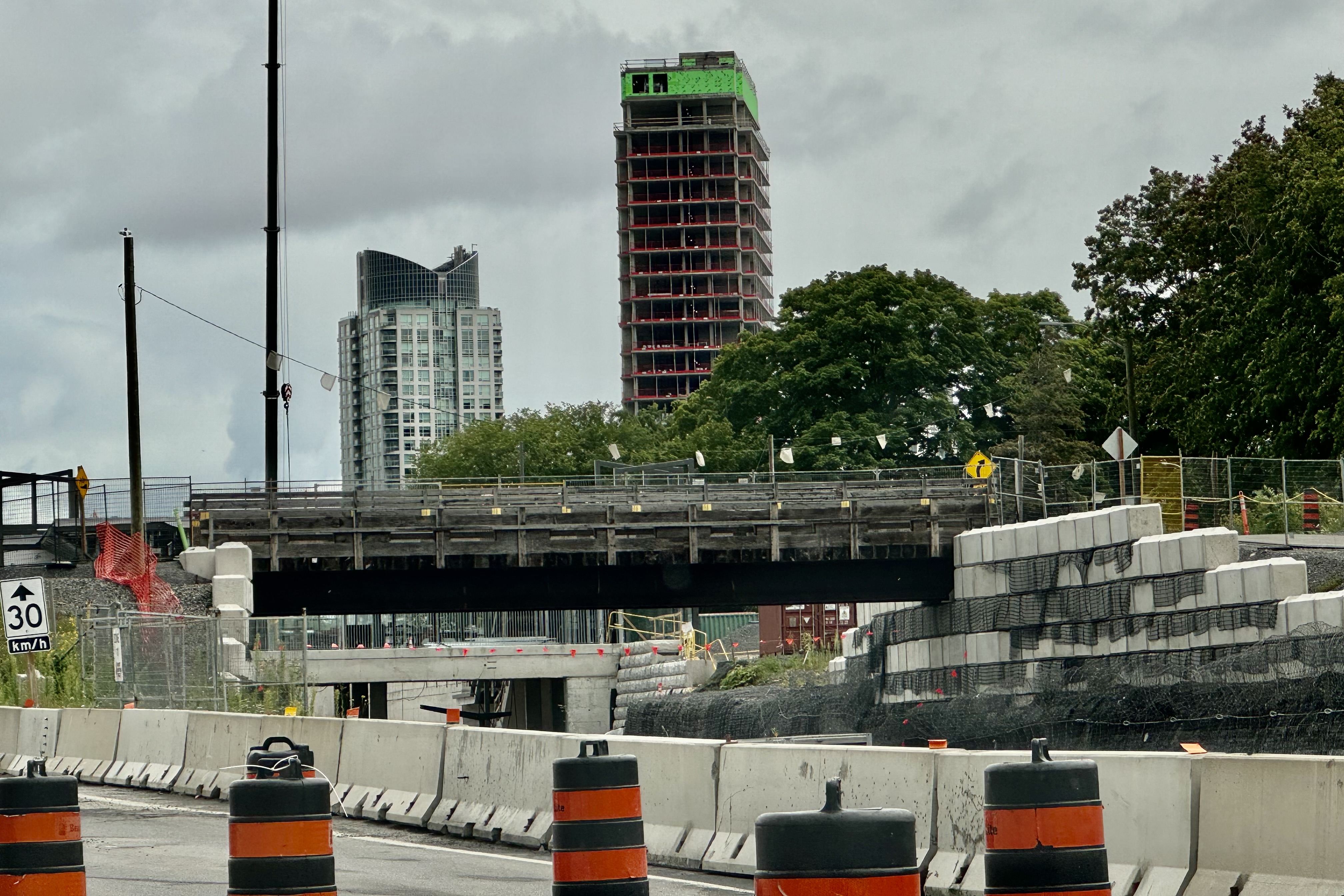
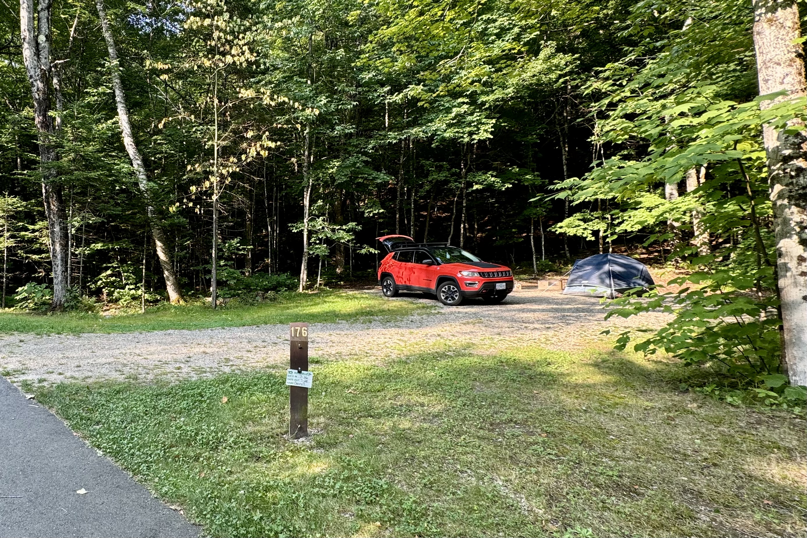
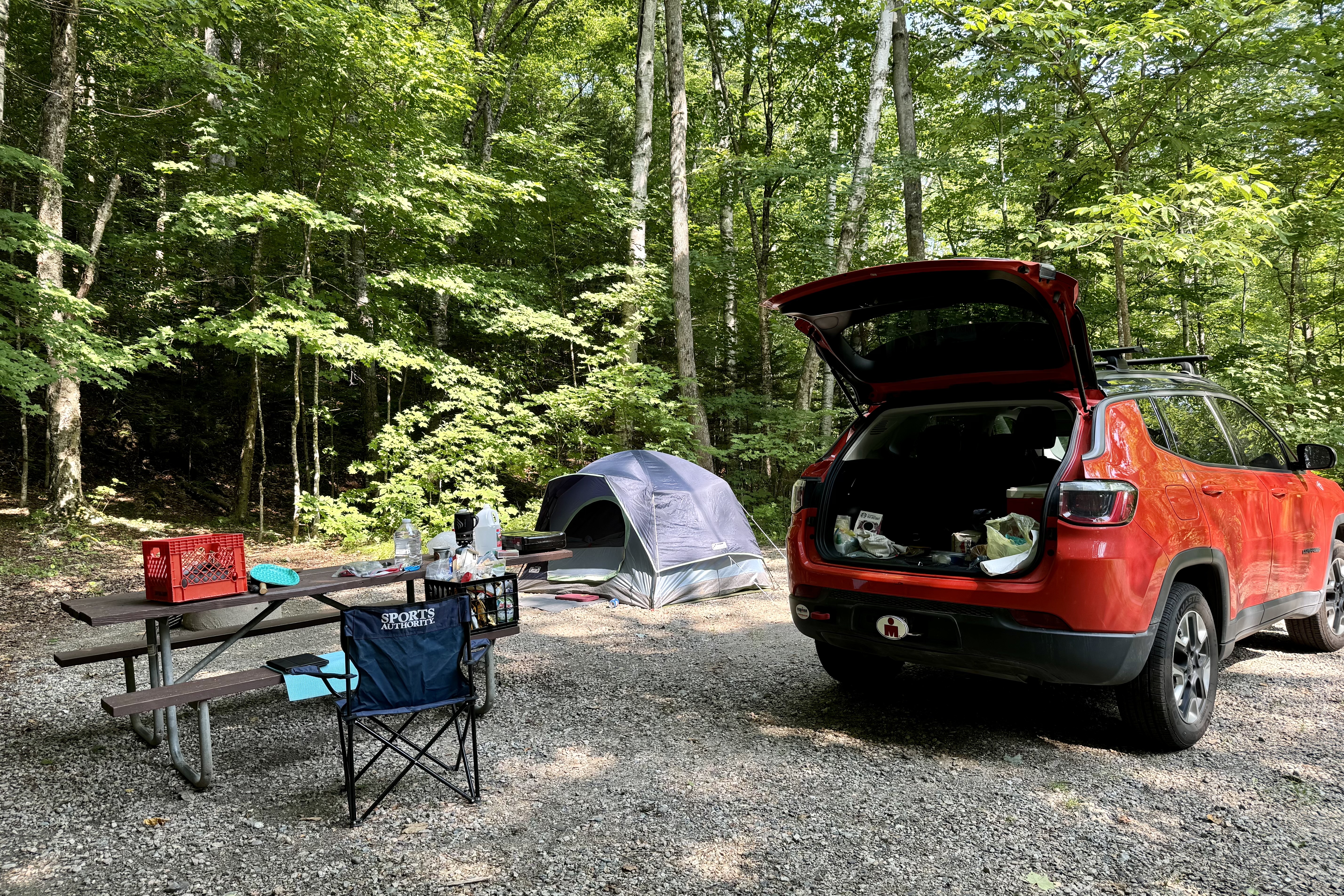
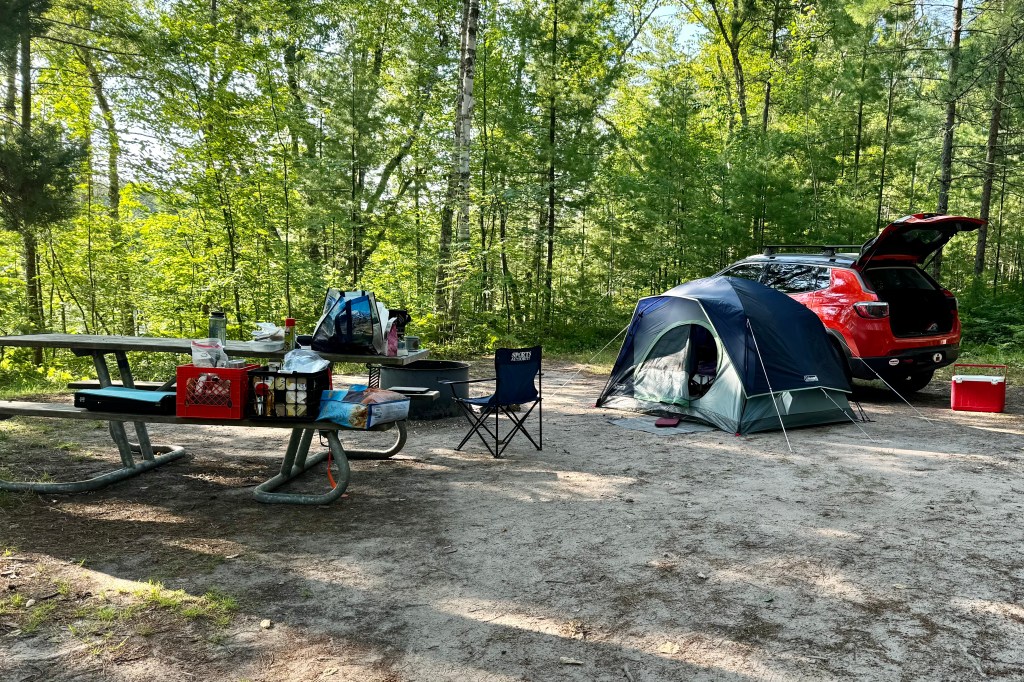
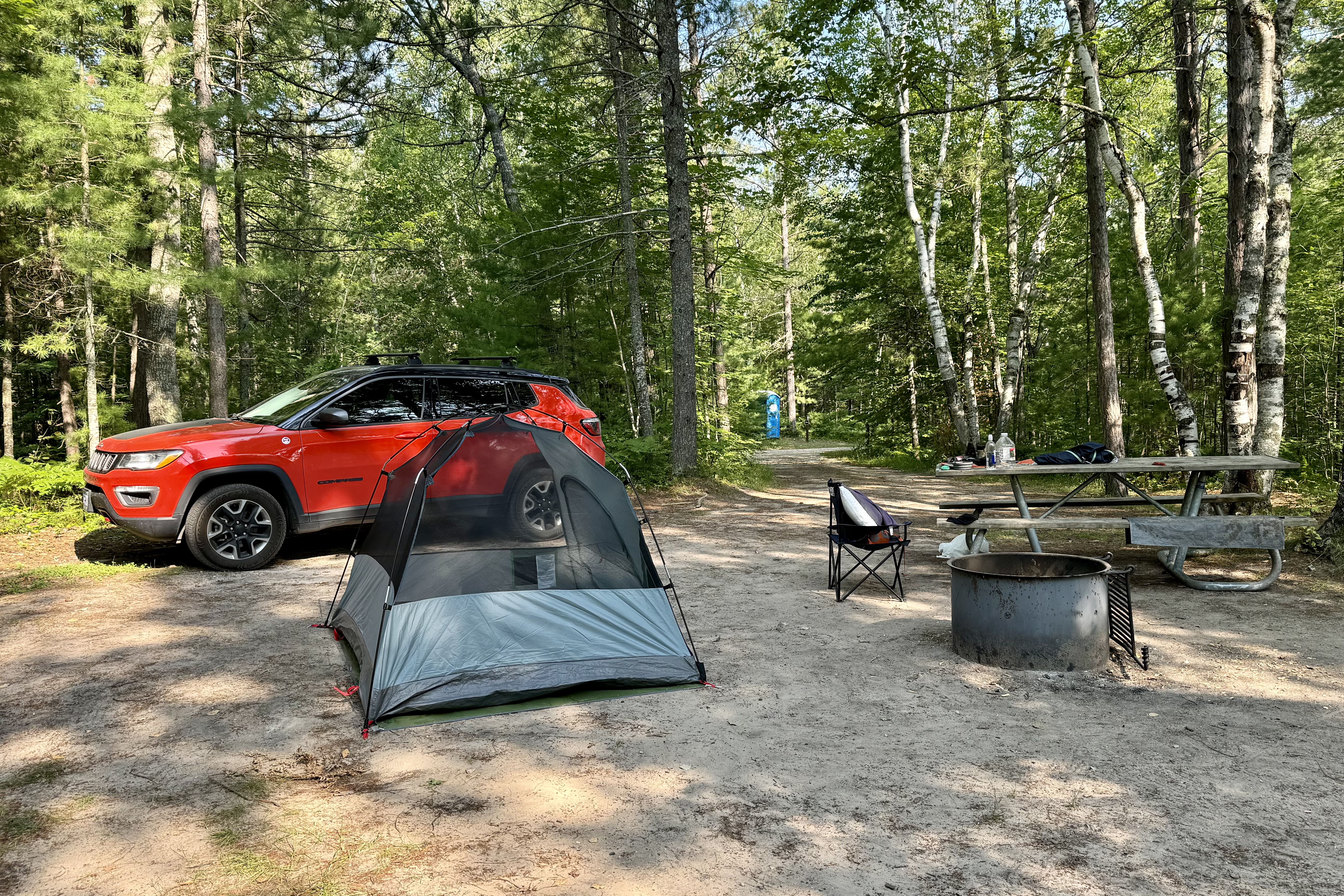
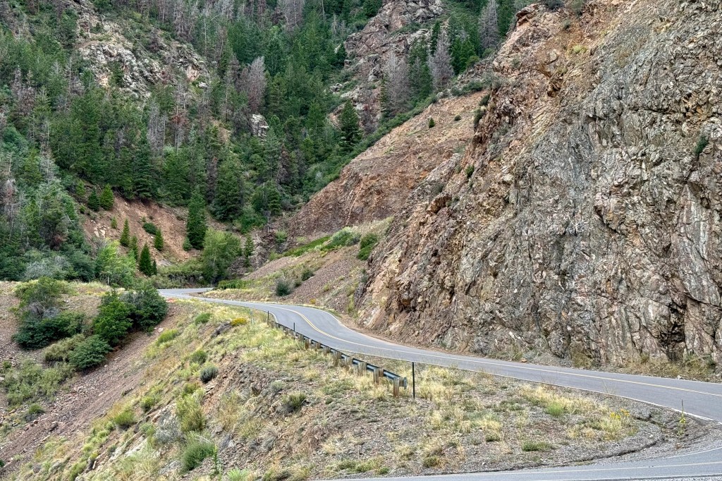
One of the downsides of traveling to the national parks now (or most areas as well) is that it is the “high tourist season” as well as the “high road construction season”. Quite often the two clash! Whether it is the turnpikes, interstates, or the secondary roads, there were not many stretches that I traveled where major road work wasn’t a huge barrier to maximizing quality time outside of my vehicle. I was in Colorado headed to the south rim of Black Canyon on the Gunnison National Park via Route 50 and had to wait almost an hour for a pilot car to lead a line of cars through the area being “refurbished.” This of course was the time when the major road through Gunnison was also getting a shiny thick new layer of black asphalt and this provided a great olfactory experience of the aroma of fresh asphalt which had just been laid on the road about 100 feet from the campground. Most campsites were pretty squeezed but the one I had selected was quite roomy though I opted out of putting my tent on the area designated for a tent pad on the back of the site (more privacy) as it was clay and definitely would be a slick mess to slip and slide around on should it rain.

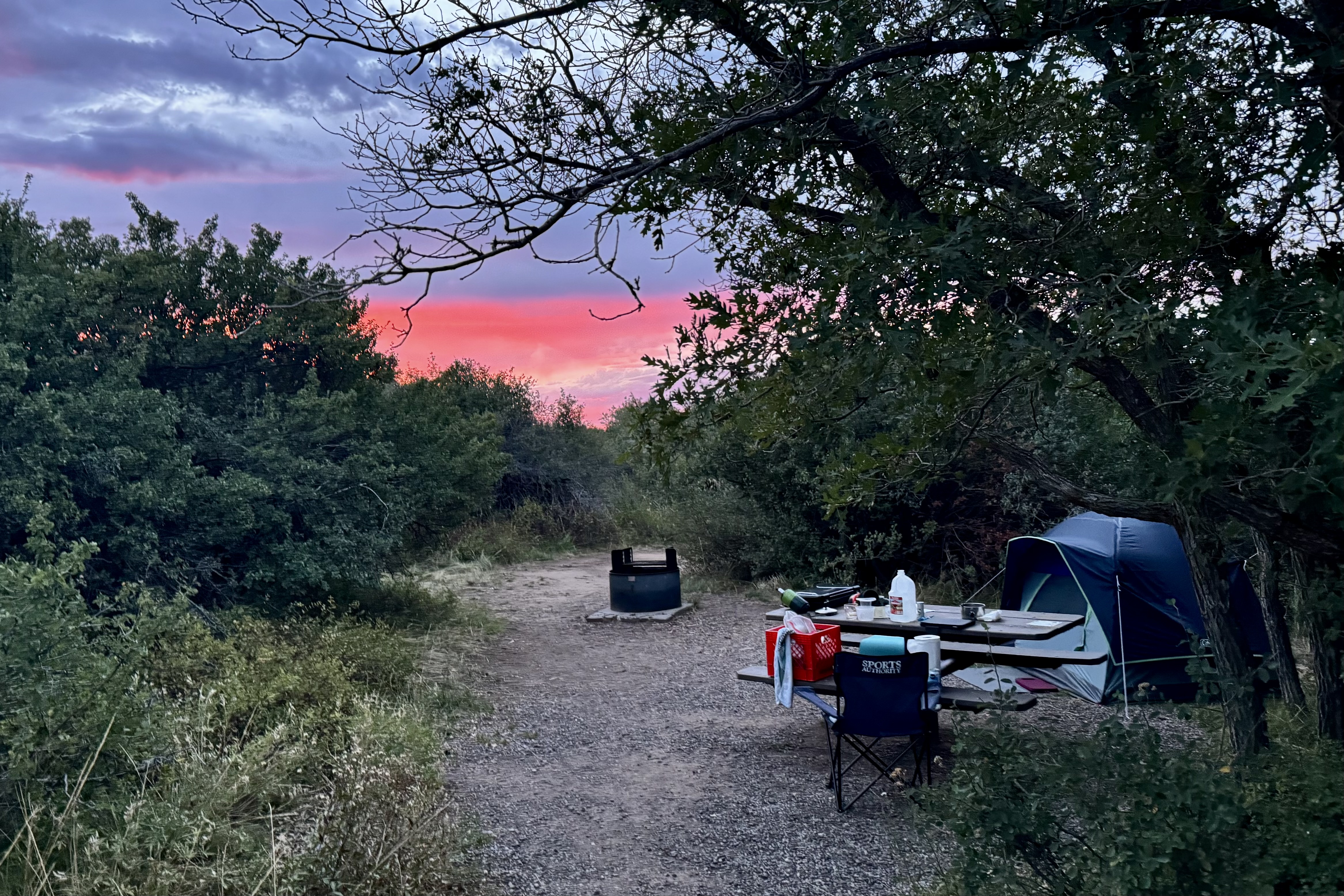
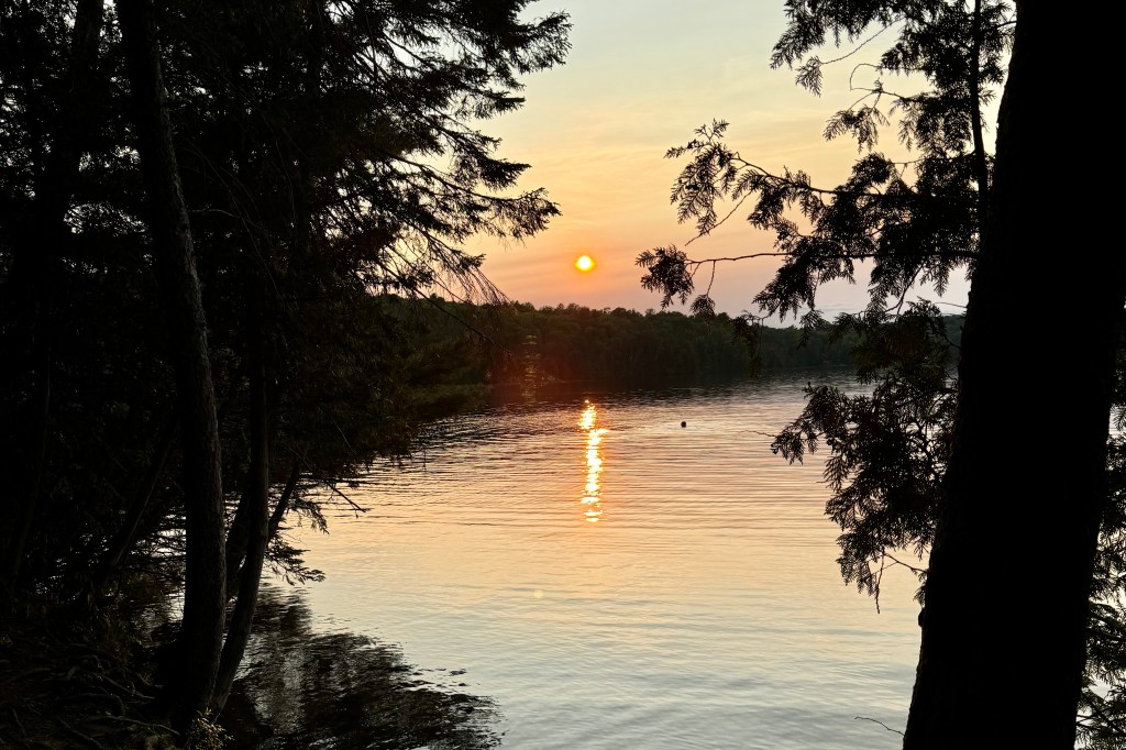
With many open site, up pulled a “loud family in training” right across from me, meaning there have been worse on this trip but they were practicing to compete for first place. In an amble about the campground I did not hear any other clearly audible conversation. It wasn’t even the ongoing noise that annoyed me (one comes to expect it) but soon the dad strung up several strings of lights running off a portable power pack (no electricity in this campground) . It wasn’t quite as bright as the Vegas Strip , but Black Canyon of the Gunnison National Park has been certified as an International Dark Sky Park due to its exceptional skies and lighting practices. This guy was putting so much wattage into the air , that it definitely compromised the quality of star gazing that evening.

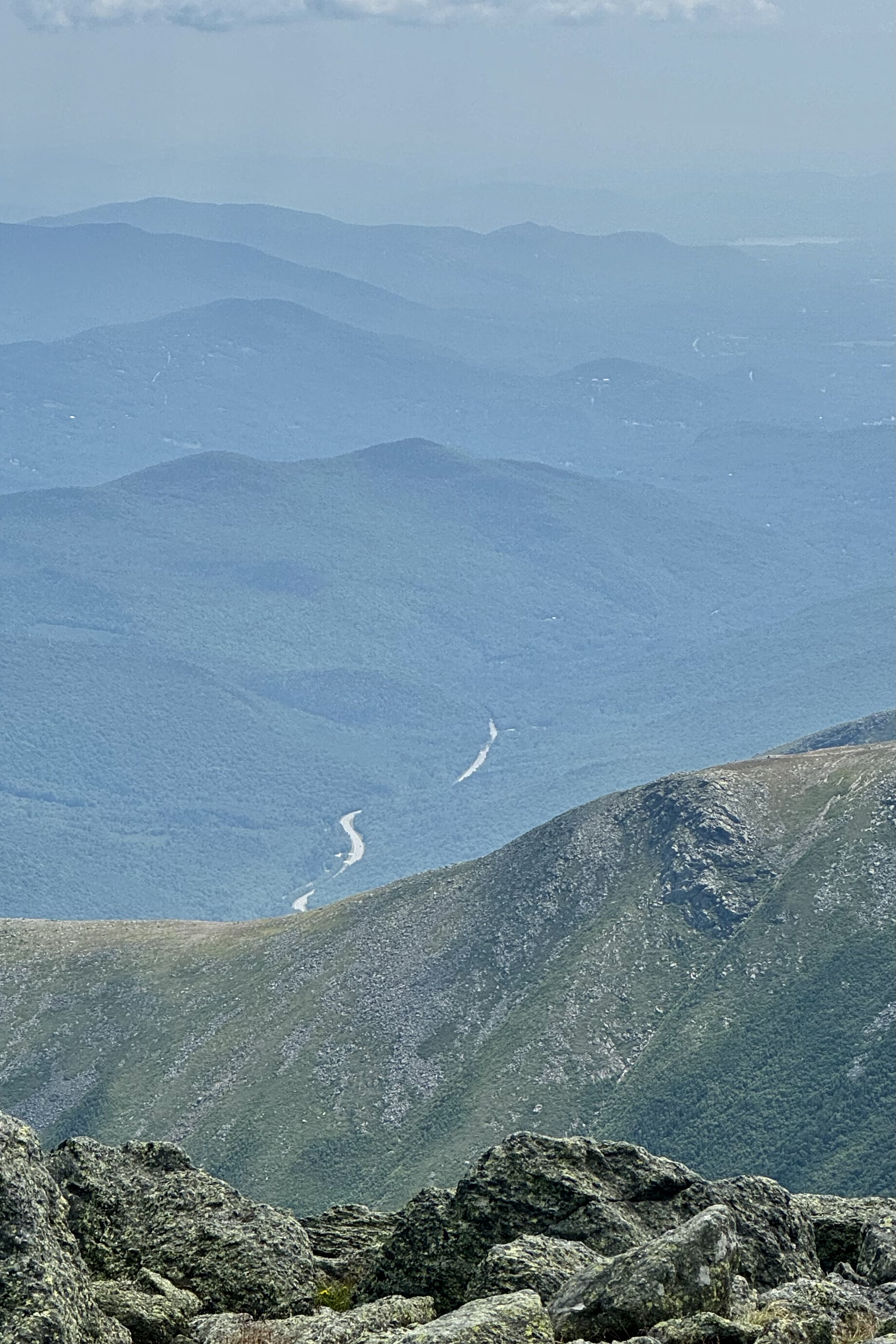
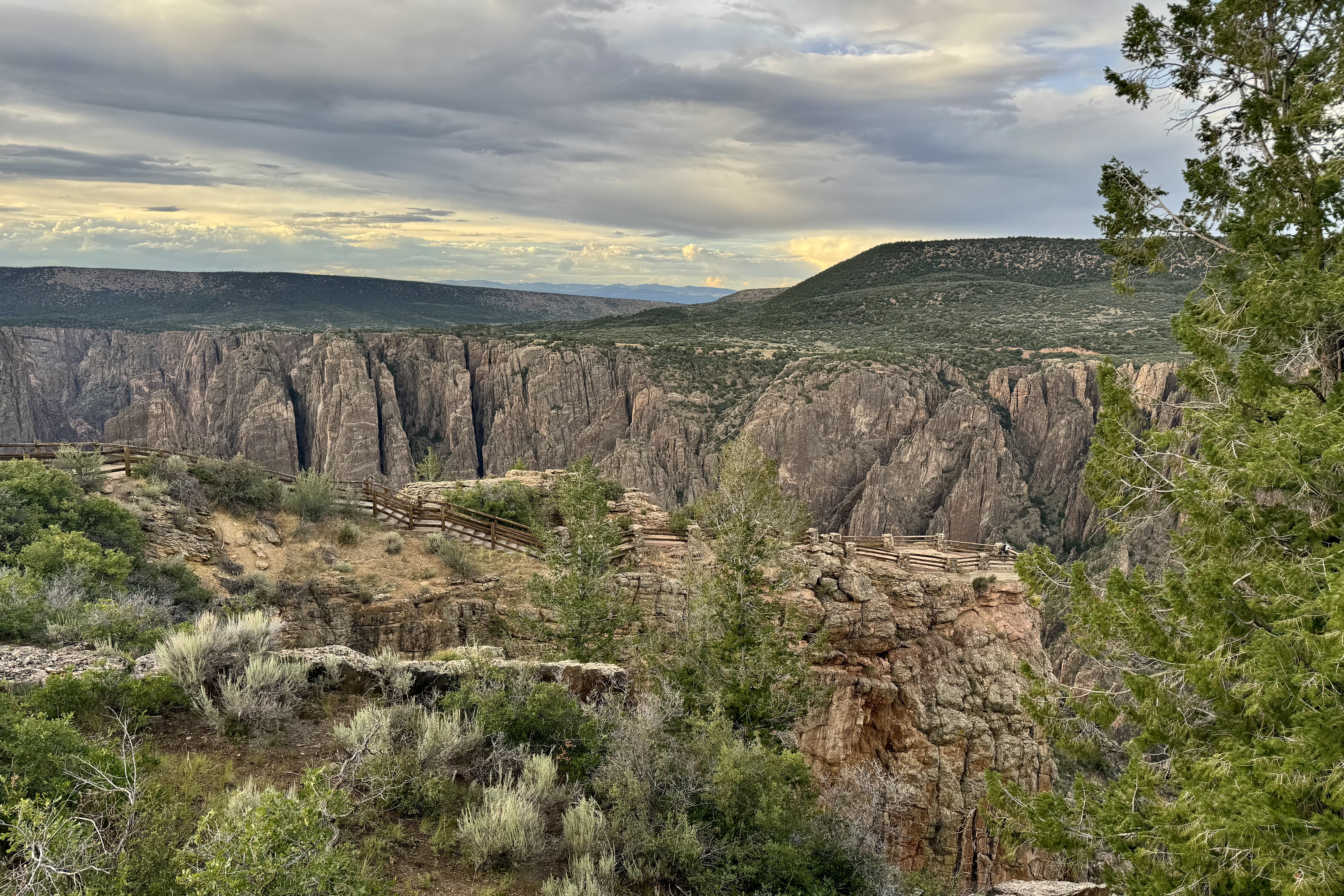
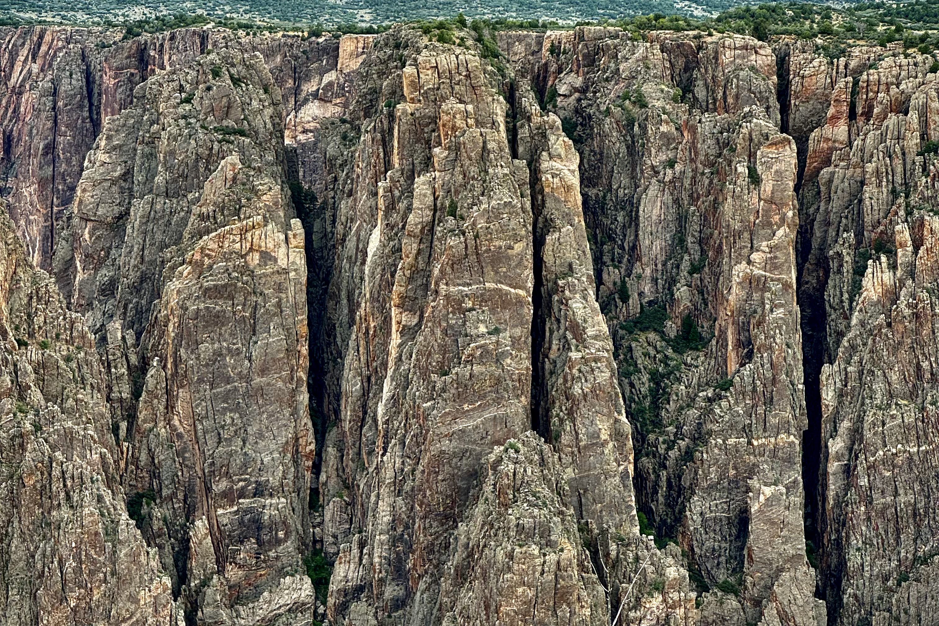
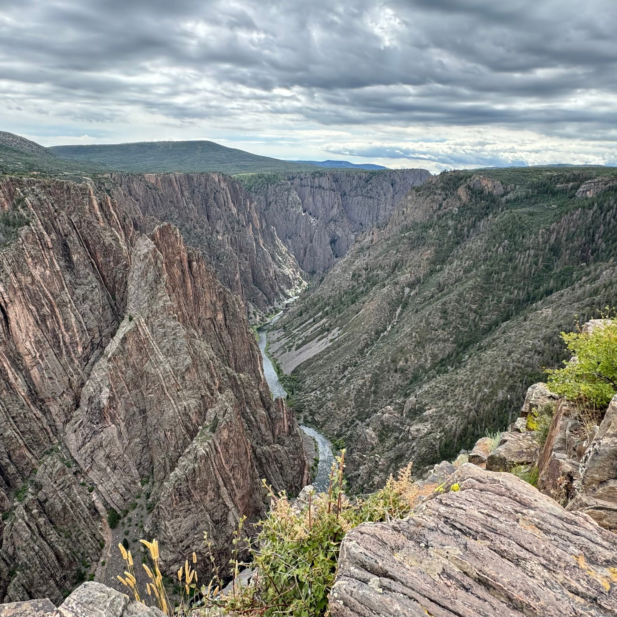
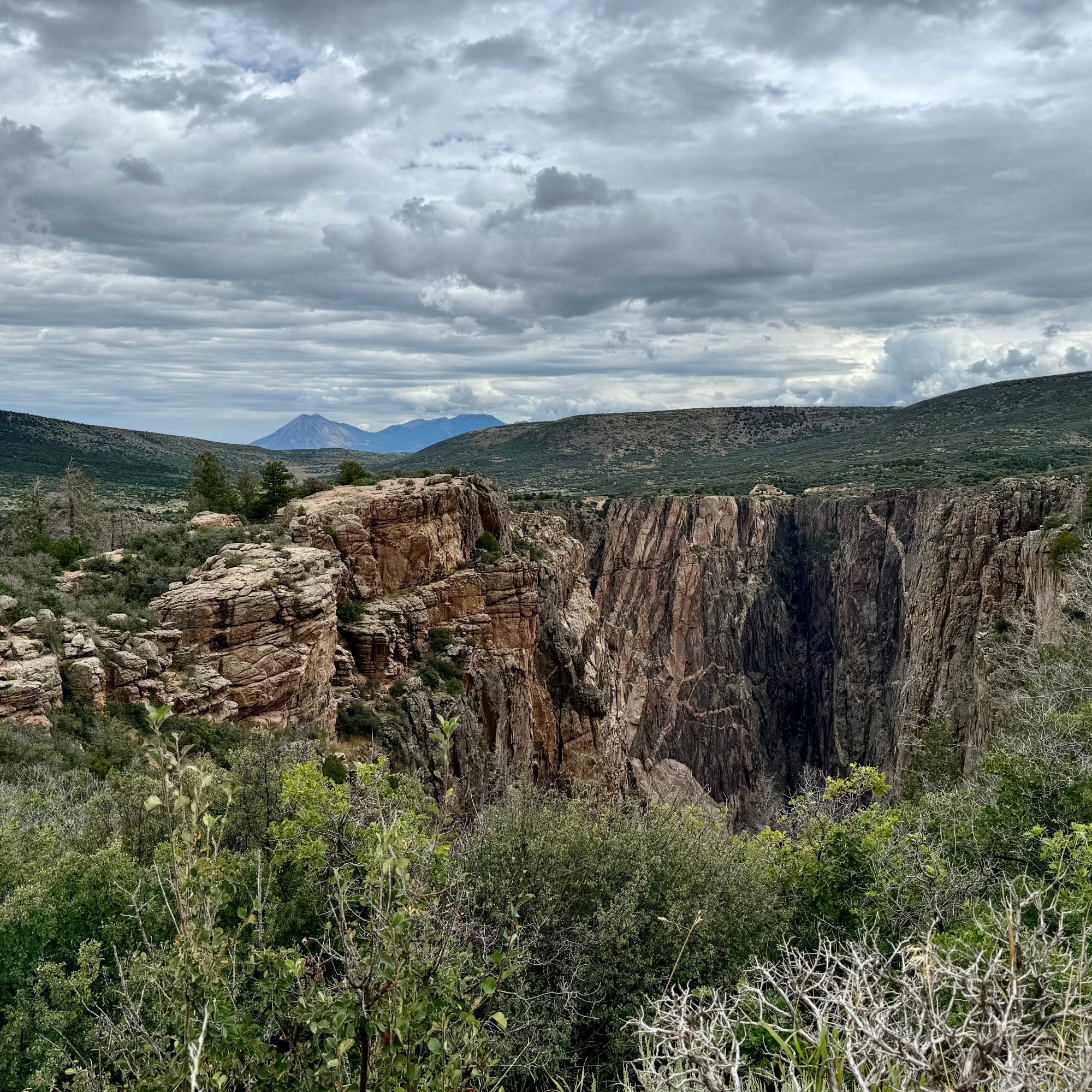
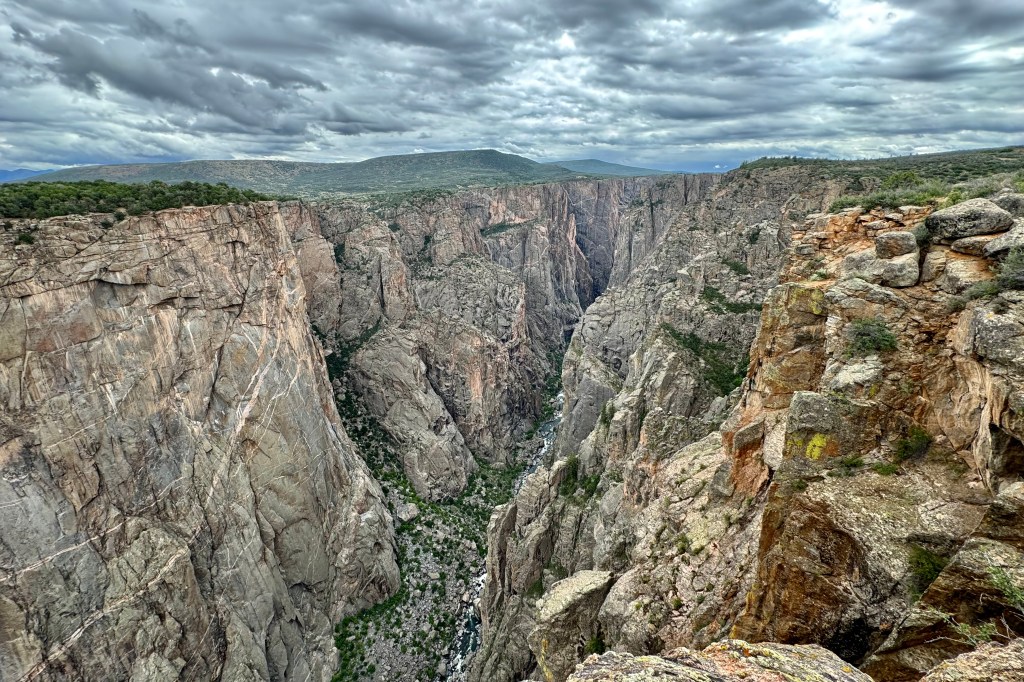
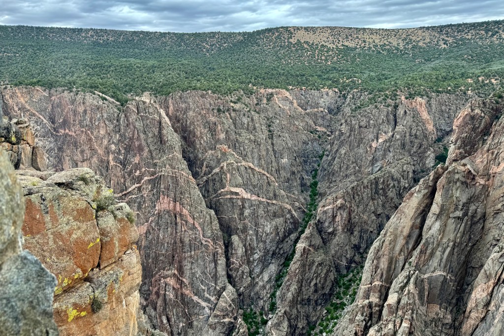
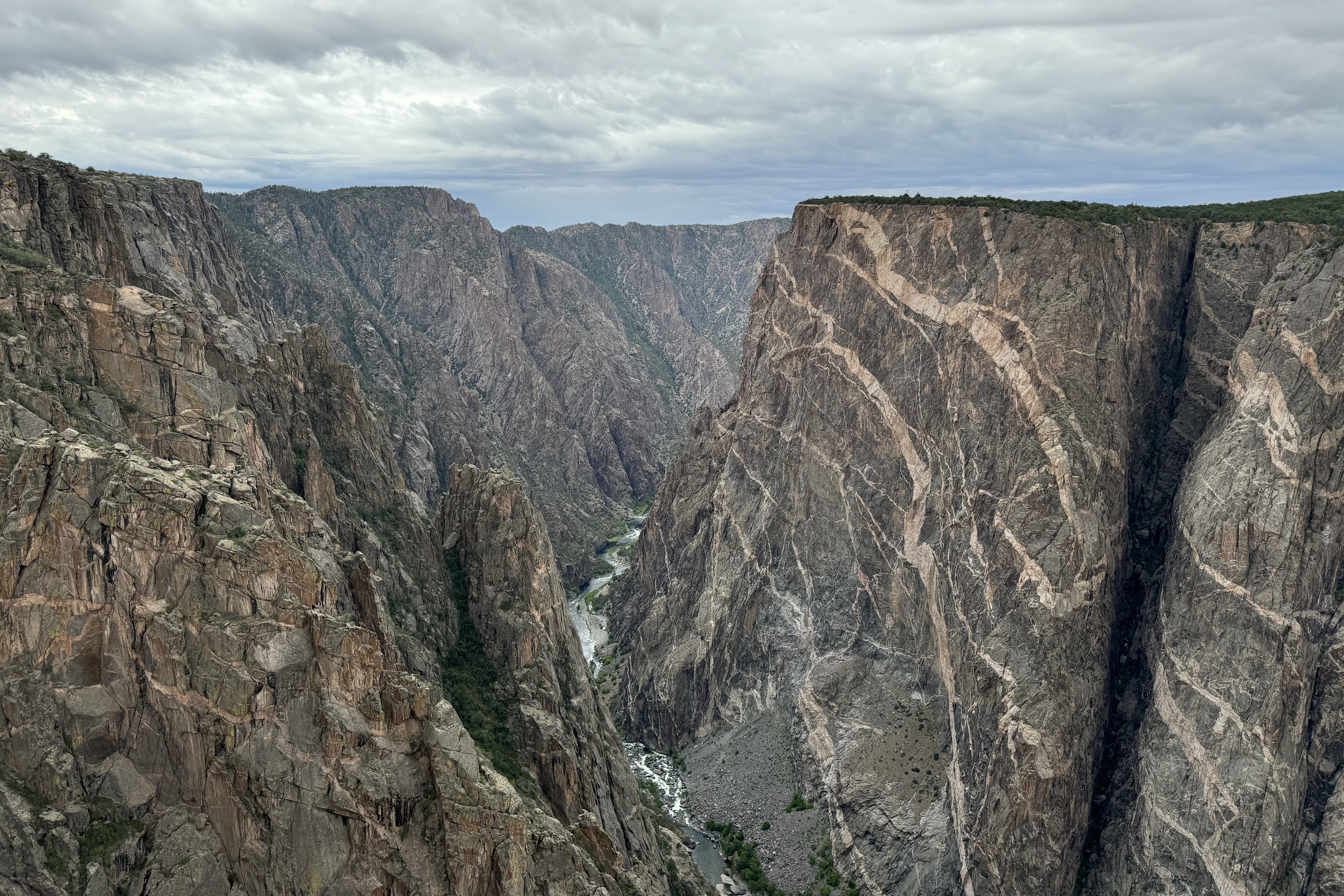
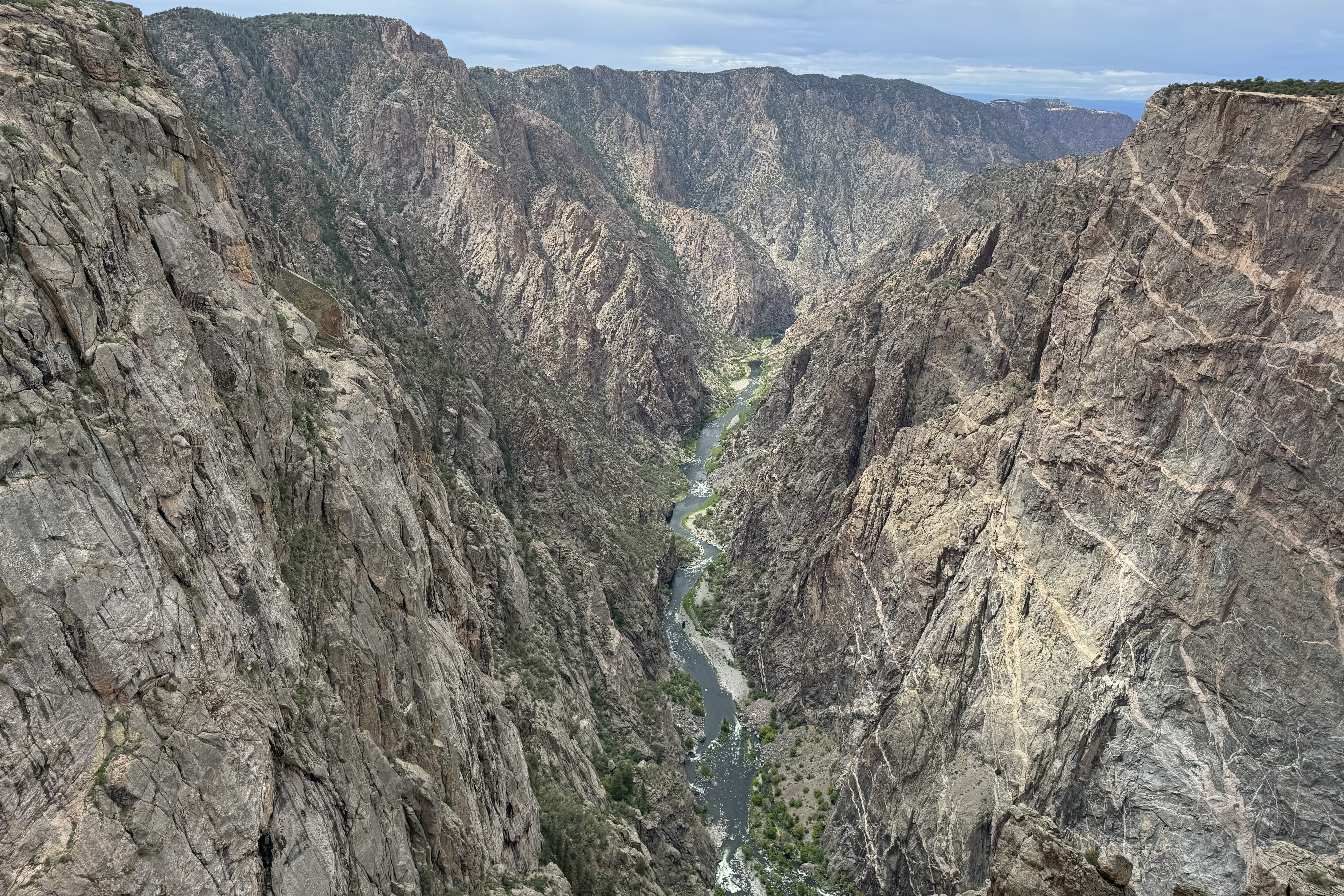
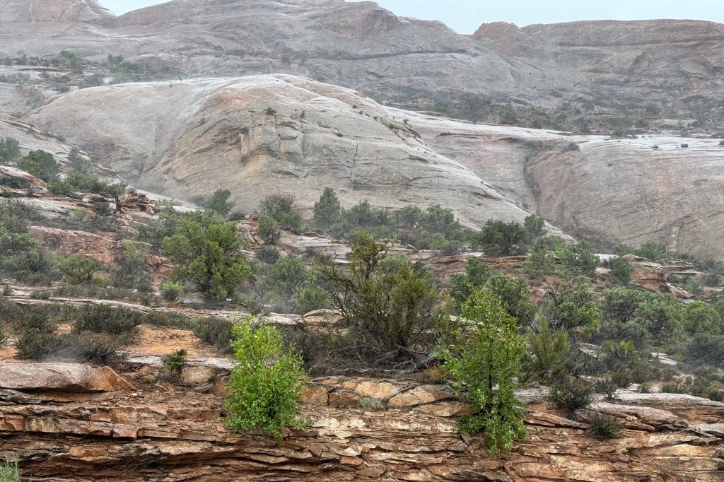
Is it all in the name? It’s moniker ” Black Canyon” is not derived from the color of it’s rocks but because the canyon is so narrow and so deep, reaching a depth of 2,722 feet, that sunlight barely reaches parts of the gorge each day (33 minutes), thus giving off an almost-spooky aura. With such an ominous designation, you might guess it is one of the least known and one of the lesser-visited national parks in the country. It ranks 47 out of 63 overall in annual visits. The Great Smokey Mountains has 13.3 million annual visits whereas Gunnison has 357,00
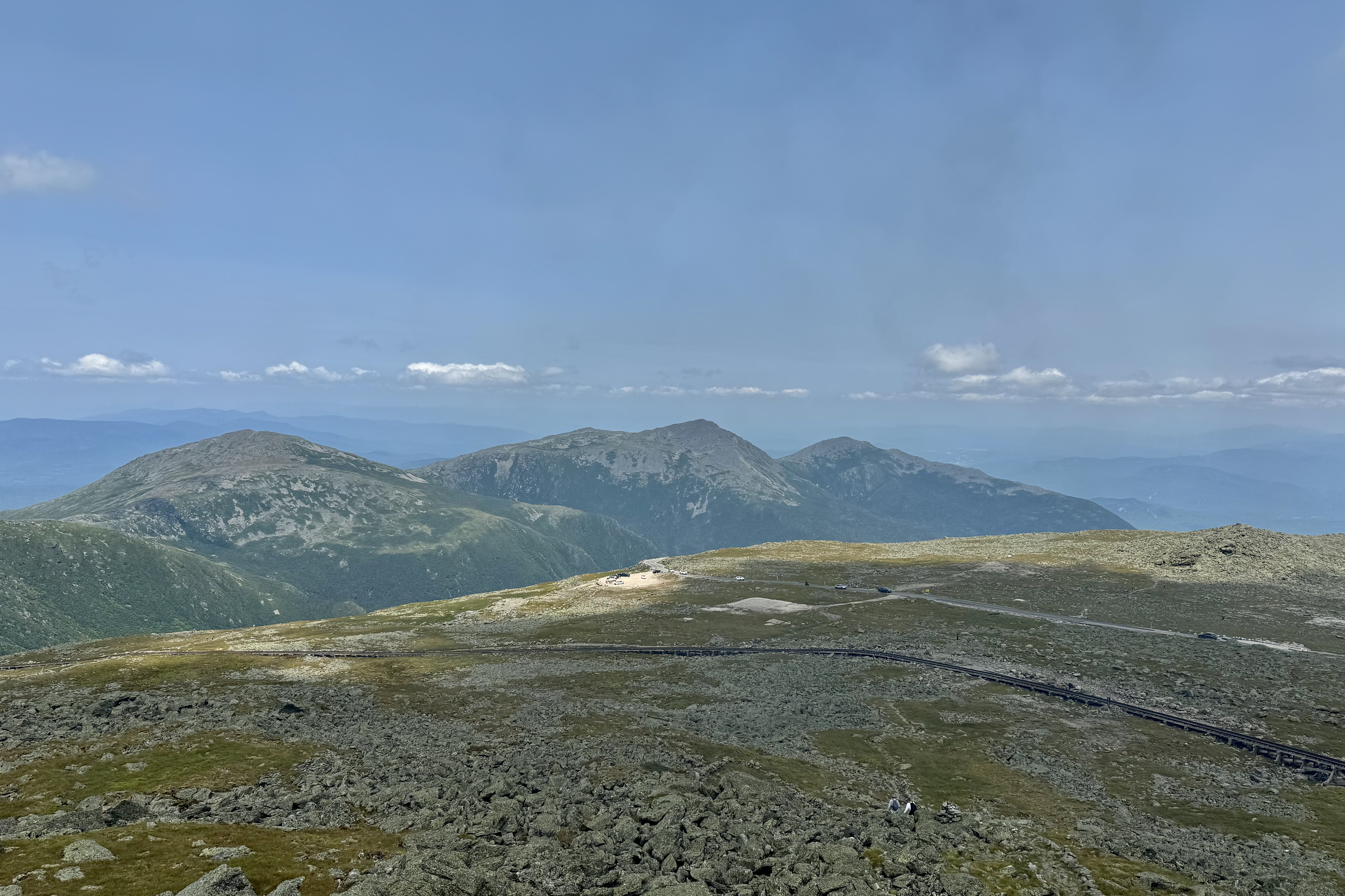
The next morning, I awoke to the patter of rain on tent but, but fortunately it stopped relatively soon so I did not have to figure out Plan B. I was able to quickly get breakfast and get on the road. I arrived at the already crowded visitor’s center and made a plan to drive the 7 mile south rim road and explore most of its different views. But first I wanted to hiked a portion of the Rim Rock Trail before I wore myself out oohing-and-ahhing at the magnificence of this canyon, 7000 ft above sea level.
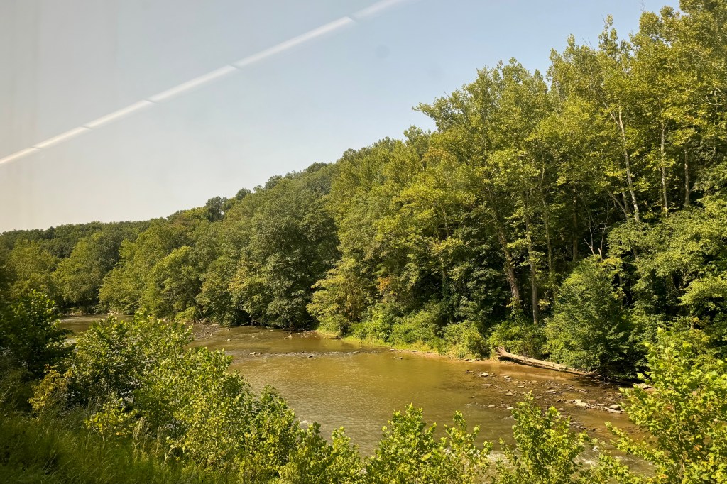
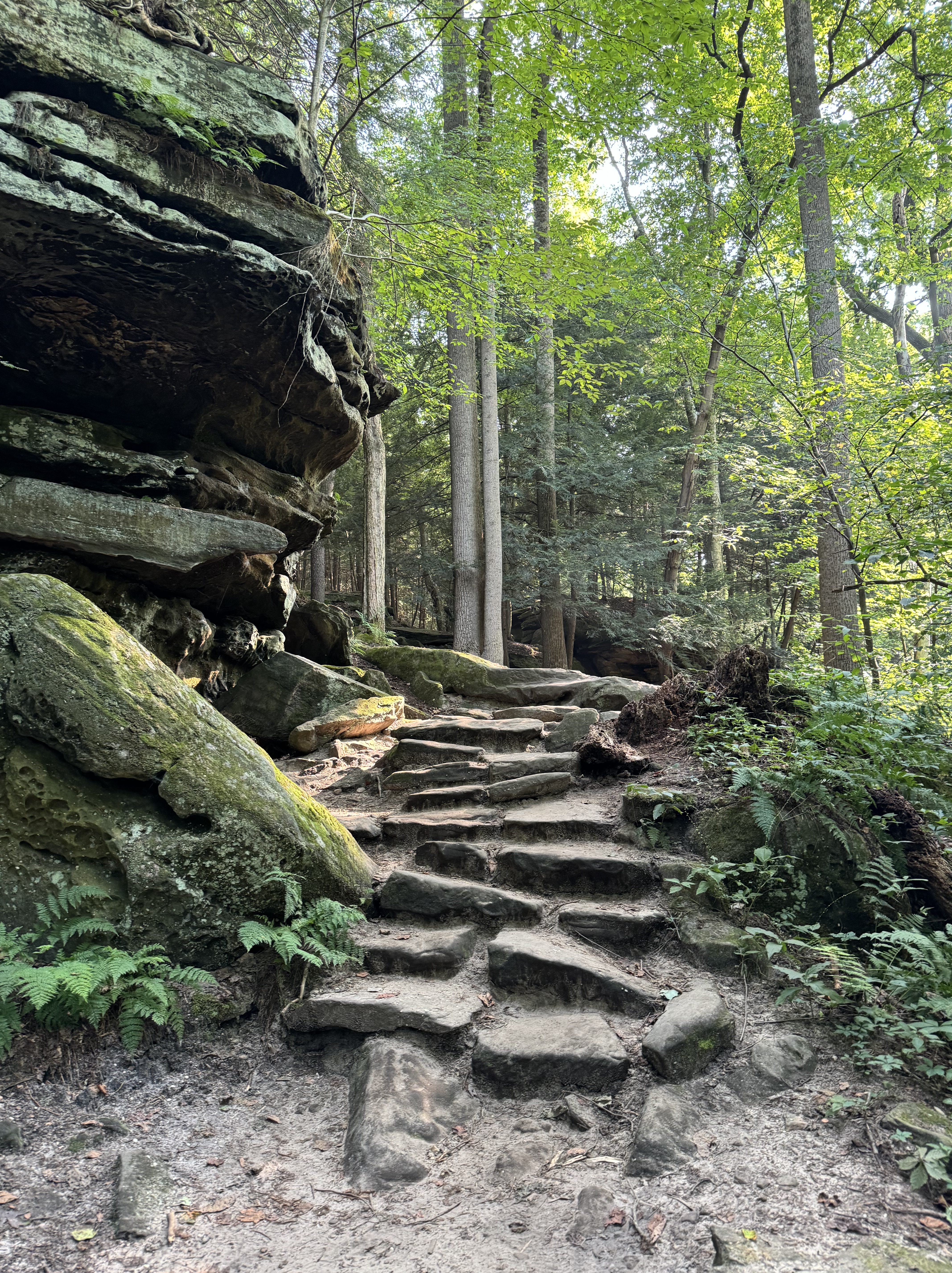
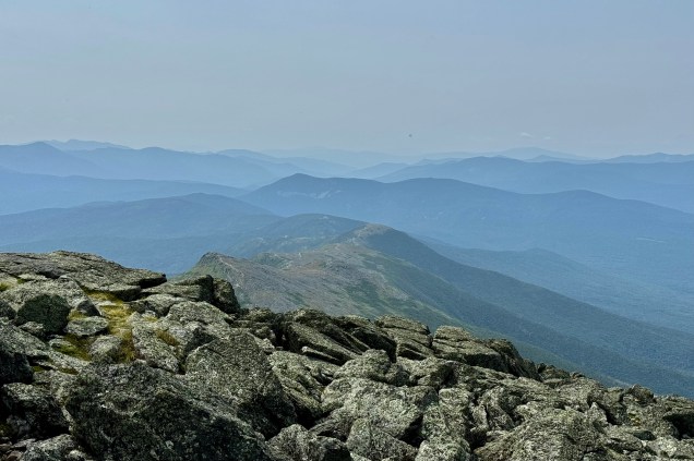
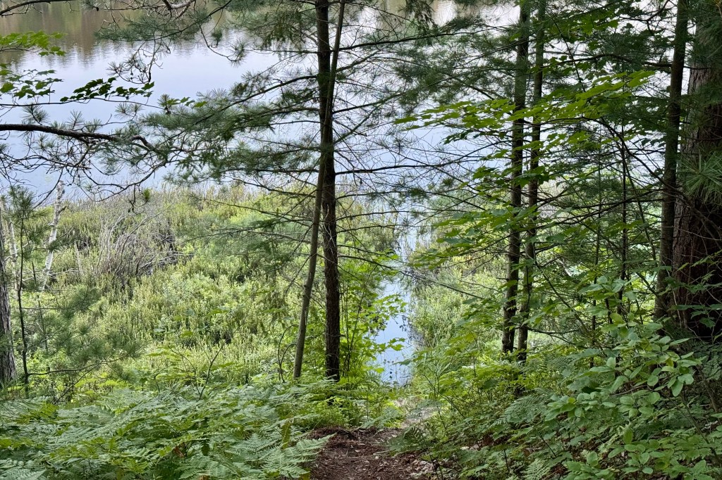
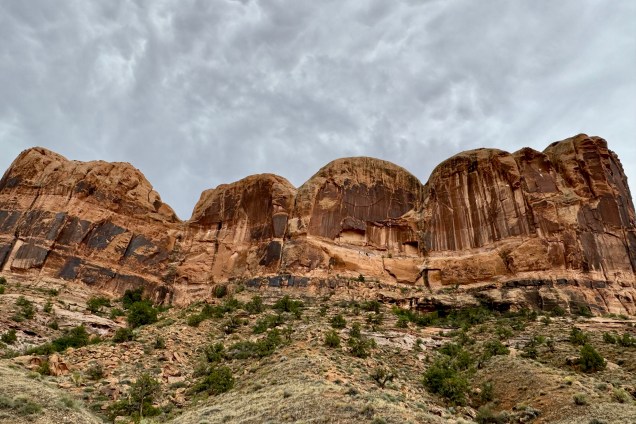
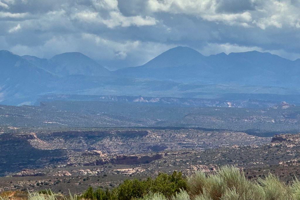
Hiking the rim from the visitors center to Tomichi Point was but a half mile and though it is described as relatively flat with some stairs and uneven ground, I found it a bit unnerving given the closeness to the “endless” drop of the canyon, so proceeded with great caution. I was stunned by the sheer depth of the canyon walls and narrowness of these canyon walls, the glimpses of the Gunnison River, the canyon ridges and rock spires that jut into Black Canyon, and panoramic vistas of the West Elk Mountains.

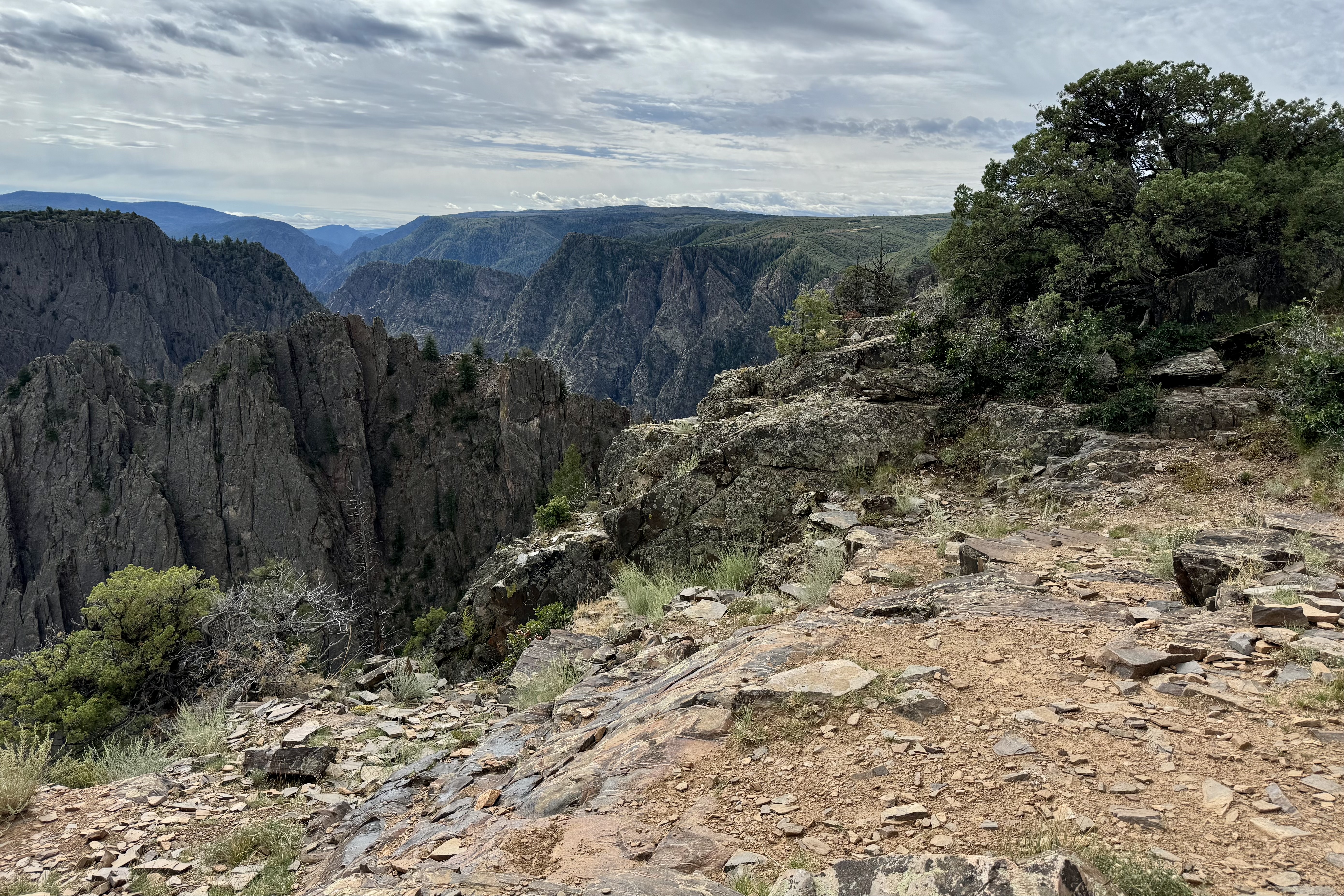

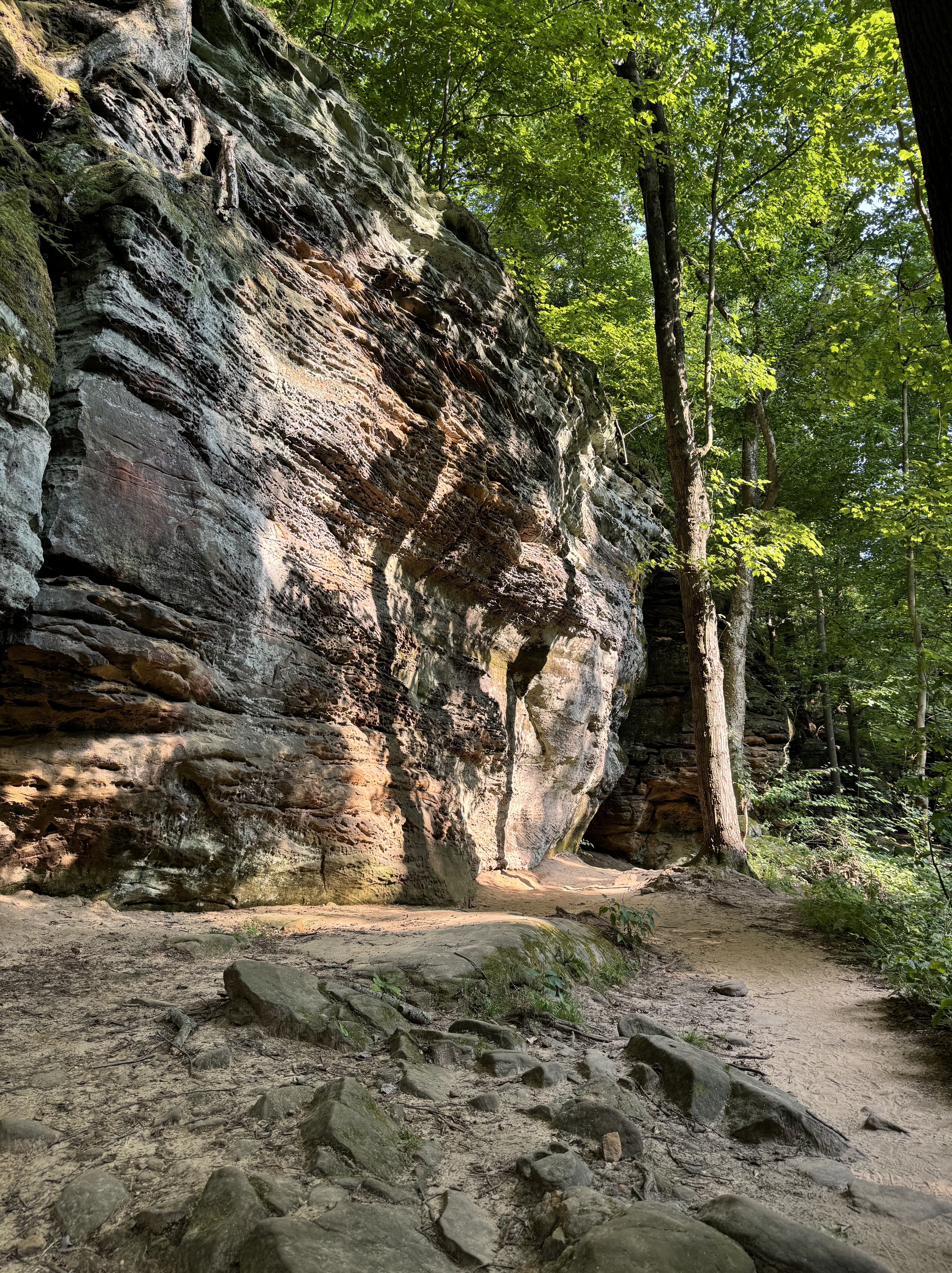
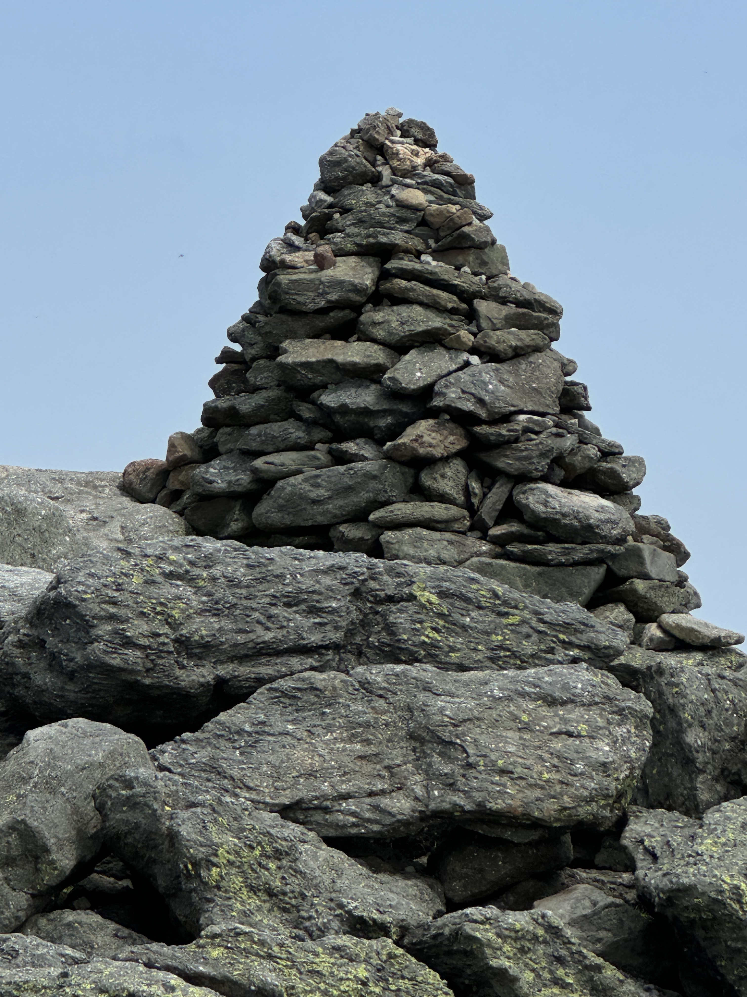
Not want to be miss out on any demarcated views , I motored on and began the routine of stoping at each pullout to and hiking each short trail to the viewing platforms. I began to develop a cadre of acquaintances as I kept running into the same gazers at each pullout. starting with Pulpit Rock.
Pulpit Rock .


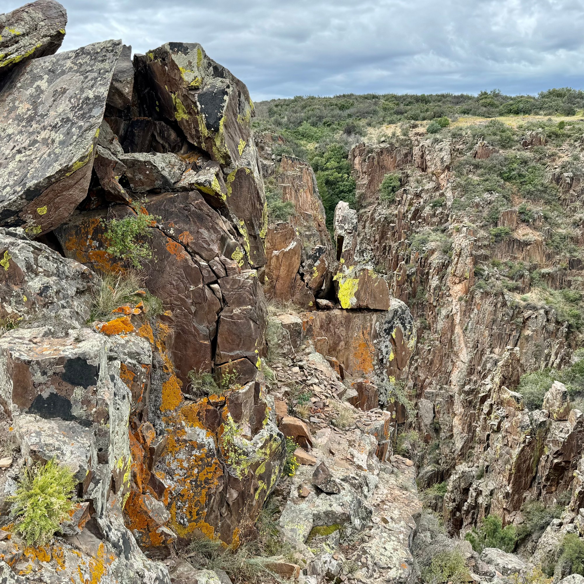
Cross Fissures Overlook


Rock Point


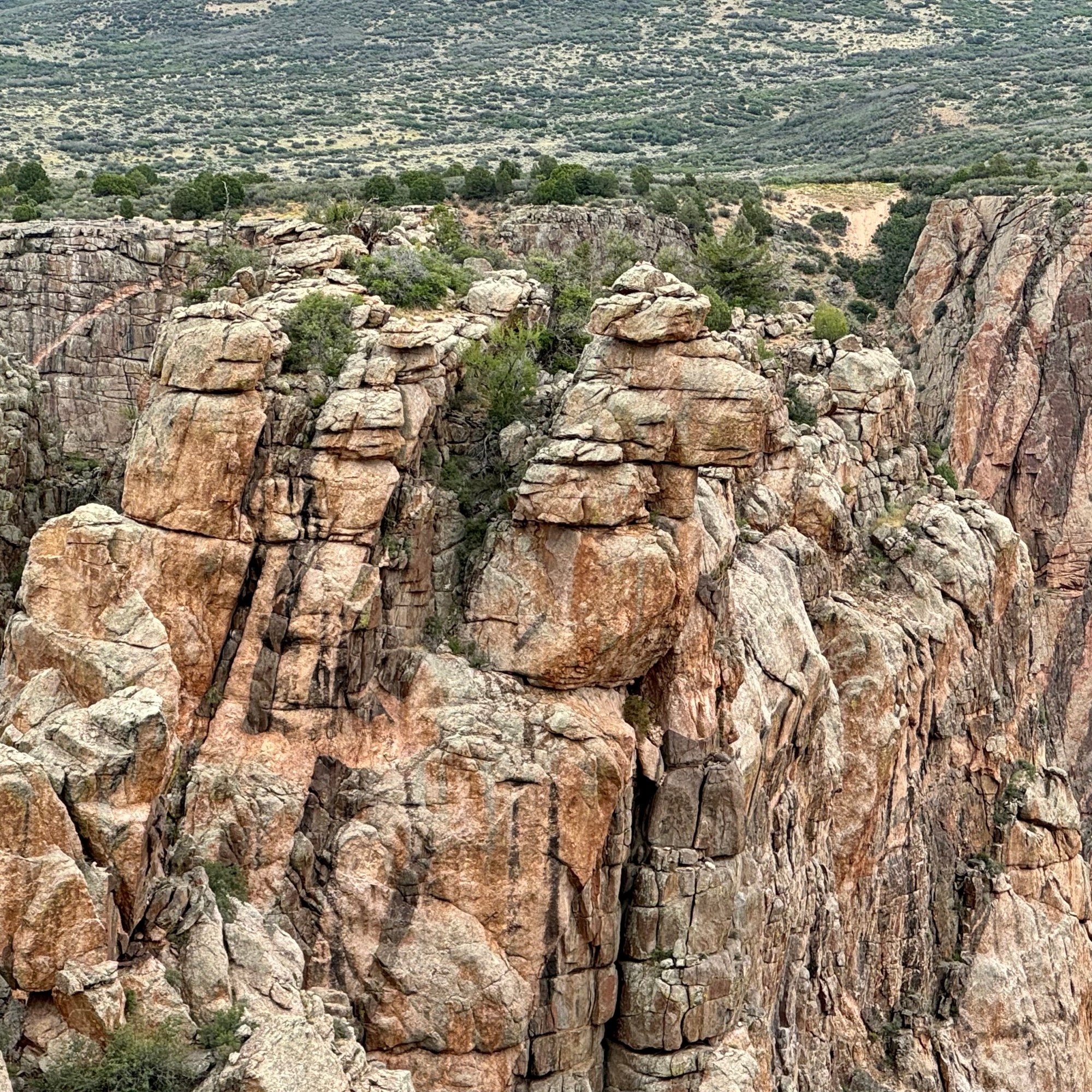
Chasm View
Painted Wall
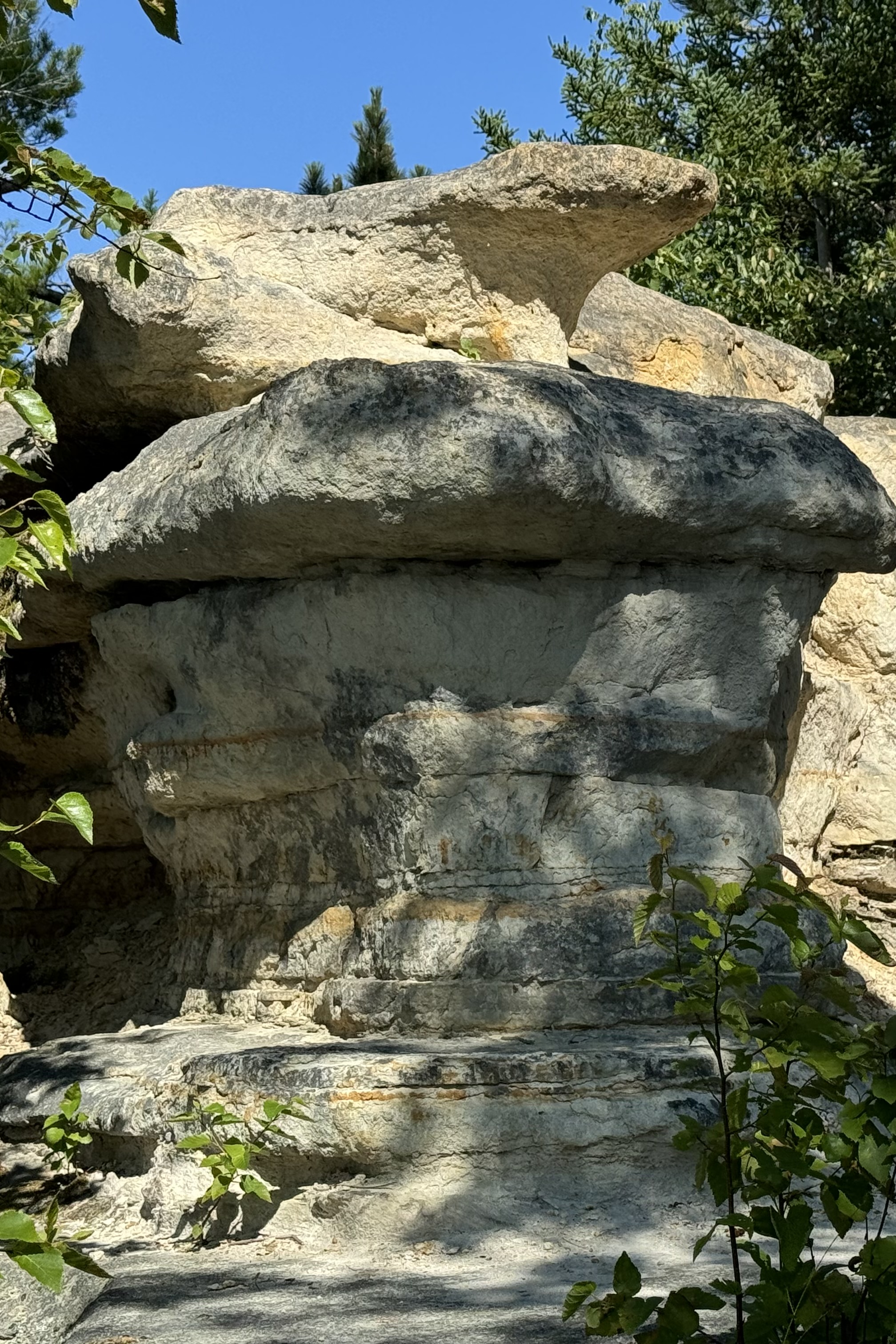
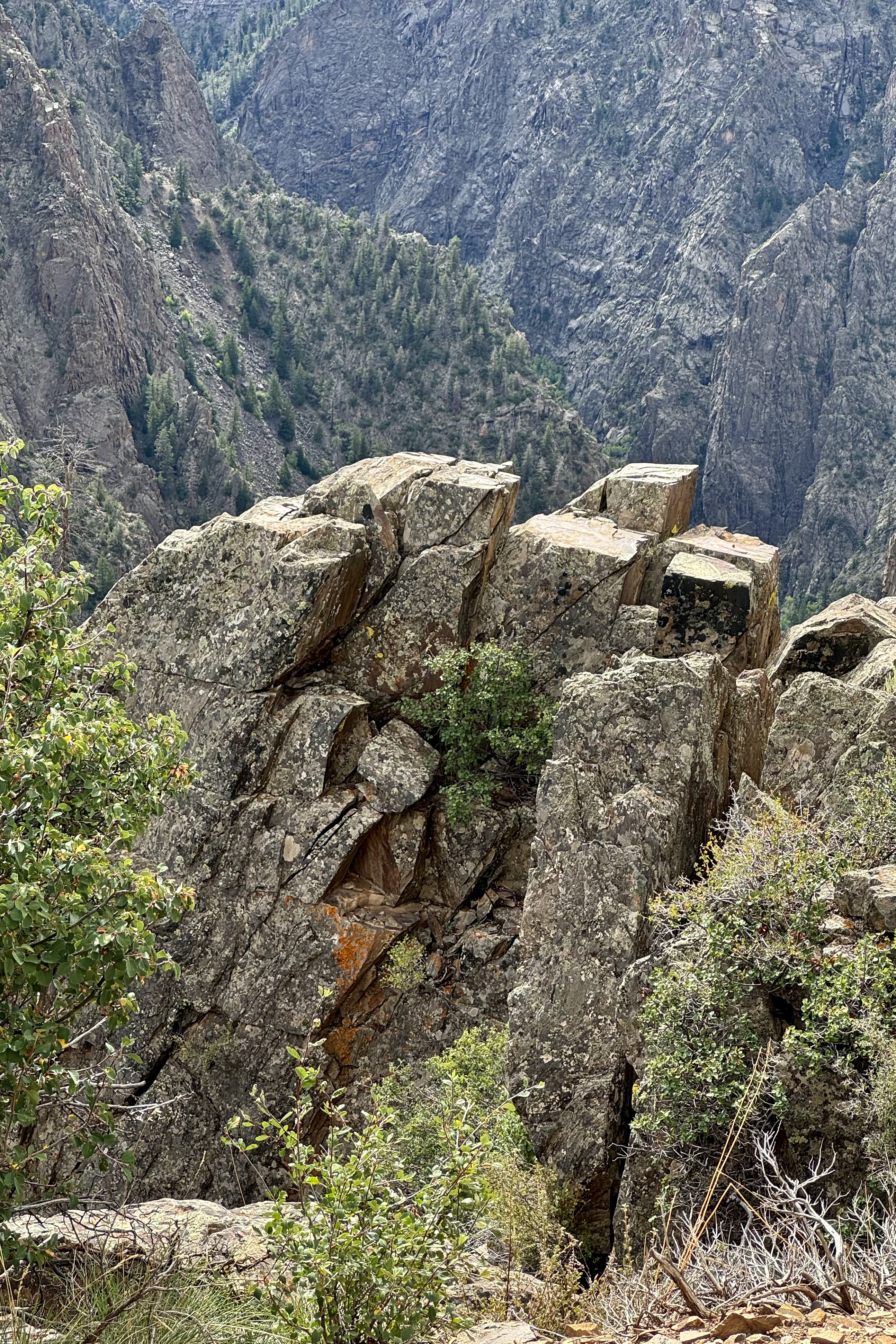
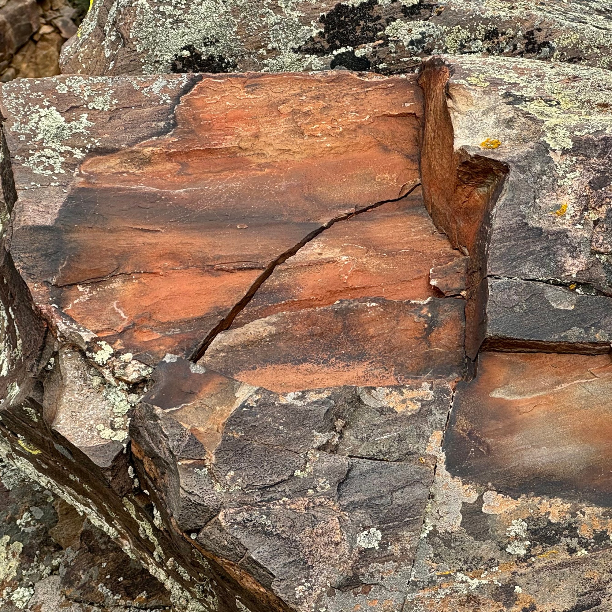
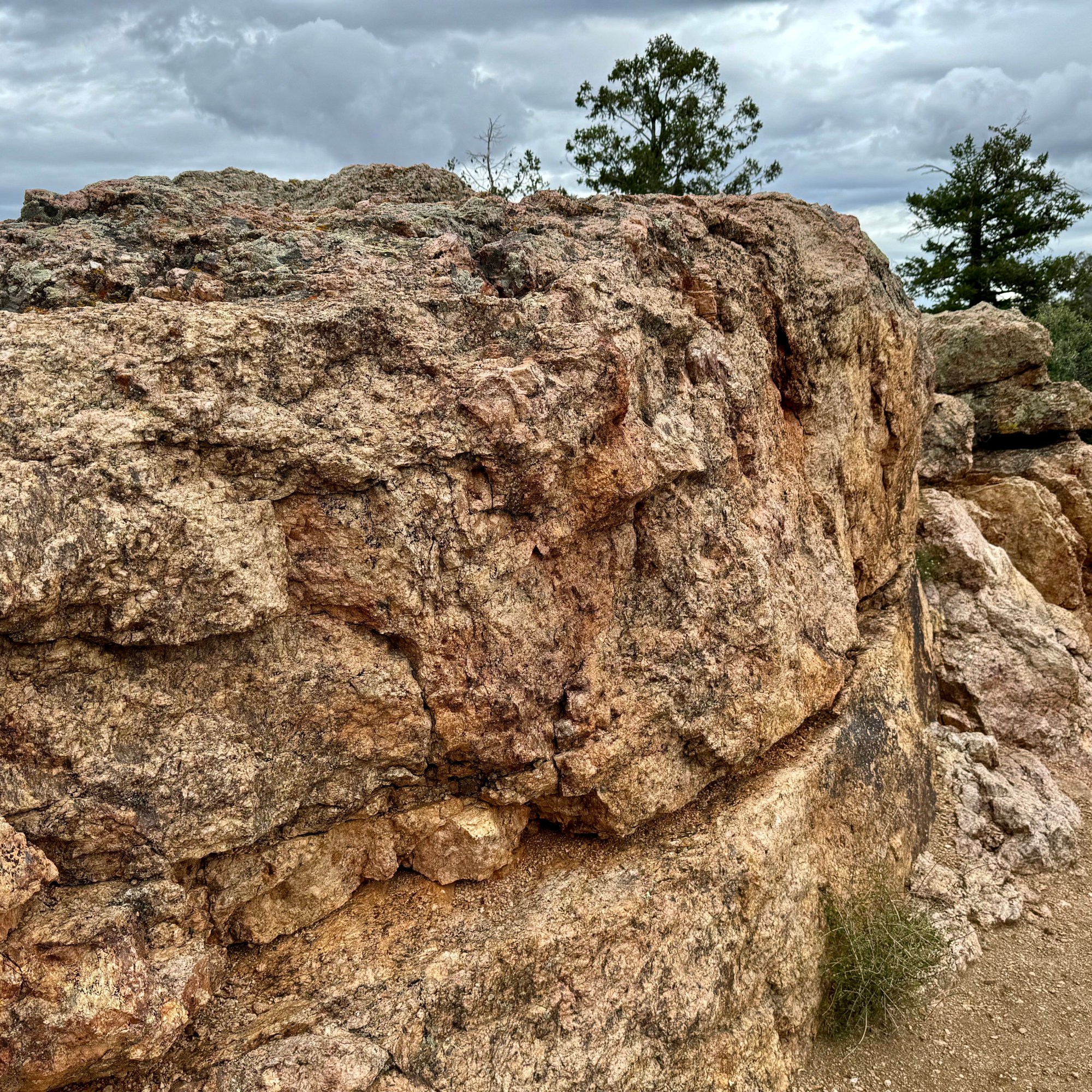
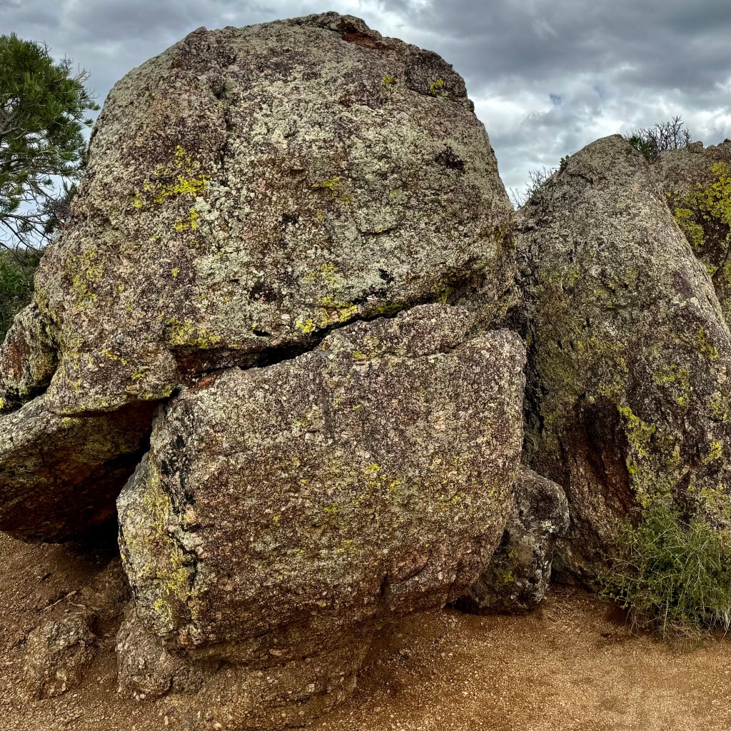
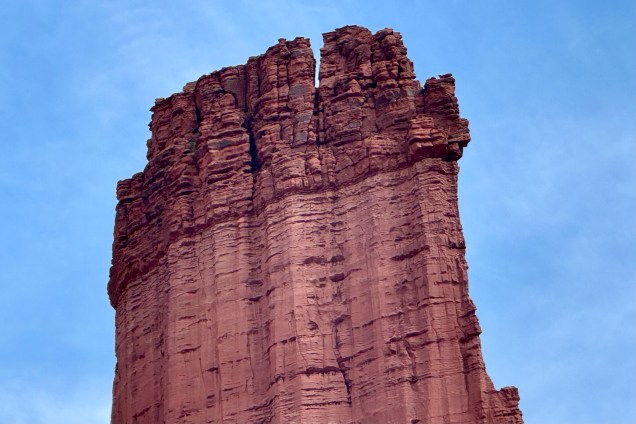
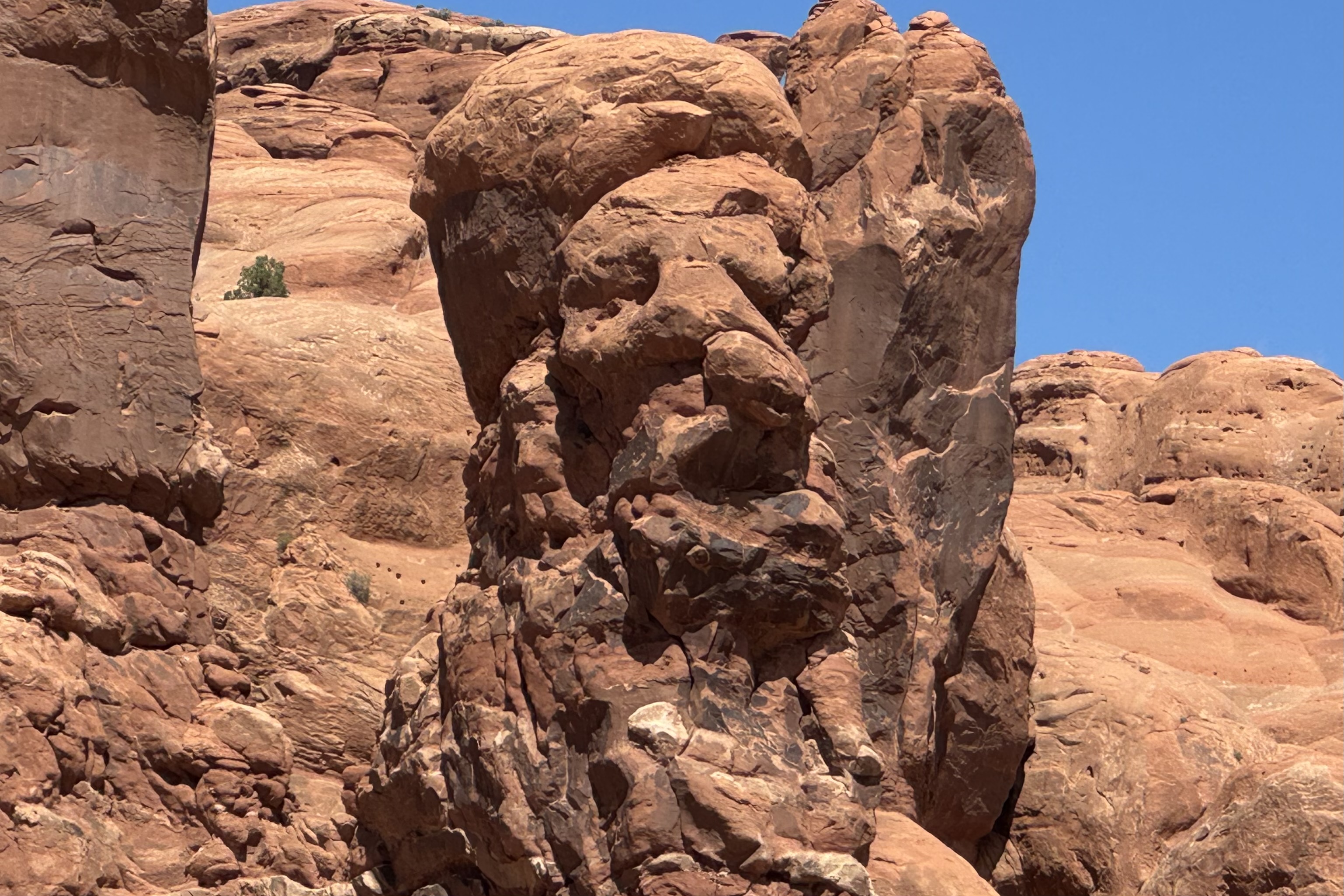
Standing 2,250 feet tall from the river to rim, Black Canyon’s Painted Wall is the tallest cliff in Colorado and it has been compared to the Washington Monument standing 555 feet and the Empire State Building at just 1,250 feet. Only Burj Khalifa in Dubai which is the world’s tallest building at 2,717 ft. has beat this massive cliff out.. Jackson Polluck and the many other abstract artist definitely were centuries behind the artistry of the natural forces of nature. My imagination went into high gear when coming upon some of the rocks lining the trail out to the painted wall and I started anthropomorphizing many of rocks and seeing cuddly rock creatures. Can you?


Cedar Point Nature Trail


Sunset View and High Point


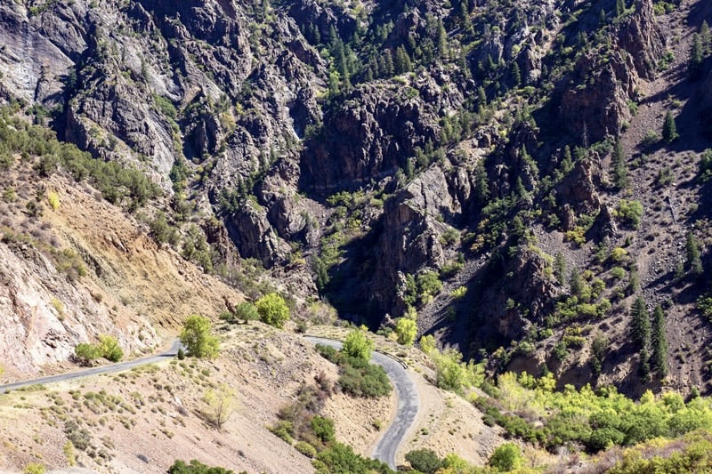
At the end of the rim road and with plenty of time for additional adventure, I opted to drive the East Portal Road to Gunnison Dam. The road is paved and two-way but windy and steep, narrow and twisty, and tight curves with a 16 % grade in few places. If you have read previous blogs you know this is my favorite kind of driving. My heart beat rapidly with the sheer excitement of this challenging drive. I managed to avoid burning out my brakes. It ended in the Curecanti National Recreation Area. I had intended to dip my toes in the Gunnison but some how was not motivated at that point to do so.

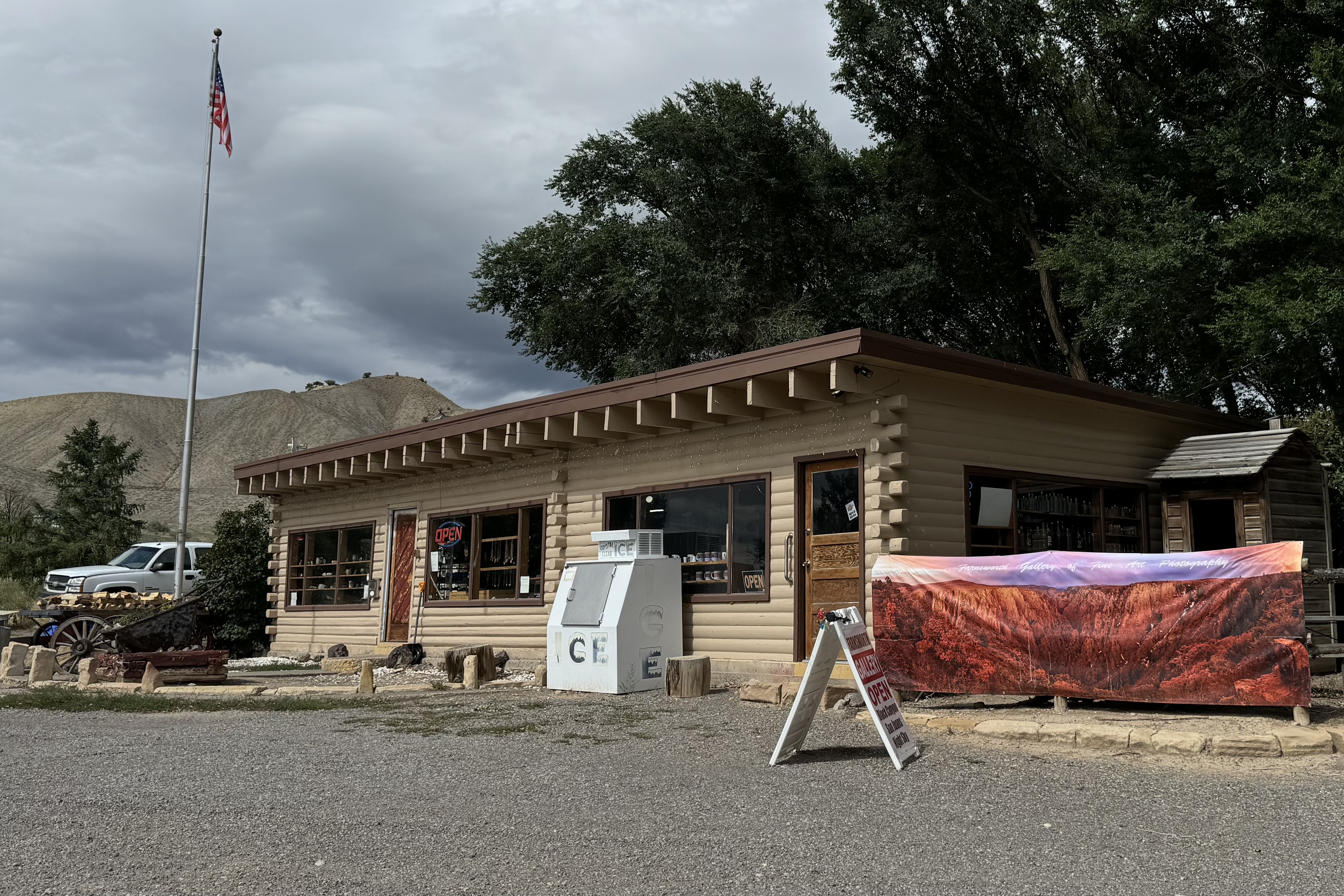
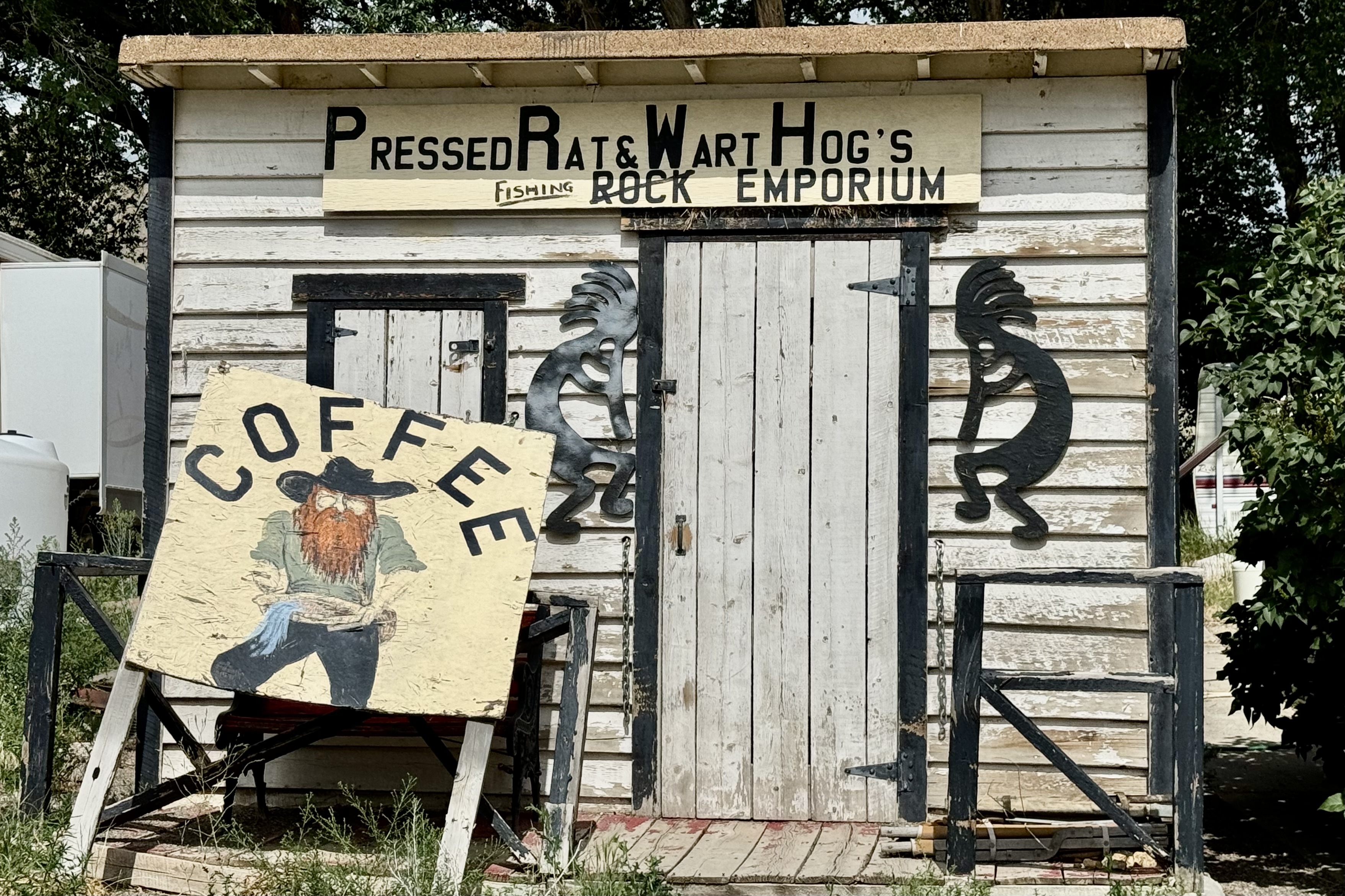
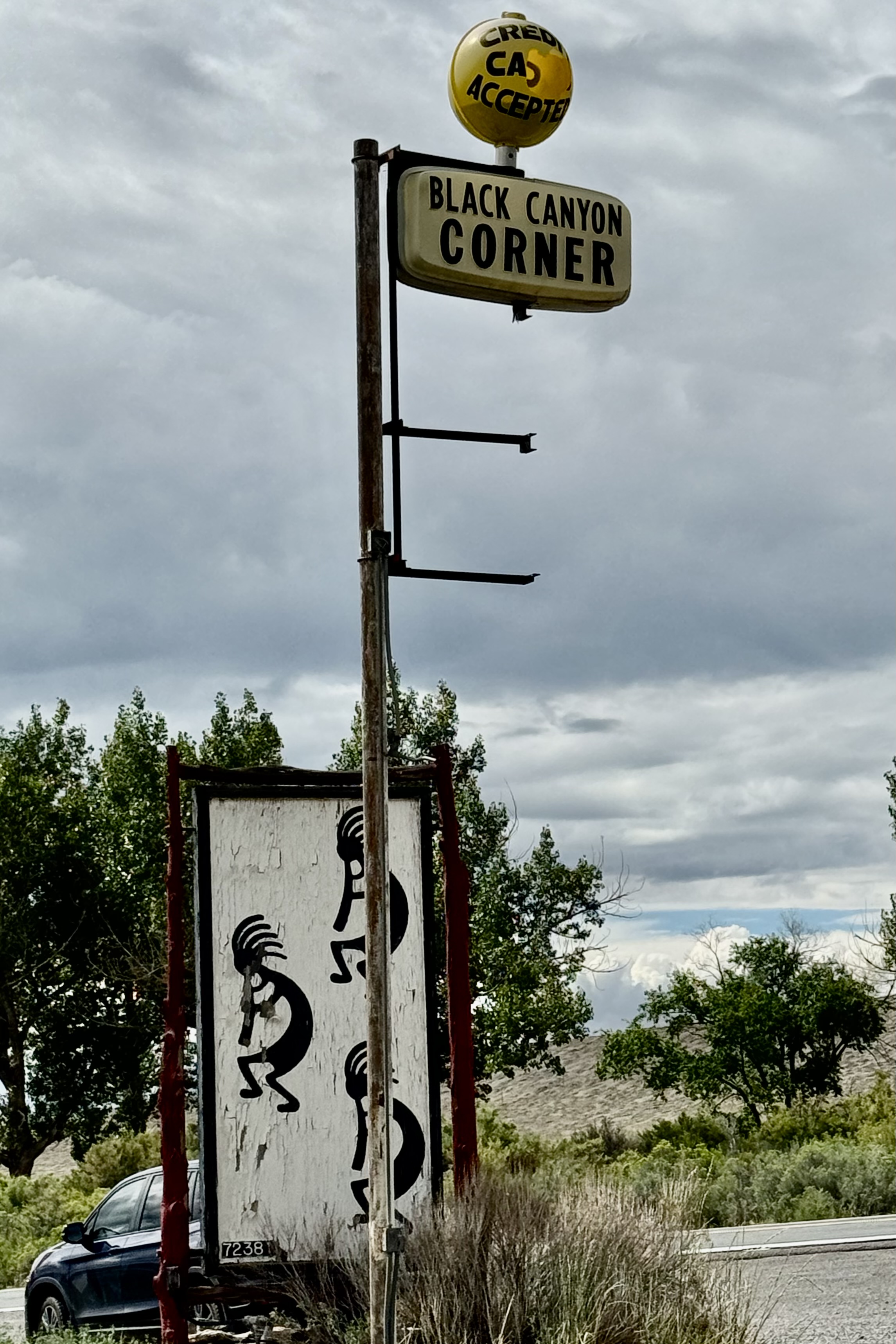
Since I clearly had not had enough of driving twisty mountain roads, I drove down about 5 miles to route 50 to get ice so my groceries would not spoil. The store definitely had character. .
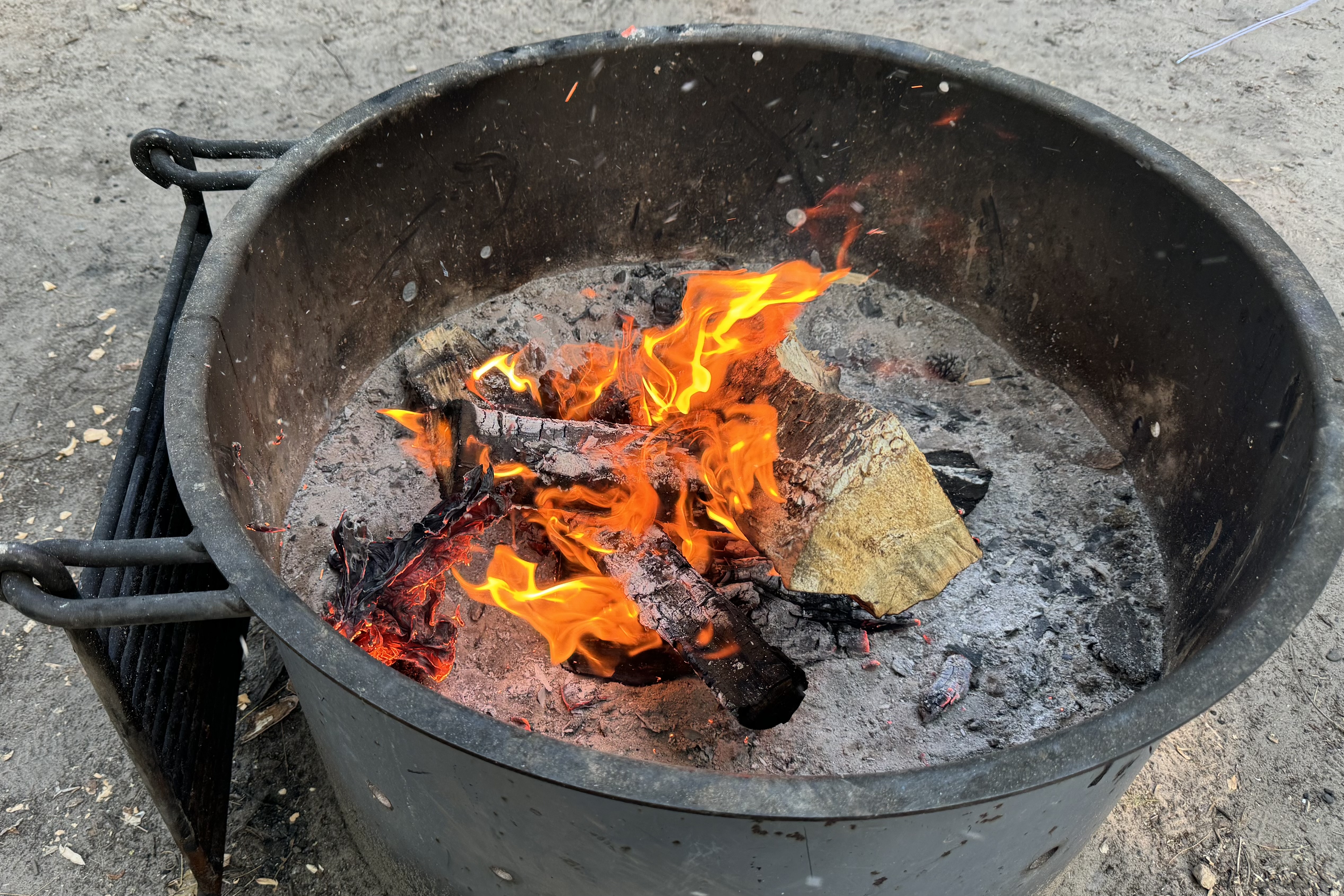
It had been an excellent day with so much strong and bold scenery. It was time to head back up to settle into camp. Cook. Write. Organize and enjoy the sunset all the while again inhaling the wafting fragrance of hot tar.


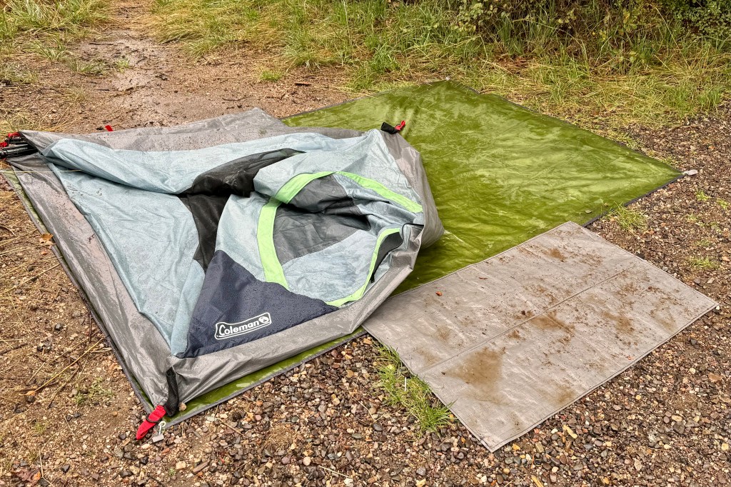
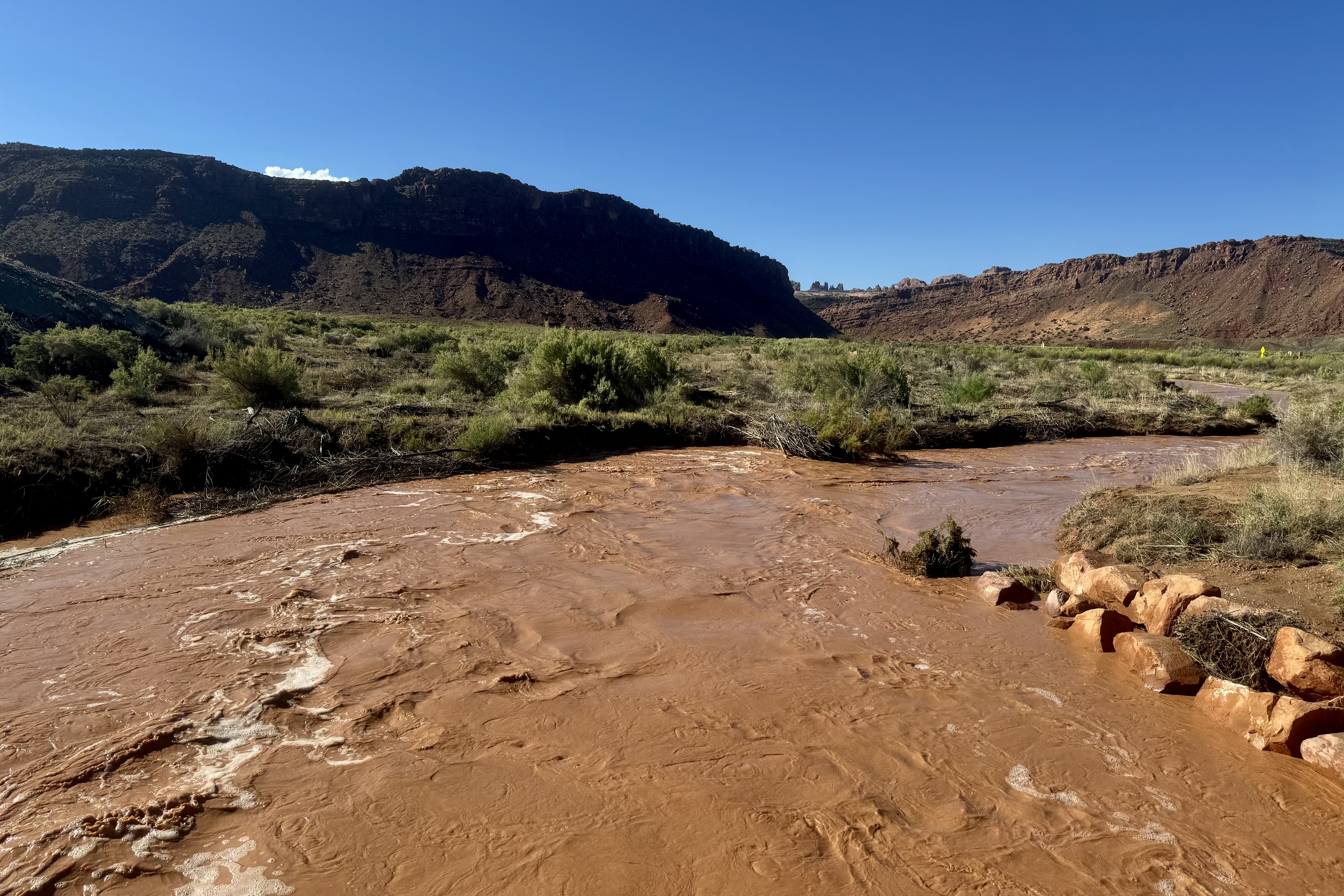
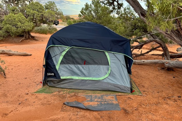
Friday, August 23 I woke another drenching rain. The tents raincoat (a poncho I had in the car) which I draped over the netting and under the oozing rainfly had kept the inside of the tent mostly dry and me mostly dry. The rain finally let up and I was able to get breakfast and coffee but figured there was no time for lingering as I wanted to try and break down camp before the rain started again. It wasn’t to be. A constant drizzle began so I was resigned to breaking everything down and wrapping it up, mud and rainwater as well. The tent must have weighed an extra 5 pounds. I was so very wet and bedraggled and I finally got loaded up and was off by 10:15.

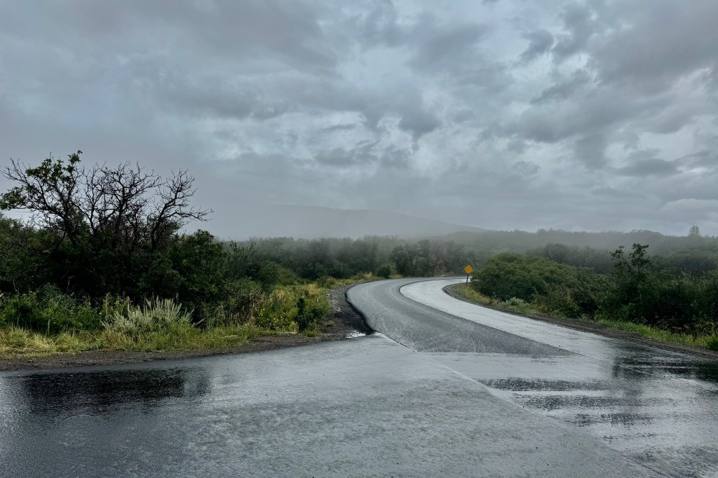
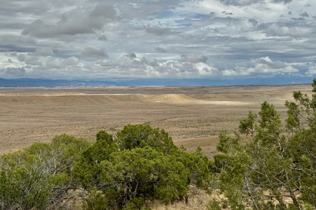
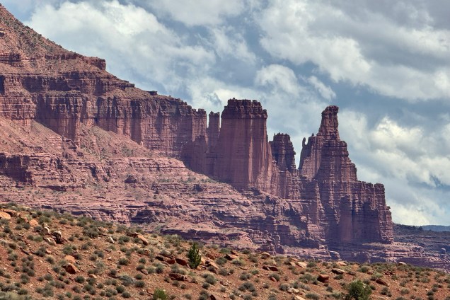
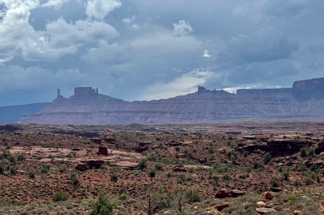
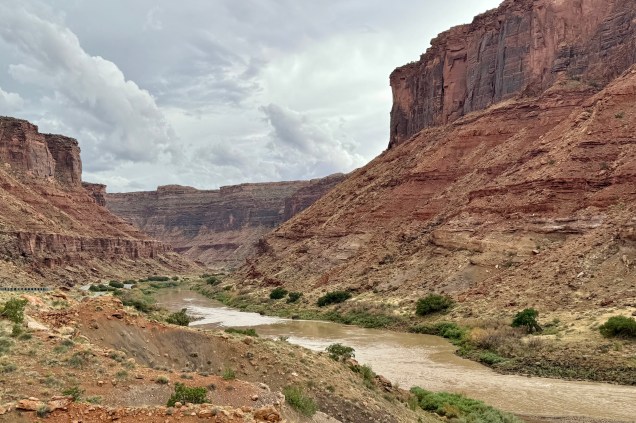
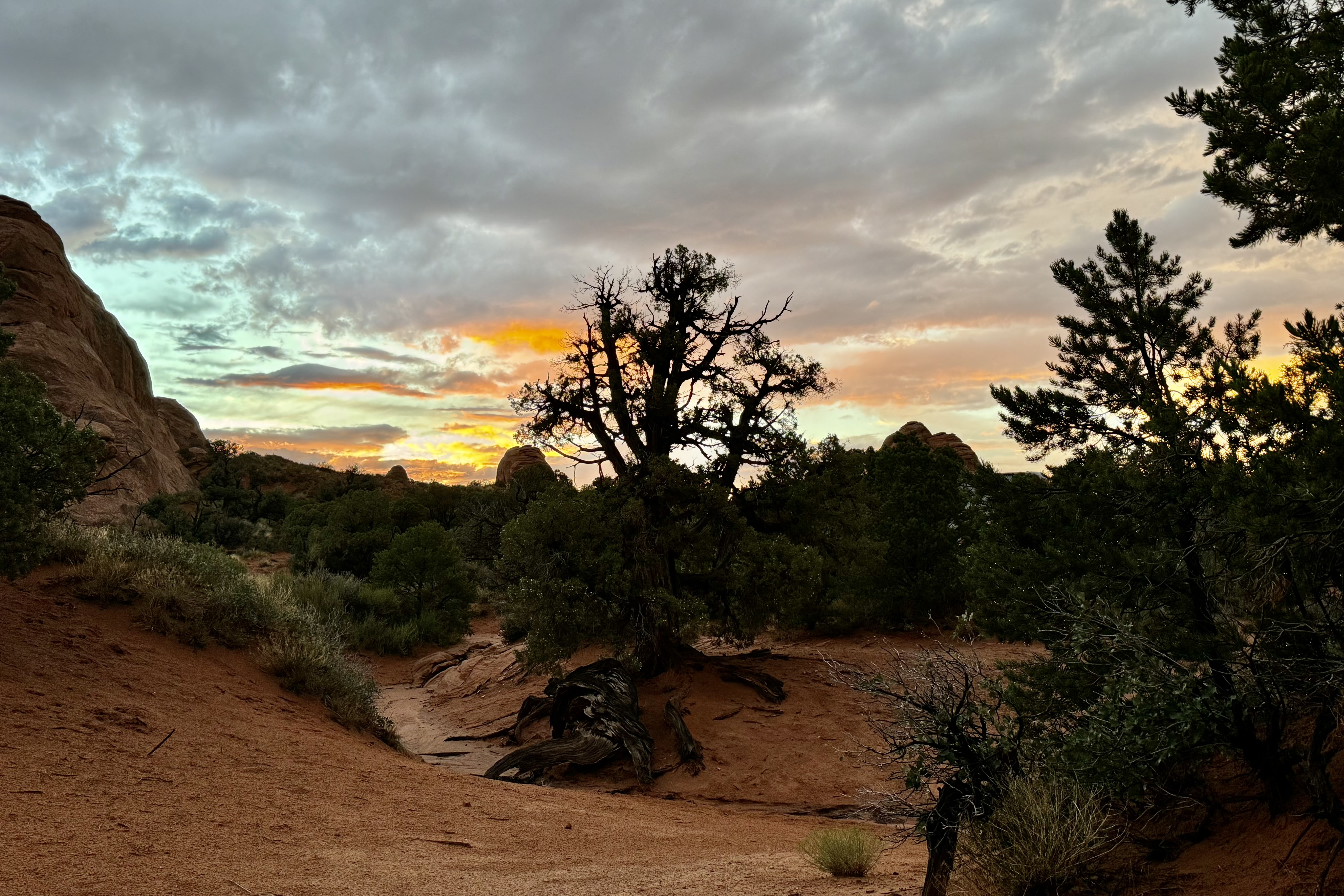
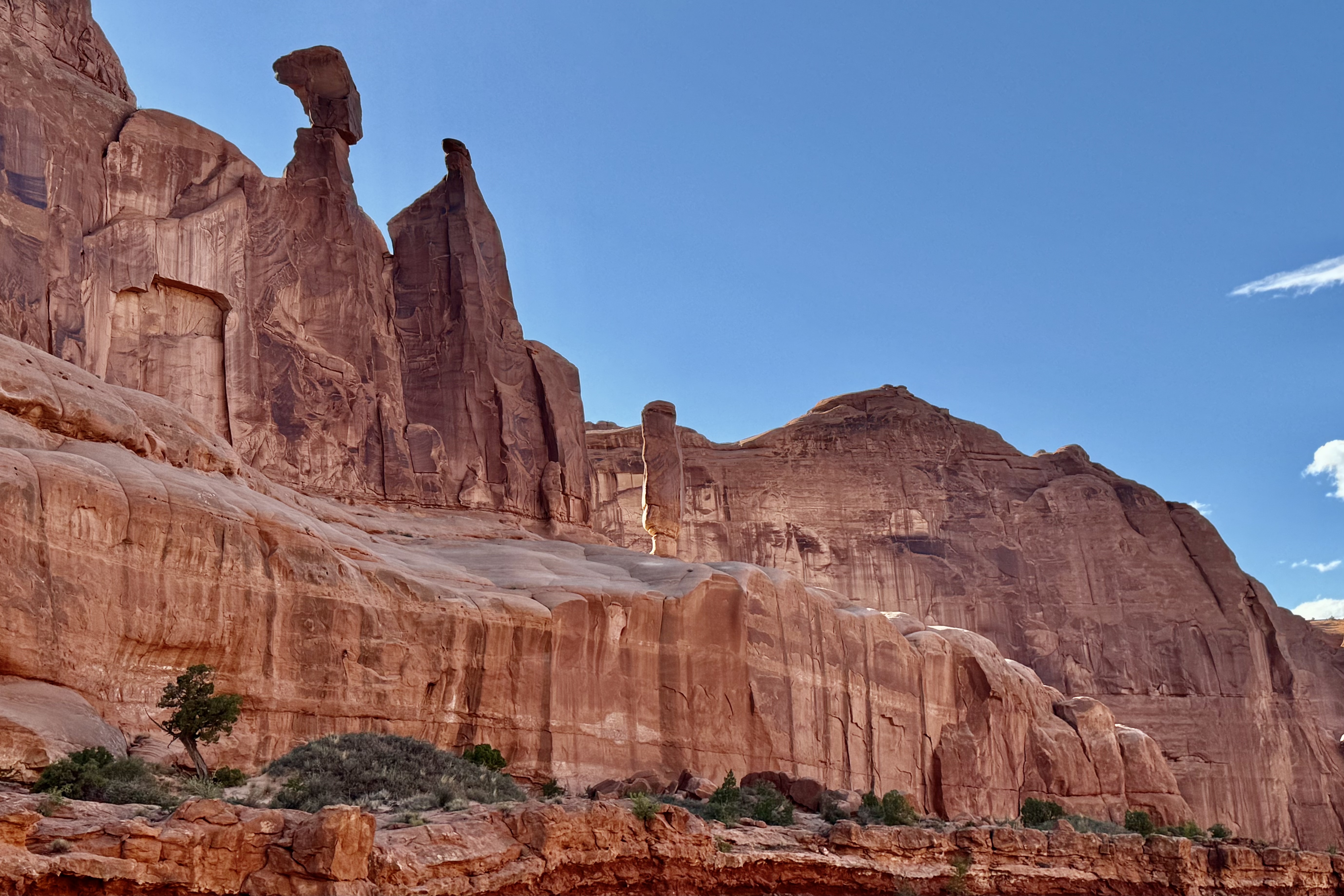
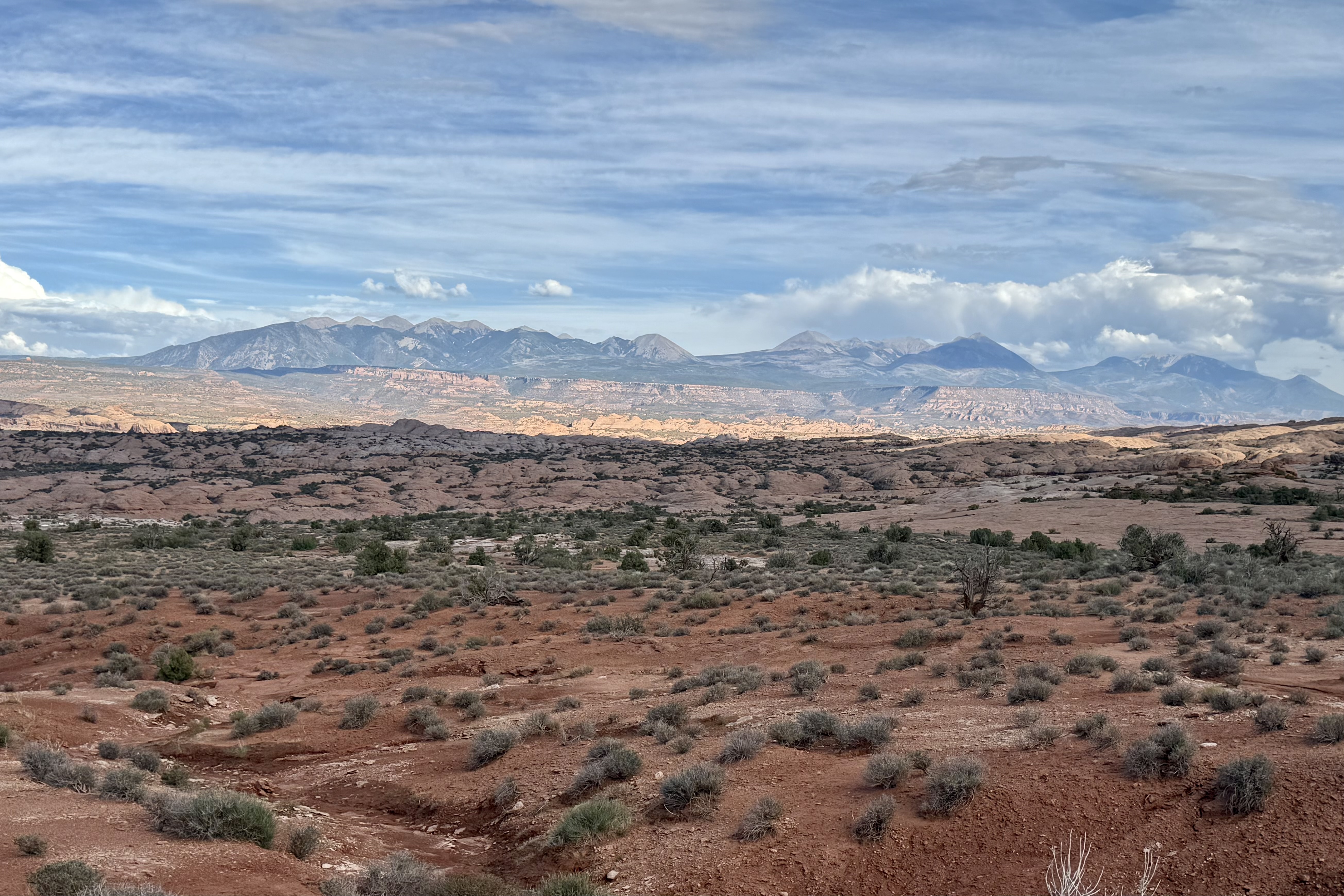
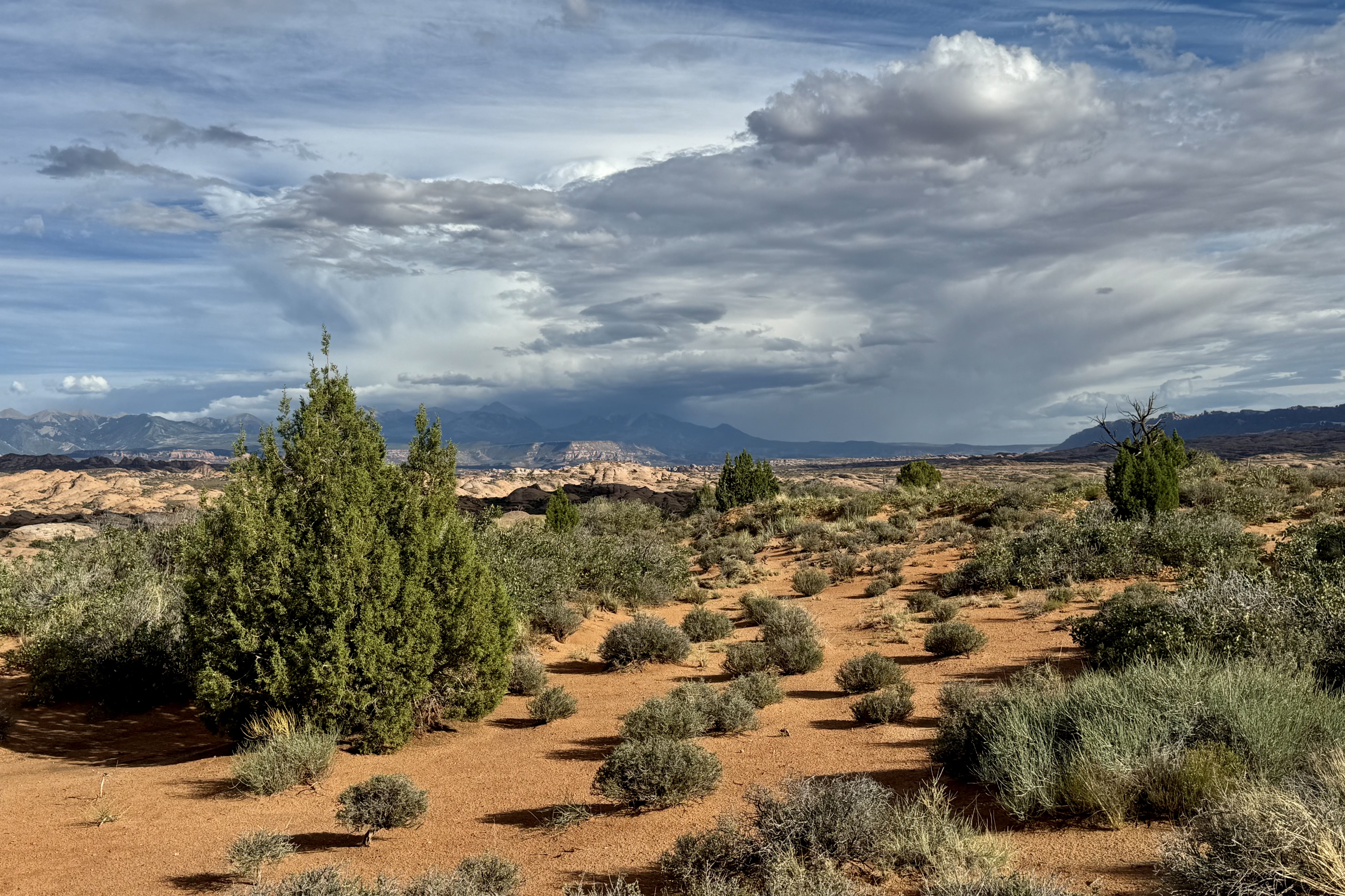
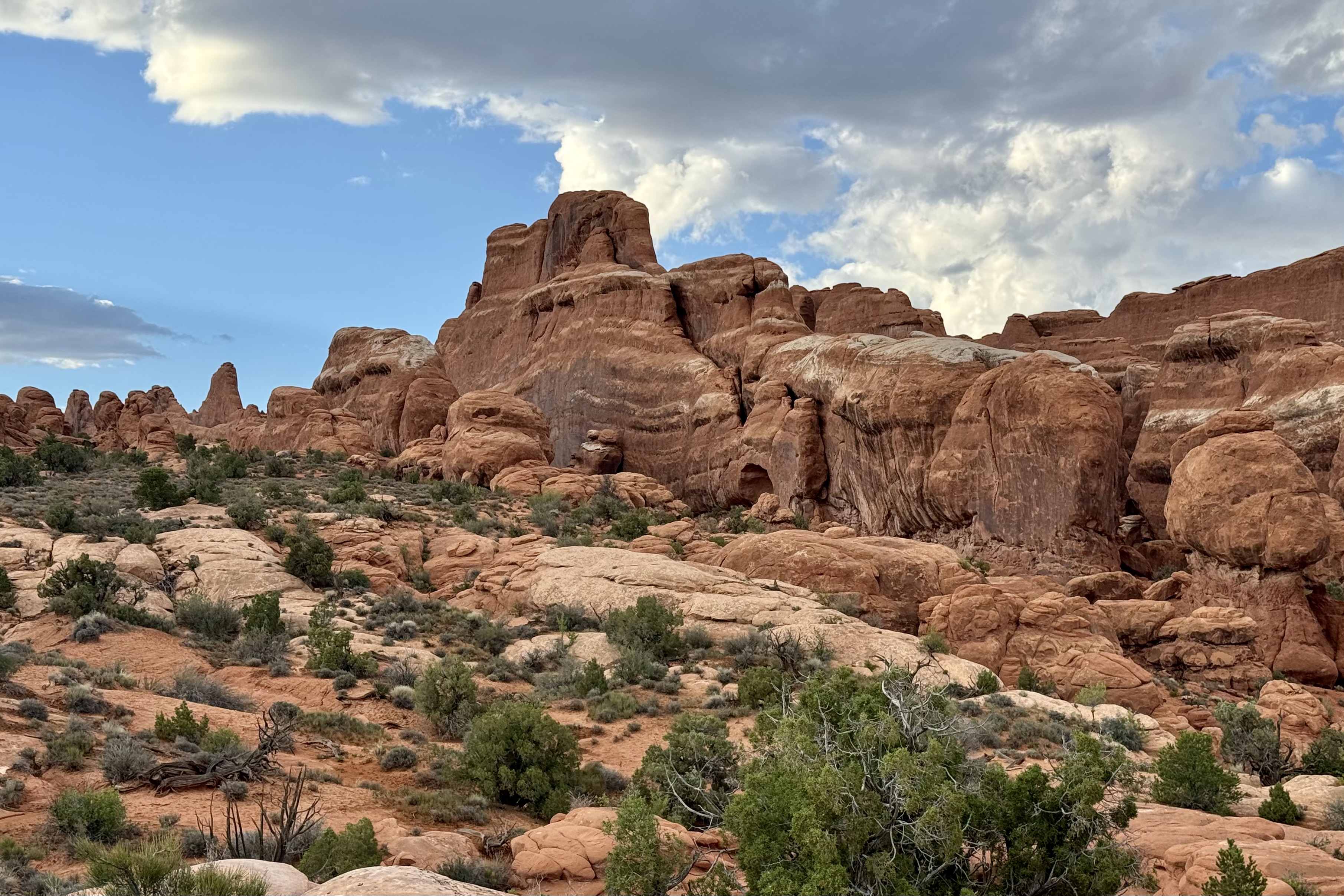
I did not have a terribly long drive so I decided to take what I hoped was a more scenic route to Arches National Park in Utah. As I traveled further west the landscape became more desert like and was colored mostly in tans, yellows, and browns etc. My route took me down #143 and before long I was in canyon lands with massive rock formations of all sizes and shapes and colors. It ran along the Colorado River and curve after curve got more colorful, fanciful and gorgeous.


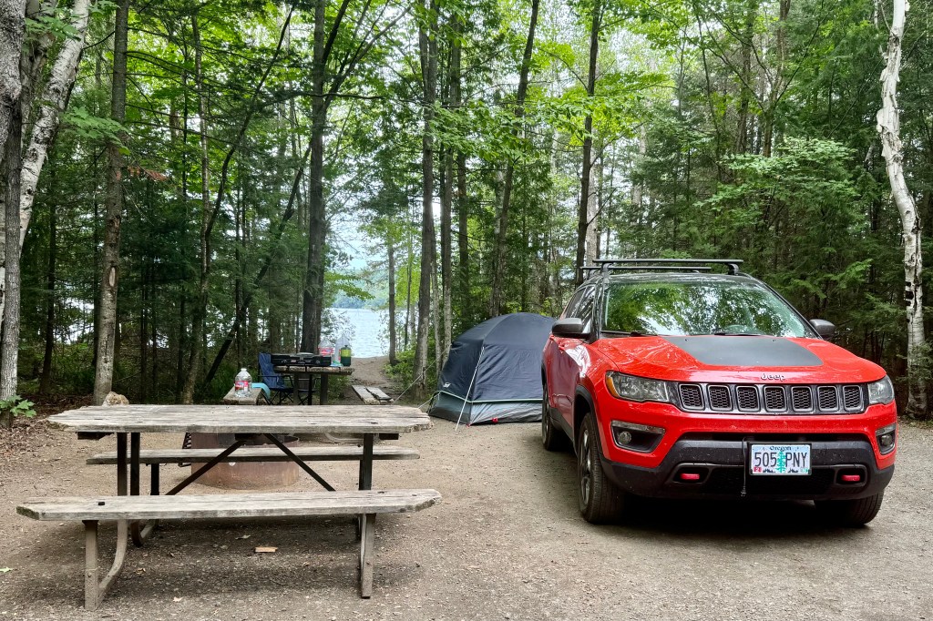
I arrived at Arches Visitors Center Friday 23rd around 4:00pm and learned the campground was 19 miles up the scenic road and would slow going and take about 45 minutes. I was getting somewhat concerned as I saw some rather ominous looking clouds on the horizon and hoped I could beat any impending storm.


Fortunately, it was still sunny upon arrival at the campground and I set about trying to dry out the tent, fly, ground cover, tent rain coat and any other sodden item. Though sunny I could hear the rumbling of thunderstorms much closer. So I shifted into fast forward and basically just dumped everything into the tent that I would want for the evening.

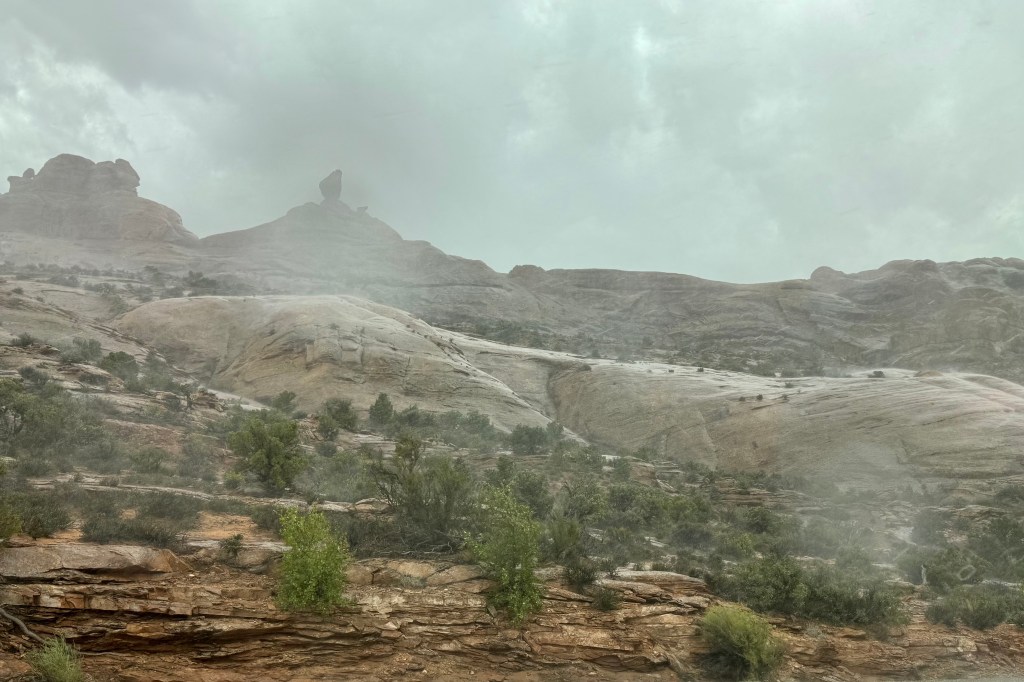
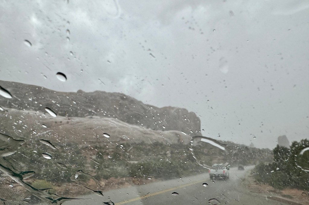
Then, first a strong wind gust and then the rain blasted in so quickly that I ducked into the tent but was wondering if perhaps I should have rode it out in the car. But there I was in this flimsy nylon cloth shelter with its compromised polyurethane coating, feeling scared (I don’t scare easily) and fearful, since it felt so close I was sure that the lightening and its companion thunder were about to both fry me and deafen me. I was certain a tree would come crashing down on my not so safe place and the tent would sail away with me in it to OZ. Of course, if it had not been laden with me and all my stuff, it would have blown away. This massive storm raged on for at least a half hour or more and the thunder was so loud and so close as was the lightening, all of that time. Talk about powerlessness. I could not do anything but just sit there and be frightened.


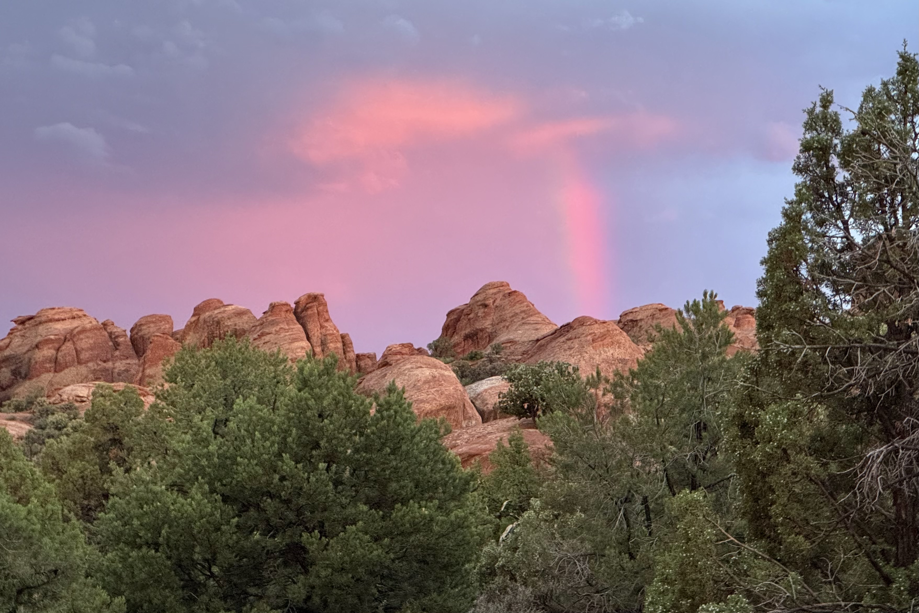
The stormed moved on over the distance plateau and valley. Mother/Father Nature subsequently pretended it did not just have a out-of-control rage in the last hour but subsequently served up a beautiful sunset as a peace offering.


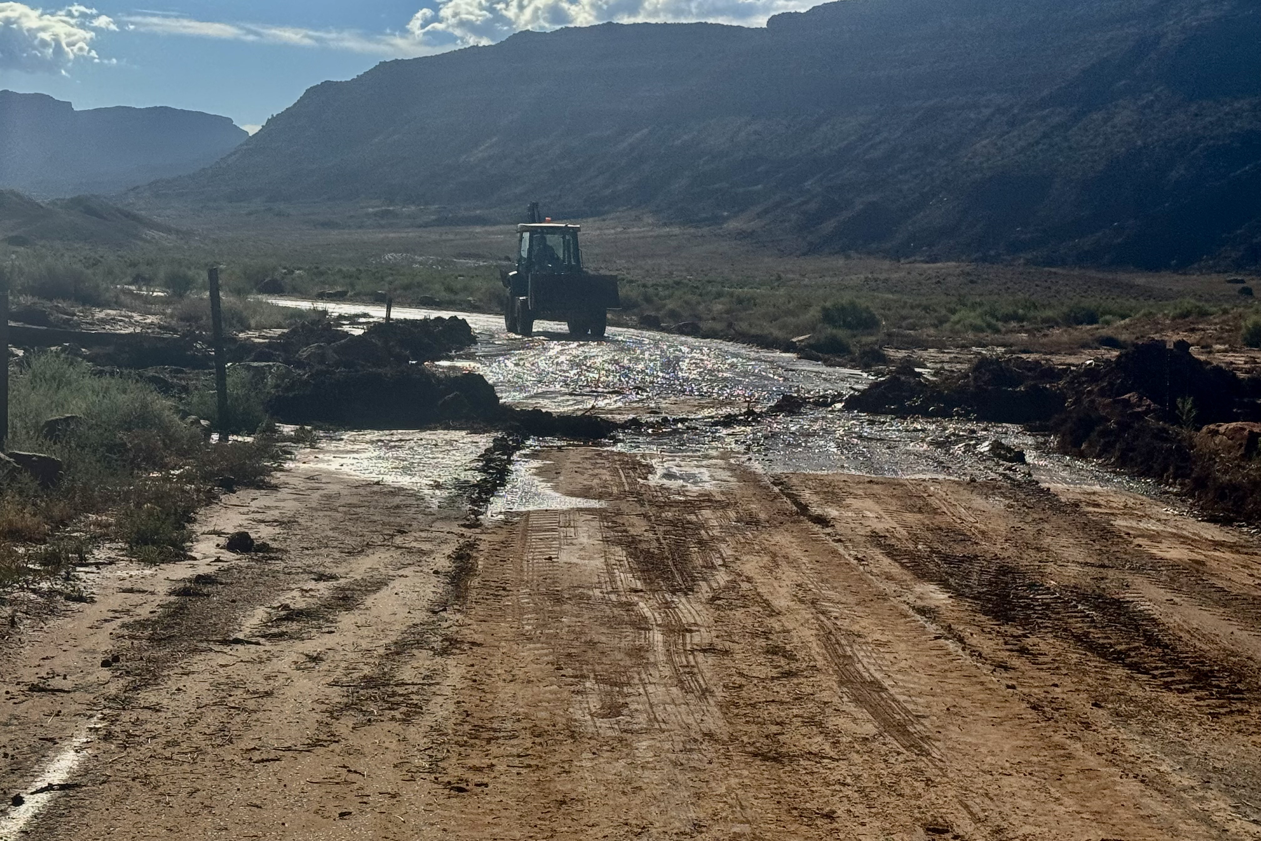
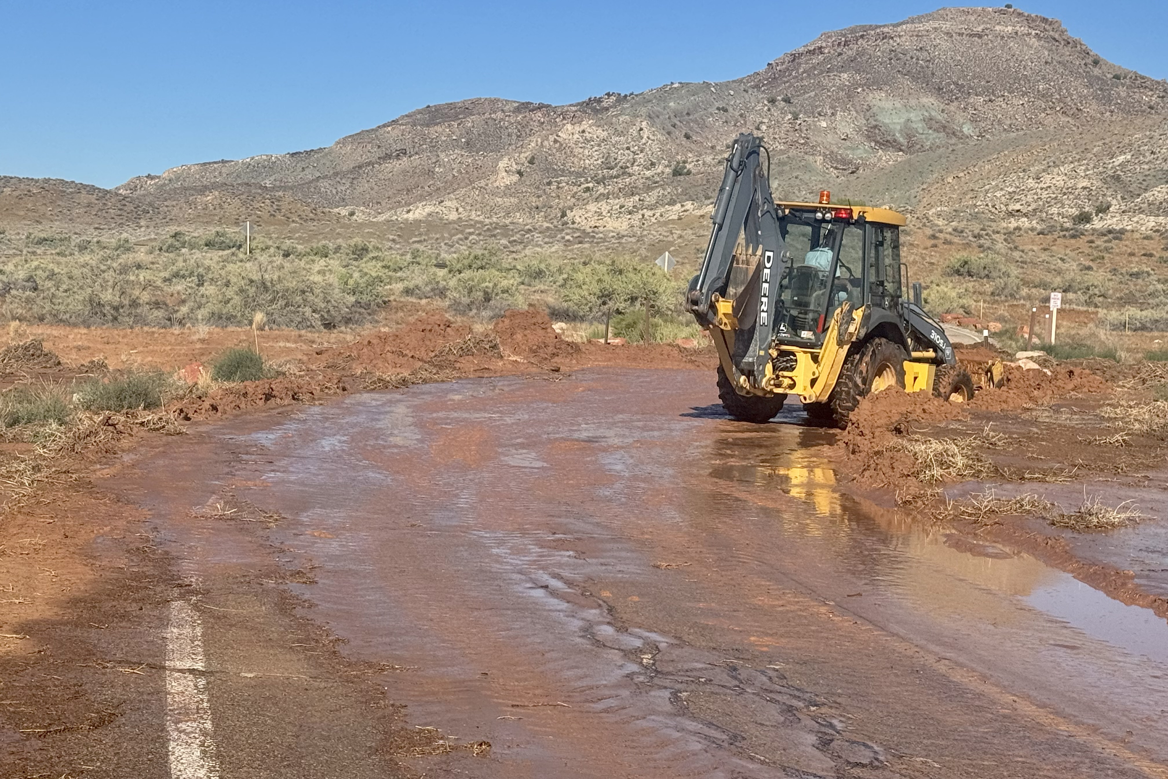
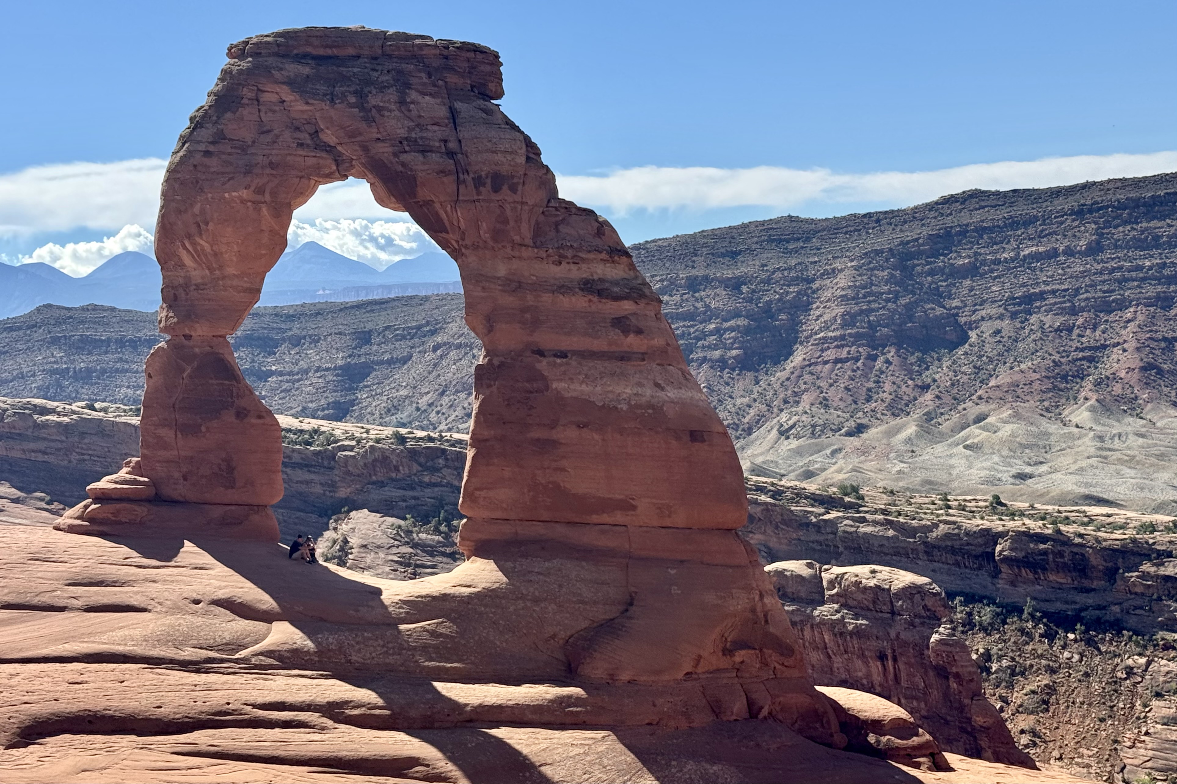
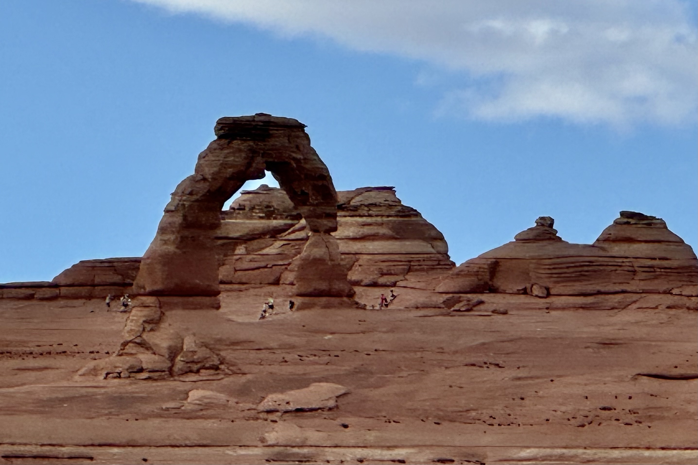
On Saturday 24th I was up and out early to hopefully get ahead of the crowds hiking the iconic Delicate Arch Trail. It was a halcyon day and I was psyched to commence the most prized hike of the entire trip. Delicate Arch is the largest free-standing arch in the park and so named because it is “the most delicately chiseled arch in the entire area.” But as I made my left turn to head down the 1.25 mile down to the trail head, I was met at the entrance of the access road with a Road Closed sign. A hiker who had walked the road down and was returning said that there was several feet of red dirt/clay across the road from the deluge of the previous evening and it would be 2-3 hours or more before the road would be opened. If I waited until then (it was already 9:00 am) it would be unbearably hot before I finished since I am the tortoise in the tortoise and the hare race.

So my natural choice was to walk 1.25 miles down the road to the trail head, 1/2 gallon of water in hand. I would worry about the 1.25 mile uphill climb after the strenuous hike i.e could hopefully hitchhike back up. Around 30 minutes later I was ready for the 3.2 mile hike on what is rated as a strenuous trail. The beauty of this choice is that there was hardly anyone hiking yet (no crowds like the normal disneyesque size queue hiking here today) so I encountered only a few more adventurous duos passing me by . This was an exposed trail with no shade. As it began it was quite a well defined trail and soon crossed a bridge over Salt Wash. But soon thereafter I encountered steep grades, rock steps, red rock slabs, areas of open slope of steep slick rock with exposure to heights, and for the final hurrah a ledge with steep drop-off.


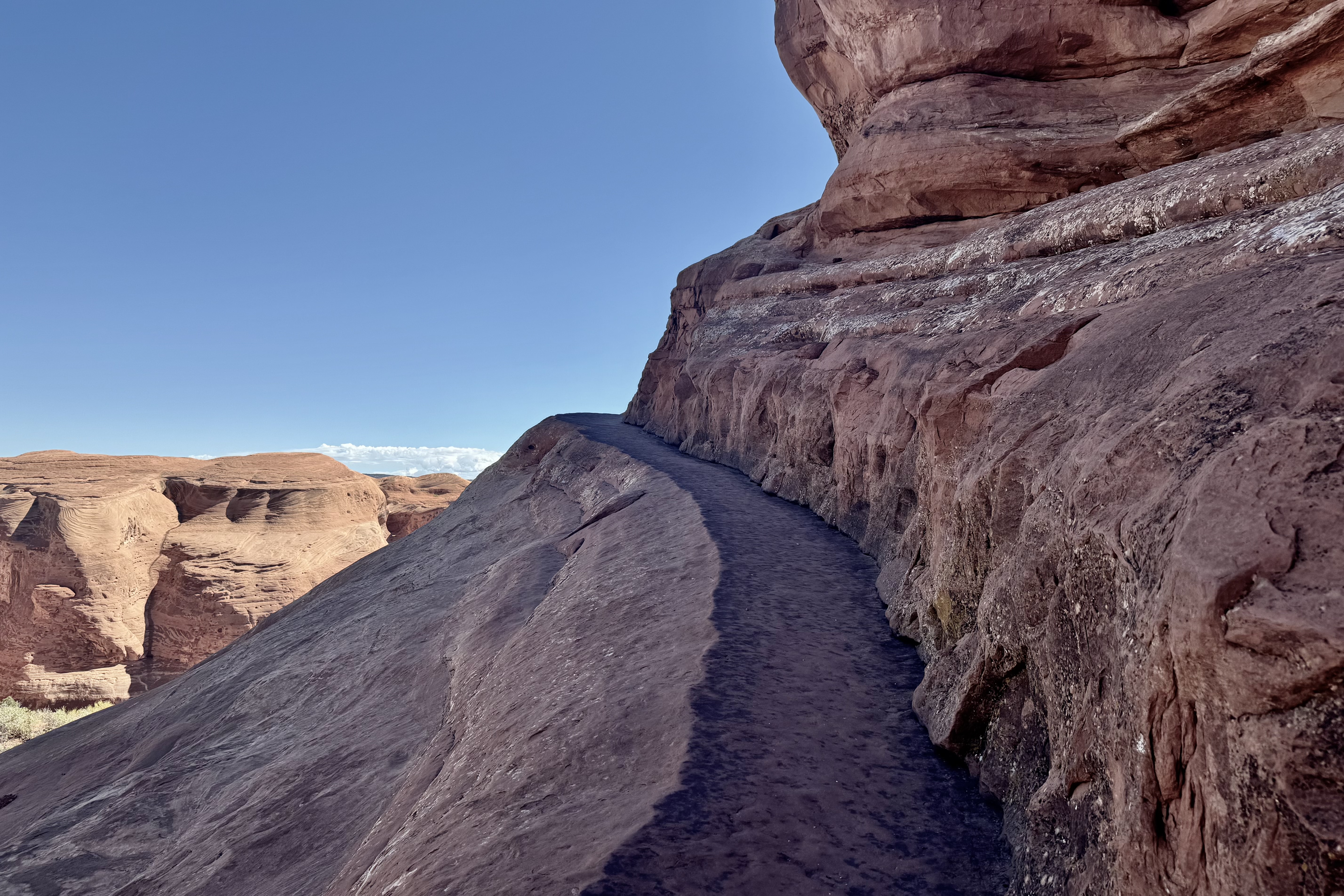
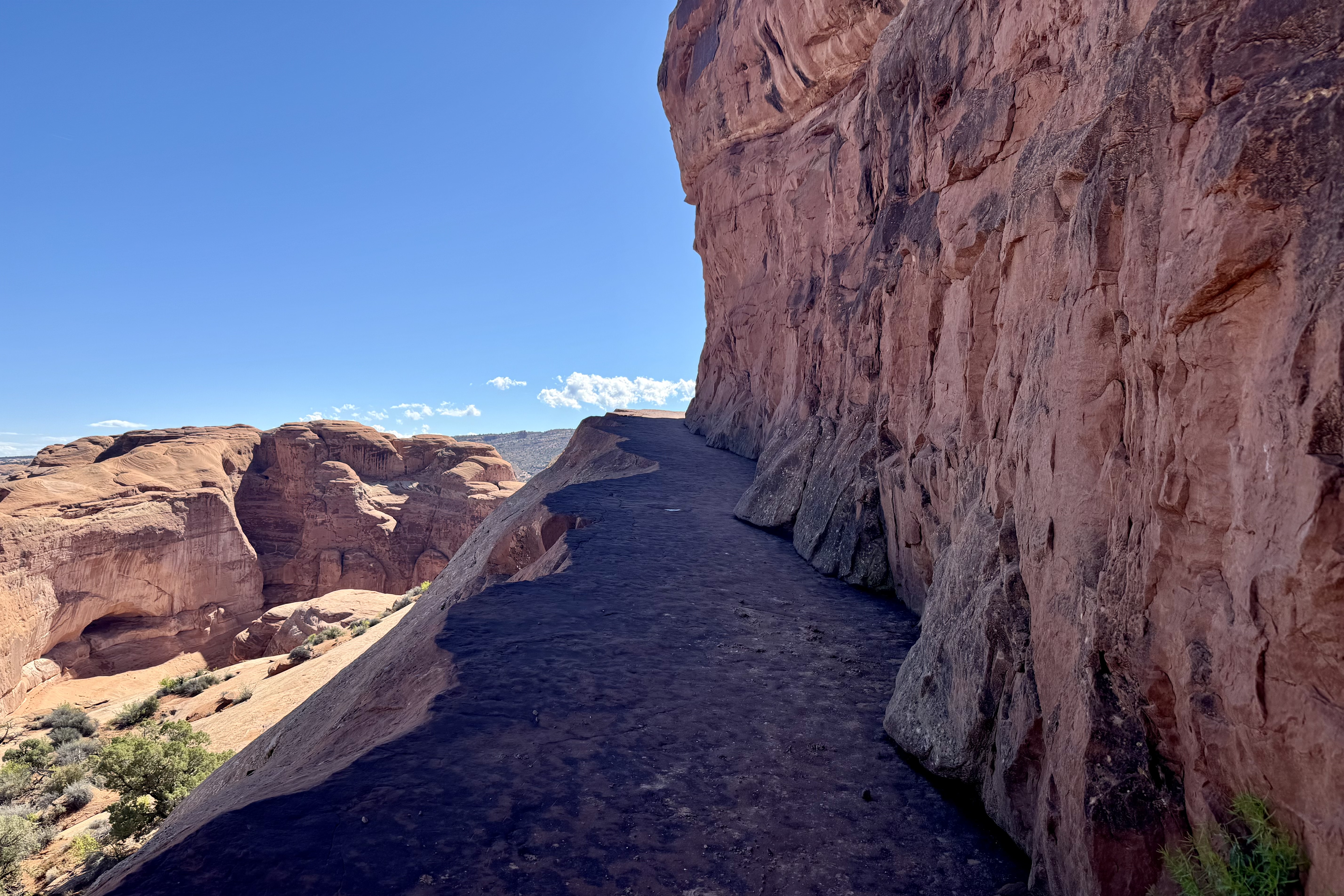
The final trek down to the Delicate Arch itself was along open relatively steep slickrock and even I would admit it felt quite dangerous especially with a brisk wind. I had gotten this far so I was not about to waiver now . Most of the other hikers were much younger than myself and when I finally made it out to under the arch and turned around, I received a rousing cheer from my hiker fan base and assists.


Hiking out was quite enjoyable, until about a half hour and over half way down, when I could see that the road was open. It would not be long before the large volume of hikers would be scrambling up the trail. Shortly, a couple of young women who I had been interacting with “up top” came upon me and asked if my car was down at the trailhead or up top on the road. Since their car was up there too, they offered to hike up and get their car and come down and pick me up. I heartily agreed and it wasn’t long before they were back. They did the hitchhiking up so I soon retrieved my car to begin my “Arch Walk” (kind of like an art walk) via auto of other areas of the park.
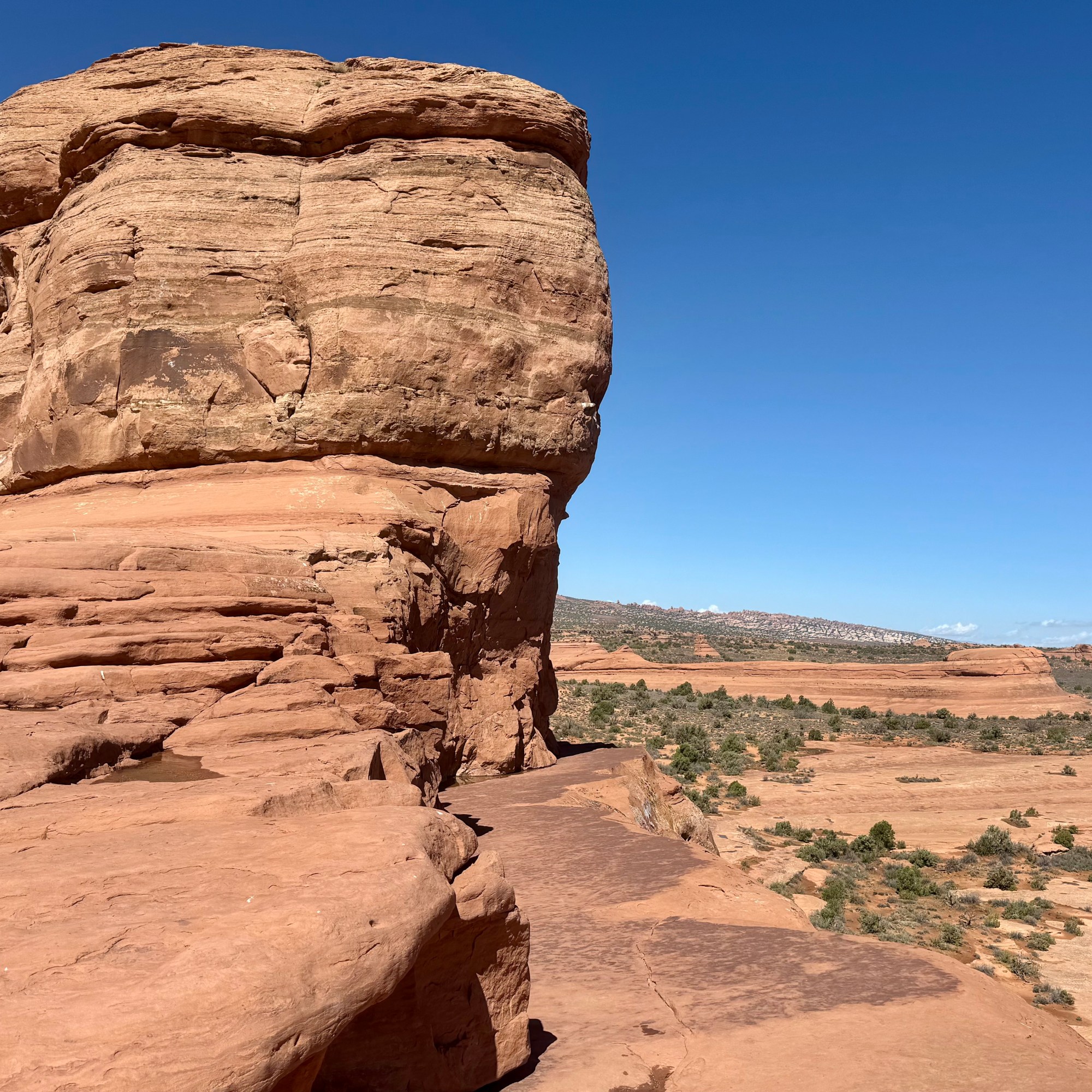


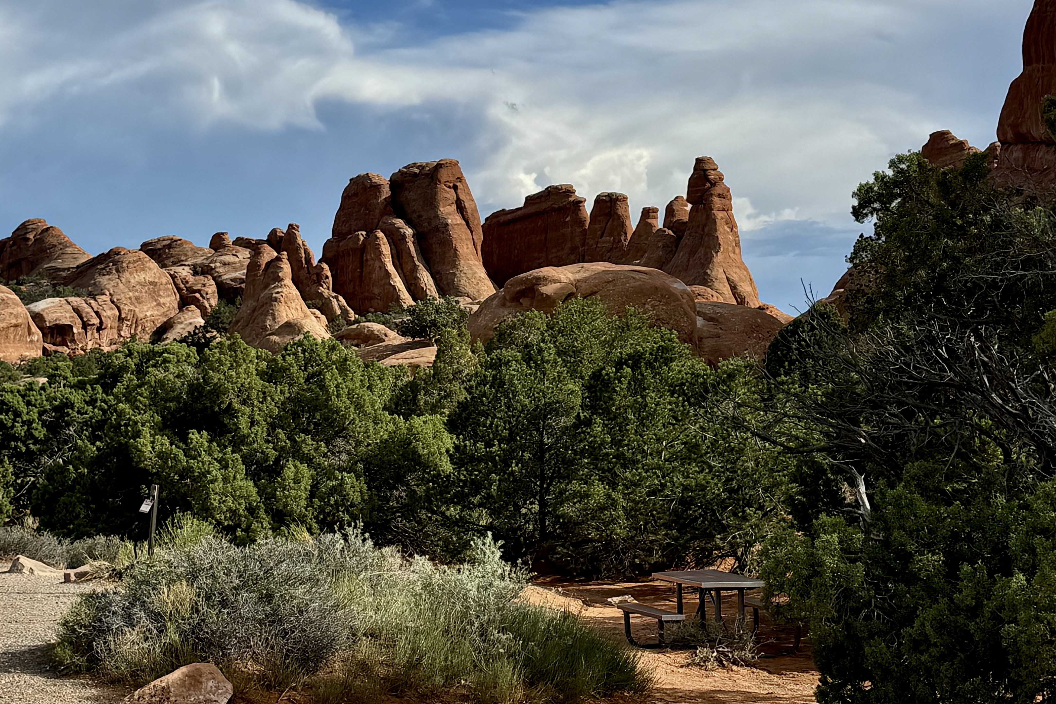
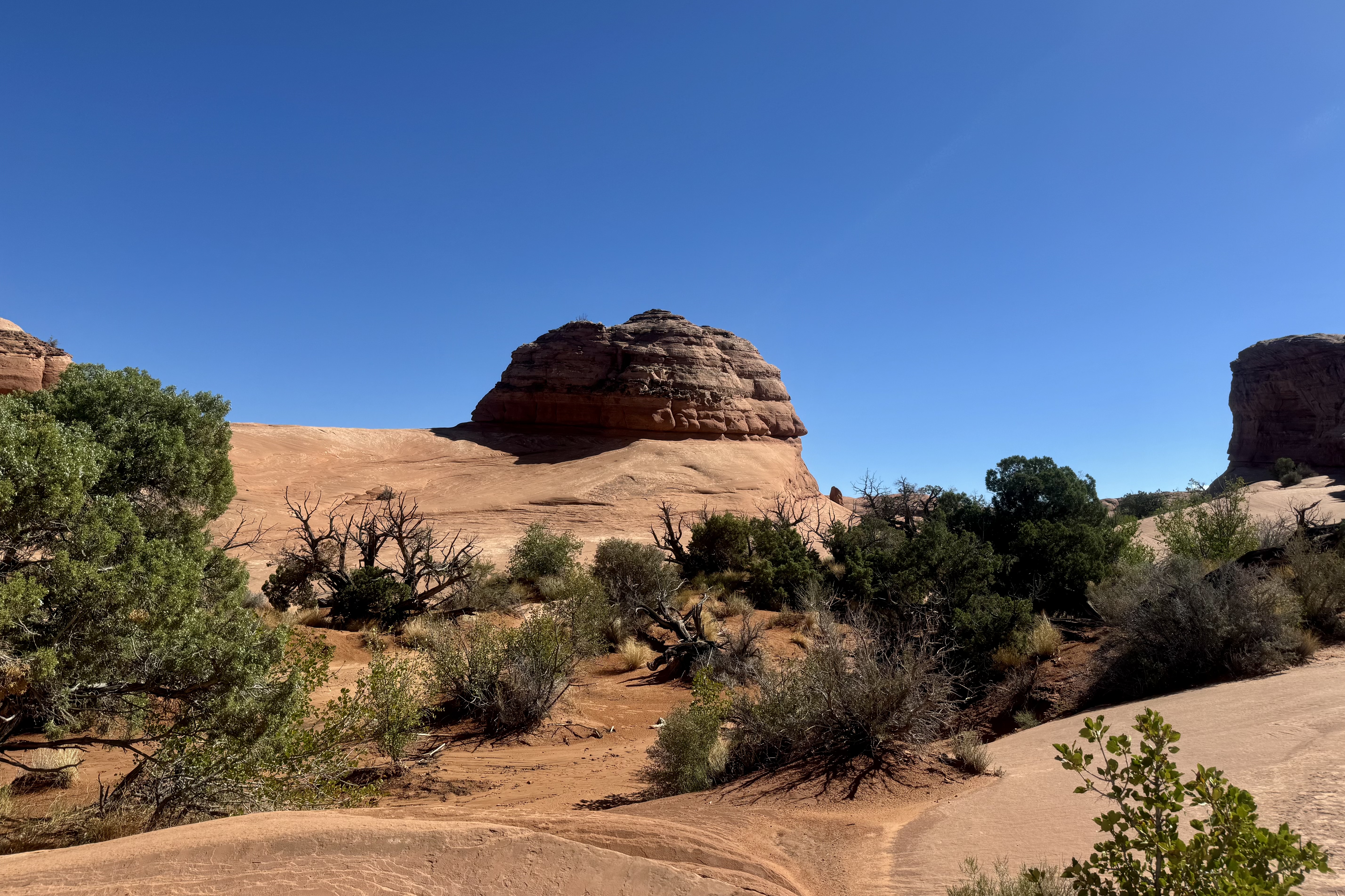
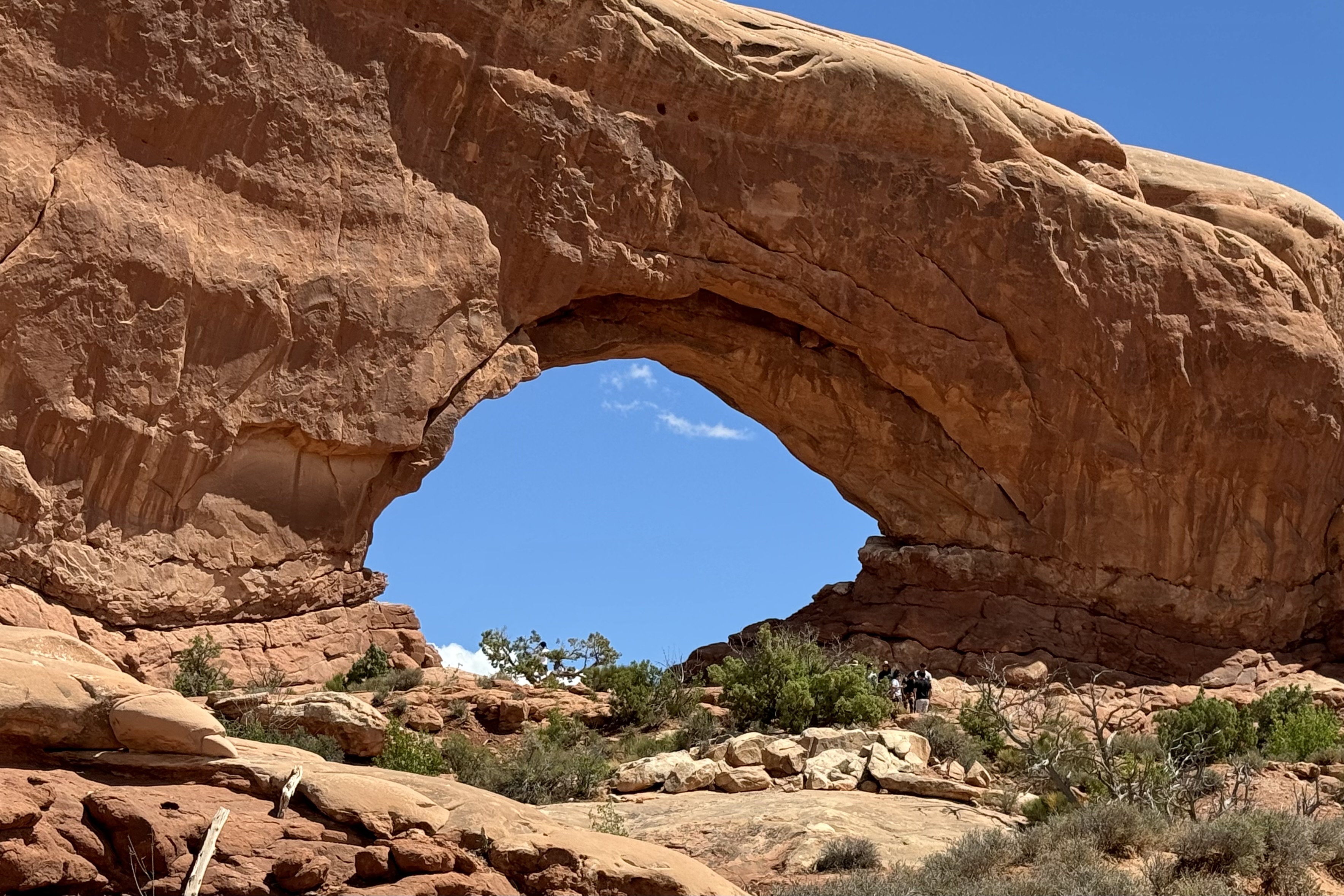
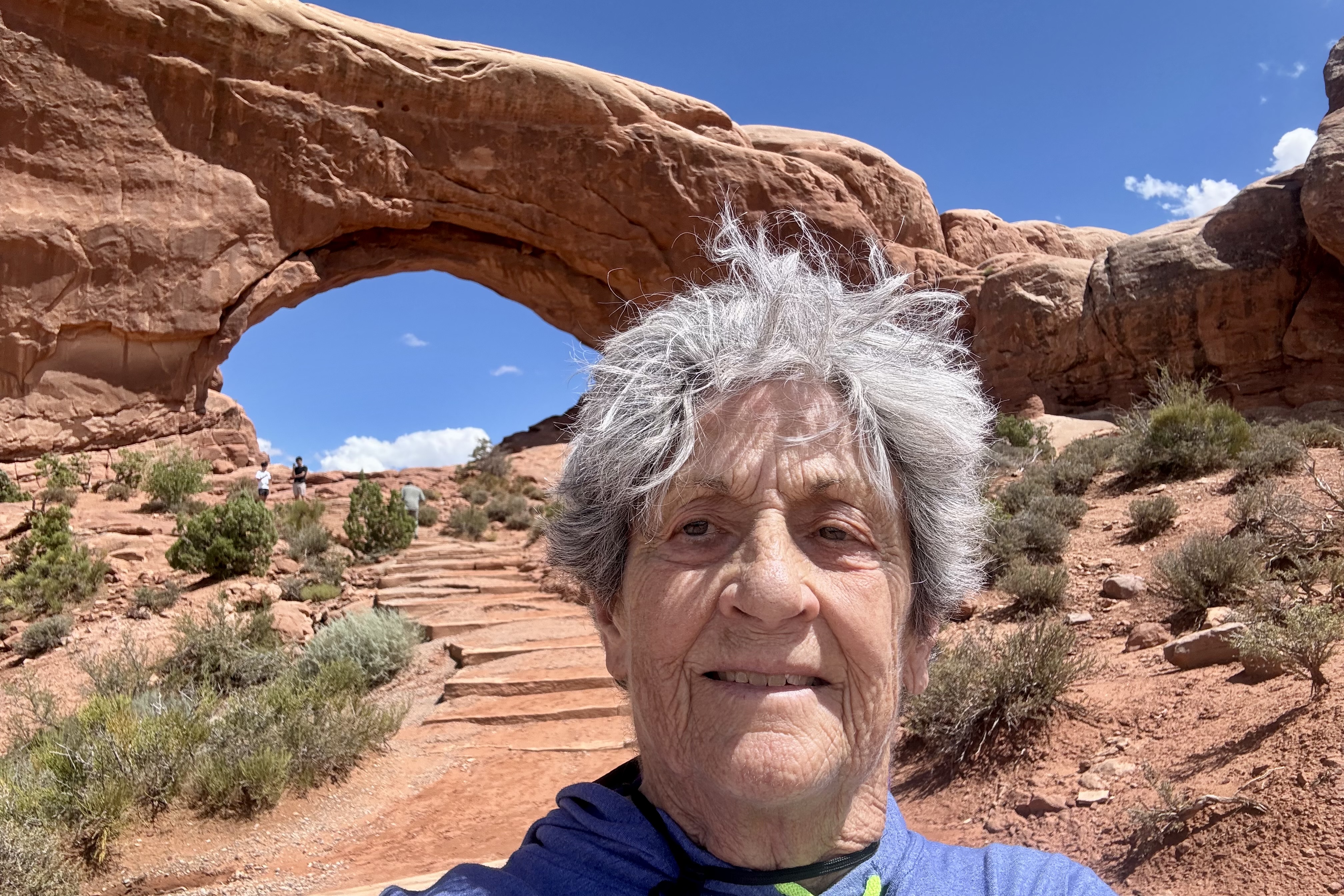
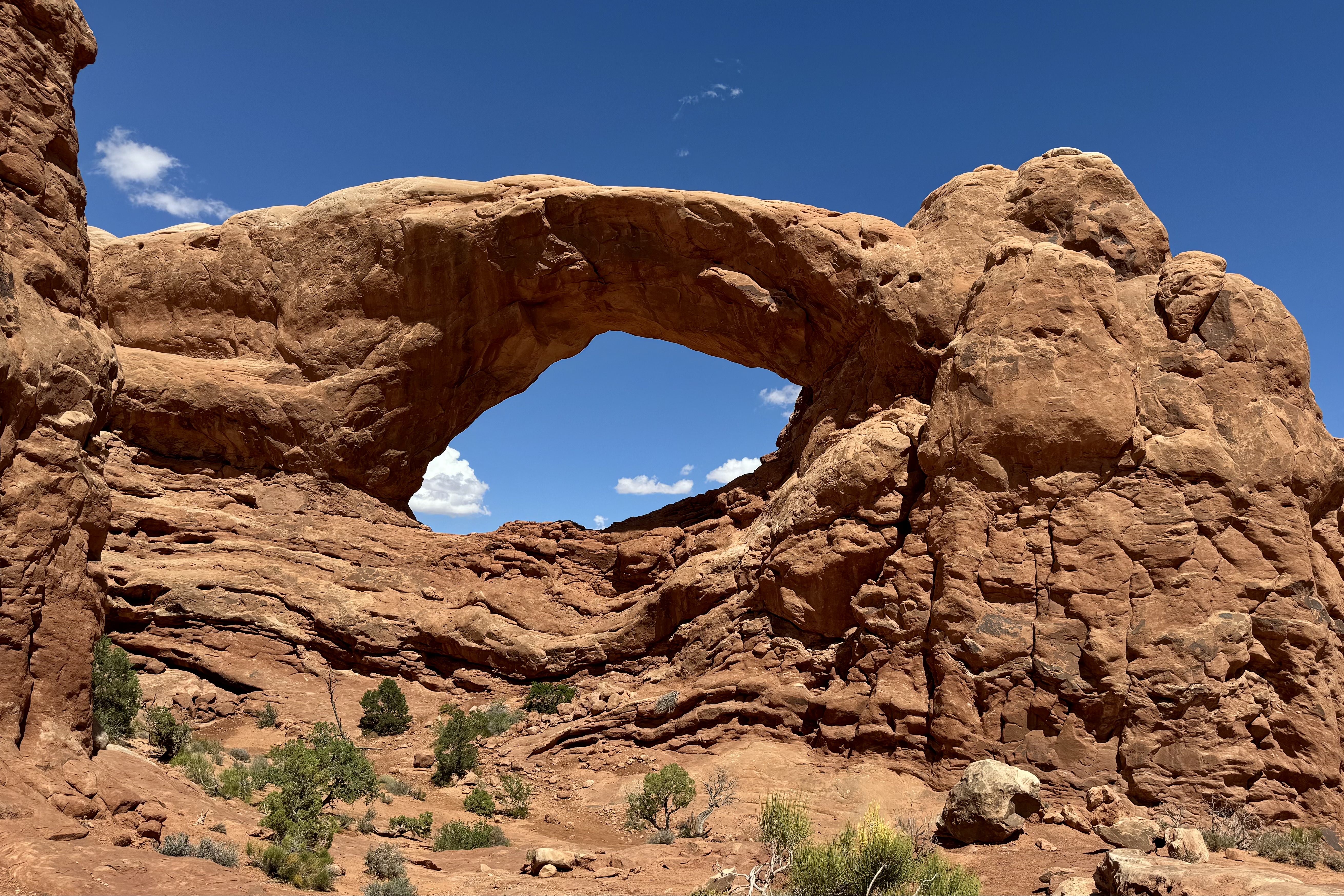
Much like in Gunnison, I traveled the length of the park road to view many of the acclaimed arches and do what walking my legs would still accommodate, after my so very inspiring Delicate Arch hike, starting with Panorama Point and North and South Windows Trails. Can you see or imagine what the rock formation namers saw in their names of the formations?
Panorama Point


Elephant Butte, the Buccaneer, and the Double Arch on Windows Road


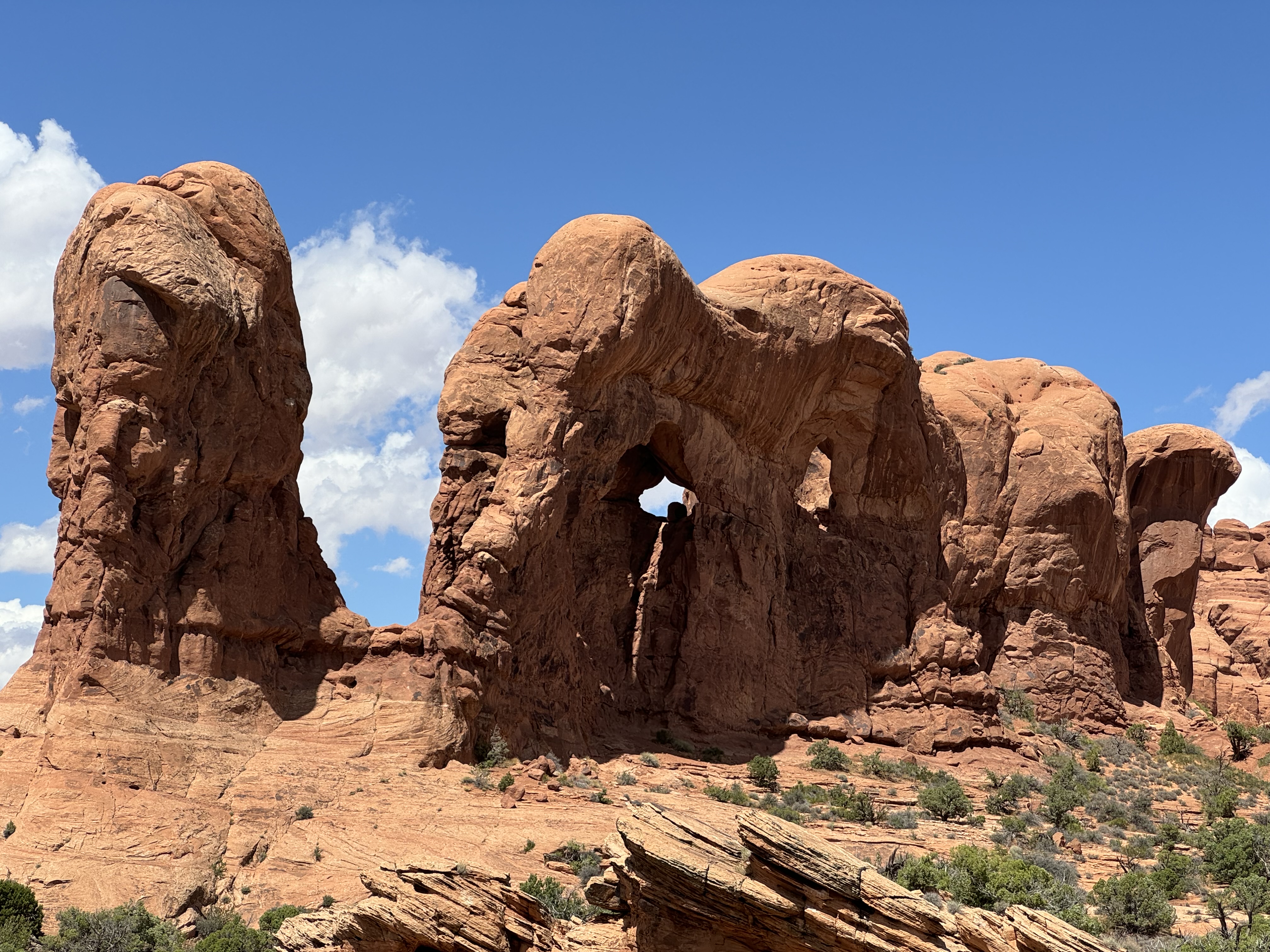

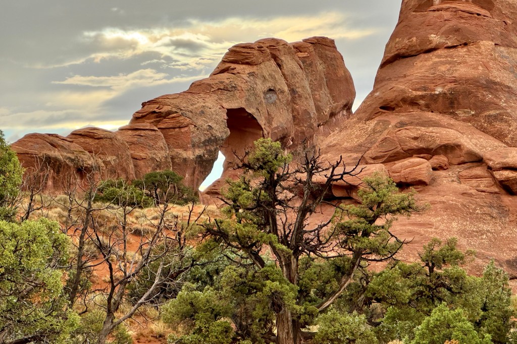
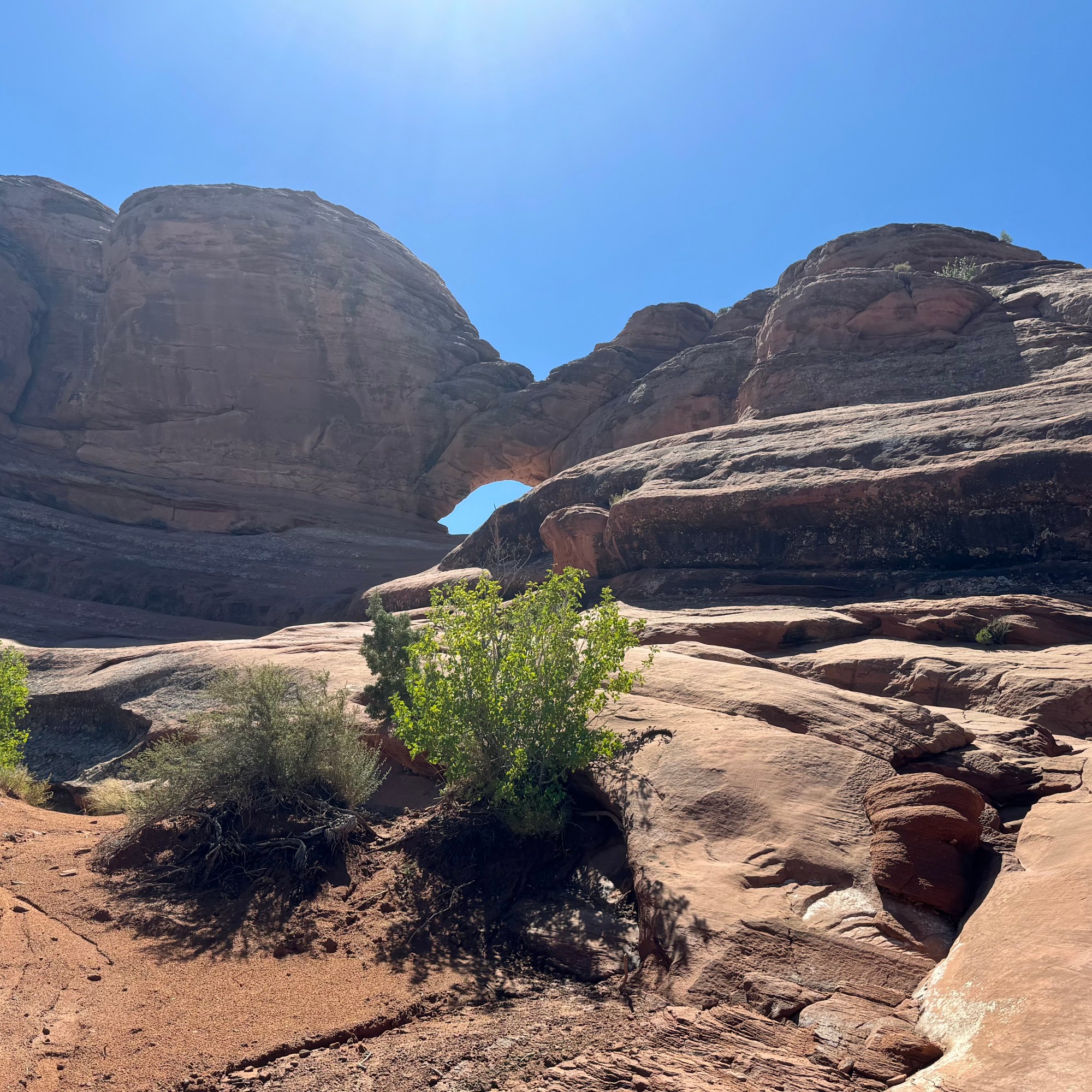
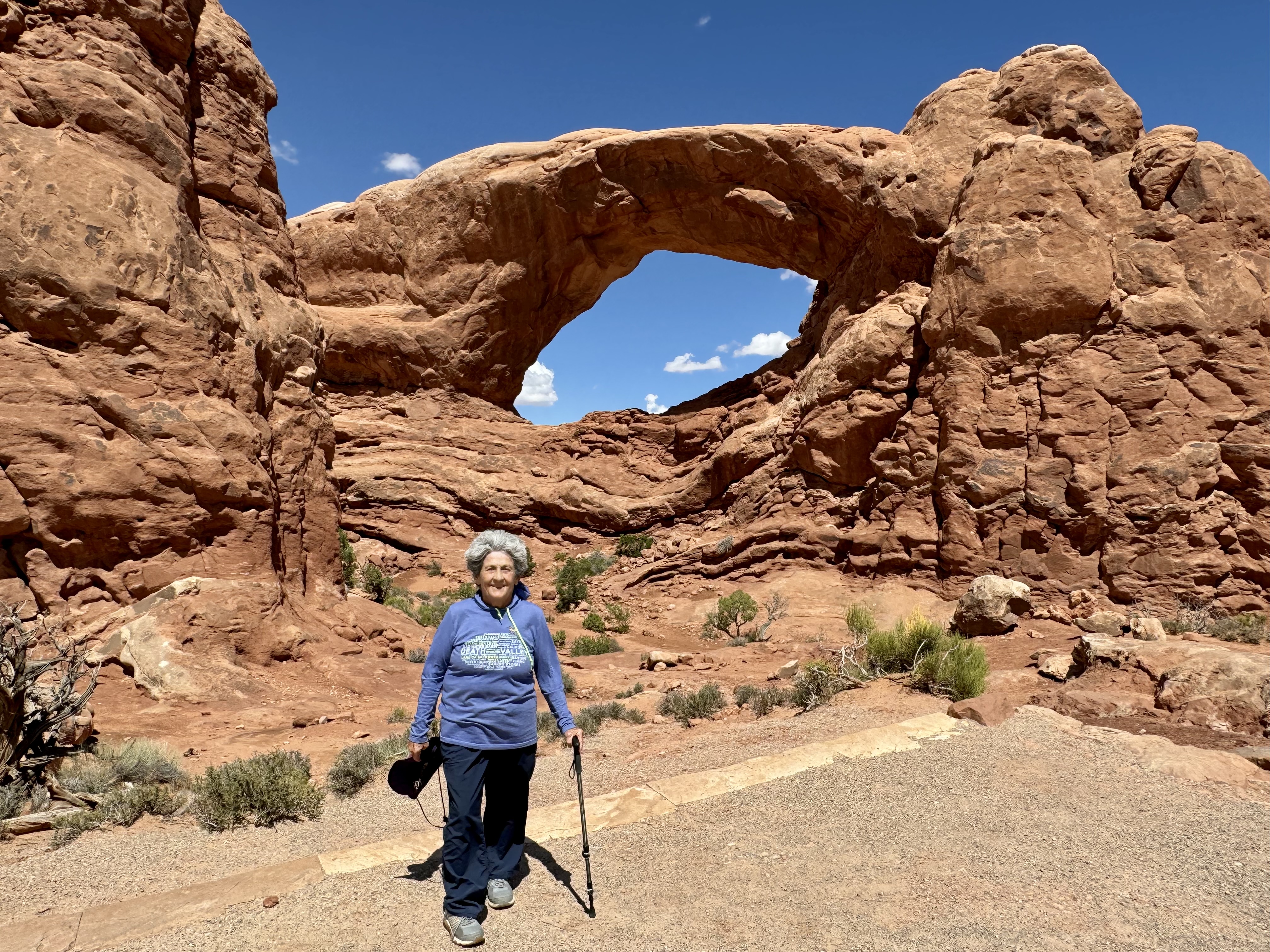
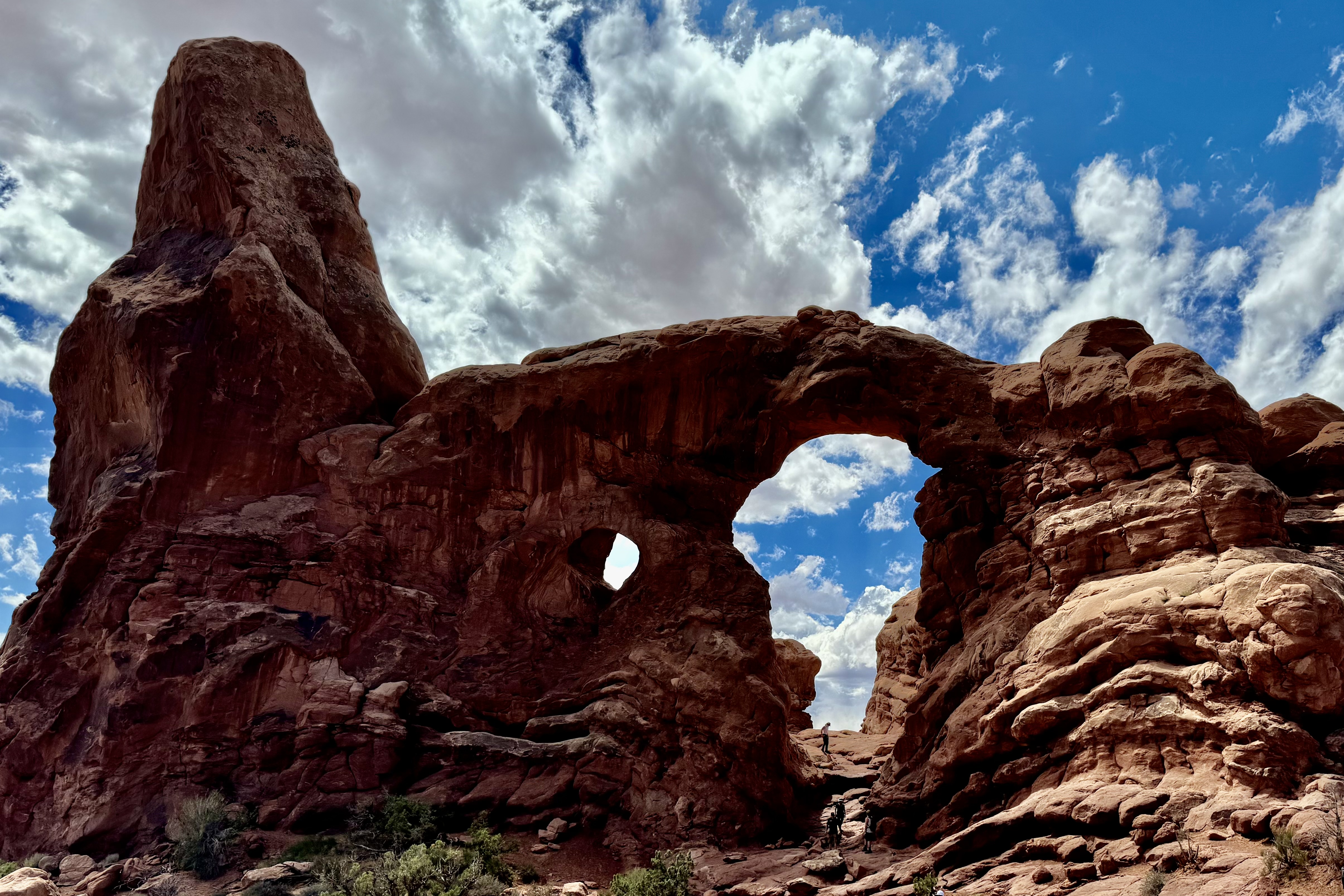
I loved the Windows section of Arches. Many consider it to be the heart of Arches. There is a significant concentration of arches and I found it to be quite a beautiful location in the park to hike about. South window, North Window, and Turret Arch, Elephant Butte, Cove of Caves, and Adam and Eve in the Garden of Eden are just a few of the -inspiring arch formation I found on the Windows Trail and Road.
South Window, North Window, Turret Arch, Elephant Butte, Cove of Caves, and Adam and Eve in the Garden of Eden


I knew it was about time to drive into Moab Drove to shop for ice, grocery supplies and gas. Having made that decision I was quite pleased that the storms for the day hit when I was enroute through the park.

Upon my return I continued on my mission to visit the vita as many pullouts as possible … how tragic it would be if I missed something truly remarkable.
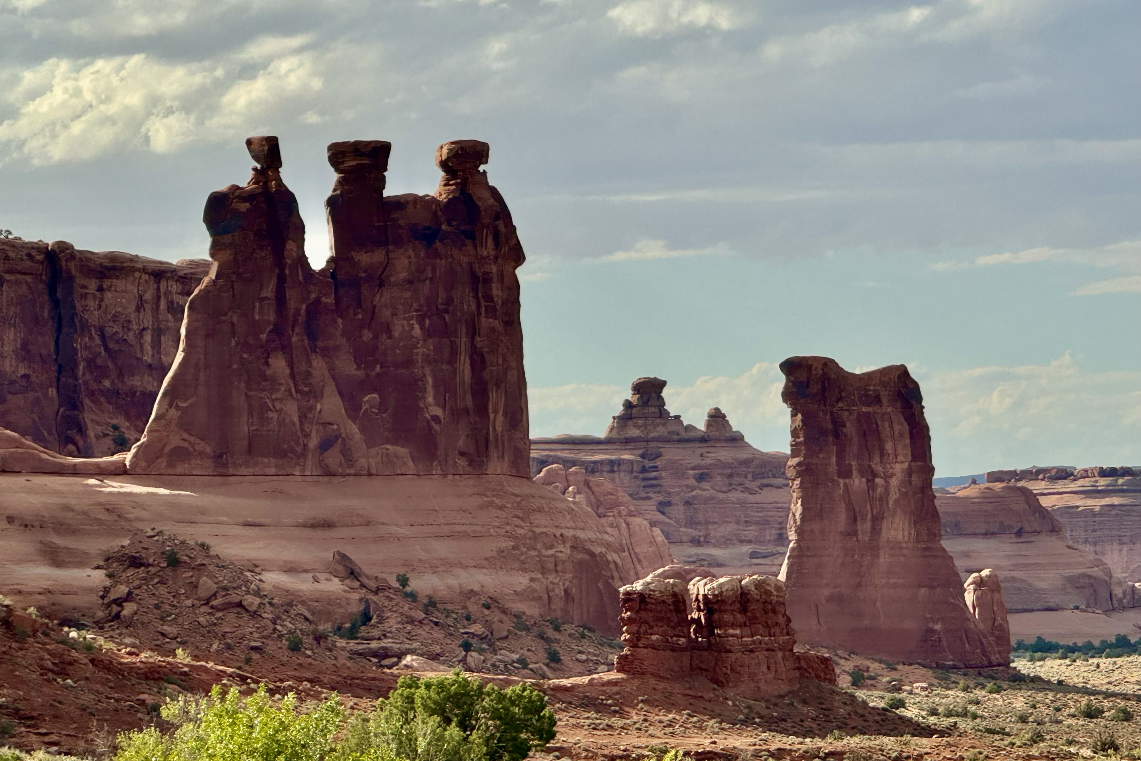
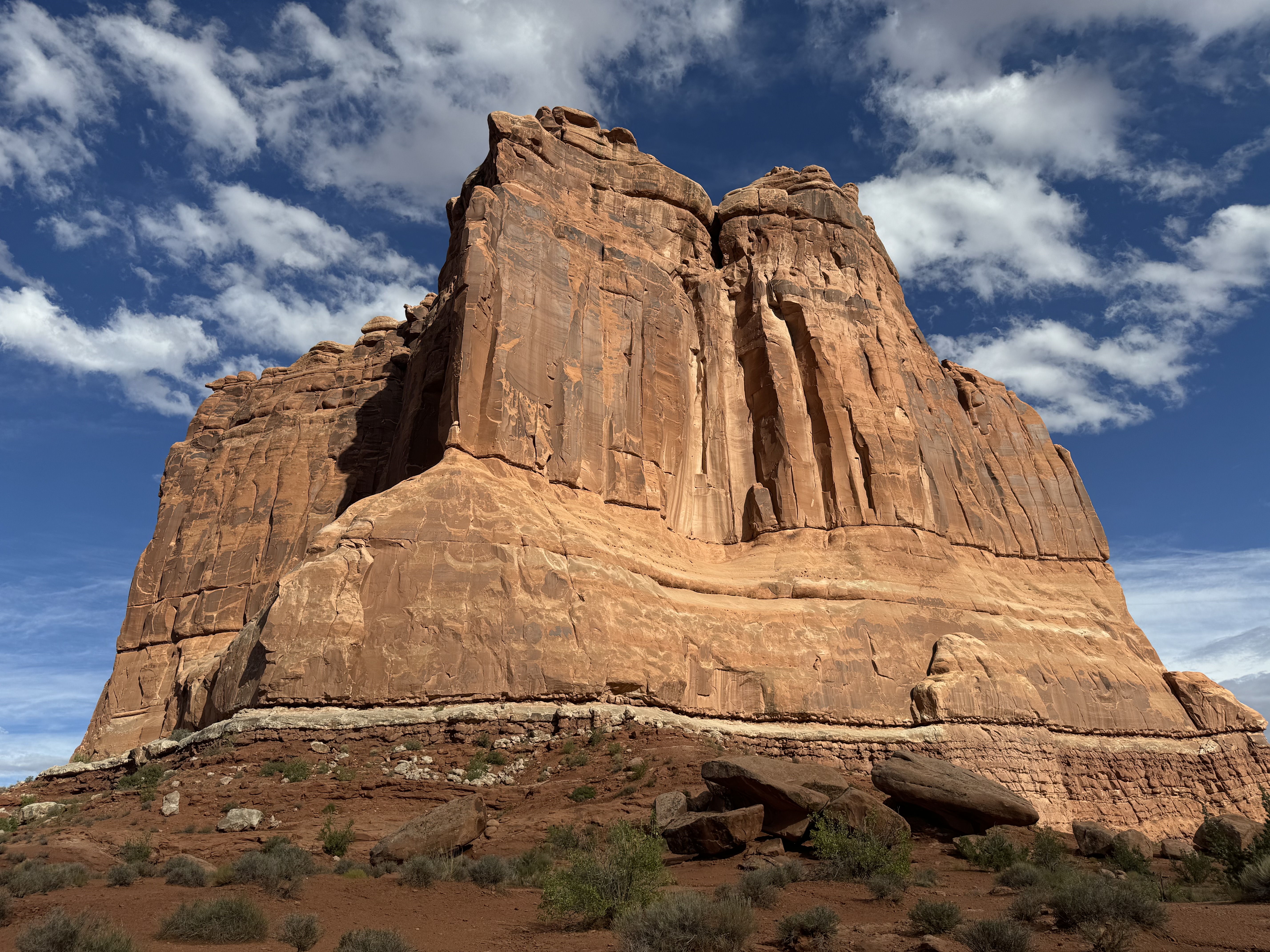
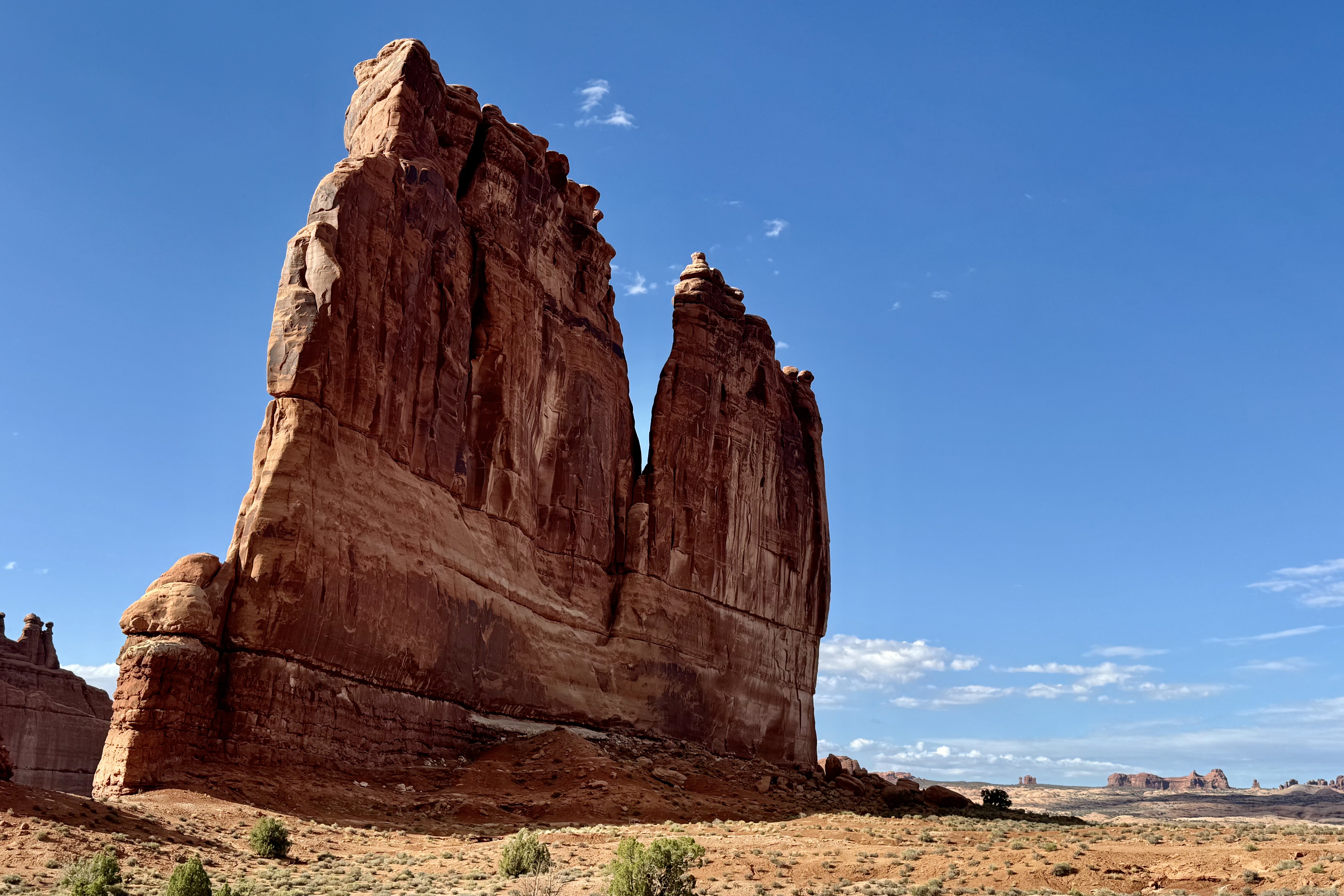
Park Avenue, Queen Nefertiti, LaSalle Mountains , Three Gossips, Courthouse Towers and Tower of Babel.

Further on down the road and in spite of the ever present threatening weather, I continued my pursuit of additional vistas including the Petrified Dunes, Fiery Furnace, and for some masochistic reason I drove up to the viewpoints for Delicate Arch to get a view of it from the opposite side . I hiked the one mile round trip slightly strenuous steep climb up to the Upper Viewpoint. Most of the other hikers were quite disappointed about the distance to the arch and that it’ is’s separated by a canyon and not accessible to walk to. This day was a 24,000 step and 9 mile day of splendor!
Petrified Dunes, Delicate Arch Backside, Fiery Furnace


By the time I got back to the campsite it was 7:30. I thought my site had been vandalized but soon realized that it had been vandalizes indeed — by the wind. Fortunately that was the culprit. It was getting dark out and I still needed to prepare dinner so I opted for the cold variety. Once I piled everything into the car for the night (total disarray), I retreated to my tent and to then had clean off most everything in tent from a dusting of red sand. I finally went to sleep with constant gusts of the wind battering the tent. I must have been totally exhausted to manage to have slept through an extremely gusty night.
Peeking out of my wind blown tent, I could see thunder and storm clouds in all directions. So I bounded out of the tent and it was clear that the wind had tried to break camp for me. Hoping to avoid the red mud slicks that would occur and to escape having a tent wet and stained red if it rained (the wind at least had dried everything with its powerful swirls), I had better move quickly . As the rumbles kept happening and getting closer, I rushed about just flinging everything into car which was already a jumble. When done I settled down with my first cup of coffee and observed that I had escaped the storms that were all around. They had headed elsewhere to flood some other unsuspecting area. Before I headed on to Bryce Canyon, I thought I would take a “last stand” and hike Devil’s Garden Trail. I was dragging along and I actually acknowledged that I was “burned out” from yesterday’s mega adventure and I best do an about face and get back on the road.