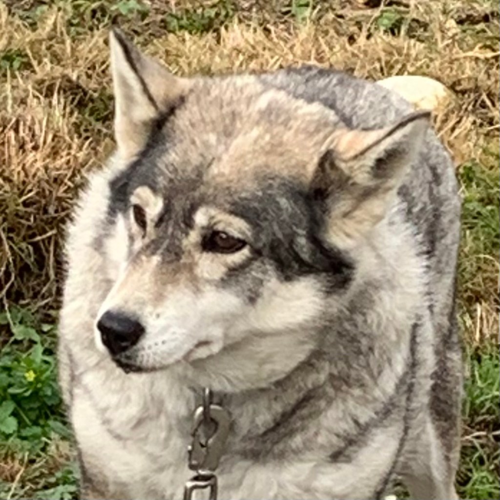
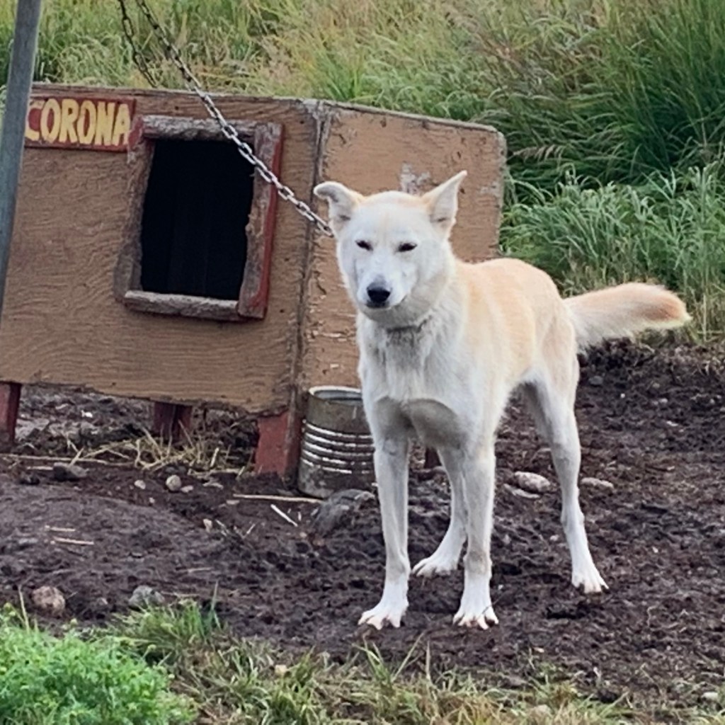
Our third day at Bettles was a mish mash of mushing dogs, a “river cruise” and the donning of break-up-boots for a meander in the Kanuti Wildlife Refuge. On the first night of this Bettles adventure, I was outside of the Aurora Lodge around 11:00pm, scouting the sky for any hints of the aurora and I kept hearing periods of prolonged howling… the mournful tone, length and harmony left me with a feeling of loneliness but also wonderment. I imagined wolves communicating affectionately with members of their pack, or perhaps it was a social rally call for party-time, or better yet a warning to the “deranged” humans, running around in the middle of the night taking pictures of the dark sky, to stay off their territory. Of course, my adrenaline also shot up and I excitedly envisioned a pack of grey wolves out there on the perimeter of Bettles calling. I knew this type of howling is a guttural call that’s associated with wolves, especially the grey wolf which is the distant ancestor of our dogs . But eventually I recalled that, on the website and in our orientation, there was a resident team of sled dogs down the road which were “100% Alaskan Husky and also 100% friendly”. I also knew the Husky, Alaskan Malamute, Akita, and Samoyed are more inclined to howl. So I made it a point the following day to set up a “meet and greet” session with the local husky population.

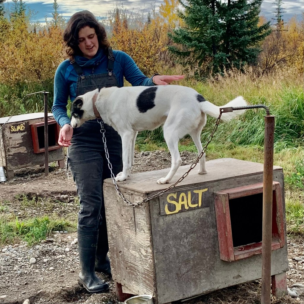
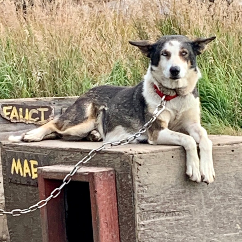
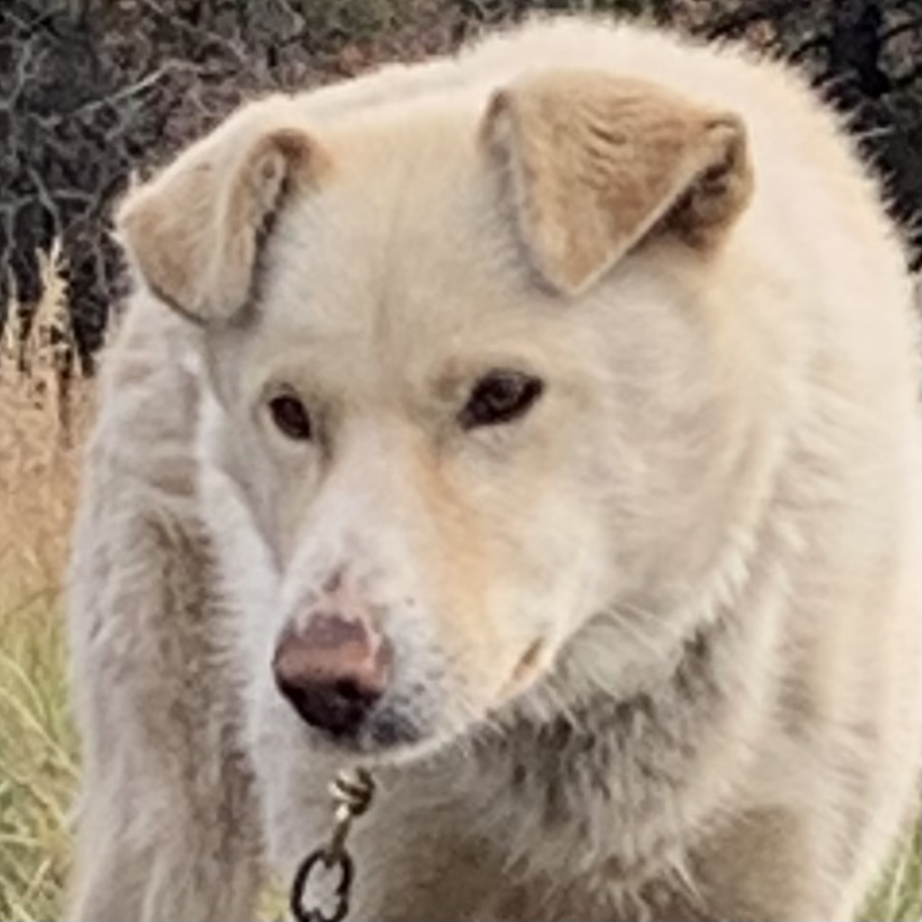
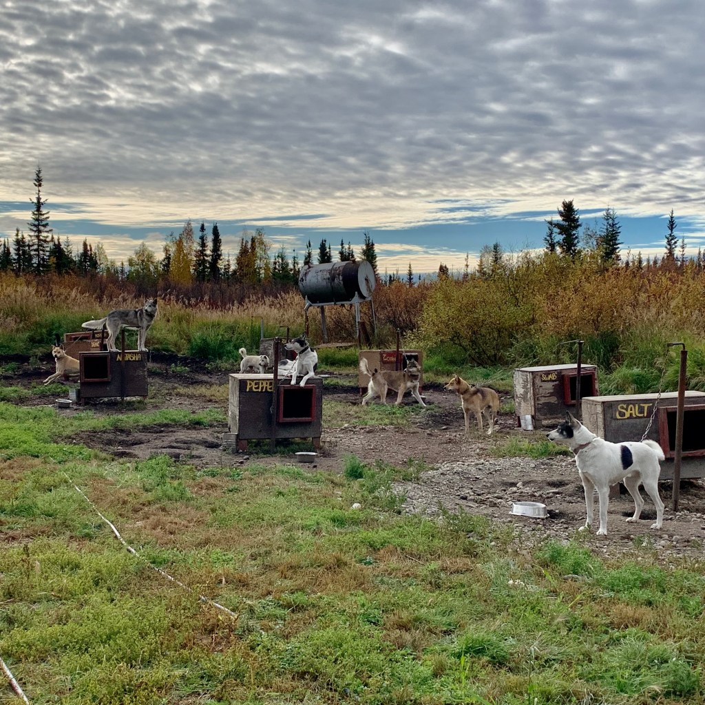
Now we did not disturb the dogs but I am quite sure that their howling might have been disturbing to some guests. On the third morning, we visited the dog yard with their musher. Each dog has their own doghouse and they are tethered to a pole by a chain so they can run in a circle This does not sound like fun to me but I am not a husky who is bred to run – which I wasn’t bred to do and only was able to slog painfully as a triathlete. These canine residents were all quite eager to greet us and thanks goodness for the chain providing a modicum of restraint. Otherwise I would have repeatedly been bowled over by very eager-to-greet-me dogs . Come winter they will be working as mushing dogs. When one or maybe more dogs are utilized for pulling a sled, it is referred to as “mushing.” They will transporting loaded sleds (in this case tourist adventurers) around the metropolis of Bettles, population 23.


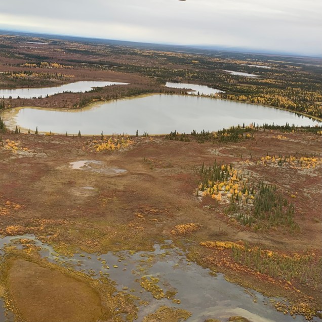
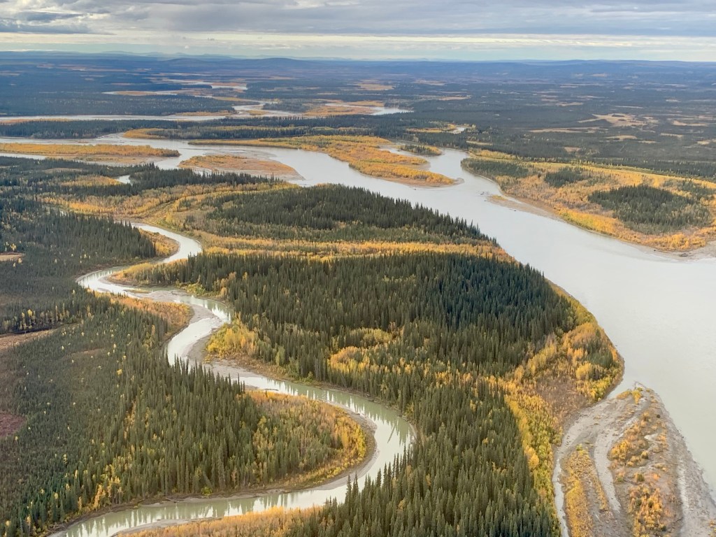
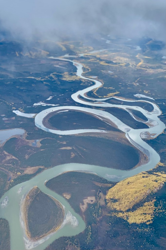
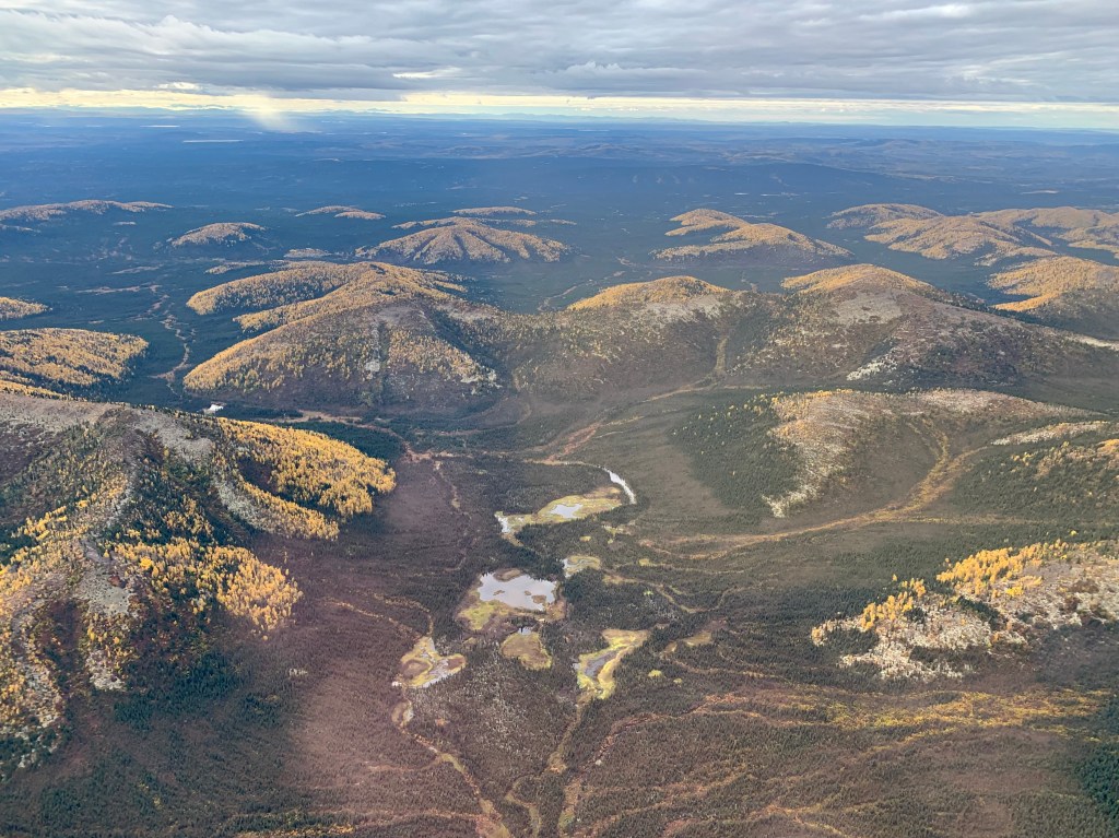
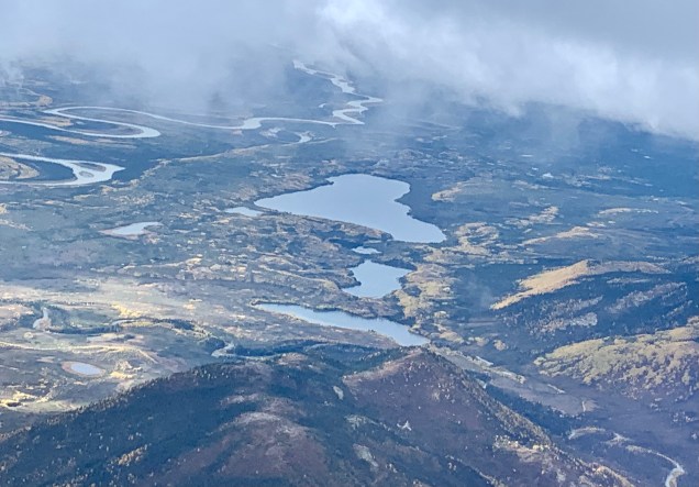
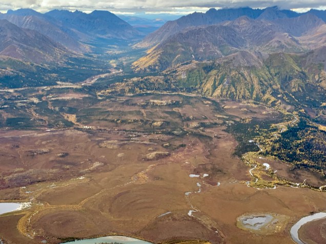
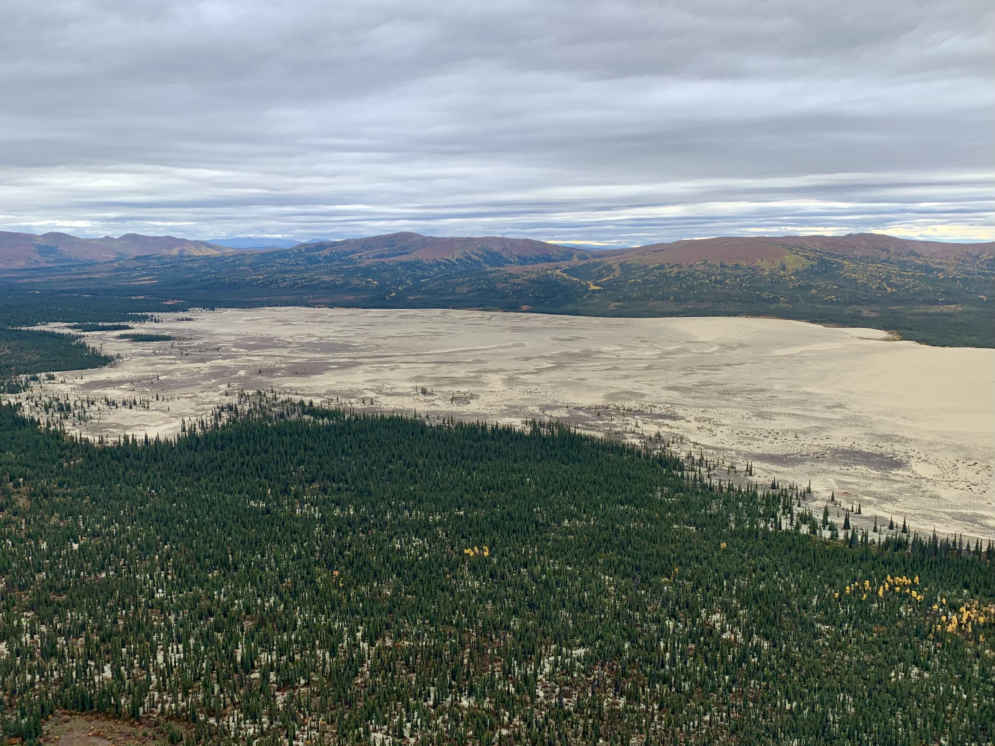
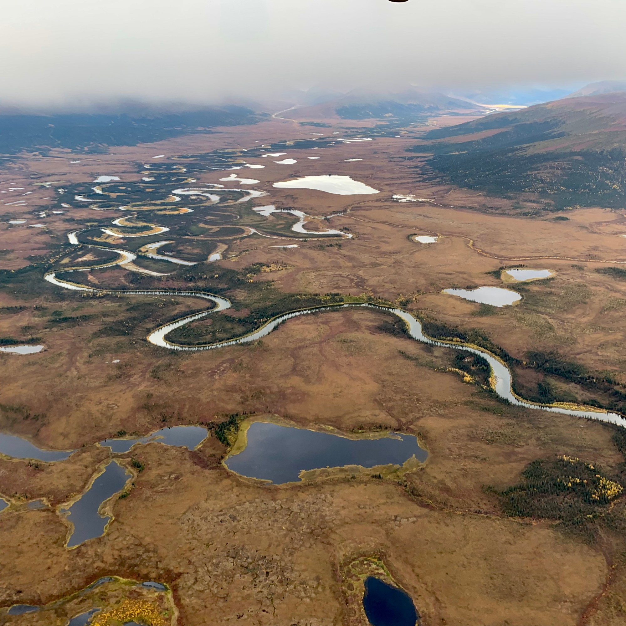
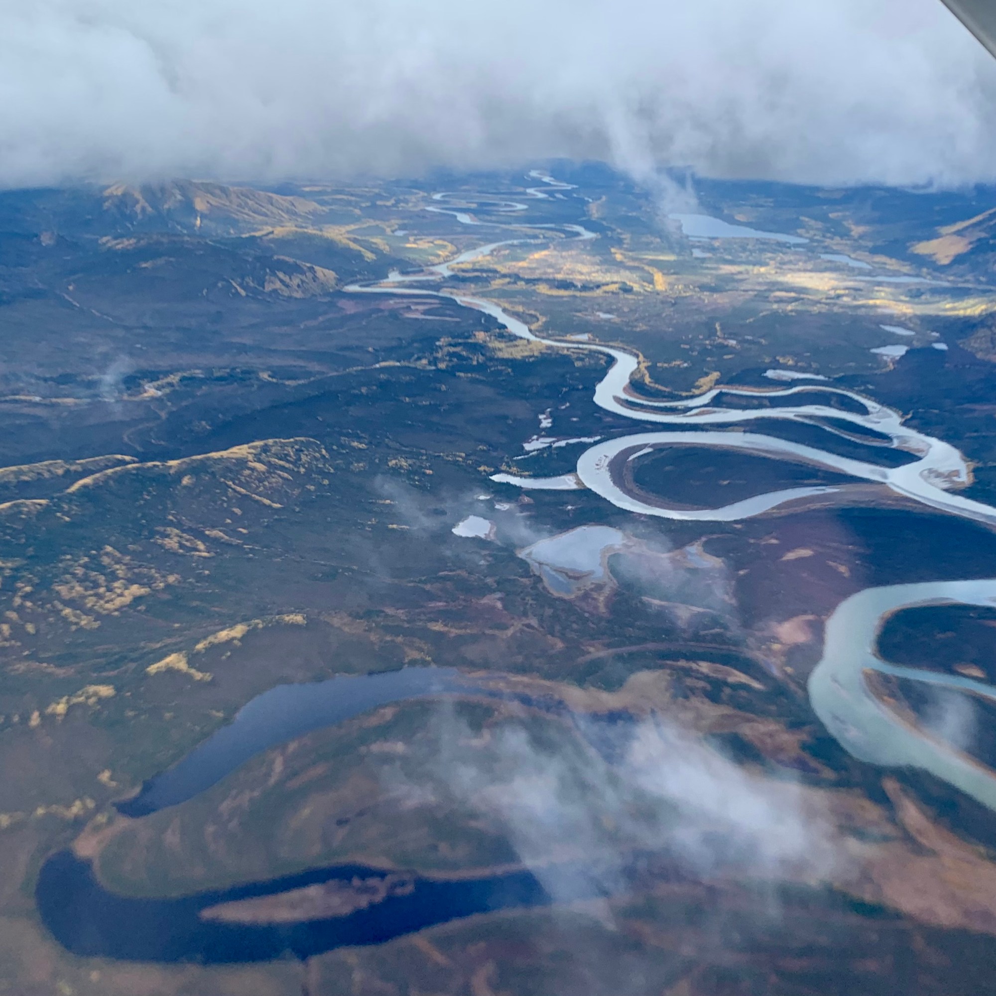
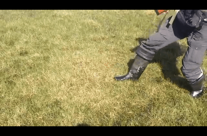
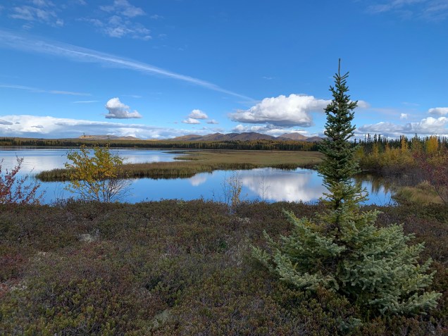
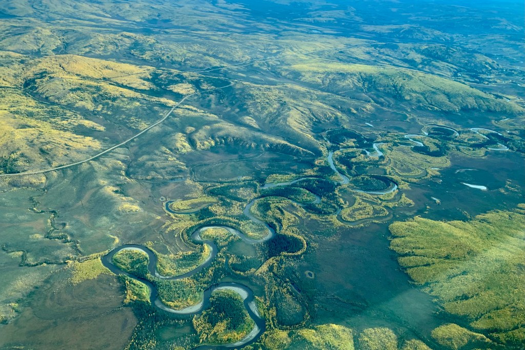
Late in the afternoon , Teresa, Chris, Rob and myself decided we wanted to attempt the hike into the Kanuti Wildlife Refuge which commenced at the end of the float plane lake. Kanuti is the Americanized version of the the Athabascan name “Kk’toonootne” meaning “well traveled river by both man and animals.” This area of the Kanuti Refuge is an example of Alaska’s boreal ecosystem and is dominated by black and white spruce and willow, highbush cranberry fireweed, and blueberry to name a few. We were advised to bring rubber boots if we were interested in hiking, but to save weight and space, I opted not to bring my rubberized boots which Alaskans call “break up boots” (so named for the puddles and mud, and soggy trails, especially in the early spring when the ice jams, the snow melts and the ground thaws). After viewing the wetland terrain from above I began to regret my decision as I could well imagine that the water and mud would be pouring over the top and into my ankle high hiking boots in a matter of minutes or perhaps seconds. We were informed that this hike (as are almost all wilderness hikes in Alaska) tend to be extremely wet, boggy and muddy.
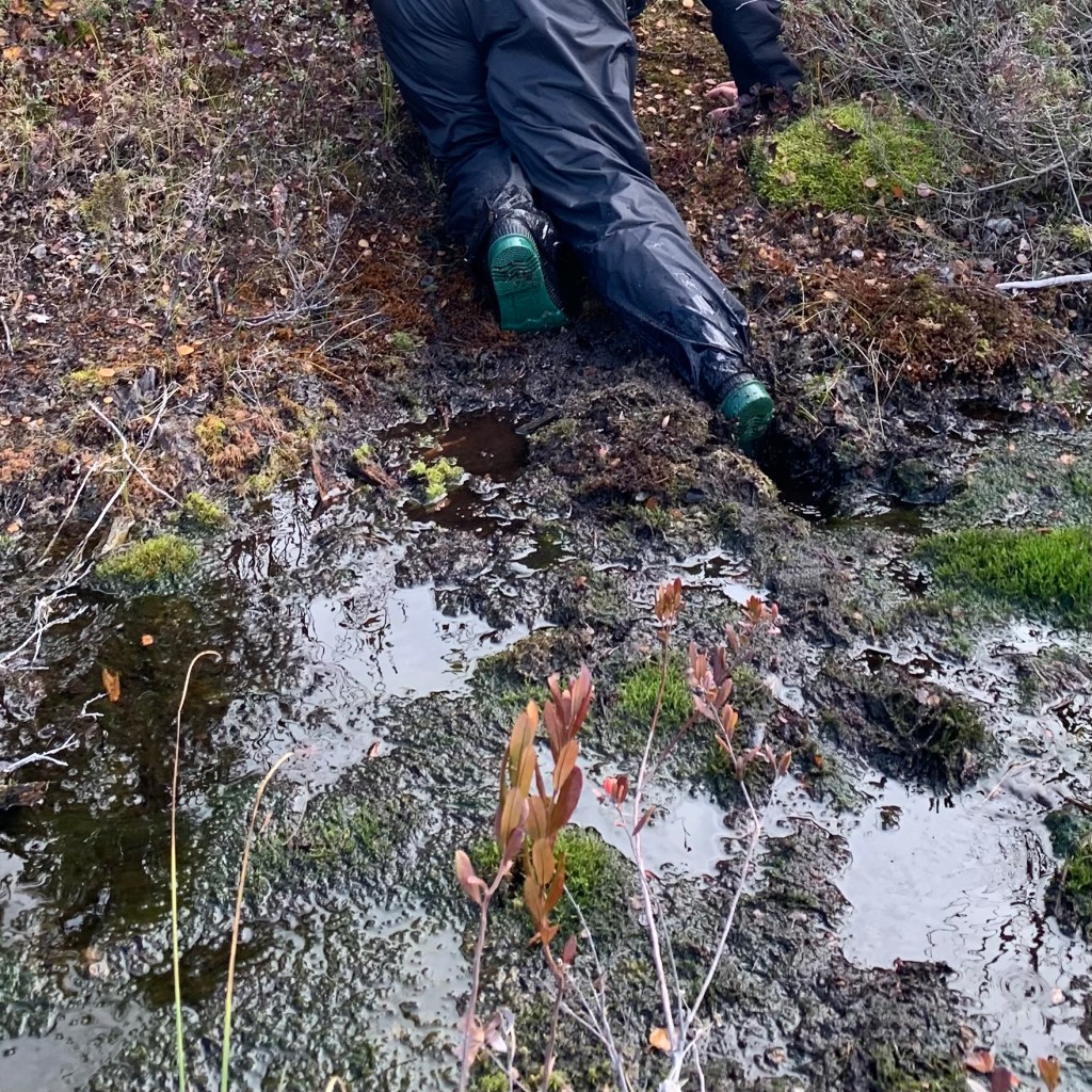
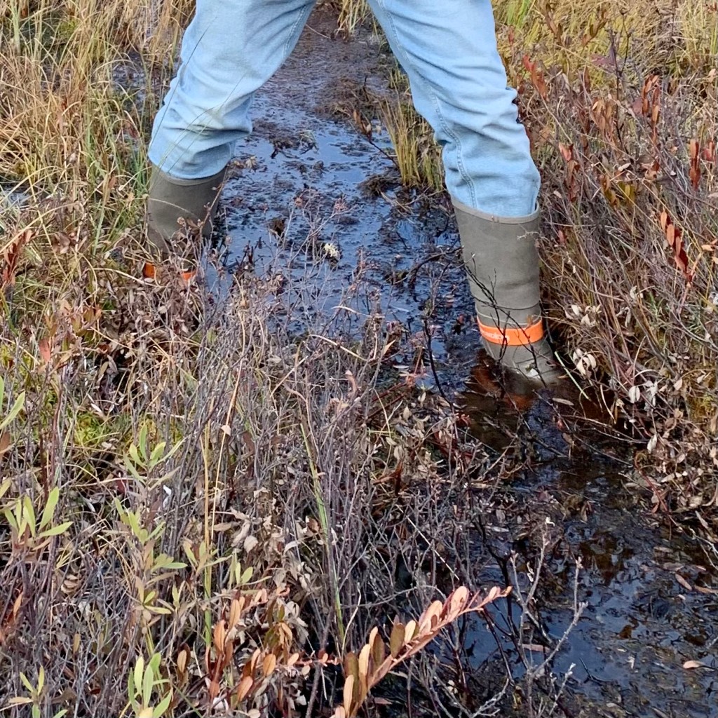
Fortunately the Lodge had a decent selection of “wellies” or “Wellingtons” that we could borrow. What follows is more not very useful or pertinent information : The type of boots I am talking about are what most people way up there in Alaska call Alaska Sneakers, aka gumboots, or break-up-boots. They are almost up to ones knees and made of rubber or neoprene. The “Wellington” boot became the foot wear for the British aristocracy and later middle class in the early 19th century and the name was subsequently given to waterproof boots made of rubber. Growing up as a kid we often called our rubber footwear galoshes. Galoshes are also known as dickersons, gumshoes, rubbers, or overshoes. So call them what you will. I was able to find a pair that were a reasonable good fit, though being on the larger size for my foot, I was hoping they would not be sucked off by any mud we might encounter.
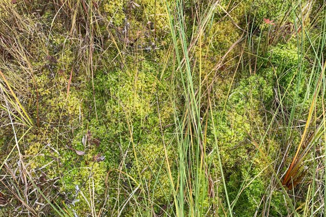
Well this trail did not disappoint. There was lots of sucking mud, spongy moss, and tundra grasses with very shallow root systems that allow water to collect below with the thawing of the permafrost. What ground that would normally be solid had turned into a grassy trampoline.
The cause of the quivering patches is likely due to climate change and the current unprecedented thawing events occurring north of the Arctic Circle. How astonished I was when I planted my “wellies” on the green plants and grasses pictured below the ground wiggled and wobbled. I had just stepped on nature’s trampoline . Now I never have done anything remotely technical on a trampoline, so I executed only one of my entire repertoire of three moves: the straight jump and due to the level of springiness of this massive grass mat I rose about 1 inch. I chose not to do a seat or stomach drop (or more accurately flop) for some very obvious reasons, though if I had had on rain pants I might have been tempted.


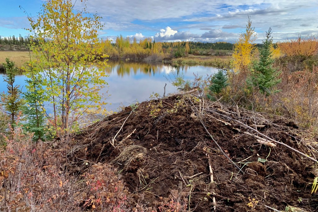
One of the government monitoring projects in Kanuti is to conduct Beaver food caches surveys so we were particularly excited to discover a beaver lodge in the process of being actively constructed along the refuge lake. This usually begins in the late summer or early autumn (they are right on schedule there) so as to have a cozy den for the upcoming season of cold, ice and snow. This was a large domed structure built by the local beaver residents of Kanuti out of sticks, twigs, rocks, logs, and mud. Clearly these beavers did not have an architect nor were they working from a clear set of drawings but piling sticks and logs together haphazardly and dropping and plopping large clumps of muddy sediment from the bottom of the lake on top of the lodge and and probably hoping that it drips down to seal the massive cracks. If this were my log cabin this would not be a good thing but since it is a beaver lodgeI I have heard it provides ventilation and this will allow the lovely aroma of wet beaver fur, the gases they pass, and anything else that fouls the air to escape.
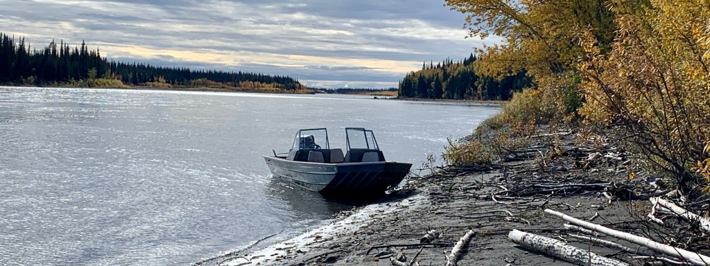
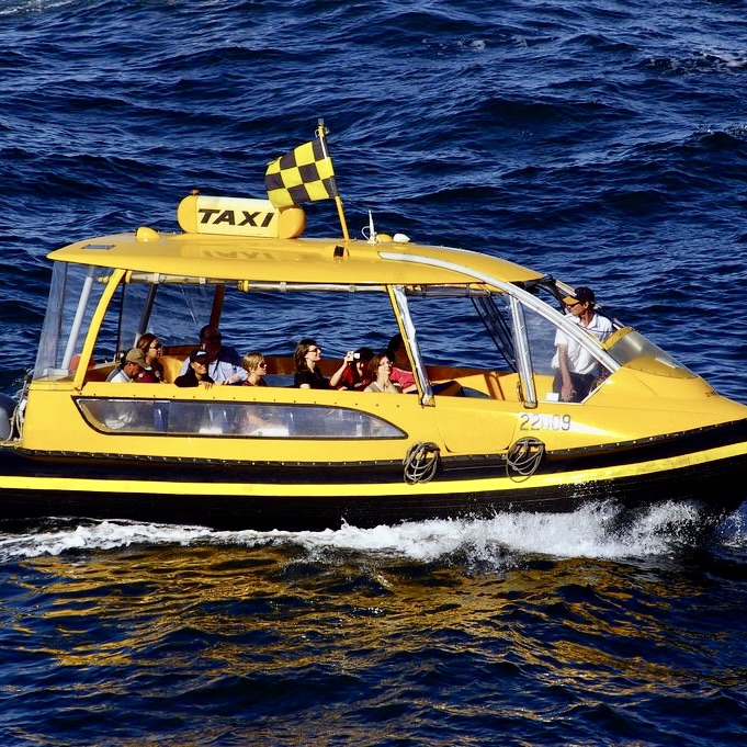
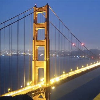
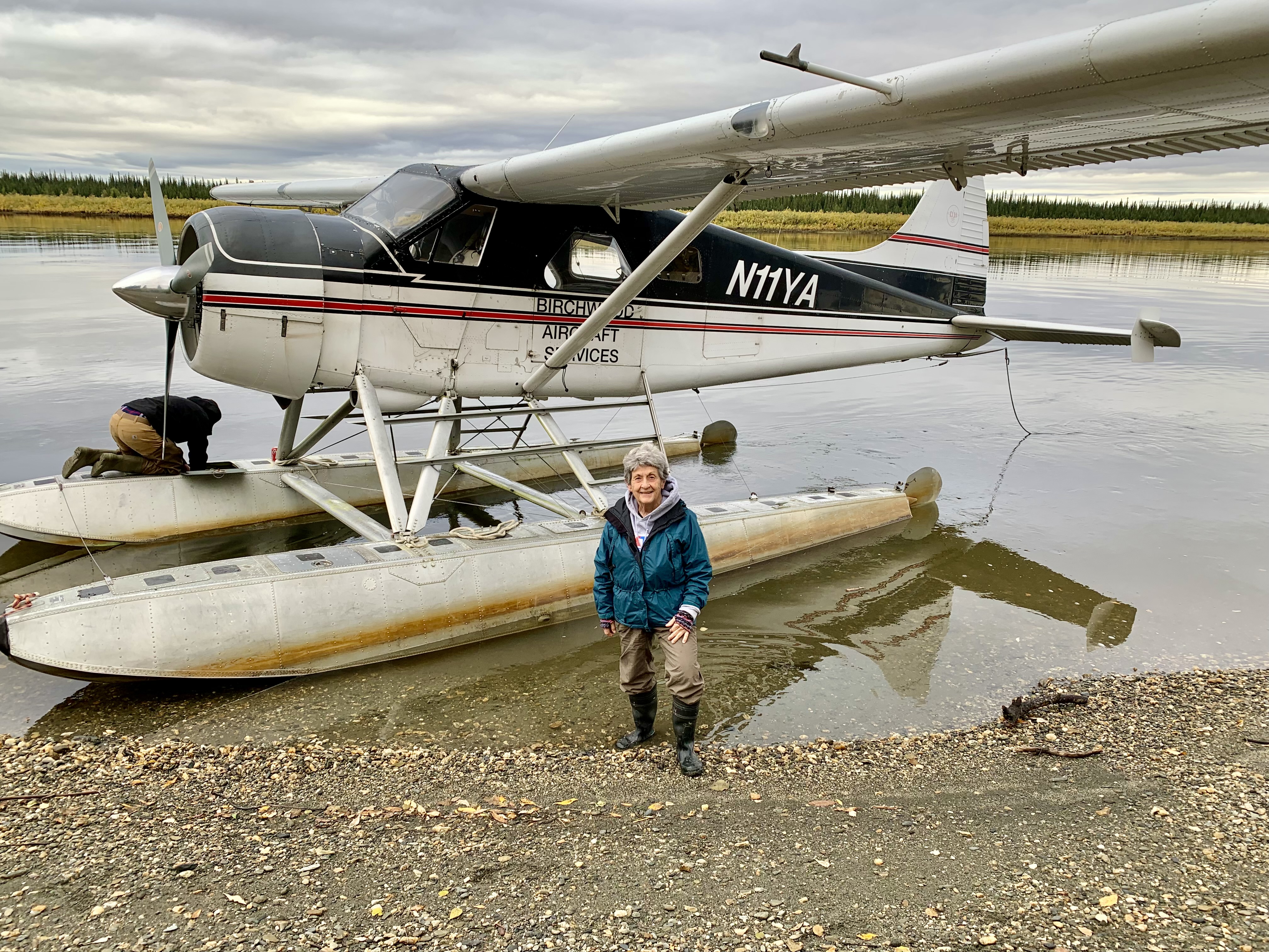
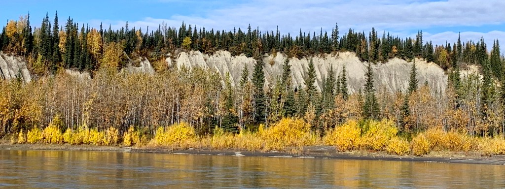
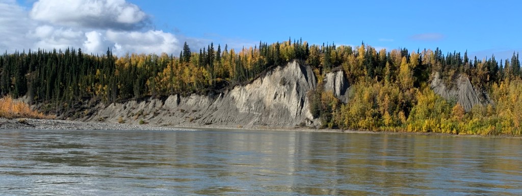
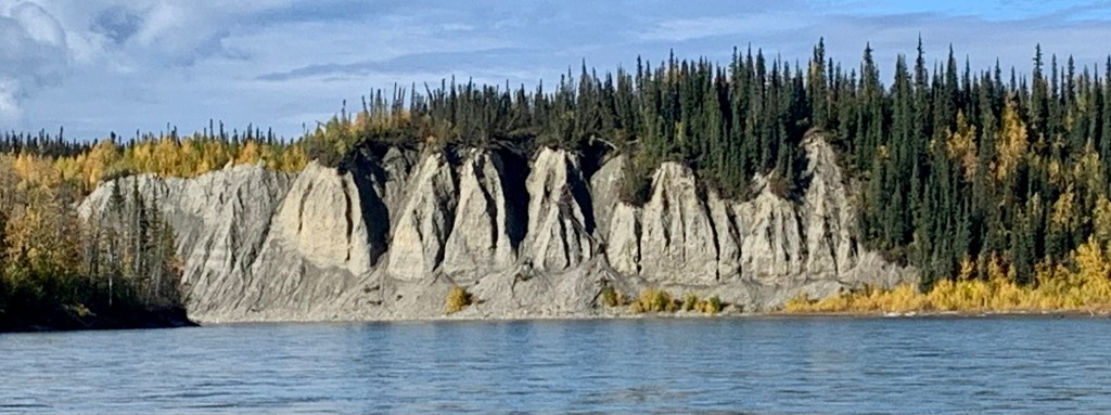
When reading the promotional material for the Bettles package, it stated that included in the package “will be the exciting Koyukuk River boat tour to the ghost town of “Old Bettles” founded in 1898, where the last gold rush took place.” I am not sure what I was expecting, but when I hear riverboat tour I think of the large Paddle-wheelers churning on down the Mississippi, or even the Riverboat Discovery Cruise in Fairbanks. Now I knew it would not be these but I kind of anticipated something much smaller but a tad fancier… but I had not expected a quite basic aluminum fishing outboard for our “cruise.”

Mississippi 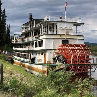
Fairbanks 
Small Outboard 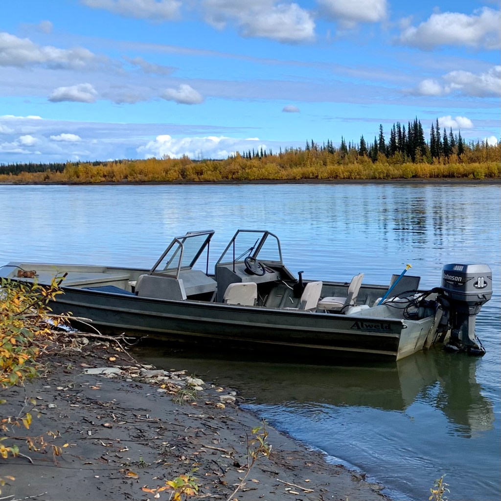
Fishing Boat
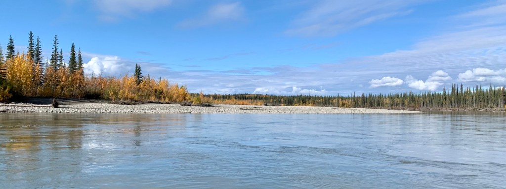
Never-the-less our fishing boat excursion was really quite satisfactory and I should know better than to have visions of what might be available in rural Alaska, especially above the Artic Circle. We motored on down the Koyukuk River to Old Bettles, enjoying the scenery and the very brisk air.

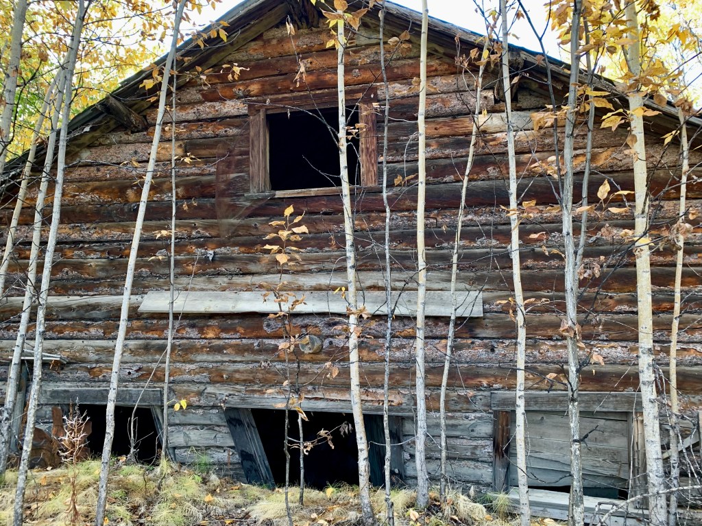
“Old Bettles,” which I cursorily called the “slums” of Bettles, was founded in 1898 during the last great gold rush in Alaska. Gordon Bettles established a trading post at the junction of the John River and the Koyukuk River. This was the age of transport by large steam-powered paddle boats which brought miners and their supplies into the region. Old Bettles was the northern terminus of the Koyukuk River barge line. But as the gold rush came to an end and aircraft replaced the riverboat as the main mode of transportation, the community migrated to the airstrip built up-river, 6 miles from the original location and the current location of “New Bettles” where we were staying. This airstrip that serves the community today was built in World War II. The post office closed in 1956 and the last inhabitants of ”Old Bettles” moved out in 1997.
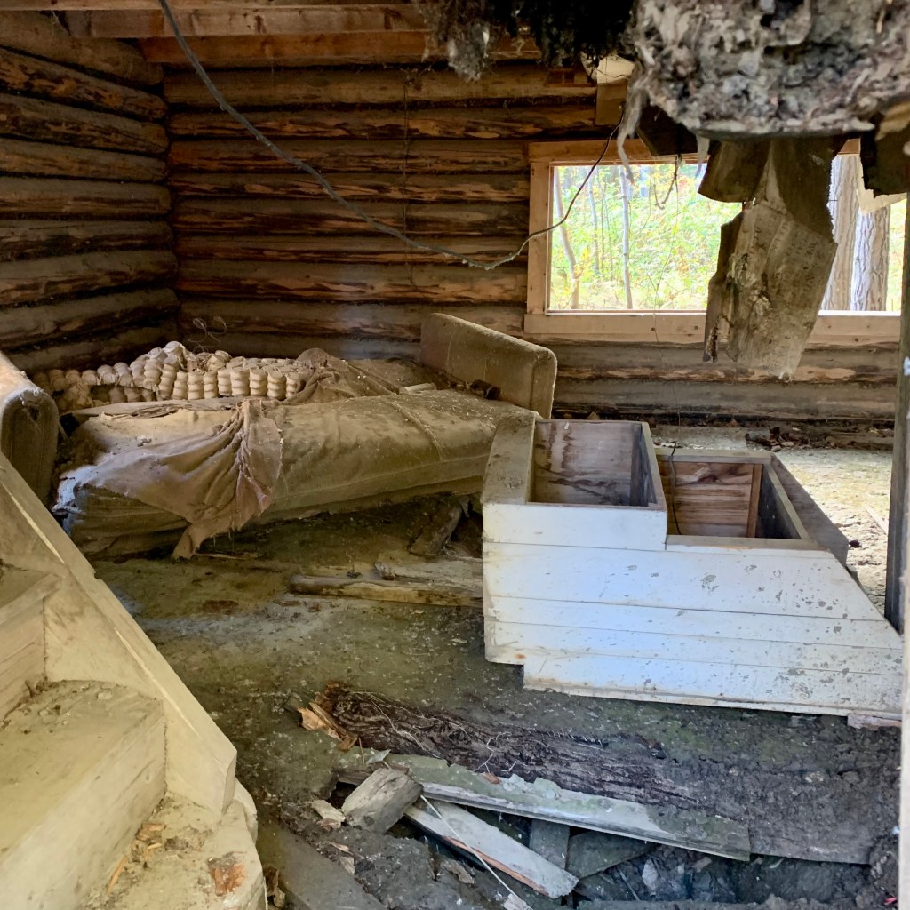
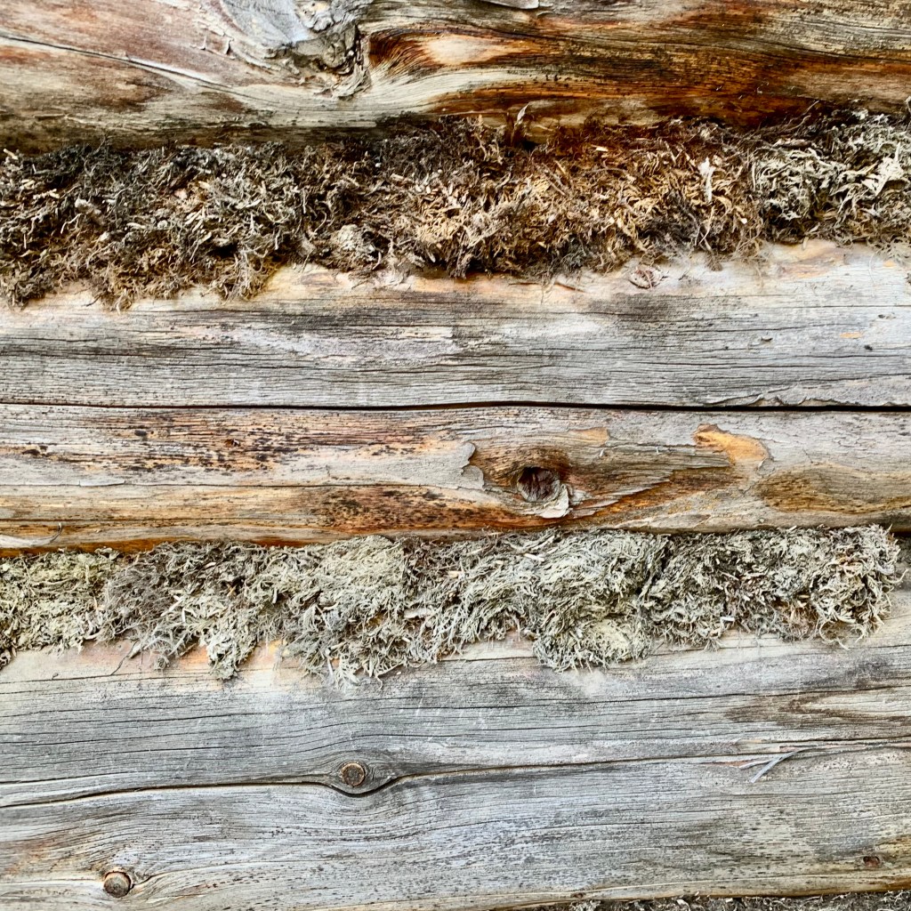
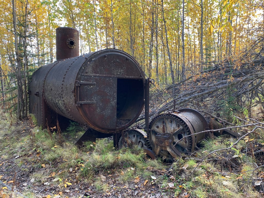
Several “buildings” or better described as remnants of buildings remain 25 years later, with the buildings left to decay … no historical society “lives” up here to preserve history. In its heyday, it was most likely a village built of rugged log homes and businesses. Some places appeared as if residents moved out in haste leaving behind, beds, appliances and some still are adorned with weathered moose sheds! The story is that the cost and task of moving belongings even a few miles can be prohibitive. So now there are those beds in “Old Bettles” but I don’t think they were one of the offerings in the brochure. I was glad not to be roughing it over there, as definitely not a AAA 4 diamond property. Definitely not too comfortable looking. All the buildings were in some stage of decay and you could see also that most buildings were slowly sinking into the soil because of the freezing and thawing of the permafrost. What an odd site this was. Perhaps thousands of years from now there will be an archeological did that uncovers the artifacts of life in “Old Bettles.”


Should you consider a trip to Bettles ? Bettles promised an authentic Alaskan experience 35 Miles North of the Arctic Circle and that is true. This was quite a unique experience unlike any other I have had. However from the detailed descriptions on their website (http://bettleslodge.com), I had expected something a tad more upscale that what Bettles actually was. But then I also know that most photos, brochures and internet descriptions are for the most part much more glamorous appearing that the actuality. The food was excellent, the personal friendly knowledgeable, and accommodating. The accommodation in the Aurora Lodge is clean and comfortable, though the wifi is sketchy at its best. Our room had a spa (which was basically a souped up, regular bathtub right in the room with a pull curtain if you wished privacy…). Most rooms have shared facilities. Both the communal rooms and bedrooms have everything that you need to make your stay extremely comfortable including soft drinks, hot chocolate, tea, coffee, snacks, many DVD’s & board games. However if you desire modern and/or elegant facilities, fine dining, TV , fast internet, cell phone service, a structured schedule, events happening on time ( ideal Alaska weather and the aurora are not available for streaming “on-demand “) this is not the adventure for you. I thrive with this type of adventure and compared to some of mine it is downright luxurious.

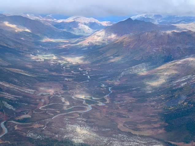
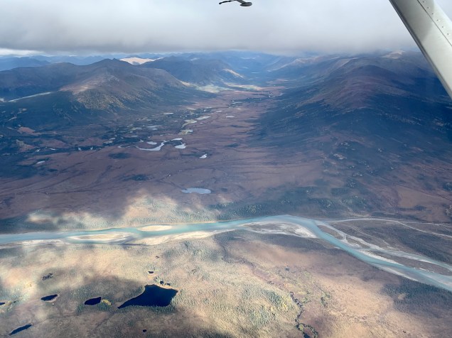
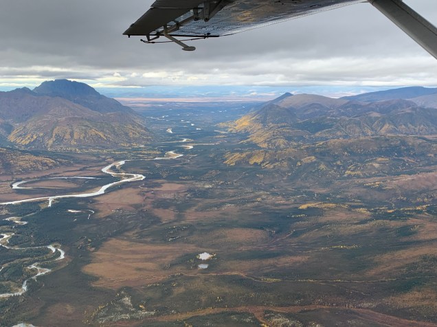
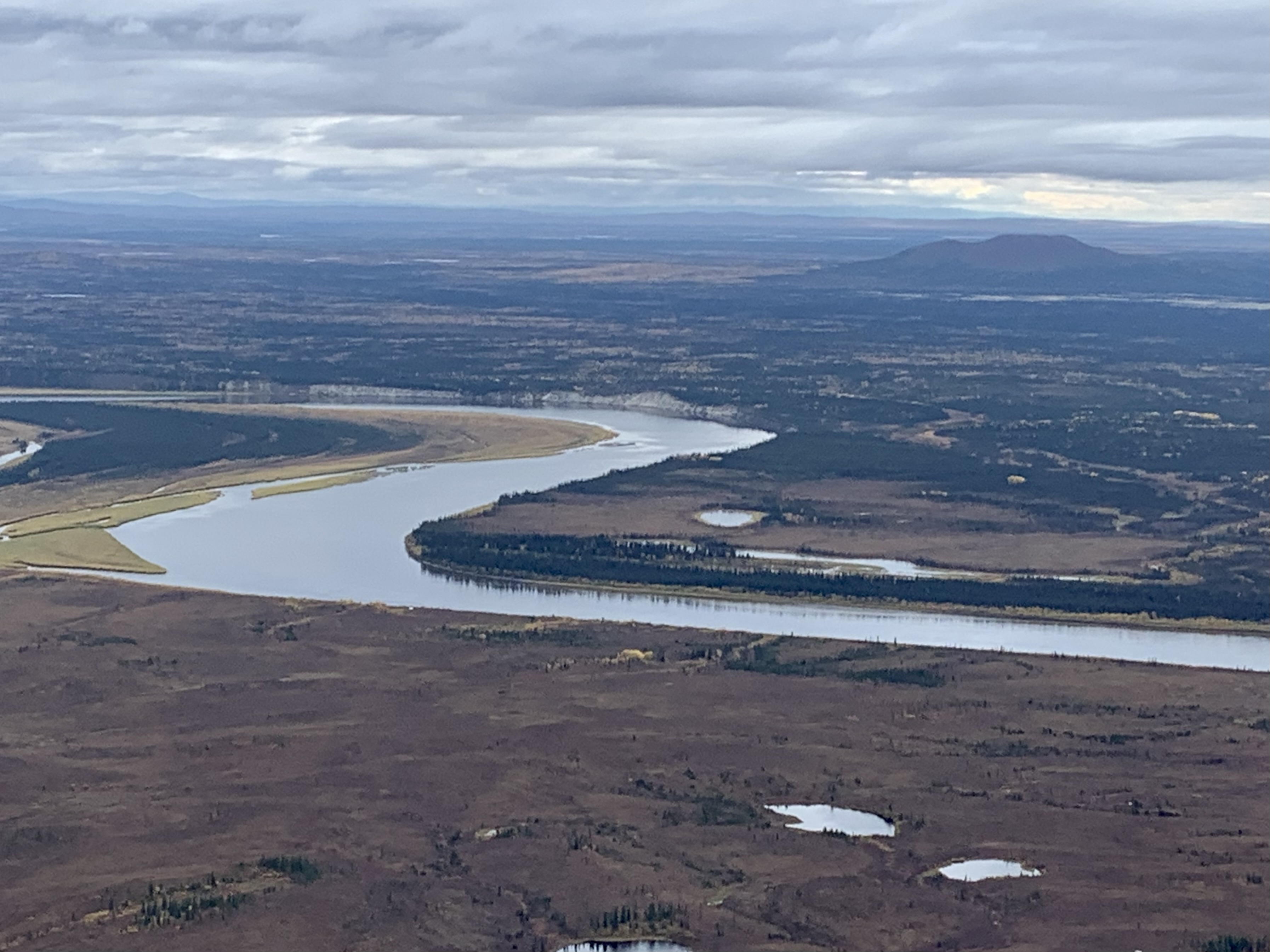
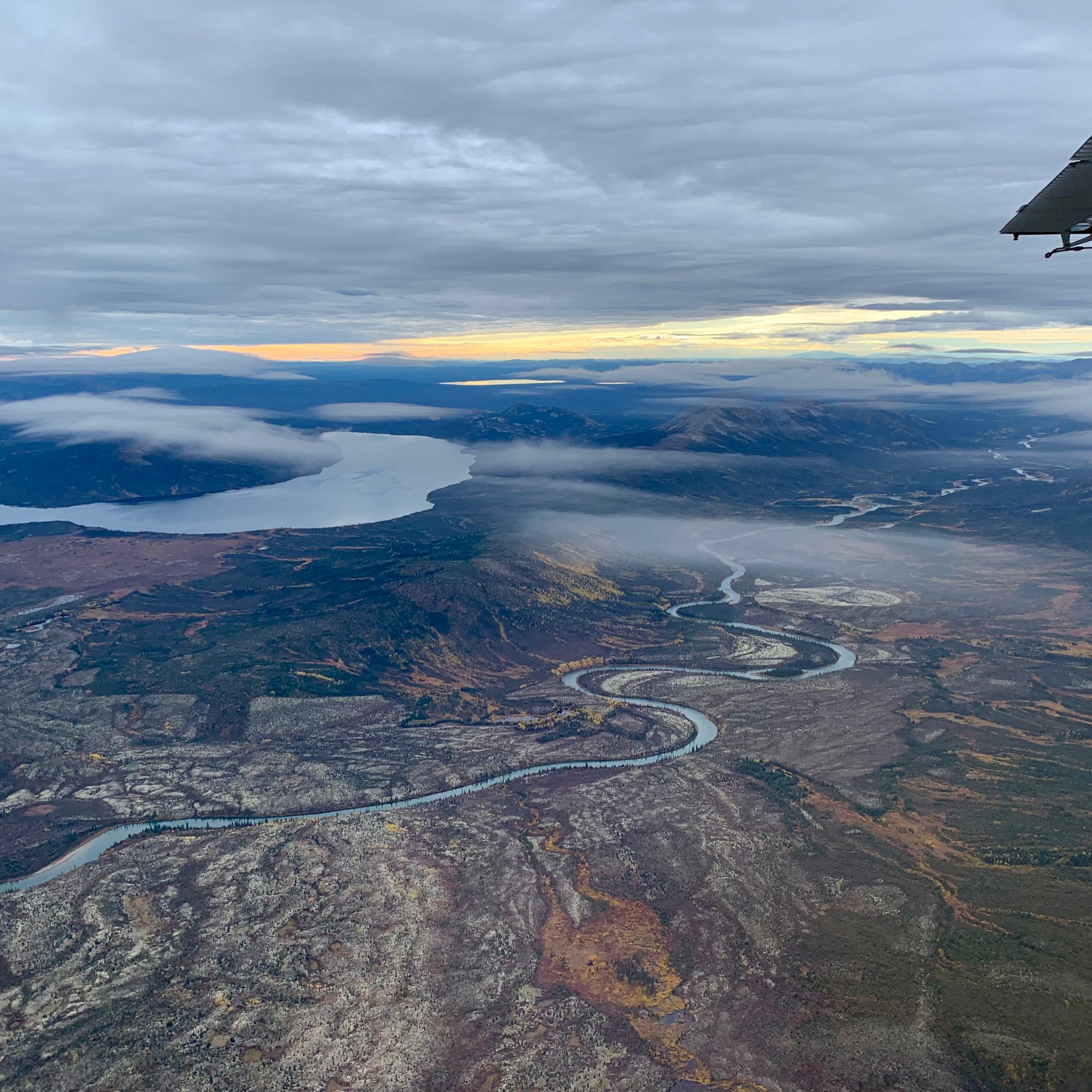
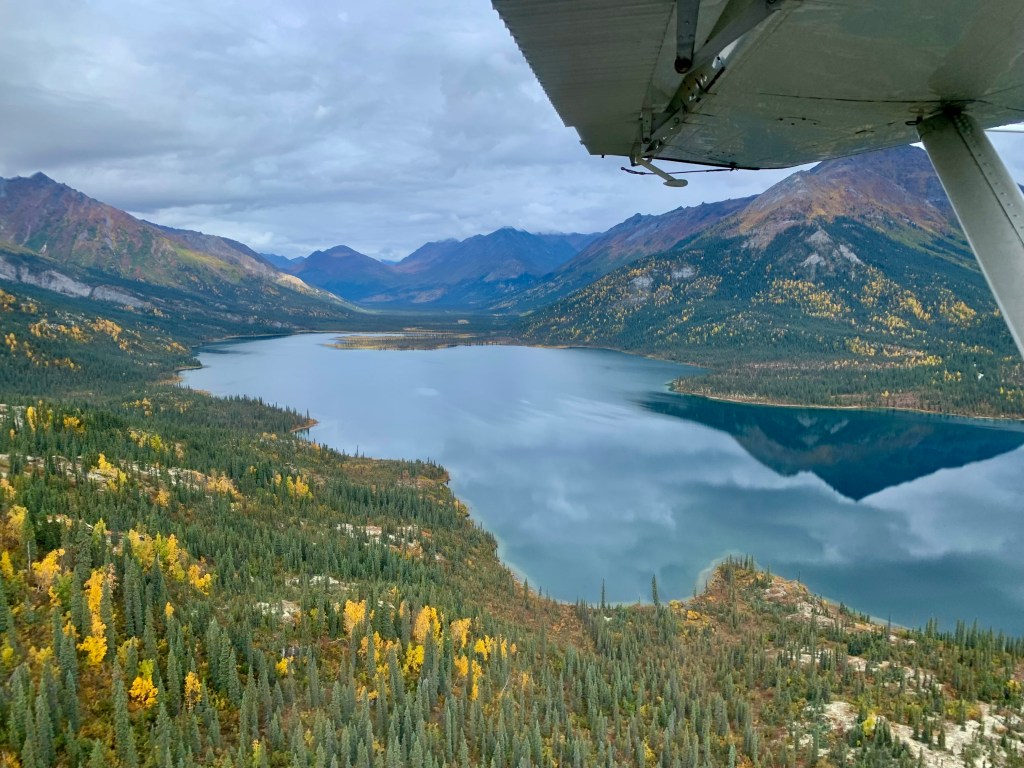
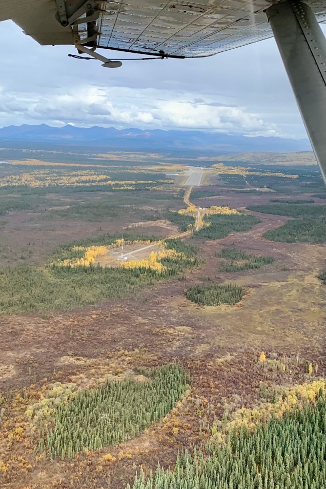
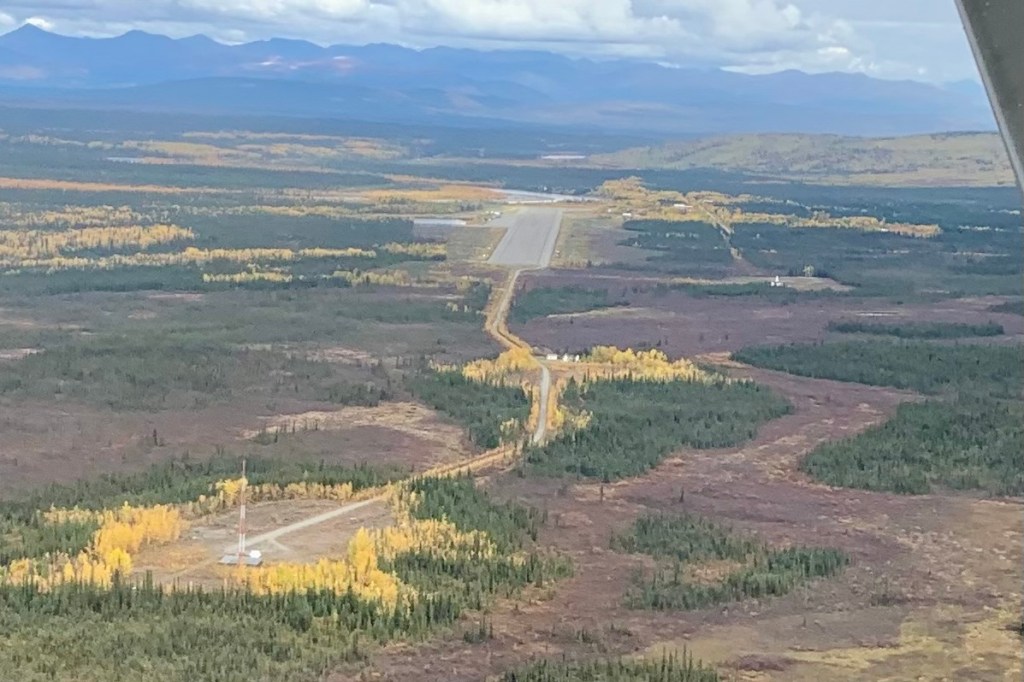
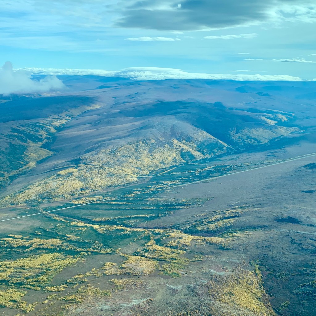
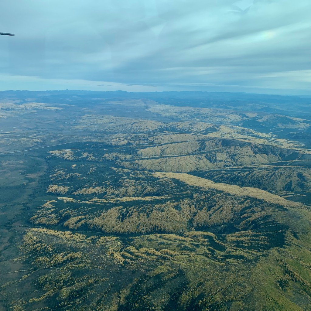
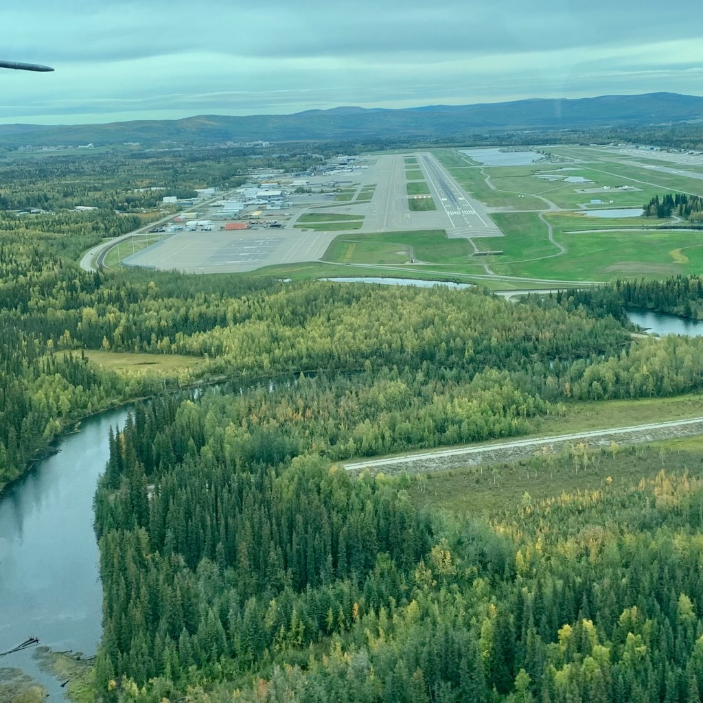
The following morning we were scheduled to depart. The weather appeared ideal and we all too soon were on out way to Fairbanks. I was mostly fascinated by views of the famous “Haul Road,” aka Dalton Highway. The highway, which directly parallels the trans-Alaska pipeline, is one of the most isolated roads in the United States. It was visible below for most of the flight and this highway is described as primitive in places and traveled through rolling, forested hills, across the Yukon River and Arctic Circle. The surface is gravel and can be quite rough, dusty or slippery depending on the weather. There are long distances between commercial operations and here is where the problem lies. Don’t have any mechanical difficulties or medical problems as it can take hours or days to get help.
Still known locally as the “Haul Road” it can be a very challenging highway to travel for many reasons. The primary users of the Dalton highway are the oil companies, which means most of the vehicles on the highway are large trucks. These truckers are professional drivers but they also tend to take up a lot of room on the narrow road (28 ft/8.5 meter wide). Could it be described as a scenic drive? Absolutely … that is if you can take you eyes of this largely gravel and extremely remote road, with little human habitation outside of its terminus. Now if you are eager to drive “The Haul” after my brief introduction, this is a list of supplies you will need to bring along: 2 full-size spares, emergency flares, extra gas and windshield wiper fluid, bug repellent, rain gear, first aid kit, emergency food & water and camping gear and be sure to travel with your lights on, slow down when other vehicles are approaching, do not stop on the road. Game anyone?


Next up: The Alaska Railroad from Fairbanks to Anchorage