Fair-banks, Fairbanks , Not So Fair-Fairbanks

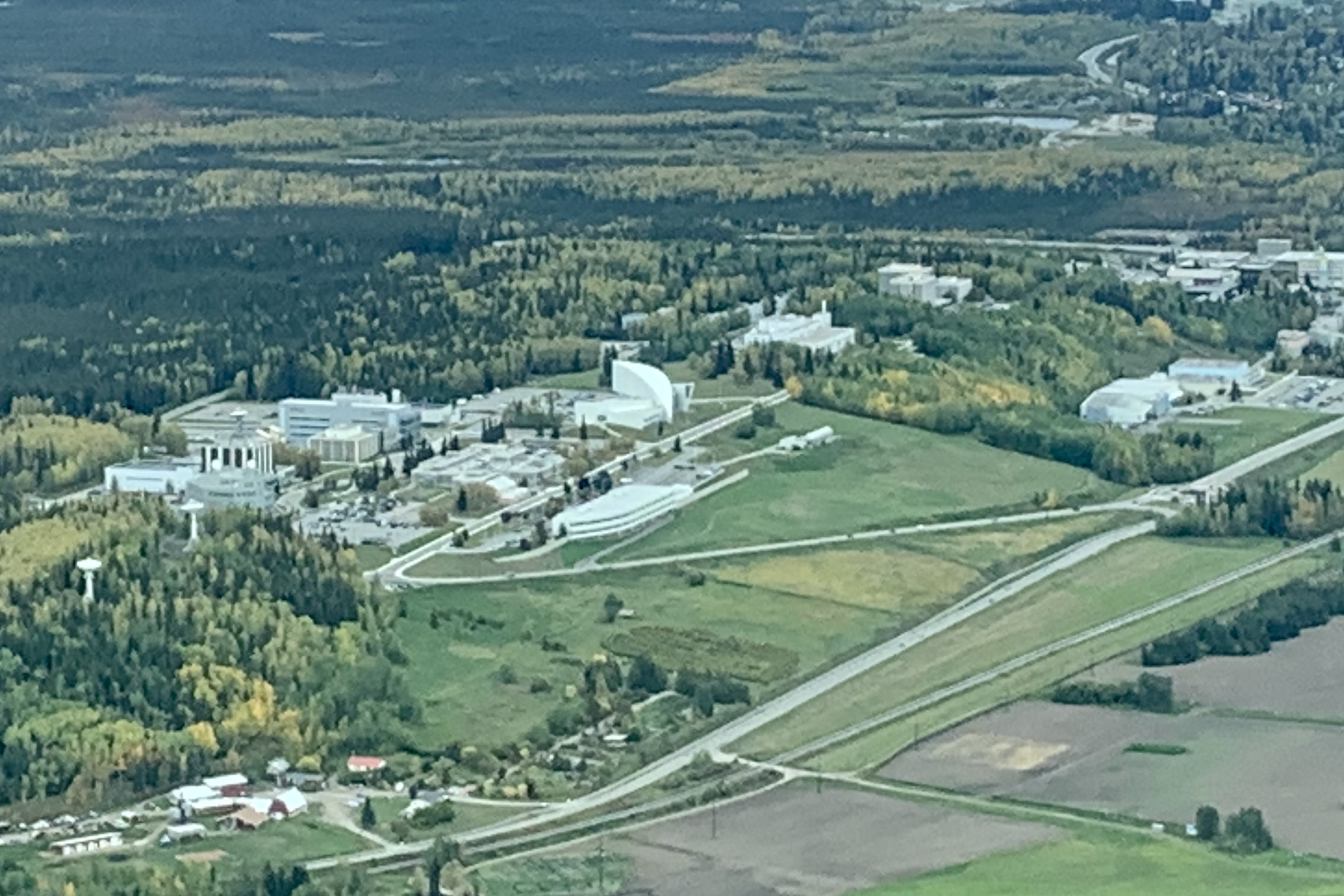
University of Alaska Museum of the North

I certainly can’t pinpoint when the “official” national park quest began … or that I would become a “park chaser” or “park collector,” but in the summer of 2016 several life events punched me in the gut and destined me to drive cross country to  Oregon for my annual visit with daughter Tasia.  In planning a route I decided on a diagonal course from Florida to Oregon and chose a mixture of historical sites and national parks.  So with my two dogs buckled in,  I headed to Hot Springs National Park via Little Rock AK  and then  to the Black Canyon of the Gunnison National Park from Oklahoma City.  The  seed to be a National Park “collector” was planted. Though still employed as a professor at the University of South Florida,  I was fortunate enough to be teaching a class on-line that fall semester, so I had significant latitude as to my departure schedule from Oregon. So on September 13th I set off on a return journey  to Florida with the express intention of visiting and camping in several national parks. Using another somewhat diagonal route,  I “collected” Lassen Volcanic, Great Basin, Mesa Verde, Capitol Reef, Great Sand Dunes, Mammoth Cave, and Great Smokey Mountains National Parks. By now I was 100% INVESTED in visiting as many national parks as possible before an aging body says NO MORE sleeping on a rock strew tent pad, getting chilled to the bone in a tent much too large for myself and the two dogs to heat up, wondering what critter I might encounter on one of a couple of middle of the night adventures to a bathroom, or getting lost on wet, muddy under water hiking trails, being kicked in the butt and  exhausted by yet another 2000 feet of elevating… 

Since I live part time in Alaska it seemed like an economically wise and no brainer decision to focus on the national parks in the vast and amazing wilderness of the State of Alaska.    Given the size of this state and the location of many of the parks,  I quite accurately  anticipated that this would be an expensive undertaking.  At least living within a three hour drive from Anchorage I would not have the expense of a flight to this immense far up north state. So, “Why not start the farthest north, above the arctic circle?” and I opted to visit Gates of the Artic National Park and Kobuk Valley.  Adventures awaited… This above the Artic Circle Adventure began in Fairbanks.
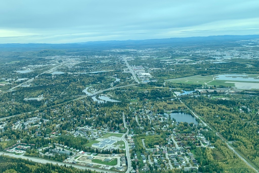
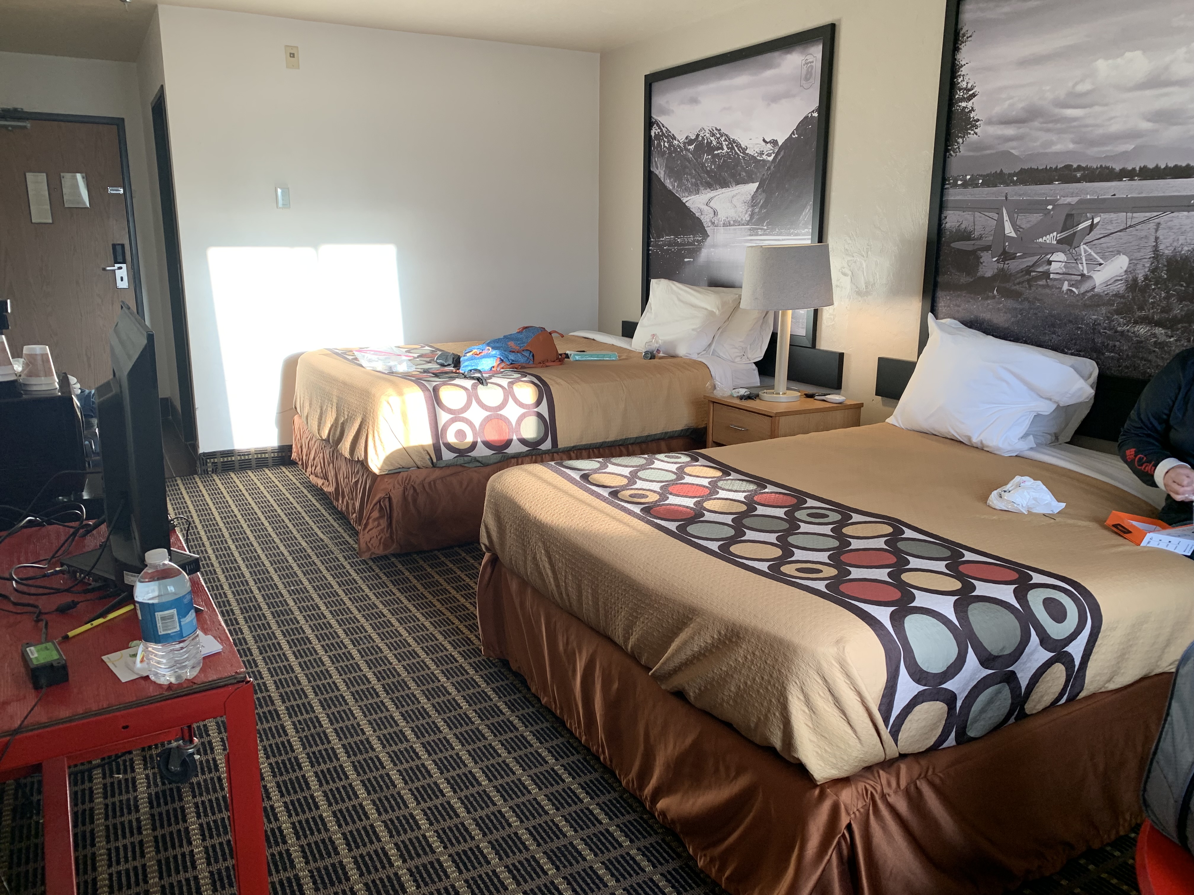
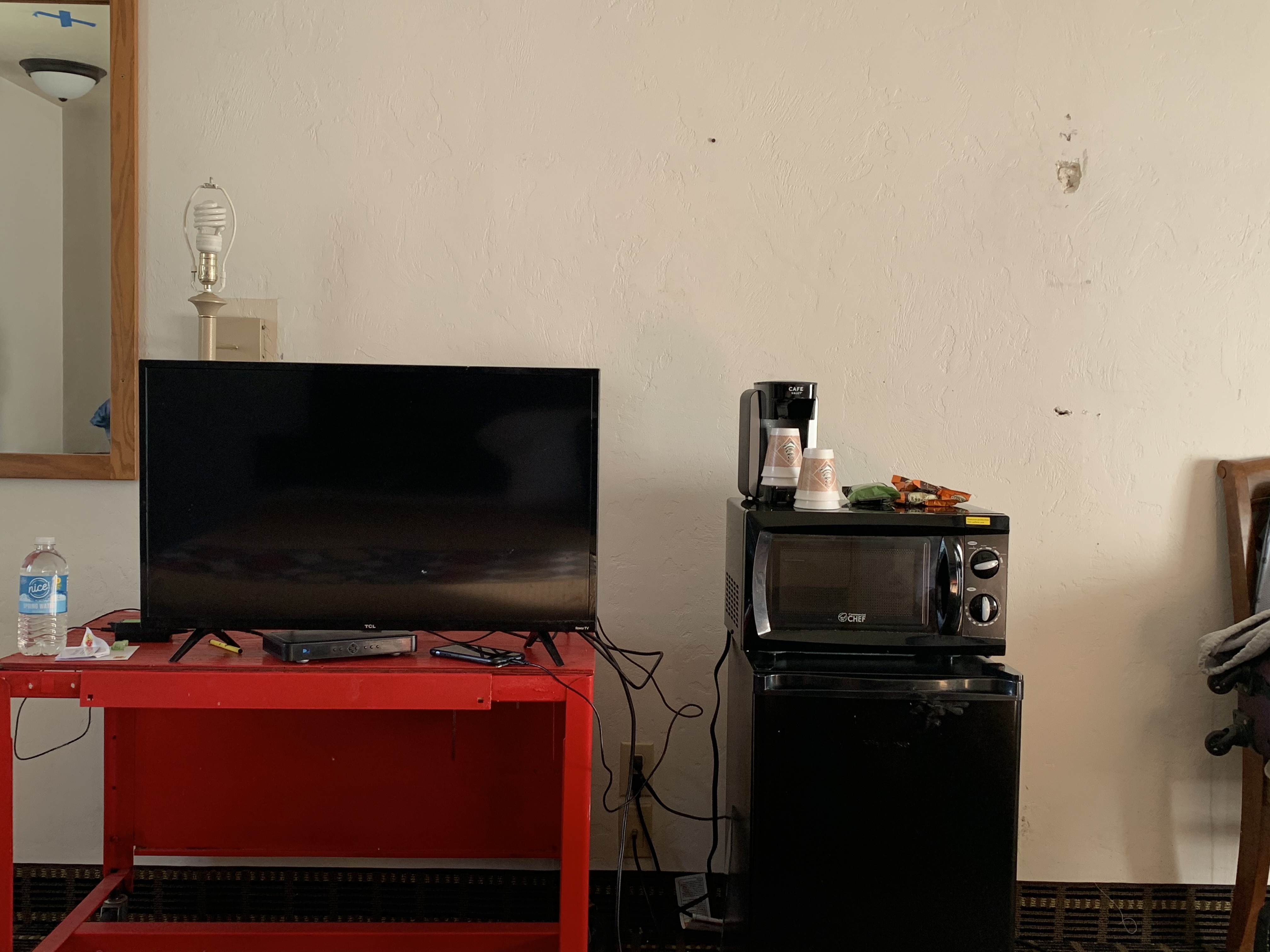
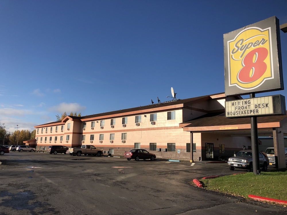
As a kid, we drew igloos in school. Thus,  I was left with the impression that Alaska was all ice and snow year-round. This adult self knew otherwise … I read of the cold and hot extremes of temperatures in Fairbanks. But I somehow anticipated having a more unique experience (i.e.  “rough-and-ready)  in this northern most city. Despite the guidebooks that describe Fairbanks  brimming with shops, restaurants and attractions,  I mostly saw impoverished areas and the fast food establishments (Taco Bell, Wendy’s, Arby’s, McDonalds, Burger King, Subway, Popeye’s , KFC… yes it has them all)  of the lower 48, lots of road construction… it could be almost any town USA in the summer. … The cost of living is very steep making  everything quite pricey. The friend I was traveling with had reserved a “less expensive” room at the Super Eight with a price tag of $204.12 for 1 night and the place was a dump! I am sure this has in someway affected my overall view of this city for this trip. This is what they promised vs below is what we got! The best part was the lamp without a shade and to Super Eight logo in the corner of the pictures above the bed.
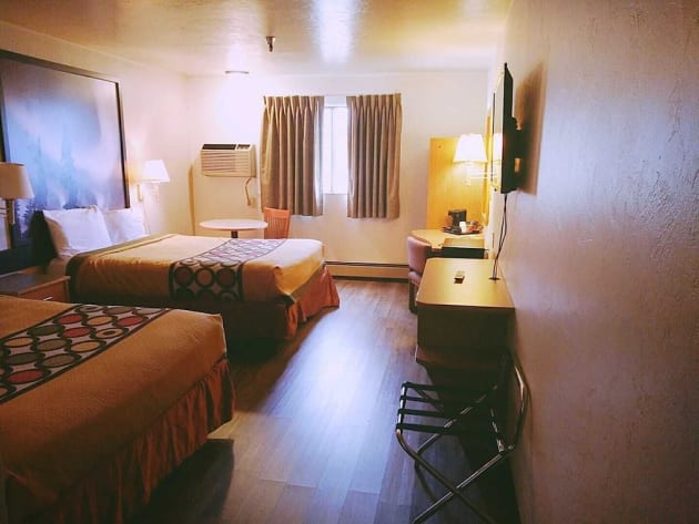
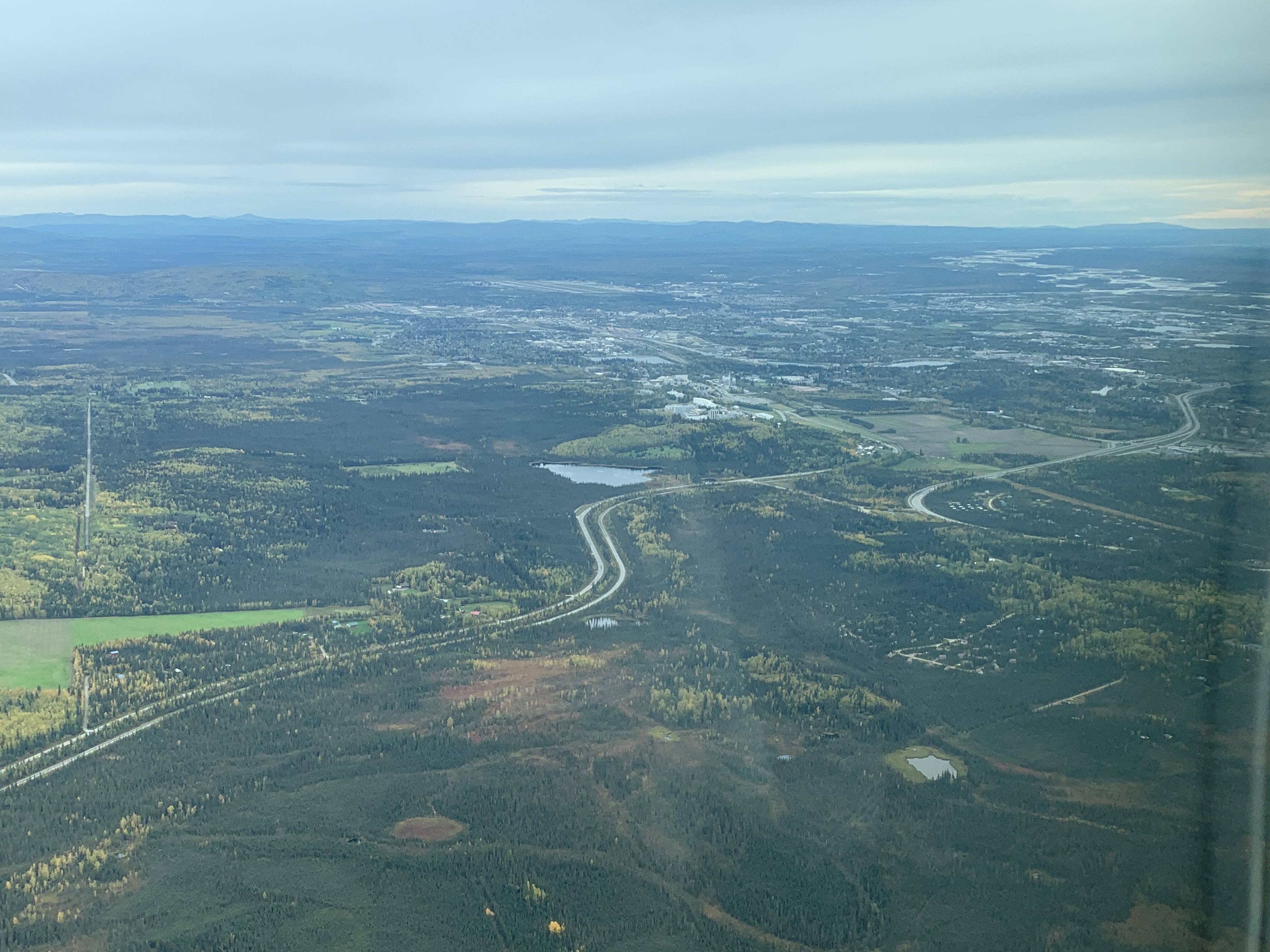
Fairbanks, located in the Tanana Valley, straddles the Chena River near its confluence with the Tanana River   The Tanana Valley is crossed by many low streams and rivers that lace the Tanana Flats, an area of marsh and bog that stretches for more than 100 miles (160 km) until it rises into the Alaska Range. It is a marvelous sight  to see these pristine serpentine rivers and rivulets snaking their way across the tundra. Fairbanks is 198 road miles south of the arctic circle and I was shocked to discover Fairbanks rests only 446 ft above sea level. My vision of Alaska being a land of tall mountains (akin to Denali) has been shattered. Fairbanks is best known for viewing the Aurora Borealis or Northern Lights from August to April but I had yet another disappointment, as the Aurora was not visible on either of the nights I was there due to cloud cover in the area.

To be fair I have only experienced a potion of what Fairbanks has to offer.  Though raised in suburbia and living proximate to larger cities, I am not a city girl at heart. I love the wilderness, woods and rivers, forest and wide open spaces so I am not the ideal individual to rate a city experience. We visited Pioneer Park, an historic village that features original buildings moved from downtown Fairbanks, as well as museums and a Gold Rush town street. It had potential but it was the end of the season for the shops and restaurants (some closed)  and the day was chilly so the experience was less than exhilarating. However, the real highlight of the visit to Fairbanks was a visit to the University of Alaska Museum of the North. It is a wonderful modern museum.  It is rich in Alaska Native cultures, Alaskan women settlers and settlement history and showcases the diversity of wildlife , an Arctic dinosaurs,  and a great collection of Alaskan art and crafts.  A visit to Creamer’s Field Migratory Fowl Refuge sighted a gaggle of geese strutting and waddling towards a small lake which I assume is their temporary home since this area is “advertised” for migratory fowl. I opted out of a hike deeper into the refuge due to the muckiness of the ground and the dinner hour approaching… I did not want to miss out on a meal at the local diner (right across the street from the decaying Super 8 with its deluxe prices and right next to a shuttered Denny’s.) One hears about how great diner food is –  at least some diner food- but the diner of choice threw me for a loop when I ordered a medium rare hamburger and was informed they couldn’t do that because the patties were already pre-cooked and well done. So much for a delicious juicy burger… after assuaging my appetite with some very mediocre food it was back to the less-than-super Super 8 and preparation for a flight to Bettles AK the next morning.  

Wrangell-St. Elias, a Loo with a View, and Onward to the Kenai Peninsula

IMG_6361Tuesday July 31, 2018

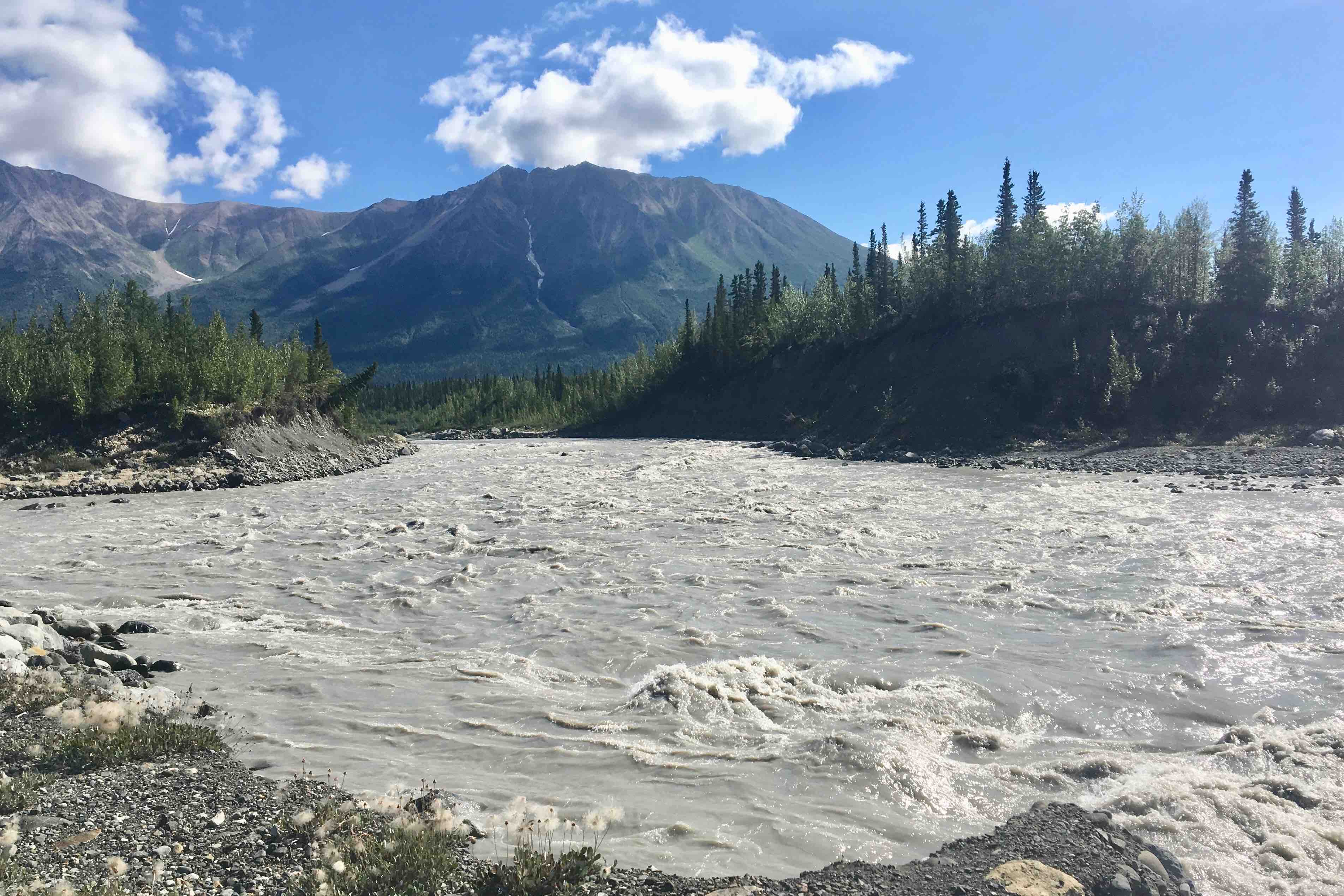
I had hoped to spend another night in the Wrangell-St. Elias  area, but I wasn’t about to spend a 2nd night overlooking the cable spools, cell tower and the yellow and brown port-o-let by my tent-site. Any other tent camping prospects were dismal due the contraindication because of bears in the area,, I broke camp with the intent of spending a half day in Wrangell St. Elias NP and then push the last 350 miles to Soldotna. It was a sunny clear morning and I headed out with great anticipation of another day of drop dead scenery and rugged glaciated land. The drive from Copper Center to Chitina – the gateway to the route to McCarthy/Kennicot was miles of feasting on the lofty summits, glacier sweeps, forests, lakes, and the braided Copper River east of the highway.

The town of Chitina is a classic AK town that has mostly gone bust with the closing of mines and demise of the railroads as the primary movers of freight. It is the gateway to Wrangell-St. Elias, marked by a very narrow rock cut entrance.

I anticipated another challenging 61 mile, minimally 2 hour upwards of 3 hour drive from Chitina to the Kenicott River just west of McCarthy Historic footbridge. I was not in the least disappointed. The area is so vast and with its remoteness, and there were very few other cars. So I merrily bumped along the gravel road, with my heart and soul singing. Numerous bridges cross the rivers and the old  Kuskulana River Railroad bridge build in 1910 is still is being traversed. 

With the road rapidly elevating, I was soon above the clouds, thus obscuring the meandering rivers in valley below but glimpses of the mountains looming above previewed the grandeur of these glaciated mountains.

The road abruptly ends at the Kennicot River –  icy cold silt laden water rushing powerfully off the fingers of the Kennicot and Root Glaciers. Before venturing across, we made our way towards the edge of the glacier with a brief stop at my #1 rated pit toilet on this trip. It was definitely a loo with a view.

The only public access to McCarthy was an open-grate footbridge which crossed the river to the old mining town of McCarthy. The campground I had briefly considered was definitely not conducive to tents or privacy. 

 I started to  meander over to McCarthy and though the grated bridge is quite safe, there was something unnerving about seeing the icy swirling water rushing below. Once my wobbly legs made it across the grating, Kili and Simba had their first ATV ride from a local worker who offered us a transport across a shallow tributary so we didn’t have to wade through the icy ankle deep water to get to McCarthy.

This was a quaint old mining town to explore, but knowing I still had many hours of driving left, I only stayed for an hour and then began the 61mile torturously slow, rocky, winding gravel road down back to Copper Falls.

The upside of the slow-mobile was better viewing of wildlife, the best of which was a bear running across the road  and further on down two moose grazing in an open meadow and adjacent slough.  The clouds had lifted so there we’re good views of the Copper River and its network of sandbars, islands and channels. 

My intent was to gas up in the town of Copper Center. For some irrational reason I expected this to be a cute quaint little town but was sorely disappointed in its offerings and was a tad nervous about fueling up at the rusted old gas pump.  I was in need of a restroom and asked the proprietor of this sparsely stocked store if there was one.  There was, but he very ungraciously gave me permission to use it.  Didn’t like the fact that so many visitors, upwards of 300 daily,  could be compromising his septic system and he would prefer if I used the port-a -john across the street. I opted for his restroom since I felt I was entitled to stress his septic system after filling up my gas tank for $45.00. Back on the road around 3:00 pm, 

I headed back through Glennallen and the straight out the Glenn Highway, Route #1, to Palmer. Once I hit Palmer, a sizable town, I felt I had left the remoteness and wilderness behind and was soon on a limited access highway to Anchorage. The scenery out of Anchorage  to the Kenai Peninsula continues to be stunning, but driving  along the Turnagain Arm of the Cook inlet and then on through Girdwood and Portage became tedious due to the high volume of traffic. It was still the height of the tourist and sport fishing season so traffic abounded. Before long, perhaps 2.5 hours, my little 650 square foot house with its Tyvek covering and my wonderful daughter were a welcome sight when arriving around 10:00 pm and having clocked 3370 miles of the most rugged and remote, yet exhilarating , driving I had ever done. 

Smoke, Glaciers, Pit Toilets and the Raw Beauty (and Roads) of Wrangell-St. Elias

IMG_6302Monday July 30 , 2018

Last night was the first time I was up and out in the middle of the night for this entire trip!!! The special treat was a bright beautiful moon shining on the lake. And we awoke to warmer am than we had anticipated at 57 degree.  The sky was a cerulean blue, the sun bright (yes at 5:30 in the morning). I anticipated a wonderful day.  I was packed and ready to go around nine after a conversation with the next door campers.  They mentioned that there was a large forest fire in Wrangell – St. Elias National Park and Preserve.   Within five mile, heading toward that National Park,  I began to see smoke shrouding the mountains in the distance.  I had such a sad feeling that more and more acreage of wilderness was going up in flames even tough I know it is the cycle of nature – not to mention impact of climate change.

Before I knew it I saw the signs for the US/Canadian border approaching and it was quite an exciting moment to think not only that I had come this far ( probably 6500 miles from Florida) but I was now entering what would now be my new home state. Of course it was monumental to take the obligatory picture at both the sign and in front of the demarkation line.

The next stop was  to find out more about the Tetlin National Wildlife Refuge, a landscape made up of forests, wetlands, tundra, lakes, mountains and glacial rivers against the backdrop of the  snowy peaks of the Alaska Range. My main interest was in the nesting trumpeter swans.   Prior to getting to Snag Junction yesterday, I had seen a pair nesting in a lake, thought about stoping for a picture but opted not to. Since I never saw another pair there, I wished I had stopped, but the reminded myself, I may well have disturbed them.


I decided to take the one road through the refuge to Northway, a small town within the refuge. It was a pretty decent gravel road and the first part it was mostly bordered by rivers, swamp, ponds etc.  When I reached Northway I was quite taken aback  to see such a very poor community. Folks in gated communities with deed restrictions would be horrified.  It seems that anything that ever came in via that road never left and the town was strewn with rusting out cars, machinery, broken furniture , houses cobbled together with what wood was available etc.  I was quite surprised to see a good sized school and perhaps even if the community does appear broken in the level of maintain a clean environment, they make up for it in friendship and helping others.

I headed back out and was on the road again and had a couple hundred miles ahead of me.  Gradually the sky became bluer and the smoke disappeared.  The road in general was good but there were many rough, gravel, and heaved sections.  So we heaved, and dipped and bumped along. I find it quite a lot of fun to drive as there is no risk of getting bored nor a glazed feeling from miles and miles of flat smooth surface. I am glad that I wasn’t planning to drive mega miles because it is not possible to maintain a steady speed and even the speed limit at time. Most of the other people I talk to in the campgrounds put in 7-8 hours of driving each day, making the grand circle.  That does not seem particularly enticing to me. 

I was now headed to Wrangell-St. Elias NP, designated as a Work Heritage site because of the natural owner of the largest aggregation of glaciers and mountain peaks  above 16,000 feet. Imopted to take the Nebesna road down to the town of Nabesna in Wrangell-St. Elias NP. .  This trip into the preserve and refuge would be 40 miles each way on varied surfaced road.  The first part was chip sealed and then relatively smooth gravel. But as the miles wore on and I had to drive slower and slower as it became rockier and narrower. 

At a couple of points there were stream crossing the road to drive through.  Lady Spitfire was so excited.  It was the first time she went into 4 well drive and she was ready . Poor deceased Pretty Priss Prius, my faithful work horse of a car that managed four coast to coast trips,  would have loved to attempt this, but had she had any miles left in her by now it would definitely done her in.  But Lady Spitfire was up to the challenge.

As we got further in, the snow and glacier decked mountains were getting in closer range.  The scenery during every hour  of the drive today just got more and more breathtaking. The road deadened at the town of Nebesna. Several of the homes/buildings had planes parked in the front yard with a grass take-off and landing tip along the road. This clearly is by far the best option to get anywhere given the 40 mile arduous drive in.   

After the drive out and a stop at the ranger station I headed back down Alaska 1 and continued to ooh and ahh every inch of the way.

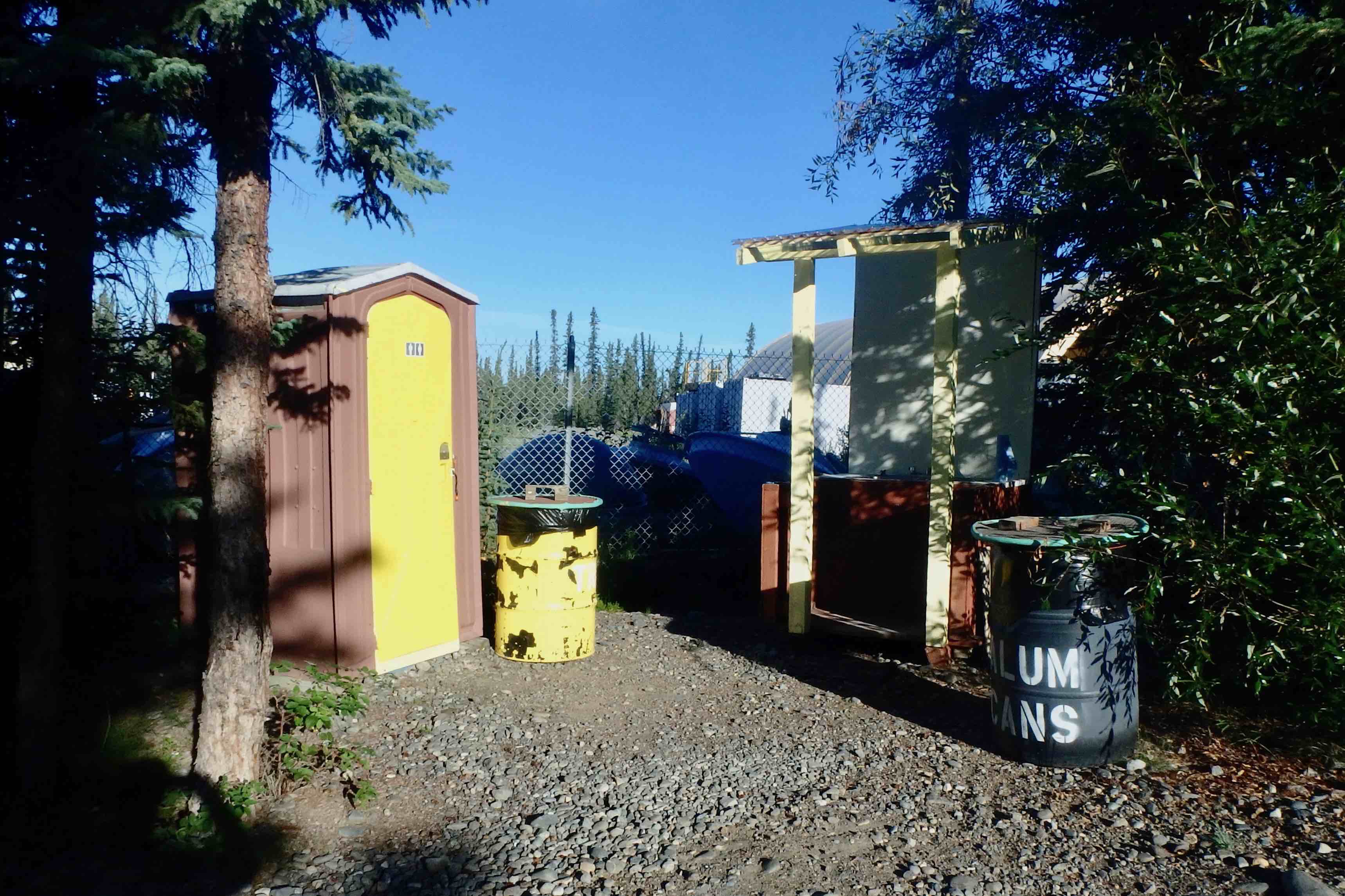
The stop for the night was at Glenallen and I had made a reservation for a tent site at Norther Lights Campground and RV Park.  Well the fears that I had about the previous park had been unfounded and the campsites were lovely, BUT in this case they were well founded. The sites are not all in a row in a parking lot because  the have a very few skinny trees between them, but there is not much privacy.  My tent site overlooks the cell phone tower storage lot with its many cable spools and other equipment.  All the picnic tables are yellow and things all a round are painted “cutesy.”

One can hear the traffic whizzing by quite clearly. Since I was not sure about wilderness camping in the area I did not want to go into a park where there is active bear activity etc. especially with my two dogs. The one  campground in Wrangell-St. Ellai does not allow tent in the summer months so I thought I would play it safe and stay near town.  Bad choice.  However I got through the whole routine of camp setup though opted not to use the squeaky sagging plywood tent platform. But the six previous campgrounds were great so I guess, I won’t dwell too long on this one. I however do think I will steer clear of these private RV parks in the future. All of the pit toilets elsewhere are far better the chemical toiled across from my site  (and yes it is painted yellow also!)  Now for my photo gallery of the pit toilets along the way.  that had a more tolerable aromas and dean features. The worst was this night.  

OLYMPUS DIGITAL CAMERA

The best was at McCarthy, Wrangell- St. Alias.

The rest of the cast!


Whitehorse YT to Snag Junction

IMG_6246

Sunday July 29th 2018

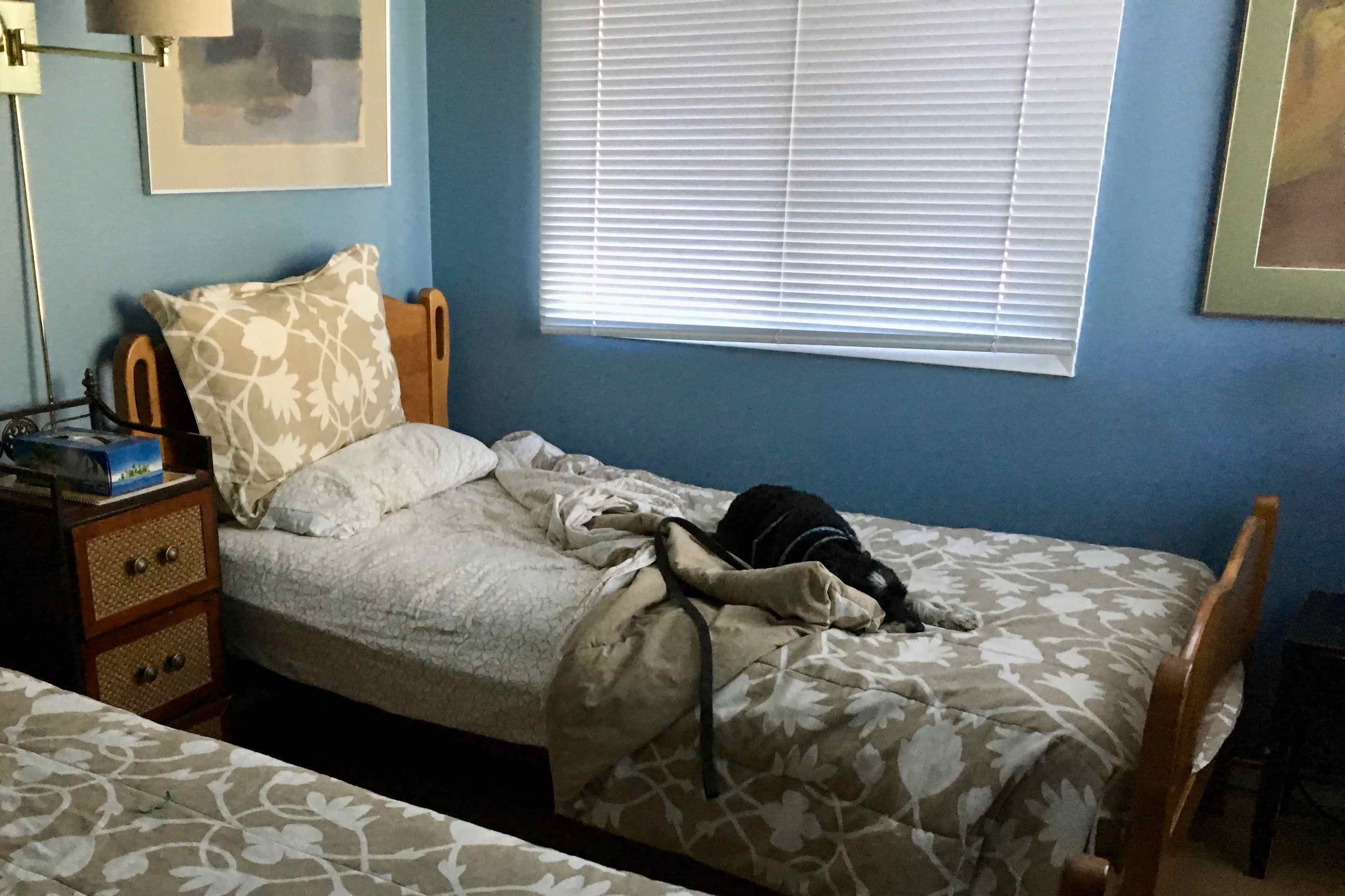
We had a nice cozy  night at the Hidden Vally B & B in the Blue Room with its two twin beds and as I anticipated the two dogs and myself would only use one. Slept well again and naturally we were up by the very late hour of 5:30 am. It was a bit of a challenge getting myself dressed, and the dogs down the stairs and out the door to pee (I did remember to pee in the house though I could have just as well used the woods as I have doing in the night and first thing in the morning while camping). Of course Kili had to join me in the bathroom as his loud bark at my abandonment of him for all of 1 minute would wake the whole household. I think we actually managed to not wake the other guests.while tromping down the stairs.  We hung out on the first floor by the kitchen, drank coffee and Kili begged the whole time JoAnn, the woman managing the B &B, cooked breakfast.  He smelled people food and would not eat his dog food.  i took the dogs for a walk and then parked Simba in the car so I did not have to carry him up and down the stairs again while I packed up.  If I had let him wander in the house he would probably find the basement stairs to fall down. I was packed up and ready to go before breakfast and went through the now very consistent routine of getting Kili to leave his newly established home! Breakfast was served at 8:00 so I also put Kili in the car so he would not be hanging around the table begging and pestering all the guests. 

IMG_6221We were off by 9:00 am to find a real grocery store in this real town!!!  Once I resupplied the lunch food, got ice, coffee and gas we were off to Snag Junction – back to camping.

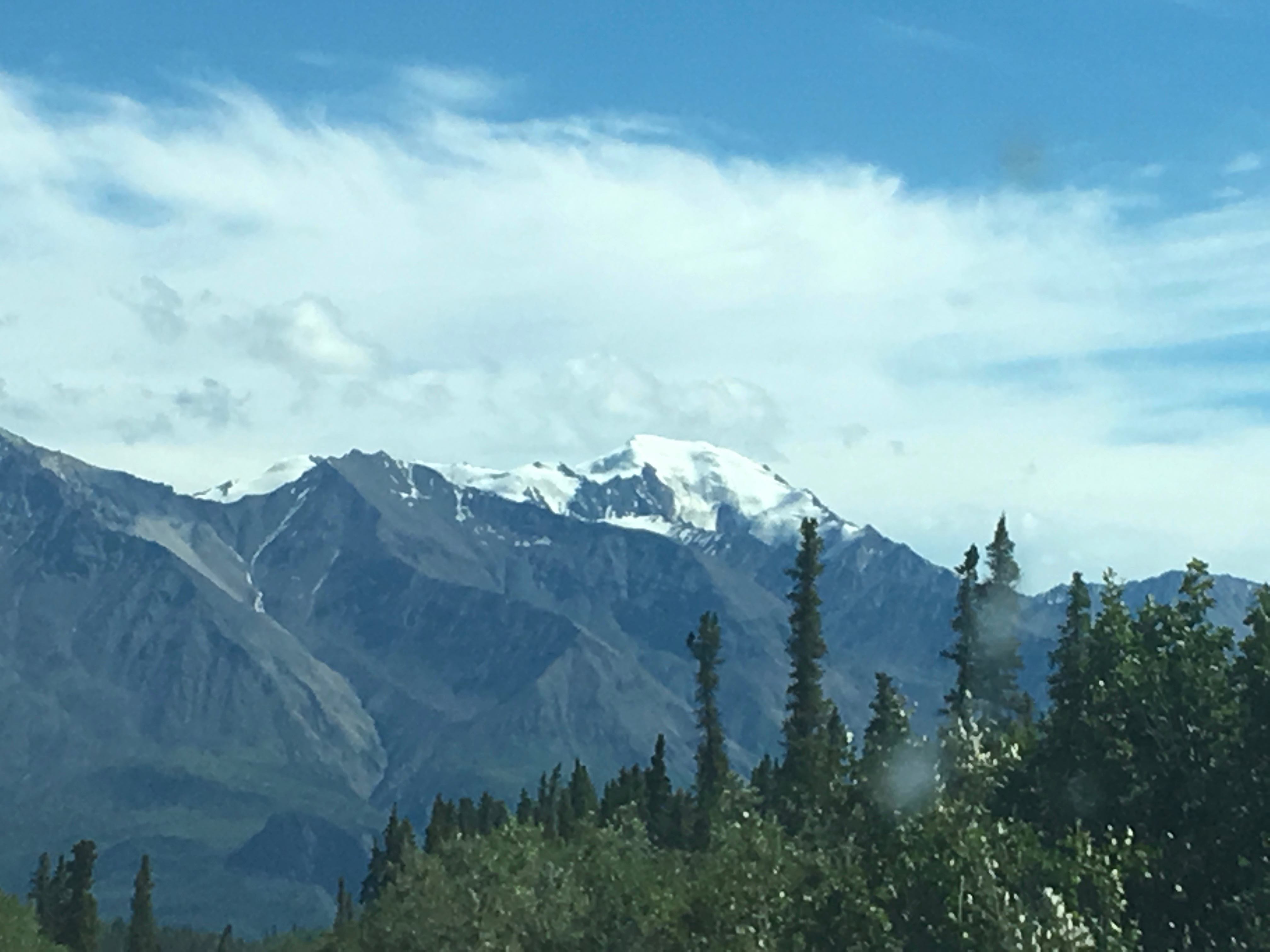
Generally speaking the Alaska Highway is in good condition but the further north I got there was more road damage, bumps, dips, gravel breaks, and sections where the road had heaved significantly due to thawing and refreezing. It probably goes without saying but I will anyway.  The scenery got more beautiful and mountains higher and more rugged than the days preceding. Once heading north out of Haines YT,  the  Alaska Highway bordered Canada’s  Kluane National Park and Reserve to the SW and the Insling Range to NE and in the distance several peaks sported long glacial fingers crawling down their crevices.  I decided that if we were to engender mountains I would see them as female — they are so awesomely beautiful, extremely varied and colorful, they are bold and strong, they have curves and bumps and rumps, and teats, and tits and nipples etc.  They could not be male as there was not much in the line of phallus unless you count the thousands of fir trees adorning the slopes.

An exceptionally beautiful area was Kluane Lake. From the first glimpse at the Boutillier  and on through Destruction Bay and Burwash Landing, the waters shimmered and the many hued mountain slopes makes for an idyllic ride. It is the largest lake in the Yukon.  Fireweed  lines the highway in many many areas.  I have commented previously on the scarcity of services and on closer look, the population of most of these town identified on the map is less that one hundred.  And they are mile and miles apart.  Just re-supplying food and gasoline is a challenge according to one shop keeper. Additionally most of them have a historical significance either as a trading post, grew out of the building of the Alaska highway, or popped up in the era of the Gold Rush.  By now road conditions are only fair continuing so we were  undulating, rolling and bumping, and jostling over frost heave areas and many spots of construction to repair seasonal damage. I have read that this area was one of the toughest sections to build due to the nature of the glacial soil and the lack of suitability for road embankments. Further on down the road were great views of the Icefield Ranges of the St. Alias Mountains.

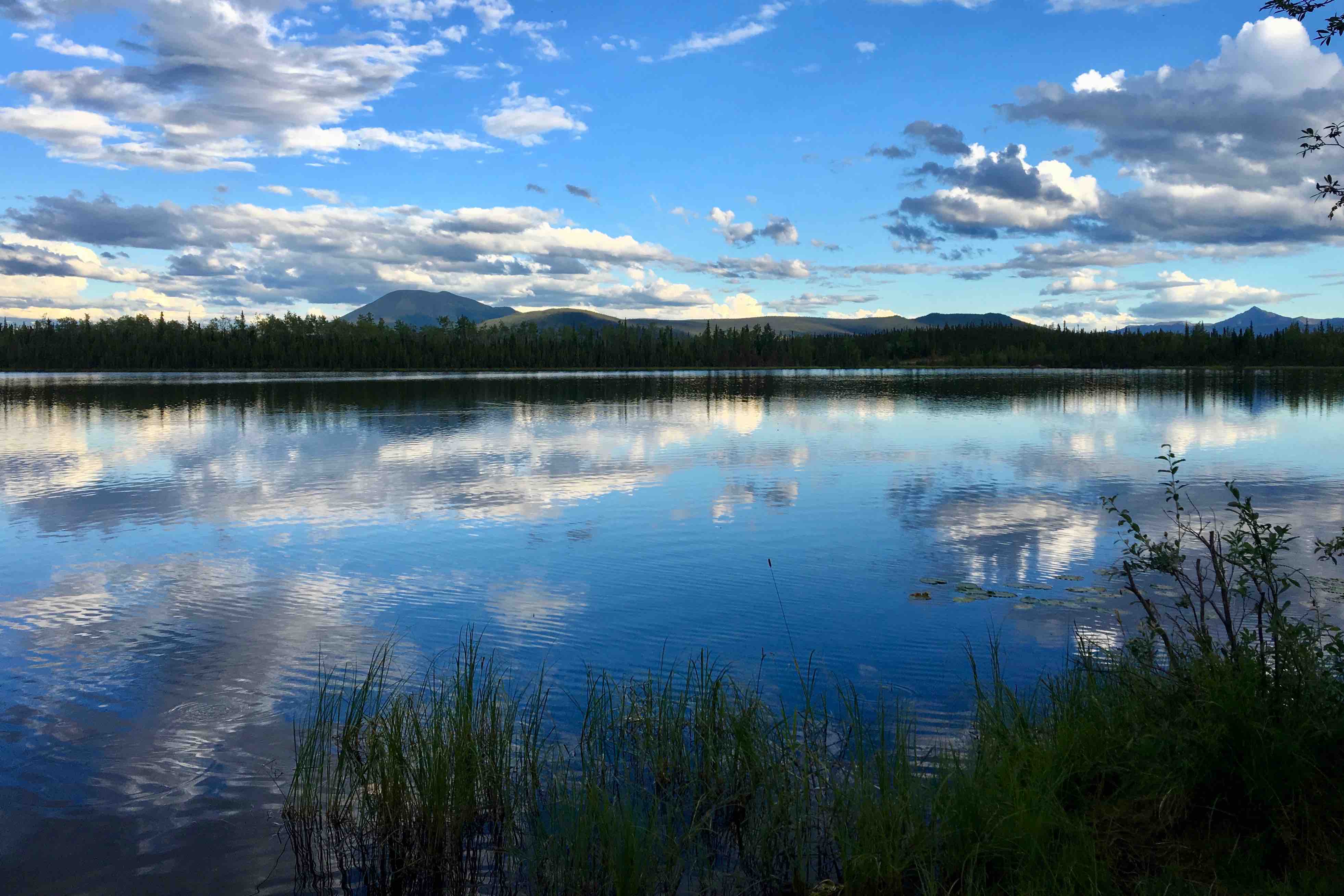
The intention was to stop for the day at Snag Junction Yukon Government Campground. It was a delight small campground (15 sites0 overlooking a lake.  I was able to get a lakeside site and we set up and settled in for the late afternoon and evening,