Nature’s Skyscrapers, Liquid Turquoise, and Amphibious Planes

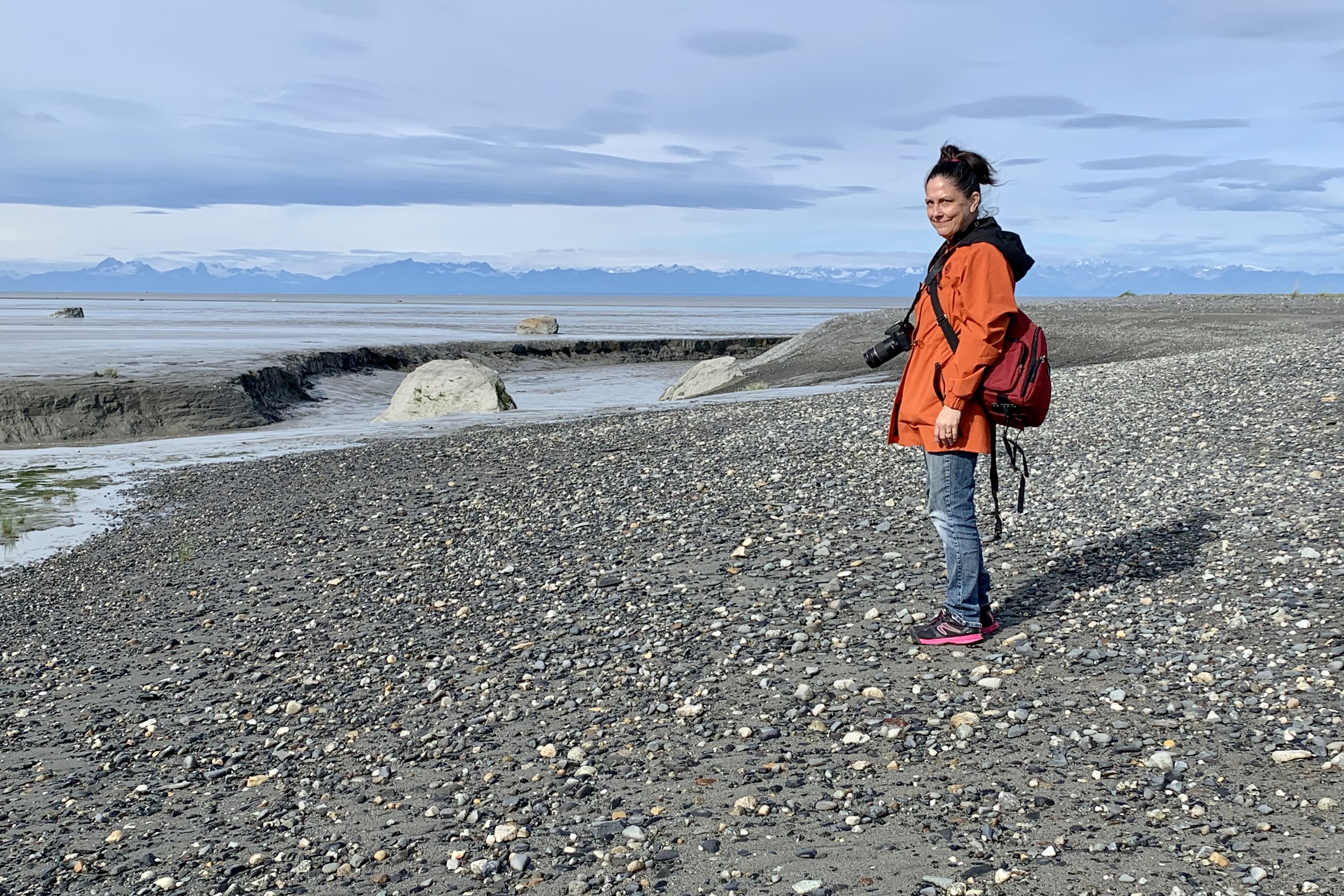
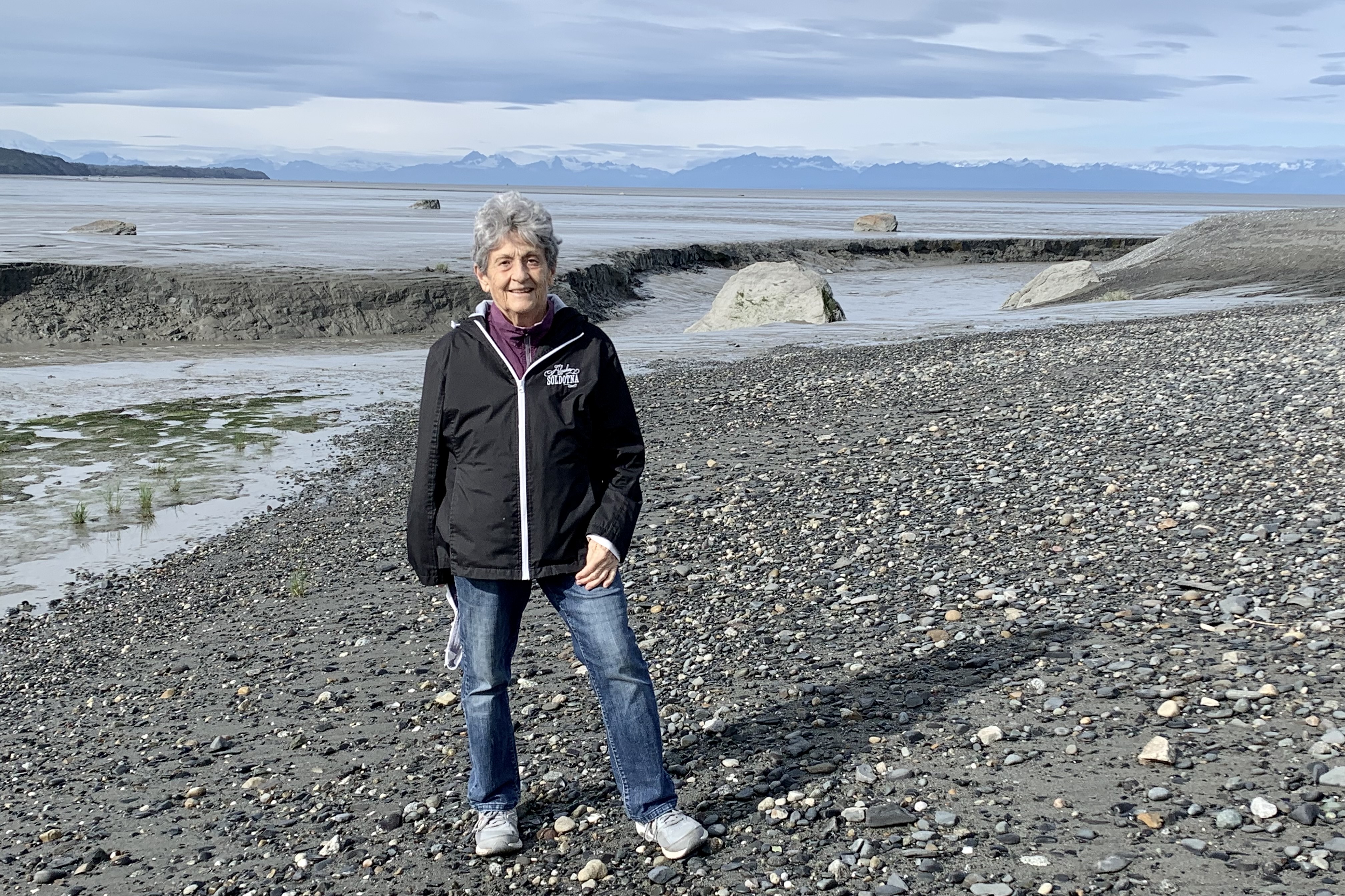
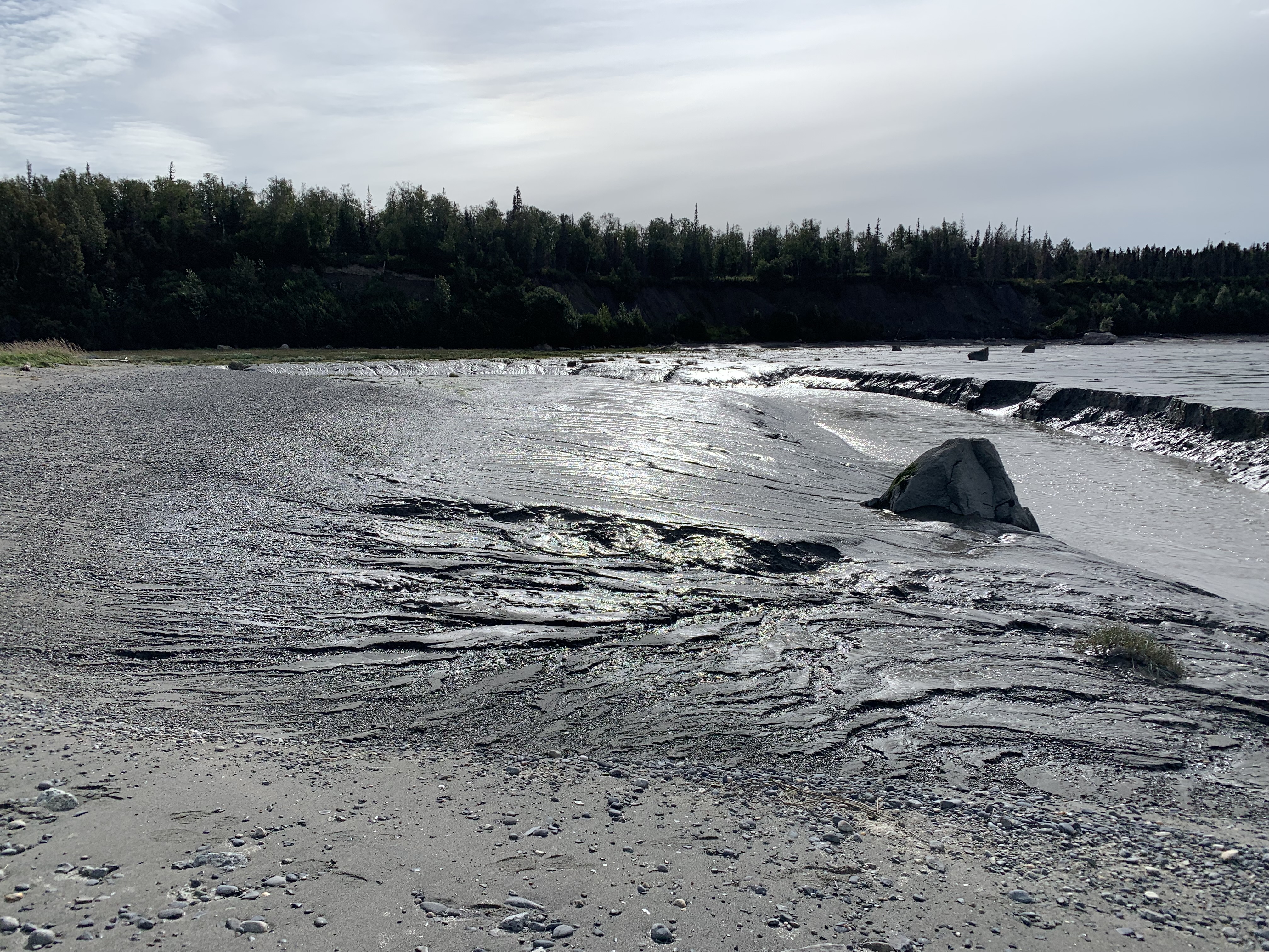
Most adventures that I blog include the task of getting there. Sometimes it is a tedious repetitive activity to be endured and other times it’s a stand alone episode. An so I begin the story of the latest venture in my quest to visit all of the National Parks in the USA, and in this case Lake Clark NP and Katmai NP (#53 and #54). My daughter, Tasia flew into Kenai AK and we spent three days packing up my household goods into a very tall U-Box to be shipped to Oregon and I bade farewell to my Alaska Homestead feeling more relief rather than sadness. Part of the “grande finale” of living on the Kenai for 5 summers was taking the time to comb Kenai Beach and the beach at Captain Cook State Recreation Area with Tasia, an avid rock and fossil connoisseur. The beach is littered with immense boulders that were dropped by melting glaciers. They dot the beach and mud flats offshore. A clutter, tumble and tangle of of colored rocks, of varying shades of red, green, yellow, clear, black and granite carpet the beach. The 50-60 foot eroded cliffs and the walled “canyons” that cut through the mudflats near the river outlet add a raw beauty to this area. The view of Aleutian Range of mountains across Cook Inlet is breathtaking and at that point, I did not know with a couple days I would be circling those behemoths in a float plane. This was a fitting preface for the explorations awaiting us.

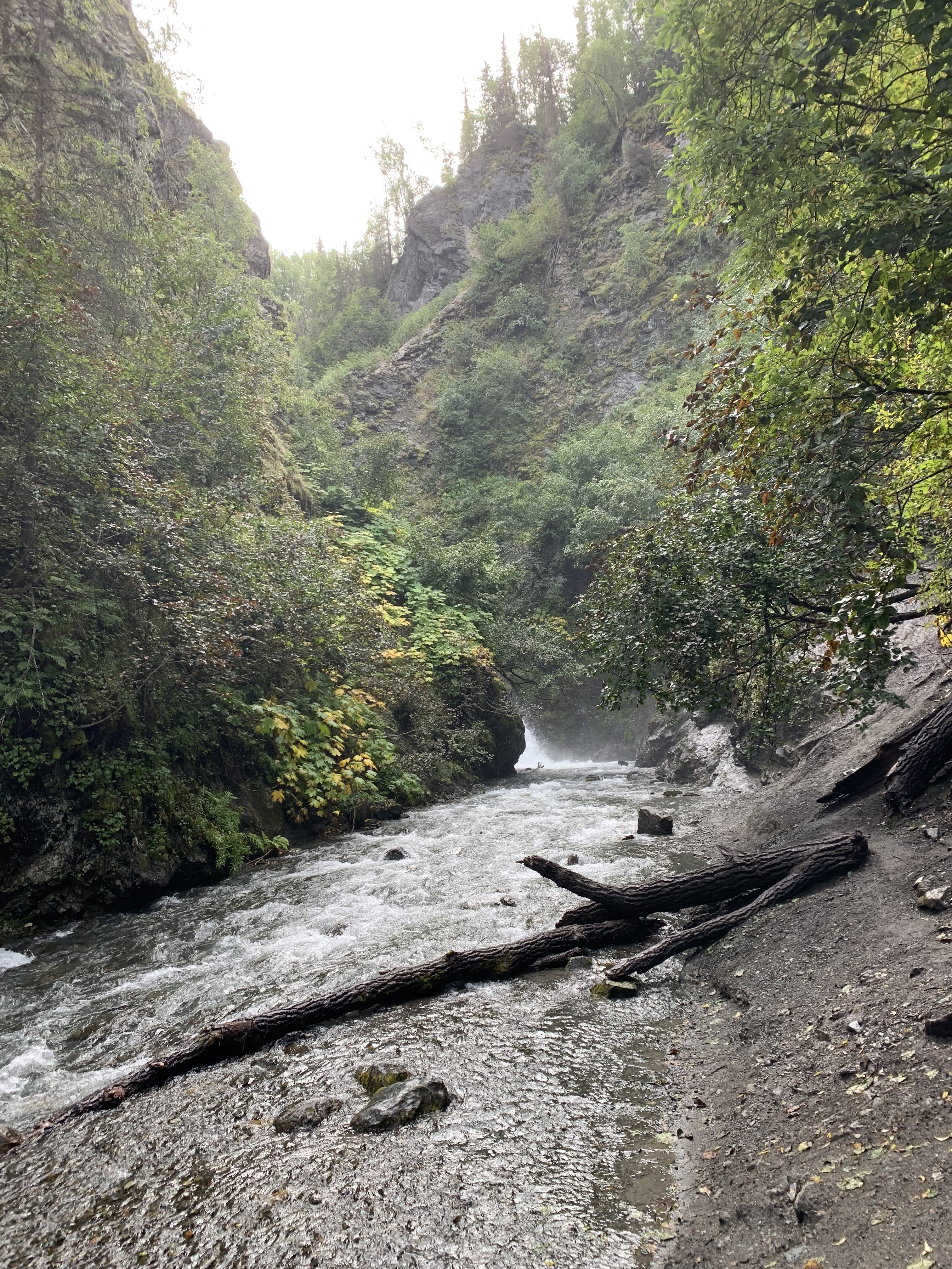
We headed up to Anchorage the night before as it was a holiday week-end and I had an immense fear of a major accident closing the Sterling Highway, the only road off the Kenai Peninsula and not being able to get to Merrill Field in Anchorage for a departure the following afternoon. The next morning after one night in a shabby hotel (seems to be more and more of them since COVID all over the place.) We discussed our options for the day until our appointed arrival time at Merrill Field. Having no interest in the Anchorage city scape or shopping ops, we chose to hike the trail to Thunderbird Falls north of Anchorage. The one-mile undulating trail to Thunderbird Falls traverses a lichen and fungi enriched birch forest along the Eklutna River canyon with steep cliffs on both sides of the gorge to a deck with views of this 200-foot waterfall. The view of the falls from the overlook was not particularly impressive in my mind because the platform is quite a distance away. There was no keen sense of the power of the water cascading over the falls but it was a lovely hike.

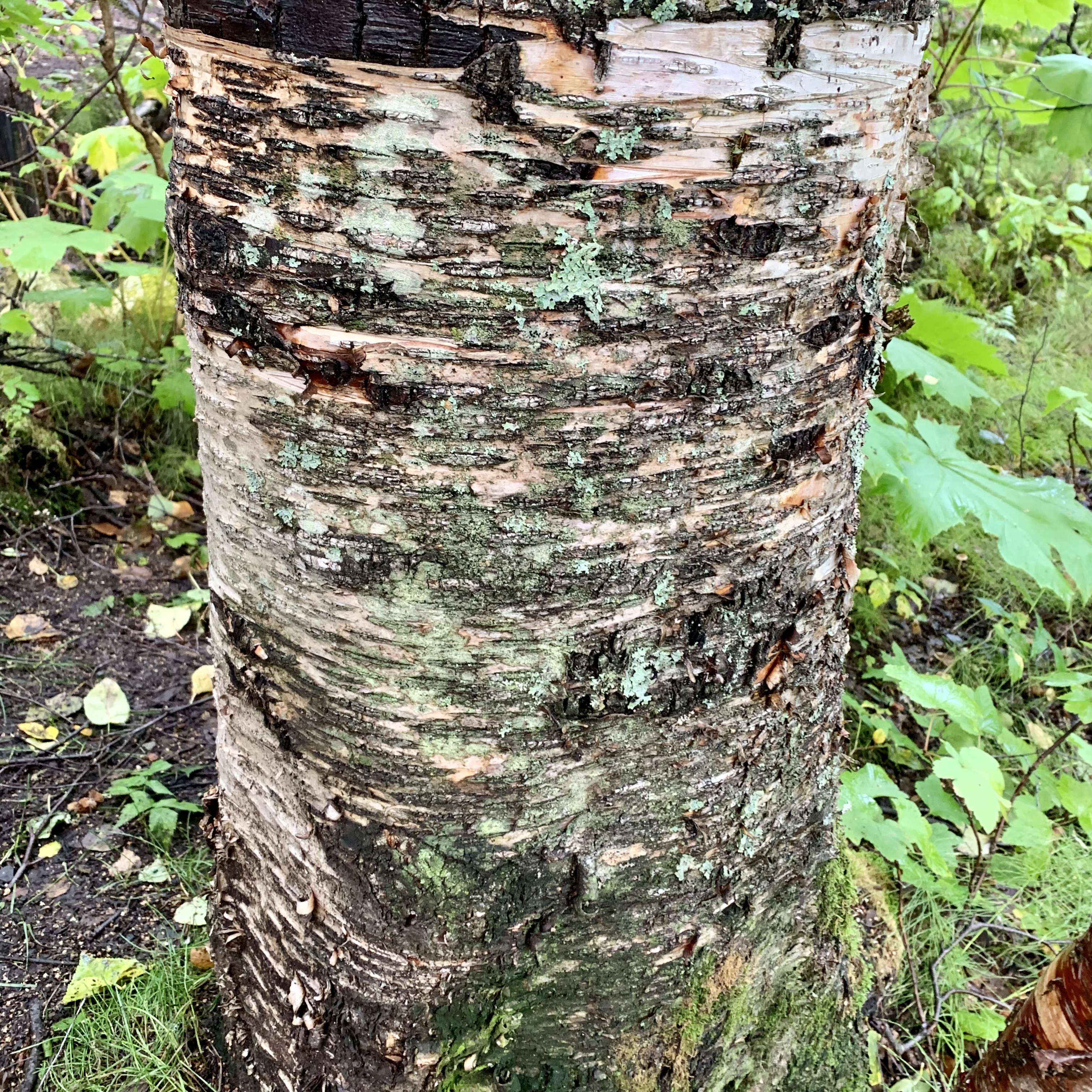
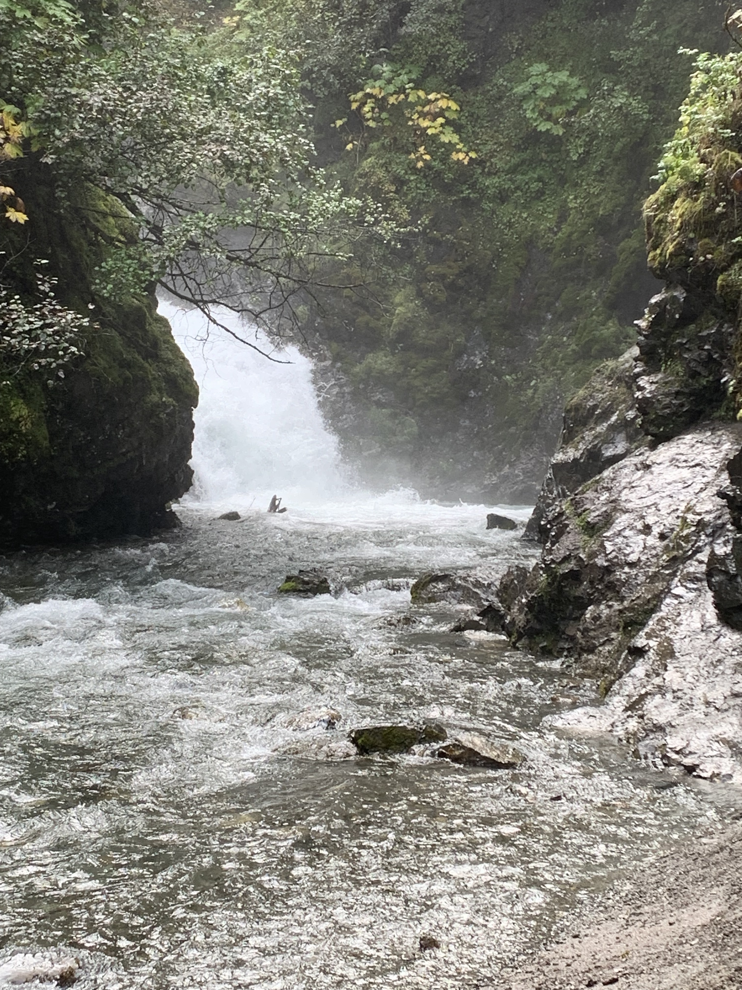
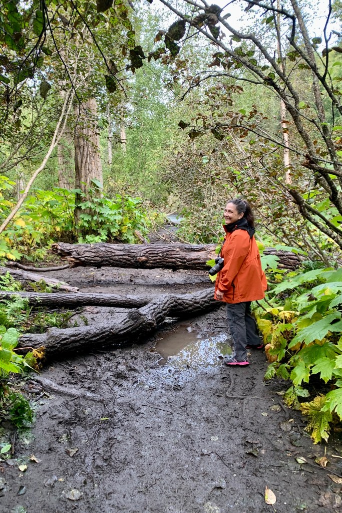
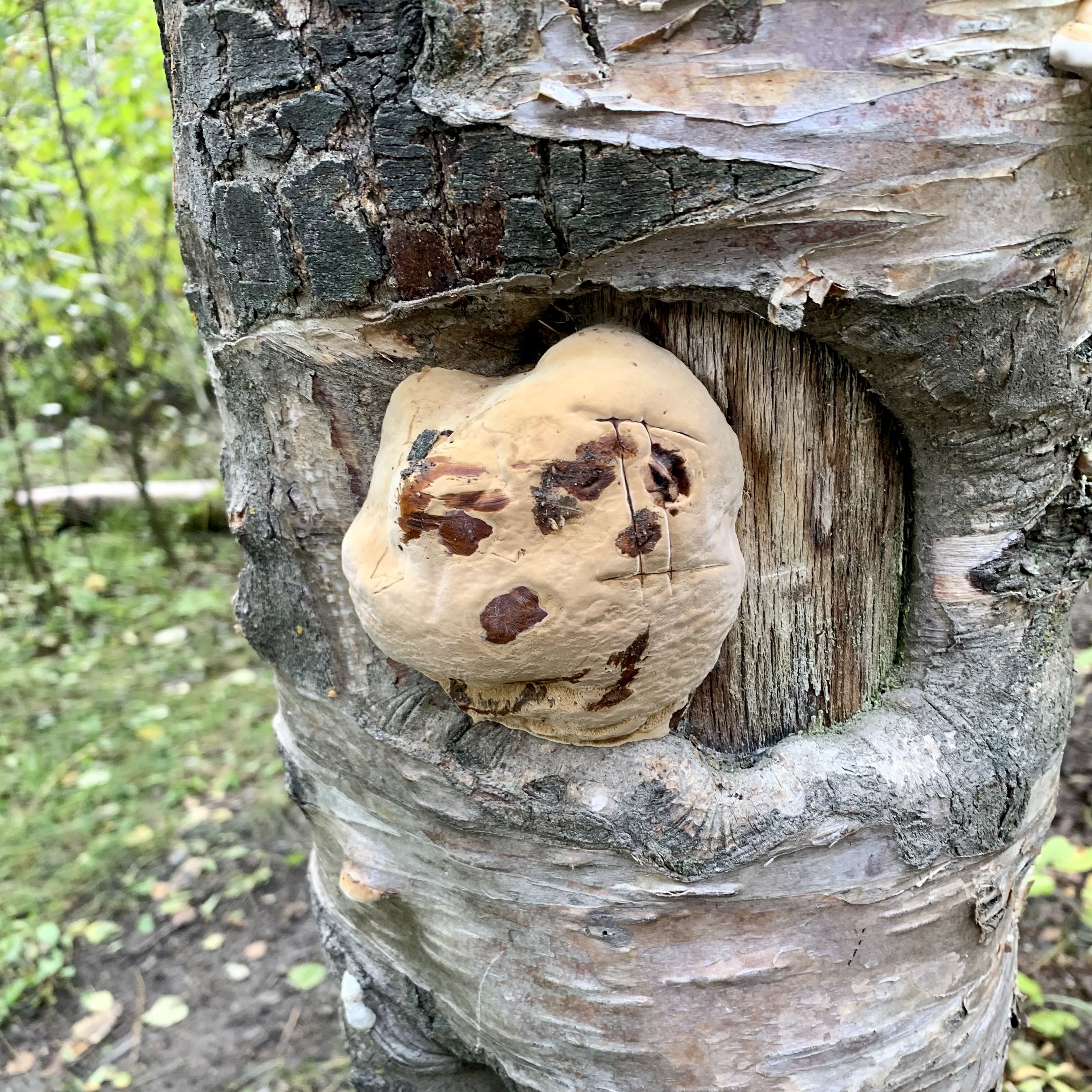
Our more adventure spirits took us down a side trail into the canyon, hopefully to the base of the falls. It was a suitably muddy, tripping root, somewhat steep traverse . What a downer at the bottom as I would have had to climb into the frigid rushing water making my way upstream on the slick rocks to the get close enough to the base of the falls to experience the chilly spray of Thunderbird Creek or get a unlimited view of the entire cascade. Camera zooms definitely create the illusion in my photo of one being in the spray zone of the falls. Since this hike was not a time trial to be annotated in a log book but a leisurely stroll, taking time to appreciate and to explore nature’s passion for multifarious life forms was pure pleasure. The fungi on and the array of hues of the birch trunks along the trail was enchanting
After a picnic lunch at Mirror-Edmonds Lakes Park, we headed to Merrill Field and the Lake Clark Air terminal. How grateful I was that I didn’t have to deal with Ted Stevens International Airport and its massive parking mess. Merrill field is the primary field for small private wheel-equipped aircraft and the thus home base for Lake Clark Air Service which is the airline based in Port Alsworth, Alaska providing transportation for our tour to remote areas of Katmai and Lake Clark National Park and Preserve.  Unlike most airlines when checking in for flights, on theses small aircraft they not only weigh your bags but weigh you as well. I hate to be weighed let alone in public and often refuse to be weighed at a doctors office. In this instance, rather than trying to shed anything that would weigh me in heavier, I was grateful to hang onto boots, purse and anything else that would camouflage my actual weight. Their terminal was impressive and I was fervently hoping that their pilots and planes were equally impressive.

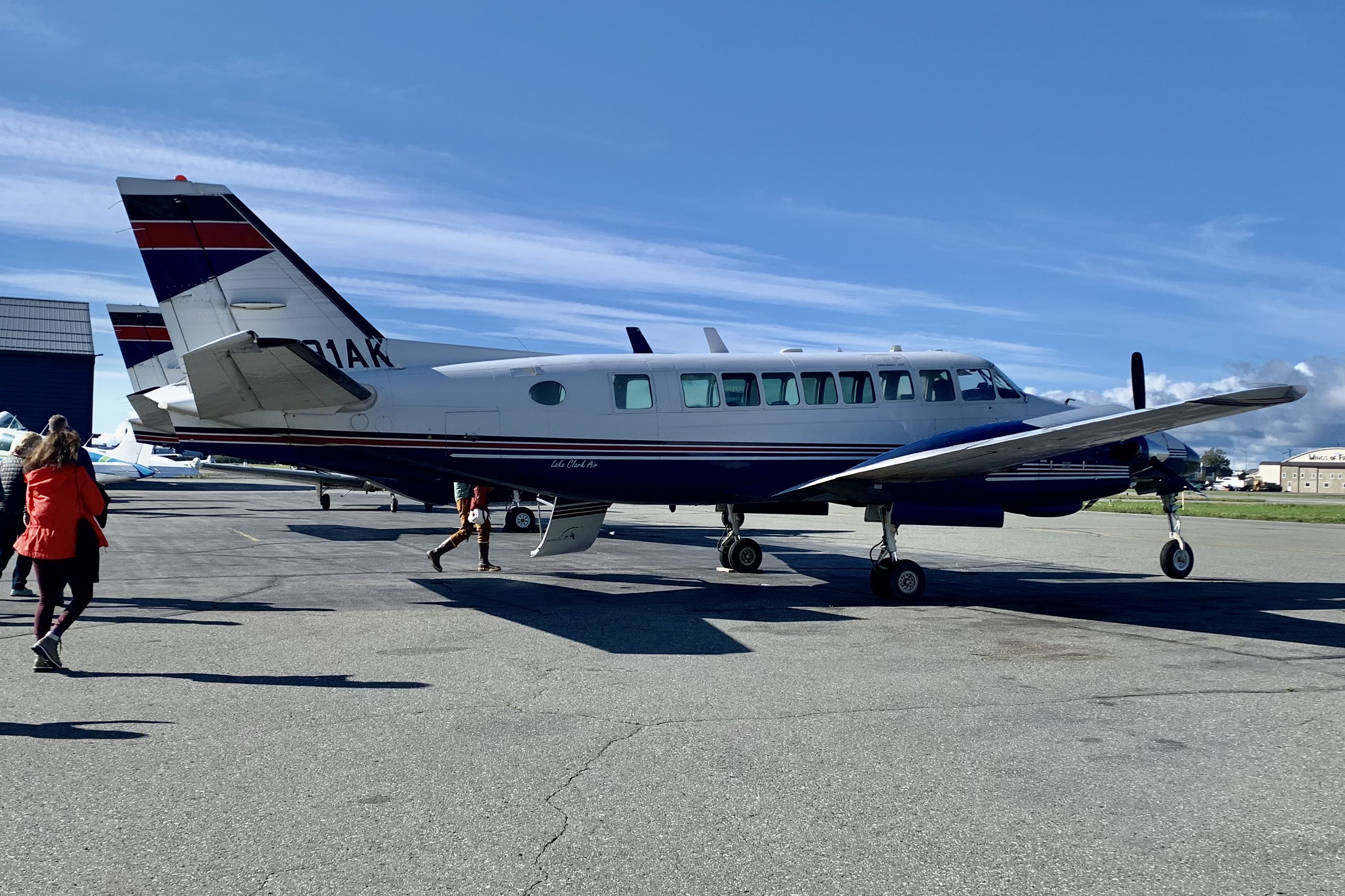
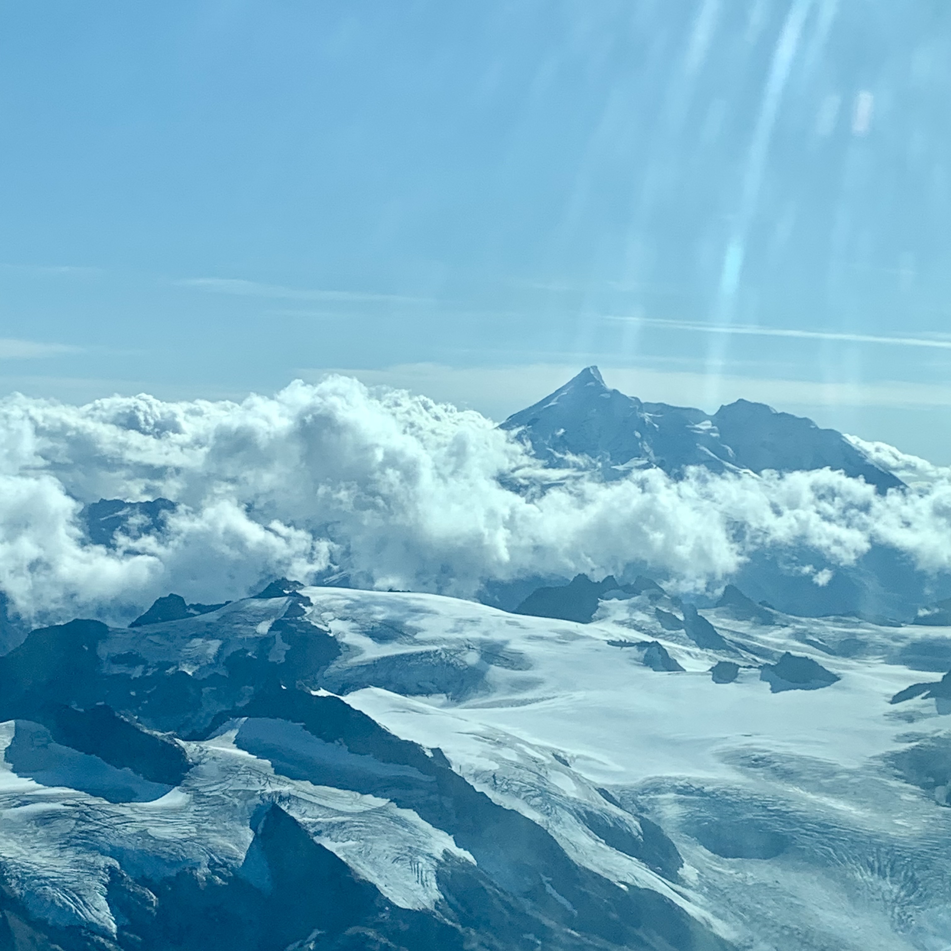
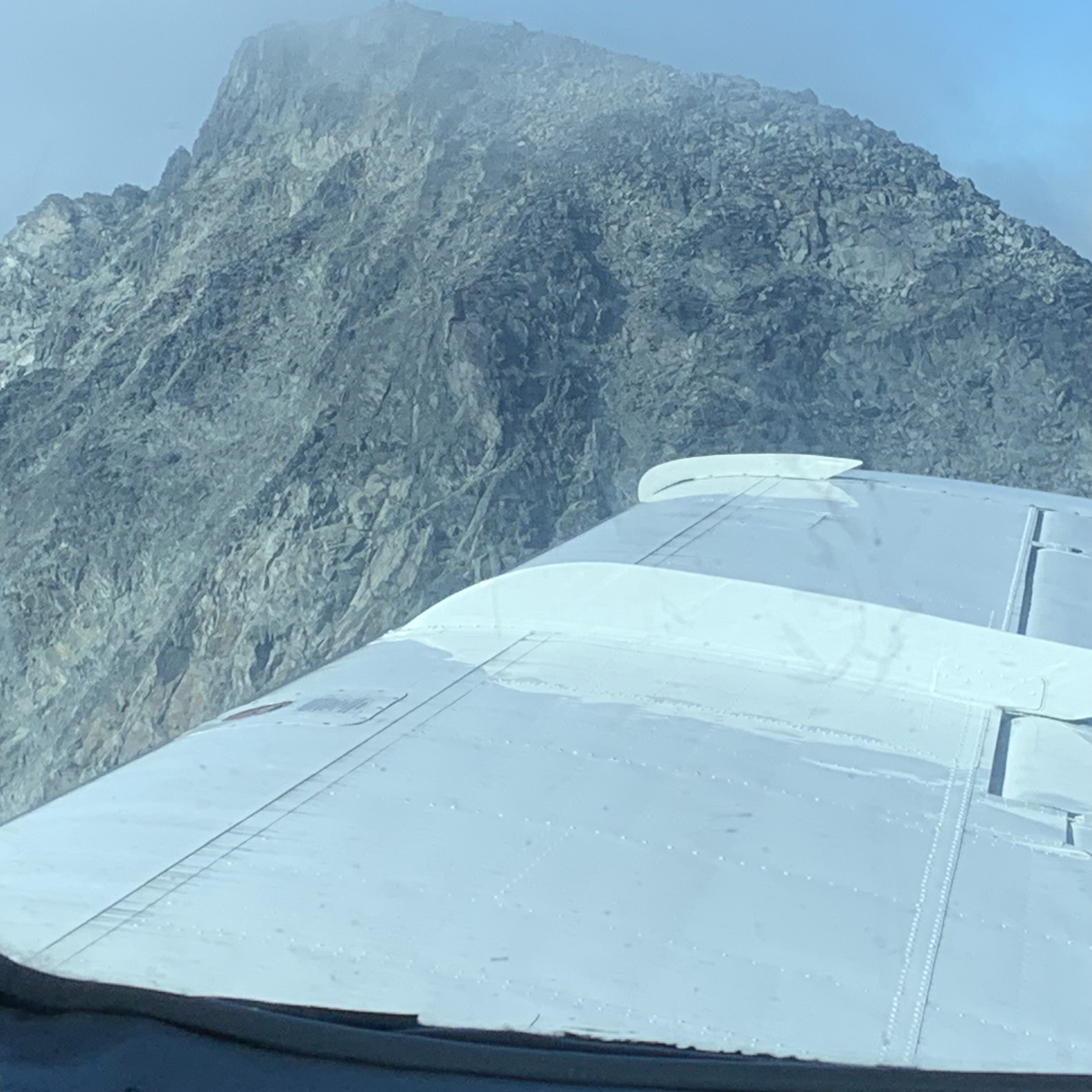
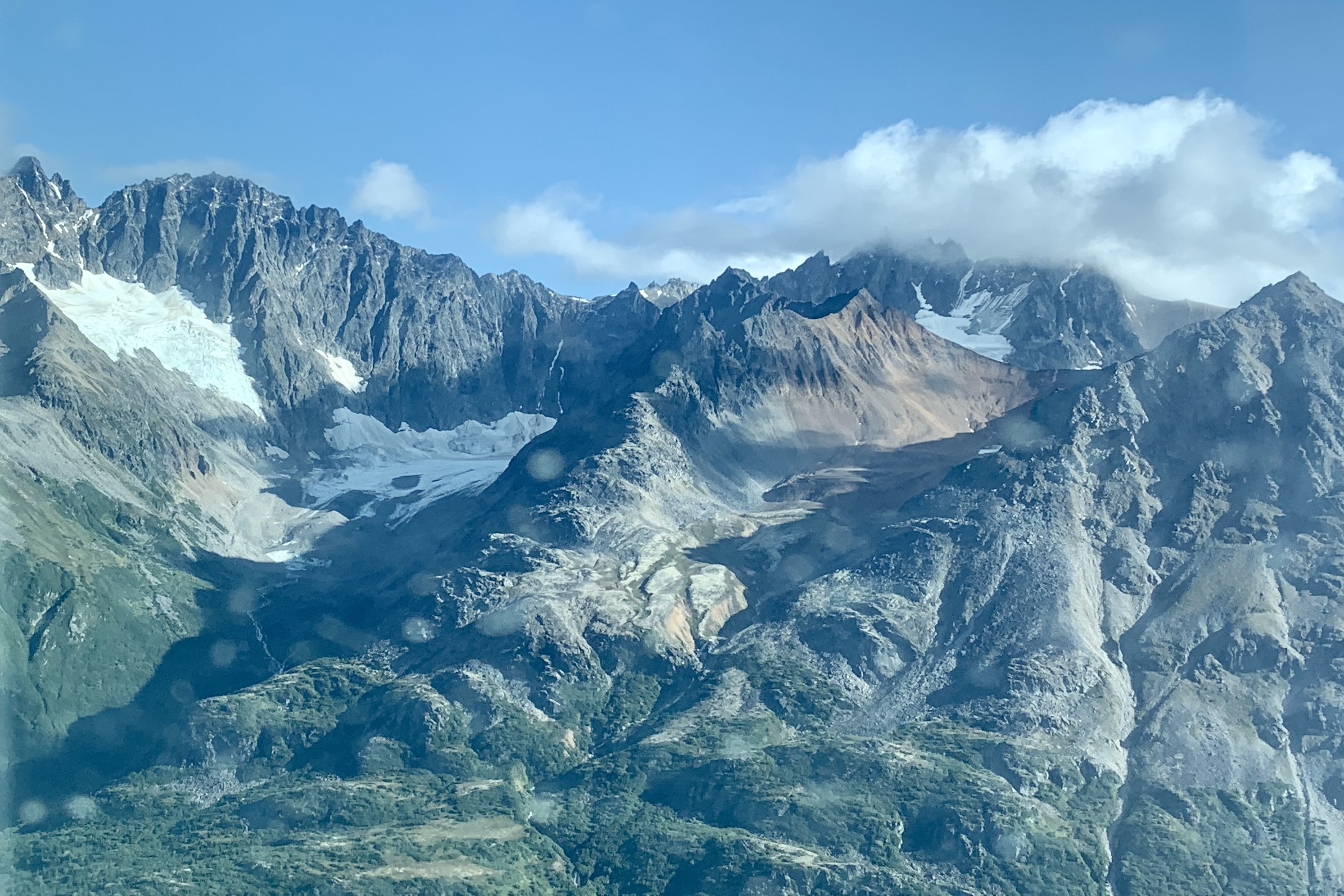
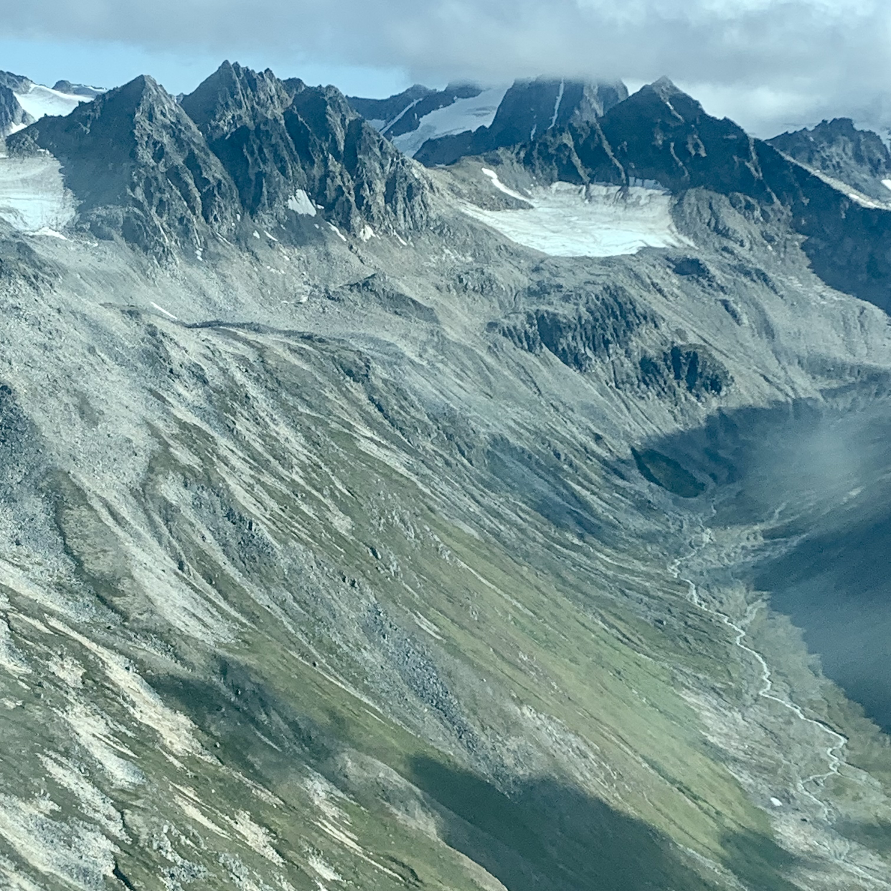
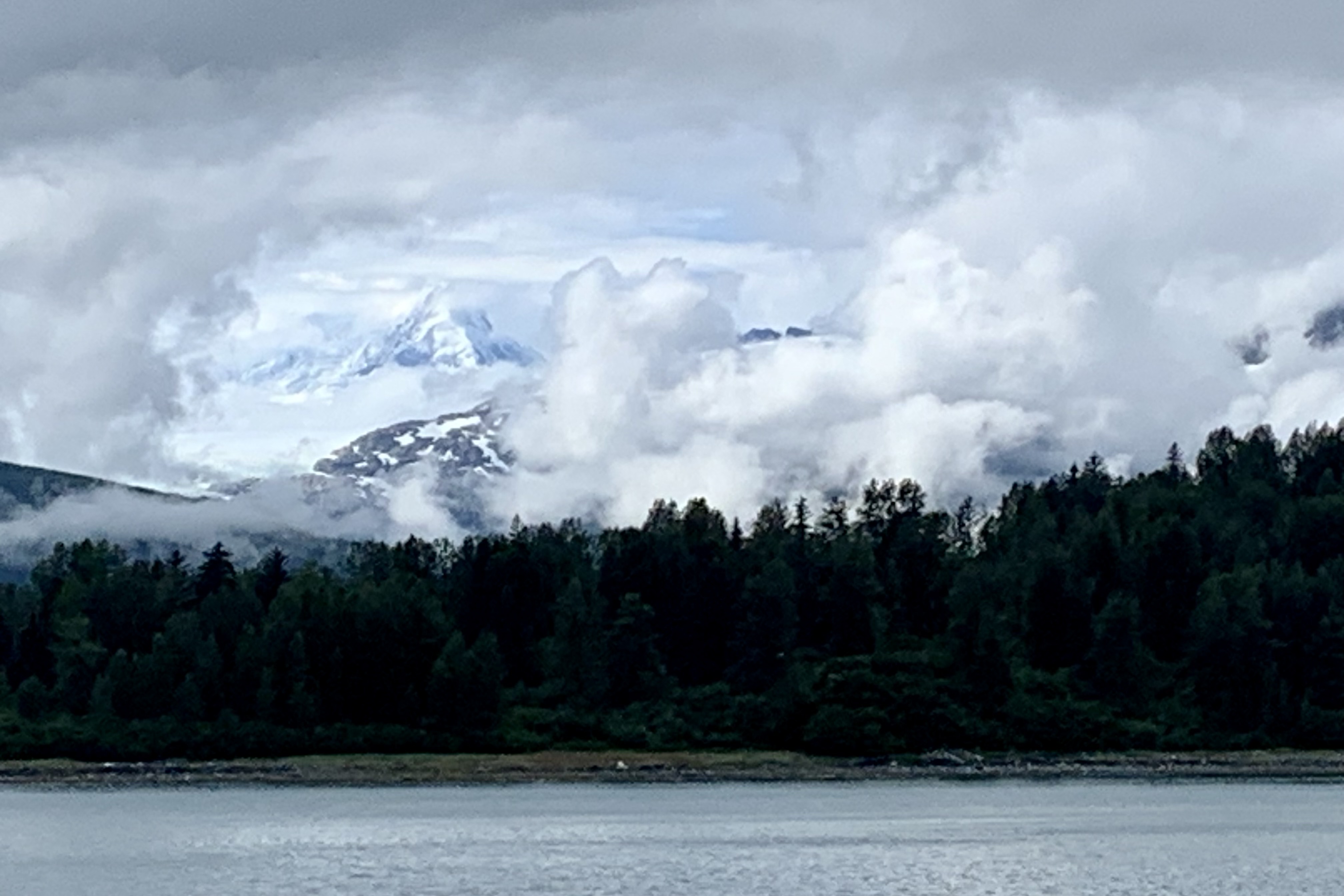
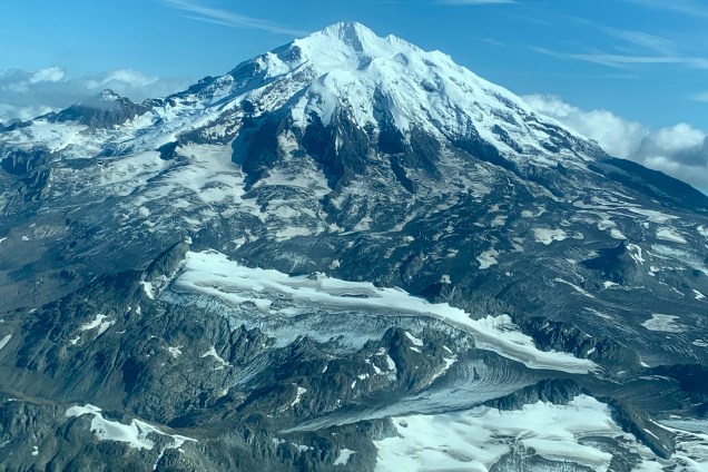
Once aboard our largest aircraft for the trip, a nine seater, the flight took us over the Cook Inlet, with views of its oil platforms and the bays and estuaries of the western shore of Cook Inlet. I was beginning to anticipate that this was going to be the bulk of the aerial view for this trip. Though they have their own unique beauty and can be stunning, I was ready for new aerial vistas and not a rerun of those ones I experienced last year. Then almost like a bolt out of the blue we were headed towards Lake Clark Pass , so named because it is a pass through the Aleutian Range from Cook Inlet to Lake Clark and which I understand now is the primary aviation route between Anchorage and the western part of Alaska. We were flying between and over towering snow-covered peaks. I have no idea how wide and at points narrow this pass is but it seems deceptively close at time as if our wings were close to brushing the jagged edges of the faces of cliffs. We experienced vista after vista of snow covered peaks, pillows of clouds , curling white ribbons of water cutting into knife-edge crevasses in the rock faces, and ice tongues crawling there way downslope

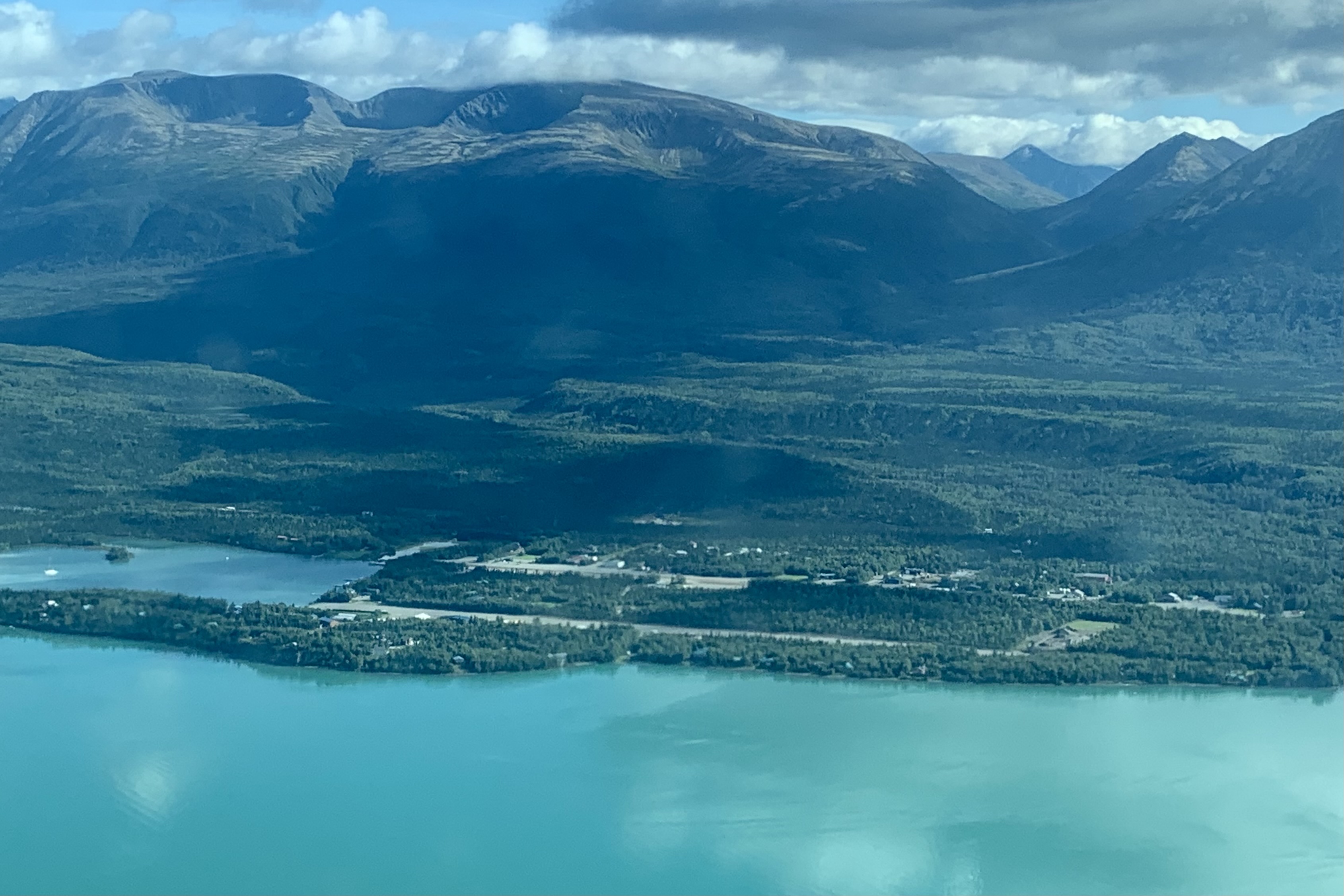
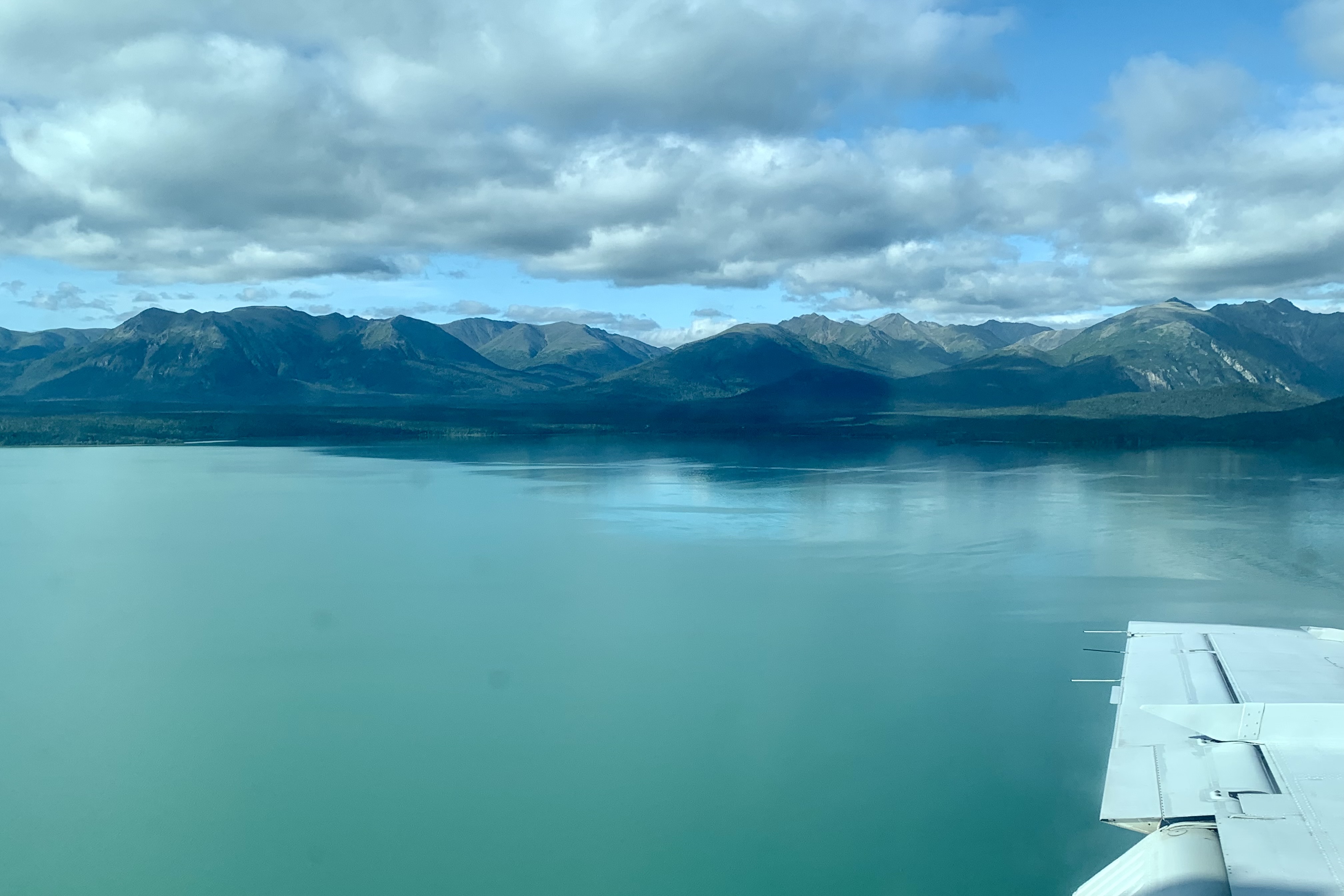
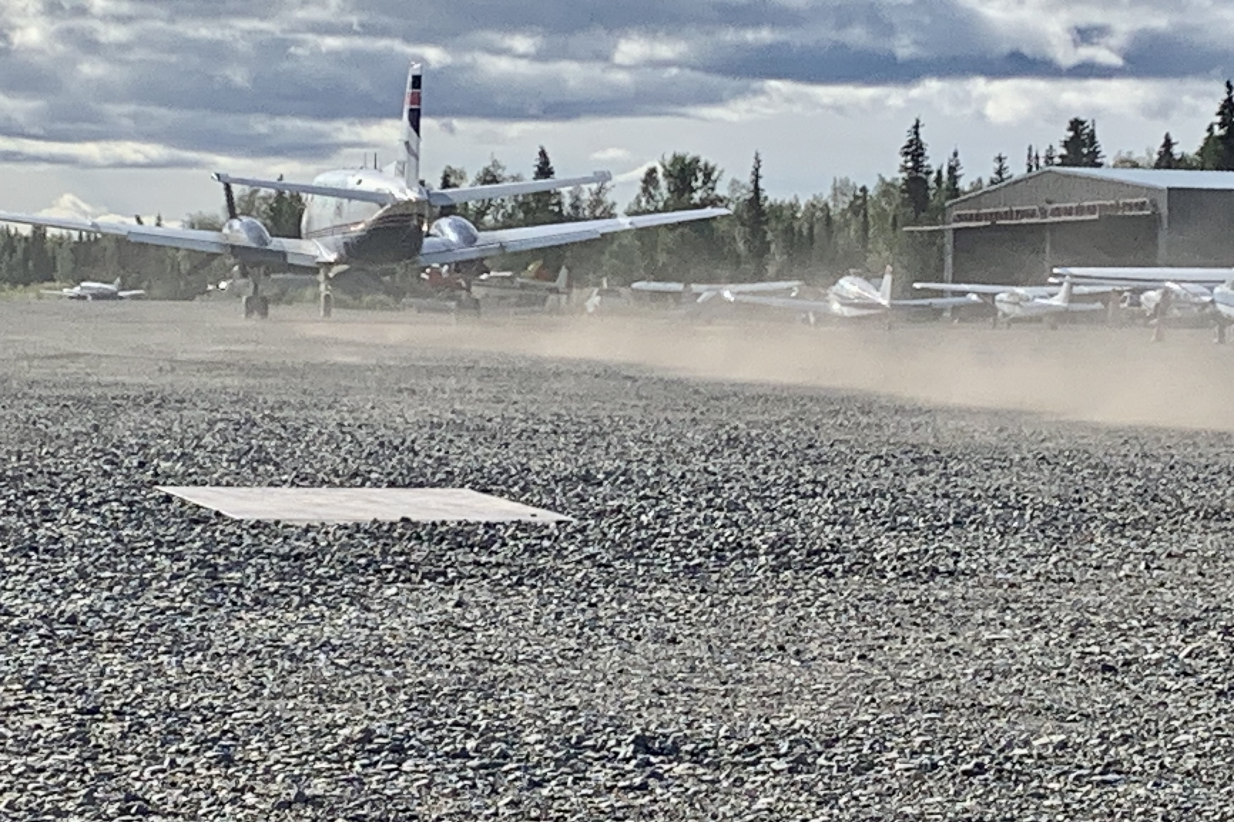
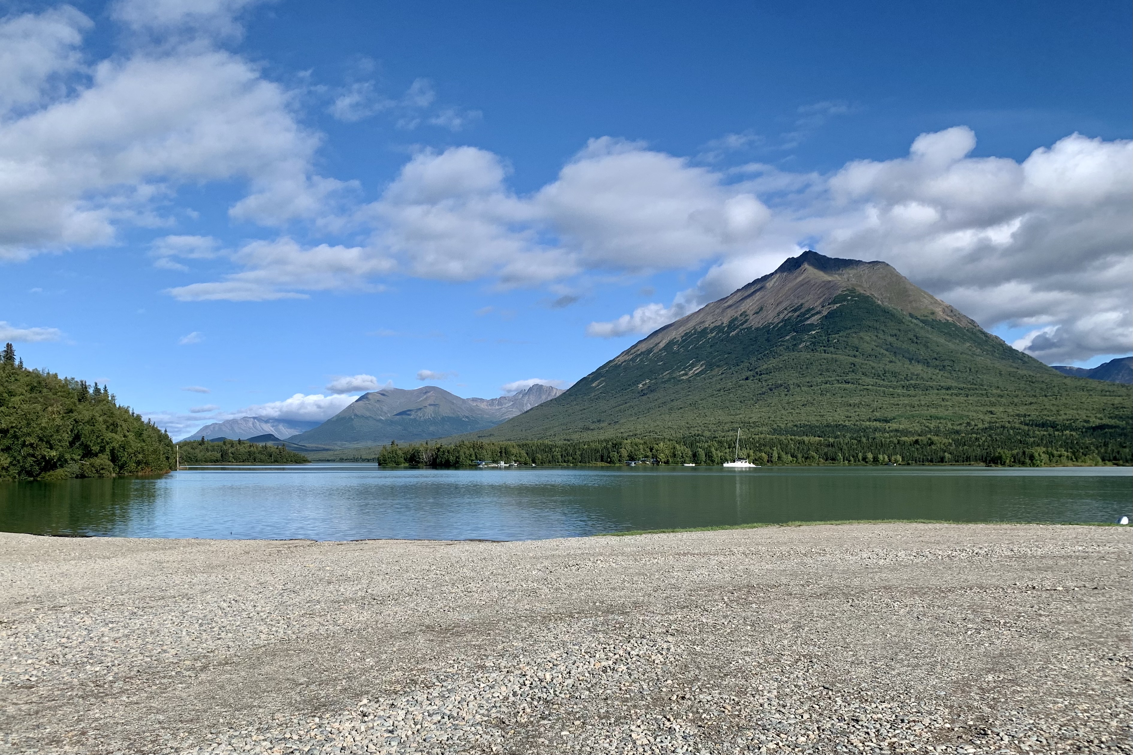
Coming out of the pass my eyes feasted on the amazing  spectacle of the glacier-fed turquoise water of Lake Clark and the  low green rolling hills surrounding it, with the village of Port Alsworth coming into view below. Soon we were in a quick decent  approaching one of the two  parallel, gravel thousand-foot-long runways. We skidded to a halt kicking up a cloud of dust to announce our arrival. What an auspicious beginning to a week-long adventure into the mostly untamed wilderness of these  Alaska parks. 

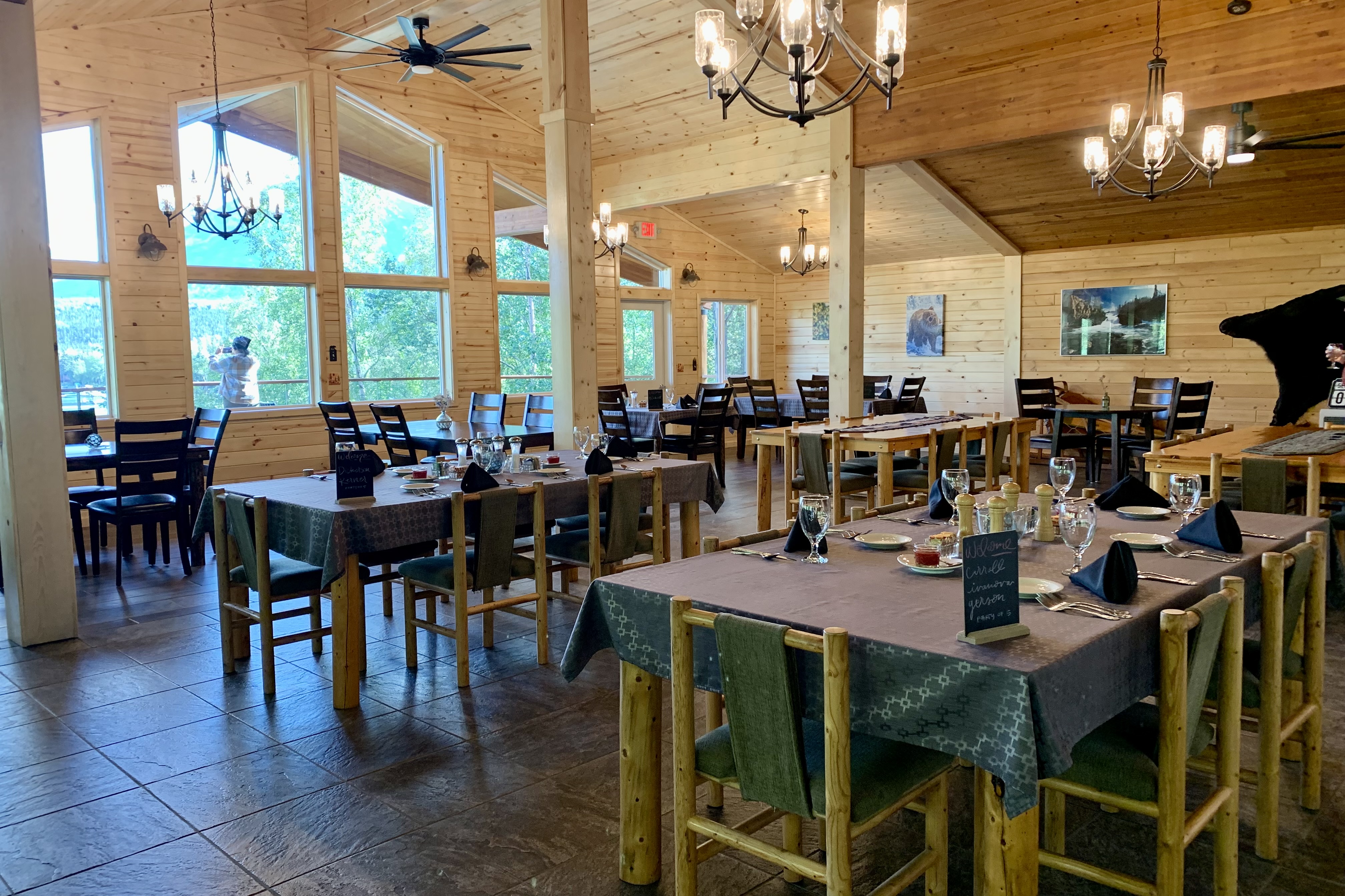
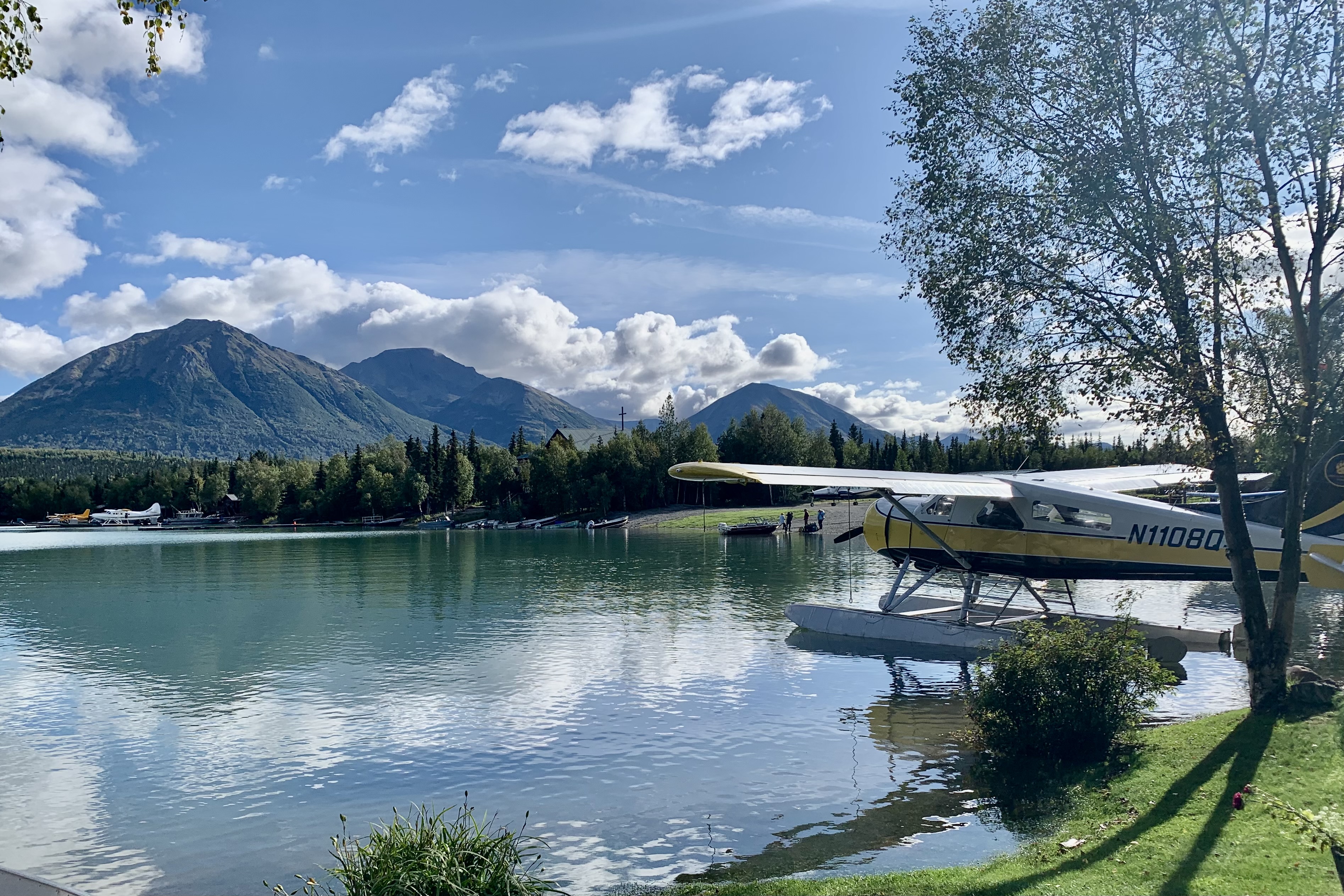
I was not sure what to expect when booking our stay at Lake Clark Farm Lodge. What we got far surpassed what I had anticipated. We settled into our cozy cabin fronting the Lake and I gazed at the float planes parked right outside our door. Had I  expected the quality of the Ritz-Carlton, I would have been sorely disappointed and probably would have much to complain about.  But rooms were adequate, cozy, warm and had decent Keurig coffee pods instead of those lame hotel packets that brew very mildly caffeinated brown water.  But everything else was first-rate. The meals were of exceptional high quality, elegantly served in a rustic dining room with several flights of stairs to climb to reach the main lodge, thus working up an appetite. 
And this was just Day One of of a full week of exploring Lake Clark and Katmai National P arks.
Tlingit Tales, Sucking Mud, and Black Water

The Glacier Bay Lodge is beautifully sited. Hiking trails lead from the lodge along the bay and into the woods. This was departure day and what a shock it was to awaken, part the curtains, and see a sky, though still mostly cloudy, in which I spotted a couple of blue openings… so I determined I would attempt the remainder of the various hikes near the lodge, which included the Forrest Trail and  Beach Trail.  After the fiasco of the Bartlett River Trail the previous day, I did not want to venture too far off from seeking DRY shelter., even if it was to pop into a strangers tent in the campground. I was totally over getting soaked.
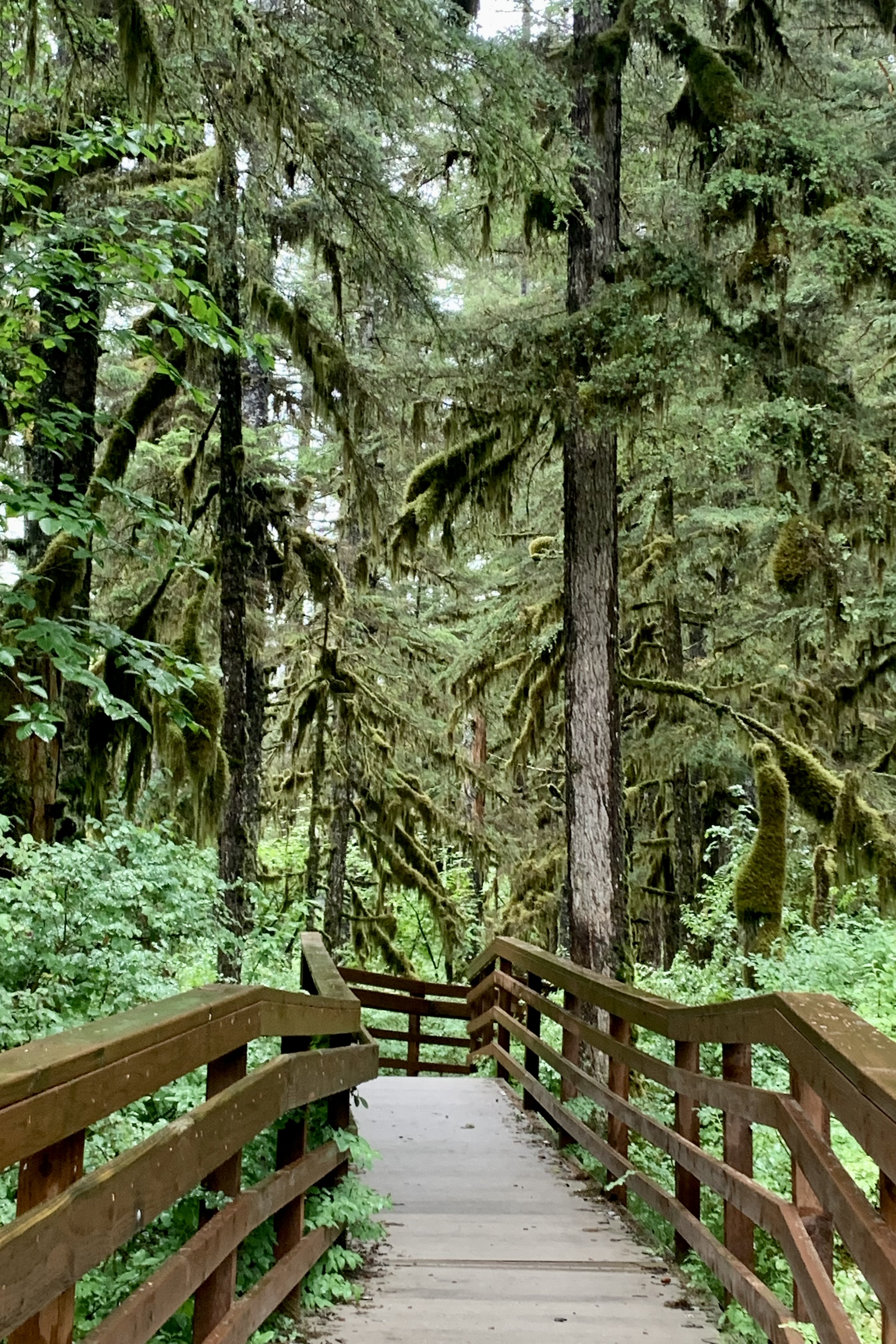
The ritzy Forrest Trail included two viewing decks and a boardwalk part of the way and I hate to admit that it was a quite a  relief this morning to not be drenched nor to have to monitor every single foot footfall into puddles, root crevices, and craggy  rocks, lest I twist an ankle or massacre any other part of my porous skeleton.  This trail was a well “ manicured and sanitized” version of the Bartlett River Trail…beauty abounded with minimal puddles and minus the serrated  rocks and so many snagging roots. Of course my ordinary preference and inclination would be a tougher trail but, after yesterday, I finally came to the conclusion that not every hiking adventure needs to be a Mt. Everest endeavor. Maybe the story isn’t as dramatic but perhaps I am getting to a point in life after 8 decades where everything I do does not have to be high intensity, the toughest, or a crescendo to the top tier of an endeavor. 

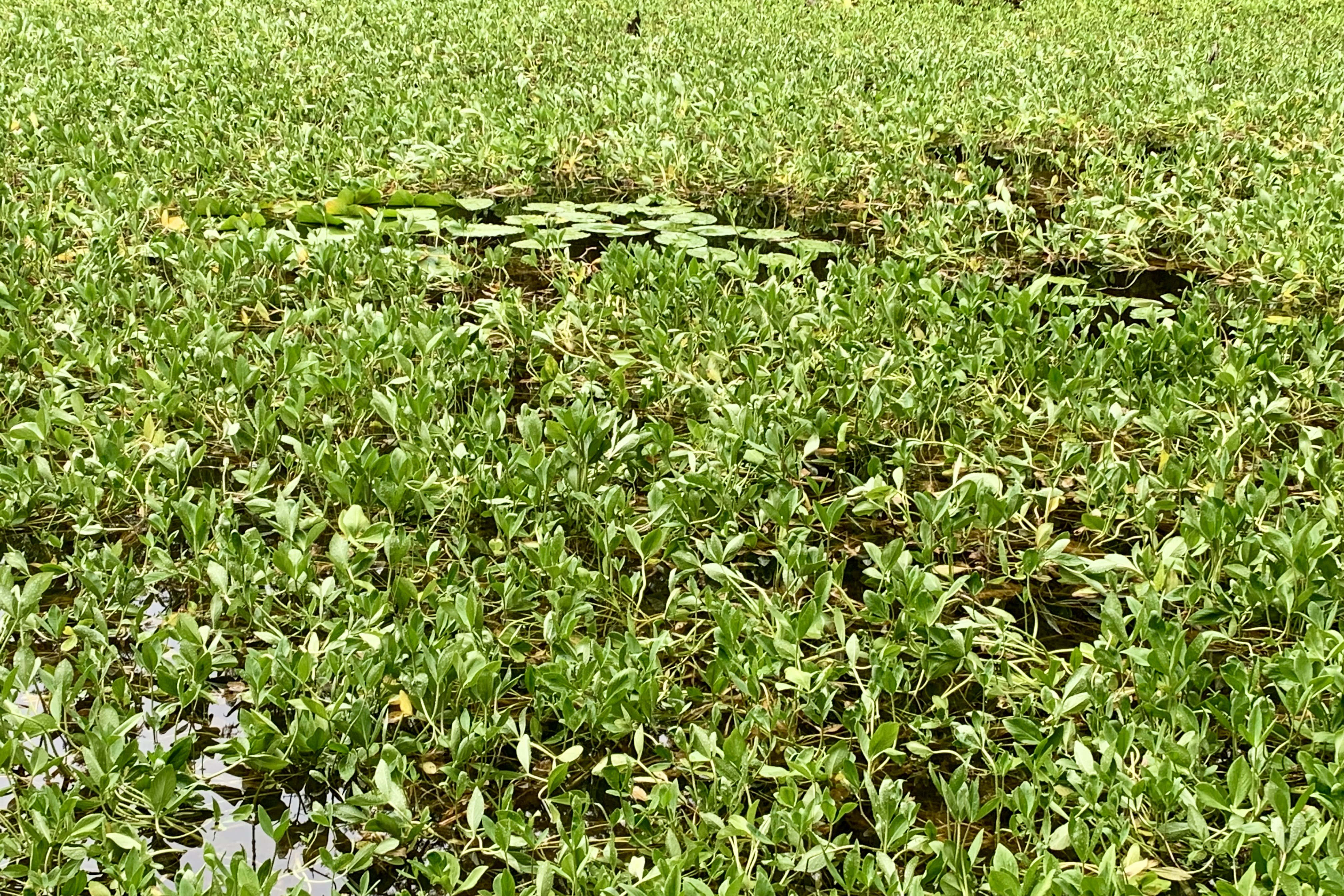
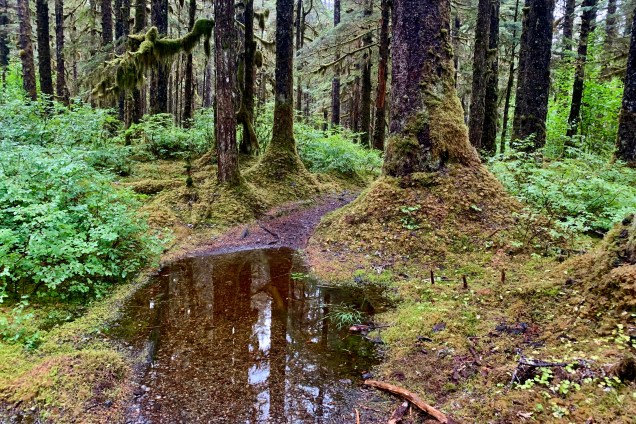
The birdsong was beautiful and the black water ponds a window of life below and a mirror for life above. Their dark colored tea-stained appearance in this mossy glen led me to whimsically imagine the black water as a repository of mossy stories from other eras. The trail ended at the campground so I meandered through that area, scouting future possibilities. I doubt I will ever return to take advantage of these wonderful sites nestle in the between the spruce and alder, lichen, fungi, ferns, and carpets of moss.

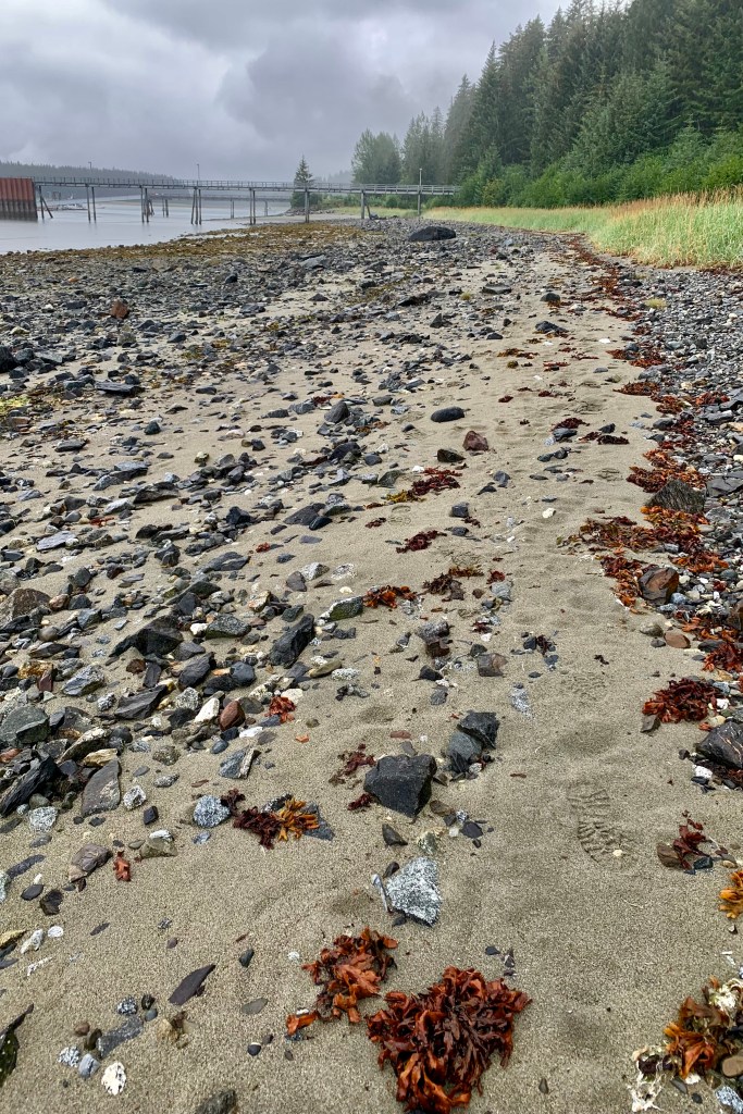
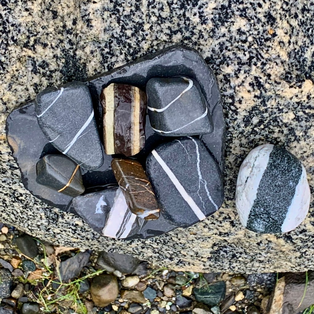
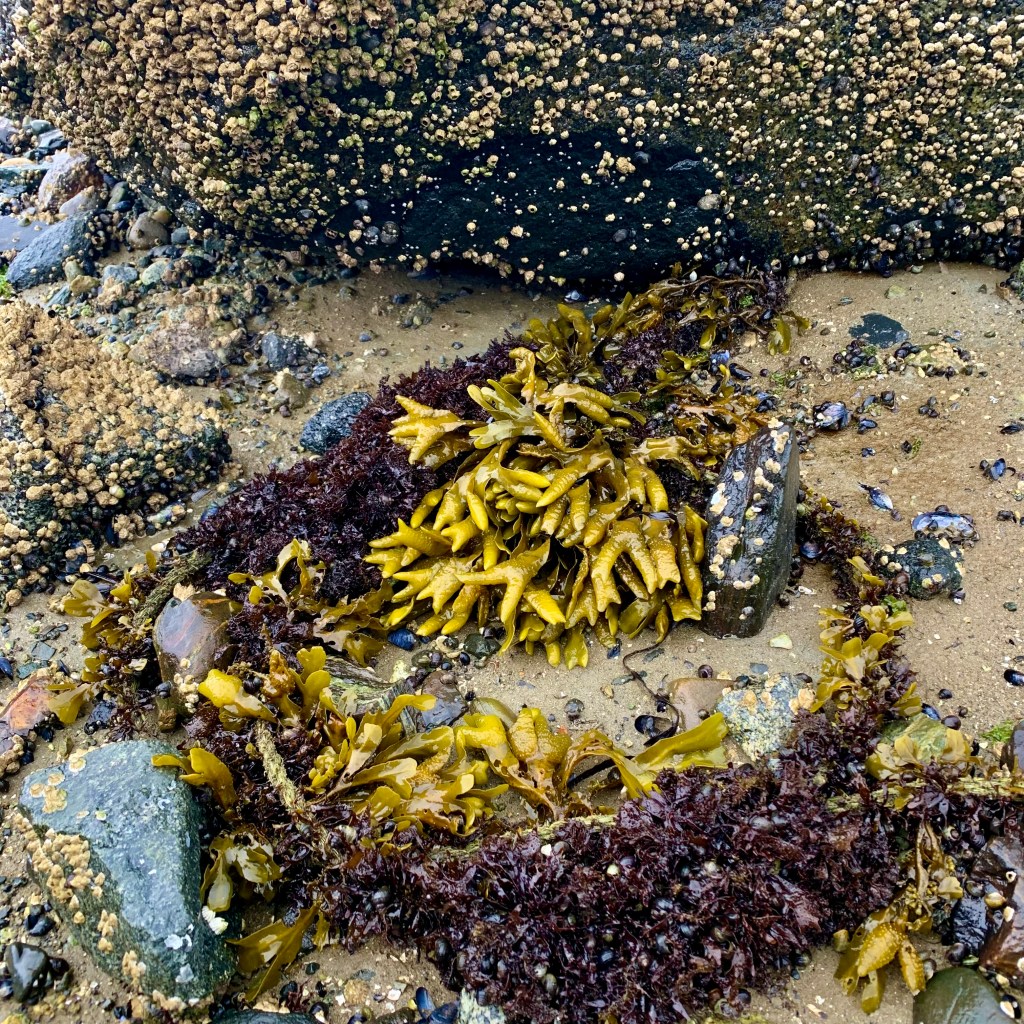
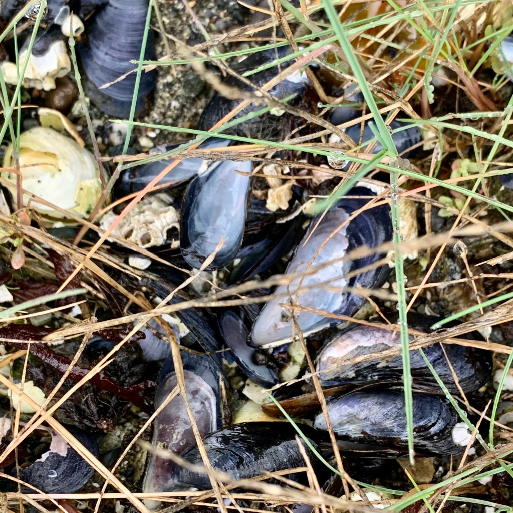
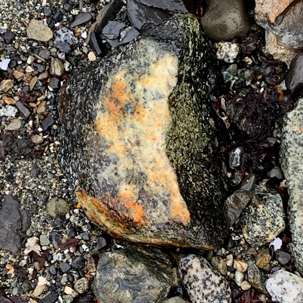
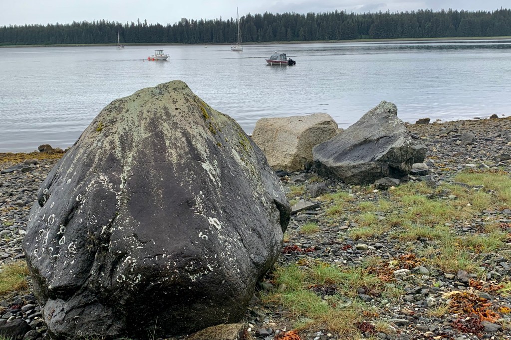
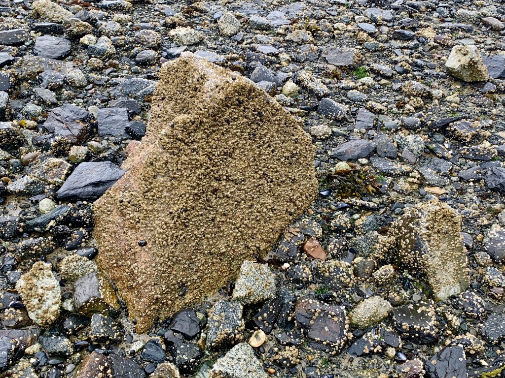
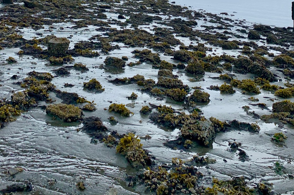
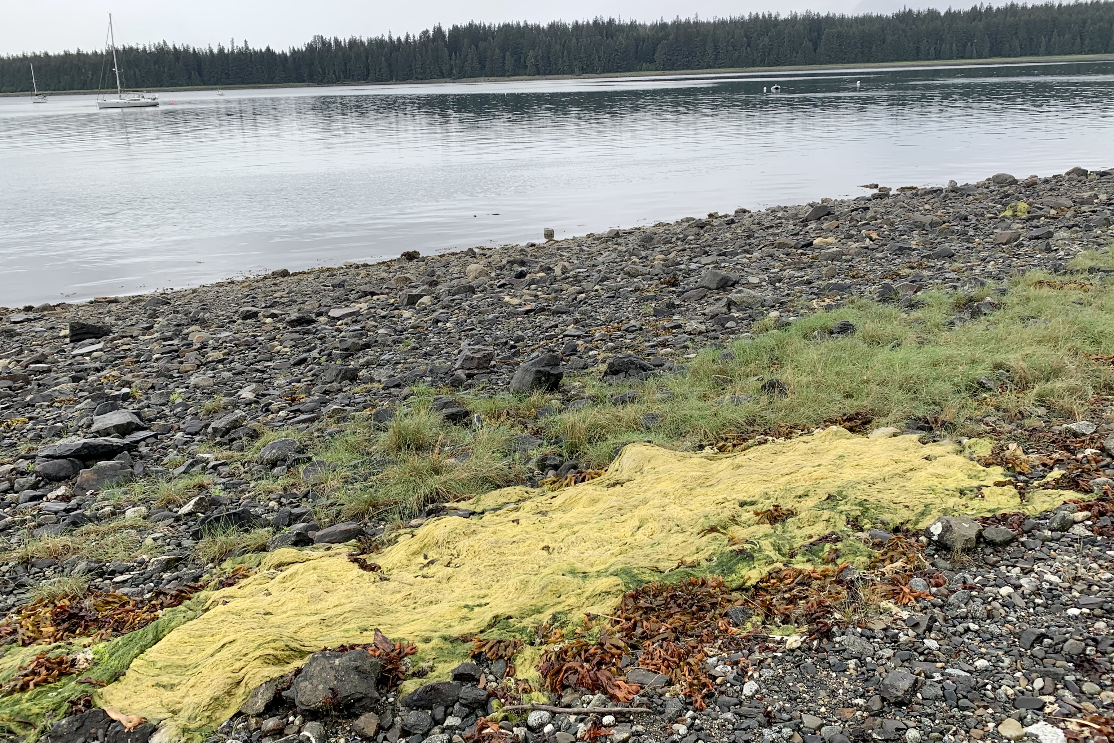
I had intended to return by the identified beach trail but realized that, though you could get views the water and the beach from it, it was NOT on the beach.  So I blazed my own trail through the rocks, seaweed, shells, and sand with a very light mist adding a sparkle  to a delightful morning… with temperatures around 60. Guess that thought about everything didn’t have to be high intensity and thus taking the easier road had already vanished.  This is not a Florida Beach, Long Island or the Jersey Shore type of beach. There were areas of coarse sand but mostly a mixtures of pebbles, gravel, shells, larger rocks and an occasional boulder, a variety of smooth stones of various colors… a beautiful mosaic or countless textures, vibrant colors and a myriad of natures detritus. I love striding barefoot on a beach but had no urge to ditch my shoes and scurry barefoot here. The tide was low so here was a variety of sea weeds washed ashore, wet and glistening, tangled, ribbon-like and splayed out across the shells and rocks adding to the ambience of this coastal edge . I spotted shells included clams, mussels, barnacles, scallops but no conch as these tropical mollusks do not inhabit frigid waters. .

To dip or not to dip my toes into Glacier Bay. Typically the beach’s edge is a mixture of water and sand and when stepped upon one’s foot might sink in a few inches. But at every beach I have visited in Alaska, the shoreline is a quicksand like substance I call “sucking mud” composed of sand, water and clay mixture. It behaves like quicksand and will eagerly gulp and swallow a boot or shoe that is loosely attached to your person. How far it might quaff me down I chose not to test. Soon it would be time to return to my room with the task at hand to pack up and to check out by noon though the only flight out of Gustavus wasn’t until 5:30. 

As I tread this fascinating mosaic of the shore, my mind wandered to one of my beloved classics , Anne Morrow Lindberg’s “A Gift from the Sea. ” Like this author, exploring the shore brings me peace, solitude and contentment of my mind and soul. What a fitting way to close out the hiking portion of my visit to Glacier Bay.

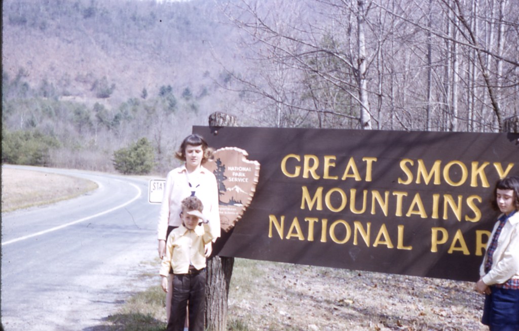
What to do with the three and one half hours before the shuttle to the airport in Gustavus departed. I meandered out to the dock and discovered a Glacier Bay National Park sign and had the good fortune to have a couple a folks meandering there as well and was able to get my traditional photo in front of the park sign which I have been doing since I had my first national park visit to Great Smokey Mountains National Park when I was 11 (guess I was not as important to fully capture as my brother and sister and the road were.)

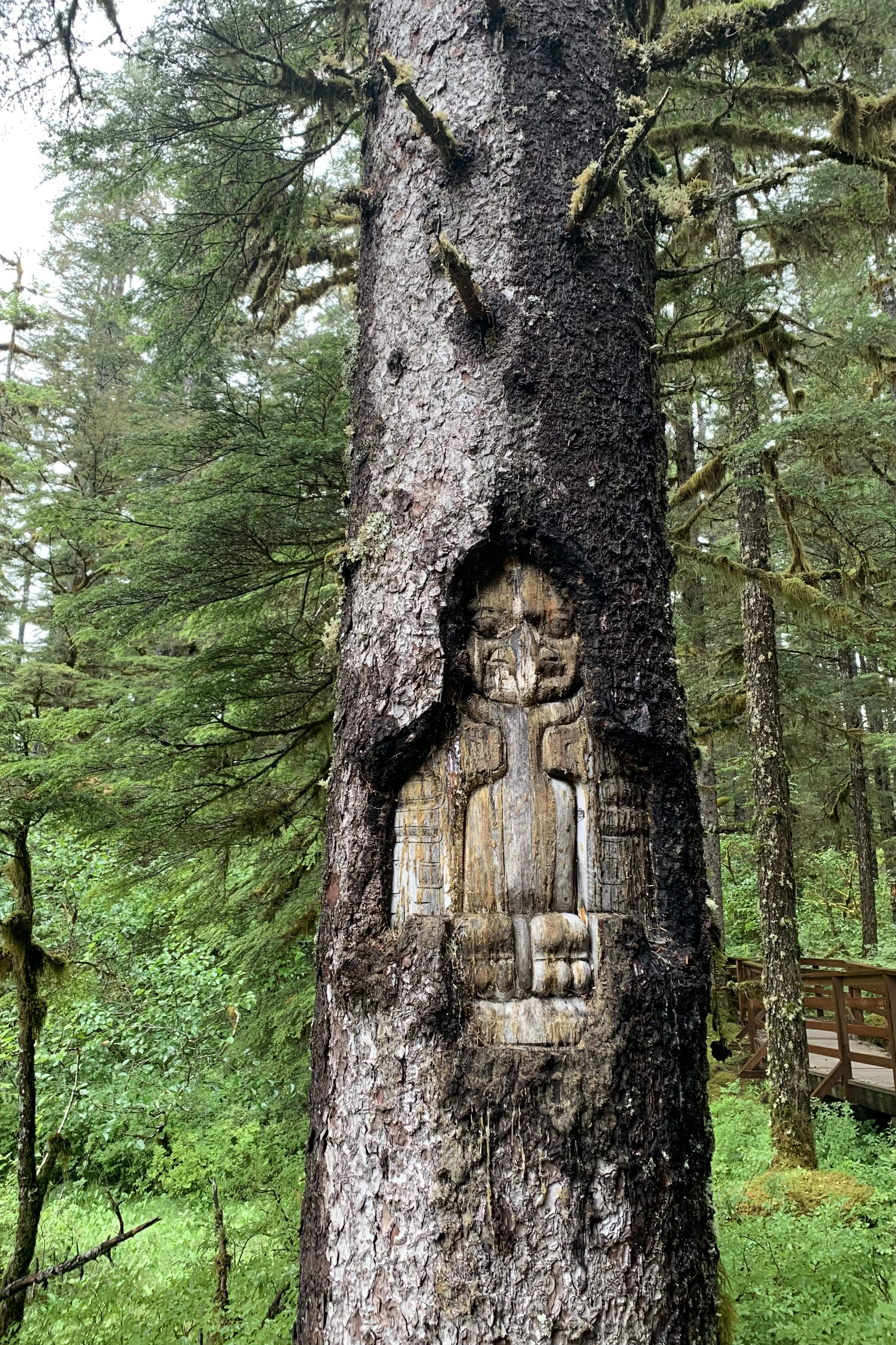
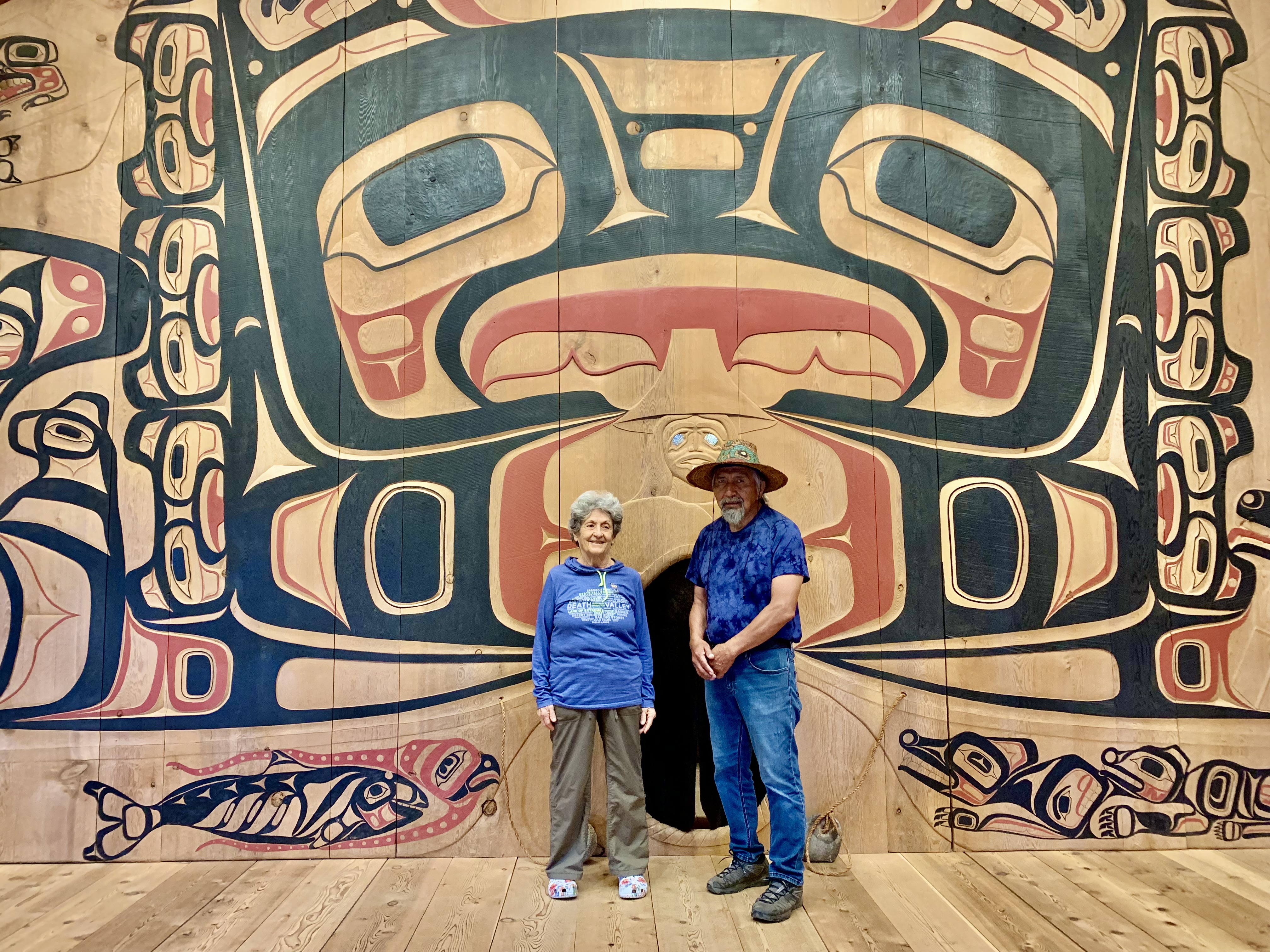
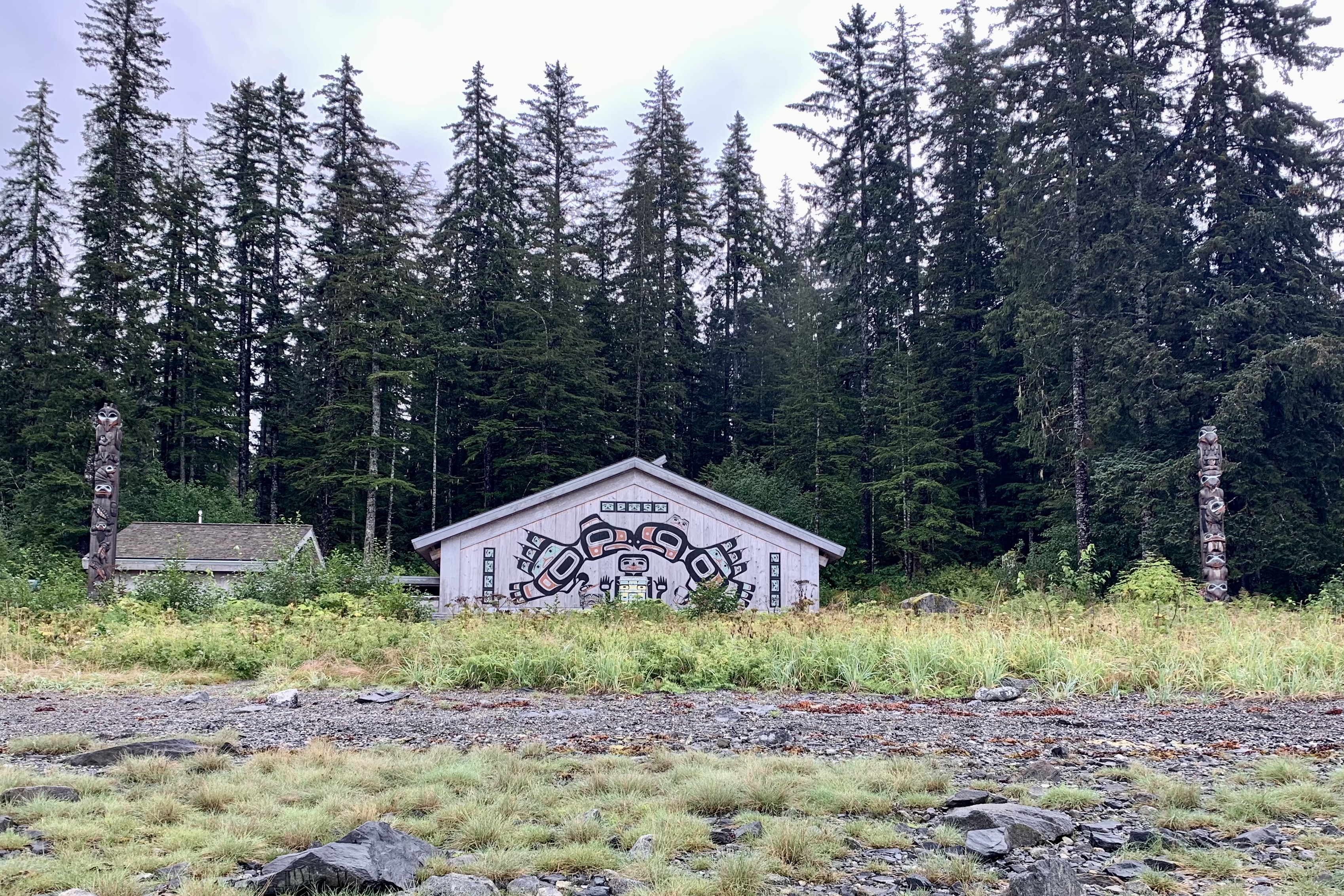
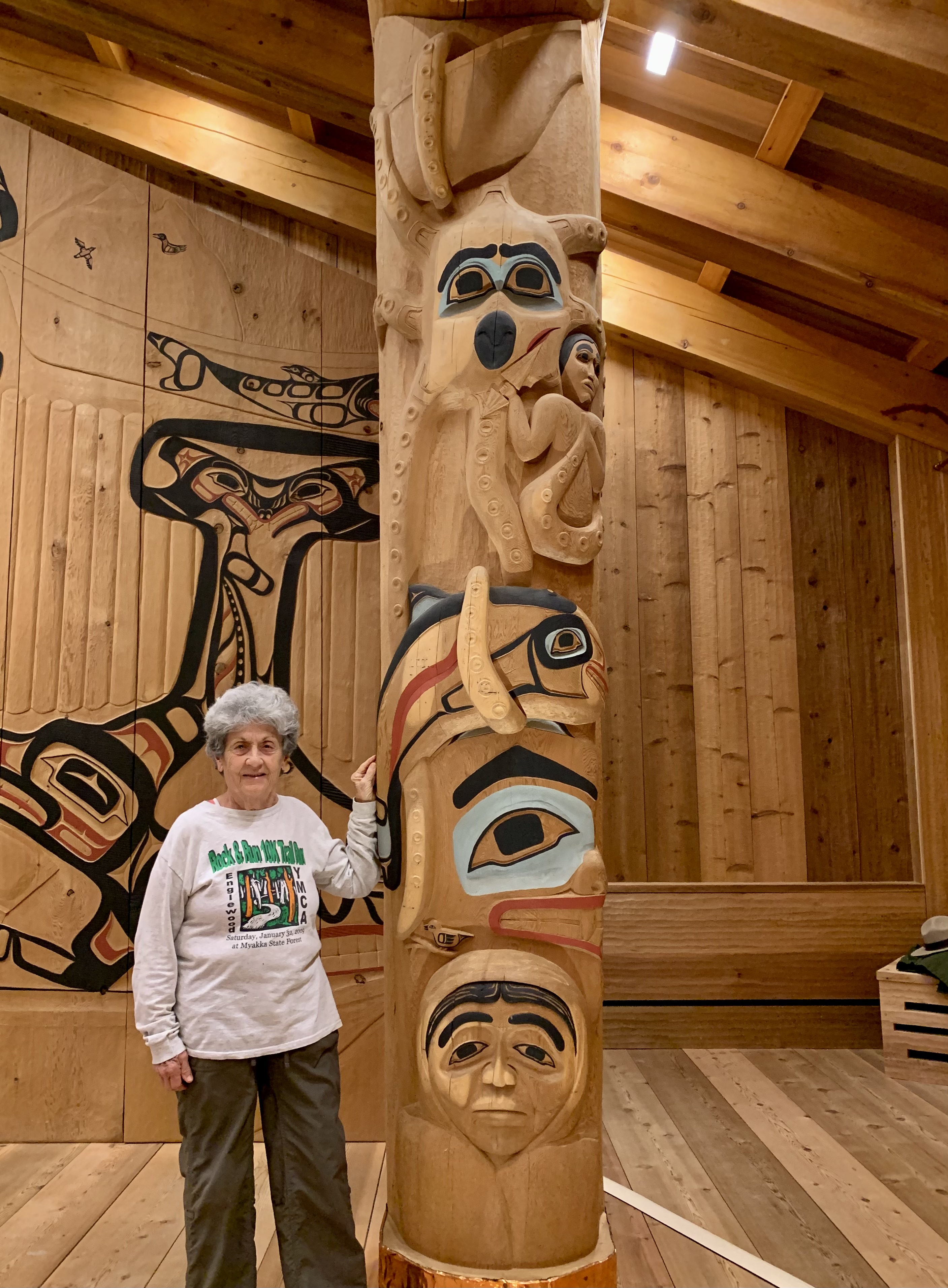
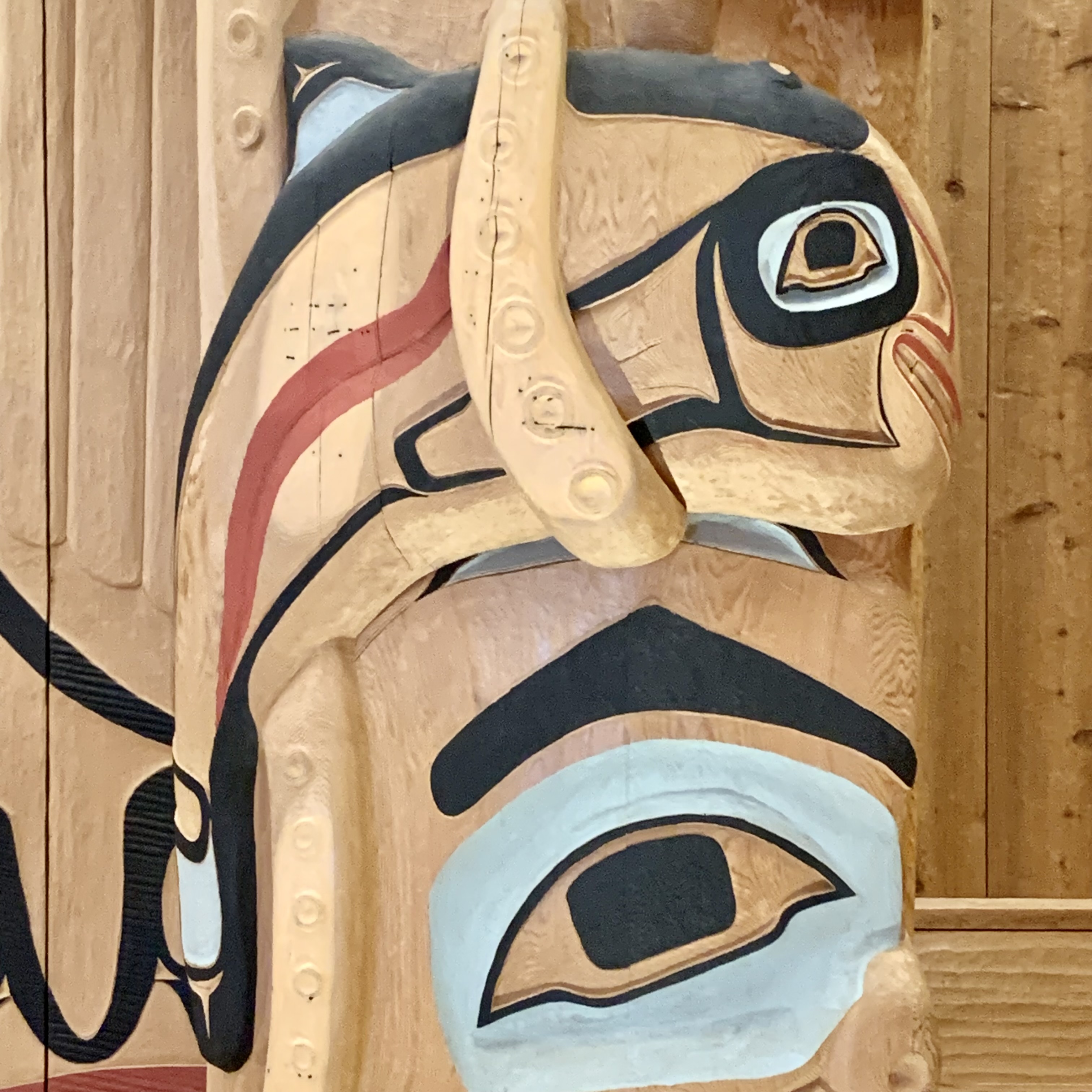
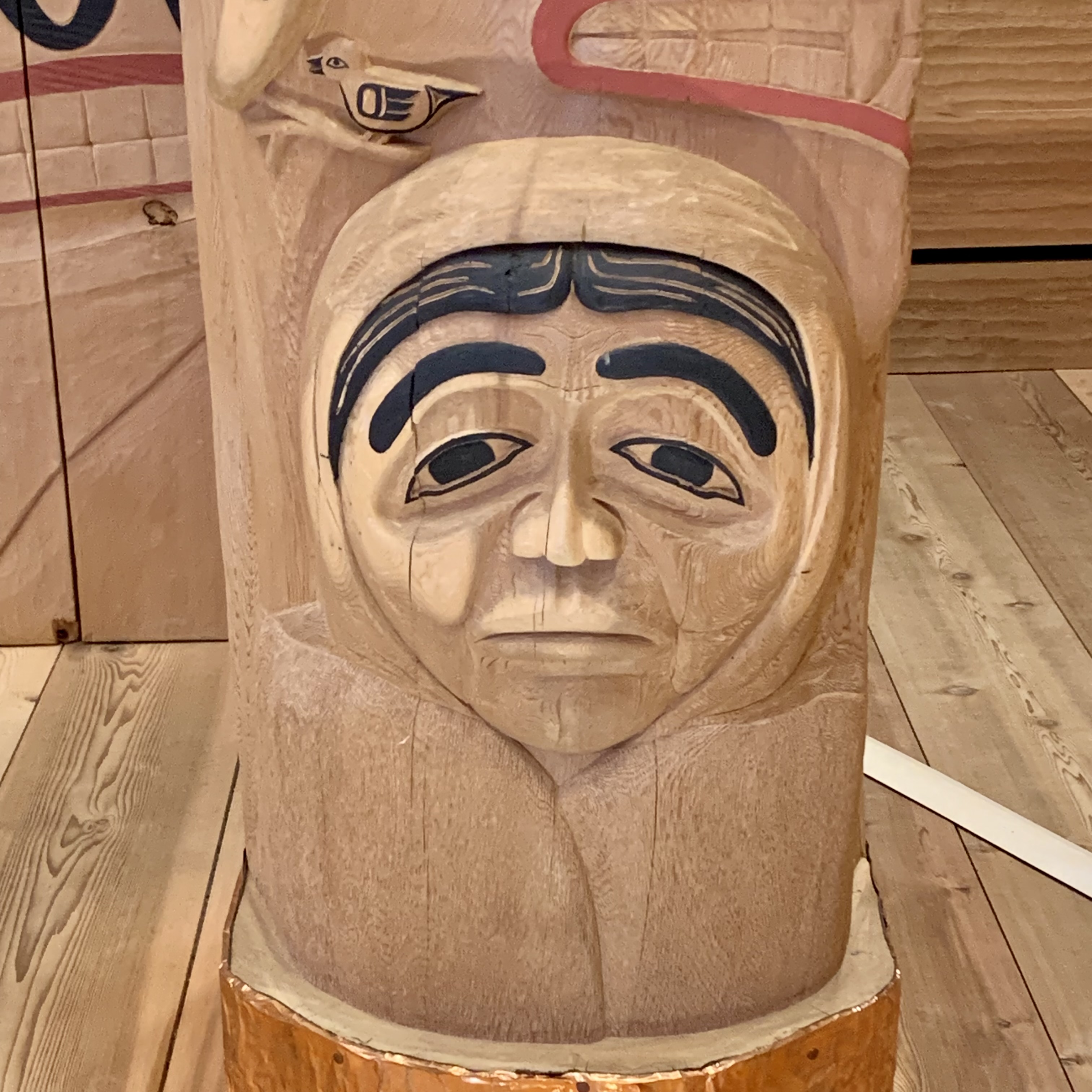
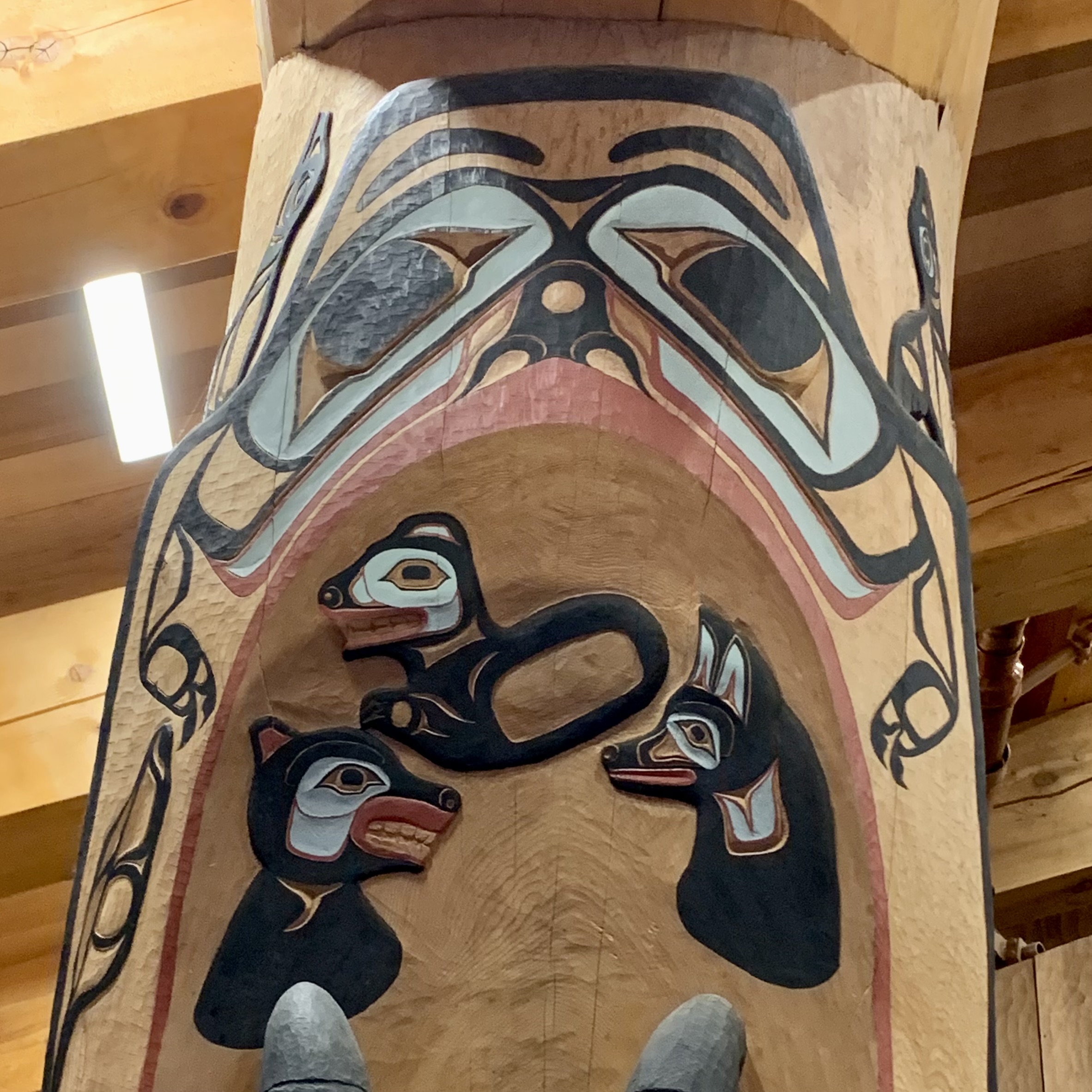
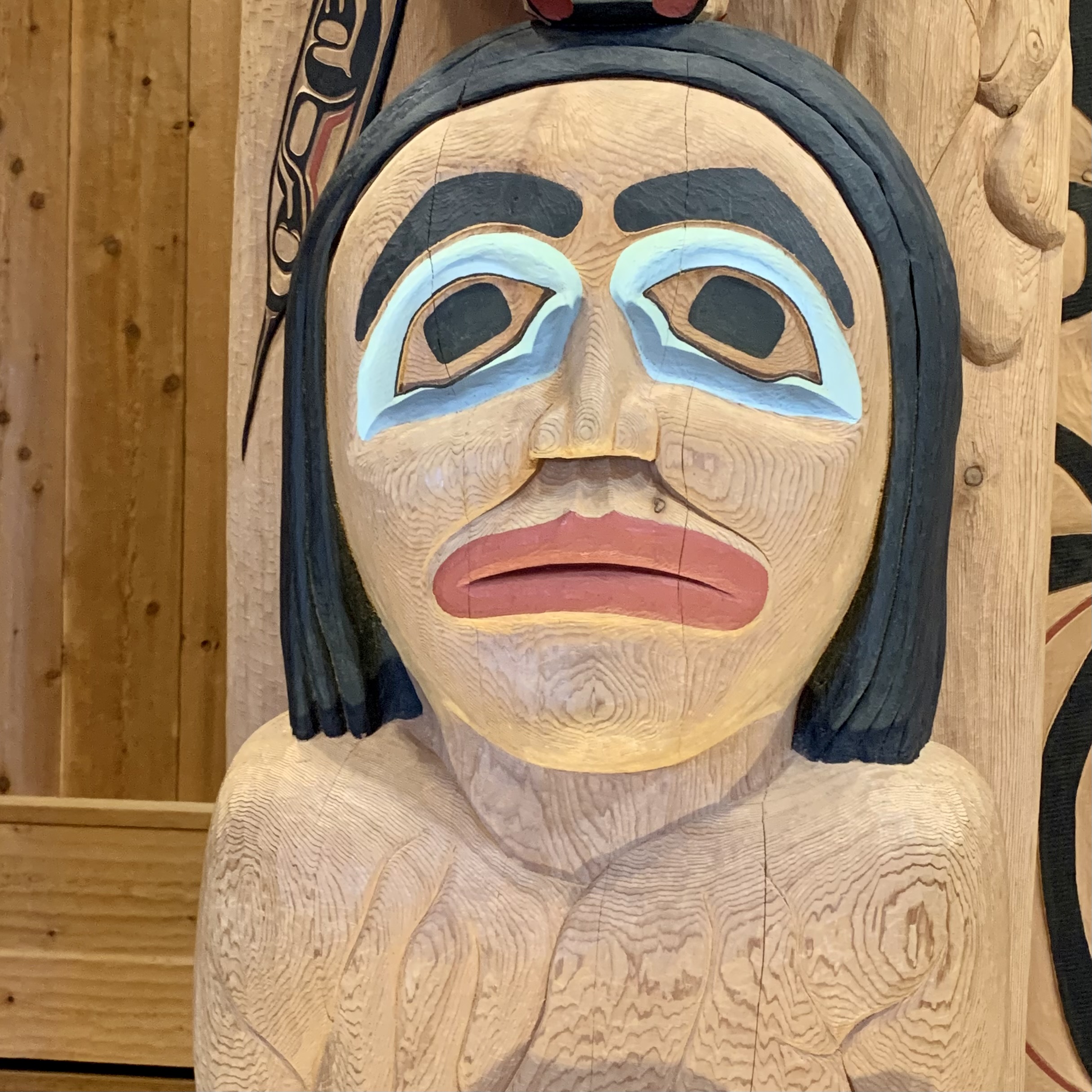
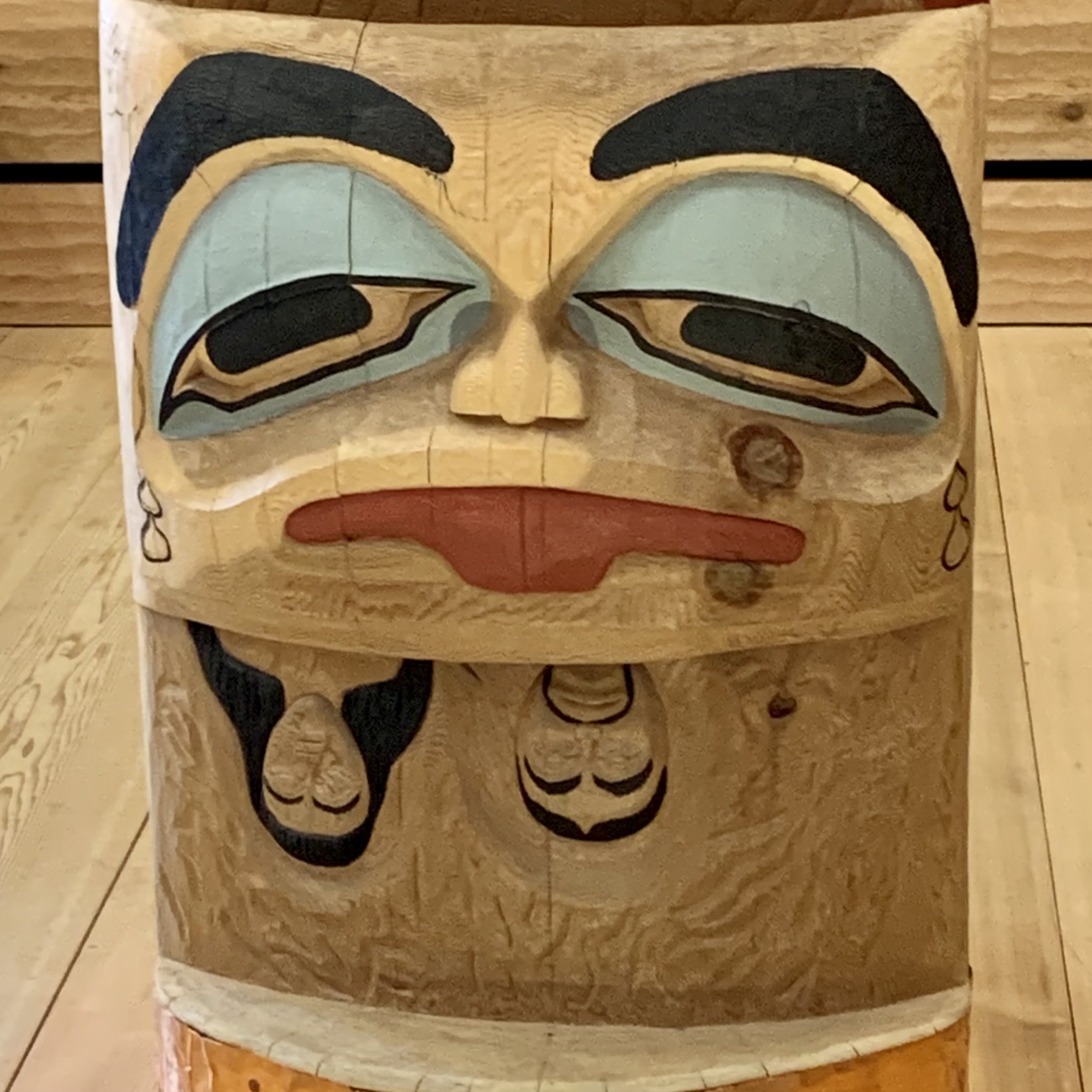
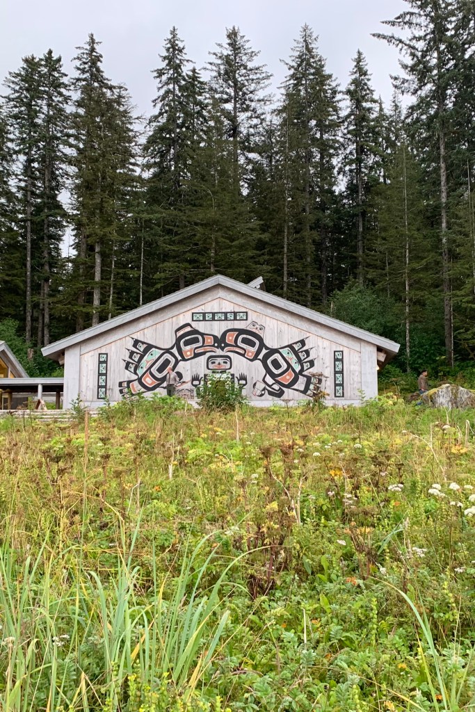
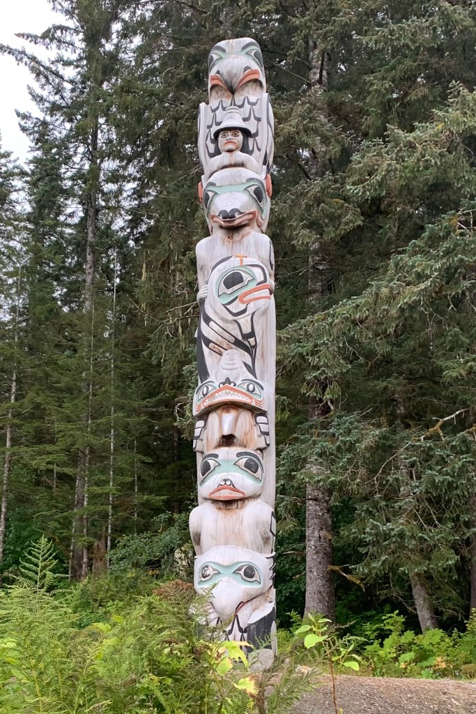
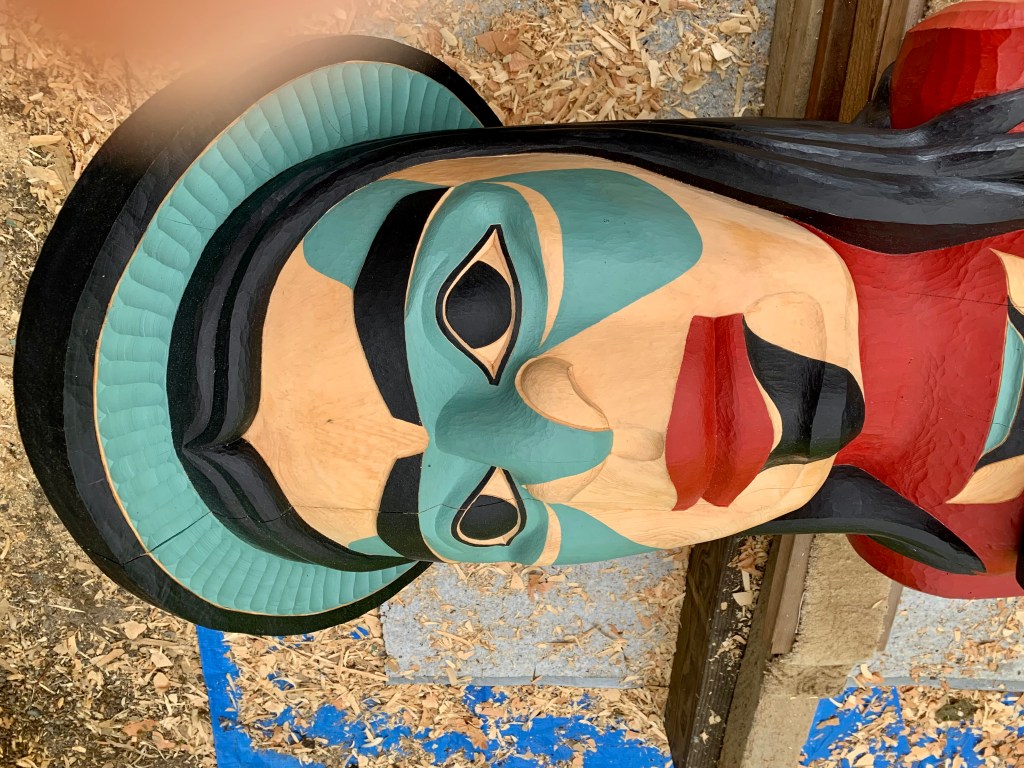
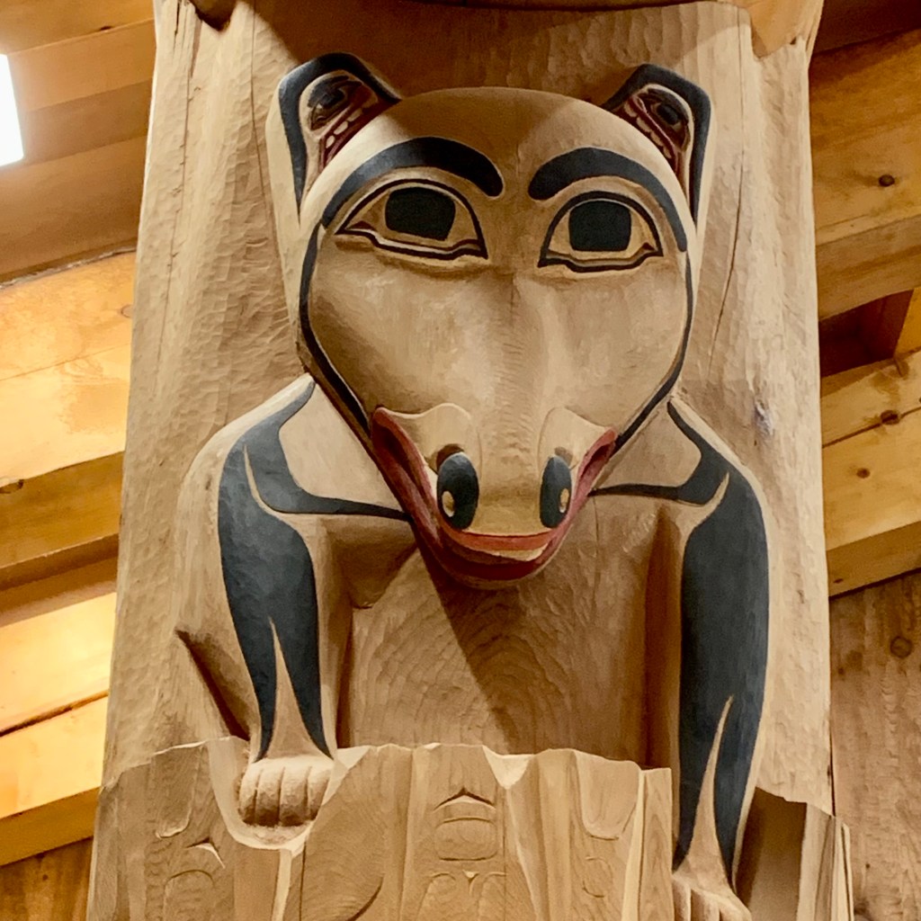
Since I had not had an opportunity to visit the Tribal house of the Huna  (my priority usually is to beat up my body with physical endeavors), when a member of the Huna Clan,  a subgroup of the Tlingit people,  would be present to share their story, I headed there. I was mesmerized  by  the carved totems outside and the carved pillars on the interior. Owen, a craggy old gent, was the Huna representative and had been intricately involved in the carvings in this Ancestral House which opened in 2017. He took the time to share the story of each pillar. I regret that I can not remember accurately so much of the lore he described in the totems and walls of the of Tuna Shuka Hit, the Huna Ancestor’s House.

There were  4 totems representing a story of  the 4 clans. The tribal lore is fascinating.  In the tribal tradition, the stories  can only be told by a tribal member. They are not written but passed through the generations via the oral tradition, so I would not be recording his tales nor recounting these tales to you. His concern, as so many members of indigenous groups concur,  is the disaffection of the young people for the traditional in favor of the wider world brought to them through the internet. 

I had a difficult time not being incensed when, earlier in the trip I heard the story of the alienation of the Huna by US government. Typically, for many many decades the US government had no regard for Indigenous Americans and their cultural practices, and in this instance the Alaskan Native Clans. The relationship between the Huna and the National Park Service was fraught with animosity in the early years when the Glacier Bay National Monument was established.  Laws and regulations implement by the government, without collaboration of the Huna,  led to restriction of the Huna land use, regulating what land they could access, what they could harvest and resources they could gather. The tensions have eased and regulations revised and the building of this tribal hut has been one way to foster a much stronger relationship and connection  between the two. After I had left Owen and was on my way home I had wished that I had the thoughtfulness to express my sorrow about the how my government had treated his ancestors. It is a very important gathering place today for reconnection with preserving oral history and other traditions, music, dances, and the sharing their heritage with visitors today.

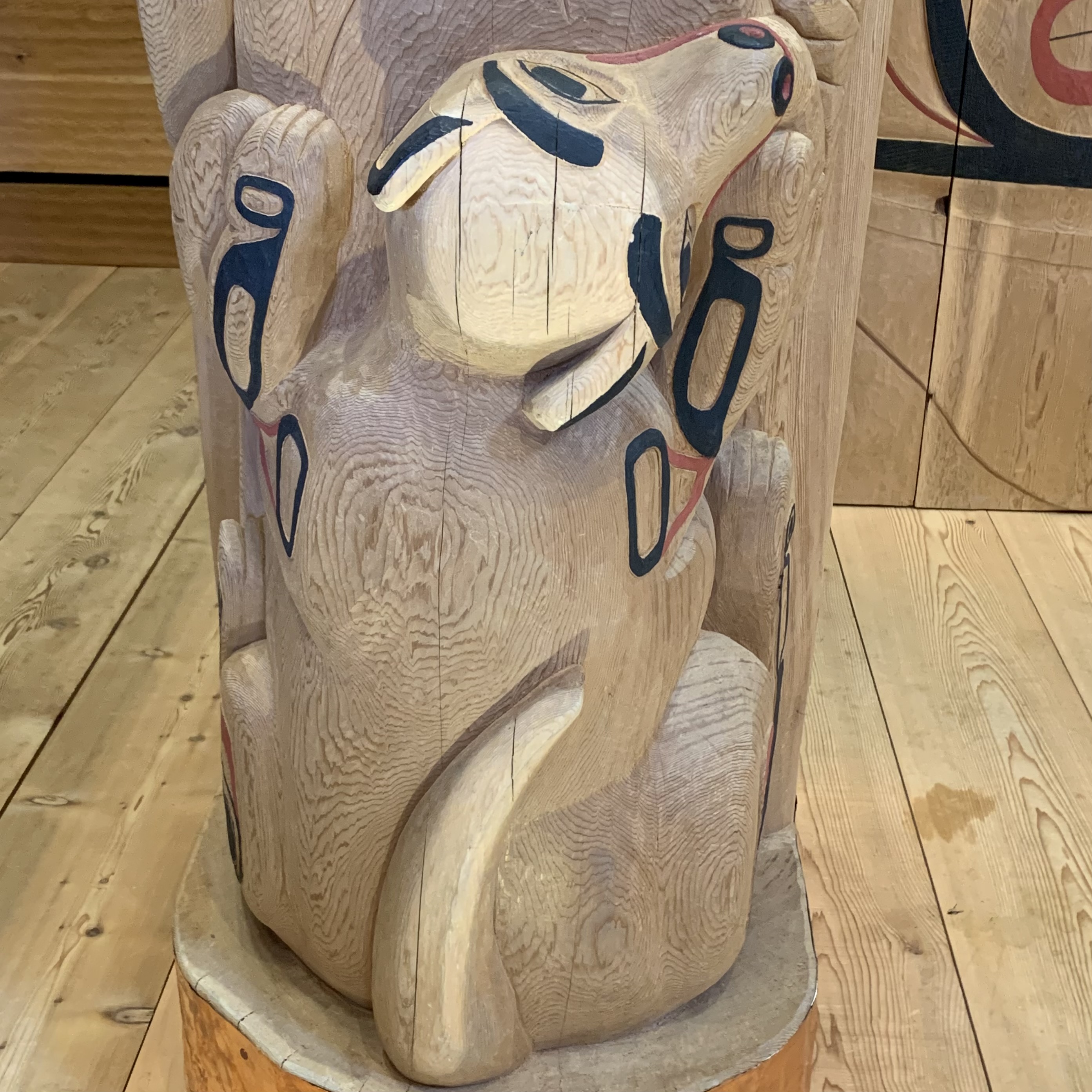
CHOOKANEIDI (GLACIER BEAR)

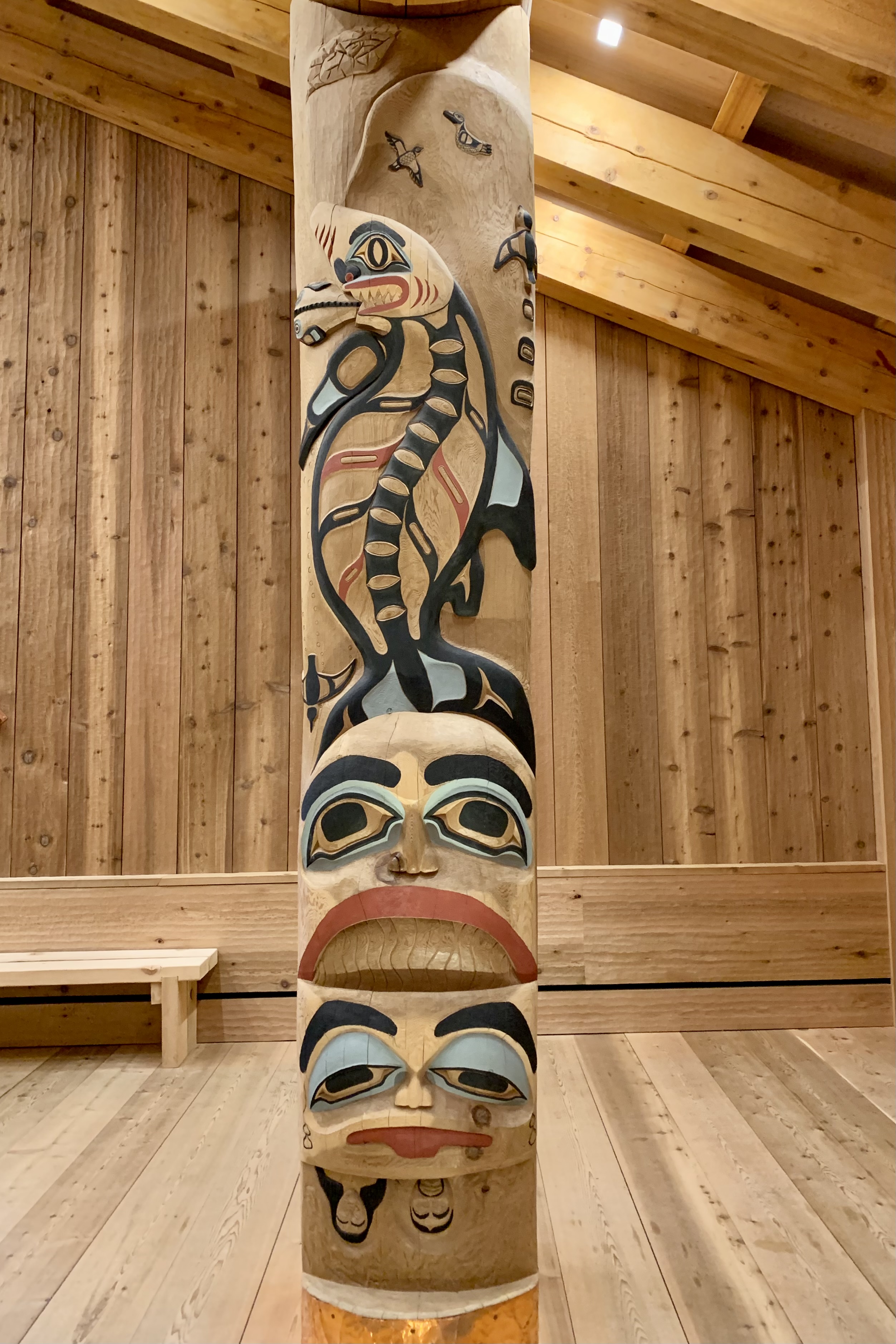
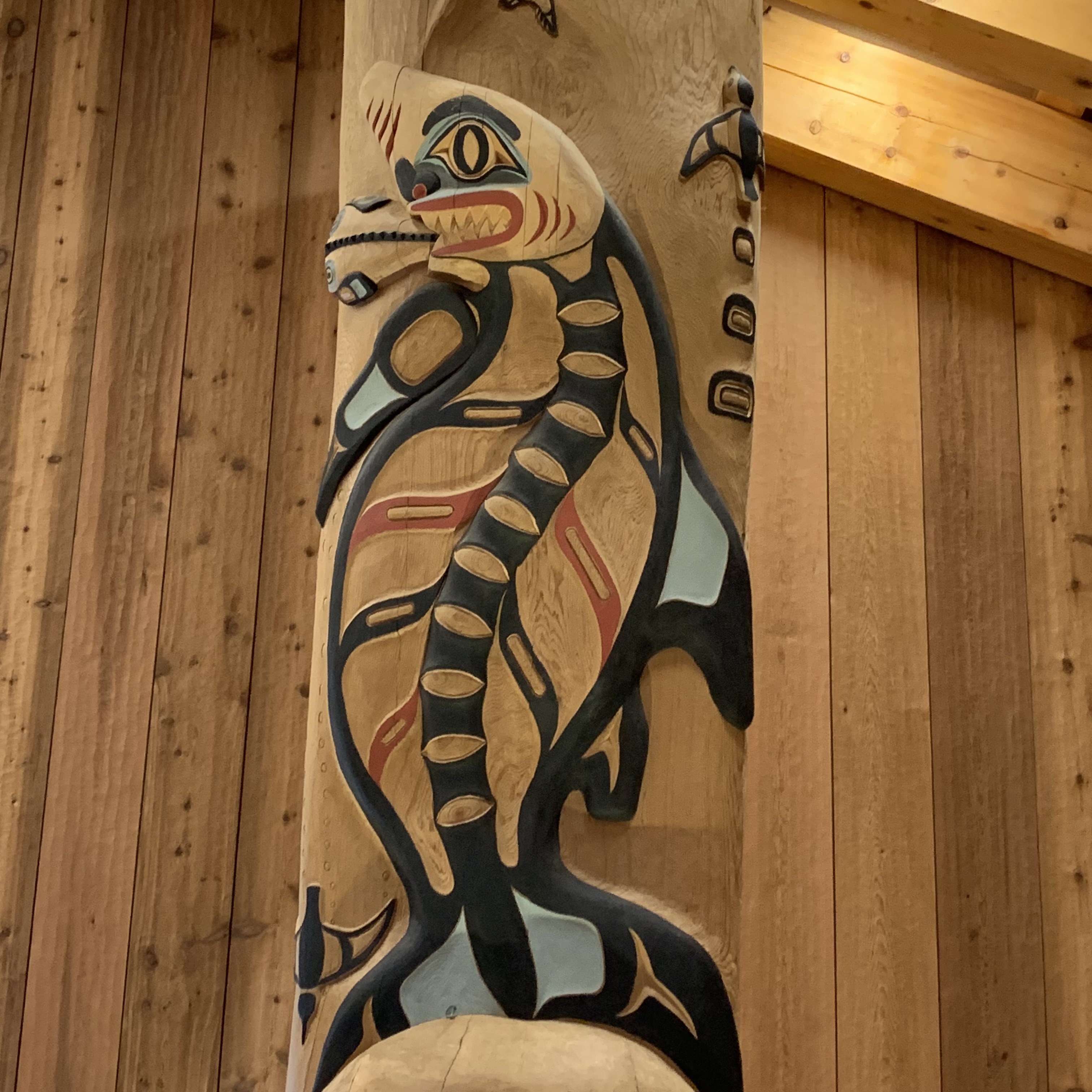
There are four clans That are represented here. The above is the CHOOKANEIDI Clan (Glacier Bear) and part of the eagle/wolf moiety. Also part of the eagle/wolf moiety is the KAAGWAANTAAN Clan (Wolf/Bear). The third totem is WOOSHKEETAN (Whale).The fourth totem is the T’AKDEINTAAN Clan (Raven). Don’t go and update Wikipedia based on my less than educated guess as source material is not consistent across most of what I read.

KAAGWAANTAAN (WOLF )

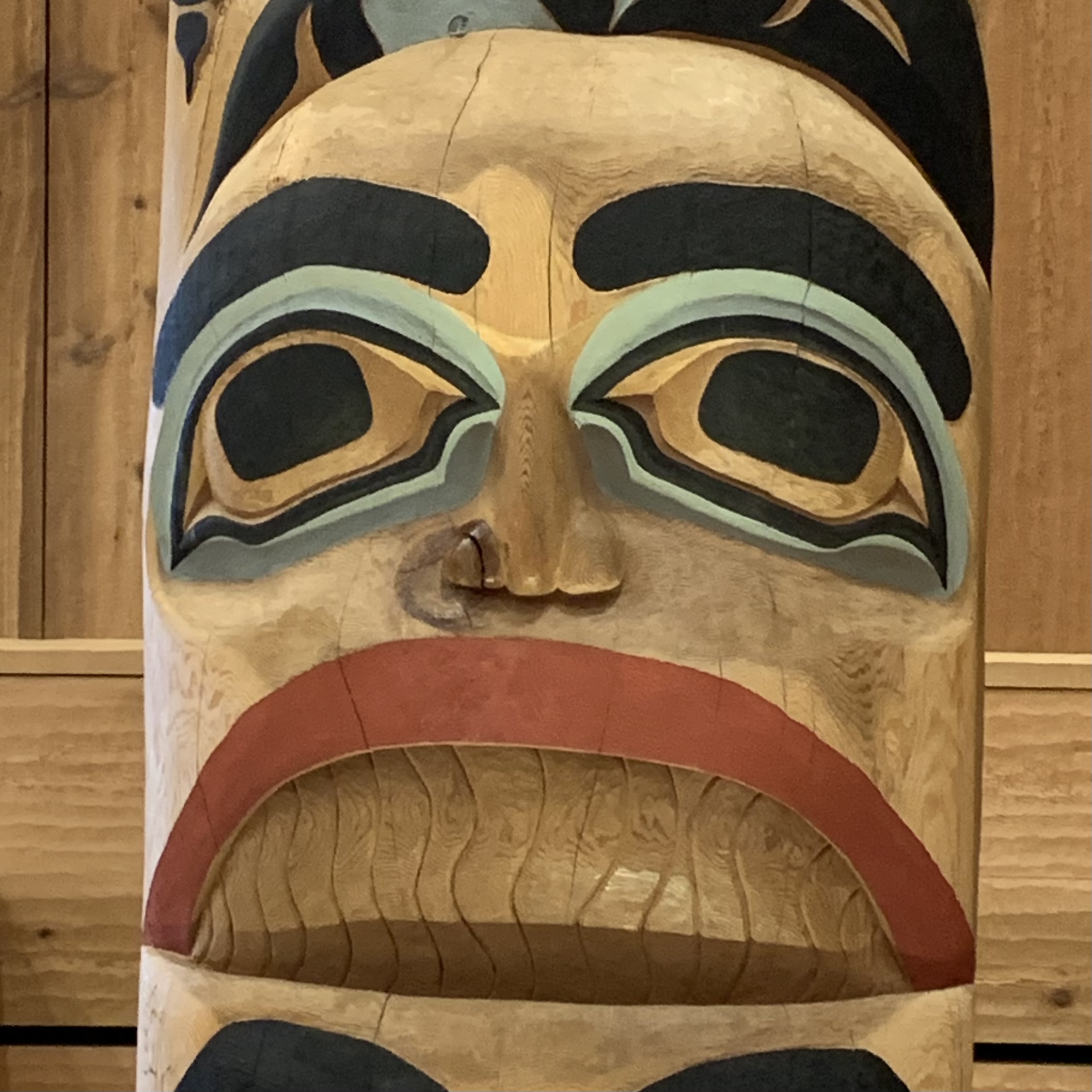
The symbols on the walls and totems  are a beautiful example  of Northwest Coast Indigenous art. I find it a stunning  unique artistic style of  flowing lines and bold colors and containing many ovoid and U-shapes that represent various elements such as eyes, mouths, or spirit beings. The deep connection with nature and the spiritual world you can see  reflected in their symbols that are used in their art.  

T’AKDEINTAAN (RAVEN)

From animals like eagles and bears to intricate geometric patterns, each symbol tells a story and represents aspects of their culture and beliefs. Each totem tells a story of its clan. These  Tlingit symbols differ from symbols used in other Indigenous cultures due to their focus on animals and natural elements, the intricate formline designs, their use in telling the Tlingit story  and clan identification, and their connection to spirituality. These symbols serve as a visual representation of their deep connection to the land and their ancestors.

WOOSHKEETAN (WHALE/SHARK)

It was by now time top board the bus to Gustavus Airport and make the trip back to home on the Kenai Peninsula in reverse: a quick leap to Juneau, aviating to Anchorage, a trudge to find my car out in the farthest reaches of long term parkingalone at midnight, and on to the motel so as not to travel half the night back to Soldotna. But there was one last bus stop on the way out at the park entrance for another photo op with the other park sign.

Conk, Weeping Skies, and Fish in the Tree Tops

I was determined to do a decent hike so day three became the Bartlett River Trail day. I was absolutely NOT astounded when I  parted the curtains upon arising to discover there was a steady stream of wet projectiles descending upon  the already drenched soil of Glacier Bay. I said to myself: “How fortunate  you are Theo to be able to experience the Bartlett River Trail in this temperate rain forest during a day when a rain forest  is doing what it does best. RAIN, RAIN, RAIN.” And that it did for the entire 5.88 miles and  4 hours and 20 minutes I slogged on through this.

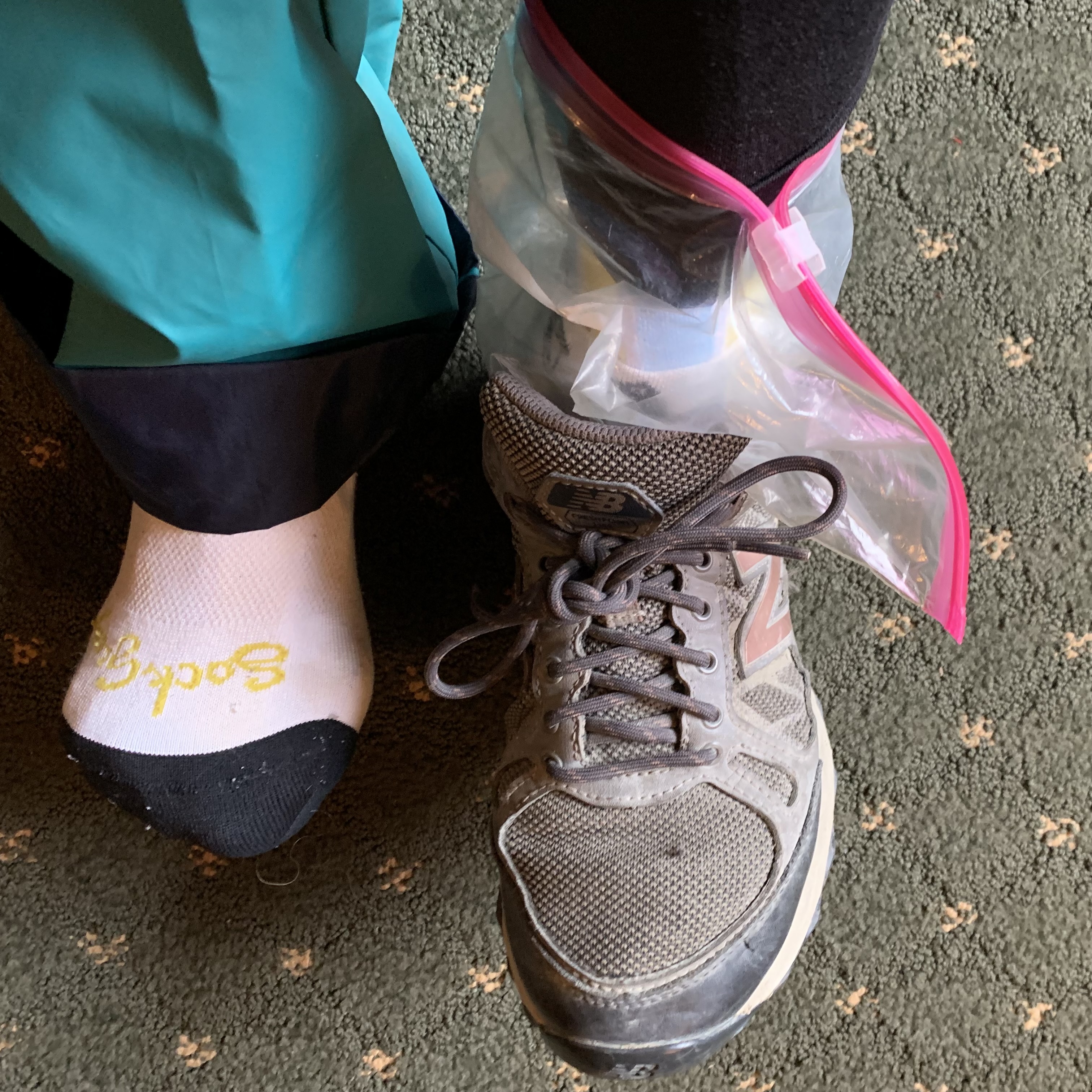
Now I was well dressed, I thought. I would keep my feet dry by putting plastic bags over my double socks in my trail shoes. However the zip-lock variety was all I had available, so they would have to do. I had a base layer of light weight polyester underwear under my hiking pants which were under my 15 year old rain pants. My top was layered with polyester under shirt, a long sleeve t-shirt, a shell vest, and my bright pink flannel lined rain jacket which I had patched the hole in it with silver tape. I had a visor hat to keep the rain out of my eyes. My daypack was not waterproof but I put everything in a plastic bag inside of it, including snacks, extra clothing, a warm cap and gloves. I headed out with the spirit of adventure, feeling a bit mummified given how thickly I had wrapped myself, but was grateful at least today I wasn’t carrying a heavy backpack or returning to a tent.

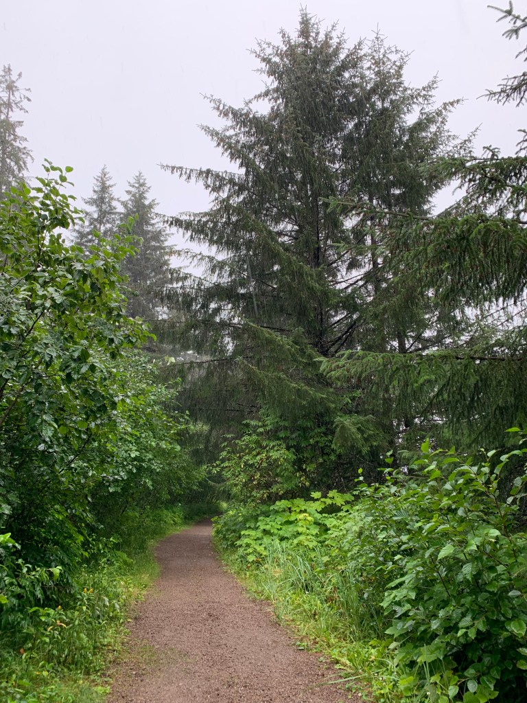
To reach the Bartlett River Trail,  I hiked out via Tlingit Trail. This was a easy stroll on a well maintained gravel path along the shoreline passing the Tlingit Tribal House and Raven and Eagle totems..

 Upon reaching the trail head, my l intention was to hike the 8 mile round trip trail to Bartlett Lake.  I merrily (though that feeling stayed only for a very brief moment) headed out but after the first half mile of jutting rocks, the complex webs of spruce roots, and puddles ankle deep, I knew it best to take the shorter Bartlett River Trail lest, at the pace I was moving forward, I would chance missing my plane the next afternoon and be charged an extra day for not checking out by noon. I really did not want to spend a night inhabiting the Tongass National Forest. This is a noteworthy choice since more often than not I do not make rational decisions. I prefer to be bullheaded and emotional and forge on. But I think that was probably the only reasonable decision of the day. By now I was also beginning to think that perhaps my solo jaunt into this wilderness wasn’t necessarily a wises choice since there were not throngs of hikers like the conga lines I experienced in Rocky Mountain National Park. Grasping at anything to validate my choice to continue solo, there was a group of about a 10 people headed out the trail to fish and there were in the first 1/2 mile two different couples returning from a much earlier morning hike. I concluded that perhaps this is after all a well traveled trail. I reasoned that if a root or a rock thwarted my forward momentum, I would not languish out there never to be found in this cell phone free wilderness. However , thereafter I saw nary a soul and might well have had to crawl out of this forest of dripping leaves and rotting trees should I turn an ankle or incur some other injury.

I had been  asked “aren’t you worried about bears ?” This is definitely bear territory.  Brown Bears (grizzly) occur in the Alaskan rainforest in densities that are unrivaled anywhere.  My thought process (probably convoluted thinking) was ”NO”  because this is the time of year when the salmon are plentiful and I imagine  that any bear would certainly prefer to be down by the water fattening up on those fresh salmon fillets, preparing  for their long winters sleep instead of foraging in the forest for a few measly low calorie berries and come upon me. Since I am writing this post hike, you already, I am sure,  have assumed that I neither got attacked by a grizzly  nor did I fall prey to the raised root and tripping rock hazards with my broken body needing  to be carried out and languish in a hospital.

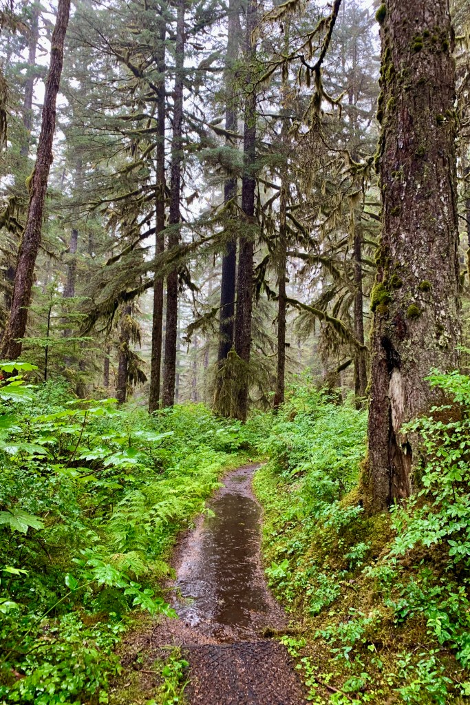
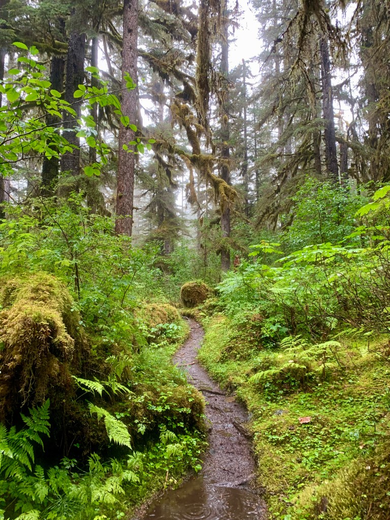
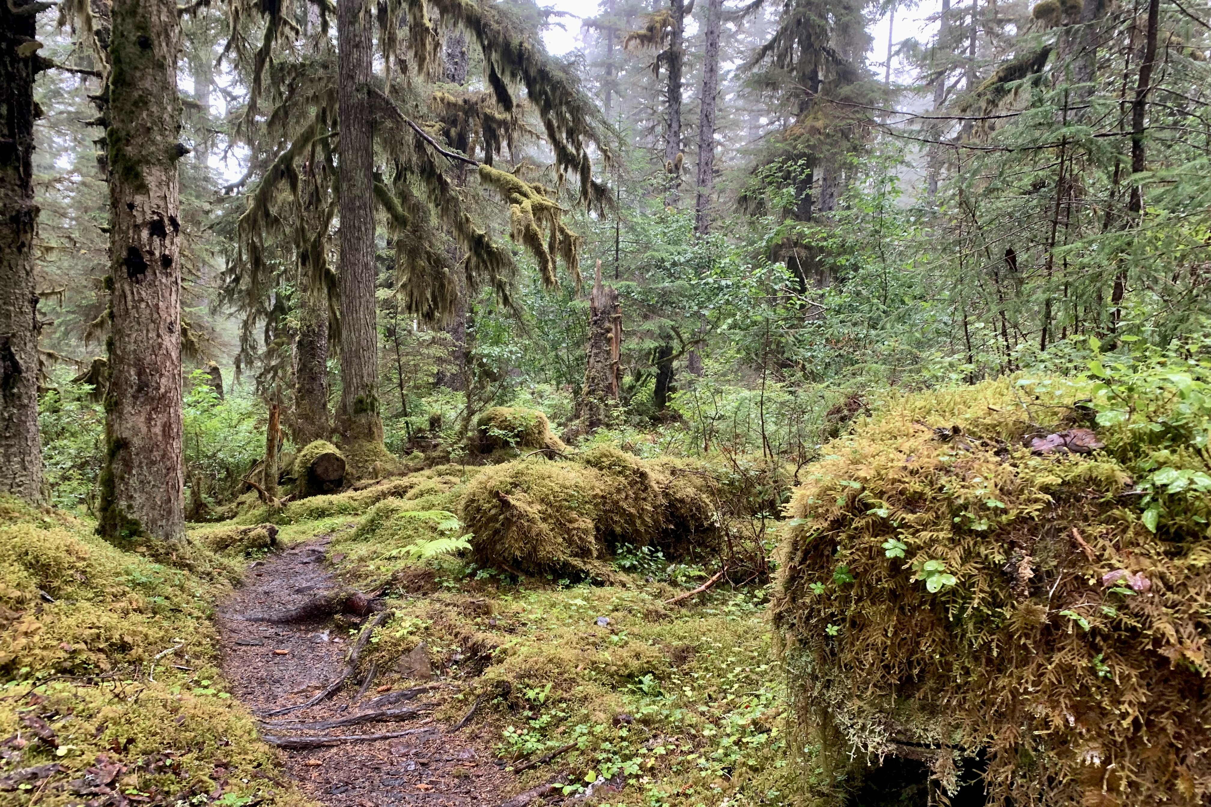
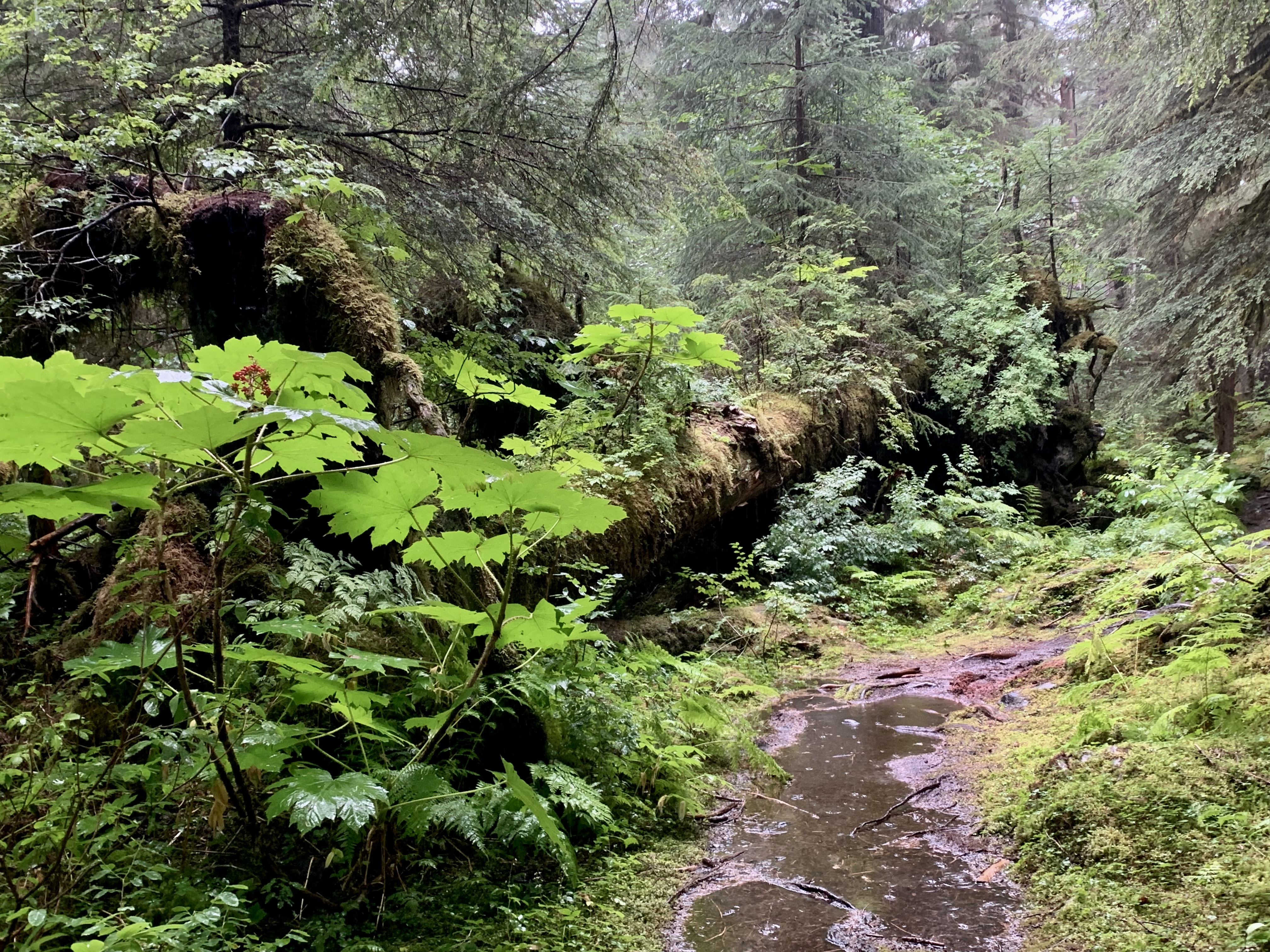
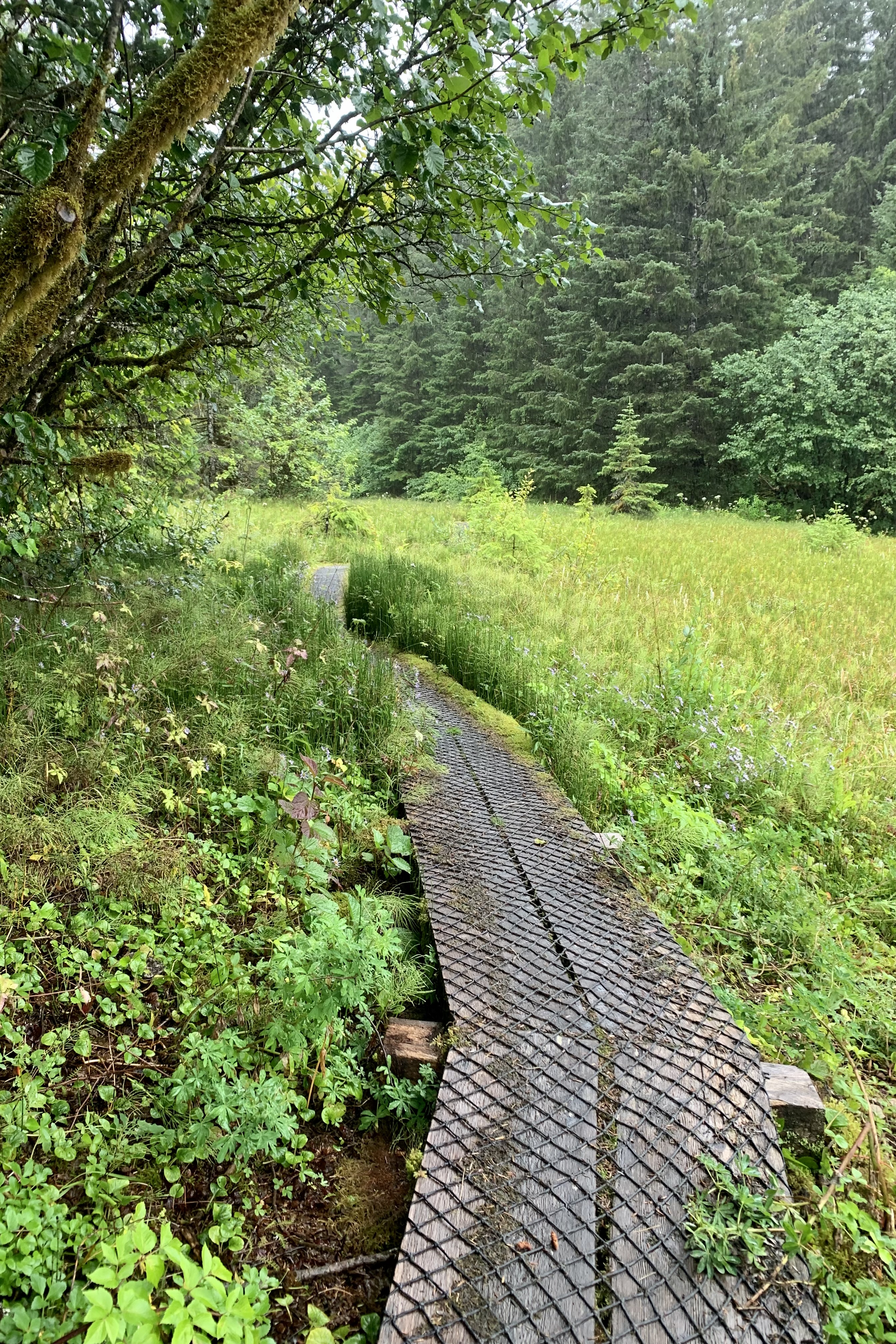
Actually hiking in this  rain forest was a truly amazing experience in so many ways. Think about the herbaceous vegetation, under an old growth canopy of tall old coniferous trees, that one witnesses on the forest floor: the humus, understory of mosses, mushrooms, fungi, lichen, ferns and some shrubs and berries.

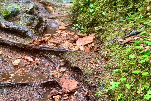
First it was amazingly  brutal for there were very few areas for each footfall in which there were not entwined roots, rocks, moss, algae, slick mud, and waterholes to pick my way through. Now for the fleet of foot this would not be as daunting but for an older adult (who has already broken an ankle and a hip) with osteoporotic  bones it might not end too well should I pitch forward , sideways or even backwards when I got it in my head to leap, swagger,  prance,  flounce or trot  about through the mass of roots in this fairy forrest. So proceeding cautiously (which I am not know for), I at first took on the challenge of avoiding sloshing through  the puddles as much as possible  – an almost impossible  endeavor –  until I realized how absurd this was because I had the clear sensation of wet feet and assumed I now had very leaky plastic bag liners.

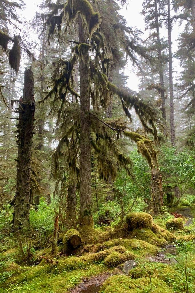
But by inching ahead so slowly I could begin to really appreciate the dramatic landscape that a rain forest is. The forest floor is covered with ferns and mosses, and epiphytes abound (mosses, lichens, ferns, and other plants that grow on other plants.) 

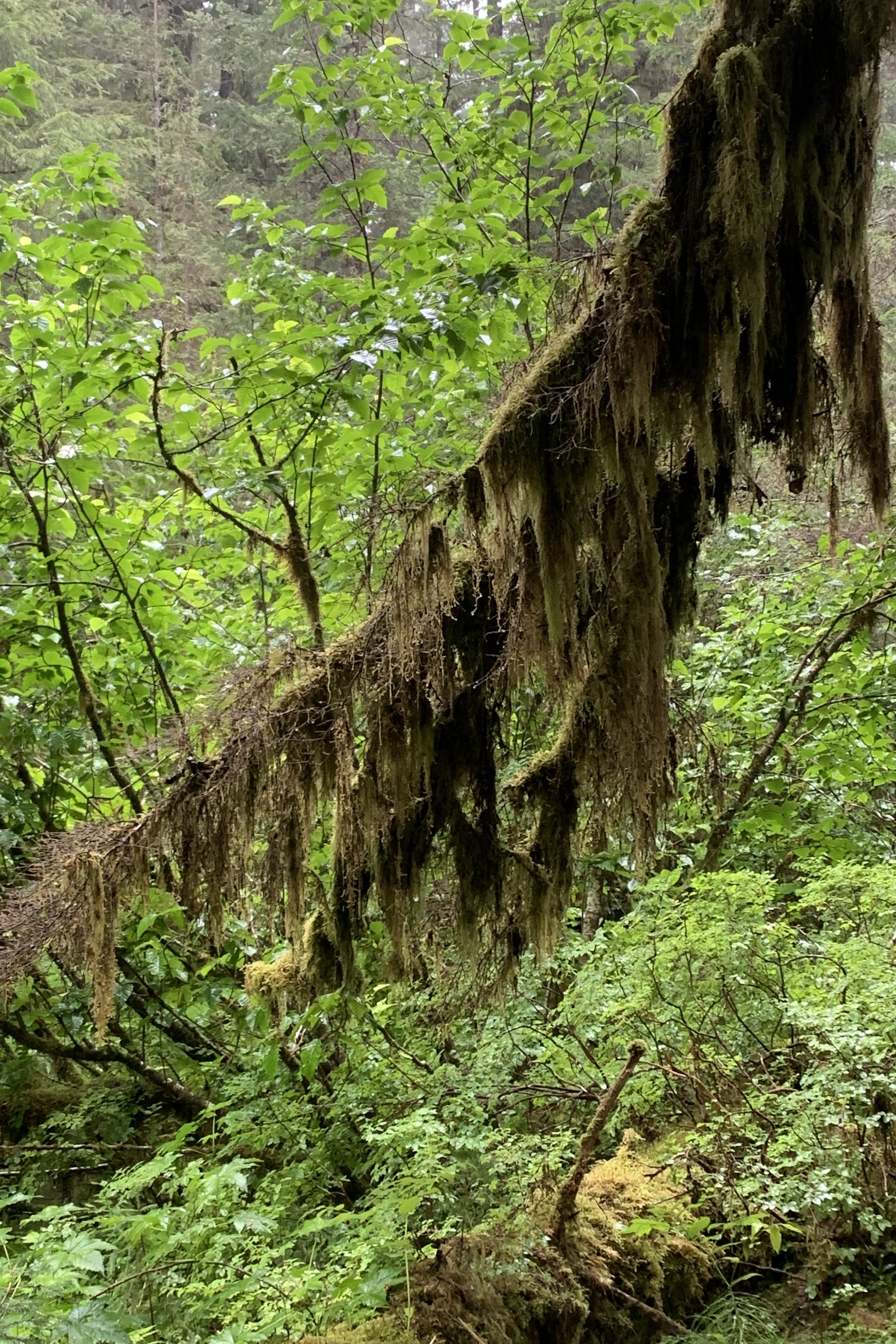
Mosses were every where crawling up the trunks and out on the limbs, hanging down from the branches,  hugging just about every surface, enveloping every stump, coating rocks, fingering ferns, carpeting the forest floor, sponging up nutrient and water, basting the bark of trees…these robust soggy mini-forests are lush pioneers that can just grow about anywhere in the rainforest and oft are the first to colonize an area.

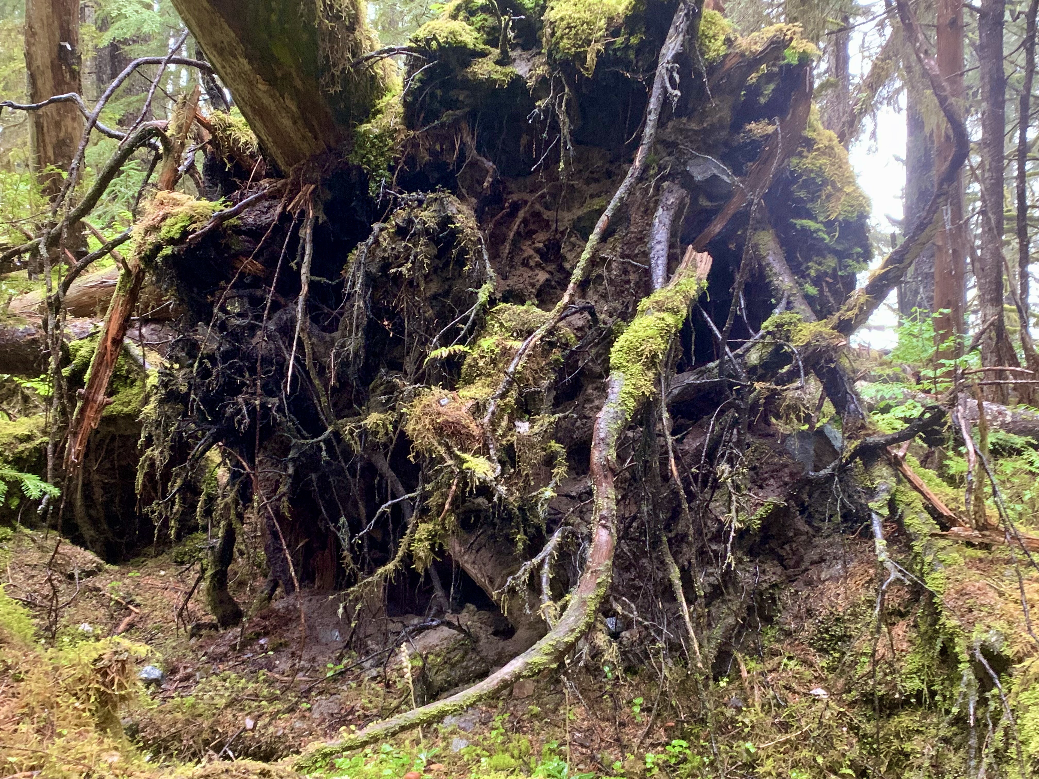
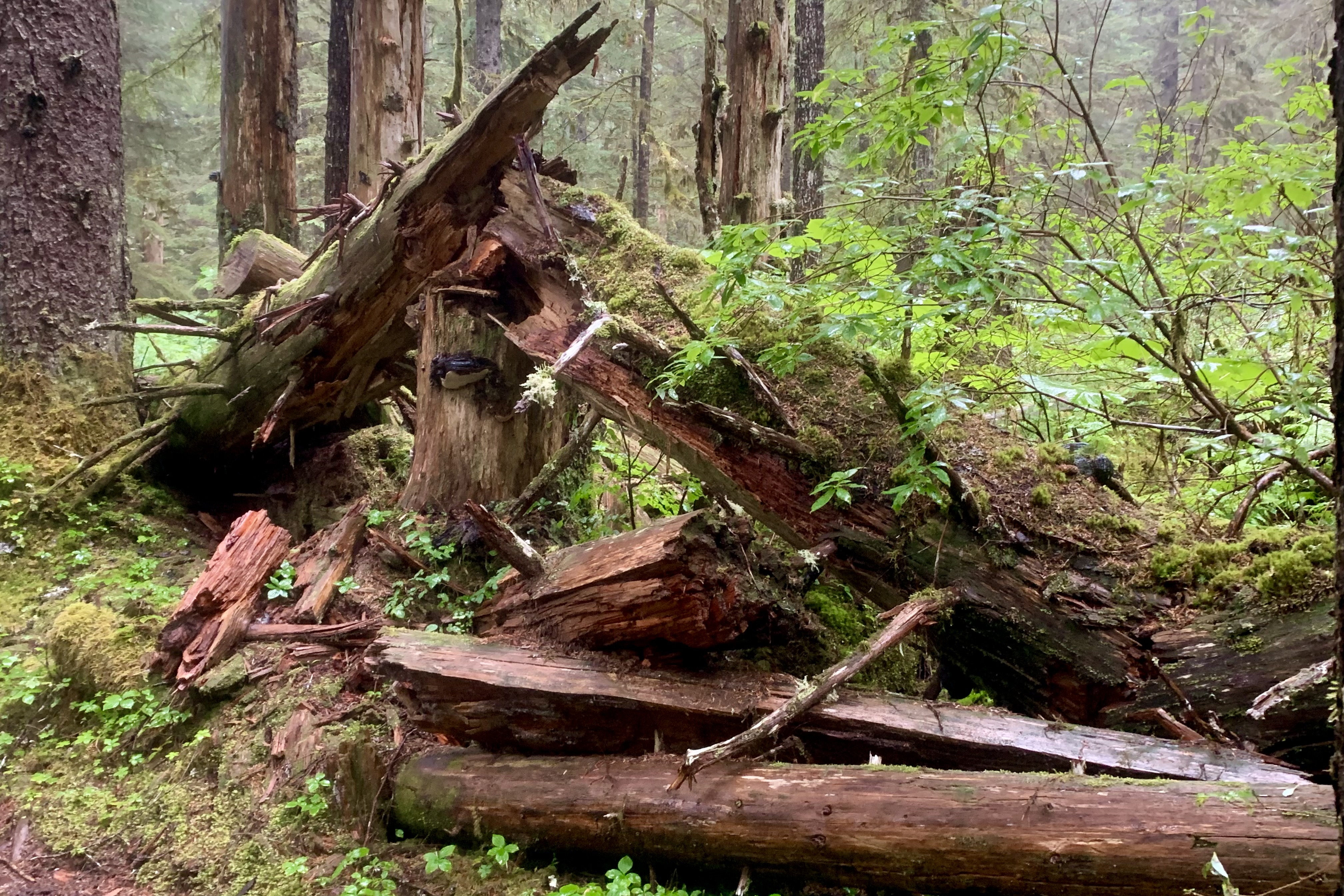
The root base of tipped trees I found eerily haunting. Because of shallow soils and high water tables, the roots of very tall trees  do not often extend deeper than 24 inches into the soil so they thus are particularly prone to tipping over during the windy and rainy fall season when soils are saturated. Stumps and downed trees proliferated and were rotting back into the ground or standing sentry in their green velvet coats. They seemed stalwart if doing their job of decaying and decomposing to provide feed for   the detritivore community.

I had read that fallen trees in a temperate rainforest are known as “nurse logs” because they provide shelter, nutrients and in some cases a platform on which young trees can grow.

I marveled at the myriad of stumps and logs raggedly rotting back into the ground. About one mile into the hike, I experienced a loud “thwunk” 6 inches in front of me. A good sized chunk of rotting wood from a tree above  had come barreling down and on impact exploded into chips fit for a good garden mulch. I was thanking that mysterious guardian angle of mine that it was not my head that got cracked and had I not tarried for a couple seconds at some point it most likely would have been. This did give me pause to think about this other unforeseen danger hiking in this weeping rainforest. In fact this rainforest was totally distraught and sobbing heavily. But not to be derailed the wild tree climbing  child in me  took over and soldiered on.

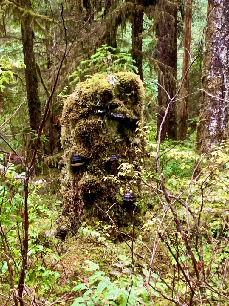
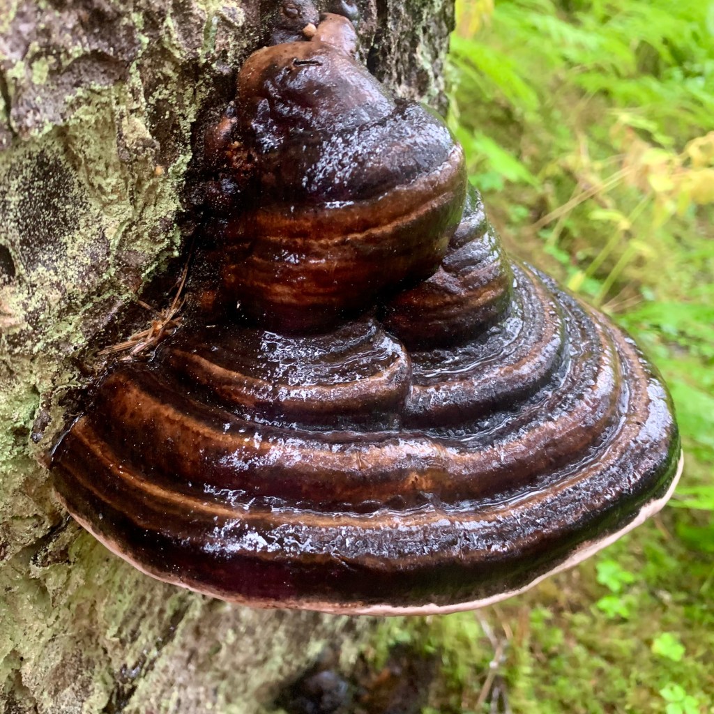
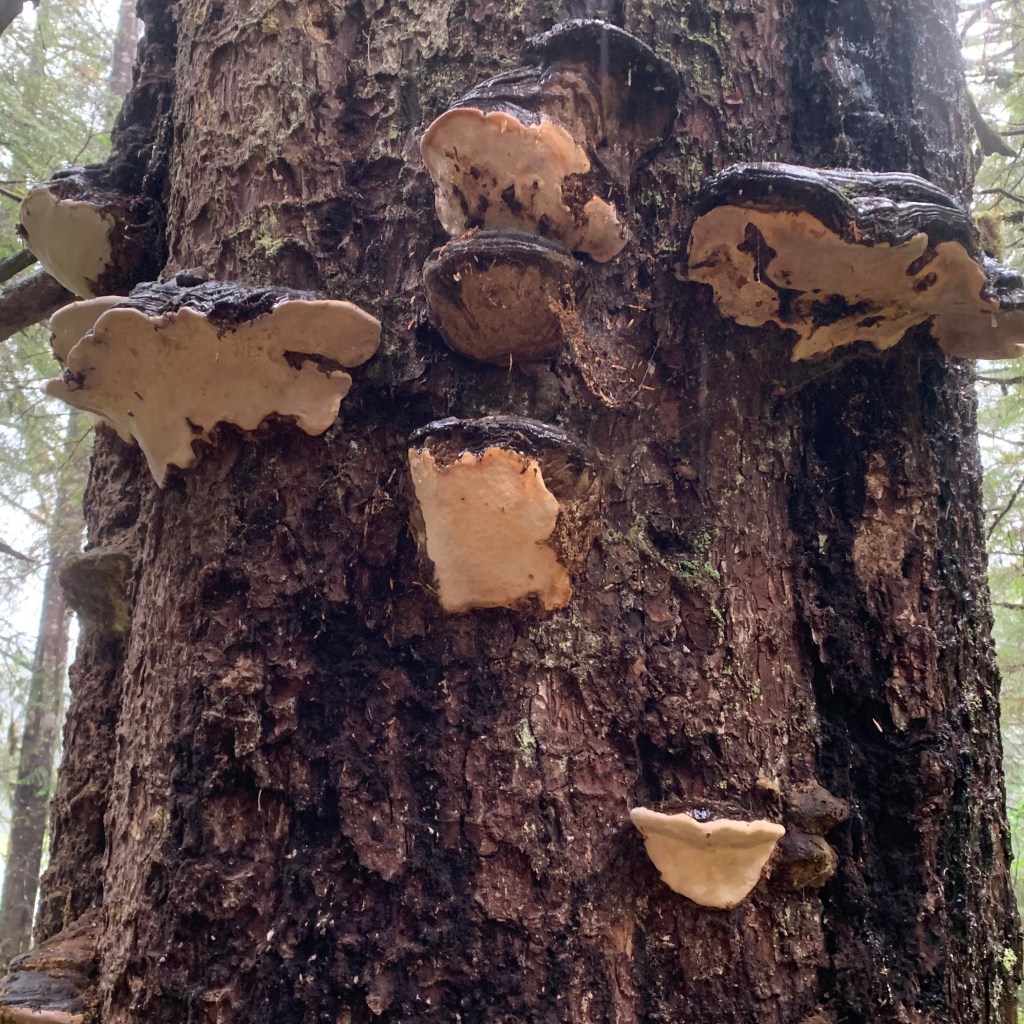
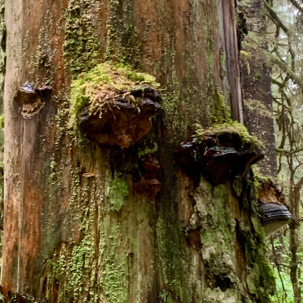
They were hard to ignore and I was fascinated by the conks which are  shelf-like fungal growths of artistic beauty on trees (aka shelf fungi or bracket fungi) and are  members of the fungus kingdom which includes mushrooms, molds, and yeast. Unlike mushrooms, most conks are inedible because they are tough and corky or woody. They can be seen growing on tree trunks and limbs, stumps, fallen logs  and are important recyclers in forest ecosystems in the process of decomposing woody material.  Some were “hatless” and others wore cloches of moss and lichen. Cloaks of lichens also were draped over many other surfaces and varied from bright green to olive drab. 

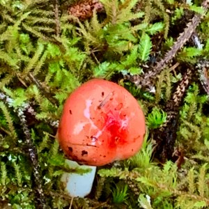
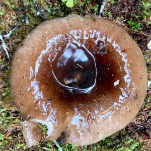
Mushrooms have a captivating appearance. I wonder what these open parasols were sheltering whatever creatures might be hunkering down to wait out the drizzle. Other s were inverted parasols catching the raindrops creating a shimmering pool. They could be seen dotting the rain swollen floor with a diversity of shapes size and colors and hues.

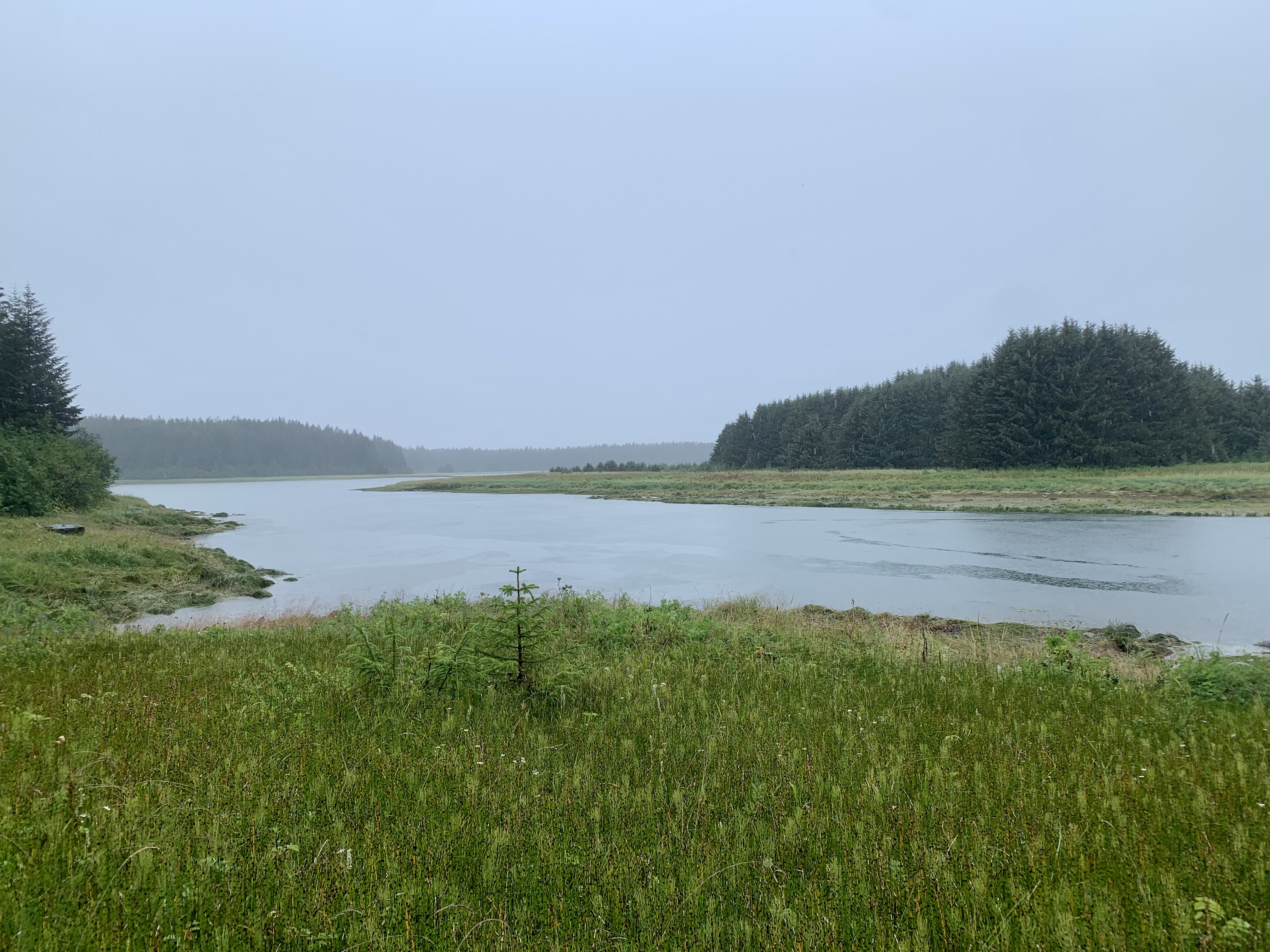
The shimmering veil of rain continued when this forest trail ended at an estuary near the mouth of the Bartlett River.  I made the executive decision to stop here as I could already tell that I would be mired in deep mud should I have proceed a few hundred feet more to the actual mouth of the river. Wet is one thing but mud oozing into my shoes was not a necessary part of this rain forest experience. So it was time to plunk down on a large lichen covered boulder , with much of my “carefully wrapped” body draped in sodden attire and attempt to enjoy a lunch which was also getting quite sodden as I tried transporting the food to my mouth. The most successful piece of attire I had chosen was my visor in keeping the rain off my face. Water had dripped down into the arms of the raincoat every time I went to take a photo. My whole backside by now felt wet as I discovered that those ancient rain pants had split open.

Hiking out I plodded along with the drumbeat of the rain on the forest canopy and understory. The steady beat would have been totally mesmerizing had I not been quite aware that I was wobbling a bit like a Weeble and did not want to fall down. My legs were tired so I tried focusing on this living cathedral of towering trees, on the the diverse tapestry of the forest floor, and assessing the deeping puddles obscuring the obstacles ahead. In this type of immersion other folks have talked of a spiritual experience or a sacred moment in a lush and fecund forest, this waterfall from heaven. With the air solidly full of water, I was picturing fish swimming in the tree tops, hearing a torrential cacophony, and thinking about a hot shower back at the Lodge.

Upon my return, having had natures bath, I immediately climbed into the bathtub to strip out of my saturated clothes, stuffed them into a plastic bag, took a delicious hot shower , and then headed out to the “public laundromat” next to the lodge. I did not savvy either putting on these soppy clothes tomorrow should I need them or filling my suitcase with dripping, waterlogged apparel. This” laundromat” was not what I had expected but I did end up with dry gear. Now for a pricy well earned dinner in the Lodge, my mouth agape as I peered out the window of the dining room at blue skies!

Brume, Lazy Glacier John and an Otter Raft

Standing on the dock, in the early morning brume, I was feeling a tad discouraged about this 8 hour cruise through Glacier Bay up to the John Hopkins Inlet. It was definitely a relief though  when I noticed that the passenger count was far below the capacity that this high speed catamaran, colloquially named  the “Day Boat, ” could accommodate. At  least there would be less of a foray when patrons start jockeying for a berth on the railing. This chaotic scenario always occurs whenever the crew  announces a sighting of wildlife, which always leads to a rush of the madding crowd from one side of the ship to another, from the inside cabin to the outside deck , and up the stairs to the viewing deck from downstairs. Far be it for me to buck the trend and, so that I could lead the rush of the cattle call crowd, I secured my “indoor station” by a window and quite proximate to the exit for the viewing deck.

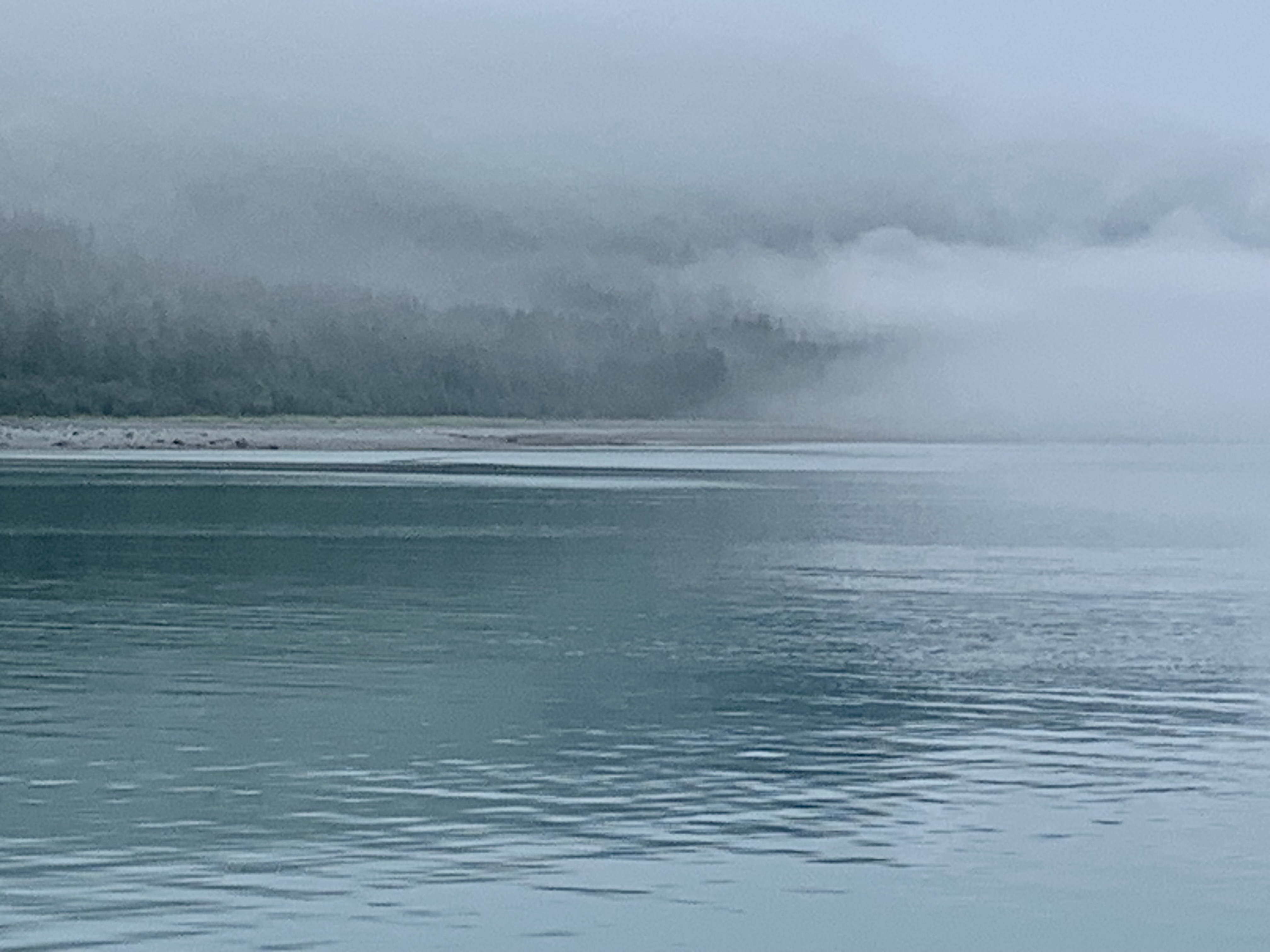
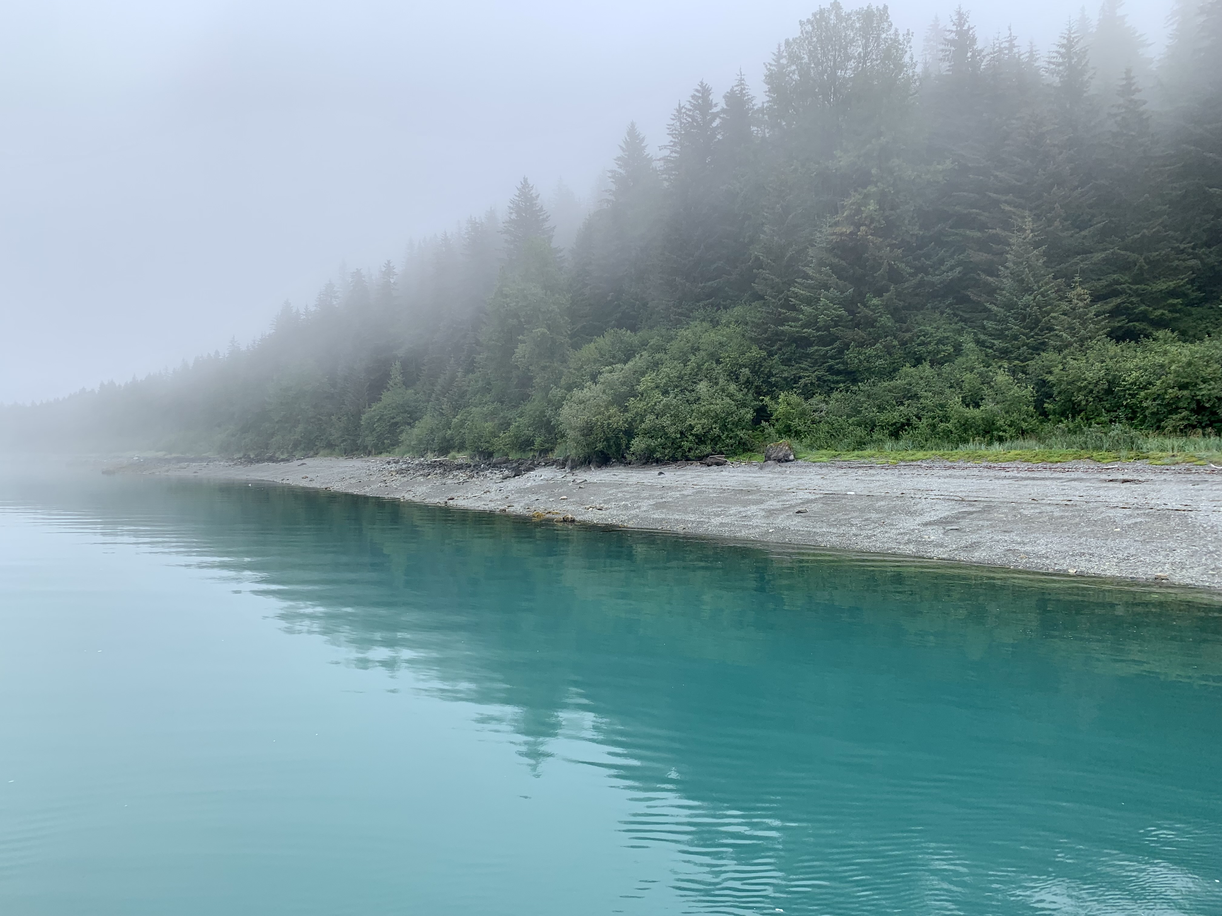
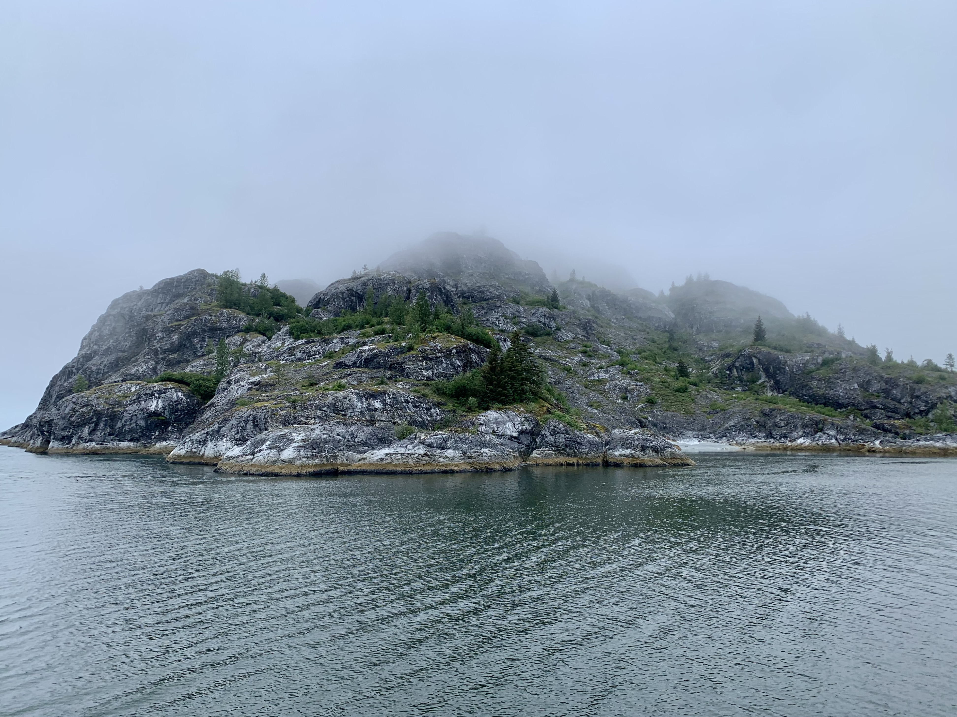
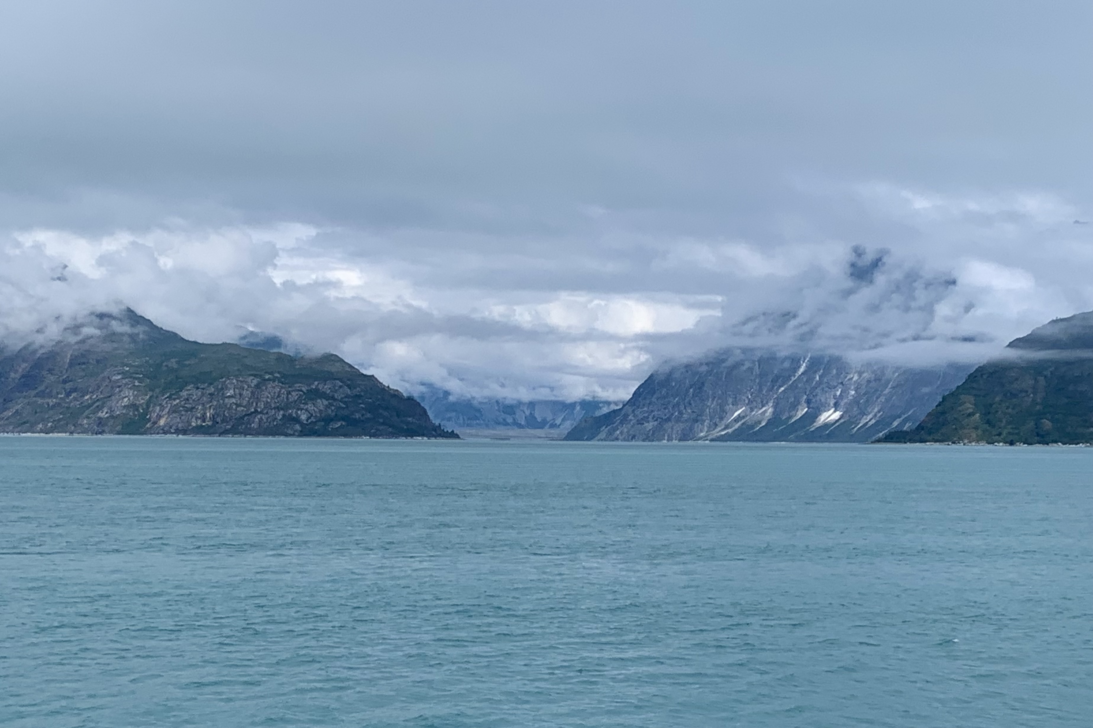
For the first couple of hours there was a myriad of photo ops of this dense fog ahead of us, the fog off to port side, the starboard side fog and the fog we left behind.

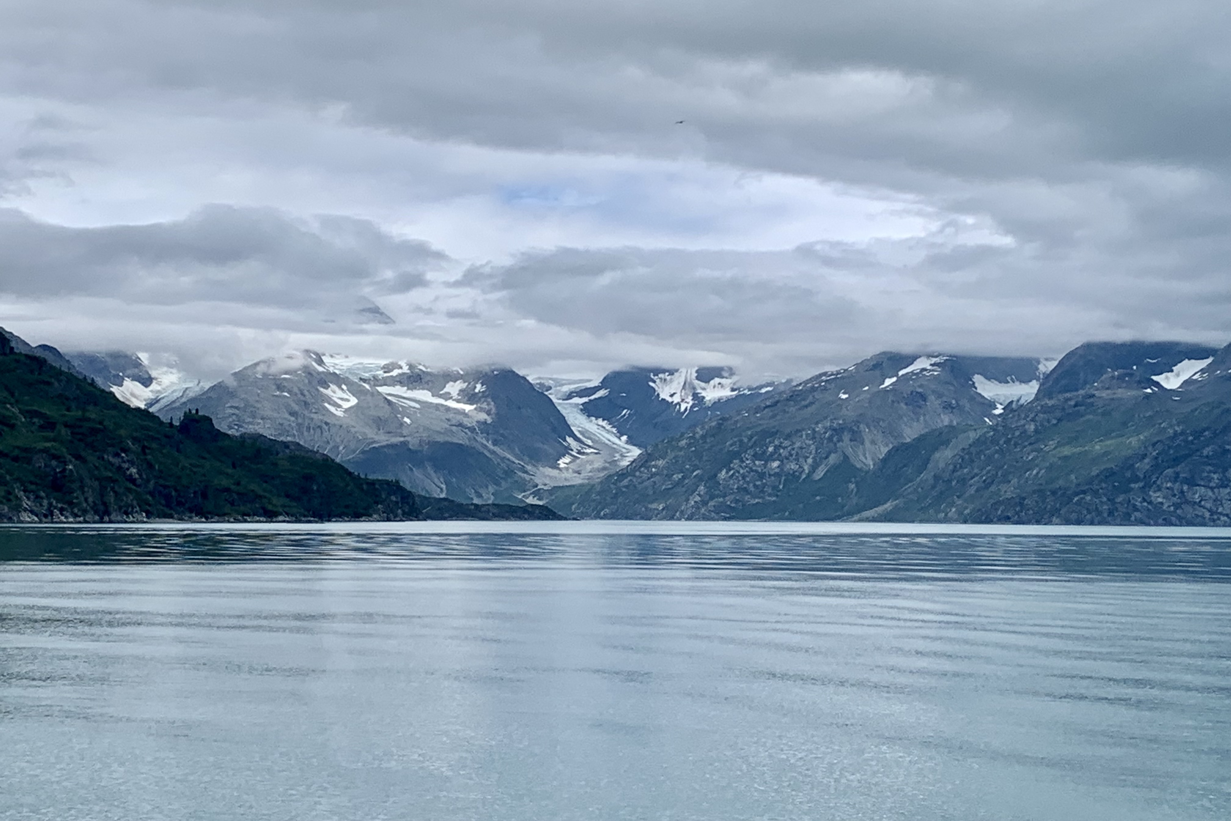
This gauzy scrim  gradually began to lift and ascended upward enough so that we had a better chance of spotting wildlife in the air, on the waters, along the shores and on the rocky slopes of the islands in the bay. Currently the glaciers are now about 65 miles northwest  of Bartlett Cove whereas 250 years ago Glacier Bay and Bartlett Cove were a massive river of ice so its was going to be quite a while before we reached the glacial area. 

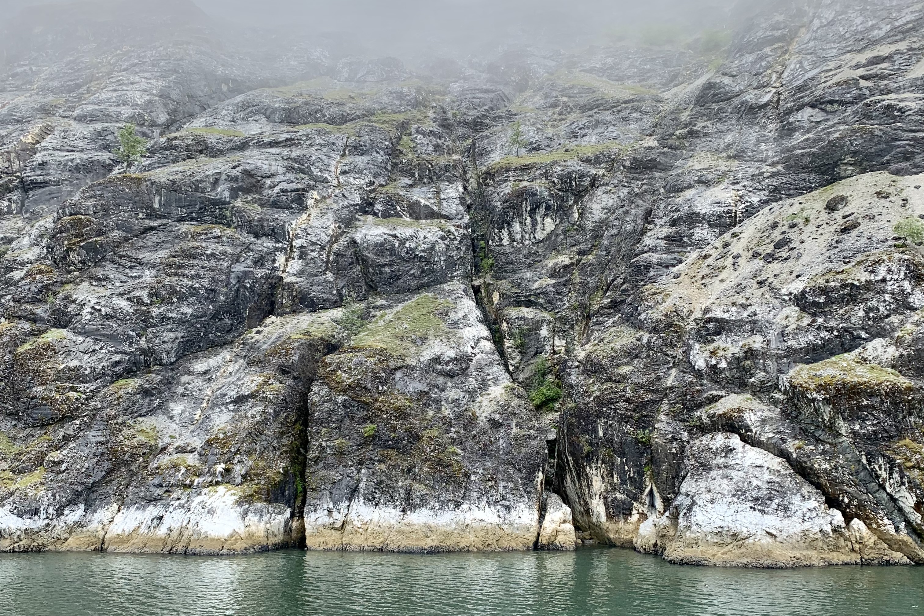
It seemed like we were just tugboating along – I surmised it was the heavy fog— but I came to realize that there are definite noise restriction and speed zone areas designated so as to protect all wildlife, but especially to protect the harbor seal and whales. This definitely is not an attractive area for the jet skiers of the world to congregate and hold a convention. I am all in on respecting the wild land, air, and sea creatures that we share this earth with and grateful for the quieter ride that exist because of the myriad of boating restrictions. Think about it. Would you relish a six foot long 250 pound harbor seal undulating like caterpillar through your living room or otters webstroking in your swimming pool. Perhaps we need to think a whole lot more about our roaring motors churning through their living room. This definitely made for a most pleasant three hour journey to get to the first glaciers. A National Park Service Ranger kept us informed about what we would be seeing (or not seeing) along the way as we moved from the rainforest area of Glacier Bay to the guano and lichen-encrusted rocky islands of the bay.

As we ferried along the captain would maneuver close to shores of Strawberry Island, the Marble Islands, and Tlingit Point for better animal sightings. By count birds far outnumber any other wildlife sightings. Thousands of seabirds nest on cliffs and rocky shores within the bay. I don’t have the patience or acuity of vision (or very good binoculars) to be a successful “birder.” but spotting the puffins and the Arctic terns was a treat.  The Arctic tern is my hero and is famous for migration since it flies from its Arctic breeding grounds to the Antarctic and back again each year. They are the ultra ultra marathoners of the avian species. The shortest distance between these areas is 12,000 miles.  I surmised, just like our human snowbirds traveling south in the winter, these terns seek perpetual summer and  lots and lots daylight. The Tufted Puffins, often identified as “parrots of the sea” because of their bright coloring  were not behaving  like the adorable tufted  puffins I’ve seen in the penguin exhibits at aquariums waddling . They were far too busy foraging for their own food, swimming,  and steering them selves around with their web feet preparing for a dive for the fresh catch of the day. . Also spotted were Black-legged Kittiwake, Eagles, a  variety of Gulls, especially Glaucous-winged Gull , which is basically a large white headed gull. They were plentiful on the Marble Islands.  I took almost no photos because I do not possess one of those cameras with massive lenses especial designed for wildlife photography with their auto focus and zoom lenses and look like they weigh a ton. My 5 year old iPhone camera suffices but does’t do the job that these heavy behemoth expensive cameras do. I already have too many photos of unidentifiable minuscule blurred dots in the distance.

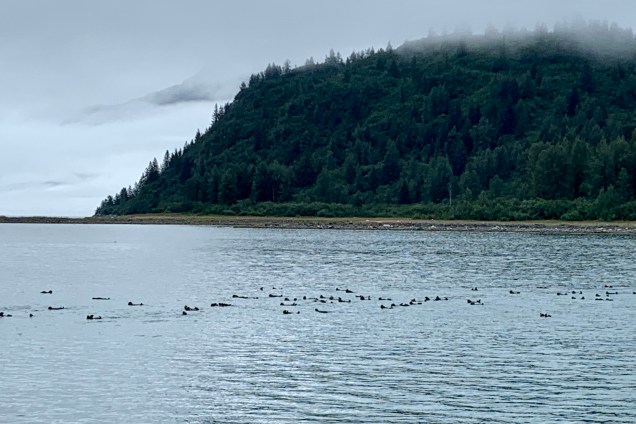
As far as spotting  the large mammalia, a brown bear was seen sauntering around a beach on Tlingit Point, an occasional whale spouting or breaching in the distance, sea lions on the rocks but no proximate heart stopping encounters with the ship. Perhaps these Glacier Bay inhabitants  too,  just like many humans , prefer to hunker down on a foggy rainy day and thus opted out of putting on a show for the tourists encroaching into their habitat.  I was especially enchanted by the “raft” of sea otters, churning through the water. I noticed their preferred swim stroke is by far the backstroke  (mine too) and I spotted them in large numbers hanging tight with each other traveling in tandem. I wonder if it’s like a pace line in cycling where you cycle into the slipstream of another cyclist and let them “pull” you along. This was an “otter version” of  the pace line. 

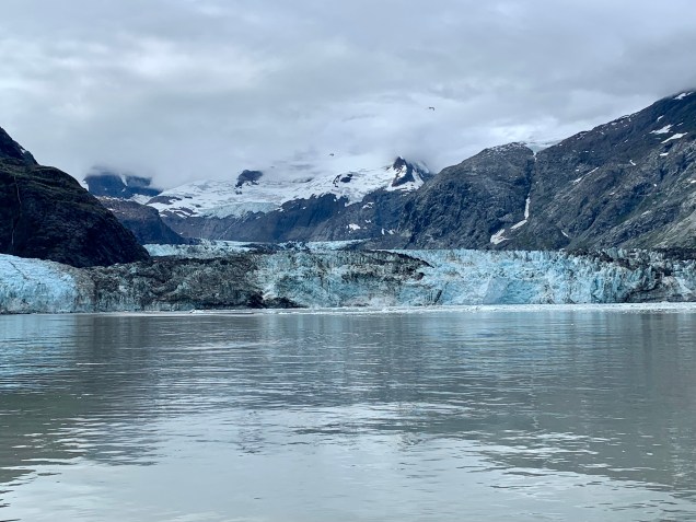
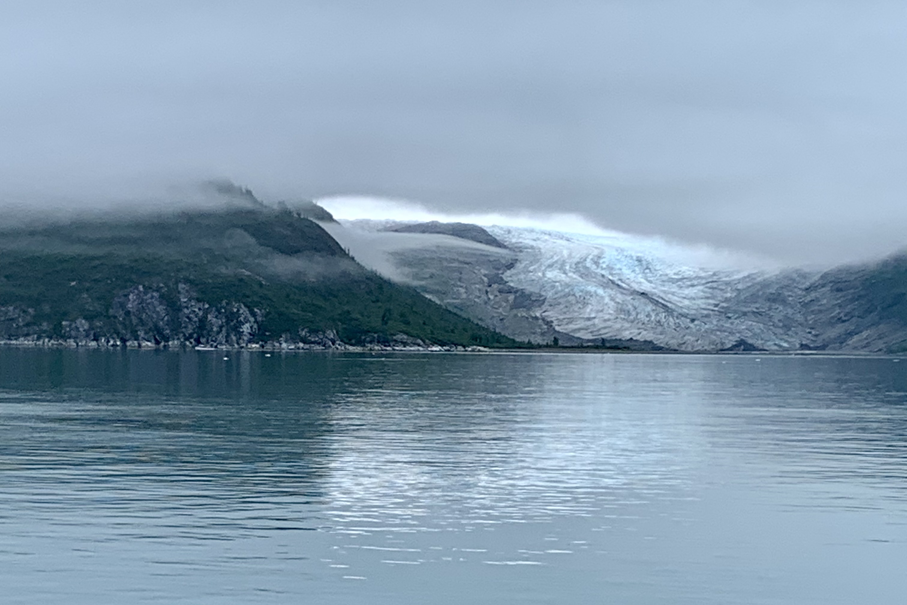
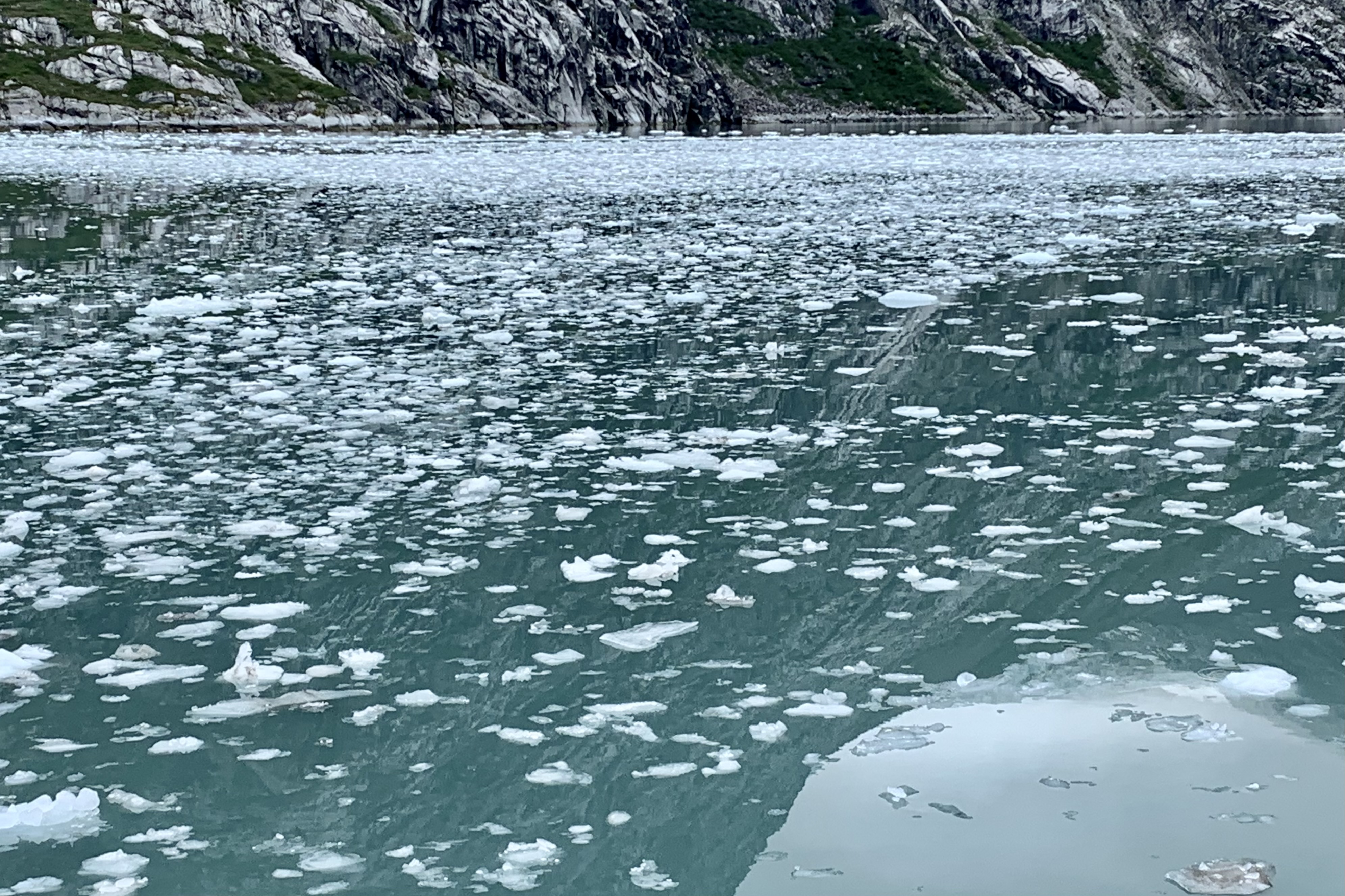
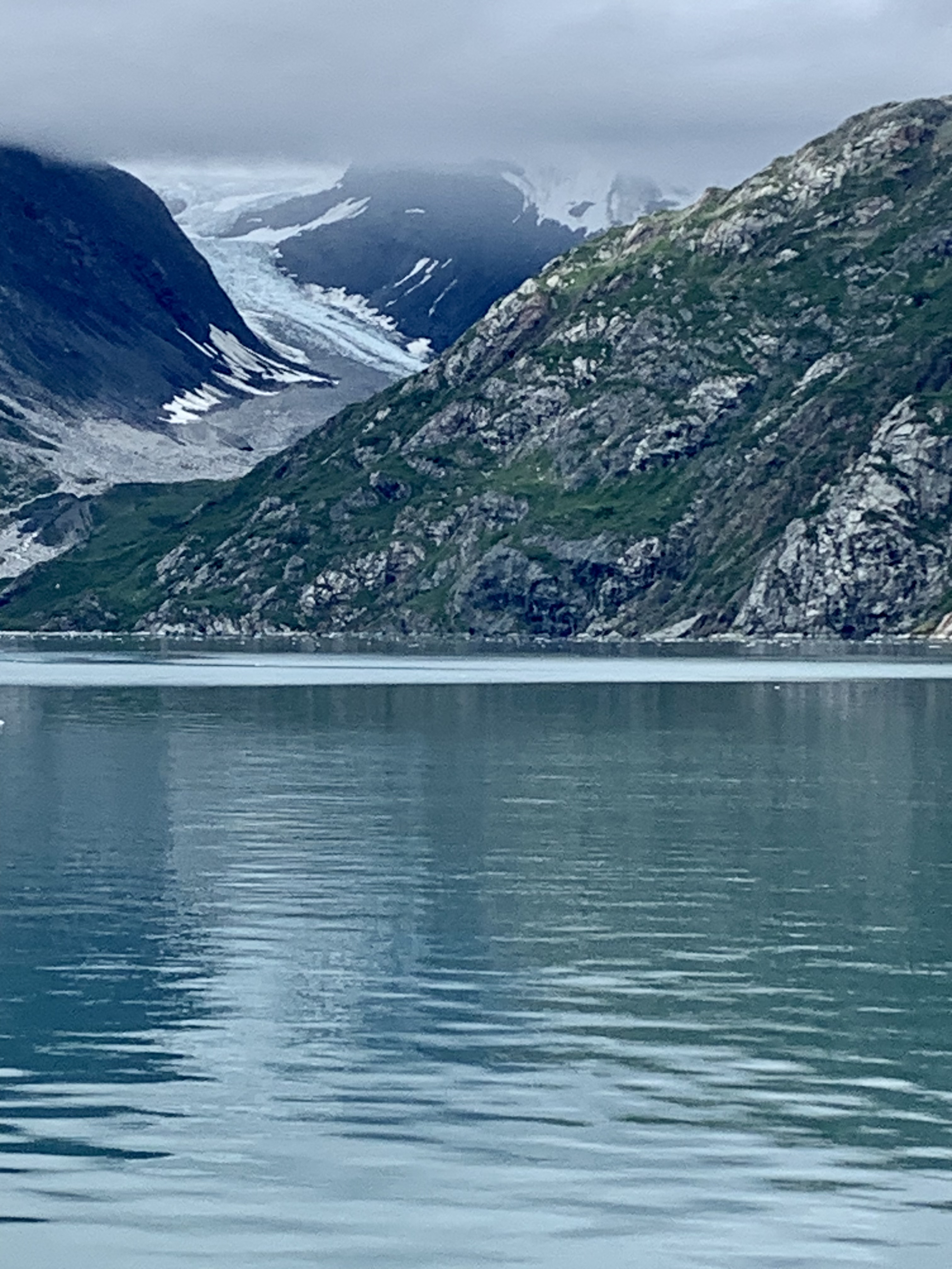
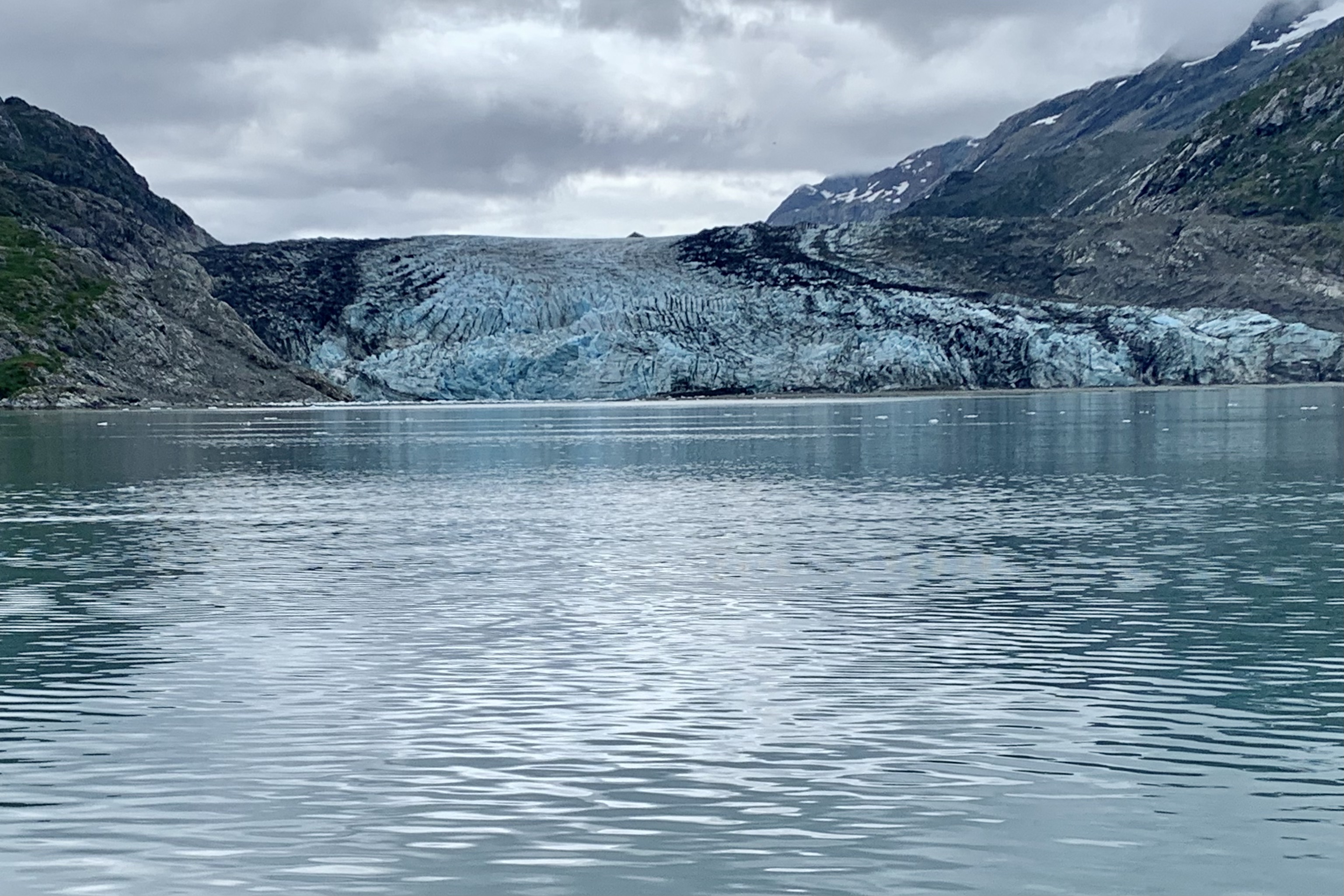
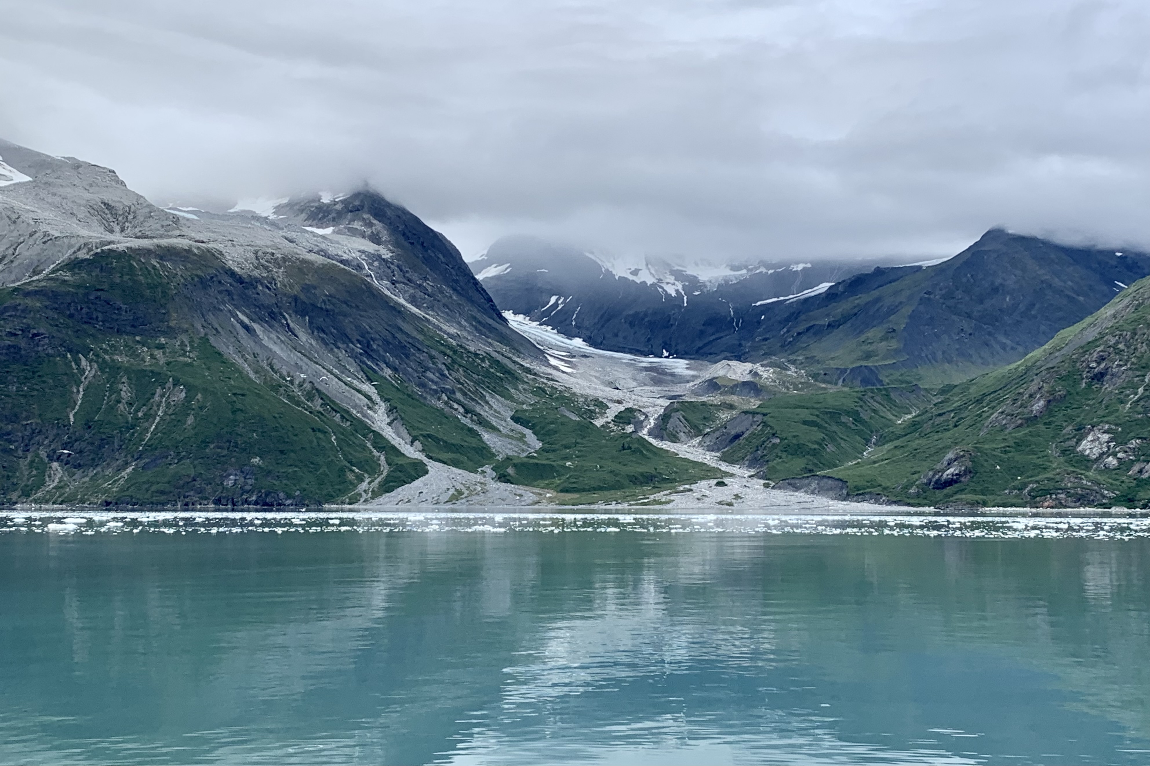
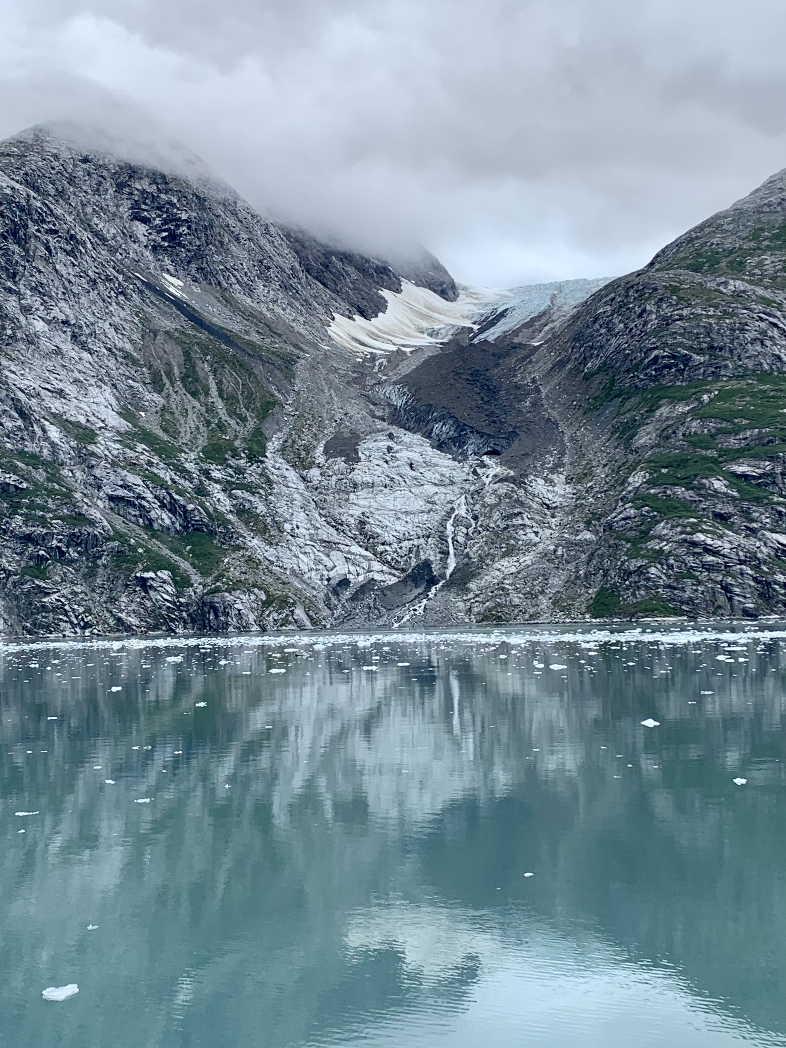
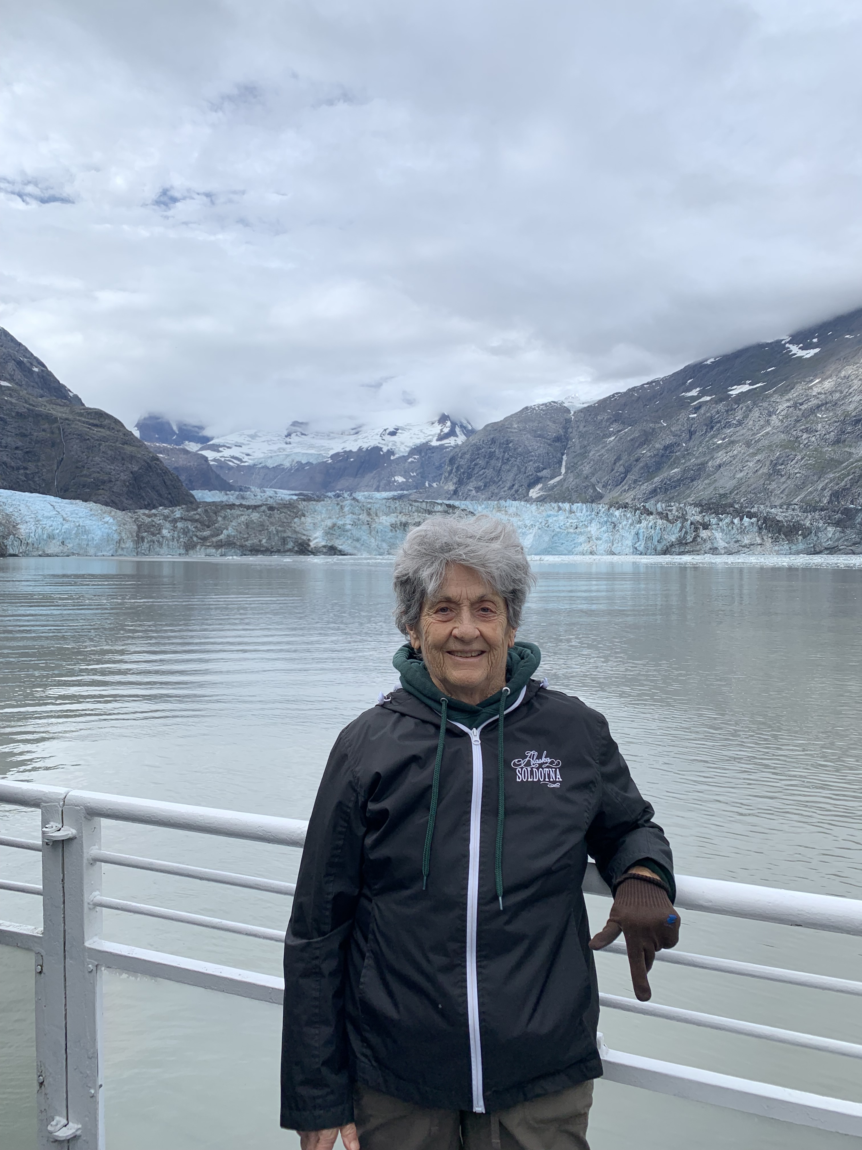
By now the fog had dispersed and though still totally overcast, we were motoring through the bergy bits and growlers (ice flows that aren’t behemoth enough to sink the Titanic) and soon we were seeing many tidewater glaciers crawling down the mountain crevices and ending at the sea, with the grandad being the John Hopkins Glacier at the end of the inlet. Though we were mooring around the John Hopkins Glacier and inlet for around 2.5 hours, at this time Glacier John was taking lunch and a siesta and was not calving.

Our  lunch was provided “glacier -side, ” which was a classic school kid bag lunch of a Wonder Bread sandwich, chips, and a candy bar!  Jupiter, the king of gods and the weather god, must have been in a more favorable mood for our return trip. It was under partly cloudy conditions, so the shore lines were more visible. This Sky Deity was in a imaginative space and fluffed up pillowy, sheetlike, fleecy, and diaphanous clouds to hug and drape the islands and thankfully not thunderheads or threatening clouds to churn and spin the waters around our trusty vessel.

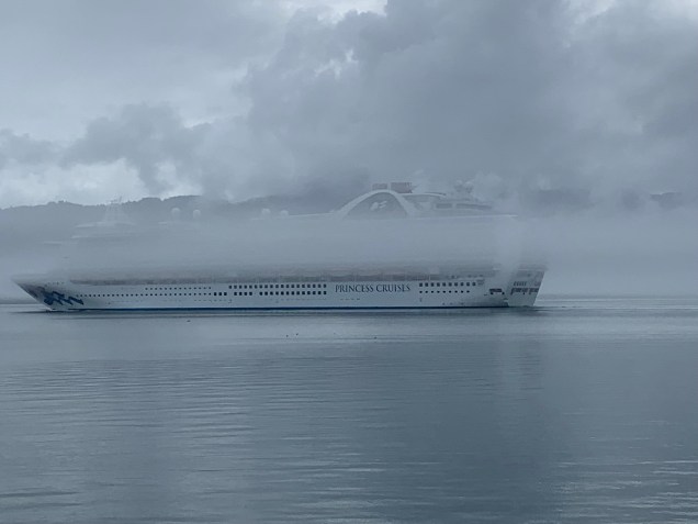
One of the VERY amusing things noted  on our return was the huge Ruby Princess Cruise Ship along side and we all were laughing because those folks who paid for those high deck outside cabins were getting a great view of the fog!

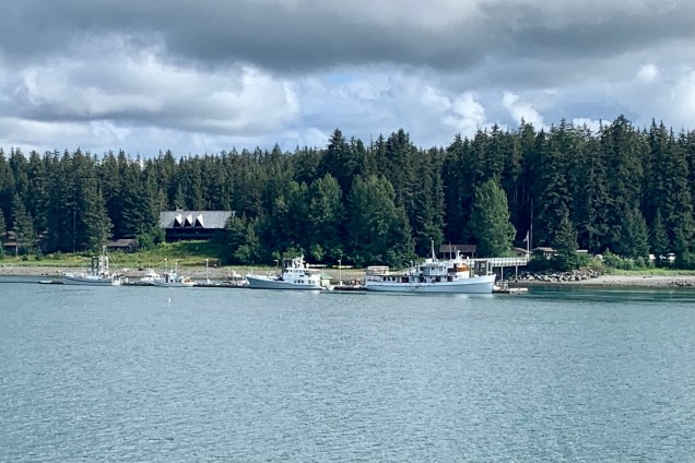
Glacier Bay Lodge

It was quite a satisfying experience , definitely to be had before there are no more glaciers to ooh and awe about. . Additionally , I began to make the acquaintance of a number of couples who are “park baggers” like myself, hoping to visit all 63 National Parks in their lifetime. I am proud to say I have the most under my belt (52) of those I met but it was fun comparing favorites and numbers visited etc. After regrouping, I made my way to the dining room so as not to be the last in line again for a table and after be able to go to the Park Ranger presentation on this park.